Trails near Castel Mella
124 hikes starting within 15 km, nearest first.
Nearest first, page 2 of 3
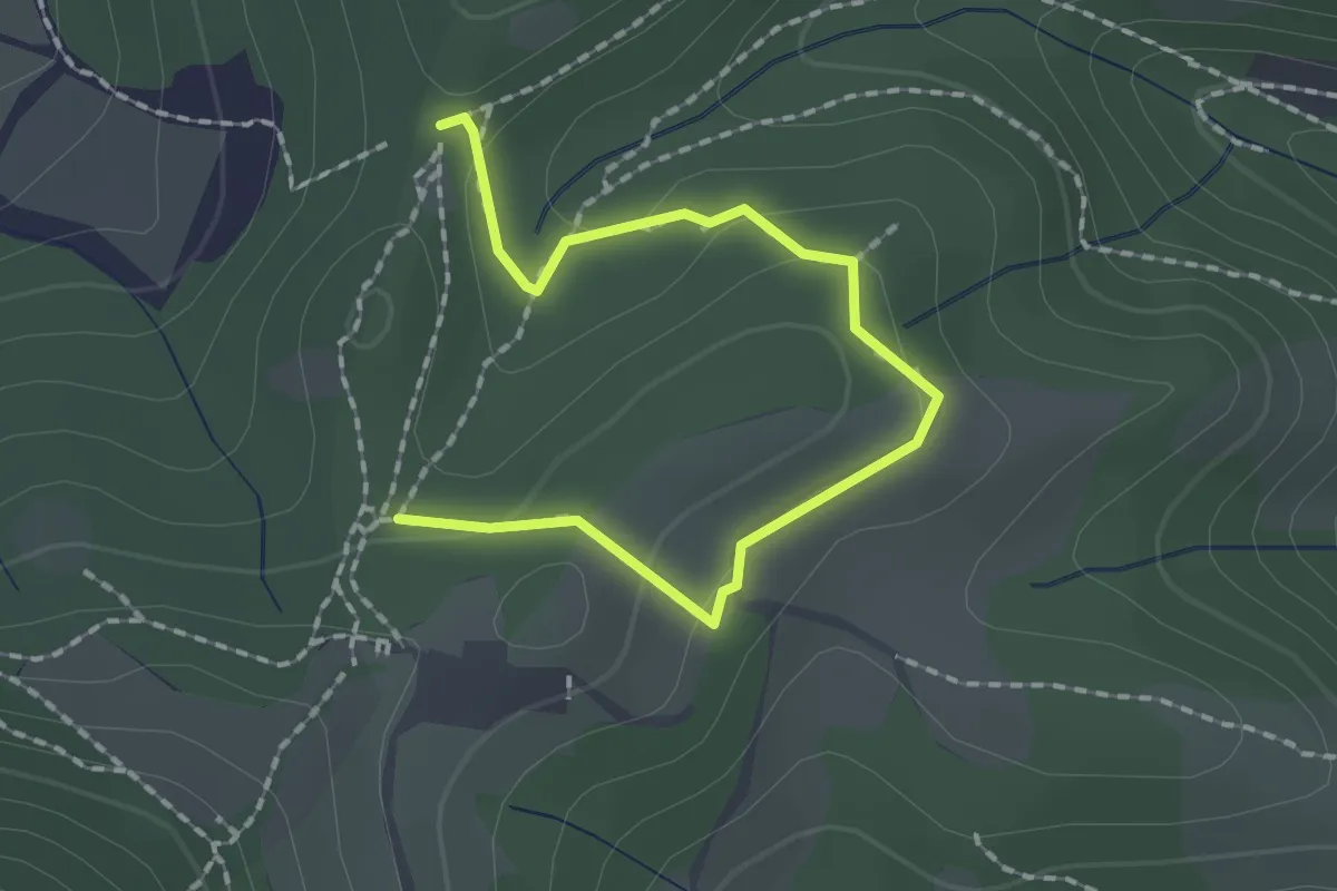
Medium · Trail
Collebeato (Roccolo Polonioli) – Sella del Madì (Innesto Sentiero 248)
2.1 km · ↑ 64 m · 38 min · 11 km away
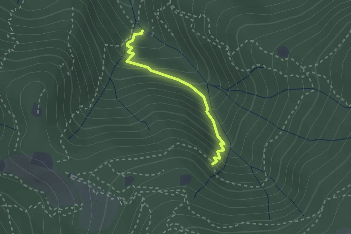
Medium · Cabin
Sentiero di Jago
1.9 km · ↑ 249 m · 59 min · 11 km away
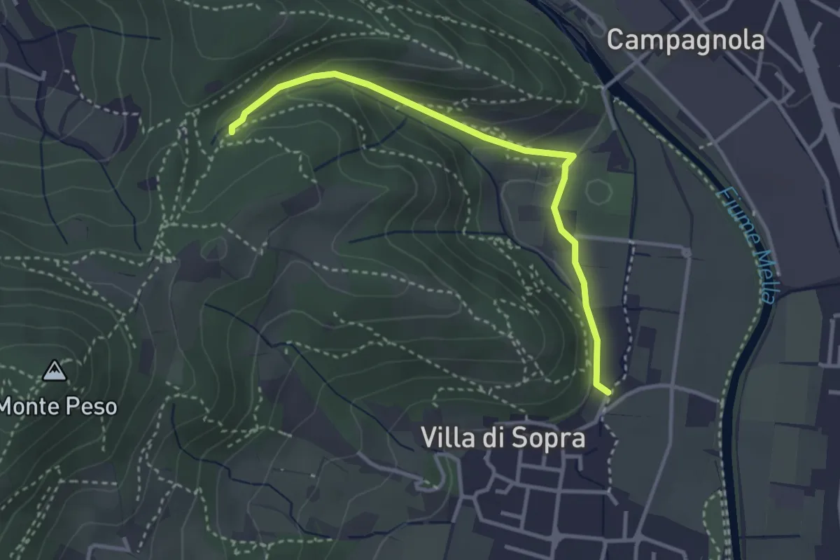
Medium · Trail
Collebeato (La Noia) – Monte Zuccolotto (Innesto Sentiero 248)
3.3 km · ↑ 135 m · 1 h 4 min · 12 km away
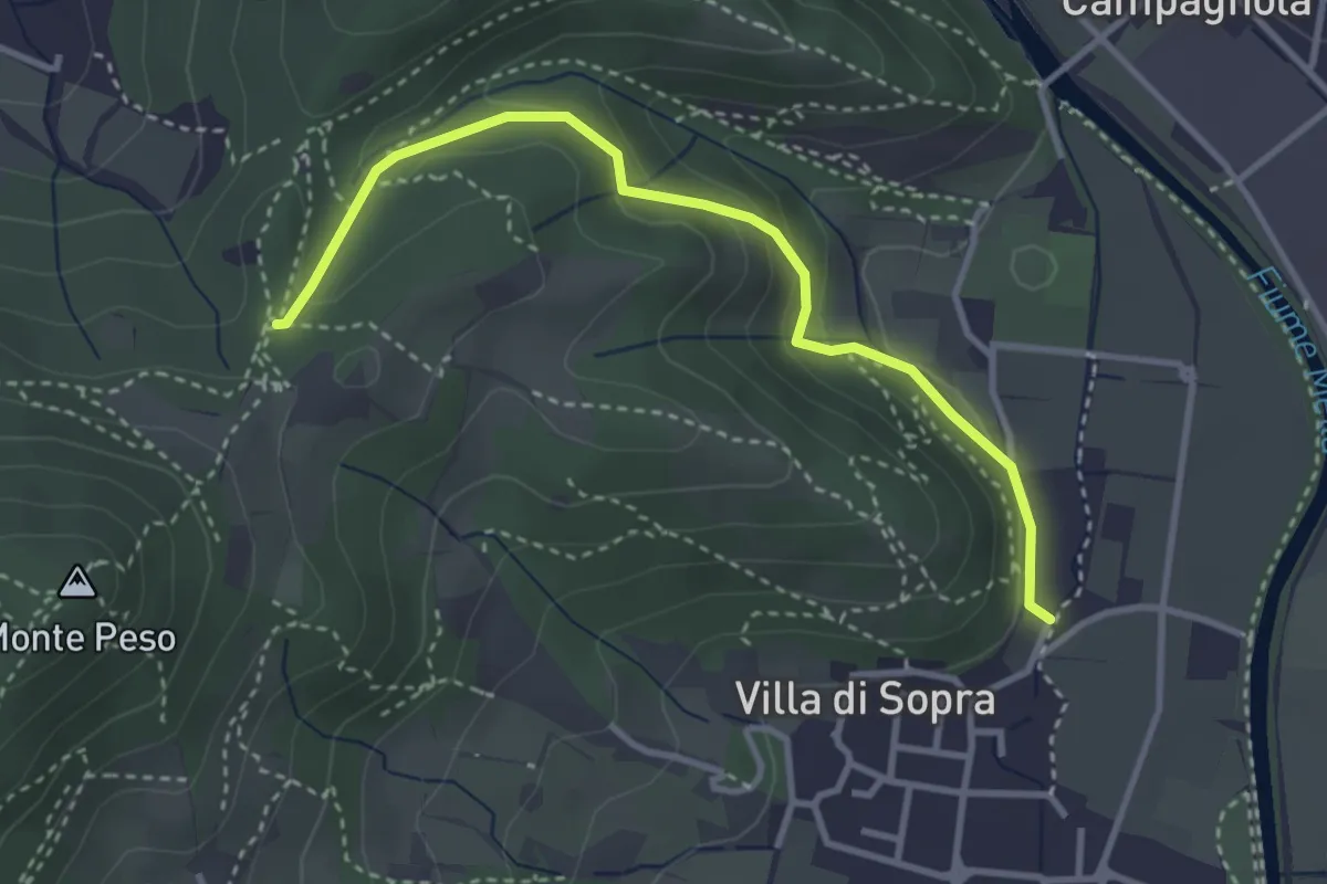
Medium · Trail
Collebeato (La Noia) – Sella del Madì (Innesto Sentiero 247)
3.5 km · ↑ 192 m · 1 h 15 min · 12 km away
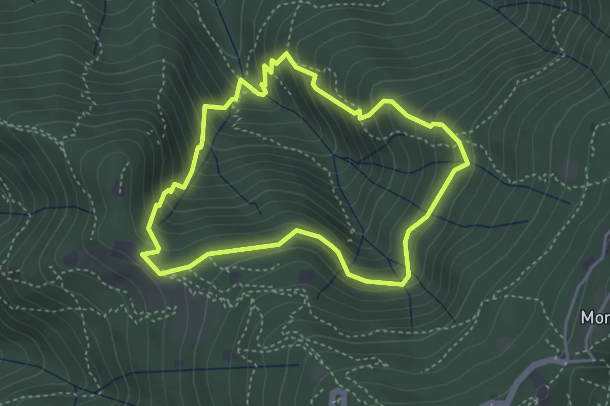
Medium · Cabin
Anello dei Brüsàcc
3.5 km · ↑ 335 m · 1 h 36 min · 12 km away
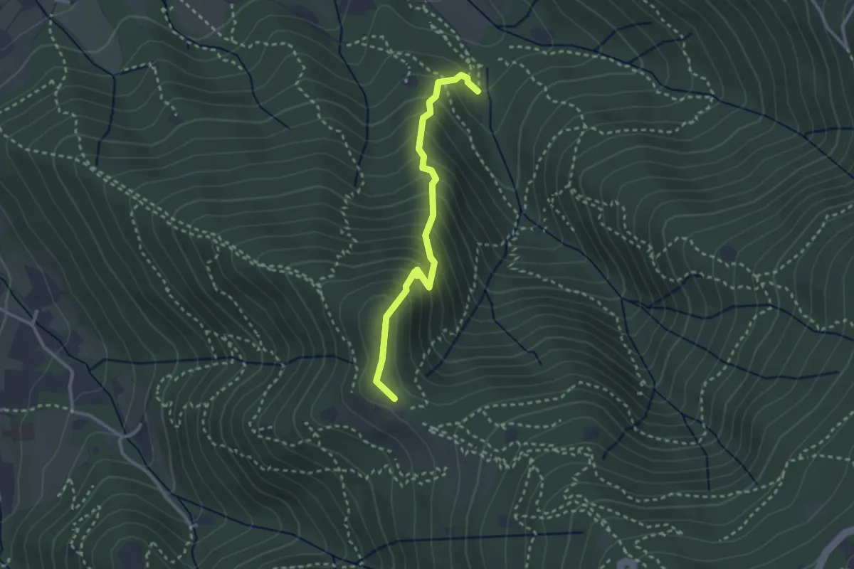
Medium · Trail
Sentiero dei Gnari
2.7 km · ↑ 330 m · 1 h 21 min · 12 km away
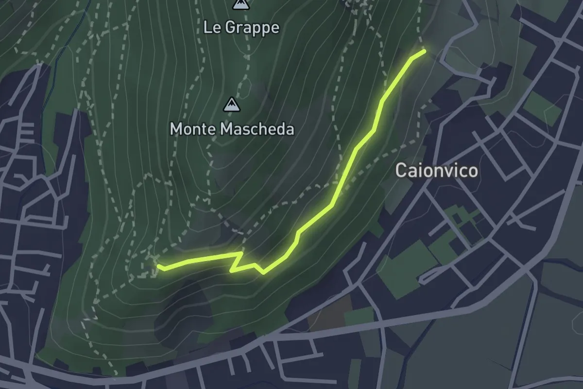
Medium · Trail
Sentiero della Ruta
2.1 km · ↑ 95 m · 42 min · 12 km away
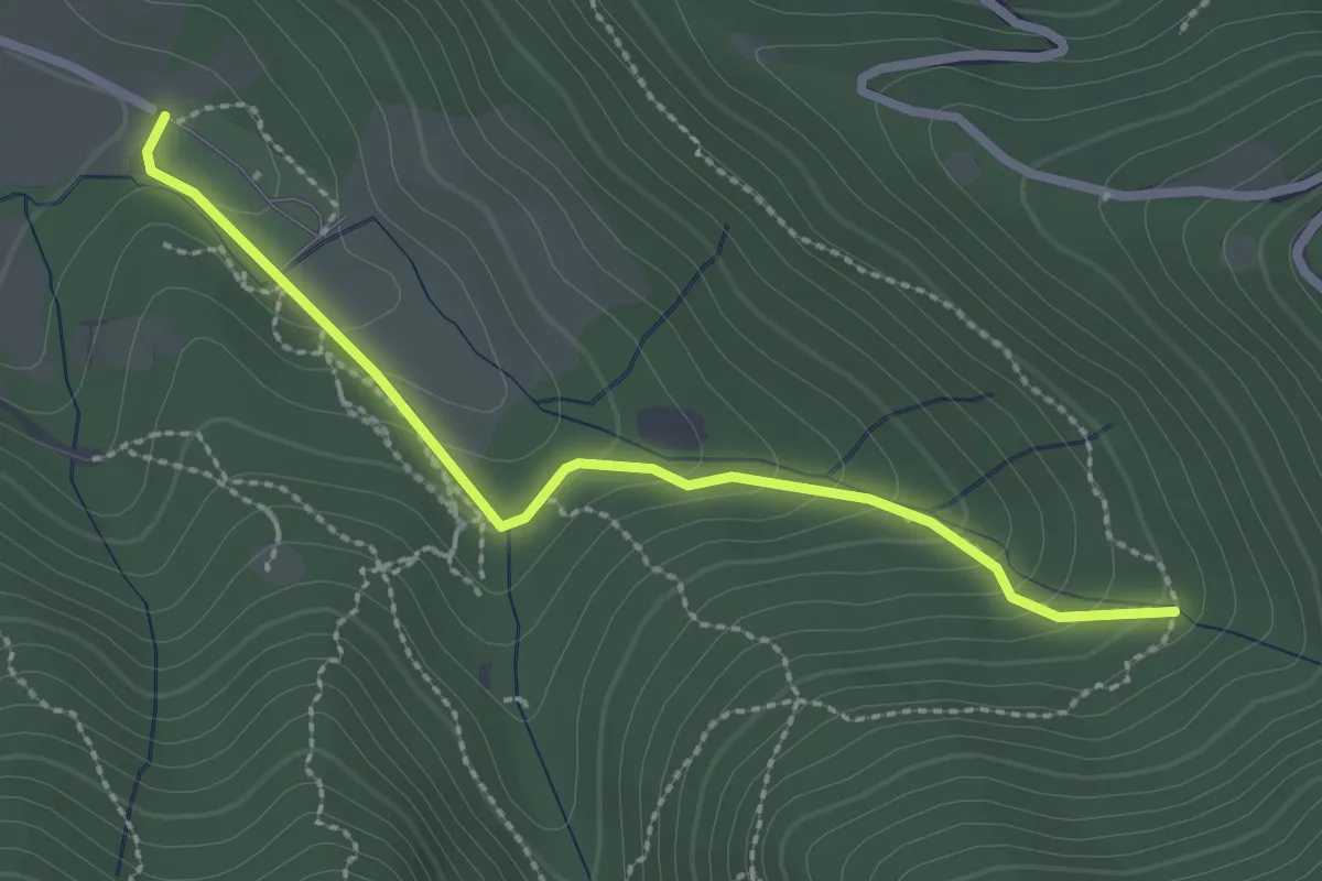
Easy · Trail
Sentiero Val Persane
2.6 km · ↑ 152 m · 57 min · 12 km away
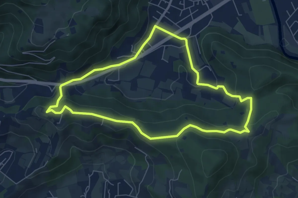
Easy · Trail
Concesio - Valsorda
6.0 km · ↑ 208 m · 1 h 57 min · 12 km away
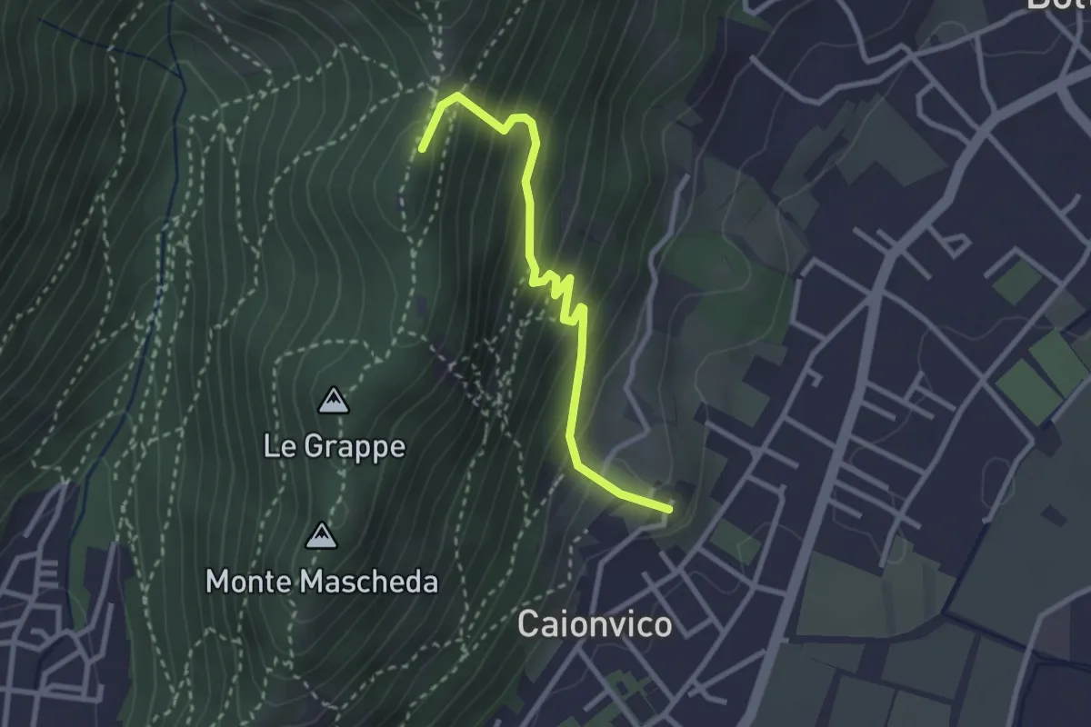
Demanding · Summit
Caionvico (Cimitero) – Sella della Poffa (Innesto Sentiero 901)
2.7 km · ↑ 293 m · 1 h 17 min · 12 km away
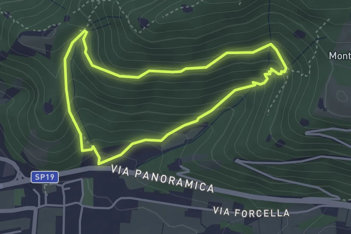
Medium · Trail
Sentiero della Val Volpera
3.0 km · ↑ 258 m · 1 h 18 min · 12 km away
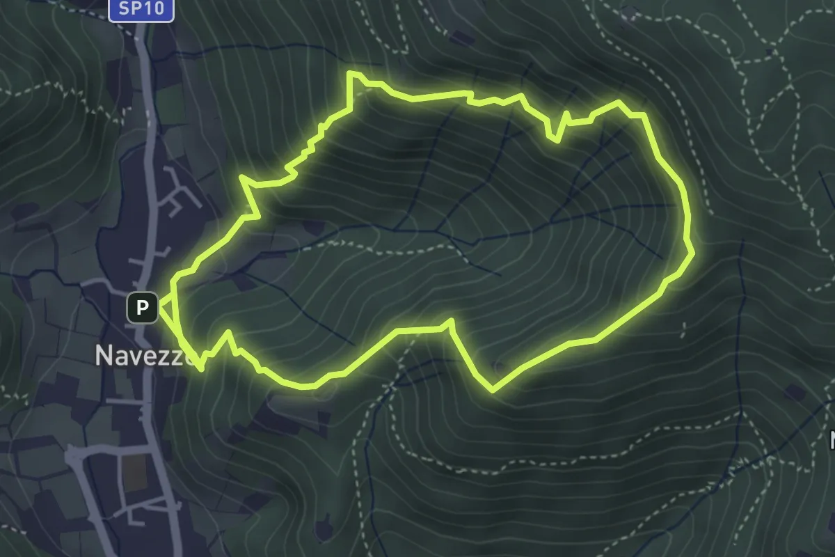
Medium · Trail
Sentiero della Valle di Faidolo
4.3 km · ↑ 452 m · 2 h 2 min · 12 km away
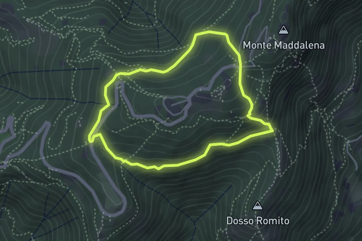
Demanding · Trail
Anello delle Pozze
3.4 km · ↑ 182 m · 1 h 15 min · 12 km away
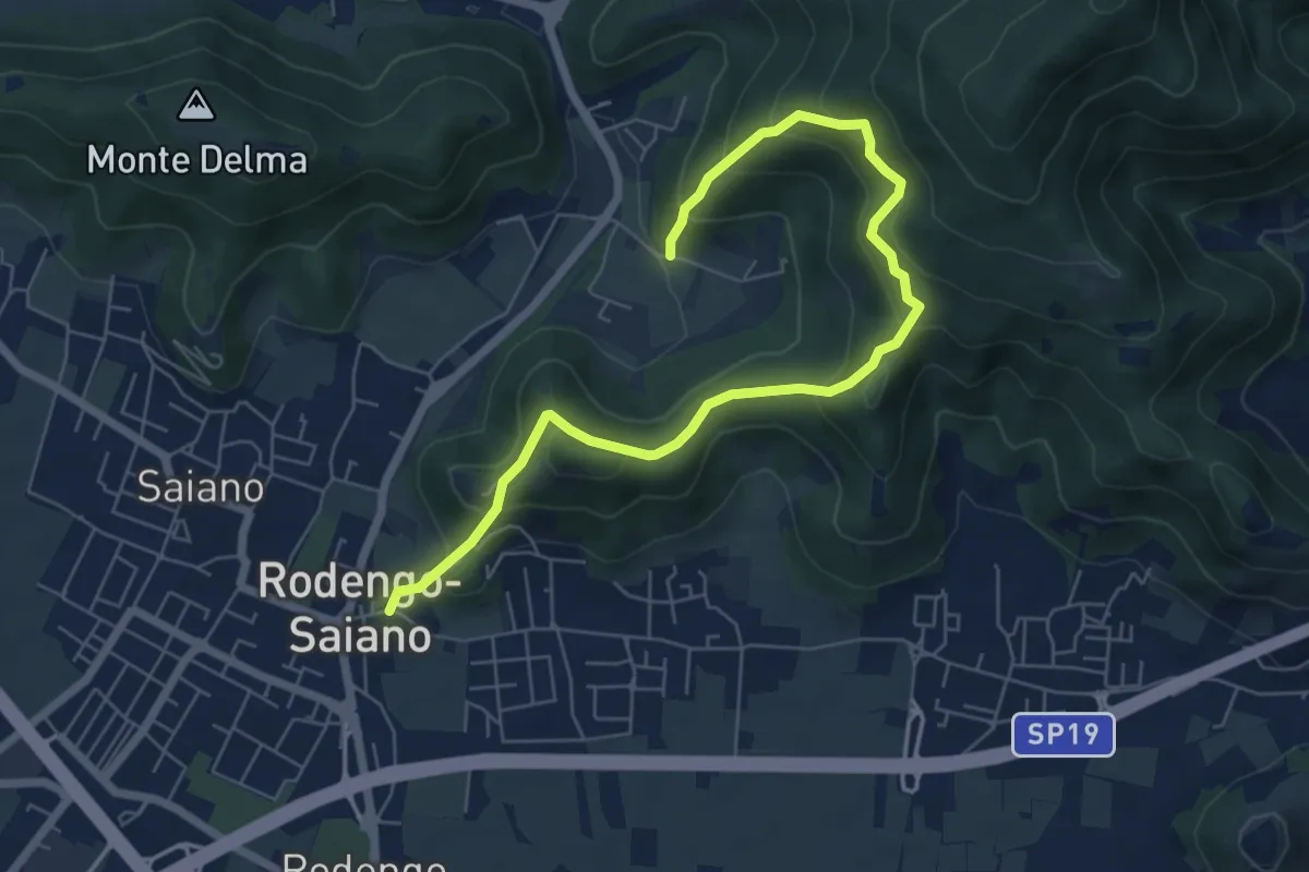
Medium · Trail
Rodengo Saiano (Ponte Cigoli) – Rodengo Saiano (Corneto - Innesto Sentiero 279)
7.5 km · ↑ 561 m · 2 h 59 min · 12 km away
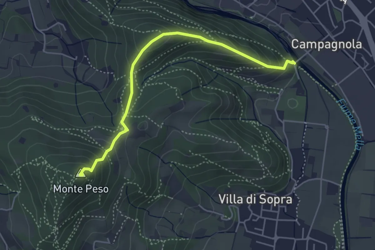
Demanding · Summit
Collebeato (Le Bocche) – Monte Peso
4.4 km · ↑ 346 m · 1 h 48 min · 12 km away
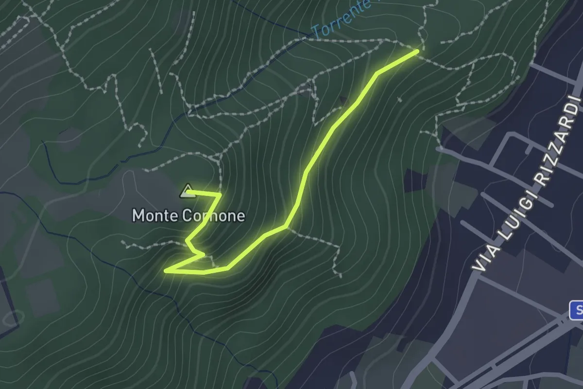
Demanding · Summit
Sentiero D - Variante Monte Cornone
2.1 km · ↑ 170 m · 52 min · 12 km away
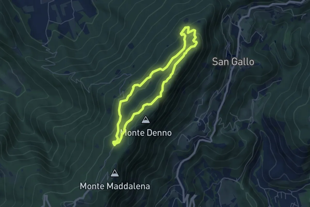
Medium · Summit
Sentiero Brigata Fiamme Verdi Dieci Giornate
5.0 km · ↑ 254 m · 1 h 48 min · 12 km away
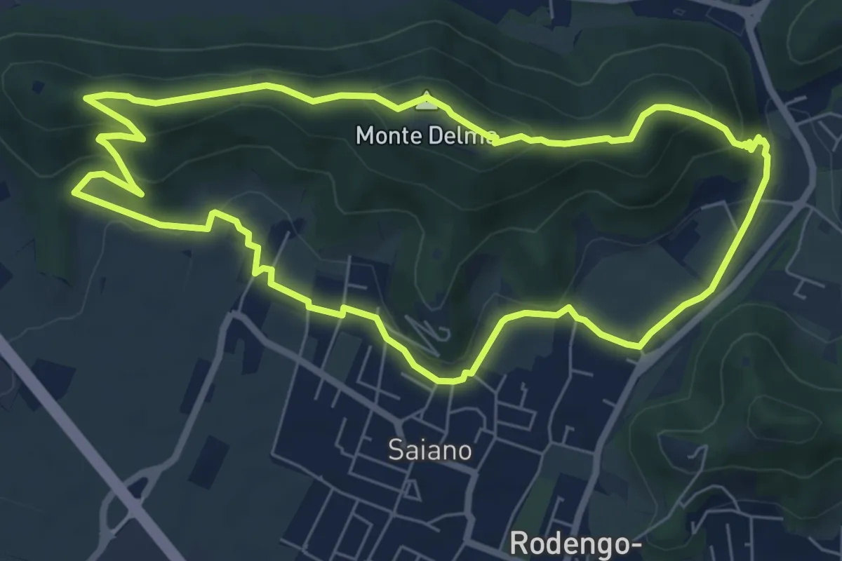
Medium · Summit
Giro del Monte Delma
6.9 km · ↑ 224 m · 2 h 12 min · 13 km away
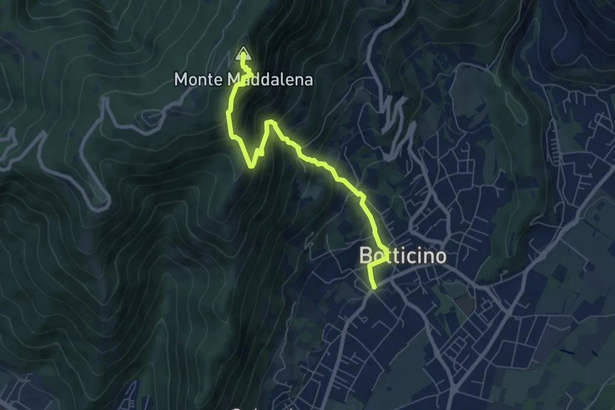
Medium · Summit
Botticino (Via Gioacchino Rossini) – Ex Rifugio Monte Maddalena
6.6 km · ↑ 756 m · 3 h 12 min · 13 km away
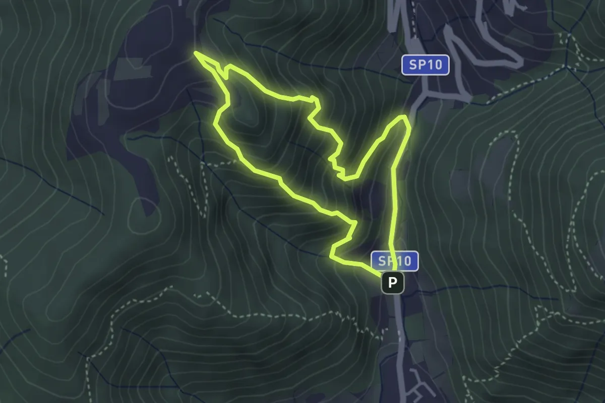
Medium · Trail
Sentiero Dosso di Mezzane - Barche - Andreolo
3.3 km · ↑ 357 m · 1 h 35 min · 13 km away
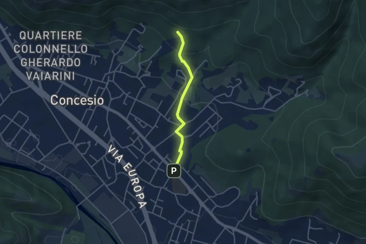
Easy · Trail
Concesio (Sant'Andrea) - Monte Verdura (Innesto Sentiero da Pieve)
2.6 km · ↑ 114 m · 52 min · 13 km away
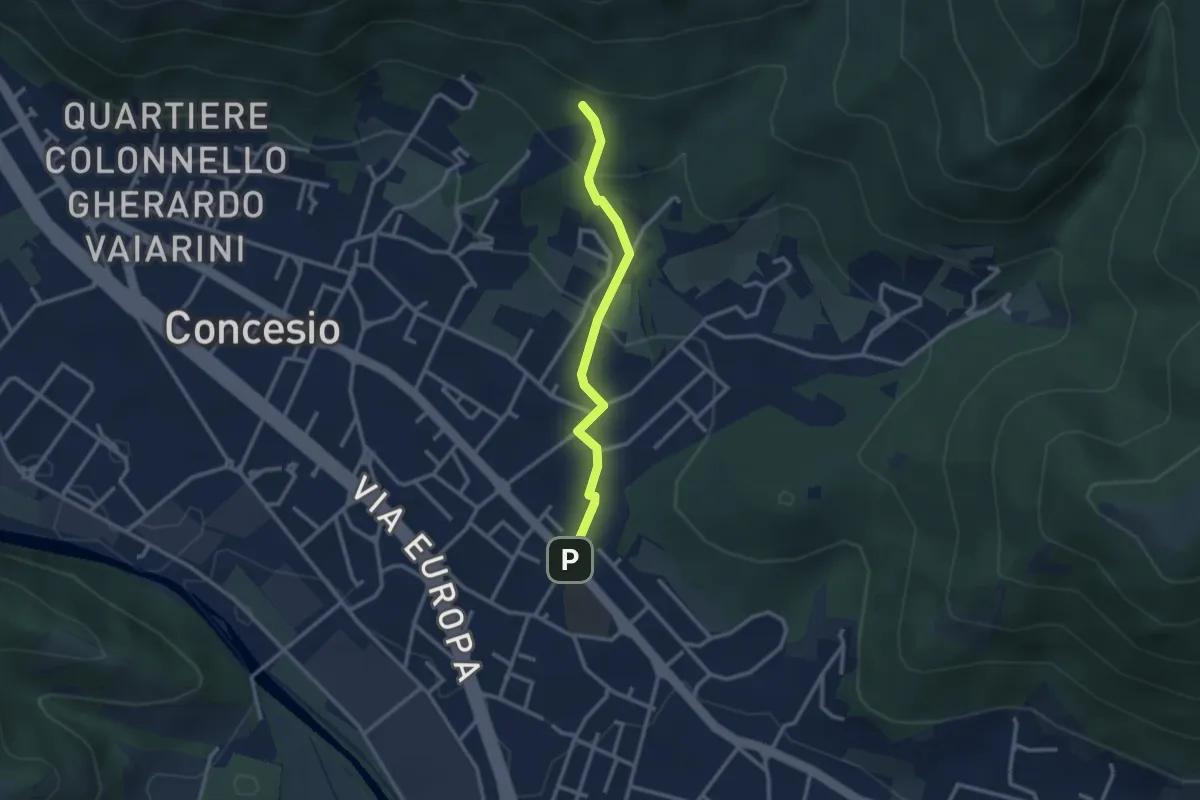
Easy · Trail
Concesio (Sant'Andrea) - Monte Verdura (Innesto Sentiero G)
2.6 km · ↑ 114 m · 52 min · 13 km away
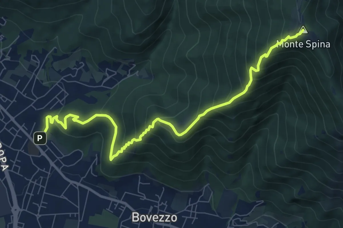
Medium · Summit
Concesio (Sant'Andrea) - Sant'Onofrio
9.4 km · ↑ 736 m · 3 h 48 min · 13 km away
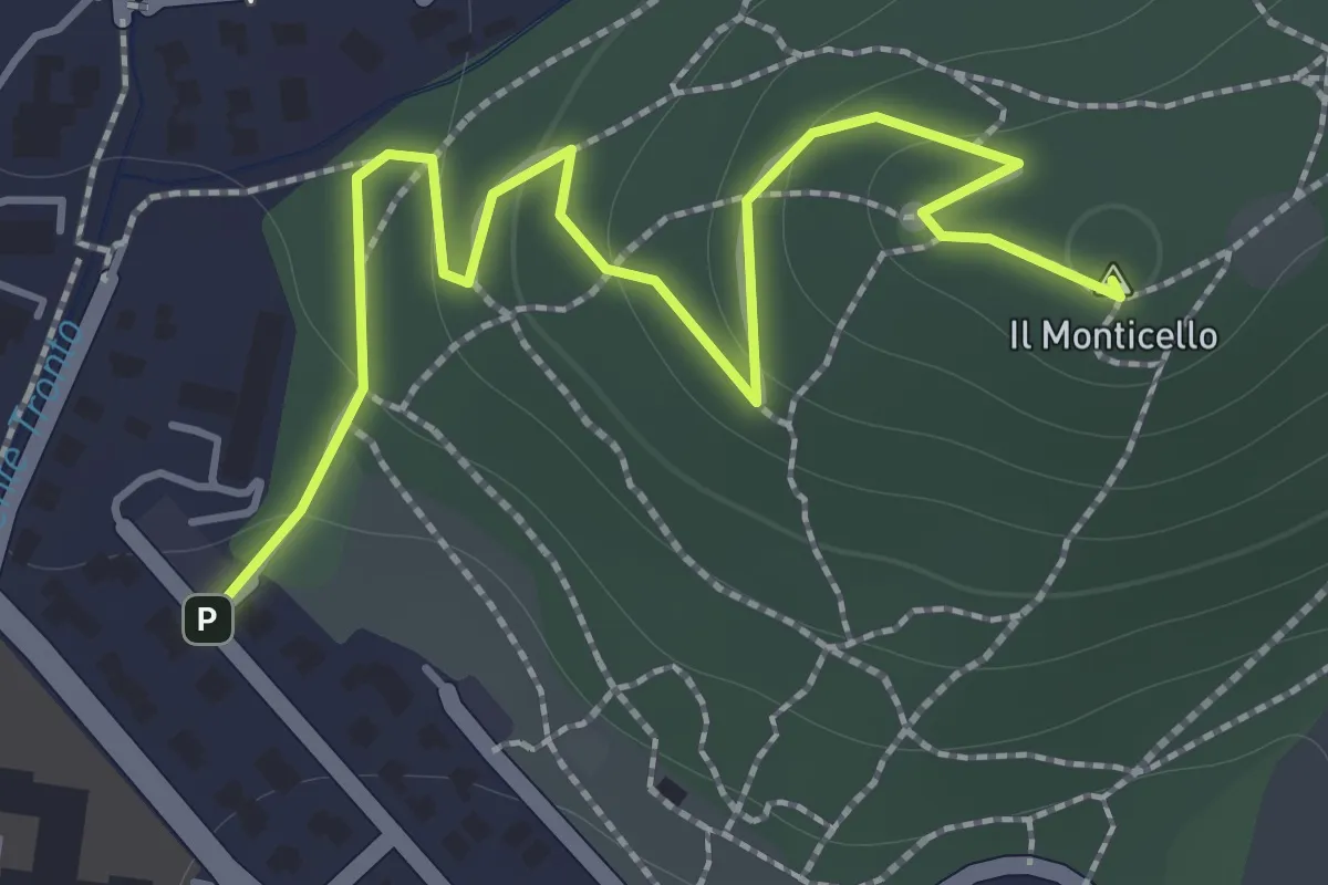
Easy · Summit
Concesio (Monticello) - Sentiero 1
2.0 km · ↑ 76 m · 38 min · 13 km away
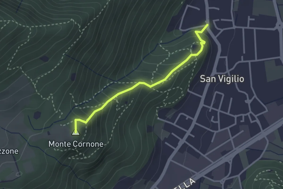
Medium · Summit
Concesio (San Vigilio) - Quarone di Sopra
2.6 km · ↑ 259 m · 1 h 11 min · 13 km away
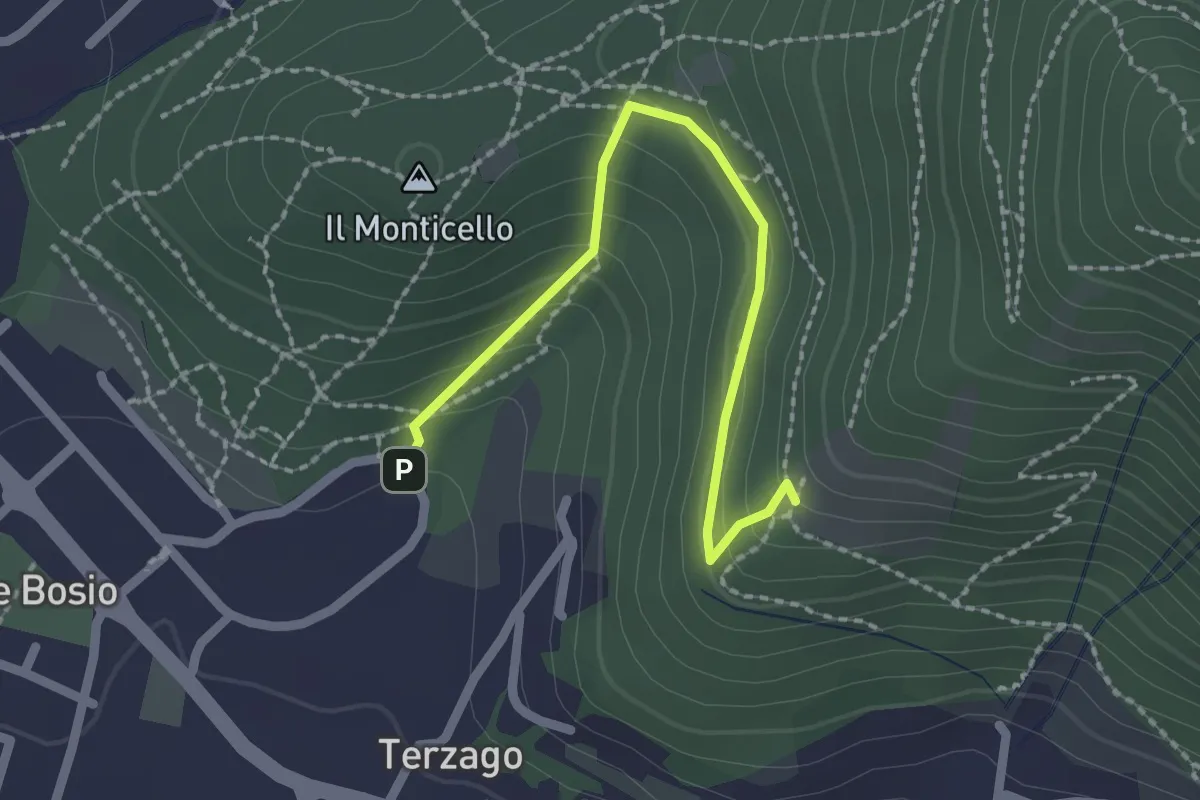
Medium · Trail
Sentiero del Marrone (Variante Concesio)
2.2 km · ↑ 137 m · 49 min · 13 km away
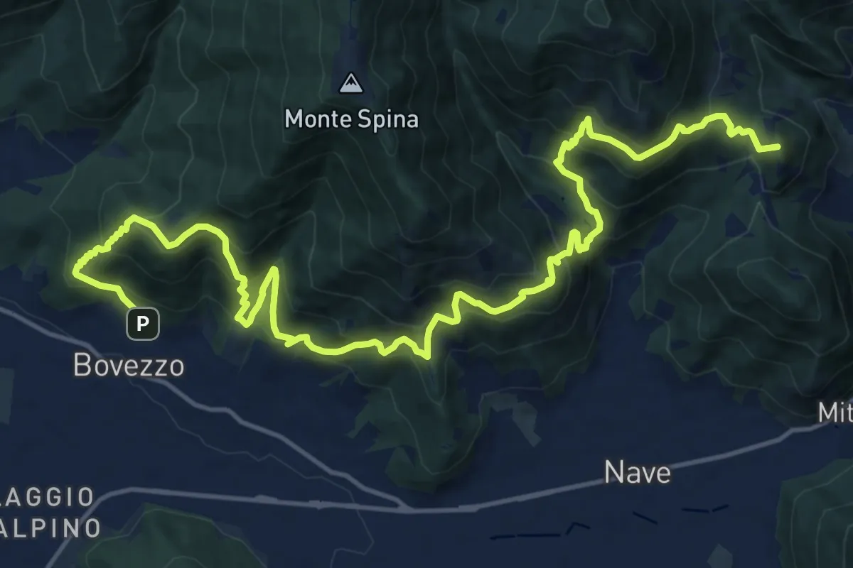
Demanding · Summit
Sentiero del Marrone
20.2 km · ↑ 1796 m · 8 h 40 min · 13 km away
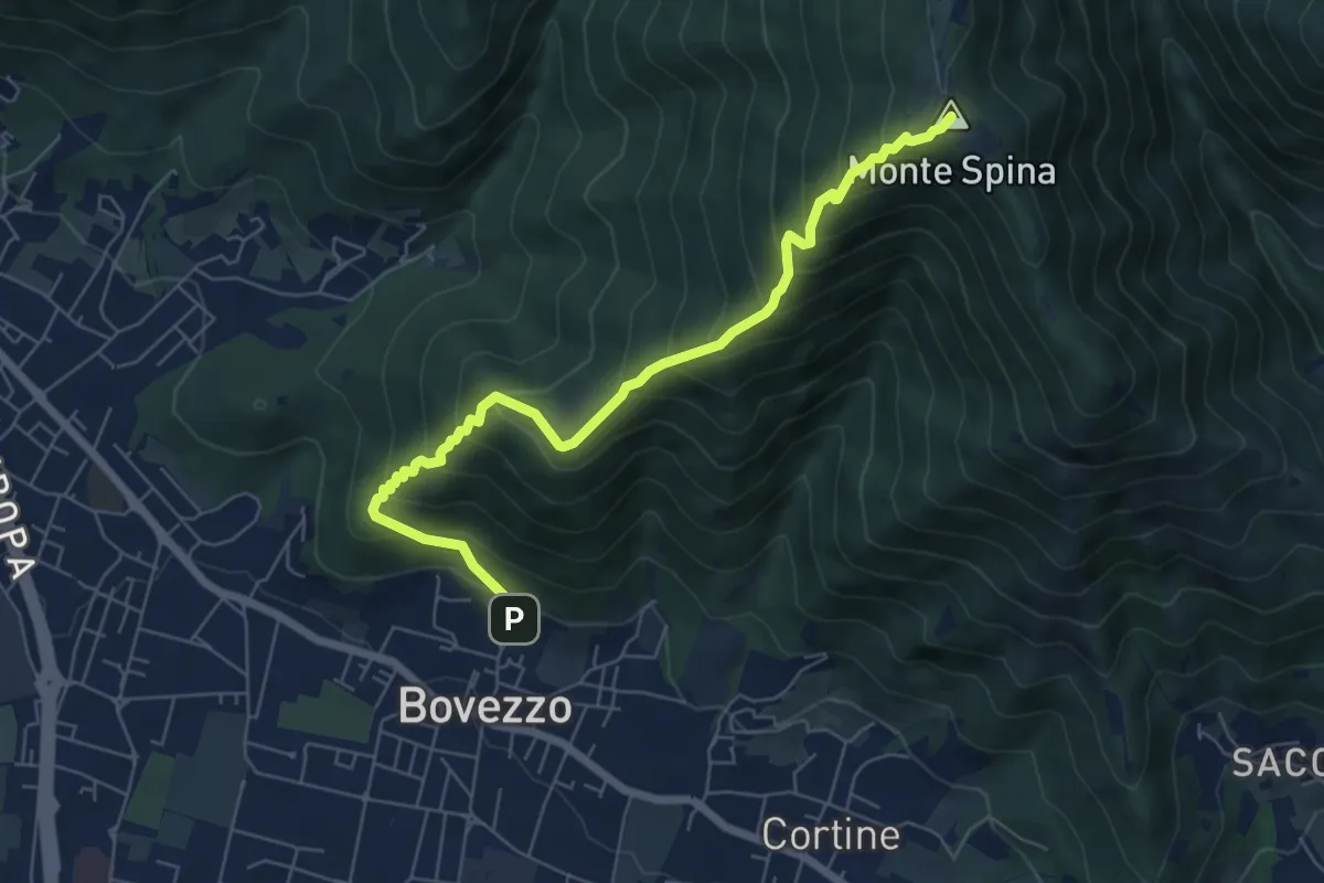
Medium · Summit
Bovezzo (Via Castello) – Sant'Onofrio
6.9 km · ↑ 705 m · 3 h 10 min · 13 km away
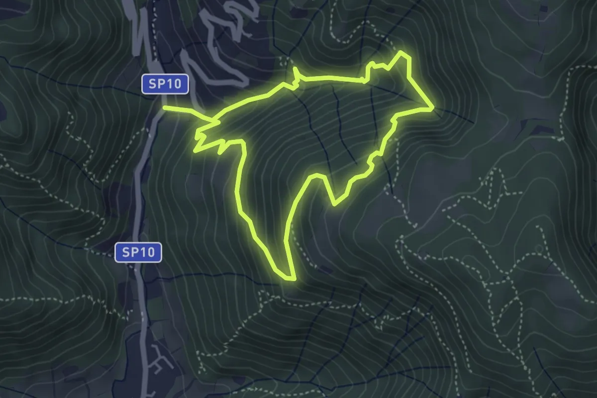
Medium · Trail
Sentiero della Valle Gandine
4.1 km · ↑ 358 m · 1 h 48 min · 13 km away
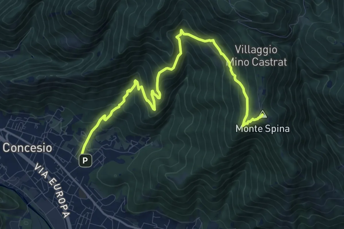
Demanding · Summit
Concesio (Roncaglie - Via Cadizzone) – Sant'Onofrio
13.1 km · ↑ 861 m · 4 h 57 min · 13 km away
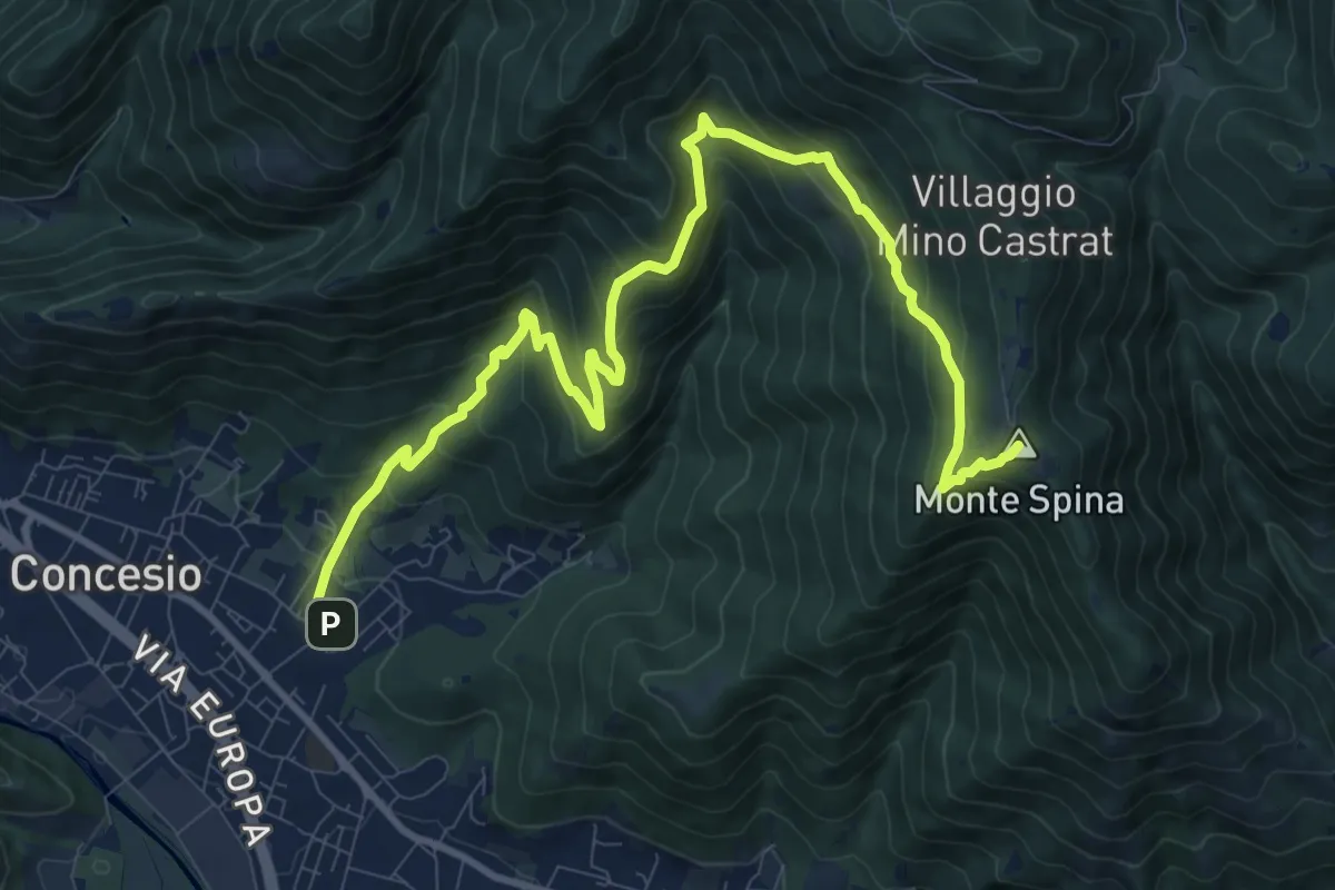
Demanding · Summit
Concesio (Roncaglie) - Sant'Onofrio
13.1 km · ↑ 861 m · 4 h 57 min · 13 km away
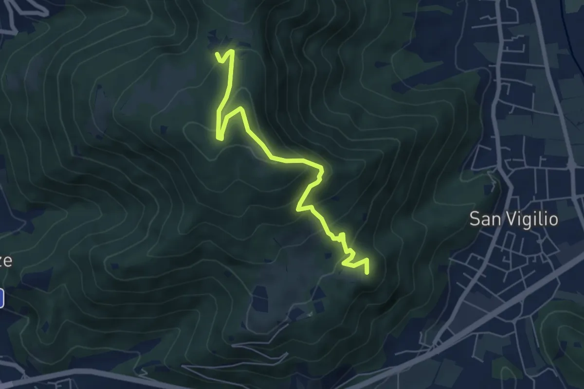
Medium · Summit
Concesio (San Vigilio) – Quarone di Sopra
5.8 km · ↑ 392 m · 2 h 13 min · 13 km away
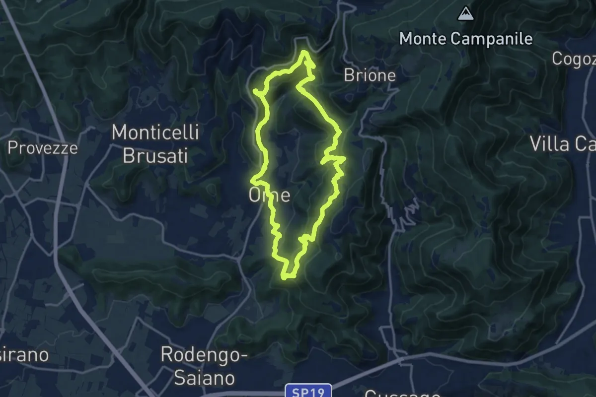
Medium · Trail
Sentiero dei funghi
12.1 km · ↑ 736 m · 4 h 37 min · 13 km away
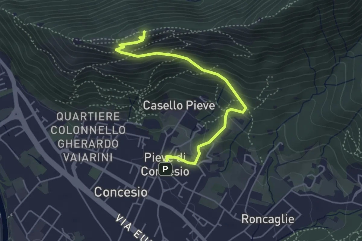
Medium · Cabin
Concesio (Pieve) – Monte Verdura
4.4 km · ↑ 333 m · 1 h 46 min · 13 km away
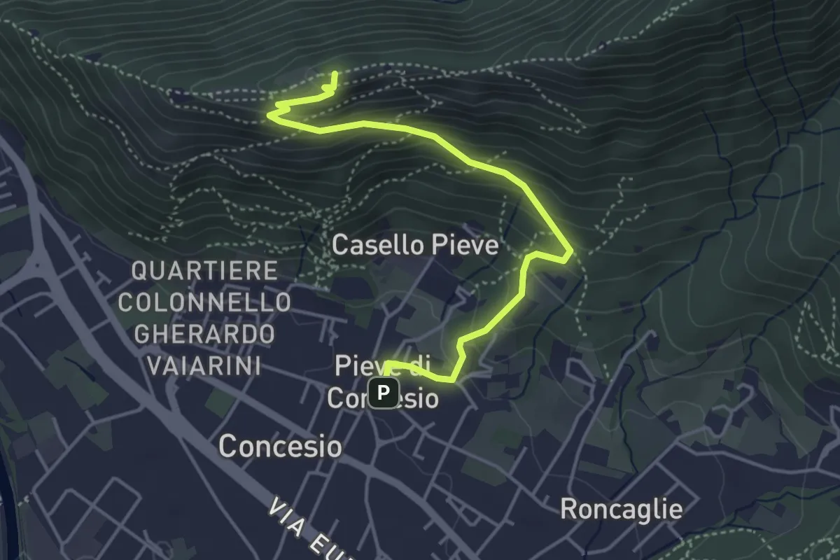
Medium · Cabin
Concesio (Pieve) - Monte Verdura
4.4 km · ↑ 333 m · 1 h 46 min · 13 km away
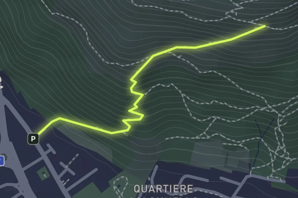
Medium · Cabin
Concesio (Vicolo Verdura) - Monte Verdura (Innesto Sentiero da Pieve)
2.1 km · ↑ 271 m · 1 h 5 min · 13 km away
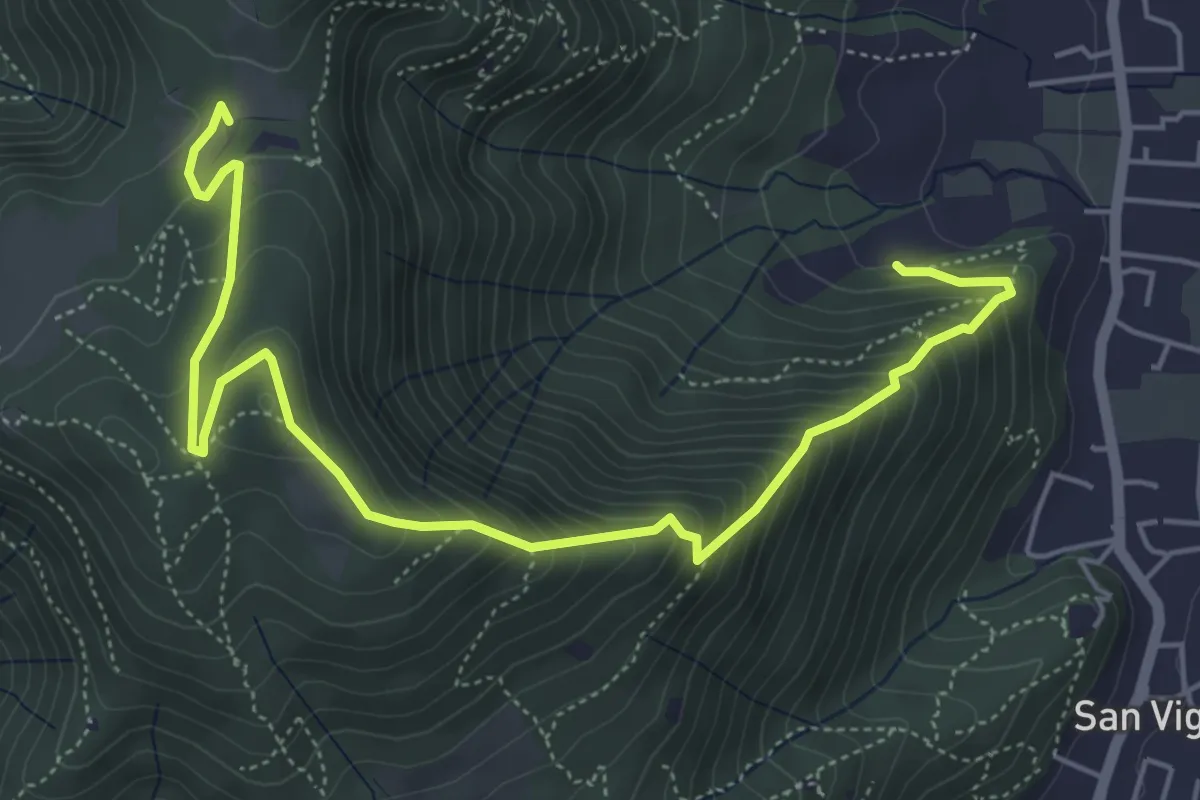
Medium · Trail
Concesio (Via Mandò) - Costa - Quarone di Sopra
6.6 km · ↑ 592 m · 2 h 50 min · 13 km away
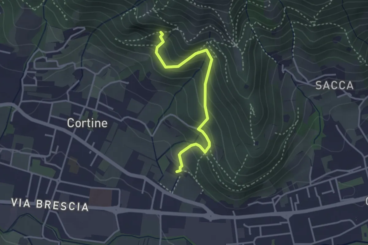
Easy · Trail
Sentiero del Marrone (Variante Nave)
3.1 km · ↑ 314 m · 1 h 25 min · 13 km away
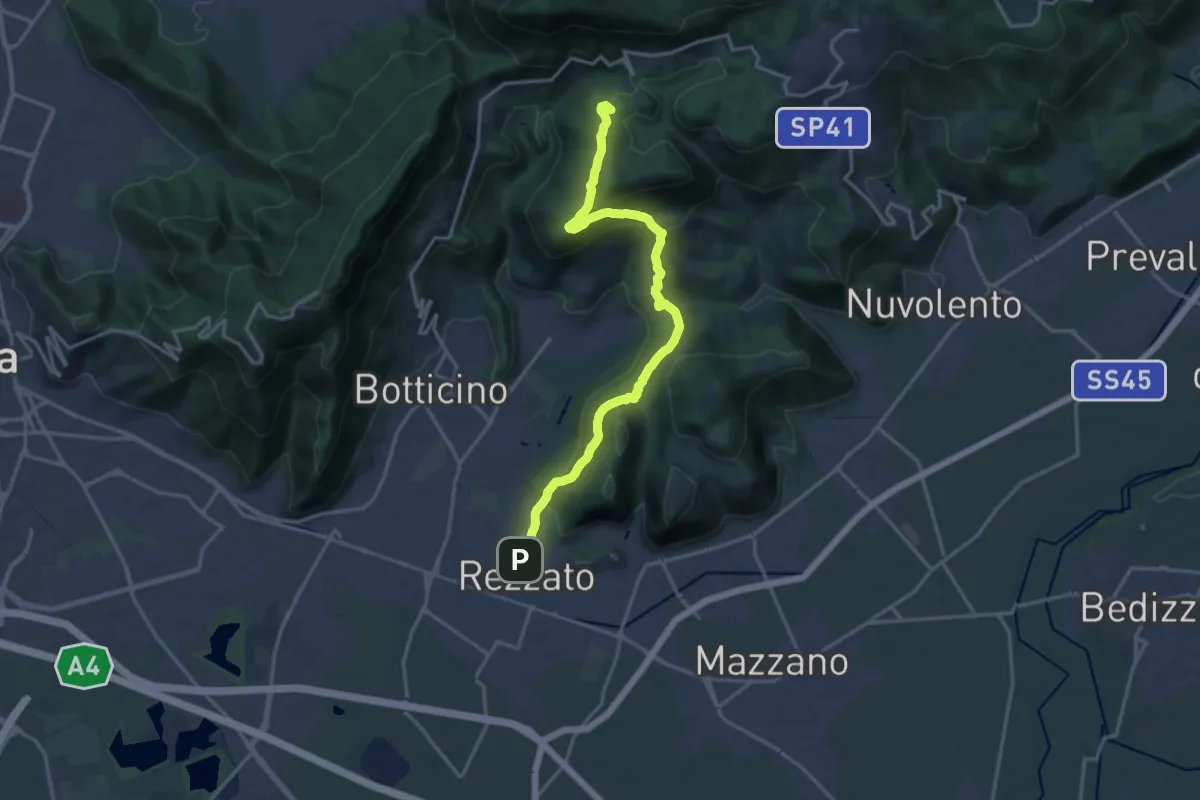
Demanding · Summit
Sentiero principale Valverde
17.5 km · ↑ 748 m · 5 h 45 min · 13 km away
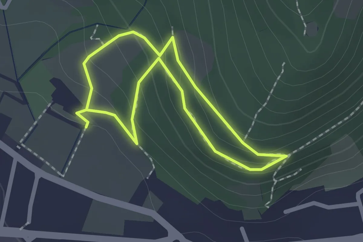
Easy · Trail
Sentiero Zanardelli percorso alto
1.5 km · ↑ 68 m · 32 min · 13 km away
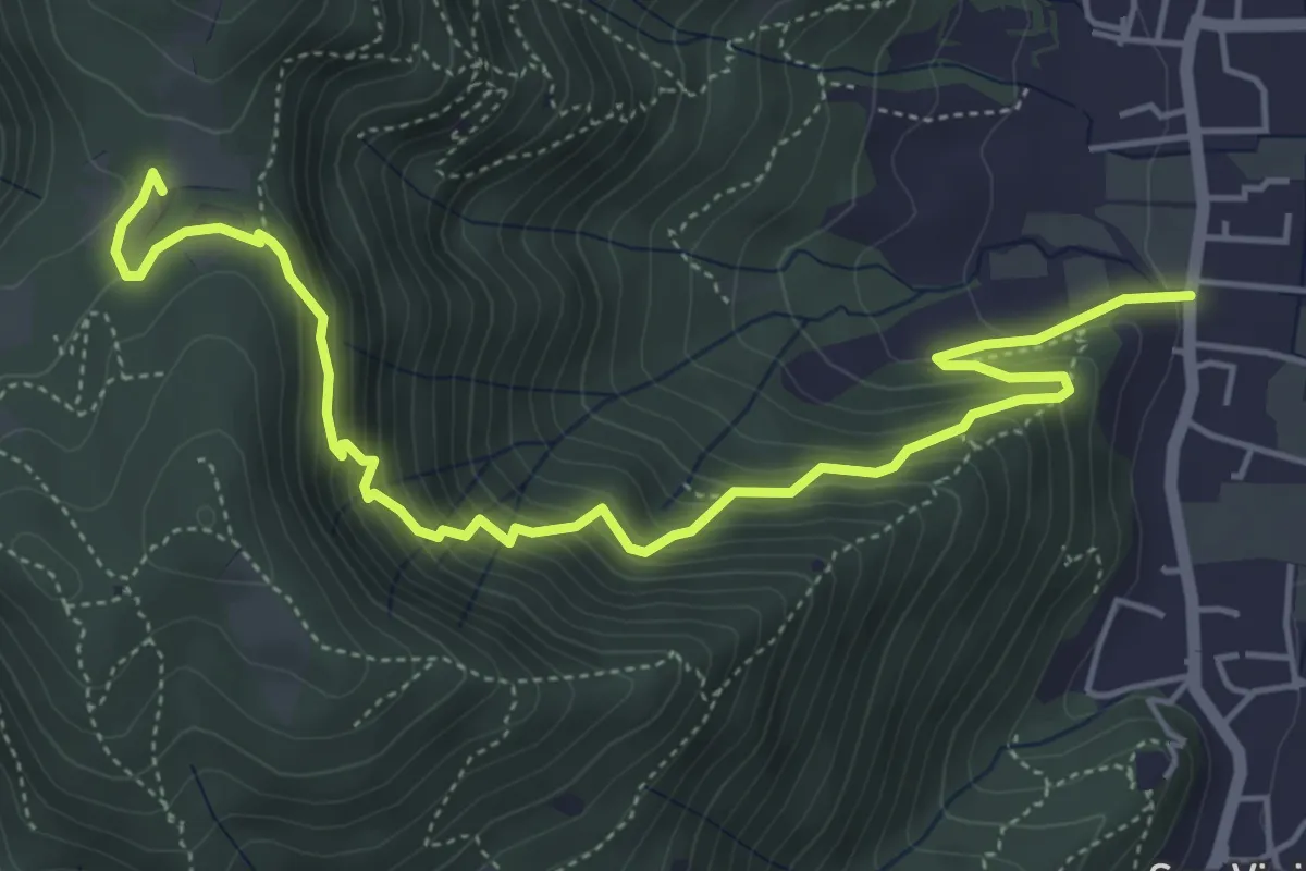
Medium · Trail
Concesio (Via Mandò) - Quarone di Sopra
6.2 km · ↑ 571 m · 2 h 42 min · 14 km away
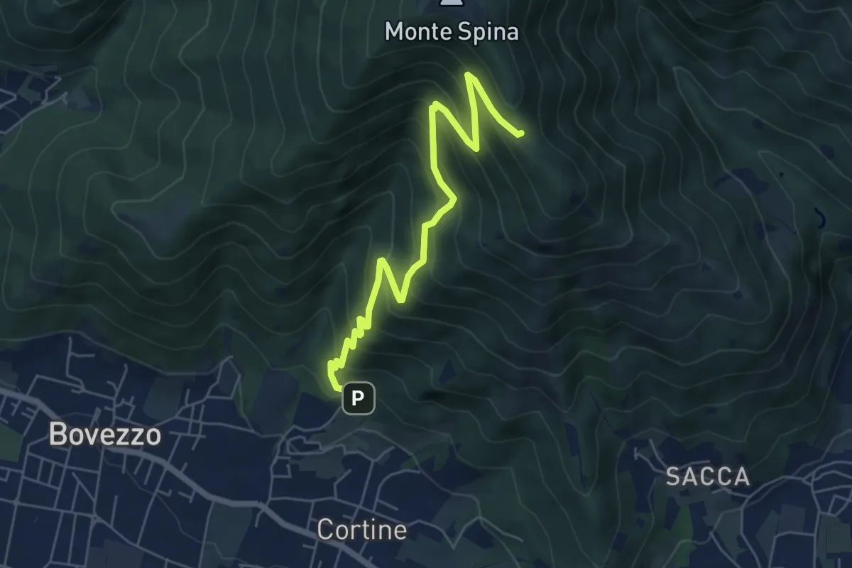
Medium · Cabin
Nave (Cortine - Albergo dei Poveri) – Roccolo Squassina
6.2 km · ↑ 586 m · 2 h 45 min · 14 km away
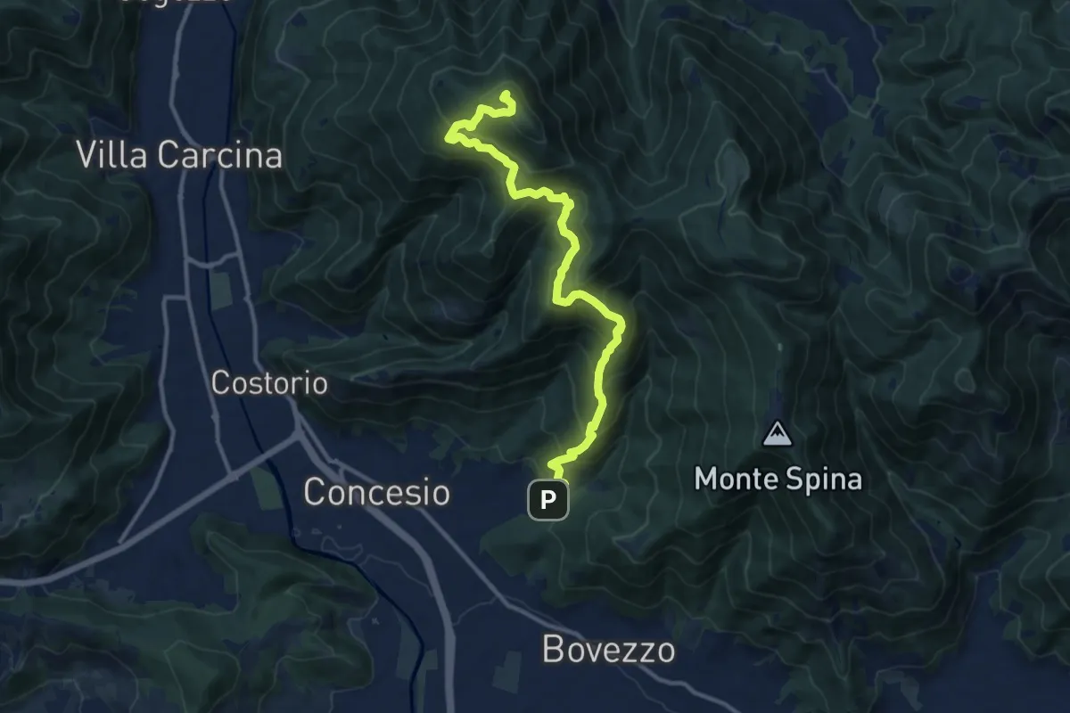
Demanding · Summit
Concesio (Roncaglie) - Monte Palosso
12.8 km · ↑ 1042 m · 5 h 17 min · 14 km away
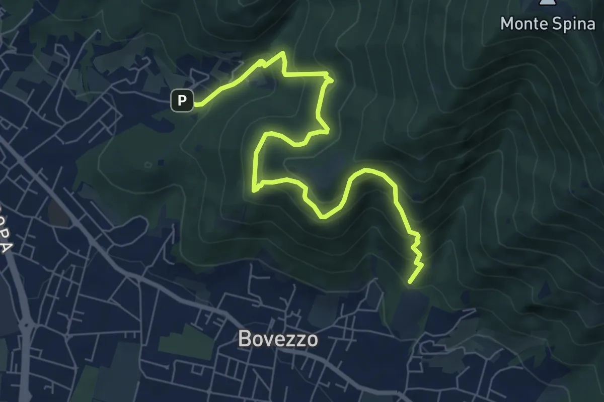
Medium · Trail
Concesio (Roncaglie - Via Sant'Onofrio) – Valle Prignole (Fontanino - Innesto Sentiero 351)
7.9 km · ↑ 704 m · 3 h 24 min · 14 km away
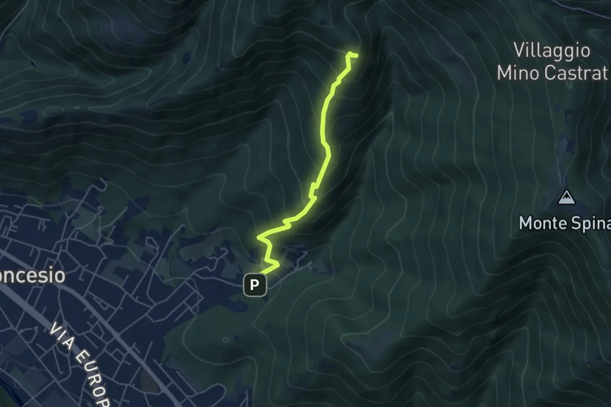
Medium · Summit
Concesio (Roncaglie) – Monte Palosso (Innesto Sentiero 377)
4.3 km · ↑ 481 m · 2 h 3 min · 14 km away
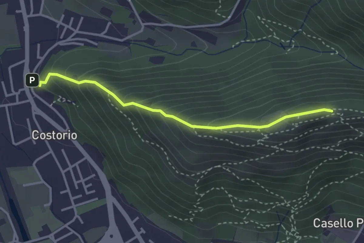
Medium · Summit
Concesio (Costorio) - Grassi Carpini
3.0 km · ↑ 329 m · 1 h 25 min · 14 km away
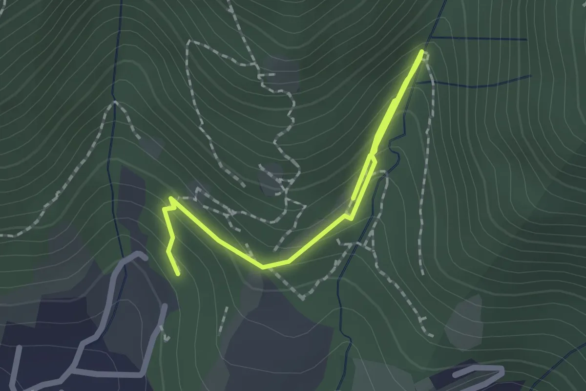
Medium · Trail
Percorso botanico
2.7 km · ↑ 231 m · 1 h 9 min · 14 km away
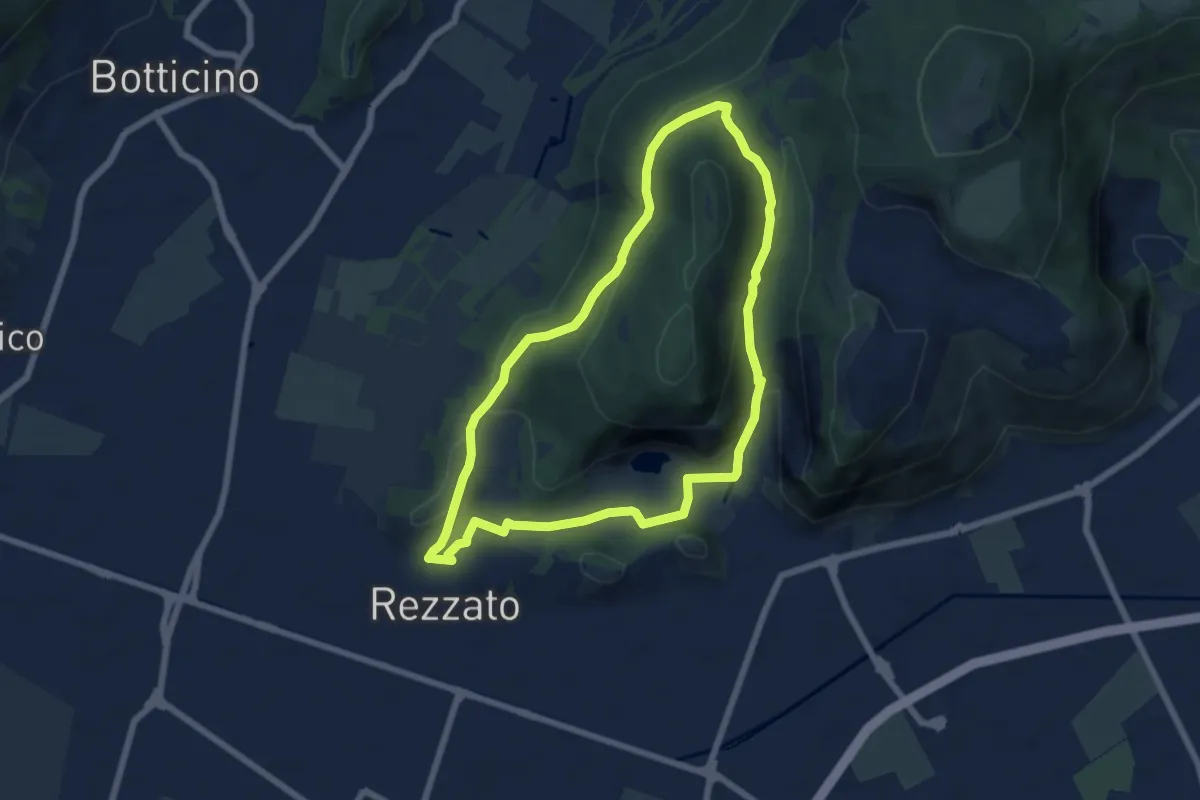
Medium · Summit
Sentiero della Rasa
6.3 km · ↑ 203 m · 2 h 1 min · 14 km away