Trails near Castel Mella
124 hikes starting within 15 km, nearest first.
Nearest first, page 3 of 3
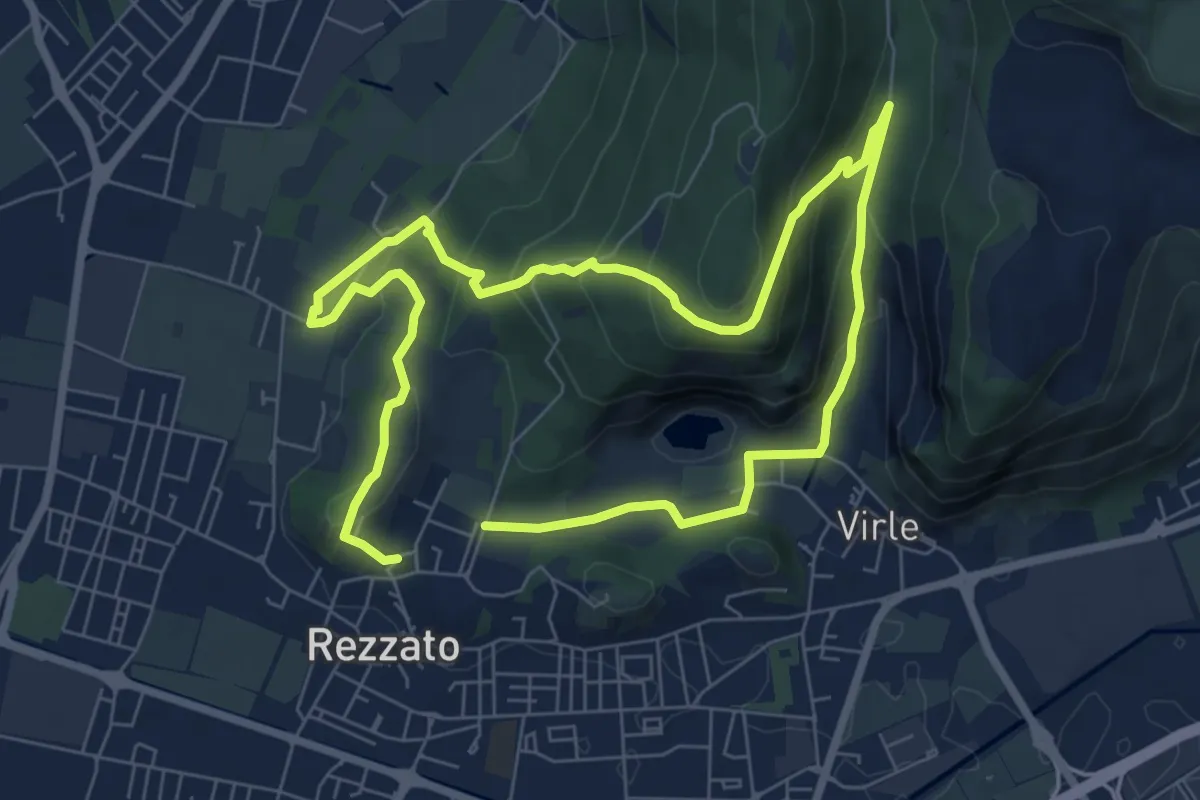
Medium · Summit
Sentiero della storia
6.4 km · ↑ 306 m · 2 h 16 min · 14 km away
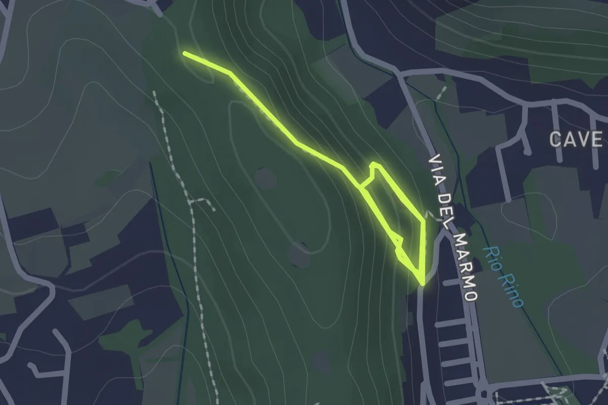
Demanding · Trail
La Via del marmo - Botticino (Castagneto)
2.5 km · ↑ 123 m · 52 min · 14 km away
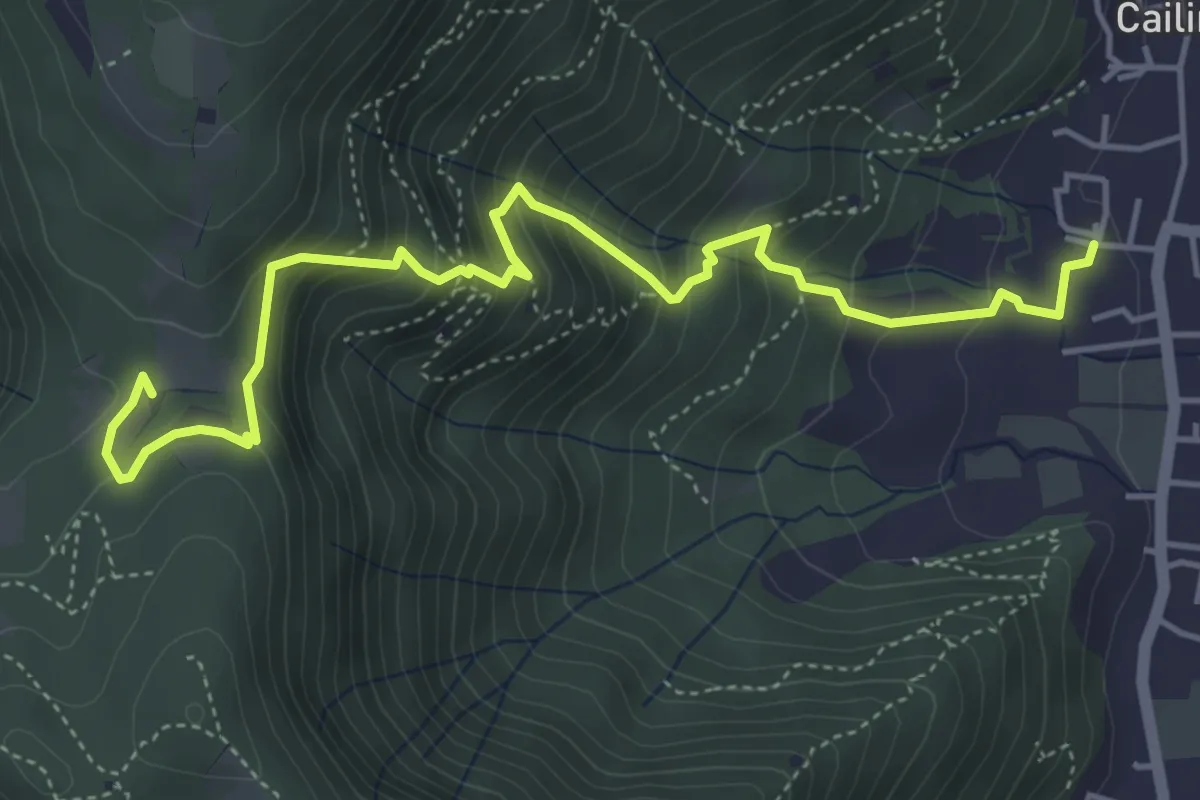
Medium · Trail
Villa Carcina (Cailina) – Quarone
5.7 km · ↑ 534 m · 2 h 30 min · 14 km away
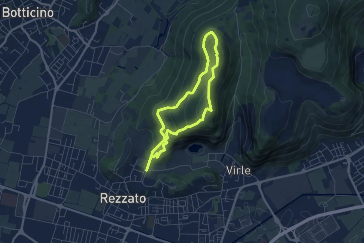
Medium · Summit
Sentiero dei fiori
4.8 km · ↑ 271 m · 1 h 48 min · 14 km away
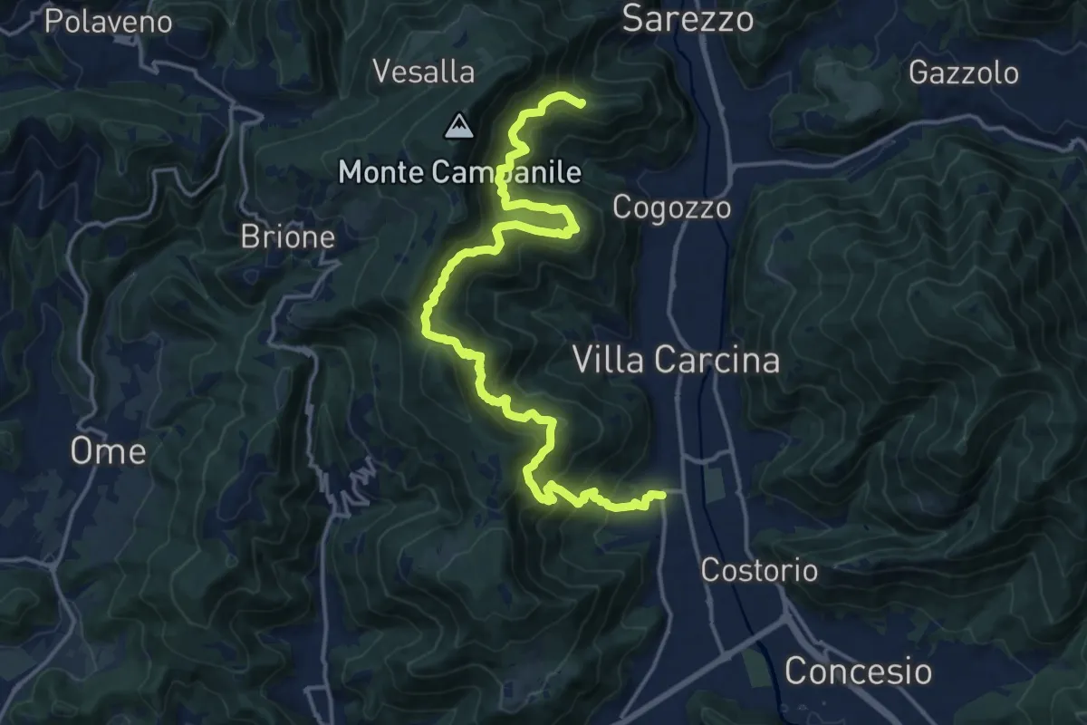
Demanding · Summit
Sentiero n° 1
19.4 km · ↑ 1506 m · 7 h 50 min · 14 km away
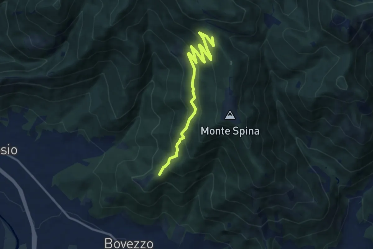
Medium · Trail
Bovezzo (Santella delle Pentere) – Strada del Sant'Onofrio
8.5 km · ↑ 469 m · 3 h 1 min · 14 km away
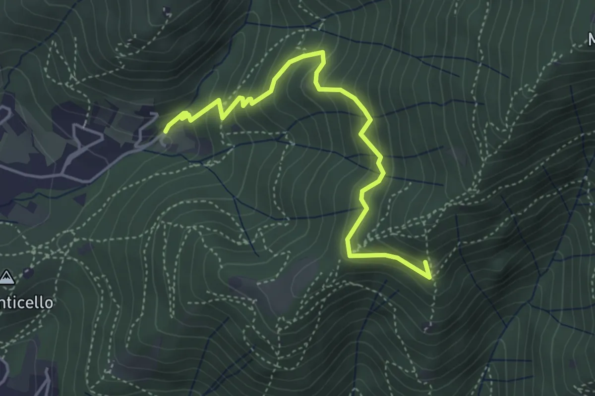
Medium · Summit
Concesio (Roncaglie - Via Sant'Onofrio) – Castagnotta
4.4 km · ↑ 408 m · 1 h 56 min · 14 km away
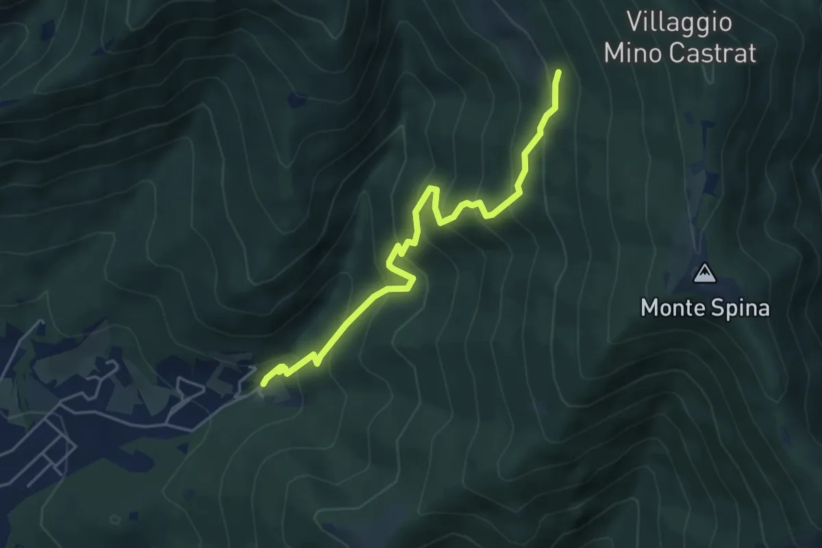
Medium · Trail
Concesio (Roncaglie - Via Sant'Onofrio) – Grassi de le Còle (Innesto Sentiero 390)
4.9 km · ↑ 474 m · 2 h 10 min · 14 km away
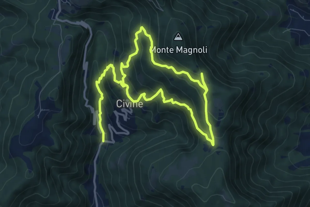
Medium · Trail
Sentiero Aldo Giacomini
7.5 km · ↑ 375 m · 2 h 49 min · 14 km away
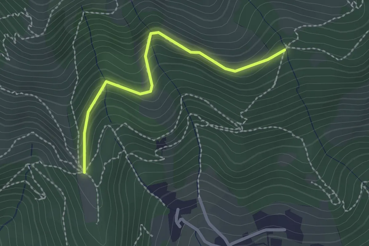
Easy · Trail
Nave (Cascina Mezzana) - Pozza Cà del Lì (Innesto Sentiero 392)
2.1 km · ↑ 177 m · 53 min · 14 km away
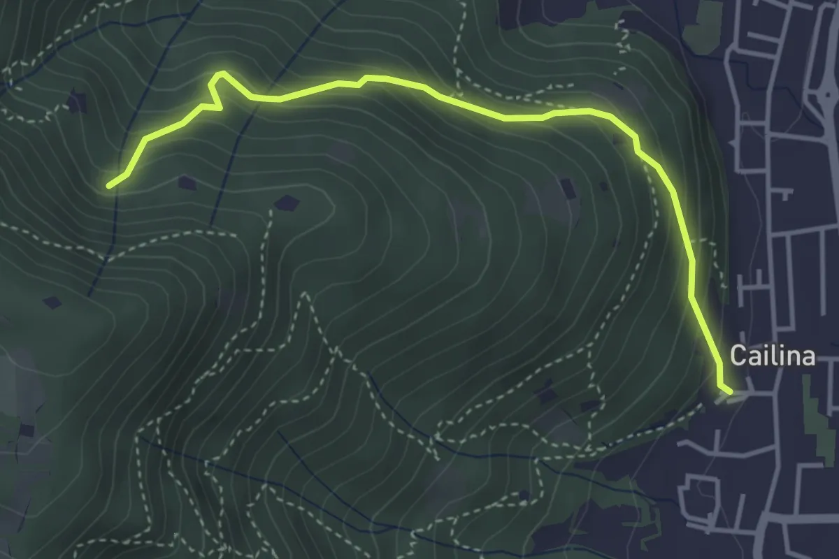
Medium · Trail
Villa Carcina (Cailina) – Roccolo del Prete
4.0 km · ↑ 379 m · 1 h 45 min · 14 km away
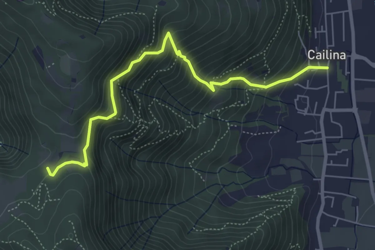
Medium · Trail
Villa Carcina (Cailina) – Quarone
5.8 km · ↑ 607 m · 2 h 42 min · 14 km away
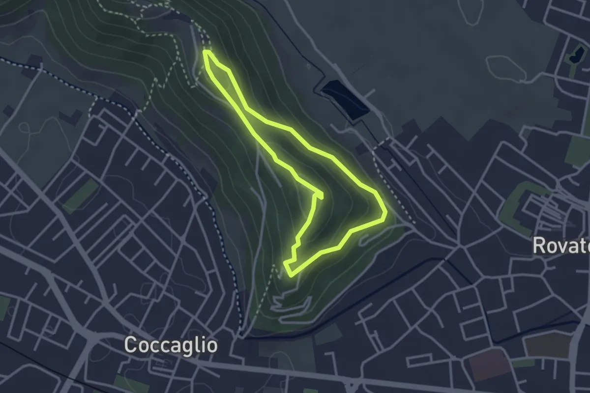
Medium · Trail
Rovato Via Monte Orfano – Rovato Via Monte Orfano
2.7 km · ↑ 135 m · 58 min · 14 km away
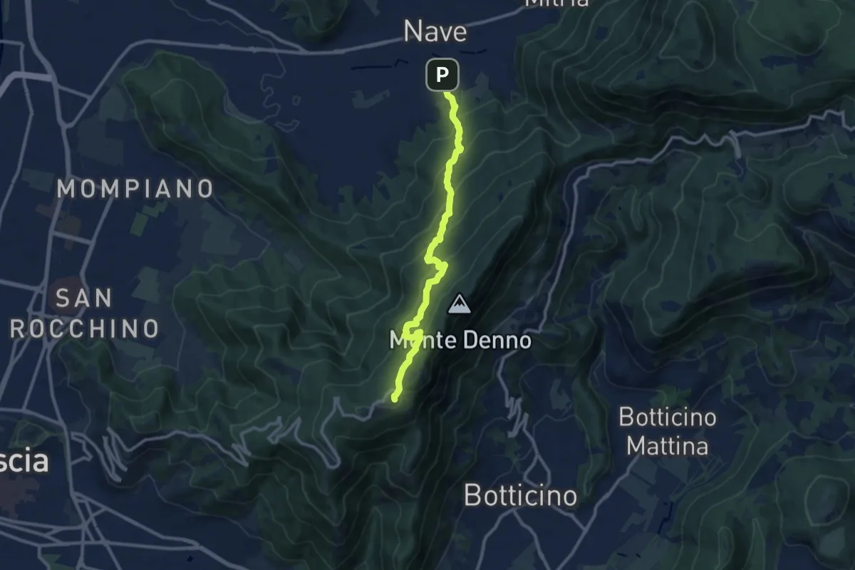
Medium · Trail
Nave (Via Piedimonte) – Chiesetta Monte Maddalena
10.1 km · ↑ 665 m · 3 h 49 min · 14 km away
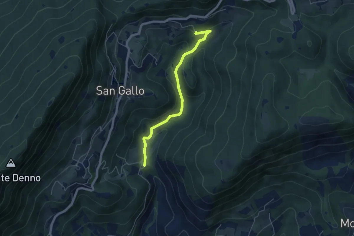
Medium · Summit
La Via del marmo - Botticino (Molino dell'Ora- Castello di Serle)
4.5 km · ↑ 178 m · 1 h 27 min · 14 km away
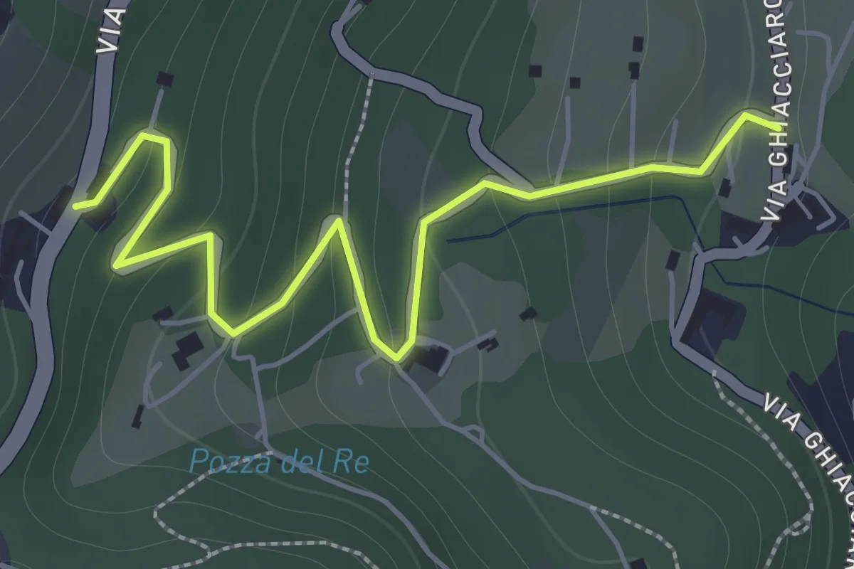
Easy · Trail
La Via del marmo - Botticino (San Gallo)
2.0 km · ↑ 147 m · 48 min · 14 km away
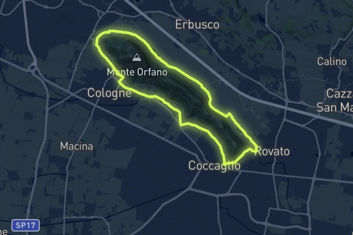
Medium · Trail
Rovato Chiesa S. Stefano – Rovato Chiesa S. Stefano
12.9 km · ↑ 158 m · 3 h 34 min · 15 km away
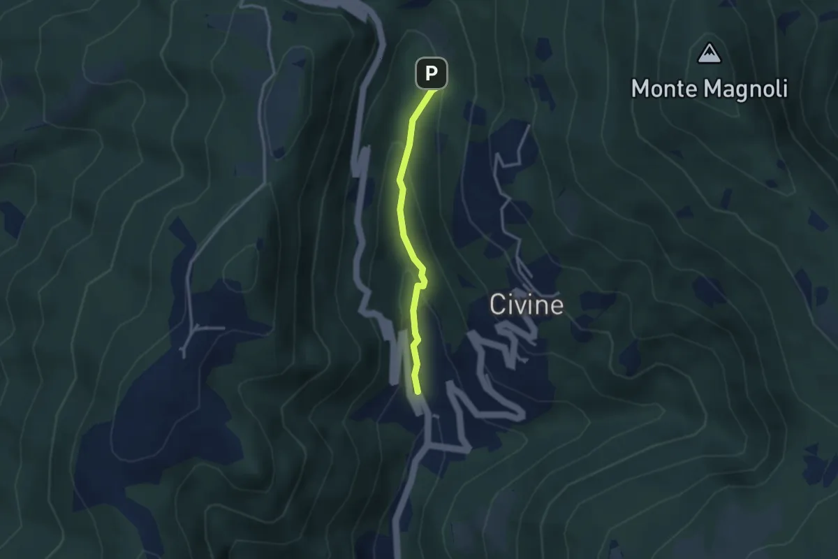
Medium · Trail
Sentiero Battista e Nicolina Drera
2.5 km · ↑ 124 m · 51 min · 15 km away
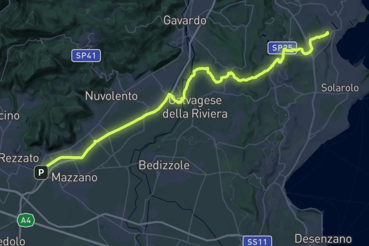
Demanding · Summit
Via della Valtenesi
46.5 km · ↑ 468 m · 11 h 59 min · 15 km away
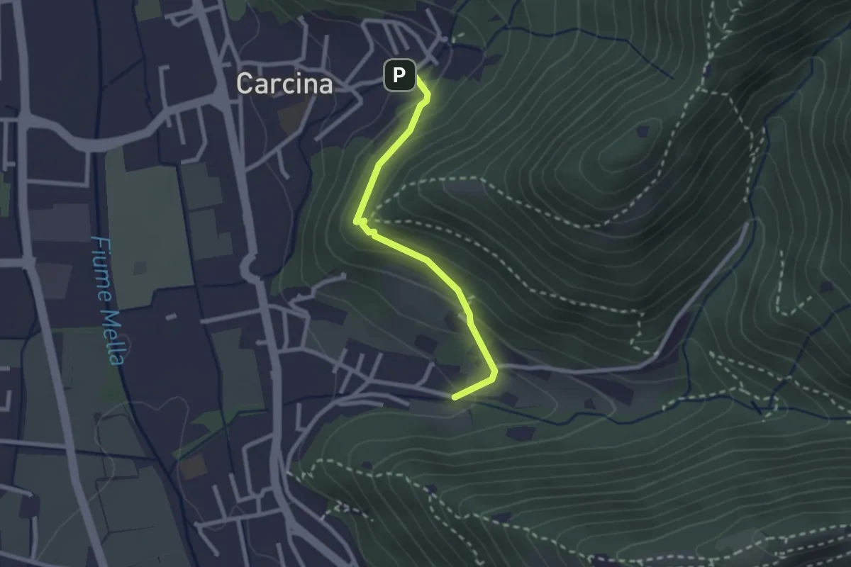
Easy · Trail
Villa Carcina (Carcina) - Costorio
2.2 km · ↑ 126 m · 48 min · 15 km away
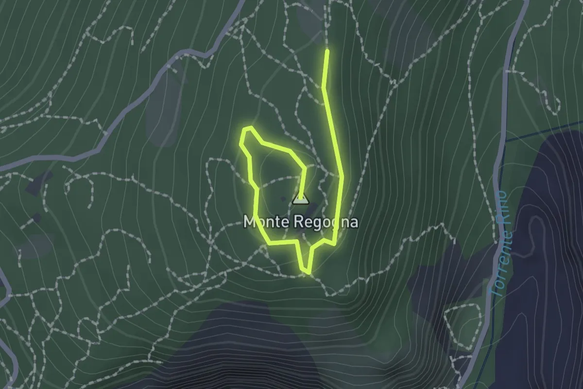
Easy · Summit
Sentiero didattico (Monte Regogna)
2.0 km · ↑ 54 m · 35 min · 15 km away
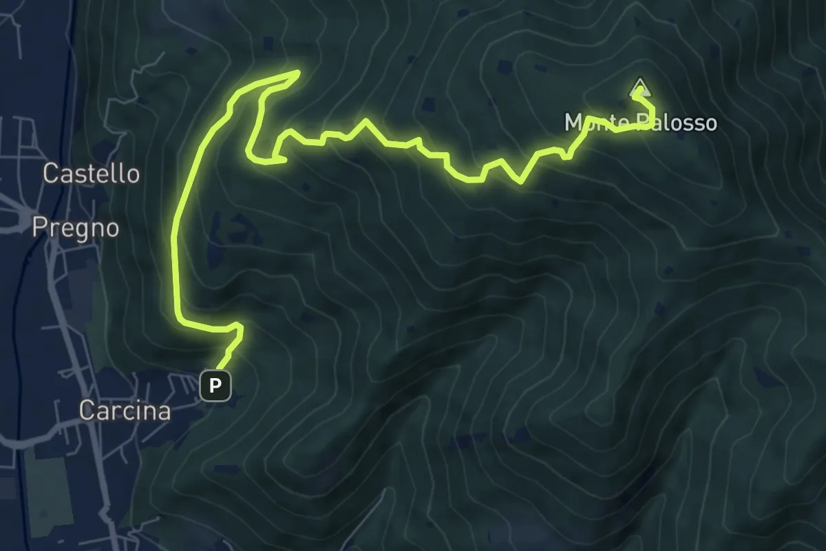
Demanding · Summit
Villa Carcina (Caricatore) – Monte Palosso
9.9 km · ↑ 908 m · 4 h 18 min · 15 km away
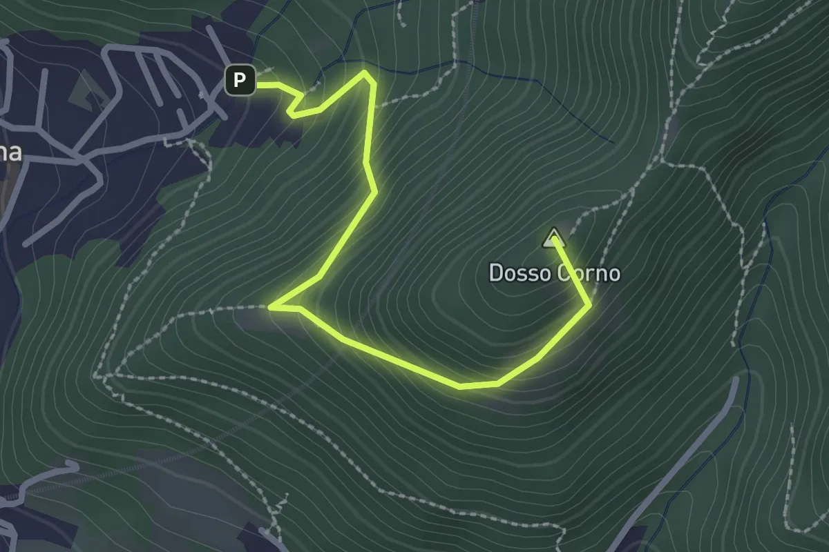
Medium · Summit
Villa Carcina (Caricatore) – Crusal
2.7 km · ↑ 292 m · 1 h 16 min · 15 km away
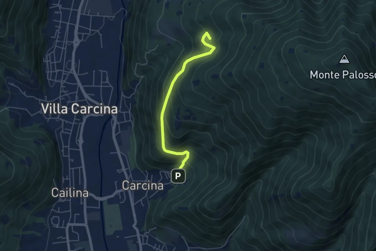
Medium · Summit
Villa Carcina - Sentiero 17
4.5 km · ↑ 395 m · 1 h 56 min · 15 km away
Medium · Trail
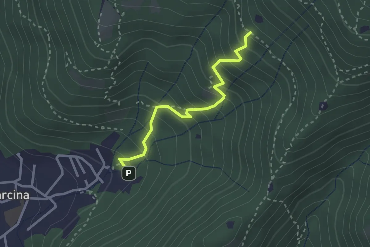
Villa Carcina - Sentiero 22
2.3 km · ↑ 303 m · 1 h 12 min · 15 km away
Demanding · Trail
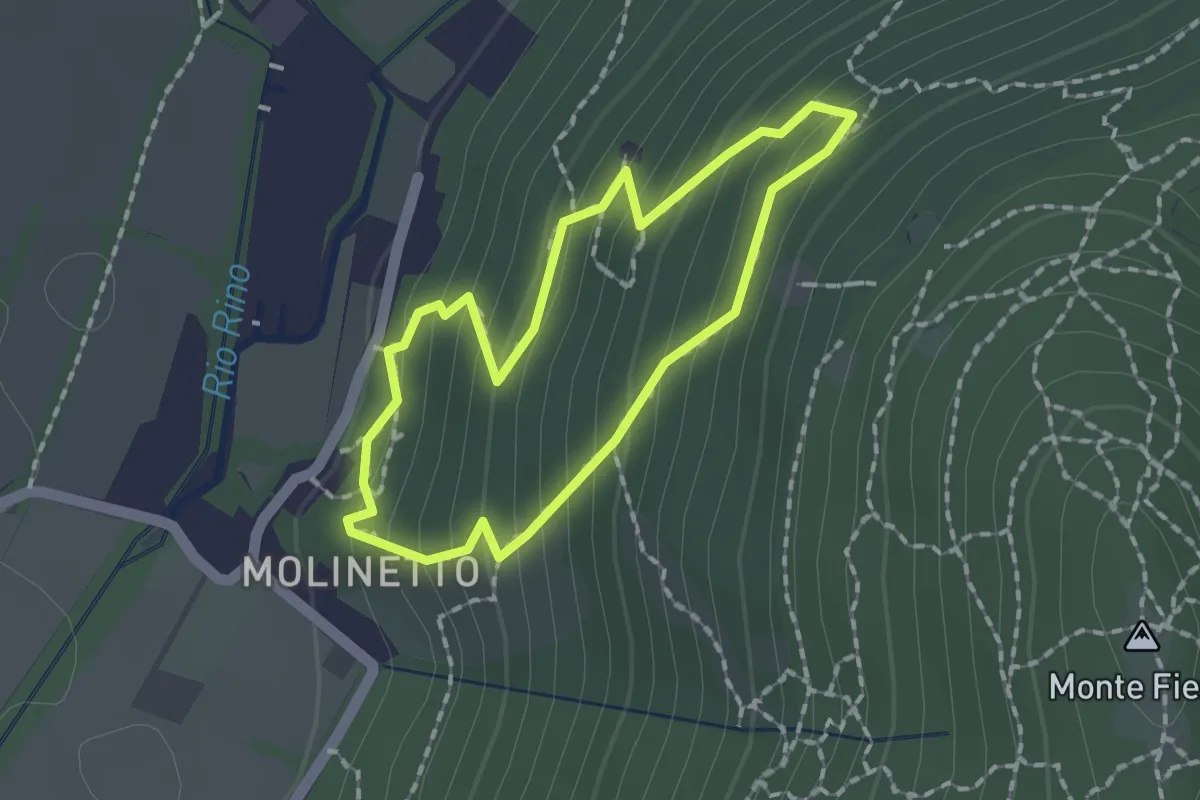
Anello Molinetto di Botticno
1.5 km · ↑ 132 m · 39 min · 15 km away
Medium · Cabin
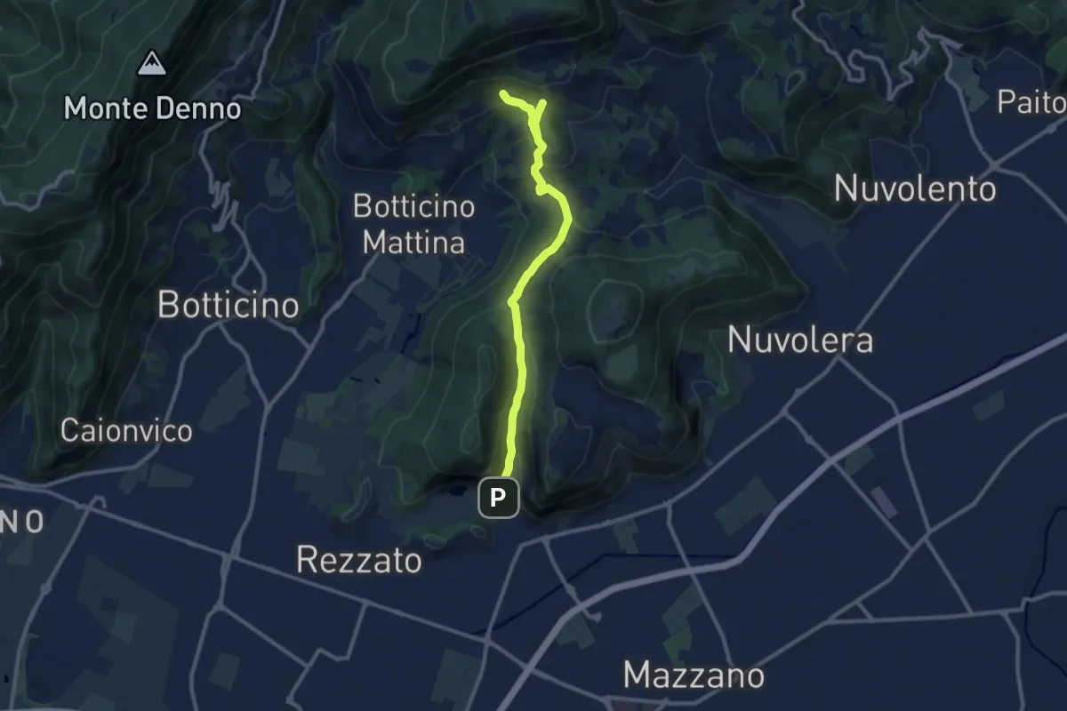
La Via del marmo - Rezzato (Valle di Virle)
10.9 km · ↑ 399 m · 3 h 27 min · 15 km away
Easy · Trail
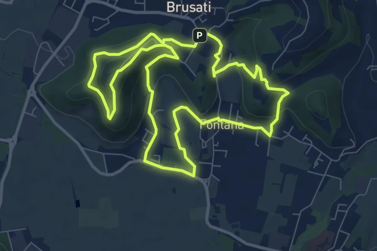
Tra il vecchio castello e la Madonna della Rosa
7.0 km · ↑ 299 m · 2 h 24 min · 15 km away