Trails near Castelnovo ne' Monti
128 hikes starting within 15 km, nearest first.
Nearest first, page 1 of 3
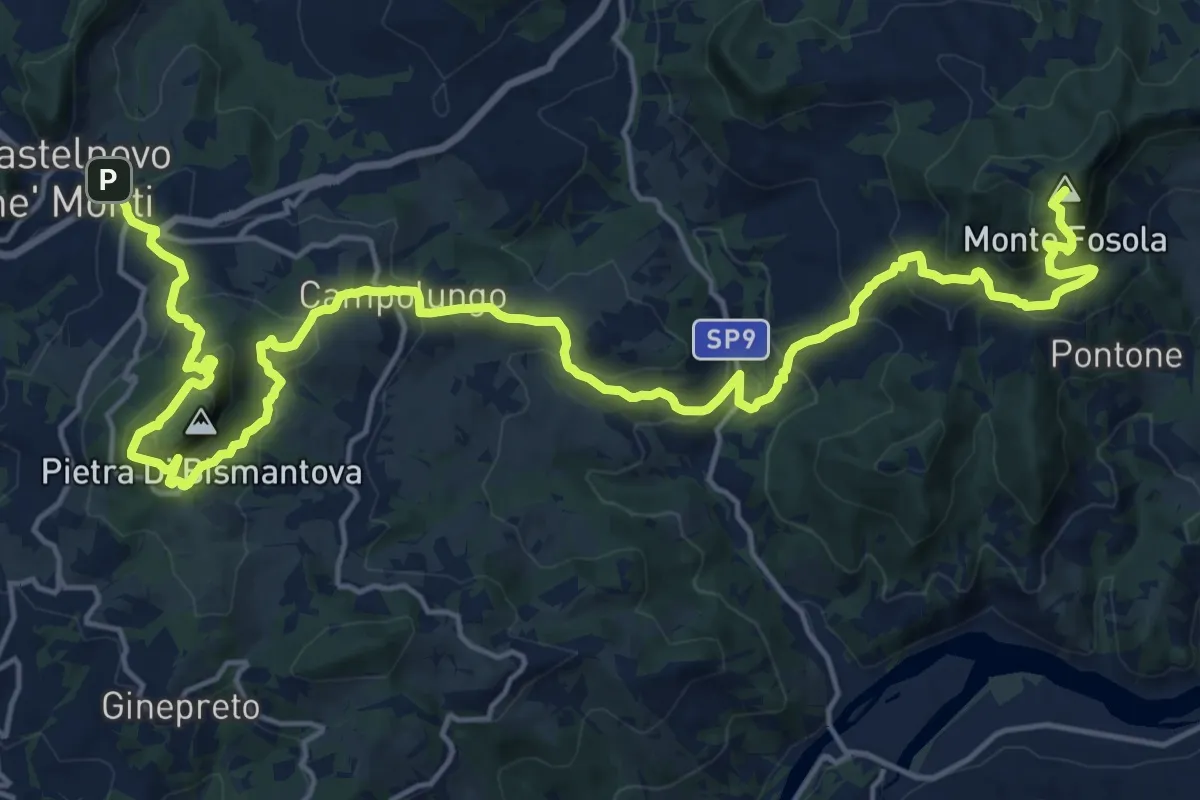
Demanding · Summit
Sentiero Partigiani 7 - sentiero delle donne
26.7 km · ↑ 1663 m · 9 h 55 min · under 1 km away
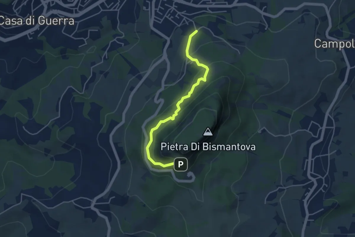
Easy · Trail
Castelnovo ne' Monti (Via Comici) – L'Eremo (bivio con 697)
4.1 km · ↑ 280 m · 1 h 34 min · 2 km away
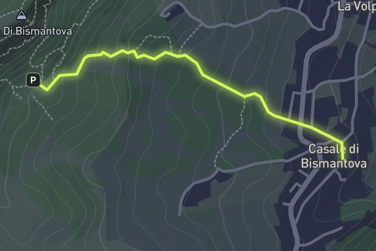
Easy · Trail
Sentiero della Via Crucis
2.6 km · ↑ 163 m · 59 min · 2 km away
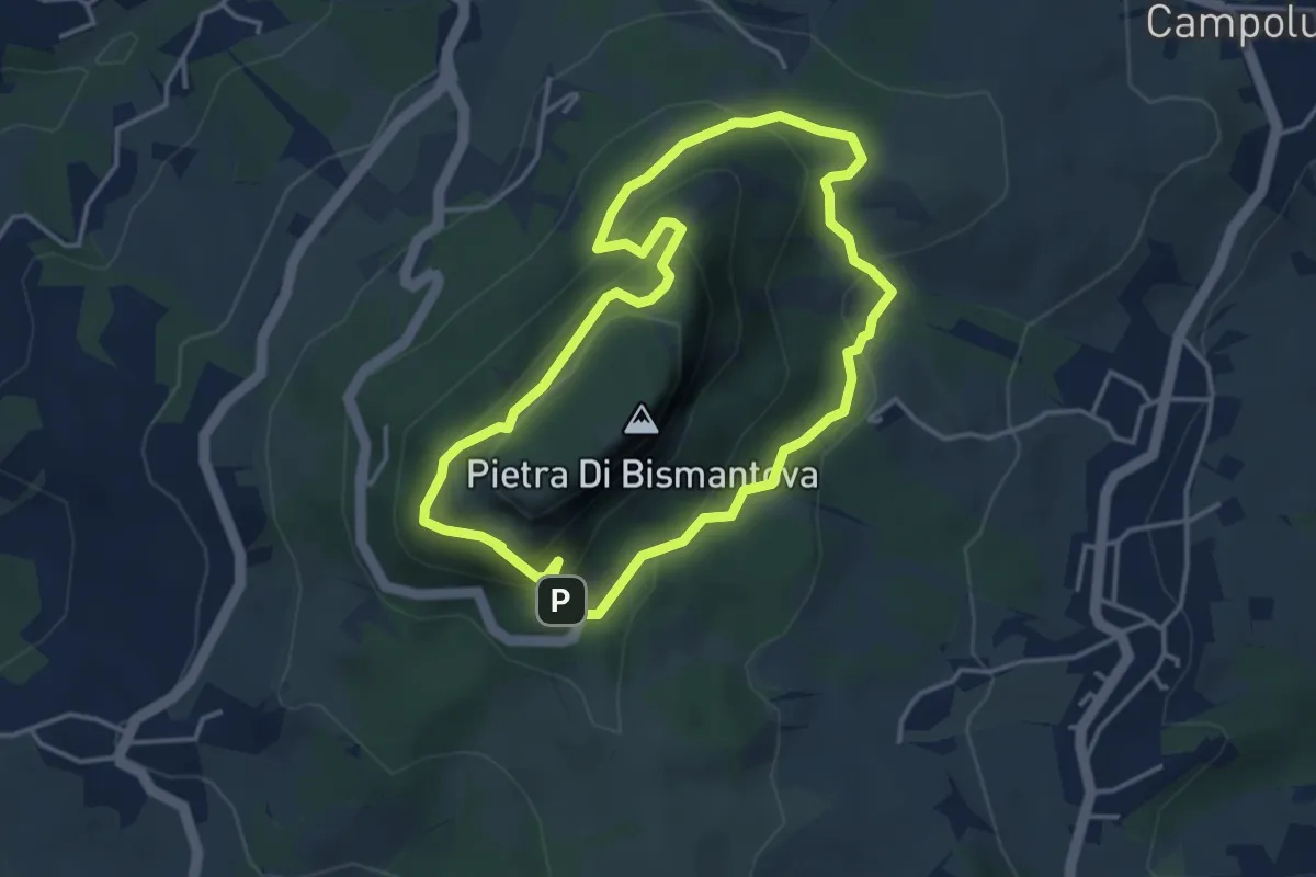
Medium · Trail
L'Eremo - Campo Pianelli - Pietra di Bismantova - L'Eremo
3.8 km · ↑ 273 m · 1 h 33 min · 2 km away
Medium · Trail
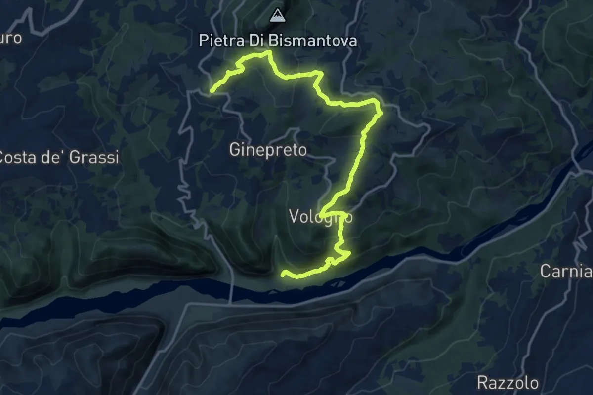
Sentiero Natura dei Gessi Triassici
15.2 km · ↑ 722 m · 5 h 9 min · 3 km away
Demanding · Summit
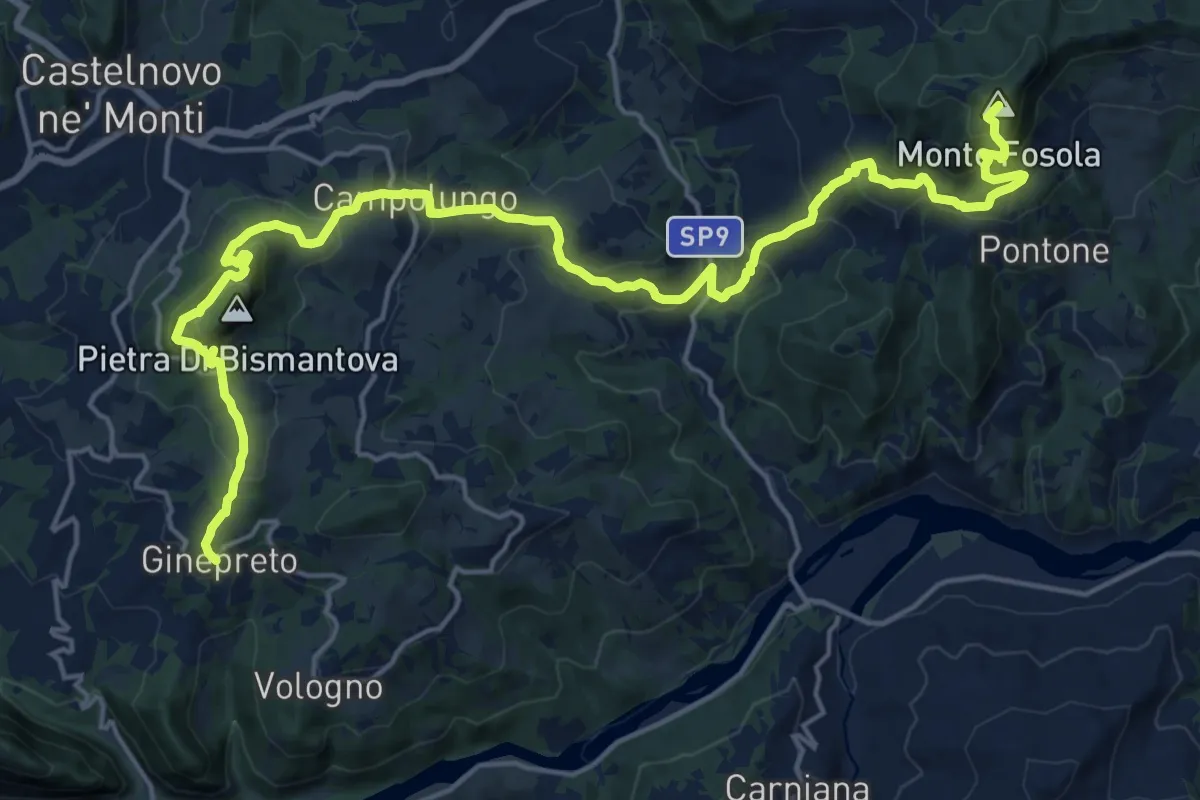
Sentiero Lazzaro Spallanzani - Tappa 5
24.9 km · ↑ 1537 m · 9 h 12 min · 4 km away
Demanding · Summit
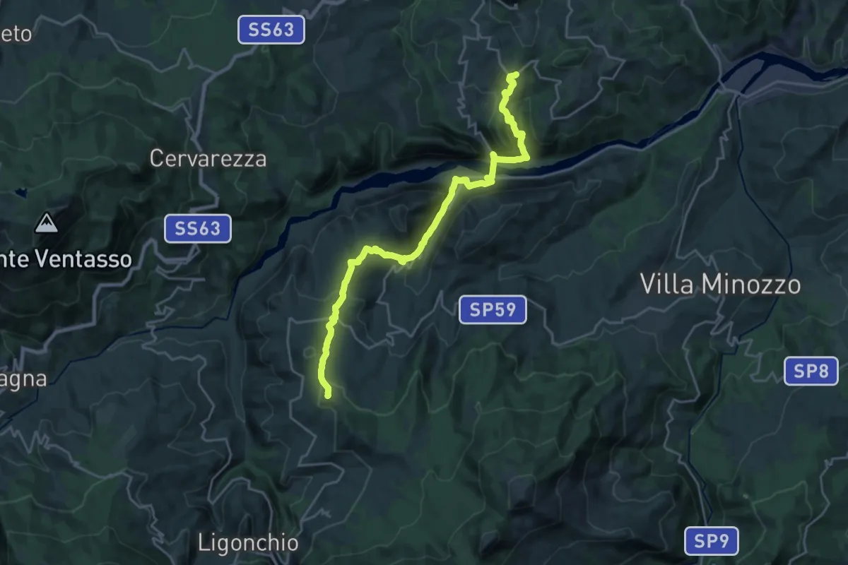
Sentiero Lazzaro Spallanzani - Tappa 6
23.3 km · ↑ 1070 m · 7 h 49 min · 4 km away
Easy · Trail
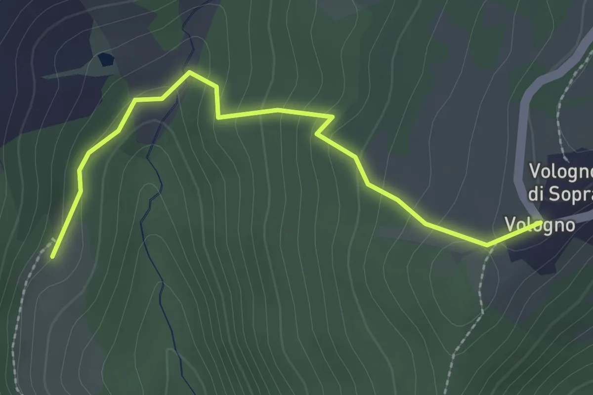
Vologno - Ca' Merlo
2.5 km · ↑ 141 m · 54 min · 5 km away
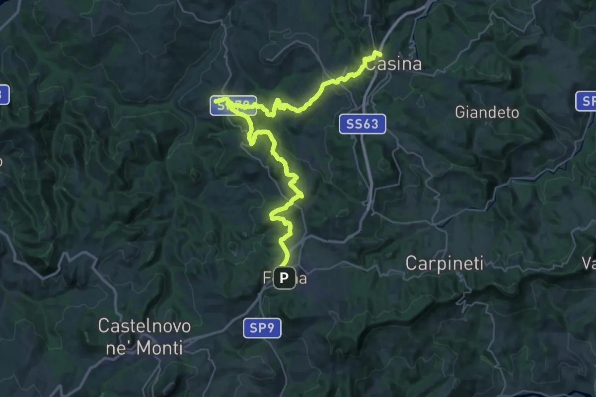
Medium · Trail
Sentiero Partigiani 3 -sentiero della resistenza civile
17.1 km · ↑ 546 m · 5 h 31 min · 5 km away
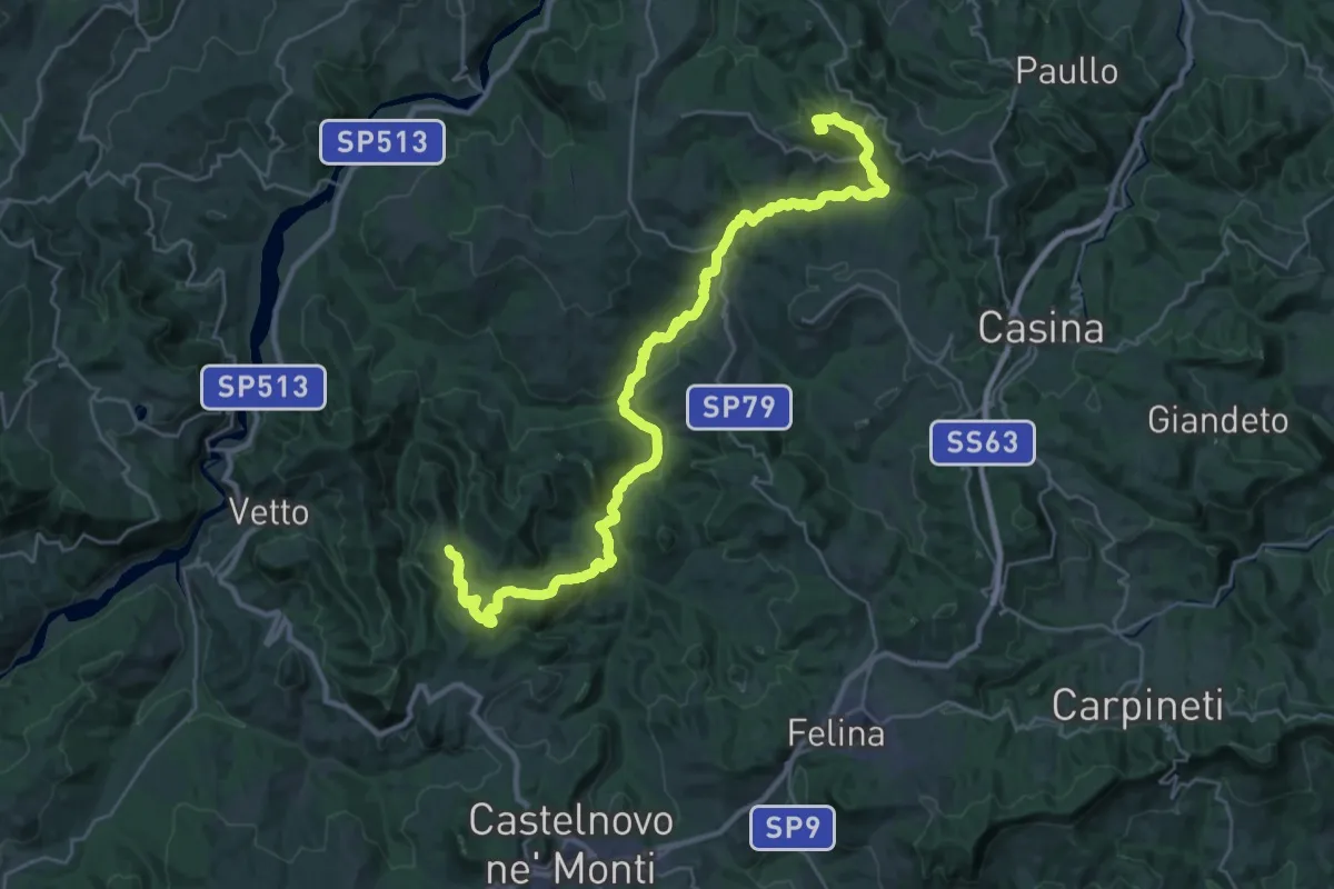
Demanding · Summit
Costa Melina – Pineto
35.1 km · ↑ 1056 m · 10 h 34 min · 5 km away
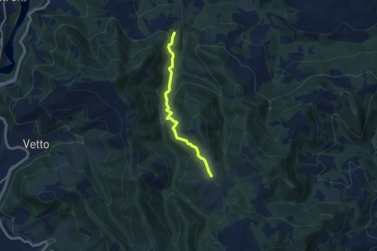
Medium · Trail
Scalucchia – Pineto
6.1 km · ↑ 367 m · 2 h 14 min · 5 km away
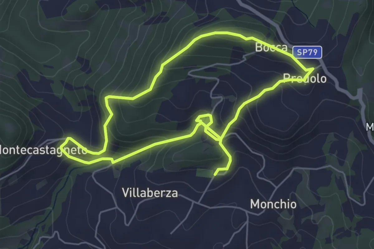
Easy · Summit
Anello di Villaberza
4.9 km · ↑ 251 m · 1 h 46 min · 6 km away
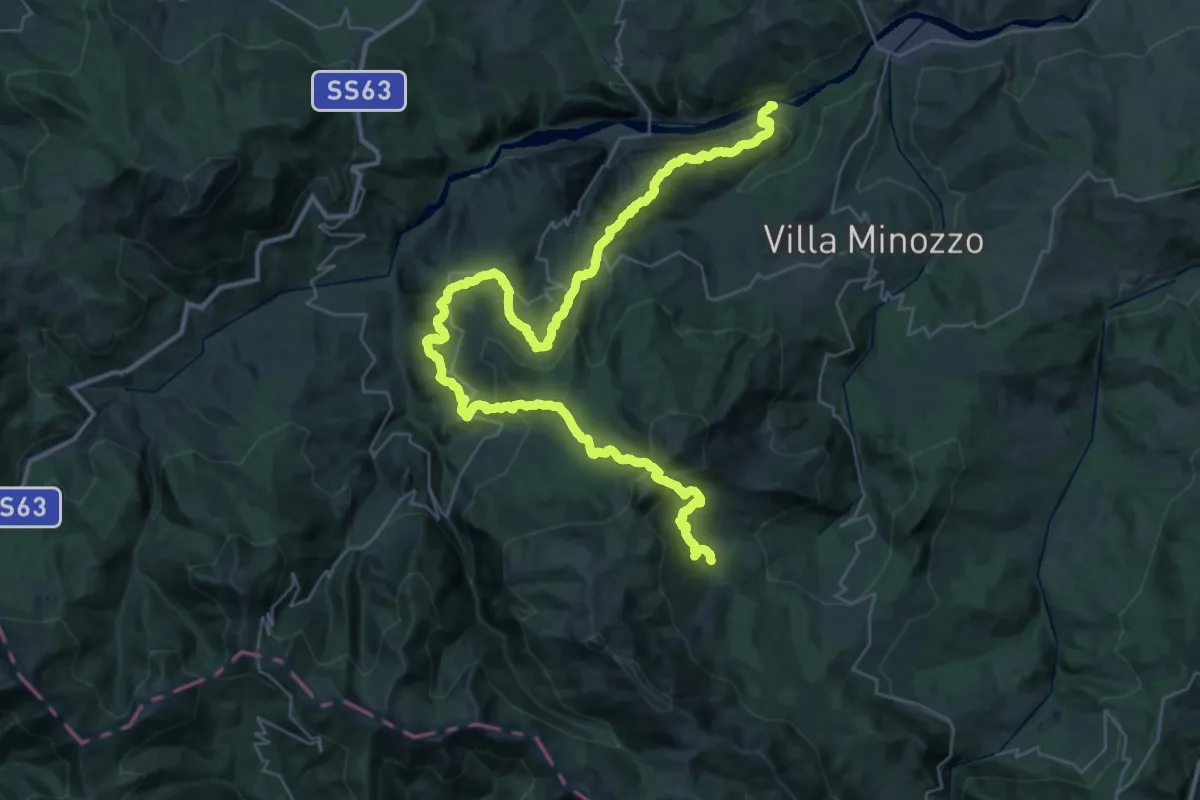
Demanding · Trail
Fonti di Poiano – Peschiera Zamboni
24.9 km · ↑ 1653 m · 9 h 26 min · 6 km away
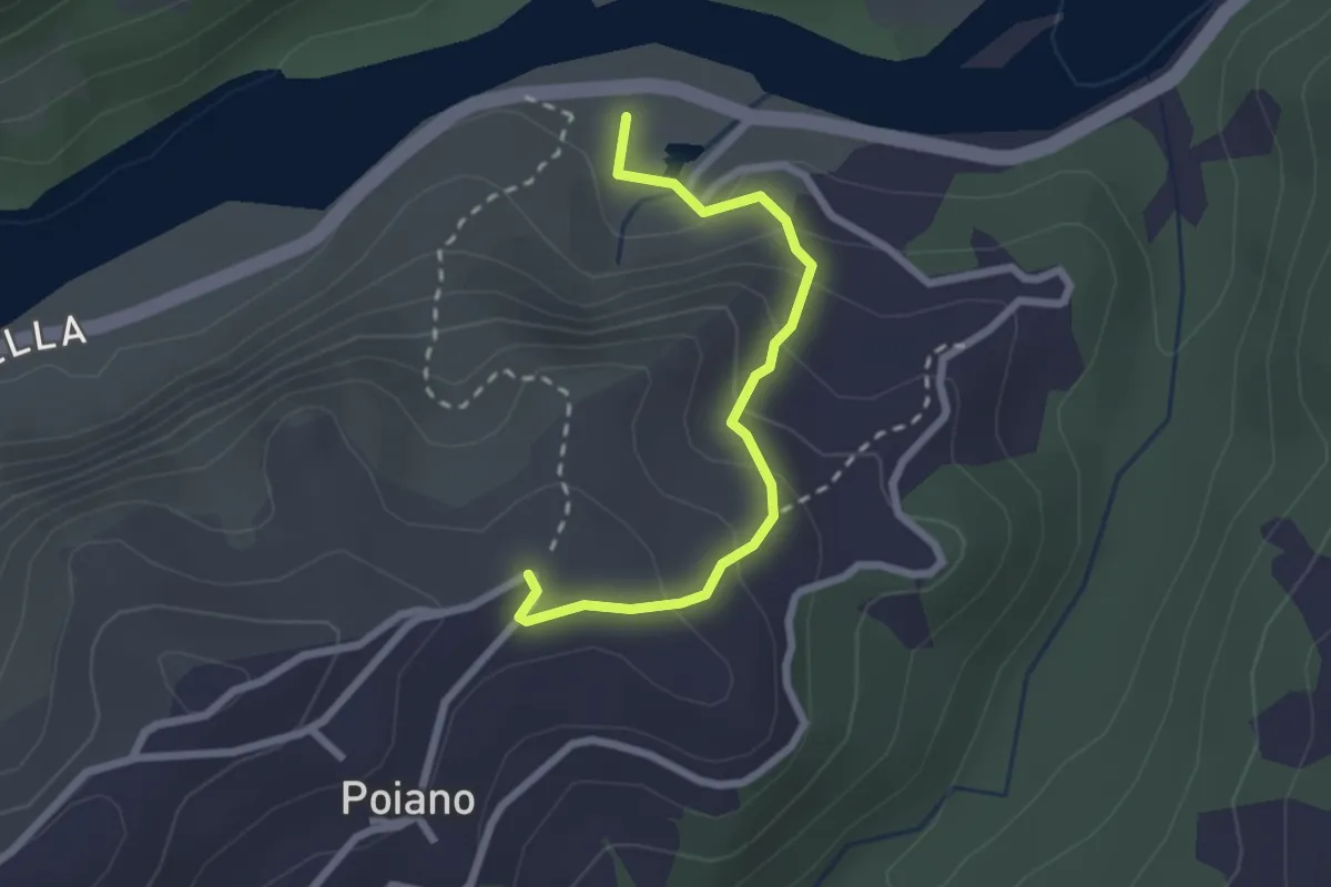
Easy · Trail
Percorso 621 – Fonti di Poiano
2.4 km · ↑ 152 m · 54 min · 6 km away
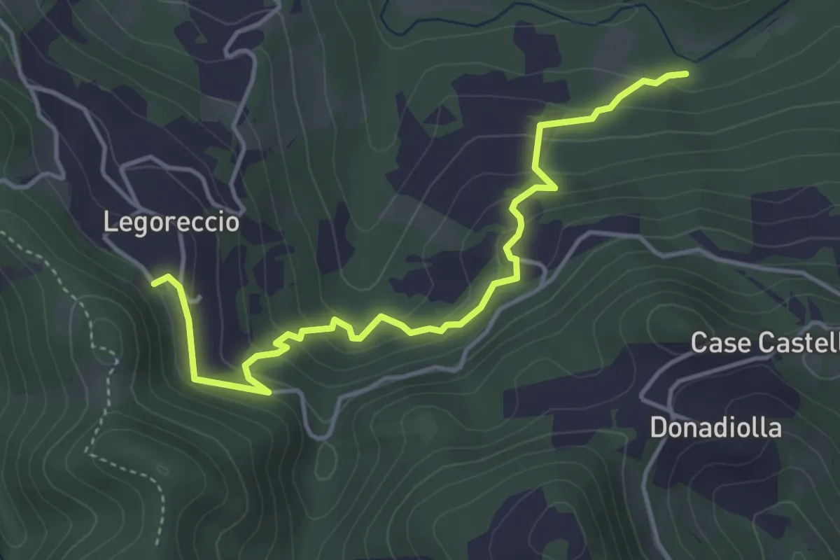
Easy · Trail
Percorso 660B – Legoreccio
4.6 km · ↑ 314 m · 1 h 46 min · 7 km away
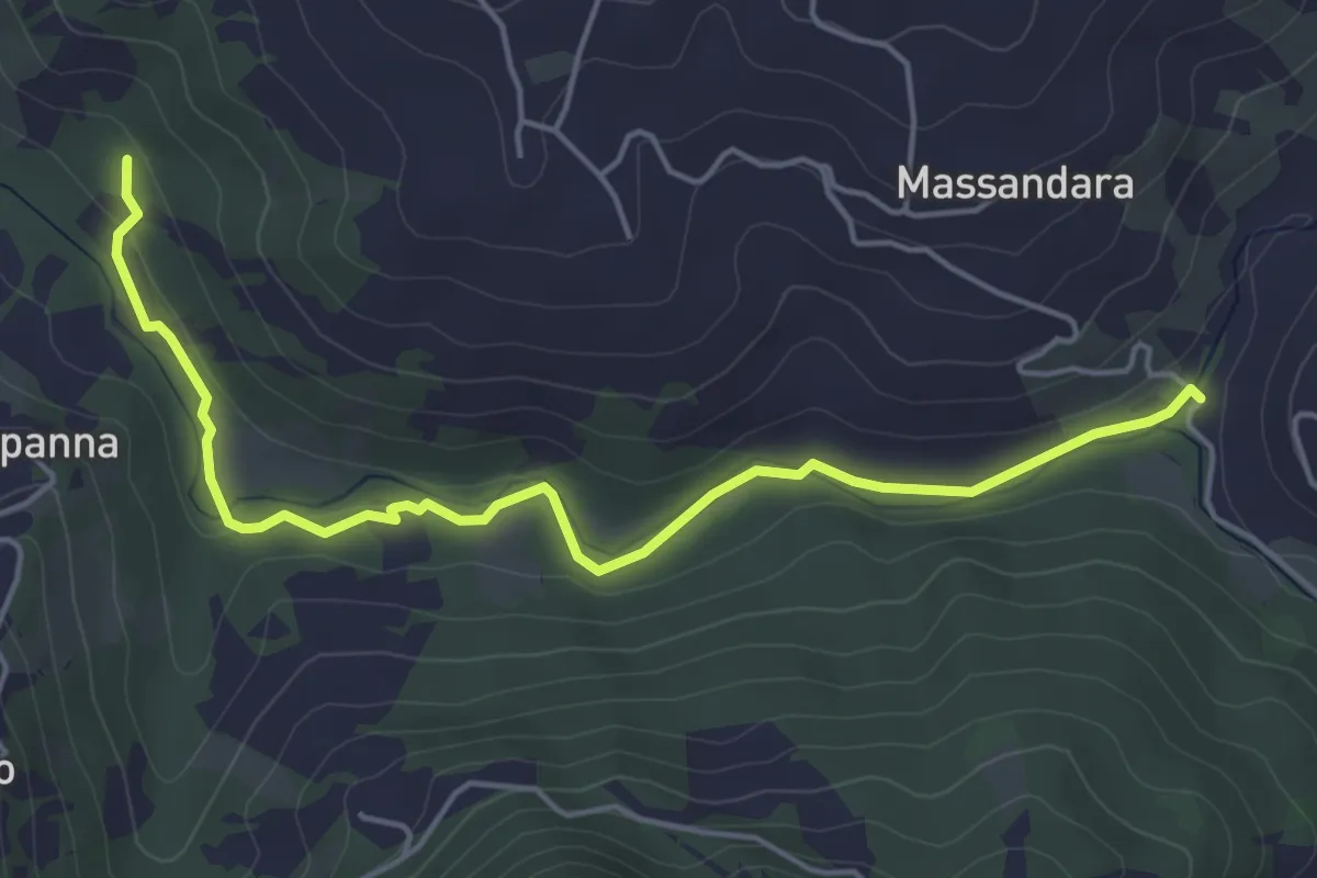
Easy · Trail
Percorso 660C – Percorso 660
5.5 km · ↑ 61 m · 1 h 25 min · 7 km away
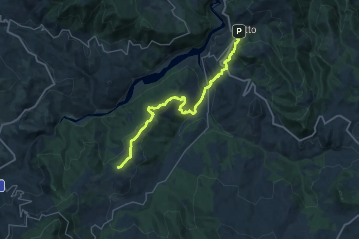
Demanding · Summit
Sentiero dei Ducati Tappa 05
17.5 km · ↑ 829 m · 5 h 56 min · 7 km away
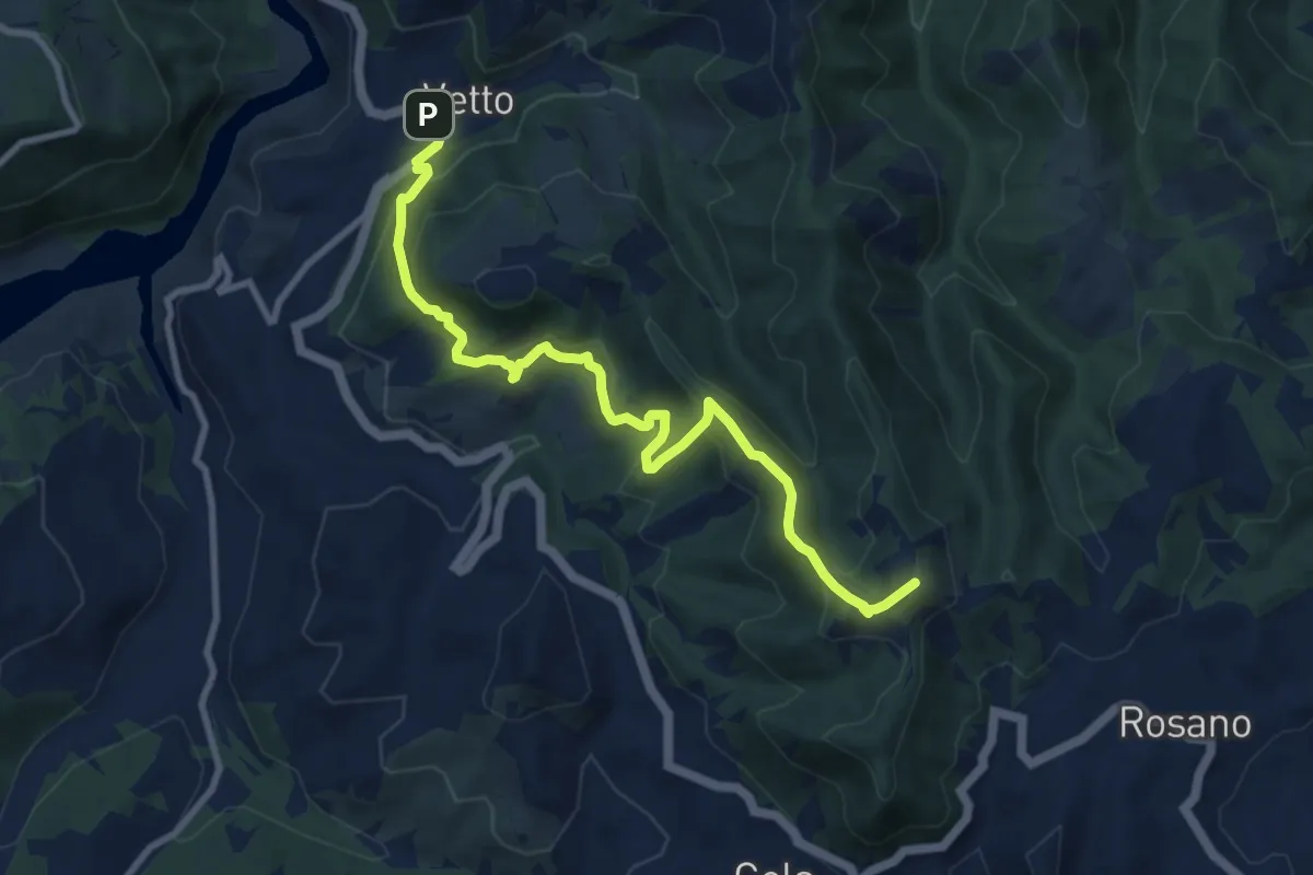
Medium · Summit
Mulino di Chichino – Vetto
10.4 km · ↑ 620 m · 3 h 49 min · 7 km away
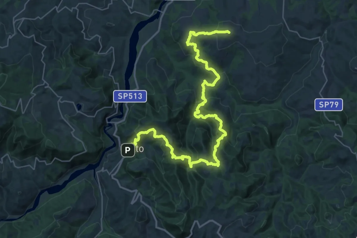
Demanding · Summit
Sentiero dei Ducati Tappa 04
34.3 km · ↑ 1826 m · 12 h 3 min · 7 km away
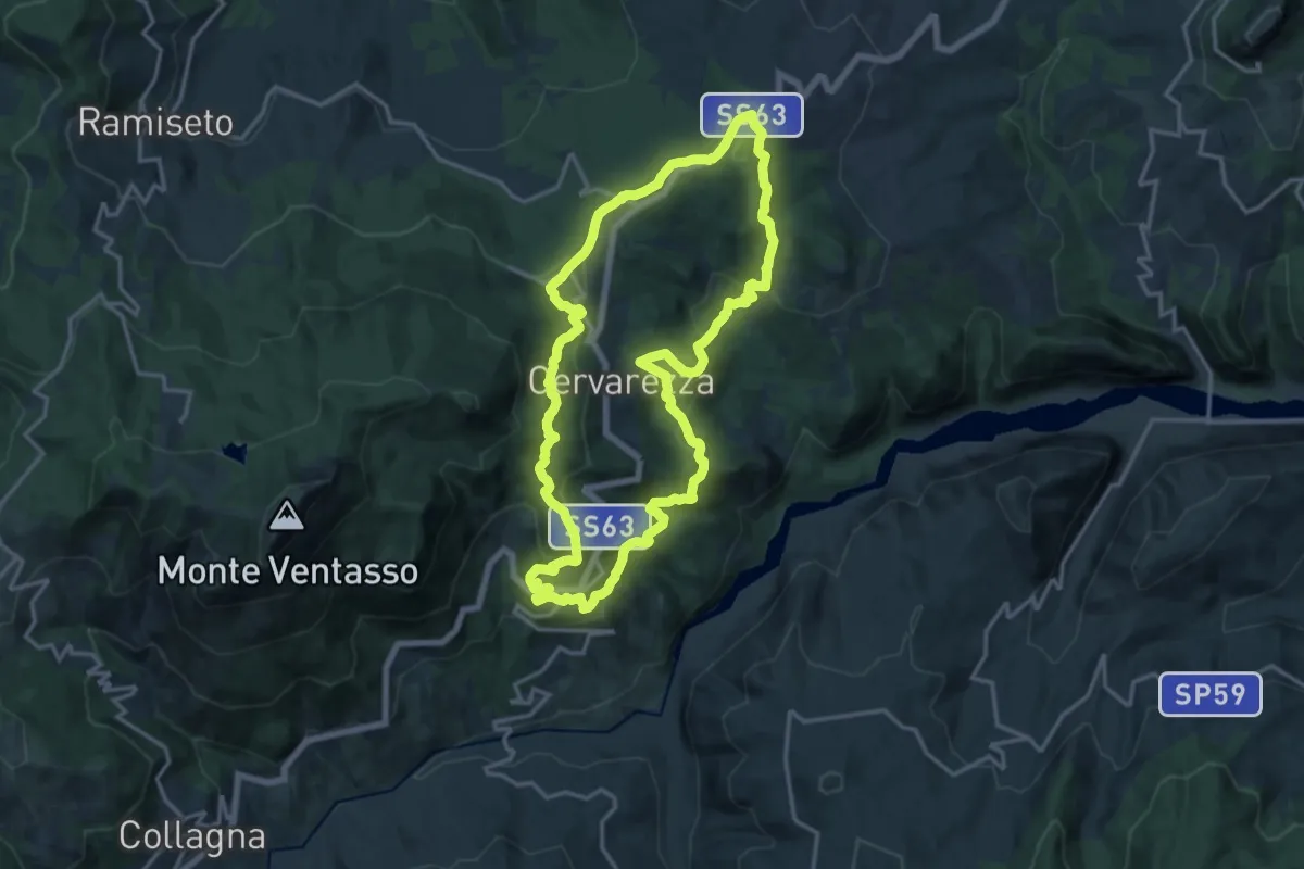
Medium · Summit
Sentiero Partigiani 8 - sentiero dei disertori
16.2 km · ↑ 684 m · 5 h 31 min · 7 km away
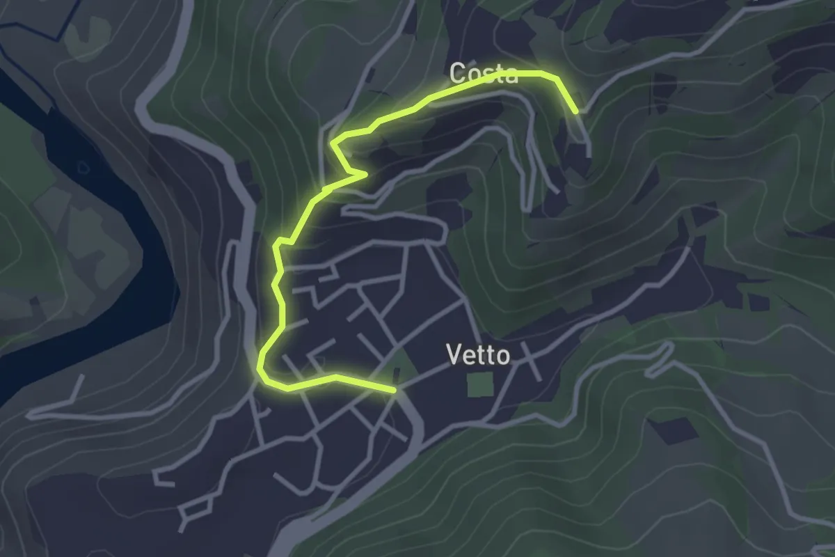
Easy · Trail
Sentiero SD – Vetto
3.2 km · ↑ 171 m · 1 h 7 min · 8 km away
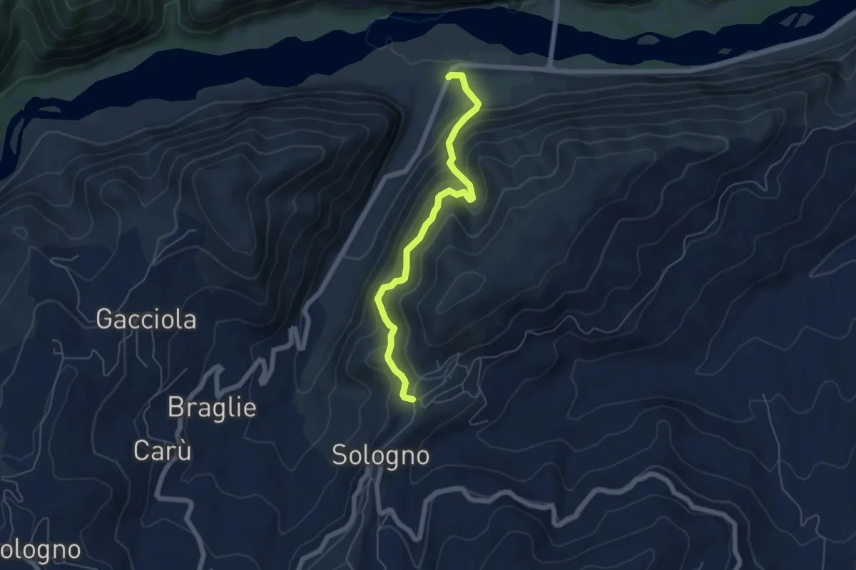
Medium · Trail
Ca' Rabacchi – Villa di Sologno
5.5 km · ↑ 509 m · 2 h 24 min · 8 km away
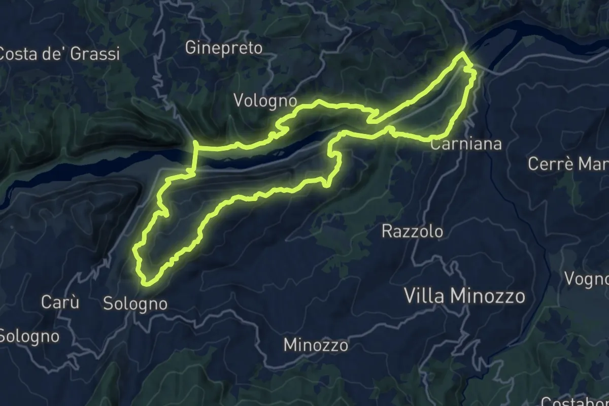
Demanding · Trail
Sentieri Partigiani 6 - sentiero di Carlo
20.0 km · ↑ 1021 m · 7 h 13 min · 8 km away
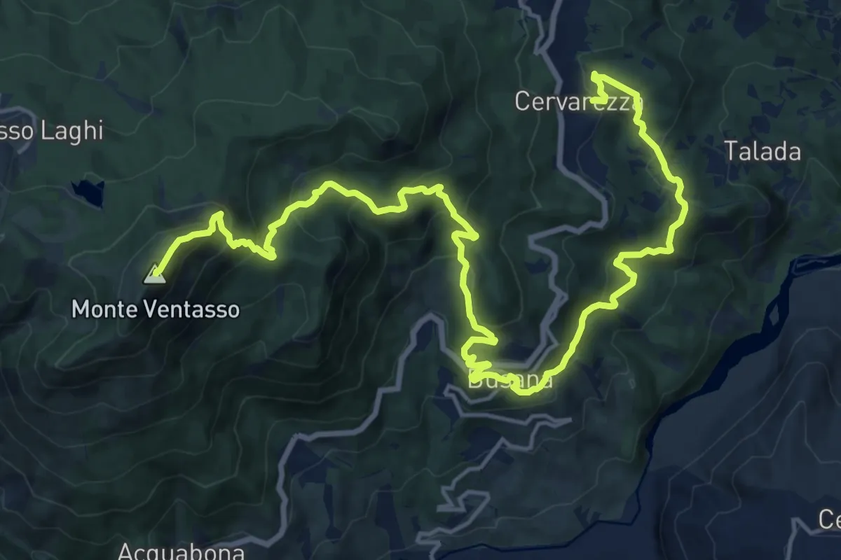
Demanding · Summit
Cervarezza – Percorso 667
22.1 km · ↑ 1325 m · 8 h 6 min · 8 km away
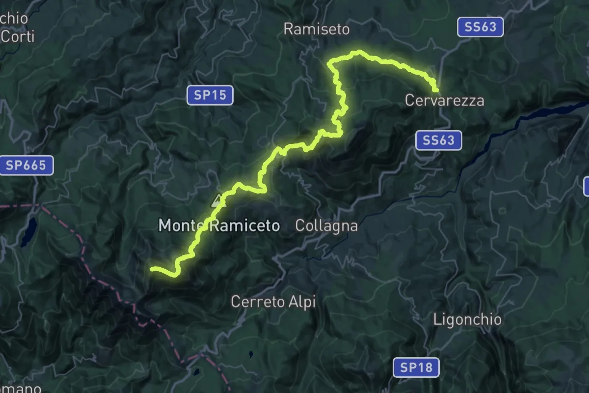
Demanding · Summit
Cervarezza – Alpe di Succiso
42.5 km · ↑ 2448 m · 15 h 21 min · 8 km away
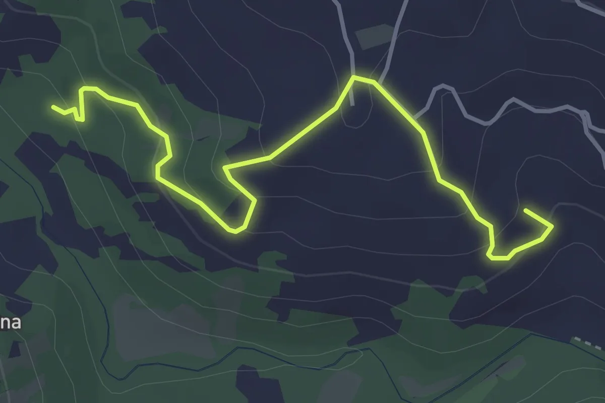
Easy · Summit
Percorso 660B – Percorso 660B
4.2 km · ↑ 229 m · 1 h 30 min · 8 km away
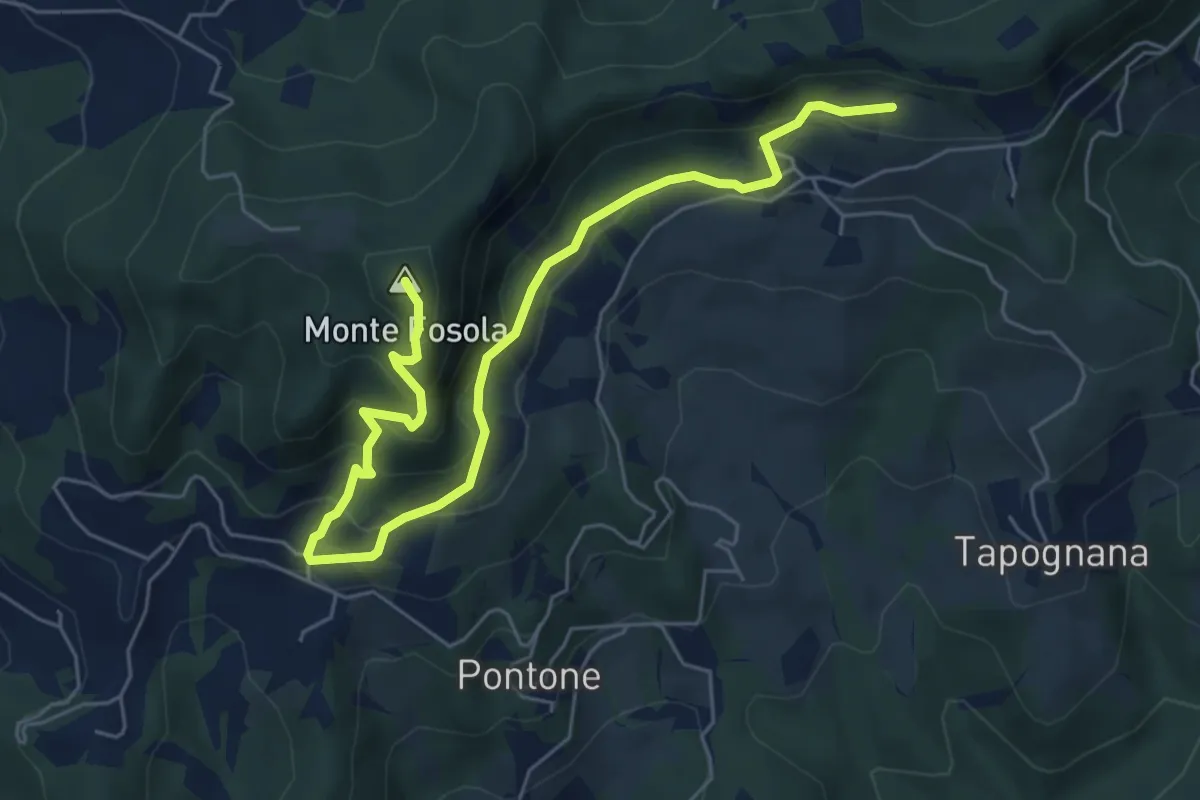
Medium · Summit
Codeghino – Villaprara
7.2 km · ↑ 545 m · 2 h 53 min · 8 km away
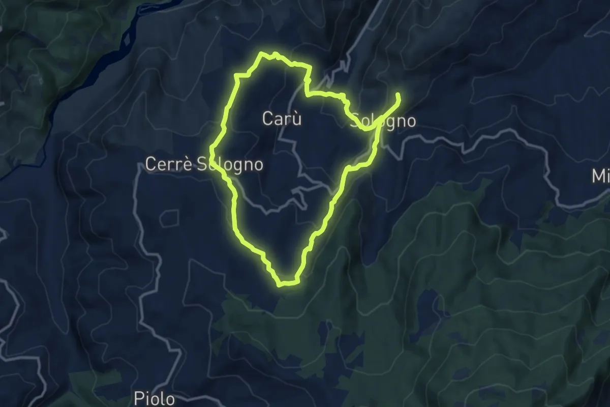
Medium · Trail
Sentiero Partigiani SP6B - sentiero di Carlo (variante)
9.8 km · ↑ 447 m · 3 h 24 min · 8 km away
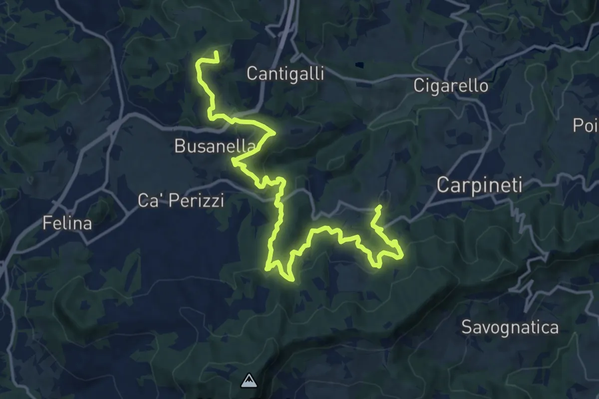
Demanding · Summit
Marola – Regigno
17.1 km · ↑ 839 m · 5 h 52 min · 8 km away
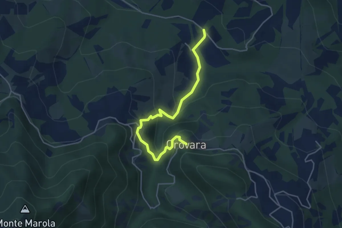
Easy · Trail
Mulino di Chichino – Scalucchia
4.0 km · ↑ 252 m · 1 h 29 min · 8 km away
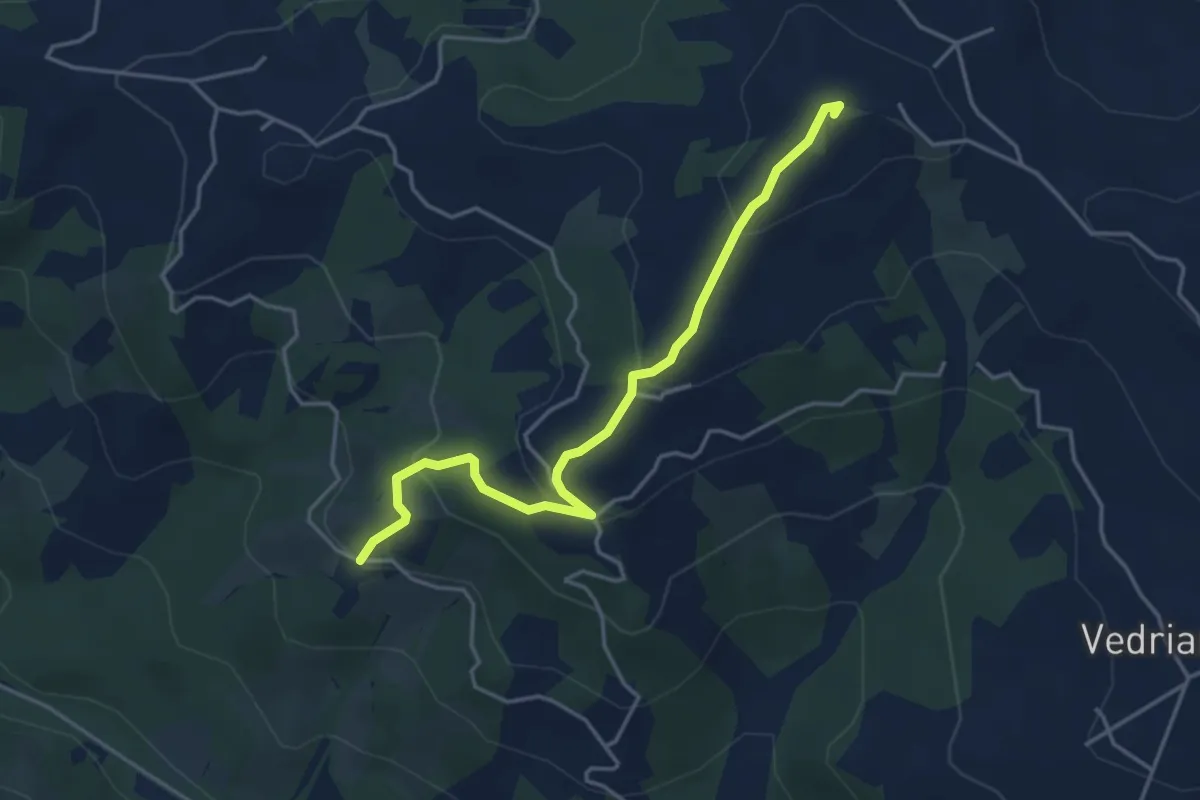
Easy · Summit
Crognolo – Cadrazzolo
4.3 km · ↑ 226 m · 1 h 31 min · 9 km away
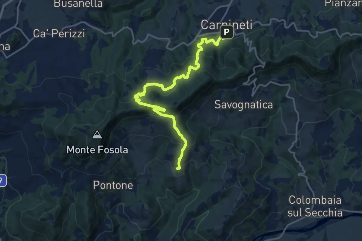
Medium · Trail
Carpineti – Tapognana
13.1 km · ↑ 797 m · 4 h 49 min · 9 km away
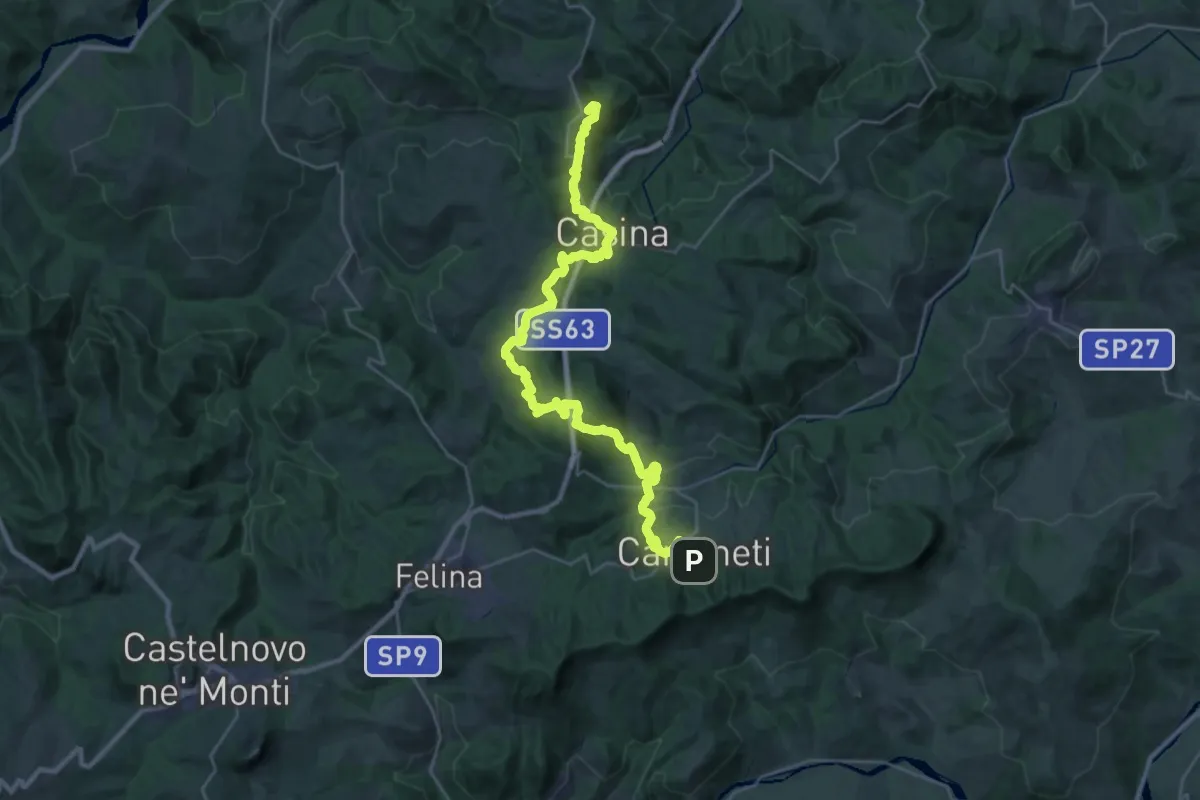
Demanding · Summit
Via Matildica del Volto Santo: Tappa 5
34.0 km · ↑ 1373 m · 11 h 1 min · 9 km away
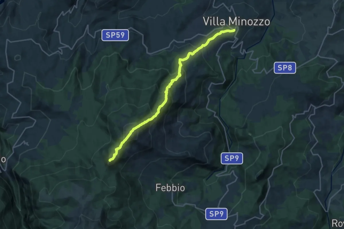
Demanding · Summit
Valbucciana – Il Passone
16.6 km · ↑ 1308 m · 6 h 46 min · 10 km away
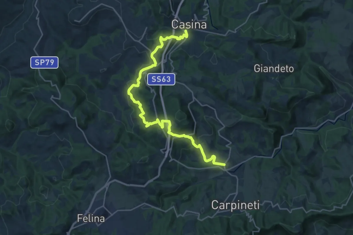
Demanding · Trail
Casina – Cigarello
20.5 km · ↑ 877 m · 6 h 44 min · 10 km away
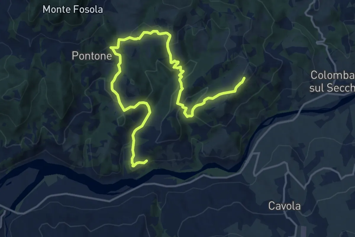
Medium · Trail
Vellucciana – Coliolla
15.8 km · ↑ 742 m · 5 h 21 min · 10 km away
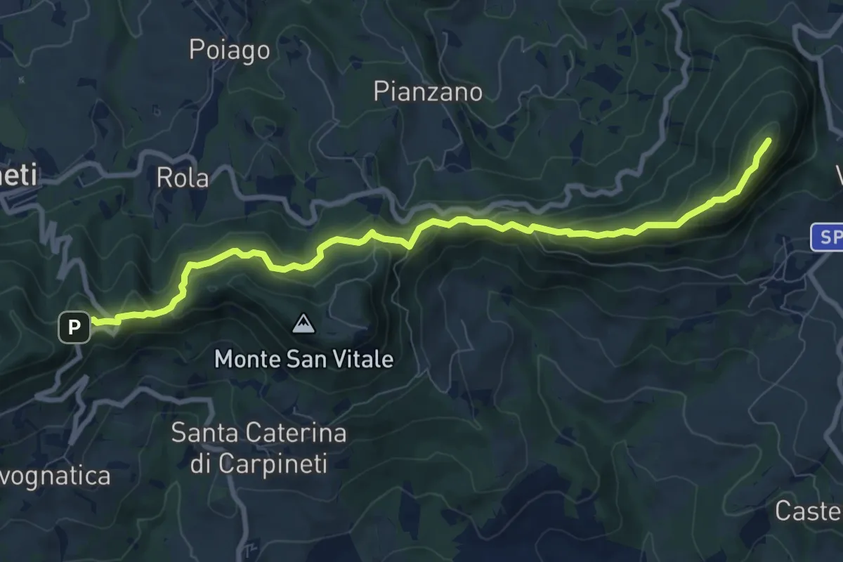
Medium · Summit
Valestra – Castello delle Carpinete
9.7 km · ↑ 570 m · 3 h 32 min · 10 km away
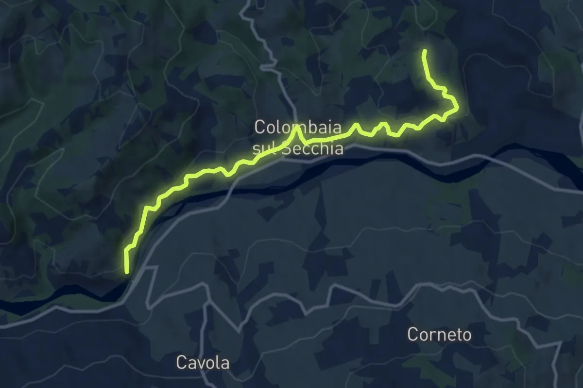
Medium · Trail
Ponte Cavola – Poiatica
10.7 km · ↑ 381 m · 3 h 21 min · 10 km away
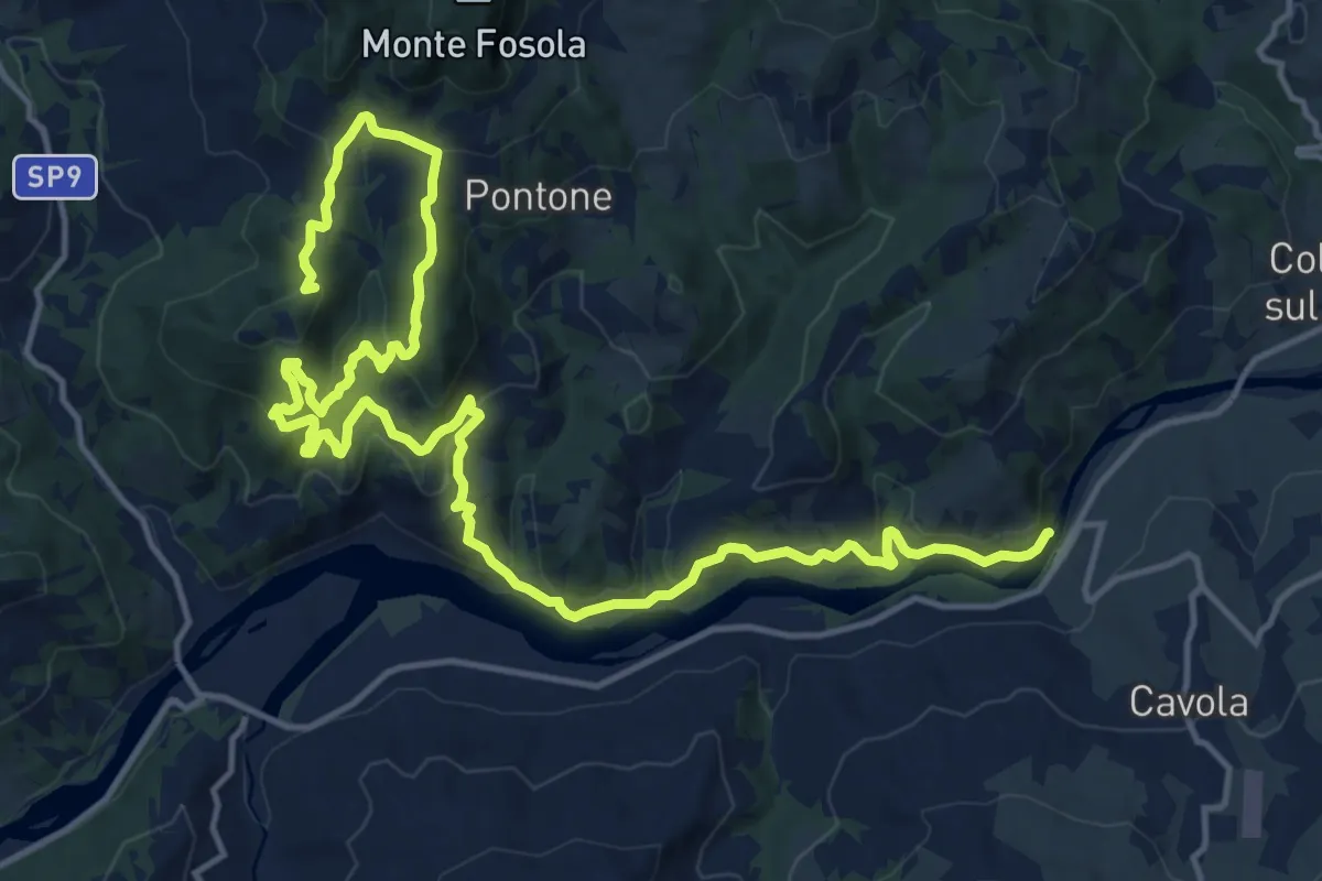
Demanding · Summit
Saccaggio – Ponte Cavola
21.9 km · ↑ 1022 m · 7 h 23 min · 10 km away
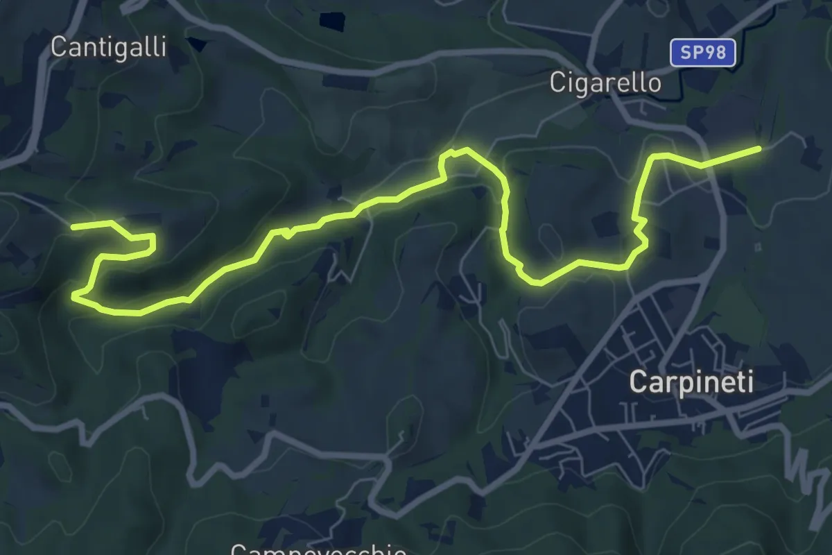
Medium · Trail
Costa di Po – San Prospero
9.5 km · ↑ 290 m · 2 h 52 min · 10 km away
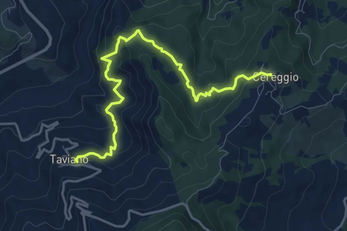
Medium · Trail
Sentiero dei Ducati Variante Pizzoni
9.6 km · ↑ 625 m · 3 h 38 min · 10 km away
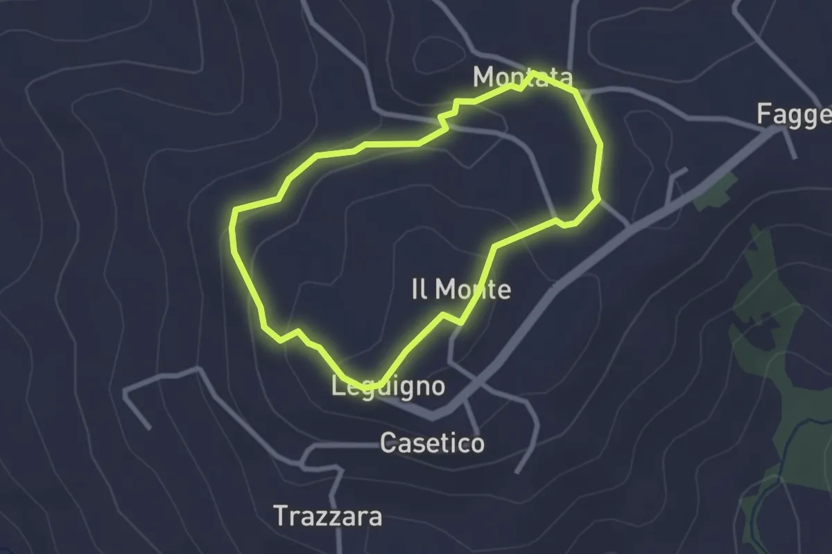
Easy · Trail
Montata – Montata
2.3 km · ↑ 83 m · 45 min · 10 km away
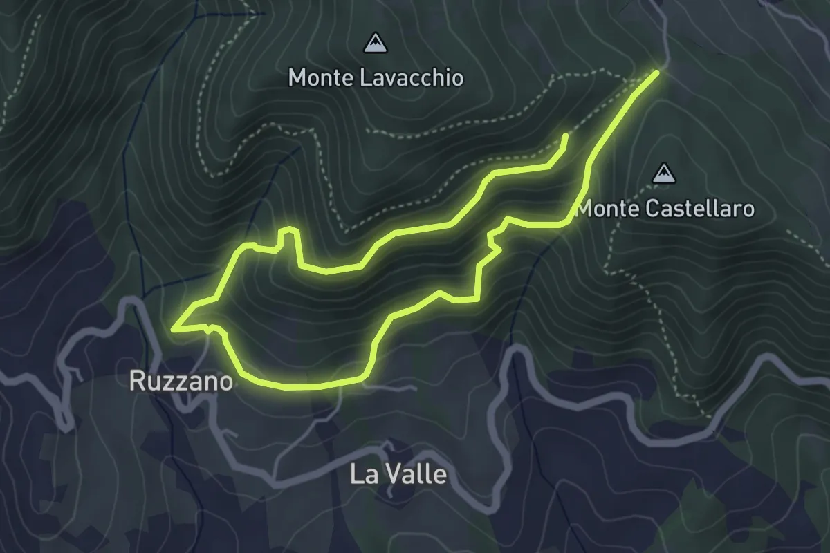
Medium · Trail
Pineta di Scurano – Percorso 762A
7.5 km · ↑ 572 m · 3 h 1 min · 10 km away
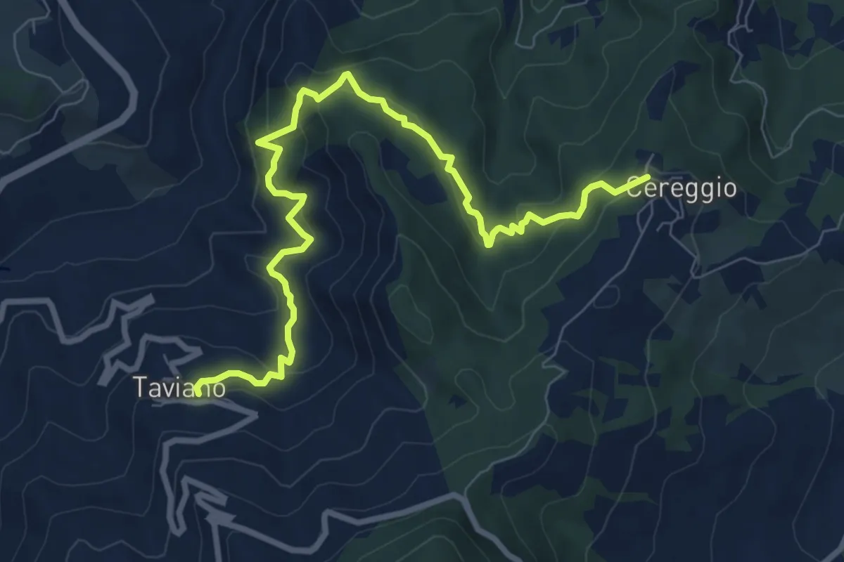
Medium · Trail
Cereggio – Taviano
9.4 km · ↑ 658 m · 3 h 39 min · 10 km away
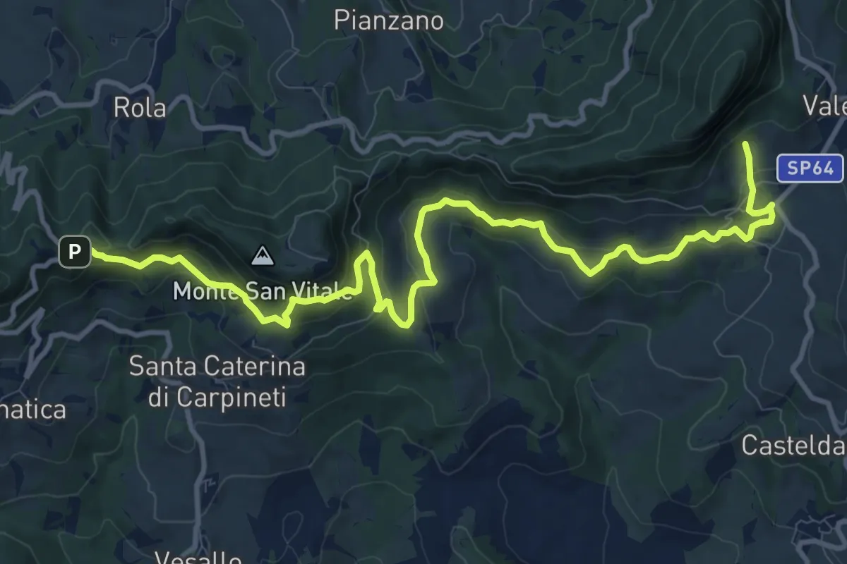
Medium · Trail
Valestra – Castello delle Carpinete
13.2 km · ↑ 715 m · 4 h 39 min · 10 km away
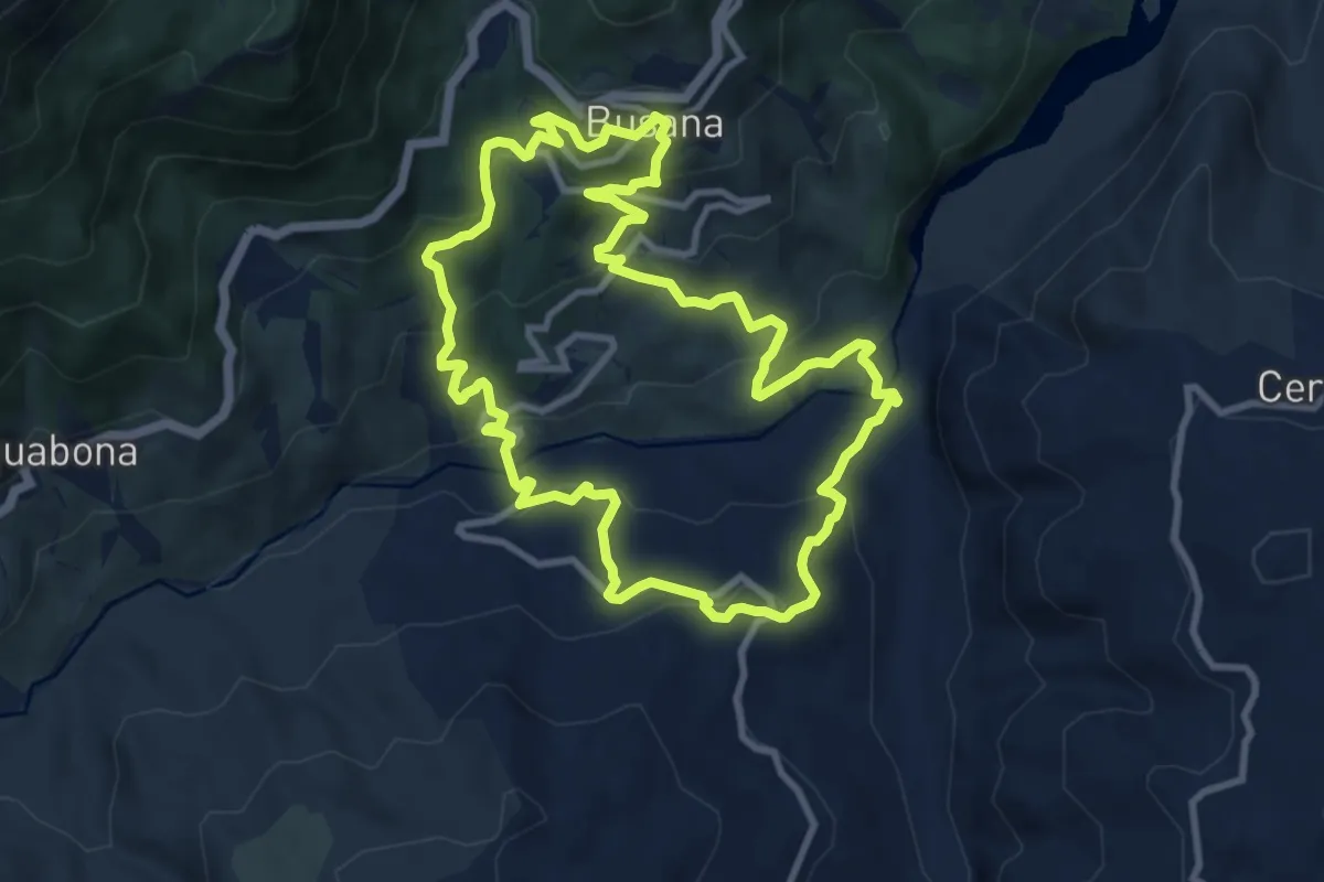
Medium · Trail
Sentieri Partigiani 8B - sentiero dei disertori (variante)
10.1 km · ↑ 488 m · 3 h 35 min · 10 km away
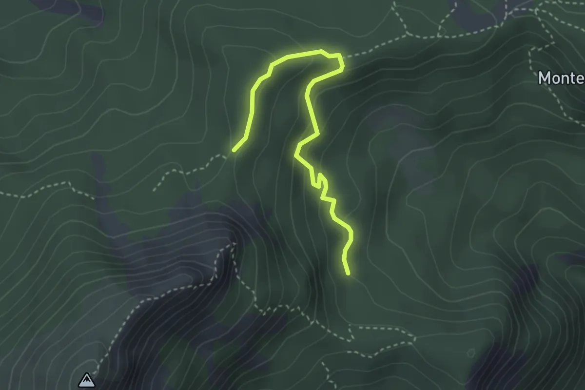
Easy · Trail
Raccordo 661 – Pratacci percorso 665
3.4 km · ↑ 197 m · 1 h 13 min · 10 km away
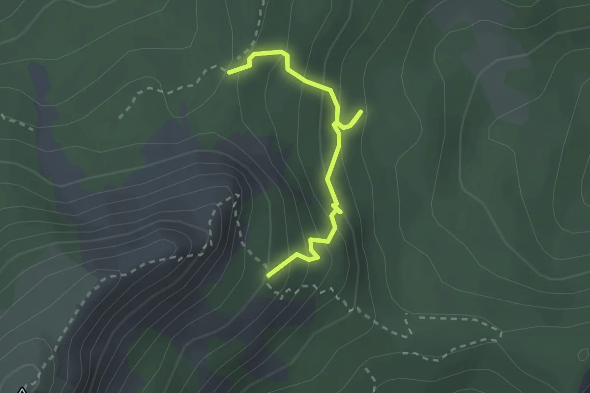
Easy · Cabin
Percorso 665 – Bivacco S.M.Maddalena
2.3 km · ↑ 246 m · 1 h 4 min · 10 km away