Trails near Castelnovo ne' Monti
128 hikes starting within 15 km, nearest first.
Nearest first, page 2 of 3
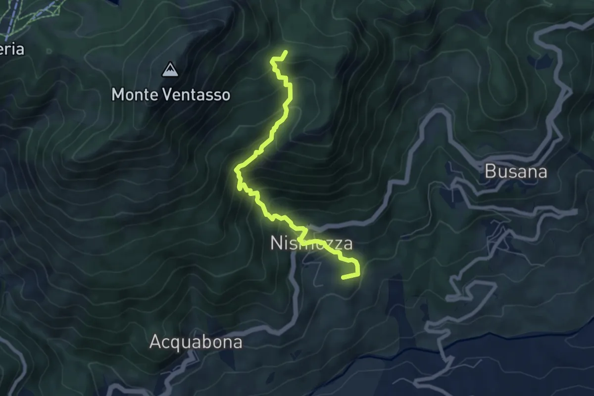
Medium · Summit
Busana – Percorso 661
6.6 km · ↑ 607 m · 2 h 52 min · 10 km away
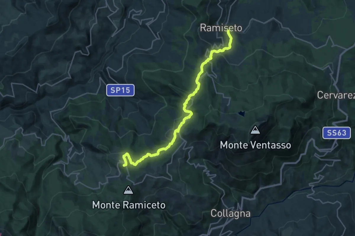
Demanding · Summit
Ramiseto – Ospedalaccio
18.8 km · ↑ 874 m · 6 h 21 min · 11 km away
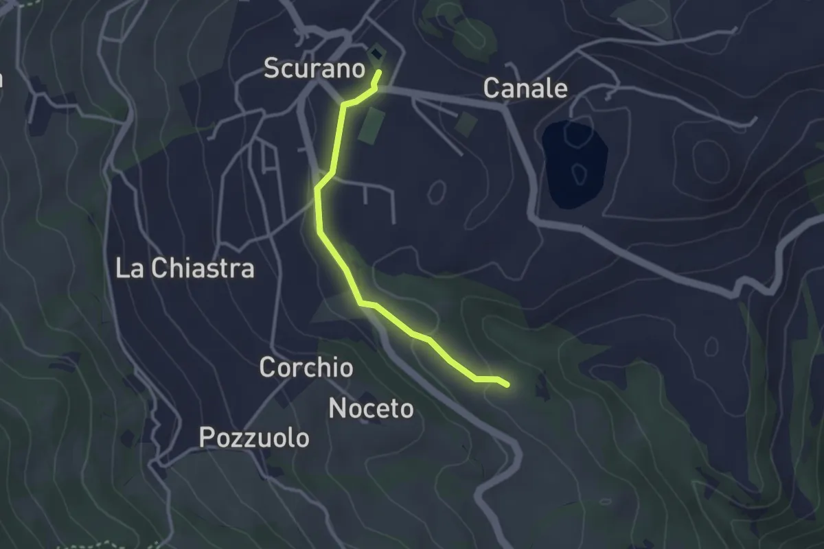
Easy · Trail
Scurano Pieve Cascata della Grondara
2.7 km · ↑ 39 m · 43 min · 11 km away
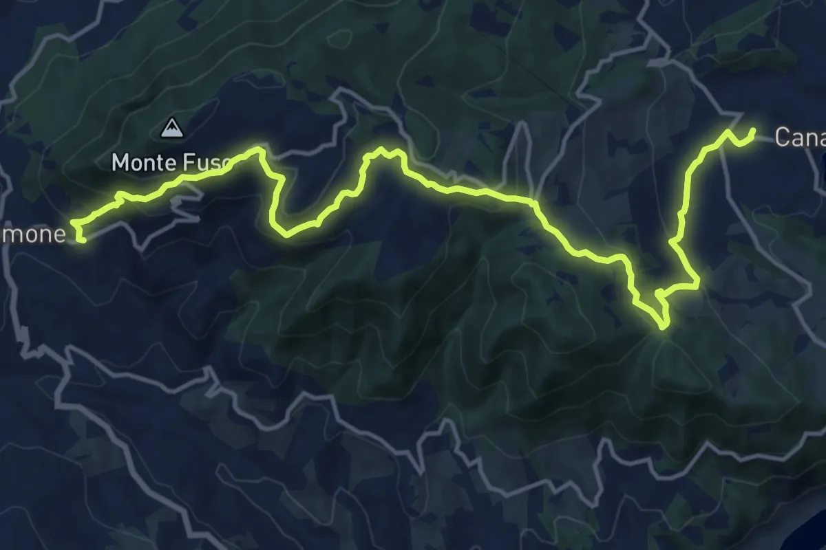
Medium · Trail
La Caserma (Centro Parco);Rusino
17.4 km · ↑ 791 m · 5 h 49 min · 11 km away
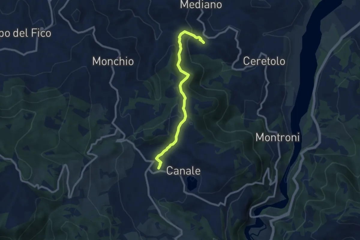
Medium · Trail
Vico di Mediano – Scurano Mercato
6.8 km · ↑ 322 m · 2 h 18 min · 11 km away
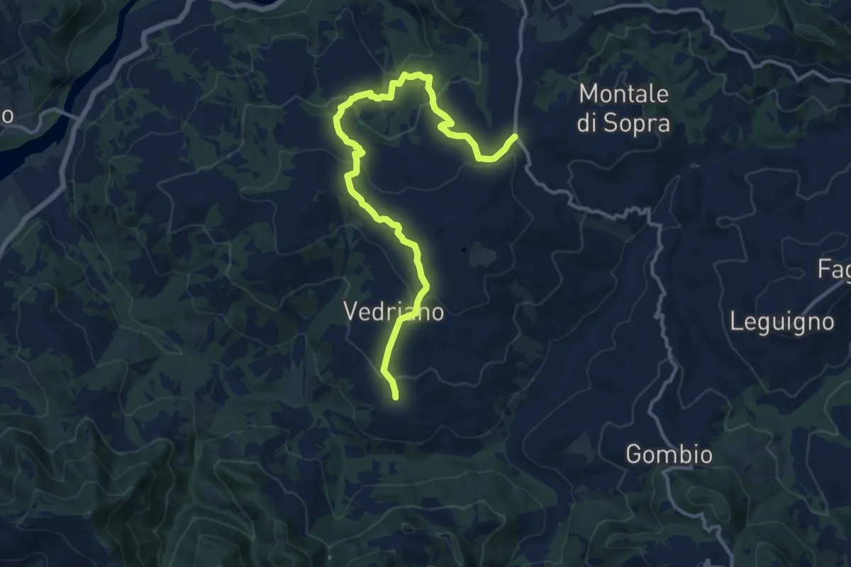
Medium · Trail
Trinità – Pietranera
14.2 km · ↑ 600 m · 4 h 39 min · 11 km away
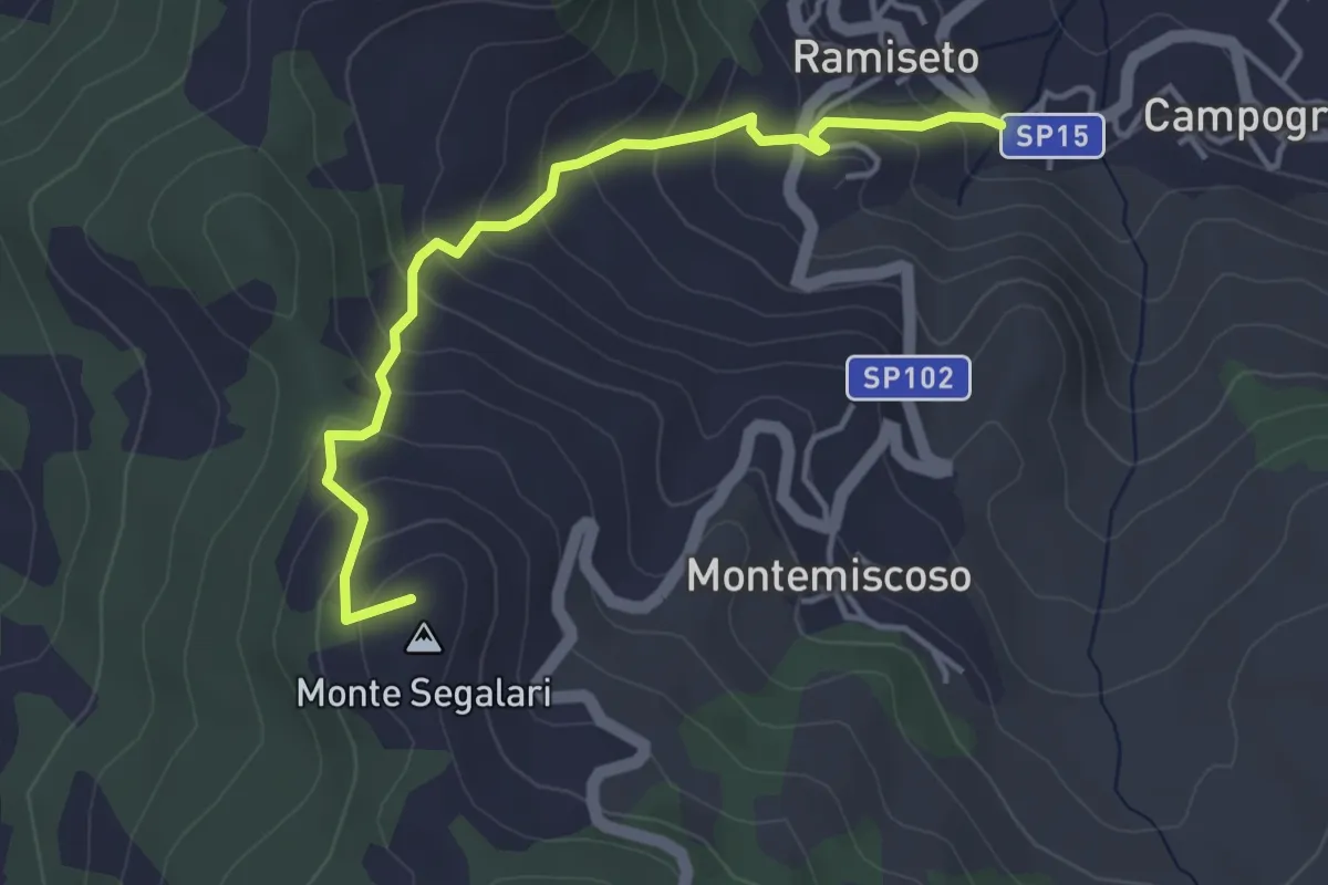
Easy · Summit
Ramiseto – Bandita
4.2 km · ↑ 315 m · 1 h 41 min · 11 km away
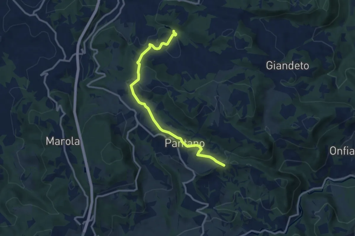
Medium · Trail
Lago dei Pini – Croce di Petrella
8.3 km · ↑ 257 m · 2 h 31 min · 11 km away
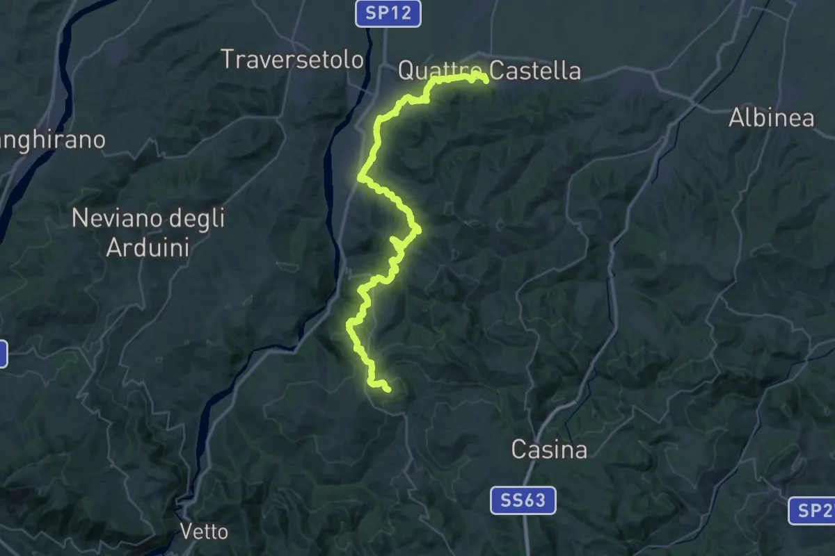
Demanding · Trail
Quattro Castella – Montale
22.1 km · ↑ 318 m · 6 h 24 min · 11 km away
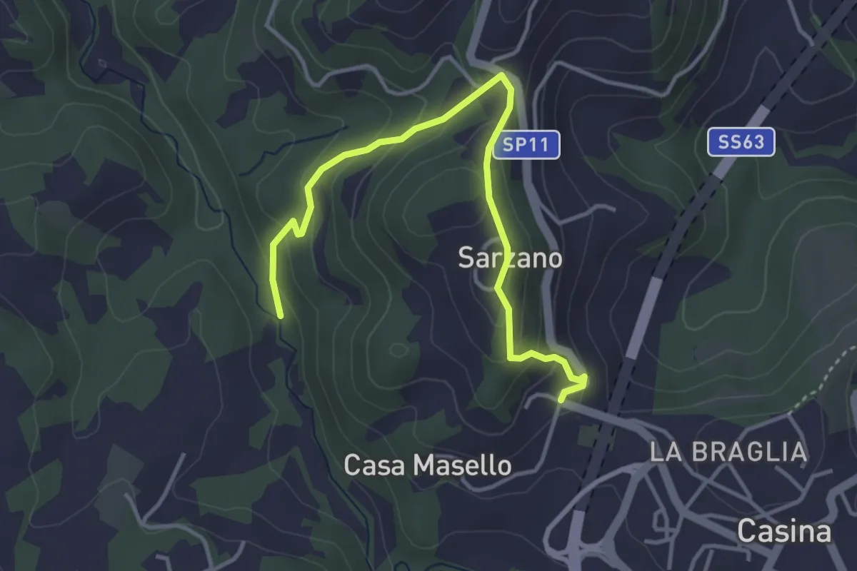
Easy · Trail
Percorso 650 – Percorso 650
4.1 km · ↑ 235 m · 1 h 29 min · 11 km away
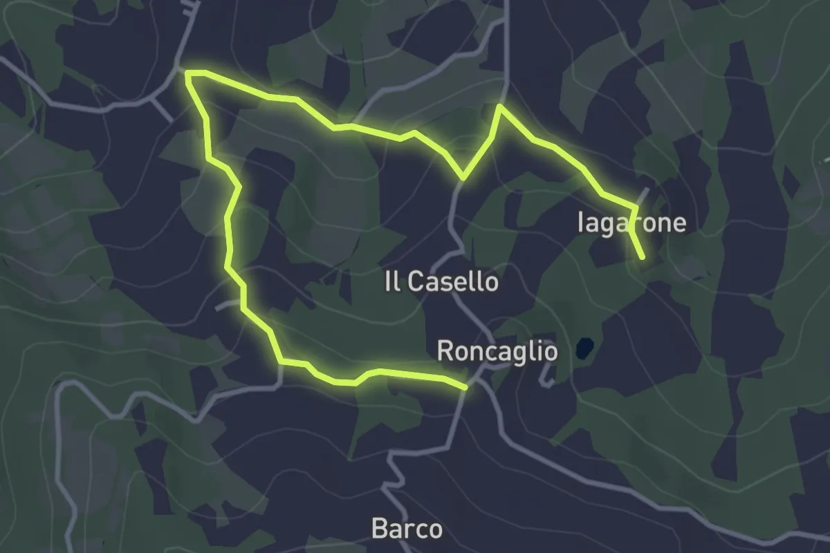
Easy · Trail
Iagarone – Roncaglio
4.8 km · ↑ 190 m · 1 h 32 min · 11 km away
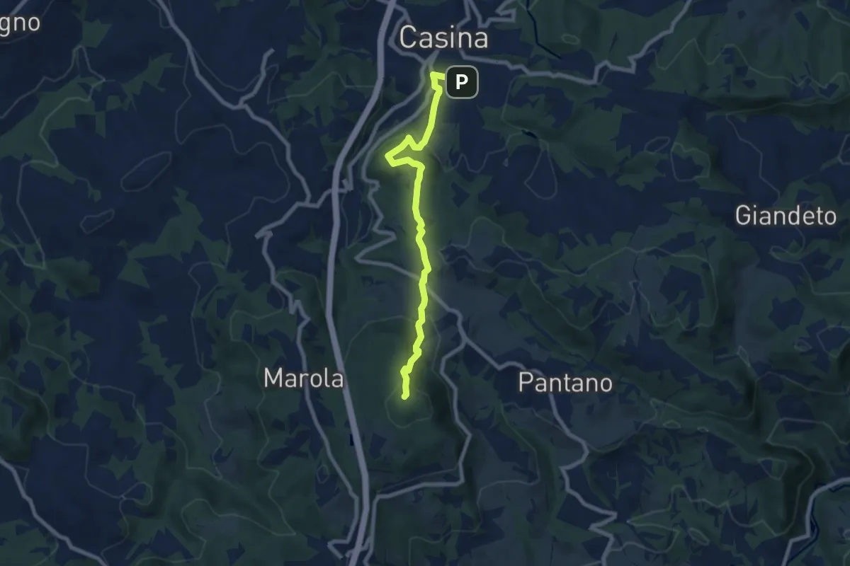
Medium · Summit
Seminario di Marola – Casina
7.6 km · ↑ 343 m · 2 h 32 min · 11 km away
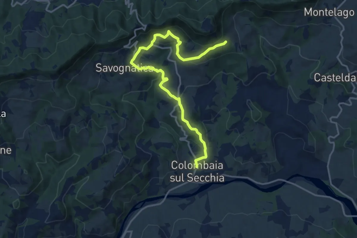
Medium · Trail
Colombaia di Secchia – Fola
13.3 km · ↑ 604 m · 4 h 27 min · 11 km away
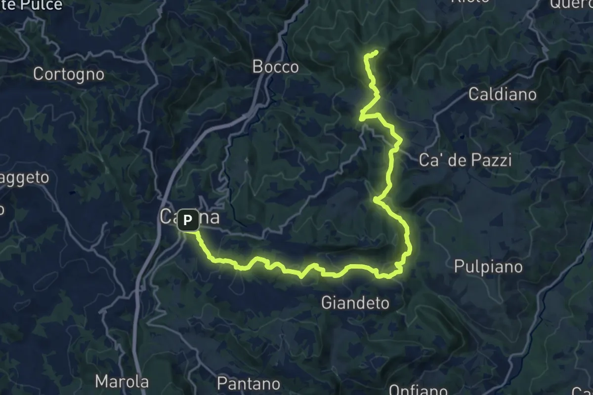
Demanding · Summit
Sentiero Partigiani SP5 -sentiero della notte di San Giovanni
21.4 km · ↑ 980 m · 7 h 11 min · 11 km away
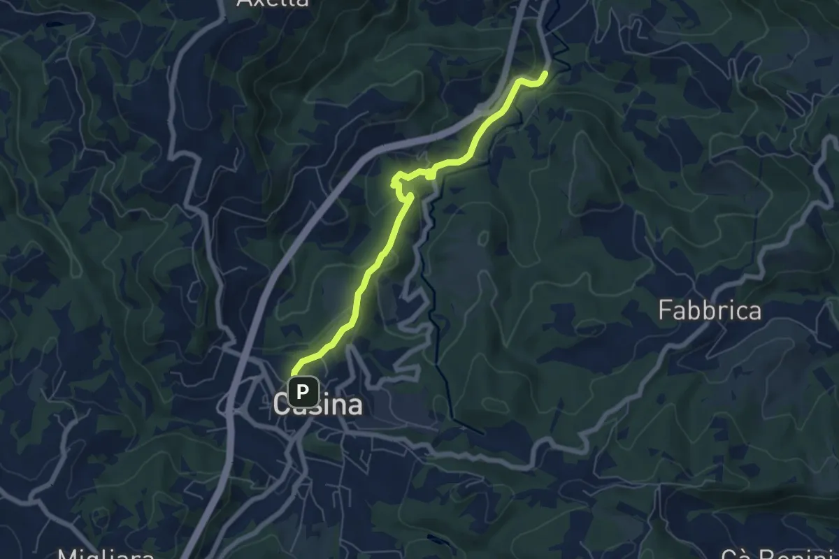
Easy · Trail
Casina – La Canala
6.0 km · ↑ 220 m · 1 h 54 min · 11 km away
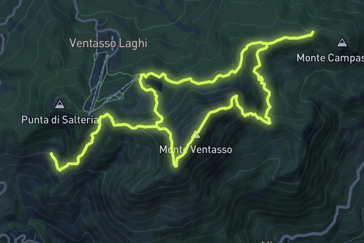
Demanding · Summit
Sentieri Partigiani 9 - sentiero dei rastrellamenti
12.4 km · ↑ 811 m · 4 h 51 min · 11 km away
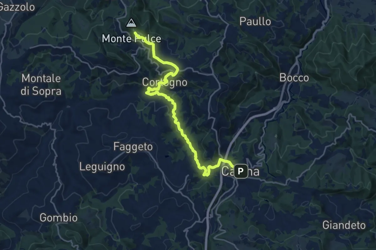
Medium · Summit
Rossena – Casina
16.8 km · ↑ 546 m · 5 h 9 min · 11 km away
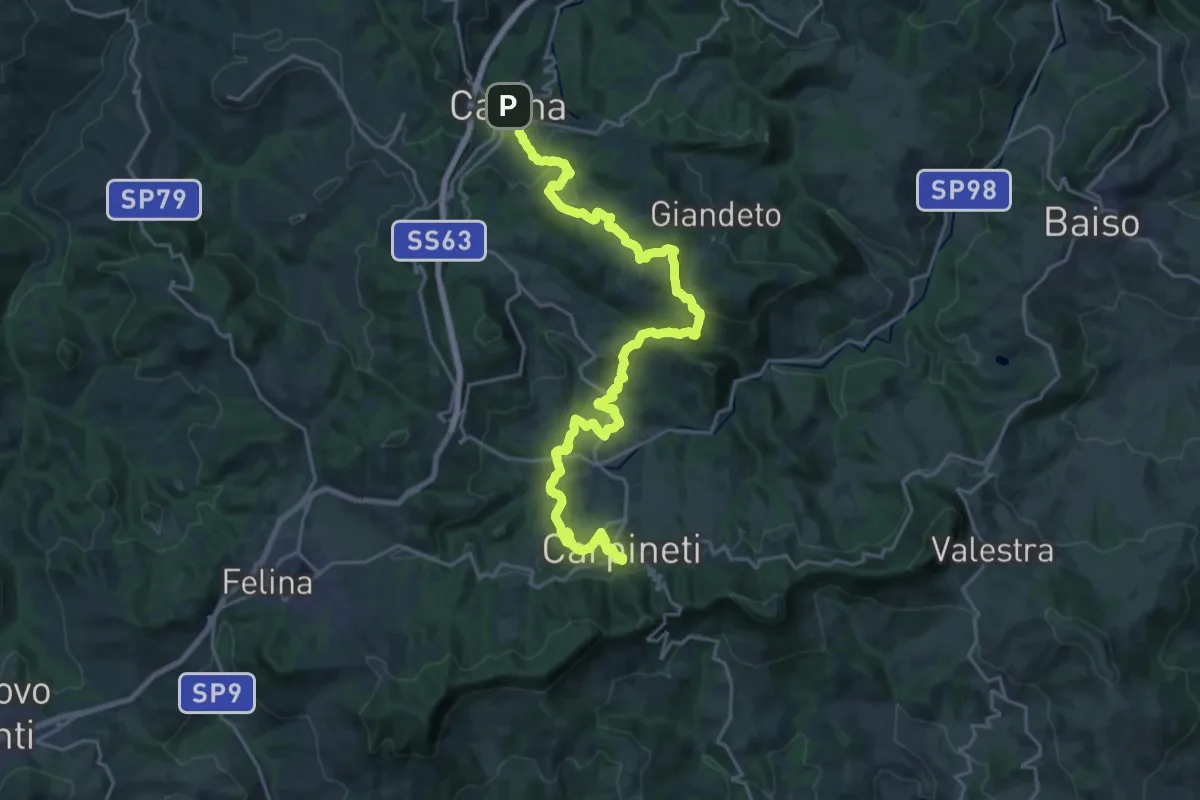
Medium · Trail
Sentiero Matilde: tappa 2
13.4 km · ↑ 420 m · 4 h 16 min · 11 km away
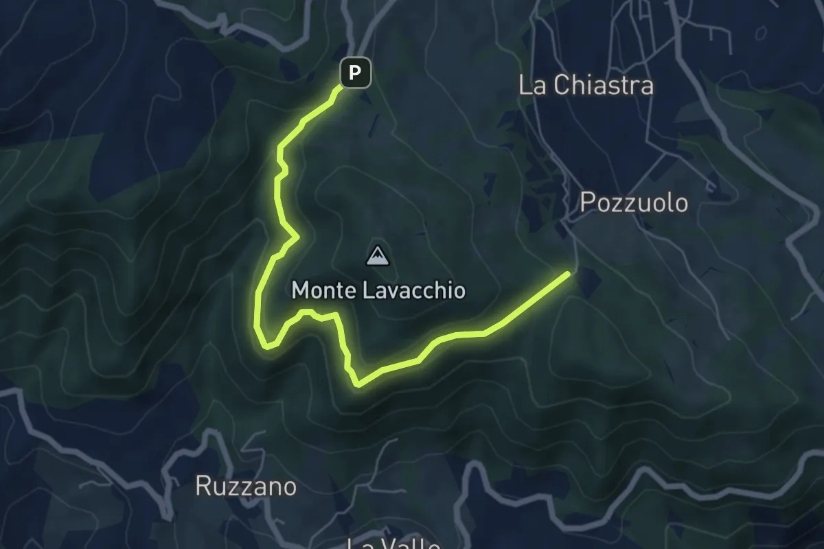
Medium · Trail
La Caserma (Centro Parco) - Pineta di Scurano
6.5 km · ↑ 330 m · 2 h 15 min · 11 km away
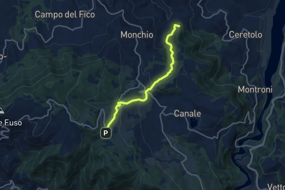
Medium · Summit
Percorso 757 – La Caserma (Centro Parco)
8.3 km · ↑ 446 m · 2 h 56 min · 11 km away
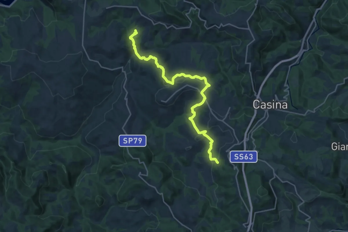
Demanding · Trail
Pianzo – Baragalla
18.4 km · ↑ 616 m · 5 h 40 min · 11 km away
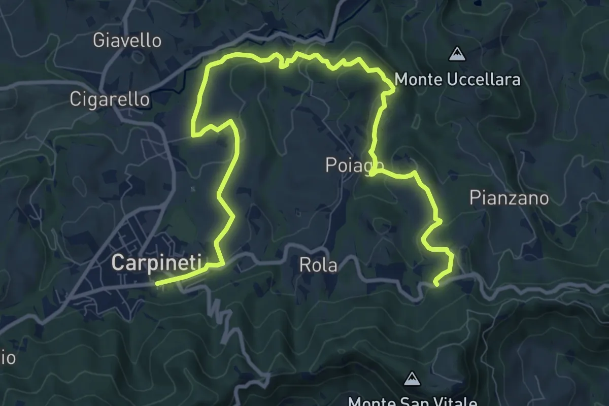
Medium · Trail
Carpineti – Cà Spadaccini
12.9 km · ↑ 425 m · 3 h 58 min · 11 km away
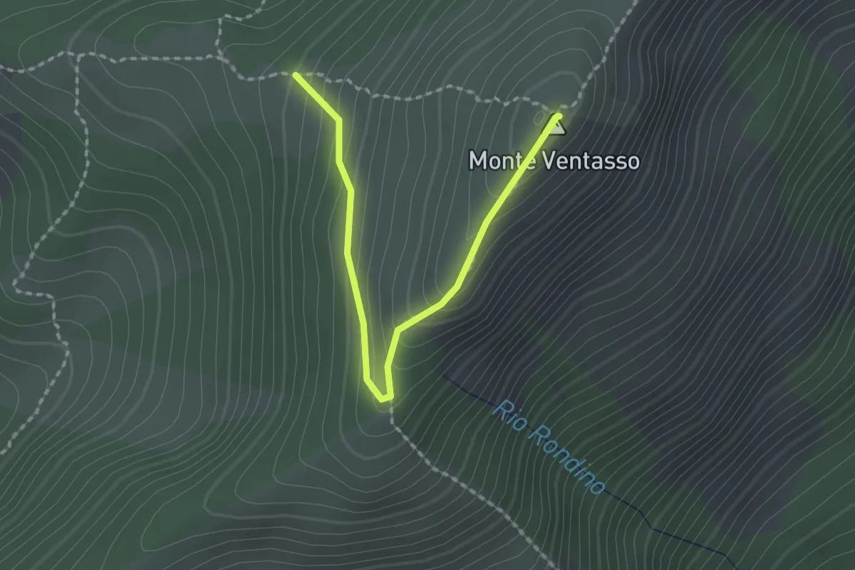
Easy · Summit
Percorso 661 – Monte Ventasso
2.1 km · ↑ 168 m · 51 min · 12 km away
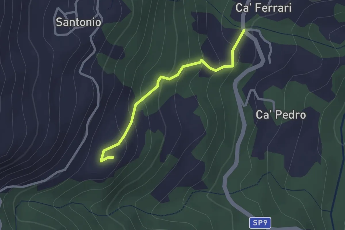
Easy · Trail
Sentiero Partigiani SP12B - SENTIERO DEGLI ALLEATI (variante)
2.2 km · ↑ 168 m · 53 min · 12 km away
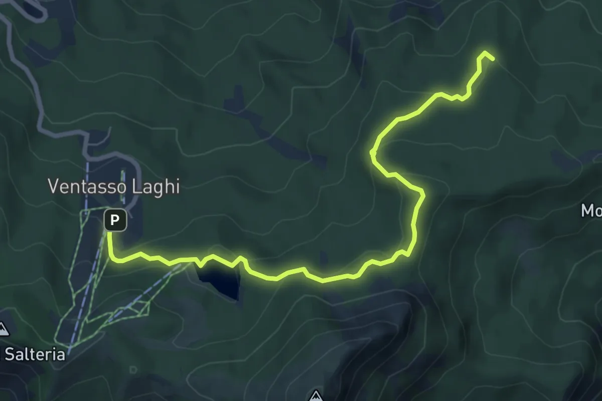
Medium · Summit
Cervarezza – Parcheggio Ventasso Lago
7.7 km · ↑ 313 m · 2 h 29 min · 12 km away
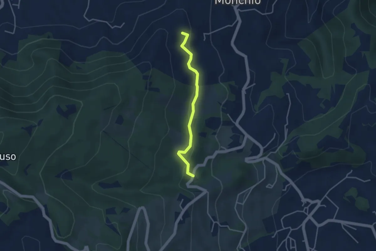
Easy · Trail
Borlino – Ca' Caroti
3.1 km · ↑ 101 m · 57 min · 12 km away
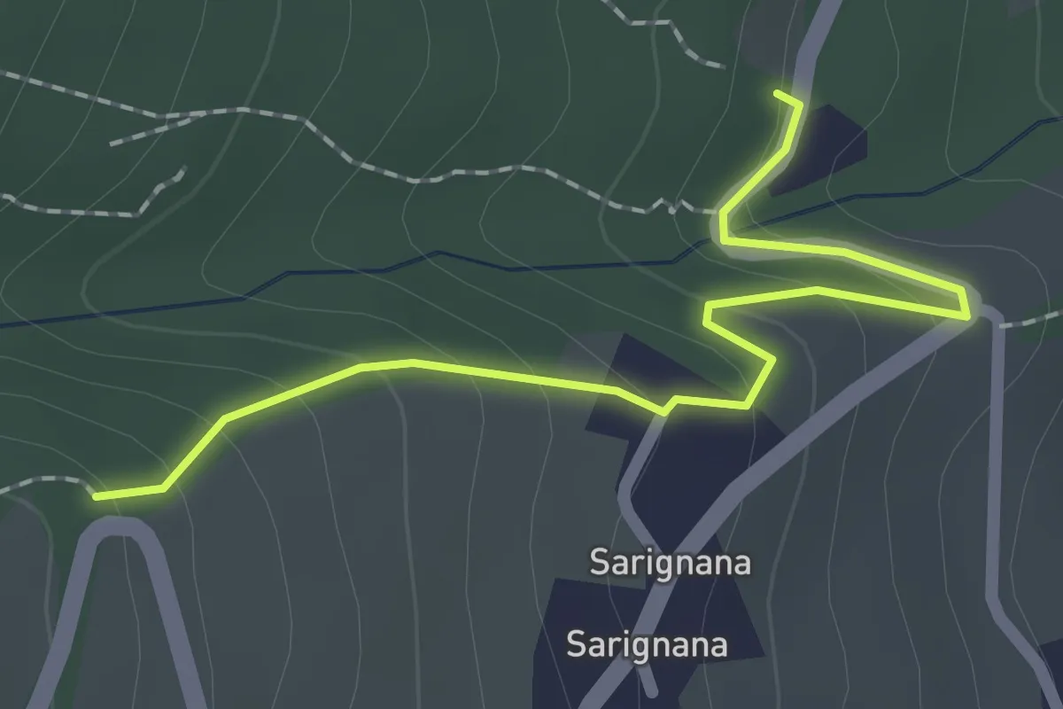
Easy · Trail
Percorso 765 – Percorso 761
2.1 km · ↑ 126 m · 46 min · 12 km away
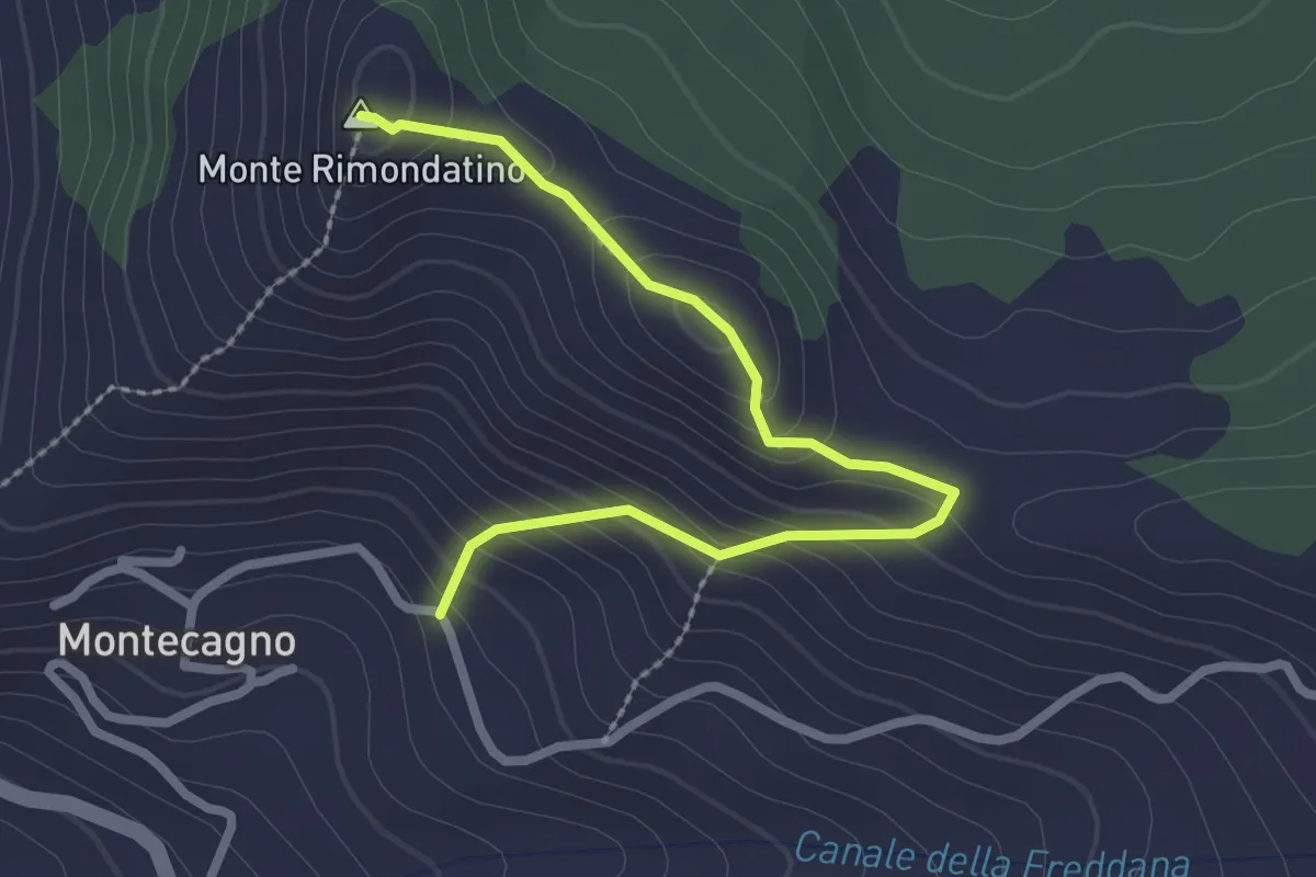
Easy · Summit
Sentiero Mauro Pighini
2.8 km · ↑ 177 m · 1 h 2 min · 12 km away
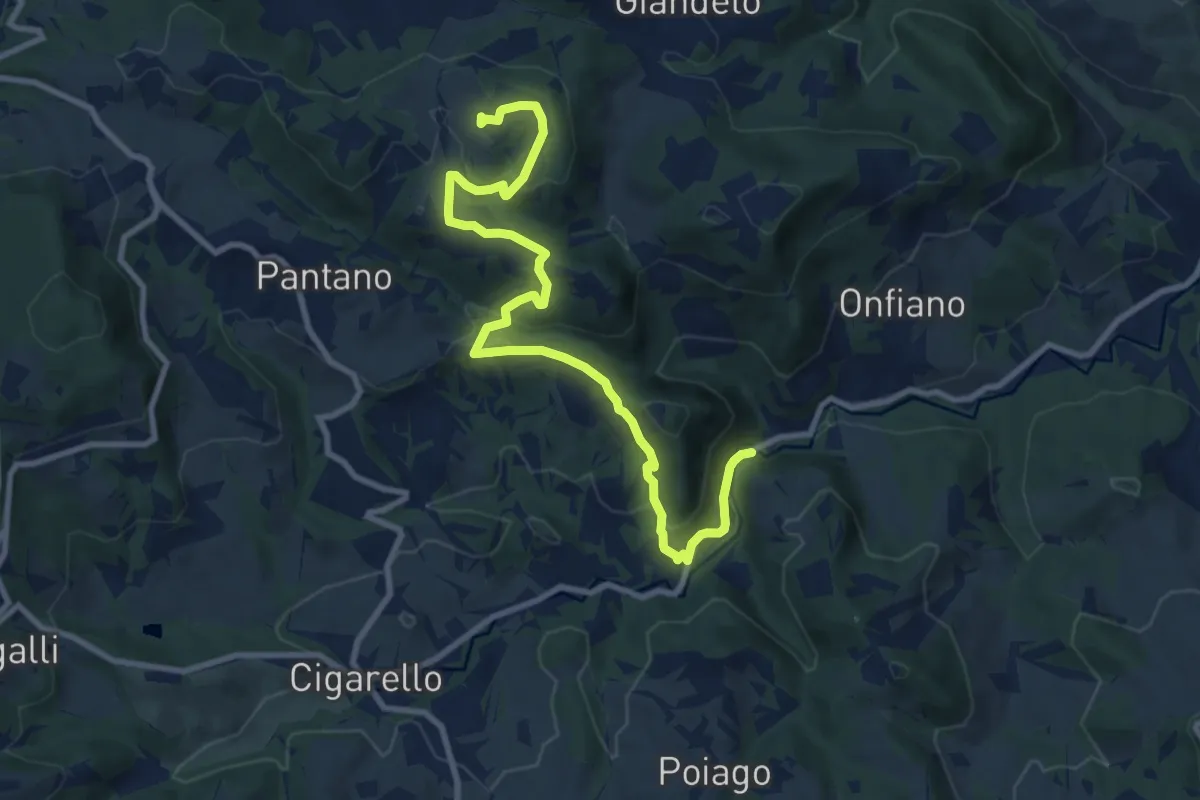
Medium · Trail
Valcava – Mulino delle Noci
11.0 km · ↑ 416 m · 3 h 30 min · 12 km away
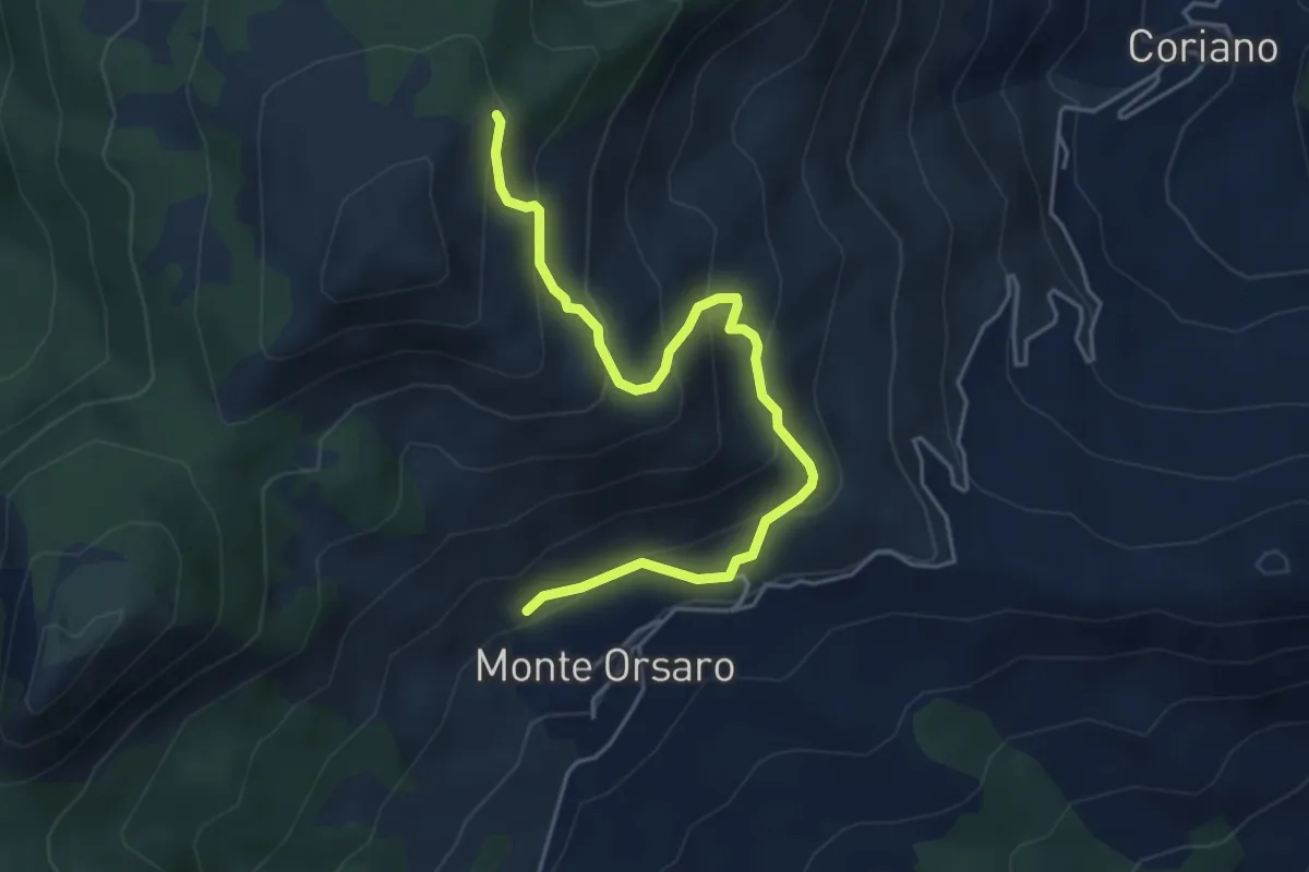
Medium · Cabin
Rifugio Monteorsaro – Crinale del Prampa
5.1 km · ↑ 398 m · 2 h 5 min · 12 km away
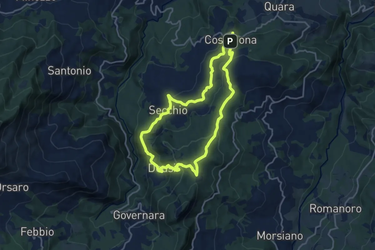
Medium · Summit
Sentiero Partigiani 14 - sentiero di Enrico l'anarchico
11.2 km · ↑ 443 m · 3 h 47 min · 12 km away
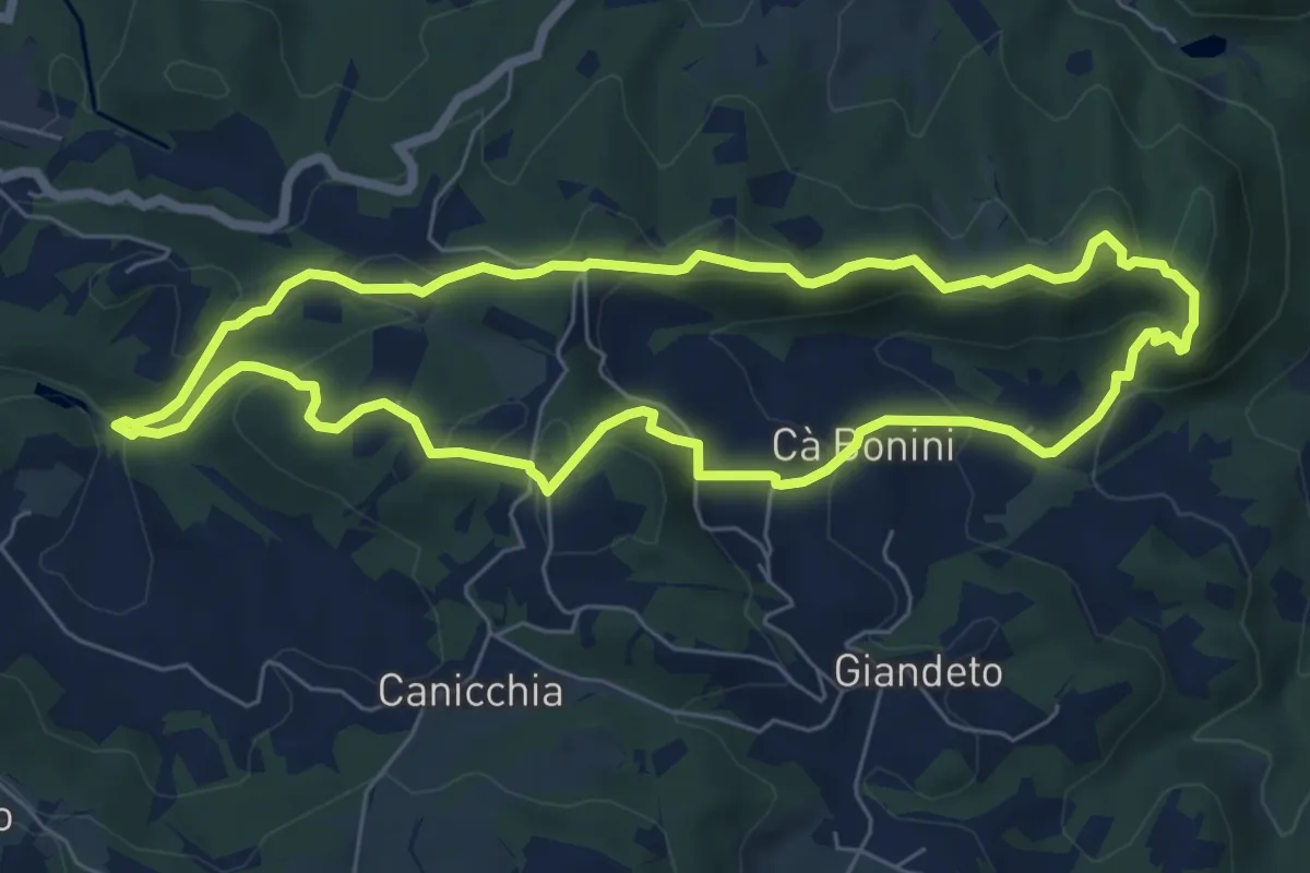
Easy · Summit
Lago dei Pini – Lago dei Pini
6.9 km · ↑ 301 m · 2 h 22 min · 12 km away
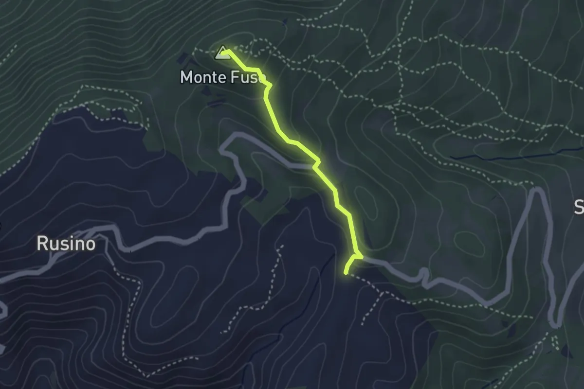
Easy · Summit
Percorso 762 – Monte Fuso
2.6 km · ↑ 134 m · 55 min · 12 km away
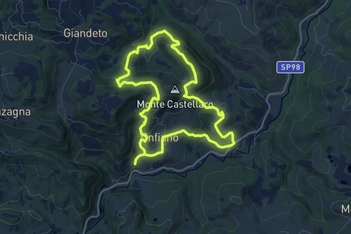
Medium · Trail
Cerpiano – Cerpiano
8.4 km · ↑ 479 m · 3 h 7 min · 12 km away
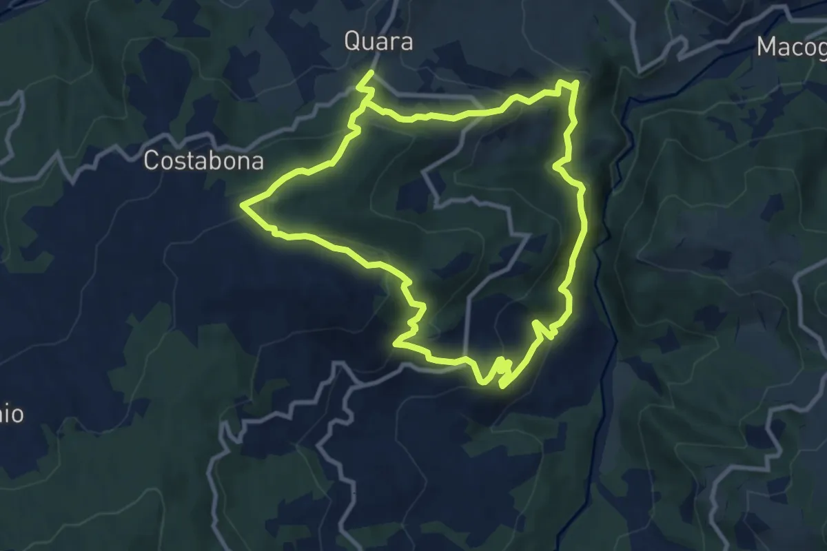
Medium · Trail
Quara – Quara
9.1 km · ↑ 458 m · 3 h 17 min · 12 km away
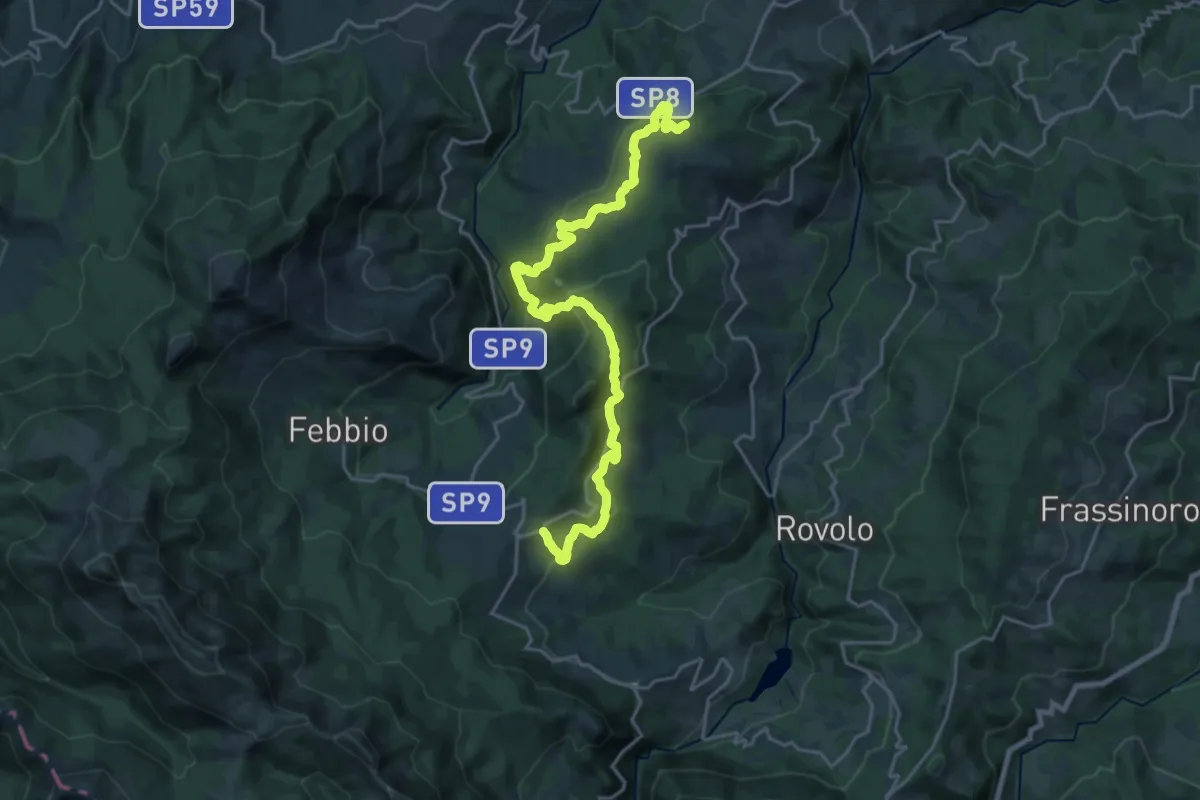
Medium · Trail
Costabona – Pian del Monte
12.5 km · ↑ 673 m · 4 h 29 min · 12 km away
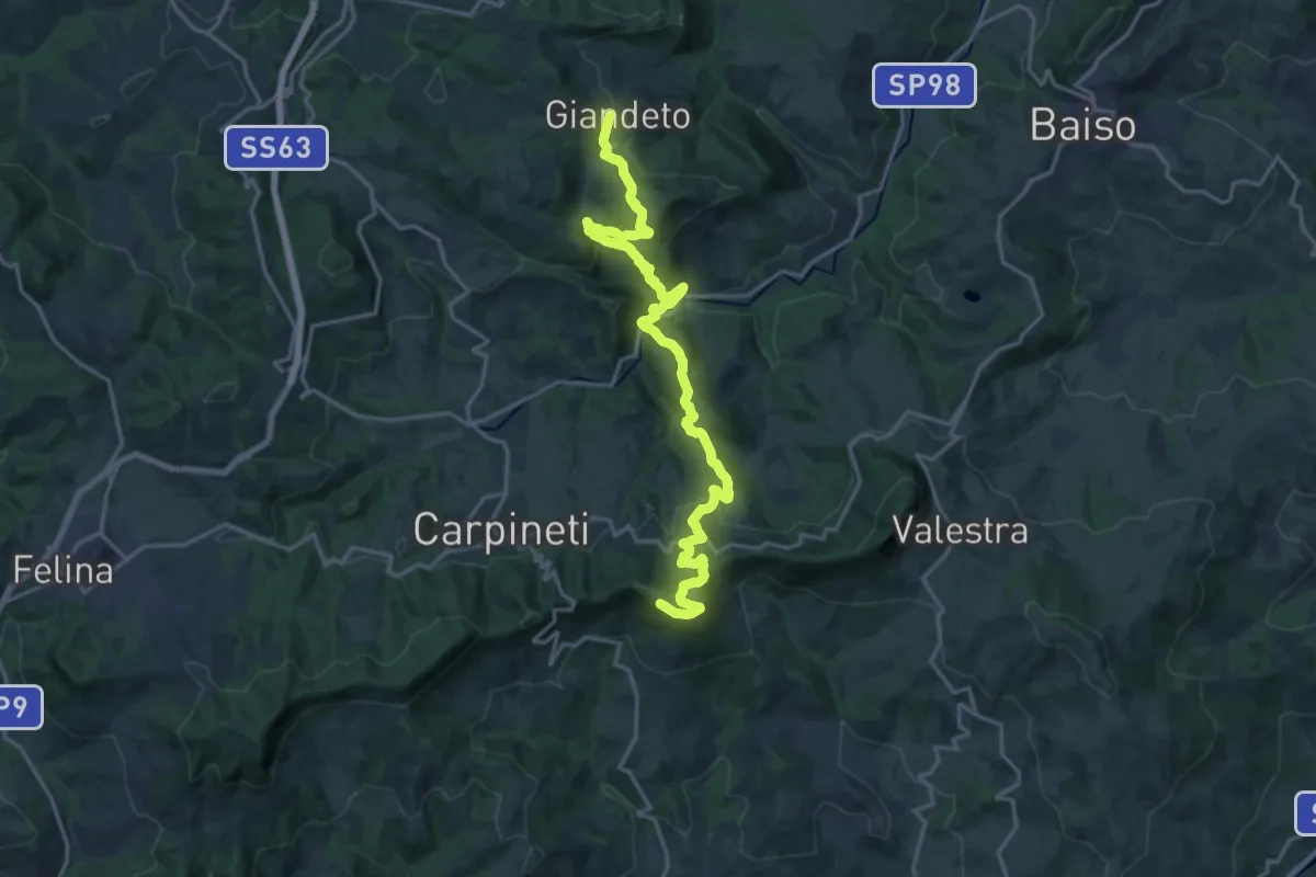
Demanding · Summit
Sentiero Lazzaro Spallanzani - Tappa 4
21.0 km · ↑ 1049 m · 7 h 14 min · 13 km away
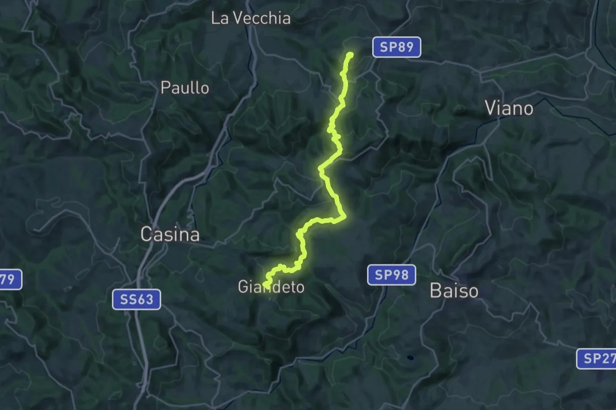
Demanding · Summit
Sentiero Lazzaro Spallanzani - Tappa 3
21.5 km · ↑ 964 m · 7 h 9 min · 13 km away
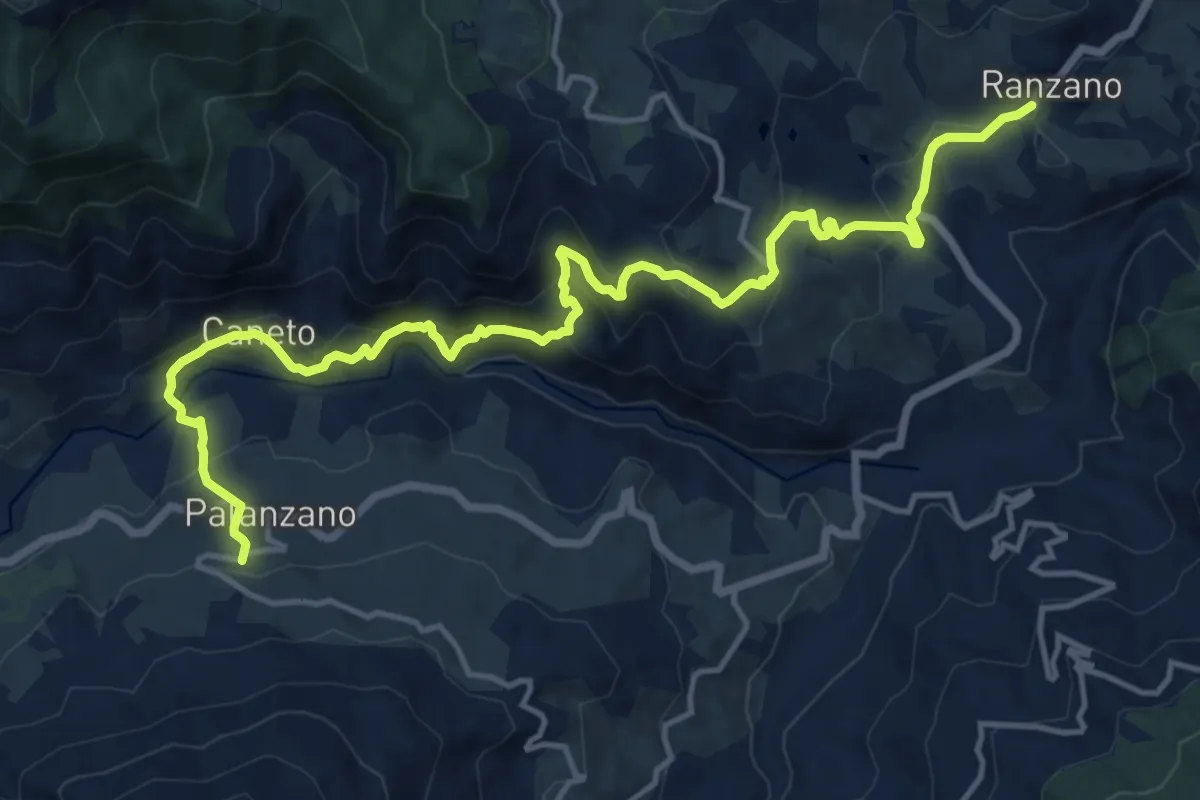
Demanding · Trail
Via di Linari - tappa 6 - Ranzano - Palanzano
17.8 km · ↑ 1006 m · 6 h 23 min · 13 km away
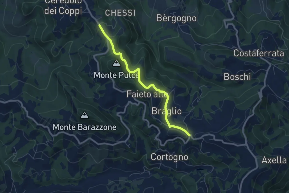
Easy · Trail
Santa Lucia – Ceredolo dei Coppi
6.1 km · ↑ 271 m · 2 h 1 min · 13 km away
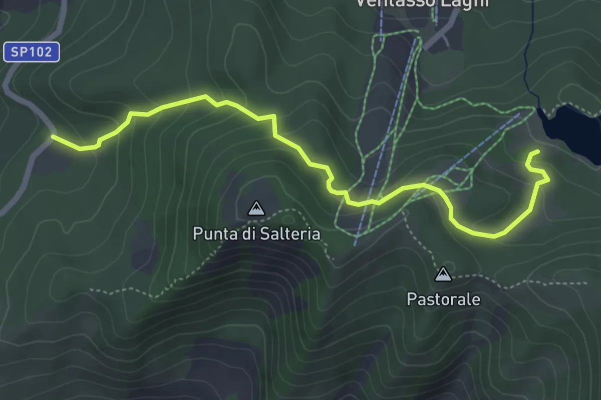
Easy · Cabin
Lago Calamone – Borra Scura
5.2 km · ↑ 275 m · 1 h 49 min · 13 km away
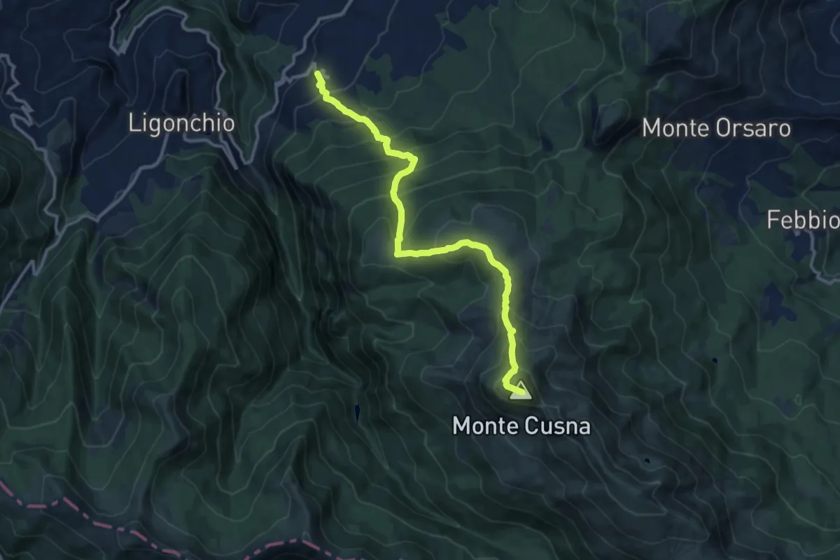
Demanding · Summit
Casalino – Monte Cusna
12.5 km · ↑ 1157 m · 5 h 27 min · 13 km away
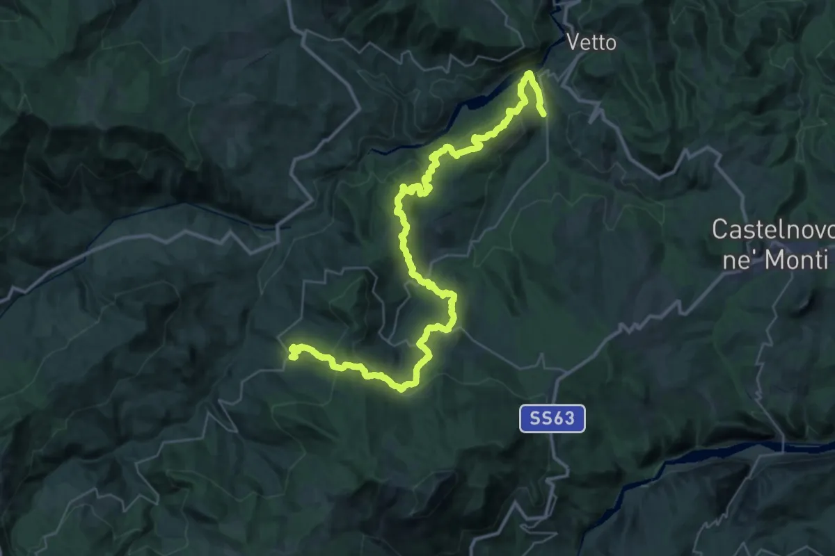
Demanding · Trail
Ponte Lonza – Castagneto
21.2 km · ↑ 808 m · 7 h 14 min · 13 km away
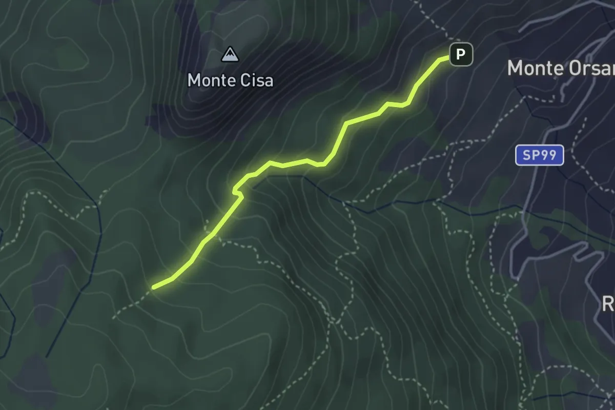
Medium · Trail
Rifugio Monteorsaro – Percorso 623
3.2 km · ↑ 242 m · 1 h 17 min · 13 km away
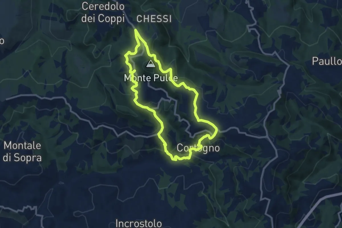
Medium · Trail
Sentiero Partigiani 1B - sentiero della scelta (variante)
8.2 km · ↑ 395 m · 2 h 55 min · 13 km away
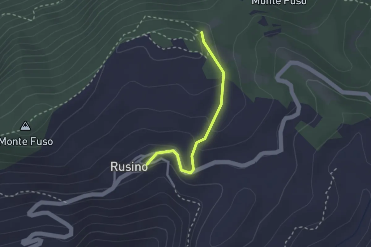
Easy · Trail
Rusino – sentiero 761
2.0 km · ↑ 99 m · 41 min · 13 km away
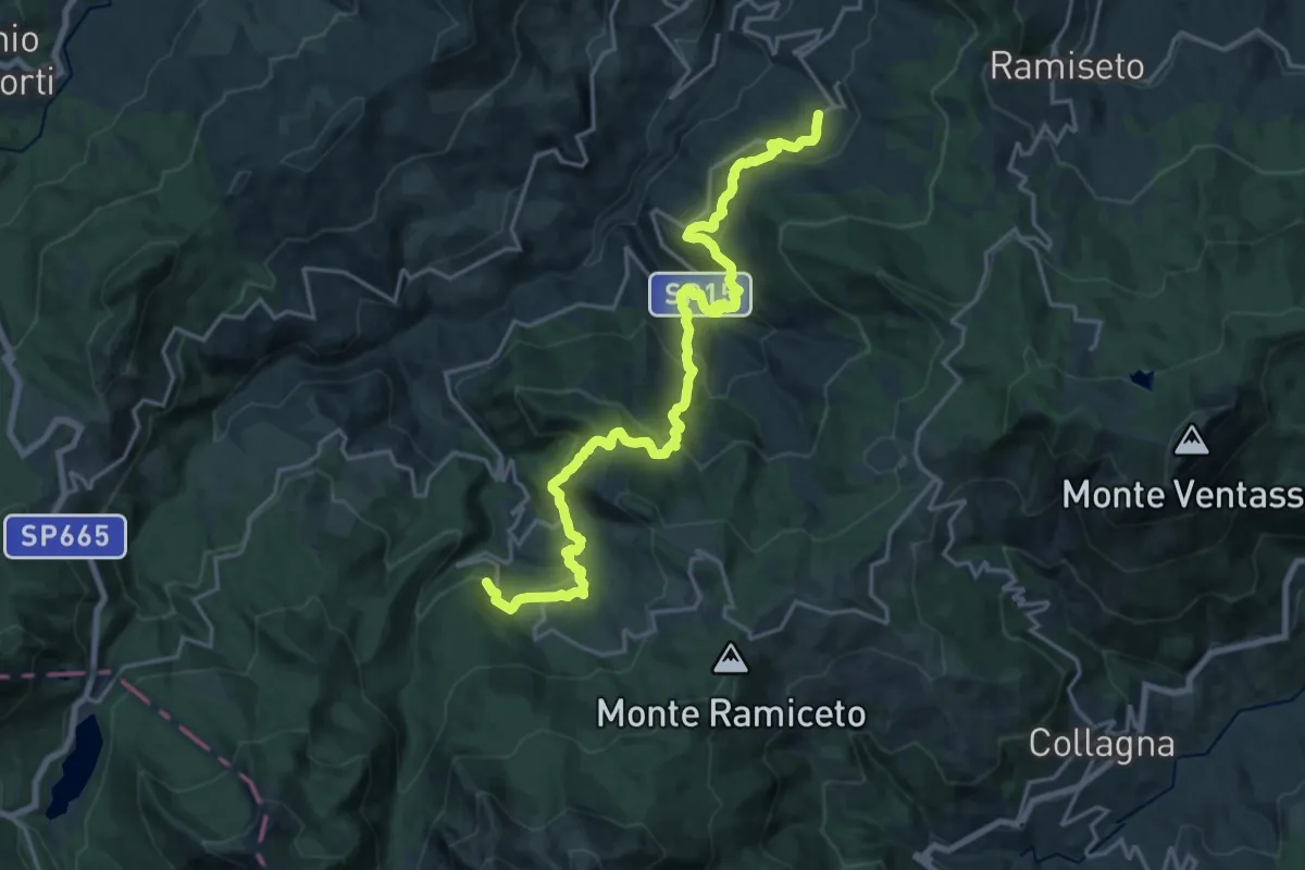
Demanding · Trail
Sentiero dei Ducati Tappa 06
22.2 km · ↑ 1128 m · 7 h 41 min · 13 km away
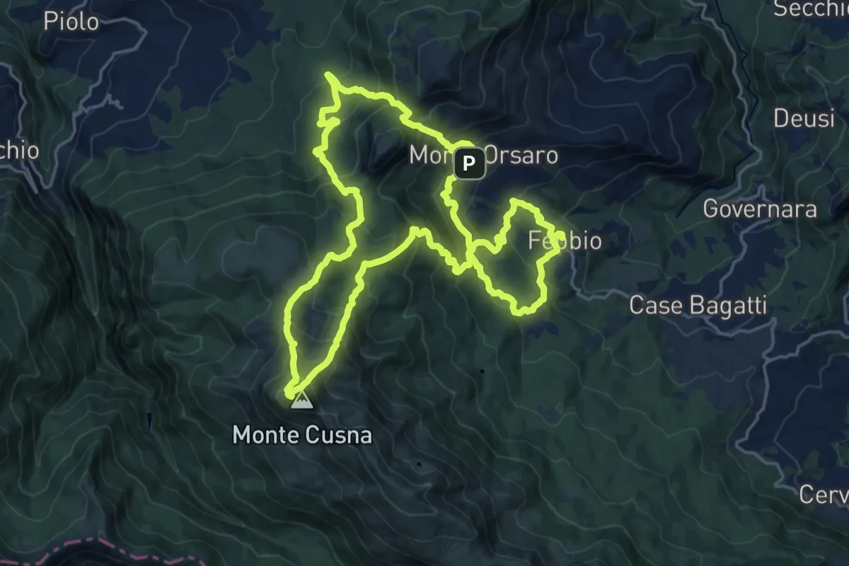
Demanding · Summit
Sentieri Partigiani 12 - sentiero degli alleati
19.4 km · ↑ 1414 m · 7 h 55 min · 13 km away