Trails near Castelnovo ne' Monti
128 hikes starting within 15 km, nearest first.
Nearest first, page 3 of 3
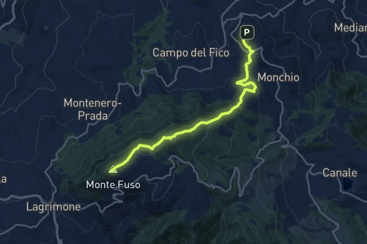
Medium · Summit
Pieve di Sasso – Moragnano Chiesa
11.5 km · ↑ 627 m · 4 h 5 min · 14 km away
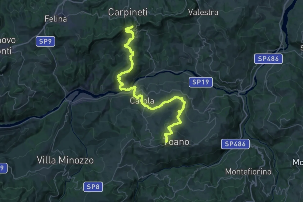
Demanding · Summit
Via Matildica del Volto Santo: Tappa 6
36.8 km · ↑ 1488 m · 11 h 55 min · 14 km away
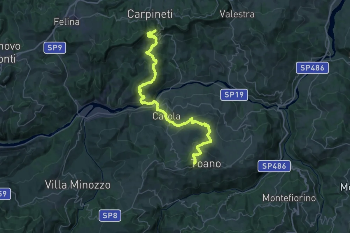
Demanding · Summit
Sentiero Matilde: tappa 3
33.6 km · ↑ 1429 m · 11 h 2 min · 14 km away
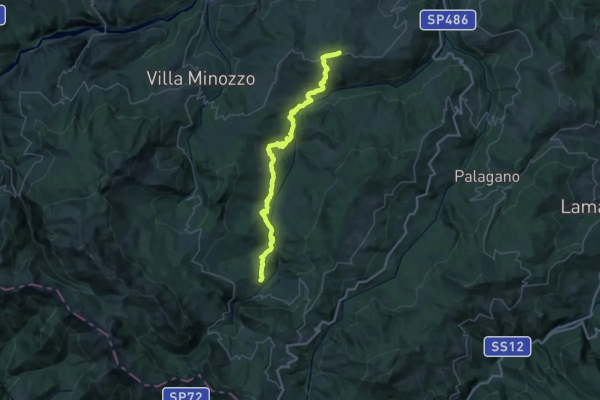
Medium · Trail
Via Matildica del Volto Santo: Tappa 7
17.4 km · ↑ 709 m · 5 h 57 min · 14 km away
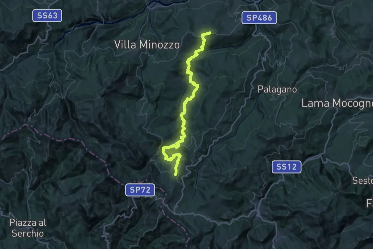
Demanding · Summit
Sentiero Matilde: tappa 4
57.1 km · ↑ 2992 m · 19 h 58 min · 14 km away
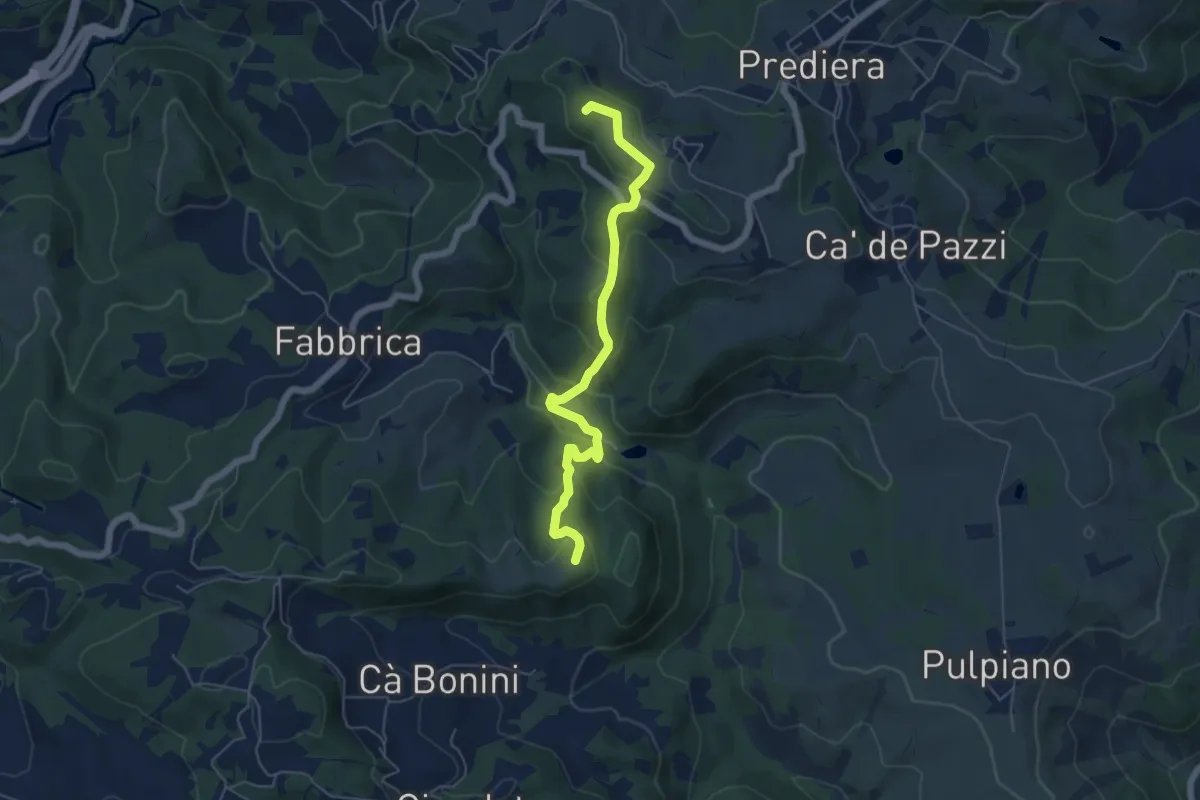
Easy · Summit
Casa Mazzoni – Monte delle Ripe
5.8 km · ↑ 318 m · 2 h 4 min · 14 km away
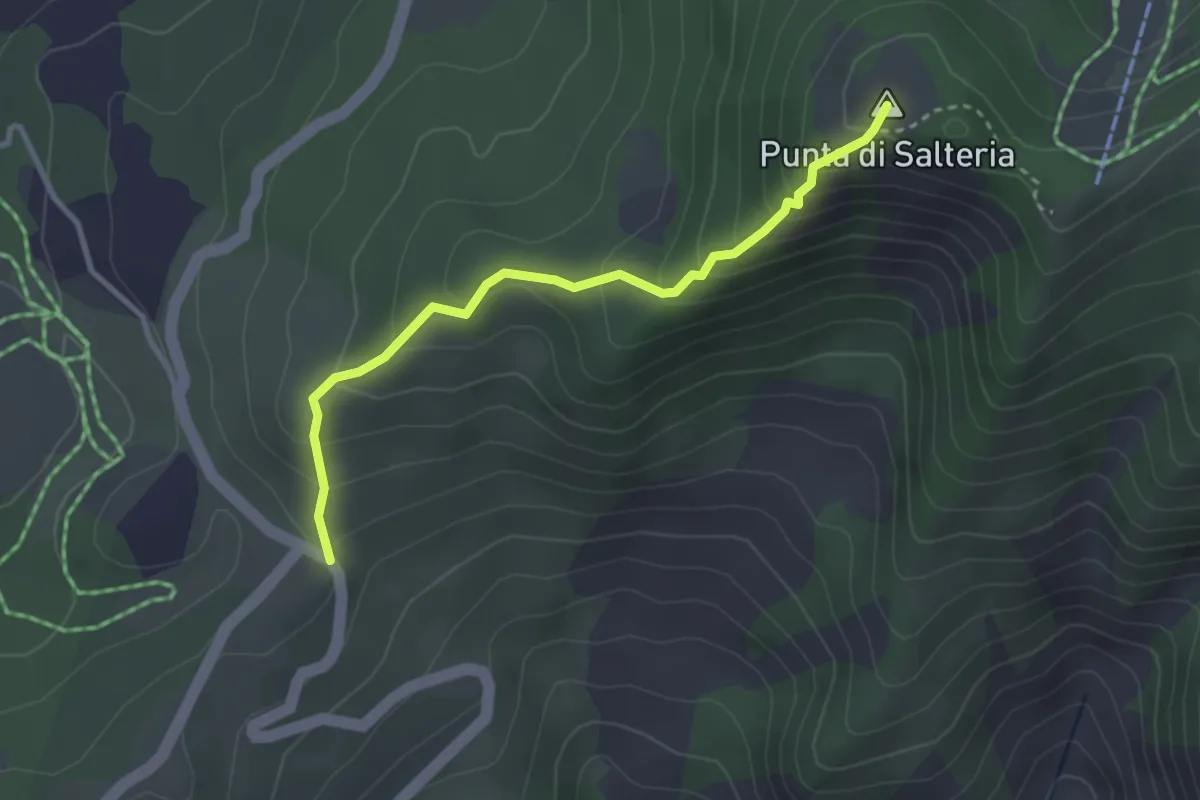
Easy · Summit
Percorso 667A – Percorso 667
3.1 km · ↑ 261 m · 1 h 18 min · 14 km away
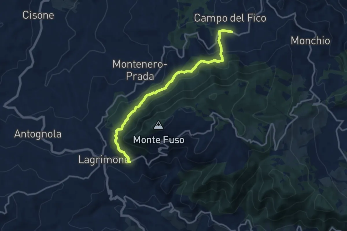
Medium · Trail
Campora Chiesa – Moragnano Chiesa
10.0 km · ↑ 478 m · 3 h 24 min · 14 km away
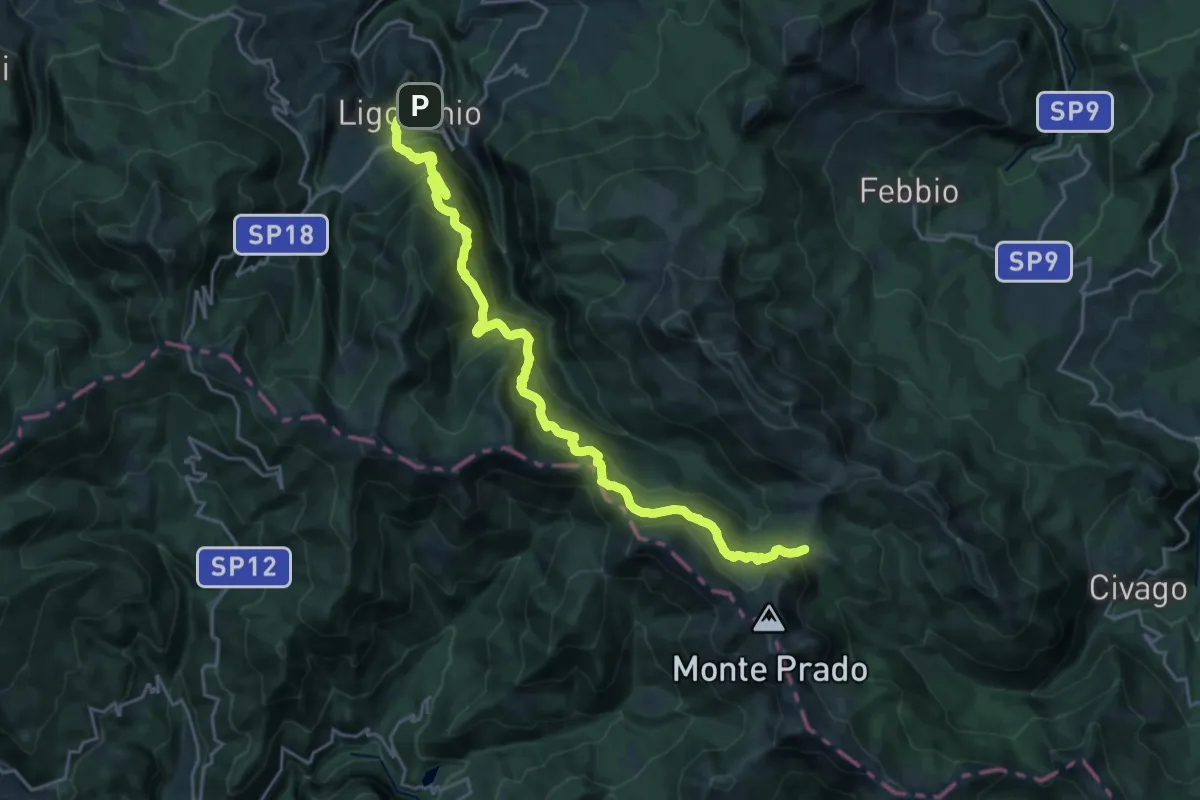
Demanding · Trail
Sentiero Lazzaro Spallanzani - Tappa 7
12.9 km · ↑ 1079 m · 5 h 9 min · 14 km away
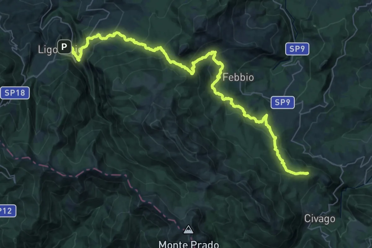
Demanding · Summit
Sentiero dei Pastori tappa 1
39.2 km · ↑ 2065 m · 13 h 44 min · 14 km away
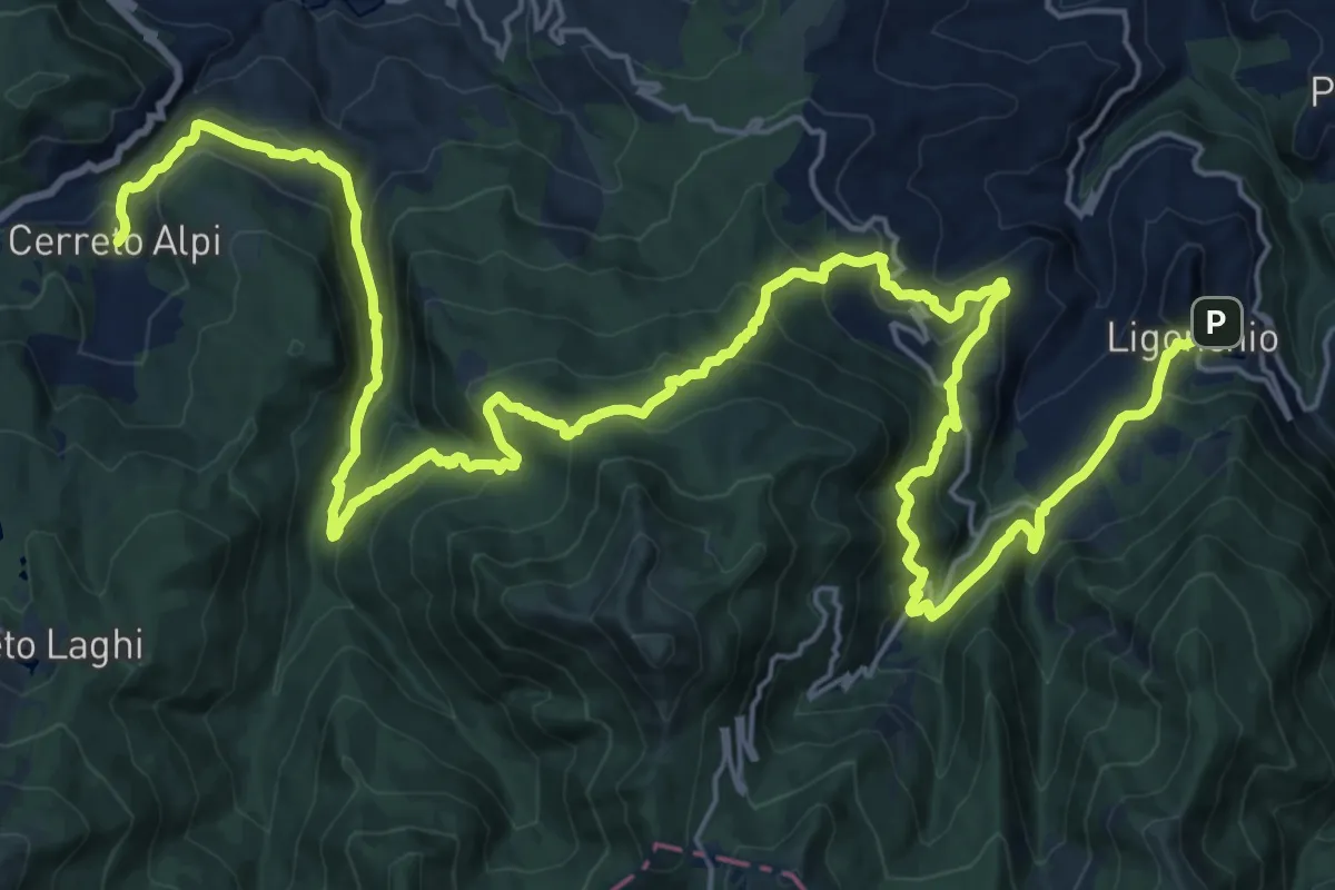
Demanding · Trail
Sentiero dei Pastori tappa 2
17.8 km · ↑ 944 m · 6 h 31 min · 14 km away
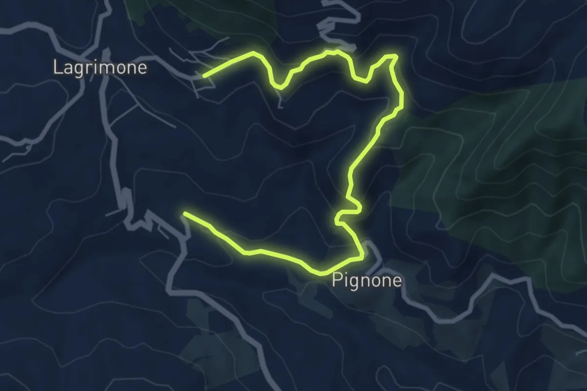
Medium · Trail
Ca' Antria - Case Bottazzo - Moragnano Chiesa
8.0 km · ↑ 502 m · 2 h 59 min · 14 km away
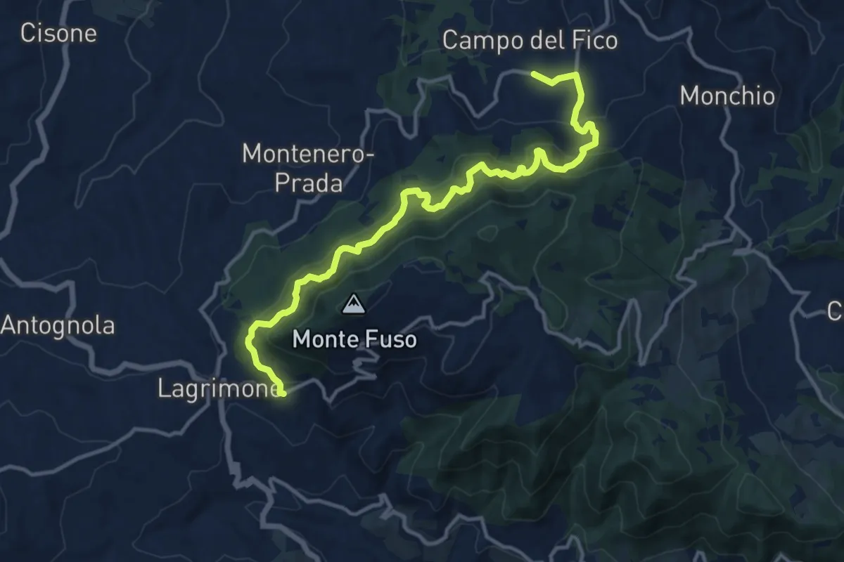
Demanding · Trail
Moragnano Chiesa – Campora Chiesa
13.8 km · ↑ 1204 m · 5 h 52 min · 14 km away
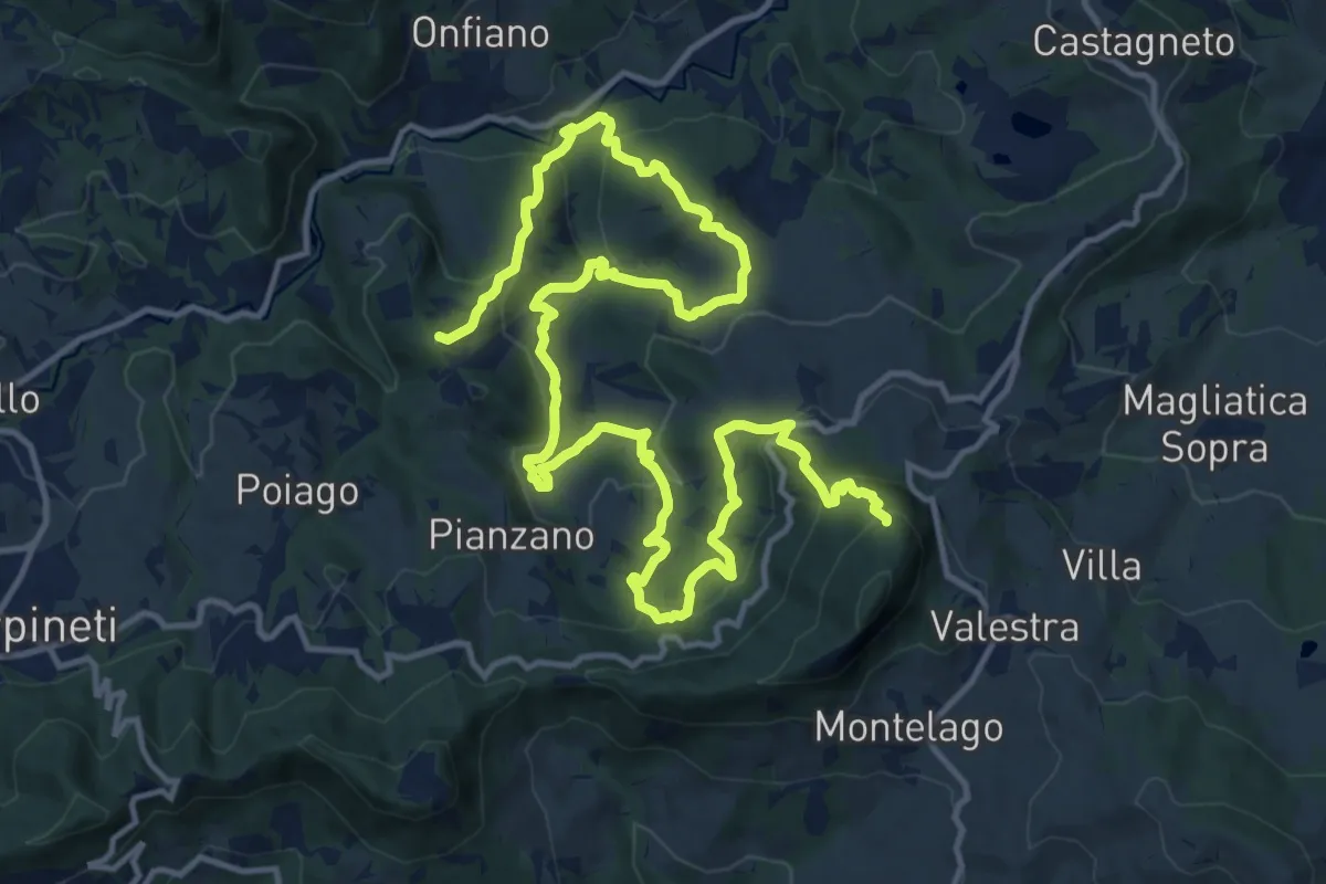
Demanding · Summit
Castello di Mandra – Monte Valestra
22.1 km · ↑ 1294 m · 8 h 1 min · 14 km away
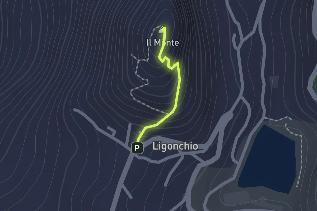
Easy · Summit
Ligonchio – Il Monte
1.0 km · ↑ 86 m · 26 min · 14 km away
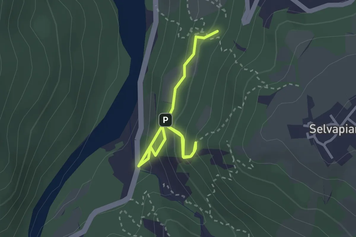
Easy · Trail
Sentiero Petrarca
3.0 km · ↑ 217 m · 1 h 11 min · 14 km away
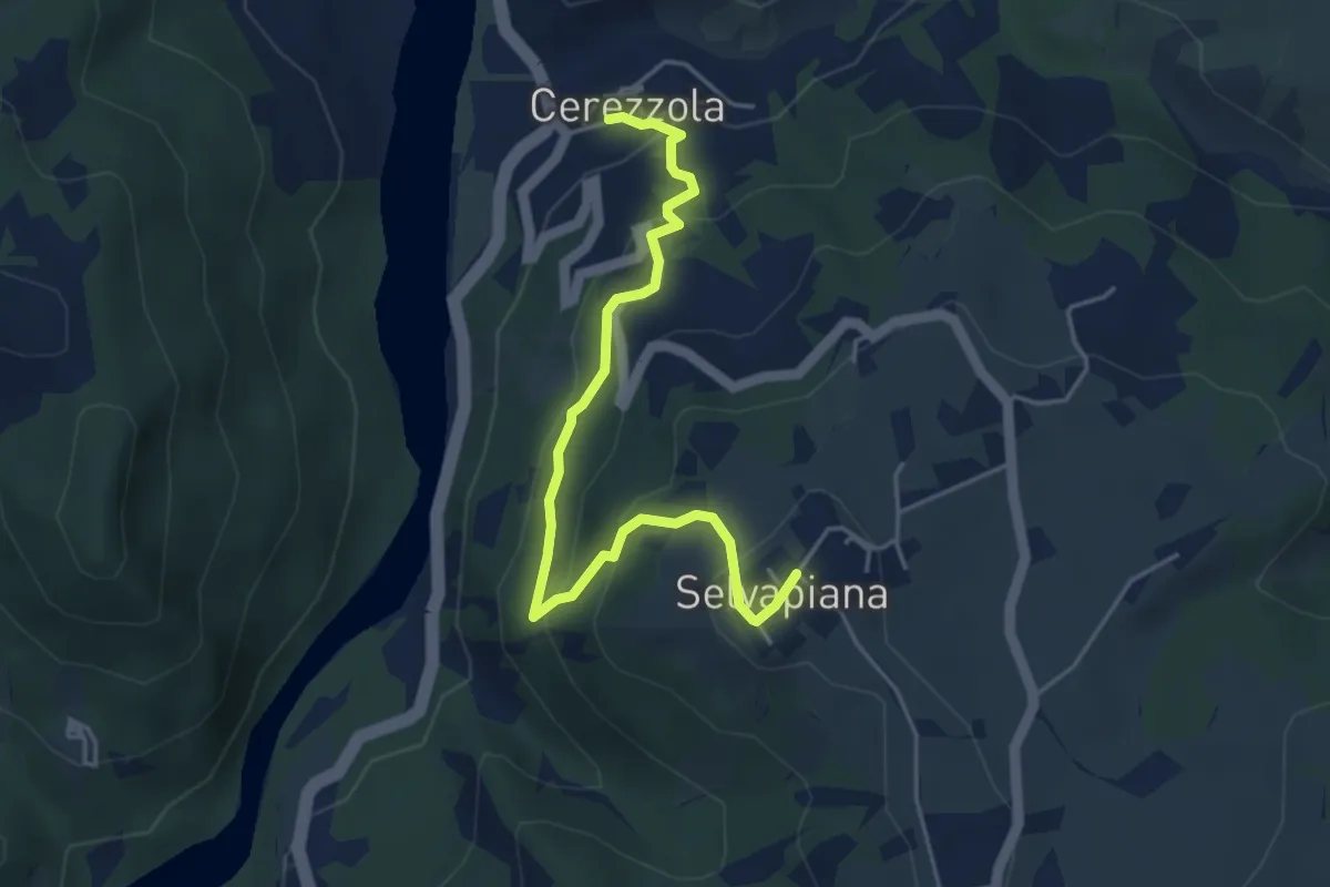
Easy · Trail
Cerezzola – Selvapiana
4.9 km · ↑ 262 m · 1 h 44 min · 14 km away
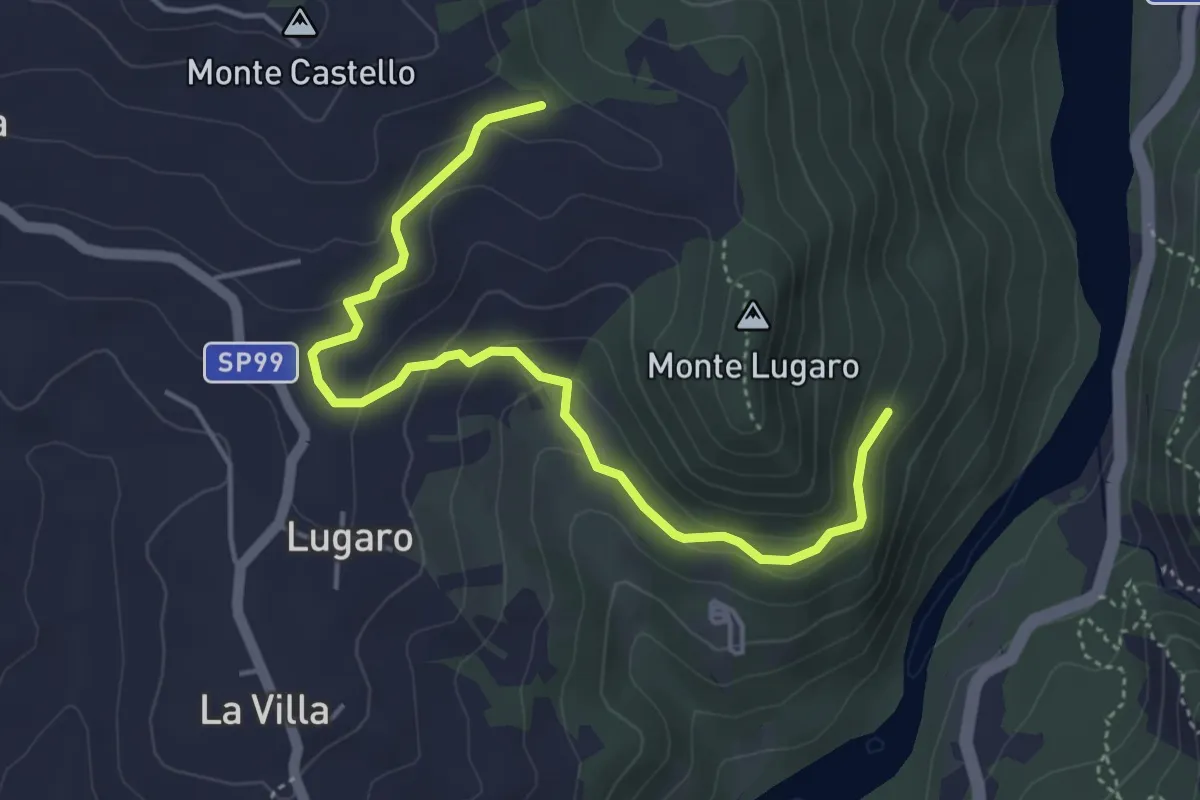
Easy · Trail
Percorso 706 bivio per Casa della Tersia – Percorso 706 a Est di Monte Castello
5.1 km · ↑ 188 m · 1 h 37 min · 14 km away
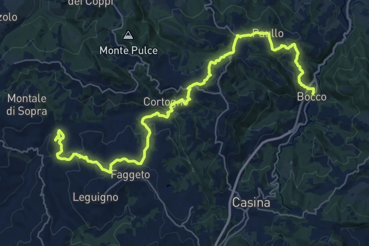
Demanding · Summit
Bocco – Montale
25.7 km · ↑ 1199 m · 8 h 40 min · 14 km away
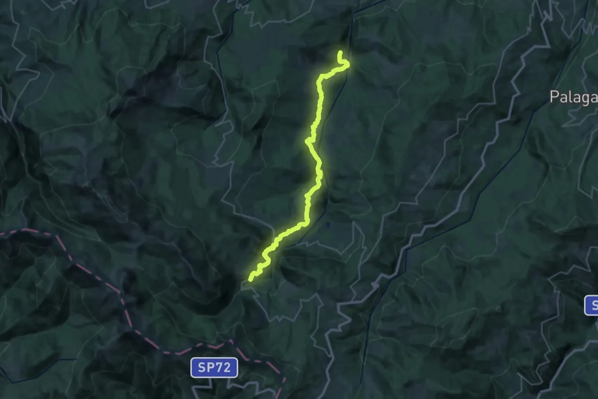
Demanding · Trail
Civago – Ca' di Gnano
13.9 km · ↑ 813 m · 5 h 2 min · 14 km away
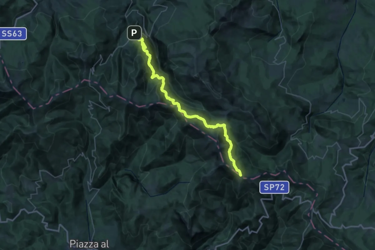
Demanding · Trail
Ligonchio – Bocca di Massa
16.3 km · ↑ 1259 m · 6 h 23 min · 14 km away
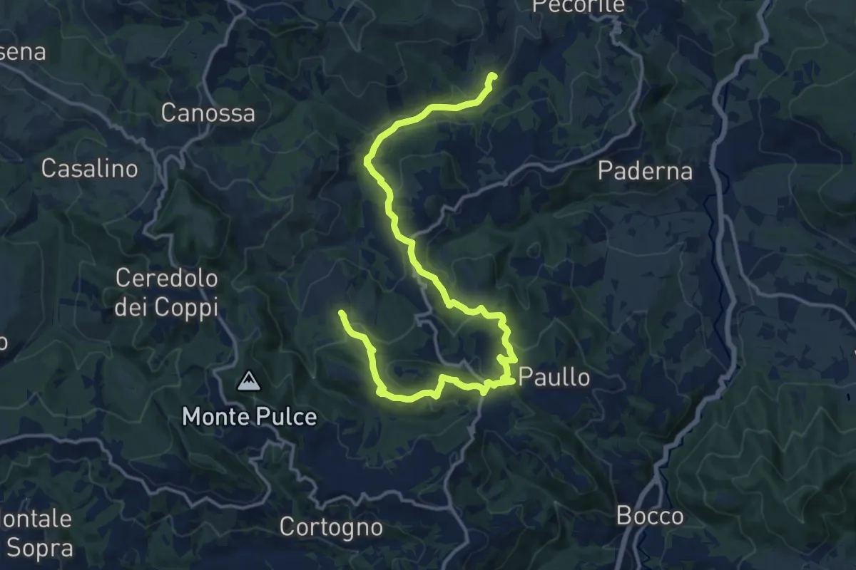
Medium · Trail
Bergogno – Casola Canossa
17.9 km · ↑ 665 m · 5 h 40 min · 14 km away
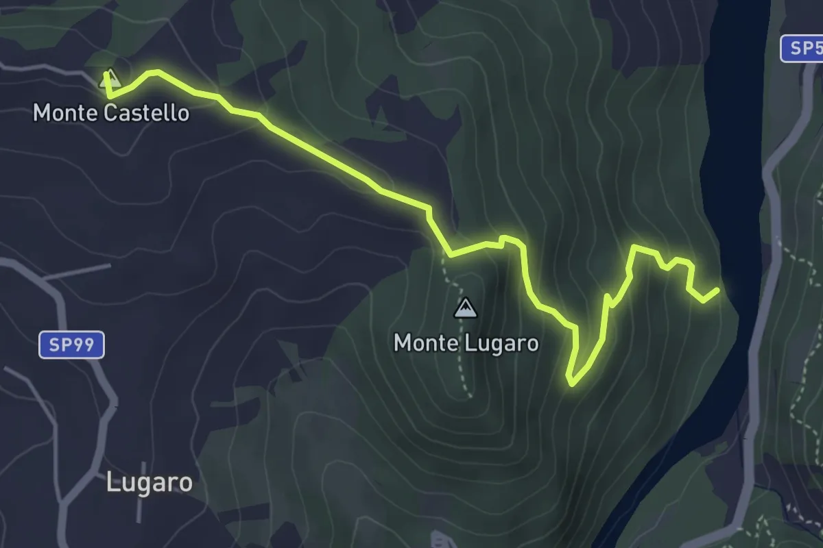
Easy · Summit
Cimitero di Bazzano – Greto del fiume Enza resti casa della Tersia
5.2 km · ↑ 295 m · 1 h 52 min · 15 km away
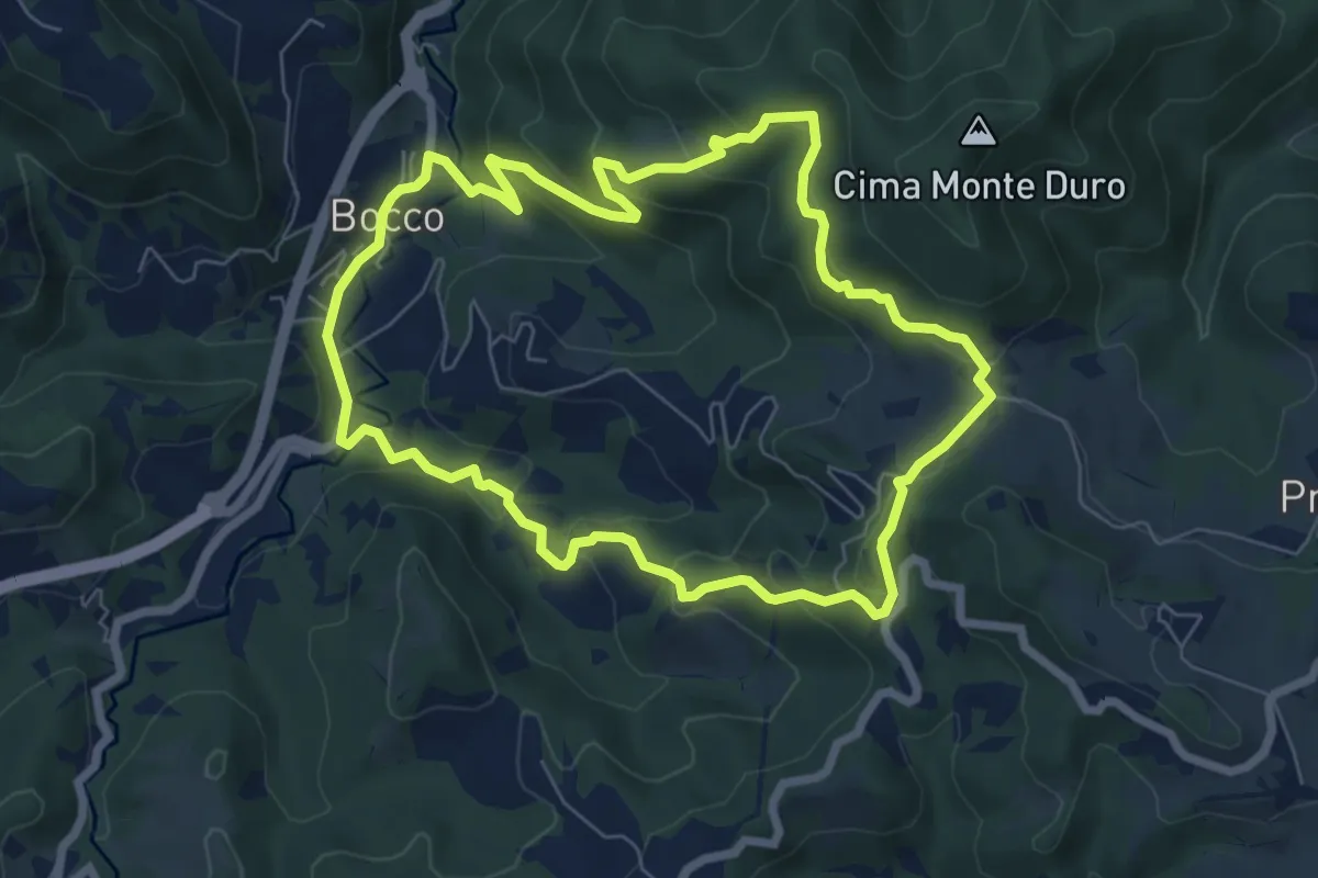
Medium · Trail
Il Bocco – La Canala
7.1 km · ↑ 351 m · 2 h 32 min · 15 km away
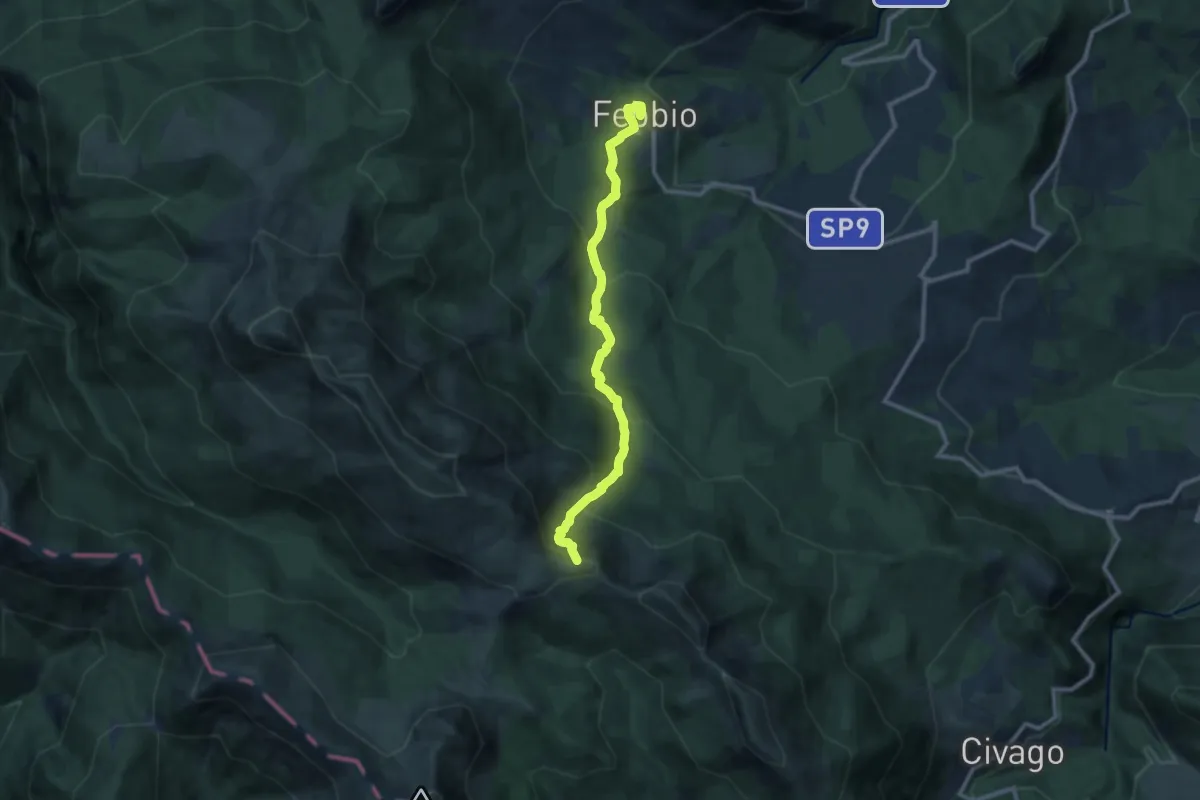
Medium · Summit
Febbio – Lama Lite
10.6 km · ↑ 790 m · 4 h 13 min · 15 km away
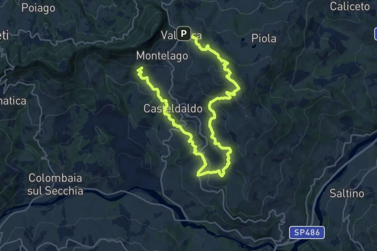
Demanding · Trail
Valestra – Marossa
23.3 km · ↑ 1018 m · 7 h 42 min · 15 km away
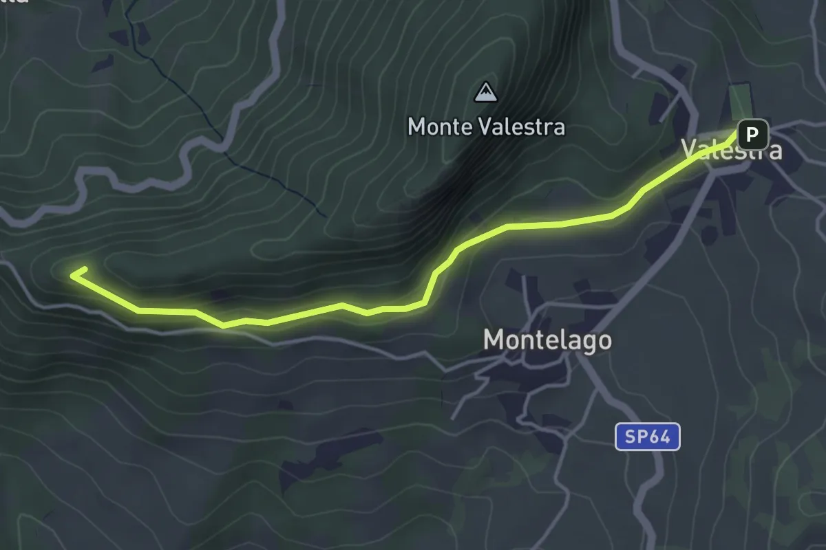
Easy · Trail
Valestra – Passo della Regina
4.3 km · ↑ 147 m · 1 h 20 min · 15 km away
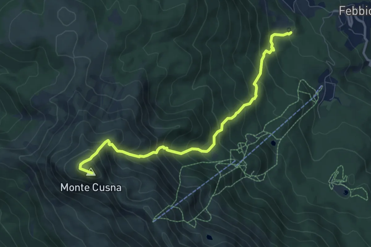
Demanding · Summit
Peschiera Zamboni – Monte Cusna
8.6 km · ↑ 920 m · 4 h 2 min · 15 km away
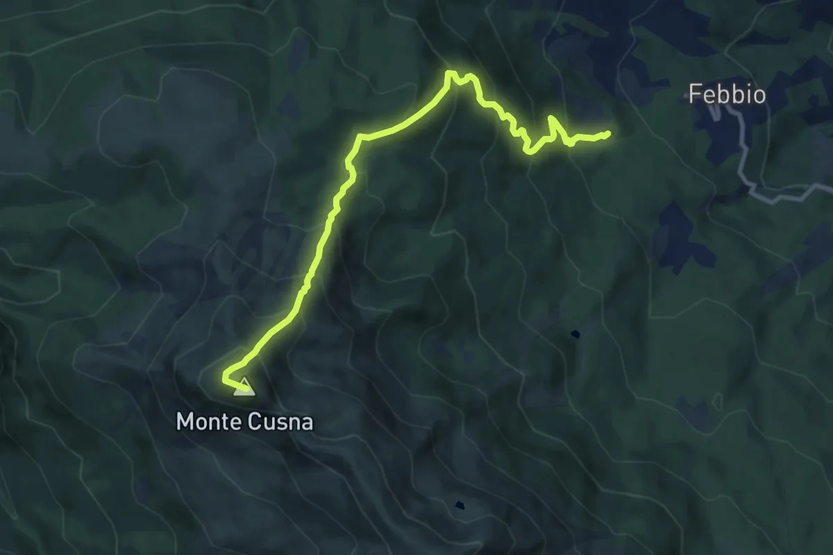
Demanding · Summit
Peschiera Zamboni – Monte Cusna
9.9 km · ↑ 924 m · 4 h 21 min · 15 km away
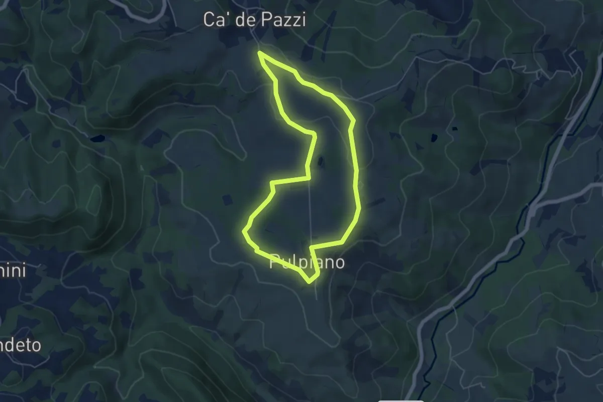
Easy · Trail
Pulpiano – Colombara – Cà de Pazzi – Pulpiano
5.0 km · ↑ 42 m · 1 h 20 min · 15 km away
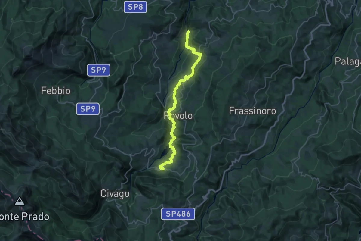
Demanding · Trail
Ponte di Cadignano – Fontanaluccia
23.3 km · ↑ 919 m · 7 h 29 min · 15 km away
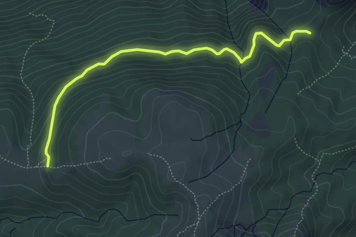
Demanding · Trail
Passo della Cisa – Prati di Sara
5.8 km · ↑ 257 m · 1 h 56 min · 15 km away