Trails near Castiglione Olona
138 hikes starting within 15 km, nearest first.
Nearest first, page 1 of 3
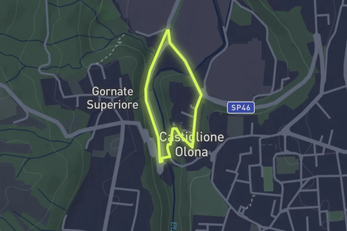
Easy · Trail
Anello Storico di Castiglione
1.6 km · ↑ 38 m · 29 min · 1 km away
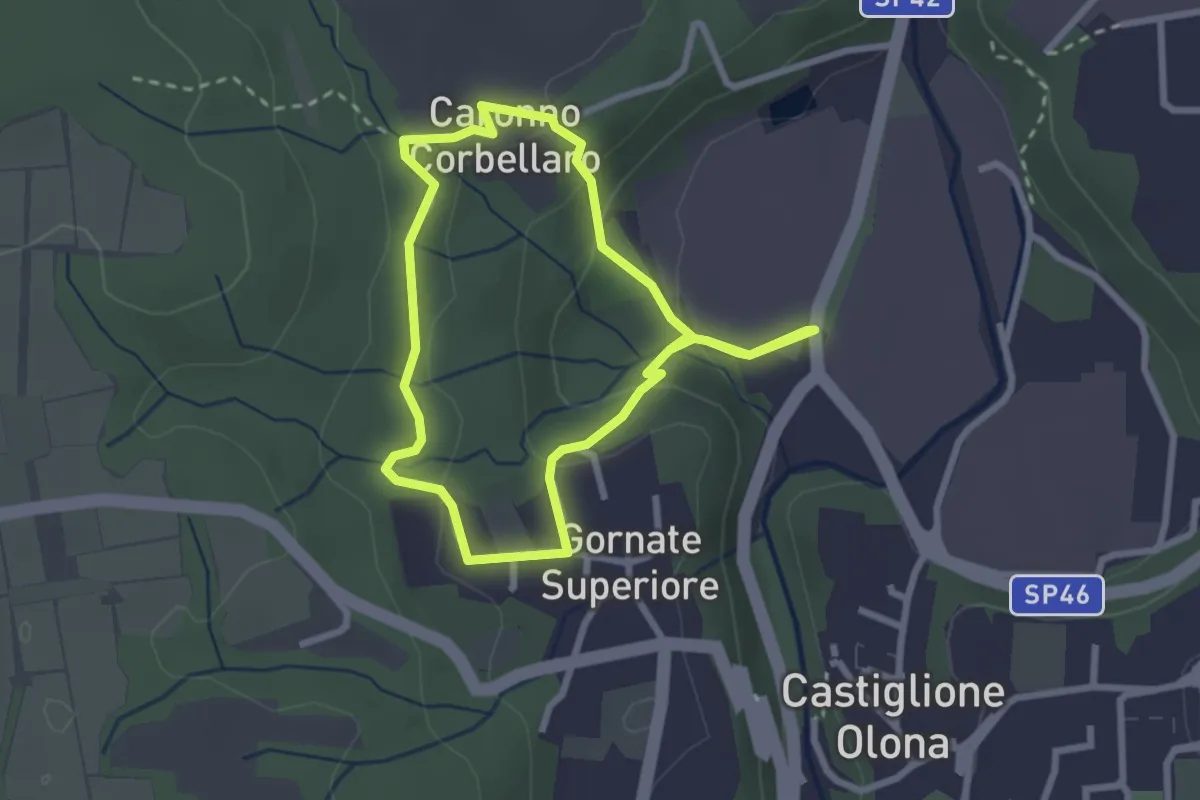
Easy · Trail
521 Anello dei Lavatoi
2.4 km · ↑ 66 m · 45 min · 1 km away
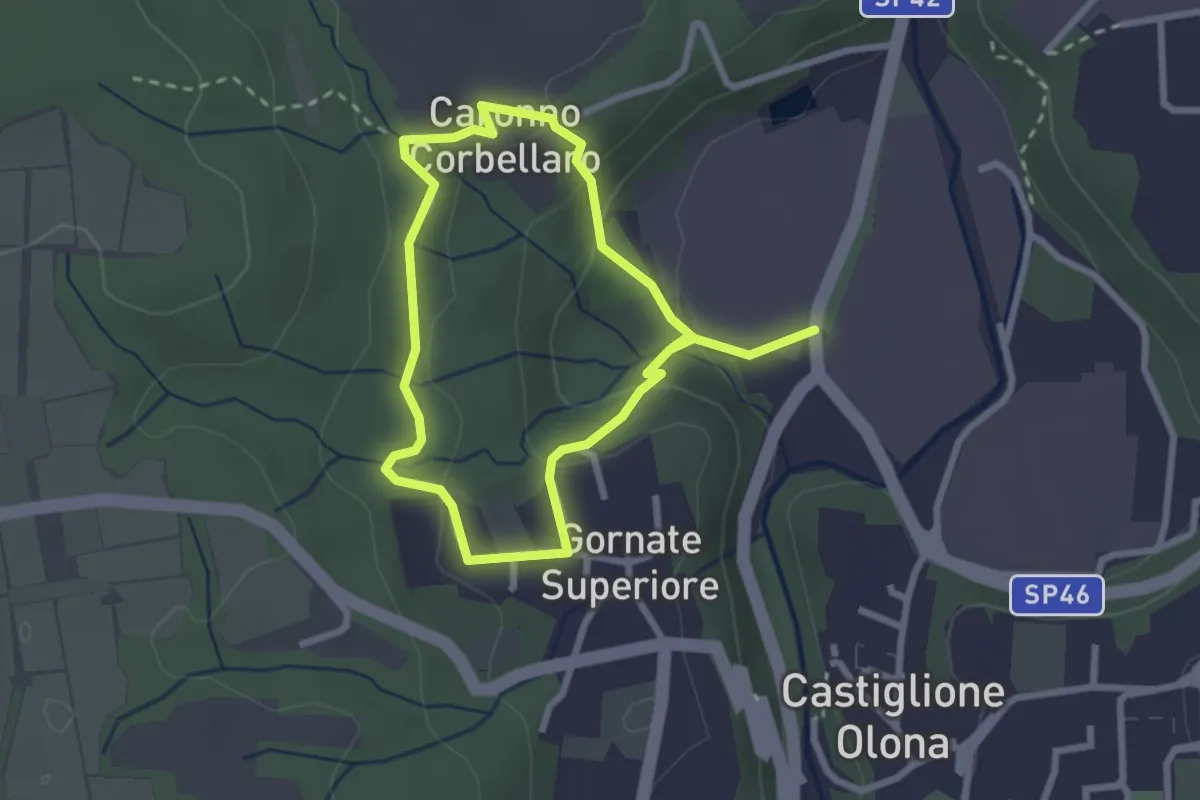
Easy · Trail
Anello dei Lavatoi
2.3 km · ↑ 61 m · 42 min · 1 km away
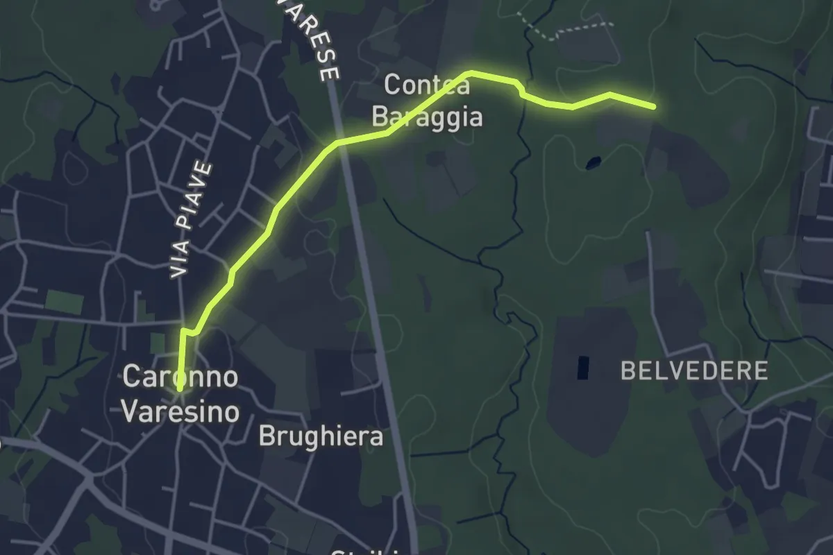
Easy · Trail
520D Collegamento Caronno Varesino-Dorsale RTO
4.0 km · ↑ 32 m · 1 h · 2 km away
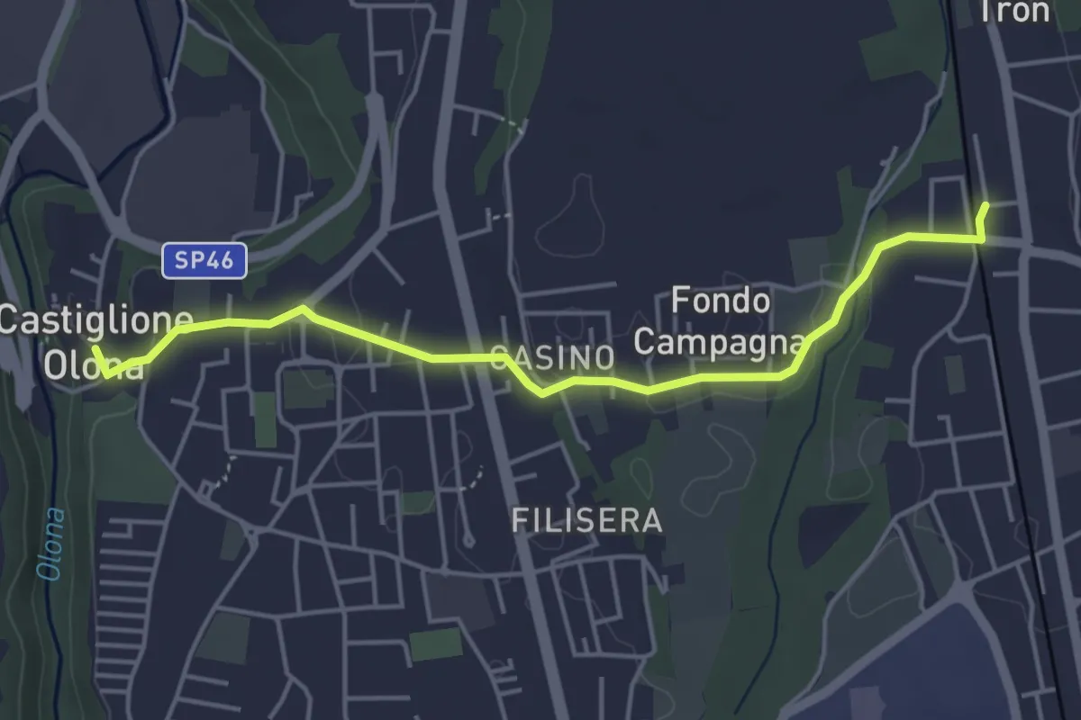
Easy · Trail
Collegamento Castiglione Olona-Trenord
4.6 km · ↑ 63 m · 1 h 13 min · 2 km away
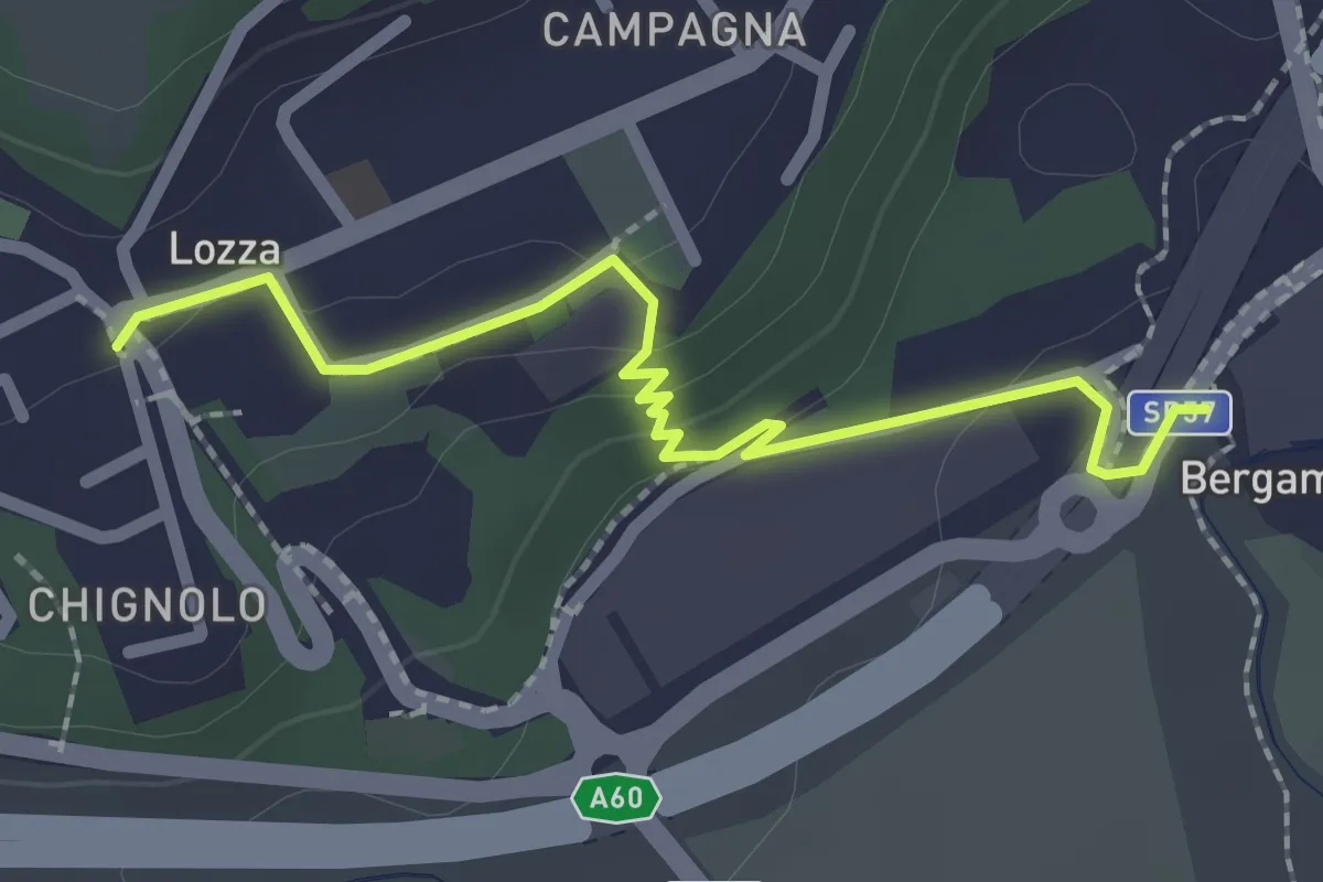
Easy · Trail
Collegamento Lozza - Dorsale RTO
2.3 km · ↑ 54 m · 40 min · 2 km away
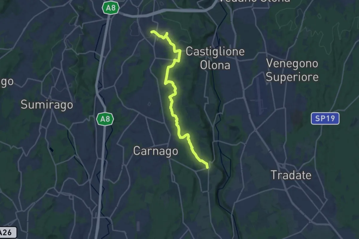
Medium · Trail
Sentiero del Tenore
16.7 km · ↑ 149 m · 4 h 16 min · 3 km away
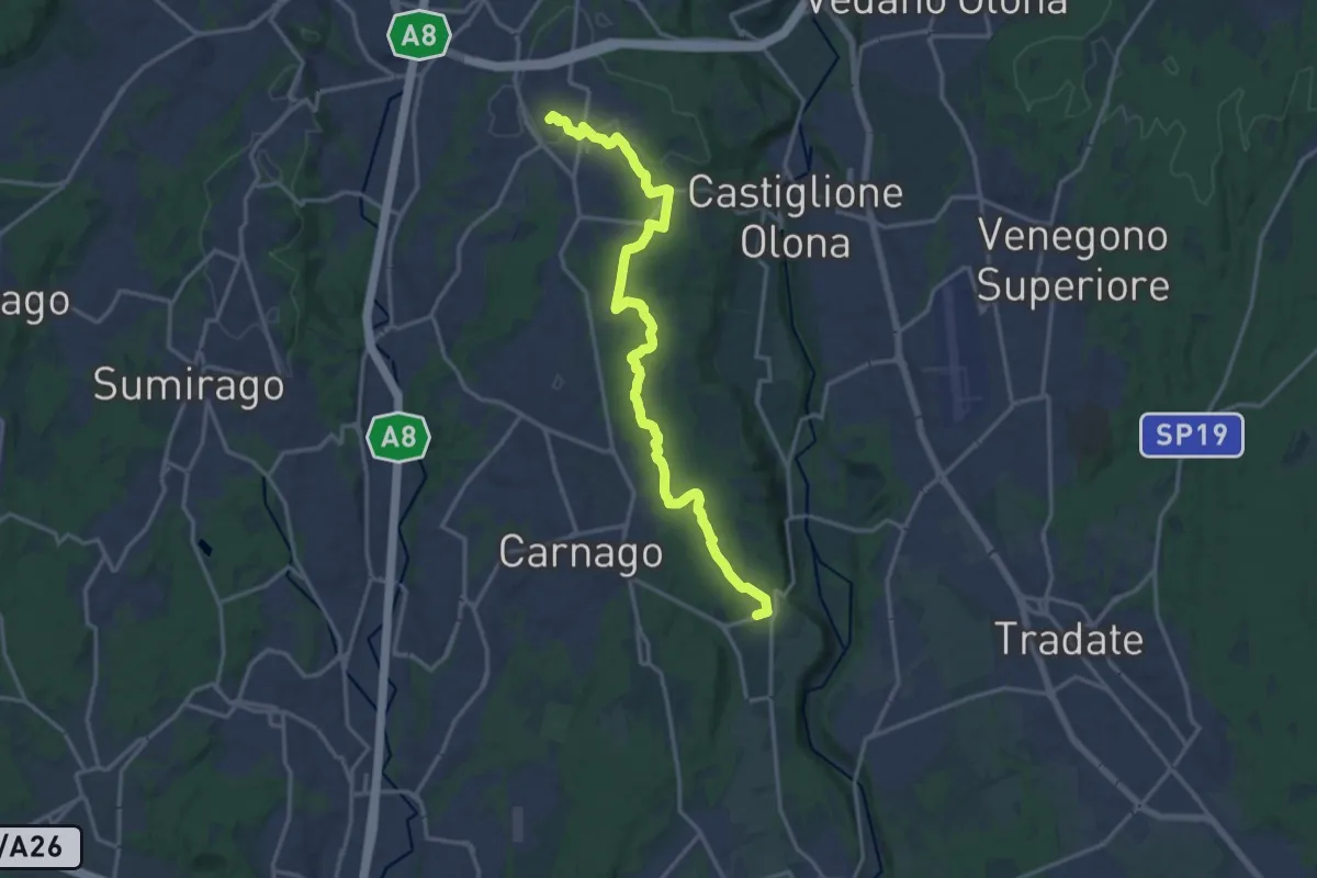
Medium · Trail
522 Sentiero del Tenore
17.2 km · ↑ 164 m · 4 h 25 min · 3 km away
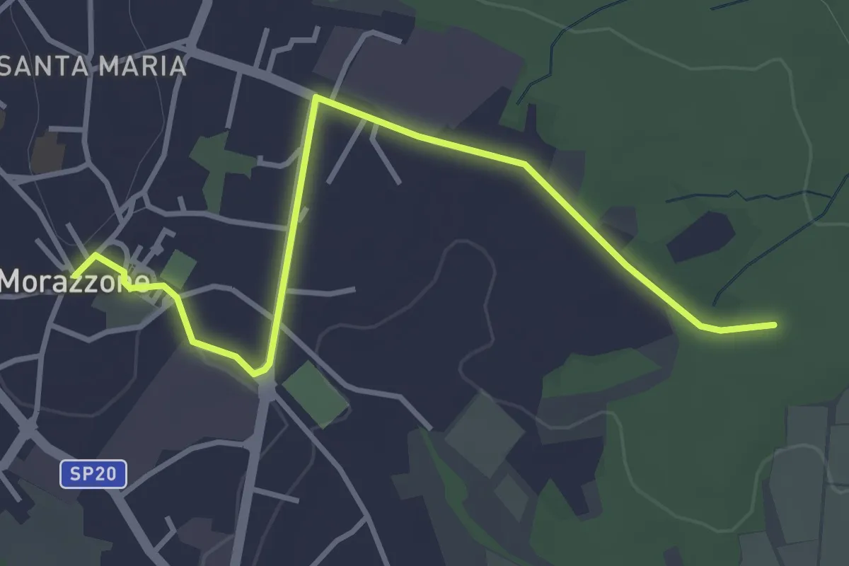
Easy · Trail
520C Collegmaento Morazzone-Dorsale RTO
3.8 km · ↑ 31 m · 58 min · 3 km away
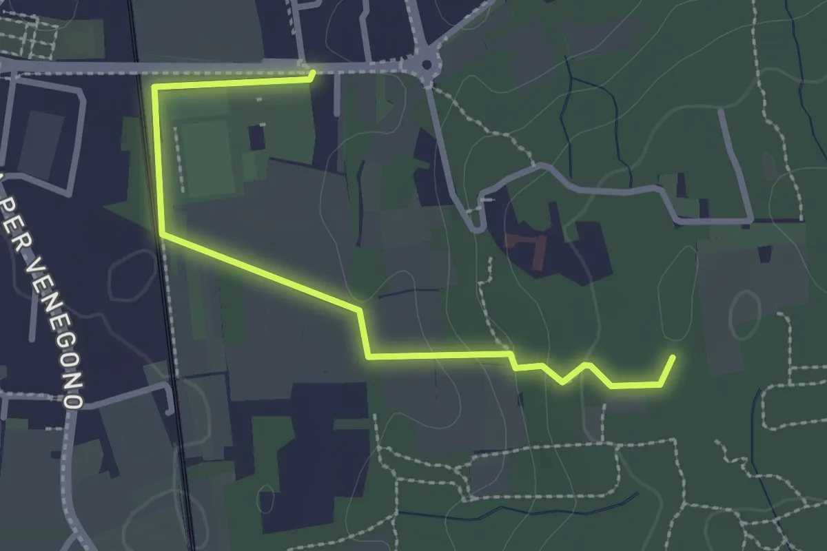
Easy · Trail
Vedano Olona – Innesto su sentiero 540
2.7 km · ↑ 58 m · 46 min · 3 km away
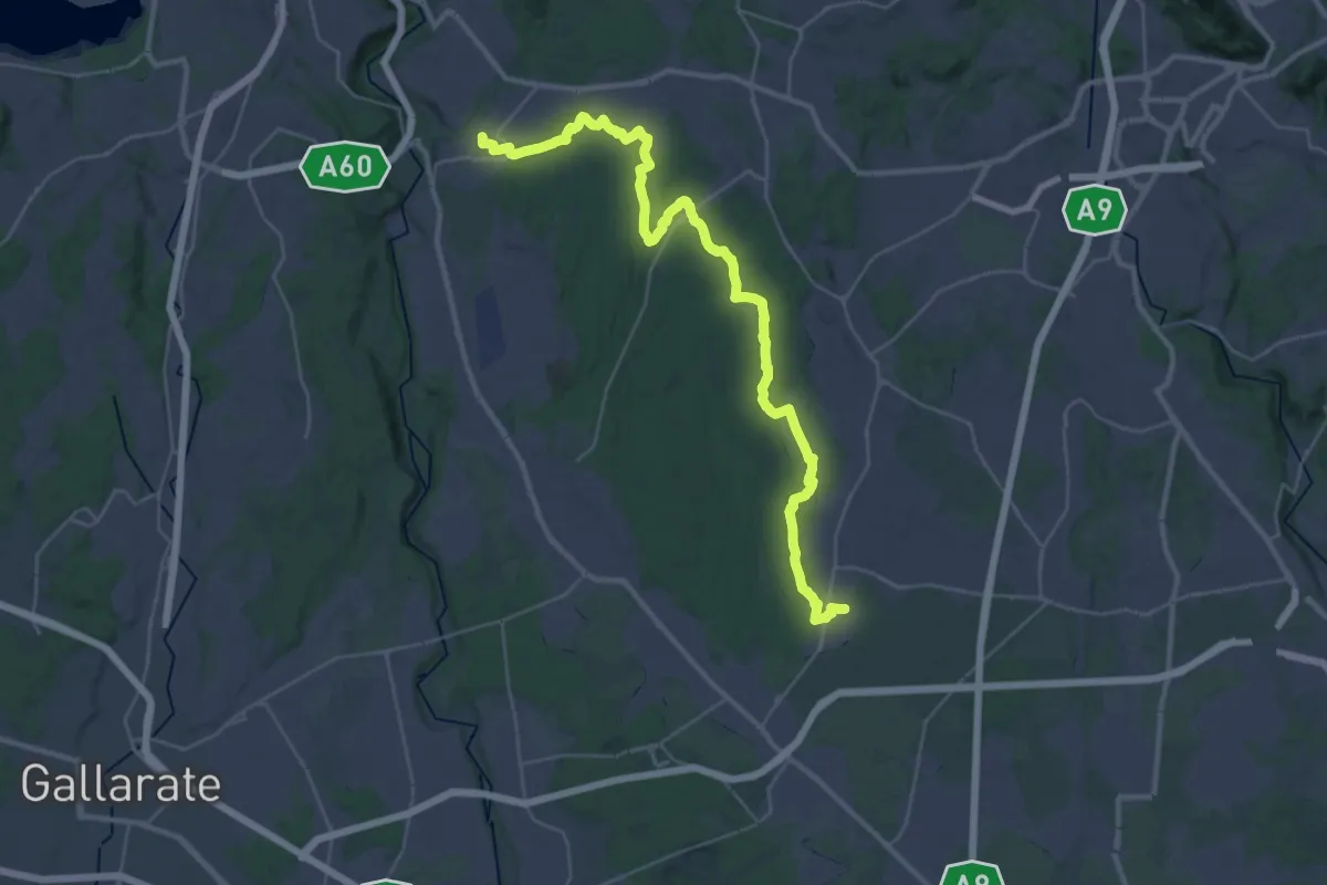
Demanding · Trail
Limido Comasco – Vedano Olona
19.7 km · ↑ 134 m · 5 h 16 min · 3 km away
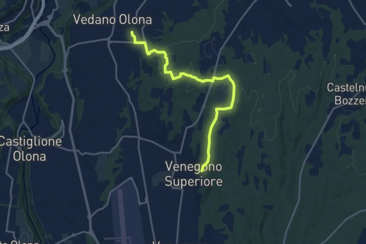
Medium · Trail
Venegono Superiore – Vedano Olona
9.7 km · ↑ 136 m · 2 h 35 min · 3 km away
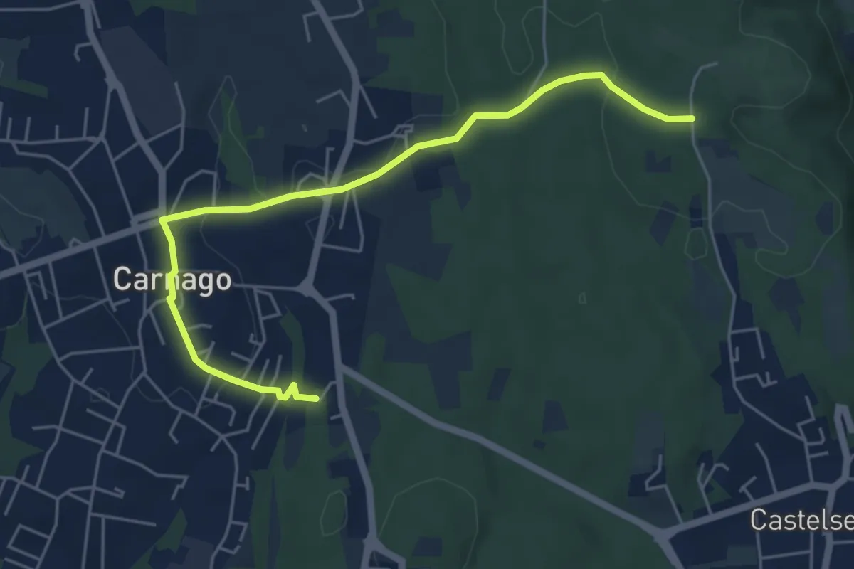
Easy · Trail
520E Collegamento Carnago
5.6 km · ↑ 67 m · 1 h 28 min · 3 km away
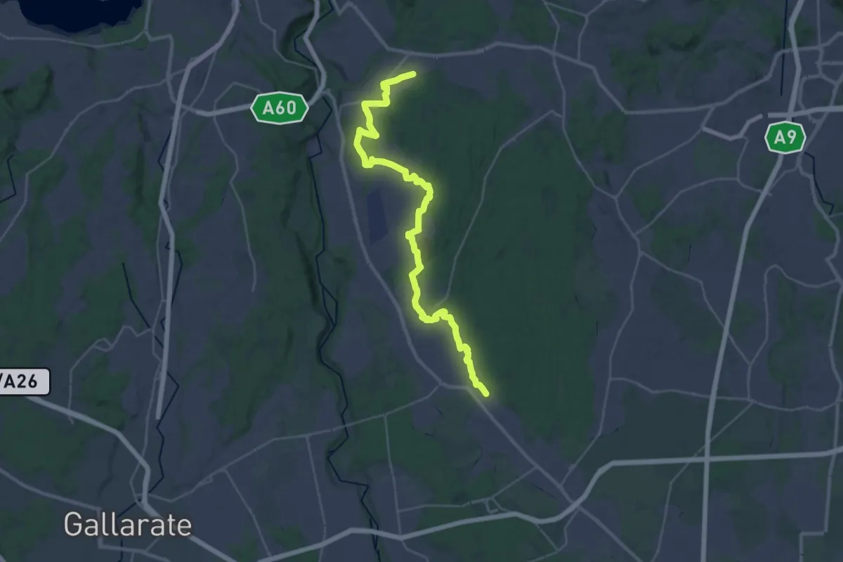
Medium · Trail
Sentiero 540LP
16.5 km · ↑ 81 m · 4 h 21 min · 4 km away
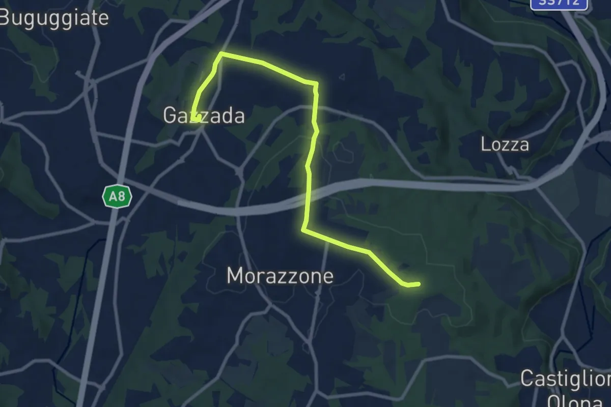
Medium · Trail
Morazzone – Dorsale RTO
8.4 km · ↑ 133 m · 2 h 16 min · 4 km away
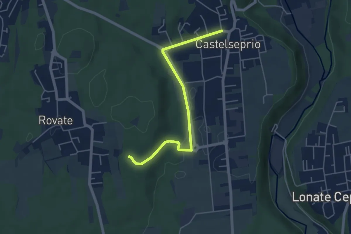
Easy · Trail
Collegamento Anello del Rile-Dorsale RTO
4.2 km · ↑ 47 m · 1 h 5 min · 4 km away
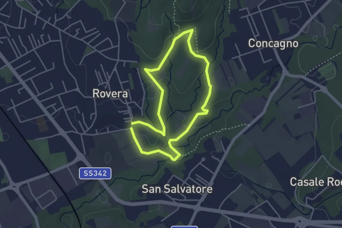
Easy · Trail
Sentiero Quadronna
3.1 km · ↑ 58 m · 54 min · 5 km away
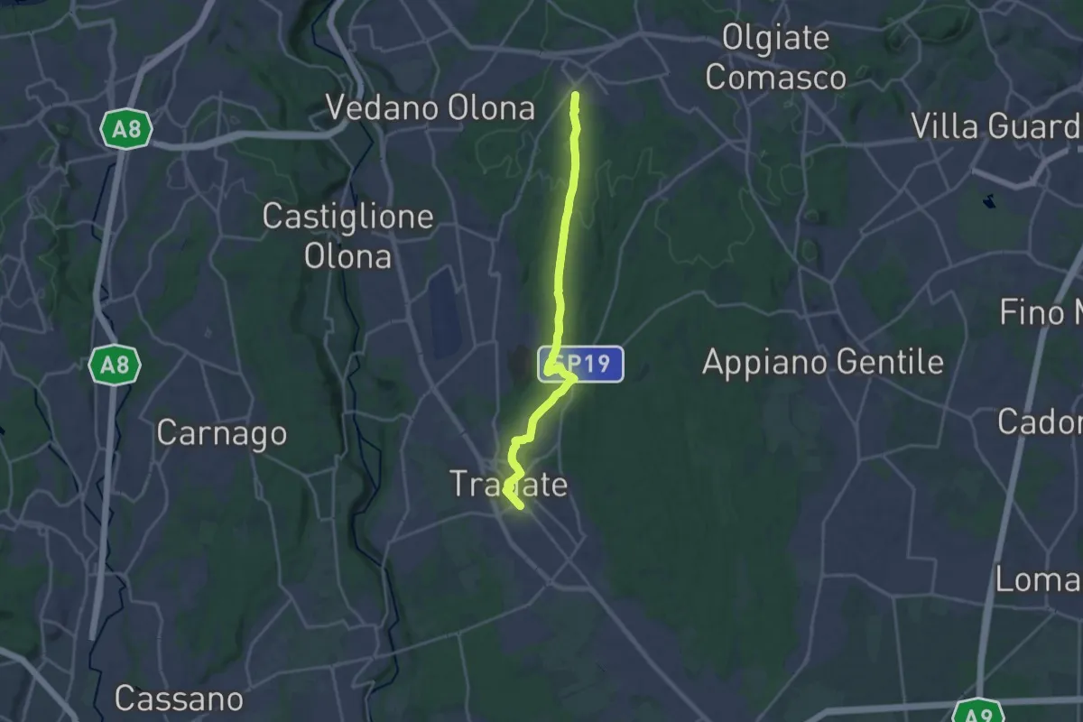
Demanding · Trail
Binago – Tradate
18.1 km · ↑ 185 m · 4 h 41 min · 5 km away
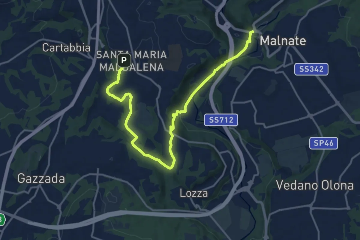
Medium · Trail
Varese - via S.M. Maddalena – Folla di Malnate
13.1 km · ↑ 285 m · 3 h 42 min · 5 km away
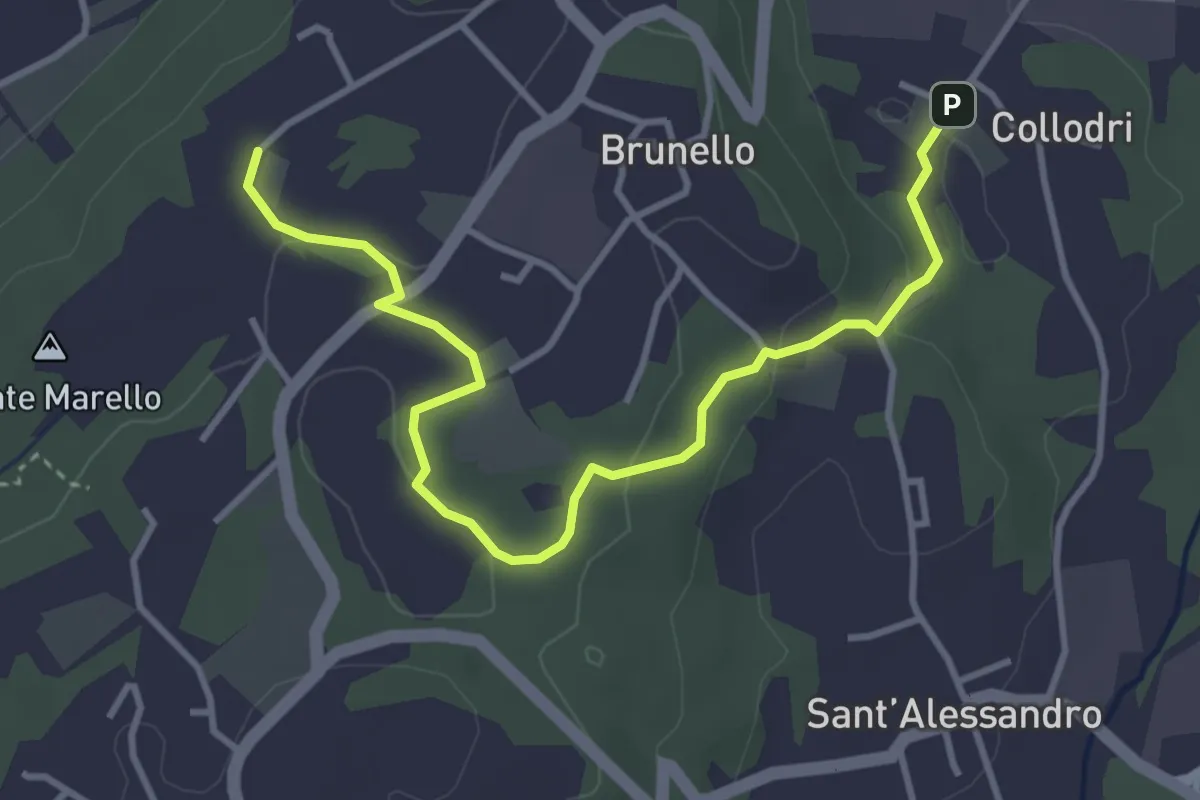
Easy · Trail
Piane Viscontee - Anello di Brunello
4.3 km · ↑ 111 m · 1 h 15 min · 5 km away
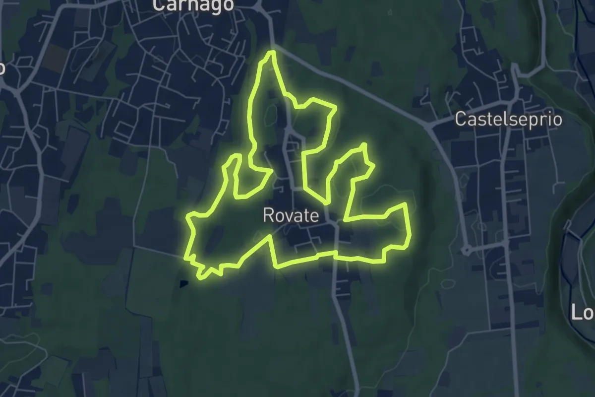
Easy · Trail
523 Anello del Rile
7.9 km · ↑ 100 m · 2 h 12 min · 5 km away
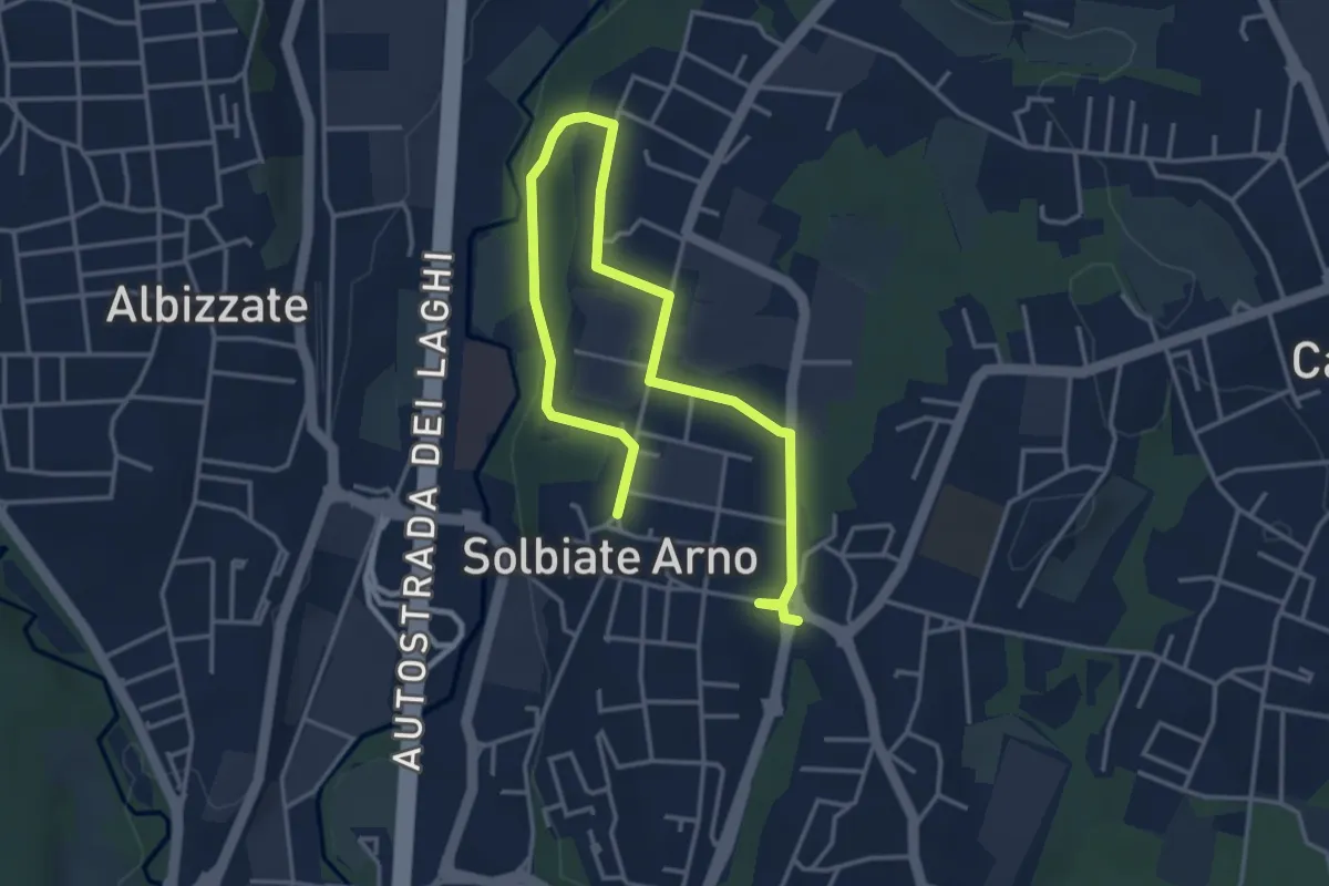
Easy · Trail
Percorsi del Cuore - Anello di Solbiate Arno
5.3 km · ↑ 64 m · 1 h 23 min · 6 km away
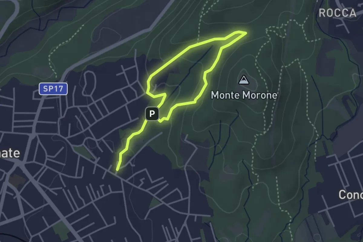
Easy · Trail
Sentiero Fugascé
5.0 km · ↑ 151 m · 1 h 31 min · 6 km away
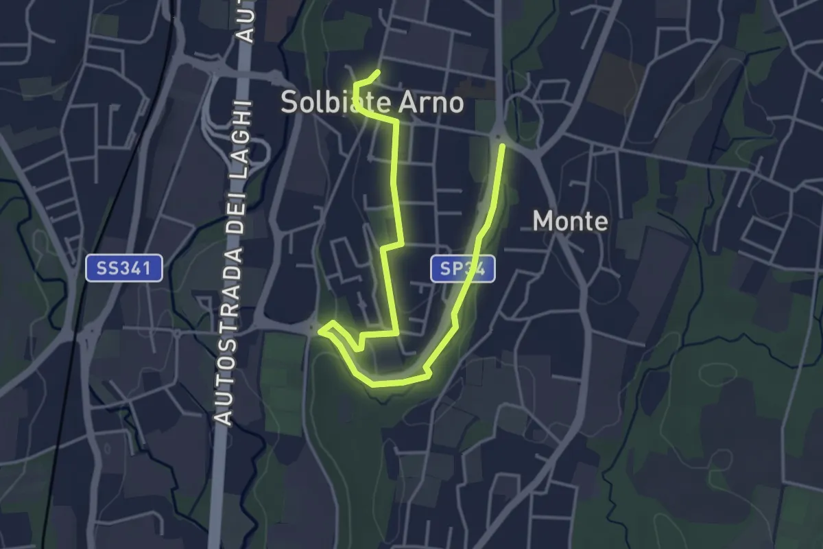
Easy · Trail
Percorsi del Cuore - Anello di Solbiate Arno
5.0 km · ↑ 72 m · 1 h 20 min · 6 km away
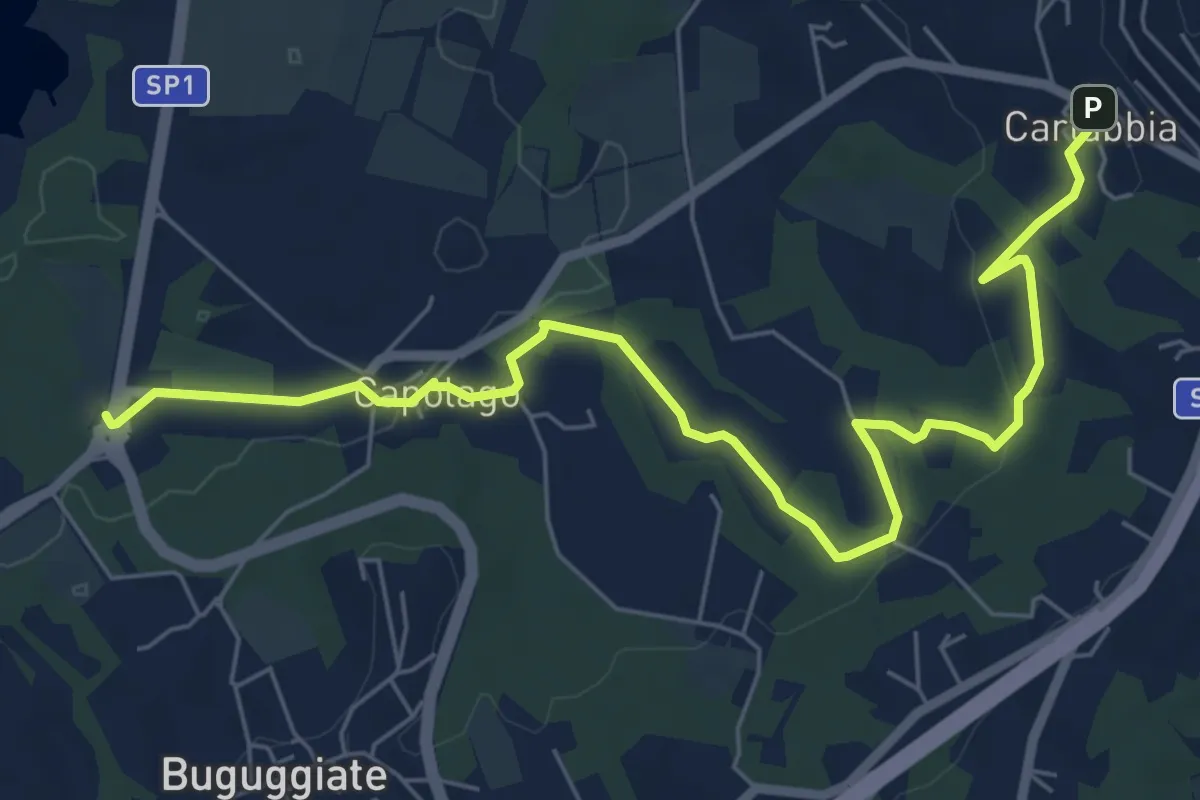
Easy · Trail
Cartabbia – Lago di Varese
7.8 km · ↑ 93 m · 2 h 3 min · 6 km away
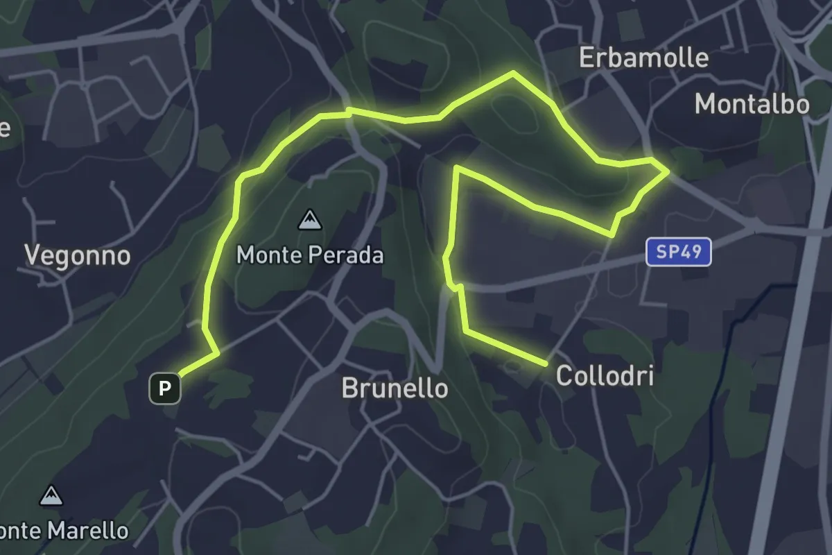
Easy · Trail
Piane Viscontee - Anello di Brunello
6.9 km · ↑ 139 m · 1 h 56 min · 6 km away
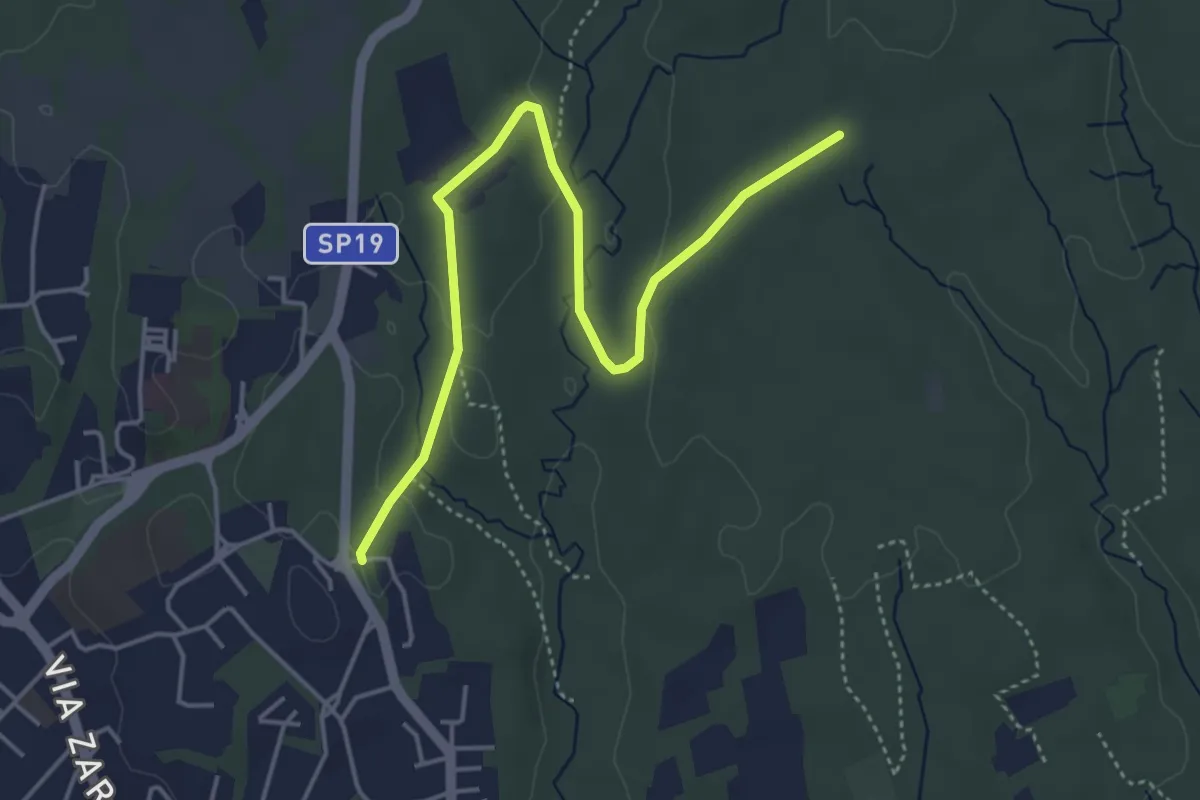
Easy · Trail
Appiano Gentile – Tradate
5.0 km · ↑ 70 m · 1 h 20 min · 6 km away
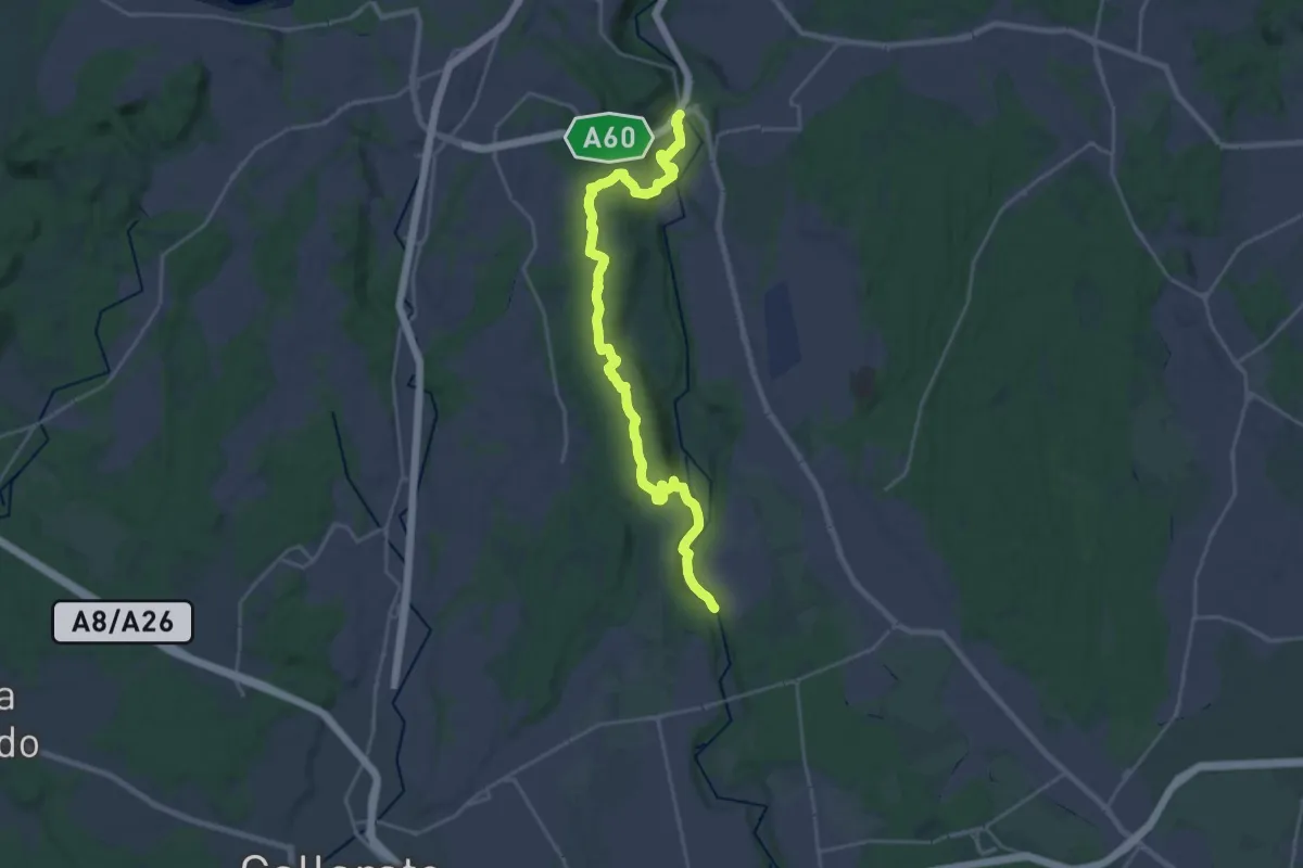
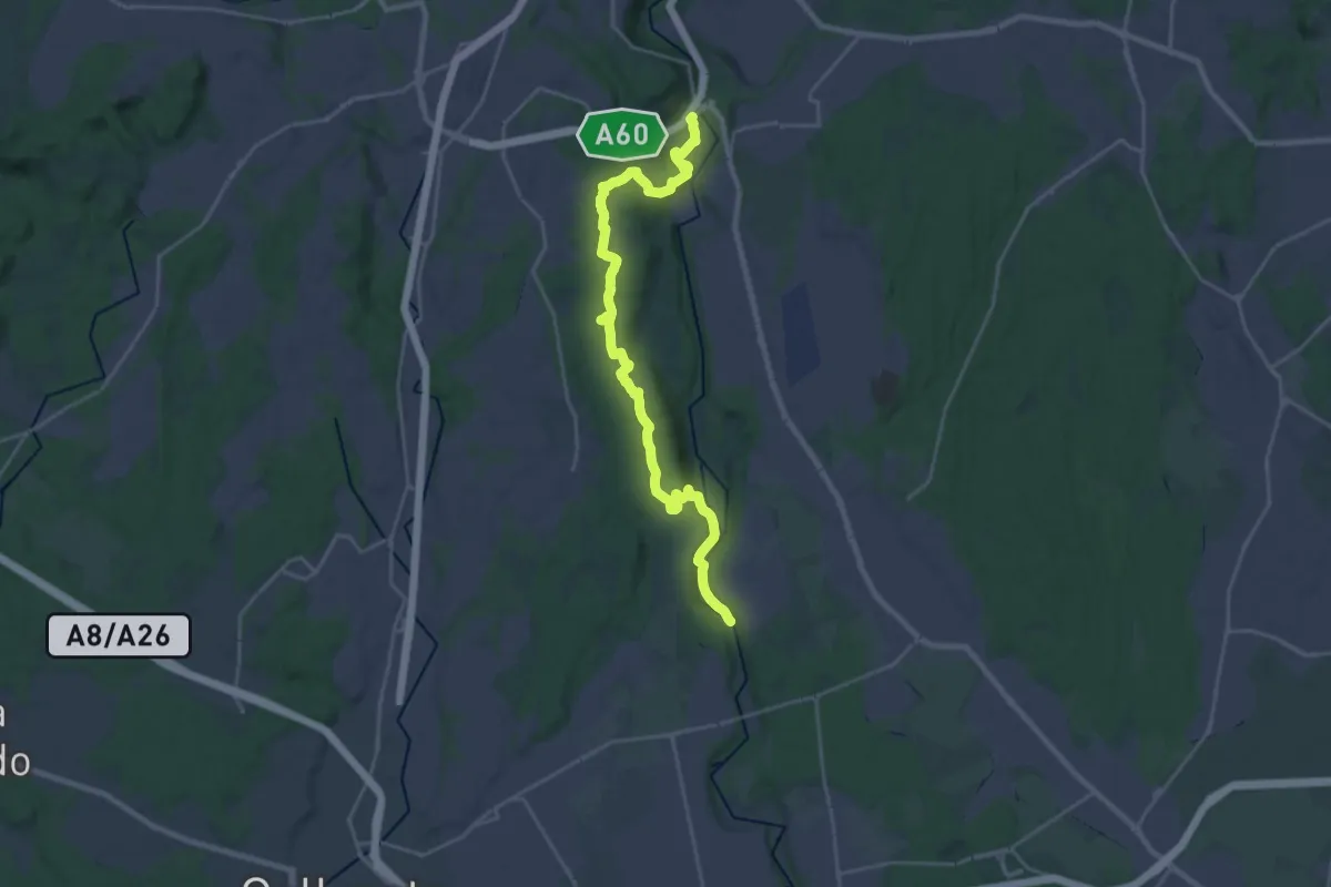
Demanding · Trail
520 Dorsale RTO
25.9 km · ↑ 425 m · 7 h 2 min · 6 km away
Demanding · Trail
Dorsale Rile-Tenore-Olona
26.4 km · ↑ 426 m · 7 h 9 min · 6 km away
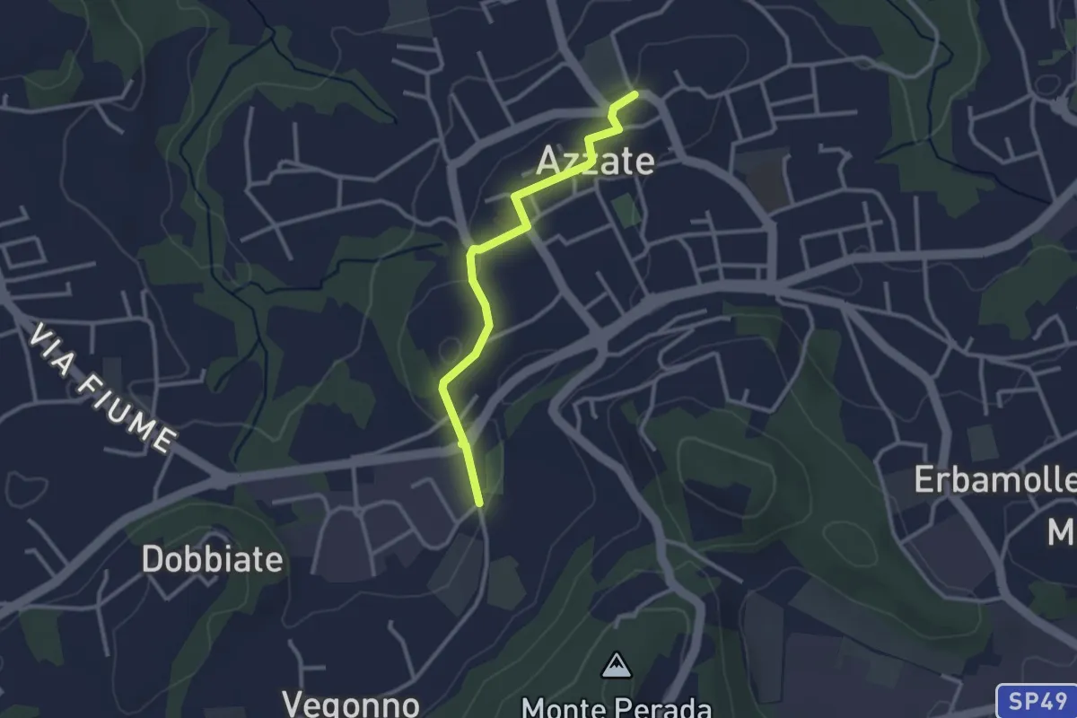
Easy · Trail
Piane Viscontee - Anello di Azzate
2.7 km · ↑ 48 m · 44 min · 6 km away
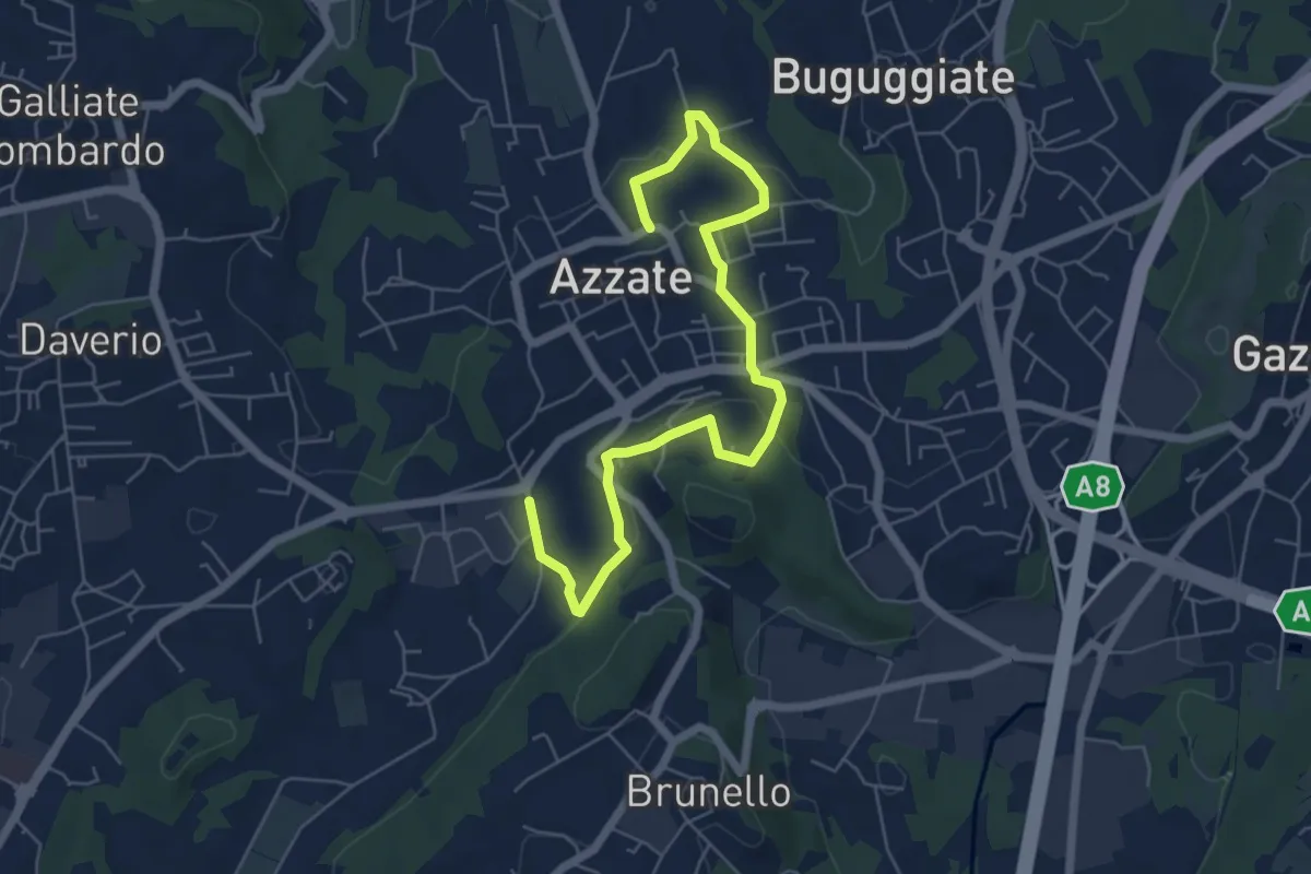
Easy · Trail
Piane Viscontee - Anello di Azzate
7.1 km · ↑ 239 m · 2 h 11 min · 6 km away
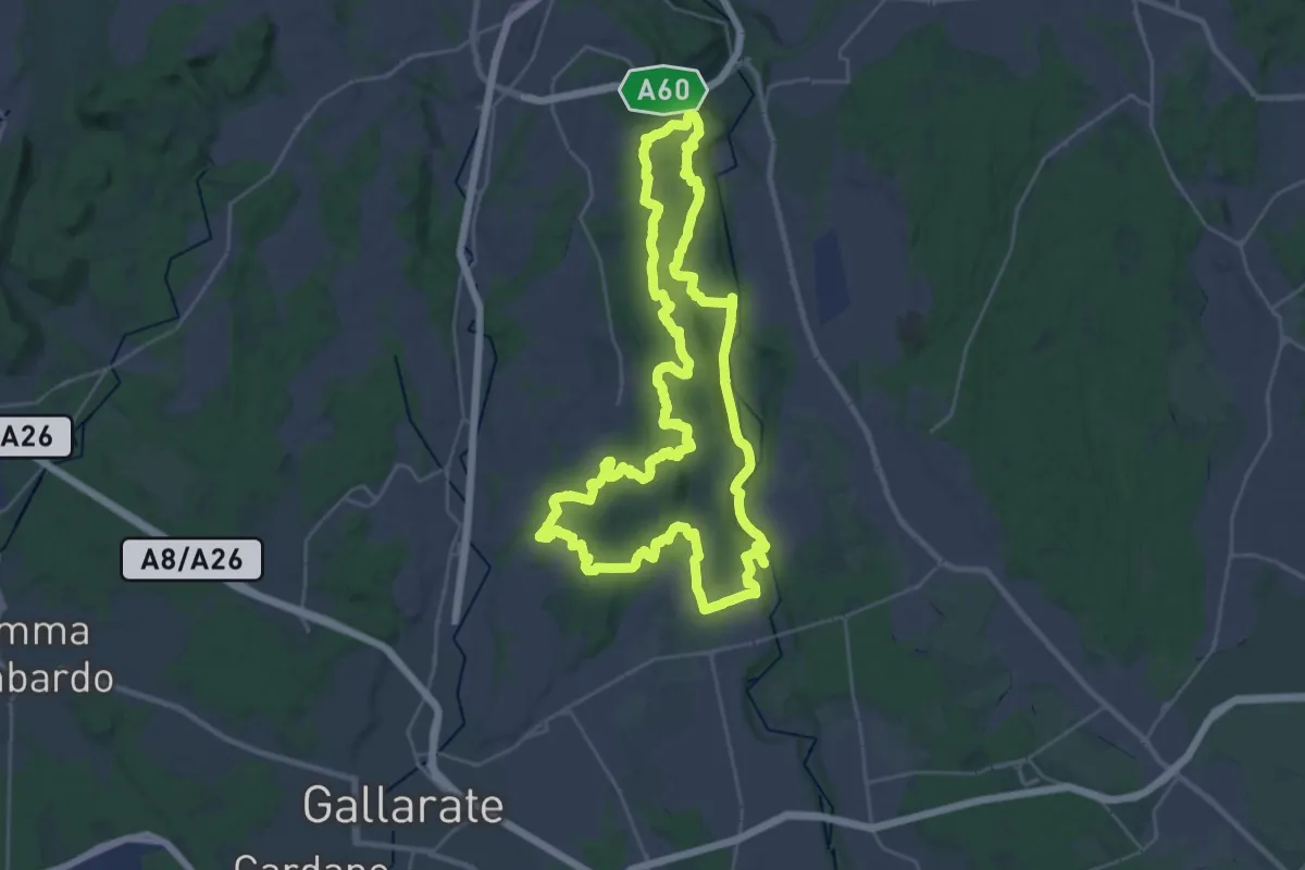
Demanding · Trail
Grandtour RTO
30.8 km · ↑ 344 m · 8 h 28 min · 6 km away
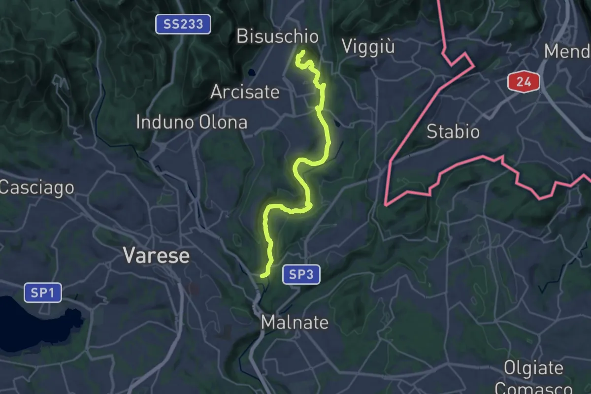
Demanding · Summit
Ca' Bassa – Monte Useria
20.8 km · ↑ 446 m · 5 h 53 min · 6 km away
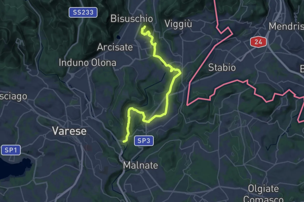
Demanding · Summit
Varese via Ca' Bassa – Monte Useria
24.6 km · ↑ 570 m · 7 h 3 min · 6 km away
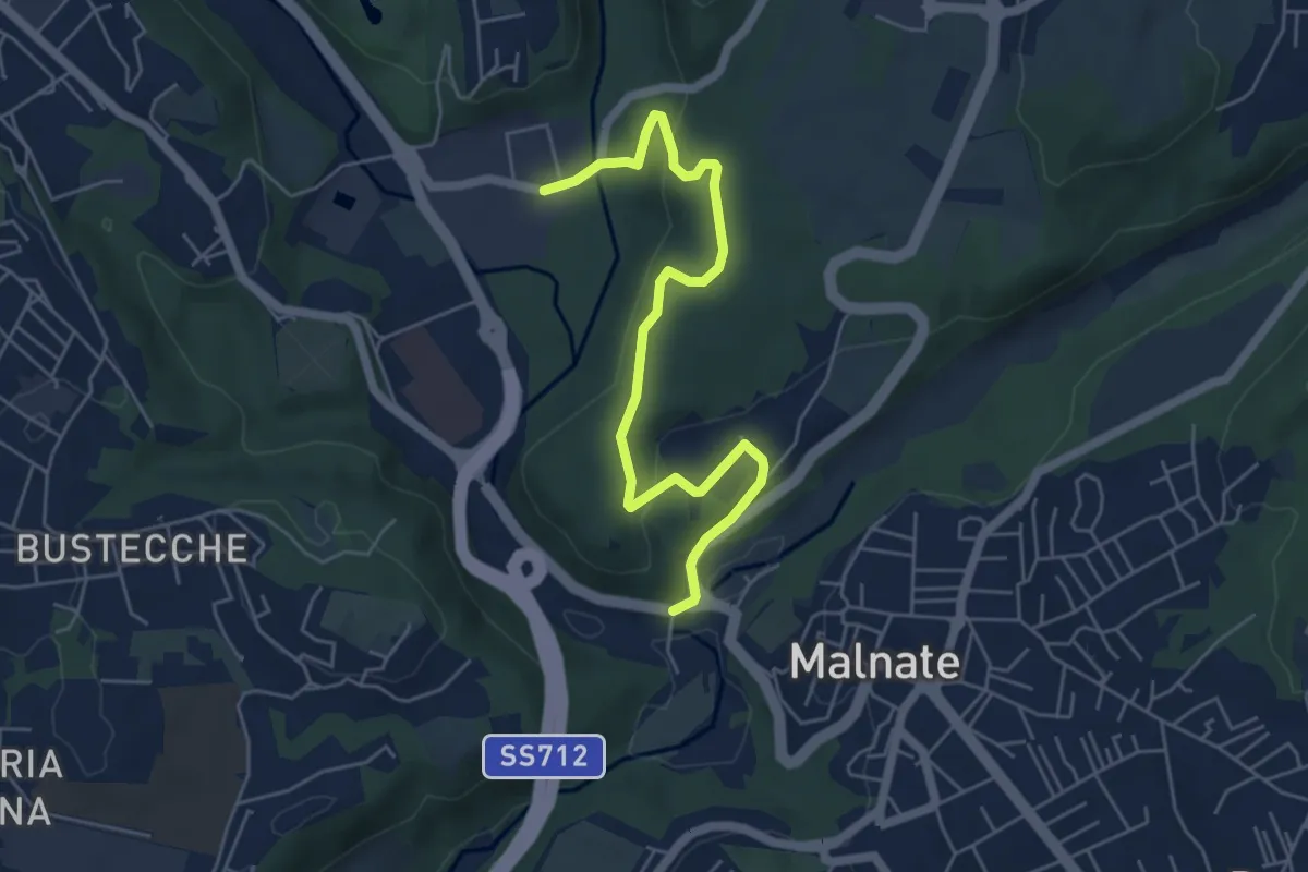
Easy · Trail
Varese via Ca' Bassa – Folla di Malnate
6.0 km · ↑ 159 m · 1 h 45 min · 6 km away
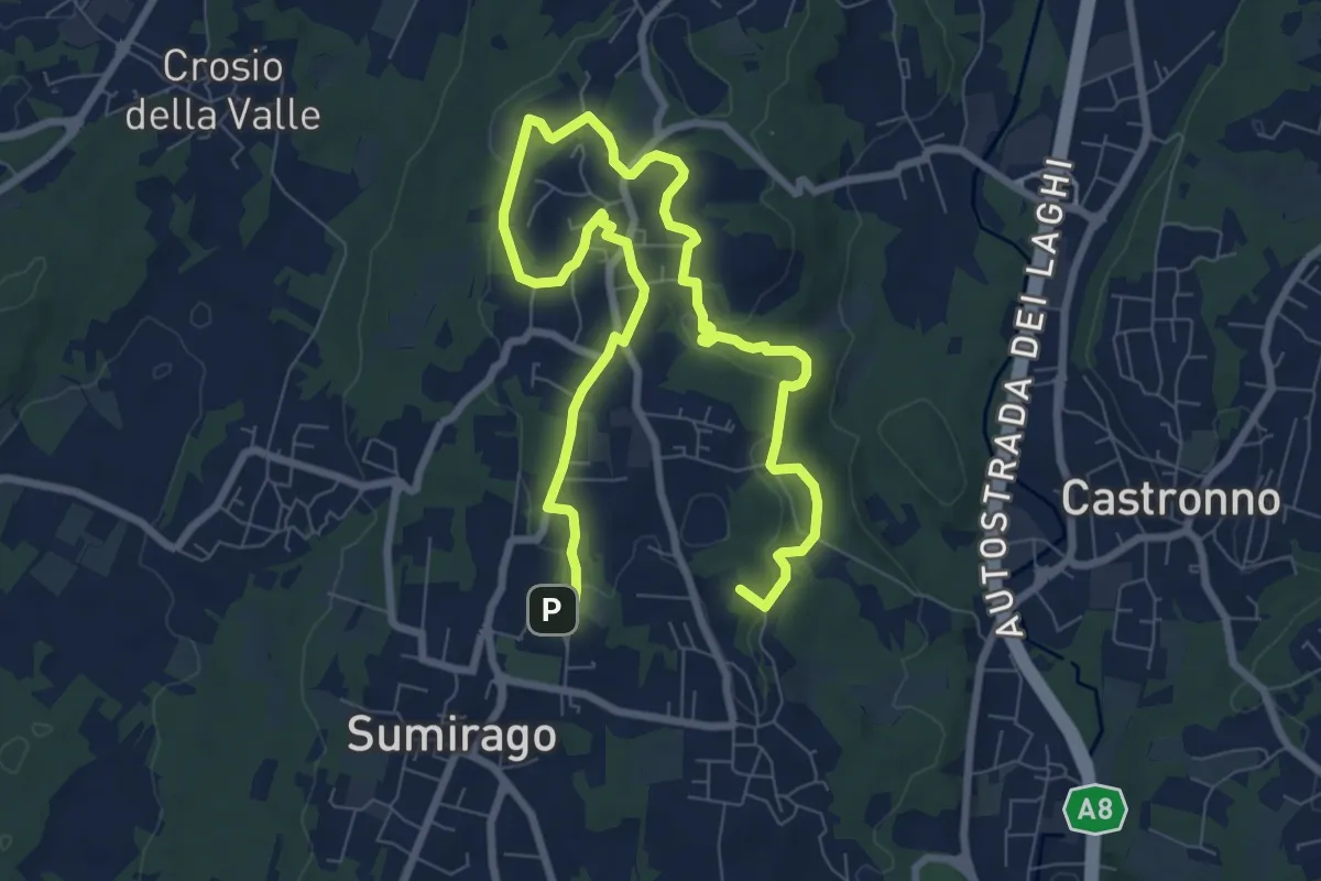
Medium · Summit
Piane Viscontee - Anello di Sumirago
12.3 km · ↑ 254 m · 3 h 28 min · 6 km away
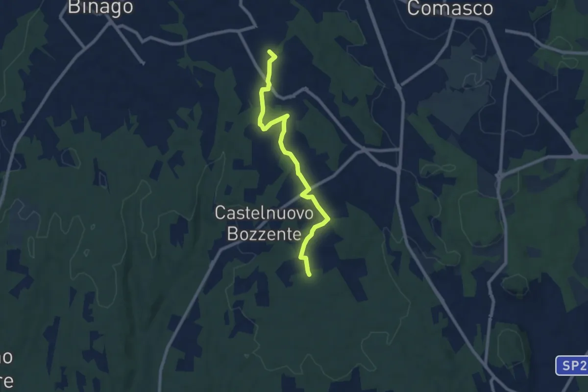
Easy · Trail
Sentiero 846B
6.5 km · ↑ 44 m · 1 h 38 min · 7 km away
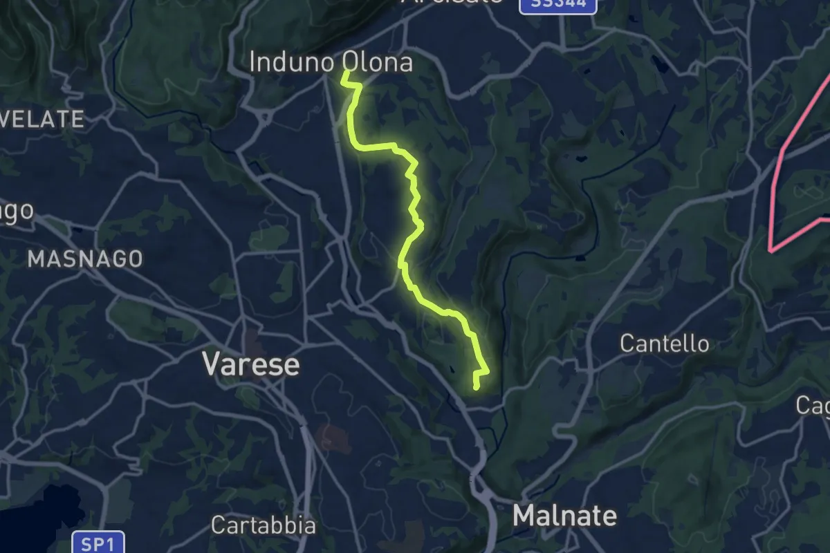
Medium · Summit
Induno Olona – Cascina Mentasti
11.7 km · ↑ 226 m · 3 h 16 min · 7 km away
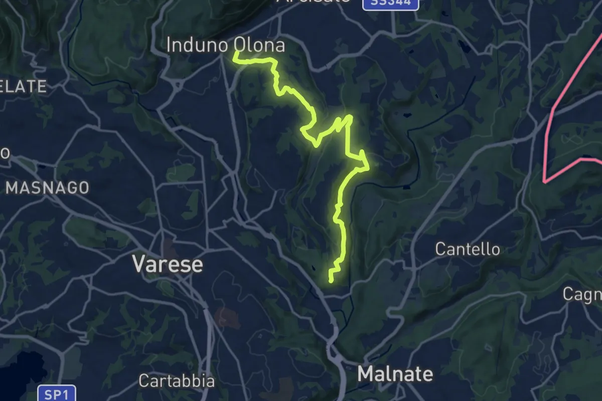
Medium · Summit
Induno Olona – Cascina Mentasti
16.8 km · ↑ 456 m · 4 h 57 min · 7 km away
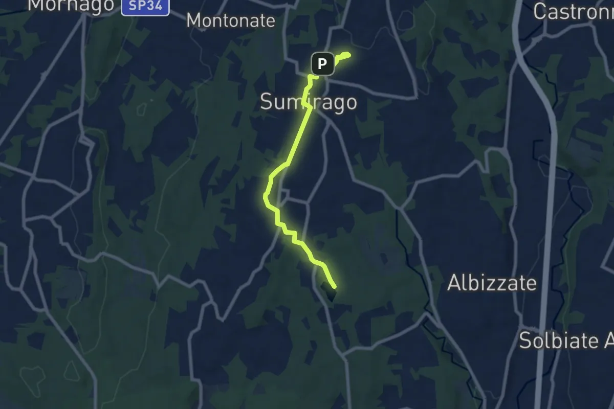
Easy · Trail
Piane Viscontee - Anello di Sumirago
6.9 km · ↑ 94 m · 1 h 50 min · 7 km away
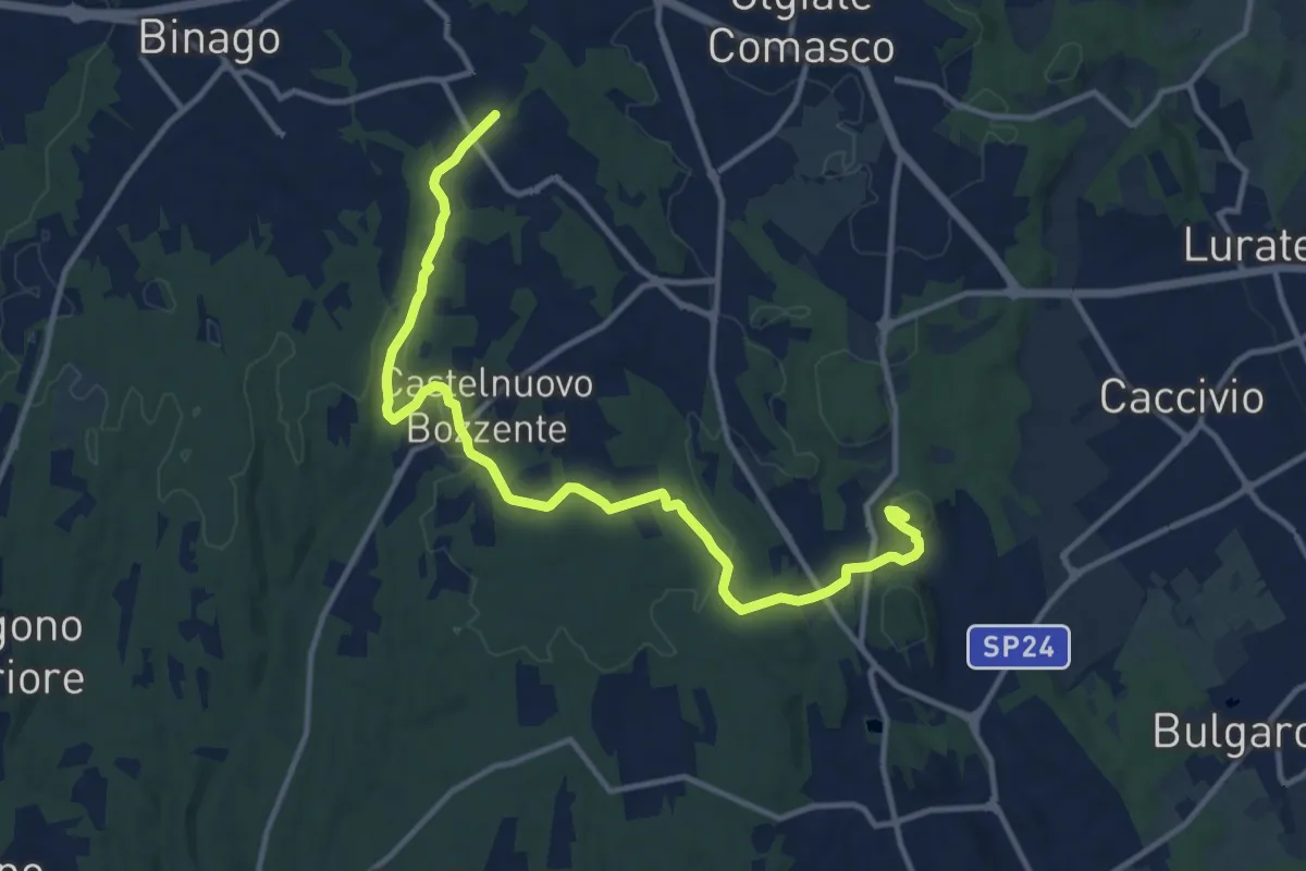
Medium · Trail
Sentiero 846
13.8 km · ↑ 196 m · 3 h 41 min · 7 km away
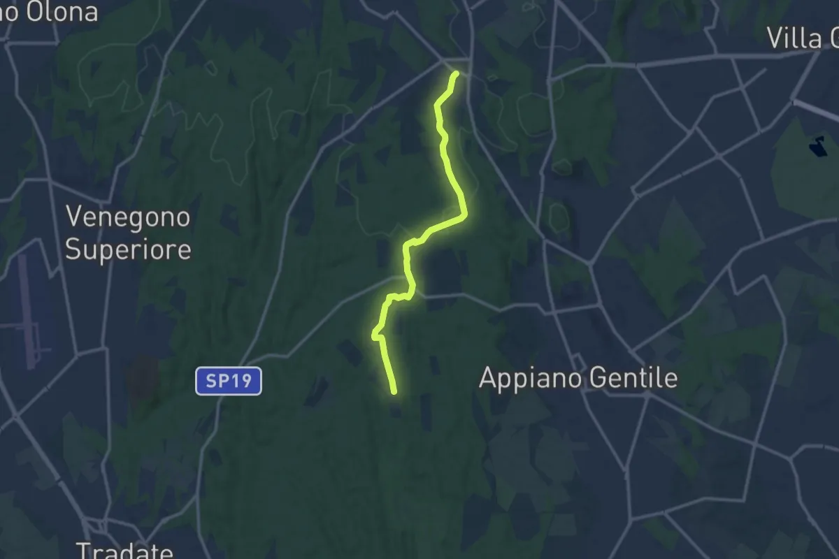
Medium · Trail
Sentiero 847
10.4 km · ↑ 81 m · 2 h 38 min · 7 km away
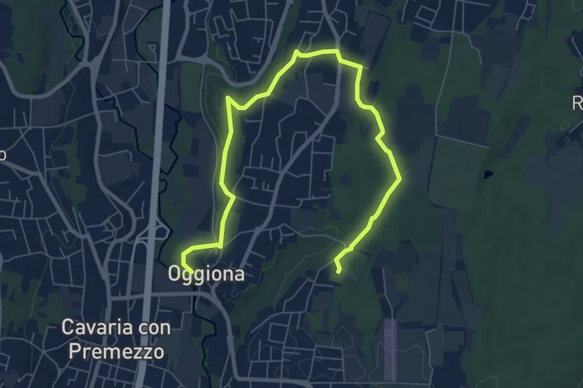
Medium · Trail
Percorsi del Cuore - Anello di Oggiona Santo Stefano
8.2 km · ↑ 118 m · 2 h 11 min · 7 km away
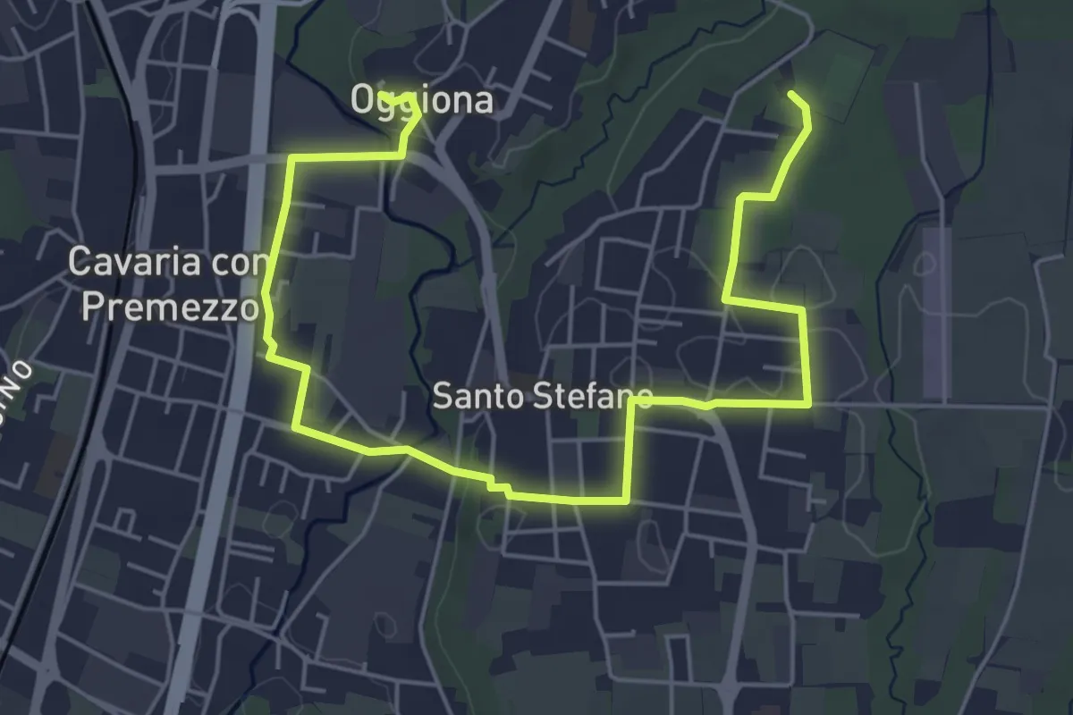
Easy · Trail
Percorsi del Cuore - Anello di Oggiona Santo Stefano
7.1 km · ↑ 68 m · 1 h 50 min · 7 km away
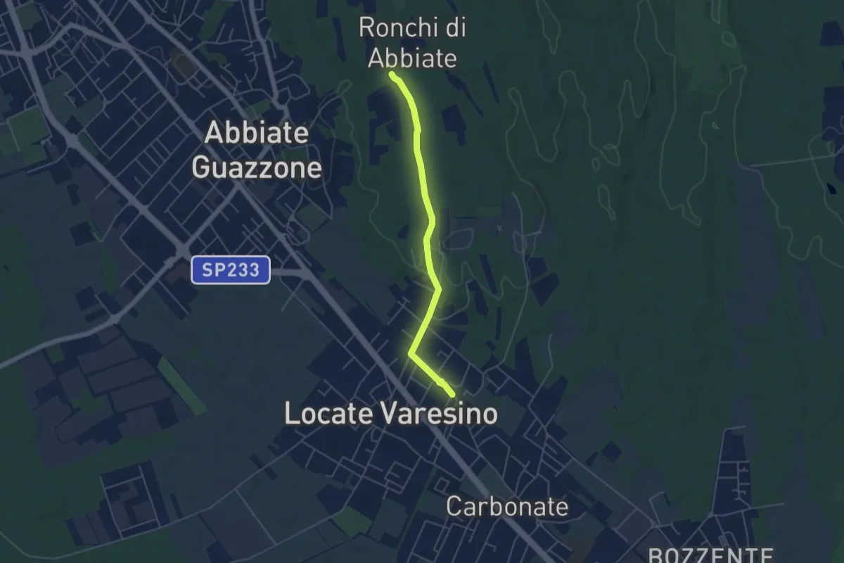
Easy · Trail
Sentiero 844C
4.5 km · ↑ 42 m · 1 h 9 min · 7 km away
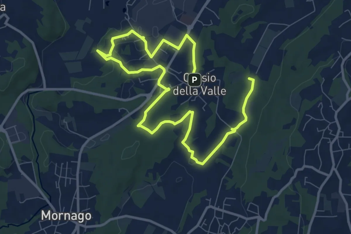
Medium · Trail
Piane Viscontee - Anello di Crosio della Valle
12.8 km · ↑ 141 m · 3 h 19 min · 7 km away
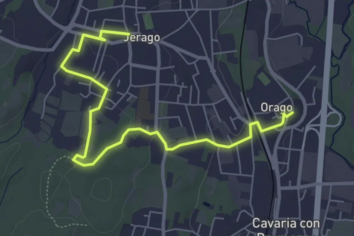
Easy · Trail
DID - Anello di Jerago
6.5 km · ↑ 54 m · 1 h 38 min · 7 km away
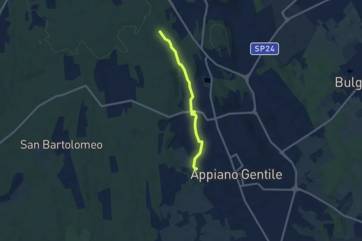
Easy · Trail
Sentiero 846C
4.9 km · ↑ 81 m · 1 h 20 min · 8 km away