Trails near Castiglione Olona
138 hikes starting within 15 km, nearest first.
Nearest first, page 2 of 3
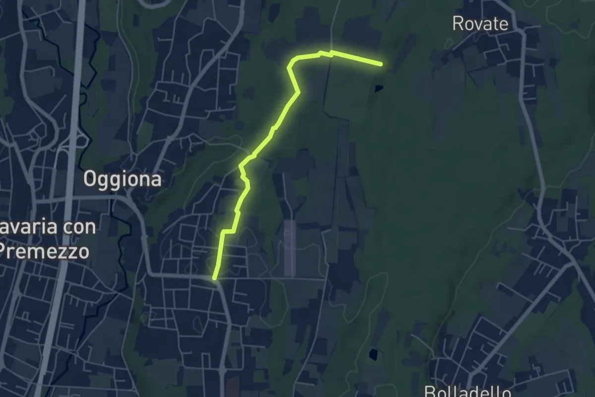
Easy · Trail
523A Sentiero Rio Freddo
4.9 km · ↑ 36 m · 1 h 15 min · 8 km away
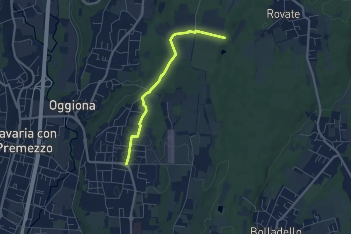
Easy · Trail
Sentiero Rio Freddo
4.9 km · ↑ 36 m · 1 h 15 min · 8 km away
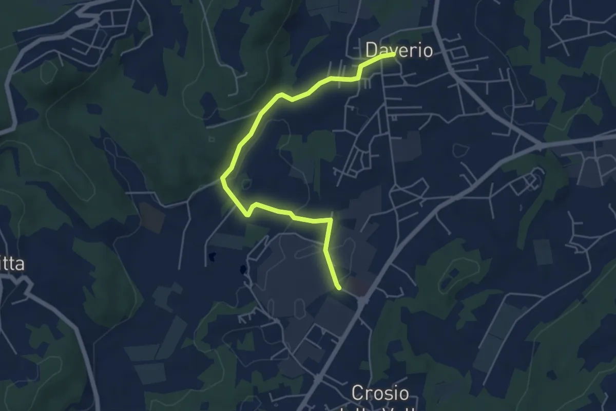
Easy · Trail
Piane Viscontee - Anello di Daverio
5.1 km · ↑ 66 m · 1 h 21 min · 8 km away
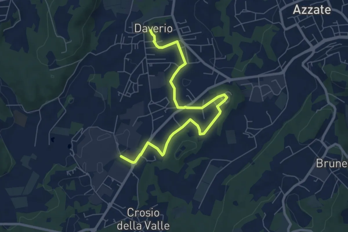
Easy · Trail
Piane Viscontee - Anello di Daverio
7.4 km · ↑ 105 m · 1 h 58 min · 8 km away
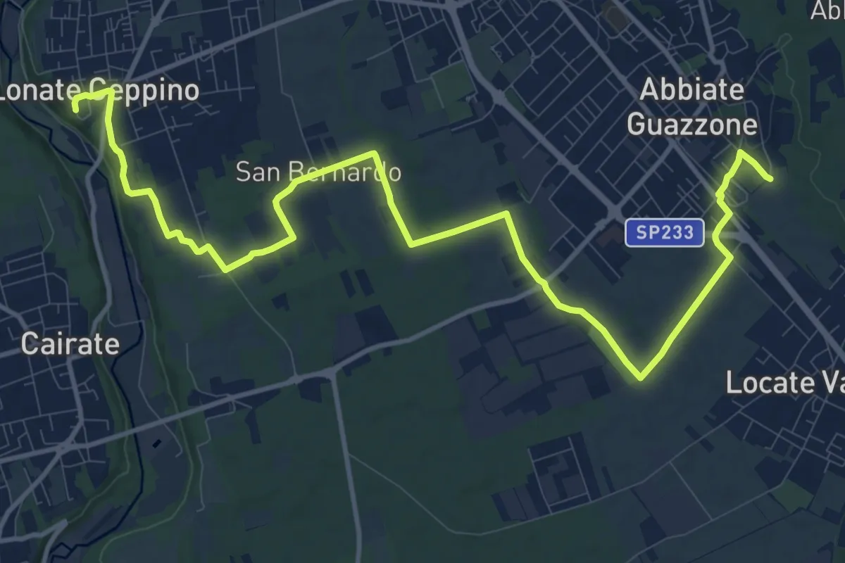
Medium · Trail
520F Collegamento RTO-Pineta
15.1 km · ↑ 102 m · 3 h 47 min · 8 km away
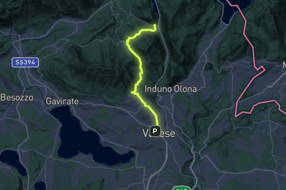
Demanding · Trail
Via Francisca del Lucomagno: Tappa 2
14.7 km · ↑ 465 m · 4 h 38 min · 8 km away
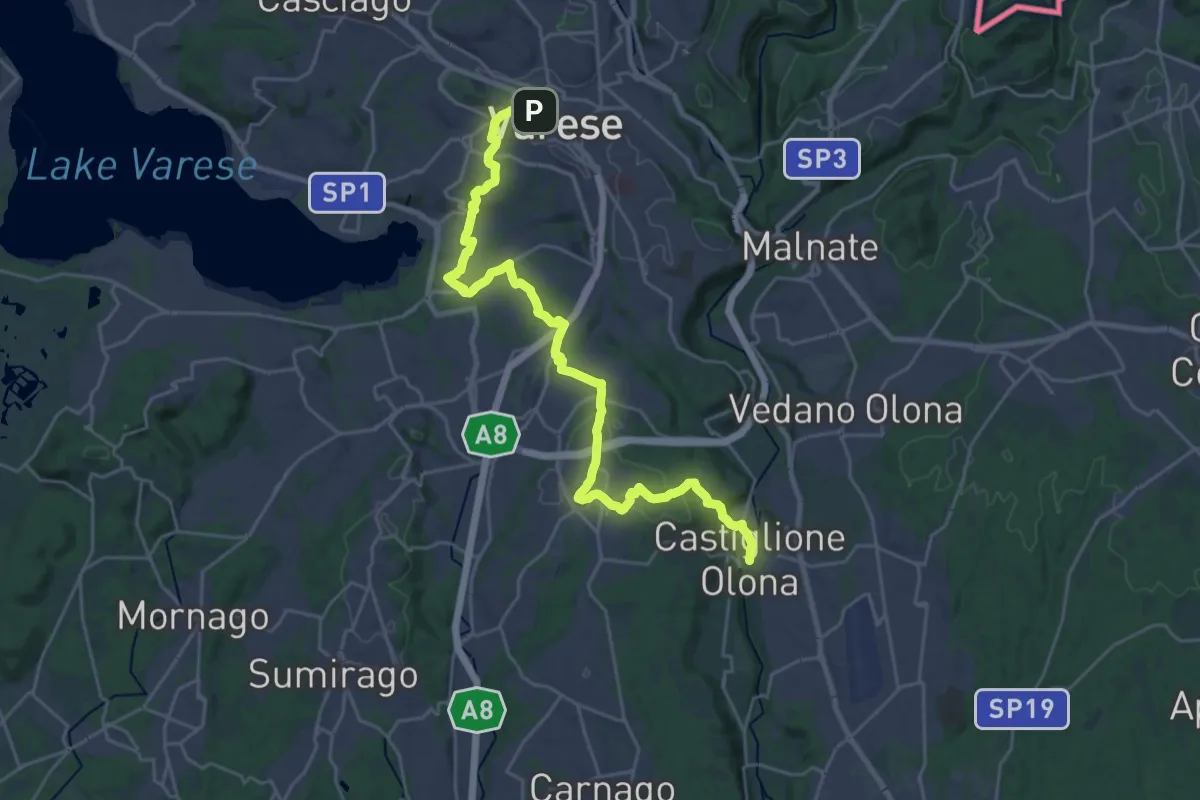
Medium · Trail
Via Francisca del Lucomagno: Tappa 3
14.5 km · ↑ 239 m · 4 h 11 min · 8 km away
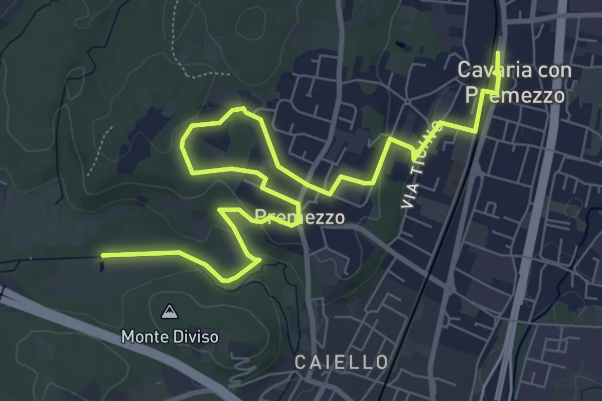
Medium · Trail
DID Anello di Cavaria
8.8 km · ↑ 98 m · 2 h 17 min · 8 km away
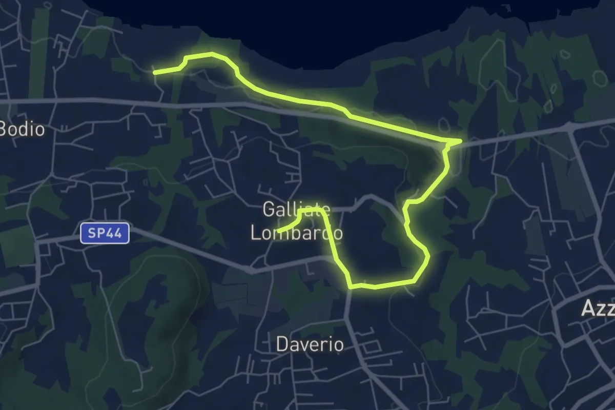
Medium · Trail
Piane Viscontee - Anello di Galliate Lombardo
8.0 km · ↑ 138 m · 2 h 12 min · 8 km away
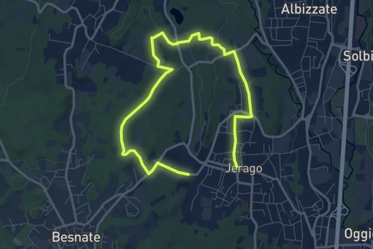
Medium · Trail
Piane Viscontee - Anello di Jerago
11.3 km · ↑ 87 m · 2 h 51 min · 8 km away
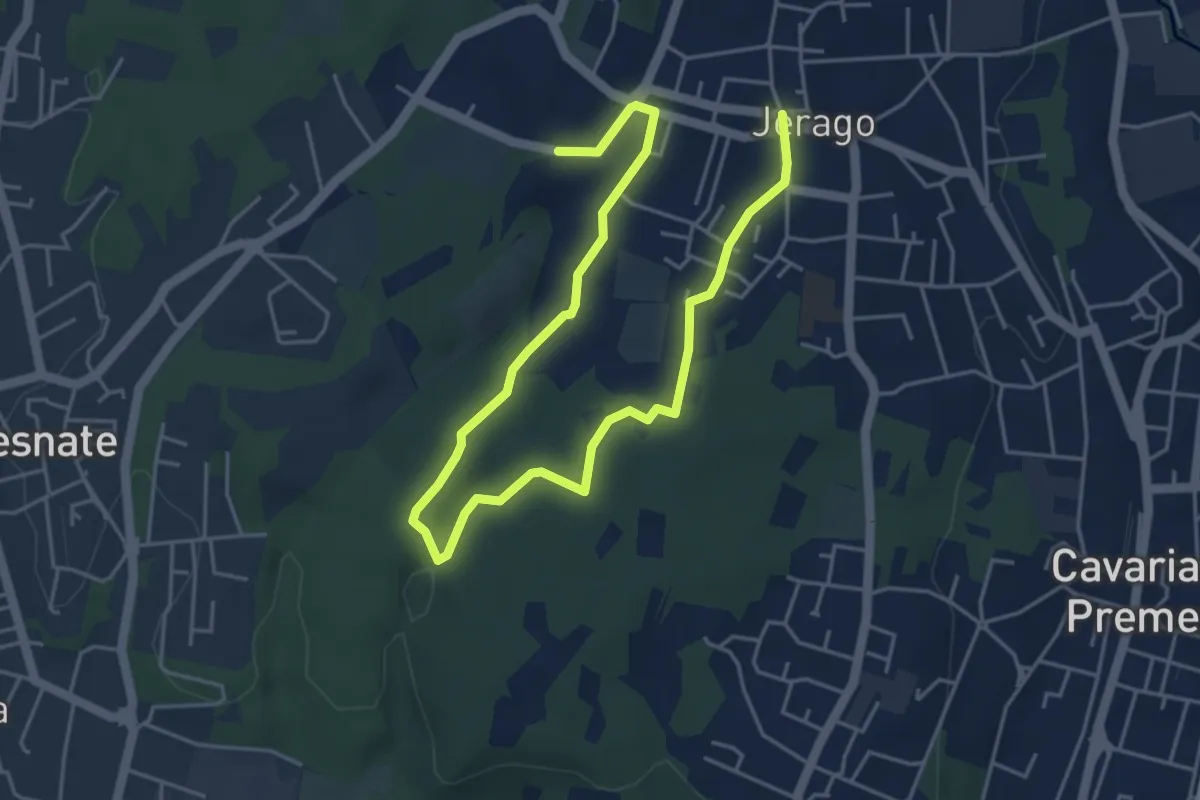
Easy · Trail
Piane Viscontee - Anello di Jerago
6.8 km · ↑ 65 m · 1 h 45 min · 8 km away
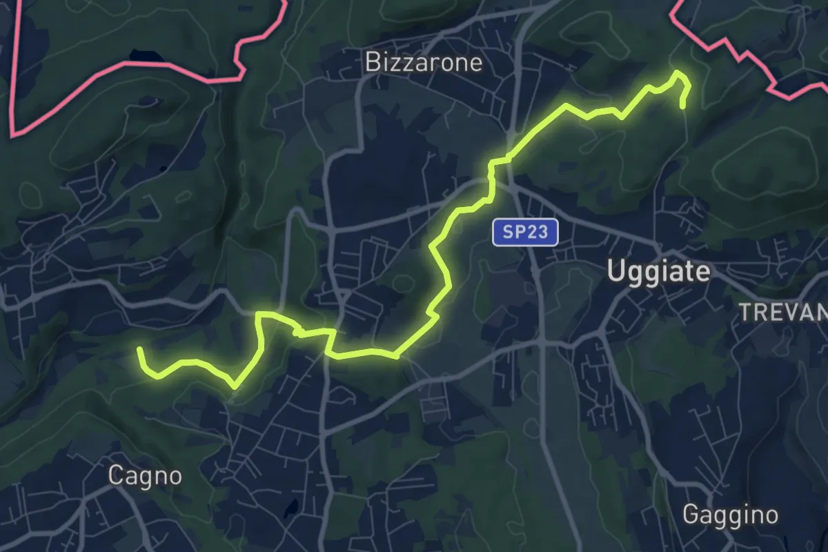
Medium · Trail
Sentiero Lanza-Lura
10.7 km · ↑ 292 m · 3 h 10 min · 8 km away
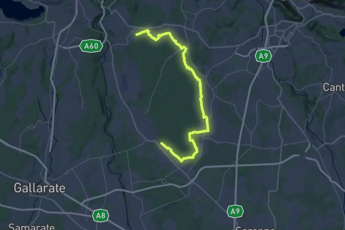
Demanding · Trail
Sentiero 840 LP
23.0 km · ↑ 244 m · 6 h 15 min · 8 km away
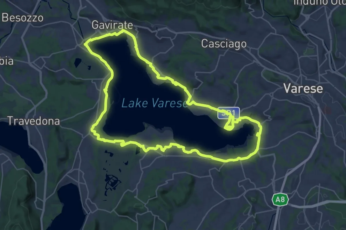
Demanding · Trail
Ciclopedonale Lago di Varese
29.9 km · ↑ 145 m · 7 h 47 min · 8 km away
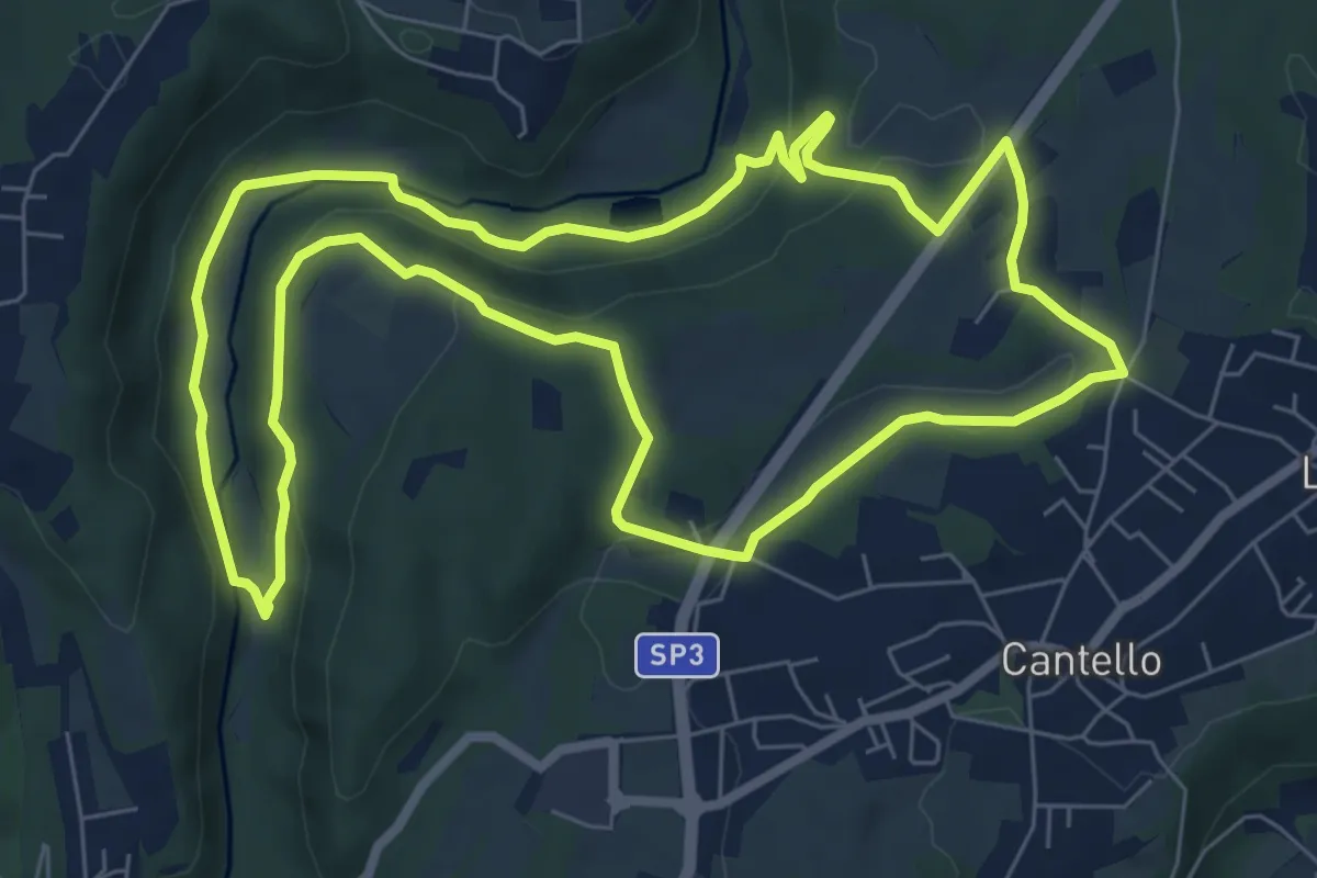
Medium · Trail
Varese via Ca' Bassa Anello della Bevera – Varese via Ca' Bassa Anello della Bevera
8.0 km · ↑ 188 m · 2 h 25 min · 9 km away
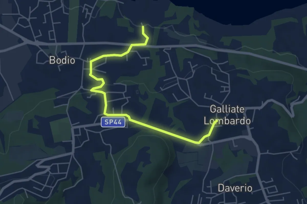
Easy · Trail
Piane Viscontee - Anello di Galliate Lombardo
5.5 km · ↑ 118 m · 1 h 33 min · 9 km away
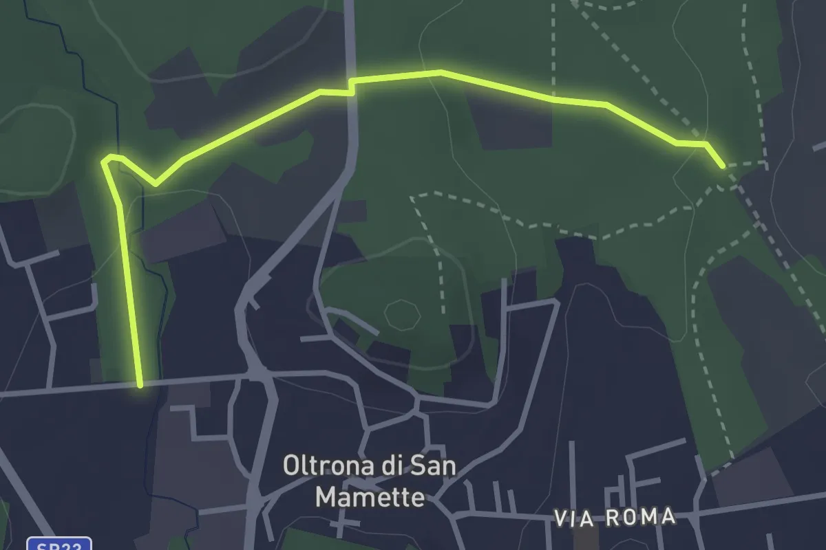
Easy · Trail
Incrocio 715B – Oltrona
3.2 km · ↑ 56 m · 52 min · 9 km away
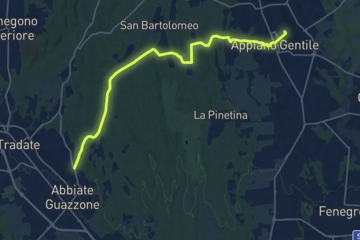
Medium · Trail
Appiano Gentile – Tradate
15.2 km · ↑ 222 m · 4 h 5 min · 9 km away
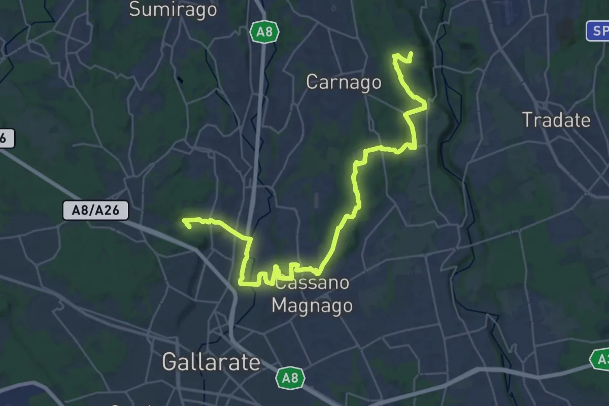
Medium · Trail
Collegamento Ticino-Seprio
16.0 km · ↑ 202 m · 4 h 23 min · 10 km away
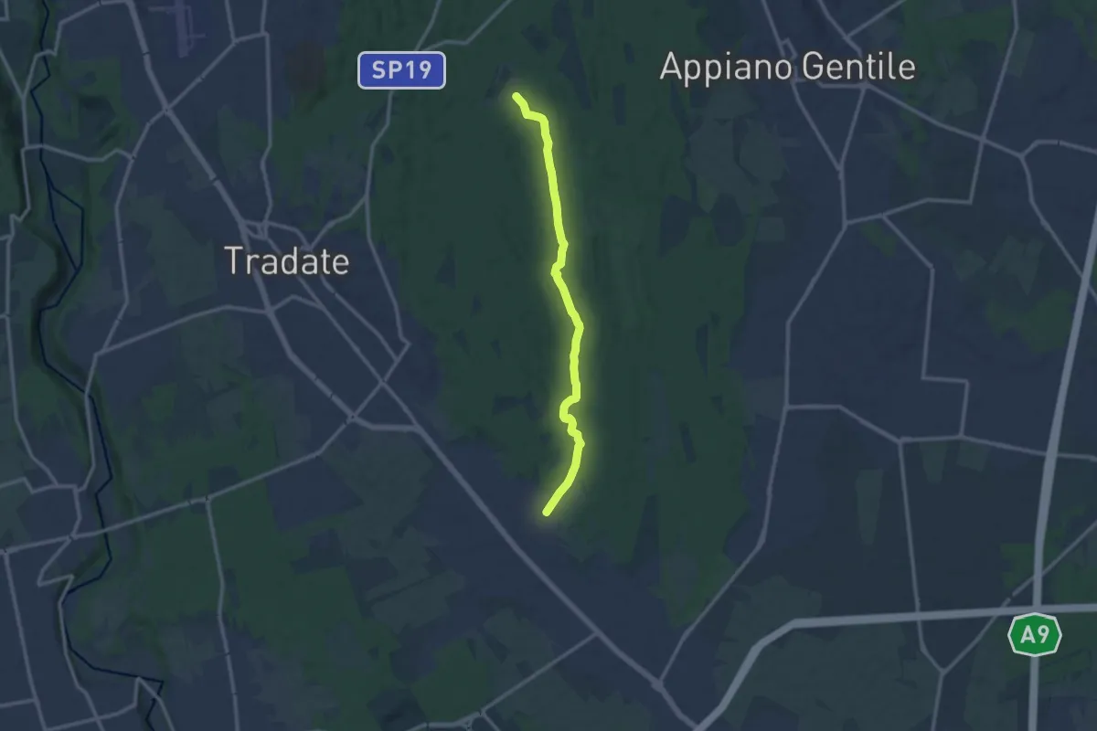
Medium · Trail
Sentiero 845
11.0 km · ↑ 92 m · 2 h 47 min · 10 km away
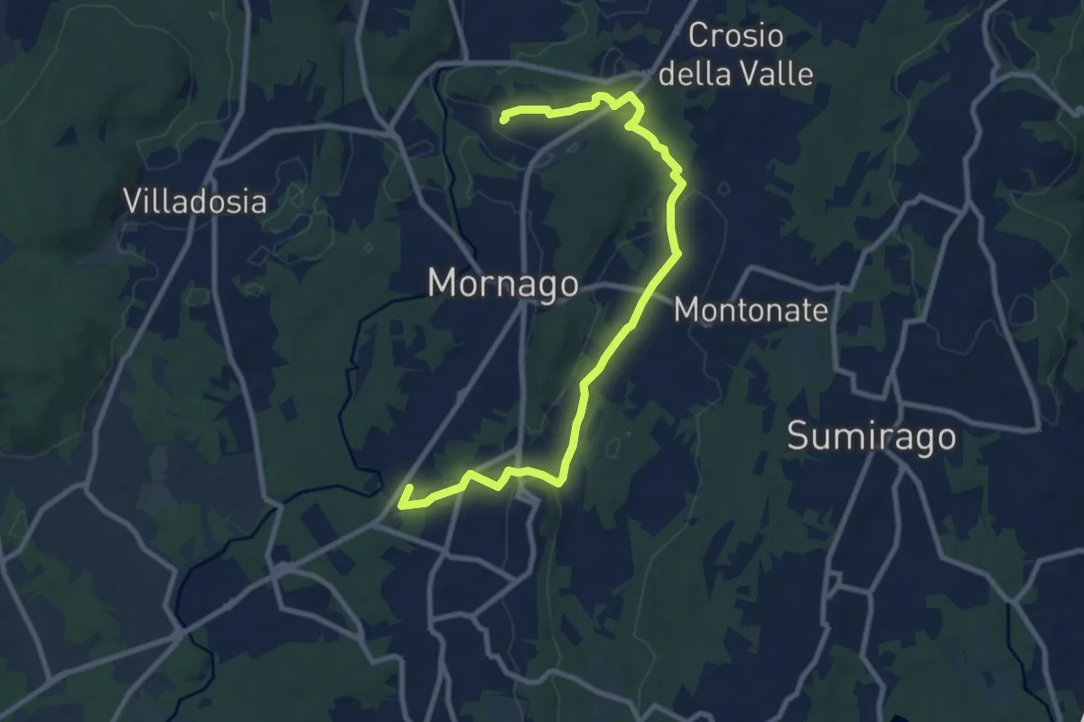
Medium · Trail
Piane Viscontee - Anello di Mornago
10.0 km · ↑ 100 m · 2 h 34 min · 10 km away
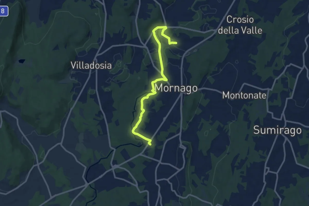
Medium · Trail
Piane Viscontee - Anello di Mornago
8.8 km · ↑ 63 m · 2 h 12 min · 10 km away
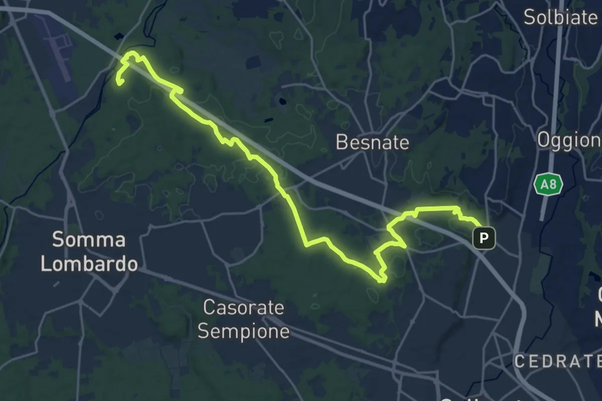
Demanding · Summit
Sentiero Strona
22.8 km · ↑ 292 m · 6 h · 10 km away
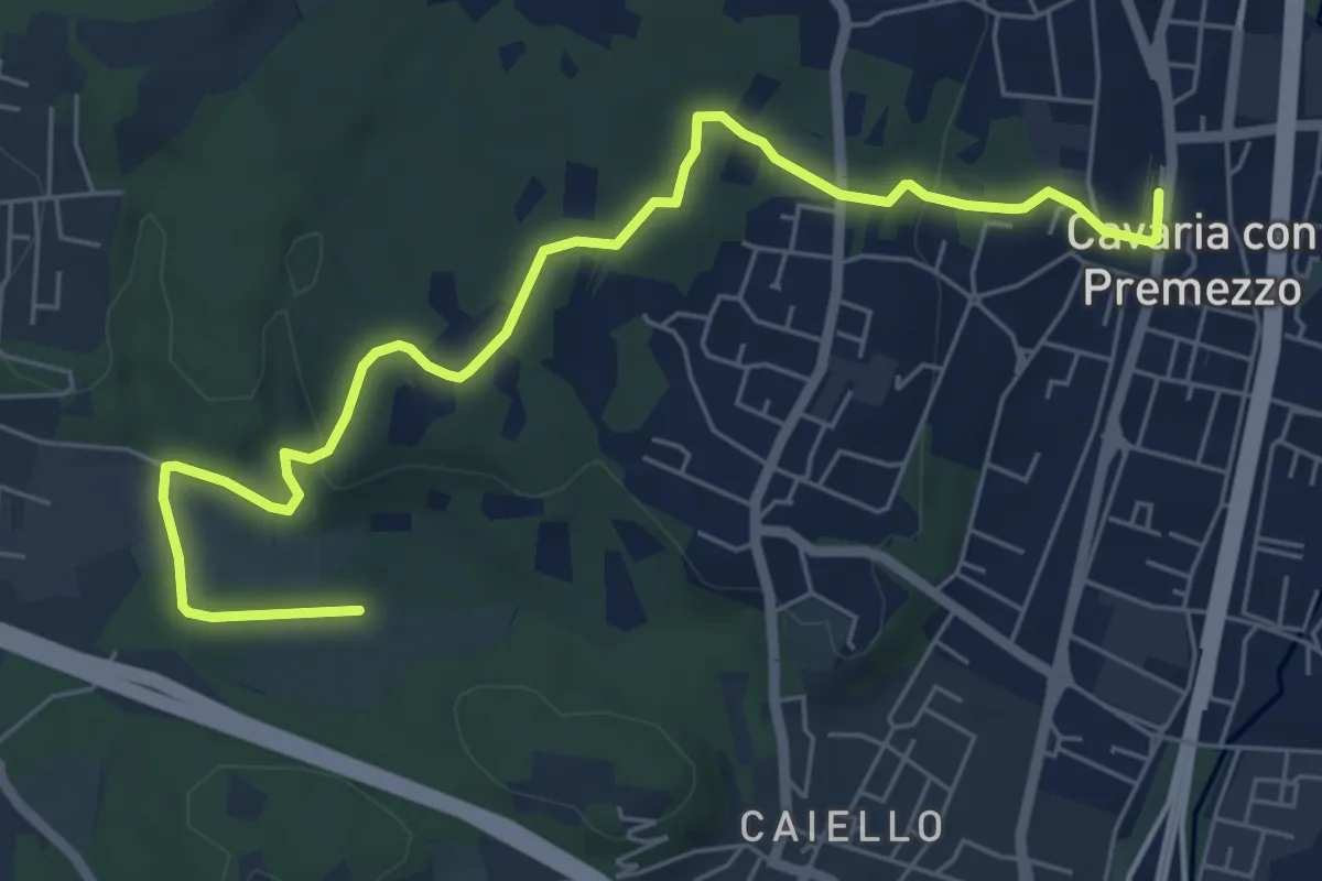
Medium · Trail
DID Anello di Cavaria
7.3 km · ↑ 114 m · 1 h 58 min · 10 km away
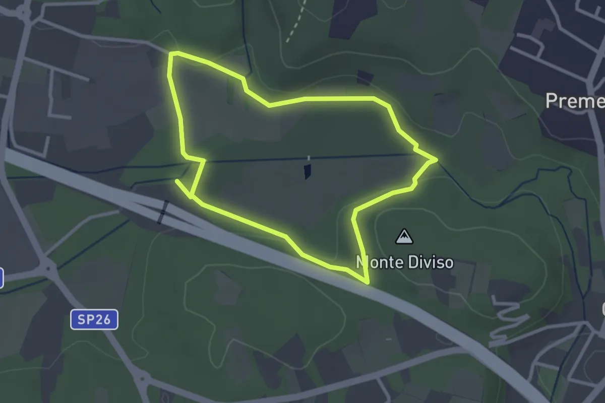
Easy · Summit
Anello dei Fontanili
2.6 km · ↑ 22 m · 42 min · 10 km away
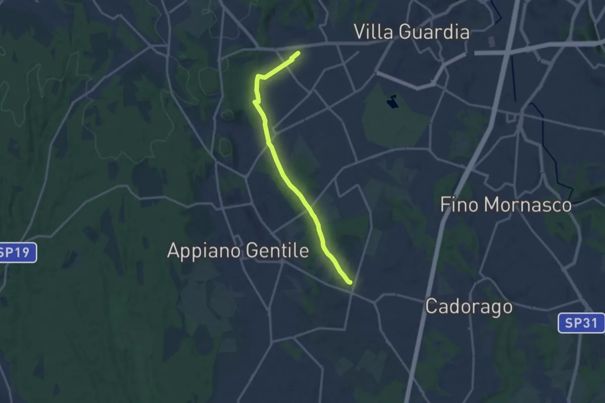
Medium · Trail
Lurate Caccivio – Guanzate
11.5 km · ↑ 86 m · 2 h 53 min · 10 km away
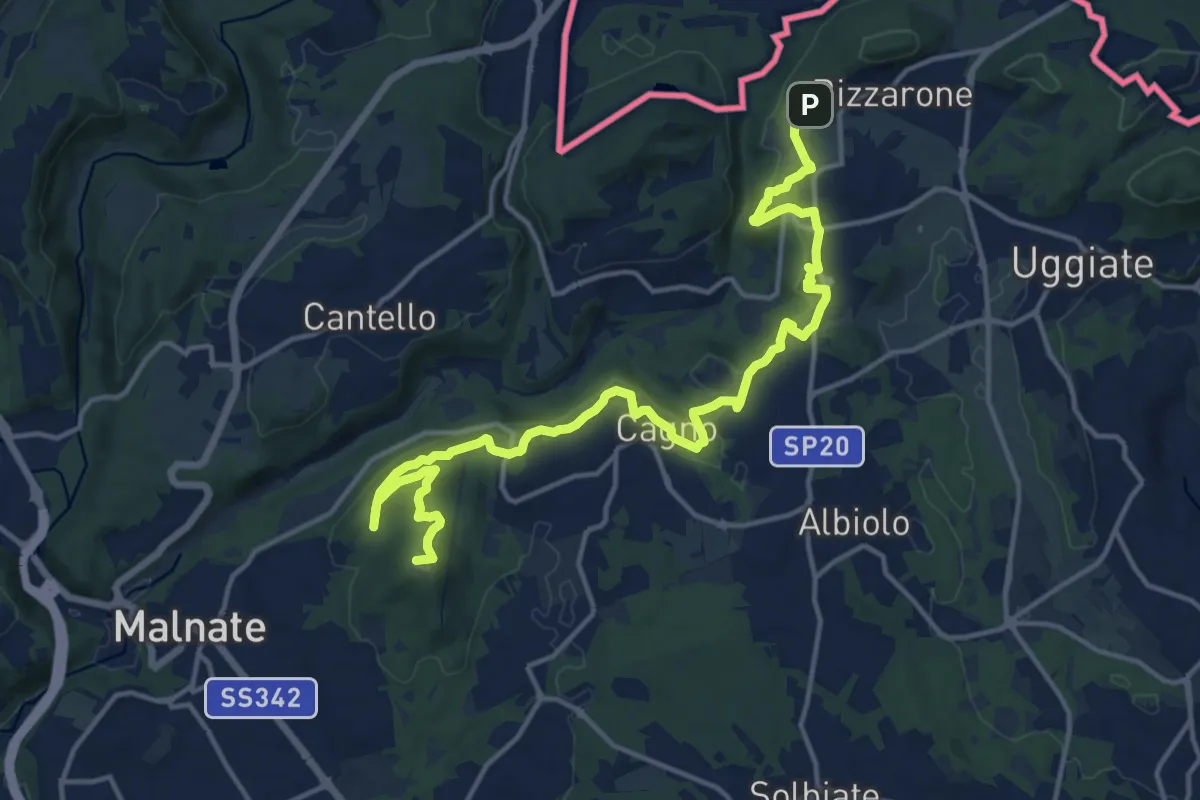
Demanding · Summit
Sentiero cima delle valli
18.5 km · ↑ 411 m · 5 h 16 min · 10 km away
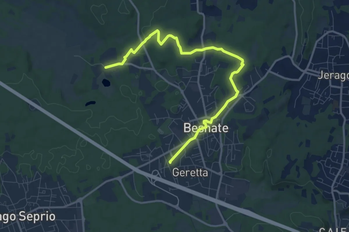
Medium · Trail
Percorsi del Cuore - Anello di Besnate
10.2 km · ↑ 90 m · 2 h 37 min · 11 km away
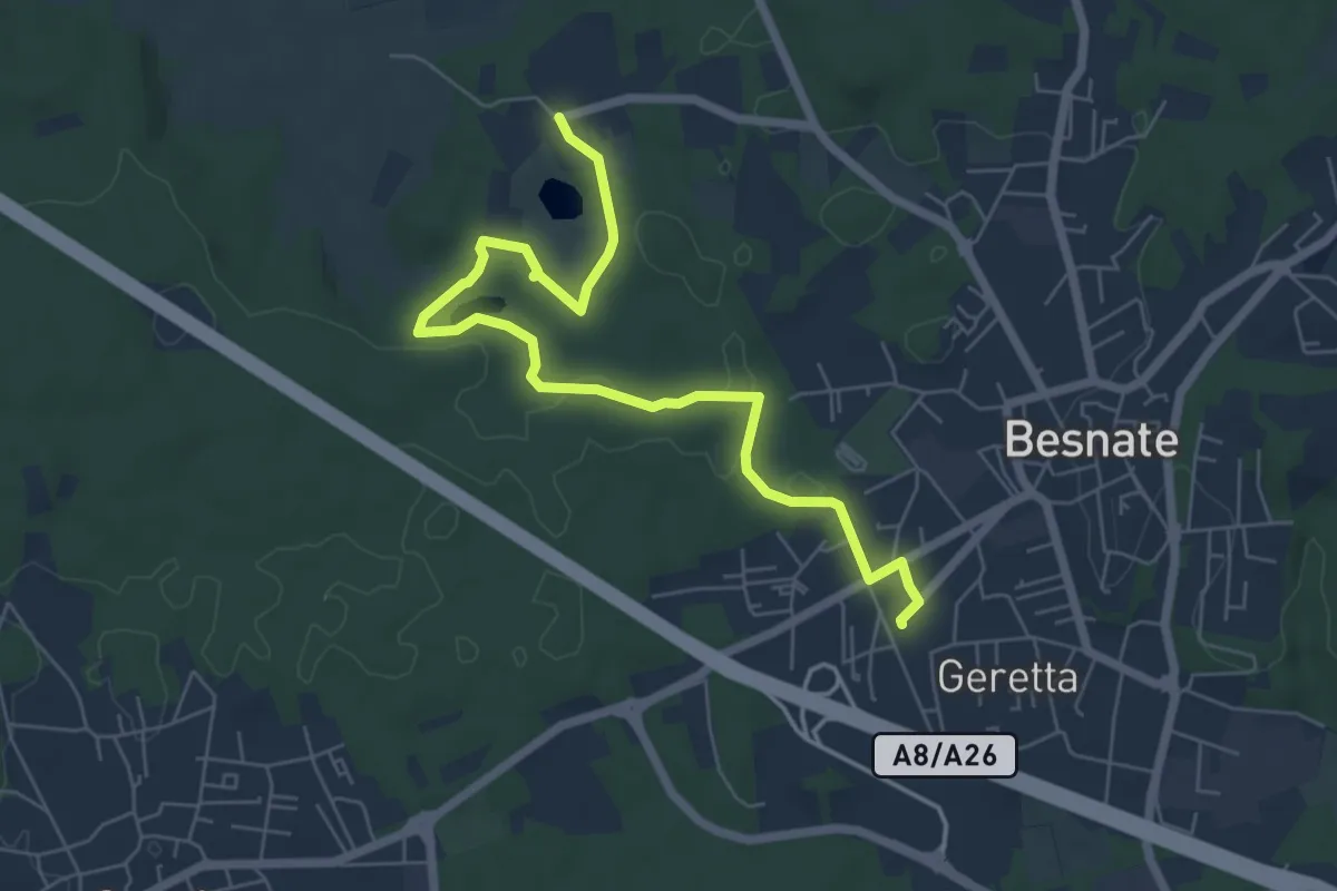
Easy · Trail
Percorsi del Cuore - Anello di Besnate
7.1 km · ↑ 51 m · 1 h 47 min · 11 km away
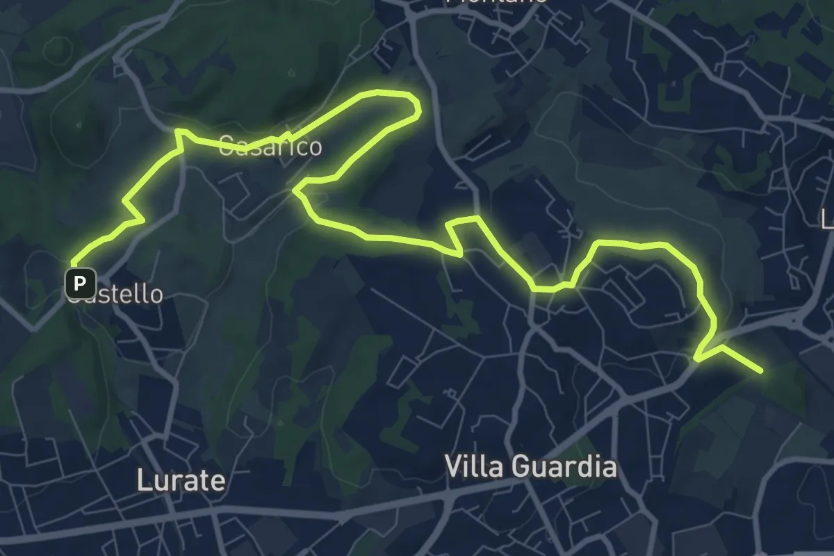
Medium · Trail
Castello – Civello
12.9 km · ↑ 191 m · 3 h 28 min · 11 km away
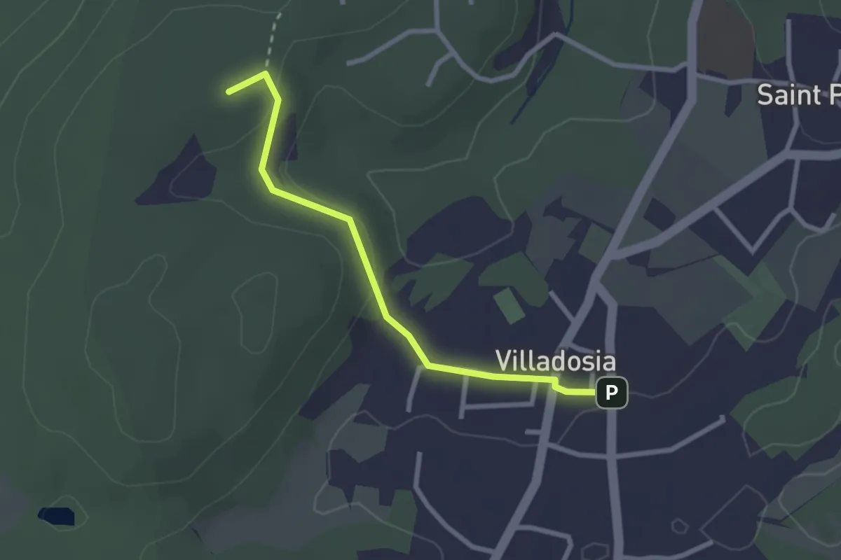
Easy · Trail
Villadosia – Cascina Bruciata
2.5 km · ↑ 56 m · 43 min · 11 km away
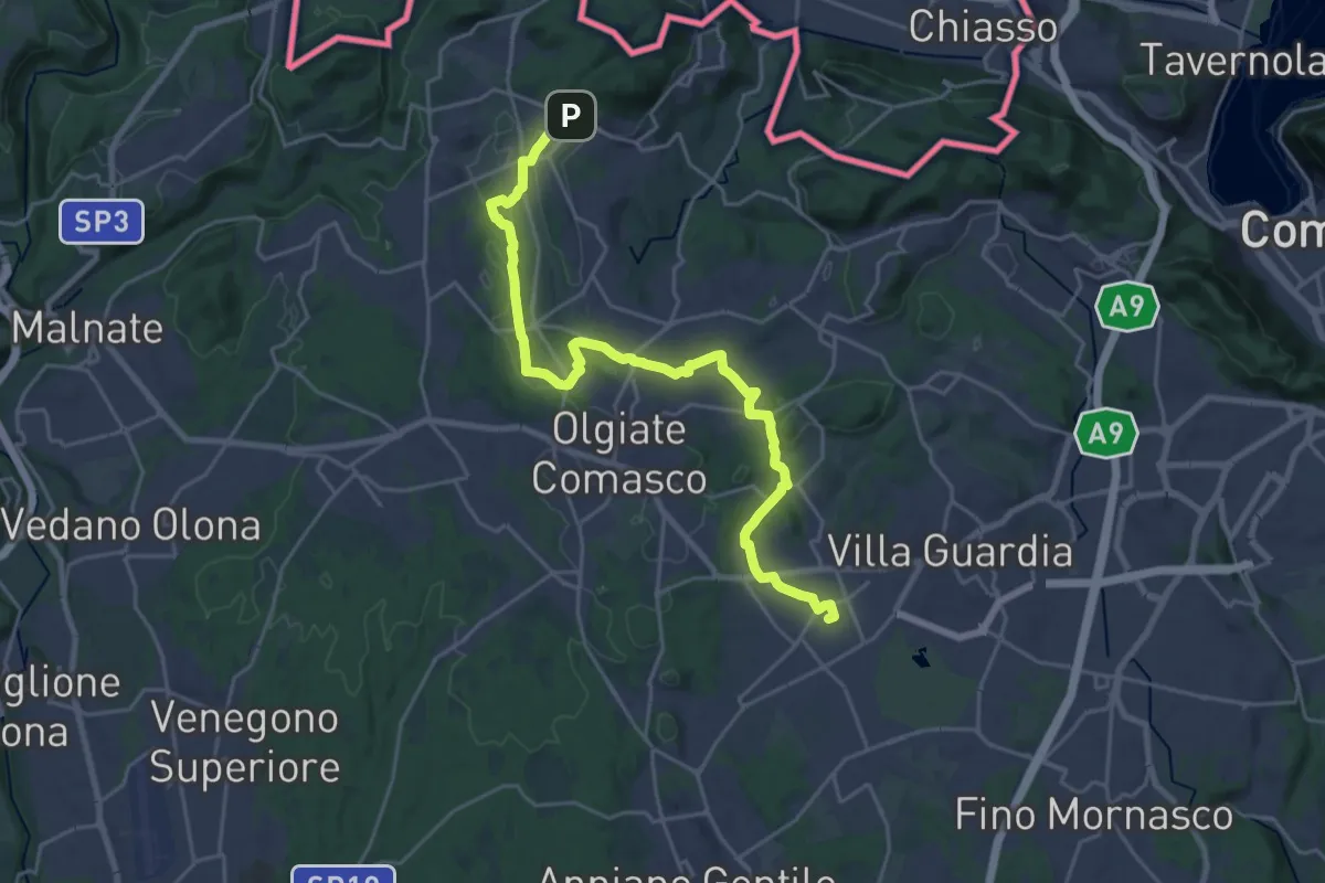
Demanding · Trail
Lurate Caccivio – Bizzarrone confine (CH)
25.7 km · ↑ 211 m · 6 h 31 min · 11 km away
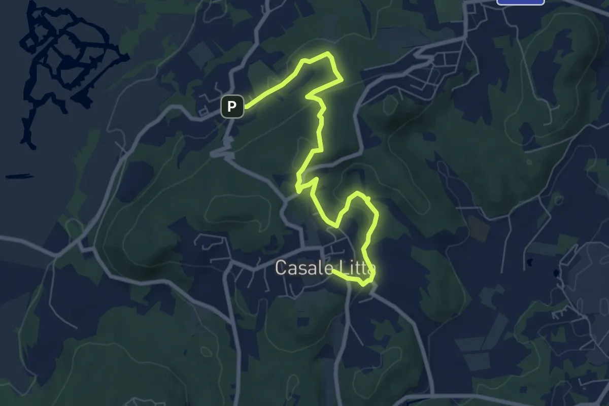
Easy · Trail
Piane Viscontee - Anello di Casale Litta
7.7 km · ↑ 219 m · 2 h 18 min · 11 km away
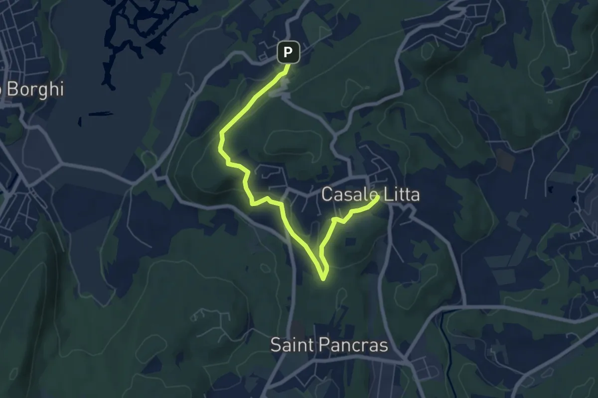
Easy · Trail
Piane Viscontee - Anello di Casale Litta
6.7 km · ↑ 183 m · 1 h 59 min · 11 km away
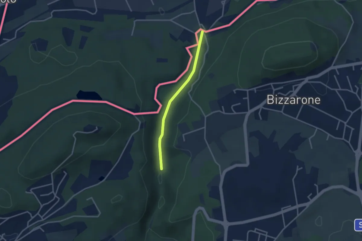
Easy · Trail
Sentiero di Fondovalle
2.3 km · ↑ 32 m · 37 min · 11 km away
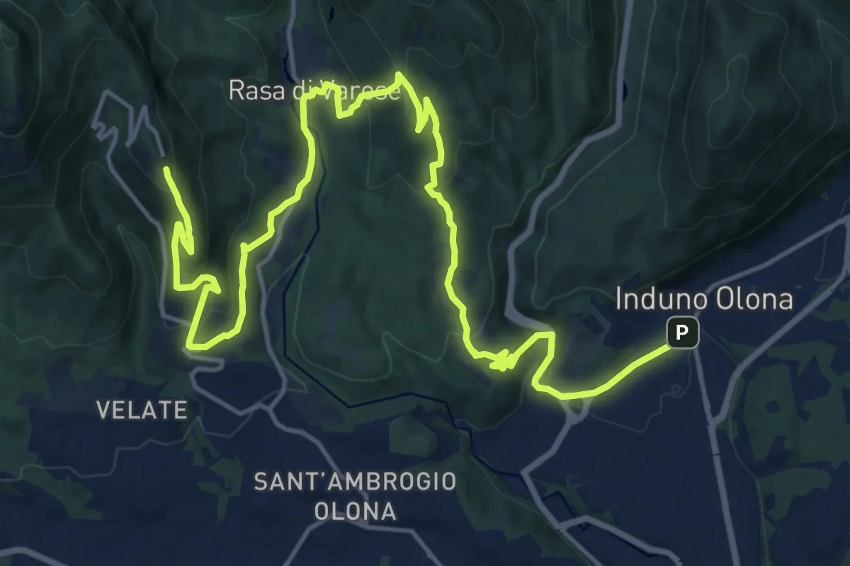
Demanding · Trail
Via Verde Varesina tappa 2
20.7 km · ↑ 902 m · 6 h 50 min · 11 km away
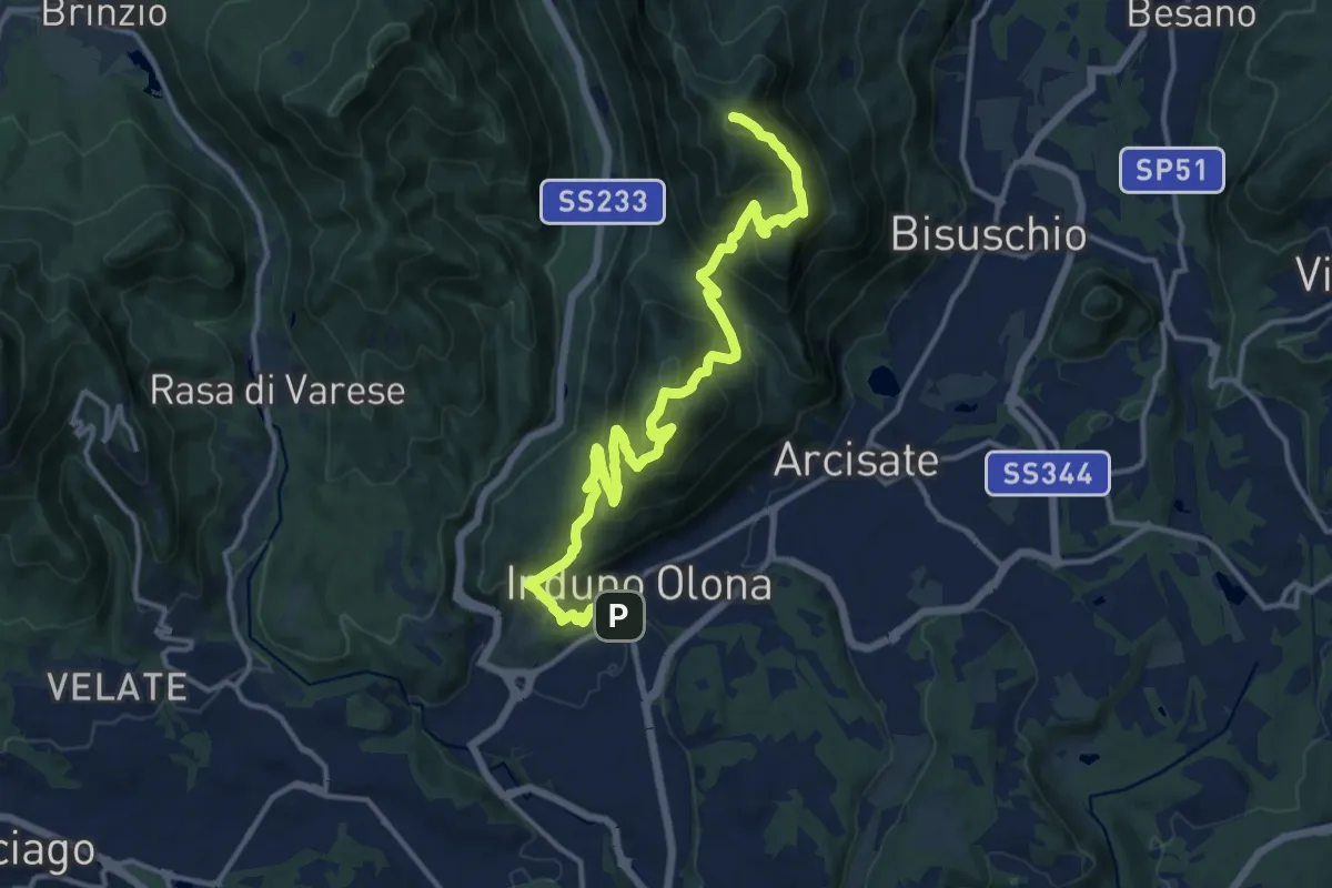
Demanding · Summit
Porto Ceresio – Induno Olona
16.4 km · ↑ 1108 m · 6 h 16 min · 11 km away
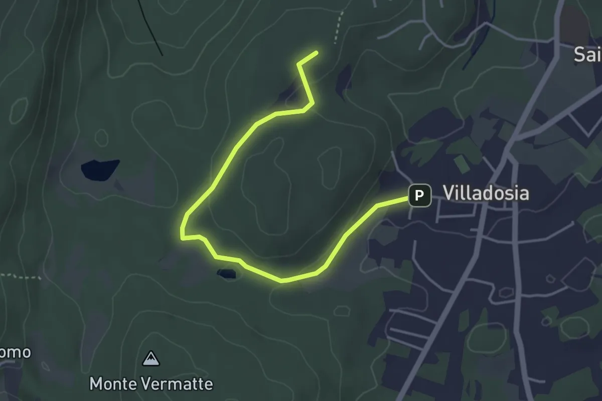
Easy · Trail
Via Santa Maria – Cascina Bruciata
4.3 km · ↑ 84 m · 1 h 12 min · 11 km away
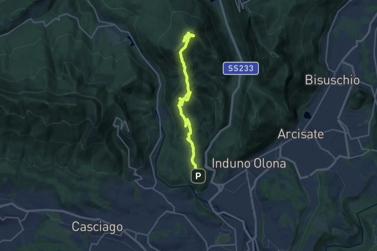
Medium · Summit
Bregazzana - Monte Martica
13.7 km · ↑ 692 m · 4 h 44 min · 11 km away
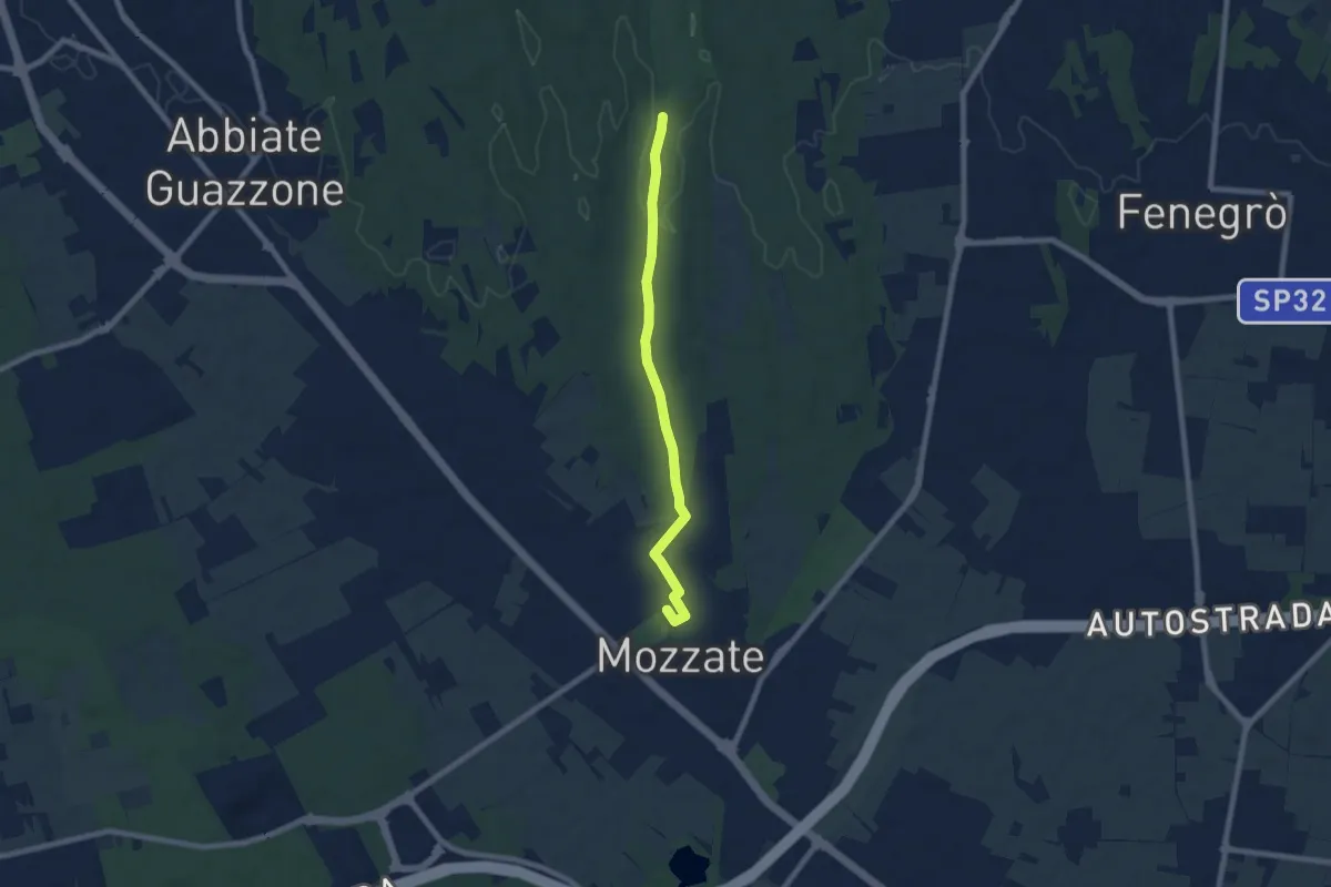
Easy · Trail
Sentiero 844B
7.1 km · ↑ 43 m · 1 h 47 min · 11 km away
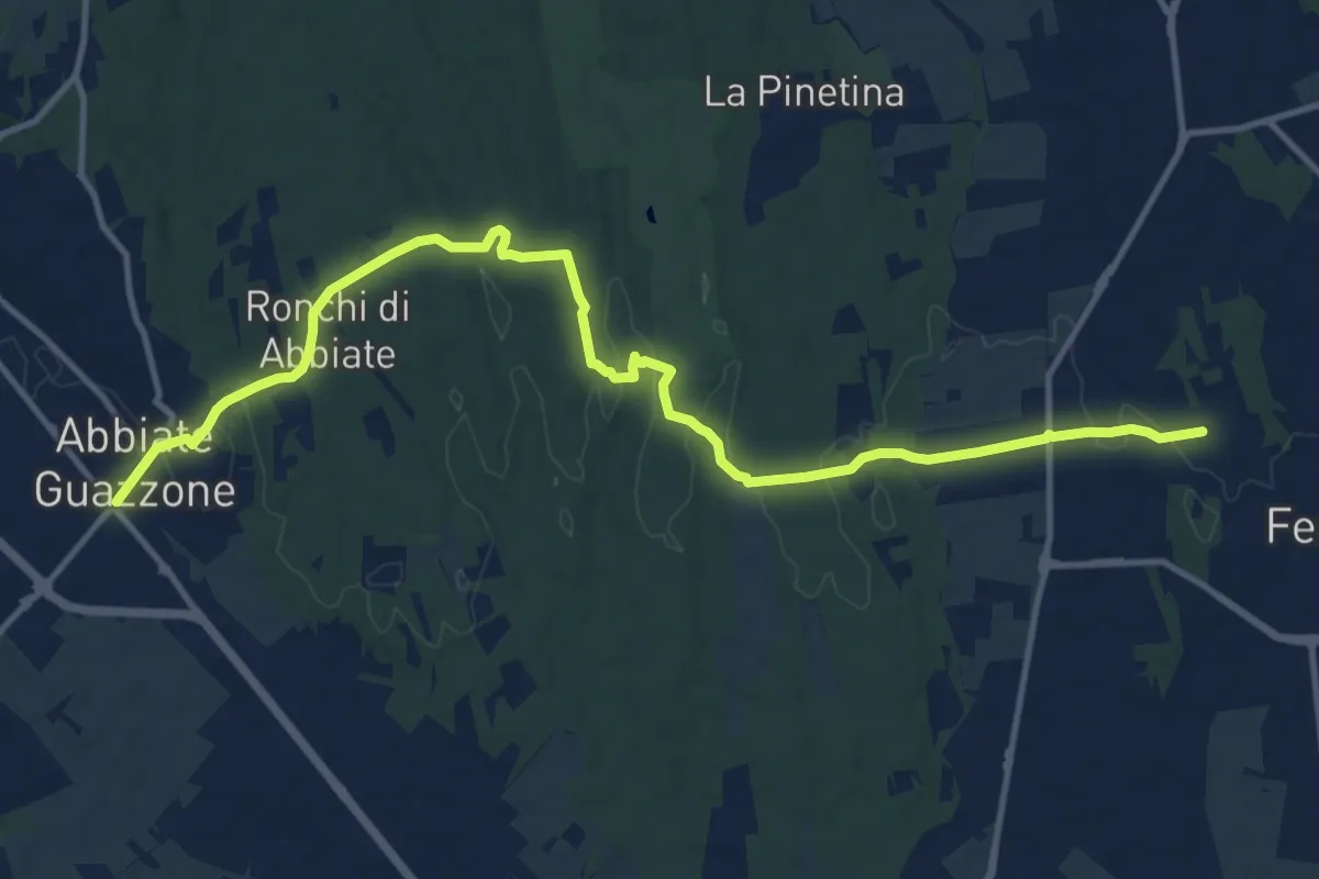
Medium · Trail
Sentiero 844
14.8 km · ↑ 205 m · 3 h 57 min · 11 km away
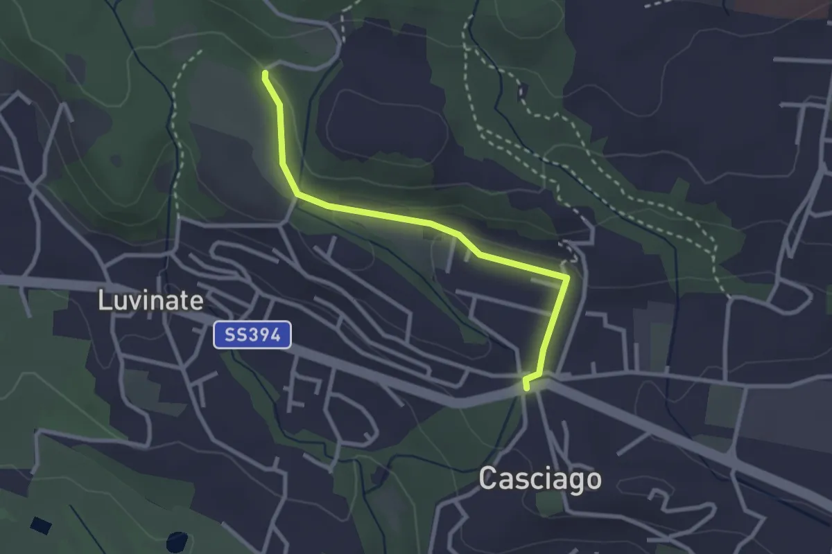
Easy · Trail
Casciago – Sentiero 310A
2.6 km · ↑ 51 m · 43 min · 11 km away
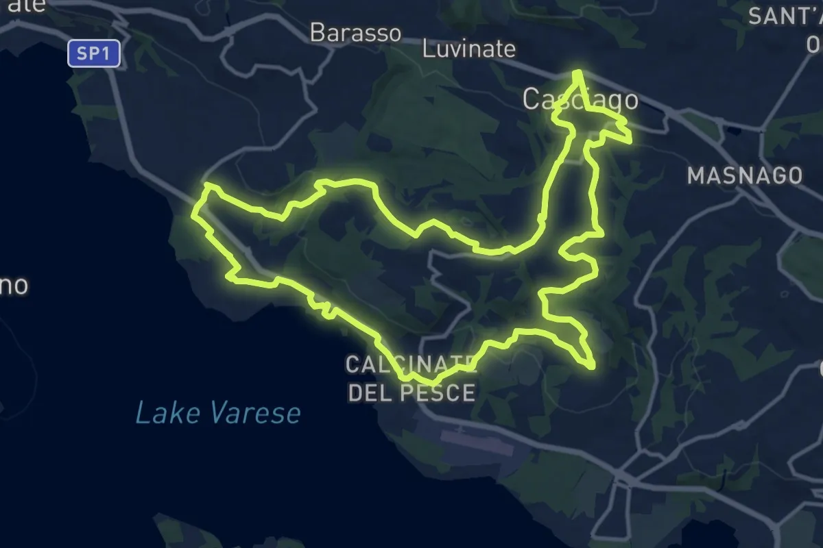
Medium · Trail
Tigros Gavirate – Tigros Gavirate
14.7 km · ↑ 280 m · 4 h 17 min · 11 km away
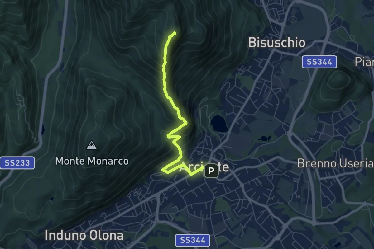
Demanding · Summit
Arcisate – Monte Rho
6.4 km · ↑ 543 m · 2 h 41 min · 12 km away
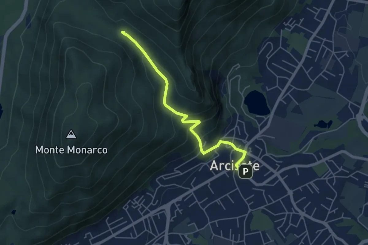
Easy · Trail
Arcisate – Passo del Vescovo
4.6 km · ↑ 243 m · 1 h 37 min · 12 km away
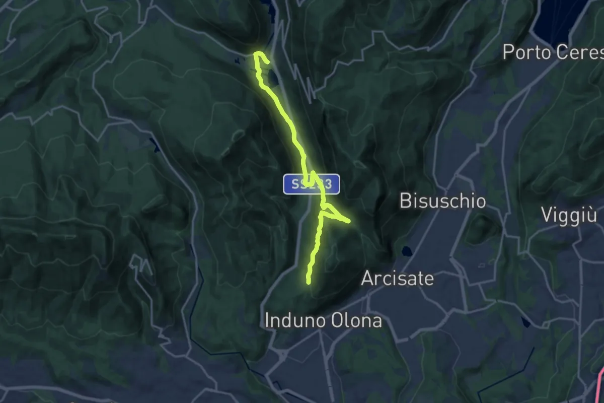
Medium · Trail
Ganna – Montallegro
14.8 km · ↑ 498 m · 4 h 34 min · 12 km away
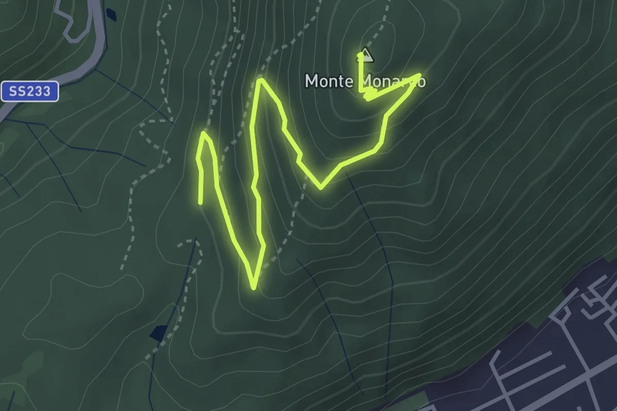
Medium · Summit
Induno Olona - Monte Monarco
4.3 km · ↑ 255 m · 1 h 34 min · 12 km away
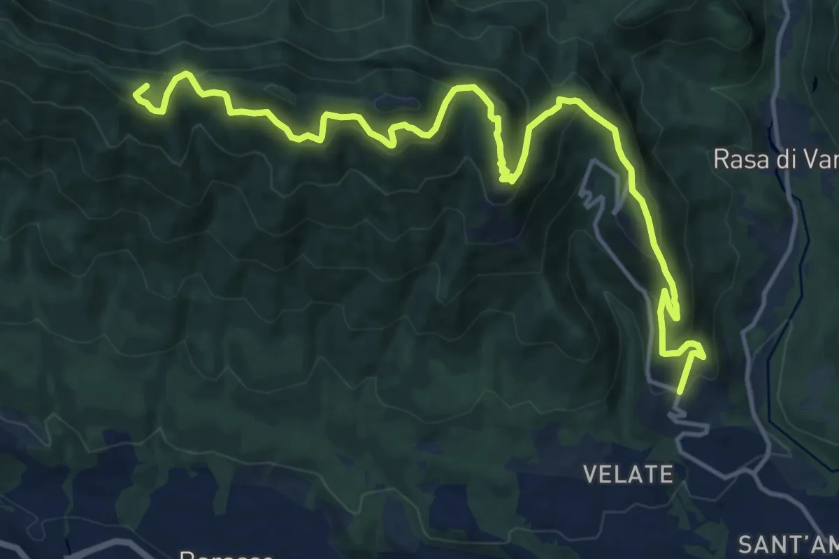
Demanding · Summit
Varese (località Prima Cappella) – Forte di Orino
16.1 km · ↑ 966 m · 5 h 54 min · 12 km away