Trails near Castiglione Olona
138 hikes starting within 15 km, nearest first.
Nearest first, page 3 of 3
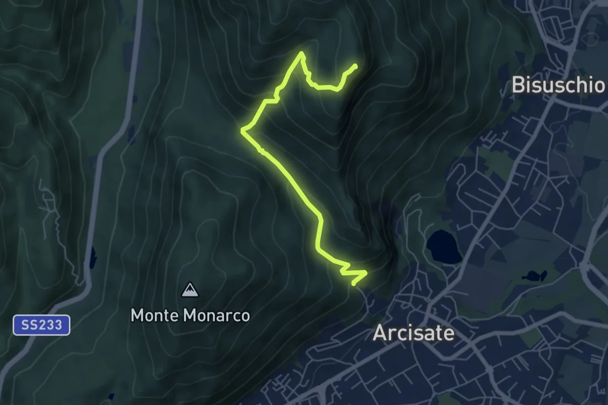
Medium · Summit
Arcisate - Monte Rho d'Arcisate
5.7 km · ↑ 441 m · 2 h 17 min · 12 km away
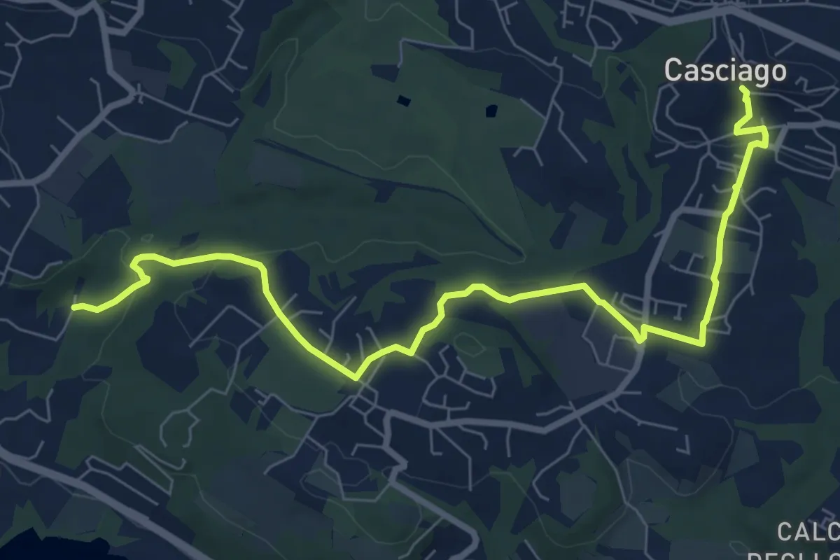
Medium · Trail
Sentiero 321
8.6 km · ↑ 236 m · 2 h 33 min · 12 km away
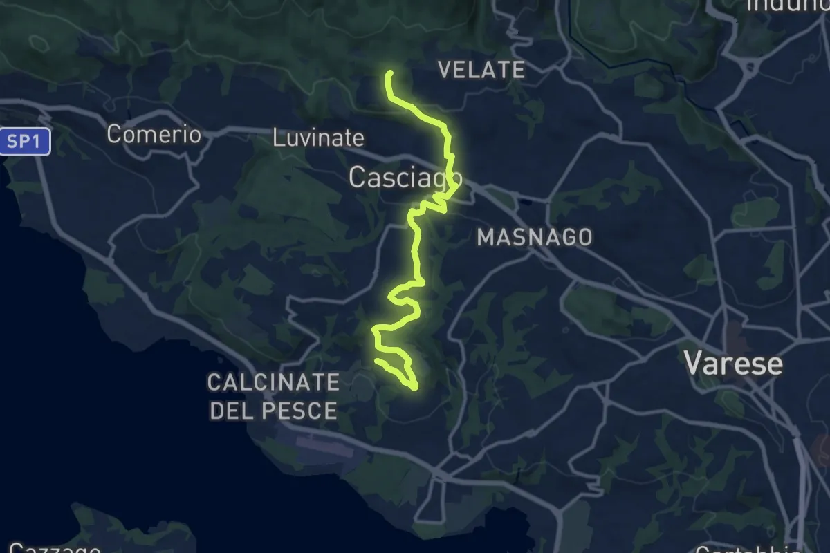
Medium · Trail
Morosolo – Sentiero 310A
12.2 km · ↑ 266 m · 3 h 28 min · 12 km away
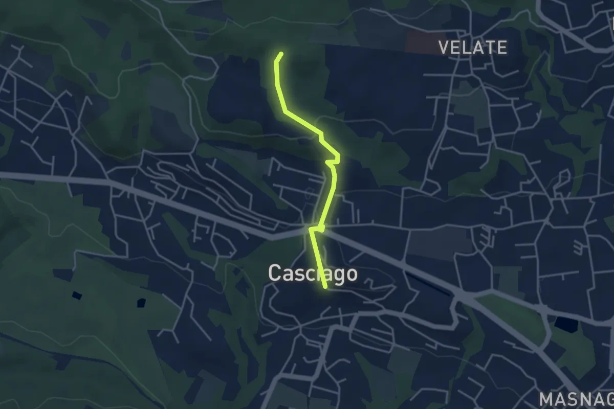
Easy · Trail
Sentiero 321C
3.0 km · ↑ 95 m · 54 min · 12 km away
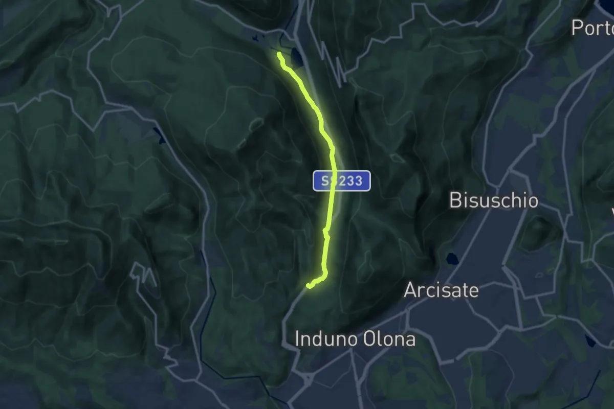
Medium · Trail
Valganna – Grotte di Valganna
9.6 km · ↑ 117 m · 2 h 31 min · 12 km away
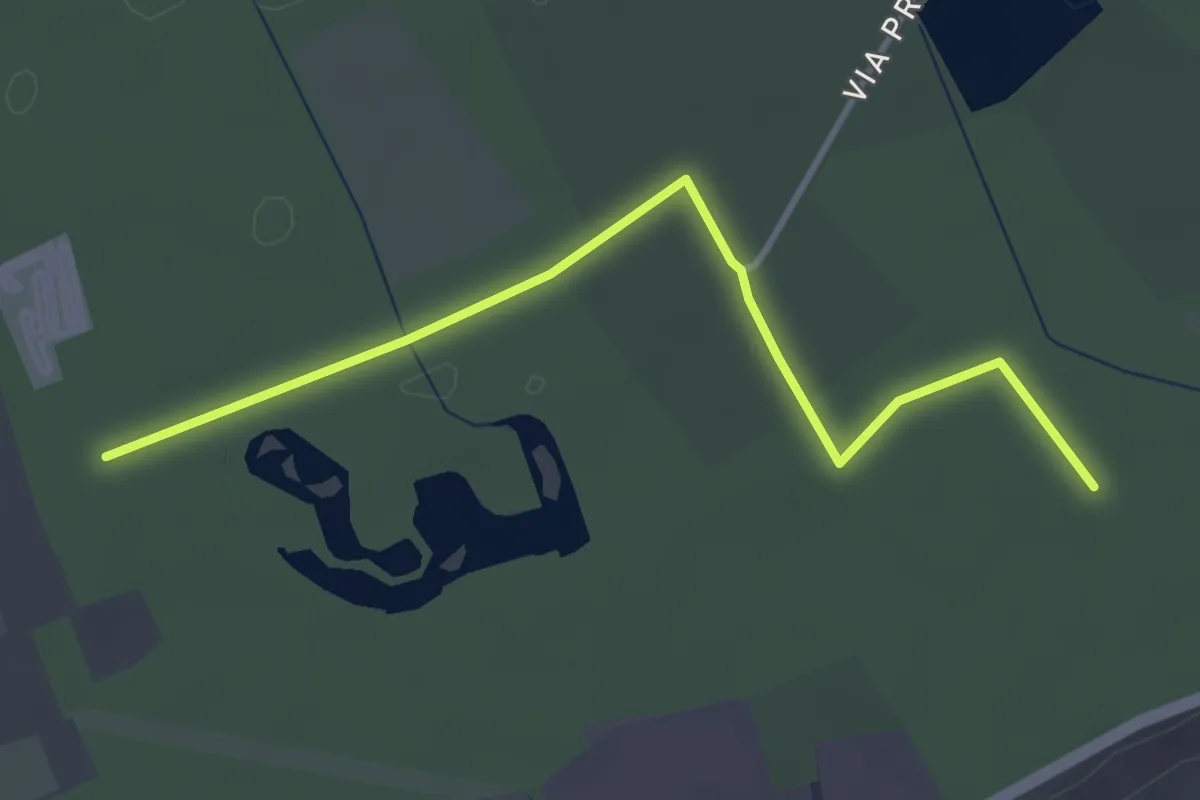
Easy · Trail
Collegamento Gorla Minore - Cislago
3.9 km · ↑ 0 m · 55 min · 12 km away
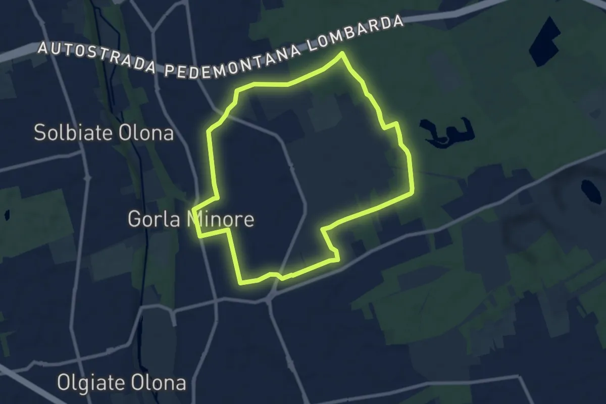
Easy · Trail
Anello Gorla
7.9 km · ↑ 34 m · 2 h 2 min · 12 km away
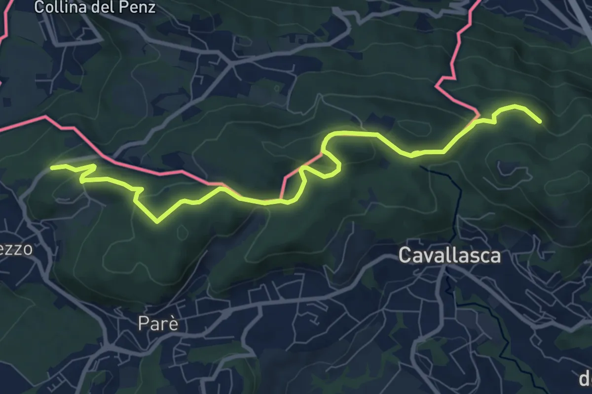
Medium · Trail
Confinale
9.1 km · ↑ 322 m · 2 h 50 min · 13 km away
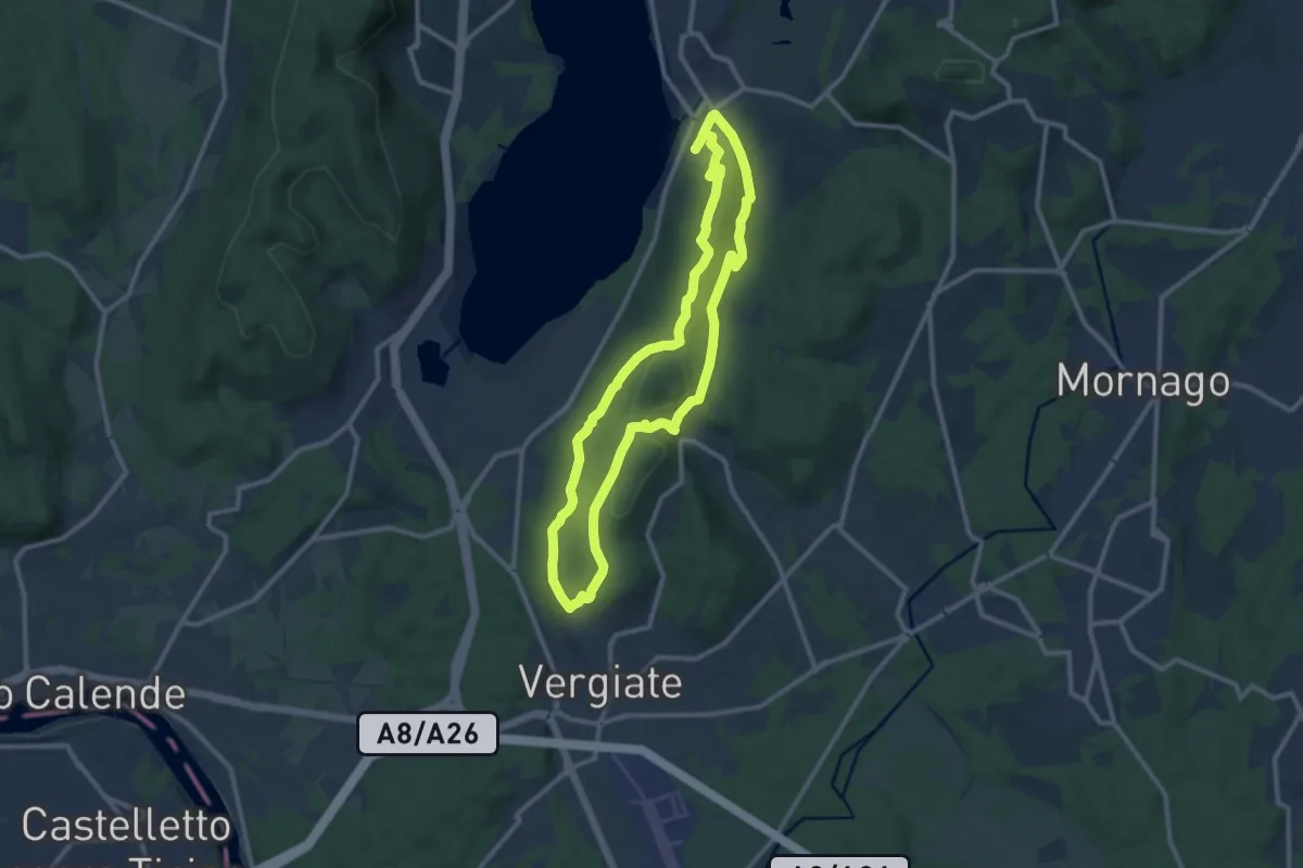
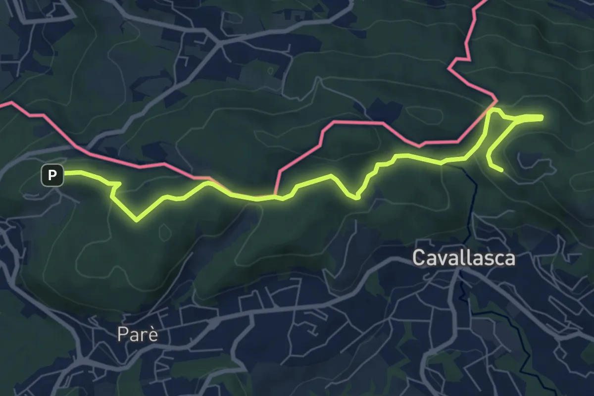
Medium · Trail
Anello Monte San Giacomo
10.6 km · ↑ 320 m · 3 h 20 min · 13 km away
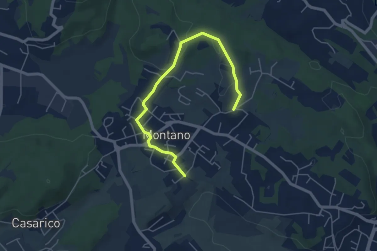
Medium · Trail
Bizzarone – Como
8.2 km · ↑ 264 m · 2 h 30 min · 13 km away
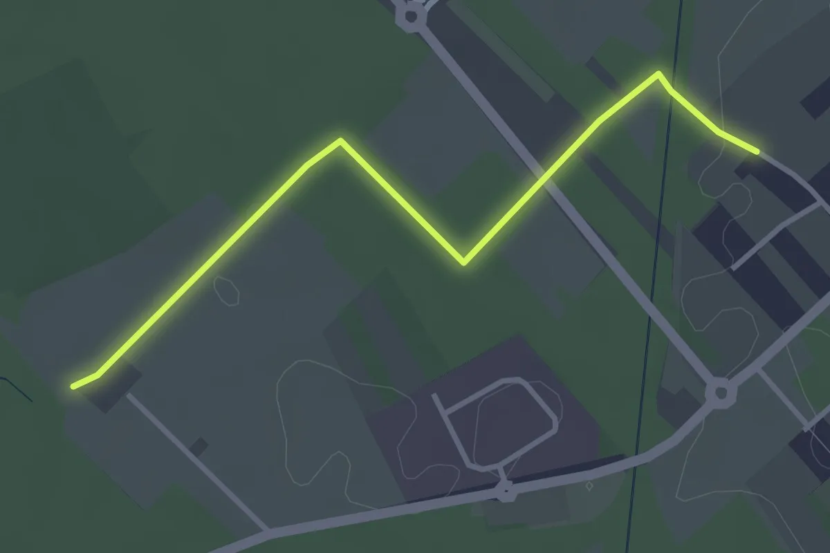
Easy · Trail
Montano Lucino cimitero – Montano Lucino loc. Trivino
4.9 km · ↑ 65 m · 1 h 18 min · 13 km away
Easy · Trail
Cislago - Rescaldina
3.3 km · ↑ 15 m · 49 min · 13 km away
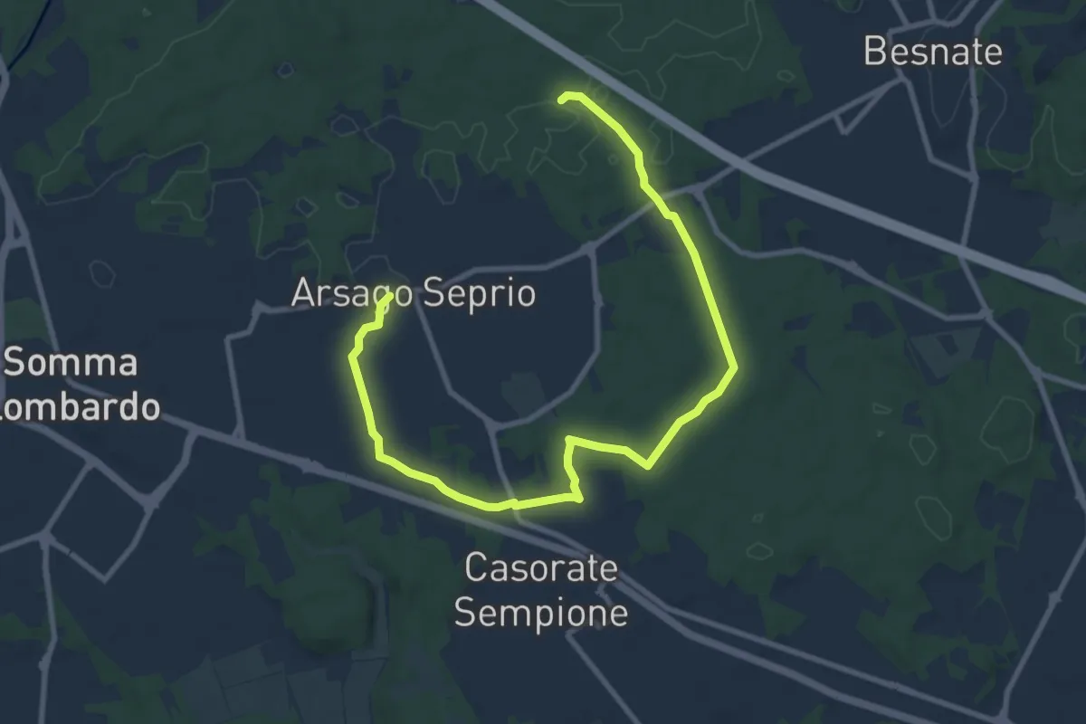
Medium · Trail
Percorsi del Cuore - Anello di Arsago Seprio
11.3 km · ↑ 71 m · 2 h 50 min · 13 km away
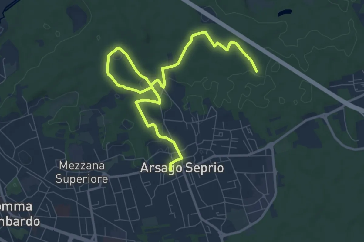
Medium · Trail
Percorsi del Cuore - Anello di Arsago Seprio
10.0 km · ↑ 88 m · 2 h 33 min · 13 km away
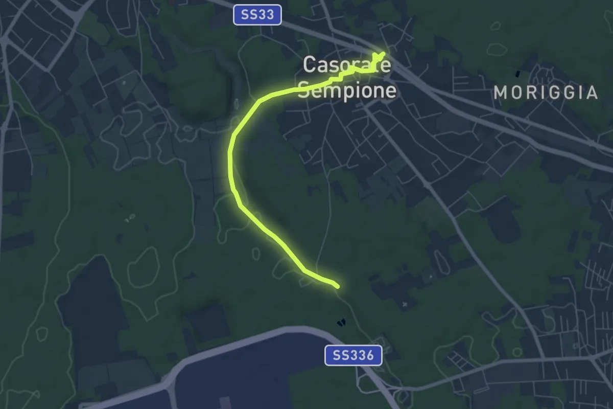
Easy · Trail
Percorsi del Cuore - Anello di Casorate
6.5 km · ↑ 55 m · 1 h 39 min · 13 km away
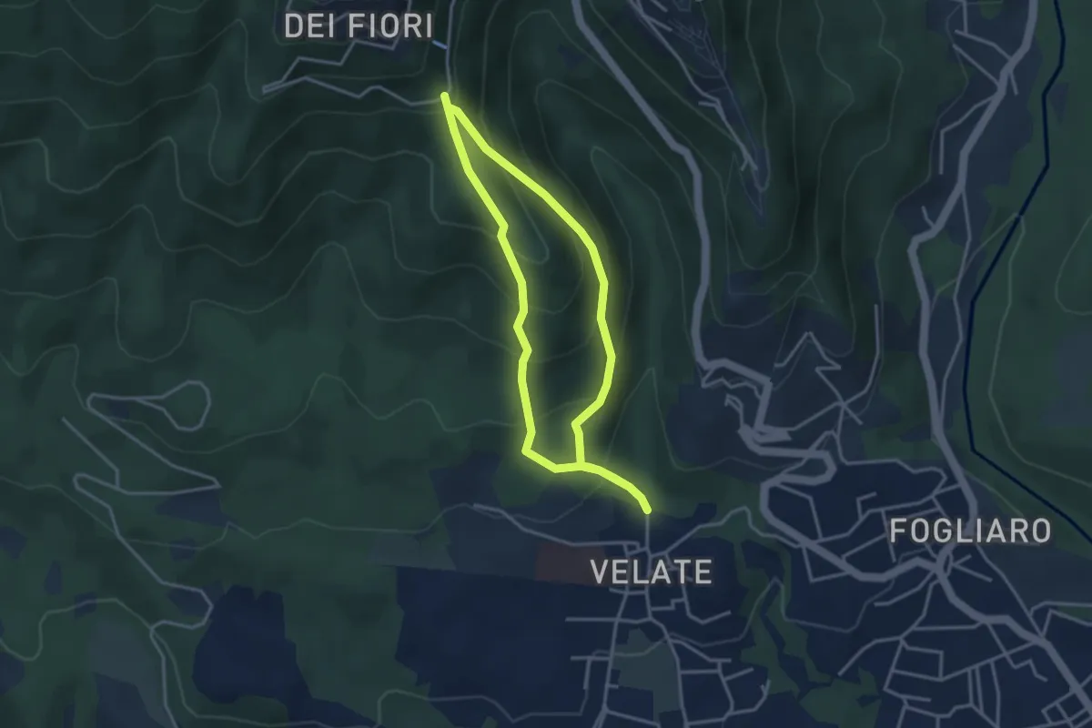
Medium · Summit
Sentiero 309: Velate - Monte San Francesco - Velate
3.1 km · ↑ 281 m · 1 h 22 min · 13 km away
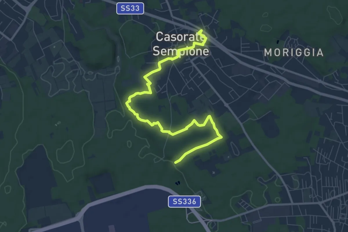
Medium · Trail
Percorsi del Cuore - Anello di Casorate
9.9 km · ↑ 83 m · 2 h 31 min · 13 km away
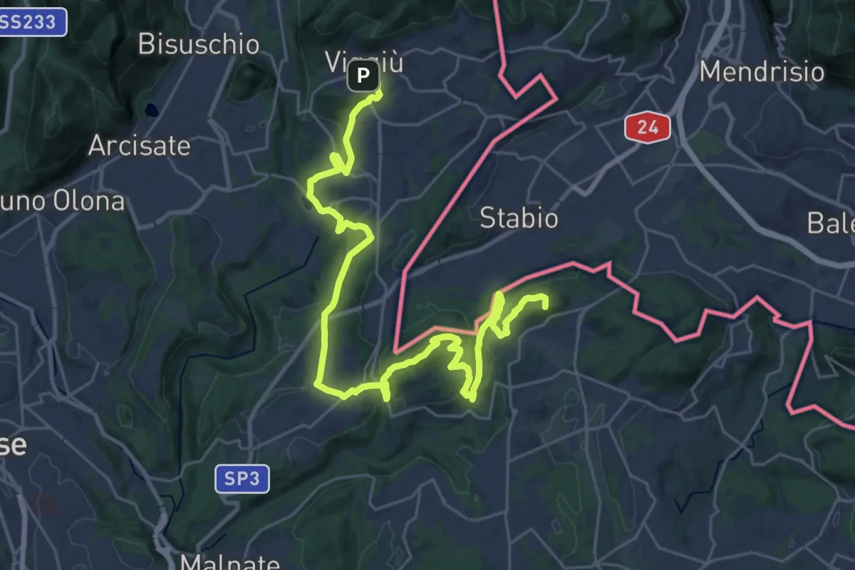
Demanding · Summit
Viggiù (Piazza Europa) – Bizzarone
32.7 km · ↑ 911 m · 9 h 42 min · 13 km away
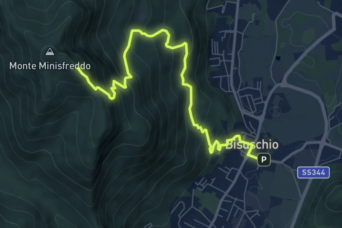
Demanding · Summit
Bisuschio – M. San Bernardo
8.2 km · ↑ 674 m · 3 h 23 min · 13 km away
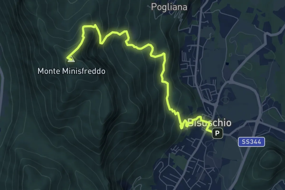
Demanding · Summit
Bisuschio – M.Minisfreddo
8.7 km · ↑ 711 m · 3 h 35 min · 13 km away
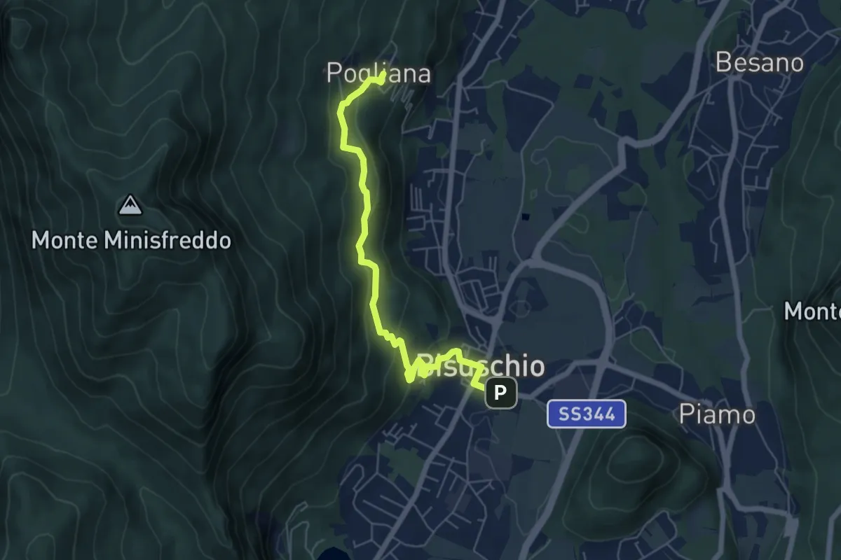
Demanding · Trail
Bisuschio – Pogliana
5.8 km · ↑ 276 m · 1 h 58 min · 13 km away
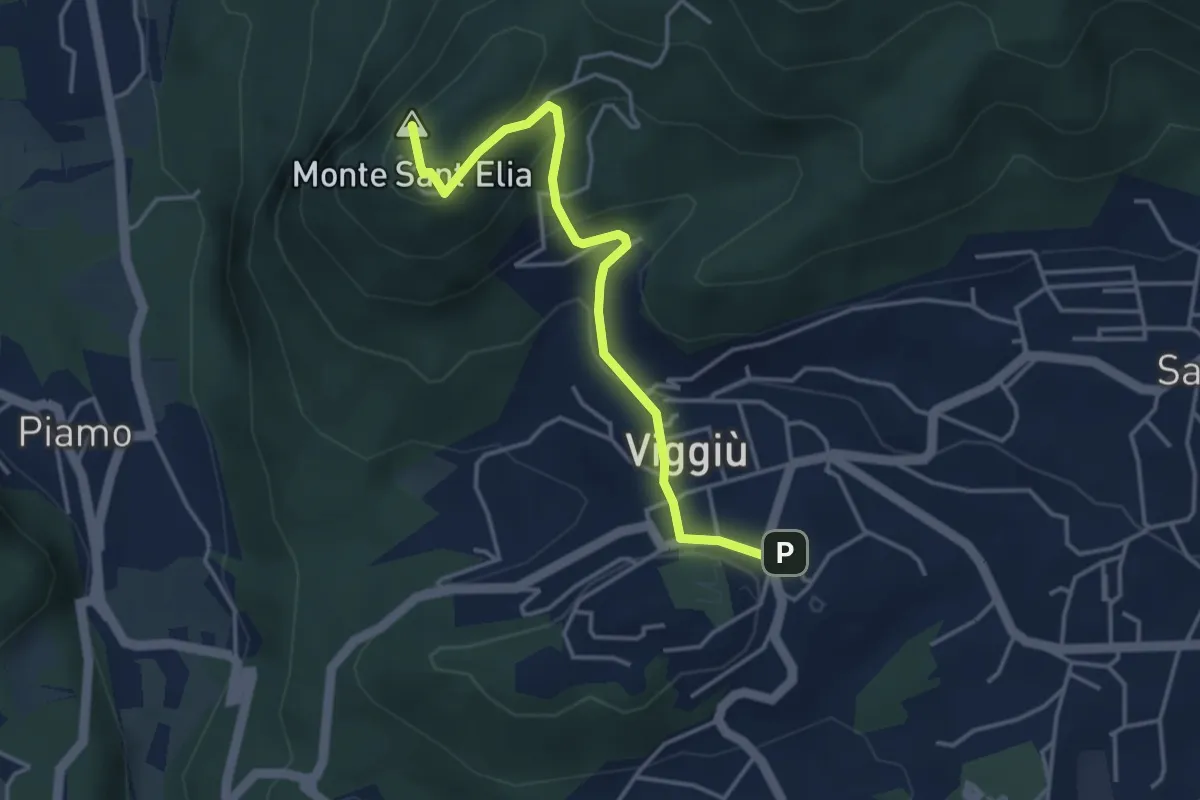
Medium · Summit
Viggiu' – Colle Sant'Elia
4.1 km · ↑ 180 m · 1 h 21 min · 13 km away
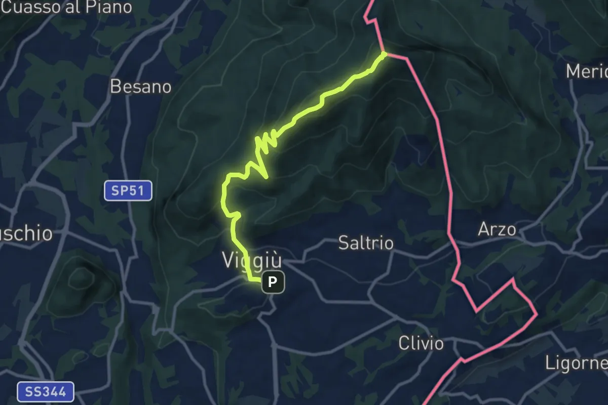
Medium · Summit
Viggiu' – Monte Pravello
9.9 km · ↑ 605 m · 3 h 39 min · 13 km away
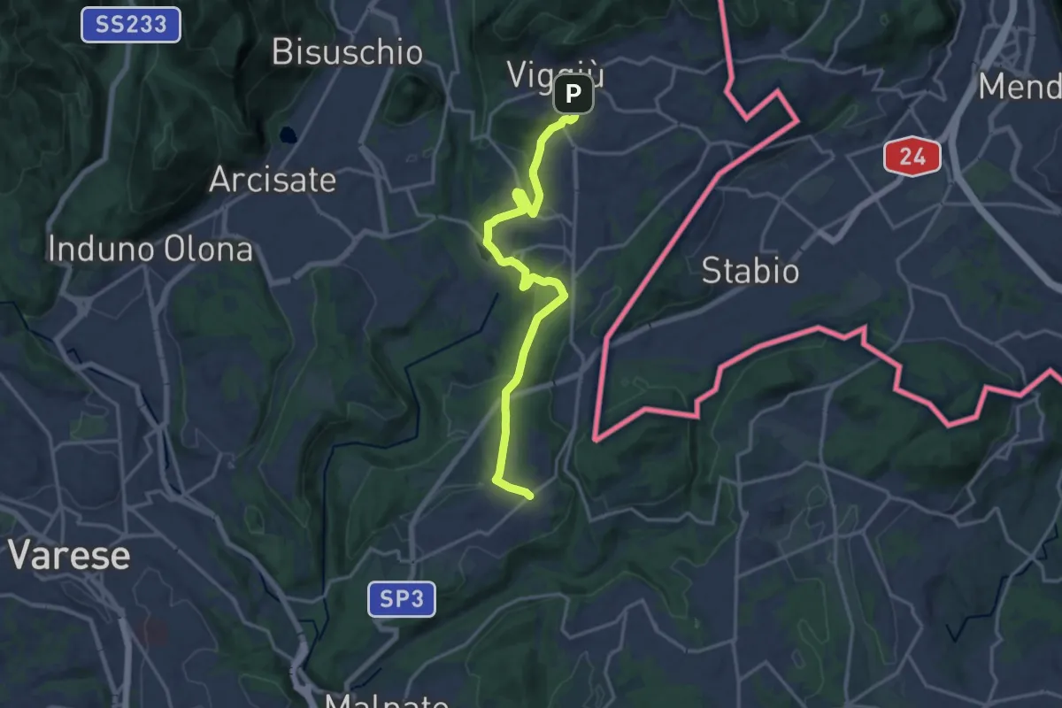
Medium · Trail
Viggiù – Cantello (Ligurno)
15.8 km · ↑ 332 m · 4 h 27 min · 13 km away
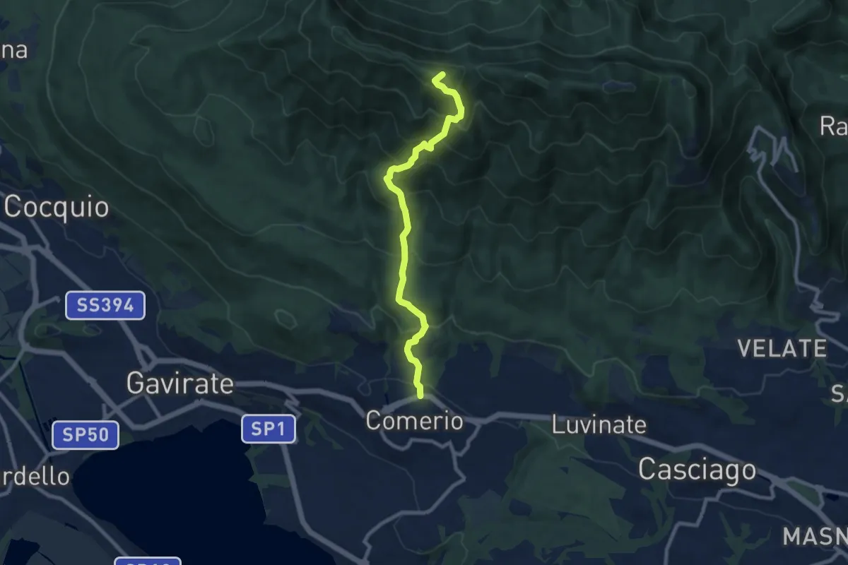
Medium · Summit
Comerio – Forte di Orino
8.2 km · ↑ 763 m · 3 h 36 min · 13 km away
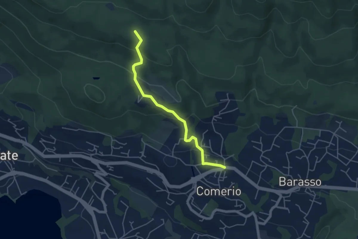
Easy · Trail
311 Comerio - Sentiero 310A
4.1 km · ↑ 197 m · 1 h 24 min · 13 km away
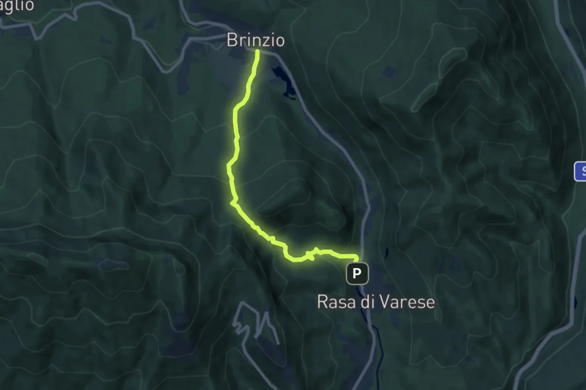
Medium · Trail
Brinzio (Via Piave) – Rasa di Varese
7.3 km · ↑ 476 m · 2 h 46 min · 13 km away
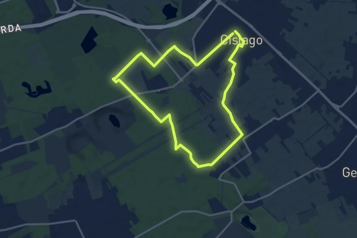
Medium · Trail
Anello Cislago
8.3 km · ↑ 25 m · 2 h 8 min · 13 km away
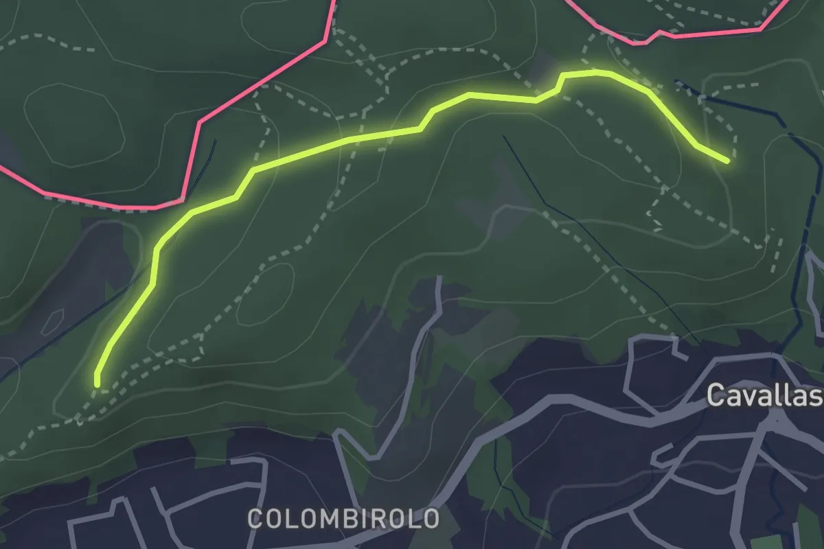
Easy · Trail
Naturalistico di Parè
3.0 km · ↑ 71 m · 51 min · 13 km away
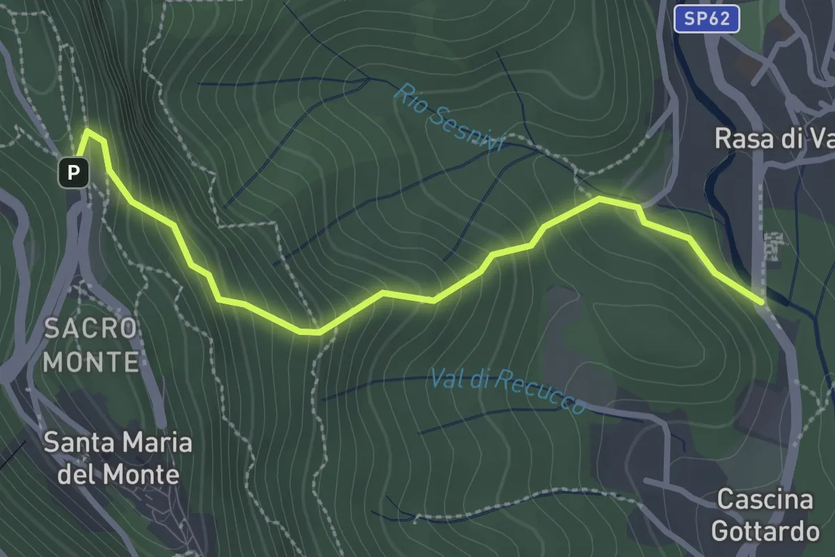
Medium · Trail
Rasa di Varese – Santa Maria del Monte
2.8 km · ↑ 280 m · 1 h 16 min · 13 km away
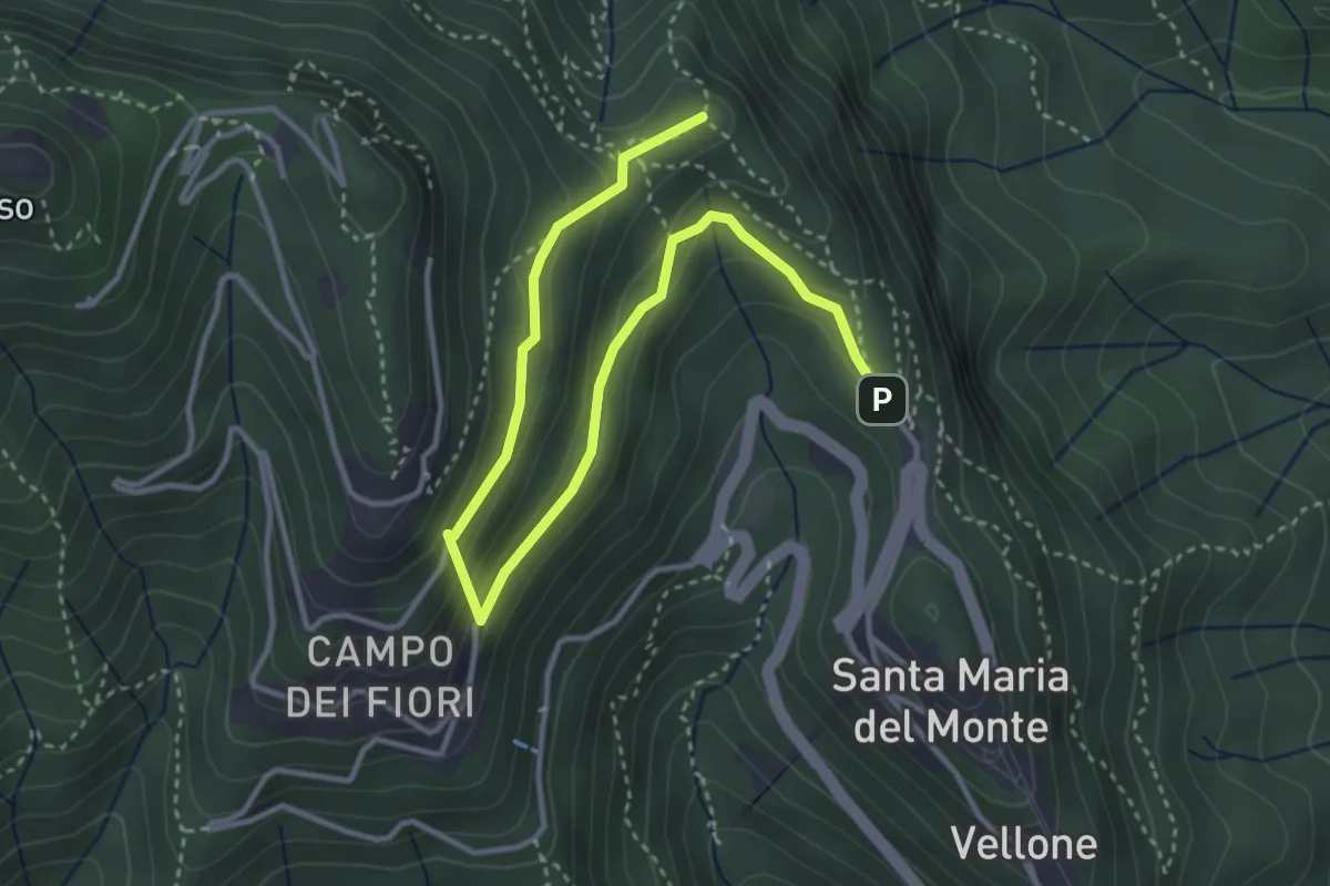
Medium · Summit
Sentiero 8/308: Santa Maria del Monte - Valico Pizzelle
4.5 km · ↑ 301 m · 1 h 43 min · 13 km away
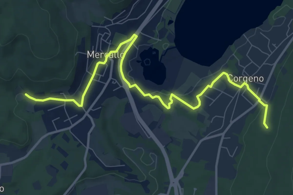
Medium · Trail
Collegamento Sentiero San Giacomo - Sentiero Monte Pelada
9.5 km · ↑ 183 m · 2 h 39 min · 14 km away
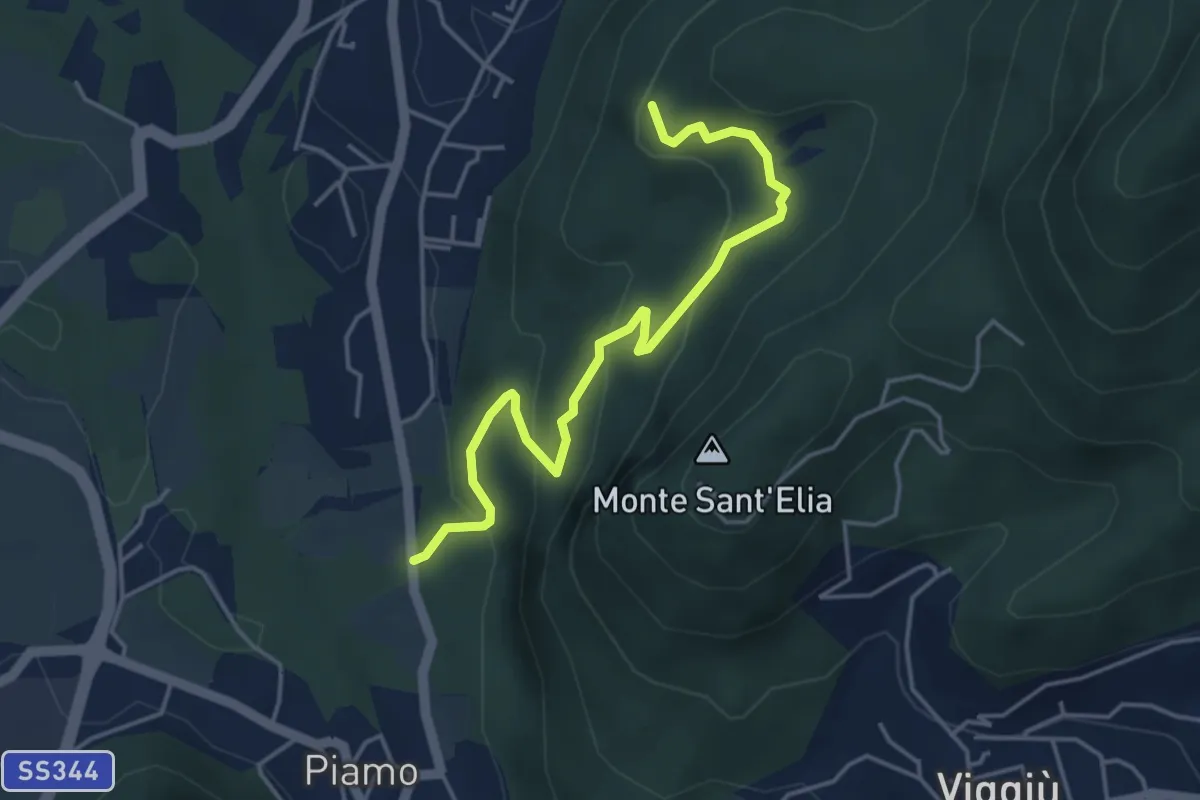
Medium · Summit
Variante Bernasca – Besano SP51
4.5 km · ↑ 236 m · 1 h 35 min · 14 km away
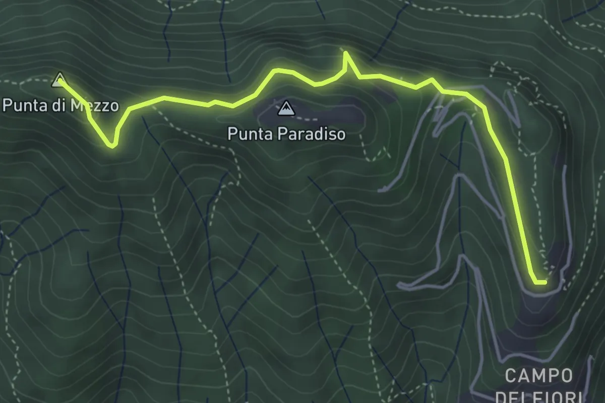
Medium · Summit
Campo dei Fiori (ex stazione funicolare) – Strada militare del Forte di Orino (incrocio sentiero 1)
4.6 km · ↑ 377 m · 1 h 55 min · 14 km away
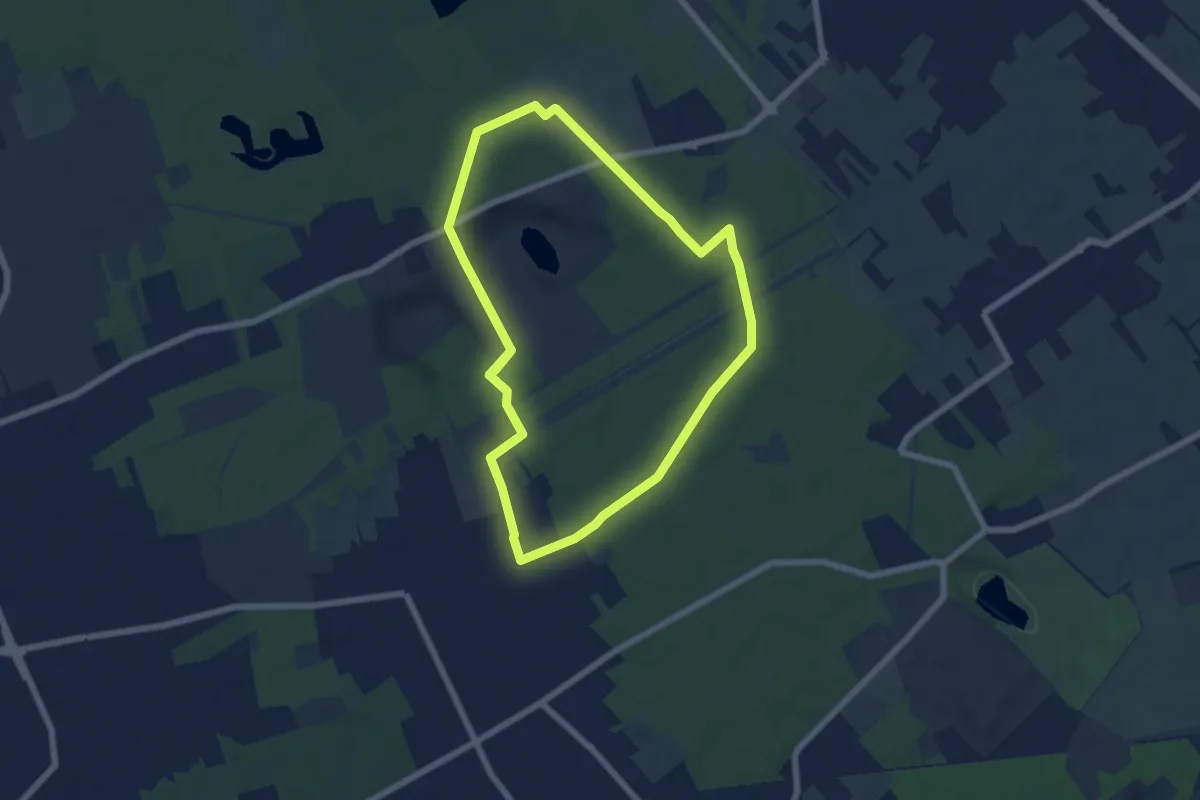
Easy · Trail
Anello di Rescaldina
6.8 km · ↑ 35 m · 1 h 47 min · 14 km away
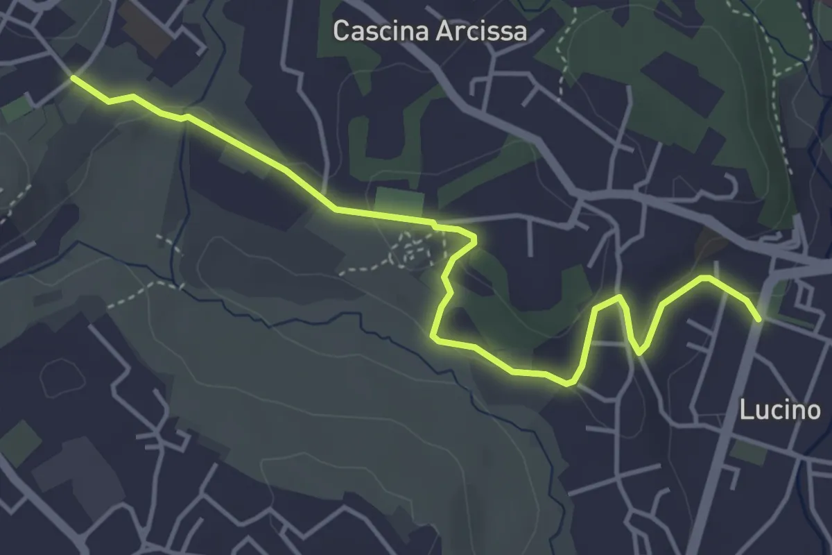
Easy · Trail
Montano Lucino cimitero – Montano Lucino loc. Trivino
4.7 km · ↑ 95 m · 1 h 19 min · 14 km away
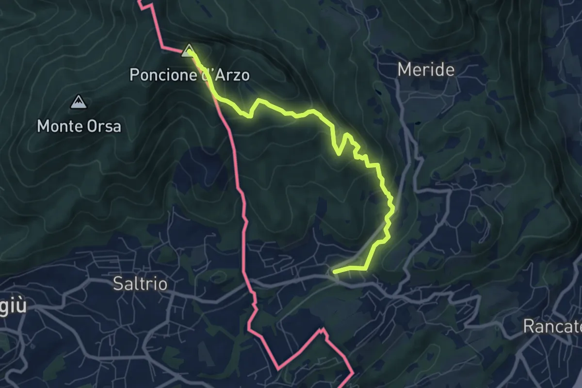
Medium · Summit
Poncione d'Arzo – Arzo
8.0 km · ↑ 537 m · 3 h 3 min · 15 km away
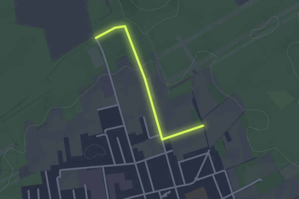
Easy · Trail
Collegamento C - BDR
2.0 km · ↑ 14 m · 31 min · 15 km away
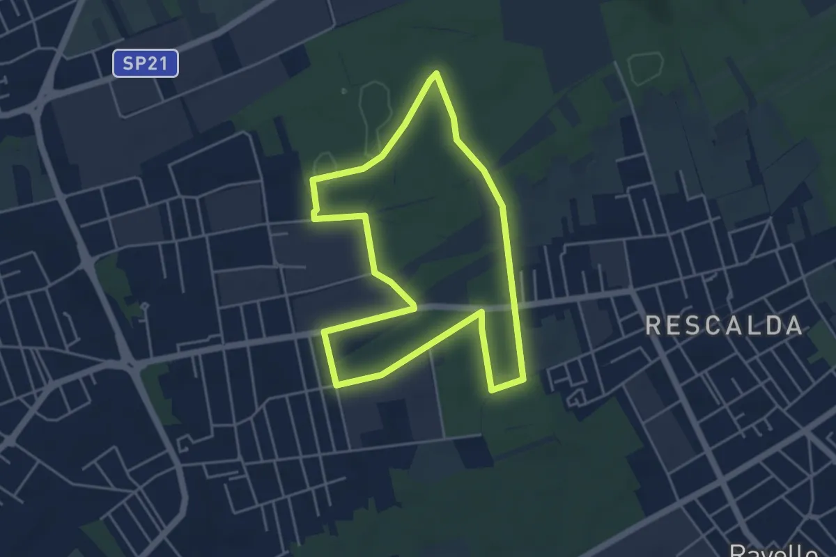
Easy · Trail
Anello di Marnate
4.3 km · ↑ 13 m · 1 h 6 min · 15 km away
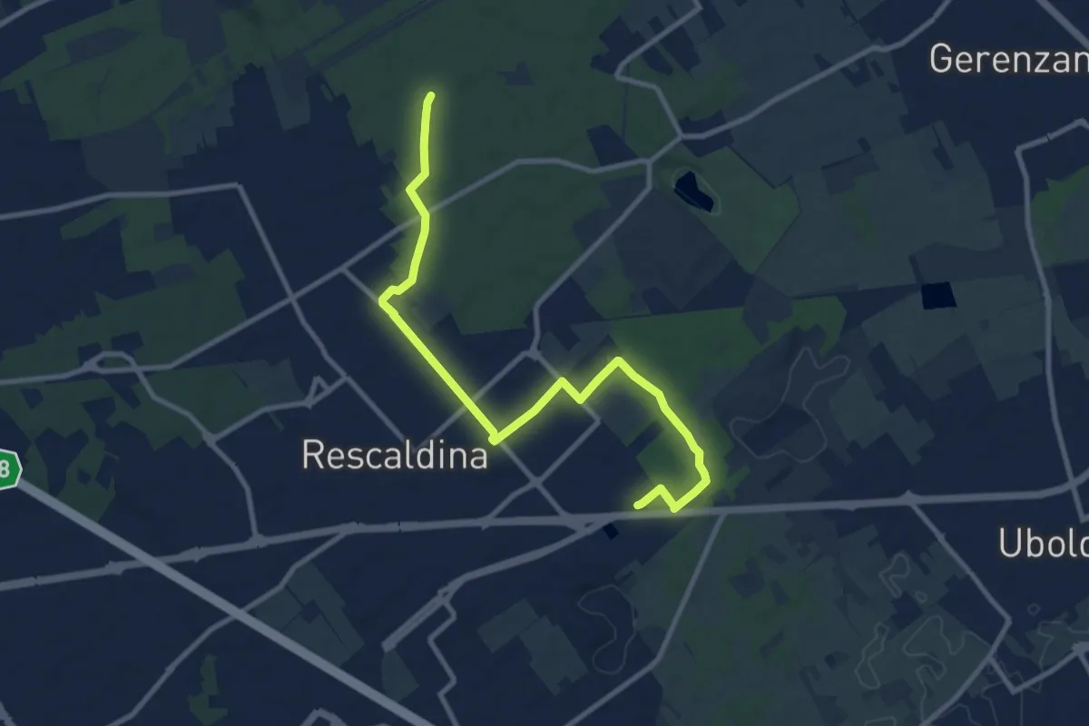
Medium · Trail
Collegamento Rescaldina
10.8 km · ↑ 41 m · 2 h 38 min · 15 km away
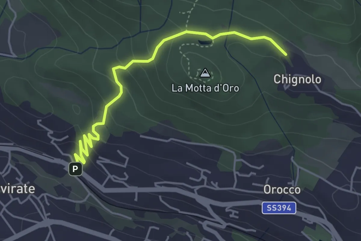
Easy · Trail
Gavirate – Percorso 311
4.3 km · ↑ 201 m · 1 h 26 min · 15 km away
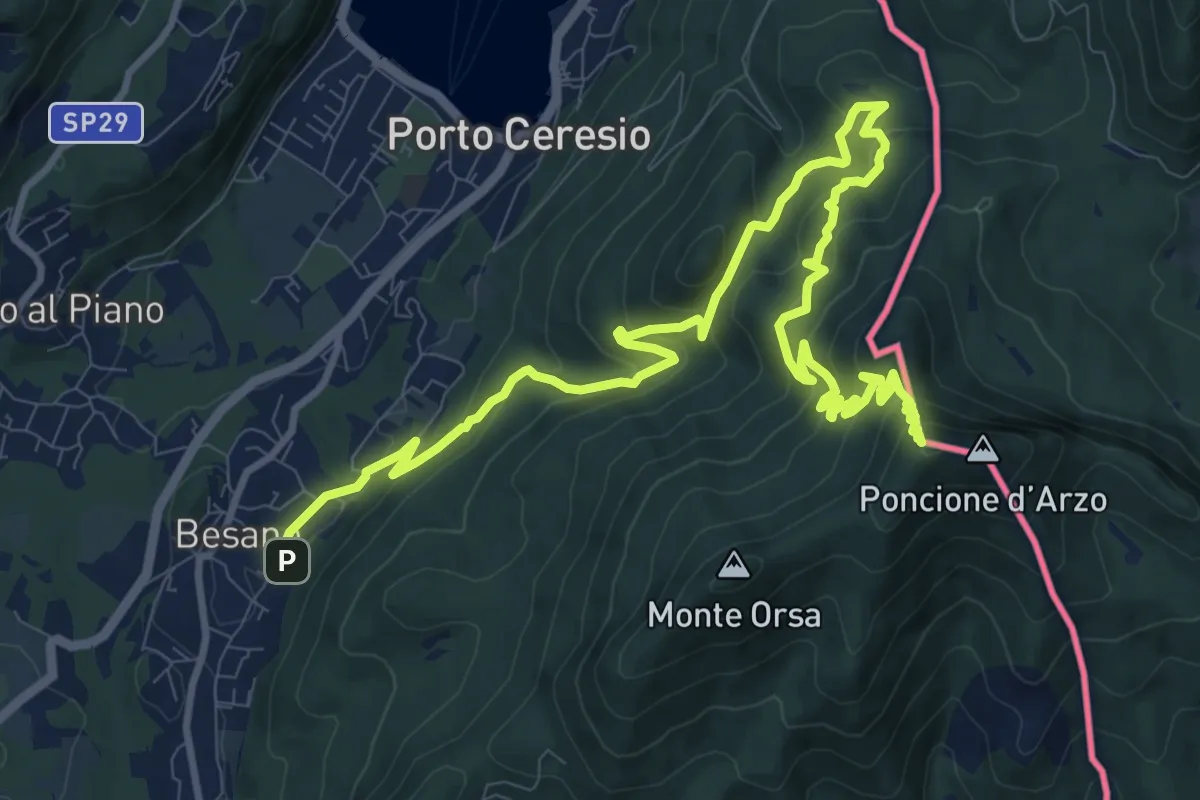
Demanding · Summit
Besano – Monte Pravello
15.0 km · ↑ 1031 m · 5 h 46 min · 15 km away