Trails near Cernobbio
244 hikes starting within 15 km, nearest first.
Nearest first, page 3 of 6
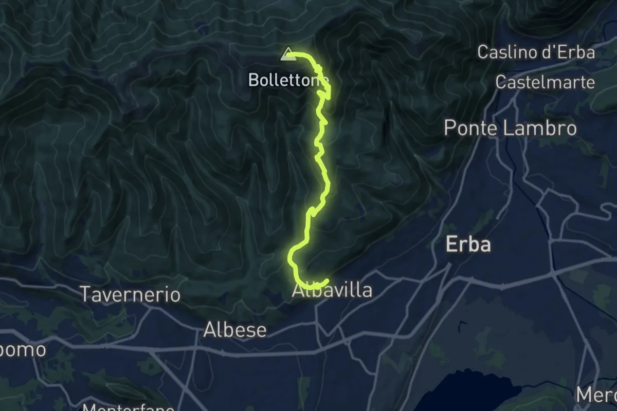
Demanding · Summit
Albavilla – Monte Bolettone
12.1 km · ↑ 820 m · 4 h 38 min · 10 km away
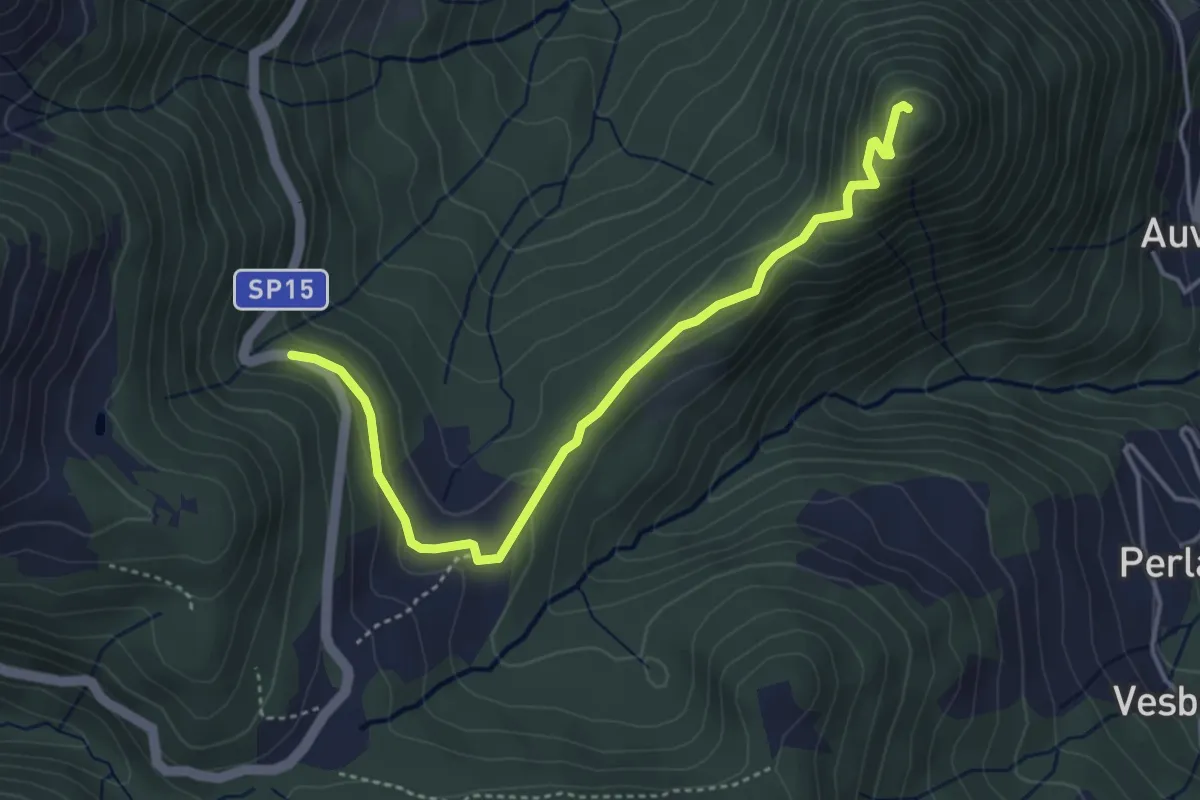
Easy · Summit
SP15 di Erbonne – San Zeno
4.4 km · ↑ 161 m · 1 h 23 min · 10 km away
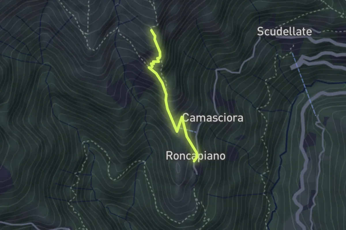
Medium · Trail
Roncapiano – Nadigh
2.3 km · ↑ 311 m · 1 h 13 min · 10 km away
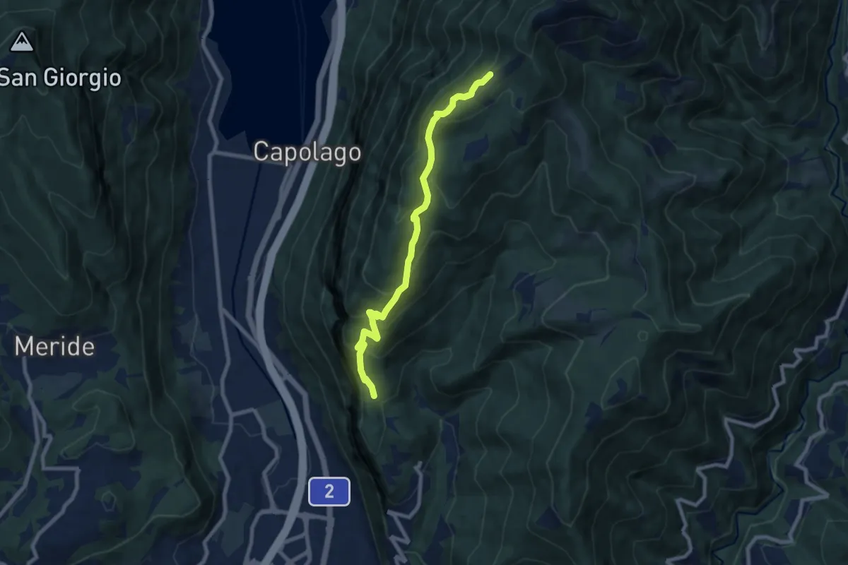
Medium · Cabin
Bellavista – San Nicolao St.ne
7.6 km · ↑ 564 m · 3 h 1 min · 10 km away
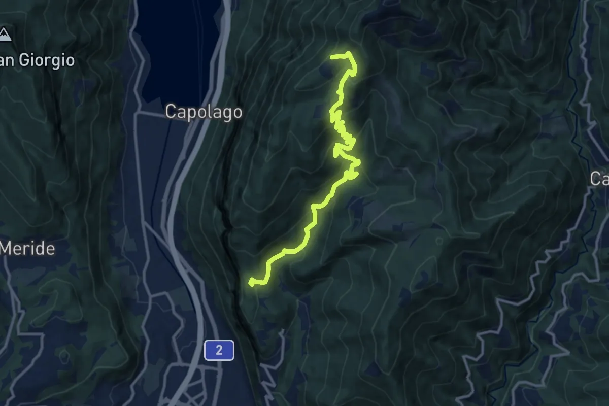
Medium · Cabin
Bellavista St.ne – San Nicolao St.ne
11.4 km · ↑ 779 m · 4 h 23 min · 10 km away
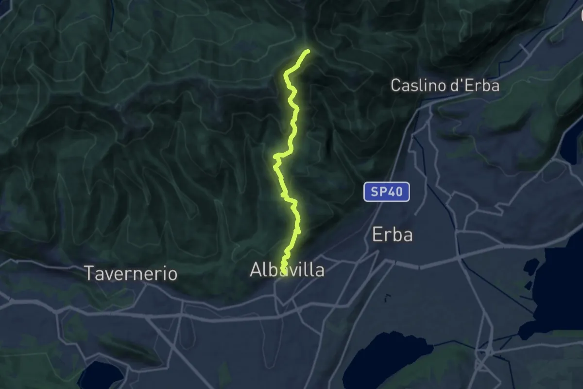
Medium · Cabin
Albavilla – RIfugio Capanna Mara
12.2 km · ↑ 779 m · 4 h 34 min · 10 km away
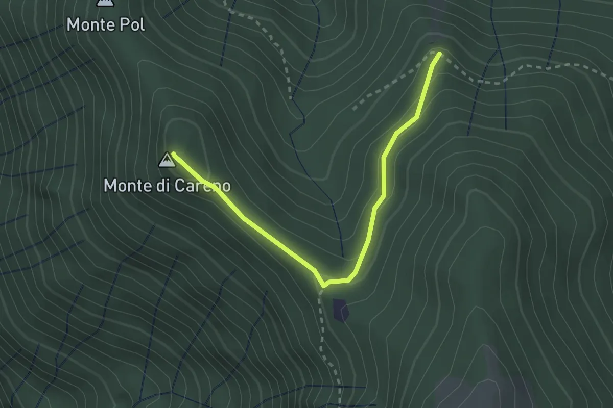
Medium · Summit
Radura – Monte Pol
2.5 km · ↑ 146 m · 55 min · 10 km away
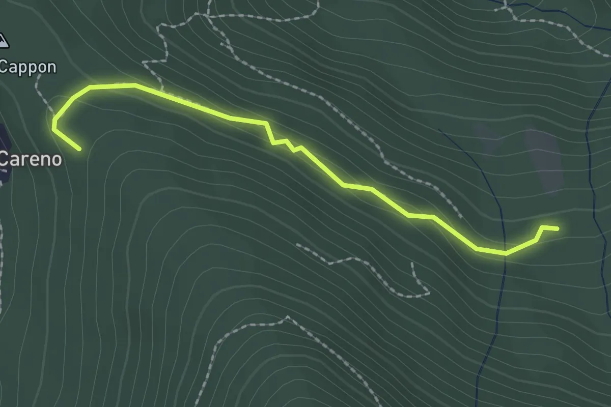
Medium · Trail
Vasce – Monti di Careno
2.1 km · ↑ 97 m · 42 min · 10 km away
Medium · Trail
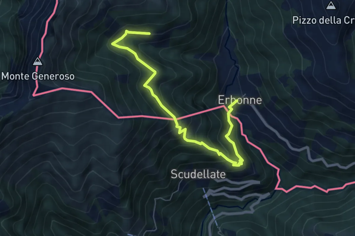
Orimento – Erbone
6.7 km · ↑ 553 m · 2 h 47 min · 10 km away
Medium · Trail
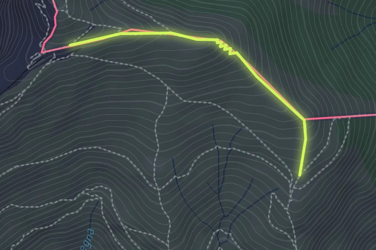
Piana – M.te Generoso St.ne
2.1 km · ↑ 193 m · 55 min · 10 km away
Demanding · Summit
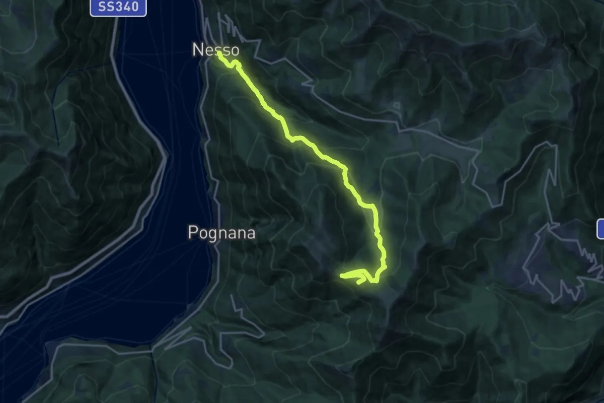
Nesso – Monte Palanzone
16.2 km · ↑ 1157 m · 6 h 20 min · 10 km away
Demanding · Summit
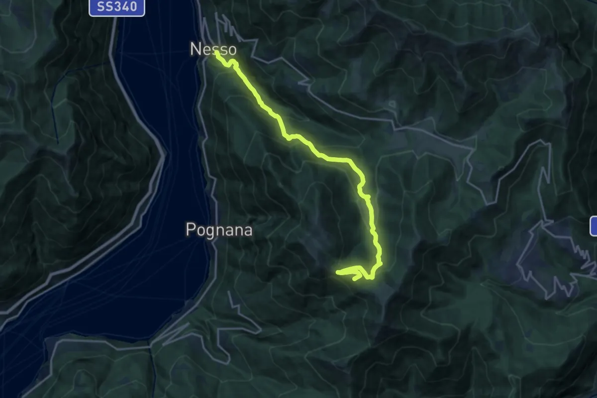
Nesso – Monte Palanzone
16.5 km · ↑ 1052 m · 6 h 11 min · 10 km away
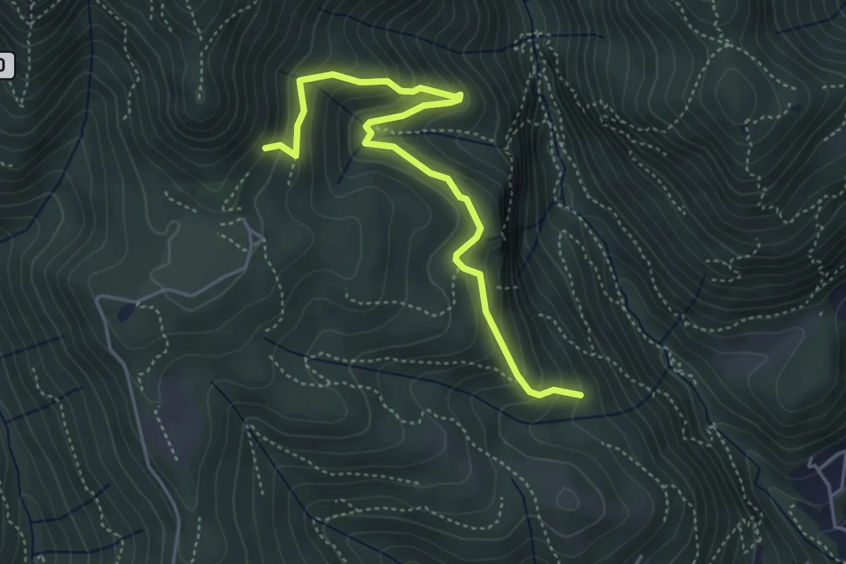
Medium · Trail
Praa Sciresöö – Rifugio Cacciatori
4.8 km · ↑ 479 m · 2 h 10 min · 10 km away
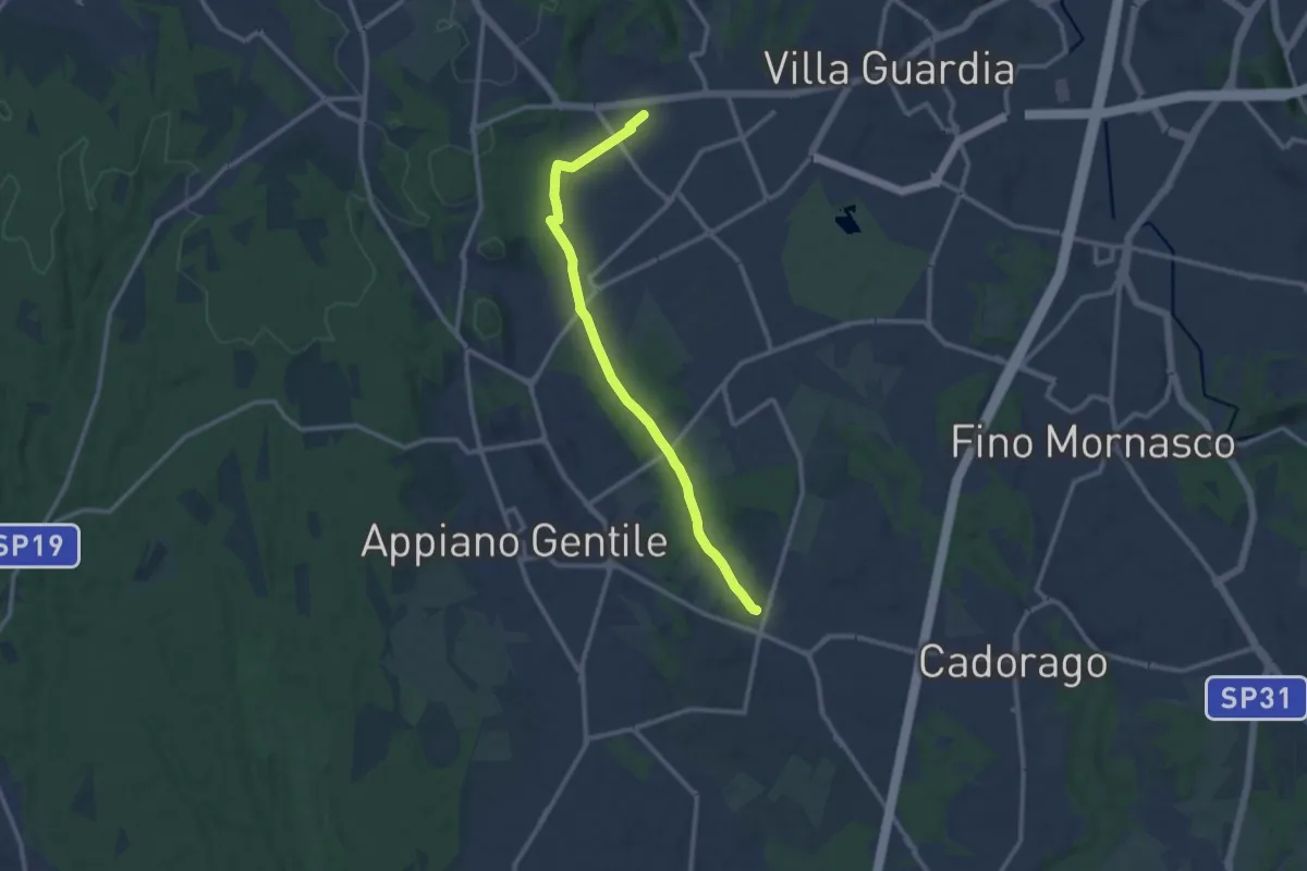
Medium · Trail
Lurate Caccivio – Guanzate
11.5 km · ↑ 86 m · 2 h 53 min · 10 km away
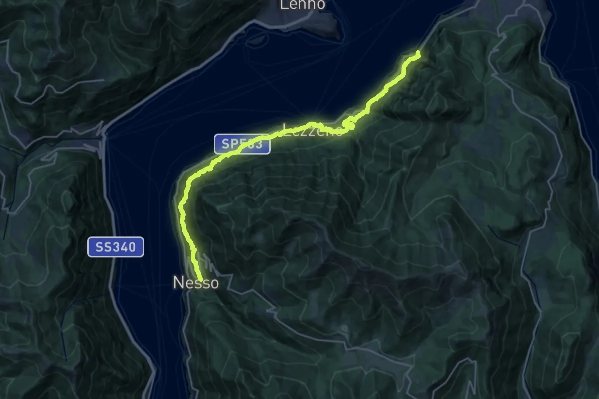
Medium · Trail
Nesso – Ponte del Diavolo (Bellagio)
10.8 km · ↑ 630 m · 4 h 8 min · 10 km away
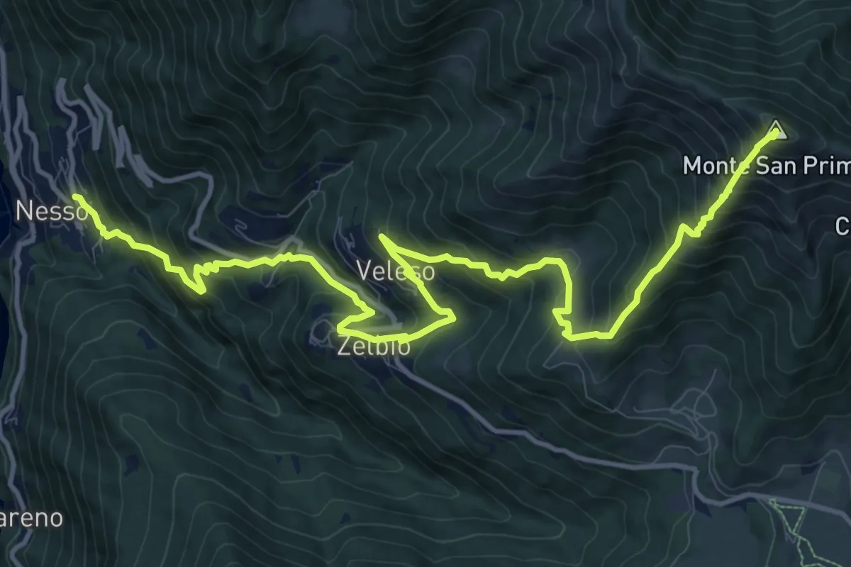
Demanding · Summit
Nesso – Monte San Primo
15.3 km · ↑ 1369 m · 6 h 35 min · 10 km away
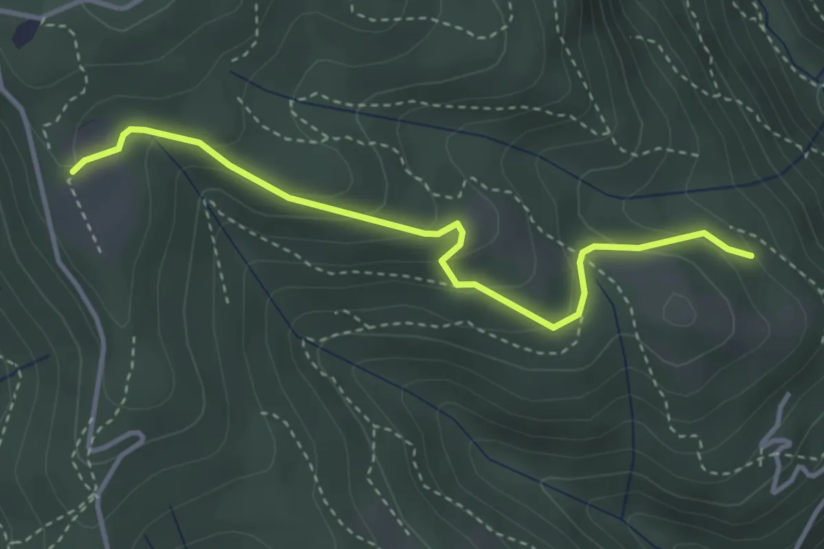
Easy · Trail
Cardögia – Ex Albergo la Salute
3.5 km · ↑ 186 m · 1 h 14 min · 10 km away
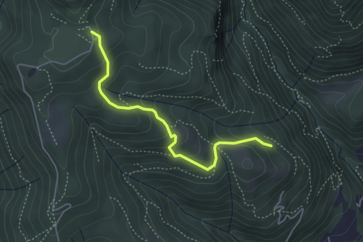
Medium · Trail
Cardögia – Alpe del Vicerè
3.8 km · ↑ 238 m · 1 h 25 min · 10 km away
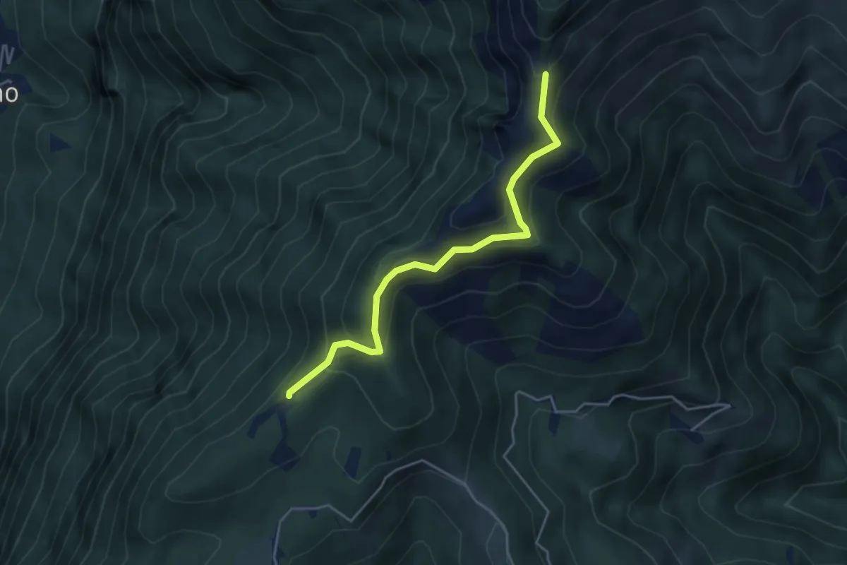
Medium · Trail
Sentiero della natura
4.1 km · ↑ 279 m · 1 h 34 min · 10 km away
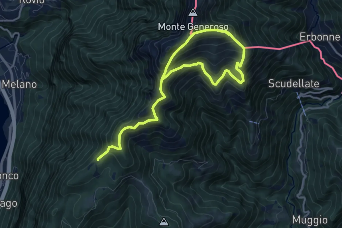
Demanding · Trail
Sentiero del Monte Generoso
12.4 km · ↑ 987 m · 5 h 4 min · 10 km away
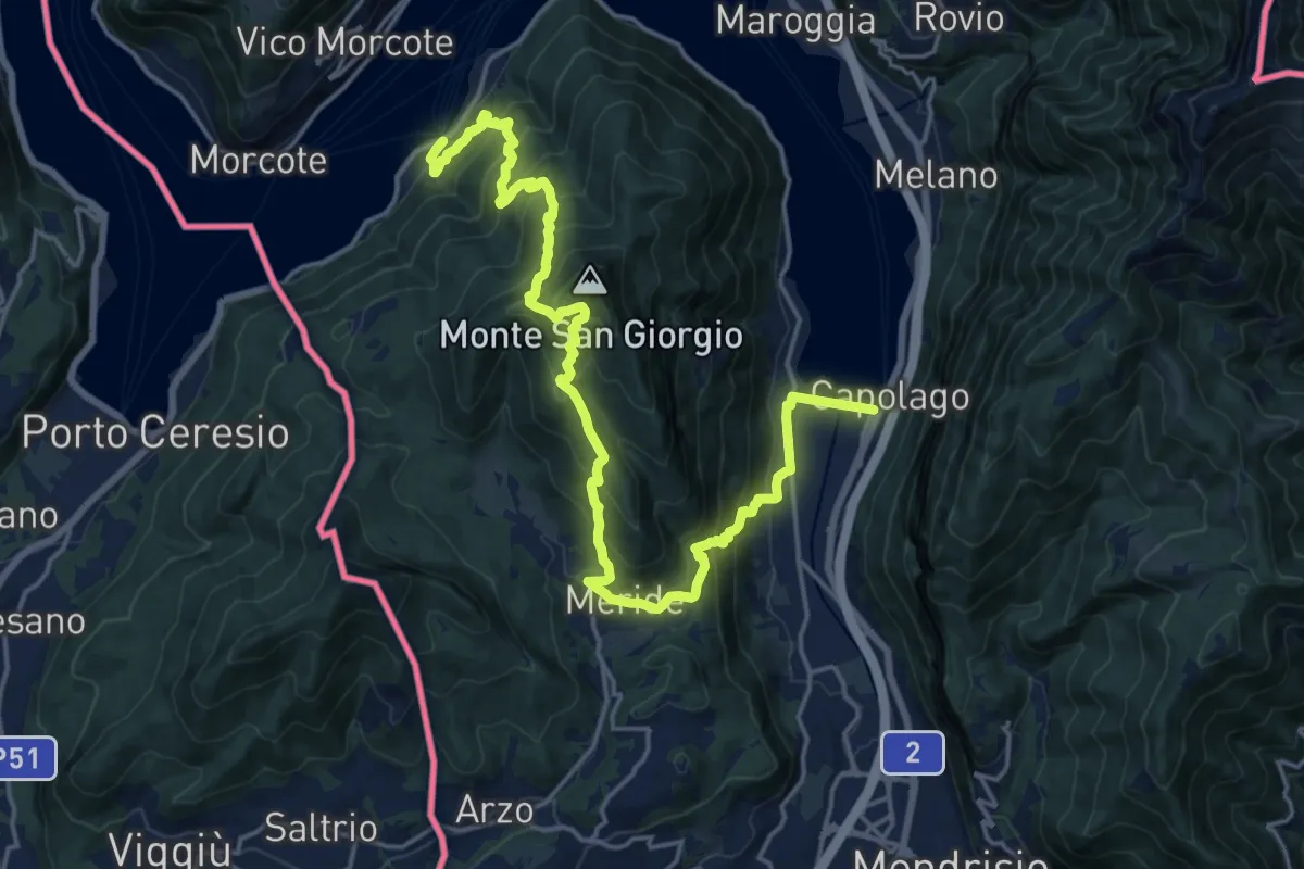
Demanding · Trail
Sentiero Lago di Lugano
11.1 km · ↑ 863 m · 4 h 38 min · 10 km away
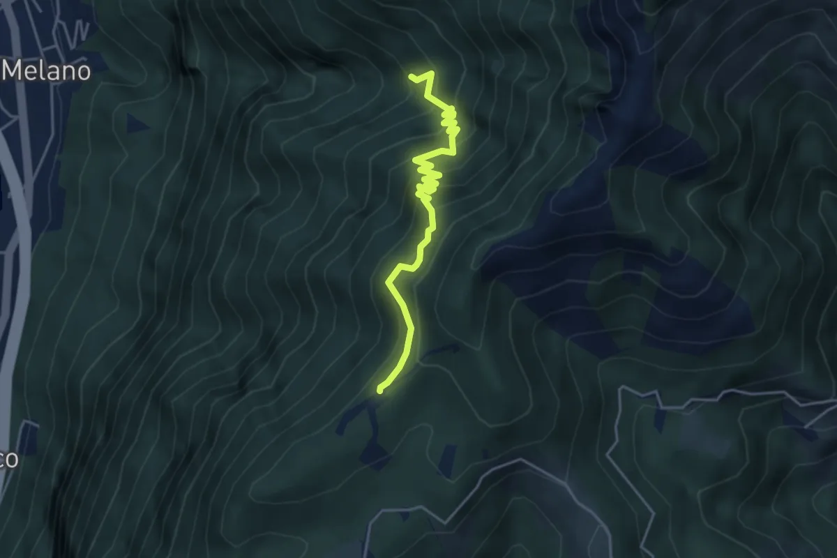
Medium · Trail
Alpe di Melano-Bellavista
4.1 km · ↑ 473 m · 1 h 59 min · 11 km away
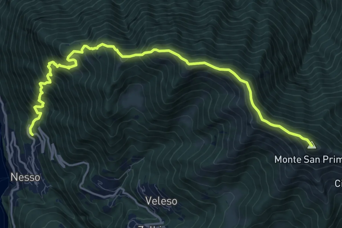
Demanding · Summit
Nesso – Monte San Primo
13.2 km · ↑ 1364 m · 6 h 5 min · 11 km away
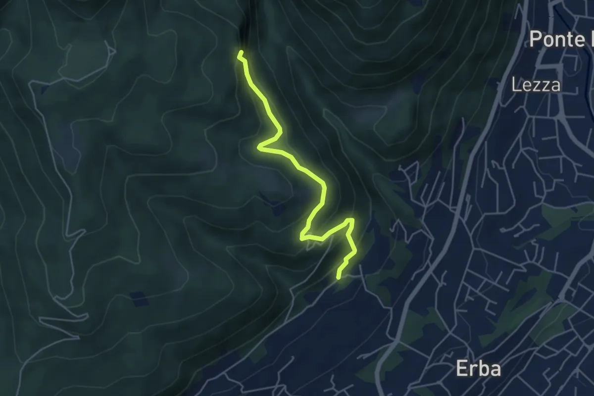
Medium · Trail
C.na Paradiso – Buco del Piombo
4.4 km · ↑ 324 m · 1 h 44 min · 11 km away
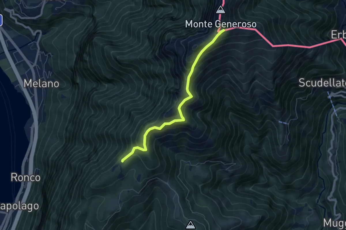
Medium · Trail
Bellavista – M.te Generoso St.ne
5.9 km · ↑ 431 m · 2 h 20 min · 11 km away
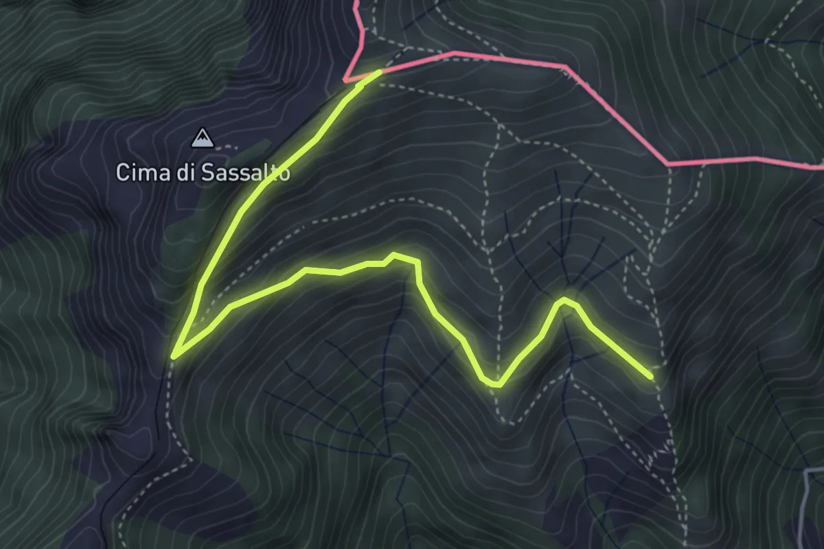
Medium · Trail
Nadigh – M.te Generoso St.ne
5.1 km · ↑ 414 m · 2 h 6 min · 11 km away
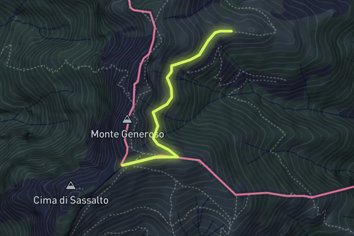
Easy · Trail
Orimento – Monte Generoso
3.5 km · ↑ 299 m · 1 h 28 min · 11 km away
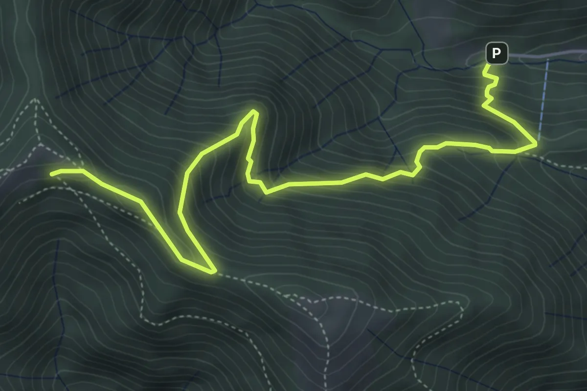
Medium · Cabin
Alpe del Prina – Rifugio Capanna Mara
6.2 km · ↑ 586 m · 2 h 44 min · 11 km away
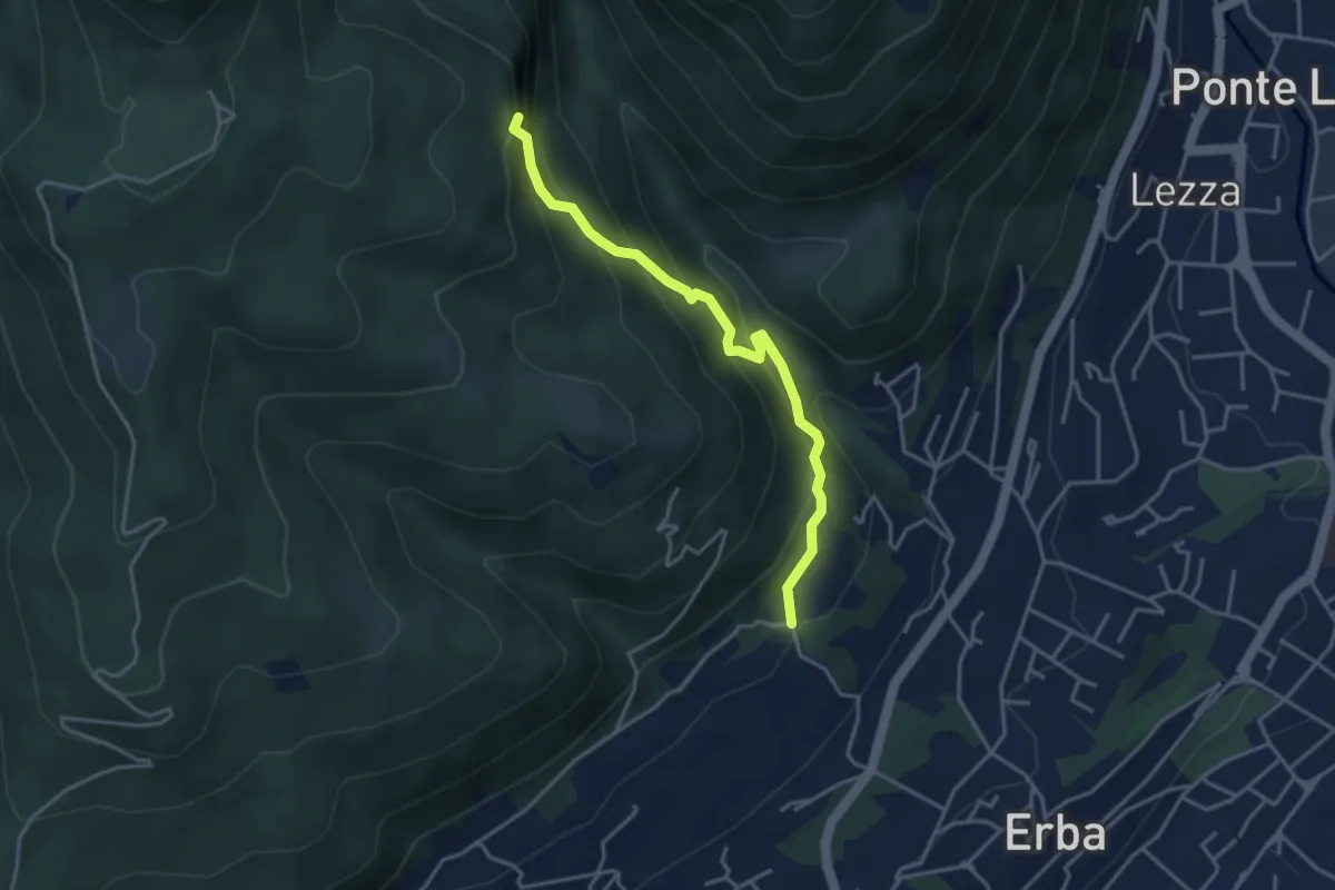
Demanding · Trail
C.na Ginocchio – Buco del Piombo
3.7 km · ↑ 335 m · 1 h 36 min · 11 km away
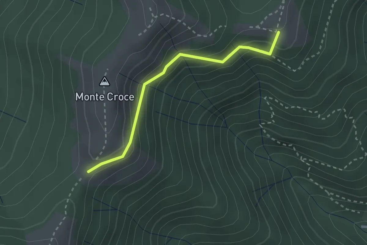
Medium · Summit
Ca' del Boschet – Bocchetta di Caglio
2.3 km · ↑ 128 m · 49 min · 11 km away
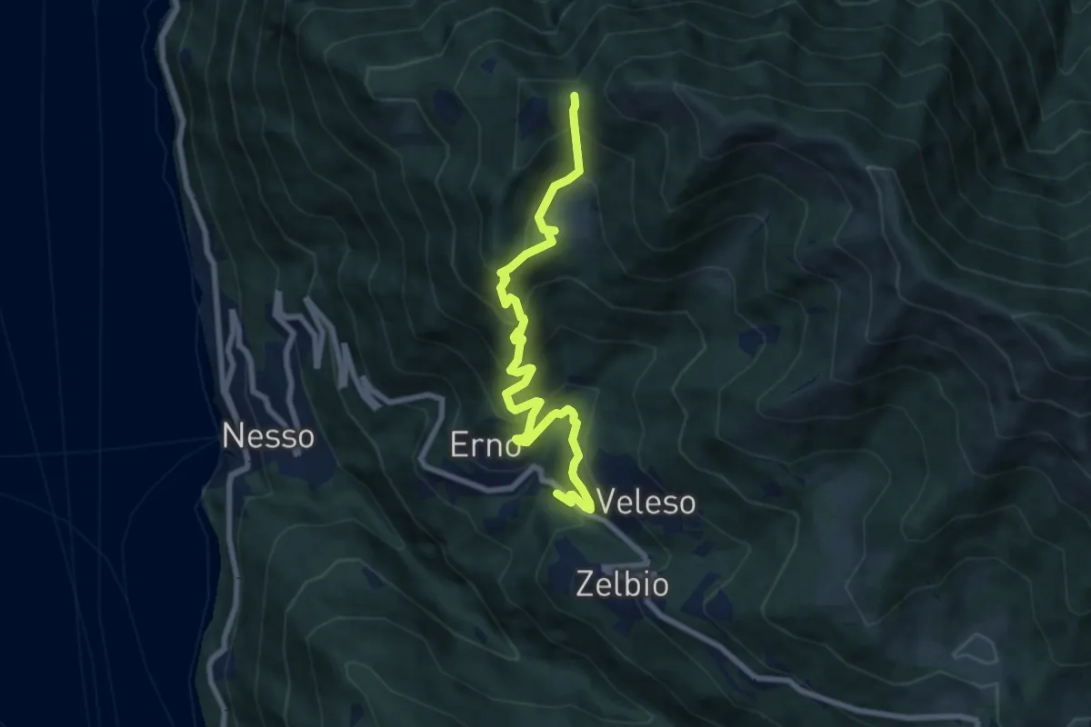
Medium · Trail
Veleso – La Forcoletta
7.9 km · ↑ 698 m · 3 h 23 min · 11 km away
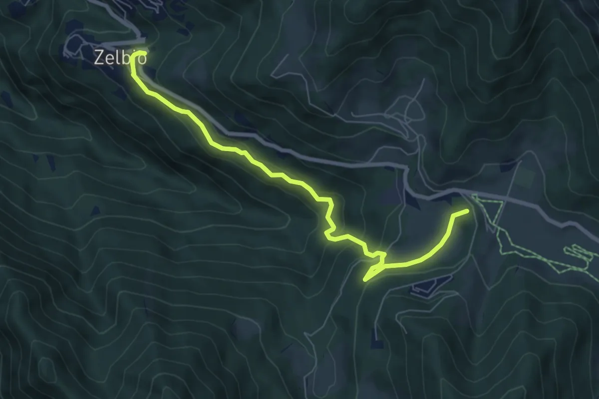
Medium · Summit
Zelbio – Il Dosso
7.1 km · ↑ 350 m · 2 h 26 min · 11 km away
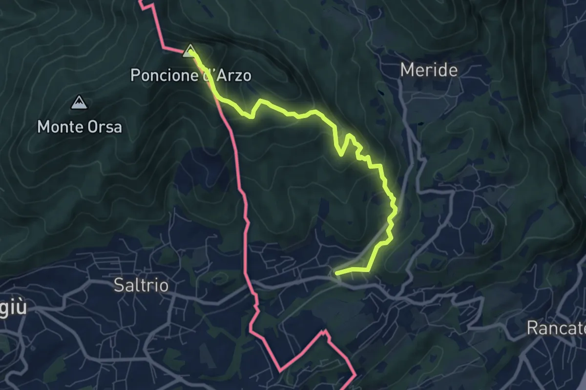
Medium · Summit
Poncione d'Arzo – Arzo
8.0 km · ↑ 537 m · 3 h 3 min · 11 km away
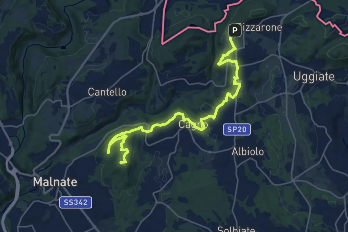
Demanding · Summit
Sentiero cima delle valli
18.5 km · ↑ 411 m · 5 h 16 min · 11 km away
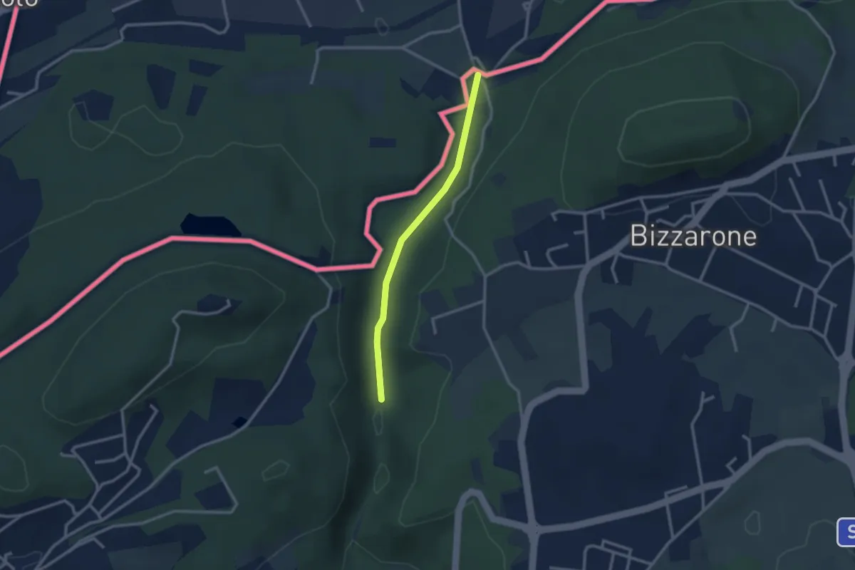
Easy · Trail
Sentiero di Fondovalle
2.3 km · ↑ 32 m · 37 min · 11 km away
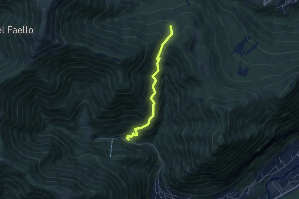
Medium · Trail
Forum Franciscanum – Bocchetta della Vallunga
4.6 km · ↑ 458 m · 2 h 5 min · 11 km away
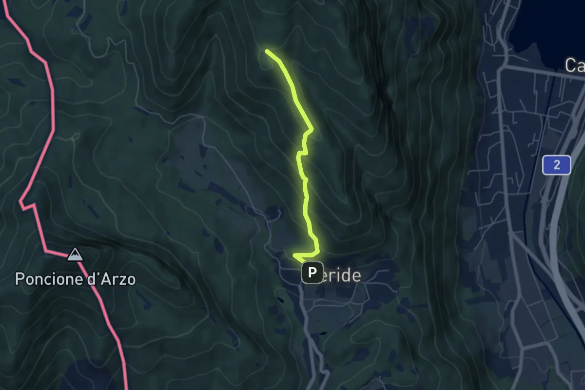
Easy · Trail
Meride – Cassina
4.6 km · ↑ 309 m · 1 h 45 min · 11 km away
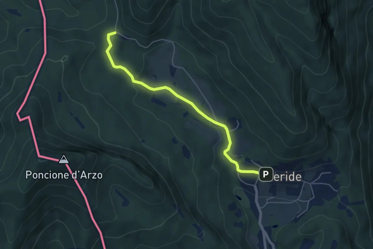
Easy · Trail
Crocifisso – Meride
4.8 km · ↑ 121 m · 1 h 23 min · 11 km away
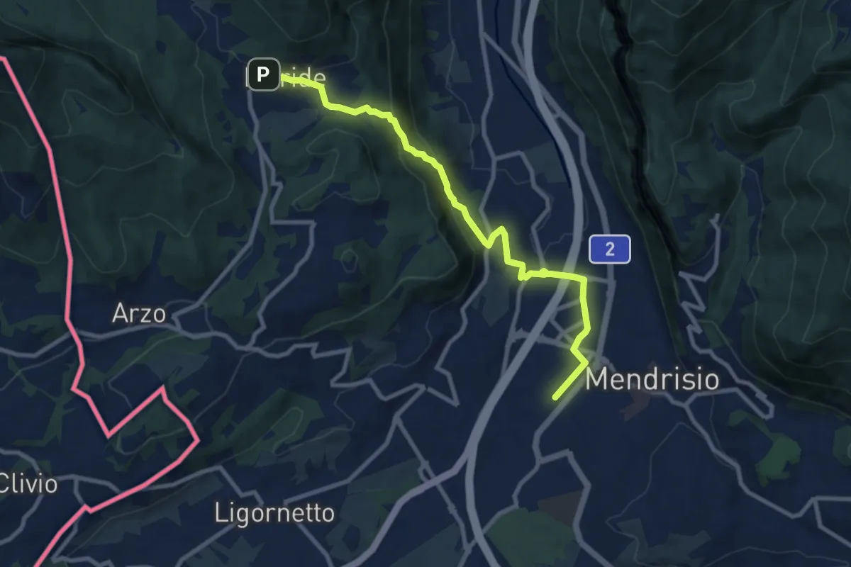
Medium · Trail
Meride – Mendrisio Stazione
8.9 km · ↑ 326 m · 2 h 48 min · 11 km away
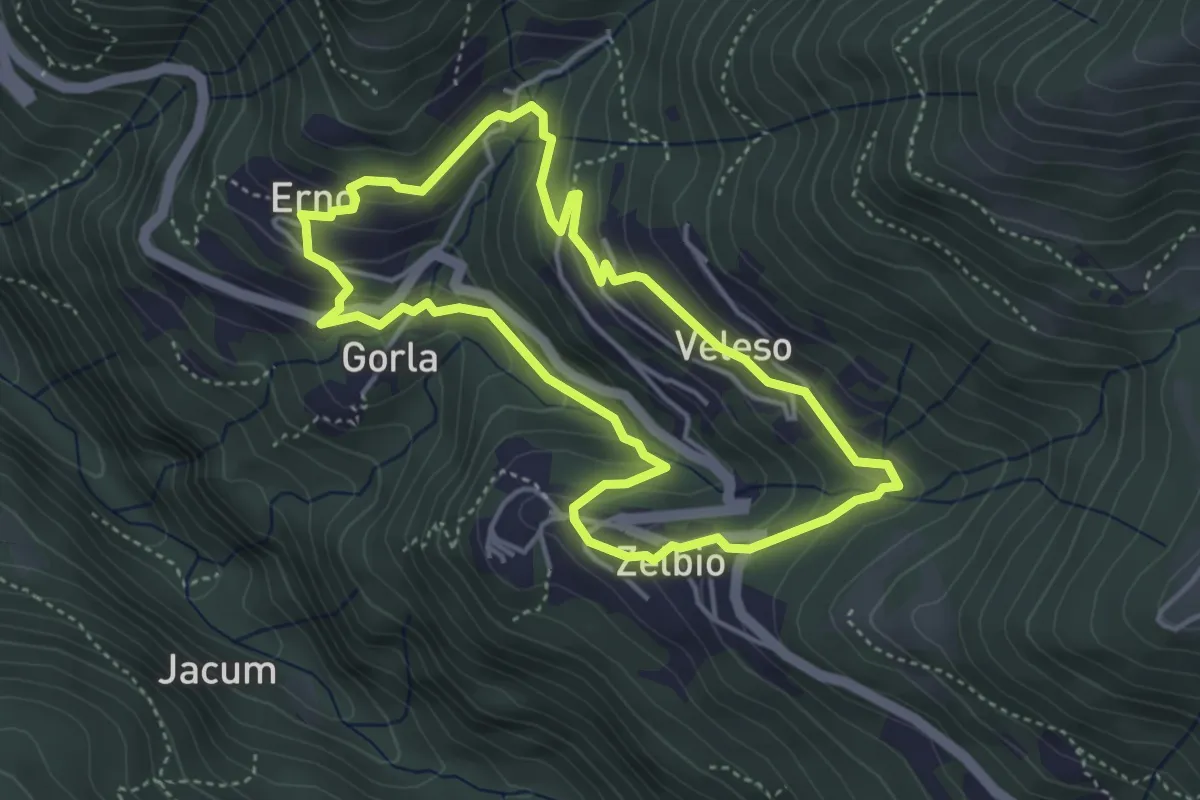
Easy · Trail
Anello dei tre campanili
4.0 km · ↑ 219 m · 1 h 29 min · 11 km away
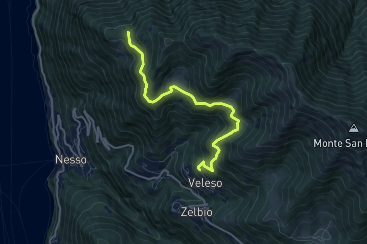
Medium · Trail
Veleso – Cresta NW M. Colmenacco
8.5 km · ↑ 502 m · 3 h 5 min · 11 km away
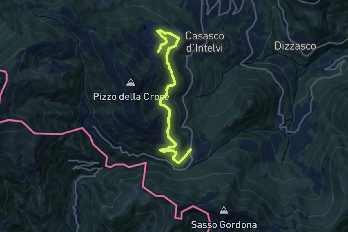
Medium · Trail
Piano delle Alpi – Rifugio Bruno e Giuseppe
10.4 km · ↑ 518 m · 3 h 34 min · 11 km away
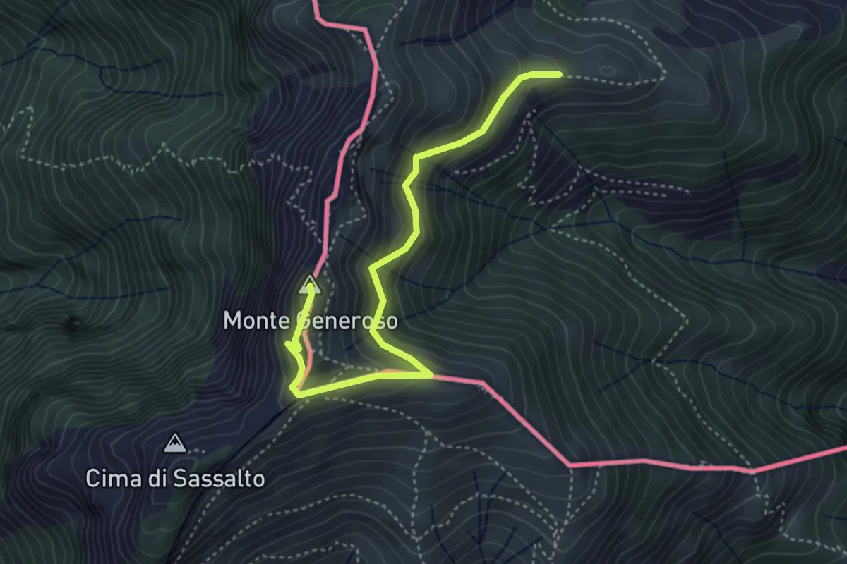
Medium · Summit
Monte Bisbino-Monte Generoso
4.3 km · ↑ 357 m · 1 h 48 min · 11 km away
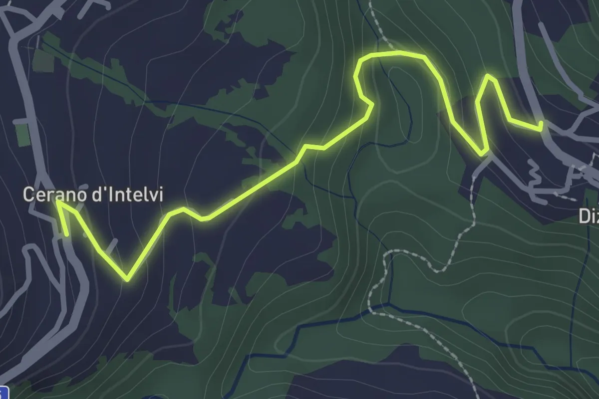
Easy · Trail
Dizzasco – Cerano
2.9 km · ↑ 168 m · 1 h 3 min · 11 km away
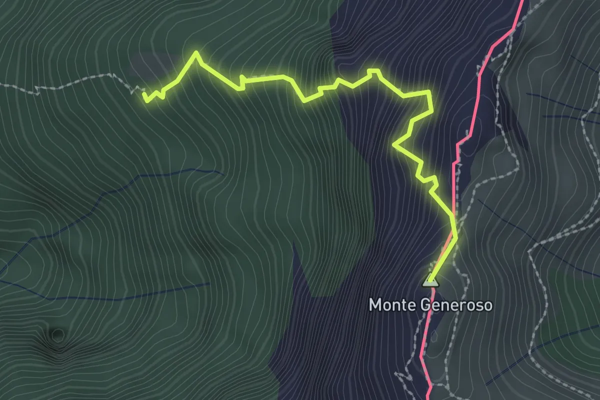
Expert · Summit
Perostabbio – Monte Generoso
2.4 km · ↑ 452 m · 1 h 33 min · 11 km away
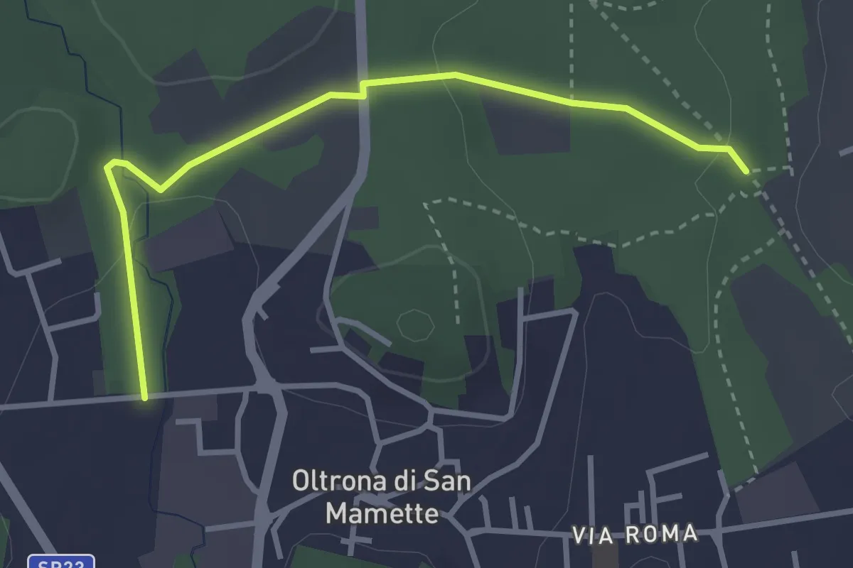
Easy · Trail
Incrocio 715B – Oltrona
3.2 km · ↑ 56 m · 52 min · 11 km away
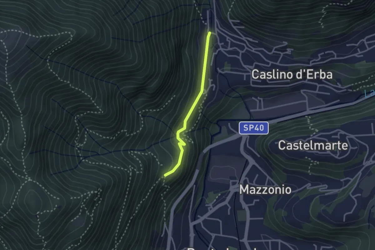
Demanding · Trail
Caslino d’Erba, loc. Punt di Murnèe – incrocio con sentiero 312 per Monte Puscio
2.3 km · ↑ 102 m · 46 min · 11 km away
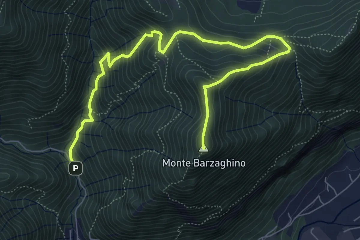
Demanding · Summit
strada per Forum Franciscanum – Monte Barzaghino
8.0 km · ↑ 642 m · 3 h 17 min · 11 km away