Trails near Cernobbio
244 hikes starting within 15 km, nearest first.
Nearest first, page 4 of 6
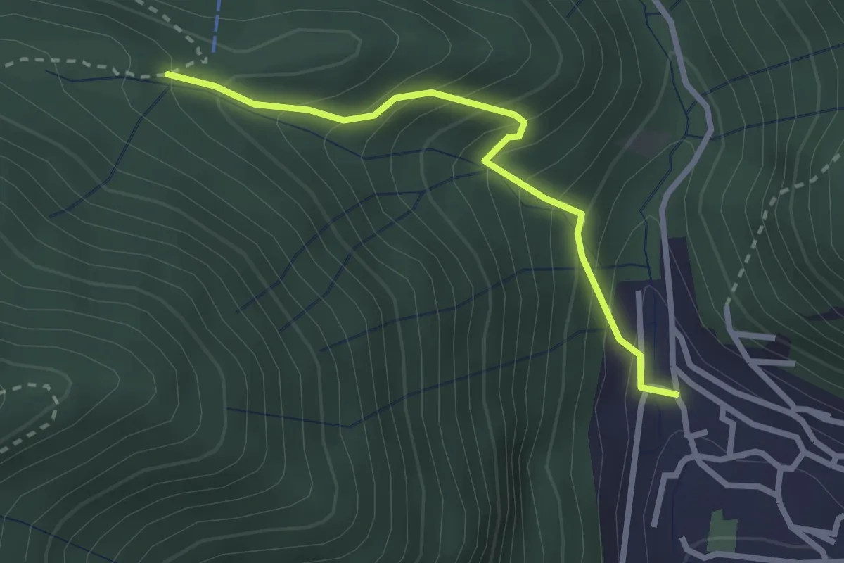
Easy · Trail
Sentiero Tamon - variante per Capanna Mara
2.5 km · ↑ 283 m · 1 h 12 min · 11 km away
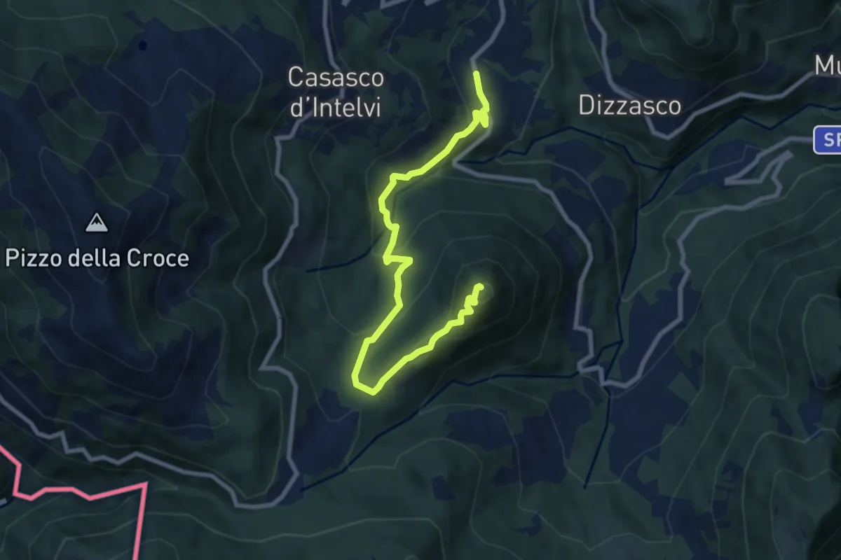
Medium · Summit
Cerano d'Intelvi – San Zeno
8.4 km · ↑ 455 m · 2 h 58 min · 12 km away
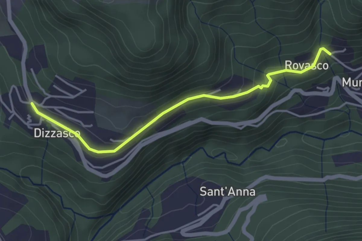
Easy · Trail
Dizzasco – Rovasco
3.6 km · ↑ 143 m · 1 h 10 min · 12 km away
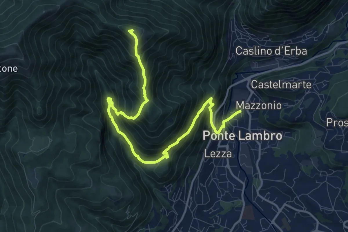
Demanding · Summit
Ponte Lambro – Monte Puscio
11.7 km · ↑ 1032 m · 5 h · 12 km away
Medium · Summit
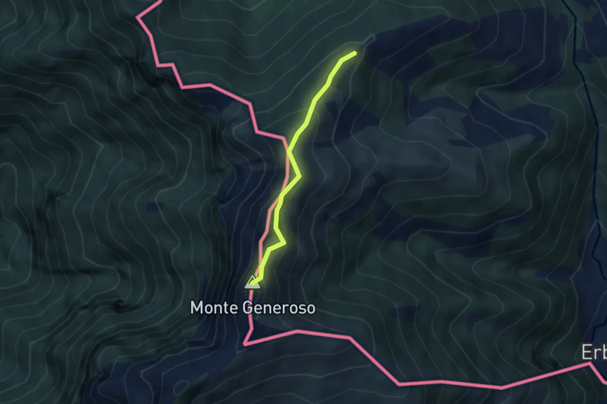
Casermetta di Orimento – Monte Generoso (Fiore di Pietra)
2.9 km · ↑ 131 m · 58 min · 12 km away
Medium · Trail
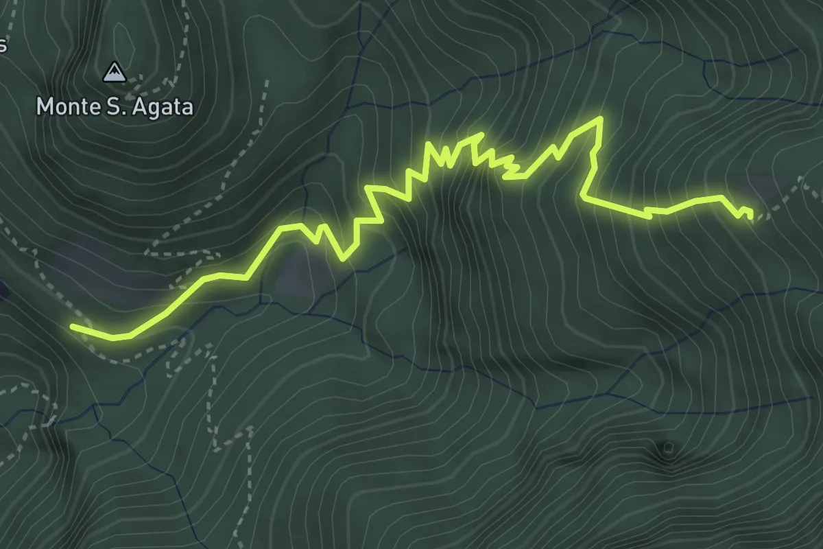
Perostabbio – Soldino
4.7 km · ↑ 690 m · 2 h 36 min · 12 km away
Medium · Trail
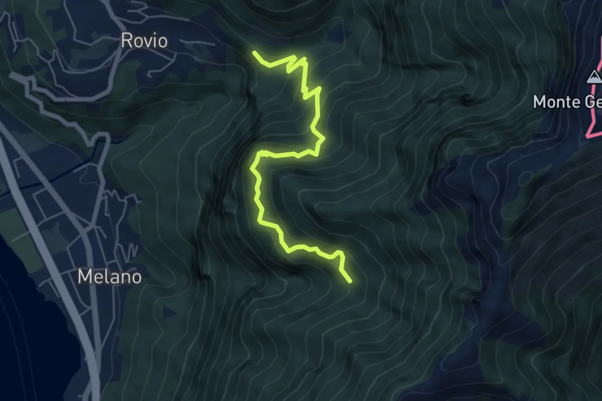
Soldino-Alpe di Melano
5.4 km · ↑ 670 m · 2 h 44 min · 12 km away
Demanding · Summit
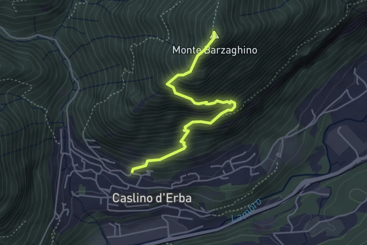
Caslino d’Erba – Via ai Ronchi – Monte Barzaghino
3.9 km · ↑ 614 m · 2 h 15 min · 12 km away
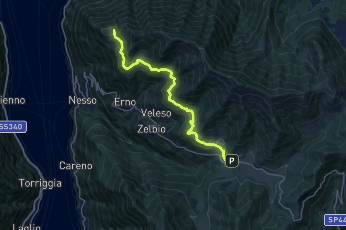
Medium · Trail
Pian del Tivano – Cresta NW M. Colmenacco
13.2 km · ↑ 610 m · 4 h 26 min · 12 km away
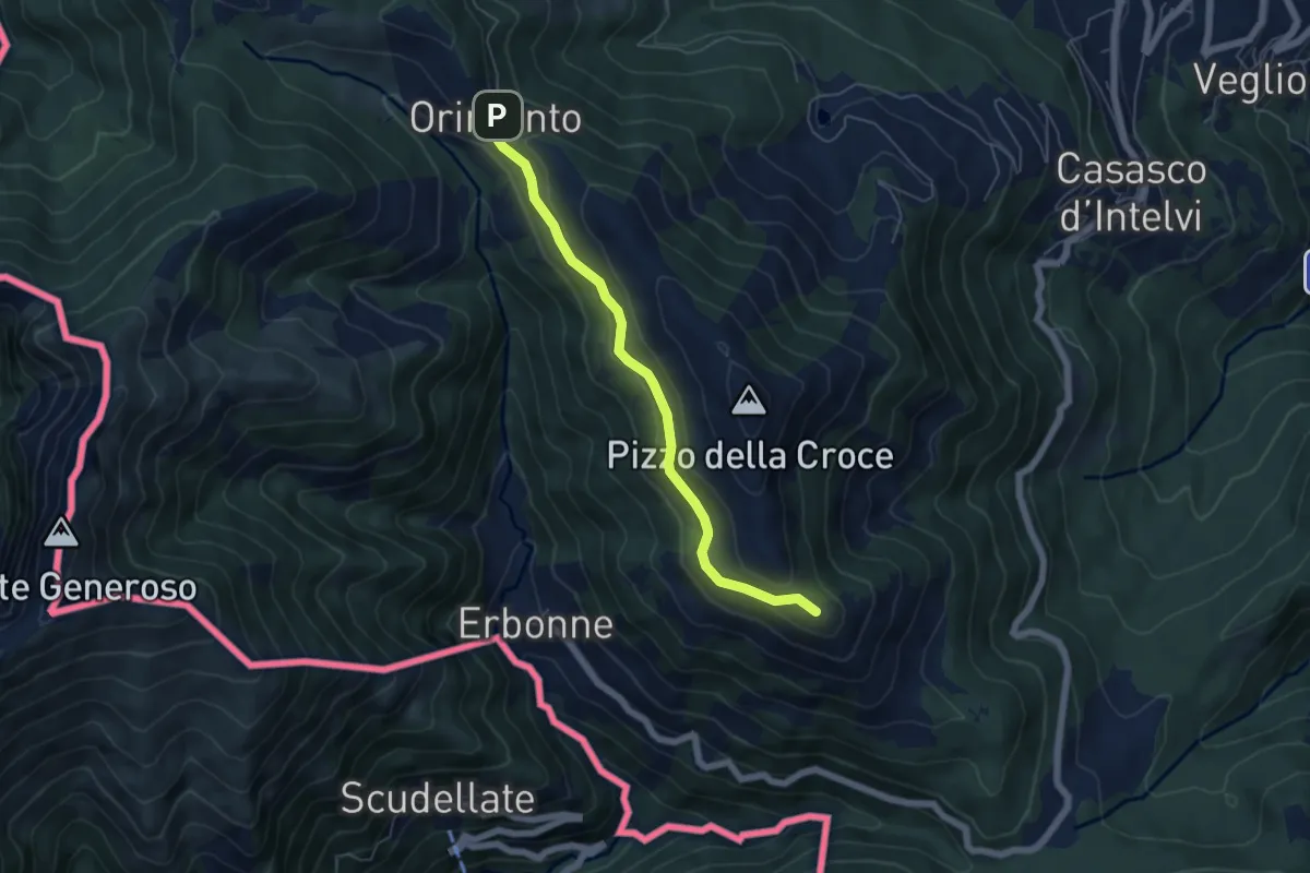
Easy · Summit
Rifugio Bruno e Giuseppe – Orimento
5.3 km · ↑ 143 m · 1 h 33 min · 12 km away
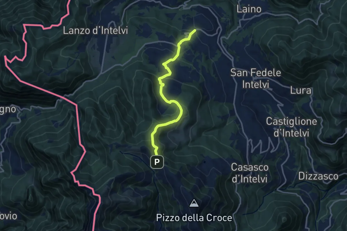
Medium · Trail
Pellio Superiore – Orimento
10.8 km · ↑ 547 m · 3 h 45 min · 12 km away
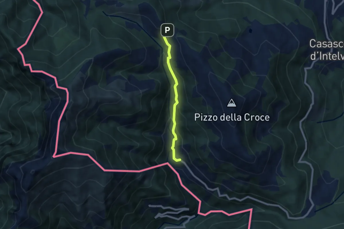
Medium · Trail
Orimento – Erbonne
4.7 km · ↑ 343 m · 1 h 51 min · 12 km away
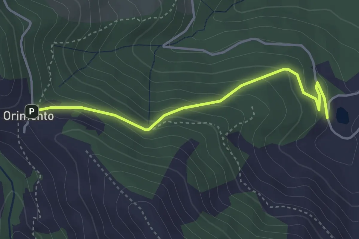
Easy · Trail
Bolla Mater – Orimento
3.3 km · ↑ 216 m · 1 h 16 min · 12 km away
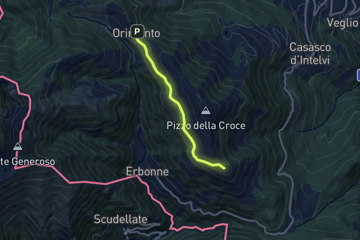
Easy · Summit
Capanna Bruno – Orimento
5.3 km · ↑ 143 m · 1 h 34 min · 12 km away
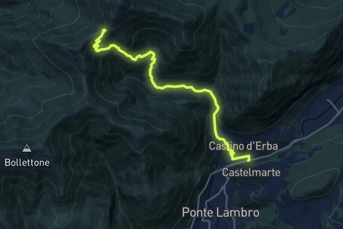
Demanding · Trail
Caslino d'Erba – Bocchetta di Palanzo
11.7 km · ↑ 912 m · 4 h 45 min · 12 km away
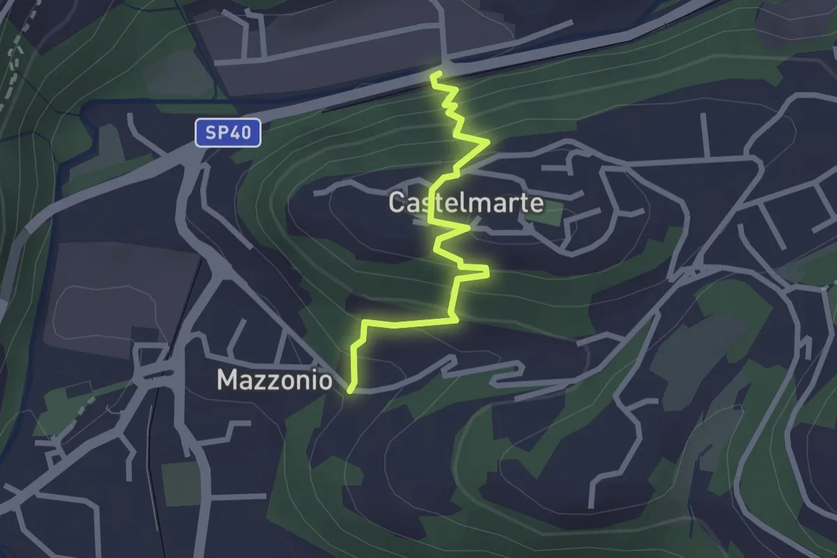
Easy · Trail
Stazione di Caslino d'Erba – Mazzonio (Ponte Lambro)
2.2 km · ↑ 199 m · 56 min · 12 km away
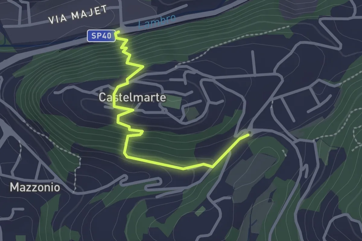
Easy · Trail
Stazione di Caslino d'Erba – Castelmarte
2.5 km · ↑ 179 m · 58 min · 12 km away
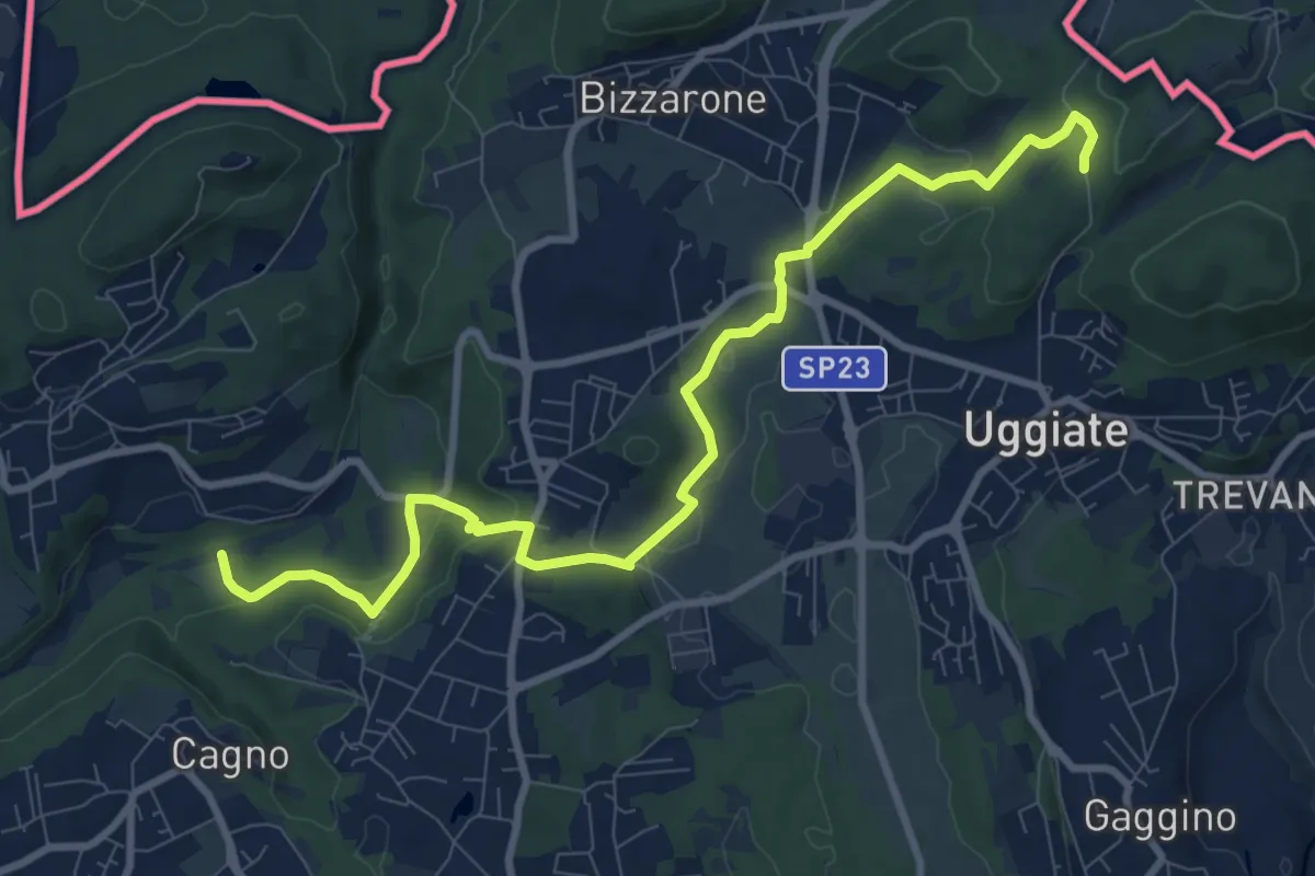
Medium · Trail
Sentiero Lanza-Lura
10.7 km · ↑ 292 m · 3 h 10 min · 12 km away
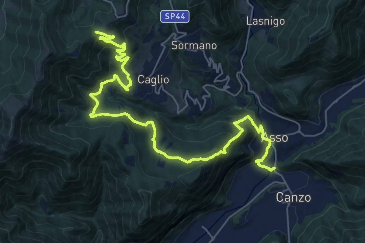
Demanding · Trail
Innesto Sentiero 300 – Innesto Sentiero 307V
22.6 km · ↑ 1139 m · 7 h 48 min · 12 km away
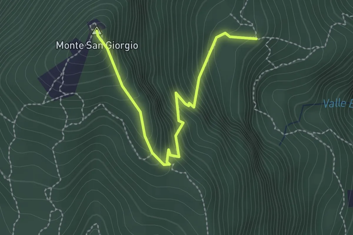
Easy · Summit
M.te San Giorgio - Pozzo? - fixme
2.6 km · ↑ 257 m · 1 h 11 min · 12 km away
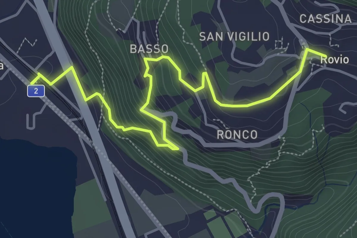
Medium · Trail
Rovio Posta – Maroggia St.ne
4.6 km · ↑ 328 m · 1 h 47 min · 12 km away
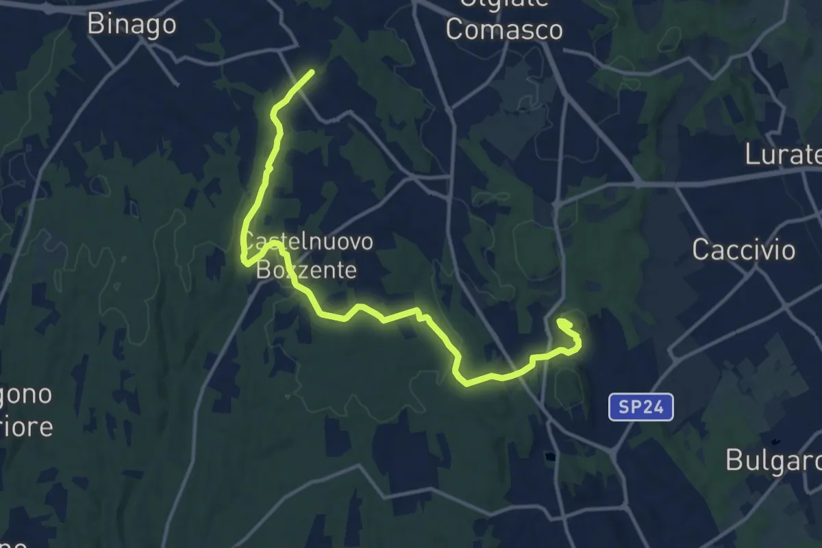
Medium · Trail
Sentiero 846
13.8 km · ↑ 196 m · 3 h 41 min · 12 km away
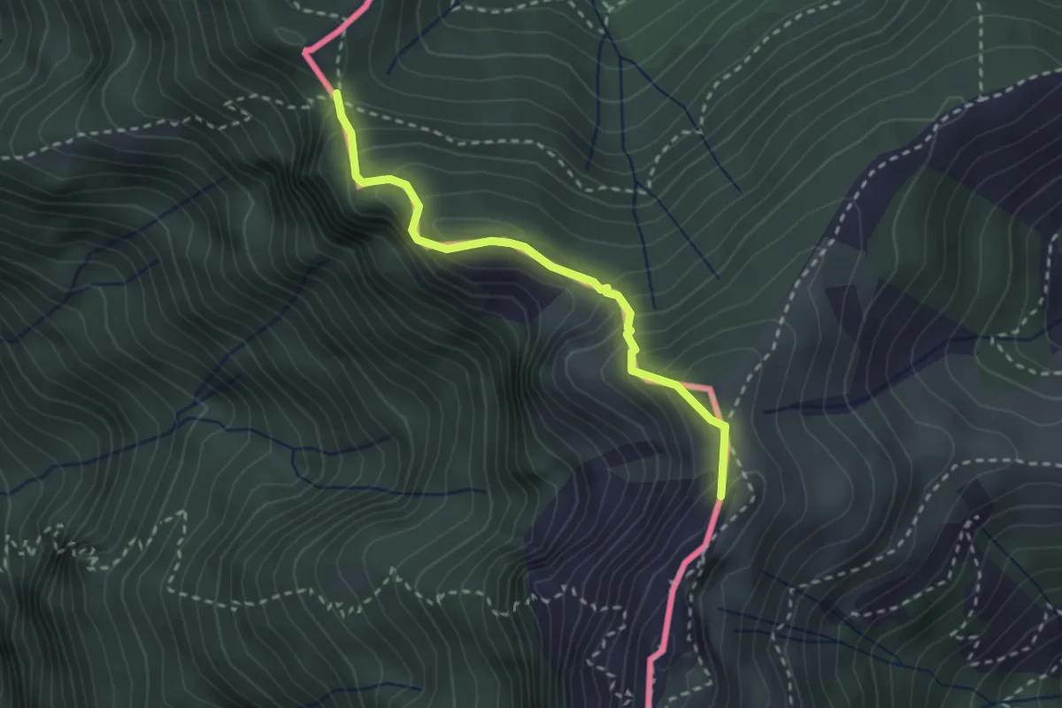
Medium · Summit
Cima Crocetta – Cima della Piancaccia
2.6 km · ↑ 298 m · 1 h 15 min · 12 km away
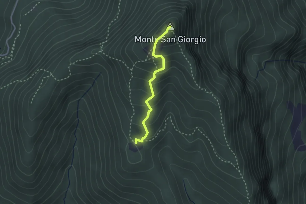
Medium · Summit
Monte San Giorgio – Cassina
2.2 km · ↑ 179 m · 55 min · 12 km away
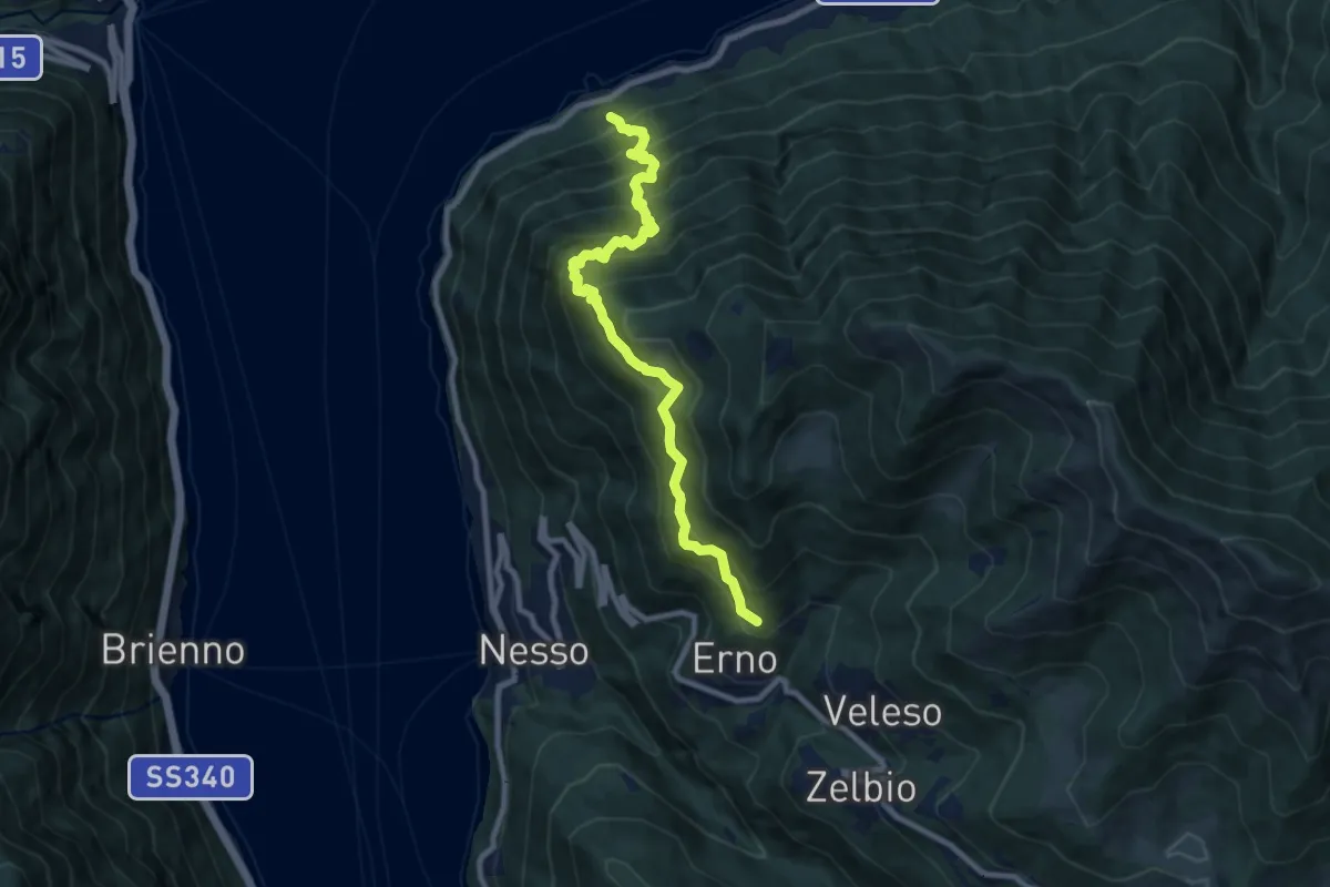
Demanding · Trail
Carvagnana – Erno
8.9 km · ↑ 1168 m · 4 h 38 min · 13 km away
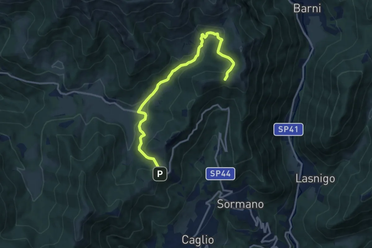
Medium · Trail
Colma di Sormano – Colma del Bosco
10.4 km · ↑ 419 m · 3 h 21 min · 13 km away
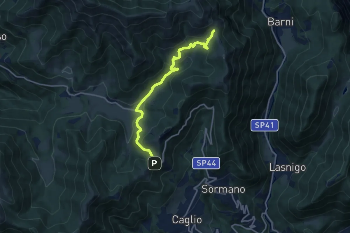
Medium · Trail
Colma di Sormano – Bocchetta di Spessola
10.1 km · ↑ 446 m · 3 h 21 min · 13 km away
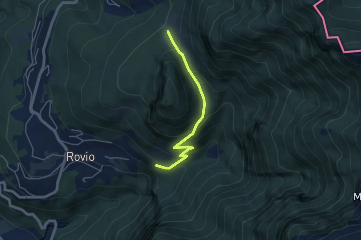
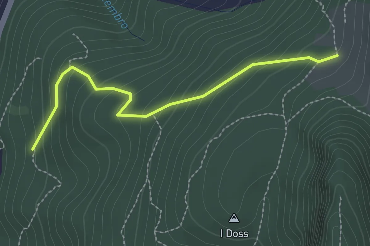
Expert · Trail
Alpe Bogo – Soldino
3.3 km · ↑ 278 m · 1 h 24 min · 13 km away
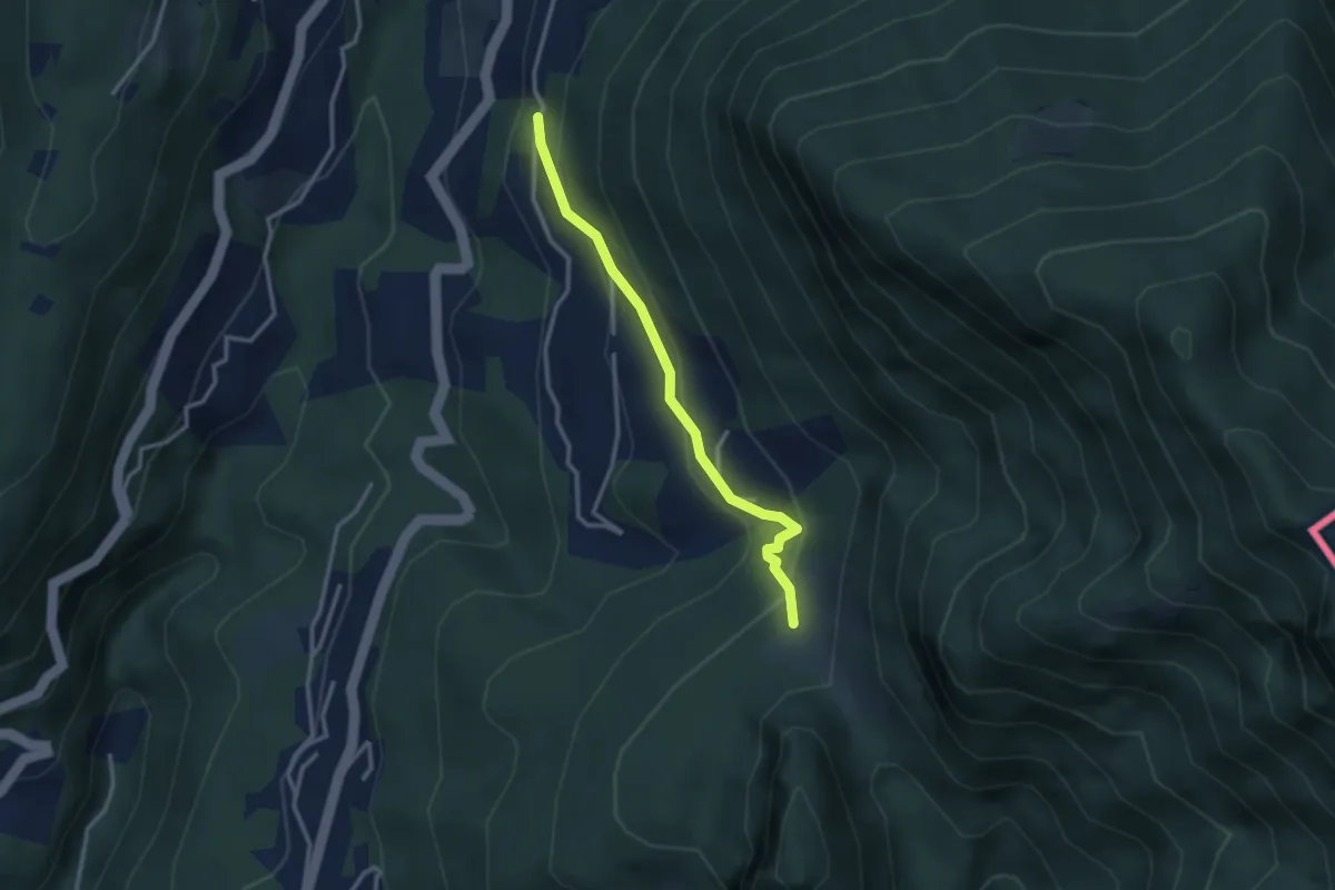
Easy · Trail
Alpe Bogo – Terzera
2.3 km · ↑ 175 m · 55 min · 13 km away
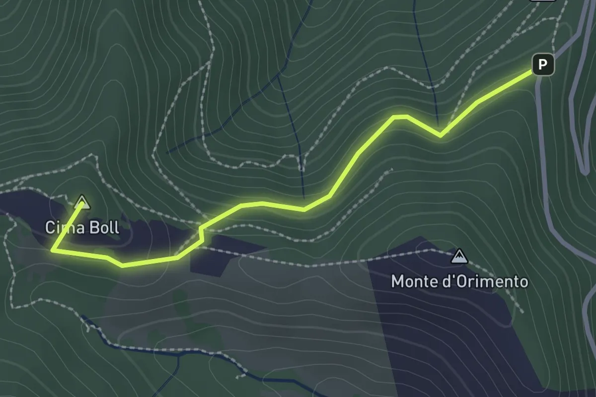
Medium · Trail
Pt. 615 – Alpe Bogo
2.8 km · ↑ 180 m · 1 h 3 min · 13 km away
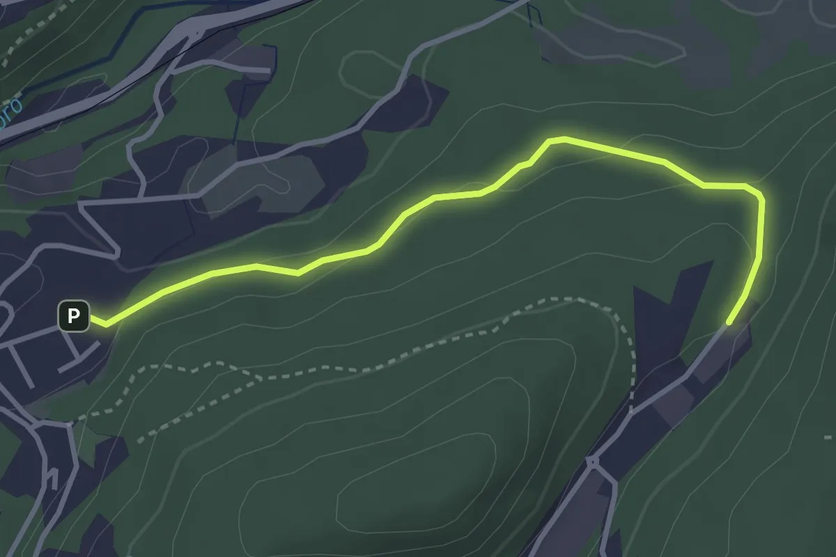
Easy · Summit
Località Casermette – Alpe di Gotta
2.5 km · ↑ 146 m · 54 min · 13 km away
Easy · Trail
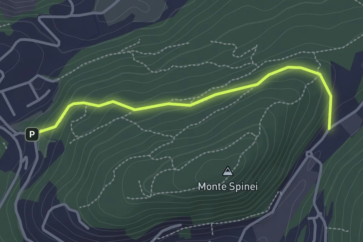
Sasso del Numero – Zona industriale di Proseprio
3.3 km · ↑ 99 m · 59 min · 13 km away
Easy · Trail
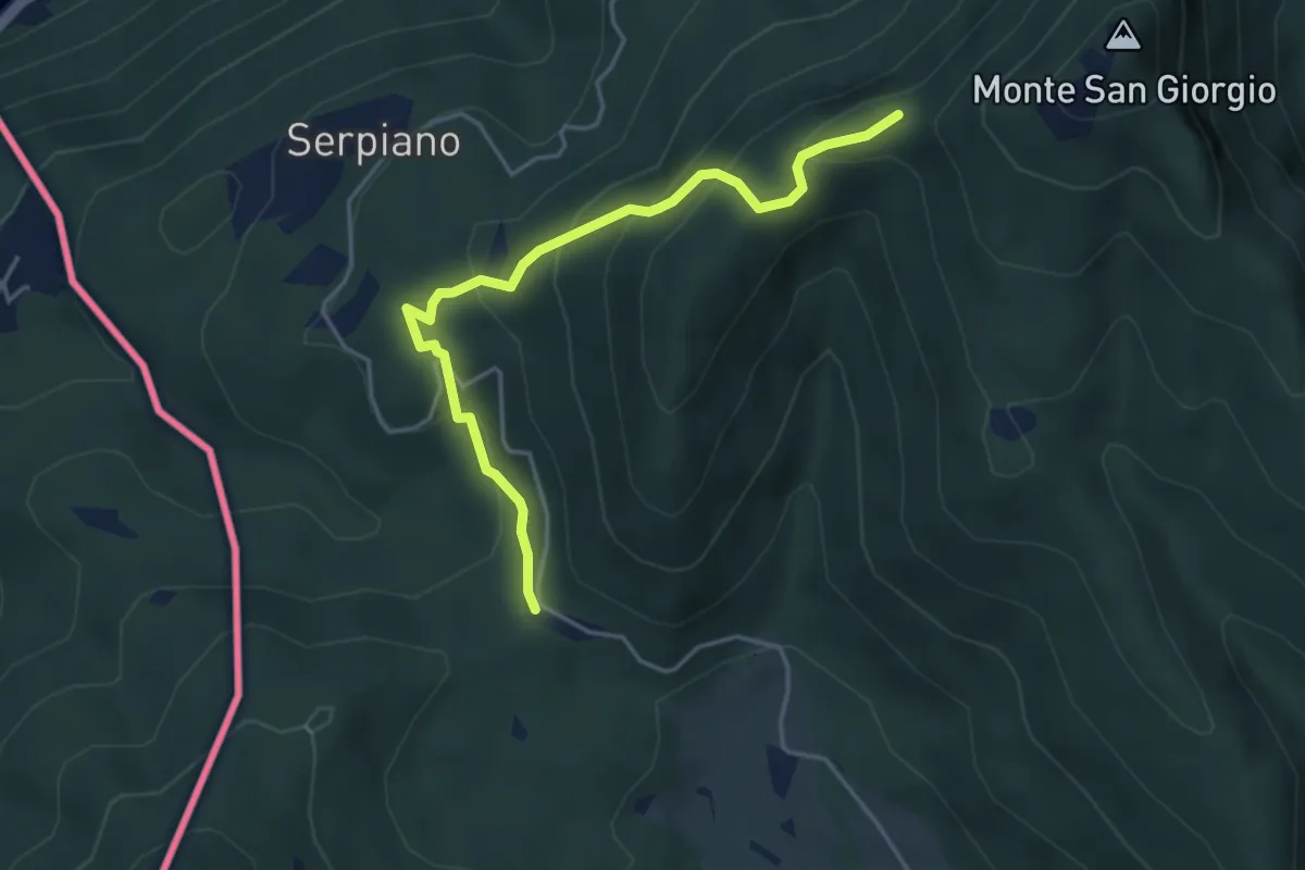
Bosco della Gualdera – Zona industriale di Proseprio
2.6 km · ↑ 85 m · 48 min · 13 km away
Medium · Trail
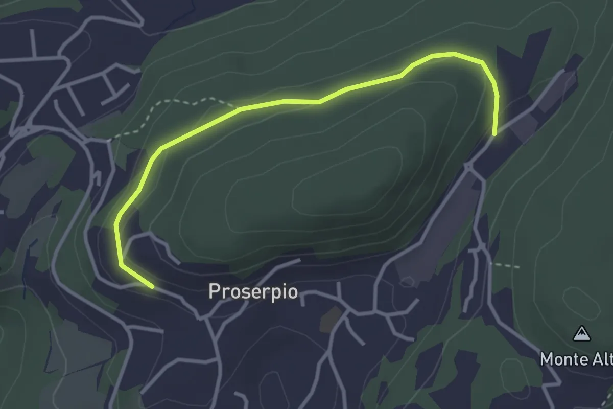
Punto 902 – Crocifisso
4.3 km · ↑ 290 m · 1 h 39 min · 13 km away
Easy · Trail
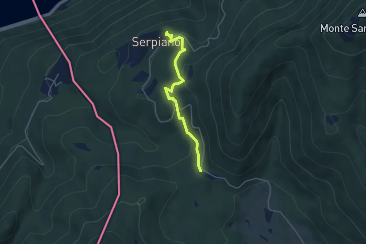
Rusera (Proserpio) – Zona industriale di Proseprio
3.1 km · ↑ 50 m · 51 min · 13 km away
Medium · Trail
Crocifisso – Serpiano
3.2 km · ↑ 156 m · 1 h 6 min · 13 km away
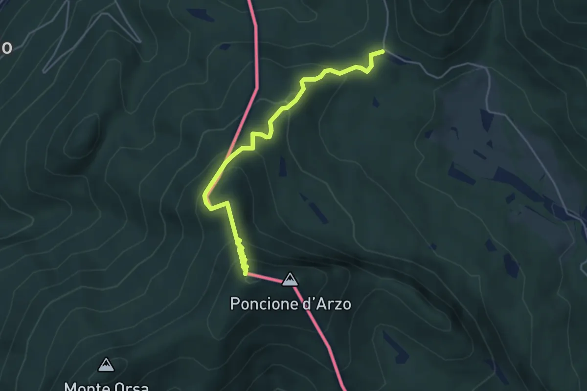
Medium · Summit
Crocifisso – Poncione d'Arzo
4.3 km · ↑ 320 m · 1 h 43 min · 13 km away
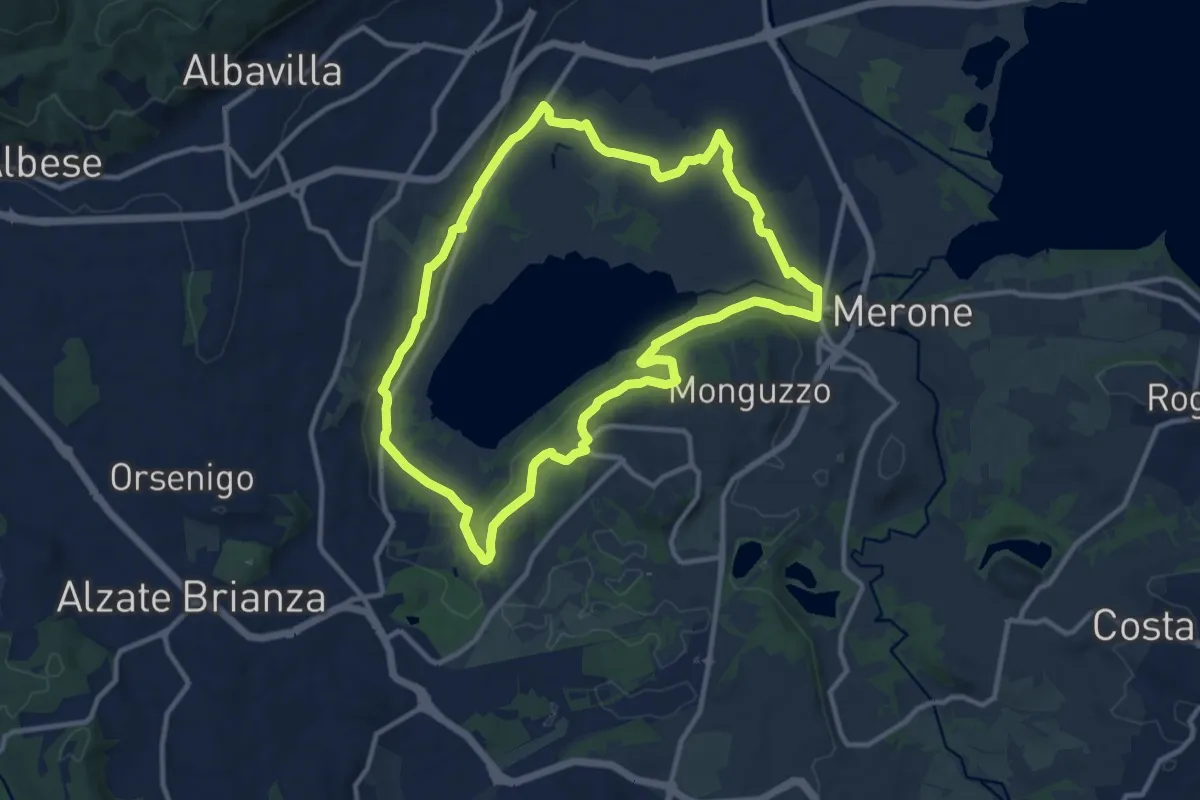
Medium · Trail
Attorno al lago di Alserio
11.3 km · ↑ 162 m · 3 h 11 min · 13 km away
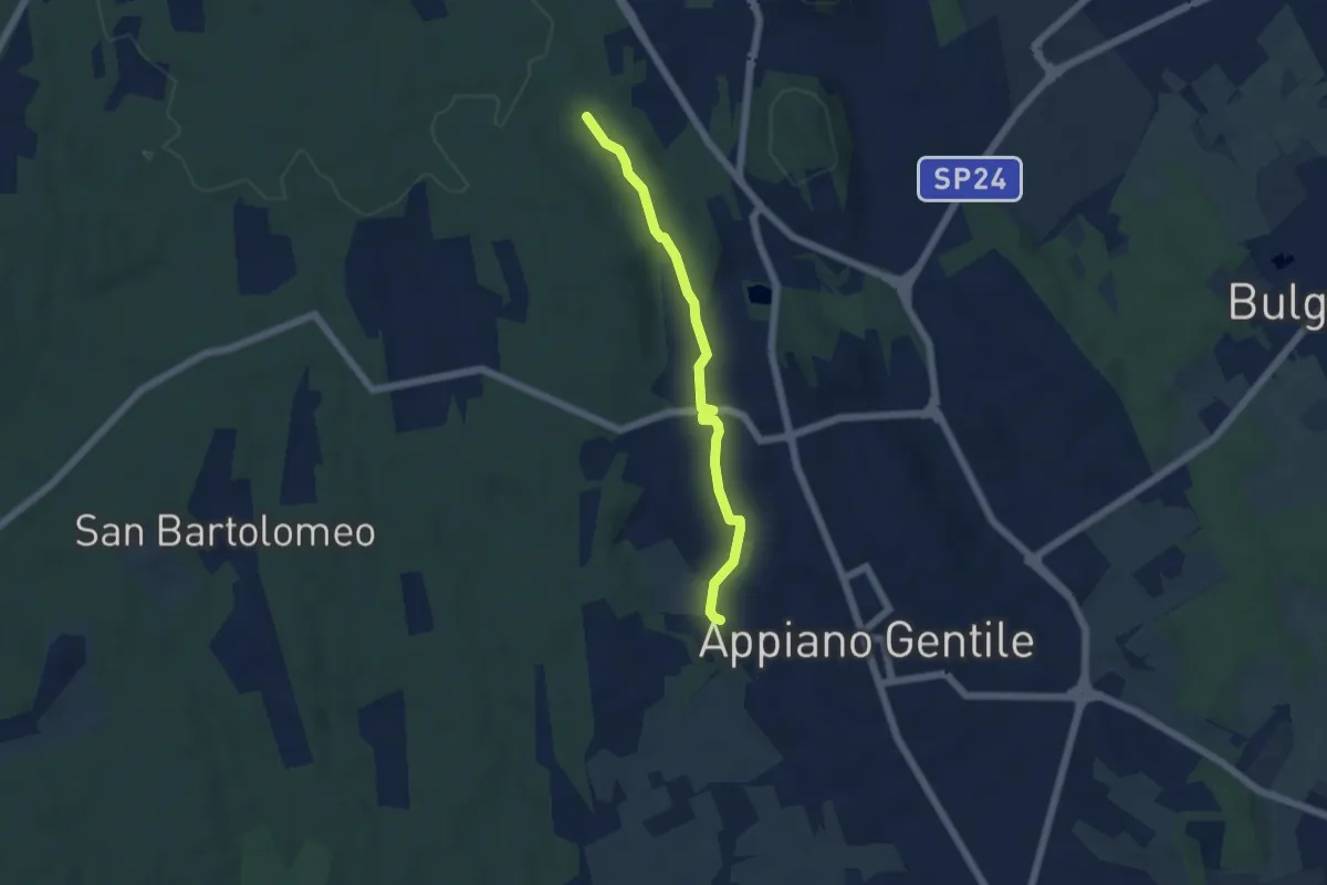
Easy · Trail
Sentiero 846C
4.9 km · ↑ 81 m · 1 h 20 min · 13 km away
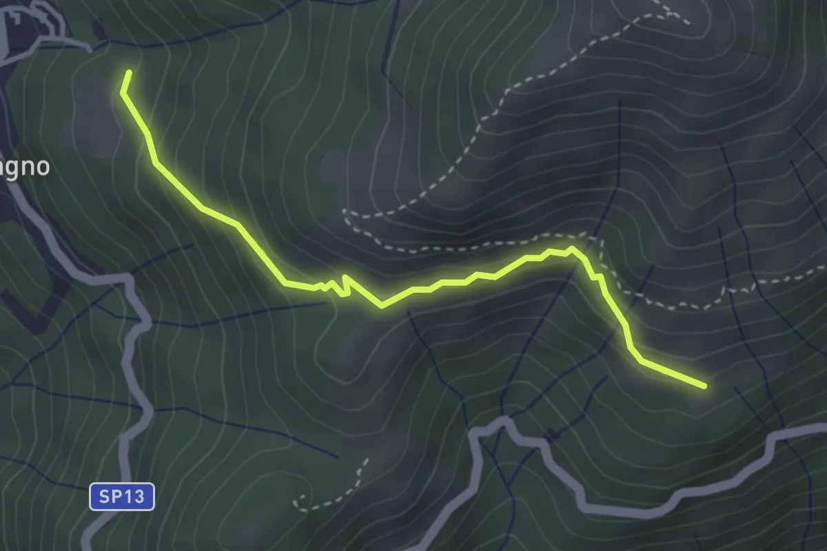
Expert · Trail
Blessagno Mulattiera Pianeria Tapascion
3.3 km · ↑ 237 m · 1 h 18 min · 13 km away
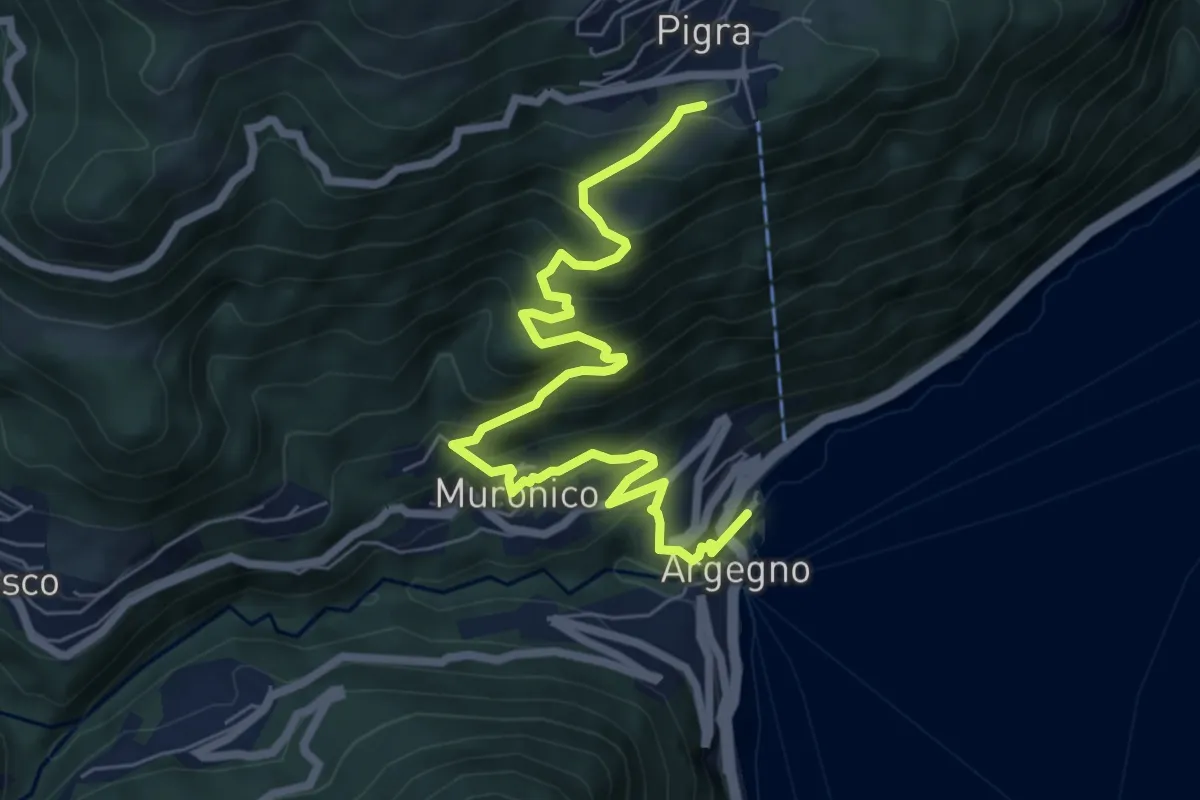
Medium · Trail
Pigra (chiesa) – Argegno (parcheggio chiesa)
7.8 km · ↑ 689 m · 3 h 20 min · 13 km away
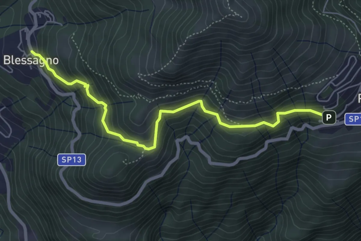
Medium · Trail
Mulattiera Pigra - Blessagno
5.6 km · ↑ 465 m · 2 h 20 min · 13 km away
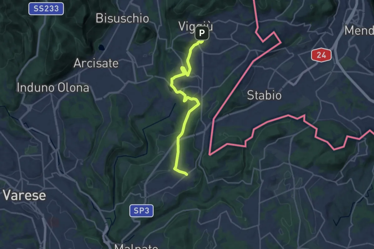
Medium · Trail
Viggiù – Cantello (Ligurno)
15.8 km · ↑ 332 m · 4 h 27 min · 13 km away
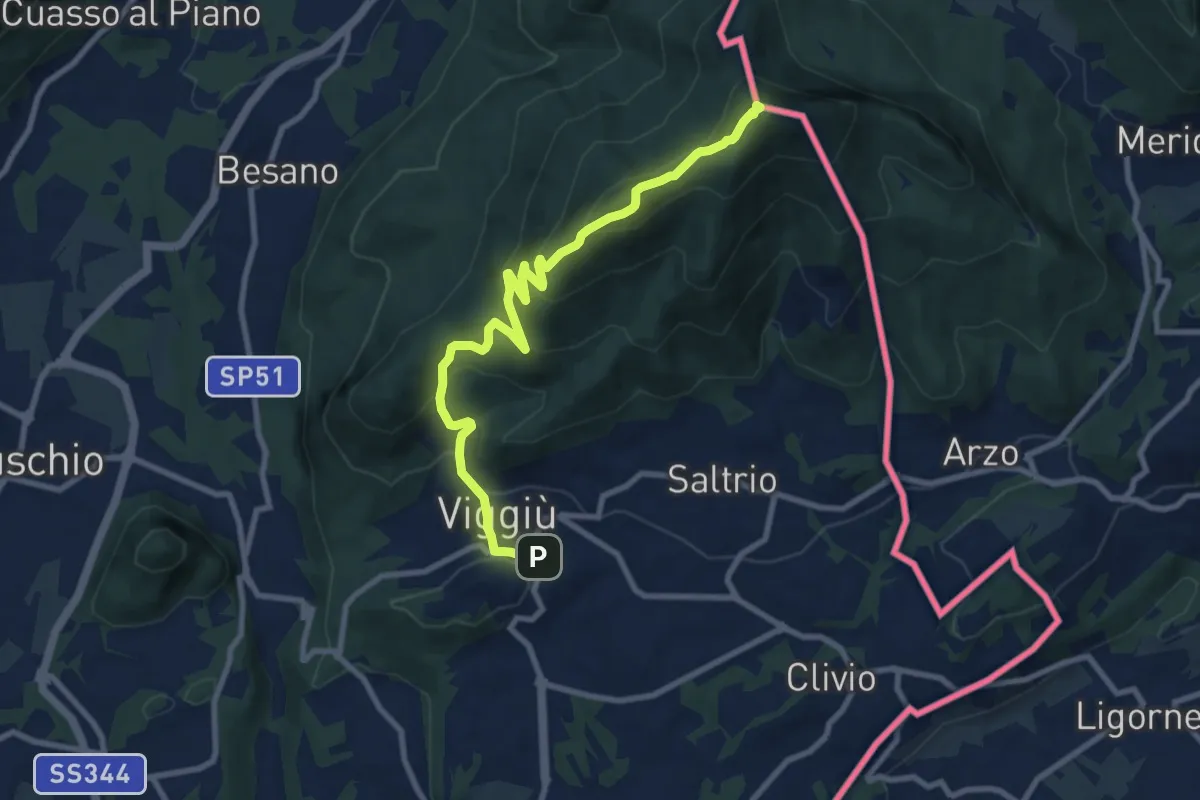
Medium · Summit
Viggiu' – Monte Pravello
9.9 km · ↑ 605 m · 3 h 39 min · 13 km away
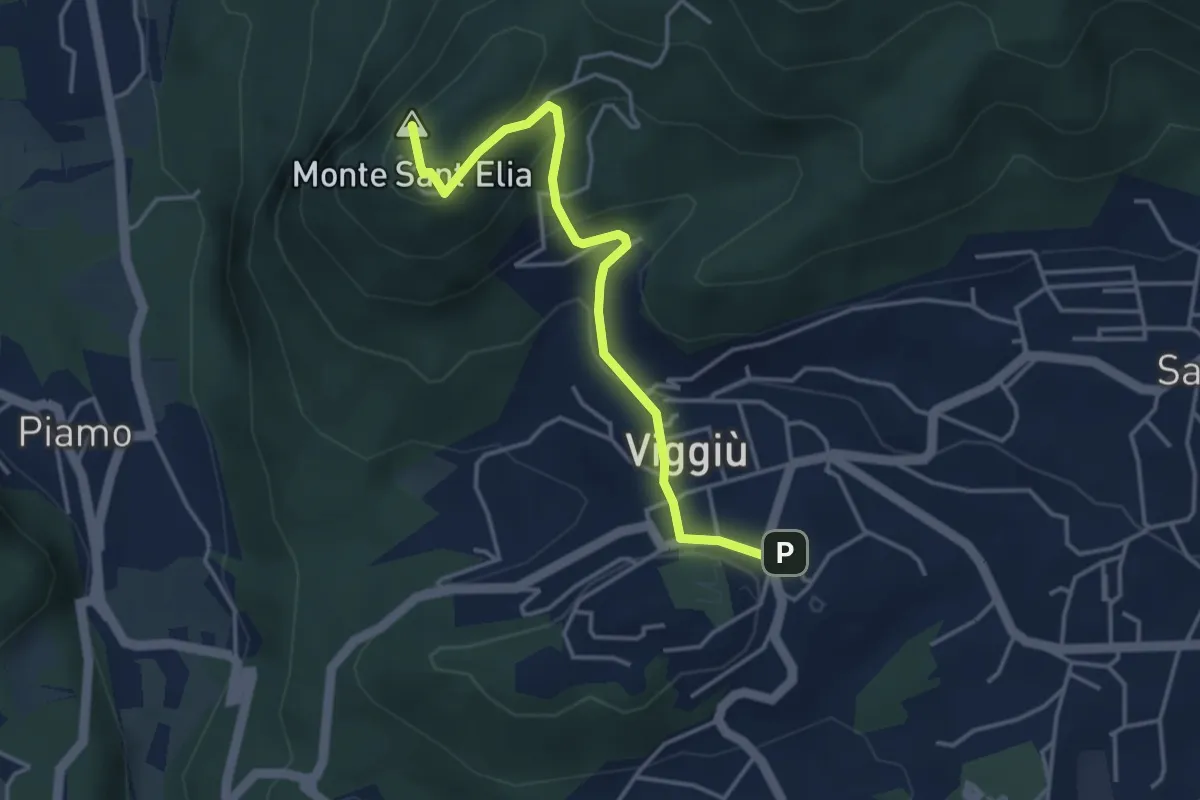
Medium · Summit
Viggiu' – Colle Sant'Elia
4.1 km · ↑ 180 m · 1 h 21 min · 13 km away
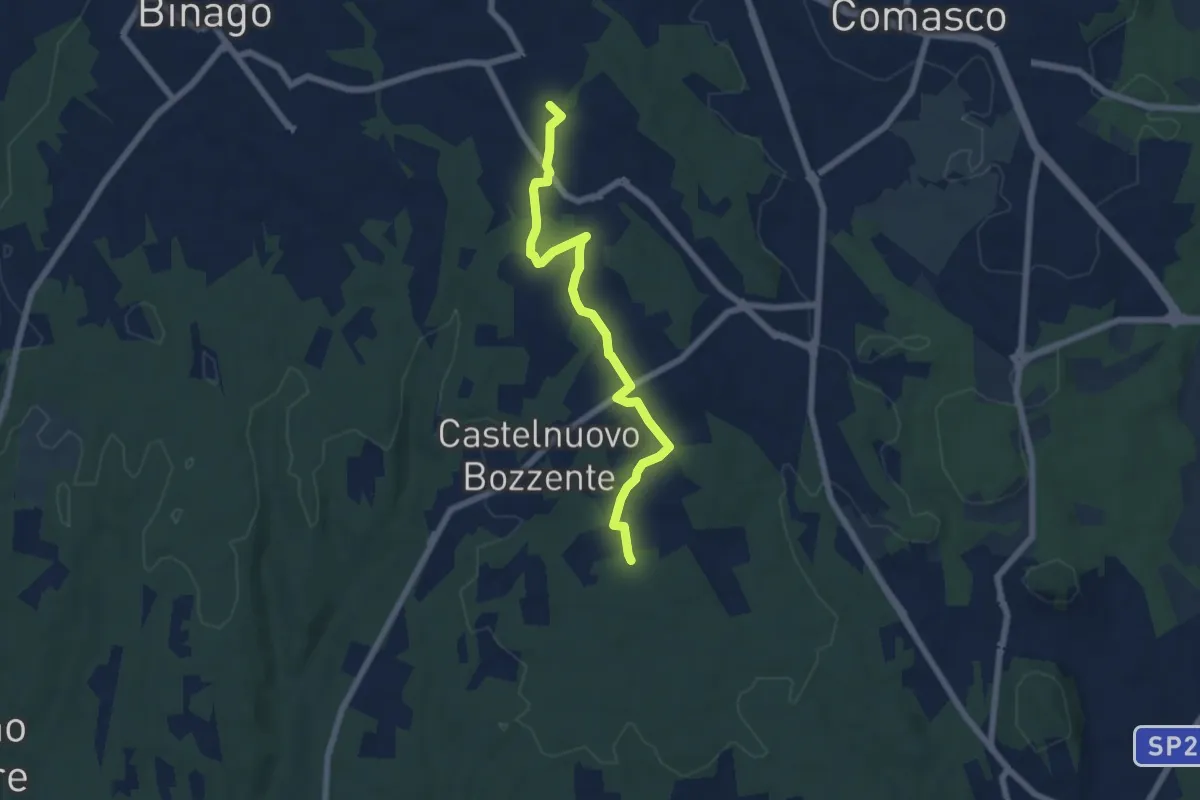
Easy · Trail
Sentiero 846B
6.5 km · ↑ 44 m · 1 h 38 min · 13 km away
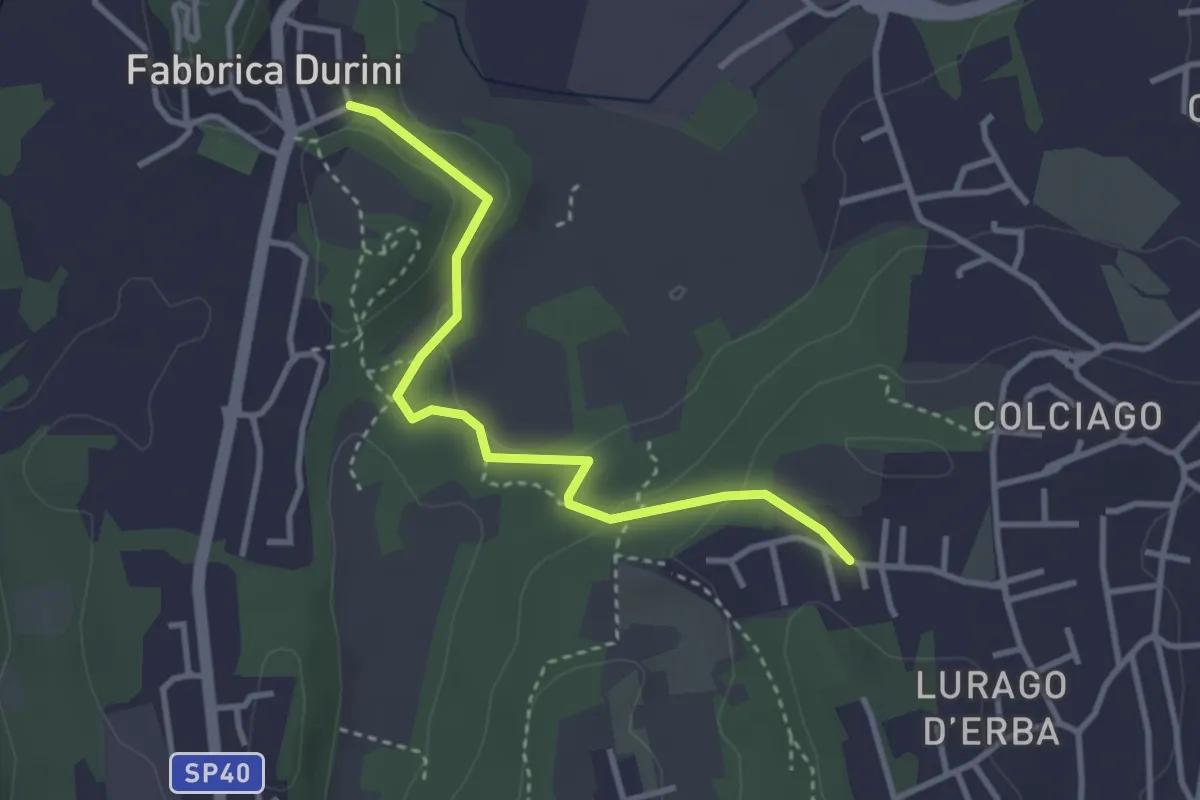
Easy · Trail
Fabbrica Durini – Careggia
3.3 km · ↑ 83 m · 58 min · 13 km away
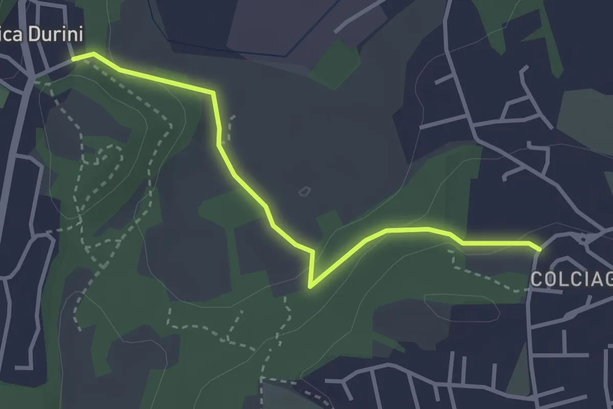
Easy · Trail
Fabbrica Durini – Colciago
3.0 km · ↑ 85 m · 54 min · 13 km away