Trails near Cernobbio
244 hikes starting within 15 km, nearest first.
Nearest first, page 5 of 6
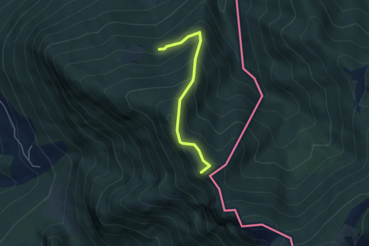
Medium · Summit
Alpe d'Arogno – Cima Crocetta
3.1 km · ↑ 283 m · 1 h 20 min · 13 km away
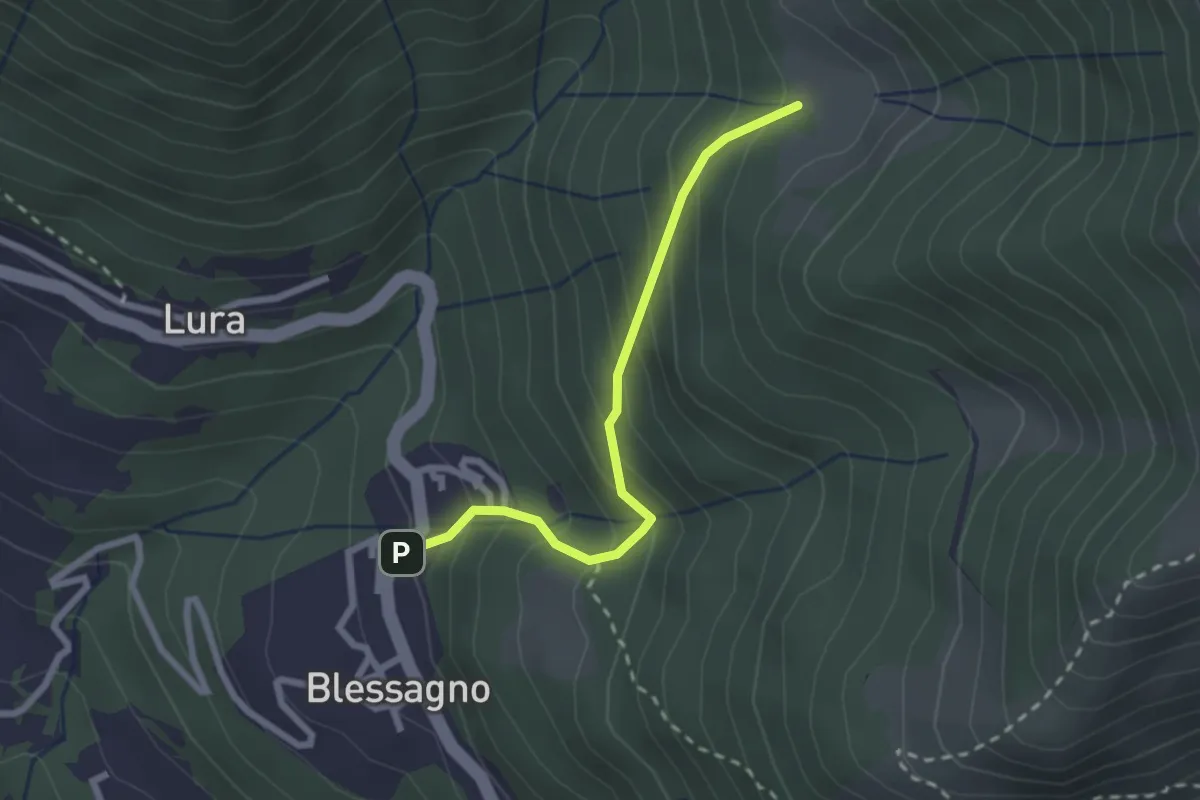
Easy · Cabin
Blessagno – Alpe di Blessagno
2.3 km · ↑ 267 m · 1 h 7 min · 13 km away
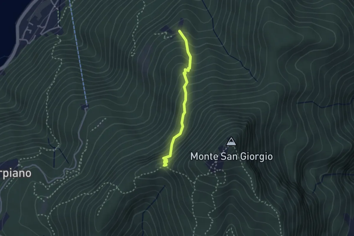
Medium · Trail
Alpe di Brusino – Punto 902
2.4 km · ↑ 262 m · 1 h 8 min · 13 km away
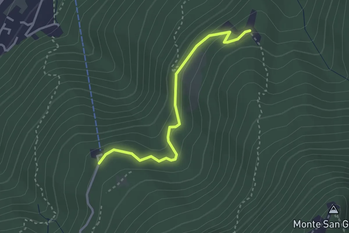
Easy · Trail
Serpiano Statione – Alpe di Brusino
2.7 km · ↑ 164 m · 1 h · 13 km away
Medium · Summit
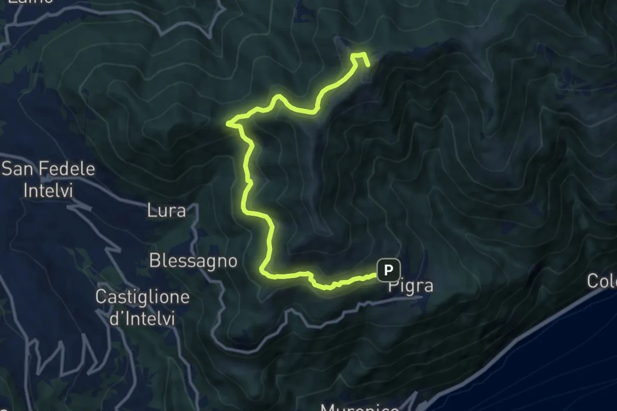
Circolare Piz Pasquela
11.3 km · ↑ 622 m · 4 h · 14 km away
Medium · Summit
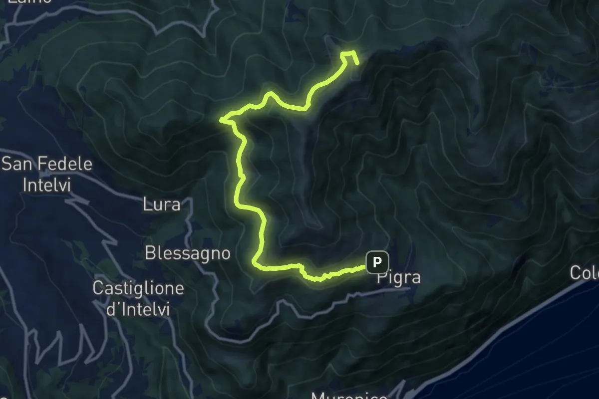
Pigra – Alpe di Colonno
11.3 km · ↑ 622 m · 4 h · 14 km away
Demanding · Summit
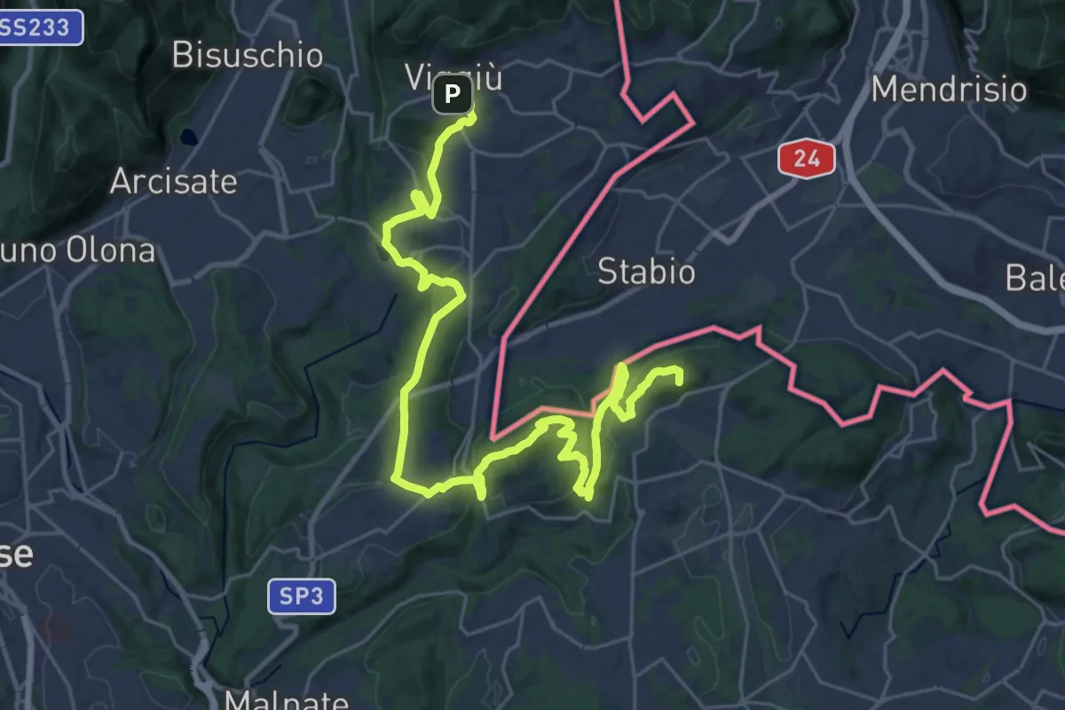
Viggiù (Piazza Europa) – Bizzarone
32.7 km · ↑ 911 m · 9 h 42 min · 14 km away
Easy · Trail
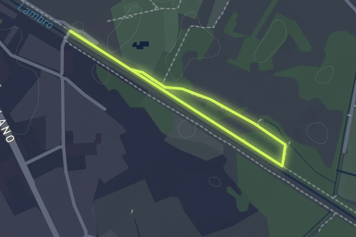
Percorso minore
1.3 km · ↑ 0 m · 20 min · 14 km away
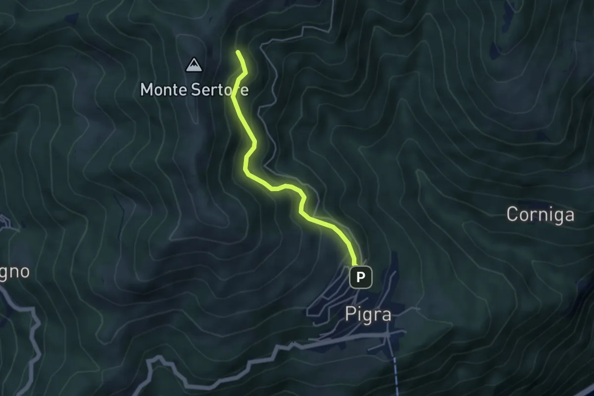
Medium · Trail
Strada ai Monti
3.7 km · ↑ 355 m · 1 h 39 min · 14 km away
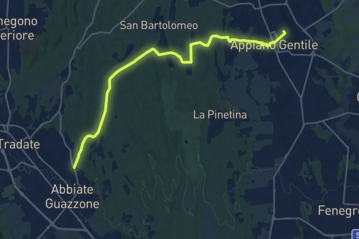
Medium · Trail
Appiano Gentile – Tradate
15.2 km · ↑ 222 m · 4 h 5 min · 14 km away
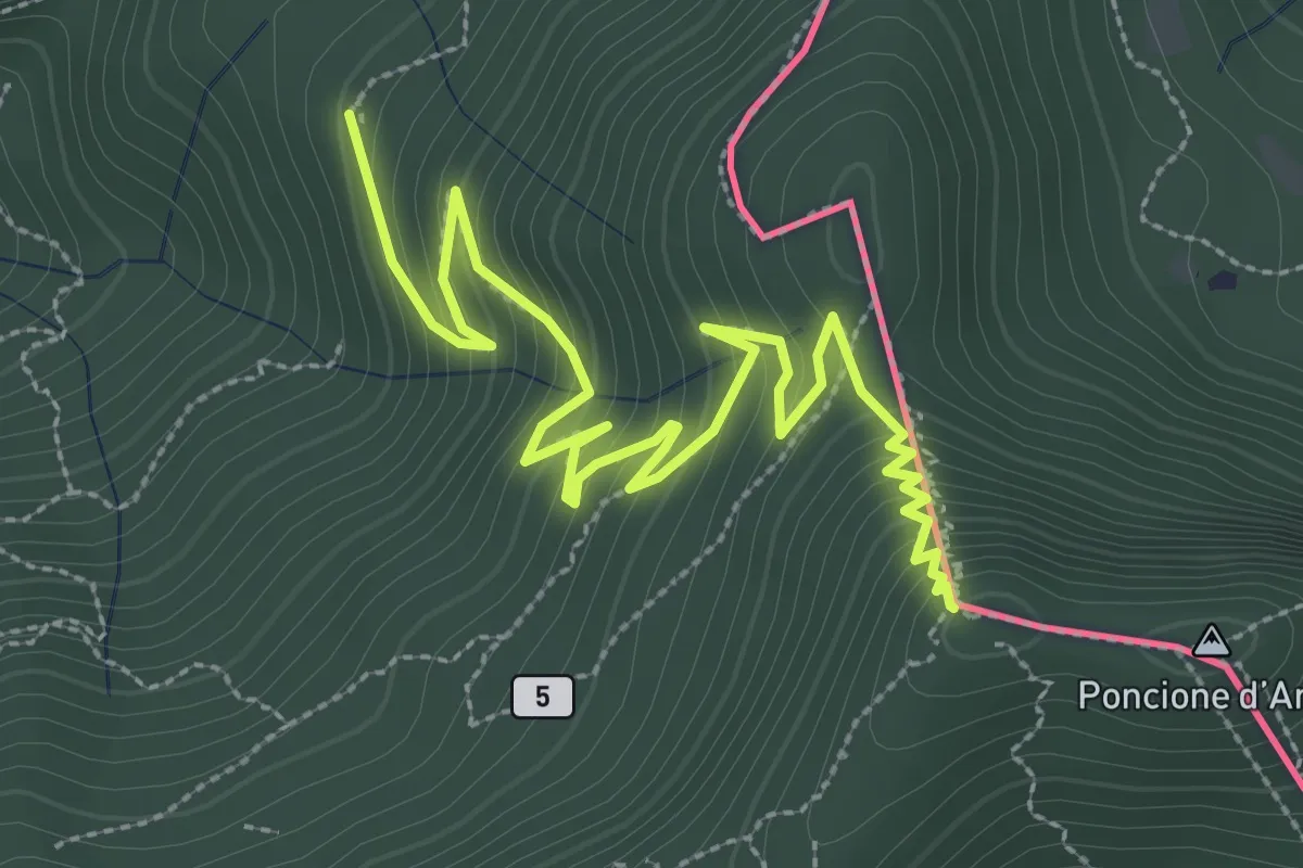
Medium · Summit
Besano – Monte Pravello
4.1 km · ↑ 402 m · 1 h 50 min · 14 km away
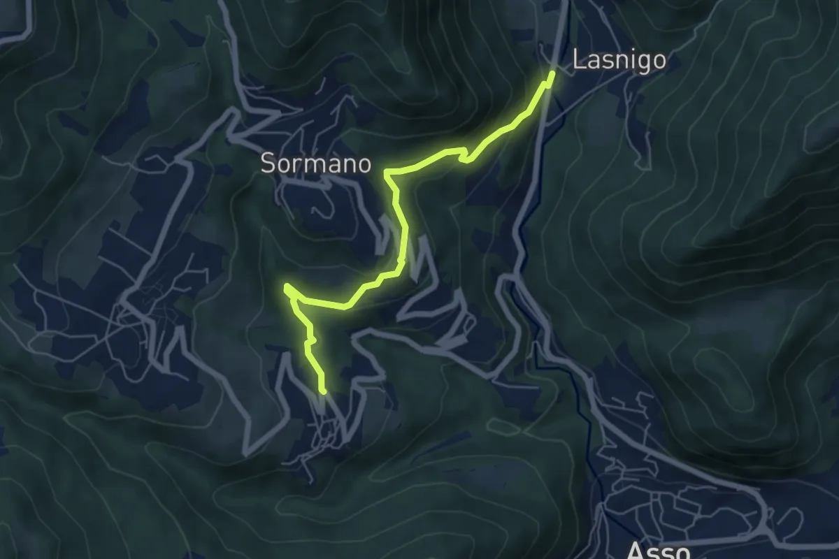
Easy · Trail
Bocchetta di Palanzo – Santi Cosma e Damiano (Rezzago)
5.5 km · ↑ 257 m · 1 h 52 min · 14 km away
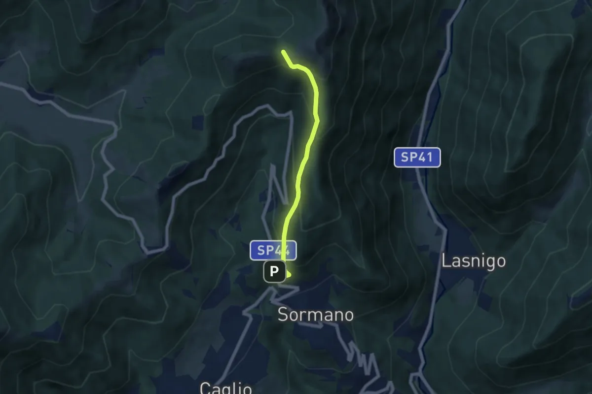
Medium · Trail
Sormano – Colma del Bosco
4.8 km · ↑ 392 m · 1 h 59 min · 14 km away
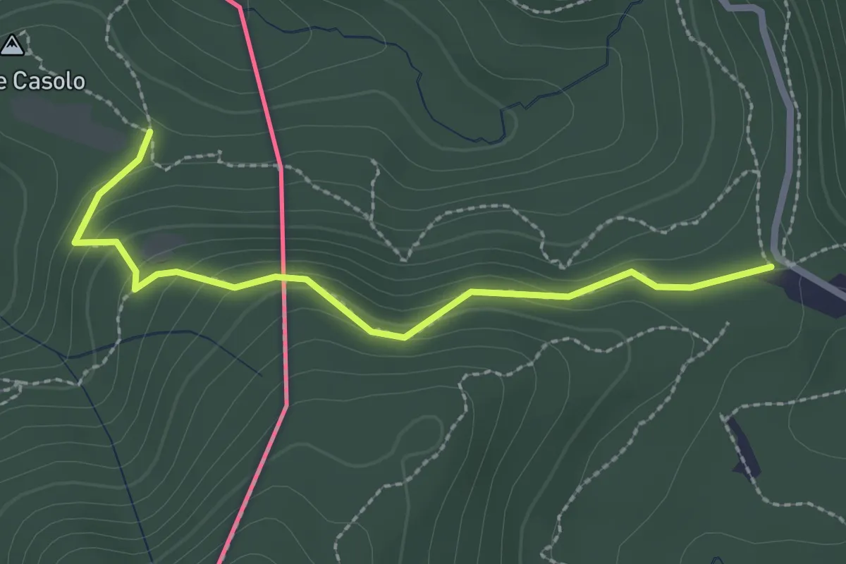
Medium · Trail
Crossifico - Monte Casolo (I) ? / Porto Ceresio (I) ? - fixme
2.5 km · ↑ 122 m · 51 min · 14 km away
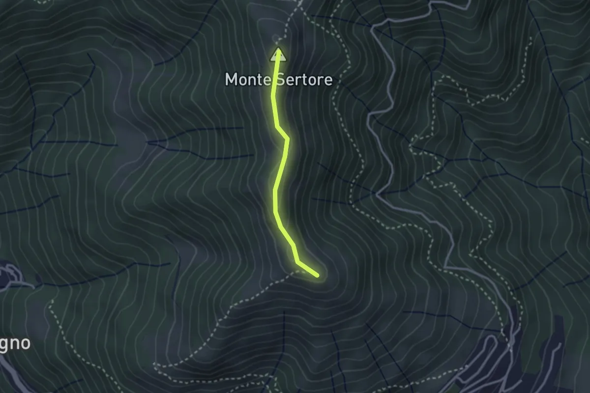
Easy · Summit
Bocchetta di Pigra – Pizzo Pasquella
2.1 km · ↑ 71 m · 39 min · 14 km away
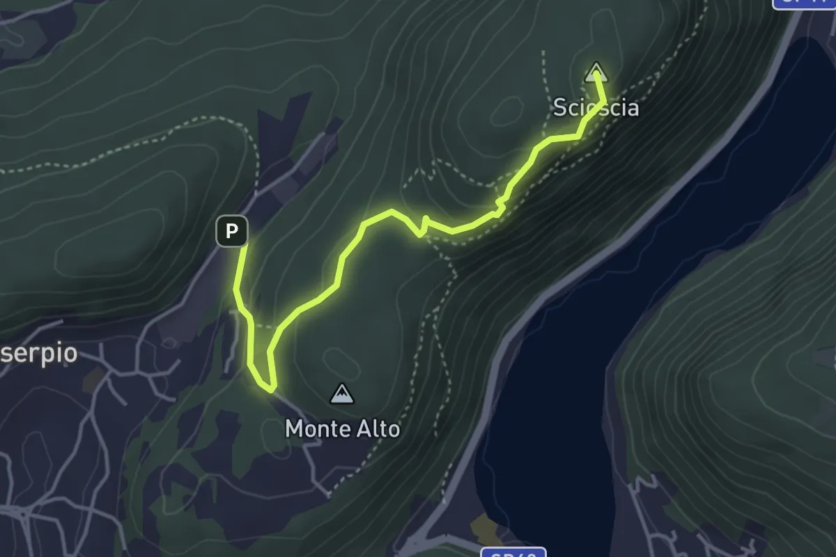
Demanding · Summit
Zona industriale di Proseprio – Canzo
4.1 km · ↑ 185 m · 1 h 21 min · 14 km away
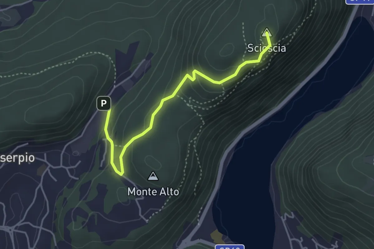
Easy · Summit
Zona industriale di Proseprio – Canzo
4.0 km · ↑ 173 m · 1 h 19 min · 14 km away
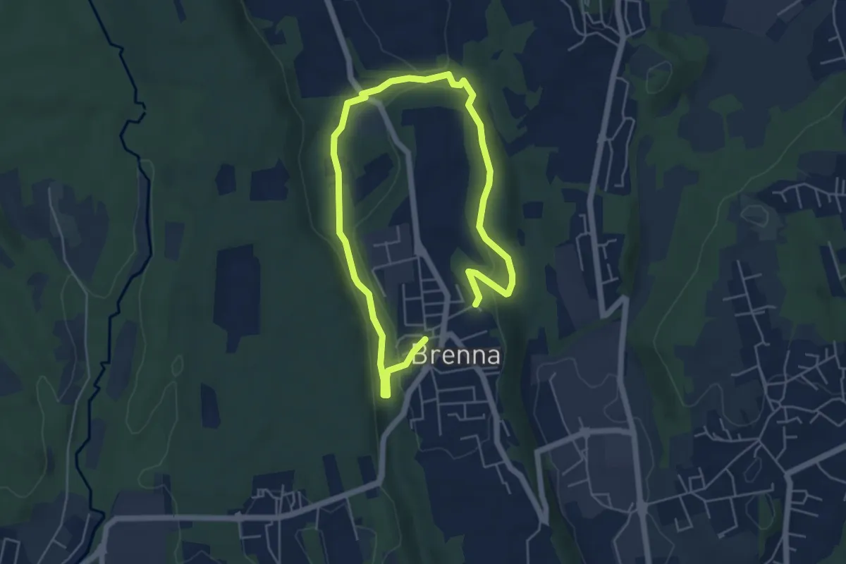
Easy · Trail
Valle Sorda – Valle di Brenna
7.8 km · ↑ 140 m · 2 h 9 min · 14 km away
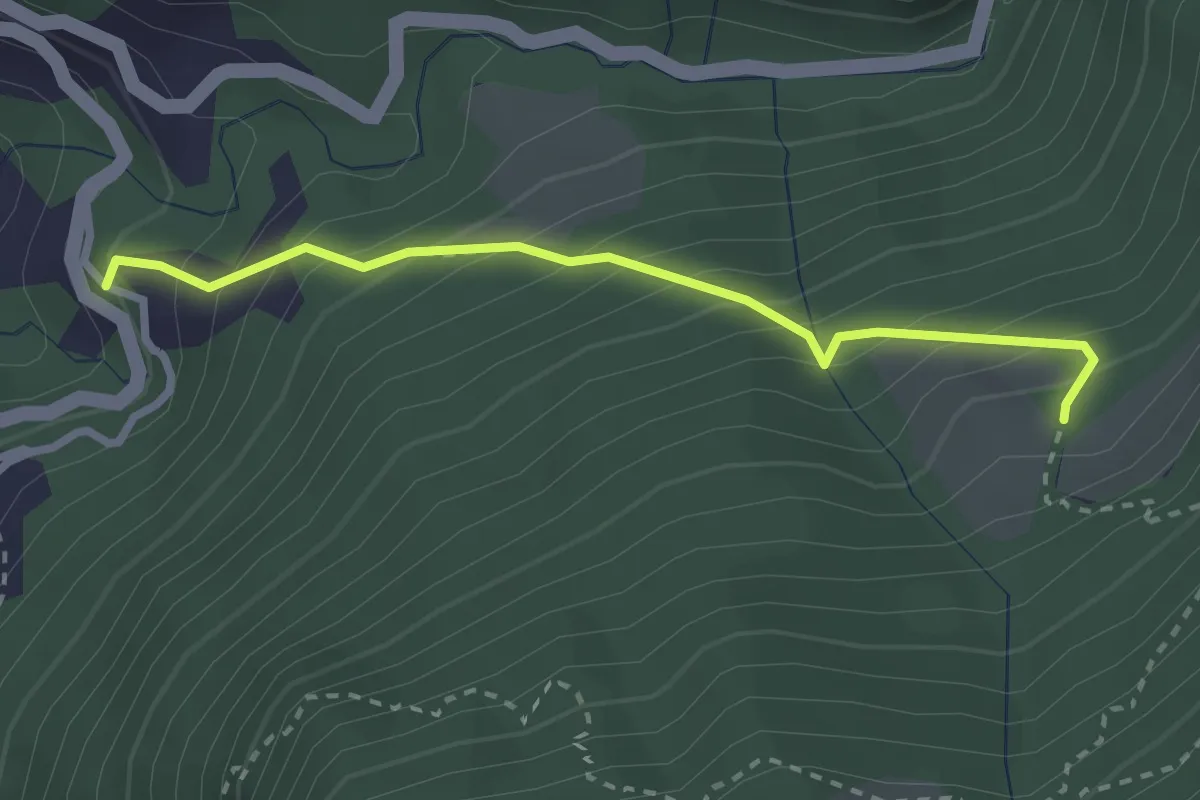
Medium · Trail
Alpe Pianca – Sasso Grosso
2.7 km · ↑ 327 m · 1 h 20 min · 14 km away
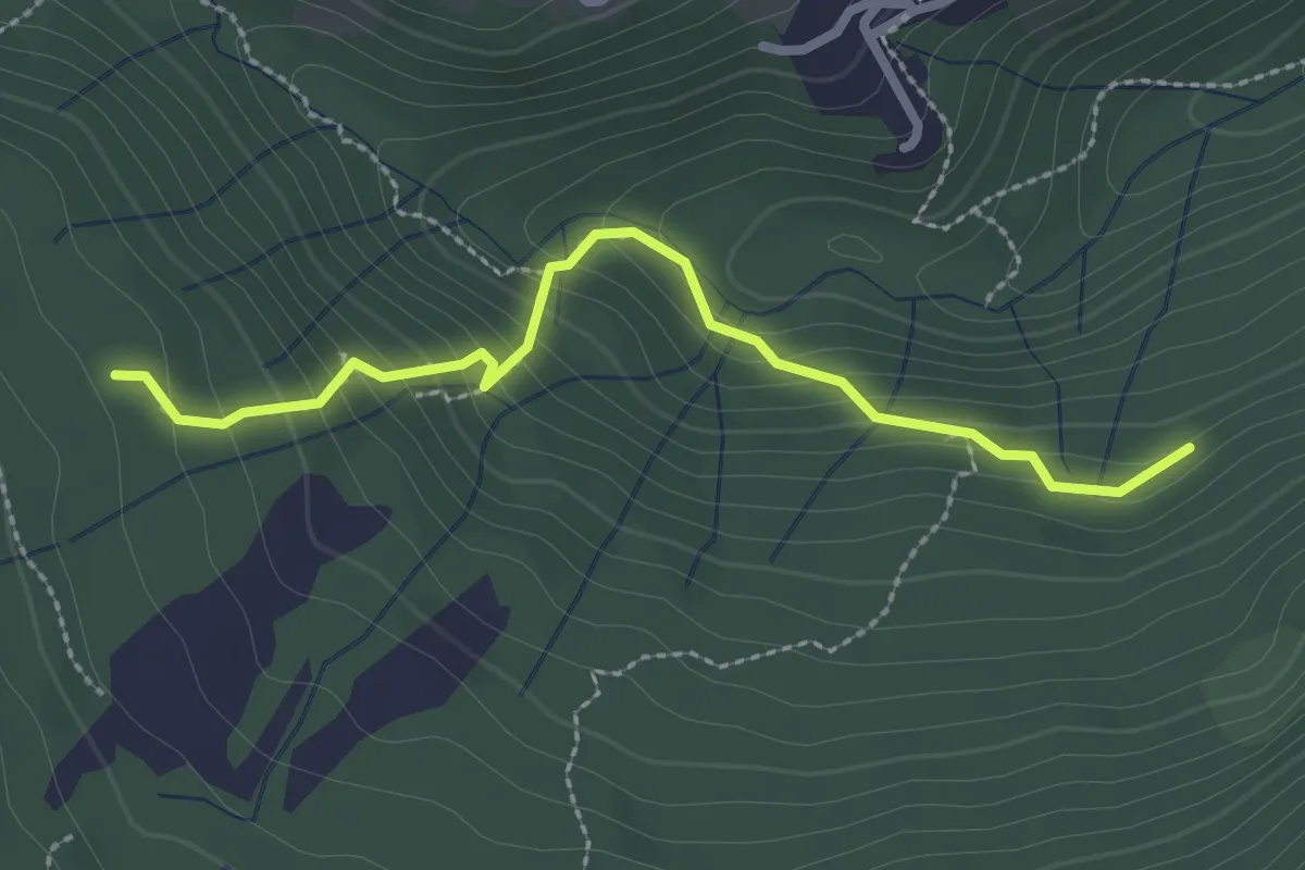
Medium · Trail
Funghi e boschi di Rezzago – Selva di Rezzago
2.6 km · ↑ 216 m · 1 h 5 min · 14 km away
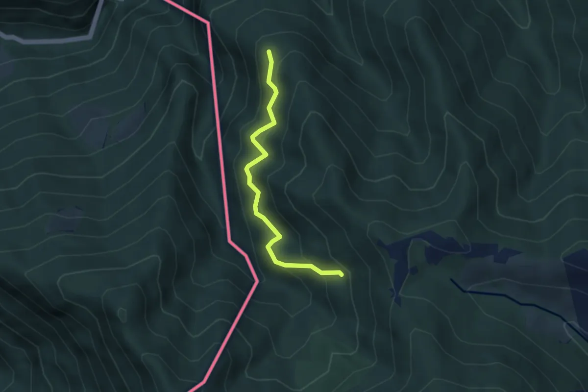
Medium · Trail
CamminaForeste - Tappa 8D
3.3 km · ↑ 349 m · 1 h 33 min · 14 km away
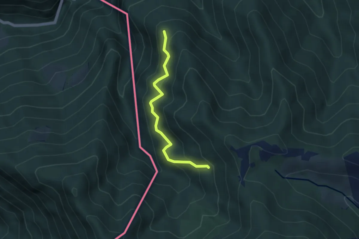
Medium · Trail
Pellio Superiore – Alpe di Gotta
3.3 km · ↑ 349 m · 1 h 33 min · 14 km away
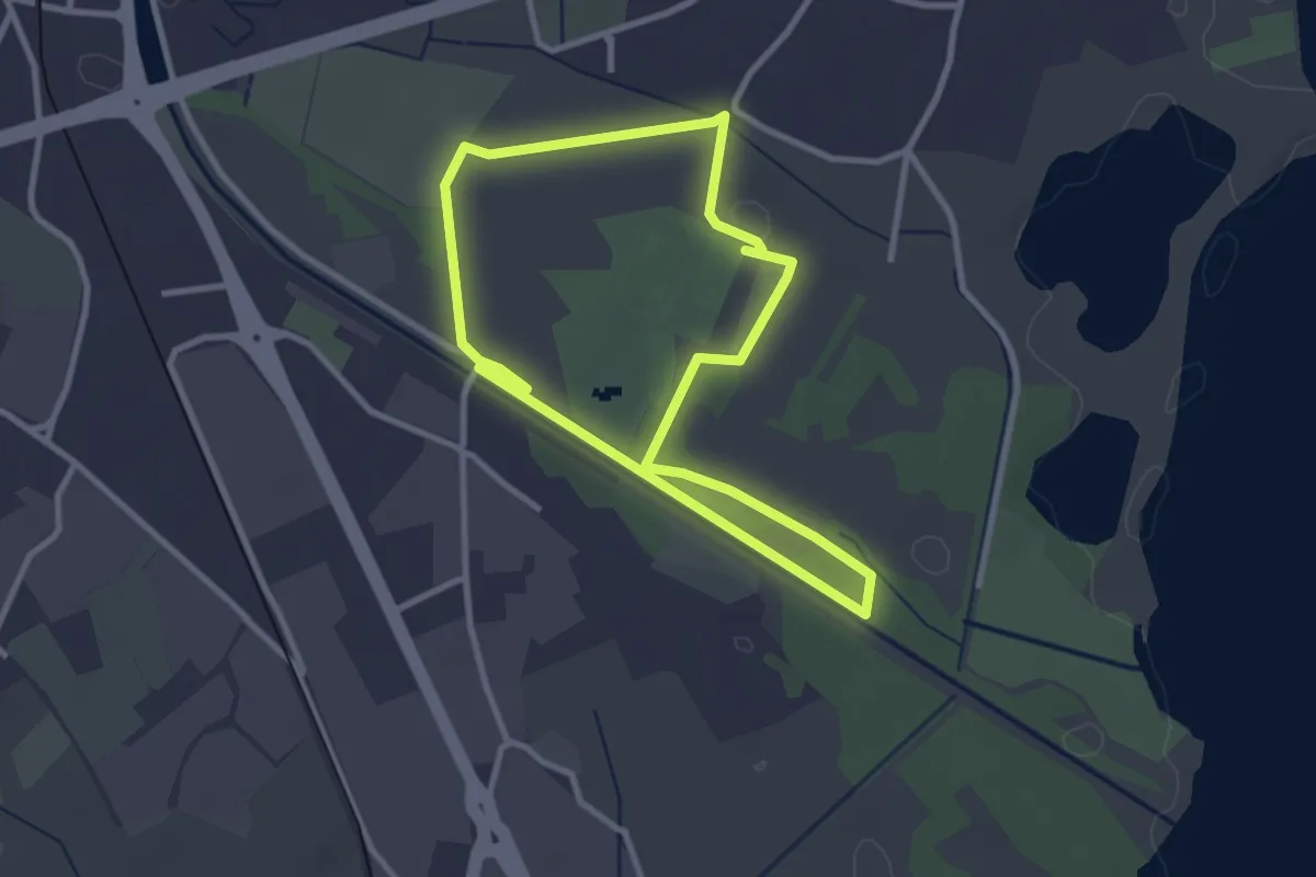
Easy · Trail
Percorso maggiore
2.8 km · ↑ 9 m · 44 min · 14 km away
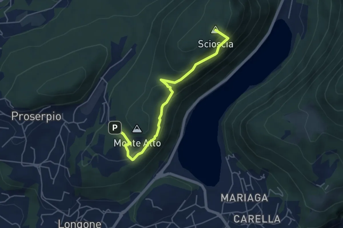
Demanding · Summit
Inarca (Proserpio) – Monte Scioscia
4.3 km · ↑ 243 m · 1 h 33 min · 14 km away
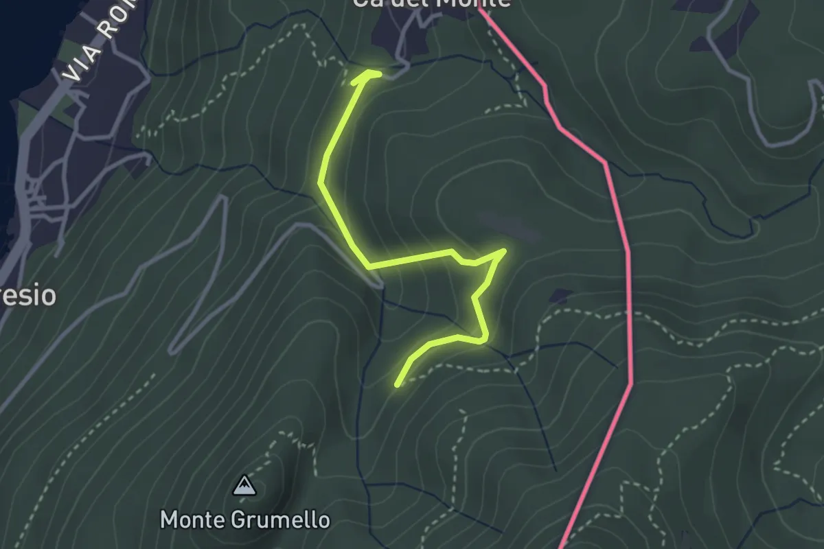
Easy · Trail
Porto Ceresio – Monte Grumello
2.9 km · ↑ 192 m · 1 h 6 min · 14 km away
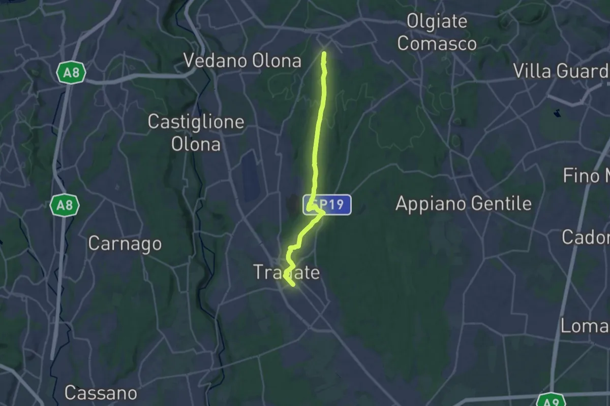
Demanding · Trail
Binago – Tradate
18.1 km · ↑ 185 m · 4 h 41 min · 14 km away
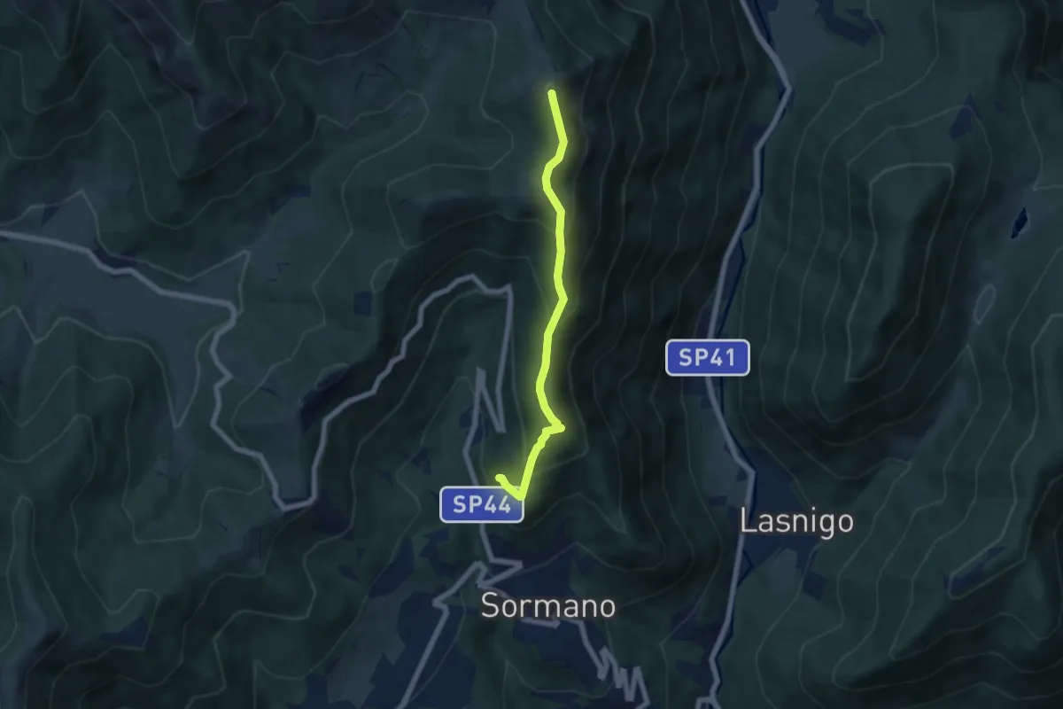
Medium · Summit
Salita per Colma del Bosco – Salita per Colma del Bosco
5.5 km · ↑ 398 m · 2 h 9 min · 14 km away
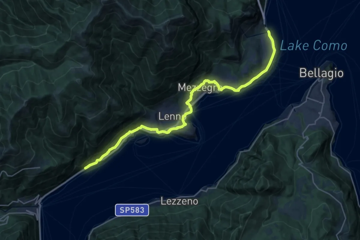
Demanding · Trail
Greenway del Lago di Como
22.3 km · ↑ 593 m · 6 h 33 min · 14 km away
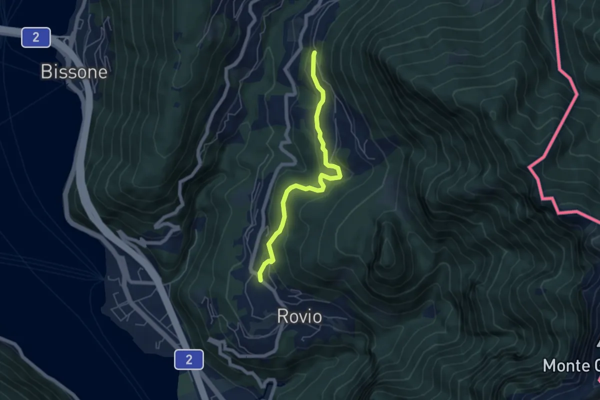
Easy · Trail
Pt. 615 – Ata Matern
5.1 km · ↑ 269 m · 1 h 47 min · 14 km away
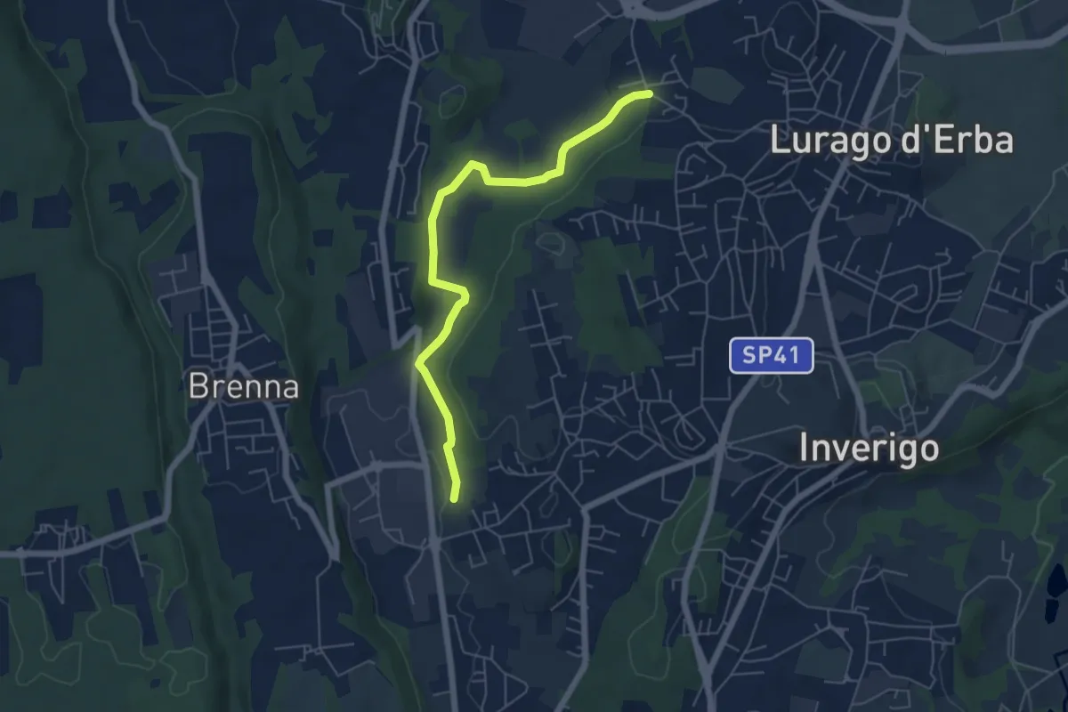
Easy · Trail
Cremnago (lazzaretto) – Pioppette
5.7 km · ↑ 81 m · 1 h 31 min · 14 km away
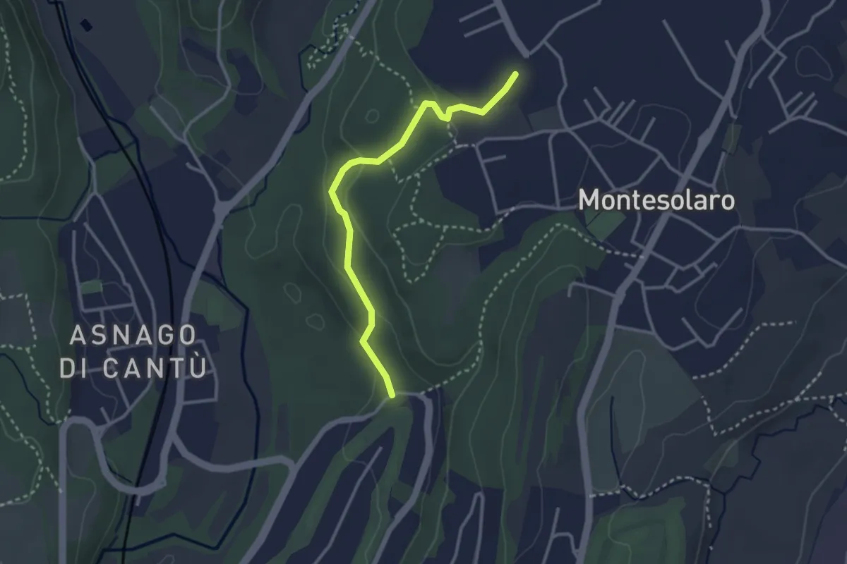
Easy · Trail
Carimate – Cantù
2.9 km · ↑ 102 m · 55 min · 14 km away
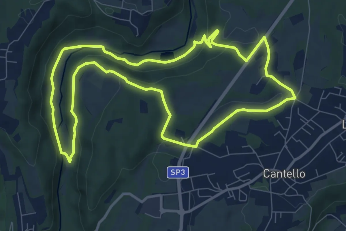
Medium · Trail
Varese via Ca' Bassa Anello della Bevera – Varese via Ca' Bassa Anello della Bevera
8.0 km · ↑ 188 m · 2 h 25 min · 14 km away
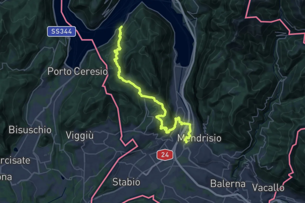
Medium · Trail
ViaGottardo
13.4 km · ↑ 576 m · 4 h 34 min · 14 km away
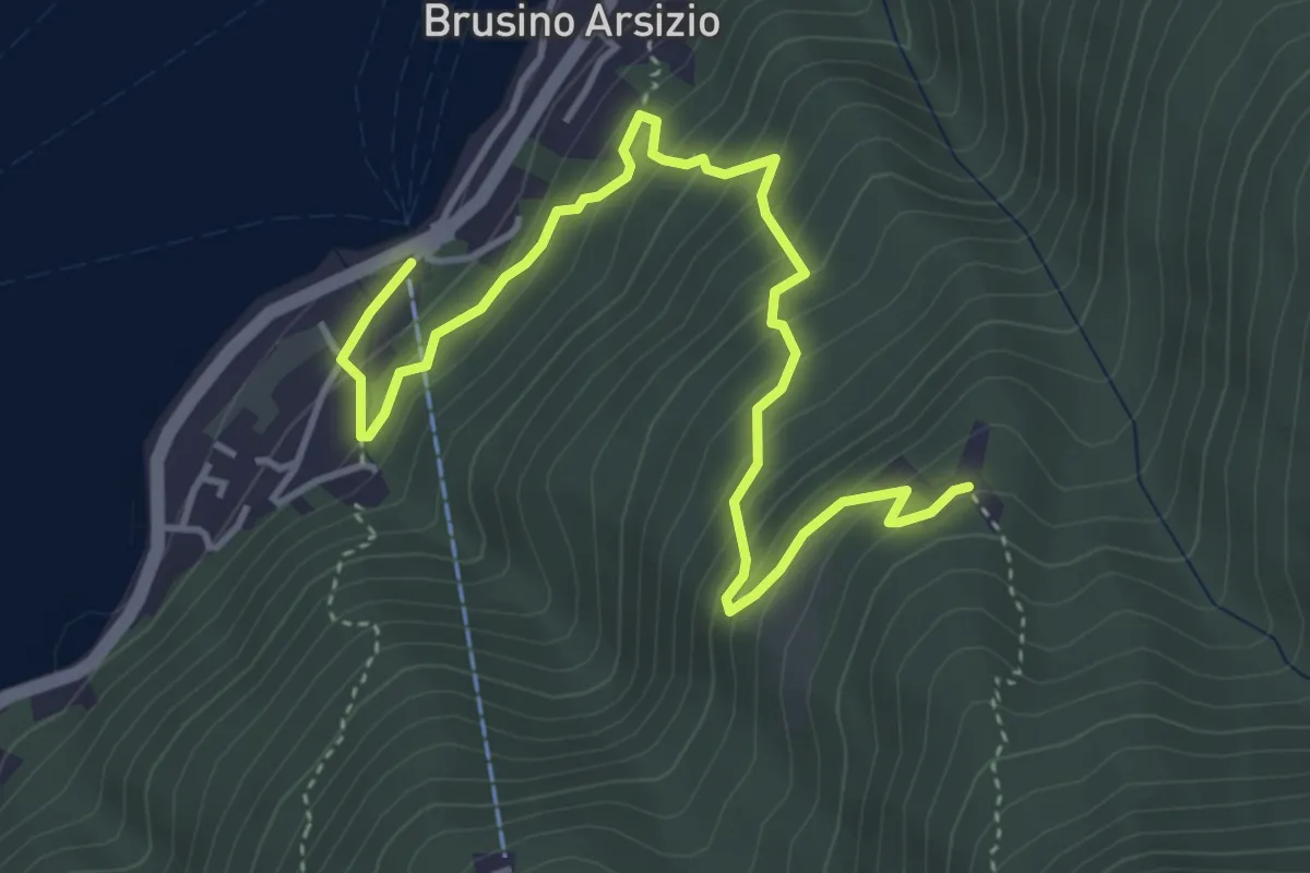
Medium · Trail
Brusino Arsizio Statione – Alpe di Brusino
5.1 km · ↑ 442 m · 2 h 9 min · 14 km away
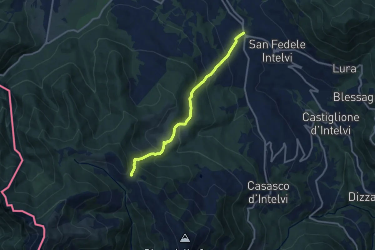
Medium · Trail
San Fedele Intelvi – Orimento
7.6 km · ↑ 560 m · 3 h 1 min · 14 km away
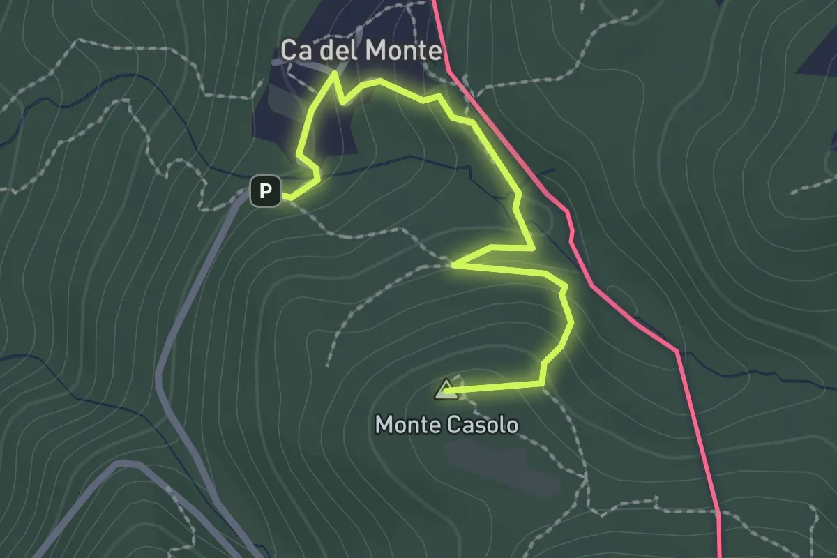
Easy · Summit
Variante Ca' del Monte – Innesto su 461A
2.4 km · ↑ 120 m · 50 min · 14 km away
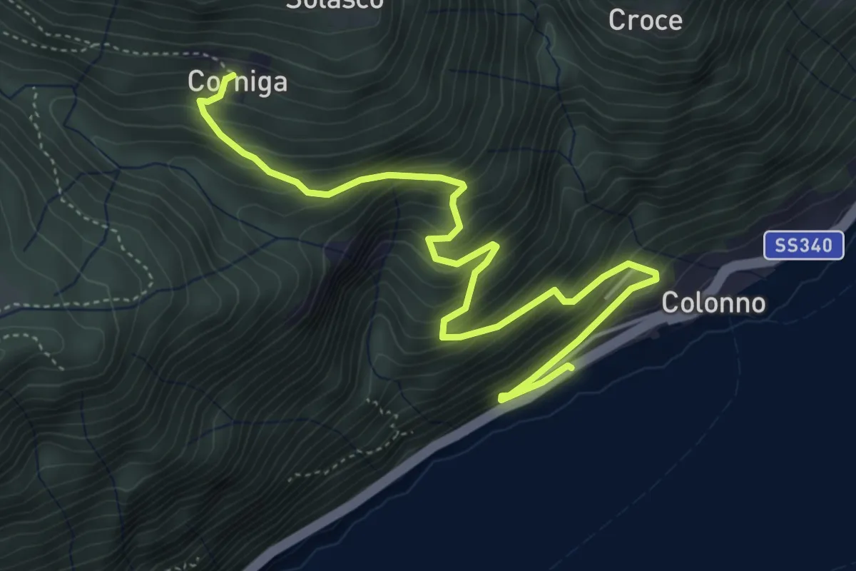
Medium · Trail
Corniga – Colonno
5.8 km · ↑ 577 m · 2 h 38 min · 14 km away
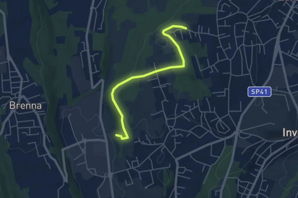
Easy · Trail
Innesto S2 – Careggia
4.3 km · ↑ 131 m · 1 h 17 min · 14 km away
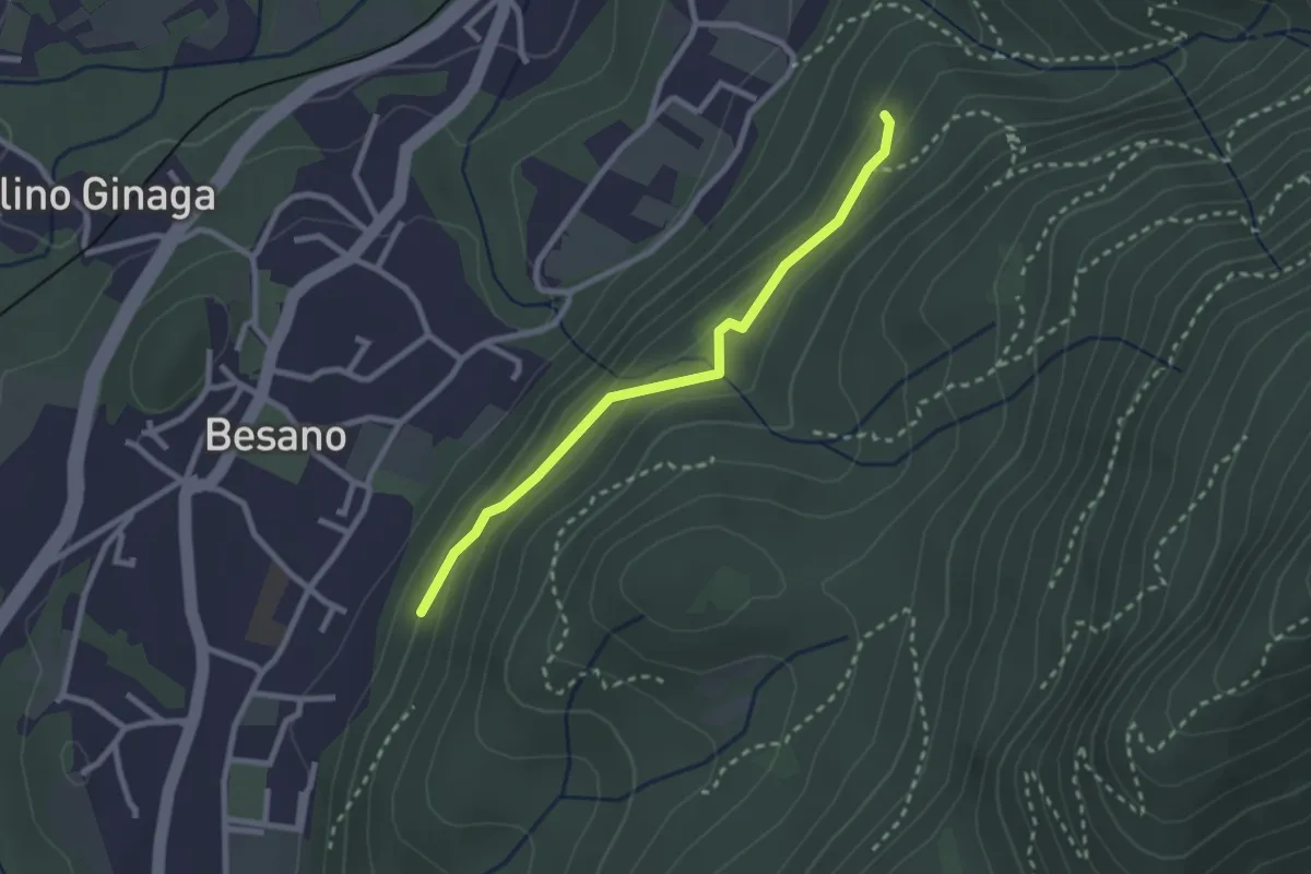
Easy · Trail
Bivio rocce cadenti – Intersezione con 461A
2.5 km · ↑ 116 m · 50 min · 15 km away
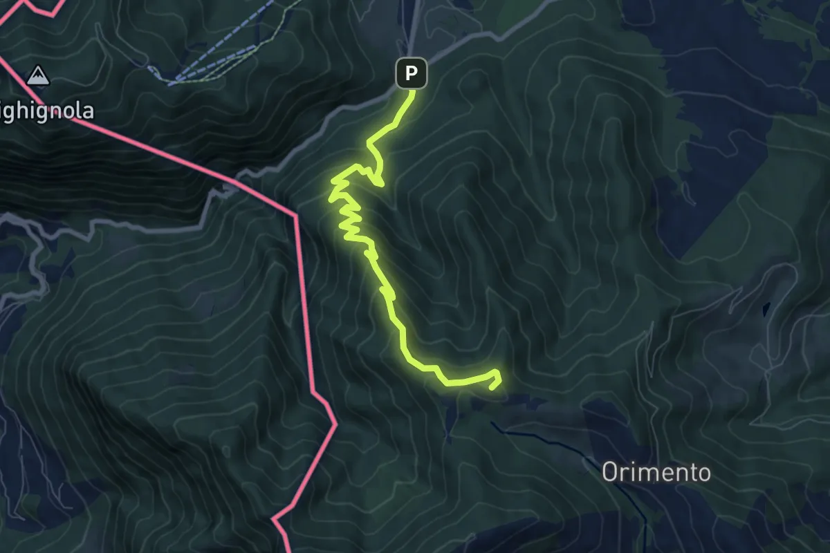
Medium · Summit
Lanzo d'Intelvi (bivio Crotto Dogana) – Orimento
8.1 km · ↑ 565 m · 3 h 9 min · 15 km away
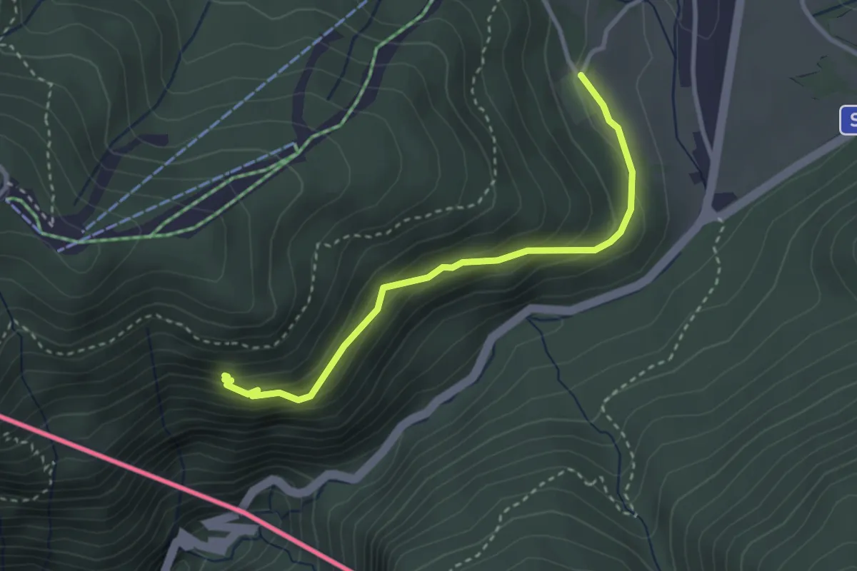
Easy · Trail
Alpe Bovisio – Lanzo
3.1 km · ↑ 208 m · 1 h 11 min · 15 km away
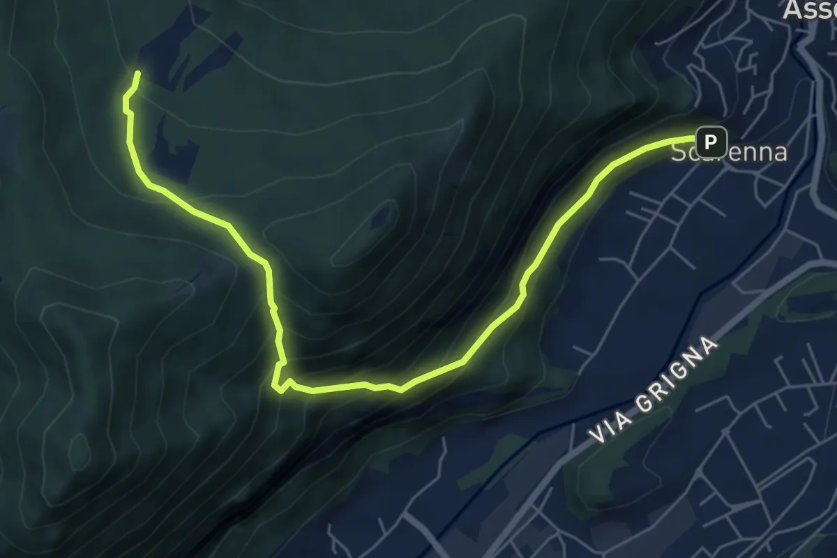
Demanding · Trail
Scarenna – Enco
6.7 km · ↑ 629 m · 2 h 57 min · 15 km away
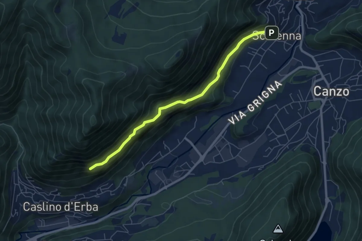
Demanding · Trail
Scarenna – Sentiero Falghèe
6.0 km · ↑ 565 m · 2 h 39 min · 15 km away
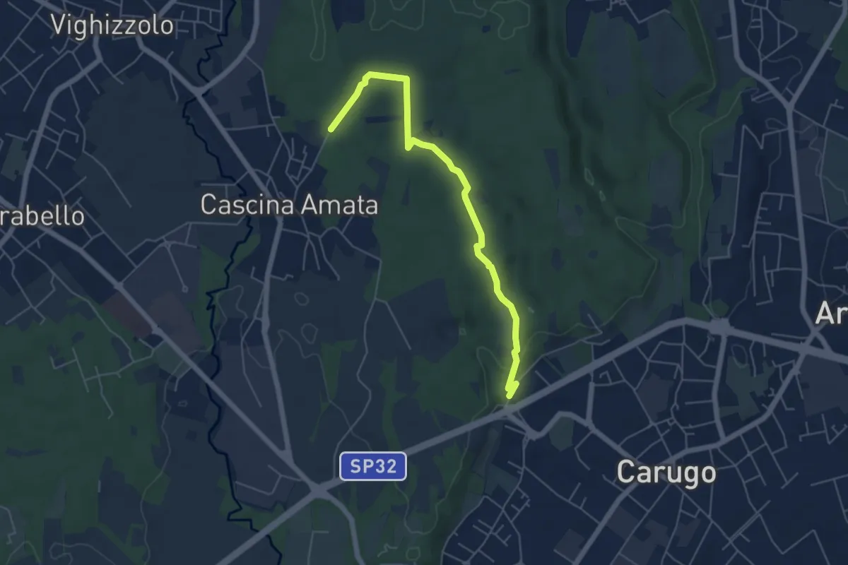
Easy · Trail
Cascina Amata – Cascina San Martino
5.5 km · ↑ 58 m · 1 h 26 min · 15 km away
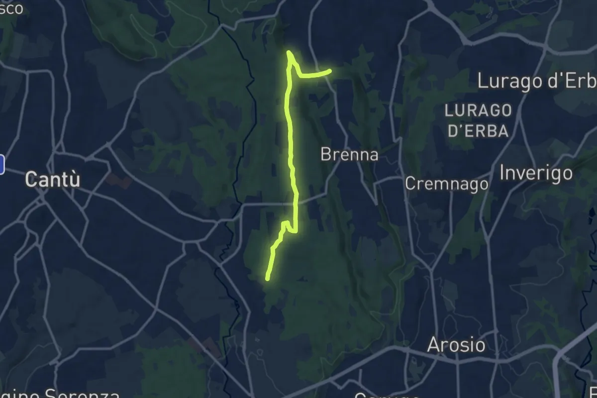
Medium · Trail
Brenna (FS) – Cascina Amata
9.6 km · ↑ 132 m · 2 h 33 min · 15 km away
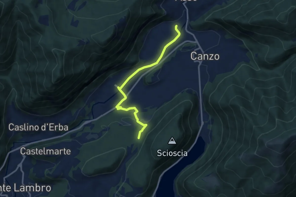
Easy · Trail
Scarenna (Asso) – Bosco della Gualdera
7.6 km · ↑ 145 m · 2 h 7 min · 15 km away
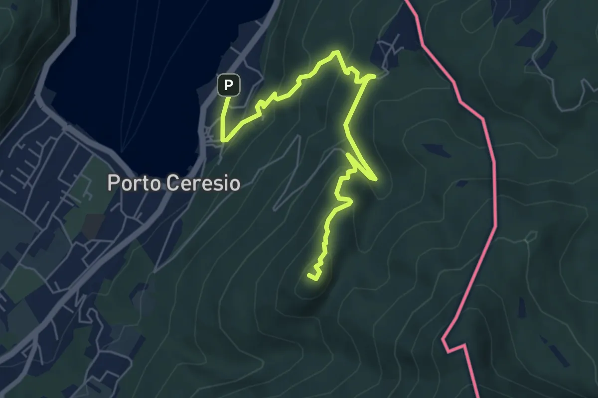
Medium · Summit
Porto Ceresio – Monte Grumello
6.3 km · ↑ 452 m · 2 h 28 min · 15 km away
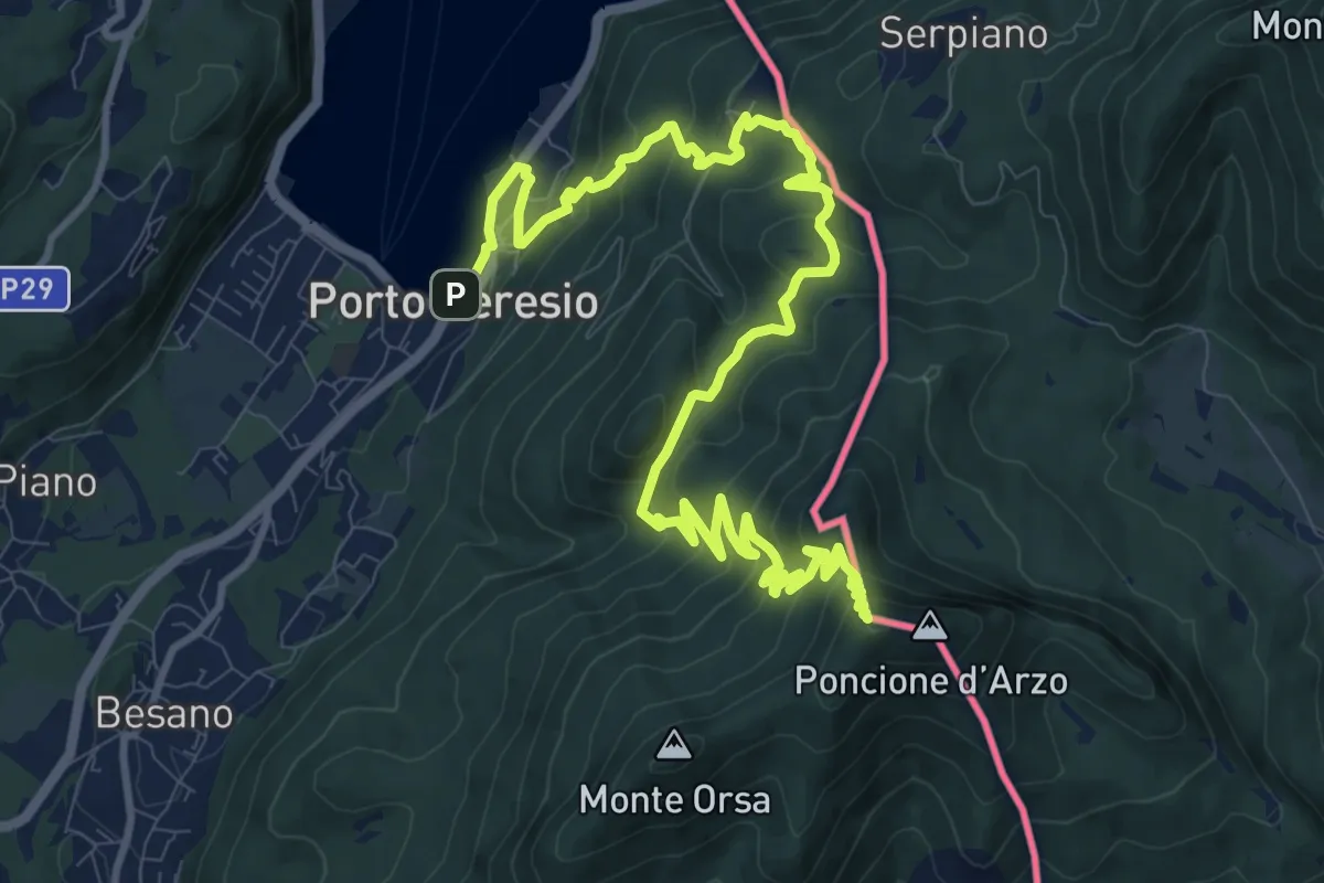
Demanding · Summit
Porto Ceresio – Viggiù (Piazza Europa)
15.3 km · ↑ 1101 m · 5 h 59 min · 15 km away