Trails near Chiampo
67 hikes starting within 15 km, nearest first.
Nearest first, page 1 of 2
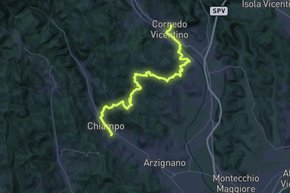
Demanding · Trail
Cammino del Beato Claudio 07
20.9 km · ↑ 810 m · 6 h 57 min · 1 km away
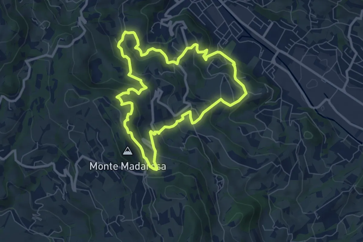
Medium · Summit
Il Sentiero delle Marogne
7.0 km · ↑ 385 m · 2 h 35 min · 1 km away
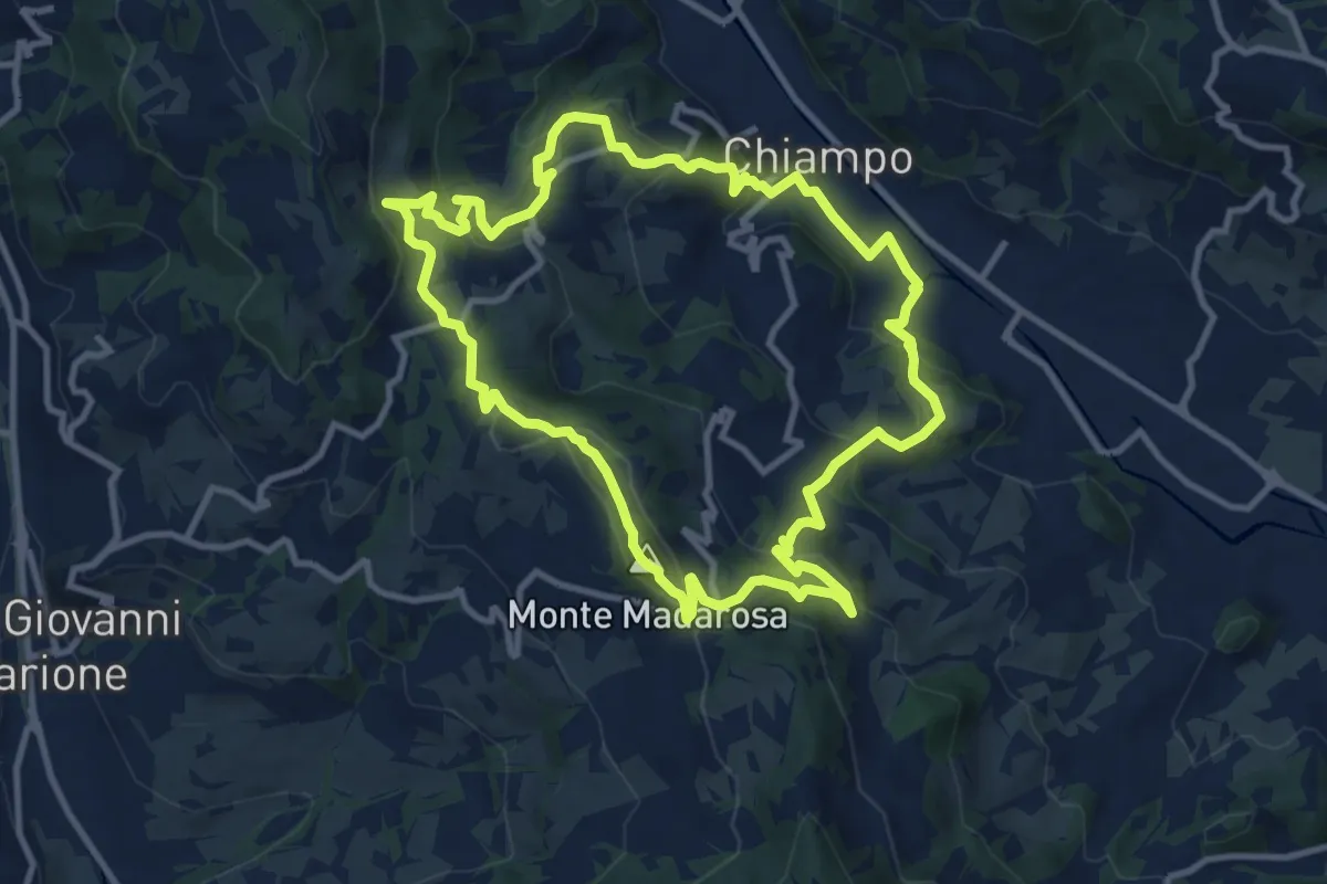
Medium · Summit
Il Sentiero delle Marogne 2
10.8 km · ↑ 479 m · 3 h 45 min · 2 km away
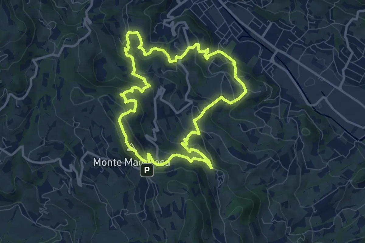
Medium · Summit
Il Sentiero delle Marogne 1
8.1 km · ↑ 433 m · 2 h 58 min · 2 km away
Medium · Trail
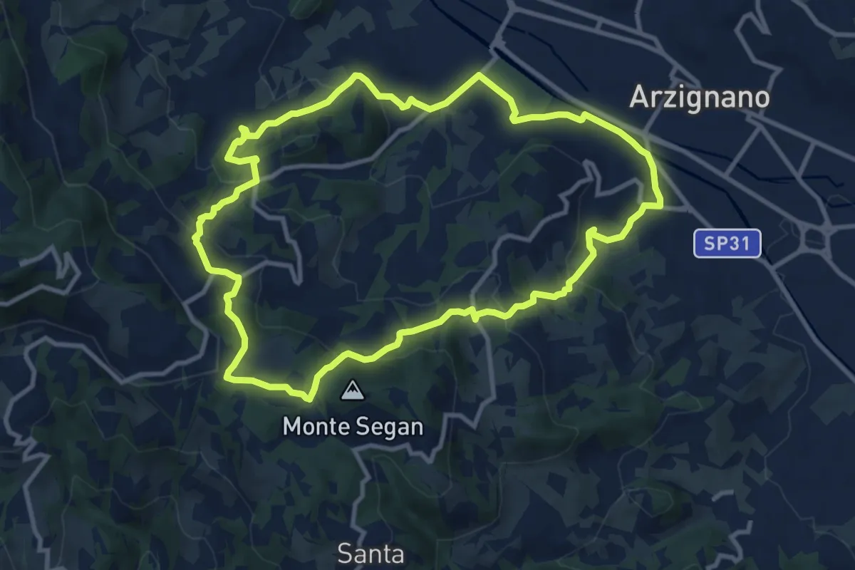
Sentiero Blu
9.8 km · ↑ 421 m · 3 h 22 min · 4 km away
Demanding · Summit
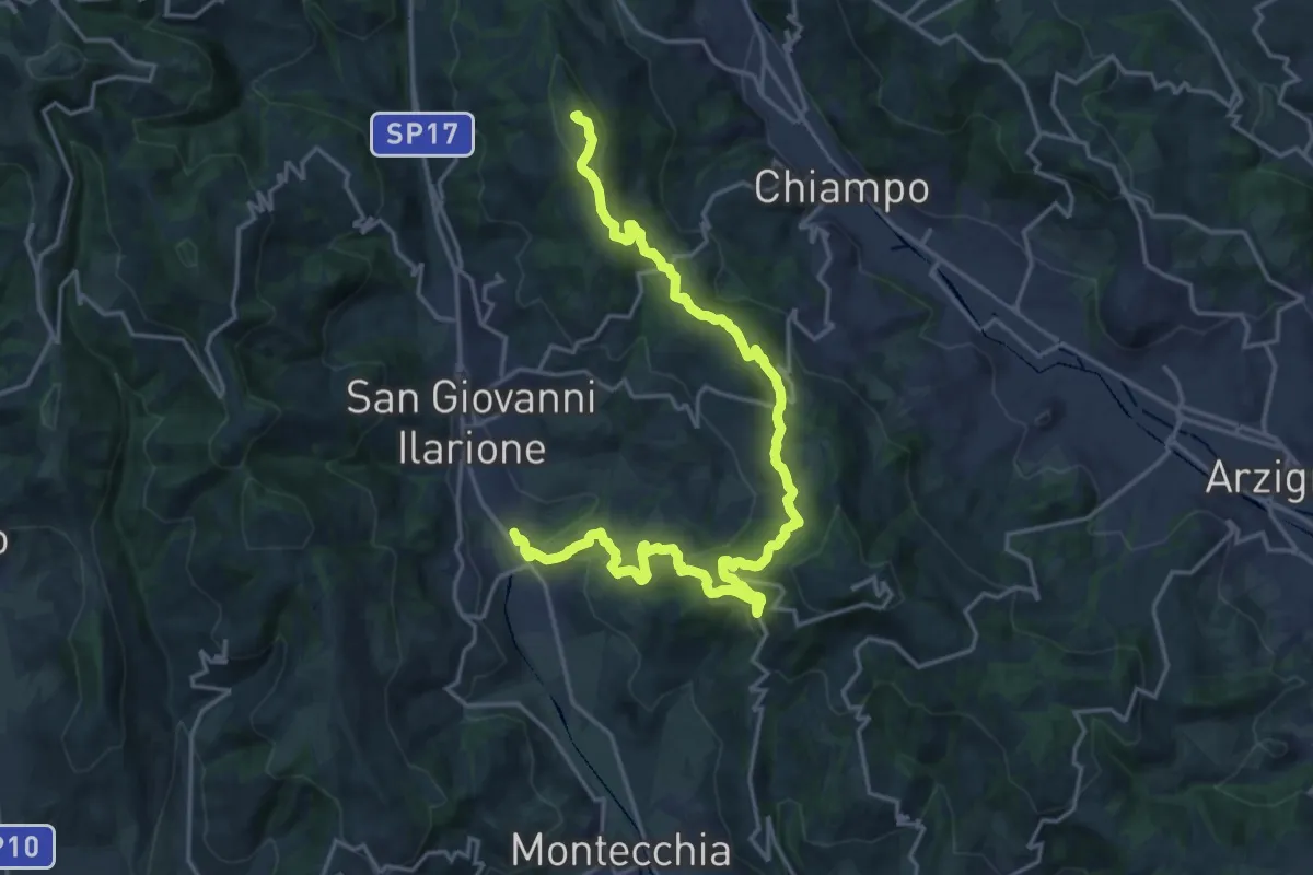
Percorso dei sette vulcani tappa 1
23.1 km · ↑ 942 m · 7 h 30 min · 5 km away
Medium · Trail
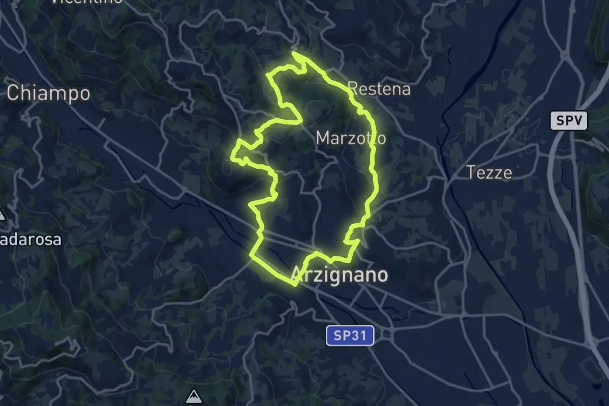
Sentiero Arancio
12.8 km · ↑ 382 m · 4 h 2 min · 5 km away
Medium · Trail
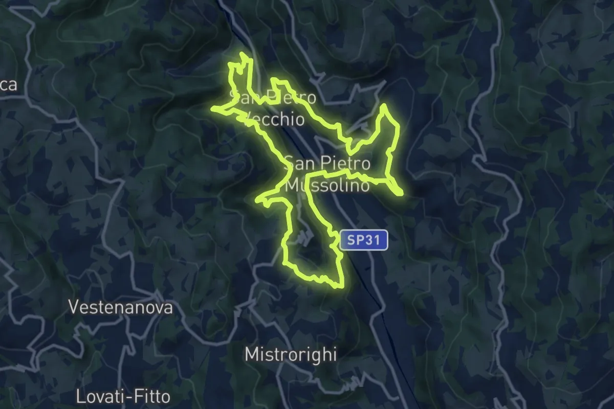
Sentiero delle Api
12.1 km · ↑ 757 m · 4 h 40 min · 5 km away
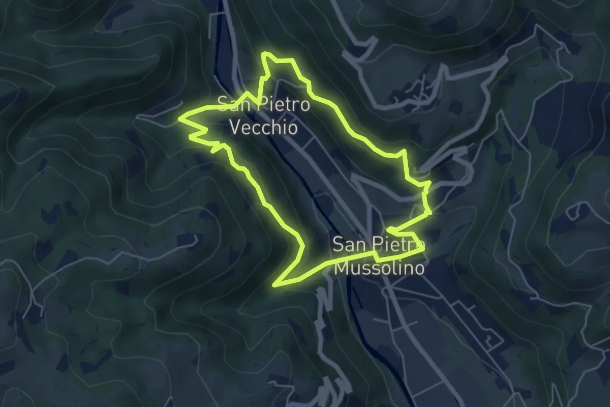
Medium · Trail
Sentiero Amico
4.8 km · ↑ 323 m · 1 h 54 min · 5 km away
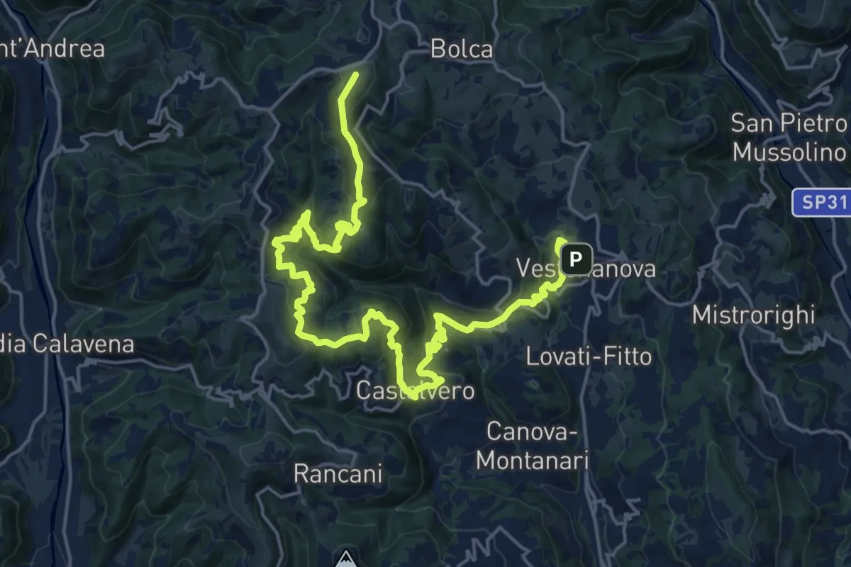
Demanding · Summit
Percorso dei sette vulcani tappa 2
25.0 km · ↑ 1222 m · 8 h 33 min · 5 km away
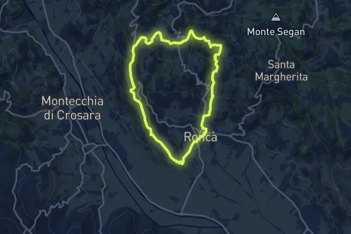
Medium · Summit
B
9.2 km · ↑ 352 m · 3 h 4 min · 6 km away
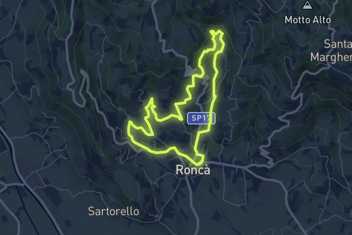
Easy · Trail
A
6.3 km · ↑ 267 m · 2 h 9 min · 6 km away
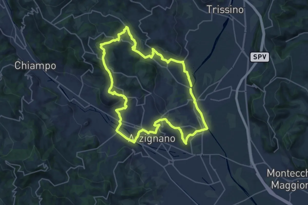
Demanding · Trail
Sentiero Giallo
18.5 km · ↑ 457 m · 5 h 37 min · 6 km away
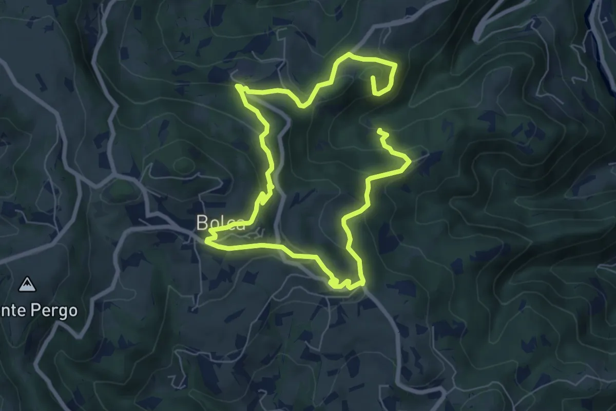
Medium · Summit
Sentiero Viola alla Pessàra
11.5 km · ↑ 583 m · 3 h 58 min · 8 km away
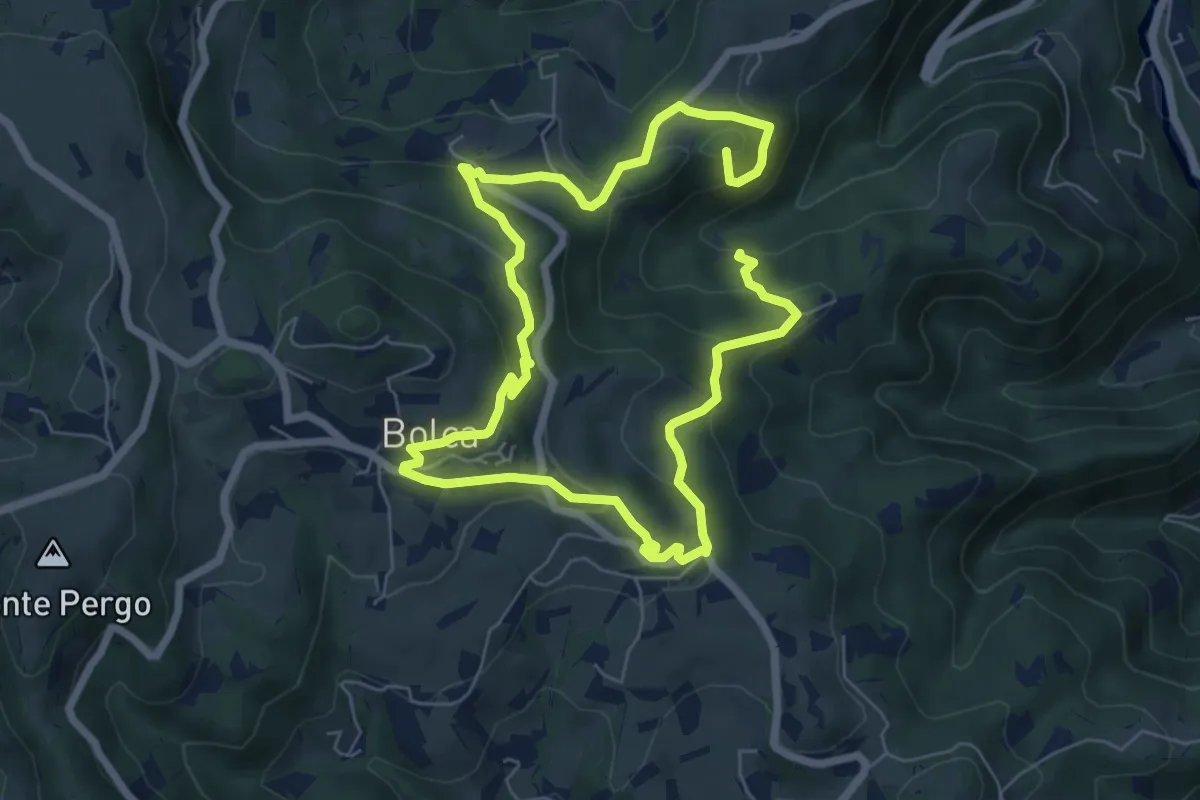
Medium · Summit
I Sentieri di Bolca
11.5 km · ↑ 583 m · 3 h 58 min · 8 km away
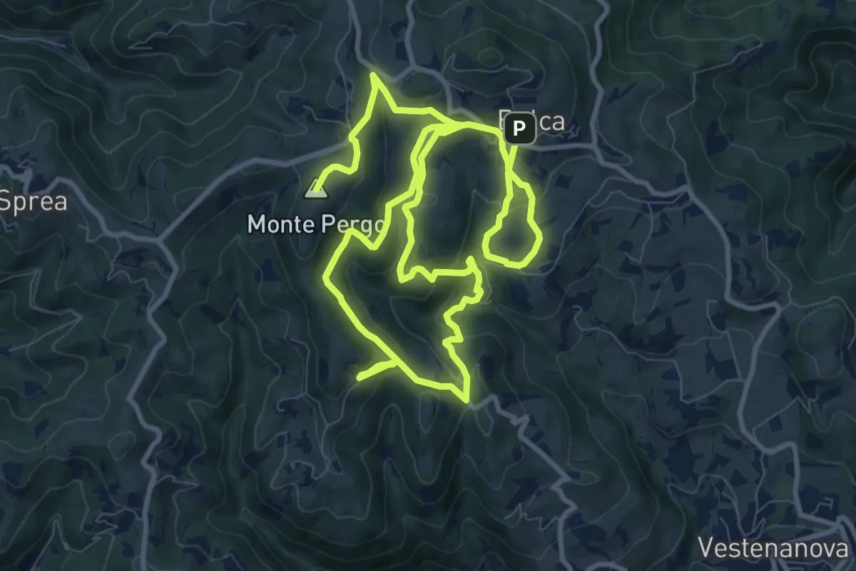
Demanding · Summit
Sentiero Verde - Monte Pergo
18.9 km · ↑ 827 m · 6 h 16 min · 8 km away
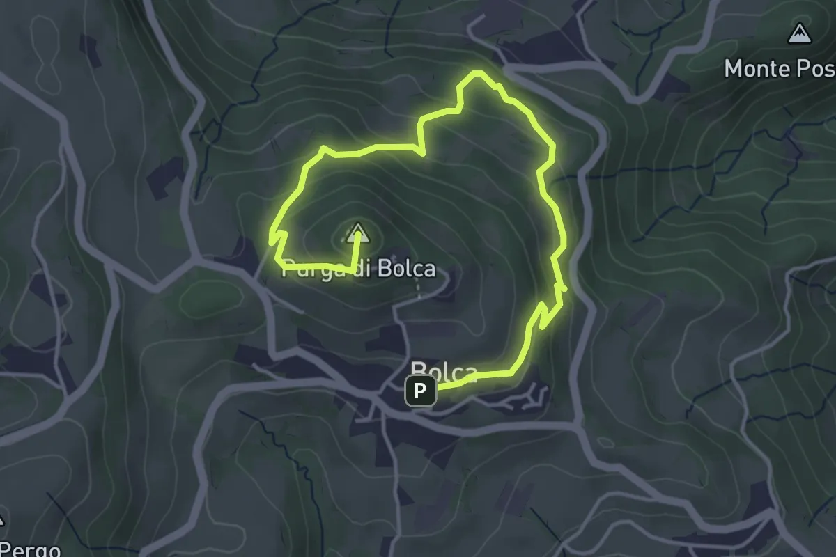
Easy · Summit
Sentiero Blu - Giro del Monte Purga
5.4 km · ↑ 305 m · 1 h 56 min · 8 km away
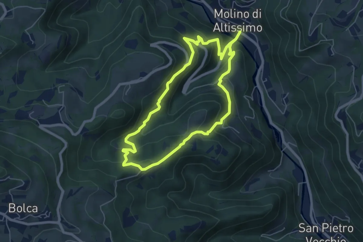
Medium · Trail
Sentiero Pesciaia
5.3 km · ↑ 362 m · 2 h 6 min · 8 km away
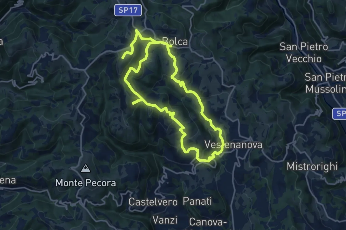
Demanding · Summit
Sentiero Arancione - Le 3 croci di Celestino Baldo
22.9 km · ↑ 1103 m · 7 h 48 min · 8 km away
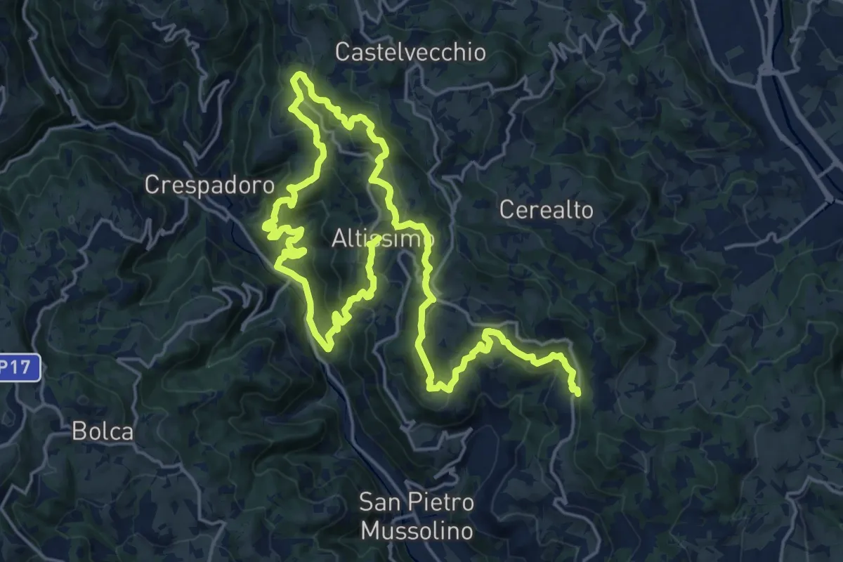
Medium · Summit
Sentiero delle Contrade di Altissimo
15.6 km · ↑ 780 m · 5 h 35 min · 8 km away
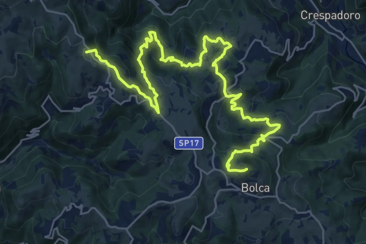
Demanding · Summit
Percorso dei sette vulcani tappa 3
21.2 km · ↑ 1175 m · 7 h 34 min · 8 km away
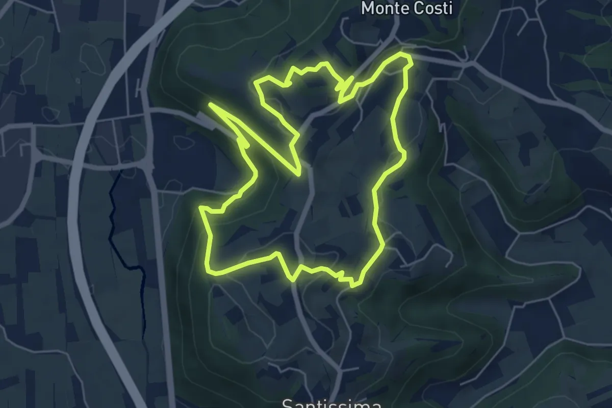
Easy · Trail
06-Sentiero Giaragù e priare di S. Urbano
5.7 km · ↑ 217 m · 1 h 53 min · 9 km away
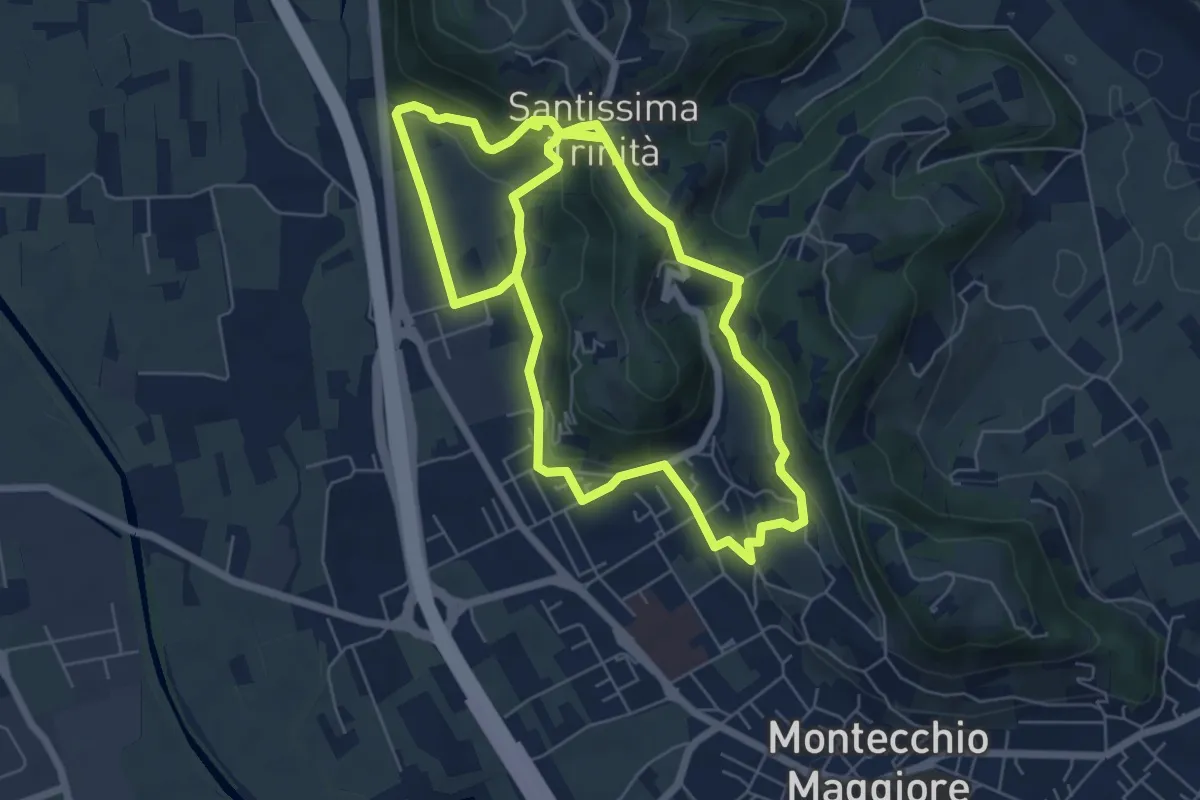
Easy · Summit
03-Strada Carpiana e valle San Clemente
6.4 km · ↑ 305 m · 2 h 13 min · 9 km away
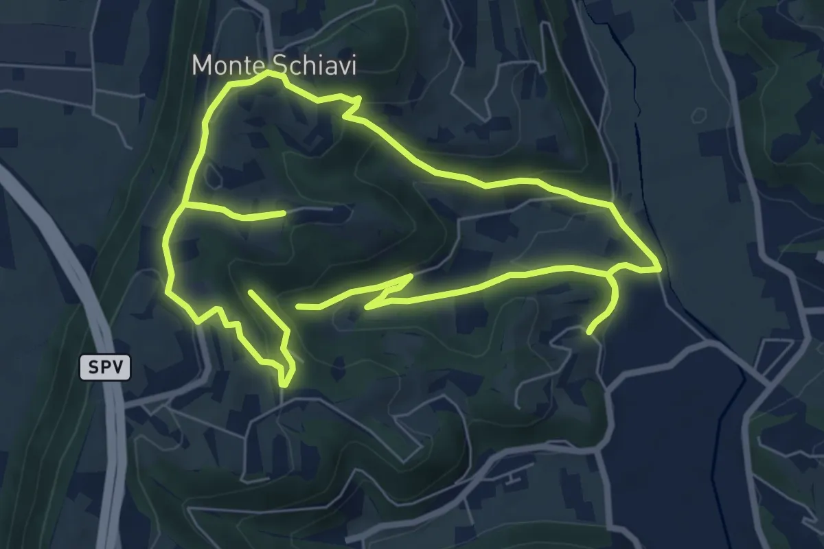
Easy · Trail
12-Maso, Vallarona, Monteschiavi, Valle del Podestà
6.9 km · ↑ 232 m · 2 h 15 min · 9 km away
Easy · Trail
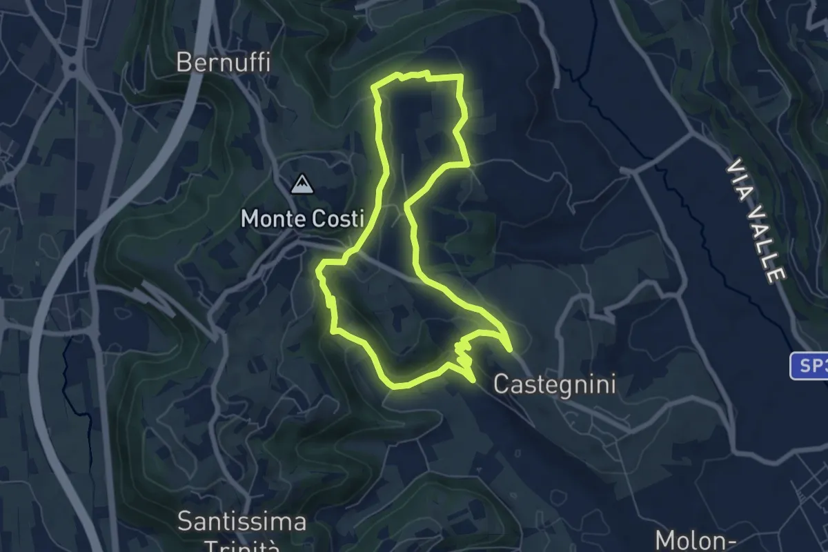
11-Carbonara, Vigo e S. Urbano
6.4 km · ↑ 177 m · 1 h 59 min · 10 km away
Easy · Summit
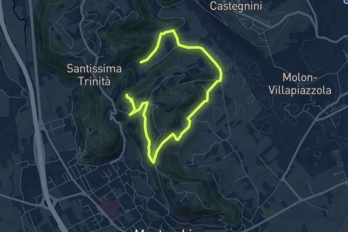
04-Bastia e Campestrini
4.8 km · ↑ 201 m · 1 h 36 min · 10 km away
Demanding · Summit
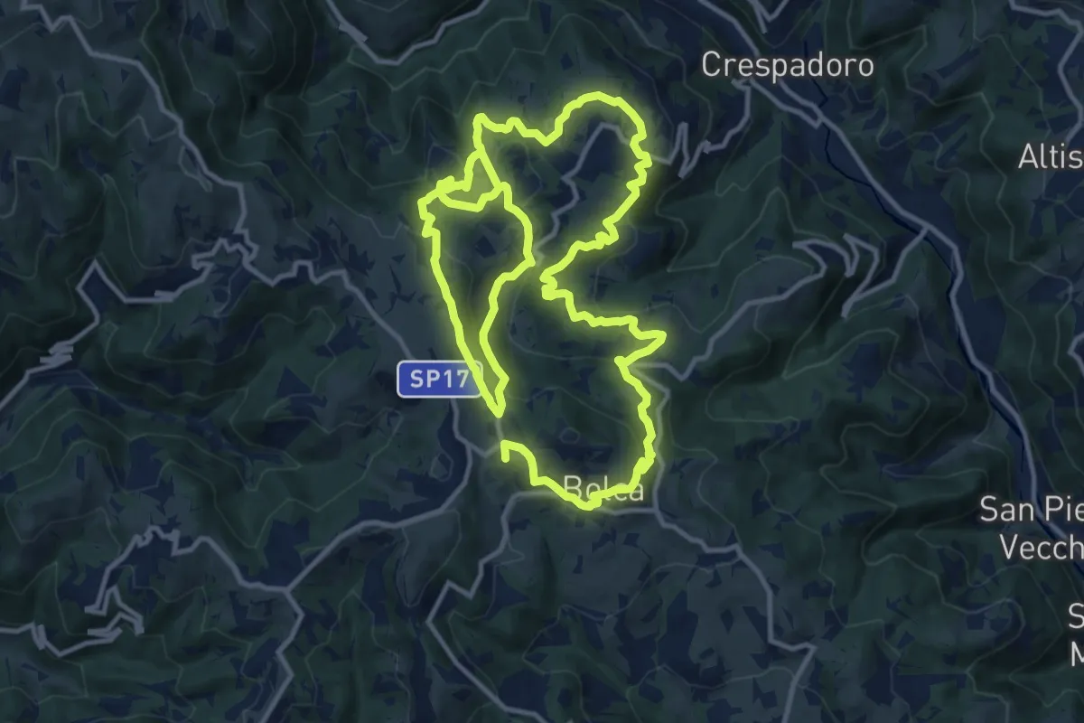
Sentiero Ciclamino - Contrade Nord
25.3 km · ↑ 1117 m · 8 h 23 min · 10 km away
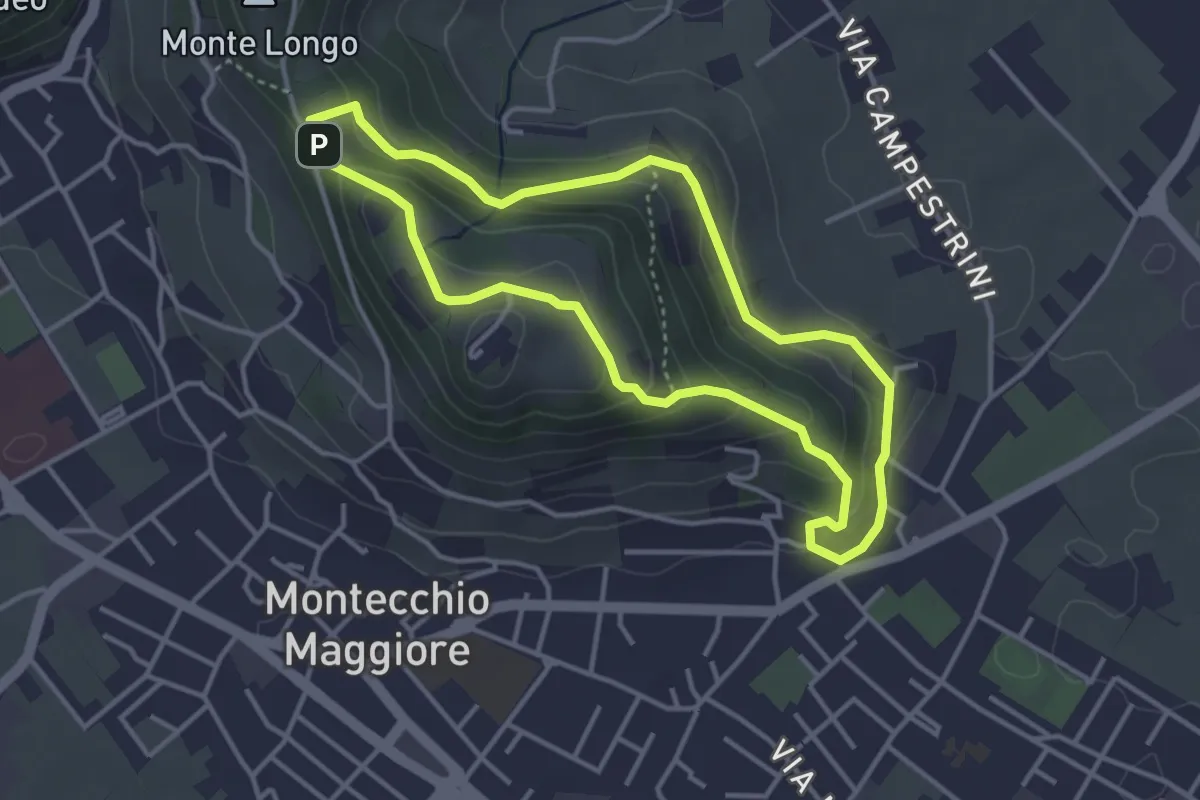
Easy · Summit
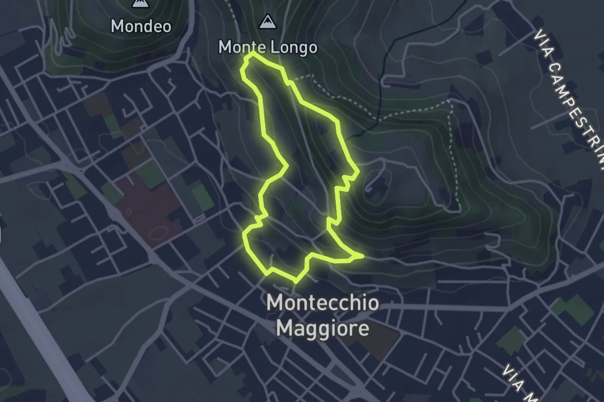
02-Fontana Alta e Fontana Giuliani
3.0 km · ↑ 150 m · 1 h 4 min · 10 km away
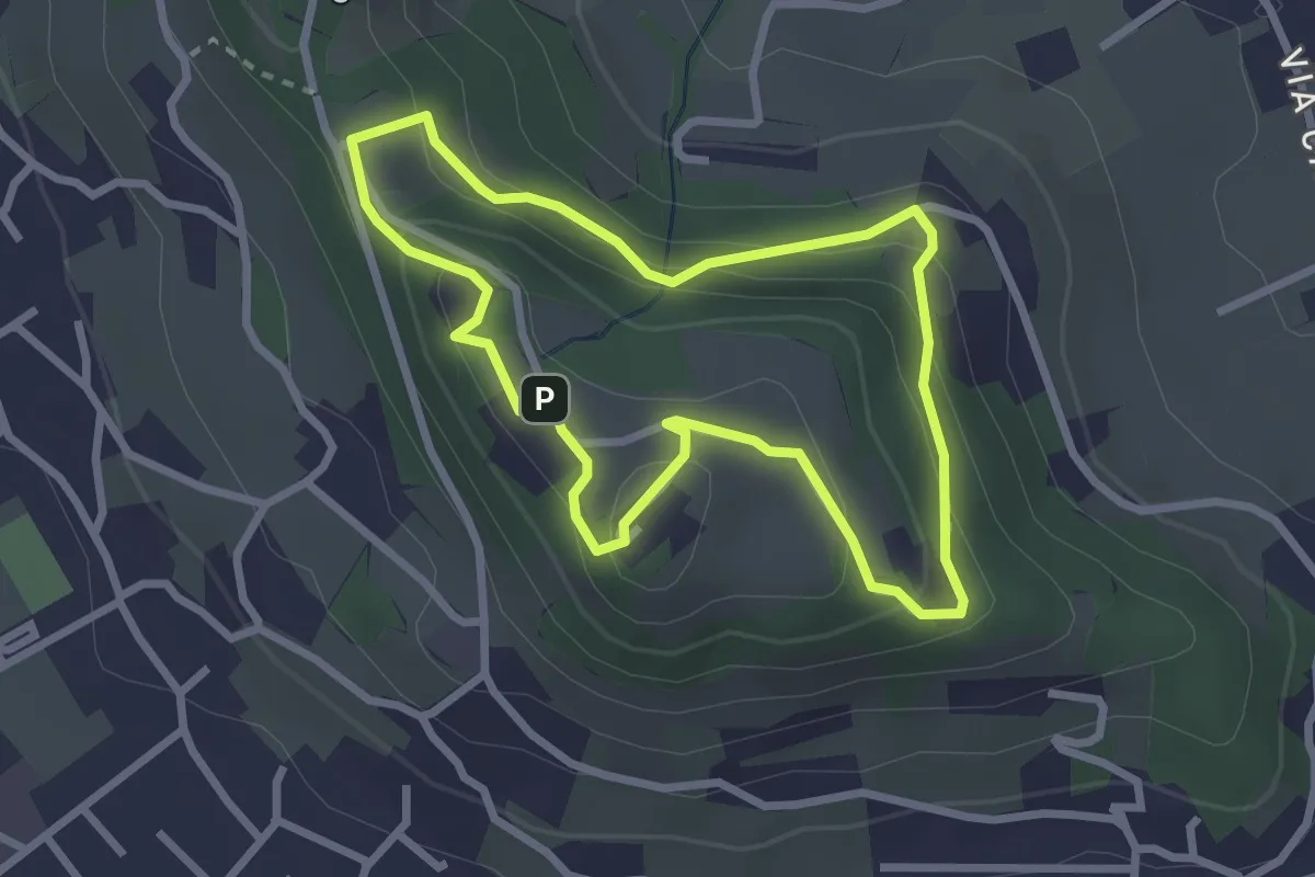
Easy · Trail
01-Fontana della Nova, Castelli e Montenero
3.6 km · ↑ 155 m · 1 h 14 min · 10 km away
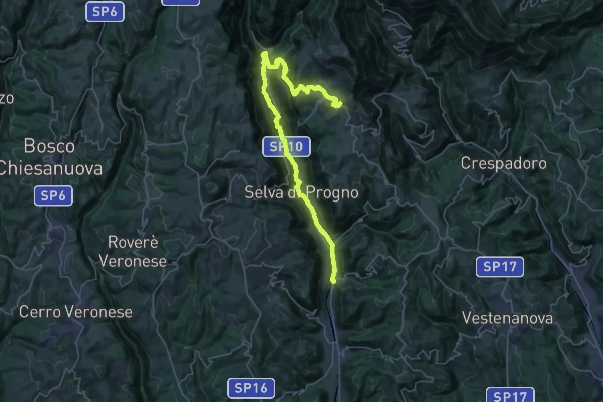
Easy · Trail
10-Percorso Natura
2.6 km · ↑ 128 m · 55 min · 11 km away
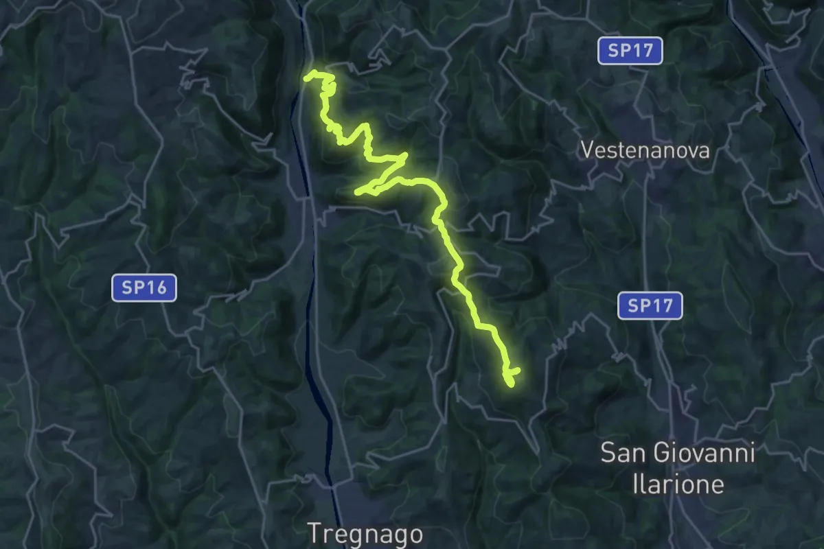
Demanding · Trail
Percorso dei sette vulcani tappa 5
14.2 km · ↑ 962 m · 5 h 16 min · 11 km away
Demanding · Summit
Percorso dei sette vulcani tappa 6
23.6 km · ↑ 1279 m · 8 h 21 min · 11 km away
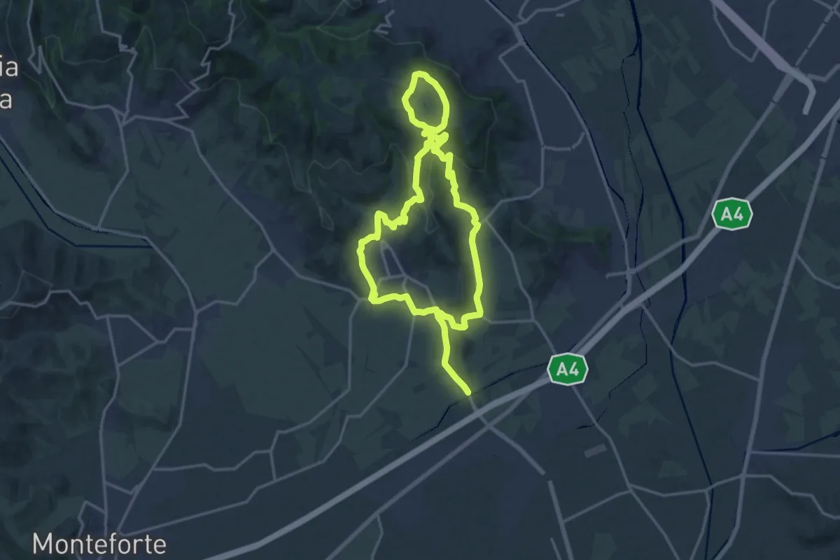
Medium · Trail
Strada del Recioto e dei vini di Gambellara
14.5 km · ↑ 364 m · 4 h 25 min · 12 km away
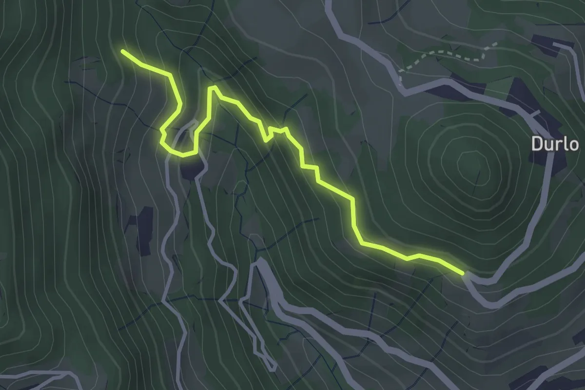
Easy · Trail
08 Sentiero dei Sengi
3.4 km · ↑ 269 m · 1 h 23 min · 12 km away
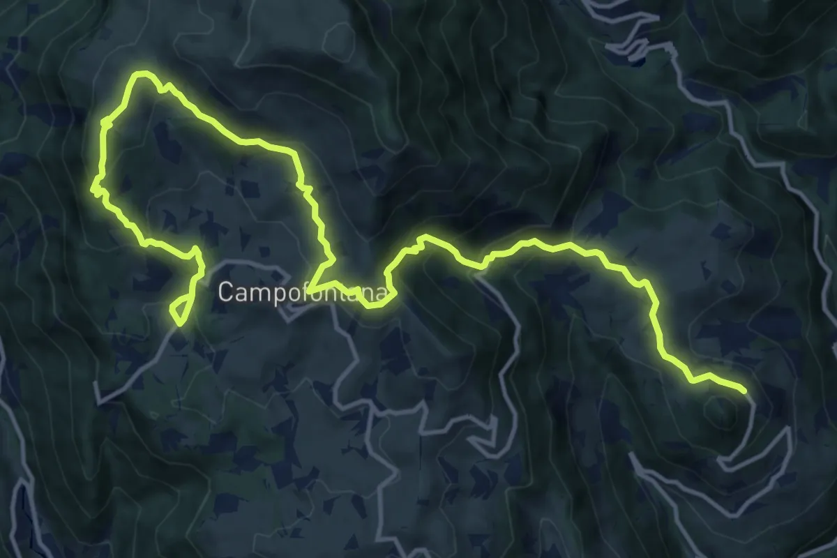
Demanding · Trail
Percorso dei sette vulcani tappa 4
18.5 km · ↑ 1060 m · 6 h 40 min · 12 km away
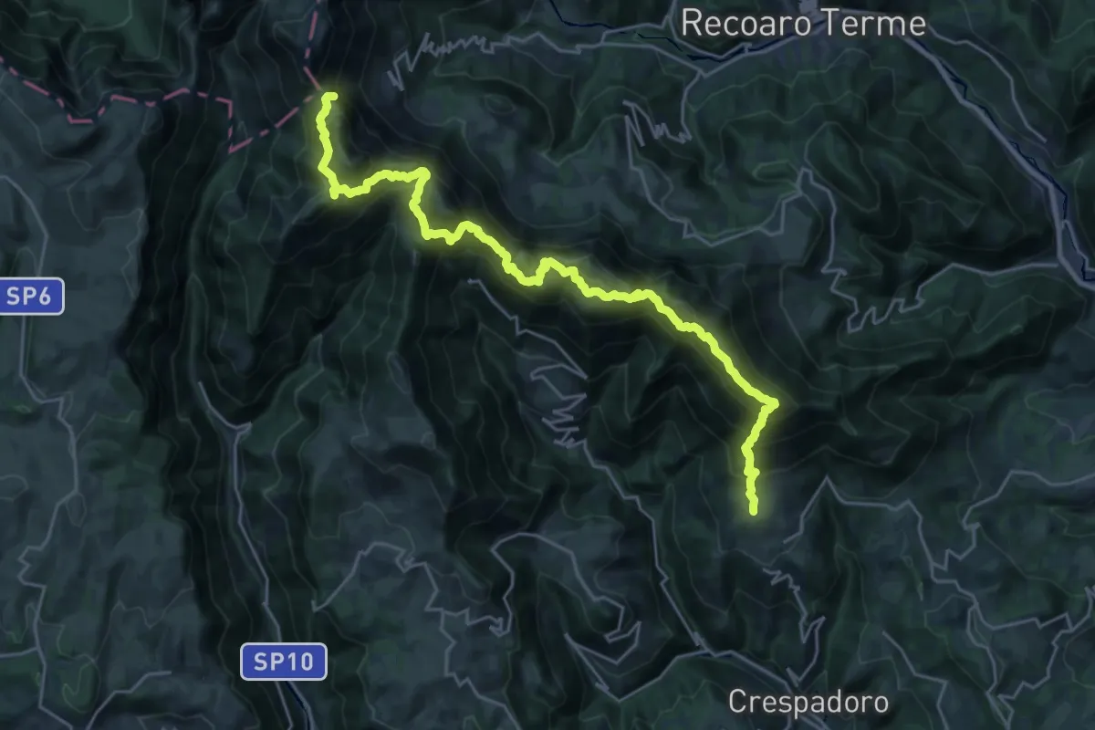
Demanding · Summit
Sentiero Francesco Milani
26.9 km · ↑ 2051 m · 10 h 48 min · 12 km away
Medium · Summit
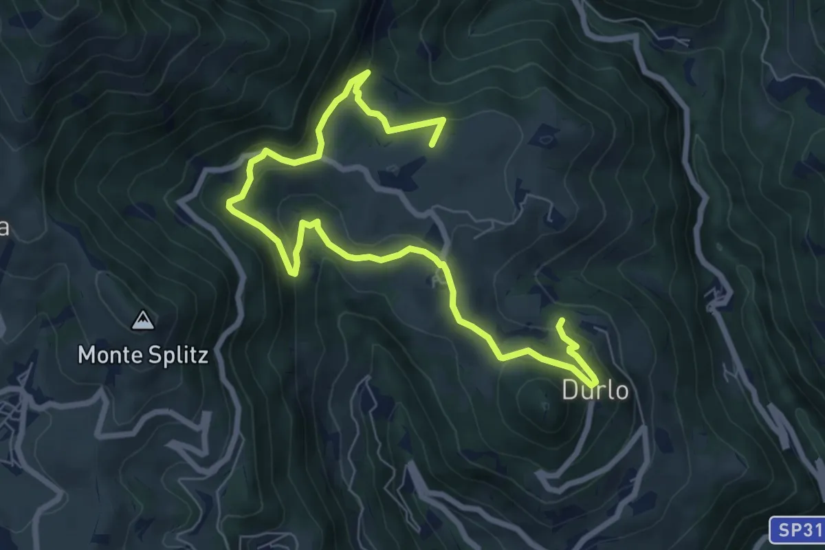
La Via dell'acqua
9.1 km · ↑ 449 m · 3 h 7 min · 12 km away
Medium · Summit
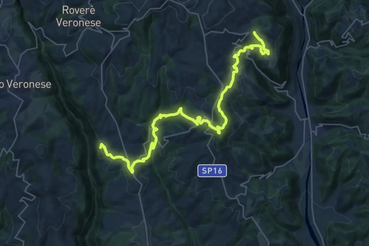
Cammino Tre Santuari della Lessina
12.6 km · ↑ 446 m · 4 h 15 min · 13 km away
Medium · Trail
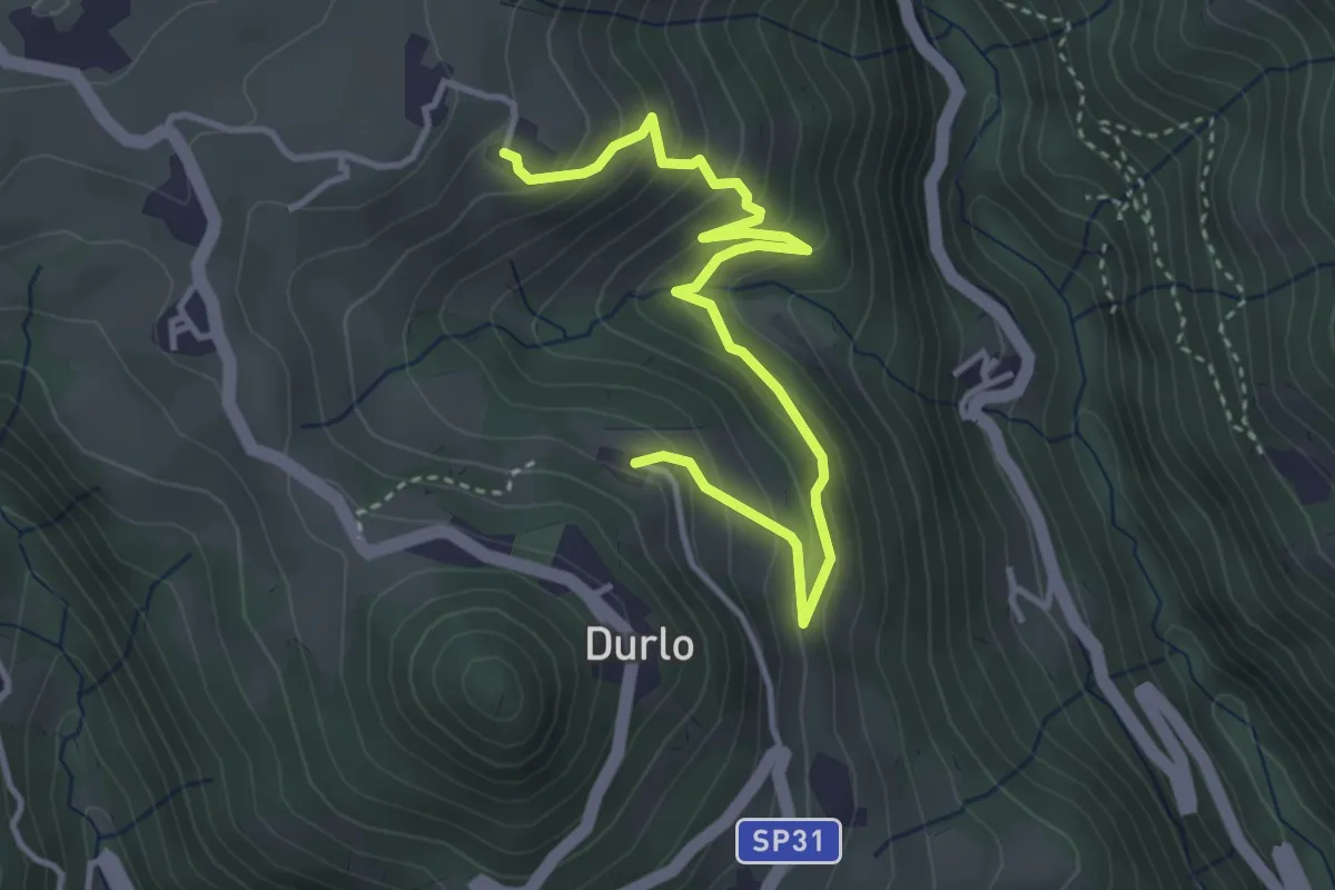
02 Sentiero del Proneche
4.2 km · ↑ 371 m · 1 h 48 min · 13 km away
Medium · Trail
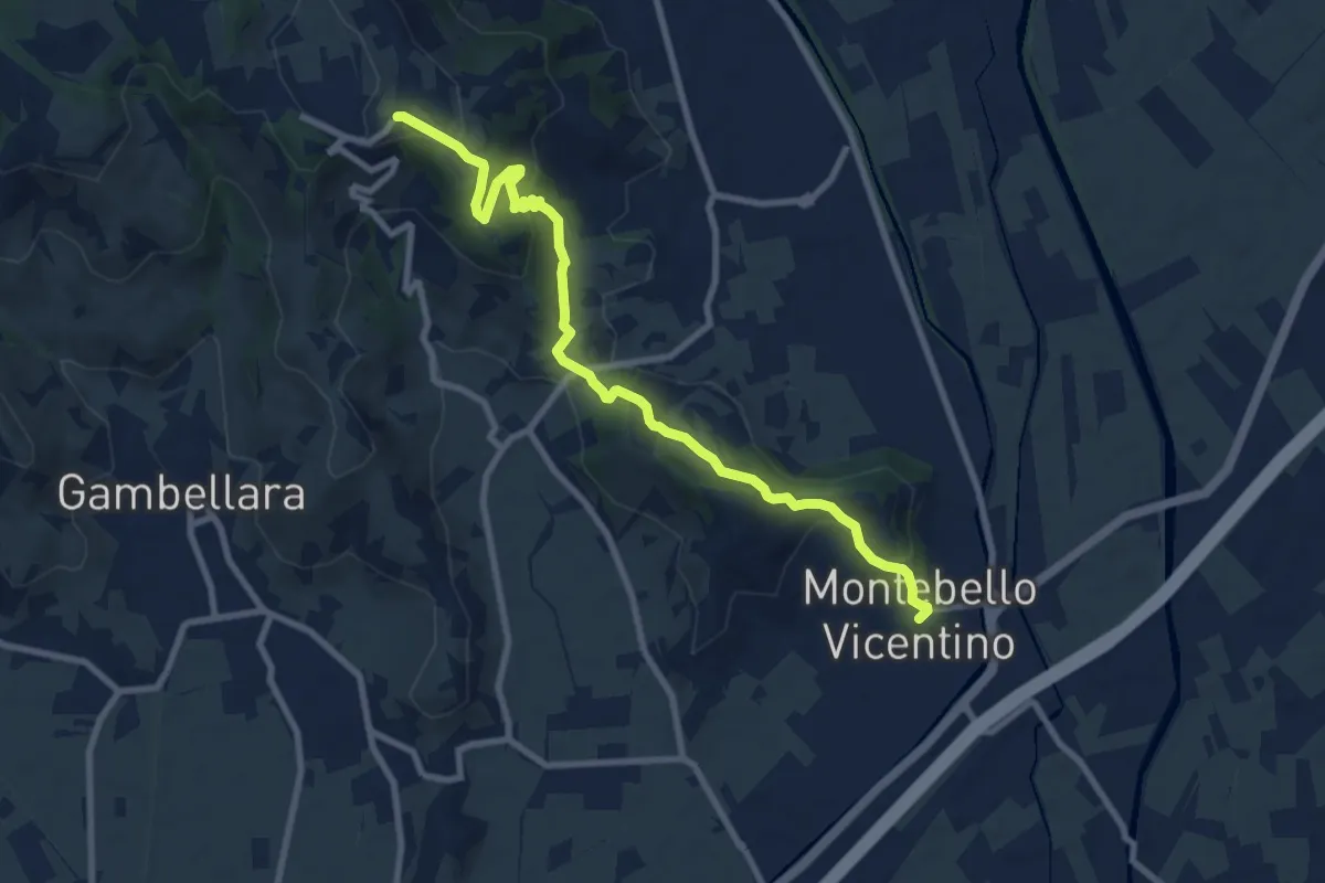
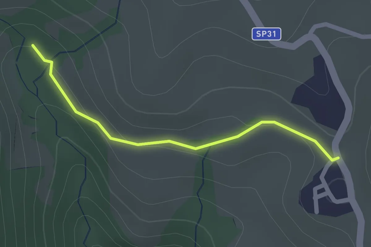
Percorso escursionistico “Mario Filotto”
9.7 km · ↑ 365 m · 3 h 5 min · 13 km away
Easy · Summit
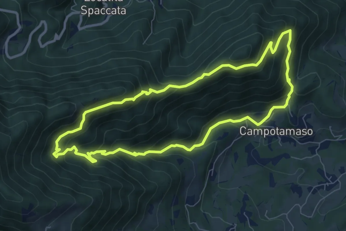
05 Sentiero del Golge
1.5 km · ↑ 26 m · 24 min · 13 km away
Medium · Summit
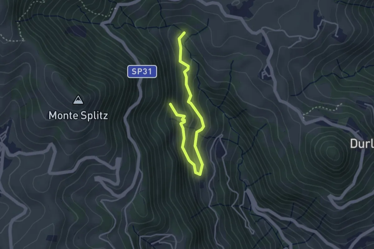
Sentiero Gianni Braggion
7.1 km · ↑ 629 m · 3 h 9 min · 13 km away
Easy · Summit
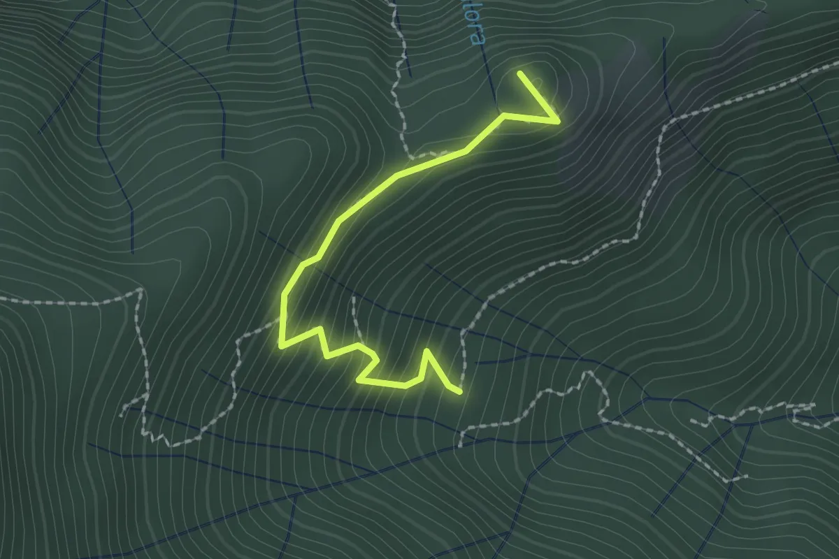
07 Sentiero del bosco delle piogne
3.5 km · ↑ 287 m · 1 h 27 min · 13 km away
Easy · Trail
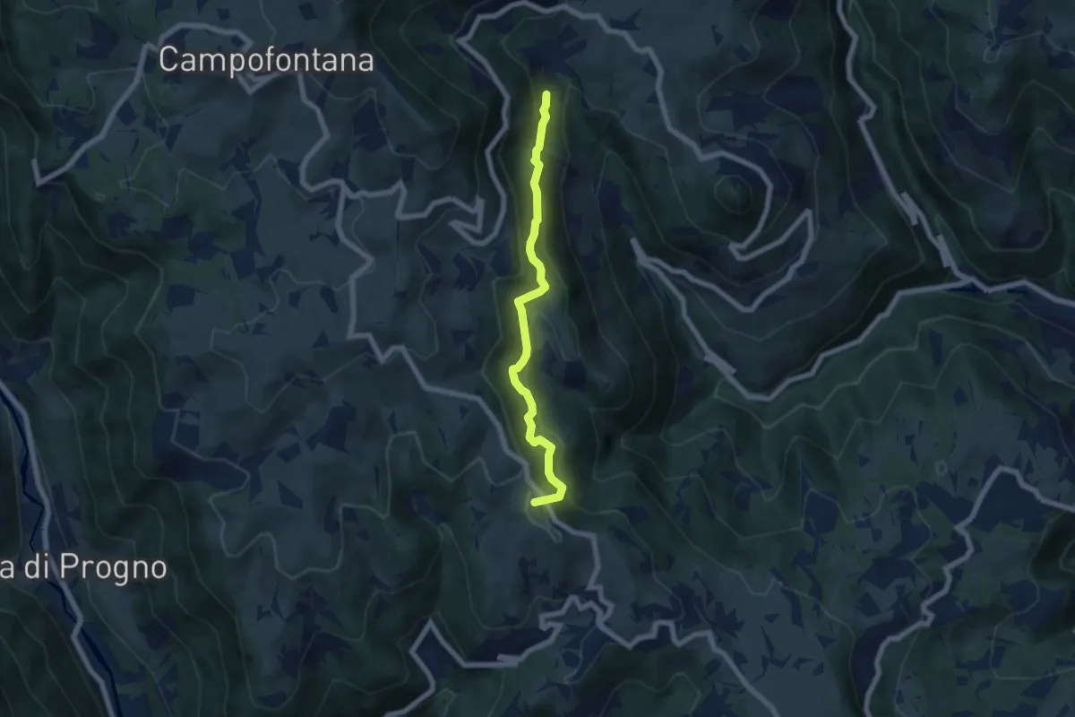
Croce dei Castiglieri
2.0 km · ↑ 209 m · 56 min · 13 km away
Medium · Summit
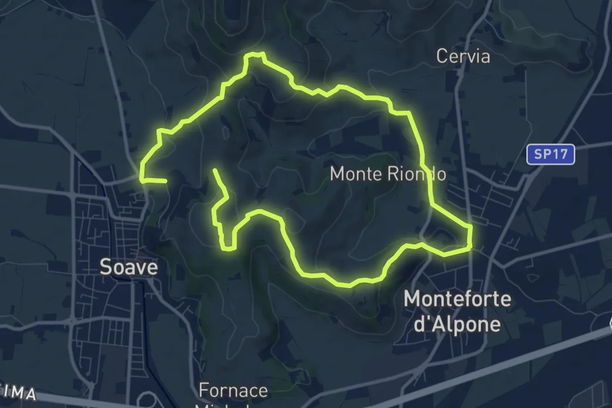
06 Sentiero del vaio dell'orco
5.9 km · ↑ 399 m · 2 h 15 min · 13 km away
Medium · Trail
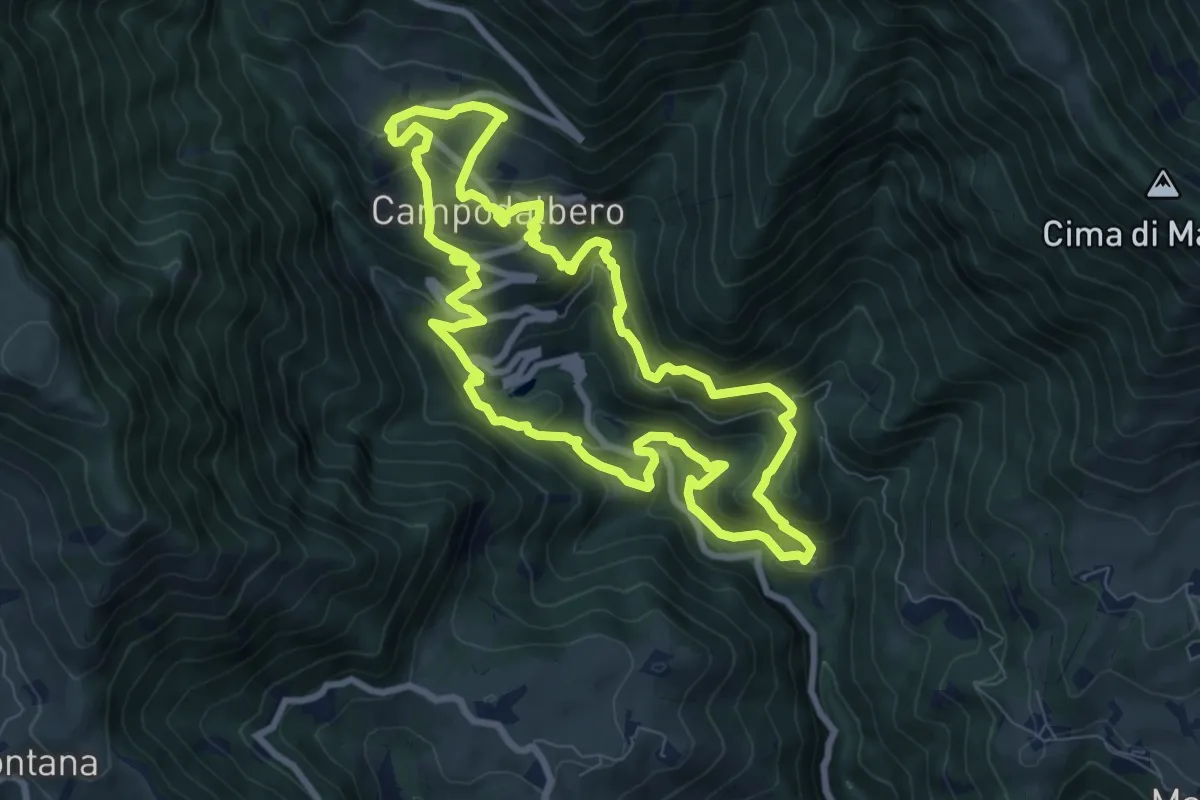
Percorso dei 10 Capitelli
8.6 km · ↑ 229 m · 2 h 41 min · 13 km away
Medium · Trail
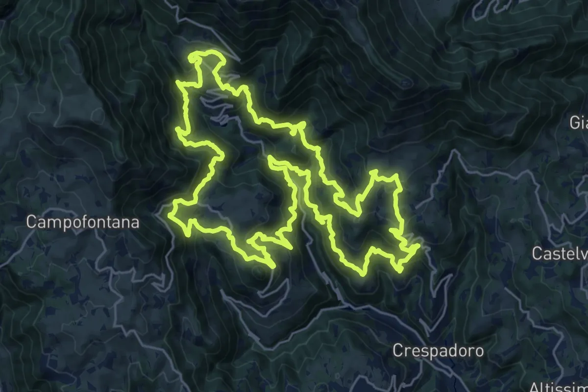
Campodalbero e le sue Contra
8.6 km · ↑ 602 m · 3 h 27 min · 13 km away
Demanding · Summit
Tre campanili al vento
25.0 km · ↑ 1721 m · 9 h 59 min · 13 km away