Trails near Chiampo
67 hikes starting within 15 km, nearest first.
Nearest first, page 2 of 2
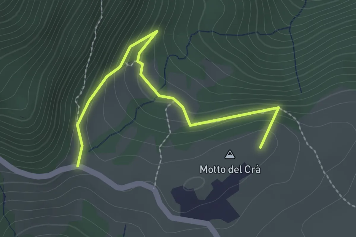
Easy · Summit
04 Sentiero dei busi
2.4 km · ↑ 169 m · 55 min · 13 km away
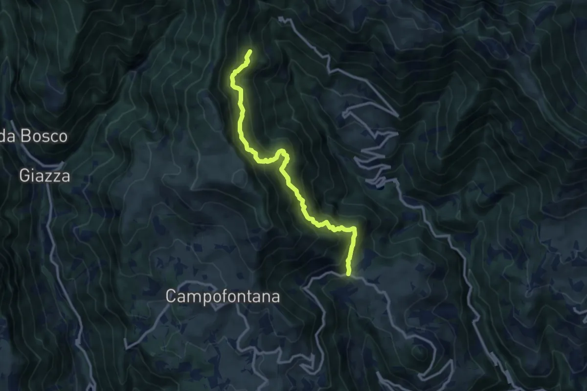
Demanding · Trail
Località Casarola di Durlo – Malga Laghetto di Sotto (innesto sentiero 204)
9.9 km · ↑ 1167 m · 4 h 52 min · 13 km away
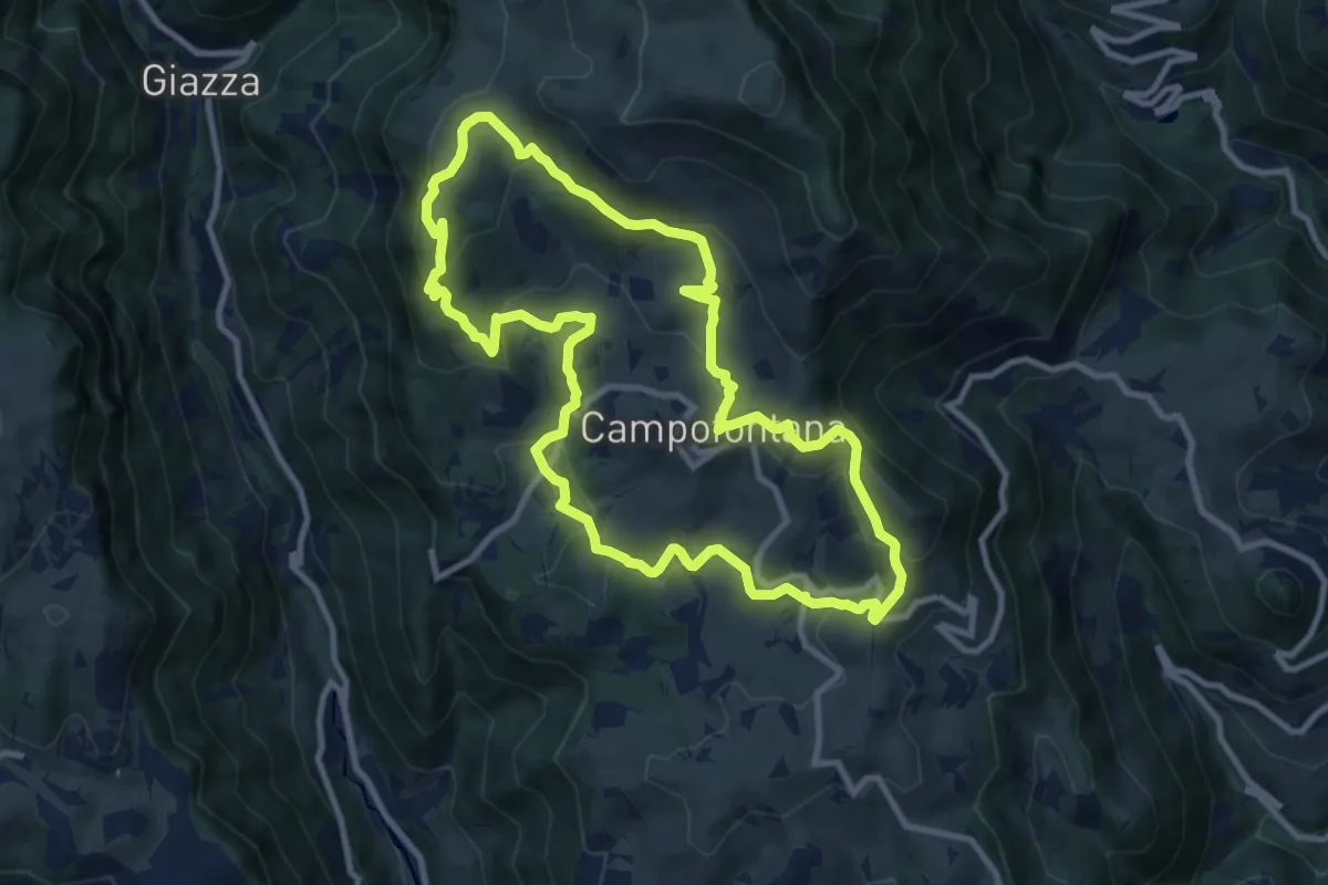
Medium · Trail
Sulle Antiche Vie dei Cimbri
10.0 km · ↑ 419 m · 3 h 24 min · 13 km away
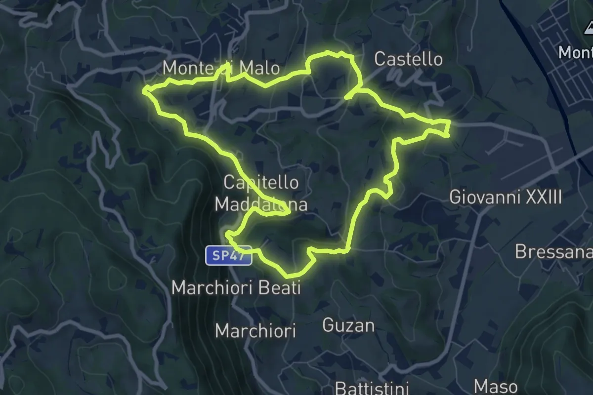
Medium · Trail
Anello del Buso della Rana (variante lunga)
8.0 km · ↑ 317 m · 2 h 42 min · 14 km away
Easy · Trail
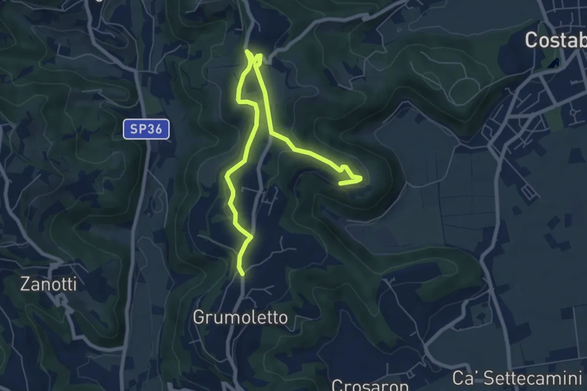
Sentiero Strada False
7.5 km · ↑ 173 m · 2 h 9 min · 14 km away
Easy · Trail
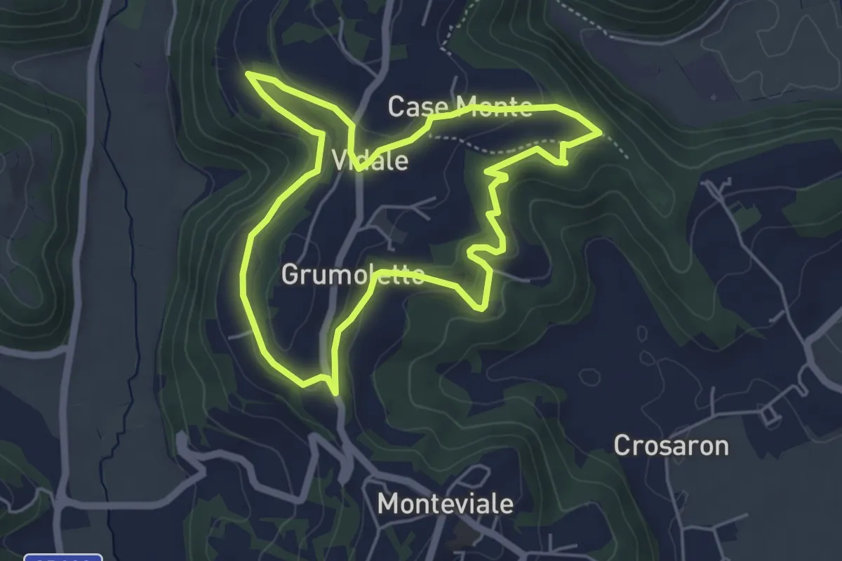
Sentiero Vegrolongo - della Sorgente - dell'Ornaro
4.6 km · ↑ 141 m · 1 h 27 min · 14 km away
Easy · Trail
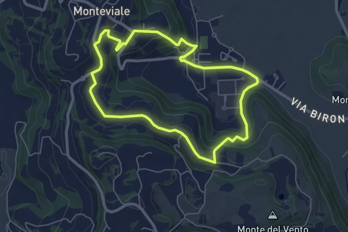
Sentiero Canestrello
4.5 km · ↑ 143 m · 1 h 26 min · 14 km away
Demanding · Summit
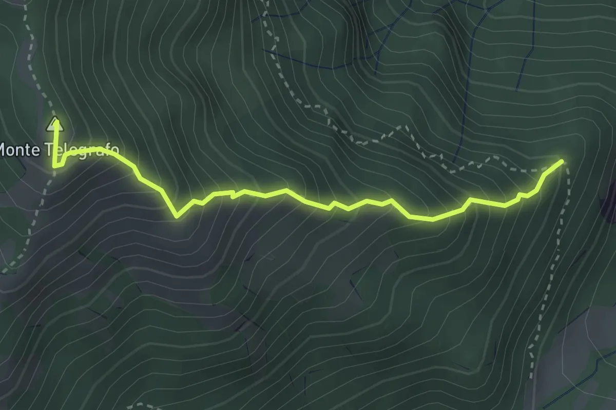
località Casarola di Durlo (da sentiero 209) – Forcella Monte Porto (innesto sentiero 206)
3.1 km · ↑ 531 m · 1 h 54 min · 14 km away
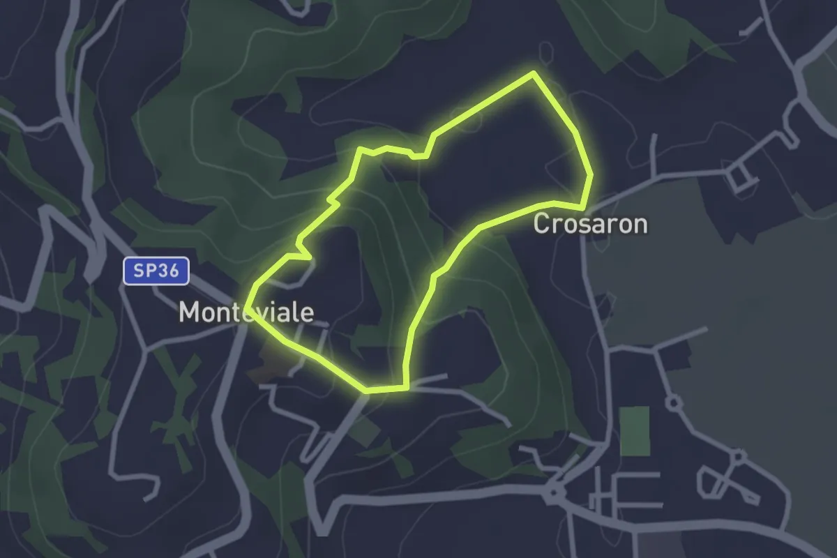
Easy · Trail
Sentiero del Cornugio
2.2 km · ↑ 113 m · 47 min · 14 km away
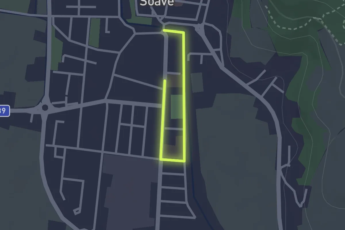
Easy · Trail
Percorso Scuole di Soave
2.2 km · ↑ 0 m · 31 min · 14 km away
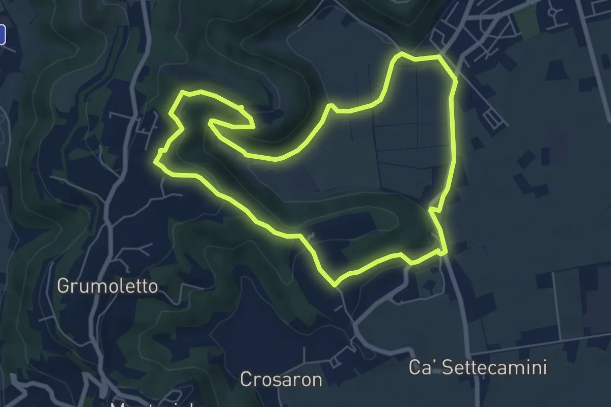
Easy · Trail
Sentiero del Perozzo
6.2 km · ↑ 160 m · 1 h 53 min · 14 km away
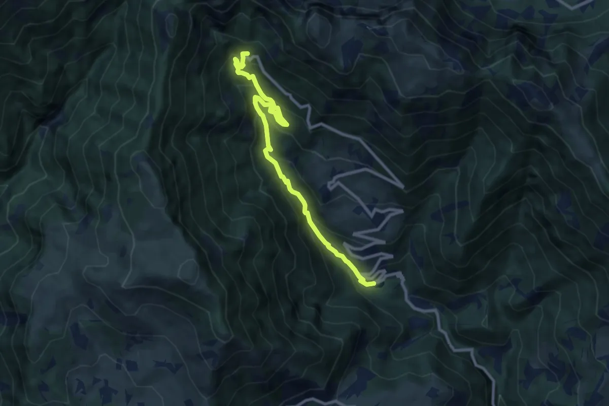
Medium · Cabin
Contrà Molino di Campodalbero – Rifugio Bertagnoli
8.8 km · ↑ 758 m · 3 h 44 min · 14 km away
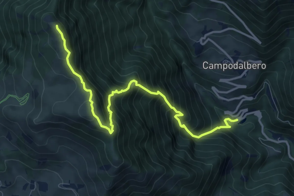
Demanding · Summit
Contrà Molino di Campodalbero – Cima di Lobbia
9.6 km · ↑ 1152 m · 4 h 46 min · 14 km away
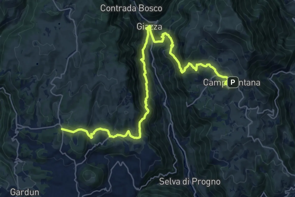
Medium · Trail
Dorsale Media della Lessinia - Tappa 1
12.2 km · ↑ 748 m · 4 h 41 min · 14 km away
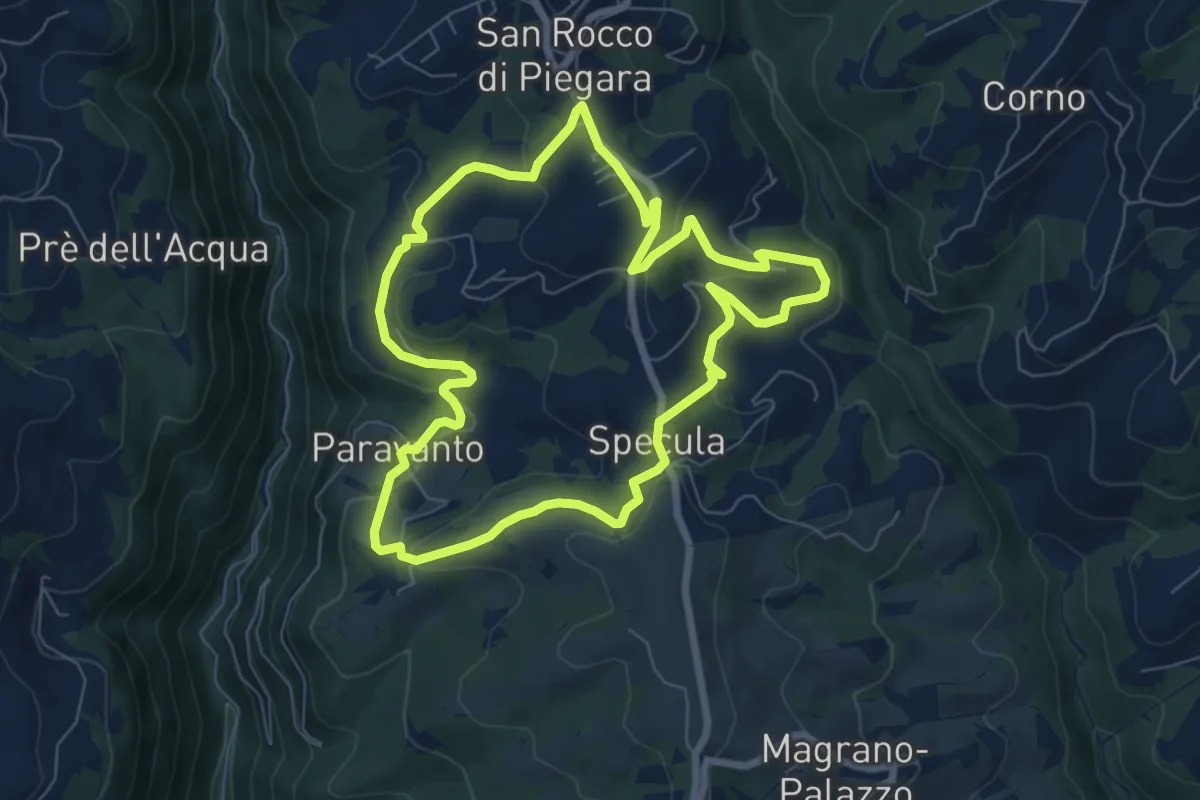
Easy · Trail
Percorso Giallo
7.3 km · ↑ 239 m · 2 h 20 min · 14 km away
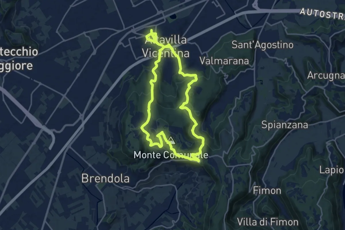
Medium · Summit
Percorso Circolare di Altavilla - 20 km
13.9 km · ↑ 413 m · 4 h 22 min · 15 km away
Demanding · Summit
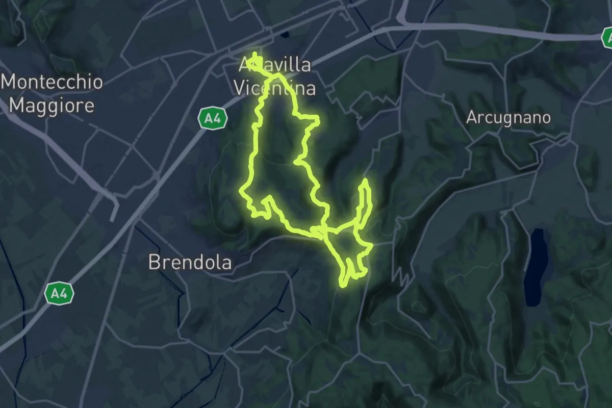
Percorso Circolare di Altavilla - 30 km
21.2 km · ↑ 623 m · 6 h 39 min · 15 km away
Demanding · Trail
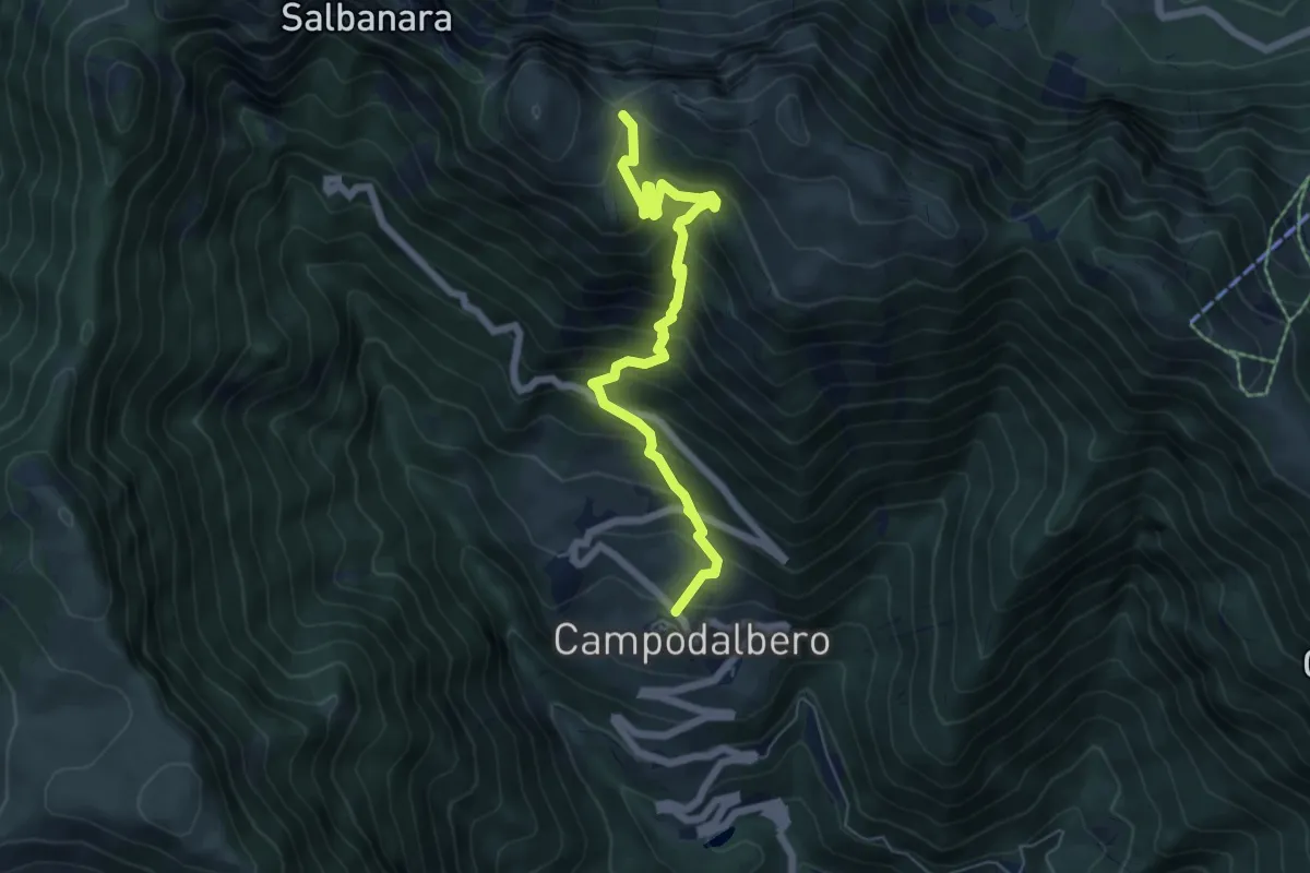
Contrà Bauci di Campodalbero – Bocchetta Gabellele - inn. sent. 202
6.5 km · ↑ 771 m · 3 h 12 min · 15 km away
Demanding · Trail
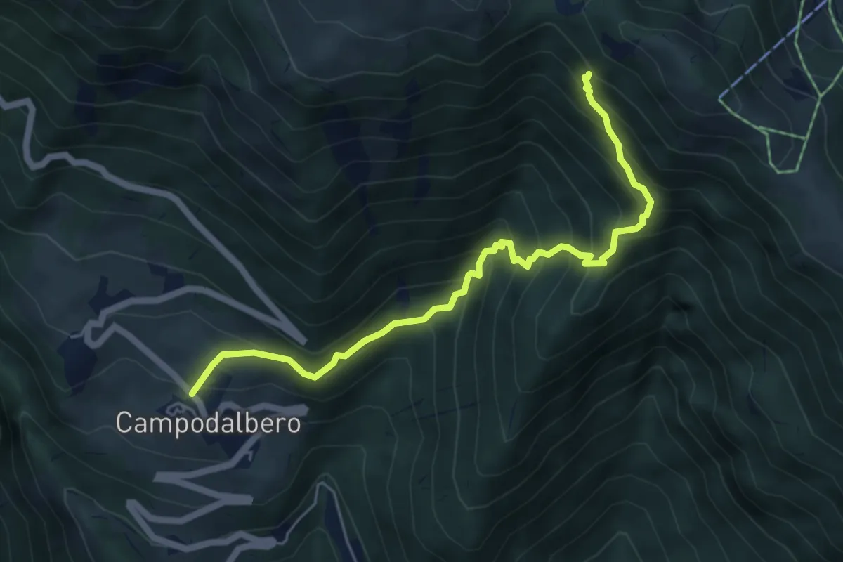
Contrà Bauci di Campodalbero – Alta Val Rope (innesto sentiero 203)
5.7 km · ↑ 637 m · 2 h 44 min · 15 km away