Trails near Chiasso
235 hikes starting within 15 km, nearest first.
Nearest first, page 2 of 5
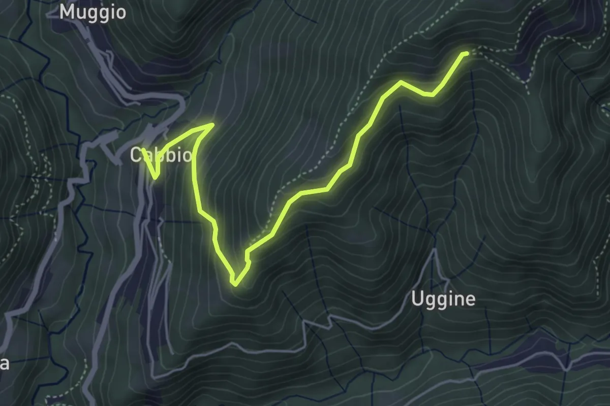
Medium · Trail
Arla – Cabbio
5.2 km · ↑ 423 m · 2 h 9 min · 7 km away
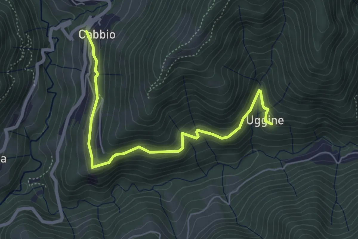
Medium · Trail
Cabbio – Uggine
5.4 km · ↑ 335 m · 2 h · 7 km away
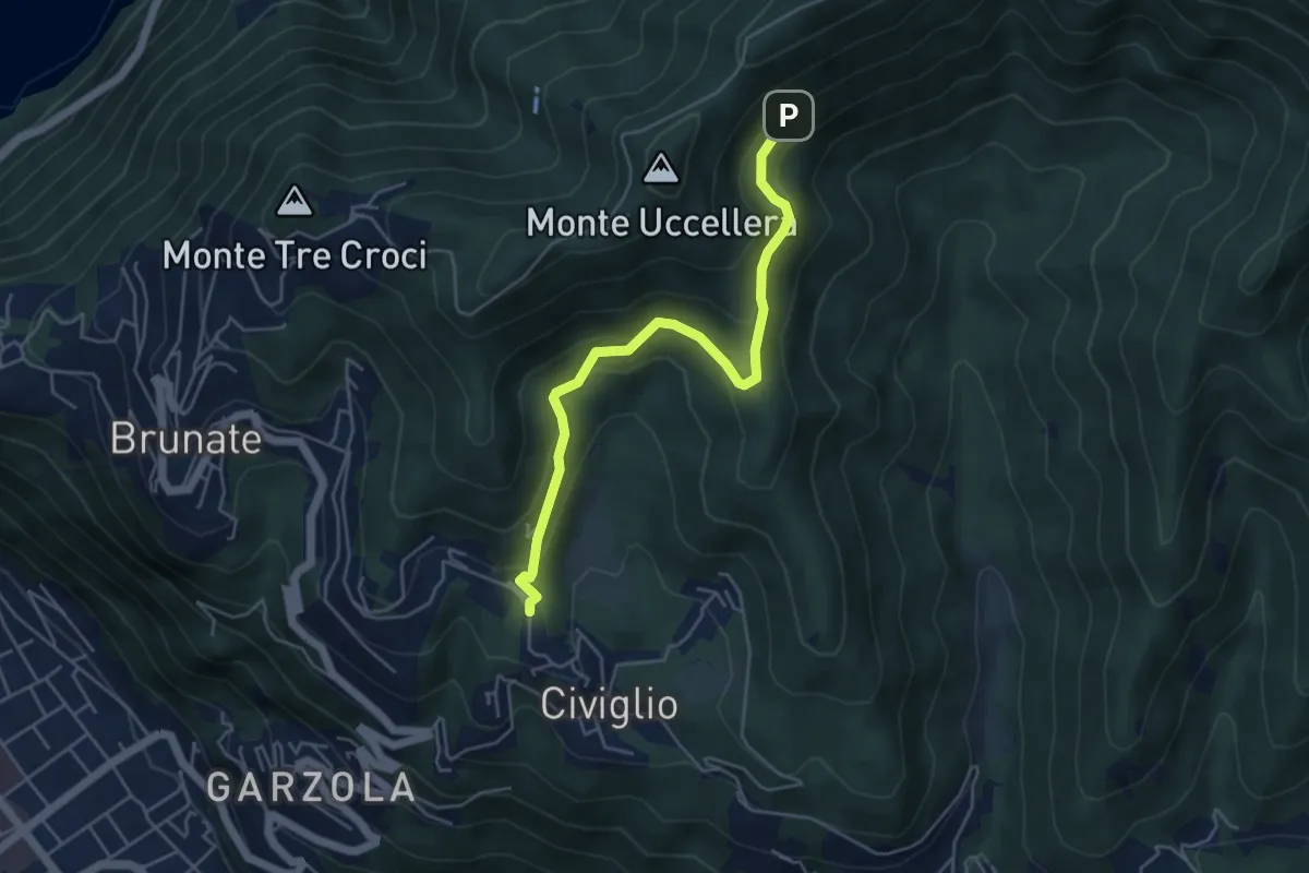
Medium · Trail
Visigna – Strada del Boscone
4.9 km · ↑ 275 m · 1 h 46 min · 7 km away
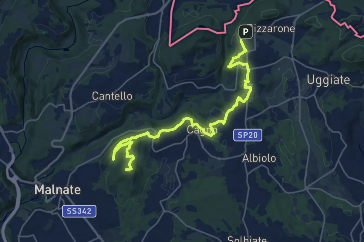
Demanding · Summit
Sentiero cima delle valli
18.5 km · ↑ 411 m · 5 h 16 min · 7 km away
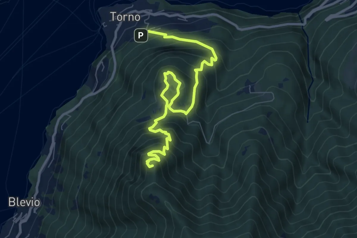
Demanding · Summit
Torno – Baita Carla
9.0 km · ↑ 837 m · 3 h 57 min · 7 km away
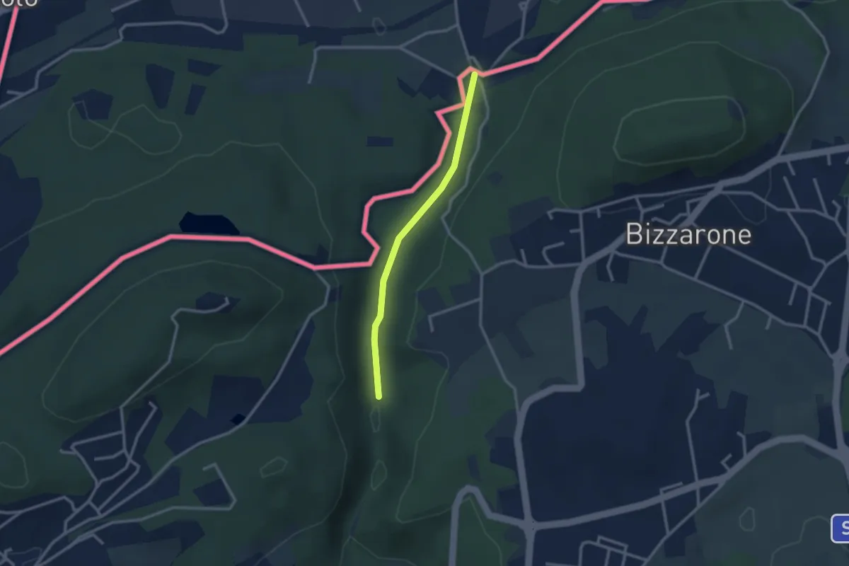
Easy · Trail
Sentiero di Fondovalle
2.3 km · ↑ 32 m · 37 min · 7 km away
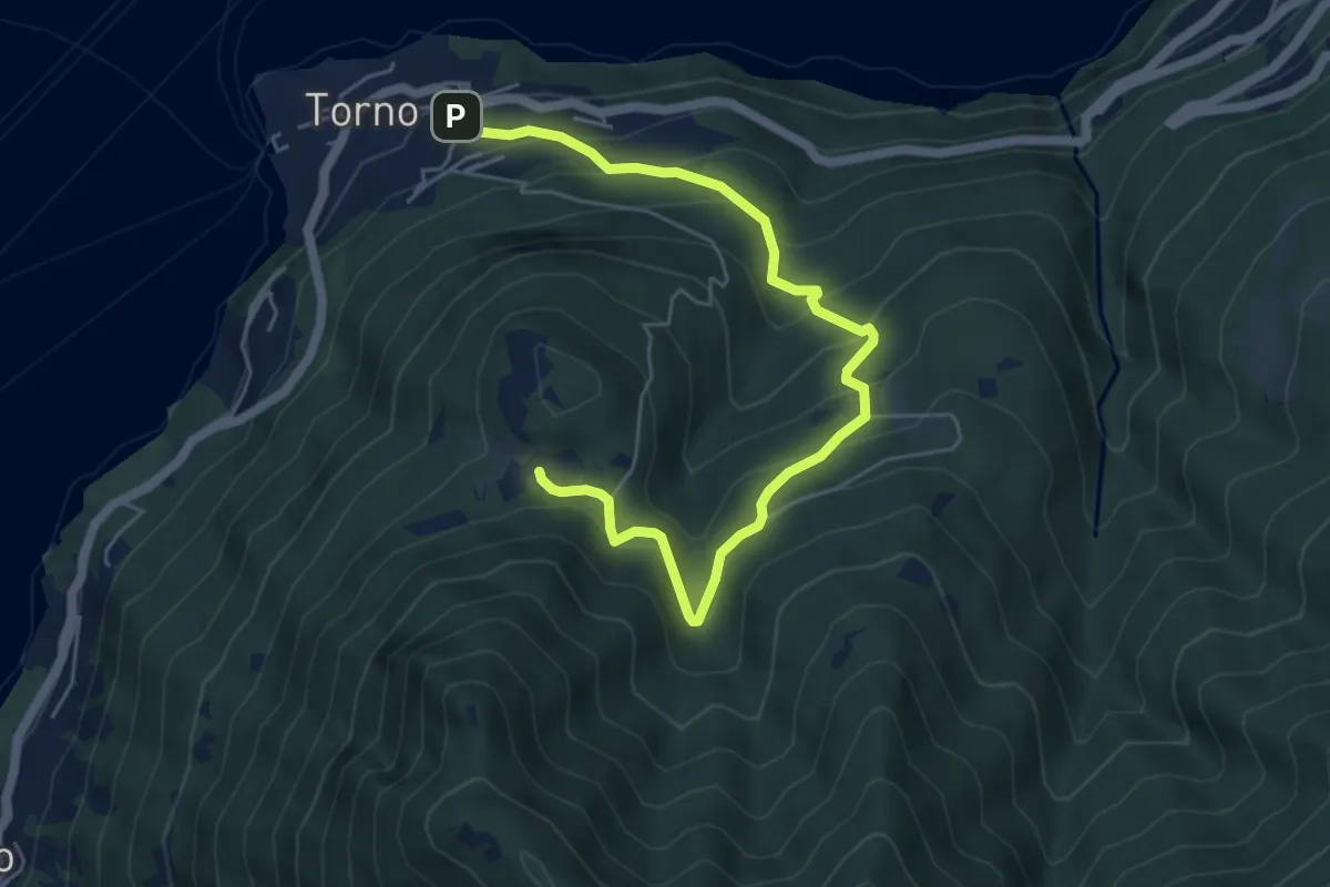
Medium · Trail
Torno – Montepiatto
6.3 km · ↑ 528 m · 2 h 37 min · 7 km away
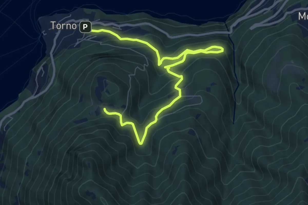
Medium · Trail
Torno – Montepiatto
9.2 km · ↑ 623 m · 3 h 32 min · 7 km away
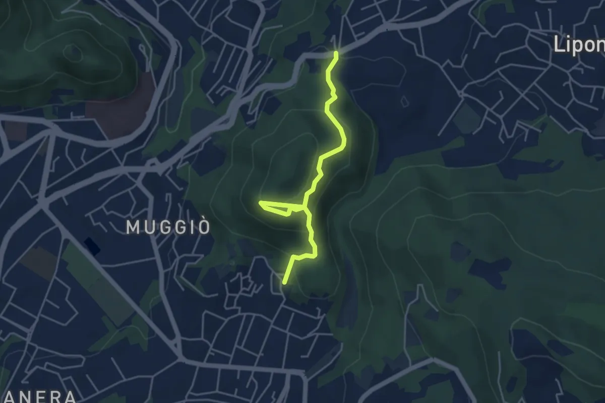
Easy · Trail
Sentiero del Monte Goj
4.1 km · ↑ 268 m · 1 h 33 min · 7 km away
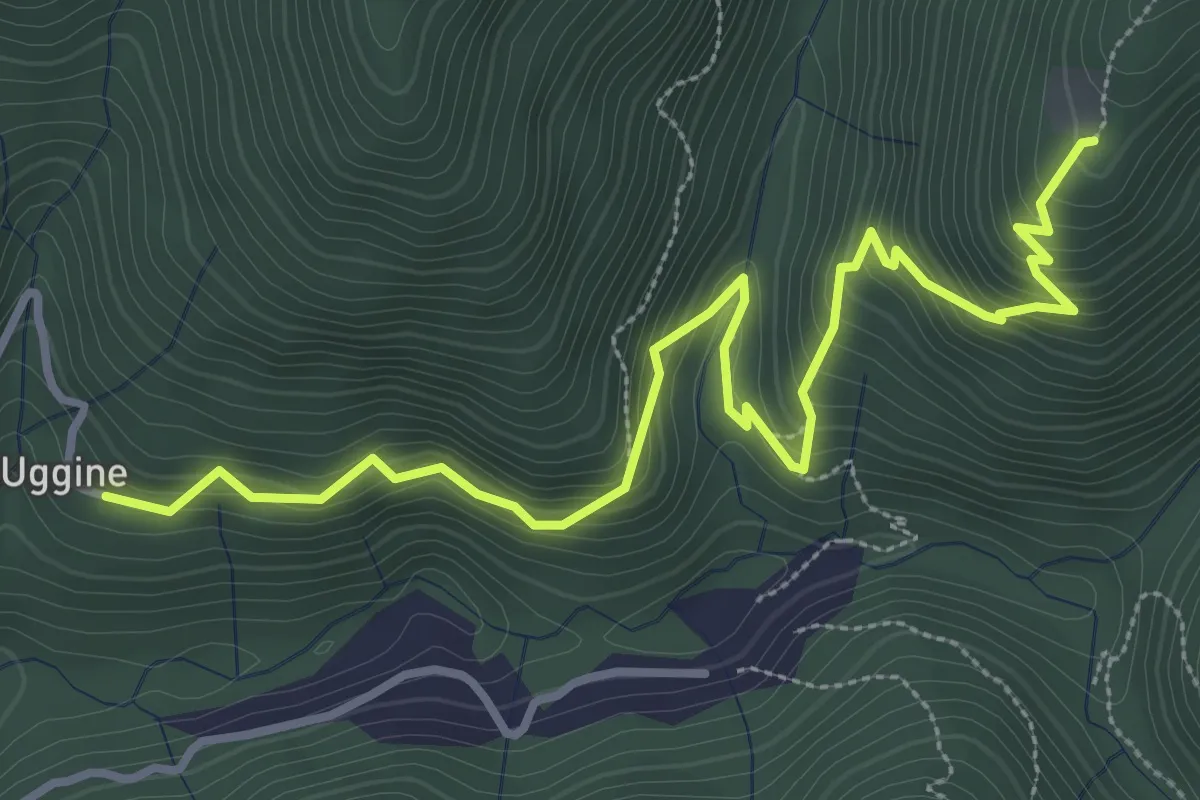
Medium · Trail
Uggine – Alpe del Corno
4.2 km · ↑ 367 m · 1 h 47 min · 8 km away
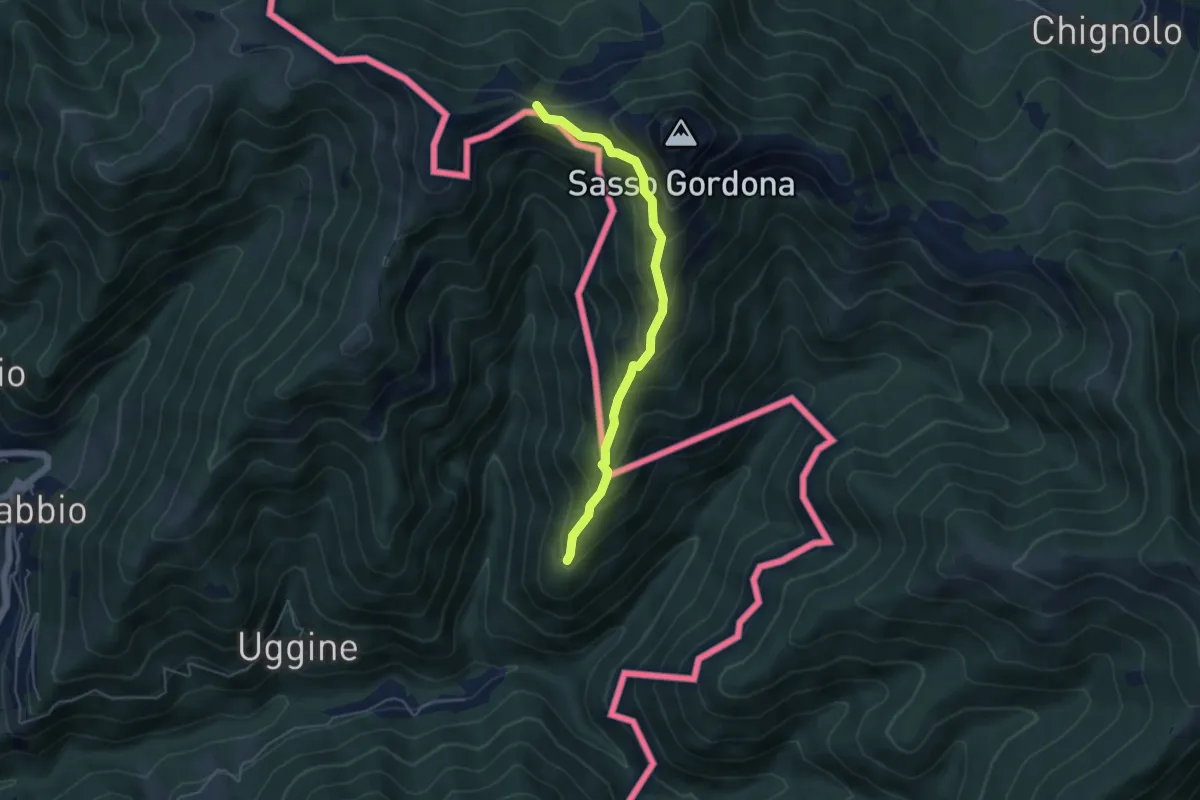
Medium · Cabin
Sentiero Smeraldo
4.6 km · ↑ 415 m · 2 h · 8 km away
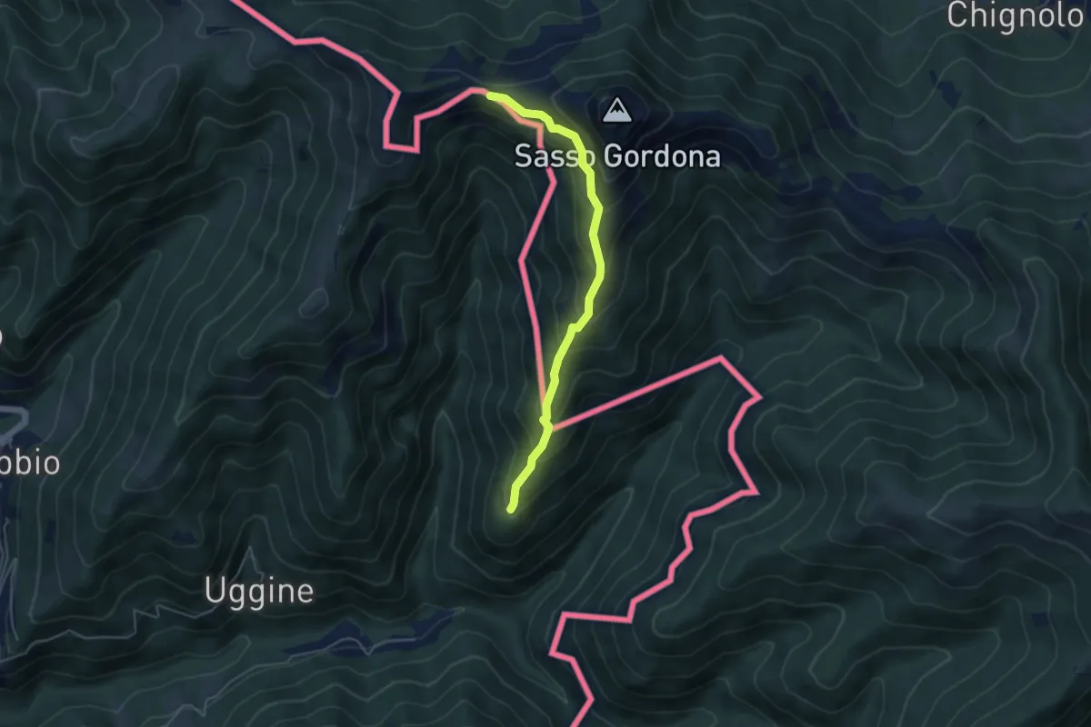
Medium · Cabin
Alpe del Corno – Rifugio Prabello (I)
4.5 km · ↑ 409 m · 1 h 57 min · 8 km away
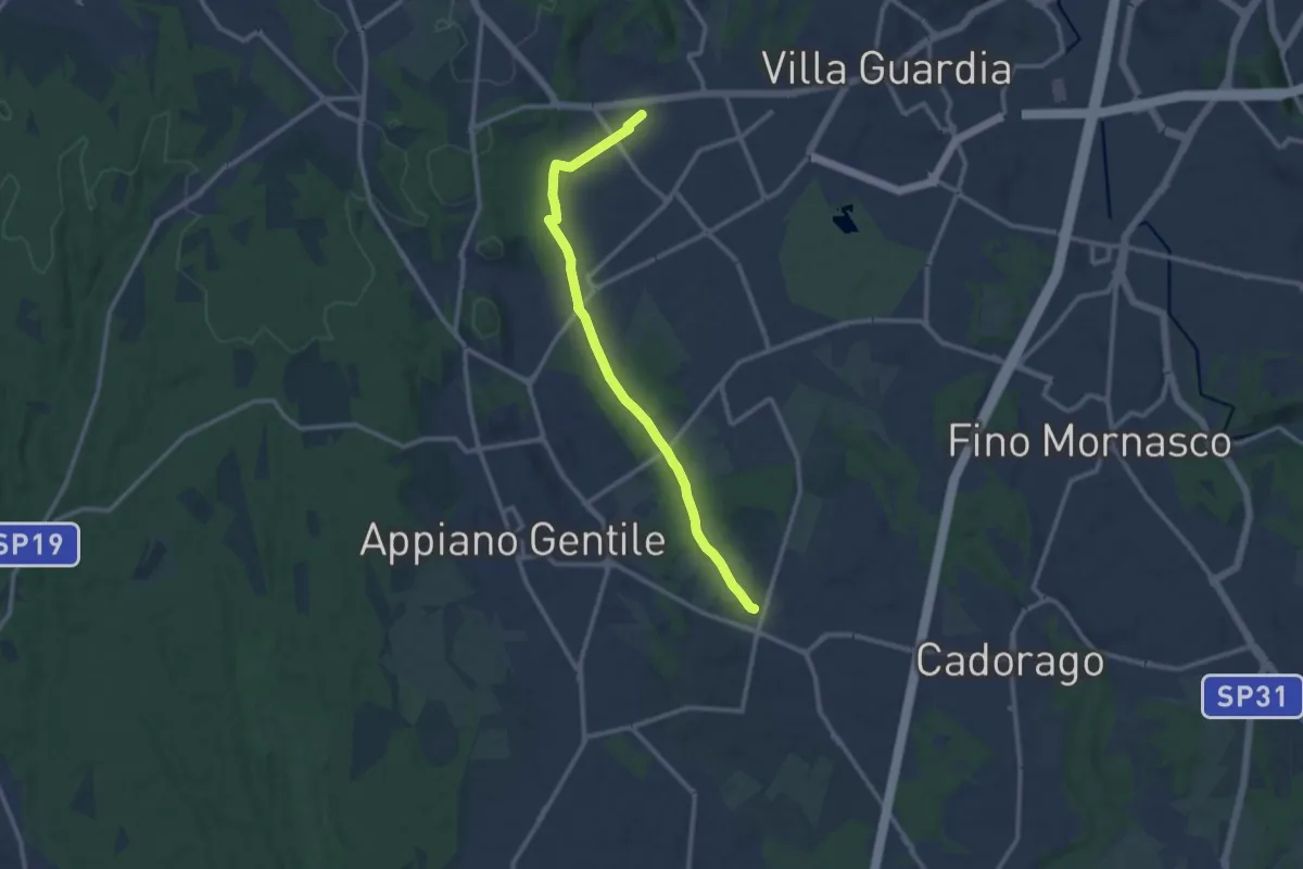
Medium · Trail
Lurate Caccivio – Guanzate
11.5 km · ↑ 86 m · 2 h 53 min · 8 km away
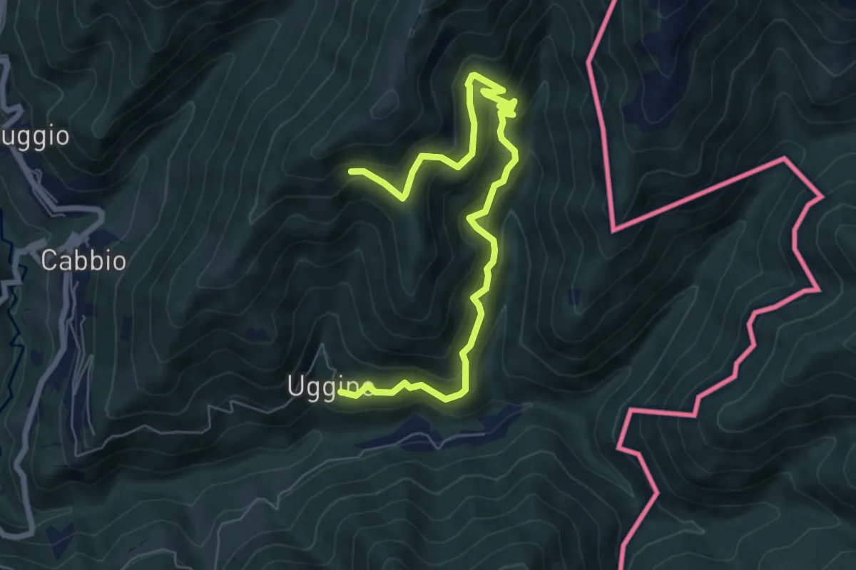
Medium · Trail
Uggine – Arla
7.7 km · ↑ 732 m · 3 h 25 min · 8 km away
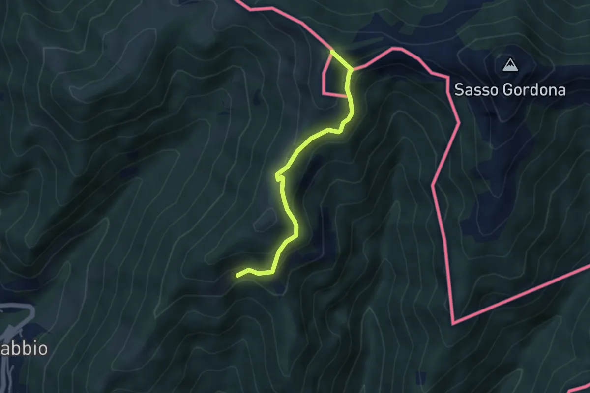
Medium · Summit
Rifugio Prabello (I) – Arla
3.6 km · ↑ 265 m · 1 h 26 min · 8 km away
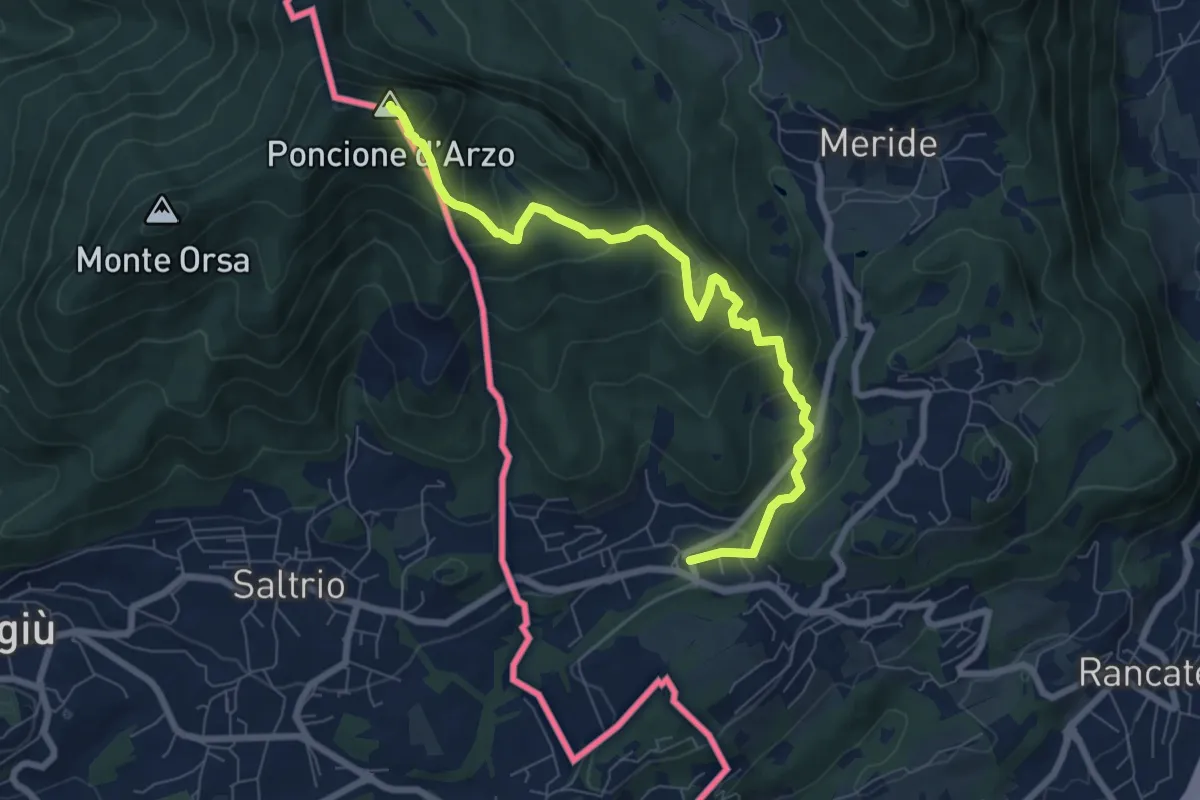
Medium · Summit
Poncione d'Arzo – Arzo
8.0 km · ↑ 537 m · 3 h 3 min · 8 km away
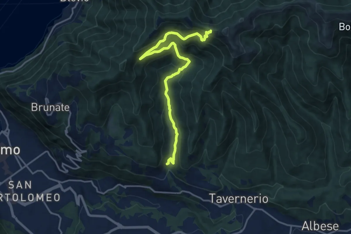
Medium · Trail
Ponzate – Baita Fabrizio
12.4 km · ↑ 721 m · 4 h 29 min · 8 km away
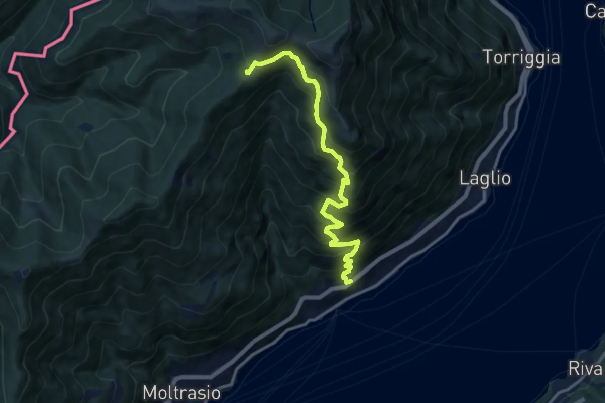
Demanding · Cabin
Carate Urio – Rifugio Murelli
8.7 km · ↑ 1038 m · 4 h 19 min · 8 km away
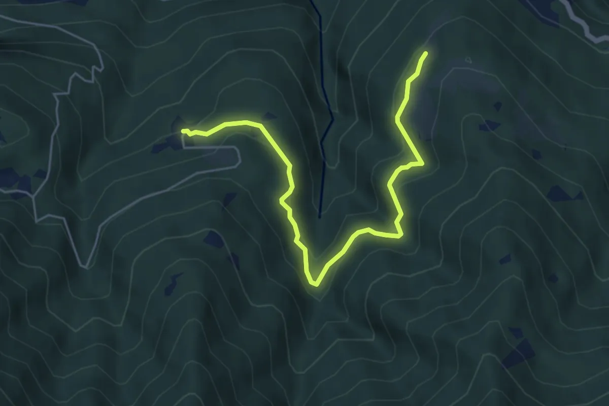
Medium · Trail
Piazzaga – Case delle Perle
5.4 km · ↑ 273 m · 1 h 52 min · 8 km away
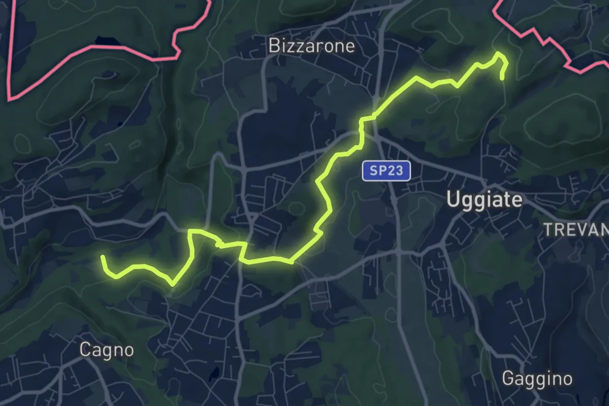
Medium · Trail
Sentiero Lanza-Lura
10.7 km · ↑ 292 m · 3 h 10 min · 9 km away
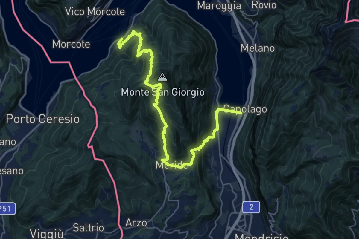
Demanding · Trail
Sentiero Lago di Lugano
11.1 km · ↑ 863 m · 4 h 38 min · 9 km away
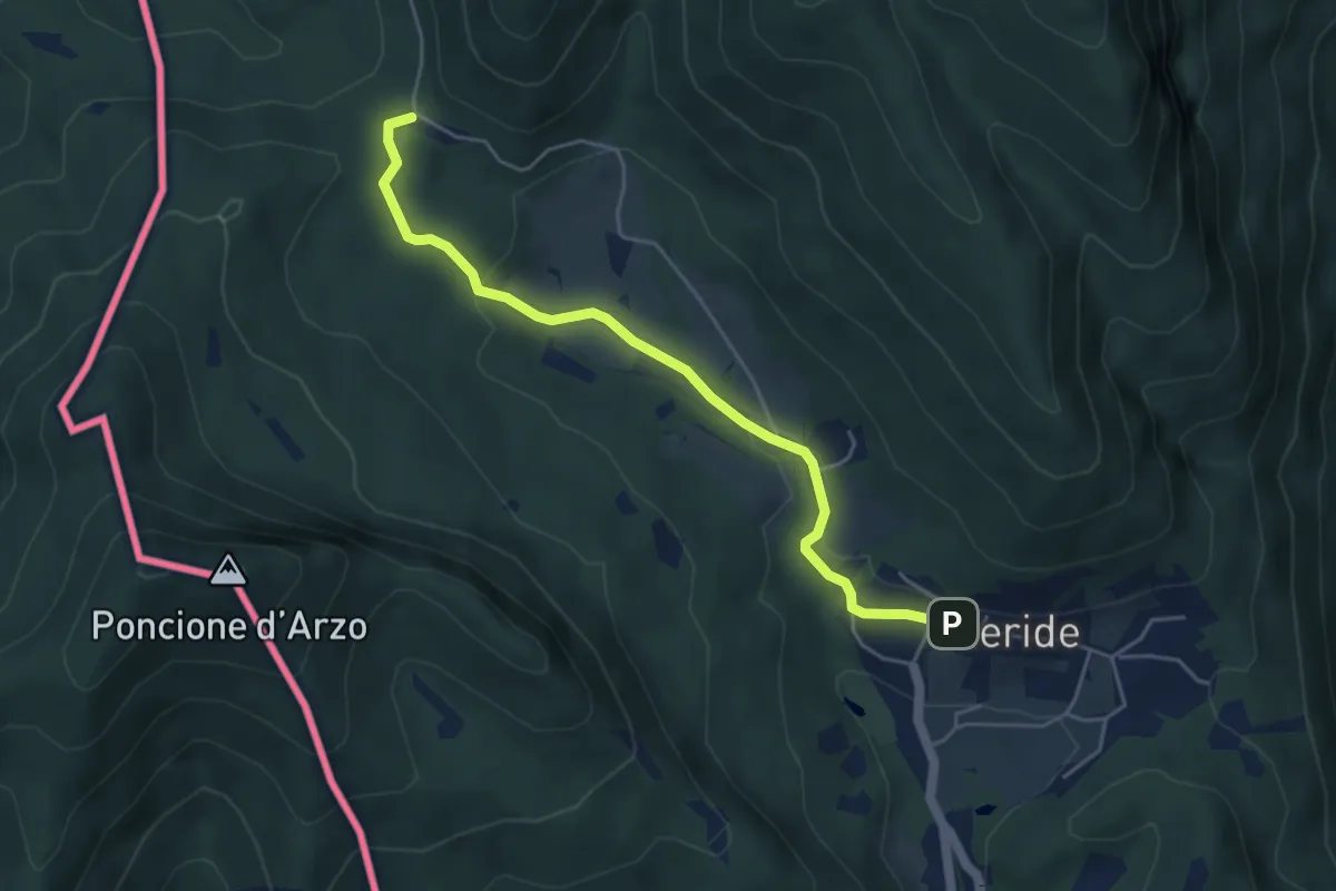
Easy · Trail
Crocifisso – Meride
4.8 km · ↑ 121 m · 1 h 23 min · 9 km away
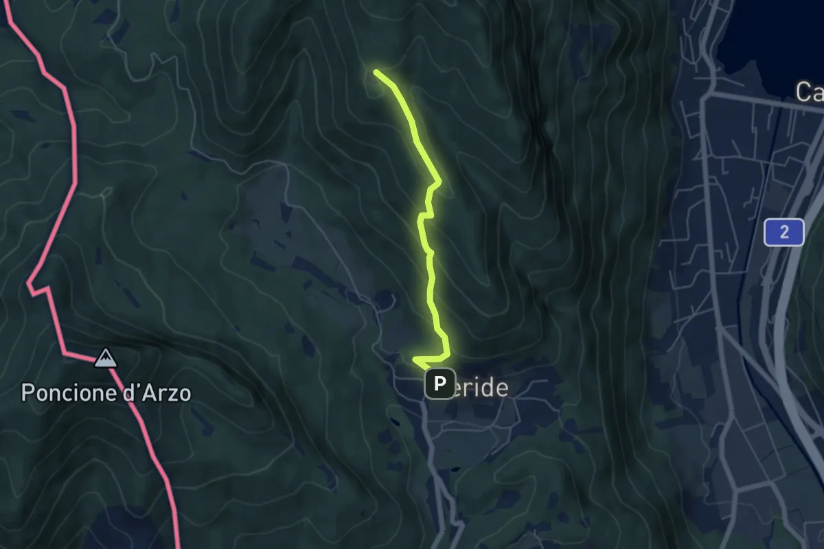
Easy · Trail
Meride – Cassina
4.6 km · ↑ 309 m · 1 h 45 min · 9 km away
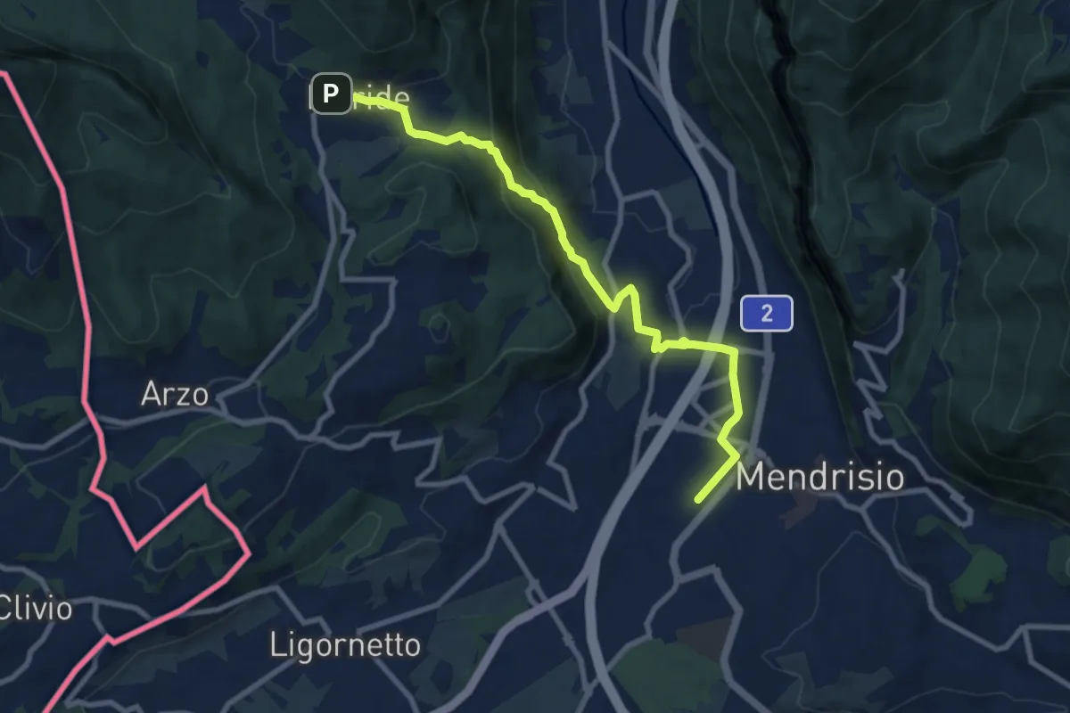
Medium · Trail
Meride – Mendrisio Stazione
8.9 km · ↑ 326 m · 2 h 48 min · 9 km away
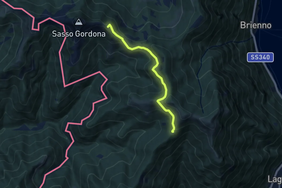
Medium · Summit
Rif. Prabello – Rif. Murelli
7.0 km · ↑ 377 m · 2 h 29 min · 9 km away
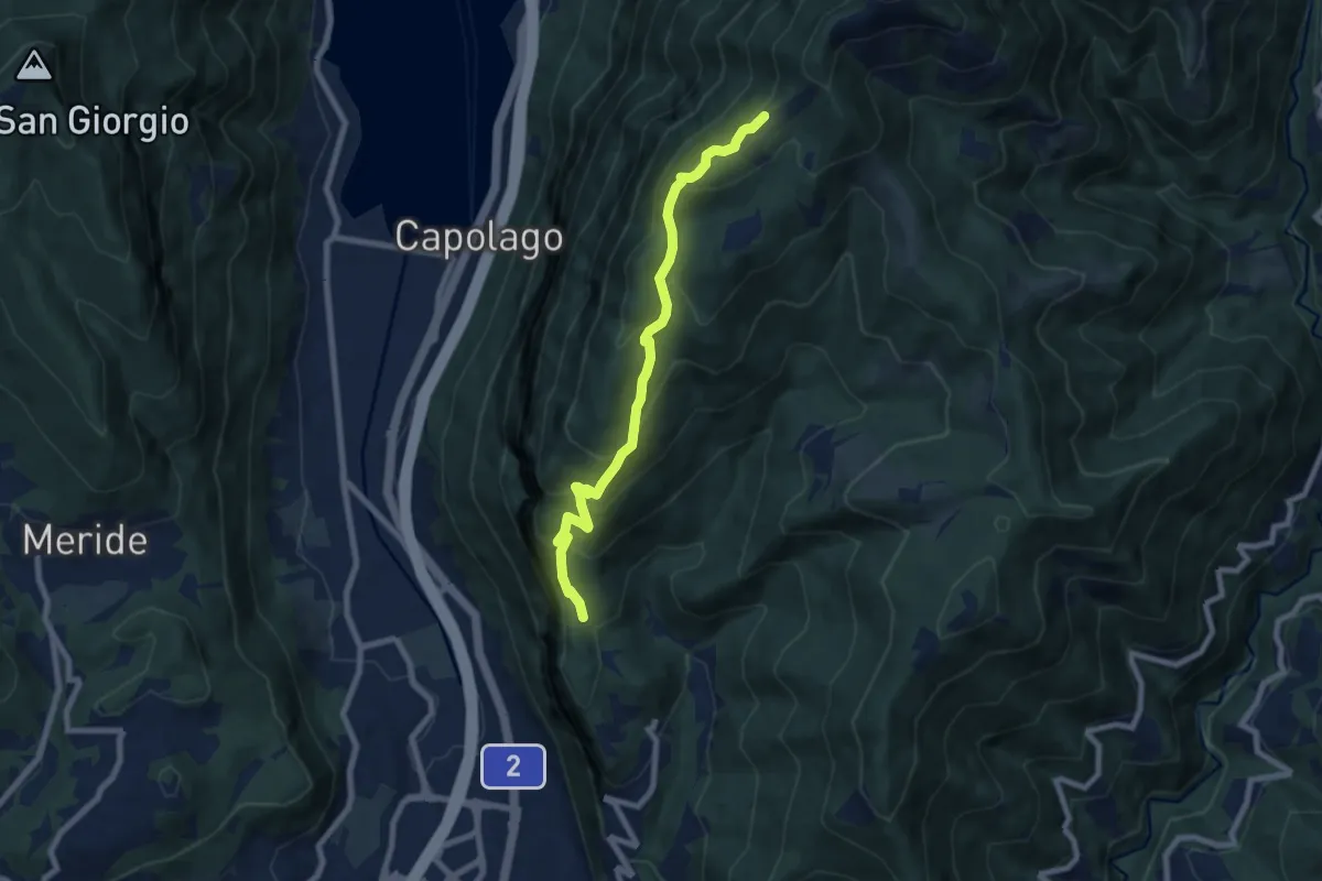
Medium · Cabin
Bellavista – San Nicolao St.ne
7.6 km · ↑ 564 m · 3 h 1 min · 9 km away
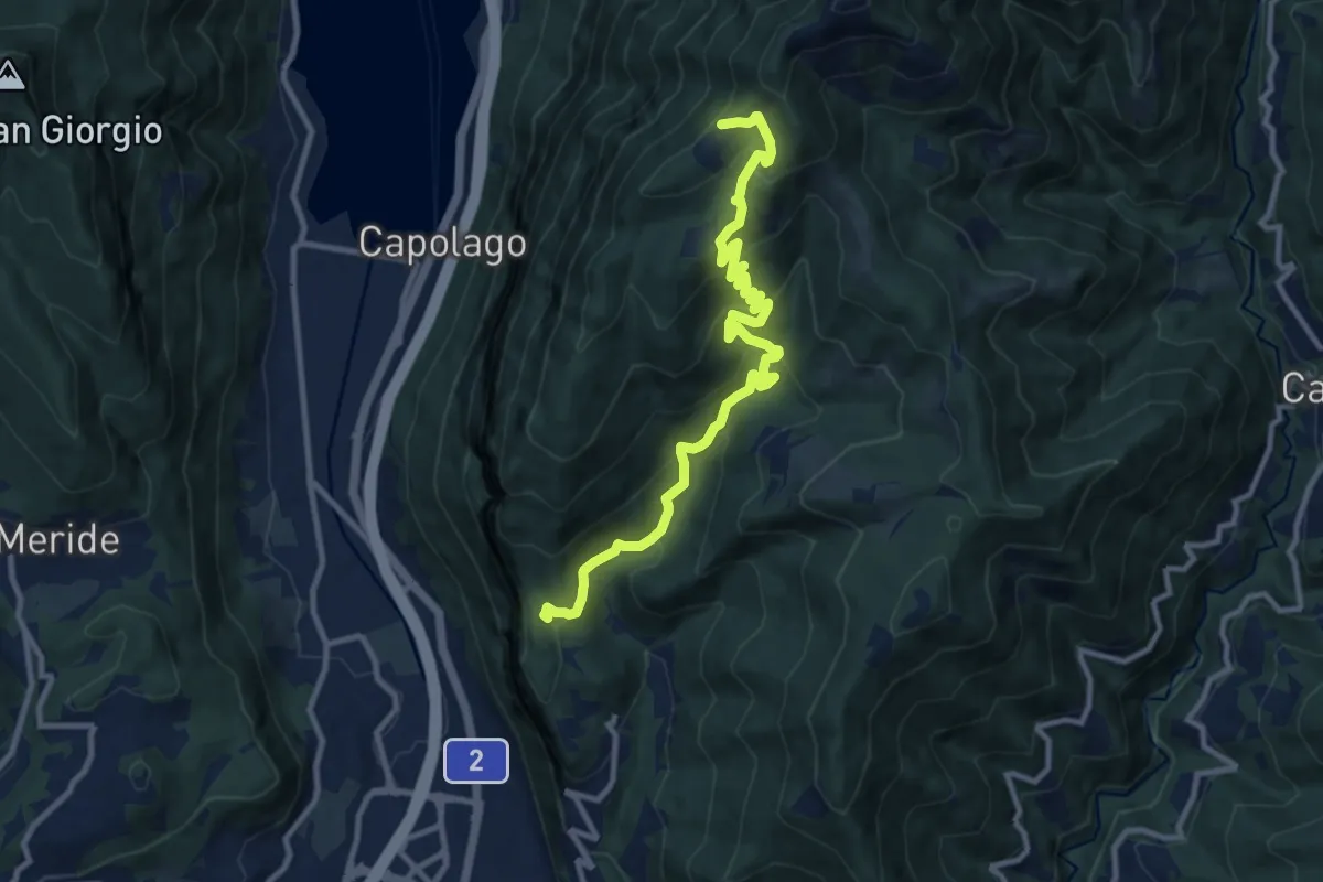
Medium · Cabin
Bellavista St.ne – San Nicolao St.ne
11.4 km · ↑ 779 m · 4 h 23 min · 9 km away
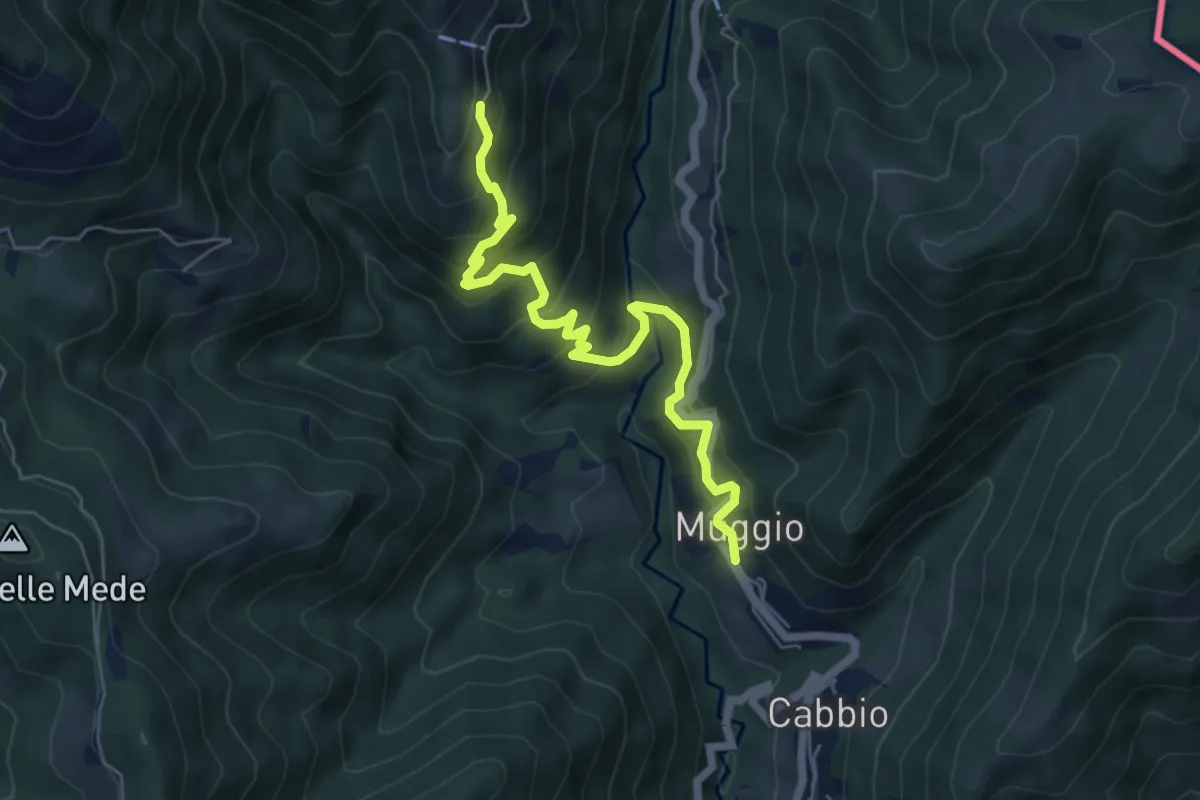
Medium · Trail
Muggio – Roncapiano
6.1 km · ↑ 543 m · 2 h 37 min · 9 km away
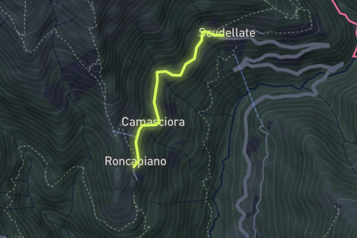
Easy · Trail
Roncapiano – Scudellate
2.4 km · ↑ 229 m · 1 h 4 min · 9 km away
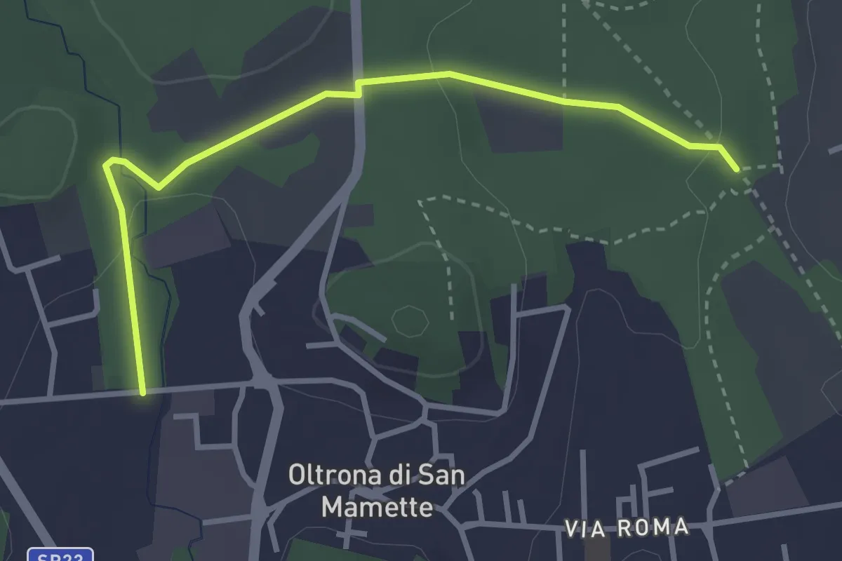
Easy · Trail
Incrocio 715B – Oltrona
3.2 km · ↑ 56 m · 52 min · 9 km away
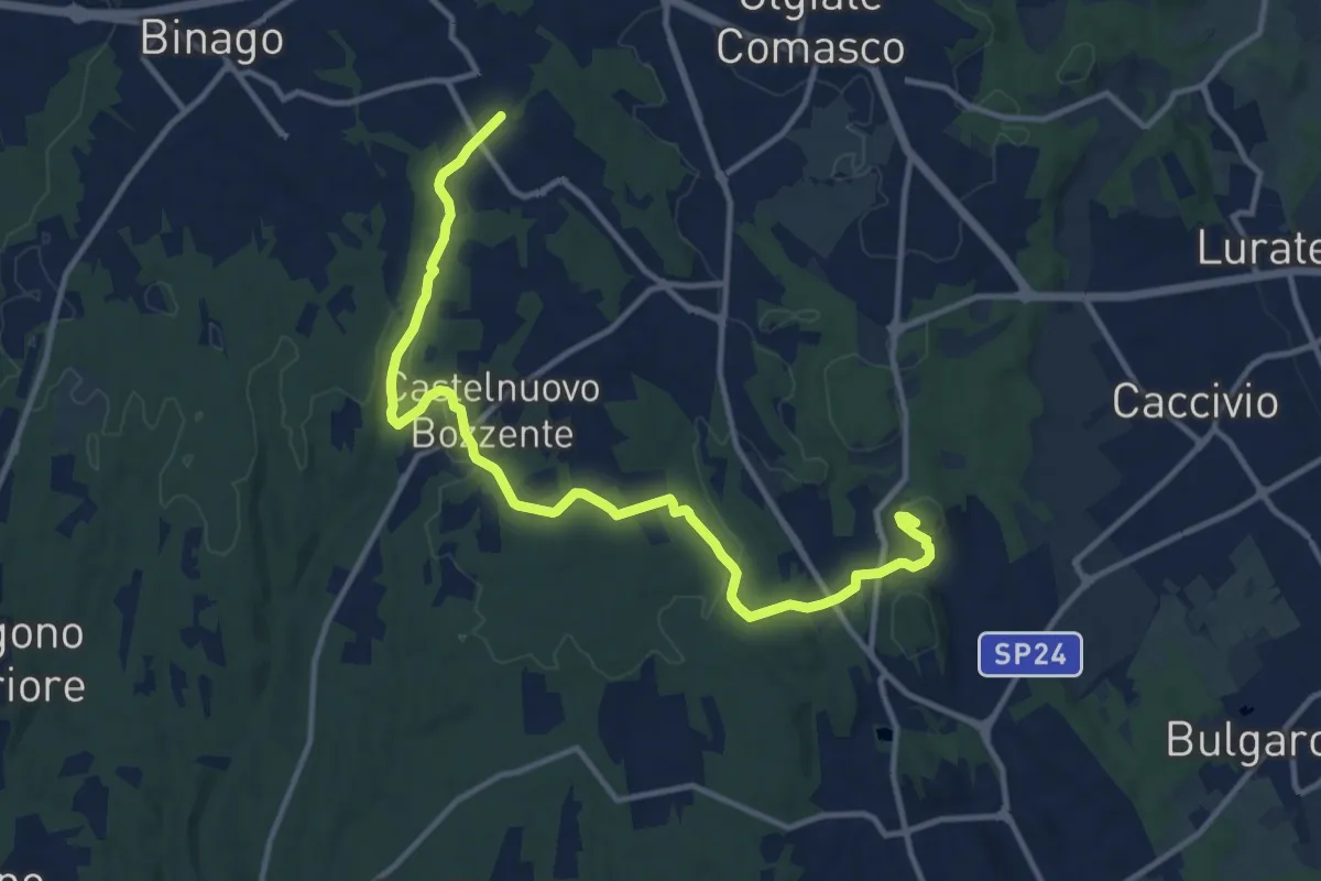
Medium · Trail
Sentiero 846
13.8 km · ↑ 196 m · 3 h 41 min · 9 km away
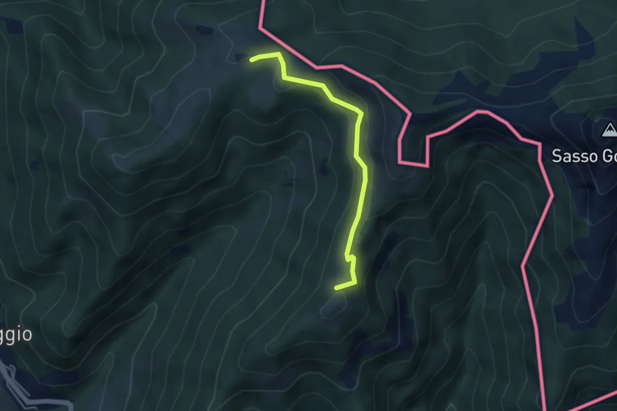
Medium · Summit
Arla – Alpe Bonello
3.3 km · ↑ 148 m · 1 h 7 min · 9 km away
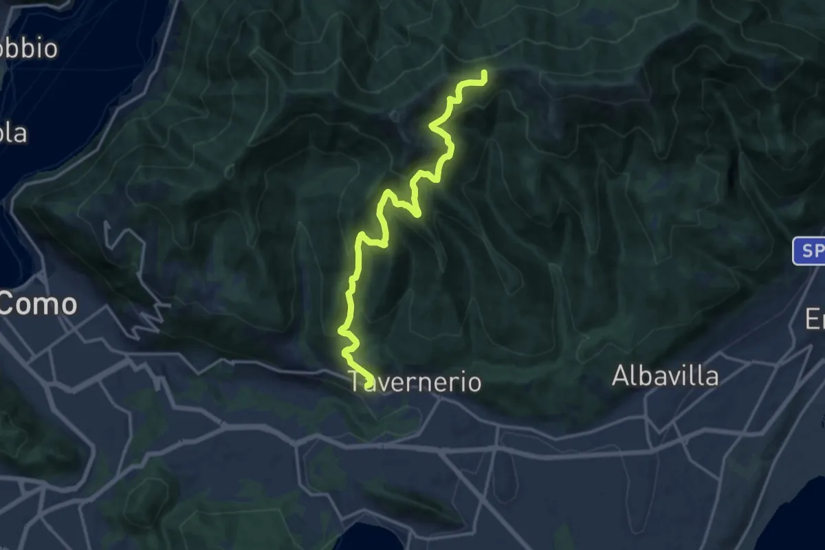
Demanding · Trail
Via Cesare Battisti (Solzago) – Incrocio Sentiero 300 V - Sentiero 363
14.2 km · ↑ 910 m · 5 h 20 min · 9 km away
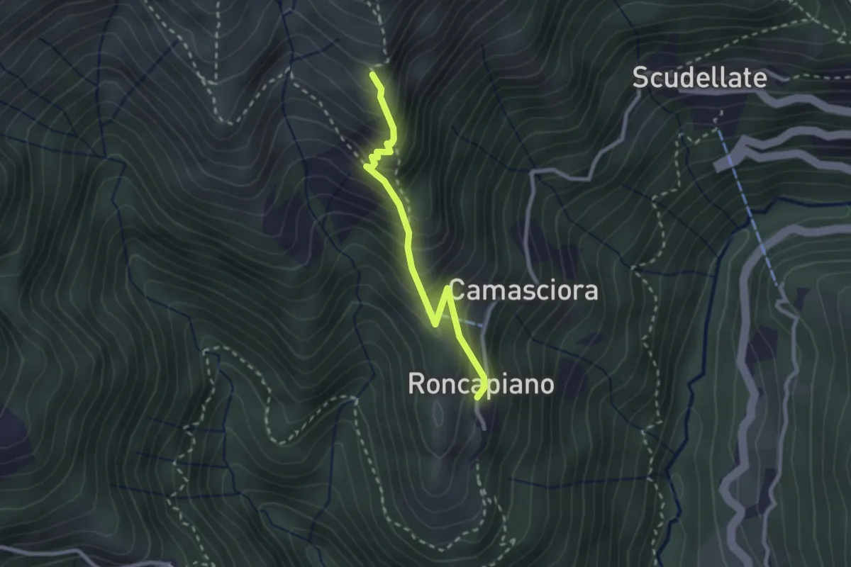
Medium · Trail
Roncapiano – Nadigh
2.3 km · ↑ 311 m · 1 h 13 min · 10 km away
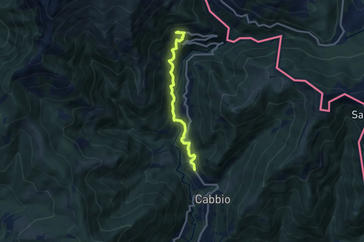
Medium · Trail
Muggio – Scudellate
5.9 km · ↑ 587 m · 2 h 41 min · 10 km away
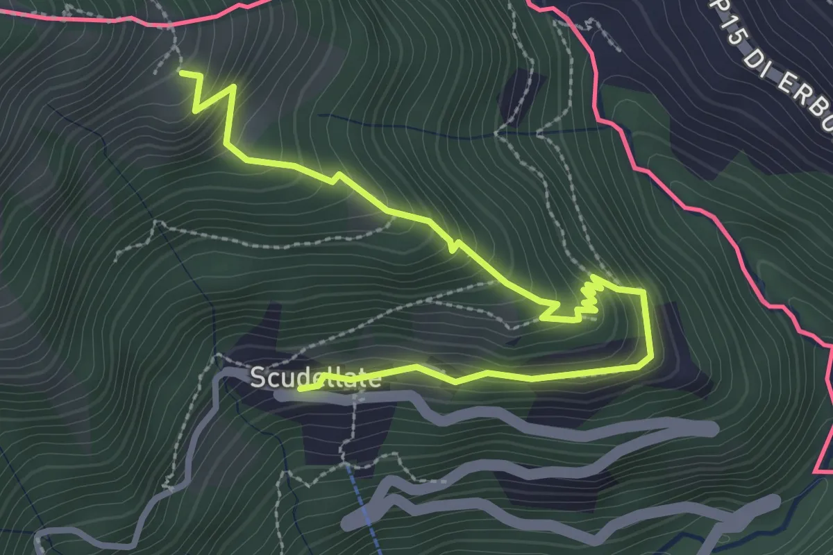
Medium · Trail
Alpe di Sella – Scudellate
3.6 km · ↑ 336 m · 1 h 34 min · 10 km away
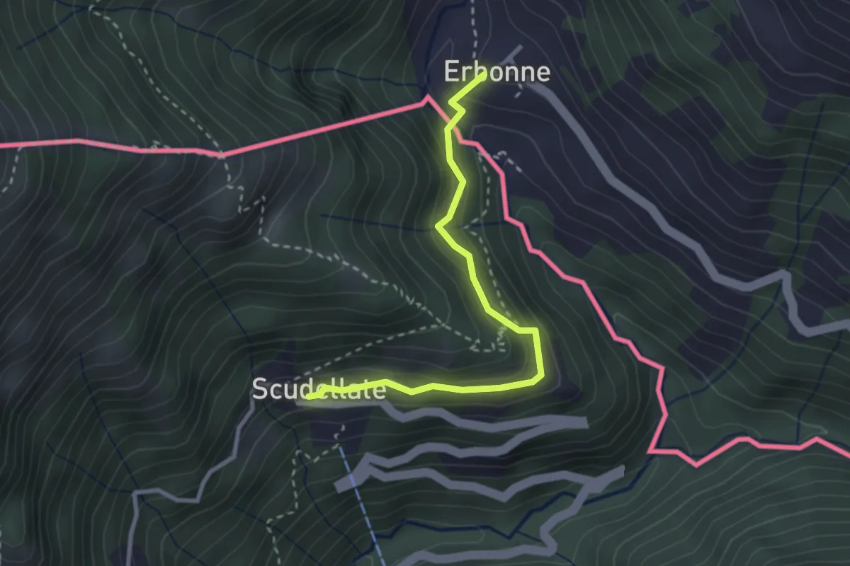
Medium · Trail
Scudellate – Erbonne (I)
2.8 km · ↑ 174 m · 1 h 2 min · 10 km away
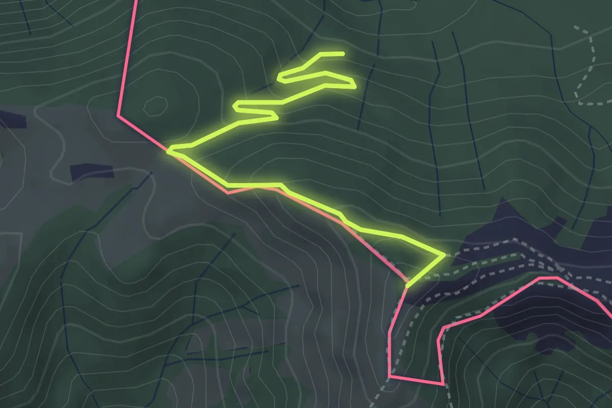
Medium · Summit
Rifugio Prabello – Rifugio Boffalora
3.9 km · ↑ 291 m · 1 h 34 min · 10 km away
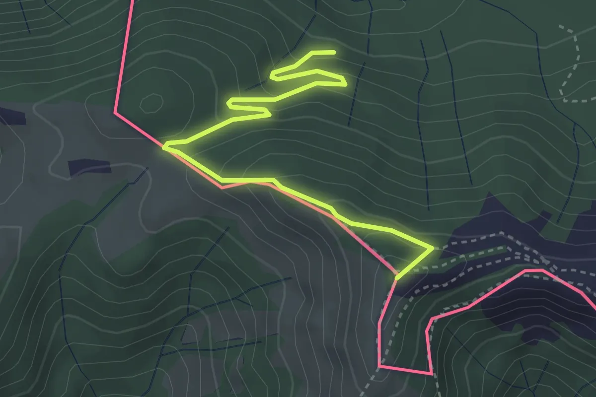
Medium · Summit
Pian delle Alpi – Rif. Prabello
3.9 km · ↑ 291 m · 1 h 34 min · 10 km away
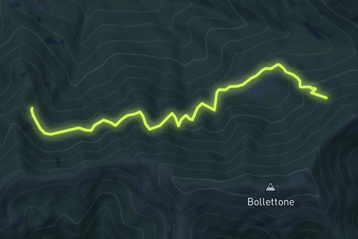
Expert · Trail
Pian Dürac (Faggeto Lario) – Innesto sentiero dei faggi
7.1 km · ↑ 617 m · 3 h · 10 km away
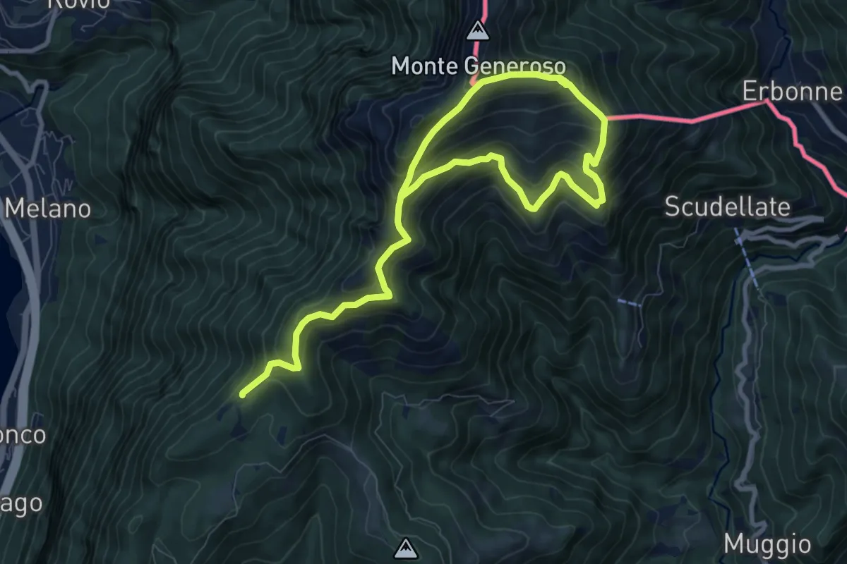
Demanding · Trail
Sentiero del Monte Generoso
12.4 km · ↑ 987 m · 5 h 4 min · 10 km away
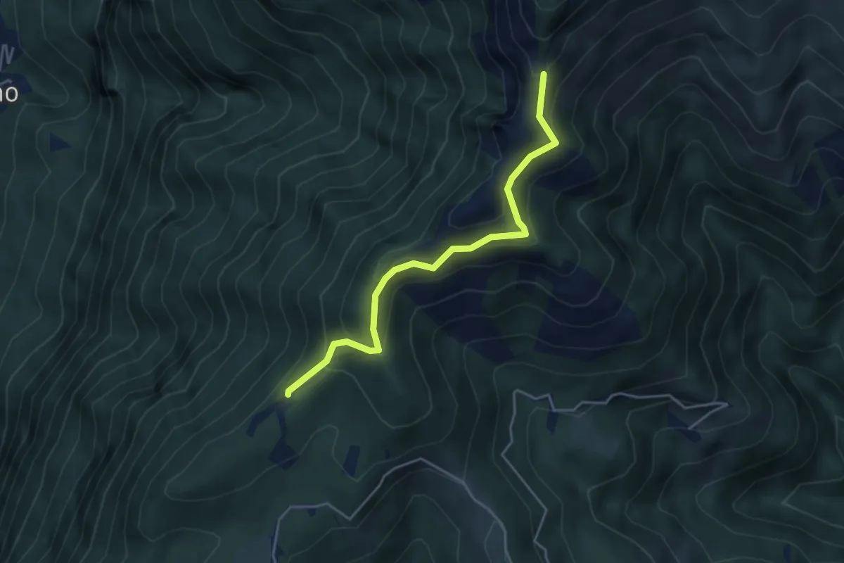
Medium · Trail
Sentiero della natura
4.1 km · ↑ 279 m · 1 h 34 min · 10 km away
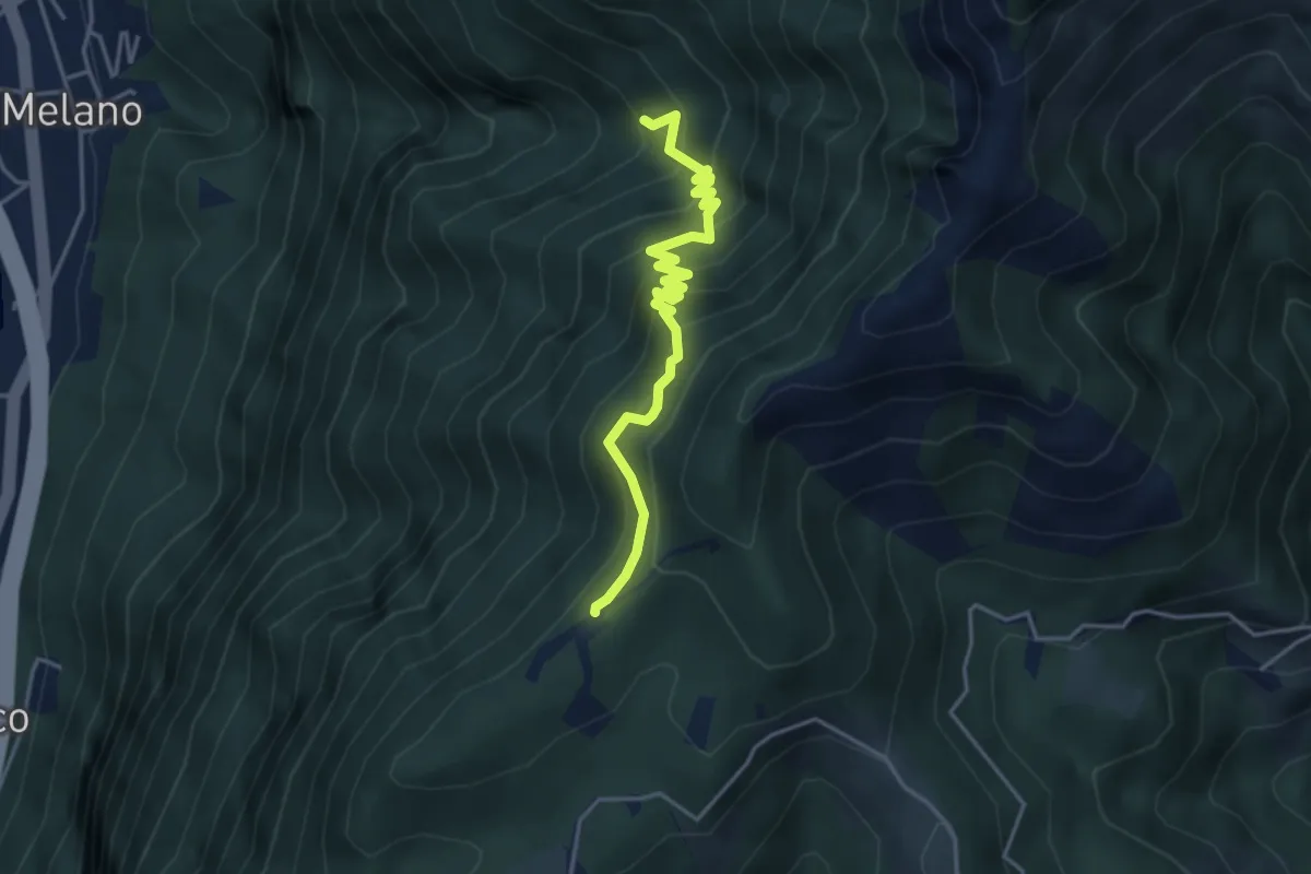
Medium · Trail
Alpe di Melano-Bellavista
4.1 km · ↑ 473 m · 1 h 59 min · 10 km away
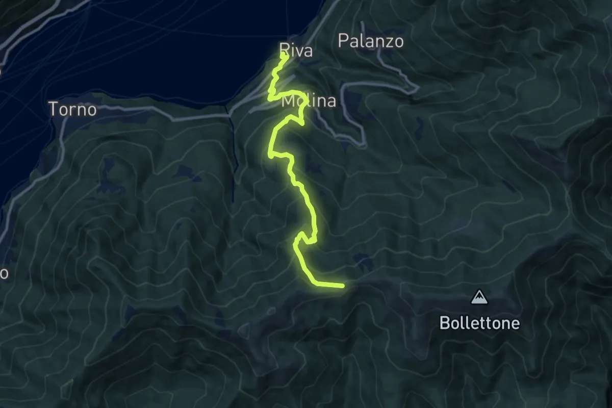
Demanding · Trail
Imbarcadero di Faggeto Lario – Bocchetta di Molina
10.0 km · ↑ 918 m · 4 h 22 min · 10 km away
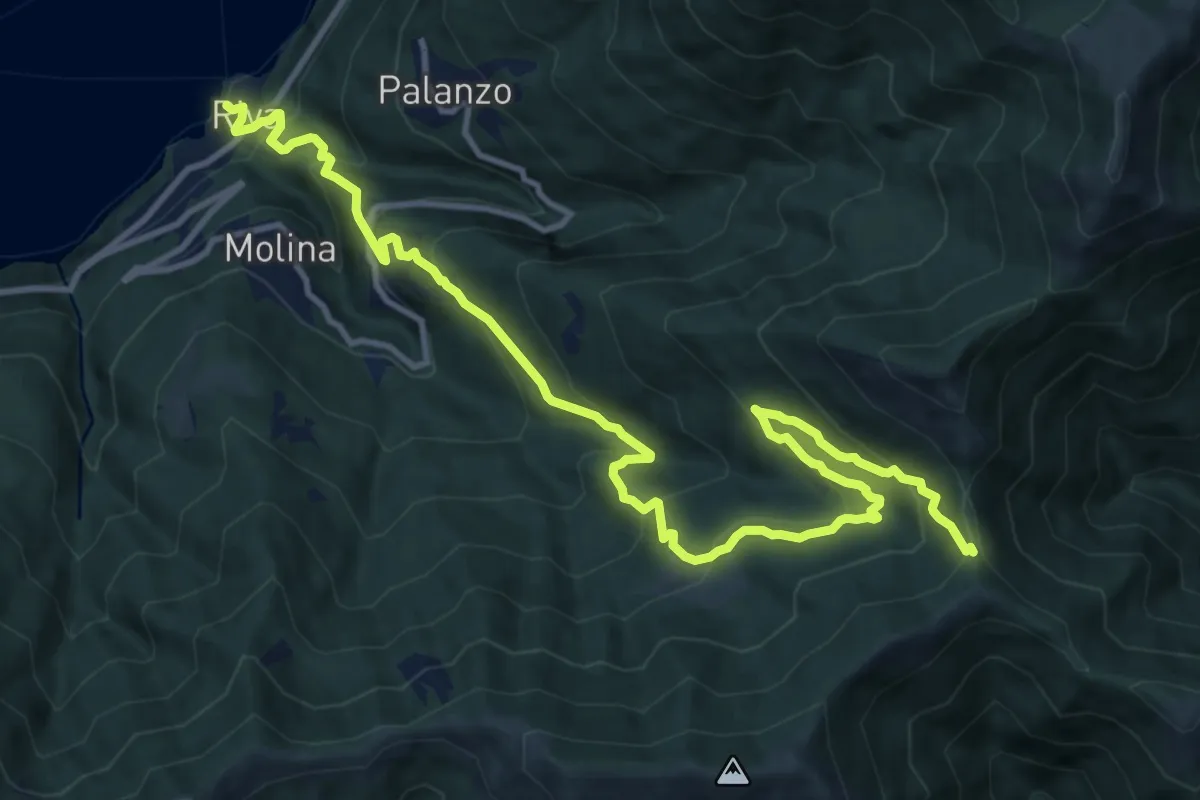
Demanding · Trail
Riva (Faggeto Lario) – Bocchetta di Lemna
14.6 km · ↑ 1011 m · 5 h 39 min · 10 km away
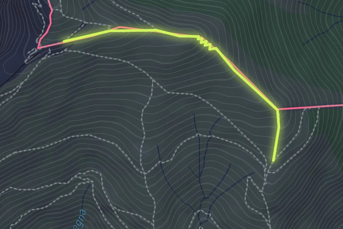
Medium · Trail
Piana – M.te Generoso St.ne
2.1 km · ↑ 193 m · 55 min · 10 km away
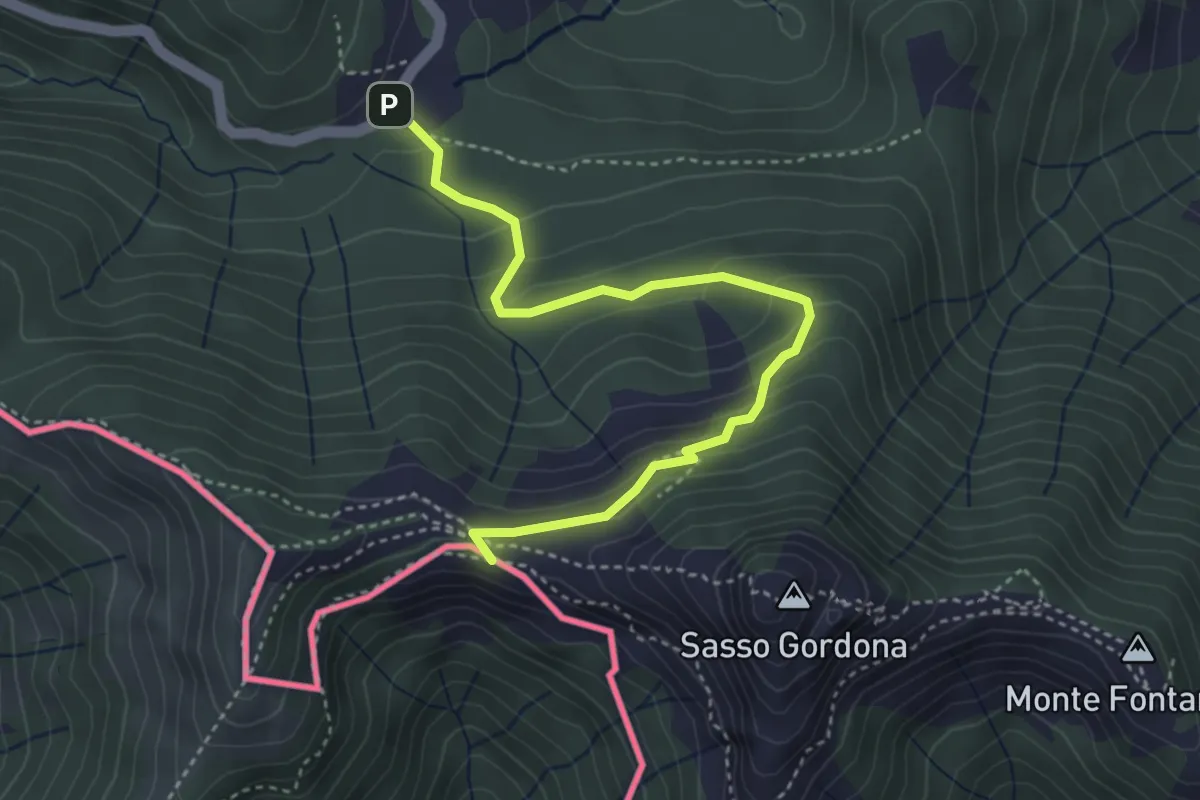
Easy · Cabin
Piano delle Alpi – Rifugio Prabello
4.1 km · ↑ 259 m · 1 h 32 min · 10 km away
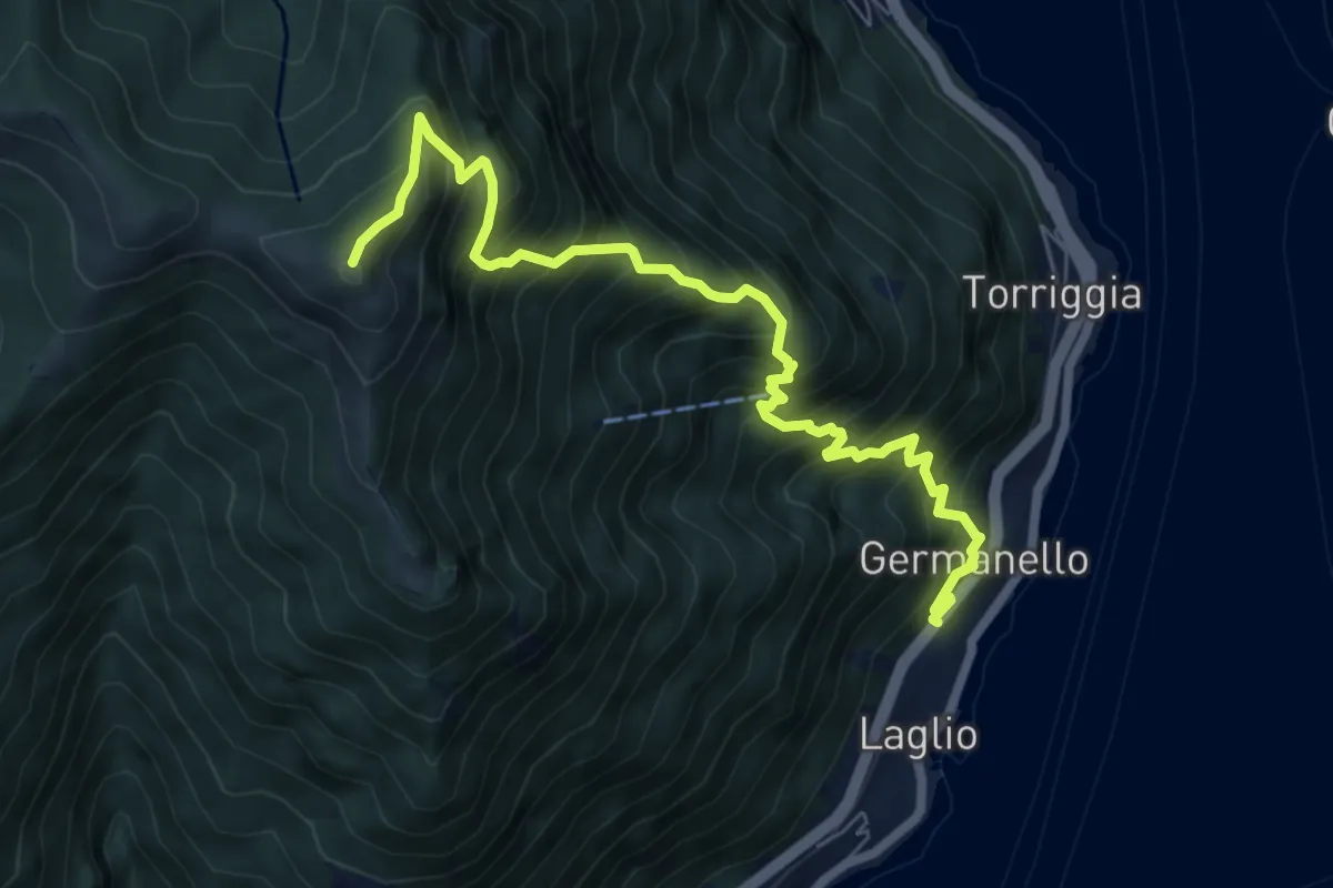
Demanding · Summit
Laglio – Monte Colmegnone
7.7 km · ↑ 1121 m · 4 h 15 min · 10 km away