Trails near Chiasso
235 hikes starting within 15 km, nearest first.
Nearest first, page 3 of 5
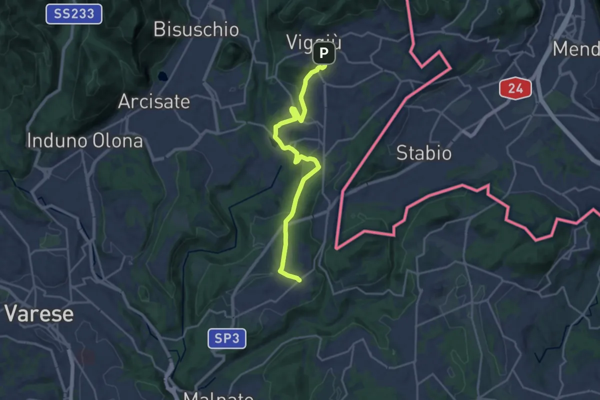
Medium · Trail
Viggiù – Cantello (Ligurno)
15.8 km · ↑ 332 m · 4 h 27 min · 10 km away
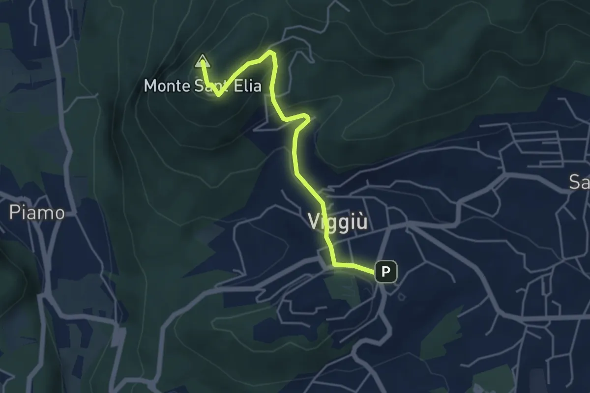
Medium · Summit
Viggiu' – Colle Sant'Elia
4.1 km · ↑ 180 m · 1 h 21 min · 10 km away
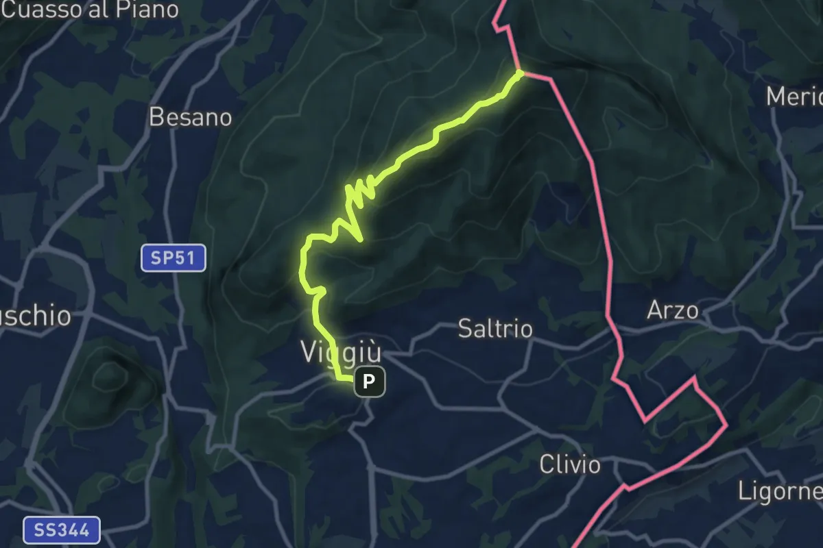
Medium · Summit
Viggiu' – Monte Pravello
9.9 km · ↑ 605 m · 3 h 39 min · 10 km away
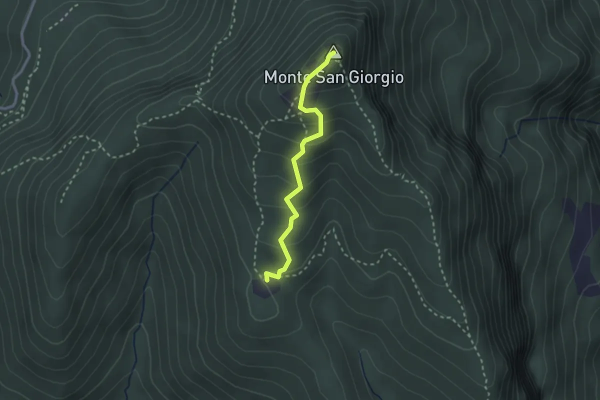
Medium · Summit
Monte San Giorgio – Cassina
2.2 km · ↑ 179 m · 55 min · 10 km away
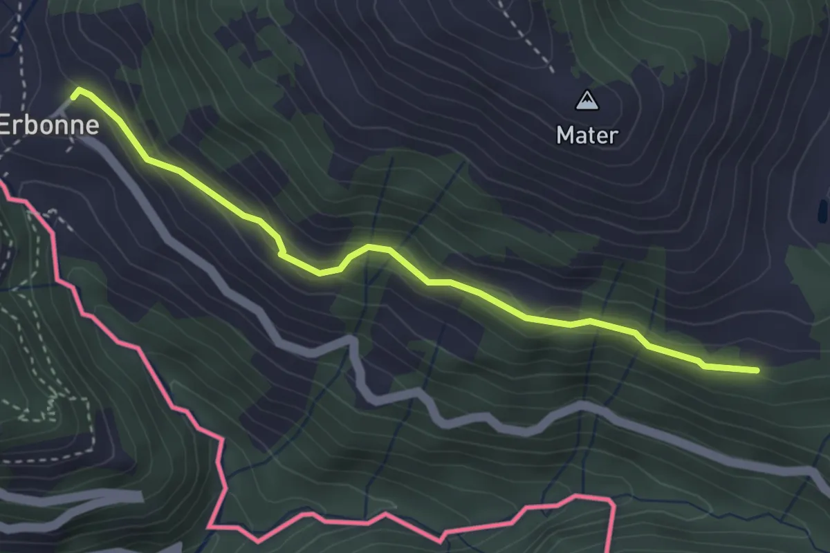
Easy · Trail
CamminaForeste - Tappa 8E
3.4 km · ↑ 188 m · 1 h 12 min · 10 km away
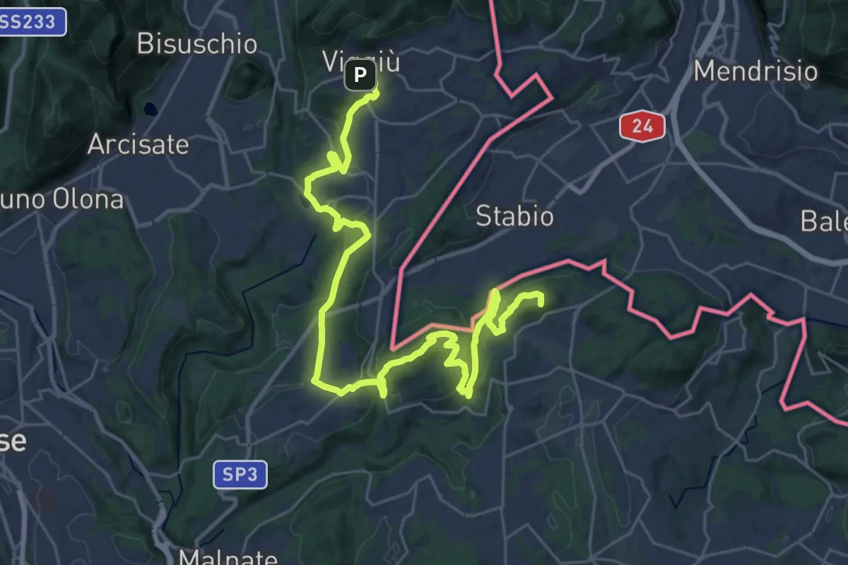
Demanding · Summit
Viggiù (Piazza Europa) – Bizzarone
32.7 km · ↑ 911 m · 9 h 42 min · 10 km away
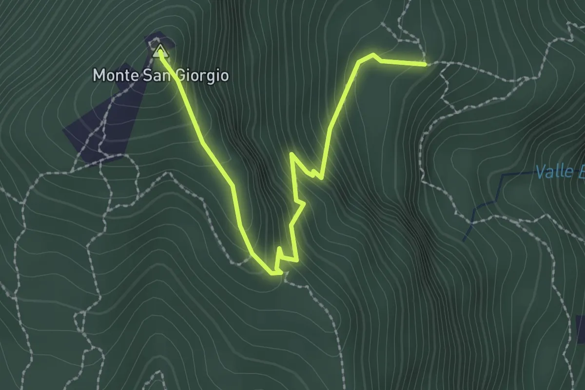
Easy · Summit
M.te San Giorgio - Pozzo? - fixme
2.6 km · ↑ 257 m · 1 h 11 min · 10 km away
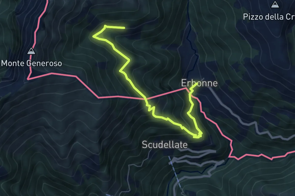
Medium · Trail
Orimento – Erbone
6.7 km · ↑ 553 m · 2 h 47 min · 10 km away
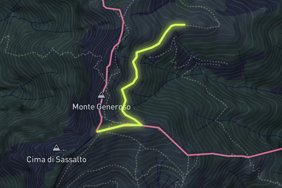
Easy · Trail
Orimento – Monte Generoso
3.5 km · ↑ 299 m · 1 h 28 min · 10 km away
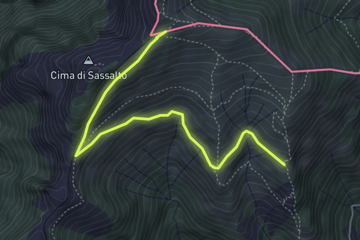
Medium · Trail
Nadigh – M.te Generoso St.ne
5.1 km · ↑ 414 m · 2 h 6 min · 10 km away
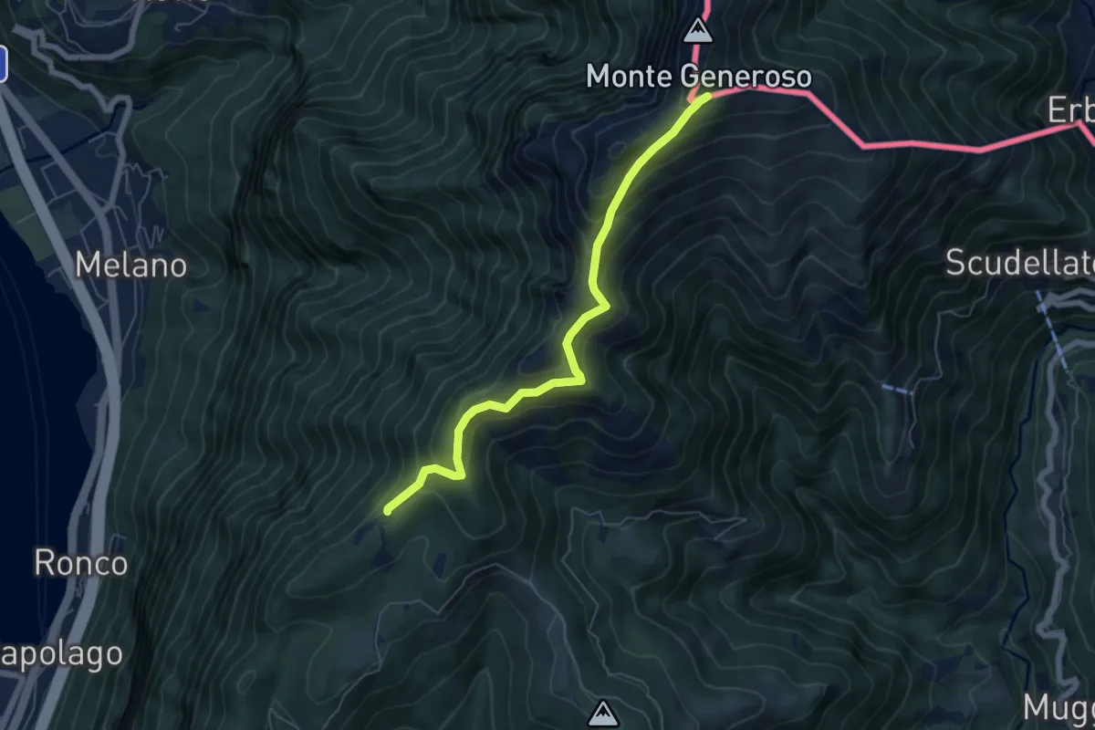
Medium · Trail
Bellavista – M.te Generoso St.ne
5.9 km · ↑ 431 m · 2 h 20 min · 10 km away
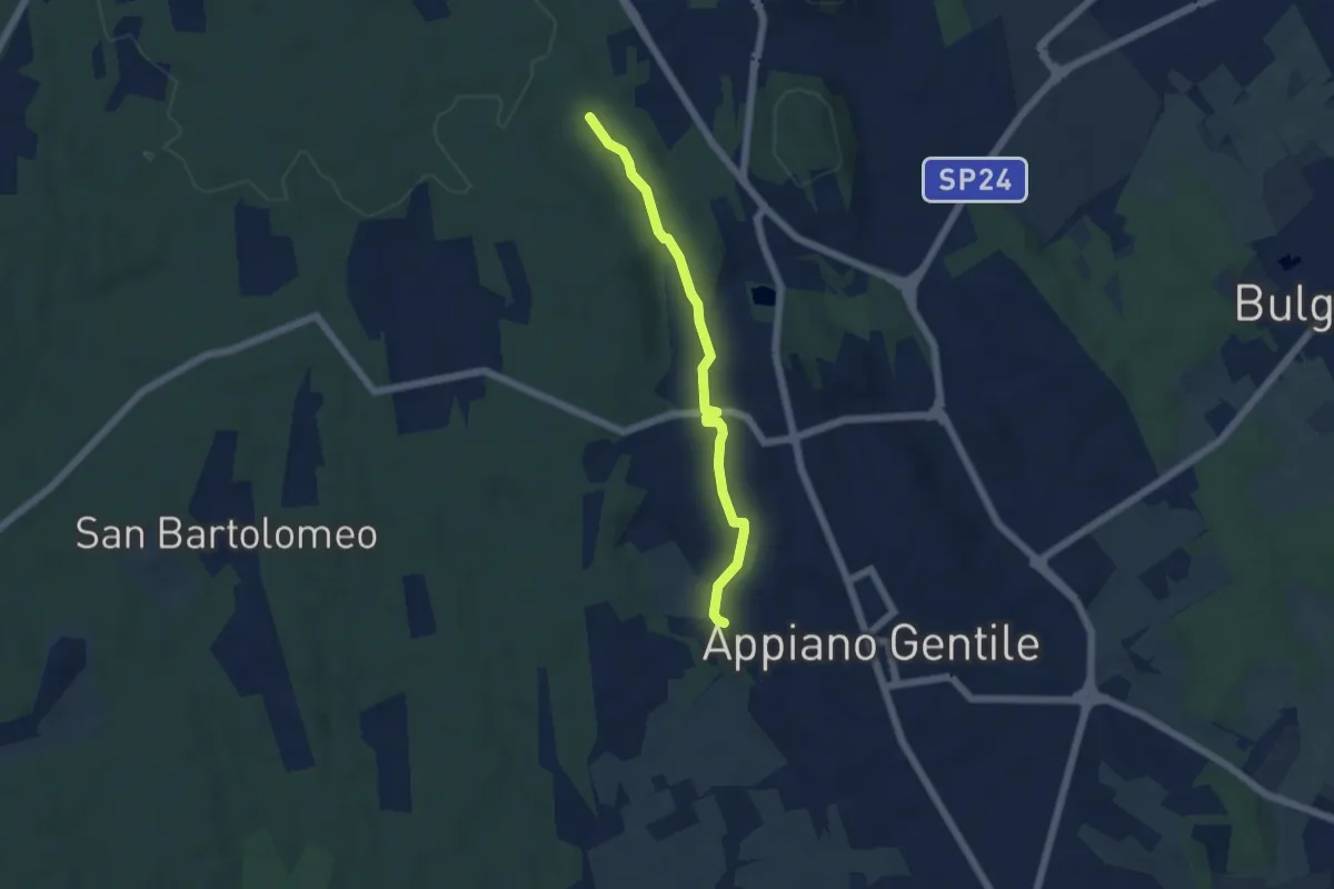
Easy · Trail
Sentiero 846C
4.9 km · ↑ 81 m · 1 h 20 min · 10 km away
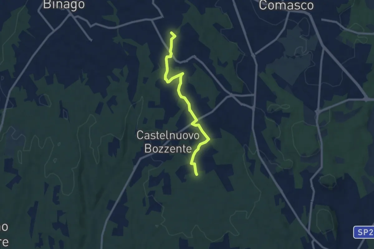
Easy · Trail
Sentiero 846B
6.5 km · ↑ 44 m · 1 h 38 min · 10 km away
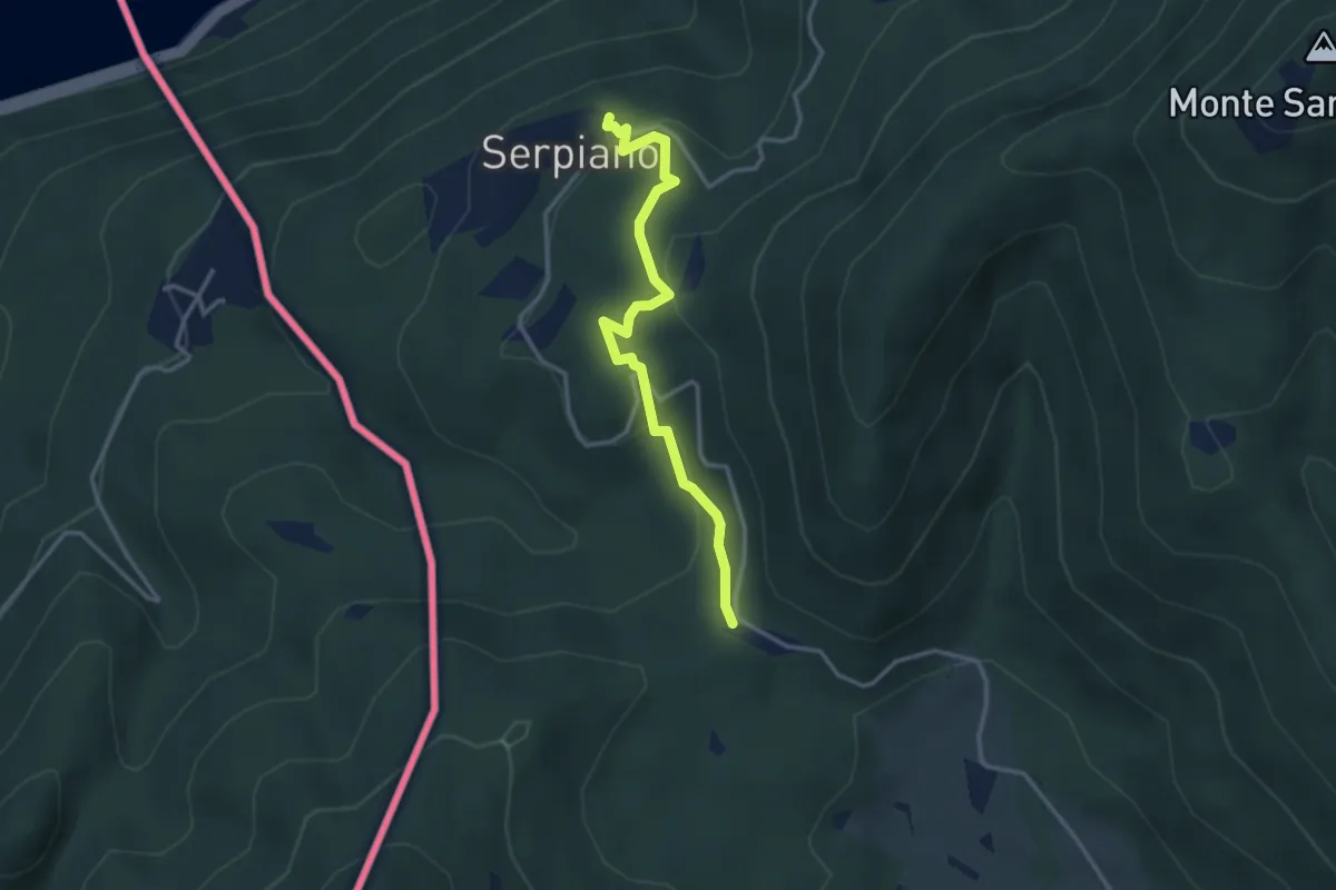
Medium · Trail
Crocifisso – Serpiano
3.2 km · ↑ 156 m · 1 h 6 min · 11 km away
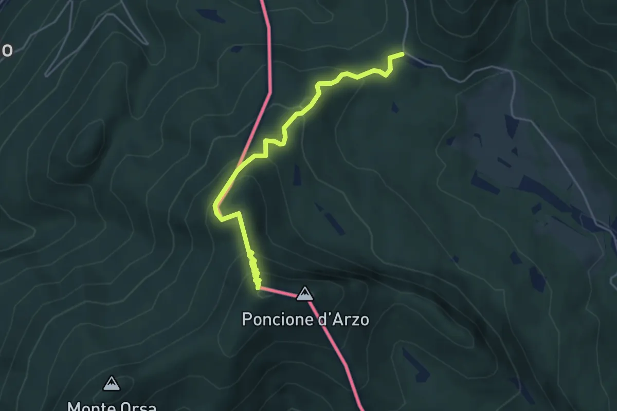
Medium · Summit
Crocifisso – Poncione d'Arzo
4.3 km · ↑ 320 m · 1 h 43 min · 11 km away
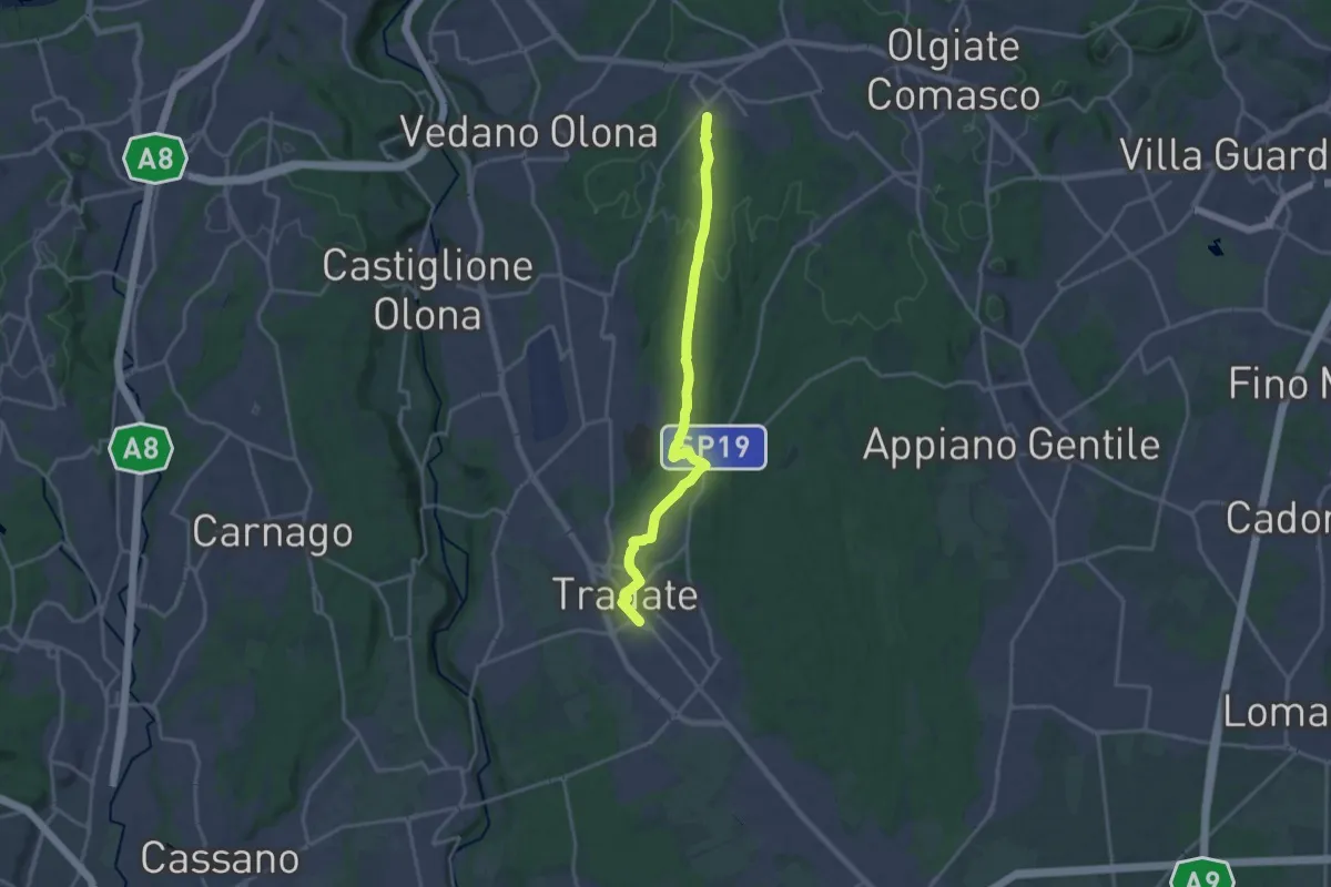
Demanding · Trail
Binago – Tradate
18.1 km · ↑ 185 m · 4 h 41 min · 11 km away
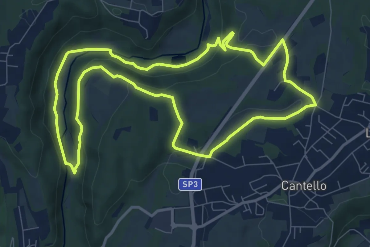
Medium · Trail
Varese via Ca' Bassa Anello della Bevera – Varese via Ca' Bassa Anello della Bevera
8.0 km · ↑ 188 m · 2 h 25 min · 11 km away
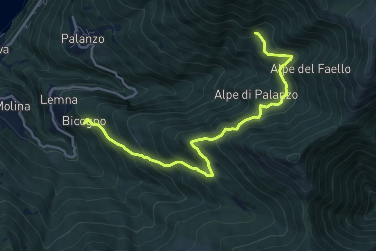
Medium · Trail
Bicogno – Alpe di Palanzo
8.7 km · ↑ 642 m · 3 h 27 min · 11 km away
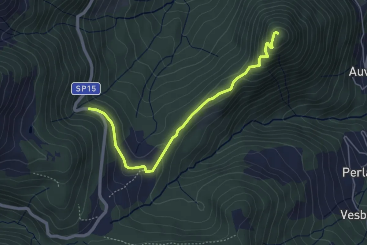
Easy · Summit
SP15 di Erbonne – San Zeno
4.4 km · ↑ 161 m · 1 h 23 min · 11 km away
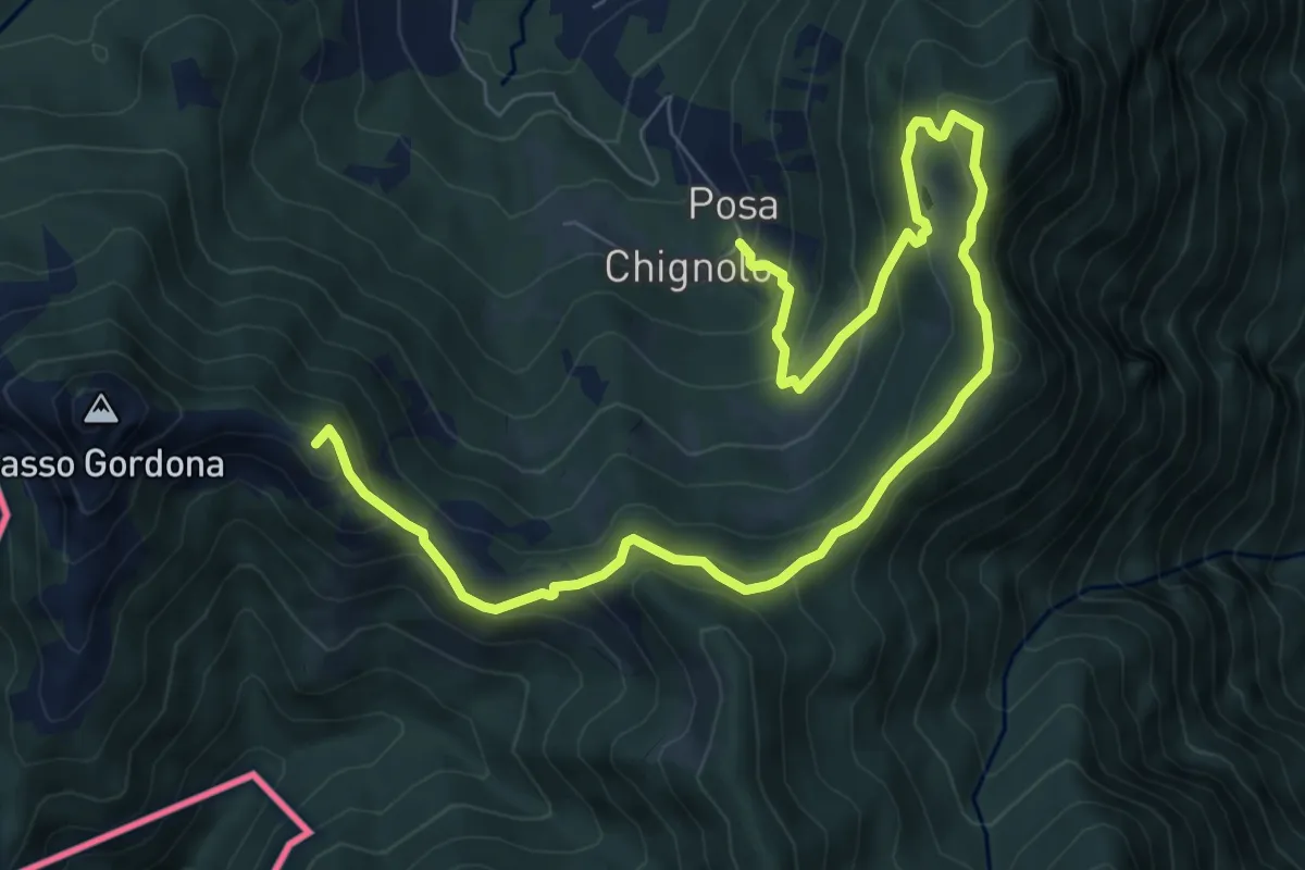
Medium · Summit
Sentiero delle espressioni
10.7 km · ↑ 752 m · 4 h 9 min · 11 km away
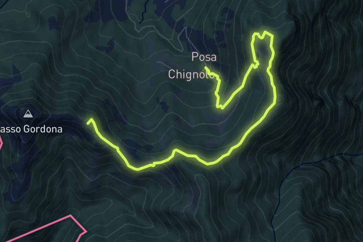
Medium · Summit
Schignalo fraz. Posa – Le Crocette
10.7 km · ↑ 752 m · 4 h 9 min · 11 km away
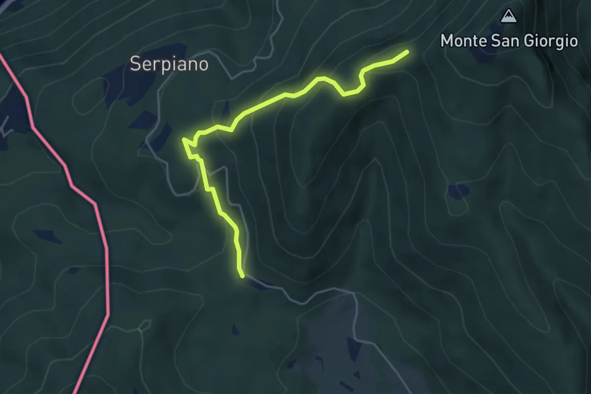
Medium · Trail
Punto 902 – Crocifisso
4.3 km · ↑ 290 m · 1 h 39 min · 11 km away
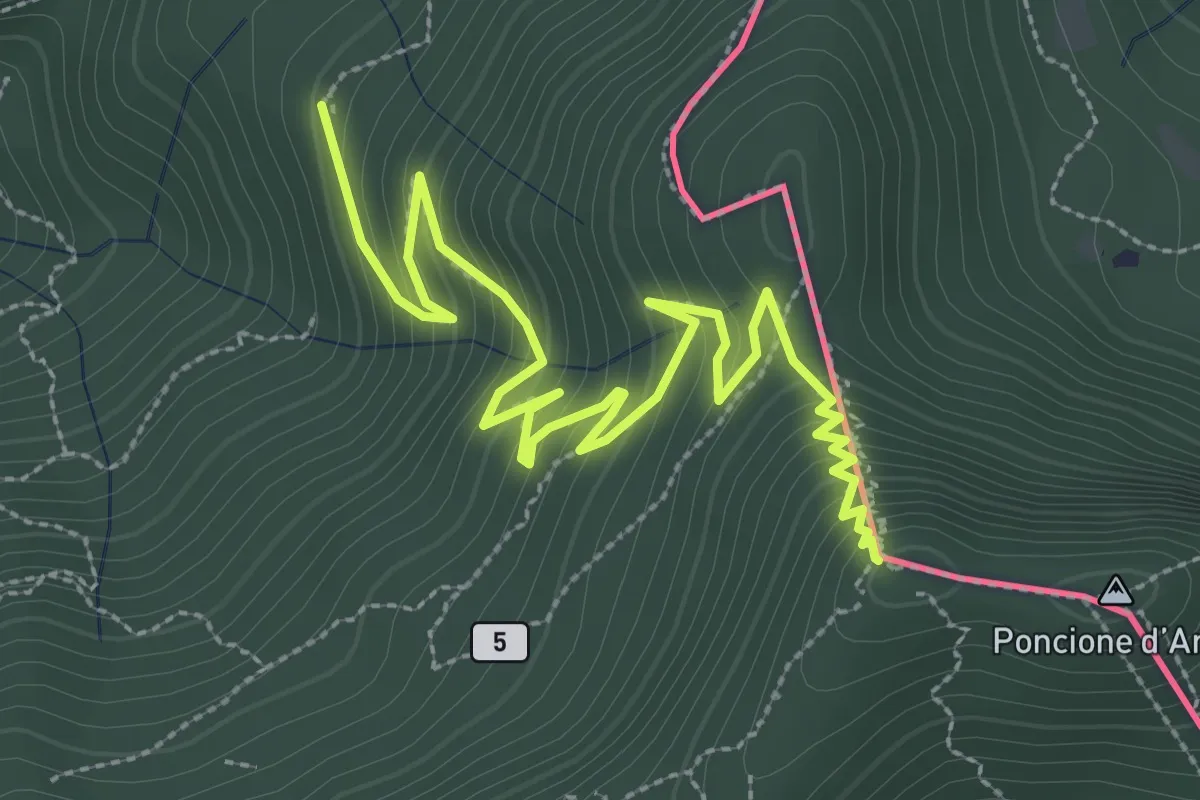
Medium · Summit
Besano – Monte Pravello
4.1 km · ↑ 402 m · 1 h 50 min · 11 km away
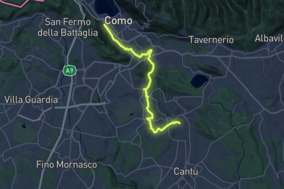
Demanding · Trail
Sentiero Pedemonte - Tappa 1
21.5 km · ↑ 414 m · 5 h 59 min · 11 km away
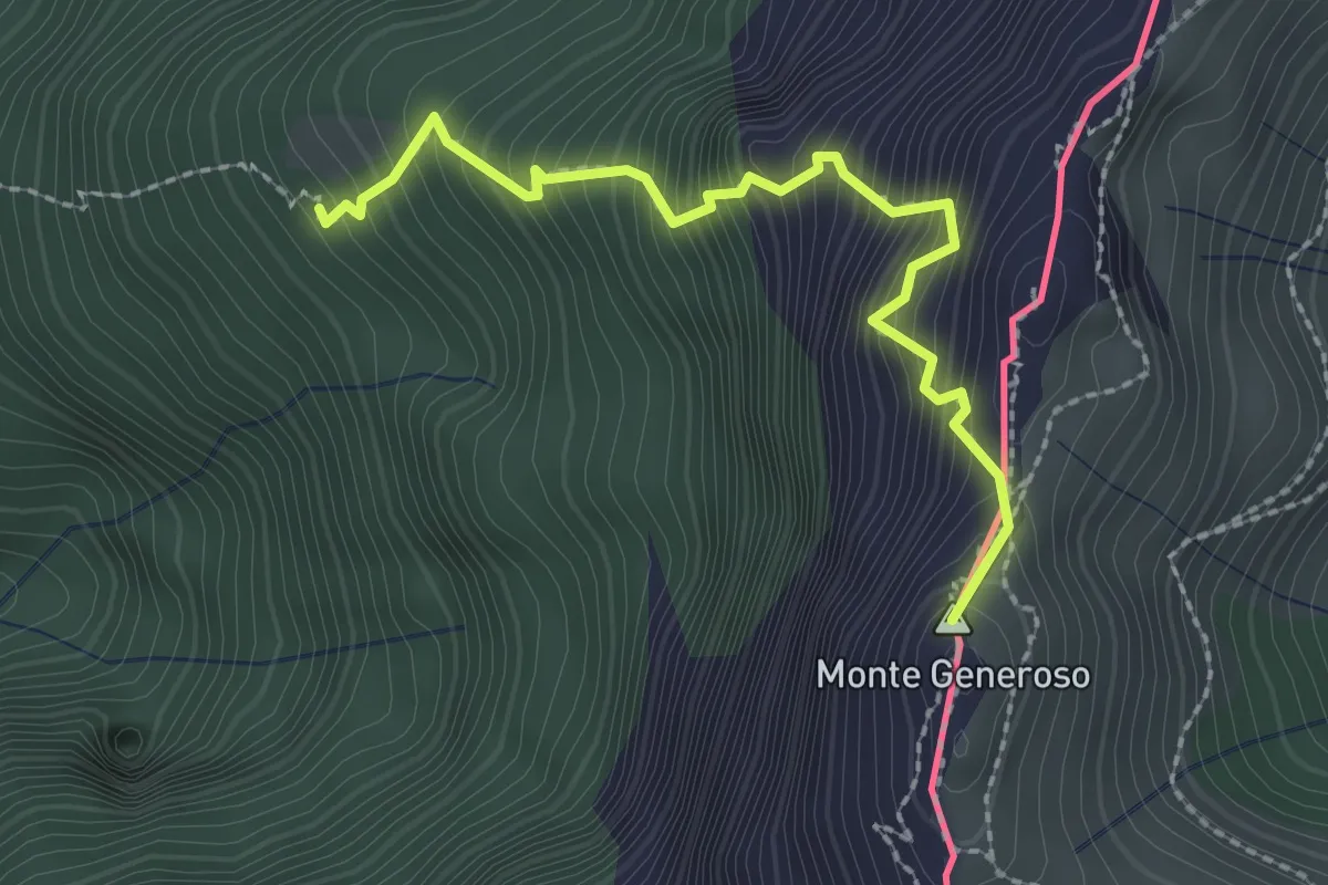
Expert · Summit
Perostabbio – Monte Generoso
2.4 km · ↑ 452 m · 1 h 33 min · 11 km away
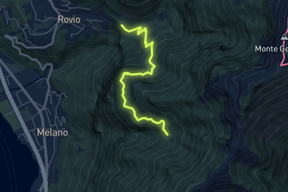
Medium · Trail
Soldino-Alpe di Melano
5.4 km · ↑ 670 m · 2 h 44 min · 11 km away
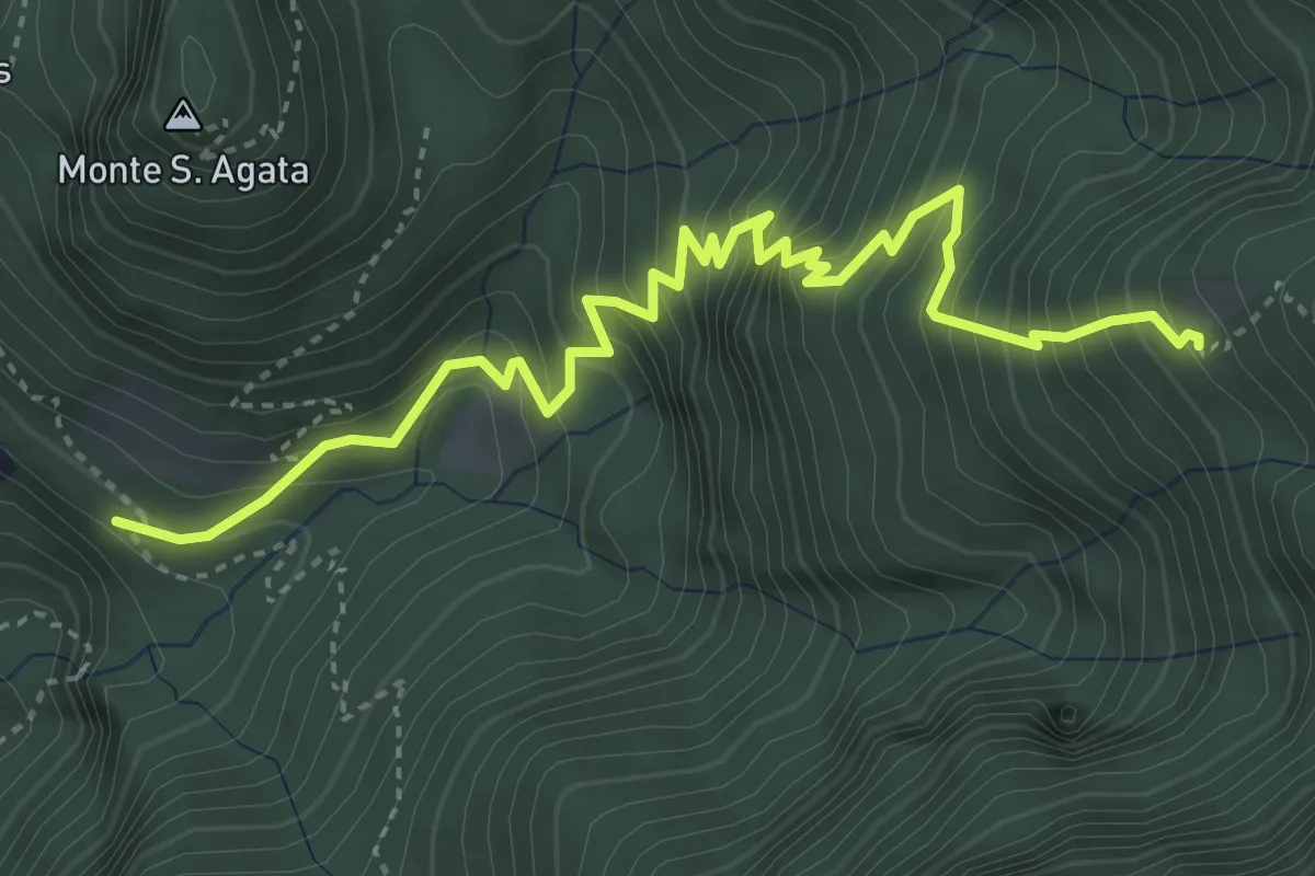
Medium · Trail
Perostabbio – Soldino
4.7 km · ↑ 690 m · 2 h 36 min · 11 km away
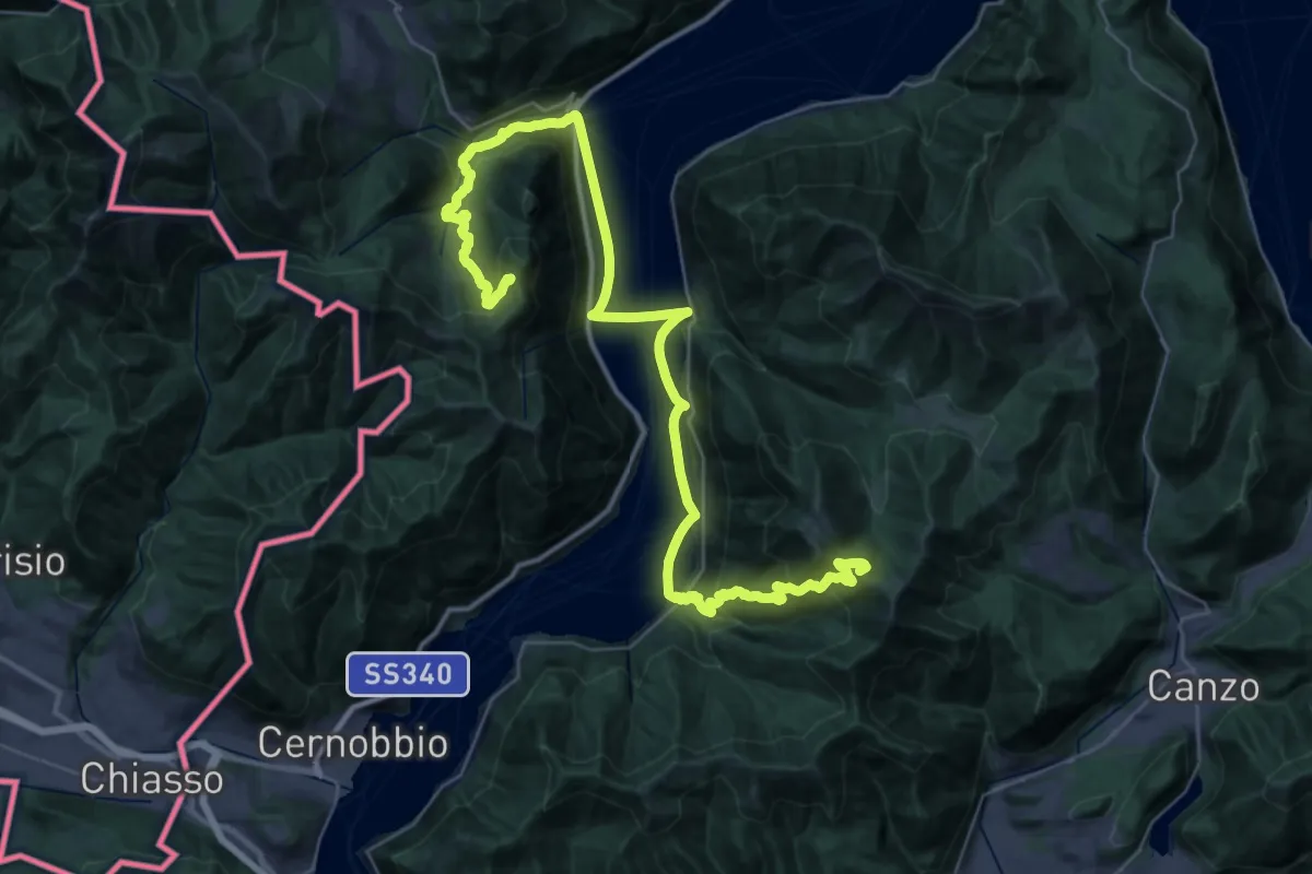
Demanding · Summit
CamminaForeste - Tappa 9A
48.3 km · ↑ 2141 m · 16 h 2 min · 11 km away
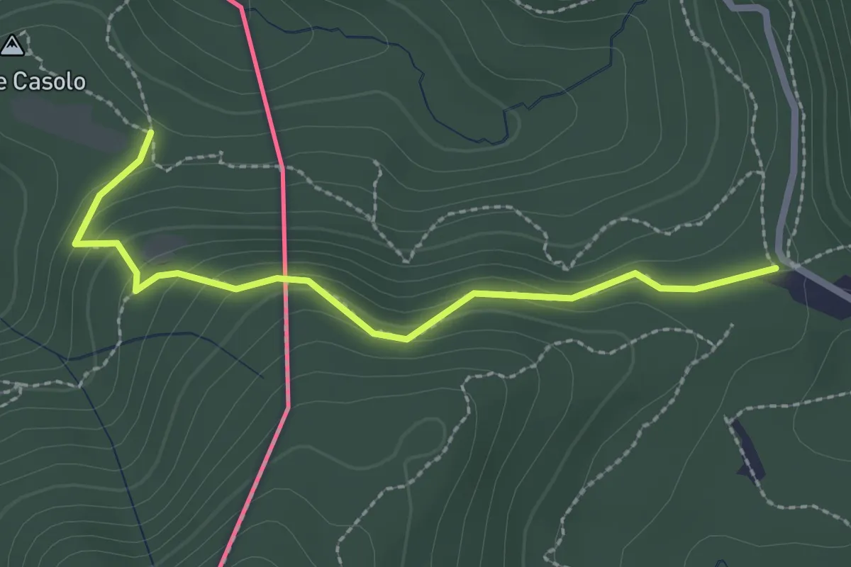
Medium · Trail
Crossifico - Monte Casolo (I) ? / Porto Ceresio (I) ? - fixme
2.5 km · ↑ 122 m · 51 min · 11 km away
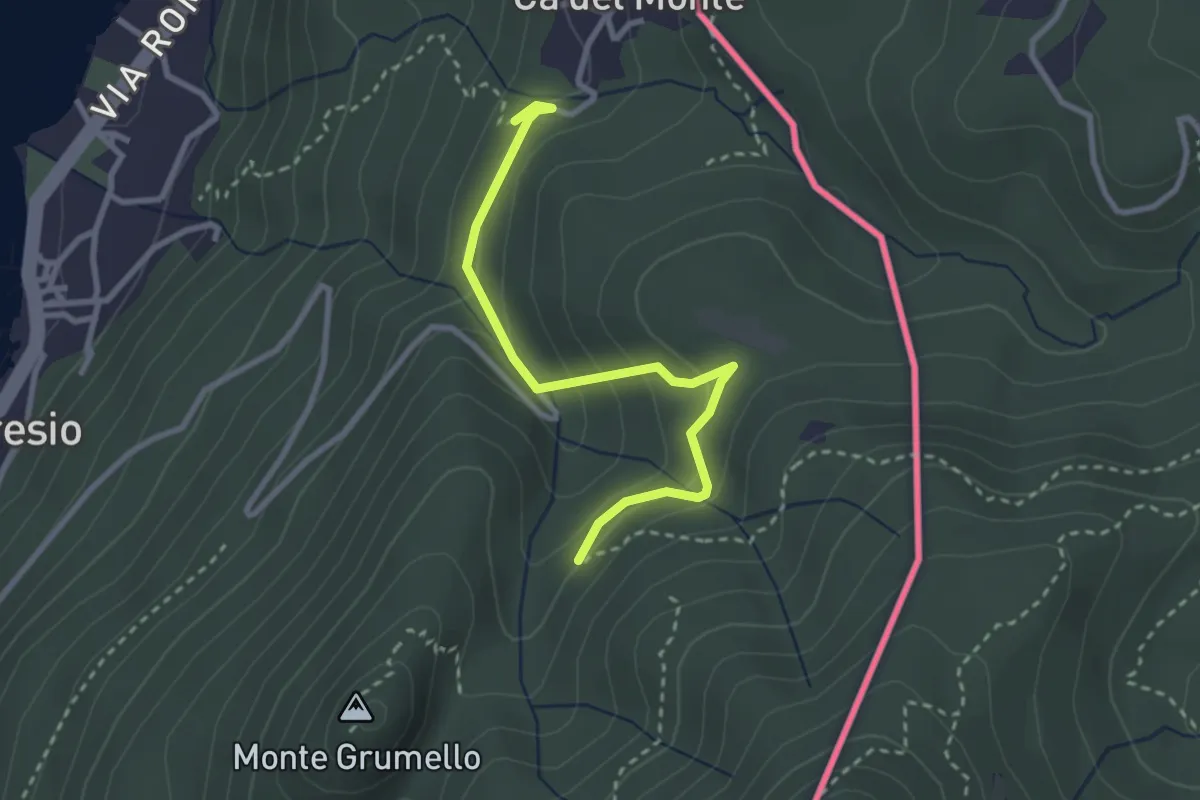
Easy · Trail
Porto Ceresio – Monte Grumello
2.9 km · ↑ 192 m · 1 h 6 min · 11 km away
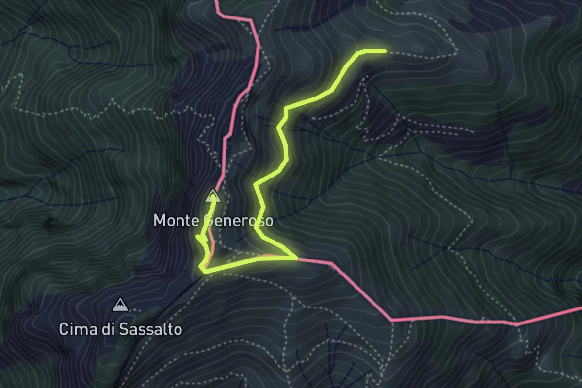
Medium · Summit
Monte Bisbino-Monte Generoso
4.3 km · ↑ 357 m · 1 h 48 min · 11 km away
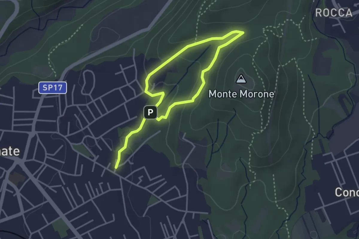
Easy · Trail
Sentiero Fugascé
5.0 km · ↑ 151 m · 1 h 31 min · 11 km away
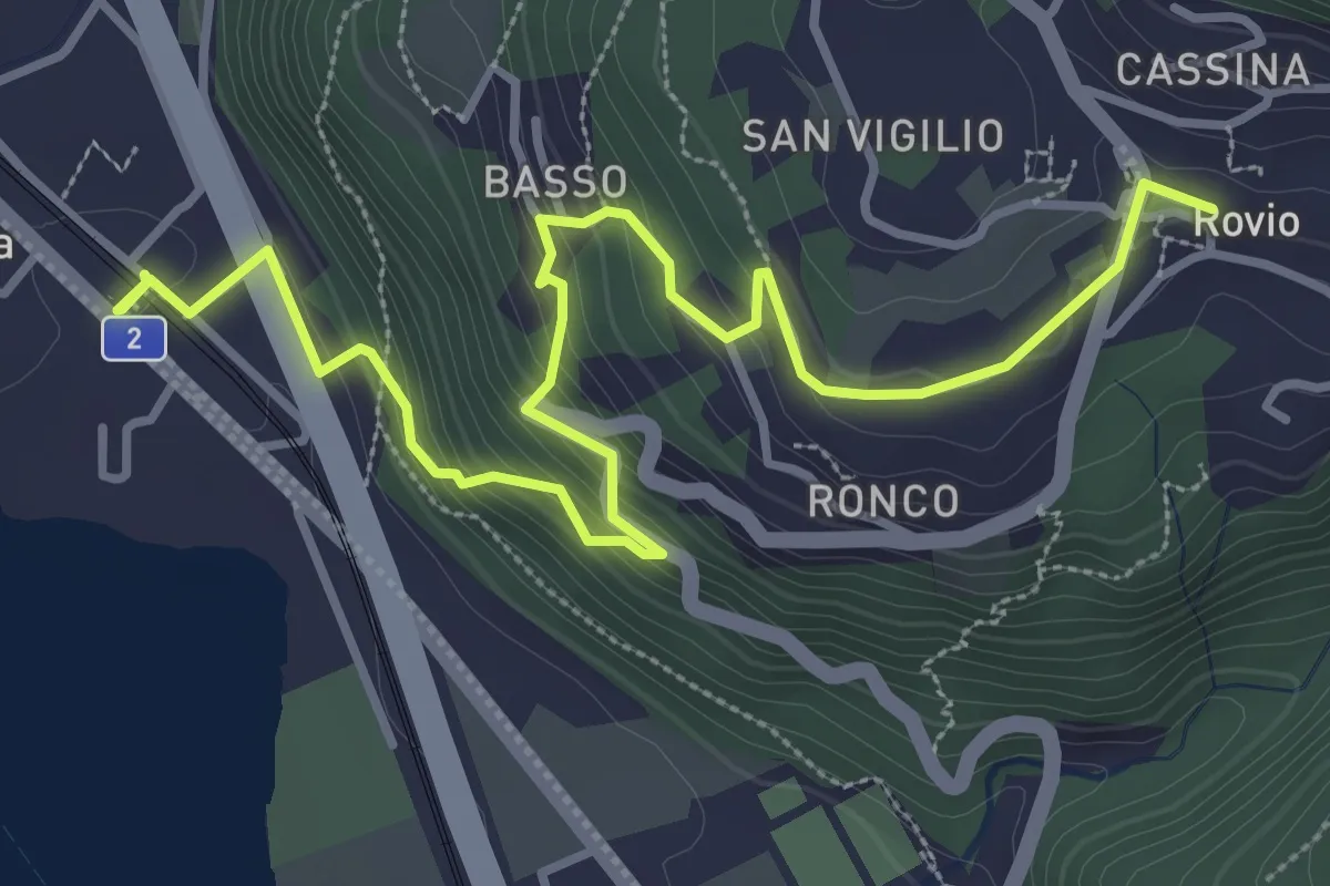
Medium · Trail
Rovio Posta – Maroggia St.ne
4.6 km · ↑ 328 m · 1 h 47 min · 11 km away
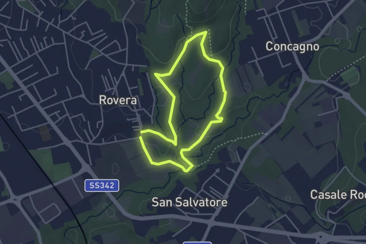
Easy · Trail
Sentiero Quadronna
3.1 km · ↑ 58 m · 54 min · 11 km away
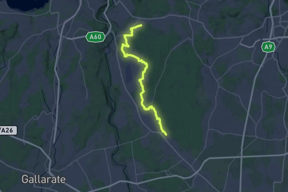
Medium · Trail
Sentiero 540LP
16.5 km · ↑ 81 m · 4 h 21 min · 11 km away
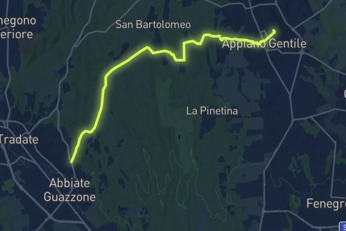
Medium · Trail
Appiano Gentile – Tradate
15.2 km · ↑ 222 m · 4 h 5 min · 12 km away
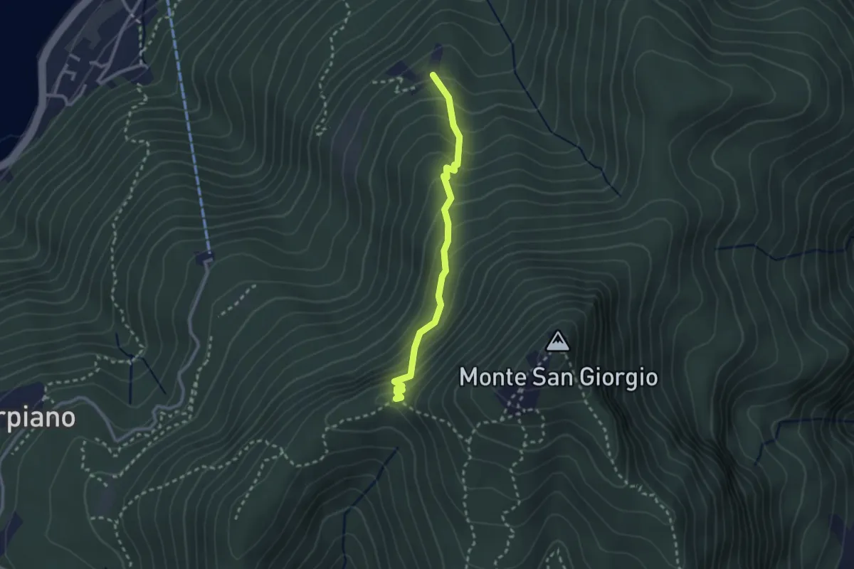
Medium · Trail
Alpe di Brusino – Punto 902
2.4 km · ↑ 262 m · 1 h 8 min · 12 km away
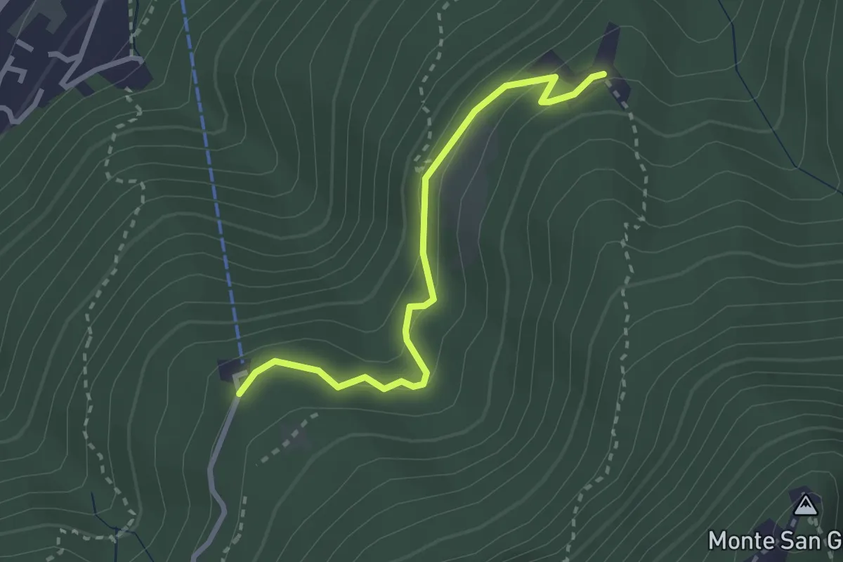
Easy · Trail
Serpiano Statione – Alpe di Brusino
2.7 km · ↑ 164 m · 1 h · 12 km away
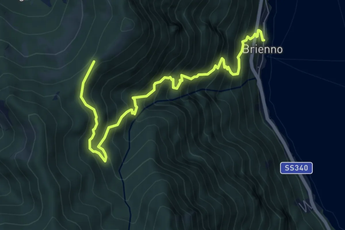
Demanding · Trail
Sentiero botanico di Brienno
8.2 km · ↑ 1026 m · 4 h 10 min · 12 km away
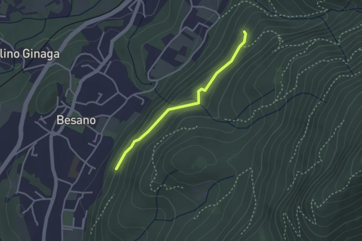
Easy · Trail
Bivio rocce cadenti – Intersezione con 461A
2.5 km · ↑ 116 m · 50 min · 12 km away
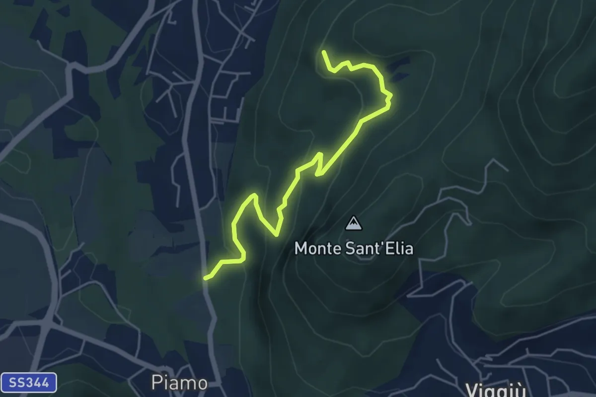
Medium · Summit
Variante Bernasca – Besano SP51
4.5 km · ↑ 236 m · 1 h 35 min · 12 km away
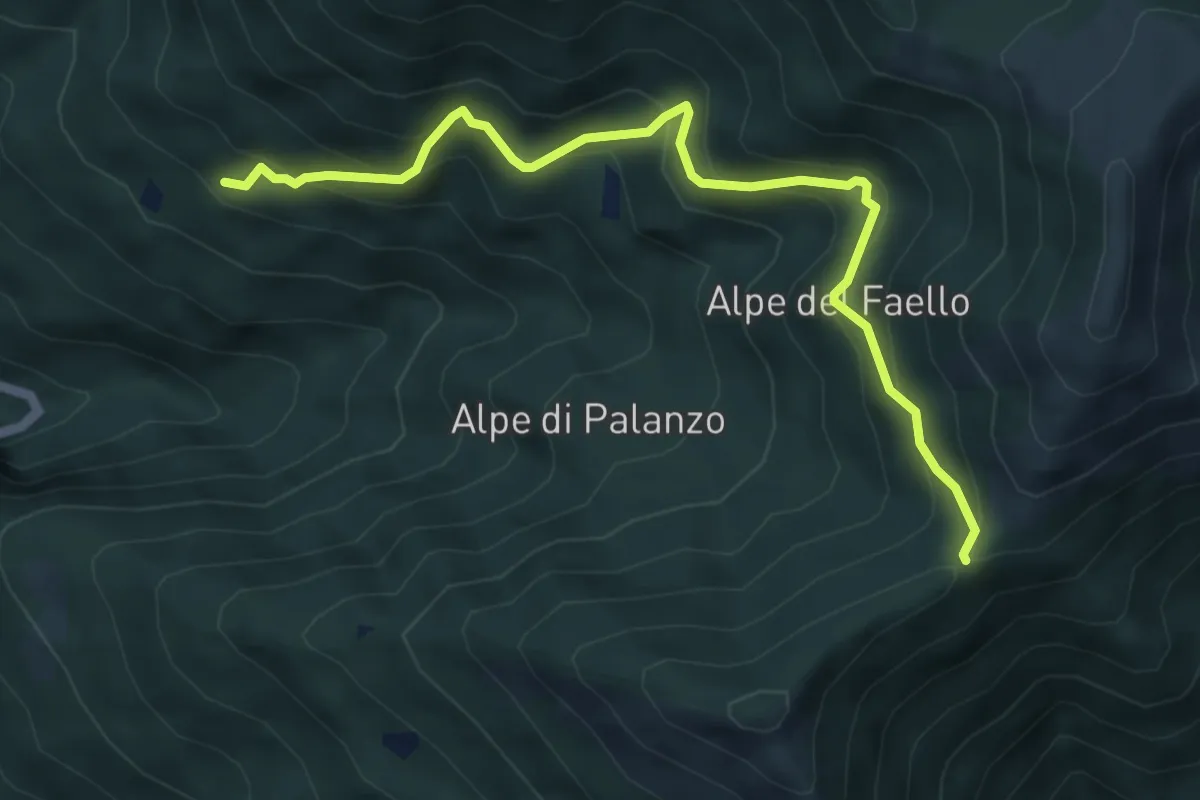
Medium · Trail
Il Gaggio (Faggeto Lario) – Bocchetta di Palanzo
5.8 km · ↑ 475 m · 2 h 24 min · 12 km away
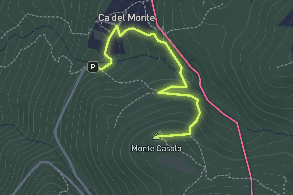
Easy · Summit
Variante Ca' del Monte – Innesto su 461A
2.4 km · ↑ 120 m · 50 min · 12 km away
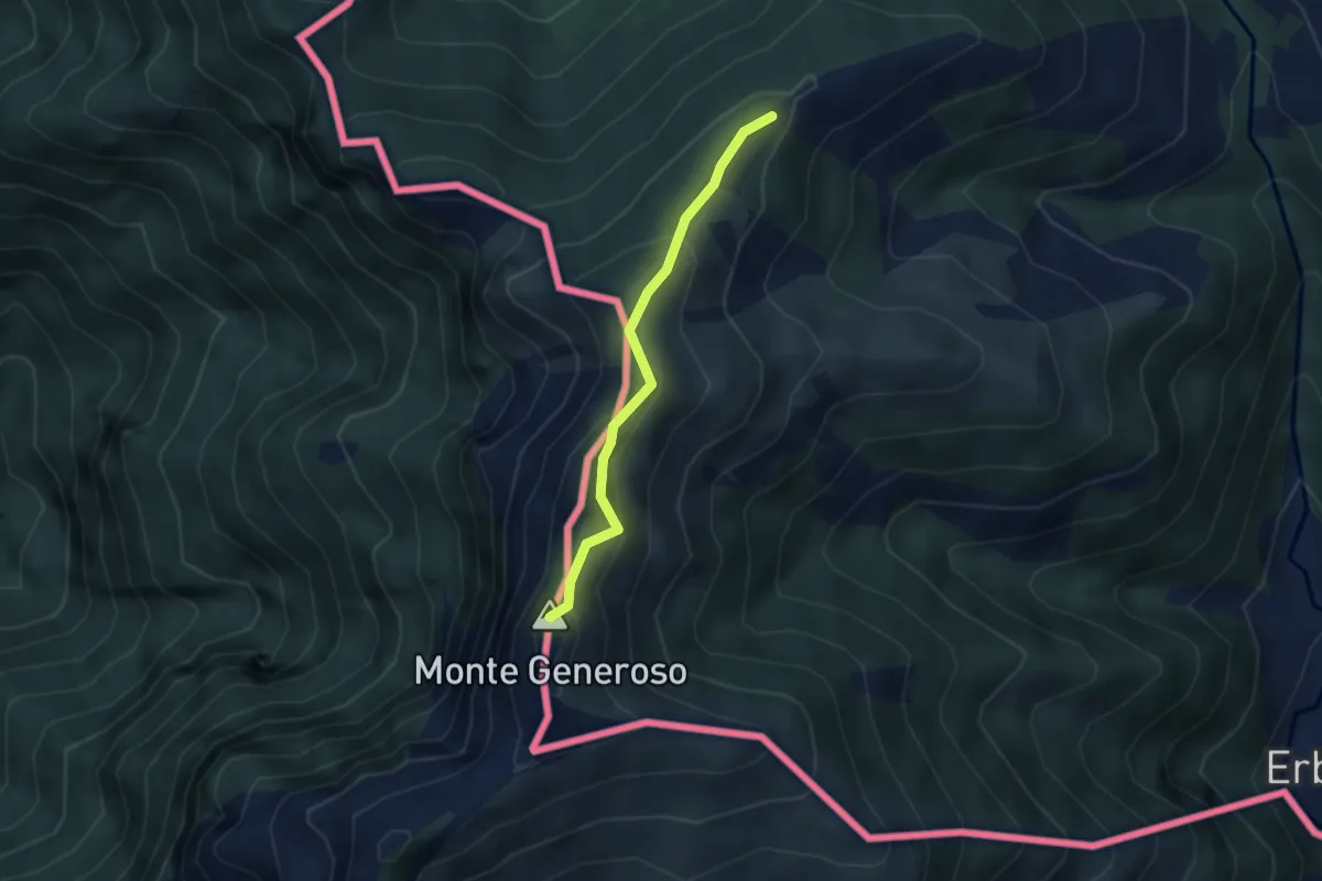
Medium · Summit
Casermetta di Orimento – Monte Generoso (Fiore di Pietra)
2.9 km · ↑ 131 m · 58 min · 12 km away
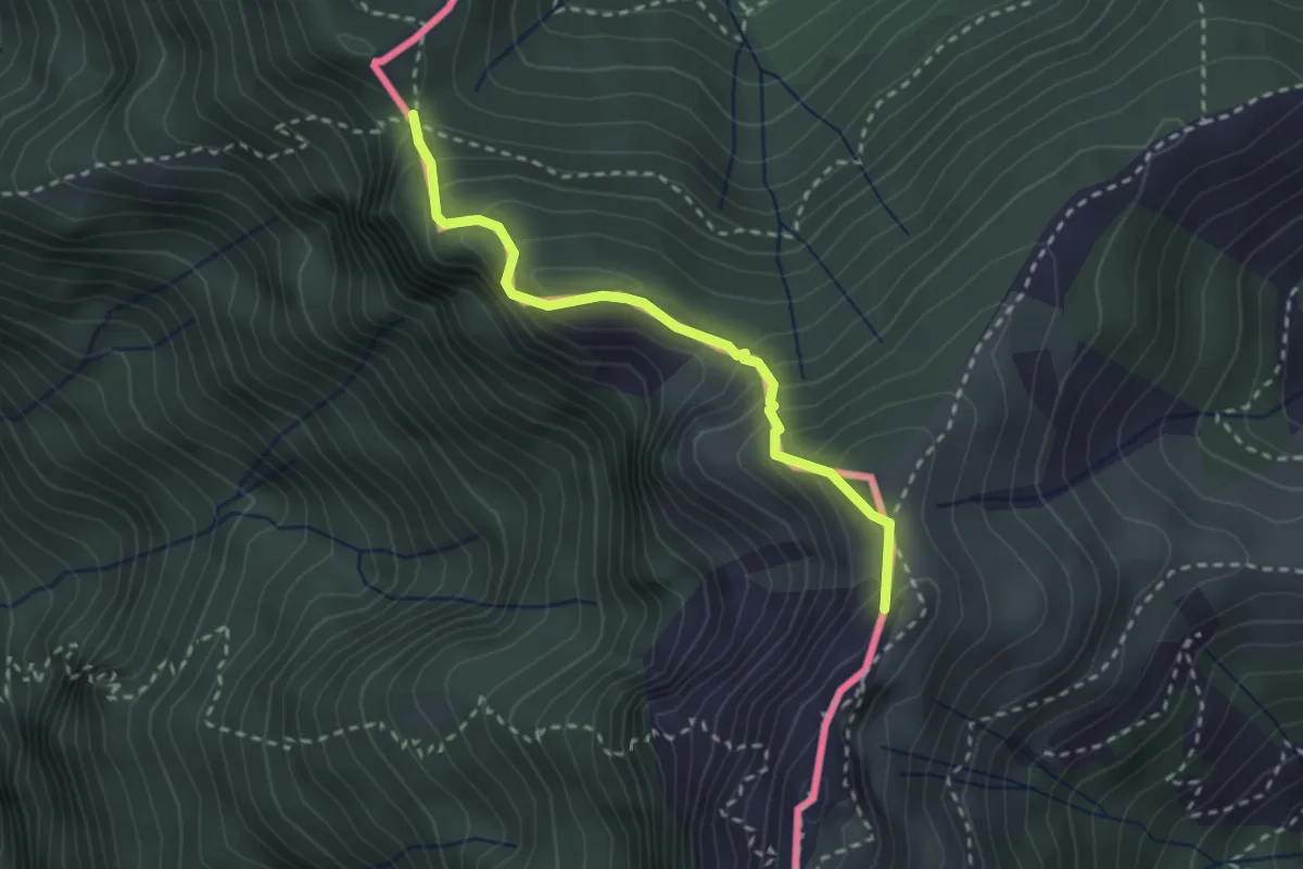
Medium · Summit
Cima Crocetta – Cima della Piancaccia
2.6 km · ↑ 298 m · 1 h 15 min · 12 km away
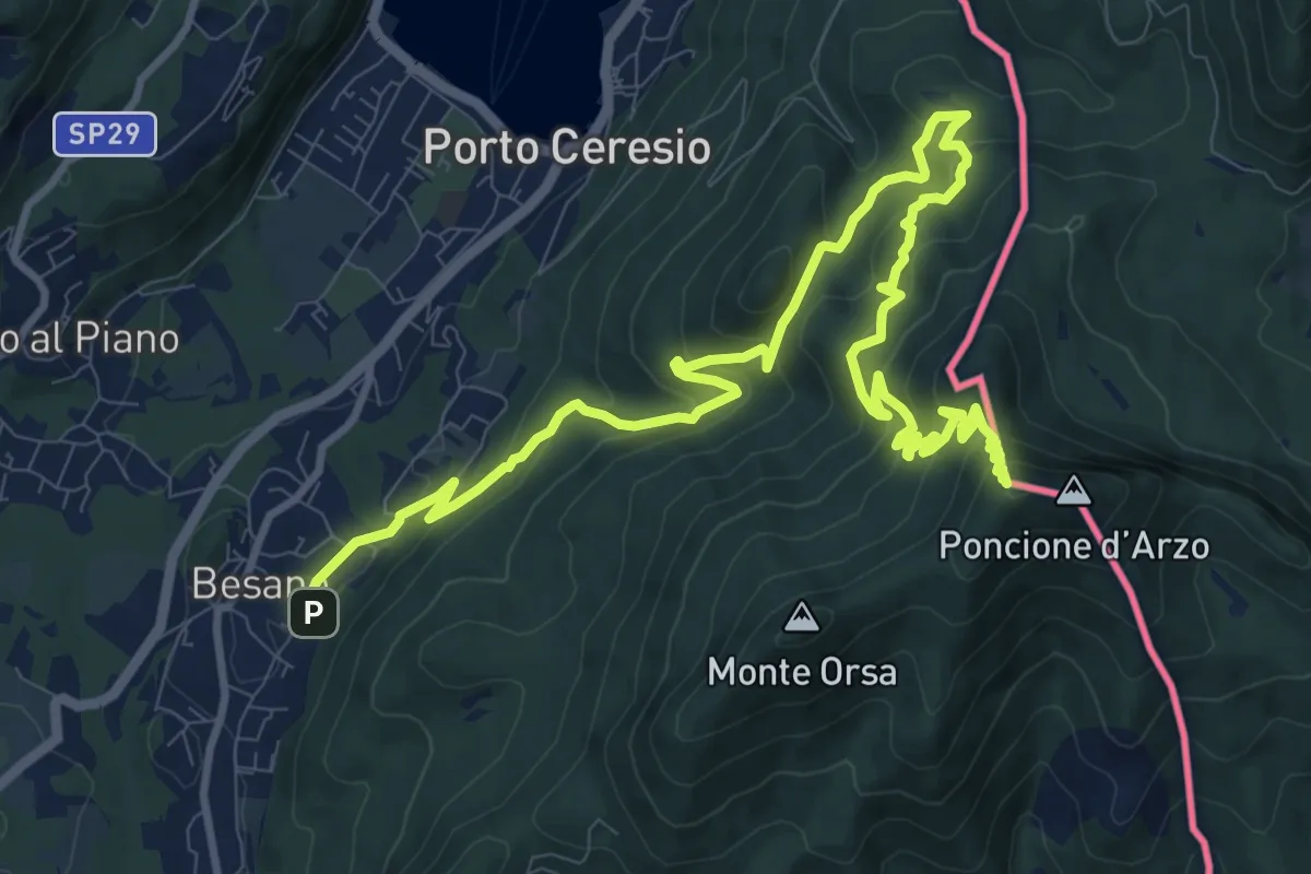
Demanding · Summit
Besano – Monte Pravello
15.0 km · ↑ 1031 m · 5 h 46 min · 12 km away
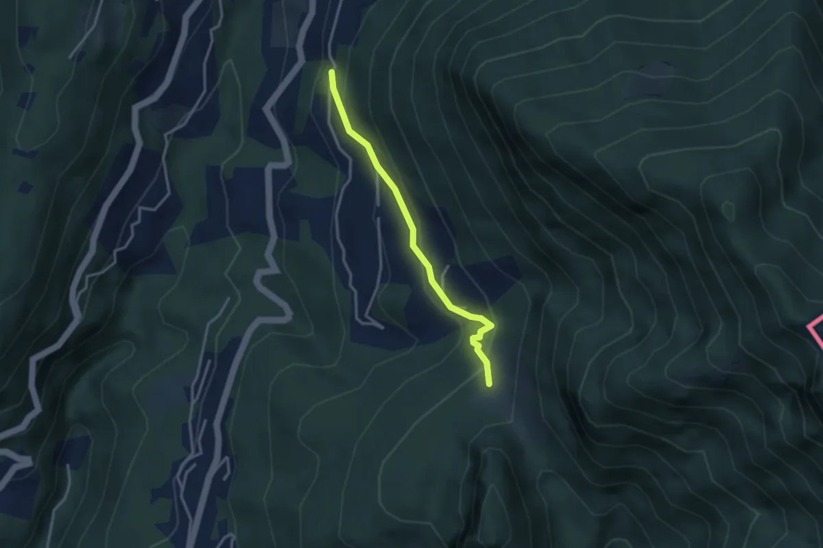
Medium · Trail
Pt. 615 – Alpe Bogo
2.8 km · ↑ 180 m · 1 h 3 min · 12 km away
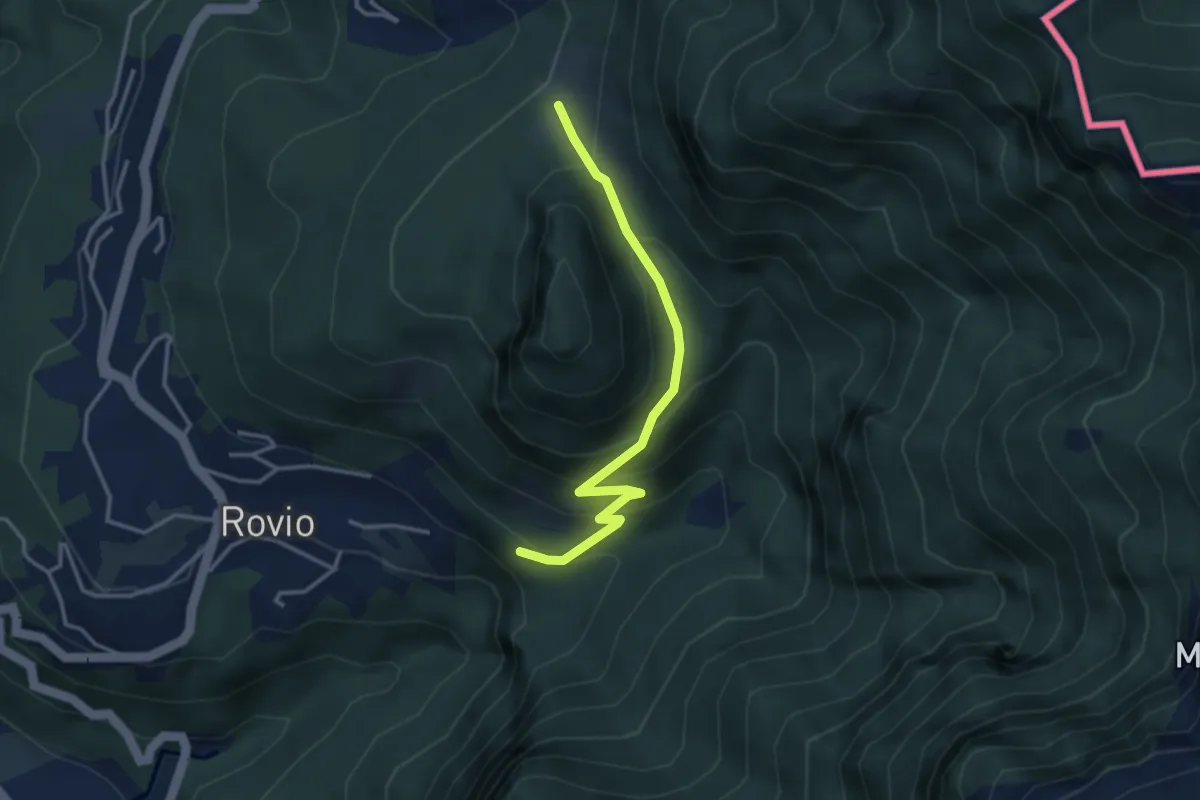
Expert · Trail
Alpe Bogo – Soldino
3.3 km · ↑ 278 m · 1 h 24 min · 12 km away