Trails near Chiasso
235 hikes starting within 15 km, nearest first.
Nearest first, page 4 of 5
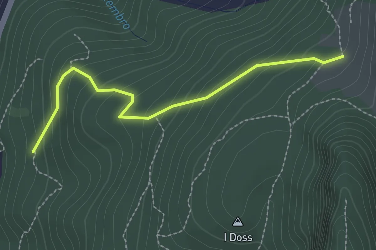
Easy · Trail
Alpe Bogo – Terzera
2.3 km · ↑ 175 m · 55 min · 12 km away
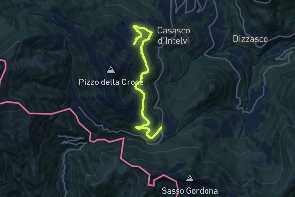
Medium · Trail
Piano delle Alpi – Rifugio Bruno e Giuseppe
10.4 km · ↑ 518 m · 3 h 34 min · 12 km away
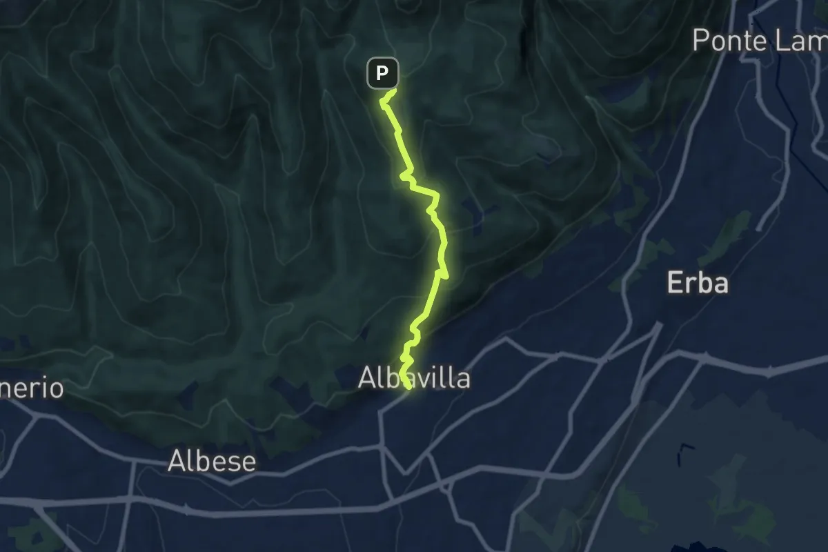
Medium · Trail
Sentiero degli Alpini
6.5 km · ↑ 474 m · 2 h 33 min · 12 km away
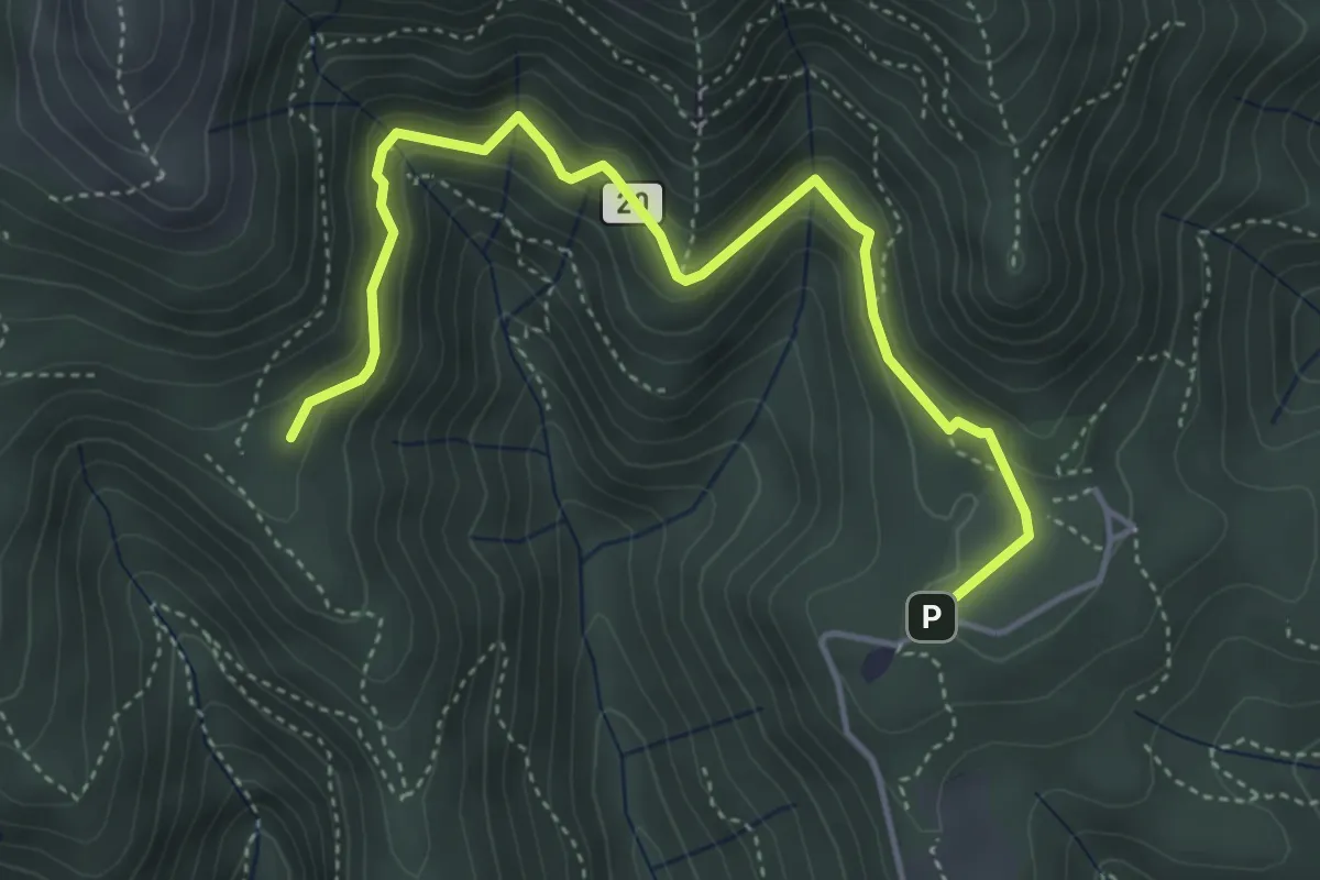
Medium · Trail
Sentiero 20: Alpe del Viceré - Baita Patrizi
4.8 km · ↑ 275 m · 1 h 44 min · 12 km away
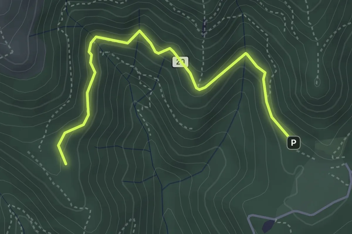
Medium · Trail
Alpe del Vicerè – Baita Patrizi
4.1 km · ↑ 256 m · 1 h 31 min · 12 km away
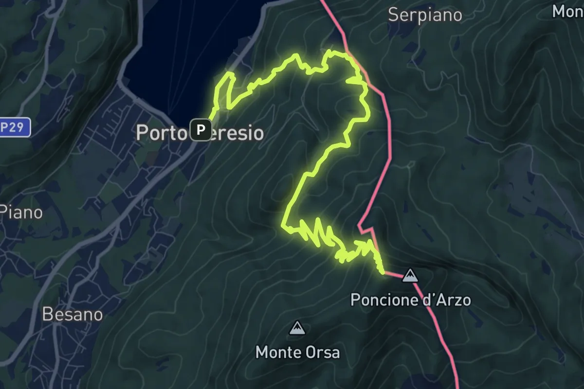
Demanding · Summit
Porto Ceresio – Viggiù (Piazza Europa)
15.3 km · ↑ 1101 m · 5 h 59 min · 12 km away
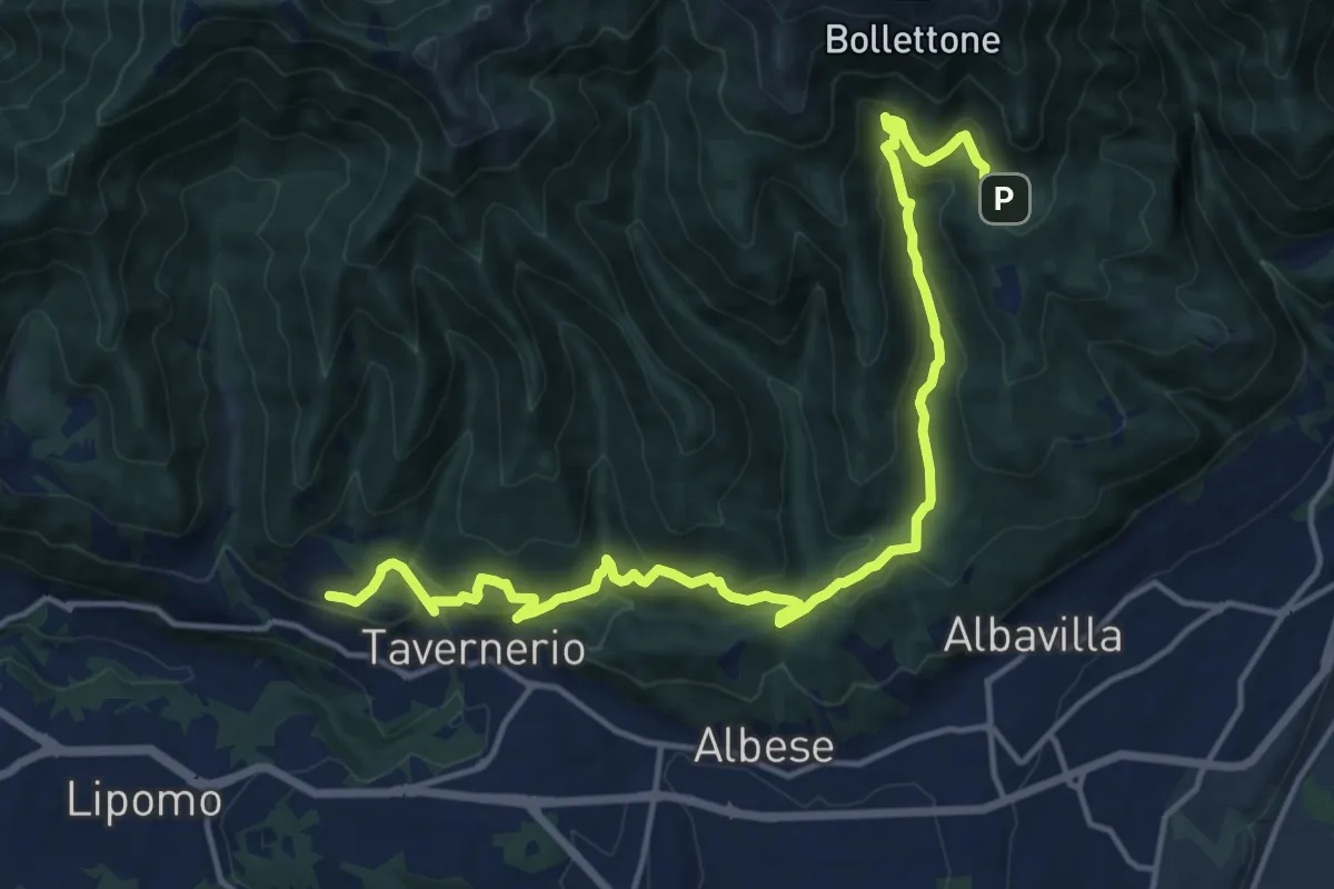
Demanding · Trail
Caslascio (Tavernerio) – Alpe del Vicerè
17.7 km · ↑ 819 m · 5 h 57 min · 12 km away
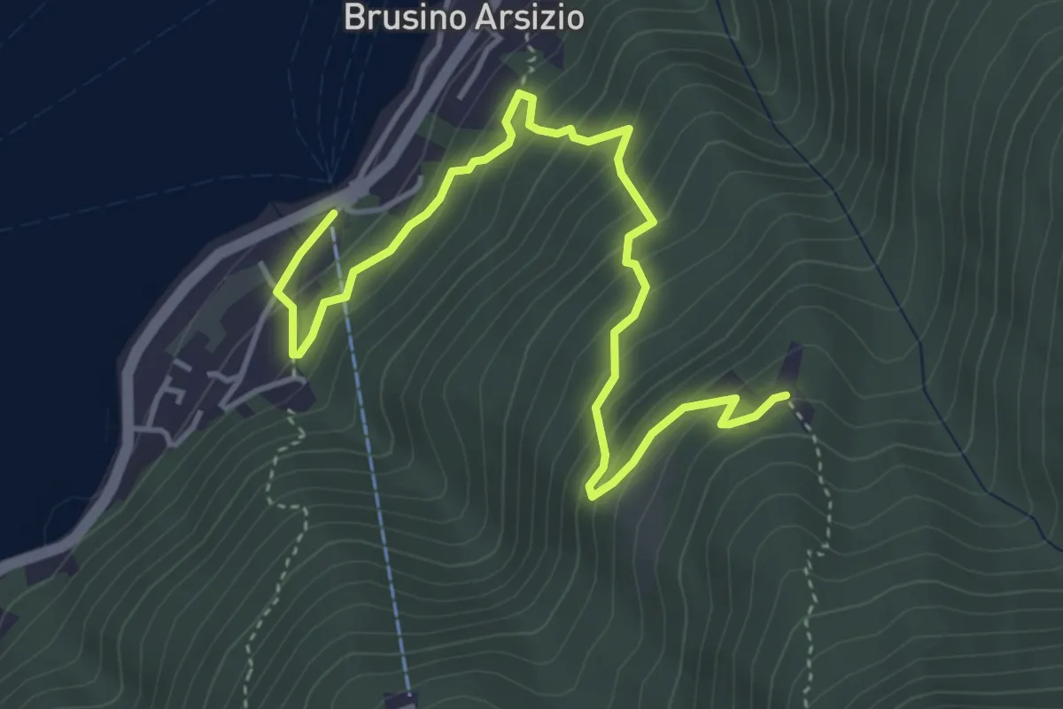
Medium · Trail
Brusino Arsizio Statione – Alpe di Brusino
5.1 km · ↑ 442 m · 2 h 9 min · 12 km away
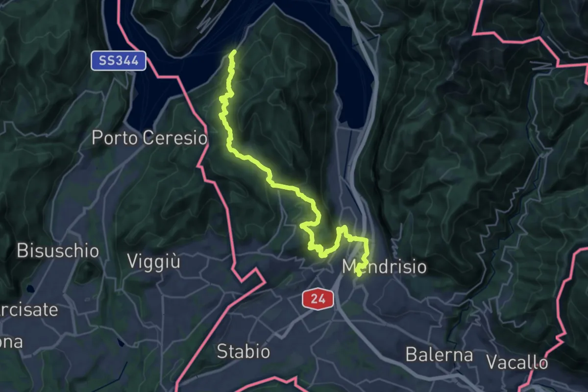
Medium · Trail
ViaGottardo
13.4 km · ↑ 576 m · 4 h 34 min · 12 km away
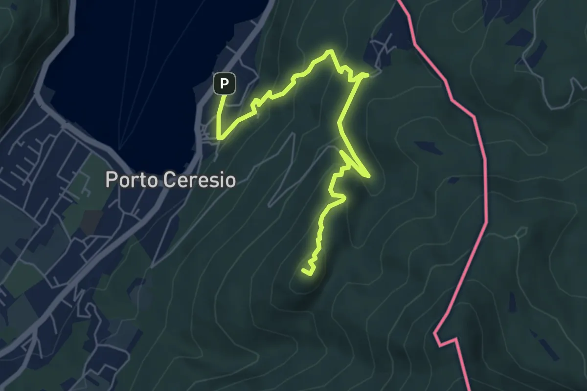
Medium · Summit
Porto Ceresio – Monte Grumello
6.3 km · ↑ 452 m · 2 h 28 min · 12 km away
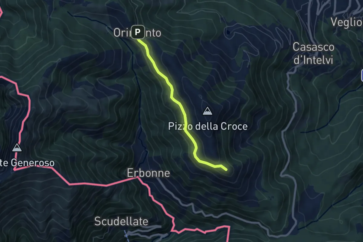
Easy · Summit
Rifugio Bruno e Giuseppe – Orimento
5.3 km · ↑ 143 m · 1 h 33 min · 12 km away
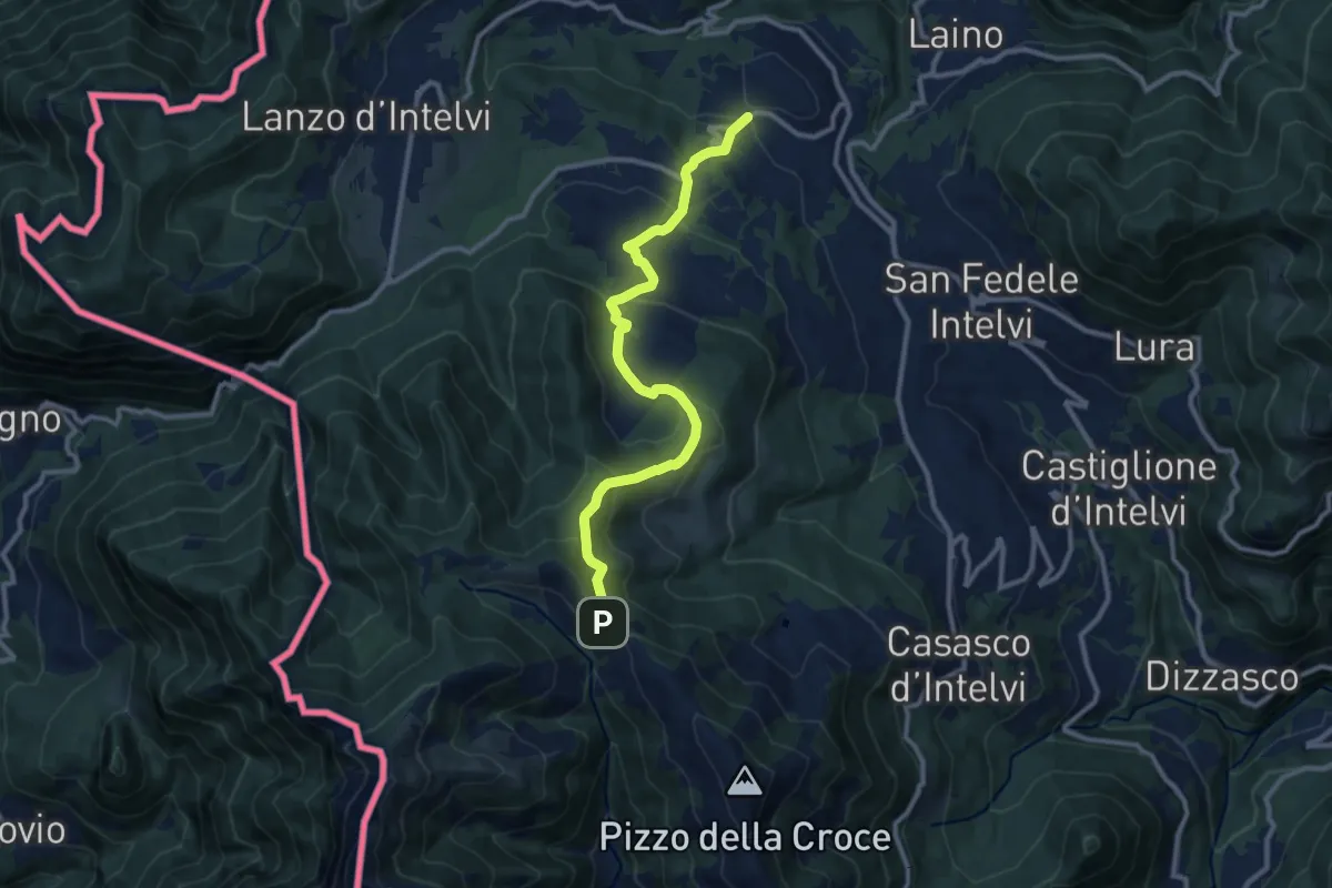
Medium · Trail
Pellio Superiore – Orimento
10.8 km · ↑ 547 m · 3 h 45 min · 12 km away
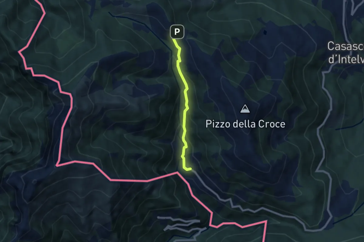
Medium · Trail
Orimento – Erbonne
4.7 km · ↑ 343 m · 1 h 51 min · 12 km away
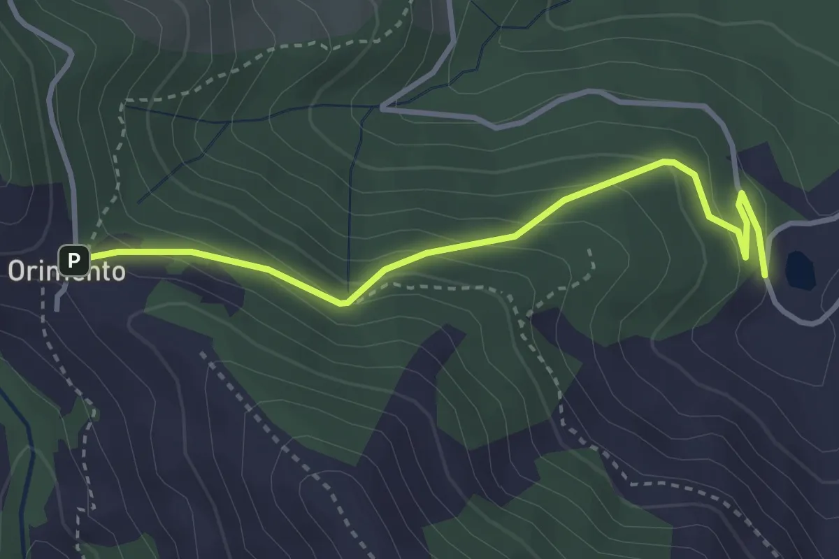
Easy · Trail
Bolla Mater – Orimento
3.3 km · ↑ 216 m · 1 h 16 min · 12 km away
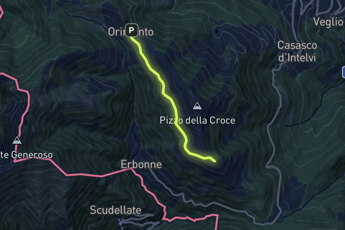
Easy · Summit
Capanna Bruno – Orimento
5.3 km · ↑ 143 m · 1 h 34 min · 12 km away
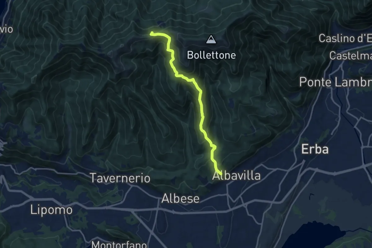
Medium · Trail
Sentiero 18: Albavilla (Via ai Monti) - Baita Patrizi - Bocchetta di Molina
10.9 km · ↑ 640 m · 3 h 58 min · 12 km away
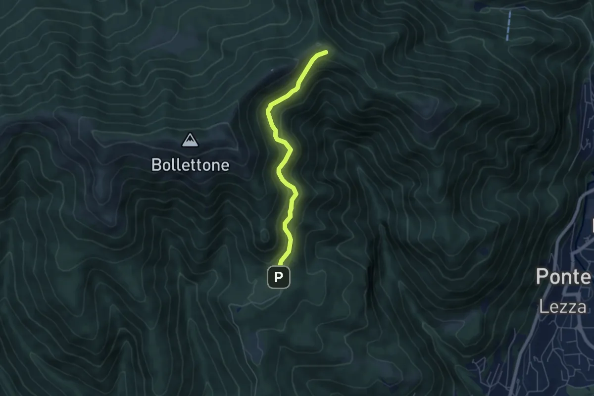
Easy · Cabin
Sentiero 23: Alpe del Vicerè - Rifugio Cacciatori - Capanna Mara
4.9 km · ↑ 303 m · 1 h 48 min · 12 km away
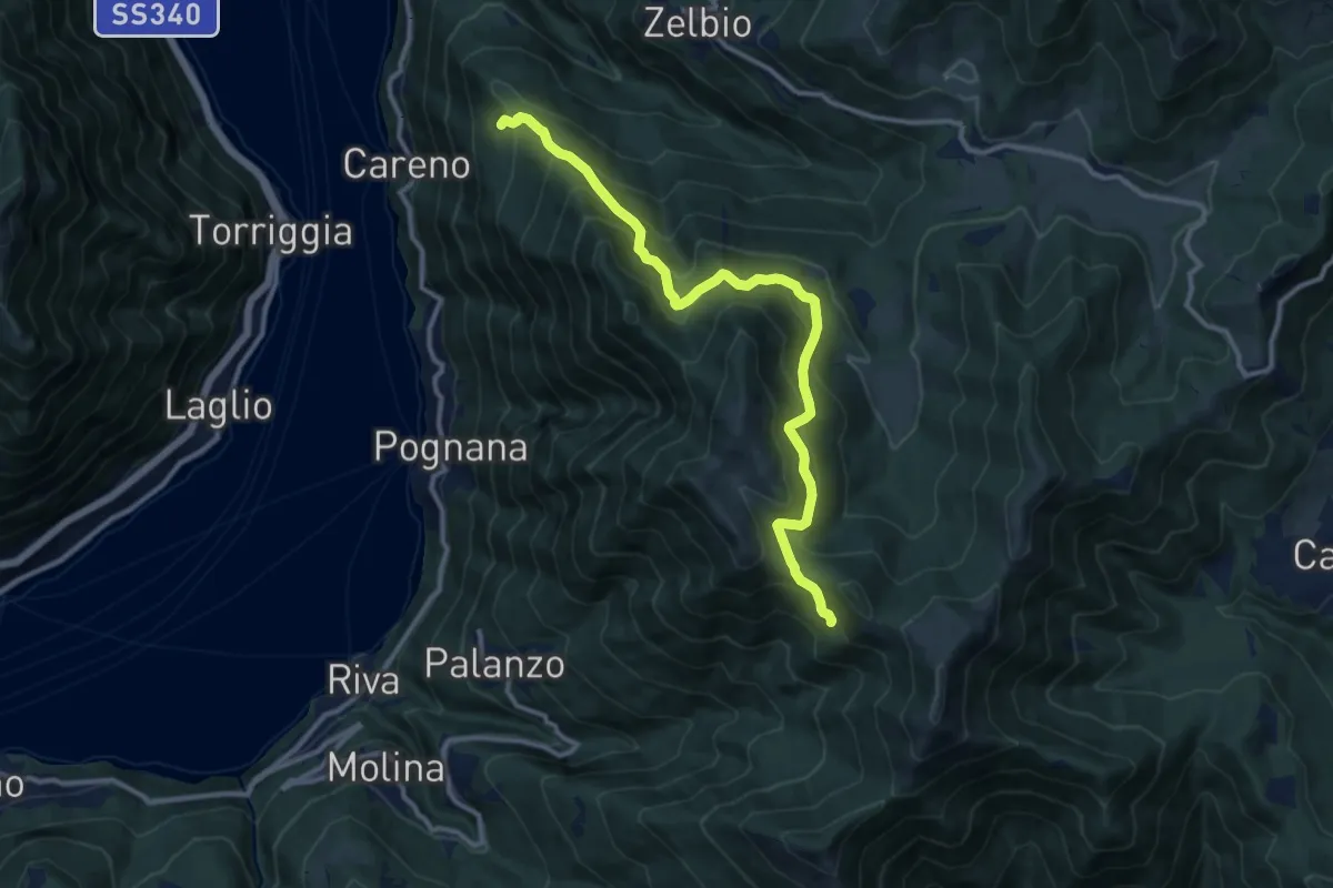
Demanding · Trail
Monte Palanzone – Bocchetta di Sciff
11.5 km · ↑ 986 m · 4 h 51 min · 13 km away
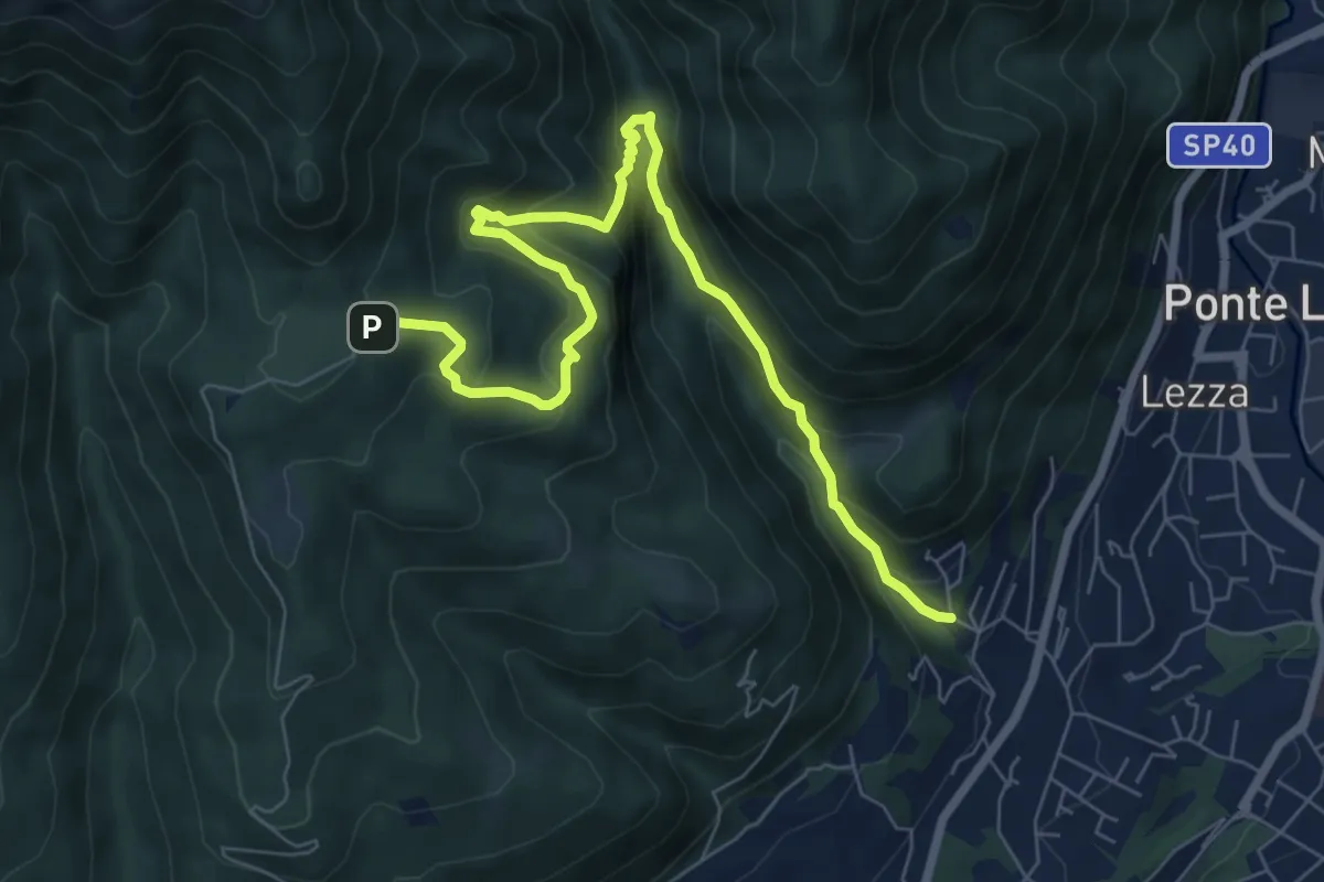
Demanding · Trail
Ca Nova – Alpe Vicerè
8.5 km · ↑ 602 m · 3 h 18 min · 13 km away
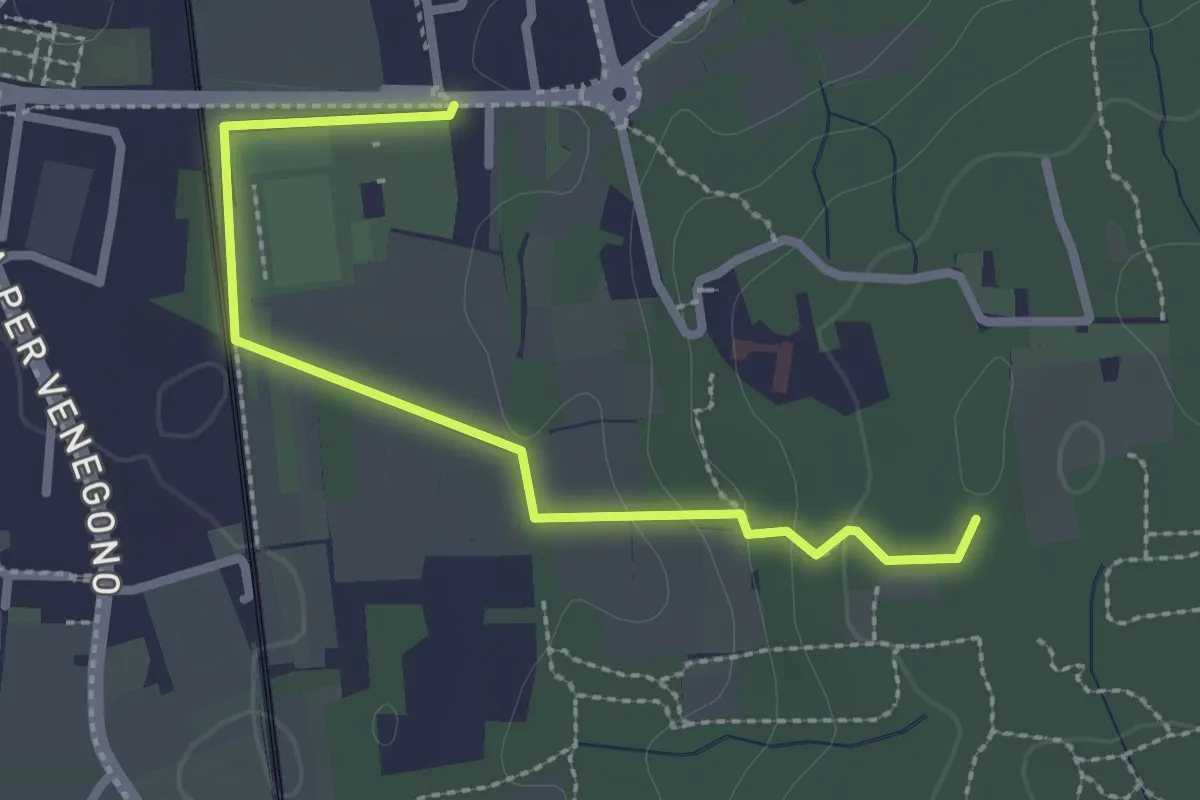
Easy · Trail
Vedano Olona – Innesto su sentiero 540
2.7 km · ↑ 58 m · 46 min · 13 km away
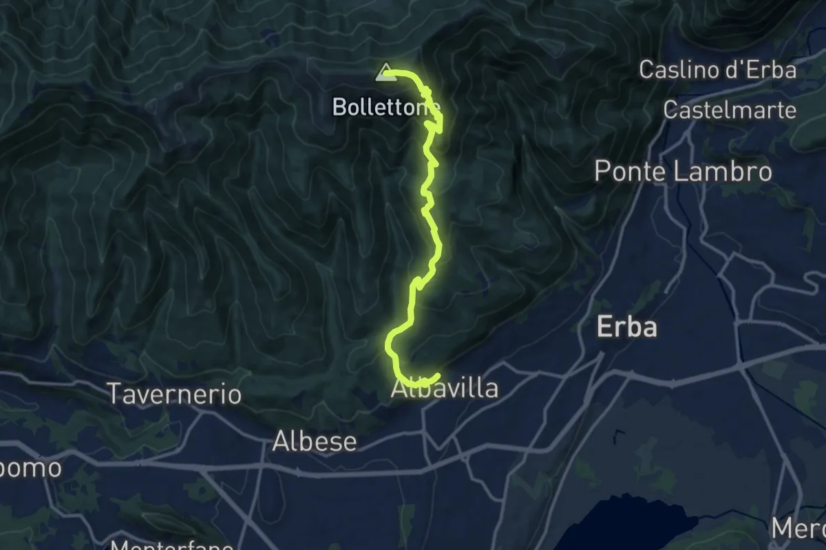
Demanding · Summit
Albavilla – Monte Bolettone
12.1 km · ↑ 820 m · 4 h 38 min · 13 km away
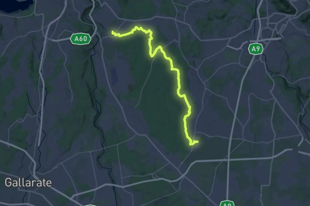
Demanding · Trail
Limido Comasco – Vedano Olona
19.7 km · ↑ 134 m · 5 h 16 min · 13 km away
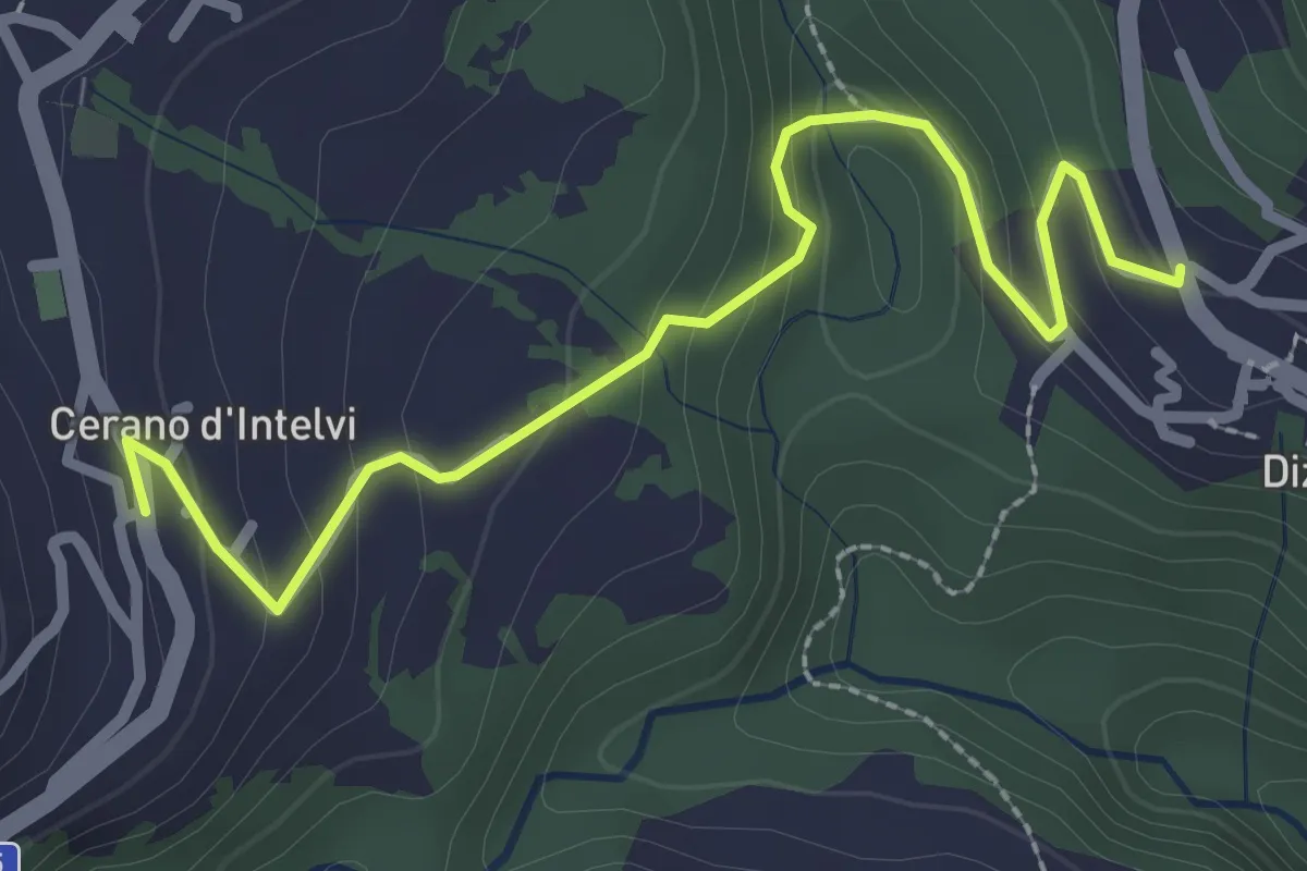
Easy · Trail
Dizzasco – Cerano
2.9 km · ↑ 168 m · 1 h 3 min · 13 km away
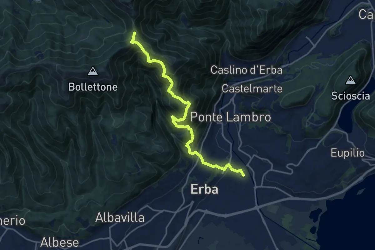
Demanding · Trail
Stazione di Erba – Bocchetta di Lemma
13.9 km · ↑ 1049 m · 5 h 34 min · 13 km away
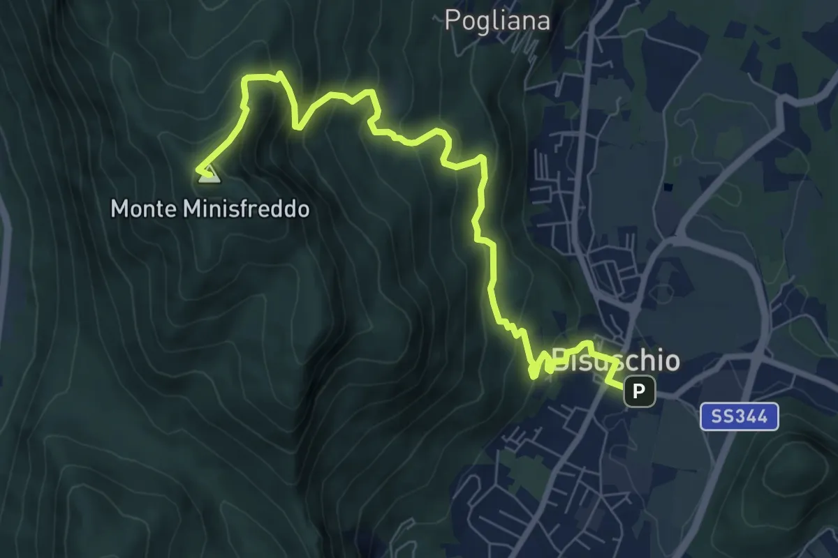
Demanding · Summit
Bisuschio – M.Minisfreddo
8.7 km · ↑ 711 m · 3 h 35 min · 13 km away
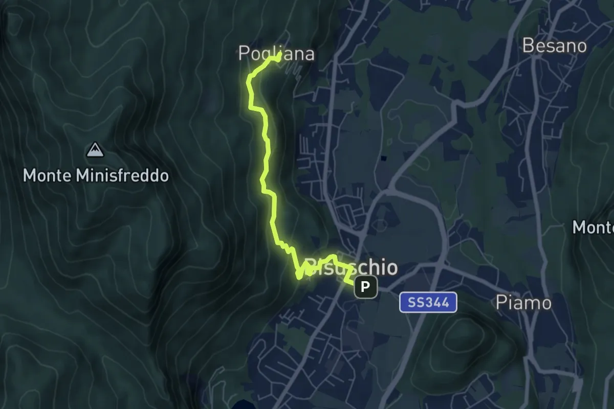
Demanding · Trail
Bisuschio – Pogliana
5.8 km · ↑ 276 m · 1 h 58 min · 13 km away
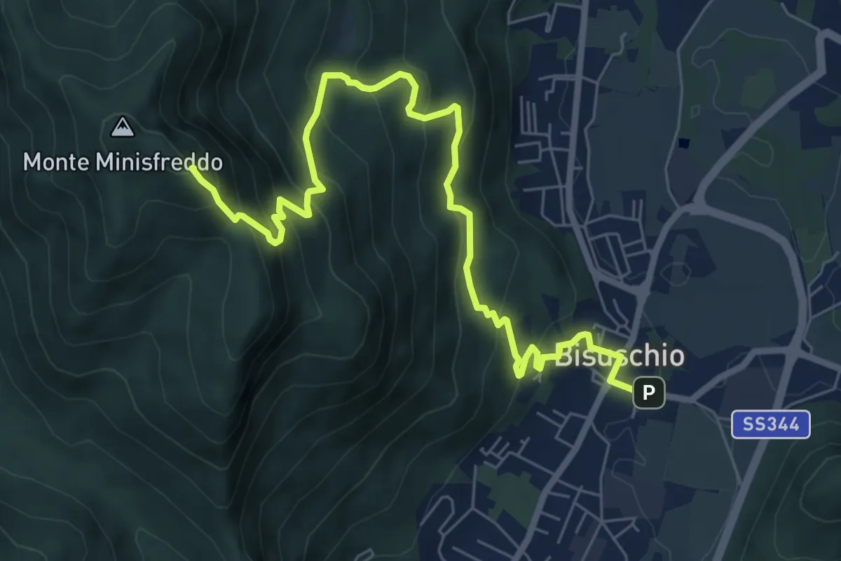
Demanding · Summit
Bisuschio – M. San Bernardo
8.2 km · ↑ 674 m · 3 h 23 min · 13 km away
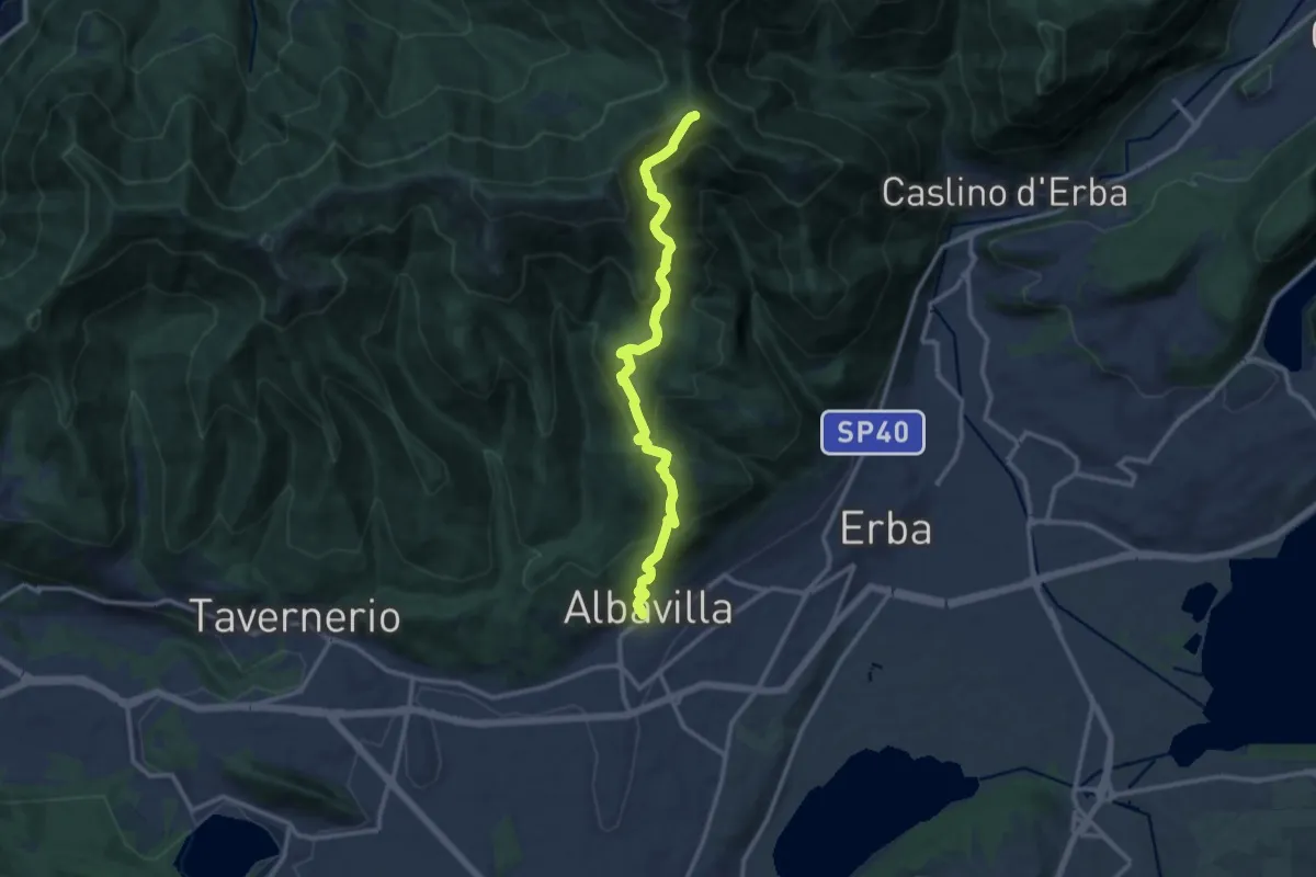
Medium · Cabin
Albavilla – RIfugio Capanna Mara
12.2 km · ↑ 779 m · 4 h 34 min · 13 km away
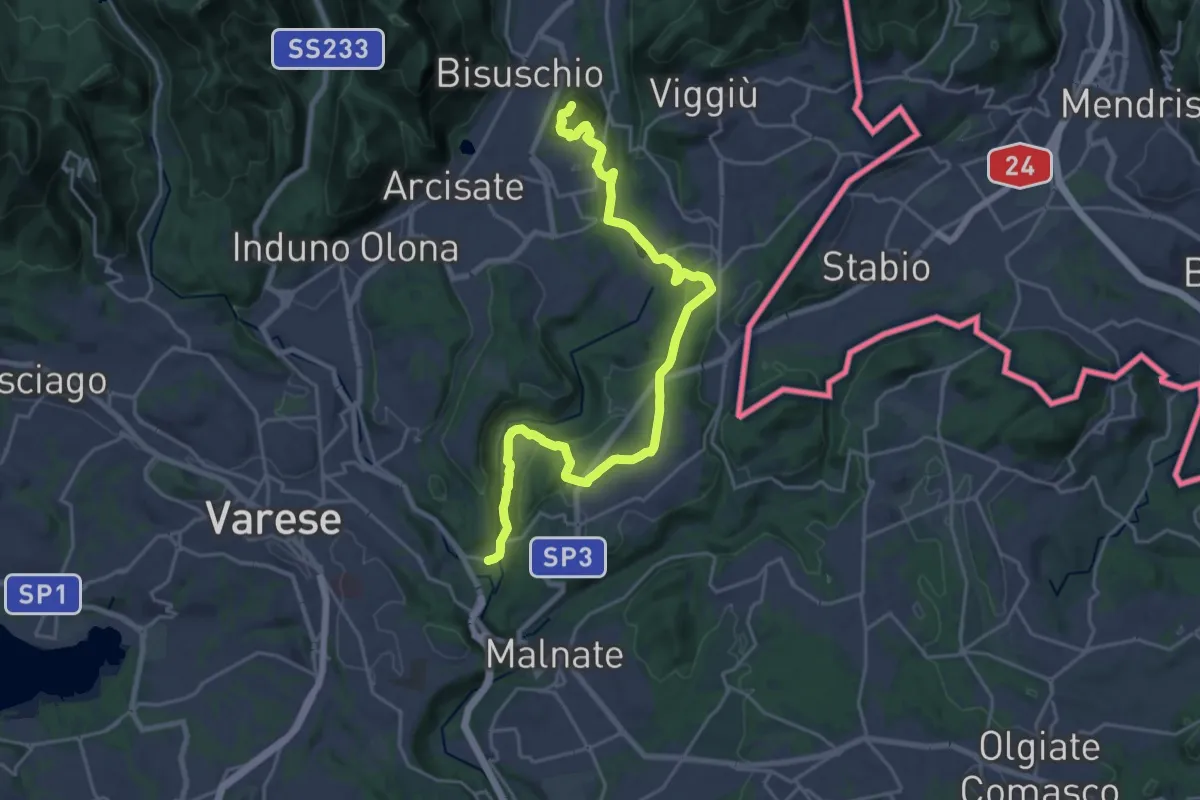
Demanding · Summit
Varese via Ca' Bassa – Monte Useria
24.6 km · ↑ 570 m · 7 h 3 min · 13 km away
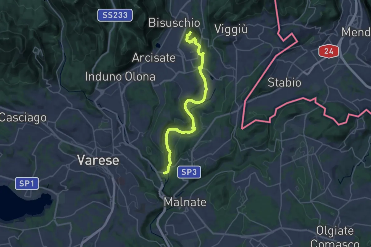
Demanding · Summit
Ca' Bassa – Monte Useria
20.8 km · ↑ 446 m · 5 h 53 min · 13 km away
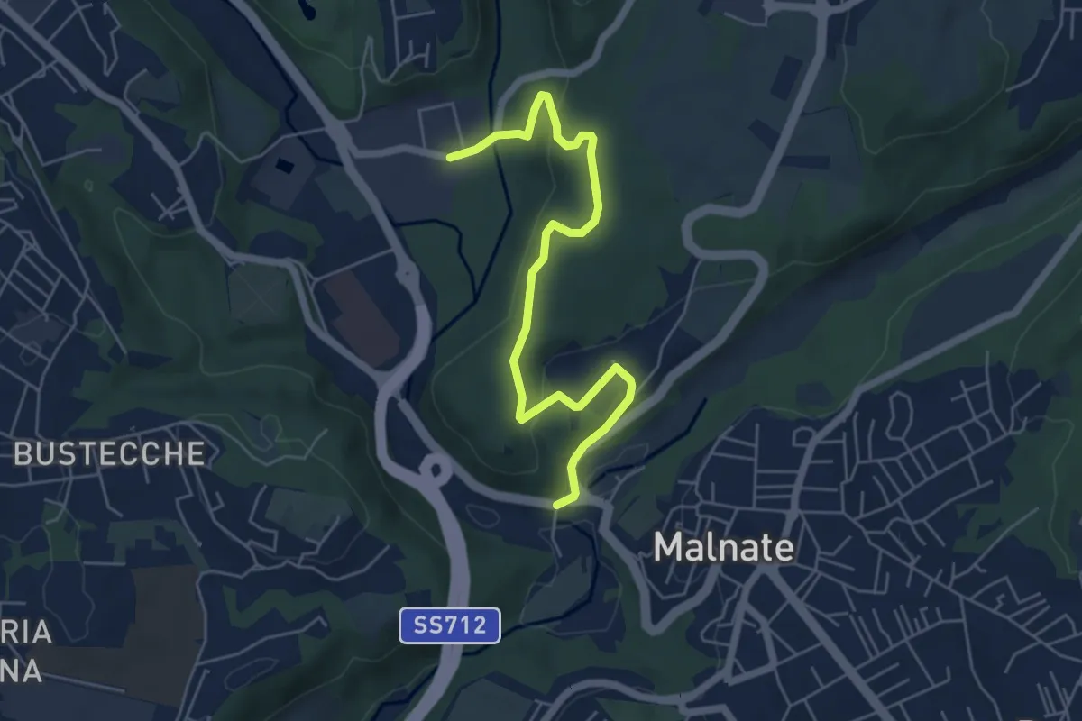
Easy · Trail
Varese via Ca' Bassa – Folla di Malnate
6.0 km · ↑ 159 m · 1 h 45 min · 13 km away
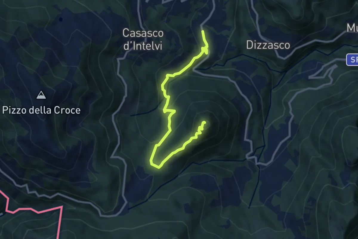
Medium · Summit
Cerano d'Intelvi – San Zeno
8.4 km · ↑ 455 m · 2 h 58 min · 13 km away
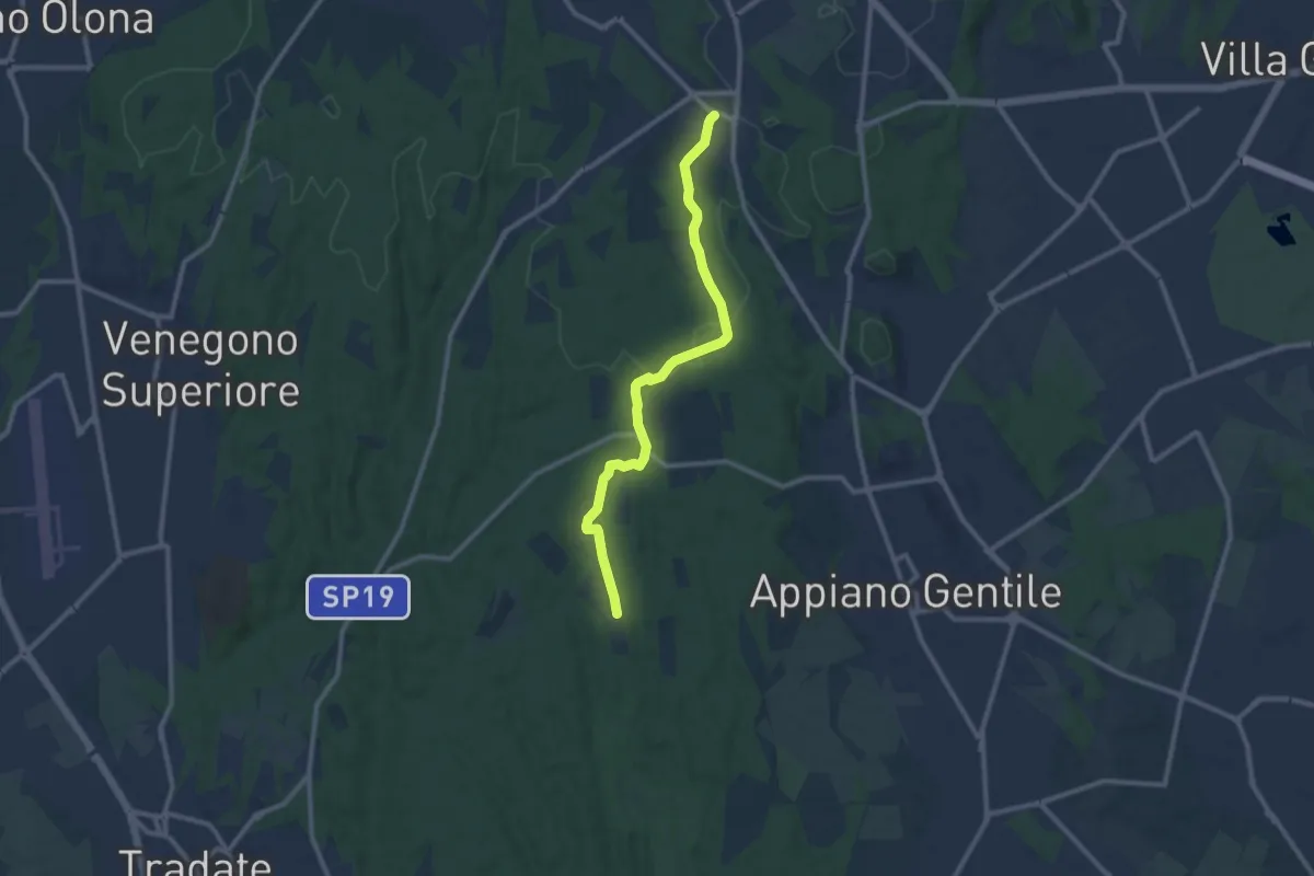
Medium · Trail
Sentiero 847
10.4 km · ↑ 81 m · 2 h 38 min · 13 km away
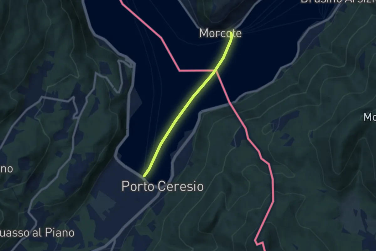
Easy · Trail
European Long distance path E1 - part Switzerland
4.9 km · ↑ 0 m · 1 h 9 min · 13 km away
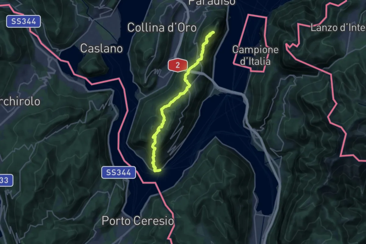
Demanding · Summit
ViaGottardo
18.2 km · ↑ 1119 m · 6 h 44 min · 13 km away
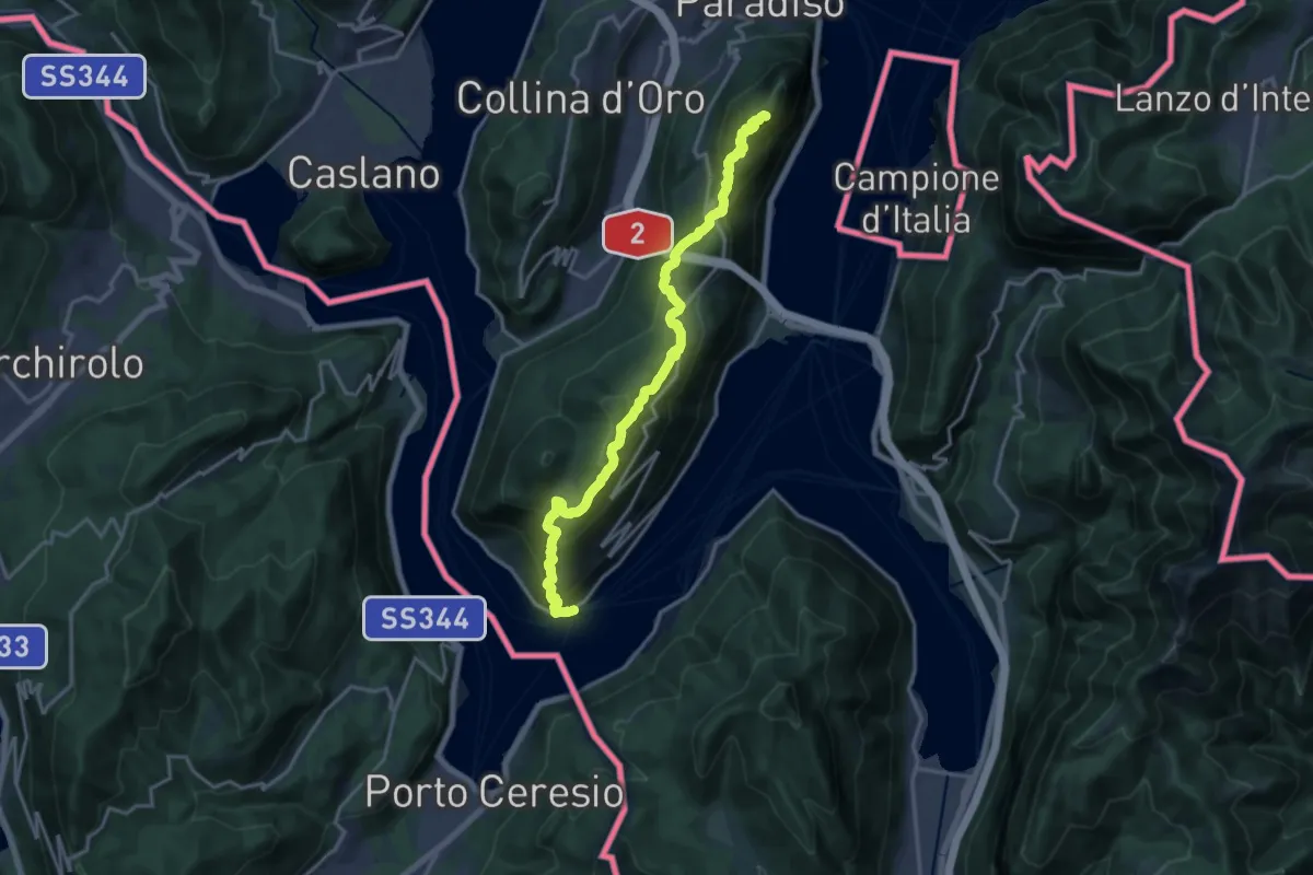
Demanding · Summit
Sentiero Lago di Lugano
18.5 km · ↑ 1189 m · 6 h 56 min · 13 km away
Demanding · Summit
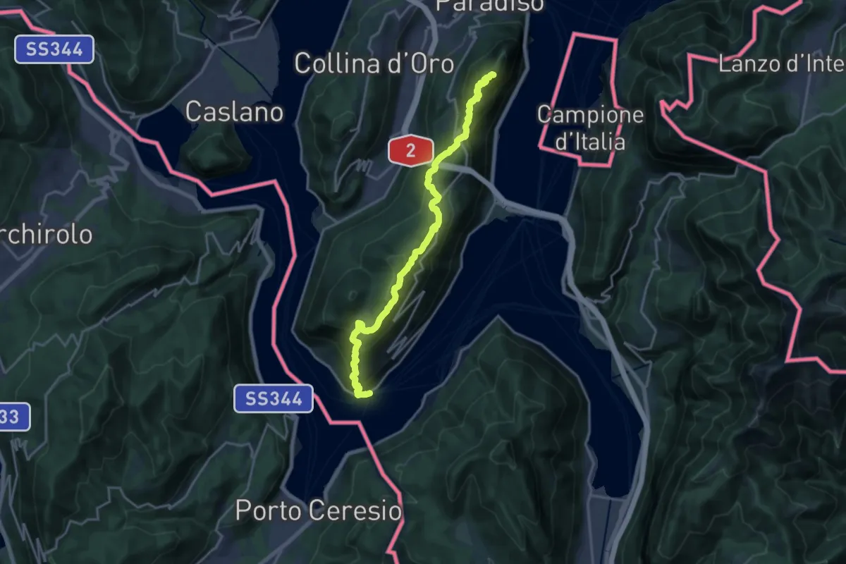
Trans Swiss Trail
18.5 km · ↑ 1189 m · 6 h 56 min · 13 km away
Medium · Summit
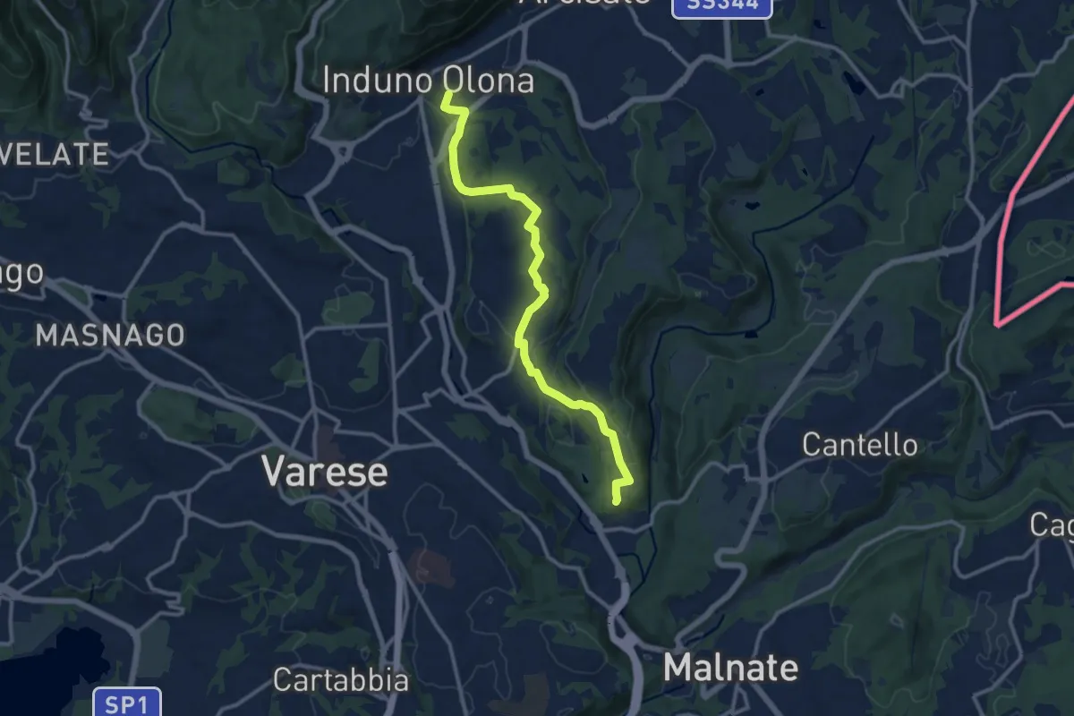
Induno Olona – Cascina Mentasti
11.7 km · ↑ 226 m · 3 h 16 min · 13 km away
Medium · Summit
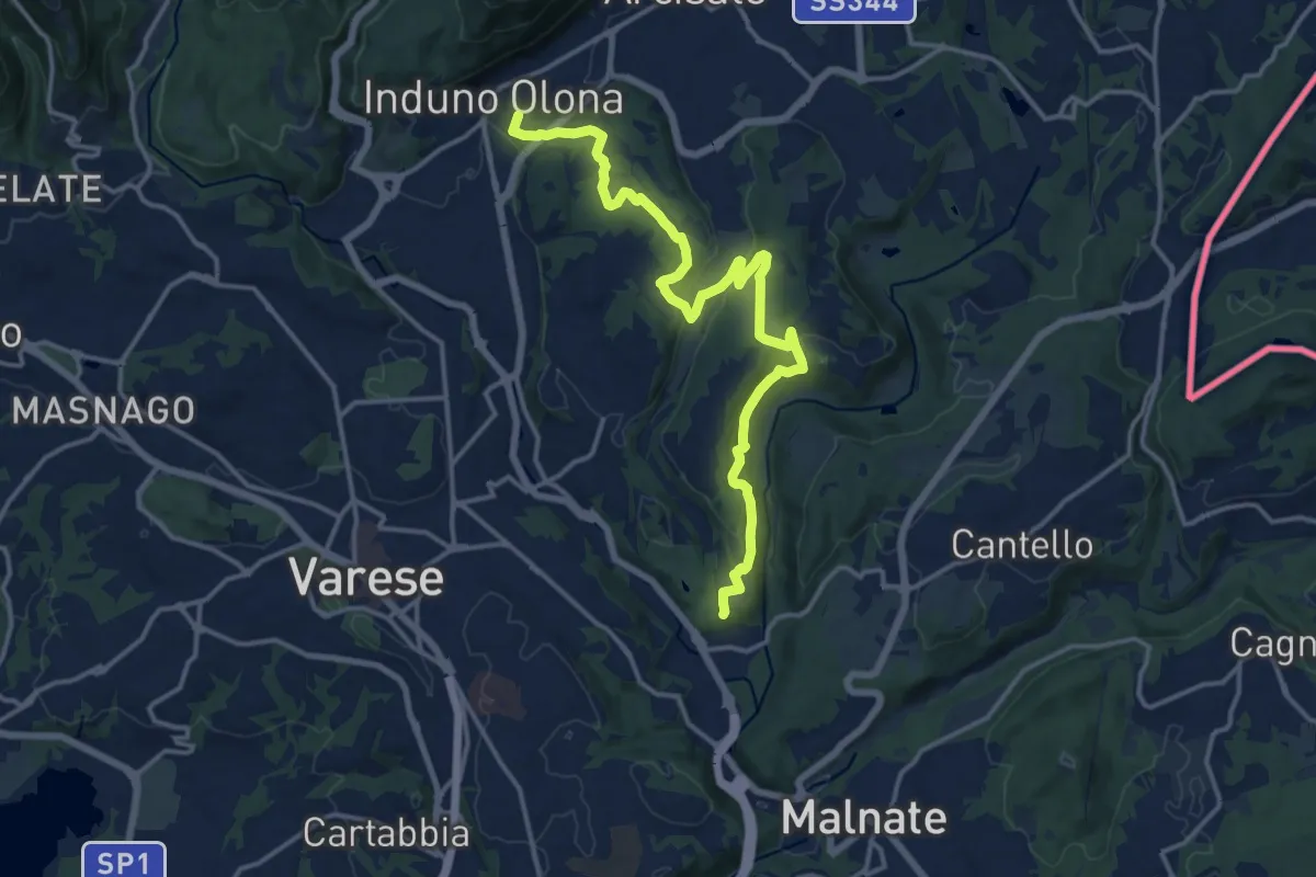
Induno Olona – Cascina Mentasti
16.8 km · ↑ 456 m · 4 h 57 min · 13 km away
Demanding · Summit
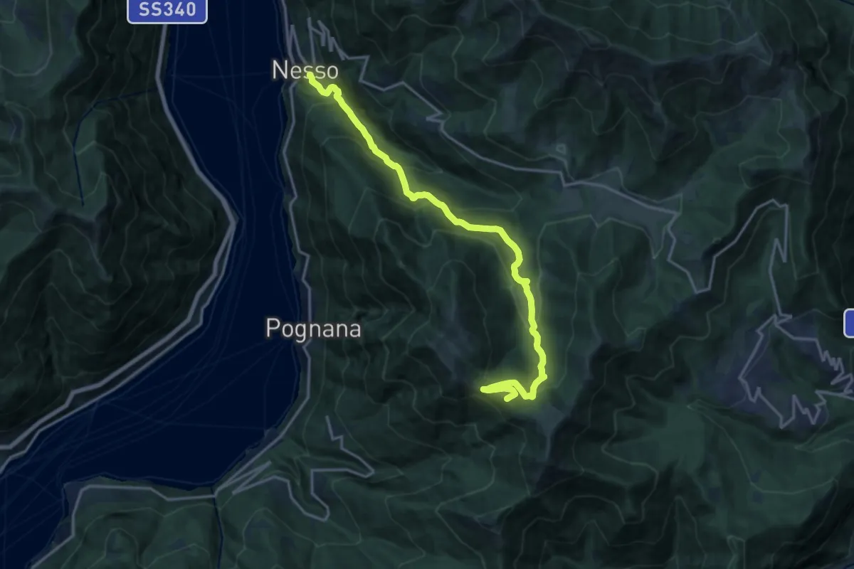
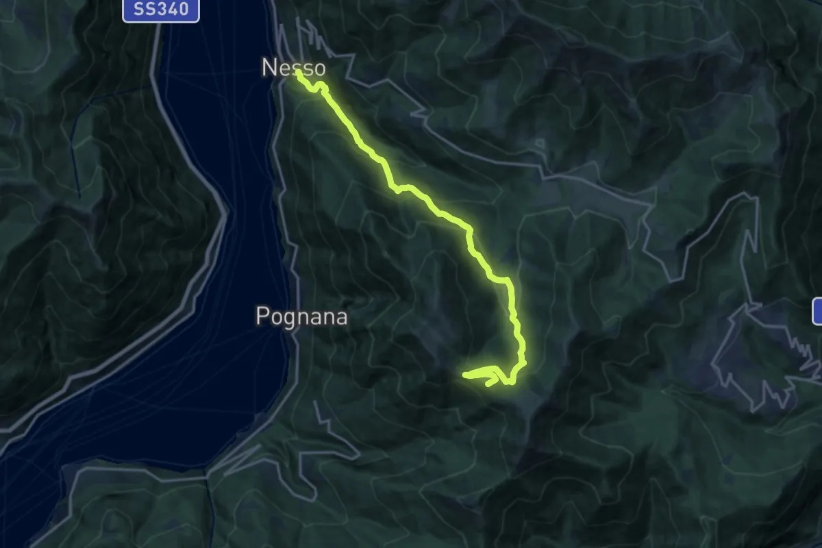
Nesso – Monte Palanzone
16.5 km · ↑ 1052 m · 6 h 11 min · 13 km away
Demanding · Summit
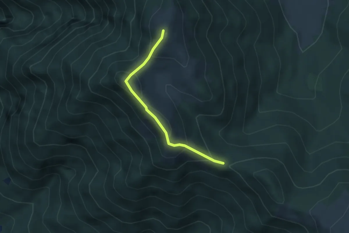
Nesso – Monte Palanzone
16.2 km · ↑ 1157 m · 6 h 20 min · 13 km away
Medium · Summit
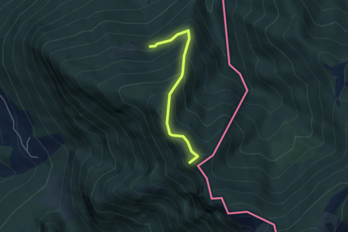
Bocchetta di Sciff – Monte Preaola
3.1 km · ↑ 196 m · 1 h 9 min · 13 km away
Medium · Summit
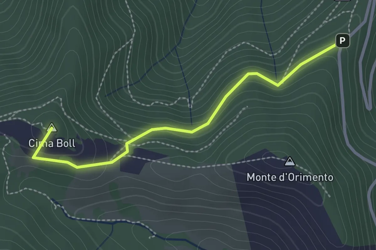
Alpe d'Arogno – Cima Crocetta
3.1 km · ↑ 283 m · 1 h 20 min · 13 km away
Easy · Summit
Località Casermette – Alpe di Gotta
2.5 km · ↑ 146 m · 54 min · 13 km away
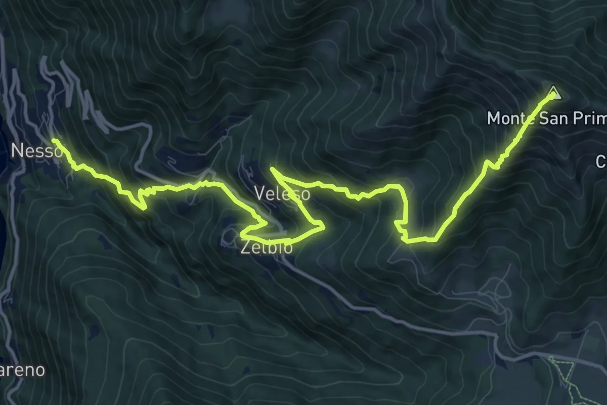
Demanding · Summit
Nesso – Monte San Primo
15.3 km · ↑ 1369 m · 6 h 35 min · 13 km away
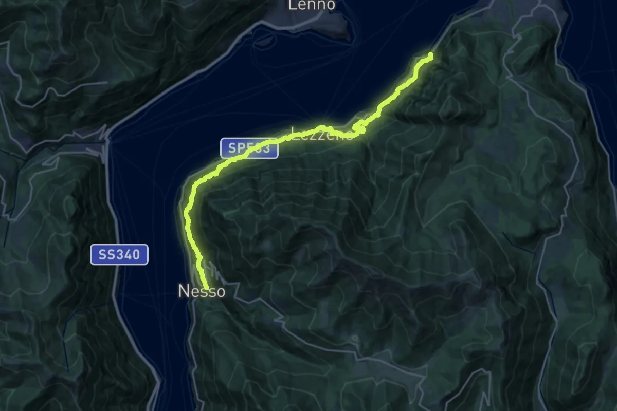
Medium · Trail
Nesso – Ponte del Diavolo (Bellagio)
10.8 km · ↑ 630 m · 4 h 8 min · 13 km away
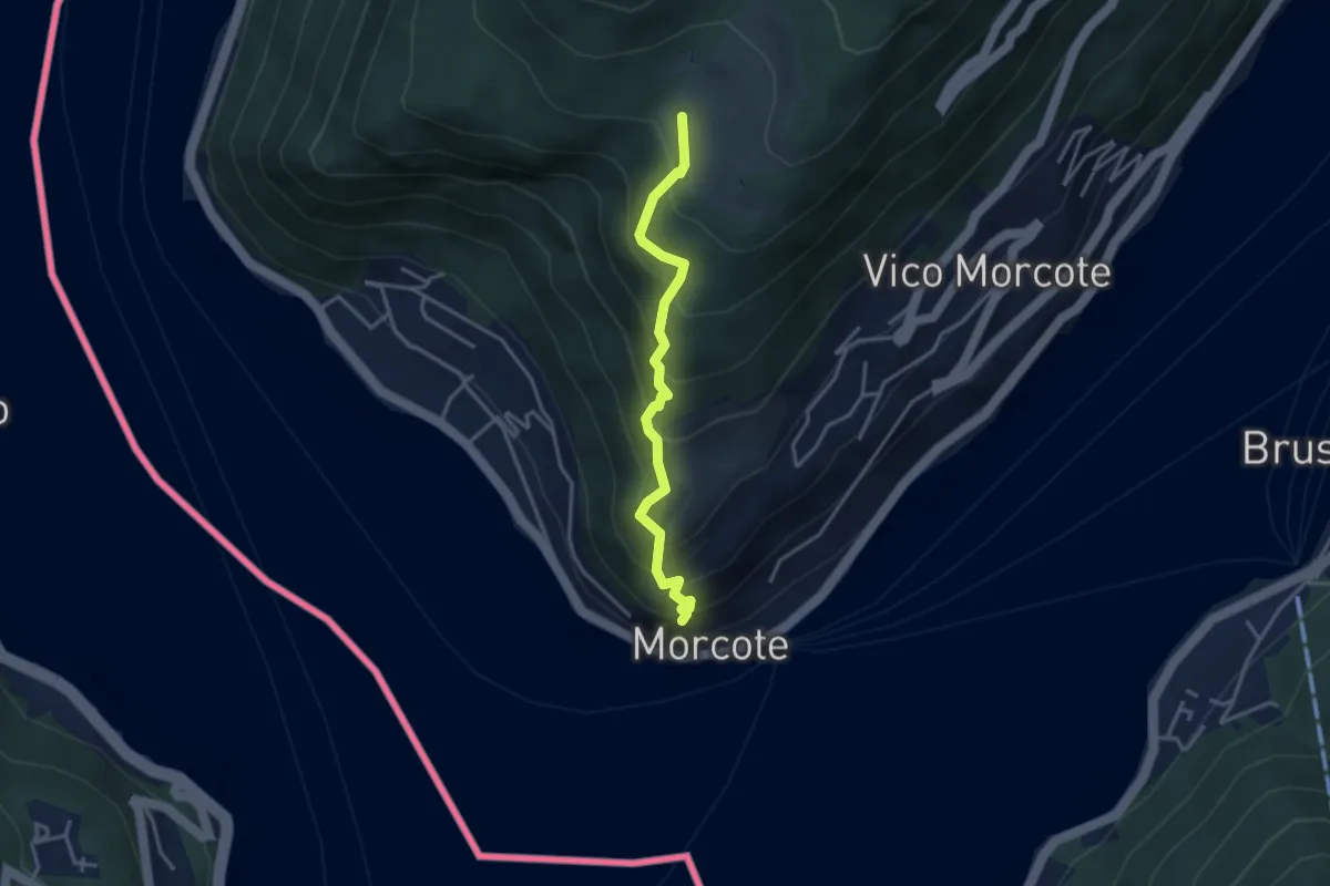
Medium · Trail
Alpe Vicania – Santa Maria del Sasso
3.3 km · ↑ 400 m · 1 h 39 min · 13 km away
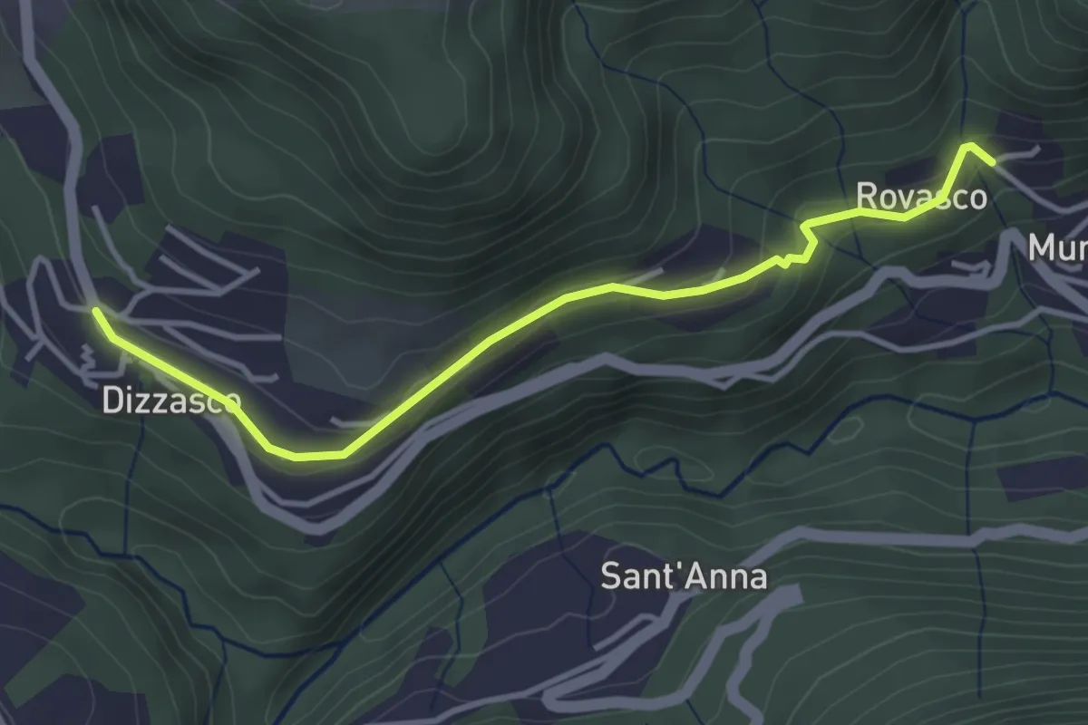
Easy · Trail
Dizzasco – Rovasco
3.6 km · ↑ 143 m · 1 h 10 min · 13 km away