Trails near Chiasso
235 hikes starting within 15 km, nearest first.
Nearest first, page 5 of 5
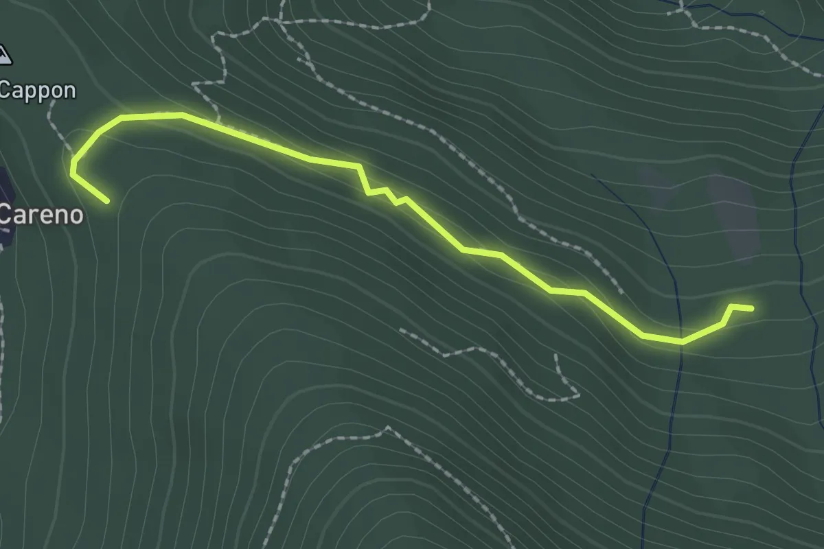
Medium · Trail
Vasce – Monti di Careno
2.1 km · ↑ 97 m · 42 min · 13 km away
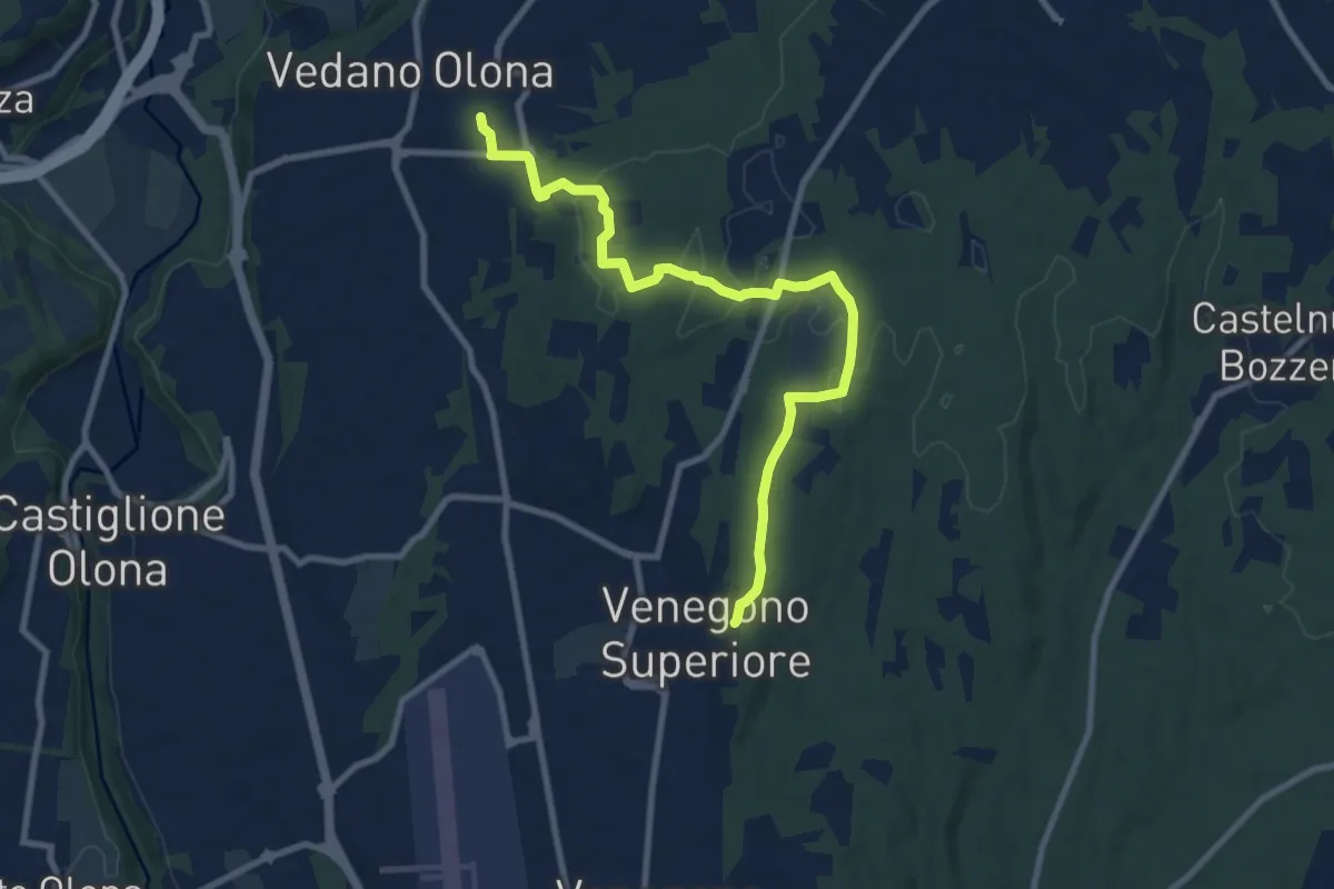
Medium · Trail
Venegono Superiore – Vedano Olona
9.7 km · ↑ 136 m · 2 h 35 min · 13 km away
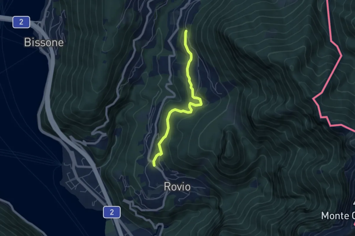
Easy · Trail
Pt. 615 – Ata Matern
5.1 km · ↑ 269 m · 1 h 47 min · 13 km away
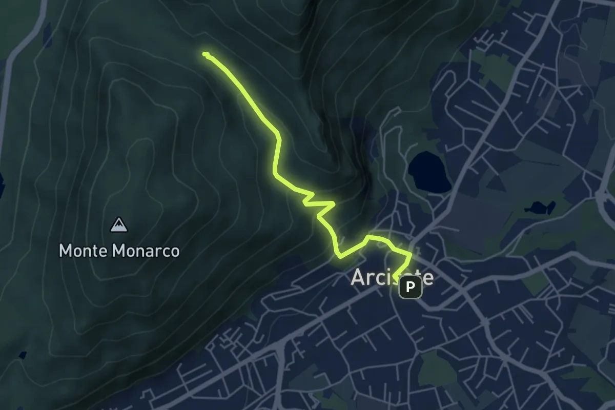
Easy · Trail
Arcisate – Passo del Vescovo
4.6 km · ↑ 243 m · 1 h 37 min · 13 km away
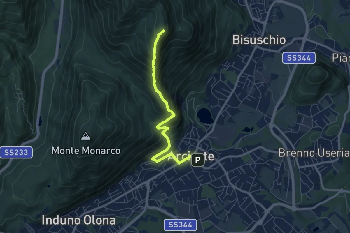
Demanding · Summit
Arcisate – Monte Rho
6.4 km · ↑ 543 m · 2 h 41 min · 13 km away
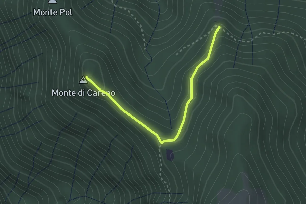
Medium · Summit
Radura – Monte Pol
2.5 km · ↑ 146 m · 55 min · 13 km away
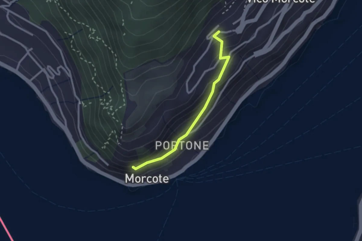
Easy · Trail
Vico Morcote – Santa Maria del Sasso
2.1 km · ↑ 161 m · 51 min · 13 km away
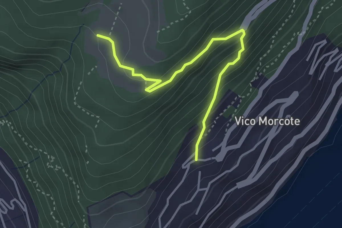
Medium · Trail
Alpe Vicania – Vico Morcote
3.4 km · ↑ 261 m · 1 h 22 min · 13 km away
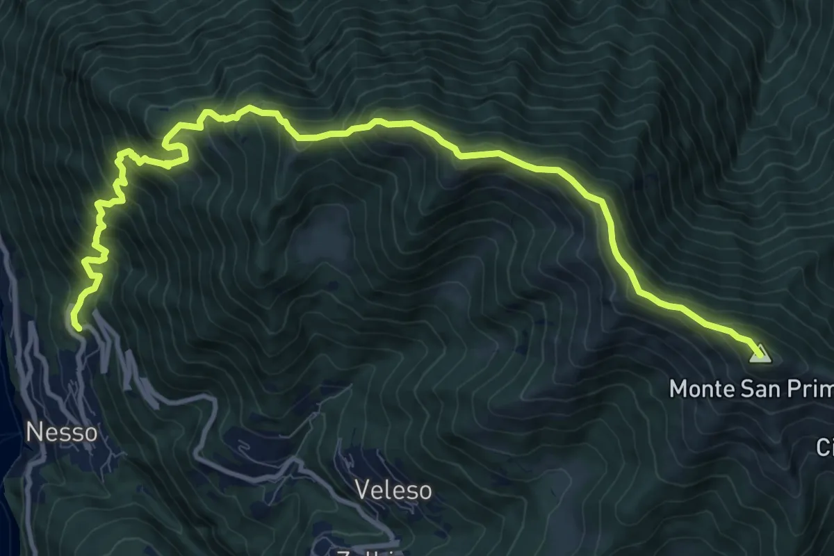
Demanding · Summit
Nesso – Monte San Primo
13.2 km · ↑ 1364 m · 6 h 5 min · 13 km away
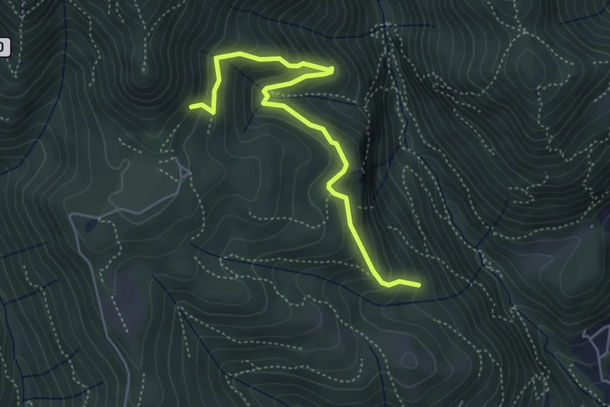
Medium · Trail
Praa Sciresöö – Rifugio Cacciatori
4.8 km · ↑ 479 m · 2 h 10 min · 14 km away
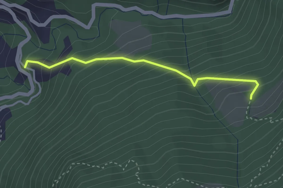
Medium · Trail
Alpe Pianca – Sasso Grosso
2.7 km · ↑ 327 m · 1 h 20 min · 14 km away
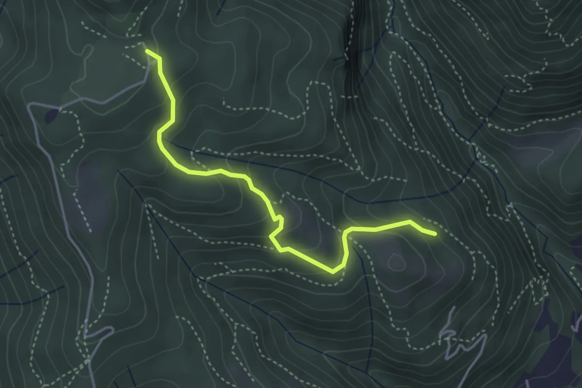
Medium · Trail
Cardögia – Alpe del Vicerè
3.8 km · ↑ 238 m · 1 h 25 min · 14 km away
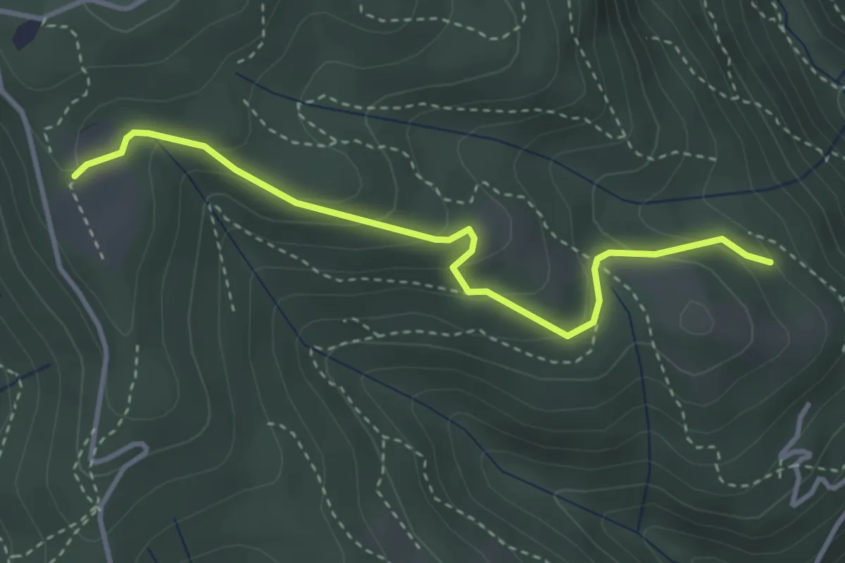
Easy · Trail
Cardögia – Ex Albergo la Salute
3.5 km · ↑ 186 m · 1 h 14 min · 14 km away
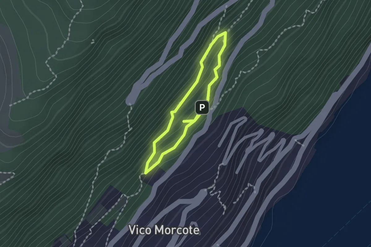
Medium · Trail
Sentiero dei Sensi
1.2 km · ↑ 96 m · 30 min · 14 km away
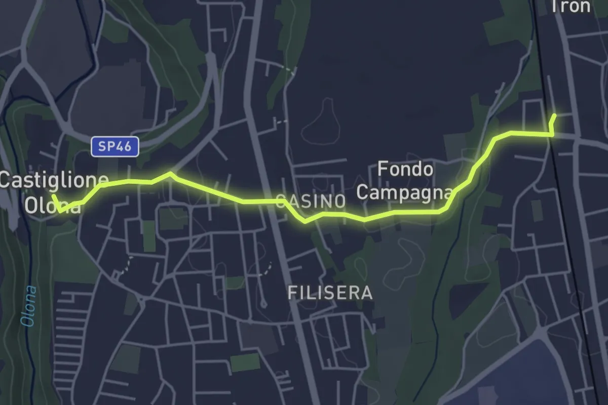
Easy · Trail
Collegamento Castiglione Olona-Trenord
4.6 km · ↑ 63 m · 1 h 13 min · 14 km away
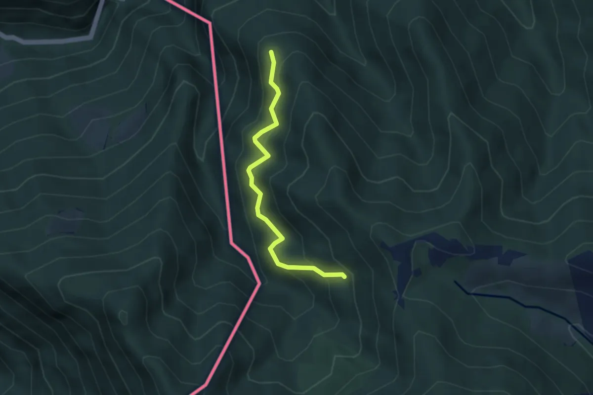
Medium · Trail
Pellio Superiore – Alpe di Gotta
3.3 km · ↑ 349 m · 1 h 33 min · 14 km away
Medium · Trail
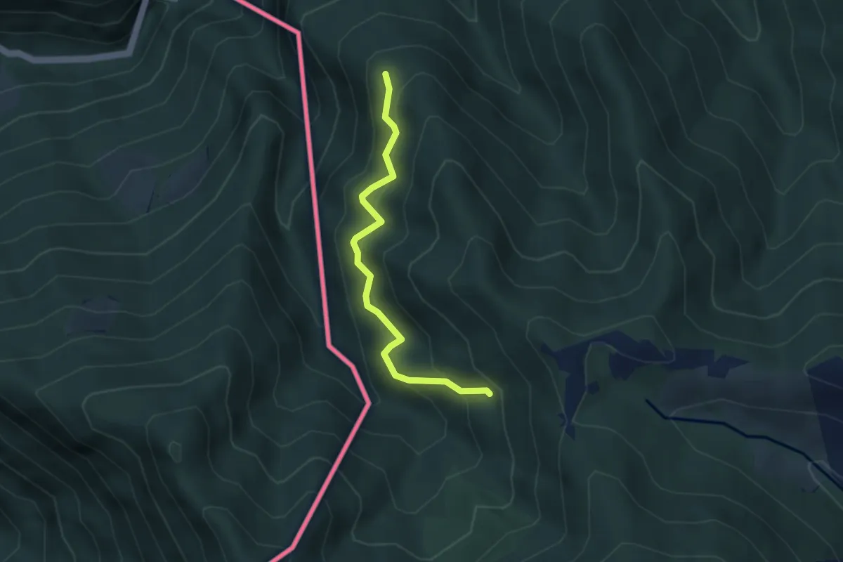
CamminaForeste - Tappa 8D
3.3 km · ↑ 349 m · 1 h 33 min · 14 km away
Medium · Summit
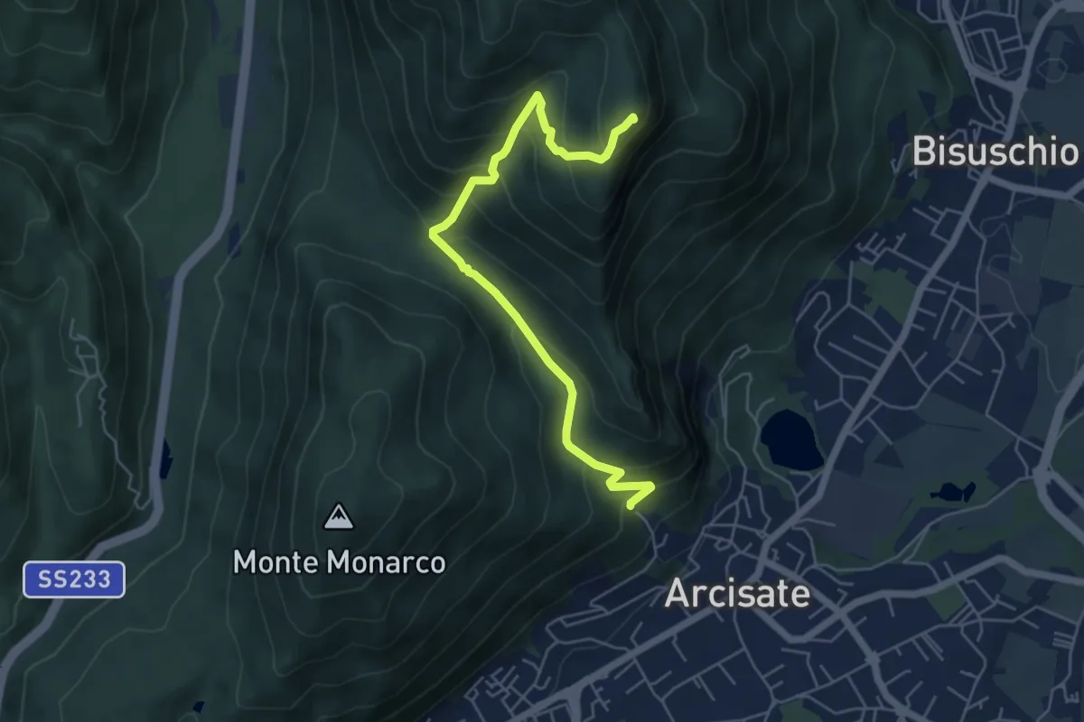
Arcisate - Monte Rho d'Arcisate
5.7 km · ↑ 441 m · 2 h 17 min · 14 km away
Medium · Trail
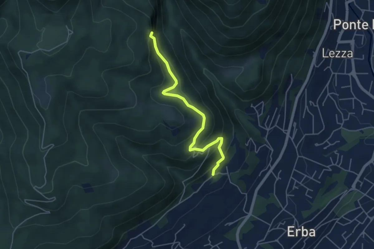
C.na Paradiso – Buco del Piombo
4.4 km · ↑ 324 m · 1 h 44 min · 14 km away
Medium · Trail
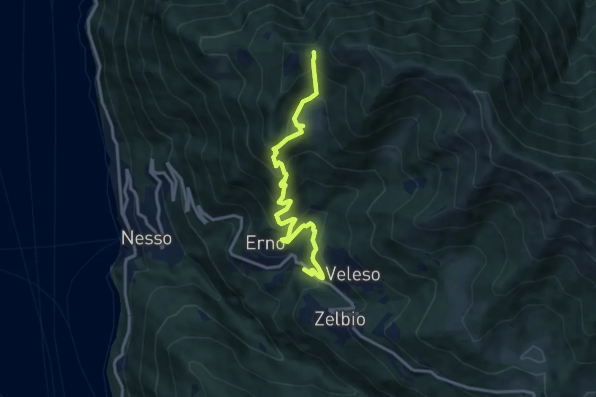
Veleso – La Forcoletta
7.9 km · ↑ 698 m · 3 h 23 min · 14 km away
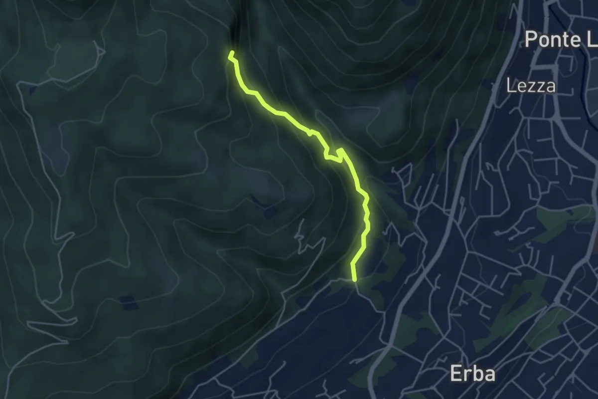
Demanding · Trail
C.na Ginocchio – Buco del Piombo
3.7 km · ↑ 335 m · 1 h 36 min · 14 km away
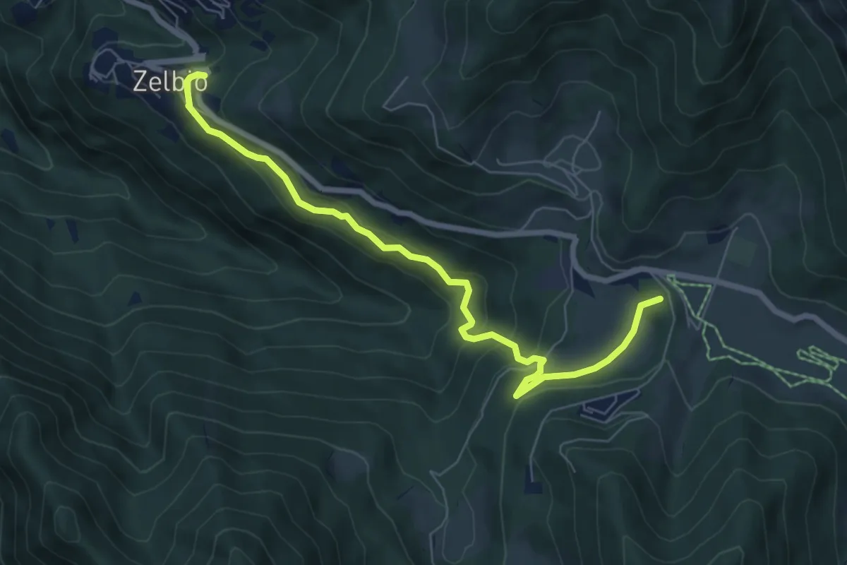
Medium · Summit
Zelbio – Il Dosso
7.1 km · ↑ 350 m · 2 h 26 min · 14 km away
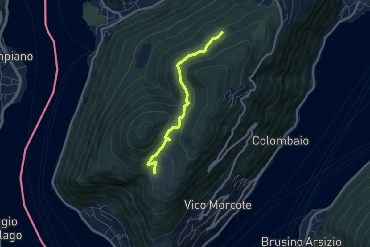
Easy · Trail
Alpe Vicania – Madonna d'Ongero
5.1 km · ↑ 213 m · 1 h 40 min · 14 km away
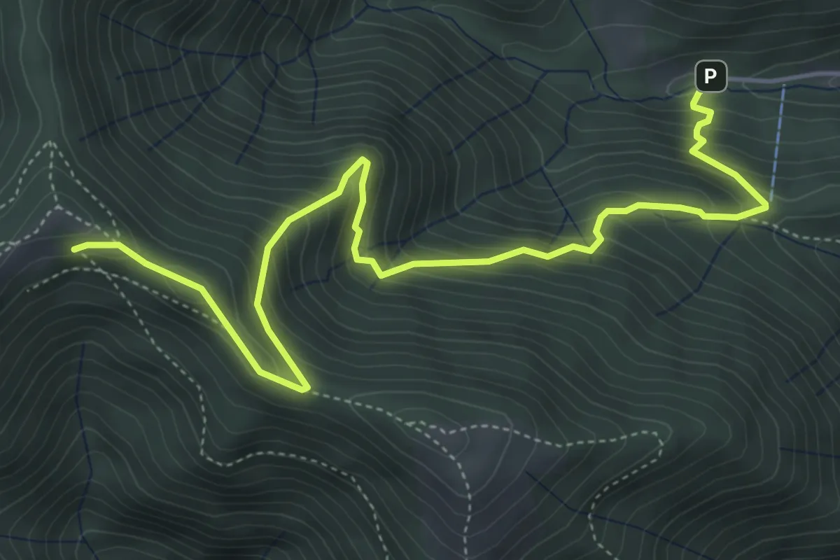
Medium · Cabin
Alpe del Prina – Rifugio Capanna Mara
6.2 km · ↑ 586 m · 2 h 44 min · 14 km away
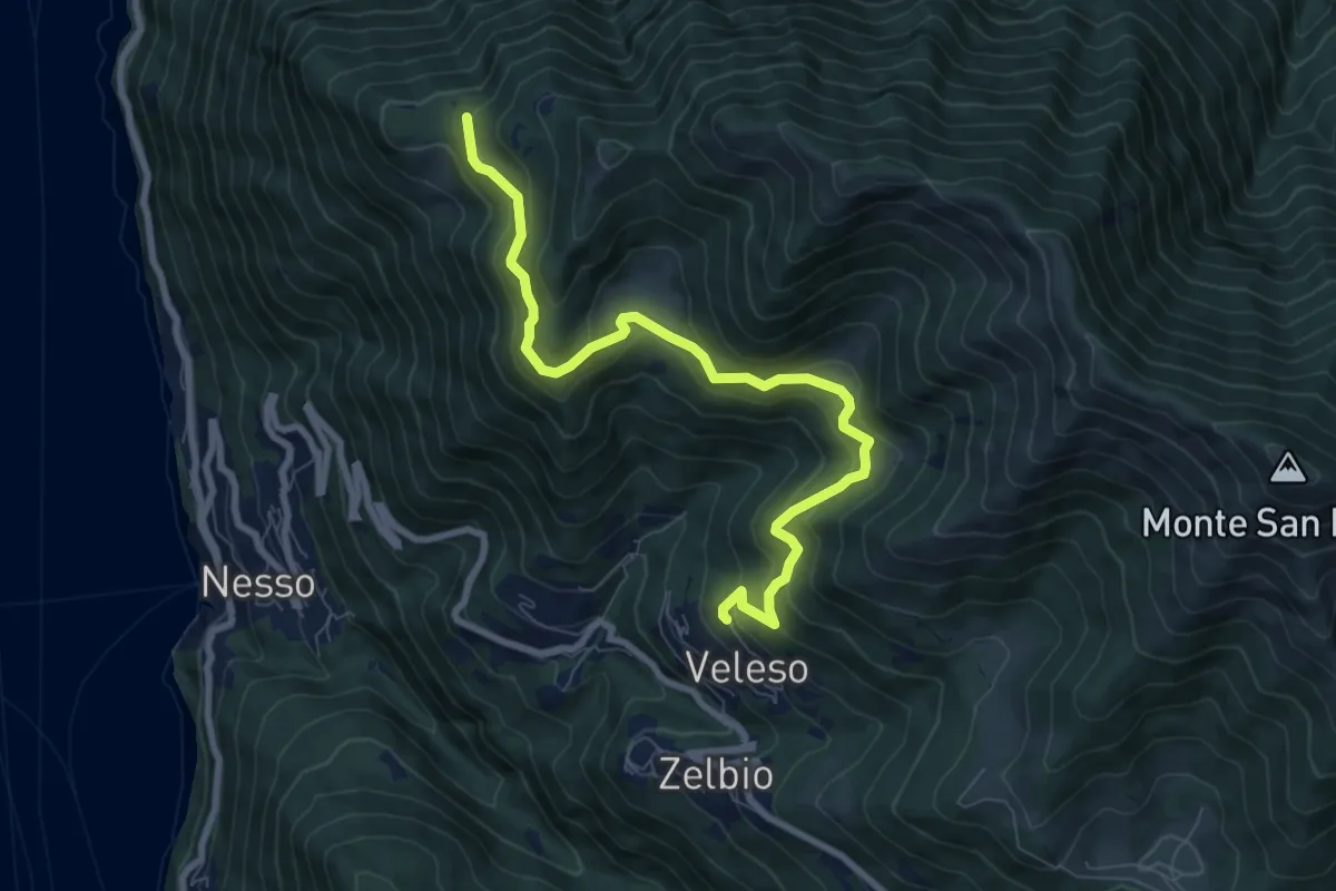
Medium · Trail
Veleso – Cresta NW M. Colmenacco
8.5 km · ↑ 502 m · 3 h 5 min · 14 km away
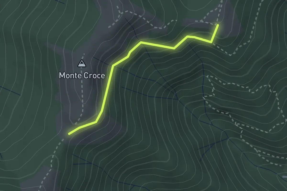
Medium · Summit
Ca' del Boschet – Bocchetta di Caglio
2.3 km · ↑ 128 m · 49 min · 14 km away
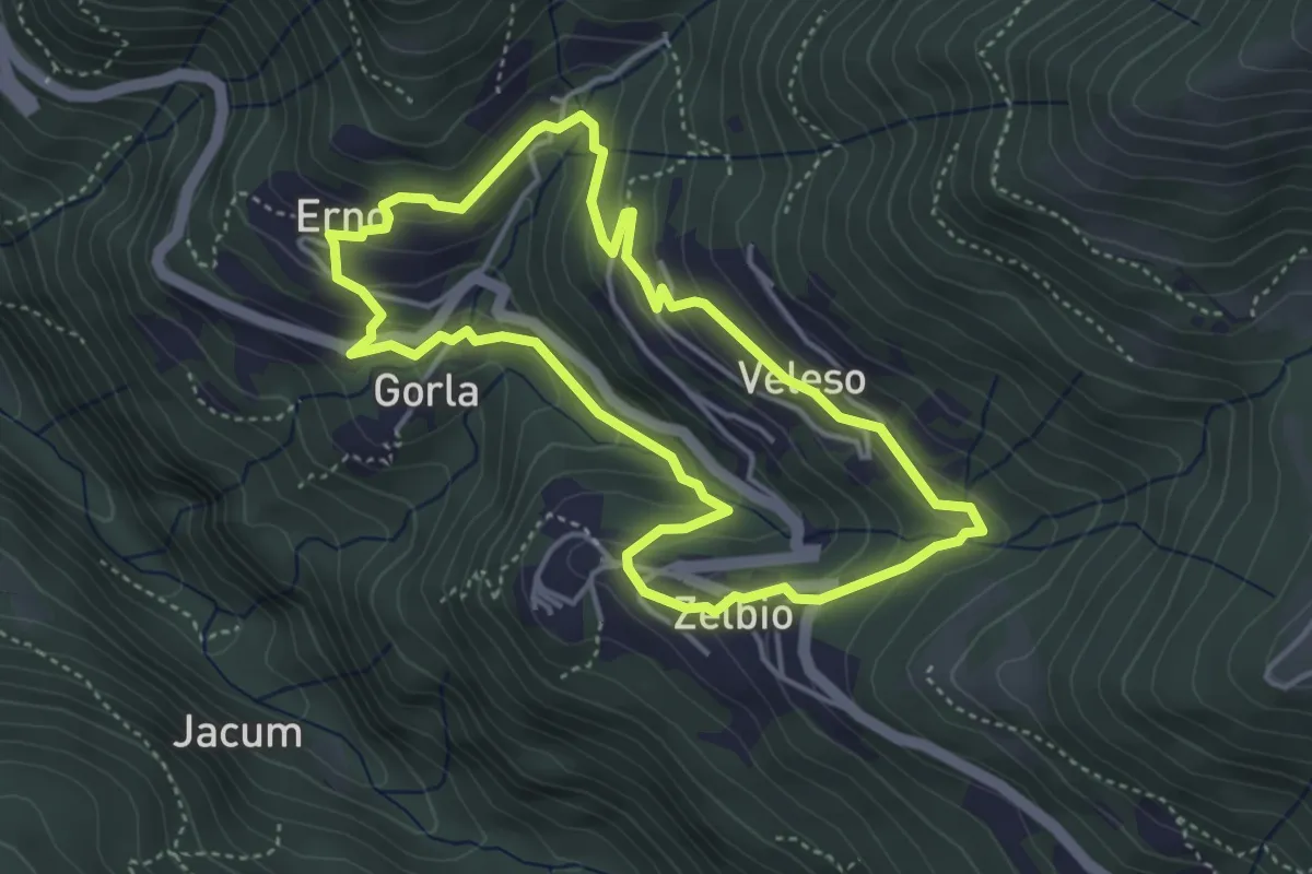
Easy · Trail
Anello dei tre campanili
4.0 km · ↑ 219 m · 1 h 29 min · 14 km away
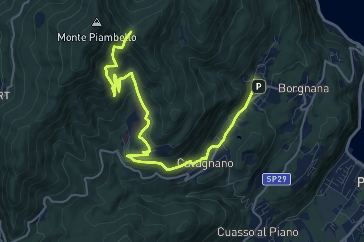
Medium · Trail
Cuasso al Monte – Bivio Bocchetta dei Frati
12.7 km · ↑ 635 m · 4 h 23 min · 14 km away
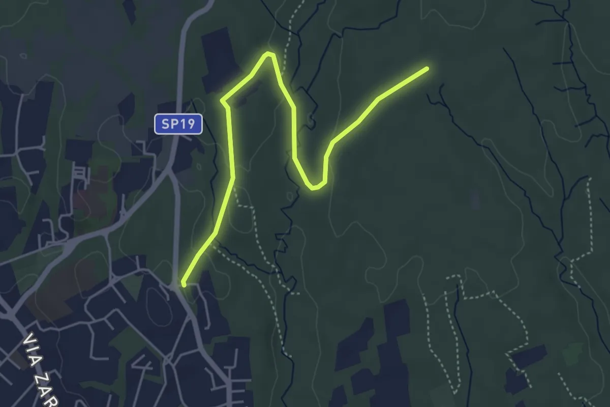
Easy · Trail
Appiano Gentile – Tradate
5.0 km · ↑ 70 m · 1 h 20 min · 14 km away
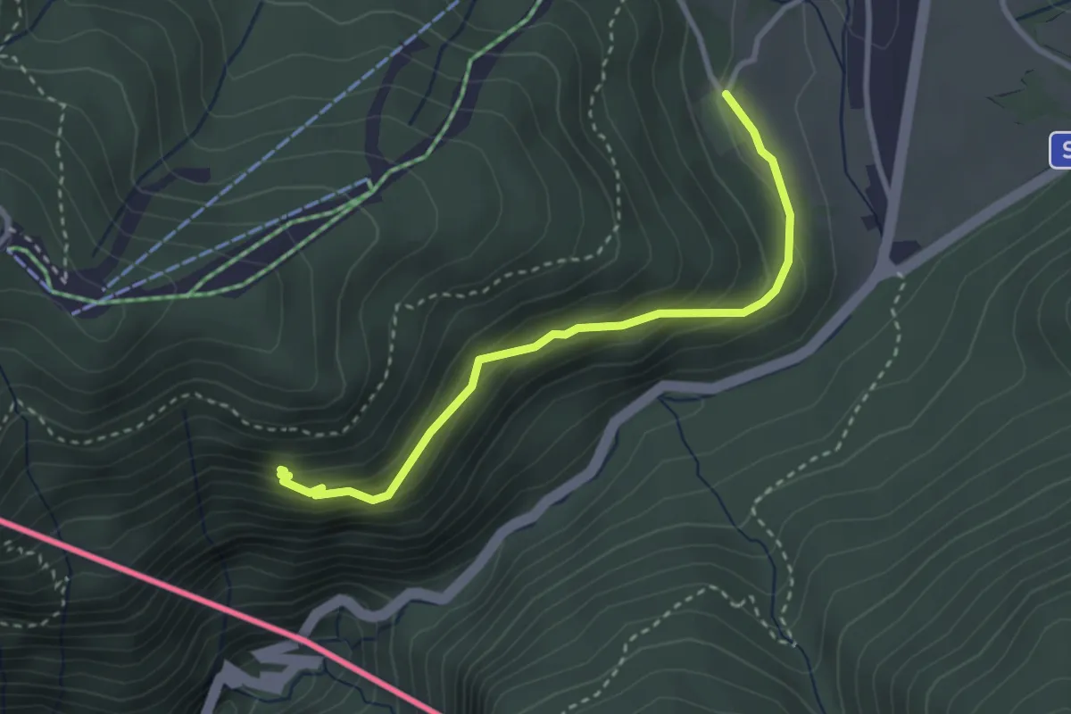
Easy · Trail
Alpe Bovisio – Lanzo
3.1 km · ↑ 208 m · 1 h 11 min · 15 km away
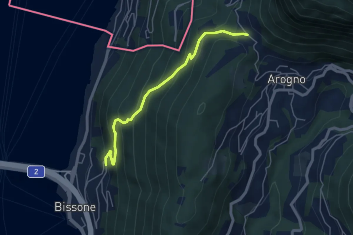
Medium · Trail
S. Vitale – Bissone
4.1 km · ↑ 337 m · 1 h 42 min · 15 km away
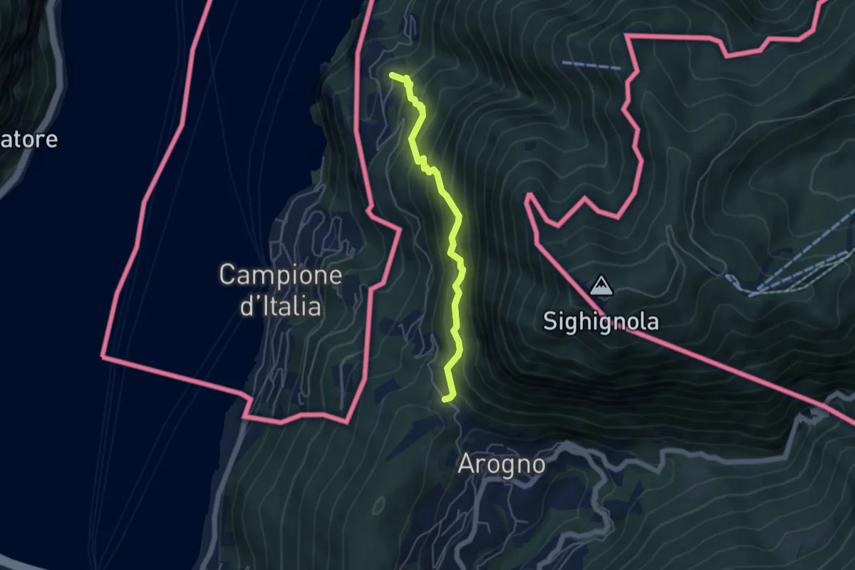
Medium · Trail
S. Vitale – Pugerna
4.4 km · ↑ 515 m · 2 h 10 min · 15 km away
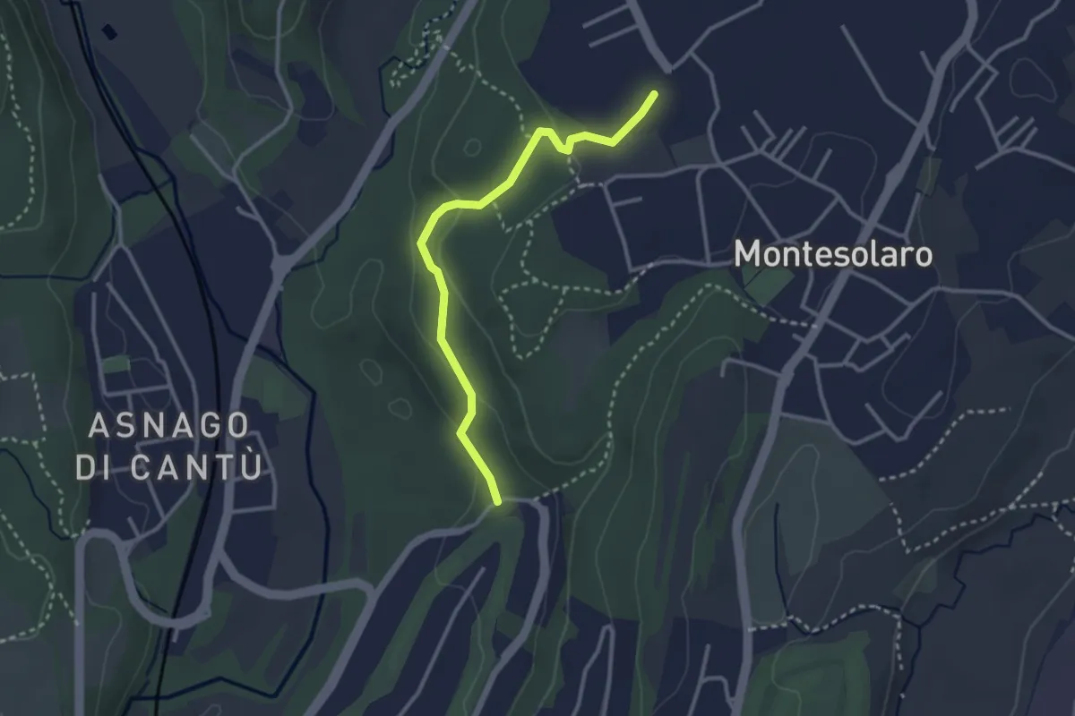
Easy · Trail
Carimate – Cantù
2.9 km · ↑ 102 m · 55 min · 15 km away
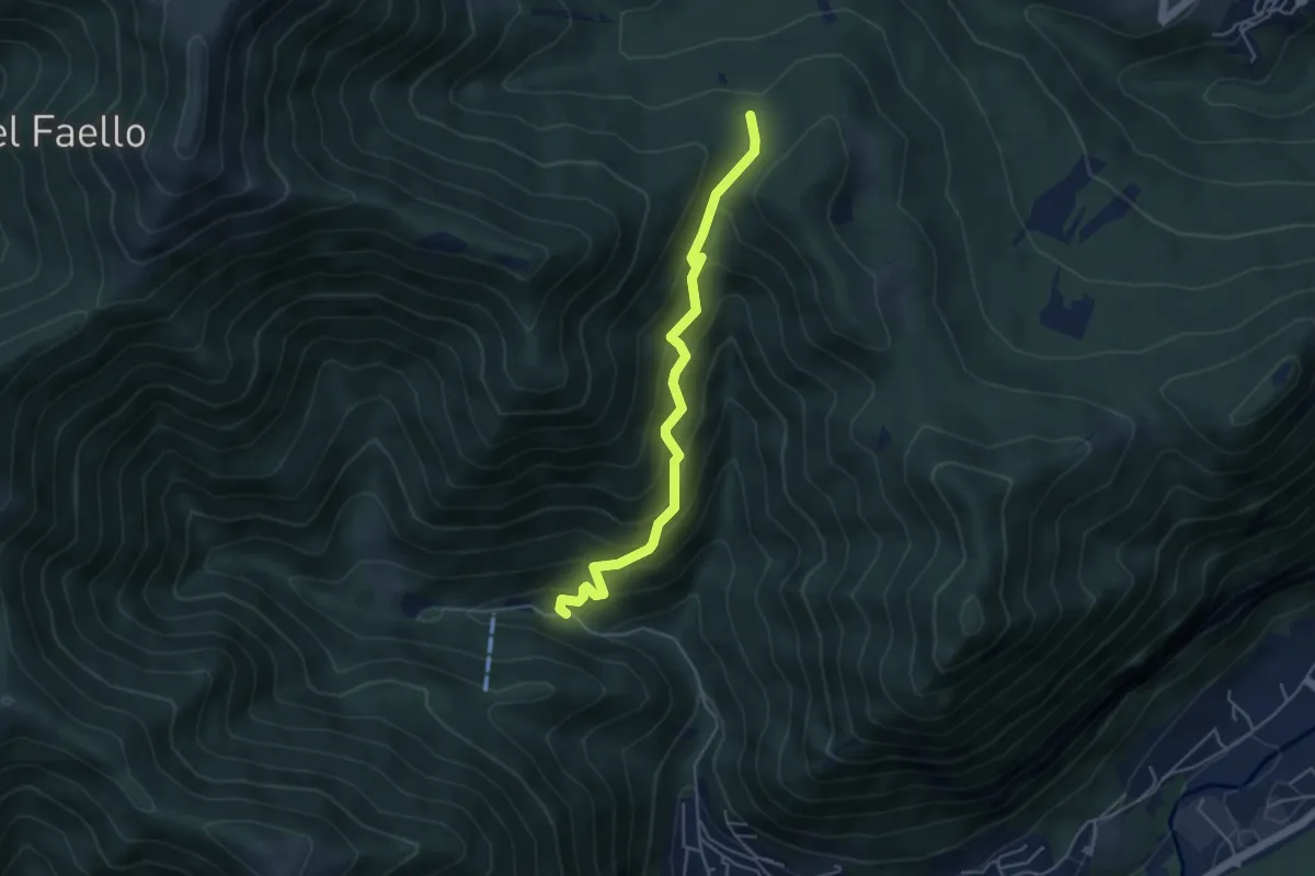
Medium · Trail
Forum Franciscanum – Bocchetta della Vallunga
4.6 km · ↑ 458 m · 2 h 5 min · 15 km away
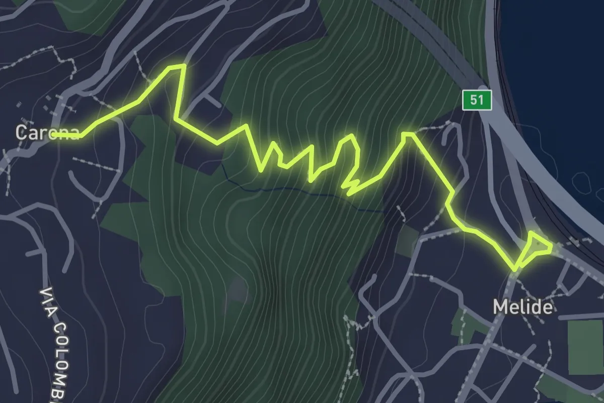
Medium · Trail
Melide – Carona
3.8 km · ↑ 326 m · 1 h 37 min · 15 km away
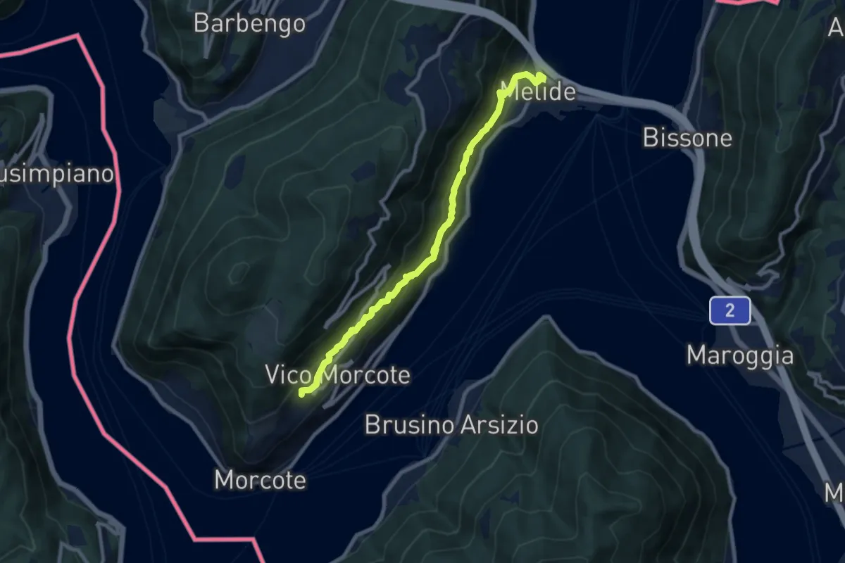
Medium · Trail
Melide – Vico Morcote
8.9 km · ↑ 487 m · 3 h 9 min · 15 km away
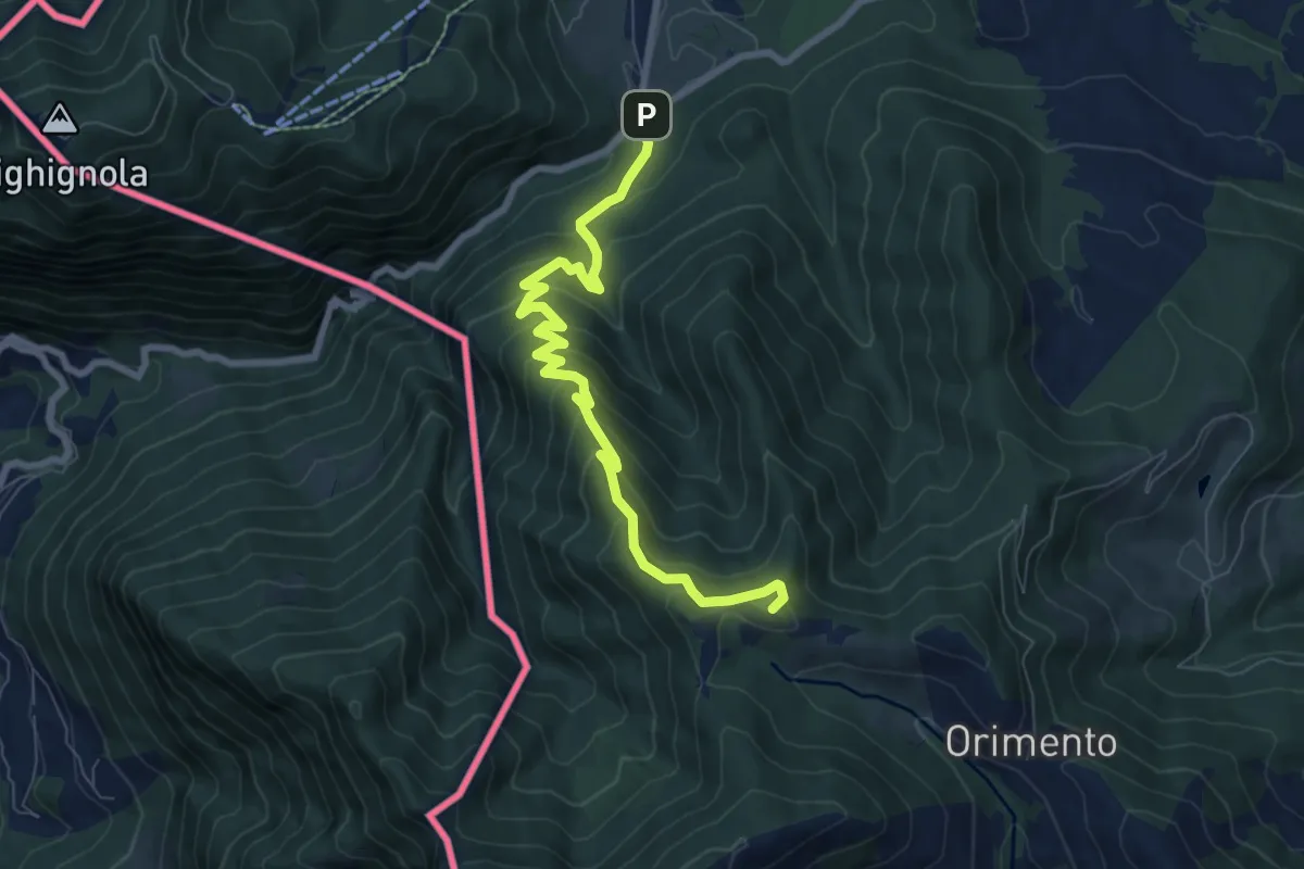
Medium · Summit
Lanzo d'Intelvi (bivio Crotto Dogana) – Orimento
8.1 km · ↑ 565 m · 3 h 9 min · 15 km away
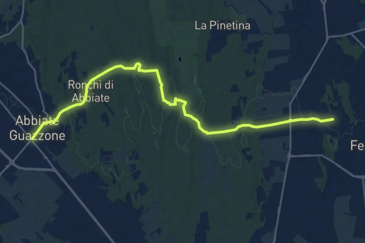
Medium · Trail
Sentiero 844
14.8 km · ↑ 205 m · 3 h 57 min · 15 km away
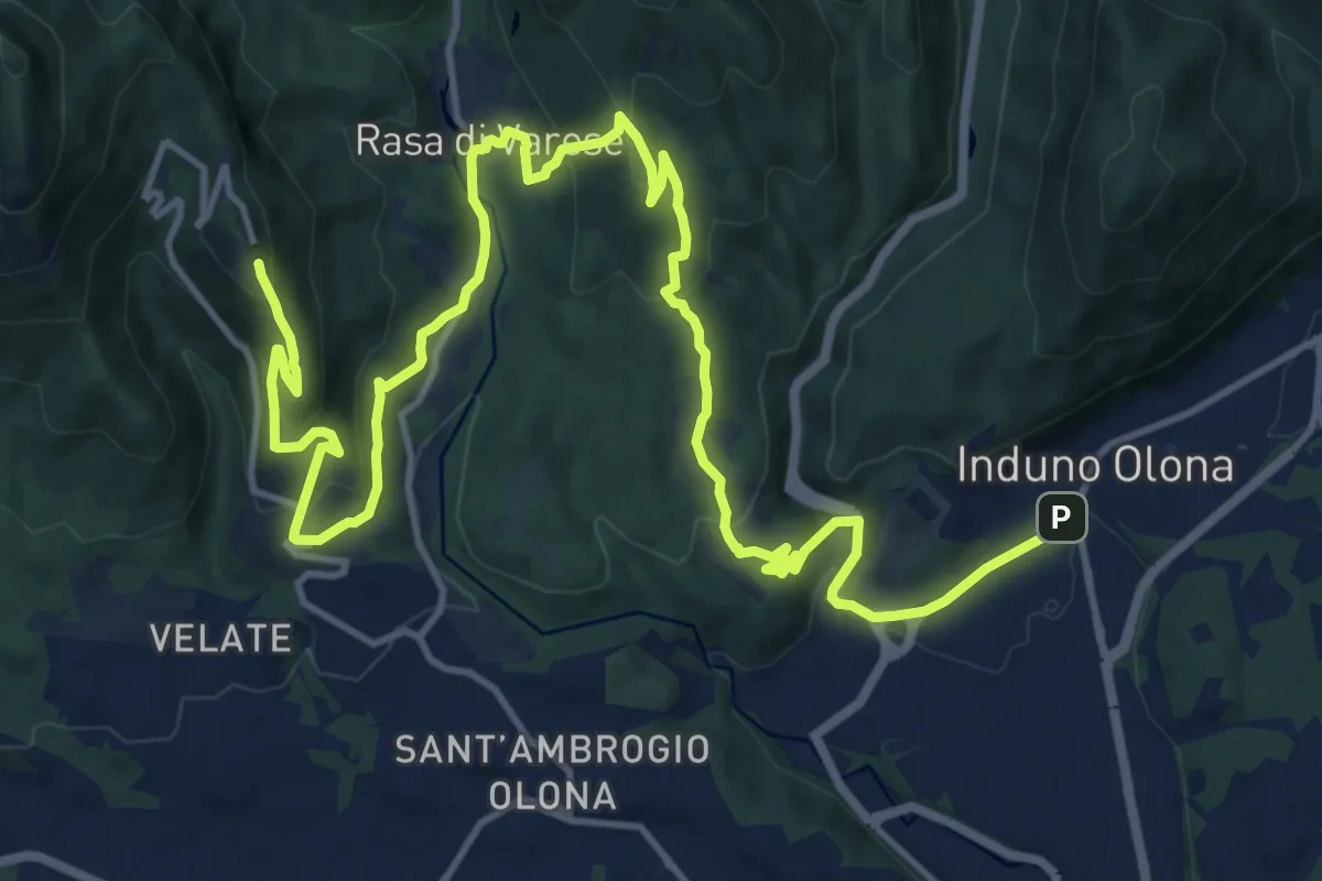
Demanding · Trail
Via Verde Varesina tappa 2
20.7 km · ↑ 902 m · 6 h 50 min · 15 km away
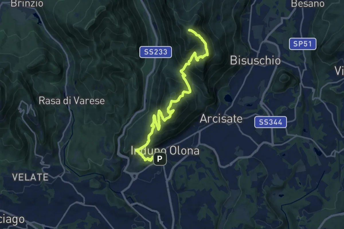
Demanding · Summit
Porto Ceresio – Induno Olona
16.4 km · ↑ 1108 m · 6 h 16 min · 15 km away
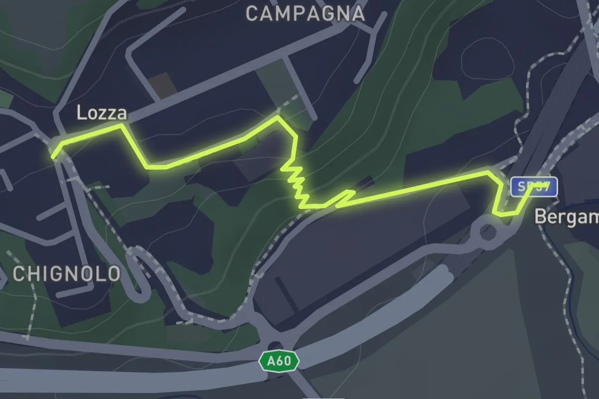
Easy · Trail
Collegamento Lozza - Dorsale RTO
2.3 km · ↑ 54 m · 40 min · 15 km away
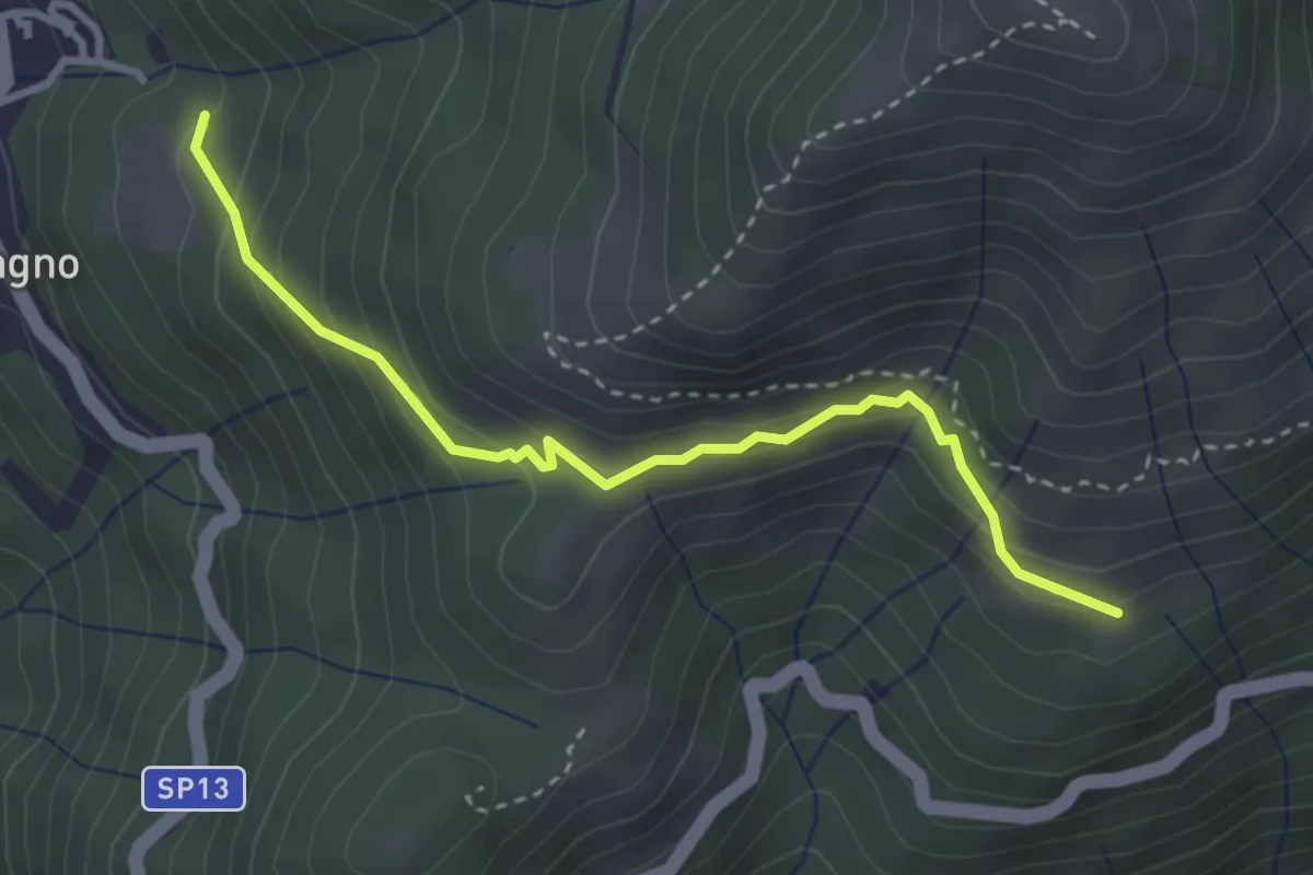
Expert · Trail
Blessagno Mulattiera Pianeria Tapascion
3.3 km · ↑ 237 m · 1 h 18 min · 15 km away
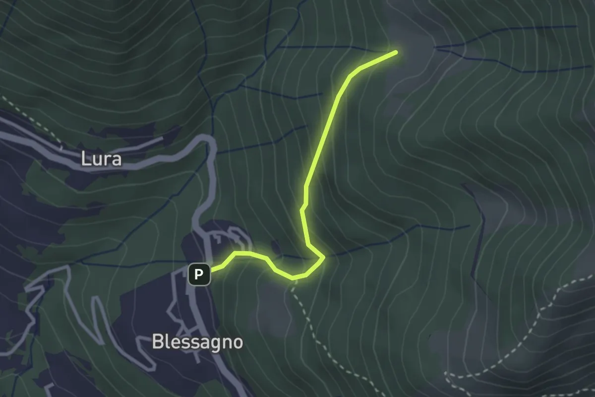
Easy · Cabin
Blessagno – Alpe di Blessagno
2.3 km · ↑ 267 m · 1 h 7 min · 15 km away