Trails near Cividale del Friuli
92 hikes starting within 15 km, nearest first.
Nearest first, page 1 of 2
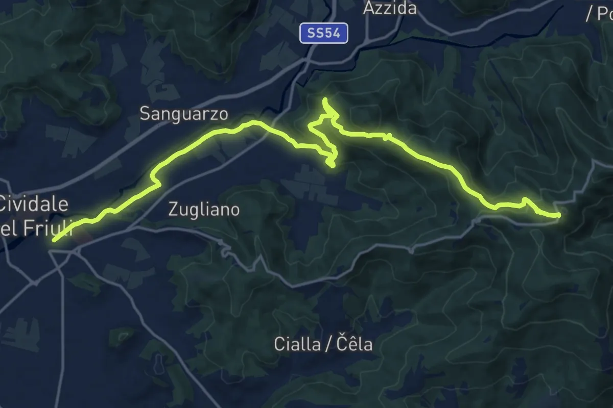
Demanding · Trail
Castelmonte (quota 618 m) – Cividale (quota 131 m)
19.9 km · ↑ 696 m · 6 h 12 min · under 1 km away
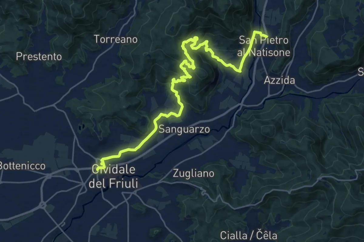
Demanding · Trail
Cividale (quota 132 m) – San Pietro (quota 171 m)
24.0 km · ↑ 684 m · 7 h 9 min · under 1 km away
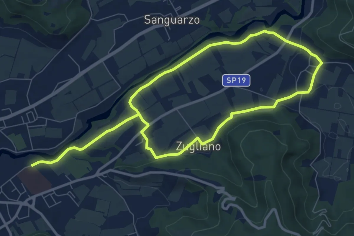
Easy · Trail
Anello Sud del Natisone
6.3 km · ↑ 60 m · 1 h 41 min · 1 km away
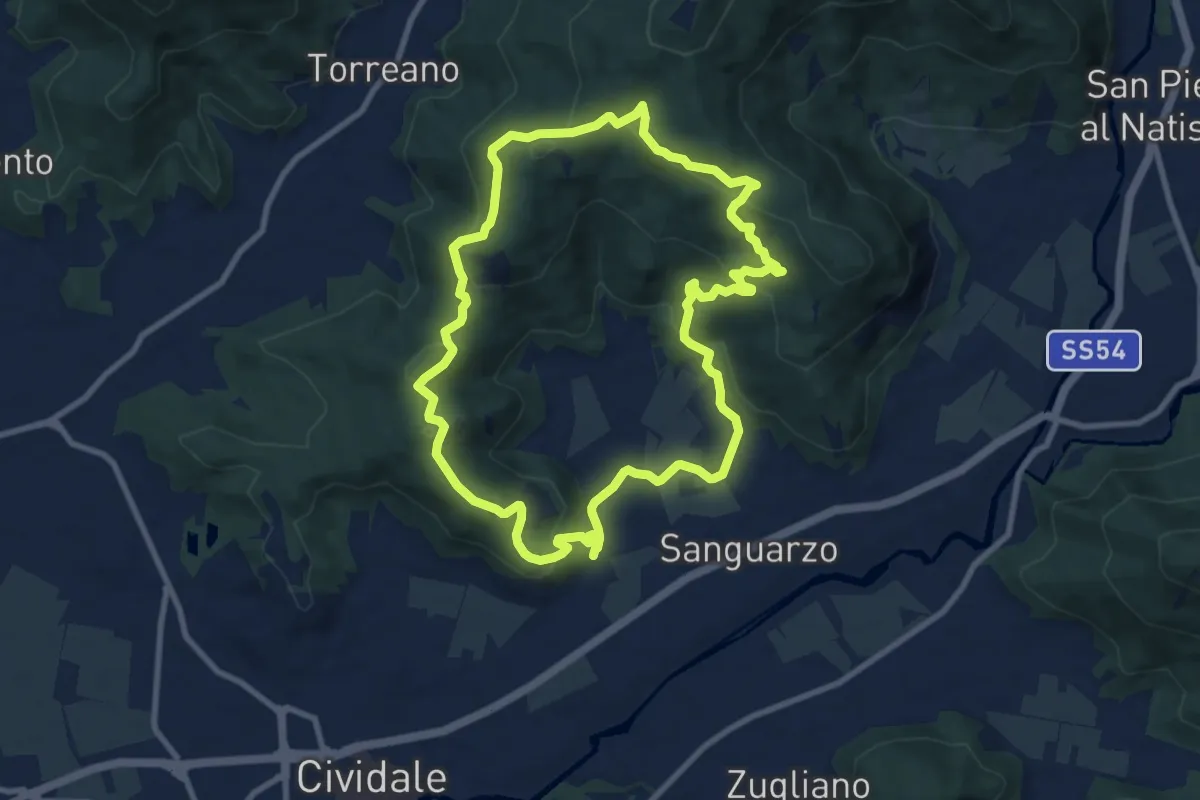
Medium · Summit
Anello di Guspergo
9.1 km · ↑ 338 m · 3 h 1 min · 2 km away
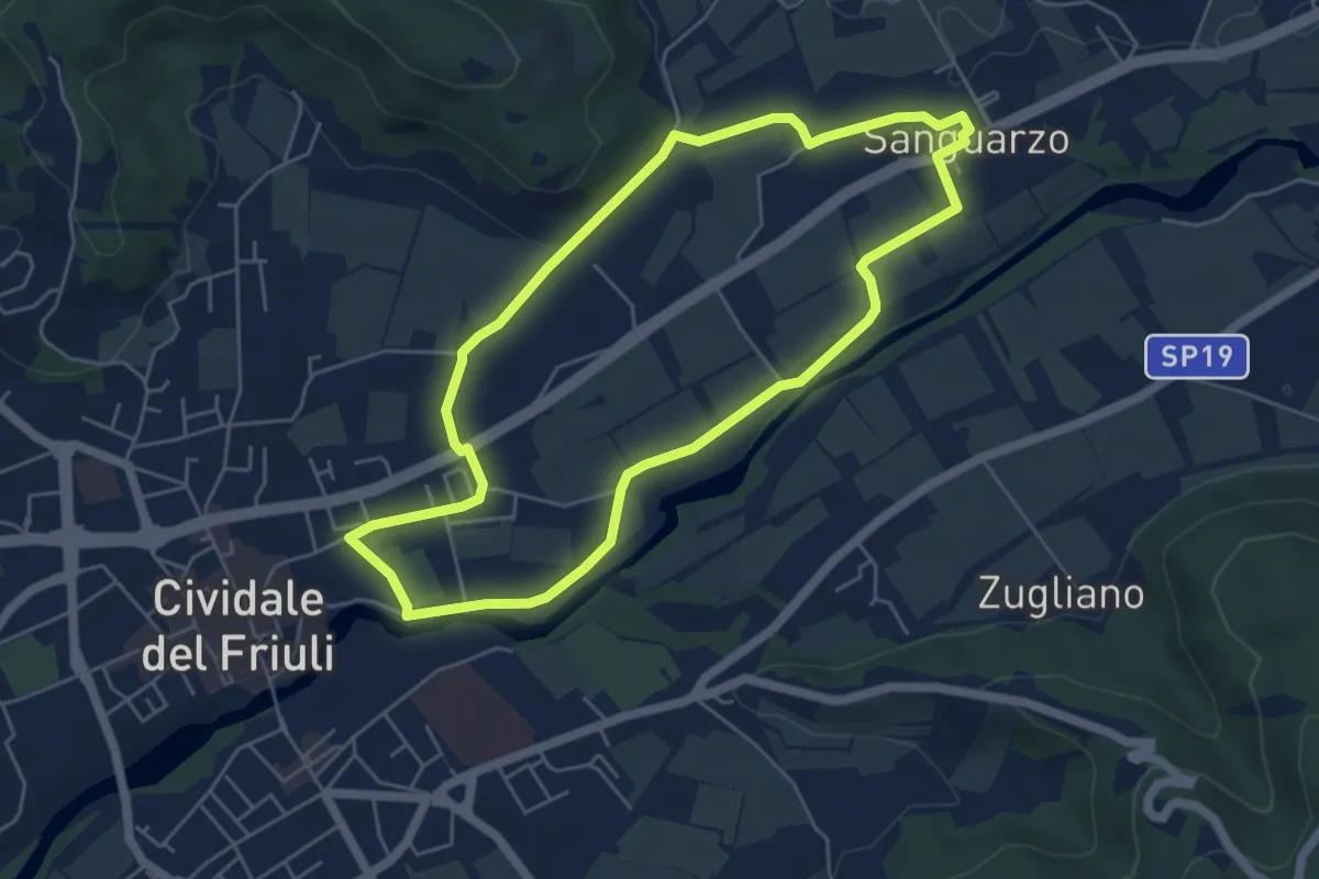
Easy · Trail
Anello Nord del Natisone
5.2 km · ↑ 40 m · 1 h 23 min · 2 km away
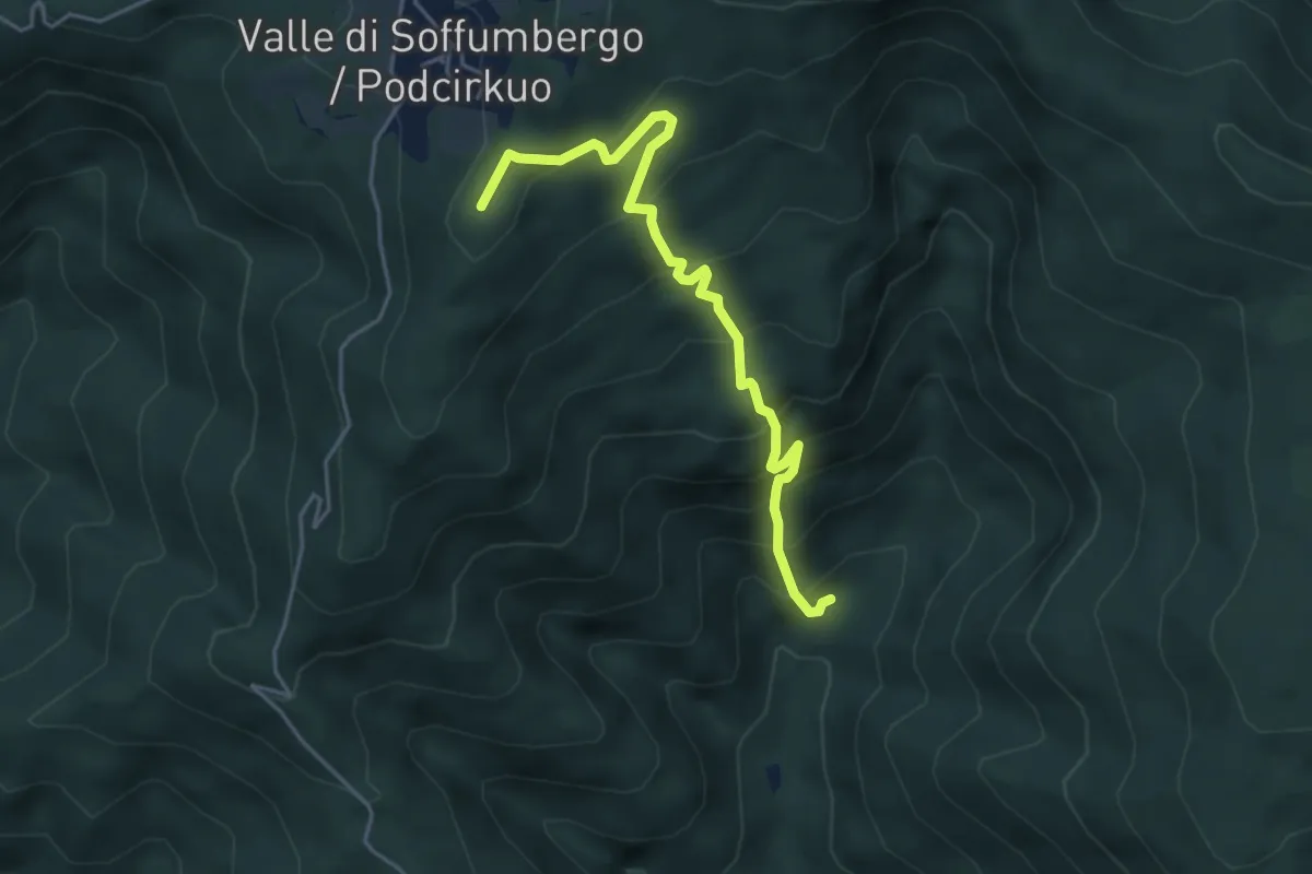
Medium · Summit
Sentiero delle Grotte
4.7 km · ↑ 468 m · 2 h 7 min · 6 km away
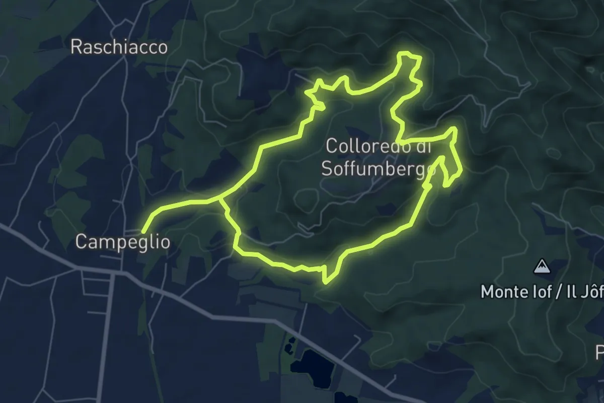
Medium · Trail
Anello della Fontana Rossa
13.0 km · ↑ 554 m · 4 h 16 min · 6 km away
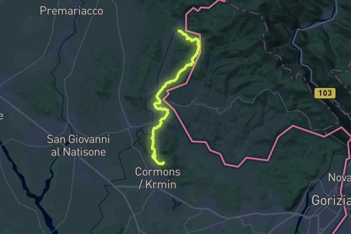
Demanding · Summit
Gradisca ponte sull'Isonzo (quota 32 m) – Mernicco (quota 180 m)
30.3 km · ↑ 1003 m · 9 h 20 min · 7 km away
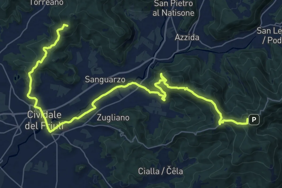
Demanding · Summit
Cammino Celeste Italia - 4 Castelmonte -Masarolis
30.9 km · ↑ 990 m · 9 h 27 min · 7 km away
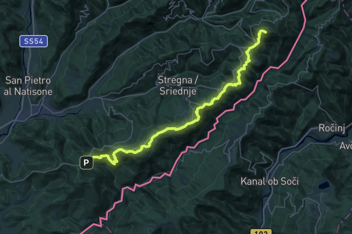
Demanding · Summit
Clabuzzaro – Castelmonte
29.6 km · ↑ 1411 m · 10 h 3 min · 7 km away
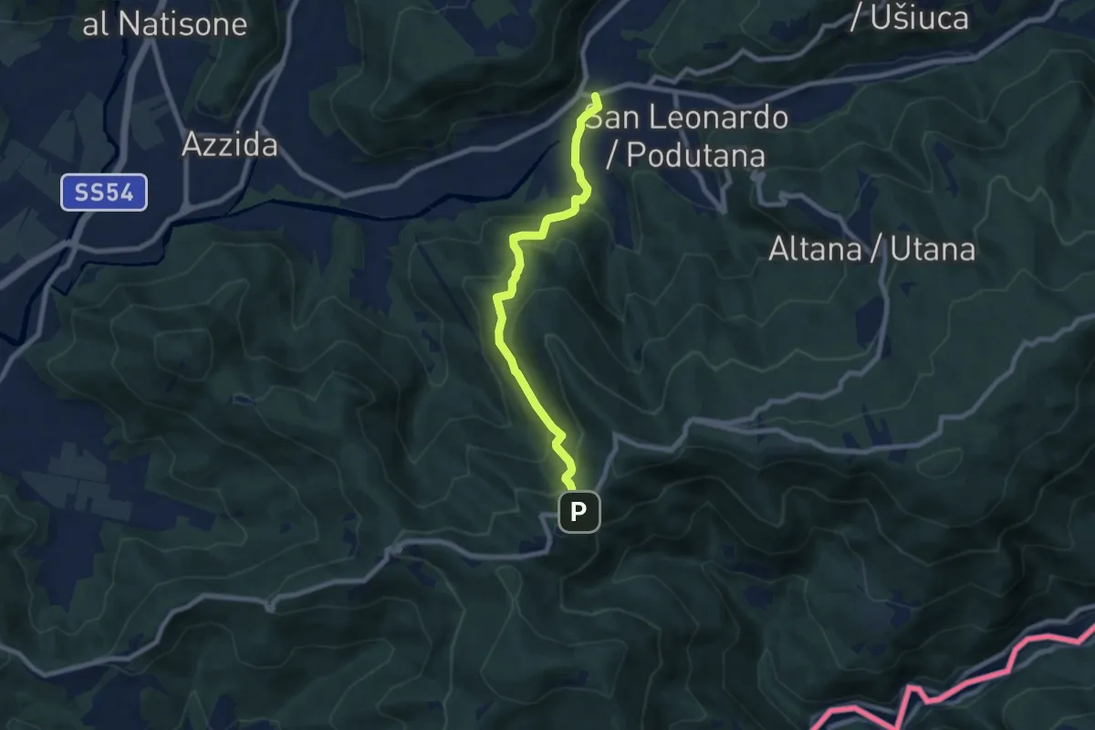
Medium · Trail
Scrutto (quota 160 m) – Incrocio sentiero n. 747 (sotto Castelmonte) (quota 540 m)
7.4 km · ↑ 450 m · 2 h 43 min · 7 km away
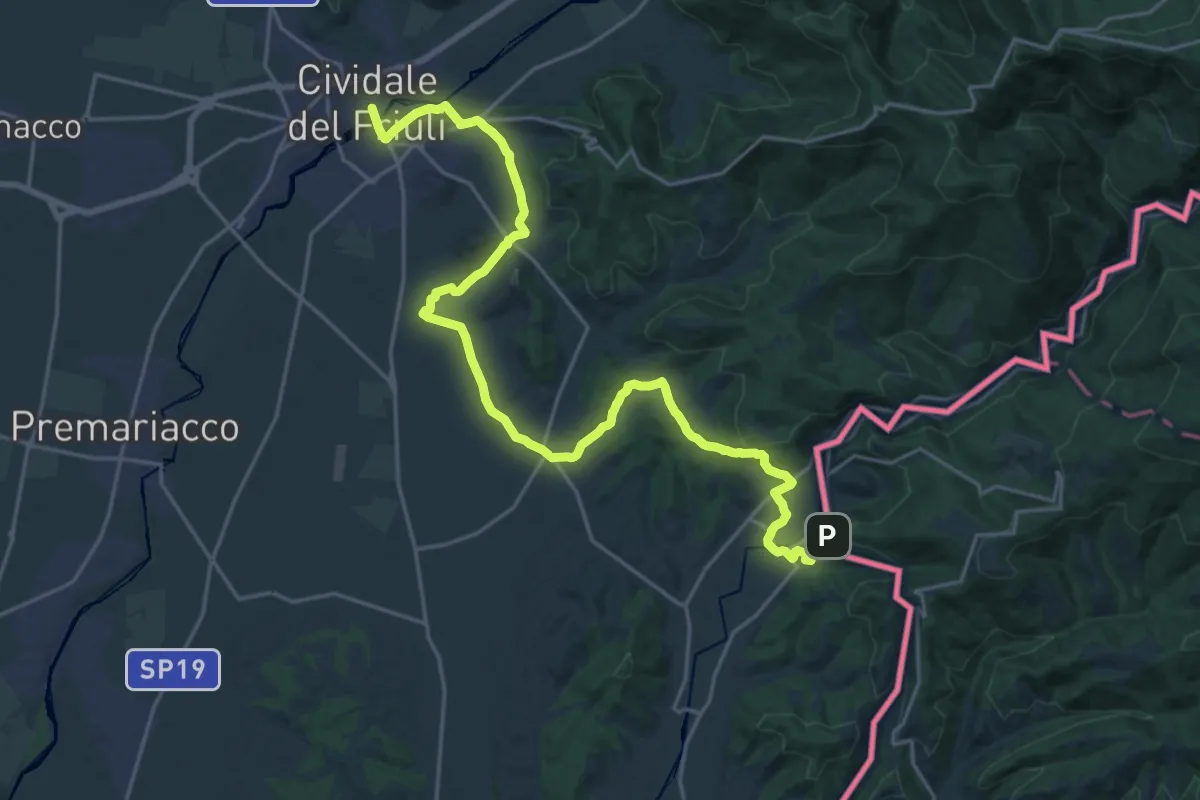
Demanding · Trail
Alpe Adria Trail E29
26.1 km · ↑ 353 m · 6 h 55 min · 7 km away
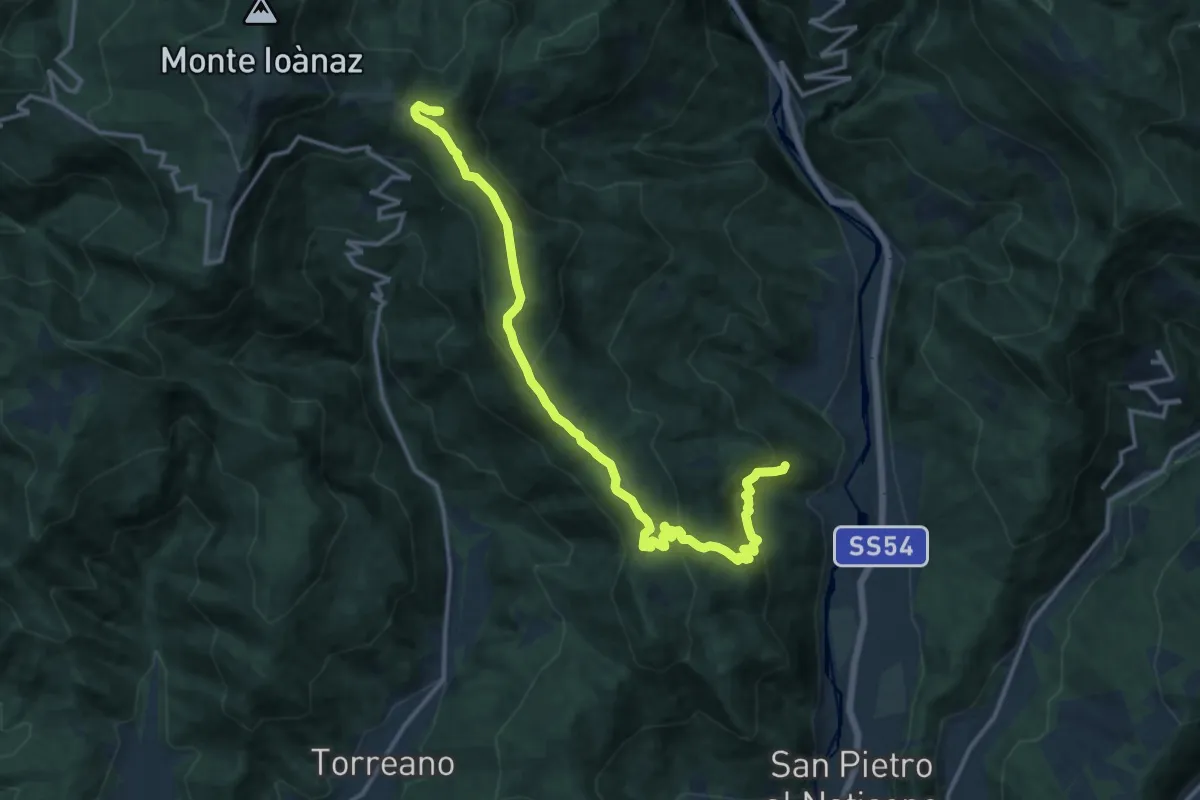
Demanding · Summit
Antro (quota 320 m) – Montefosca (quota 707 m)
15.8 km · ↑ 894 m · 5 h 40 min · 7 km away
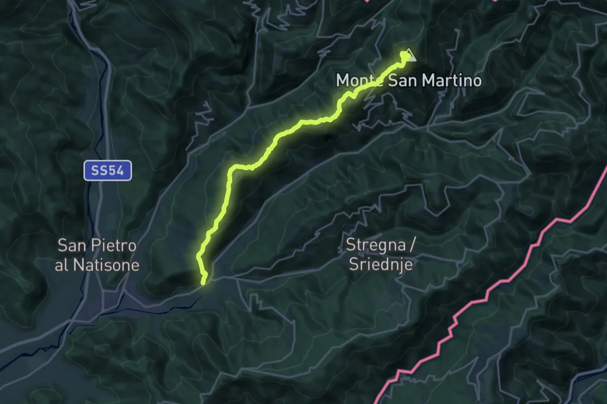
Demanding · Summit
Scrutto (quota 160 m) – Bocchetta di Topolò (Kjuc) (quota 810 m)
19.7 km · ↑ 1092 m · 7 h 1 min · 8 km away
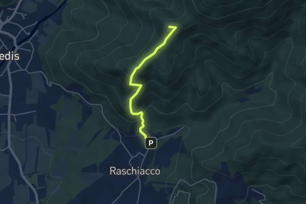
Easy · Summit
Raschiacco – Costalunga
3.2 km · ↑ 280 m · 1 h 21 min · 8 km away
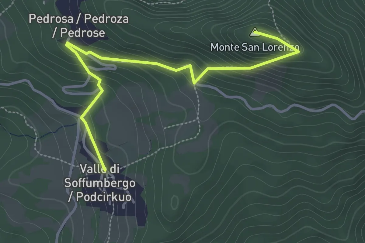
Easy · Summit
Sentiero del Monte San orenzo
3.4 km · ↑ 222 m · 1 h 17 min · 8 km away
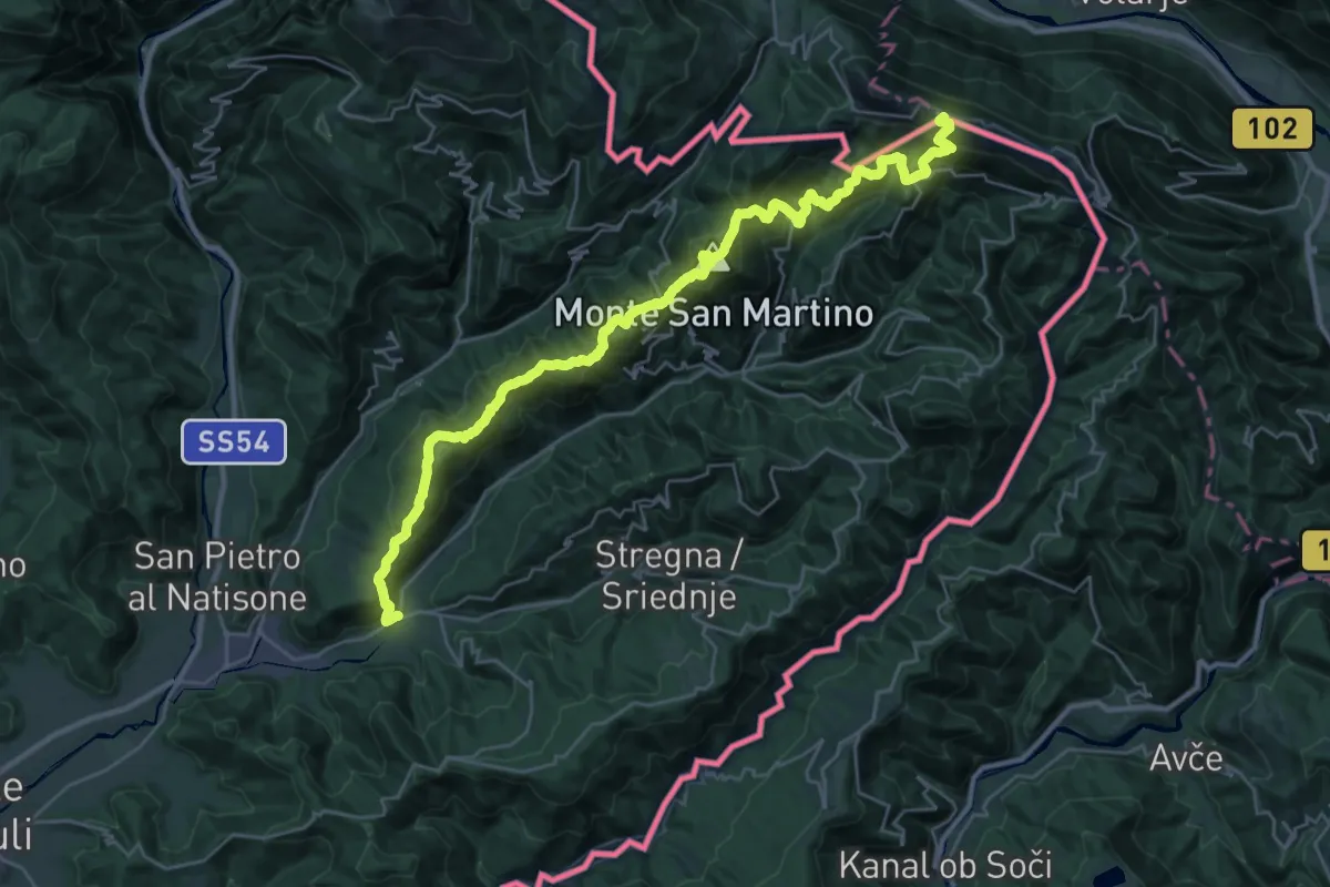
Demanding · Summit
Hst. Scrutto – Rif. Casoni Solarie
34.5 km · ↑ 2376 m · 13 h 17 min · 8 km away
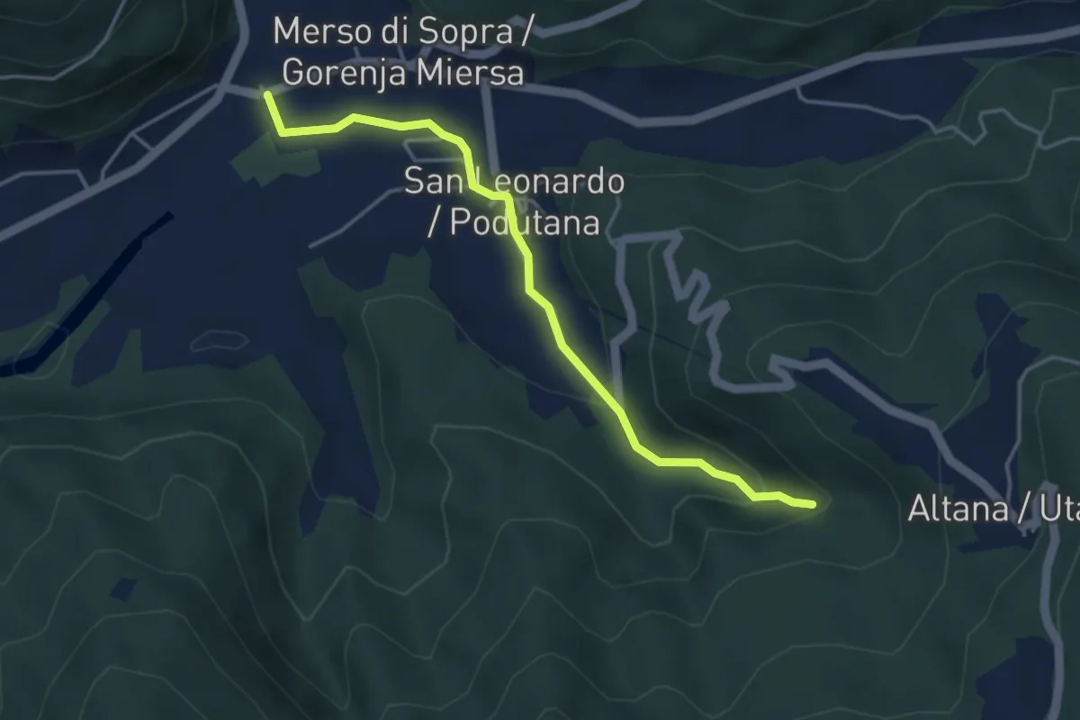
Medium · Trail
Municipio San Leonardo (quota 159 m) – cascata Kot (quota 254 m)
4.0 km · ↑ 135 m · 1 h 15 min · 8 km away
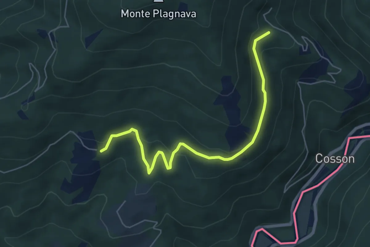
Easy · Trail
Castelmonte – Albana
5.5 km · ↑ 236 m · 1 h 49 min · 8 km away
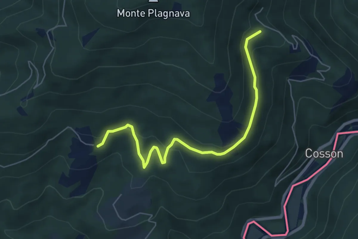
Easy · Trail
Castelmonte – Albana / Ibána
5.5 km · ↑ 236 m · 1 h 49 min · 8 km away
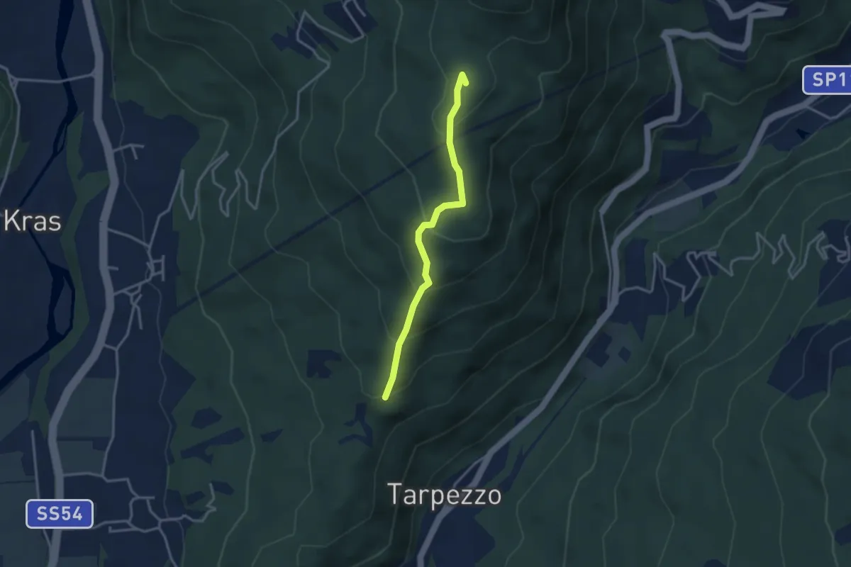
Medium · Summit
Località Makota (quota 360 m) – Passo S. Canziano (quota 658 m)
3.0 km · ↑ 208 m · 1 h 9 min · 8 km away
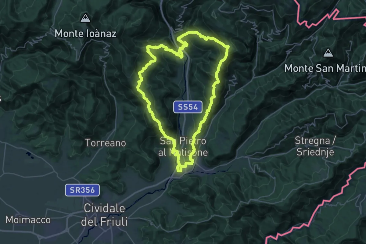
Demanding · Summit
Trail nelle valli del Natisone
26.1 km · ↑ 1468 m · 9 h 42 min · 8 km away
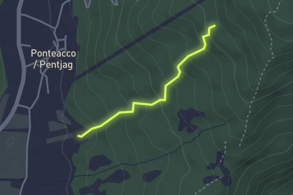
Easy · Trail
Rupa Trail
2.1 km · ↑ 198 m · 55 min · 8 km away
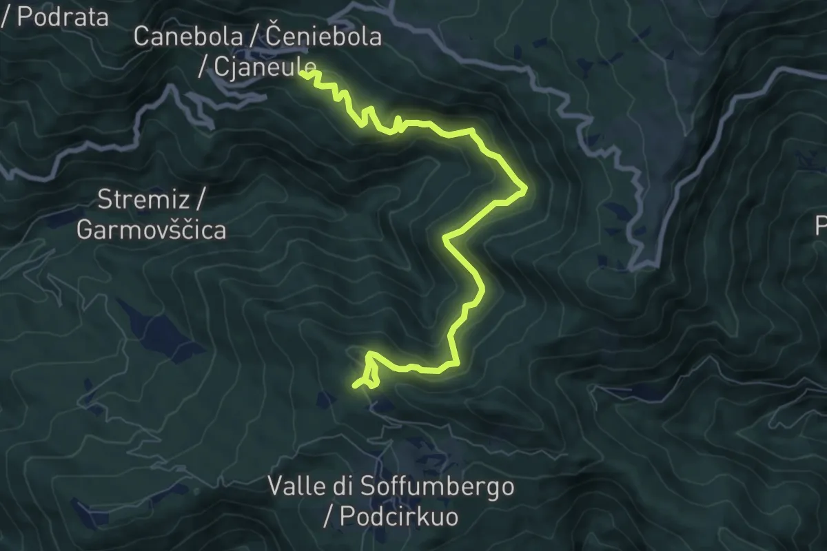
Medium · Trail
Sentiero Canebola - Pedrosa
8.8 km · ↑ 567 m · 3 h 19 min · 8 km away
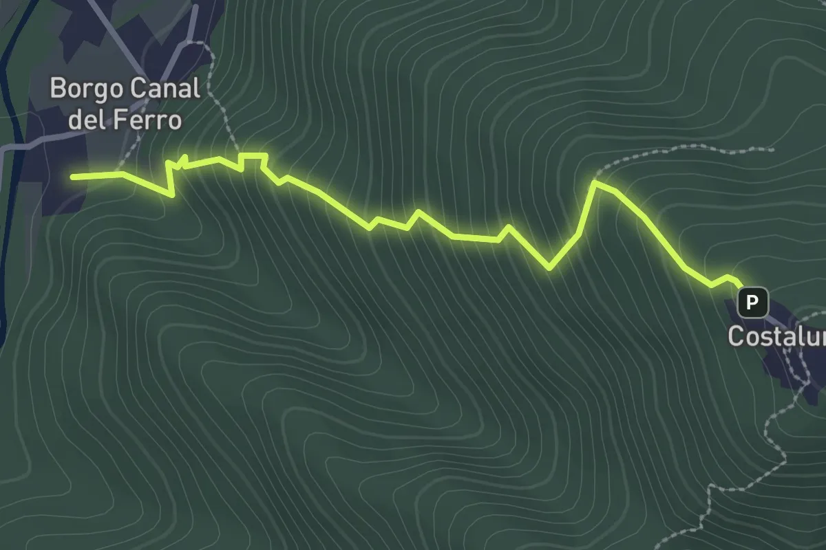
Medium · Trail
Sentiero di Costalunga
2.9 km · ↑ 386 m · 1 h 31 min · 8 km away
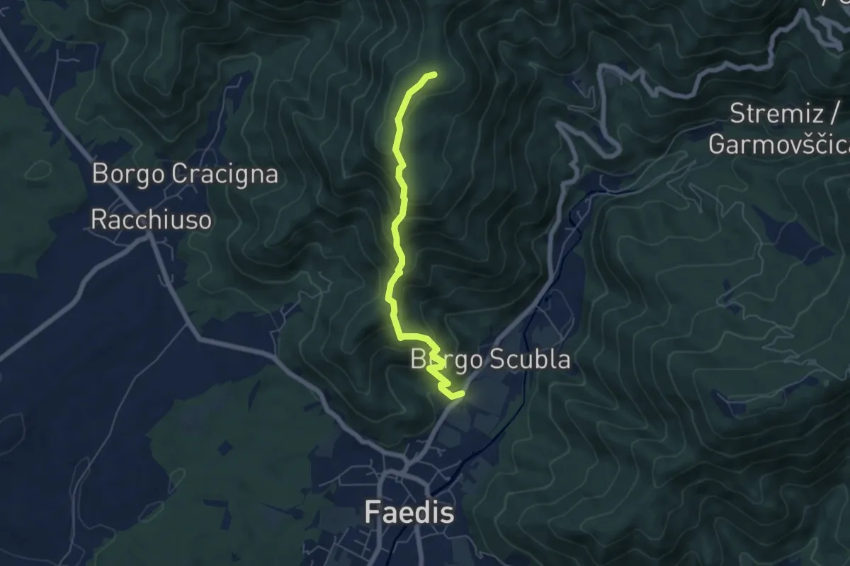
Medium · Summit
Sentiero dei castelli di Faedis
5.3 km · ↑ 421 m · 2 h 9 min · 9 km away
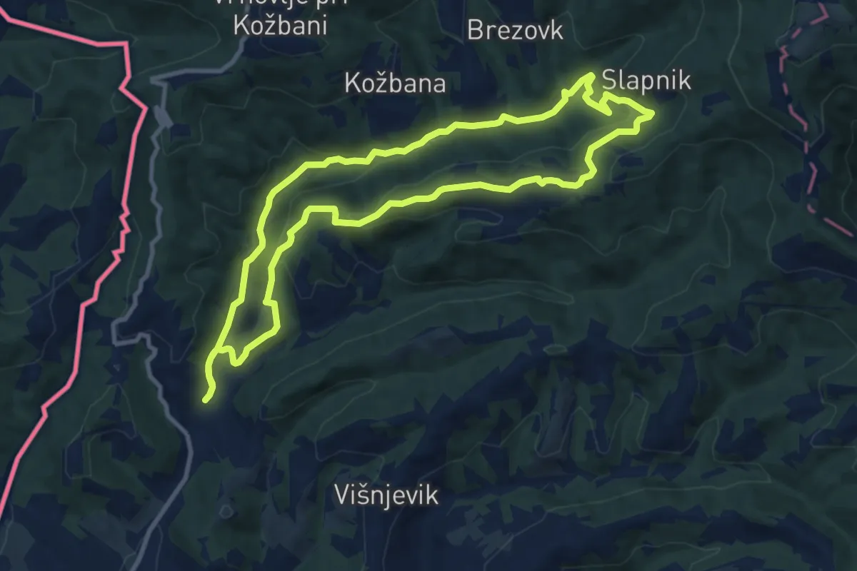
Medium · Summit
Trcinka
9.4 km · ↑ 322 m · 3 h 3 min · 9 km away
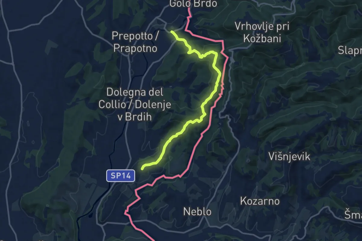
Medium · Trail
Cammino Celeste Italia - 3 Cormons - Castelmonte
11.8 km · ↑ 468 m · 3 h 48 min · 9 km away
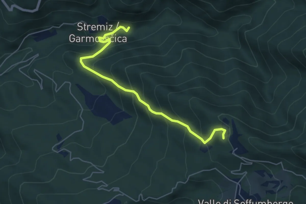
Medium · Trail
Sentiero Canal di Grivò
5.1 km · ↑ 457 m · 2 h 11 min · 10 km away
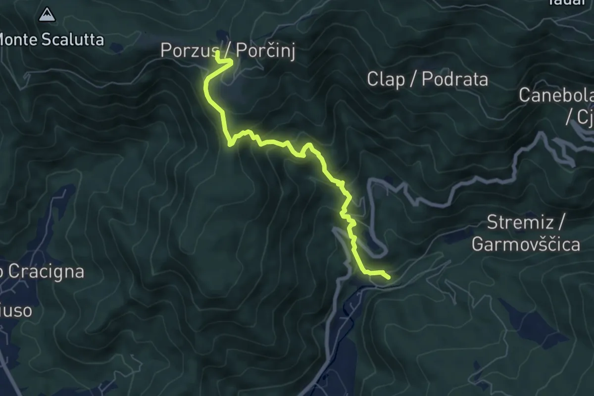
Medium · Trail
Canal del Grivò - Porzûs
6.2 km · ↑ 521 m · 2 h 36 min · 10 km away
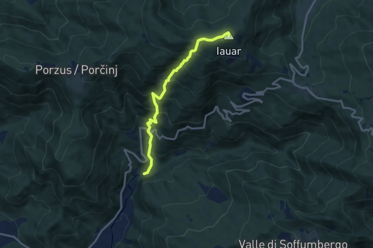
Medium · Summit
Percorso per le Malghe di Porzus
7.1 km · ↑ 753 m · 3 h 18 min · 10 km away
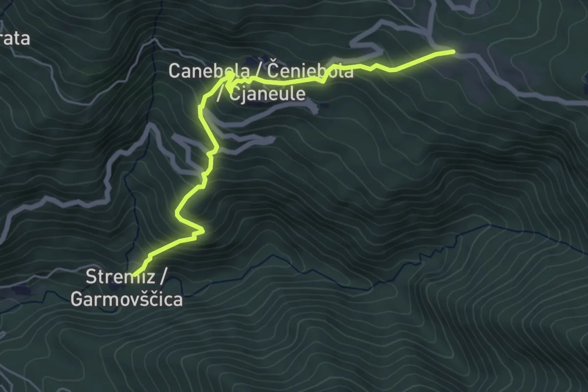
Medium · Trail
Sentiero di Canebola
5.1 km · ↑ 477 m · 2 h 14 min · 10 km away
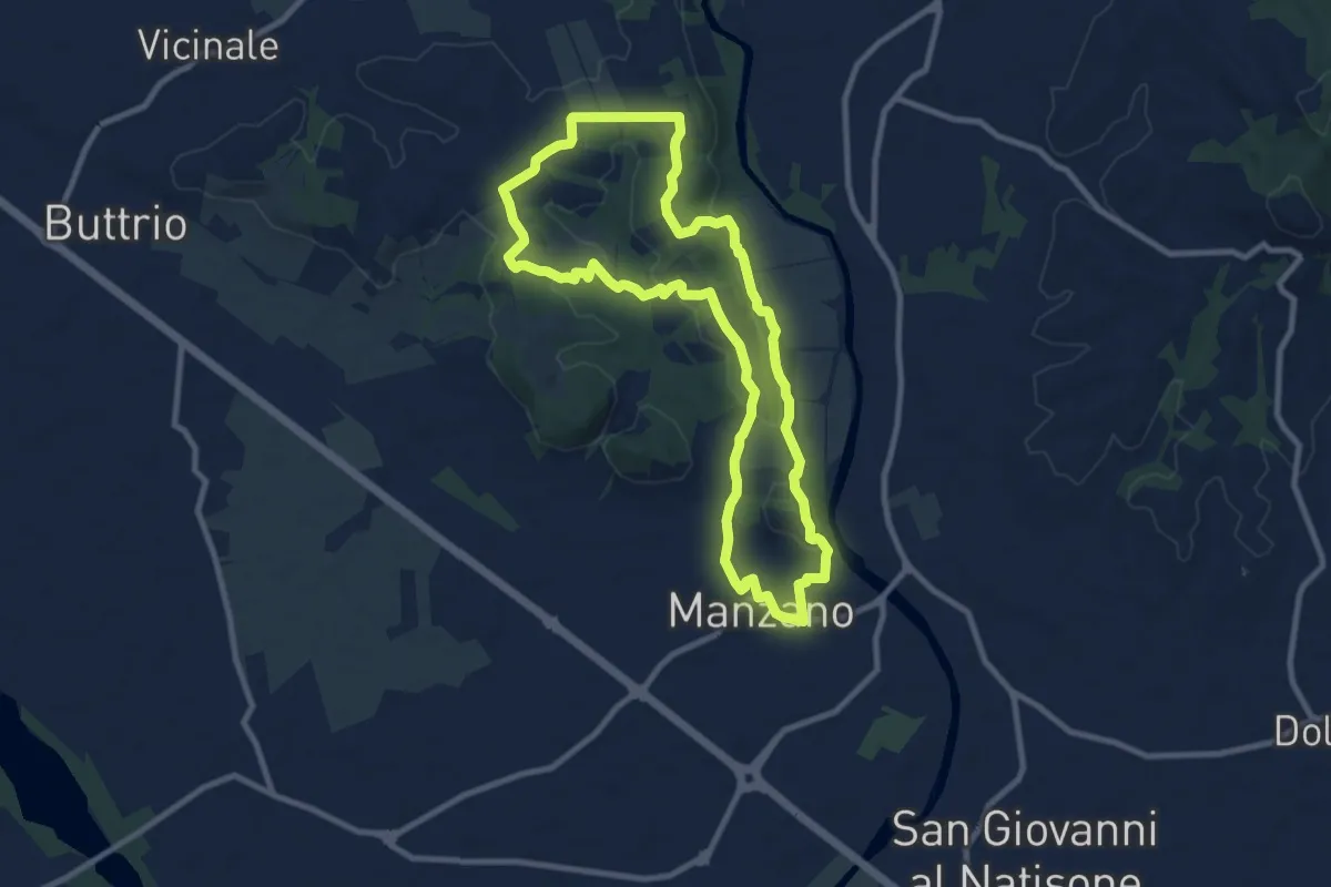
Medium · Trail
Sulle tracce degli arditi
9.3 km · ↑ 123 m · 2 h 35 min · 10 km away
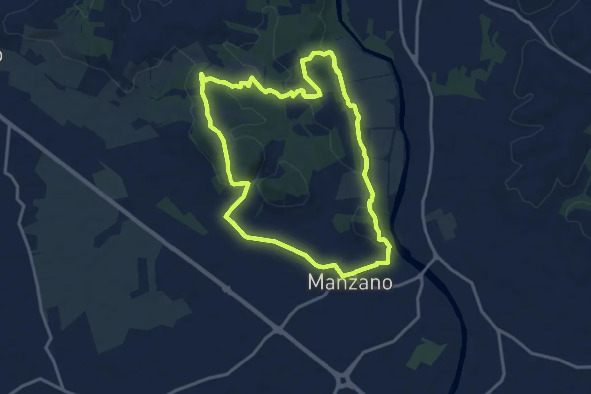
Medium · Trail
Sentiero Naturalistico della Sdricca
8.0 km · ↑ 132 m · 2 h 18 min · 10 km away
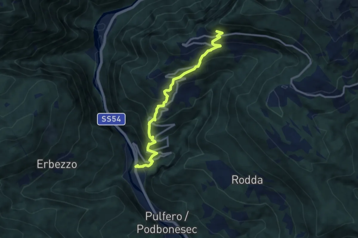
Medium · Trail
Linder (quota 190 m) – Bivio sentiero n. 725 (quota 900 m)
7.8 km · ↑ 716 m · 3 h 23 min · 10 km away
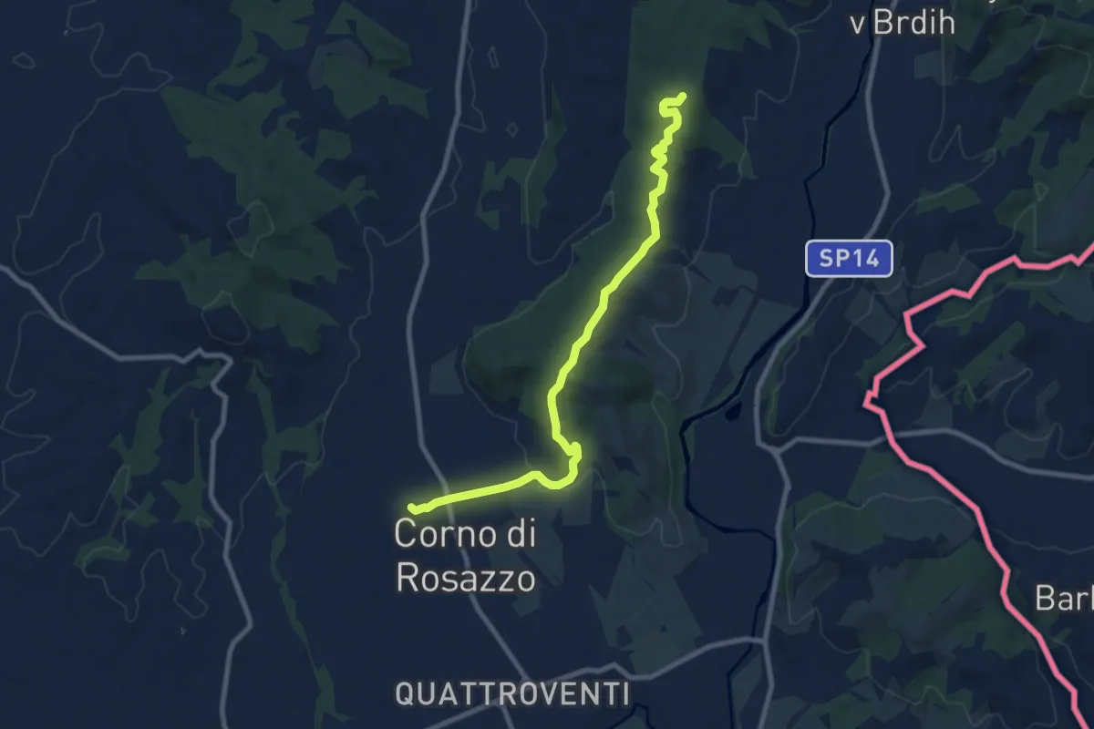
Medium · Trail
Iter Aquileiense - variante di Corno di Rosazzo
9.0 km · ↑ 204 m · 2 h 34 min · 10 km away
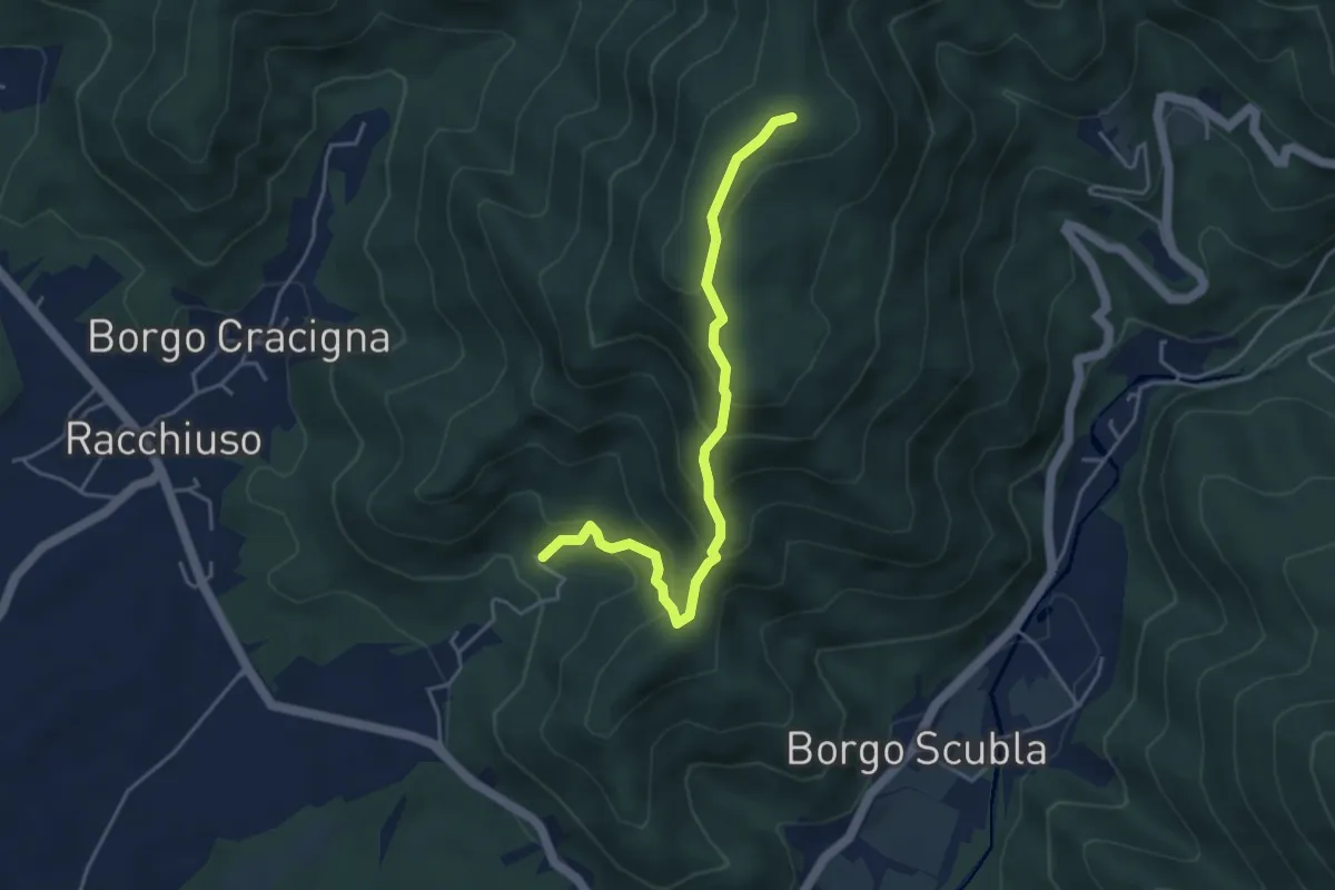
Medium · Summit
sentiero del crinale
4.4 km · ↑ 363 m · 1 h 49 min · 10 km away
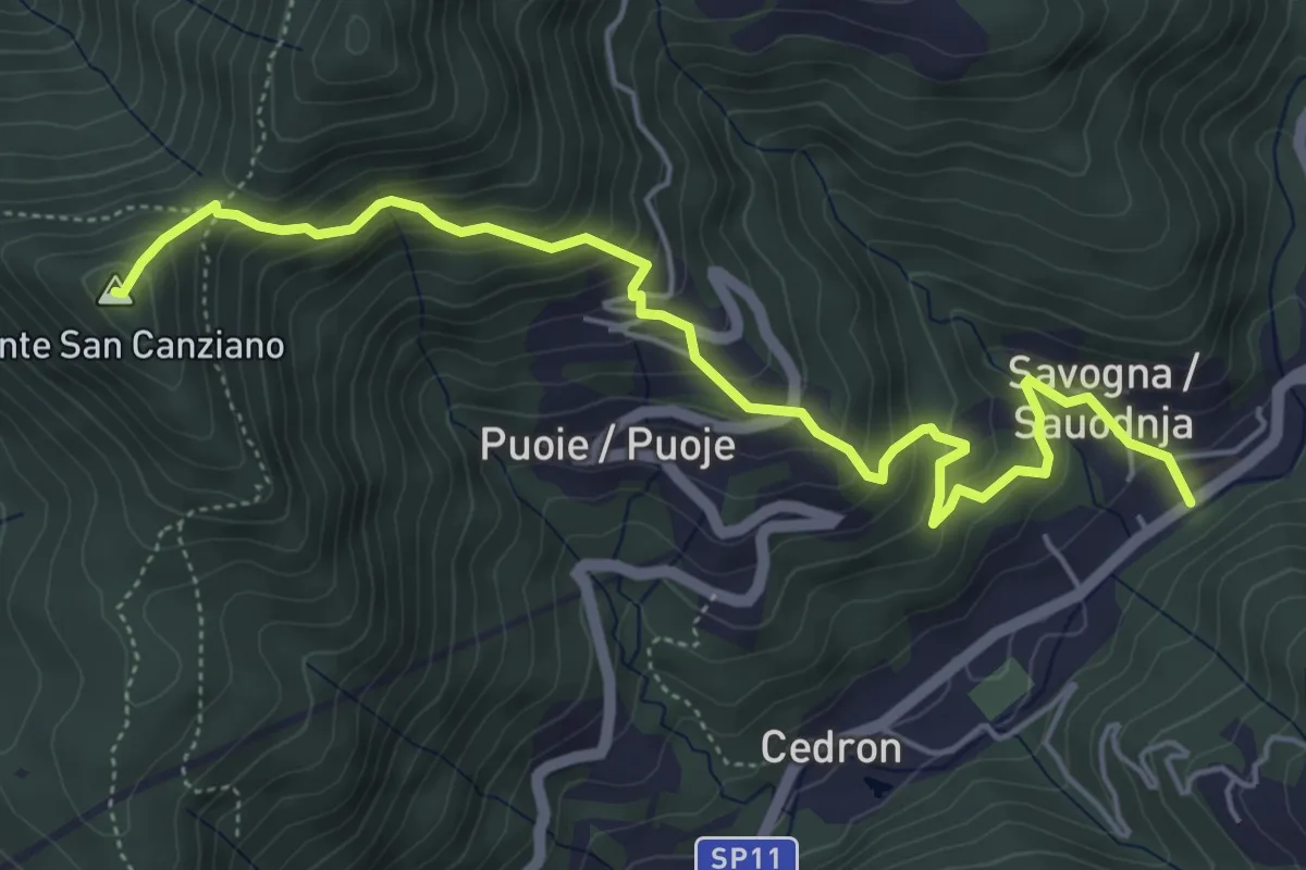
Medium · Summit
Savogna (quota 210 m) – Monte S. Canziano (quota 723 m)
6.0 km · ↑ 520 m · 2 h 32 min · 11 km away
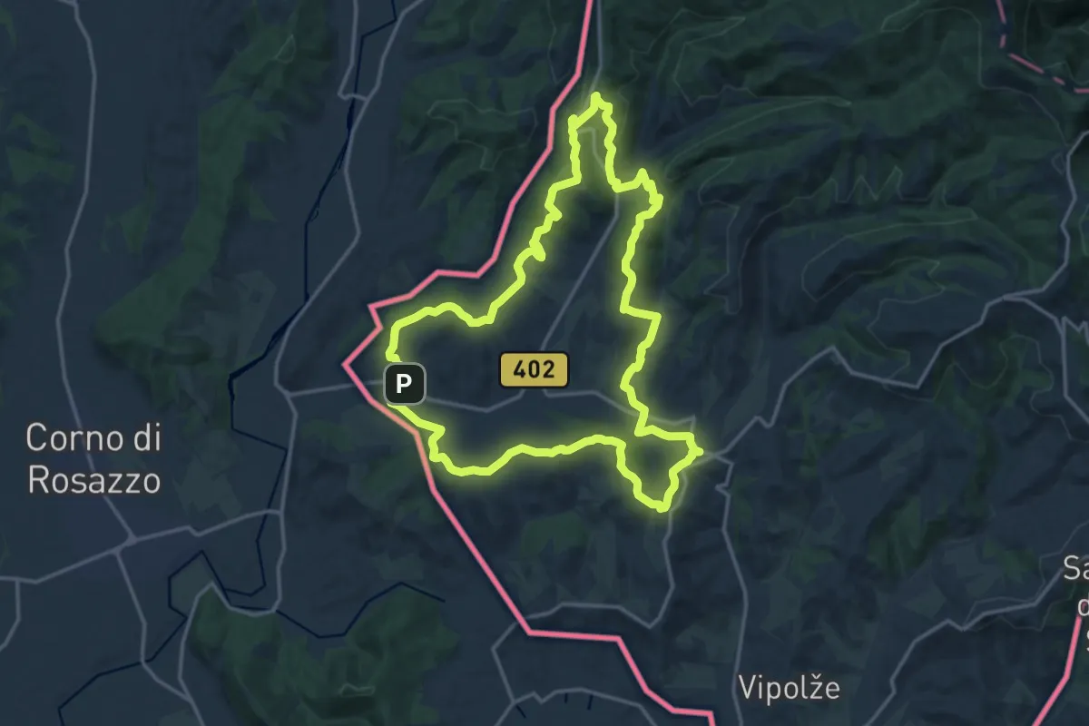
Medium · Summit
Črnica
16.6 km · ↑ 421 m · 5 h 4 min · 11 km away
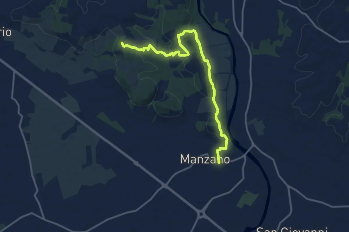
Medium · Trail
Itinerario Naturalistico della Sdricca
9.8 km · ↑ 174 m · 2 h 41 min · 11 km away
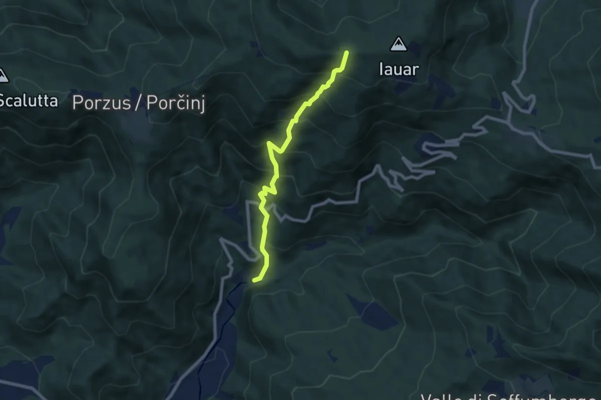
Medium · Trail
Sentiero di Clap
6.0 km · ↑ 725 m · 2 h 59 min · 11 km away
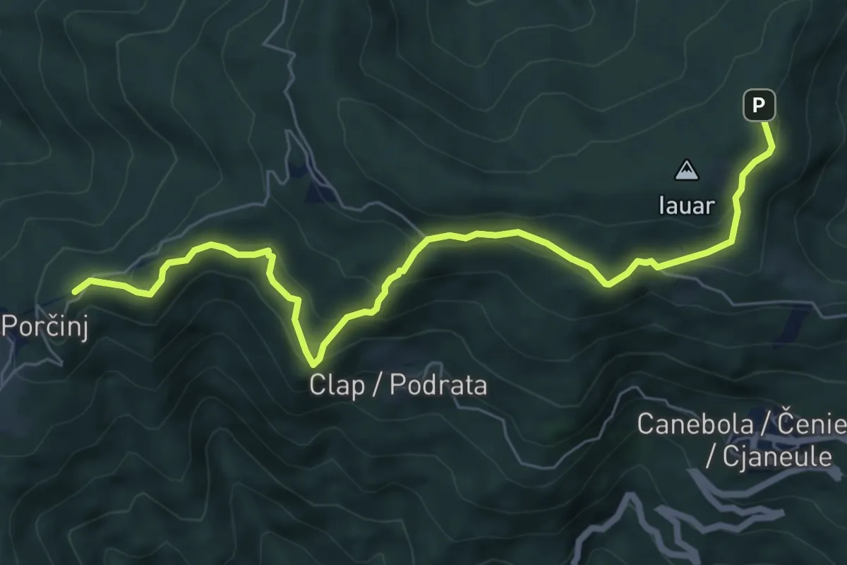
Medium · Summit
Sentiero Porzûs - Malghe di Porzûs
7.2 km · ↑ 457 m · 2 h 42 min · 11 km away
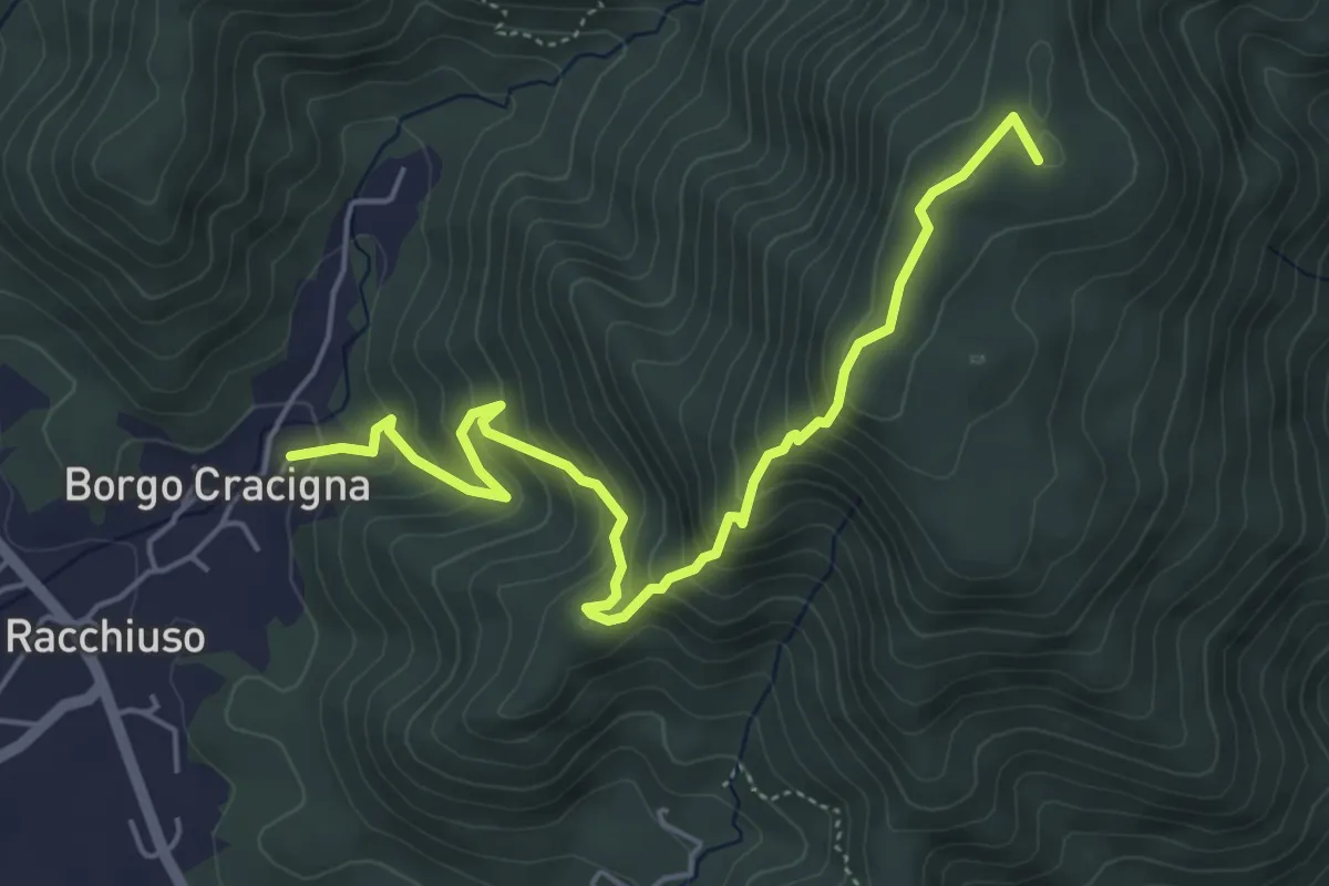
Medium · Summit
Sentiero del Monte di Poiana
5.6 km · ↑ 499 m · 2 h 24 min · 11 km away
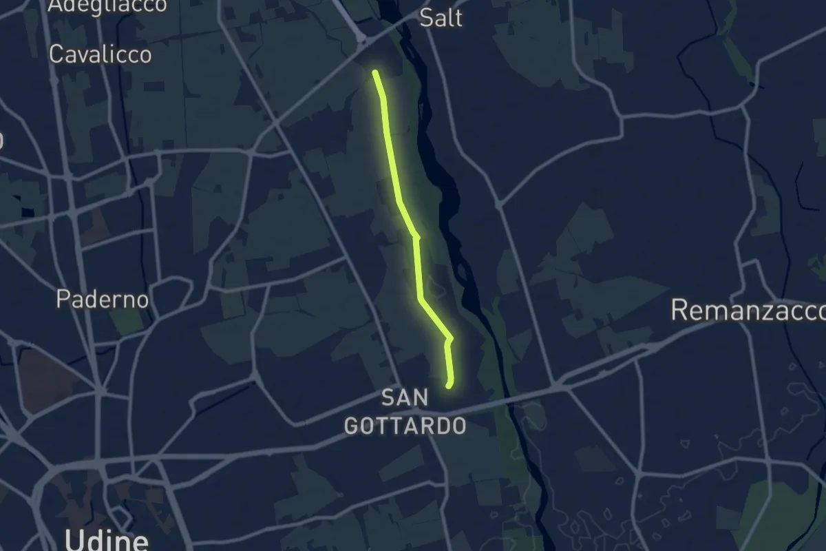
Easy · Trail
10mila passi Udine - La memoria dell'acqua - Parco del Torre
7.1 km · ↑ 17 m · 1 h 42 min · 12 km away
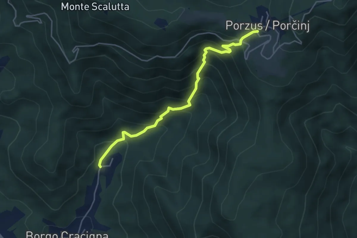
Medium · Trail
Sentiero del Pissebek
4.0 km · ↑ 460 m · 1 h 57 min · 12 km away
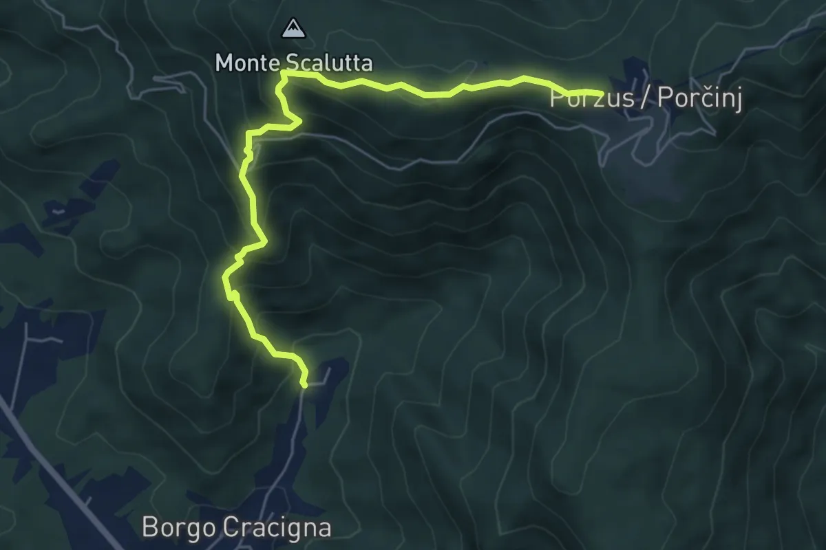
Medium · Trail
Sentiero della Comugna
5.8 km · ↑ 498 m · 2 h 27 min · 12 km away
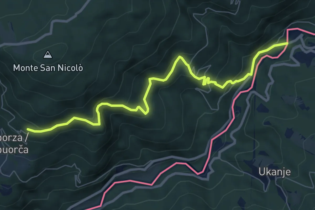
Medium · Trail
Castelmonte (quota 618 m) – Molino Vecchio (quota 216 m))
7.5 km · ↑ 527 m · 2 h 54 min · 12 km away
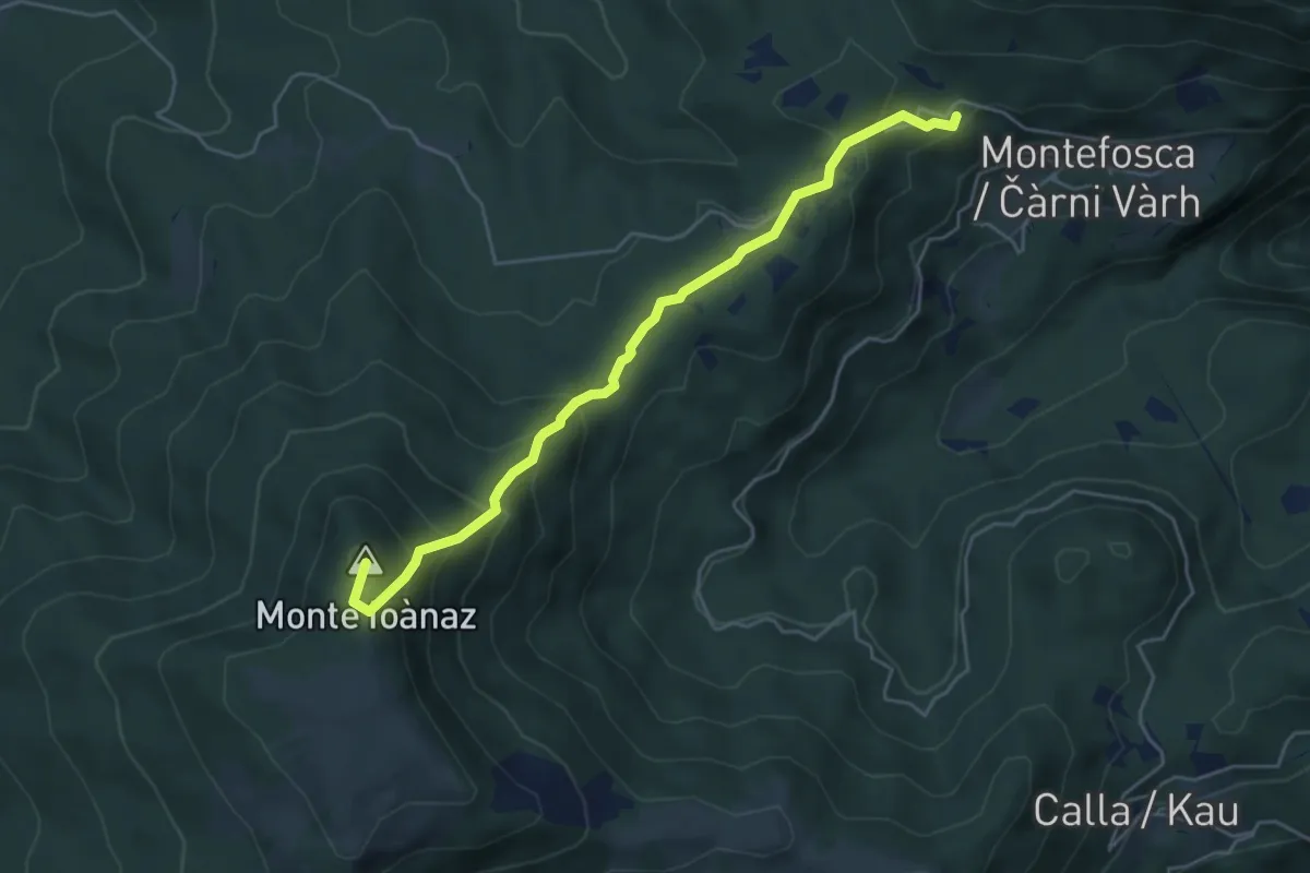
Medium · Summit
Montefosca – Bivio 744 (quota 795 m) / Čàrni Vàrh – Bocchette di Calla (quota 868 m)
5.0 km · ↑ 362 m · 1 h 58 min · 12 km away