Trails near Cividale del Friuli
92 hikes starting within 15 km, nearest first.
Nearest first, page 2 of 2
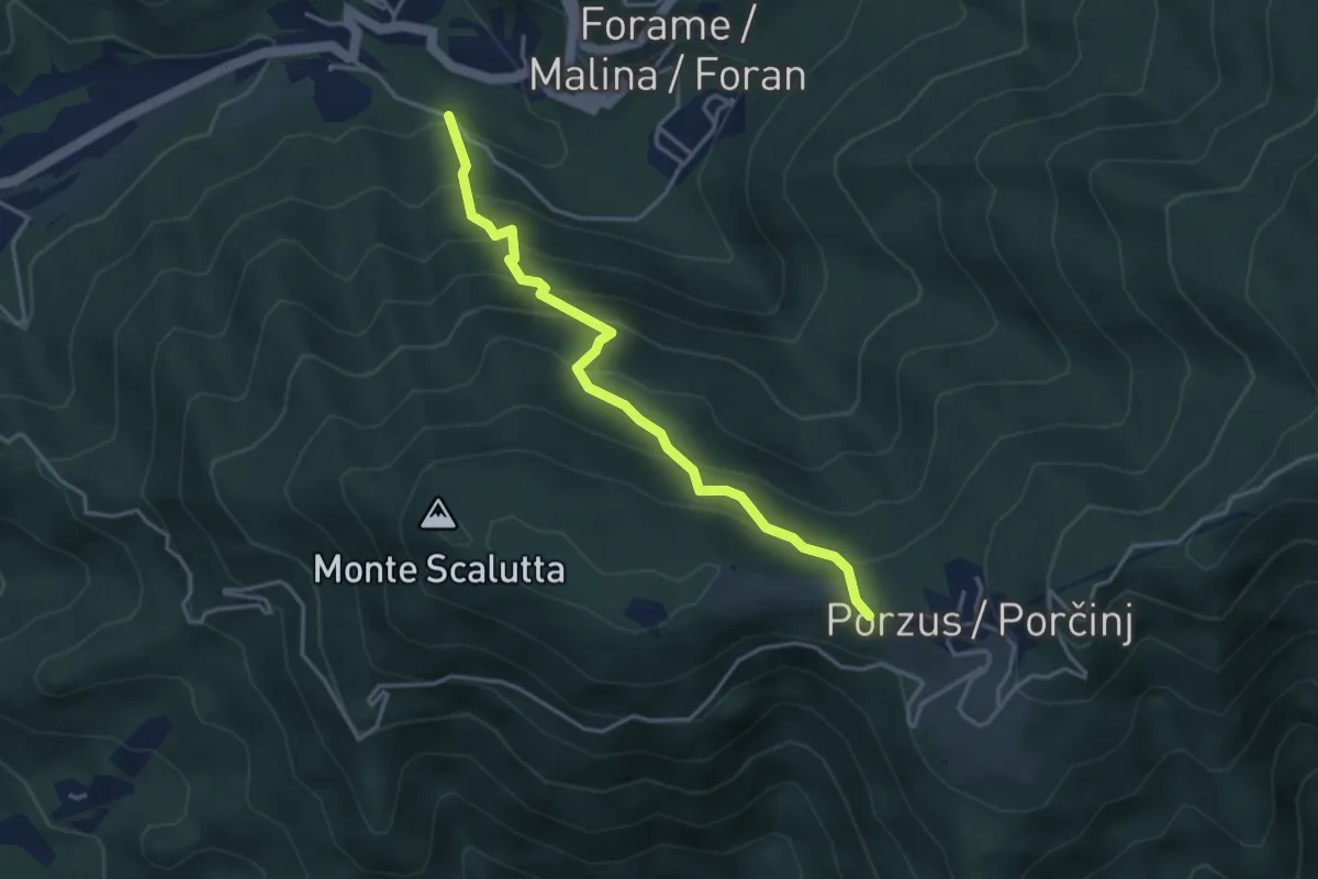
Medium · Trail
Sentiero Teresa Dush
3.8 km · ↑ 414 m · 1 h 47 min · 12 km away
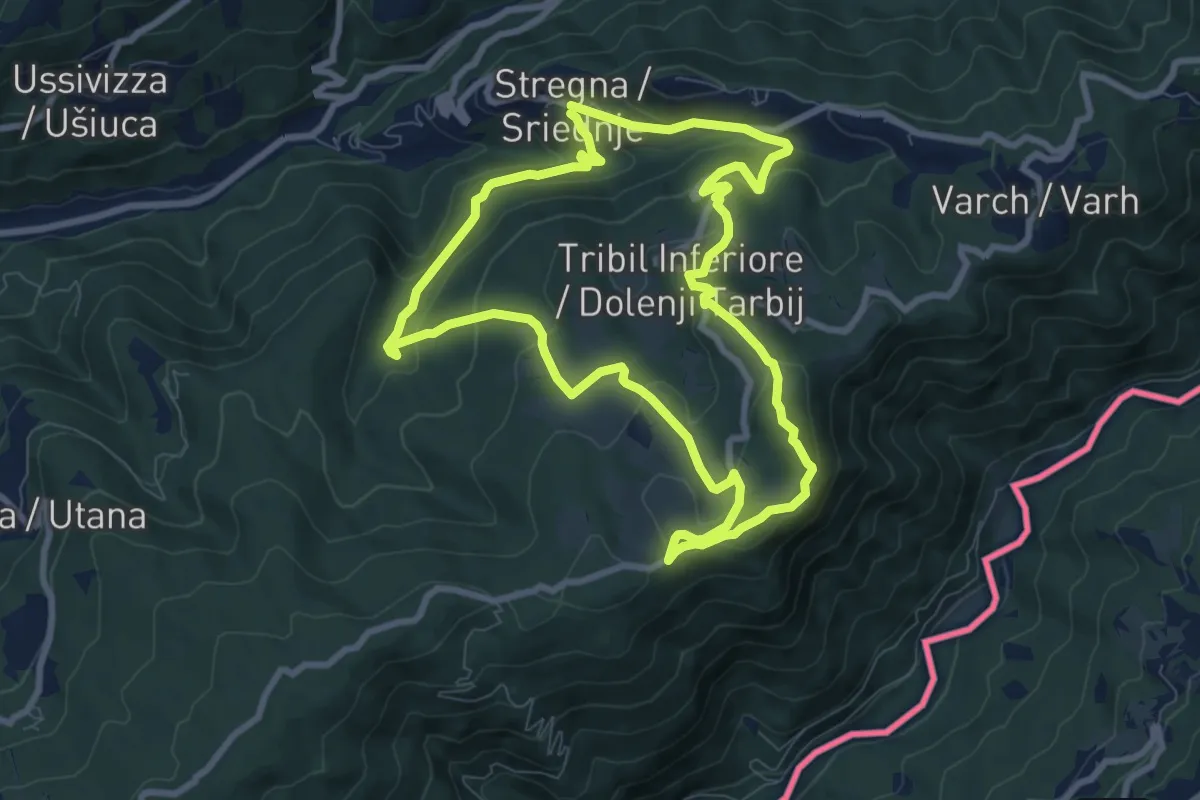
Medium · Summit
I Prati di Tribil
8.3 km · ↑ 366 m · 2 h 52 min · 12 km away
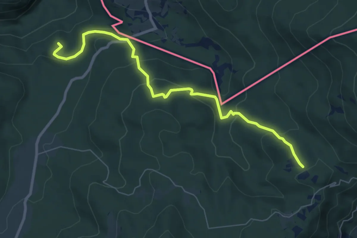
Medium · Summit
Prossenicco – Rifugio Pelizzo
6.8 km · ↑ 410 m · 2 h 30 min · 12 km away
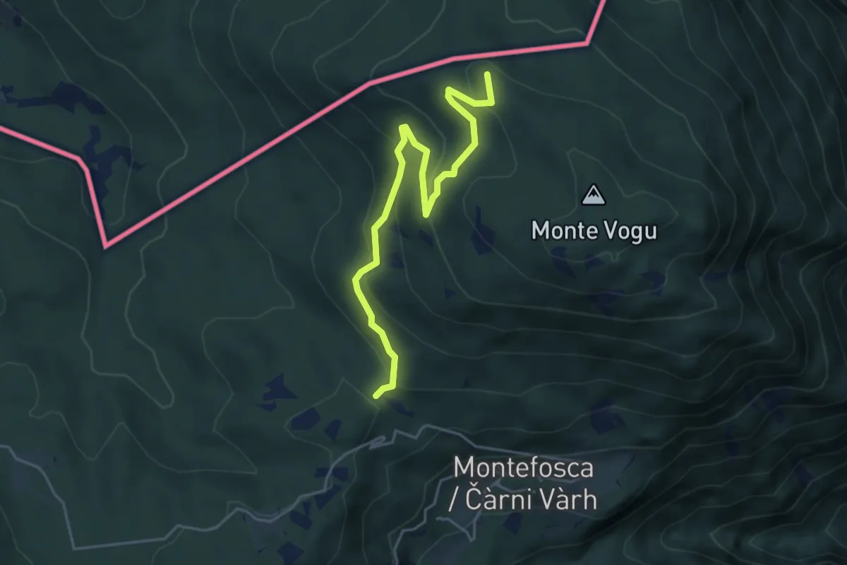
Easy · Summit
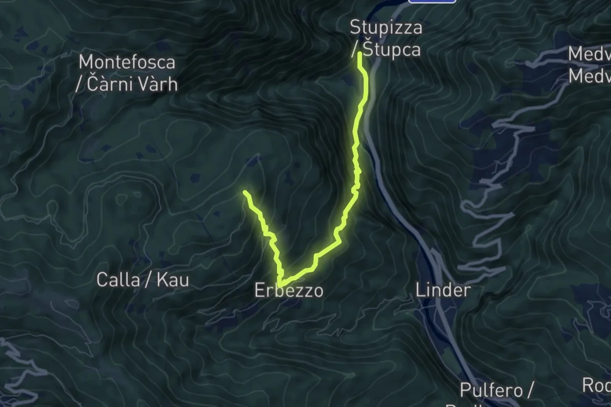
Stupizza (quota 203 m) – Monte Vogu (quota 1124 m)
4.7 km · ↑ 237 m · 1 h 38 min · 12 km away
Medium · Trail
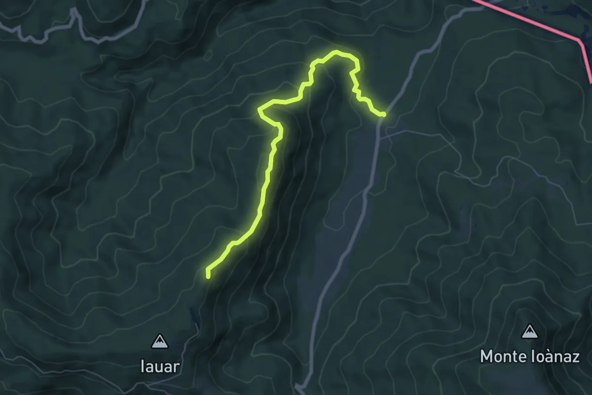
Stupizza (quota 203 m) – Chiesa di S. Andrea (quota 797 m)
7.1 km · ↑ 688 m · 3 h 10 min · 12 km away
Medium · Summit
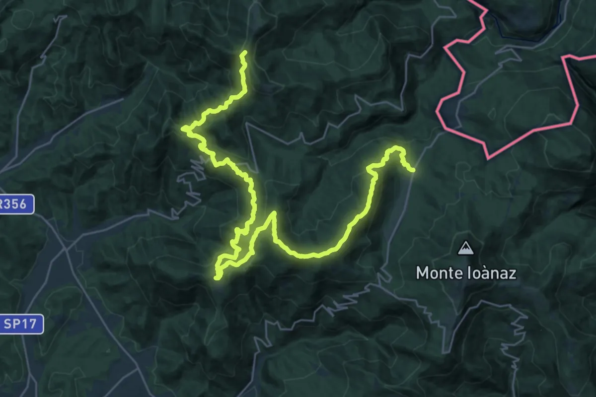
malghe di Porzûs – Forcadizze
6.6 km · ↑ 397 m · 2 h 25 min · 12 km away
Demanding · Summit
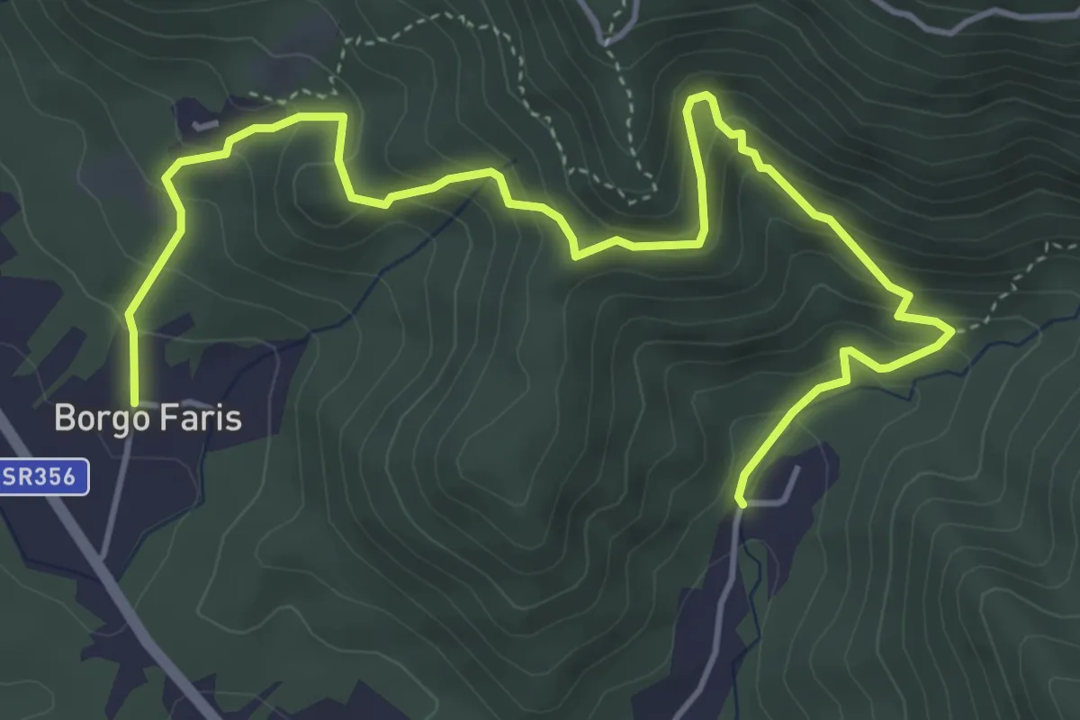
Cammino Mariano
33.4 km · ↑ 1878 m · 11 h 57 min · 12 km away
Medium · Trail
Sentiero delle Rogazioni
6.1 km · ↑ 539 m · 2 h 36 min · 12 km away
Easy · Trail
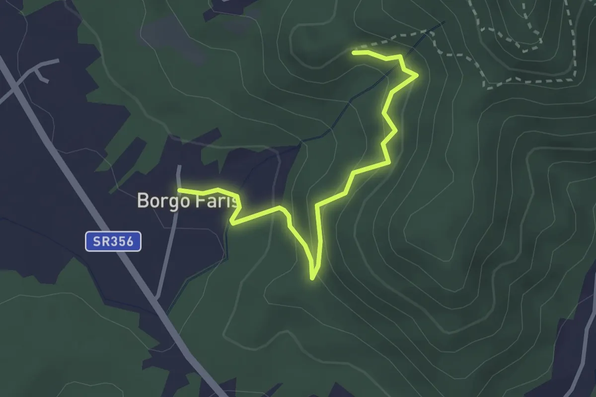
Sentiero delle Rogazioni (alternative)
2.7 km · ↑ 157 m · 59 min · 12 km away
Medium · Summit
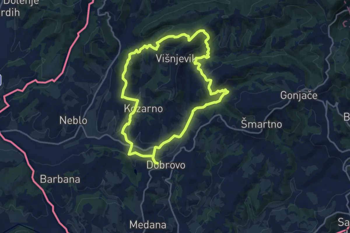
Čmpevka
11.4 km · ↑ 372 m · 3 h 39 min · 13 km away
Medium · Trail
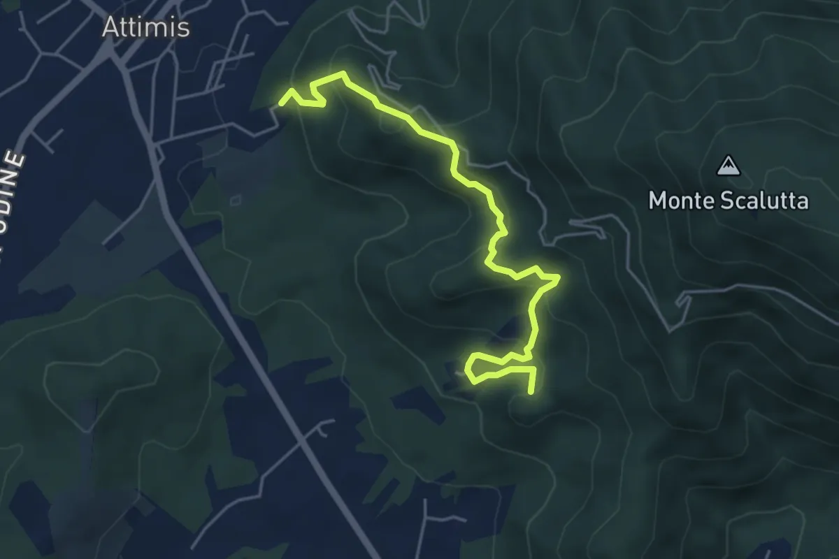
Sentiero dei Castelli
4.8 km · ↑ 347 m · 1 h 53 min · 13 km away
Medium · Trail
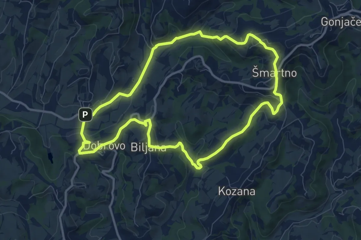
Drugmbernca
8.6 km · ↑ 290 m · 2 h 47 min · 13 km away
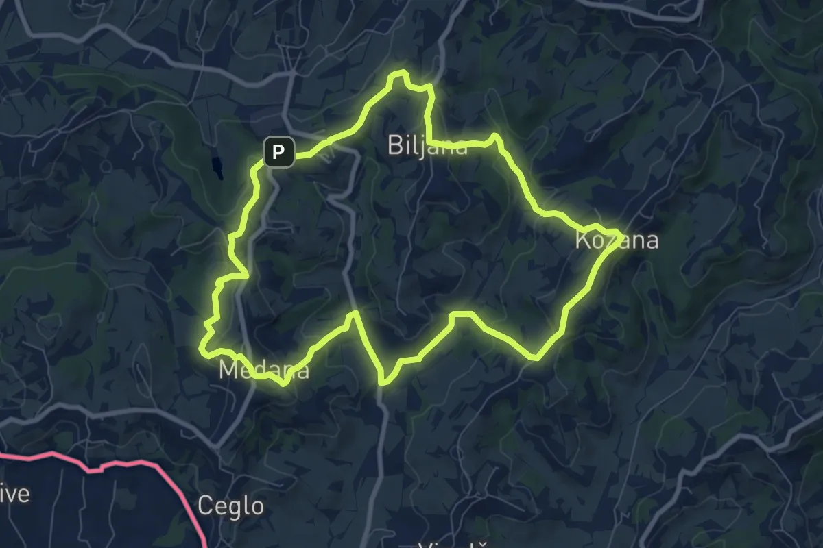
Medium · Summit
Kozanka
8.5 km · ↑ 296 m · 2 h 46 min · 13 km away
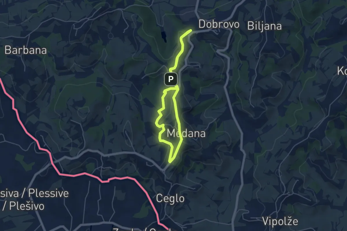
Easy · Summit
Gradnikova učna pot
4.3 km · ↑ 114 m · 1 h 19 min · 13 km away
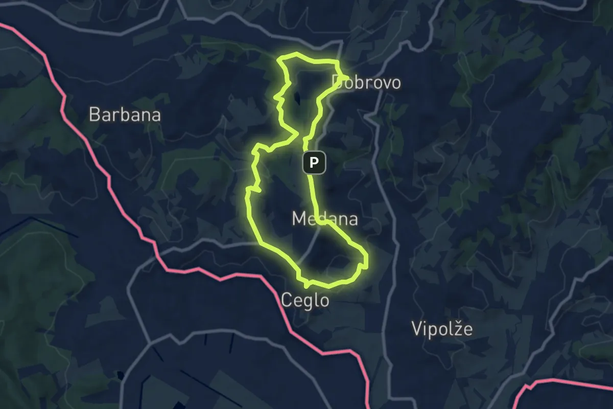
Easy · Summit
Prvač'nca
7.4 km · ↑ 253 m · 2 h 23 min · 13 km away
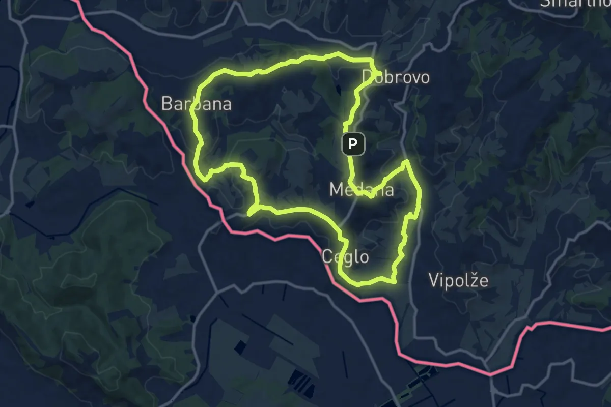
Medium · Summit
Bjla cepika
11.9 km · ↑ 330 m · 3 h 41 min · 13 km away
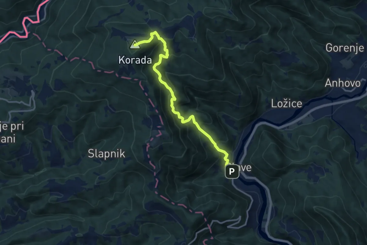
Demanding · Summit
Plave - Korada
10.5 km · ↑ 868 m · 4 h 22 min · 14 km away
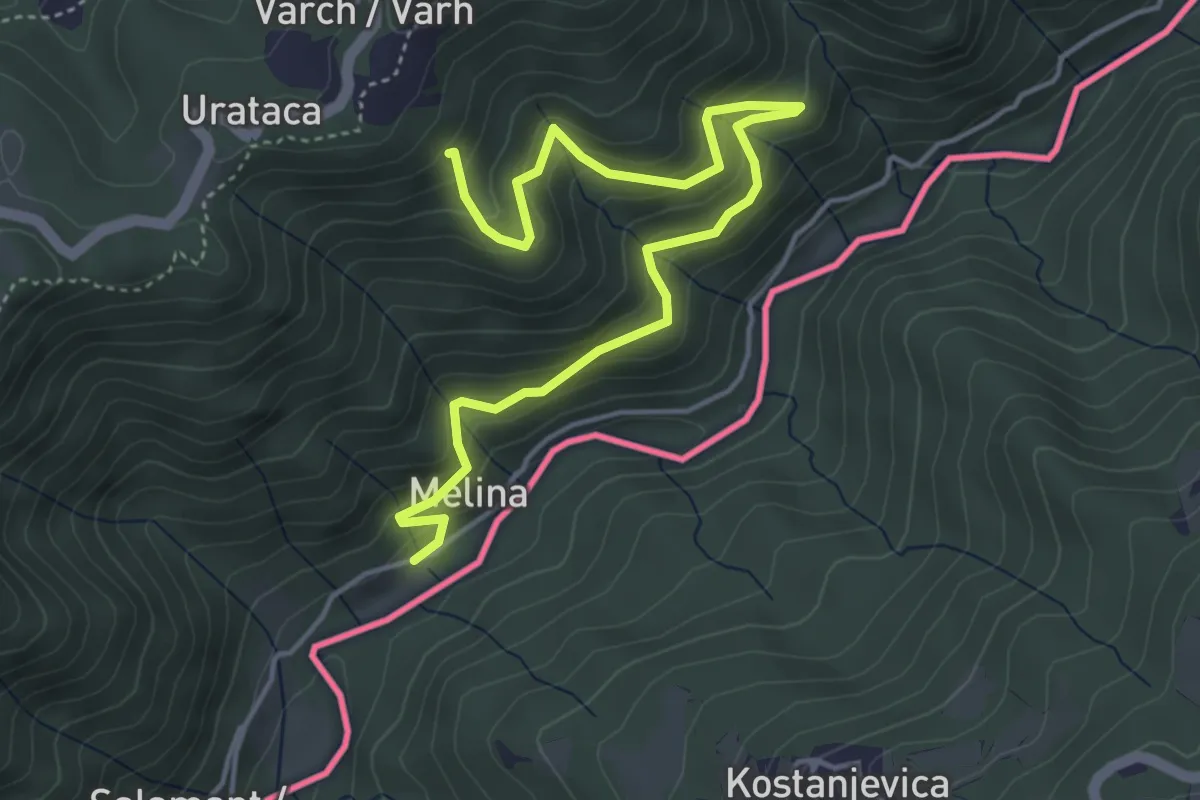
Medium · Trail
Sentiero delle portatrici
5.4 km · ↑ 469 m · 2 h 17 min · 14 km away
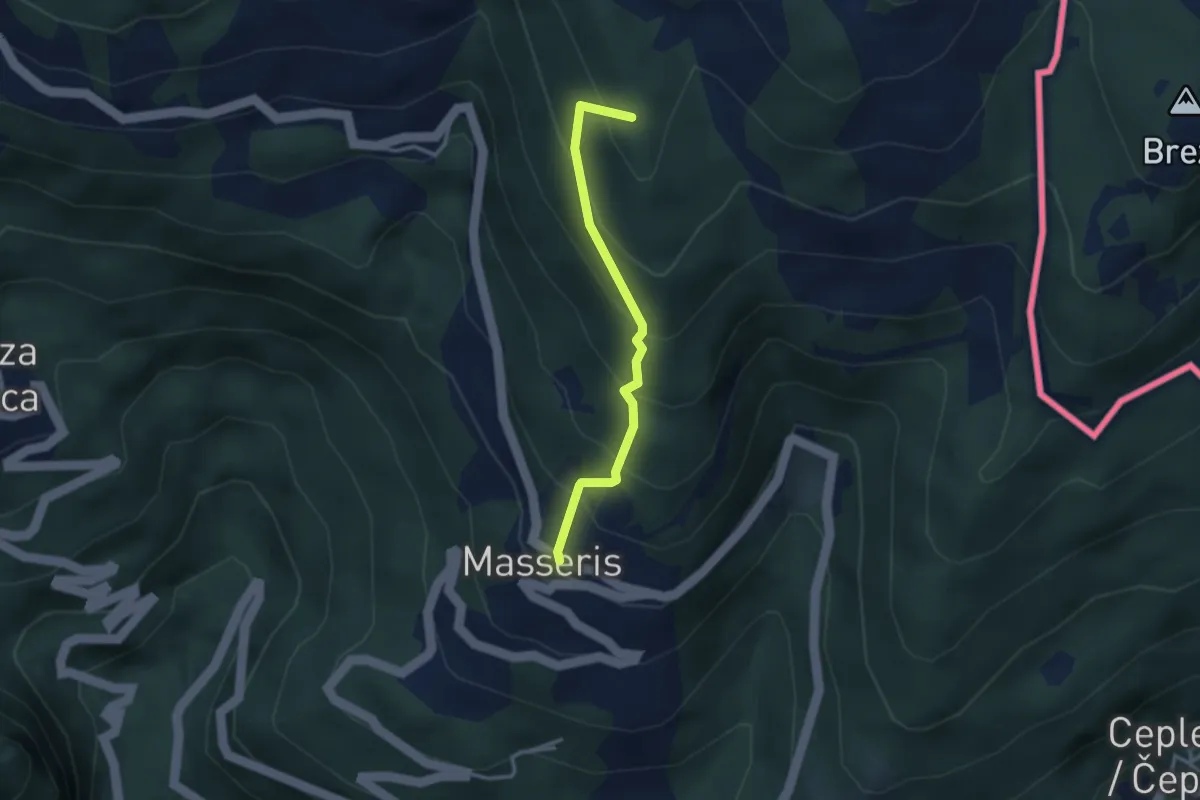
Medium · Summit
Masseris (quota 760 m) / Mašera – Bivio sentiero 736 (quota 1100 m)
2.7 km · ↑ 288 m · 1 h 16 min · 14 km away
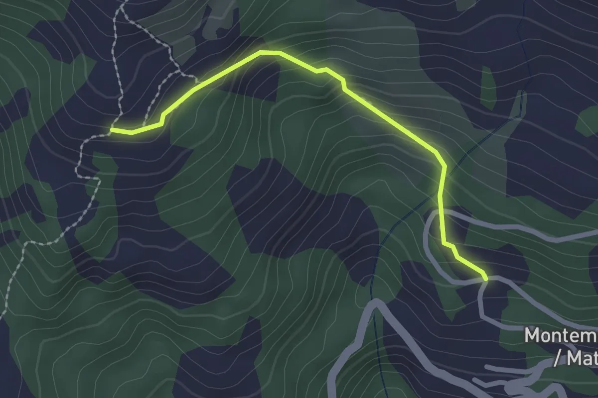
Easy · Trail
Montemaggiore (quota 955 m) – Malga Gosgnach (quota 1200 m)
2.0 km · ↑ 173 m · 51 min · 14 km away
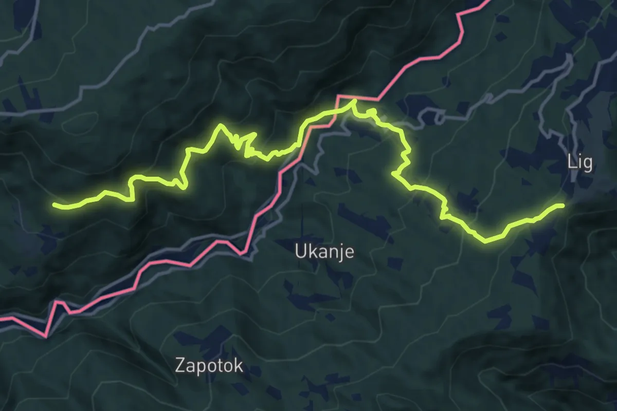
Demanding · Trail
Via dei Monti Sacri
14.9 km · ↑ 947 m · 5 h 34 min · 14 km away
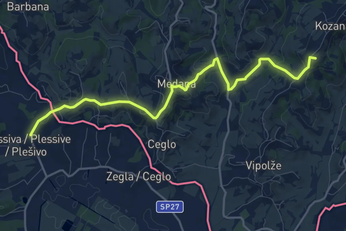
Medium · Summit
Alpe Adria Trail E31
10.9 km · ↑ 331 m · 3 h 18 min · 14 km away
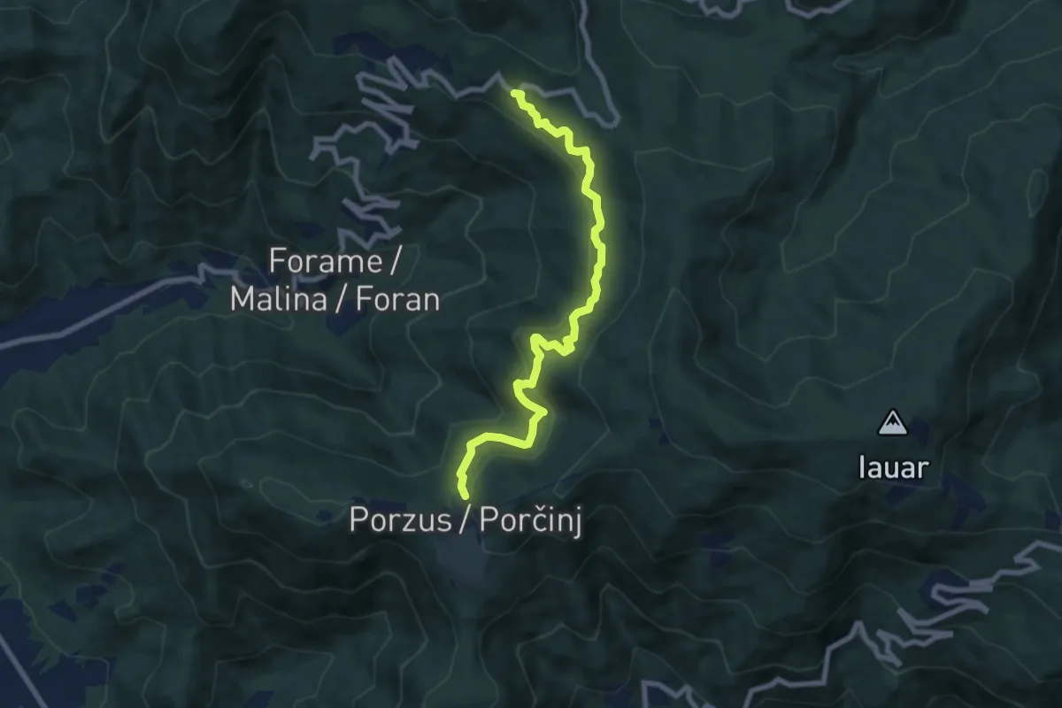
Medium · Trail
Sentiero della Sorgente Ocena
7.5 km · ↑ 465 m · 2 h 46 min · 14 km away
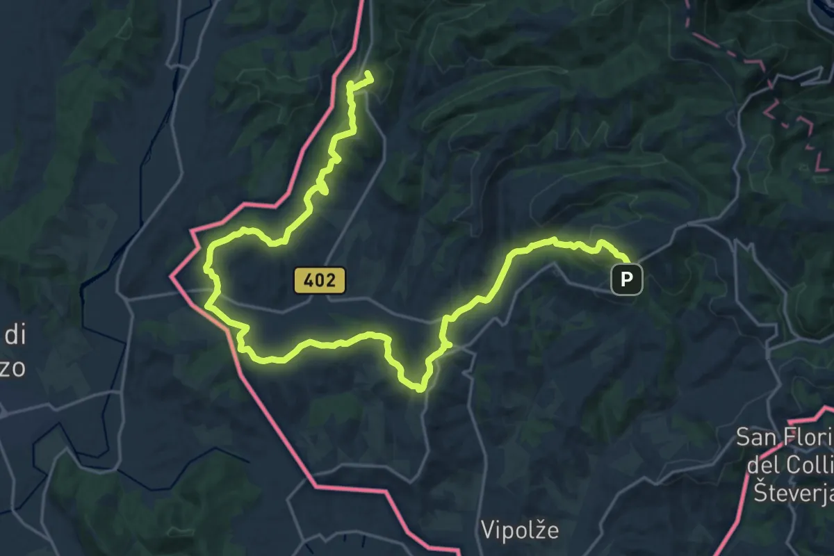
Demanding · Summit
Alpe Adria Trail E30
29.0 km · ↑ 750 m · 8 h 28 min · 14 km away
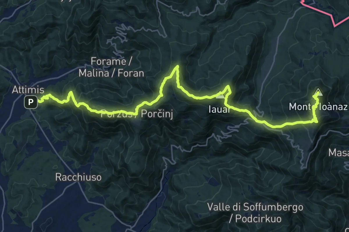
Demanding · Summit
Attimis (q. 195 m) – Colloredo di Soffumbergo (q. 303 m)
26.7 km · ↑ 1564 m · 9 h 41 min · 14 km away
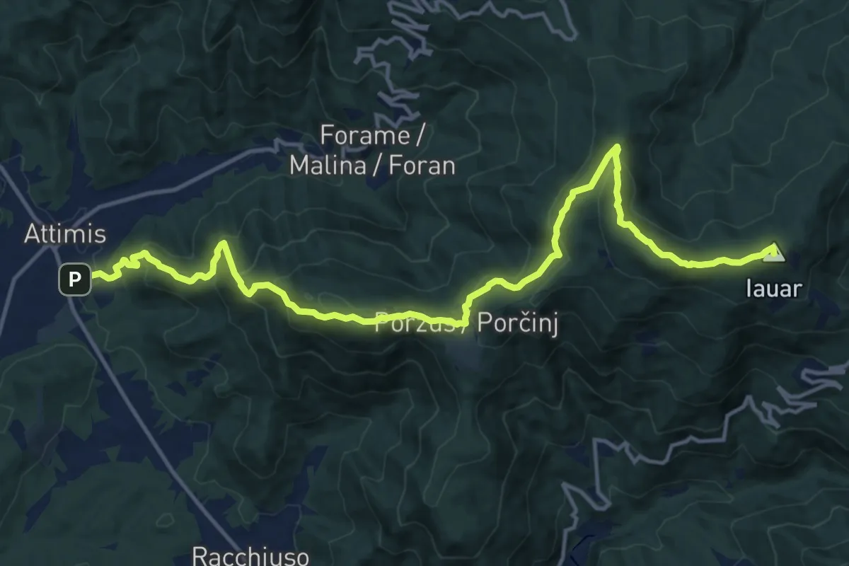
Demanding · Summit
Sentiero dello Scalutta
16.6 km · ↑ 920 m · 5 h 55 min · 14 km away
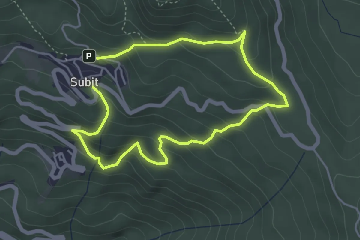
Medium · Trail
Anello 1: Sentiero dei Folletti-Piante Medicinali
6.4 km · ↑ 499 m · 2 h 35 min · 14 km away
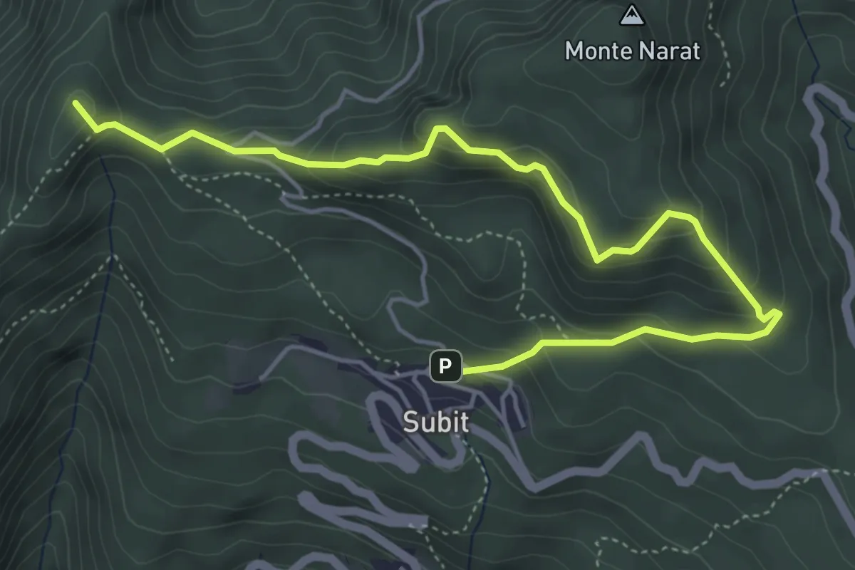
Medium · Summit
Anello 4: Sentiero Panoramico delle Cime
5.8 km · ↑ 349 m · 2 h 7 min · 14 km away
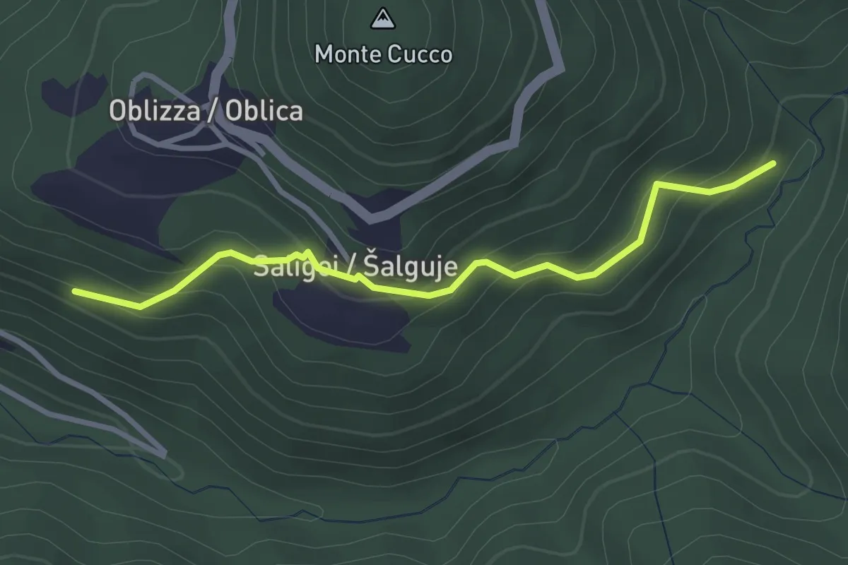
Easy · Trail
Cobilza - Oblizza - Dughe - bretella
2.9 km · ↑ 236 m · 1 h 12 min · 14 km away
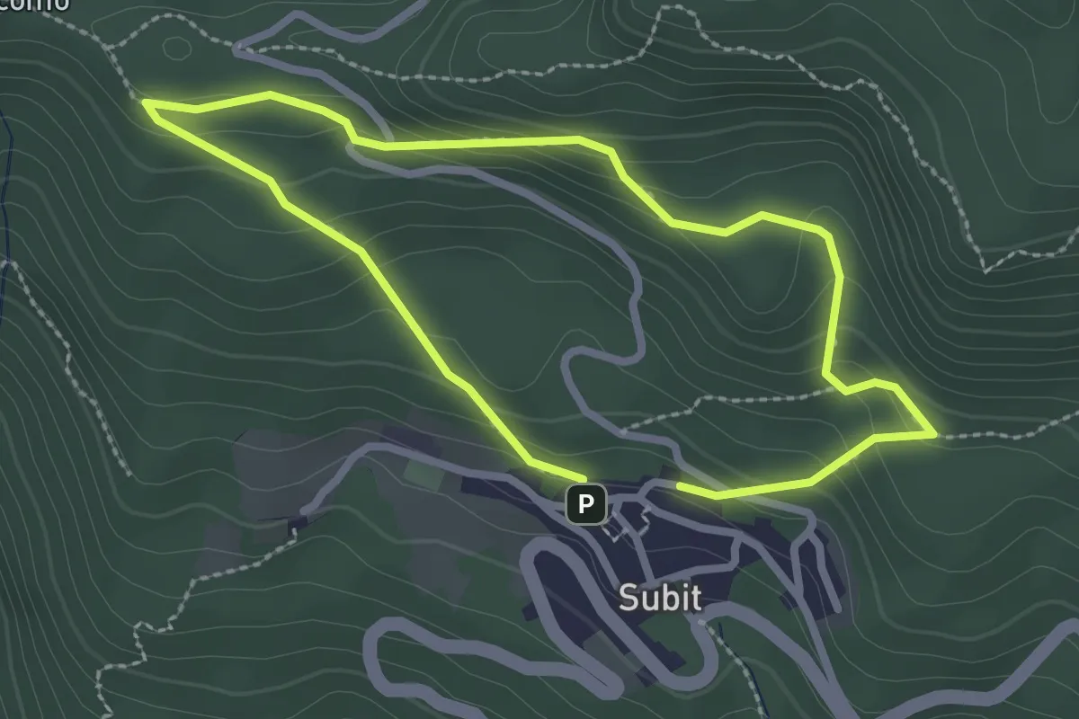
Easy · Trail
Sentiero della Strega
2.2 km · ↑ 142 m · 51 min · 14 km away
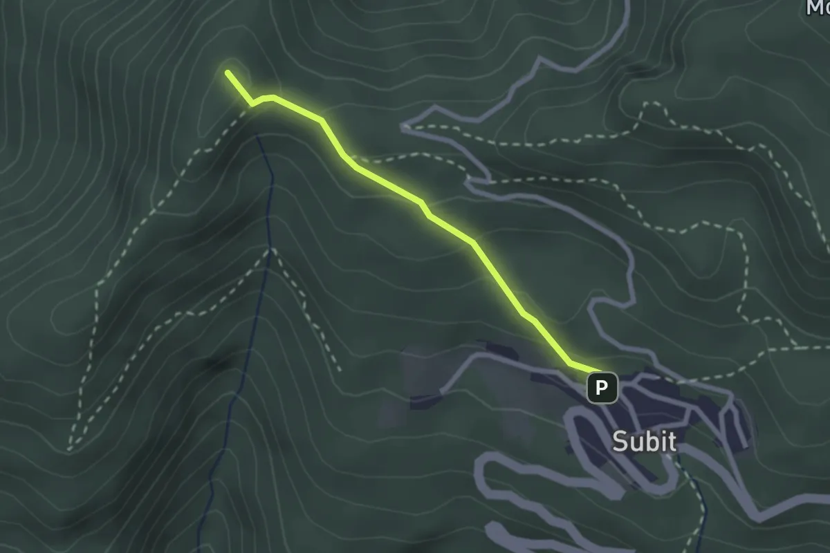
Easy · Summit
Sentiero delle piante agane - Le piante alimentari
2.1 km · ↑ 115 m · 44 min · 14 km away
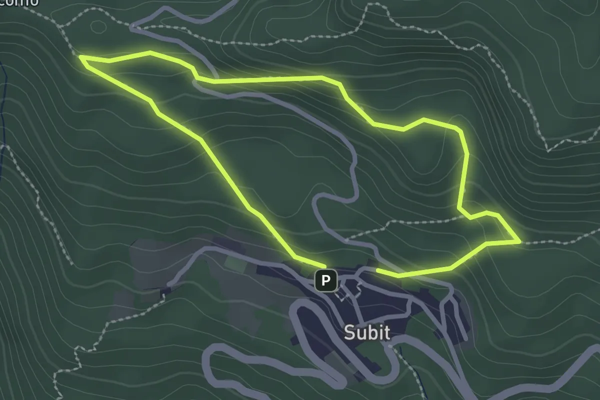
Easy · Trail
Anello 2: Sentiero della Strega - Piante Tossiche
2.2 km · ↑ 142 m · 51 min · 14 km away
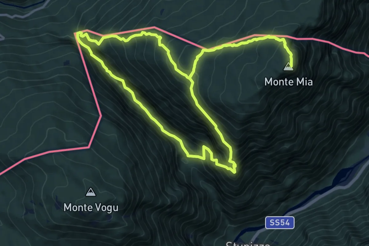
Demanding · Summit
Stupizza / Štupca – Monte Mia
10.2 km · ↑ 902 m · 4 h 30 min · 14 km away
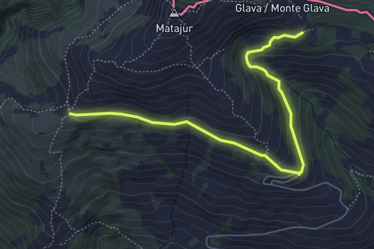
Medium · Trail
Bivio sentiero n. 736 (quota 1455 m) – Malghe di Mersino (quota 1401 m) bivio 749-725
5.8 km · ↑ 294 m · 2 h 1 min · 14 km away
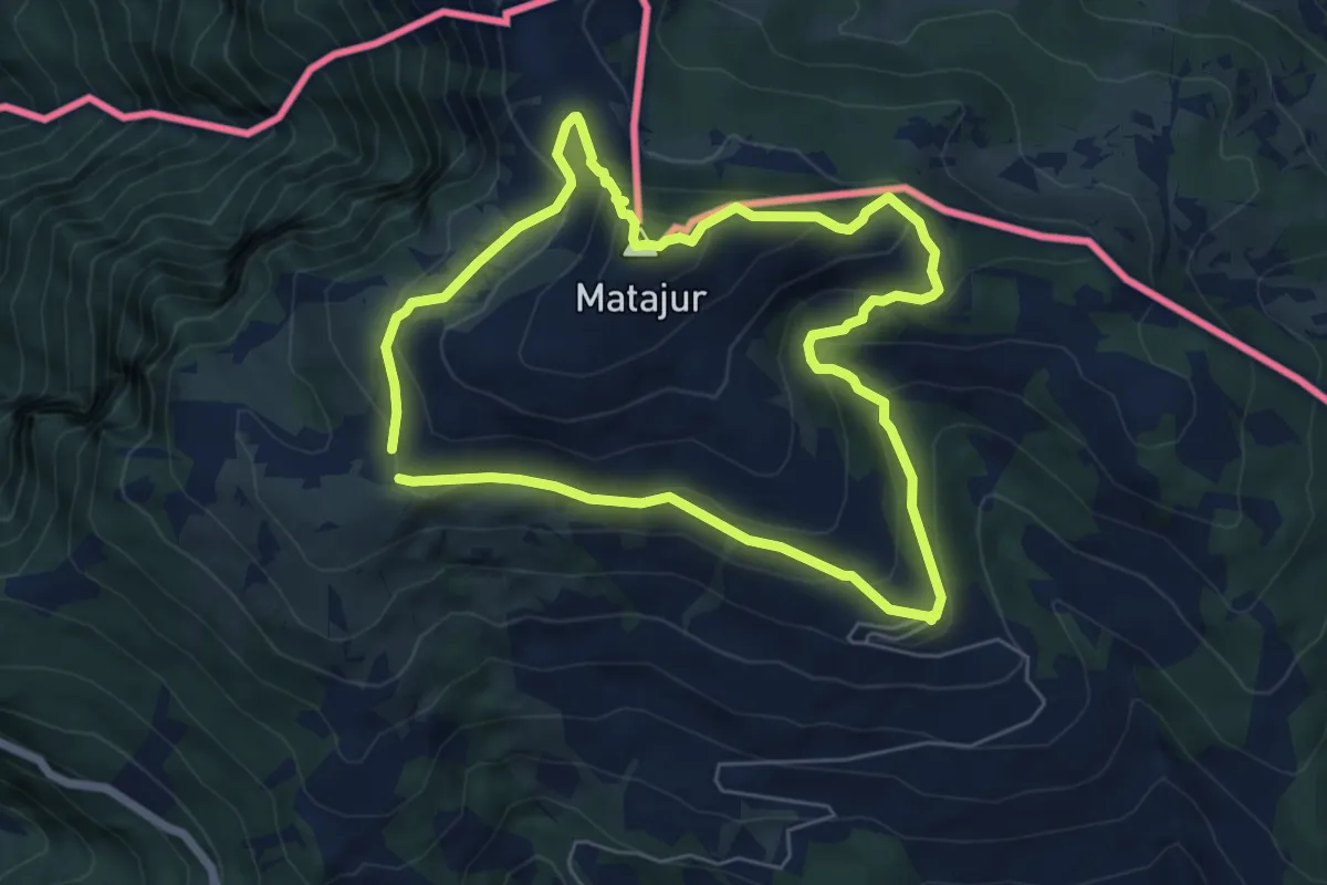
Medium · Summit
Sentiero Naturalistico del Matajur
5.7 km · ↑ 347 m · 2 h 10 min · 14 km away
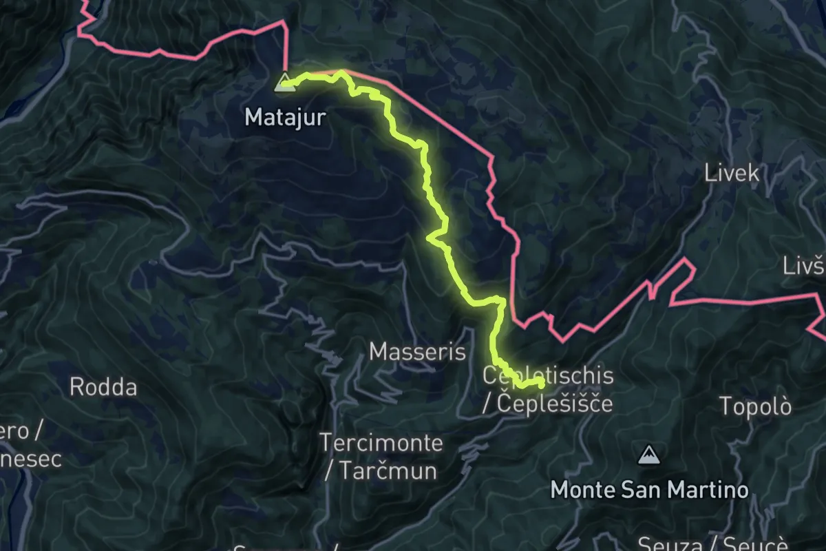
Demanding · Summit
Sentiero "Sergio Muzzolini"
14.3 km · ↑ 1060 m · 5 h 41 min · 14 km away
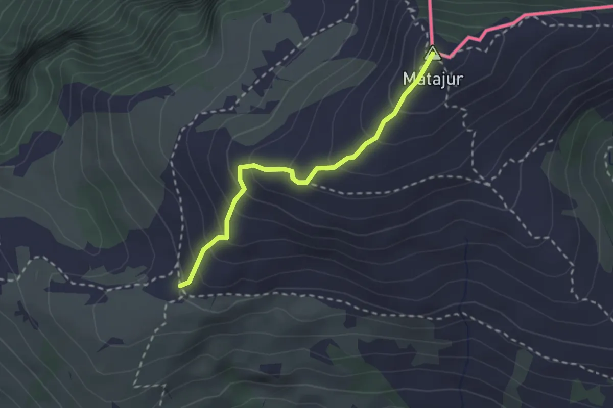
Medium · Summit
Matadown
2.2 km · ↑ 225 m · 1 h 1 min · 14 km away
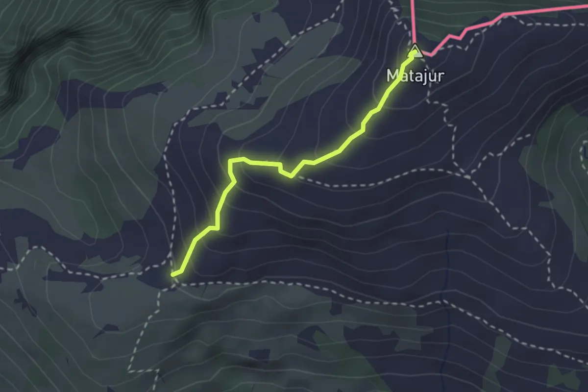
Medium · Summit
Renato Qualizza
2.2 km · ↑ 224 m · 1 h 1 min · 14 km away
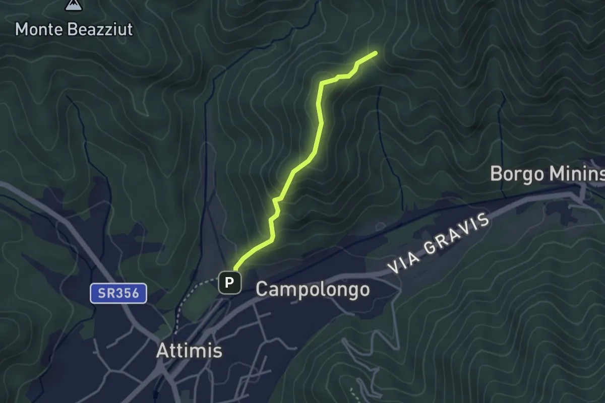
Easy · Trail
Sentiero Madone d’Aiut
2.6 km · ↑ 208 m · 1 h 4 min · 14 km away
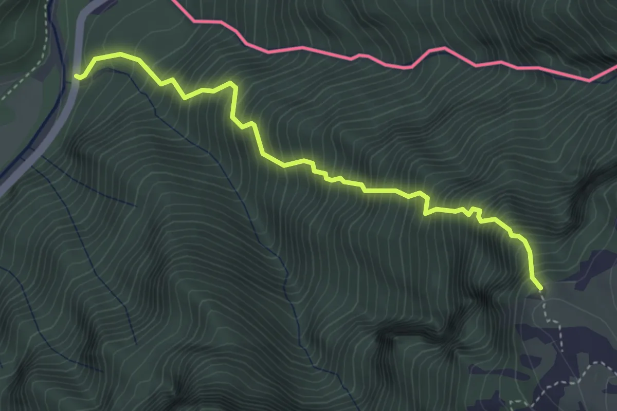
Expert · Trail
Sentiero Palma
4.0 km · ↑ 1068 m · 3 h 16 min · 14 km away
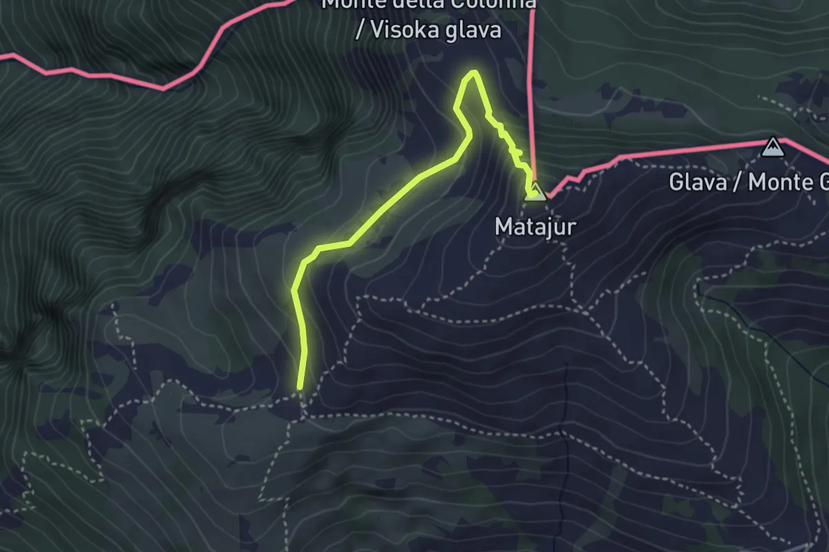
Medium · Summit
Sentiero Natura Mersino Alto Matajur
3.4 km · ↑ 241 m · 1 h 19 min · 14 km away
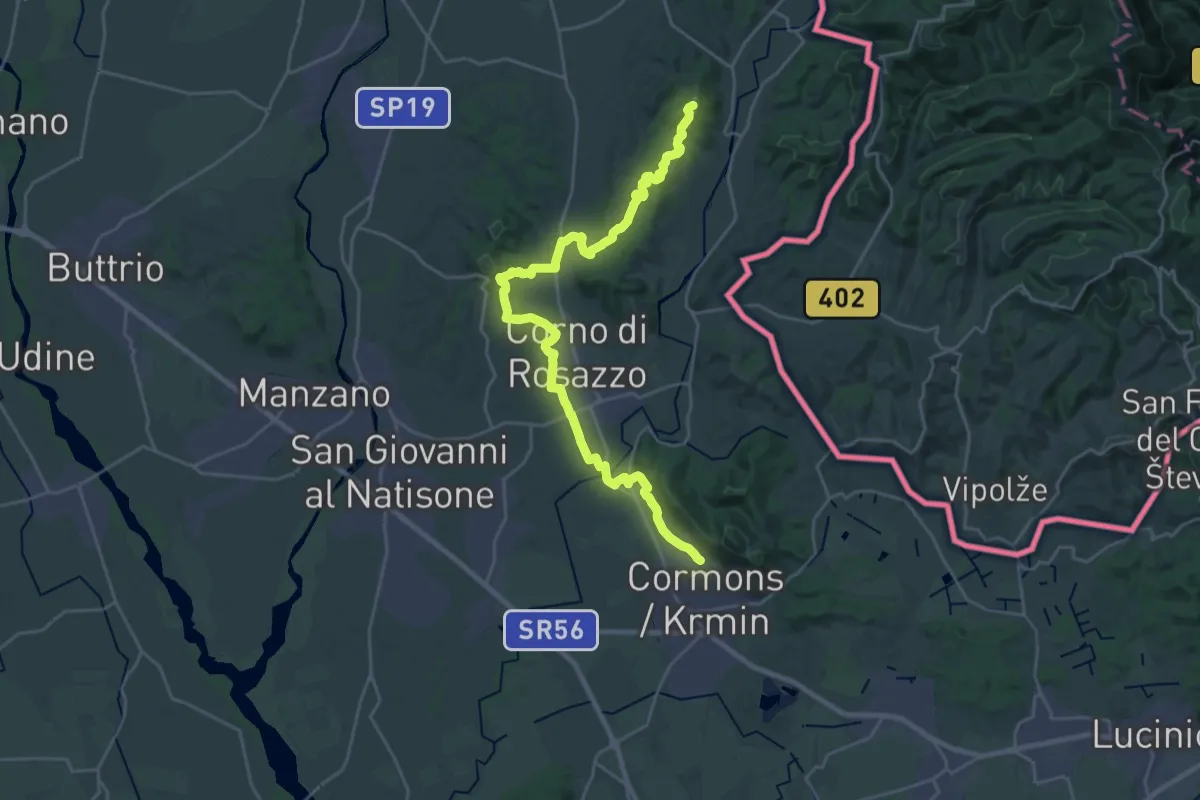
Demanding · Summit
Iter Aquileiense - variante per l'Abbazia di Rosazzo
28.9 km · ↑ 395 m · 7 h 41 min · 15 km away
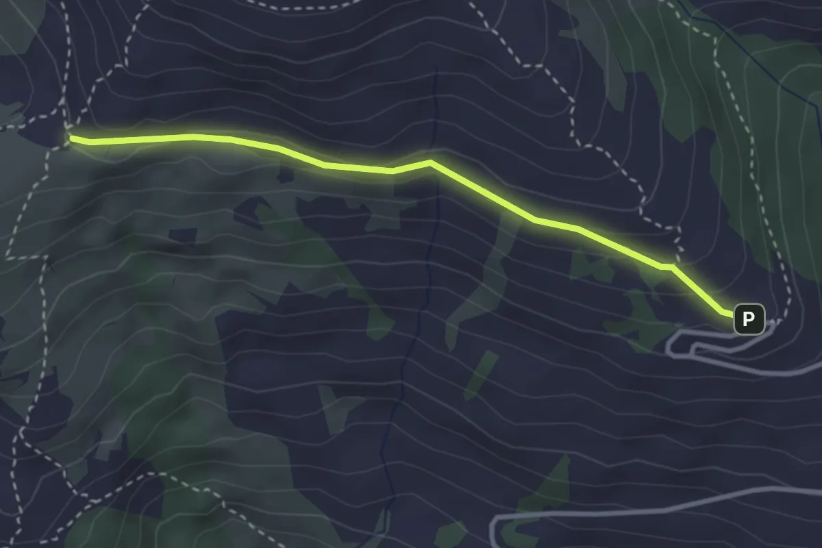
Medium · Trail
Hst. S. Pietro al Natisone – Rif. Alpino G. Pelizzo
3.0 km · ↑ 113 m · 57 min · 15 km away
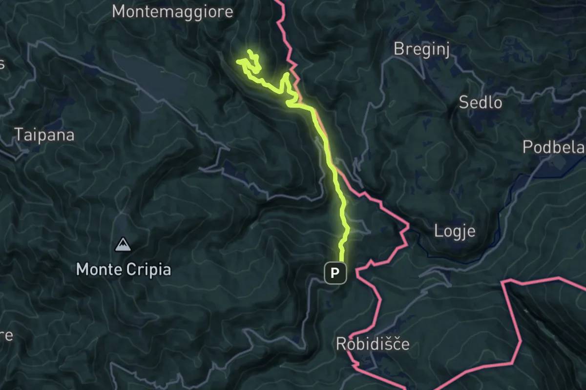
Medium · Trail
Montemaggiore di Taipana – Prossenicco
13.2 km · ↑ 608 m · 4 h 26 min · 15 km away