Trails near Clusone
220 hikes starting within 15 km, nearest first.
Nearest first, page 3 of 5
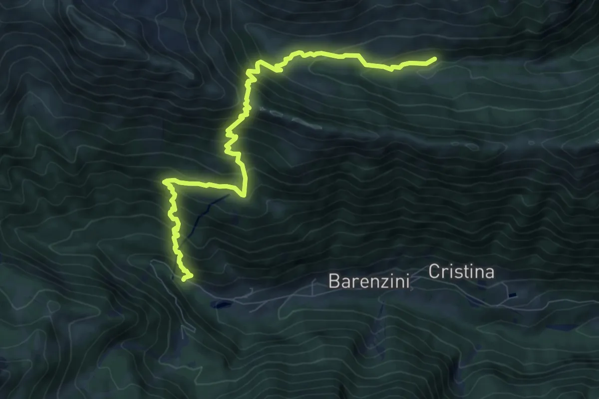
Demanding · Trail
Valcanale – Val Sanguigno incrocio 232
10.0 km · ↑ 969 m · 4 h 28 min · 11 km away
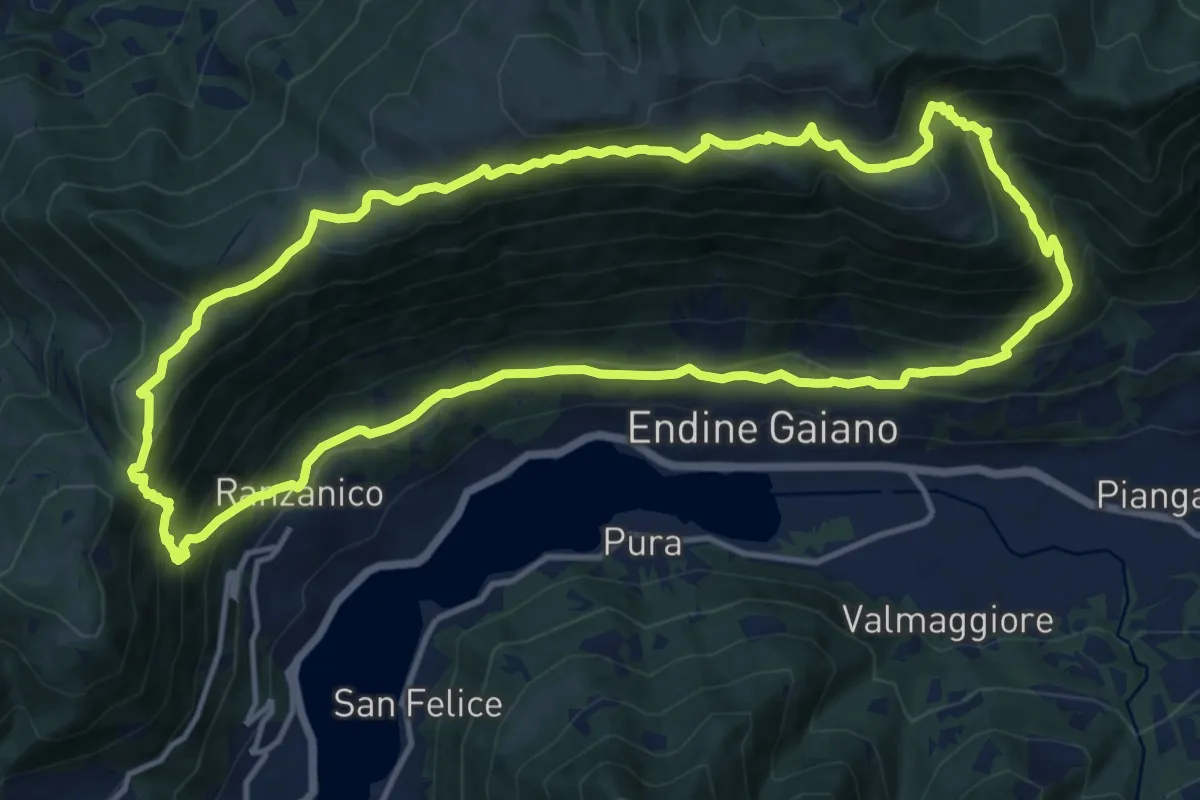
Demanding · Trail
Ranzanico – Ranzanico
14.3 km · ↑ 941 m · 5 h 37 min · 11 km away
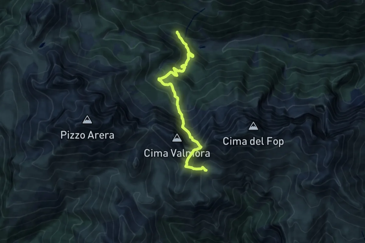
Expert · Cabin
Valcanale – Baita Santamaria in Leten
10.8 km · ↑ 1164 m · 5 h 4 min · 11 km away
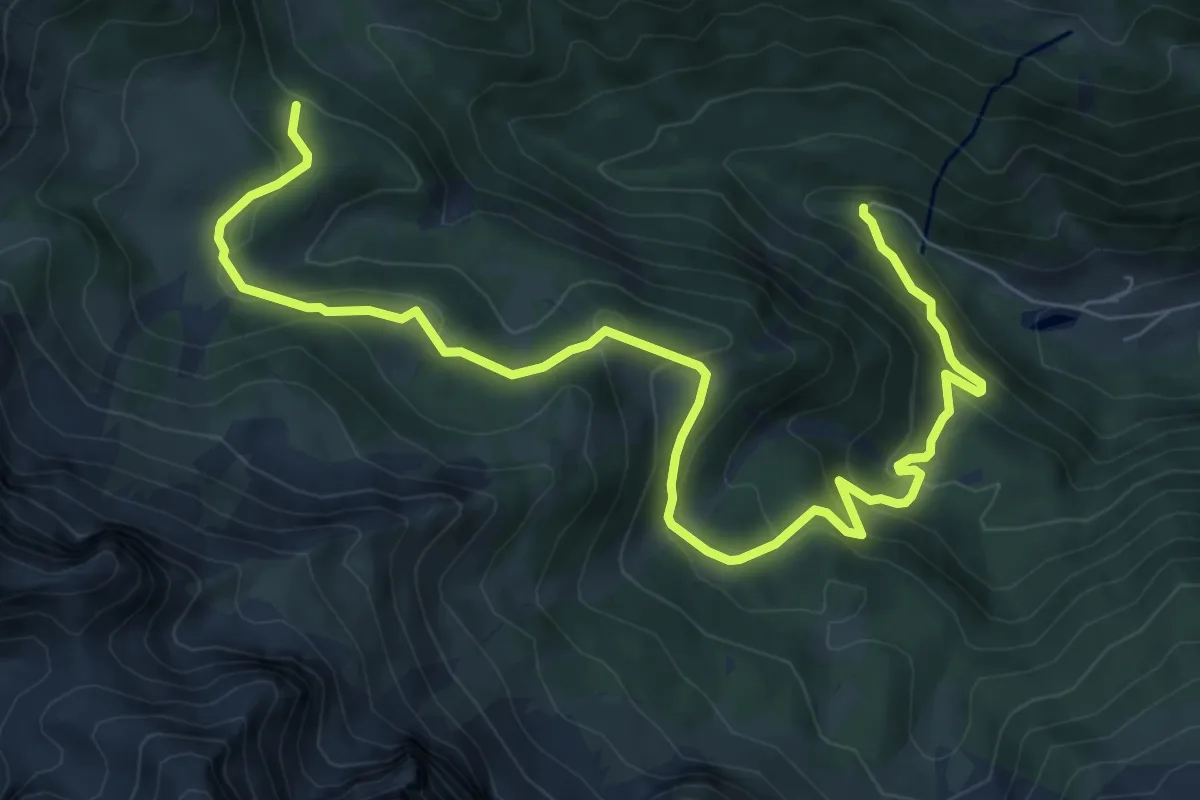
Medium · Trail
Valcanale – Baita GAN - Incrocio 218
10.3 km · ↑ 613 m · 3 h 46 min · 11 km away
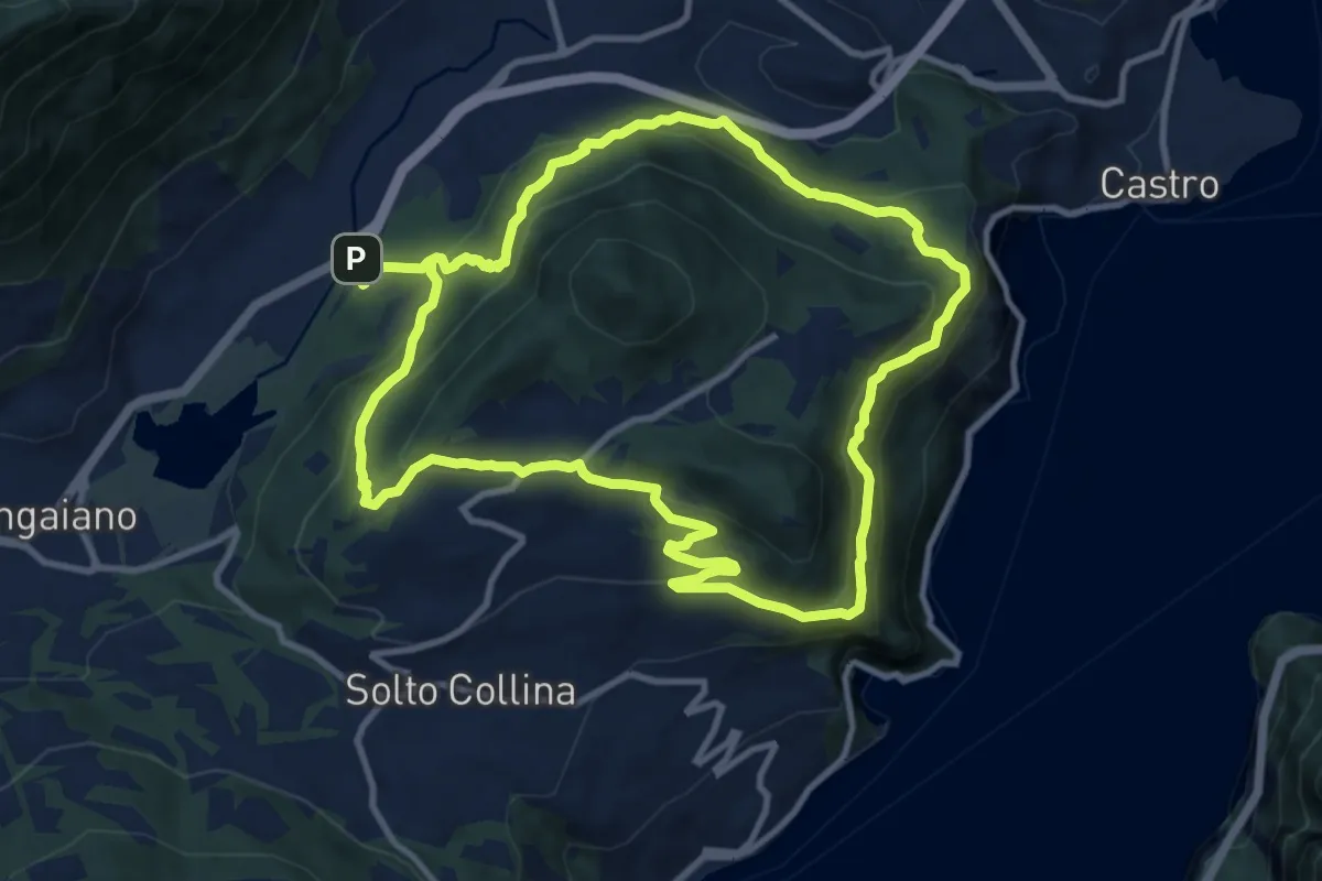
Medium · Trail
Periplo Monte Clemo
10.7 km · ↑ 549 m · 3 h 50 min · 11 km away
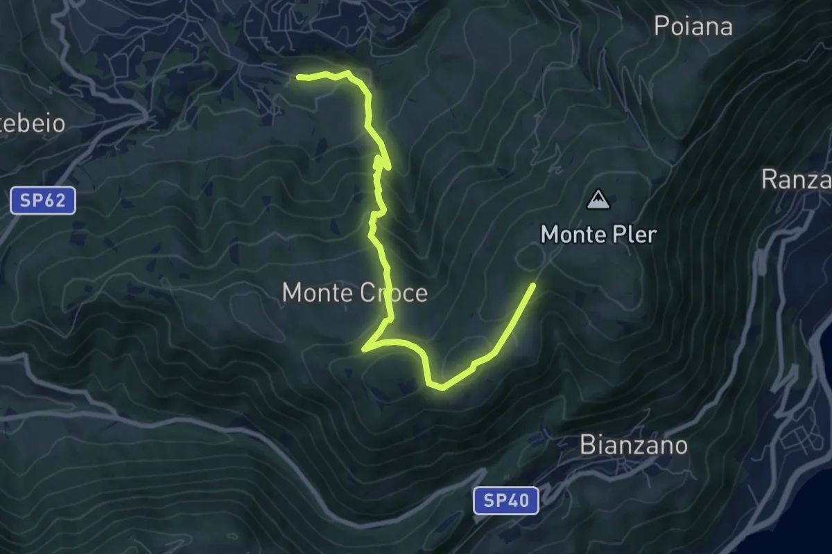
Medium · Trail
Leffe (campo sportivo) – Monte Croce (incrocio 513)
8.0 km · ↑ 567 m · 3 h 7 min · 11 km away
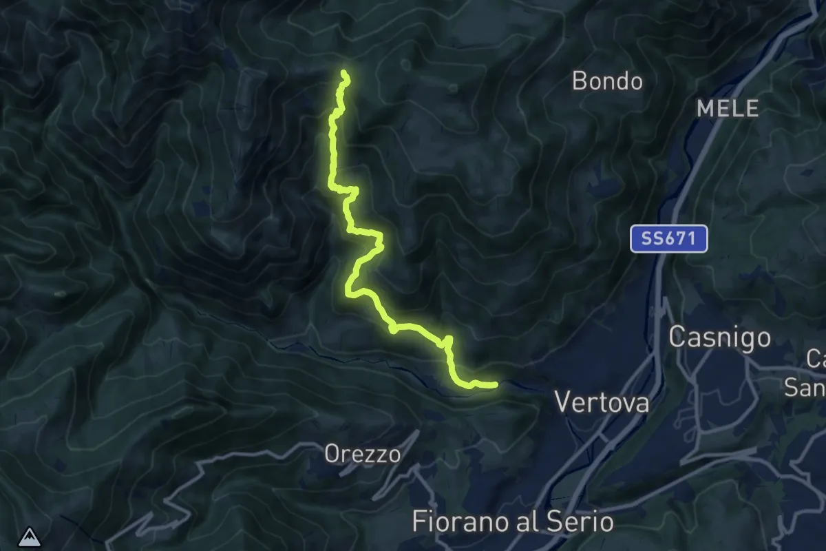
Demanding · Trail
Vertova – Dasla
10.8 km · ↑ 953 m · 4 h 36 min · 11 km away
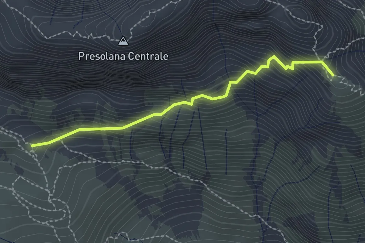
Demanding · Summit
Monte Visolo (incrocio 326) – Bivacco Città di Clusone (incrocio 315)
2.2 km · ↑ 342 m · 1 h 16 min · 11 km away
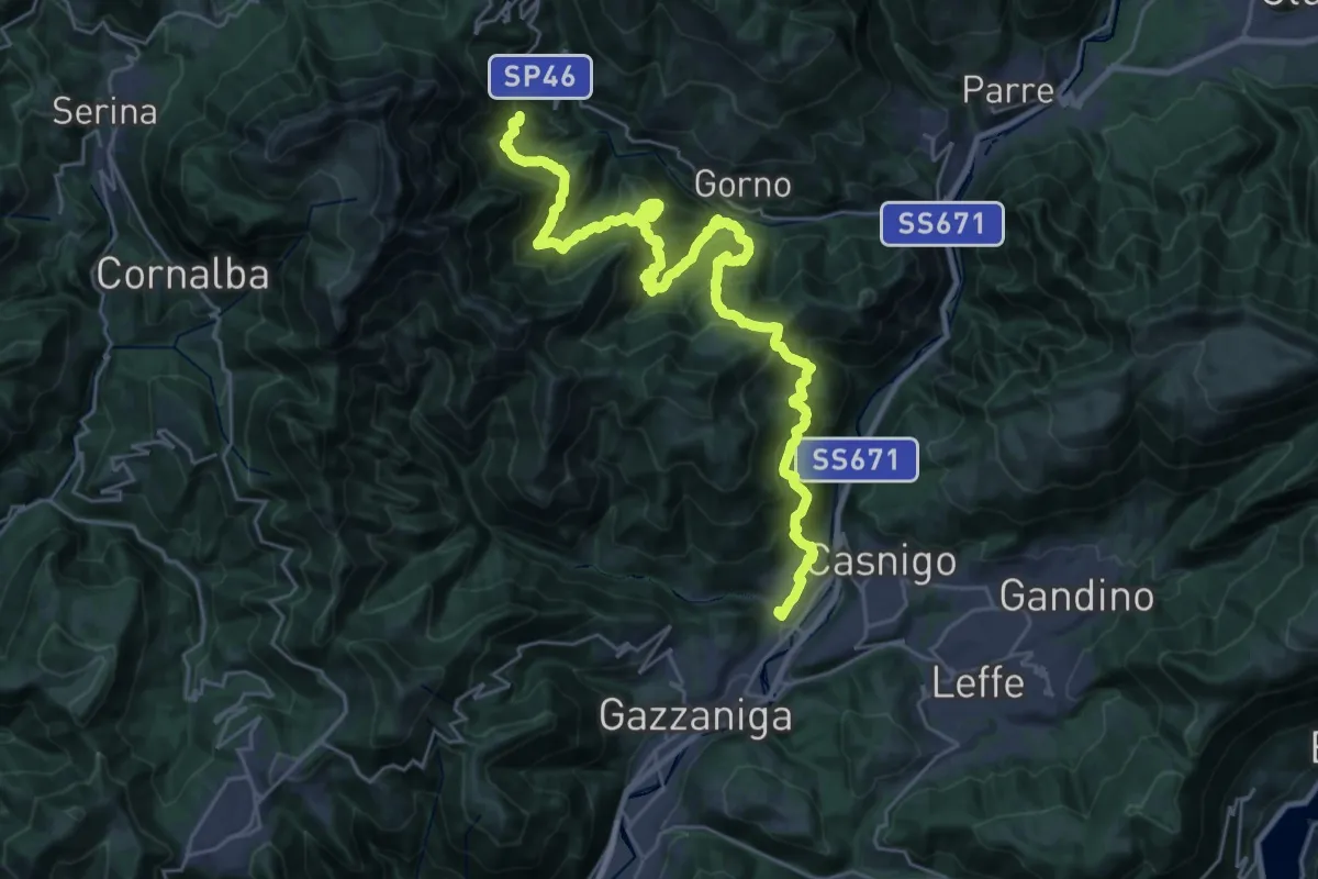
Demanding · Trail
Alta Via delle Grazie - Tappa 3
16.7 km · ↑ 807 m · 6 h 12 min · 11 km away
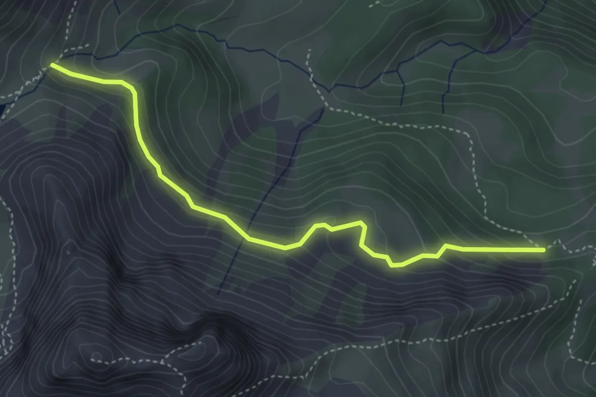
Expert · Cabin
Rifugio Lago Branchino – Baita di Piazza alta
4.3 km · ↑ 276 m · 1 h 37 min · 11 km away
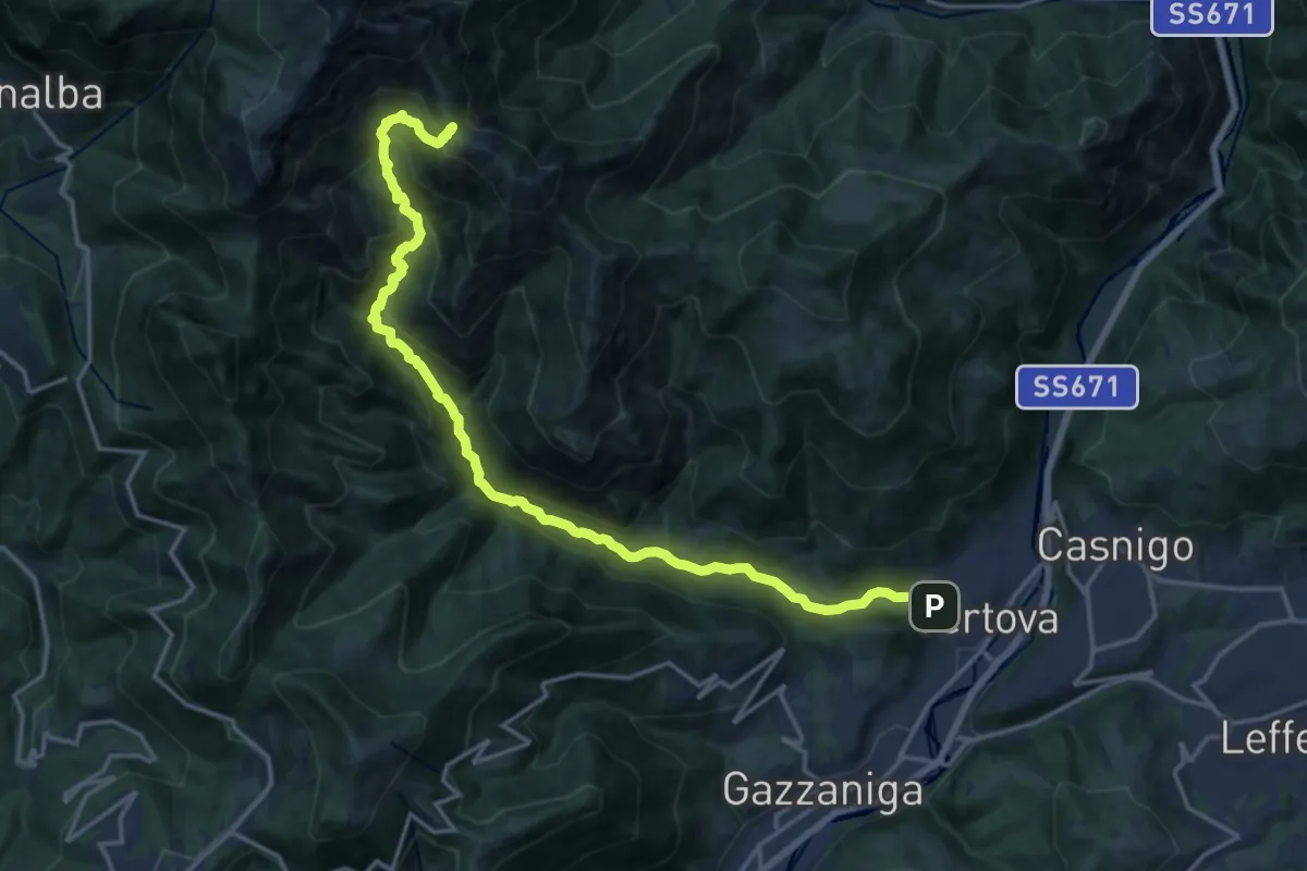
Demanding · Cabin
Vertova – Bivacco Testa
19.1 km · ↑ 1189 m · 7 h 5 min · 12 km away
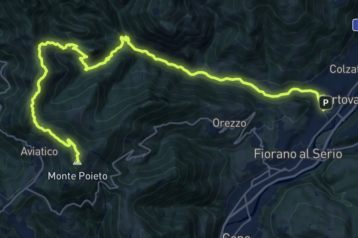
Demanding · Summit
Alta Via delle Grazie - Tappa 2
25.0 km · ↑ 1415 m · 8 h 59 min · 12 km away
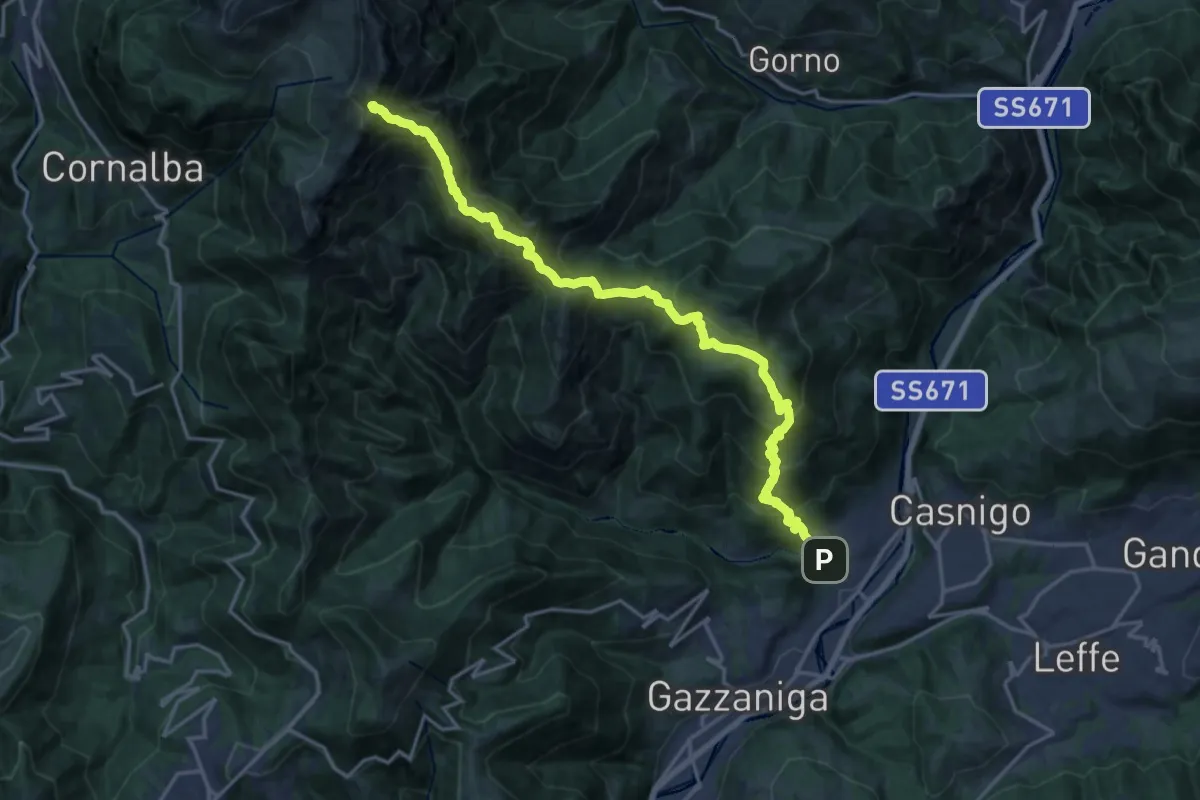
Demanding · Summit
Vertova – Cima Campelli
20.8 km · ↑ 1808 m · 8 h 50 min · 12 km away
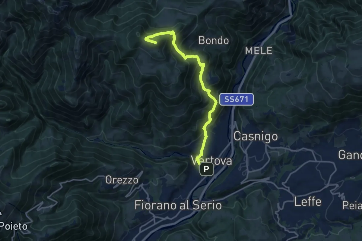
Demanding · Summit
Il Sentiero di San Patrizio
12.0 km · ↑ 934 m · 4 h 51 min · 12 km away
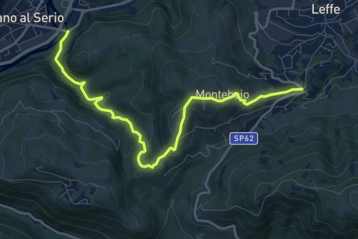
Medium · Trail
Ponte di Valgandino – S. Rocco di Leffe
9.6 km · ↑ 456 m · 3 h 15 min · 12 km away
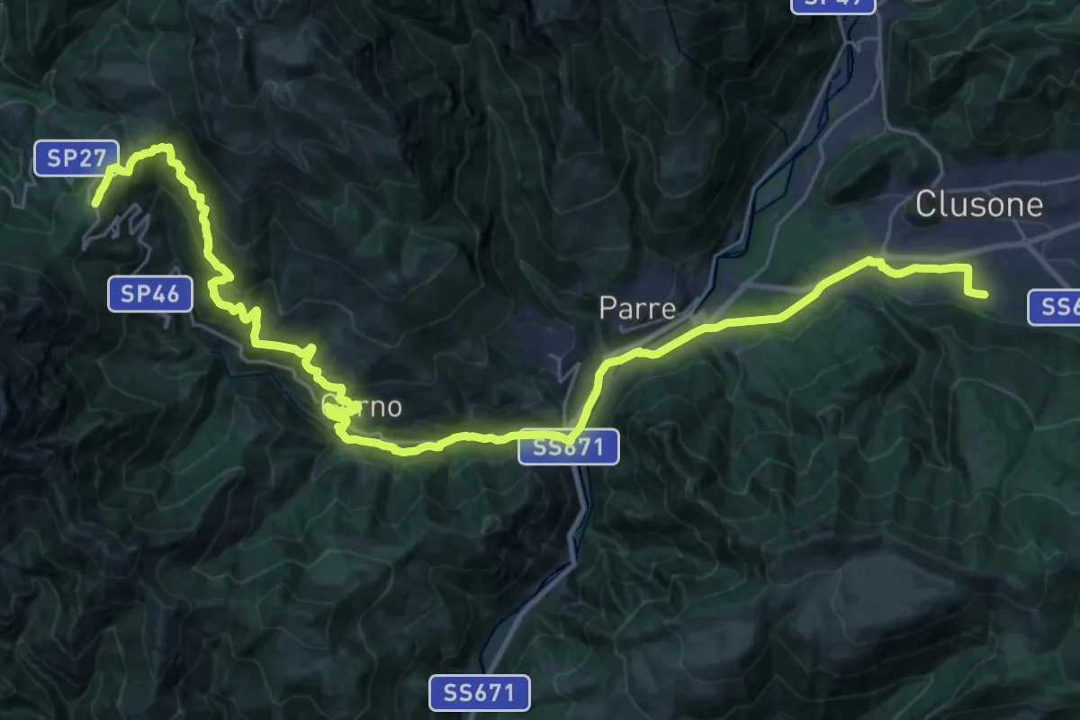
Demanding · Trail
Sentiero dei Laghi Basso - Tappa 8
19.0 km · ↑ 418 m · 6 h · 12 km away
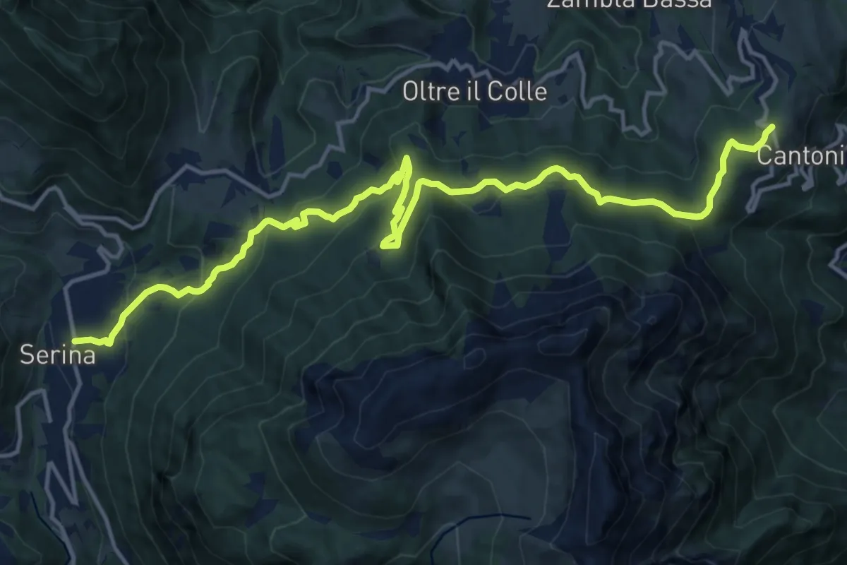
Medium · Trail
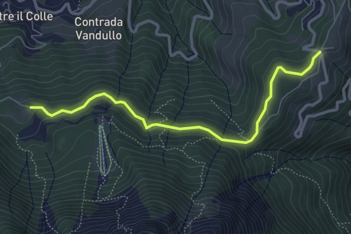
Sentiero dei Laghi Basso - Tappa 7
16.7 km · ↑ 750 m · 5 h 35 min · 12 km away
Easy · Trail
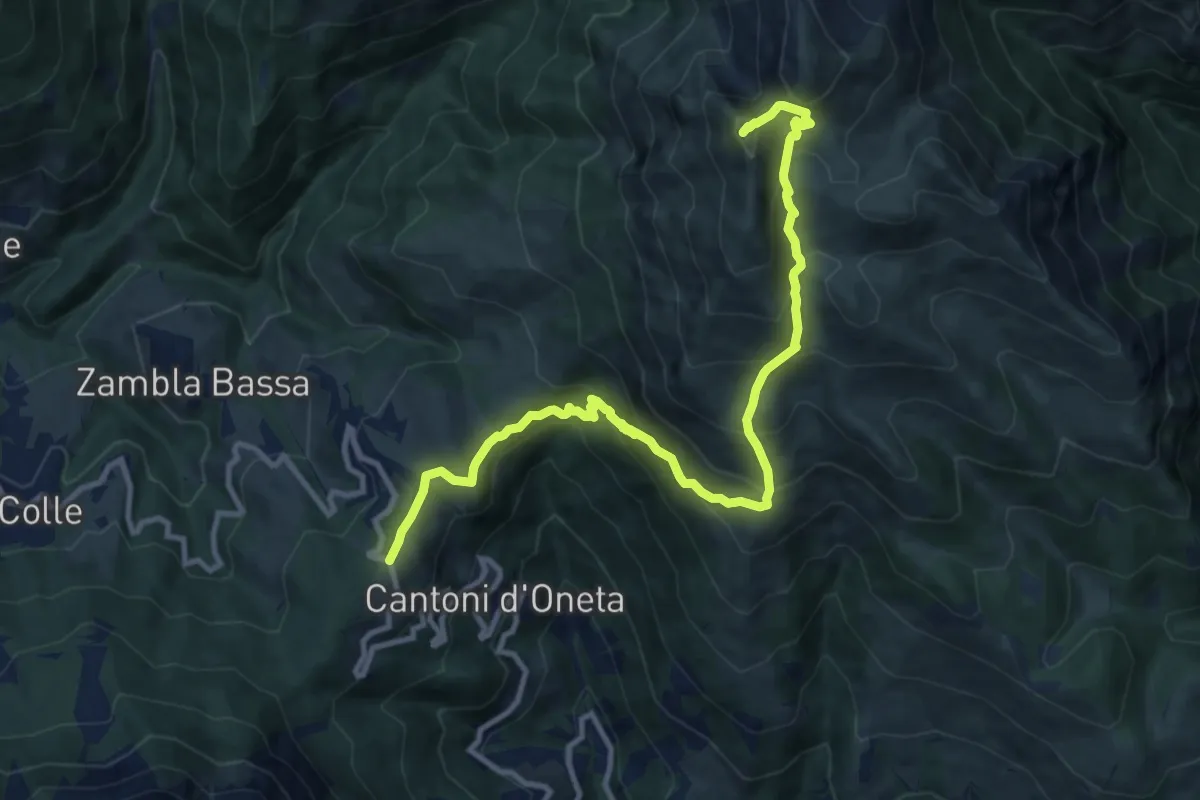
Pian della Palla – Passo di Zambla
5.7 km · ↑ 153 m · 1 h 41 min · 12 km away
Demanding · Summit
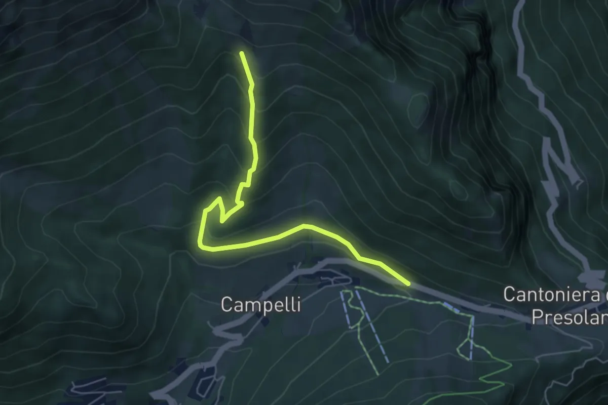
Col di Zambla – Cima di Grem
12.0 km · ↑ 972 m · 4 h 56 min · 12 km away
Medium · Cabin
Via Cassinelli
5.5 km · ↑ 371 m · 2 h 7 min · 12 km away
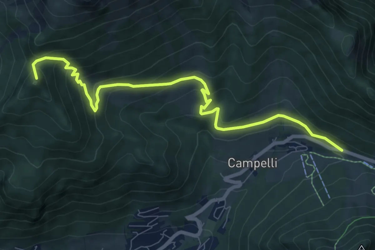
Medium · Summit
Passo della Presolana – Malga della Presolana (incrocio 318)
9.0 km · ↑ 563 m · 3 h 21 min · 12 km away
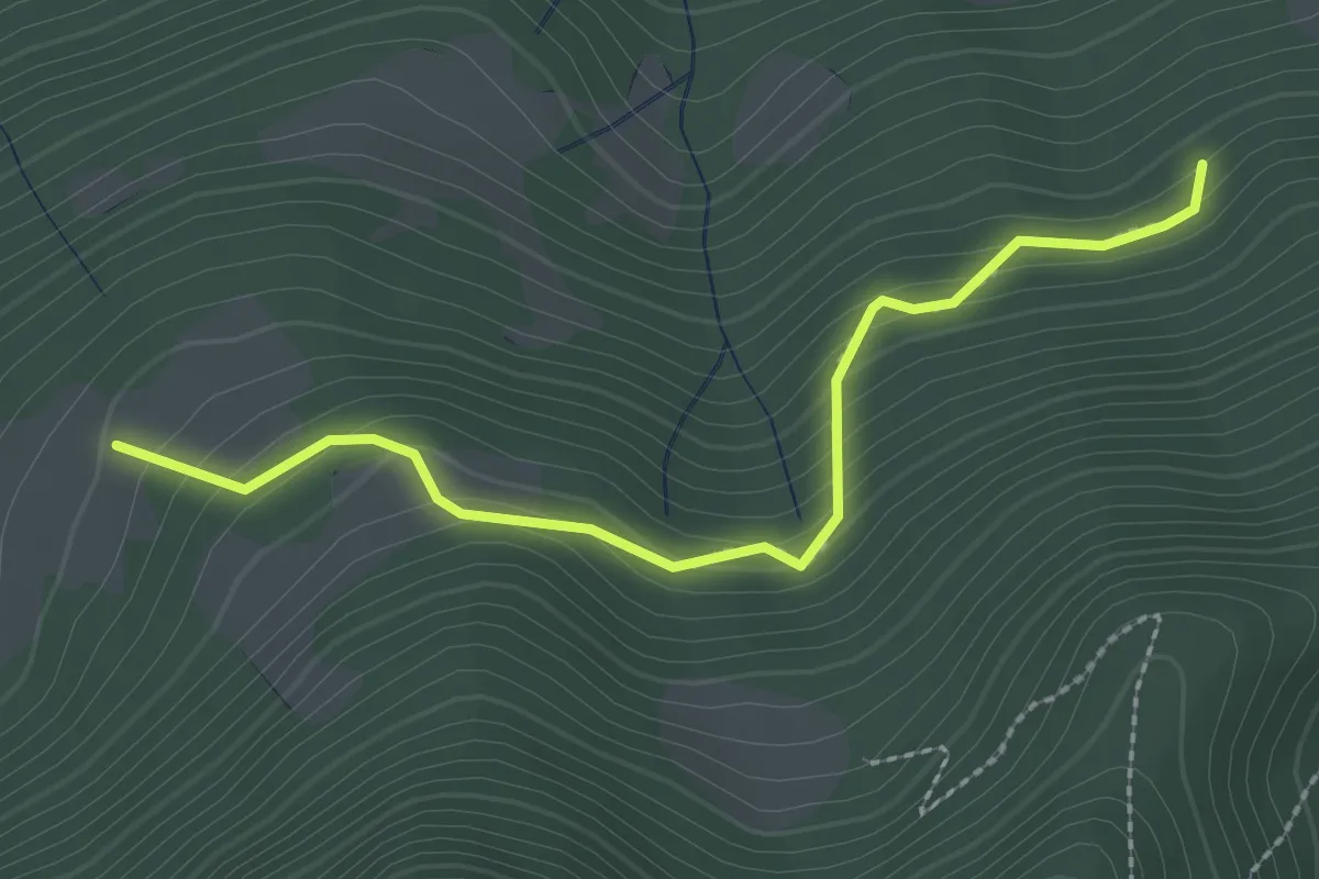
Medium · Trail
Rumignano – Pirola (S. Felice al Lago)
2.5 km · ↑ 204 m · 1 h 2 min · 12 km away
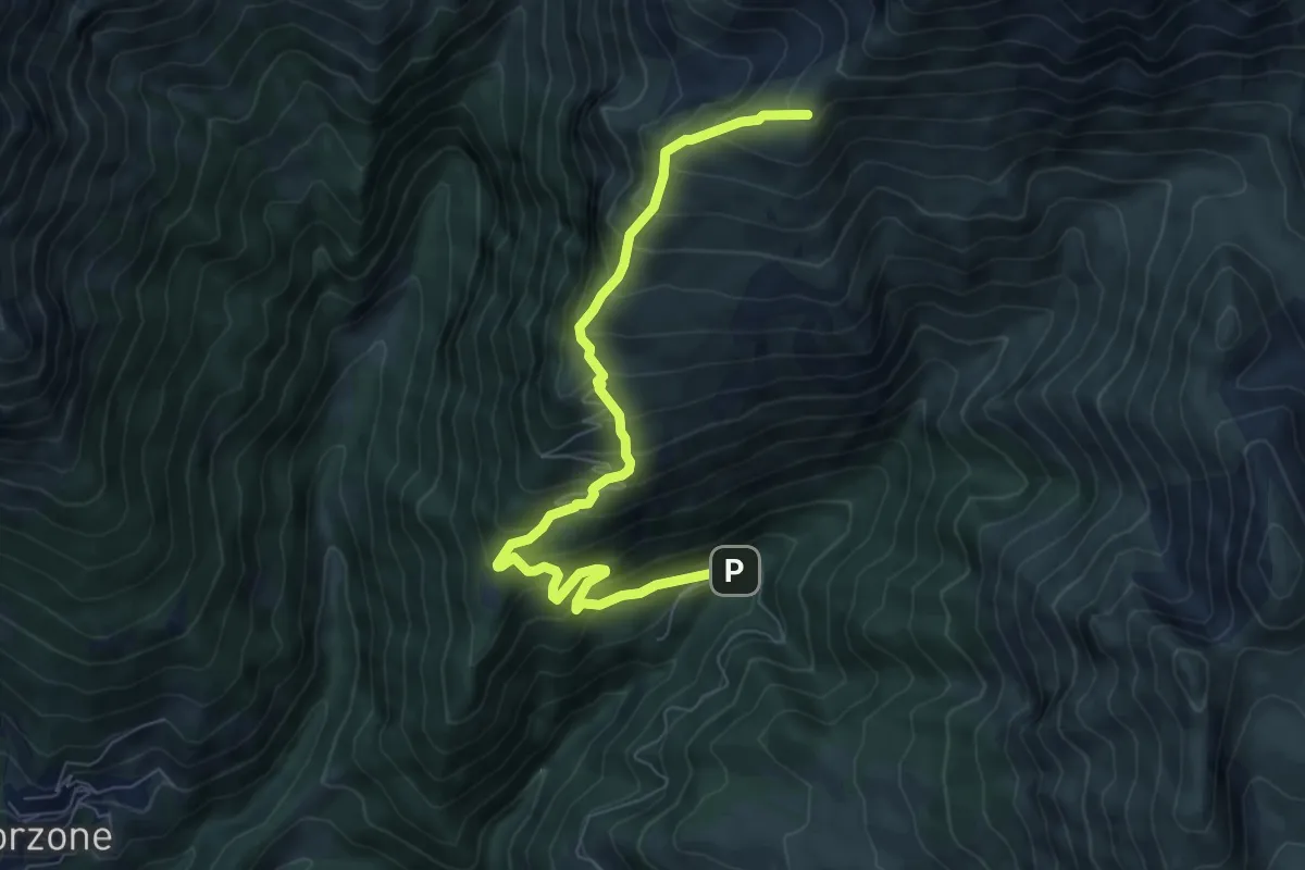
Demanding · Cabin
Zambla – Rifugio Capanna 2000
7.9 km · ↑ 847 m · 3 h 43 min · 12 km away
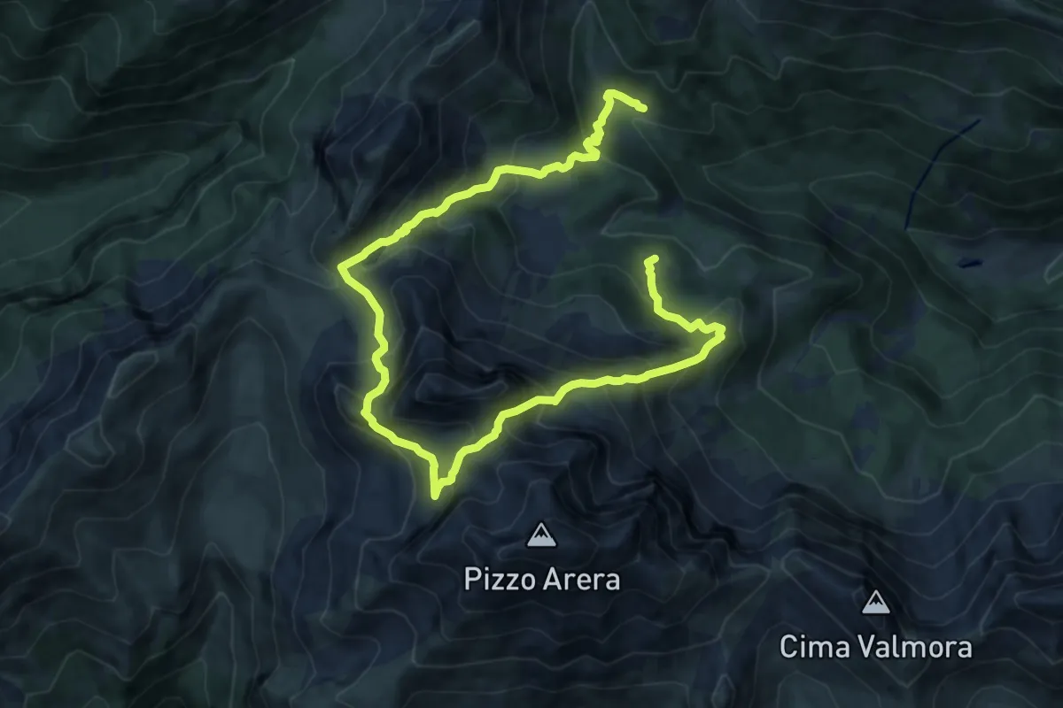
Demanding · Cabin
Rifugio Alpe Corte – Baita GAN
15.0 km · ↑ 1348 m · 6 h 28 min · 12 km away
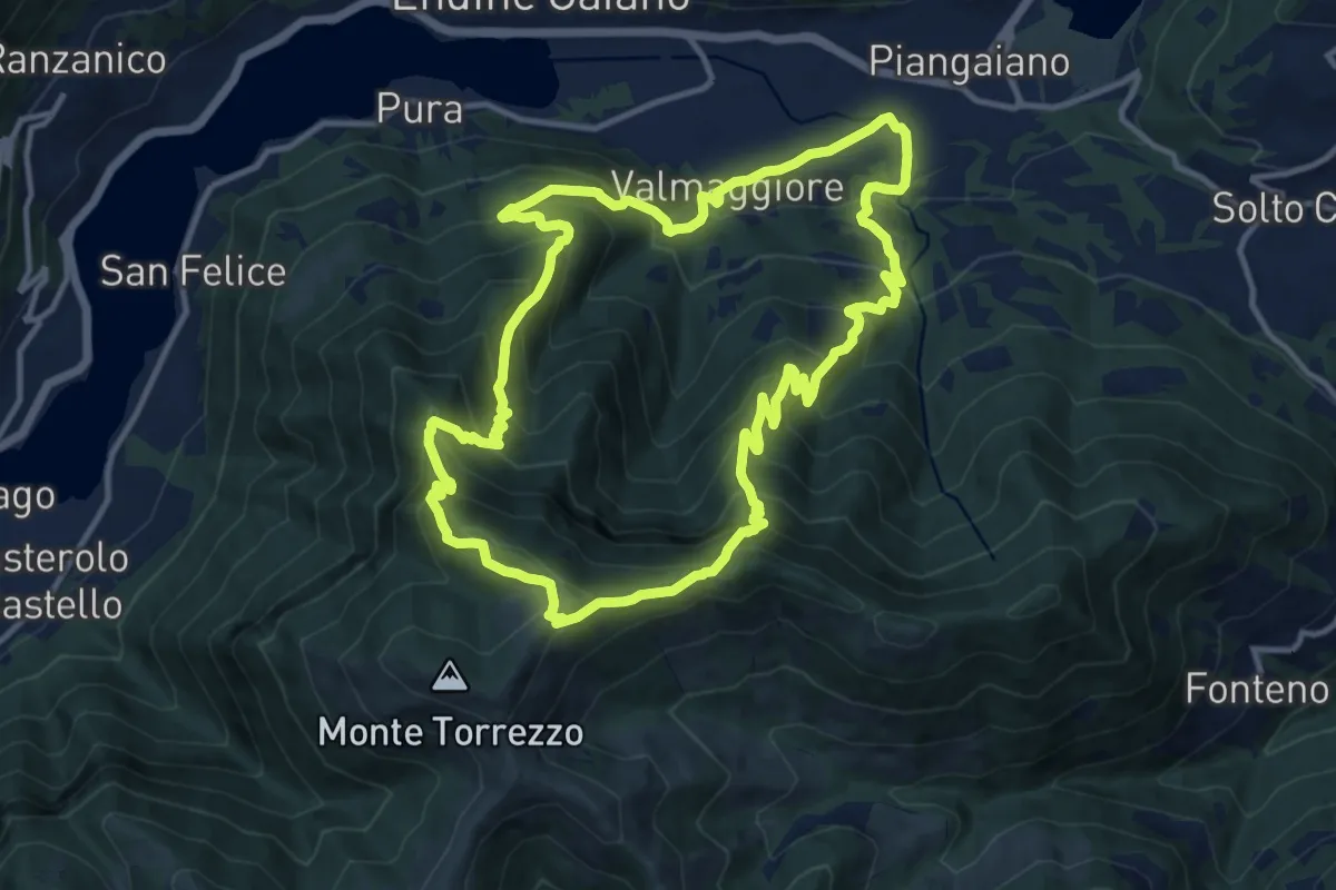
Demanding · Summit
Valmaggiore (Endine Gaiano) – Valmaggiore (Endine Gaiano)
12.6 km · ↑ 1053 m · 5 h 26 min · 12 km away
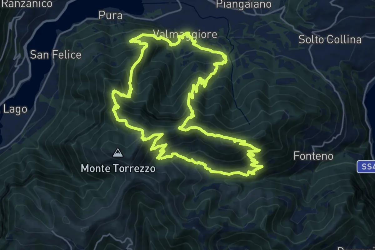
Demanding · Summit
Sentiero delle Grotte
19.1 km · ↑ 1528 m · 8 h 5 min · 12 km away
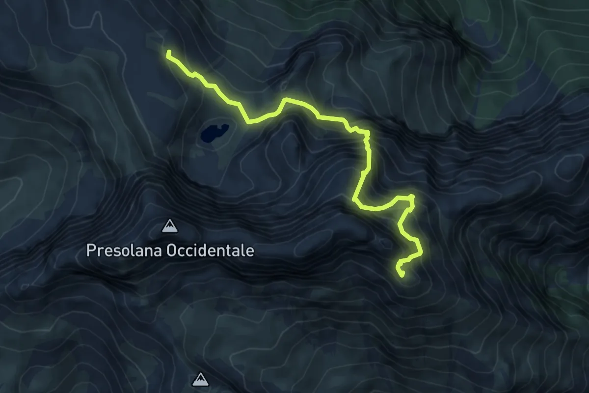
Expert · Summit
Rifugio Albani – Monte Visolo
6.4 km · ↑ 996 m · 3 h 40 min · 12 km away
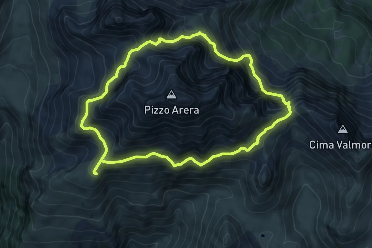
Expert · Cabin
Periplo del Pizzo Arera
7.3 km · ↑ 746 m · 3 h 27 min · 12 km away
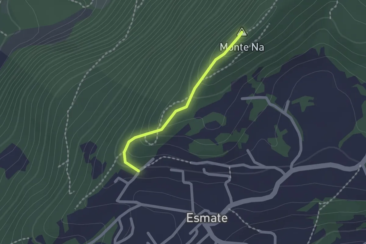
Easy · Summit
Incrocio 565 – Case del Cerrete
1.4 km · ↑ 84 m · 31 min · 12 km away
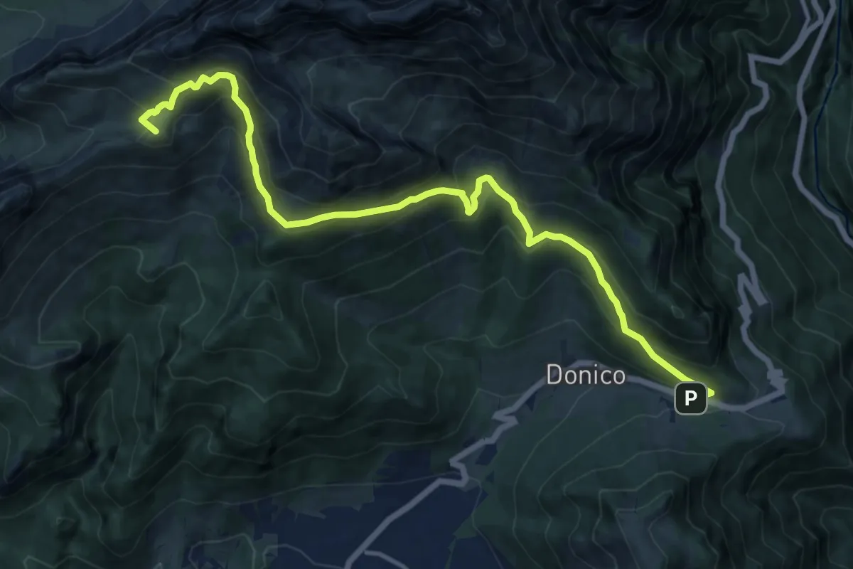
Demanding · Summit
Trekking della Presolana - Tappa 4
13.6 km · ↑ 1026 m · 5 h 27 min · 12 km away
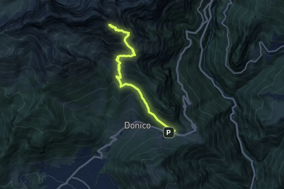
Demanding · Summit
Passo della Presolana – Monte Visolo
10.6 km · ↑ 1039 m · 4 h 45 min · 12 km away
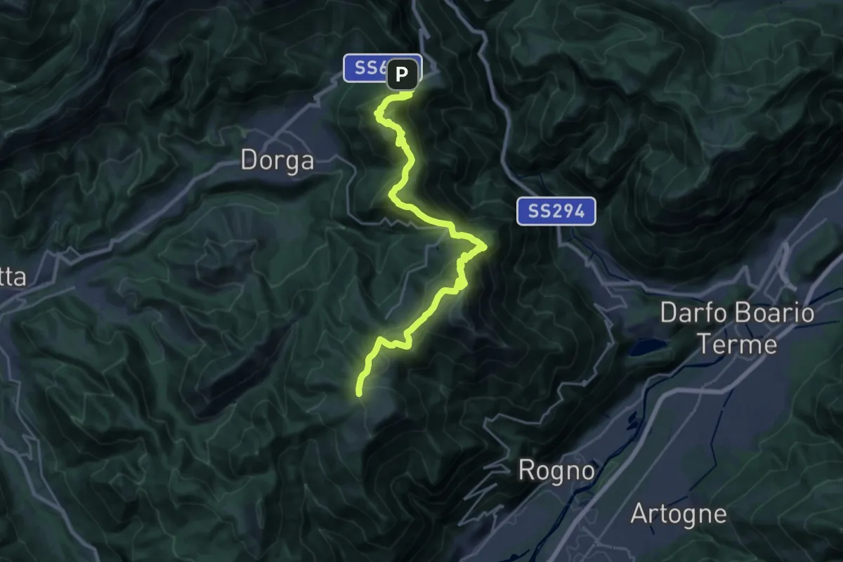
Demanding · Cabin
Trekking della Presolana - Tappa 3
12.2 km · ↑ 918 m · 4 h 53 min · 12 km away
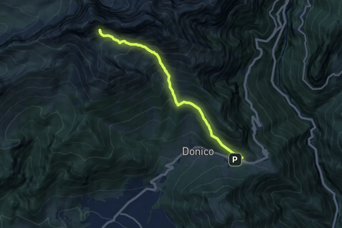
Demanding · Trail
Passo della Presolana – Grotta dei Pagani
9.5 km · ↑ 1236 m · 4 h 56 min · 12 km away
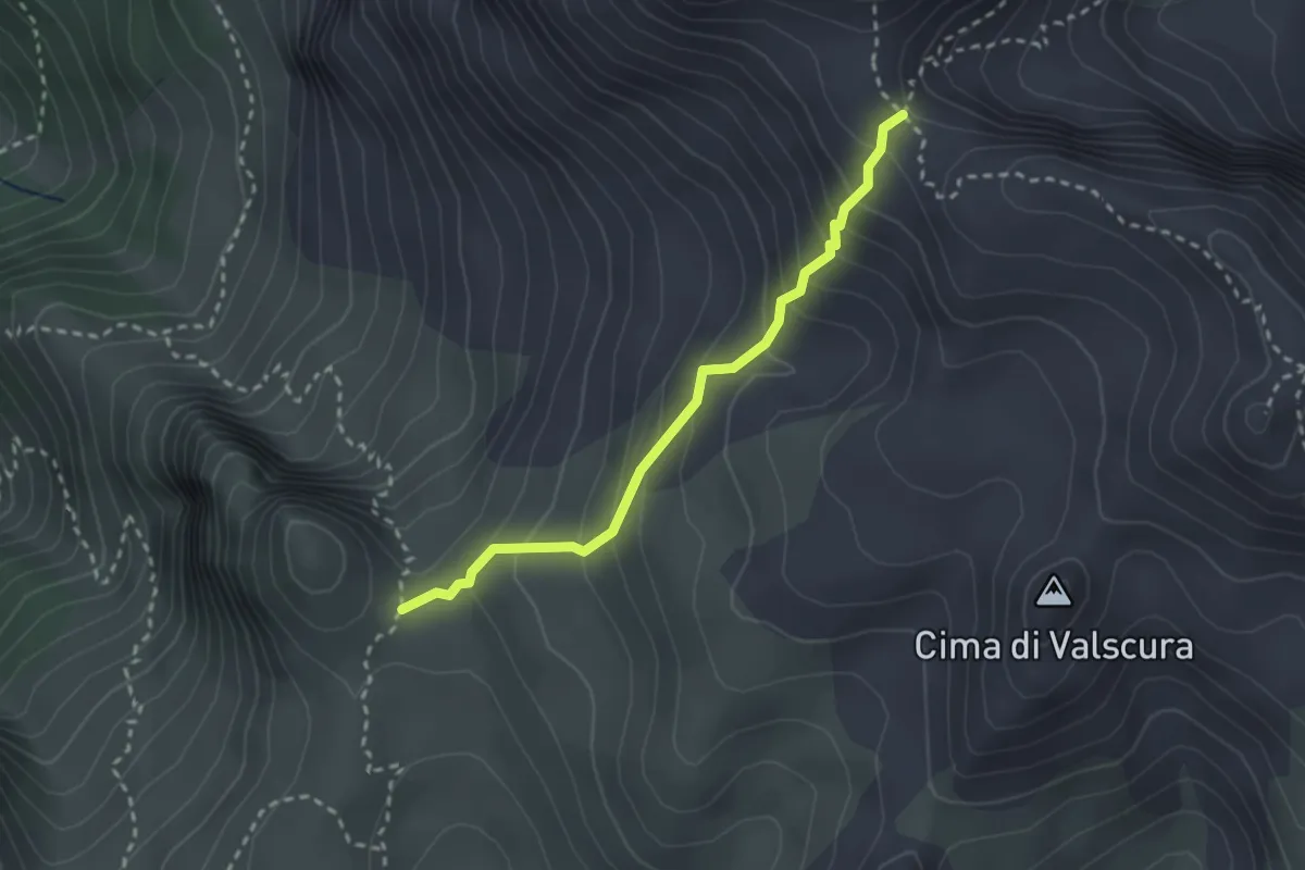
Medium · Trail
Incrocio 314A – Passo di Fontanamora
2.5 km · ↑ 246 m · 1 h 8 min · 12 km away
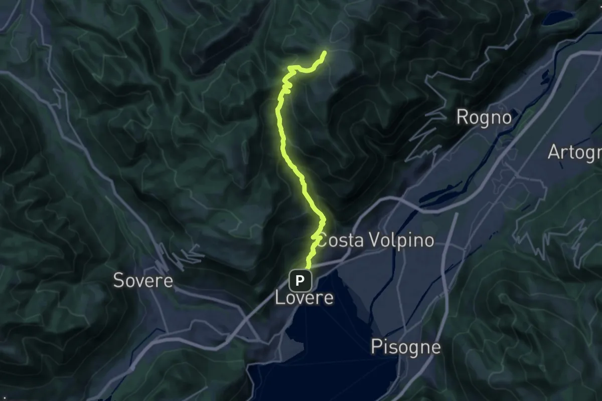
Expert · Cabin
Lovere – Rifugio Magnolini
16.7 km · ↑ 1493 m · 7 h 11 min · 12 km away
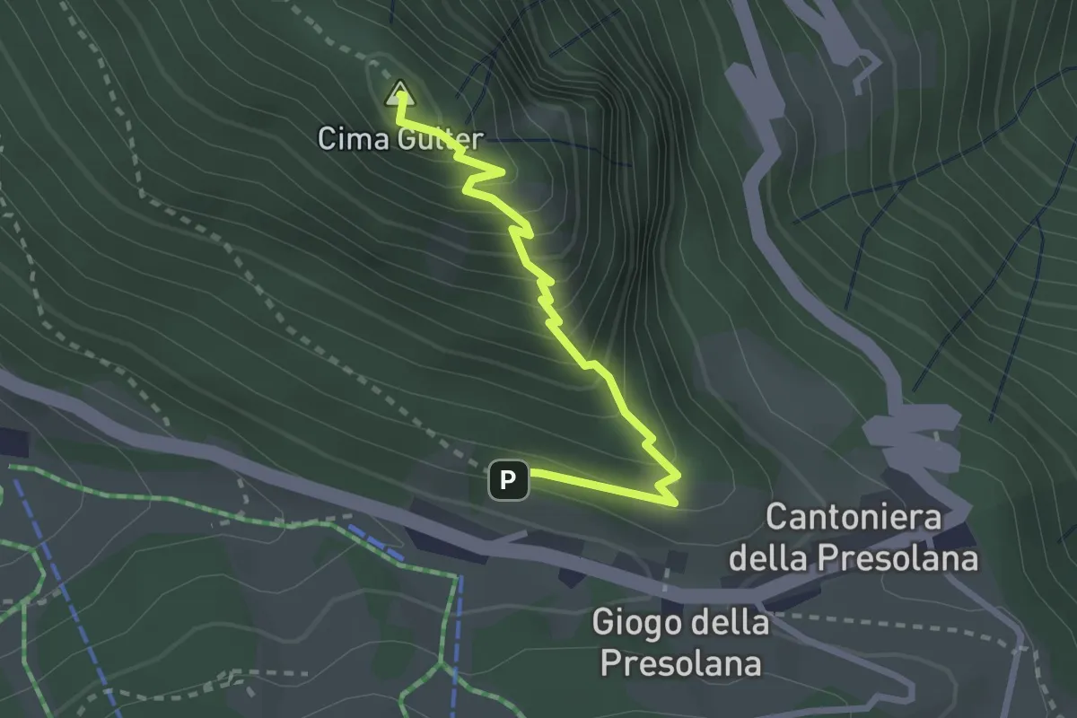
Demanding · Summit
Incrocio 316 – Incrocio 316
2.5 km · ↑ 283 m · 1 h 13 min · 12 km away
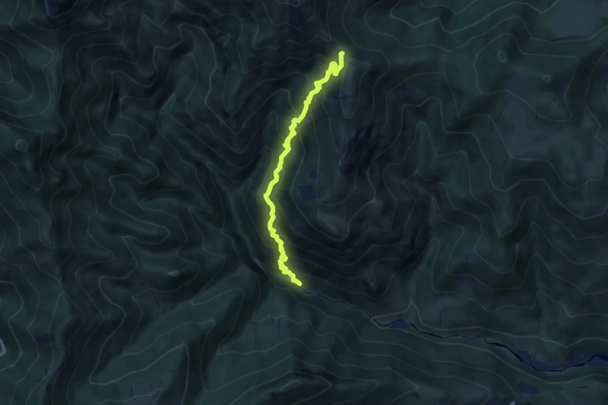
Demanding · Trail
Gaernài (Val Vertova) – Passo di Bliben
7.3 km · ↑ 856 m · 3 h 35 min · 12 km away
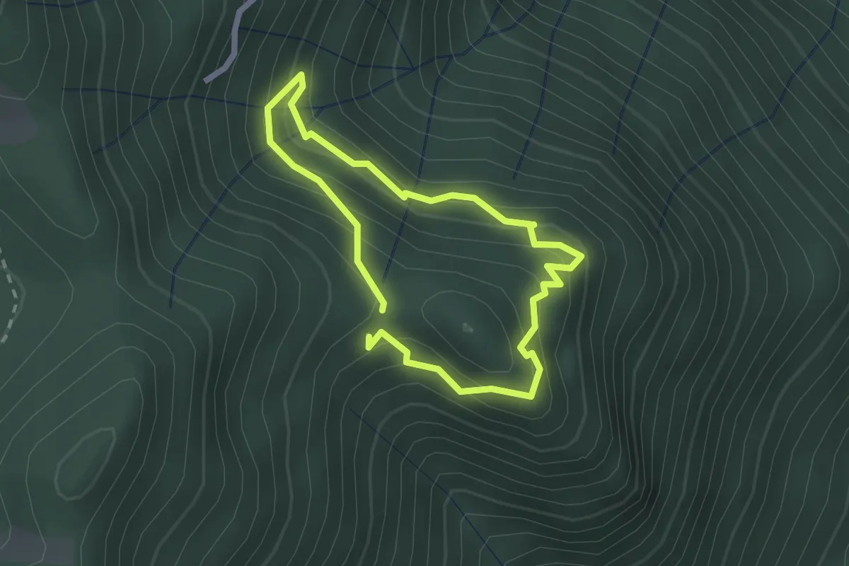
Easy · Trail
Sentiero dell'Orso
1.8 km · ↑ 133 m · 44 min · 12 km away
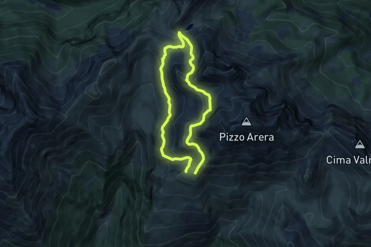
Medium · Cabin
Sentiero dei Fiori
6.8 km · ↑ 505 m · 2 h 47 min · 12 km away
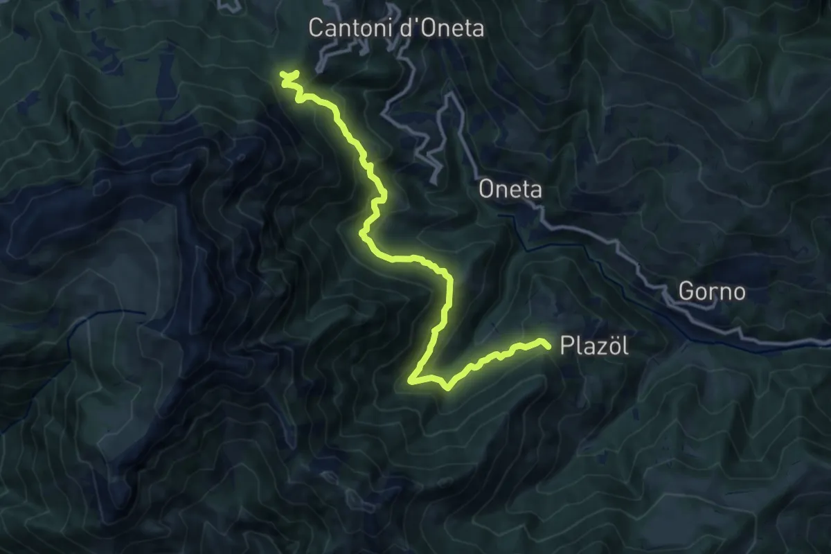
Demanding · Trail
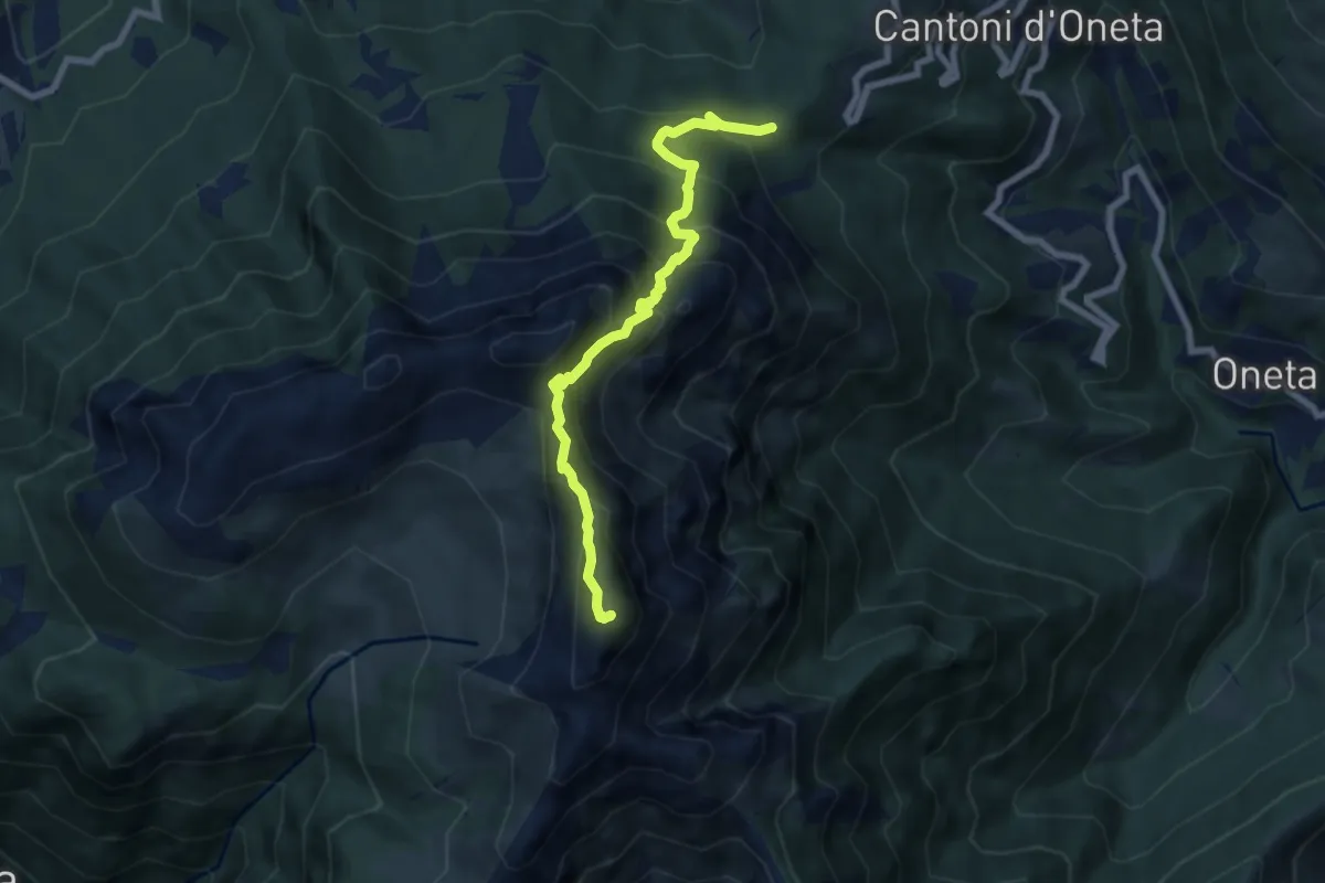
Chignolo (Oneta) – Passo della Crocetta
12.5 km · ↑ 884 m · 4 h 52 min · 12 km away
Expert · Summit
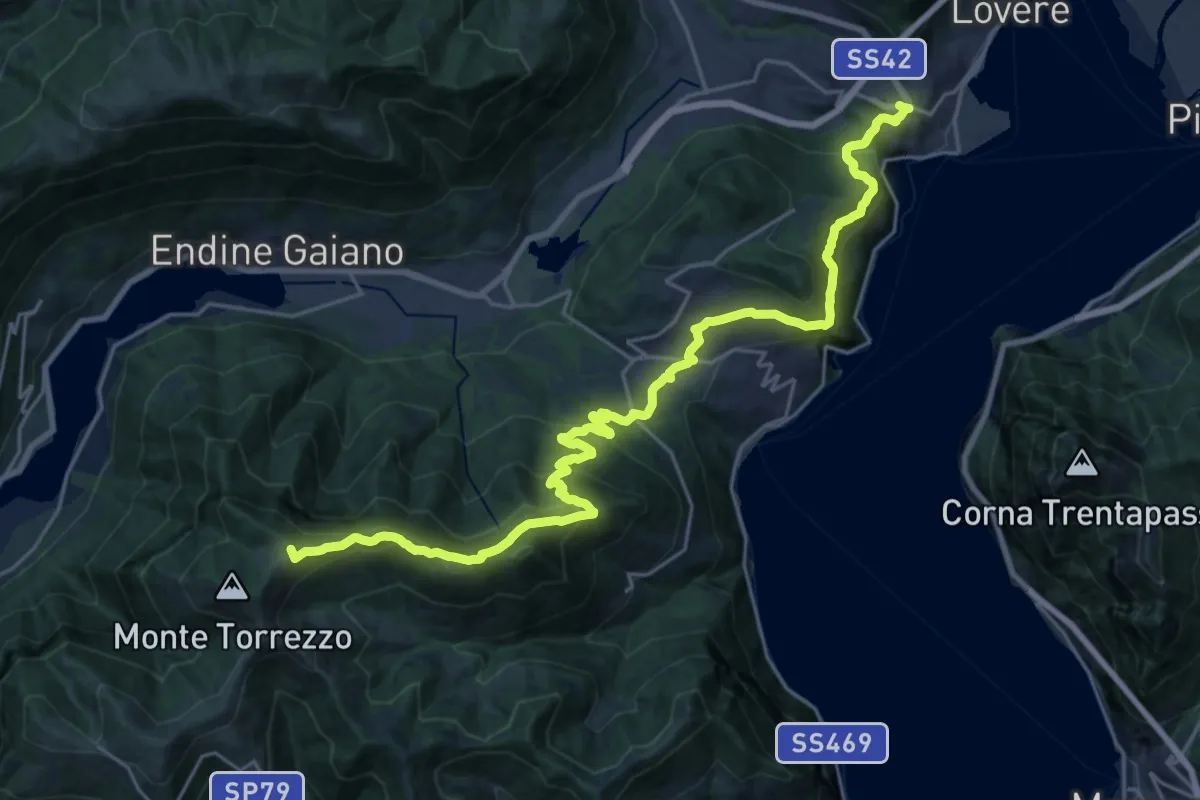
Passo della Crocetta – Monte Alben
7.1 km · ↑ 751 m · 3 h 19 min · 12 km away
Demanding · Summit
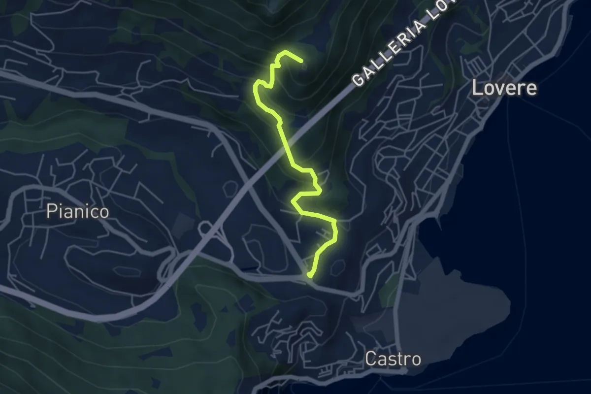
Trans Padana Centrale
28.0 km · ↑ 1528 m · 9 h 55 min · 12 km away
Medium · Summit
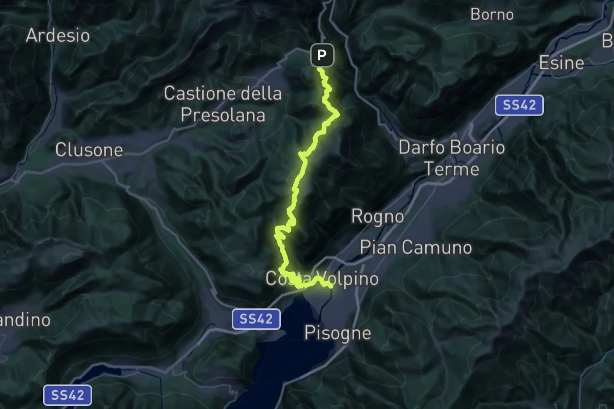
Lovere – Passo delle Croci
4.2 km · ↑ 331 m · 1 h 42 min · 12 km away
Expert · Trail
Sentiero dei Laghi Alto - Tappa 13
21.3 km · ↑ 880 m · 7 h 47 min · 12 km away
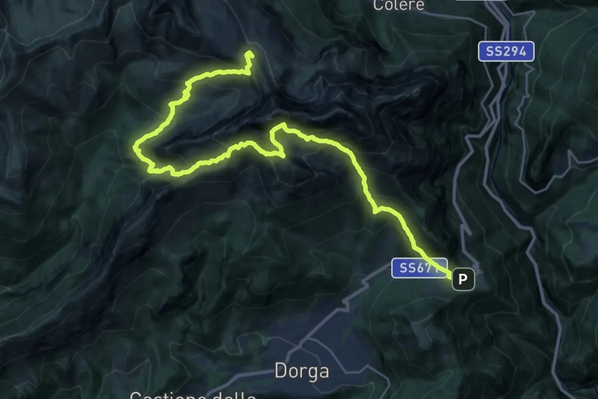
Demanding · Summit
Sentiero dei Laghi Alto - Tappa 12
26.0 km · ↑ 2808 m · 12 h 14 min · 12 km away
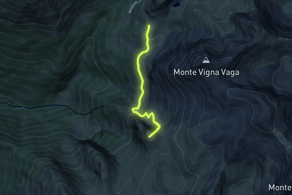
Medium · Summit
Incrocio Percorso 314 – Incrocio Percorso 309
4.2 km · ↑ 400 m · 1 h 51 min · 12 km away
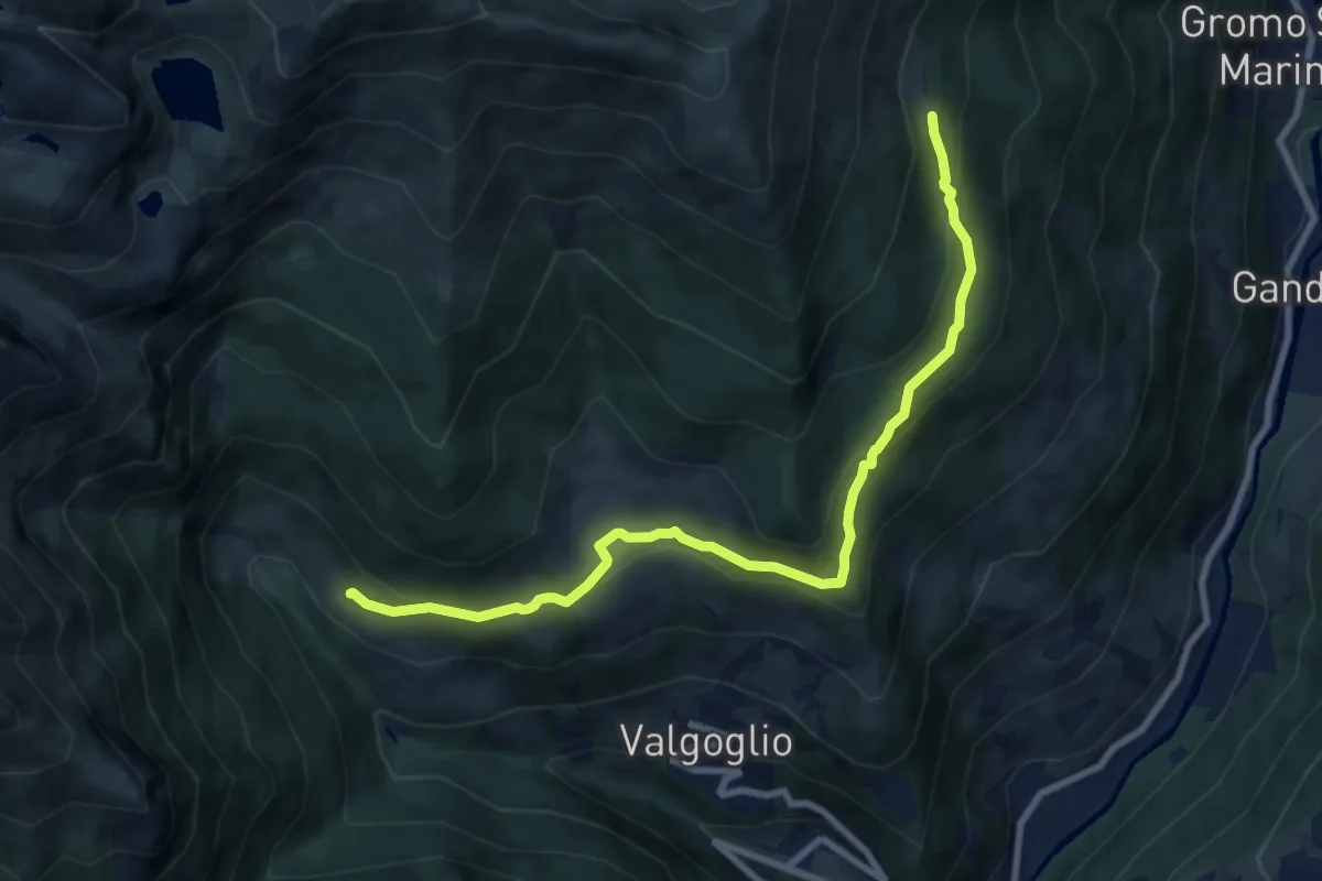
Medium · Cabin
Bortolotti (Valgoglio) – Baita Nedulo (incrocio 233)
8.9 km · ↑ 363 m · 2 h 53 min · 12 km away
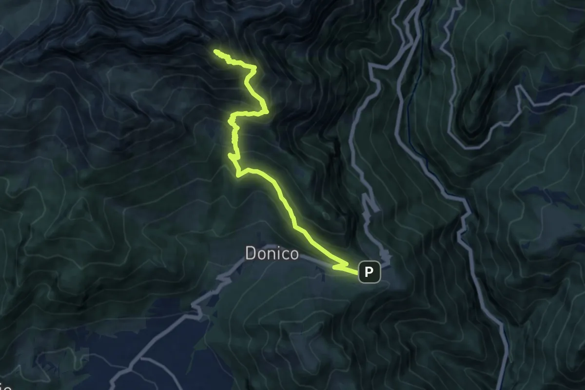
Expert · Summit
Sentiero delle Orobie Orientali - Tappa finale Classico
11.5 km · ↑ 1047 m · 4 h 59 min · 12 km away