Trails near Clusone
220 hikes starting within 15 km, nearest first.
Nearest first, page 4 of 5
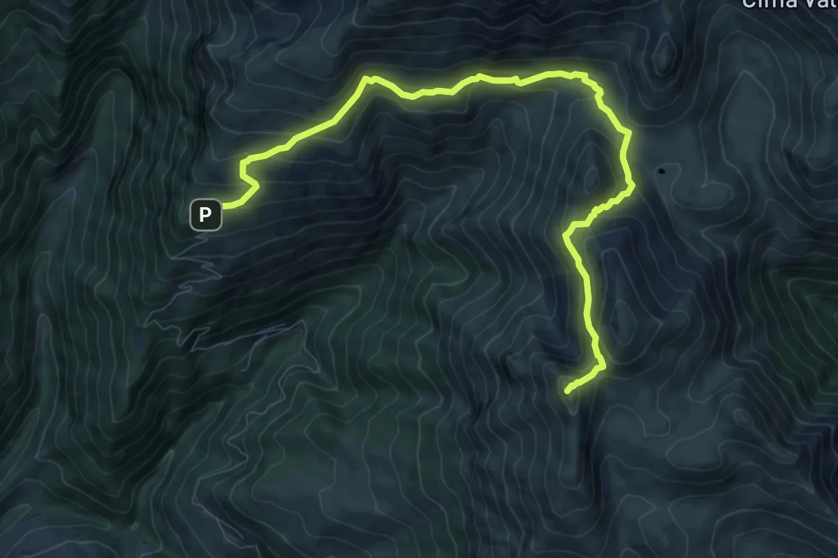
Medium · Summit
Rifugio SABA – Cima di Grem
10.9 km · ↑ 648 m · 3 h 59 min · 12 km away
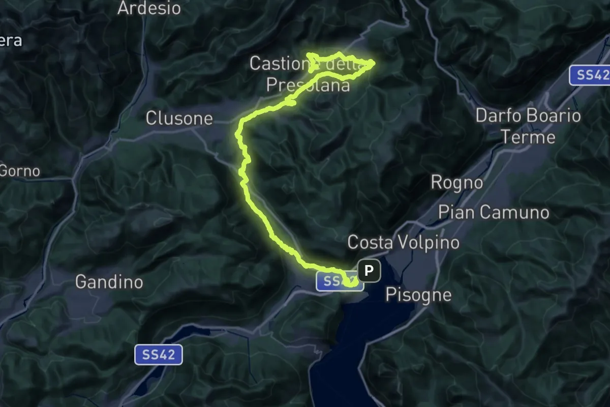
Demanding · Trail
Alta Via delle Grazie - Tappa 9
30.4 km · ↑ 1271 m · 10 h 1 min · 13 km away
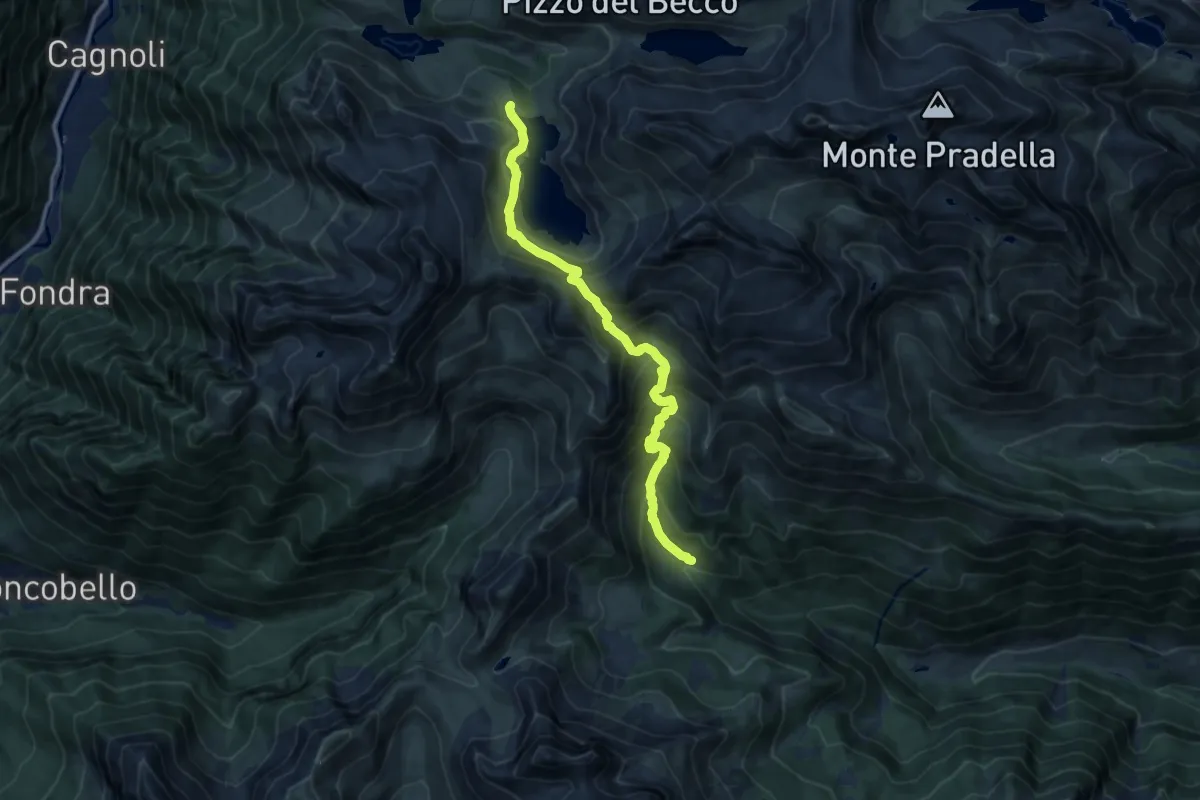
Demanding · Cabin
Sentiero delle Orobie Orientali - Tappa 2
11.3 km · ↑ 944 m · 4 h 43 min · 13 km away
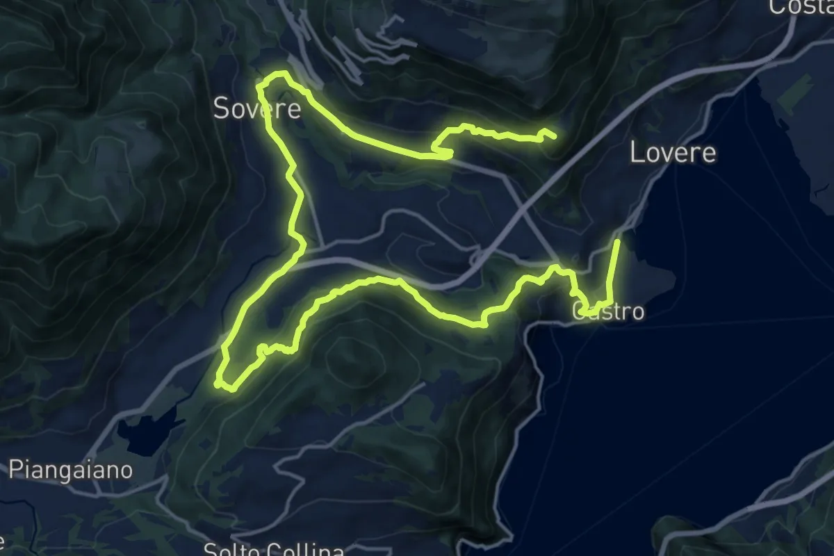
Demanding · Summit
CamminaForeste - Tappa 4A
27.2 km · ↑ 975 m · 8 h 32 min · 13 km away
Demanding · Summit
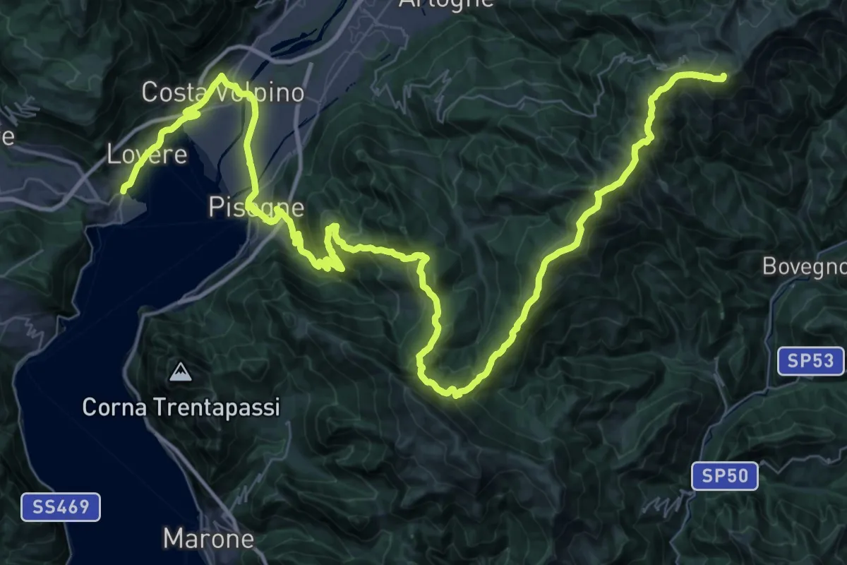
CamminaForeste - Tappa 3D
65.3 km · ↑ 3089 m · 22 h 6 min · 13 km away
Medium · Trail
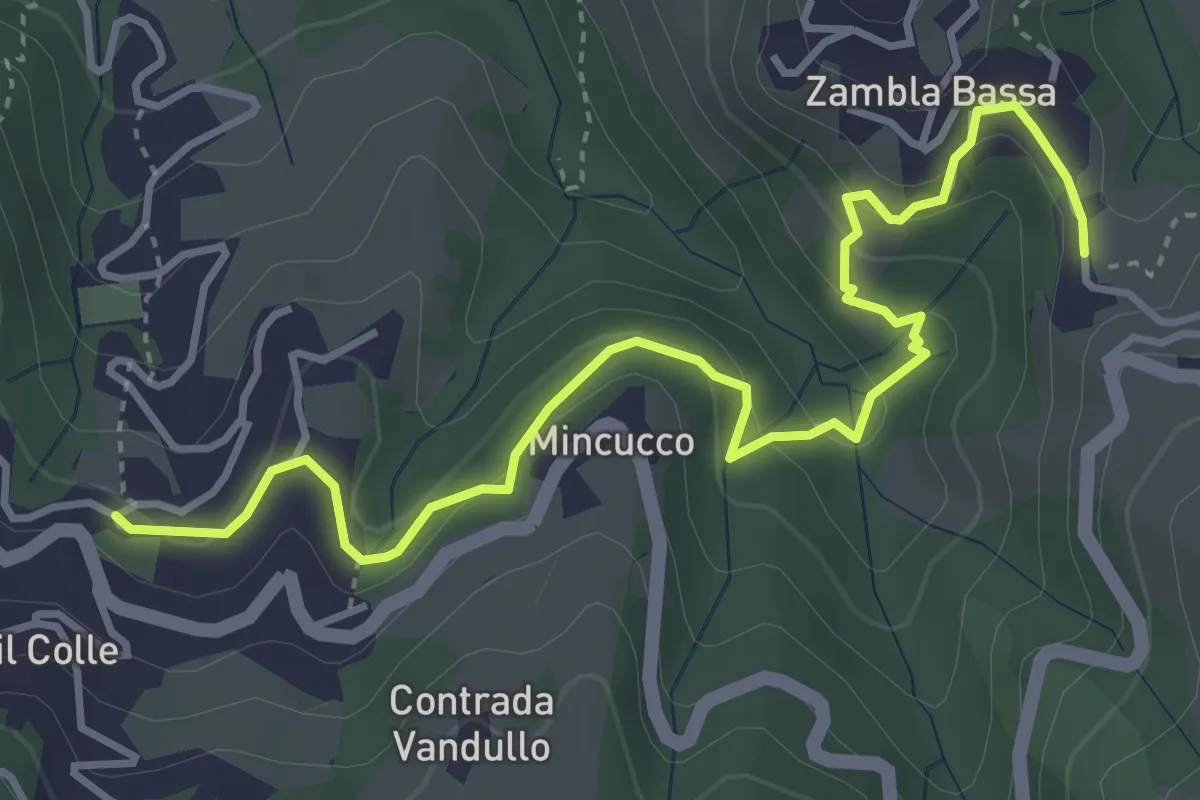
Oltre il Colle – Zambla Bassa
4.6 km · ↑ 236 m · 1 h 36 min · 13 km away
Easy · Trail
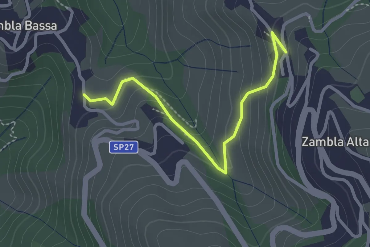
Zambla Bassa – Zambla Alta
2.3 km · ↑ 132 m · 49 min · 13 km away
Expert · Trail
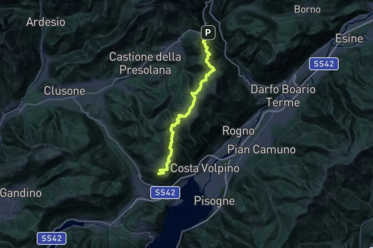
CamminaForeste - Tappa 4B
17.9 km · ↑ 923 m · 6 h 41 min · 13 km away
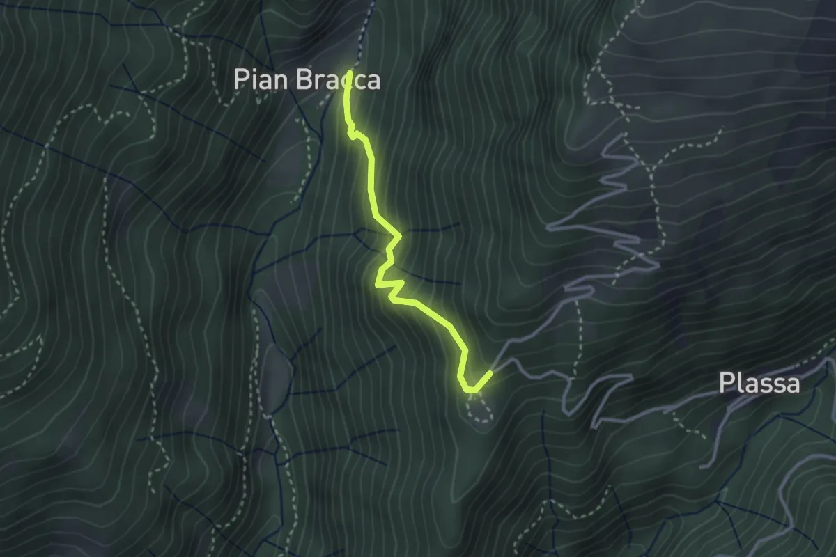
Medium · Trail
Pian Bracca (incrocio 231) – Cattedrale Vegetale
2.6 km · ↑ 299 m · 1 h 15 min · 13 km away
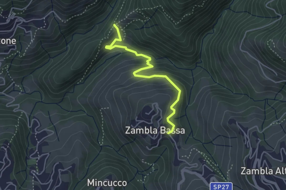
Medium · Trail
Cappella Forcella – Zambla Bassa
3.7 km · ↑ 227 m · 1 h 22 min · 13 km away
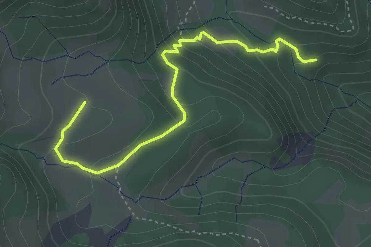
Medium · Trail
Giro dell'Alpe Neel
1.9 km · ↑ 13 m · 37 min · 13 km away
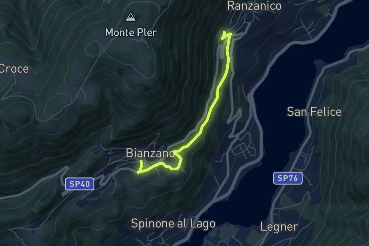
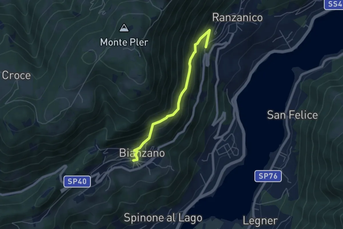
Easy · Trail
Bianzano – Ranzanico
5.3 km · ↑ 270 m · 1 h 50 min · 13 km away
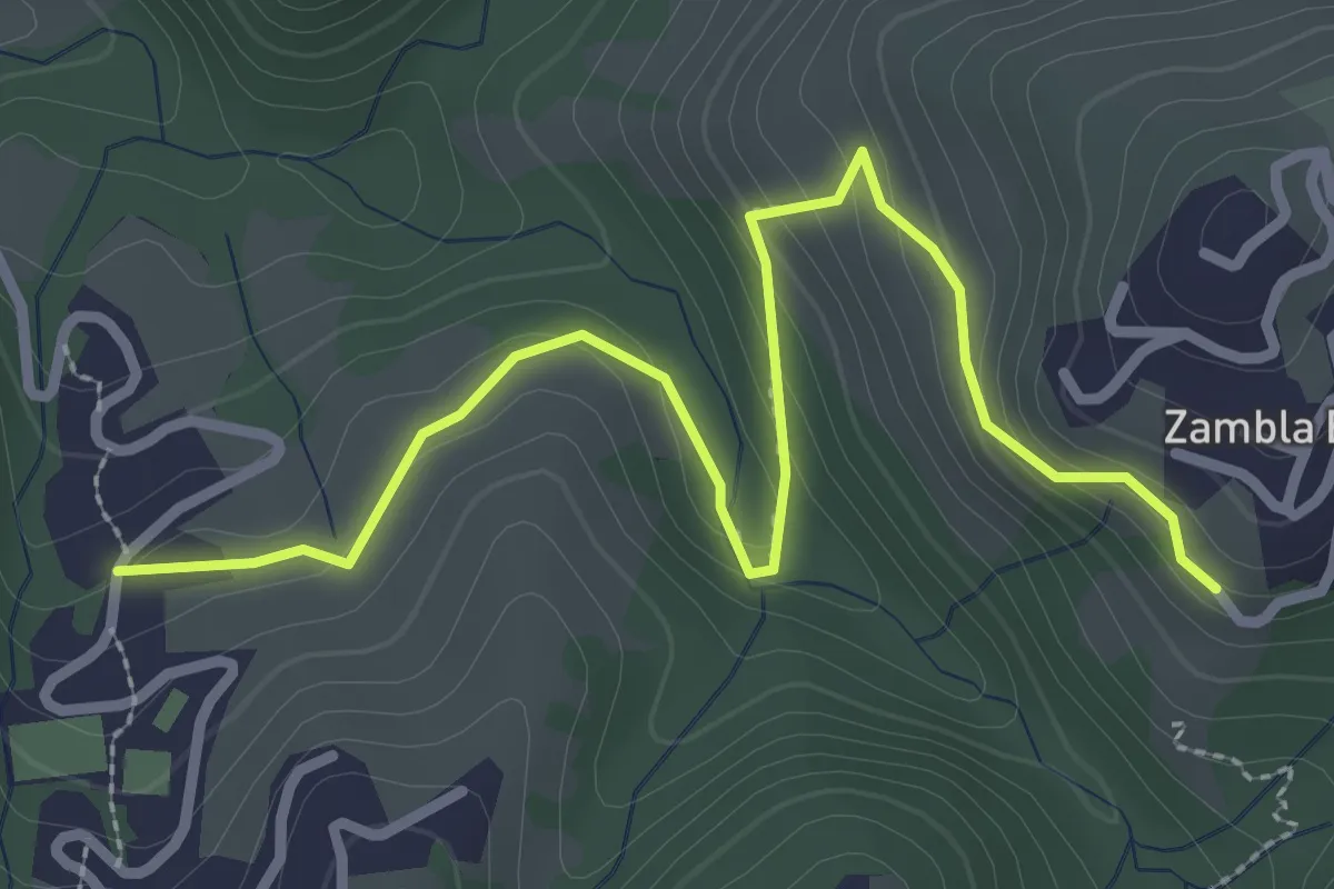
Medium · Trail
Ranzanico – Bianzano
4.5 km · ↑ 374 m · 1 h 52 min · 13 km away
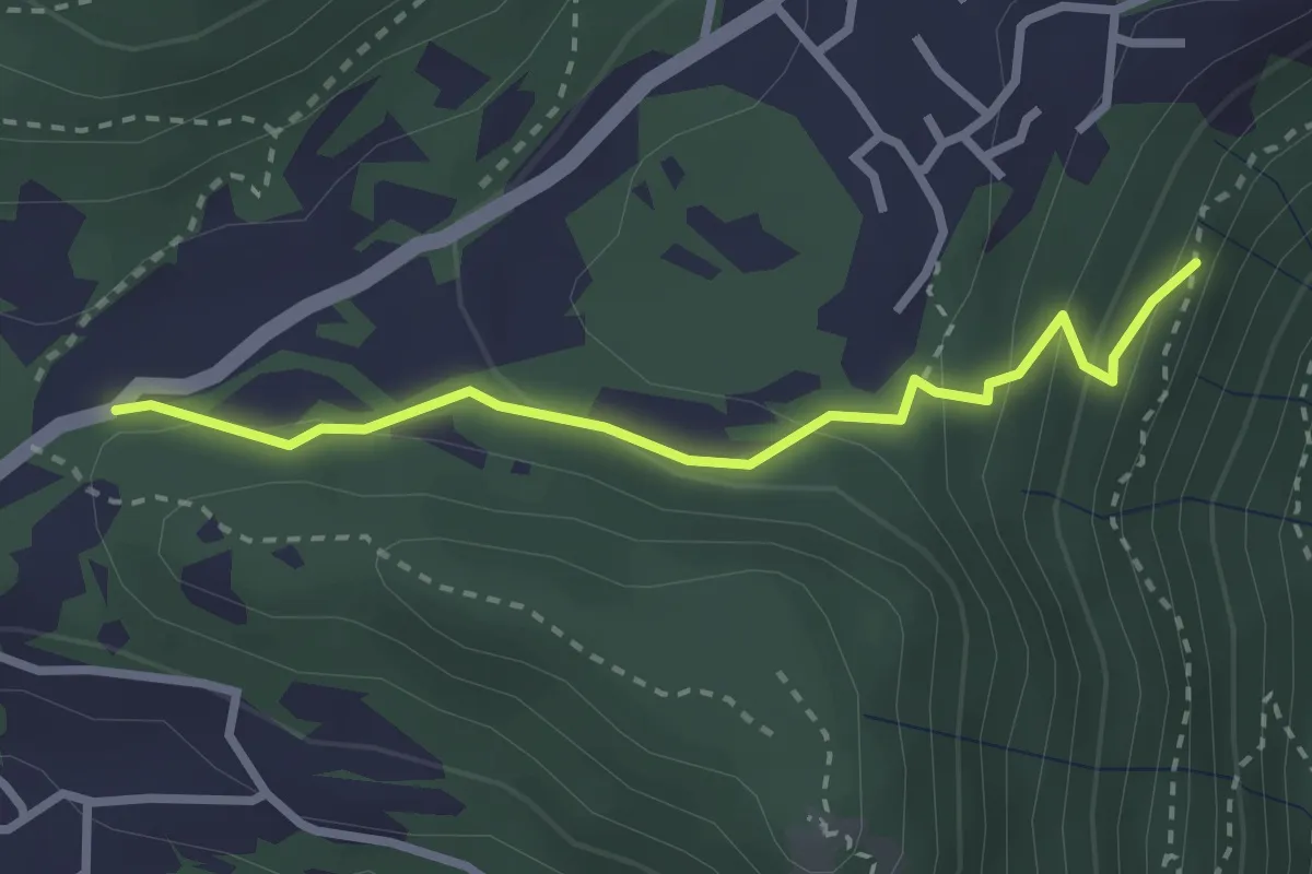
Medium · Trail
Oltre il Colle (incrocio H30) – Zambla Bassa (incrocio H24)
3.3 km · ↑ 154 m · 1 h 7 min · 13 km away
Easy · Trail
Chiesetta di S.Rocco – Incrocio 565
2.7 km · ↑ 158 m · 59 min · 13 km away
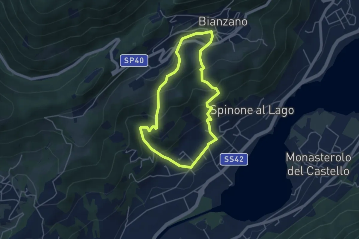
Easy · Trail
Spinone al Lago – Spinone al Lago
3.5 km · ↑ 261 m · 1 h 27 min · 13 km away
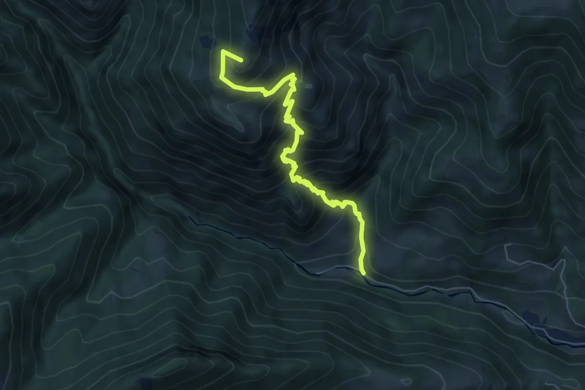
Medium · Summit
Vertova – Passo di Bliben
6.5 km · ↑ 709 m · 3 h 4 min · 13 km away
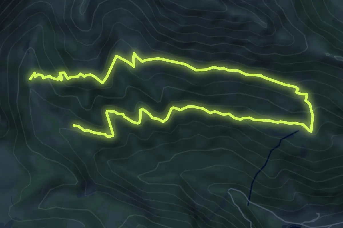
Medium · Cabin
Rifugio Alpe Corte – Rifugio Alpe Corte
6.2 km · ↑ 395 m · 2 h 26 min · 13 km away
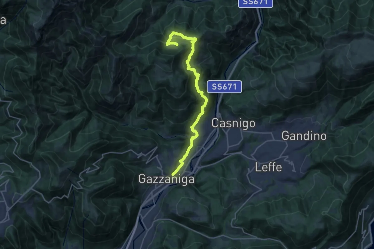
Demanding · Trail
Sentiero di Honio
17.7 km · ↑ 940 m · 6 h 13 min · 13 km away
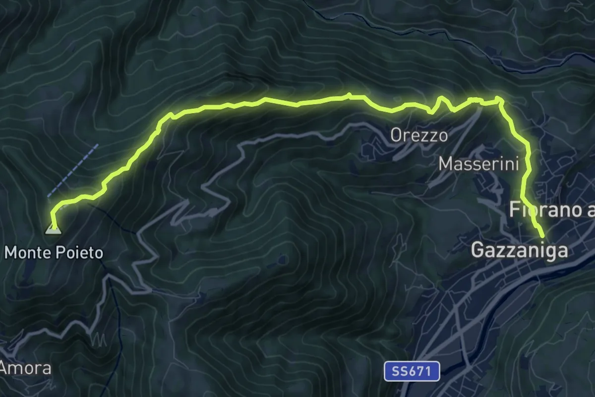
Demanding · Summit
Gazzaniga – Monte Poieto
12.6 km · ↑ 948 m · 5 h 2 min · 13 km away
Demanding · Trail
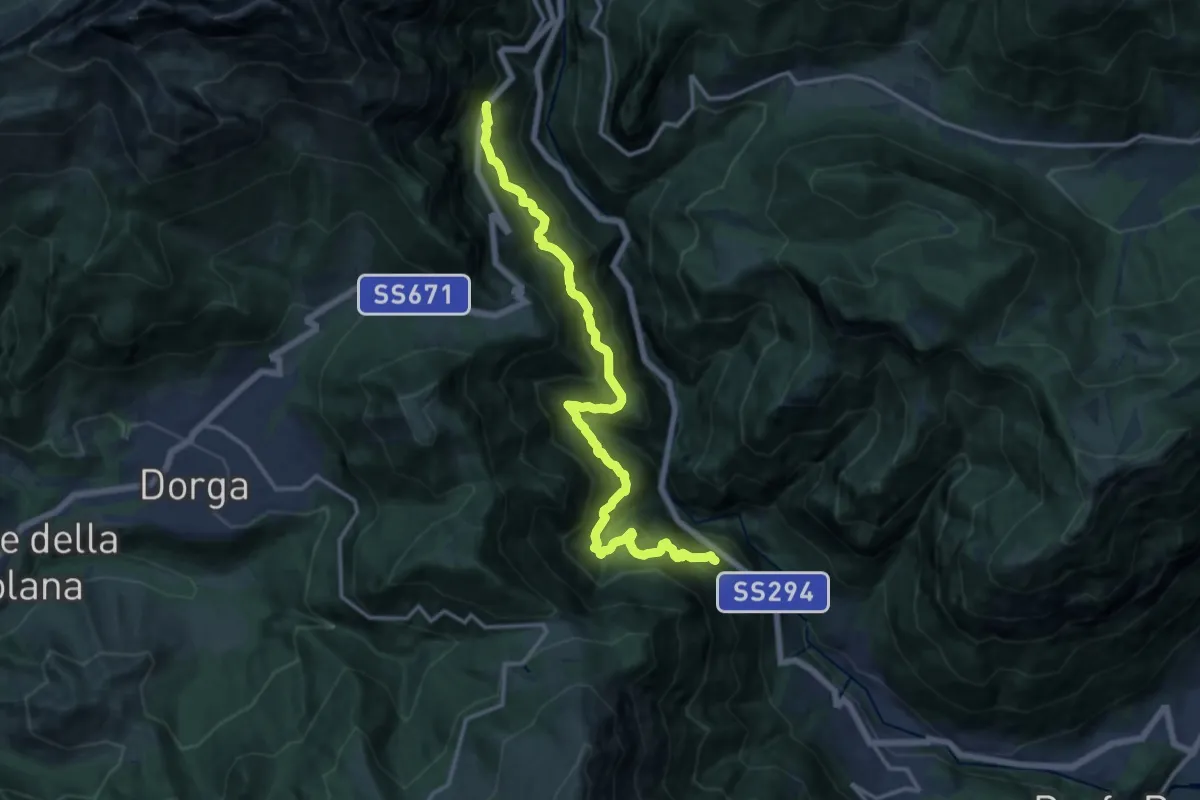
Serenella – Anfurro
15.4 km · ↑ 1287 m · 6 h 25 min · 13 km away
Expert · Summit
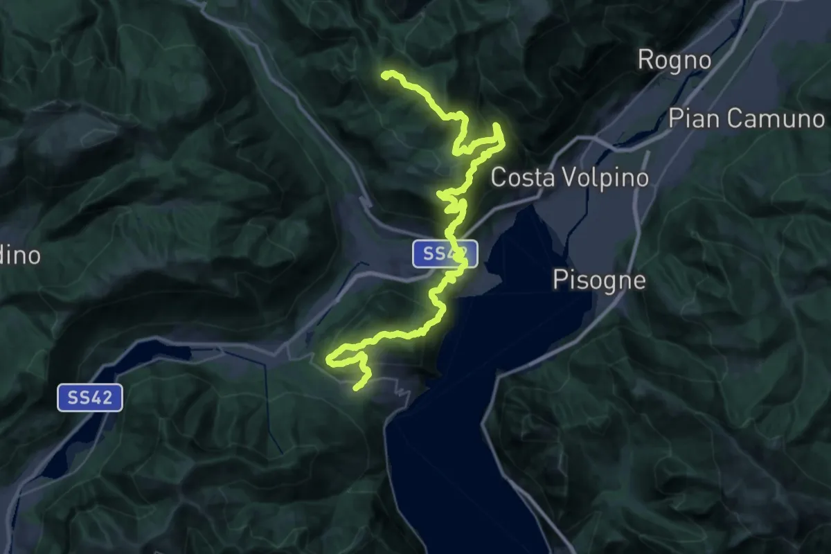
Sentiero Flavio Tasca - Tappa 3
41.4 km · ↑ 2341 m · 14 h 50 min · 13 km away
Medium · Trail
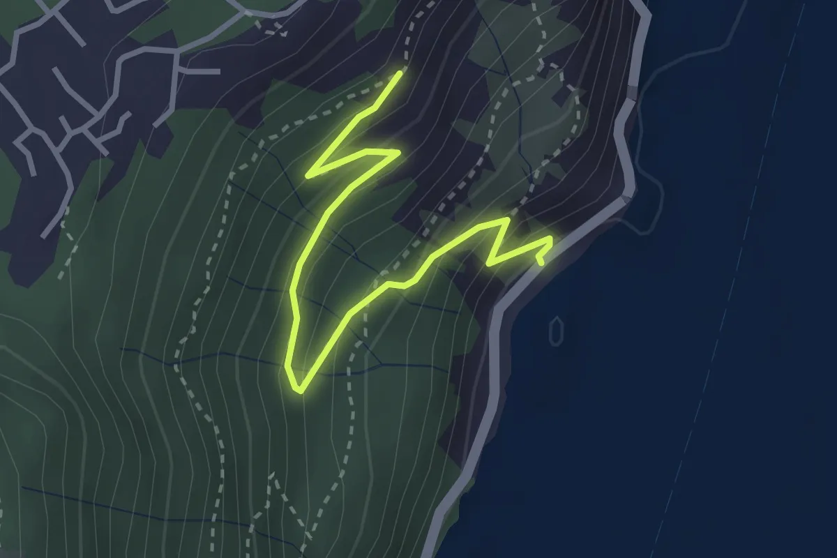
Gre' (Castro) – Incrocio 565
3.2 km · ↑ 251 m · 1 h 18 min · 13 km away
Easy · Trail
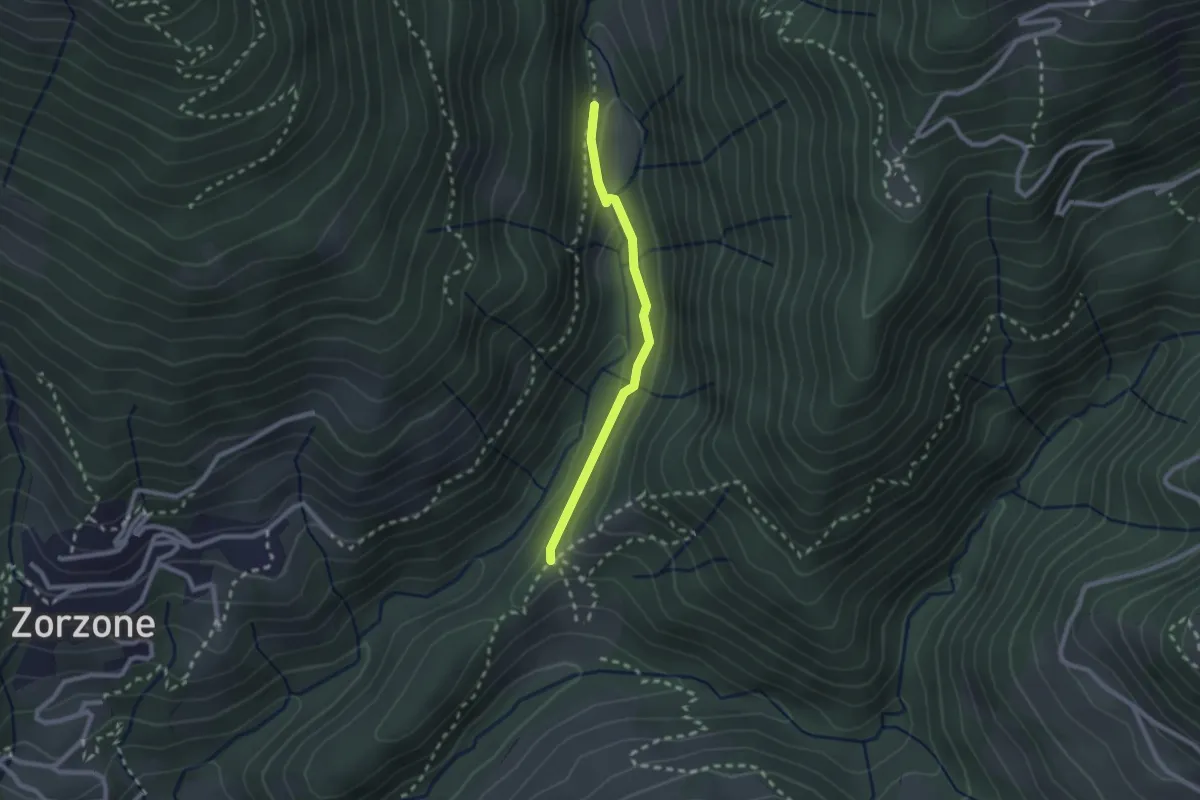
Piazzole – Cappella Forcella
2.1 km · ↑ 78 m · 39 min · 13 km away
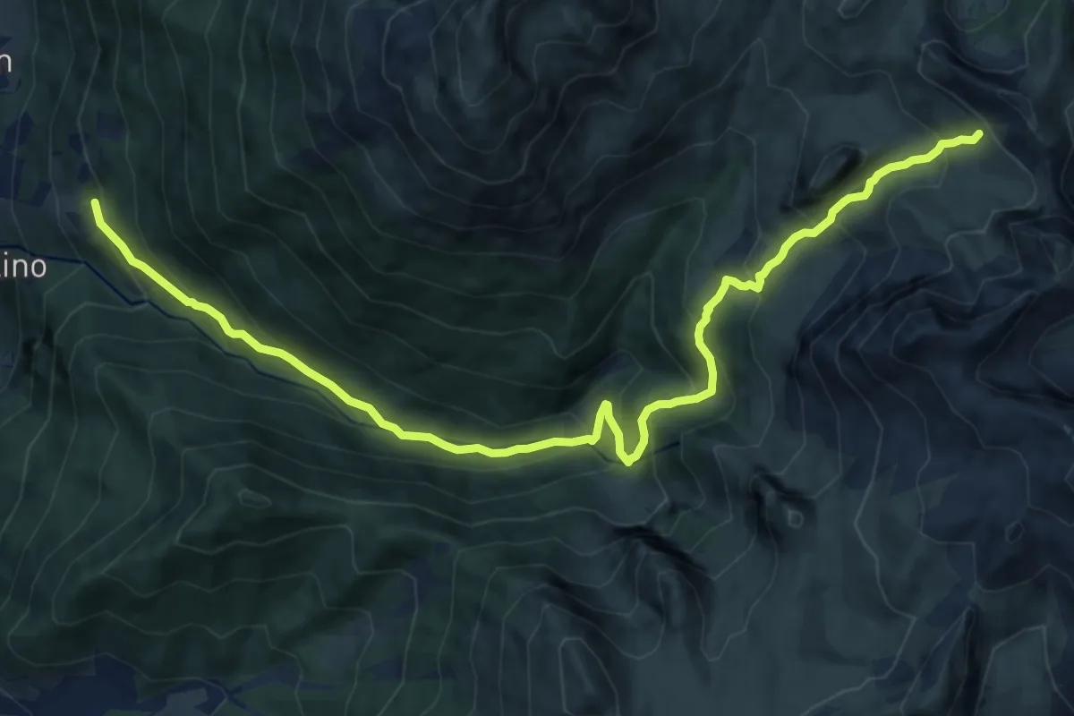
Demanding · Trail
Tezzi alti (Gandellino) – Lago Spigorel
13.7 km · ↑ 1128 m · 5 h 40 min · 13 km away
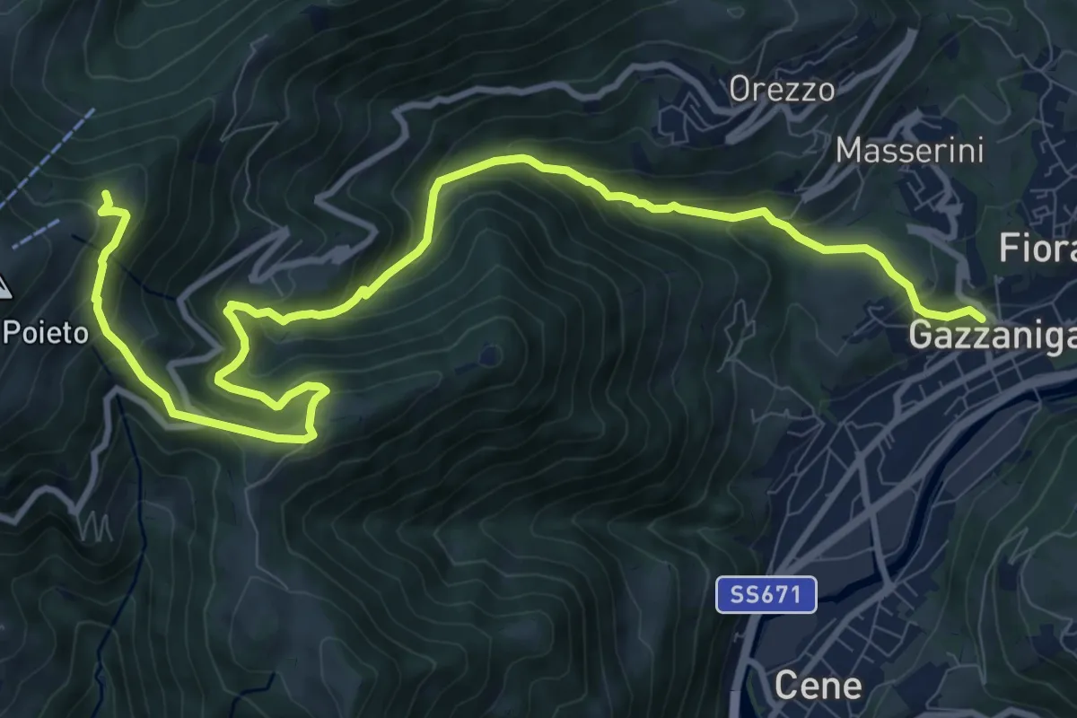
Demanding · Trail
Gazzaniga – Ca de Spi'
13.2 km · ↑ 890 m · 5 h 3 min · 13 km away
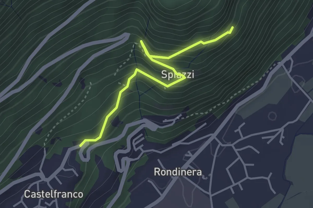
Demanding · Trail
Sentiero dei Castagneti
3.3 km · ↑ 270 m · 1 h 22 min · 13 km away
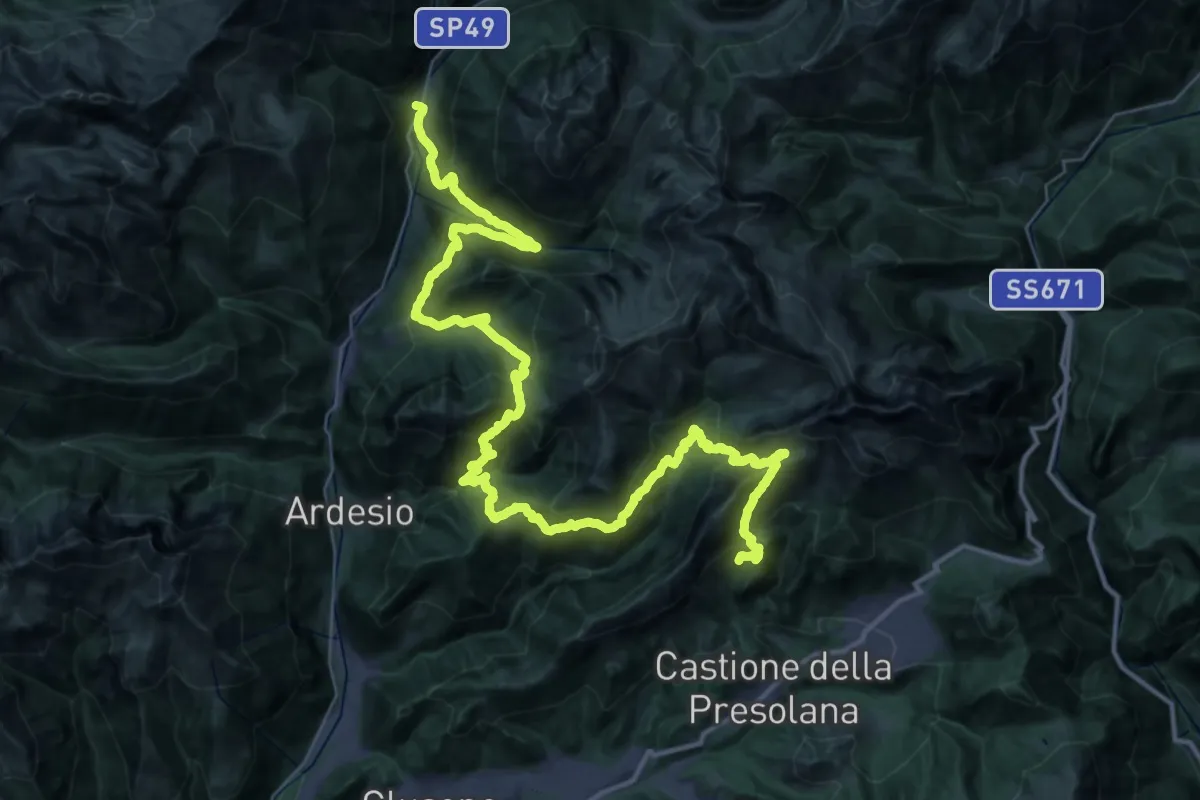
Demanding · Summit
Sentiero Flavio Tasca - Tappa 5
55.8 km · ↑ 4216 m · 22 h 18 min · 13 km away
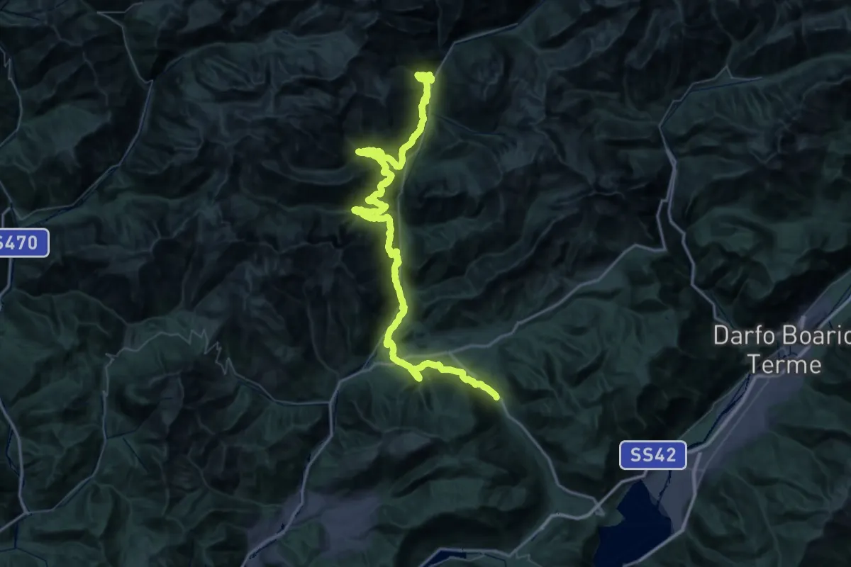
Expert · Trail
Sentiero Flavio Tasca - Tappa 6
37.2 km · ↑ 1575 m · 12 h 51 min · 13 km away
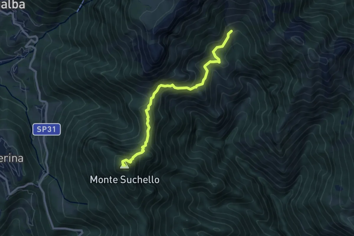
Medium · Summit
Aviatico – Sedernello
6.5 km · ↑ 548 m · 2 h 44 min · 13 km away
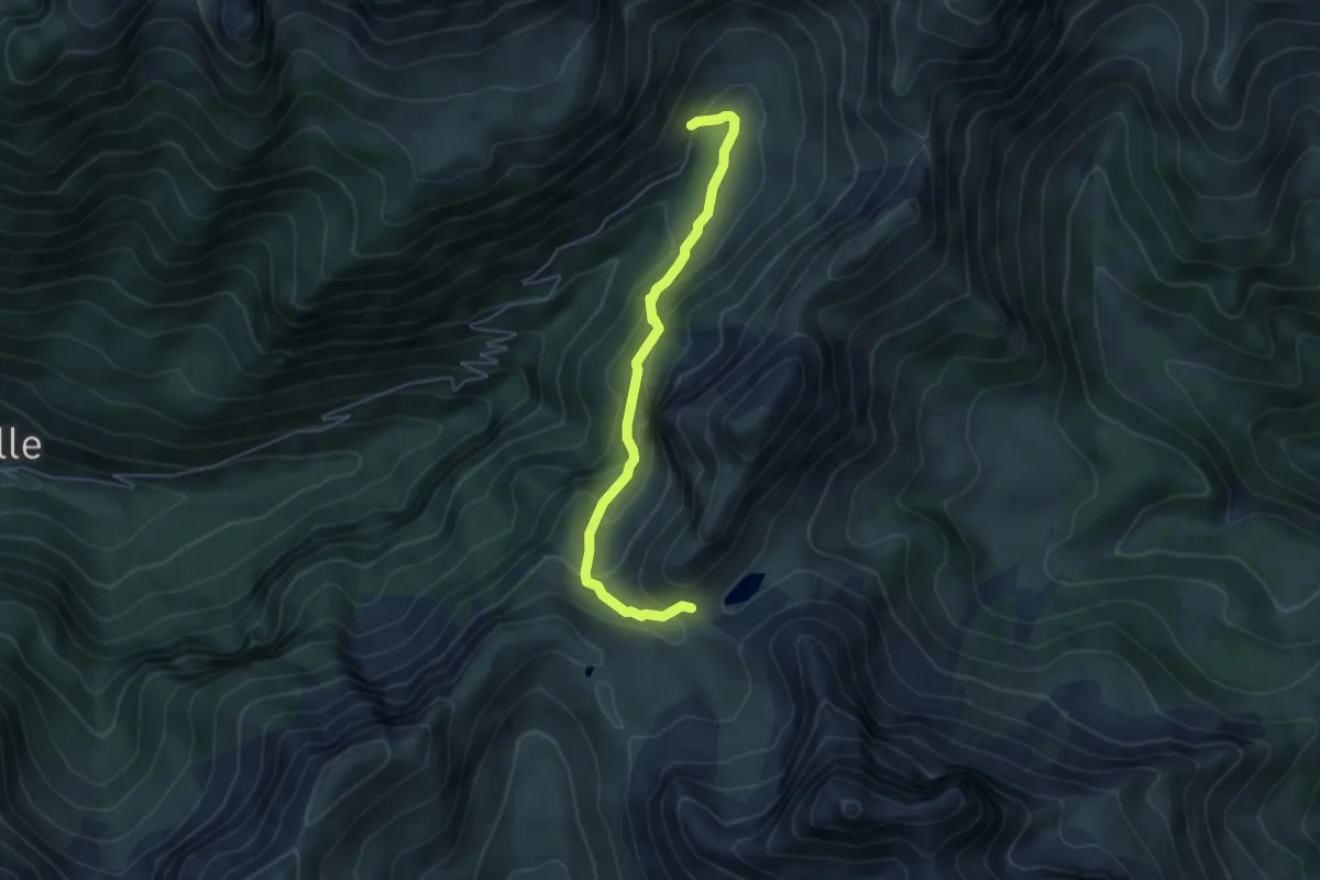
Medium · Trail
Sentiero delle Farfalle
5.0 km · ↑ 324 m · 1 h 53 min · 13 km away
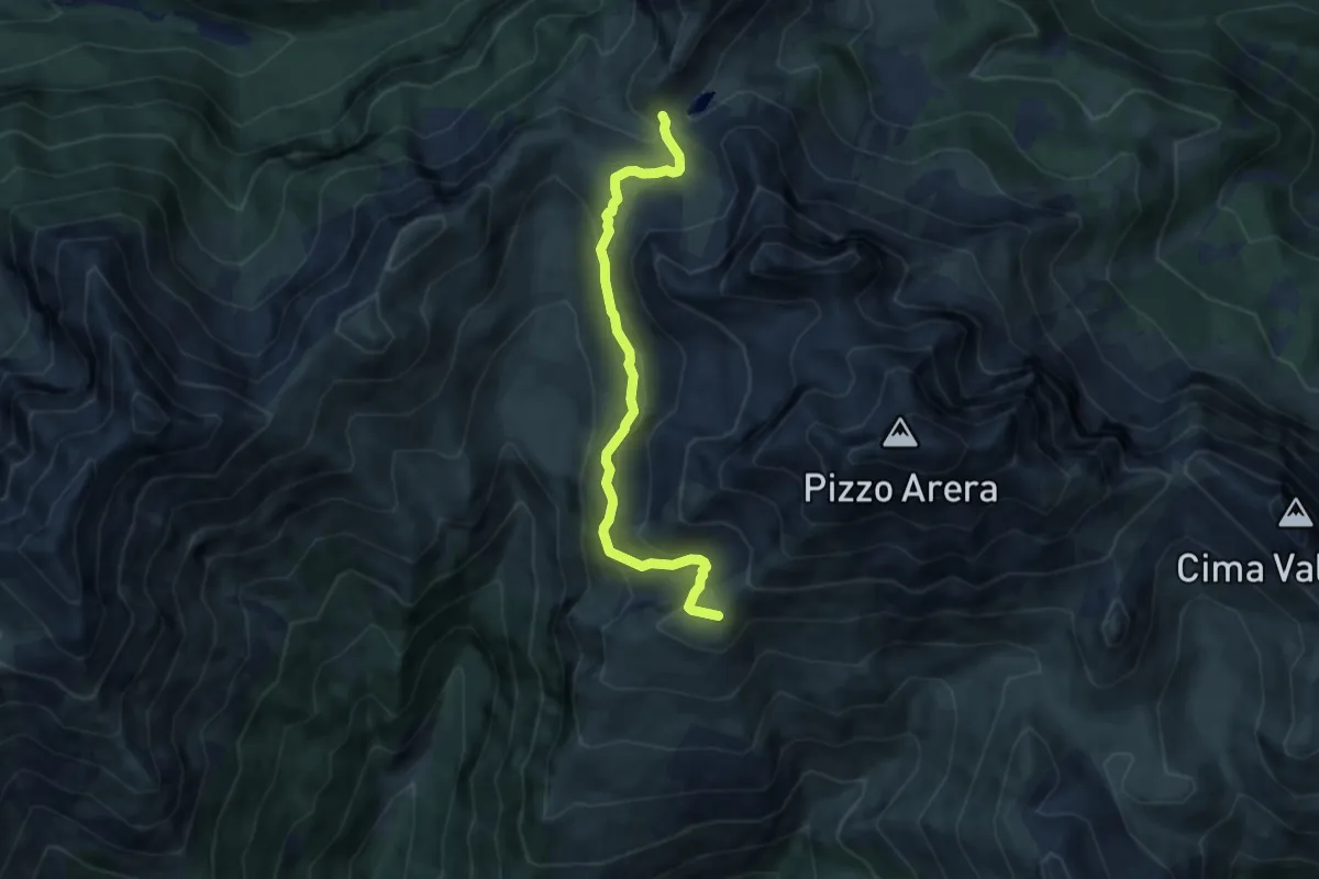
Medium · Cabin
Rifugio Capanna 2000 – Passo Branchino
7.3 km · ↑ 398 m · 2 h 35 min · 13 km away
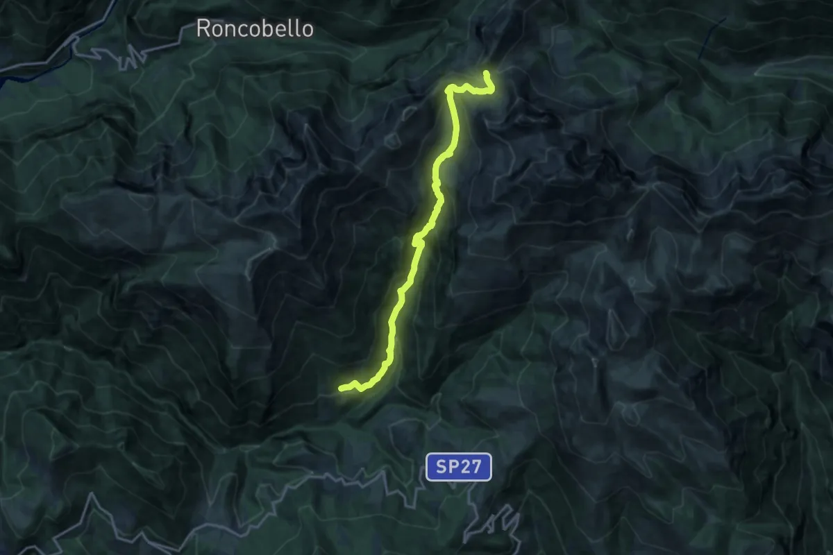
Demanding · Trail
Zorzone – Passo Branchino
14.8 km · ↑ 1069 m · 5 h 48 min · 13 km away
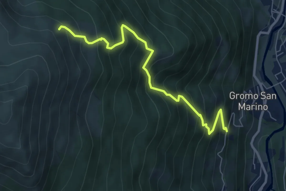
Medium · Trail
Gromo San Marino – Cardeto (incrocio 233)
6.2 km · ↑ 756 m · 3 h 5 min · 13 km away
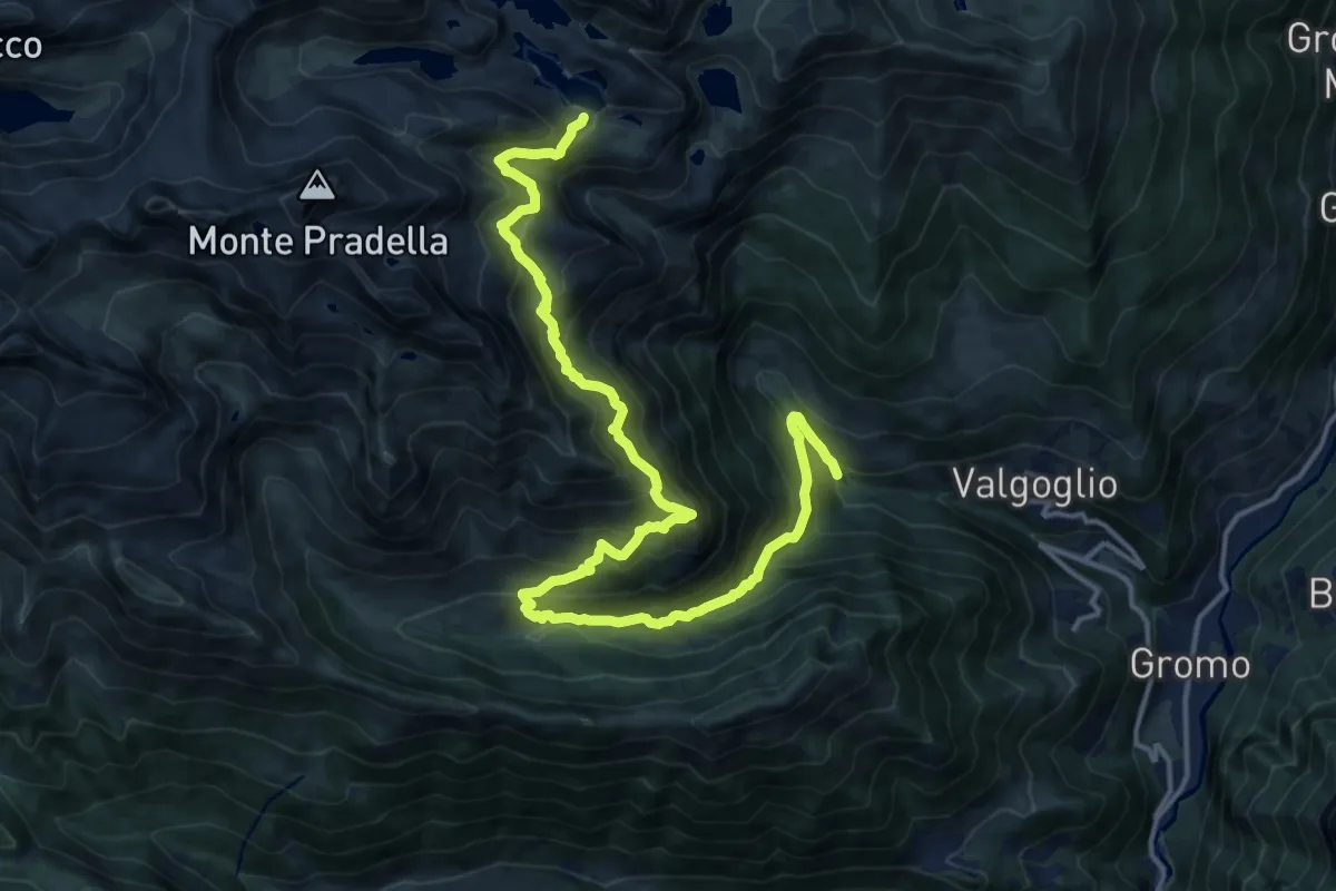
Demanding · Trail
Valgoglio (Centrale ENEL) – Val Sanguigno – Lago Nero
18.8 km · ↑ 1575 m · 7 h 51 min · 14 km away
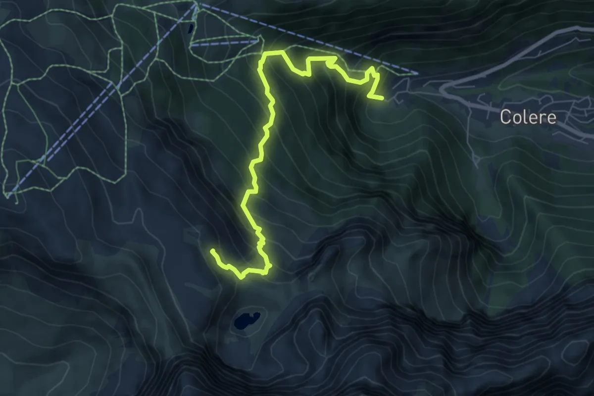
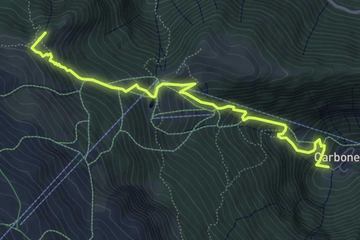
Demanding · Cabin
Carbonera di Colere – Rifugio Albani
7.5 km · ↑ 852 m · 3 h 37 min · 14 km away
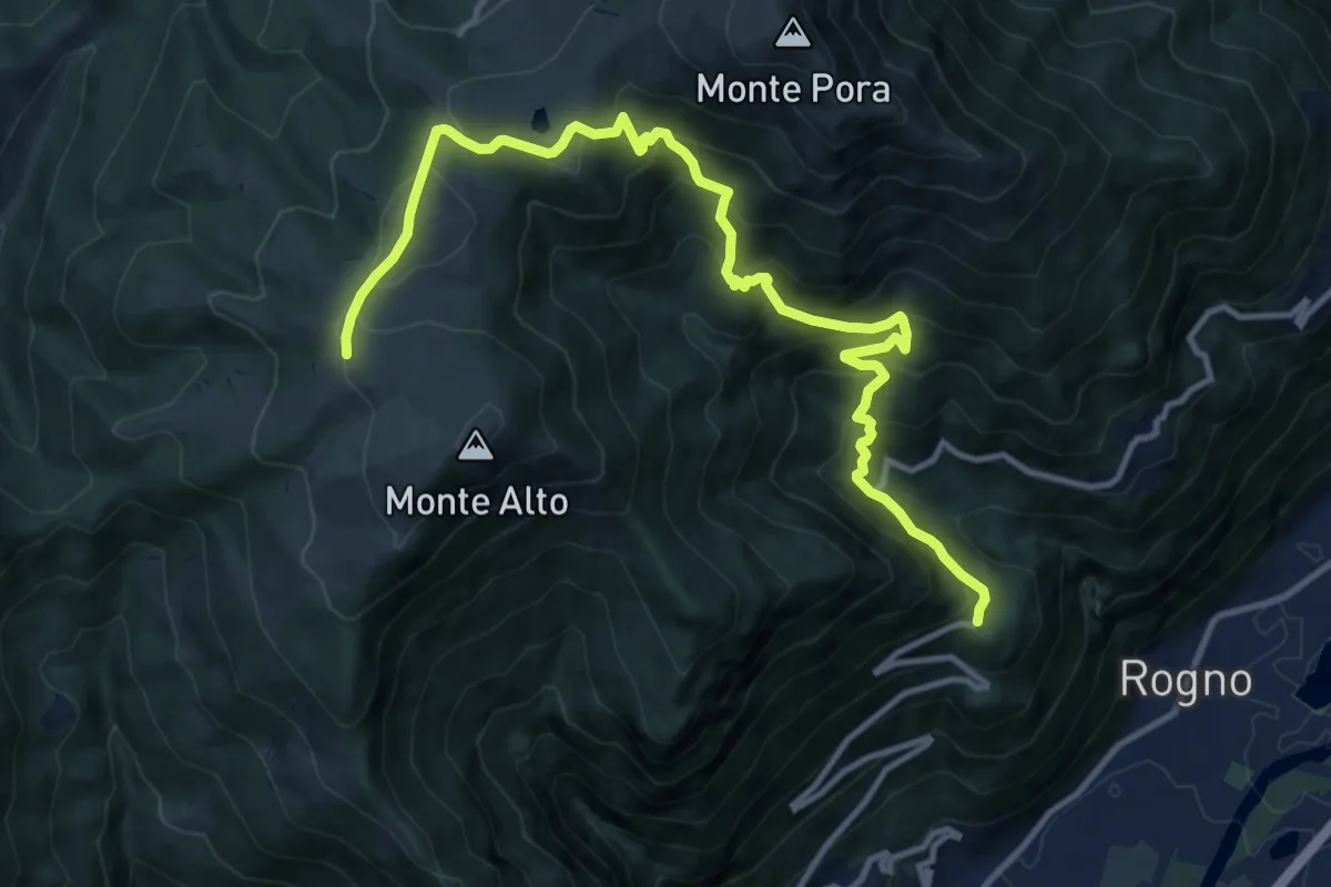
Medium · Summit
Colere – Passo di Fontanamora
7.0 km · ↑ 719 m · 3 h 12 min · 14 km away
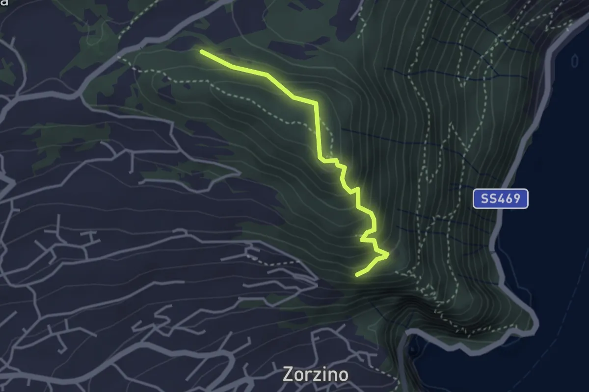
Demanding · Cabin
San Vigilio (Rogno) – Rifugio Magnolini
13.7 km · ↑ 1106 m · 5 h 38 min · 14 km away
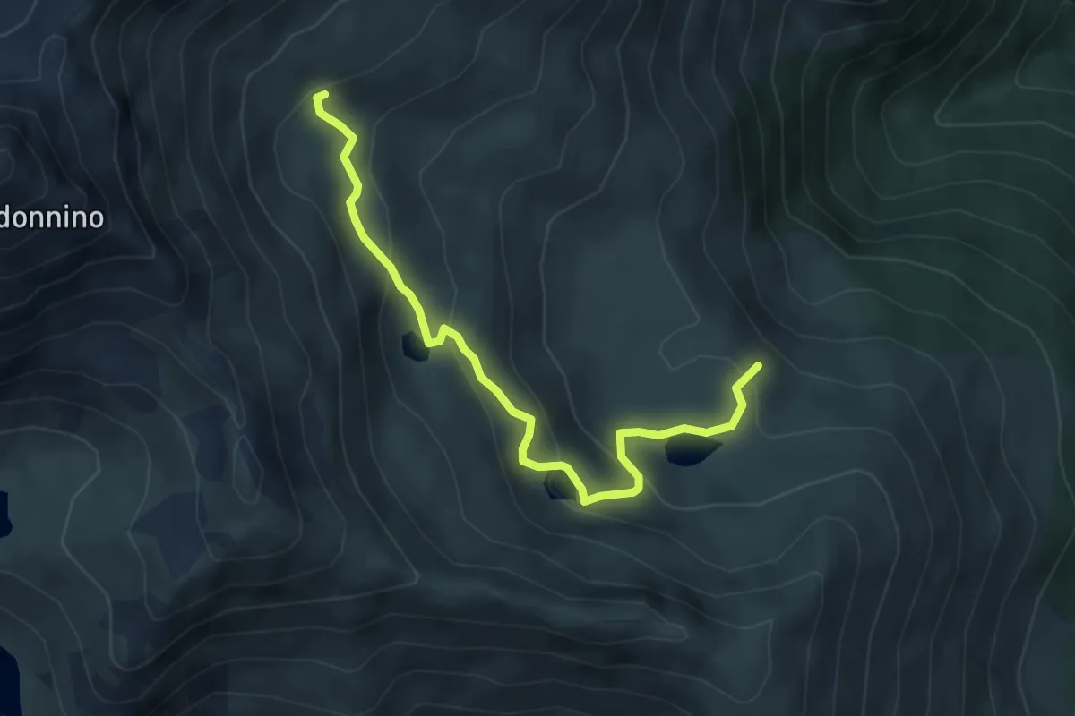
Medium · Trail
Chiesetta di S.Rocco – Incrocio 565
3.0 km · ↑ 233 m · 1 h 12 min · 14 km away
Medium · Trail
Giro dei Laghi
2.5 km · ↑ 266 m · 1 h 4 min · 14 km away
Demanding · Summit
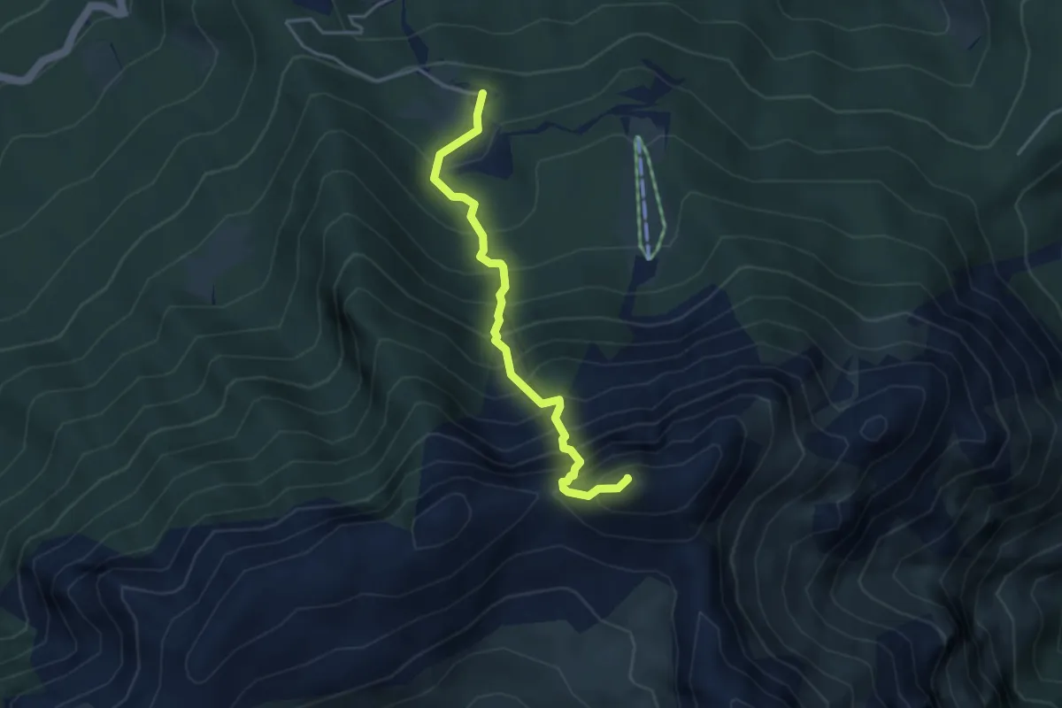
Sentiero dell’Amicizia
3.7 km · ↑ 652 m · 2 h 17 min · 14 km away
Medium · Trail
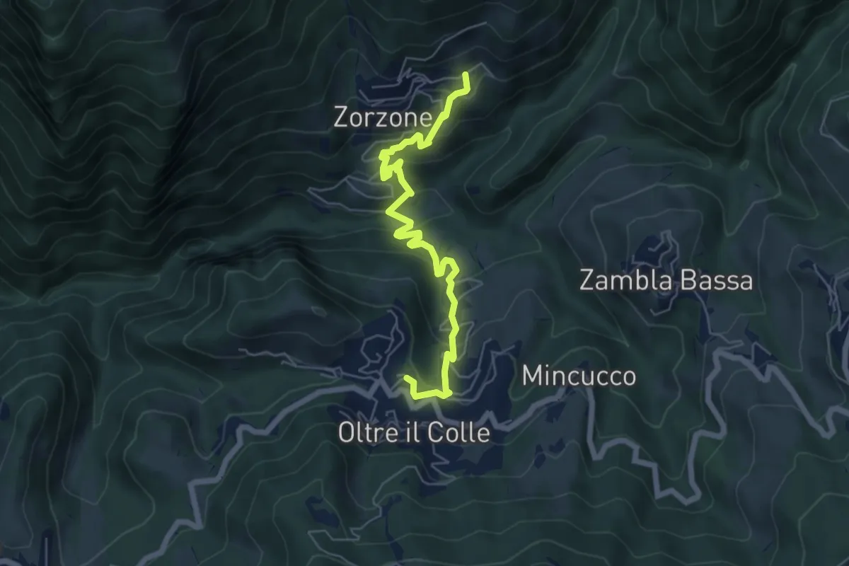
Oltre il Colle – Zorzone
5.9 km · ↑ 428 m · 2 h 19 min · 14 km away
Medium · Summit
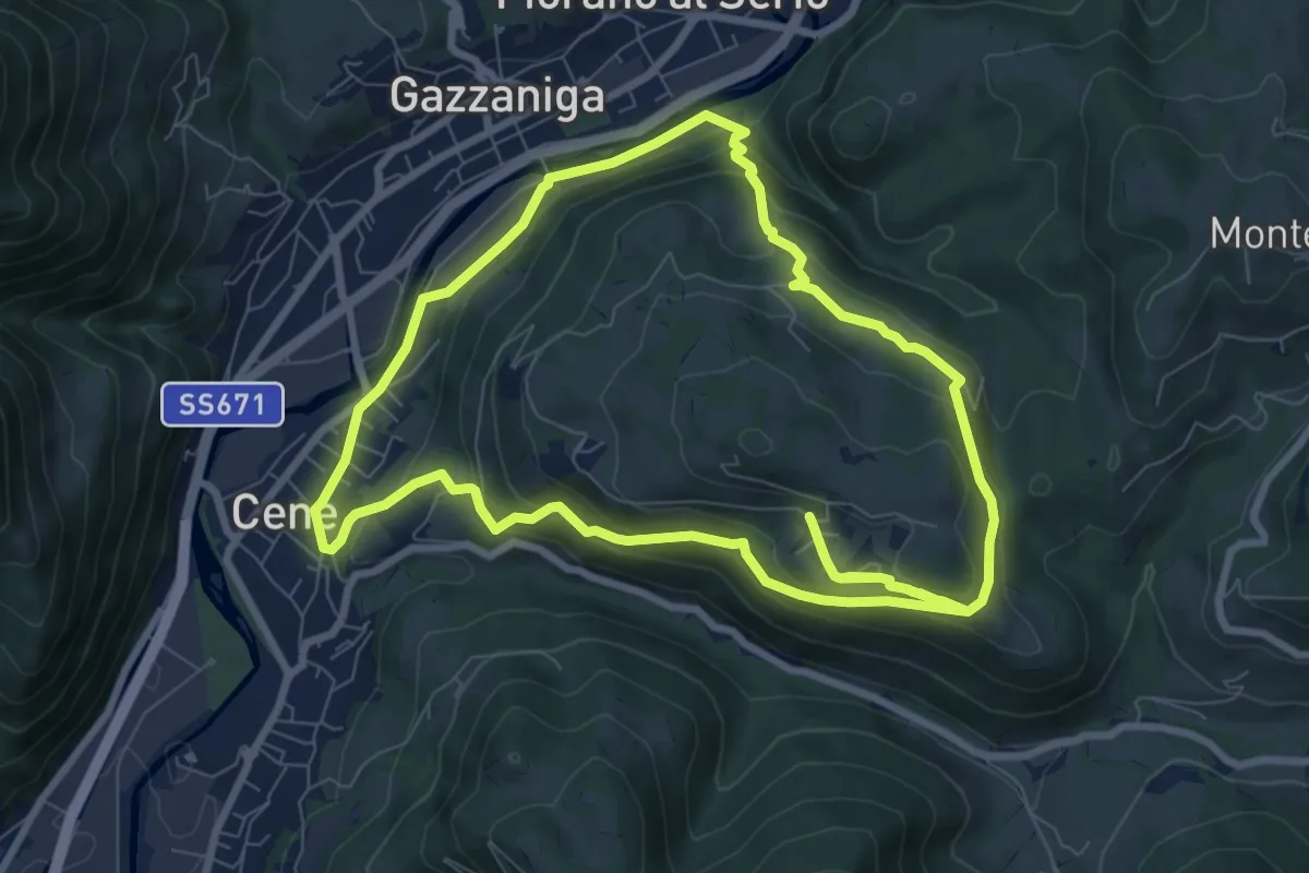
Giro del Monte Bue
8.9 km · ↑ 401 m · 3 h 6 min · 14 km away
Medium · Trail
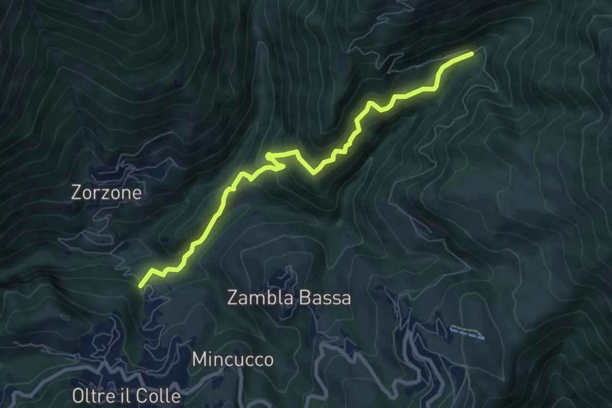
Incrocio H30 – Plassa - Arera
7.5 km · ↑ 618 m · 3 h 7 min · 14 km away
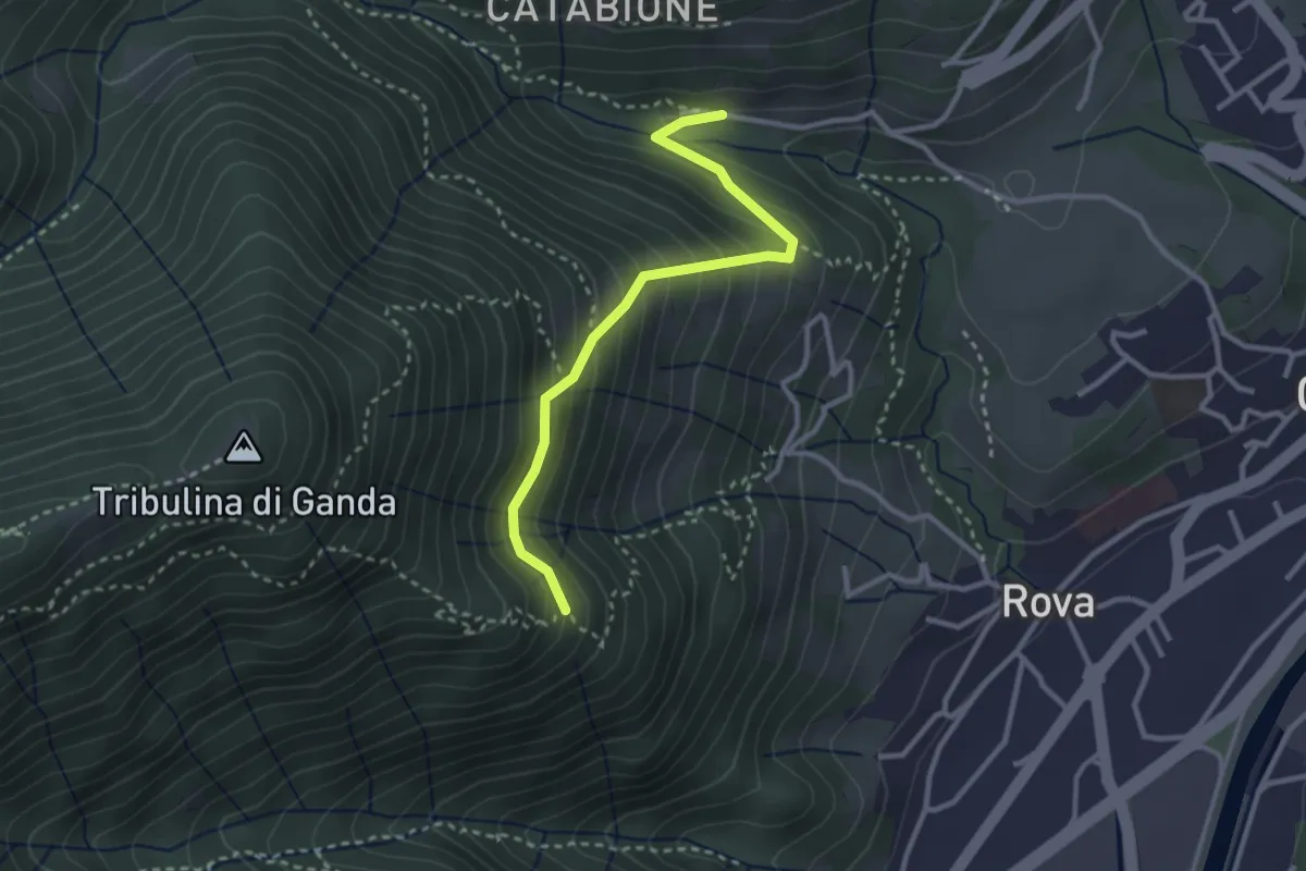
Medium · Trail
Incrocio 521 – Incrocio 522
2.9 km · ↑ 270 m · 1 h 16 min · 14 km away
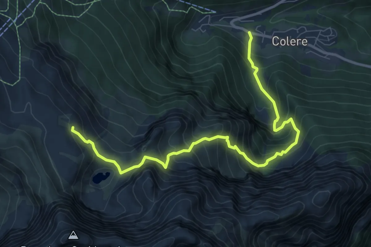
Demanding · Cabin
Colere – Rifugio Albani
9.2 km · ↑ 1037 m · 4 h 25 min · 14 km away
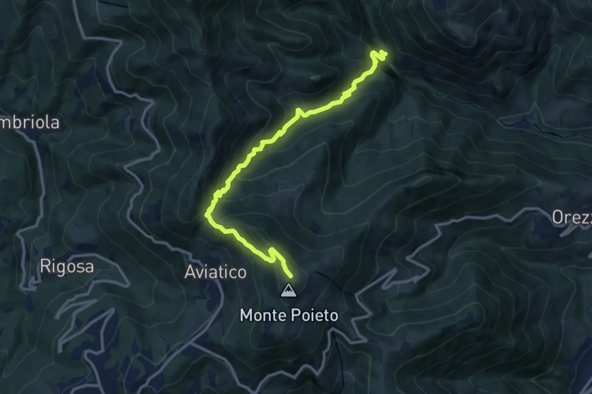
Demanding · Trail
Val Vertova – Monte Poieto
10.0 km · ↑ 782 m · 4 h 4 min · 14 km away
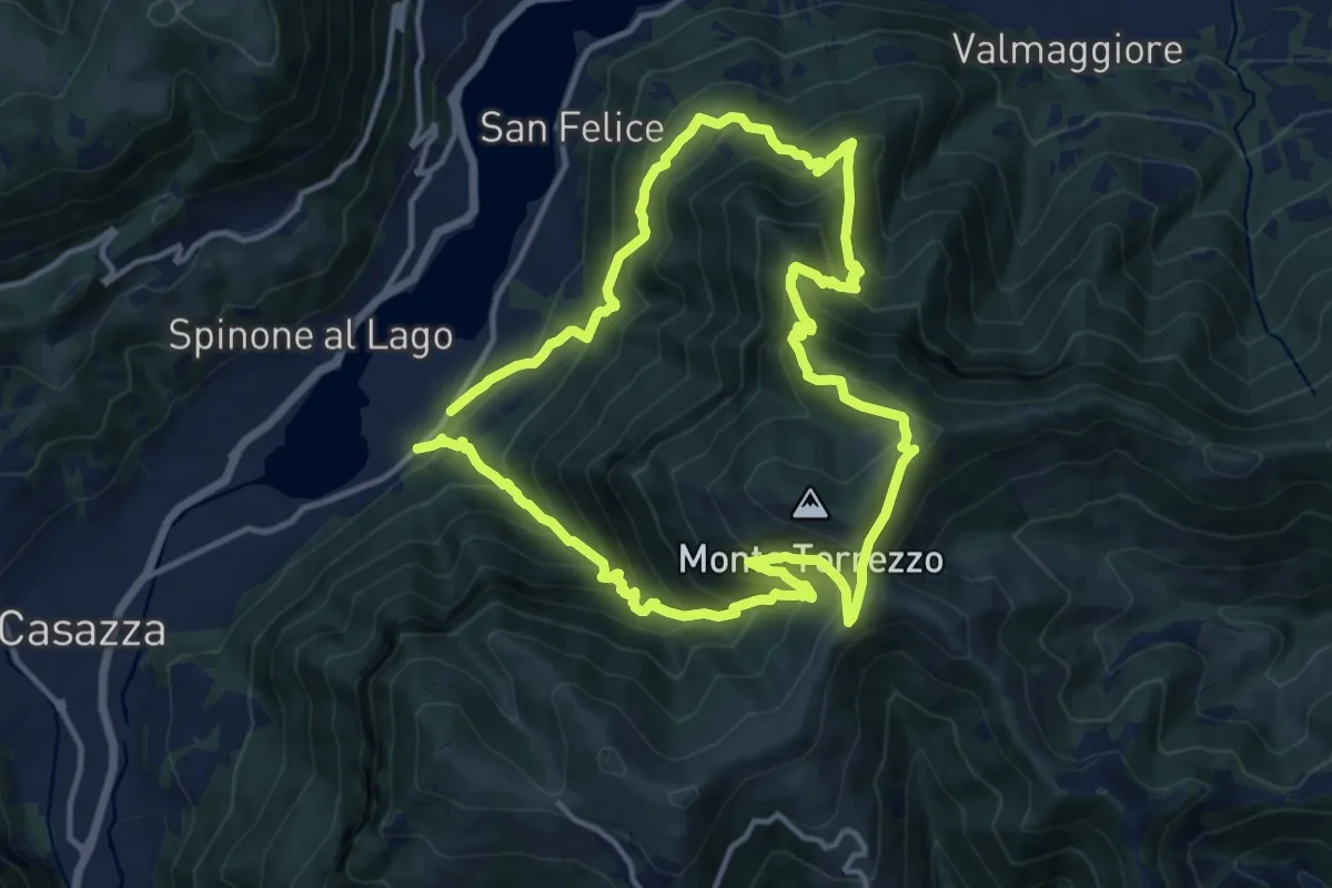
Demanding · Summit
Monasterolo del Castello – Monasterolo del Castello
12.8 km · ↑ 1048 m · 5 h 28 min · 14 km away