Trails near Clusone
220 hikes starting within 15 km, nearest first.
Nearest first, page 5 of 5
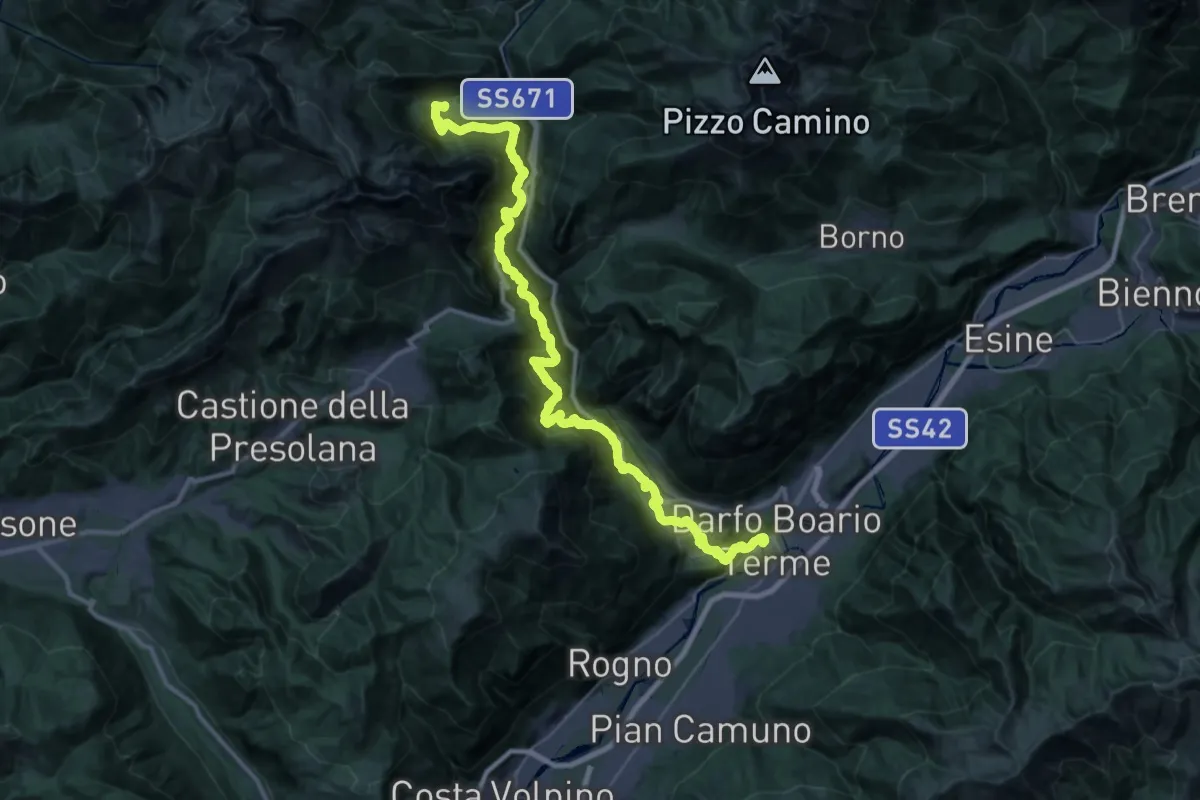
Demanding · Trail
La Via Decia - Tappa 1
21.1 km · ↑ 1089 m · 8 h 2 min · 14 km away
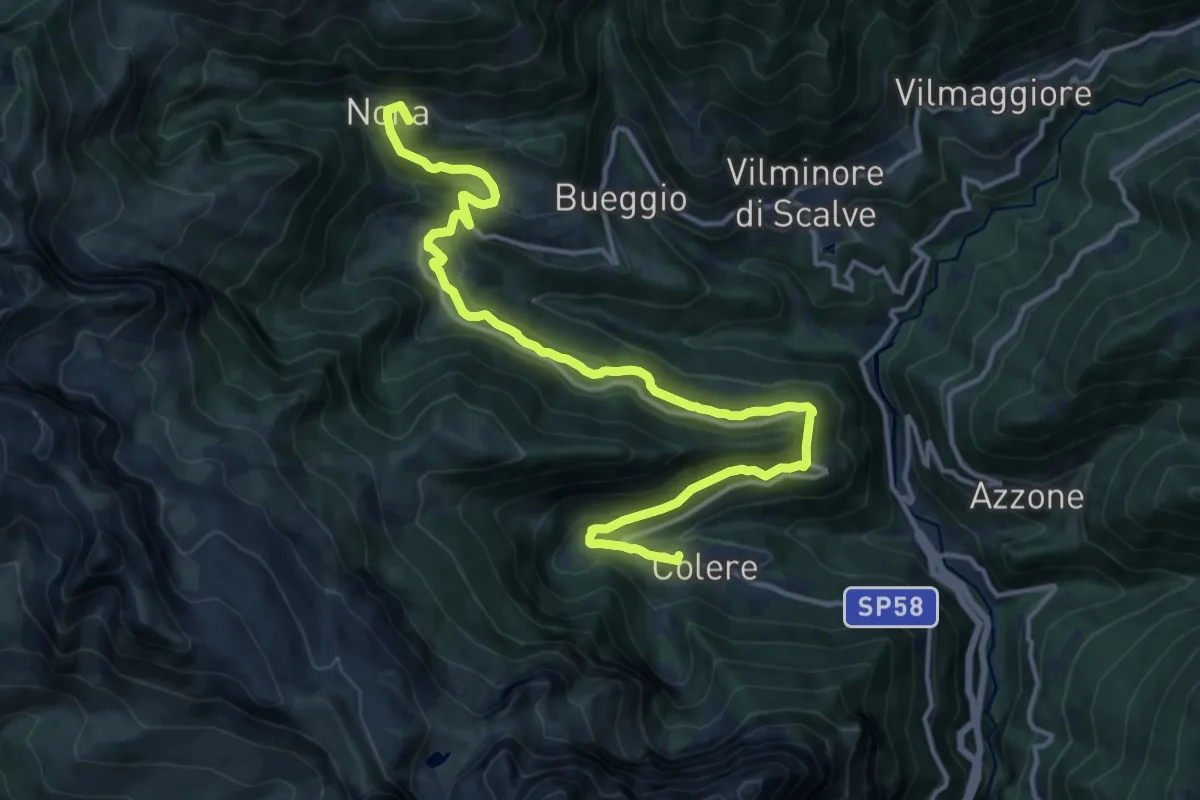
Medium · Summit
La Via Decia - Tappa 2
17.0 km · ↑ 775 m · 5 h 41 min · 14 km away
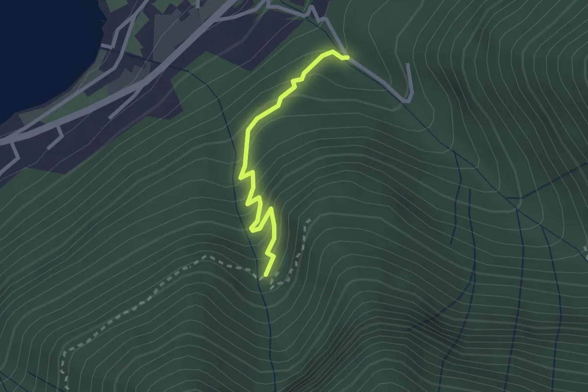
Easy · Trail
Monasterolo del Castello – Val Spirola
2.1 km · ↑ 224 m · 59 min · 14 km away
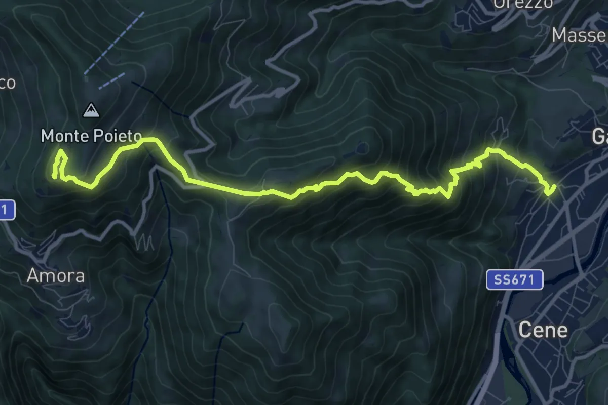
Demanding · Summit
Rova (Gazzaniga) – Monte Cornagera
10.9 km · ↑ 990 m · 4 h 43 min · 14 km away
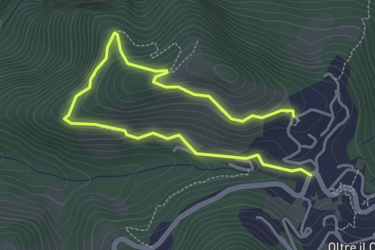
Easy · Trail
Oltre il Colle – S. Bartolomeo
4.0 km · ↑ 279 m · 1 h 33 min · 14 km away
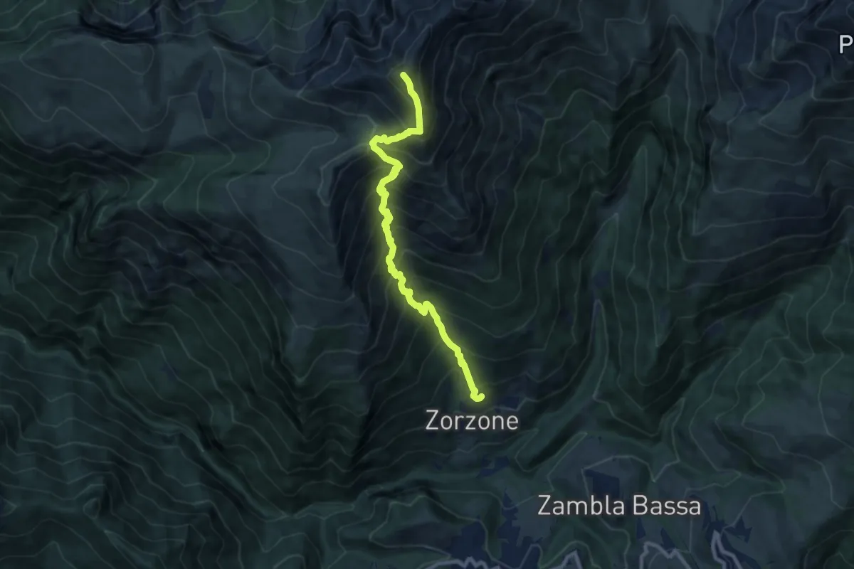
Demanding · Summit
Zorzone – Monte Menna
8.8 km · ↑ 1209 m · 4 h 42 min · 14 km away
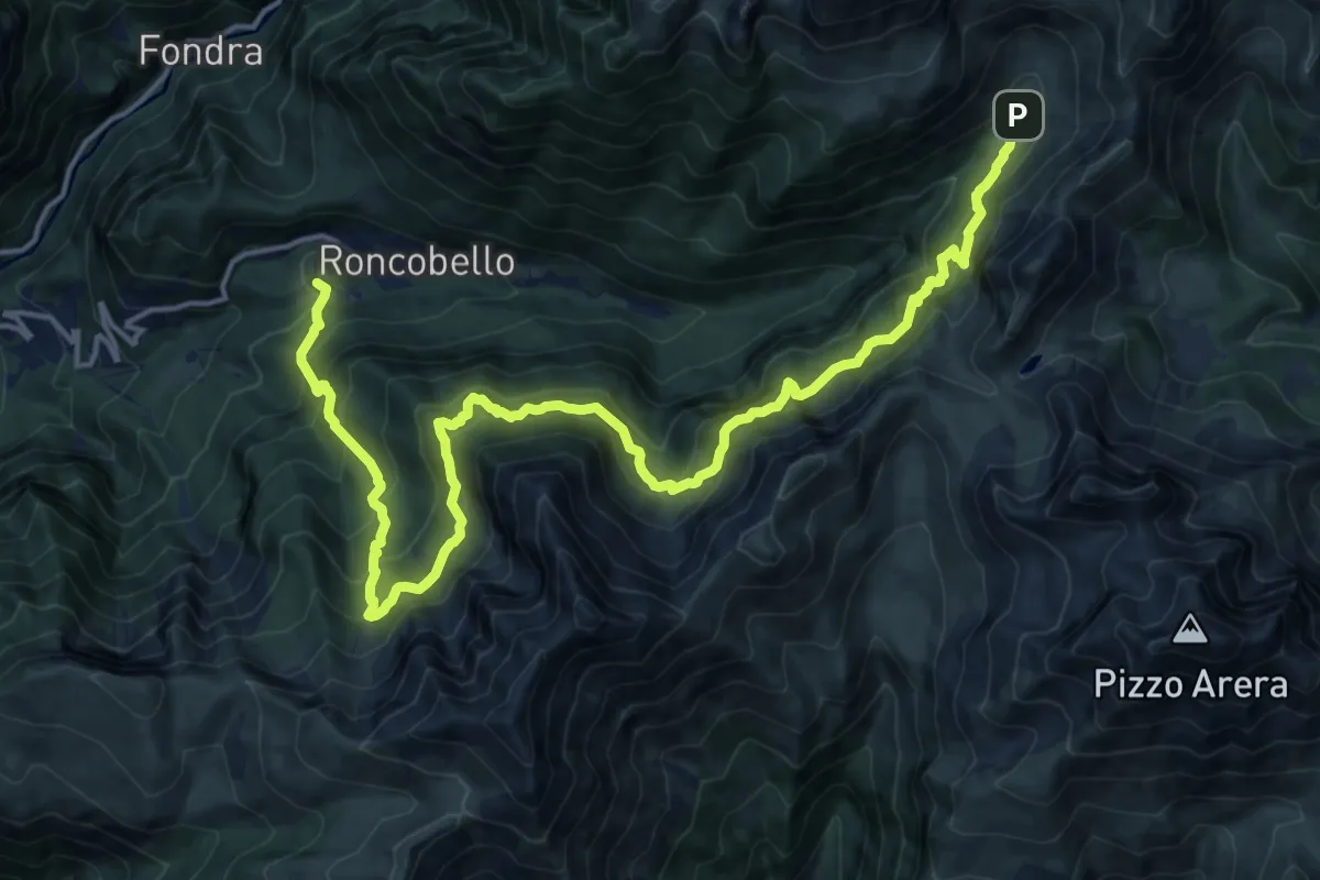
Expert · Trail
Costa (Roncobello) – Baite di Mezzeno
10.3 km · ↑ 675 m · 4 h 19 min · 14 km away
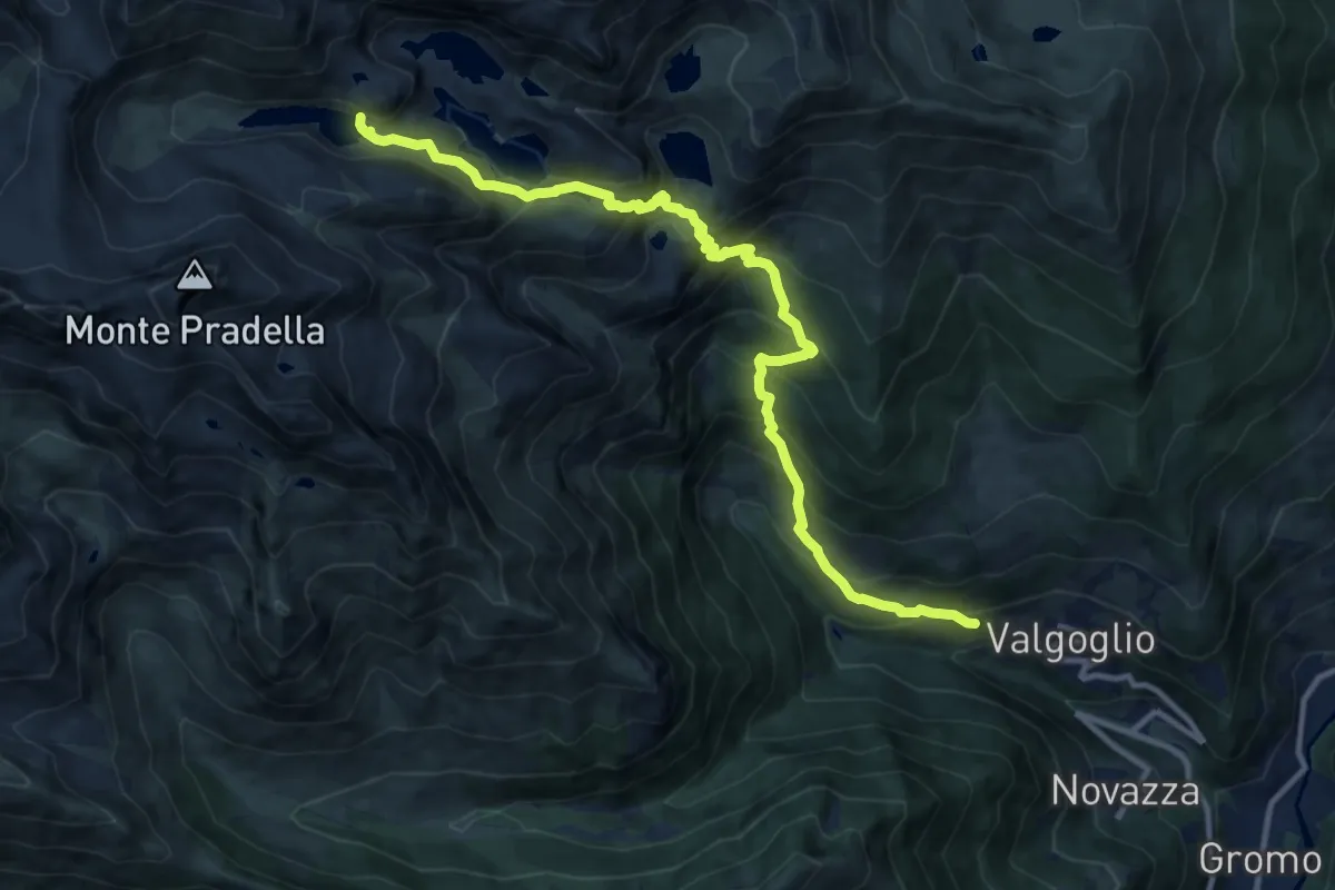
Demanding · Trail
Valgoglio – Lago d'Aviasco
12.7 km · ↑ 1174 m · 5 h 32 min · 14 km away
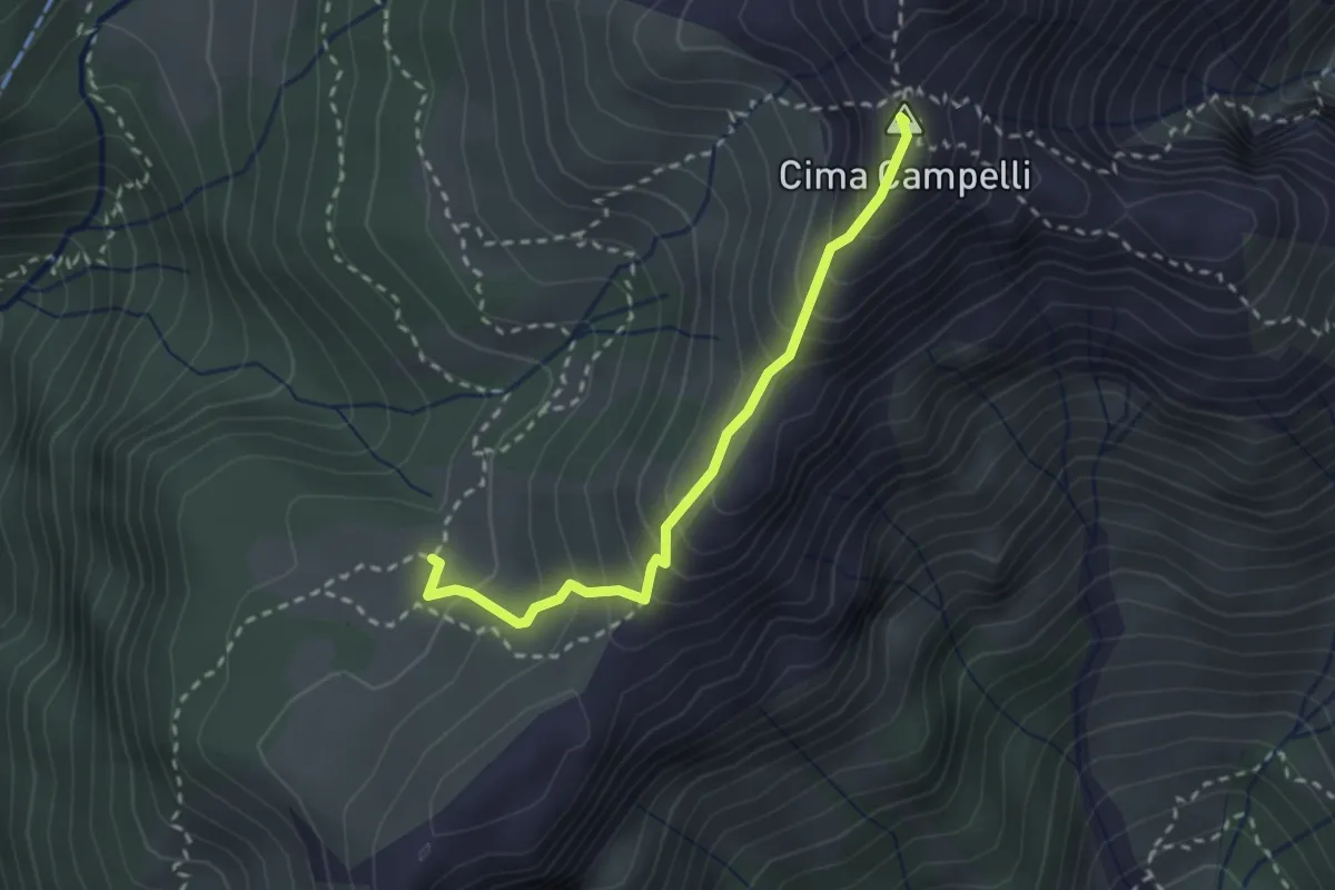
Demanding · Summit
Incrocio 525 – Incrocio 530
2.5 km · ↑ 274 m · 1 h 11 min · 14 km away
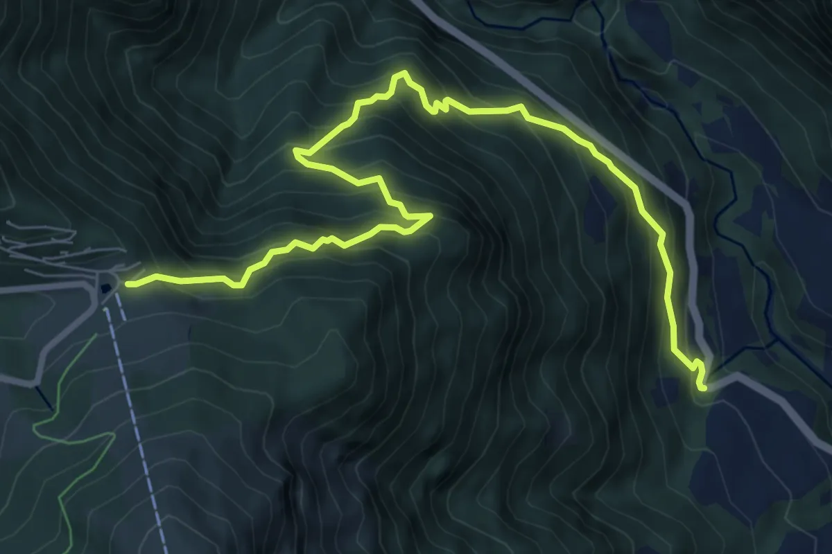
Demanding · Trail
Angolo Terme – Colle di Vareno
9.1 km · ↑ 1161 m · 4 h 40 min · 14 km away
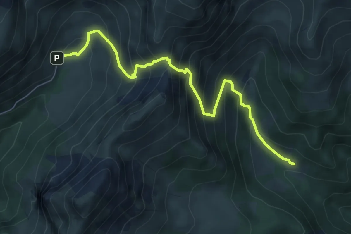
Medium · Cabin
Baite di Mezzeno – Rifugio Alpe Corte
6.4 km · ↑ 724 m · 3 h 5 min · 14 km away
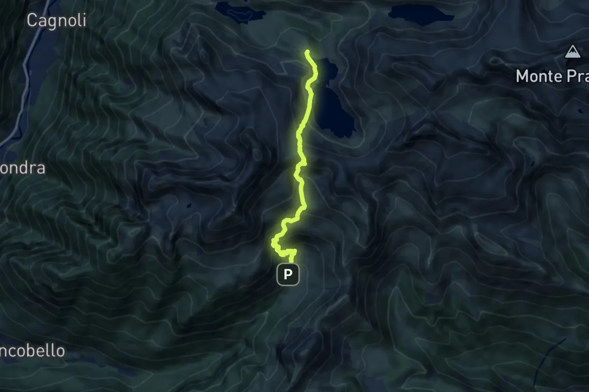
Medium · Cabin
Baite di Mezzeno – Rifugio Laghi Gemelli
8.6 km · ↑ 764 m · 3 h 41 min · 14 km away
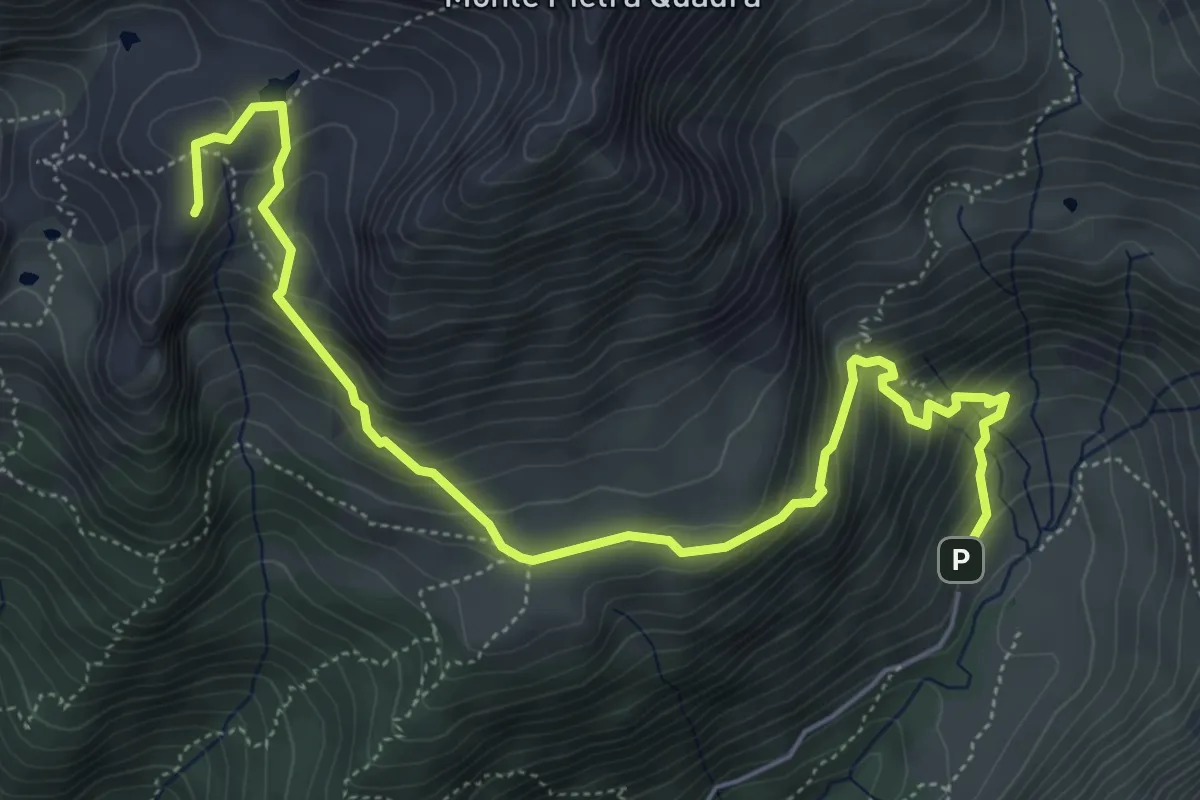
Expert · Summit
Baite di Mezzeno – Tre Pizzi
6.7 km · ↑ 517 m · 2 h 42 min · 14 km away
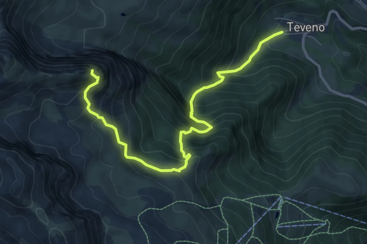
Expert · Summit
Teveno – Pizzo di Petto
8.1 km · ↑ 1037 m · 4 h 10 min · 14 km away
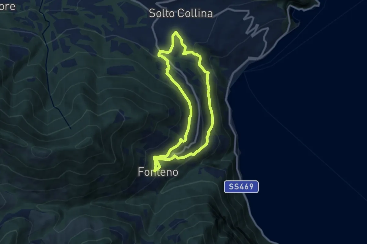
Medium · Trail
Riva di Solto – Riva di Solto
6.8 km · ↑ 410 m · 2 h 35 min · 14 km away
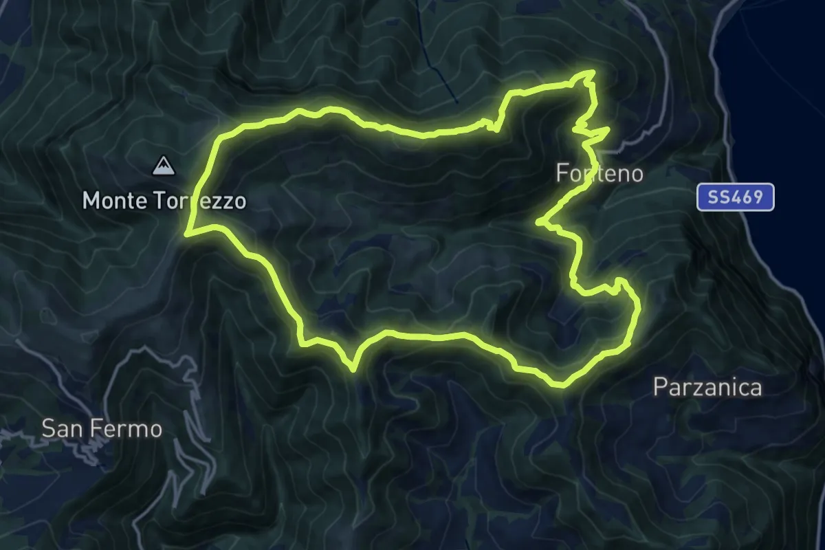
Demanding · Summit
Fonteno – Fonteno
16.5 km · ↑ 1046 m · 6 h 23 min · 15 km away
Medium · Trail
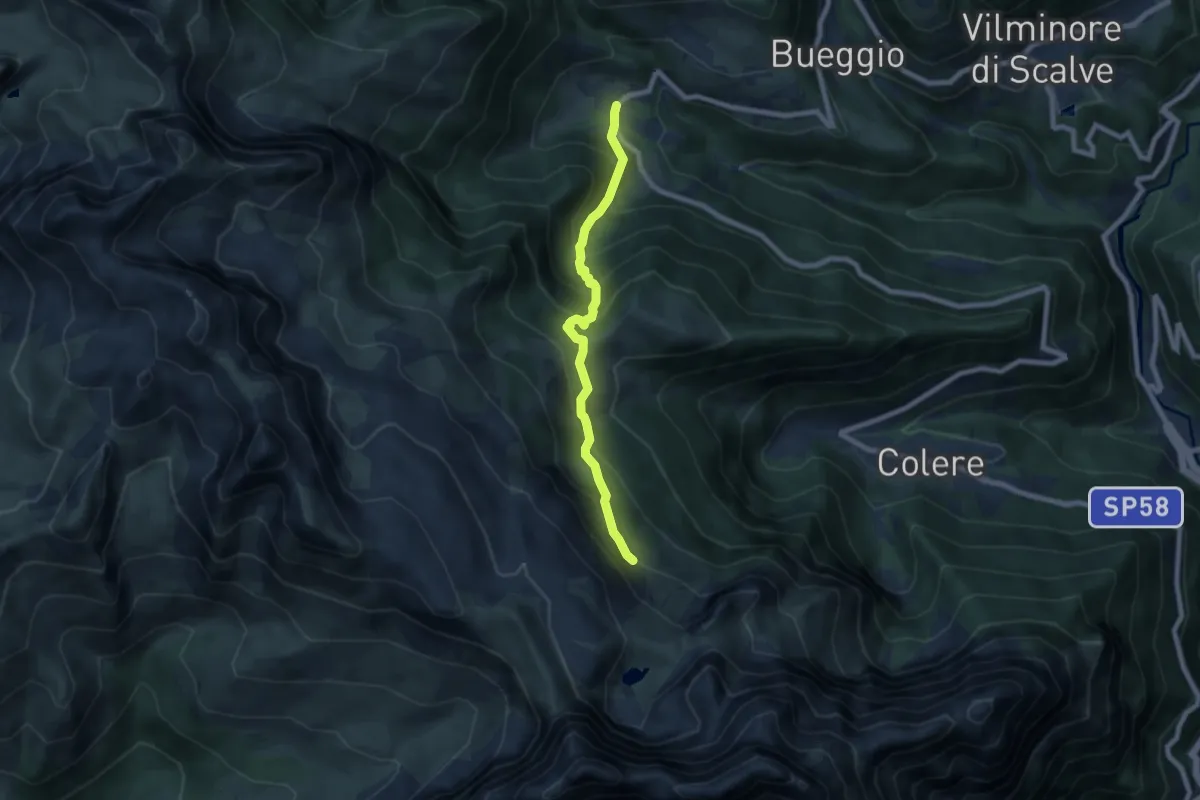
Teveno – Rifugio Albani (incrocio 403)
6.9 km · ↑ 631 m · 2 h 59 min · 15 km away
Medium · Trail
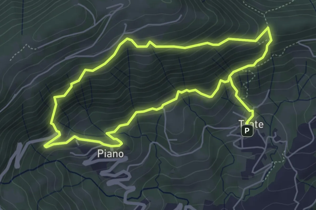
Trate (Gaverina Terme) – Trate (Gaverina Terme)
4.9 km · ↑ 435 m · 2 h 7 min · 15 km away
Demanding · Summit
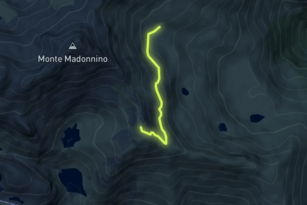
Rifugio Cernello – Baita Alta del Cardeto
3.6 km · ↑ 242 m · 1 h 22 min · 15 km away
Demanding · Trail
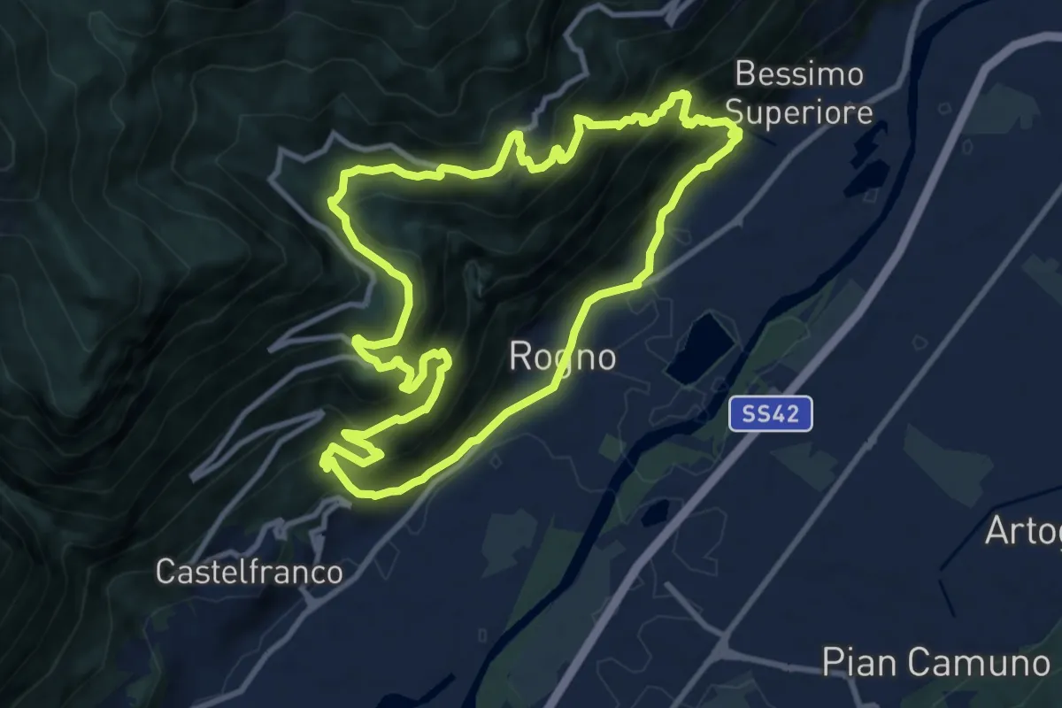
Rogno – Rogno
9.7 km · ↑ 772 m · 4 h 6 min · 15 km away
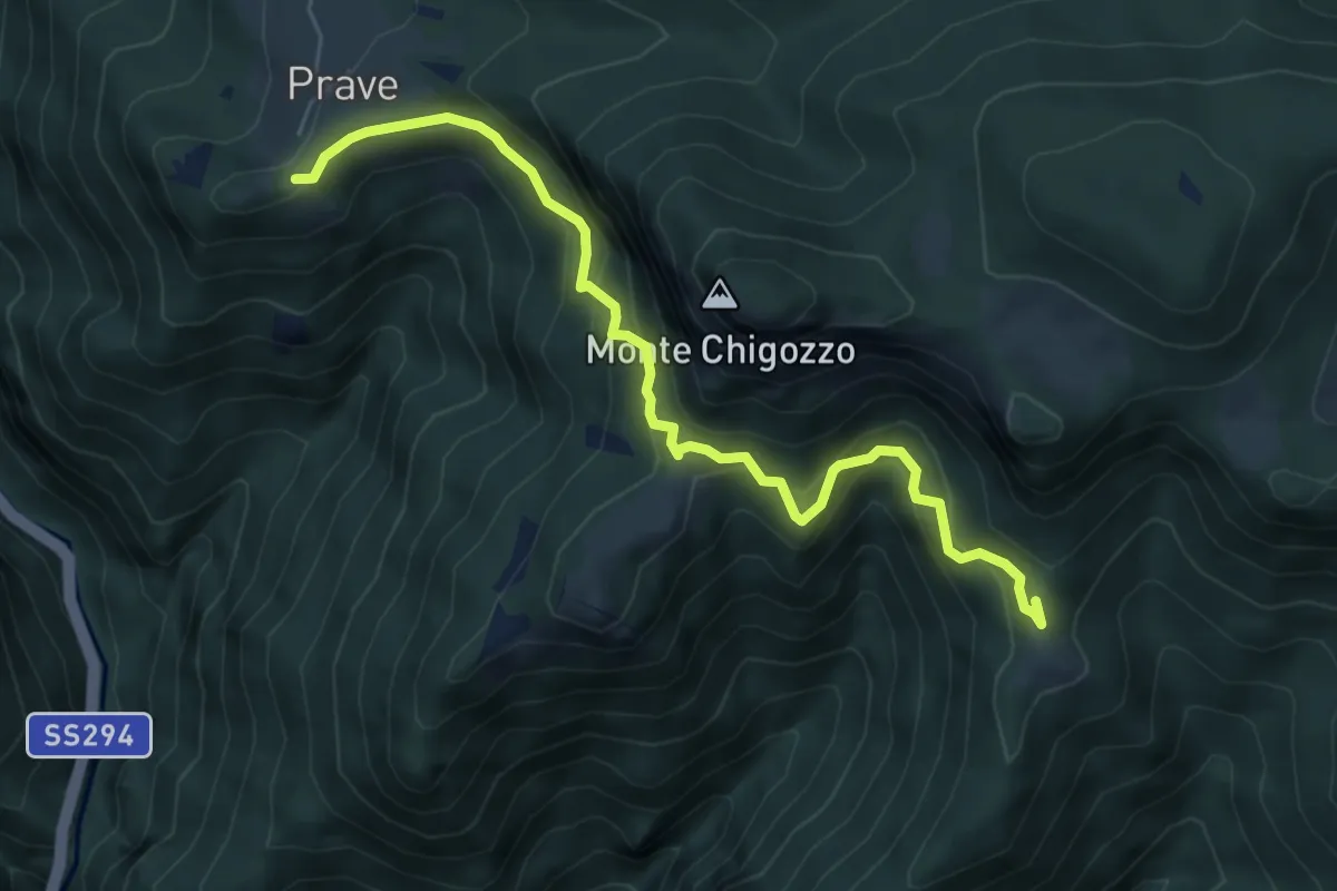
Expert · Trail
Sentiero Gruppo Sella Lorenzini - Varianti
6.3 km · ↑ 452 m · 2 h 28 min · 15 km away
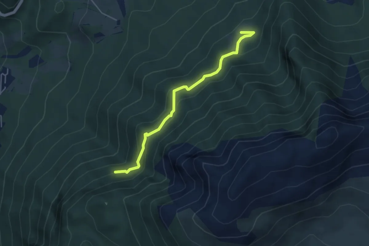
Medium · Trail
Pian della Mussa – Incrocio 502
3.8 km · ↑ 282 m · 1 h 31 min · 15 km away
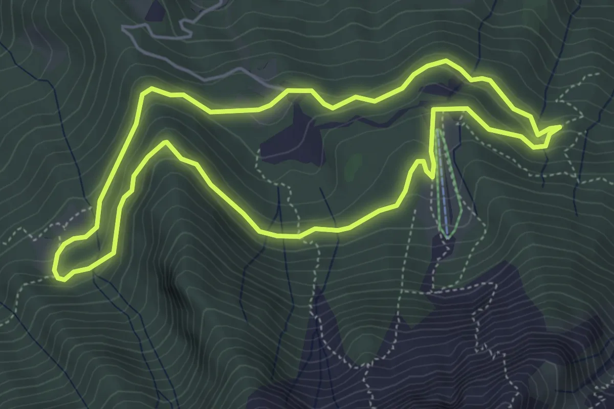
Easy · Trail
Anello Pista Conca dell’Alben
5.0 km · ↑ 198 m · 1 h 41 min · 15 km away
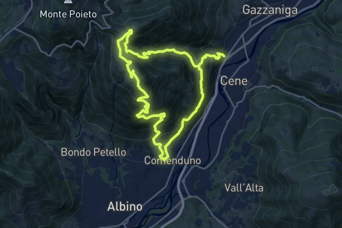
Demanding · Summit
Comenduno (Albino) – Comenduno (Albino)
11.1 km · ↑ 1121 m · 5 h 6 min · 15 km away
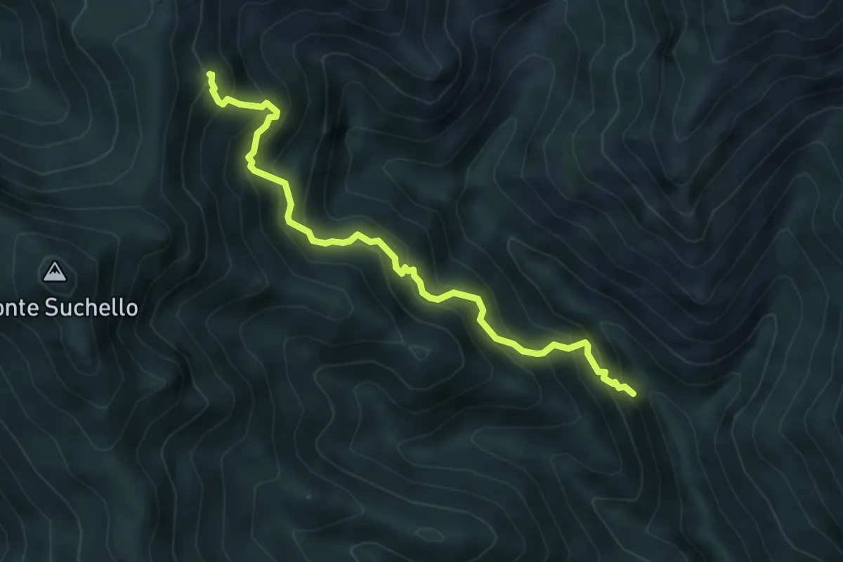
Medium · Trail
Val Vertova – Colle di Barbata
5.0 km · ↑ 660 m · 2 h 36 min · 15 km away
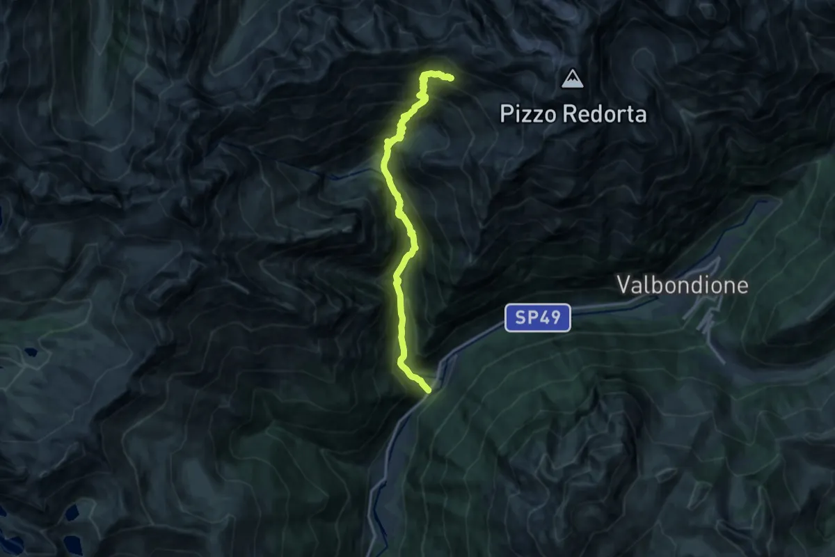
Demanding · Cabin
Fiumenero – Rifugio Baroni al Brunone
13.6 km · ↑ 1493 m · 6 h 26 min · 15 km away
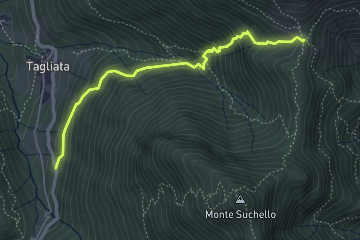
Medium · Trail
Costa di Serina – Passo Barbata (incrocio 525)
4.3 km · ↑ 508 m · 2 h 8 min · 15 km away
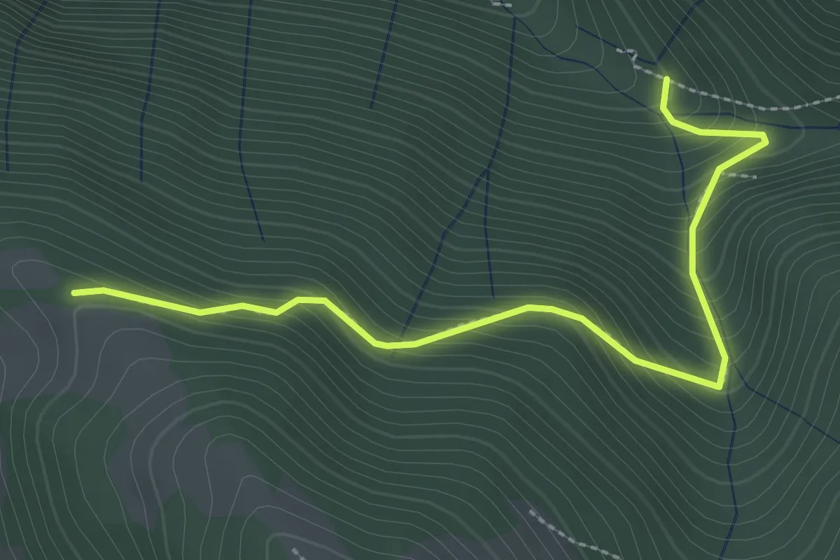
Easy · Trail
Incrocio 612 – Incrocio 612A
2.9 km · ↑ 301 m · 1 h 21 min · 15 km away