Trails near Como
204 hikes starting within 15 km, nearest first.
Nearest first, page 1 of 5
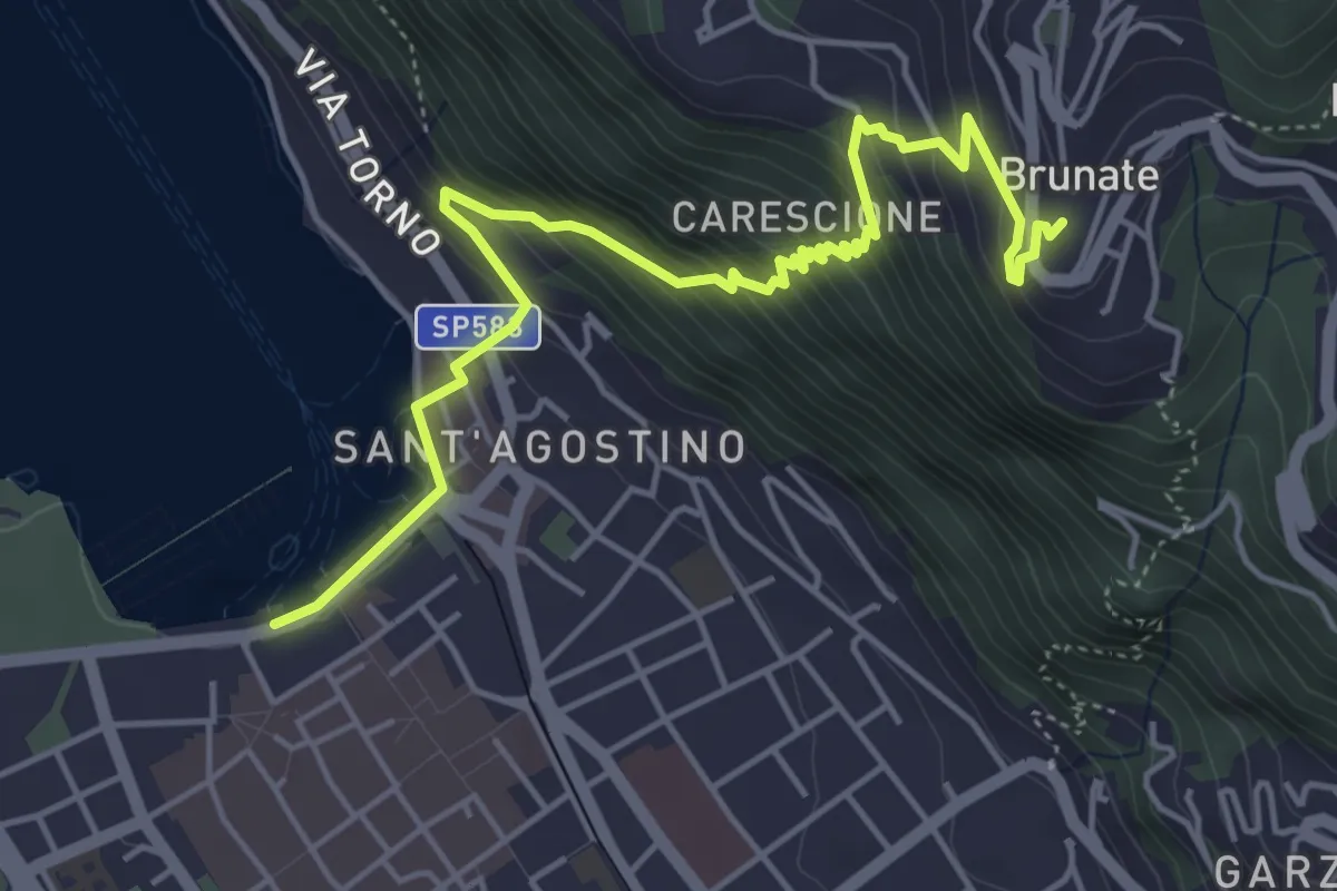
Medium · Trail
Imbarcadero di Como – Funicolare di Brunate
5.7 km · ↑ 522 m · 2 h 28 min · under 1 km away
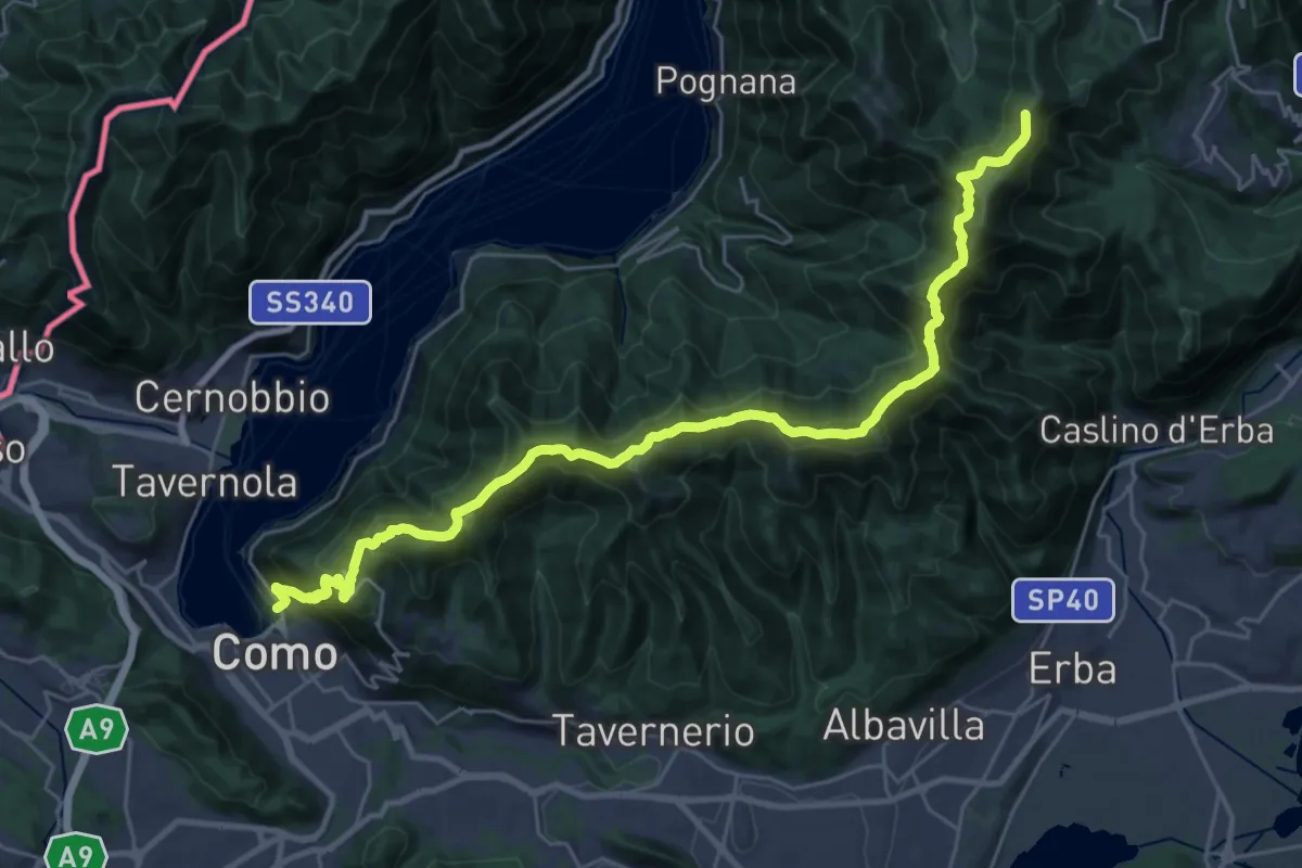
Demanding · Summit
Como – Piano del Tivano
32.2 km · ↑ 2080 m · 12 h 6 min · 1 km away
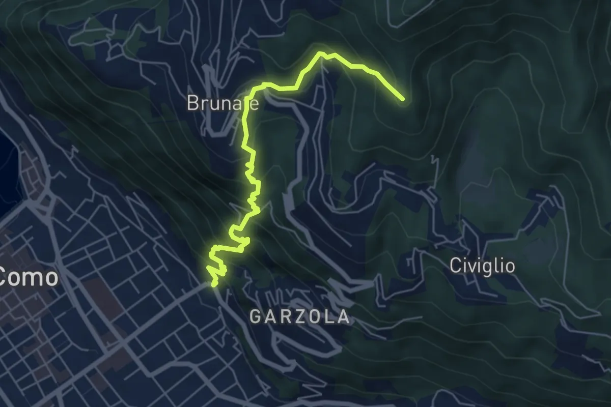
Medium · Summit
Santa Croce – CAO
5.6 km · ↑ 596 m · 2 h 36 min · 1 km away
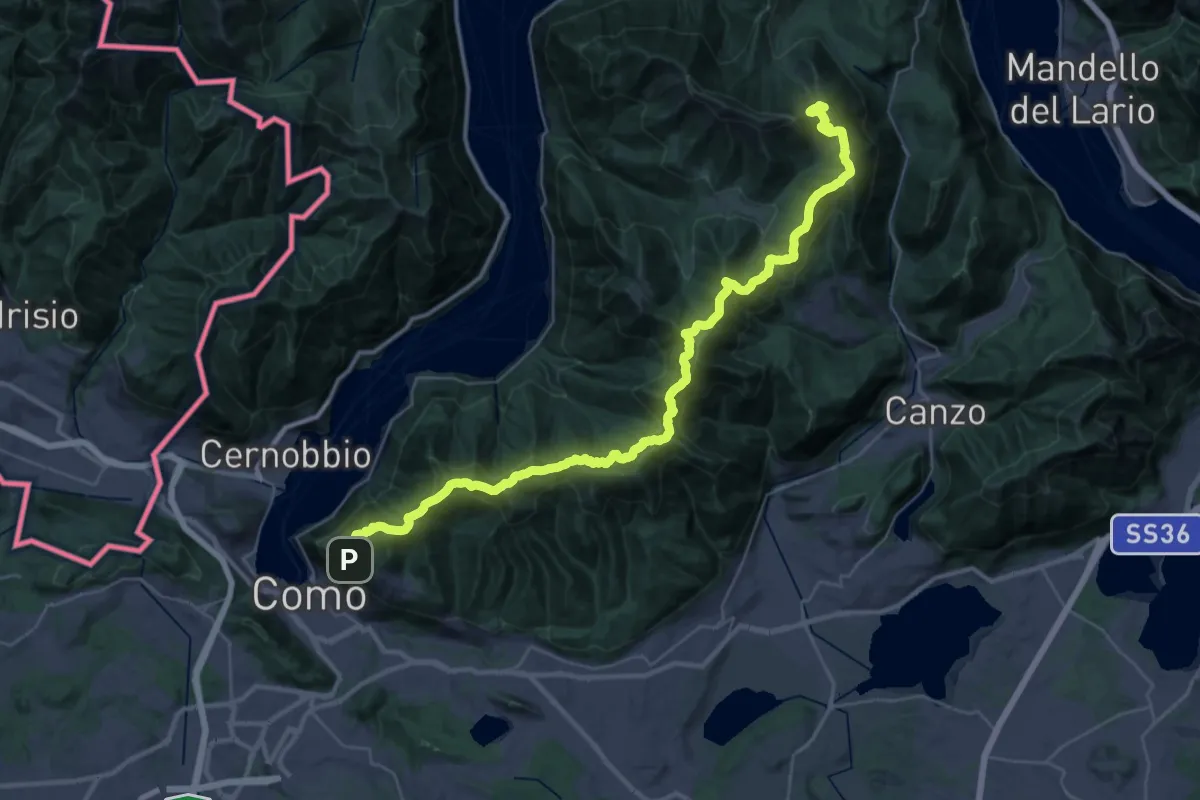
Demanding · Summit
Dorsale del Triangolo Lariano
44.3 km · ↑ 2300 m · 15 h 26 min · 1 km away
Medium · Summit
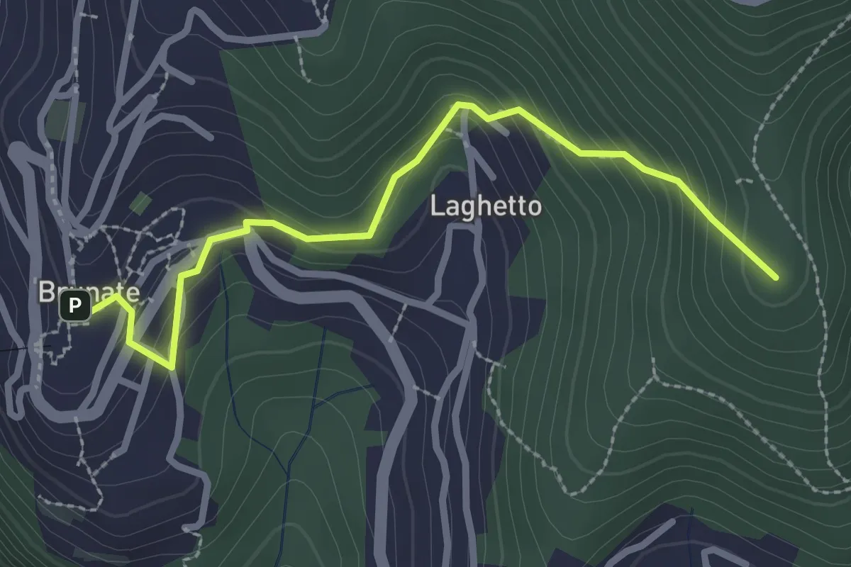
Brunate – CAO
2.7 km · ↑ 210 m · 1 h 5 min · 1 km away
Medium · Trail
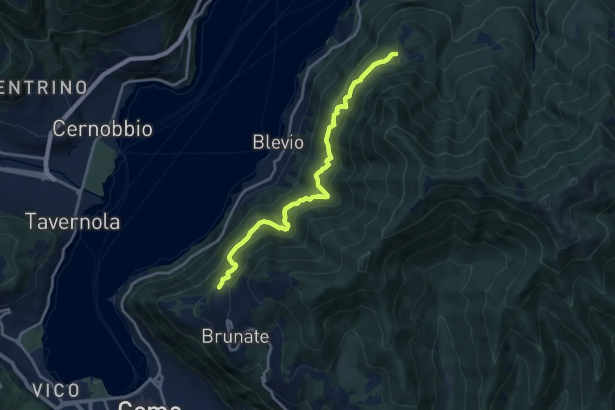
Brunate-Montepiatto
9.1 km · ↑ 788 m · 3 h 51 min · 2 km away
Easy · Summit
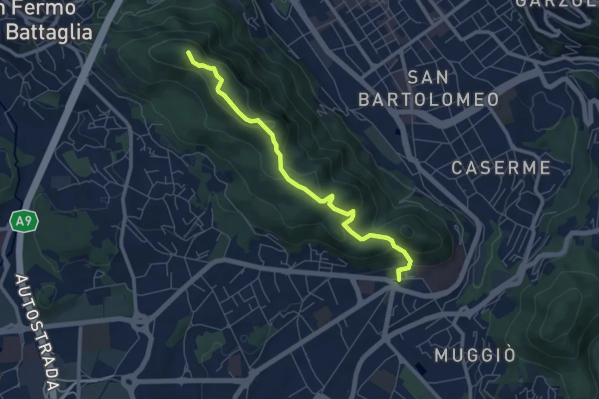
Dorsale collinare
6.0 km · ↑ 250 m · 1 h 58 min · 2 km away
Medium · Summit
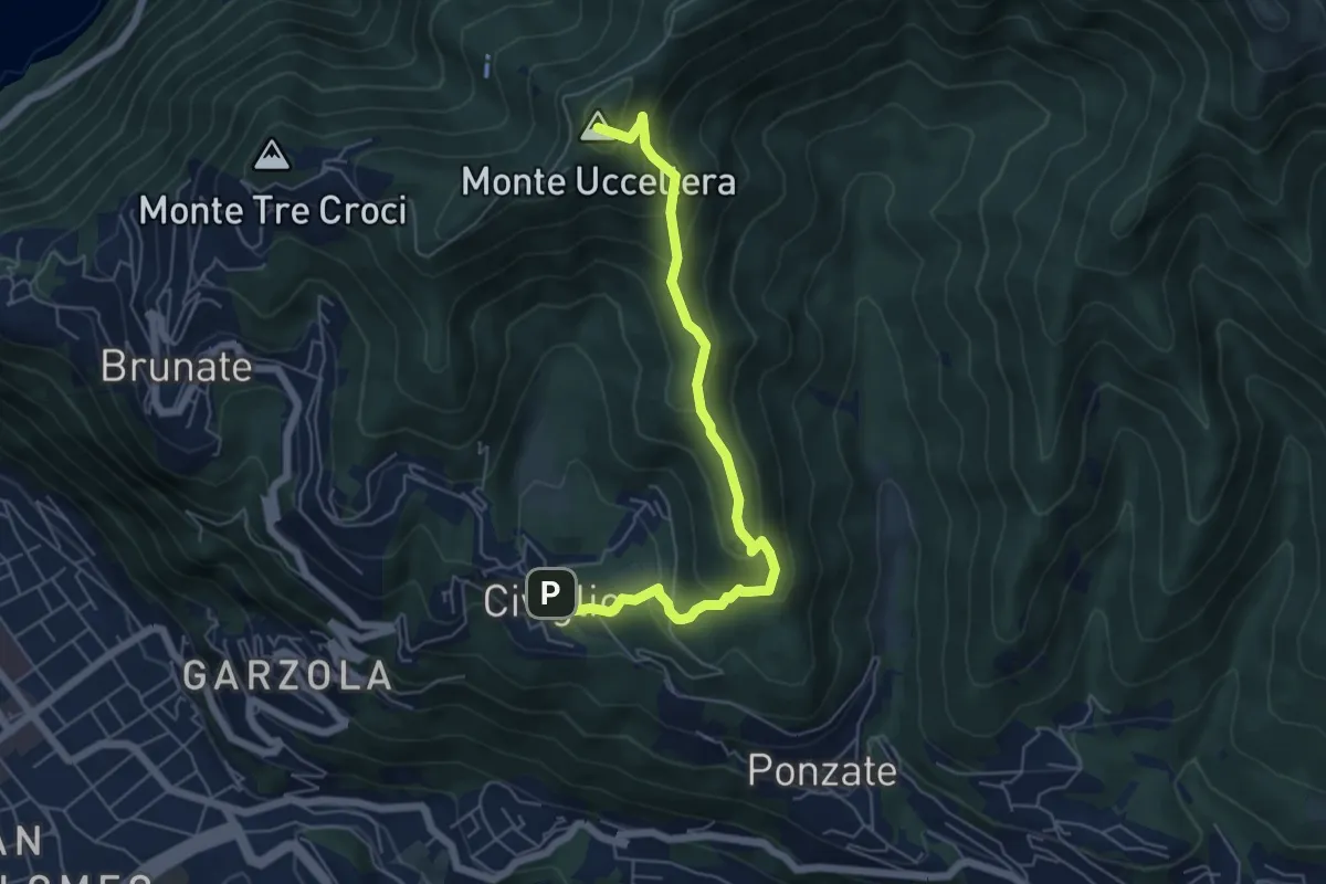
Civiglio – CAO
6.1 km · ↑ 379 m · 2 h 15 min · 2 km away
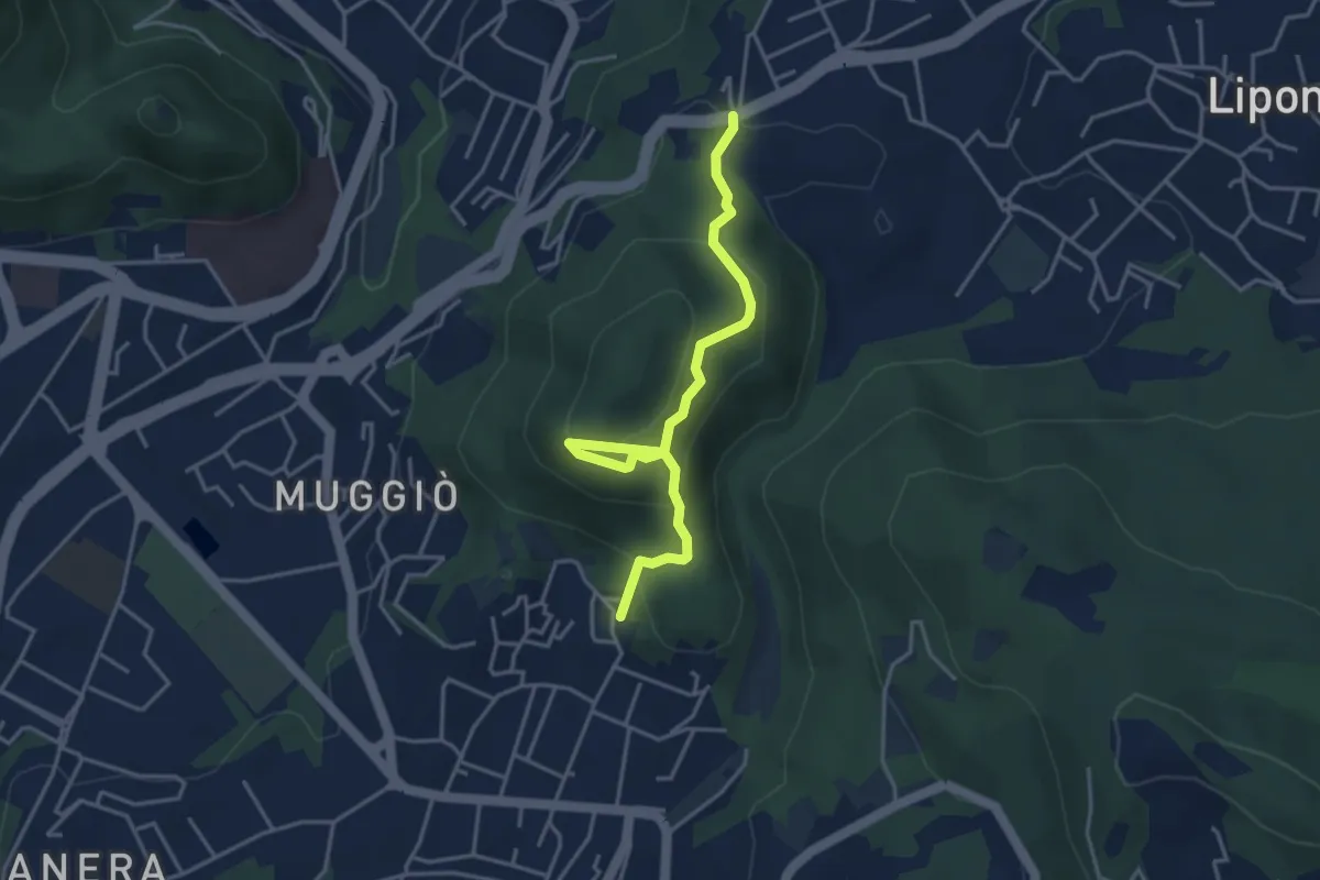
Easy · Trail
Sentiero del Monte Goj
4.1 km · ↑ 268 m · 1 h 33 min · 3 km away
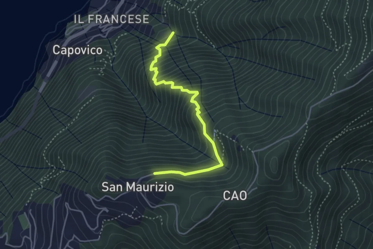
Medium · Trail
Sentiero del Barch (Sopravilla di Blevio-Cascina Barch-San Maurizio)
3.8 km · ↑ 445 m · 1 h 52 min · 3 km away
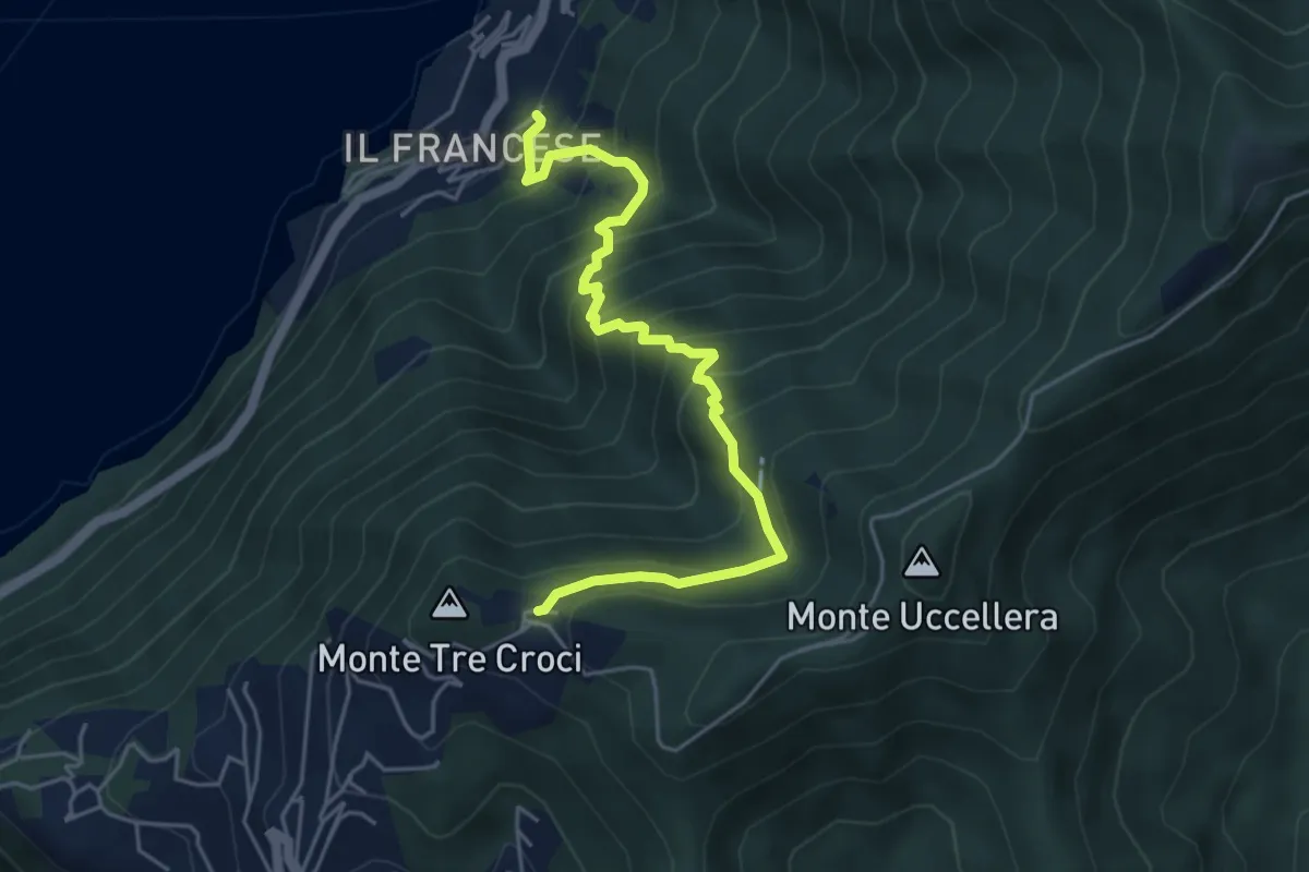
Medium · Trail
Sopravilla (Blevio) – San Maurizio
5.2 km · ↑ 612 m · 2 h 34 min · 3 km away
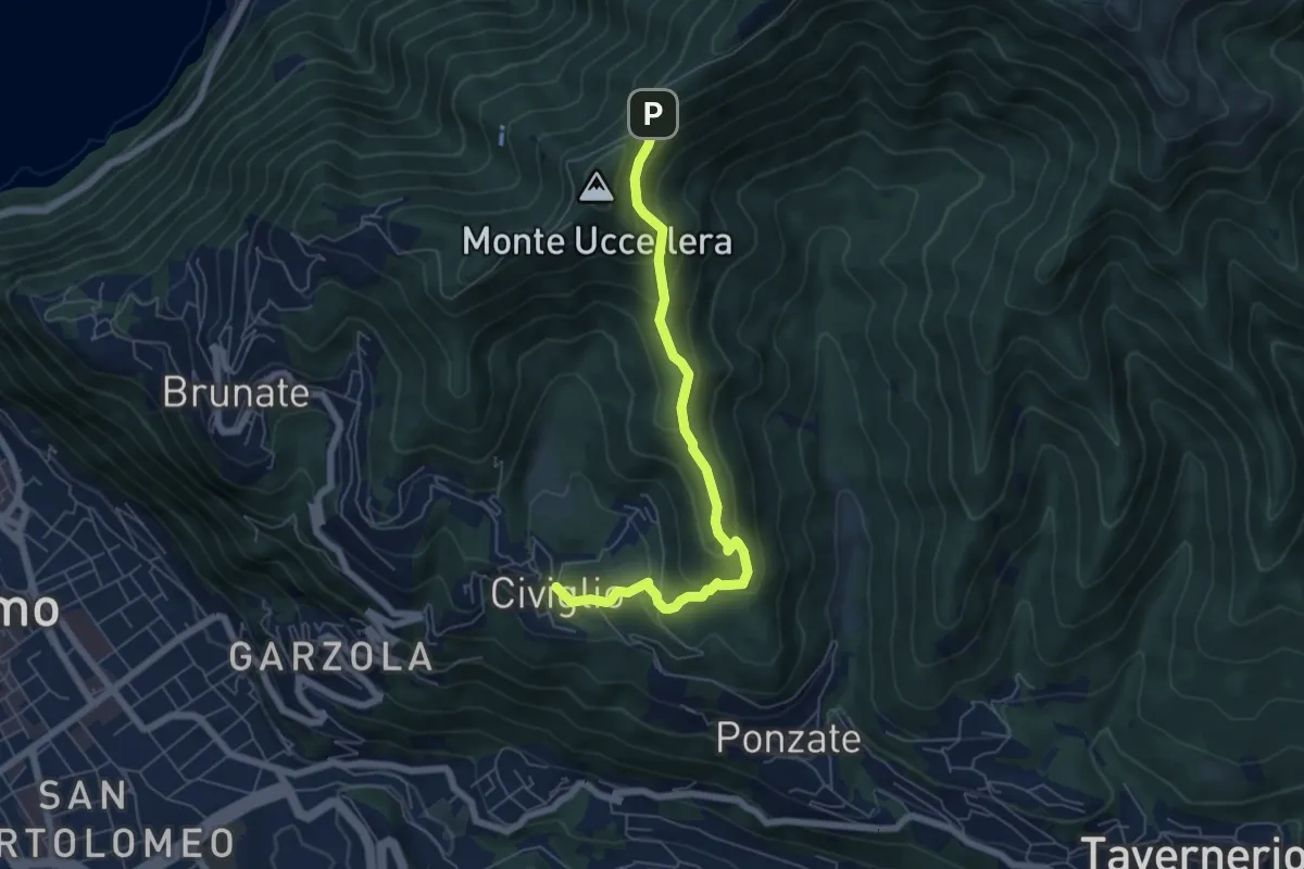
Medium · Trail
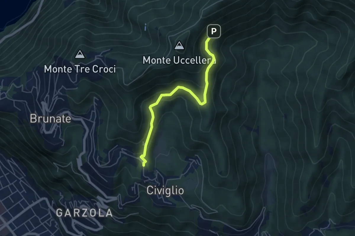
Civiglio – Baita Carla
6.2 km · ↑ 367 m · 2 h 16 min · 3 km away
Medium · Trail
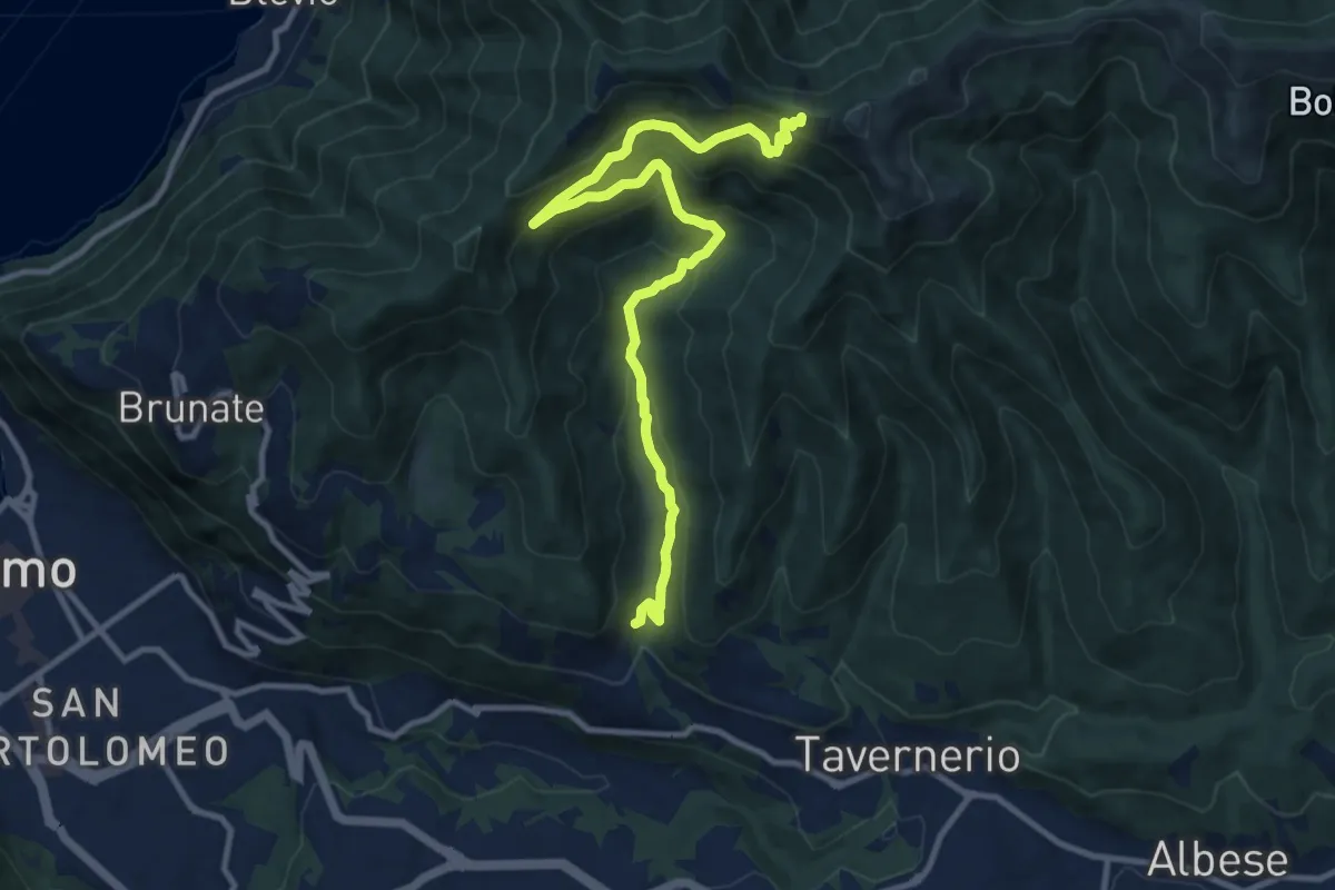
Visigna – Strada del Boscone
4.9 km · ↑ 275 m · 1 h 46 min · 3 km away
Medium · Trail
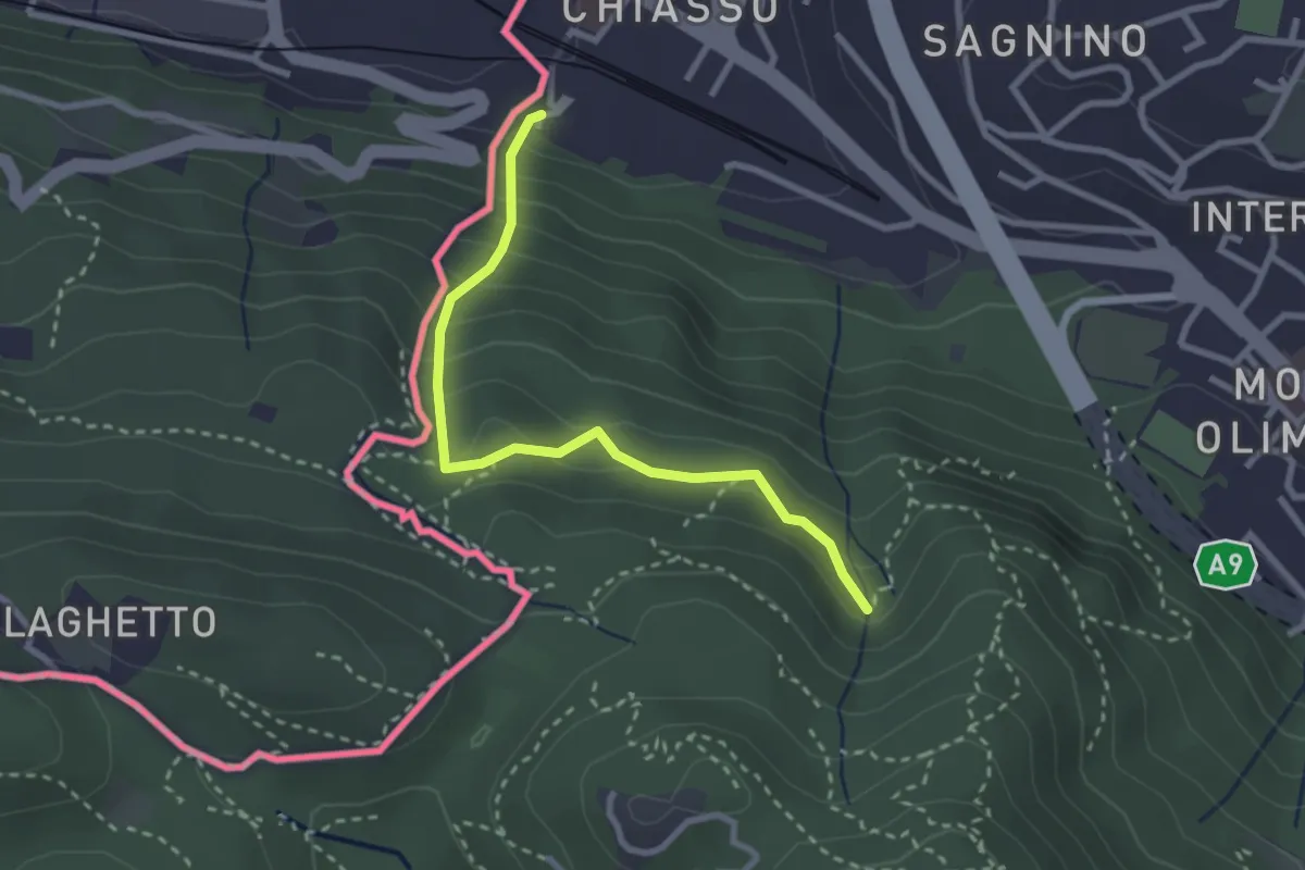
Ponzate – Baita Fabrizio
12.4 km · ↑ 721 m · 4 h 29 min · 3 km away
Medium · Trail
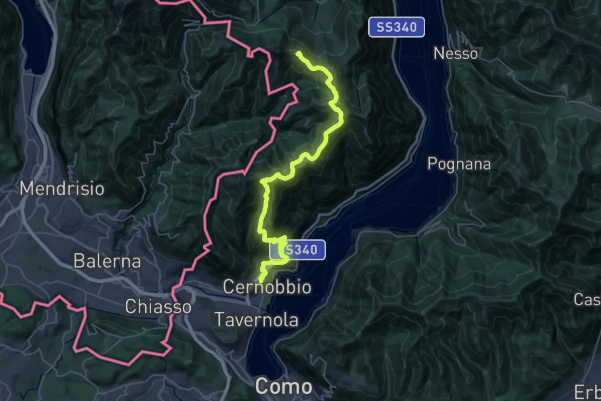
Porta Sasso (o del ponte tibetano)
2.8 km · ↑ 294 m · 1 h 17 min · 3 km away
Demanding · Summit
Cernobbio – San Fedele Intelvi
27.1 km · ↑ 1649 m · 9 h 58 min · 4 km away
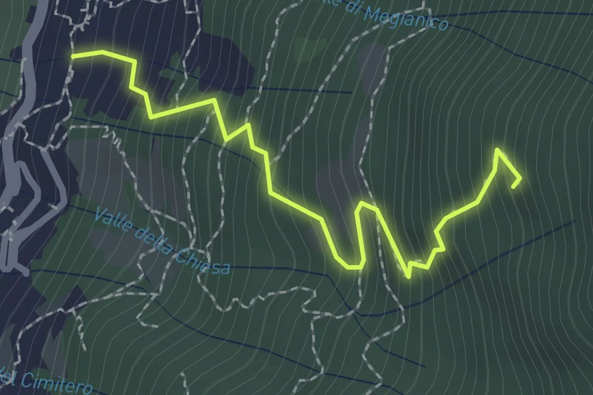
Medium · Trail
Mezzovico (Blevio) – Prea Nairöla
2.2 km · ↑ 395 m · 1 h 23 min · 4 km away
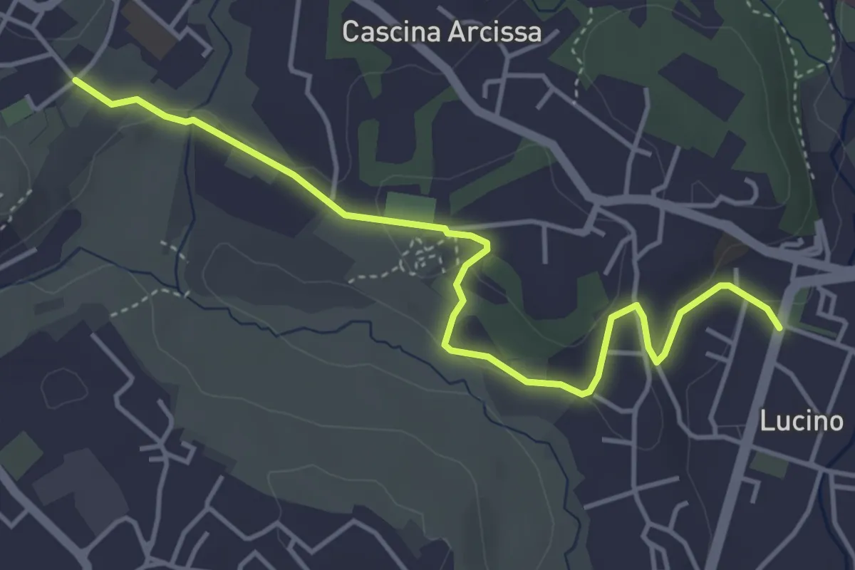
Easy · Trail
Montano Lucino cimitero – Montano Lucino loc. Trivino
4.7 km · ↑ 95 m · 1 h 19 min · 4 km away
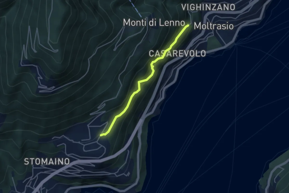
Medium · Trail
Sentee di Sort
3.3 km · ↑ 348 m · 1 h 32 min · 4 km away
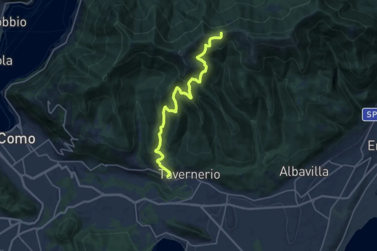
Demanding · Trail
Via Cesare Battisti (Solzago) – Incrocio Sentiero 300 V - Sentiero 363
14.2 km · ↑ 910 m · 5 h 20 min · 4 km away
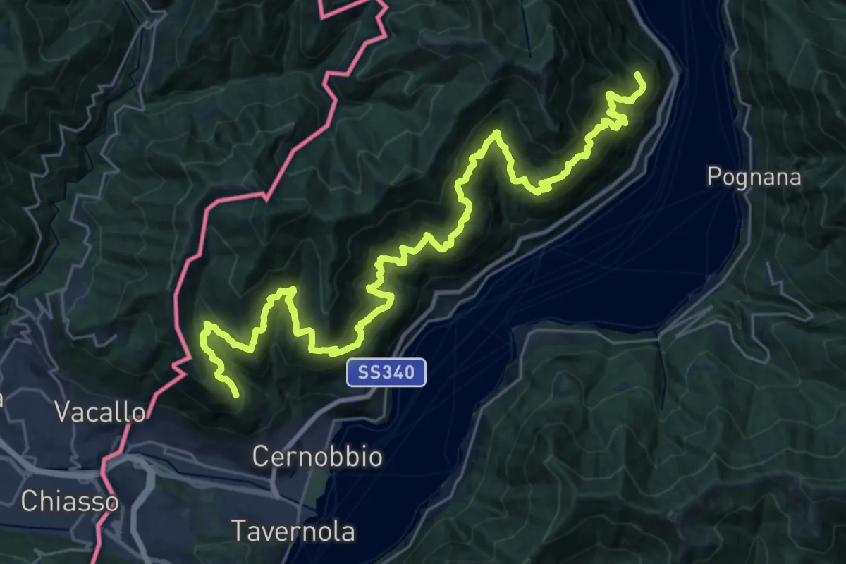
Expert · Trail
Sentiero mezza costa
16.5 km · ↑ 1501 m · 7 h 25 min · 5 km away
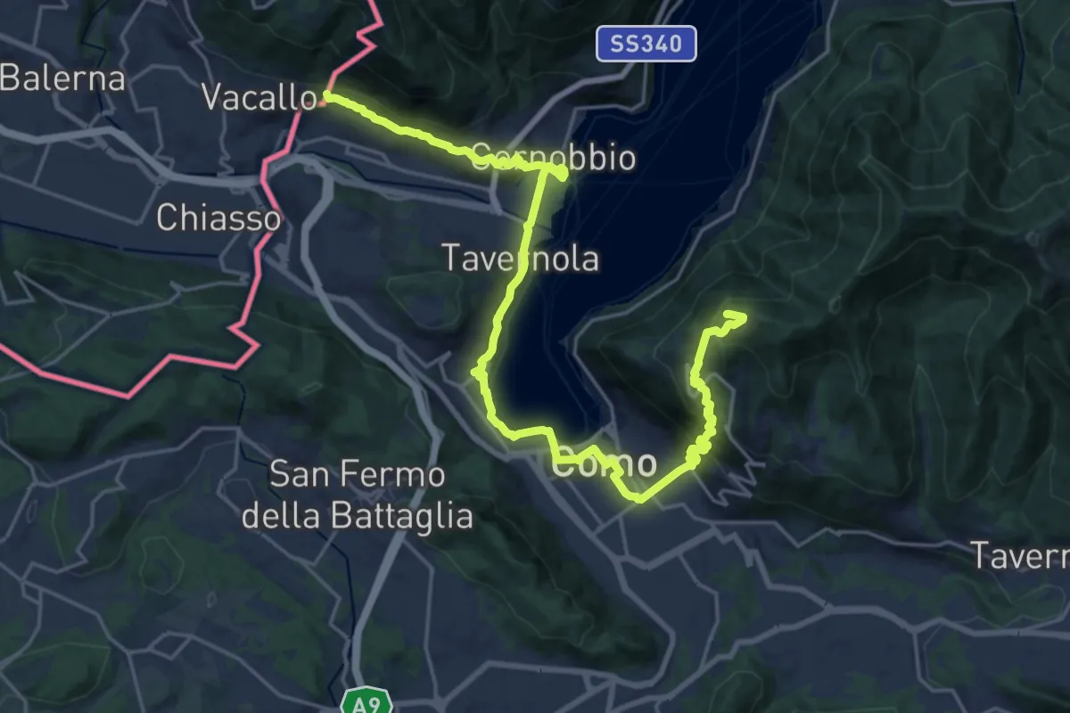
Demanding · Summit
Lake Como Poetry Way
25.8 km · ↑ 1054 m · 8 h 22 min · 5 km away
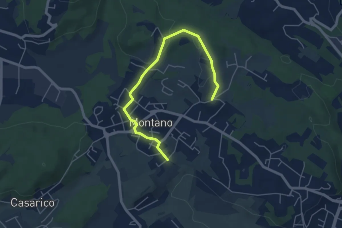
Easy · Trail
Montano Lucino cimitero – Montano Lucino loc. Trivino
4.9 km · ↑ 65 m · 1 h 18 min · 5 km away
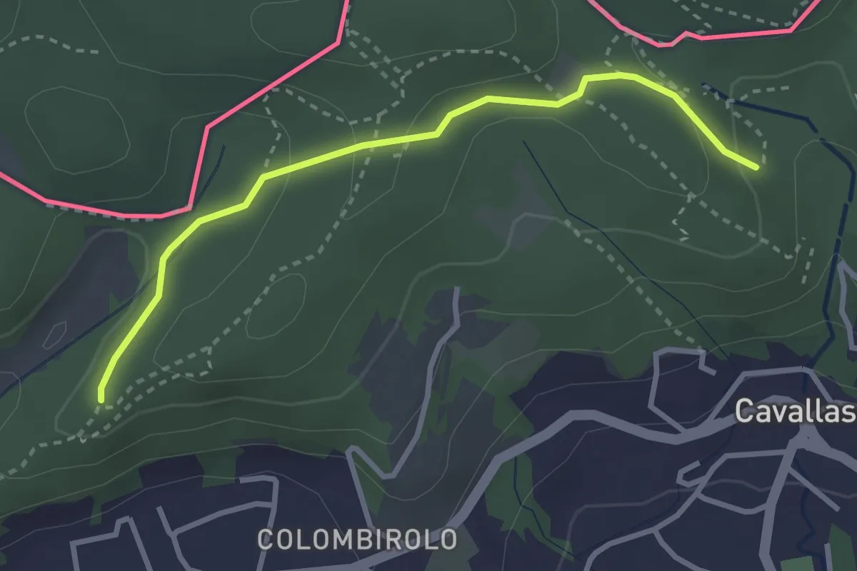
Easy · Trail
Naturalistico di Parè
3.0 km · ↑ 71 m · 51 min · 5 km away
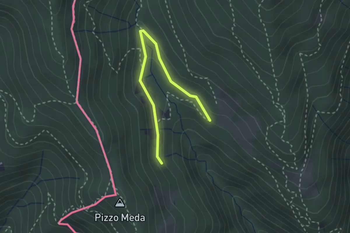
Easy · Trail
Cernobbio-Monte Bisbino
2.5 km · ↑ 103 m · 49 min · 5 km away
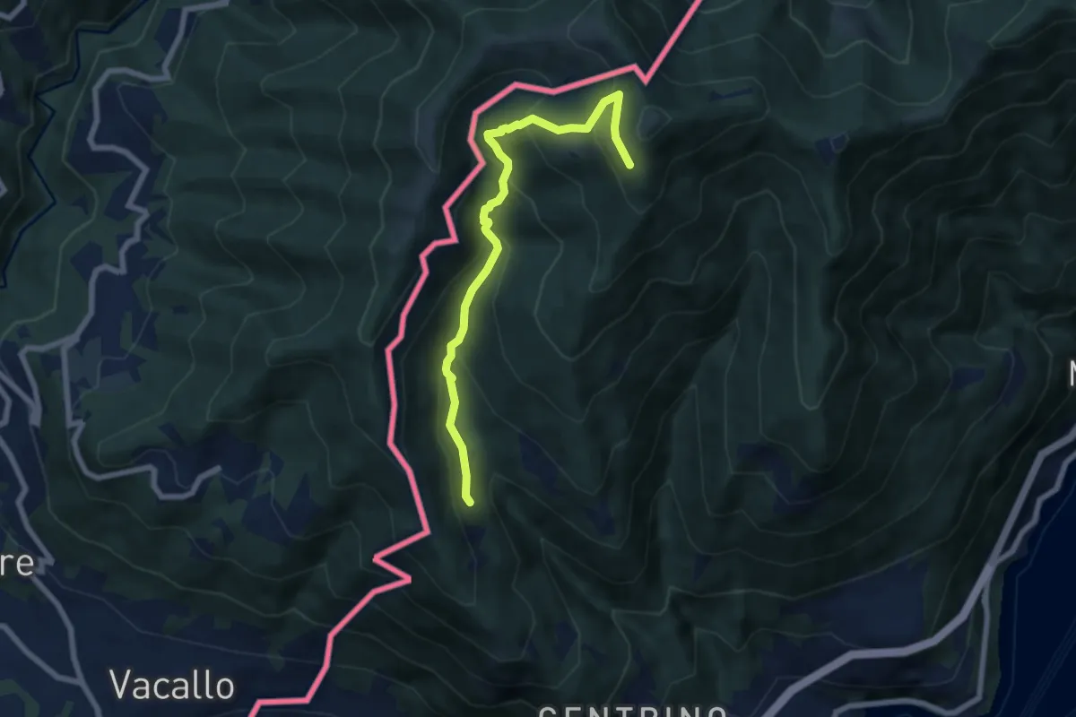
Medium · Trail
Como (Monte Olimpino) – Rifugio Prabello
6.7 km · ↑ 510 m · 2 h 42 min · 5 km away
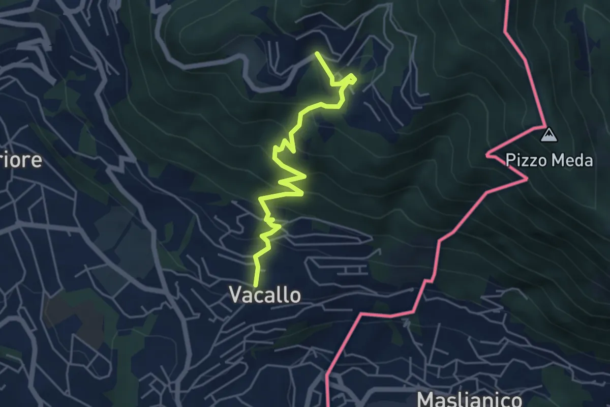
Medium · Trail
Sagno – Vacallo
4.5 km · ↑ 359 m · 1 h 50 min · 6 km away
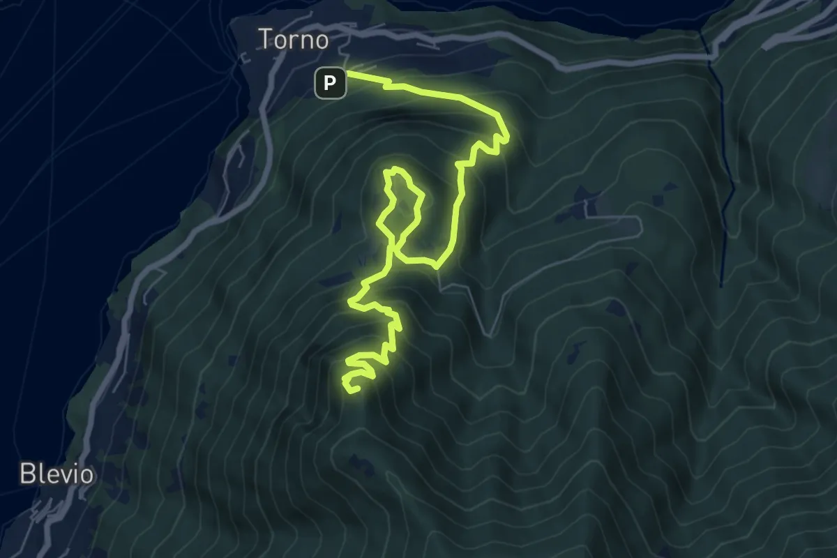
Demanding · Summit
Torno – Baita Carla
9.0 km · ↑ 837 m · 3 h 57 min · 6 km away
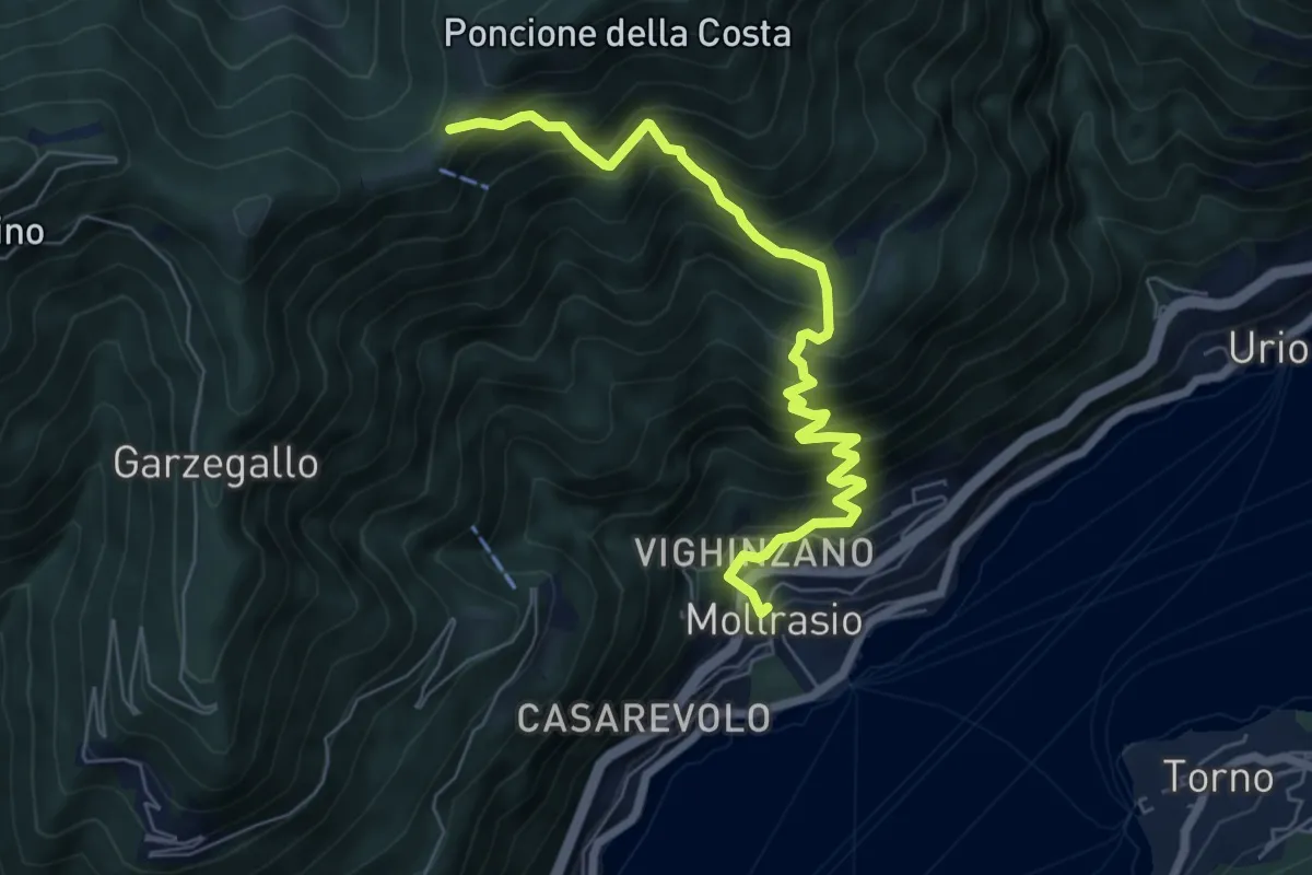
Demanding · Cabin
Moltrasio - Rifugio Bugone
7.1 km · ↑ 891 m · 3 h 36 min · 6 km away
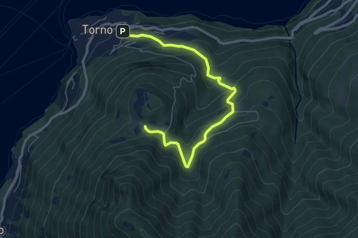
Medium · Trail
Torno – Montepiatto
6.3 km · ↑ 528 m · 2 h 37 min · 6 km away
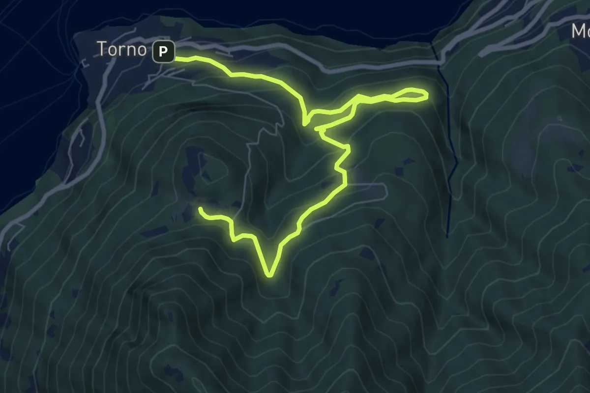
Medium · Trail
Torno – Montepiatto
9.2 km · ↑ 623 m · 3 h 32 min · 6 km away
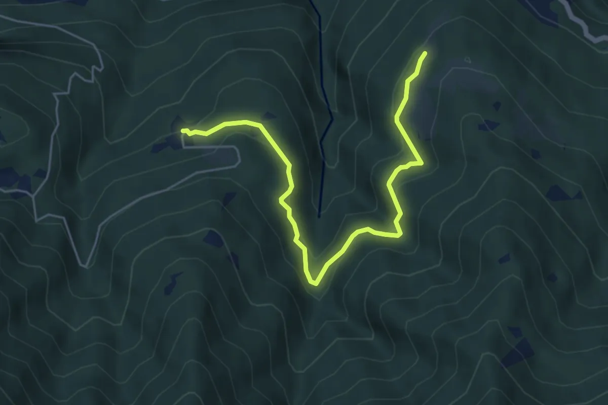
Medium · Trail
Piazzaga – Case delle Perle
5.4 km · ↑ 273 m · 1 h 52 min · 6 km away
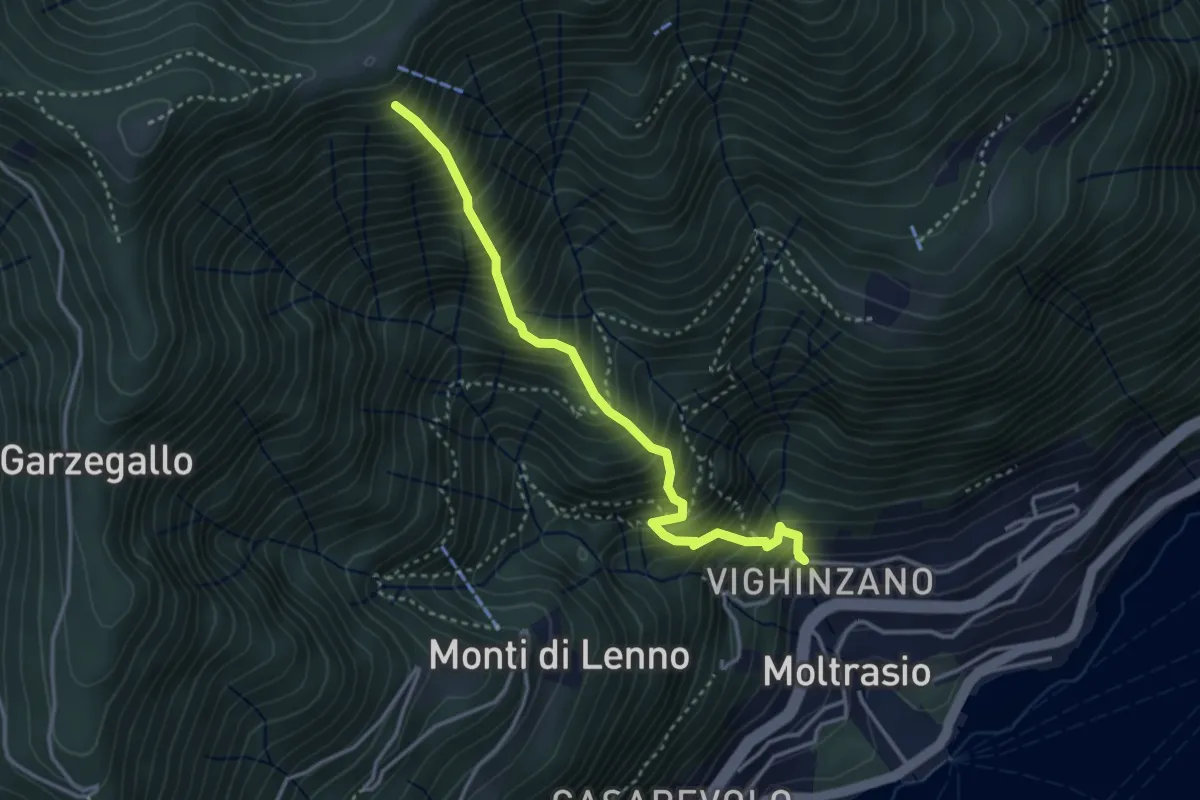
Medium · Trail
Sentee La Culman
3.5 km · ↑ 737 m · 2 h 25 min · 6 km away
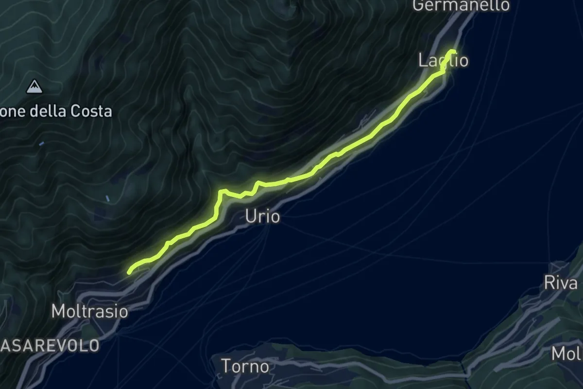
Medium · Trail
Via Verde
7.4 km · ↑ 362 m · 2 h 31 min · 6 km away
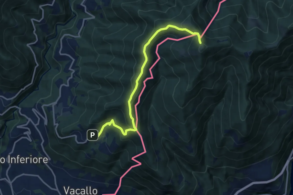
Medium · Trail
Sagno – Monte Bisbino
9.3 km · ↑ 597 m · 3 h 30 min · 6 km away
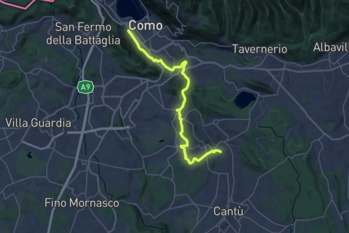
Demanding · Trail
Sentiero Pedemonte - Tappa 1
21.5 km · ↑ 414 m · 5 h 59 min · 6 km away
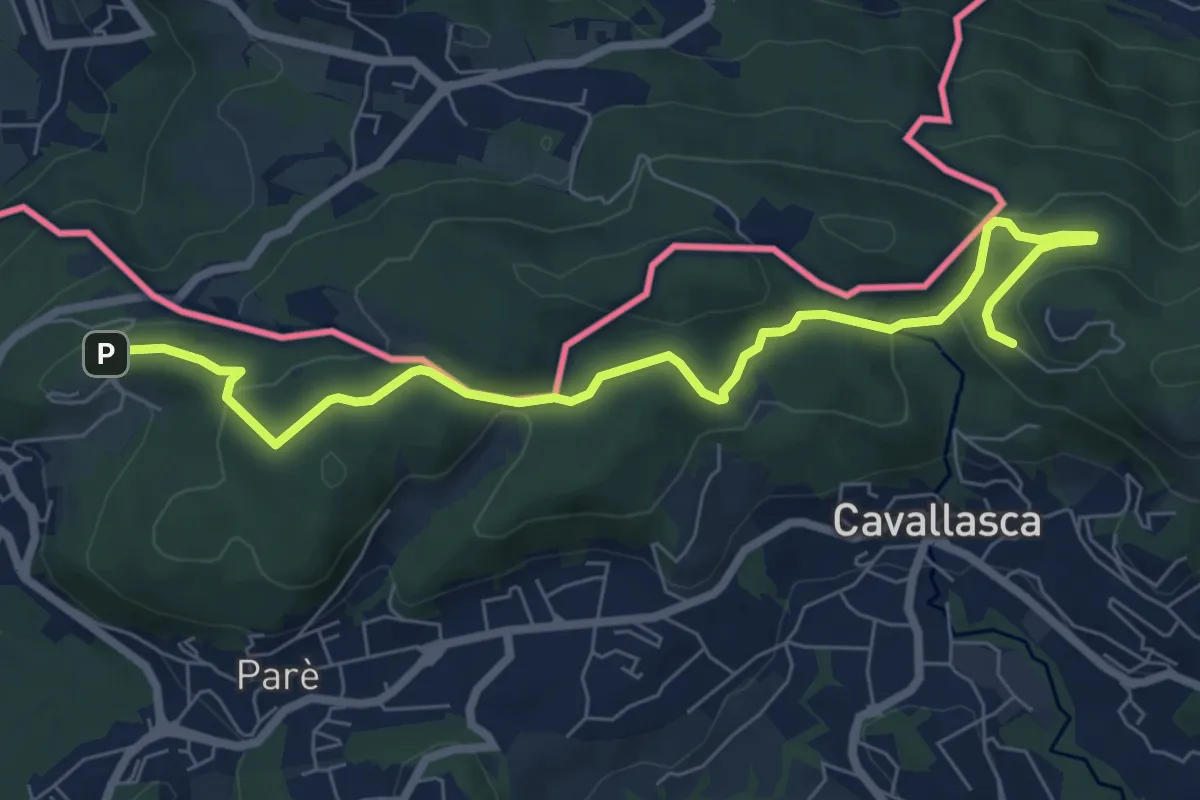
Medium · Trail
Bizzarone – Como
8.2 km · ↑ 264 m · 2 h 30 min · 6 km away
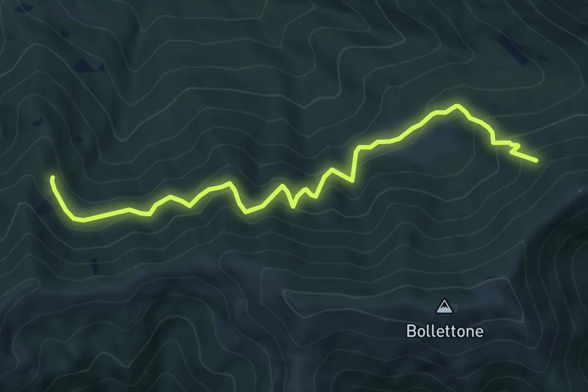
Expert · Trail
Pian Dürac (Faggeto Lario) – Innesto sentiero dei faggi
7.1 km · ↑ 617 m · 3 h · 6 km away
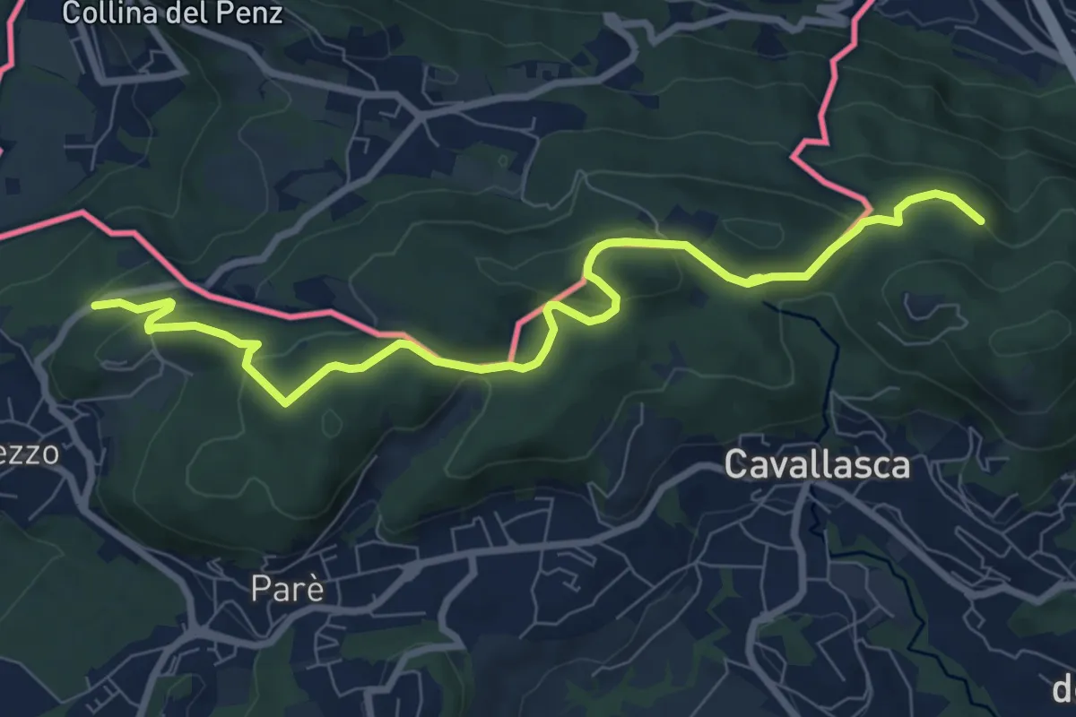
Medium · Trail
Confinale
9.1 km · ↑ 322 m · 2 h 50 min · 7 km away
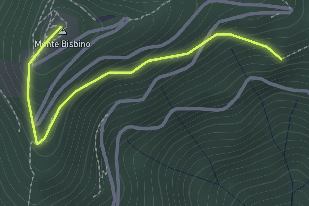
Expert · Summit
Alpe Piella – Ca' Bossi
2.1 km · ↑ 203 m · 56 min · 7 km away
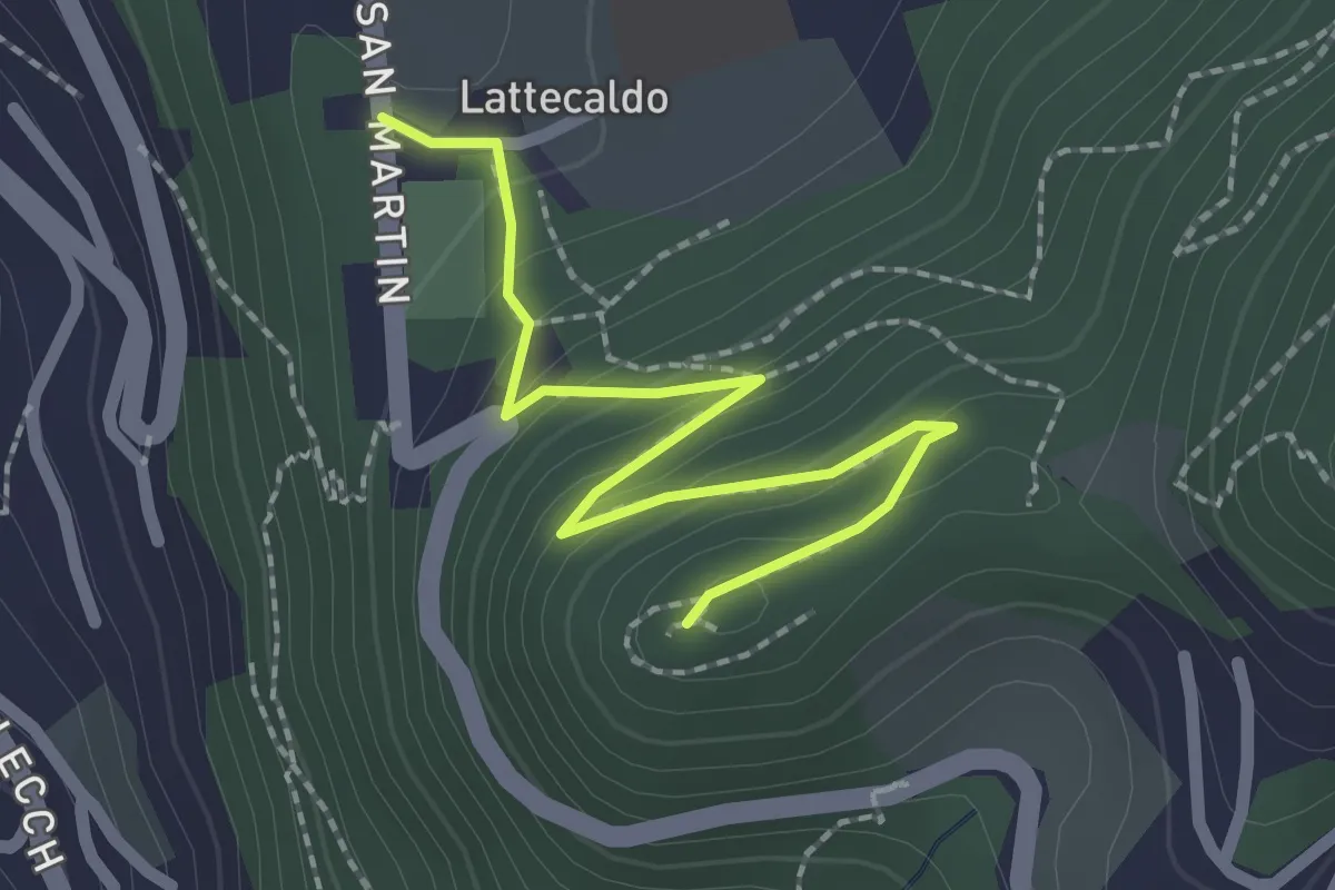
Easy · Trail
Lattecaldo – San Martino
2.3 km · ↑ 138 m · 51 min · 7 km away
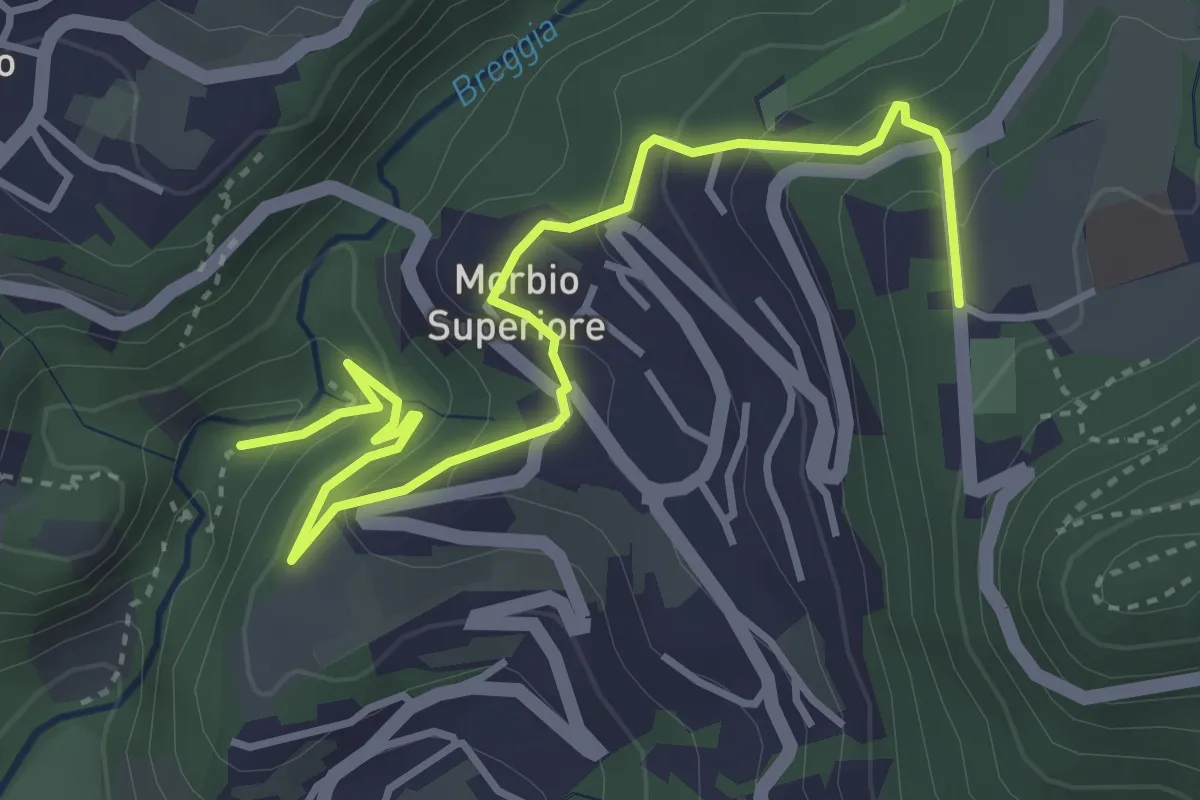
Easy · Trail
Parco Gole della Breggia – Lattecaldo
4.6 km · ↑ 292 m · 1 h 43 min · 7 km away
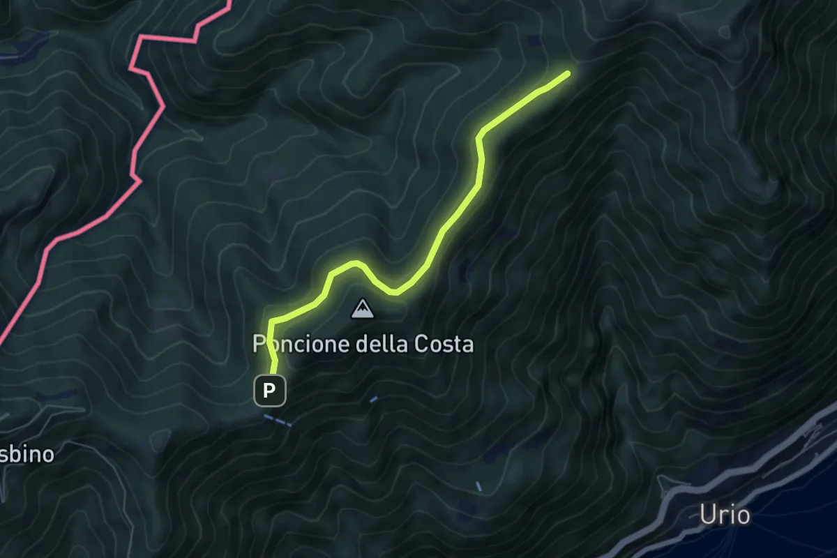
Easy · Cabin
Rif. Bugone – Rif. Murelli
5.6 km · ↑ 165 m · 1 h 41 min · 7 km away
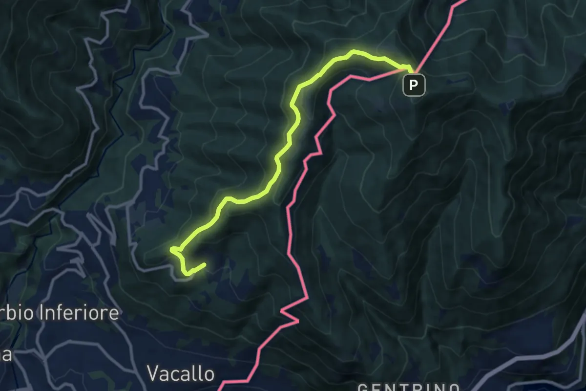
Medium · Trail
Sagno – Monte Bisbino
9.2 km · ↑ 665 m · 3 h 37 min · 7 km away
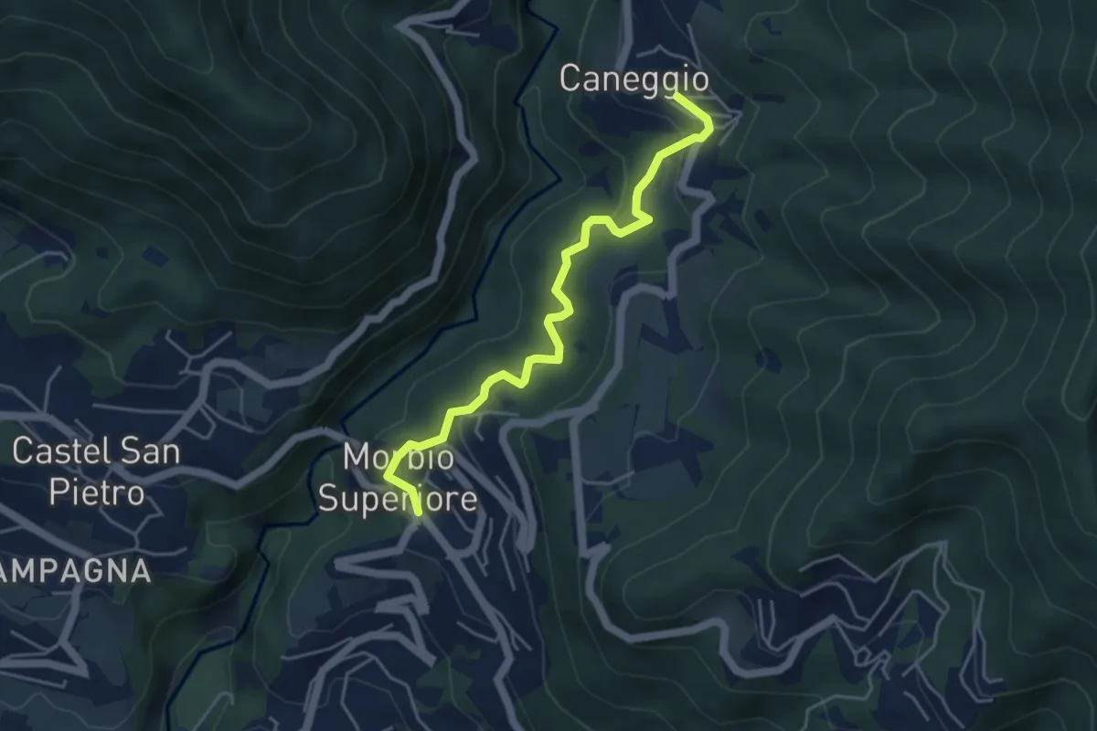
Easy · Trail
Caneggio – Morbio Superiore
4.5 km · ↑ 271 m · 1 h 39 min · 7 km away
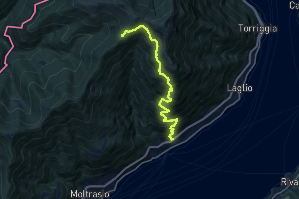
Demanding · Cabin
Carate Urio – Rifugio Murelli
8.7 km · ↑ 1038 m · 4 h 19 min · 7 km away
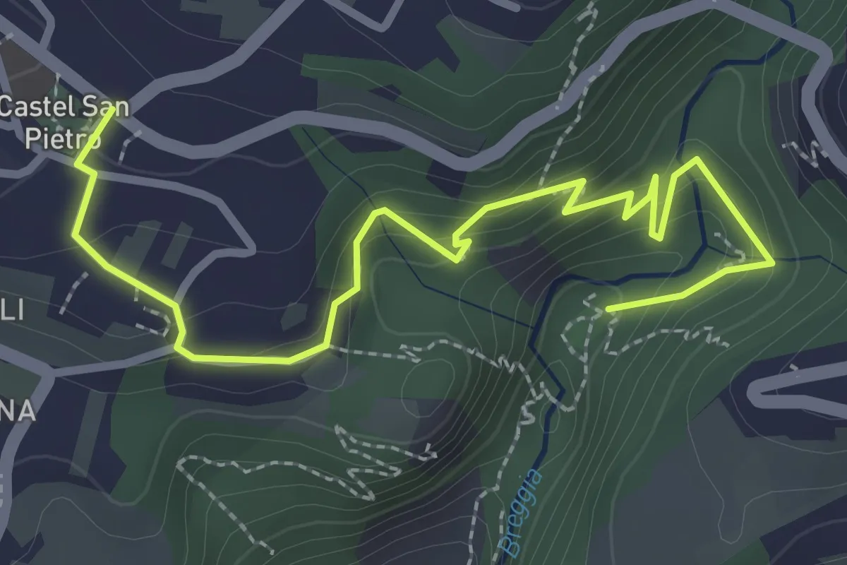
Easy · Trail
Parco Gole della Breggia – Castel San Pietro
3.3 km · ↑ 227 m · 1 h 16 min · 7 km away
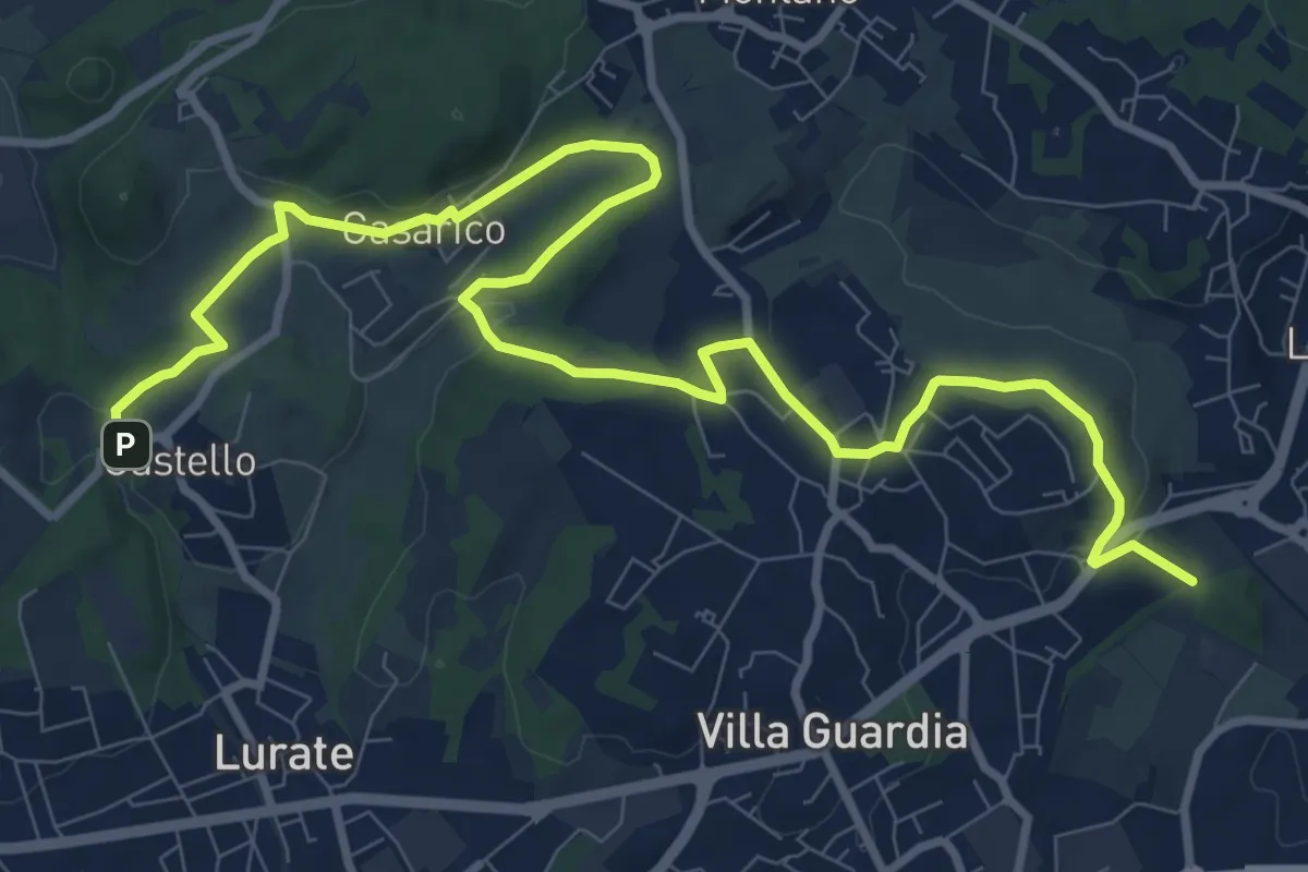
Medium · Trail
Castello – Civello
12.9 km · ↑ 191 m · 3 h 28 min · 8 km away