Trails near Como
204 hikes starting within 15 km, nearest first.
Nearest first, page 2 of 5
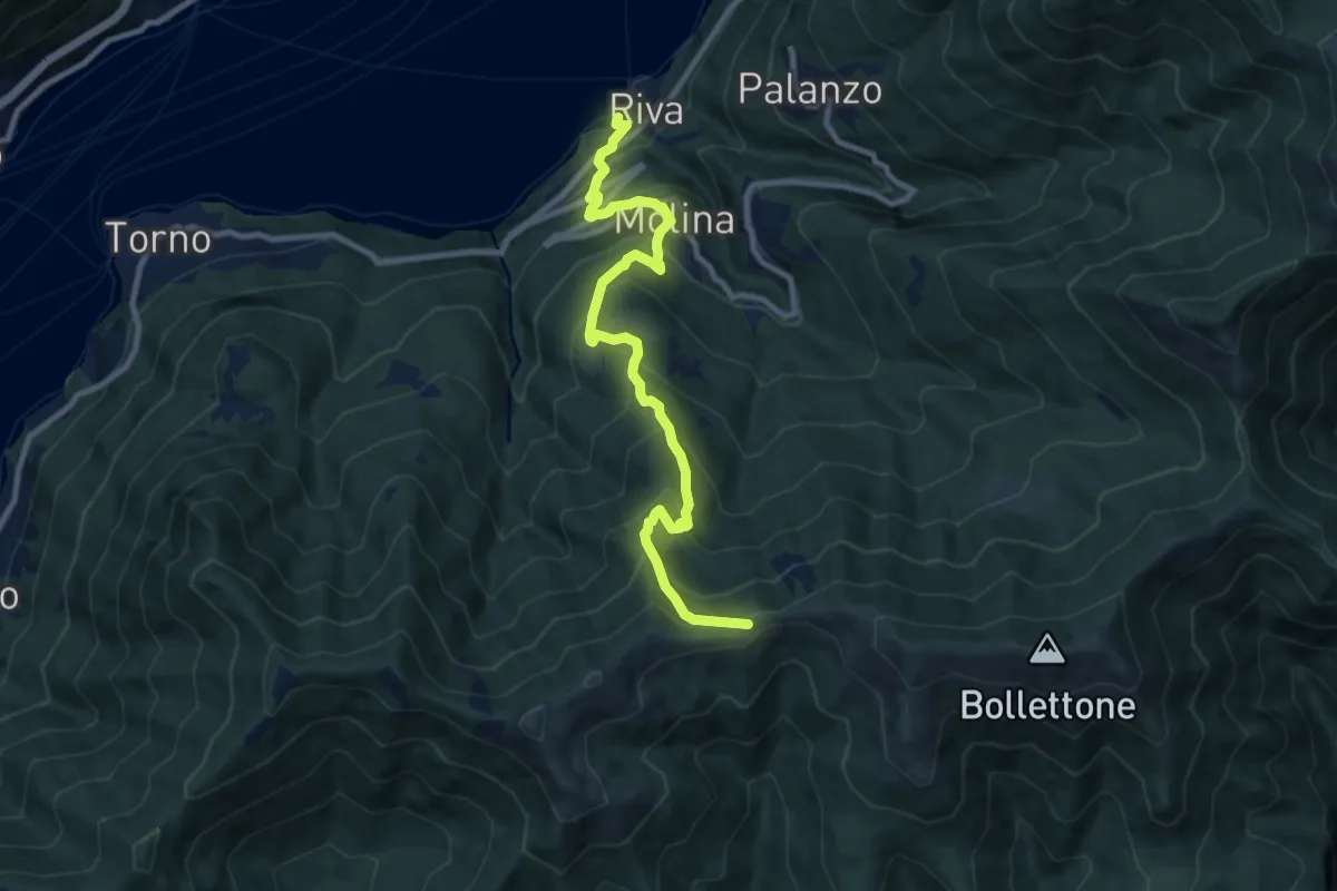
Demanding · Trail
Imbarcadero di Faggeto Lario – Bocchetta di Molina
10.0 km · ↑ 918 m · 4 h 22 min · 8 km away
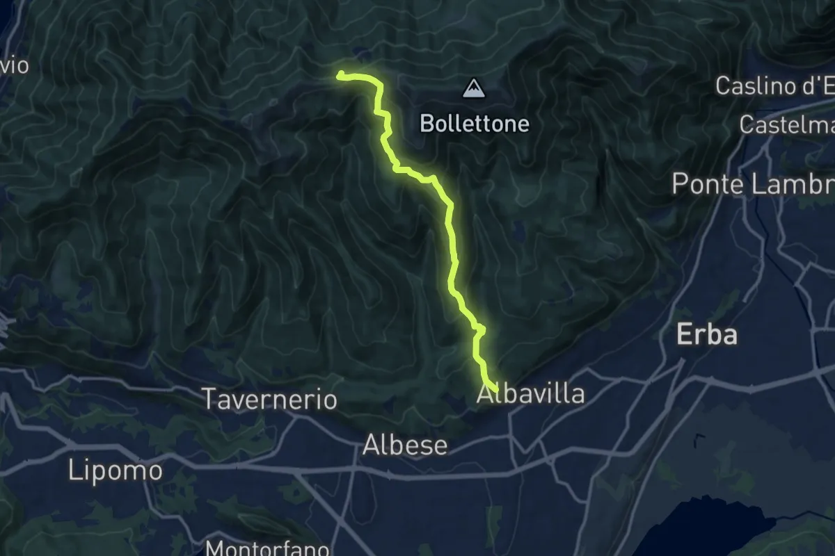
Medium · Trail
Sentiero 18: Albavilla (Via ai Monti) - Baita Patrizi - Bocchetta di Molina
10.9 km · ↑ 640 m · 3 h 58 min · 8 km away
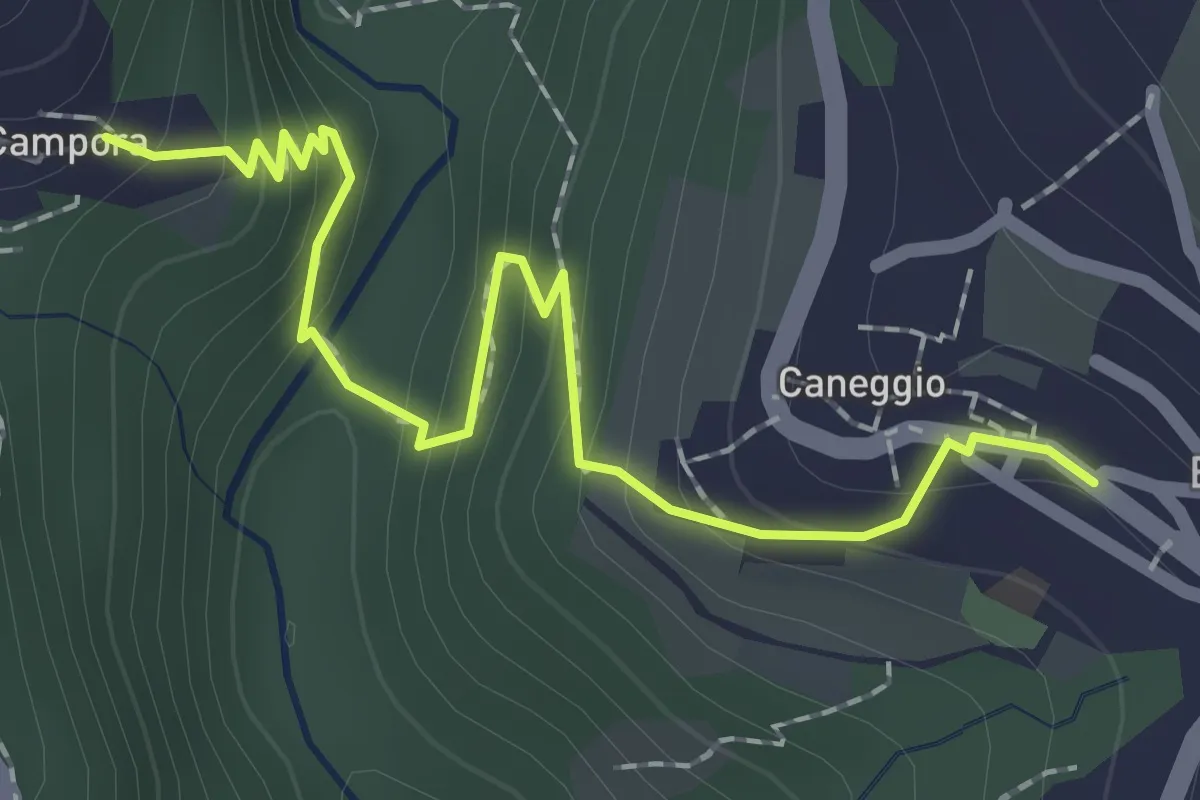
Easy · Trail
Caneggio – Cámpora
2.3 km · ↑ 161 m · 53 min · 8 km away
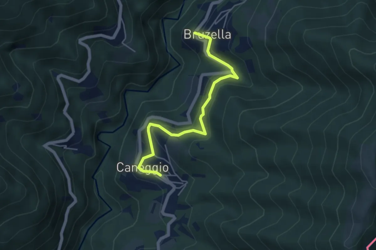
Easy · Trail
Caneggio – Bruzella
4.3 km · ↑ 249 m · 1 h 33 min · 8 km away
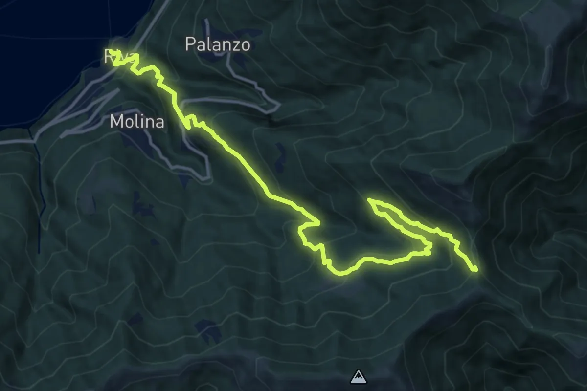
Demanding · Trail
Riva (Faggeto Lario) – Bocchetta di Lemna
14.6 km · ↑ 1011 m · 5 h 39 min · 8 km away
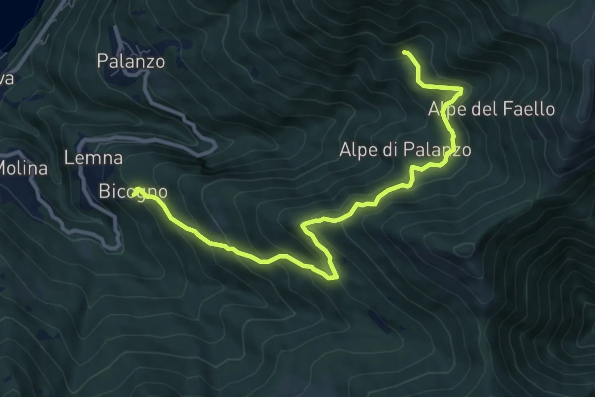
Medium · Trail
Bicogno – Alpe di Palanzo
8.7 km · ↑ 642 m · 3 h 27 min · 8 km away
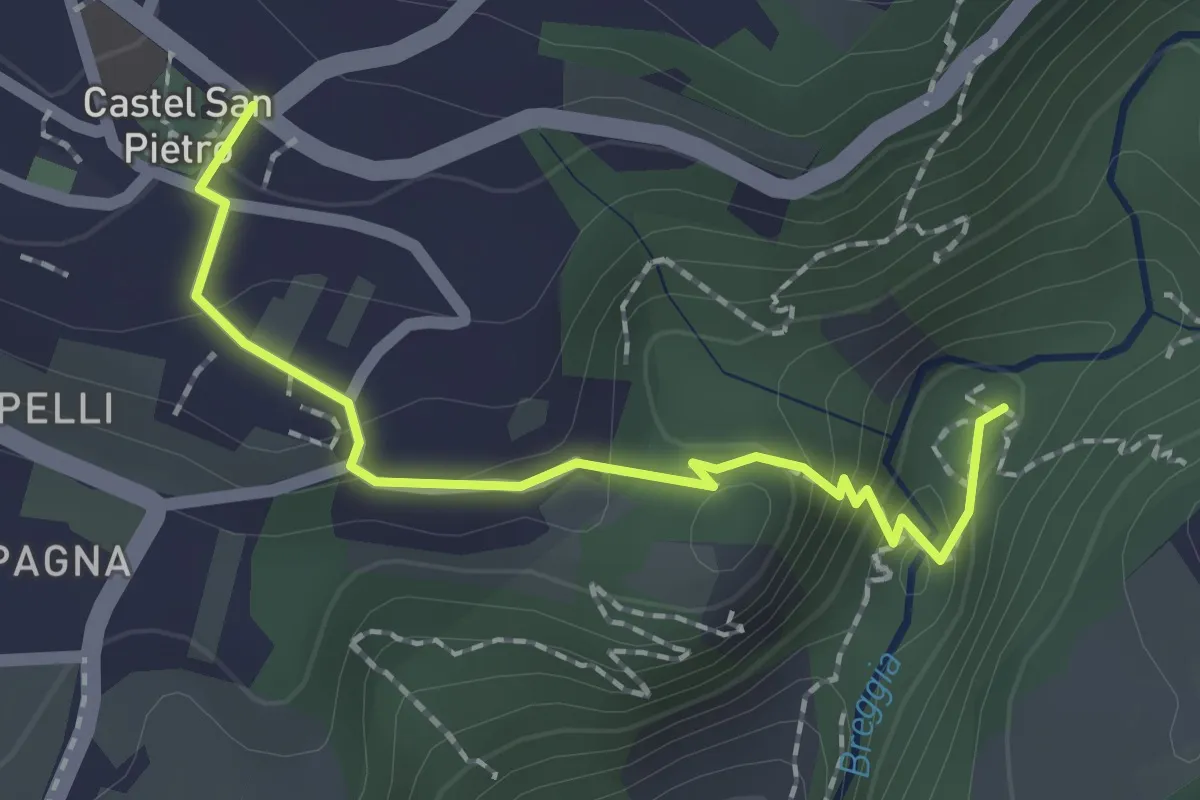
Medium · Trail
Castel San Pietro – Parco Gole della Breggia
2.0 km · ↑ 101 m · 42 min · 8 km away
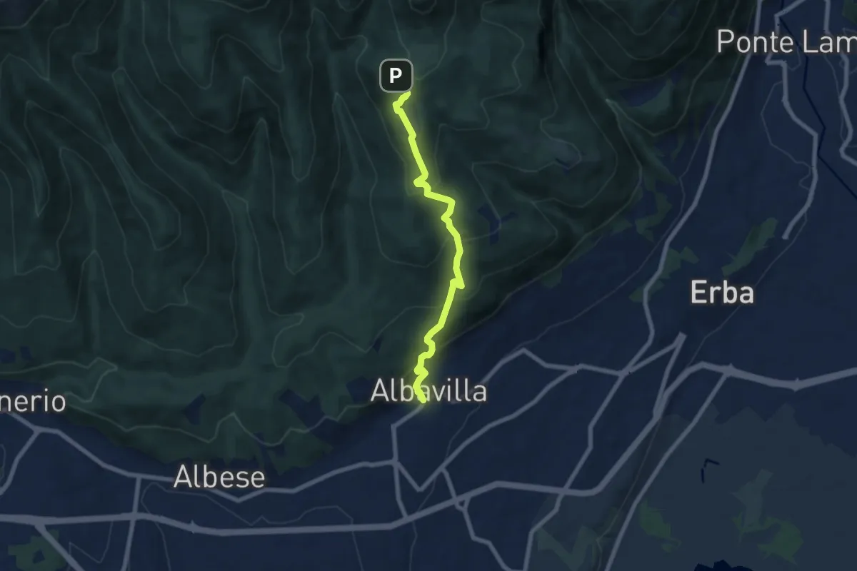
Medium · Trail
Sentiero degli Alpini
6.5 km · ↑ 474 m · 2 h 33 min · 8 km away
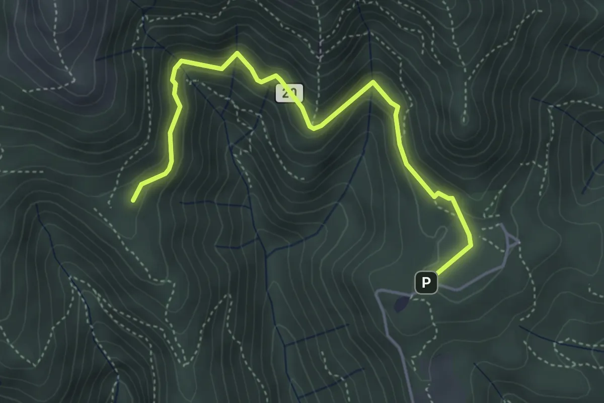
Medium · Trail
Sentiero 20: Alpe del Viceré - Baita Patrizi
4.8 km · ↑ 275 m · 1 h 44 min · 8 km away
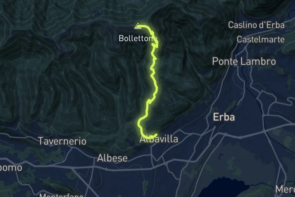
Demanding · Summit
Albavilla – Monte Bolettone
12.1 km · ↑ 820 m · 4 h 38 min · 8 km away
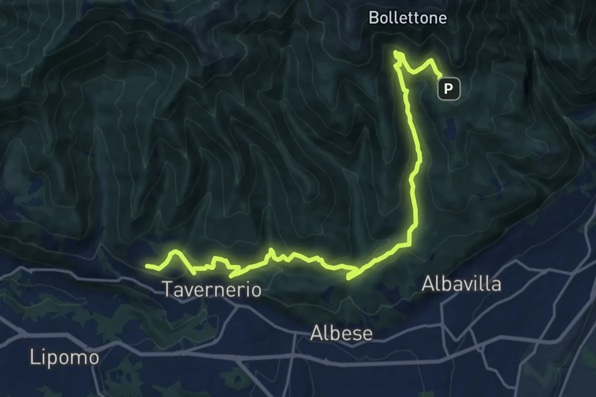
Demanding · Trail
Caslascio (Tavernerio) – Alpe del Vicerè
17.7 km · ↑ 819 m · 5 h 57 min · 8 km away
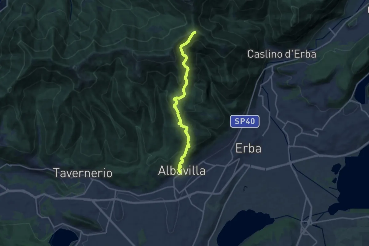
Medium · Cabin
Albavilla – RIfugio Capanna Mara
12.2 km · ↑ 779 m · 4 h 34 min · 8 km away
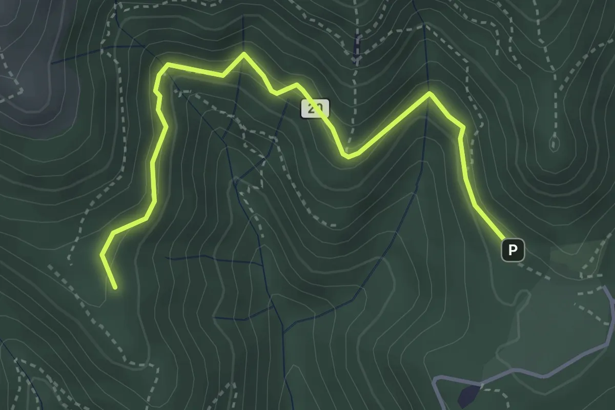
Medium · Trail
Alpe del Vicerè – Baita Patrizi
4.1 km · ↑ 256 m · 1 h 31 min · 8 km away
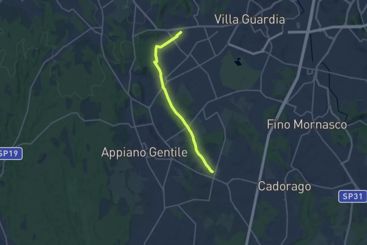
Medium · Trail
Lurate Caccivio – Guanzate
11.5 km · ↑ 86 m · 2 h 53 min · 8 km away
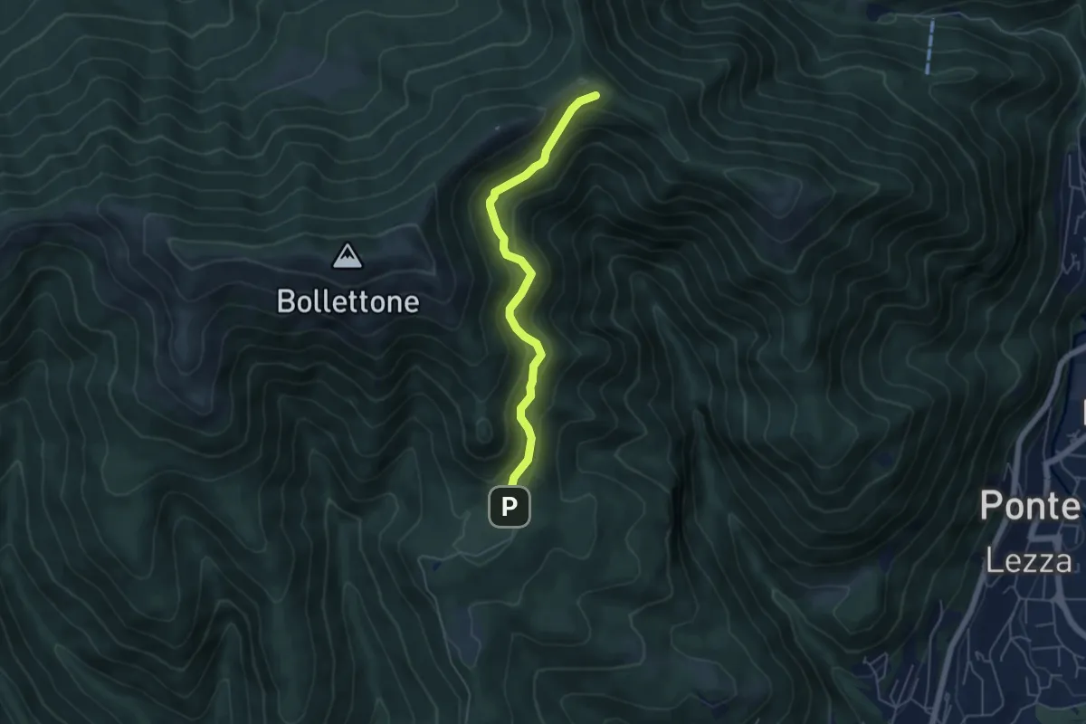
Easy · Cabin
Sentiero 23: Alpe del Vicerè - Rifugio Cacciatori - Capanna Mara
4.9 km · ↑ 303 m · 1 h 48 min · 8 km away
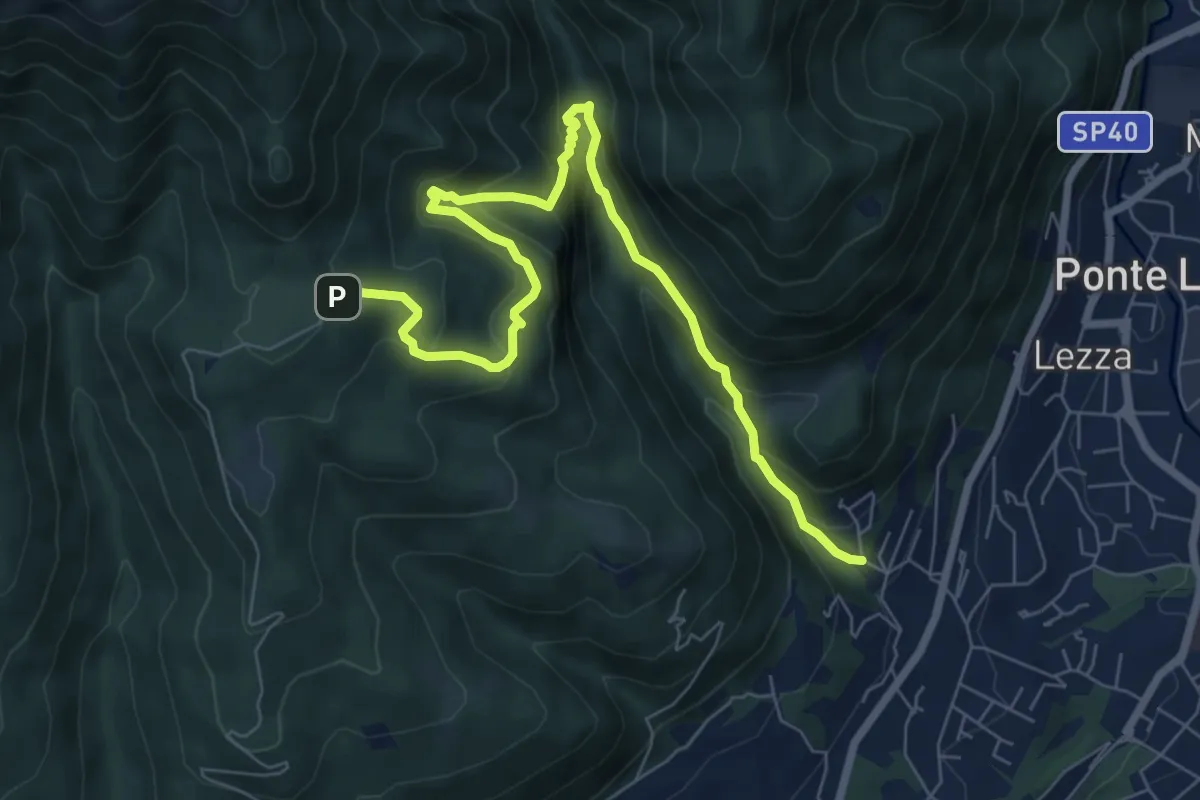
Demanding · Trail
Ca Nova – Alpe Vicerè
8.5 km · ↑ 602 m · 3 h 18 min · 8 km away
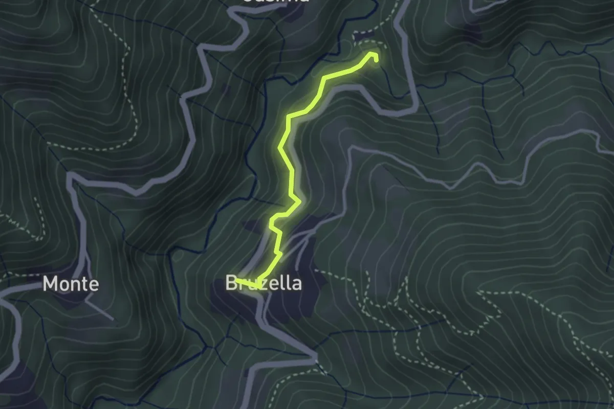
Easy · Trail
Mulino di Bruzella – Bruzella
2.5 km · ↑ 204 m · 1 h 2 min · 9 km away
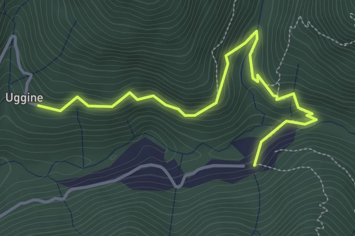
Medium · Trail
Uggine – Crotta
3.4 km · ↑ 187 m · 1 h 13 min · 9 km away
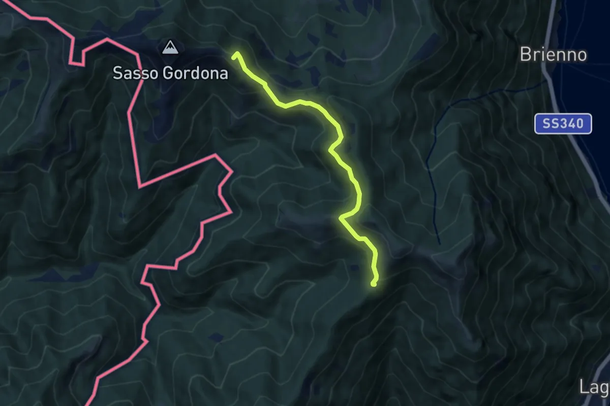
Medium · Summit
Rif. Prabello – Rif. Murelli
7.0 km · ↑ 377 m · 2 h 29 min · 9 km away
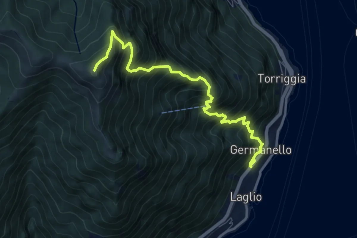
Demanding · Summit
Laglio – Monte Colmegnone
7.7 km · ↑ 1121 m · 4 h 15 min · 9 km away
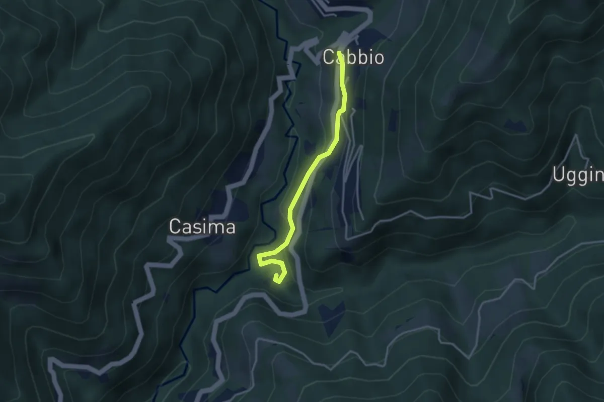
Easy · Trail
Cabbio – Mulino di Bruzella
2.9 km · ↑ 161 m · 1 h 2 min · 9 km away
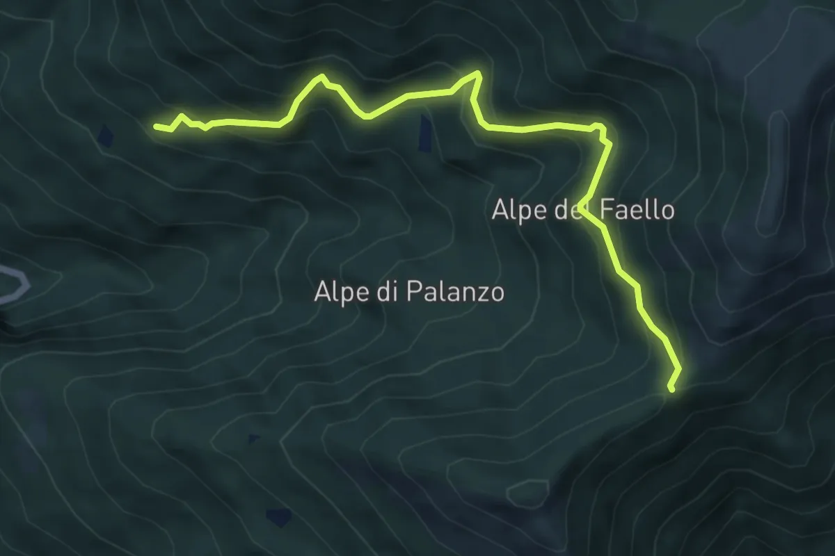
Medium · Trail
Il Gaggio (Faggeto Lario) – Bocchetta di Palanzo
5.8 km · ↑ 475 m · 2 h 24 min · 9 km away
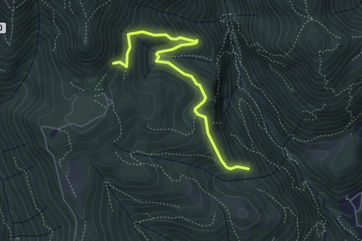
Medium · Trail
Praa Sciresöö – Rifugio Cacciatori
4.8 km · ↑ 479 m · 2 h 10 min · 9 km away
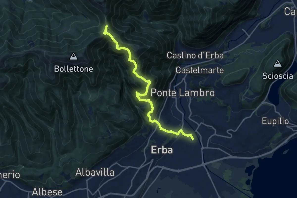
Demanding · Trail
Stazione di Erba – Bocchetta di Lemma
13.9 km · ↑ 1049 m · 5 h 34 min · 9 km away
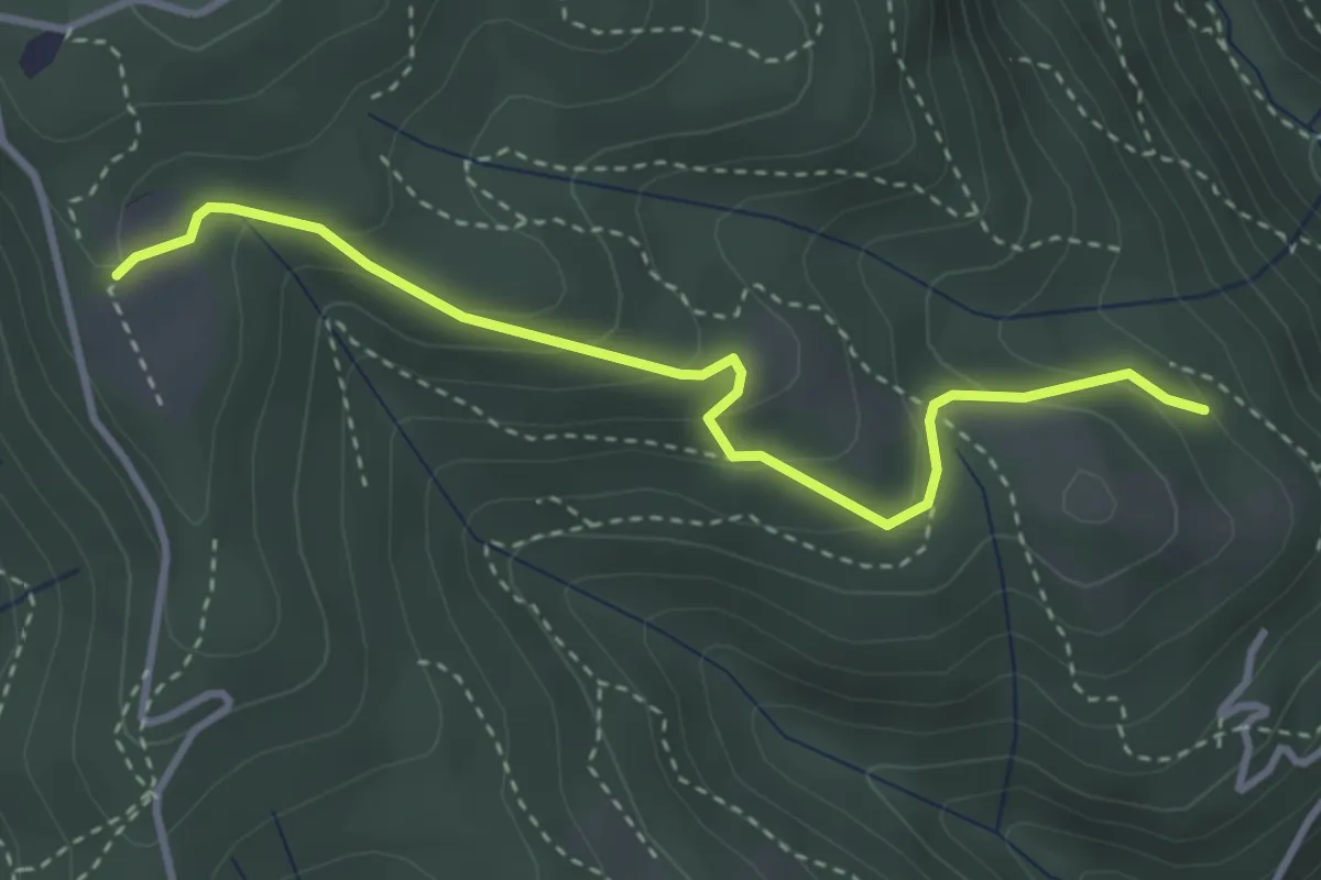
Easy · Trail
Cardögia – Ex Albergo la Salute
3.5 km · ↑ 186 m · 1 h 14 min · 9 km away
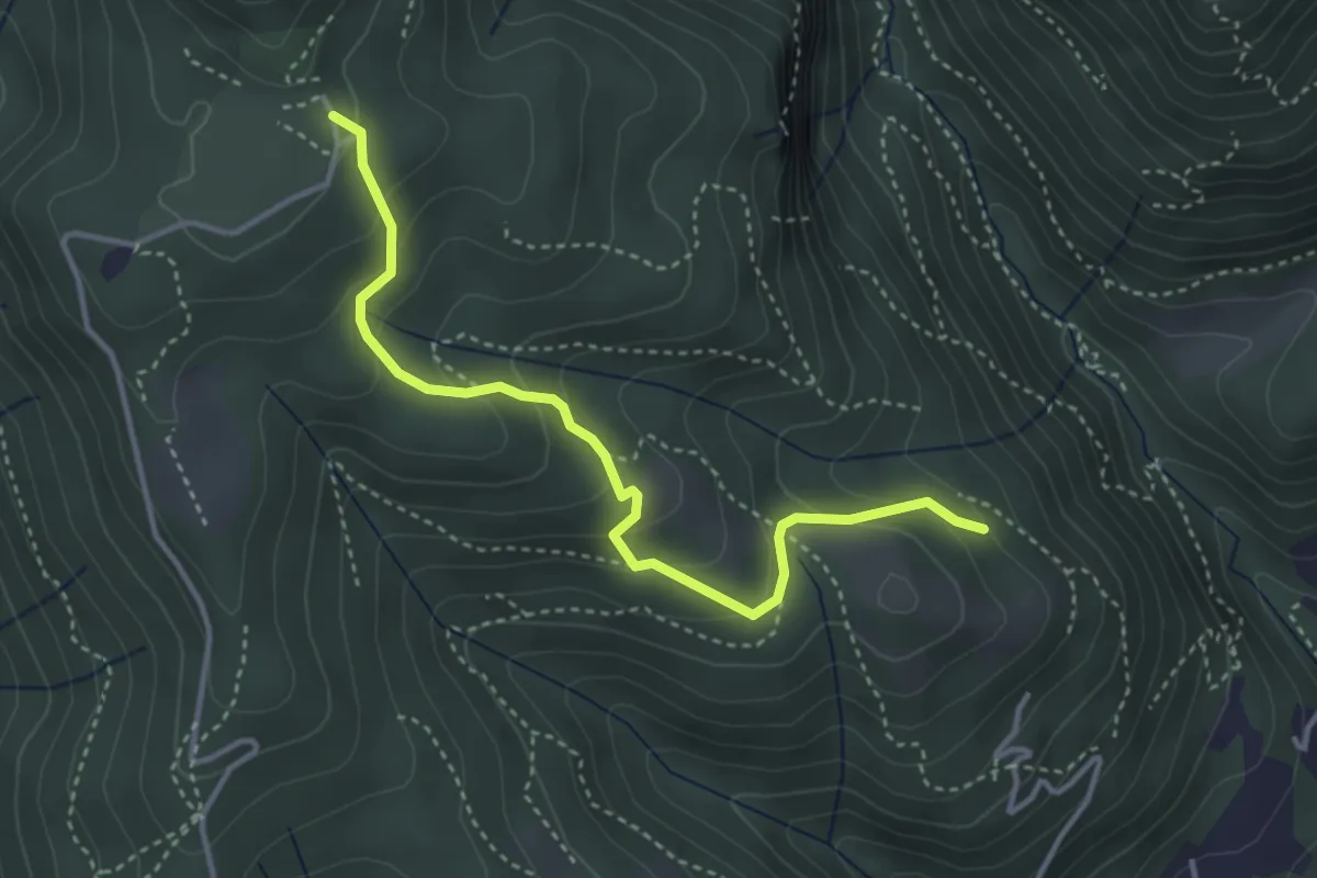
Medium · Trail
Cardögia – Alpe del Vicerè
3.8 km · ↑ 238 m · 1 h 25 min · 9 km away
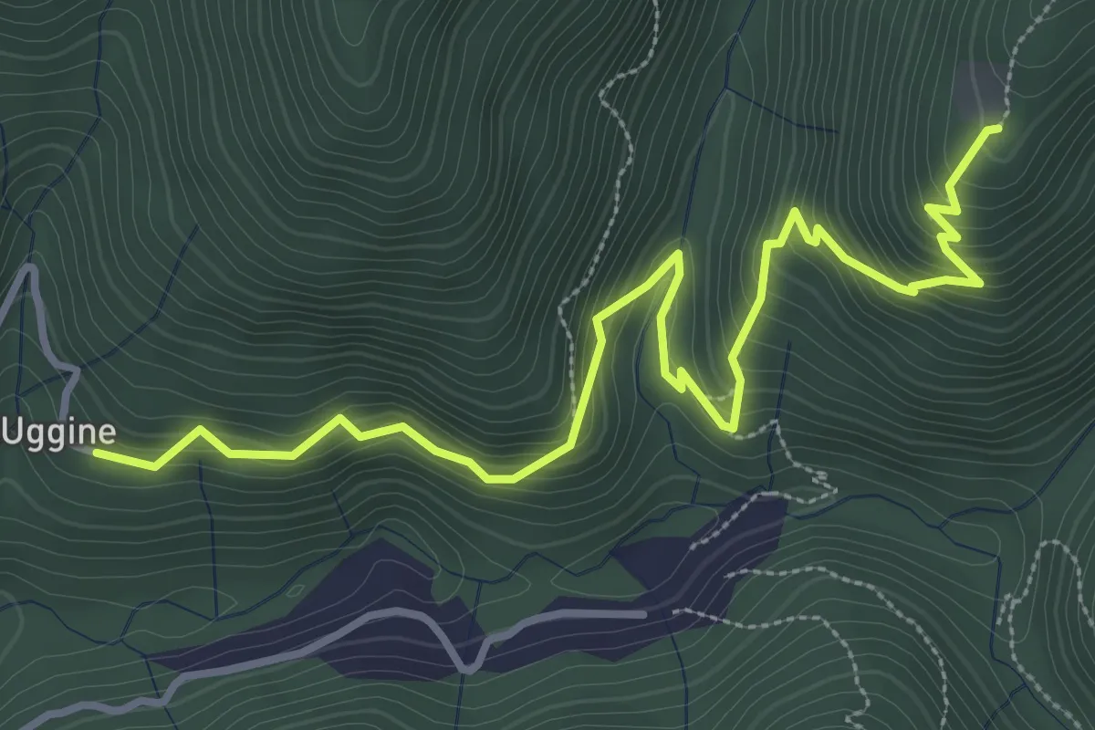
Medium · Trail
Uggine – Alpe del Corno
4.2 km · ↑ 367 m · 1 h 47 min · 9 km away
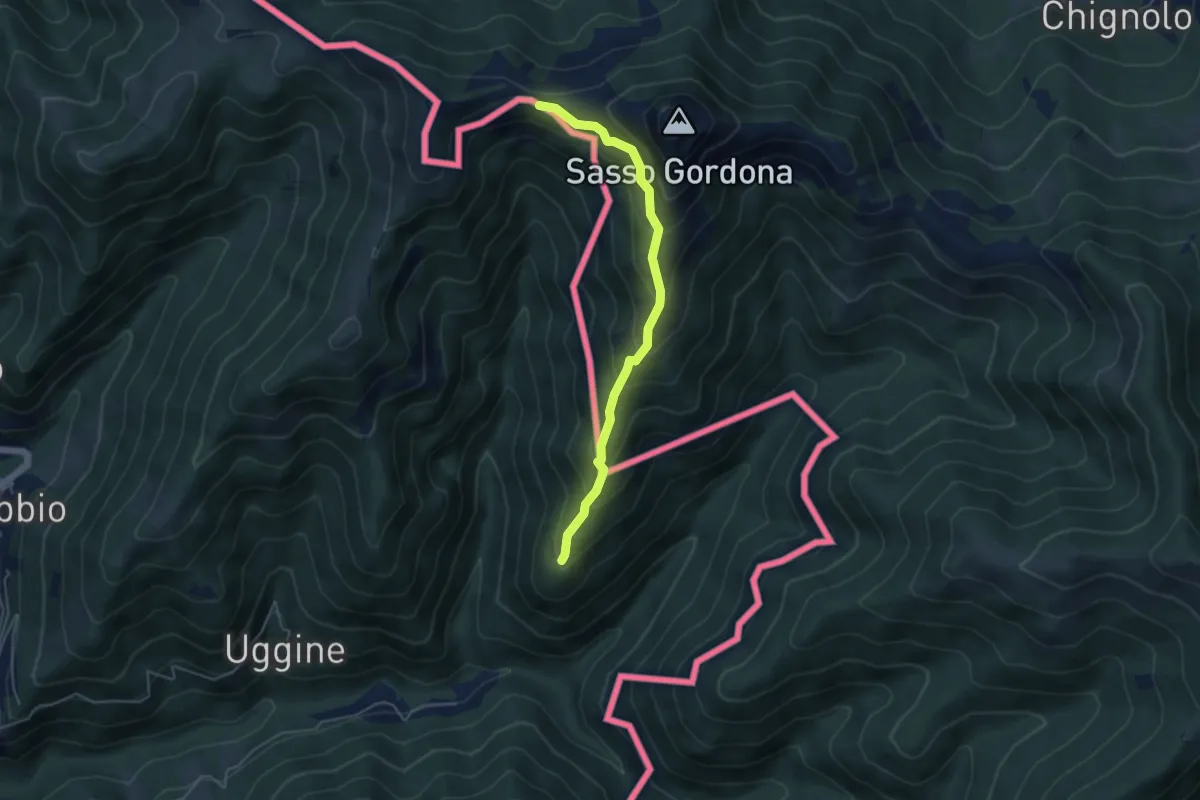
Medium · Cabin
Alpe del Corno – Rifugio Prabello (I)
4.5 km · ↑ 409 m · 1 h 57 min · 9 km away
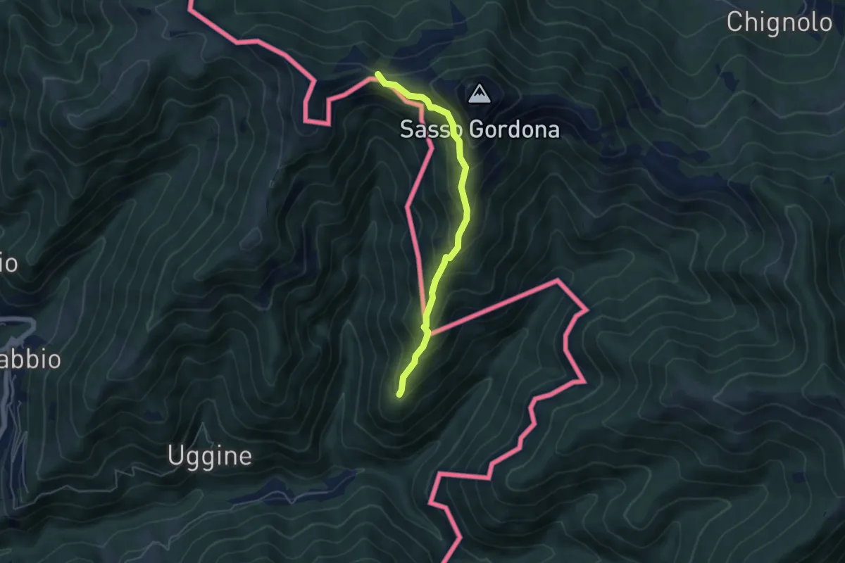
Medium · Cabin
Sentiero Smeraldo
4.6 km · ↑ 415 m · 2 h · 9 km away
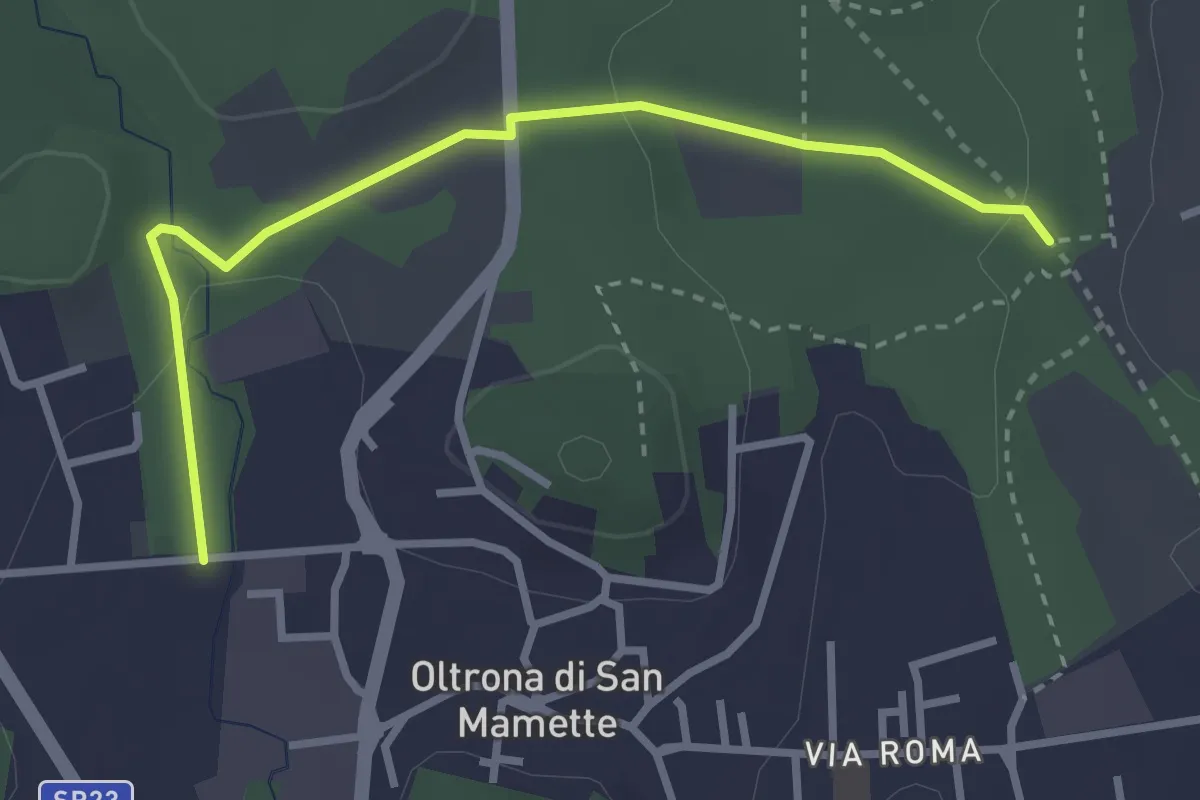
Easy · Trail
Incrocio 715B – Oltrona
3.2 km · ↑ 56 m · 52 min · 10 km away
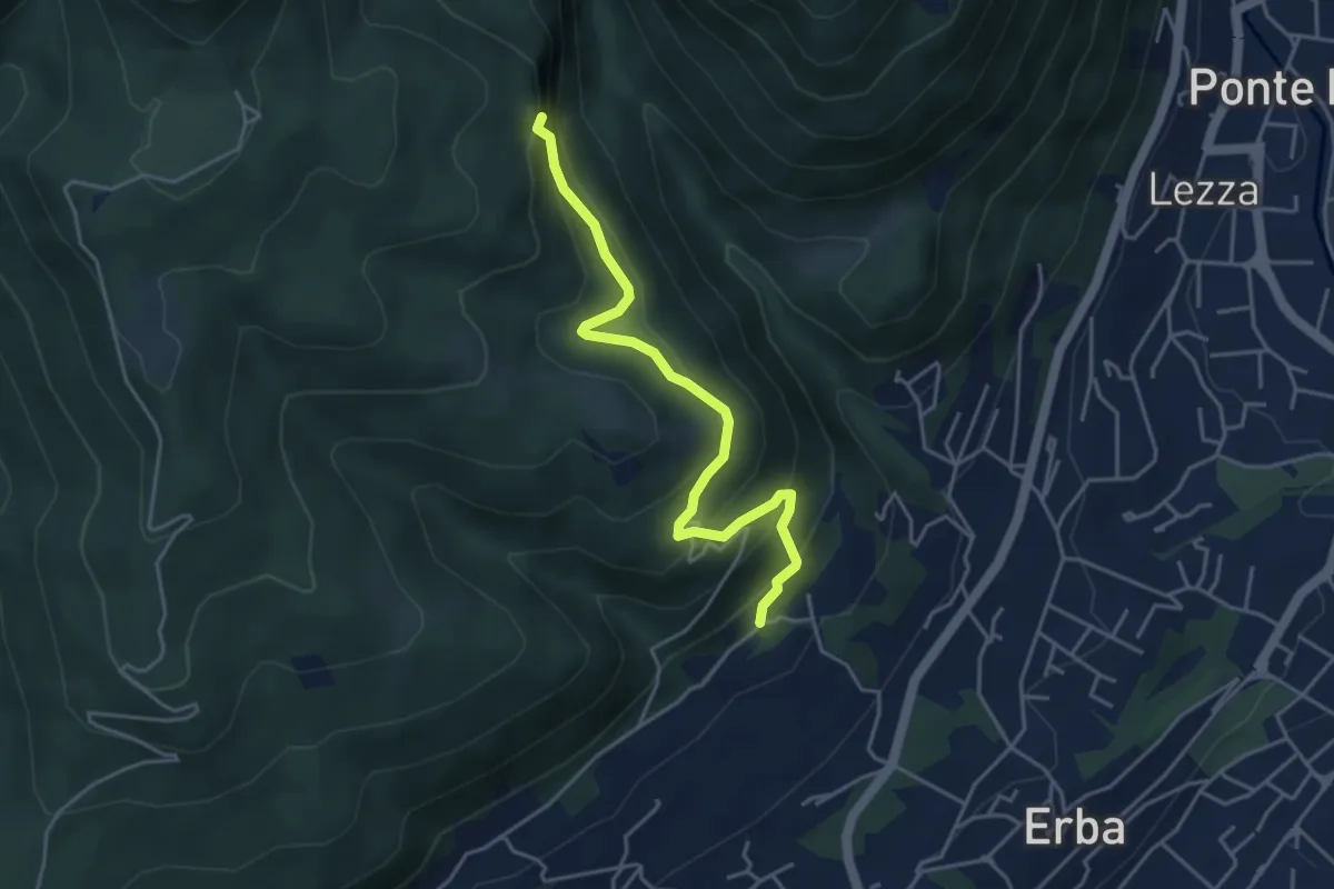
Medium · Trail
C.na Paradiso – Buco del Piombo
4.4 km · ↑ 324 m · 1 h 44 min · 10 km away
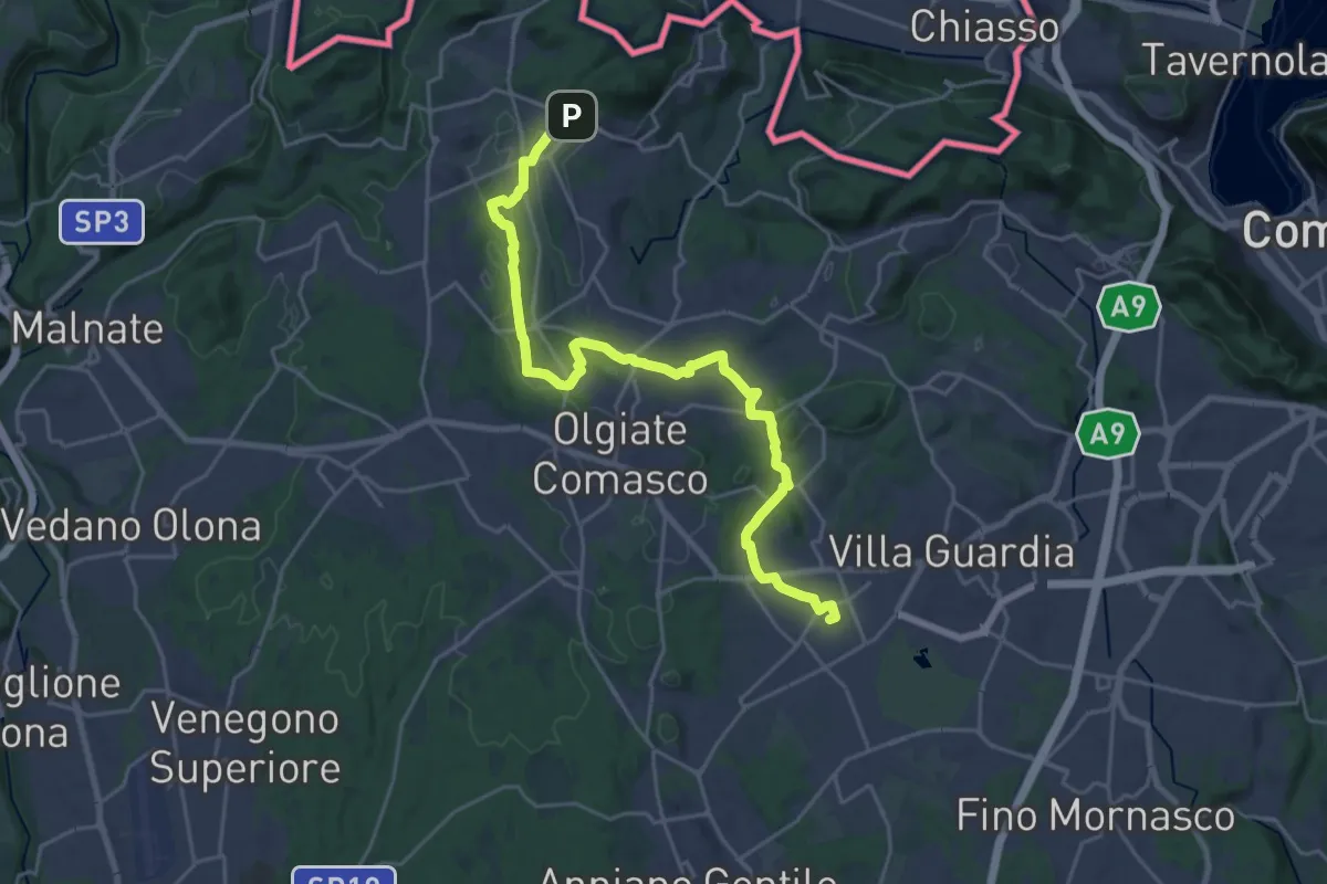
Demanding · Trail
Lurate Caccivio – Bizzarrone confine (CH)
25.7 km · ↑ 211 m · 6 h 31 min · 10 km away
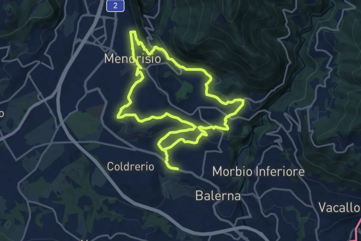
Medium · Trail
Itinerario "L’uomo e la vite"
10.9 km · ↑ 309 m · 3 h 24 min · 10 km away
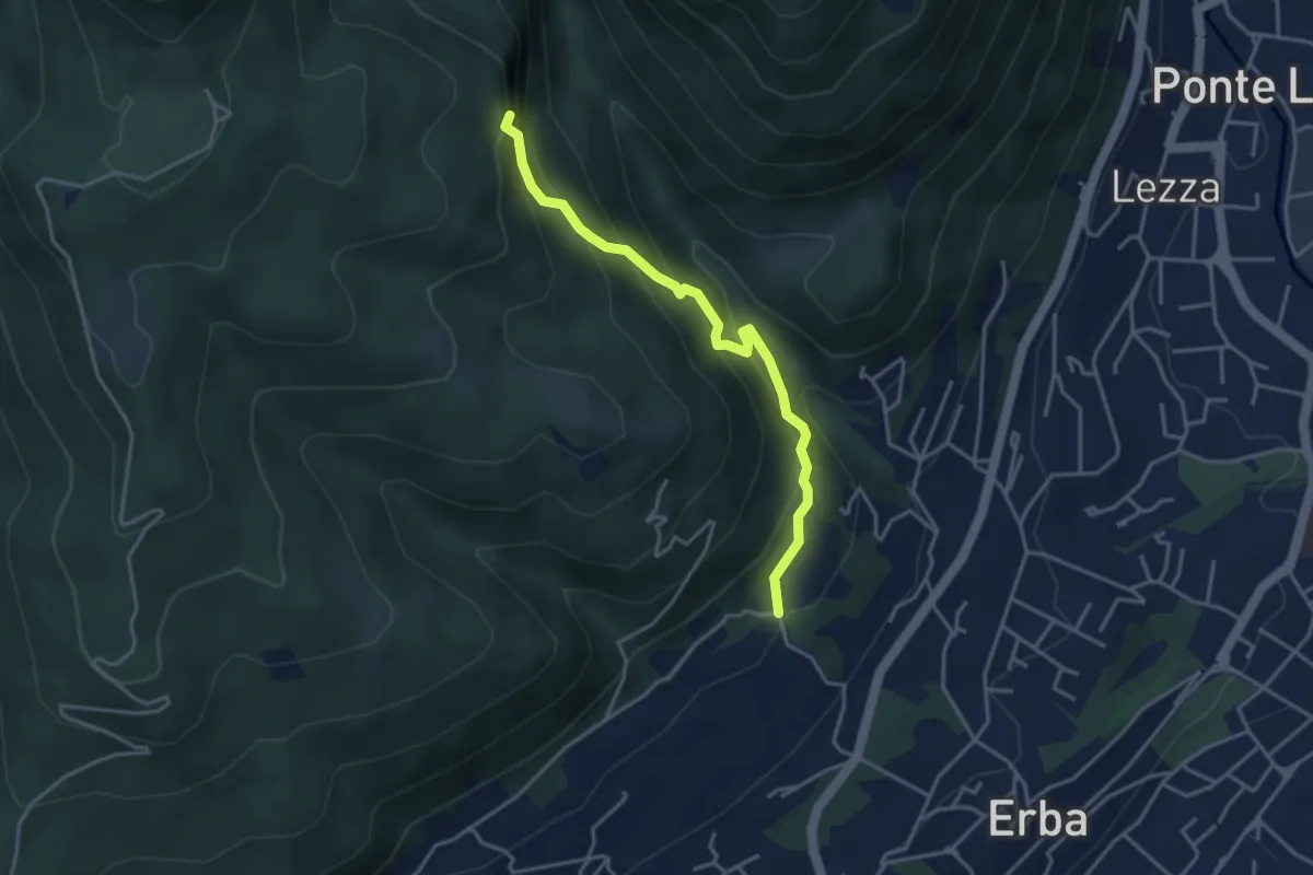
Demanding · Trail
C.na Ginocchio – Buco del Piombo
3.7 km · ↑ 335 m · 1 h 36 min · 10 km away
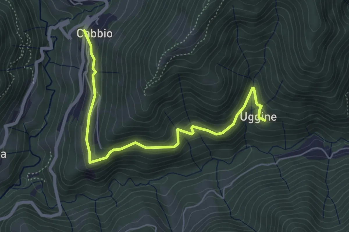
Medium · Trail
Cabbio – Uggine
5.4 km · ↑ 335 m · 2 h · 10 km away
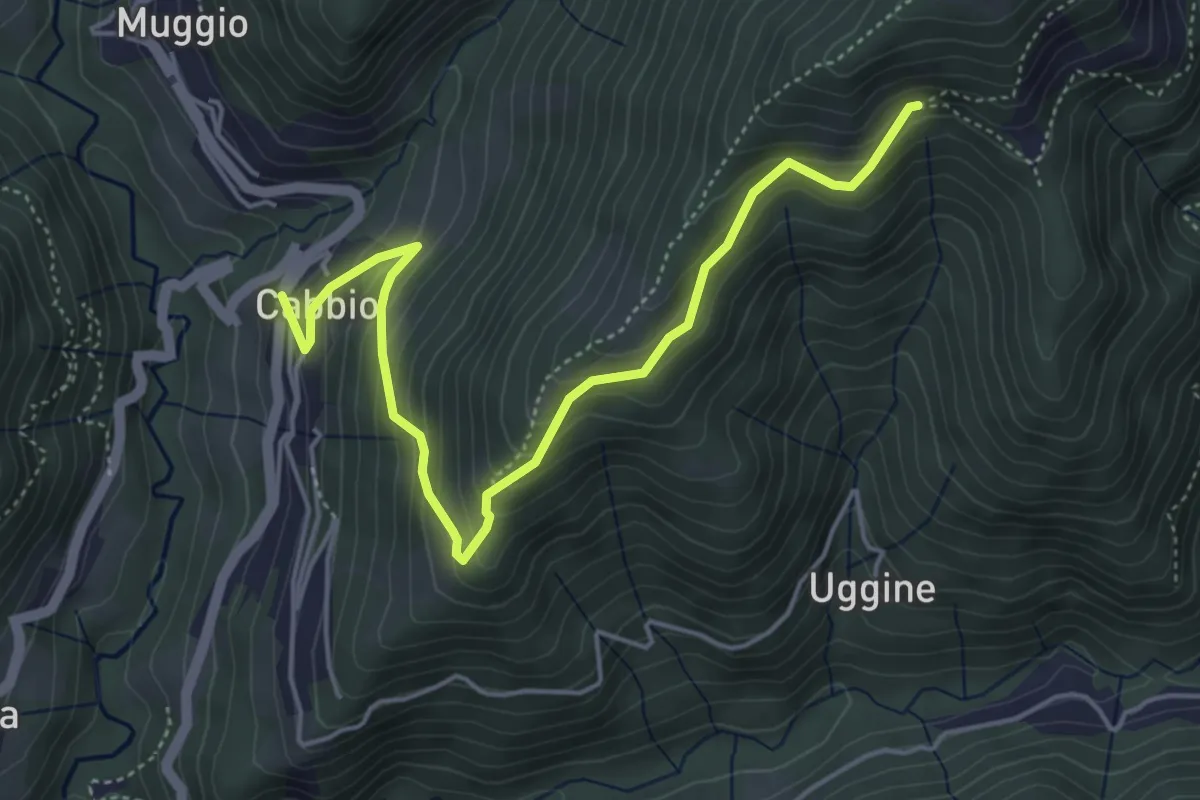
Medium · Trail
Arla – Cabbio
5.2 km · ↑ 423 m · 2 h 9 min · 10 km away
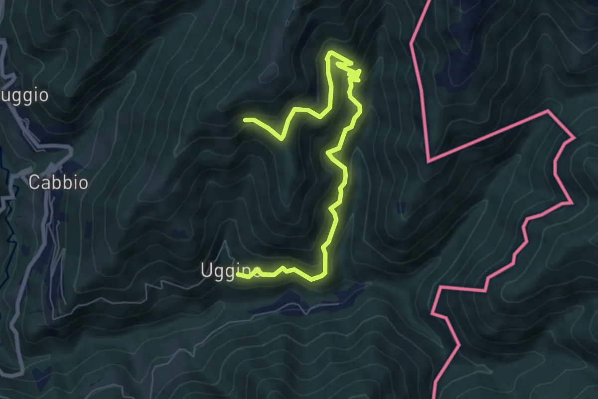
Medium · Trail
Uggine – Arla
7.7 km · ↑ 732 m · 3 h 25 min · 10 km away
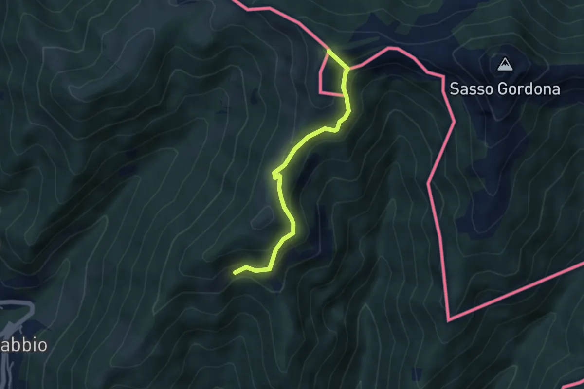
Medium · Summit
Rifugio Prabello (I) – Arla
3.6 km · ↑ 265 m · 1 h 26 min · 10 km away
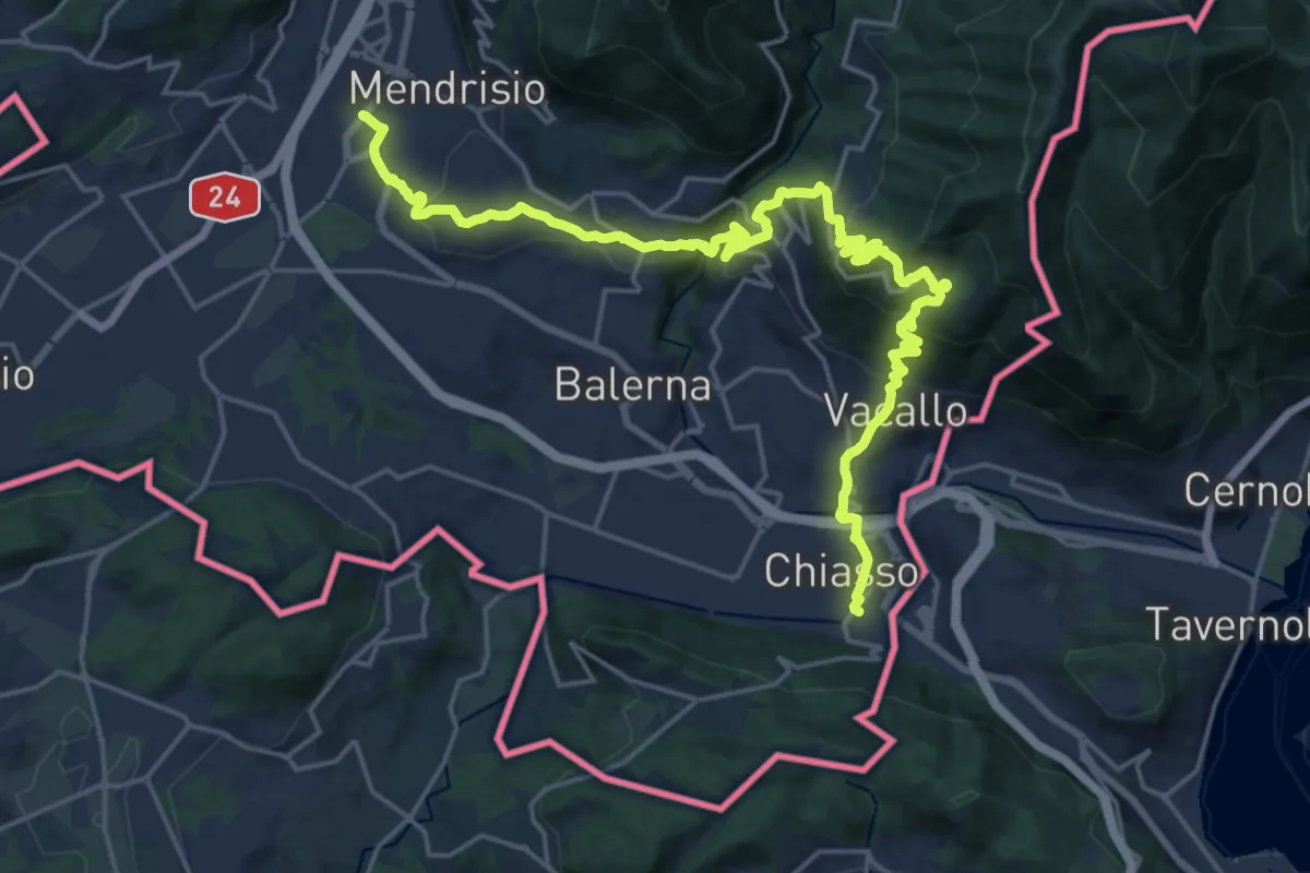
Medium · Trail
ViaGottardo
12.7 km · ↑ 559 m · 4 h 26 min · 10 km away
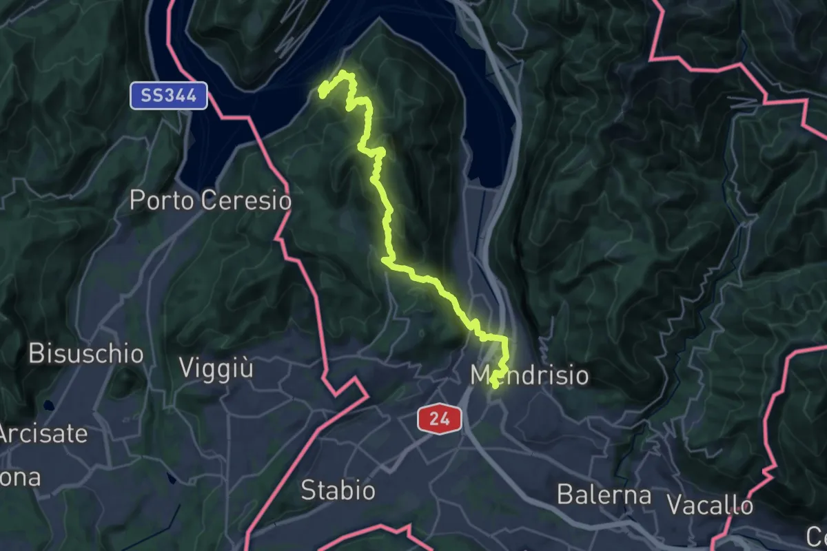
Demanding · Trail
Trans Swiss Trail
12.0 km · ↑ 809 m · 4 h 47 min · 10 km away
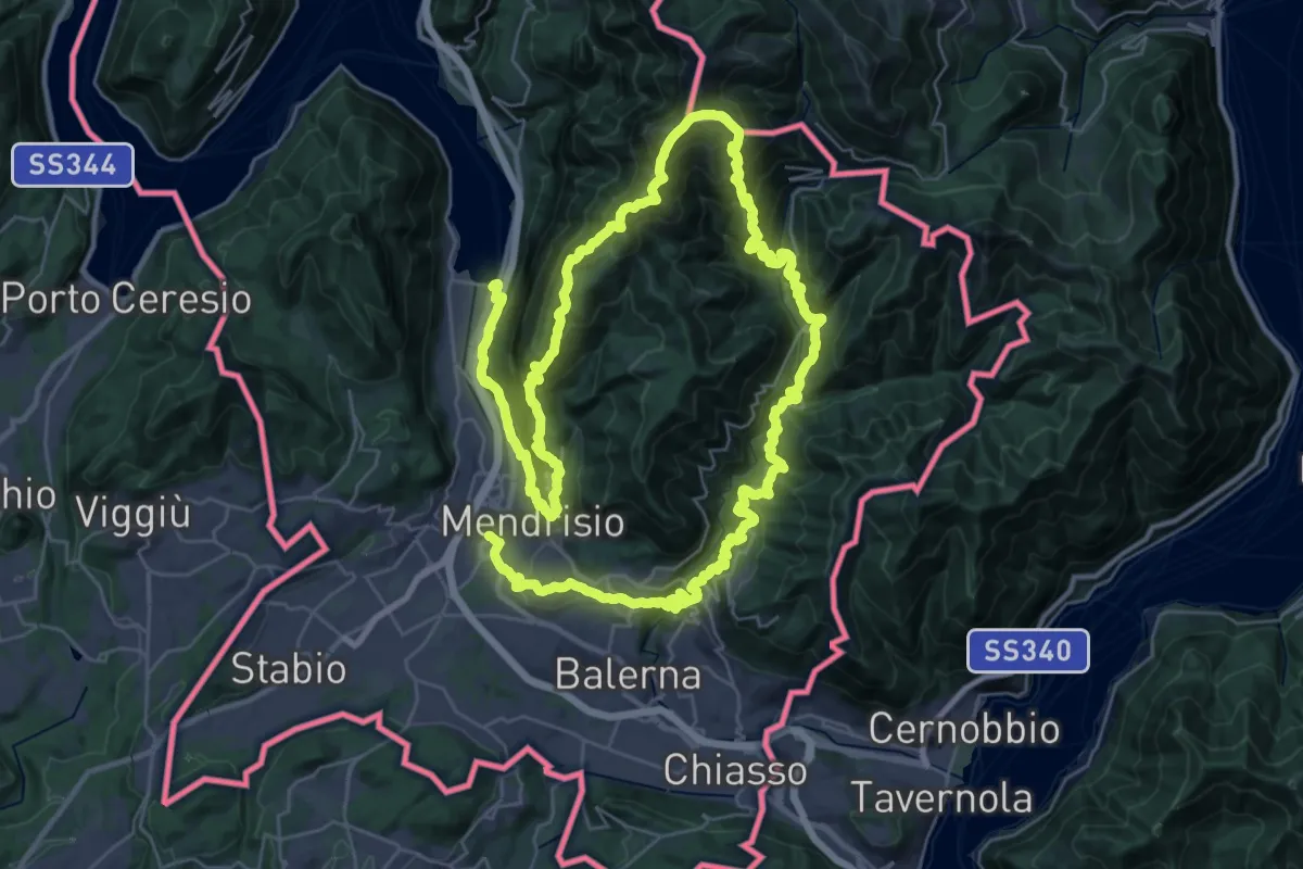
Demanding · Trail
Sentiero Lago di Lugano
32.4 km · ↑ 2076 m · 12 h 38 min · 10 km away
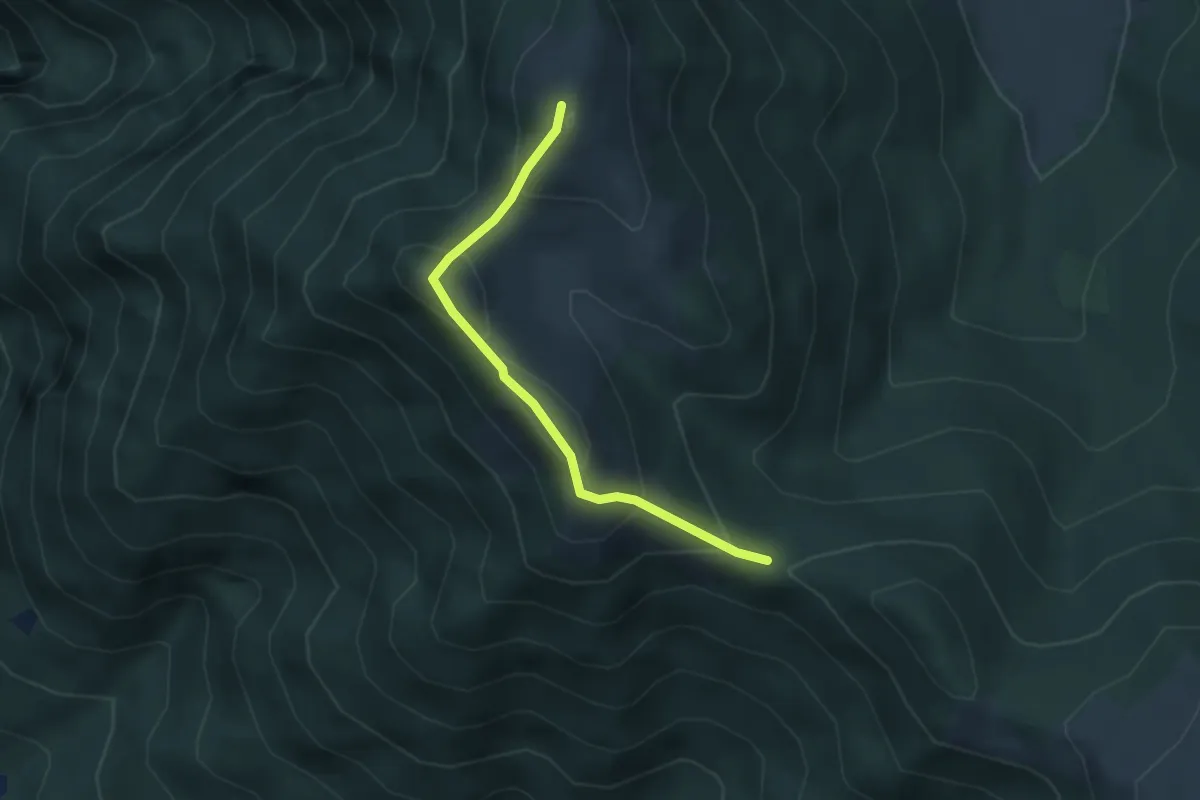
Medium · Summit
Bocchetta di Sciff – Monte Preaola
3.1 km · ↑ 196 m · 1 h 9 min · 11 km away
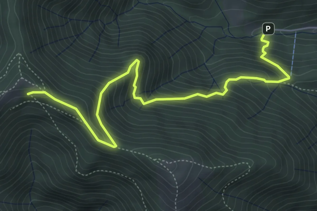
Medium · Cabin
Alpe del Prina – Rifugio Capanna Mara
6.2 km · ↑ 586 m · 2 h 44 min · 11 km away
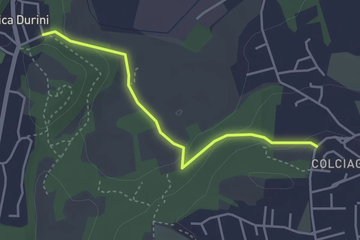
Easy · Trail
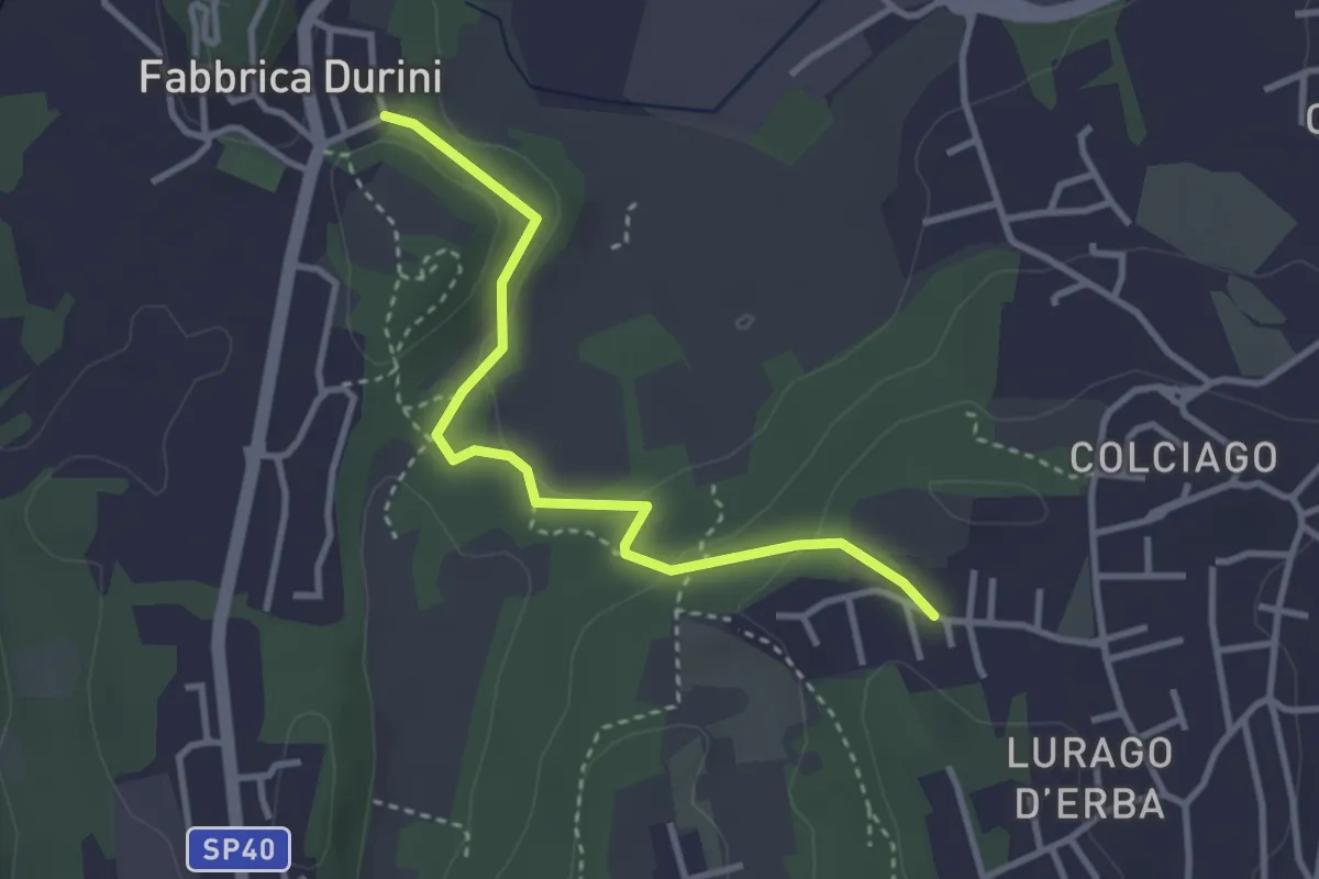
Fabbrica Durini – Colciago
3.0 km · ↑ 85 m · 54 min · 11 km away
Easy · Trail
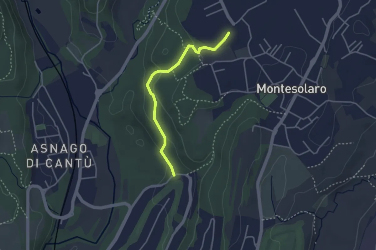
Fabbrica Durini – Careggia
3.3 km · ↑ 83 m · 58 min · 11 km away
Easy · Trail
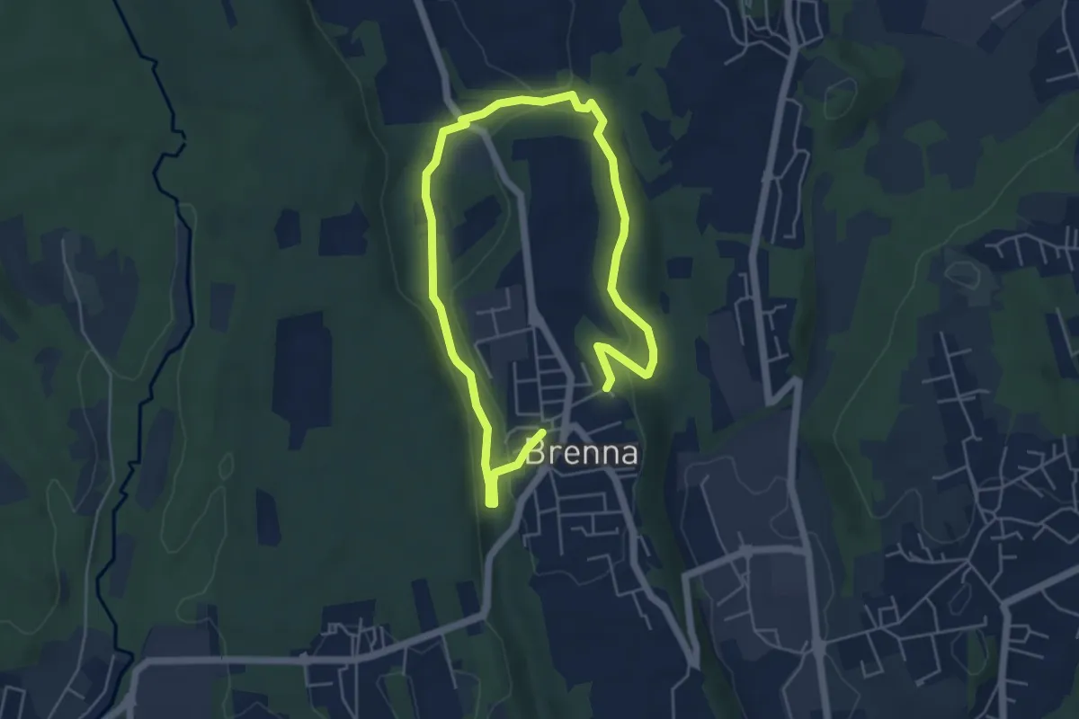
Carimate – Cantù
2.9 km · ↑ 102 m · 55 min · 11 km away
Easy · Trail
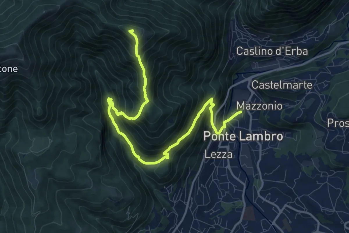
Valle Sorda – Valle di Brenna
7.8 km · ↑ 140 m · 2 h 9 min · 11 km away
Demanding · Summit
Ponte Lambro – Monte Puscio
11.7 km · ↑ 1032 m · 5 h · 11 km away