Trails near Como
204 hikes starting within 15 km, nearest first.
Nearest first, page 3 of 5
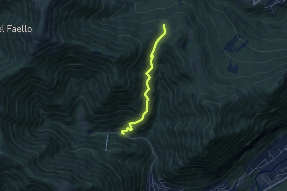
Medium · Trail
Forum Franciscanum – Bocchetta della Vallunga
4.6 km · ↑ 458 m · 2 h 5 min · 11 km away
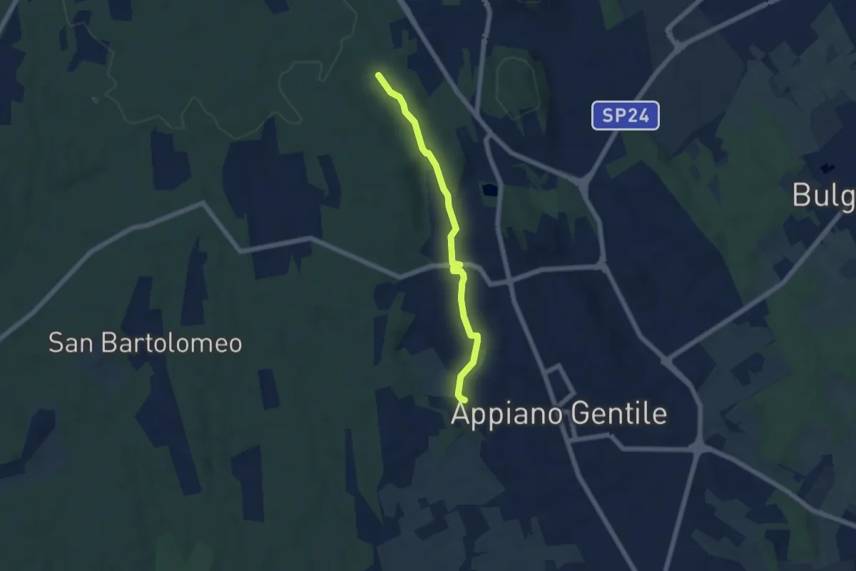
Easy · Trail
Sentiero 846C
4.9 km · ↑ 81 m · 1 h 20 min · 11 km away
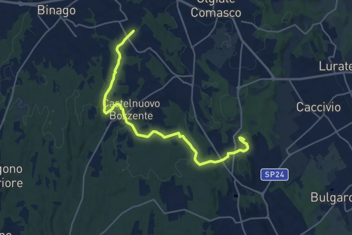
Medium · Trail
Sentiero 846
13.8 km · ↑ 196 m · 3 h 41 min · 11 km away
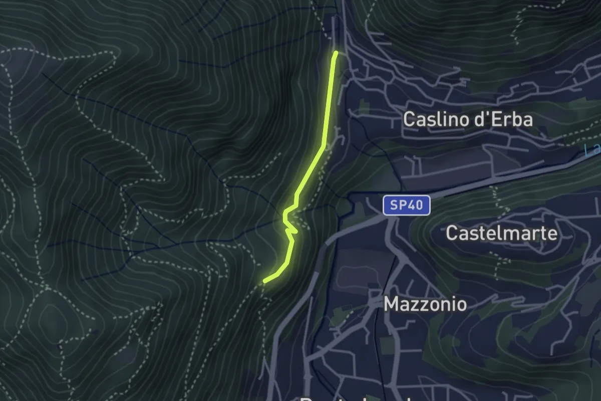
Demanding · Trail
Caslino d’Erba, loc. Punt di Murnèe – incrocio con sentiero 312 per Monte Puscio
2.3 km · ↑ 102 m · 46 min · 11 km away
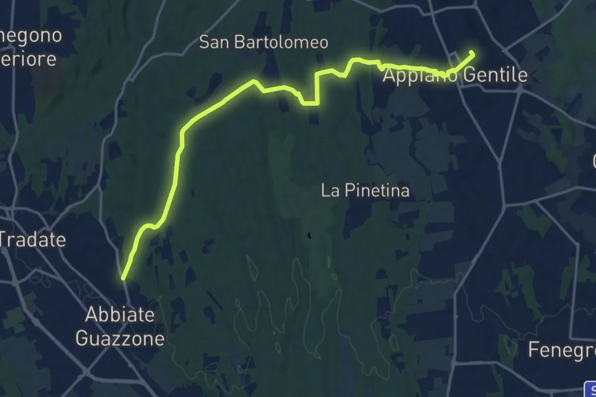
Medium · Trail
Appiano Gentile – Tradate
15.2 km · ↑ 222 m · 4 h 5 min · 11 km away
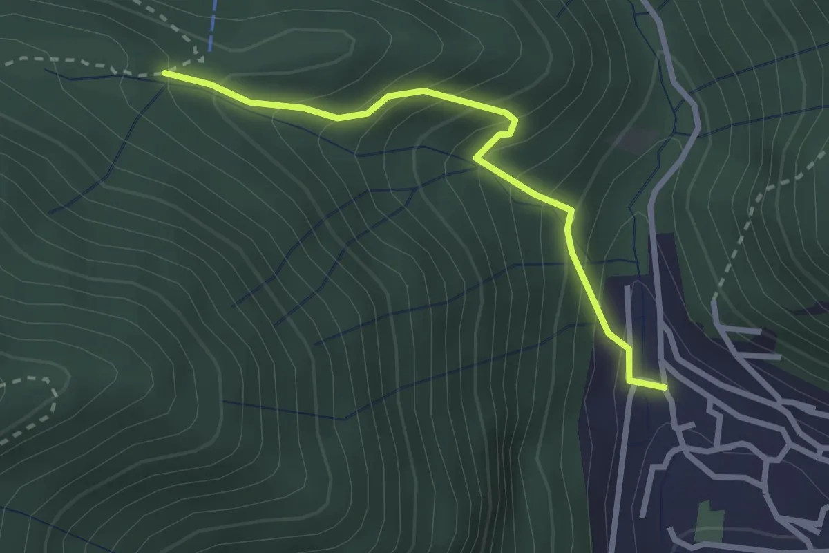
Easy · Trail
Sentiero Tamon - variante per Capanna Mara
2.5 km · ↑ 283 m · 1 h 12 min · 11 km away
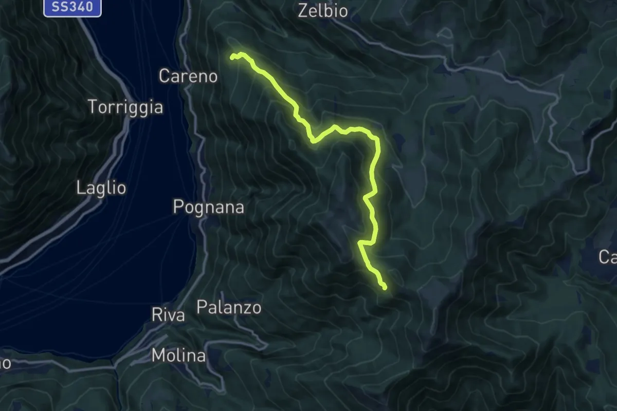
Demanding · Trail
Monte Palanzone – Bocchetta di Sciff
11.5 km · ↑ 986 m · 4 h 51 min · 11 km away
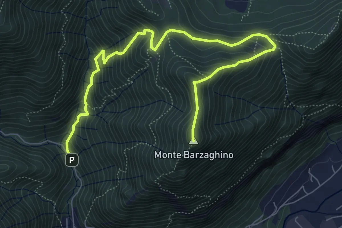
Demanding · Summit
strada per Forum Franciscanum – Monte Barzaghino
8.0 km · ↑ 642 m · 3 h 17 min · 12 km away
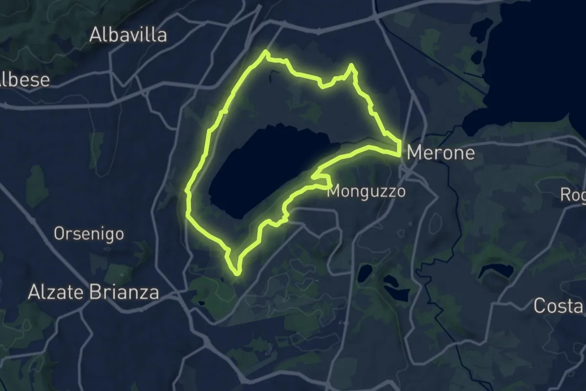
Medium · Trail
Attorno al lago di Alserio
11.3 km · ↑ 162 m · 3 h 11 min · 12 km away
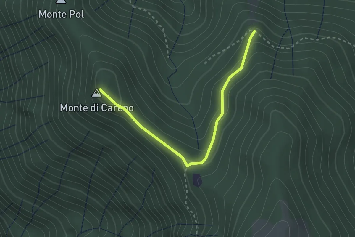
Medium · Summit
Radura – Monte Pol
2.5 km · ↑ 146 m · 55 min · 12 km away
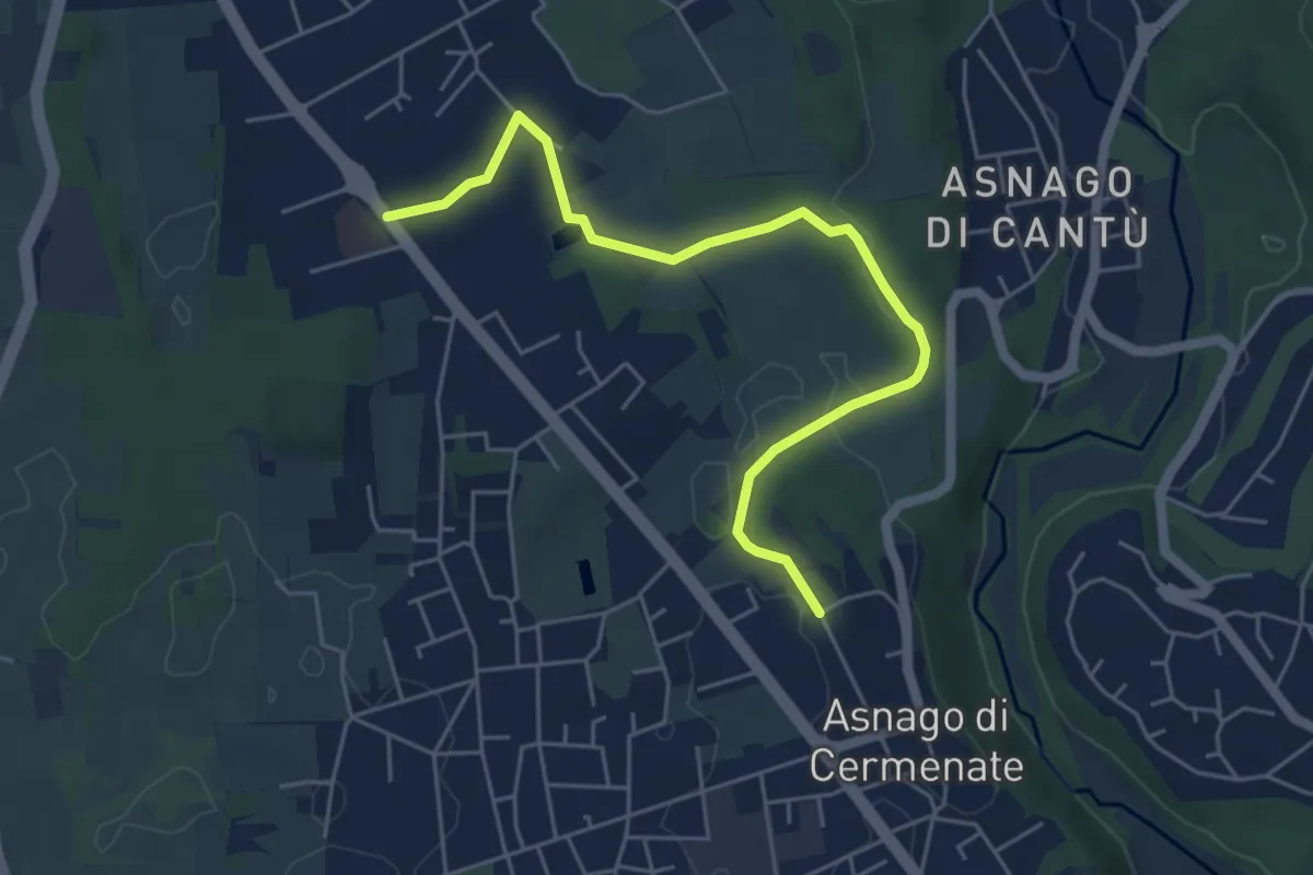
Easy · Trail
Cermenate – Minoprio
5.7 km · ↑ 27 m · 1 h 24 min · 12 km away
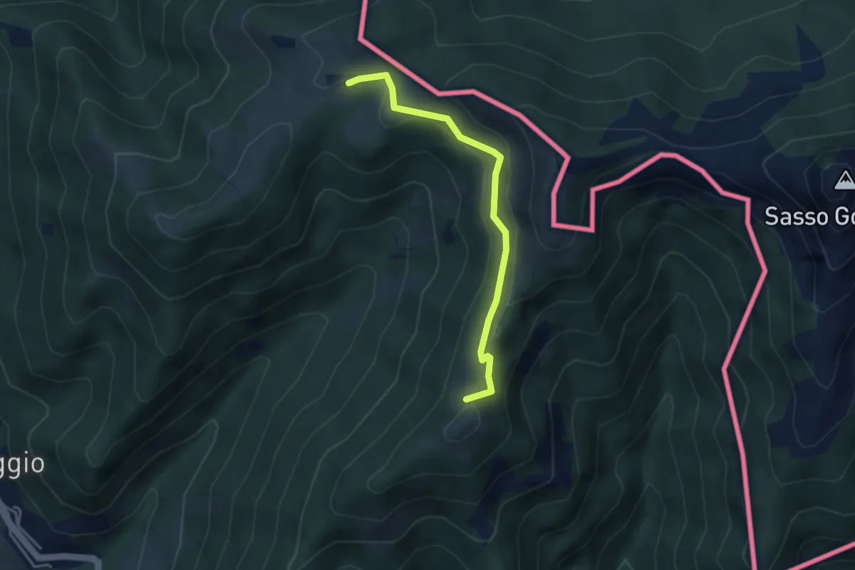
Medium · Summit
Arla – Alpe Bonello
3.3 km · ↑ 148 m · 1 h 7 min · 12 km away
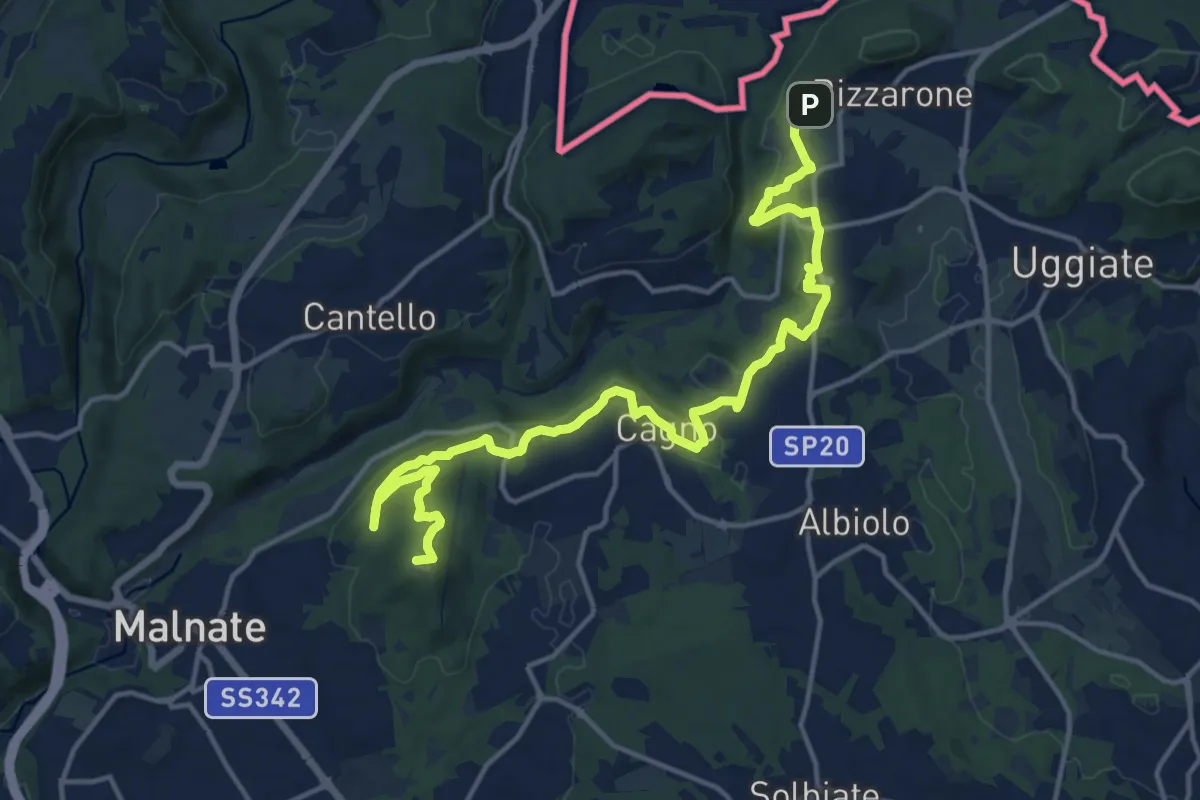
Demanding · Summit
Sentiero cima delle valli
18.5 km · ↑ 411 m · 5 h 16 min · 12 km away
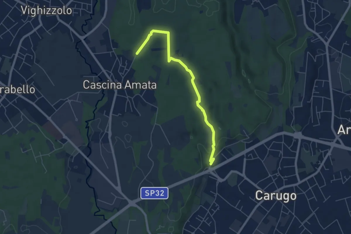
Easy · Trail
Cascina Amata – Cascina San Martino
5.5 km · ↑ 58 m · 1 h 26 min · 12 km away
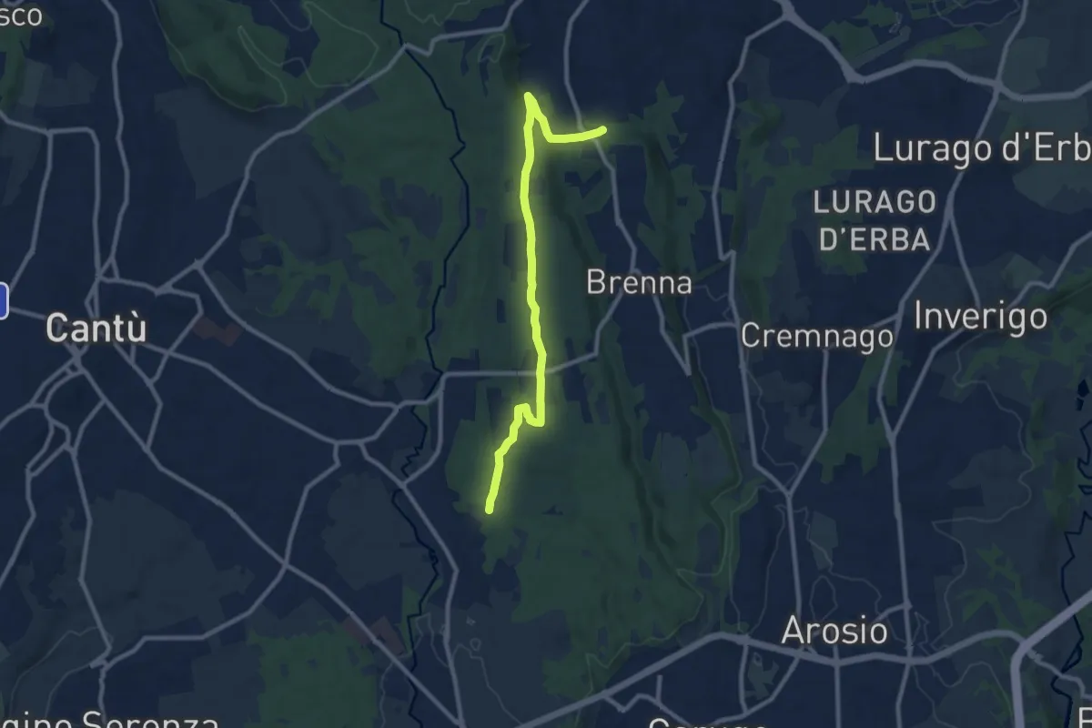
Medium · Trail
Brenna (FS) – Cascina Amata
9.6 km · ↑ 132 m · 2 h 33 min · 12 km away
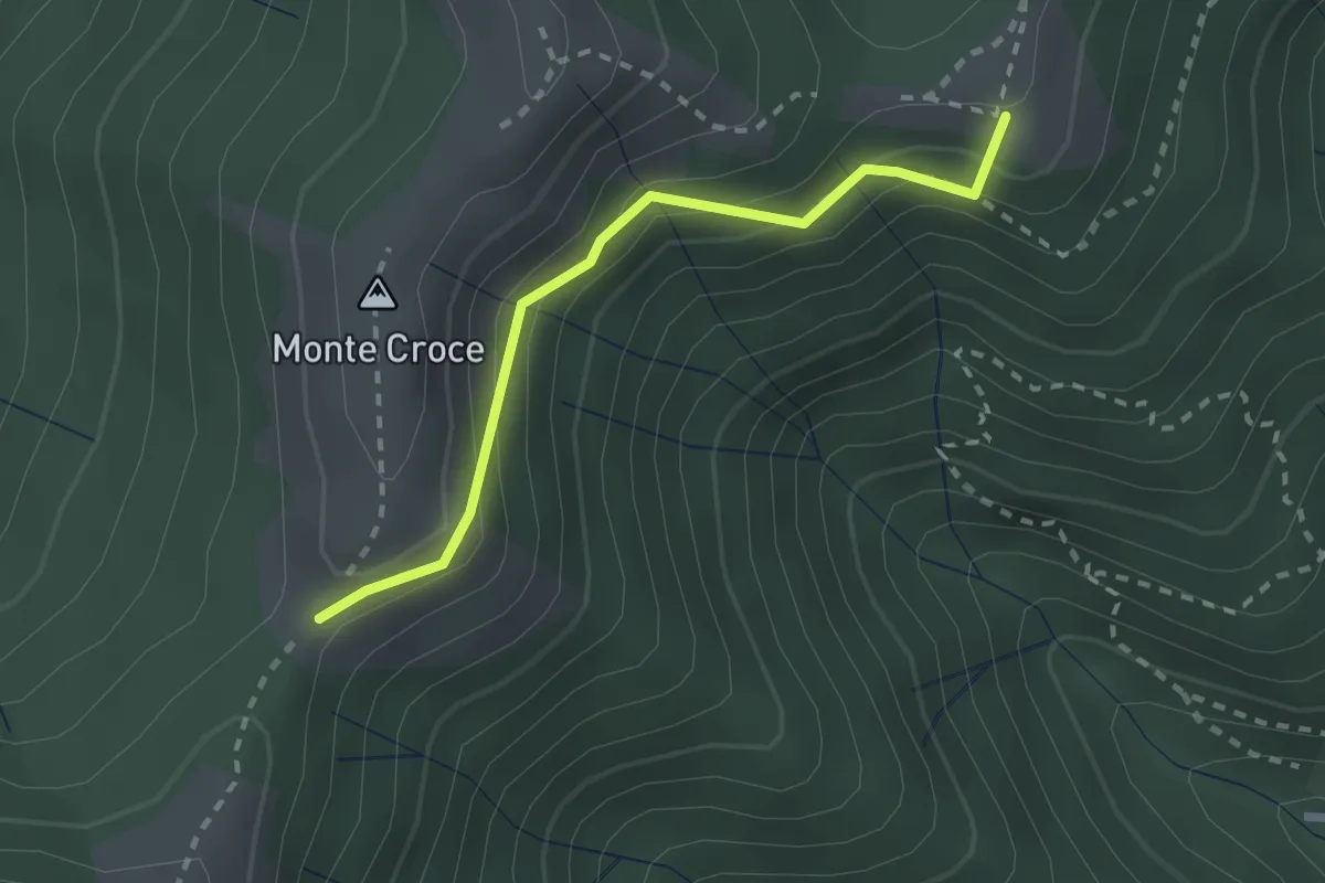
Medium · Summit
Ca' del Boschet – Bocchetta di Caglio
2.3 km · ↑ 128 m · 49 min · 12 km away
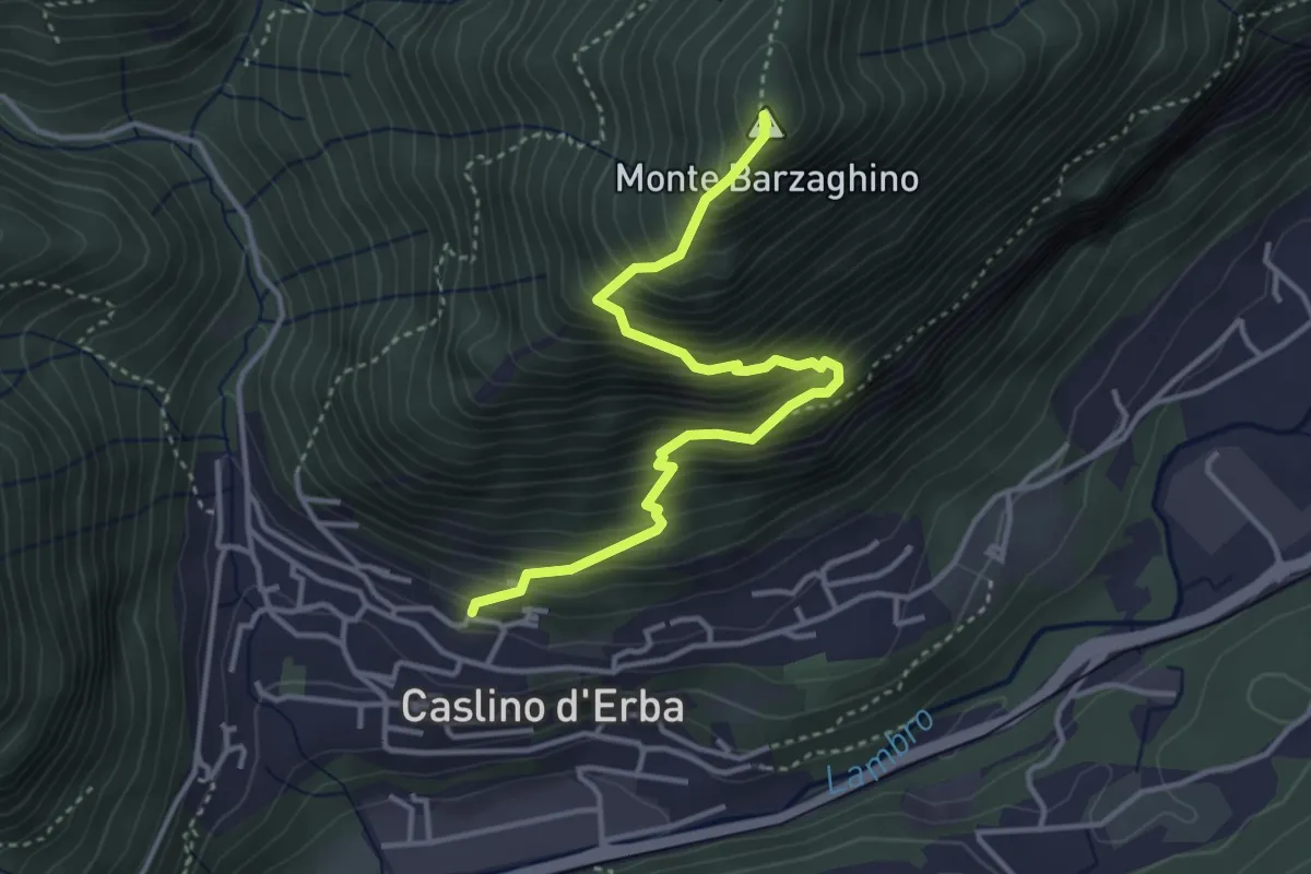
Demanding · Summit
Caslino d’Erba – Via ai Ronchi – Monte Barzaghino
3.9 km · ↑ 614 m · 2 h 15 min · 12 km away
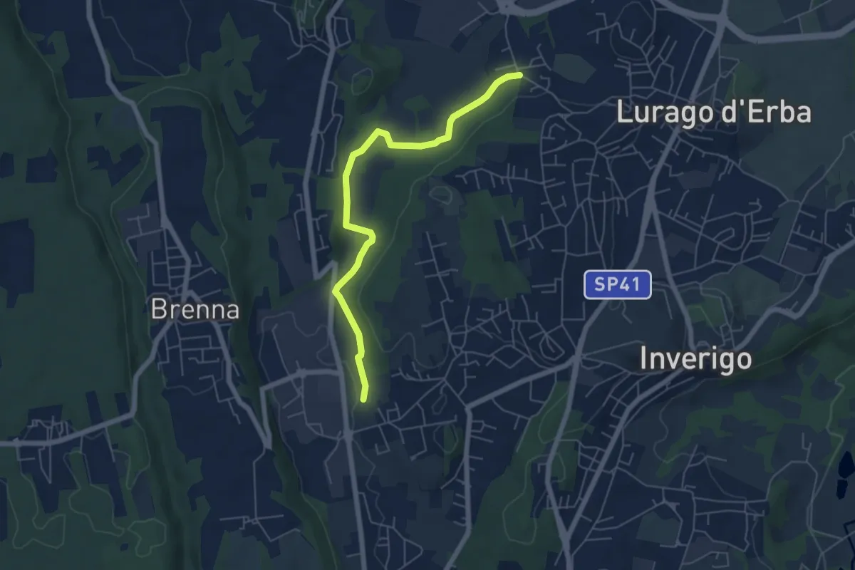
Easy · Trail
Cremnago (lazzaretto) – Pioppette
5.7 km · ↑ 81 m · 1 h 31 min · 12 km away
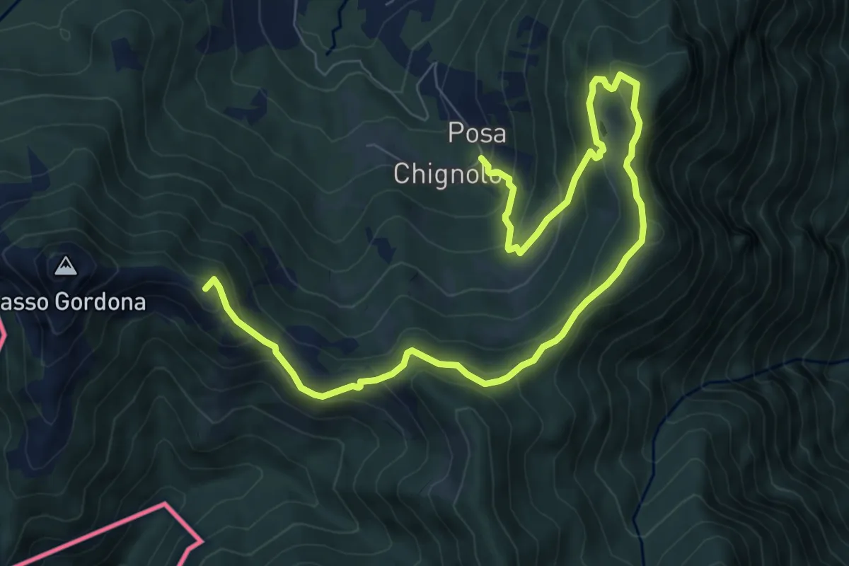
Medium · Summit
Sentiero delle espressioni
10.7 km · ↑ 752 m · 4 h 9 min · 12 km away
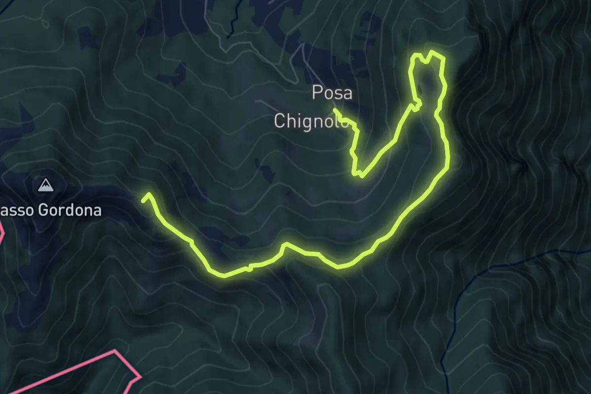
Medium · Summit
Schignalo fraz. Posa – Le Crocette
10.7 km · ↑ 752 m · 4 h 9 min · 12 km away
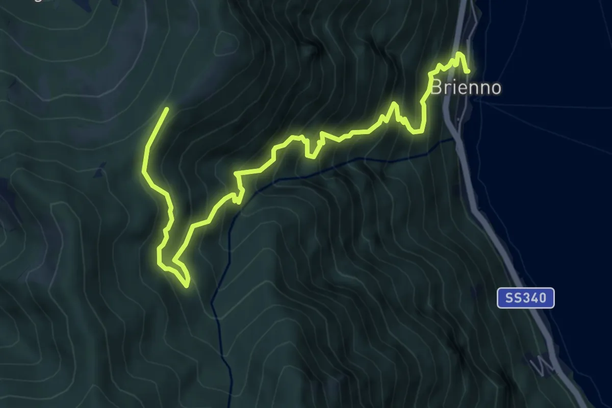
Demanding · Trail
Sentiero botanico di Brienno
8.2 km · ↑ 1026 m · 4 h 10 min · 12 km away
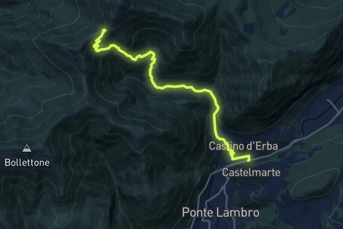
Demanding · Trail
Caslino d'Erba – Bocchetta di Palanzo
11.7 km · ↑ 912 m · 4 h 45 min · 12 km away
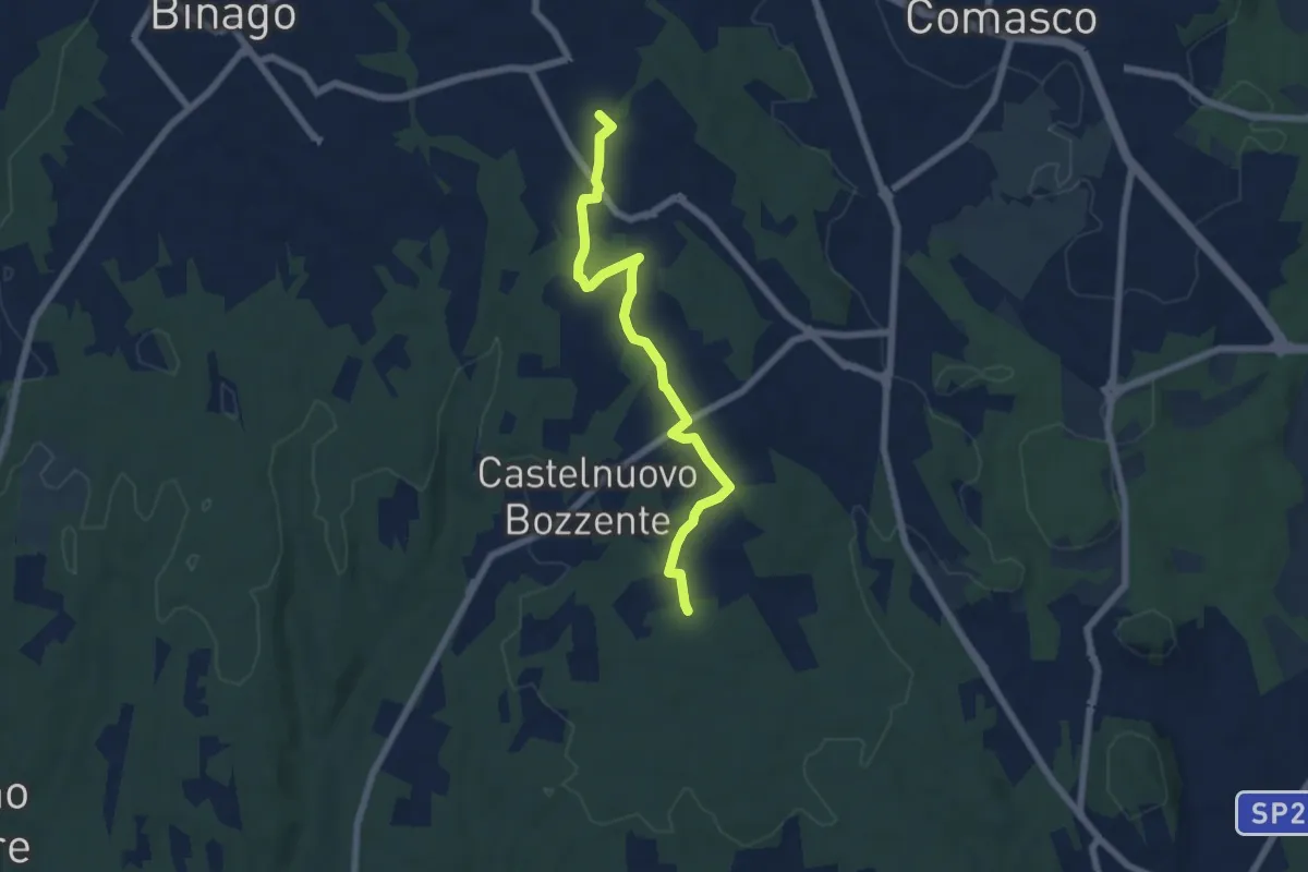
Easy · Trail
Sentiero 846B
6.5 km · ↑ 44 m · 1 h 38 min · 12 km away
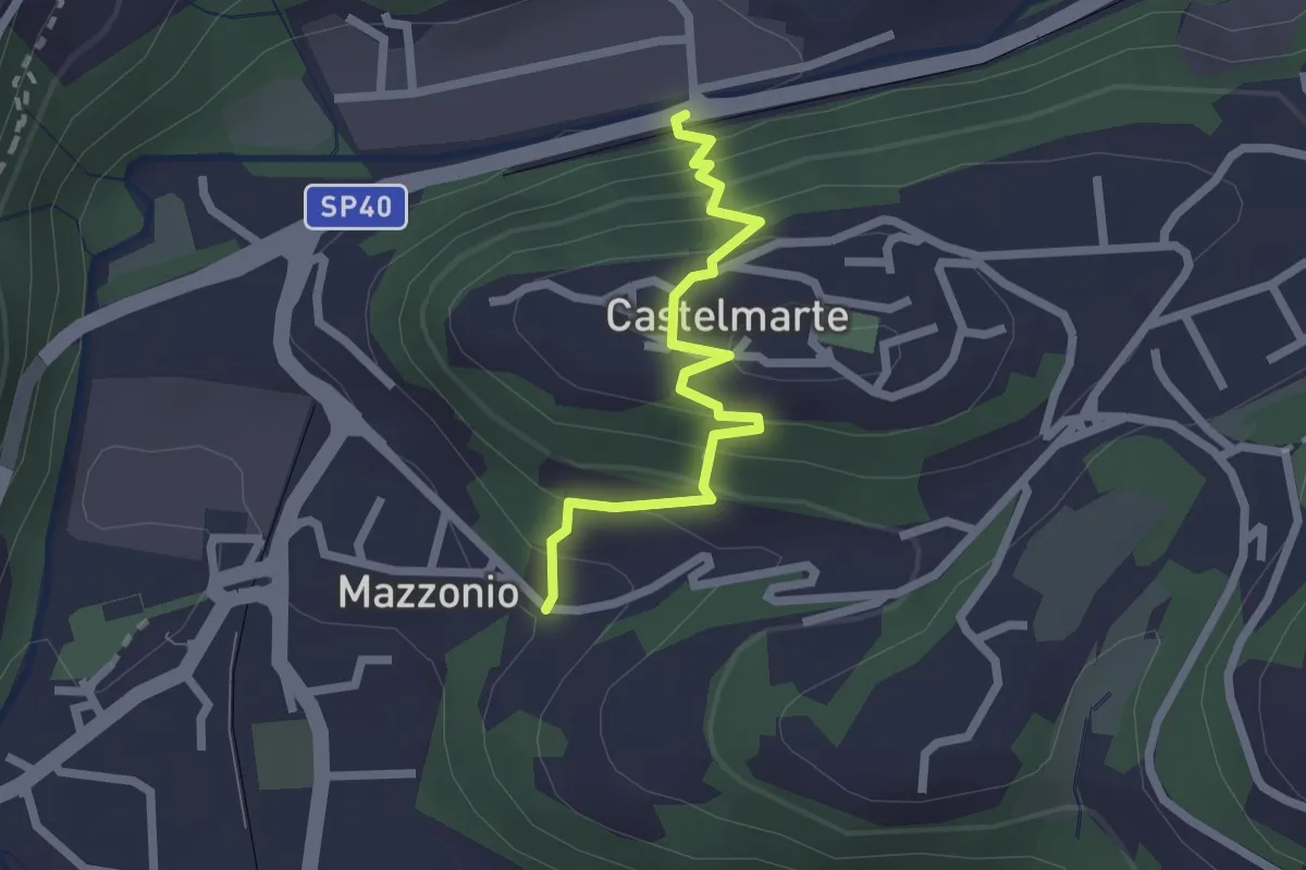
Easy · Trail
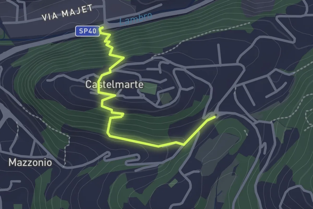
Stazione di Caslino d'Erba – Mazzonio (Ponte Lambro)
2.2 km · ↑ 199 m · 56 min · 12 km away
Easy · Trail
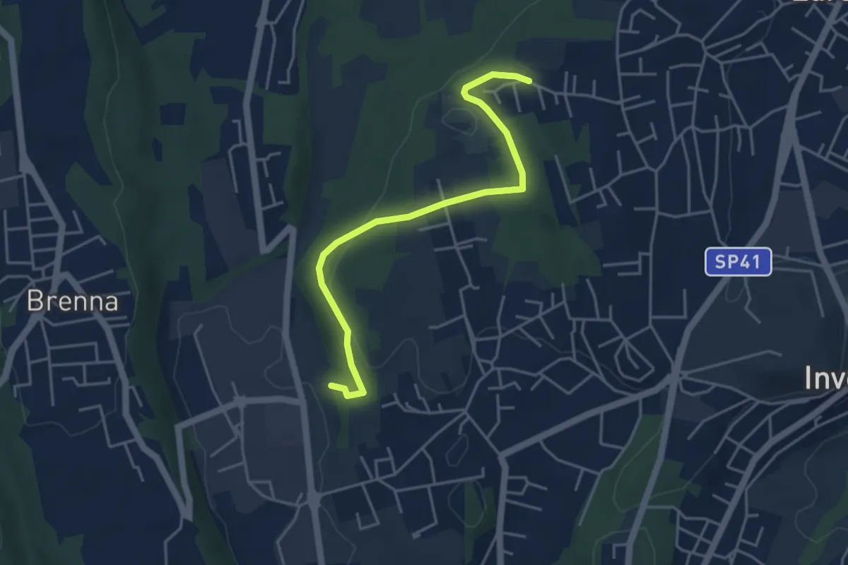
Stazione di Caslino d'Erba – Castelmarte
2.5 km · ↑ 179 m · 58 min · 12 km away
Easy · Trail
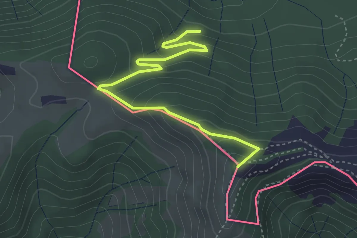
Innesto S2 – Careggia
4.3 km · ↑ 131 m · 1 h 17 min · 12 km away
Medium · Summit
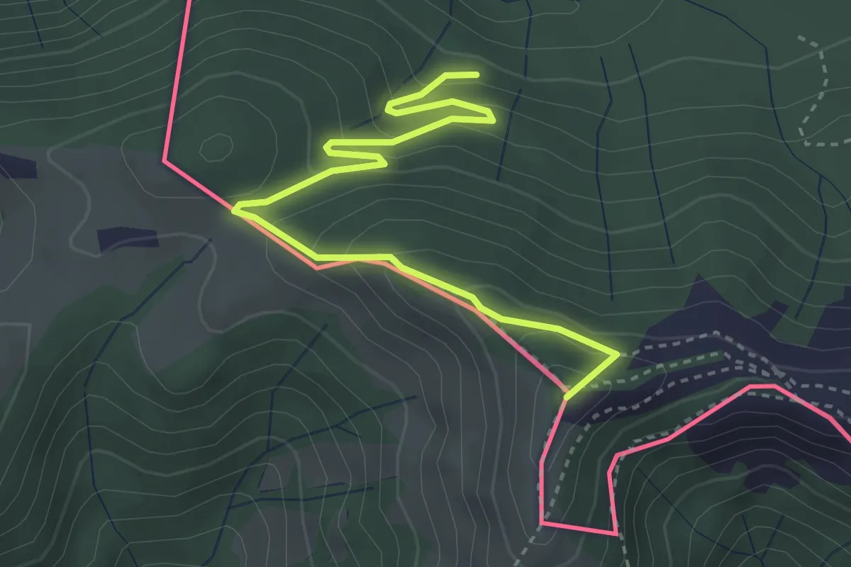
Pian delle Alpi – Rif. Prabello
3.9 km · ↑ 291 m · 1 h 34 min · 12 km away
Medium · Summit
Rifugio Prabello – Rifugio Boffalora
3.9 km · ↑ 291 m · 1 h 34 min · 12 km away
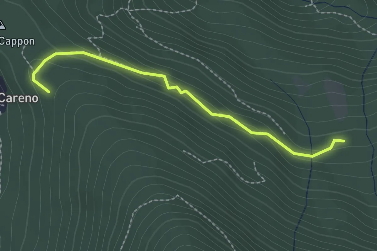
Medium · Trail
Vasce – Monti di Careno
2.1 km · ↑ 97 m · 42 min · 12 km away
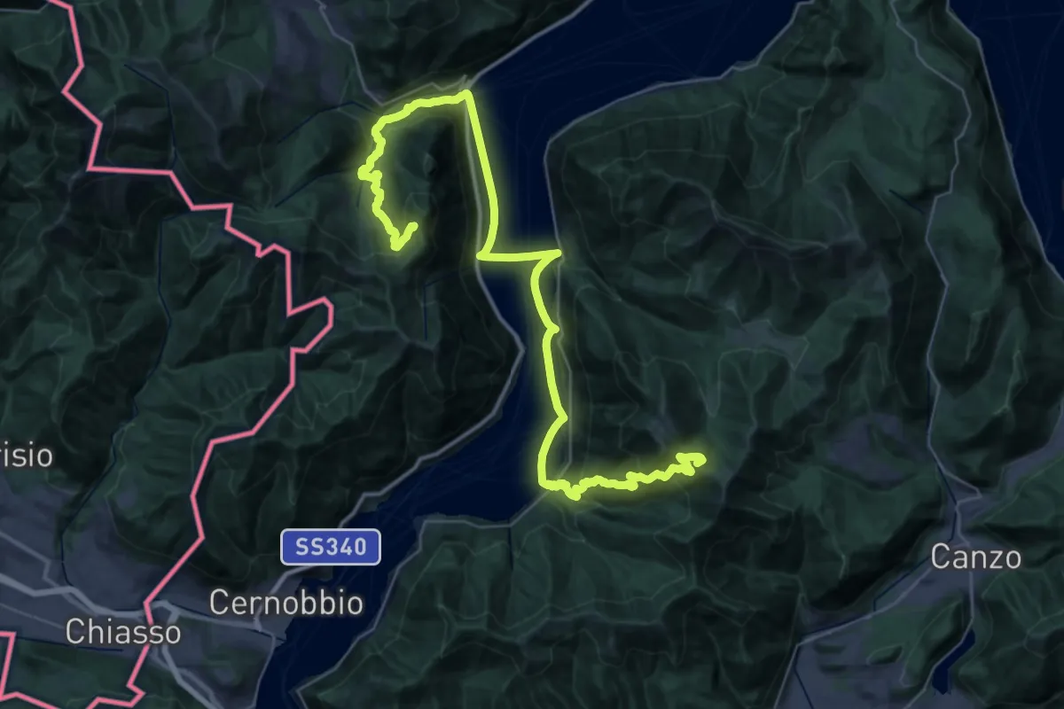
Demanding · Summit
CamminaForeste - Tappa 9A
48.3 km · ↑ 2141 m · 16 h 2 min · 12 km away
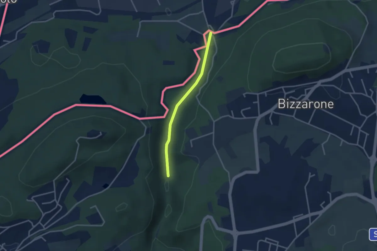
Easy · Trail
Sentiero di Fondovalle
2.3 km · ↑ 32 m · 37 min · 12 km away
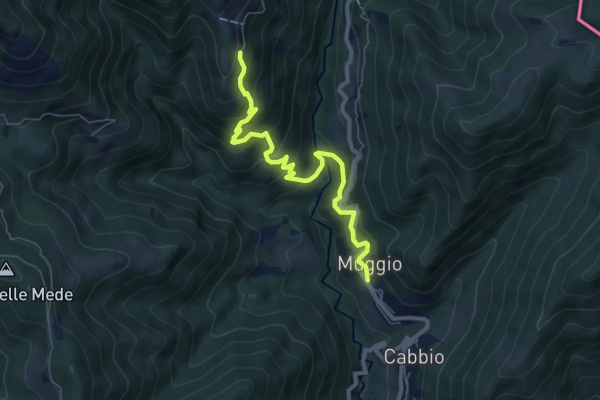
Medium · Trail
Muggio – Roncapiano
6.1 km · ↑ 543 m · 2 h 37 min · 12 km away
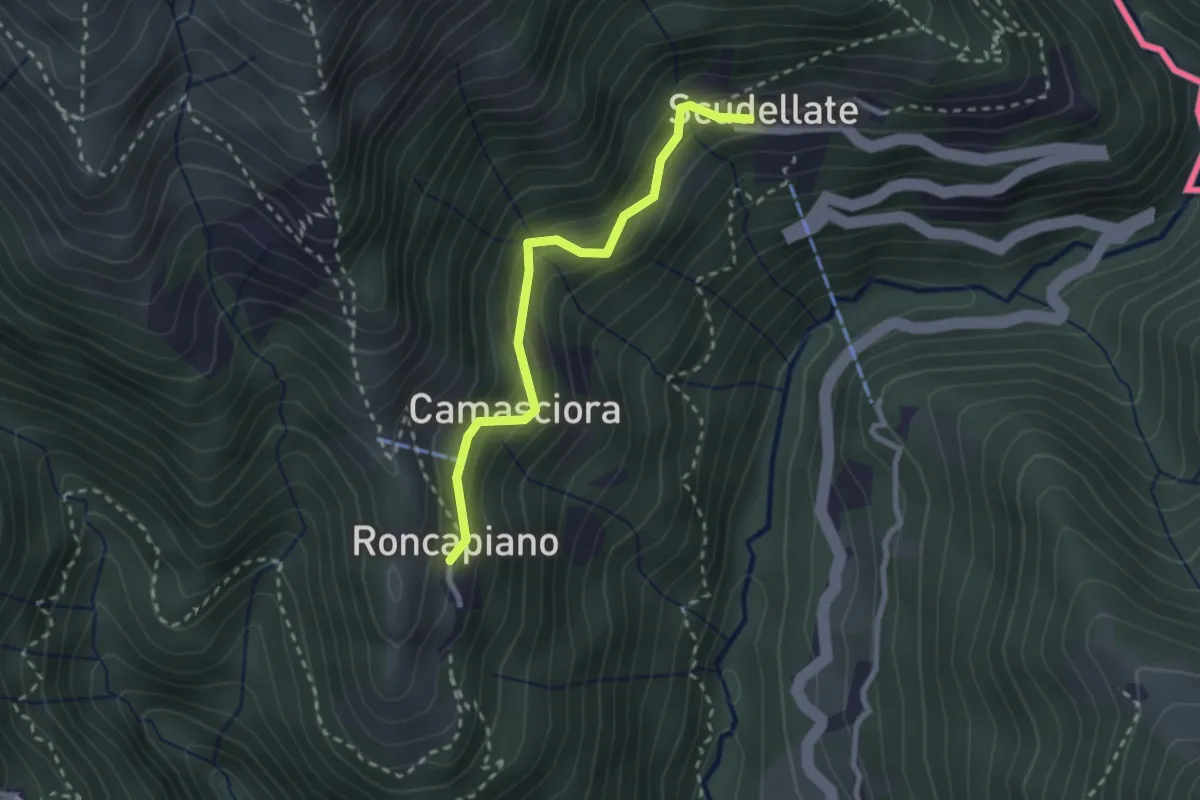
Easy · Trail
Roncapiano – Scudellate
2.4 km · ↑ 229 m · 1 h 4 min · 12 km away
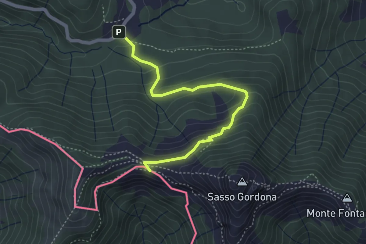
Easy · Cabin
Piano delle Alpi – Rifugio Prabello
4.1 km · ↑ 259 m · 1 h 32 min · 12 km away
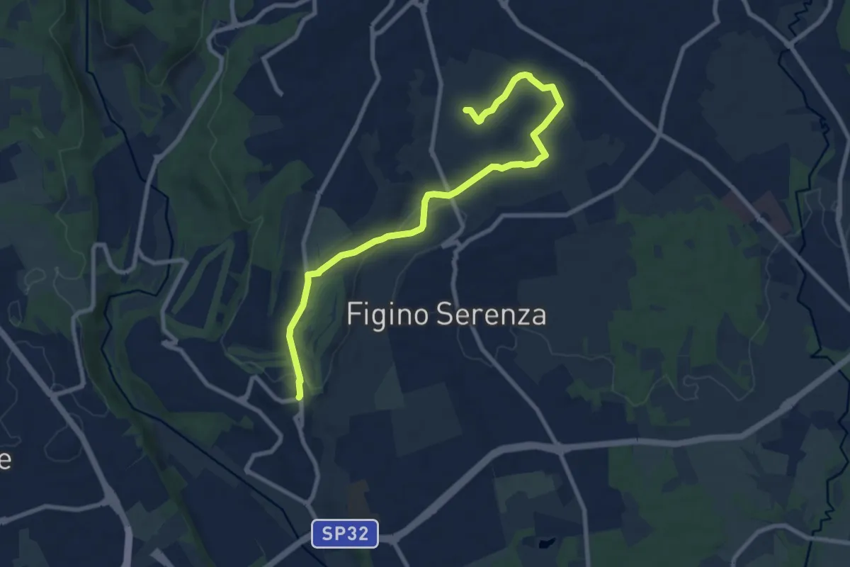
Medium · Trail
Carimate – Cascina Moia
9.3 km · ↑ 103 m · 2 h 25 min · 12 km away
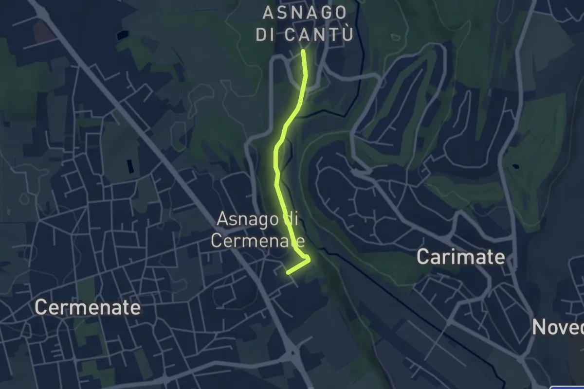
Easy · Trail
Asnago di Cantù – Asnago di Cermenate
3.2 km · ↑ 75 m · 55 min · 12 km away
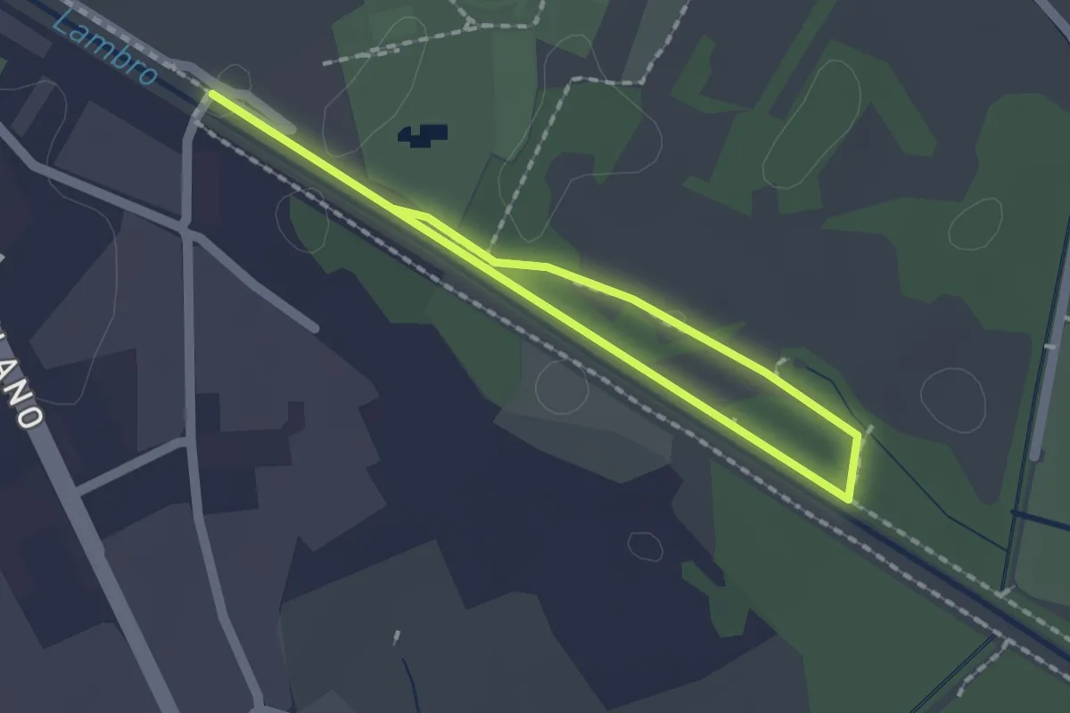
Easy · Trail
Percorso minore
1.3 km · ↑ 0 m · 20 min · 12 km away
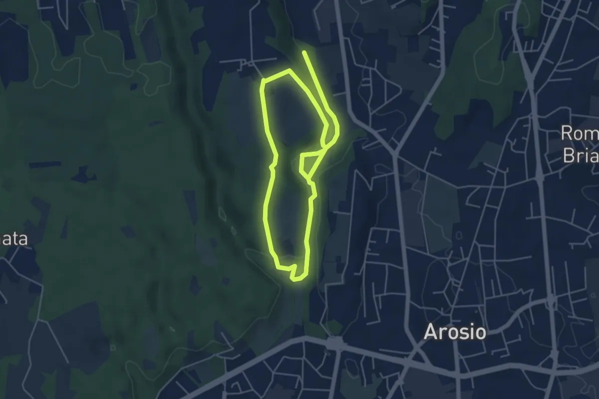
Medium · Trail
Percorso dei fontanili
8.2 km · ↑ 156 m · 2 h 17 min · 12 km away
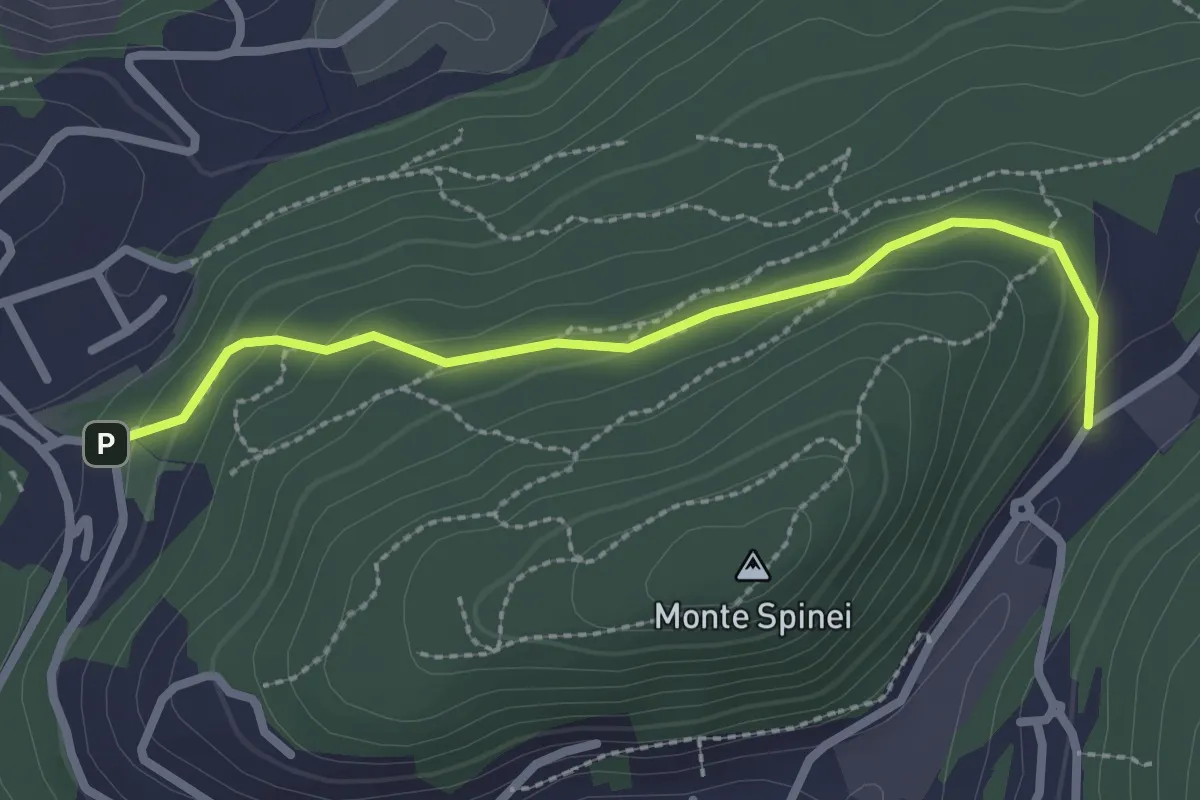
Easy · Trail
Bosco della Gualdera – Zona industriale di Proseprio
2.6 km · ↑ 85 m · 48 min · 12 km away
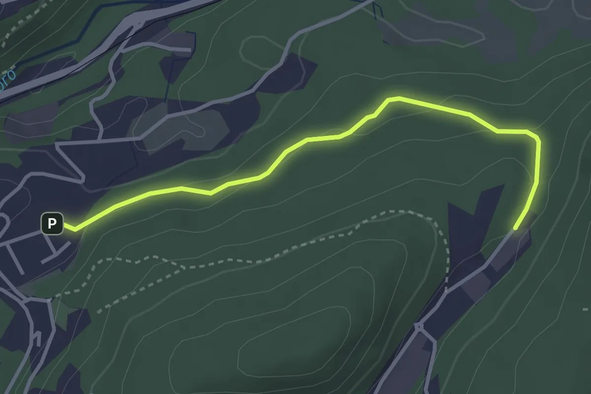
Easy · Trail
Sasso del Numero – Zona industriale di Proseprio
3.3 km · ↑ 99 m · 59 min · 12 km away
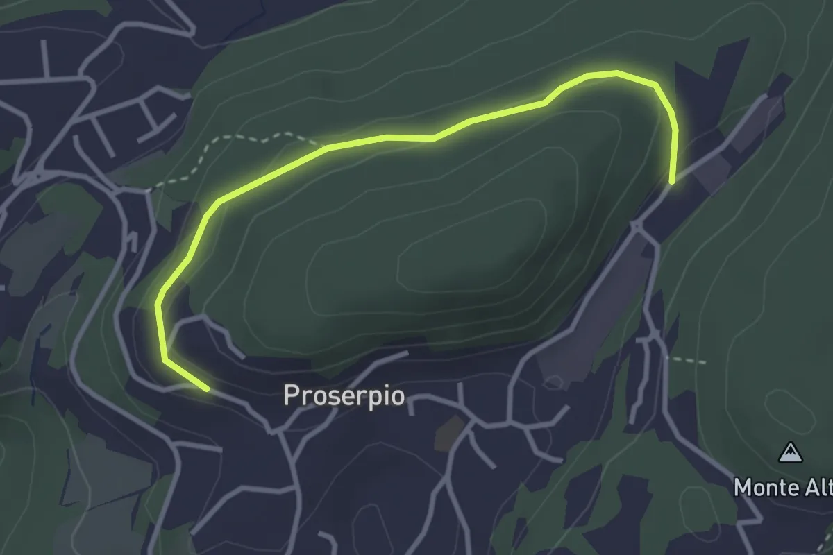
Easy · Trail
Rusera (Proserpio) – Zona industriale di Proseprio
3.1 km · ↑ 50 m · 51 min · 12 km away
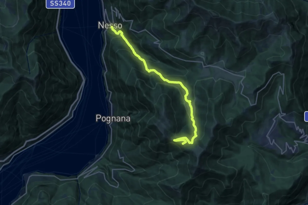
Demanding · Summit
Nesso – Monte Palanzone
16.5 km · ↑ 1052 m · 6 h 11 min · 12 km away
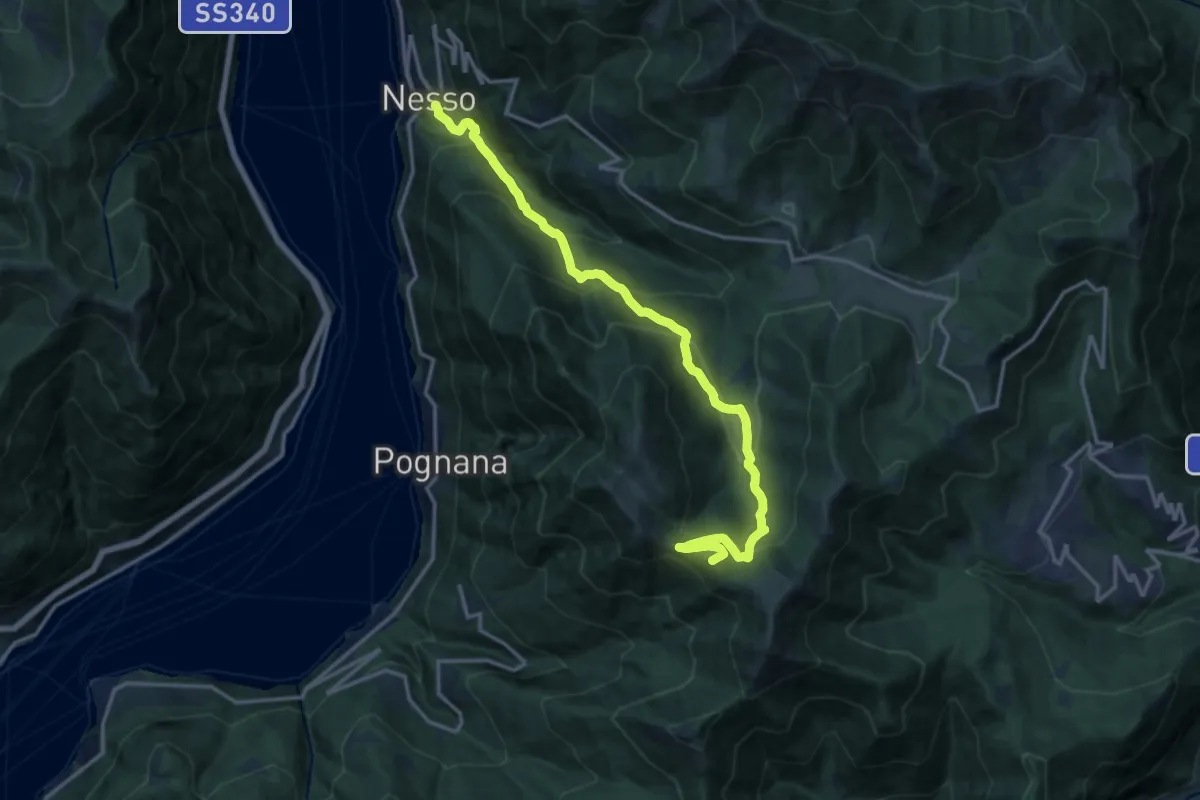
Demanding · Summit
Nesso – Monte Palanzone
16.2 km · ↑ 1157 m · 6 h 20 min · 12 km away
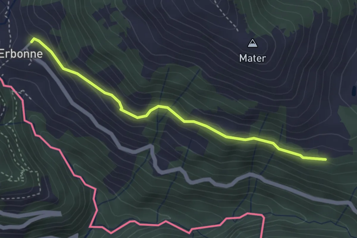
Easy · Trail
CamminaForeste - Tappa 8E
3.4 km · ↑ 188 m · 1 h 12 min · 13 km away
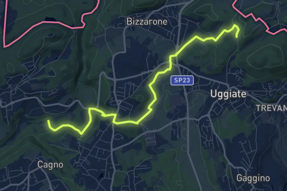
Medium · Trail
Sentiero Lanza-Lura
10.7 km · ↑ 292 m · 3 h 10 min · 13 km away
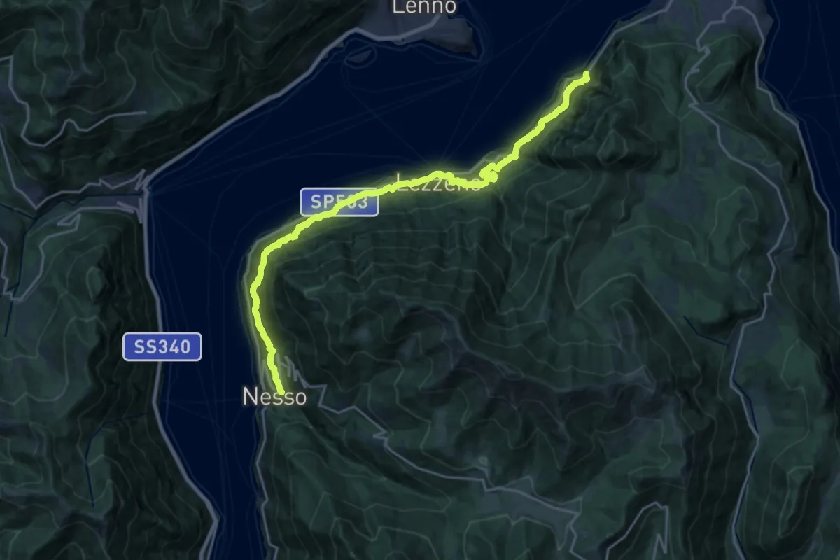
Medium · Trail
Nesso – Ponte del Diavolo (Bellagio)
10.8 km · ↑ 630 m · 4 h 8 min · 13 km away
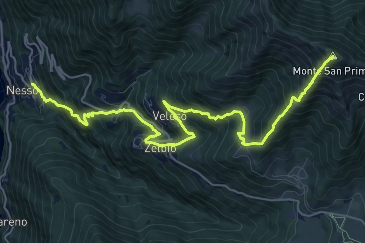
Demanding · Summit
Nesso – Monte San Primo
15.3 km · ↑ 1369 m · 6 h 35 min · 13 km away
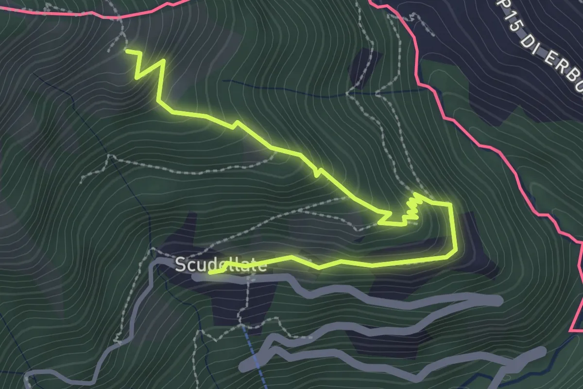
Medium · Trail
Alpe di Sella – Scudellate
3.6 km · ↑ 336 m · 1 h 34 min · 13 km away