Trails near Como
204 hikes starting within 15 km, nearest first.
Nearest first, page 4 of 5
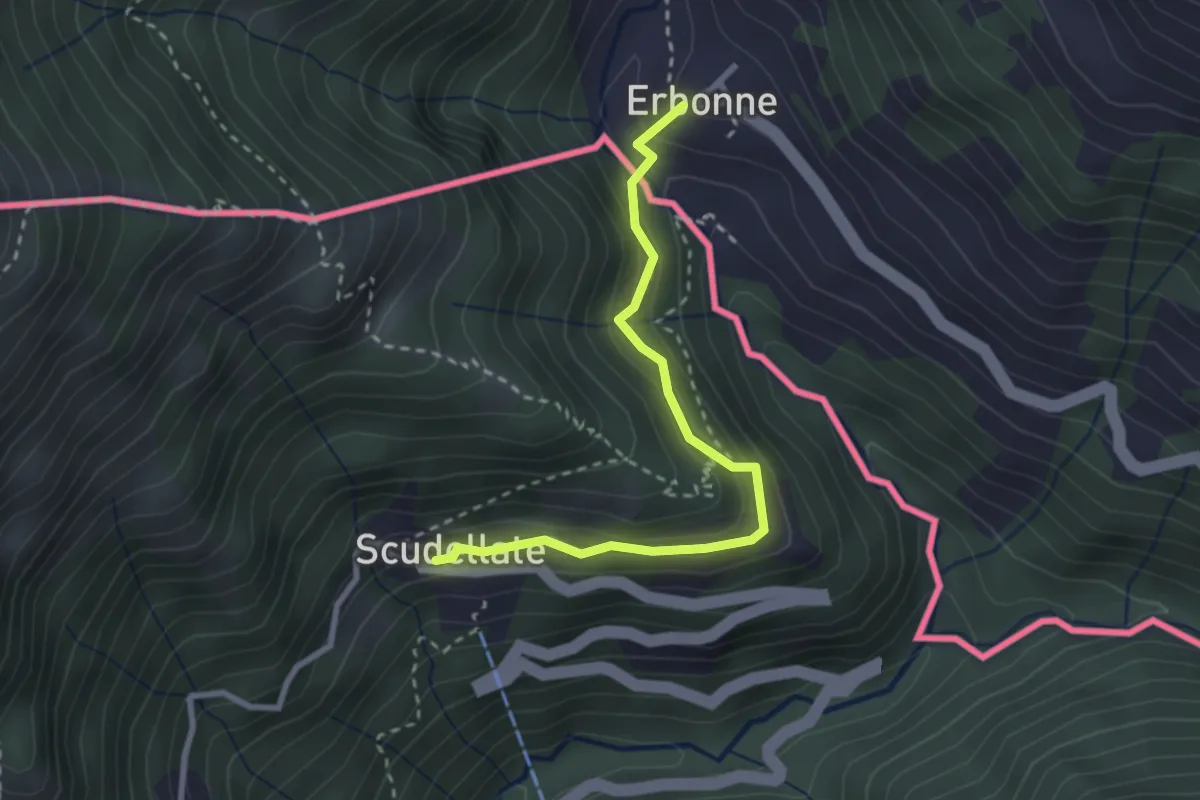
Medium · Trail
Scudellate – Erbonne (I)
2.8 km · ↑ 174 m · 1 h 2 min · 13 km away
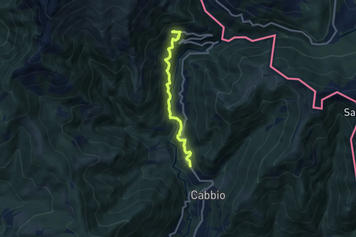
Medium · Trail
Muggio – Scudellate
5.9 km · ↑ 587 m · 2 h 41 min · 13 km away
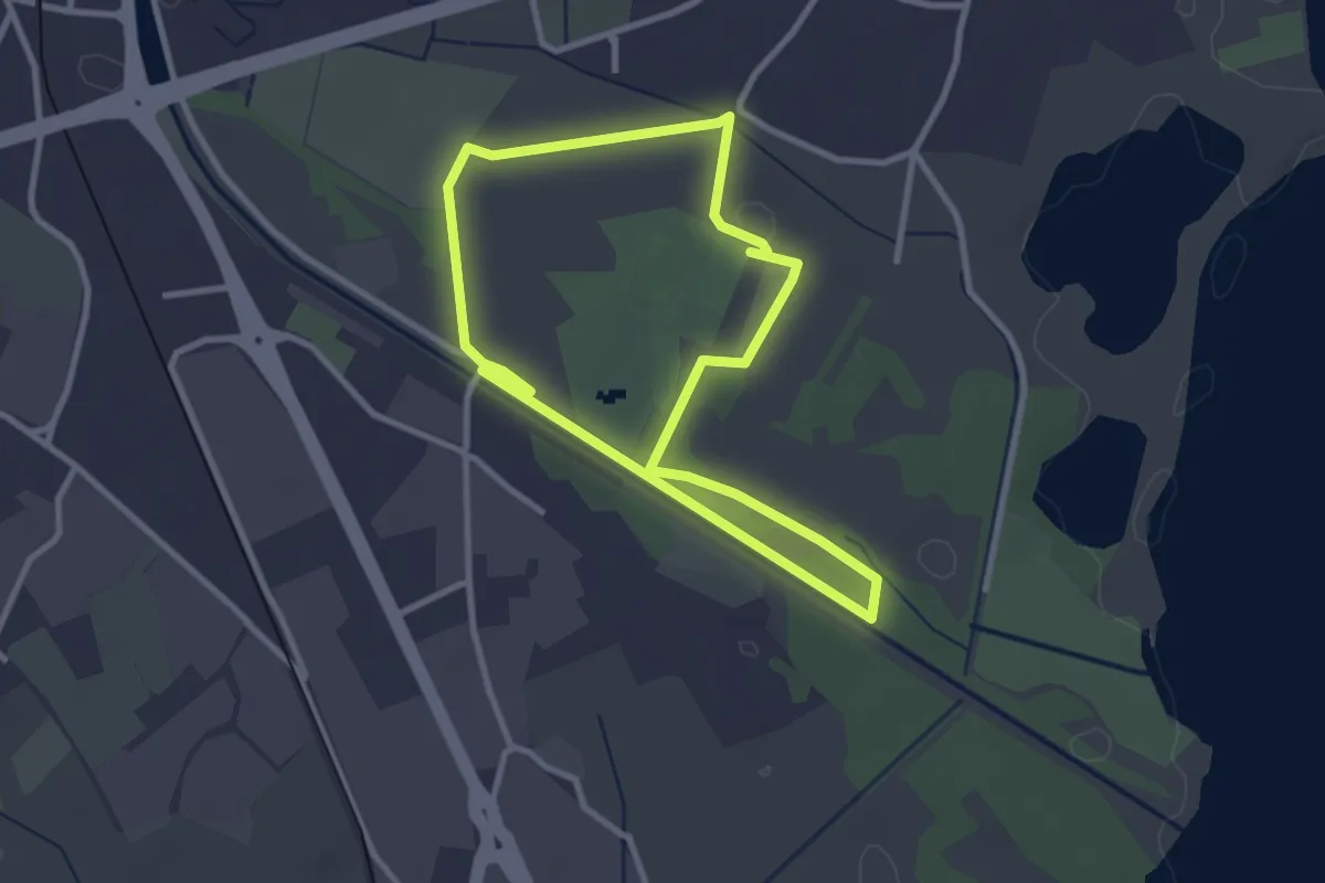
Easy · Trail
Percorso maggiore
2.8 km · ↑ 9 m · 44 min · 13 km away
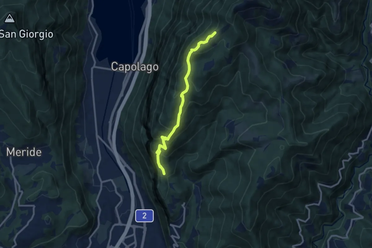
Medium · Cabin
Bellavista – San Nicolao St.ne
7.6 km · ↑ 564 m · 3 h 1 min · 13 km away
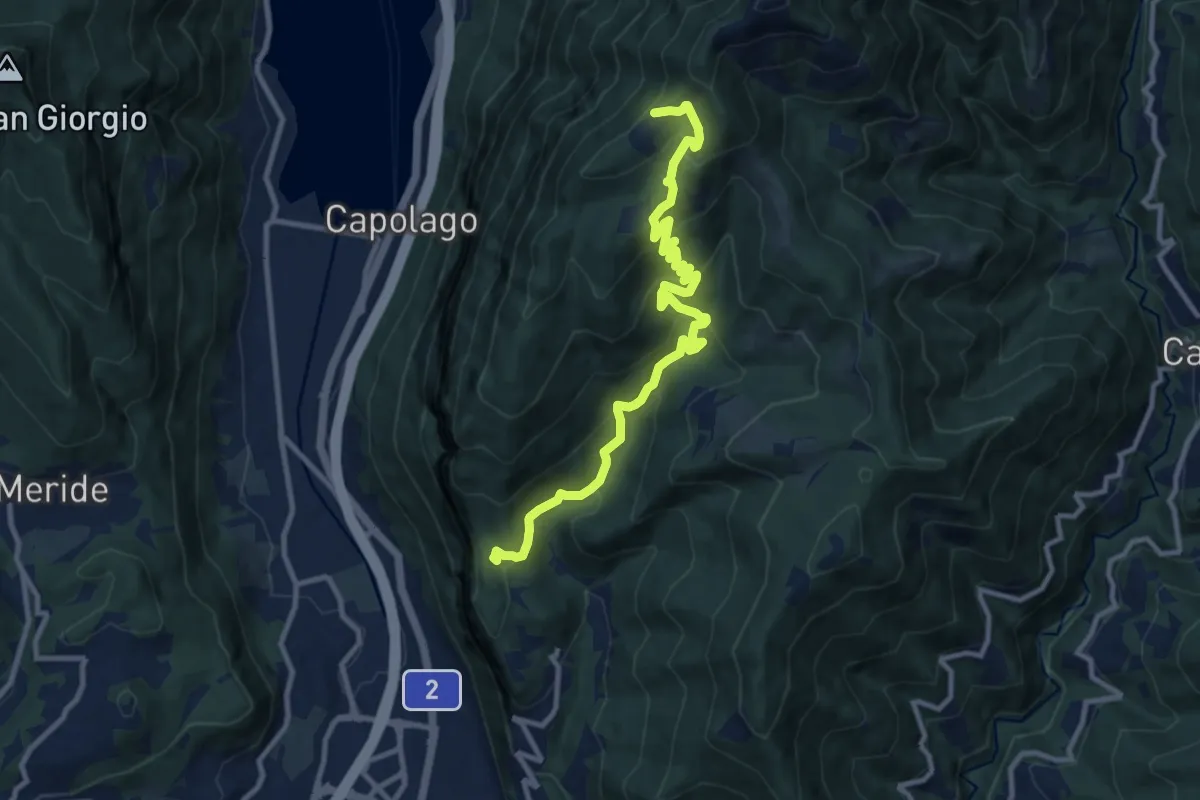
Medium · Cabin
Bellavista St.ne – San Nicolao St.ne
11.4 km · ↑ 779 m · 4 h 23 min · 13 km away
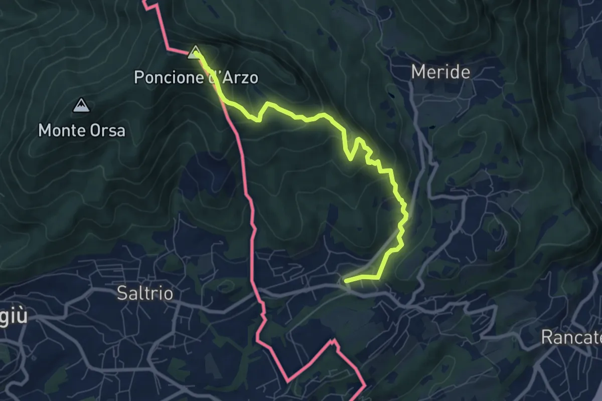
Medium · Summit
Poncione d'Arzo – Arzo
8.0 km · ↑ 537 m · 3 h 3 min · 13 km away
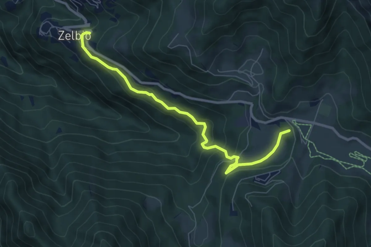
Medium · Summit
Zelbio – Il Dosso
7.1 km · ↑ 350 m · 2 h 26 min · 13 km away
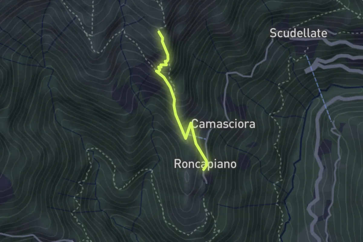
Medium · Trail
Roncapiano – Nadigh
2.3 km · ↑ 311 m · 1 h 13 min · 13 km away
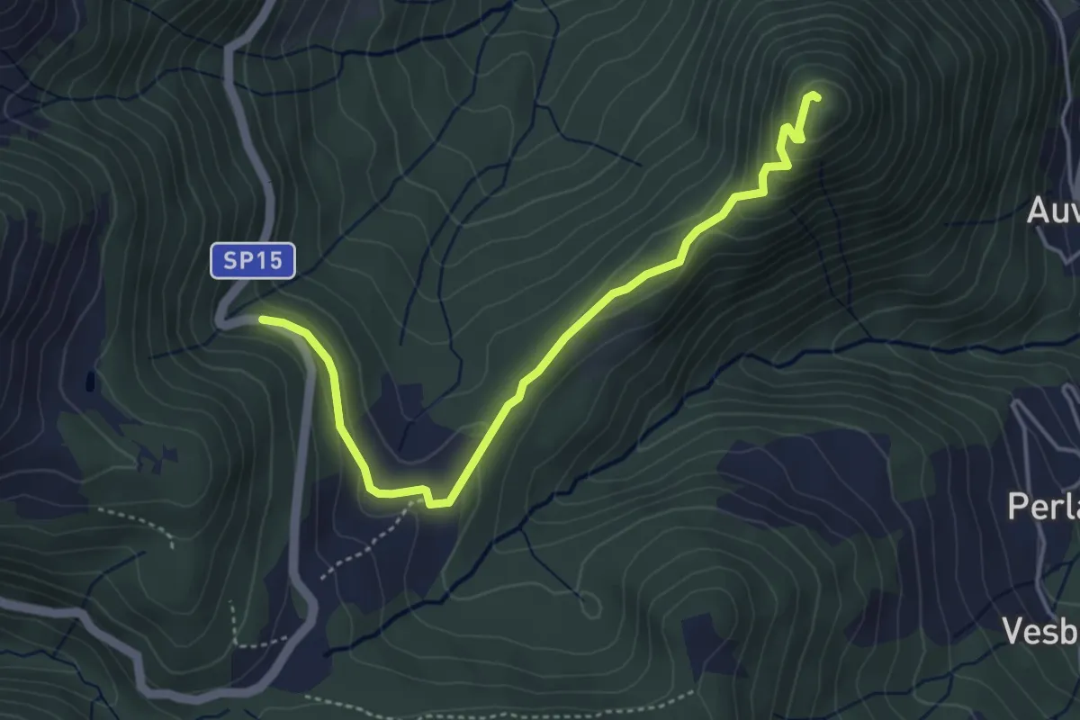
Easy · Summit
SP15 di Erbonne – San Zeno
4.4 km · ↑ 161 m · 1 h 23 min · 13 km away
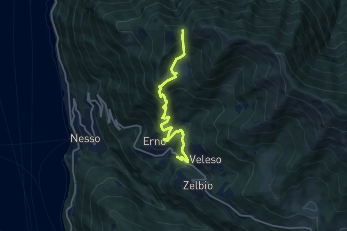
Medium · Trail
Veleso – La Forcoletta
7.9 km · ↑ 698 m · 3 h 23 min · 13 km away
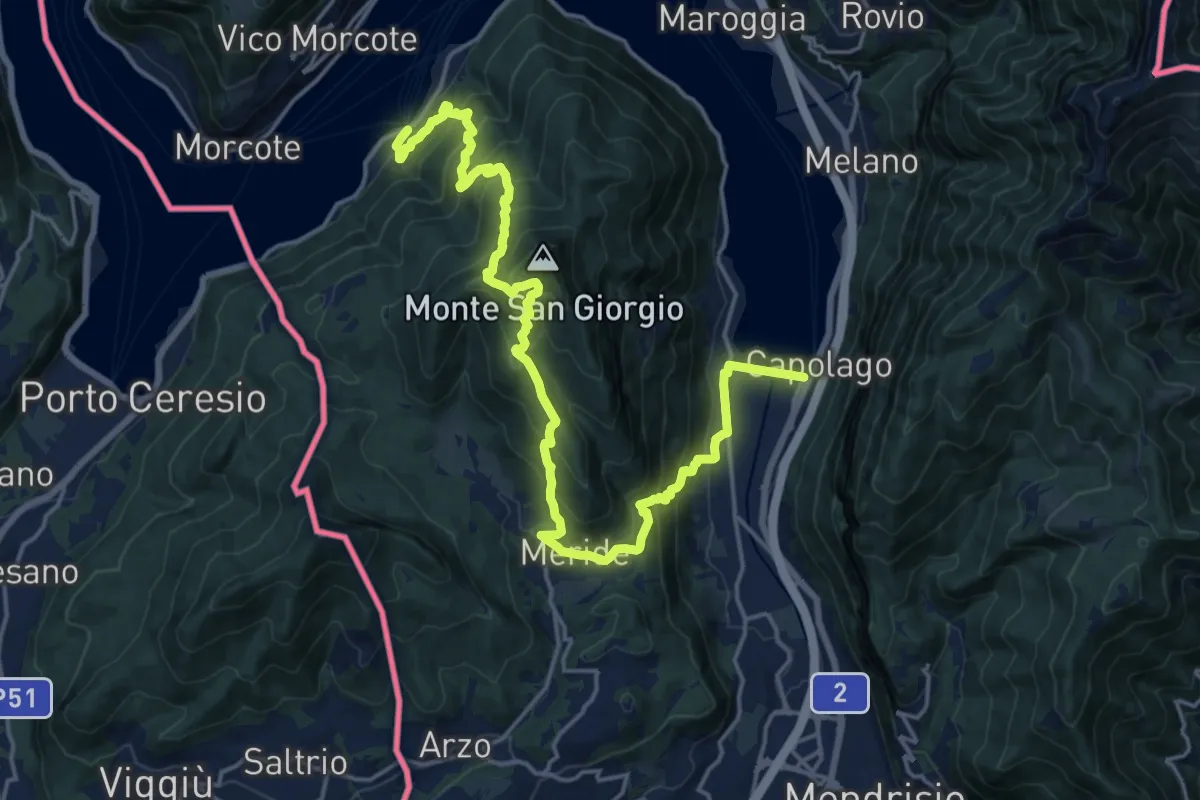
Demanding · Trail
Sentiero Lago di Lugano
11.1 km · ↑ 863 m · 4 h 38 min · 13 km away
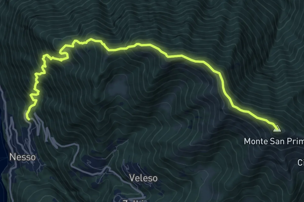
Demanding · Summit
Nesso – Monte San Primo
13.2 km · ↑ 1364 m · 6 h 5 min · 13 km away
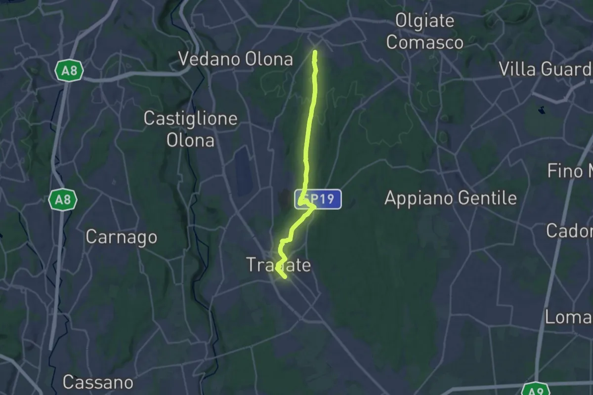
Demanding · Trail
Binago – Tradate
18.1 km · ↑ 185 m · 4 h 41 min · 13 km away
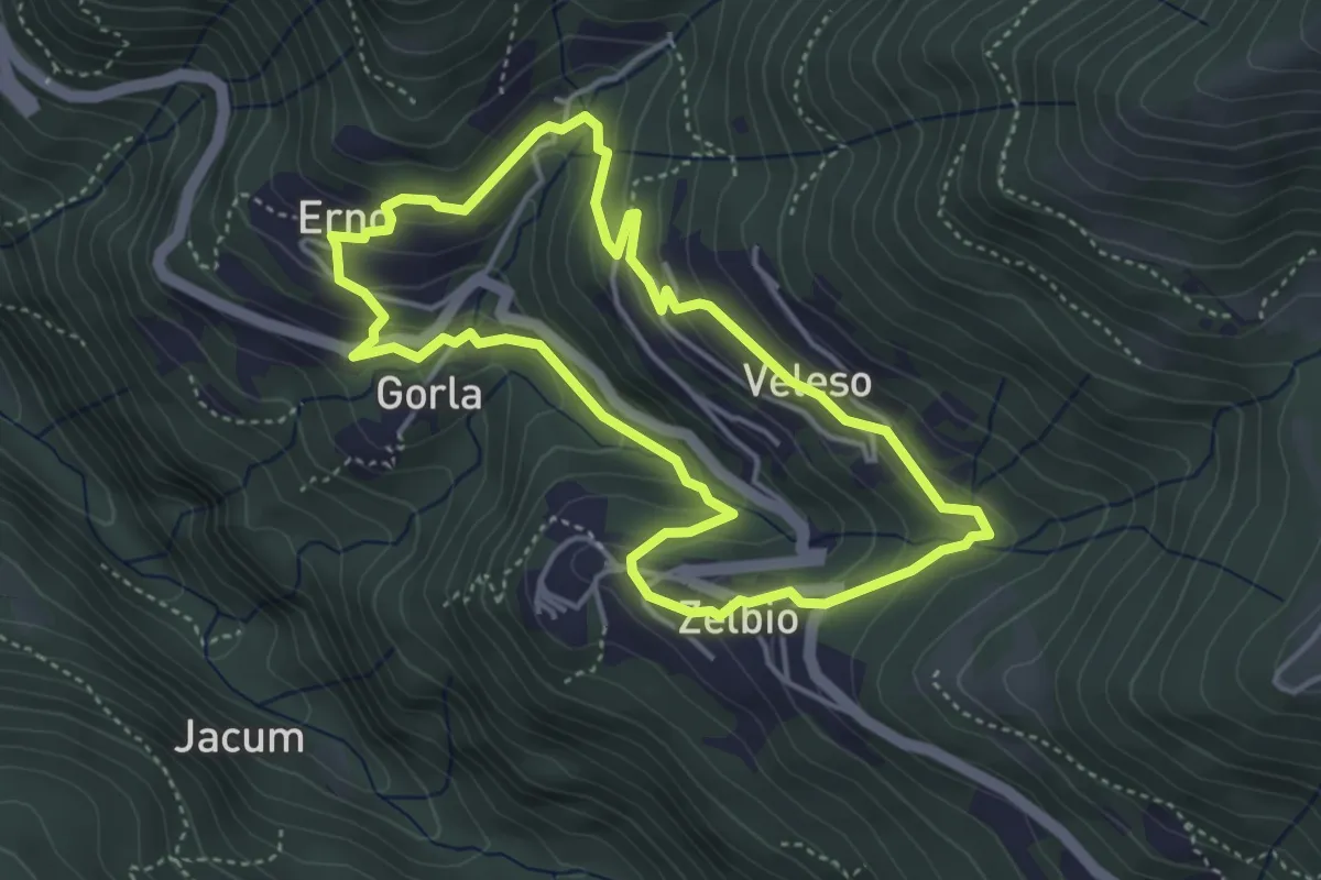
Easy · Trail
Anello dei tre campanili
4.0 km · ↑ 219 m · 1 h 29 min · 13 km away
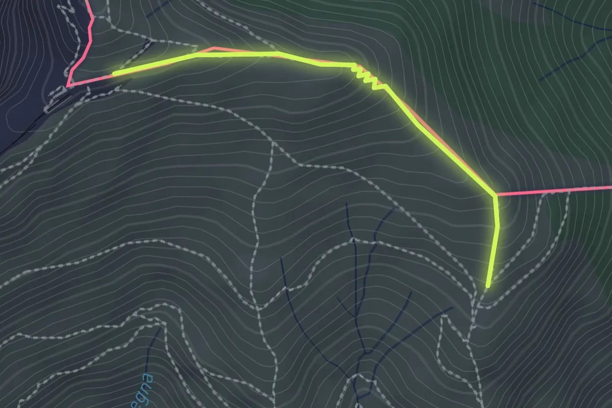
Medium · Trail
Piana – M.te Generoso St.ne
2.1 km · ↑ 193 m · 55 min · 13 km away
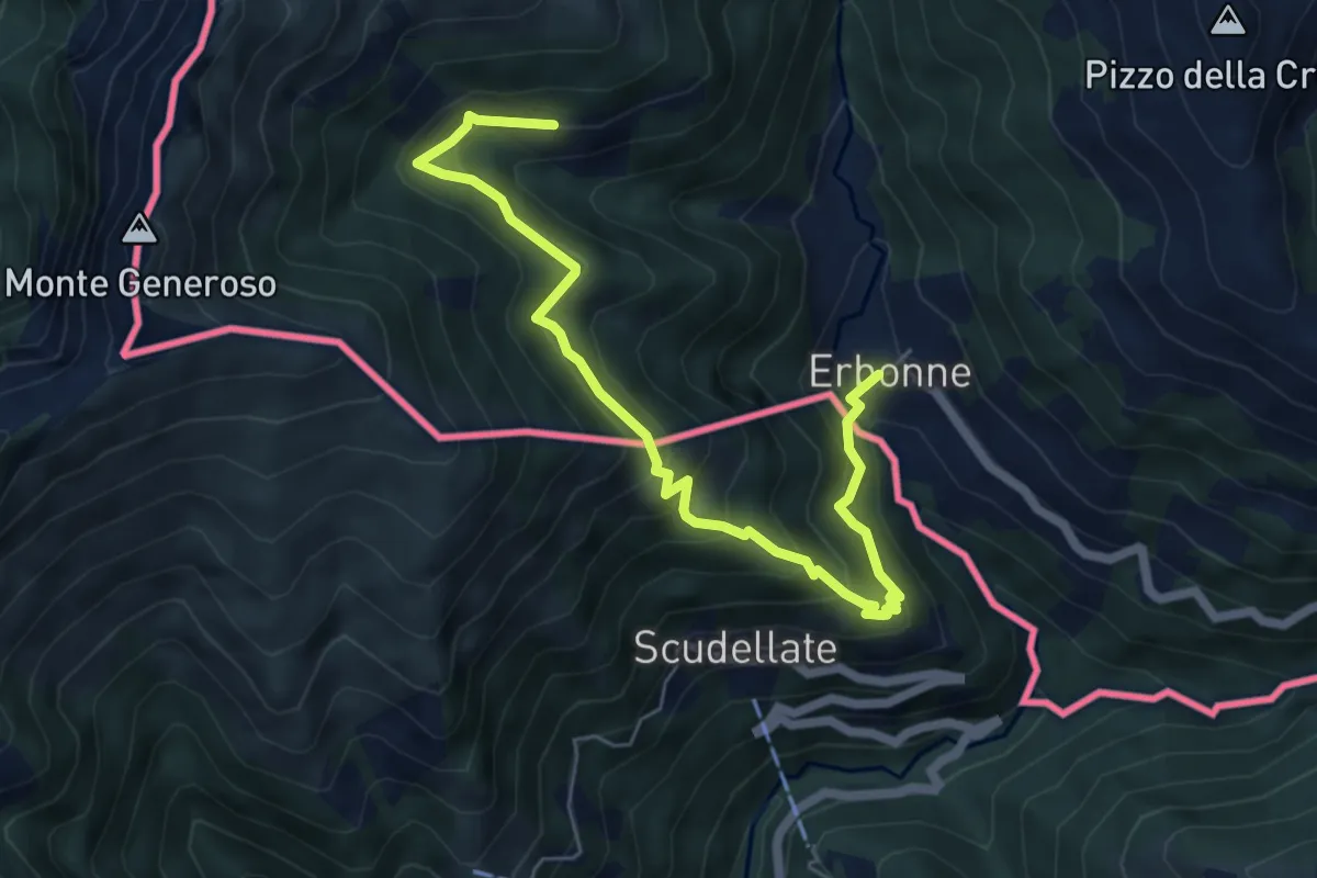
Medium · Trail
Orimento – Erbone
6.7 km · ↑ 553 m · 2 h 47 min · 13 km away
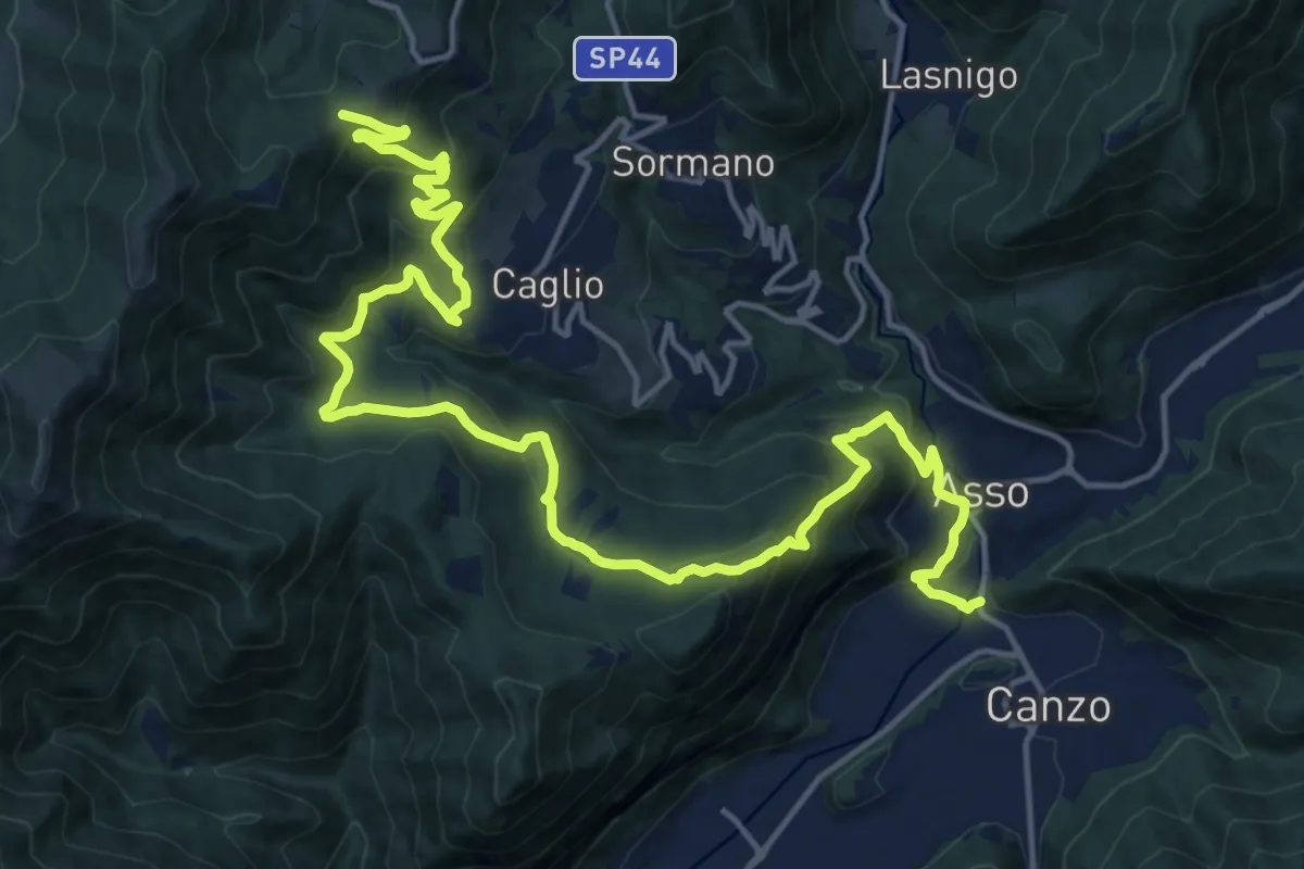
Demanding · Trail
Innesto Sentiero 300 – Innesto Sentiero 307V
22.6 km · ↑ 1139 m · 7 h 48 min · 13 km away
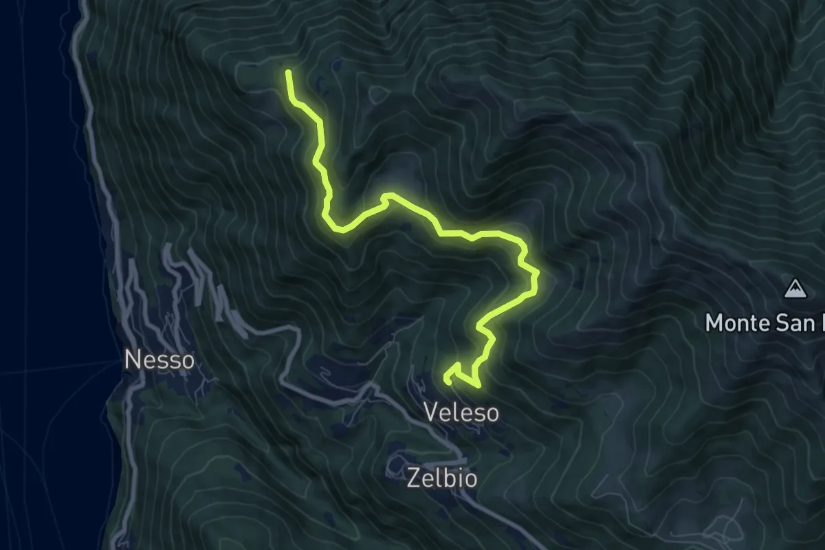
Medium · Trail
Veleso – Cresta NW M. Colmenacco
8.5 km · ↑ 502 m · 3 h 5 min · 13 km away
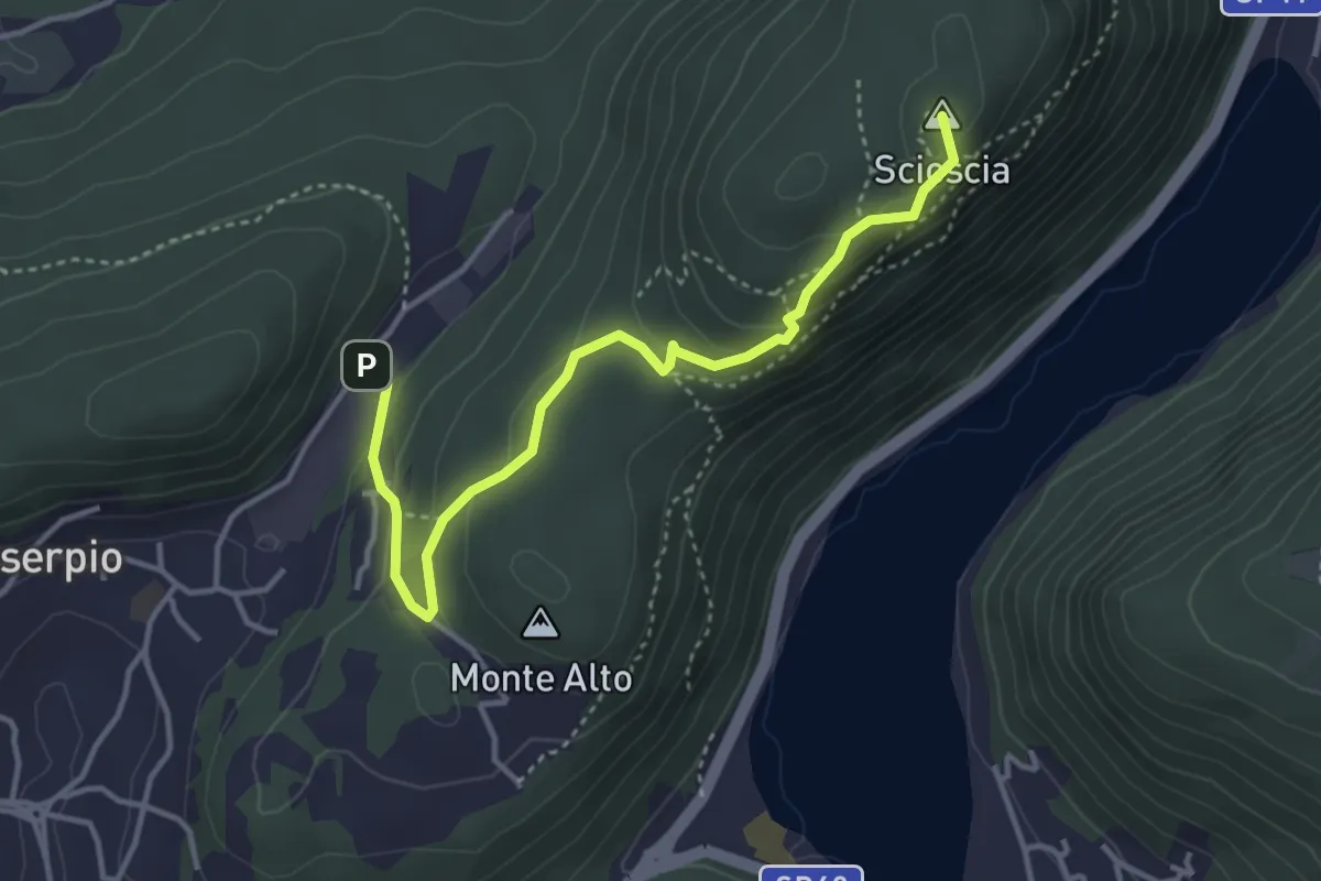
Demanding · Summit
Zona industriale di Proseprio – Canzo
4.1 km · ↑ 185 m · 1 h 21 min · 13 km away
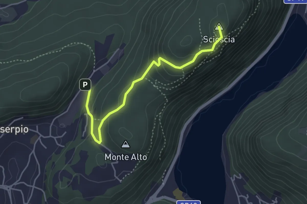
Easy · Summit
Zona industriale di Proseprio – Canzo
4.0 km · ↑ 173 m · 1 h 19 min · 13 km away
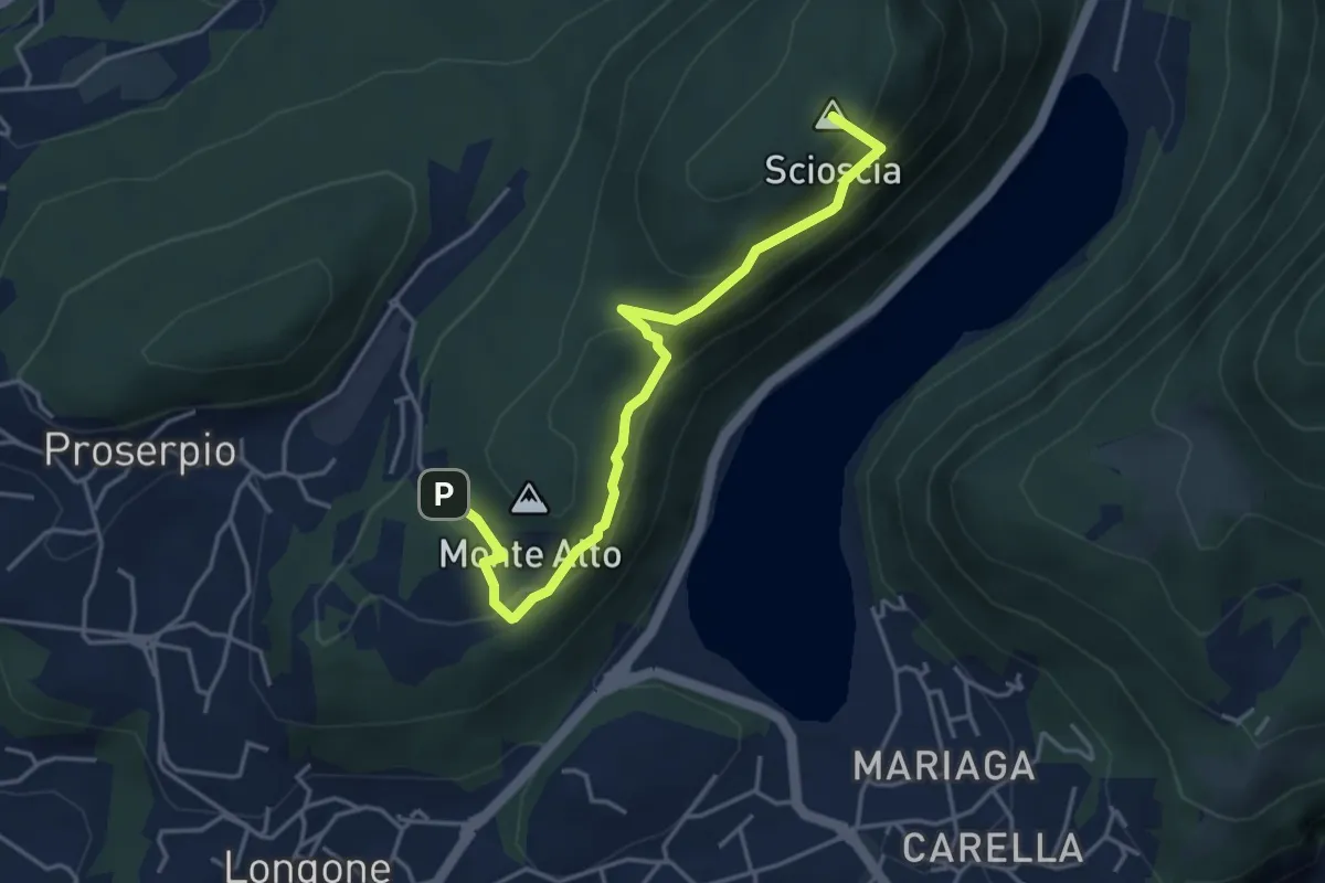
Demanding · Summit
Inarca (Proserpio) – Monte Scioscia
4.3 km · ↑ 243 m · 1 h 33 min · 13 km away
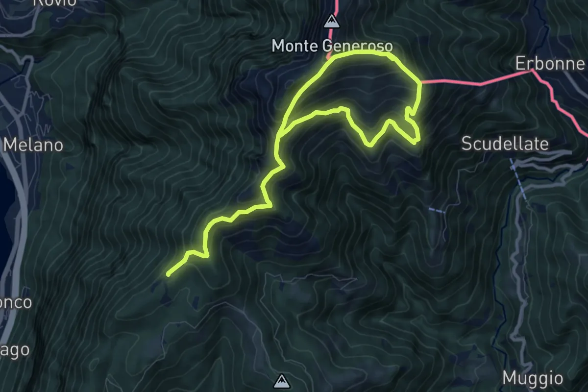
Demanding · Trail
Sentiero del Monte Generoso
12.4 km · ↑ 987 m · 5 h 4 min · 13 km away
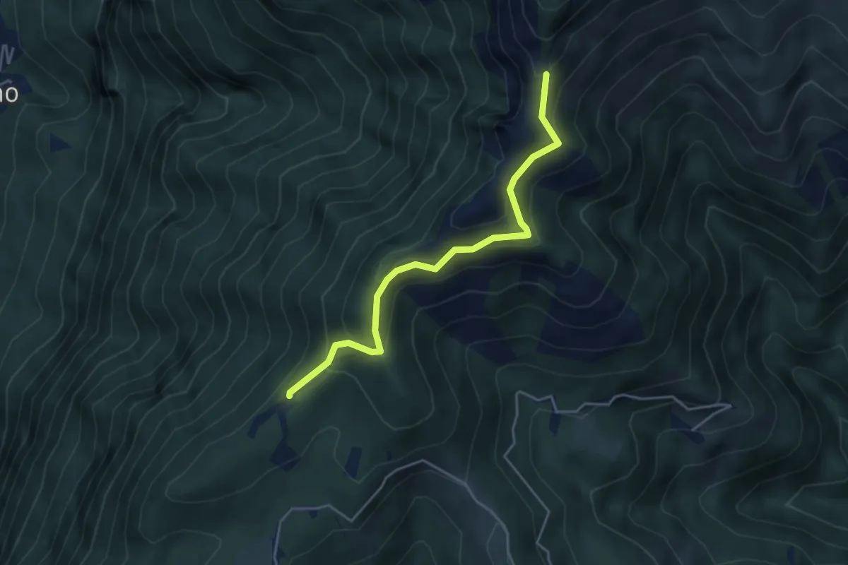
Medium · Trail
Sentiero della natura
4.1 km · ↑ 279 m · 1 h 34 min · 13 km away
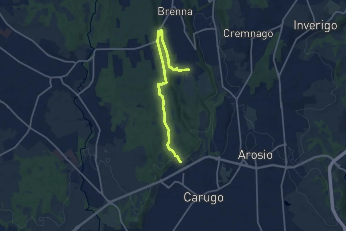
Medium · Trail
Cascina Gattedo – Pozzolo Inferiore
8.9 km · ↑ 131 m · 2 h 23 min · 13 km away
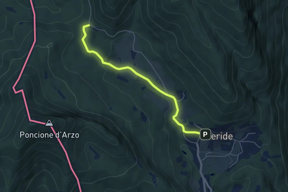
Easy · Trail
Crocifisso – Meride
4.8 km · ↑ 121 m · 1 h 23 min · 13 km away
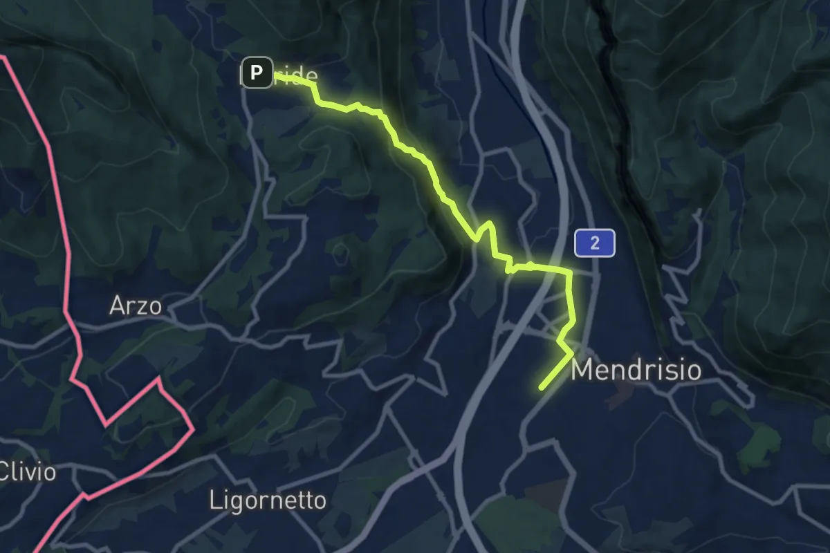
Medium · Trail
Meride – Mendrisio Stazione
8.9 km · ↑ 326 m · 2 h 48 min · 13 km away
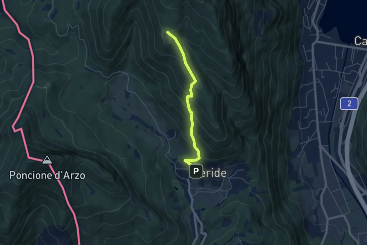
Easy · Trail
Meride – Cassina
4.6 km · ↑ 309 m · 1 h 45 min · 13 km away
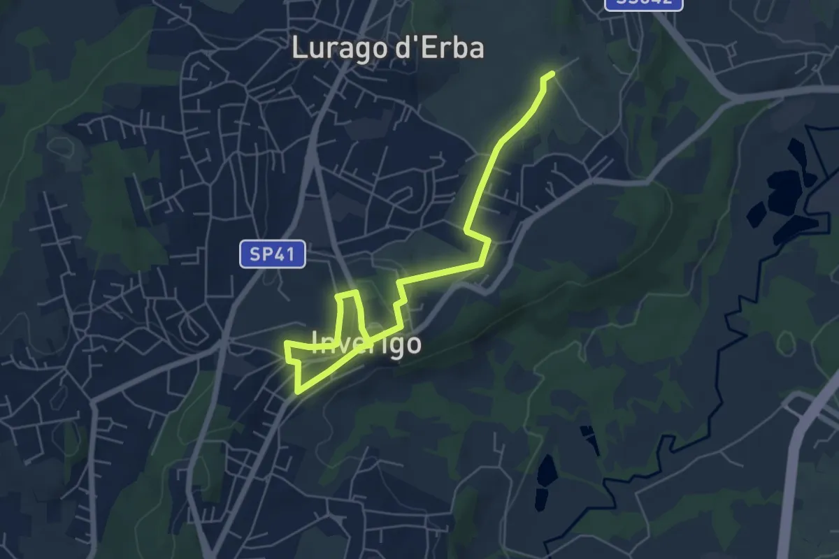
Easy · Trail
Quel viale percorso
6.7 km · ↑ 116 m · 1 h 51 min · 13 km away
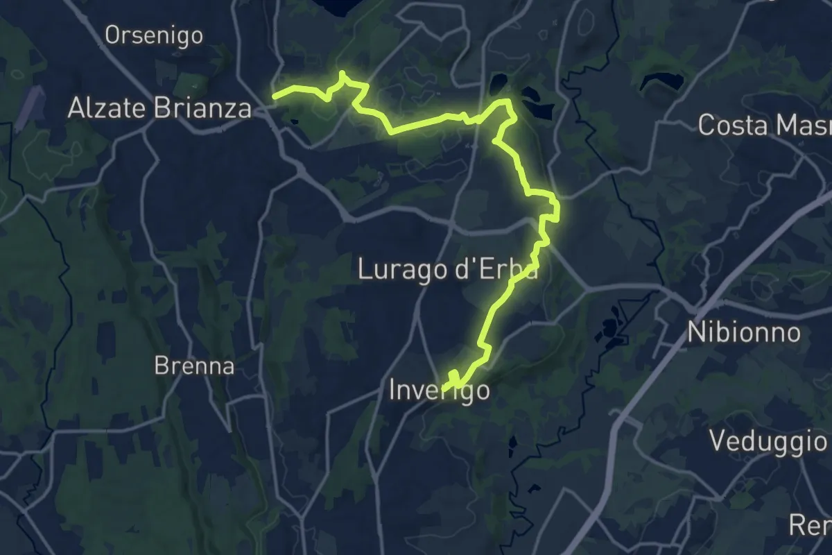
Medium · Trail
Via delle ville
17.9 km · ↑ 243 m · 4 h 45 min · 14 km away
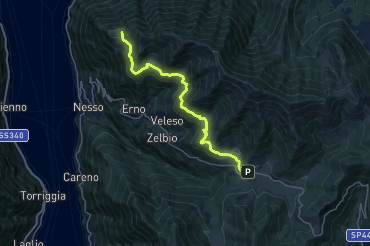
Medium · Trail
Pian del Tivano – Cresta NW M. Colmenacco
13.2 km · ↑ 610 m · 4 h 26 min · 14 km away
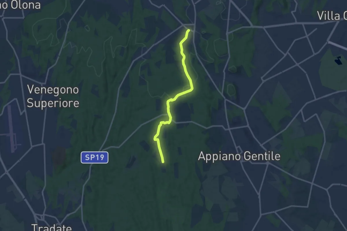
Medium · Trail
Sentiero 847
10.4 km · ↑ 81 m · 2 h 38 min · 14 km away
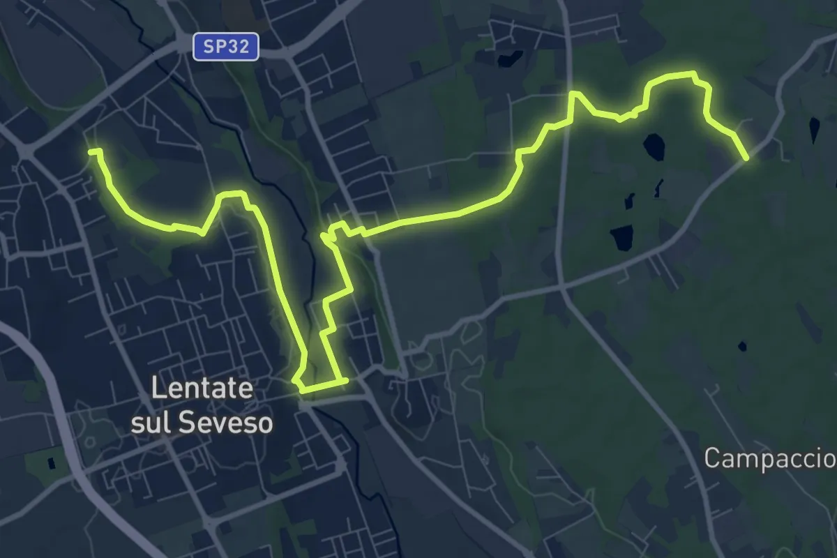
Medium · Trail
Copreno – Boscaccio
13.4 km · ↑ 150 m · 3 h 29 min · 14 km away
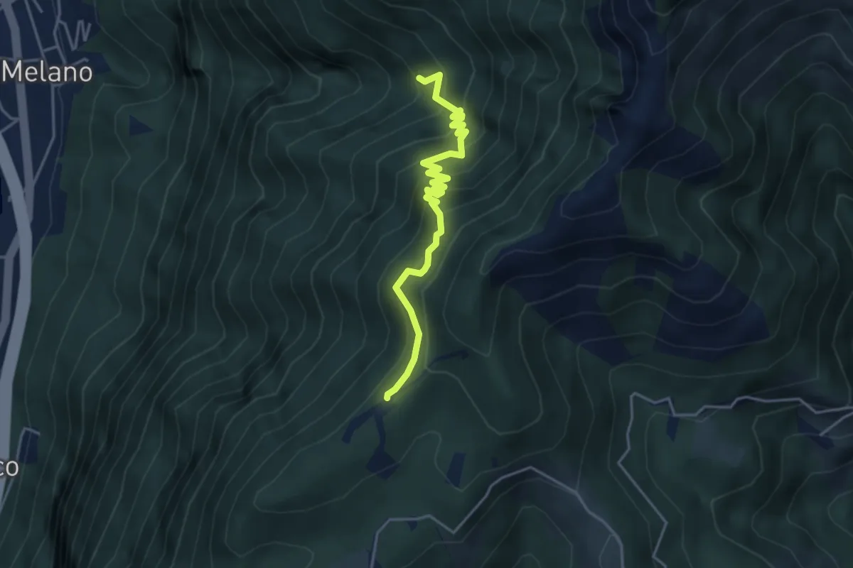
Medium · Trail
Alpe di Melano-Bellavista
4.1 km · ↑ 473 m · 1 h 59 min · 14 km away
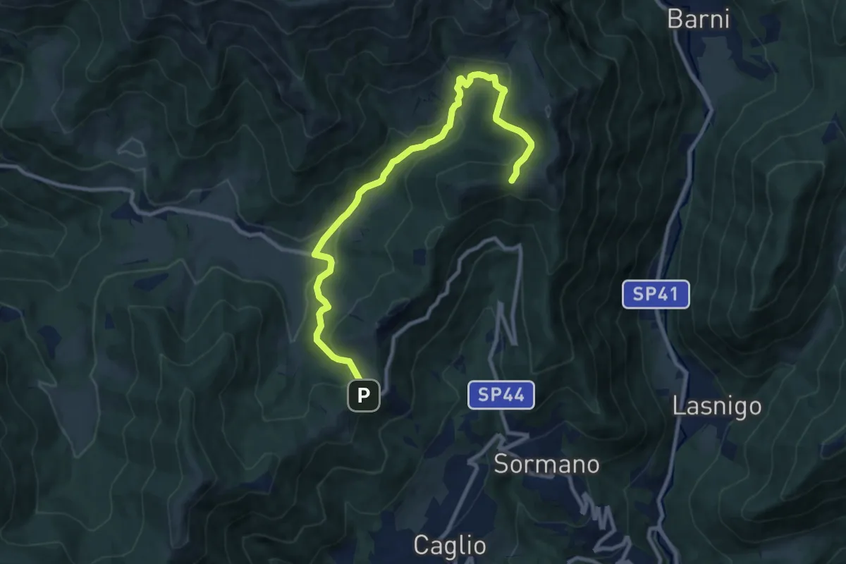
Medium · Trail
Colma di Sormano – Colma del Bosco
10.4 km · ↑ 419 m · 3 h 21 min · 14 km away
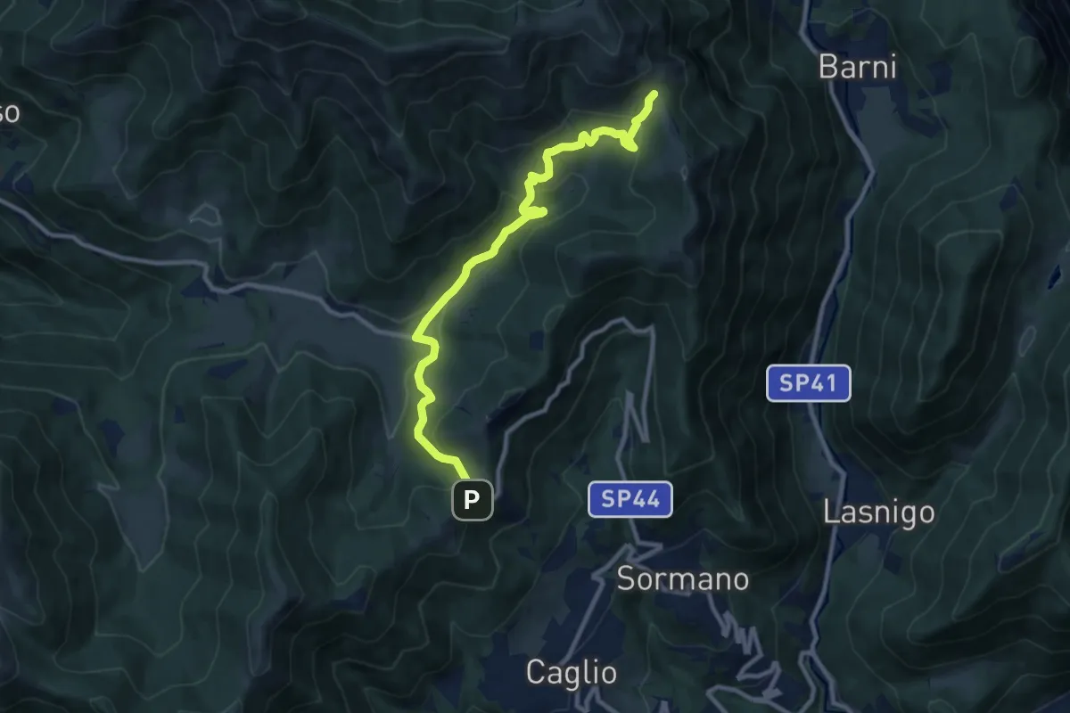
Medium · Trail
Colma di Sormano – Bocchetta di Spessola
10.1 km · ↑ 446 m · 3 h 21 min · 14 km away
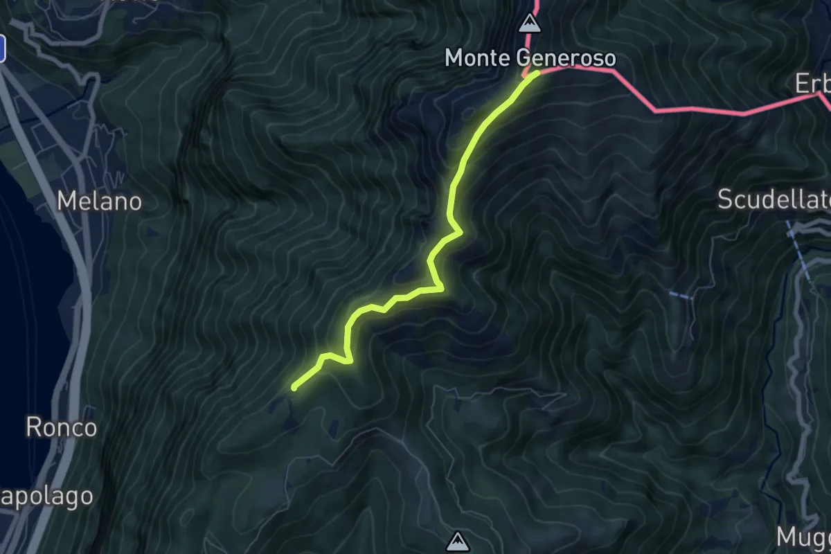
Medium · Trail
Bellavista – M.te Generoso St.ne
5.9 km · ↑ 431 m · 2 h 20 min · 14 km away
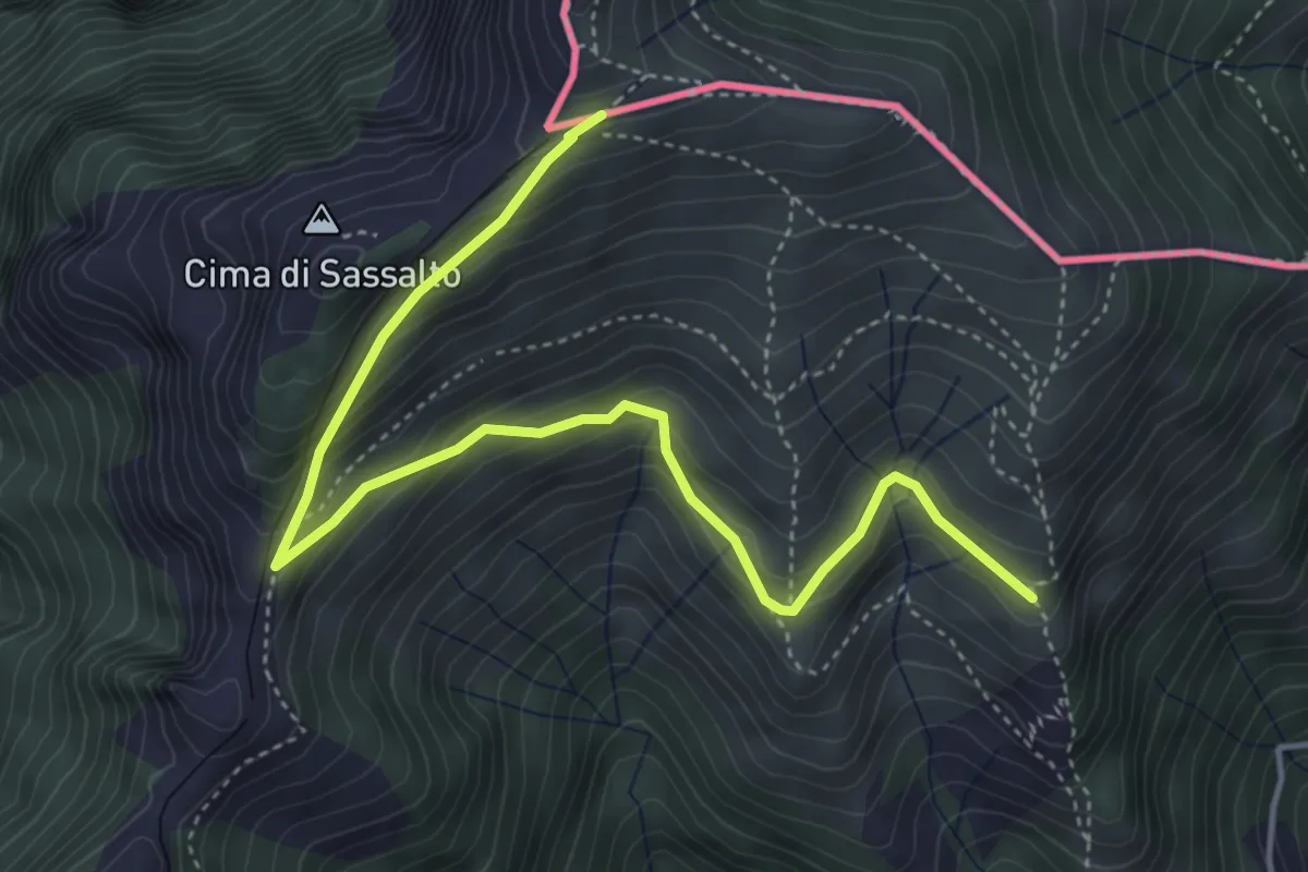
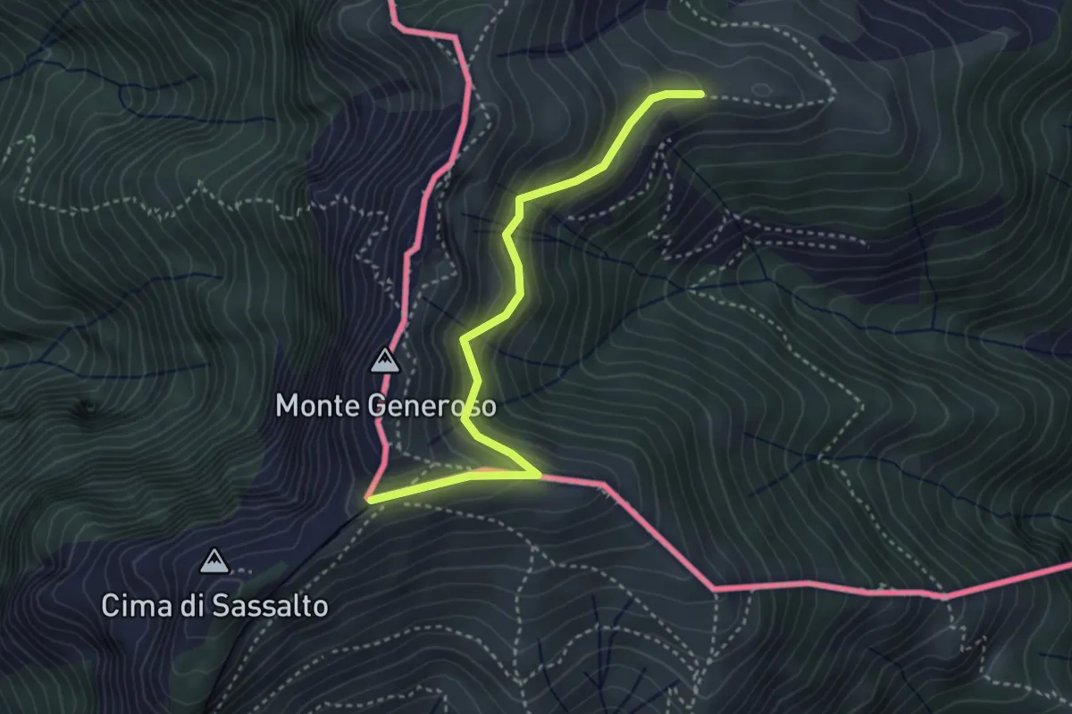
Medium · Trail
Nadigh – M.te Generoso St.ne
5.1 km · ↑ 414 m · 2 h 6 min · 14 km away
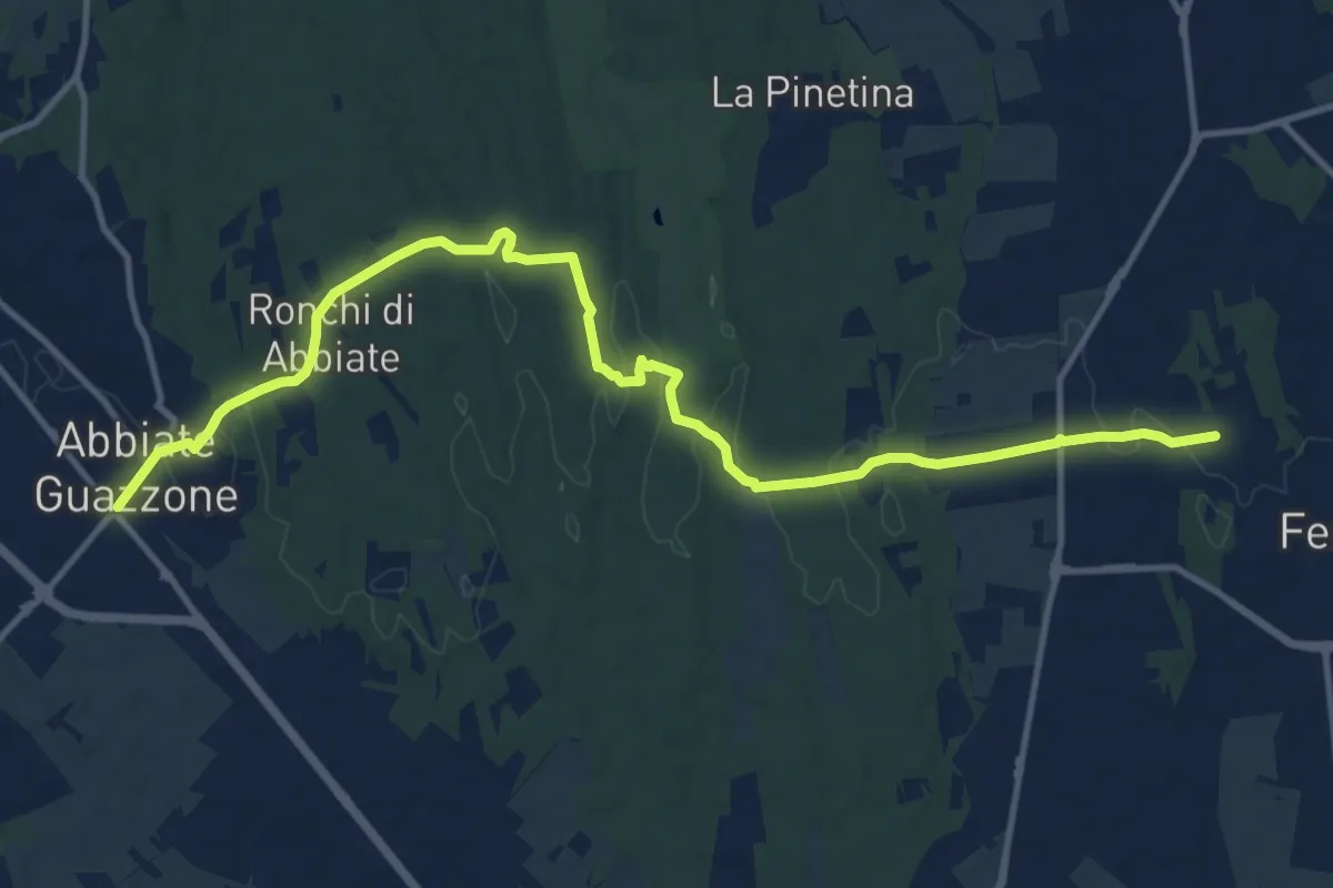
Easy · Trail
Orimento – Monte Generoso
3.5 km · ↑ 299 m · 1 h 28 min · 14 km away
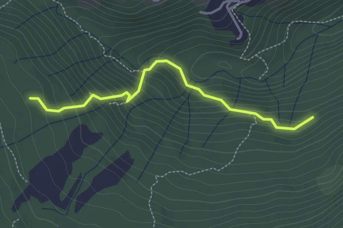
Medium · Trail
Sentiero 844
14.8 km · ↑ 205 m · 3 h 57 min · 14 km away
Medium · Trail
Funghi e boschi di Rezzago – Selva di Rezzago
2.6 km · ↑ 216 m · 1 h 5 min · 14 km away
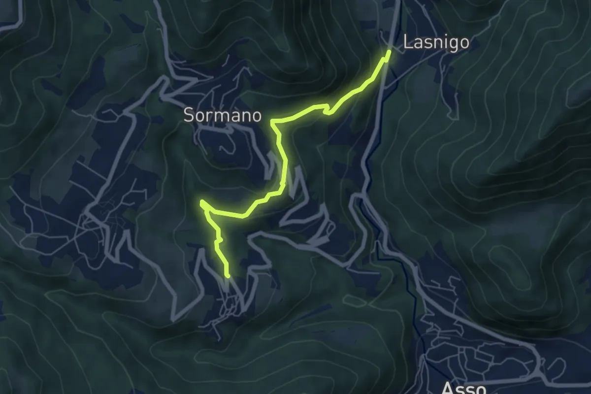
Easy · Trail
Bocchetta di Palanzo – Santi Cosma e Damiano (Rezzago)
5.5 km · ↑ 257 m · 1 h 52 min · 14 km away
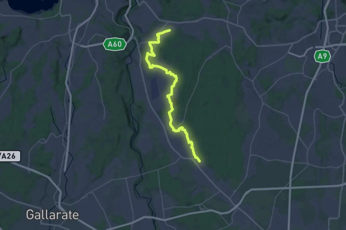
Medium · Trail
Sentiero 540LP
16.5 km · ↑ 81 m · 4 h 21 min · 14 km away
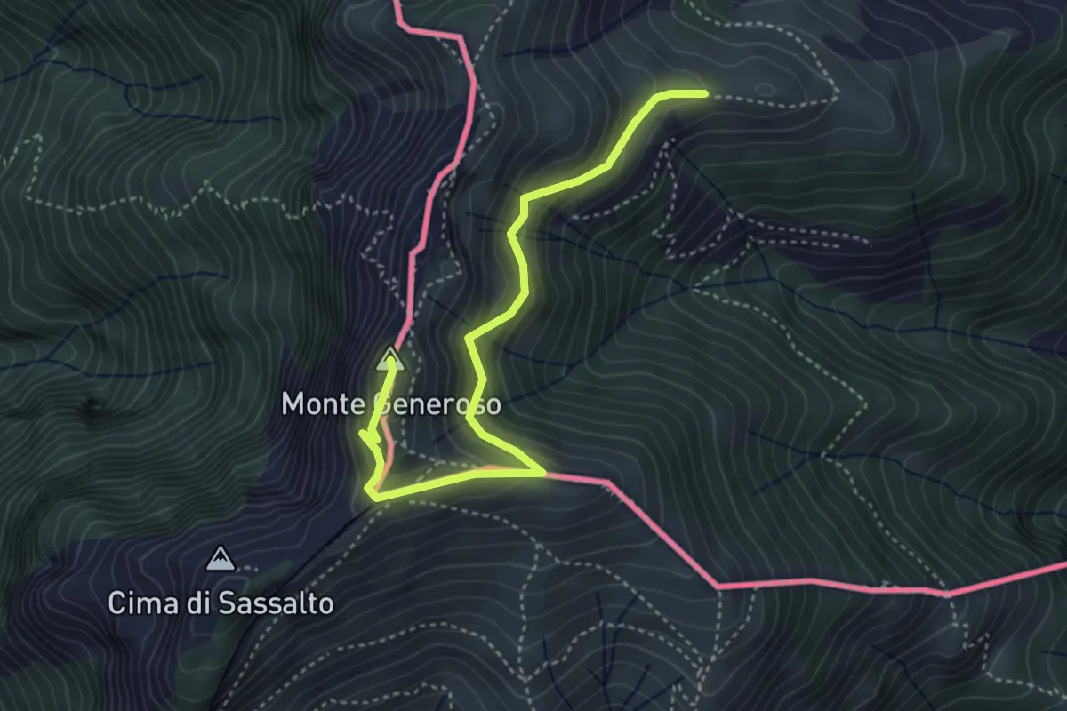
Medium · Summit
Monte Bisbino-Monte Generoso
4.3 km · ↑ 357 m · 1 h 48 min · 15 km away
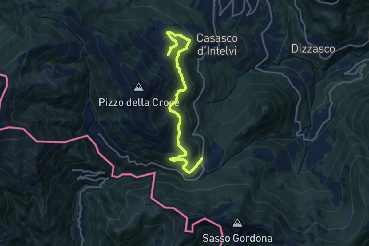
Medium · Trail
Piano delle Alpi – Rifugio Bruno e Giuseppe
10.4 km · ↑ 518 m · 3 h 34 min · 15 km away
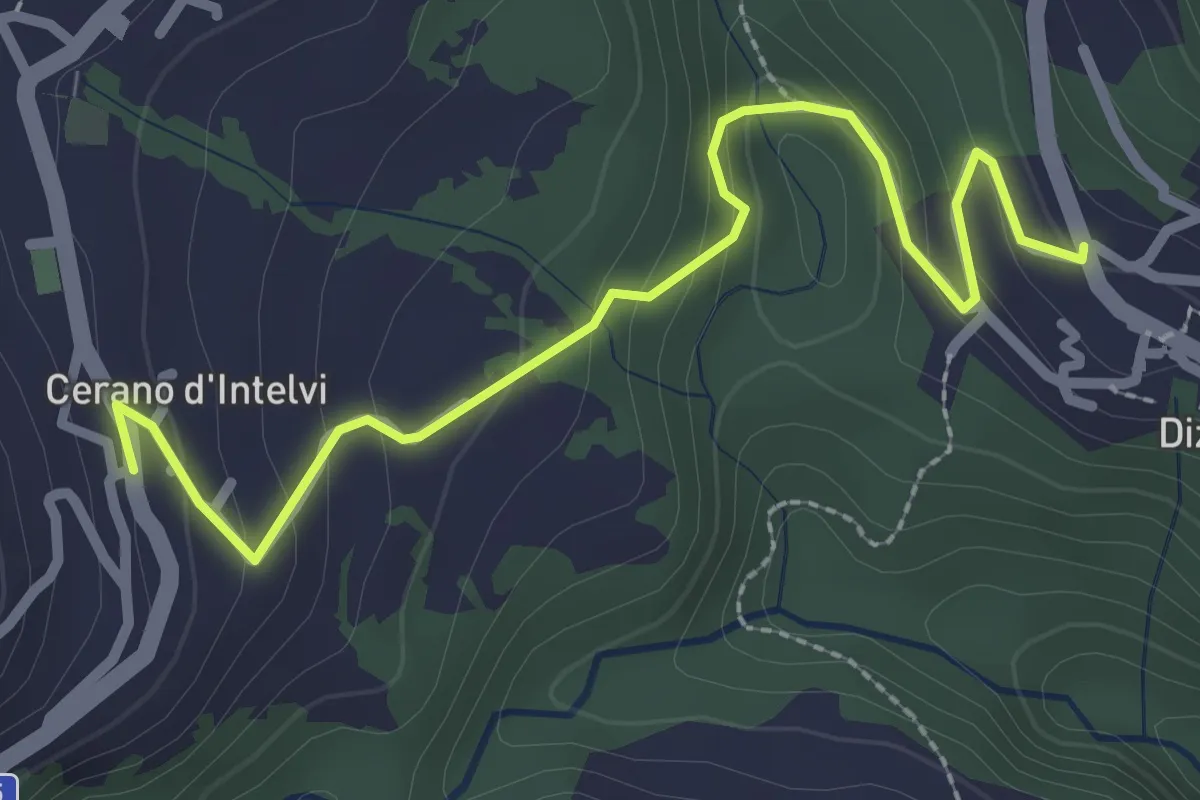
Easy · Trail
Dizzasco – Cerano
2.9 km · ↑ 168 m · 1 h 3 min · 15 km away
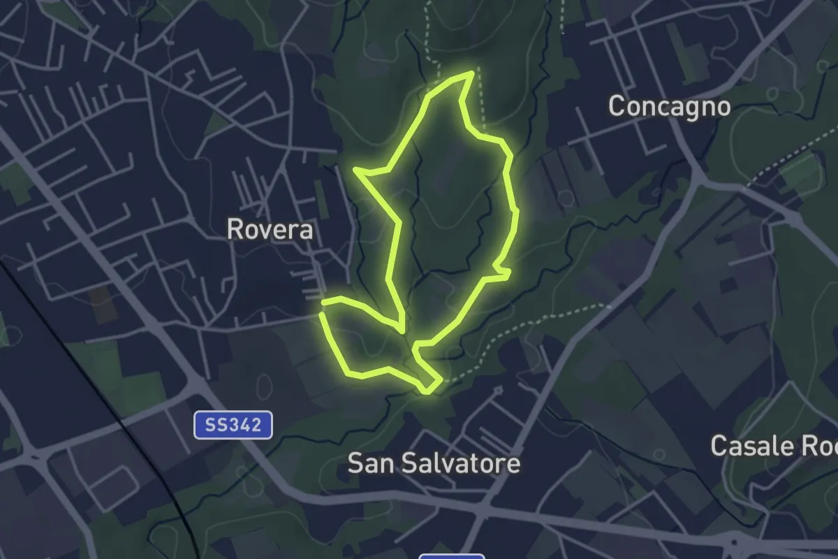
Easy · Trail
Sentiero Quadronna
3.1 km · ↑ 58 m · 54 min · 15 km away
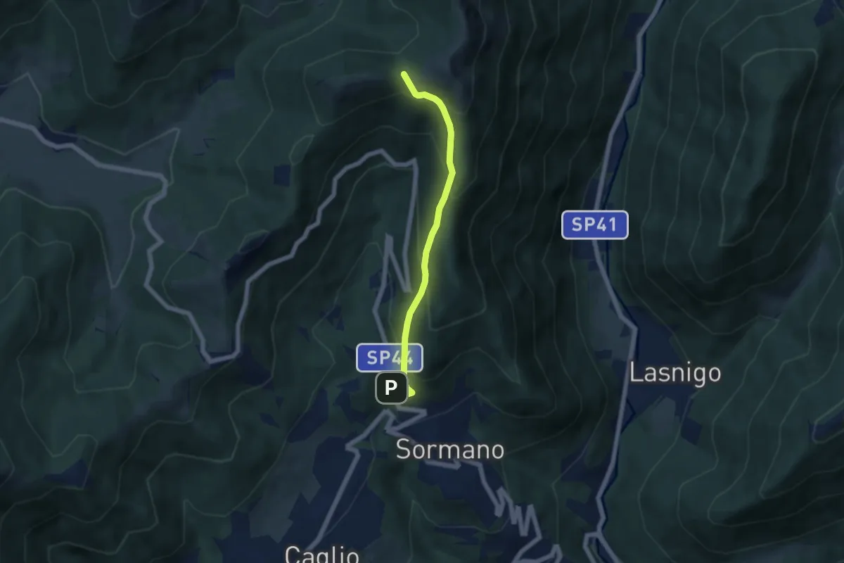
Medium · Trail
Sormano – Colma del Bosco
4.8 km · ↑ 392 m · 1 h 59 min · 15 km away
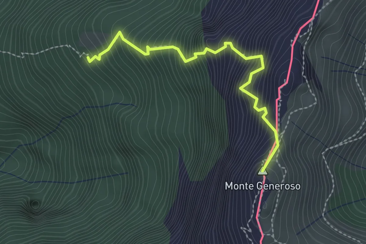
Expert · Summit
Perostabbio – Monte Generoso
2.4 km · ↑ 452 m · 1 h 33 min · 15 km away