Trails near Cornedo Vicentino
104 hikes starting within 15 km, nearest first.
Nearest first, page 1 of 3
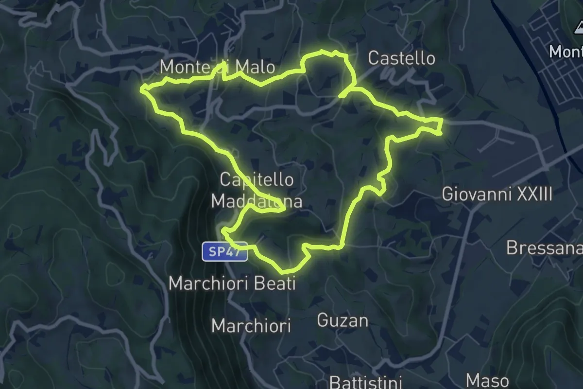
Medium · Trail
Anello del Buso della Rana (variante lunga)
8.0 km · ↑ 317 m · 2 h 42 min · 5 km away
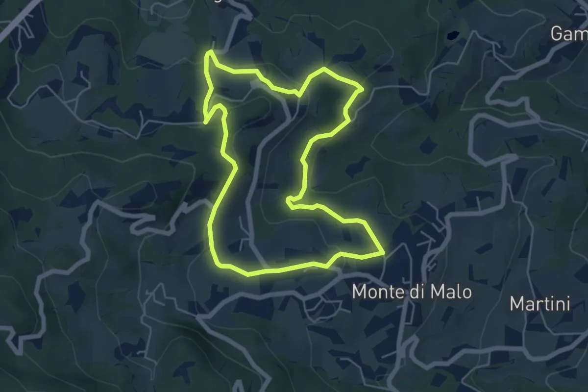
Easy · Trail
Maronari Corto
4.7 km · ↑ 163 m · 1 h 32 min · 7 km away
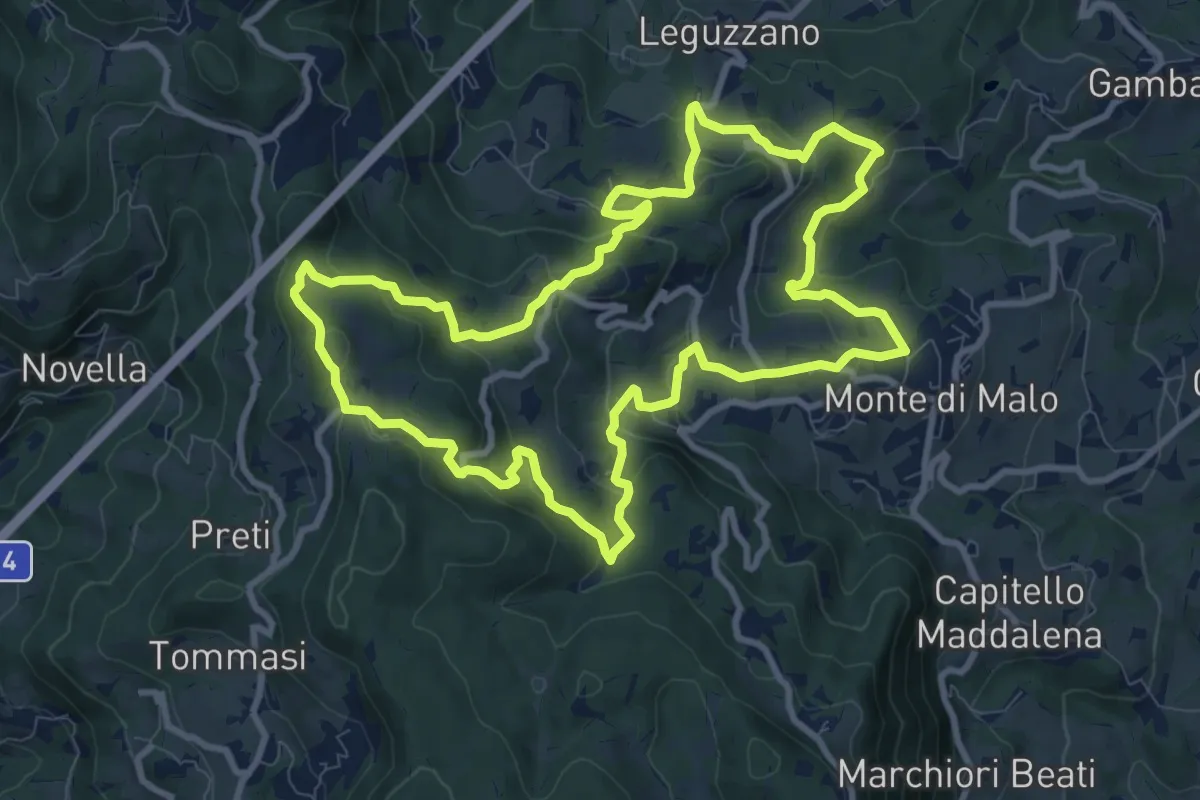
Medium · Trail
Maronari Lungo
10.2 km · ↑ 433 m · 3 h 29 min · 7 km away
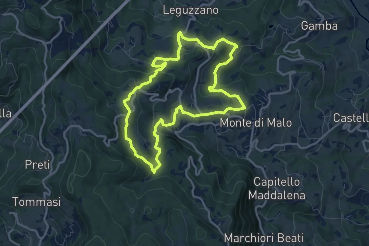
Easy · Trail
Maronari Medio
7.9 km · ↑ 318 m · 2 h 39 min · 7 km away
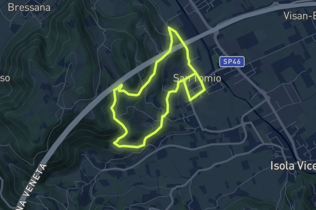
Medium · Trail
Sentiero degli Asini
11.8 km · ↑ 411 m · 3 h 41 min · 7 km away
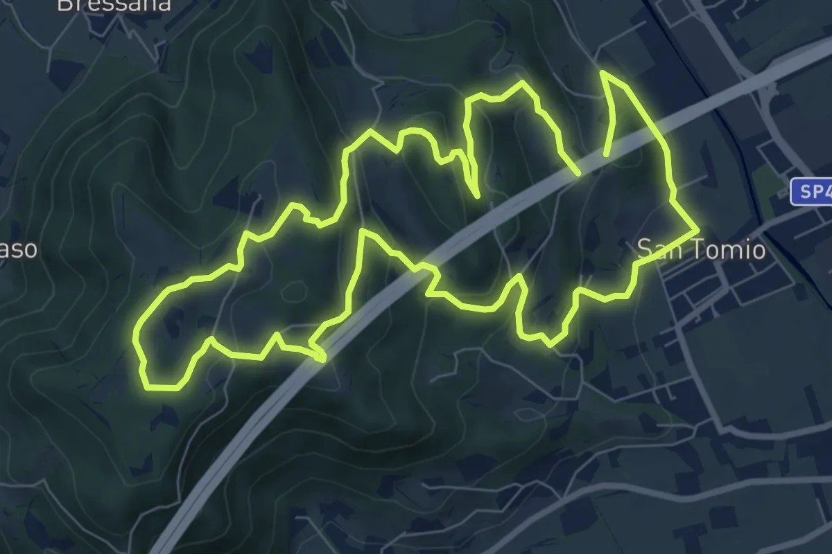
Medium · Trail
Primo sentiero della Memoria (o Dei Capitelli)
8.4 km · ↑ 358 m · 2 h 51 min · 7 km away
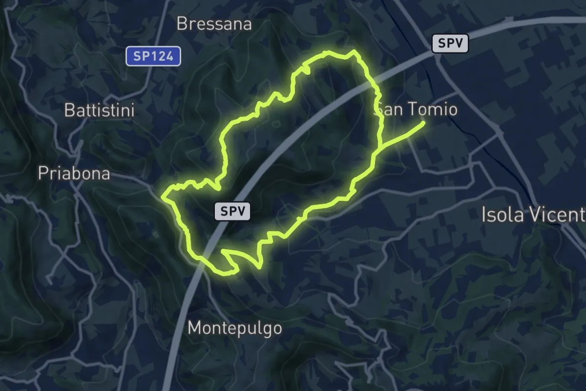
Medium · Trail
Giro panoramico del Monte Pian
10.4 km · ↑ 452 m · 3 h 34 min · 7 km away
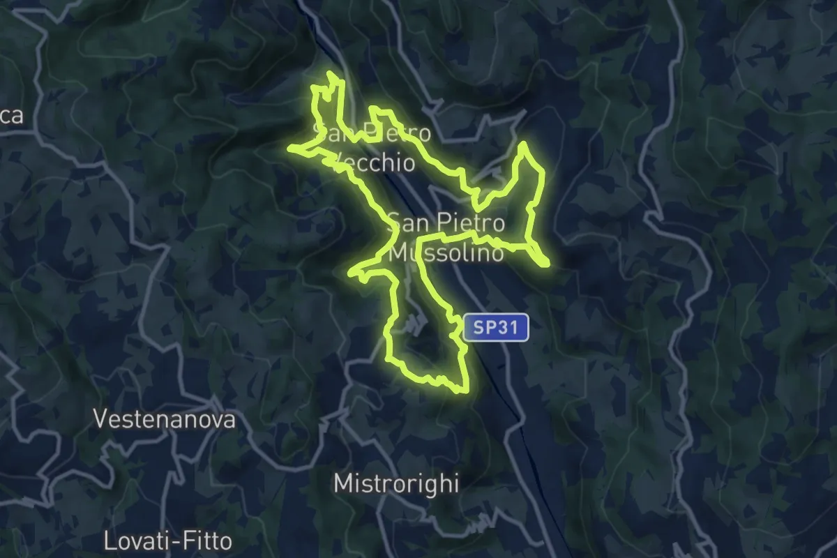
Medium · Trail
Sentiero delle Api
12.1 km · ↑ 757 m · 4 h 40 min · 7 km away
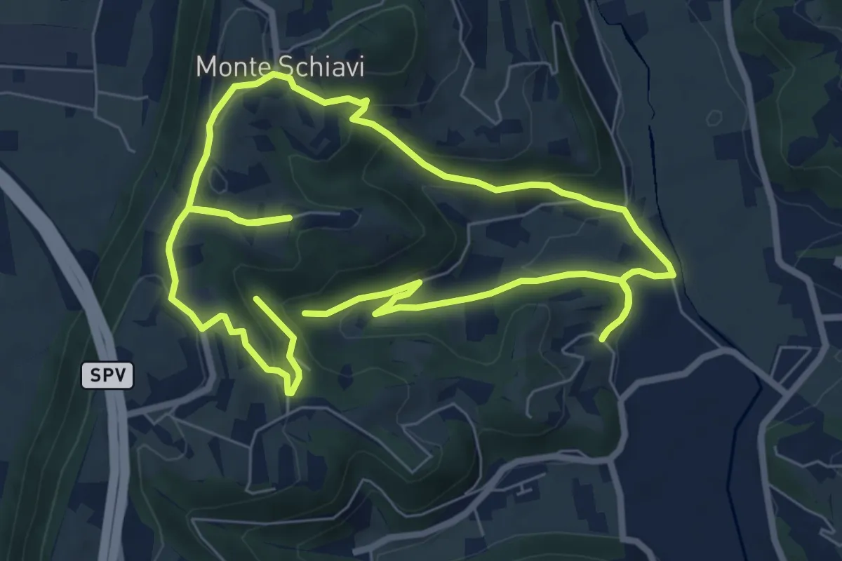
Easy · Trail
12-Maso, Vallarona, Monteschiavi, Valle del Podestà
6.9 km · ↑ 232 m · 2 h 15 min · 7 km away
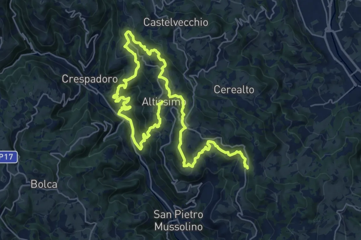
Medium · Summit
Sentiero delle Contrade di Altissimo
15.6 km · ↑ 780 m · 5 h 35 min · 7 km away
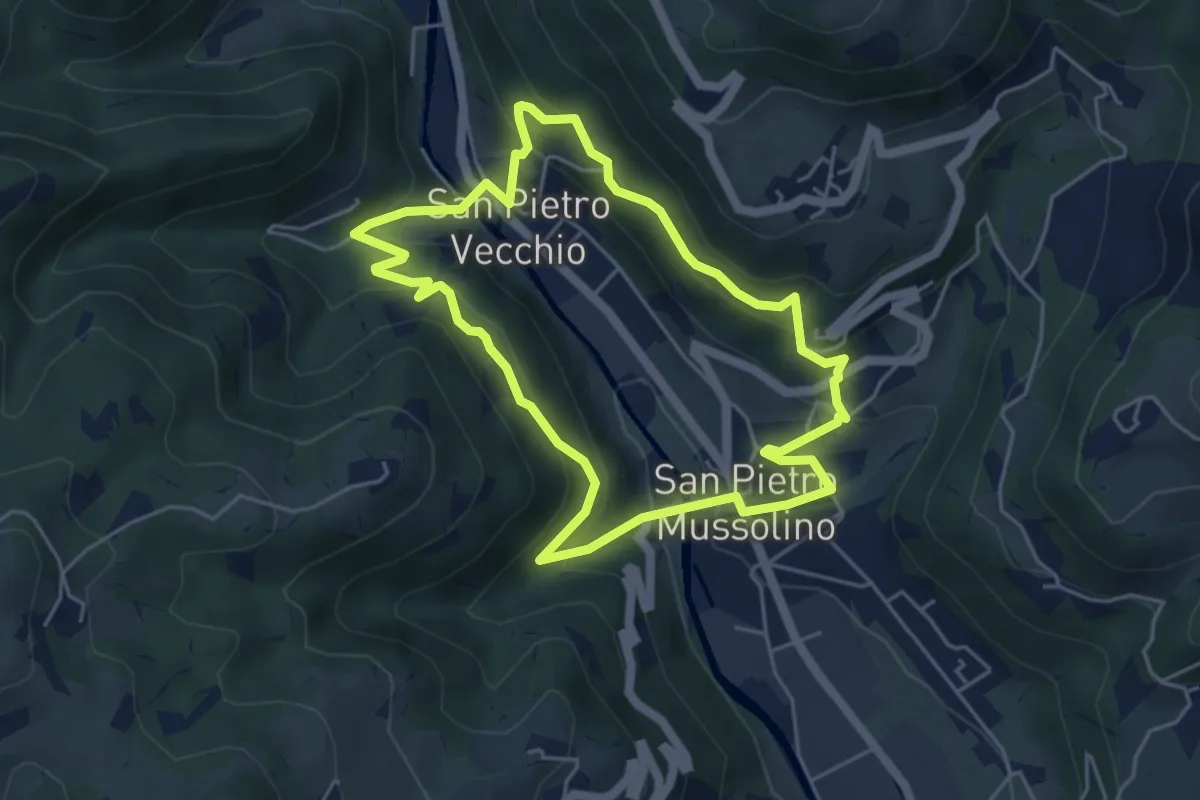
Medium · Trail
Sentiero Amico
4.8 km · ↑ 323 m · 1 h 54 min · 8 km away
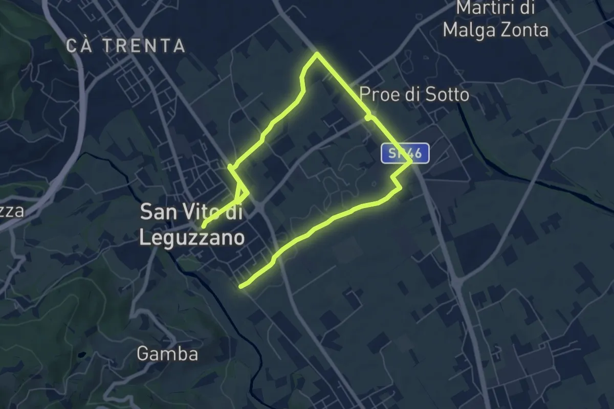
Medium · Trail
Sentiero dei campi
10.4 km · ↑ 17 m · 2 h 29 min · 8 km away
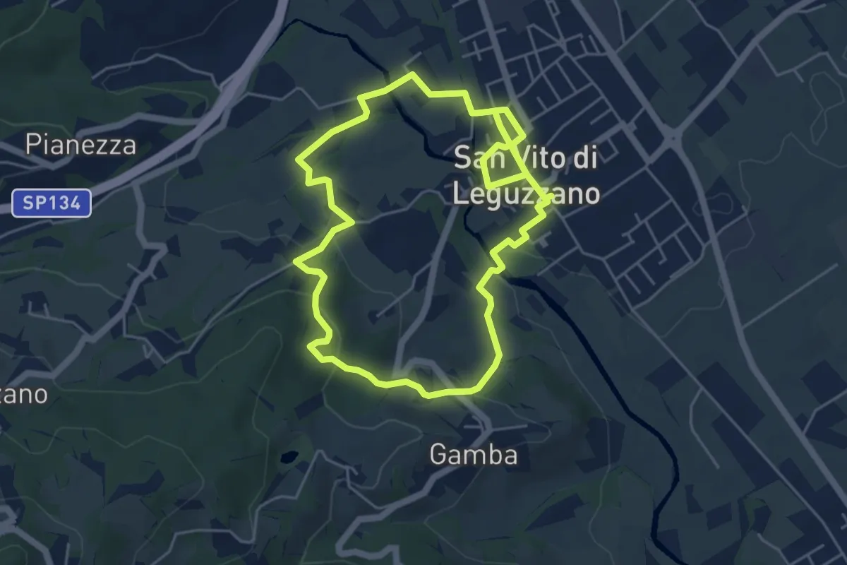
Easy · Trail
Sentiero Natura - Percorso 2 (verde)
4.7 km · ↑ 122 m · 1 h 27 min · 8 km away
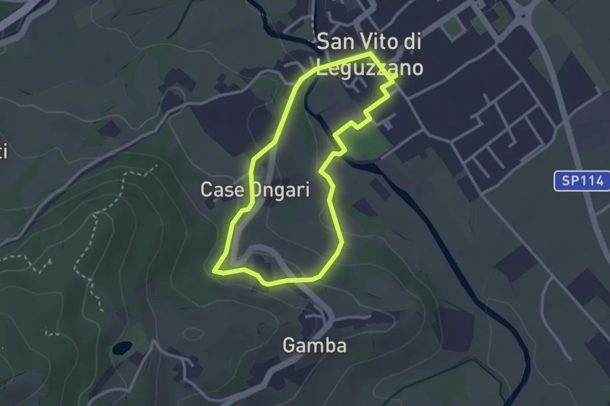
Easy · Trail
Sentiero Natura - Percorso 3 (giallo)
2.6 km · ↑ 70 m · 48 min · 8 km away
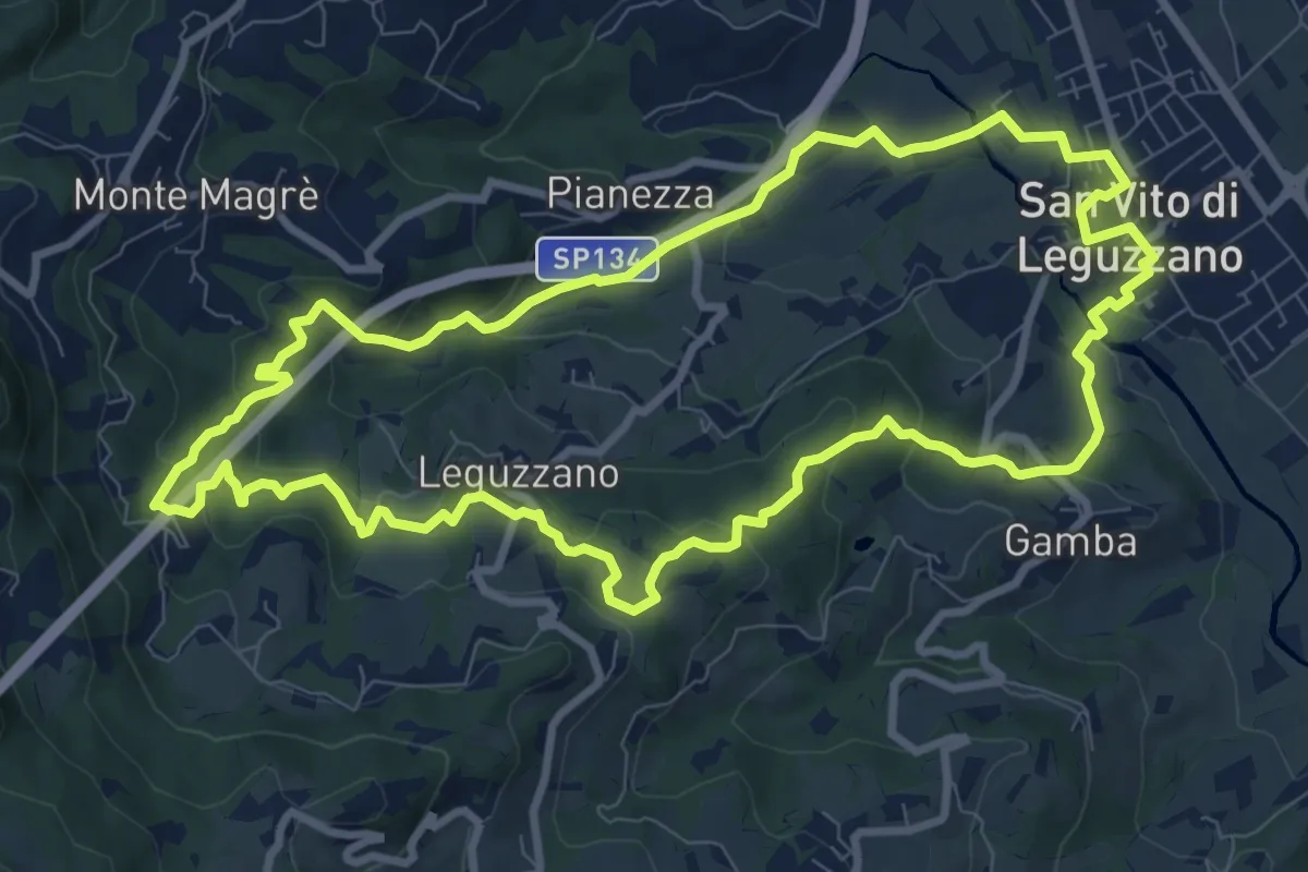
Medium · Trail
Sentiero natura percorso 1 (rosso)
9.9 km · ↑ 375 m · 3 h 17 min · 8 km away
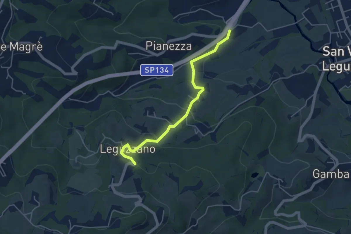
Easy · Trail
Sentiero Natura - Variante Percorso 1
3.9 km · ↑ 169 m · 1 h 18 min · 8 km away
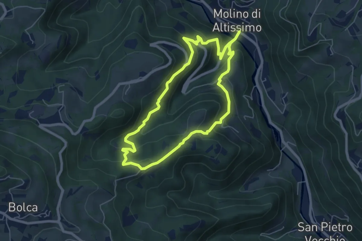
Medium · Trail
Sentiero Pesciaia
5.3 km · ↑ 362 m · 2 h 6 min · 8 km away
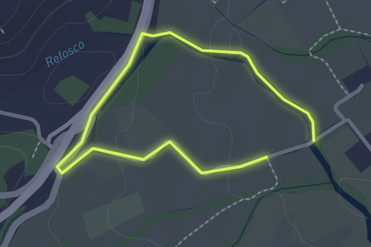
Easy · Trail
Sentiero dell'acqua - Lungo il Refosco
1.4 km · ↑ 22 m · 25 min · 8 km away
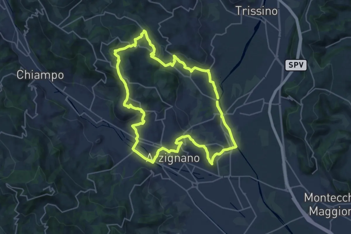
Demanding · Trail
Sentiero Giallo
18.5 km · ↑ 457 m · 5 h 37 min · 8 km away
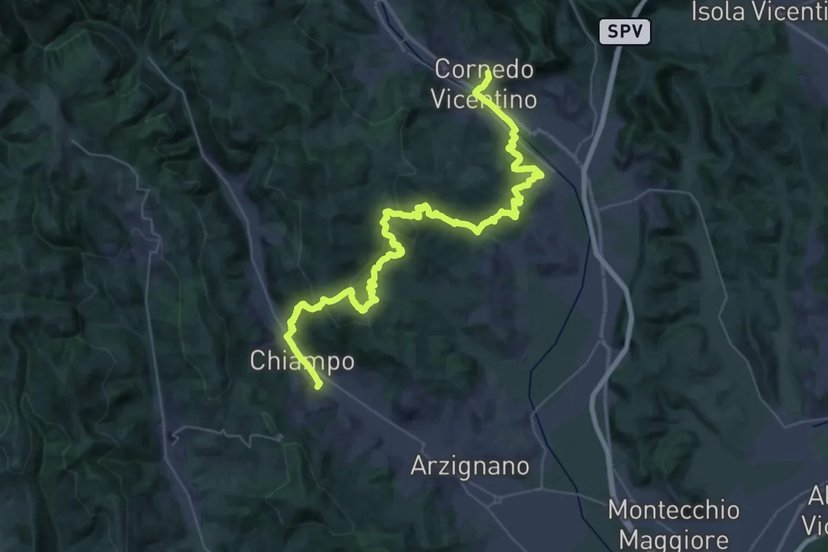
Demanding · Trail
Cammino del Beato Claudio 07
20.9 km · ↑ 810 m · 6 h 57 min · 9 km away
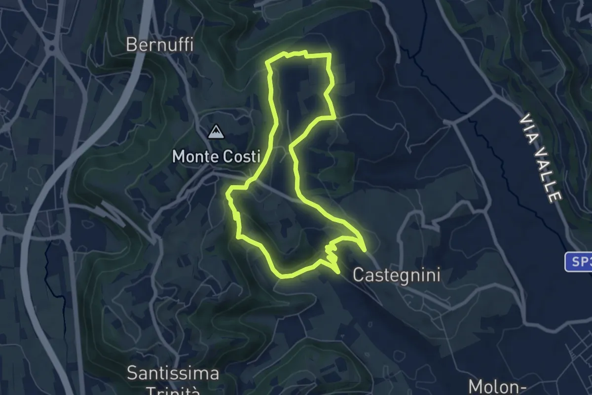
Easy · Trail
11-Carbonara, Vigo e S. Urbano
6.4 km · ↑ 177 m · 1 h 59 min · 9 km away
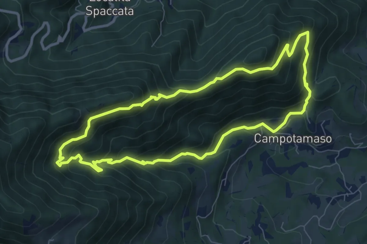
Medium · Summit
Sentiero Gianni Braggion
7.1 km · ↑ 629 m · 3 h 9 min · 9 km away
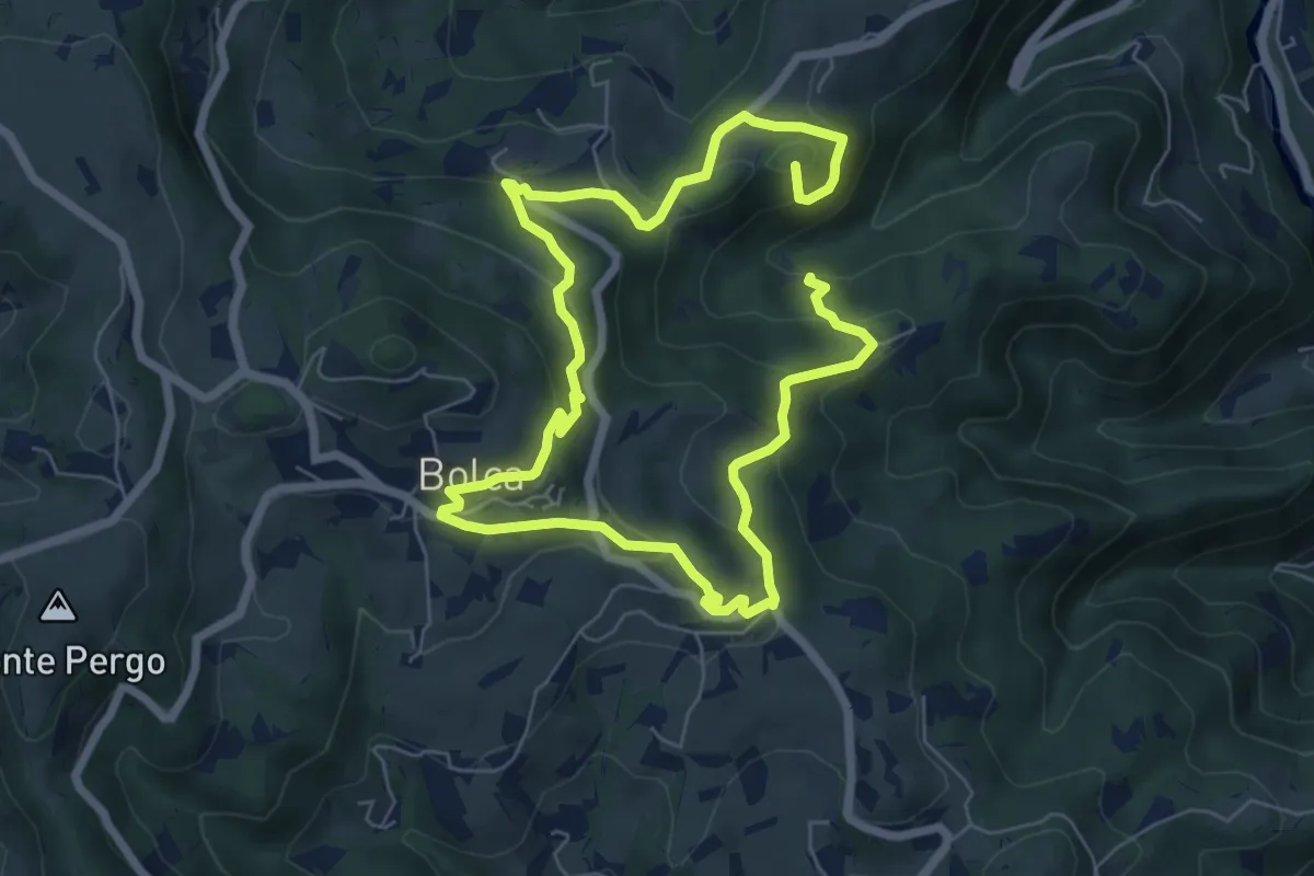
Medium · Summit
I Sentieri di Bolca
11.5 km · ↑ 583 m · 3 h 58 min · 9 km away
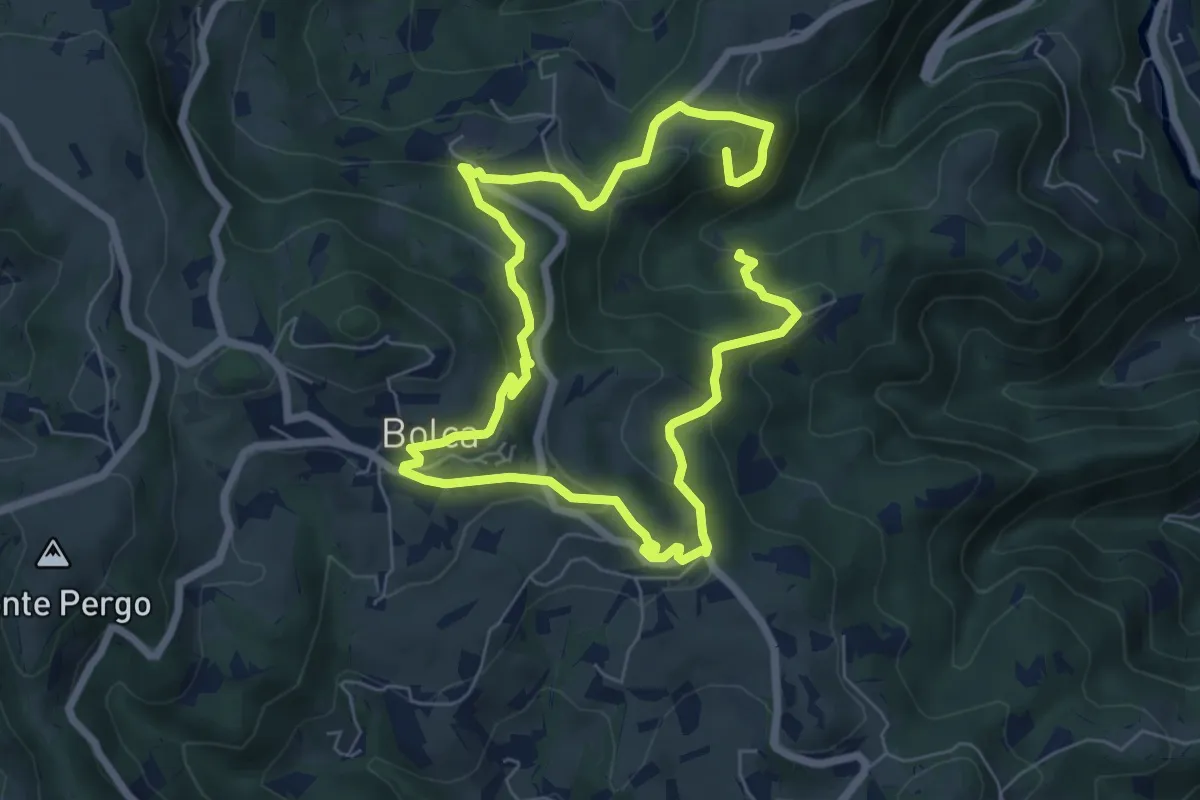
Medium · Summit
Sentiero Viola alla Pessàra
11.5 km · ↑ 583 m · 3 h 58 min · 9 km away
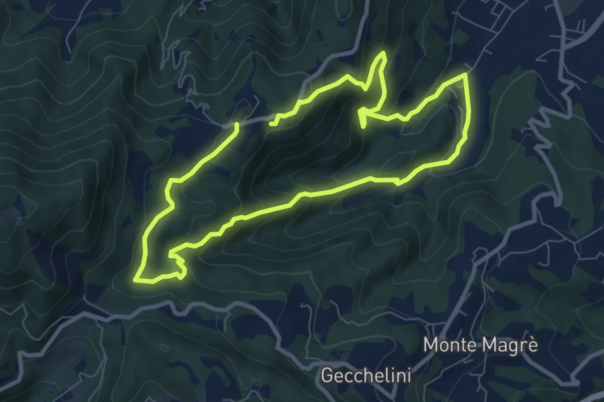
Medium · Trail
Sentiero dell'Alpino
6.6 km · ↑ 380 m · 2 h 29 min · 9 km away
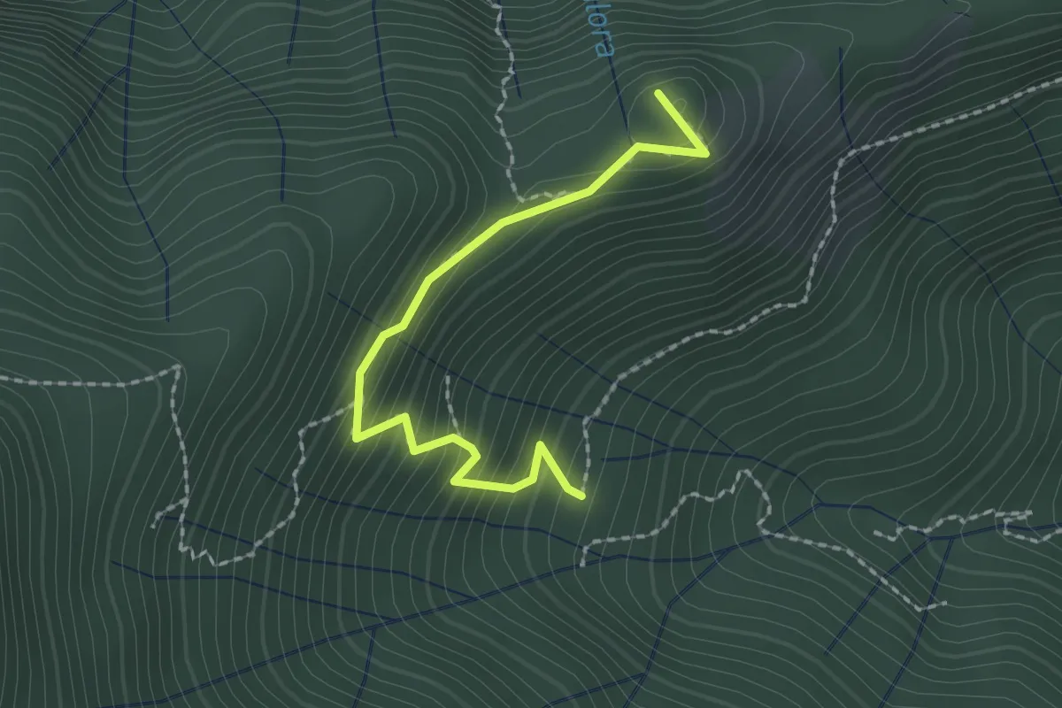
Easy · Trail
Croce dei Castiglieri
2.0 km · ↑ 209 m · 56 min · 10 km away
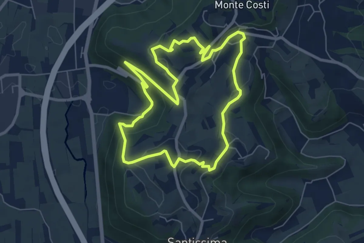
Easy · Trail
06-Sentiero Giaragù e priare di S. Urbano
5.7 km · ↑ 217 m · 1 h 53 min · 10 km away
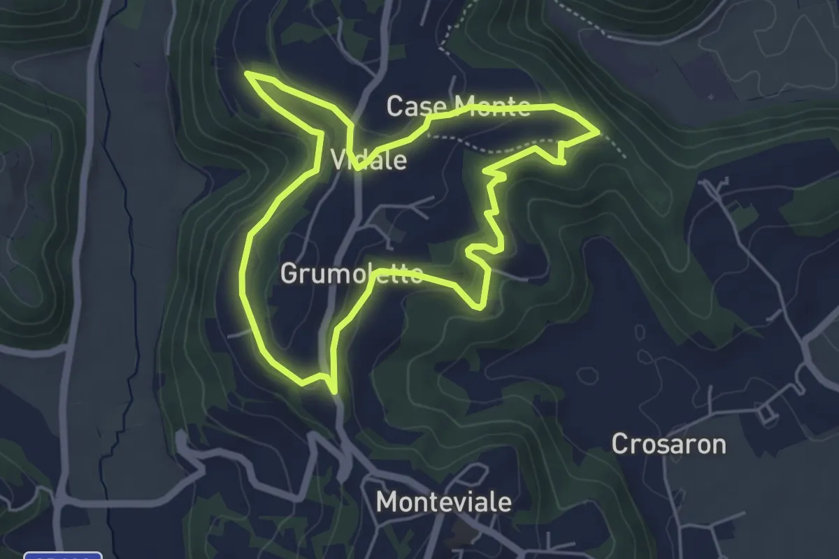
Easy · Trail
Sentiero Vegrolongo - della Sorgente - dell'Ornaro
4.6 km · ↑ 141 m · 1 h 27 min · 10 km away
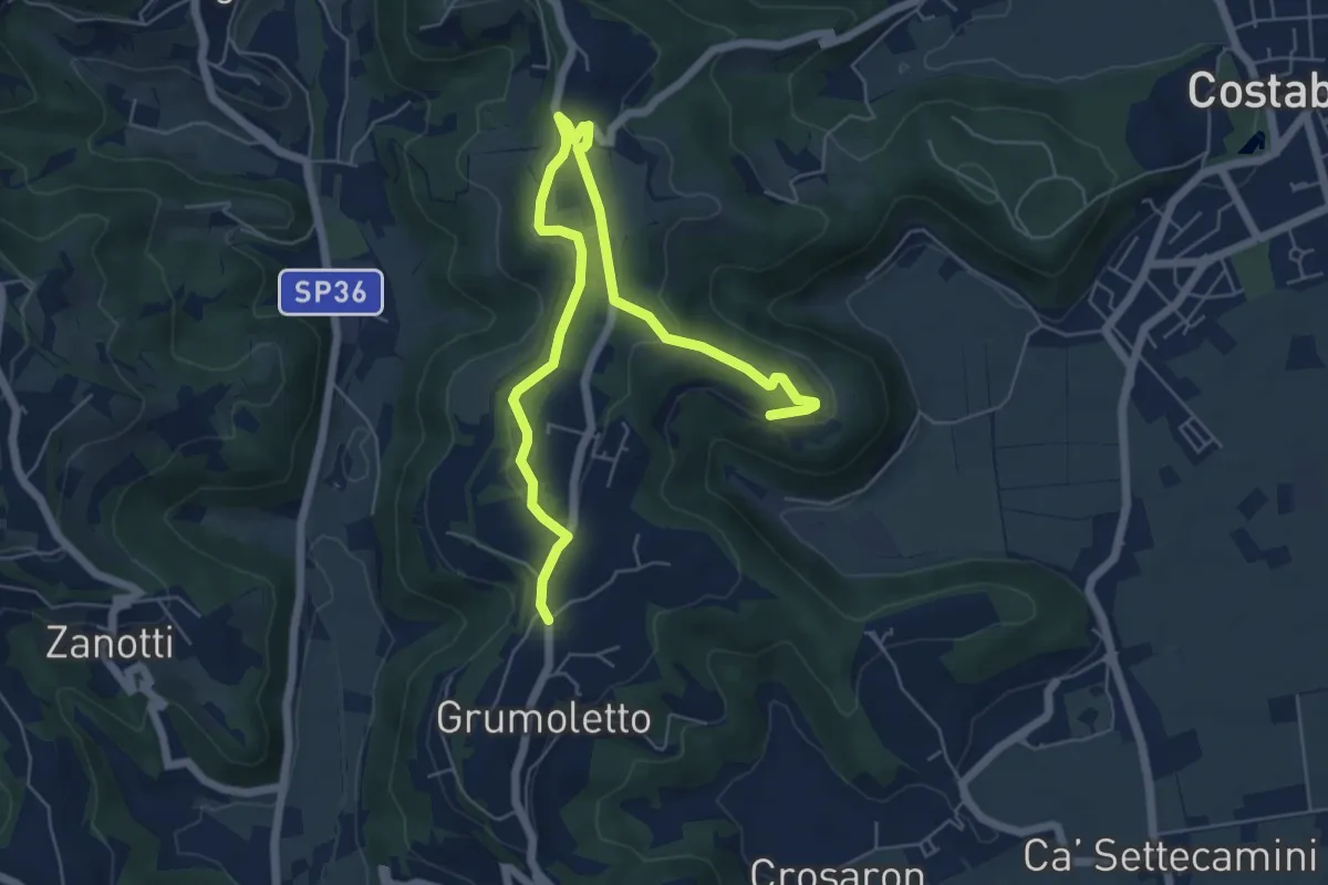
Easy · Trail
Sentiero Strada False
7.5 km · ↑ 173 m · 2 h 9 min · 10 km away
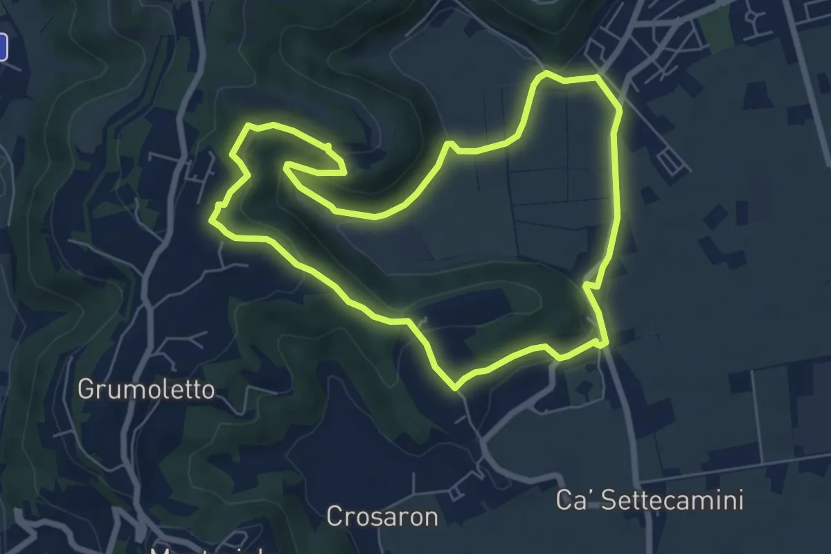
Easy · Trail
Sentiero del Perozzo
6.2 km · ↑ 160 m · 1 h 53 min · 10 km away
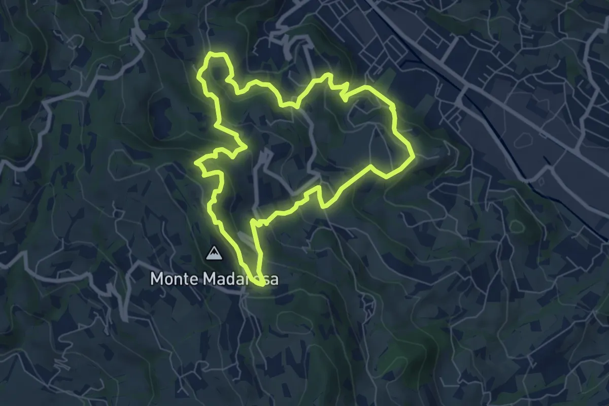
Medium · Summit
Il Sentiero delle Marogne
7.0 km · ↑ 385 m · 2 h 35 min · 10 km away
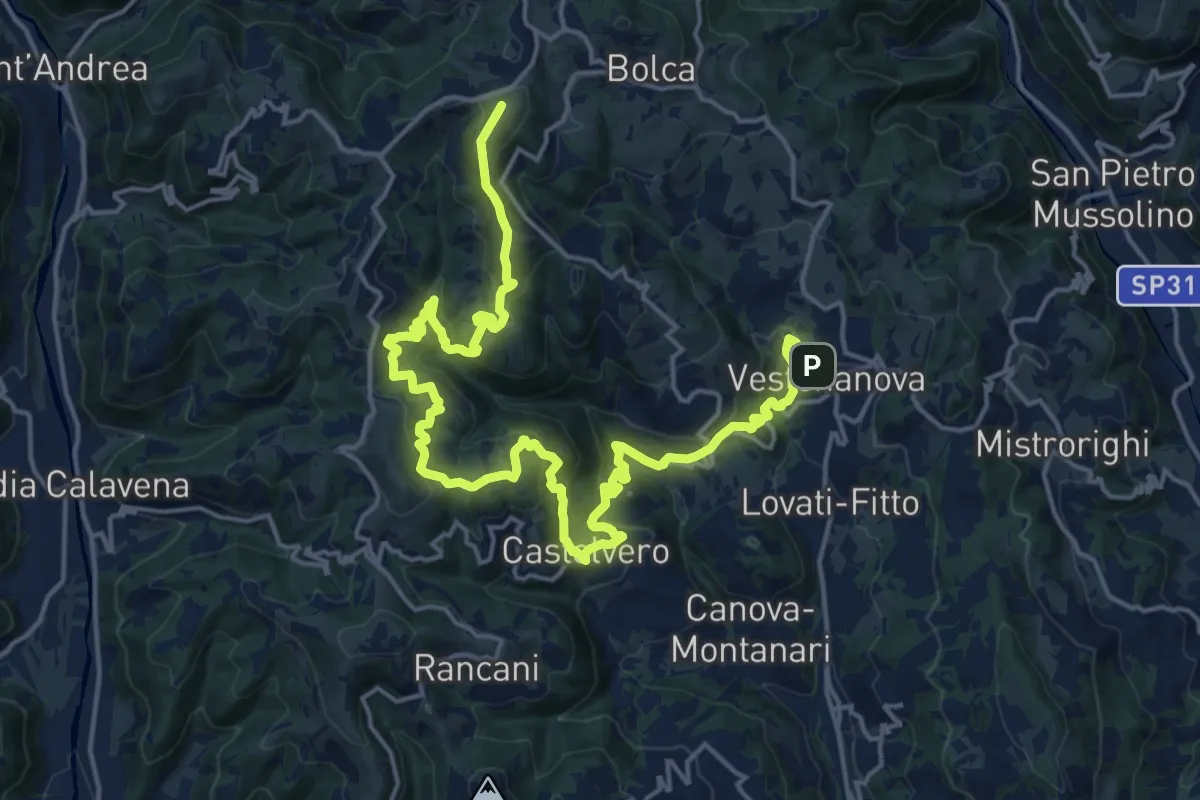
Demanding · Summit
Percorso dei sette vulcani tappa 2
25.0 km · ↑ 1222 m · 8 h 33 min · 10 km away
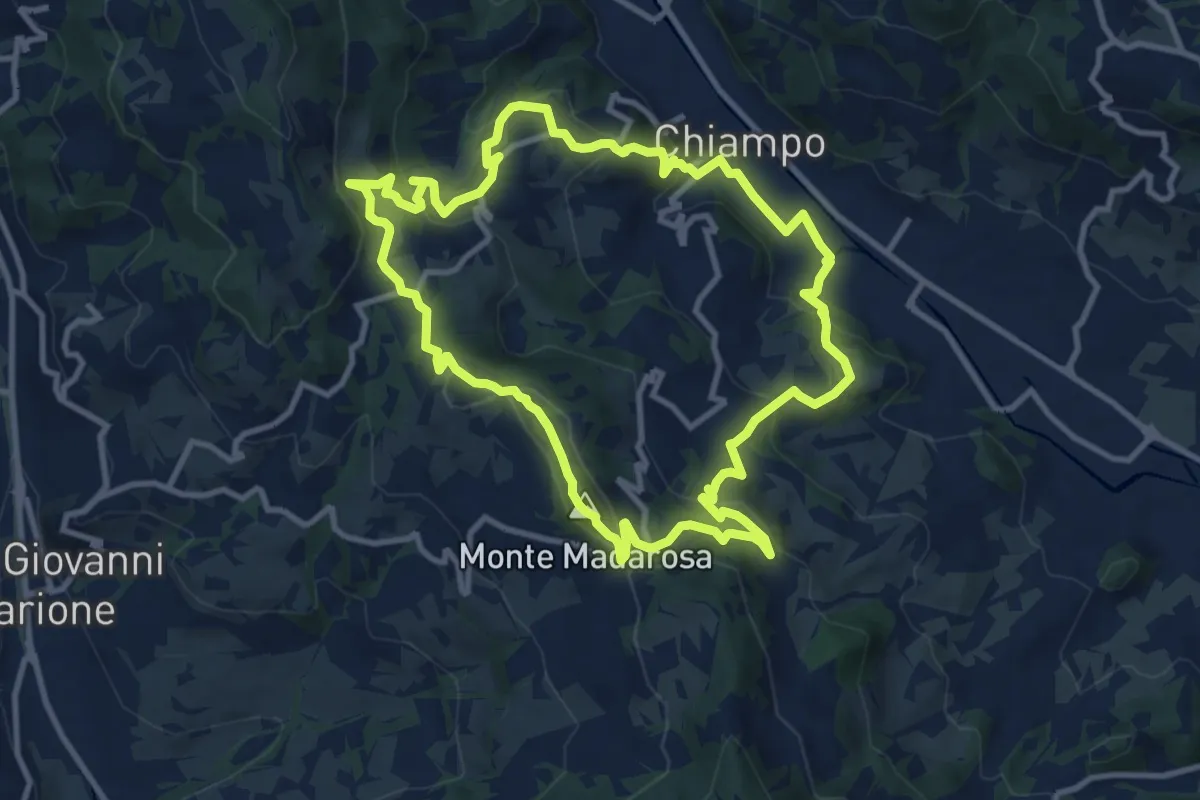
Medium · Summit
Il Sentiero delle Marogne 2
10.8 km · ↑ 479 m · 3 h 45 min · 10 km away
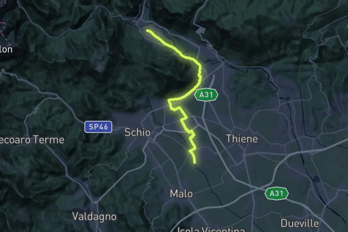
Demanding · Trail
Cammino Fogazzaro Roi - Tappa 3
20.3 km · ↑ 284 m · 5 h 37 min · 10 km away
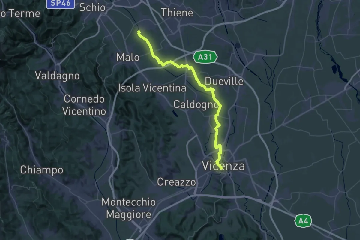
Demanding · Trail
Cammino Fogazzaro Roi - Tappa 2
25.1 km · ↑ 17 m · 6 h 21 min · 10 km away
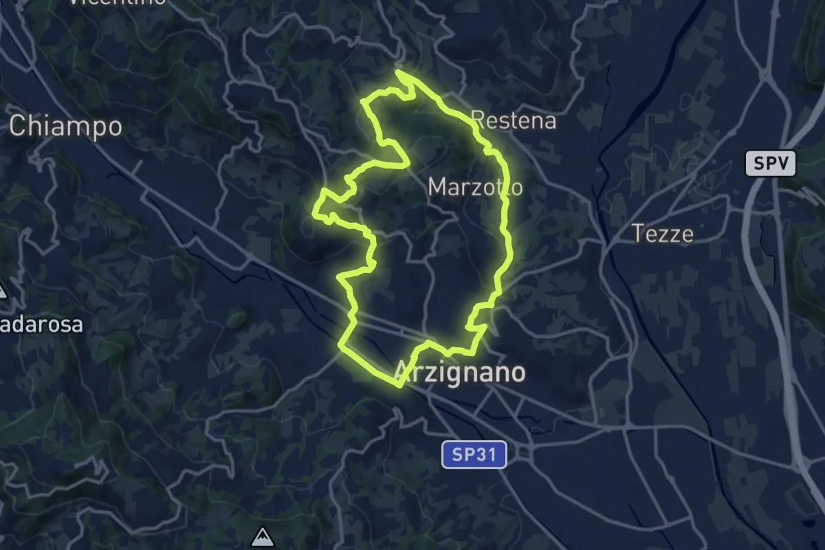
Medium · Trail
Sentiero Arancio
12.8 km · ↑ 382 m · 4 h 2 min · 10 km away
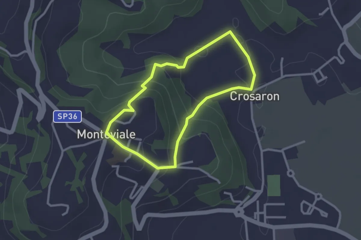
Easy · Trail
Sentiero del Cornugio
2.2 km · ↑ 113 m · 47 min · 11 km away
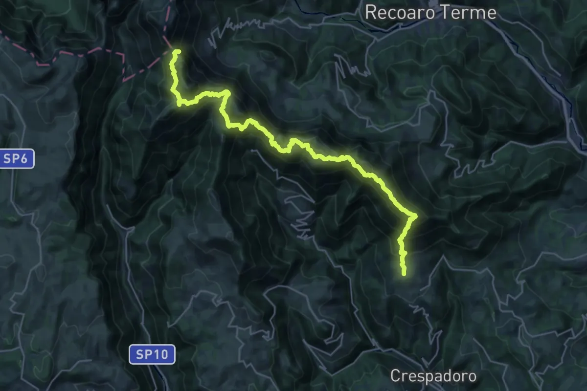
Demanding · Summit
Sentiero Francesco Milani
26.9 km · ↑ 2051 m · 10 h 48 min · 11 km away
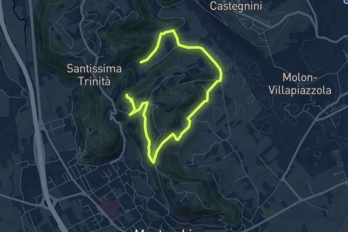
Easy · Summit
04-Bastia e Campestrini
4.8 km · ↑ 201 m · 1 h 36 min · 11 km away
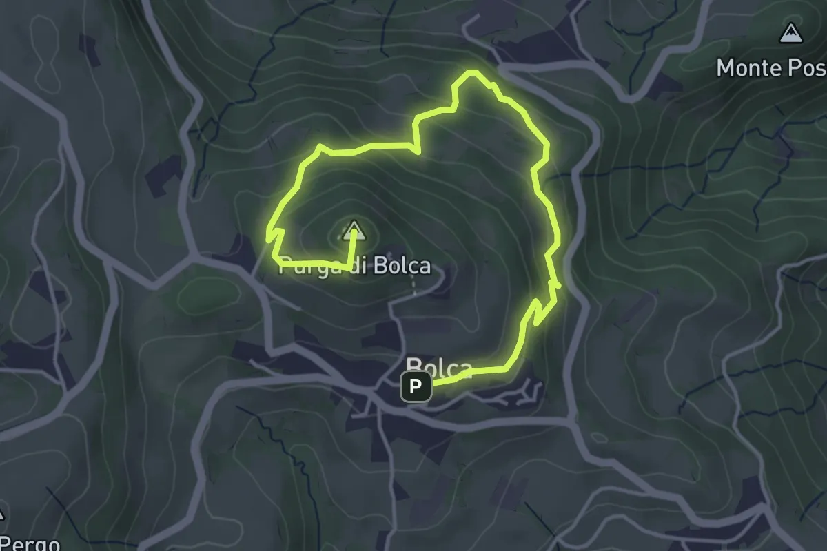
Easy · Summit
Sentiero Blu - Giro del Monte Purga
5.4 km · ↑ 305 m · 1 h 56 min · 11 km away
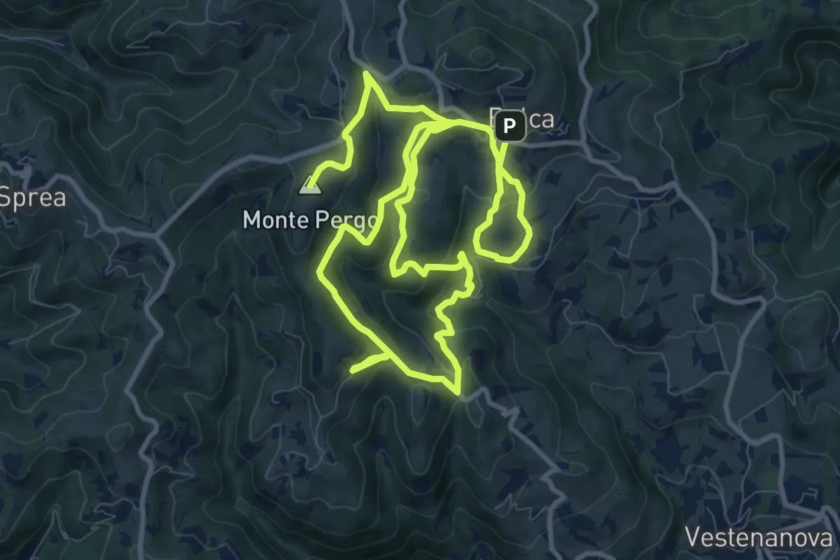
Demanding · Summit
Sentiero Verde - Monte Pergo
18.9 km · ↑ 827 m · 6 h 16 min · 11 km away
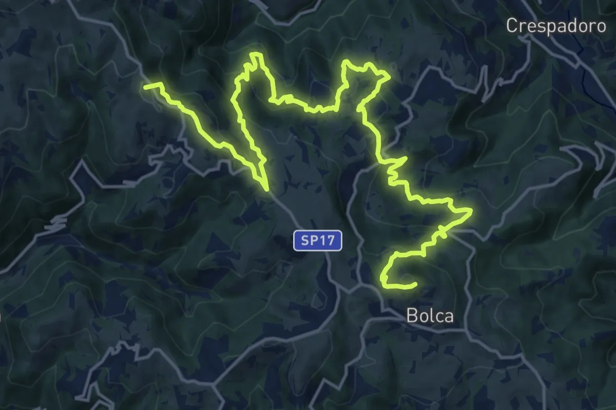
Demanding · Summit
Percorso dei sette vulcani tappa 3
21.2 km · ↑ 1175 m · 7 h 34 min · 11 km away
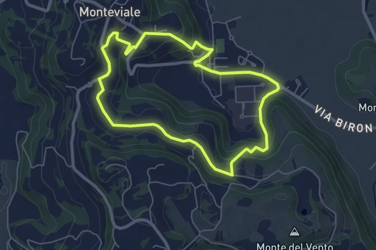
Easy · Trail
Sentiero Canestrello
4.5 km · ↑ 143 m · 1 h 26 min · 11 km away
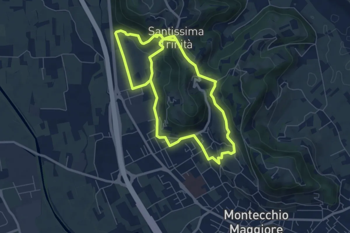
Easy · Summit
03-Strada Carpiana e valle San Clemente
6.4 km · ↑ 305 m · 2 h 13 min · 11 km away
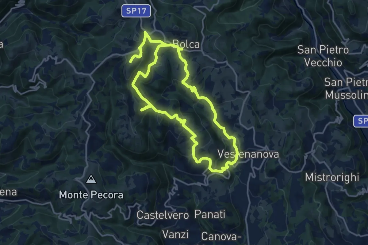
Demanding · Summit
Sentiero Arancione - Le 3 croci di Celestino Baldo
22.9 km · ↑ 1103 m · 7 h 48 min · 11 km away
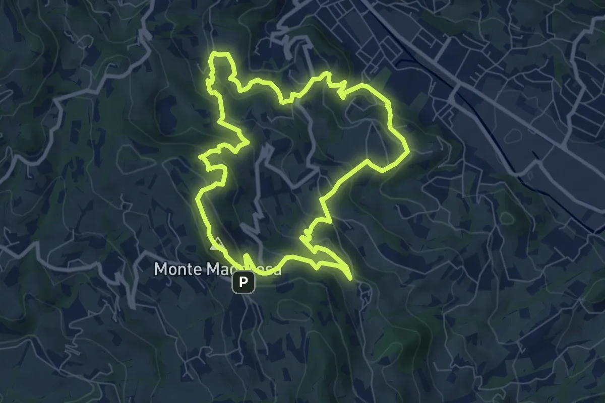
Medium · Summit
Il Sentiero delle Marogne 1
8.1 km · ↑ 433 m · 2 h 58 min · 11 km away
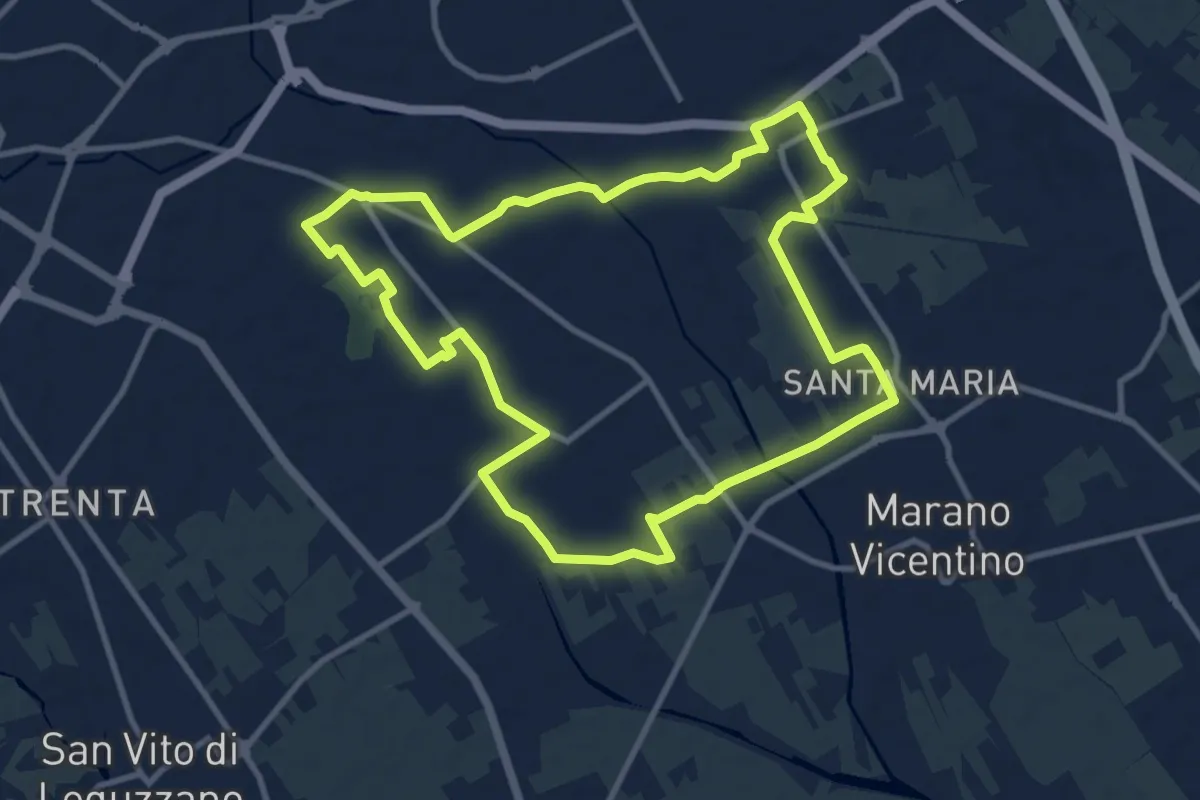
Medium · Trail
Agritour dea Molonara (percorso azzurro)
10.8 km · ↑ 35 m · 2 h 46 min · 11 km away
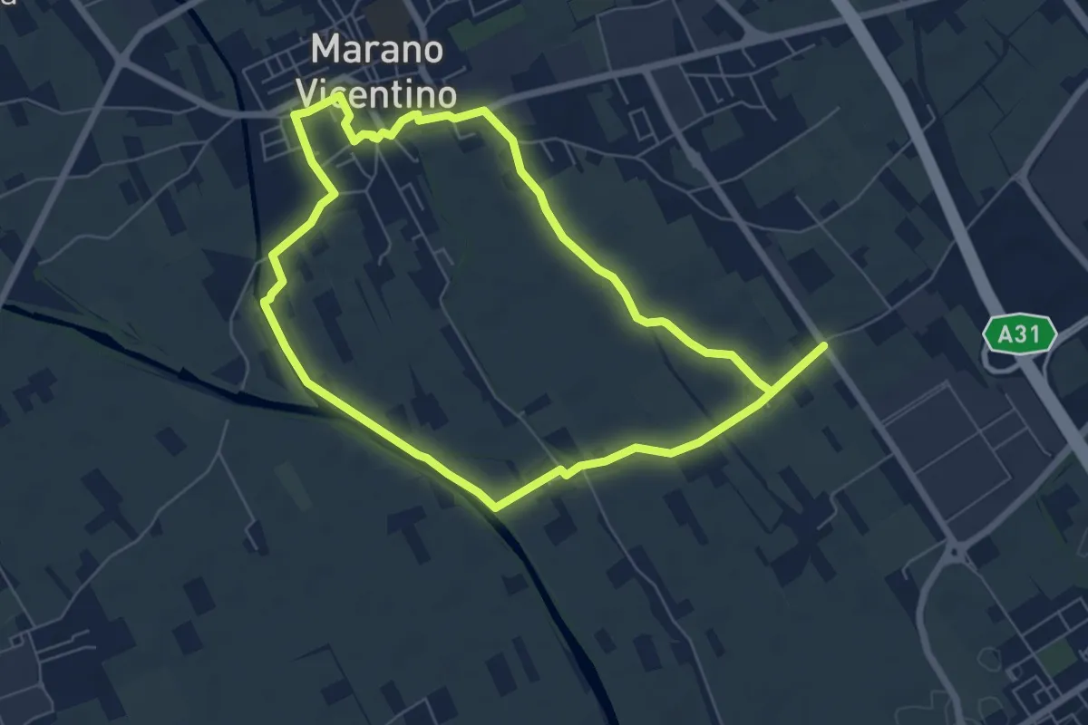
Easy · Trail
Agritour dea Molonara (percorso verde)
6.4 km · ↑ 17 m · 1 h 39 min · 11 km away