Trails near Cornedo Vicentino
104 hikes starting within 15 km, nearest first.
Nearest first, page 2 of 3
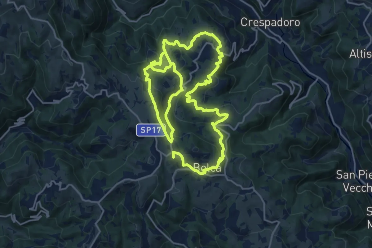
Demanding · Summit
Sentiero Ciclamino - Contrade Nord
25.3 km · ↑ 1117 m · 8 h 23 min · 11 km away
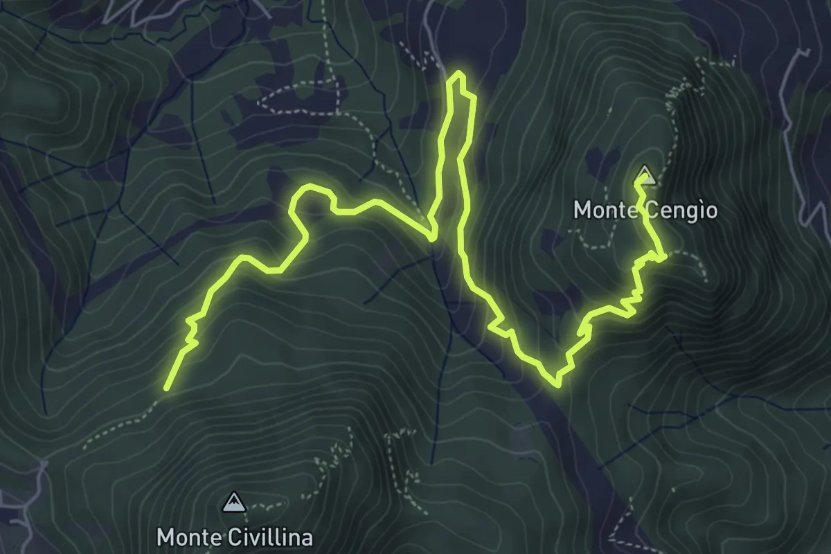
Medium · Summit
Sentiero del Singio
8.2 km · ↑ 569 m · 3 h 11 min · 12 km away
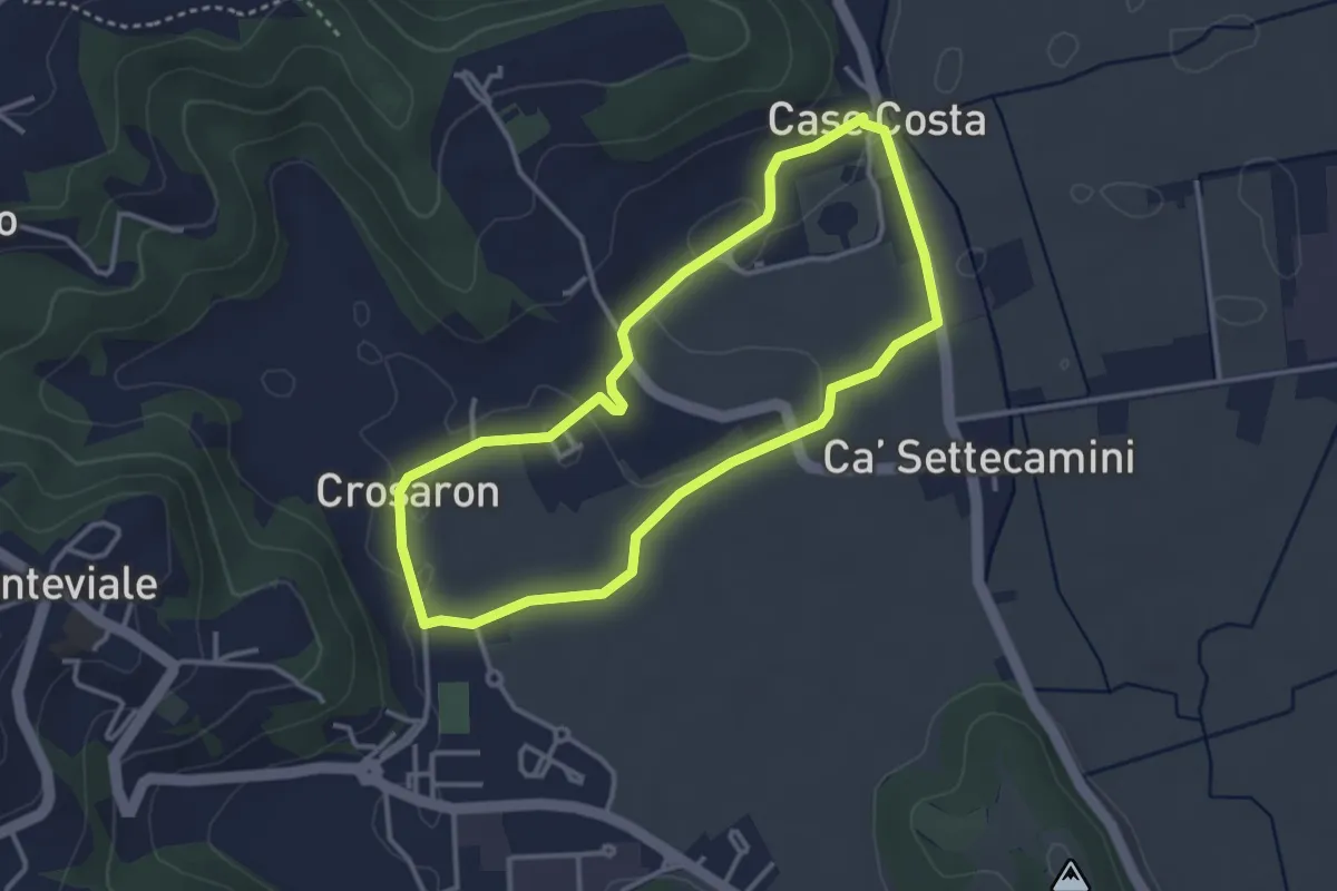
Easy · Trail
Sentiero Zuccheriei - delle Are
3.3 km · ↑ 20 m · 52 min · 12 km away
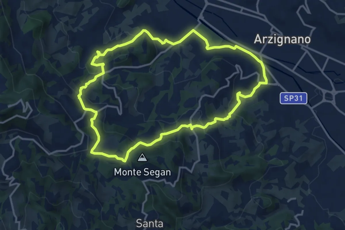
Medium · Trail
Sentiero Blu
9.8 km · ↑ 421 m · 3 h 22 min · 12 km away
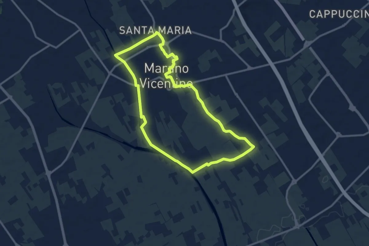
Medium · Trail
La Via del Pane - percorso sud
8.1 km · ↑ 25 m · 2 h 5 min · 12 km away
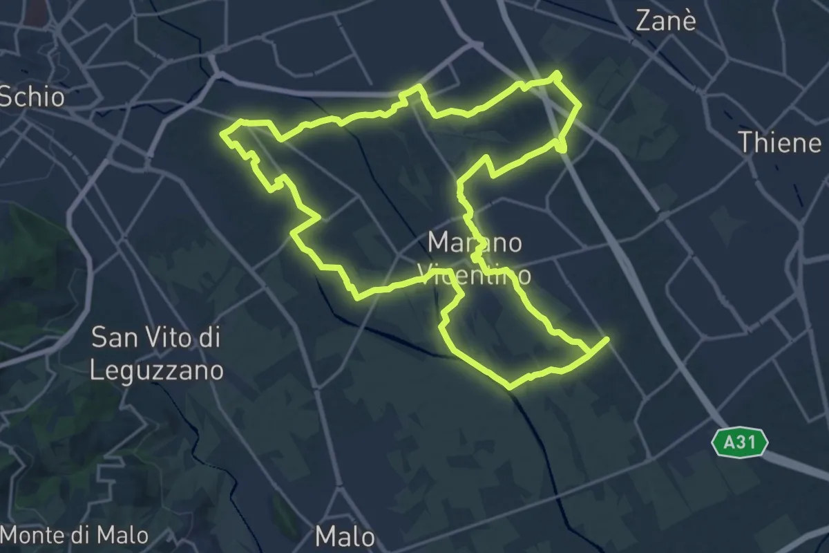
Demanding · Trail
Agritour dea Molonara (percorso rosso)
20.9 km · ↑ 67 m · 5 h 22 min · 12 km away
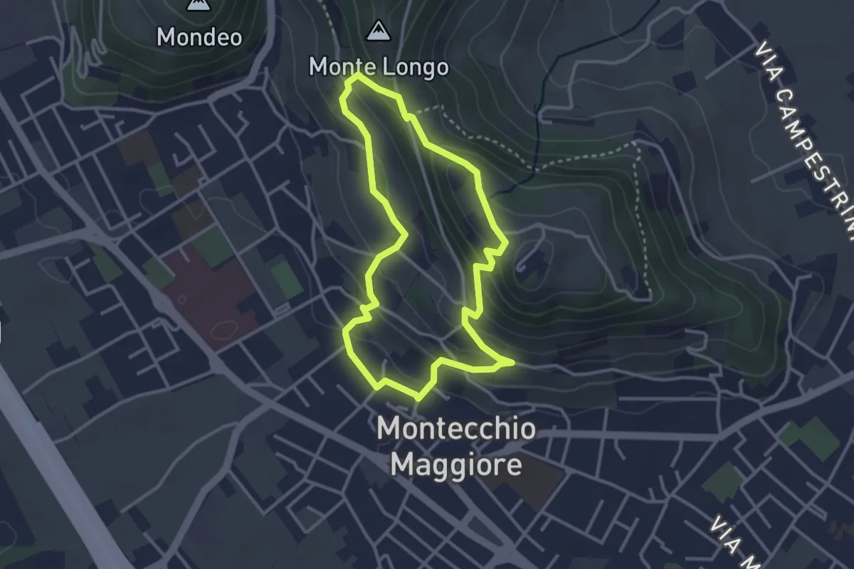
Easy · Summit
02-Fontana Alta e Fontana Giuliani
3.0 km · ↑ 150 m · 1 h 4 min · 12 km away
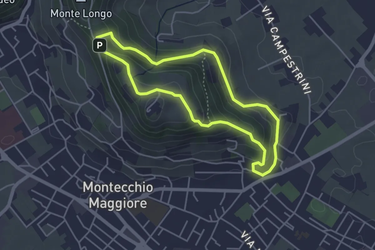
Easy · Trail
01-Fontana della Nova, Castelli e Montenero
3.6 km · ↑ 155 m · 1 h 14 min · 12 km away
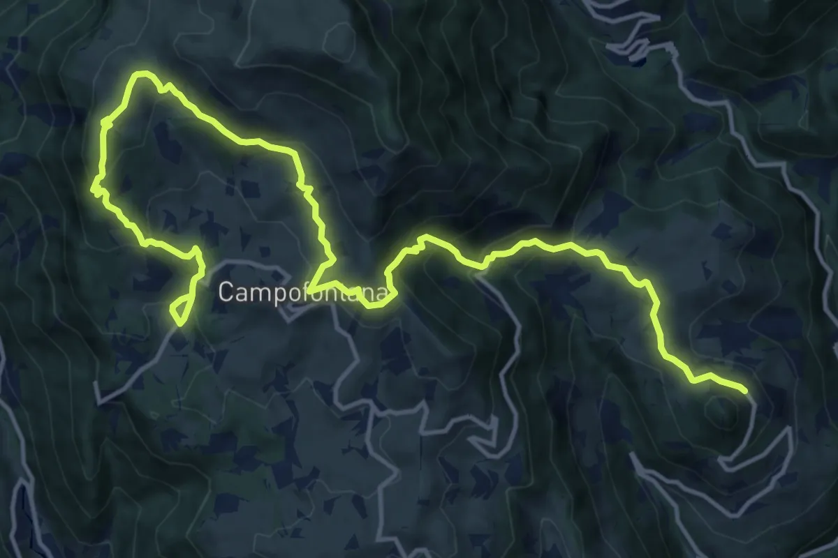
Demanding · Trail
Percorso dei sette vulcani tappa 4
18.5 km · ↑ 1060 m · 6 h 40 min · 12 km away
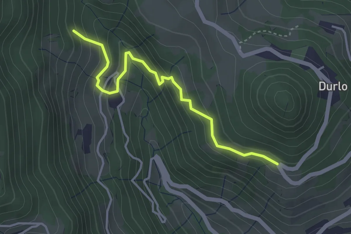
Easy · Trail
08 Sentiero dei Sengi
3.4 km · ↑ 269 m · 1 h 23 min · 12 km away
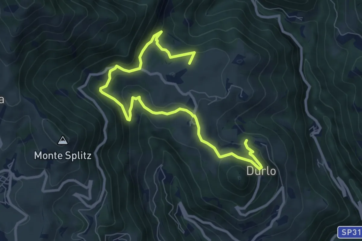
Medium · Summit
La Via dell'acqua
9.1 km · ↑ 449 m · 3 h 7 min · 12 km away
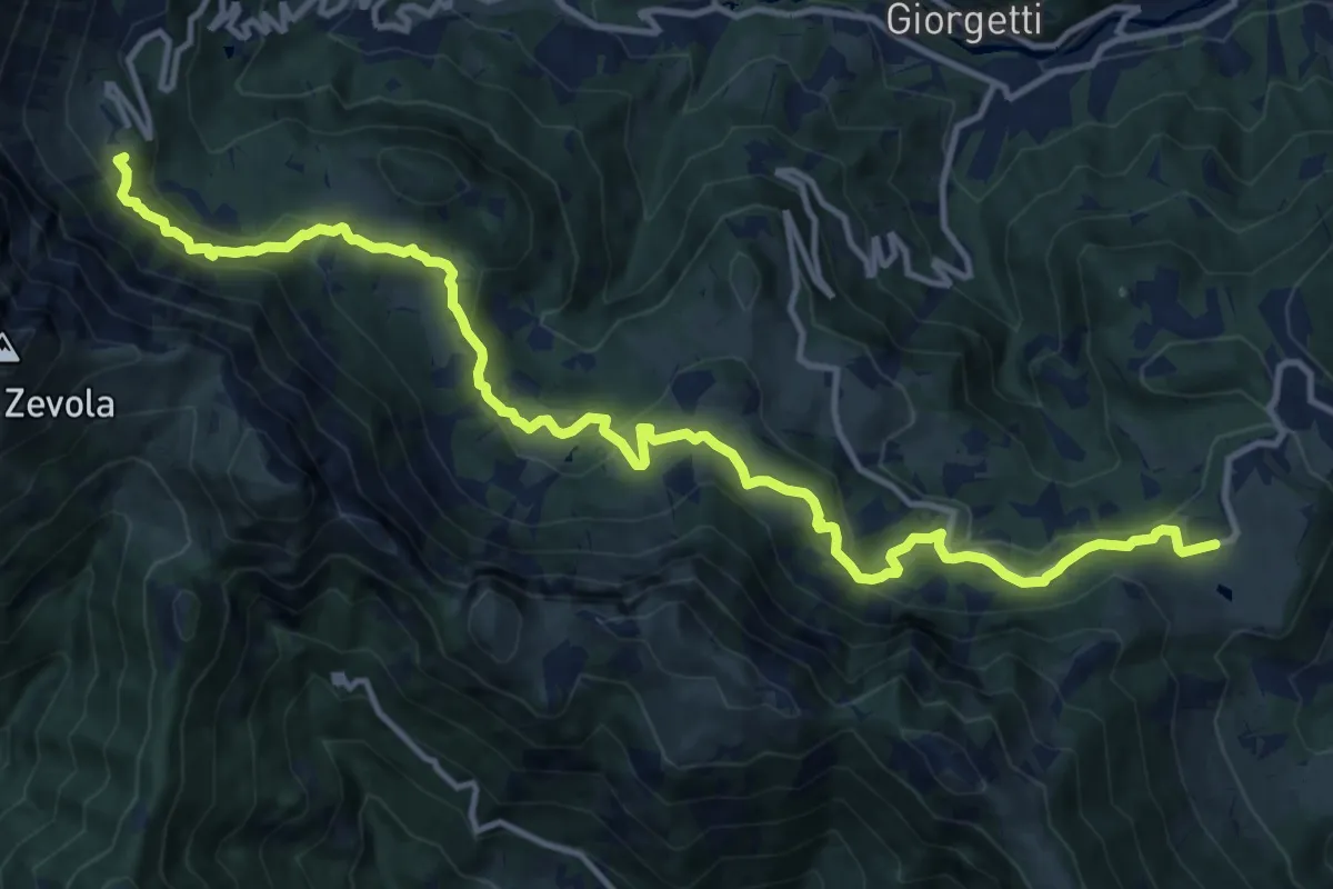
Demanding · Summit
Recoaro Mille - Pizzegoro – Rifugio Battisti alla Gazza
15.8 km · ↑ 726 m · 5 h 18 min · 12 km away
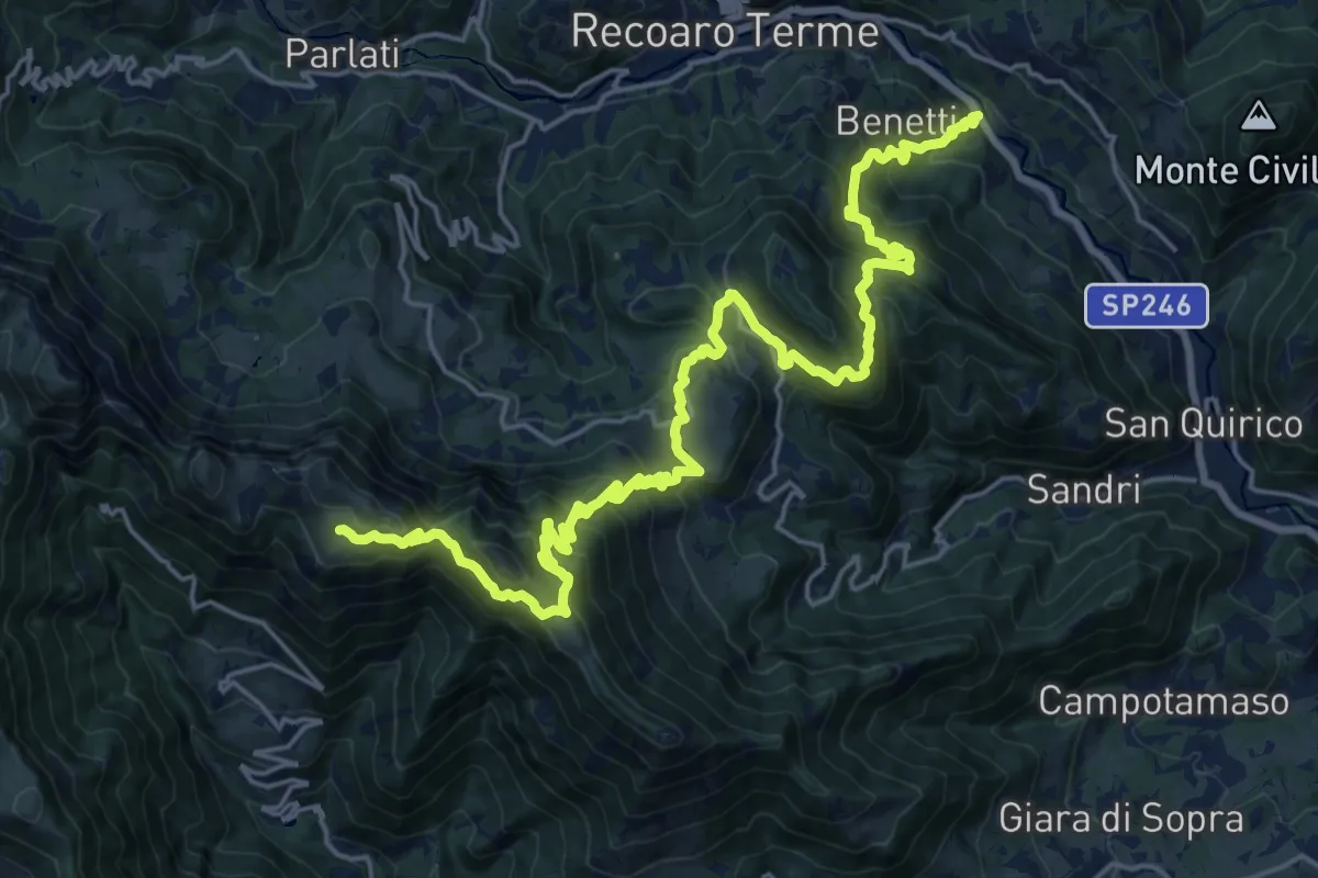
Demanding · Trail
Sentiero del partigiano e della resistenza
13.5 km · ↑ 1513 m · 6 h 4 min · 12 km away
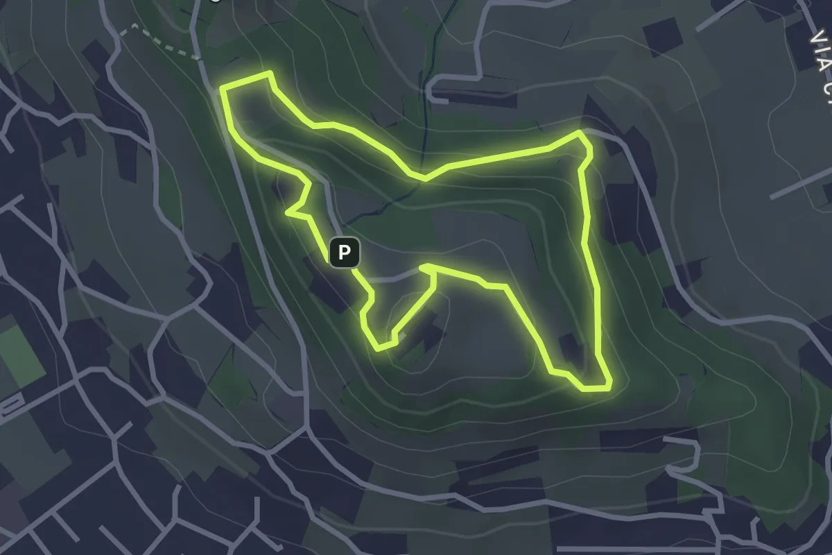
Easy · Trail
10-Percorso Natura
2.6 km · ↑ 128 m · 55 min · 12 km away
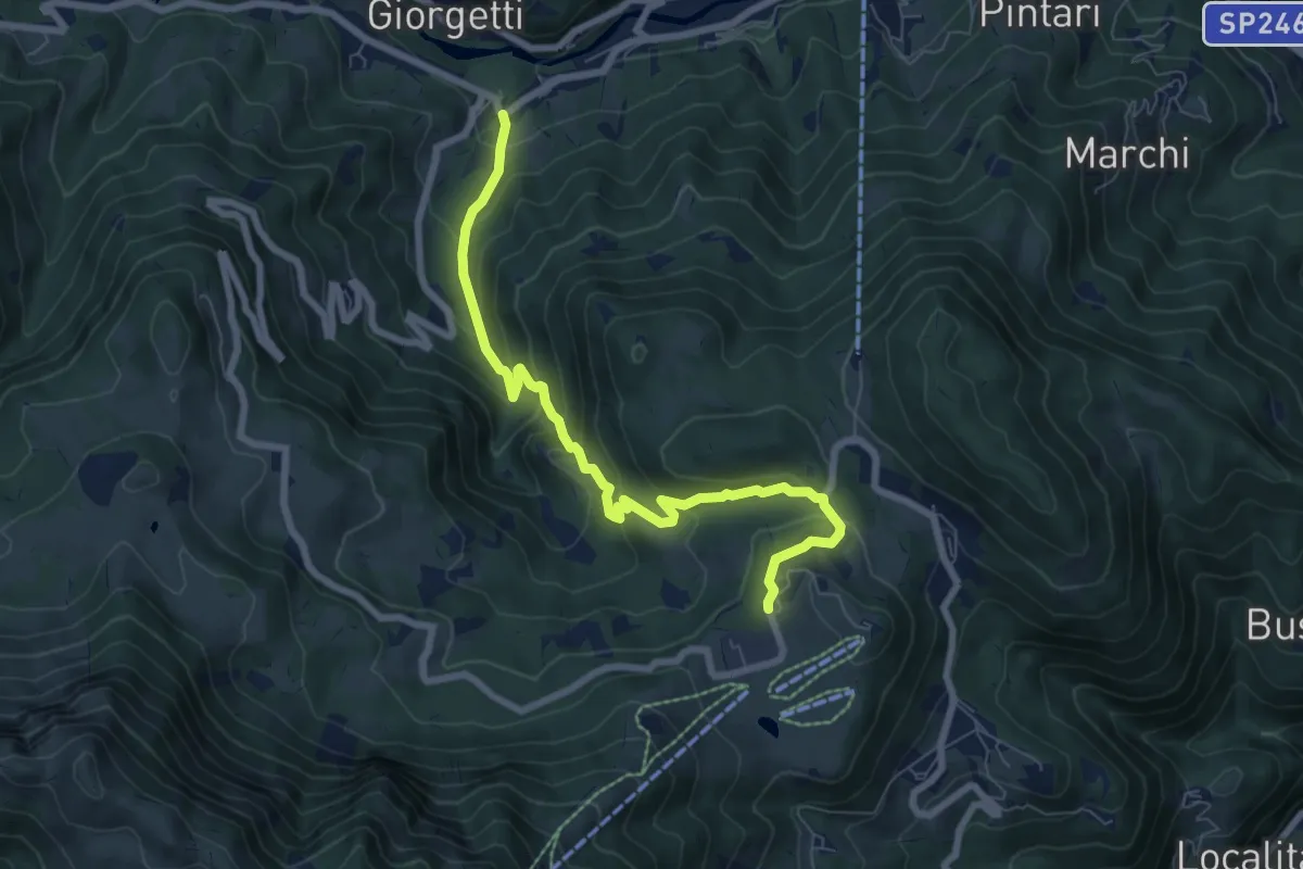
Medium · Trail
Contrada Asnicar (Recoaro Terme) – Casare Busacco (Recoaro Mille)
7.8 km · ↑ 491 m · 2 h 55 min · 12 km away
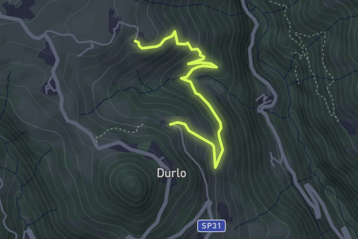
Medium · Trail
02 Sentiero del Proneche
4.2 km · ↑ 371 m · 1 h 48 min · 12 km away
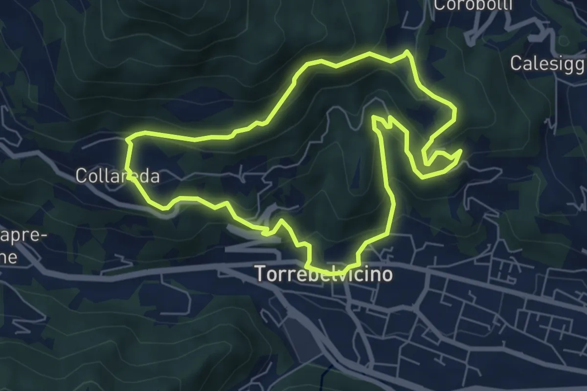
Medium · Trail
Sentiero delle cinque colombe
5.9 km · ↑ 411 m · 2 h 22 min · 12 km away
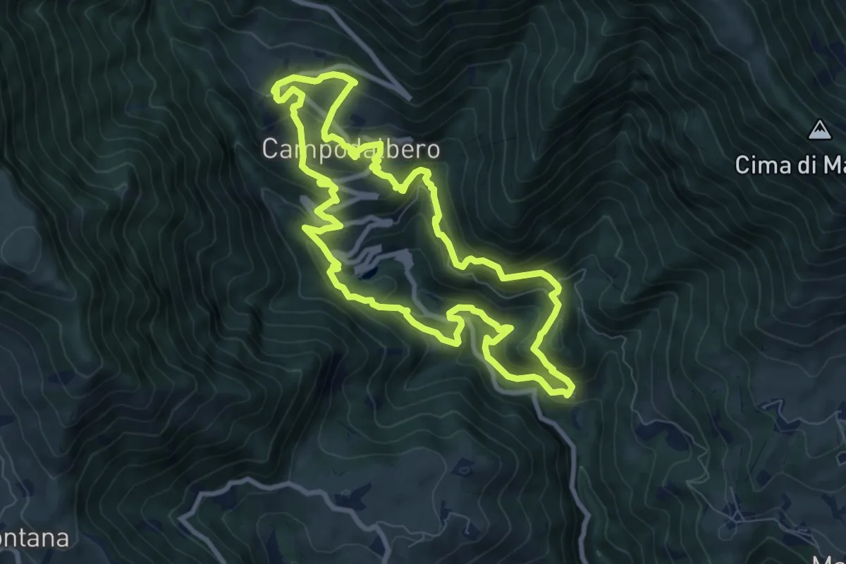
Medium · Trail
Campodalbero e le sue Contra
8.6 km · ↑ 602 m · 3 h 27 min · 12 km away
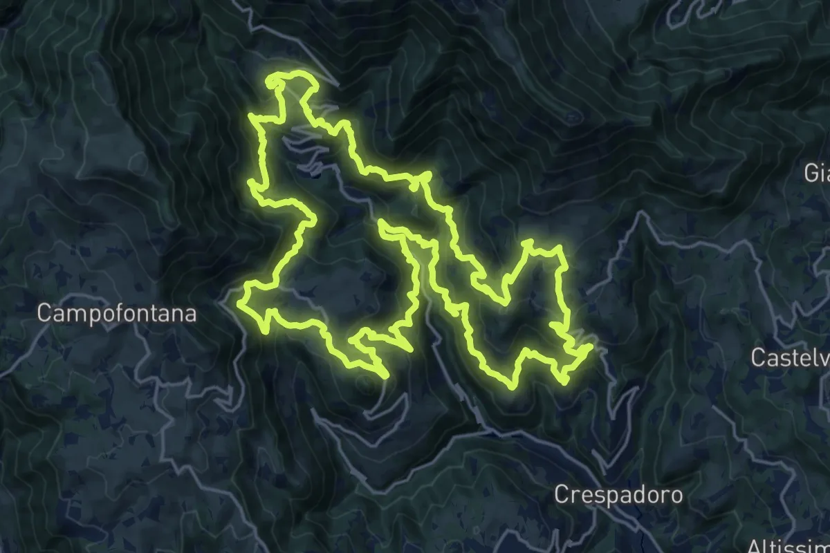
Demanding · Summit
Tre campanili al vento
25.0 km · ↑ 1721 m · 9 h 59 min · 12 km away
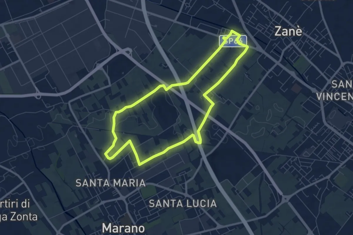
Easy · Trail
Agritour dea Molonara (percorso giallo)
7.3 km · ↑ 25 m · 1 h 52 min · 12 km away
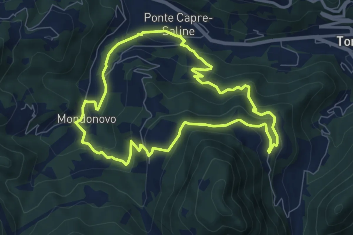
Medium · Trail
Sentiero di Mondonovo
6.1 km · ↑ 335 m · 2 h 15 min · 12 km away
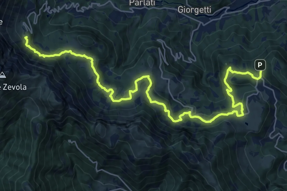
Demanding · Summit
Sentiero dei Grandi Alberi
23.5 km · ↑ 985 m · 7 h 41 min · 13 km away
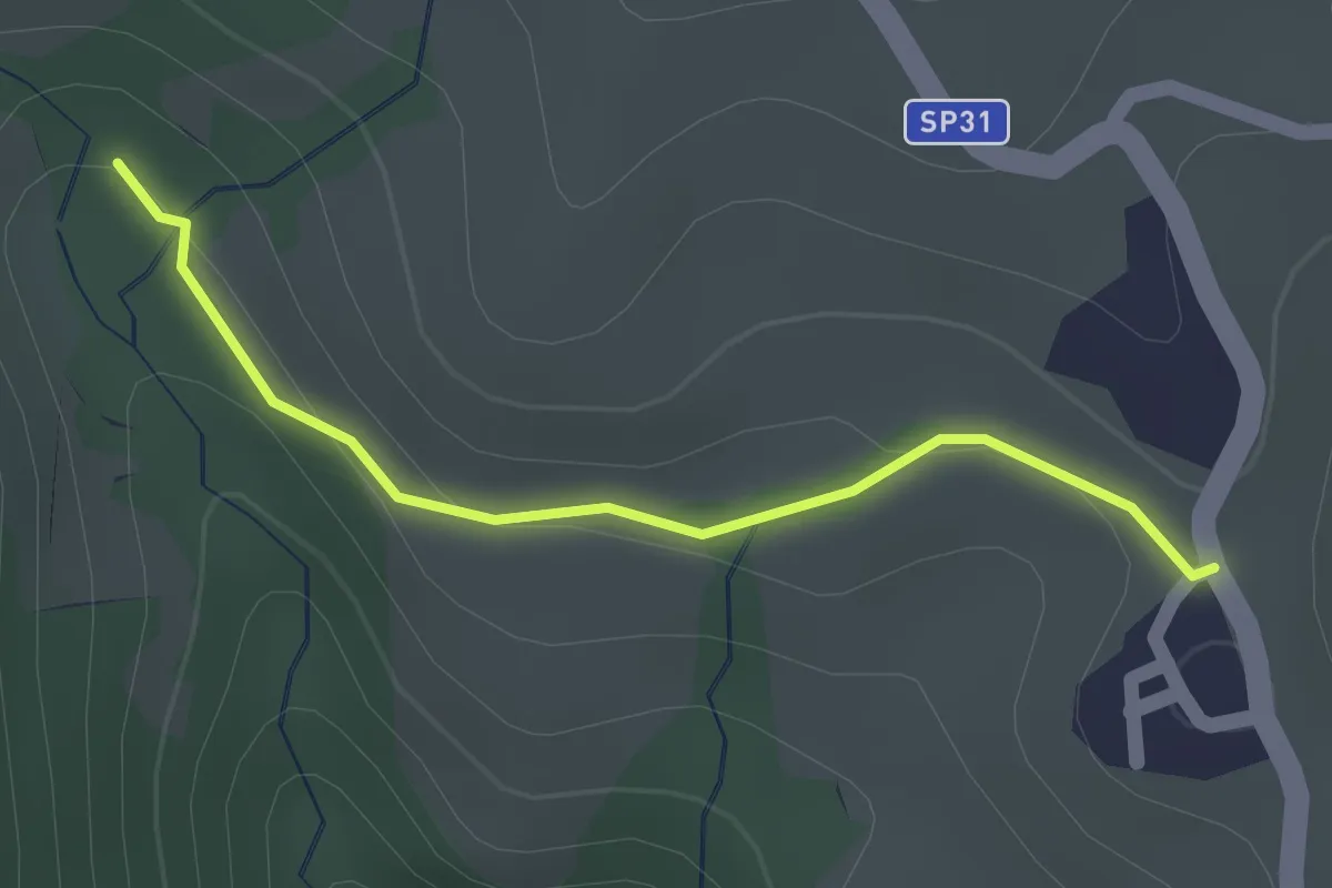
Easy · Summit
05 Sentiero del Golge
1.5 km · ↑ 26 m · 24 min · 13 km away
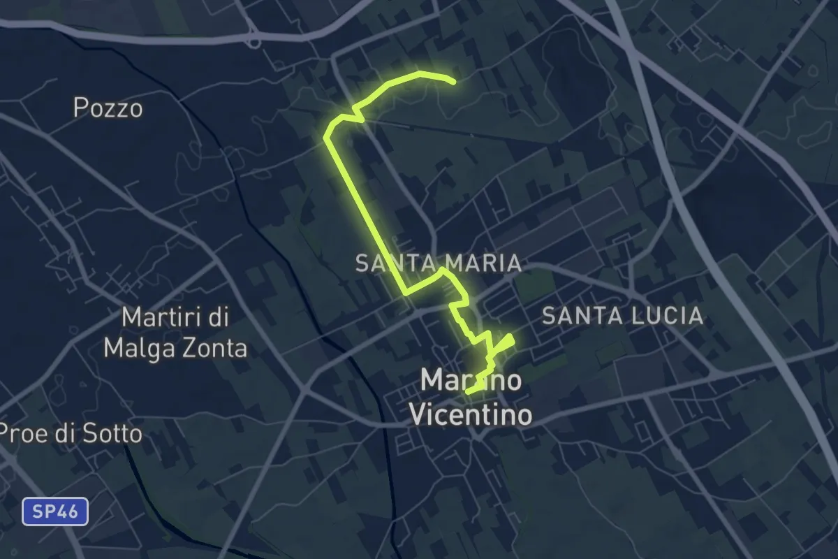
Easy · Trail
La Via del Pane - percorso nord
7.5 km · ↑ 17 m · 1 h 48 min · 13 km away
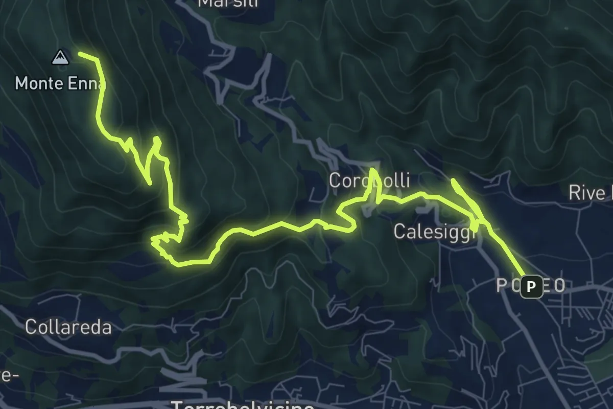
Demanding · Summit
S3
12.8 km · ↑ 901 m · 4 h 58 min · 13 km away
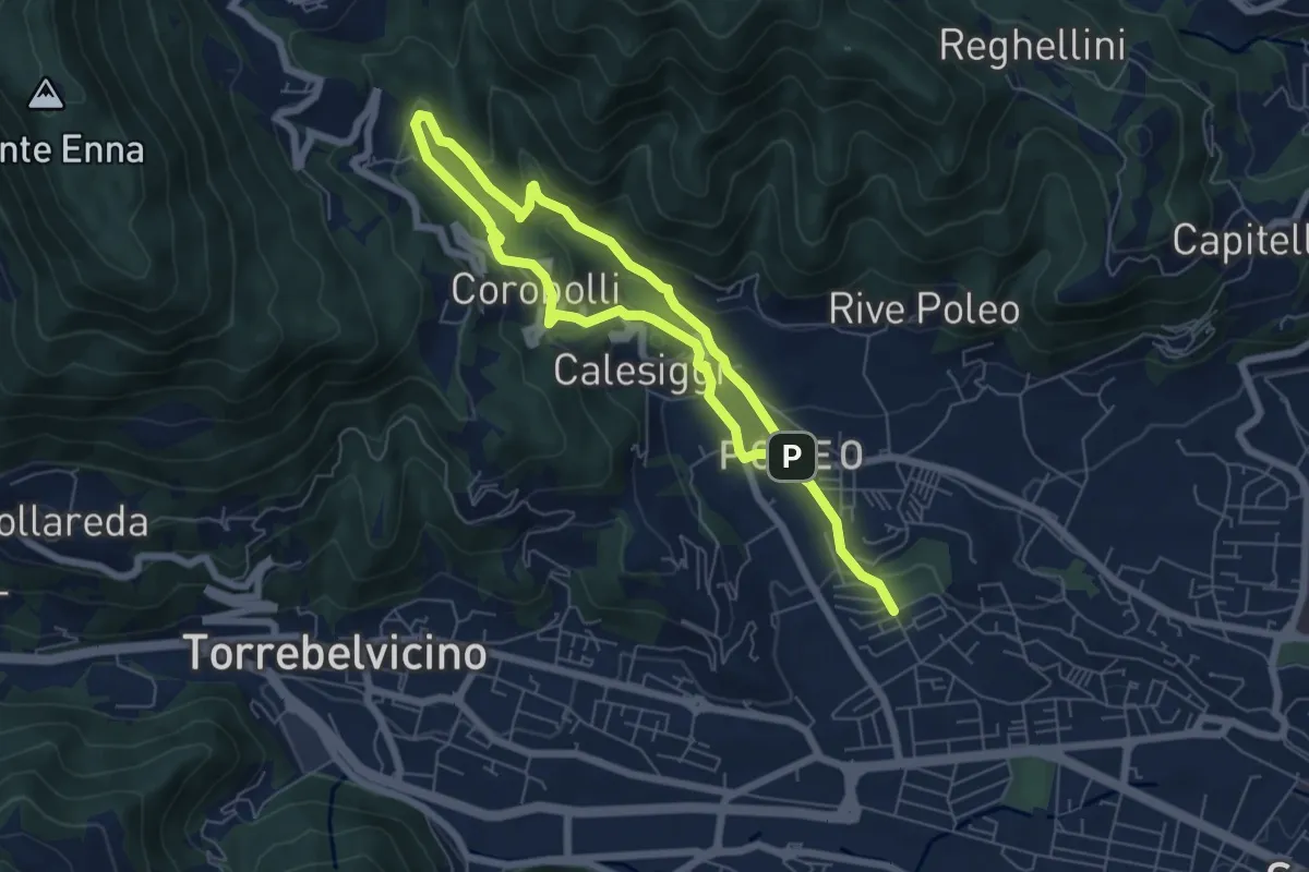
Medium · Trail
La via dei Mulini
10.3 km · ↑ 541 m · 3 h 36 min · 13 km away
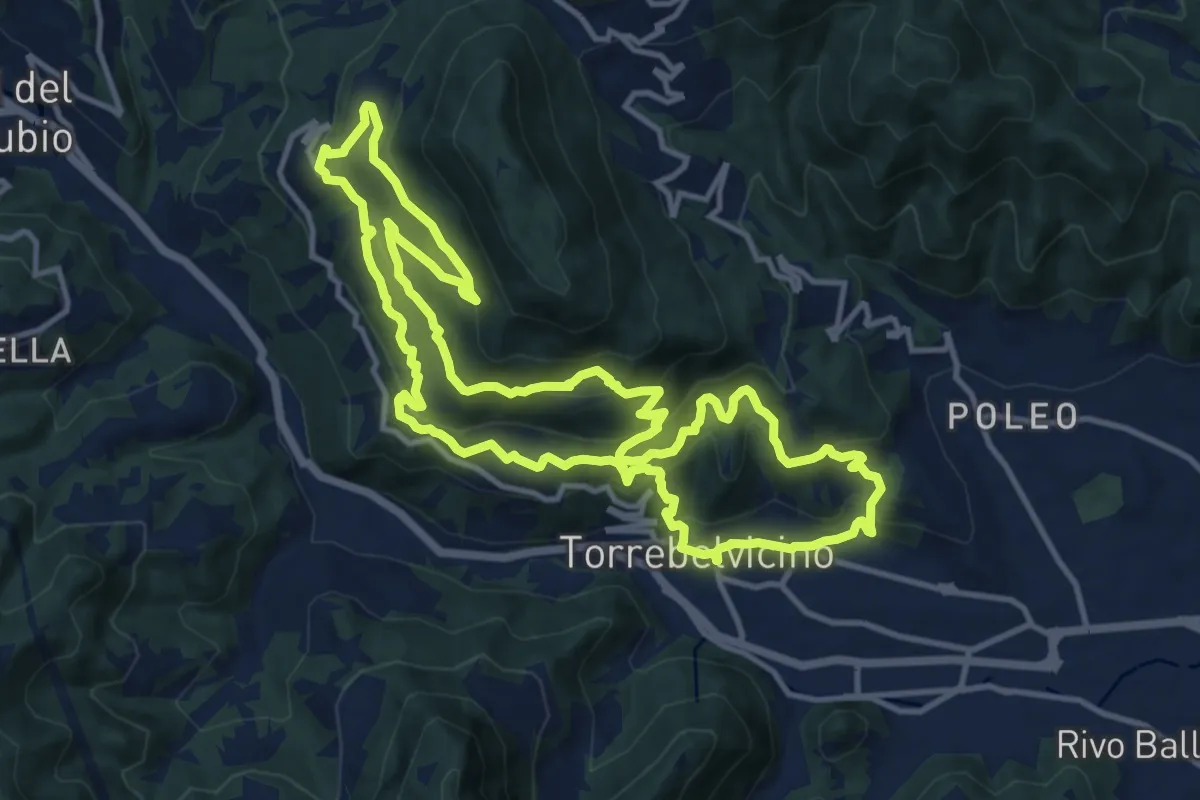
Demanding · Trail
Sentiero Panoramico della Val Leogra
13.3 km · ↑ 655 m · 4 h 45 min · 13 km away
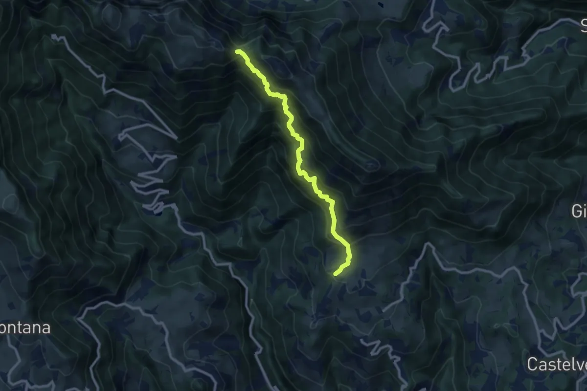
Demanding · Trail
Contrada Castagna di Marana – Passo della Porta - innesto sentiero 202
8.2 km · ↑ 888 m · 3 h 51 min · 13 km away
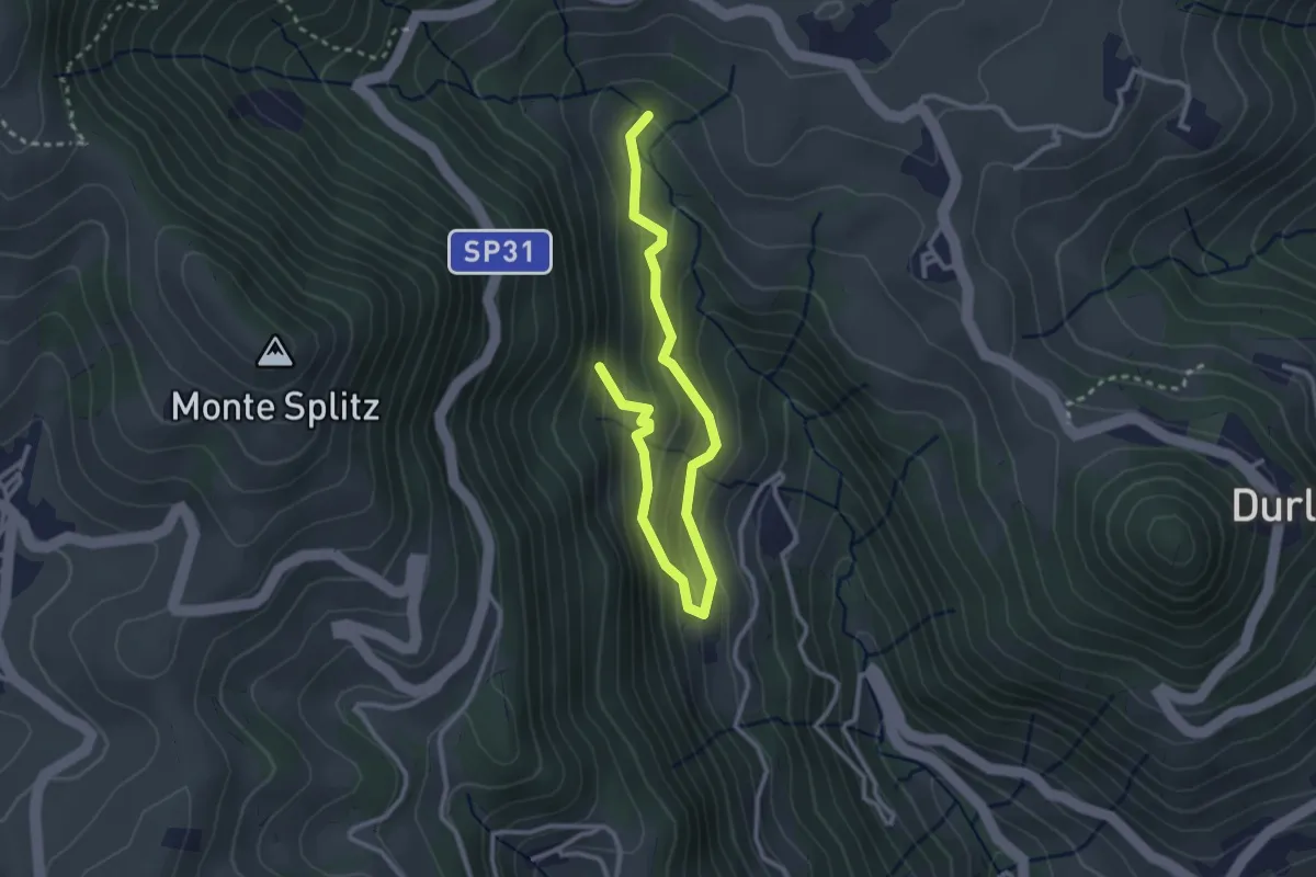
Easy · Summit
07 Sentiero del bosco delle piogne
3.5 km · ↑ 287 m · 1 h 27 min · 13 km away
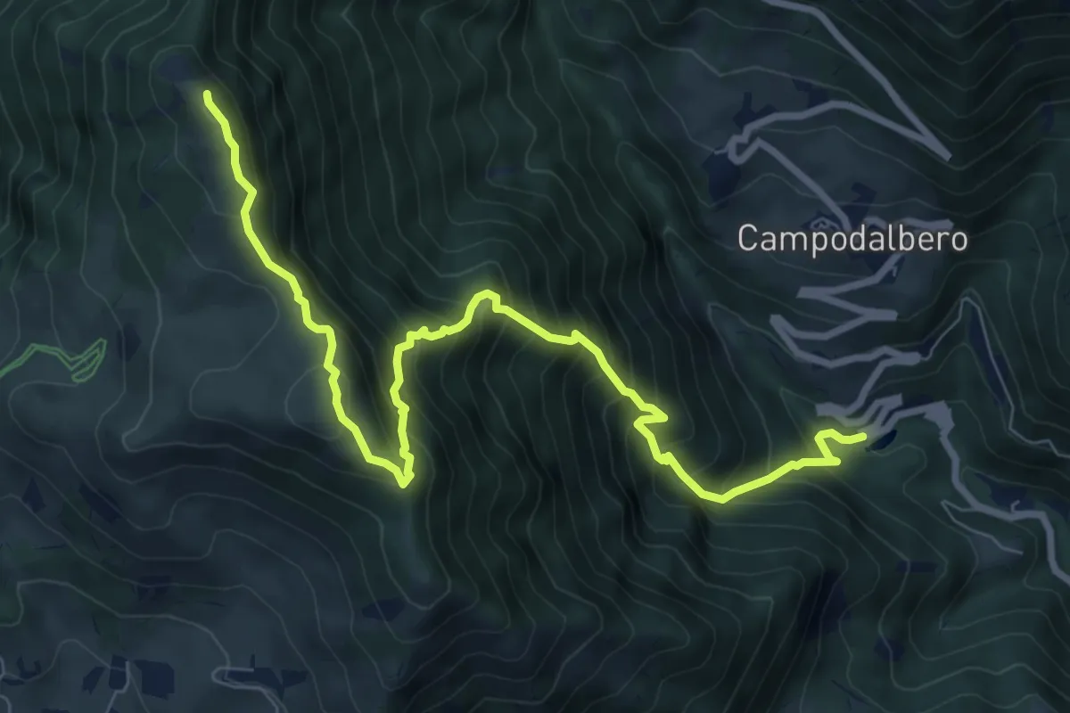
Demanding · Summit
Contrà Molino di Campodalbero – Cima di Lobbia
9.6 km · ↑ 1152 m · 4 h 46 min · 13 km away
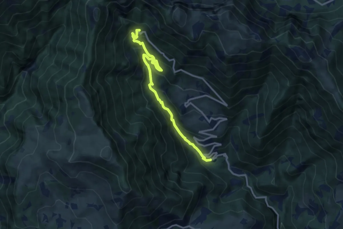
Medium · Cabin
Contrà Molino di Campodalbero – Rifugio Bertagnoli
8.8 km · ↑ 758 m · 3 h 44 min · 13 km away
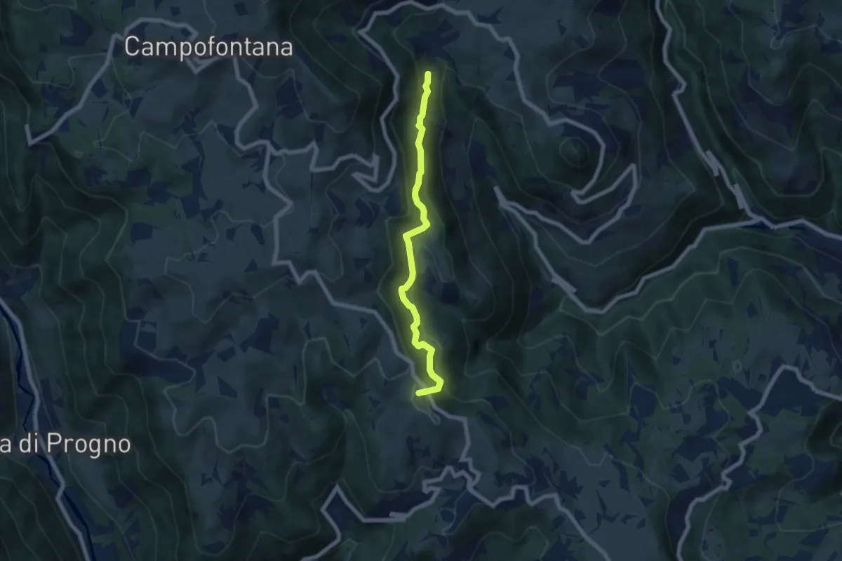
Medium · Summit
06 Sentiero del vaio dell'orco
5.9 km · ↑ 399 m · 2 h 15 min · 13 km away
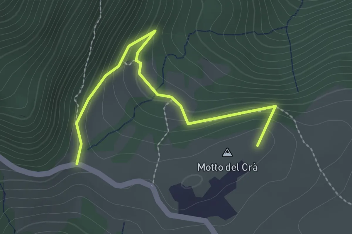
Easy · Summit
04 Sentiero dei busi
2.4 km · ↑ 169 m · 55 min · 13 km away
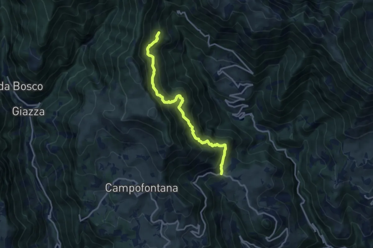
Demanding · Trail
Località Casarola di Durlo – Malga Laghetto di Sotto (innesto sentiero 204)
9.9 km · ↑ 1167 m · 4 h 52 min · 13 km away
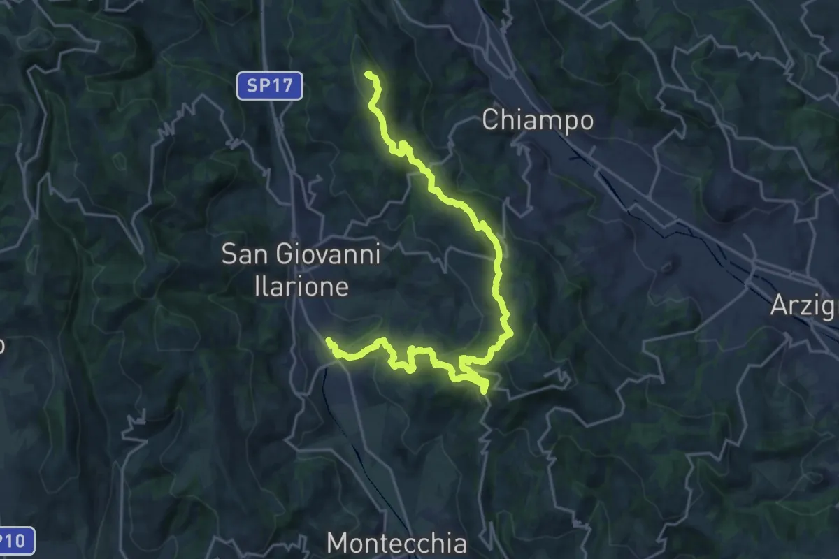
Demanding · Summit
Percorso dei sette vulcani tappa 1
23.1 km · ↑ 942 m · 7 h 30 min · 13 km away
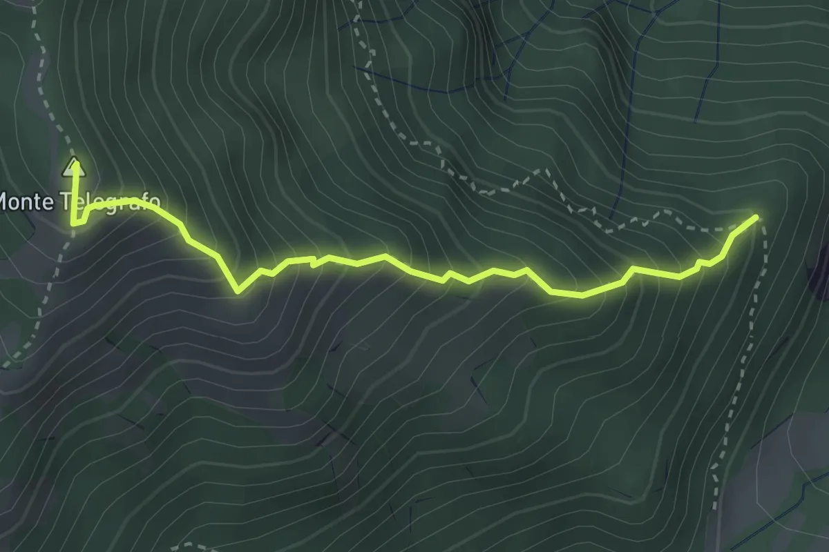
Demanding · Summit
località Casarola di Durlo (da sentiero 209) – Forcella Monte Porto (innesto sentiero 206)
3.1 km · ↑ 531 m · 1 h 54 min · 13 km away
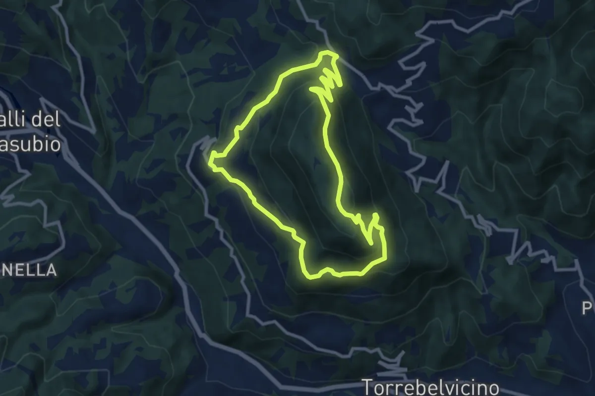
Medium · Summit
Sentiero del Monte Enna
7.8 km · ↑ 403 m · 2 h 49 min · 14 km away
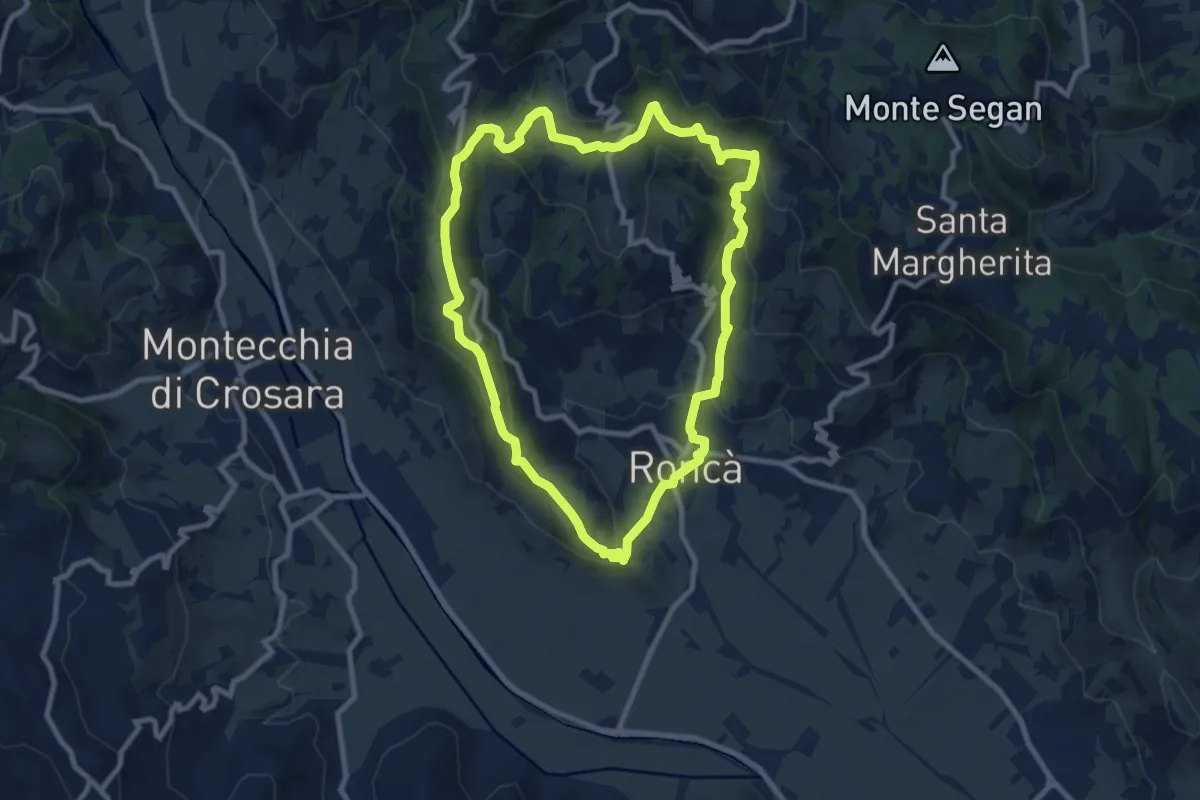
Medium · Summit
B
9.2 km · ↑ 352 m · 3 h 4 min · 14 km away
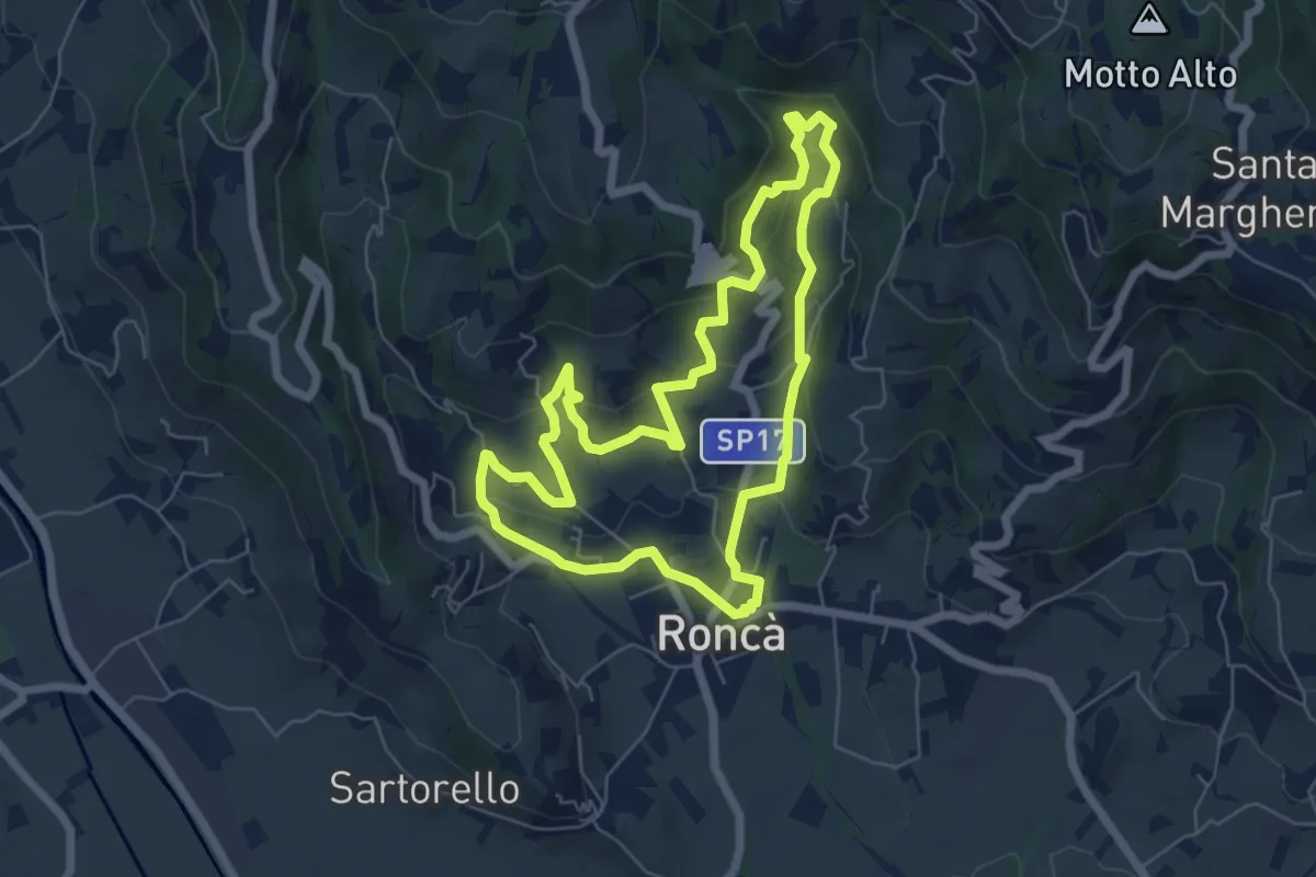
Easy · Trail
A
6.3 km · ↑ 267 m · 2 h 9 min · 14 km away
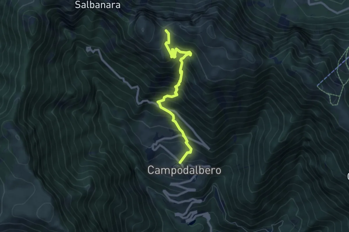
Demanding · Trail
Contrà Bauci di Campodalbero – Bocchetta Gabellele - inn. sent. 202
6.5 km · ↑ 771 m · 3 h 12 min · 14 km away
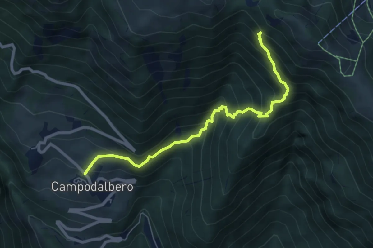
Demanding · Trail
Contrà Bauci di Campodalbero – Alta Val Rope (innesto sentiero 203)
5.7 km · ↑ 637 m · 2 h 44 min · 14 km away
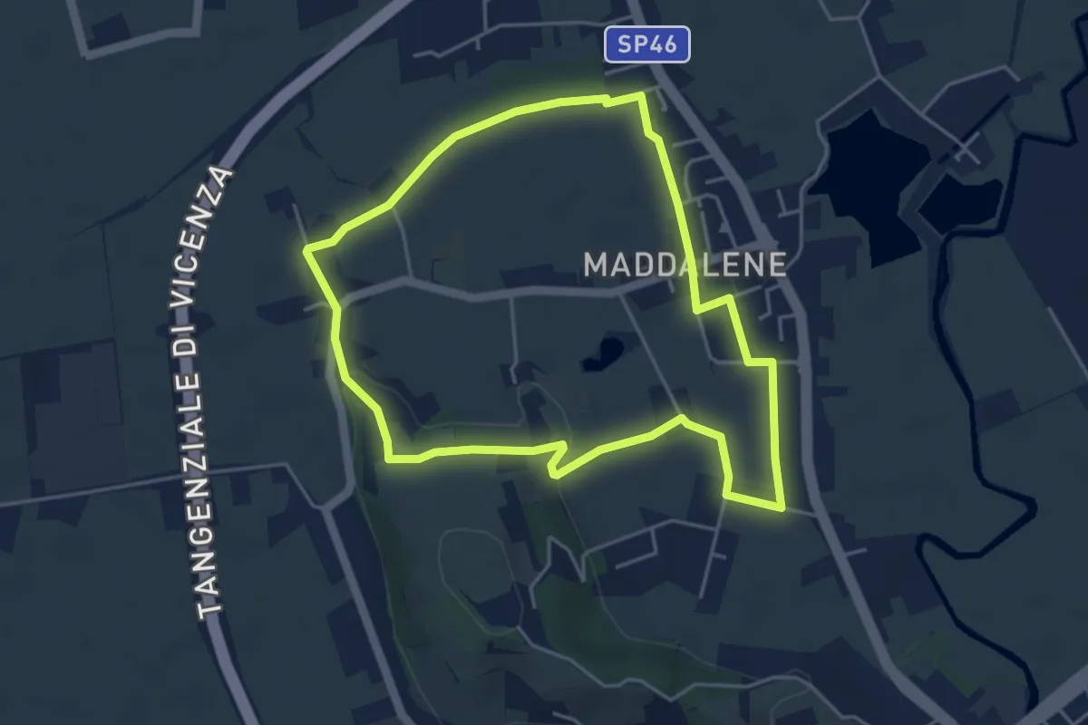
Easy · Trail
Anello Monte Crocetta
4.4 km · ↑ 34 m · 1 h 11 min · 14 km away
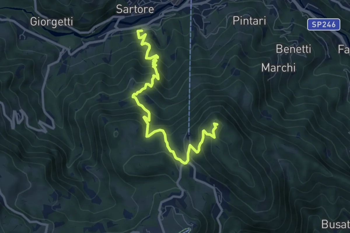
Medium · Summit
Sentiero Italo Soldà
8.3 km · ↑ 729 m · 3 h 32 min · 14 km away
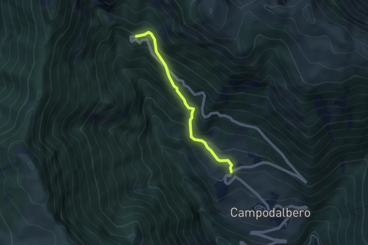
Medium · Cabin
Contrada Lovati di Campodalbero – Rifugio Bertagnoli alla Piatta
3.7 km · ↑ 378 m · 1 h 41 min · 14 km away
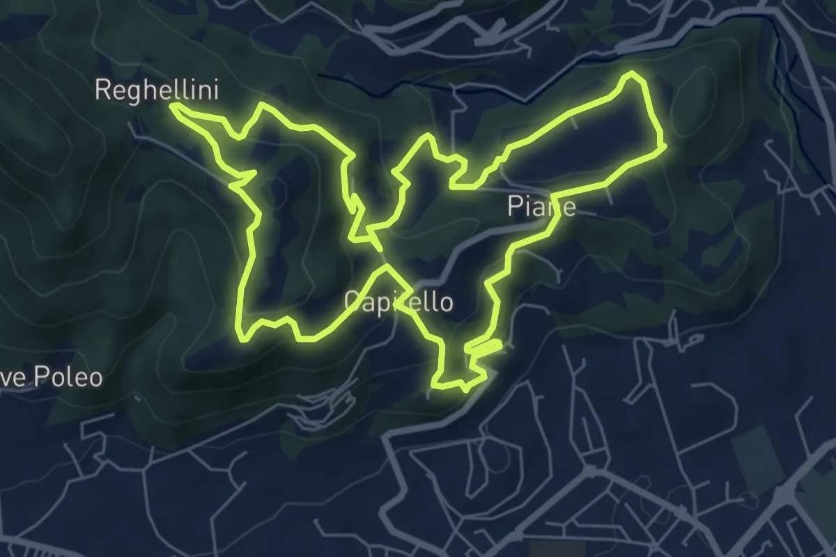
Medium · Trail
Percorso Pio Penzo
7.1 km · ↑ 383 m · 2 h 36 min · 14 km away
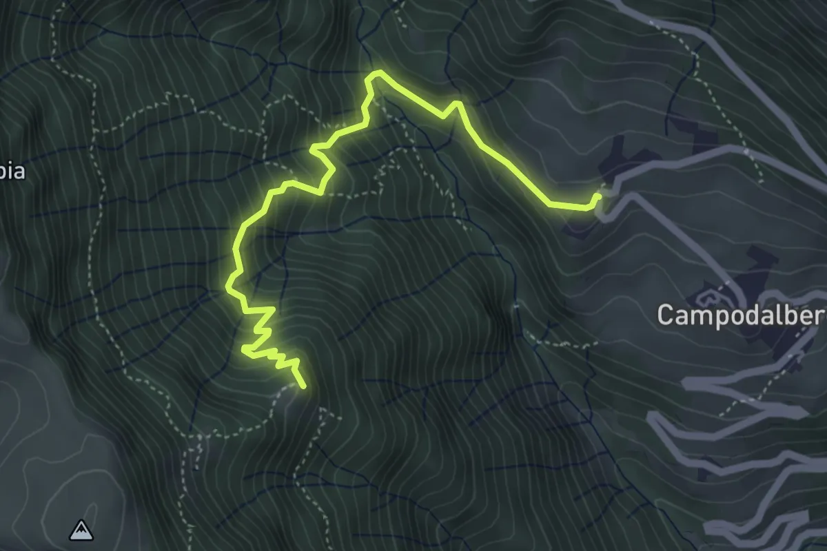
Medium · Trail
Contrà Lovati di sotto – innesto sentiero 206-209 (nei pressi di Malga Prat)
5.0 km · ↑ 515 m · 2 h 18 min · 14 km away
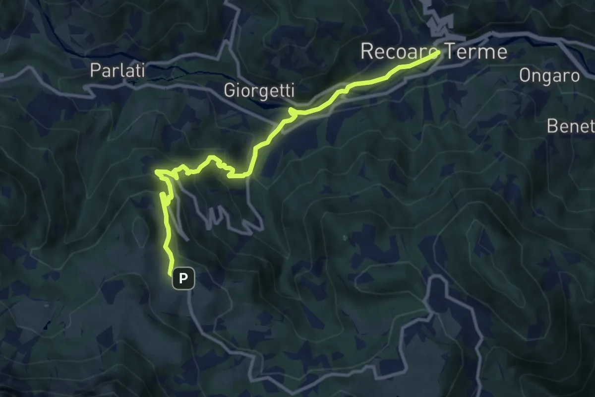
Medium · Trail
Sentiero dell'Orso
9.9 km · ↑ 671 m · 3 h 48 min · 14 km away
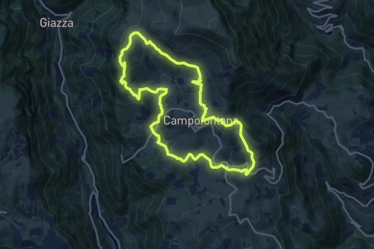
Medium · Trail
Sulle Antiche Vie dei Cimbri
10.0 km · ↑ 419 m · 3 h 24 min · 14 km away