Trails near Darfo Boario Terme
245 hikes starting within 15 km, nearest first.
Nearest first, page 1 of 6
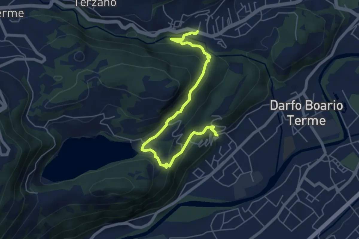
Easy · Trail
Corna – Gorzone
5.4 km · ↑ 299 m · 1 h 56 min · 1 km away
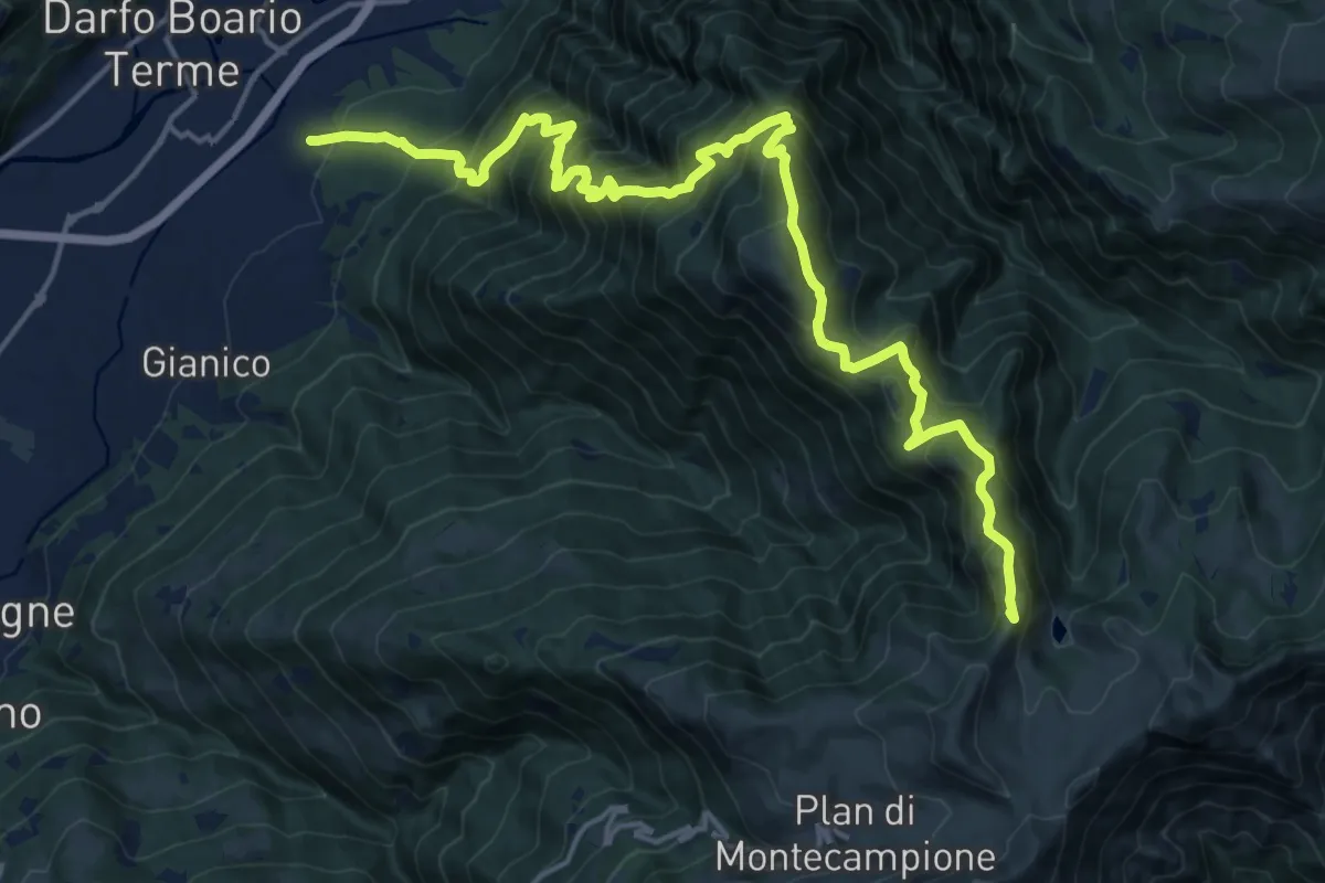
Demanding · Summit
Darfo (Razziche) - Stanga di Bassinale
20.4 km · ↑ 1892 m · 8 h 56 min · 1 km away
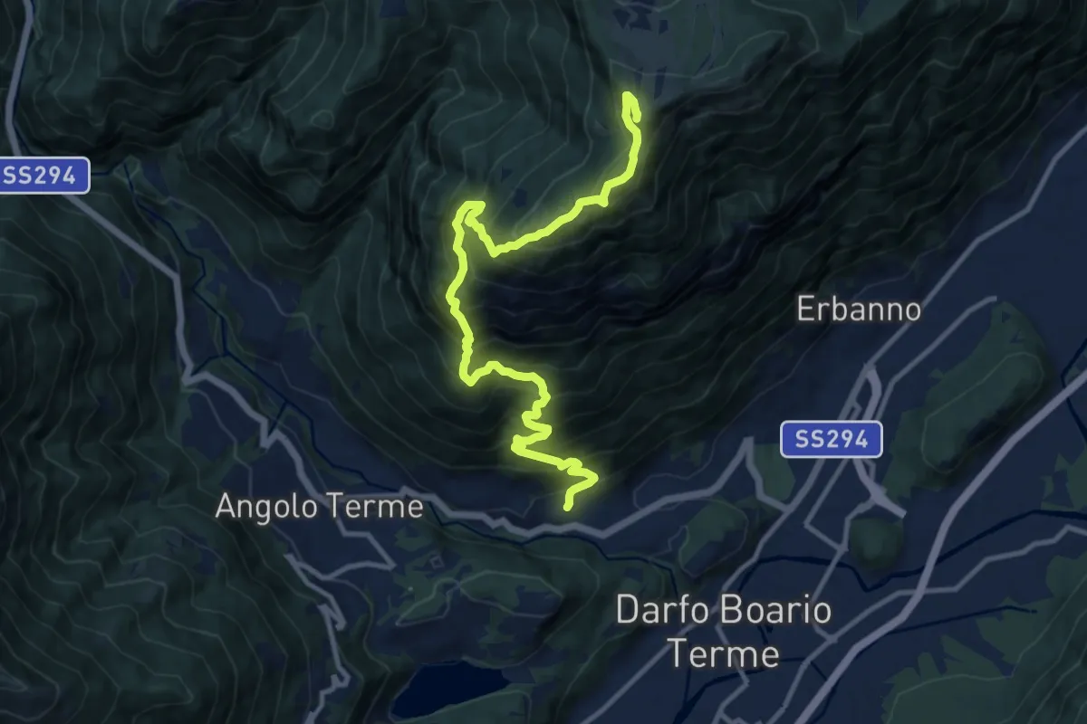
Demanding · Summit
Gorzone – Monte Altissimo
12.5 km · ↑ 1528 m · 6 h 16 min · 1 km away
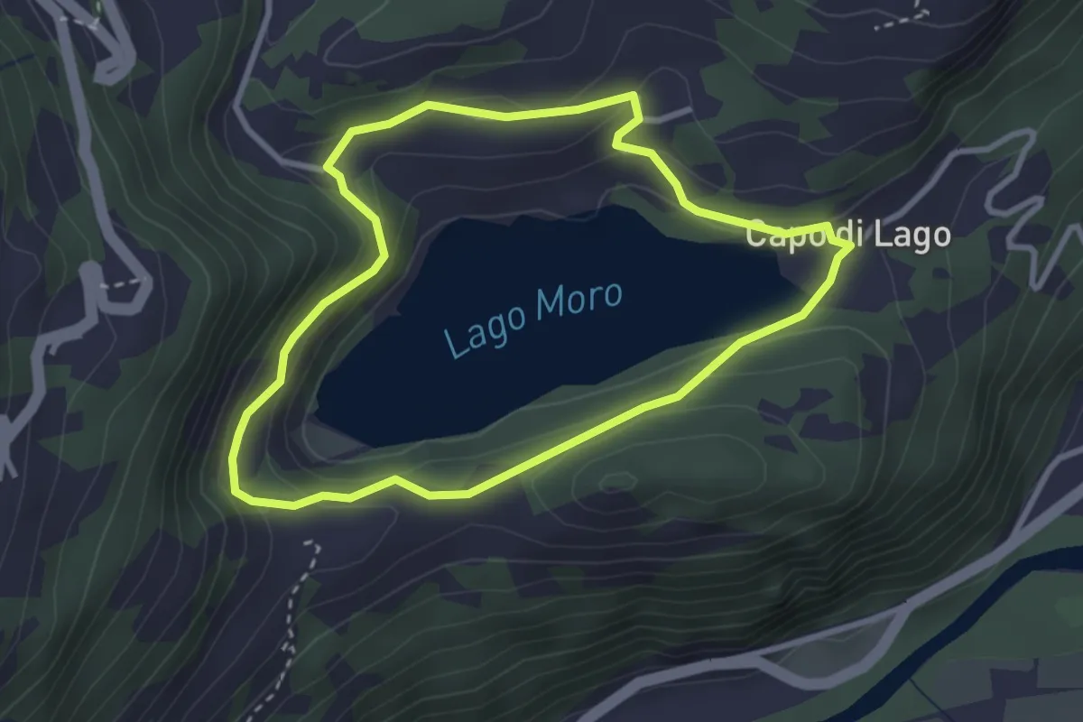
Medium · Trail
Giro del Lago Moro
2.9 km · ↑ 153 m · 1 h 4 min · 1 km away
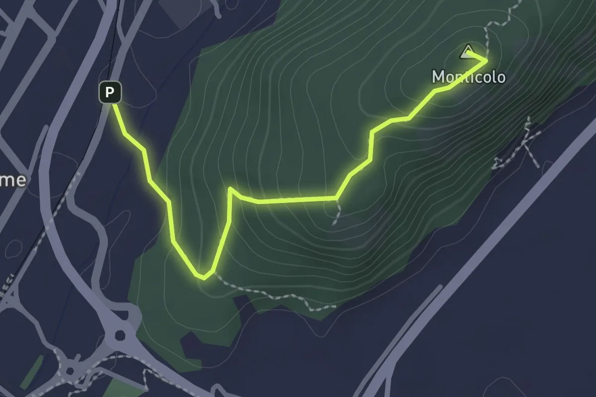
Easy · Summit
Monticolo
2.6 km · ↑ 159 m · 57 min · 2 km away
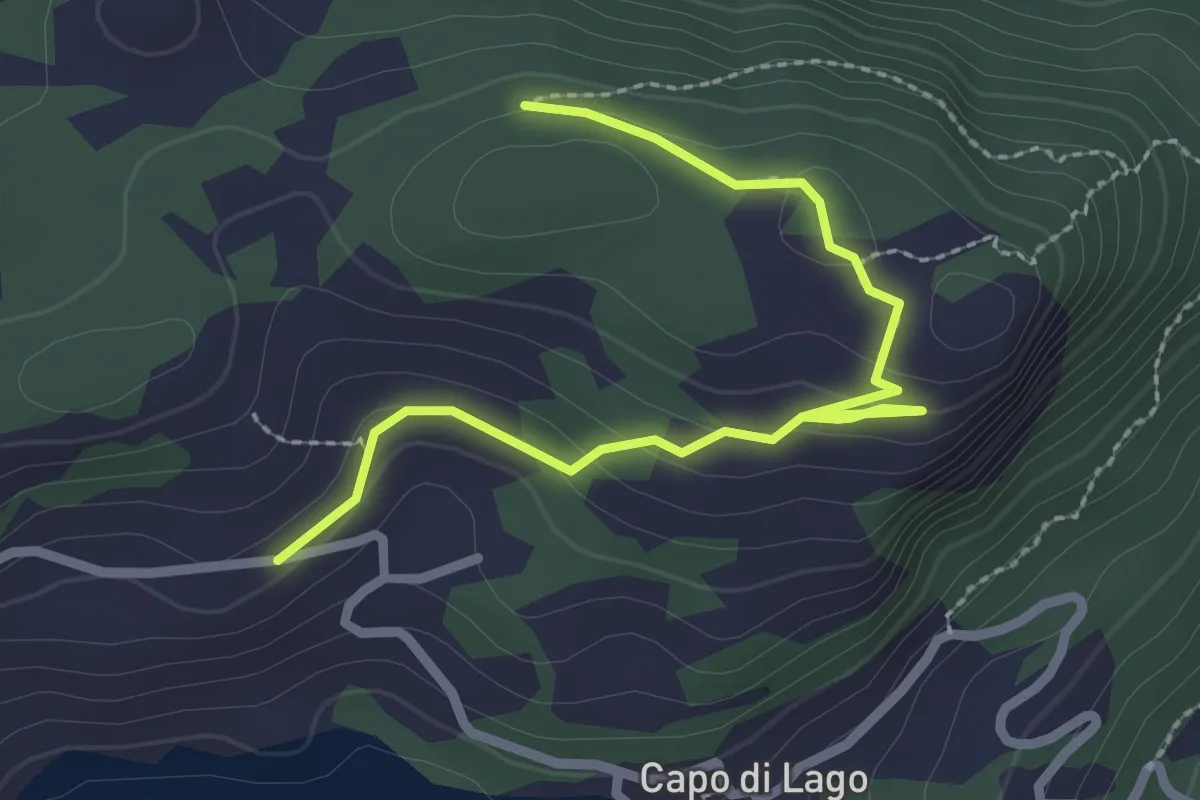
Medium · Trail
Sorline
2.9 km · ↑ 76 m · 50 min · 2 km away
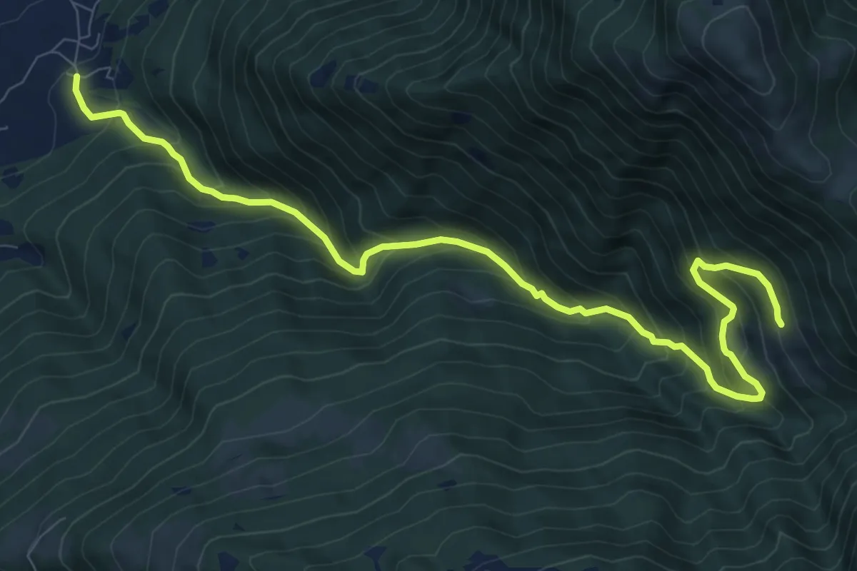
Demanding · Trail
Fucine – Cervera
11.0 km · ↑ 1090 m · 4 h 57 min · 2 km away
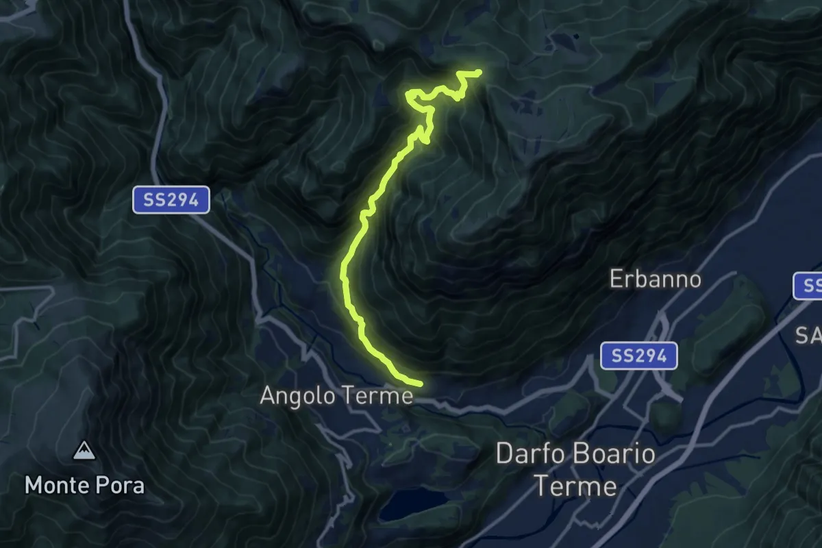
Demanding · Trail
Terzano – San Giovanni
12.1 km · ↑ 1172 m · 5 h 24 min · 2 km away
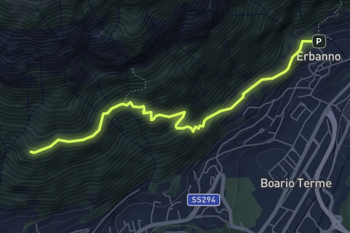
Medium · Trail
Erbanno – Innesto Sentiero 194
6.1 km · ↑ 584 m · 2 h 42 min · 2 km away
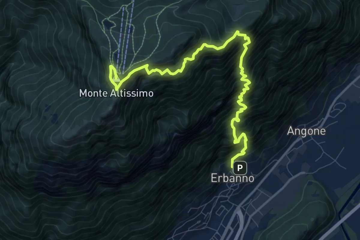
Demanding · Summit
Erbanno – Monte Altissimo
11.5 km · ↑ 1860 m · 6 h 45 min · 2 km away
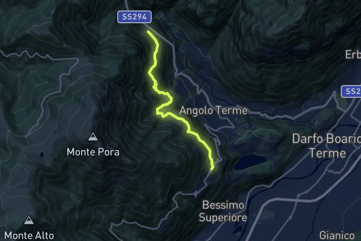
Demanding · Trail
Anfurro – Ortighera
9.9 km · ↑ 942 m · 4 h 22 min · 3 km away
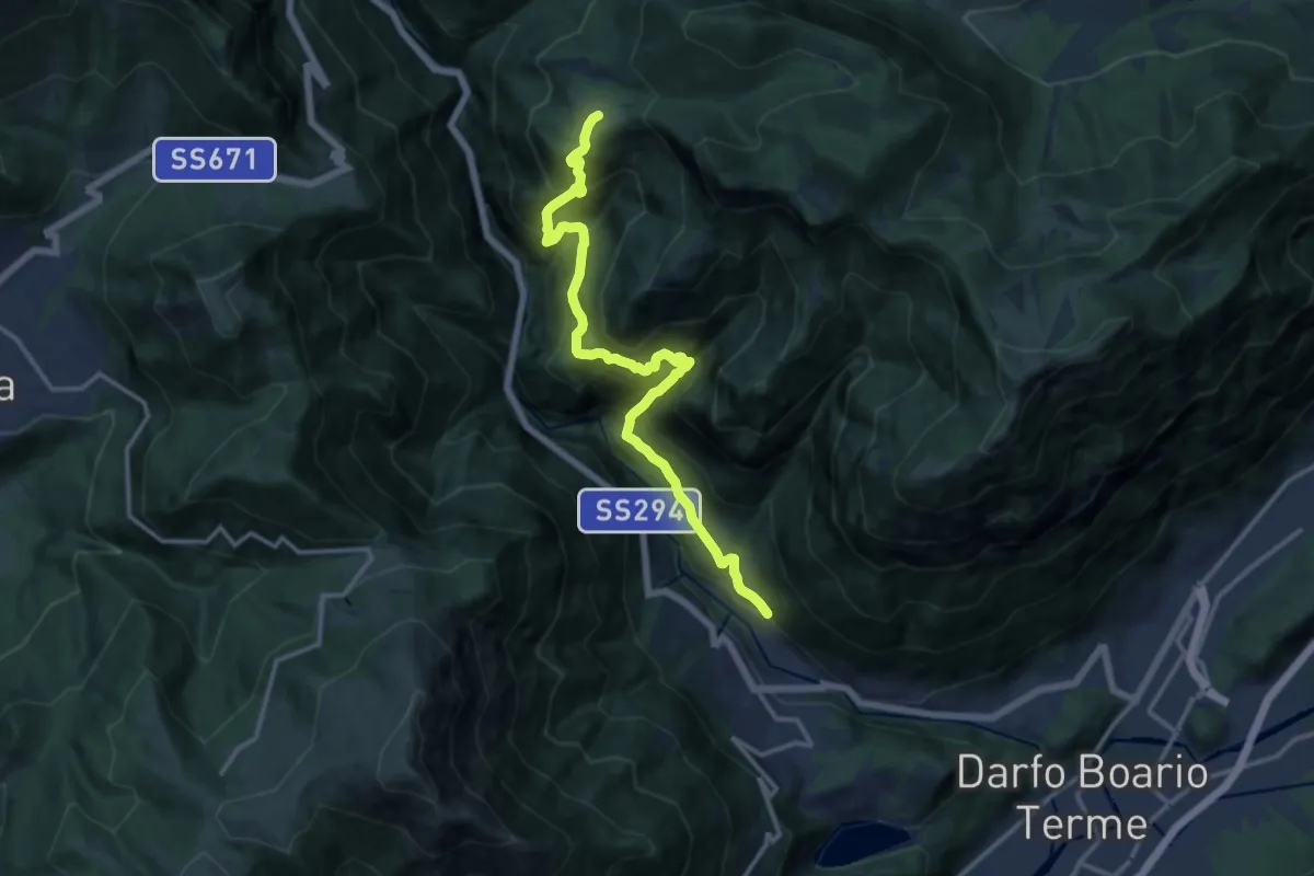
Demanding · Trail
Mazzunno – Prave
13.9 km · ↑ 1285 m · 6 h 4 min · 3 km away
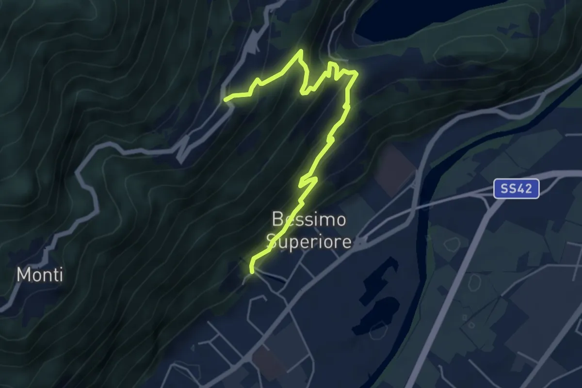
Medium · Trail
Bessimo – Anfurro
5.3 km · ↑ 488 m · 2 h 18 min · 3 km away
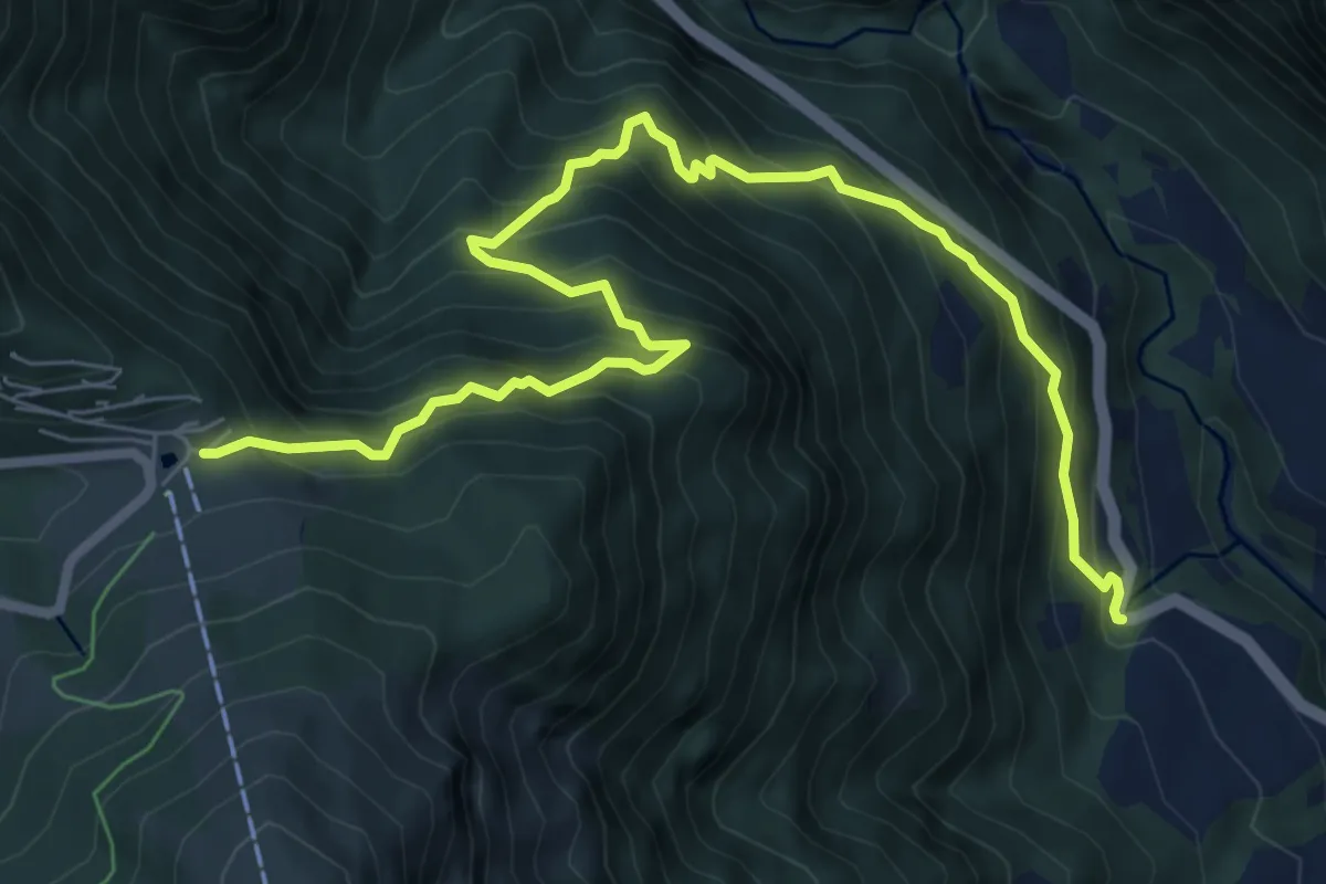
Demanding · Trail
Angolo Terme – Colle di Vareno
9.1 km · ↑ 1161 m · 4 h 40 min · 4 km away
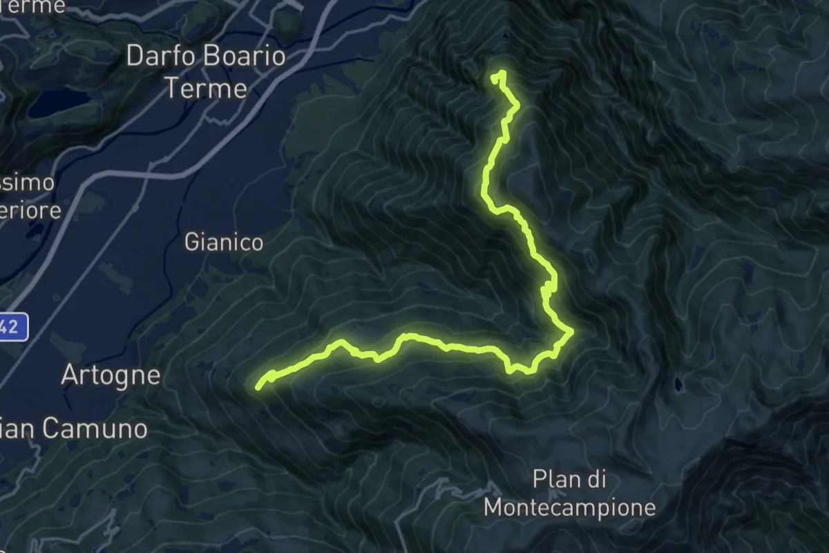
Demanding · Summit
Sacca – Albere
19.7 km · ↑ 1642 m · 8 h 12 min · 4 km away
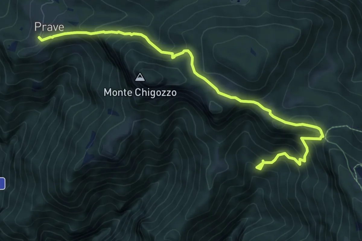
Medium · Trail
Sentiero Gruppo Sella Lorenzini
4.9 km · ↑ 371 m · 2 h 3 min · 5 km away
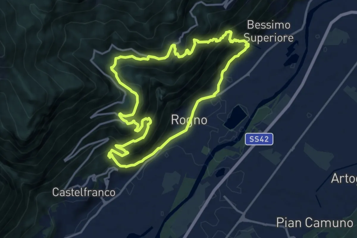
Demanding · Trail
Rogno – Rogno
9.7 km · ↑ 772 m · 4 h 6 min · 5 km away
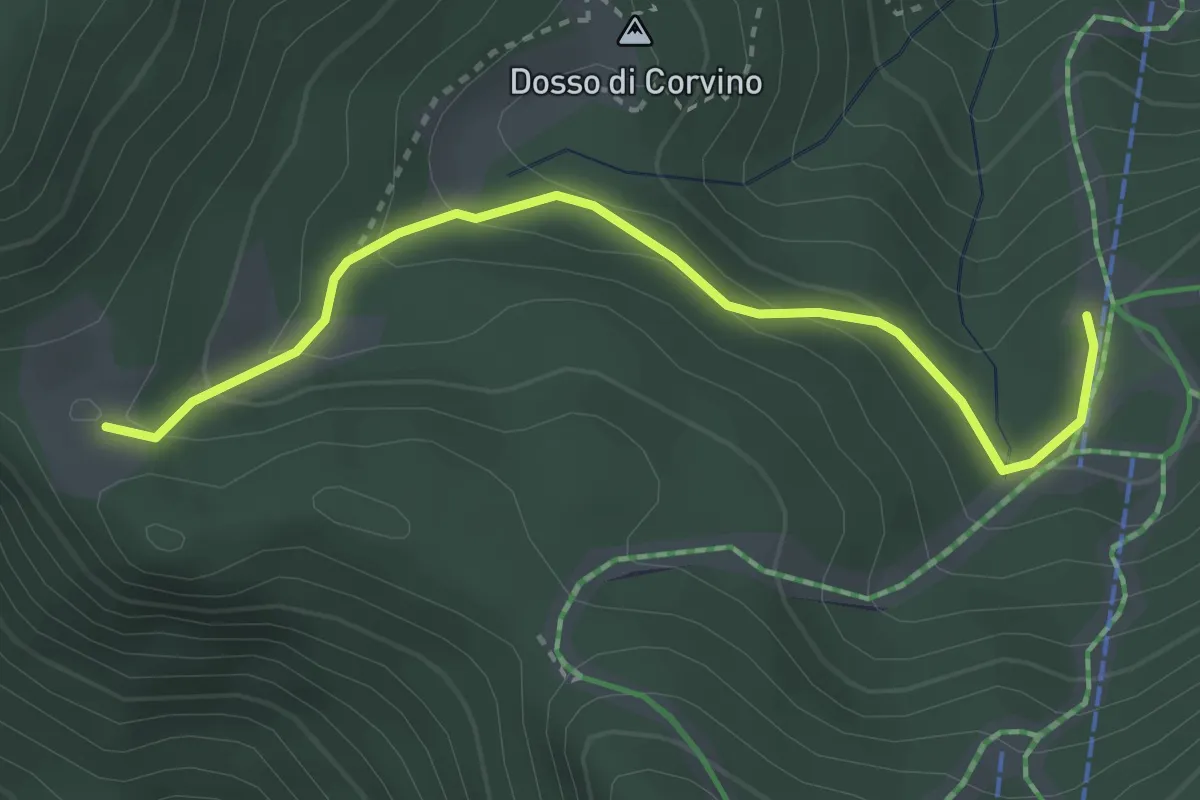
Easy · Cabin
Dosso di Plai ( Borno) – Malga Guccione
3.4 km · ↑ 165 m · 1 h 9 min · 5 km away
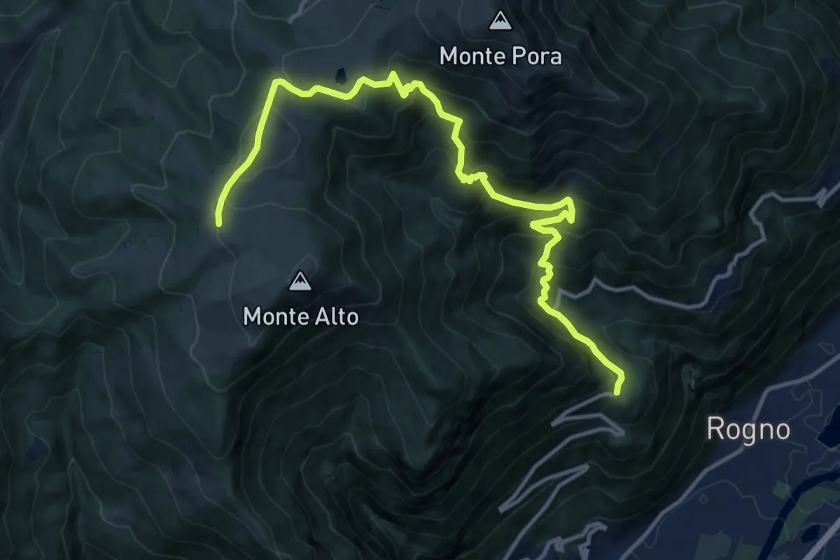
Demanding · Cabin
San Vigilio (Rogno) – Rifugio Magnolini
13.7 km · ↑ 1106 m · 5 h 38 min · 5 km away
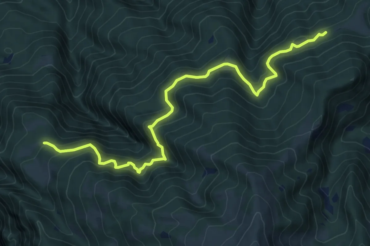
Expert · Trail
Budec – Zuvolo
10.5 km · ↑ 951 m · 4 h 32 min · 6 km away
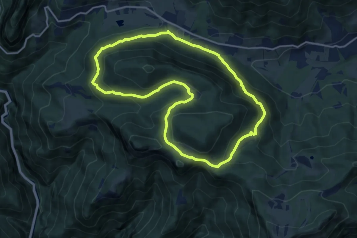
Medium · Summit
Sentiero del falco pellegrino
9.5 km · ↑ 511 m · 3 h 29 min · 6 km away
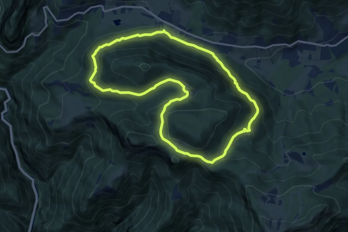
Medium · Summit
Trekking tra malghe e menhir anello 1: Salven - Val Sorda - Corvino - Triangolo
9.5 km · ↑ 511 m · 3 h 29 min · 6 km away
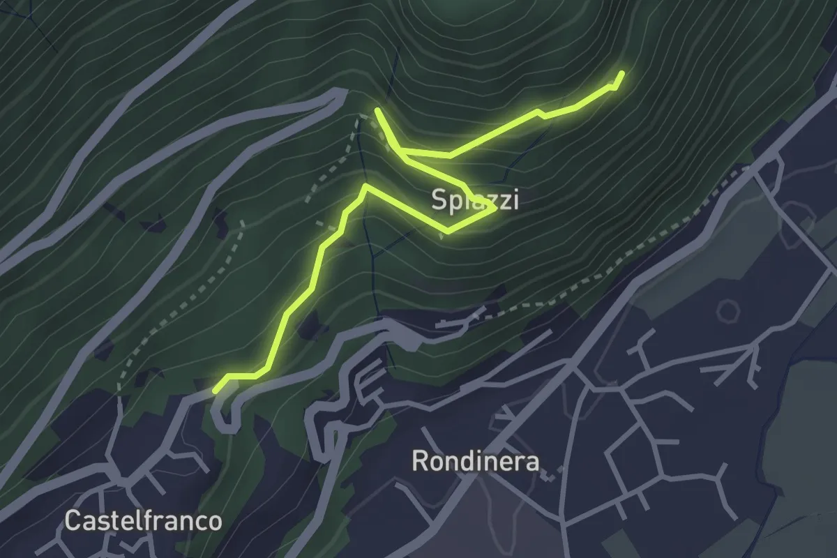
Demanding · Trail
Sentiero dei Castagneti
3.3 km · ↑ 270 m · 1 h 22 min · 6 km away
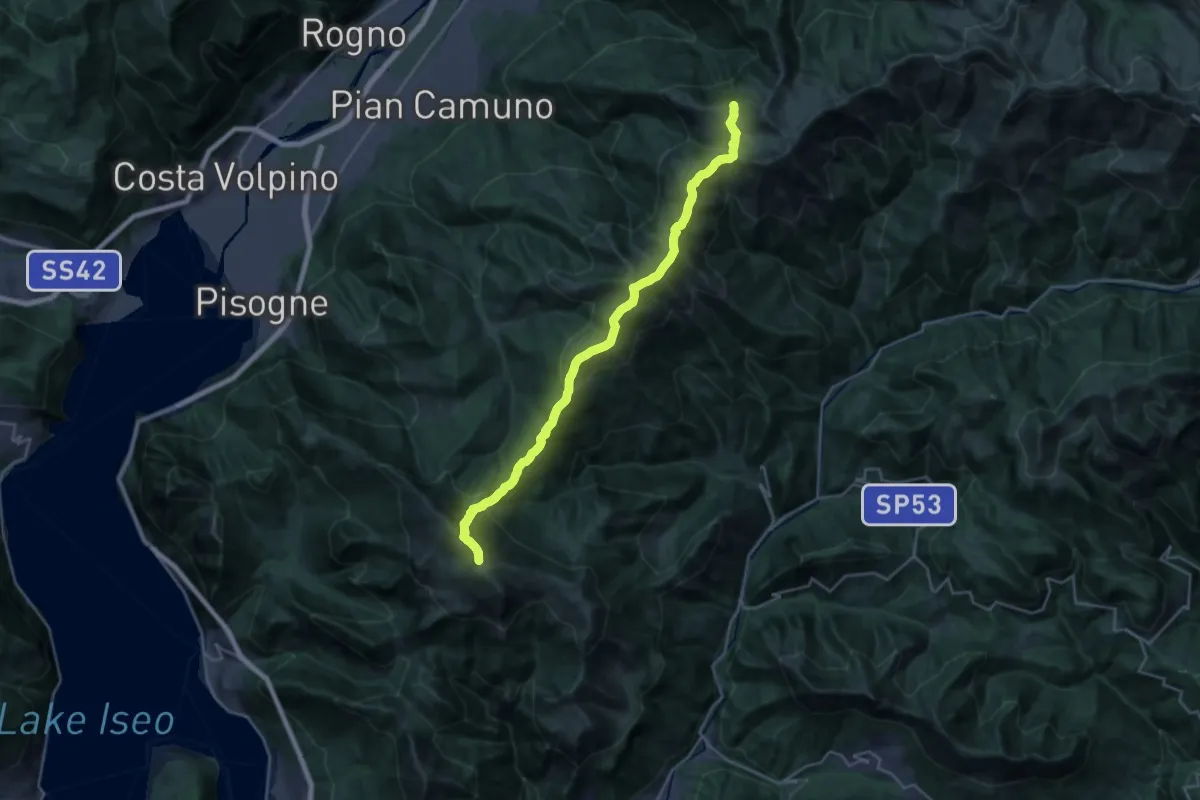
Demanding · Summit
Sentiero 3V - Tappa 6
26.0 km · ↑ 1485 m · 9 h 22 min · 6 km away
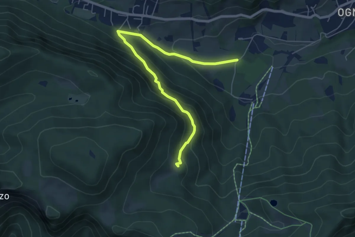
Medium · Summit
Borno (Ogne) – Pozze Val Sorda
6.1 km · ↑ 436 m · 2 h 23 min · 6 km away
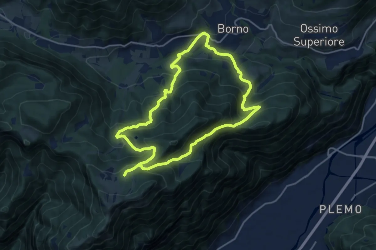
Medium · Trail
Trekking tra malghe e menhir anello 2: Mine - Monte Altissimo - Plai - Borno
11.3 km · ↑ 739 m · 4 h 26 min · 6 km away
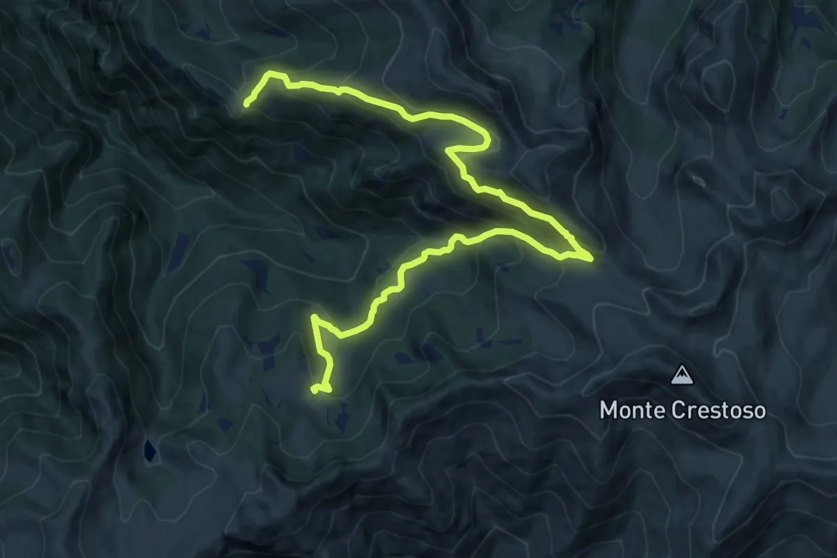
Demanding · Cabin
Sentiero dei Roselli
15.4 km · ↑ 1072 m · 5 h 57 min · 7 km away
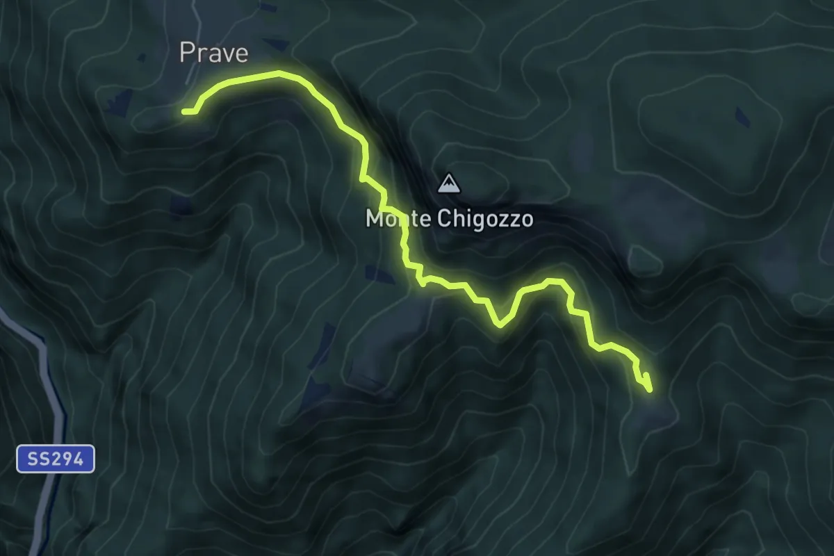
Expert · Trail
Sentiero Gruppo Sella Lorenzini - Varianti
6.3 km · ↑ 452 m · 2 h 28 min · 7 km away
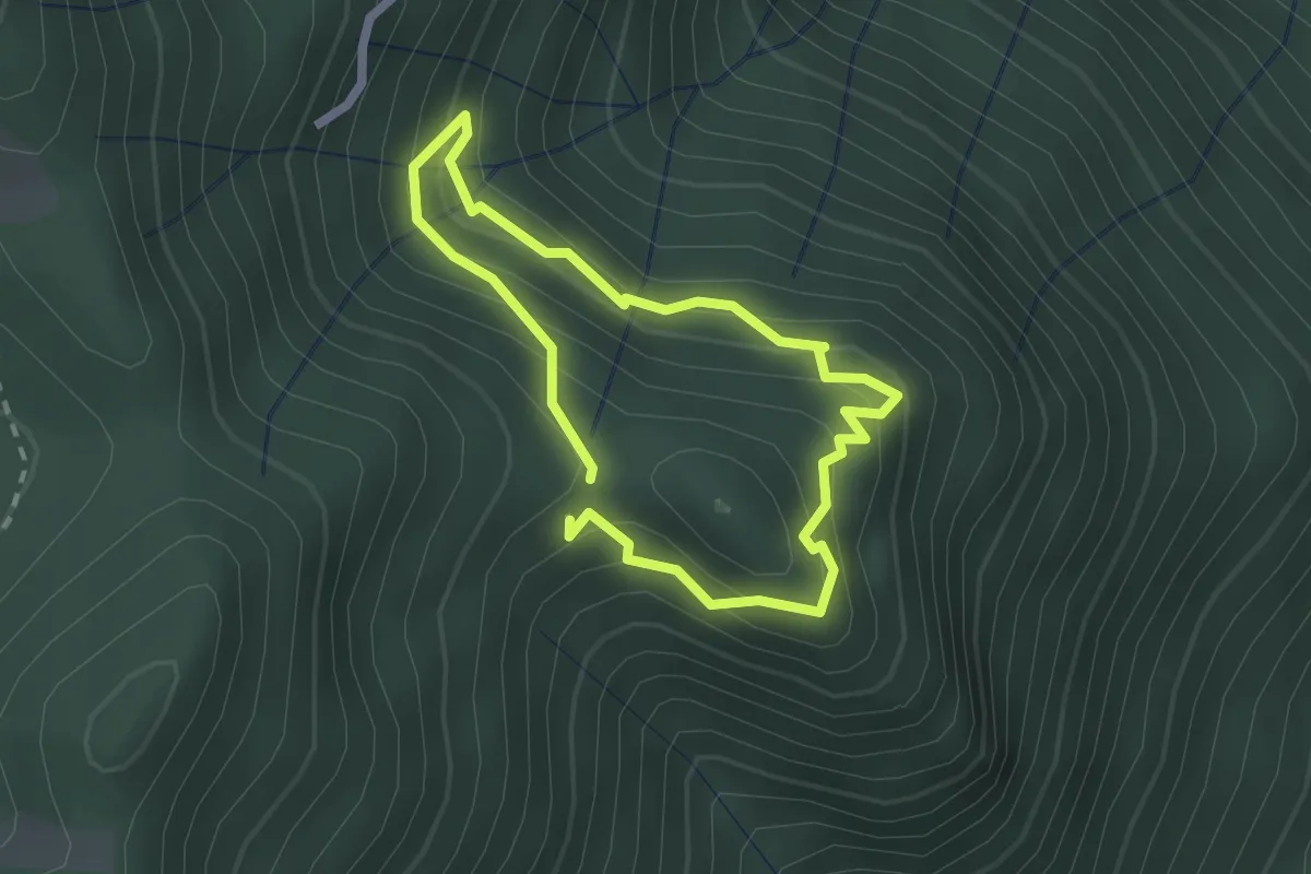
Easy · Trail
Sentiero dell'Orso
1.8 km · ↑ 133 m · 44 min · 7 km away
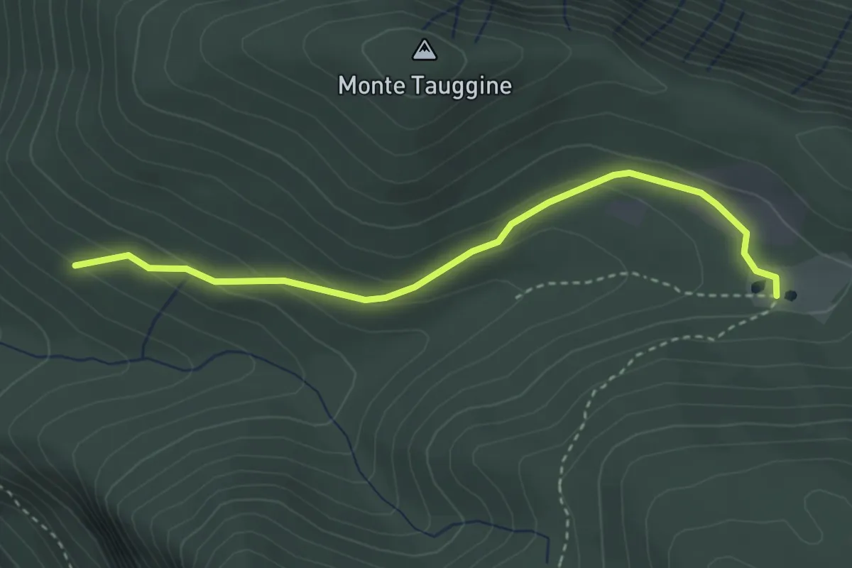
Easy · Trail
Bivio Due Strade – Val Sorda
3.4 km · ↑ 130 m · 1 h 5 min · 7 km away
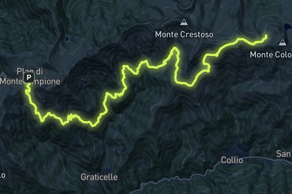
Demanding · Cabin
Via del Silter (VdS) [Settore Val Trompia]
18.5 km · ↑ 1456 m · 7 h 39 min · 7 km away
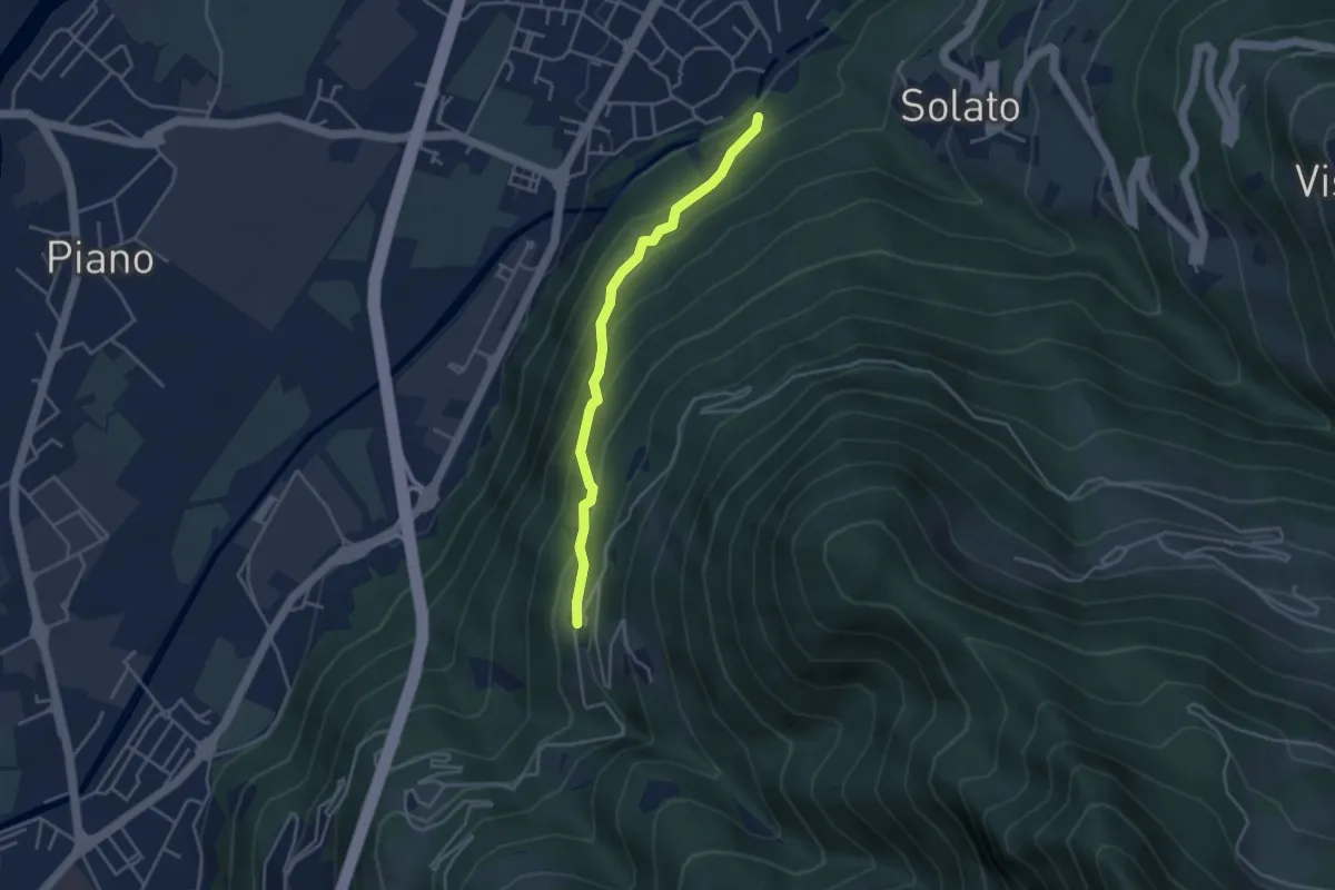
Easy · Trail
Innesto Sentiero 203 - Gratacasolo – Innesto Sentiero 202 - Sonvico
3.7 km · ↑ 286 m · 1 h 29 min · 7 km away
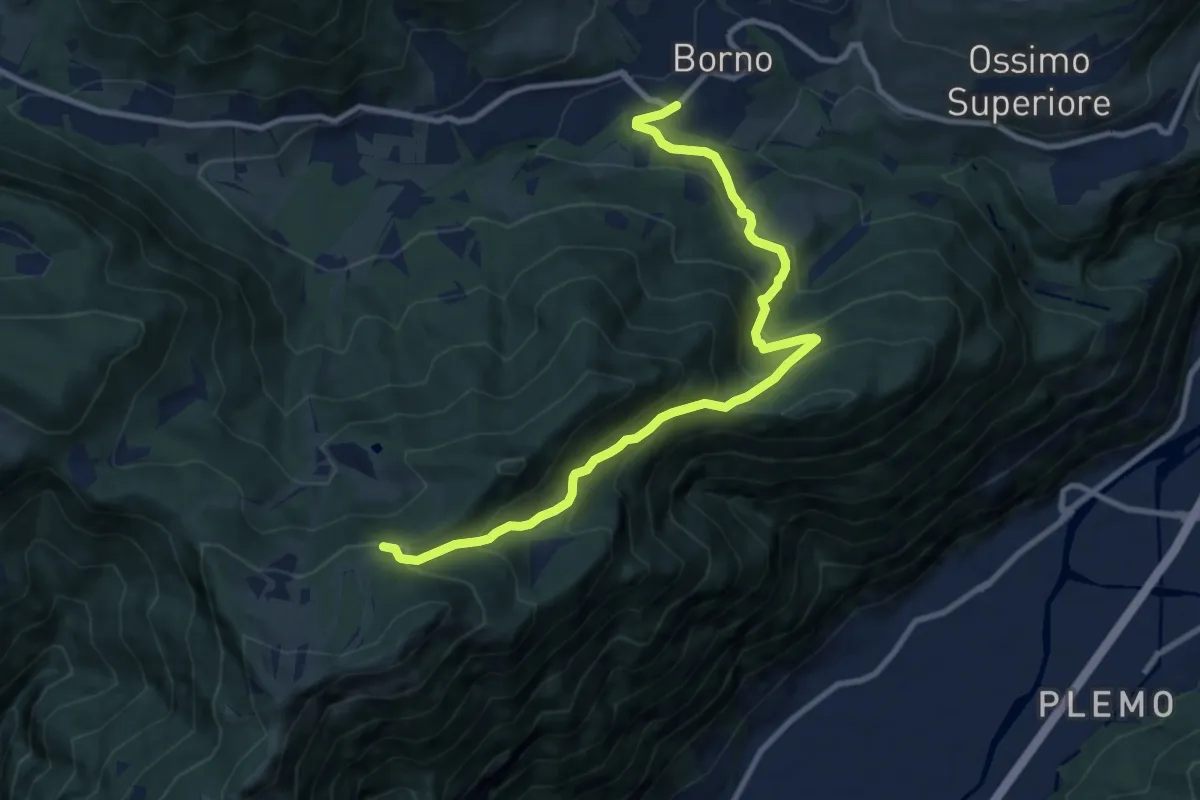
Medium · Trail
Borno – Pagherola
10.9 km · ↑ 712 m · 4 h 7 min · 7 km away
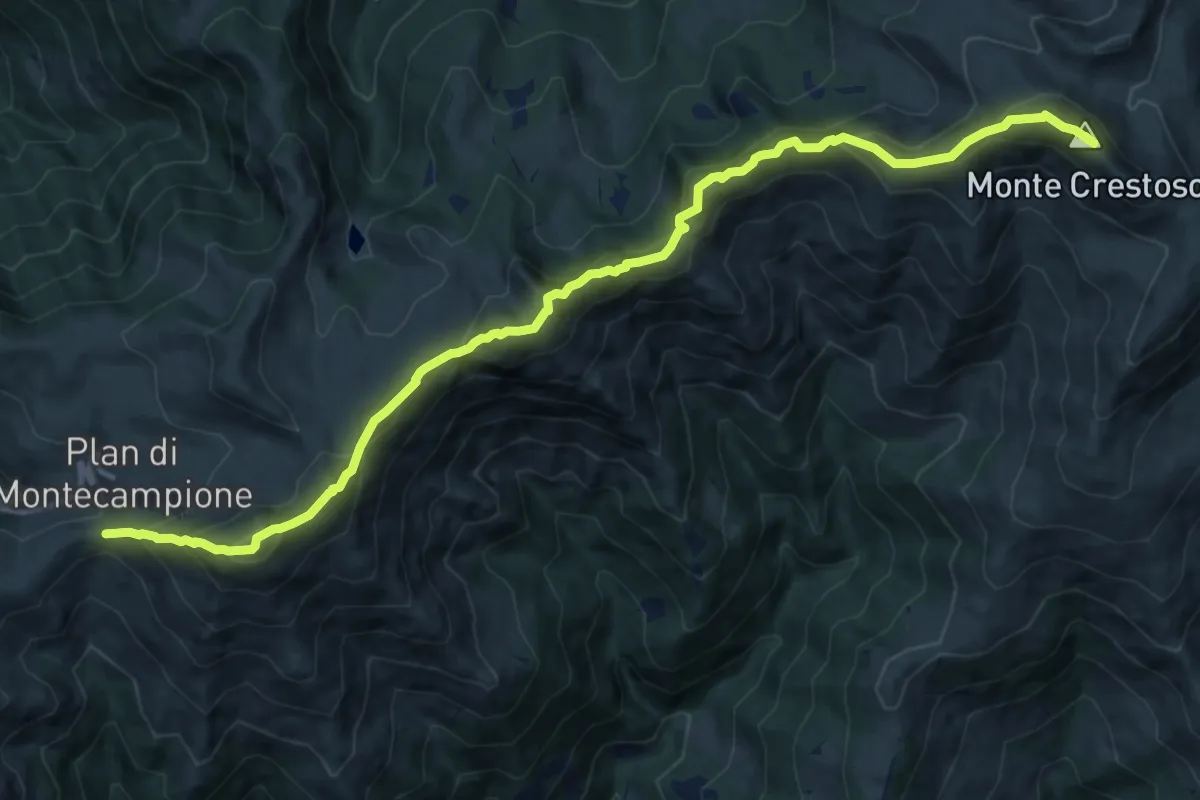
Demanding · Summit
Sentiero 3V - Tappa 5 (Variante alta 3)
14.5 km · ↑ 1110 m · 5 h 50 min · 7 km away
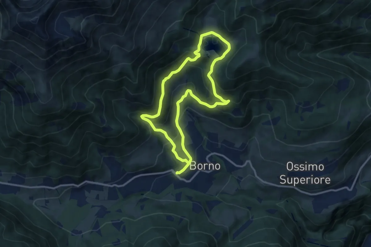
Medium · Trail
Percorso della memoria
7.9 km · ↑ 529 m · 3 h 7 min · 7 km away
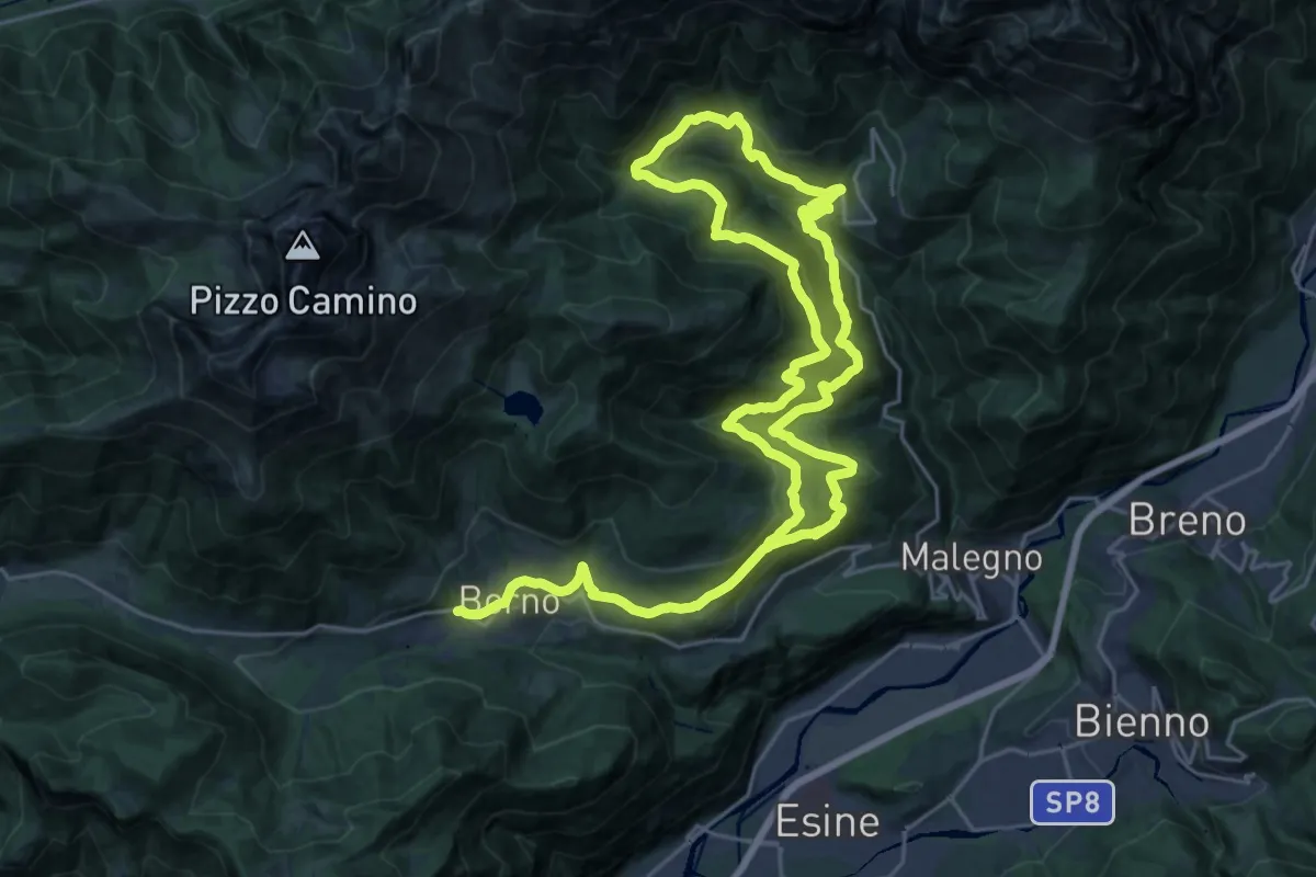
Demanding · Trail
Trekking dell'Altopiano del Sole
21.6 km · ↑ 949 m · 7 h 27 min · 7 km away
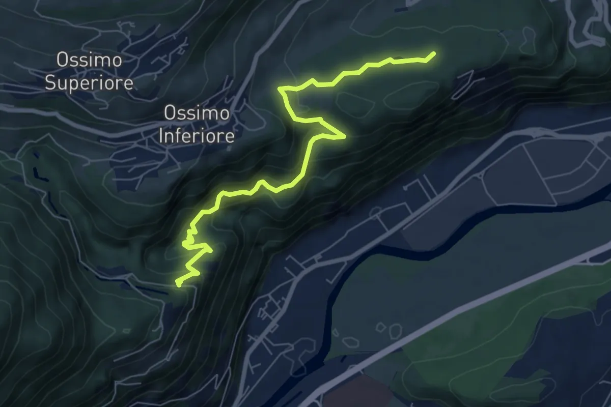
Medium · Trail
Via Valeriana
7.1 km · ↑ 480 m · 2 h 43 min · 7 km away
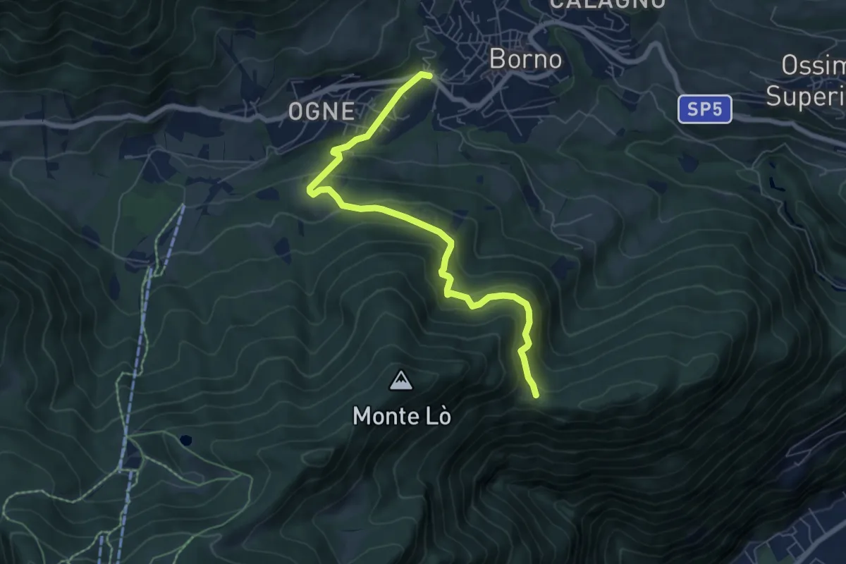
Medium · Trail
Borno (Viale Pineta) – Balestrini
6.9 km · ↑ 445 m · 2 h 36 min · 7 km away
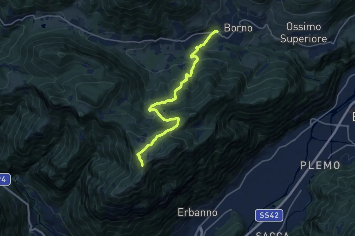
Demanding · Summit
Borno (Viale Pineta) – Monte Altissimo
12.8 km · ↑ 864 m · 4 h 54 min · 7 km away
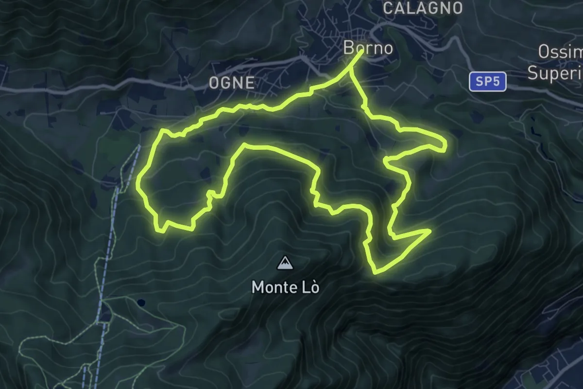
Medium · Trail
Percorso dell'acqua
10.3 km · ↑ 660 m · 4 h 1 min · 7 km away
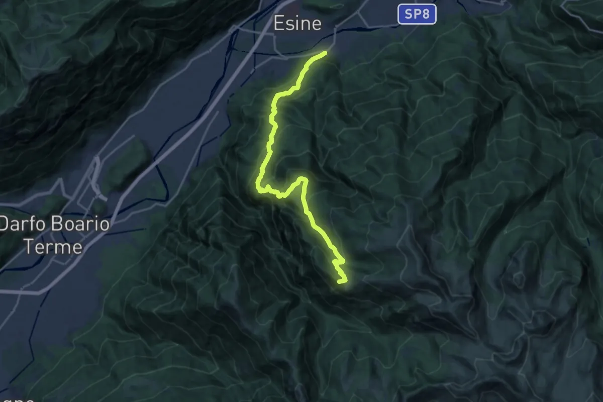
Demanding · Summit
Esine – Rosello di Sopra
17.0 km · ↑ 1552 m · 7 h 22 min · 7 km away
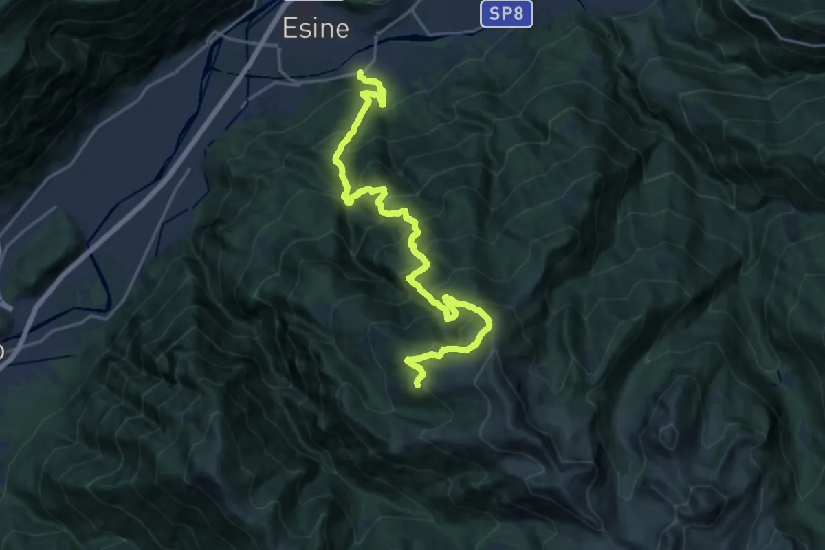
Demanding · Summit
Esine – Pozza di Scandolaro
19.2 km · ↑ 1972 m · 8 h 48 min · 7 km away
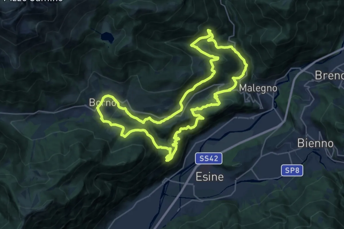
Demanding · Trail
Trekking tra malghe e menhir anello 8: Trekking menhir e incisioni rupestri
20.7 km · ↑ 1086 m · 7 h 32 min · 7 km away
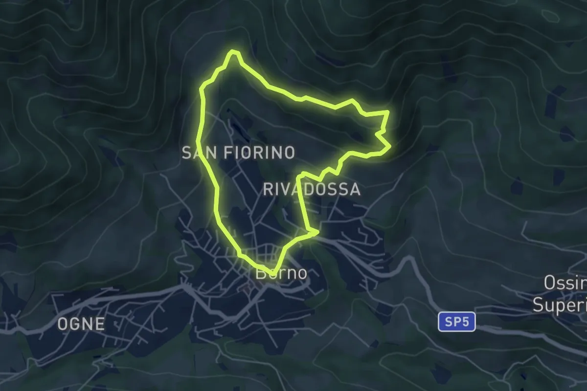
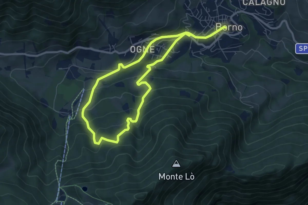
Easy · Trail
Sentiero dell'insolito comignolo
4.4 km · ↑ 306 m · 1 h 46 min · 7 km away
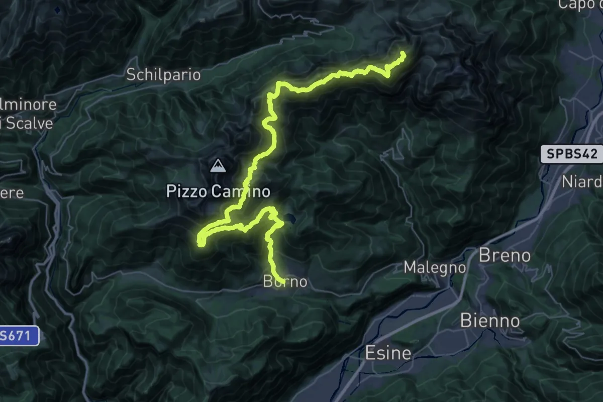
Easy · Trail
Sentiero sogno Presolana
5.8 km · ↑ 316 m · 2 h 8 min · 7 km away
Expert · Summit
Alta Via delle Orobie Orientali
41.5 km · ↑ 3217 m · 16 h 46 min · 7 km away
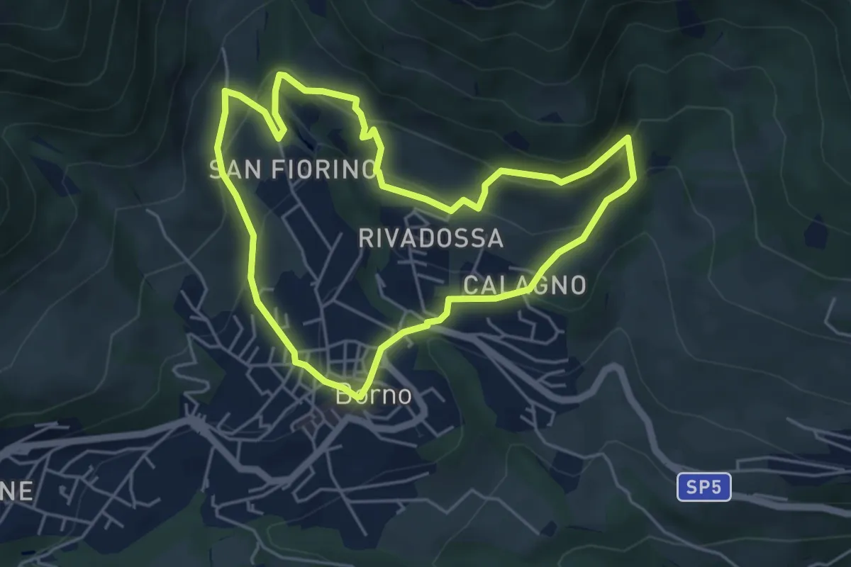
Medium · Trail
Sentiero delle Palete
4.5 km · ↑ 341 m · 1 h 52 min · 7 km away
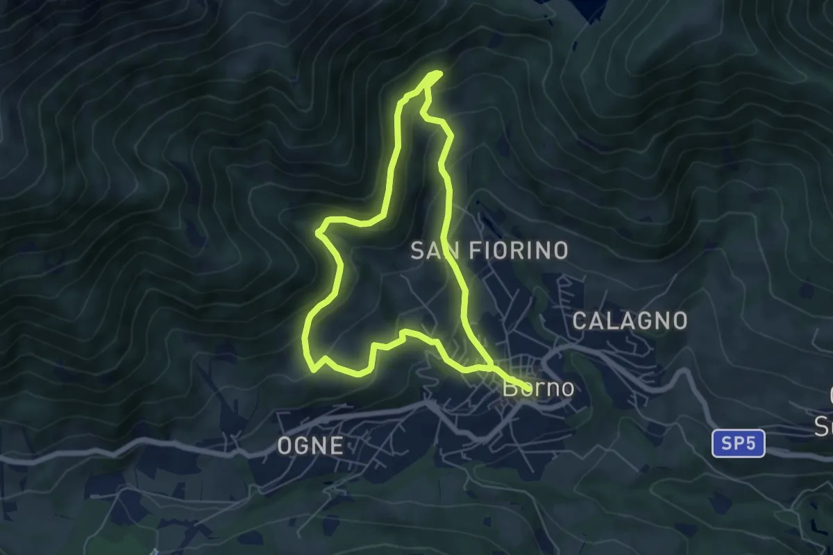
Medium · Trail
Sentiero degli abeti rossi
5.3 km · ↑ 364 m · 2 h 6 min · 7 km away