Trails near Darfo Boario Terme
245 hikes starting within 15 km, nearest first.
Nearest first, page 2 of 6
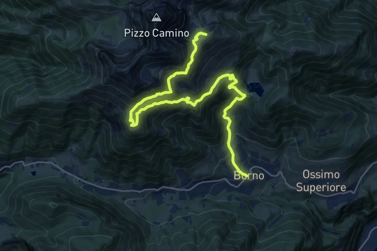
Demanding · Summit
Borno – Rifugio Gualtiero Laeng
21.3 km · ↑ 1529 m · 8 h 21 min · 7 km away
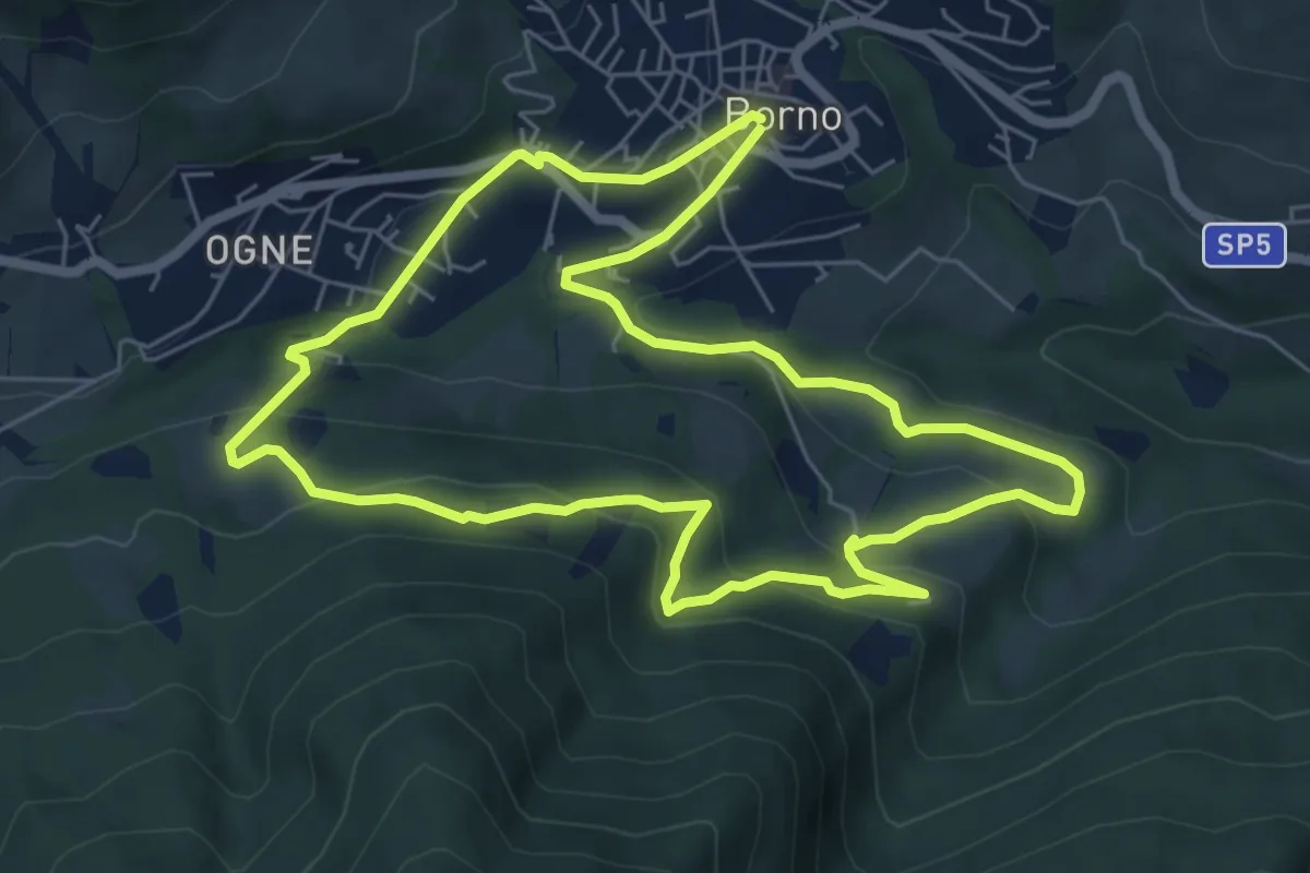
Easy · Trail
Sentiero dei ruscelli canterini
6.5 km · ↑ 286 m · 2 h 15 min · 7 km away
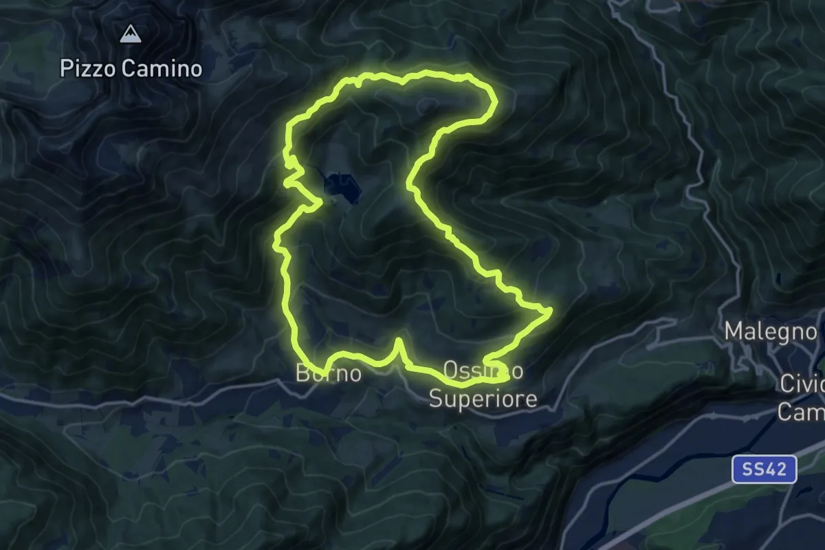
Demanding · Trail
Trekking tra malghe e menhir anello 5: Mignone - Agolo - Averta
15.0 km · ↑ 893 m · 5 h 41 min · 7 km away
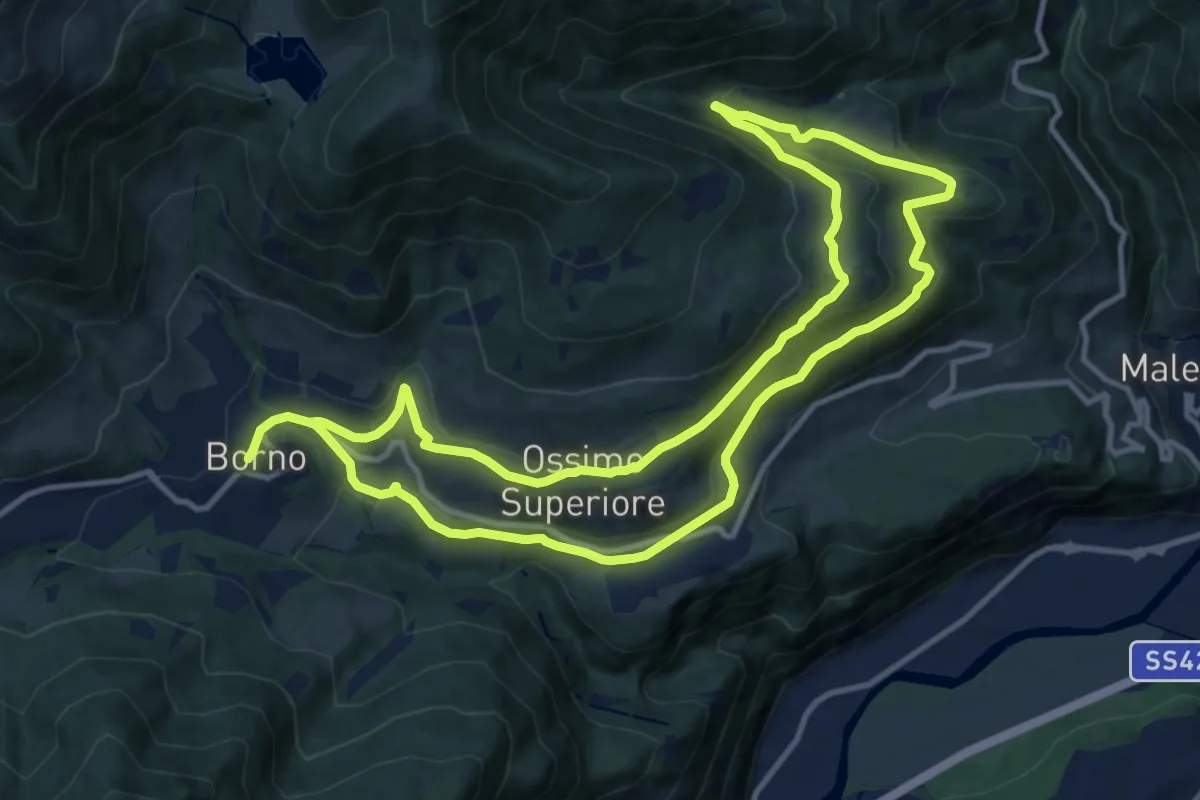
Medium · Trail
Sentiero delle pietre e degli Dei
12.1 km · ↑ 369 m · 3 h 50 min · 7 km away
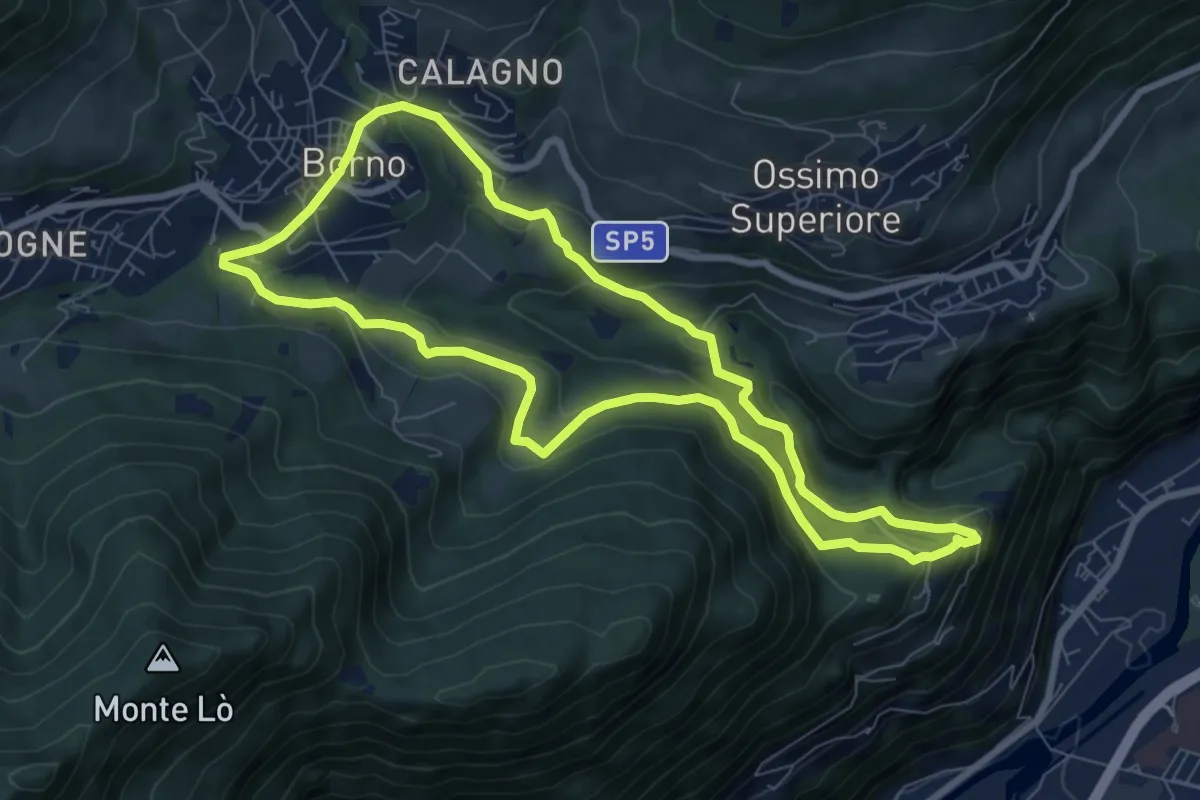
Medium · Trail
Sentiero dei ciclamini
7.8 km · ↑ 340 m · 2 h 41 min · 7 km away
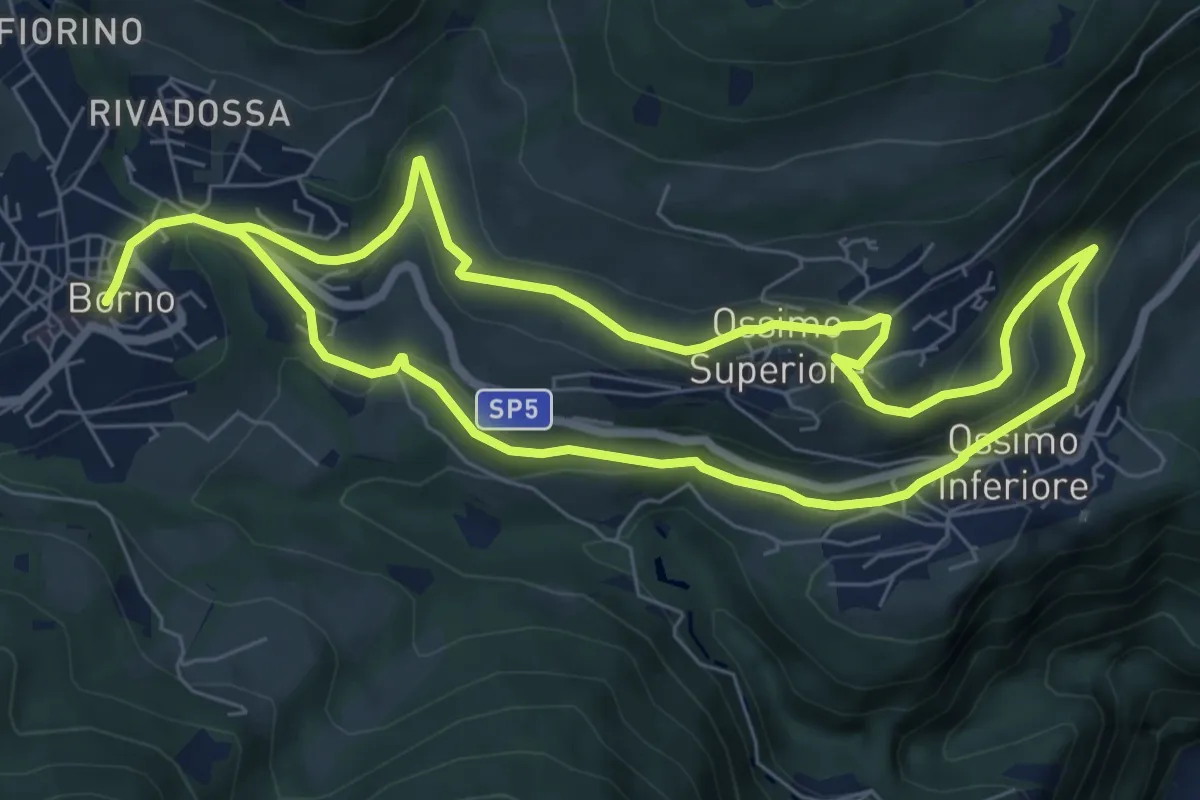
Easy · Trail
Sentiero delle streghe
7.0 km · ↑ 218 m · 2 h 14 min · 7 km away
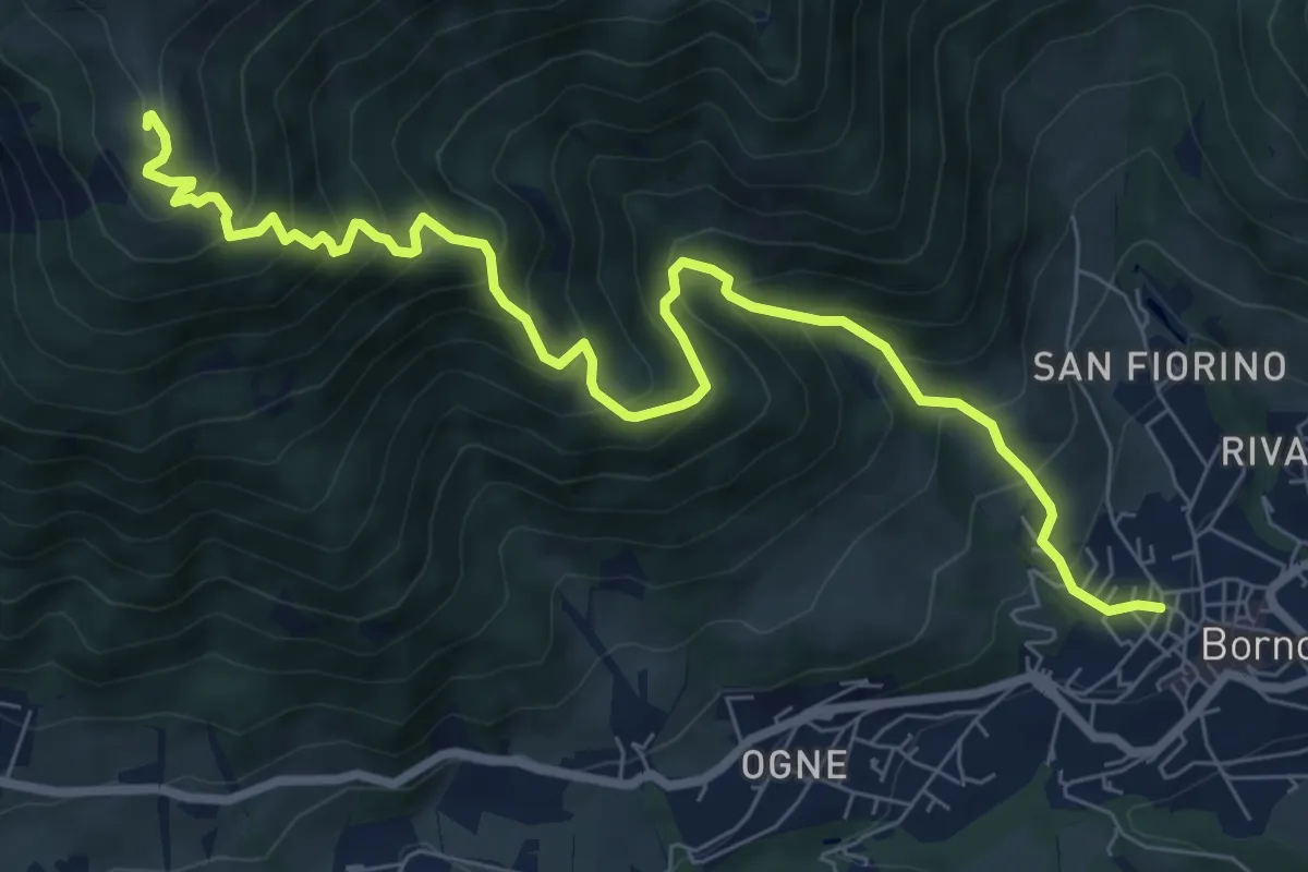
Demanding · Cabin
Borno – Rifugio San Fermo
9.1 km · ↑ 938 m · 4 h 11 min · 7 km away
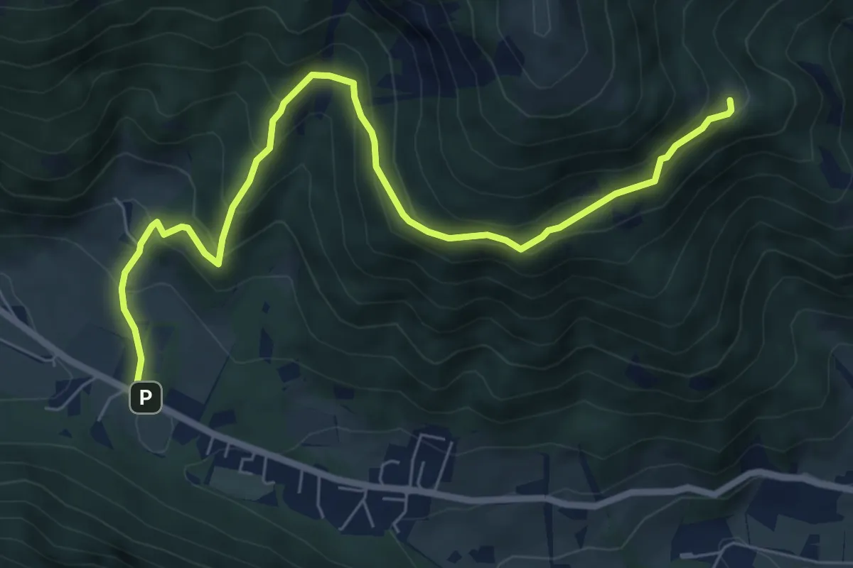
Medium · Trail
Borno (Croce di Salven) – Malga Zumella
7.7 km · ↑ 540 m · 2 h 59 min · 7 km away
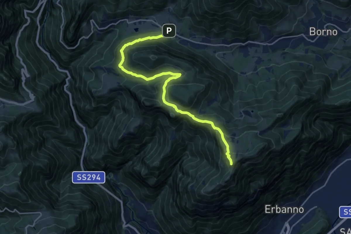
Medium · Summit
Croce di Salven – Monte Altissimo
15.7 km · ↑ 766 m · 5 h 22 min · 7 km away
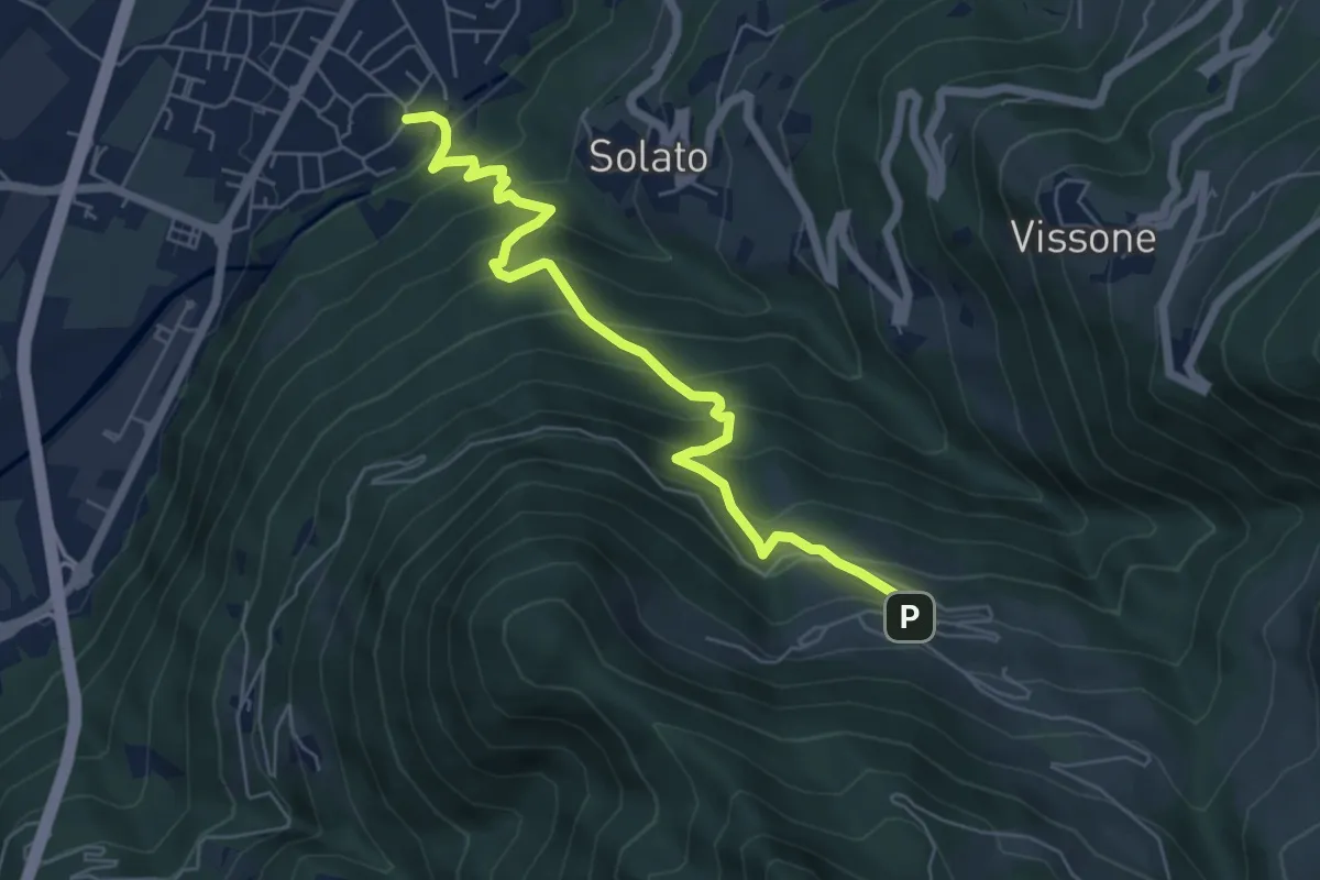
Medium · Trail
Gratacasolo – Innesto Sentiero 202 - Fraine
6.3 km · ↑ 593 m · 2 h 47 min · 8 km away
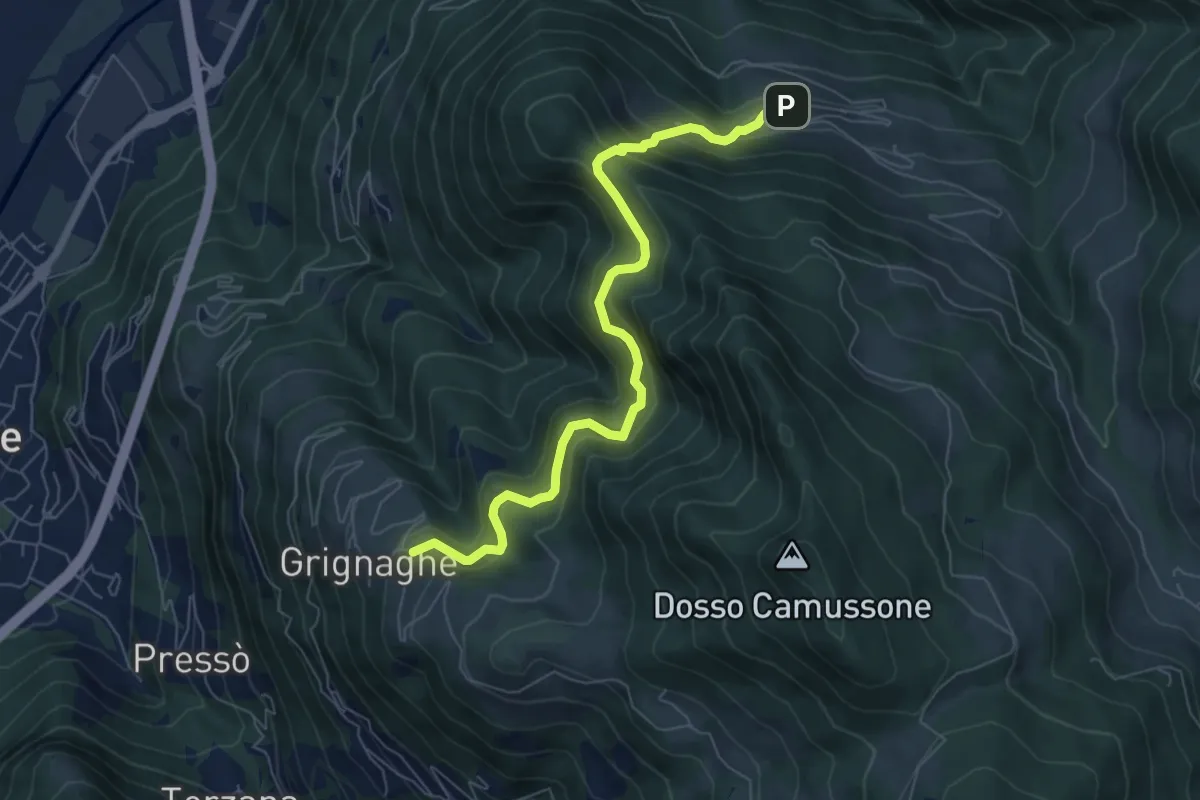
Medium · Trail
Innesto Sentiero 201 - Grignaghe – Innesto Sentiero 203 - Fraine
7.2 km · ↑ 505 m · 2 h 47 min · 8 km away
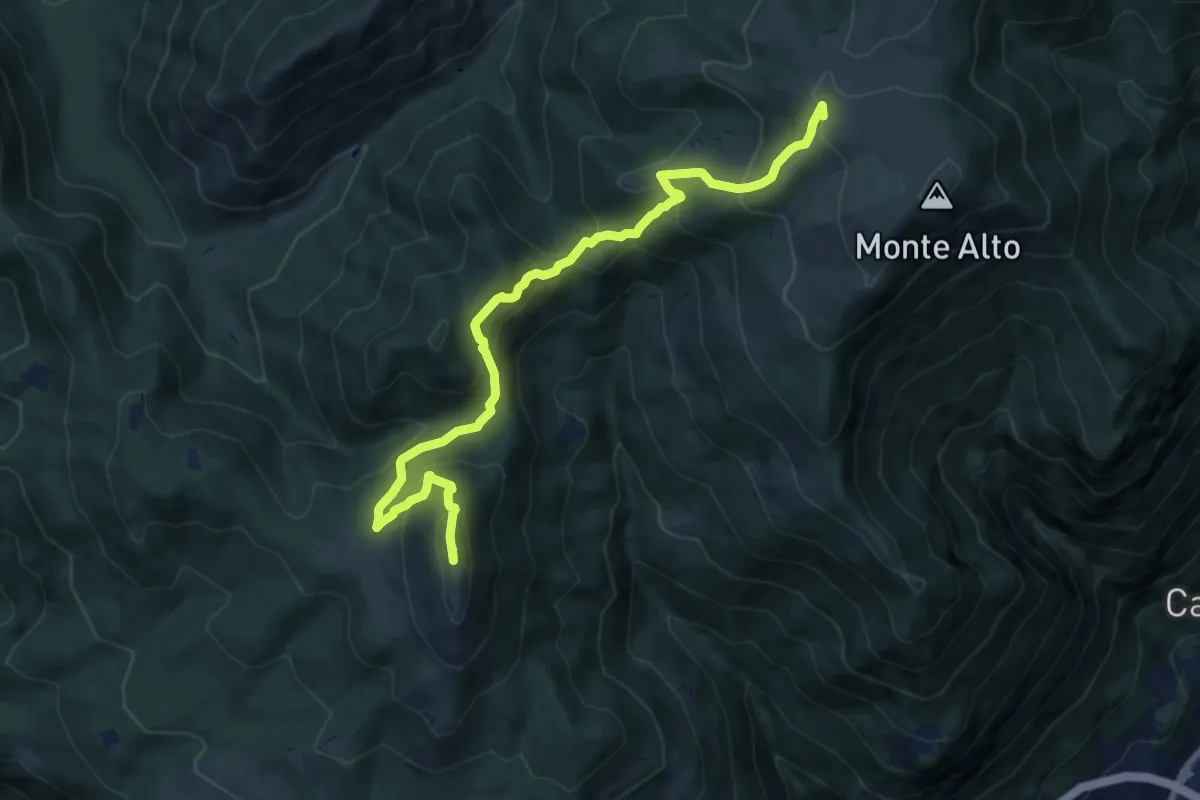
Expert · Summit
Trekking della Presolana - Tappa 2
10.7 km · ↑ 775 m · 4 h 13 min · 8 km away
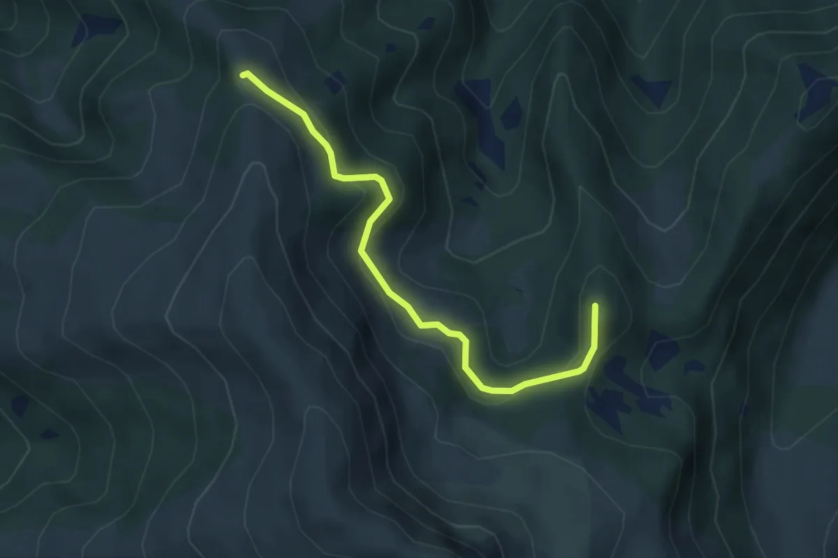
Medium · Summit
Silter di Val Gabbia – San Glisente
4.3 km · ↑ 232 m · 1 h 30 min · 8 km away
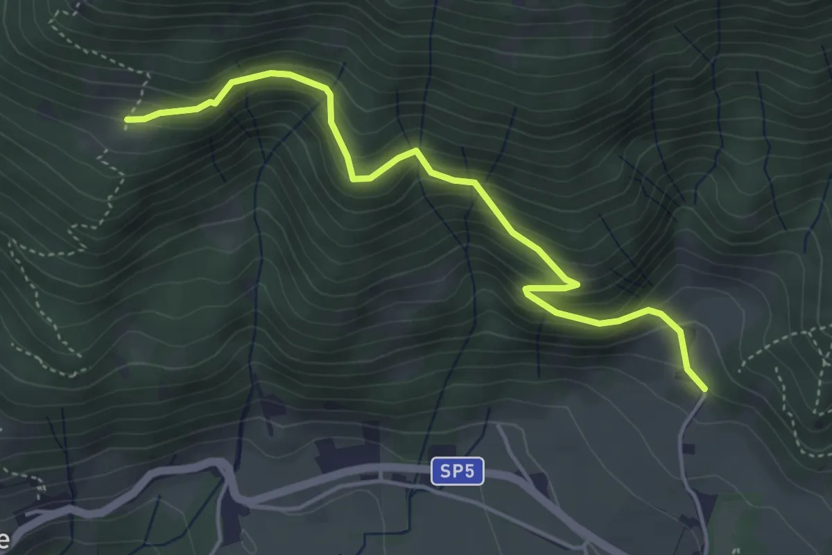
Medium · Trail
Innesto sentiero n. 101 – Malga Creisa
4.5 km · ↑ 337 m · 1 h 48 min · 8 km away
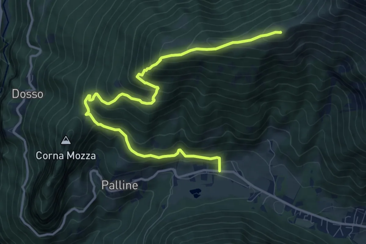
Demanding · Summit
Croce di Salven – Passo del Costone
11.5 km · ↑ 871 m · 4 h 37 min · 8 km away
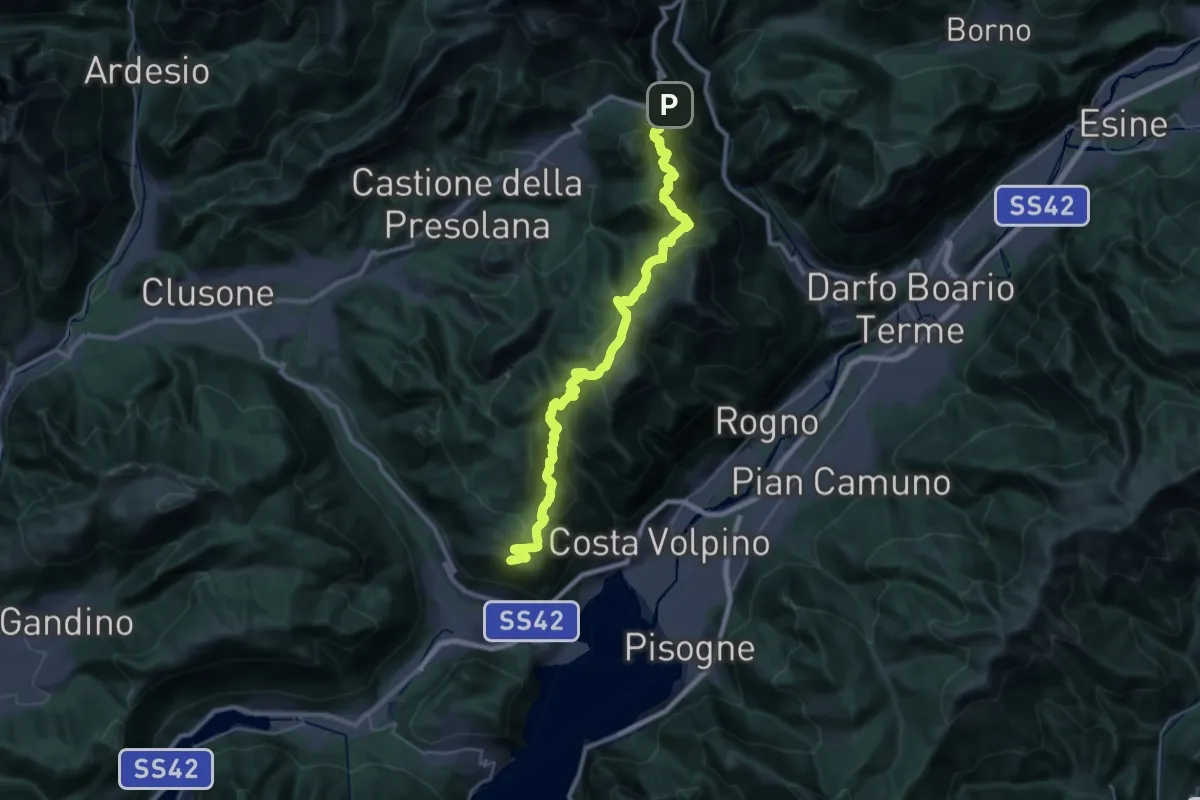
Expert · Trail
CamminaForeste - Tappa 4B
17.9 km · ↑ 923 m · 6 h 41 min · 8 km away
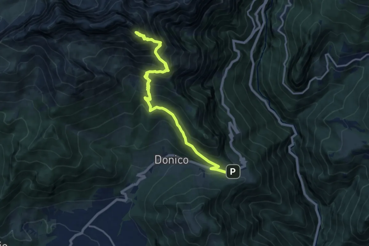
Expert · Summit
Sentiero delle Orobie Orientali - Tappa finale Classico
11.5 km · ↑ 1047 m · 4 h 59 min · 8 km away
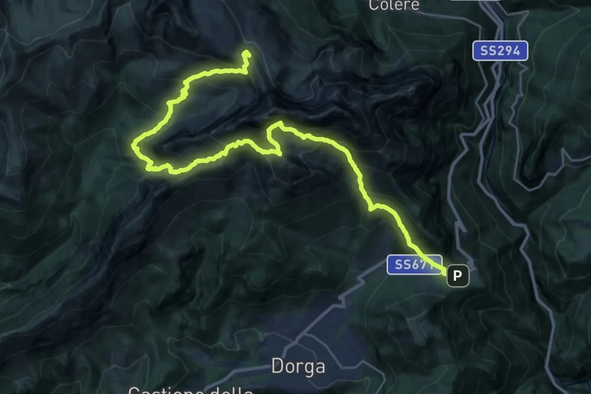
Demanding · Summit
Sentiero dei Laghi Alto - Tappa 12
26.0 km · ↑ 2808 m · 12 h 14 min · 8 km away
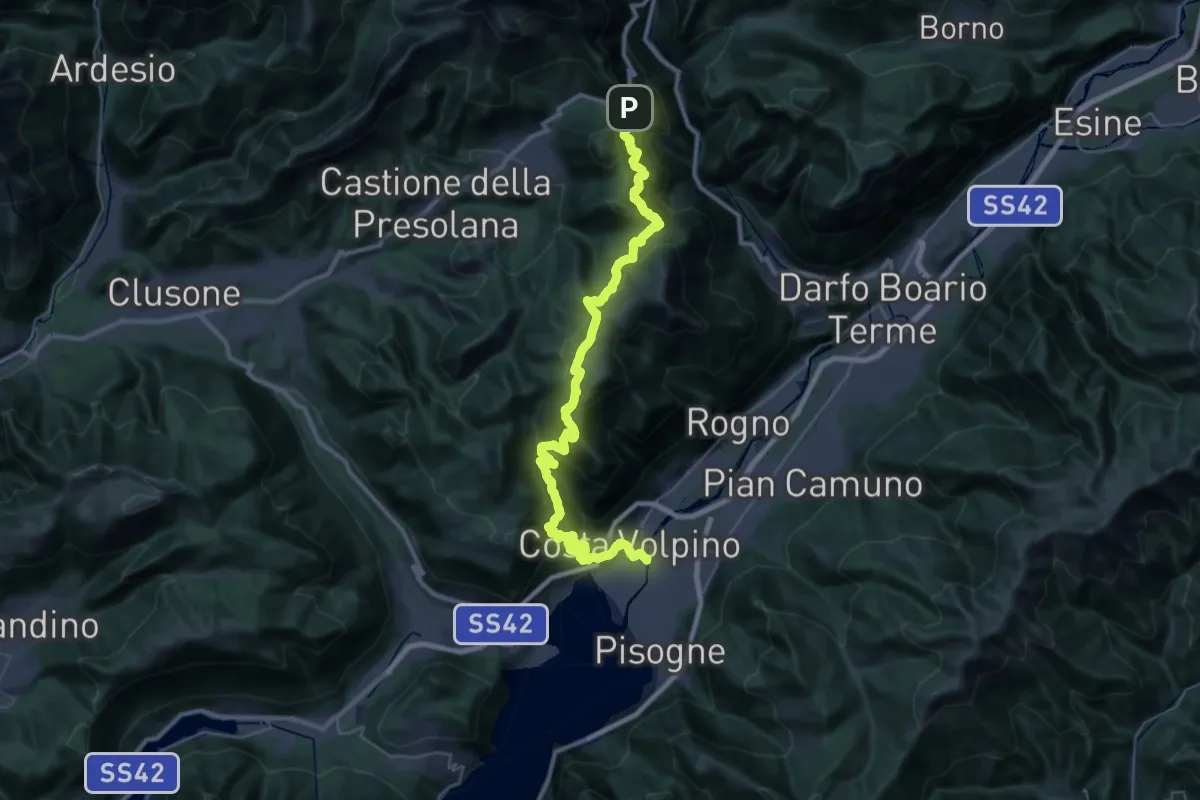
Expert · Trail
Sentiero dei Laghi Alto - Tappa 13
21.3 km · ↑ 880 m · 7 h 47 min · 8 km away
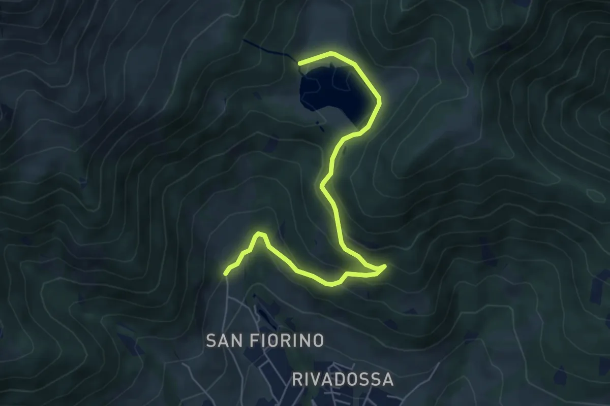
Medium · Trail
Navertino – Chalet Lova
6.0 km · ↑ 347 m · 2 h 10 min · 8 km away
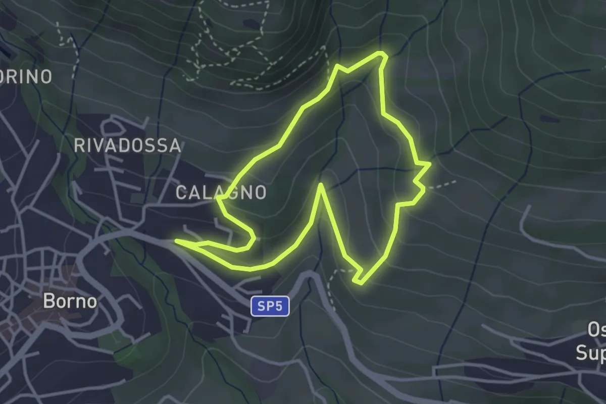
Easy · Trail
Percorso dei frutti di bosco
3.1 km · ↑ 181 m · 1 h 10 min · 8 km away
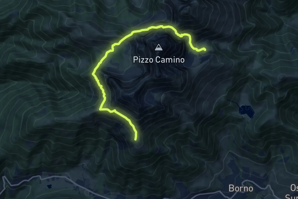
Expert · Cabin
Rifugio San Fermo – Rifugio Laeng
13.7 km · ↑ 1369 m · 6 h 13 min · 8 km away
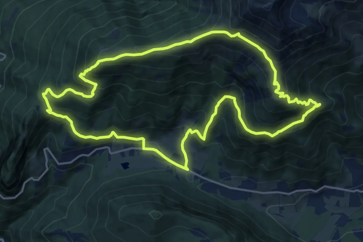
Demanding · Summit
Trekking tra malghe e menhir anello 3: Salven - Costone - San Fermo
13.4 km · ↑ 1009 m · 5 h 32 min · 8 km away
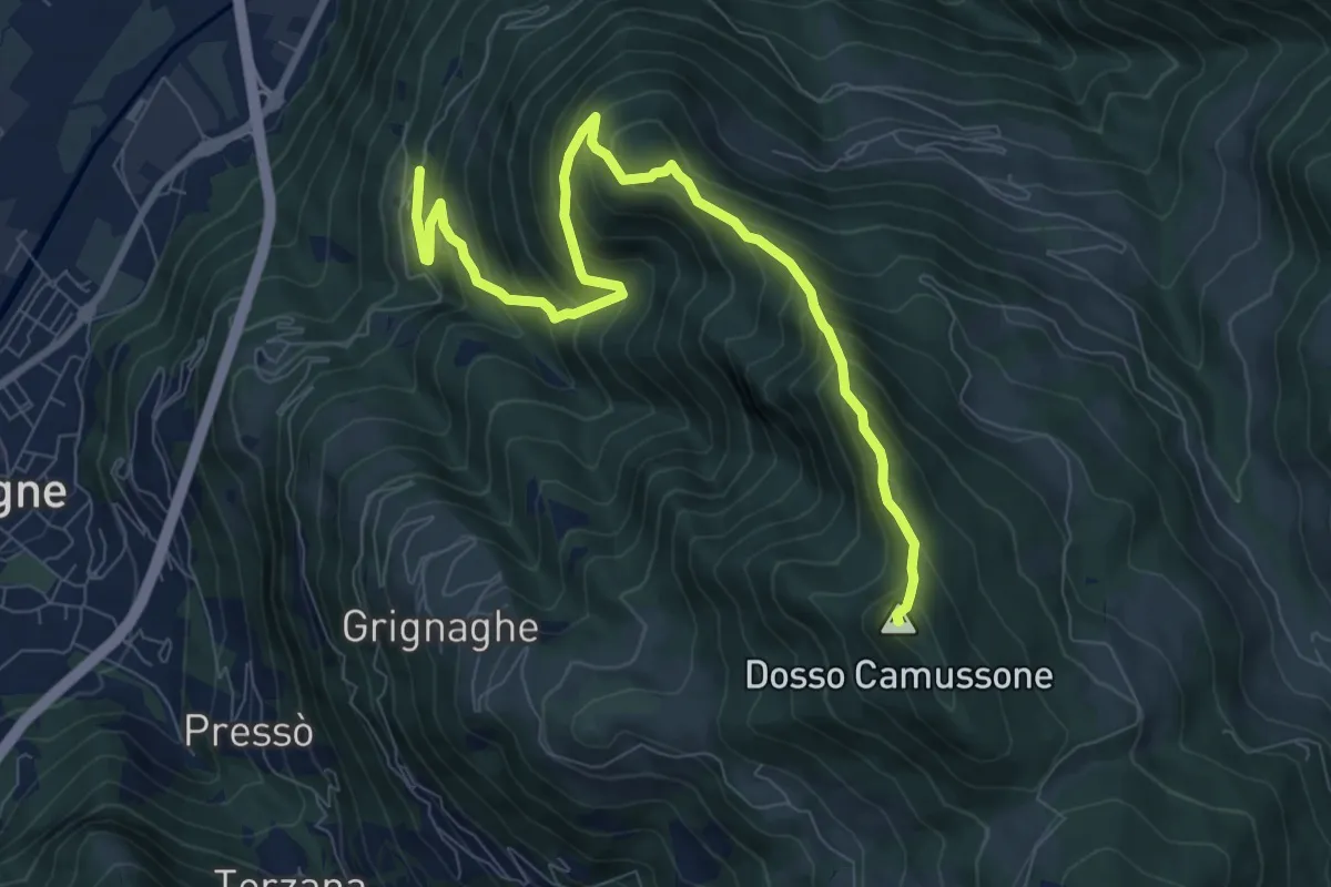
Demanding · Summit
Sonvico - Croce Marino
9.6 km · ↑ 900 m · 4 h 13 min · 8 km away
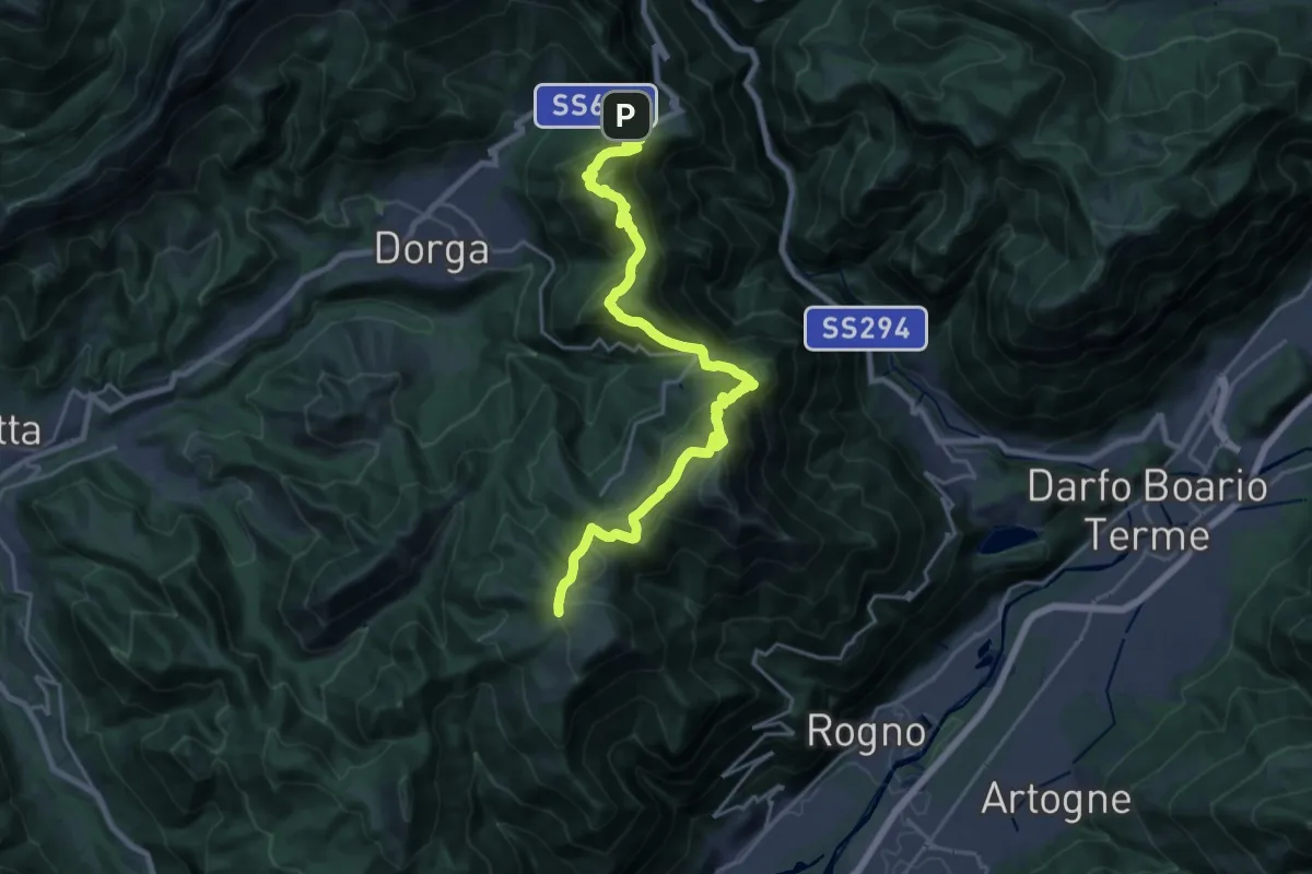
Demanding · Cabin
Trekking della Presolana - Tappa 3
12.2 km · ↑ 918 m · 4 h 53 min · 8 km away
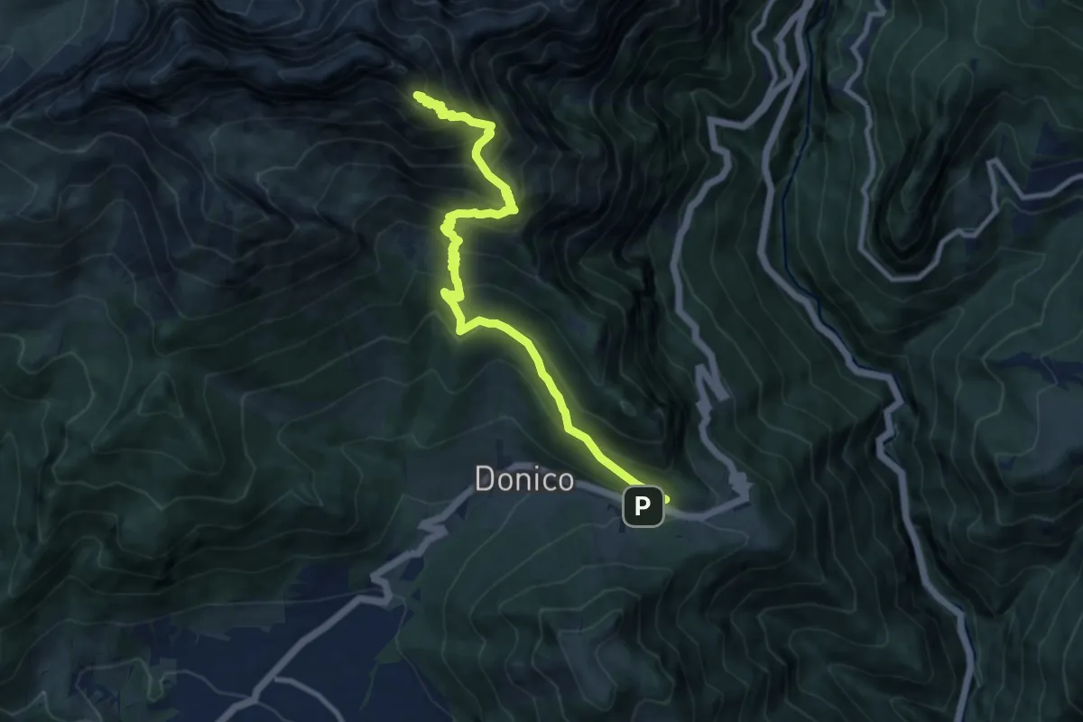
Demanding · Summit
Passo della Presolana – Monte Visolo
10.6 km · ↑ 1039 m · 4 h 45 min · 8 km away
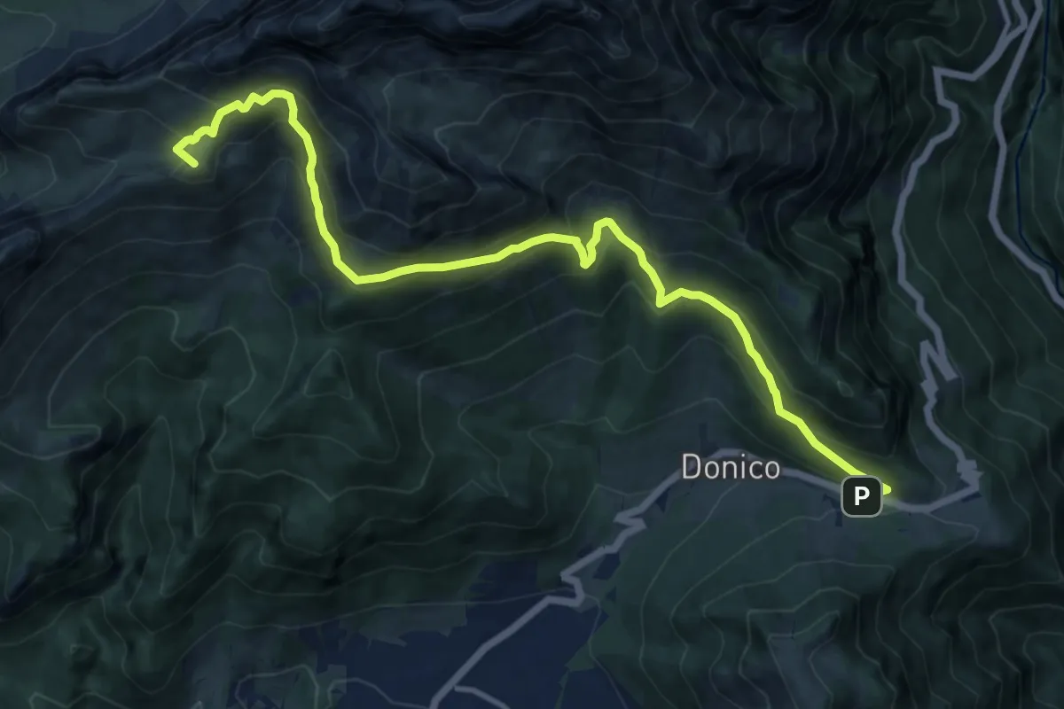
Demanding · Summit
Trekking della Presolana - Tappa 4
13.6 km · ↑ 1026 m · 5 h 27 min · 8 km away
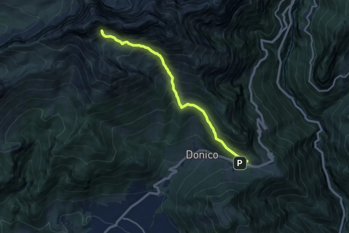
Demanding · Trail
Passo della Presolana – Grotta dei Pagani
9.5 km · ↑ 1236 m · 4 h 56 min · 8 km away
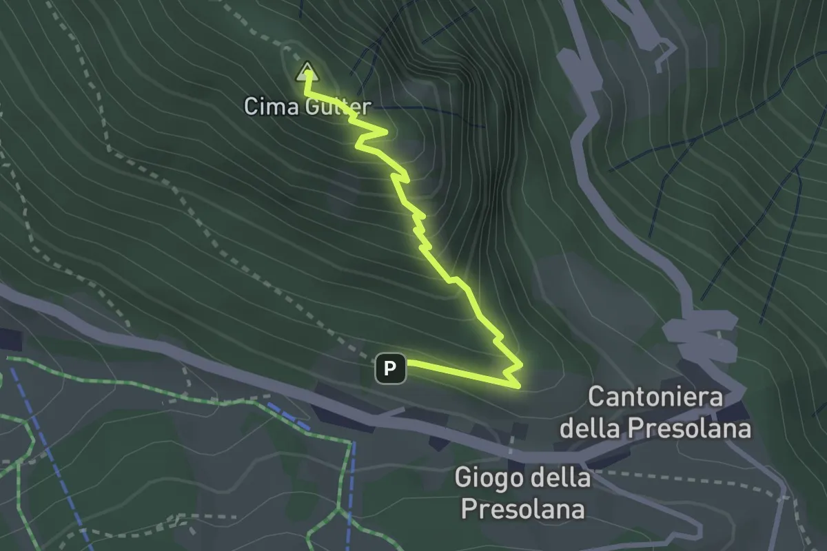
Demanding · Summit
Incrocio 316 – Incrocio 316
2.5 km · ↑ 283 m · 1 h 13 min · 9 km away
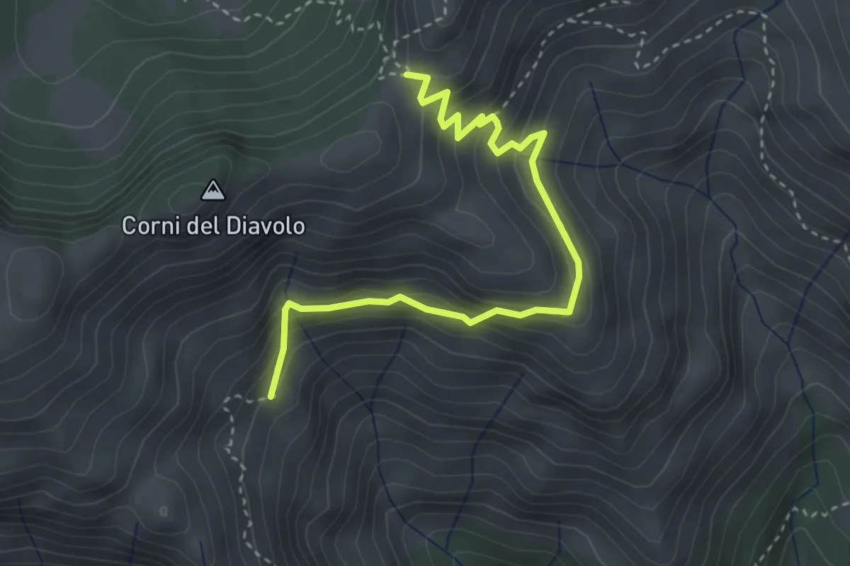
Demanding · Cabin
Sentiero dei Camosci
3.6 km · ↑ 273 m · 1 h 27 min · 9 km away
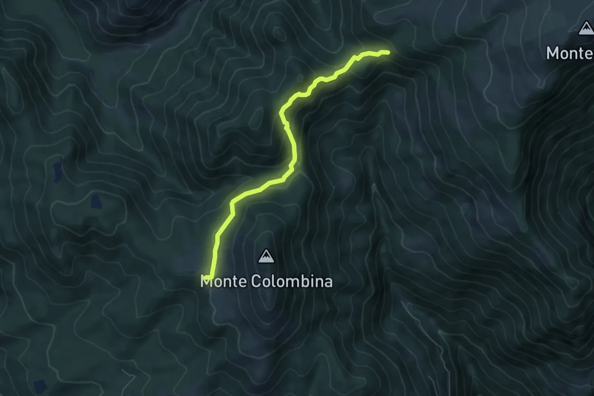
Medium · Trail
San Fermo (Bossico) – Il Forcellino di Ramello
5.8 km · ↑ 325 m · 2 h 5 min · 9 km away
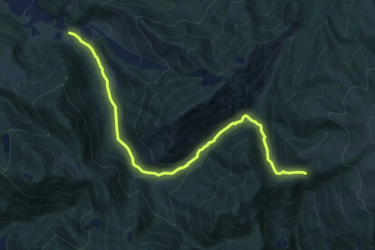
Expert · Trail
Onore – Il Forcellino di Ramello (Bossico)
12.2 km · ↑ 593 m · 4 h 11 min · 9 km away
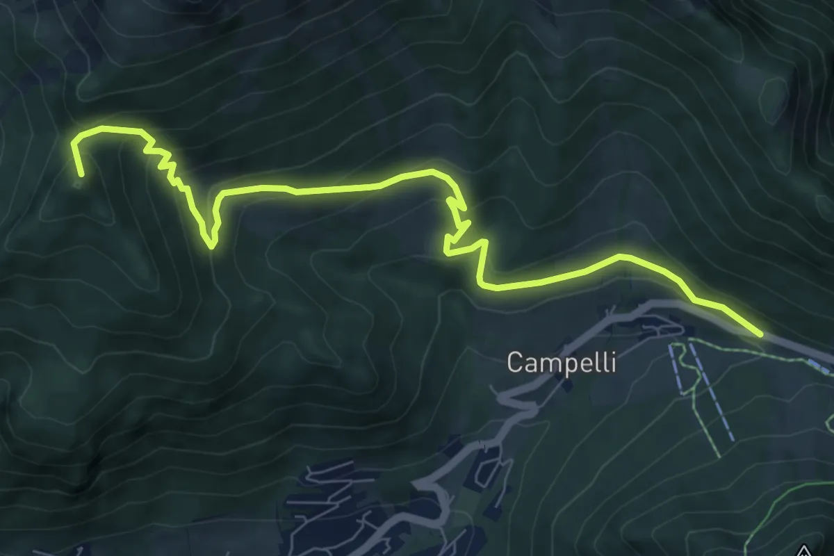
Medium · Summit
Passo della Presolana – Malga della Presolana (incrocio 318)
9.0 km · ↑ 563 m · 3 h 21 min · 9 km away
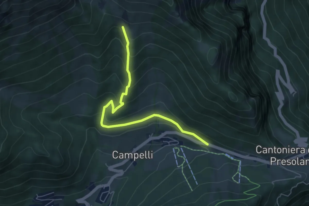
Medium · Cabin
Via Cassinelli
5.5 km · ↑ 371 m · 2 h 7 min · 9 km away
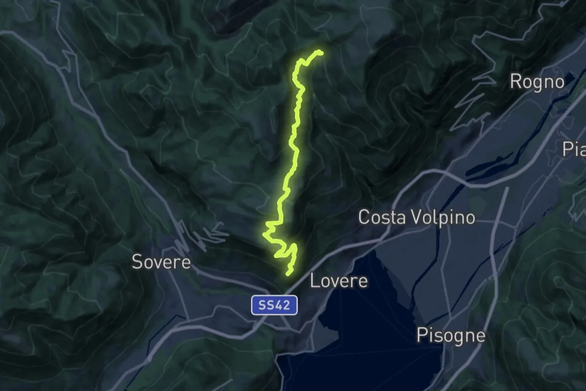
Expert · Summit
Lovere – Fontanafredda
16.0 km · ↑ 1072 m · 6 h 6 min · 9 km away
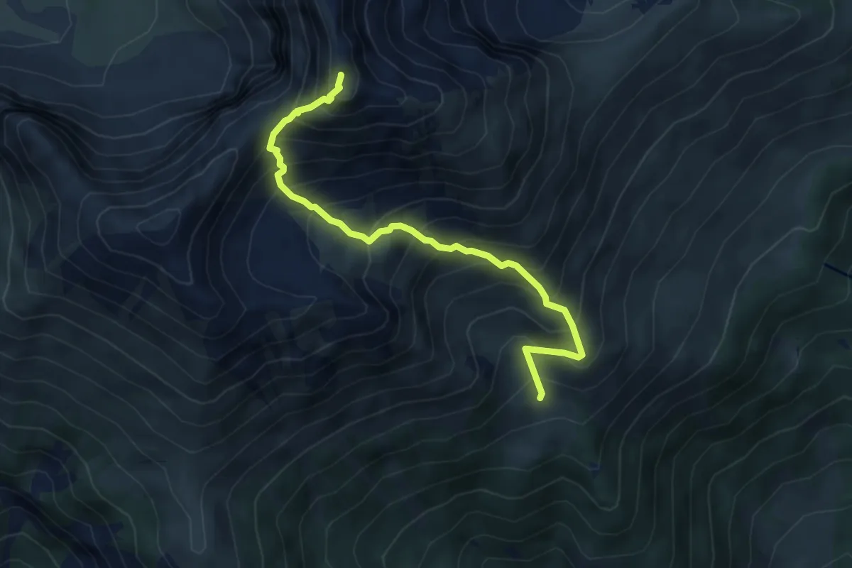
Expert · Summit
Bivio sopra Malga Moren – Cima Moren
5.2 km · ↑ 731 m · 2 h 49 min · 9 km away
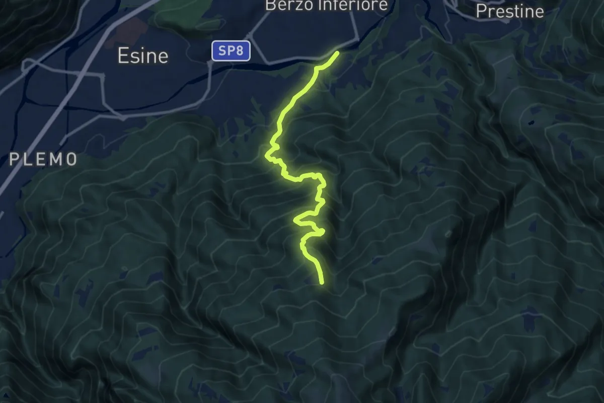
Demanding · Trail
Ponte Grigna – Lazzaretto di Berzo
9.9 km · ↑ 1087 m · 4 h 42 min · 9 km away
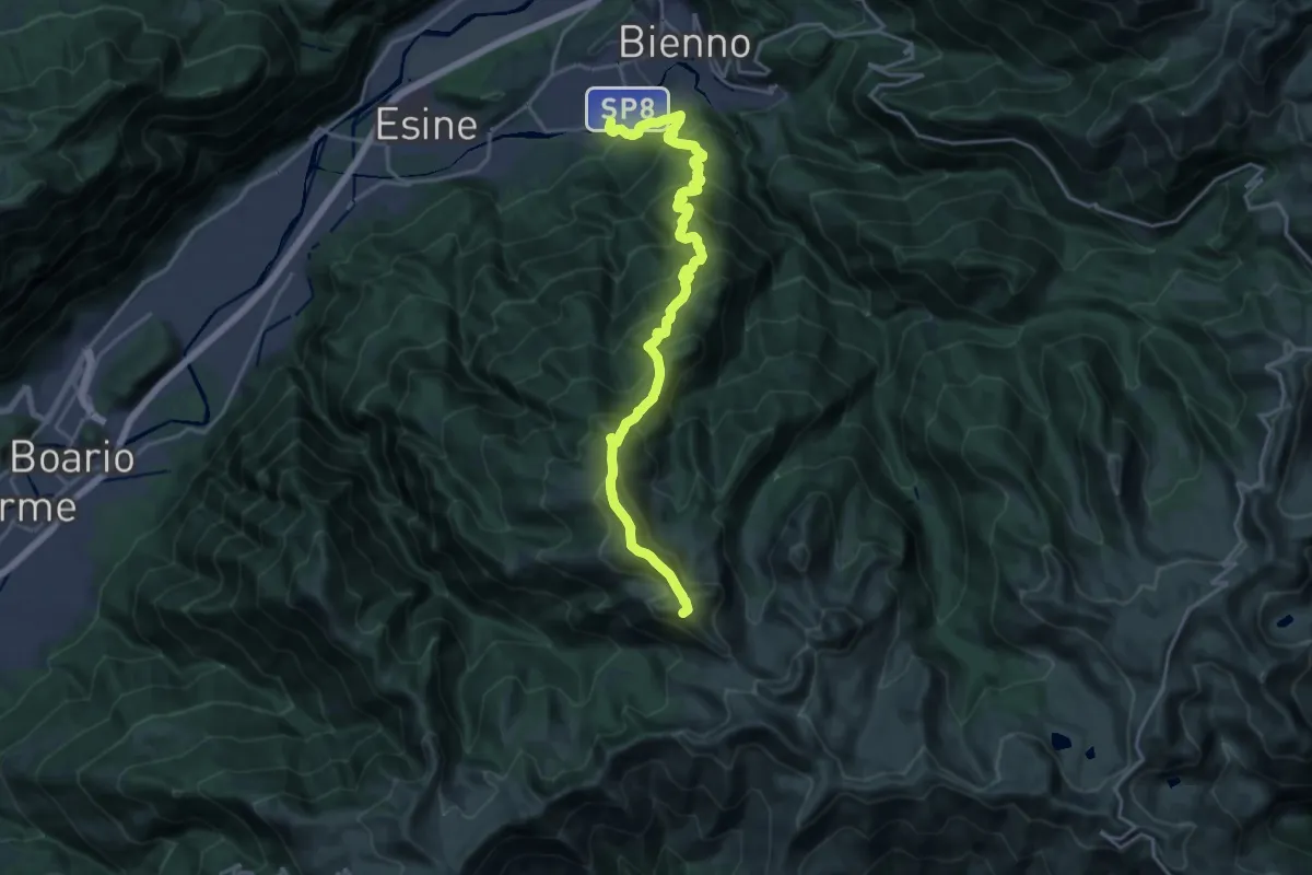
Expert · Summit
Ponte Grigna – Nicchia di San Glisente
20.9 km · ↑ 1942 m · 9 h 9 min · 9 km away
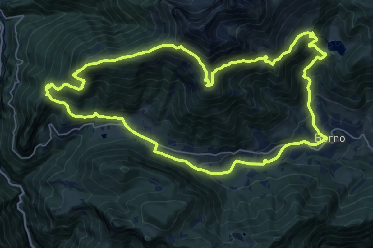
Demanding · Summit
Sentiero del Paradiso
20.5 km · ↑ 1228 m · 7 h 47 min · 9 km away
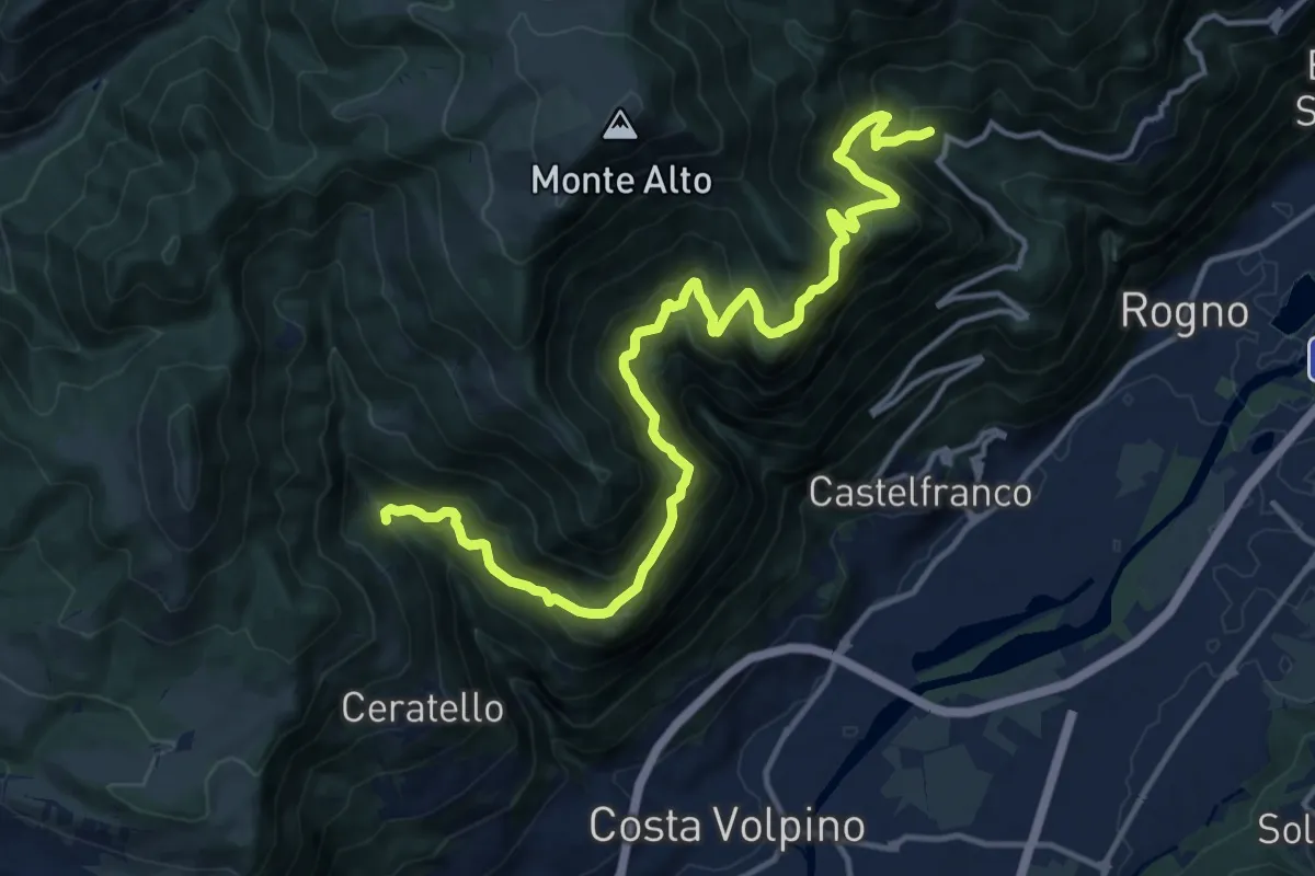
Demanding · Trail
Cascina Ai Ciar (Ceratello) – Incrocio 559
16.6 km · ↑ 1476 m · 7 h 6 min · 9 km away
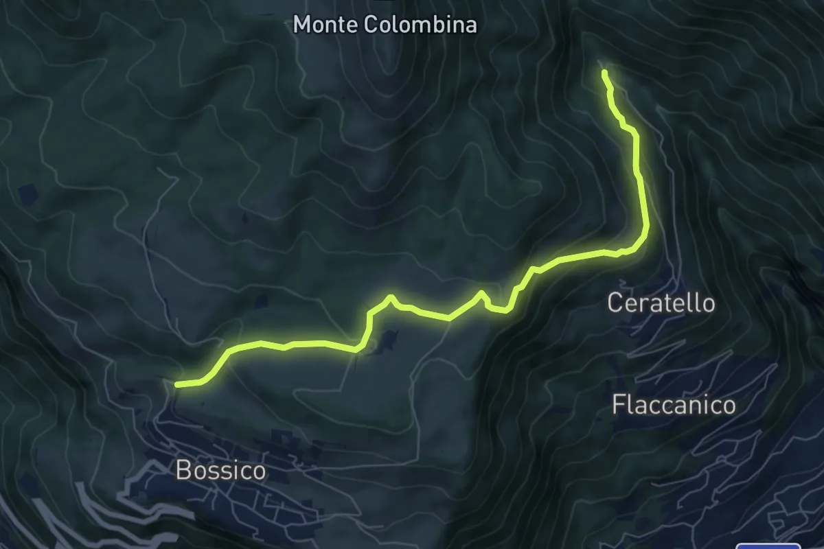
Medium · Trail
Chiosco
7.8 km · ↑ 387 m · 2 h 41 min · 9 km away
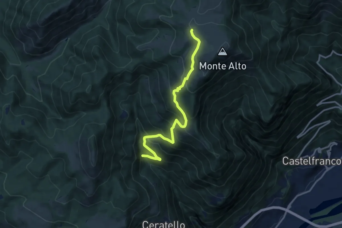
Medium · Cabin
Cascina Ai Ciar (Ceratello) – Rifugio Magnolini
9.3 km · ↑ 784 m · 3 h 54 min · 9 km away
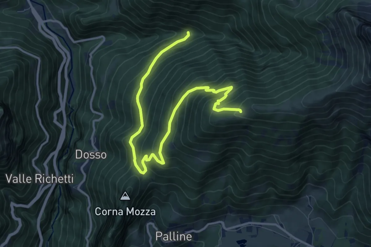
Medium · Trail
Azzone (Segheria) – Il Costone
11.1 km · ↑ 719 m · 4 h 11 min · 9 km away
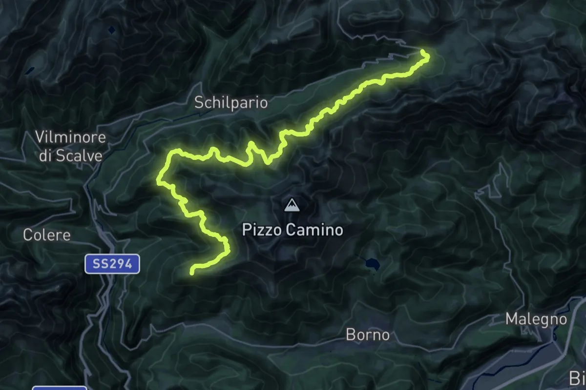
Demanding · Cabin
Sentiero Lungo
18.7 km · ↑ 1074 m · 7 h 6 min · 9 km away
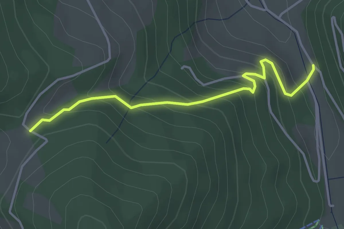
Easy · Trail
Palot – Passabocche
3.4 km · ↑ 268 m · 1 h 23 min · 10 km away
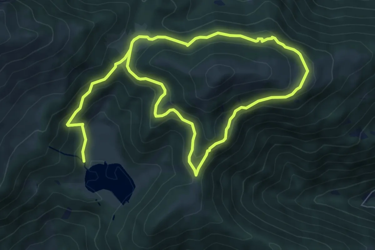
Medium · Trail
Borno (Lago di Lova) – Lago di Lova
6.4 km · ↑ 465 m · 2 h 30 min · 10 km away
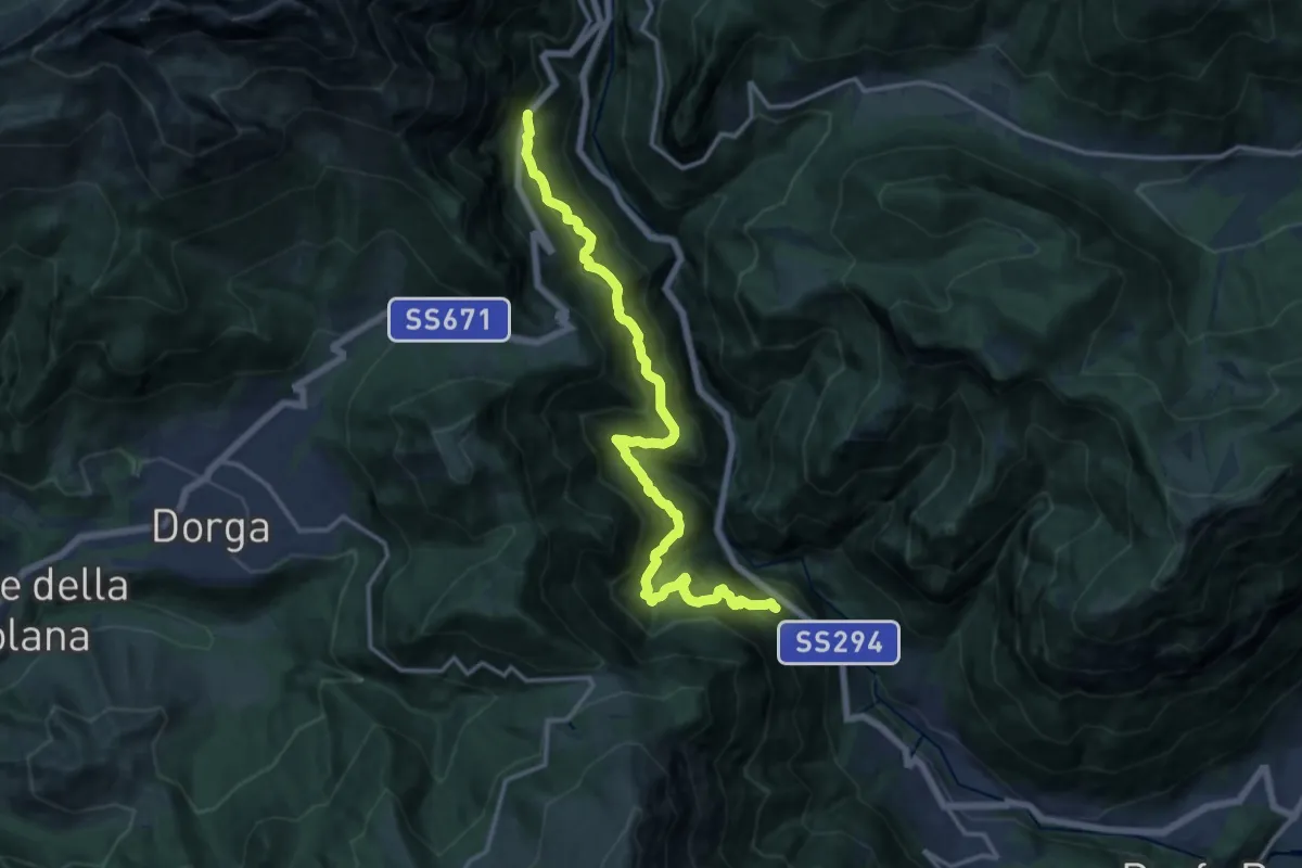
Demanding · Trail
Serenella – Anfurro
15.4 km · ↑ 1287 m · 6 h 25 min · 10 km away
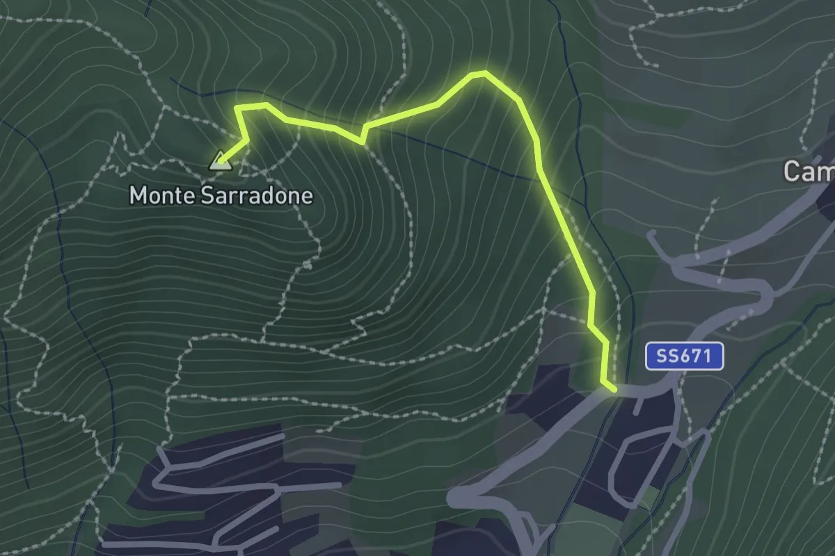
Easy · Summit
Gler - Cornetto
2.2 km · ↑ 251 m · 1 h 3 min · 10 km away