Trails near Darfo Boario Terme
245 hikes starting within 15 km, nearest first.
Nearest first, page 3 of 6
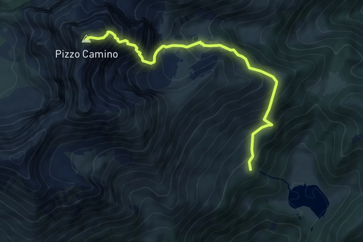
Expert · Summit
Pendici Monte Arano ( Borno) – Pizzo Camino
7.6 km · ↑ 1055 m · 4 h 4 min · 10 km away
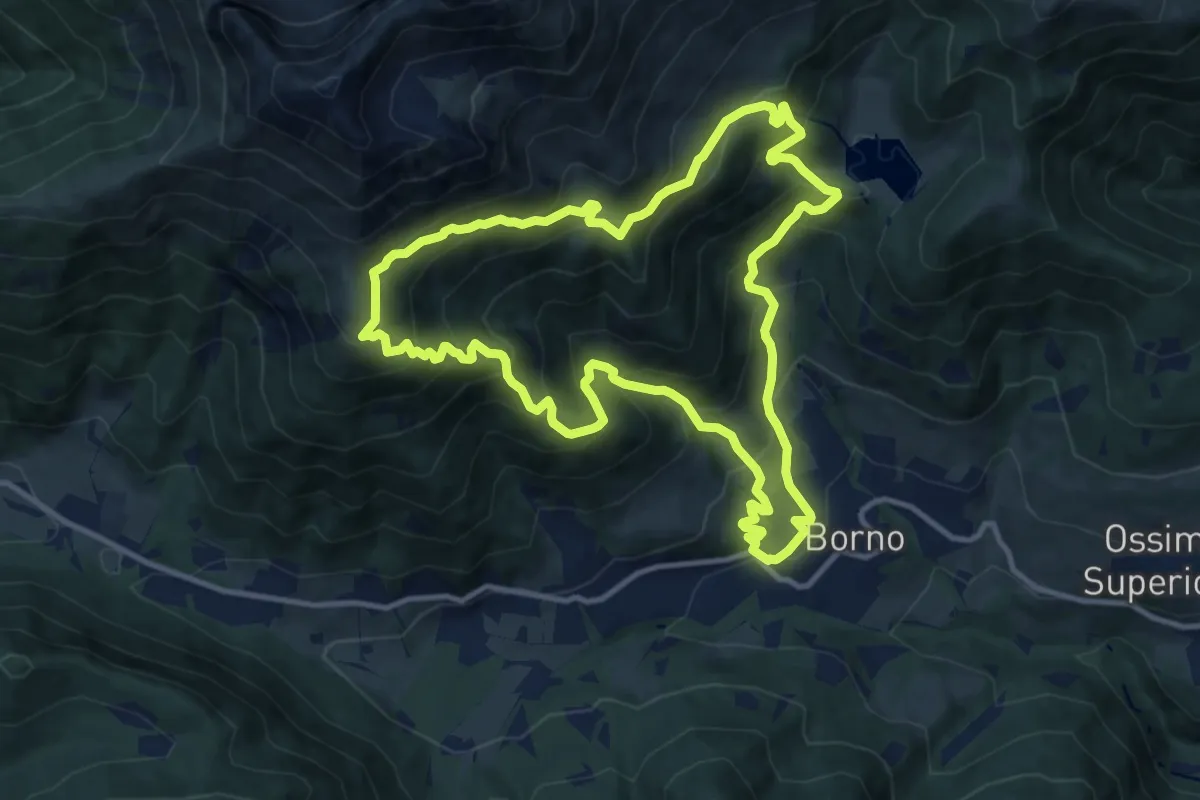
Demanding · Trail
Trekking tra malghe e menhir anello 4: Borno - Zumella - Moren
11.8 km · ↑ 990 m · 5 h 5 min · 10 km away
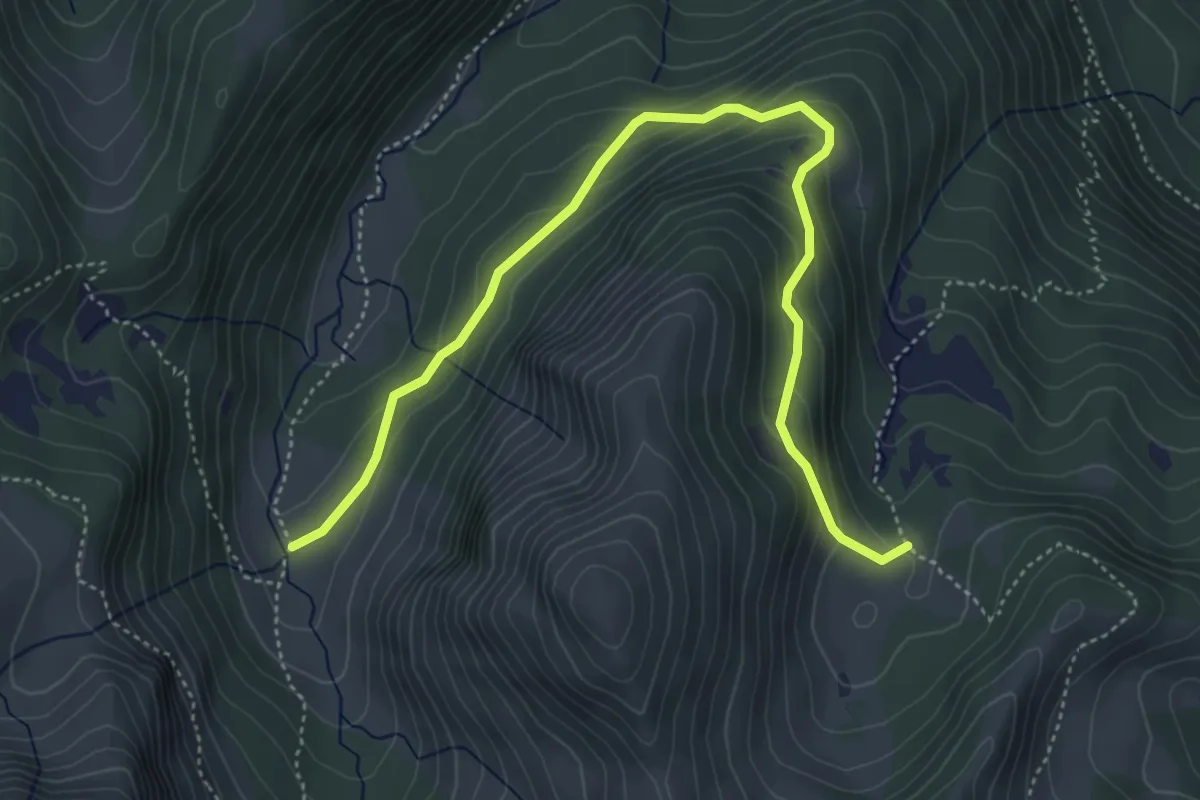
Medium · Trail
Silter di Val Gabbia-Malga Val Bresciana
5.6 km · ↑ 346 m · 2 h 4 min · 10 km away
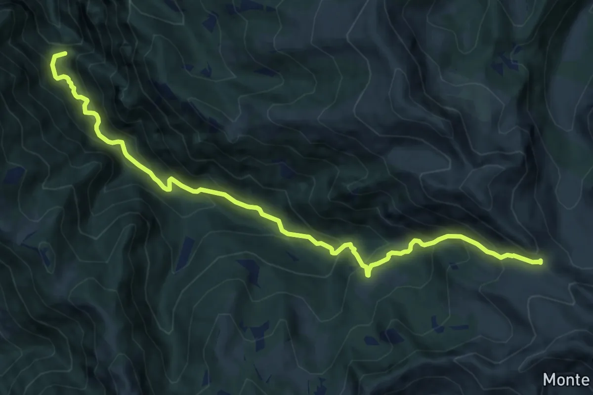
Demanding · Summit
Sentiero della Valle dell'Inferno
13.1 km · ↑ 1164 m · 5 h 37 min · 10 km away
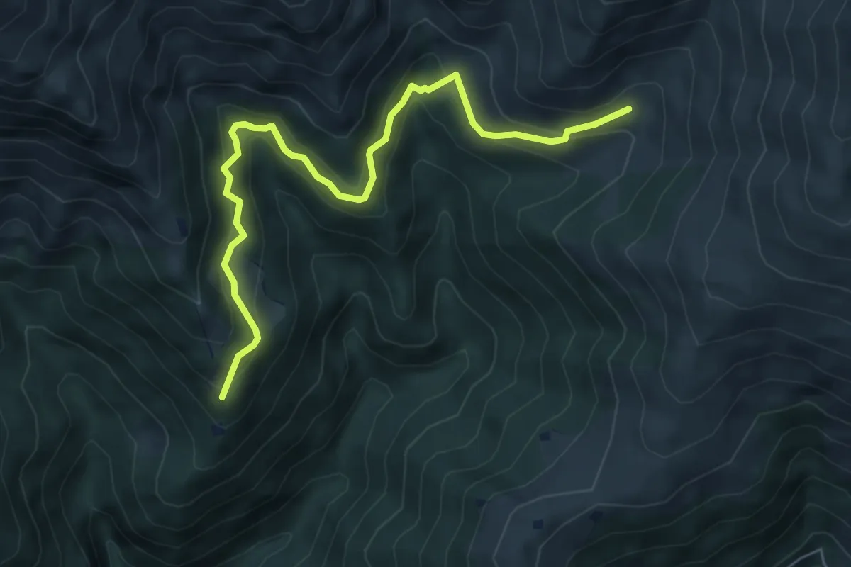
Medium · Trail
Bovegno (Dos del Brol - Bivio Sentiero 339) – Malga Cigoleto
6.6 km · ↑ 482 m · 2 h 36 min · 10 km away
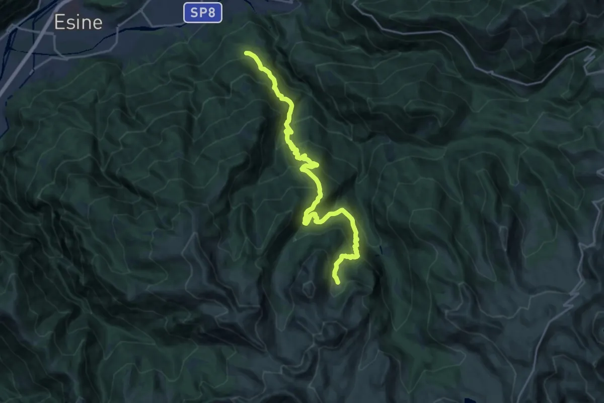
Demanding · Trail
Plagna del Lot-Val Gabbia-Malga Val Bresciana
18.1 km · ↑ 1690 m · 7 h 56 min · 10 km away
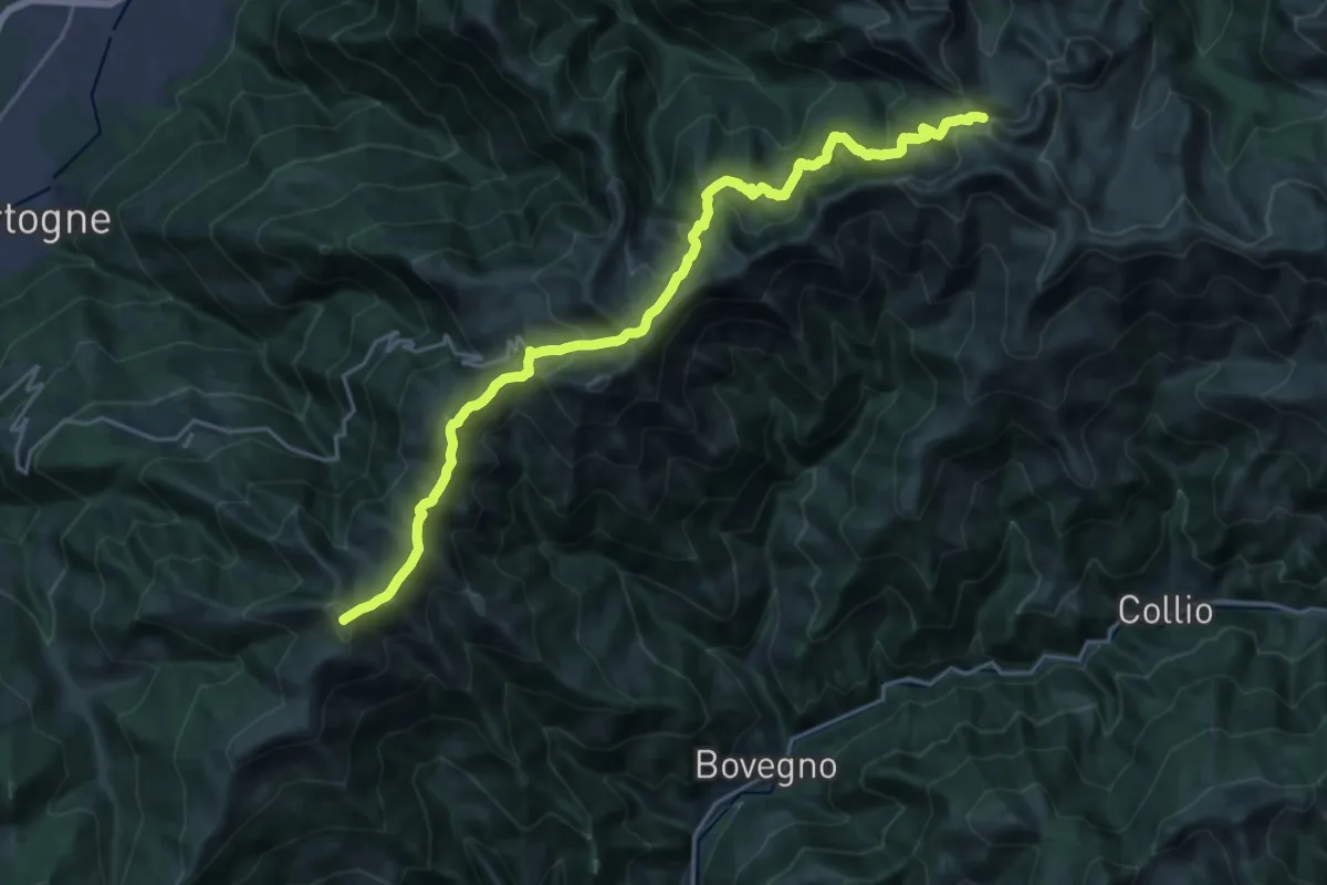
Demanding · Summit
Colma di Marucolo – Pss. Crestoso
23.8 km · ↑ 1135 m · 8 h 5 min · 10 km away
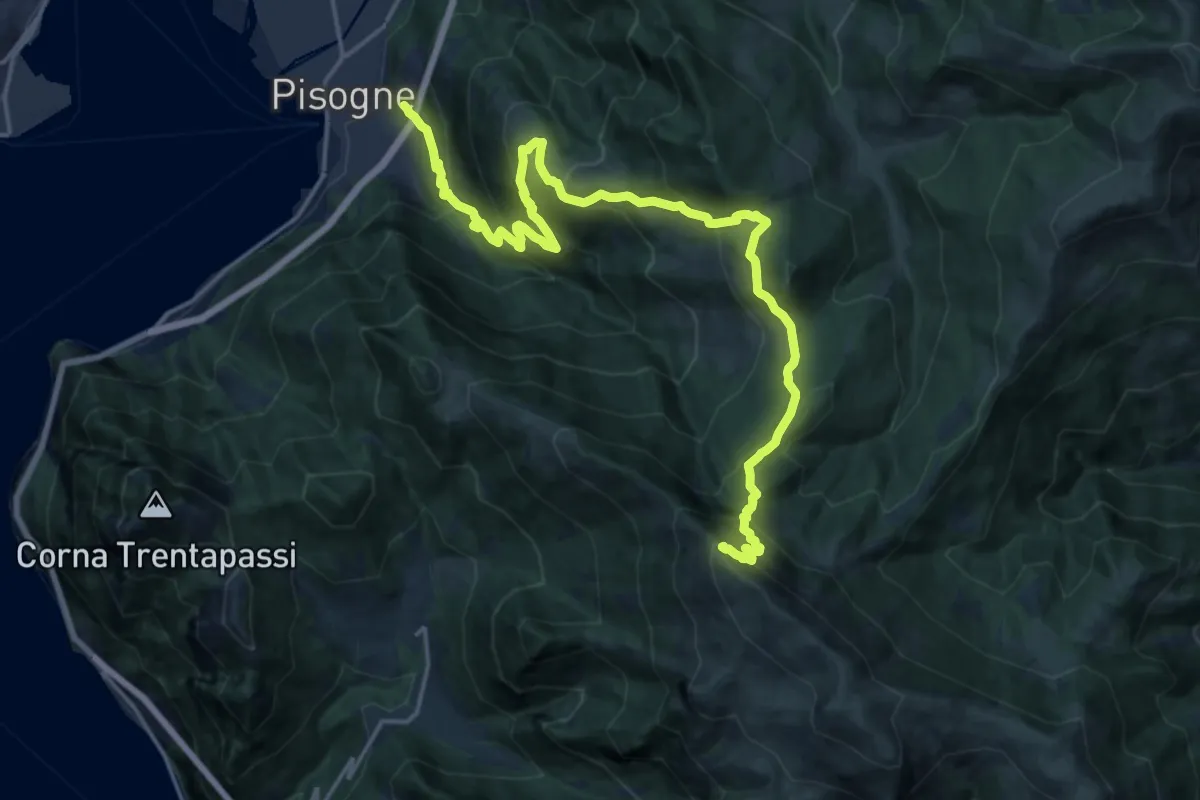
Demanding · Summit
Pisogne – Monte Guglielmo
23.1 km · ↑ 1717 m · 9 h 10 min · 10 km away
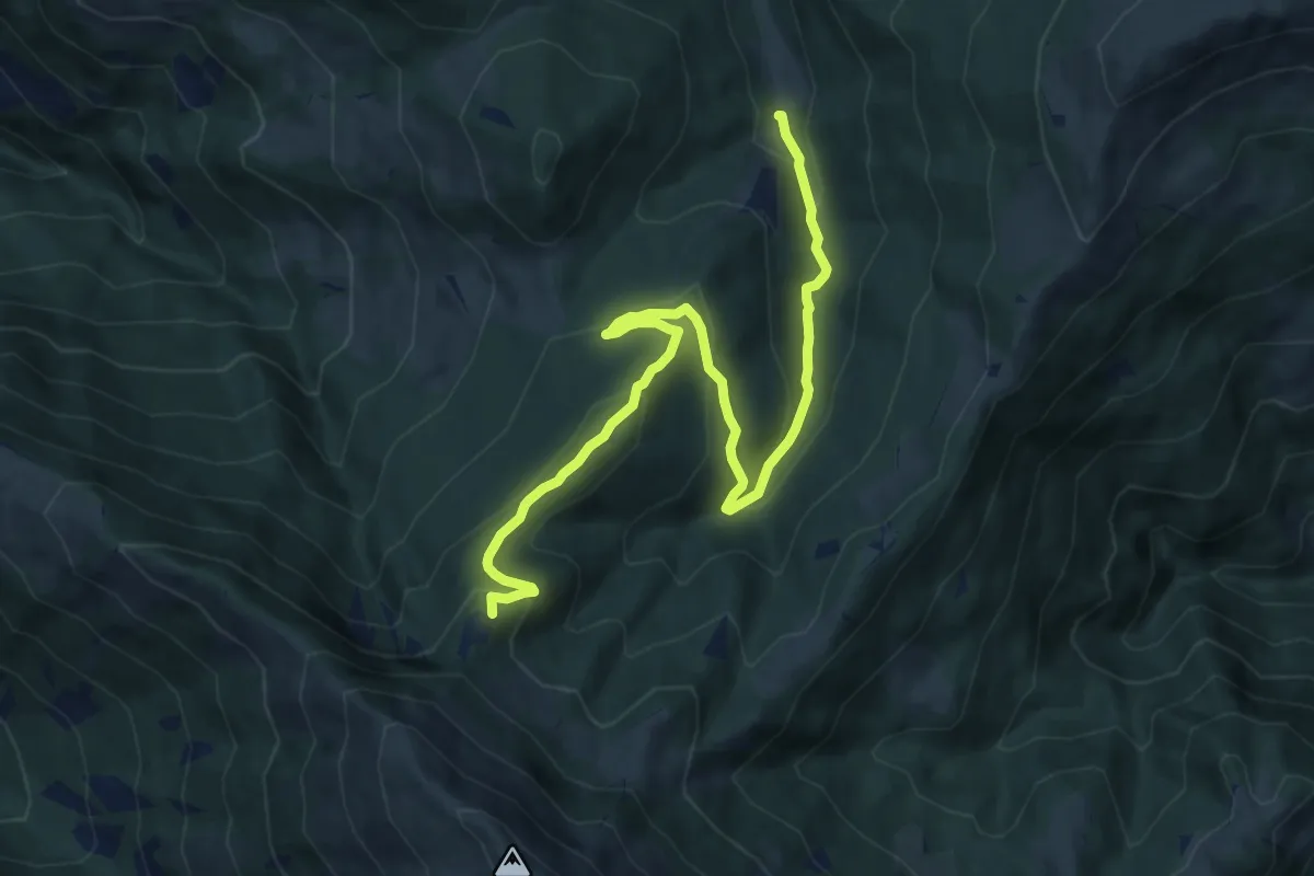
Medium · Summit
Duadell – Roccolo Caravina
11.3 km · ↑ 544 m · 3 h 51 min · 10 km away
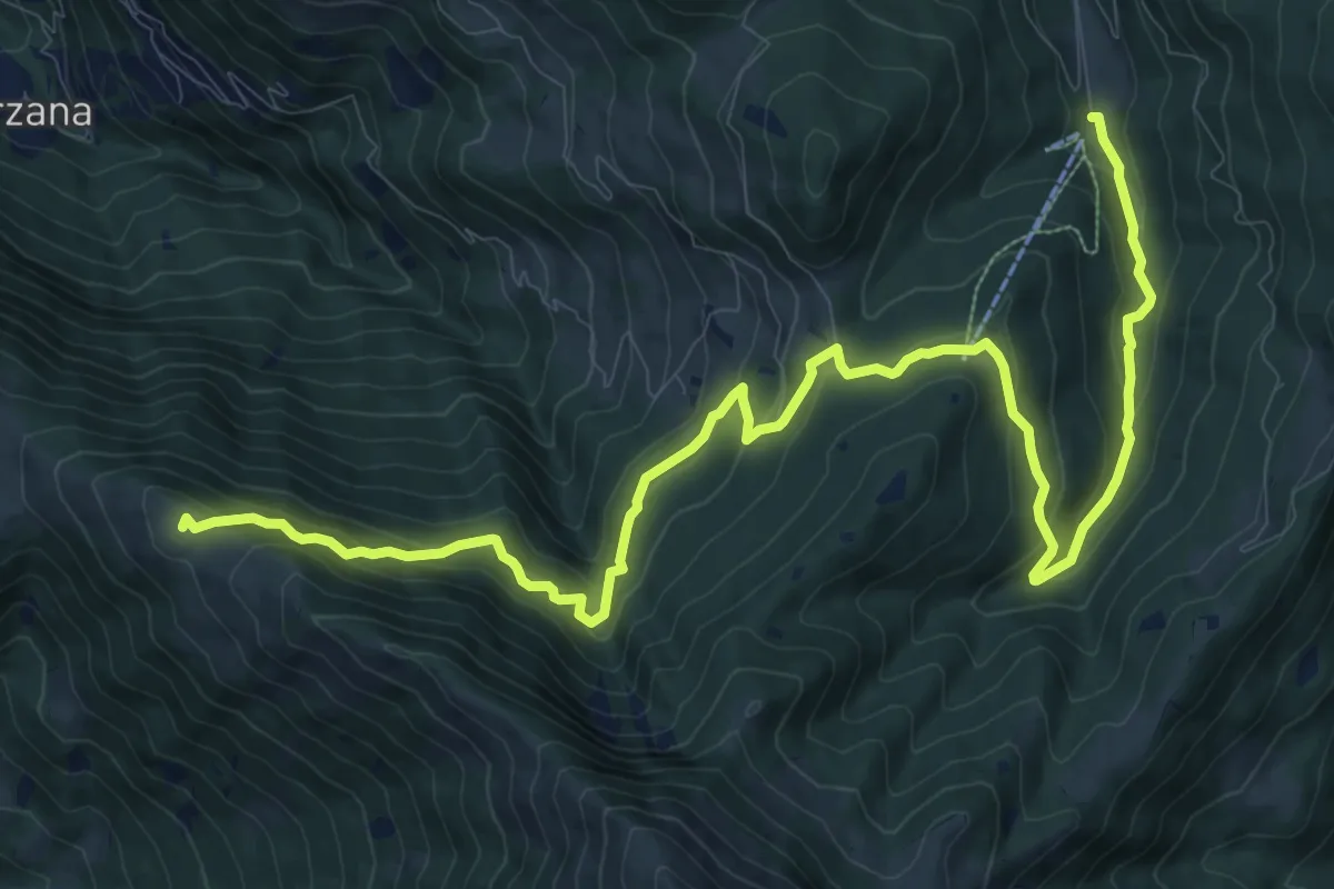
Medium · Summit
Malghe in Rete - Trekking - Le Valli Tappa 1
14.9 km · ↑ 754 m · 5 h 9 min · 10 km away
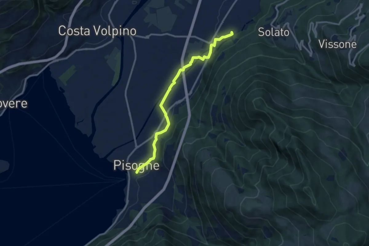
Medium · Trail
Antica strada Valeriana
8.3 km · ↑ 99 m · 2 h 10 min · 10 km away
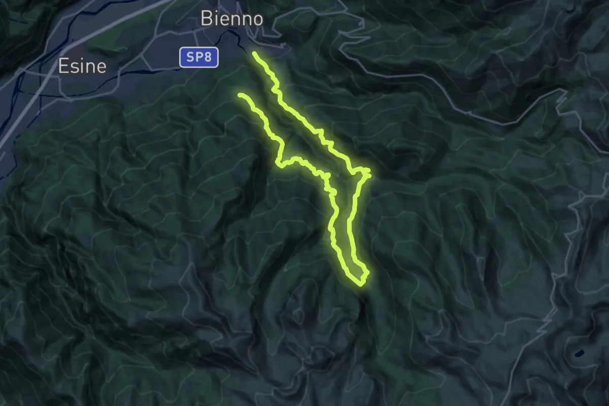
Demanding · Trail
Brigata Fiamme Verdi Ferruccio Lorenzini
14.5 km · ↑ 1343 m · 6 h 24 min · 11 km away
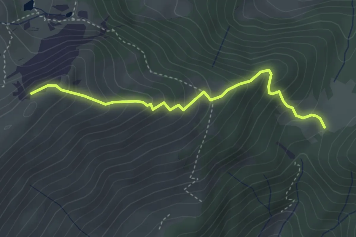
Medium · Summit
Colle di Mignone – Monte Arano
3.5 km · ↑ 384 m · 1 h 40 min · 11 km away
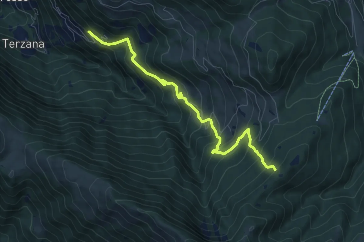
Medium · Trail
Pontasio – Passabocche
8.3 km · ↑ 715 m · 3 h 30 min · 11 km away
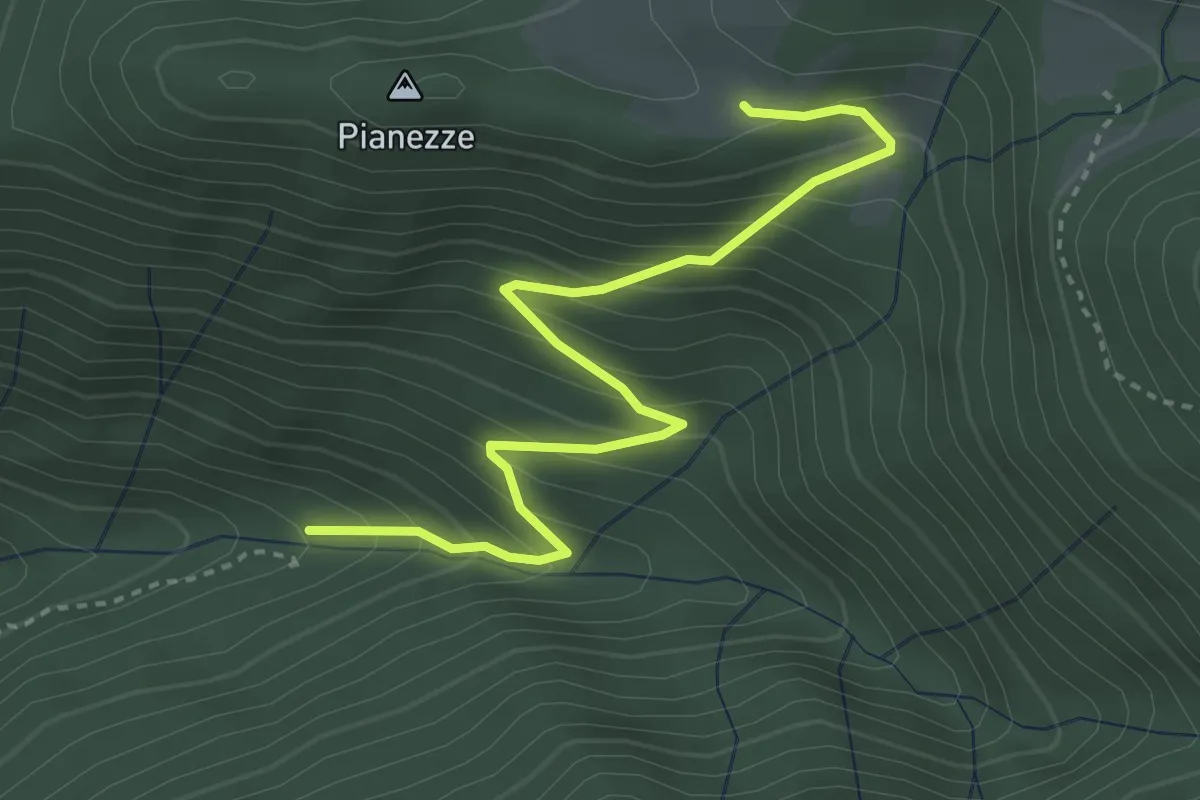
Medium · Trail
Azzone (Segheria) – Le Some
3.8 km · ↑ 391 m · 1 h 45 min · 11 km away
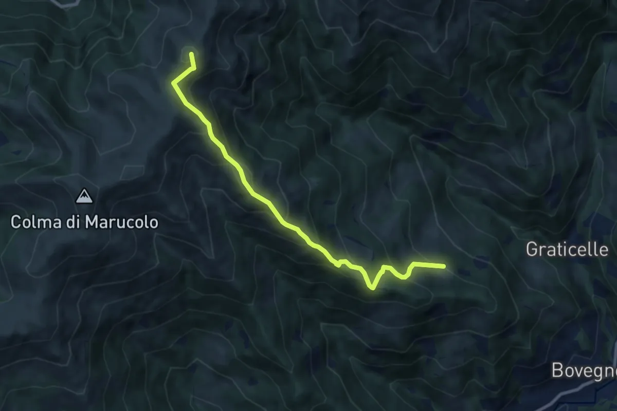
Medium · Summit
Sentiero di Redicampo
8.5 km · ↑ 725 m · 3 h 34 min · 11 km away
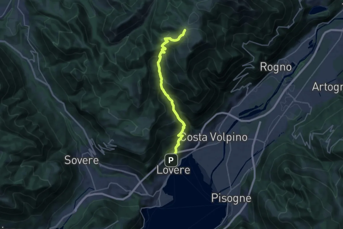
Expert · Cabin
Lovere – Rifugio Magnolini
16.7 km · ↑ 1493 m · 7 h 11 min · 11 km away
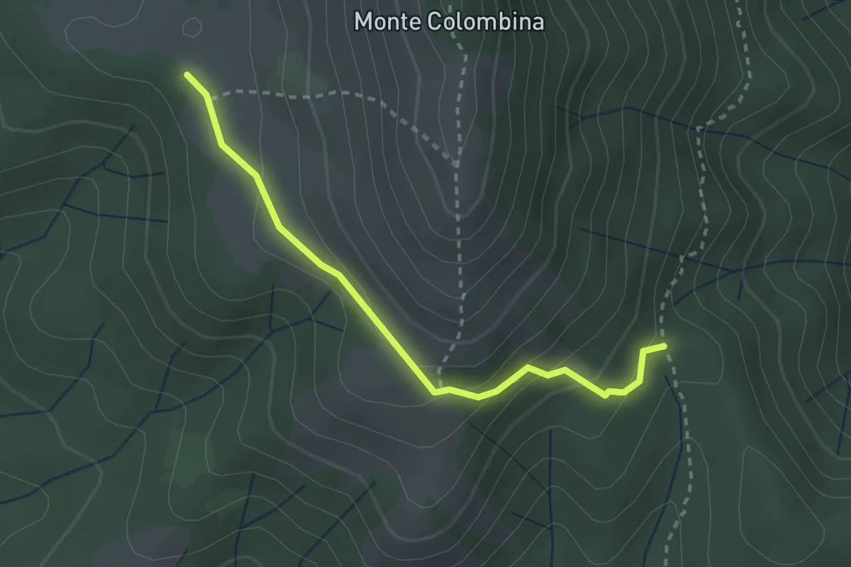
Expert · Trail
San Fermo (Bossico) – Forcellino di Bossico (incrocio 552)
2.6 km · ↑ 146 m · 56 min · 11 km away
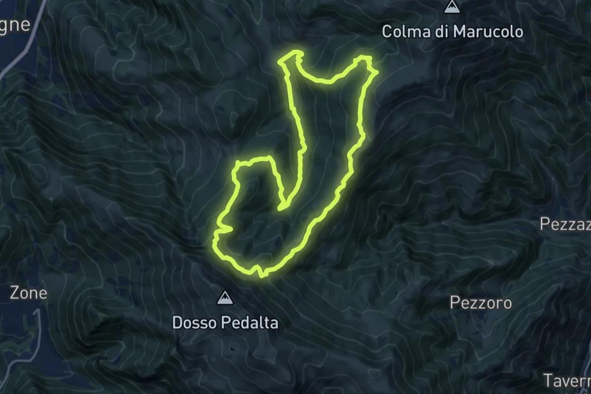
Medium · Summit
Malghe in Rete - Anello 5 - Val Palot
14.9 km · ↑ 756 m · 5 h 22 min · 11 km away
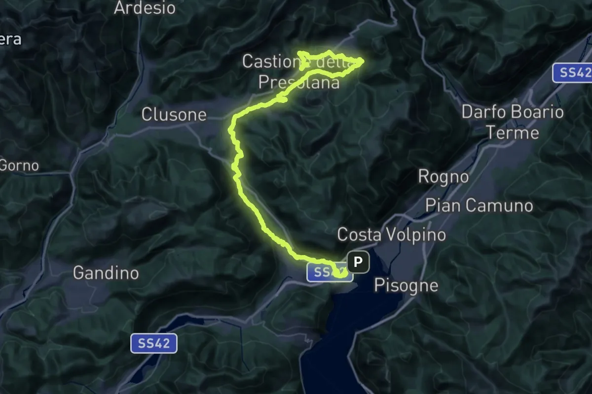
Demanding · Trail
Alta Via delle Grazie - Tappa 9
30.4 km · ↑ 1271 m · 10 h 1 min · 11 km away
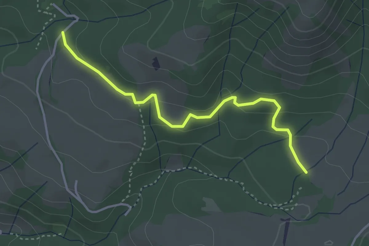
Easy · Trail
Dei Cavalli
3.4 km · ↑ 118 m · 1 h 4 min · 11 km away
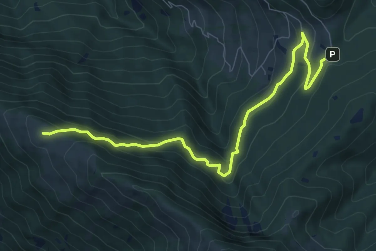
Medium · Summit
Passabocche – Pozzette Agolo
8.5 km · ↑ 448 m · 2 h 58 min · 11 km away
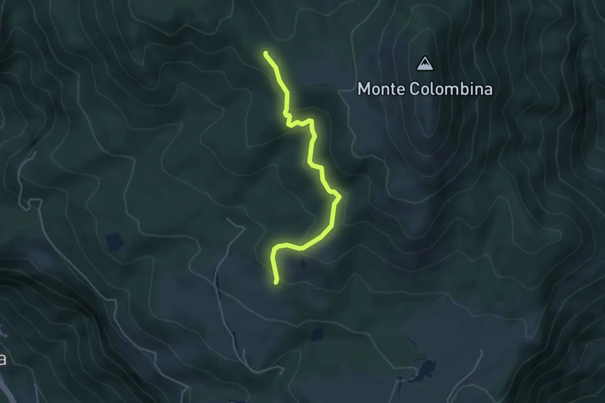
Easy · Trail
Martinel
3.9 km · ↑ 215 m · 1 h 24 min · 11 km away
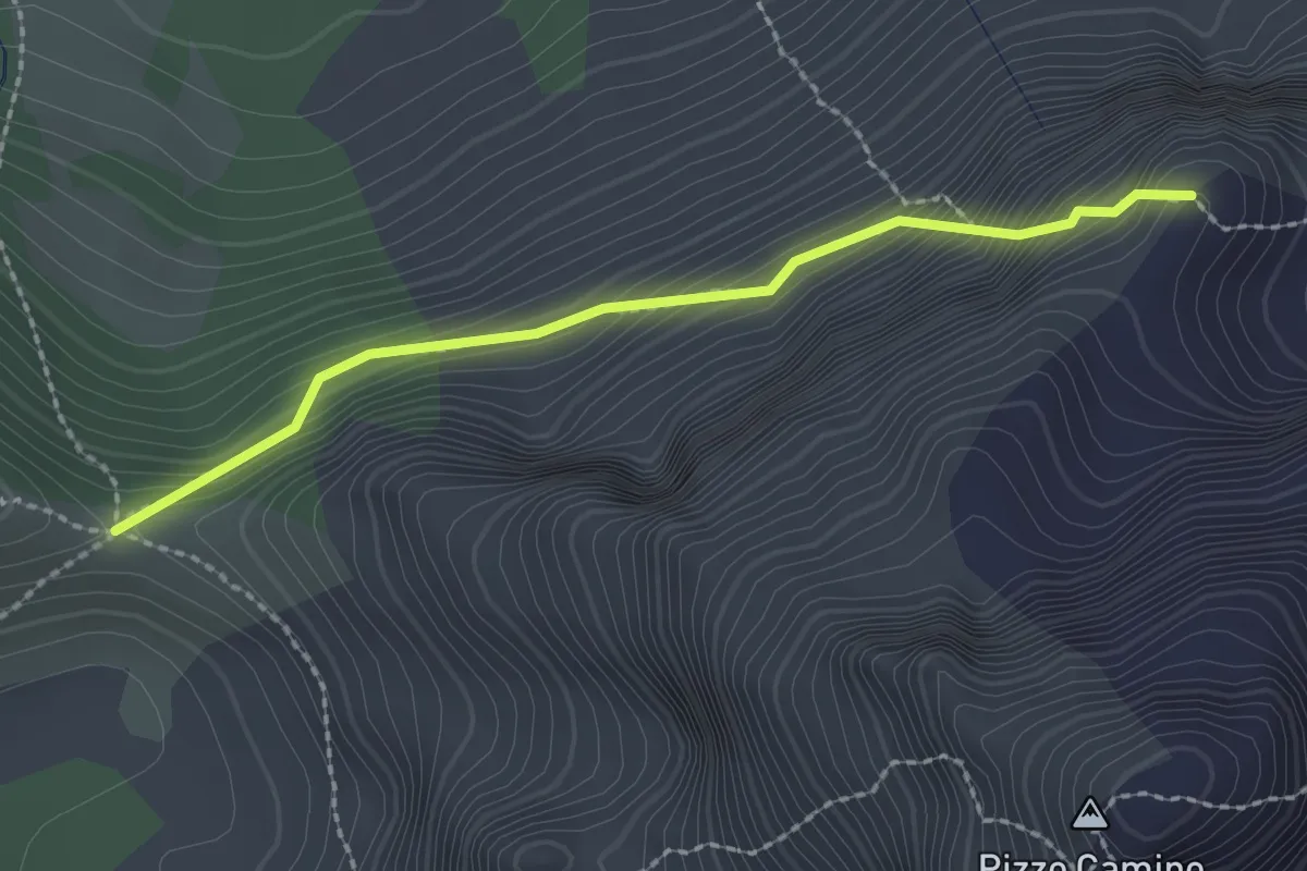
Demanding · Trail
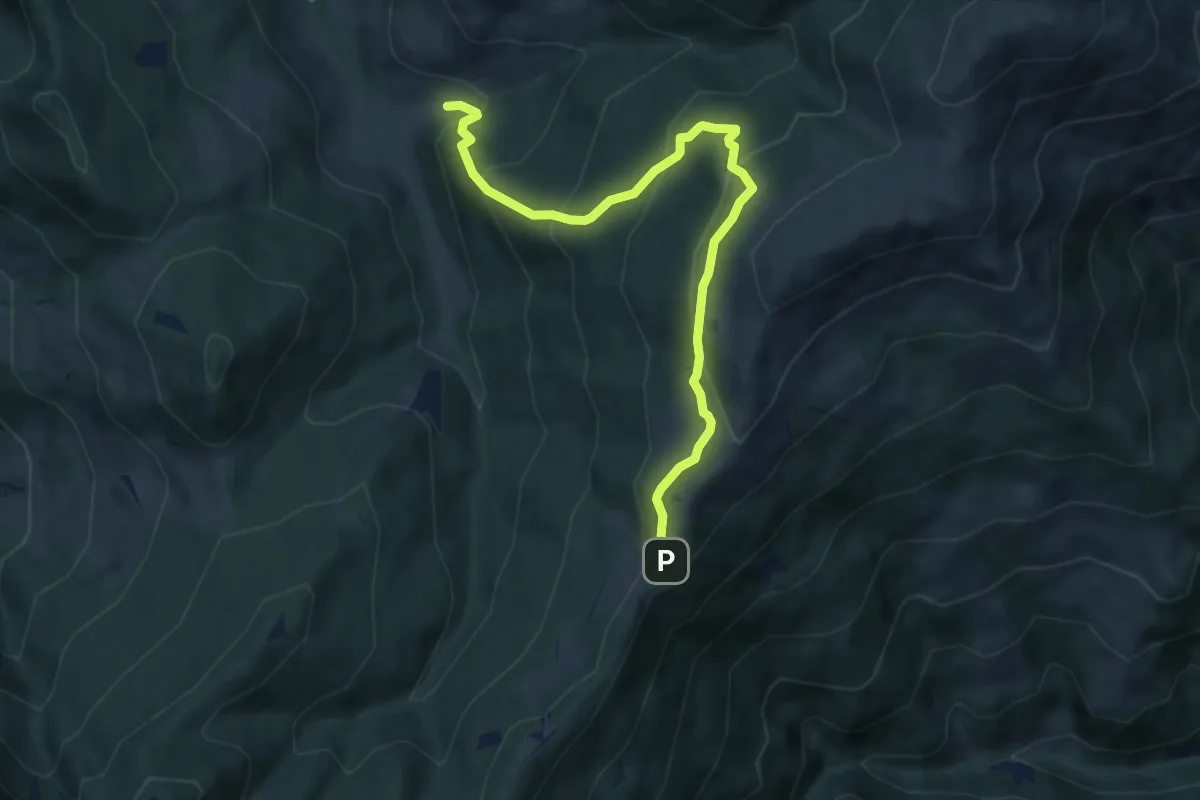
Passo di Corna Busa – Passo di Varicla
2.2 km · ↑ 277 m · 1 h 7 min · 11 km away
Medium · Trail
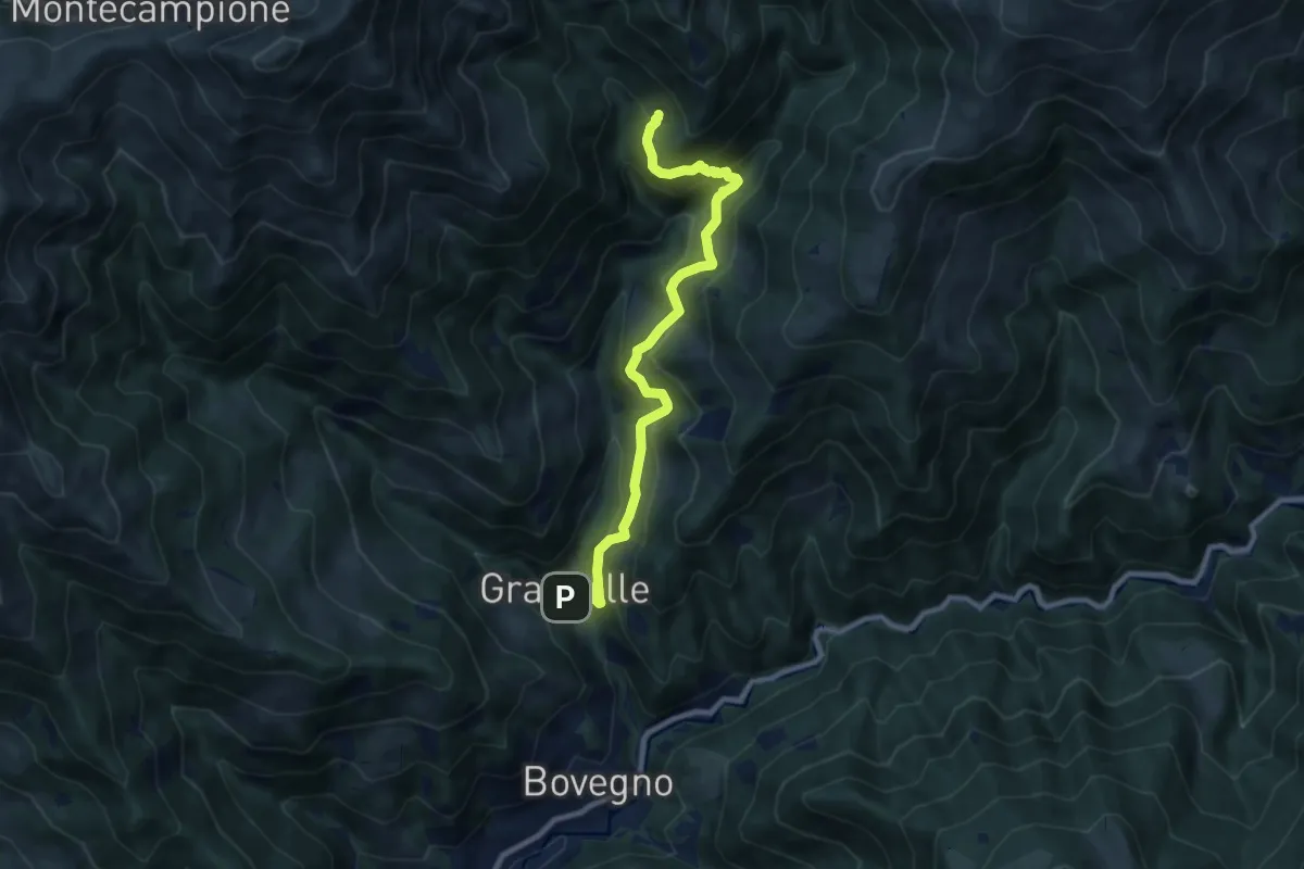
Palot - Colle di San Zeno
8.5 km · ↑ 588 m · 3 h 17 min · 11 km away
Medium · Trail
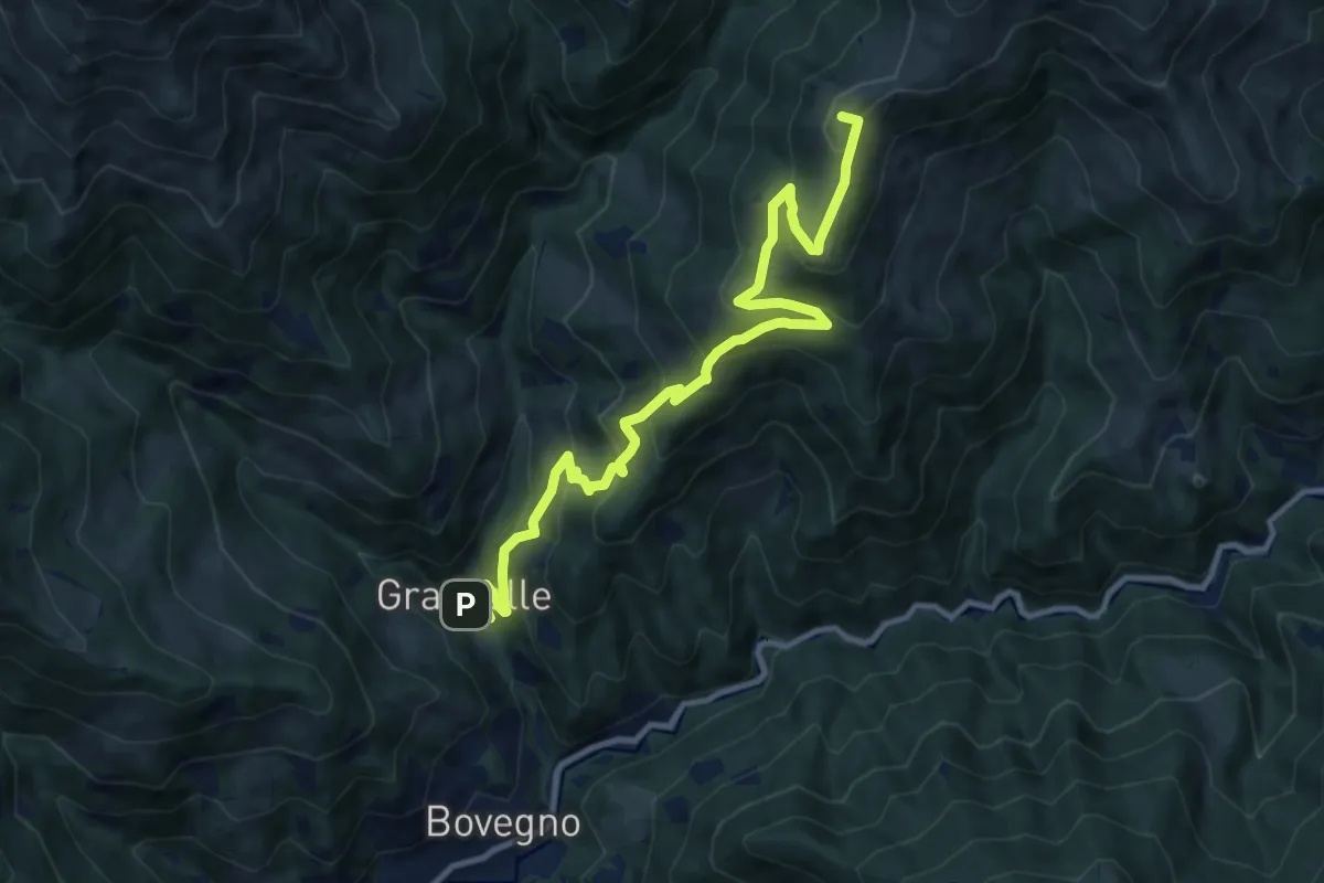
Capanna Gianni e Mario Remedio
9.5 km · ↑ 667 m · 3 h 42 min · 11 km away
Demanding · Summit
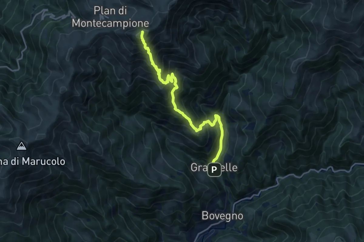
Bovegno (Graticelle) – Foppa del Mercato (Innesto Sentiero 358)
12.1 km · ↑ 845 m · 4 h 41 min · 11 km away
Demanding · Summit
Bovegno (Graticelle) – Monte Muffetto
12.7 km · ↑ 1347 m · 5 h 55 min · 11 km away
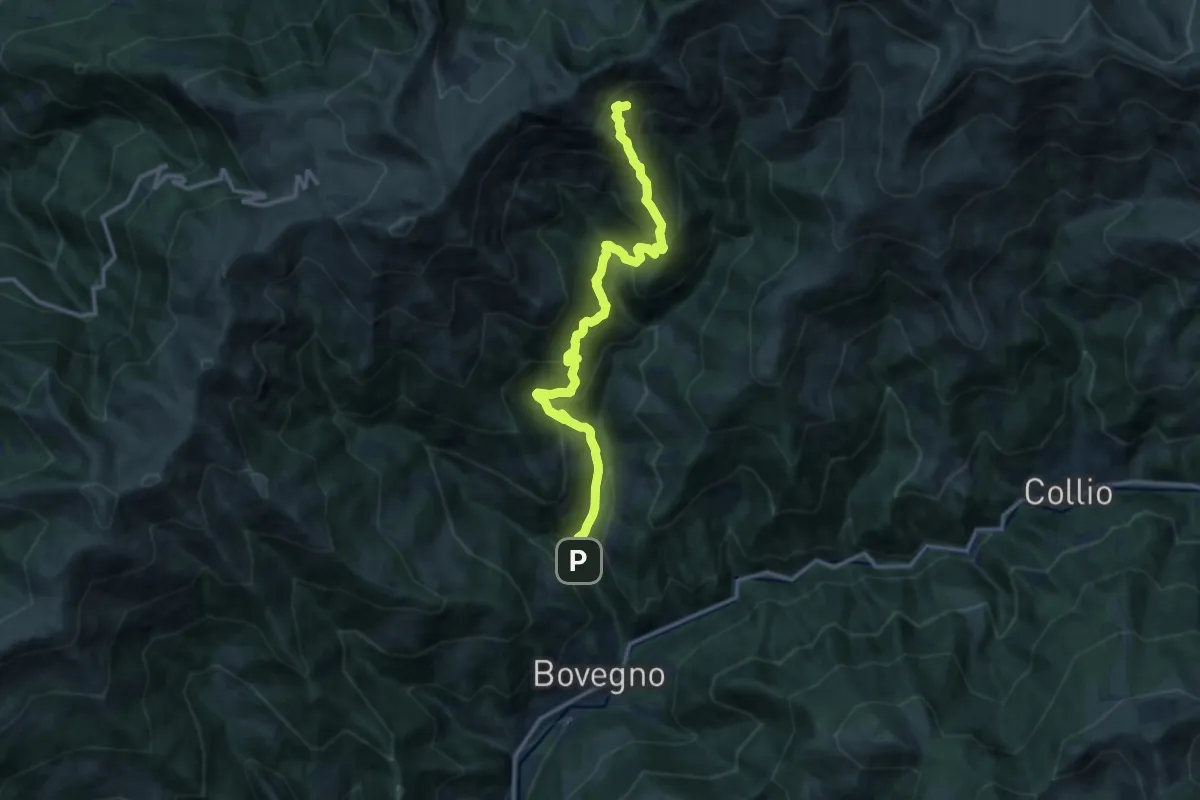
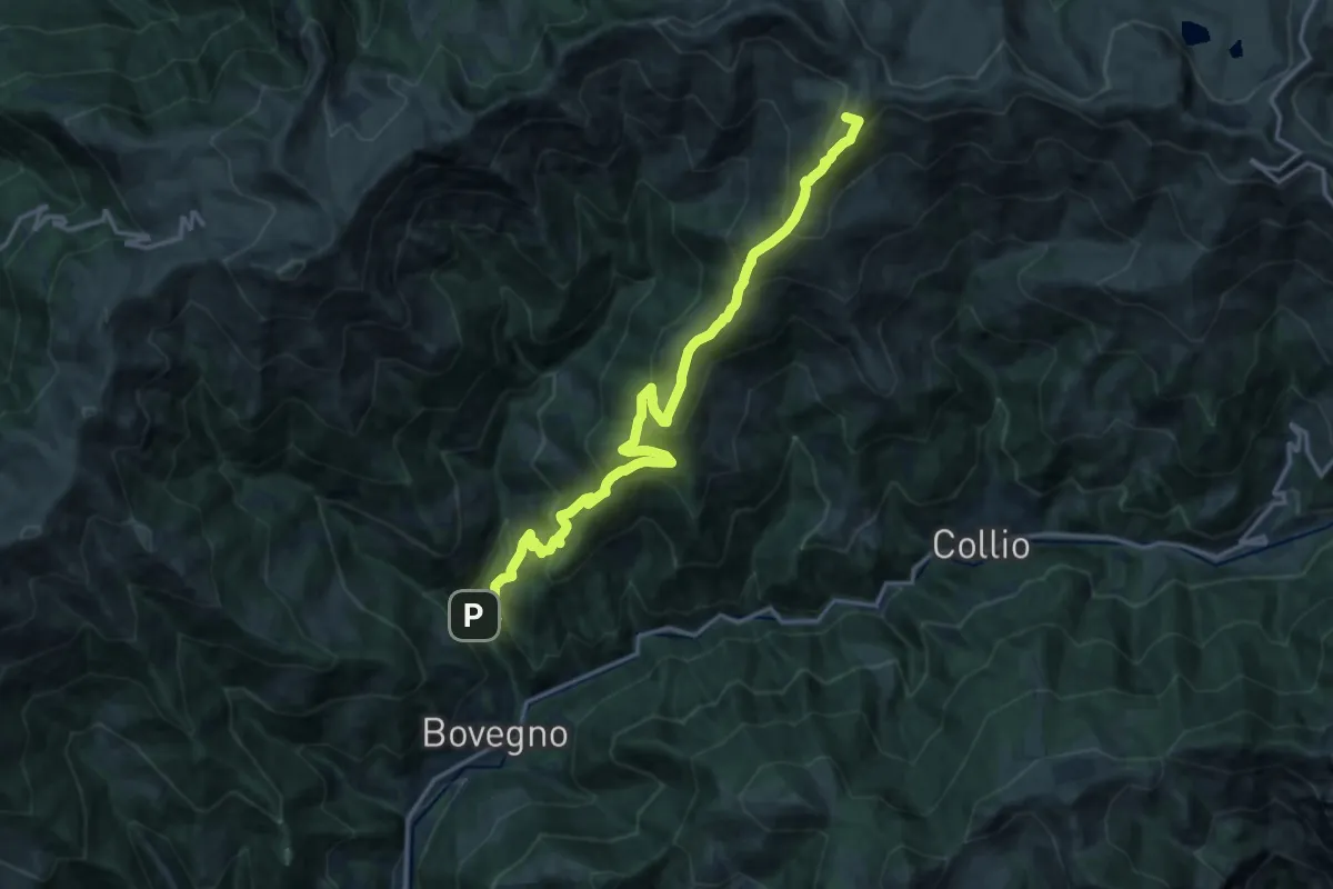
Demanding · Cabin
Bovegno (Graticelle) – Baita Prada
14.1 km · ↑ 1262 m · 6 h 4 min · 11 km away
Demanding · Summit
Bovegno (Graticelle) – Passo Sette Crocette
17.9 km · ↑ 1413 m · 7 h 18 min · 11 km away
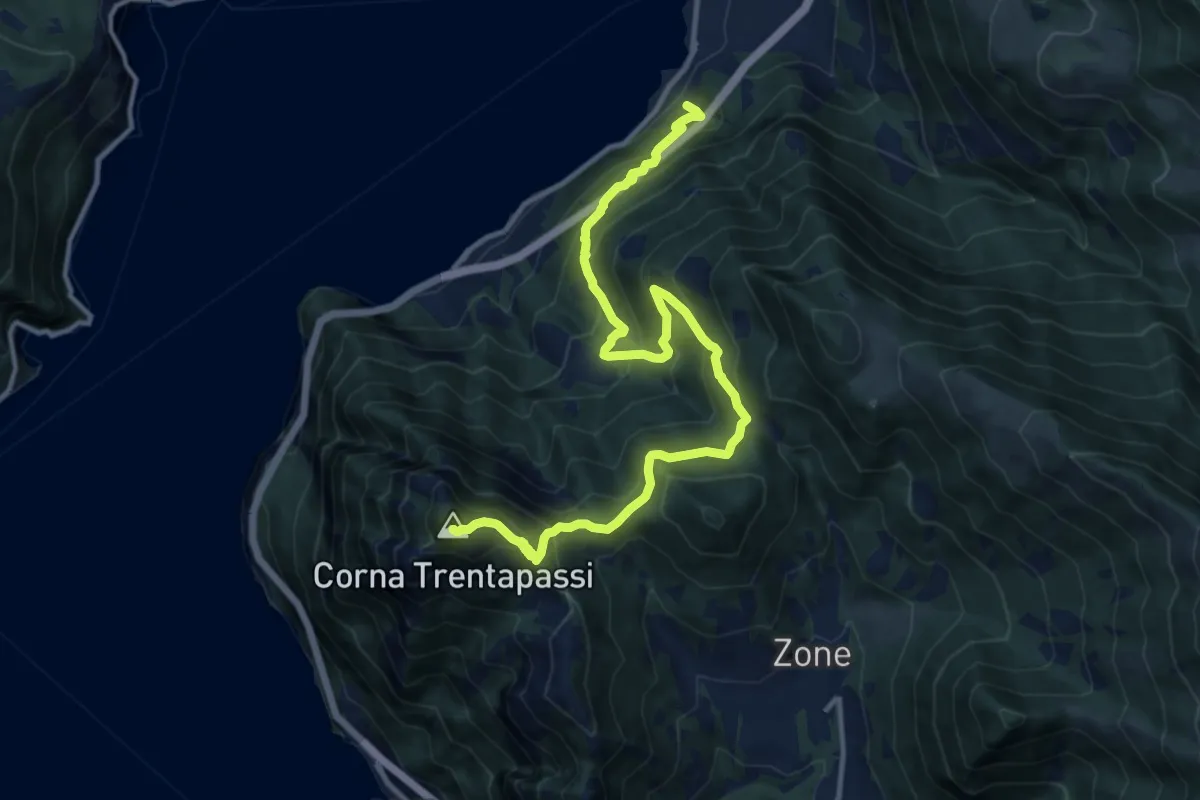
Demanding · Summit
Pisogne – Corna Trentapassi
14.2 km · ↑ 1215 m · 6 h · 11 km away
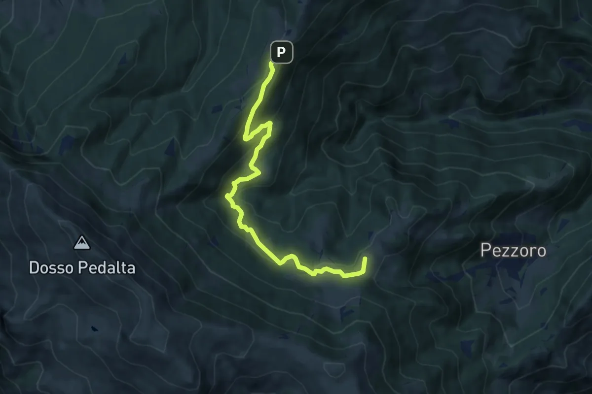
Medium · Summit
Tavernole Sul Mella (Pozza Lavacolo - Bivio Sentiero 325) – Colle di San Zeno (Bivio Sentiero 393 3V)
9.2 km · ↑ 437 m · 3 h 7 min · 11 km away
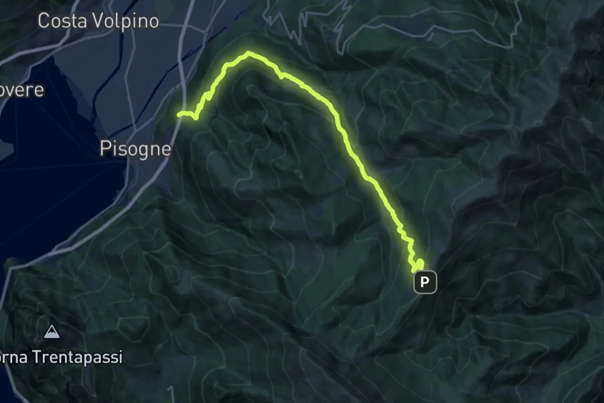
Demanding · Trail
Pisogne – Colle di San Zeno
19.8 km · ↑ 1206 m · 7 h 17 min · 11 km away
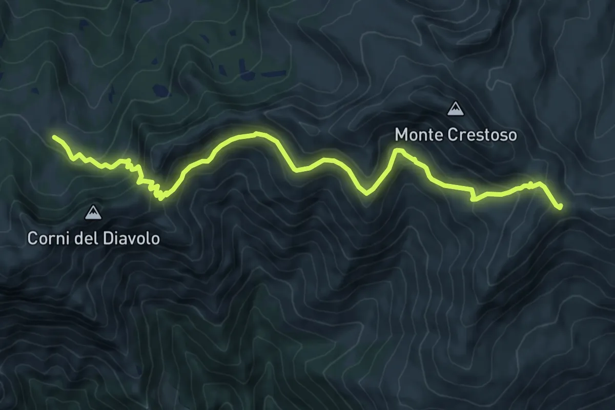
Medium · Cabin
Malga Rosello di Sopra - Passo Sette Crocette
10.8 km · ↑ 630 m · 3 h 55 min · 12 km away
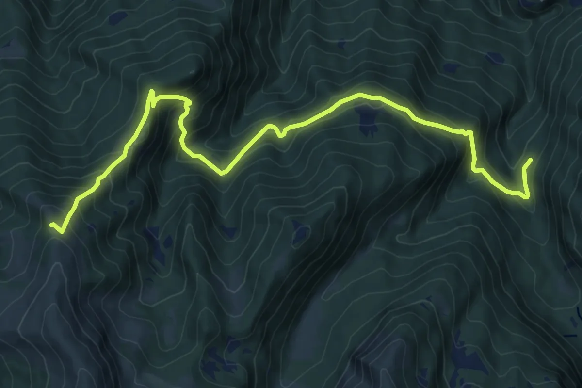
Demanding · Cabin
Valle delle Forme – San Glisente
11.9 km · ↑ 934 m · 4 h 50 min · 12 km away
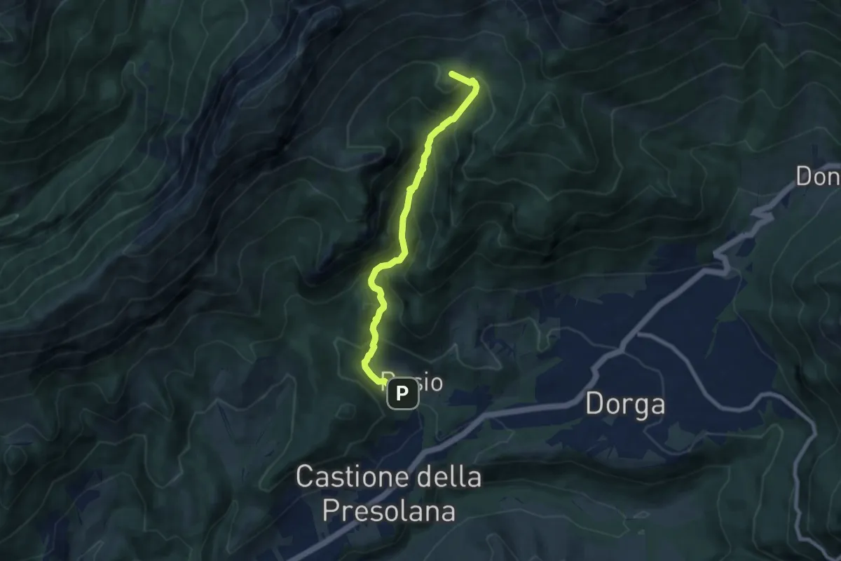
Demanding · Summit
Castione della Presolana – Grotta dei Pagani
7.1 km · ↑ 662 m · 3 h 7 min · 12 km away
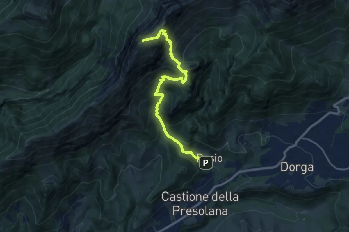
Demanding · Summit
Castione della Presolana – Clusone
10.5 km · ↑ 1008 m · 4 h 39 min · 12 km away
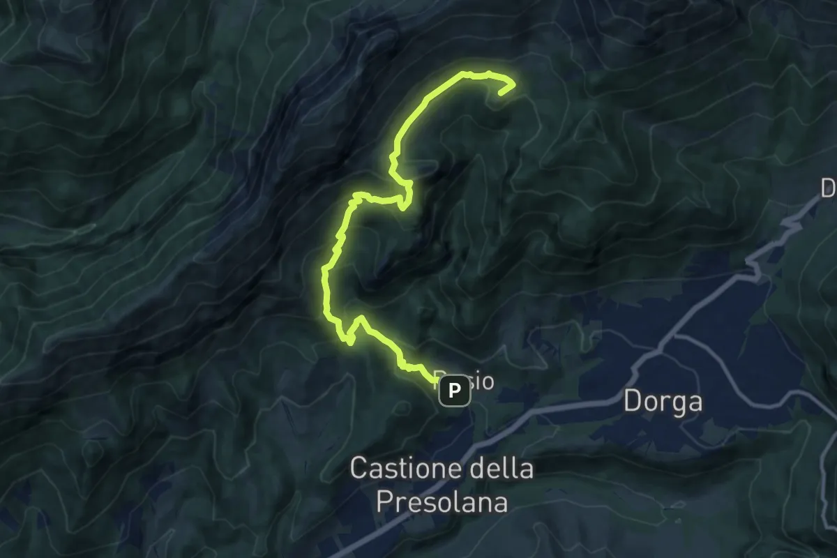
Demanding · Summit
Via del Latte
11.9 km · ↑ 701 m · 4 h 20 min · 12 km away
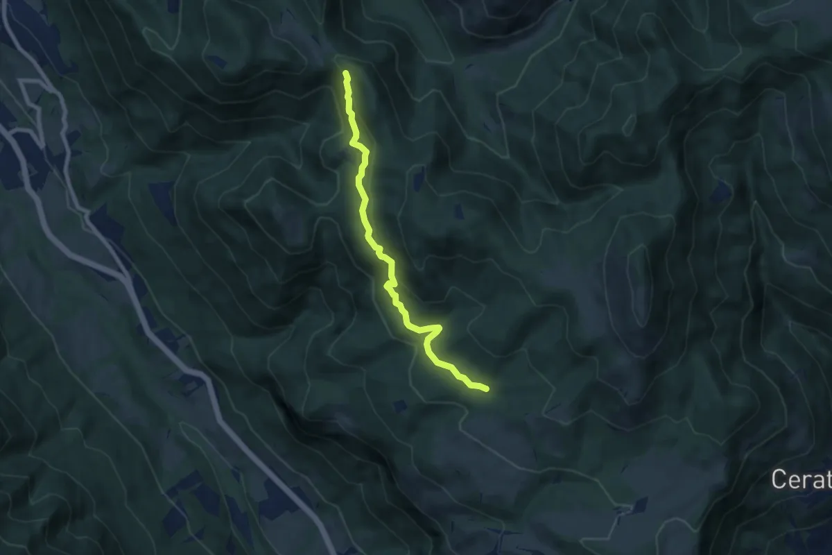
Medium · Trail
Pozza d'Ast – Incrocio 556
6.7 km · ↑ 298 m · 2 h 14 min · 12 km away
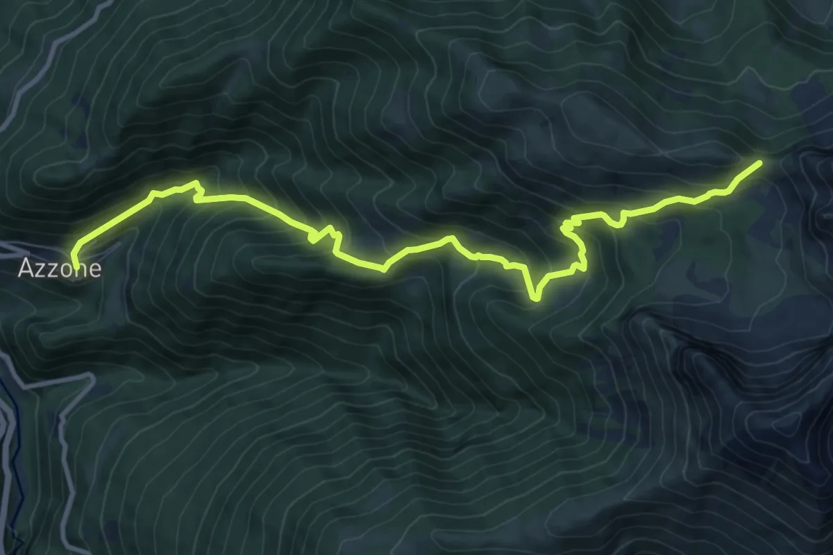
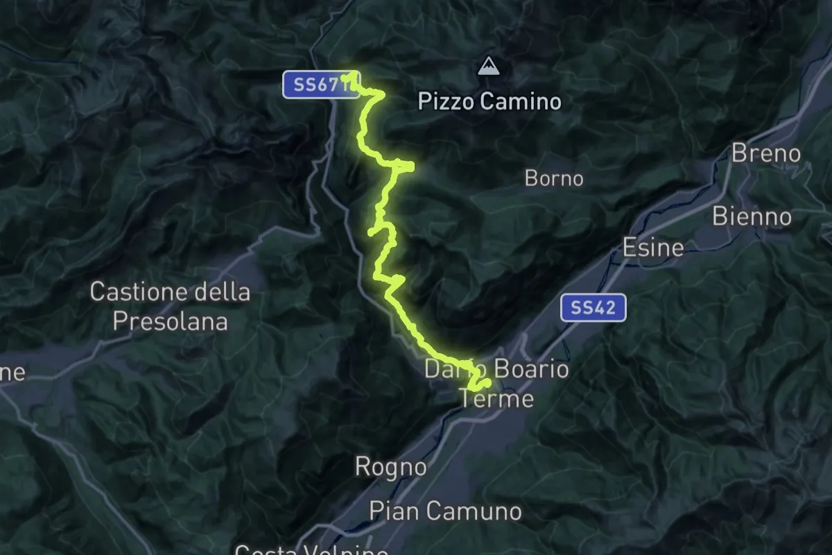
Demanding · Trail
Azzone – Passo di Corna Busa
11.7 km · ↑ 995 m · 4 h 55 min · 12 km away
Demanding · Trail
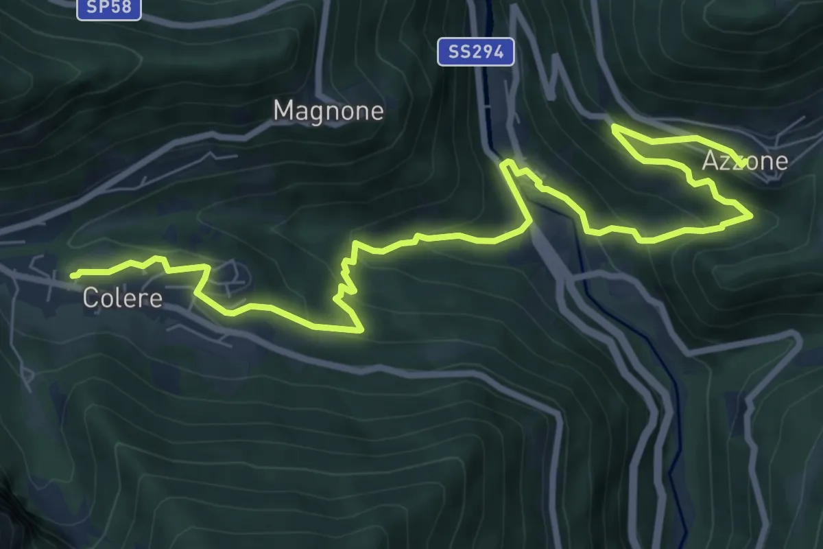
La Via Decia - Tappa 5
21.8 km · ↑ 949 m · 7 h 52 min · 12 km away
Medium · Trail
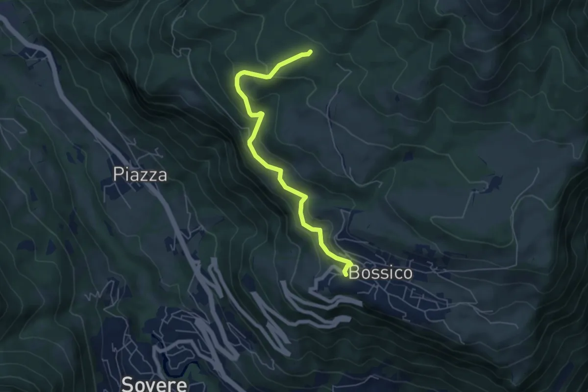
La Via Decia - Via Breve
9.9 km · ↑ 577 m · 3 h 36 min · 12 km away
Medium · Trail
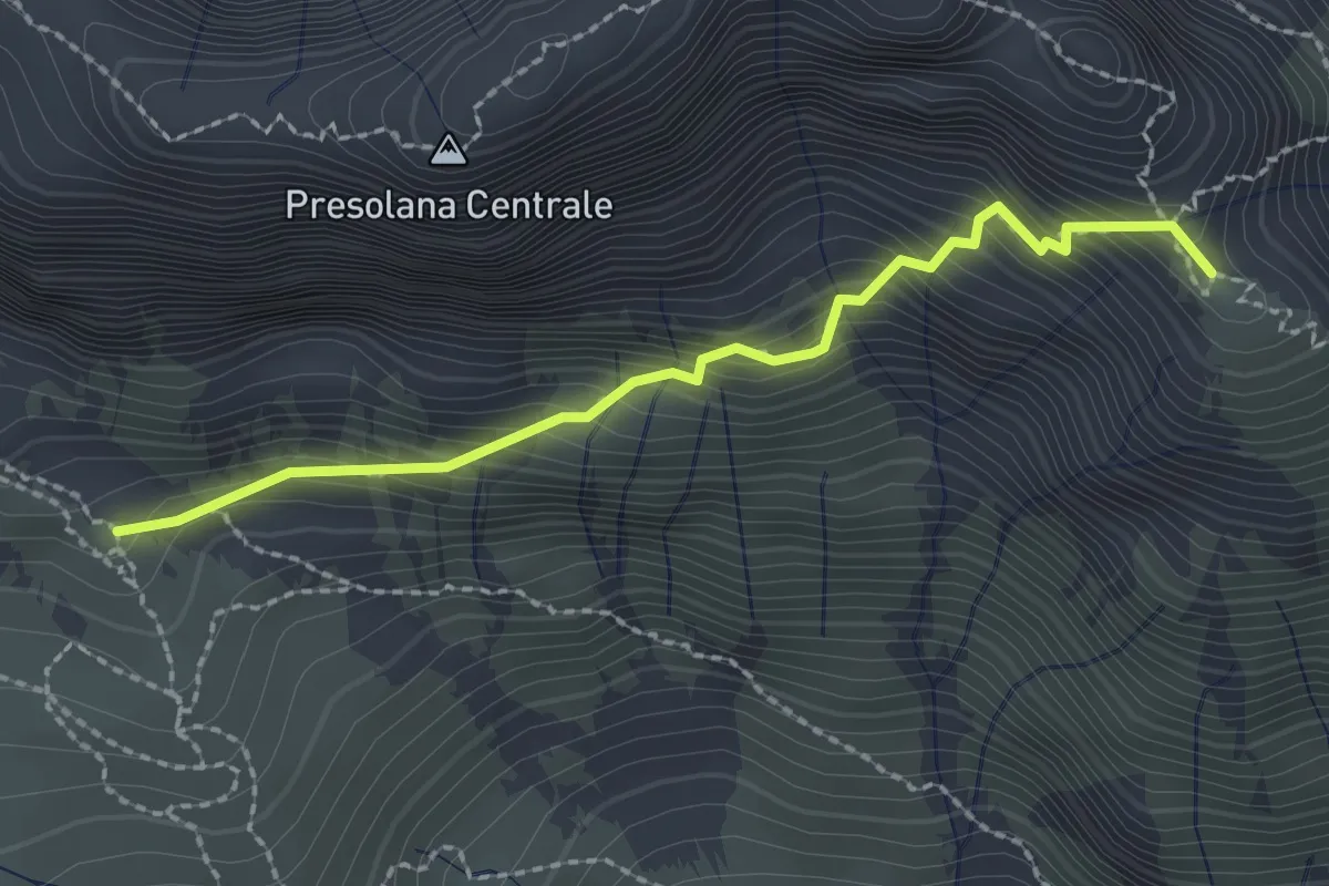
Tre Santelle
5.5 km · ↑ 324 m · 2 h · 12 km away
Demanding · Summit
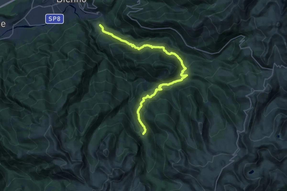
Monte Visolo (incrocio 326) – Bivacco Città di Clusone (incrocio 315)
2.2 km · ↑ 342 m · 1 h 16 min · 12 km away
Medium · Trail
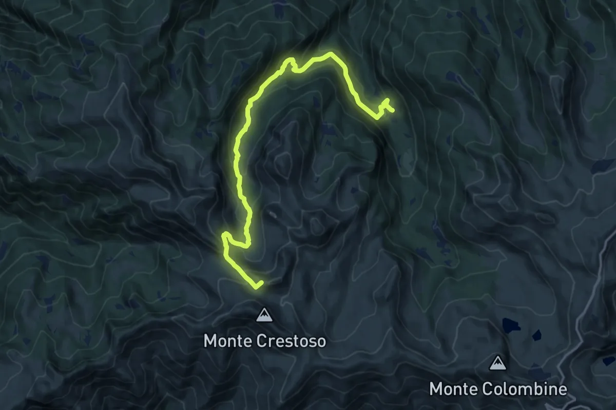
Prestine – Campolungo
10.2 km · ↑ 422 m · 3 h 49 min · 12 km away
Medium · Summit
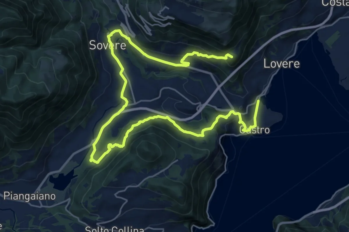
Campolungo – Monte Colombino
15.1 km · ↑ 791 m · 5 h 17 min · 12 km away
Demanding · Summit
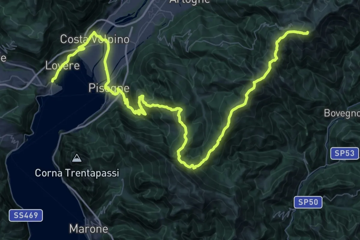
CamminaForeste - Tappa 4A
27.2 km · ↑ 975 m · 8 h 32 min · 12 km away
Demanding · Summit
CamminaForeste - Tappa 3D
65.3 km · ↑ 3089 m · 22 h 6 min · 12 km away