Trails near Domodossola
260 hikes starting within 15 km, nearest first.
Nearest first, page 1 of 6
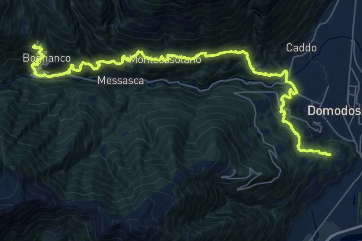
Expert · Trail
D00 - Quarta sezione: Graniga - Monte Calvario
13.5 km · ↑ 1374 m · 6 h 1 min · 1 km away
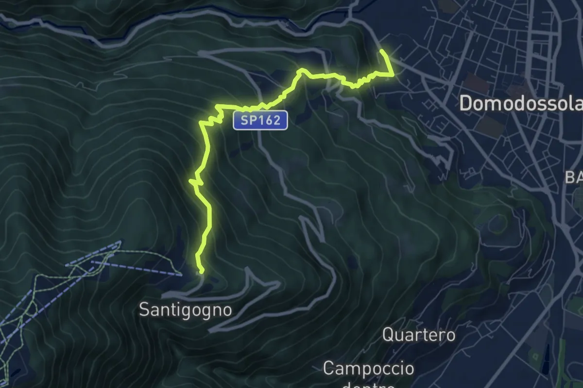
Demanding · Trail
D03 - Domodossola - Alpe Lusentino
7.8 km · ↑ 803 m · 3 h 35 min · 1 km away
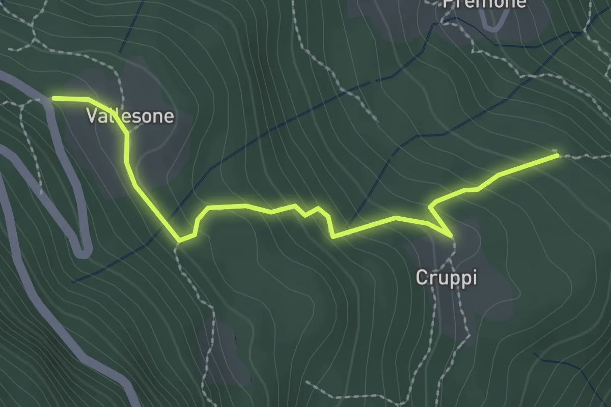
Easy · Trail
San Defendente Cruppi – Vallesone bivio D01
2.5 km · ↑ 205 m · 1 h 2 min · 1 km away
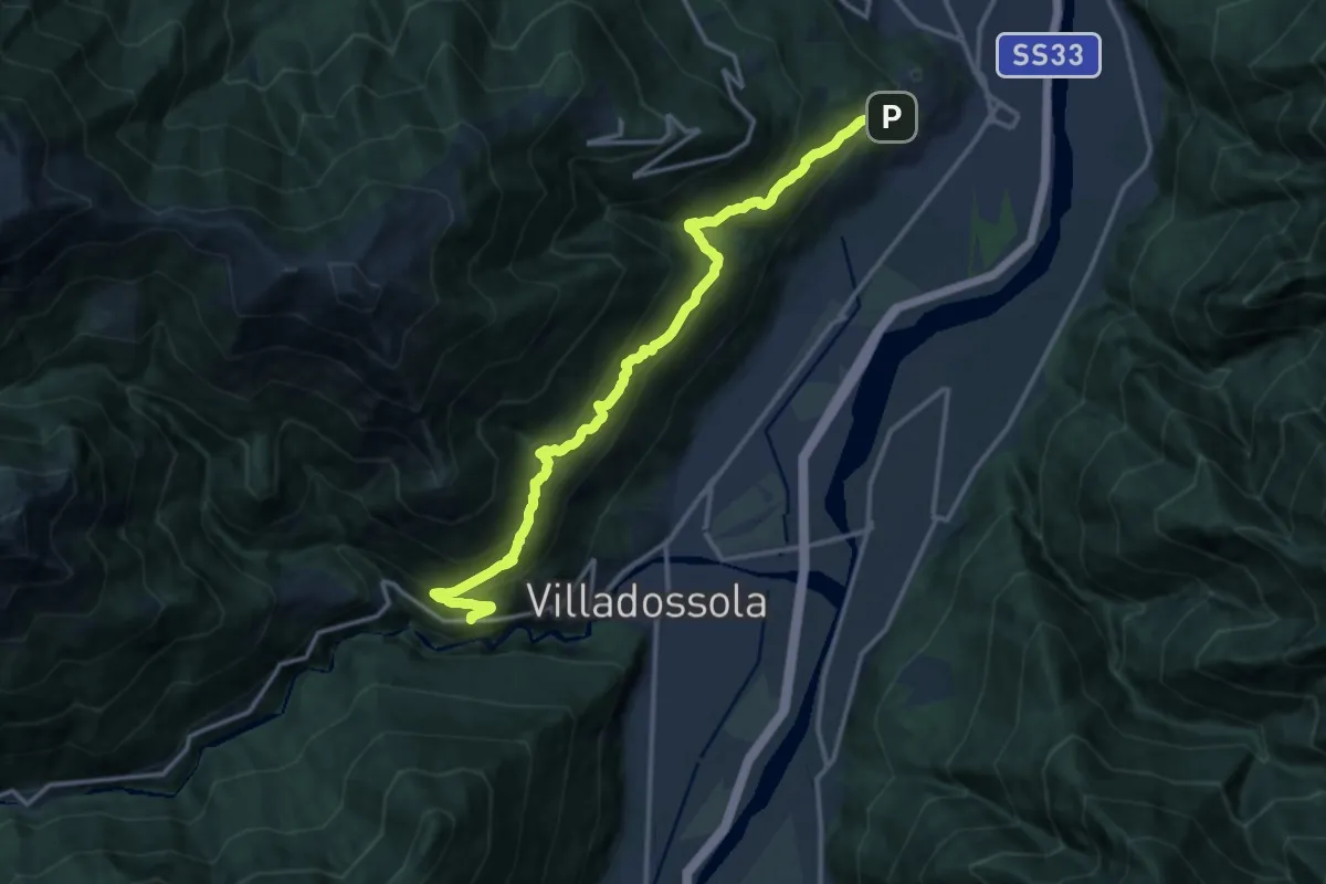
Demanding · Trail
A01 - La Via Alta (Crosiggia - Boschetto)
15.1 km · ↑ 1103 m · 5 h 58 min · 1 km away
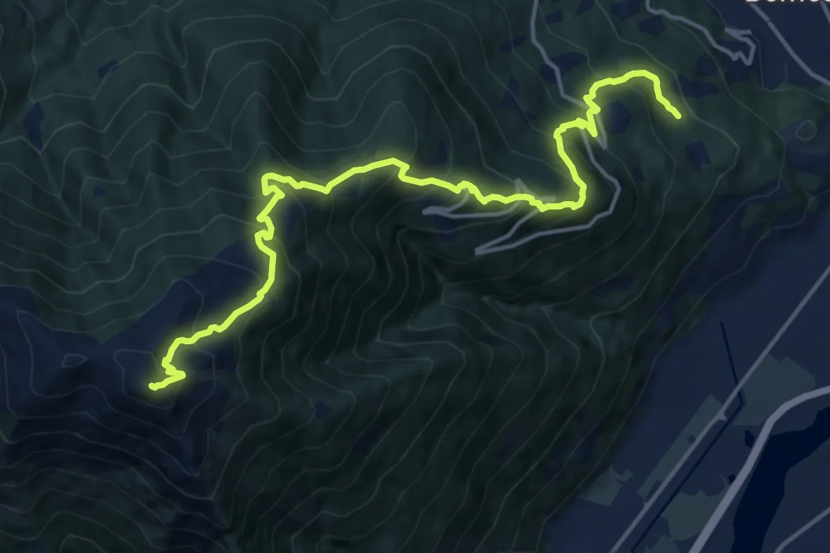
Demanding · Summit
D01 - Cappella di Marisch - Moncucco
15.3 km · ↑ 1431 m · 6 h 43 min · 1 km away
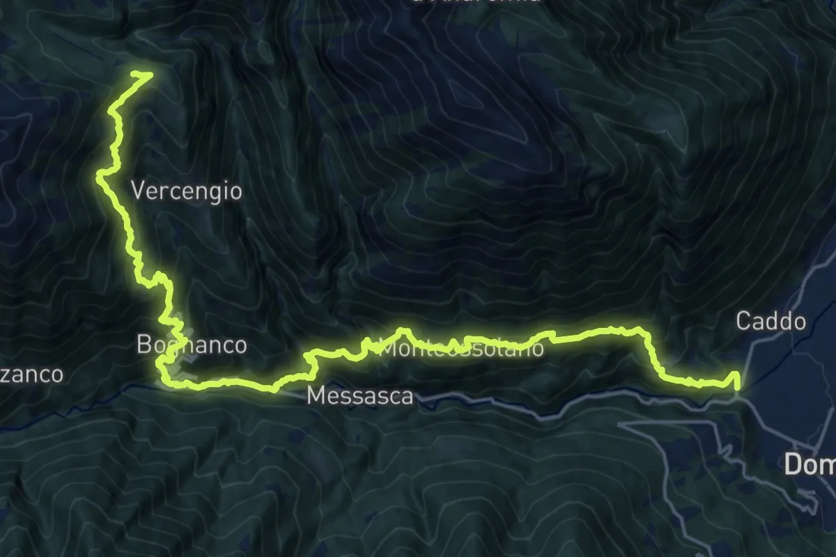
Expert · Cabin
Da Rifugio a Rifugio - Tappa 1
13.7 km · ↑ 1698 m · 6 h 27 min · 2 km away
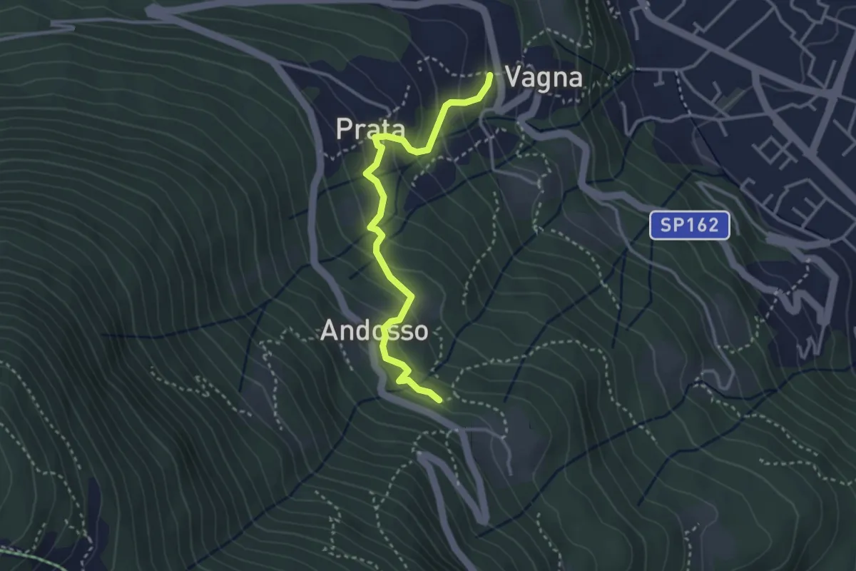
Medium · Trail
D03a - Sala - Andosso
3.2 km · ↑ 196 m · 1 h 10 min · 2 km away
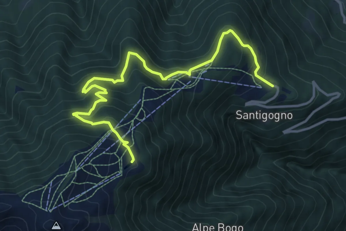
Medium · Trail
D01d - luse trek
9.9 km · ↑ 698 m · 3 h 51 min · 3 km away
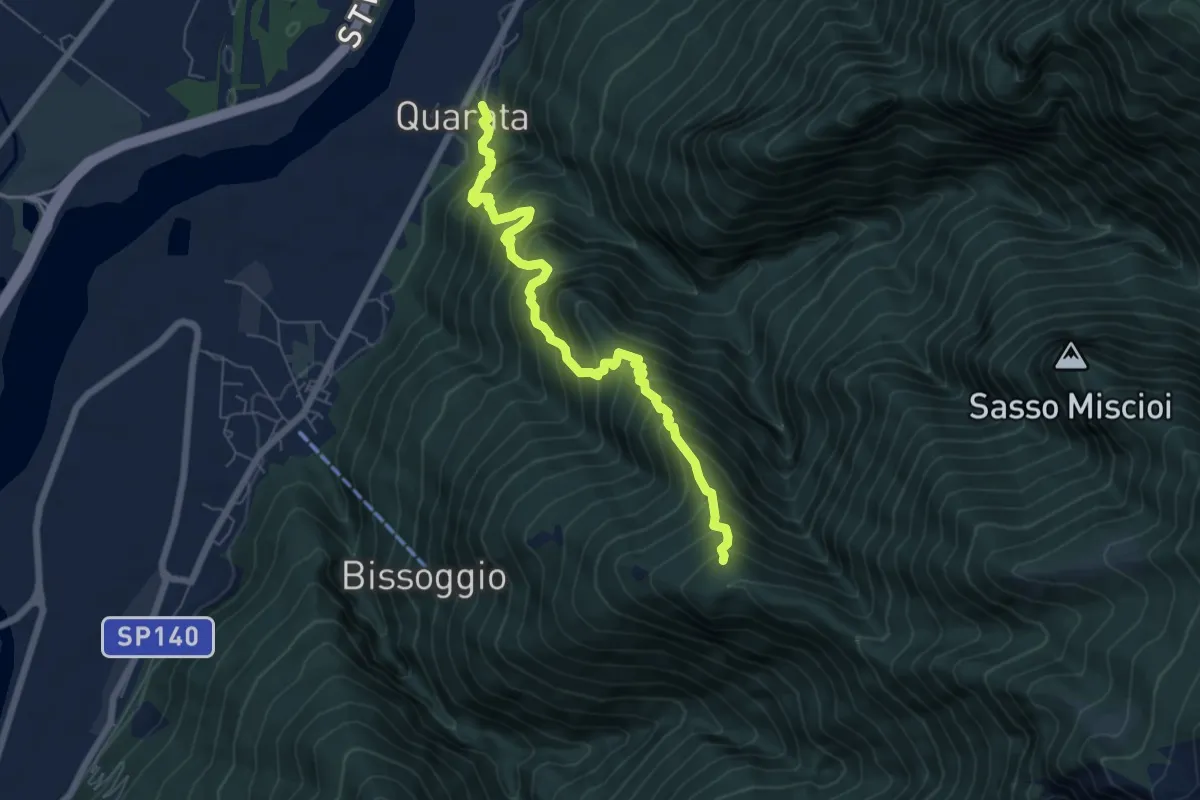
Demanding · Trail
A18 - Quarata di Cosa - Alpe Provo
6.7 km · ↑ 961 m · 3 h 40 min · 3 km away
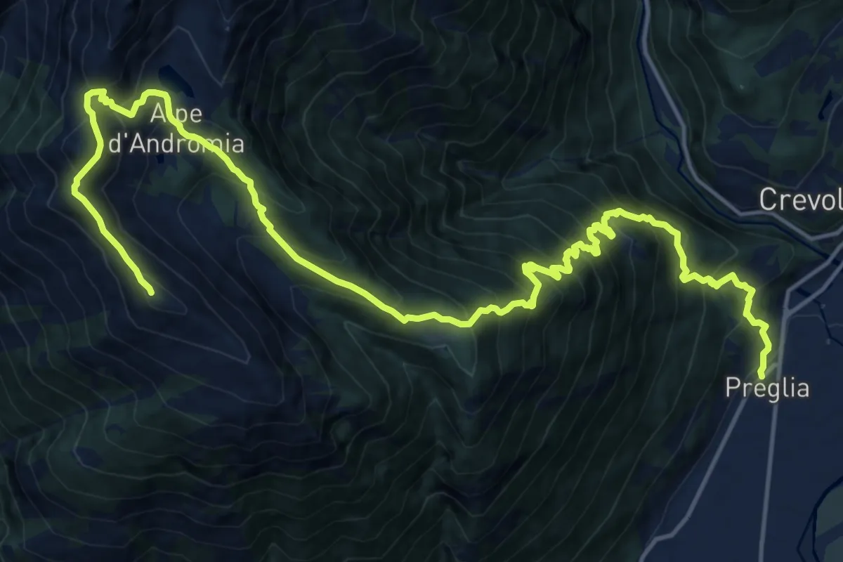
Demanding · Summit
Preglia fraz. Canei – Cima Lariè
21.2 km · ↑ 2077 m · 9 h 30 min · 3 km away
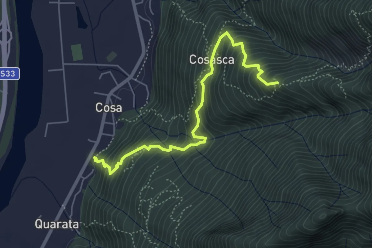
Medium · Trail
A17 - Cosa - Pra la Varda
4.9 km · ↑ 524 m · 2 h 18 min · 3 km away
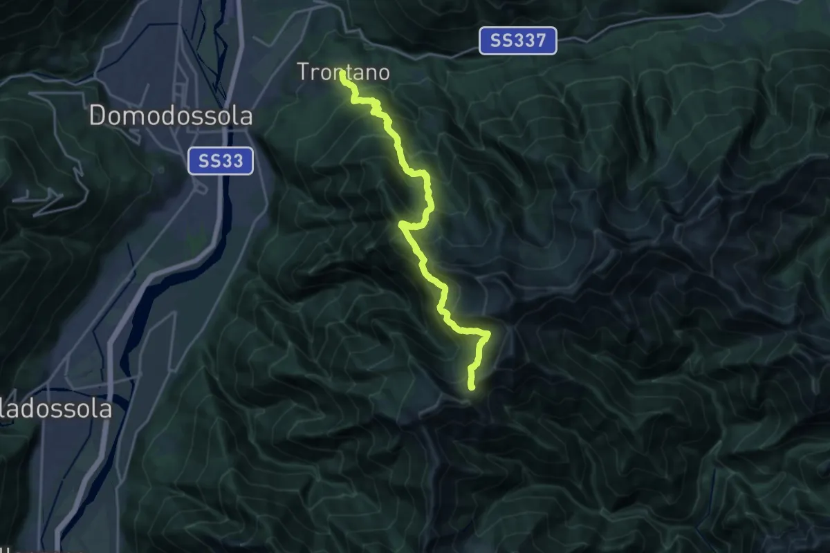
Demanding · Cabin
A16 - Trontano - Passo del Ragozzale
9.1 km · ↑ 1579 m · 5 h · 3 km away
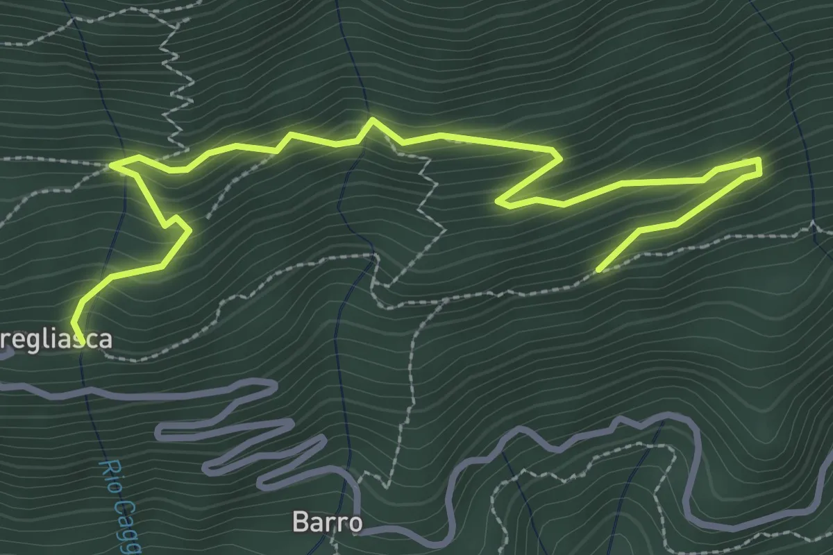
Medium · Trail
Sentiero Arlo
3.7 km · ↑ 346 m · 1 h 37 min · 3 km away
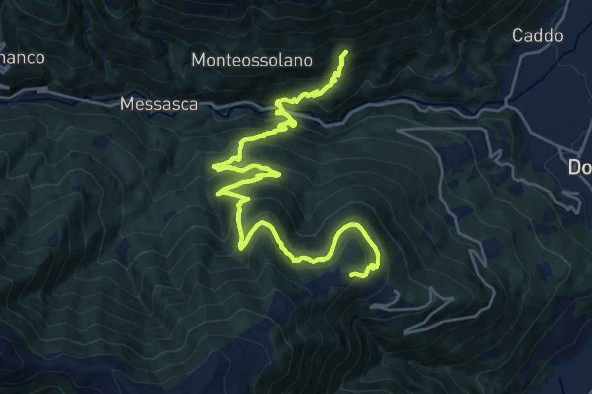
Demanding · Trail
D05 - Località Torno (quota 443) - Alpe Foppiano (quota 1160)
17.6 km · ↑ 1387 m · 7 h 10 min · 3 km away
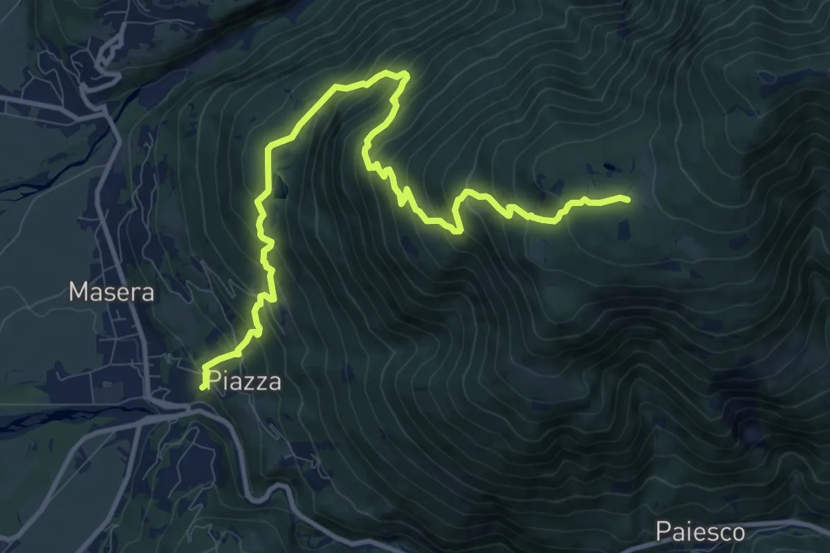
Demanding · Trail
A06 - Masera - Alpe Pescia
12.1 km · ↑ 1100 m · 5 h 15 min · 4 km away
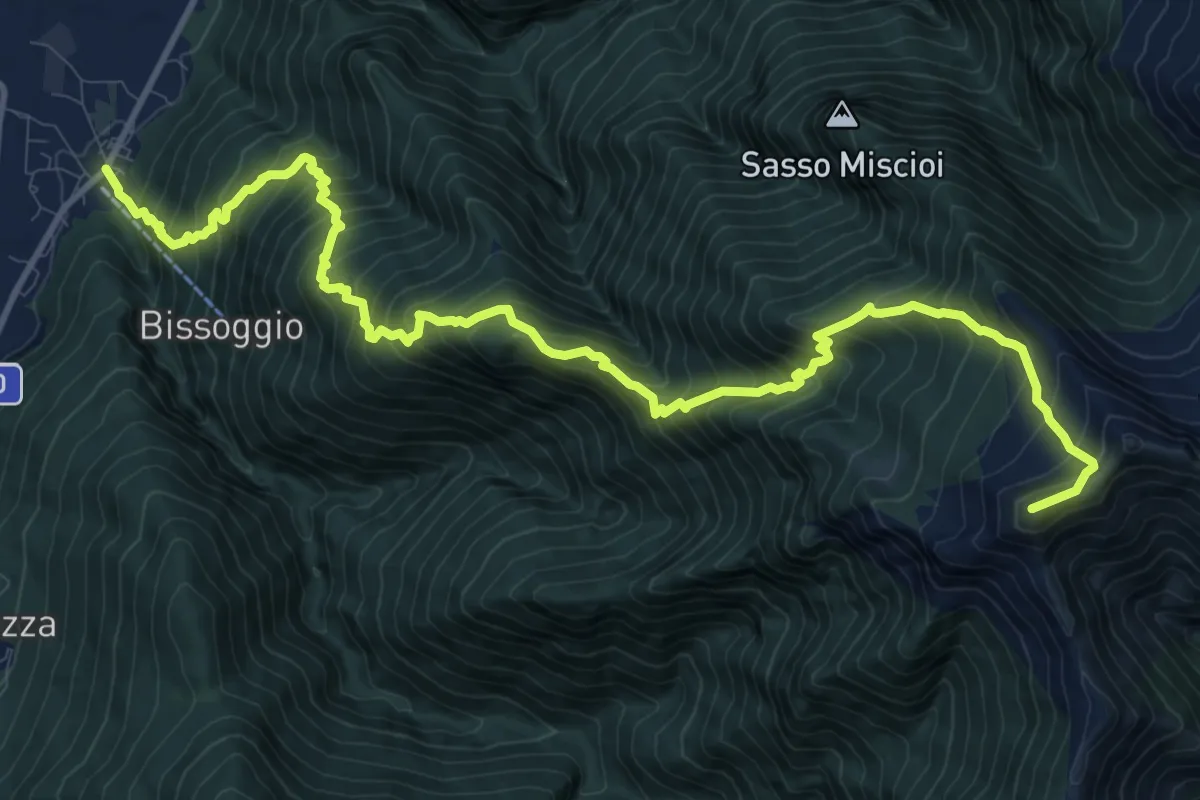
Demanding · Summit
A20 - Beura - Punta Pozzolo
14.6 km · ↑ 1828 m · 7 h 25 min · 4 km away
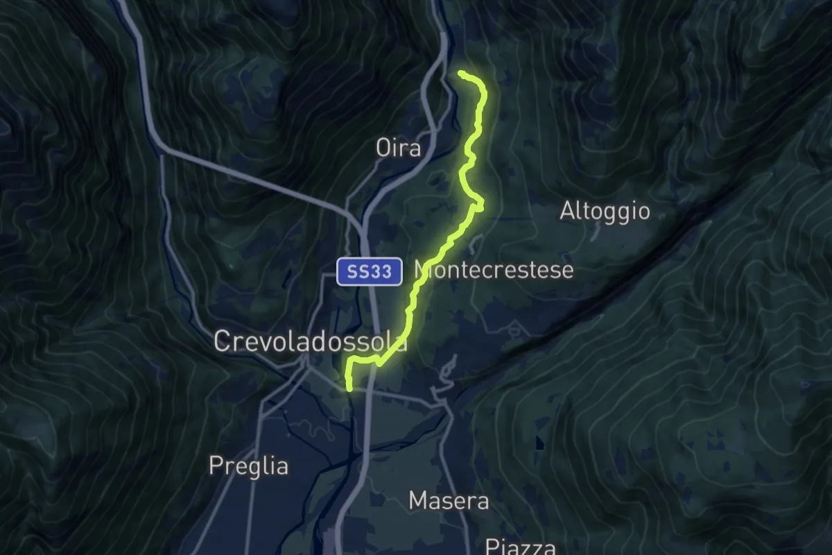
Medium · Trail
G00a - Montecrestese - Pontemaglio
9.8 km · ↑ 327 m · 3 h 1 min · 4 km away
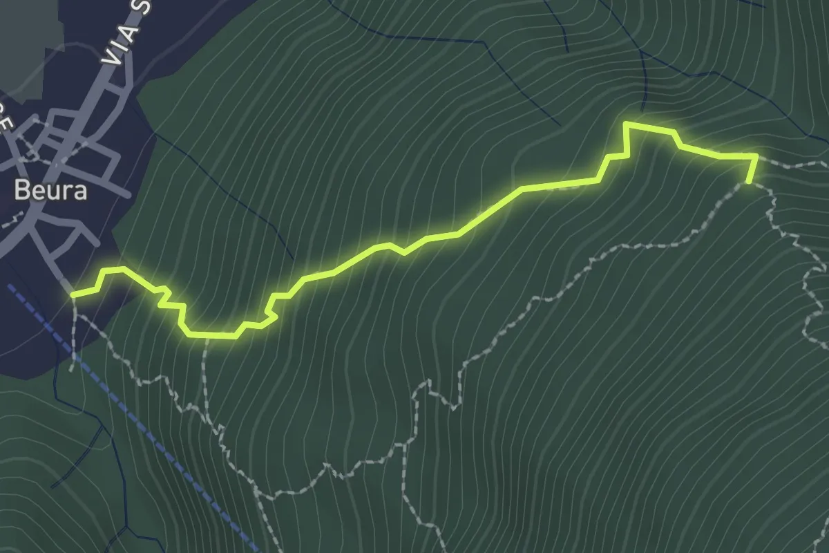
Medium · Trail
A20b - Beura - Alpe Fiesco bivio A20
2.2 km · ↑ 317 m · 1 h 12 min · 4 km away
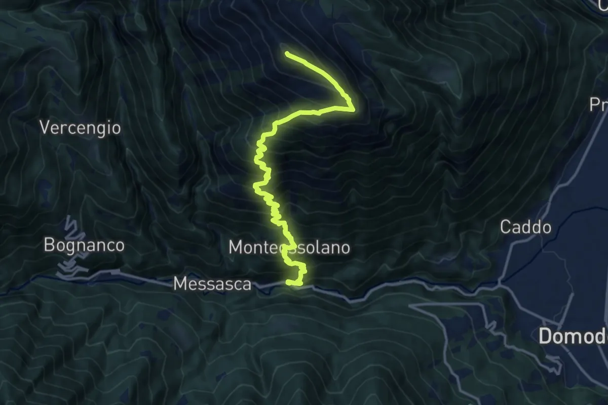
Demanding · Summit
D04 - Gabbio - Cima Lariè
14.2 km · ↑ 1690 m · 7 h 1 min · 4 km away
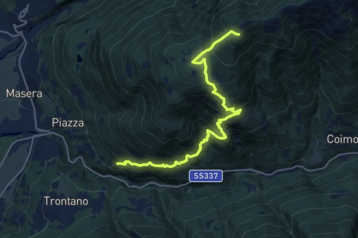
Demanding · Trail
A10 - Masera - Cima la Sella
13.0 km · ↑ 1291 m · 5 h 52 min · 4 km away
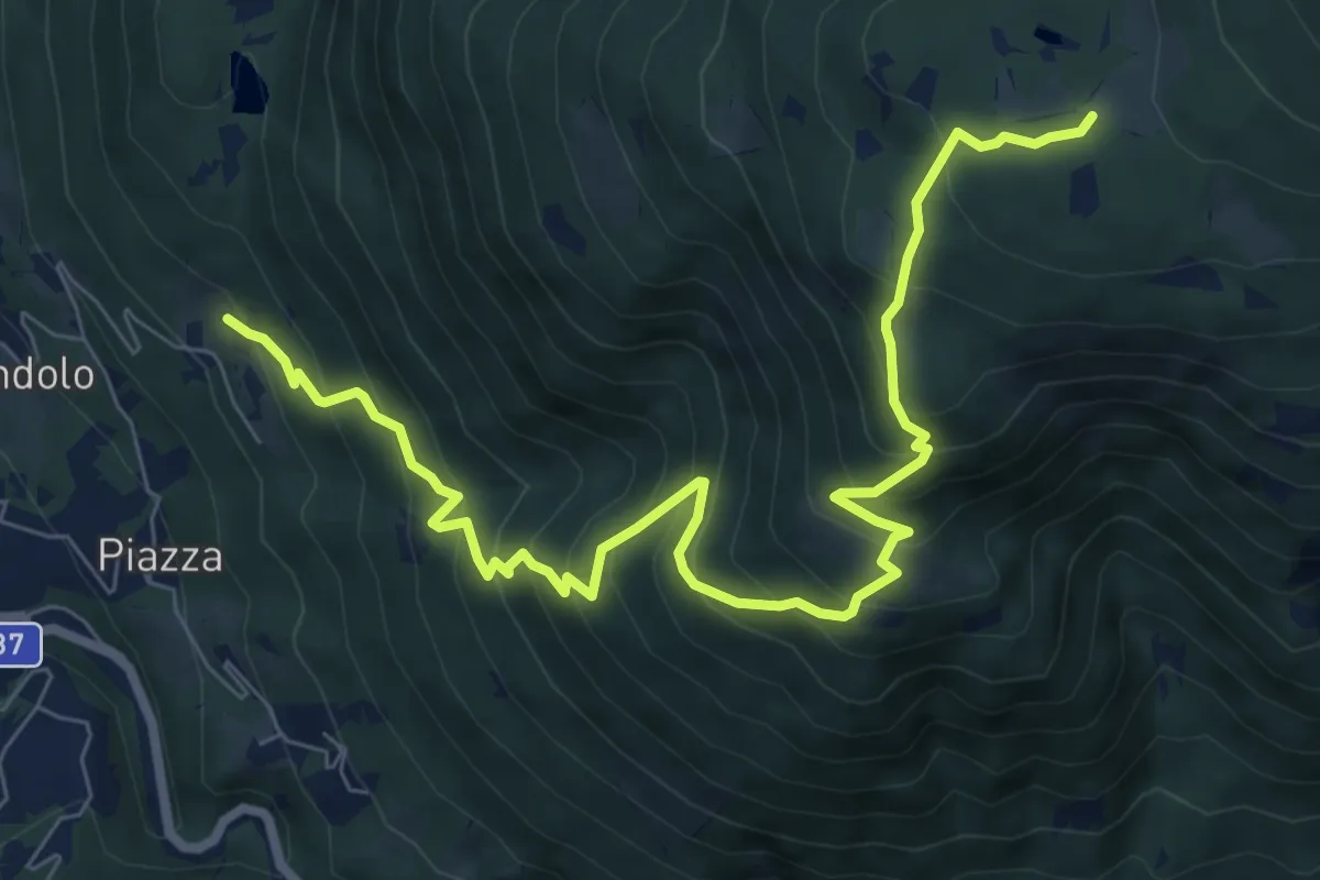
Demanding · Trail
A08 - Masera località Ranco - Alpe Pescia
9.4 km · ↑ 965 m · 4 h 19 min · 4 km away
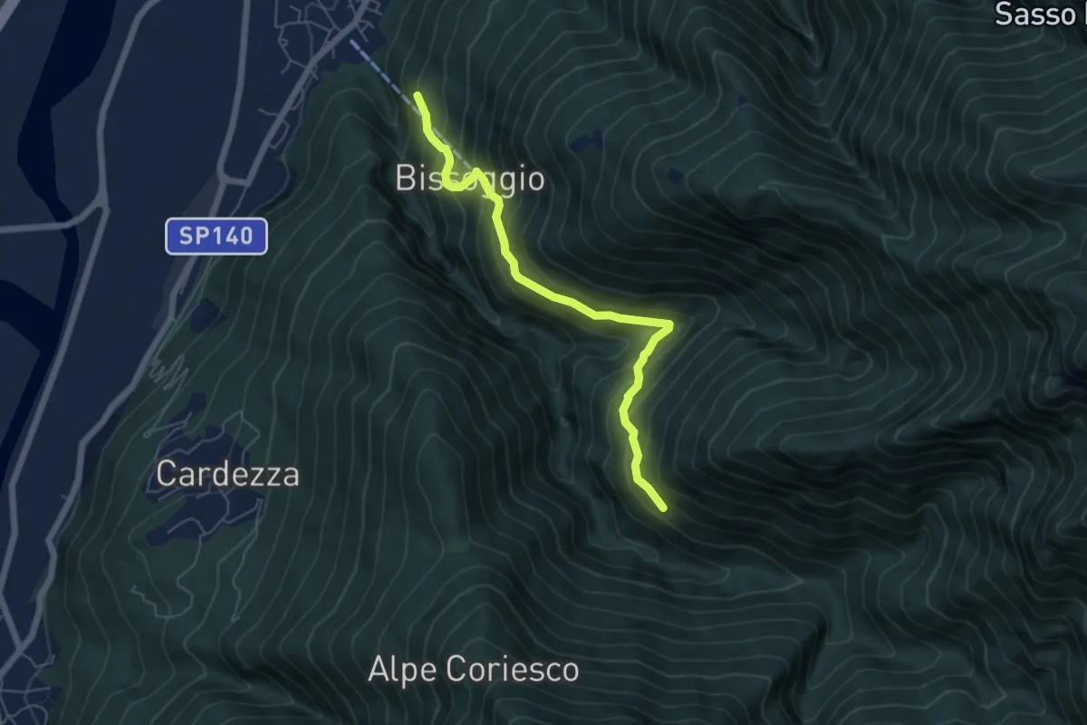
Medium · Trail
A20a - bivio A20 presso Beura - Alpe Solia di dentro
5.6 km · ↑ 540 m · 2 h 30 min · 4 km away
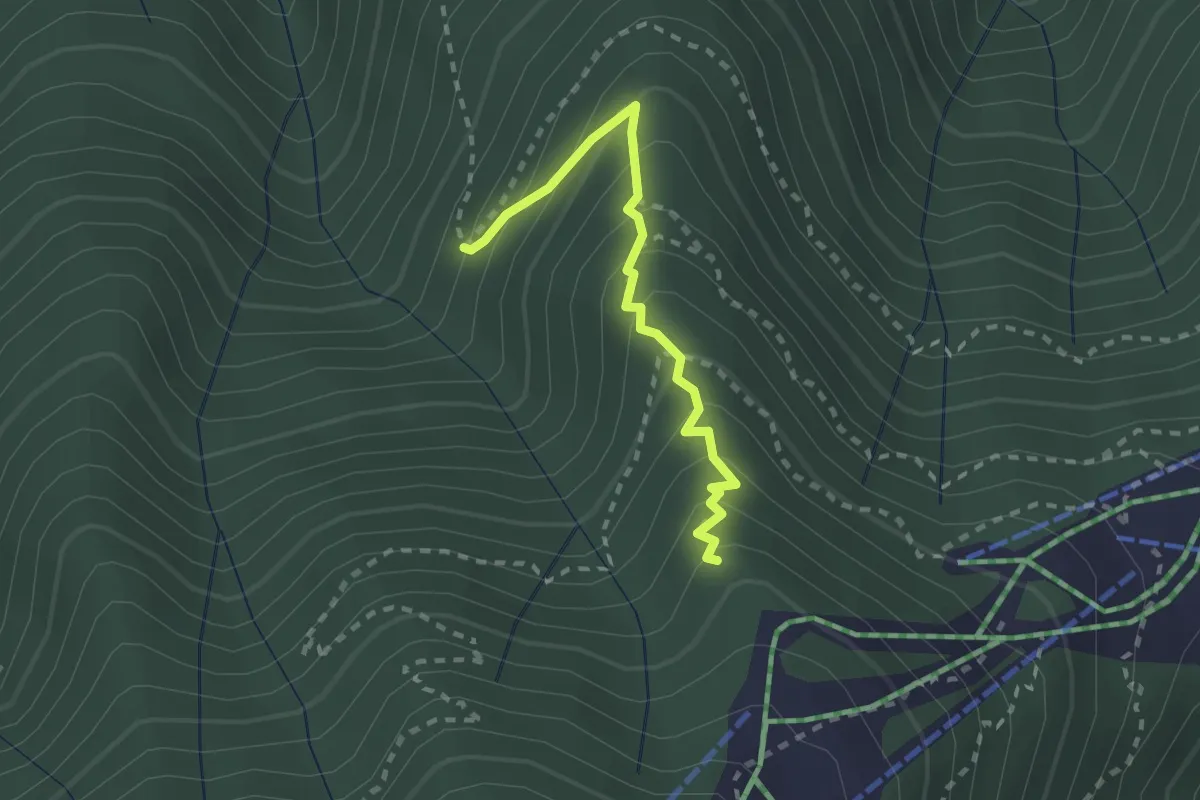
Medium · Trail
D05a - Alpe Casale (1131) - sorgente fontanelli foppiano (1380)
2.2 km · ↑ 240 m · 1 h 3 min · 4 km away
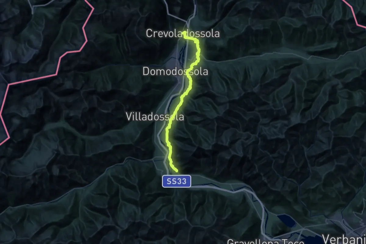
Demanding · Trail
A00 - Strada Romana (prima sezione)
23.9 km · ↑ 681 m · 7 h 31 min · 5 km away
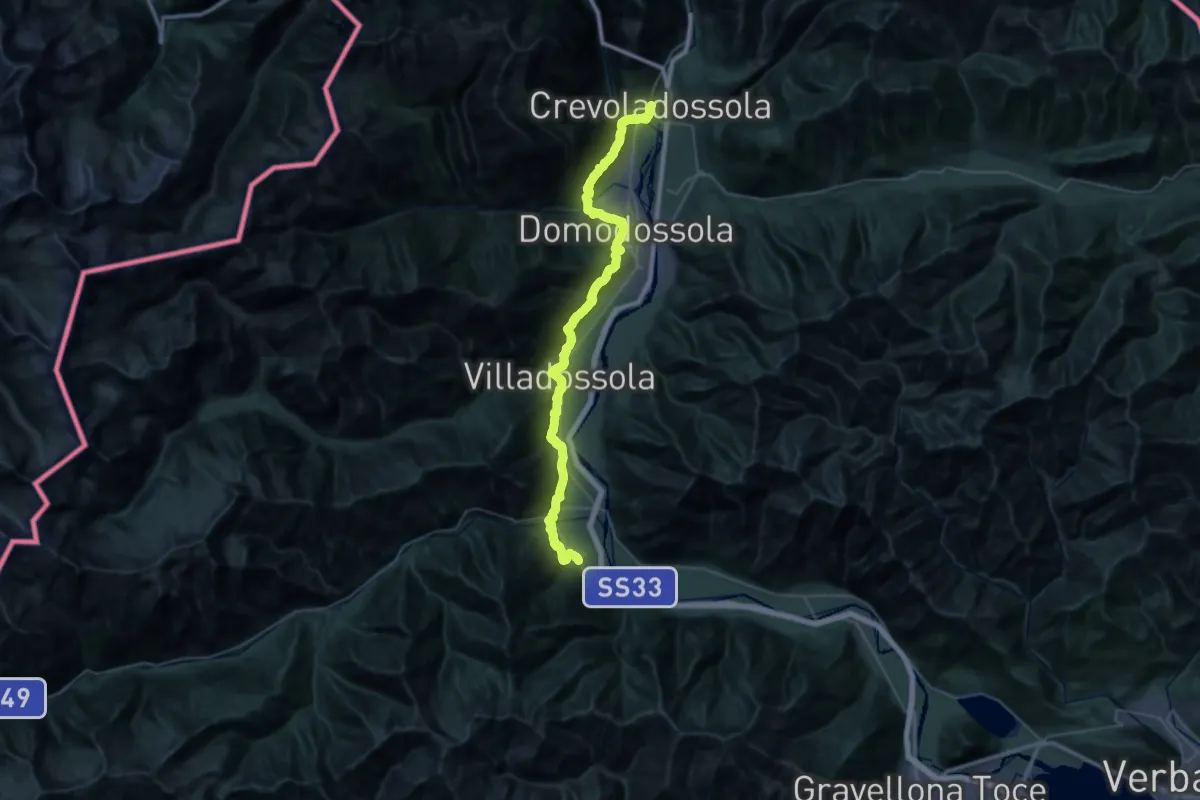
Demanding · Trail
A00a - Via Francisca (prima sezione)
24.2 km · ↑ 943 m · 8 h 10 min · 5 km away
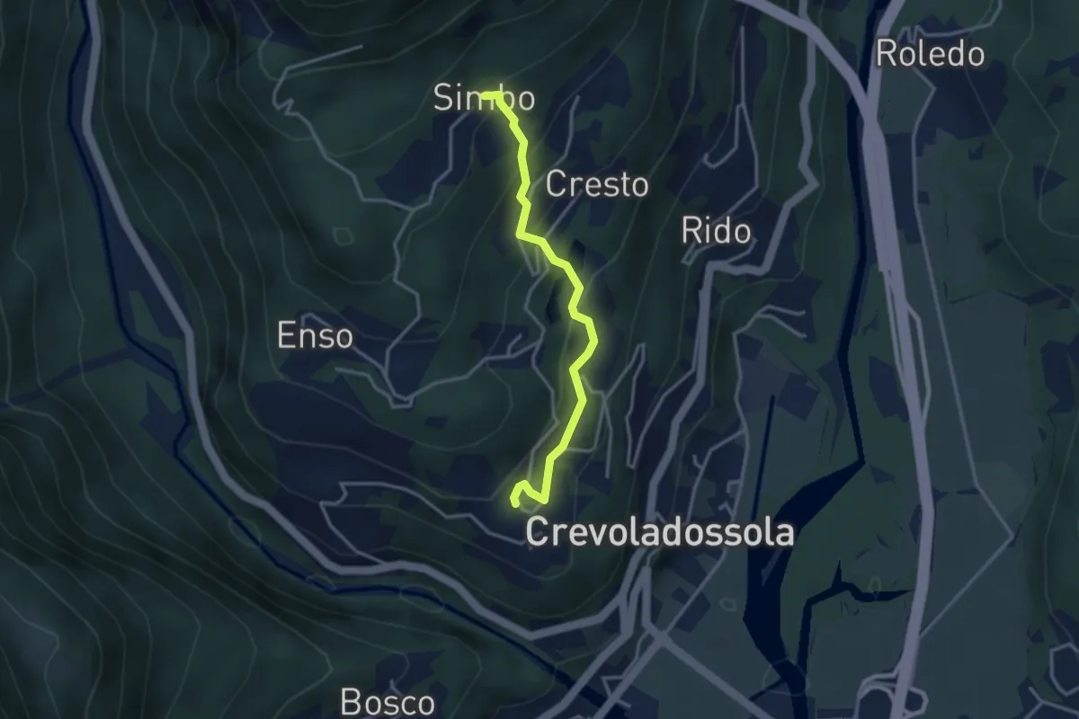
Easy · Trail
Pinone – Simbo
3.0 km · ↑ 242 m · 1 h 14 min · 5 km away
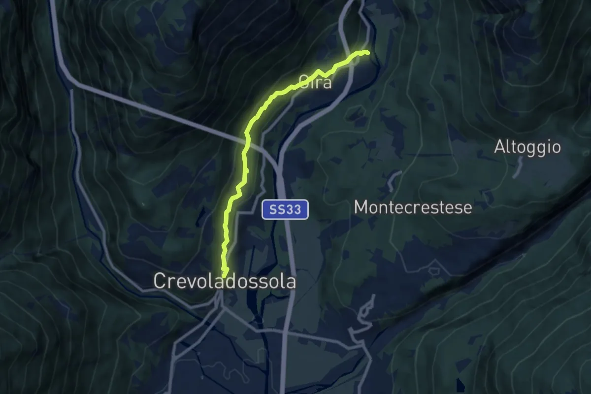
Easy · Trail
G00b - Crevoladossola - Oira
7.1 km · ↑ 291 m · 2 h 18 min · 5 km away
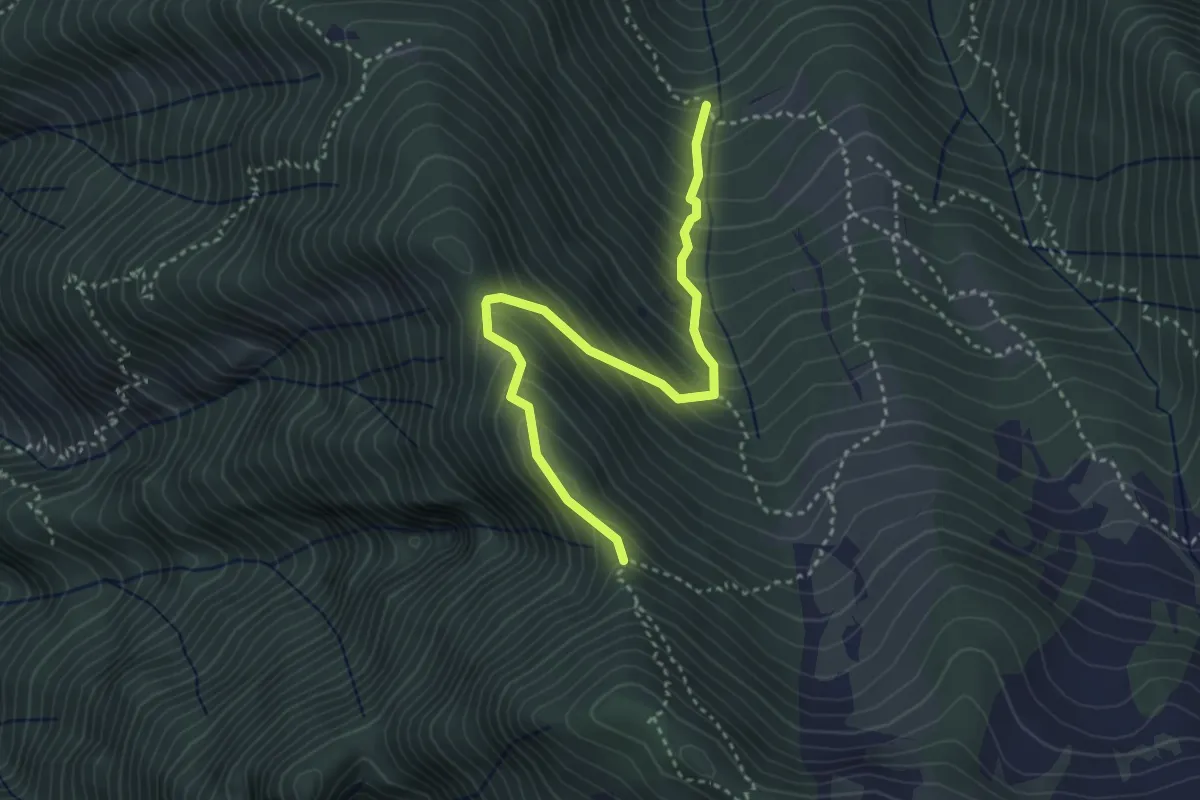
Medium · Trail
A16b - bivio A16 Alpe Parpinasca - bivio A16 sopra Alpe Drisoni
3.7 km · ↑ 451 m · 1 h 51 min · 5 km away
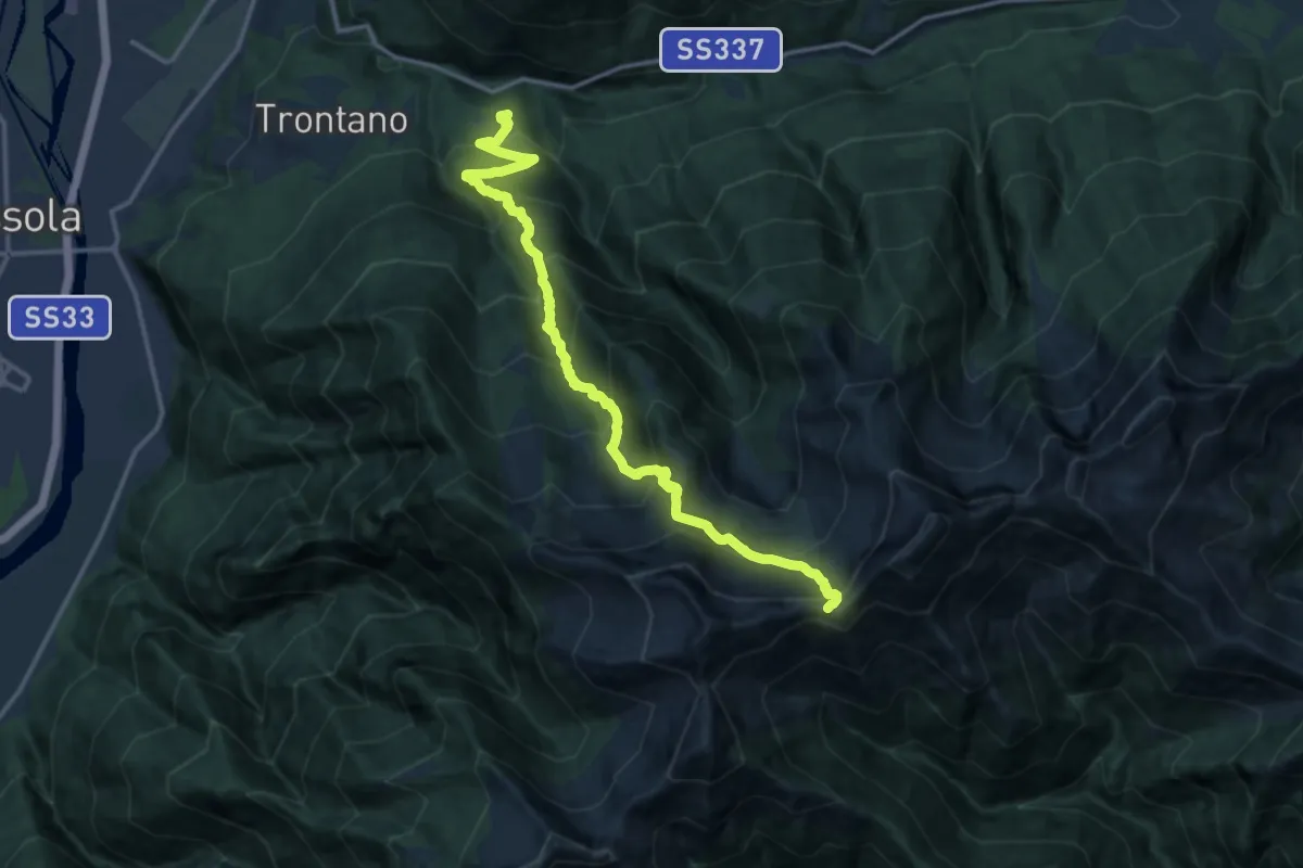
Demanding · Trail
A14 - Verigo - Passo di Basagrana
15.2 km · ↑ 1555 m · 6 h 58 min · 5 km away
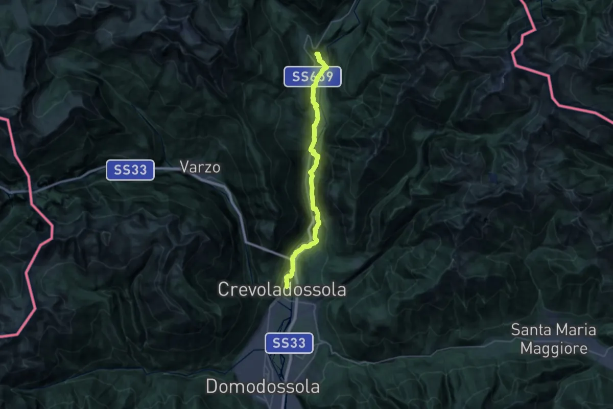
Demanding · Trail
G00 - Via del Gries da Crevoladossola a Baceno (prima sezione)
26.8 km · ↑ 754 m · 7 h 57 min · 5 km away
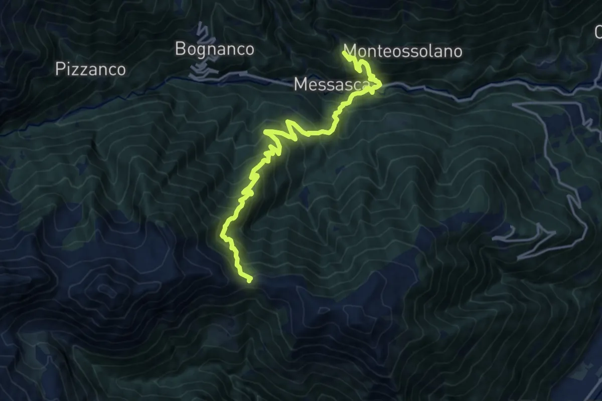
Demanding · Trail
Pianezza, Oratorio Dagliano – Colle del Pianino
15.5 km · ↑ 1530 m · 6 h 58 min · 5 km away
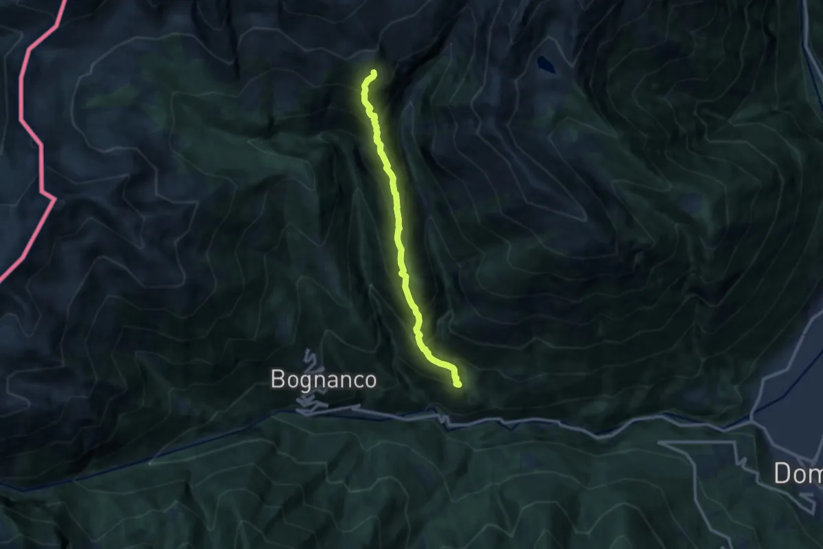
Demanding · Trail
D06 - Costa d'Agrello
9.7 km · ↑ 1202 m · 4 h 53 min · 5 km away
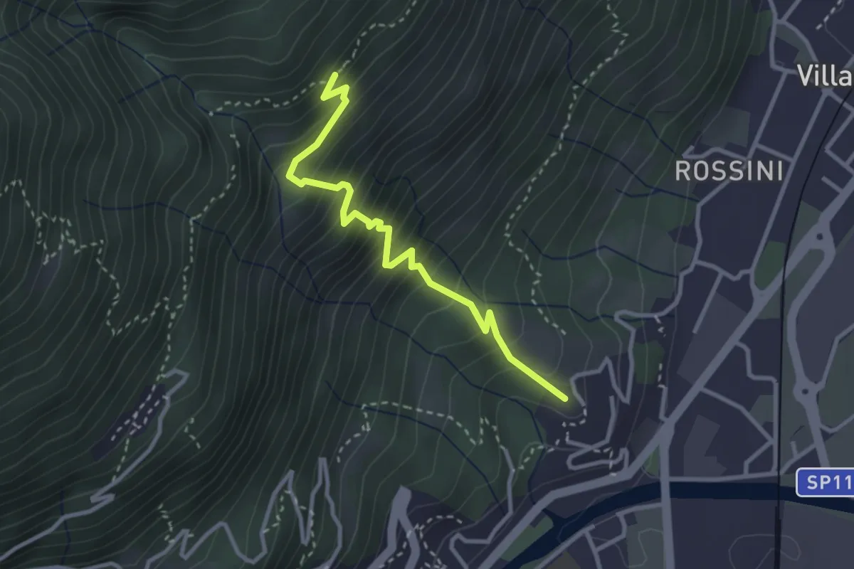
Medium · Trail
A03a - Gaggio loc.tà Cavana bivio A03 - bivio con A01 Alpe Maianco inf.
3.0 km · ↑ 407 m · 1 h 36 min · 5 km away
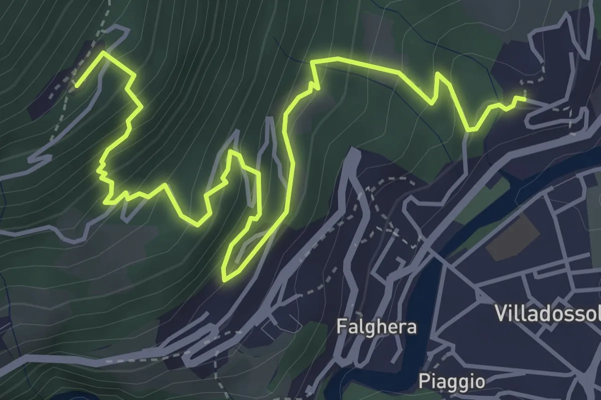
Medium · Trail
A01a - Gaggio - Sogno
5.4 km · ↑ 529 m · 2 h 25 min · 6 km away
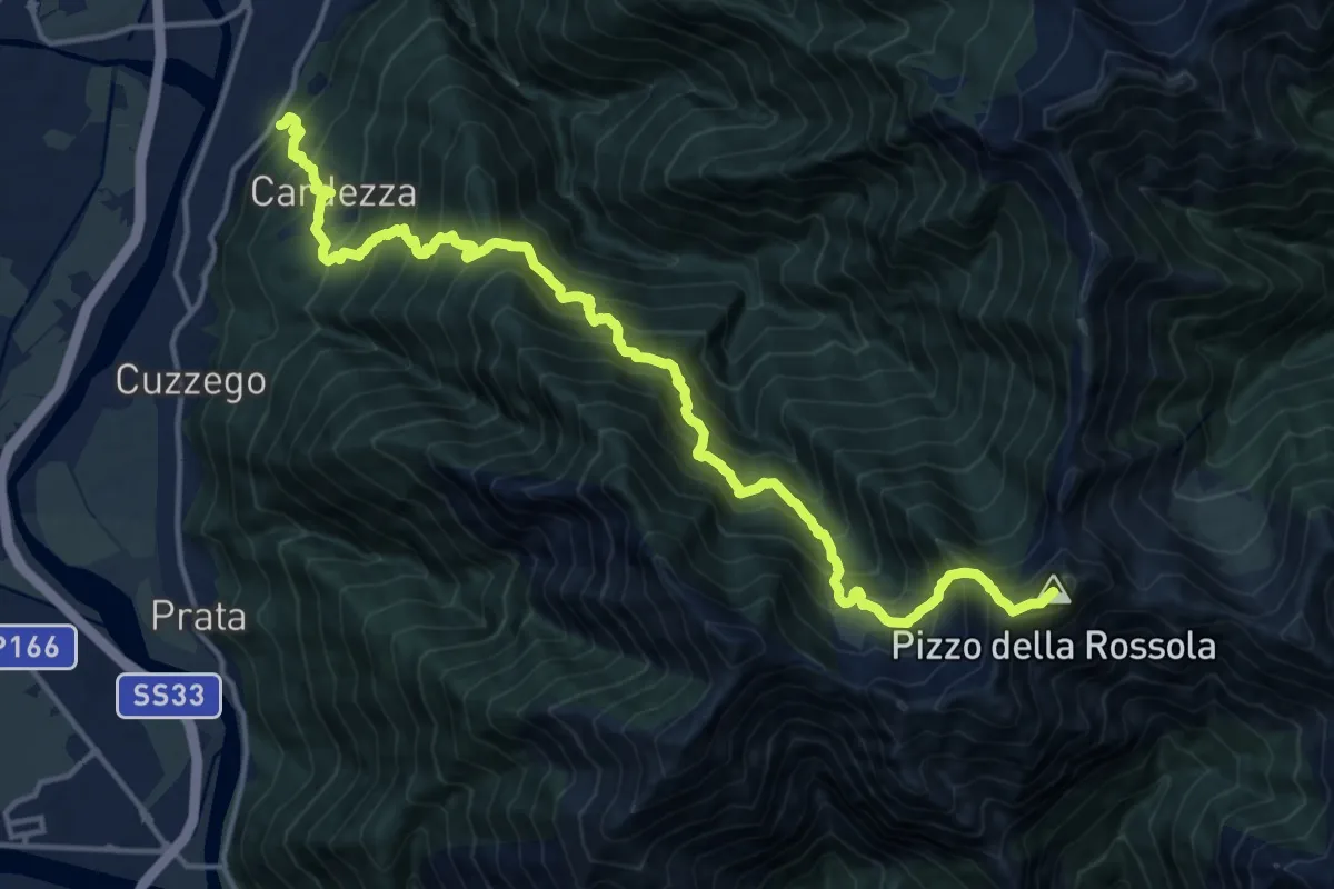
Demanding · Summit
A22 - Cardezza bivio A00 - Punta della Rossola
17.8 km · ↑ 2135 m · 8 h 50 min · 6 km away
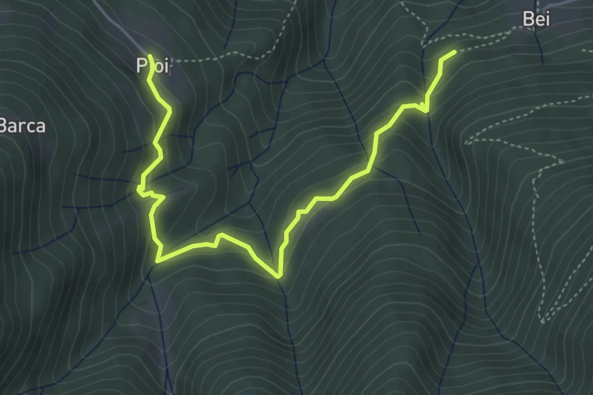
Medium · Trail
D07 - Bei - Pioi
5.1 km · ↑ 358 m · 1 h 59 min · 6 km away
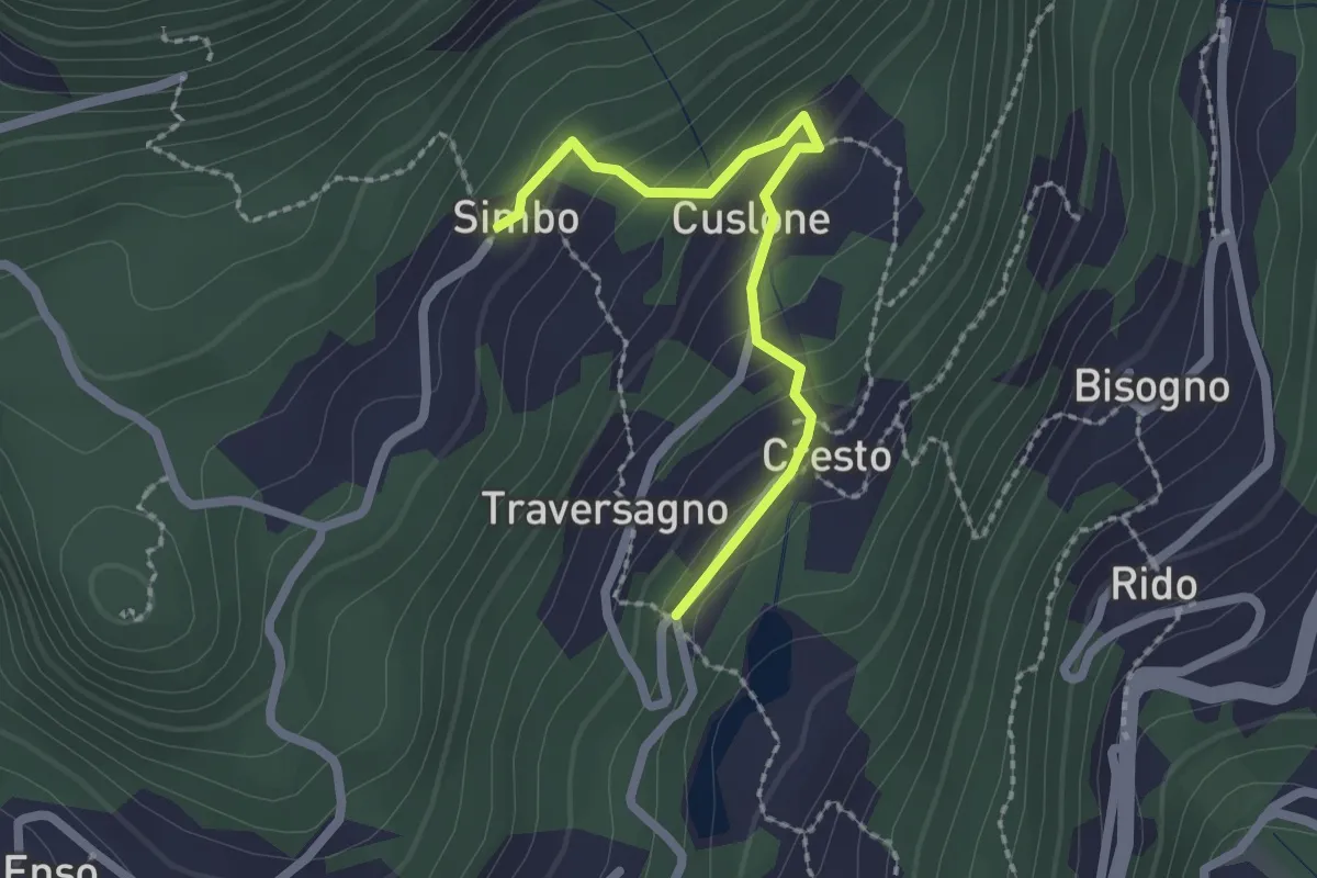
Easy · Trail
Variante a Sentiero delle Frazioni
2.0 km · ↑ 116 m · 44 min · 6 km away
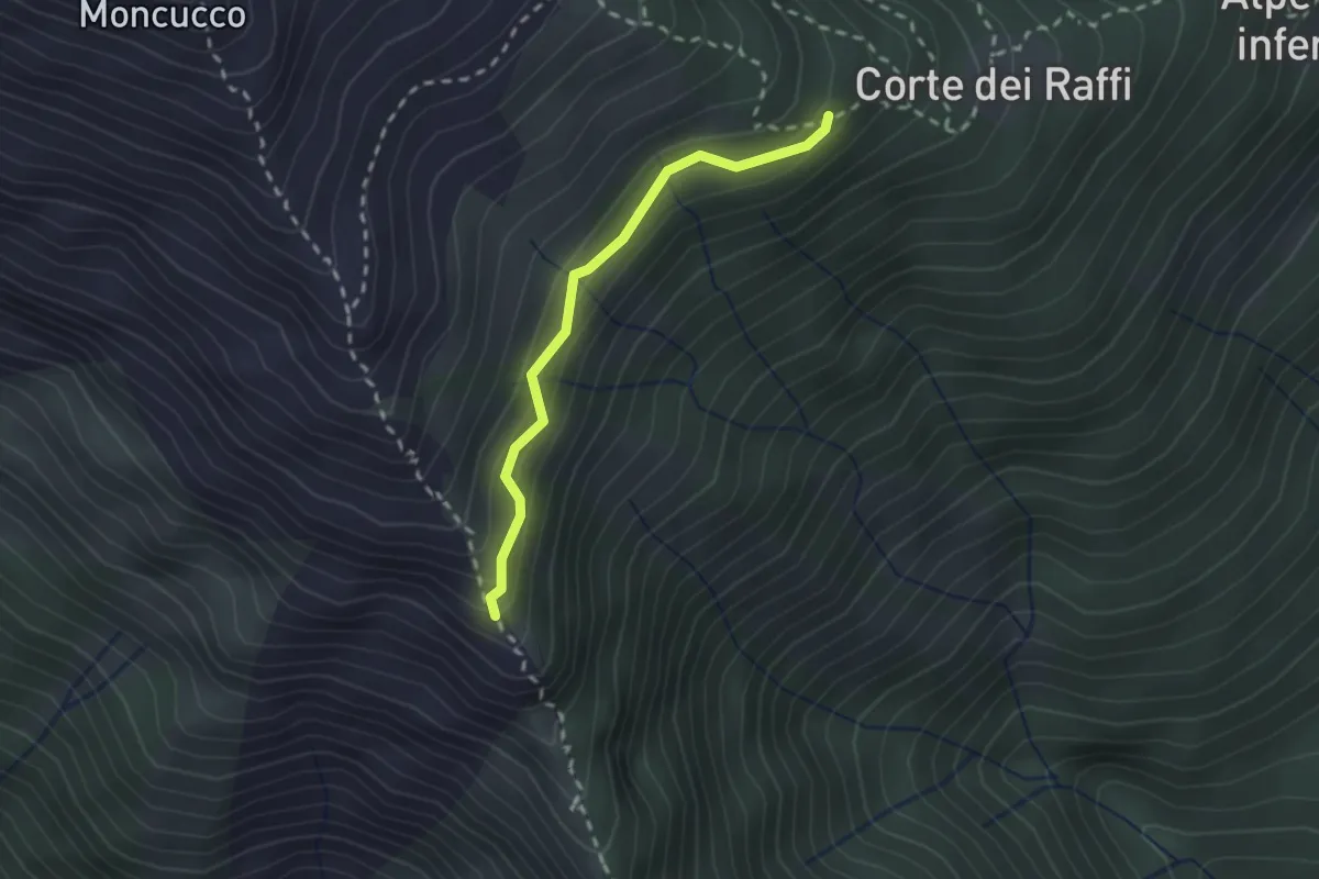
Medium · Trail
C02b - Cappella di S. Bernardo - Corte dei Raffi
2.0 km · ↑ 172 m · 51 min · 6 km away
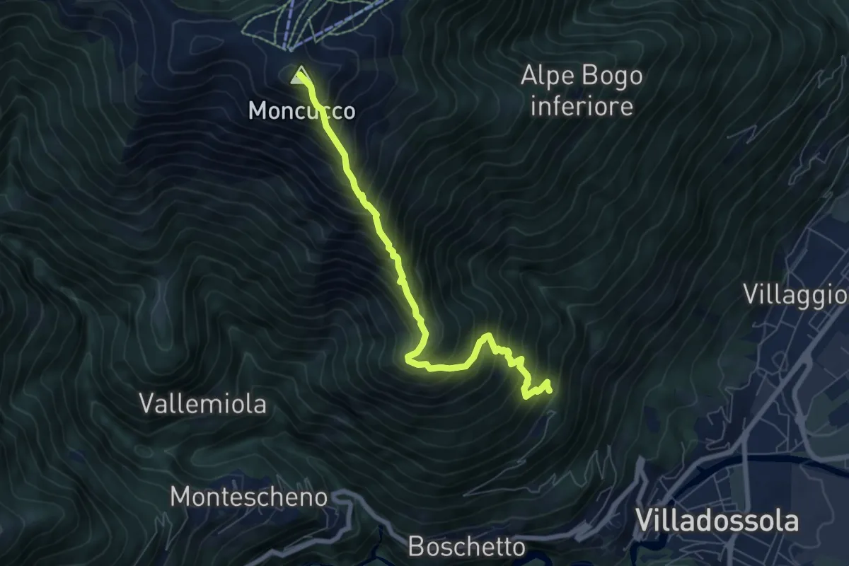
Expert · Summit
C02 - Sogno - Moncucco
6.8 km · ↑ 1061 m · 3 h 55 min · 6 km away
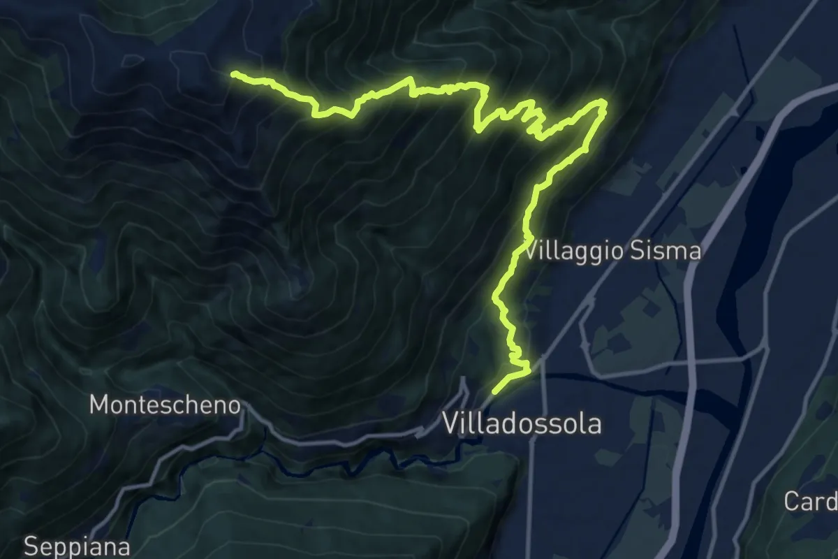
Demanding · Trail
A03 - Villadossola - Colletto Moncucco
15.8 km · ↑ 1808 m · 7 h 39 min · 6 km away
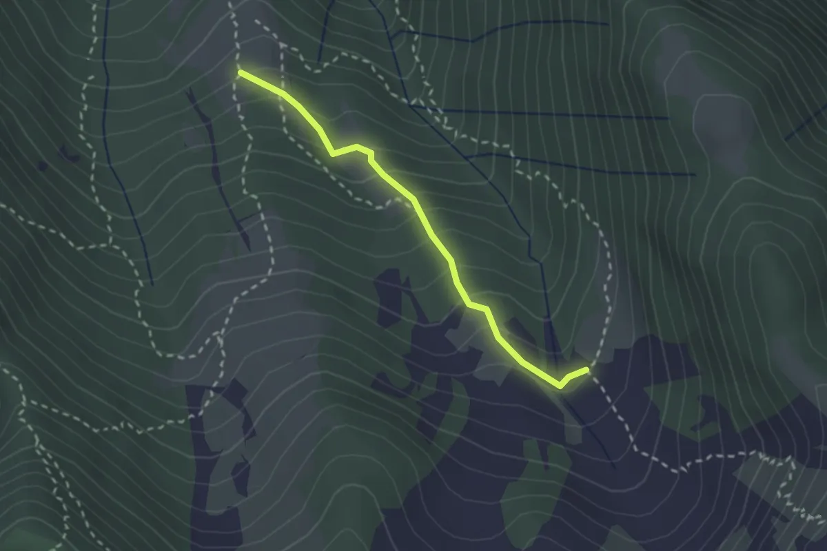
Medium · Cabin
A16a - bivo A16 Alpe Parpinasca - bivio A14 Alpe Campo
2.3 km · ↑ 224 m · 1 h 1 min · 6 km away
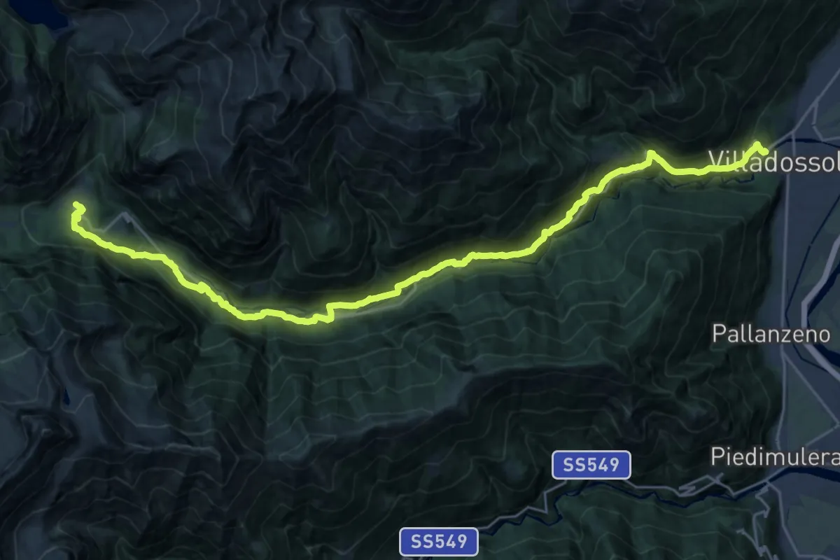
Demanding · Trail
C00 - Strada Antronesca tappa 1
14.6 km · ↑ 957 m · 5 h 25 min · 6 km away
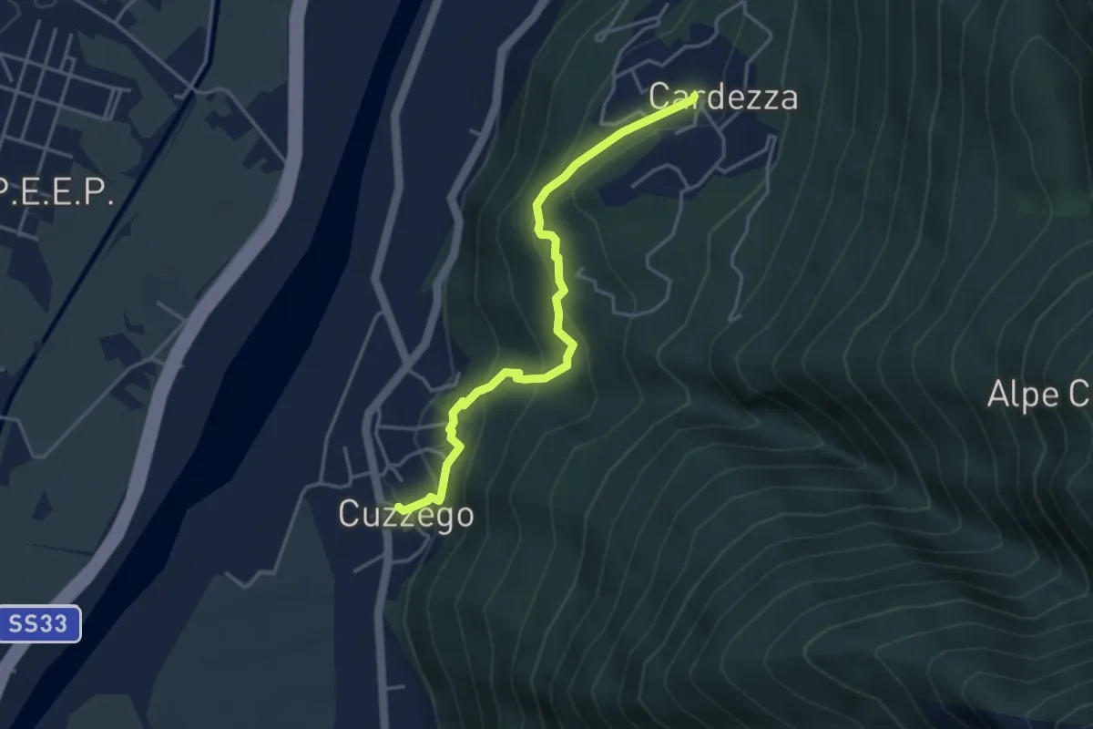
Easy · Trail
A22a - La Strada del Pane da Cuzzego a Cardezza
3.9 km · ↑ 288 m · 1 h 33 min · 6 km away
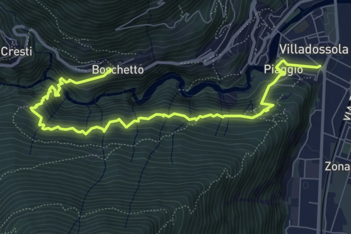
Medium · Trail
C03 - Villadossola - Vezzo - Boschetto
8.2 km · ↑ 649 m · 3 h 21 min · 6 km away
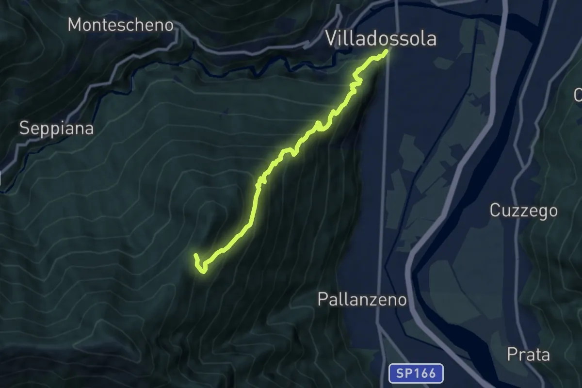
Demanding · Trail
C01 - Villadossola-Alpe Baldana bivio C05
8.2 km · ↑ 1015 m · 4 h 8 min · 6 km away
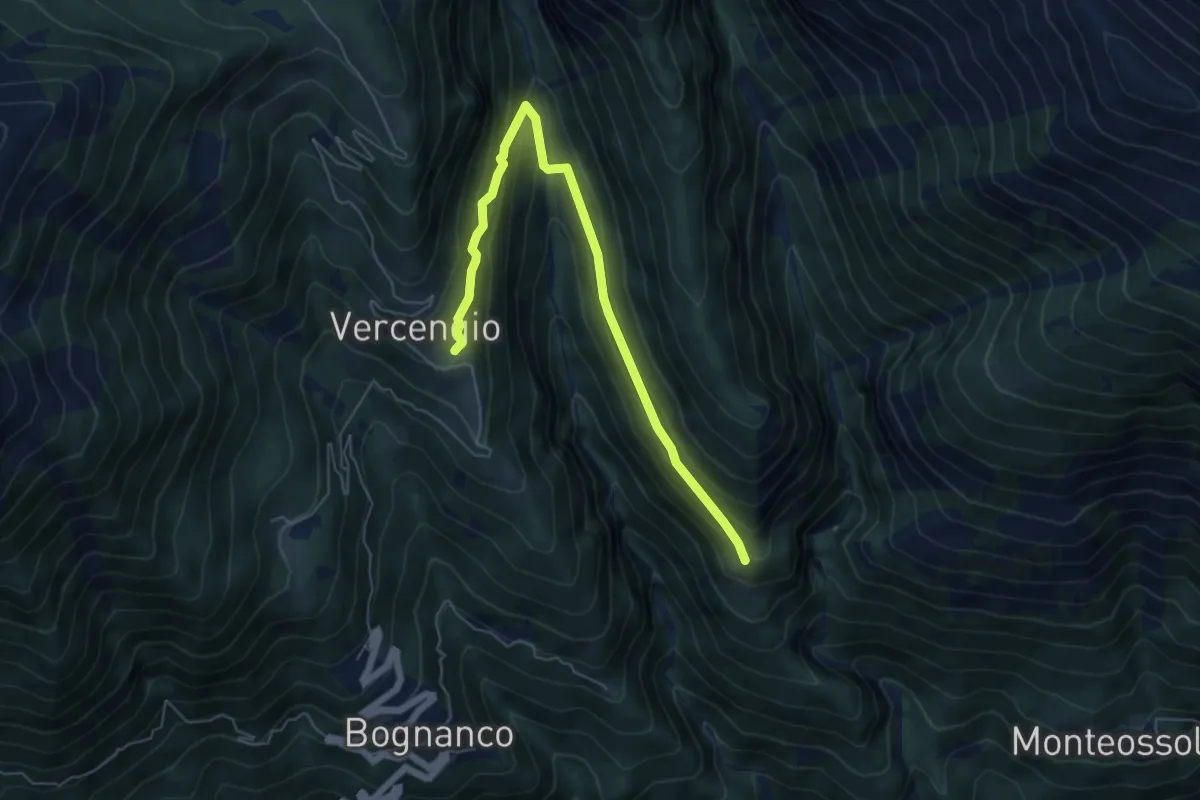
Medium · Trail
D06a - Alpe Agrello - Alpe Vercengio
6.2 km · ↑ 403 m · 2 h 21 min · 6 km away
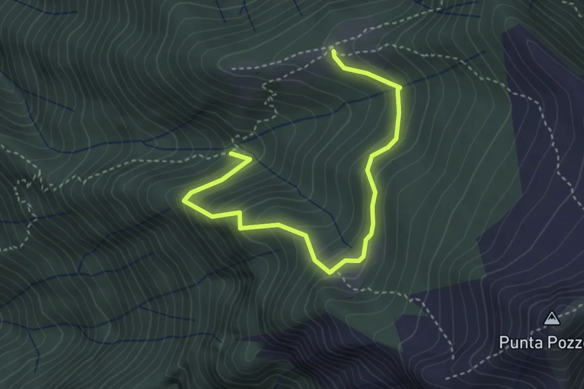
Medium · Trail
A18a - Selvaccia bivio A18 - Alpe Cortevecchio bivio A18
3.9 km · ↑ 353 m · 1 h 41 min · 6 km away
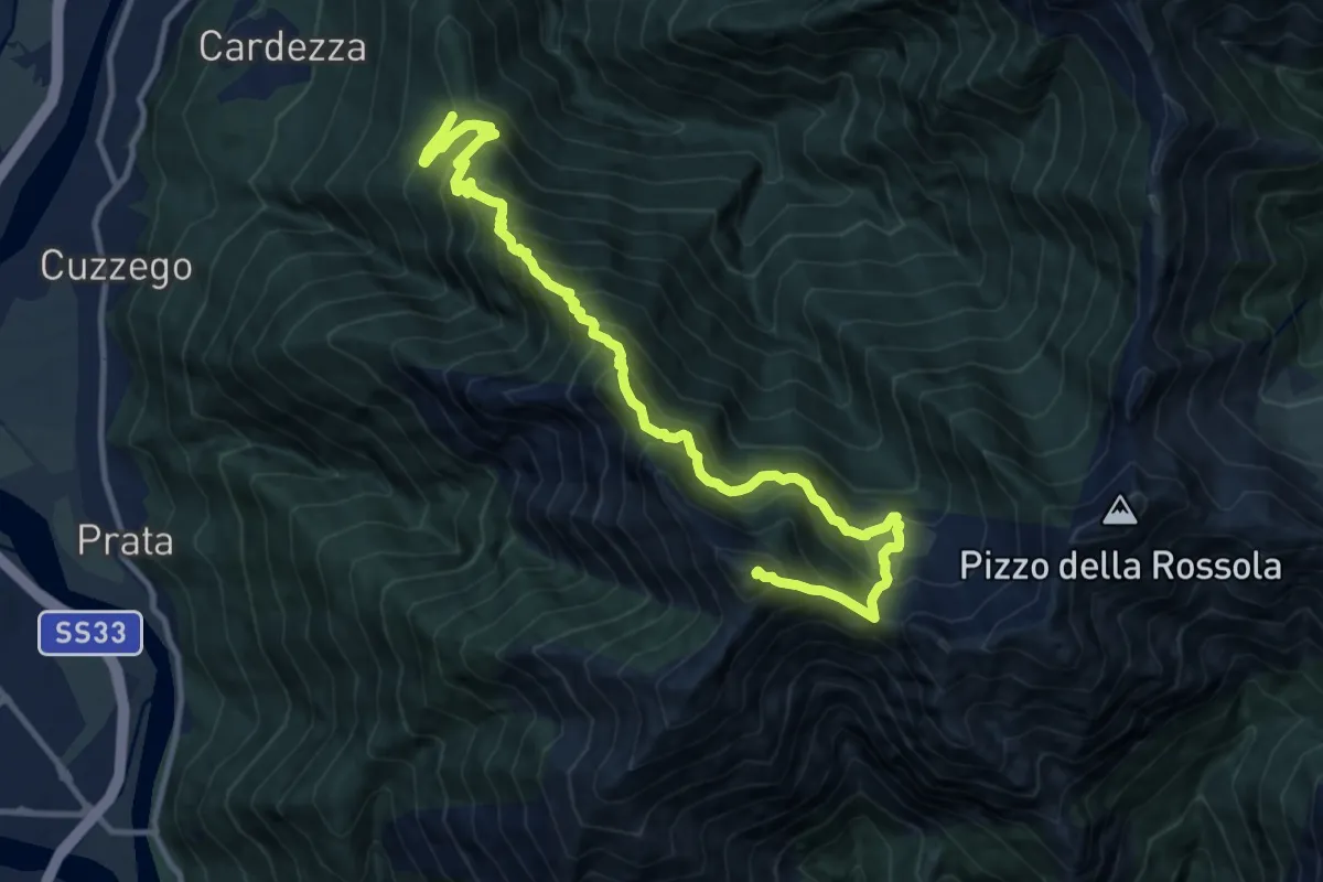
Demanding · Summit
A24 - Alpe Marzone bivio A22 - Pizzo delle Pecore
13.6 km · ↑ 1543 m · 6 h 33 min · 6 km away