Trails near Domodossola
260 hikes starting within 15 km, nearest first.
Nearest first, page 2 of 6
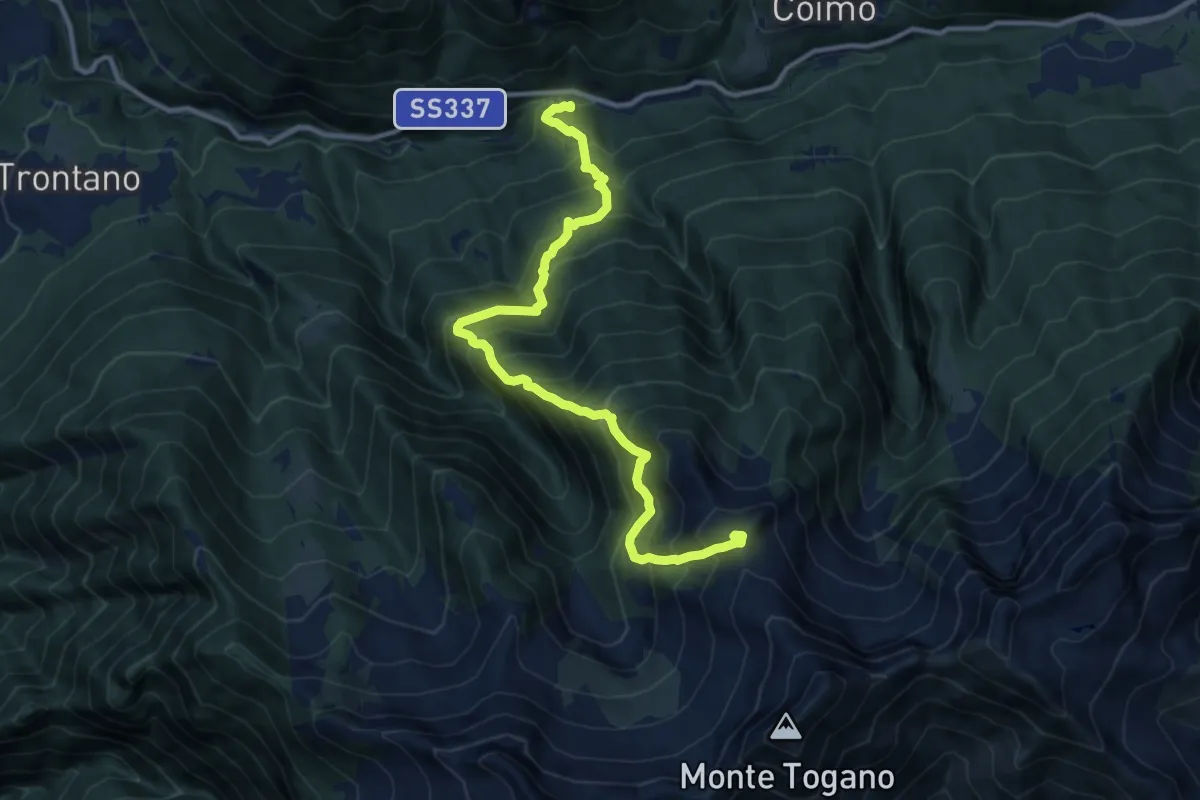
Demanding · Summit
M02 - Marone - Pizzo Marcio
11.9 km · ↑ 1529 m · 6 h 8 min · 7 km away
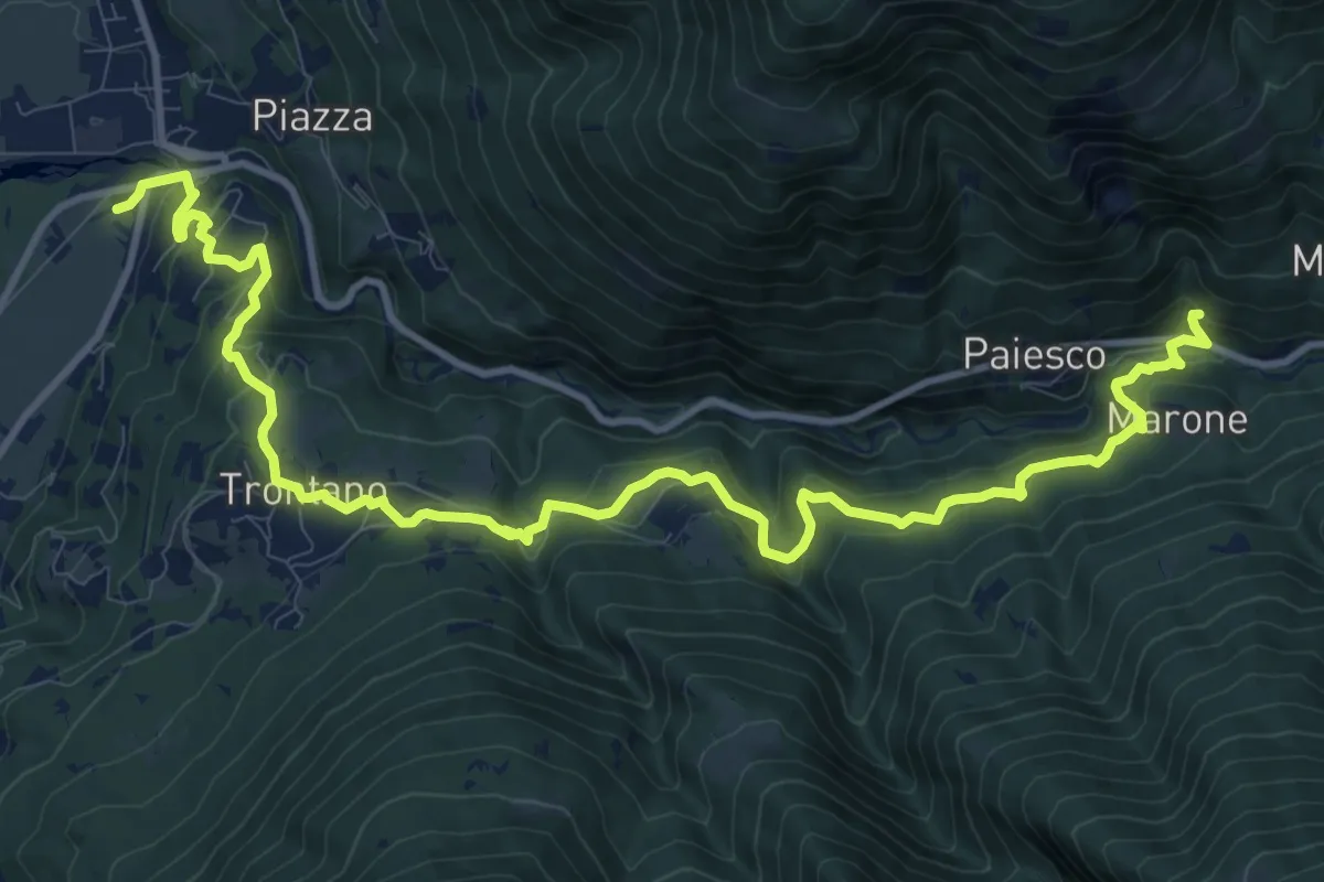
Medium · Trail
M00a - Via del Mercato (variante per Trontano)
14.9 km · ↑ 788 m · 5 h 13 min · 7 km away
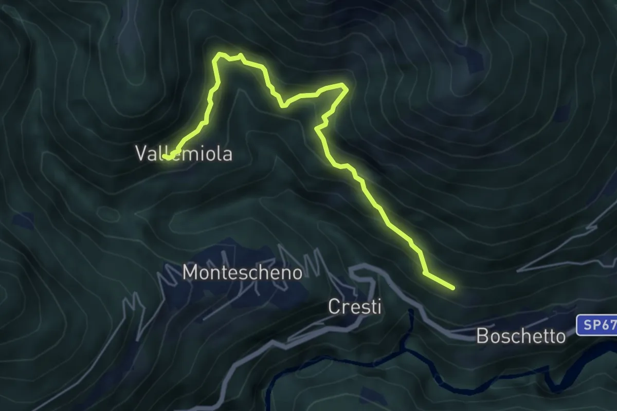
Medium · Trail
C04a - Varchignoli - Vallemiola
5.3 km · ↑ 619 m · 2 h 36 min · 7 km away
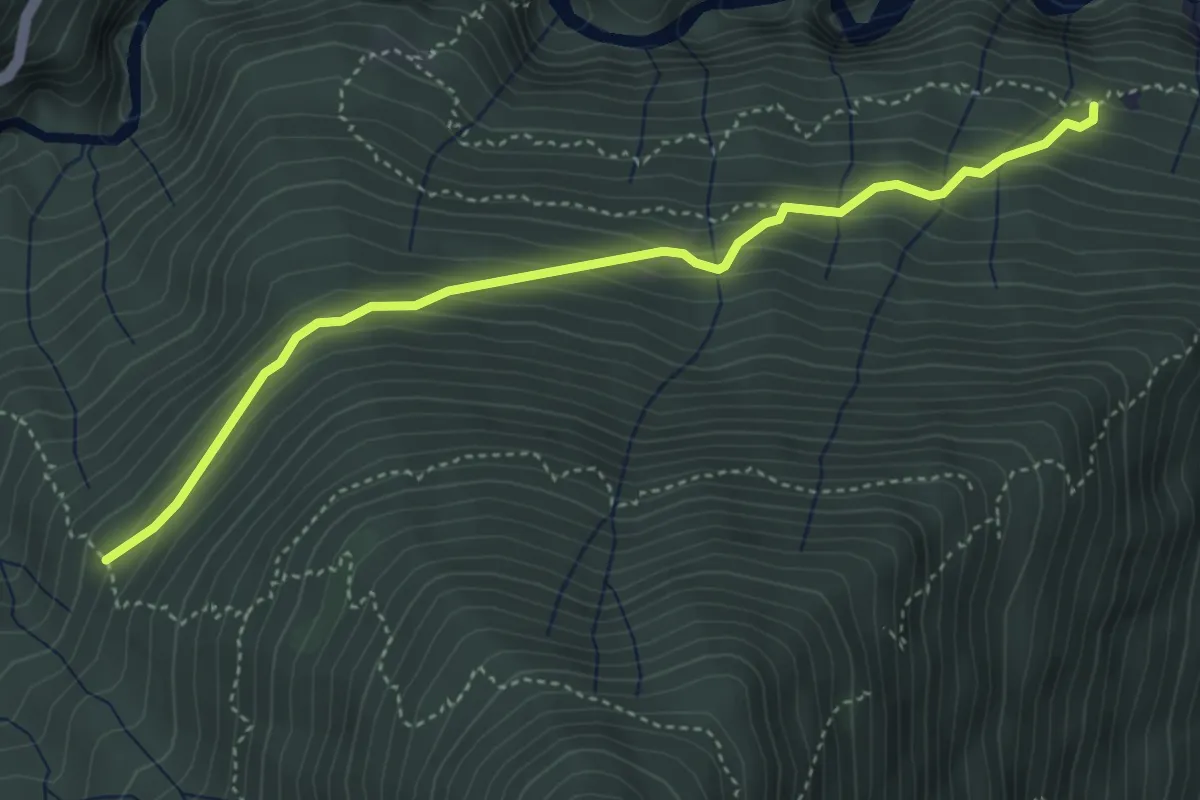
Medium · Trail
C05a - Pianasca - Alpe Baitone
4.3 km · ↑ 374 m · 1 h 50 min · 7 km away
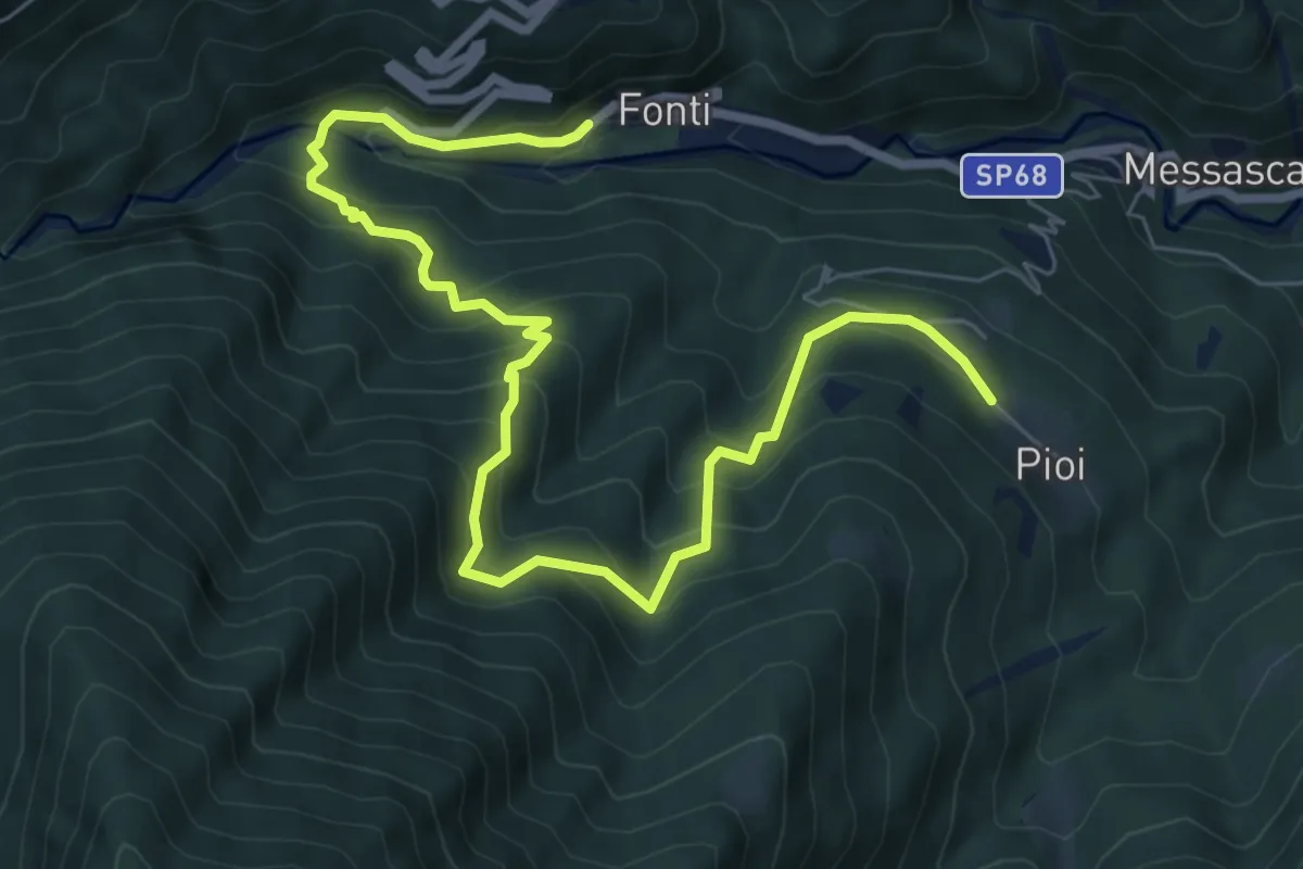
Demanding · Trail
D13 - Bognanco - Pioi
9.1 km · ↑ 818 m · 3 h 55 min · 7 km away
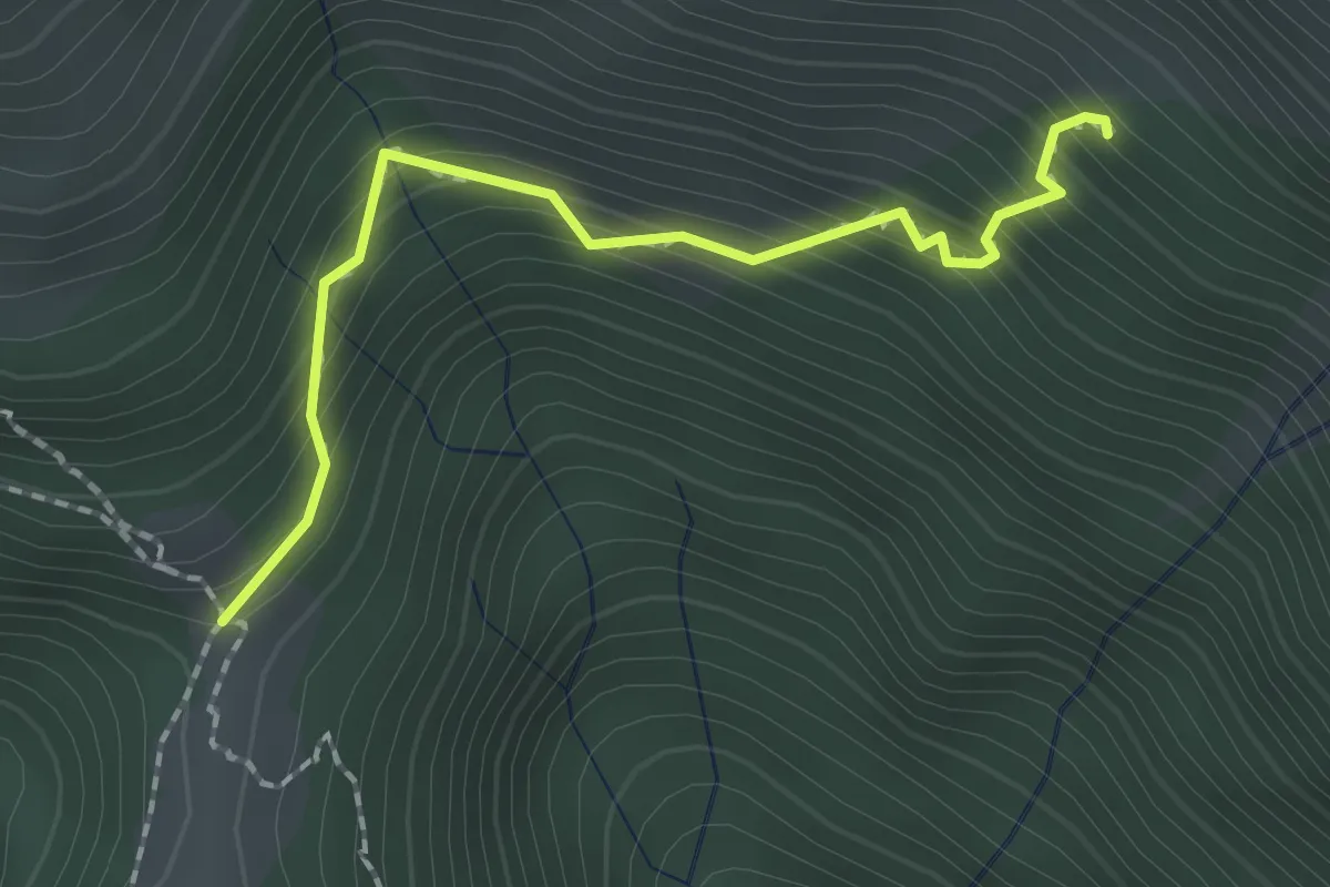
Medium · Trail
C04c - Aulamia - Miniera i Mundei
1.9 km · ↑ 240 m · 58 min · 7 km away
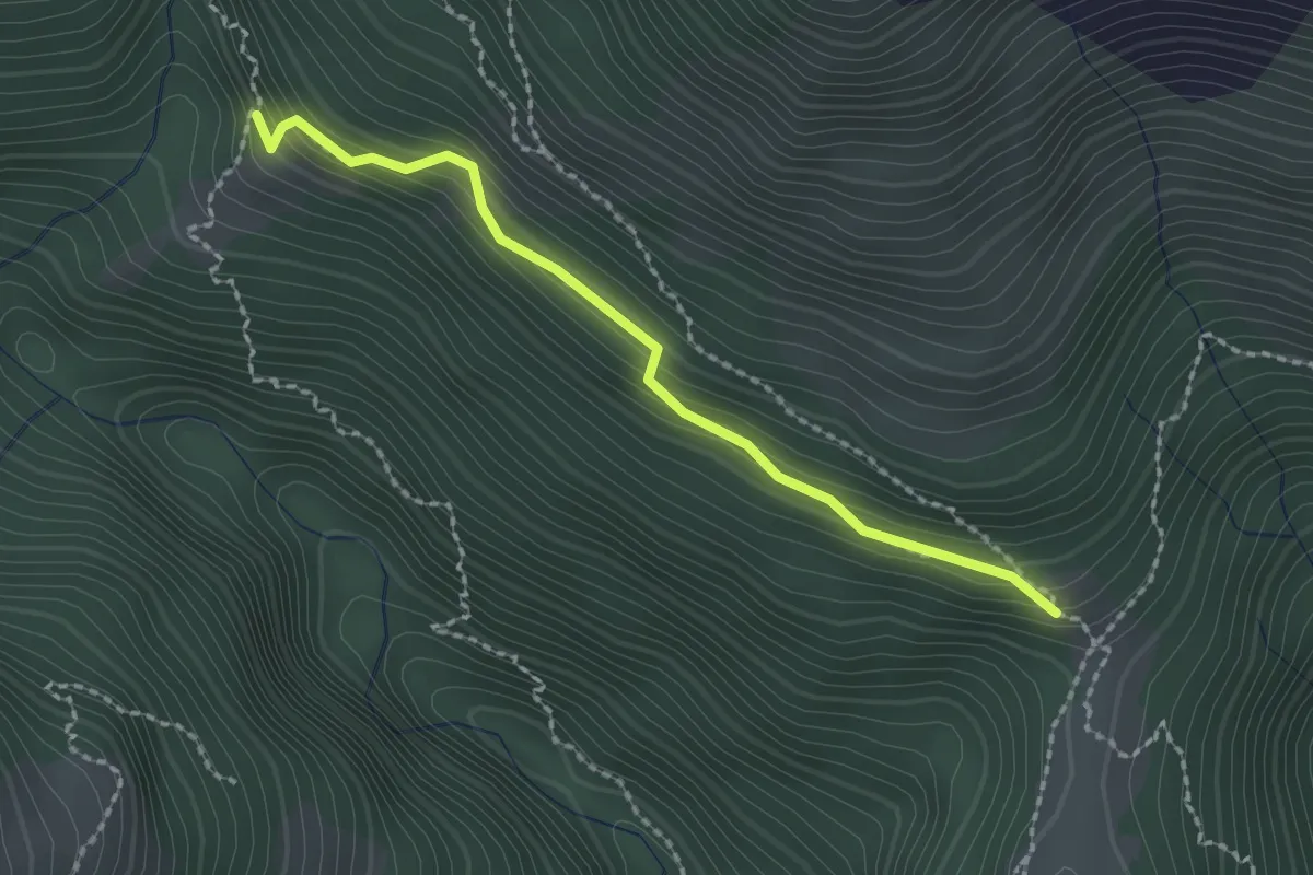
Medium · Trail
C04h - Aulamia - Alpe Boccarelli
2.1 km · ↑ 188 m · 54 min · 7 km away
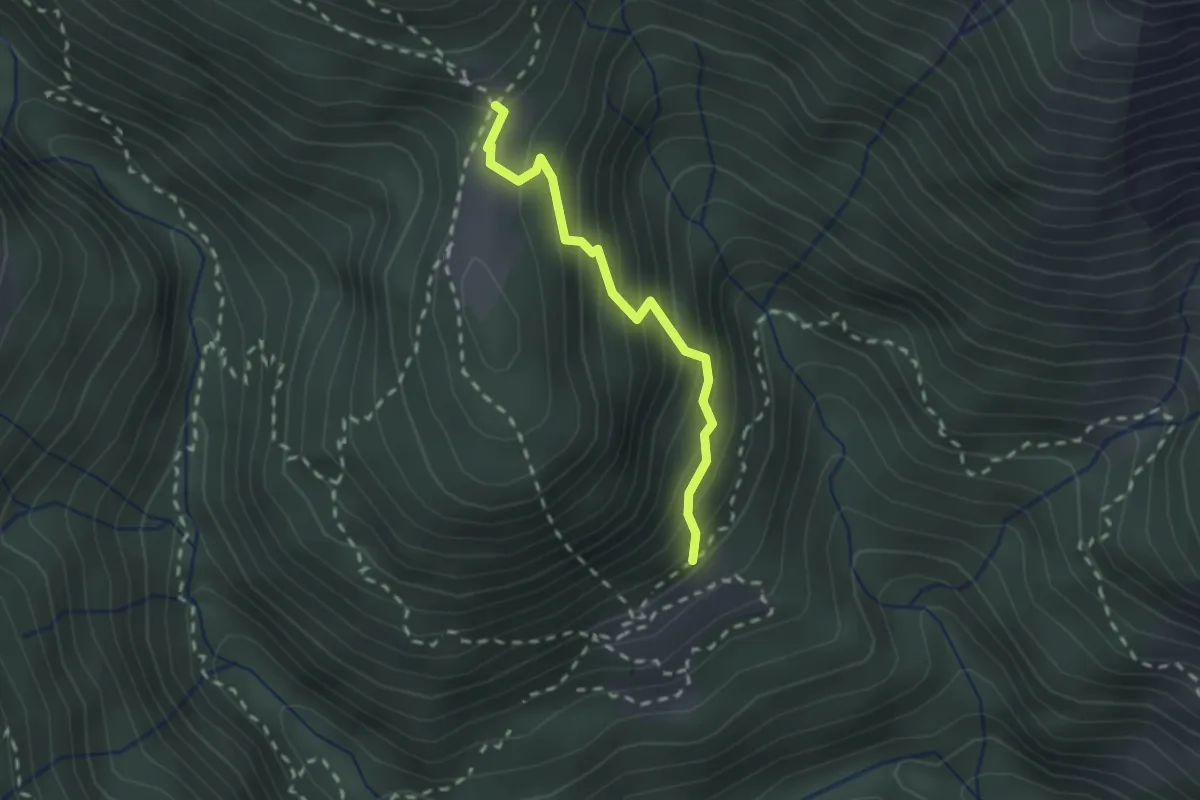
Medium · Trail
C04v- Vallemiola - Aulamia
1.9 km · ↑ 277 m · 1 h 3 min · 7 km away
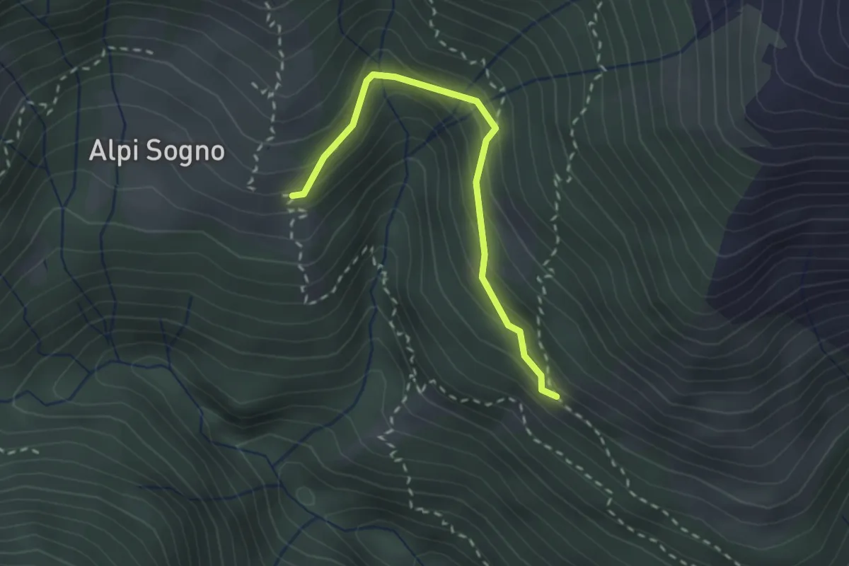
Medium · Trail
C04d - Alpe Vaccareccia inf. - Alpi di Sogno
2.3 km · ↑ 178 m · 56 min · 7 km away
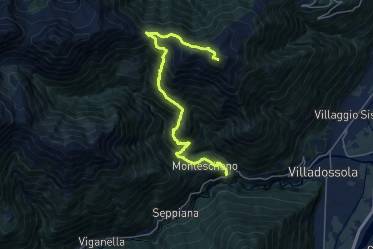
Demanding · Summit
C04 - Cresti - Montescheno - Aulamia - Moncucco
15.7 km · ↑ 1471 m · 6 h 53 min · 7 km away
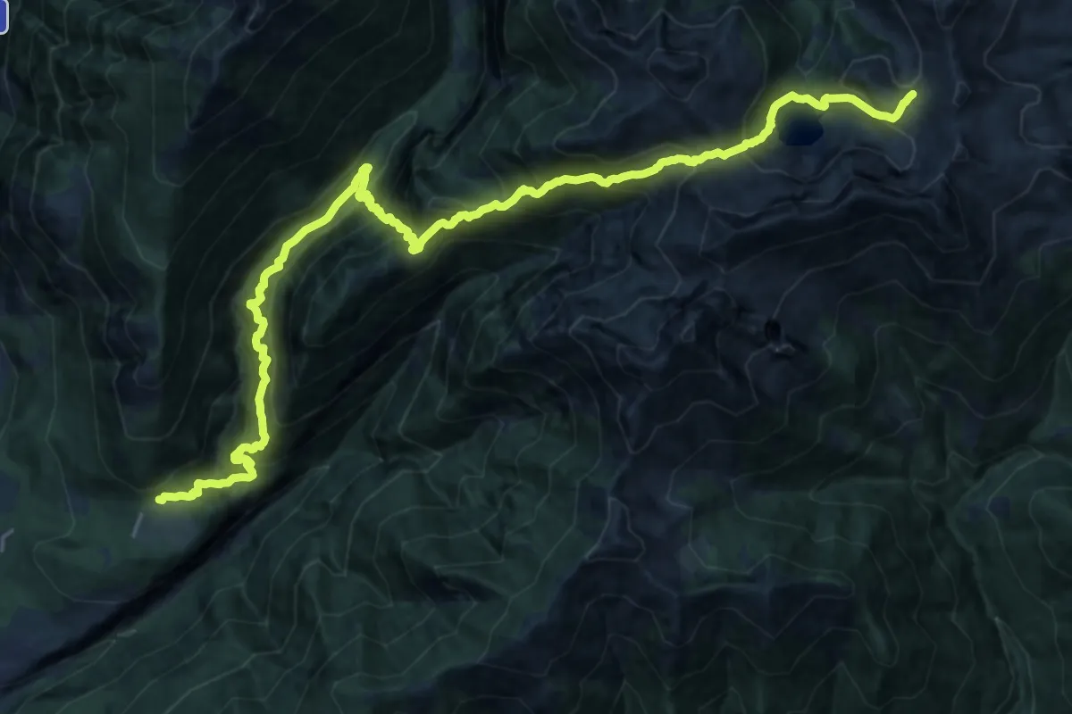
Demanding · Trail
L02 - Cippata - Forcola di Larecchio
13.2 km · ↑ 2020 m · 7 h 2 min · 7 km away
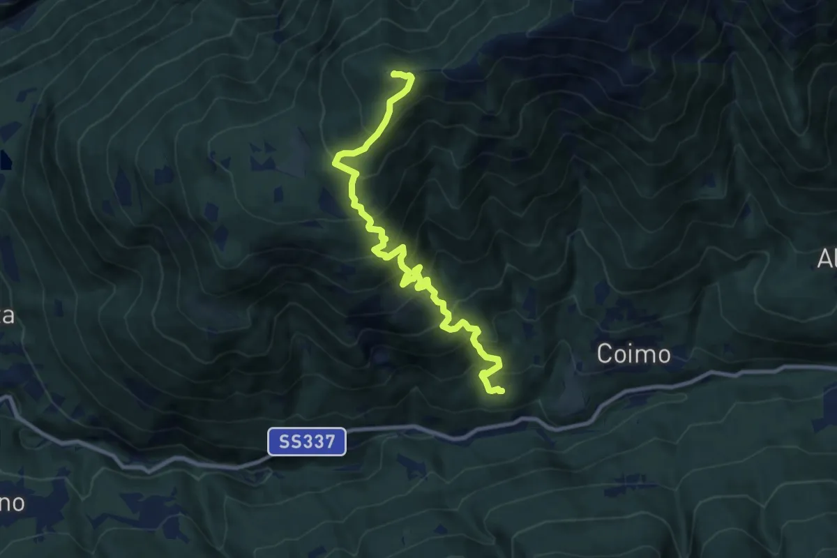
Demanding · Summit
M01 - Mozzio - Cima la Sella
9.4 km · ↑ 992 m · 4 h 23 min · 7 km away
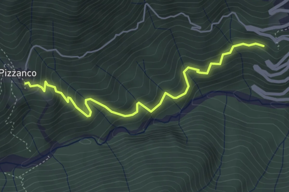
Medium · Trail
Camisanca - Bivio D00 – Pizzanco - Bivio D20
4.6 km · ↑ 545 m · 2 h 17 min · 7 km away
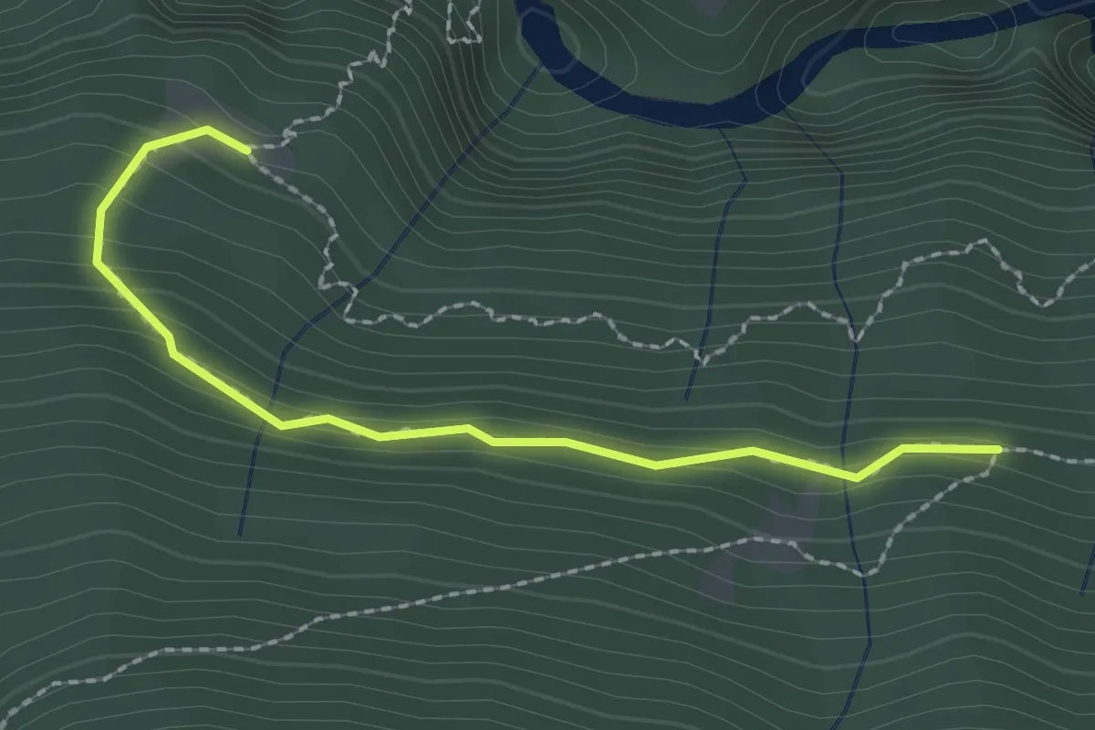
Medium · Trail
C03v - Alpe Vezzo - canale ENEL
2.2 km · ↑ 131 m · 48 min · 7 km away
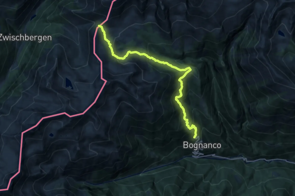
Demanding · Trail
D00 - Terza sezione: Passo di Monscera - Graniga
17.0 km · ↑ 1130 m · 6 h 28 min · 7 km away
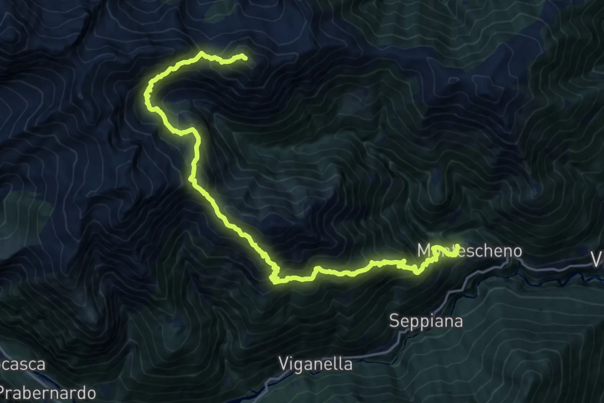
Expert · Summit
C08 - Montescheno - Ogaggia - Camughera
22.1 km · ↑ 2330 m · 10 h 15 min · 7 km away
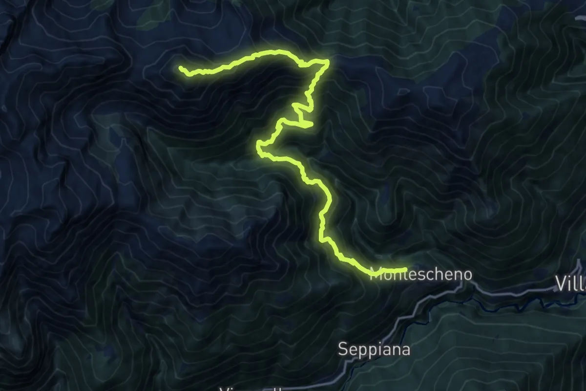
Demanding · Summit
C06 - Montescheno - Alpi di Sogno - Cima Camughera
18.3 km · ↑ 1969 m · 8 h 35 min · 7 km away
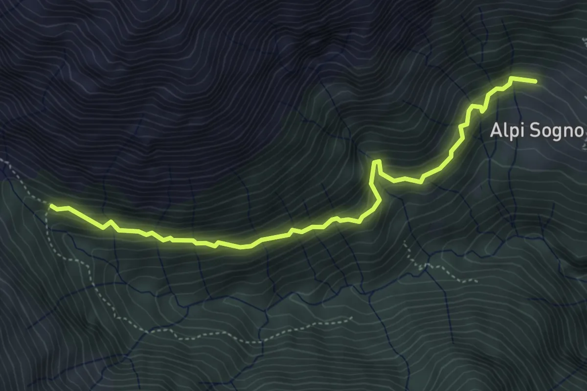
Medium · Trail
C06d - Alpi di Sogno (Cat Mez) - bivio C06C per Vauzone
5.1 km · ↑ 481 m · 2 h 15 min · 8 km away
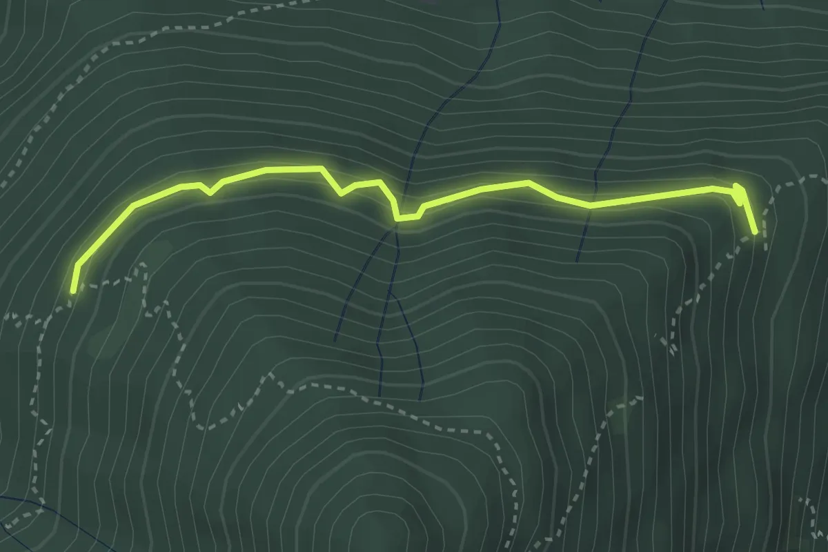
Easy · Trail
C05c - Alpe Mandariola sotto - Alpe Corticcio
3.2 km · ↑ 261 m · 1 h 20 min · 8 km away
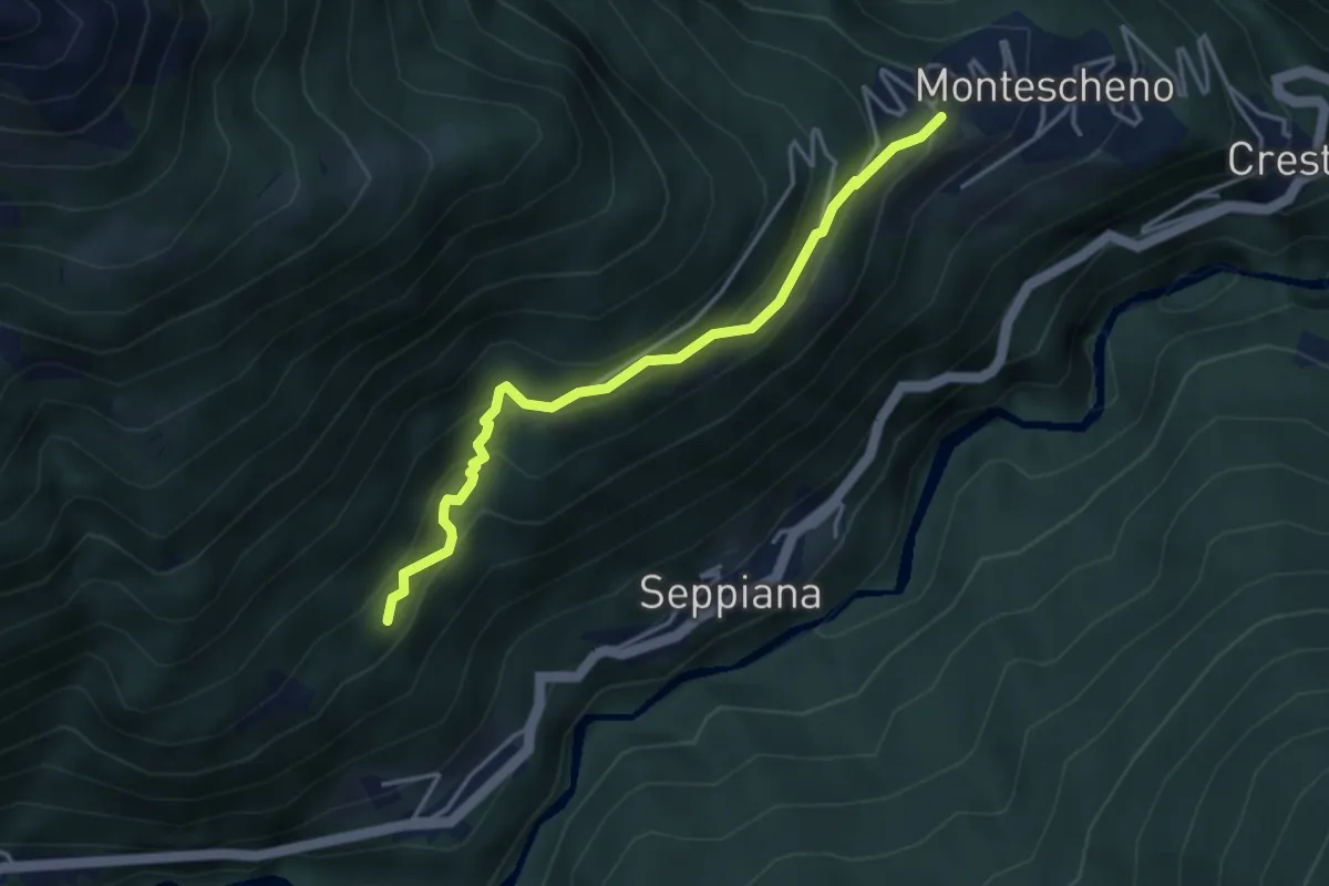
Medium · Trail
C10a - Montescheno (Progno) - Barboniga - Valleggia - Zonca
3.8 km · ↑ 337 m · 1 h 38 min · 8 km away
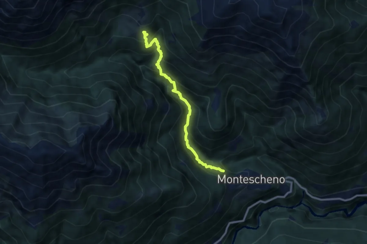
Medium · Trail
C04b - Montescheno - Boccarelli - Alpi di Sogno
6.6 km · ↑ 685 m · 3 h 2 min · 8 km away
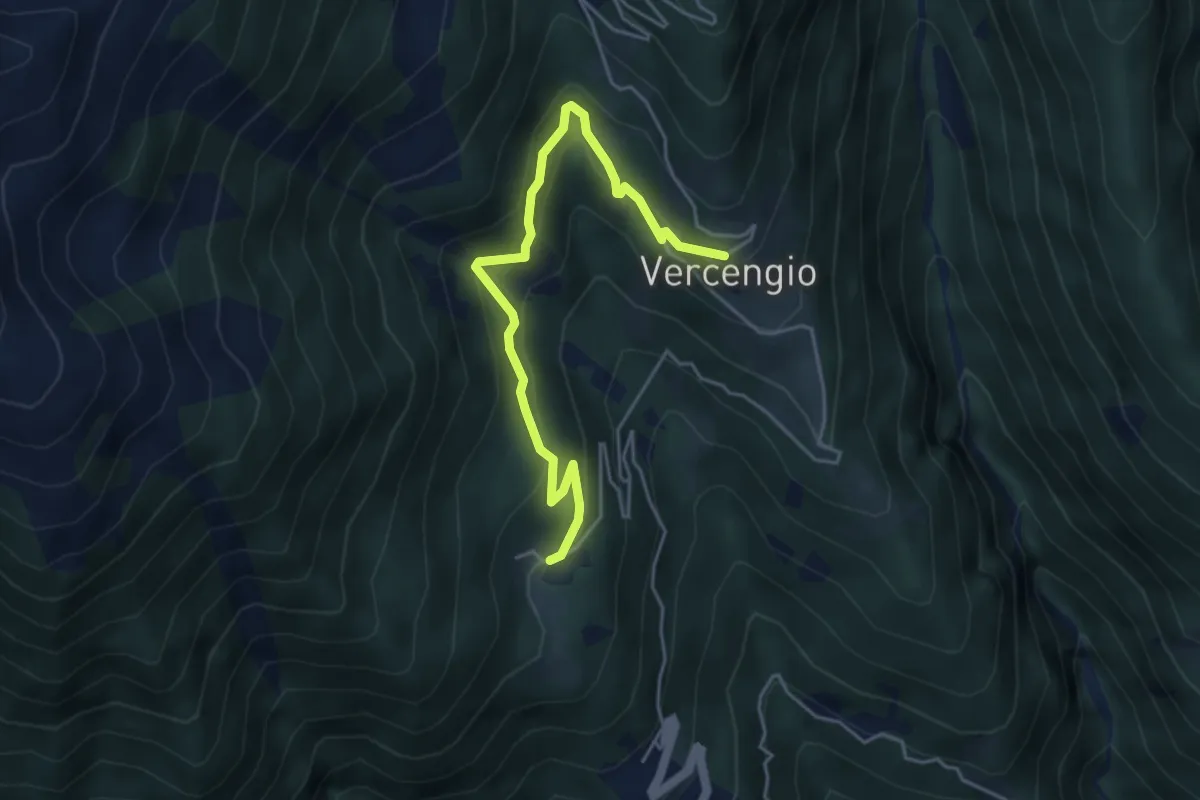
Medium · Trail
D08a - Gomba -Vercengio
4.7 km · ↑ 352 m · 1 h 53 min · 8 km away
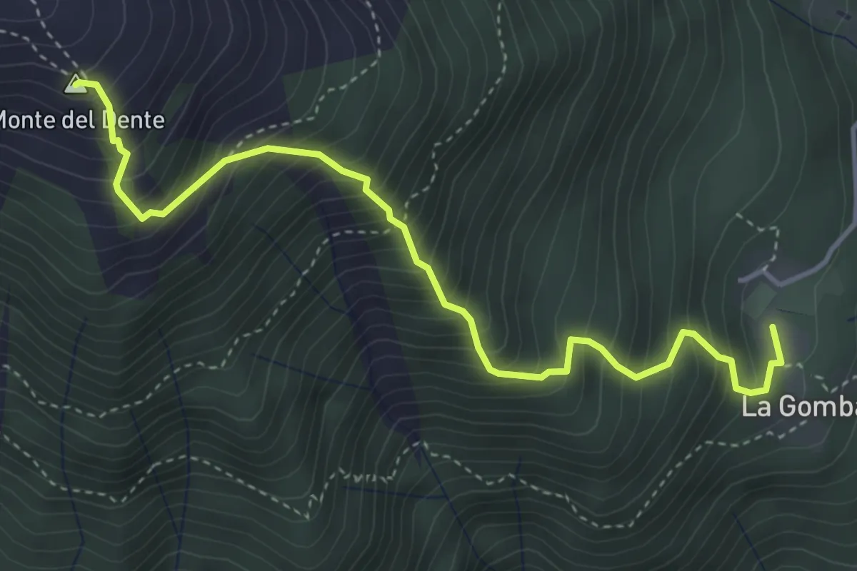
Demanding · Summit
D14 - Gomba - Passo di Oriaccia
4.4 km · ↑ 745 m · 2 h 39 min · 8 km away
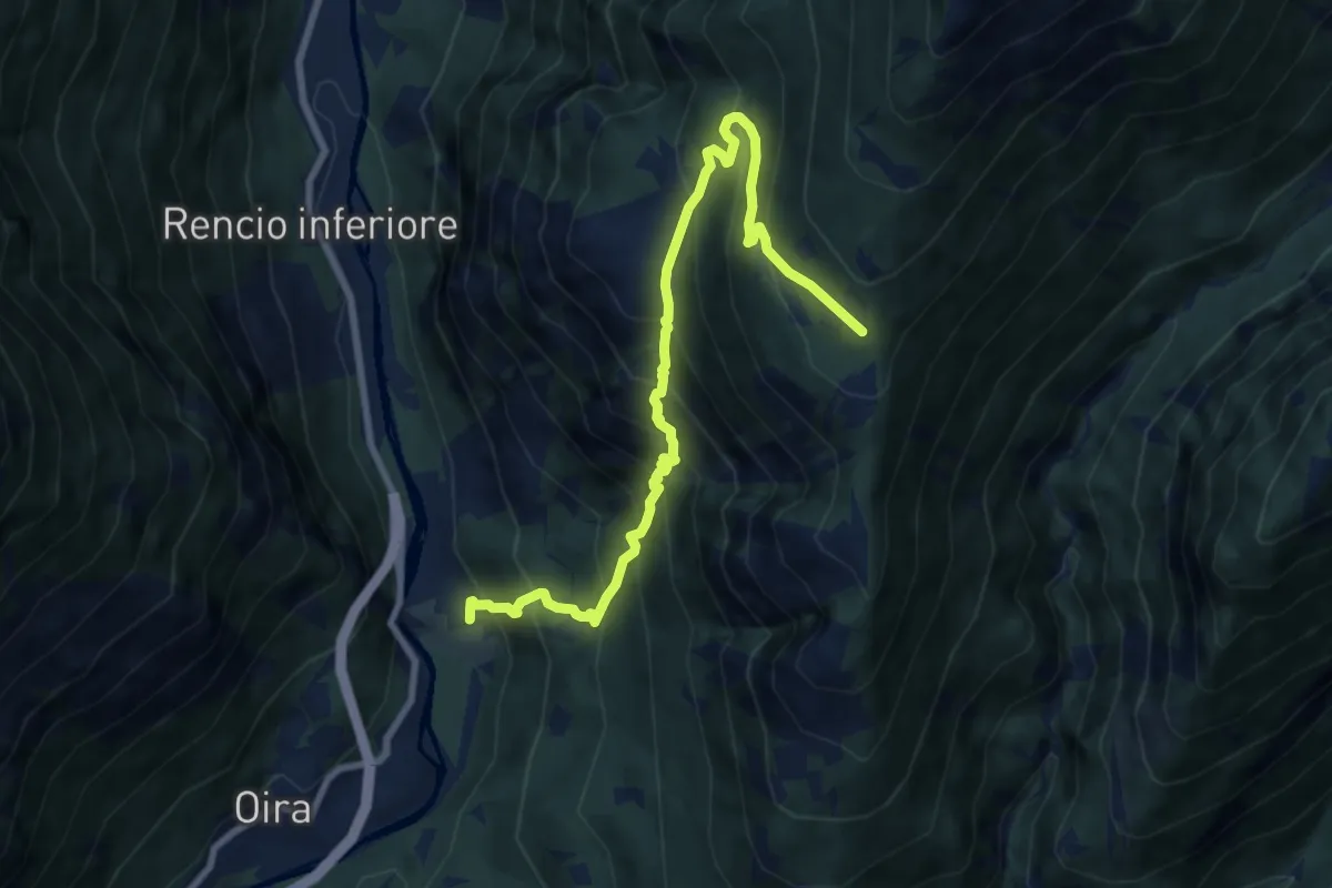
Demanding · Trail
A02 - Pontemaglio - Alpe Giovera
9.1 km · ↑ 1091 m · 4 h 31 min · 8 km away
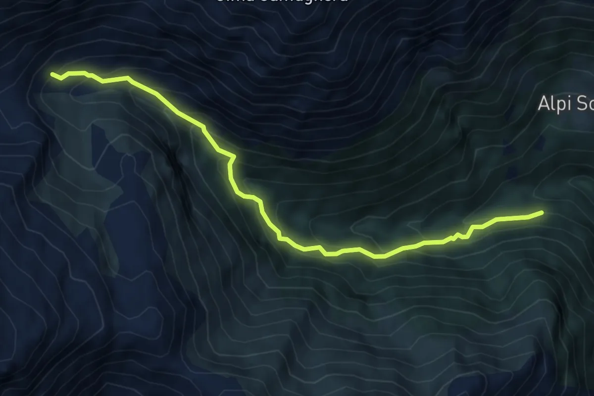
Medium · Trail
C06c - Alpe Piazzone - Alpe Vauzone
6.6 km · ↑ 644 m · 2 h 57 min · 8 km away
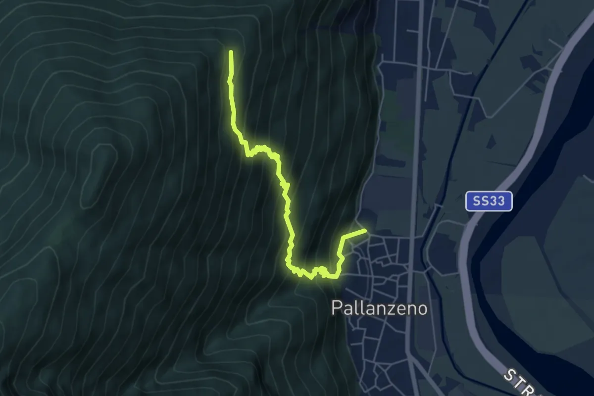
Expert · Trail
A53 - Pallanzeno-Alpe Corticcio
5.2 km · ↑ 616 m · 2 h 34 min · 8 km away
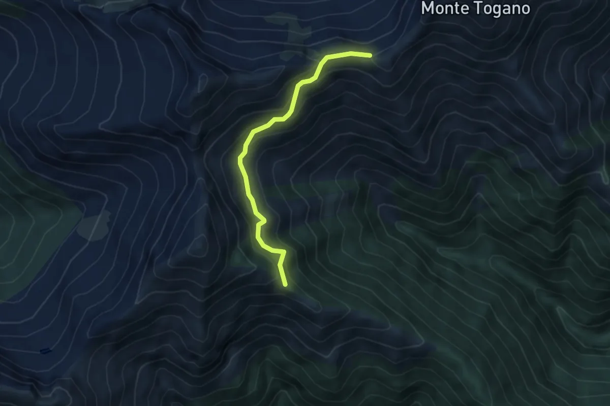
Medium · Trail
P20a - Bivio P20 sopra Alpe Curtin - Passo di Basagrana
4.1 km · ↑ 318 m · 1 h 39 min · 8 km away
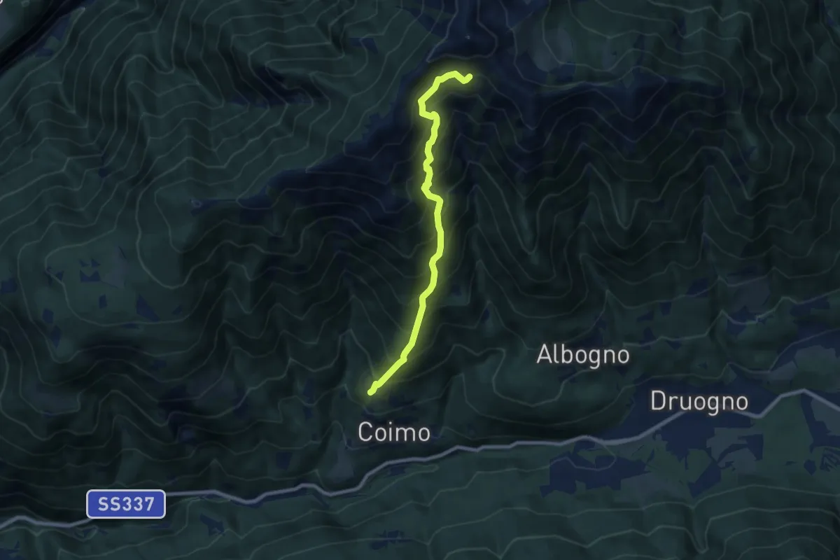
Demanding · Cabin
M05 - Alpe Varsaia -Alpe Buriale
7.7 km · ↑ 1016 m · 4 h 1 min · 8 km away
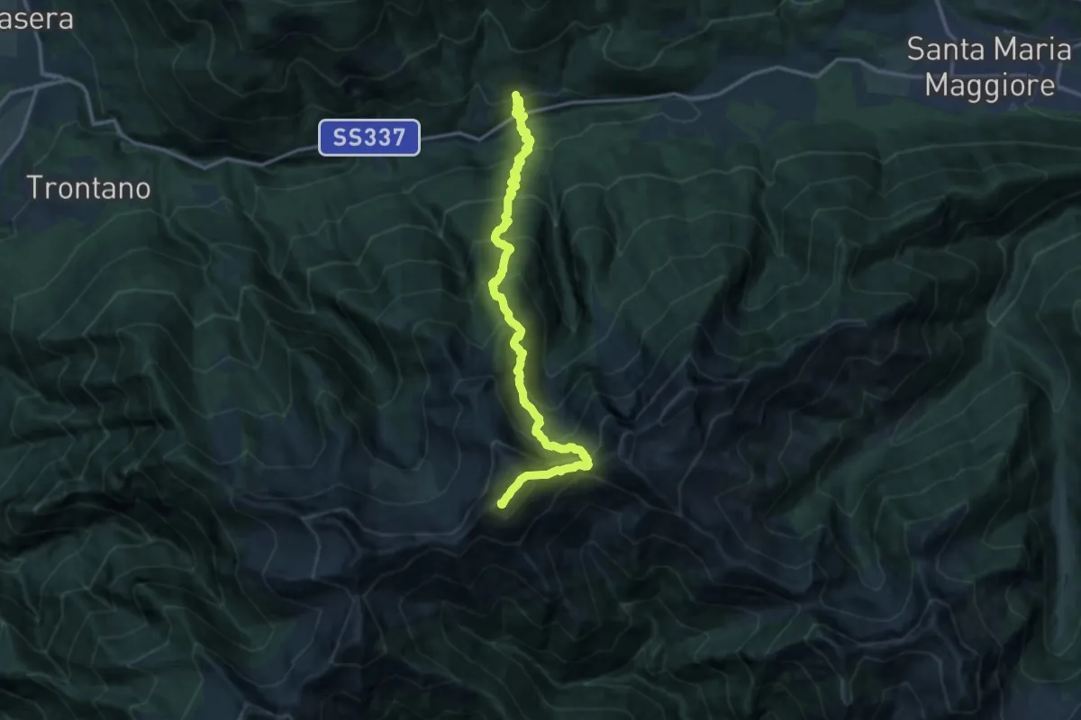
Demanding · Summit
M04 - Coimo - Monte Togano
15.0 km · ↑ 1868 m · 7 h 36 min · 8 km away
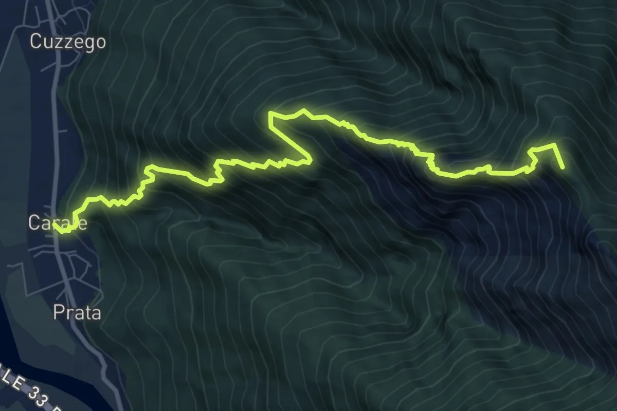
Demanding · Summit
A26 - Cuzzego località Carale - bivio A24 Pizzo Colla Bassa
9.7 km · ↑ 1519 m · 5 h 35 min · 8 km away
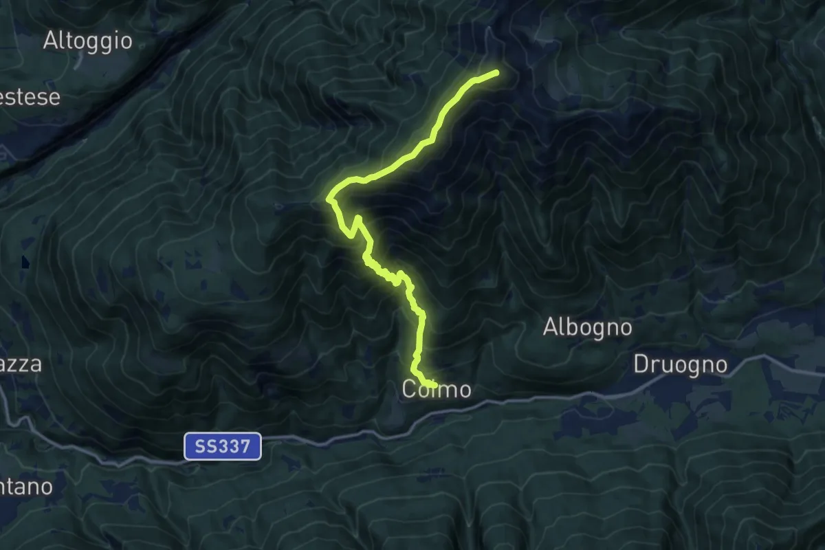
Expert · Summit
M03 - Coimo - Monte Loccia di Peve
13.1 km · ↑ 1522 m · 6 h 23 min · 8 km away
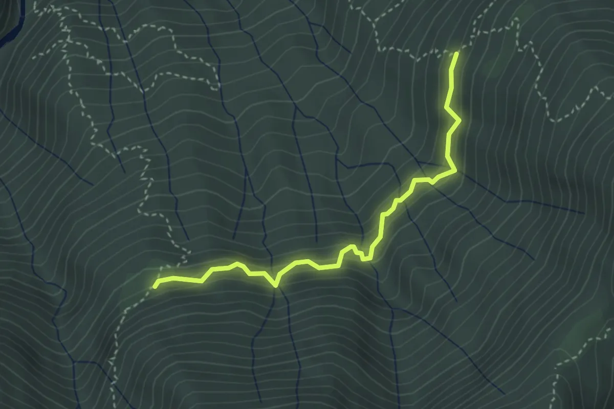
Medium · Trail
C05b - Alpe Cascinanova - Alpe Zii
3.3 km · ↑ 327 m · 1 h 29 min · 8 km away
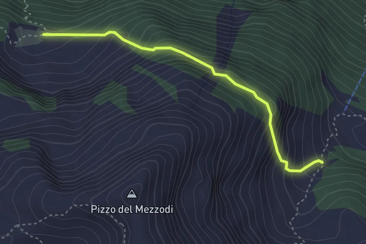
Medium · Cabin
F01a - Alpe Lorino - Alpe Albiona
3.1 km · ↑ 415 m · 1 h 38 min · 8 km away
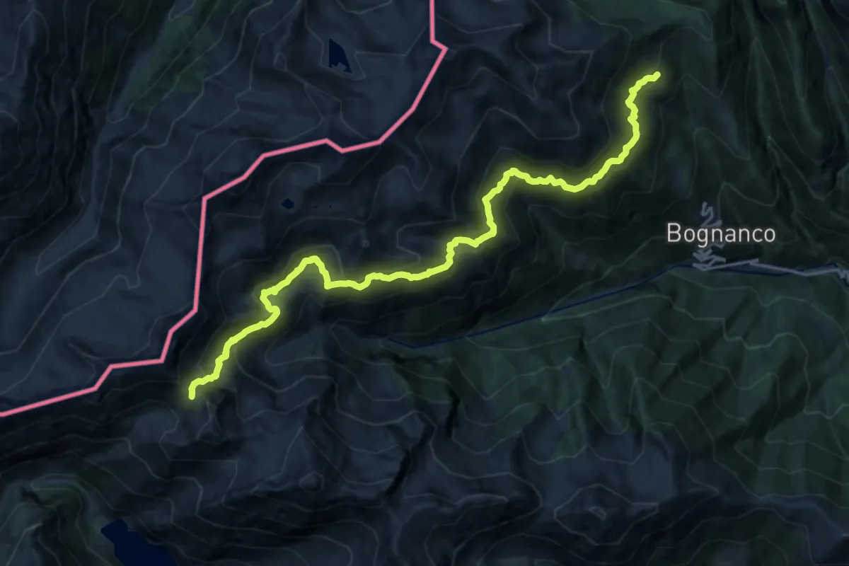
Demanding · Trail
D98 - Pragio bivio D00 - Passo della Preja
10.4 km · ↑ 1320 m · 5 h 4 min · 8 km away
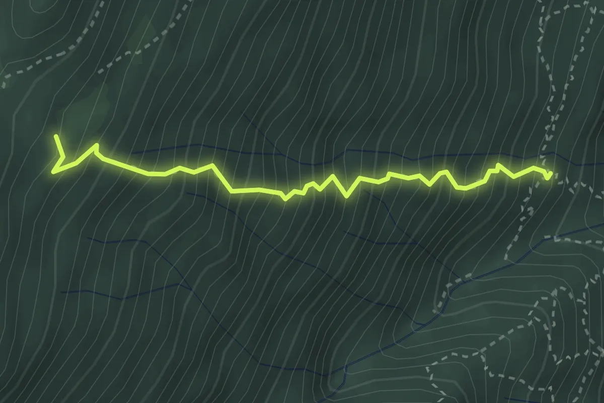
Demanding · Trail
A53d - ul Dric, Paset Cesar, bivio A53 (fontana) - Alpe Basciumo sopra, bivio C01
3.0 km · ↑ 712 m · 2 h 15 min · 9 km away
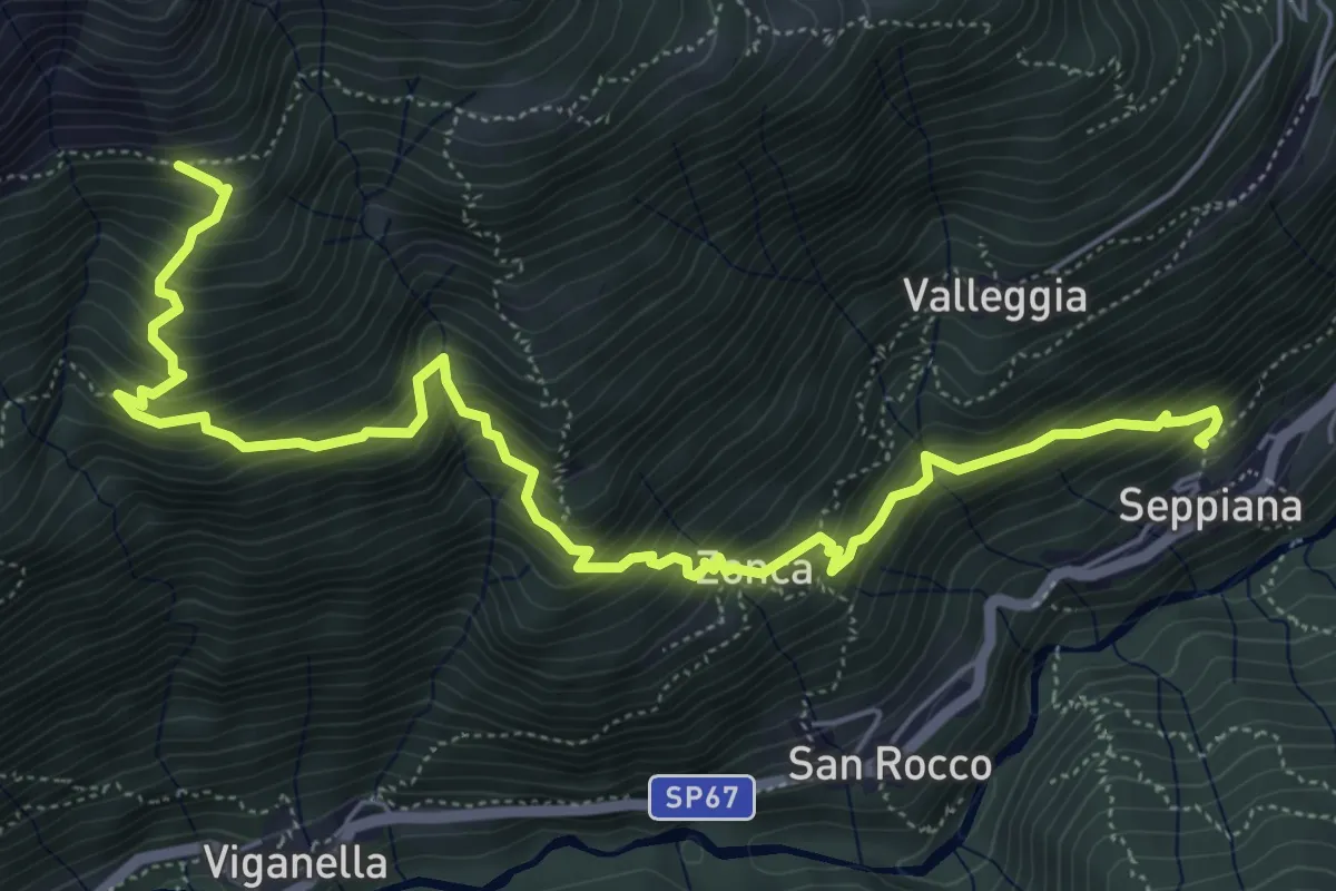
Demanding · Trail
C10 - Seppiana - Alpe Ortighè
7.4 km · ↑ 910 m · 3 h 44 min · 9 km away
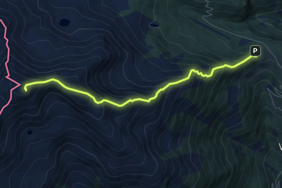
Demanding · Summit
D12 - S. Bernardo - Monte del Dente
7.0 km · ↑ 805 m · 3 h 23 min · 9 km away
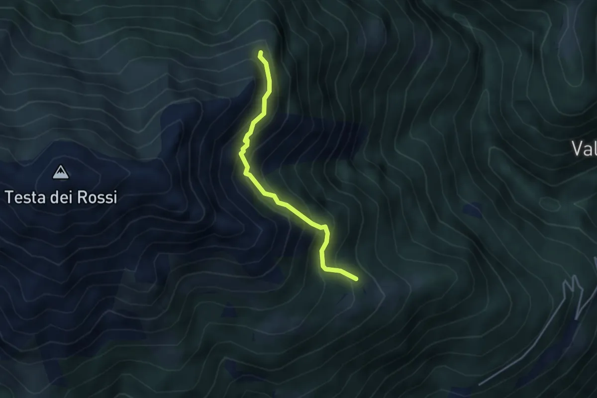
Expert · Trail
C08f - Alpe Faiu - Alpe Corti - Alpe Praraccio
3.2 km · ↑ 413 m · 1 h 39 min · 9 km away
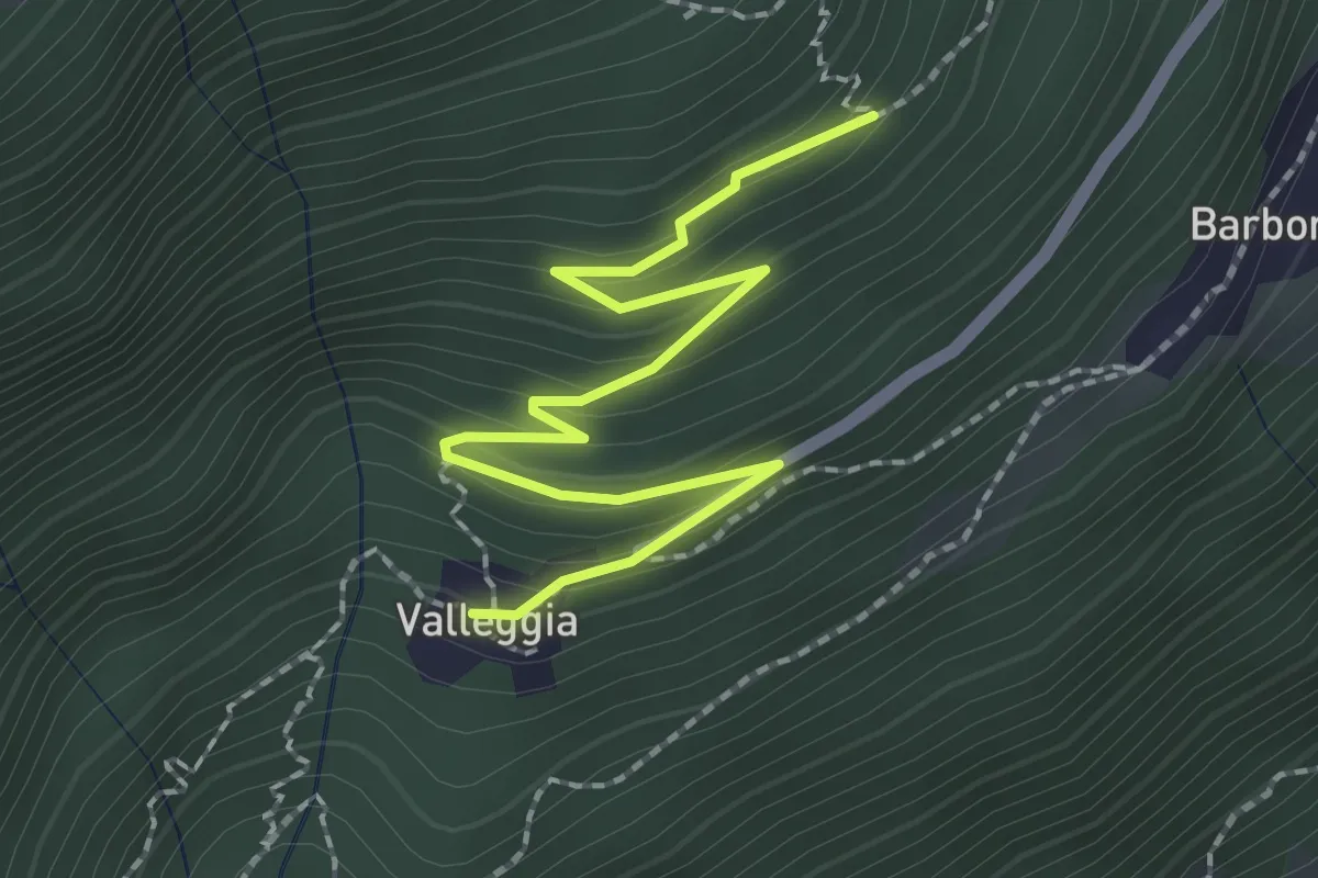
Medium · Trail
C08a - Valleggia - bivio C08 per La Motta
2.5 km · ↑ 150 m · 54 min · 9 km away
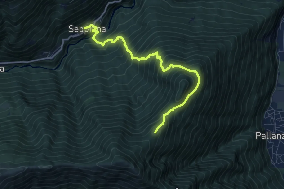
Demanding · Cabin
C05 - Seppiana - Alpe S. Giacomo
9.4 km · ↑ 1028 m · 4 h 27 min · 9 km away
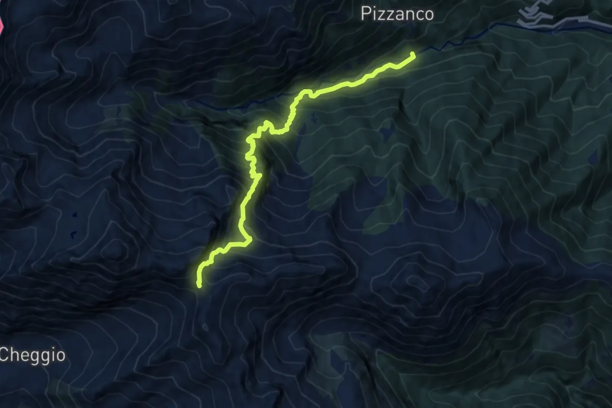
Demanding · Trail
D19 - bivio D20 presso Picciola - Passo del Fornalino
11.2 km · ↑ 1498 m · 5 h 54 min · 9 km away
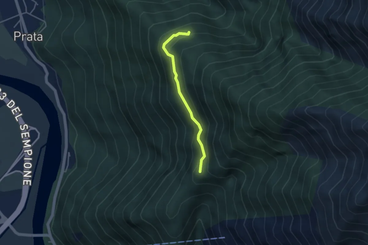
Medium · Trail
A28a - bivio A32 presso Alpe Ruscà - bivio A28 presso Alpe Prasaino
2.8 km · ↑ 183 m · 1 h 3 min · 9 km away
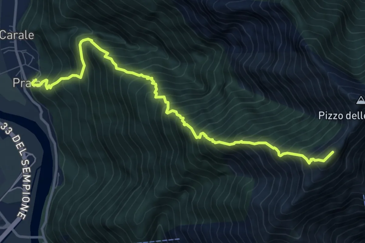
Expert · Summit
A28 - Prata - Pizzo Lacina
9.8 km · ↑ 1667 m · 5 h 56 min · 9 km away
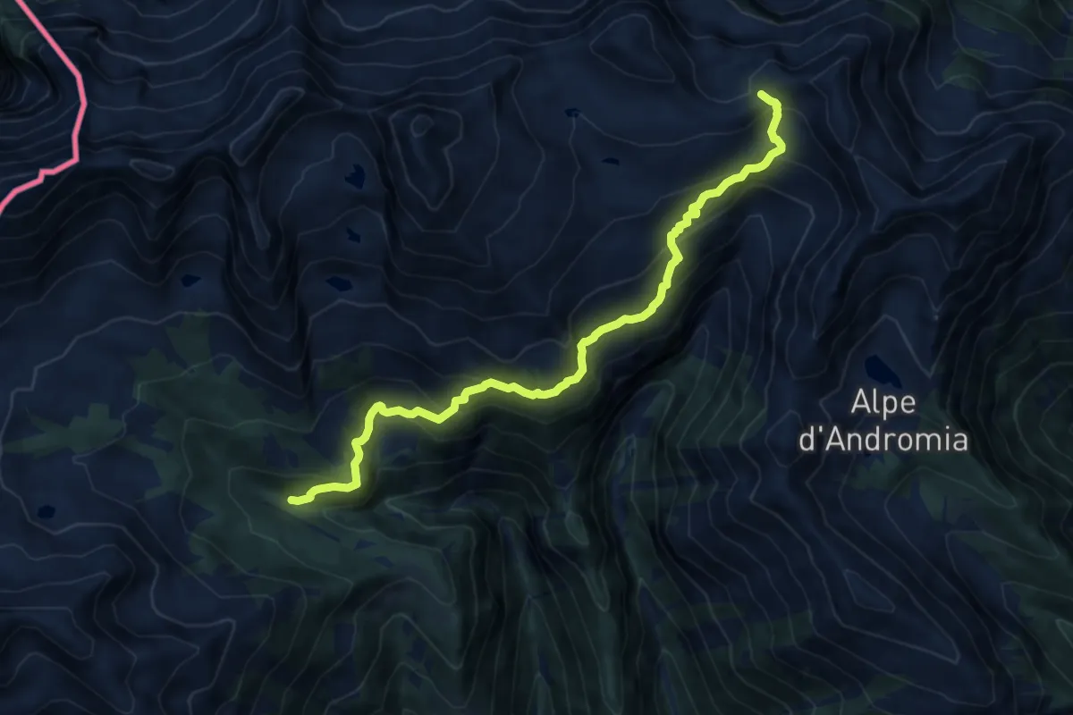
Demanding · Trail
D99 - Bivio D08 - Passo di Variola
11.8 km · ↑ 926 m · 4 h 47 min · 9 km away
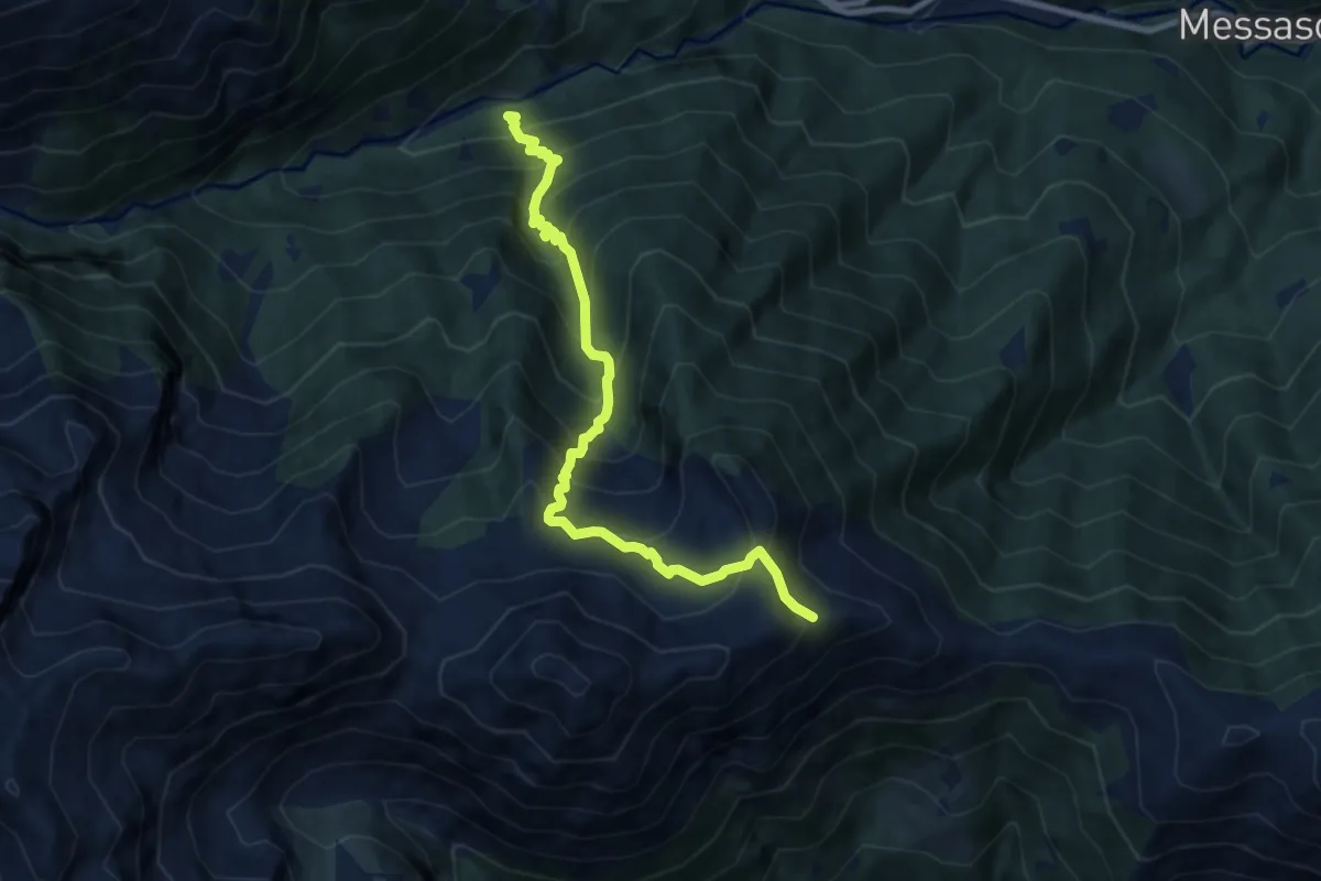
Demanding · Trail
D15 - Picciola bivio D19 - Bivio C06
8.5 km · ↑ 1051 m · 4 h 18 min · 9 km away
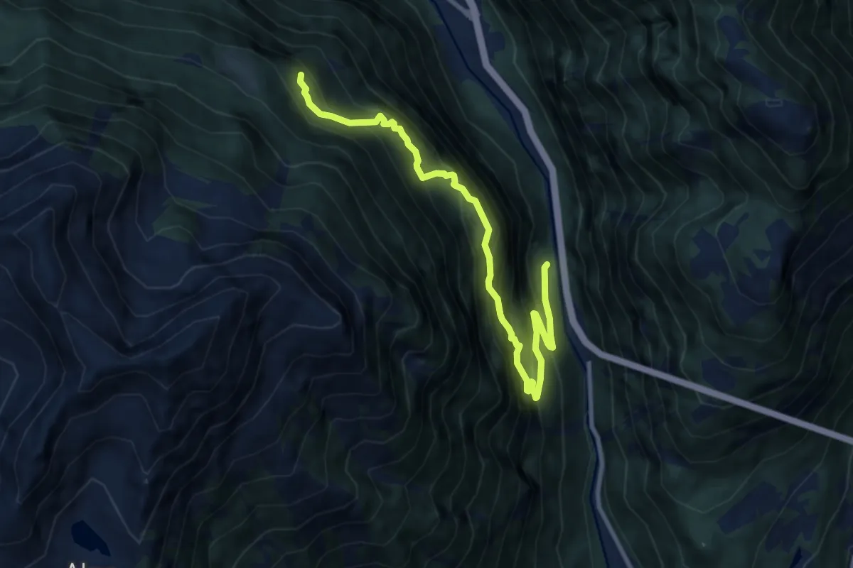
Demanding · Trail
F01b - S. Giovanni - Alpe Bogo
9.7 km · ↑ 1177 m · 4 h 50 min · 9 km away
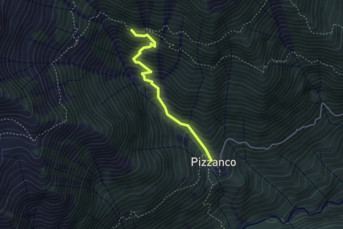
Medium · Trail
D18c - Pizzanco - bivio D98
3.2 km · ↑ 486 m · 1 h 48 min · 9 km away
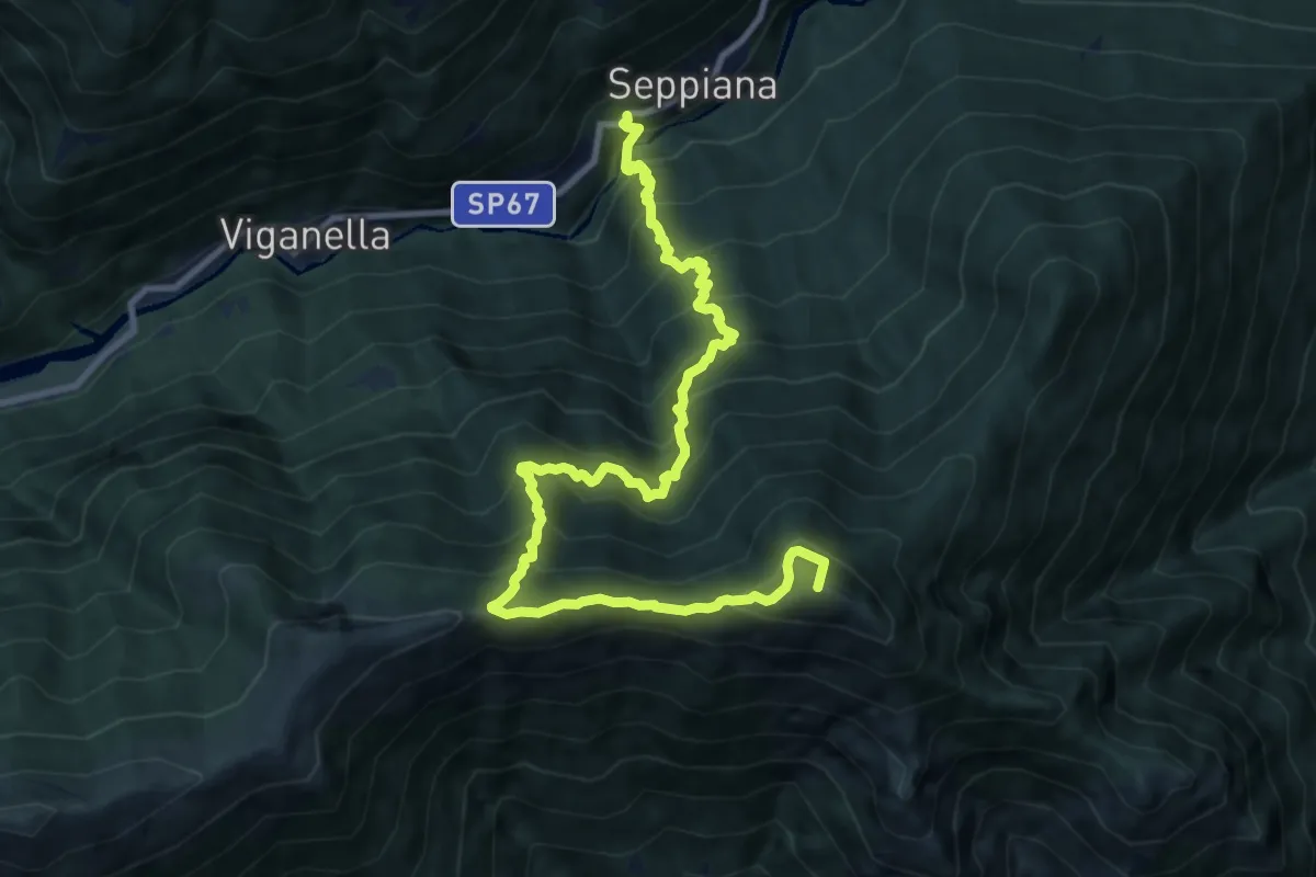
Demanding · Summit
C07 - Seppiana - Alpe Zii - Alpe San Giacomo
12.0 km · ↑ 1388 m · 5 h 51 min · 9 km away