Trails near Domodossola
260 hikes starting within 15 km, nearest first.
Nearest first, page 3 of 6
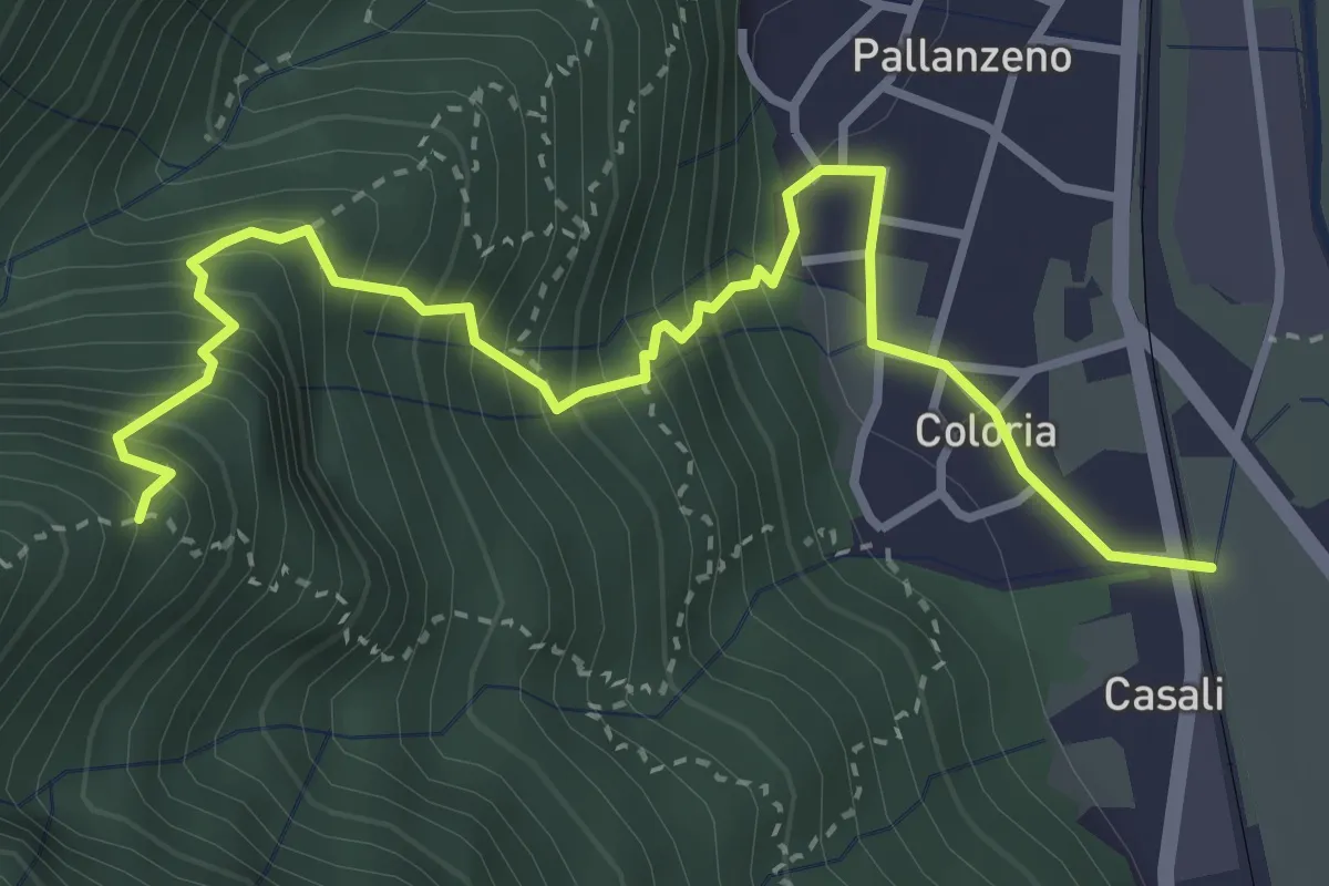
Expert · Trail
A51c - loc.tà Coloria, bivio A00a - Trogo - Colletto - Costa dell'Oraccio, bivio A51A
4.1 km · ↑ 573 m · 2 h 12 min · 9 km away
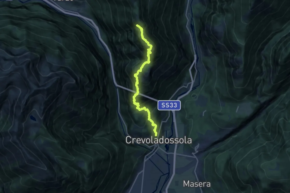
Demanding · Trail
A09 - Crevoladossola - Alpe Colmine
14.1 km · ↑ 1403 m · 6 h 22 min · 9 km away
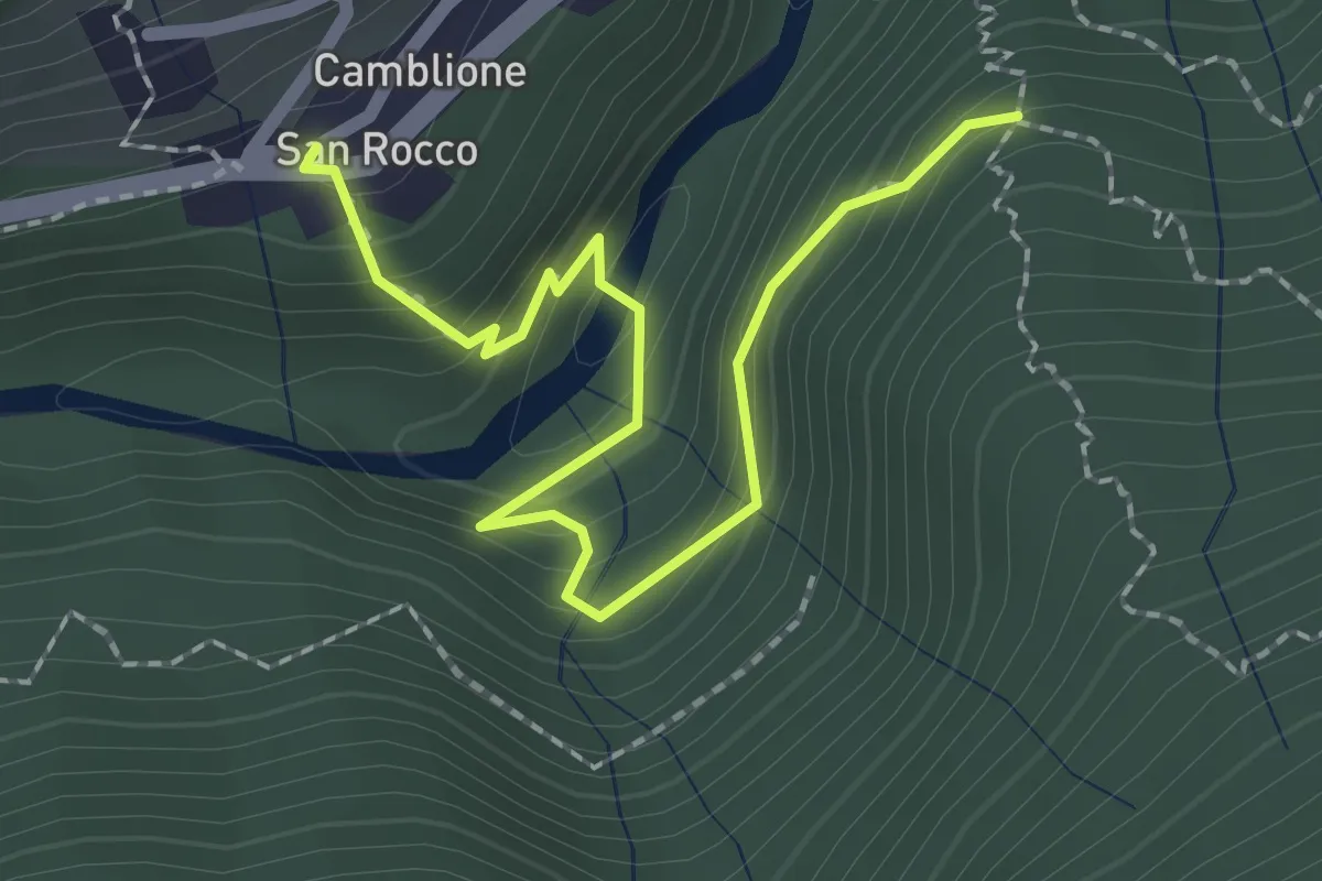
Medium · Trail
C07c - San Rocco - Cappella Scima d'Arvina
2.4 km · ↑ 204 m · 1 h 1 min · 9 km away
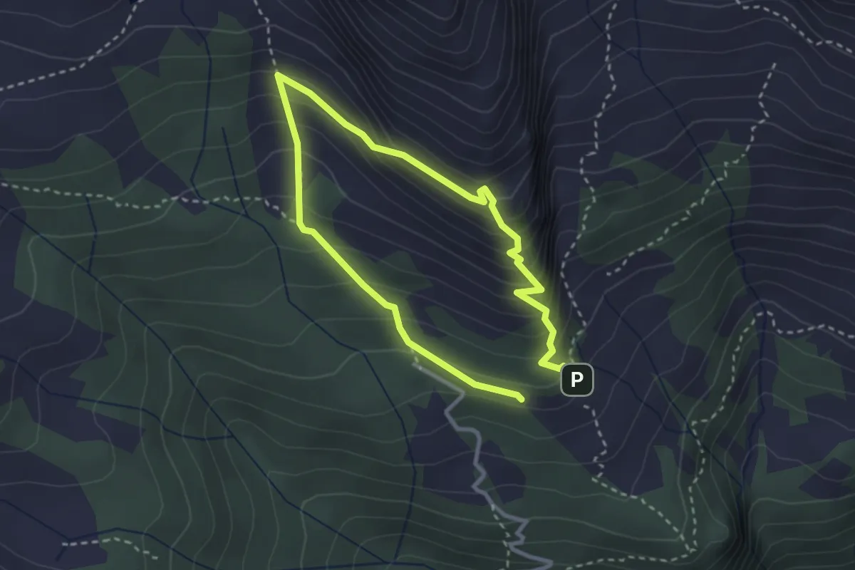
Medium · Trail
Percorso dei Fortini
2.3 km · ↑ 241 m · 1 h 7 min · 9 km away
Medium · Trail
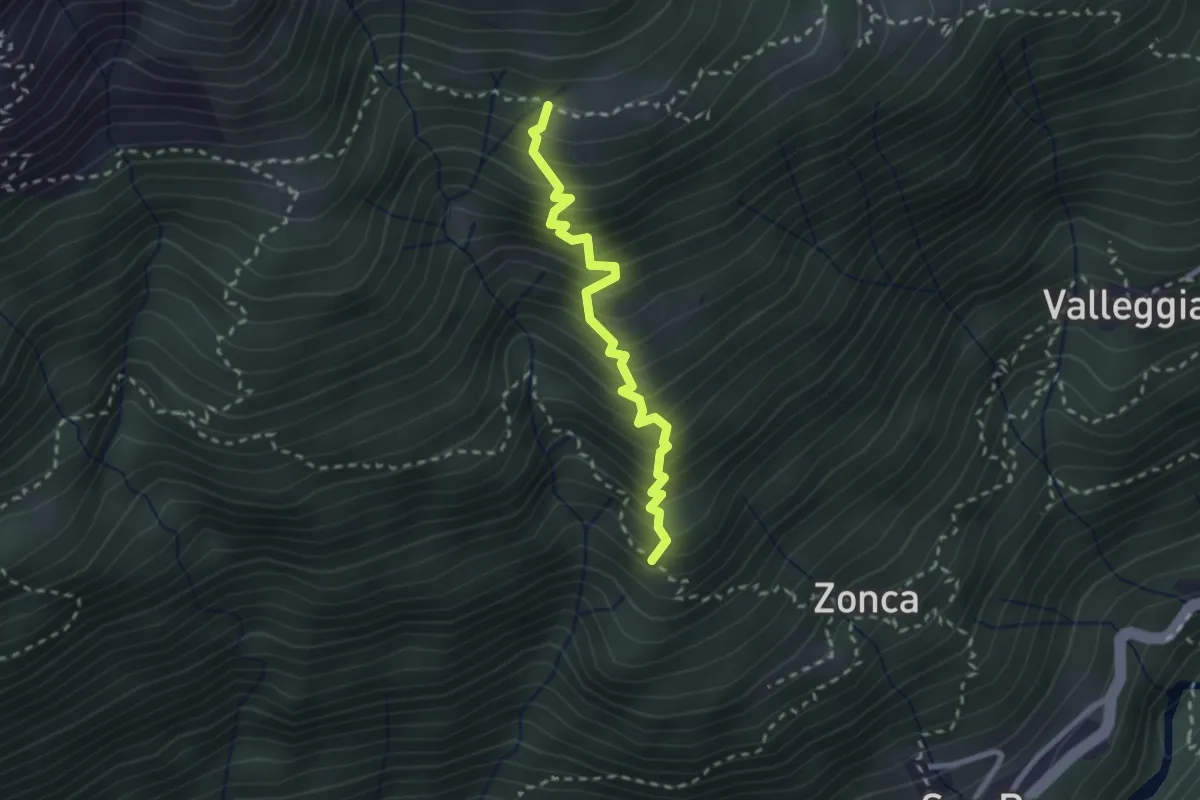
C08c - bivio C10 - Alpe Pradurino
2.4 km · ↑ 430 m · 1 h 30 min · 10 km away
Medium · Trail
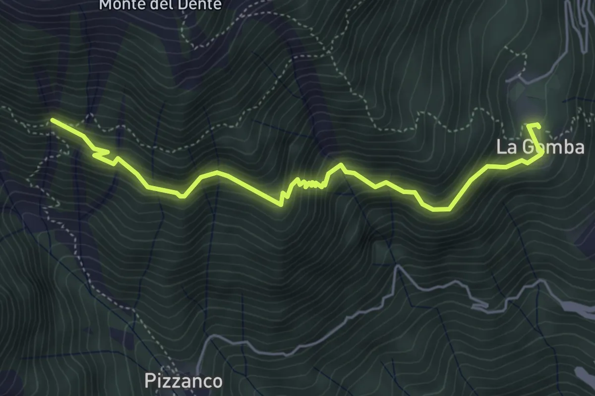
D16 - Alpe la Gomba - bivio D98 presso alpe Oriaccia
5.3 km · ↑ 660 m · 2 h 41 min · 10 km away
Demanding · Trail
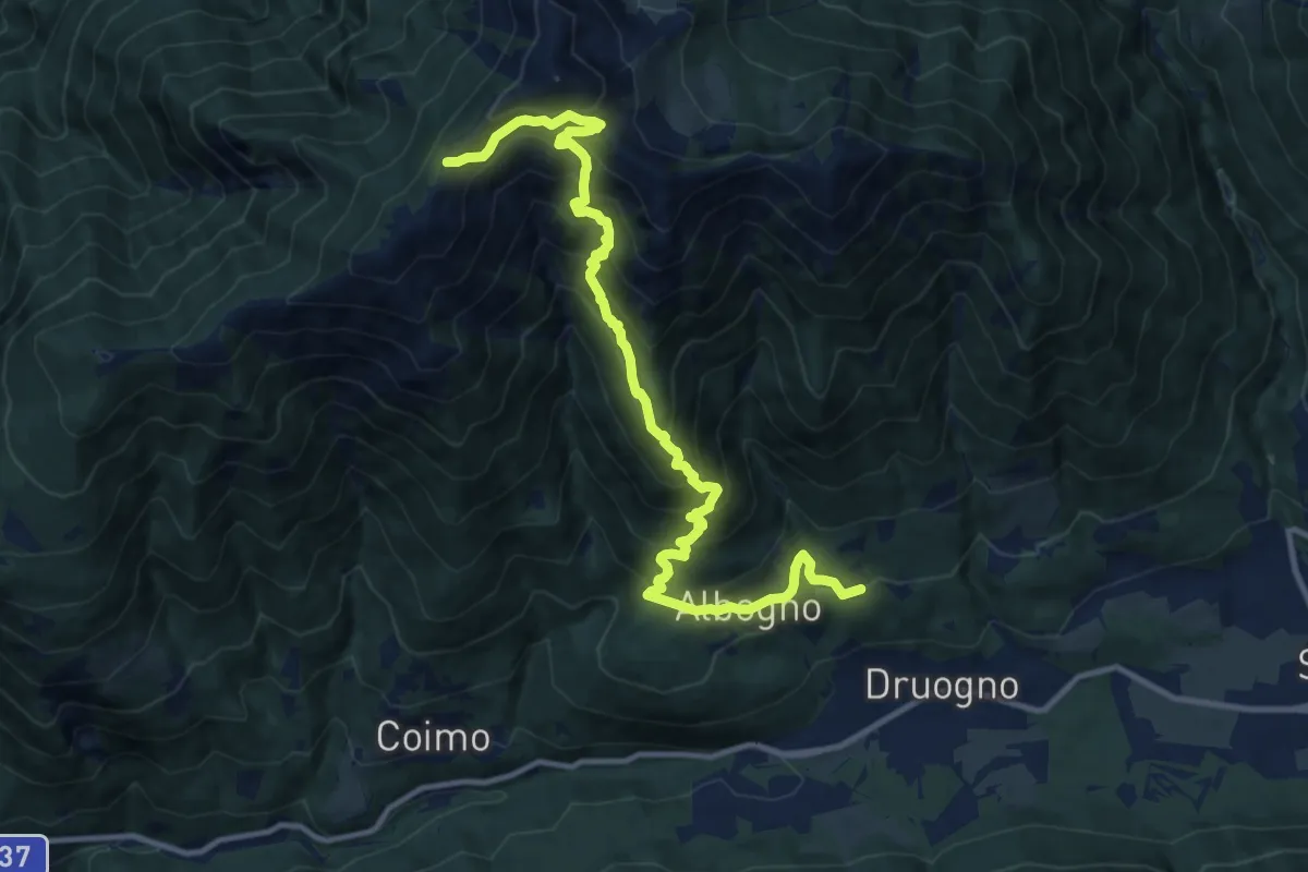
M07 - Sagrogno - Passo della Margina - bivio M03
13.3 km · ↑ 1245 m · 5 h 50 min · 10 km away
Demanding · Trail
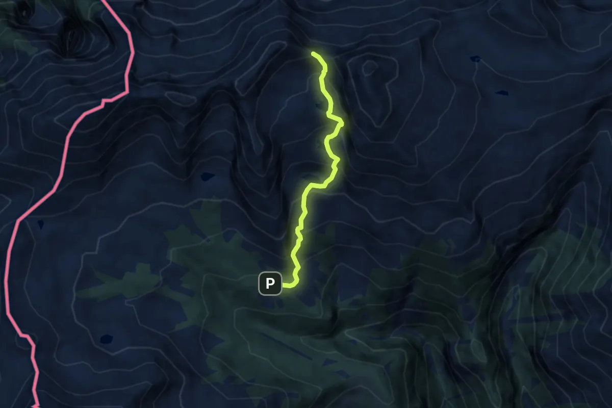
D10 - Alpe Paione - Passo di Paione
6.4 km · ↑ 641 m · 2 h 53 min · 10 km away
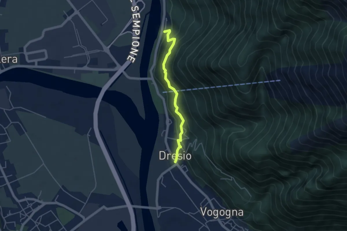
Medium · Trail
A00b - Dresio - Campalbino
3.7 km · ↑ 255 m · 1 h 25 min · 10 km away
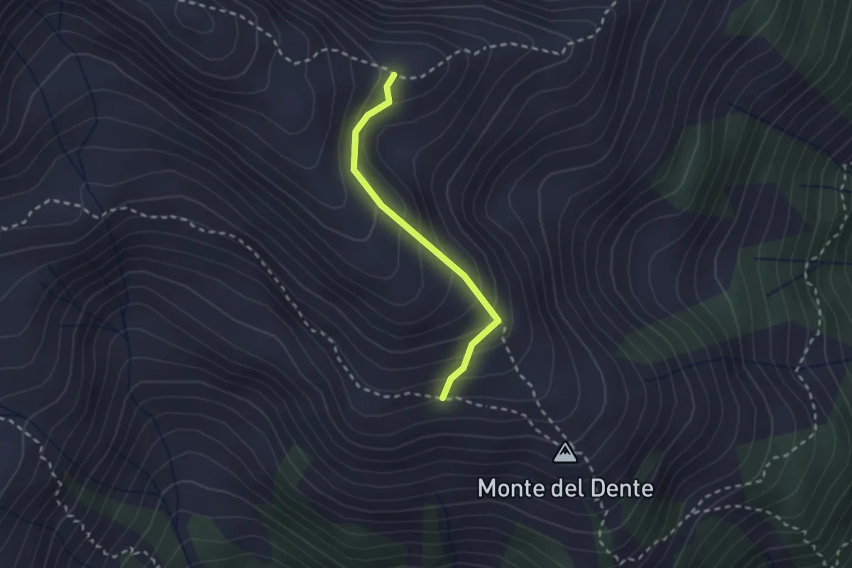
Medium · Trail
D12a - Costa del Dente, bivio D14 - Bivio von D12
2.0 km · ↑ 178 m · 51 min · 10 km away
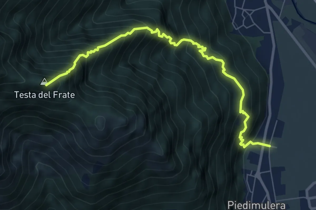
Demanding · Summit
A51a - Moiachina - Alpe Propiano superiore
6.7 km · ↑ 1060 m · 3 h 53 min · 10 km away
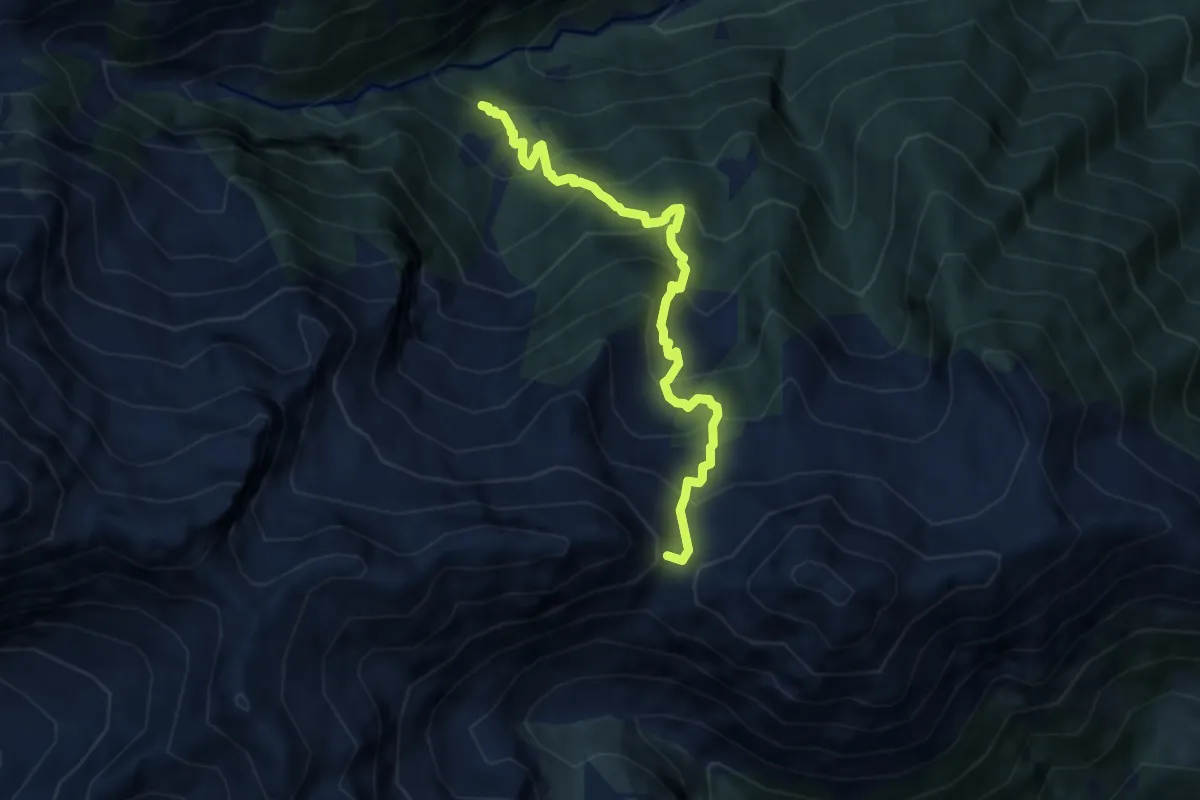
Demanding · Trail
D17 - bivio D19 - Passo d'Arnigo
7.2 km · ↑ 839 m · 3 h 31 min · 10 km away
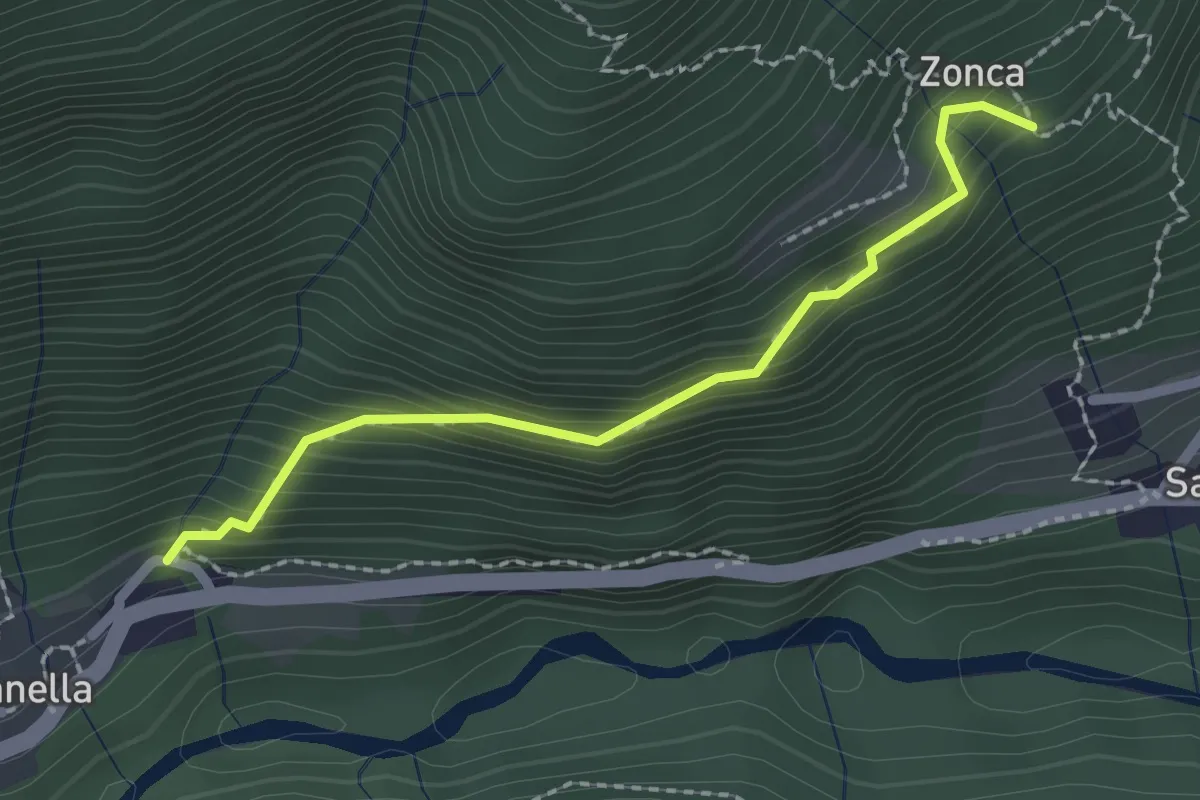
Medium · Trail
C10r - Viganella - Zonca
2.0 km · ↑ 224 m · 58 min · 10 km away
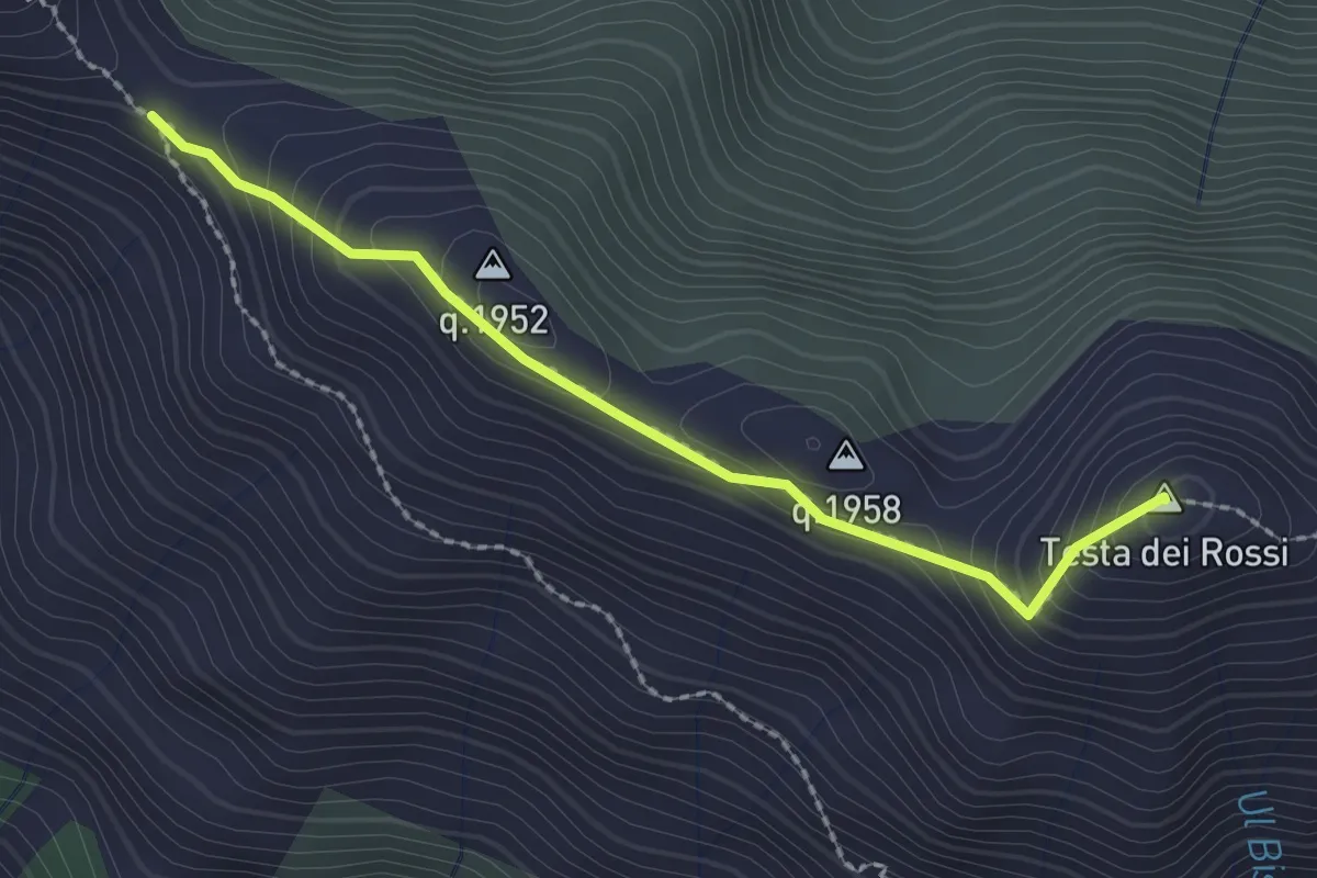
Medium · Summit
C08d - Passo di Ogaggia - Testa dei Rossi
2.2 km · ↑ 142 m · 50 min · 10 km away
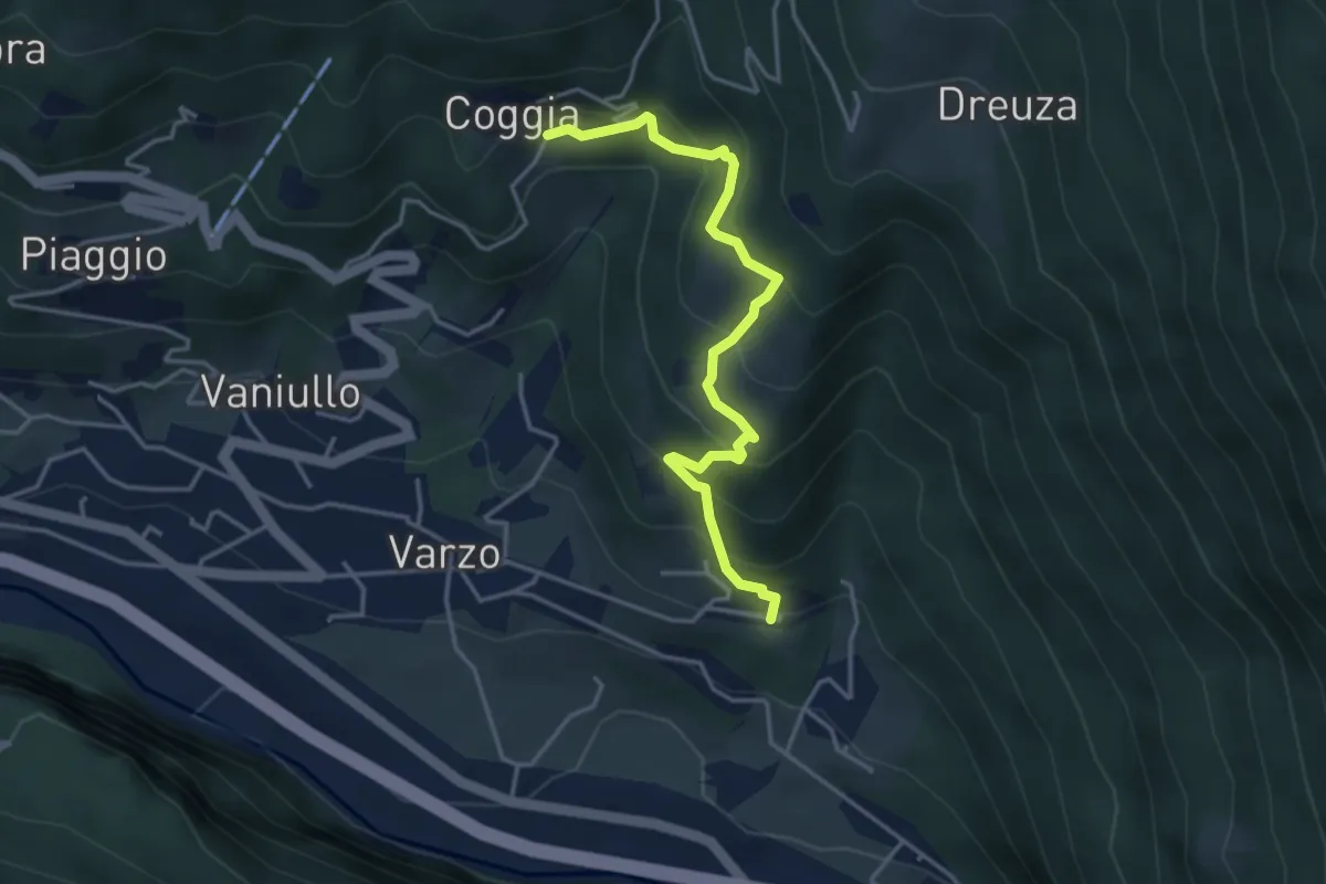
Medium · Trail
Sentiero dei Tassi
4.0 km · ↑ 347 m · 1 h 42 min · 10 km away
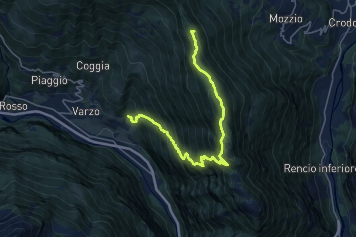
Demanding · Summit
F02 - Varzo - Alpe Solcio
13.5 km · ↑ 1341 m · 6 h 6 min · 10 km away
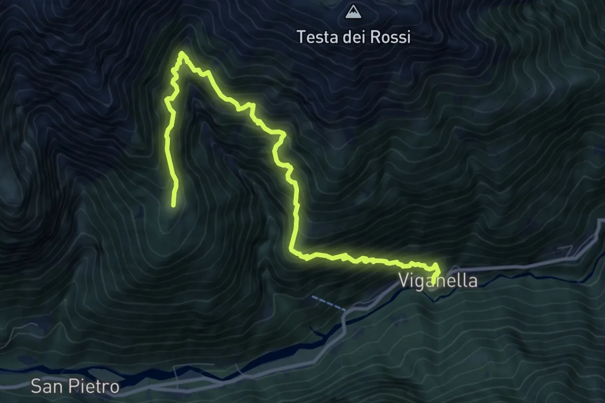
Demanding · Trail
C12 - Viganella - Alpe Barco - Alpe Cavallo
10.9 km · ↑ 1356 m · 5 h 30 min · 10 km away
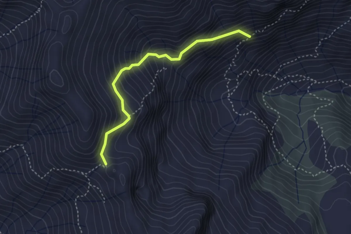
Expert · Trail
C08e - Alpe Campo - Passo del Fornetto
3.2 km · ↑ 478 m · 1 h 47 min · 10 km away
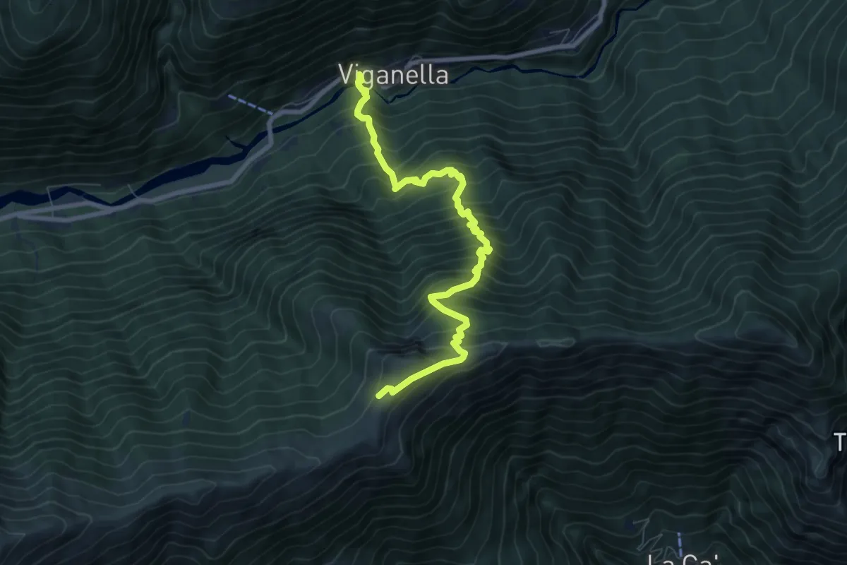
Demanding · Cabin
C09 - Viganella - Alpe Colma dei Prei
7.9 km · ↑ 1072 m · 4 h 11 min · 10 km away
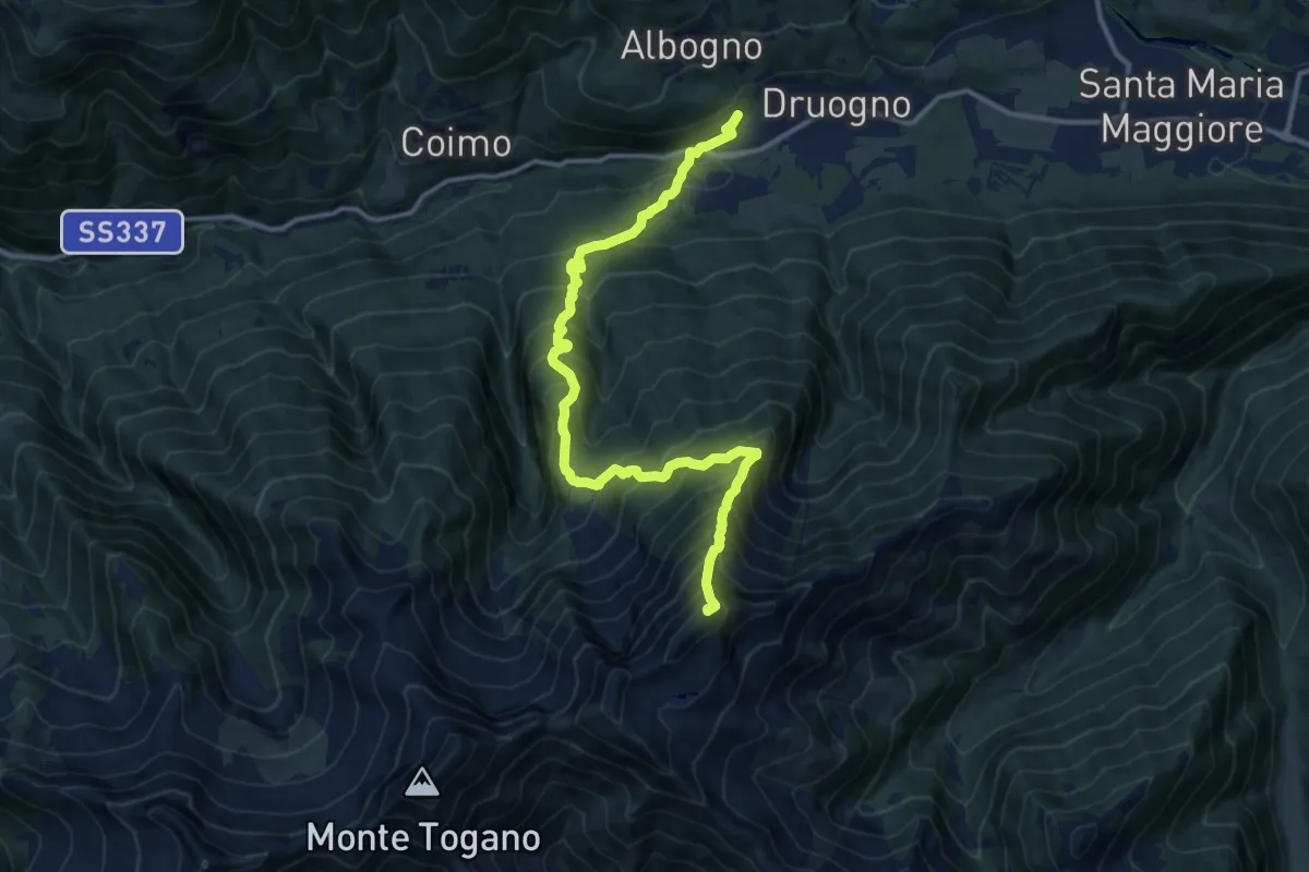
Expert · Summit
M06 - Druogno - Pizzo Ragno
13.8 km · ↑ 1534 m · 6 h 35 min · 10 km away
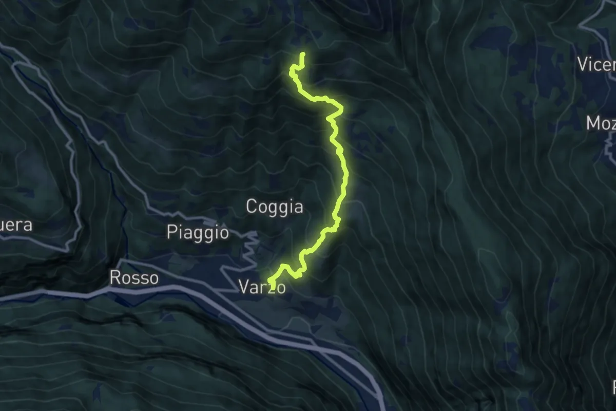
Demanding · Trail
F06 - Varzo - Alpe Solcio
9.1 km · ↑ 1056 m · 4 h 26 min · 11 km away
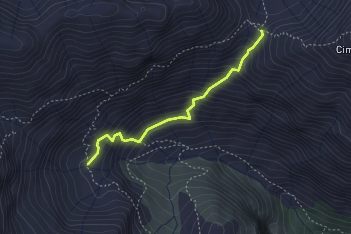
Medium · Trail
C08v - variante, Alpe Campo - Passo d'Arnigo
2.8 km · ↑ 386 m · 1 h 30 min · 11 km away
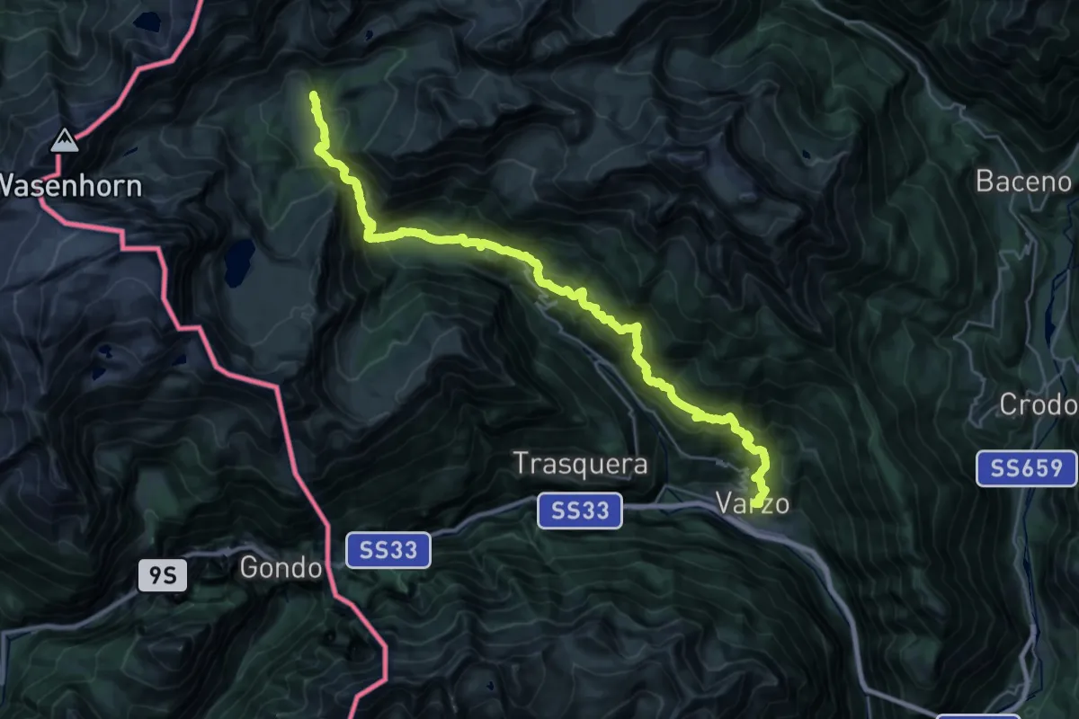
Demanding · Cabin
Varzo – Alpe Veglia (Cornu)
16.0 km · ↑ 1766 m · 7 h 14 min · 11 km away
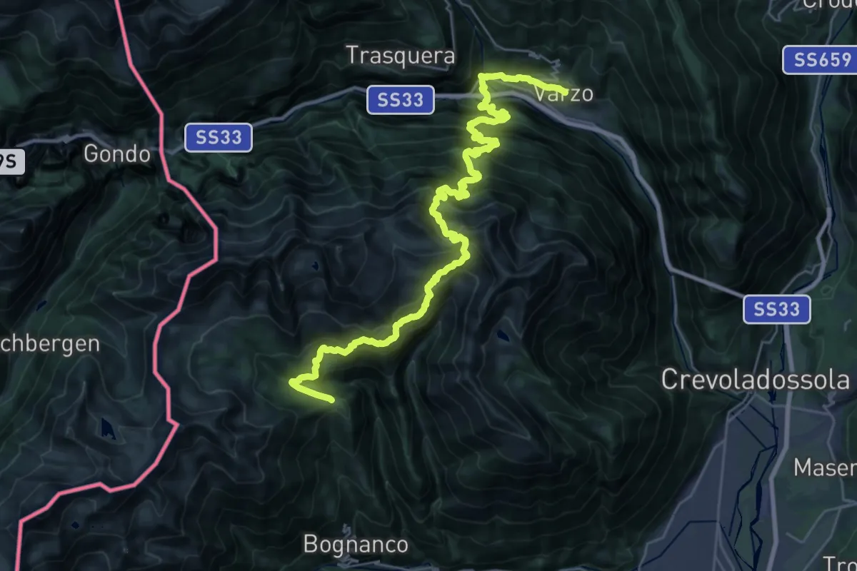
Demanding · Cabin
Rifugio San Bernardo – Varzo
17.2 km · ↑ 2065 m · 8 h 16 min · 11 km away
Demanding · Cabin
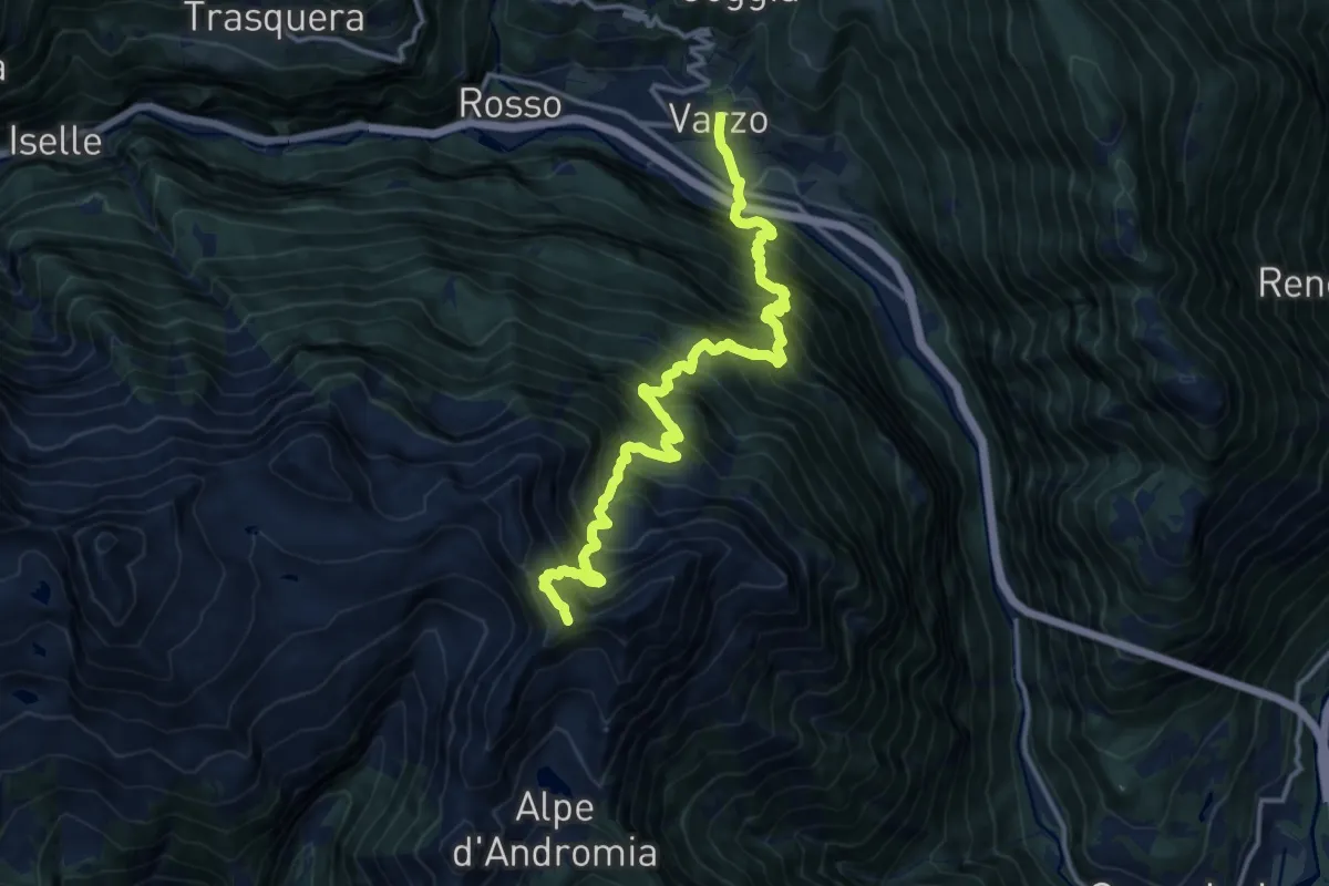
F01 - Varzo - Passo Pian Pumper
7.4 km · ↑ 1934 m · 5 h 9 min · 11 km away
Demanding · Trail
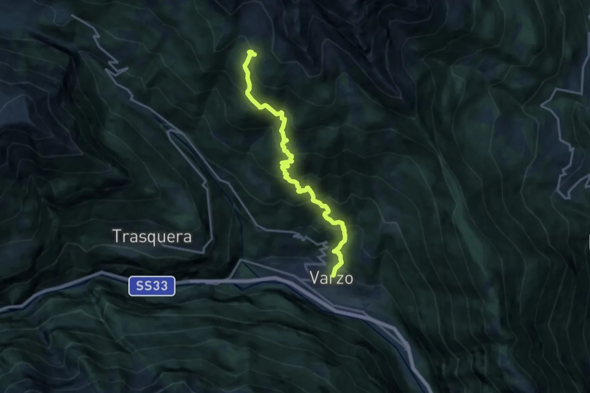
F08 - Varzo - Alpe Coatè
12.9 km · ↑ 1332 m · 5 h 56 min · 11 km away
Medium · Trail
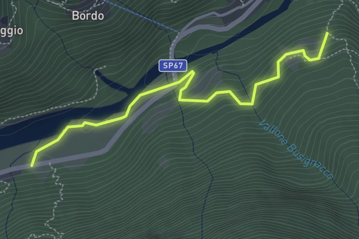
C09a - Alpe Alberina - Mundà
3.2 km · ↑ 203 m · 1 h 12 min · 11 km away
Demanding · Trail
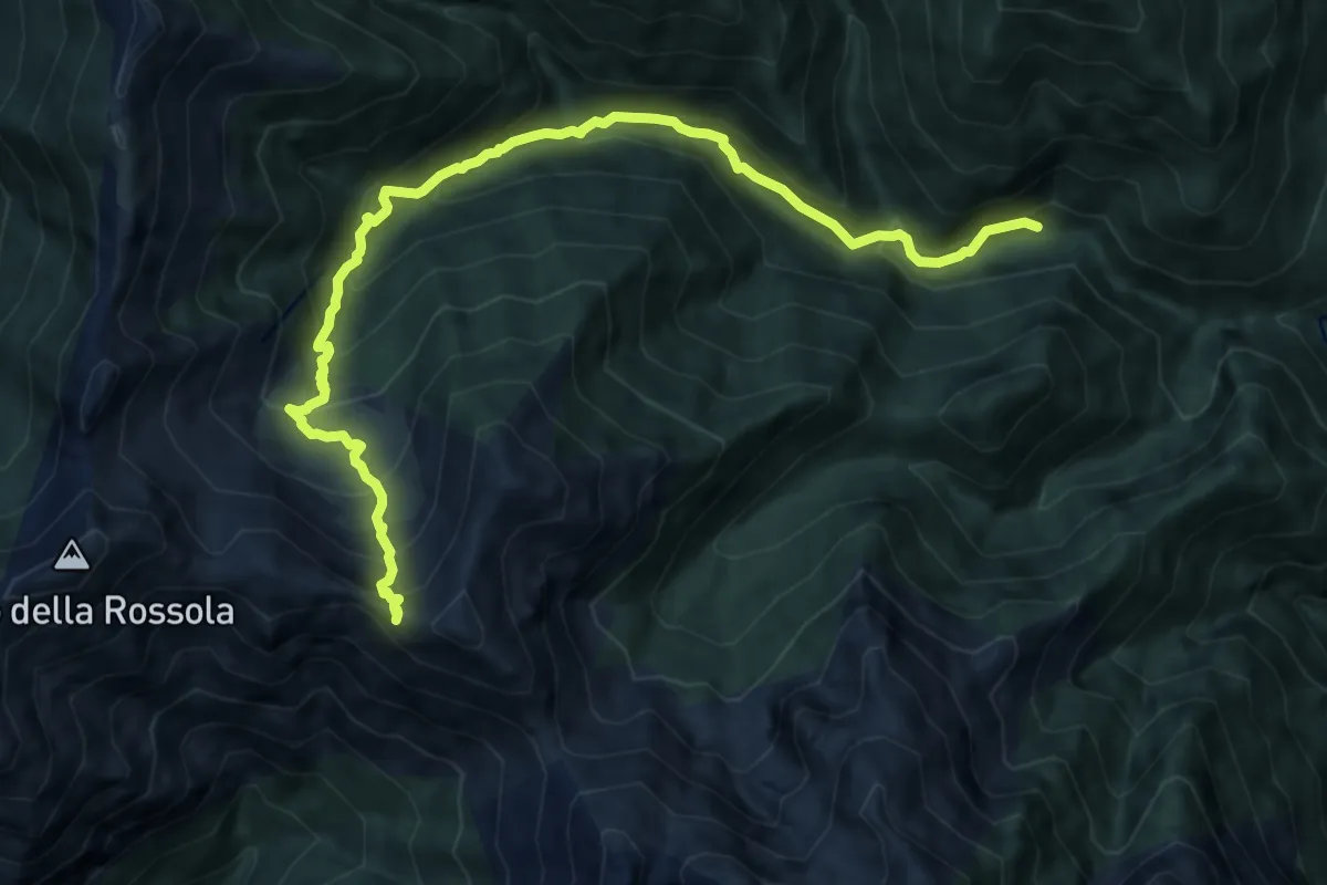
P22 - Ponte Val Gabbio - Bocchetta dell'Usciolo
11.2 km · ↑ 1019 m · 4 h 51 min · 11 km away
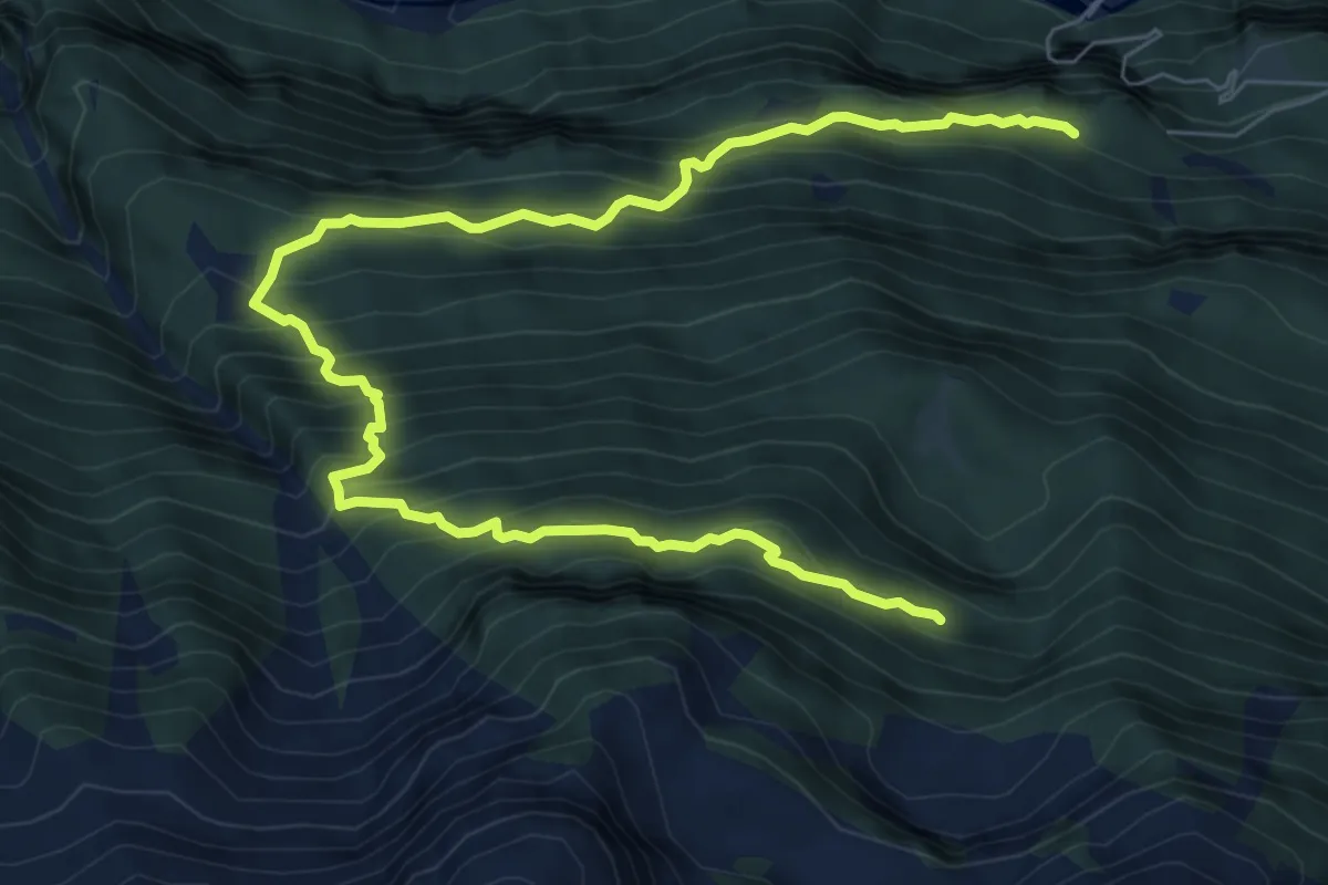
Demanding · Trail
F03 - Alpe Salviggia - Lorino
9.8 km · ↑ 1178 m · 4 h 52 min · 11 km away
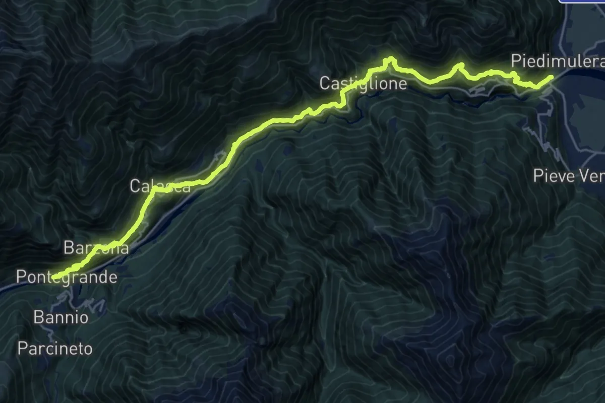
Demanding · Trail
B00 - Stra Granda tappa 1
12.4 km · ↑ 1054 m · 5 h 14 min · 11 km away
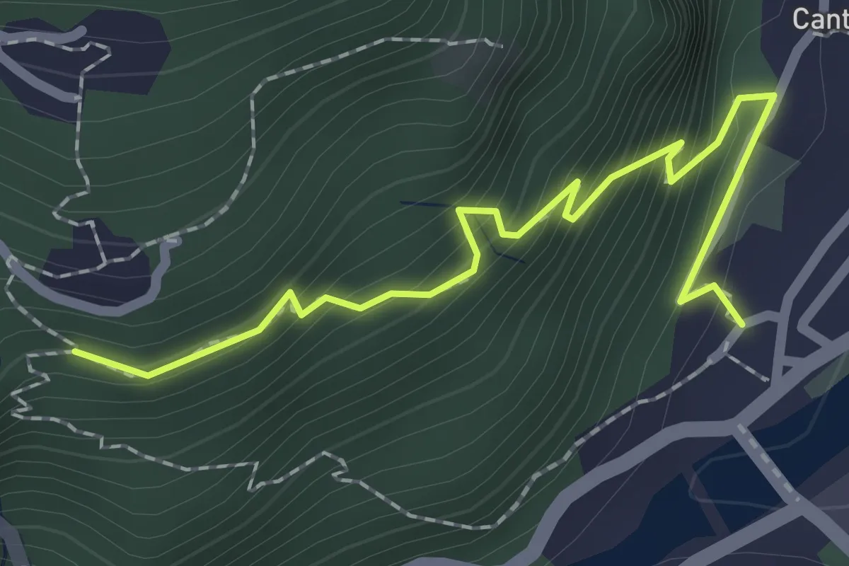
Medium · Trail
B00a - Piedimulera - Cimamulera
2.2 km · ↑ 251 m · 1 h 4 min · 11 km away
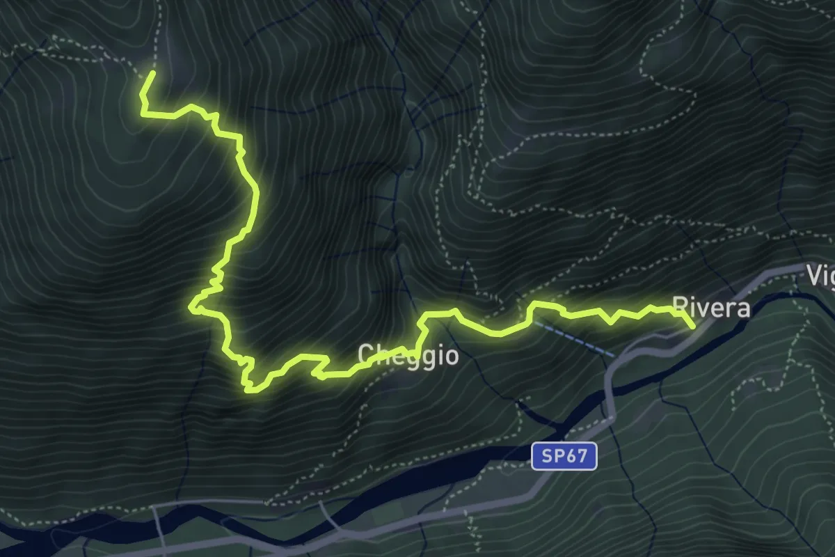
Demanding · Trail
C14 - Rivera - Bordo - Cheggio - Alpe Cavallo
6.9 km · ↑ 894 m · 3 h 34 min · 11 km away
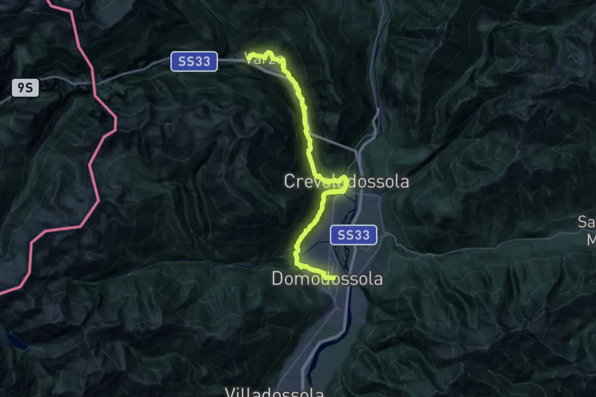
Expert · Trail
ViaStockalper Val Divedro
18.6 km · ↑ 742 m · 6 h 22 min · 11 km away
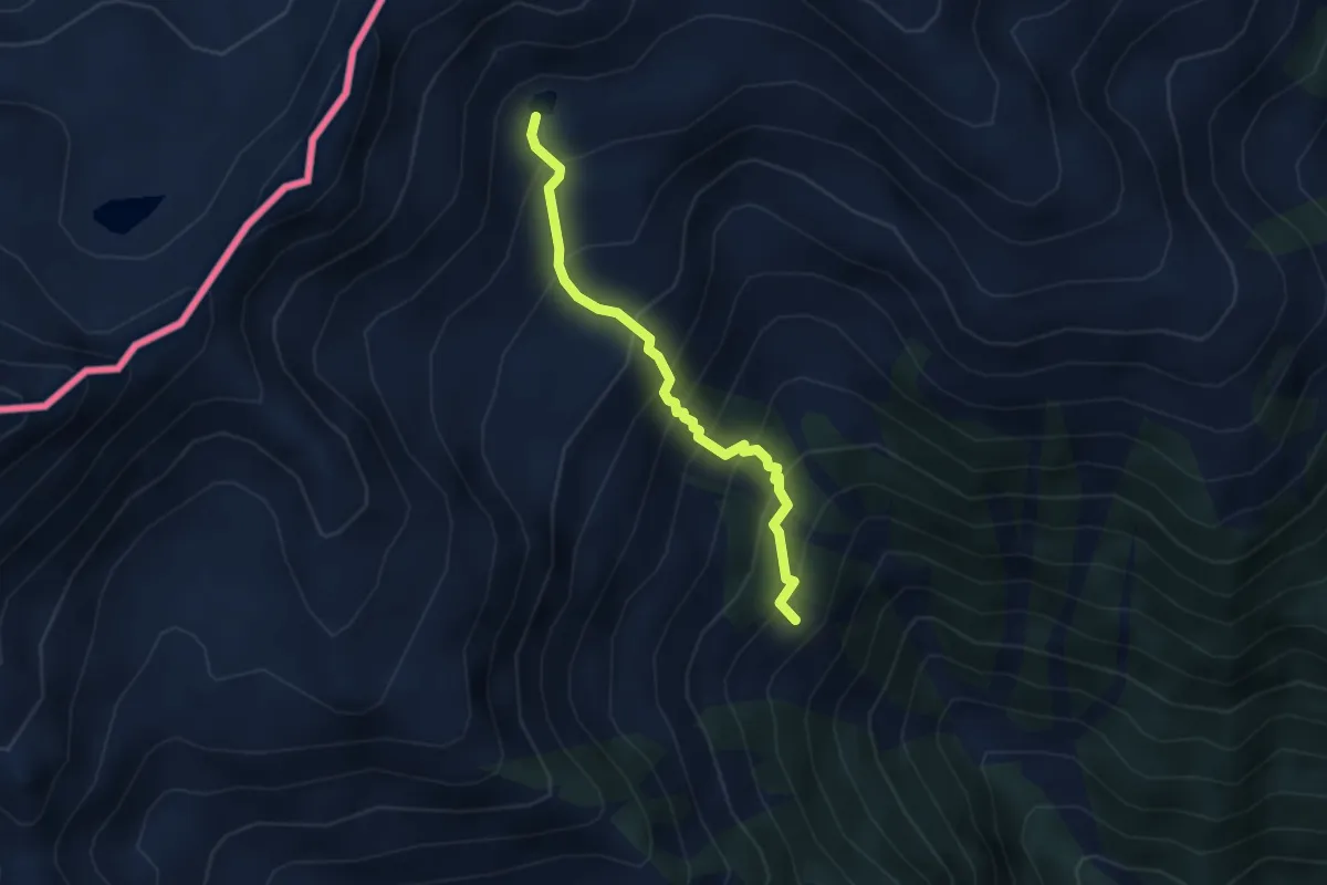
Medium · Trail
D14a - Alpe Oriaccia - Lago di Oriaccia
3.2 km · ↑ 456 m · 1 h 45 min · 11 km away
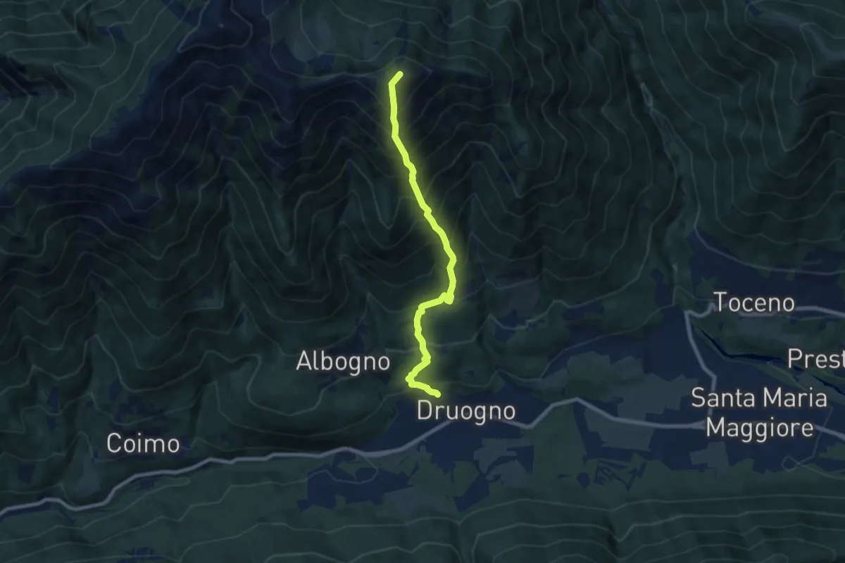
Demanding · Summit
M09 - Druogno - Monte Mater
7.2 km · ↑ 1189 m · 4 h 16 min · 11 km away
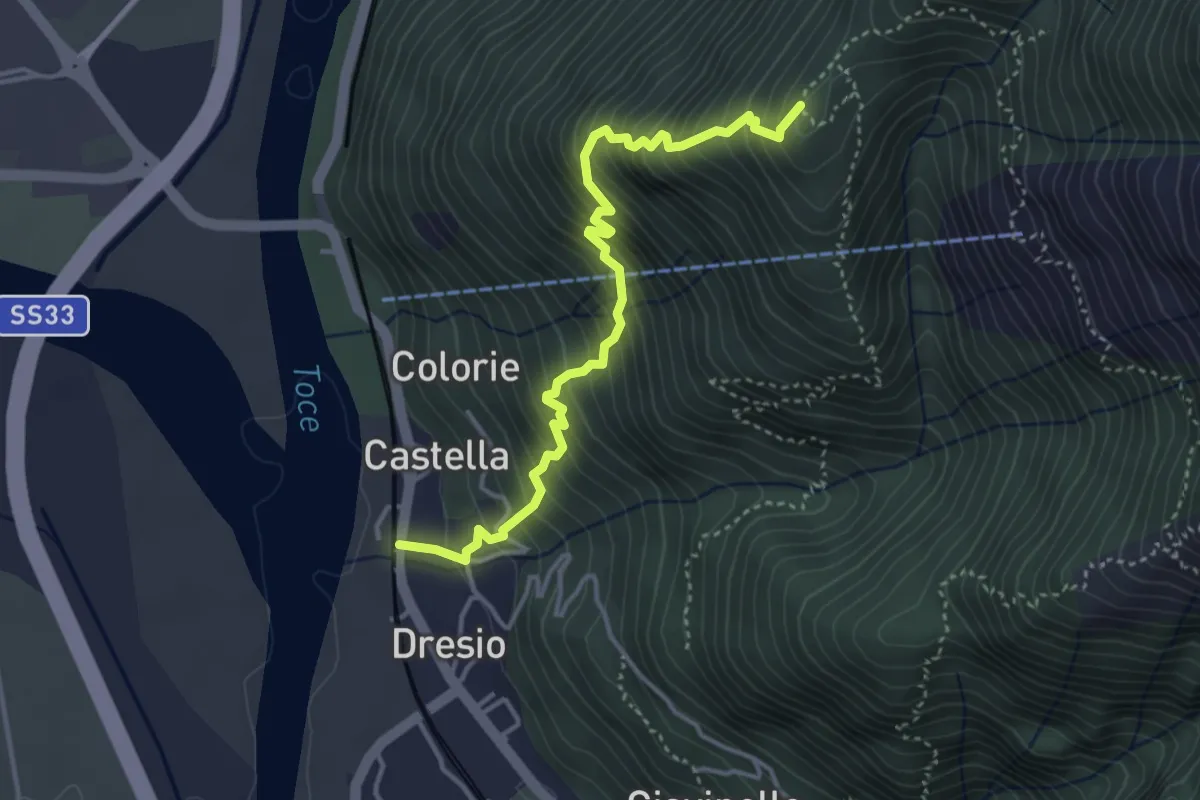
Medium · Trail
A30 - Vogogna località Dresio - Alpe Marona
4.1 km · ↑ 659 m · 2 h 23 min · 11 km away
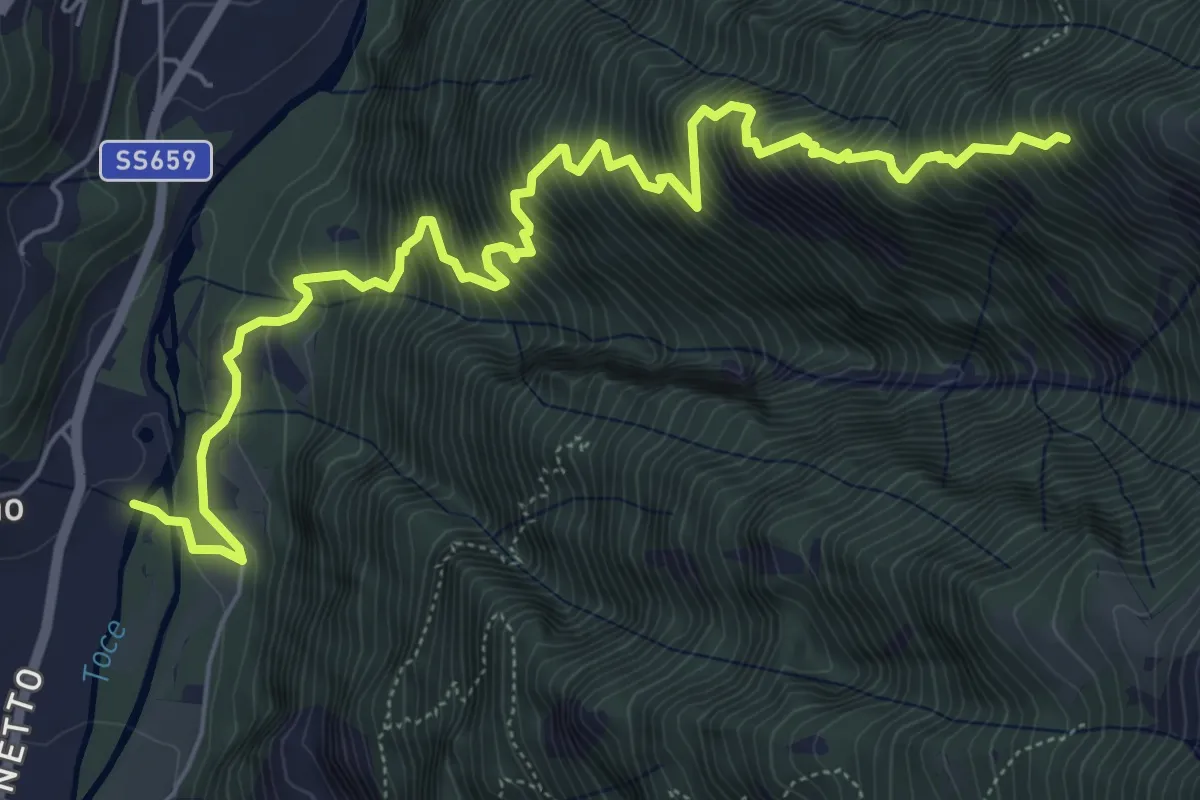
Demanding · Trail
G02 - Crodo - Alpe Larone
7.8 km · ↑ 1228 m · 4 h 30 min · 11 km away
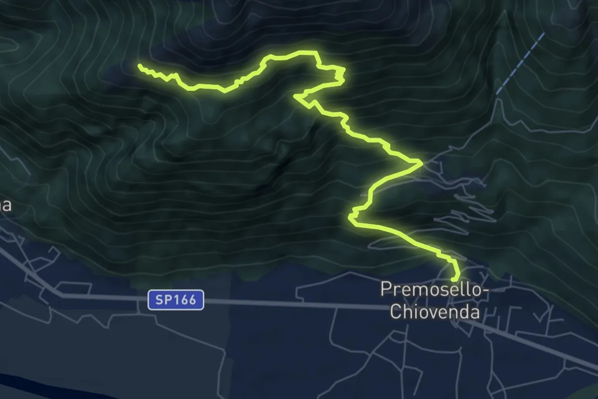
Demanding · Trail
A36 - Premosello - bivio A34 Alpe Pianoni
8.7 km · ↑ 1007 m · 4 h 15 min · 11 km away
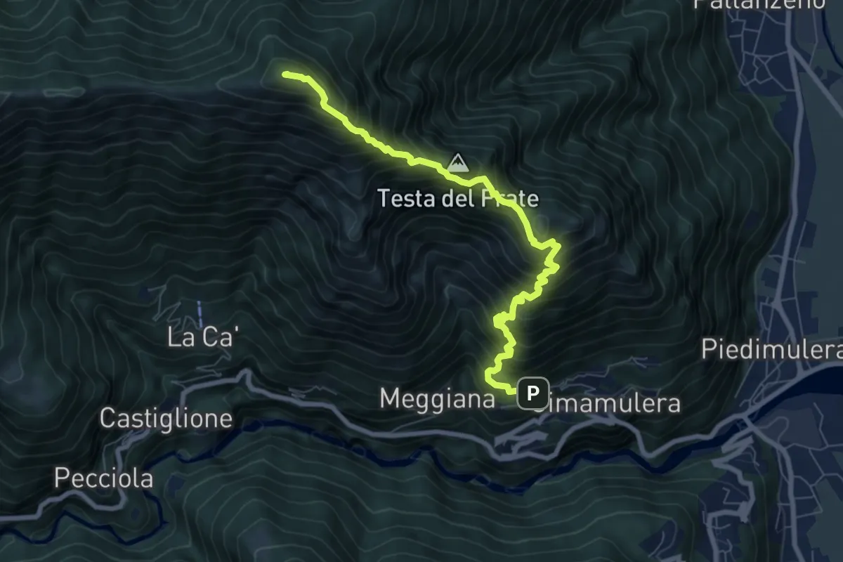
Demanding · Summit
A51 - Cimamulera - Pizzo Castello
7.6 km · ↑ 1088 m · 4 h 9 min · 11 km away
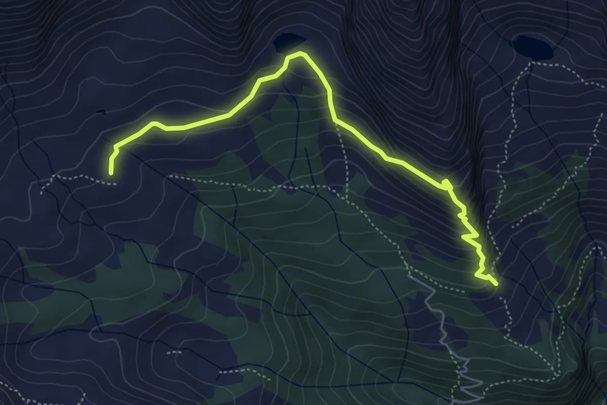
Medium · Trail
Alpe Paione – Alpe Monscera
5.5 km · ↑ 420 m · 2 h 12 min · 11 km away
Medium · Trail
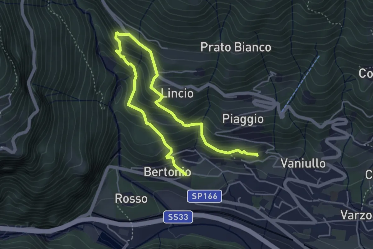
Sentiero delle volpi
5.7 km · ↑ 557 m · 2 h 34 min · 11 km away
Demanding · Trail
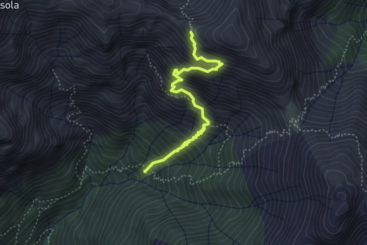
A40b - bivio A40 - Bocchetta dell'Usciolo
3.8 km · ↑ 754 m · 2 h 32 min · 11 km away
Demanding · Summit
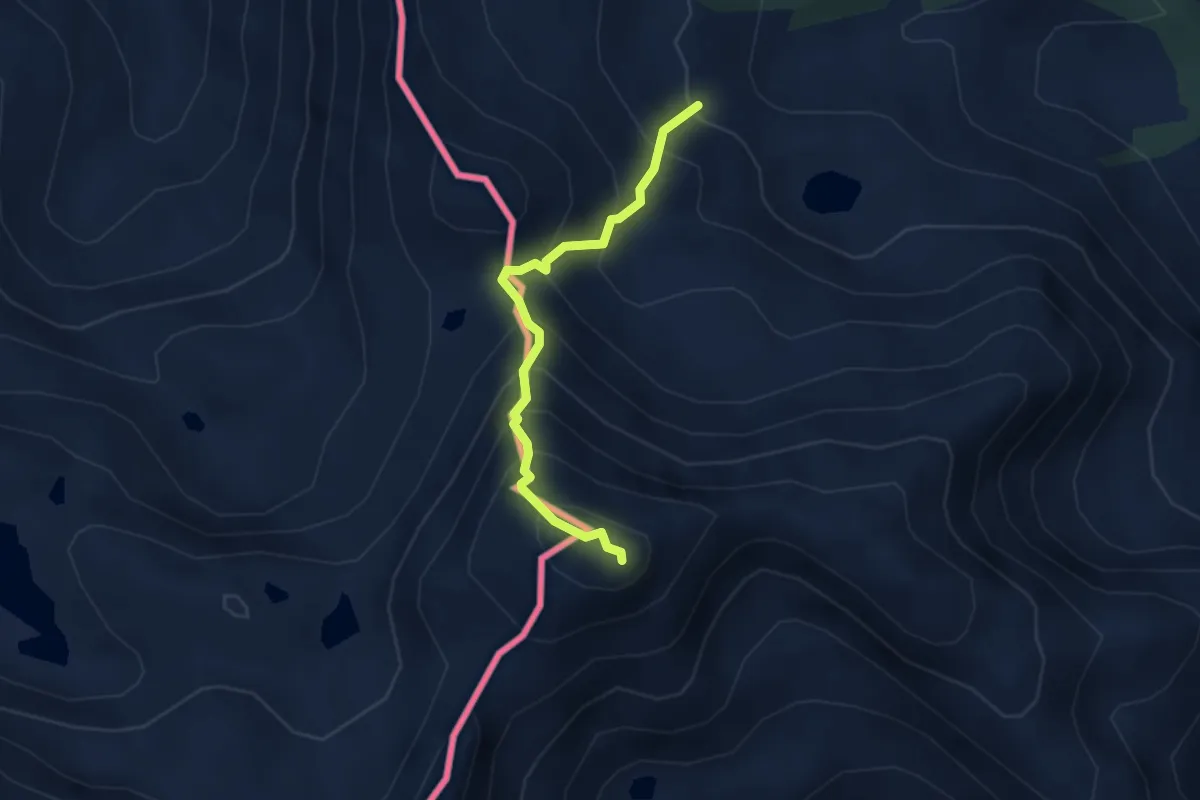
Da Rifugio a Rifugio - Tappa 2
3.1 km · ↑ 411 m · 1 h 38 min · 11 km away
Demanding · Cabin
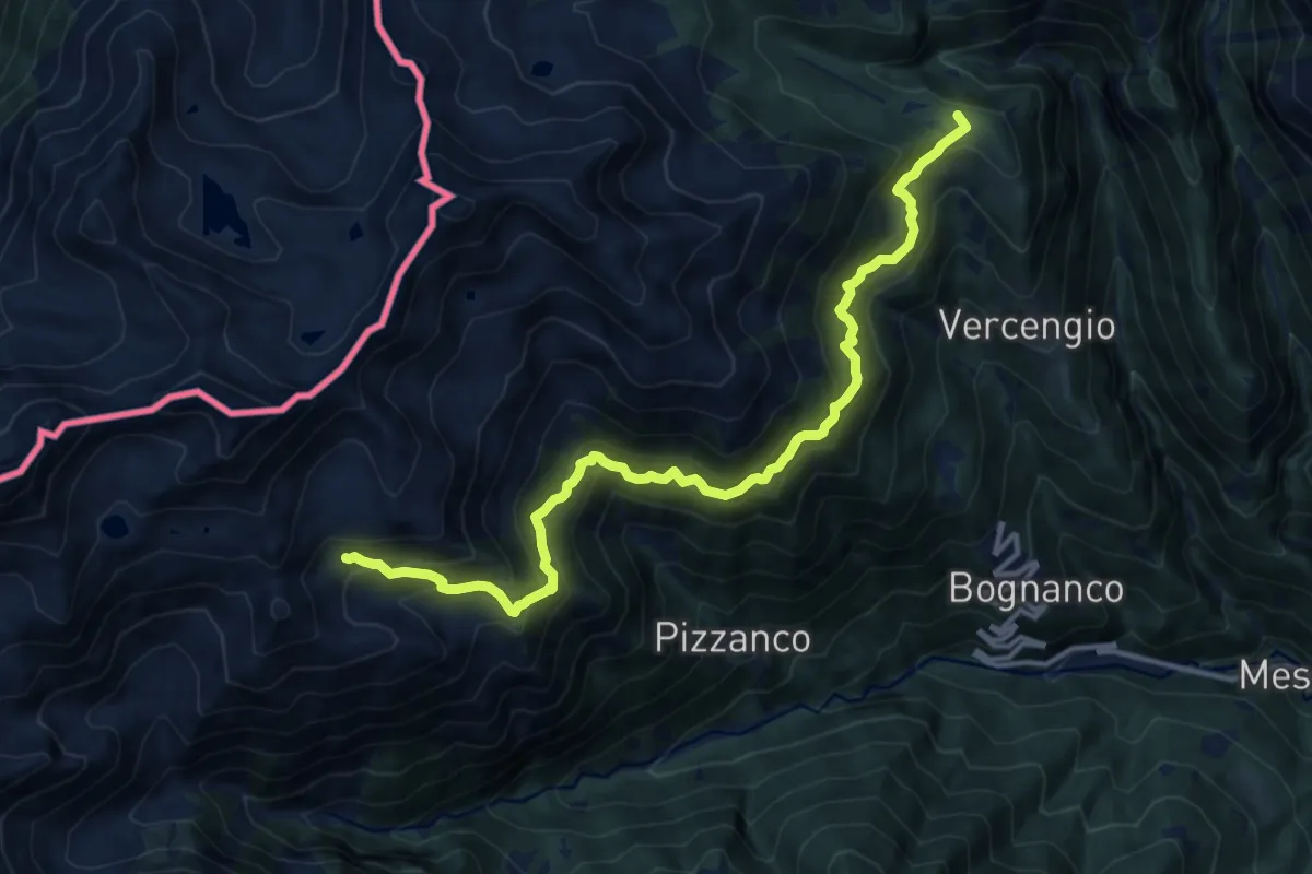
Rifugio Alpe Laghetto – Rifugio San Bernardo
13.7 km · ↑ 1280 m · 6 h · 11 km away
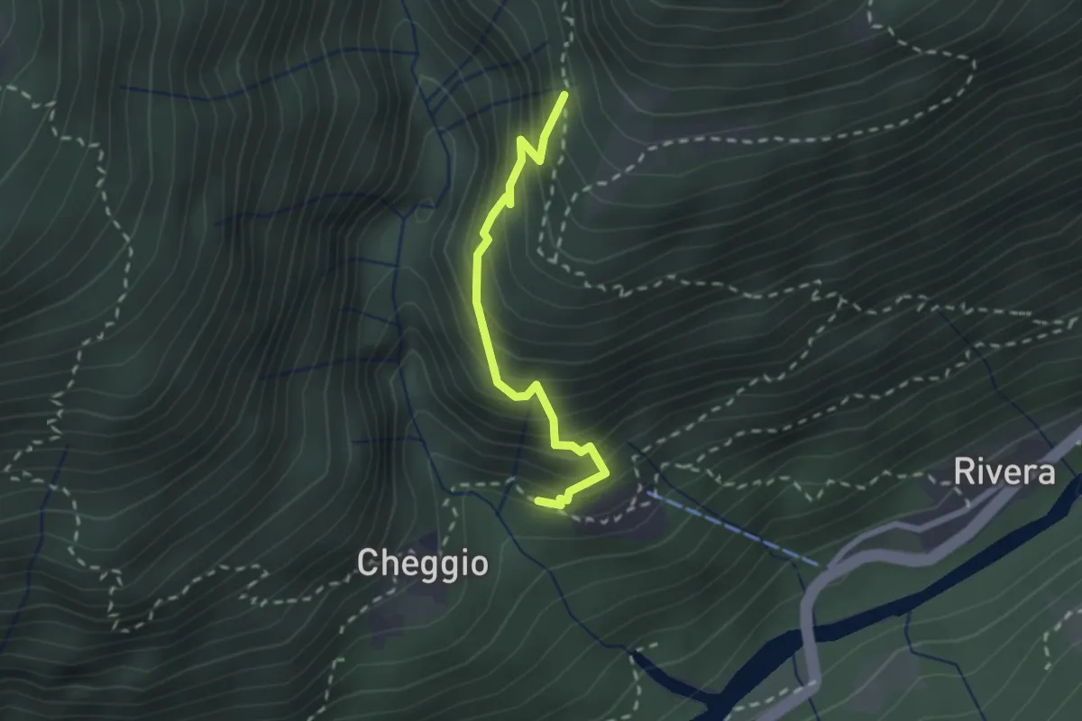
Demanding · Trail
C12b - Bordo - Alpe Barco
2.0 km · ↑ 301 m · 1 h 8 min · 11 km away
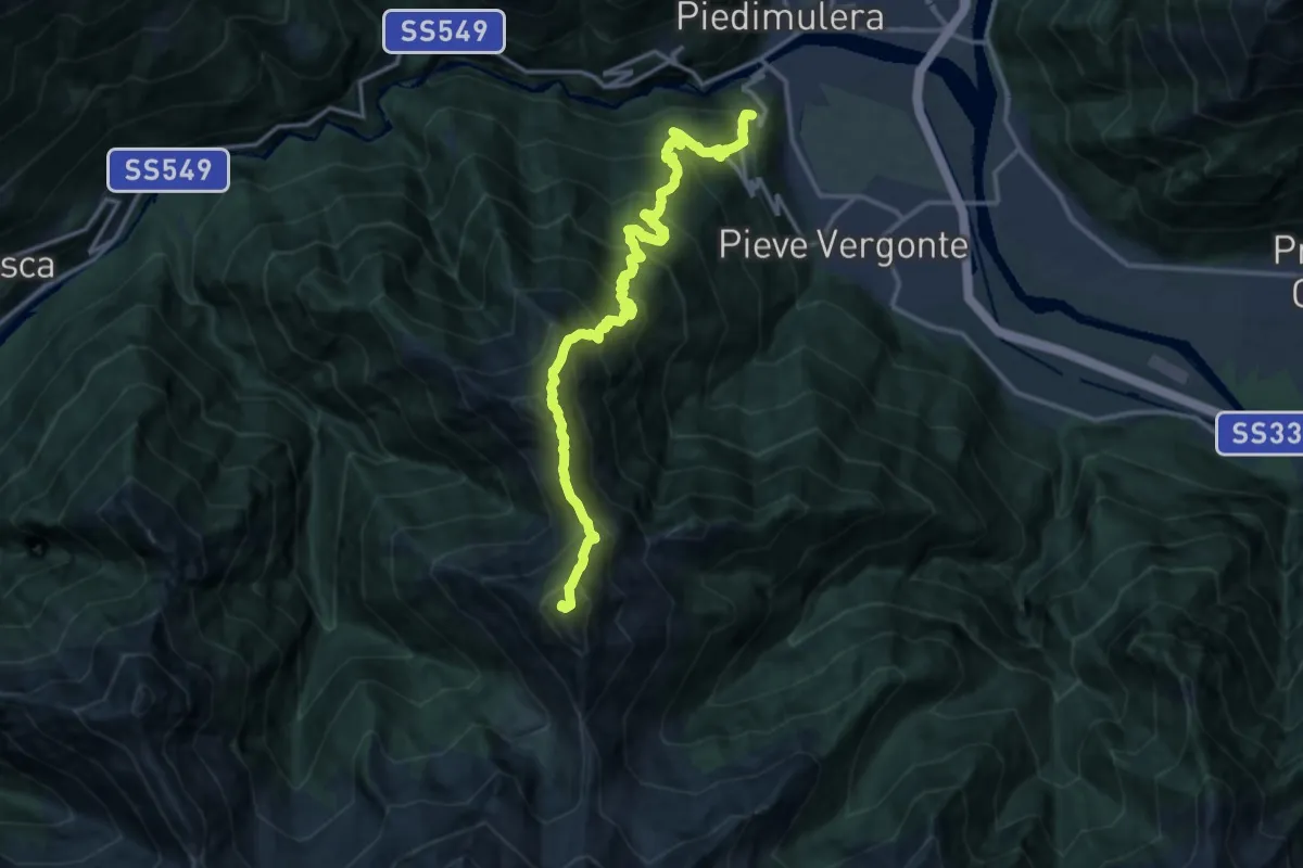
Demanding · Summit
A47 - Fomarco - Pizzo Camino
15.4 km · ↑ 1893 m · 7 h 44 min · 11 km away
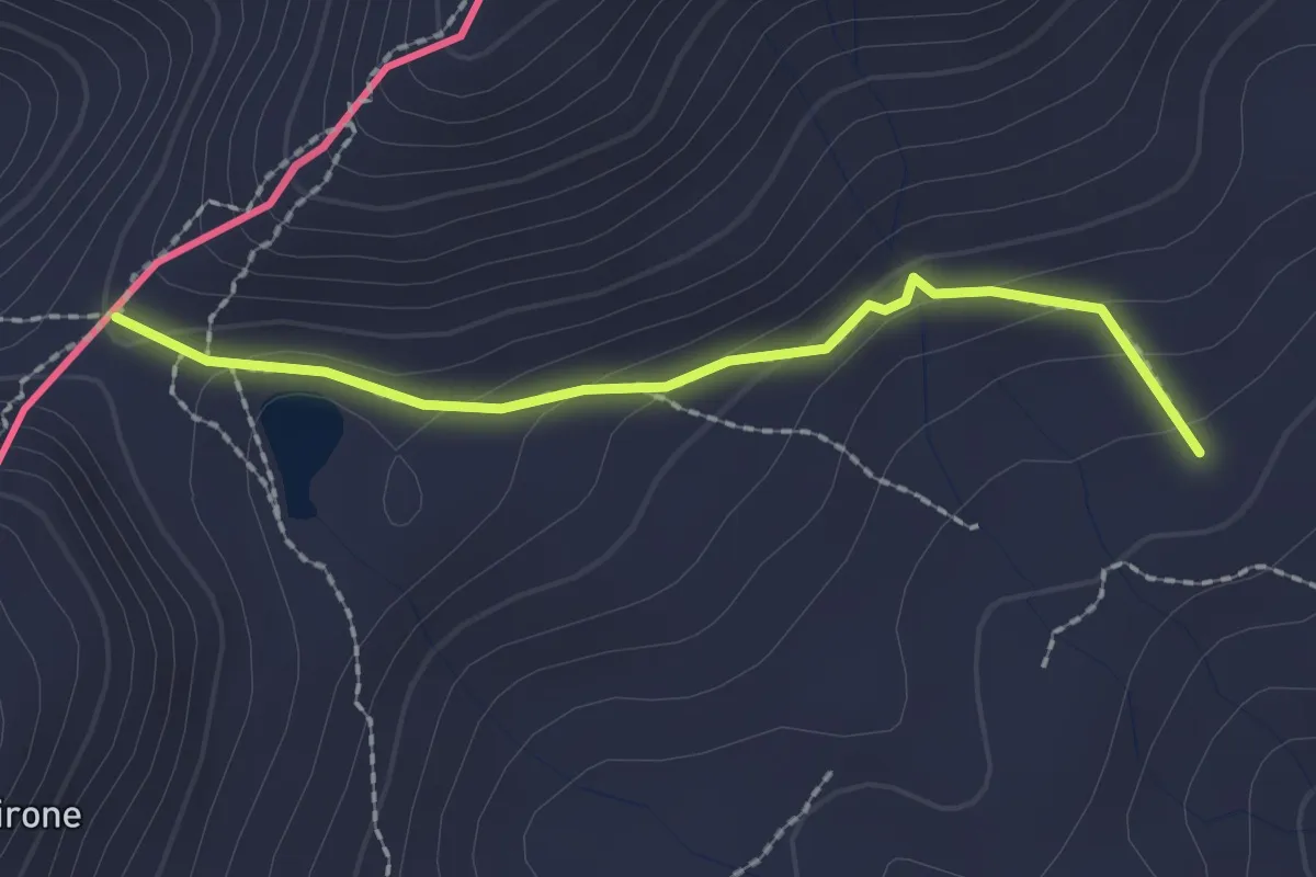
Medium · Trail
D08 - Bognanco Terme - Passo del Monscera
2.0 km · ↑ 109 m · 43 min · 11 km away
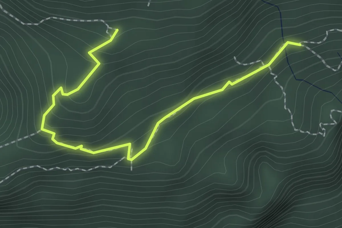
Medium · Trail
A36a - San Bernardo - Capraga
2.2 km · ↑ 176 m · 55 min · 11 km away