Trails near Domodossola
260 hikes starting within 15 km, nearest first.
Nearest first, page 4 of 6
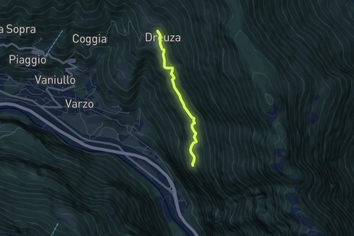
Easy · Trail
Alpe Dai 900 m – Dreuza bivio strada per Solcio 1045 m
4.7 km · ↑ 308 m · 1 h 46 min · 11 km away
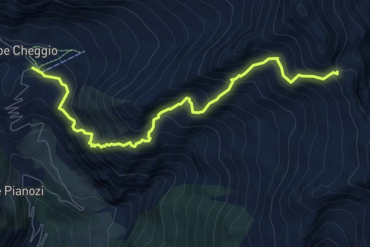
Demanding · Cabin
C22 - Cheggio - Passo del Fornetto
8.0 km · ↑ 1132 m · 4 h 20 min · 11 km away
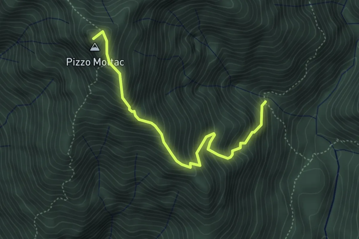
Demanding · Summit
P20 - Bivio P18 sopra In La Piana - Passo del Ragozzale
4.5 km · ↑ 703 m · 2 h 36 min · 11 km away
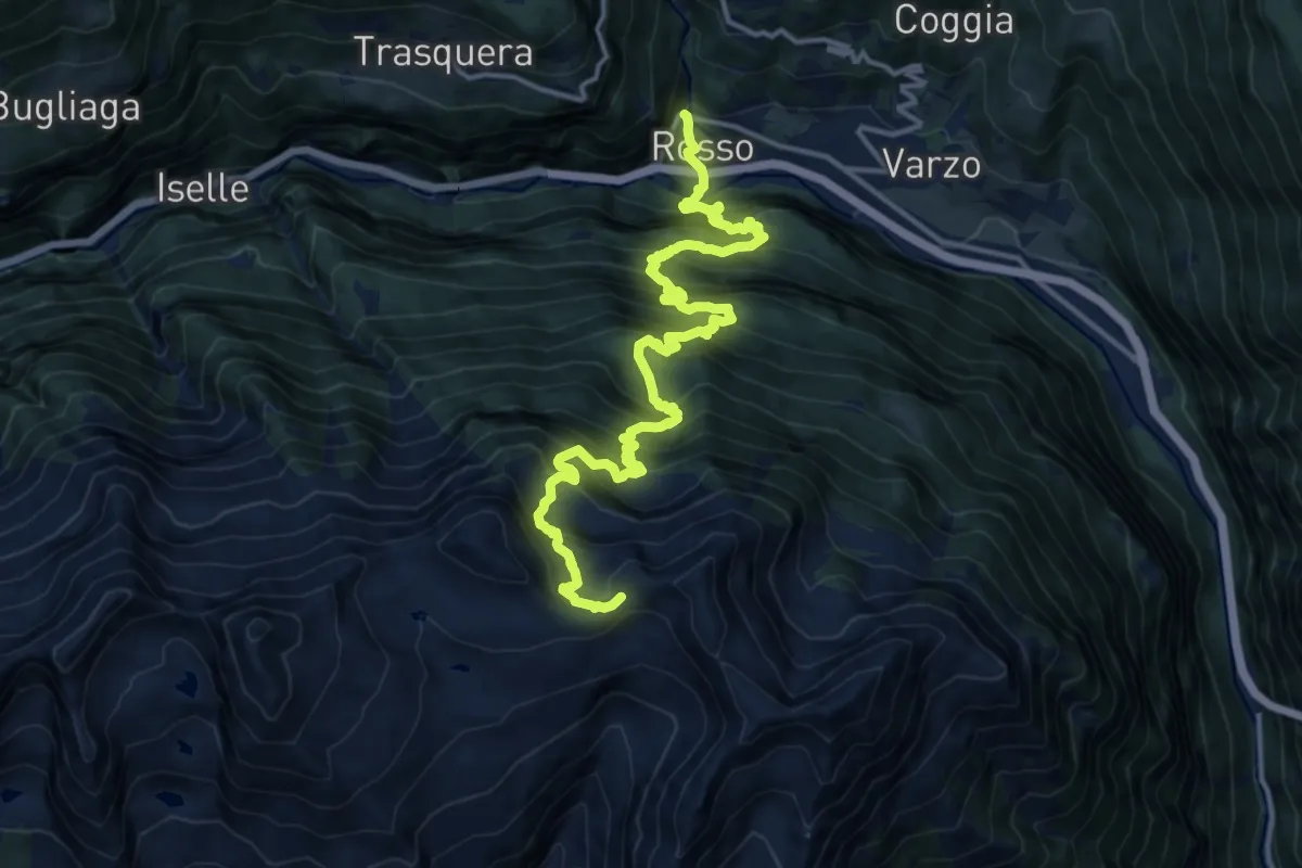
Demanding · Trail
F95 - Varzo - Passo di Variola
8.7 km · ↑ 1819 m · 5 h 18 min · 11 km away
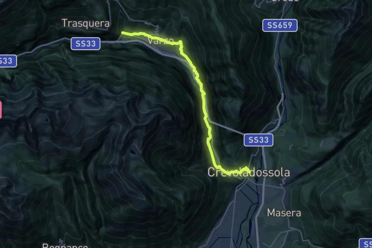
Expert · Trail
F00 - Crevoladossola Municipio - Gondo
22.4 km · ↑ 898 m · 7 h 14 min · 11 km away
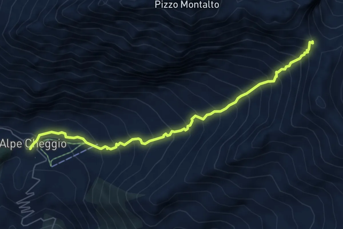
Demanding · Cabin
C24 - Cheggio - Passo del Fornalino
6.0 km · ↑ 862 m · 3 h 17 min · 11 km away
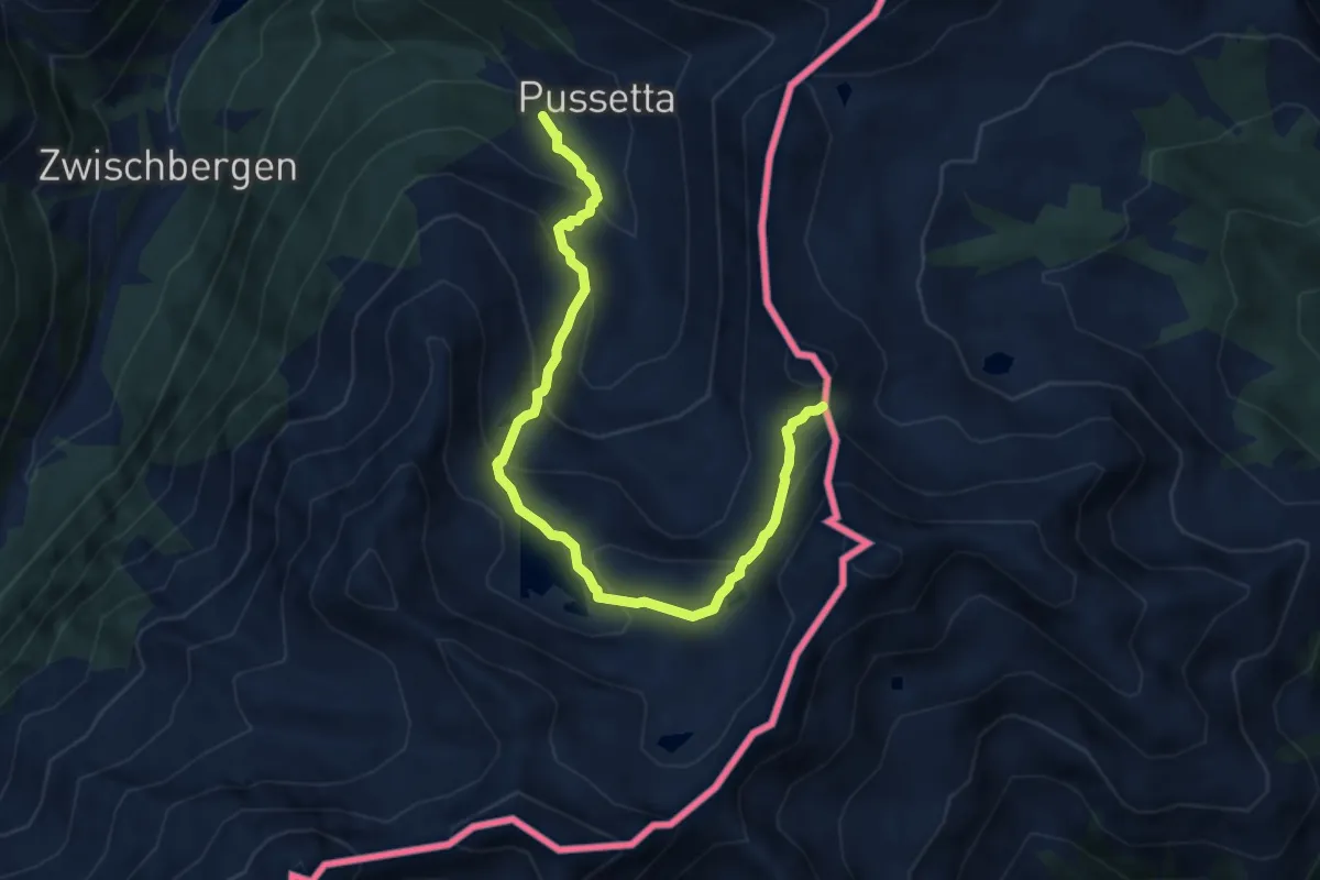
Medium · Trail
Pussetta - Bocchetta di Gattascosa
8.5 km · ↑ 619 m · 3 h 21 min · 12 km away
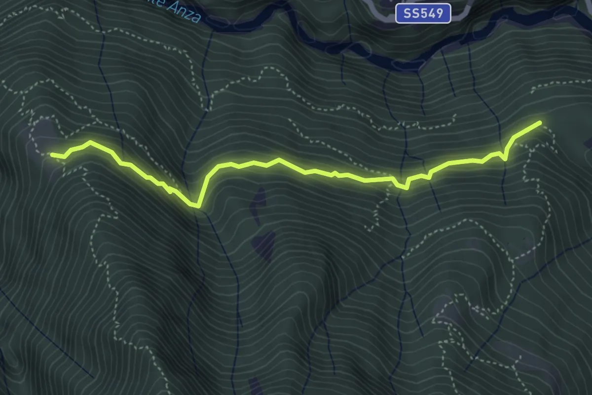
Medium · Trail
A47a - Gulo - Ca Zaine
4.7 km · ↑ 415 m · 2 h · 12 km away
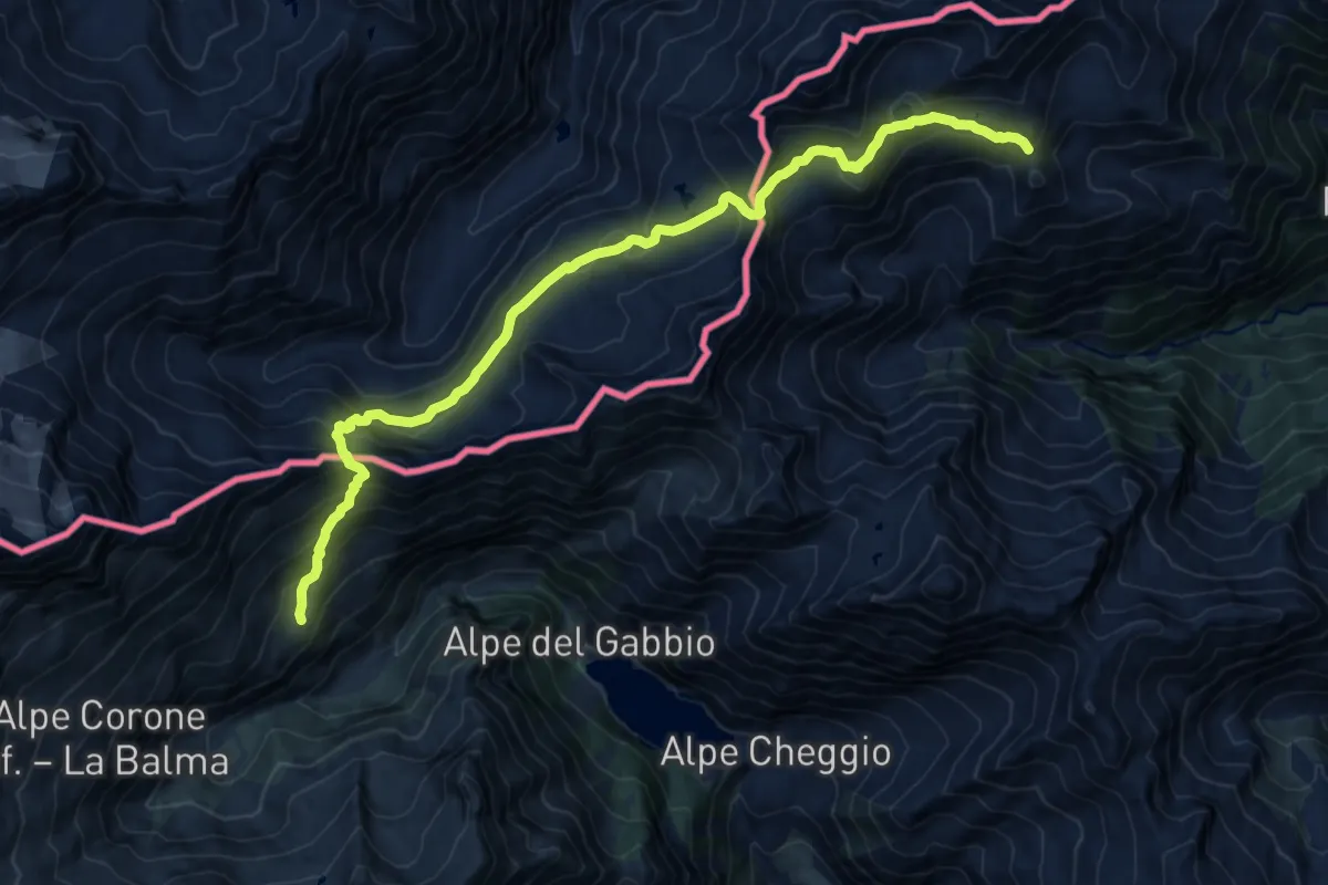
Demanding · Trail
Rifugio Andolla – Rifugio Alpe Laghetto
17.1 km · ↑ 1235 m · 6 h 43 min · 12 km away
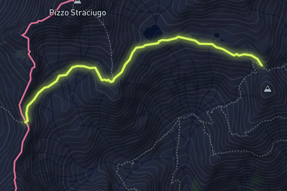
Medium · Trail
D18 - Bivio D98 presso Alpe Vallaro - Passo di Pontimia
5.3 km · ↑ 328 m · 1 h 58 min · 12 km away
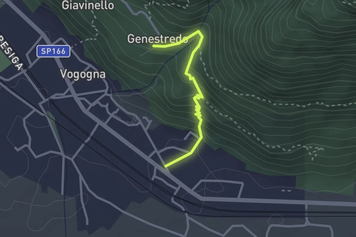
Medium · Trail
A34a - Vogogna - La Rocca - Genestredo
2.1 km · ↑ 220 m · 58 min · 12 km away
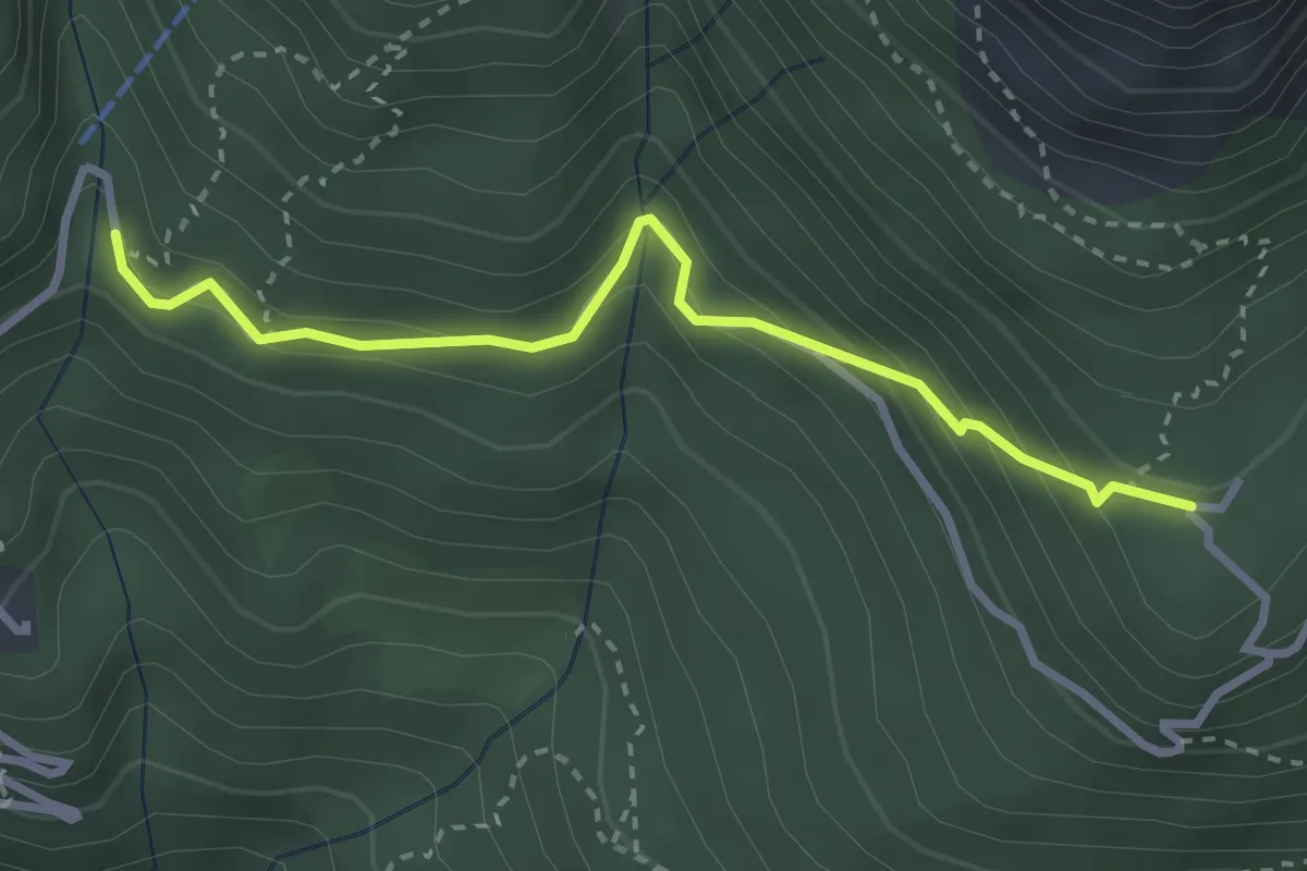
Medium · Trail
A38a - bivio A38 Colloro - Alpe Lut bivio A40
3.0 km · ↑ 273 m · 1 h 18 min · 12 km away
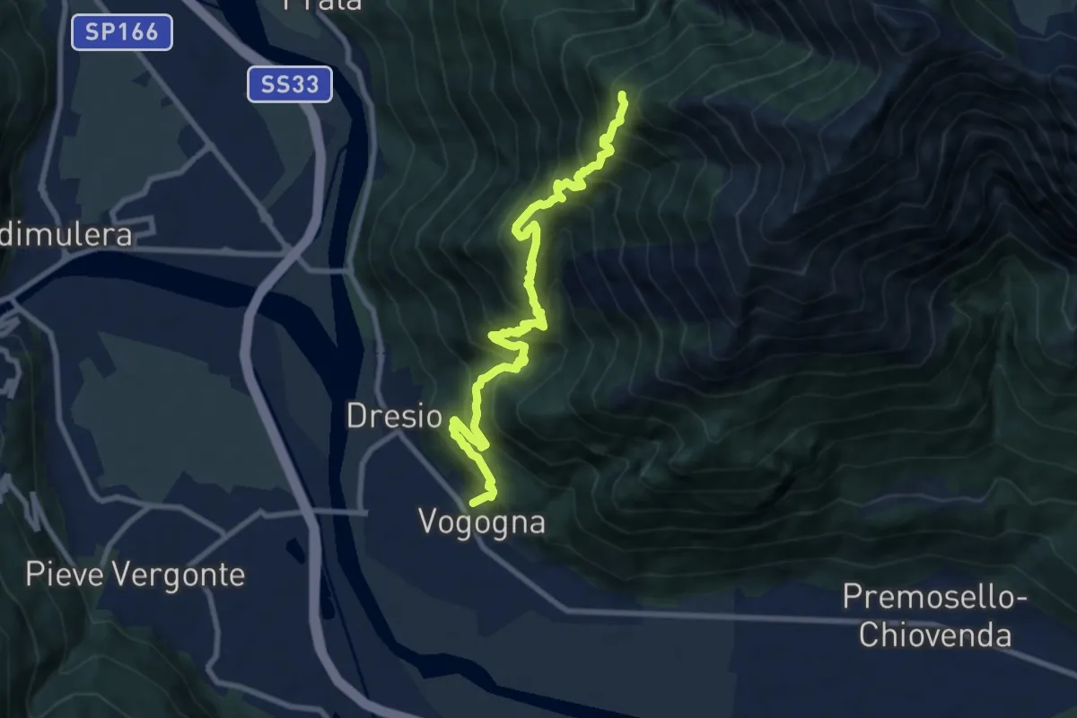
Demanding · Trail
A32 - Vogogna - Alpe Ceresola - bivio A28
9.5 km · ↑ 1082 m · 4 h 35 min · 12 km away
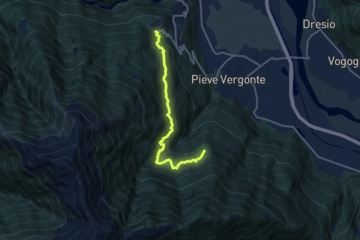
Medium · Trail
bivio A47 La Crosa – Casa Fontàn
7.5 km · ↑ 714 m · 3 h 19 min · 12 km away
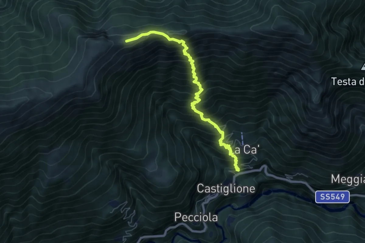
Demanding · Trail
B02 - Castiglione - Laghetto della Colma - Erbalunga
6.7 km · ↑ 1002 m · 3 h 45 min · 12 km away
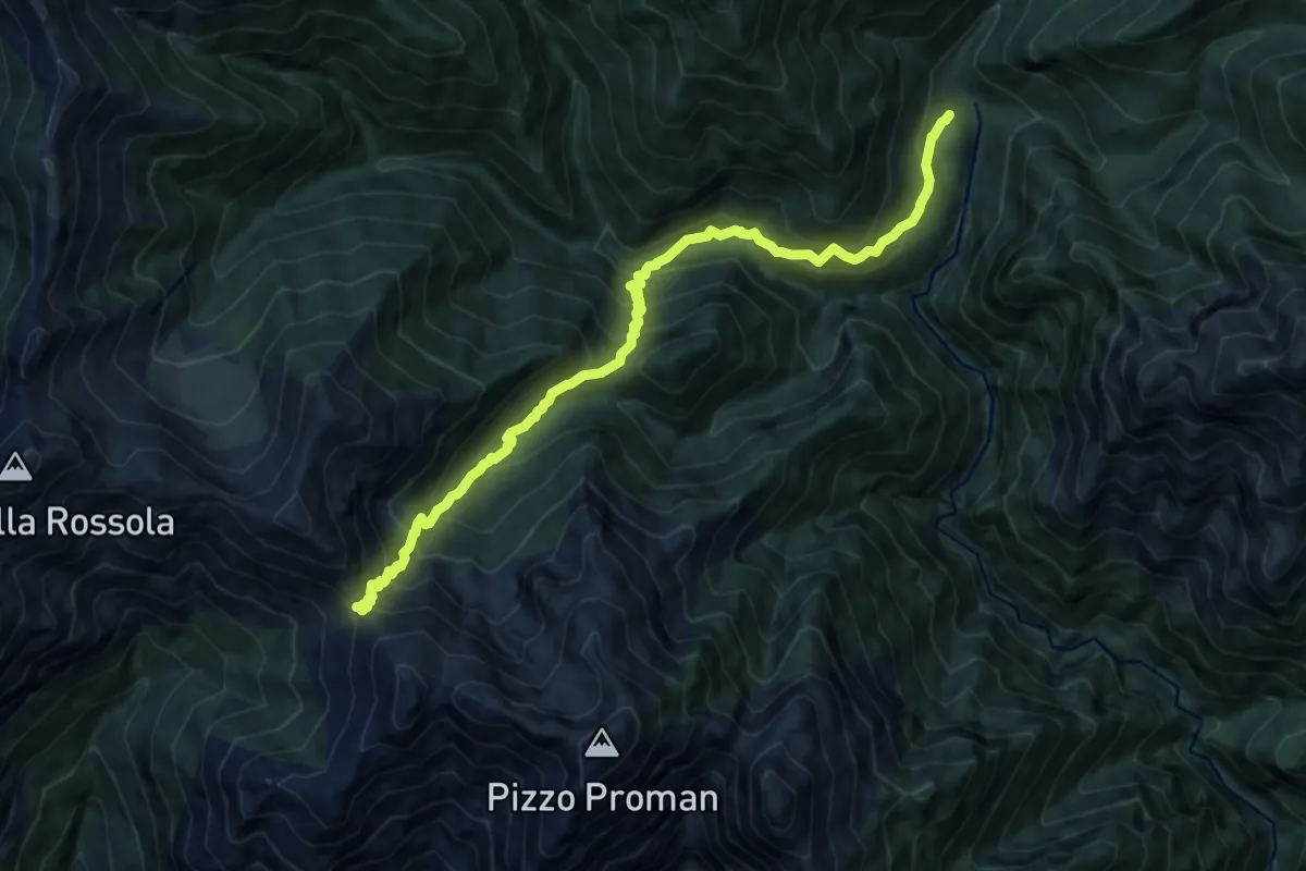
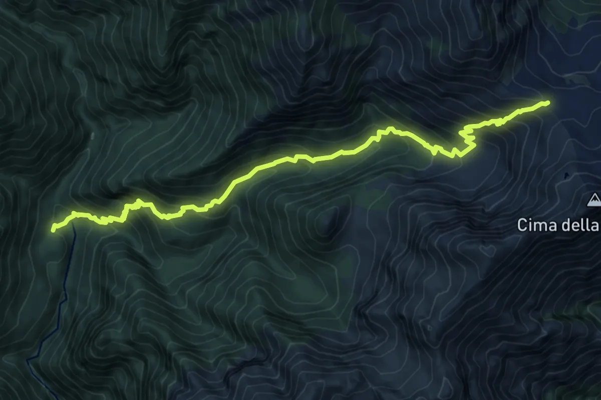
Demanding · Cabin
P40 - Alpe in La Piana - Alpe della Colma
11.7 km · ↑ 1207 m · 5 h 23 min · 12 km away
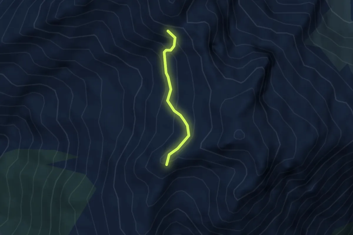
Demanding · Cabin
P30 - Alpe in La Piana - Alpe Scaredi
11.5 km · ↑ 1021 m · 4 h 56 min · 12 km away
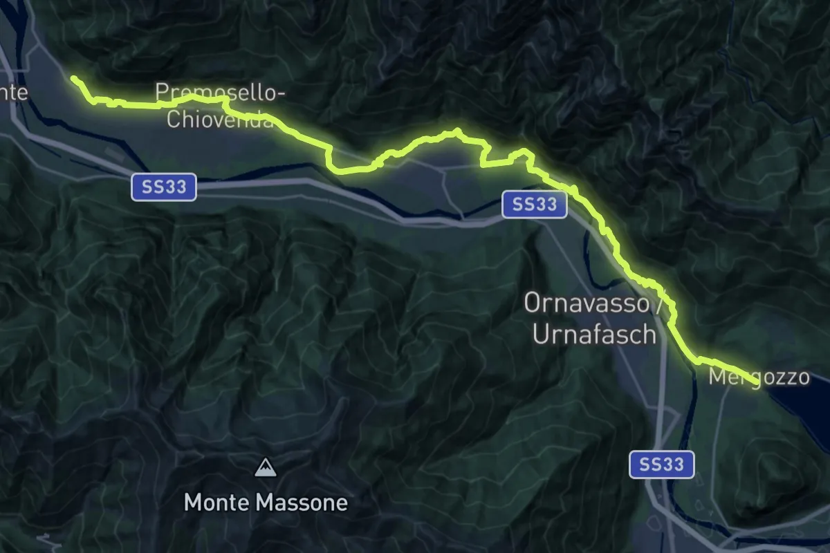
Demanding · Trail
C20a - bivio C20 - Alpe Pianello - bivio C22
2.4 km · ↑ 250 m · 1 h 7 min · 12 km away
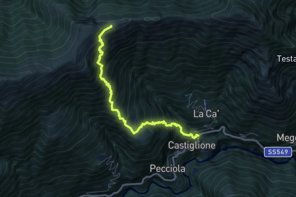
Demanding · Trail
A00 - Strada Romana (seconda sezione)
17.4 km · ↑ 299 m · 5 h 1 min · 12 km away
Demanding · Trail
B04 - Castiglione - Erbalunga
7.3 km · ↑ 1032 m · 3 h 58 min · 12 km away
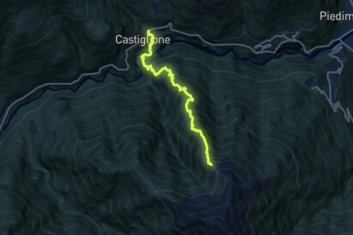
Expert · Trail
B01 - Castiglione - Alpe Marmazzuolo fuori
7.9 km · ↑ 1114 m · 4 h 16 min · 12 km away
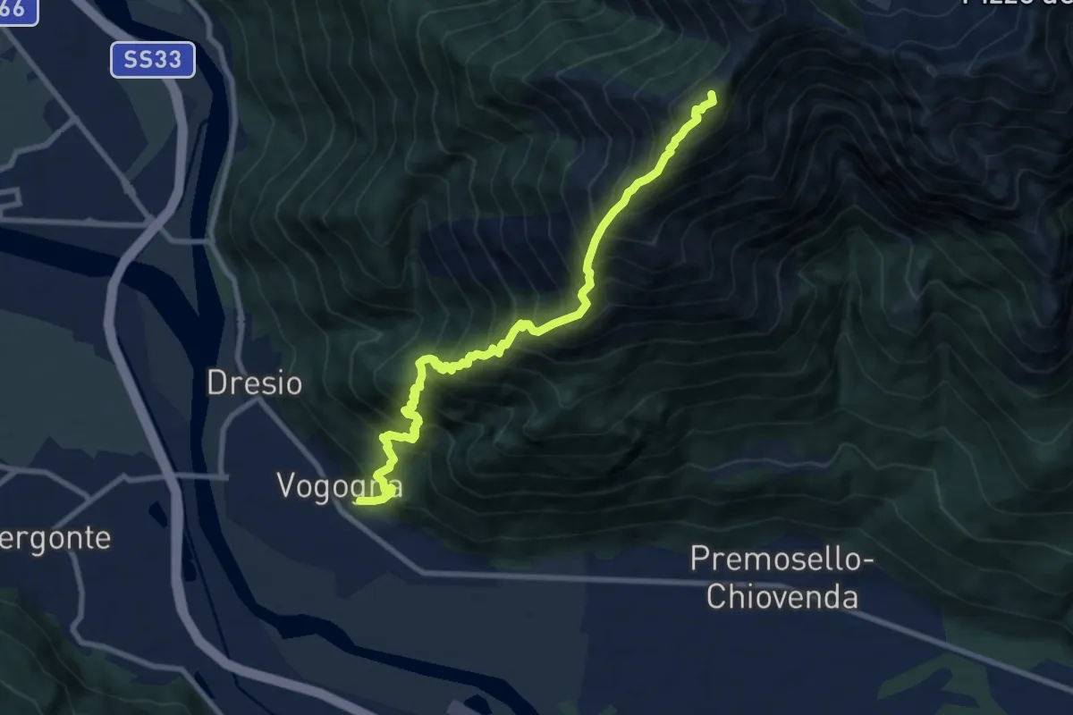
Expert · Summit
A34 - Vogogna - Pizzo Lacina
9.3 km · ↑ 1694 m · 5 h 52 min · 12 km away
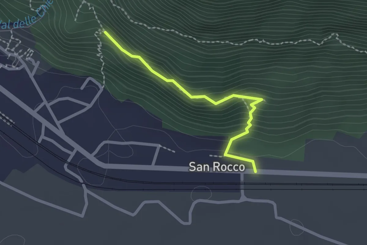
Medium · Trail
A00d - Vogogna fraz San Rocco - Sentiero Geologico - bivio A34a La Rocca
2.0 km · ↑ 173 m · 50 min · 12 km away
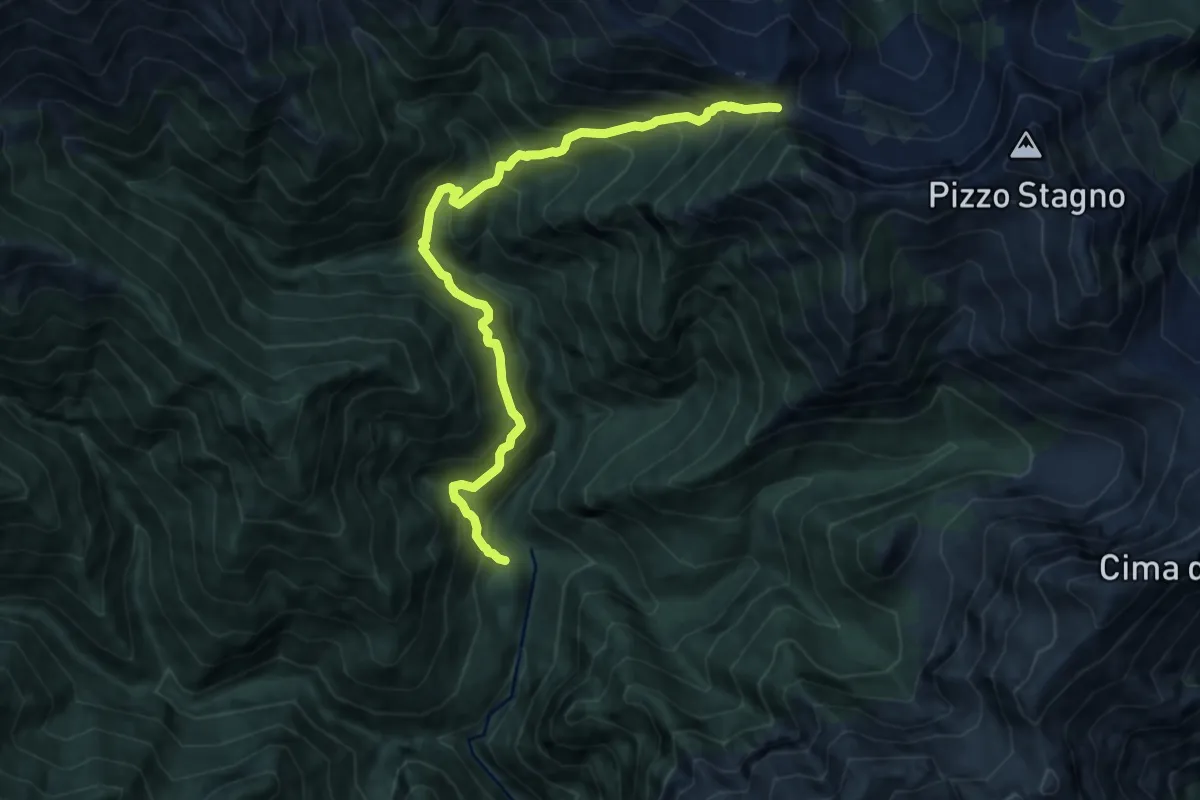
Demanding · Cabin
P18 - Alpe in la Piana - Bocchetta di Vald
10.3 km · ↑ 1229 m · 5 h 6 min · 12 km away
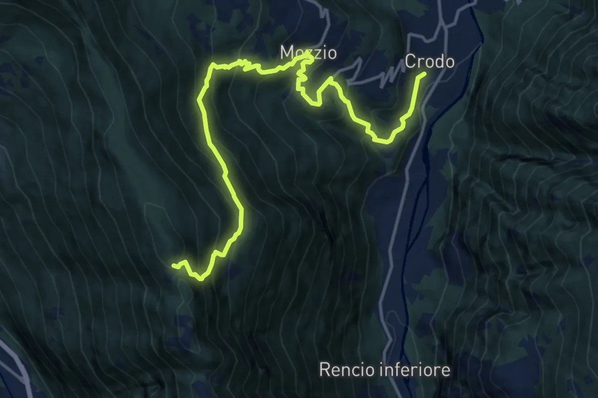
Demanding · Trail
G05 - Crodo - Alpe Genuina
14.1 km · ↑ 1240 m · 6 h 2 min · 12 km away
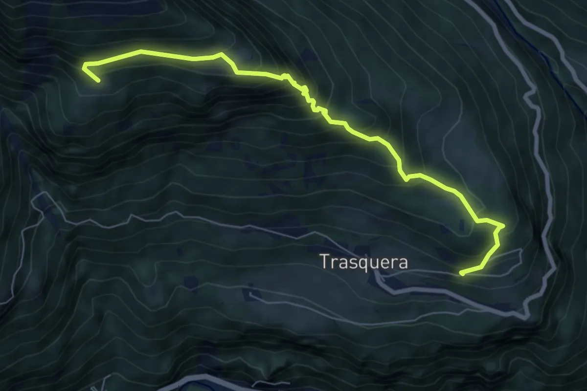
Medium · Trail
F38 - Trasquera - Agro Dentro
7.1 km · ↑ 746 m · 3 h 17 min · 12 km away
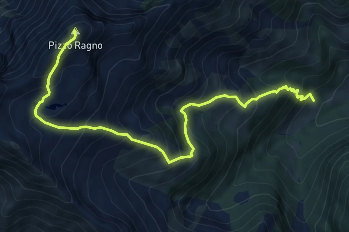
Demanding · Summit
M30 - All'Erta - Pizzo Ragno
8.4 km · ↑ 985 m · 4 h 7 min · 12 km away
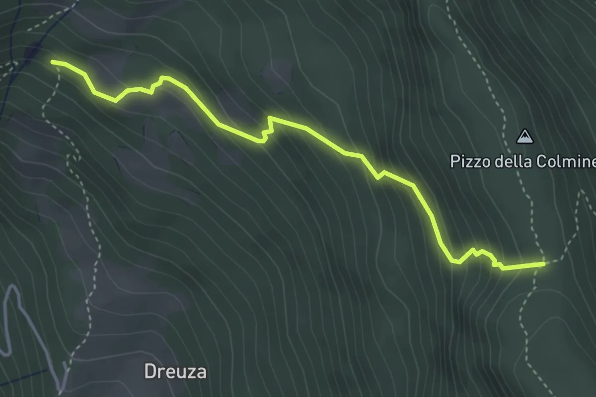
Medium · Trail
F04 - Bivio F06 - Passodella Colmine
3.9 km · ↑ 380 m · 1 h 44 min · 12 km away
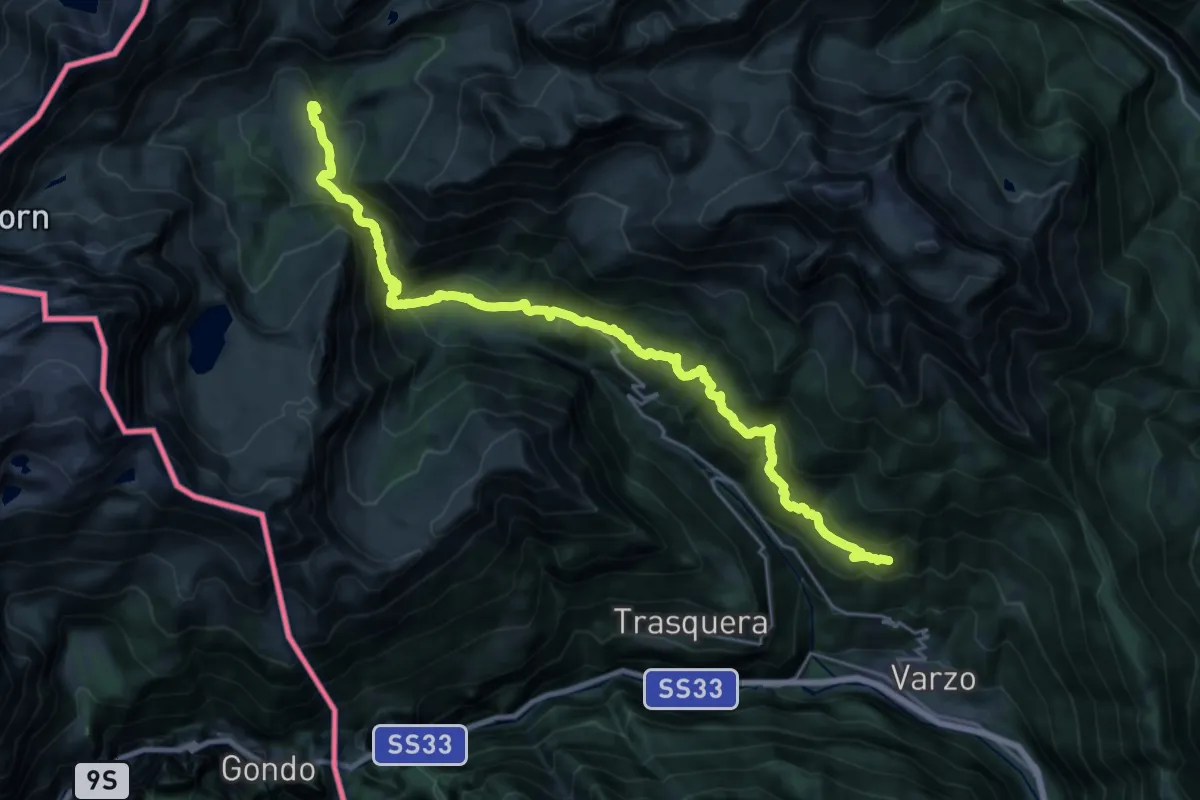
Demanding · Cabin
F10 - Alpe Nava - Alpe Veglia
13.4 km · ↑ 1201 m · 5 h 37 min · 12 km away
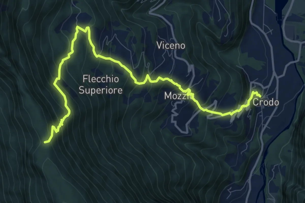
Demanding · Trail
G07 - Crodo - Passo della Colmine
12.1 km · ↑ 1070 m · 5 h 10 min · 12 km away
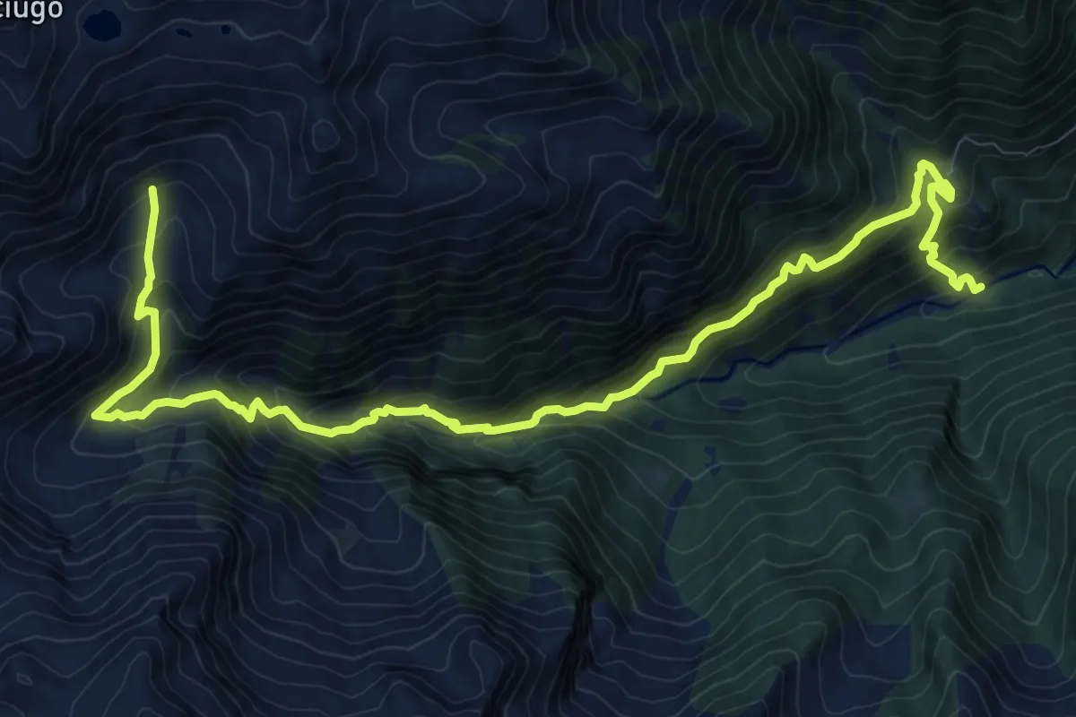
Demanding · Trail
D20 - Picciola - Alpe Campo
14.0 km · ↑ 1361 m · 6 h 16 min · 12 km away
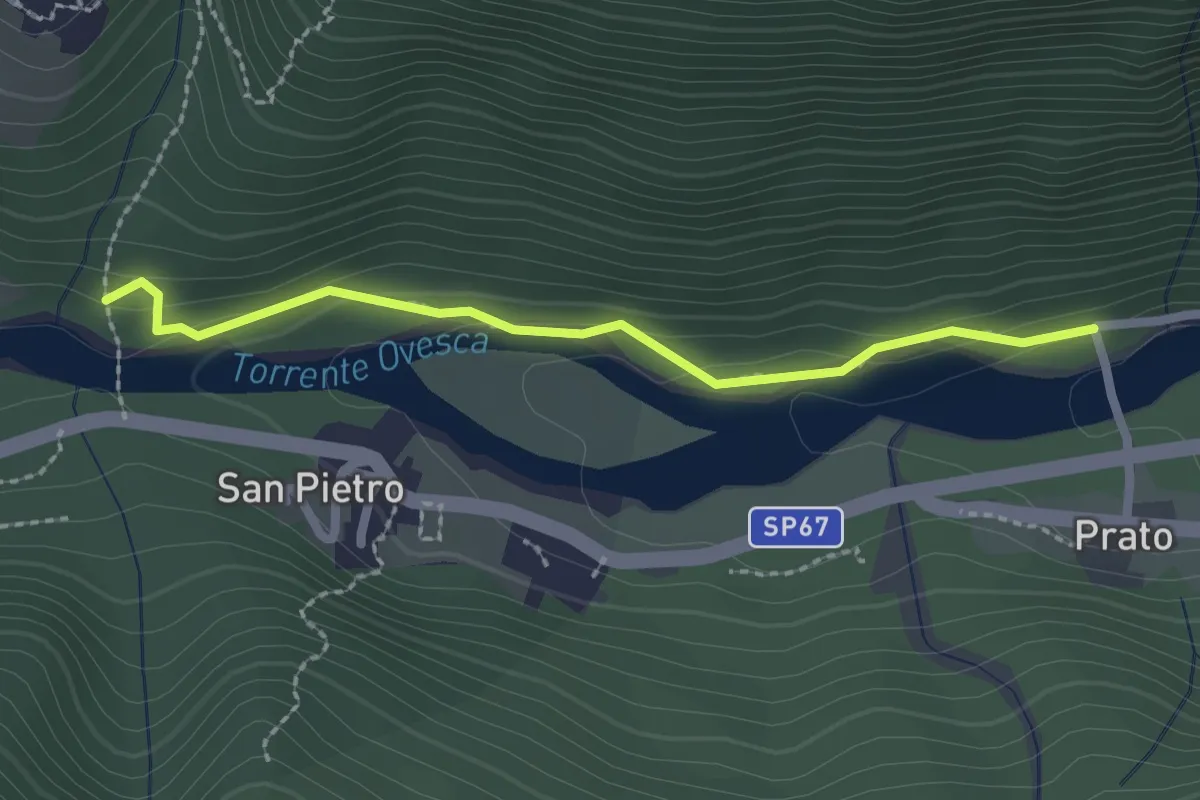
Medium · Trail
C00t - Ruginenta - Via per Schieranco, bivio C16
2.2 km · ↑ 56 m · 39 min · 12 km away
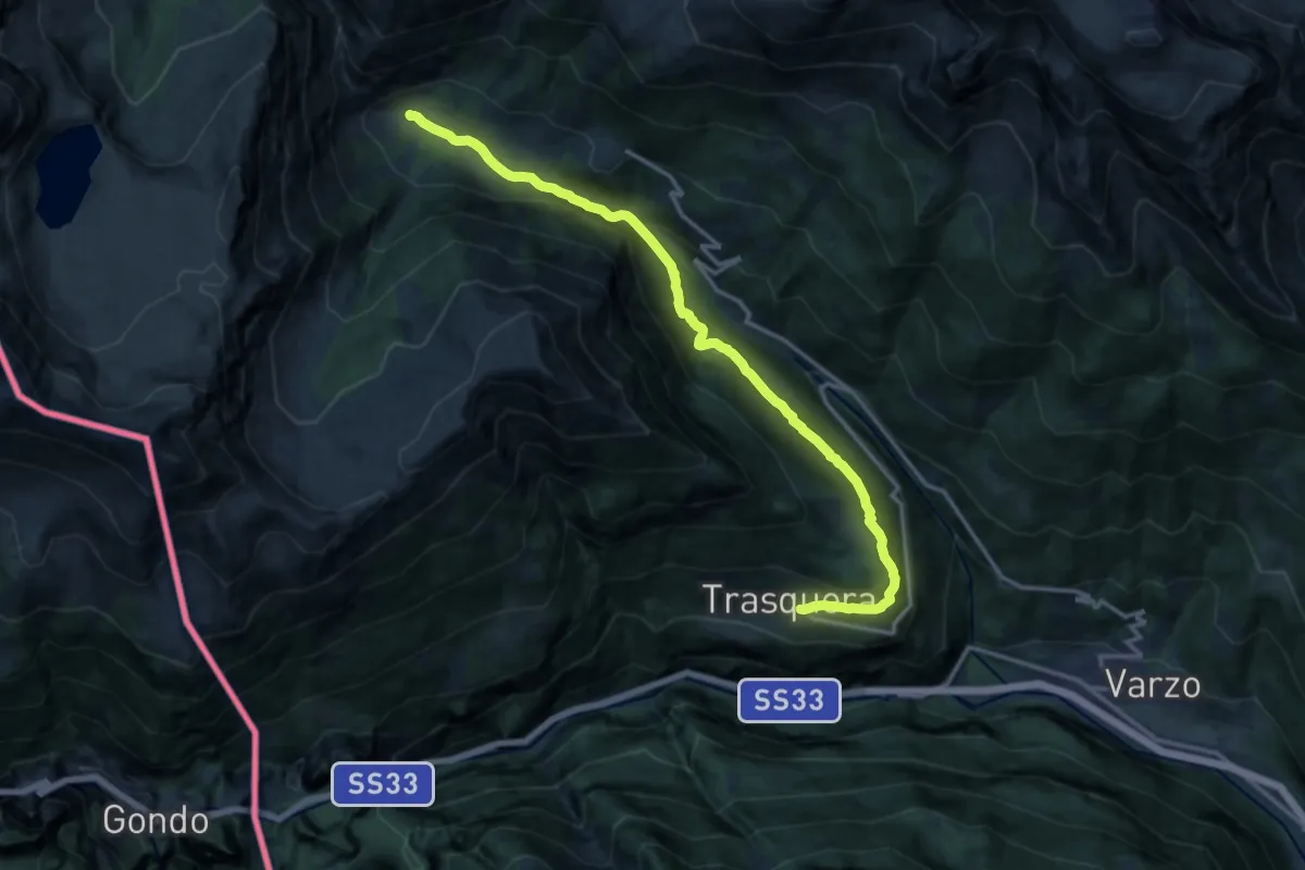
Demanding · Trail
F36 - Trasquera - Ponte Campo
15.2 km · ↑ 811 m · 5 h 20 min · 12 km away
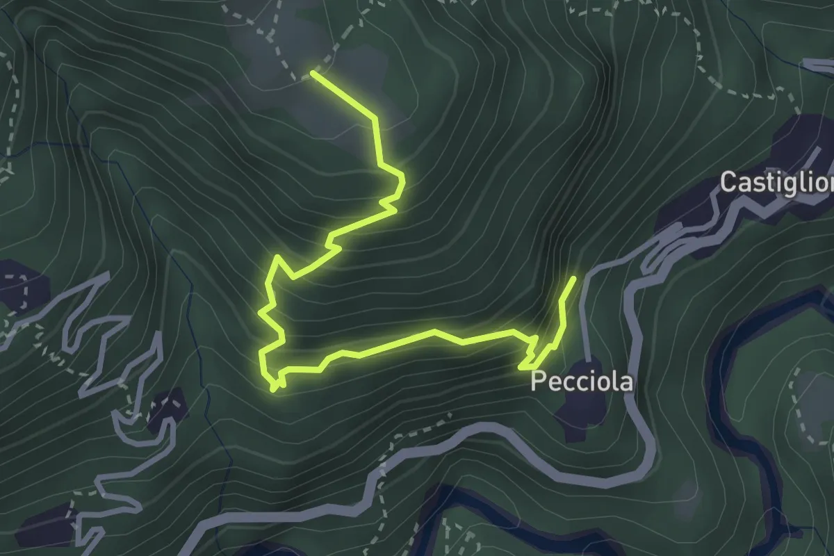
Medium · Trail
B04a - Pecciola - Drocala
3.4 km · ↑ 419 m · 1 h 42 min · 12 km away
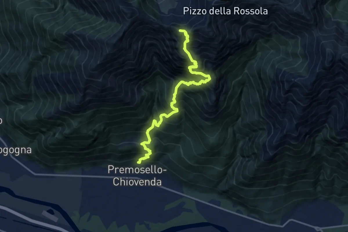
Demanding · Summit
A38 - Premosello - Bocchetta di Saler
12.0 km · ↑ 1810 m · 6 h 46 min · 12 km away
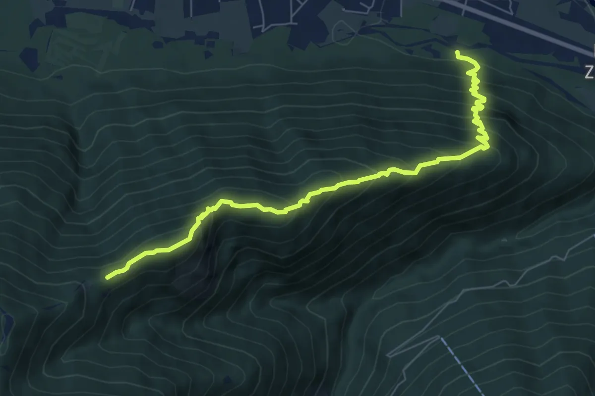
Demanding · Trail
M08a - Siberia - Alpe Cima
7.4 km · ↑ 753 m · 3 h 23 min · 12 km away
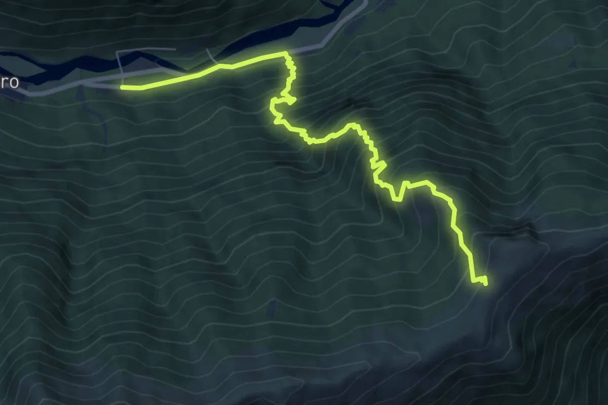
Demanding · Cabin
C96 - Prato - Alpe Colma dei Prei
8.0 km · ↑ 1063 m · 4 h 12 min · 12 km away
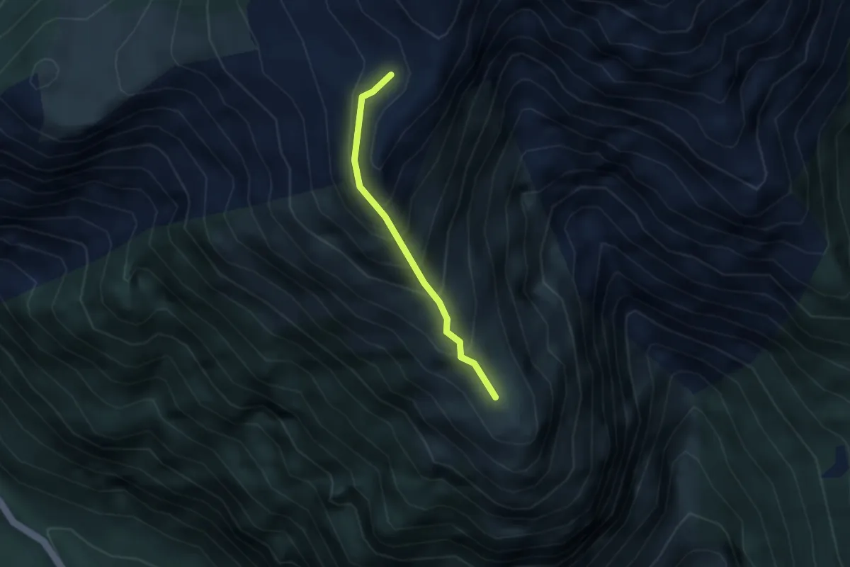
Demanding · Trail
C20b - bivio C20 - Alpe Pena
2.4 km · ↑ 258 m · 1 h 8 min · 13 km away
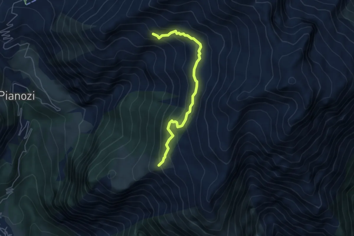
Medium · Trail
C22a - Alpe Ro - Cumper - Pietra del Merler - Cama di mezzo
4.7 km · ↑ 300 m · 1 h 45 min · 13 km away
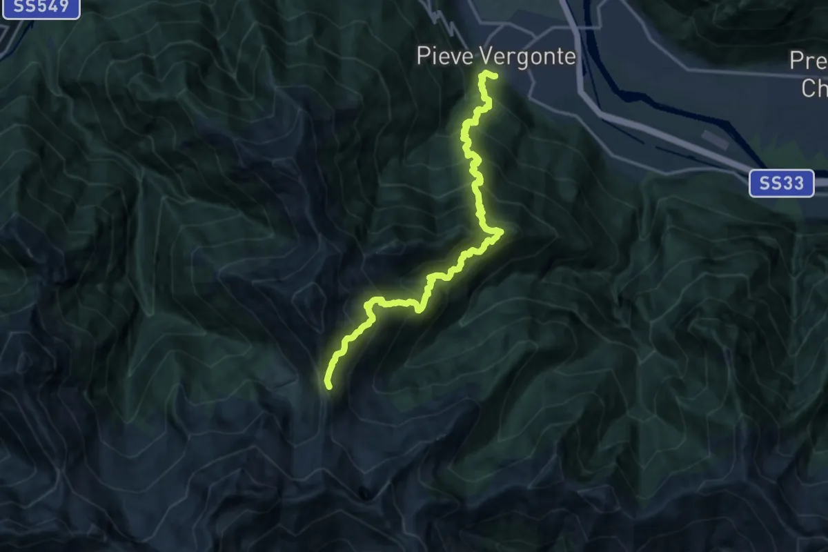
Demanding · Trail
A45 - Pieve Vergonte - bivio B97 Alpe Pian Lago
7.7 km · ↑ 1766 m · 5 h · 13 km away
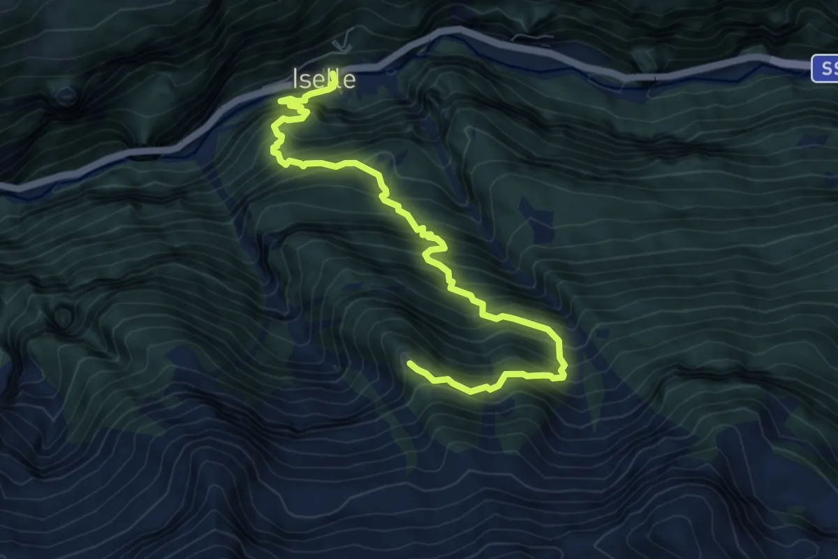
Demanding · Trail
F05 - Iselle - Alpe Loio
8.6 km · ↑ 1225 m · 4 h 41 min · 13 km away
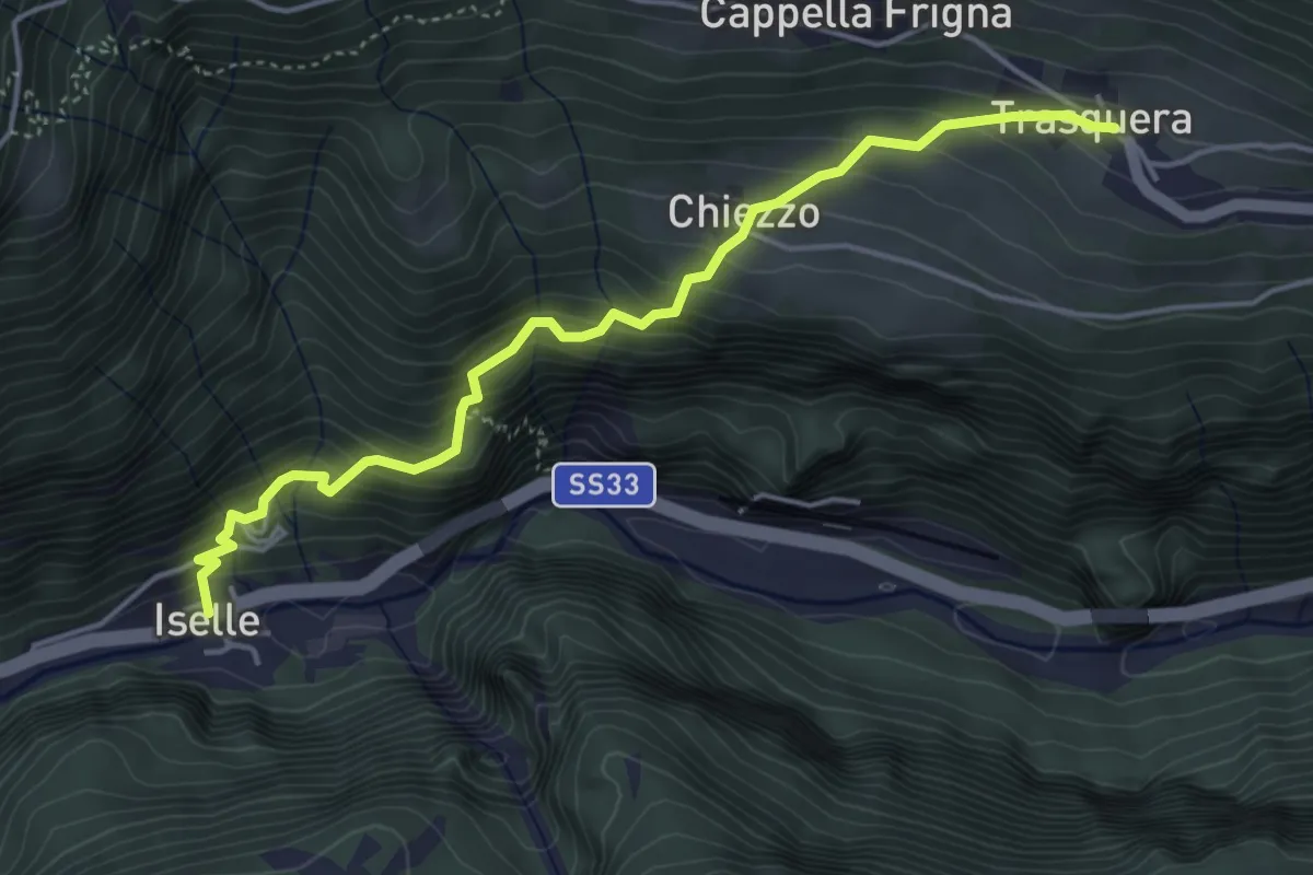
Medium · Trail
F34 - Iselle - Trasquera
4.7 km · ↑ 494 m · 2 h 10 min · 13 km away
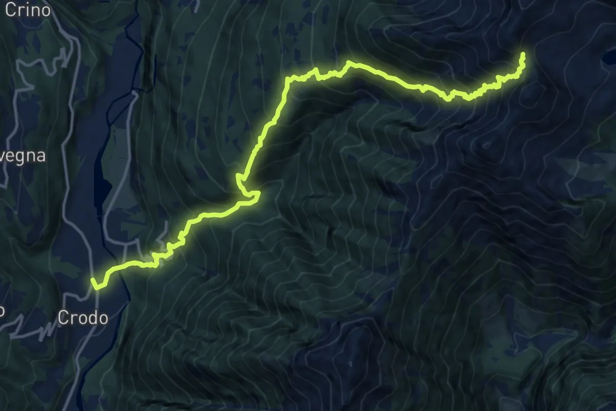
Demanding · Trail
G04 - Crodo - Passo della Forcoletta
8.6 km · ↑ 1843 m · 5 h 14 min · 13 km away
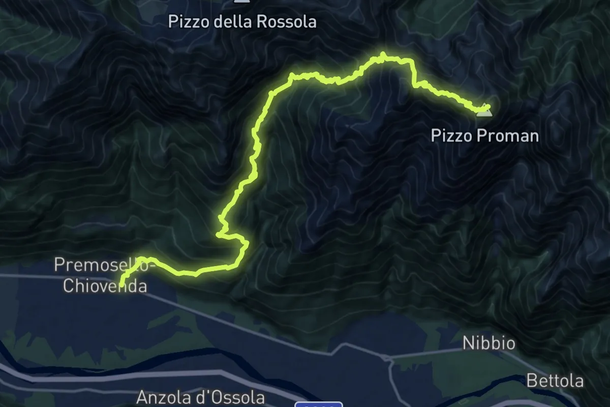
Demanding · Summit
A40 - Premosello - Pizzo Proman
20.7 km · ↑ 2231 m · 9 h 44 min · 13 km away
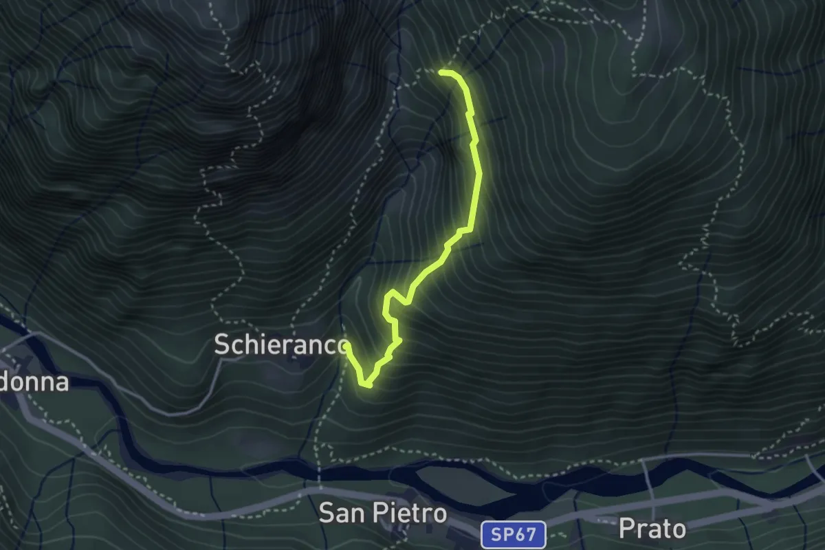
Medium · Trail
C16v - bivio C16 (Schieranco) - bivio C16 (Alpe Cavallo)
2.9 km · ↑ 426 m · 1 h 37 min · 13 km away
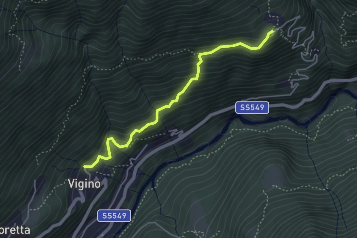
Medium · Trail
B96a - Vigino - Olino
3.7 km · ↑ 389 m · 1 h 44 min · 13 km away
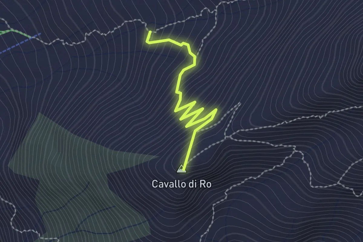
Medium · Summit
C24a - bivio C24 - Cavallo di Ro, bivio C22 (baite)
2.2 km · ↑ 218 m · 1 h · 13 km away
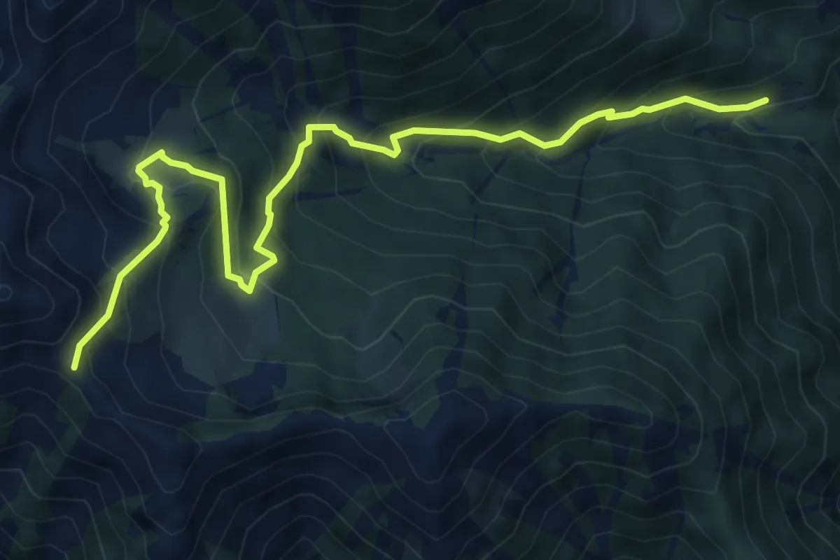
Medium · Trail
M13 - Cortino - Passo della Margina
8.4 km · ↑ 748 m · 3 h 36 min · 13 km away