Trails near Domodossola
260 hikes starting within 15 km, nearest first.
Nearest first, page 5 of 6
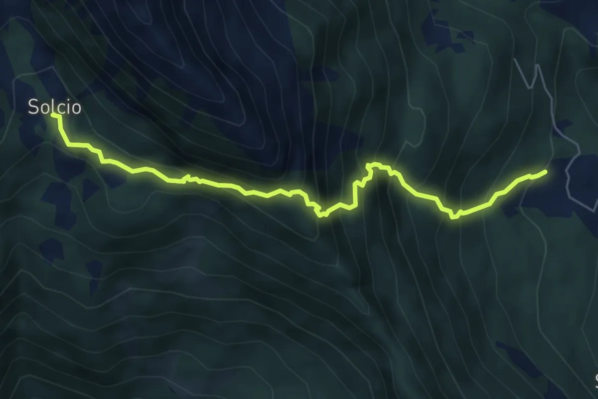
Expert · Trail
Foppiano-Costa
6.0 km · ↑ 764 m · 3 h 5 min · 13 km away
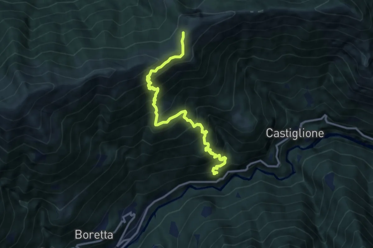
Demanding · Cabin
B96 - Porcareccia - Alpe della Colma
9.5 km · ↑ 1060 m · 4 h 33 min · 13 km away
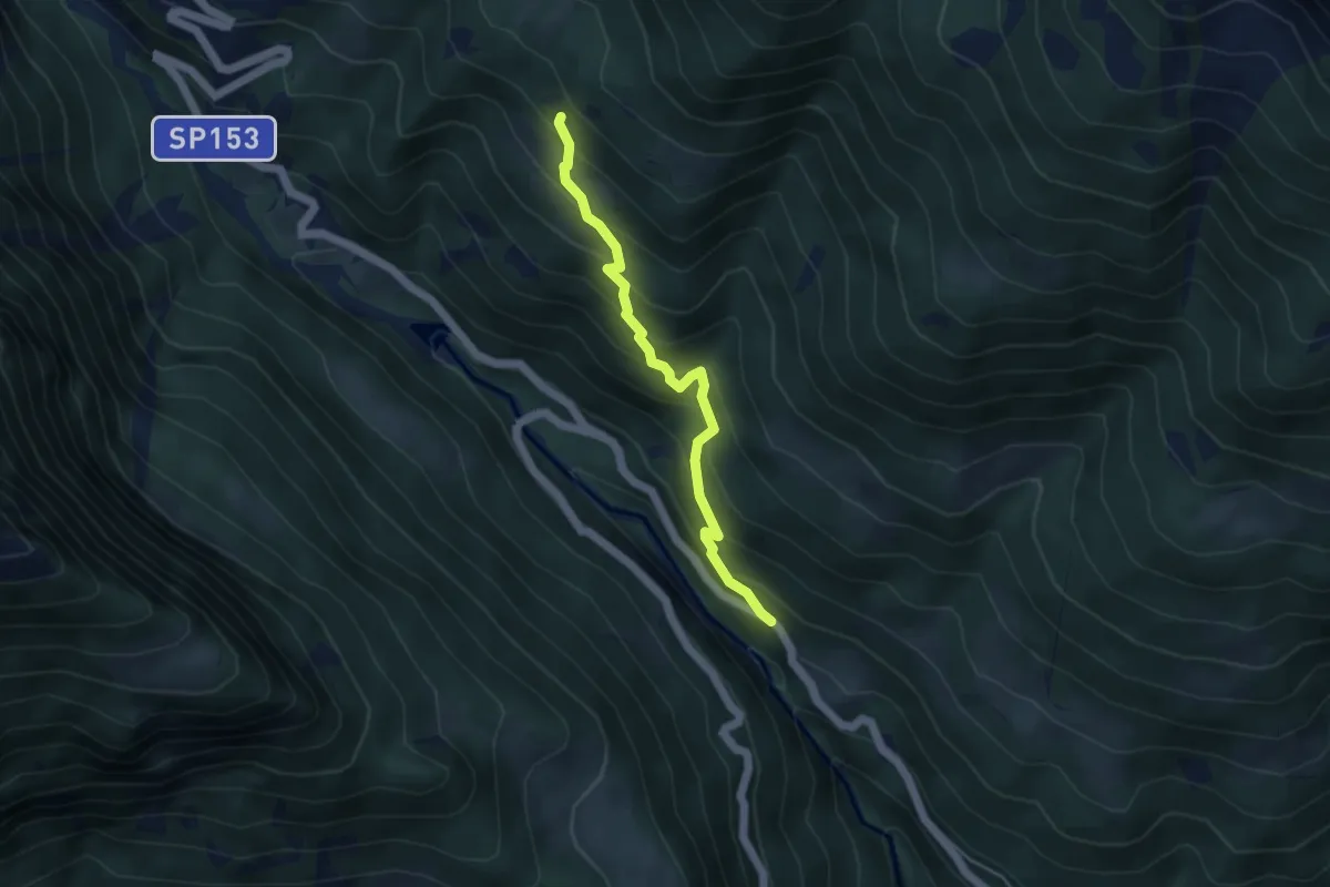
Medium · Trail
F12 da Maulone sp per S. Domenico 957 mt a bivio F10 1400 mt
4.2 km · ↑ 434 m · 1 h 56 min · 13 km away
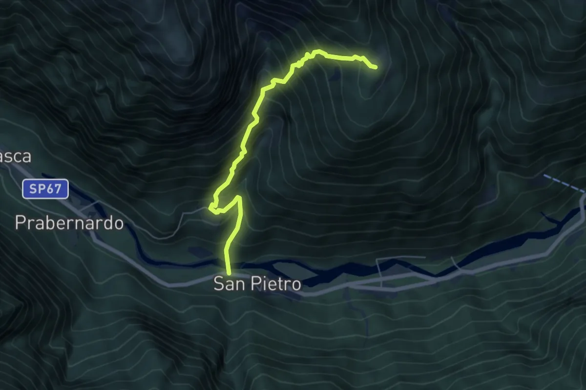
Medium · Trail
C16 - San Pietro, bivio C00 - Alpe Cavallo
5.5 km · ↑ 712 m · 2 h 50 min · 13 km away
Demanding · Cabin
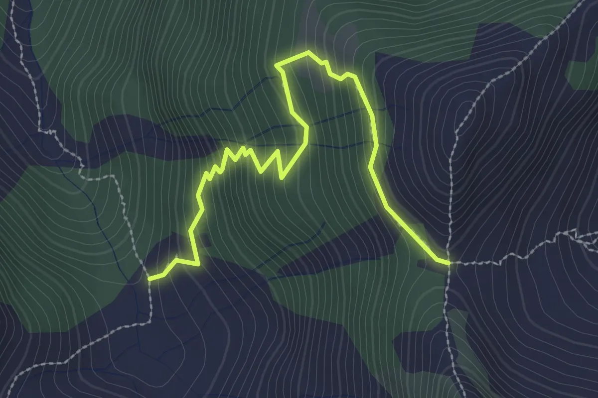
M10f - Alpe Bondolo - Bocchetta di Cavalla
3.0 km · ↑ 322 m · 1 h 25 min · 13 km away
Demanding · Cabin
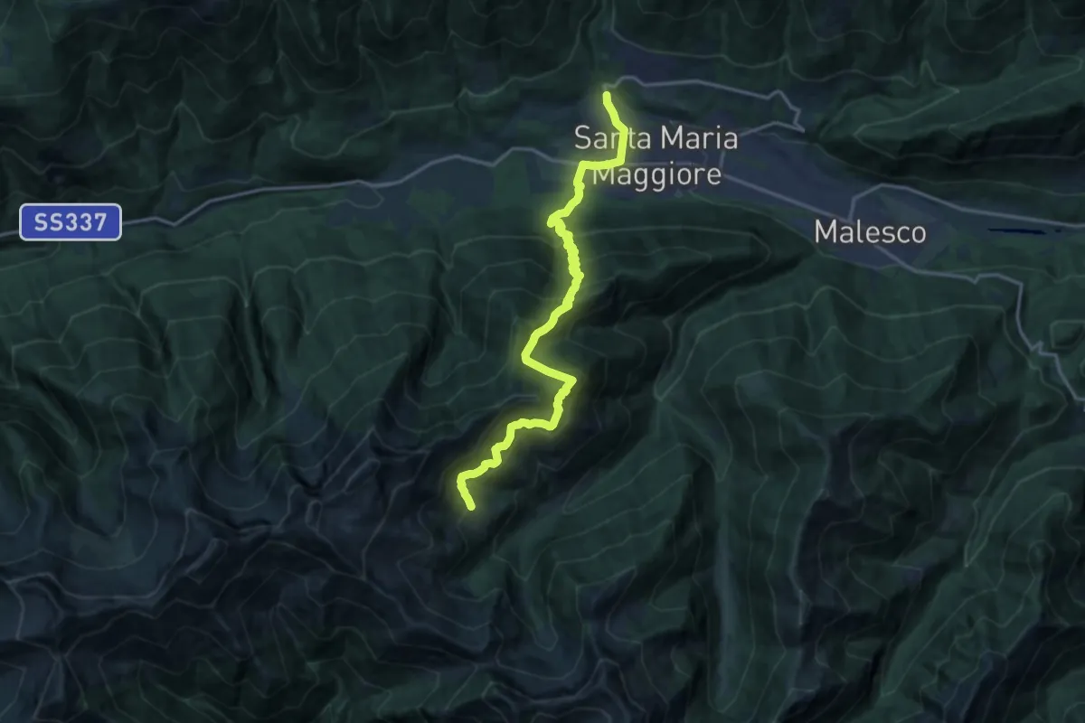
M08 - Santa Maria Maggiore - Rifugio Al Cedo
16.5 km · ↑ 1367 m · 6 h 52 min · 13 km away
Medium · Trail
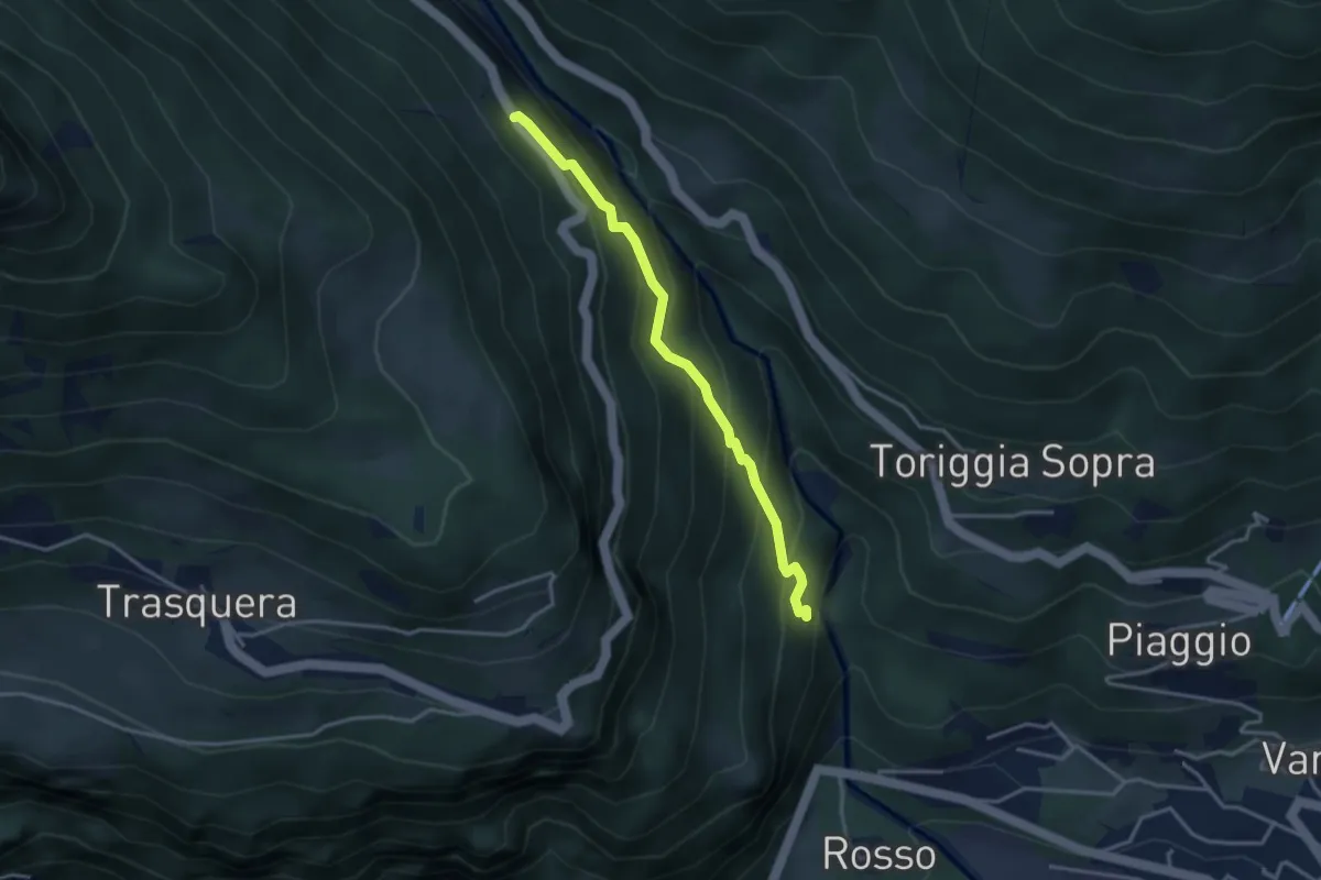
Varzo (ponte Boldrini) bivio F00 quota 700 mt – Cioina di fuori strada provinciale quota 1000 mt
3.3 km · ↑ 293 m · 1 h 24 min · 13 km away
Easy · Trail
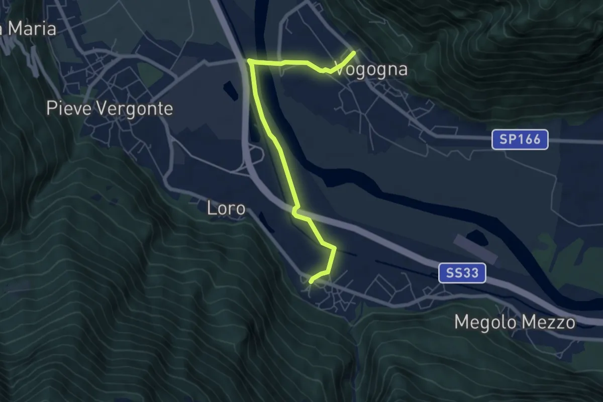
A00c - Rumianca - Vogogna
6.0 km · ↑ 13 m · 1 h 26 min · 13 km away
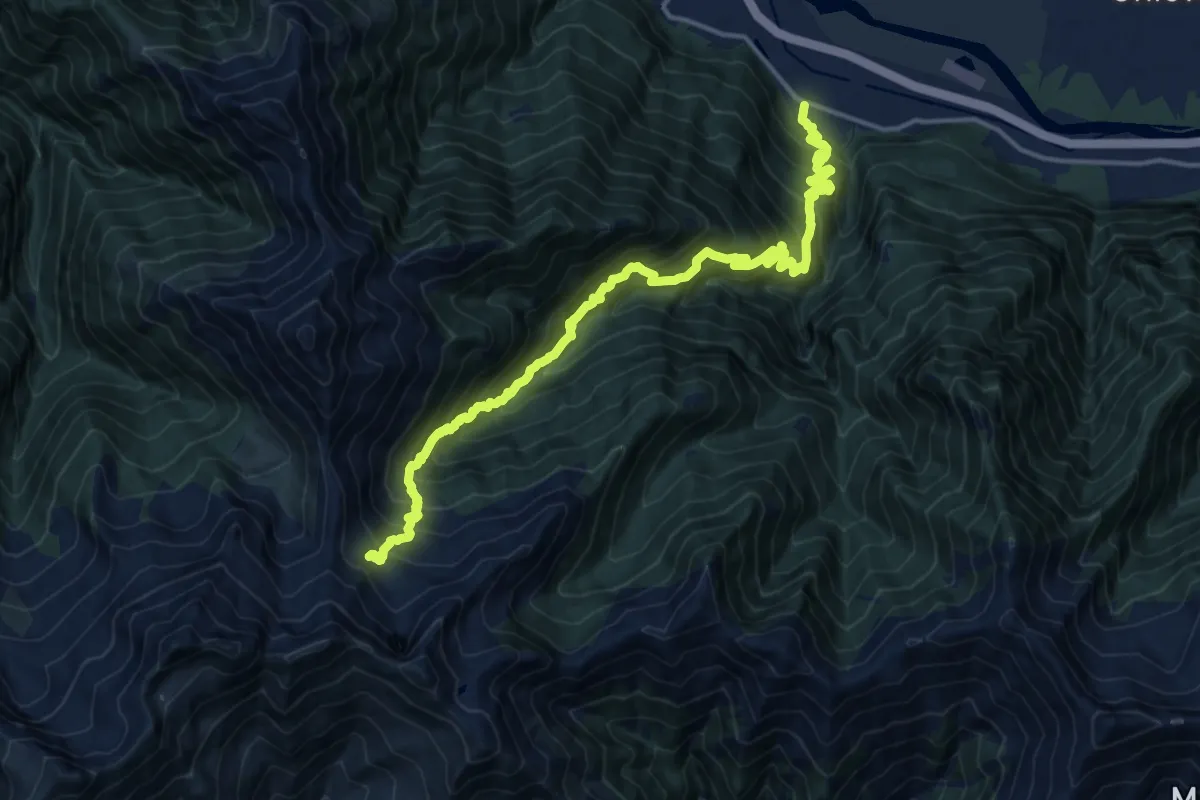
Demanding · Trail
A41 - Rumianca - Alpe Pian Lago bivio B97
9.0 km · ↑ 1747 m · 5 h 17 min · 13 km away
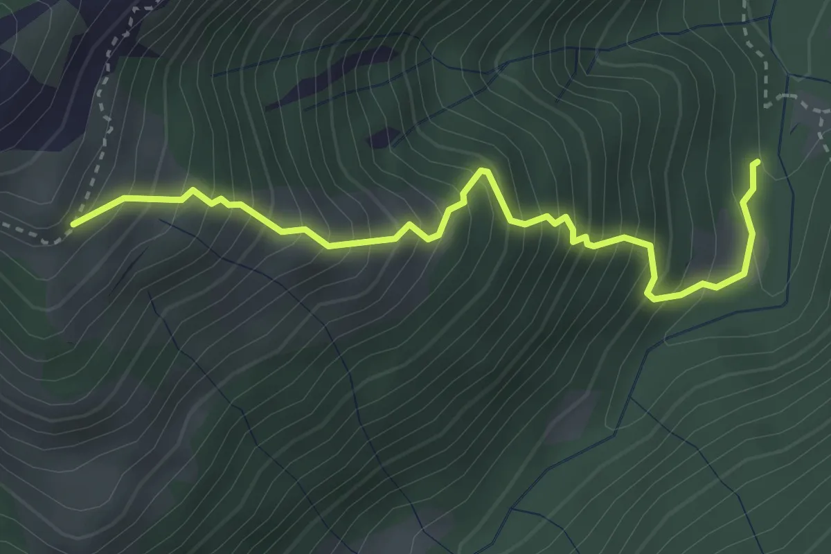
Medium · Trail
M10a - Alpe Aglio - Balmet
3.6 km · ↑ 637 m · 2 h 13 min · 14 km away
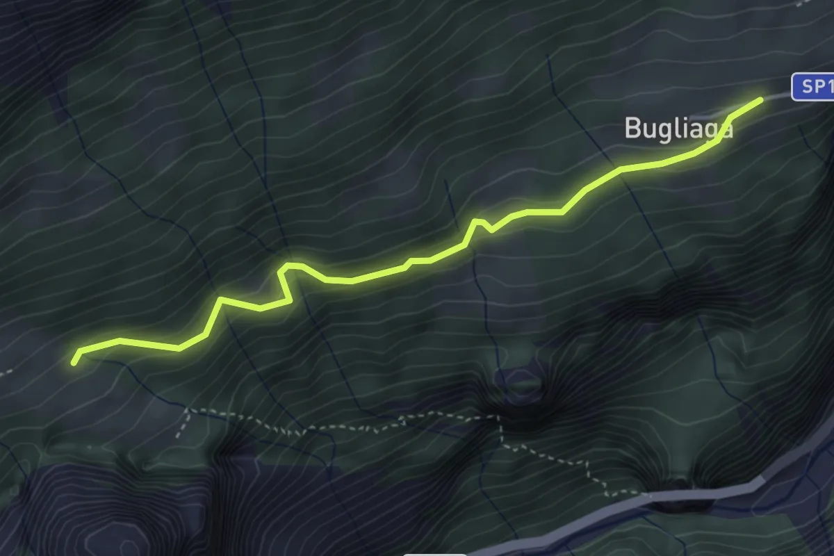
Easy · Trail
F42 - Bugliaga - Bivio F32
4.2 km · ↑ 262 m · 1 h 33 min · 14 km away
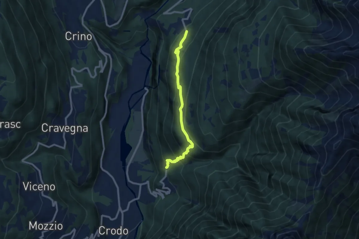
Medium · Trail
G38 - Cruppo - Crego
6.5 km · ↑ 512 m · 2 h 39 min · 14 km away
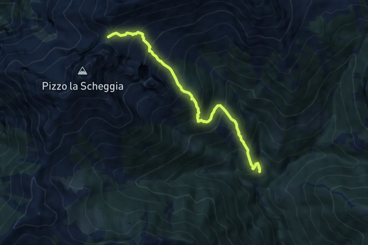
Expert · Trail
M17 - Coier - Passo Campeia
8.2 km · ↑ 1018 m · 4 h 9 min · 14 km away
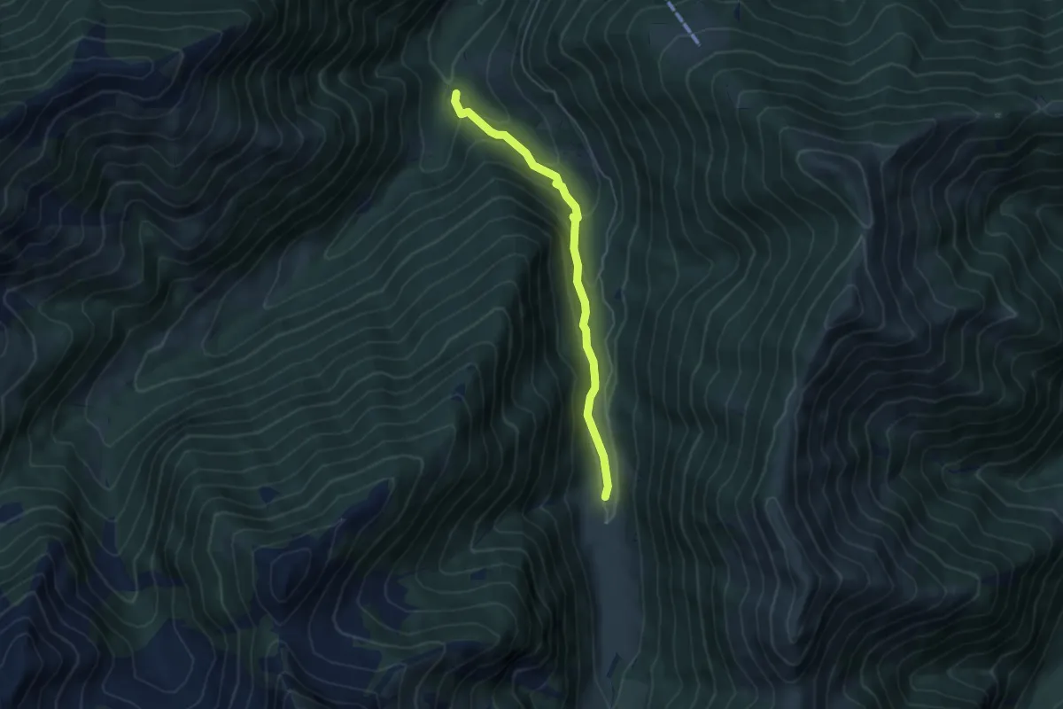
Medium · Trail
M14v - Crotte - La Cascina
4.8 km · ↑ 285 m · 1 h 45 min · 14 km away
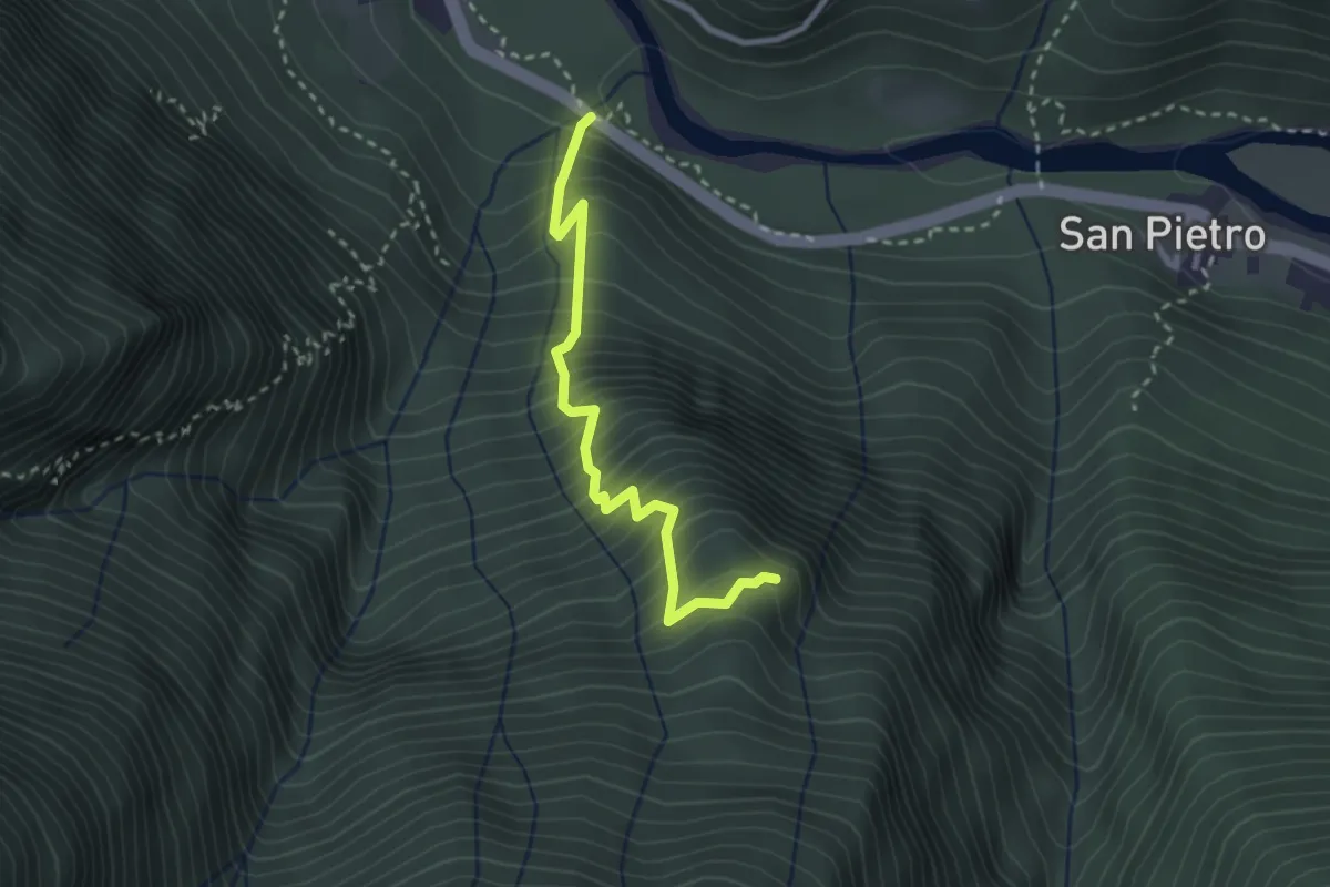
Medium · Trail
C15 - Prabernardo, bivo C00 - Alpe ciotter
2.7 km · ↑ 520 m · 1 h 47 min · 14 km away
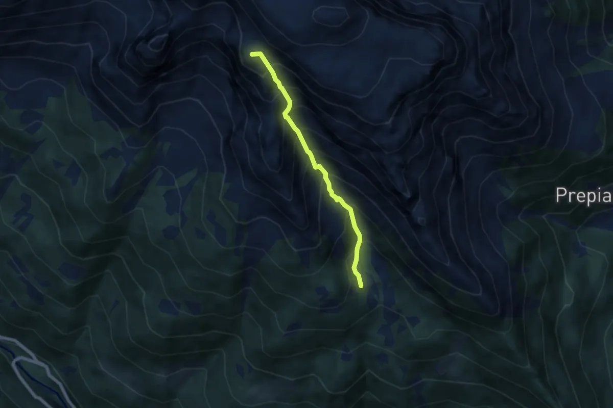
Demanding · Summit
F16a - Solcio - Bivacco G. Leoni
5.1 km · ↑ 801 m · 2 h 57 min · 14 km away
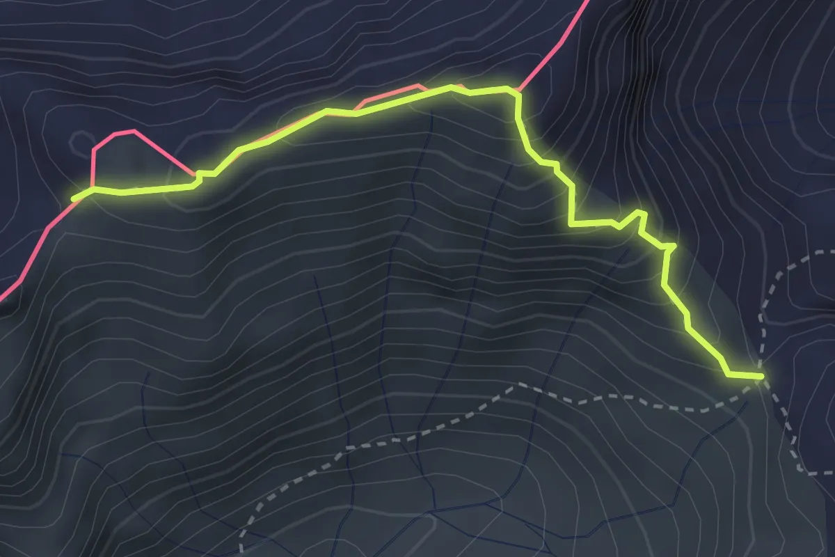
Demanding · Trail
C98a - Passo del Busin - Passo della Preia
3.1 km · ↑ 359 m · 1 h 30 min · 14 km away
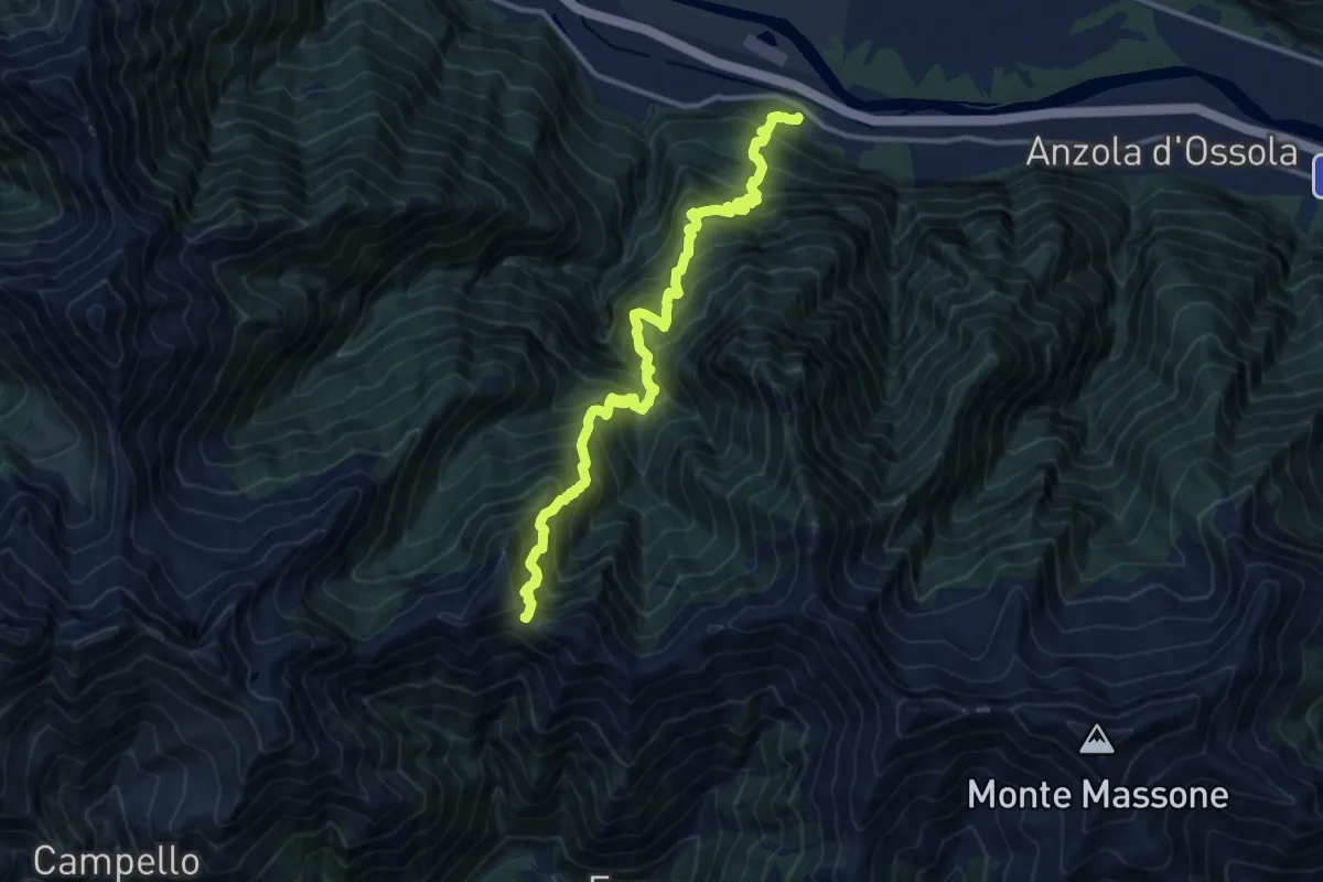
Demanding · Trail
Megolo di Mezzo – Alpe Ventolaro
14.2 km · ↑ 1960 m · 7 h 36 min · 14 km away
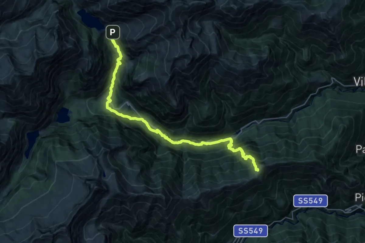
Demanding · Cabin
Alpe della Colma – Rifugio Città di Novara all'Alpe Cheggio
13.1 km · ↑ 1028 m · 5 h 27 min · 14 km away
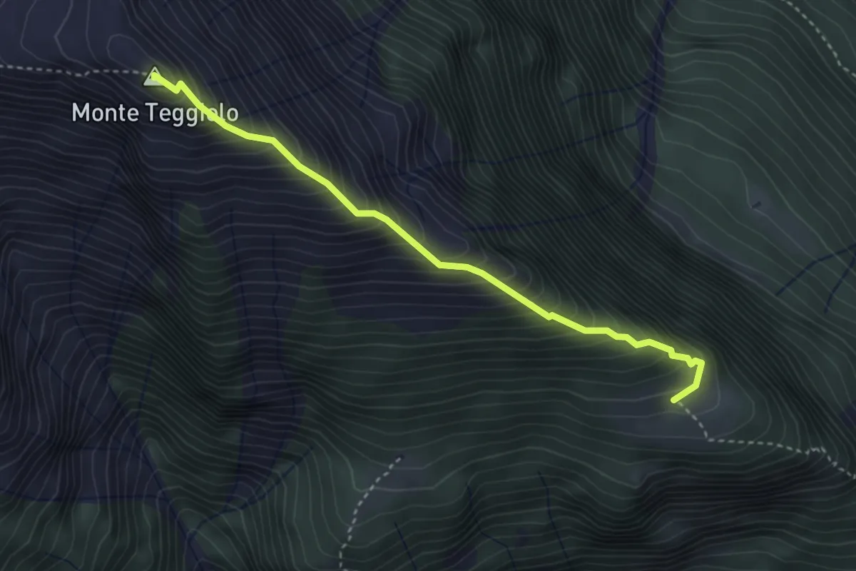
Demanding · Summit
F38a sentiero Filosi Agro Fuori 1787 Monte Teggiolo 2394
3.6 km · ↑ 620 m · 2 h 12 min · 14 km away
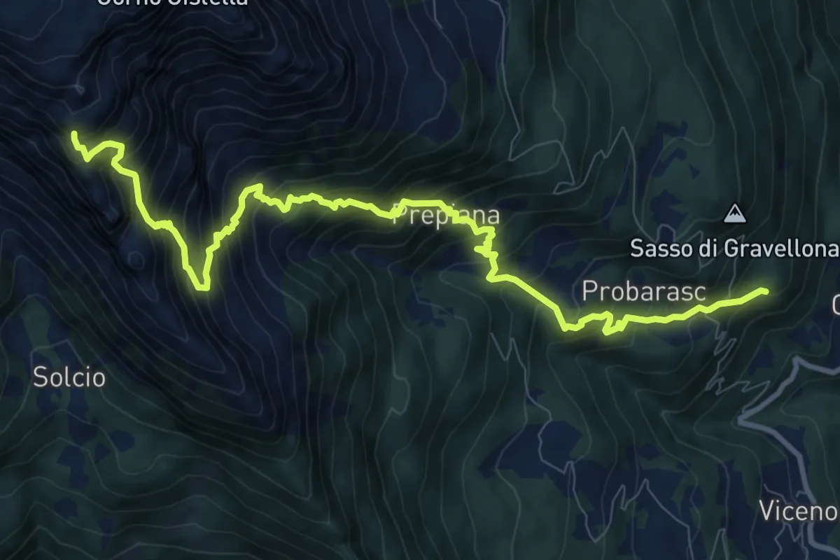
Demanding · Summit
G11 - Cravegna - Cistella
11.7 km · ↑ 1443 m · 5 h 54 min · 14 km away
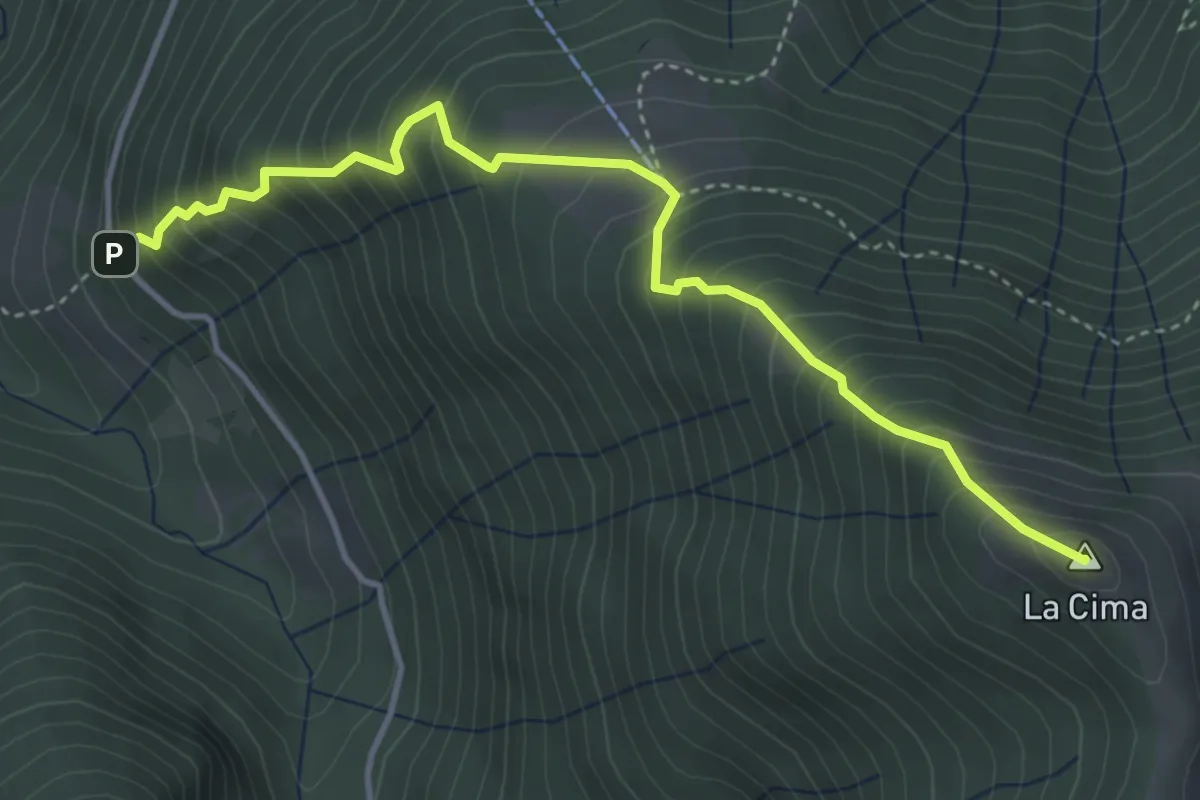
Medium · Summit
M24 - Bivio M14 presso Patqueso - La Cima
4.4 km · ↑ 660 m · 2 h 28 min · 14 km away
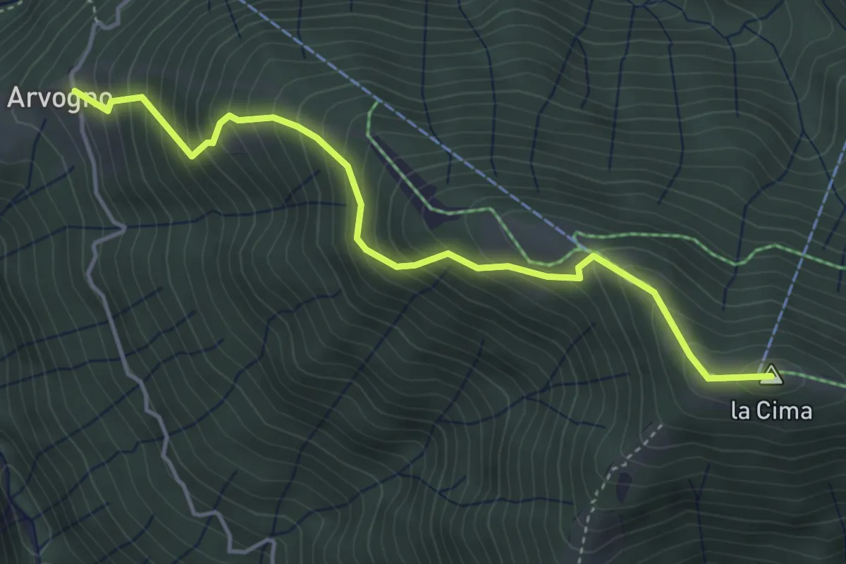
Medium · Summit
M25a - Arvogno - la Cima
4.4 km · ↑ 549 m · 2 h 13 min · 14 km away
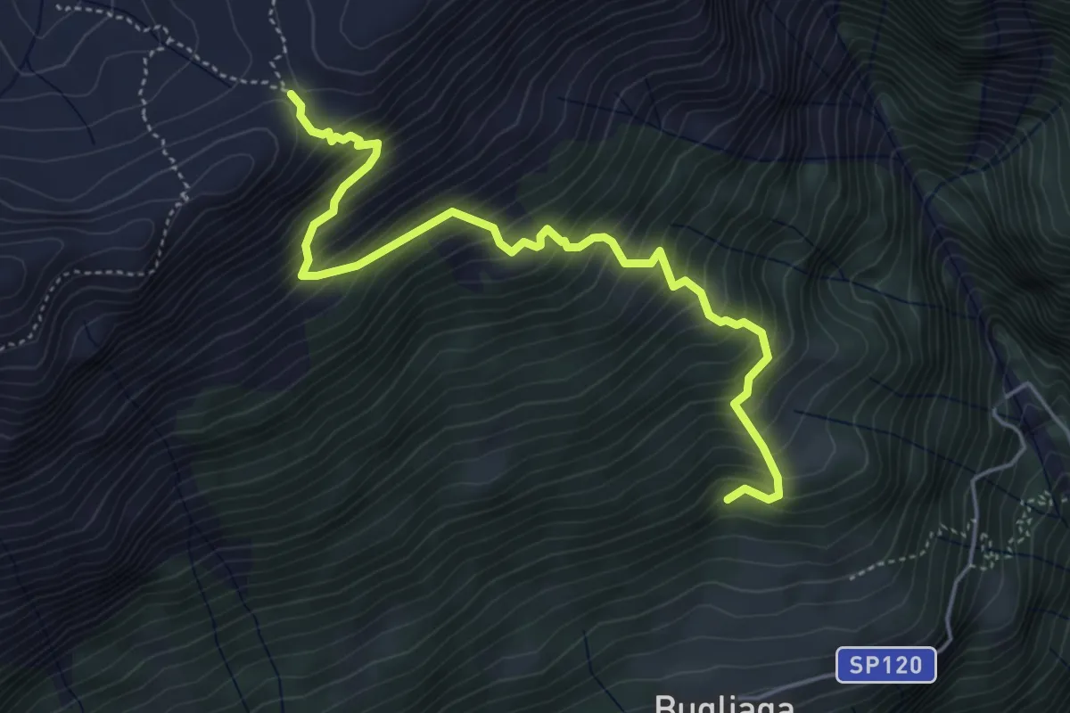
Medium · Trail
F98 - Bugliaga - Passo delle Possette
5.3 km · ↑ 703 m · 2 h 46 min · 14 km away
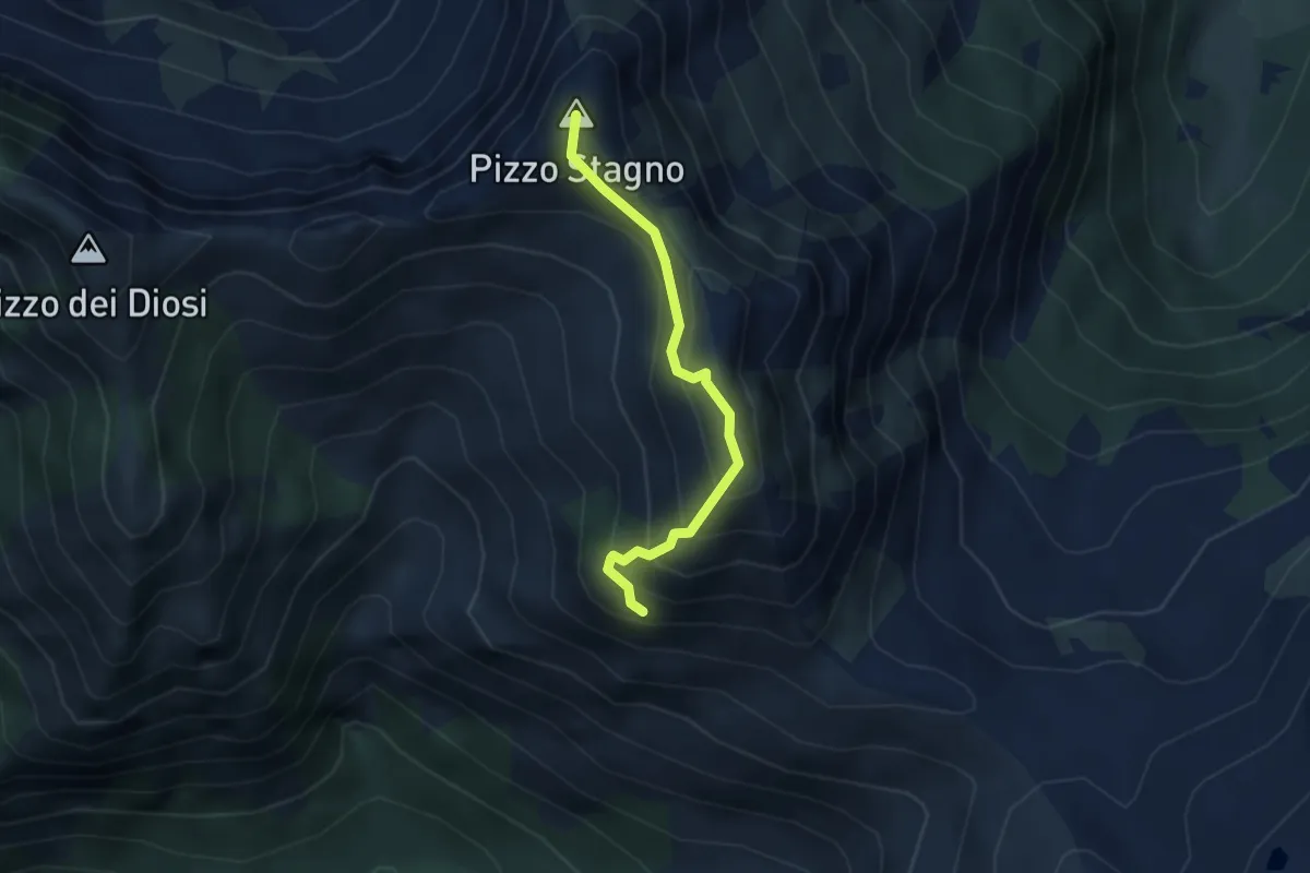
Demanding · Summit
P16a - Bivio P16 - Bivio P16 presso Pizzo Stagno
3.0 km · ↑ 349 m · 1 h 29 min · 14 km away
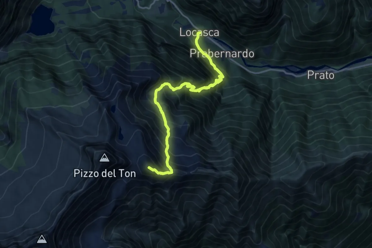
Demanding · Summit
C17 - Locasca - Molini - Trivera - Mottone - Passo Cianghin - Mottone
12.7 km · ↑ 1728 m · 6 h 44 min · 14 km away
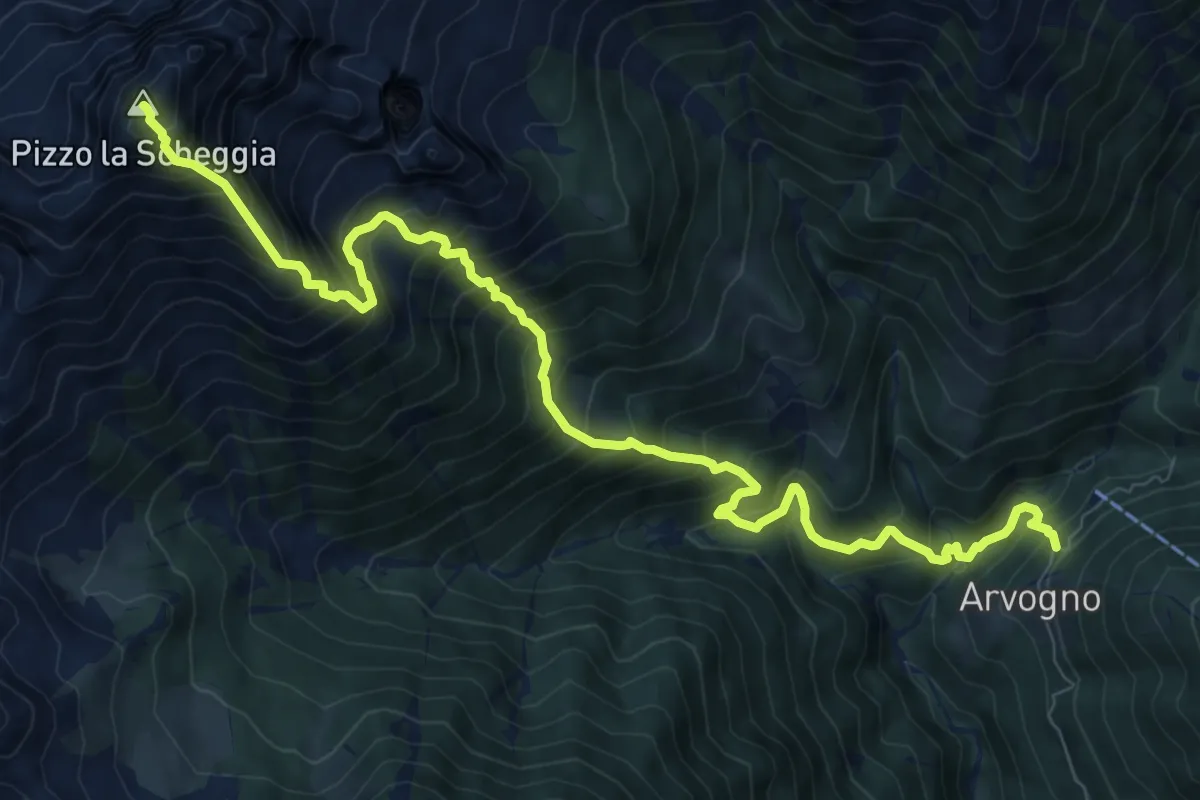
Demanding · Summit
M15 - Arvogno - Pizzo la Scheggia
11.0 km · ↑ 1522 m · 5 h 53 min · 14 km away
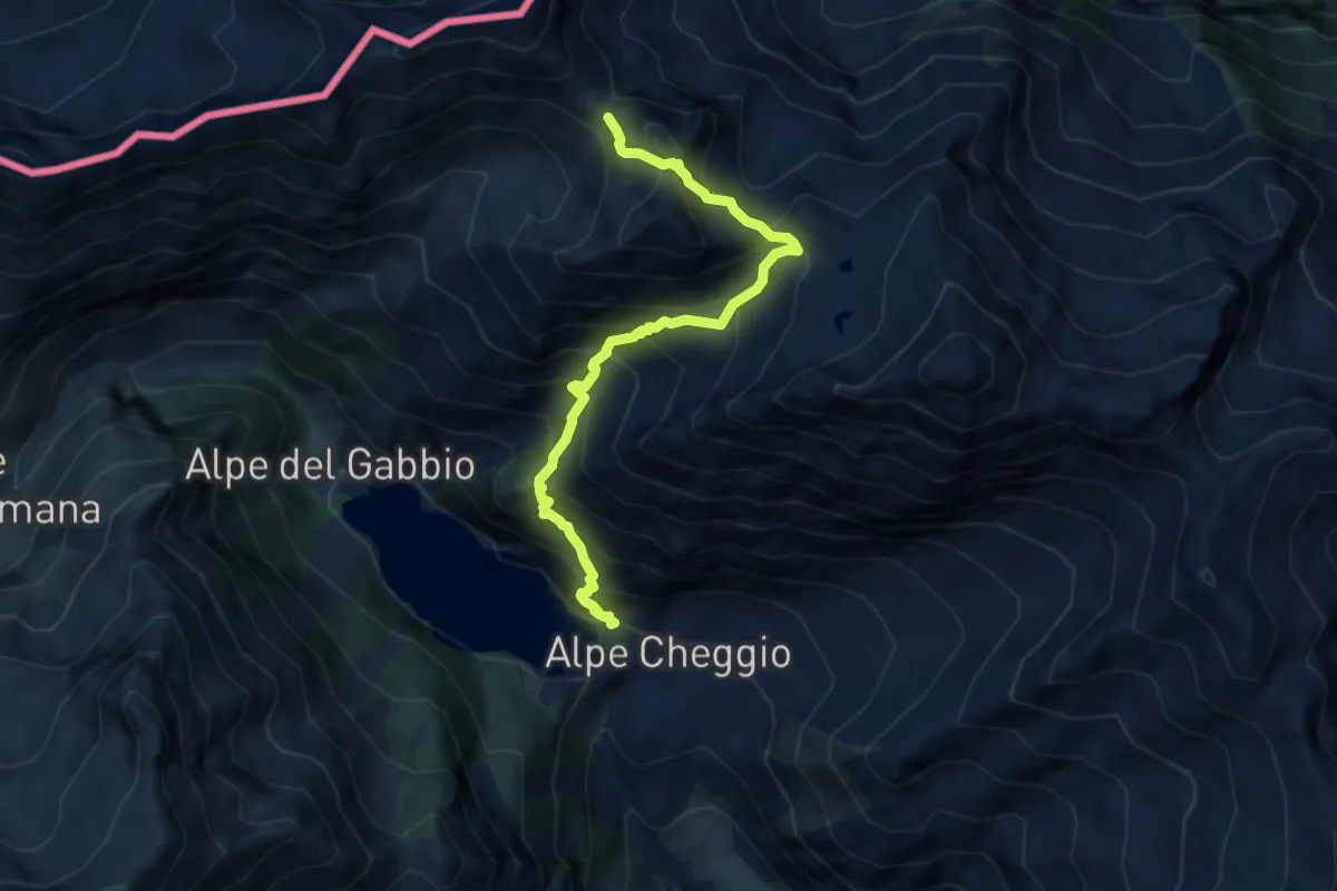
Expert · Trail
C26 - Cheggio - Alpe Pasquale - Alpe Pianei - Castello - Passo della preia
7.8 km · ↑ 1043 m · 4 h 6 min · 14 km away
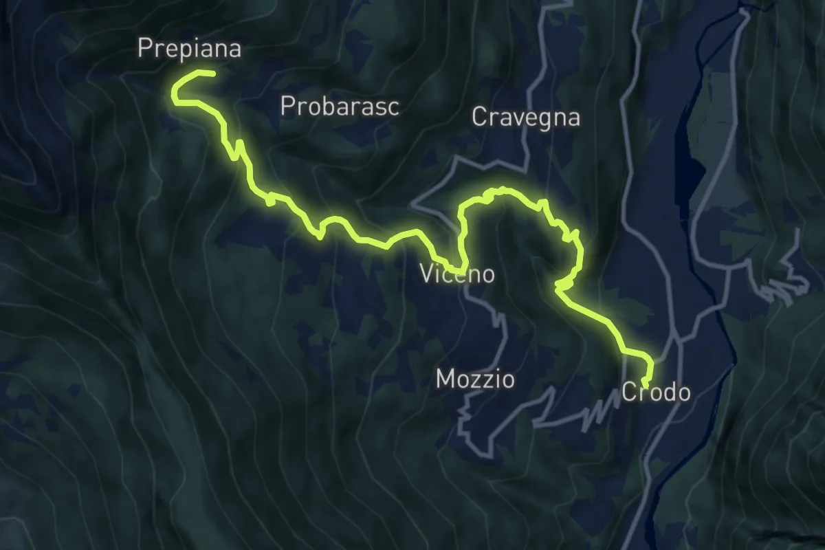
Demanding · Trail
G09 - Crodo - Prepiana
13.2 km · ↑ 883 m · 5 h 2 min · 14 km away
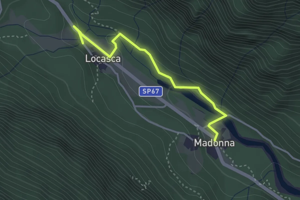
Easy · Trail
C17b - Locasca - stabilimento - tour oltre Ovesca - Madonna
3.0 km · ↑ 78 m · 53 min · 14 km away
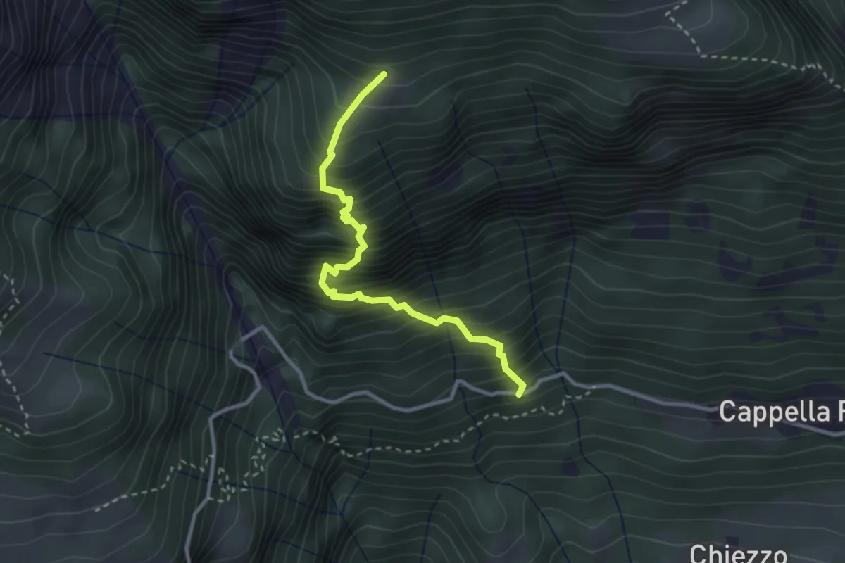
Medium · Trail
F40 - bivio F00 - Alpe Agro Dentro
2.9 km · ↑ 591 m · 1 h 59 min · 14 km away
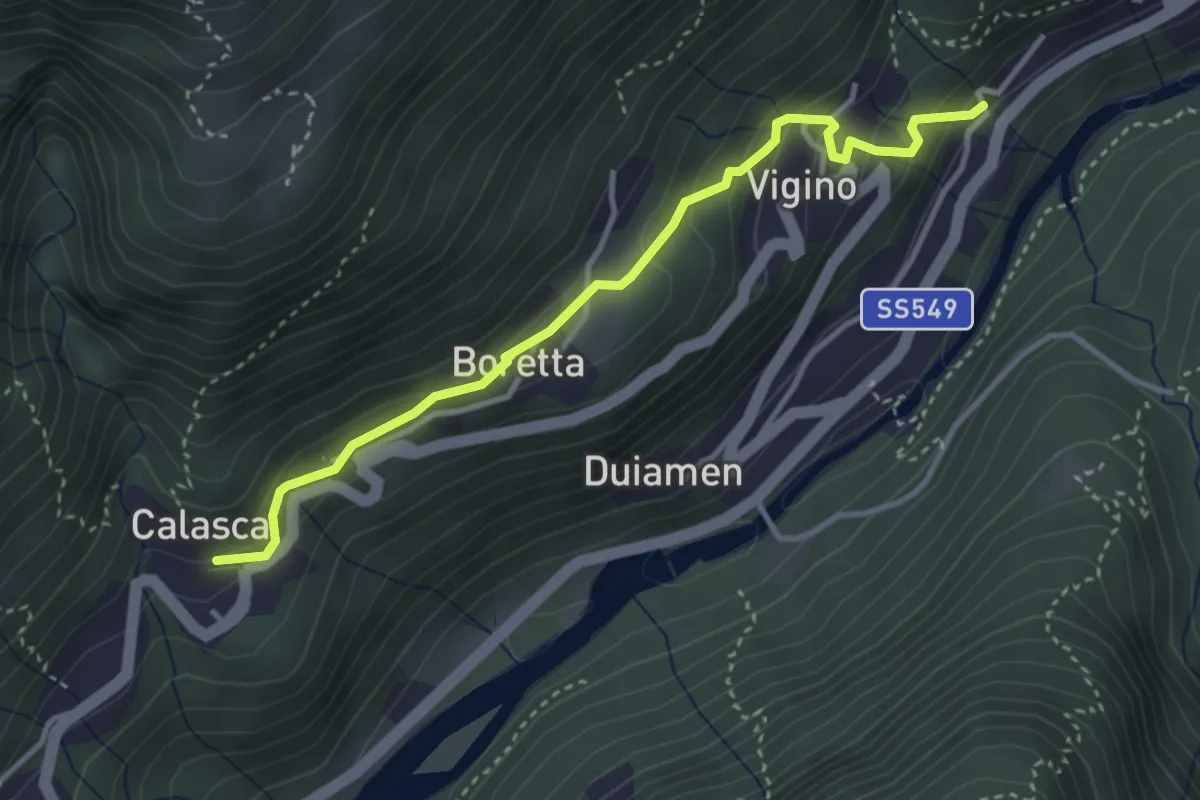
Easy · Trail
B00b - Molini - Antrogna
3.6 km · ↑ 251 m · 1 h 23 min · 14 km away
Easy · Trail
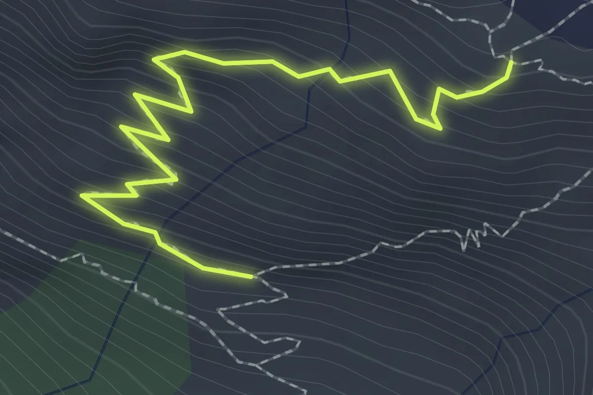
P30a - Bivio P30 - Cappella di Terza
2.5 km · ↑ 242 m · 1 h 8 min · 14 km away
Demanding · Cabin
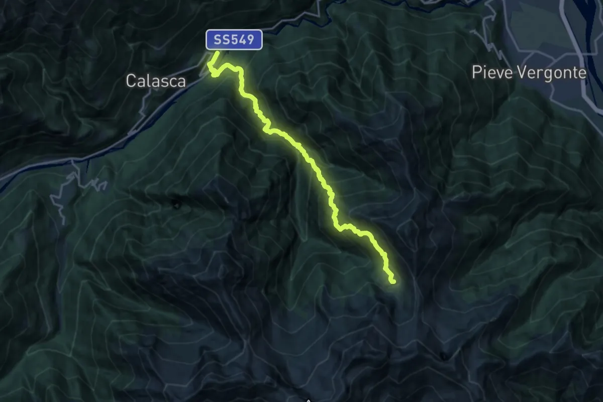
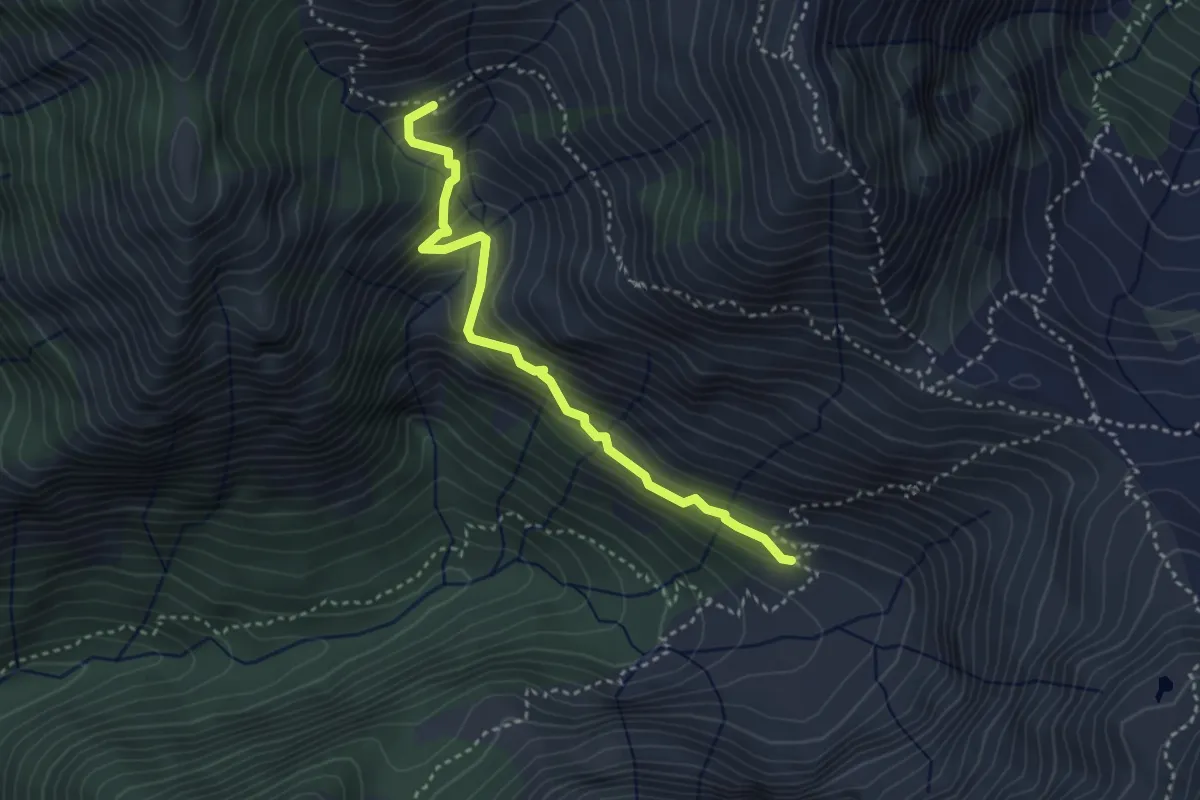
GTA: Molini di Calasca - Alpe del Lago
16.3 km · ↑ 1770 m · 7 h 41 min · 14 km away
Medium · Cabin
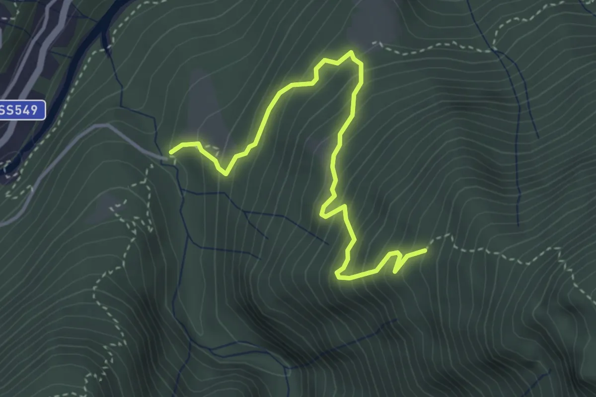
P30b - Bivio P30 - Alpe Straolgio
3.4 km · ↑ 285 m · 1 h 26 min · 14 km away
Expert · Trail
B03 - Alpe Patelli - Alpe Graiccia
3.9 km · ↑ 447 m · 1 h 53 min · 14 km away
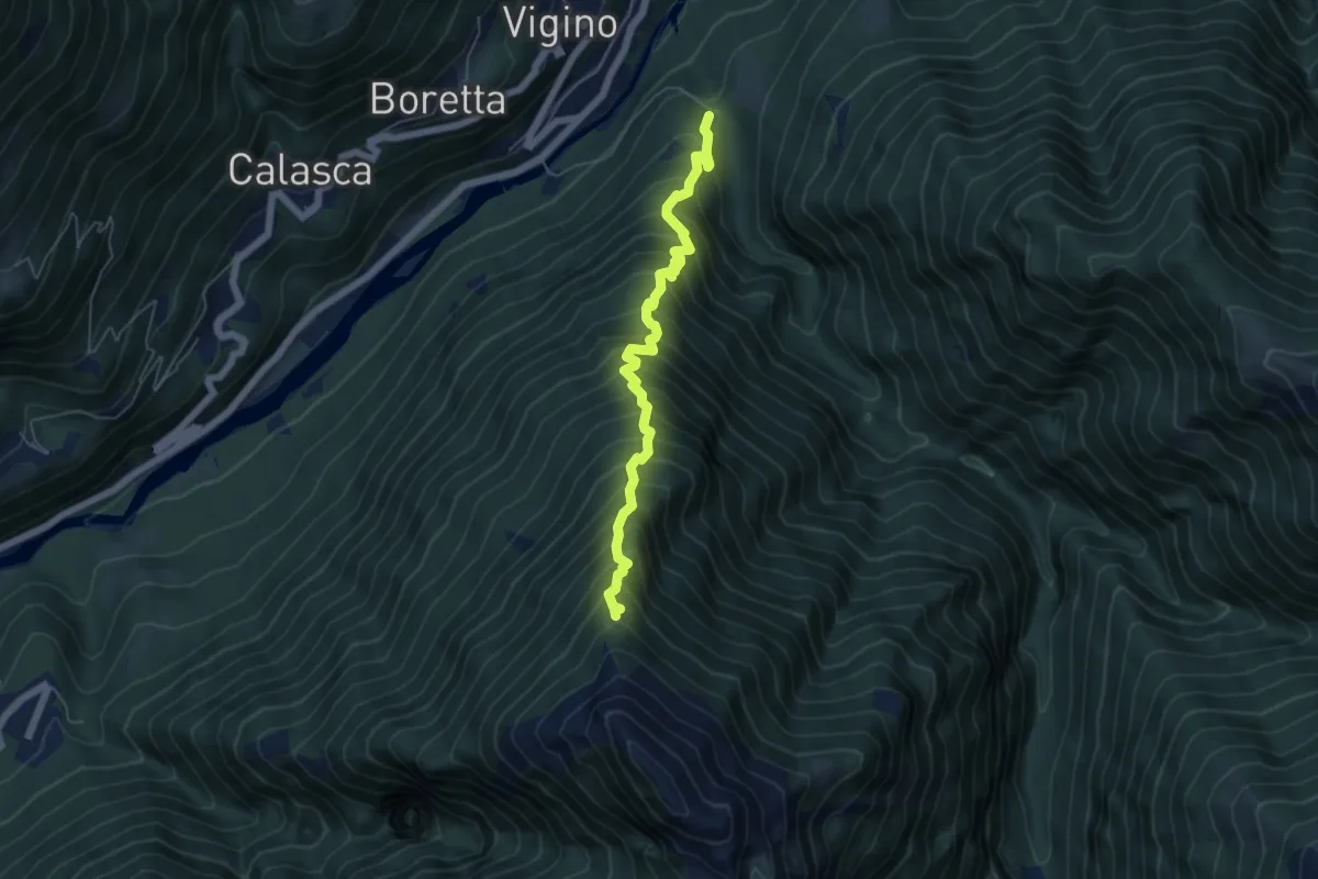
Demanding · Trail
B07 - Bivio Oliago - Alpe Corte
5.6 km · ↑ 966 m · 3 h 24 min · 14 km away
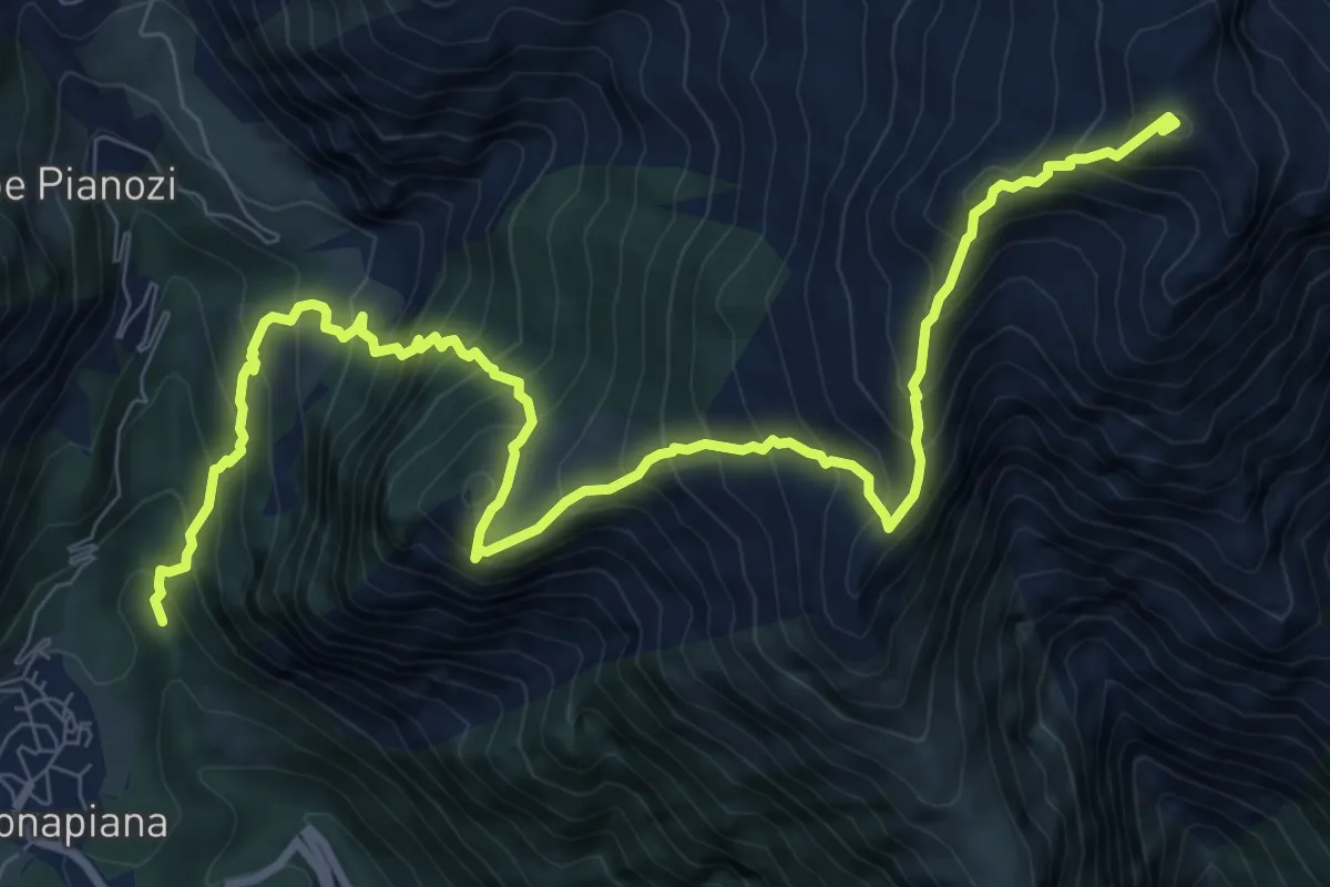
Demanding · Summit
C20 - Ponte delle Vacche - Alpe le Fraccie - Alpi di Cama - Pizzo Ciapé
11.6 km · ↑ 1506 m · 6 h · 14 km away
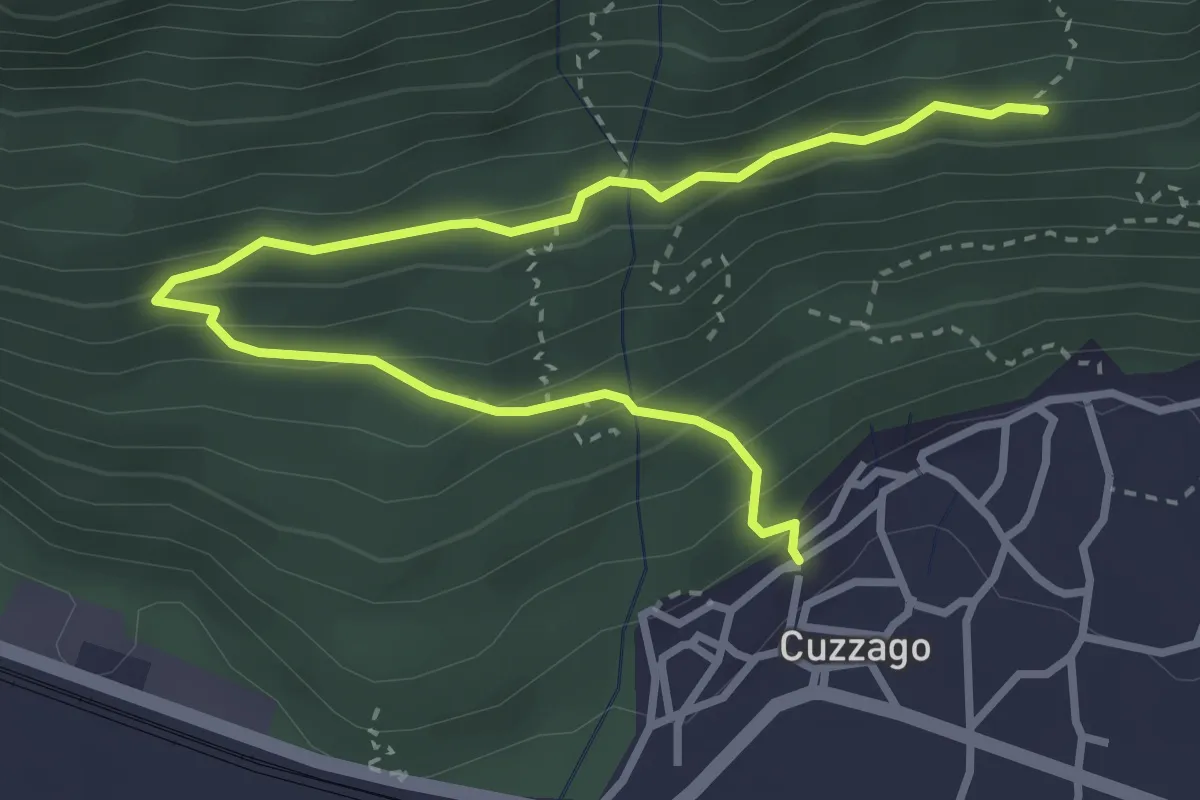
Medium · Trail
A44 - Cuzzago - Alpe Vargia
4.1 km · ↑ 276 m · 1 h 35 min · 14 km away
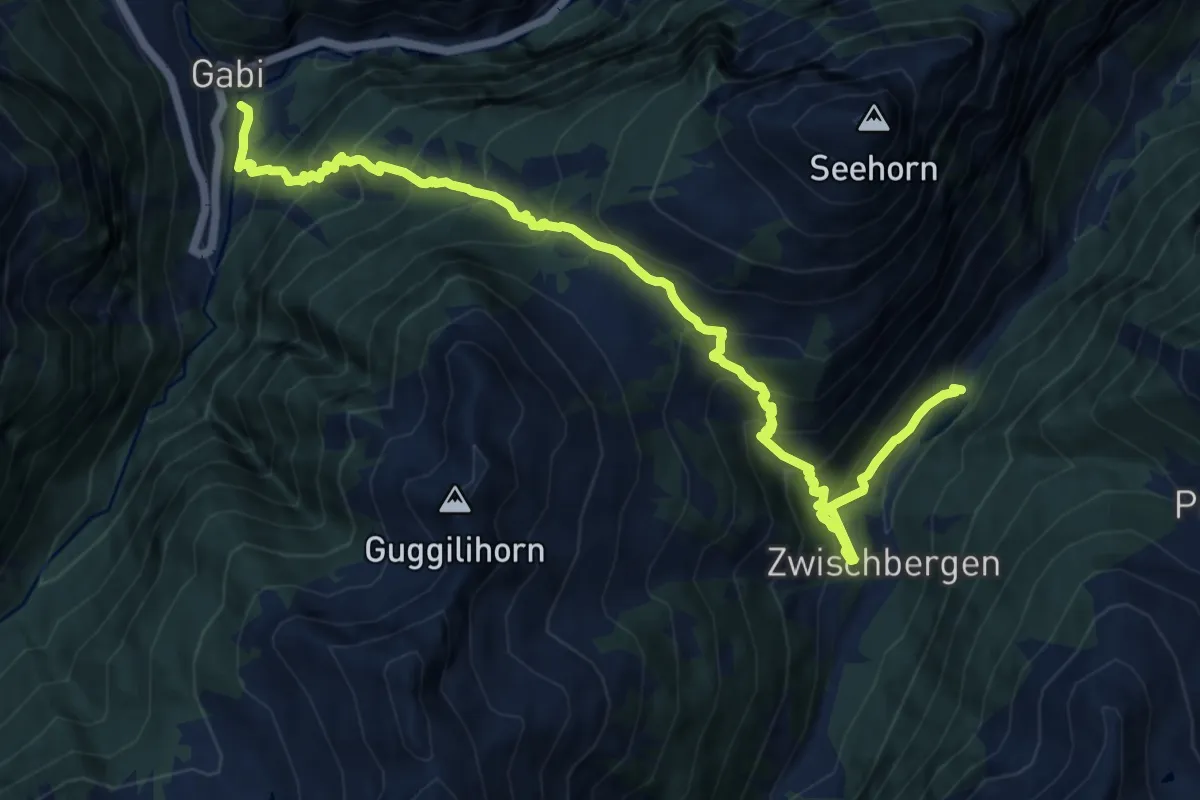
Demanding · Trail
Gabi - Zwichenbergen
13.4 km · ↑ 1371 m · 6 h 8 min · 14 km away
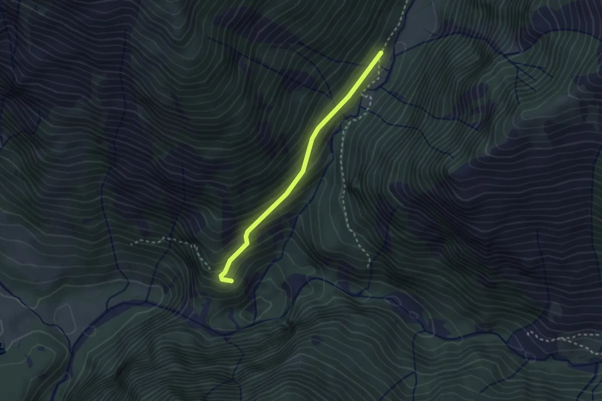
Easy · Trail
L03a - Cappella delle Scale - Bivio L03
2.4 km · ↑ 202 m · 1 h 1 min · 14 km away
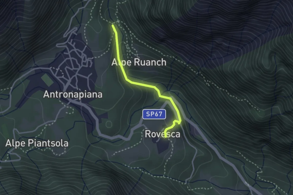
Medium · Trail
C18a - Rovesca - Ponte delle Vacche
2.5 km · ↑ 185 m · 59 min · 14 km away
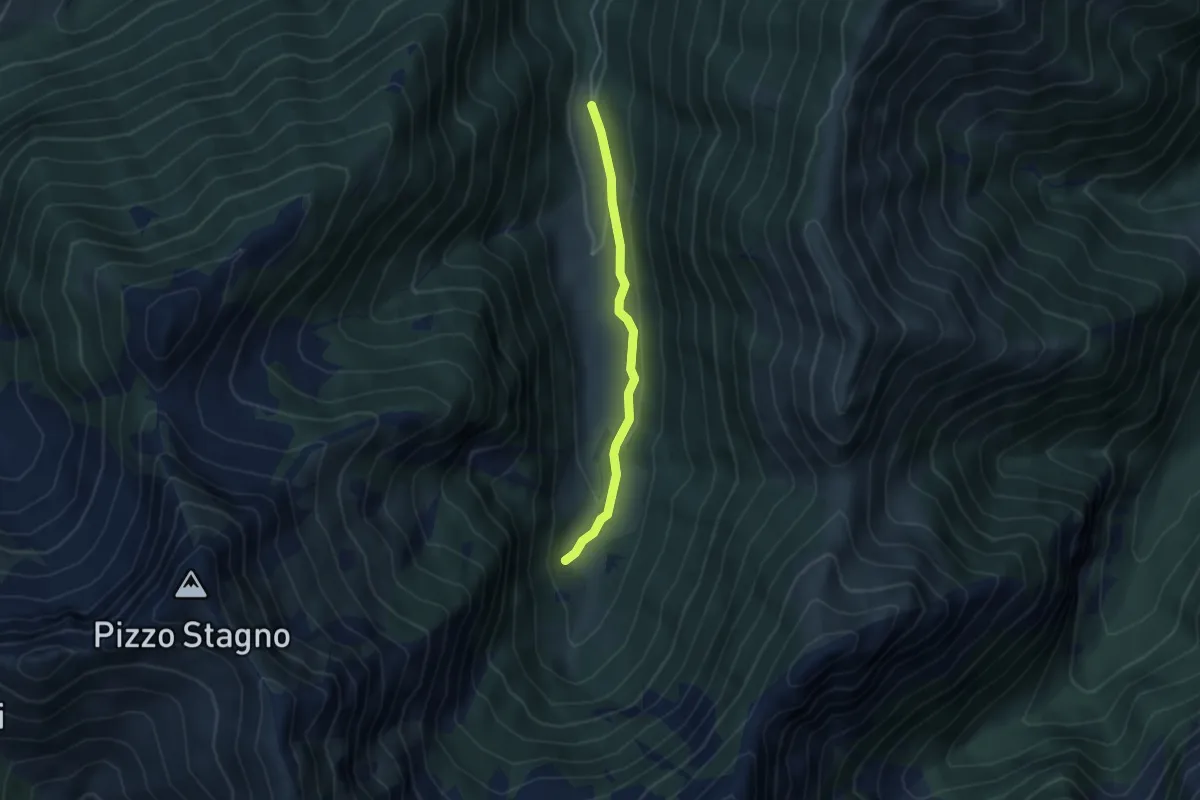
Easy · Trail
M14a - Fondo li Gabbi - Le Fornaci
3.6 km · ↑ 82 m · 1 h 2 min · 15 km away
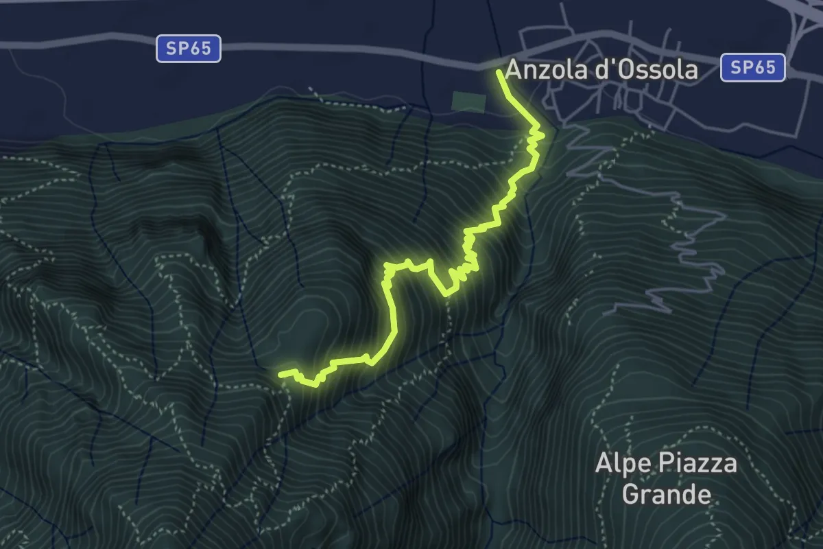
Demanding · Trail
A35 - Anzola - Pian del Baro
4.8 km · ↑ 702 m · 2 h 39 min · 15 km away
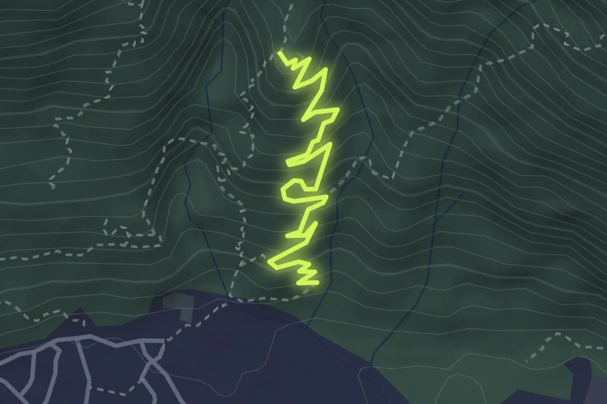
Medium · Trail
A60 - Linea Cadorna Cuzzago
3.3 km · ↑ 362 m · 1 h 33 min · 15 km away
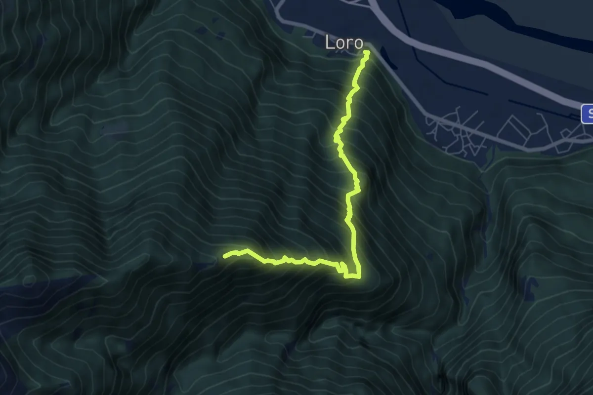
Demanding · Trail
A43 - Loro - Alpe Colla
6.5 km · ↑ 1062 m · 3 h 50 min · 15 km away
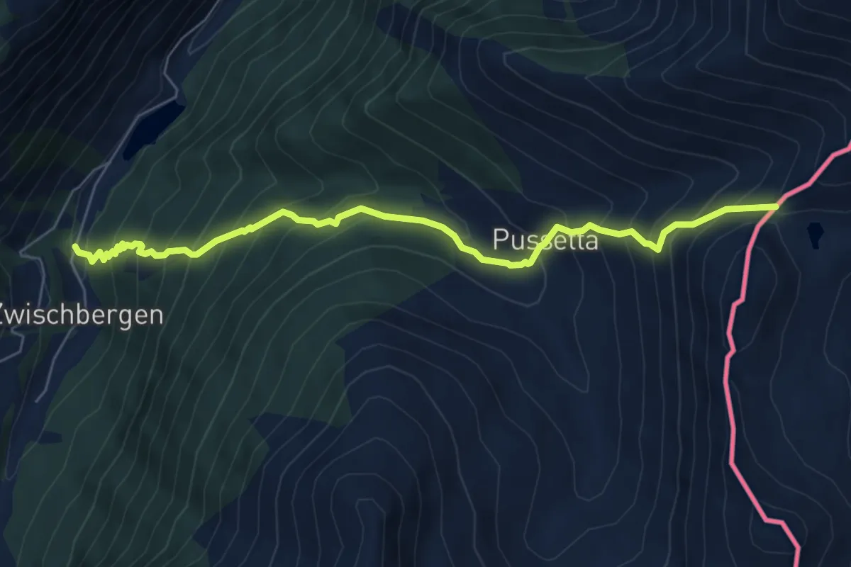
Demanding · Trail
Zwischenbergen - Passo di Monscera
6.6 km · ↑ 805 m · 3 h 19 min · 15 km away
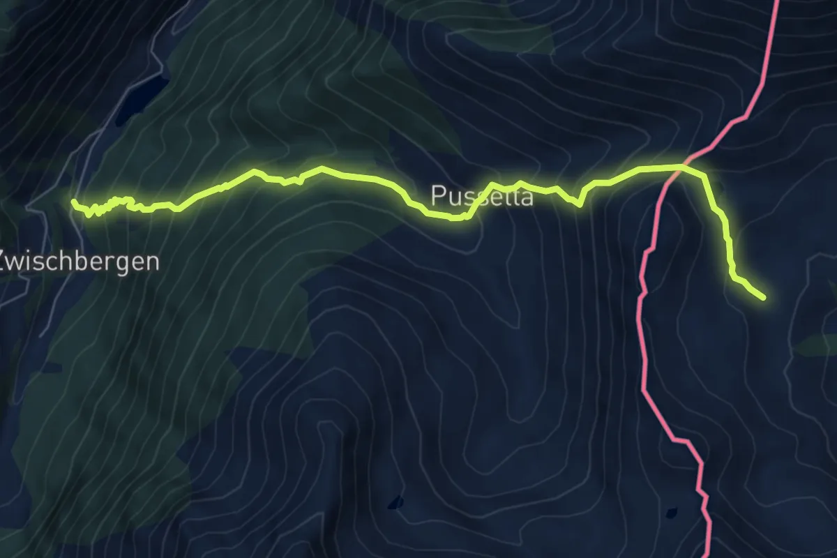
Demanding · Trail
Via Alpina Blue D7
8.2 km · ↑ 899 m · 3 h 53 min · 15 km away