Trails near Edolo
173 hikes starting within 15 km, nearest first.
Nearest first, page 2 of 4
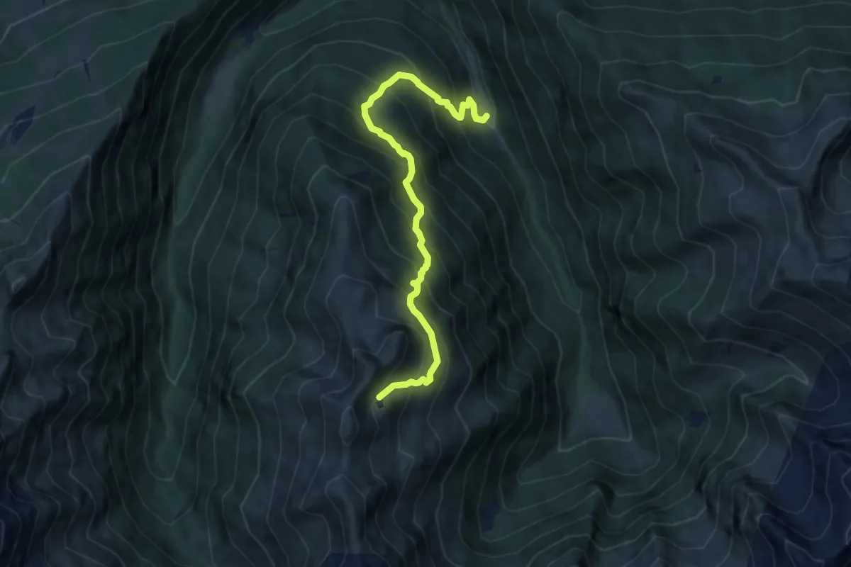
Demanding · Trail
Brandet – Lago dell'Agna
9.1 km · ↑ 1091 m · 4 h 31 min · 10 km away
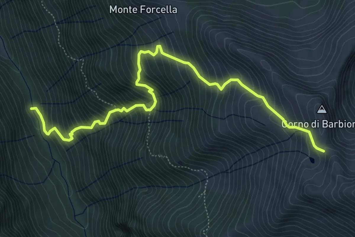
Demanding · Trail
Ponte della Gallina – Porta di Barbione
7.4 km · ↑ 1009 m · 3 h 56 min · 10 km away
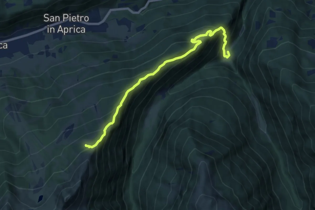
Demanding · Trail
Sentieri Frassati
9.9 km · ↑ 961 m · 4 h 25 min · 10 km away
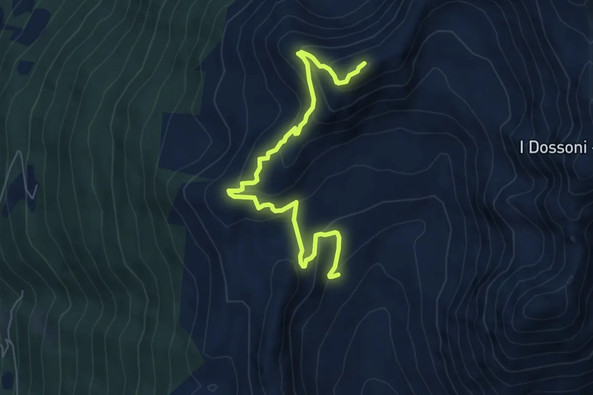
Demanding · Summit
Valle Varadega – Monte Varadega
6.7 km · ↑ 437 m · 2 h 32 min · 10 km away
Demanding · Cabin
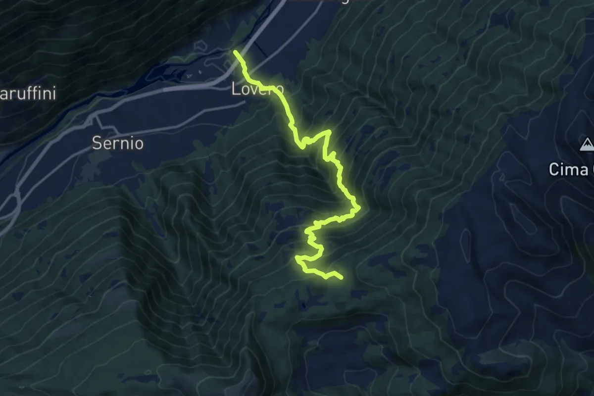
Innesto Sentiero 203 – Innesto Sentiero 430
14.4 km · ↑ 1484 m · 6 h 37 min · 10 km away
Demanding · Trail
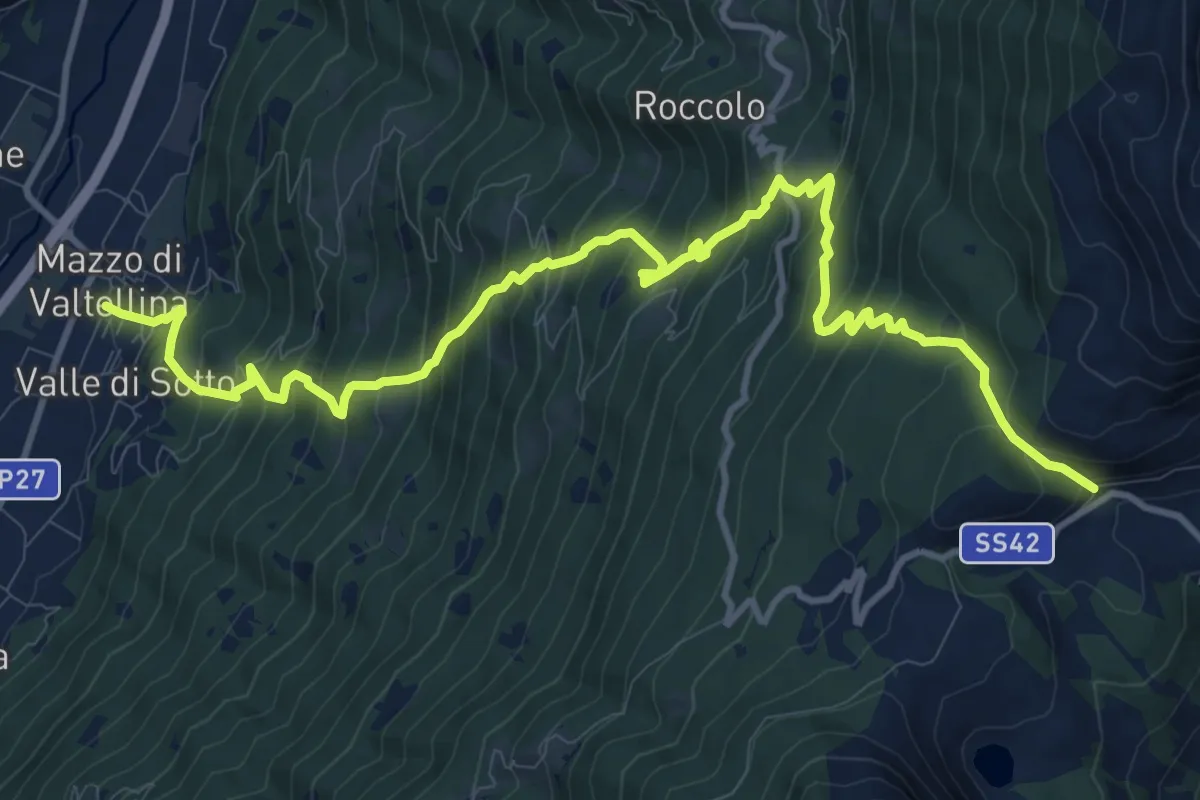
Innesto Sentiero 235 – Innesto Sentiero 430
14.3 km · ↑ 1436 m · 6 h 29 min · 10 km away
Demanding · Cabin
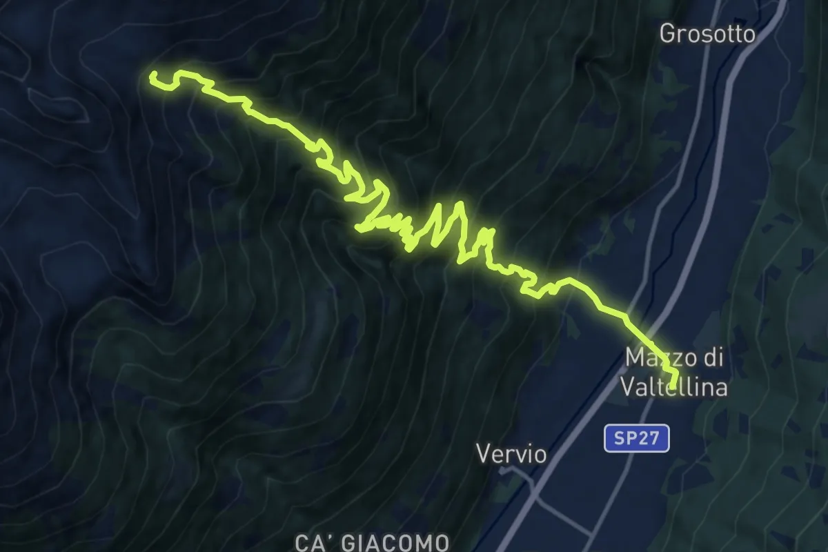
Via Papa Giovanni XXIII (Mazzo di Valtellina) – 201 - Alpe Salina
9.1 km · ↑ 1681 m · 5 h 6 min · 10 km away
Demanding · Trail
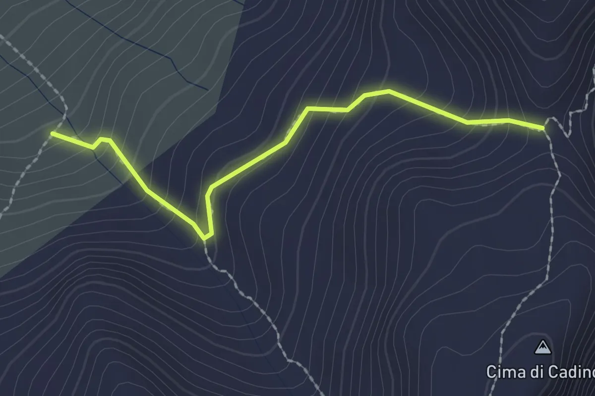
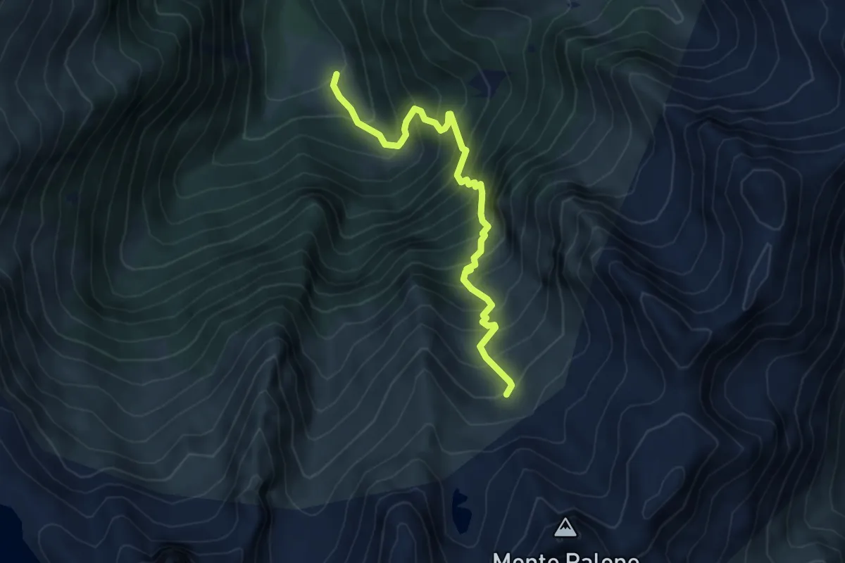
Malga Torsolazzo – Passo di Cadino
2.0 km · ↑ 230 m · 58 min · 10 km away
Demanding · Trail
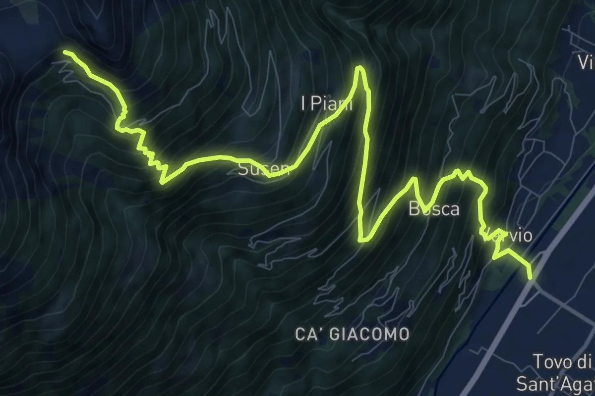
Malga Casazza – Malga Torsolazzo
5.3 km · ↑ 807 m · 3 h · 10 km away
Demanding · Trail
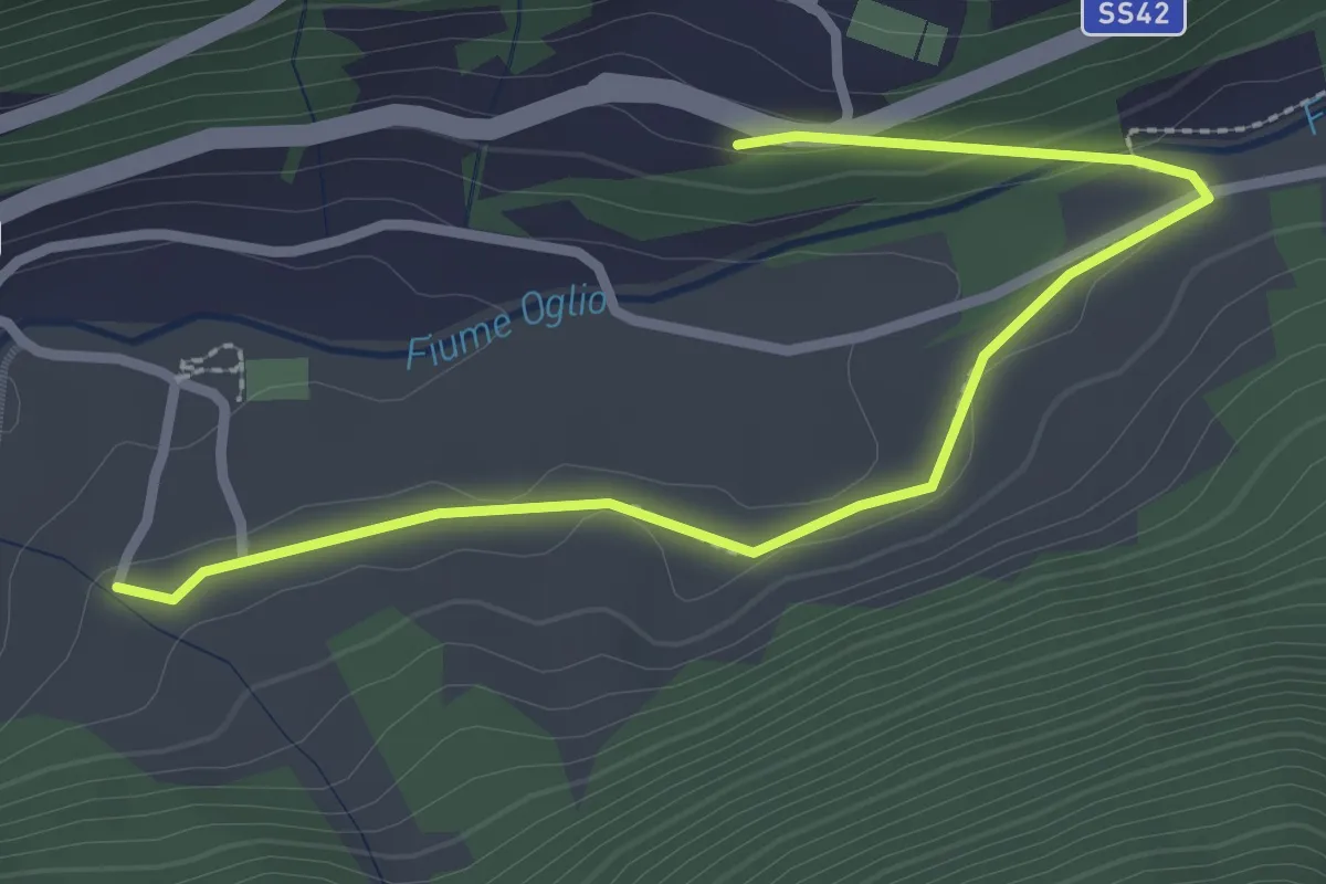
Via delle Industrie (Tovo di Sant'Agata) – 201 - Rifugio Schiazzera
13.5 km · ↑ 1545 m · 6 h 32 min · 10 km away
Easy · Trail
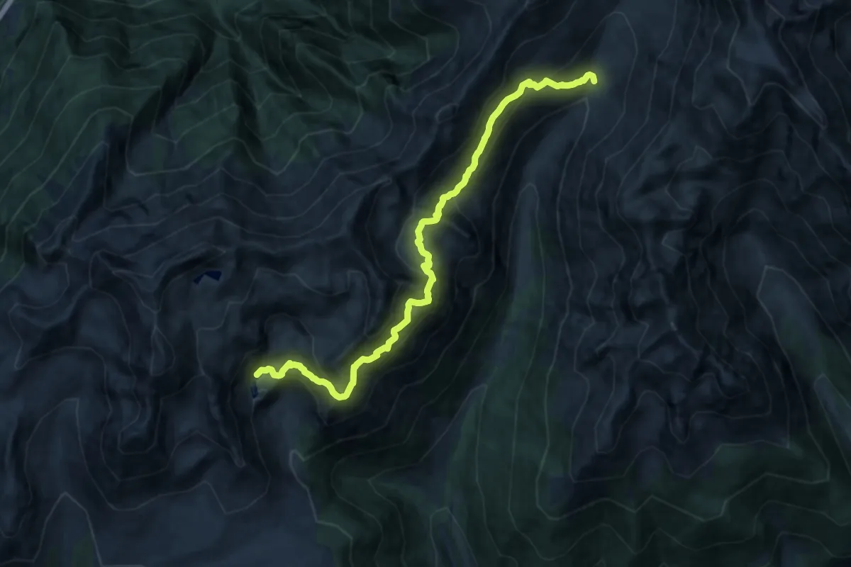
Frasen
1.5 km · ↑ 41 m · 27 min · 10 km away
Demanding · Cabin
Sentiero dell'asino
16.6 km · ↑ 1308 m · 6 h 45 min · 11 km away
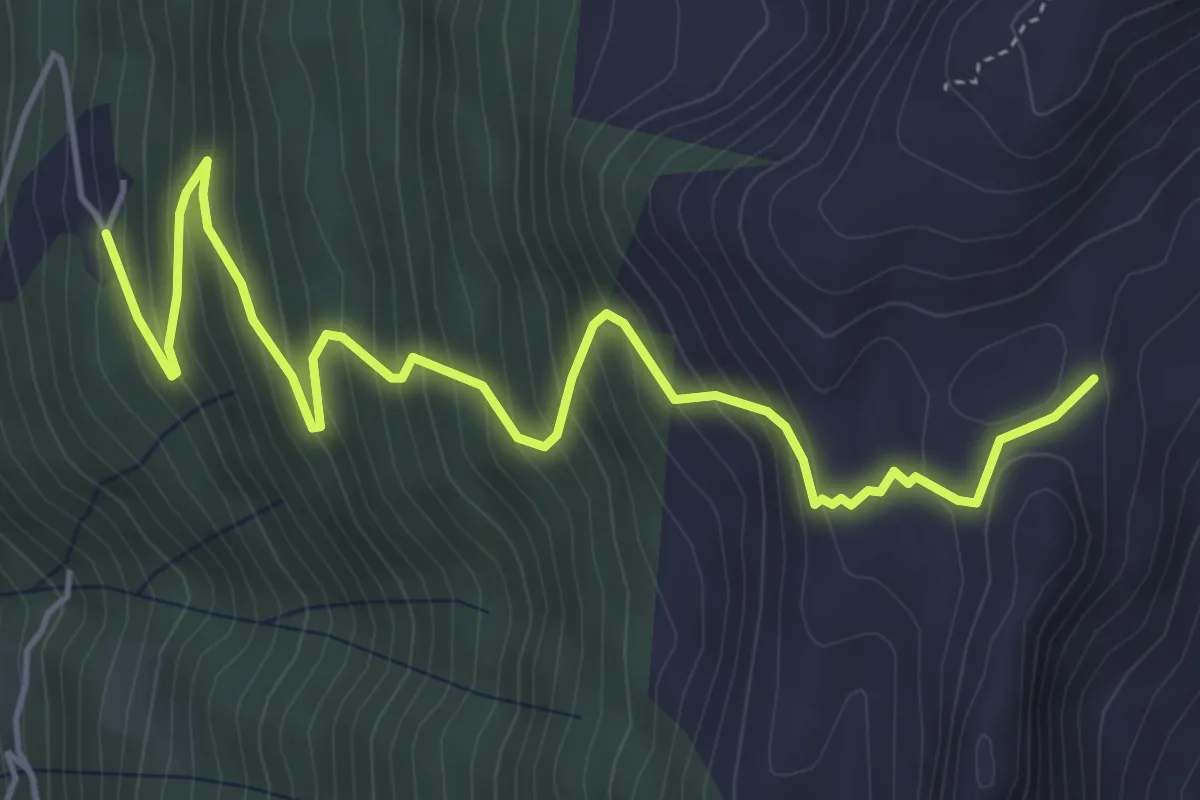
Medium · Trail
Innesto Sentiero 448 – Innesto Sentiero 450
6.1 km · ↑ 560 m · 2 h 40 min · 11 km away
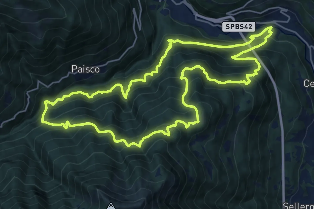
Demanding · Trail
San Zenone – San Zenone
15.2 km · ↑ 1593 m · 7 h 16 min · 11 km away
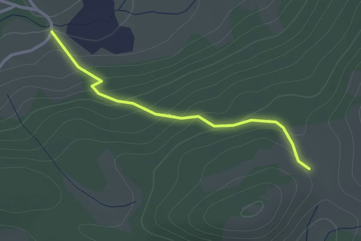
Easy · Trail
Innesto Sentiero 414 – Innesto Sentiero 320
2.0 km · ↑ 116 m · 43 min · 11 km away
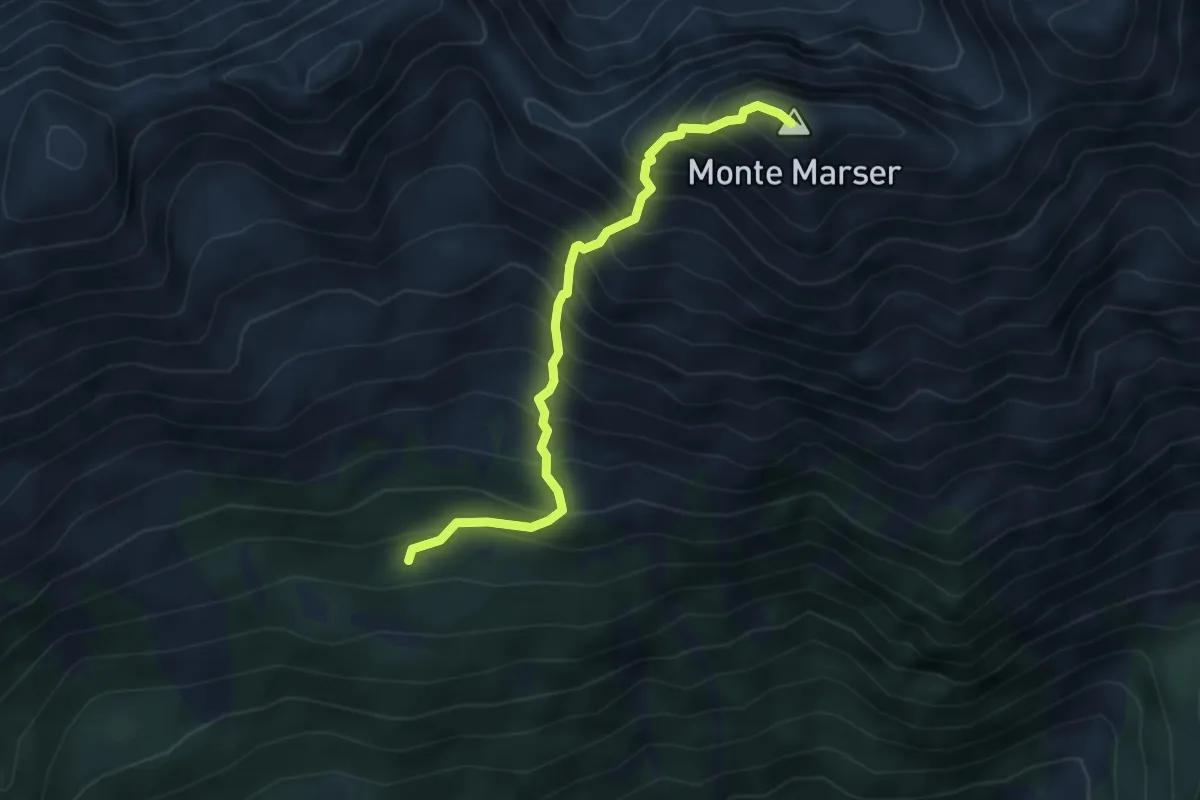
Demanding · Summit
Malga Casentia – Monte Marser
4.1 km · ↑ 788 m · 2 h 40 min · 11 km away
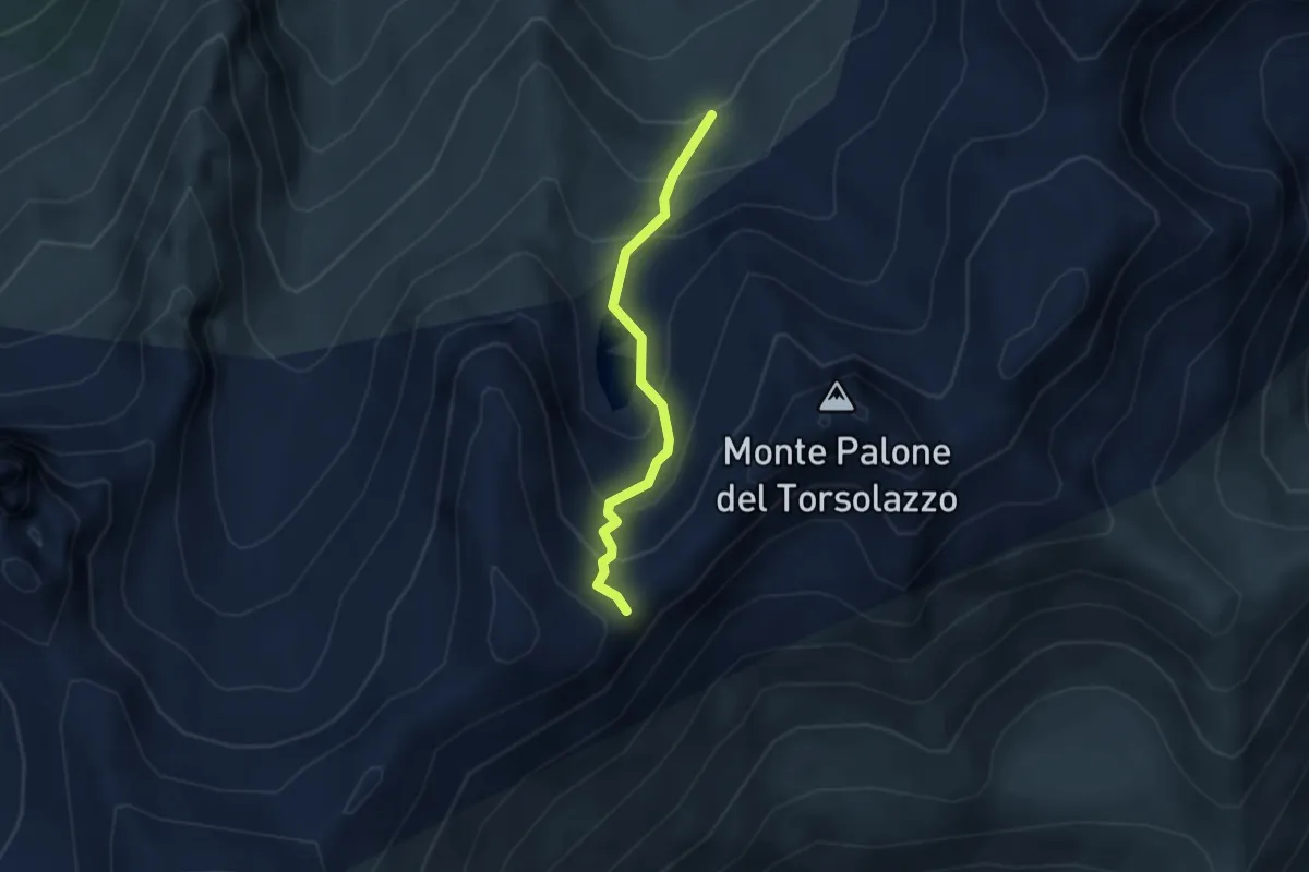
Easy · Trail
Valle di Torsolazzo – Sentiero 4 Luglio
2.6 km · ↑ 288 m · 1 h 14 min · 11 km away
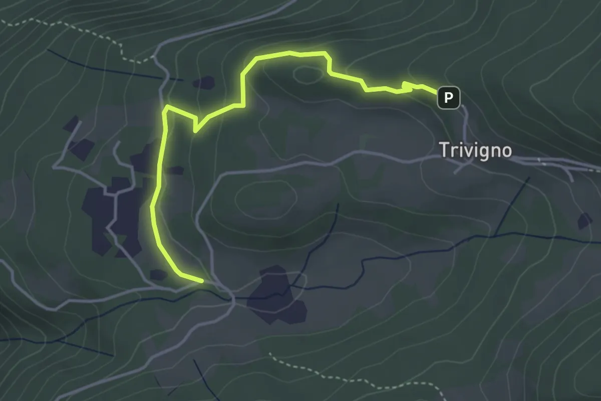
Medium · Trail
Innesto Sentiero 411 – Innesto Sentiero 411
3.9 km · ↑ 131 m · 1 h 13 min · 11 km away
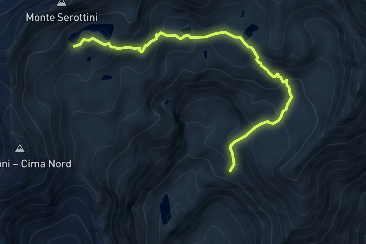
Medium · Trail
Giro dei Laghi Seroti superiori
6.6 km · ↑ 545 m · 2 h 44 min · 11 km away
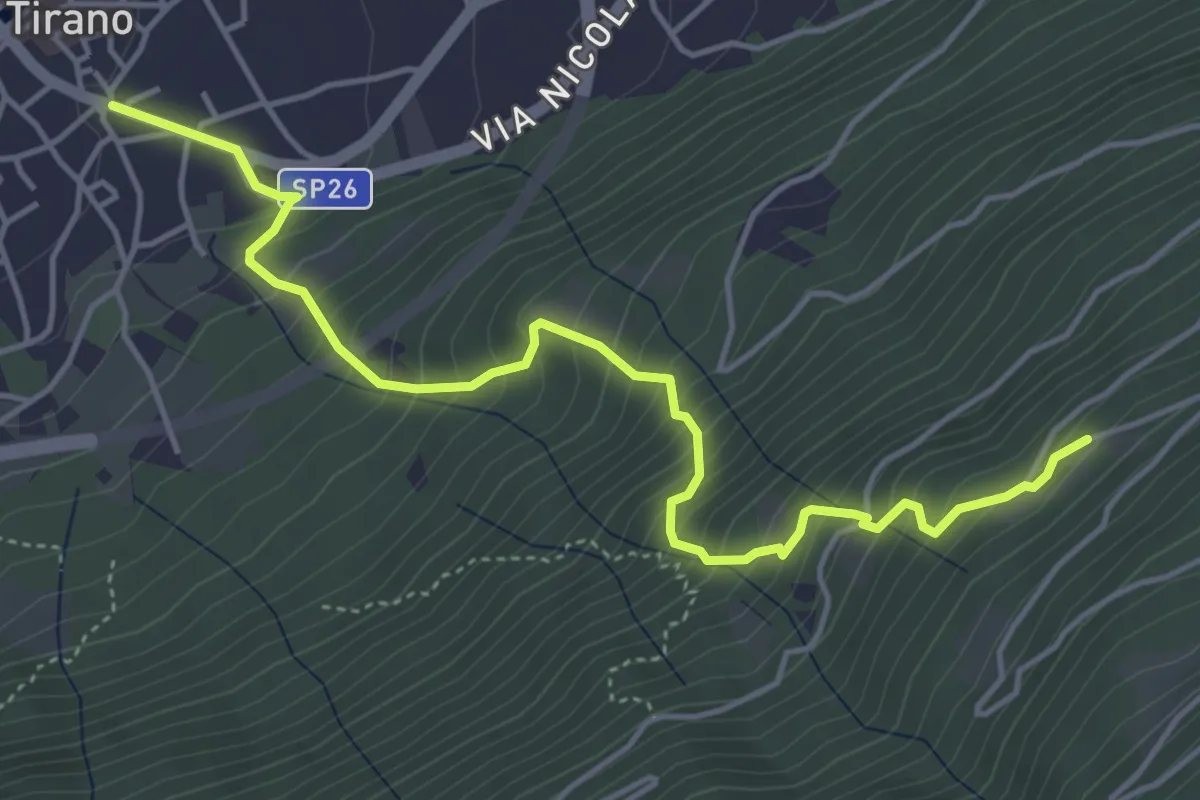
Medium · Trail
Innesto Sentiero 405 – Innesto Sentiero 421
5.2 km · ↑ 639 m · 2 h 37 min · 11 km away
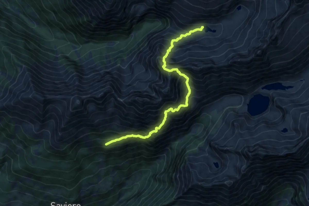
Demanding · Cabin
Malga Casentia – Rifugio Gnutti
7.5 km · ↑ 1199 m · 4 h 18 min · 11 km away
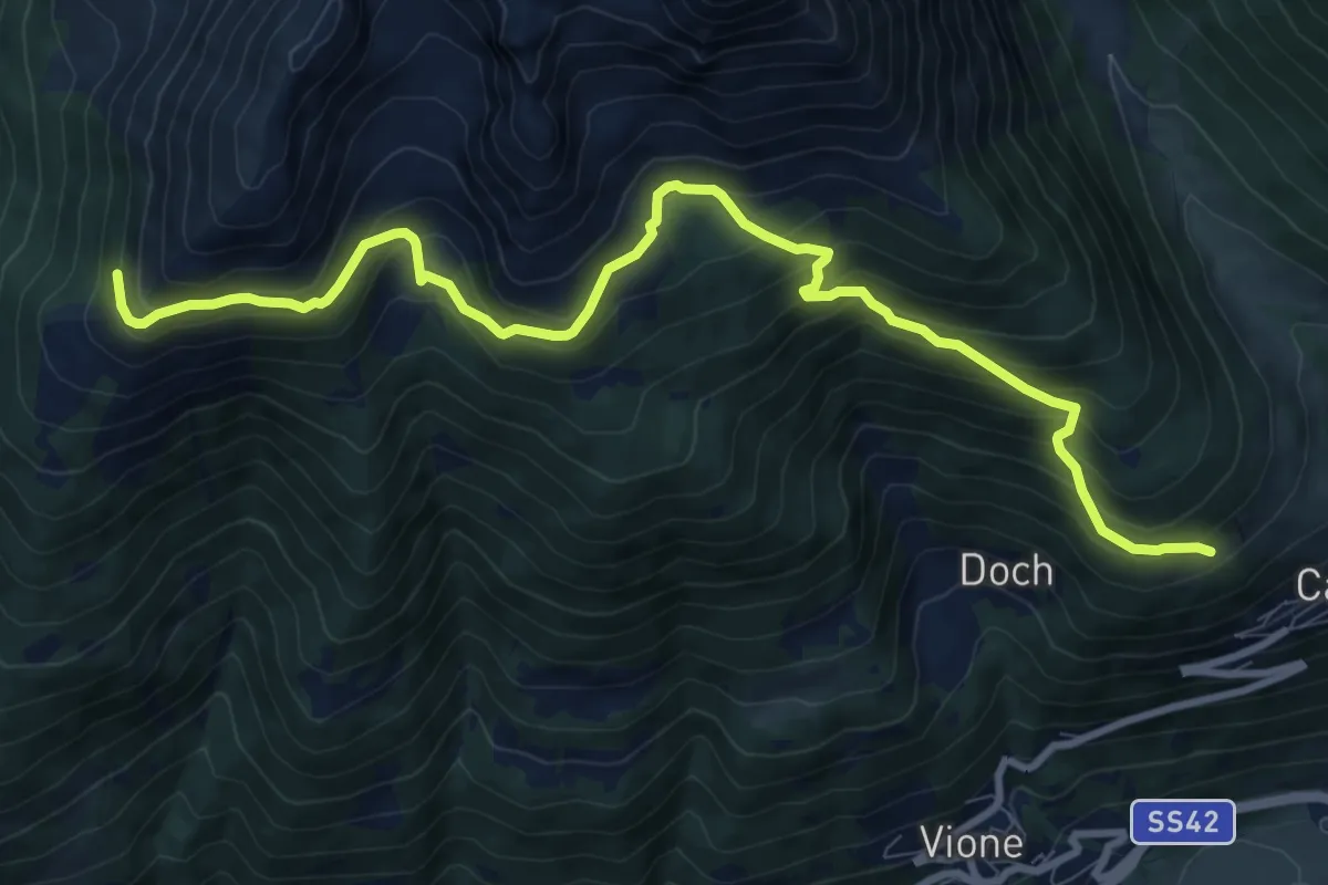
Demanding · Trail
Canè – Plazza Grande
10.9 km · ↑ 864 m · 4 h 27 min · 11 km away
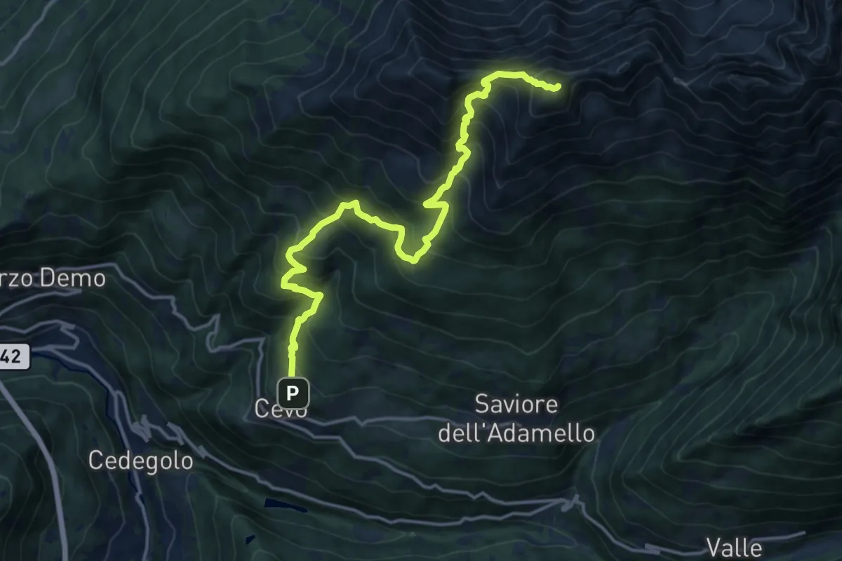
Demanding · Summit
Cevo – Pian della Regina
15.4 km · ↑ 1541 m · 6 h 58 min · 11 km away
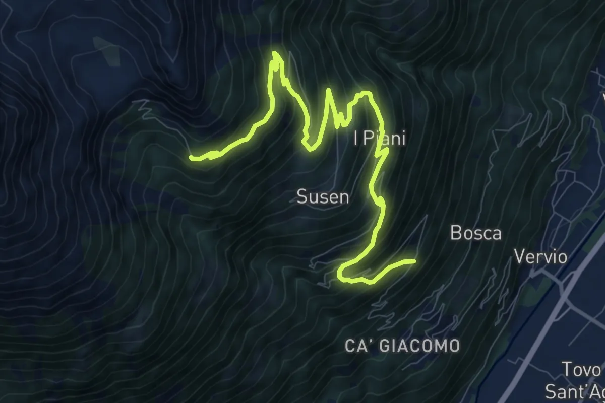
Demanding · Trail
Quattro Rui – Rifugio Schiazzera
11.6 km · ↑ 902 m · 4 h 42 min · 11 km away
Easy · Trail
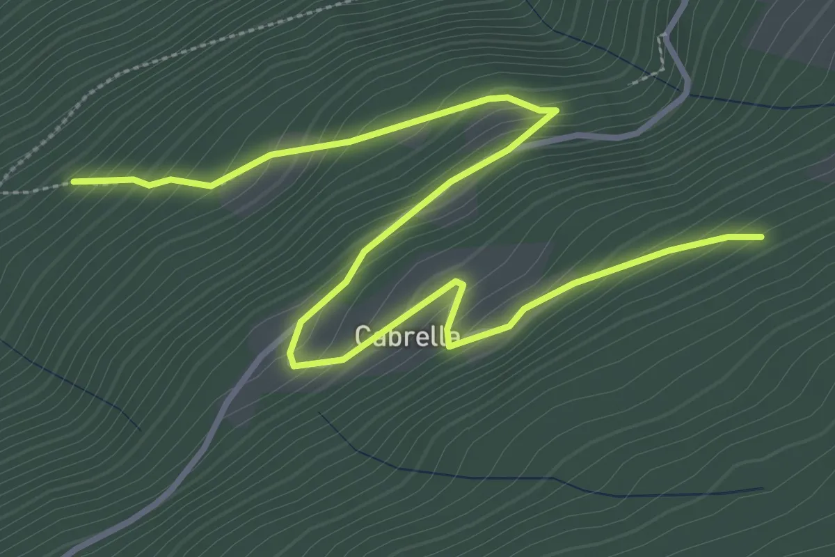
Innesto Sentiero 425 – Innesto Sentiero 421
4.5 km · ↑ 318 m · 1 h 46 min · 11 km away
Medium · Trail
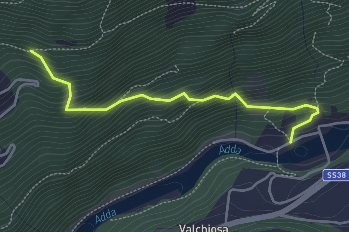
Diga di Sernio – 202
2.8 km · ↑ 329 m · 1 h 22 min · 11 km away
Demanding · Trail
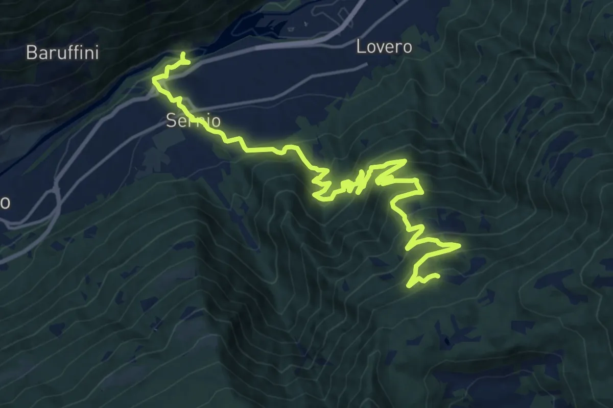
Innesto Sentiero 203 – Innesto Sentiero 435
19.8 km · ↑ 1410 m · 7 h 43 min · 11 km away
Expert · Summit
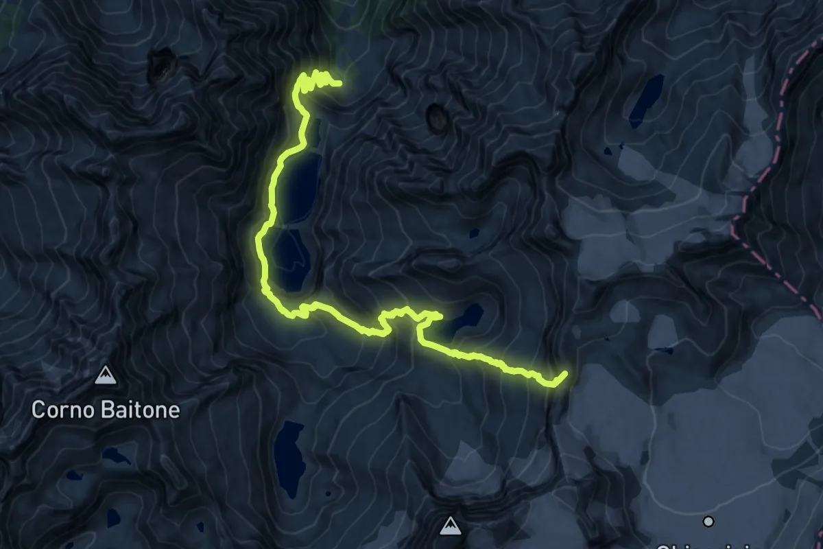
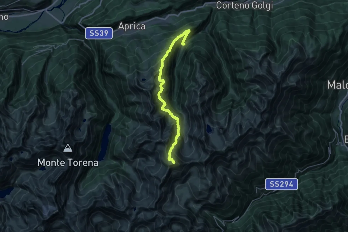
Temù (Malga Caldea) – Passo Brizio
20.8 km · ↑ 1780 m · 8 h 47 min · 12 km away
Expert · Summit
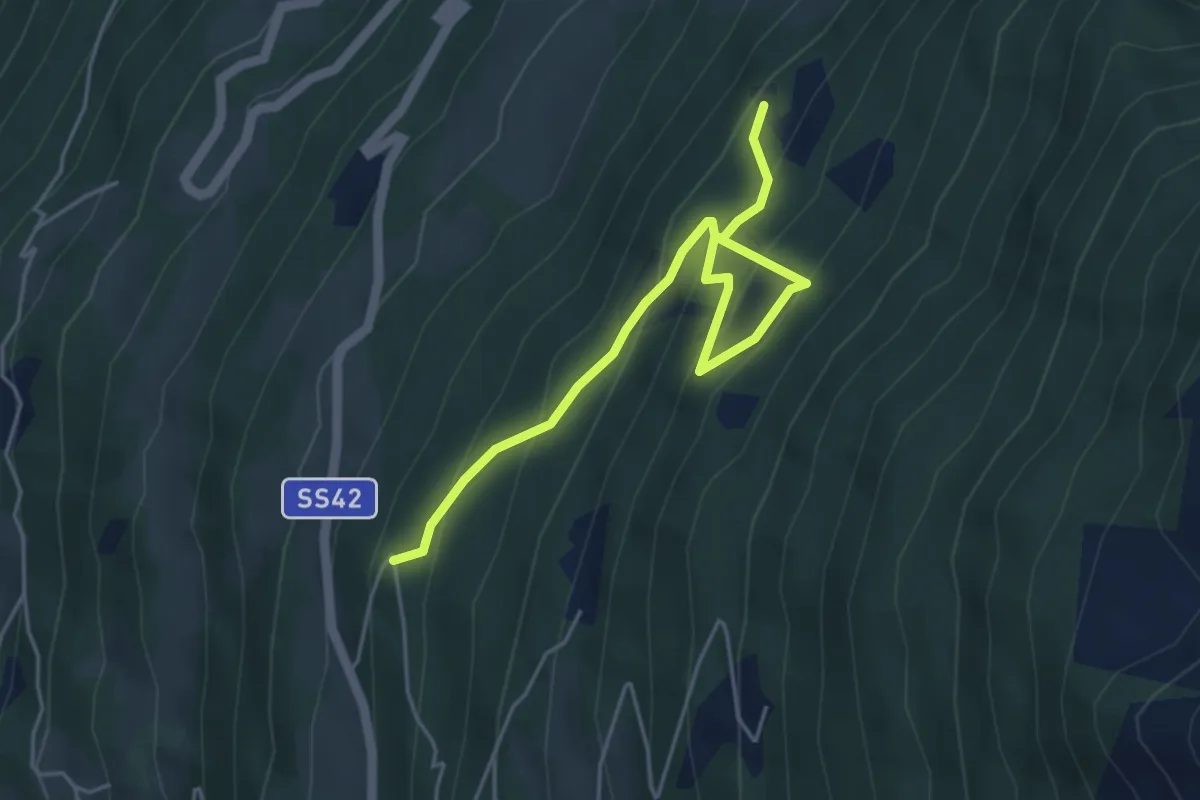
Sentiero 4 Luglio
23.2 km · ↑ 2295 m · 10 h 27 min · 12 km away
Medium · Trail
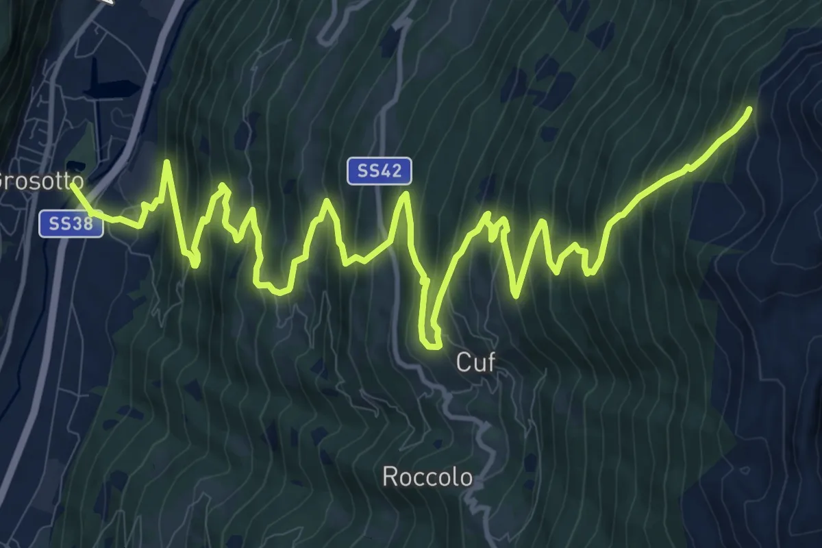
Innesto Sentiero 448 – Innesto Sentiero 450
5.0 km · ↑ 424 m · 2 h 7 min · 12 km away
Medium · Trail
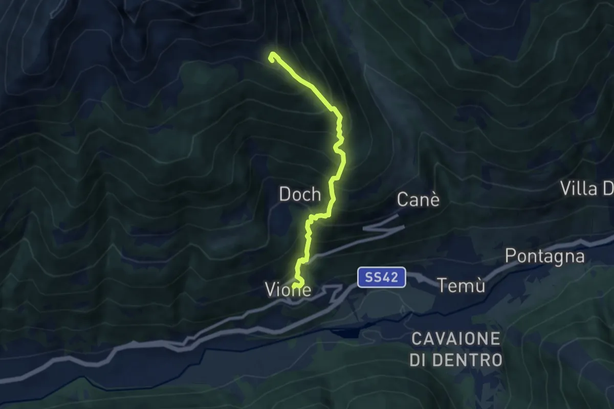
Innesto Sentiero 203 – Innesto Sentiero 450
10.0 km · ↑ 28 m · 3 h 23 min · 12 km away
Demanding · Summit
Adamello Vertical kilometer
6.5 km · ↑ 993 m · 3 h 42 min · 12 km away
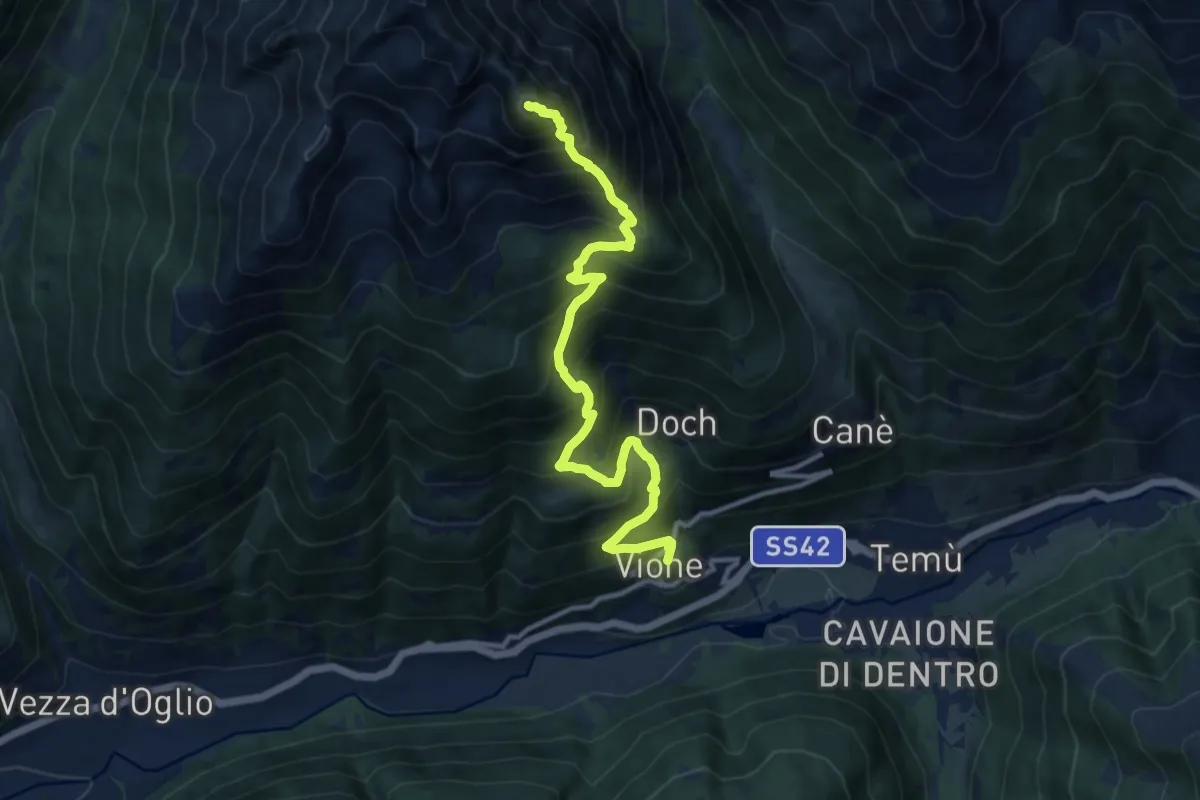
Demanding · Summit
Vione – Monte Bles
12.0 km · ↑ 1454 m · 5 h 59 min · 12 km away
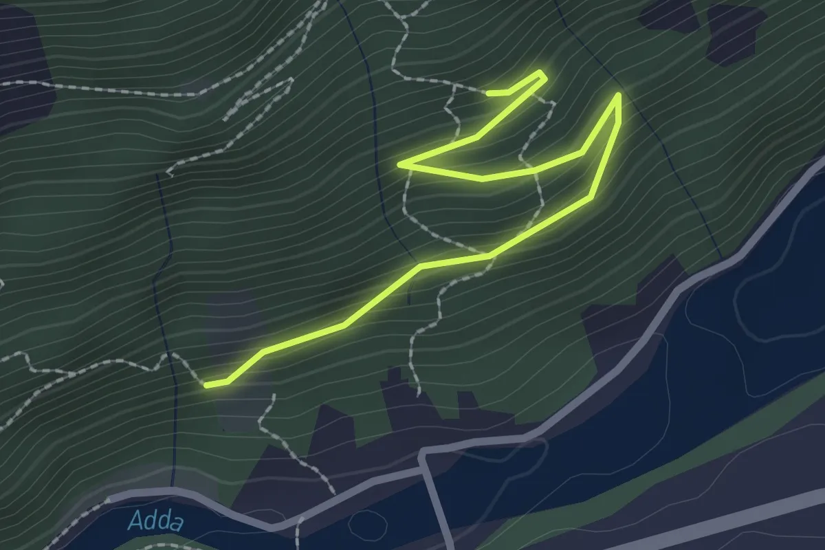
Easy · Trail
221 – 223
2.4 km · ↑ 150 m · 54 min · 12 km away
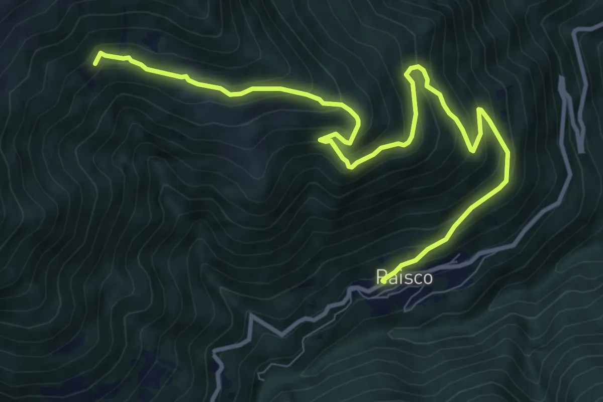
Demanding · Trail
Paisco – Innesto sentiero 165
10.8 km · ↑ 833 m · 4 h 21 min · 12 km away
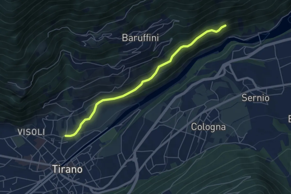
Easy · Trail
Innesto Sentiero 221 – Innesto Sentiero 201
5.1 km · ↑ 254 m · 1 h 46 min · 12 km away
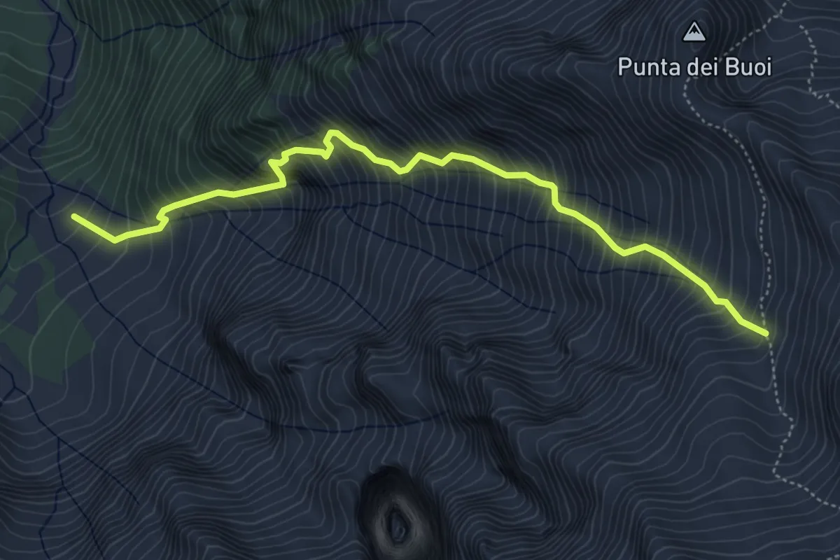
Demanding · Trail
Malga Caldea – Intersezione percorso 640
5.6 km · ↑ 1127 m · 3 h 45 min · 12 km away
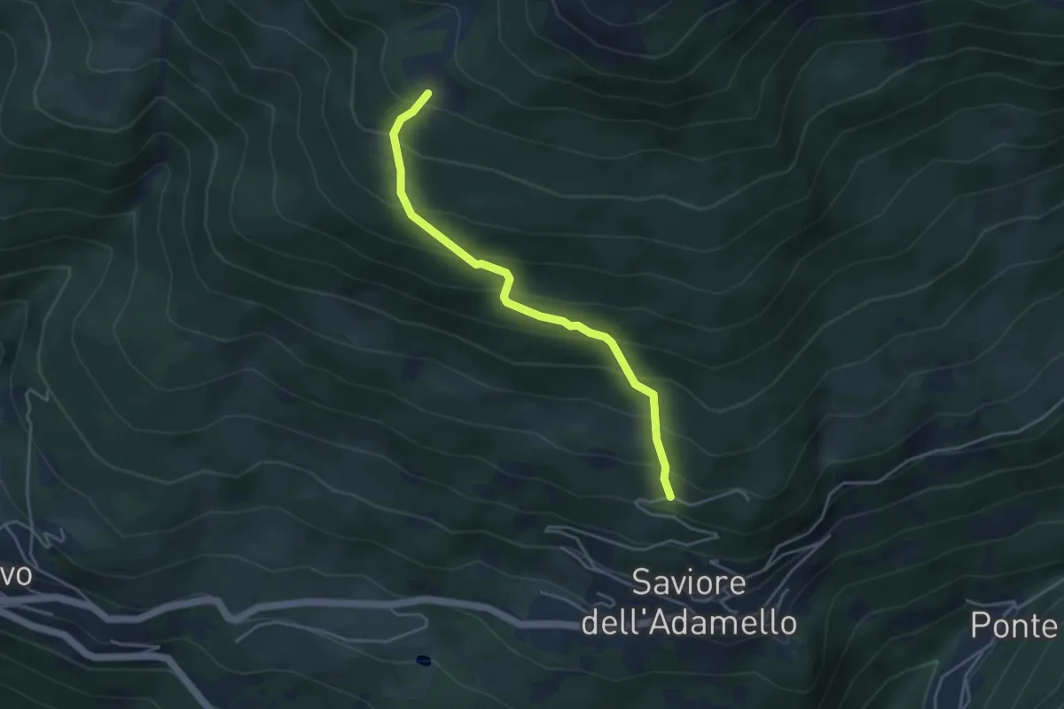
Medium · Trail
Saviore – Malga Corti
4.0 km · ↑ 434 m · 1 h 53 min · 12 km away
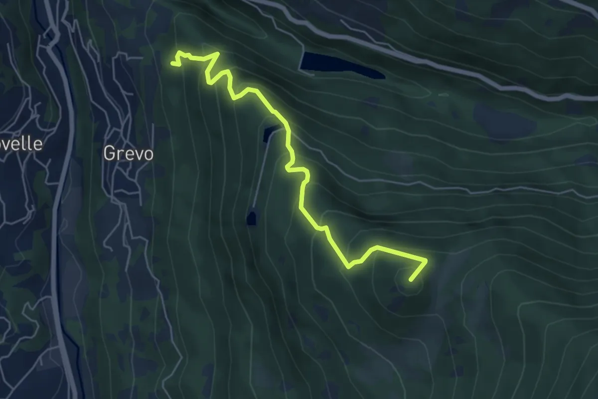
Medium · Summit
Grevo – Innesto sentiero n.605 Sentiero dei tre Fratelli
5.3 km · ↑ 510 m · 2 h 21 min · 12 km away
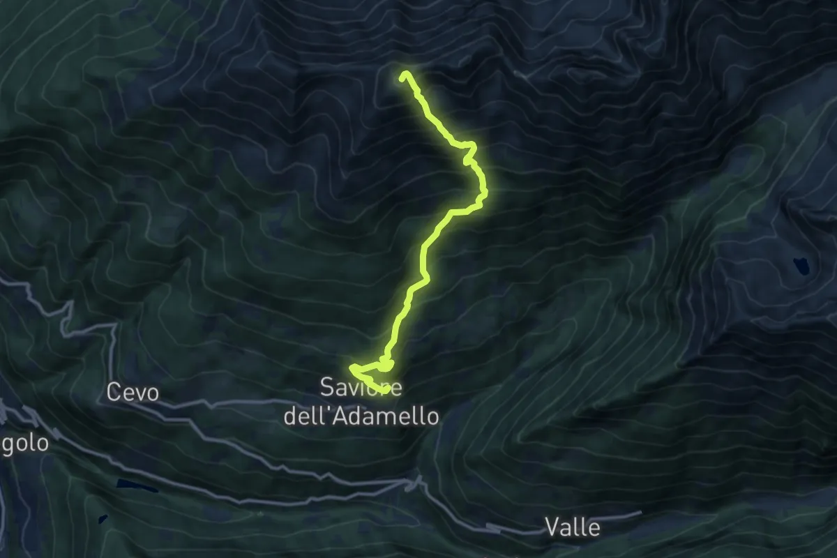
Demanding · Summit
Saviore dell'Adamello – Pian della Regina
10.8 km · ↑ 1314 m · 5 h 24 min · 12 km away
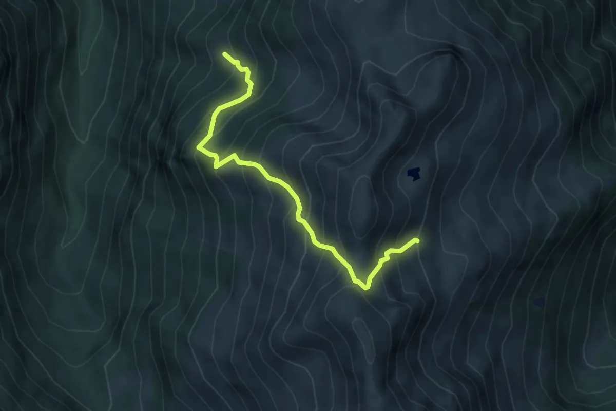
Medium · Trail
Sentiero 128B
4.6 km · ↑ 685 m · 2 h 35 min · 12 km away
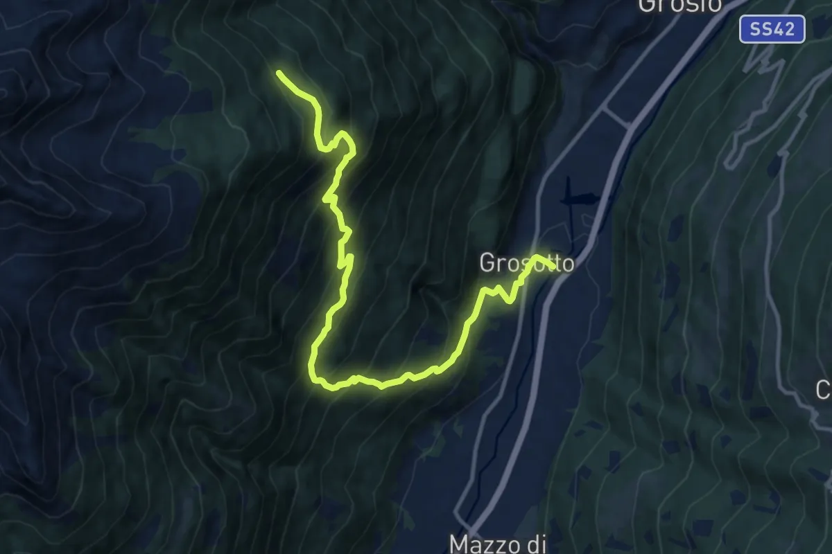
Demanding · Trail
Via Molini (Grosotto) – 201
12.9 km · ↑ 1269 m · 5 h 48 min · 12 km away
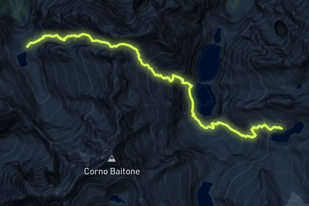
Expert · Cabin
Alta Via dell'Adamello-Tappa 8 (Garibaldi-Occhi)
9.6 km · ↑ 894 m · 4 h 38 min · 12 km away
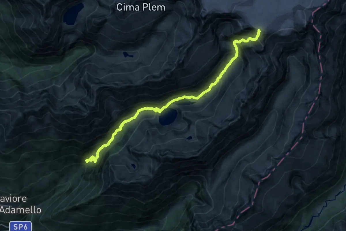
Expert · Cabin
Saviore dell'Adamello (Fabrezza) – Passo Salarno
10.8 km · ↑ 1746 m · 5 h 38 min · 12 km away
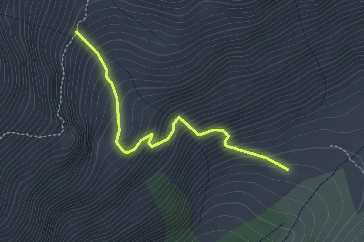
Medium · Trail
Malga Macesso – Intersezione sentiero n. 686
2.3 km · ↑ 335 m · 1 h 17 min · 12 km away
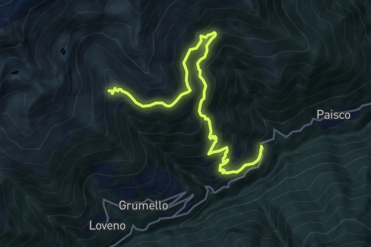
Demanding · Trail
Sparsinica – Malga Val di Scala Inferiore
13.4 km · ↑ 1213 m · 5 h 48 min · 12 km away
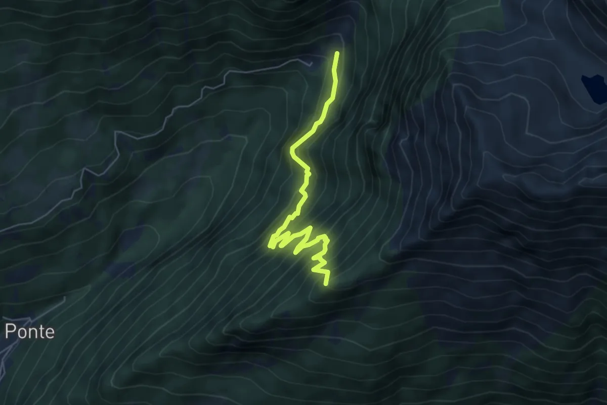
Medium · Summit
Fabrezza – Innesto sentiero n. 614
5.7 km · ↑ 646 m · 2 h 45 min · 13 km away
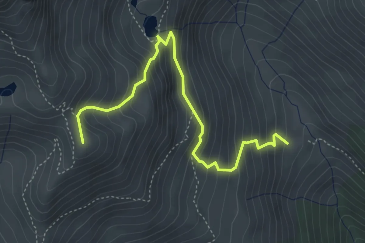
Medium · Summit
Malga Val di Scala Inferiore – Innesto Sentiero n. 160
4.6 km · ↑ 536 m · 2 h 15 min · 13 km away