Trails near Edolo
173 hikes starting within 15 km, nearest first.
Nearest first, page 3 of 4
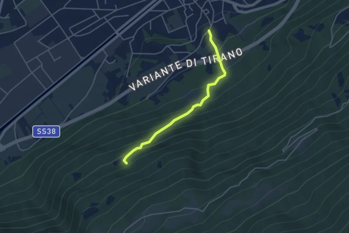
Medium · Trail
Innesto Sentiero 405 – Innesto Sentiero 411
3.2 km · ↑ 336 m · 1 h 29 min · 13 km away
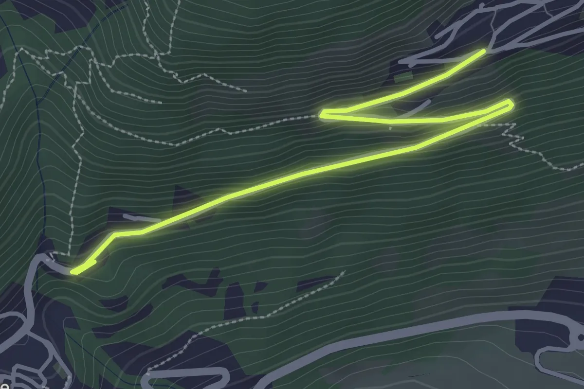
Easy · Trail
Gafiú
1.9 km · ↑ 6 m · 35 min · 13 km away
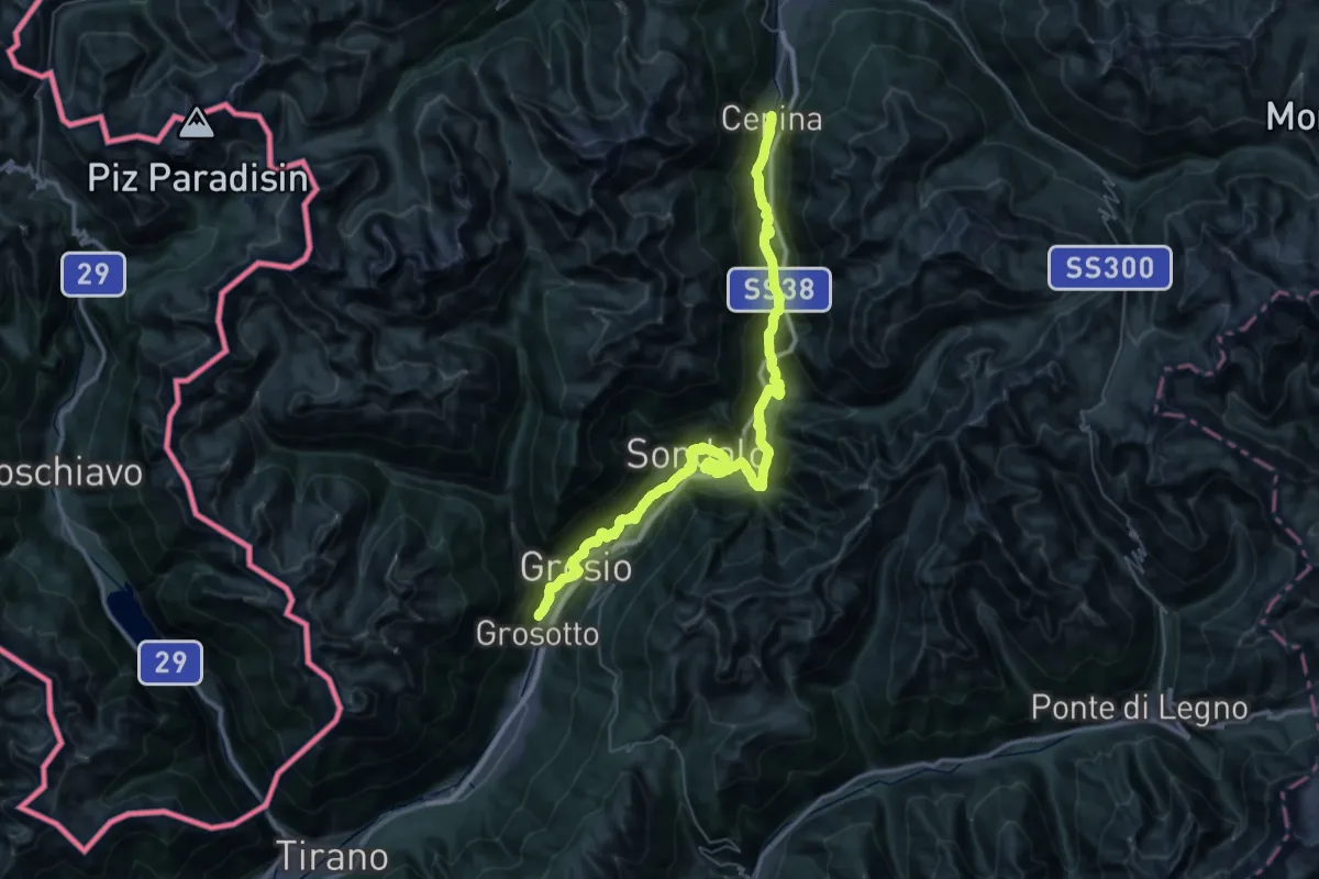
Demanding · Pilgrim path
Cammino Mariano delle Alpi - Via Orientale - Tappa 2
28.5 km · ↑ 1096 m · 9 h 15 min · 13 km away
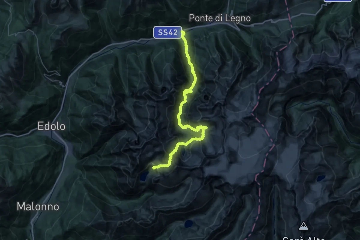
Expert · Cabin
Riugio Franco Tonolini – Temù
20.8 km · ↑ 2191 m · 9 h 19 min · 13 km away
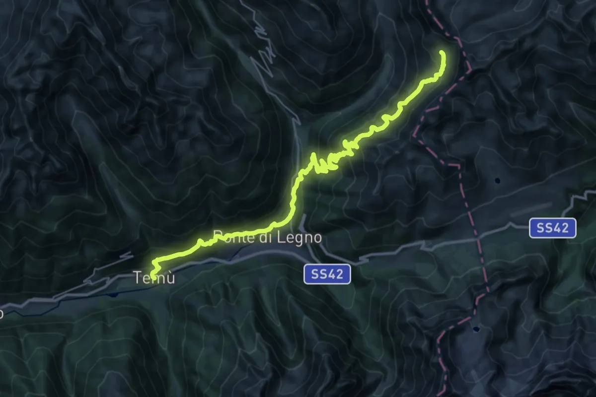
Demanding · Cabin
Temù – Rifugio Angelino Bozzi al Montozzo
15.7 km · ↑ 1663 m · 6 h 52 min · 13 km away
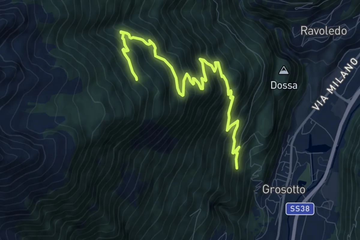
Demanding · Trail
202 – 236
11.6 km · ↑ 940 m · 4 h 46 min · 13 km away
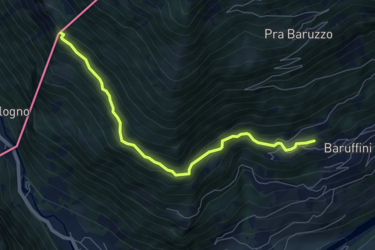
Medium · Trail
Case Alte (Baruffini) – Caserma di Finanza
6.7 km · ↑ 467 m · 2 h 35 min · 13 km away
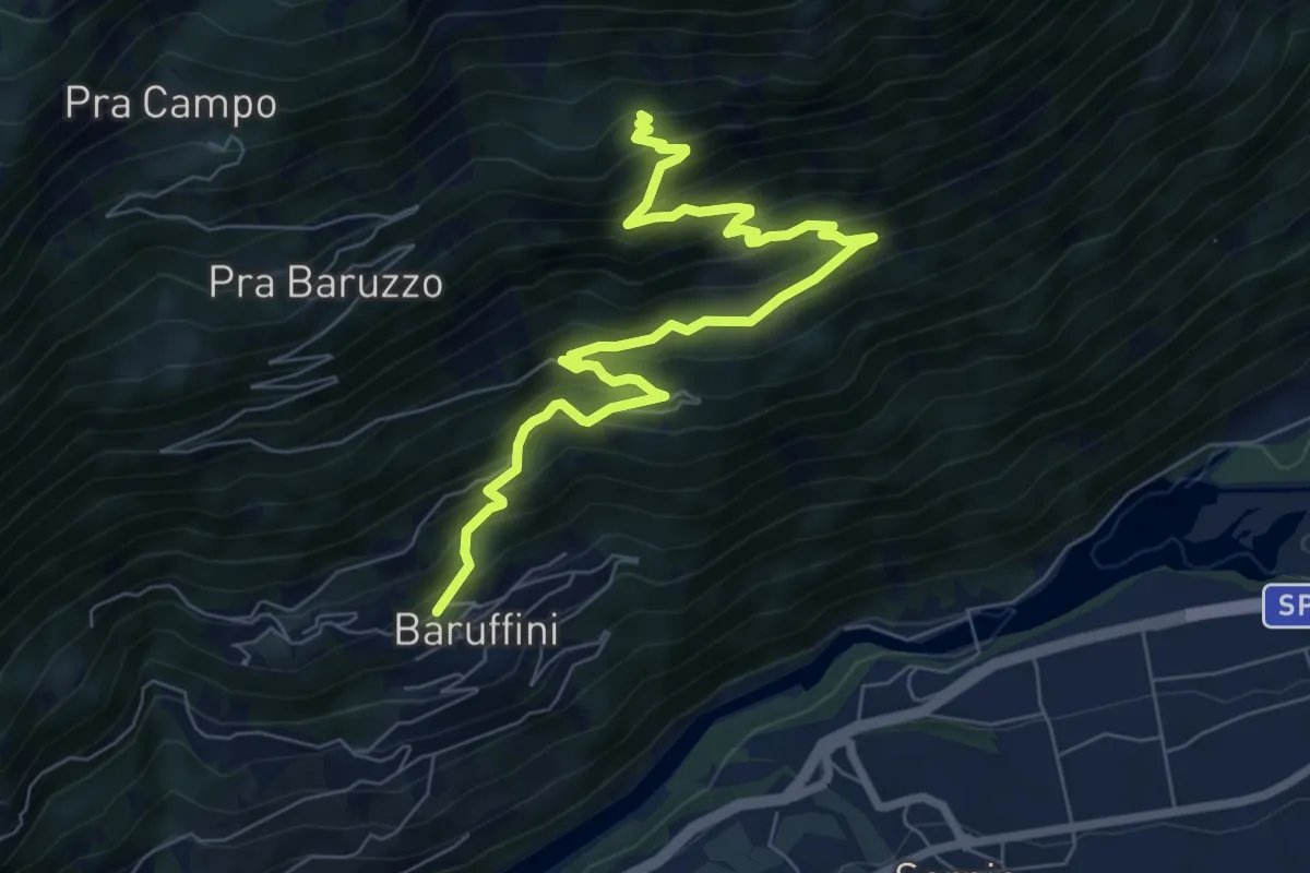
Demanding · Trail
Baruffini – 201
8.5 km · ↑ 826 m · 3 h 48 min · 13 km away
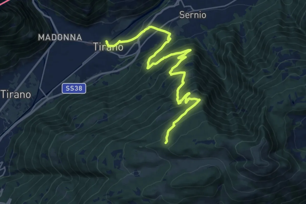
Demanding · Trail
Innesto Sentiero 205 - Innesto Sentiero 201 – Innesto Sentiero 409
20.5 km · ↑ 1346 m · 7 h 45 min · 13 km away
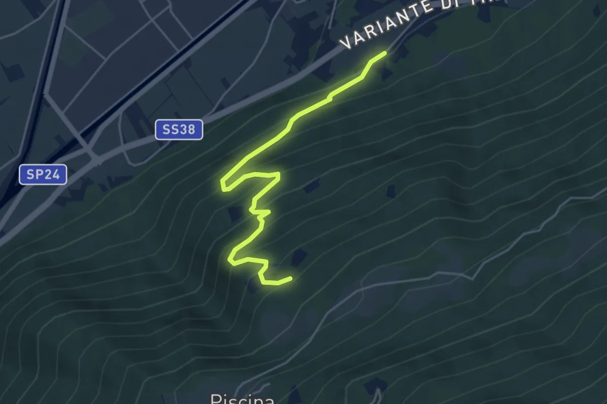
Medium · Trail
Innesto Sentiero 413 – Innesto Sentiero 411
4.5 km · ↑ 433 m · 2 h · 13 km away
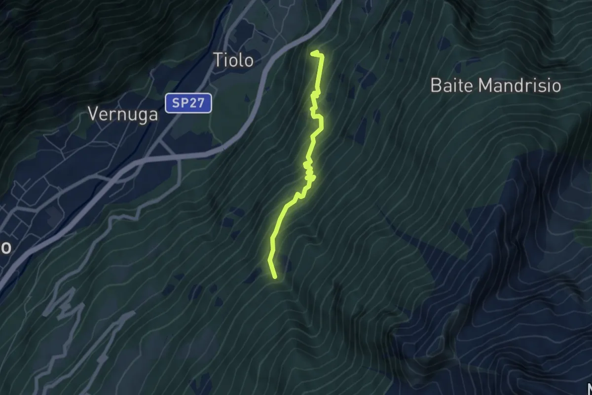
Medium · Summit
Innesto Sentiero 455 – Innesto Sentiero 450
5.1 km · ↑ 619 m · 2 h 32 min · 13 km away
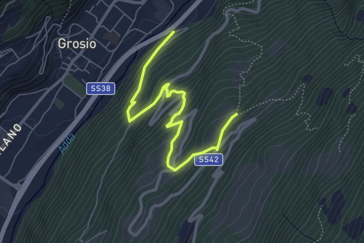
Medium · Trail
Innesto Sentiero 450 – Innesto Sentiero 450
5.7 km · ↑ 436 m · 2 h 17 min · 13 km away
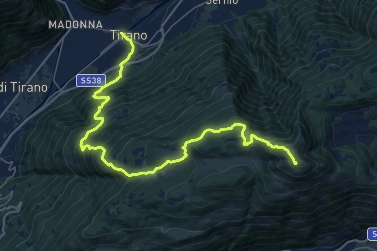
Demanding · Summit
Innesto Sentiero 201 – Monte Padrio
25.0 km · ↑ 1690 m · 9 h 34 min · 13 km away
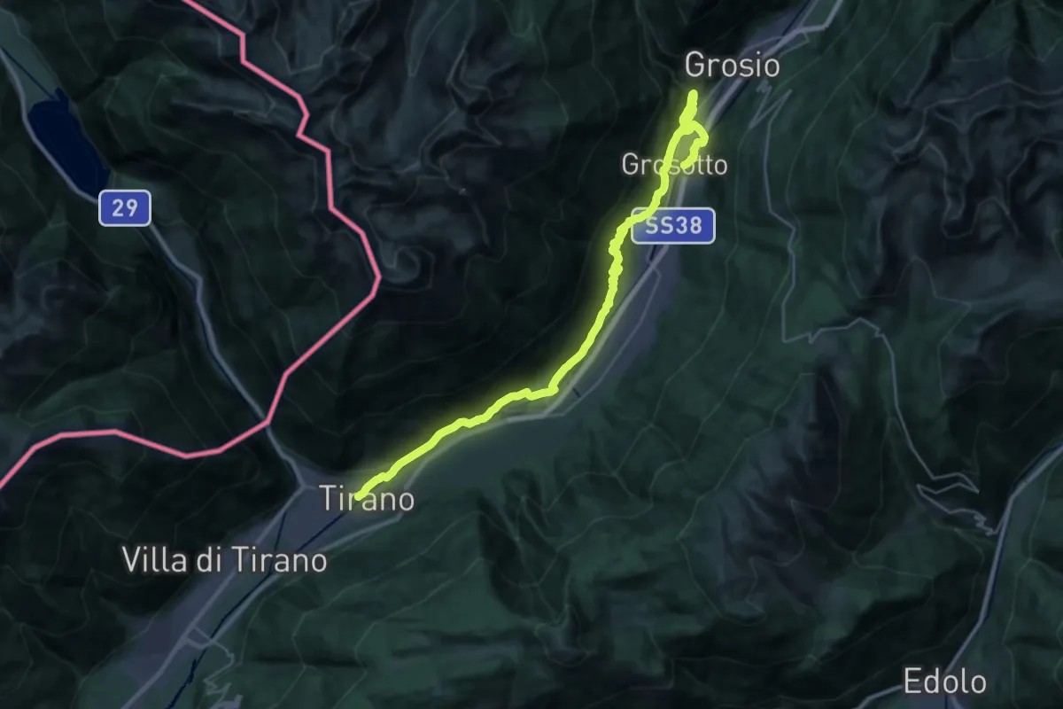
Medium · Trail
SS38 - TIrano – Prati di Punta (Grosotto)
15.7 km · ↑ 541 m · 5 h 2 min · 13 km away
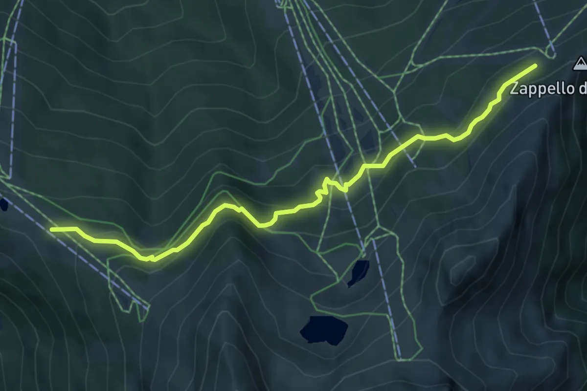
Medium · Cabin
Innesto Sentiero 301 – Innesto Sentiero 339
6.1 km · ↑ 344 m · 2 h 11 min · 13 km away
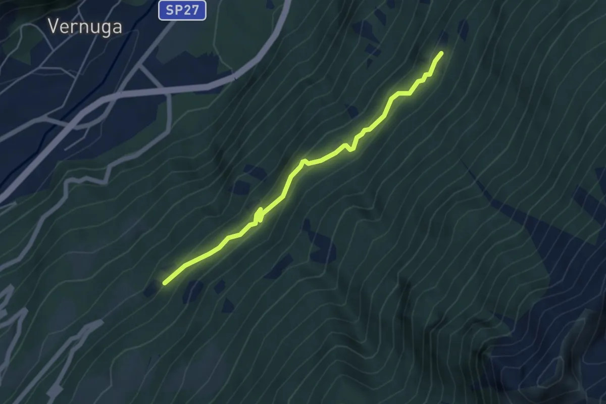
Medium · Trail
Innesto Sentiero 450 – Innesto Sentiero 461
4.5 km · ↑ 356 m · 1 h 50 min · 13 km away
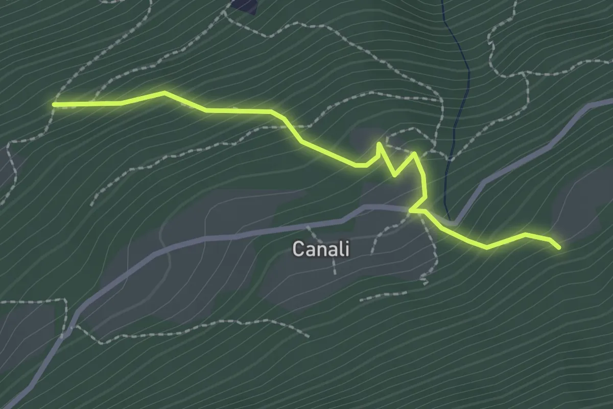
Medium · Trail
Innesto Sentiero 411 – Innesto Sentiero 402
2.3 km · ↑ 282 m · 1 h 9 min · 13 km away
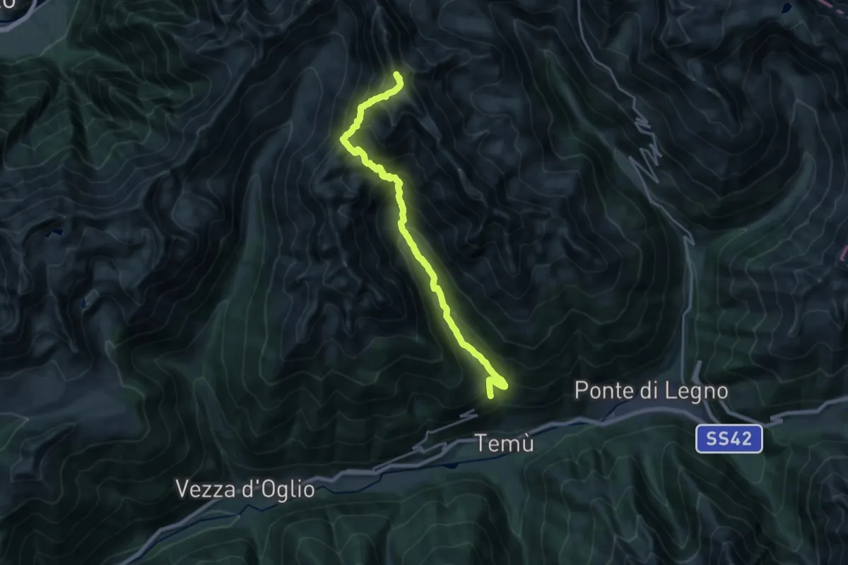
Demanding · Summit
Canè – Cima Monticello
19.7 km · ↑ 1647 m · 8 h 14 min · 13 km away
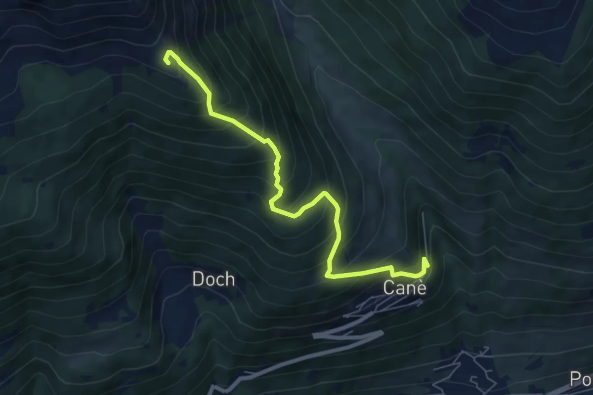
Medium · Summit
Canè – Torre dei Pagà
6.3 km · ↑ 736 m · 3 h 4 min · 13 km away
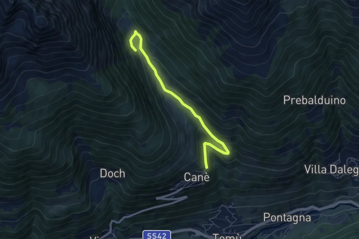
Easy · Trail
Pè de corf
3.2 km · ↑ 264 m · 1 h 14 min · 13 km away
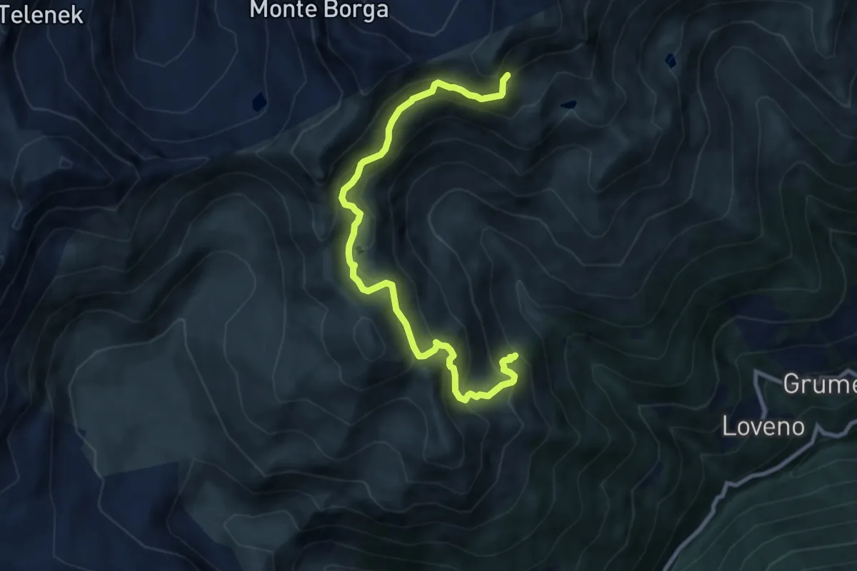
Demanding · Trail
Traversagna – Innesto sentiero n. 160
9.5 km · ↑ 866 m · 4 h 8 min · 13 km away
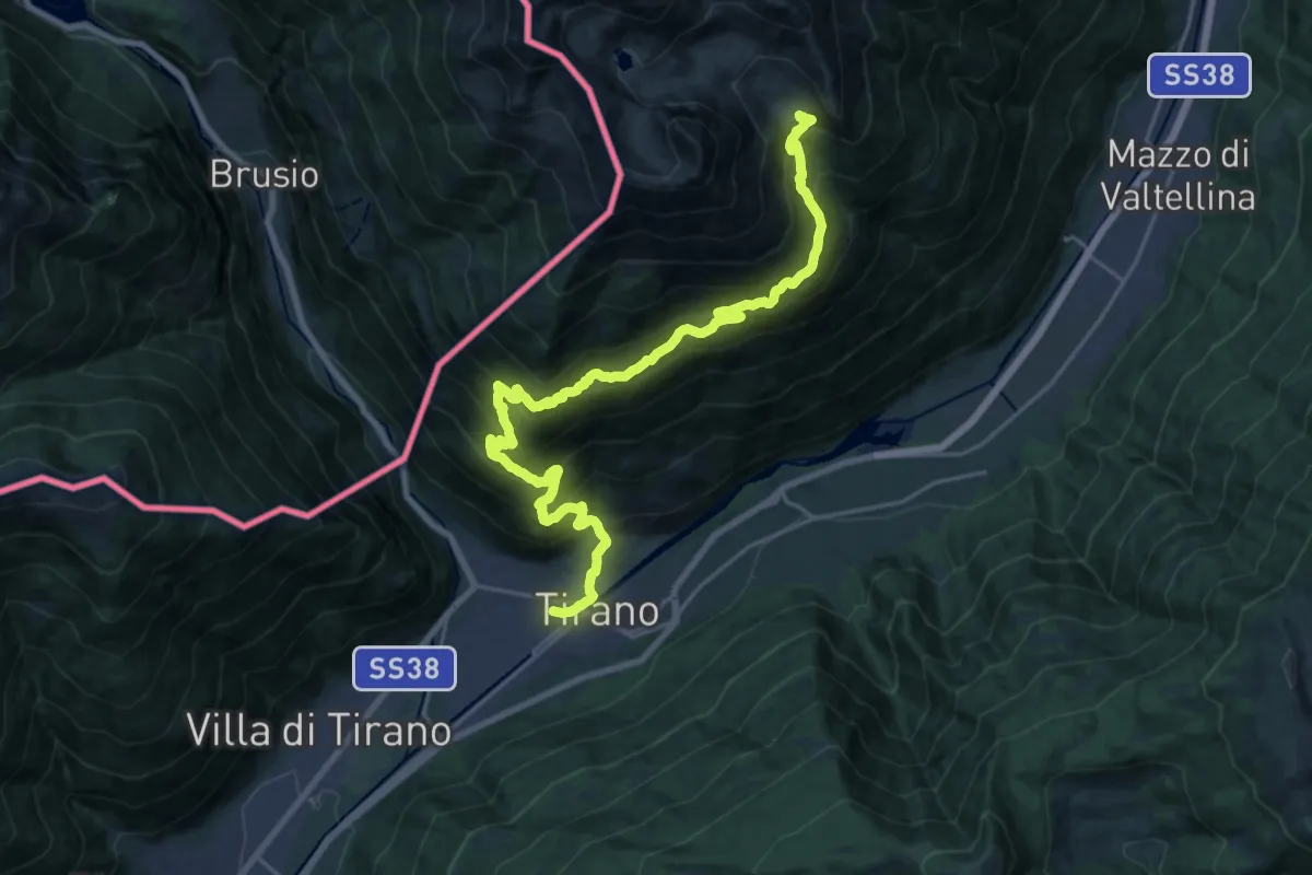
Demanding · Cabin
Tirano Stazione – Rifugio Schiazzera
12.4 km · ↑ 1890 m · 6 h 22 min · 13 km away
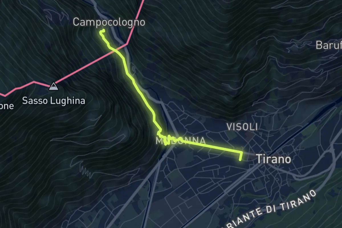
Medium · Trail
Via Albula/Bernina
7.1 km · ↑ 325 m · 2 h 23 min · 13 km away
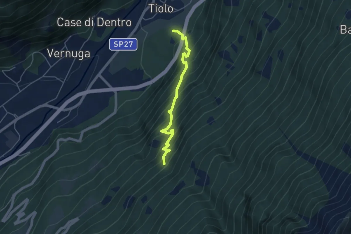
Medium · Trail
Innesto Sentiero 455 – Innesto Sentiero 460
3.9 km · ↑ 489 m · 1 h 58 min · 13 km away
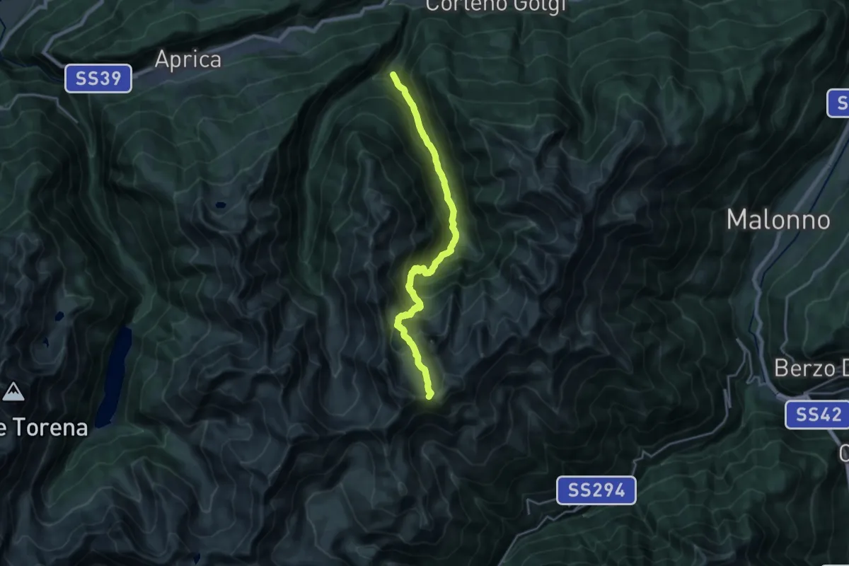
Demanding · Trail
Sant'Antonio – Passo del Torsoleto
18.3 km · ↑ 1586 m · 7 h 46 min · 13 km away
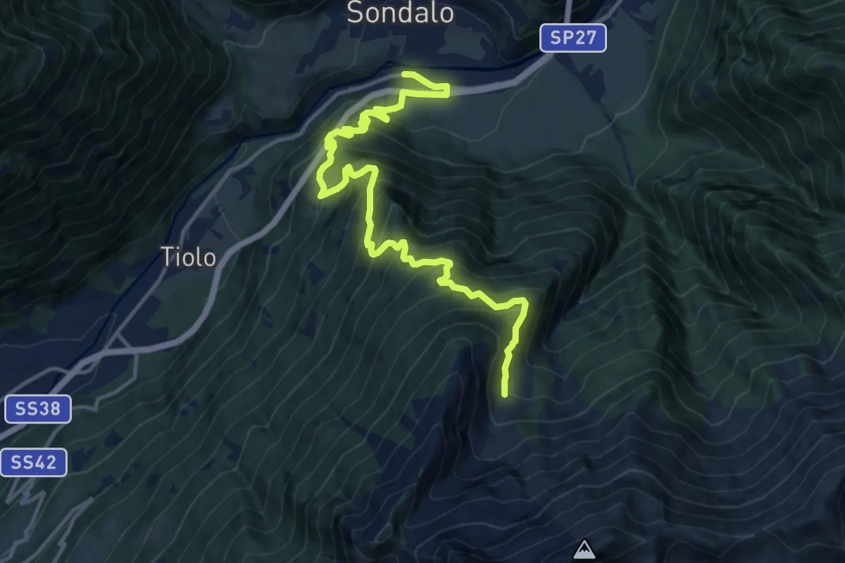
Demanding · Trail
Via Stelvio (Bolladore) – Innesto Sentiero 490
14.5 km · ↑ 1393 m · 6 h 26 min · 14 km away
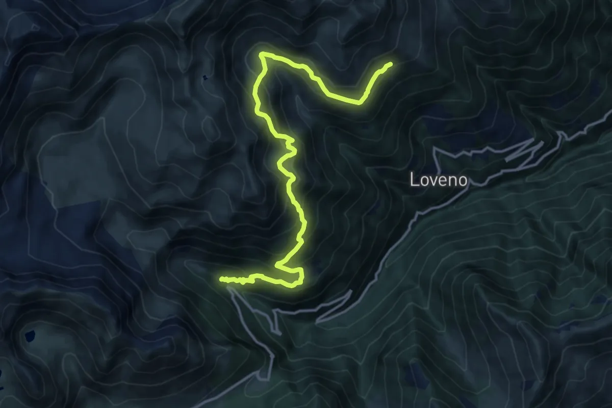
Demanding · Trail
SP294 – Innesto Sentiero n. 160
14.4 km · ↑ 1153 m · 5 h 54 min · 14 km away
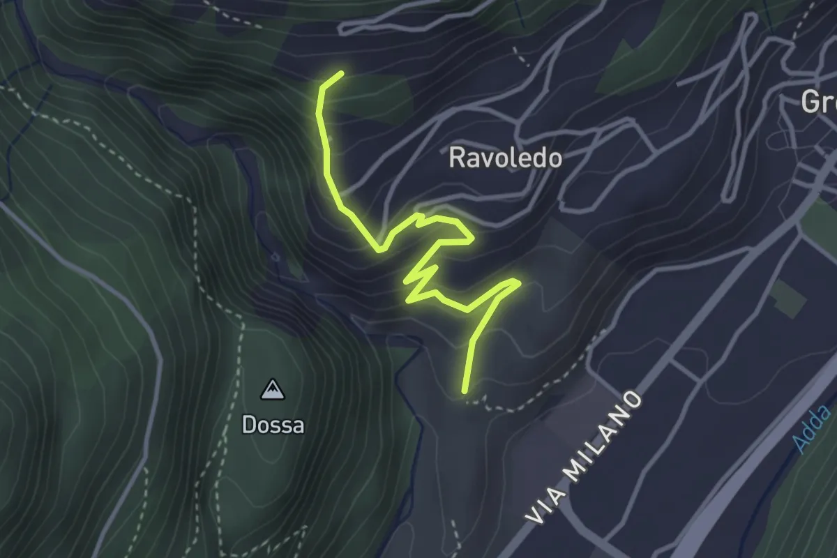
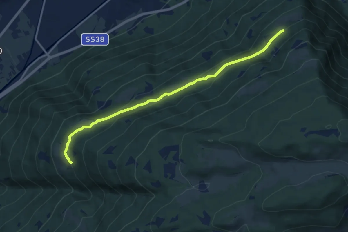
Expert · Trail
202 – 250
3.2 km · ↑ 297 m · 1 h 24 min · 14 km away
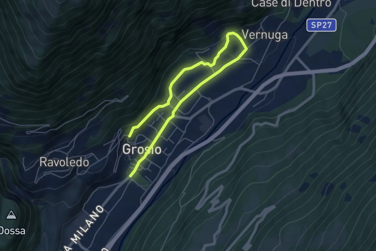
Medium · Trail
Innesto Sentiero 421 – Innesto Sentiero 410
8.8 km · ↑ 480 m · 3 h 7 min · 14 km away
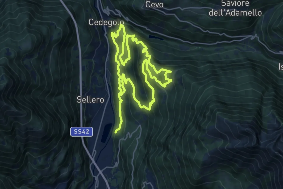
Medium · Trail
Via Roma (Grosio) – 250
6.8 km · ↑ 201 m · 2 h 3 min · 14 km away
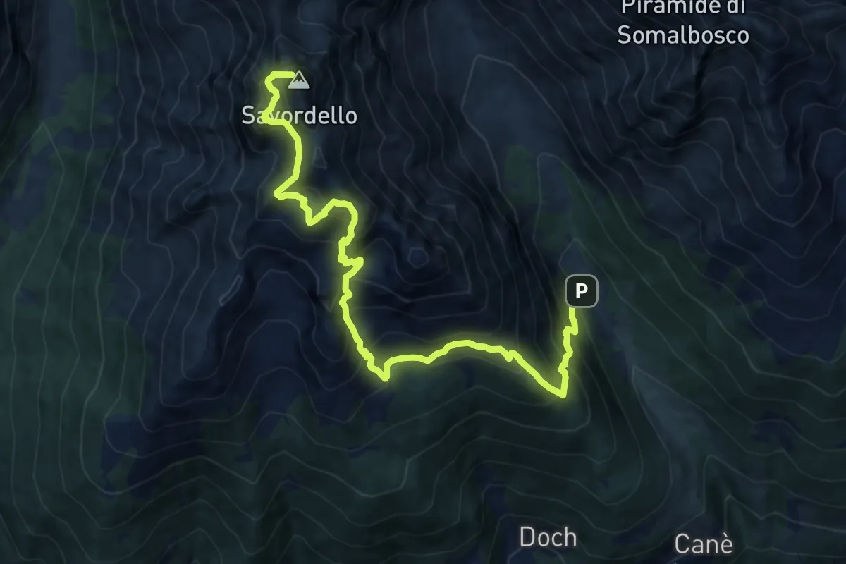
Demanding · Summit
Persech Trail
15.3 km · ↑ 964 m · 5 h 58 min · 14 km away
Demanding · Summit
Torre dei Pagà – Passo Val Canè
13.3 km · ↑ 1596 m · 6 h 36 min · 14 km away
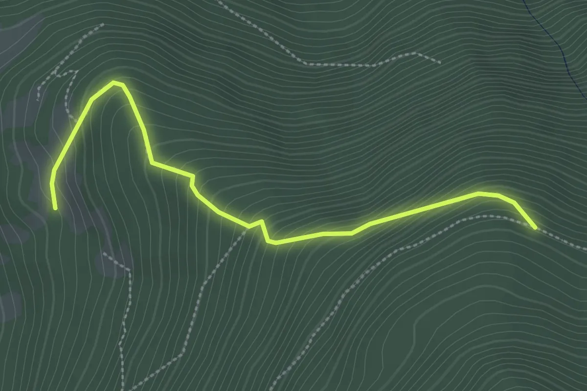
Easy · Trail
Belvedere – Intersezione sentiero 3 Fratelli
3.1 km · ↑ 302 m · 1 h 23 min · 14 km away
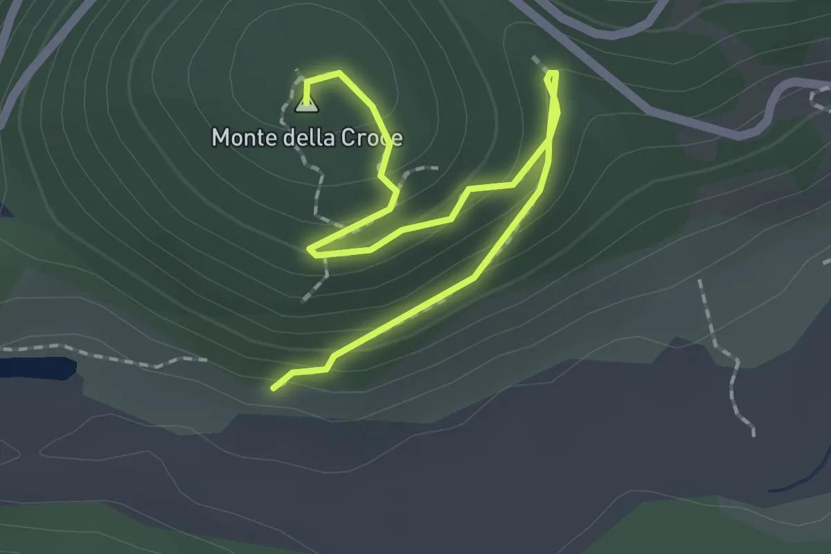
Easy · Summit
Innesto Sentiero 349 – Monte della Croce
2.3 km · ↑ 117 m · 48 min · 14 km away
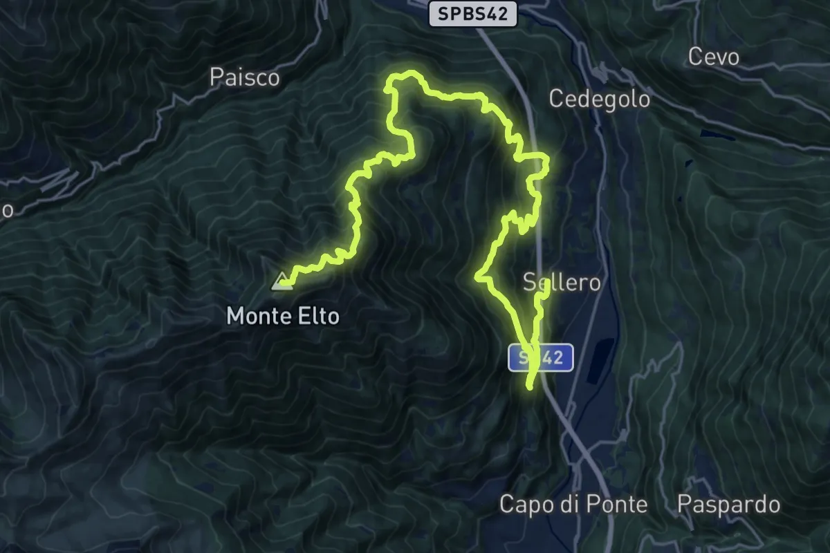
Demanding · Summit
Sellero – Passo di Campelli
28.3 km · ↑ 2782 m · 12 h 43 min · 14 km away
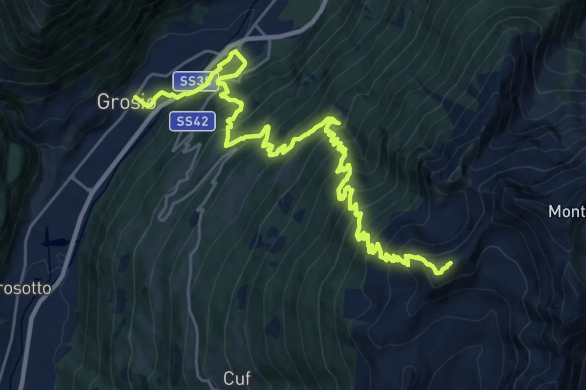
Demanding · Summit
Innesto Sentiero 248 – Varadega
21.6 km · ↑ 2154 m · 9 h 45 min · 14 km away
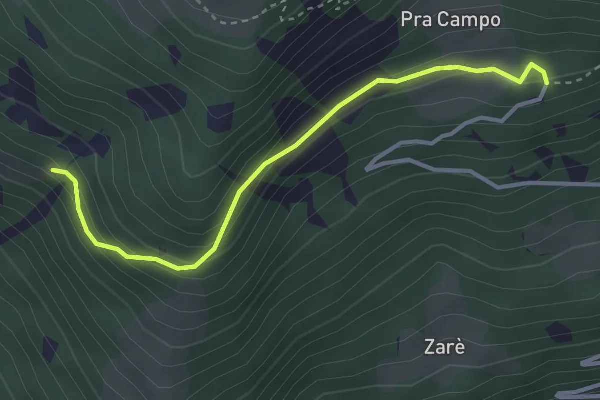
Easy · Trail
Prò Campo – Le Zocche
3.0 km · ↑ 164 m · 1 h 3 min · 14 km away
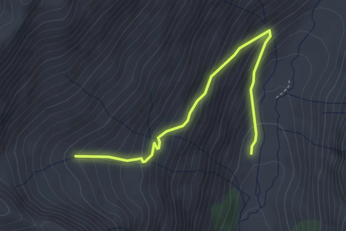
Medium · Trail
Malga Val Grande – Intersezione percorso 108
4.0 km · ↑ 399 m · 1 h 48 min · 14 km away
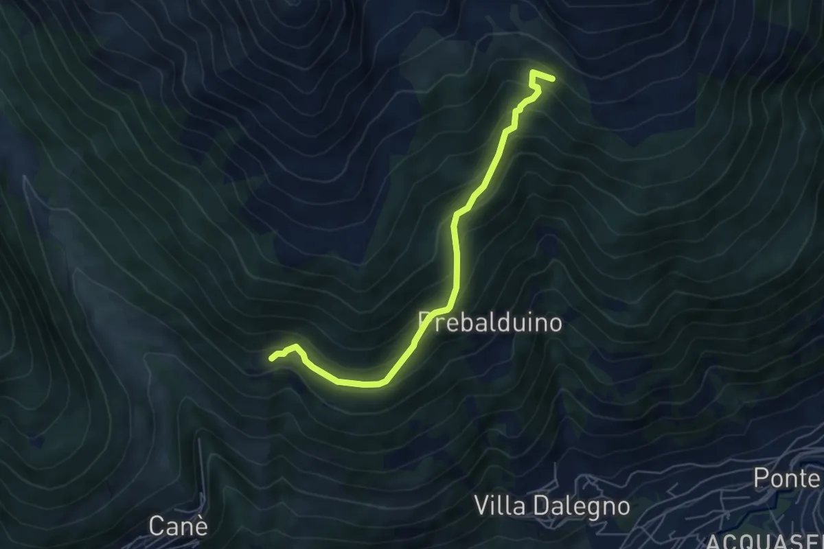
Medium · Trail
Case Chigolo – Baite Val Massa
5.5 km · ↑ 422 m · 2 h 13 min · 14 km away
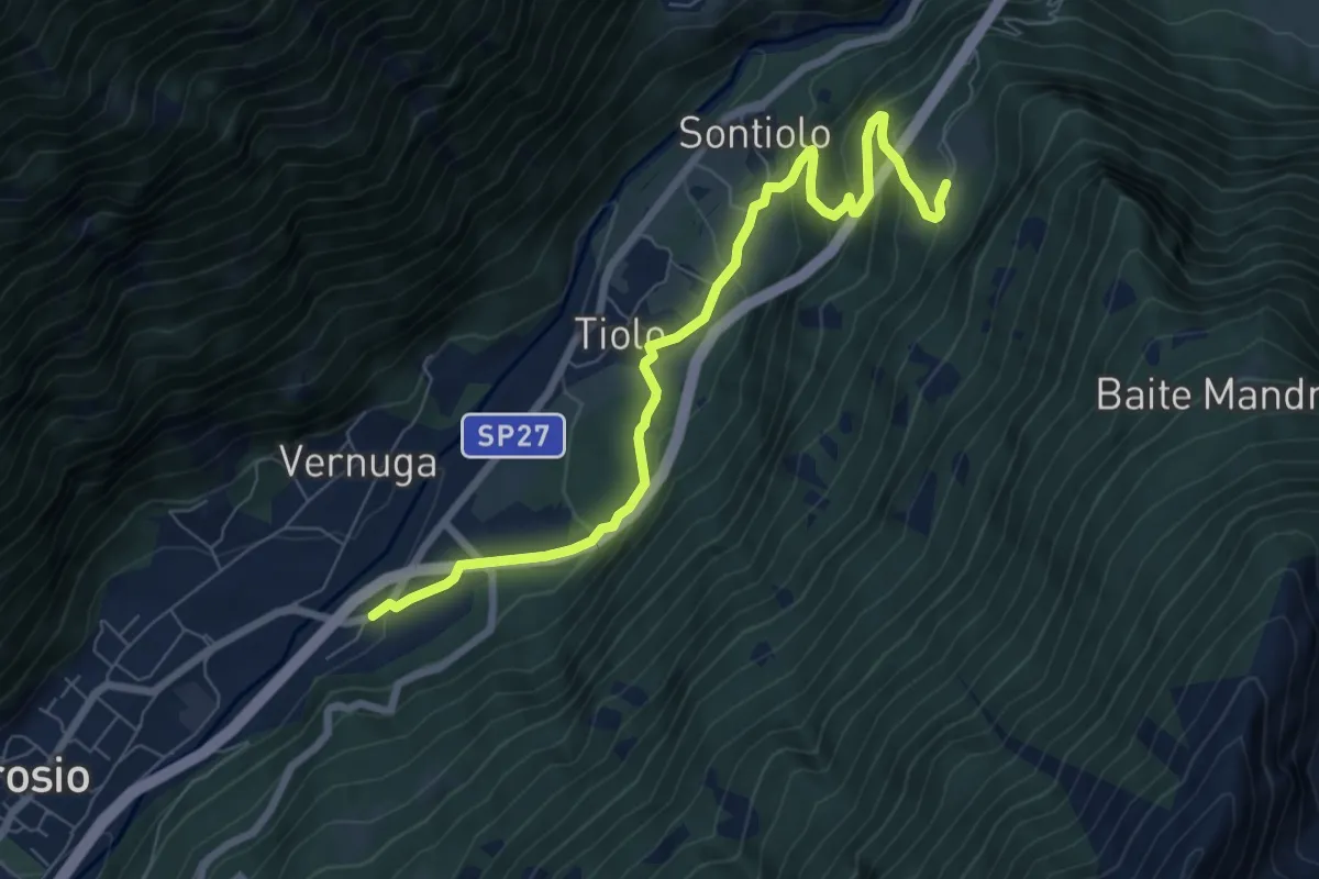
Medium · Trail
Innesto Sentiero 450 – Innesto Sentiero 492
7.9 km · ↑ 464 m · 2 h 52 min · 14 km away
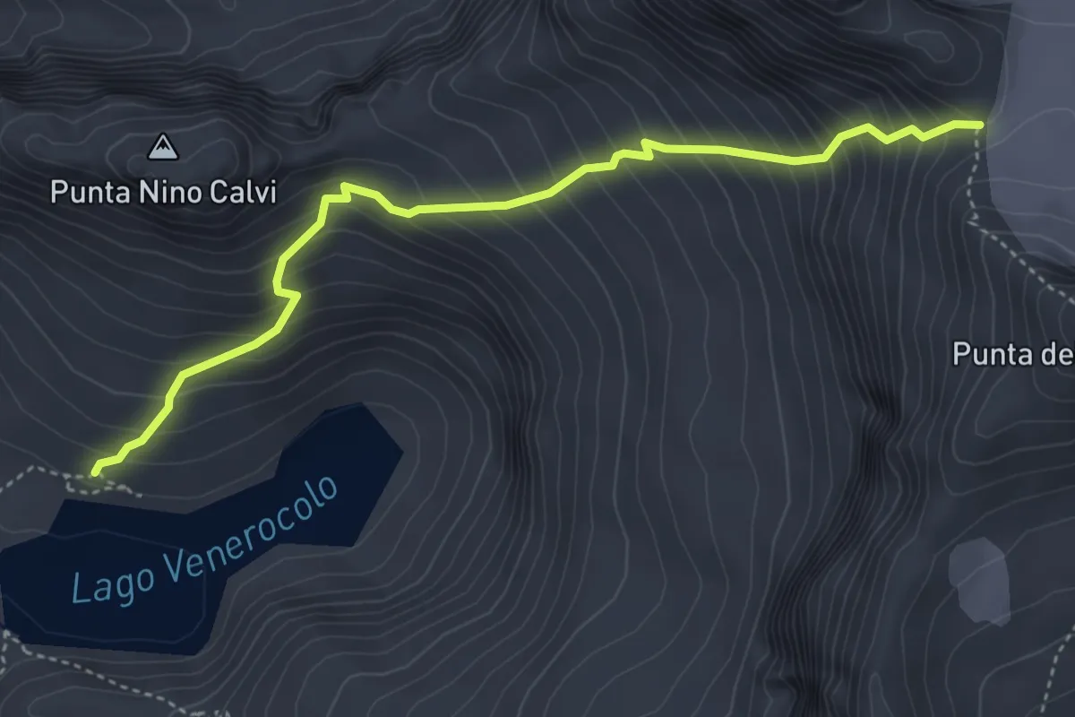
Expert · Cabin
Lago Venerocolo – Passo del Venerocolo
4.5 km · ↑ 575 m · 2 h 19 min · 14 km away
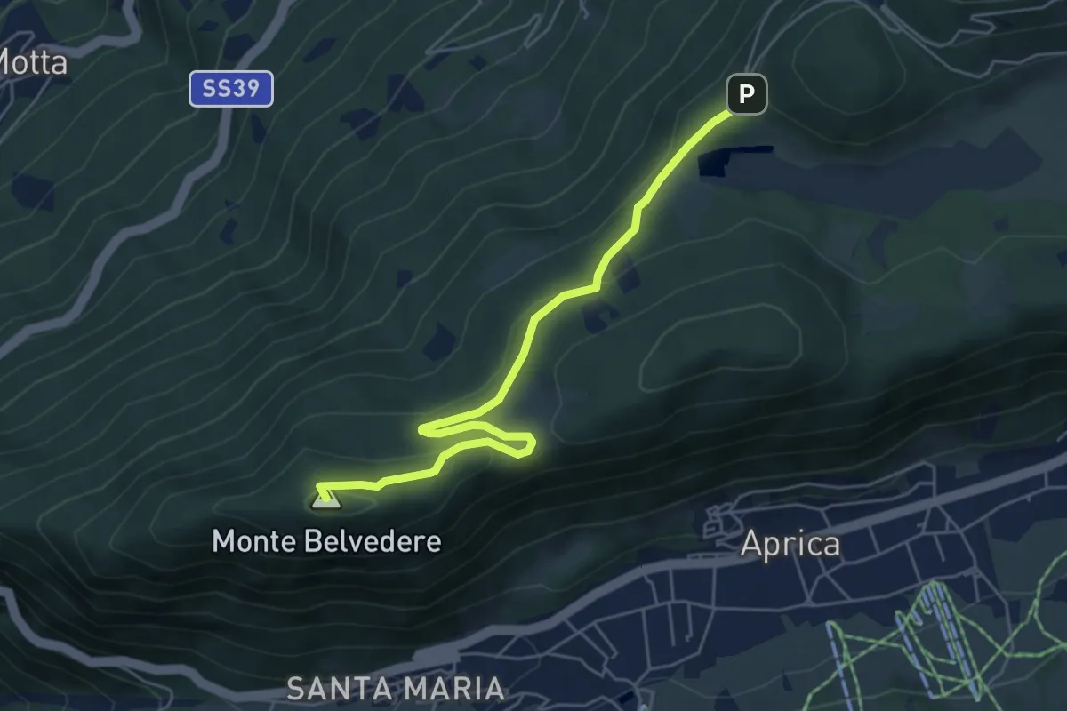
Demanding · Summit
Innesto Sentiero 342 – Incrocio Sentiero 321 - Sentiero 349
5.7 km · ↑ 178 m · 1 h 43 min · 14 km away
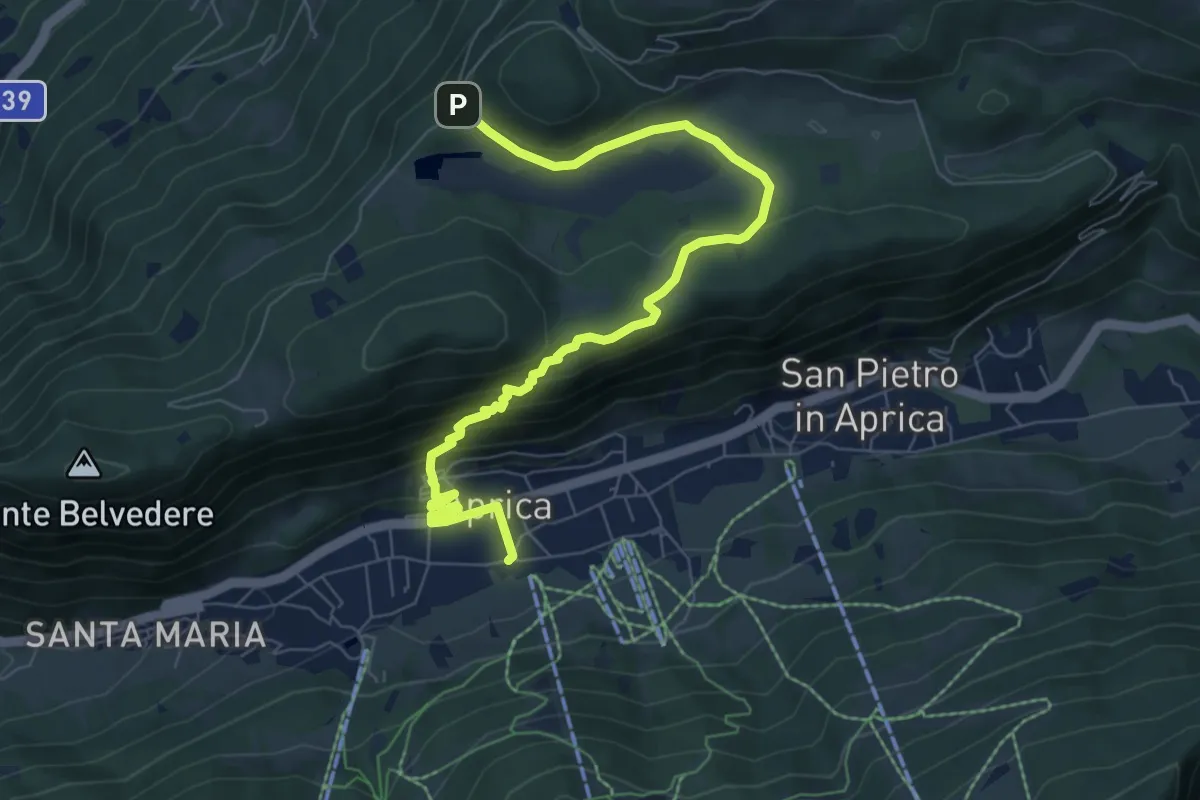
Medium · Trail
Incrocio Sentiero 342 - Sentiero 339 – Incrocio Sentiero 321 - Sentiero 352
8.6 km · ↑ 408 m · 2 h 54 min · 14 km away
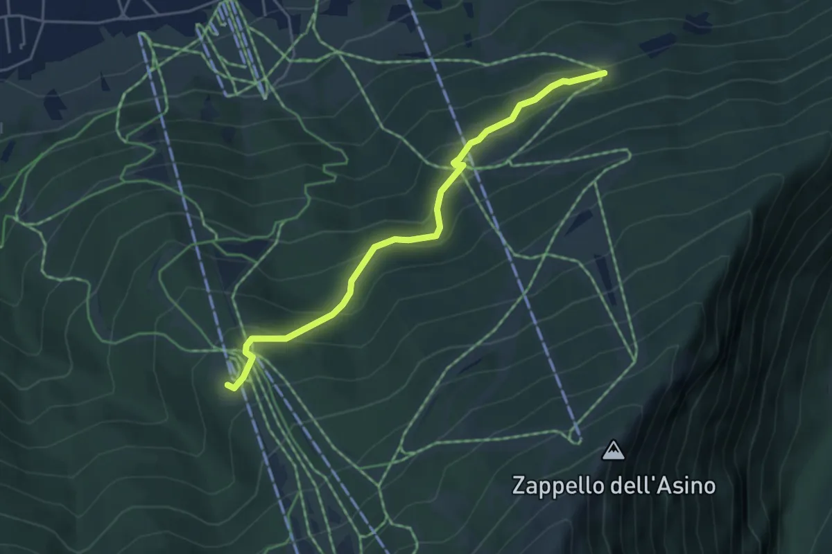
Easy · Trail
Innesto Sentiero 338 – Innesto Sentiero 328
4.4 km · ↑ 283 m · 1 h 40 min · 14 km away
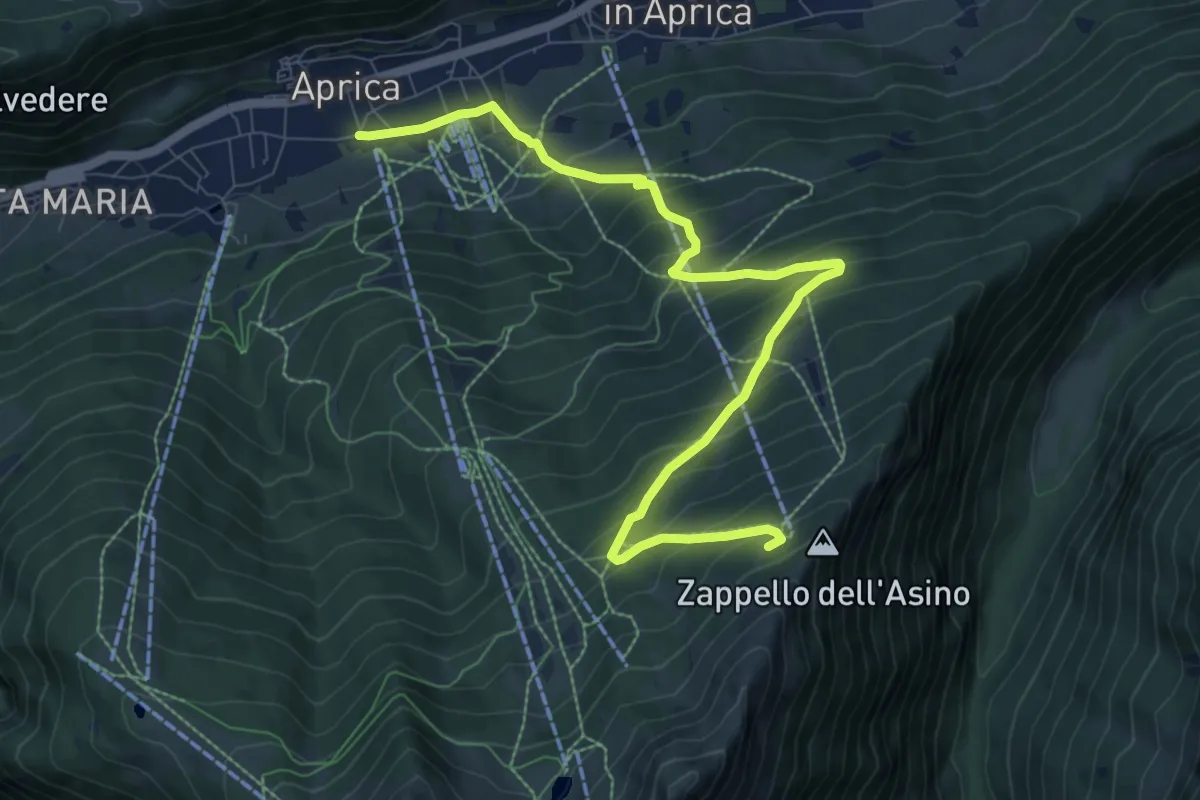
Medium · Trail
Innesto Sentiero 349 – Innesto Percorso 341
10.0 km · ↑ 799 m · 4 h 5 min · 14 km away
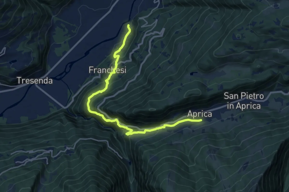
Demanding · Trail
Innesto Sentiero 303 – Incrocio Sentiero 339 - Sentiero 349
16.1 km · ↑ 1114 m · 6 h 13 min · 14 km away
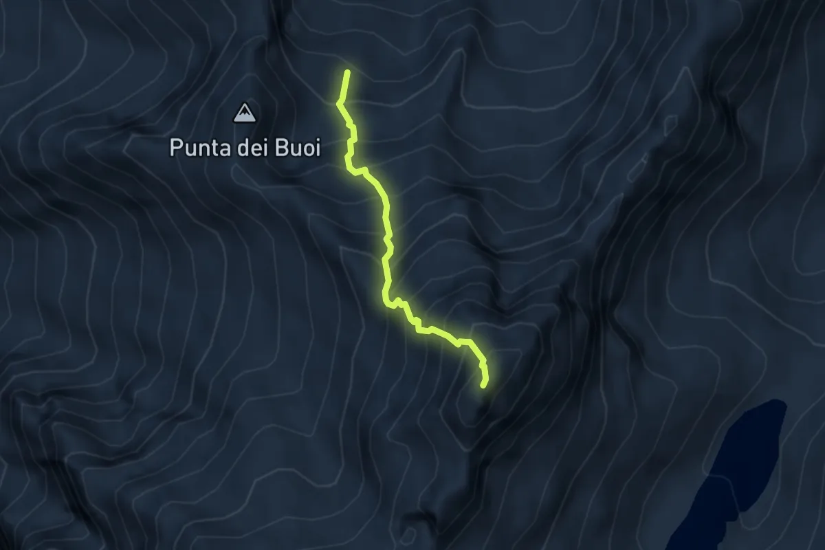
Expert · Summit
Variante Bocchetta di Valbione
3.0 km · ↑ 612 m · 2 h 2 min · 14 km away
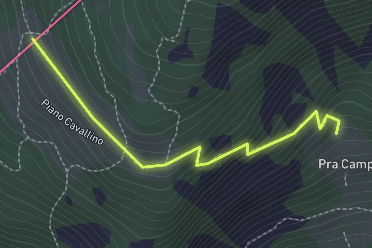
Easy · Trail
201 – Piano Cavallino
2.3 km · ↑ 172 m · 54 min · 14 km away