Trails near Edolo
173 hikes starting within 15 km, nearest first.
Nearest first, page 4 of 4
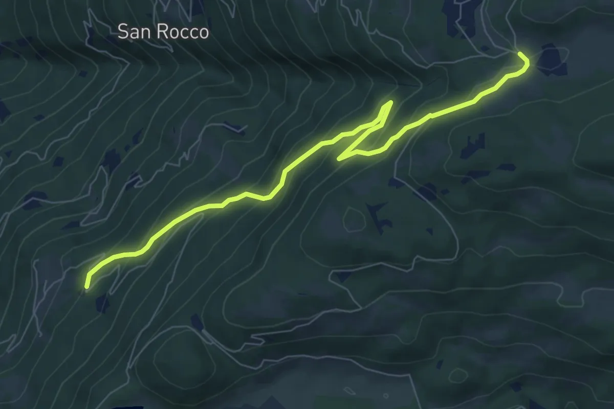
Medium · Trail
Innesto Sentiero 321 – Innesto Sentiero 411
8.2 km · ↑ 527 m · 3 h 5 min · 14 km away
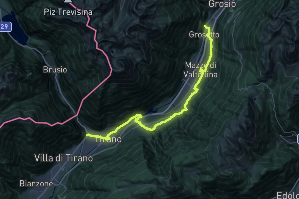
Medium · Pilgrim path
Cammino Mariano delle Alpi - Via Orientale - Tappa 3
17.7 km · ↑ 625 m · 5 h 42 min · 14 km away
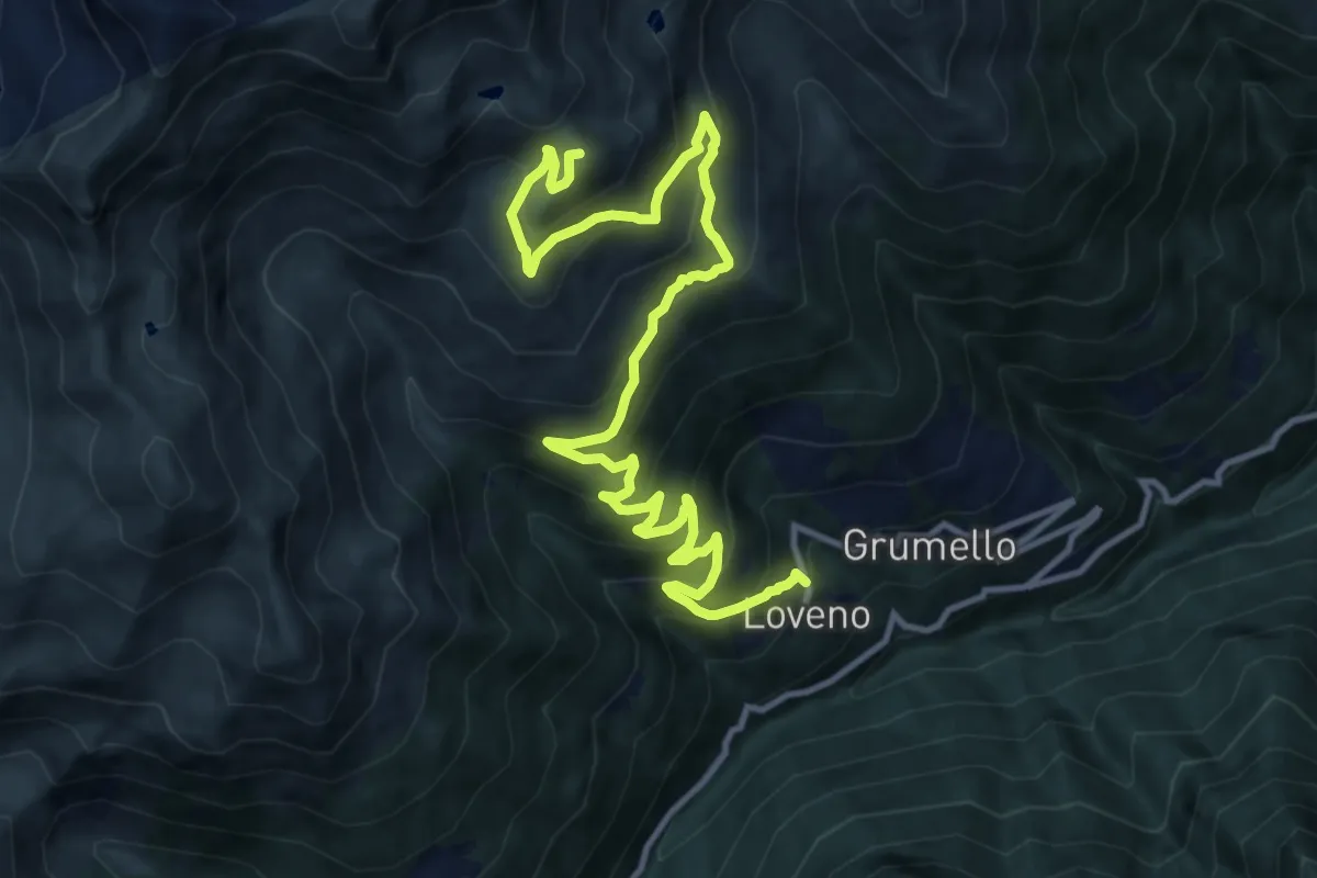
Demanding · Summit
Paisco Loveno (Loveno) – Innesto sentiero n. 107
14.9 km · ↑ 1152 m · 6 h · 14 km away
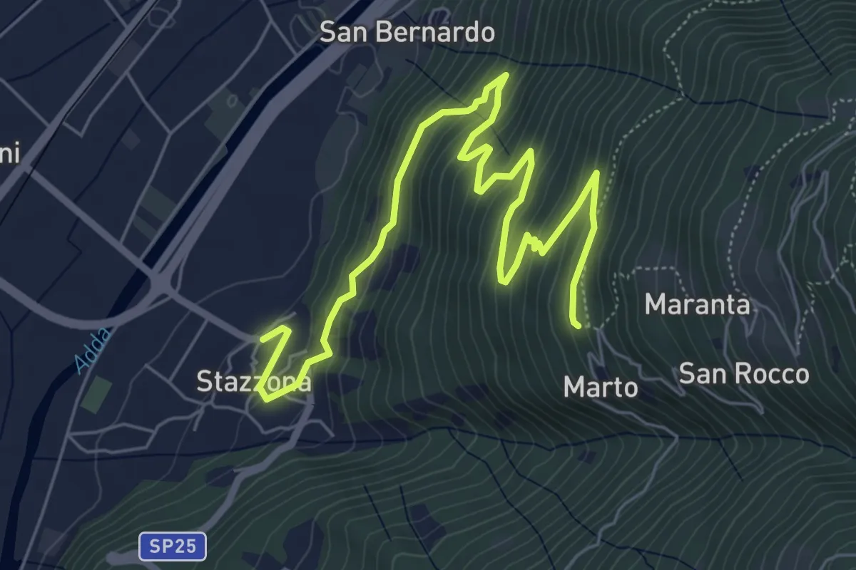
Medium · Trail
Innesto Sentiero 410 – Innesto Sentiero 410
7.9 km · ↑ 468 m · 2 h 52 min · 14 km away
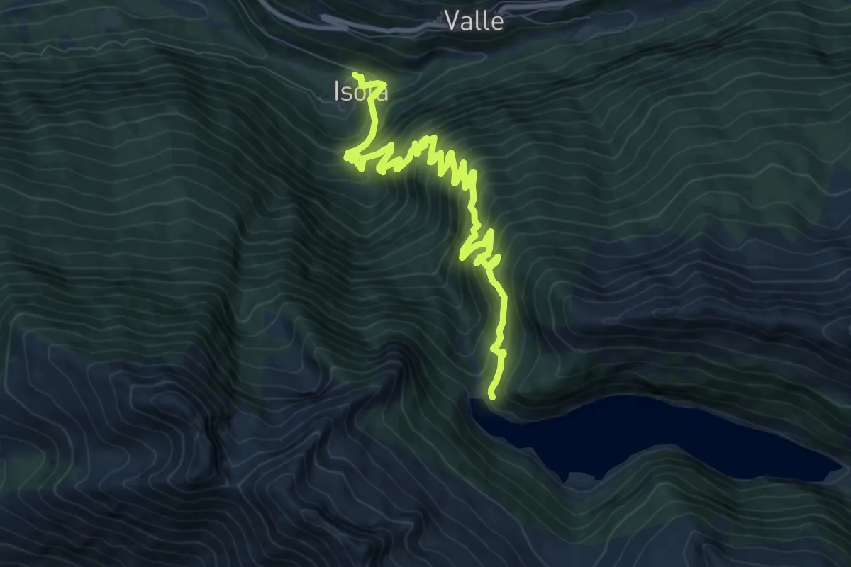
Expert · Trail
Isola – Lago d'Arno
11.0 km · ↑ 1202 m · 5 h 12 min · 14 km away
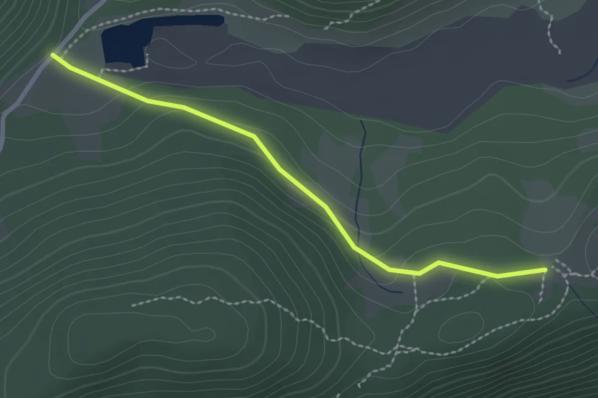
Easy · Trail
Innesto Sentiero 352 – Innesto Sentiero 349
2.3 km · ↑ 71 m · 42 min · 14 km away
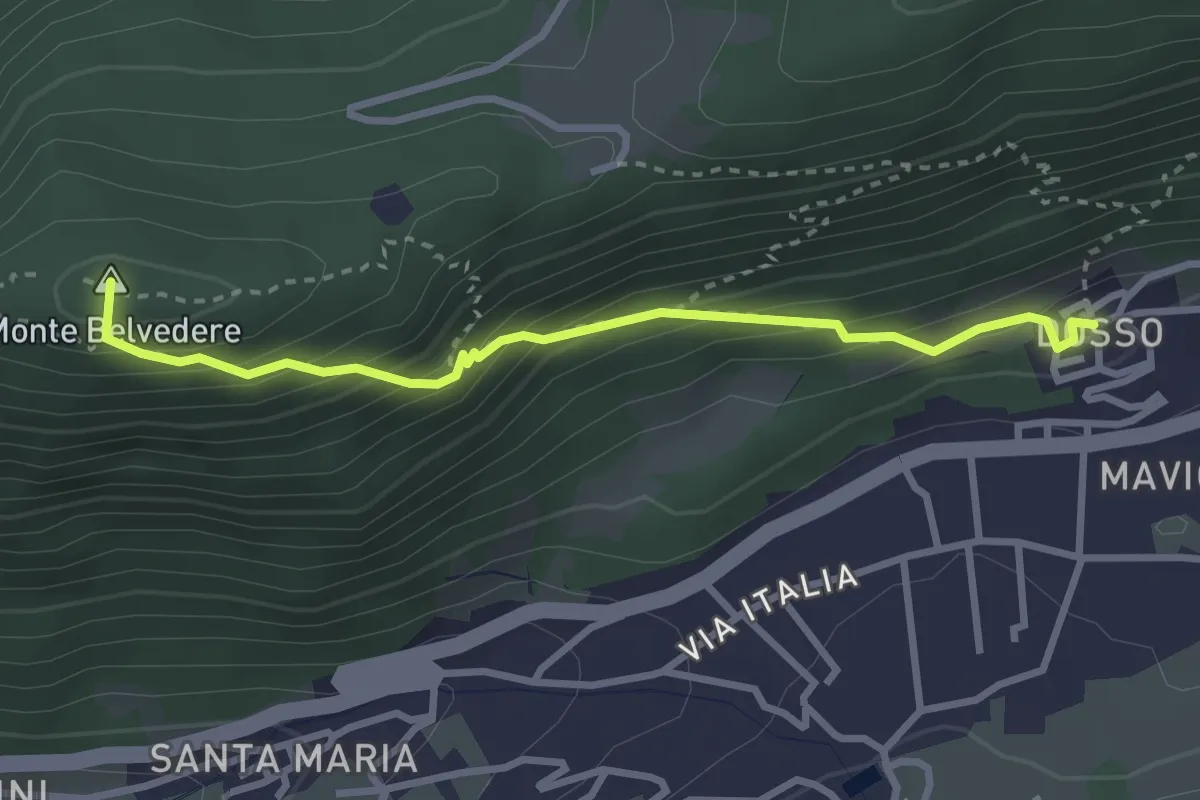
Easy · Summit
Innesto Sentiero 349 – Innesto Sentiero 352
3.0 km · ↑ 283 m · 1 h 20 min · 14 km away
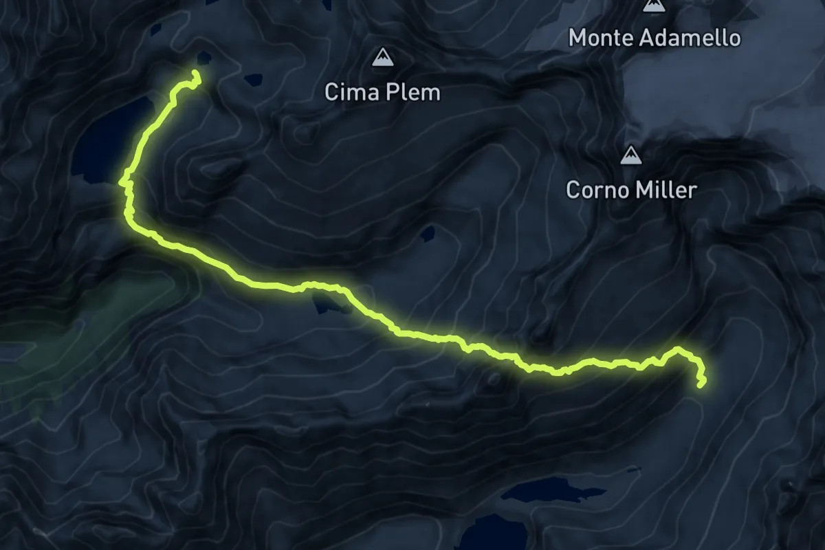
Expert · Cabin
Alta Via dell'Adamello-Tappa 6 (Prudenzini-Tonolini)
8.6 km · ↑ 1046 m · 4 h 20 min · 14 km away
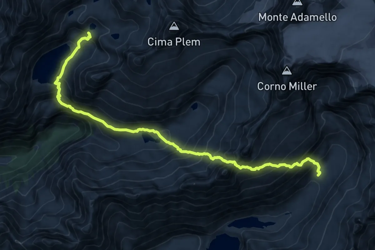
Expert · Cabin
Rifugio Paolo Prudenzini – Riugio Franco Tonolini
8.6 km · ↑ 1046 m · 4 h 20 min · 14 km away
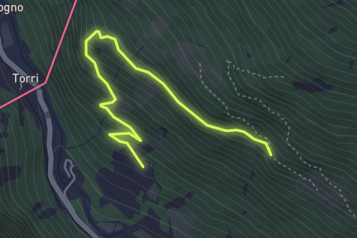
Medium · Trail
Via Roma (Grosio) – Via Rasica (San Rocco)
3.9 km · ↑ 324 m · 1 h 37 min · 14 km away
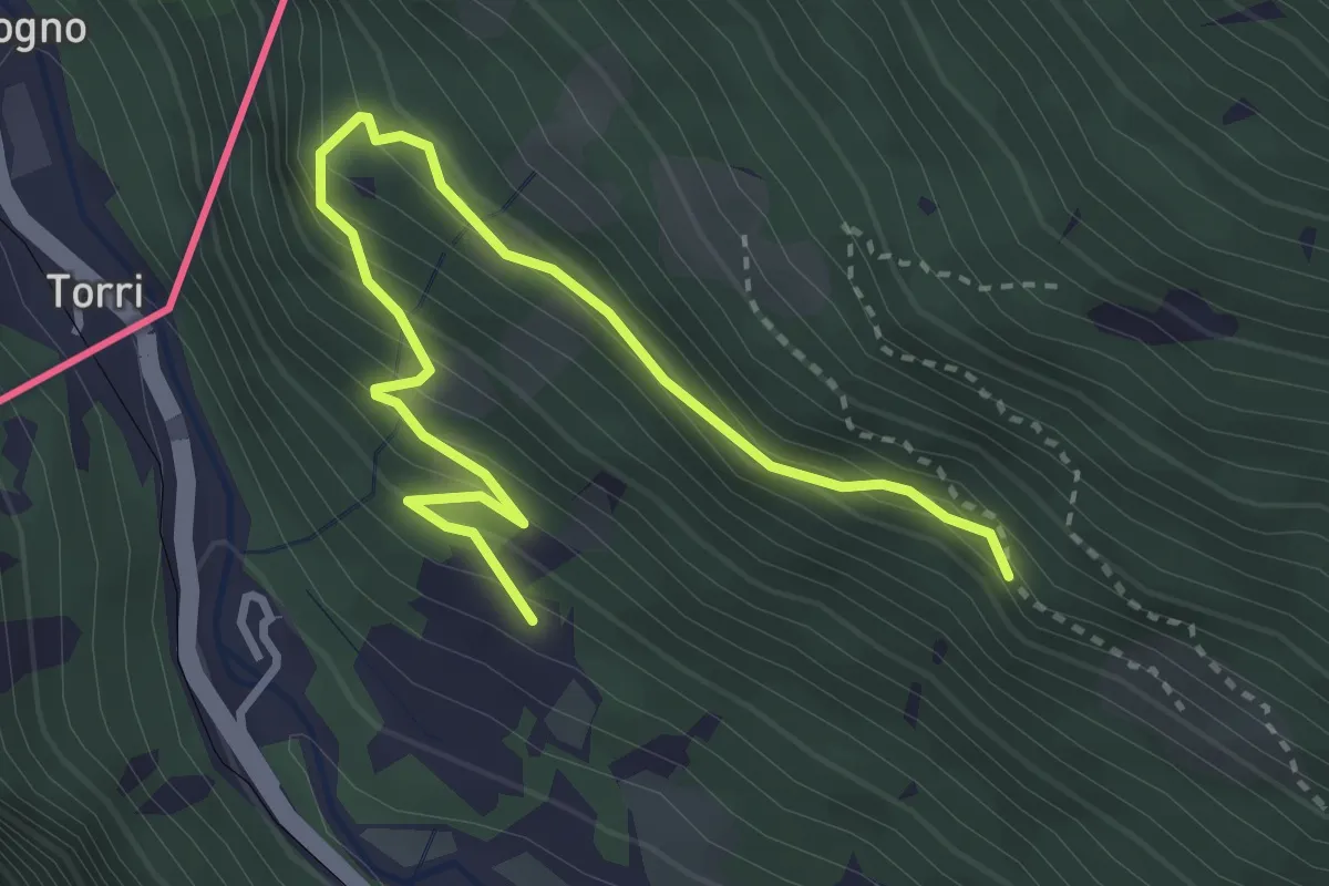
Medium · Trail
Sentiero del Sole
3.9 km · ↑ 324 m · 1 h 37 min · 14 km away
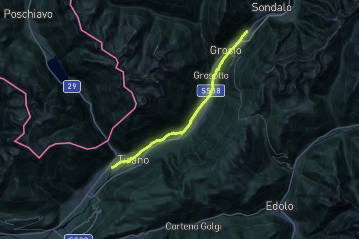
Demanding · Trail
Lungoargine Poschiavino – 279
18.2 km · ↑ 377 m · 5 h 12 min · 14 km away
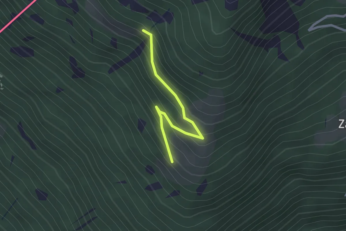
Easy · Trail
Innesto Sentiero 204 – Innesto Sentiero 201
2.1 km · ↑ 171 m · 52 min · 14 km away
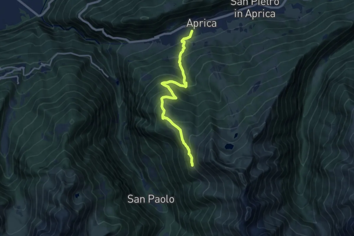
Demanding · Trail
Innesto Sentiero 342 – Innesto Sentiero 301
11.0 km · ↑ 863 m · 4 h 29 min · 15 km away
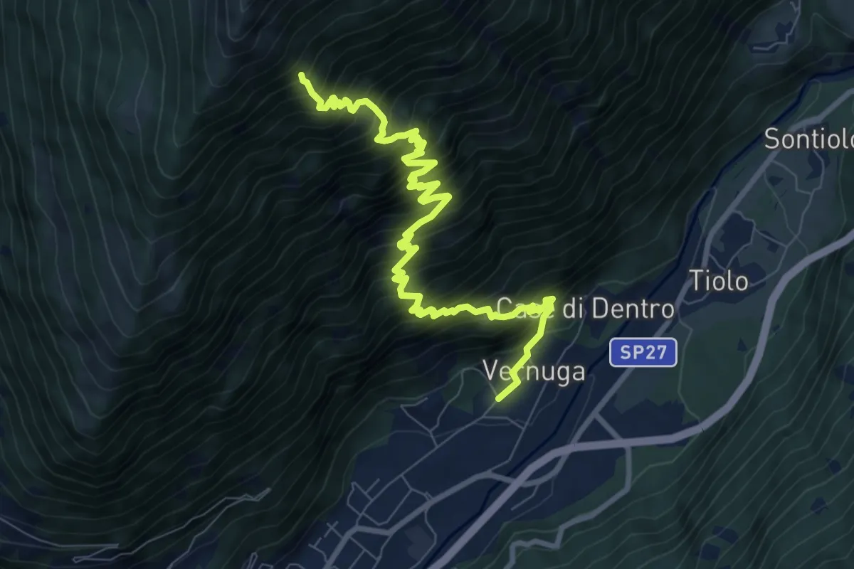
Demanding · Trail
Vernuga – 266
9.7 km · ↑ 1528 m · 5 h 36 min · 15 km away
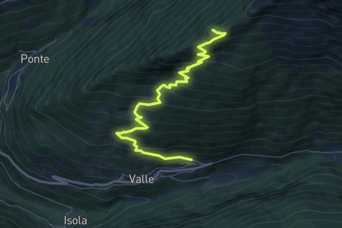
Demanding · Summit
Valle – Monte Zuccone
7.6 km · ↑ 804 m · 3 h 33 min · 15 km away
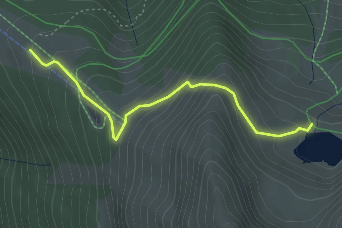
Medium · Cabin
Innesto Sentiero 301 – Innesto Sentiero 327
3.4 km · ↑ 323 m · 1 h 30 min · 15 km away
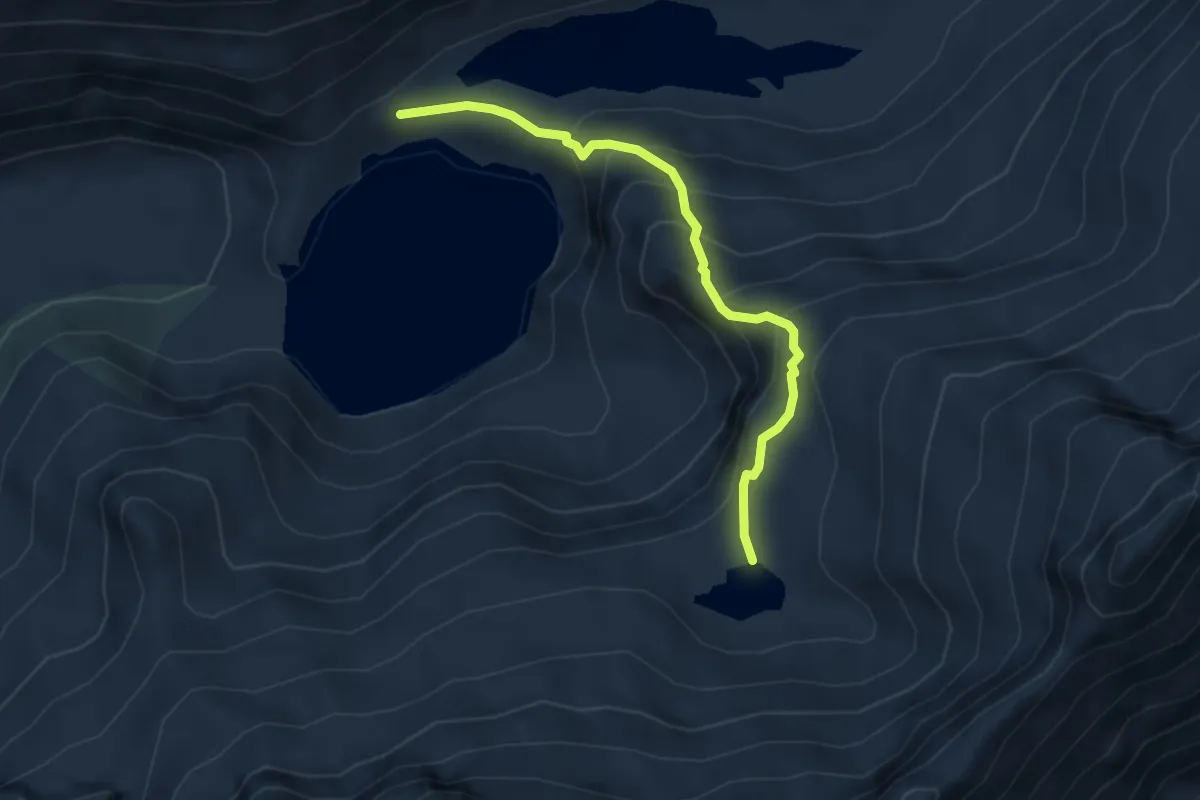
Medium · Trail
Malga Salarno – Laghetto di Gana
4.0 km · ↑ 329 m · 1 h 39 min · 15 km away
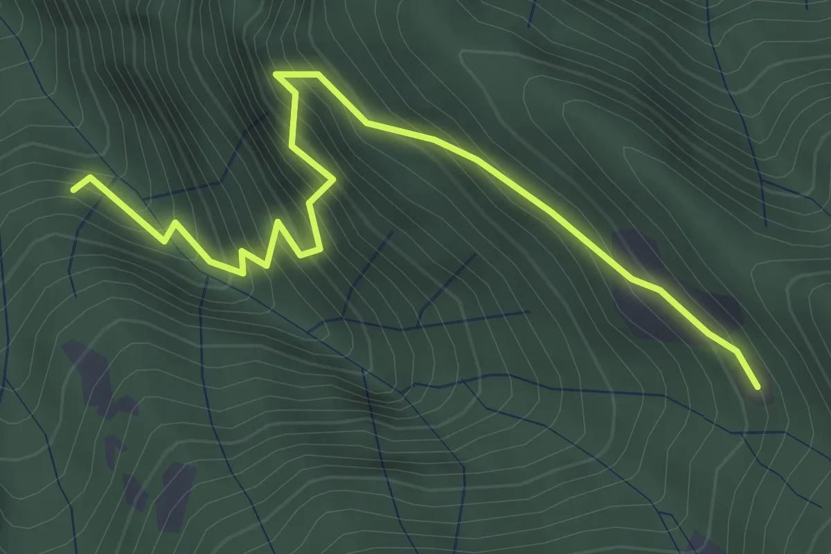
Medium · Trail
Innesto Sentiero 485 – Innesto Sentiero 490
3.8 km · ↑ 565 m · 2 h 7 min · 15 km away
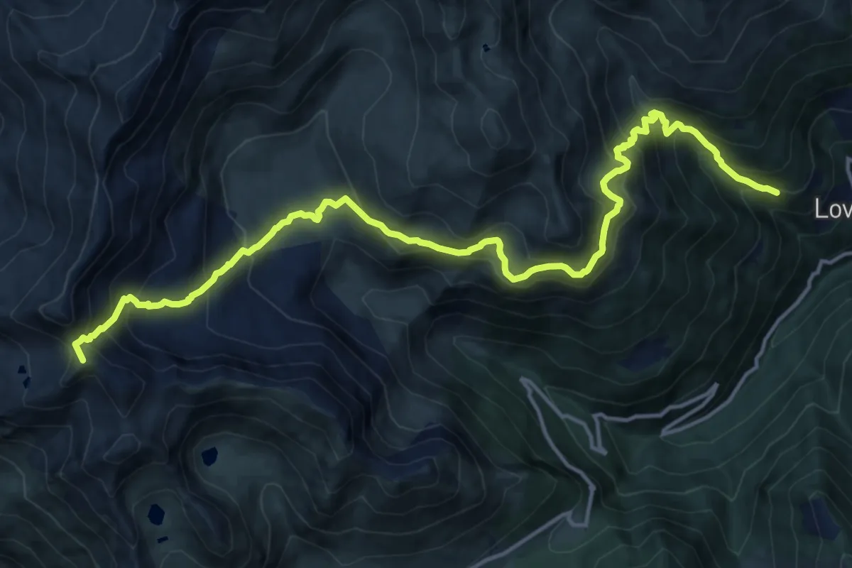
Demanding · Summit
Paghera – Passo del Sellerino
16.9 km · ↑ 1540 m · 7 h 20 min · 15 km away
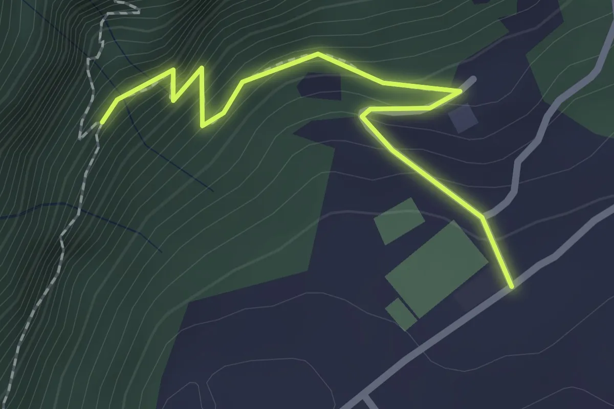
Easy · Trail
Innesto Sentiero 242 – Innesto Sentiero 248
2.0 km · ↑ 180 m · 52 min · 15 km away
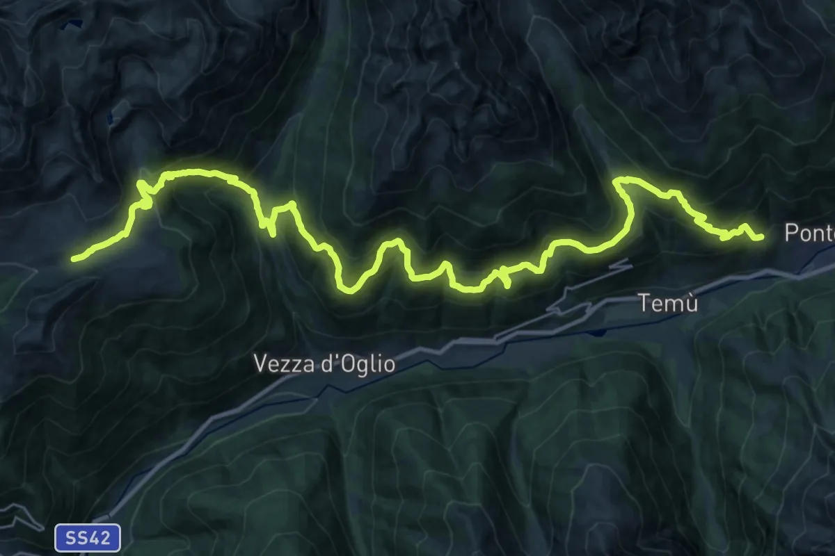
Demanding · Trail
Villa Dalegno - Val Canè - Premia - Borom - Val Grande - Val Bighera - Malga Salina
18.9 km · ↑ 1746 m · 8 h 10 min · 15 km away
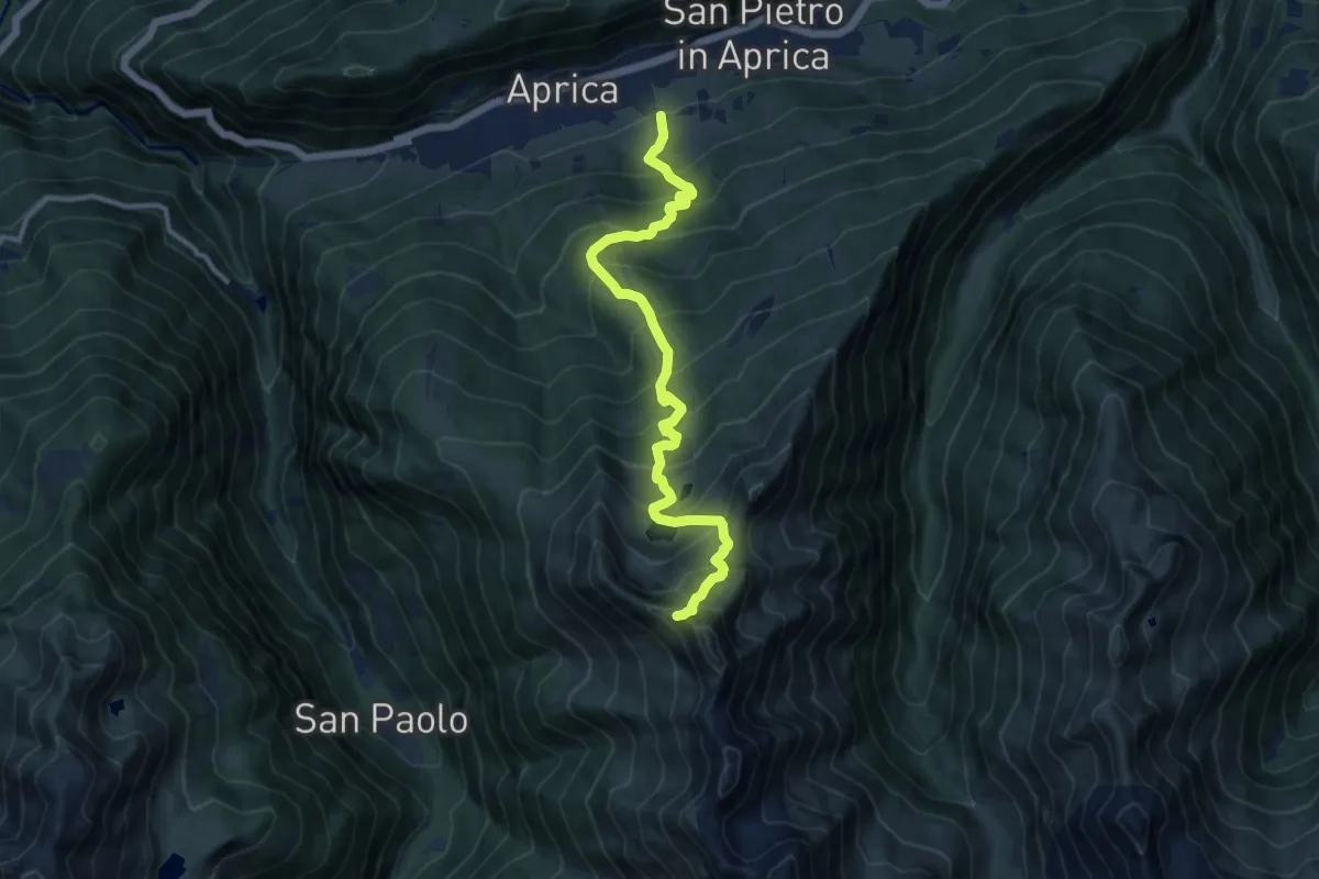
Demanding · Trail
Innesto Sentiero 339 – Innesto Sentiero 330
11.9 km · ↑ 1248 m · 5 h 30 min · 15 km away
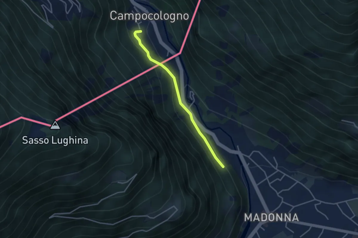
Easy · Trail
Sondrio – Campocologno
2.9 km · ↑ 131 m · 58 min · 15 km away
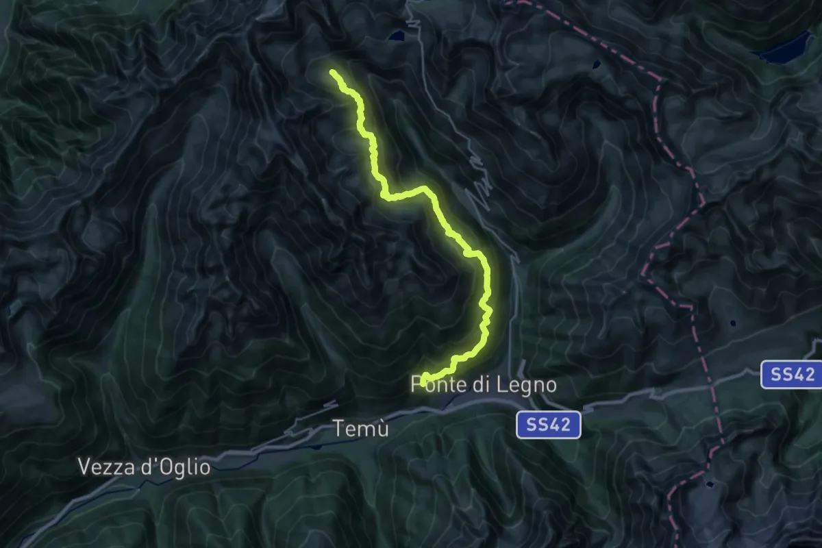
Expert · Cabin
Villa Dalegno-Baita di Somalbosco-Laghetto di Monticelli-Bivacco Linge
12.5 km · ↑ 1406 m · 5 h 44 min · 15 km away
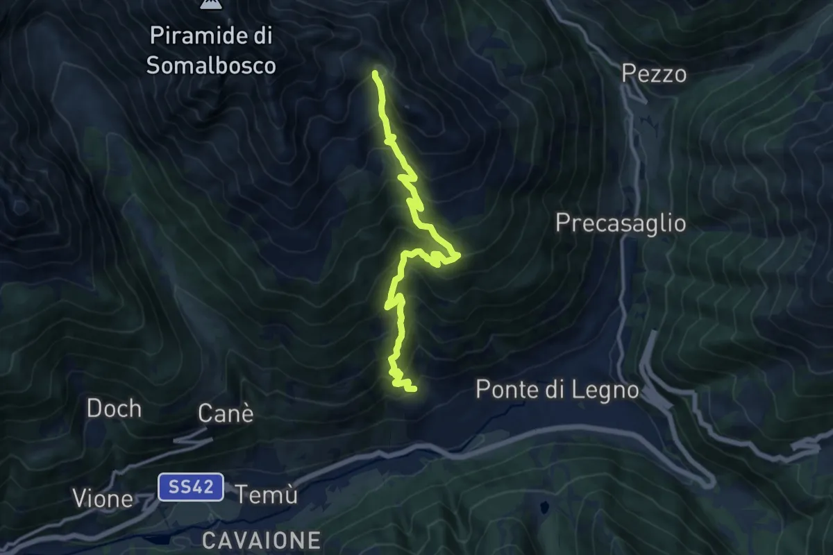
Demanding · Trail
Villa Dalegno – Bocchetta di Val Massa
11.8 km · ↑ 1136 m · 5 h 15 min · 15 km away
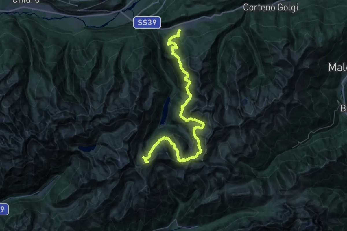
Demanding · Cabin
Gran Via delle Orobie - Tappa 11
24.3 km · ↑ 2181 m · 10 h 15 min · 15 km away
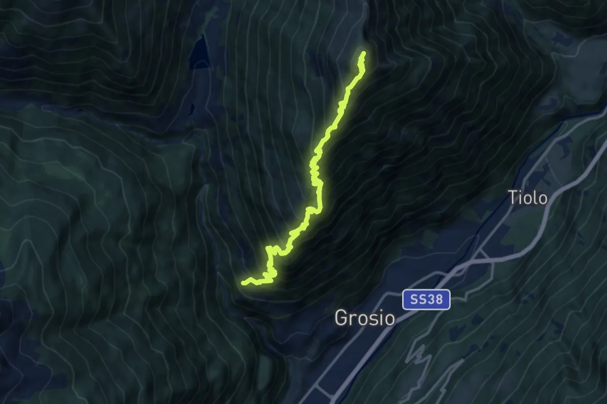
Demanding · Summit
Chiesa di San Giacomo (Ravoledo) – Monte Storile
12.9 km · ↑ 1551 m · 6 h 24 min · 15 km away
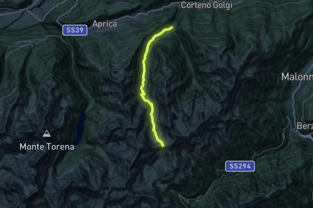
Demanding · Trail
Corteno Golgi (Sant'Antonio) - Passo del Sellero
20.5 km · ↑ 1353 m · 7 h 47 min · 15 km away