Trails near Erba
239 hikes starting within 15 km, nearest first.
Nearest first, page 3 of 5
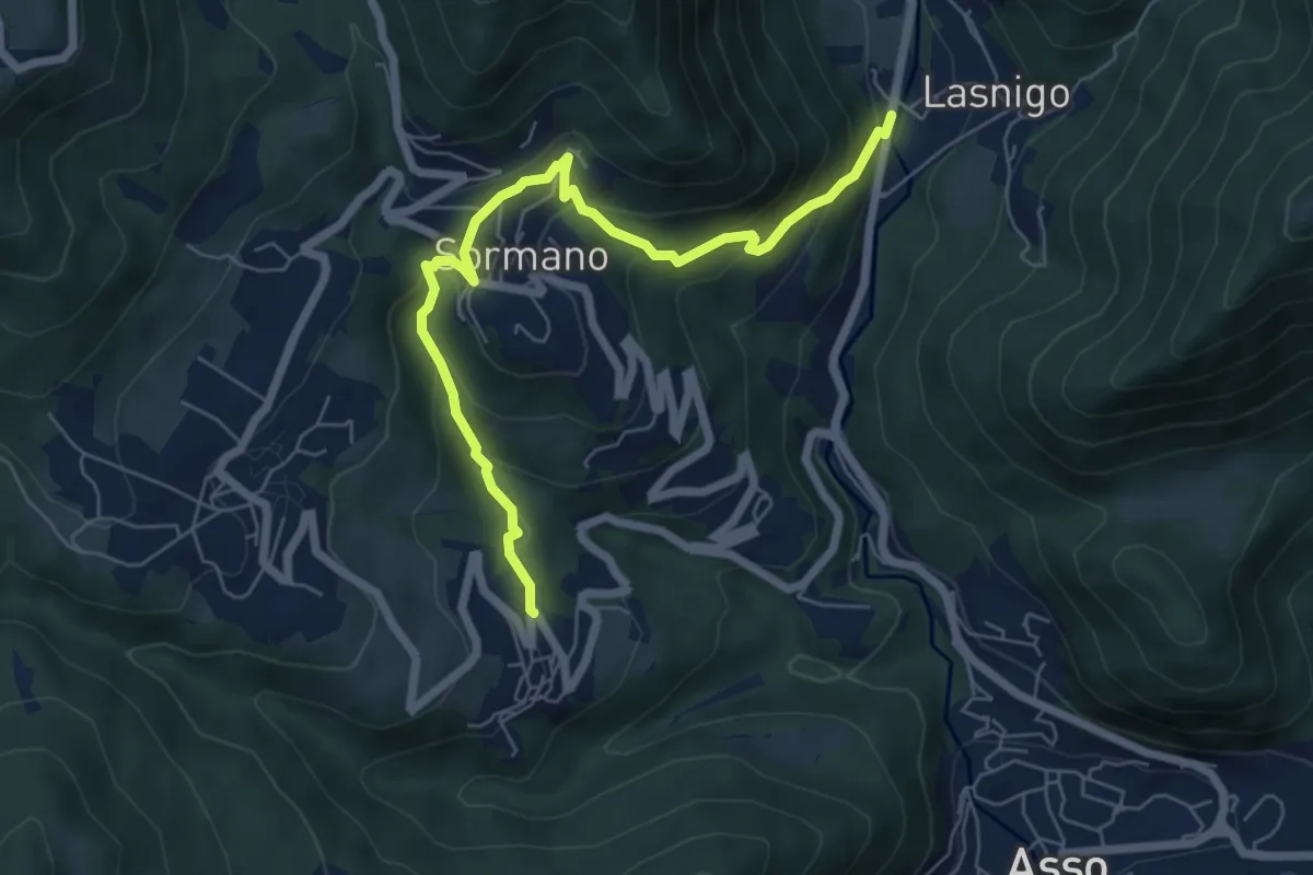
Medium · Trail
Bocchetta di Palanzo – Santi Cosma e Damiano (Rezzago)
6.8 km · ↑ 412 m · 2 h 30 min · 9 km away
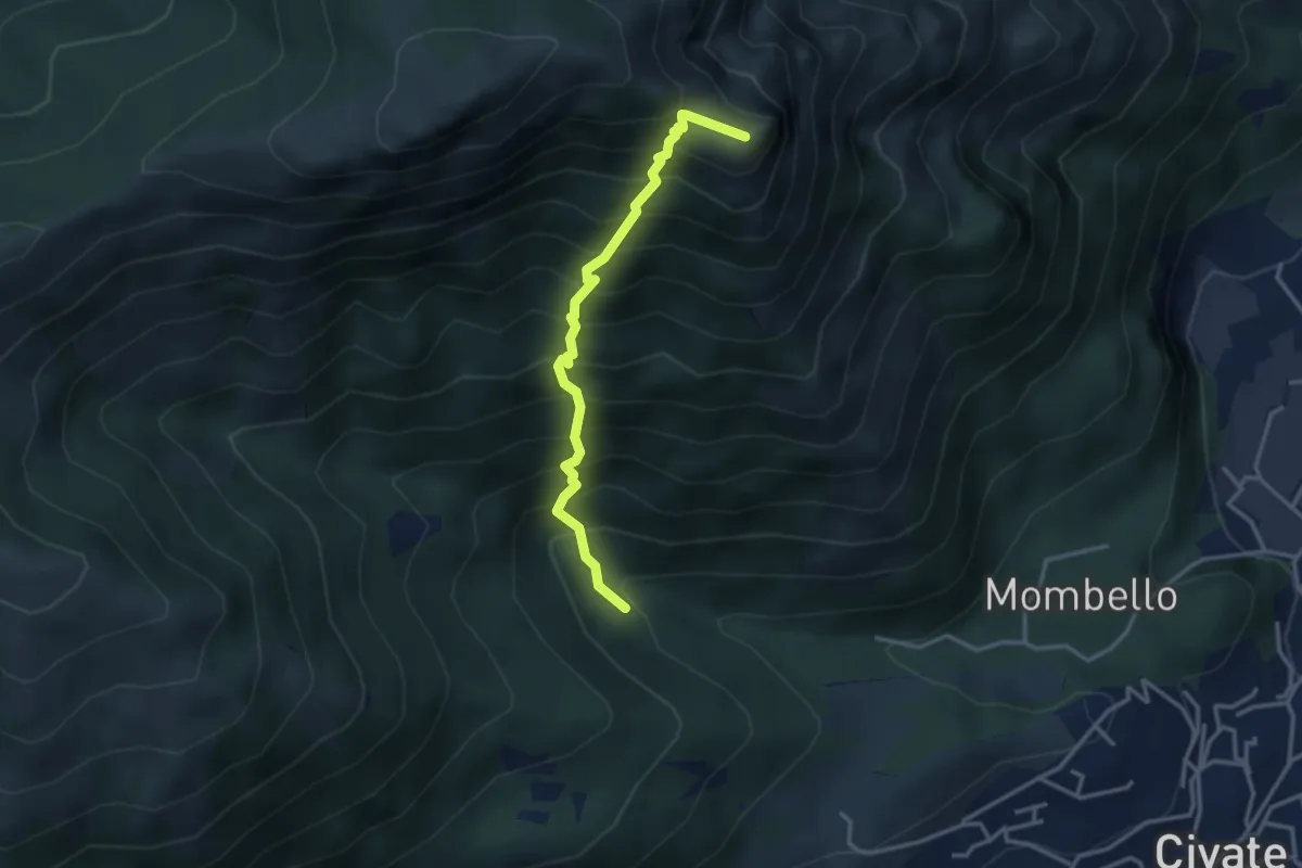
Medium · Summit
Innesto 10 SEC – Innesto 1 OSA
3.2 km · ↑ 652 m · 2 h 10 min · 9 km away
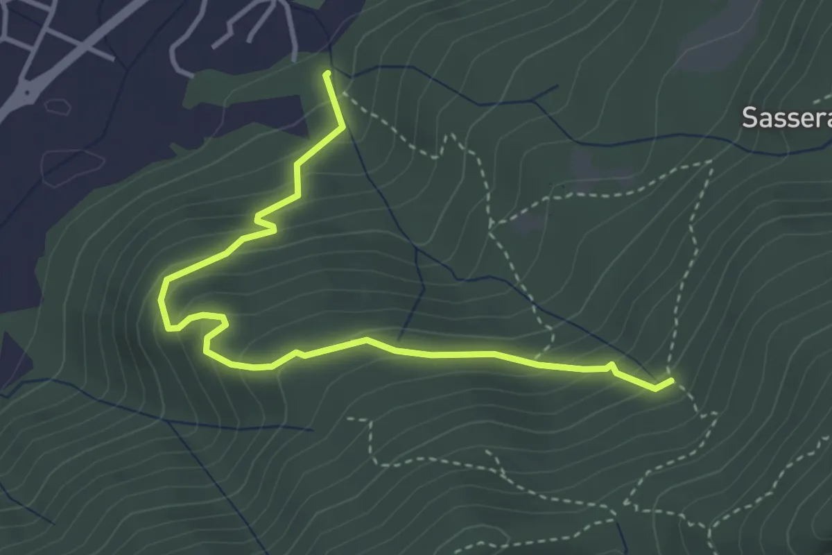
Easy · Trail
Ponte Castel – Sorgente (Valbrona)
4.0 km · ↑ 308 m · 1 h 37 min · 9 km away
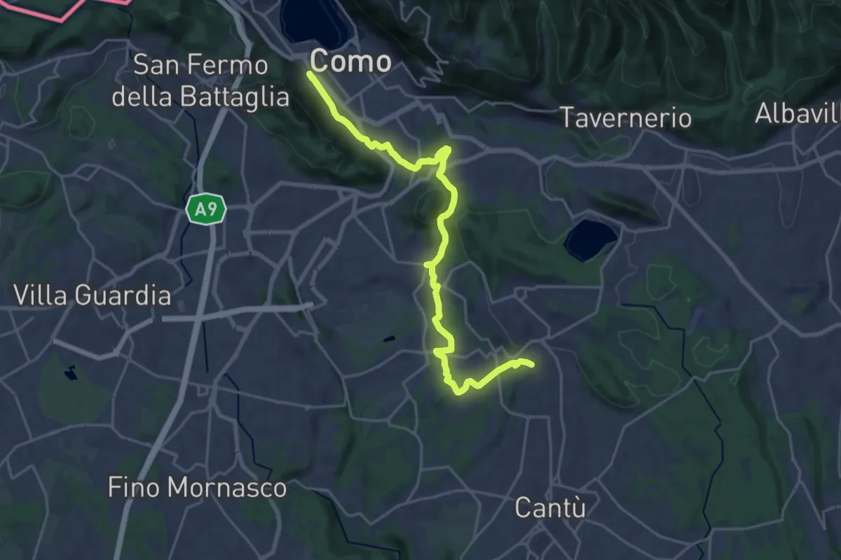
Demanding · Trail
Sentiero Pedemonte - Tappa 1
21.5 km · ↑ 414 m · 5 h 59 min · 9 km away
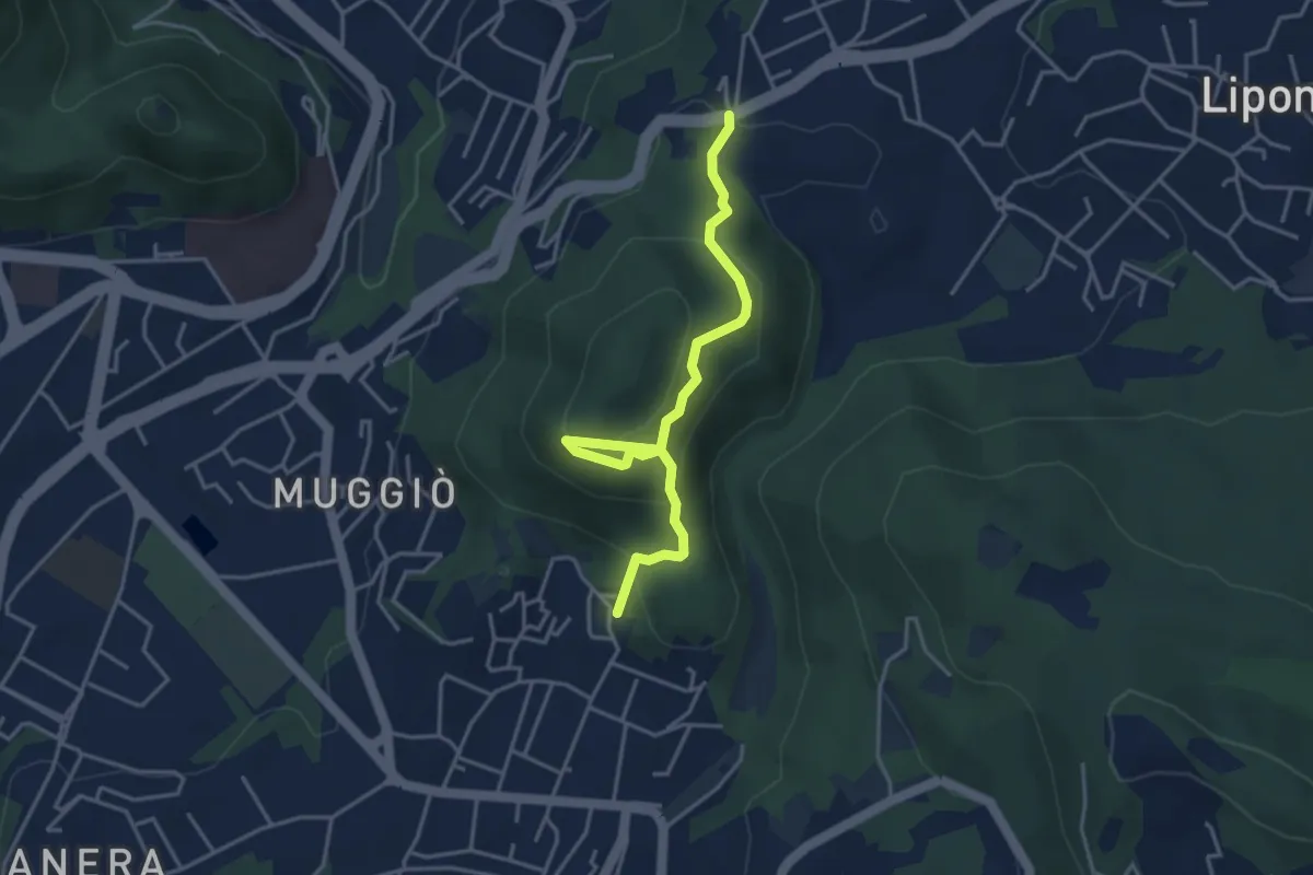
Easy · Trail
Sentiero del Monte Goj
4.1 km · ↑ 268 m · 1 h 33 min · 9 km away
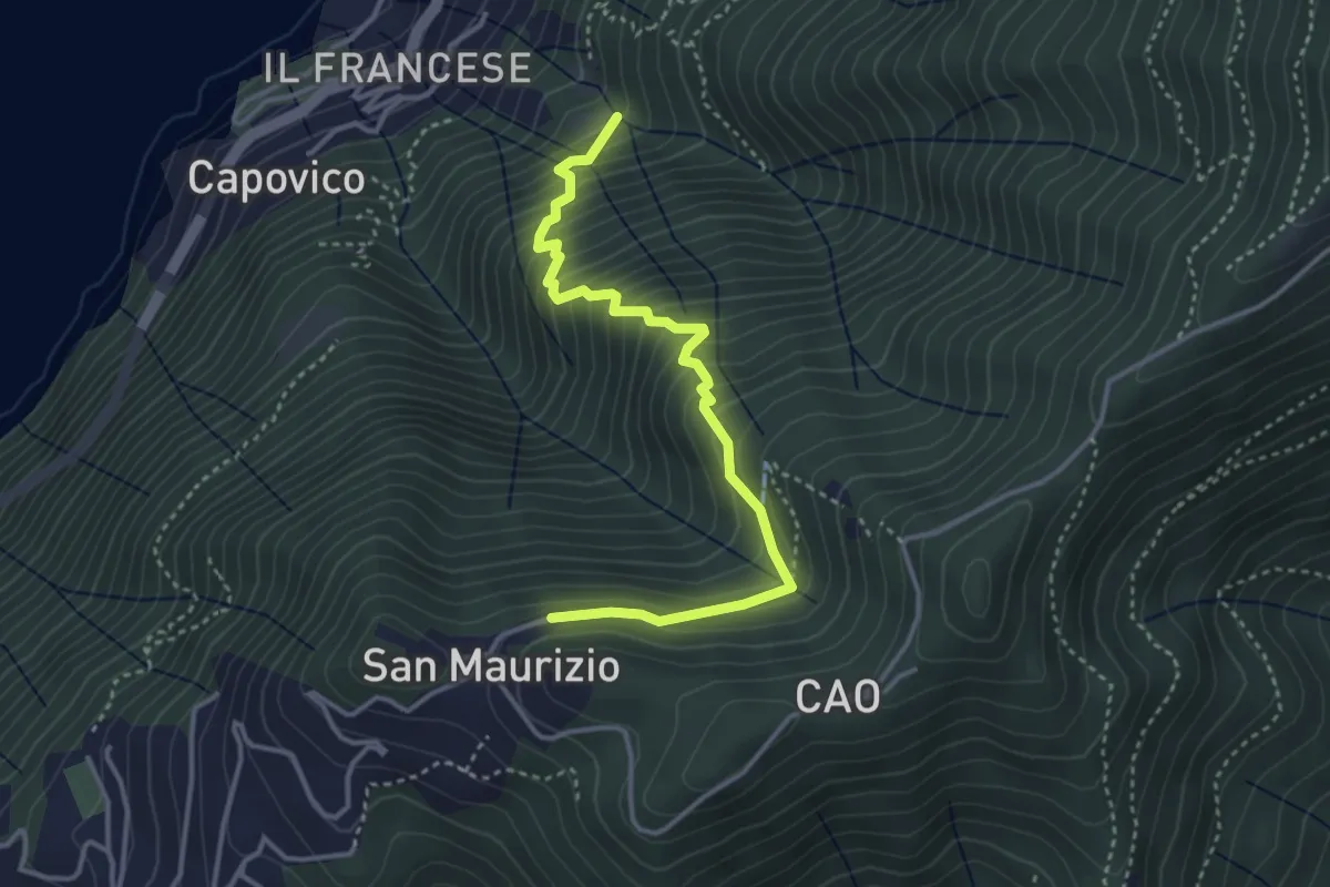
Medium · Trail
Sentiero del Barch (Sopravilla di Blevio-Cascina Barch-San Maurizio)
3.8 km · ↑ 445 m · 1 h 52 min · 9 km away
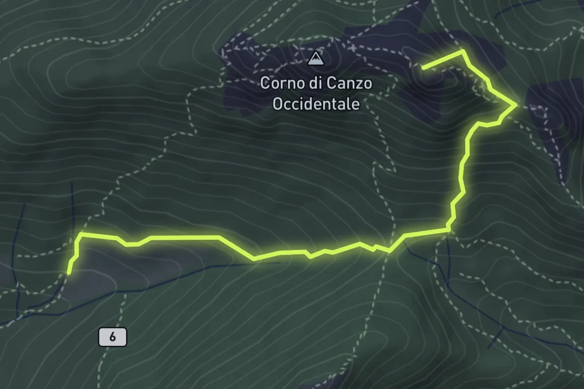
Medium · Summit
Terz'Alpe – Rifugio SEV Pianezzo
4.5 km · ↑ 519 m · 2 h 11 min · 9 km away
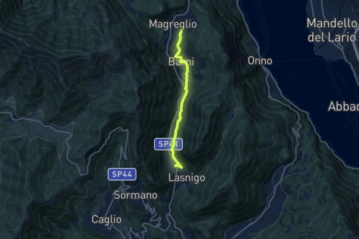
Medium · Trail
Sant'Alessandro (Lasnigo) – Paraguai (Magreglio)
9.3 km · ↑ 302 m · 2 h 51 min · 9 km away
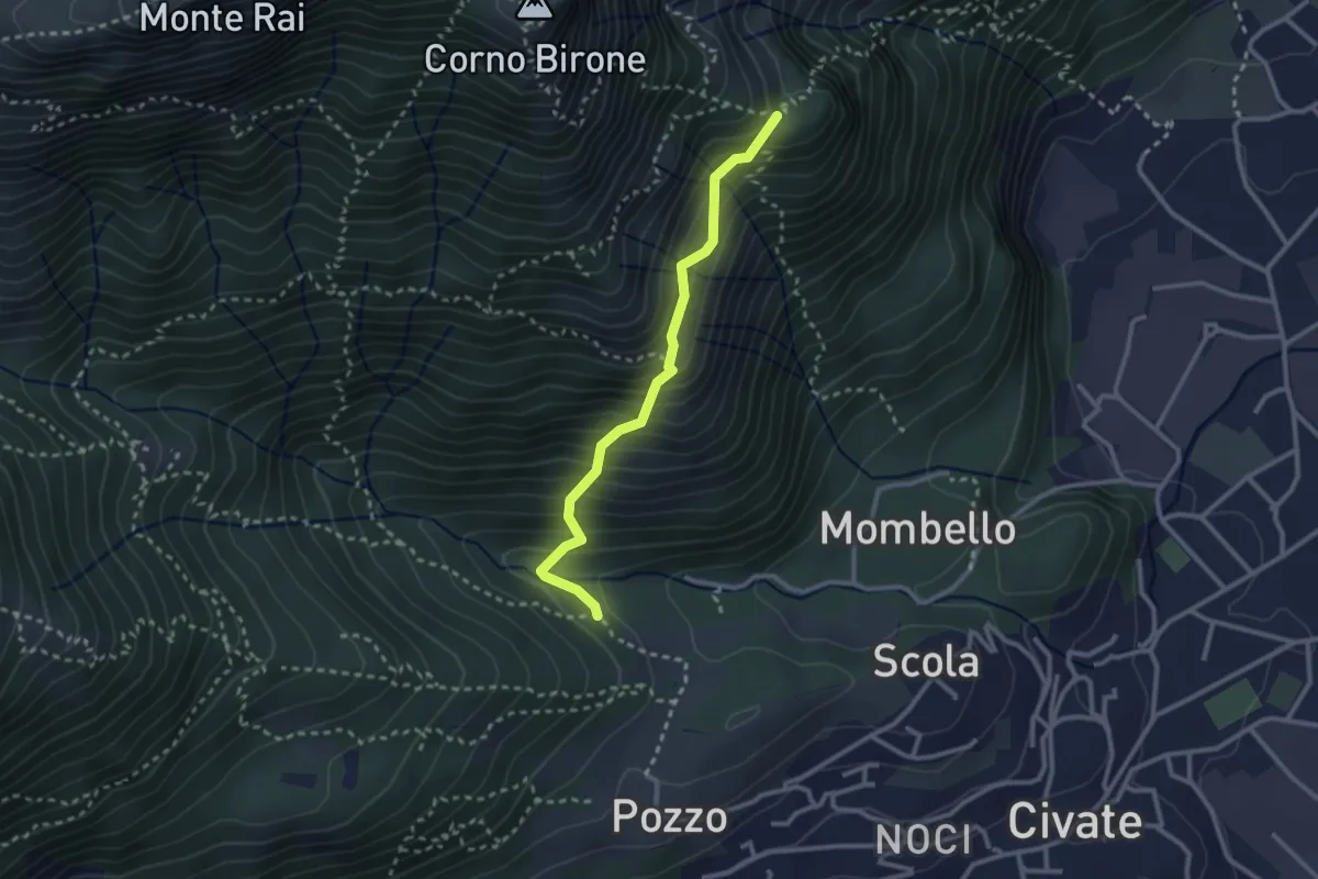
Medium · Trail
Cascina Oro – Ceppo della Forcola
2.6 km · ↑ 345 m · 1 h 22 min · 9 km away
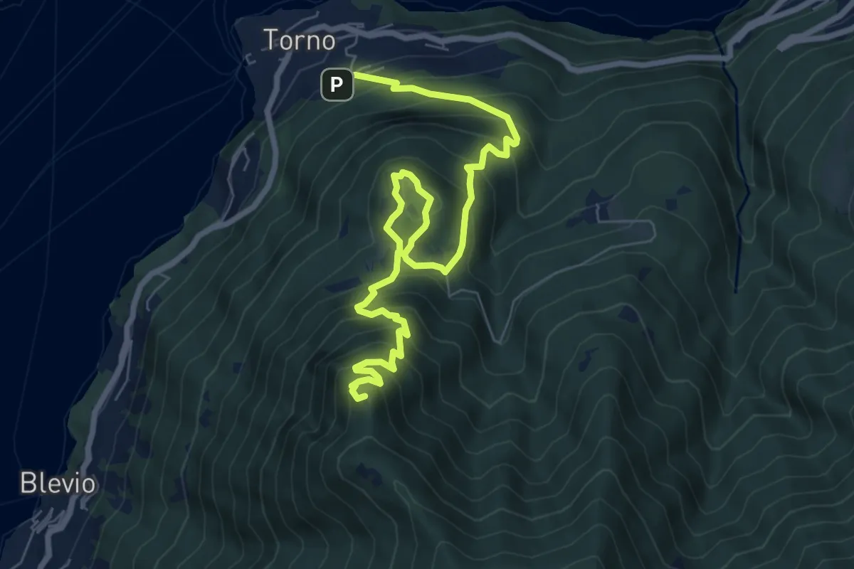
Demanding · Summit
Torno – Baita Carla
9.0 km · ↑ 837 m · 3 h 57 min · 9 km away
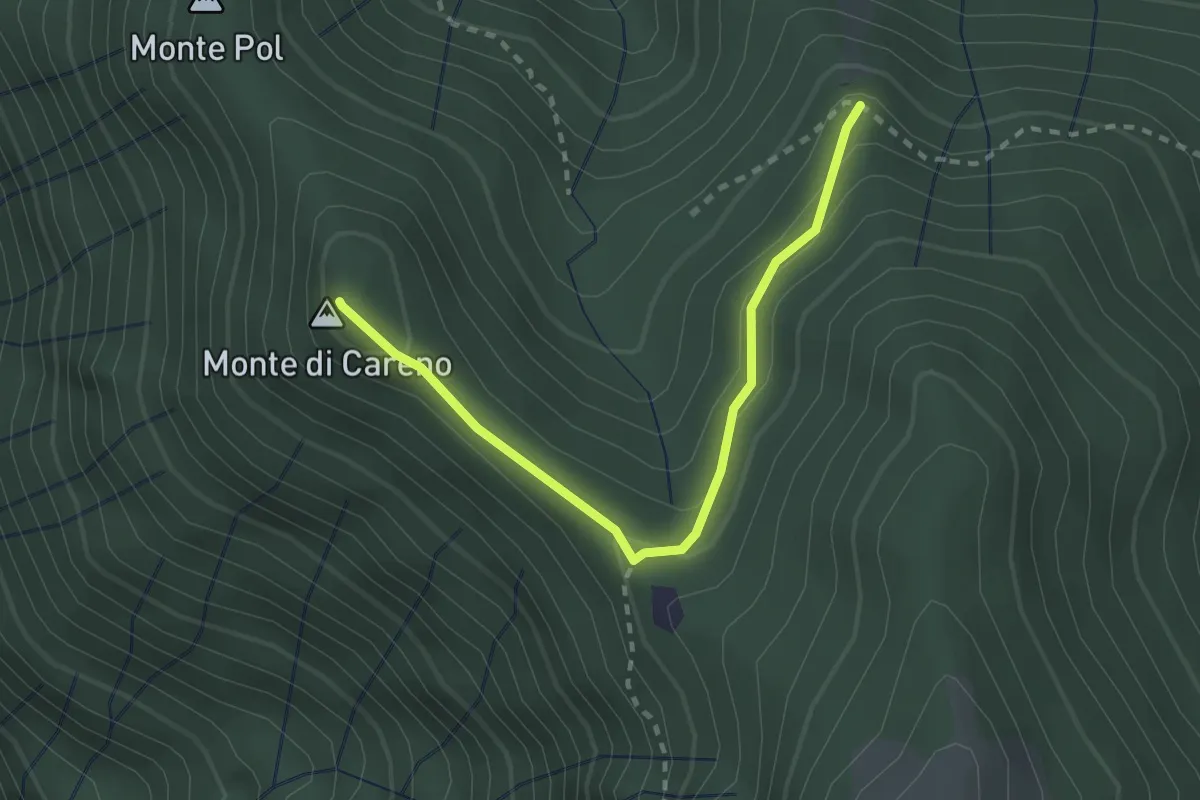
Medium · Summit
Radura – Monte Pol
2.5 km · ↑ 146 m · 55 min · 9 km away
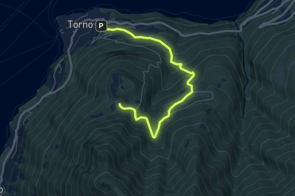
Medium · Trail
Torno – Montepiatto
6.3 km · ↑ 528 m · 2 h 37 min · 9 km away
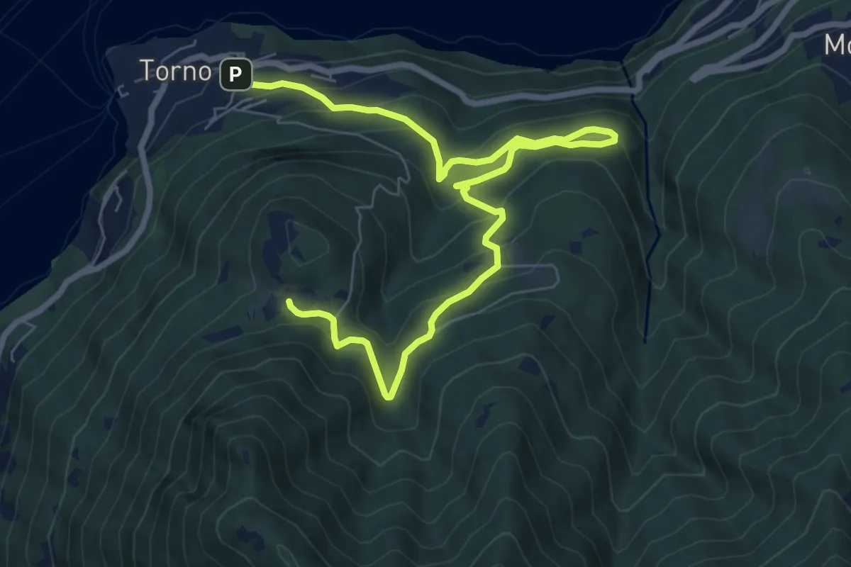
Medium · Trail
Torno – Montepiatto
9.2 km · ↑ 623 m · 3 h 32 min · 9 km away
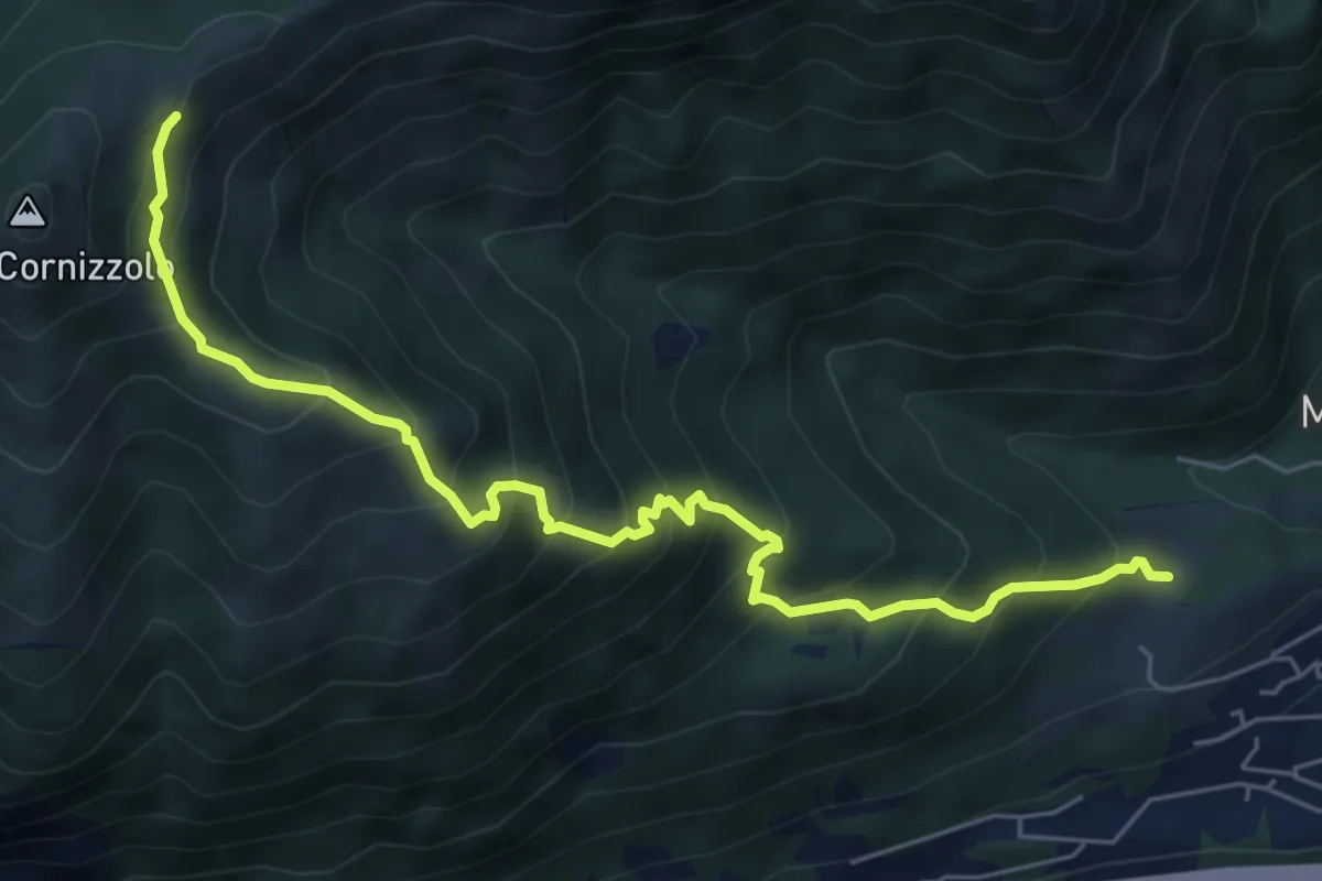
Medium · Cabin
Pozzo – Rifugio SEC Marisa Consigliere
6.7 km · ↑ 747 m · 3 h 12 min · 9 km away
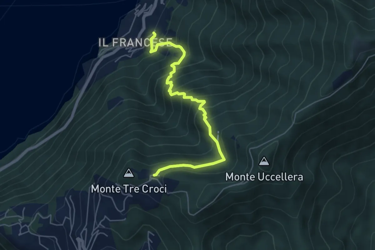
Medium · Trail
Sopravilla (Blevio) – San Maurizio
5.2 km · ↑ 612 m · 2 h 34 min · 9 km away
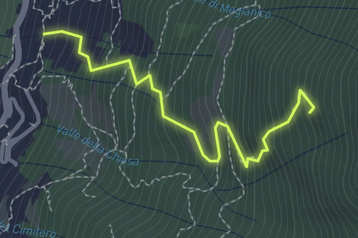
Medium · Trail
Mezzovico (Blevio) – Prea Nairöla
2.2 km · ↑ 395 m · 1 h 23 min · 9 km away
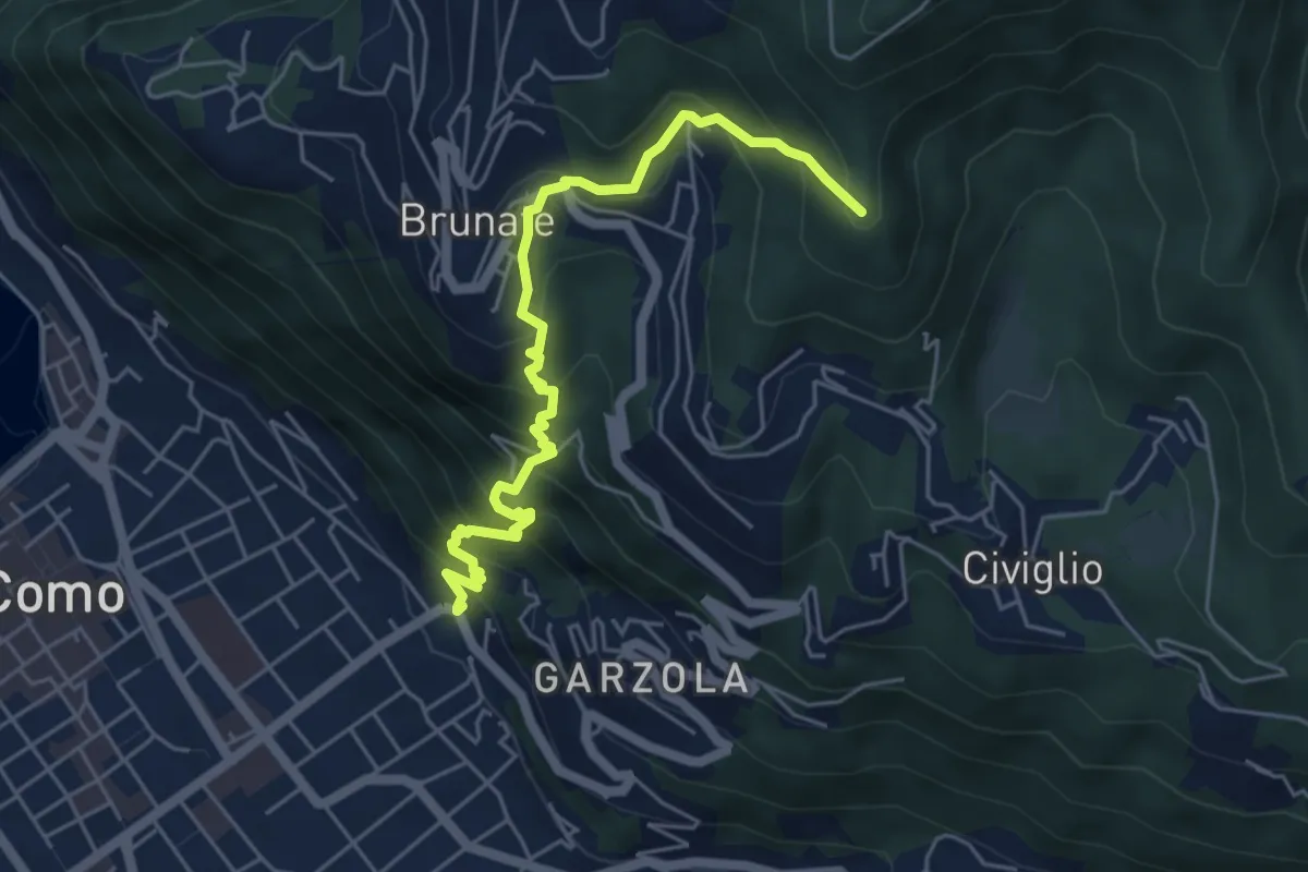
Medium · Summit
Santa Croce – CAO
5.6 km · ↑ 596 m · 2 h 36 min · 9 km away
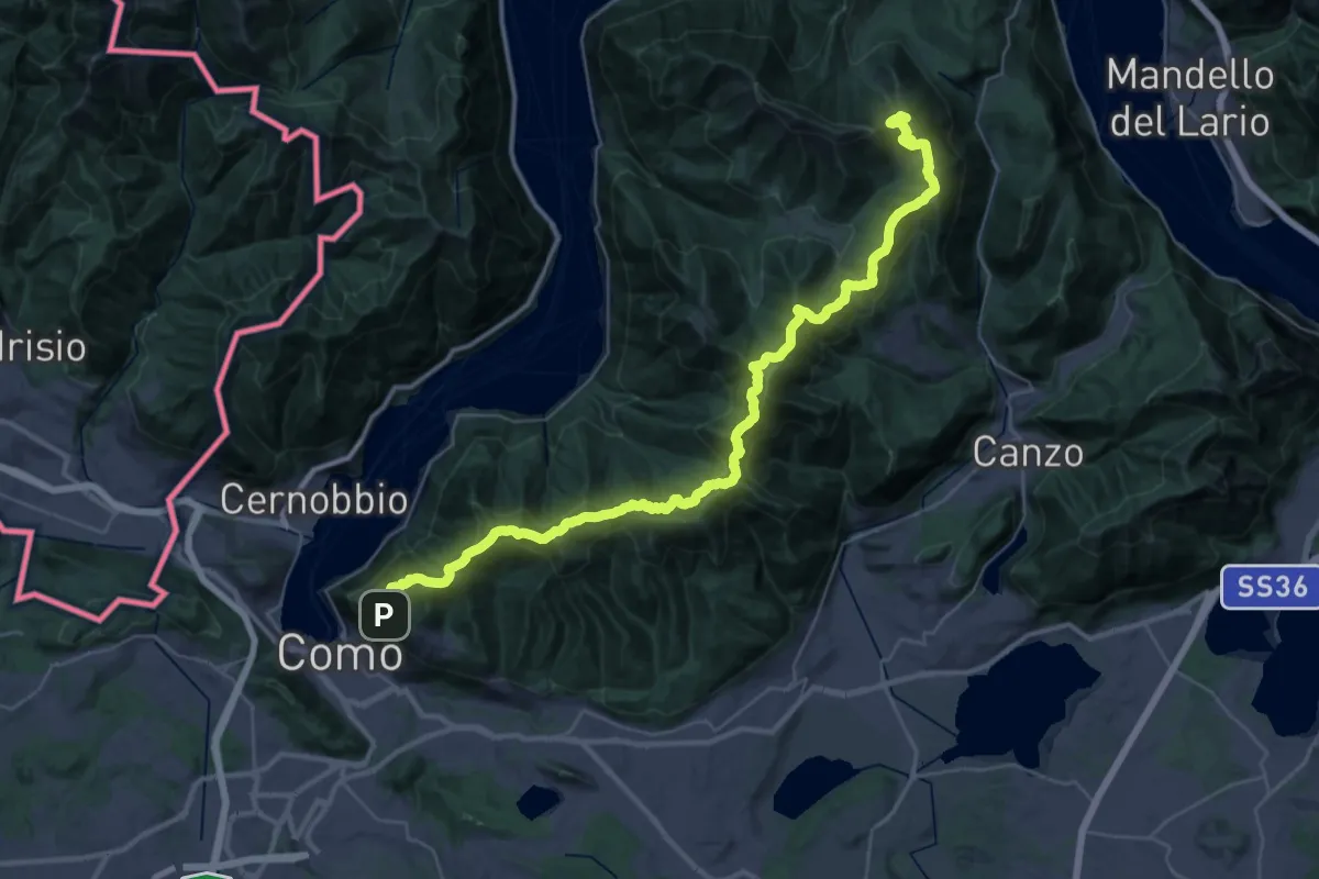
Demanding · Summit
Dorsale del Triangolo Lariano
44.3 km · ↑ 2300 m · 15 h 26 min · 9 km away
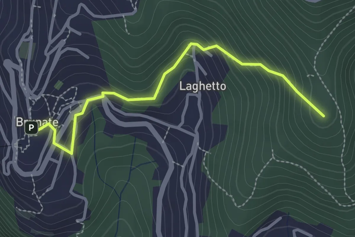
Medium · Summit
Brunate – CAO
2.7 km · ↑ 210 m · 1 h 5 min · 9 km away
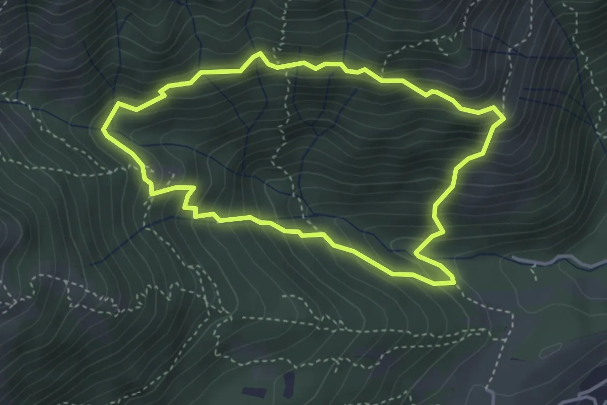
Medium · Summit
Anello dei Tre Casott
3.5 km · ↑ 387 m · 1 h 42 min · 9 km away
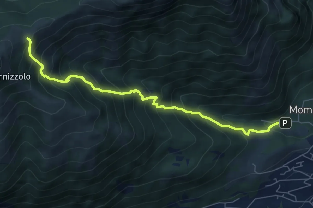
Medium · Cabin
Pozzo – Rifugio SEC Marisa Consigliere
6.2 km · ↑ 778 m · 3 h 9 min · 10 km away
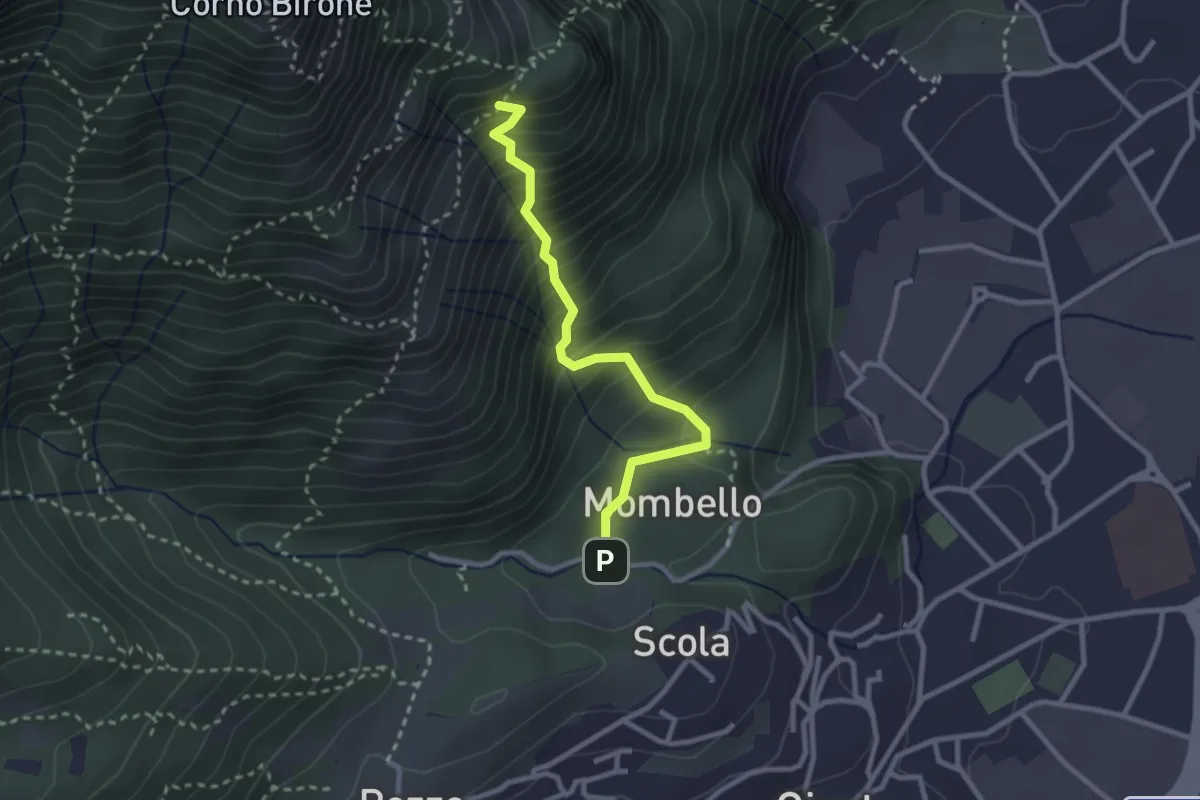
Medium · Trail
Mombello – Innesto 8 SEC
2.7 km · ↑ 375 m · 1 h 27 min · 10 km away
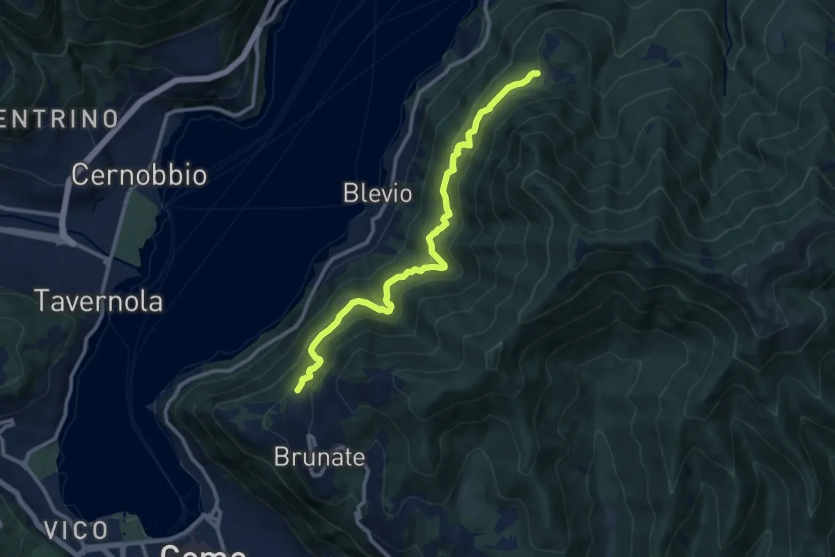
Medium · Trail
Brunate-Montepiatto
9.1 km · ↑ 788 m · 3 h 51 min · 10 km away
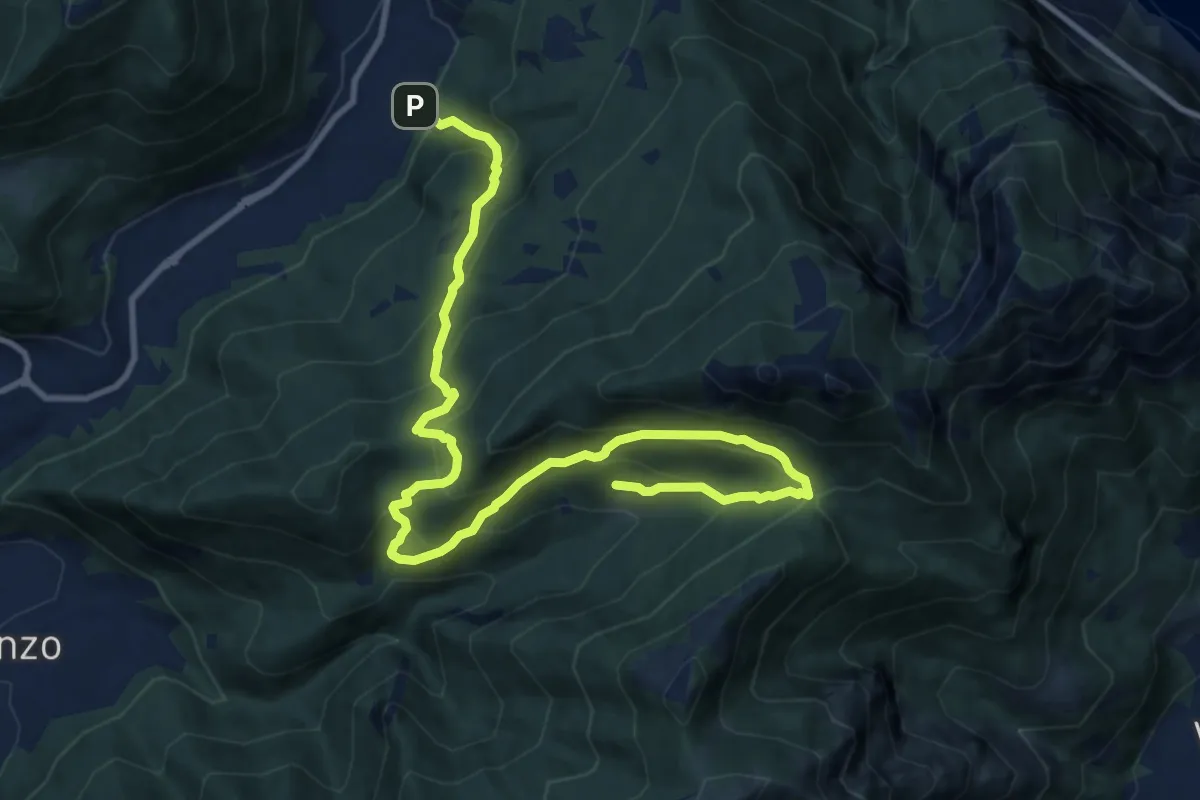
Demanding · Trail
Candalino – Terz'Alpe
13.4 km · ↑ 1138 m · 5 h 37 min · 10 km away
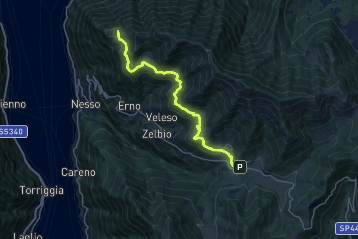
Medium · Trail
Pian del Tivano – Cresta NW M. Colmenacco
13.2 km · ↑ 610 m · 4 h 26 min · 10 km away
Demanding · Summit
Erta del Giubileo
4.3 km · ↑ 483 m · 2 h 3 min · 10 km away
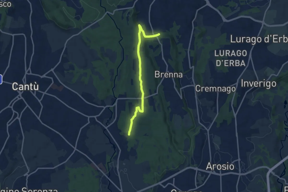
Medium · Trail
Brenna (FS) – Cascina Amata
9.6 km · ↑ 132 m · 2 h 33 min · 10 km away
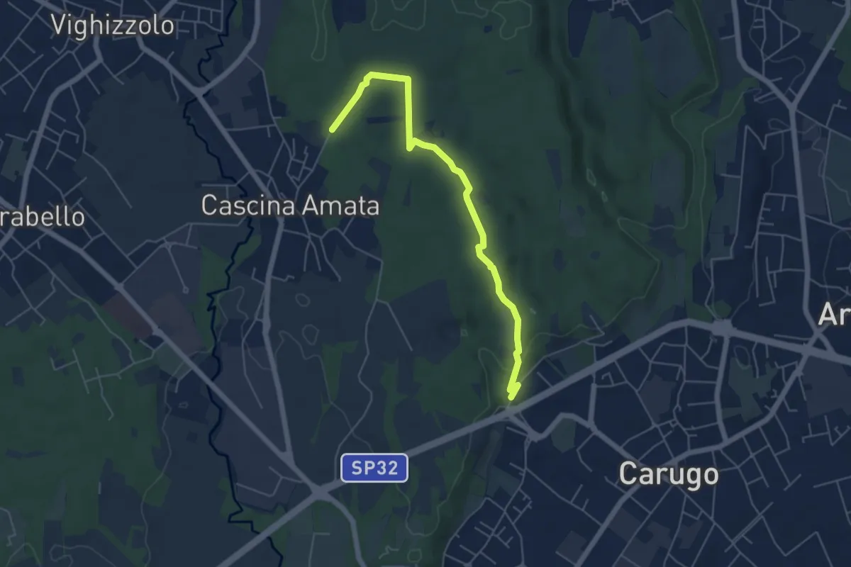
Easy · Trail
Cascina Amata – Cascina San Martino
5.5 km · ↑ 58 m · 1 h 26 min · 10 km away
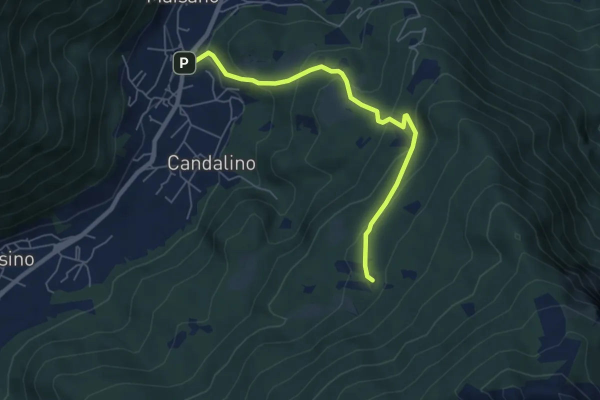
Medium · Trail
Osigo (Valbrona) – Valcerrina
5.4 km · ↑ 323 m · 1 h 58 min · 10 km away
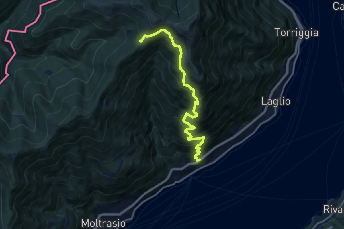
Demanding · Cabin
Carate Urio – Rifugio Murelli
8.7 km · ↑ 1038 m · 4 h 19 min · 10 km away
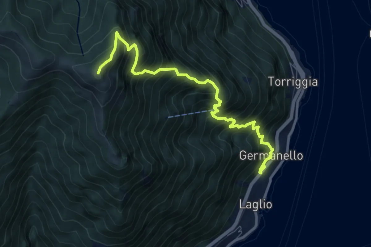
Demanding · Summit
Laglio – Monte Colmegnone
7.7 km · ↑ 1121 m · 4 h 15 min · 10 km away
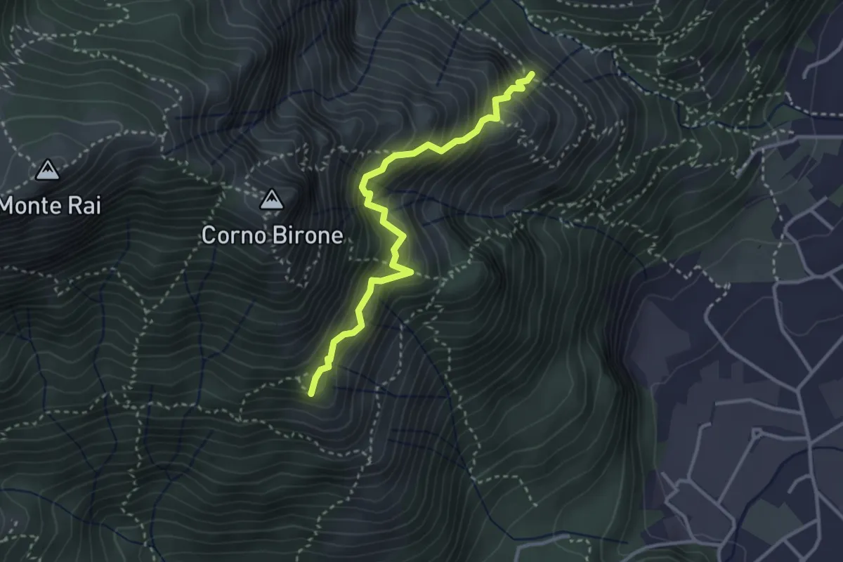
Demanding · Summit
Sentiero del Luisin
3.1 km · ↑ 489 m · 1 h 48 min · 10 km away
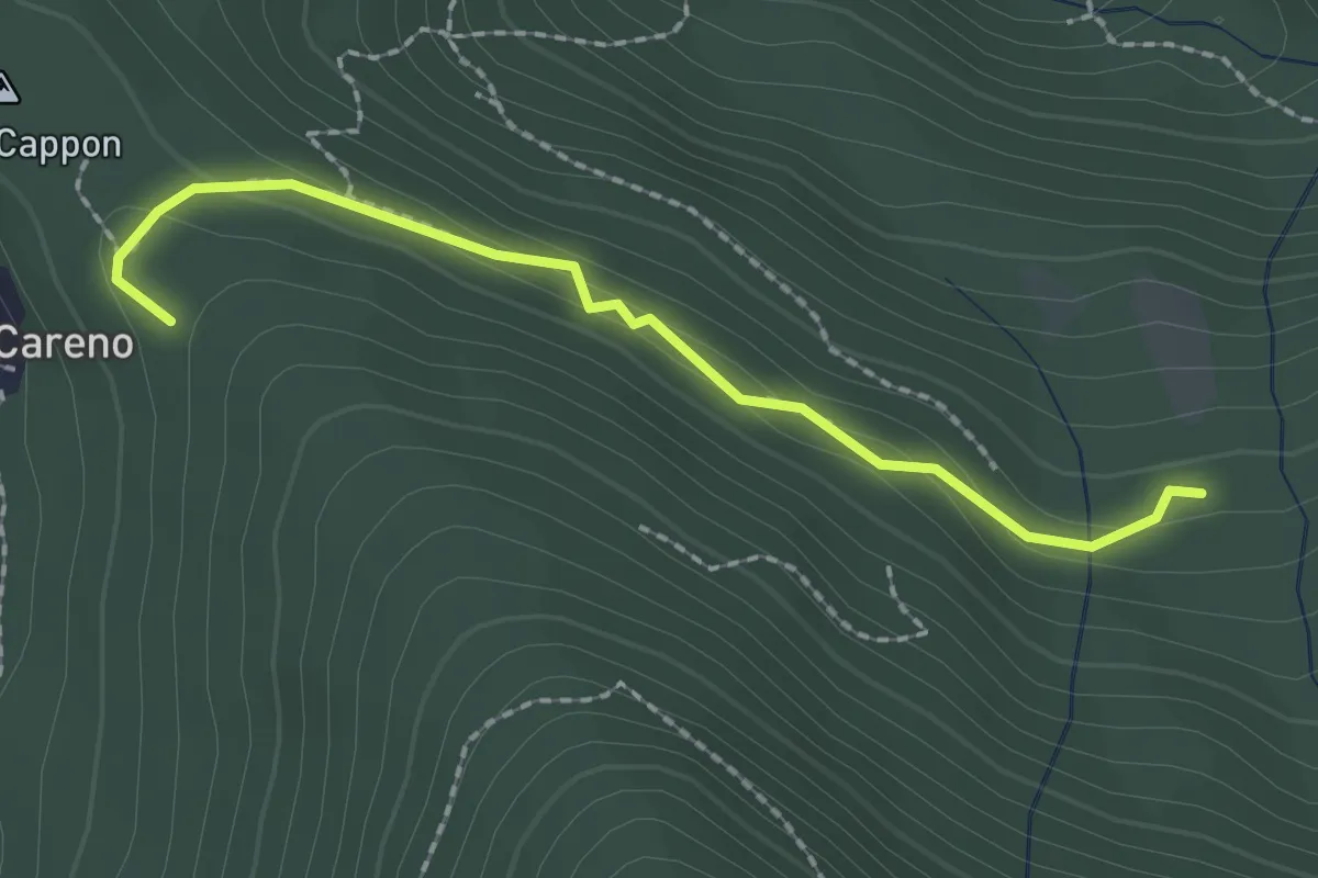
Medium · Trail
Vasce – Monti di Careno
2.1 km · ↑ 97 m · 42 min · 10 km away
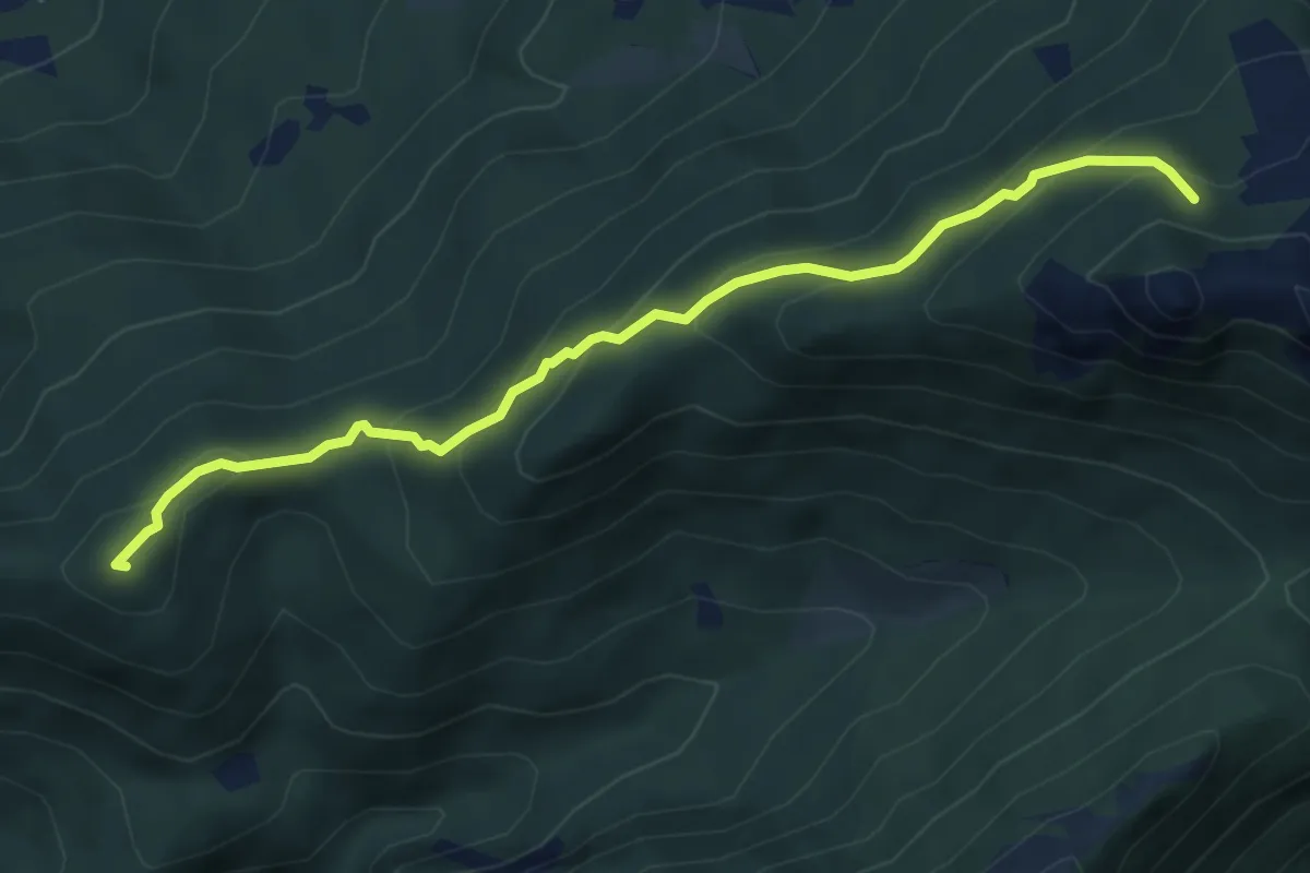
Medium · Summit
Visino (Valbrona) – Rifugio SEV
5.5 km · ↑ 406 m · 2 h 11 min · 10 km away
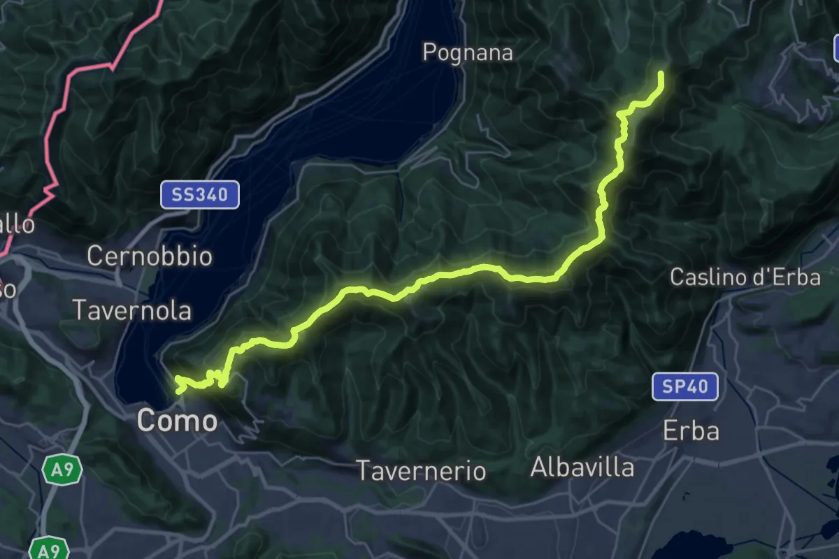
Demanding · Summit
Como – Piano del Tivano
32.2 km · ↑ 2080 m · 12 h 6 min · 10 km away
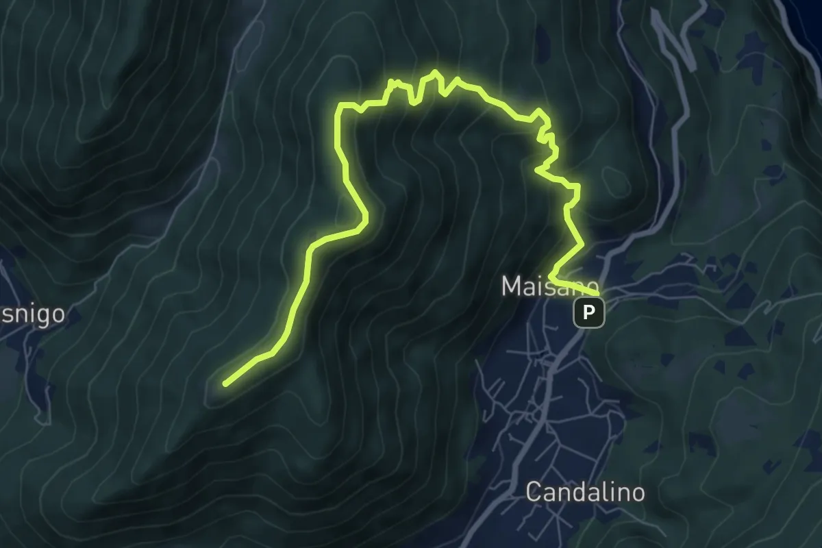
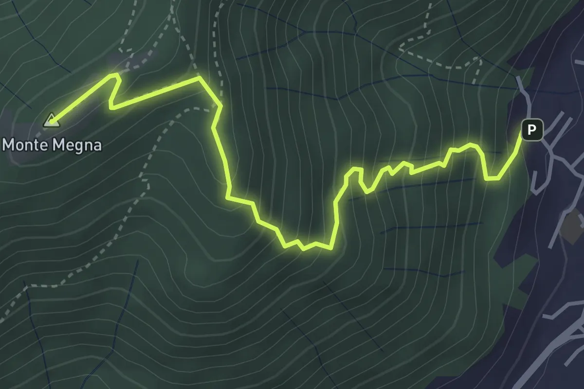
Medium · Summit
Valbrona - Maisano – Monte Megna
9.1 km · ↑ 626 m · 3 h 30 min · 10 km away
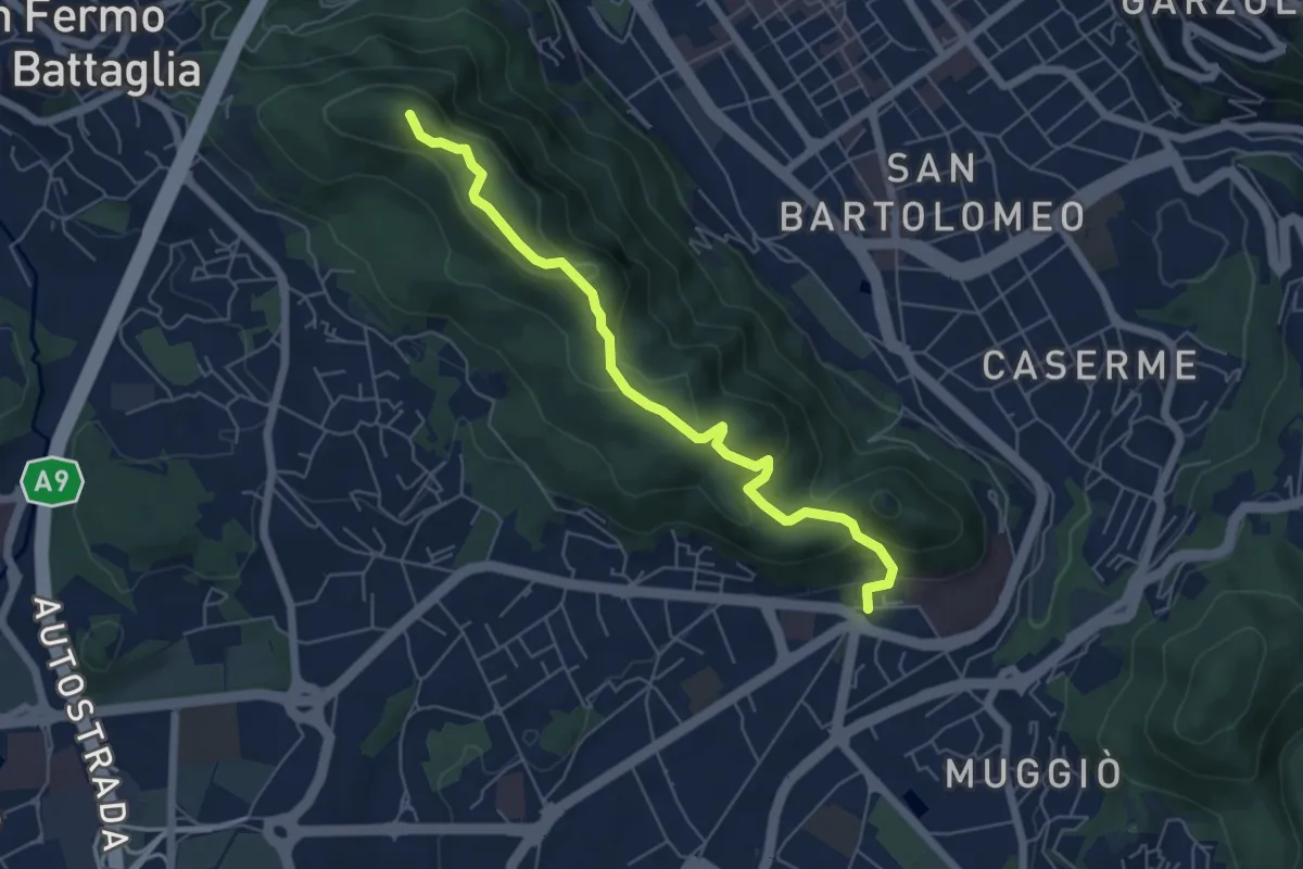
Easy · Summit
Dorsale collinare
6.0 km · ↑ 250 m · 1 h 58 min · 10 km away
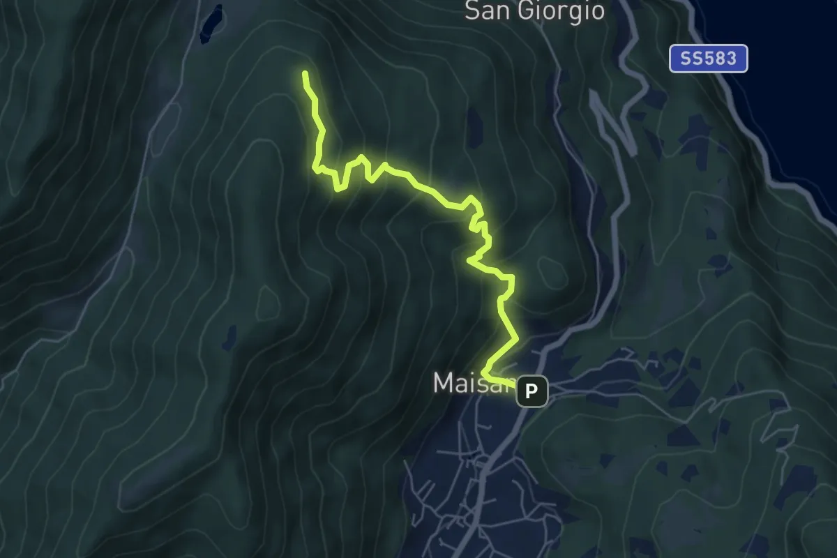
Medium · Trail
San Rocco (Valbrona) – Alpe di Piano
5.8 km · ↑ 478 m · 2 h 24 min · 10 km away
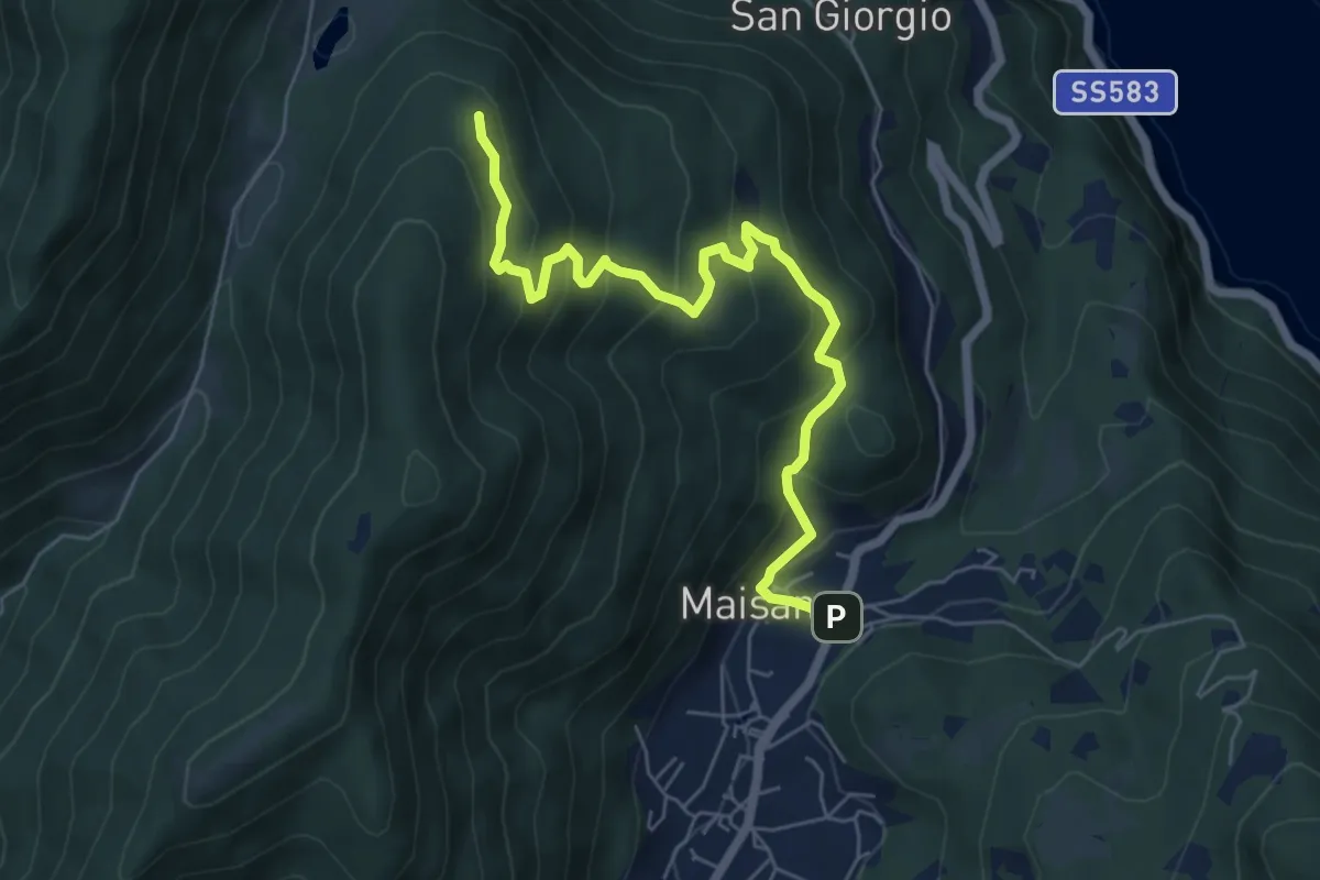
Medium · Trail
San Rocco (Valbrona) – Alpe di Piano
6.6 km · ↑ 472 m · 2 h 35 min · 10 km away
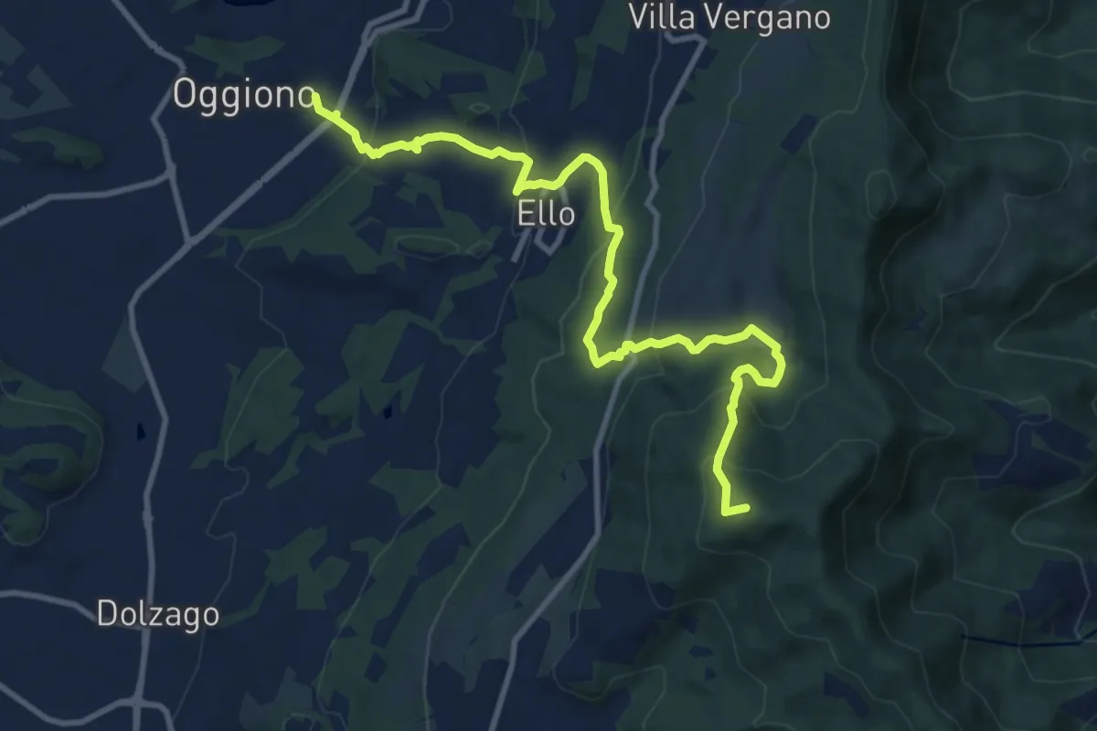
Medium · Summit
Oggiono – Monte Crocione
11.5 km · ↑ 618 m · 4 h 3 min · 11 km away
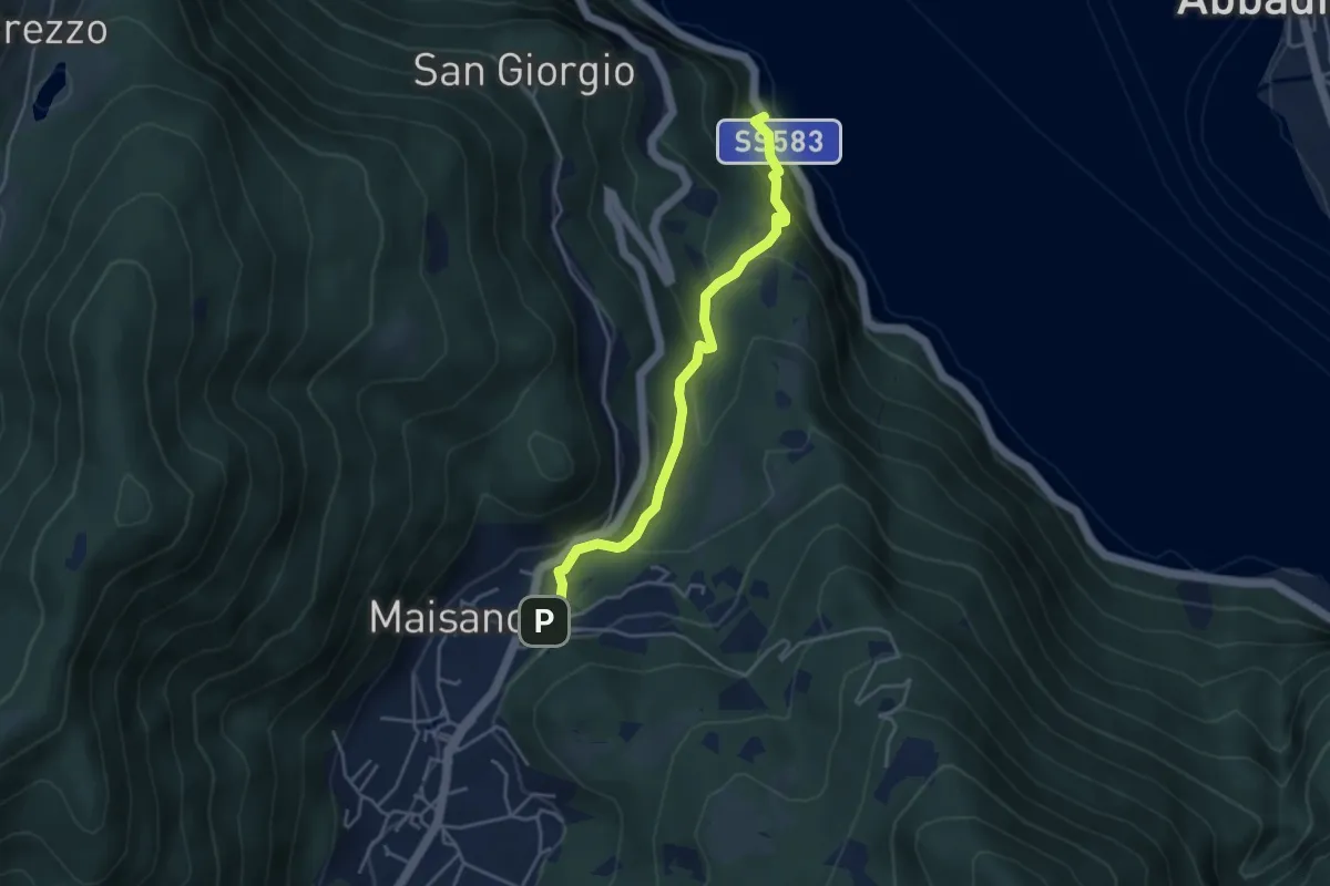
Demanding · Trail
Caprante – San Rocco (Valbrona)
4.0 km · ↑ 284 m · 1 h 34 min · 11 km away
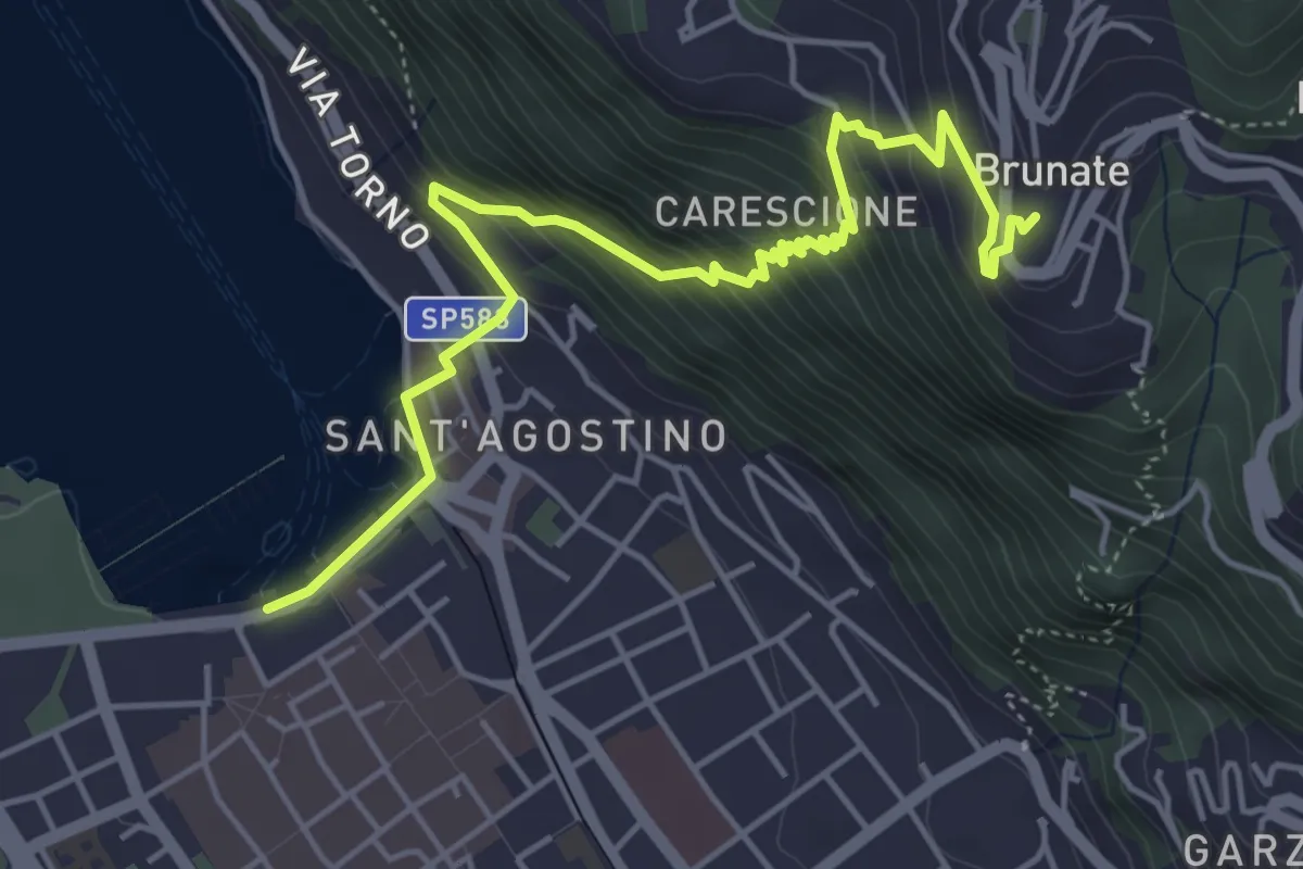
Medium · Trail
Imbarcadero di Como – Funicolare di Brunate
5.7 km · ↑ 522 m · 2 h 28 min · 11 km away
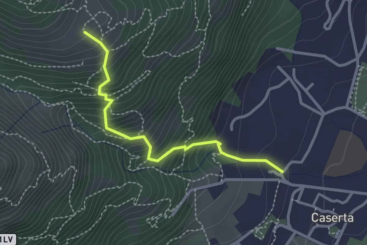
Demanding · Trail
Caserta – San Tomaso
2.2 km · ↑ 312 m · 1 h 12 min · 11 km away
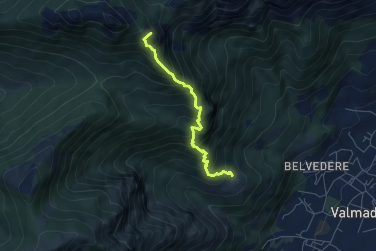
Expert · Summit
San Tomaso – Bocchetta di Luera
4.5 km · ↑ 629 m · 2 h 26 min · 11 km away
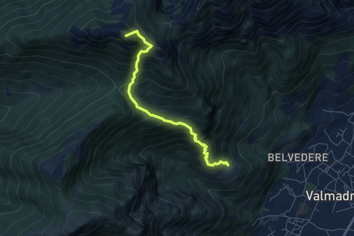
Medium · Summit
San Tomaso – Rifugio S.E.V.
5.6 km · ↑ 734 m · 2 h 55 min · 11 km away
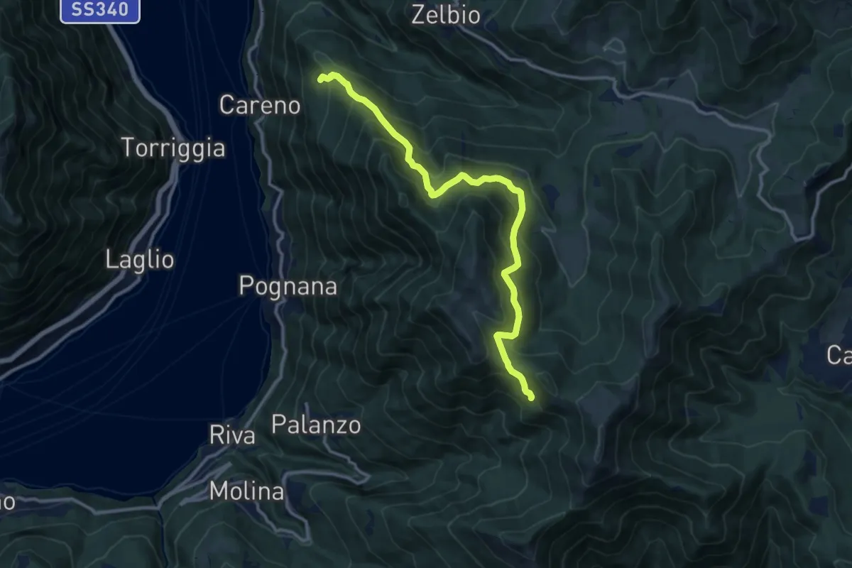
Demanding · Trail
Monte Palanzone – Bocchetta di Sciff
11.5 km · ↑ 986 m · 4 h 51 min · 11 km away
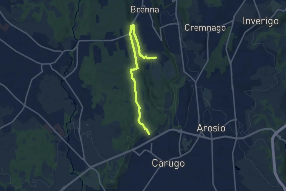
Medium · Trail
Cascina Gattedo – Pozzolo Inferiore
8.9 km · ↑ 131 m · 2 h 23 min · 11 km away
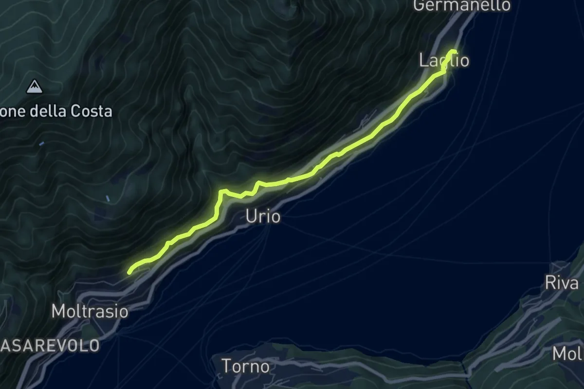
Medium · Trail
Via Verde
7.4 km · ↑ 362 m · 2 h 31 min · 11 km away