Trails near Erba
239 hikes starting within 15 km, nearest first.
Nearest first, page 4 of 5
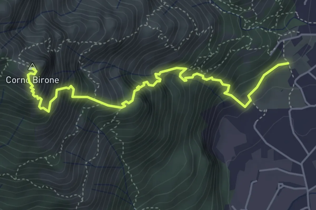
Demanding · Summit
Sentiero Lucio Vassena
5.0 km · ↑ 898 m · 3 h 7 min · 11 km away
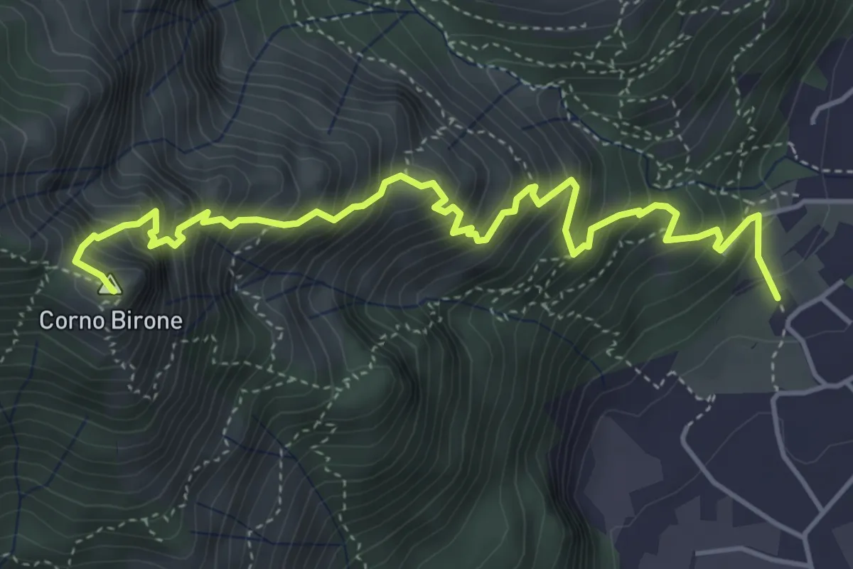
Expert · Summit
Sentiero Dario e William
5.4 km · ↑ 872 m · 3 h 10 min · 11 km away
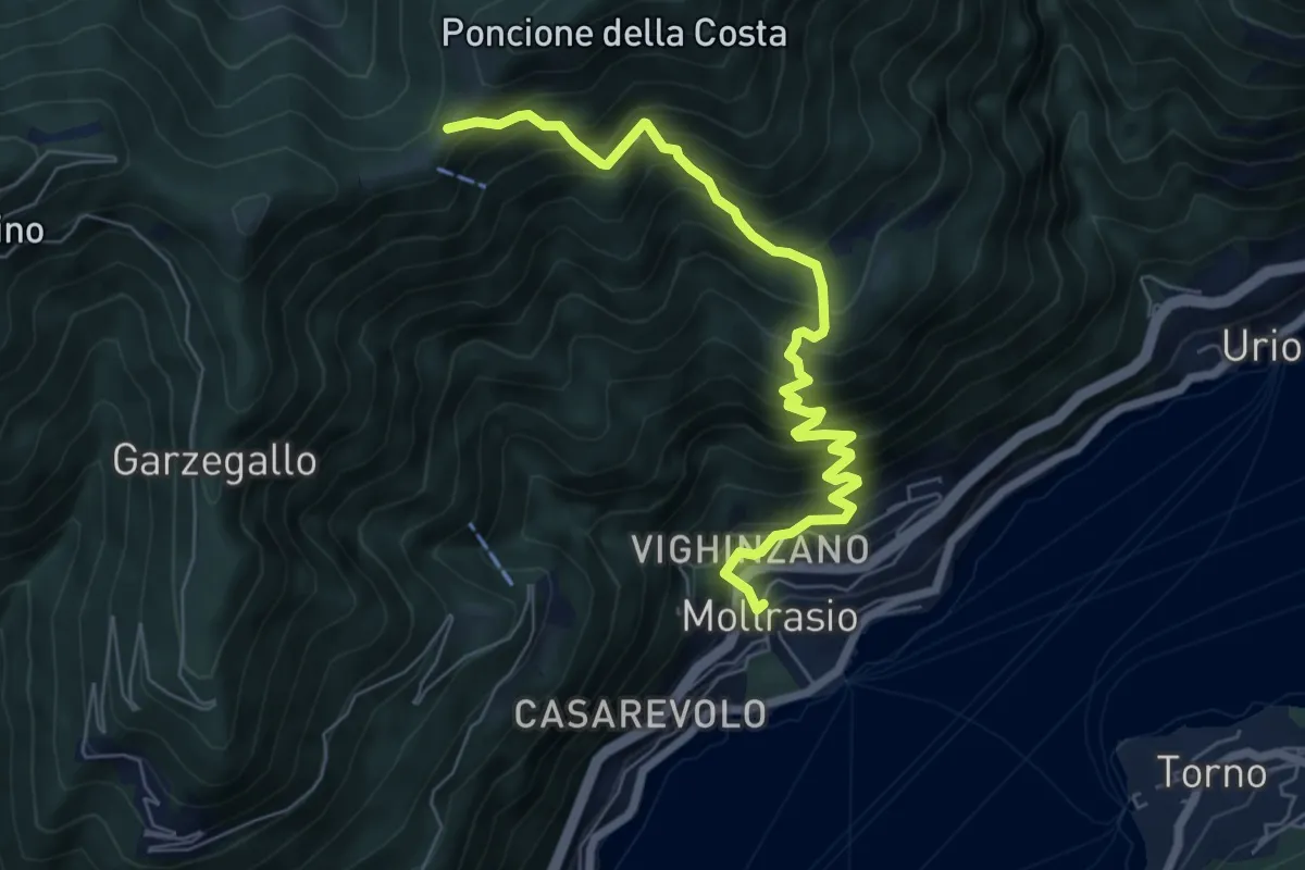
Demanding · Cabin
Moltrasio - Rifugio Bugone
7.1 km · ↑ 891 m · 3 h 36 min · 11 km away
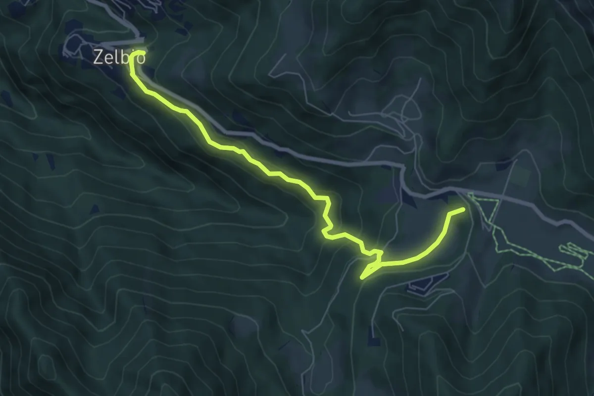
Medium · Summit
Zelbio – Il Dosso
7.1 km · ↑ 350 m · 2 h 26 min · 11 km away
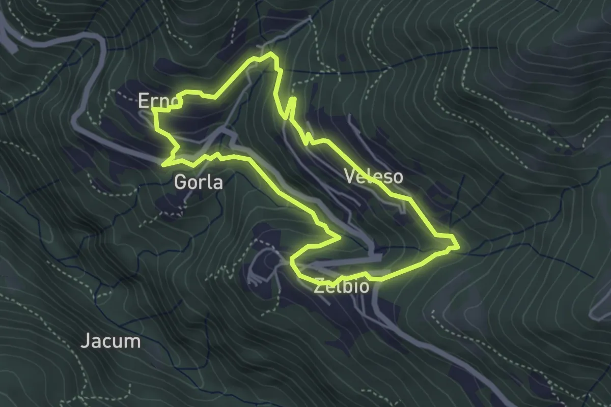
Easy · Trail
Anello dei tre campanili
4.0 km · ↑ 219 m · 1 h 29 min · 11 km away
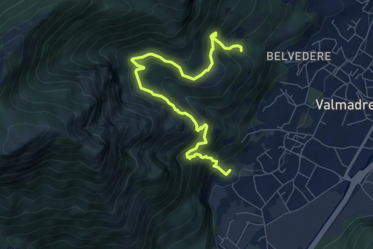
Demanding · Trail
Il percorso dei massi erratici
3.7 km · ↑ 263 m · 1 h 35 min · 11 km away
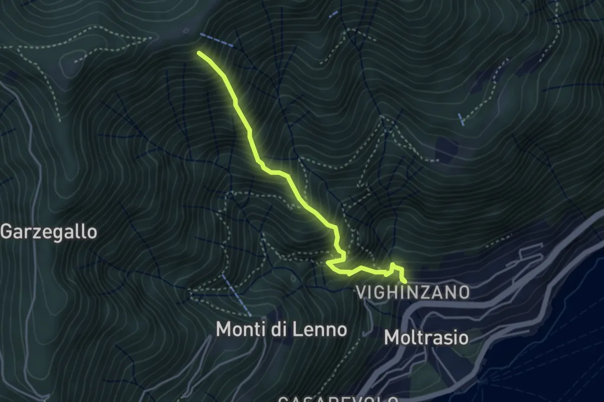
Medium · Trail
Sentee La Culman
3.5 km · ↑ 737 m · 2 h 25 min · 11 km away
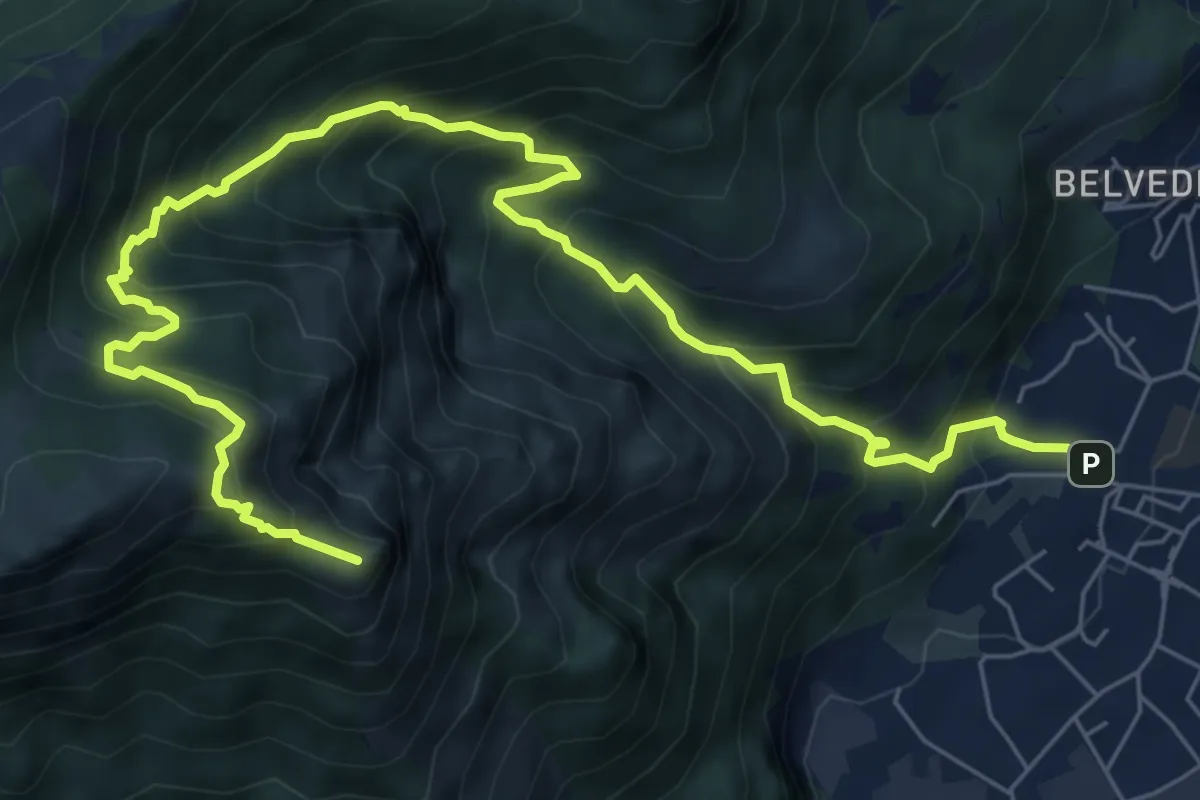
Expert · Summit
Caserta – Corno Birone
9.3 km · ↑ 1043 m · 4 h 28 min · 11 km away
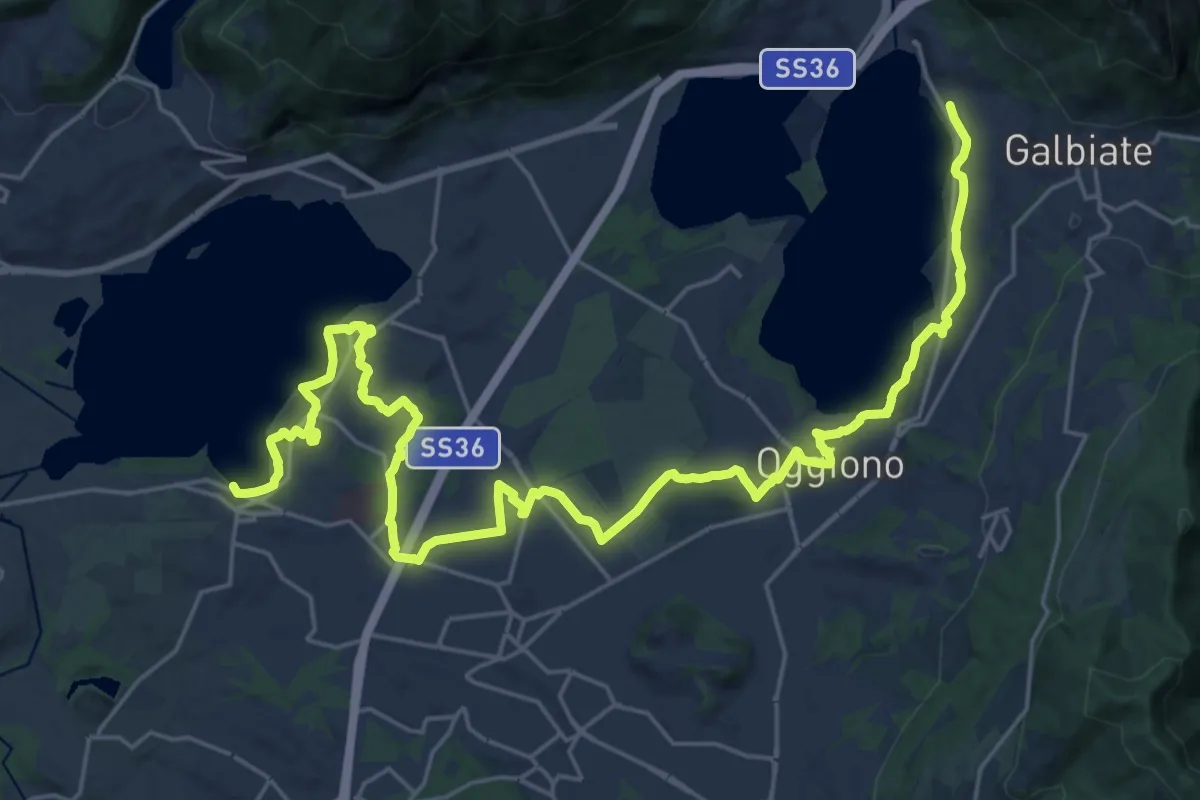
Medium · Trail
Sentiero Pedemonte - Tappa 3
16.6 km · ↑ 163 m · 4 h 30 min · 11 km away
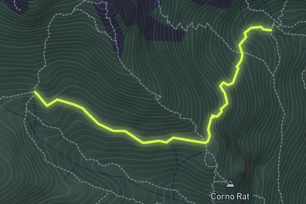
Medium · Trail
Fontanino di Sambrosera – Acqua del Fo'
3.1 km · ↑ 292 m · 1 h 22 min · 11 km away
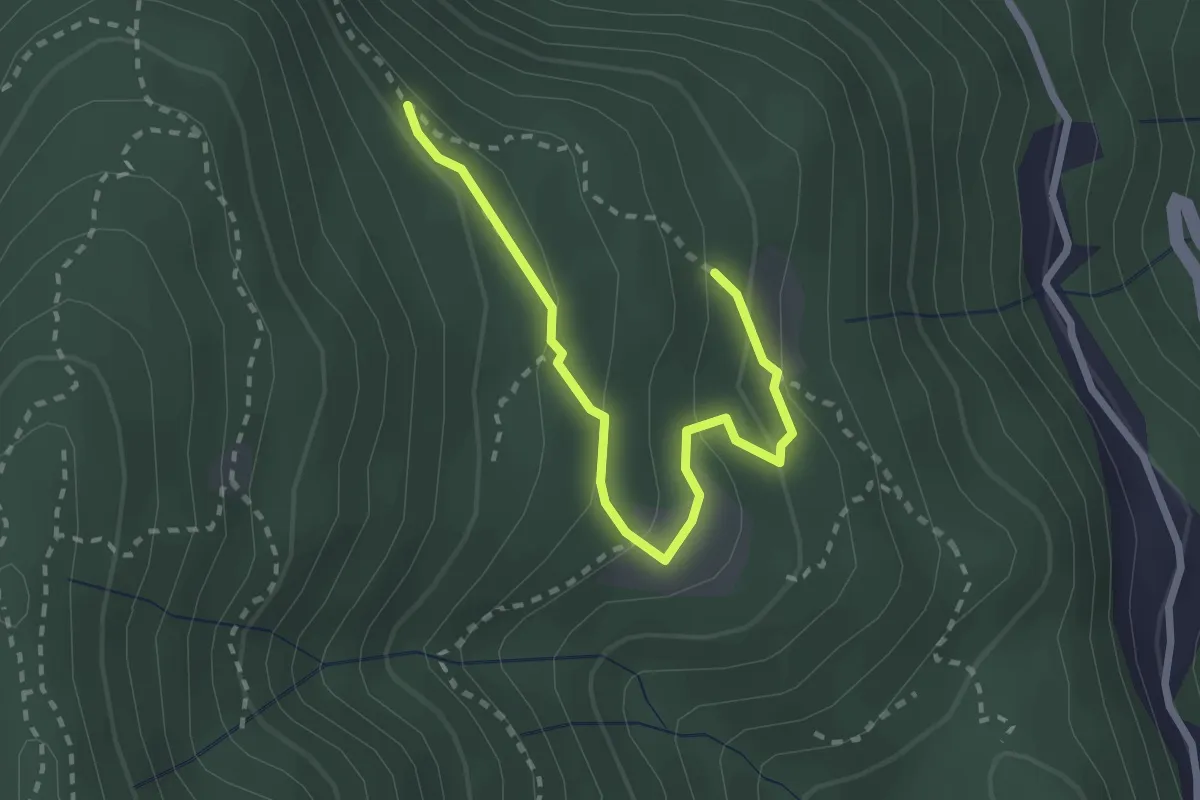
Easy · Trail
Alpe di Prezzapino – Alpe di Monte
2.7 km · ↑ 133 m · 55 min · 11 km away
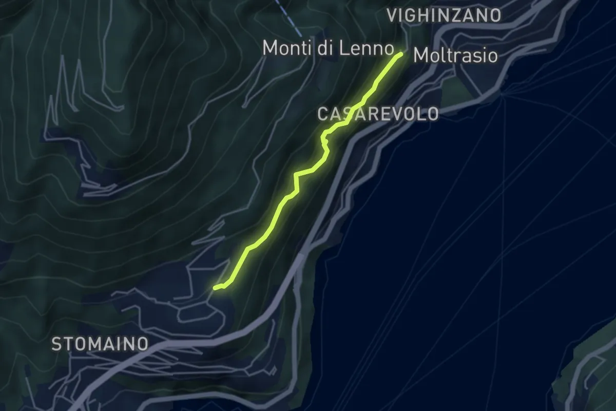
Medium · Trail
Sentee di Sort
3.3 km · ↑ 348 m · 1 h 32 min · 11 km away
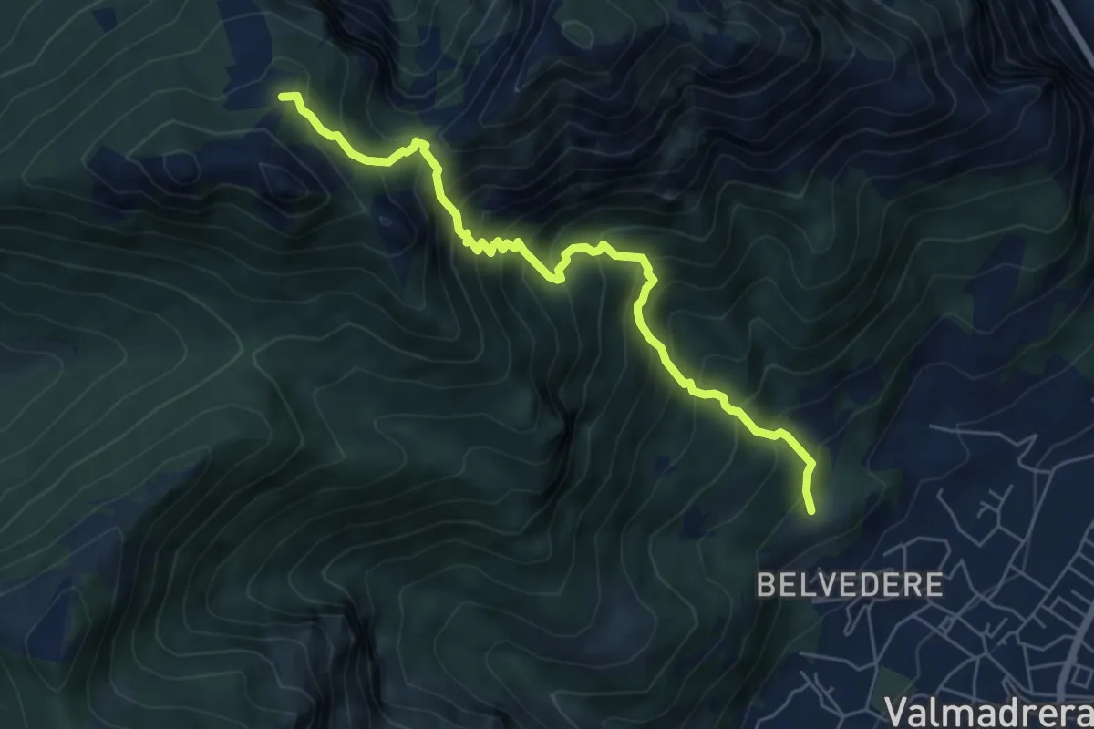
Demanding · Cabin
Cappelletta VARS – Rifugio S.E.V.
6.2 km · ↑ 837 m · 3 h 17 min · 11 km away
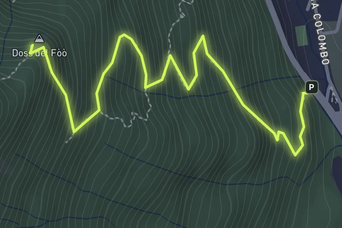
Medium · Summit
Barni – Bocchetta di Spessola
3.6 km · ↑ 433 m · 1 h 48 min · 11 km away
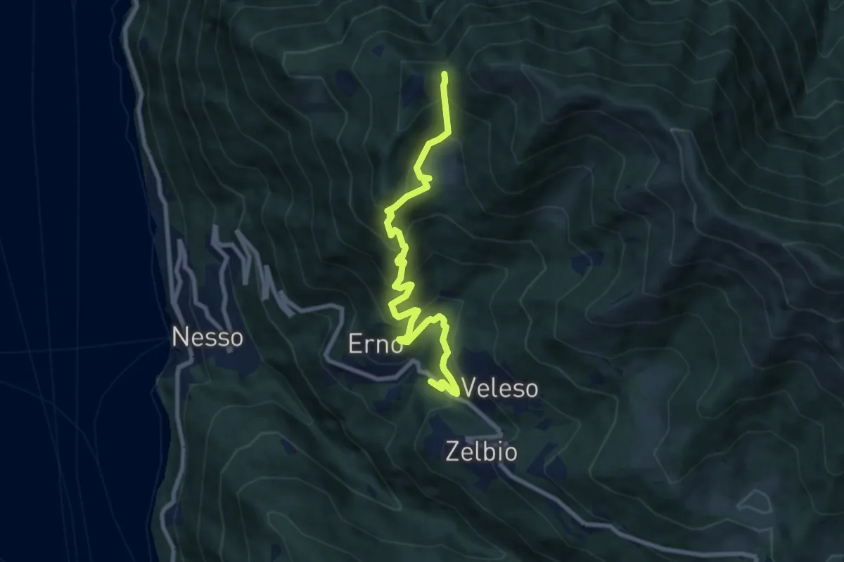
Medium · Trail
Veleso – La Forcoletta
7.9 km · ↑ 698 m · 3 h 23 min · 11 km away
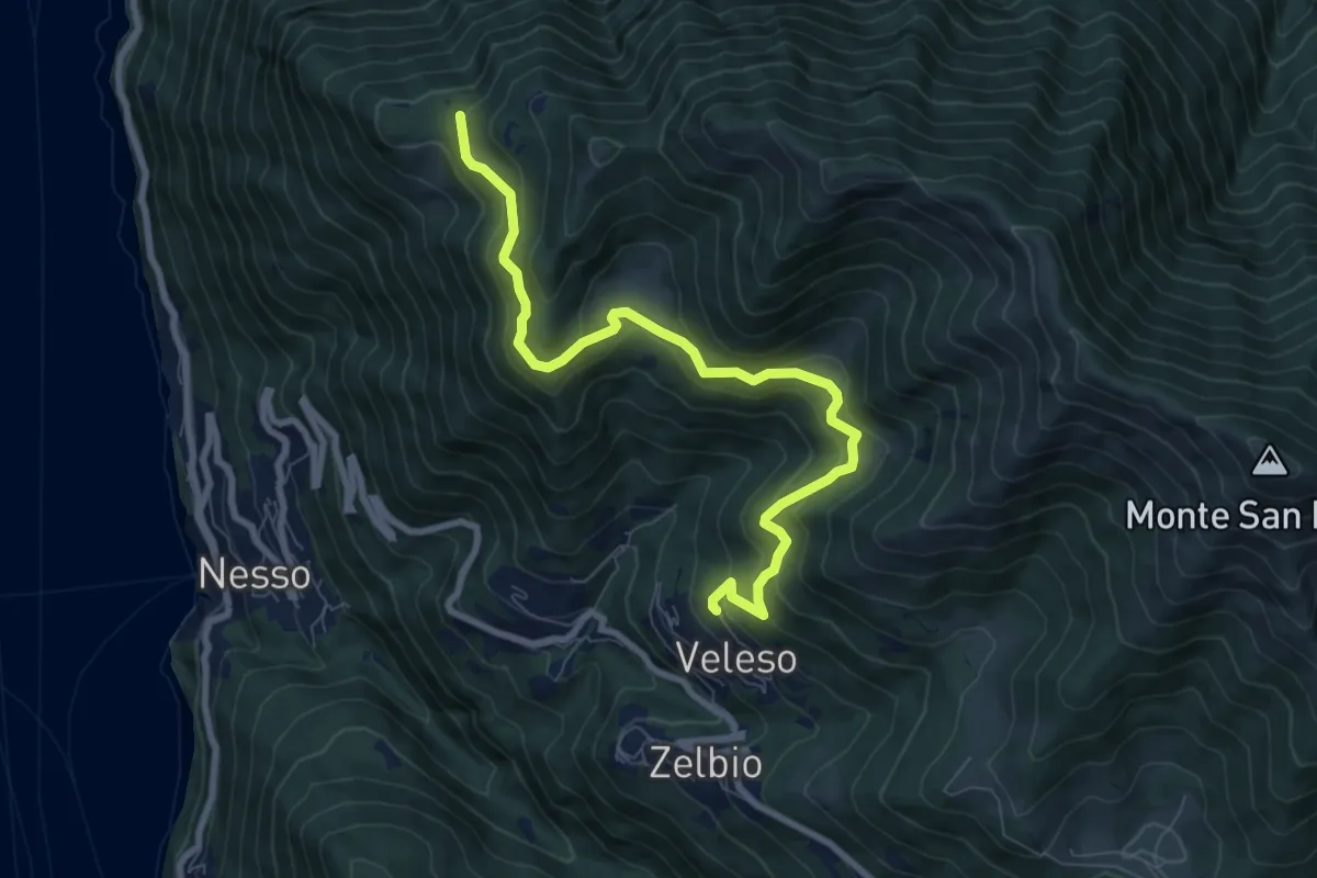
Medium · Trail
Veleso – Cresta NW M. Colmenacco
8.5 km · ↑ 502 m · 3 h 5 min · 11 km away
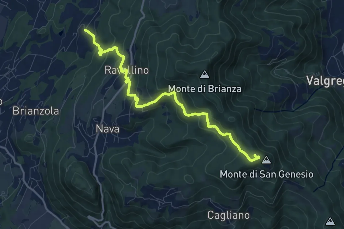
Medium · Summit
Marconaga – Monte di San Genesio
9.9 km · ↑ 516 m · 3 h 28 min · 12 km away
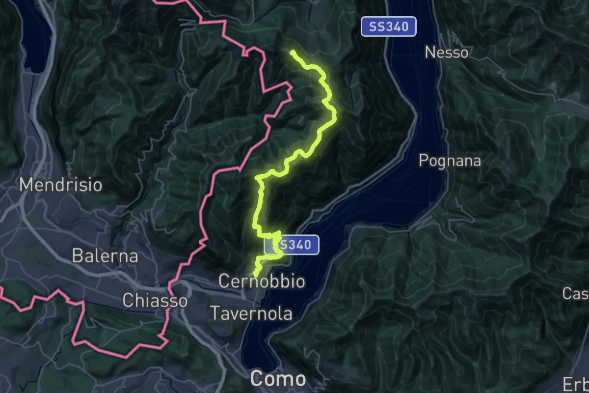
Demanding · Summit
Cernobbio – San Fedele Intelvi
27.1 km · ↑ 1649 m · 9 h 58 min · 12 km away
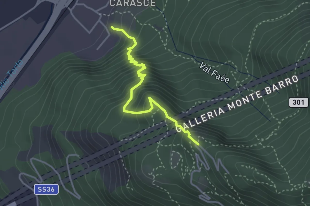
Medium · Trail
Valmadrera (fornaci Villa) – Culcinera
3.1 km · ↑ 428 m · 1 h 40 min · 12 km away
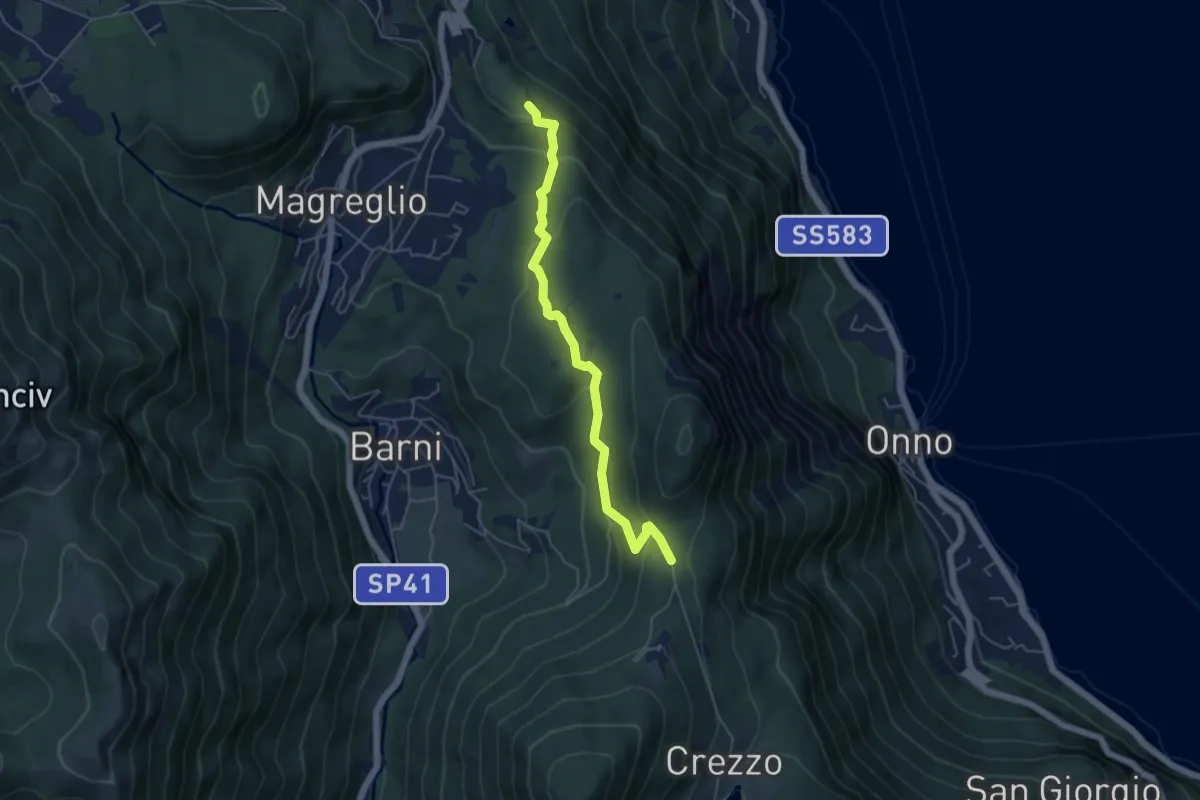
Easy · Trail
Caval di Barni – Alpetto
5.1 km · ↑ 253 m · 1 h 45 min · 12 km away
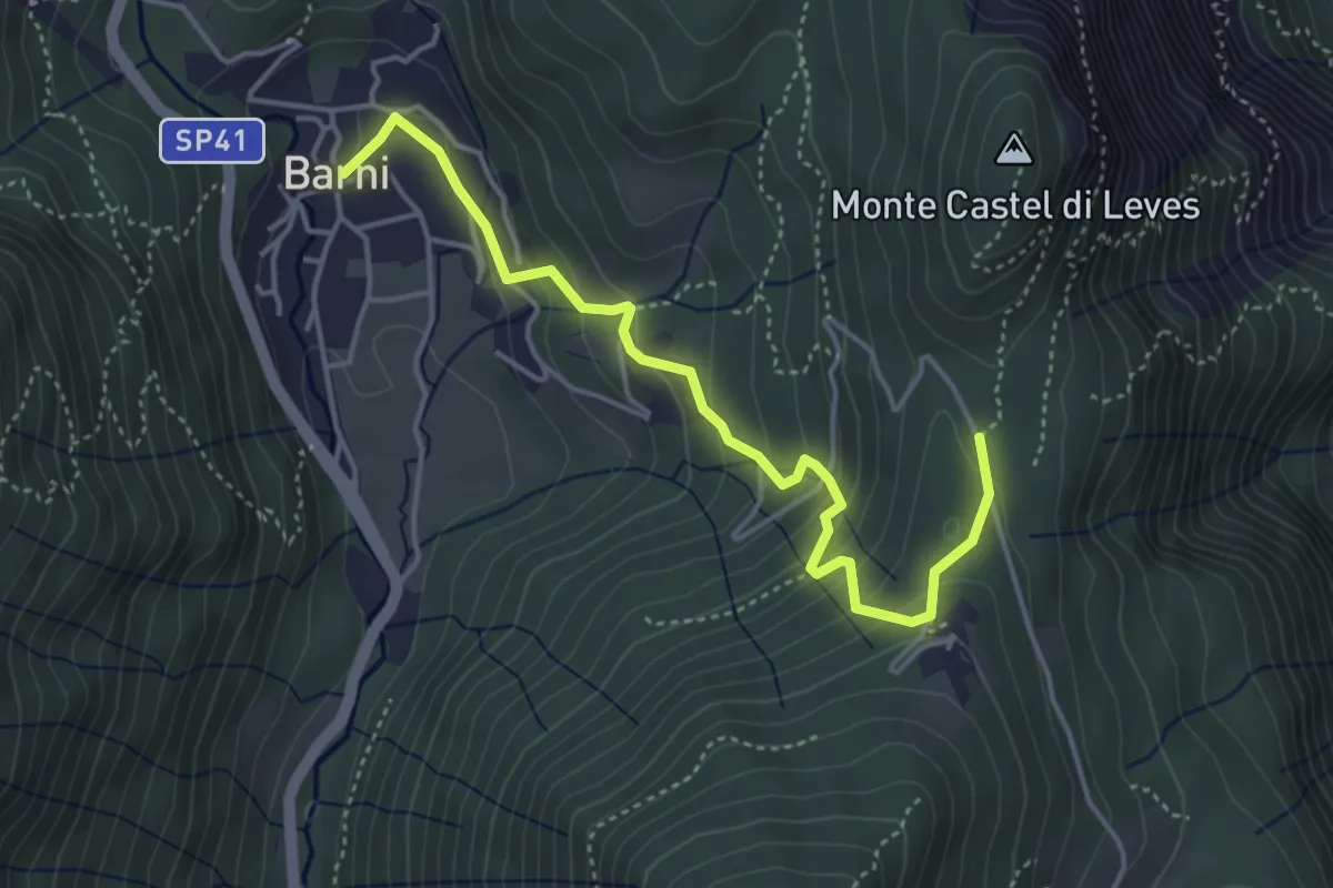
Easy · Trail
Barni – Caval di Barni
4.5 km · ↑ 262 m · 1 h 37 min · 12 km away
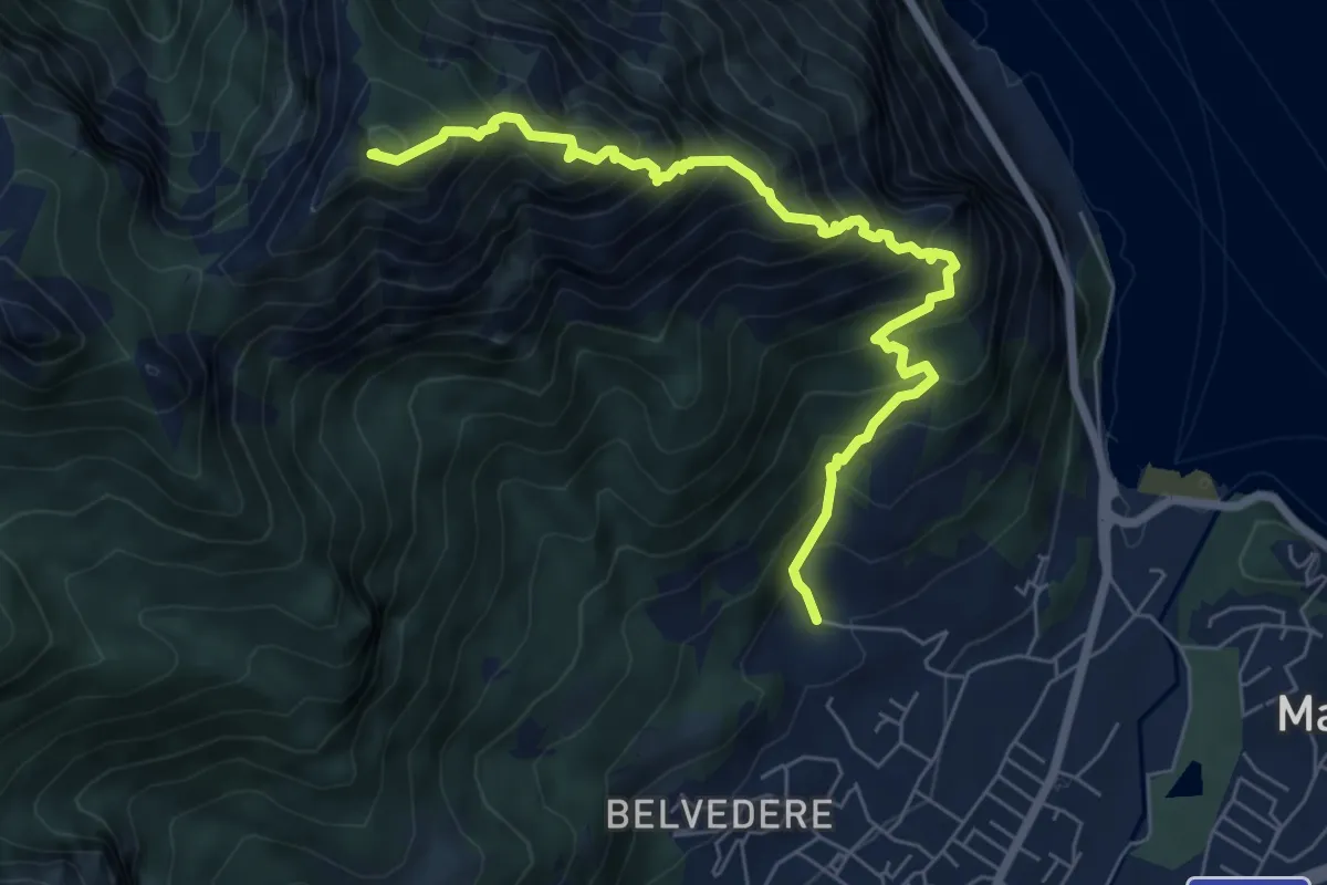
Expert · Summit
Piazza Rossé – Bocchetta di Moregge
7.2 km · ↑ 935 m · 3 h 43 min · 12 km away
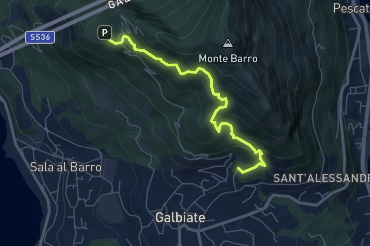
Medium · Trail
Galbiate – Parco archeologico Monte Barro
5.6 km · ↑ 521 m · 2 h 27 min · 12 km away
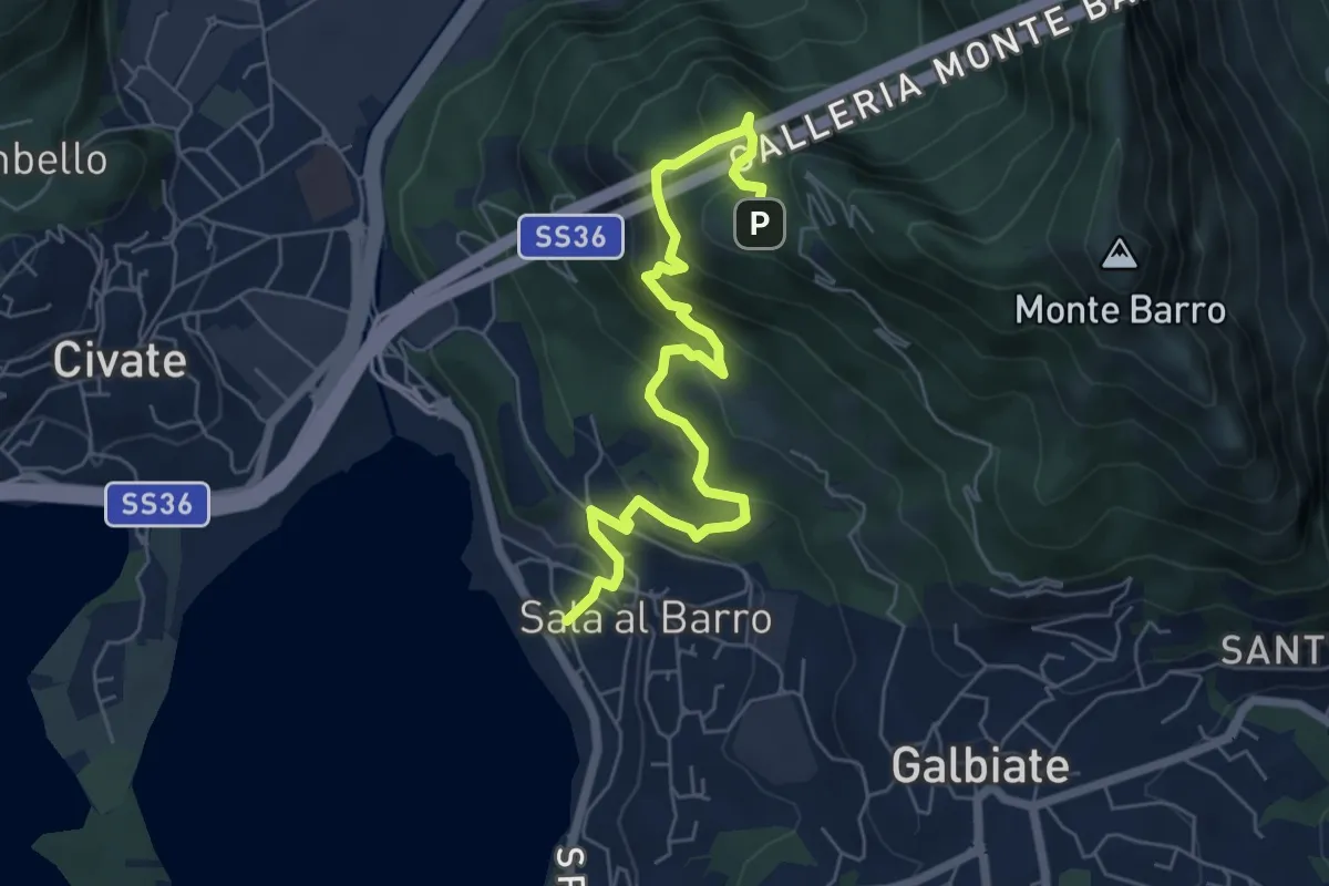
Medium · Trail
Sala al Barro (FS) – Parco archeologico Monte Barro
6.9 km · ↑ 476 m · 2 h 40 min · 12 km away
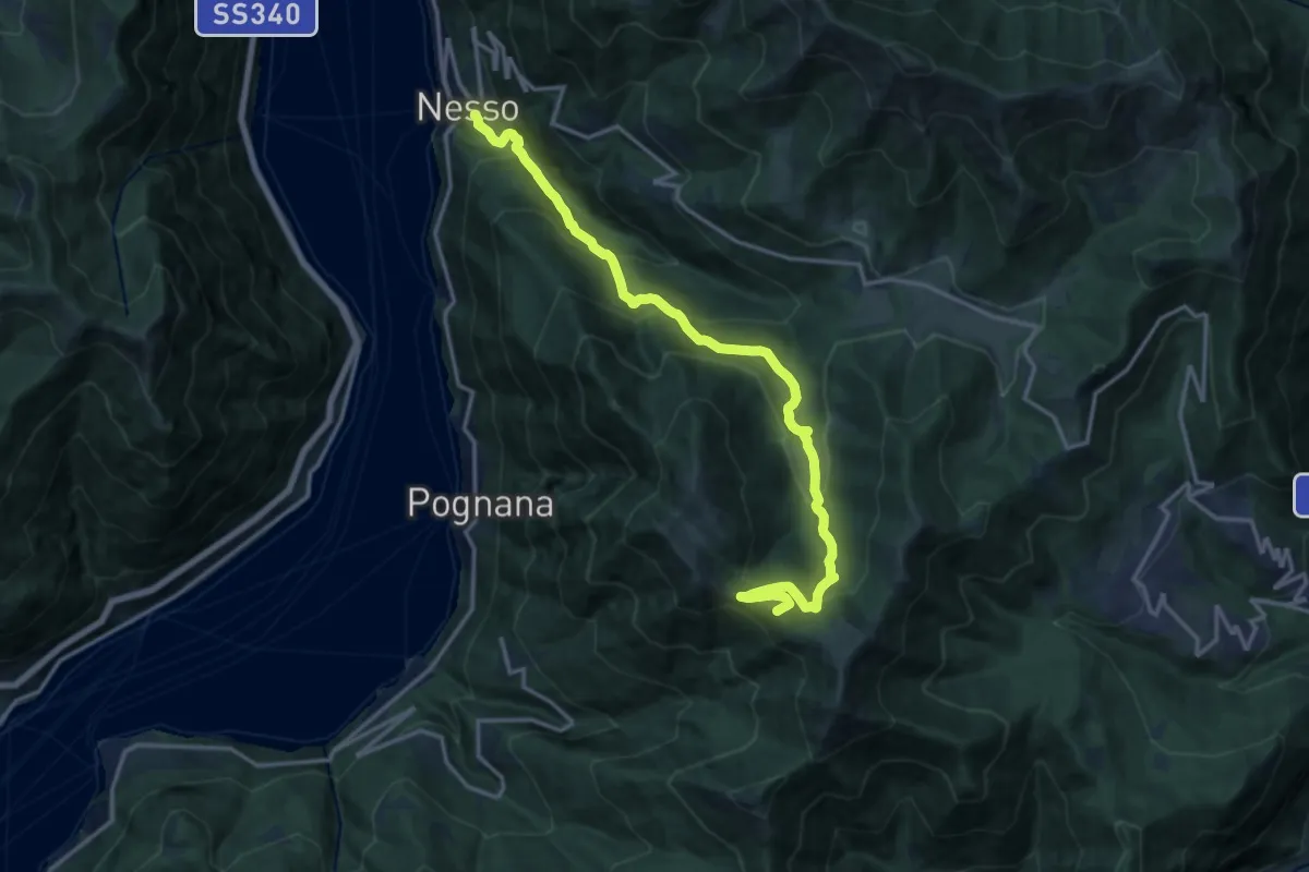
Demanding · Summit
Nesso – Monte Palanzone
16.5 km · ↑ 1052 m · 6 h 11 min · 12 km away
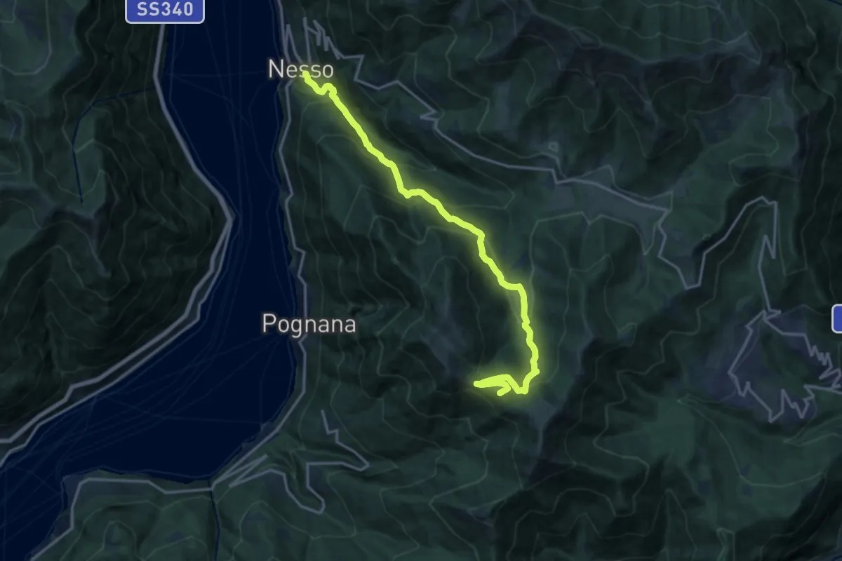
Demanding · Summit
Nesso – Monte Palanzone
16.2 km · ↑ 1157 m · 6 h 20 min · 12 km away
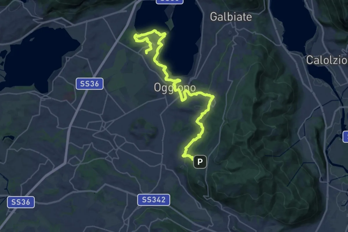
Medium · Trail
Antico Percorso di Fede dell'Alta Brianza
14.0 km · ↑ 200 m · 4 h 4 min · 12 km away
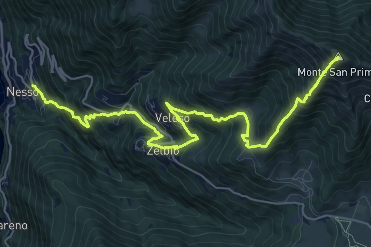
Demanding · Summit
Nesso – Monte San Primo
15.3 km · ↑ 1369 m · 6 h 35 min · 12 km away
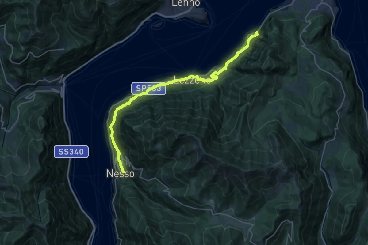
Medium · Trail
Nesso – Ponte del Diavolo (Bellagio)
10.8 km · ↑ 630 m · 4 h 8 min · 12 km away
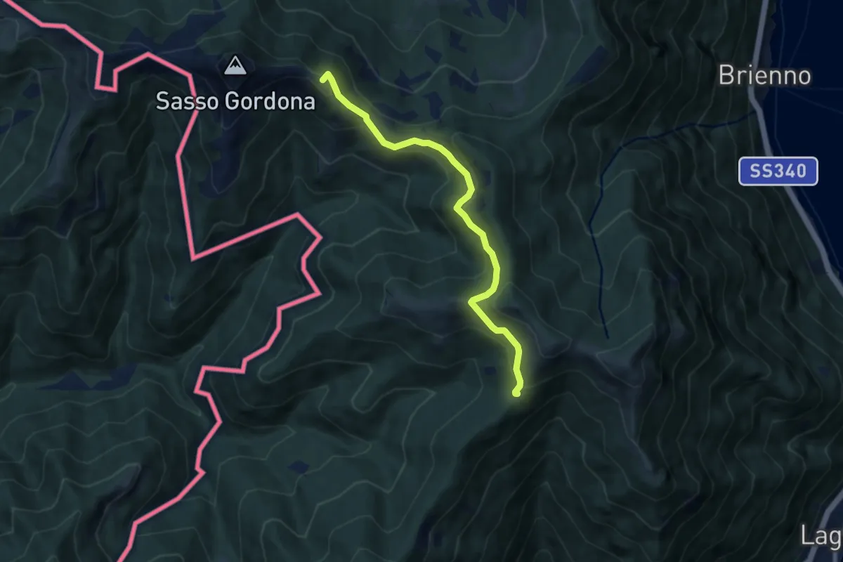
Medium · Summit
Rif. Prabello – Rif. Murelli
7.0 km · ↑ 377 m · 2 h 29 min · 12 km away
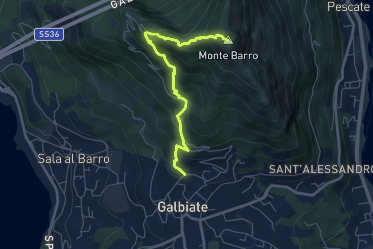
Demanding · Summit
Galbiate (lavatoio) – Monte Barro
5.3 km · ↑ 485 m · 2 h 18 min · 12 km away
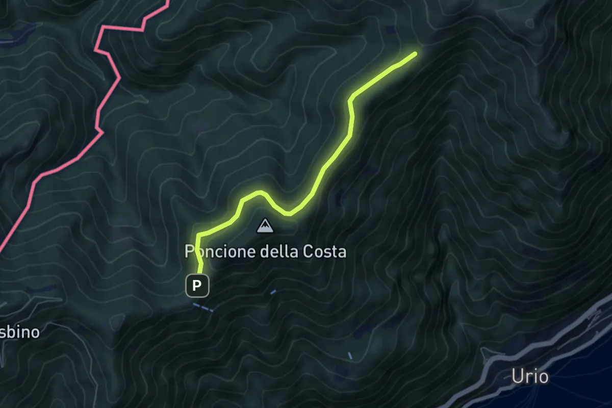
Easy · Cabin
Rif. Bugone – Rif. Murelli
5.6 km · ↑ 165 m · 1 h 41 min · 12 km away
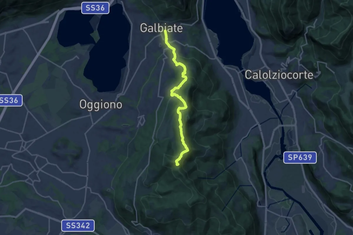
Medium · Summit
Olgiate Molgora (FS) – Galbiate
14.3 km · ↑ 669 m · 4 h 50 min · 12 km away
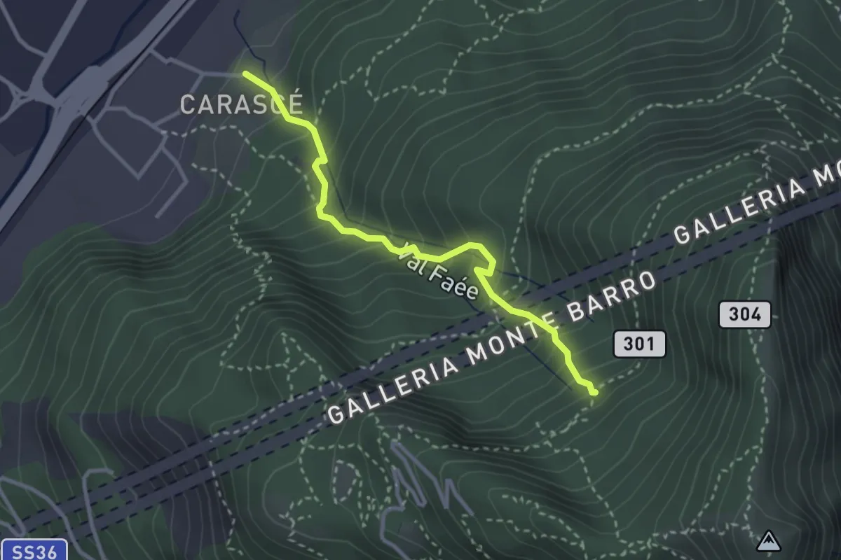
Medium · Trail
Carascé – Faée Alto
2.9 km · ↑ 388 m · 1 h 31 min · 13 km away
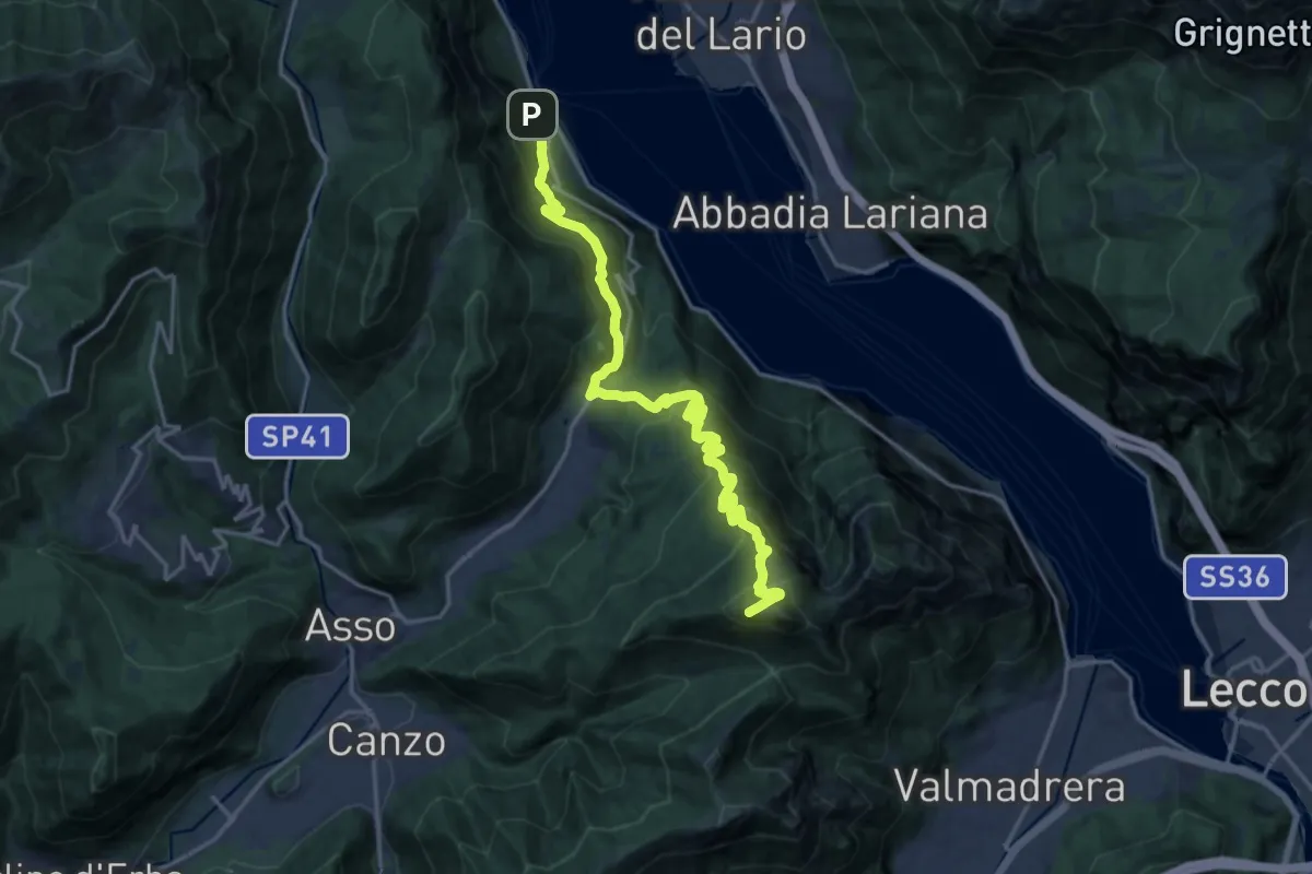
Demanding · Summit
Lago del Segrino – Onno (Oliveto Lario)
19.3 km · ↑ 1178 m · 7 h 7 min · 13 km away
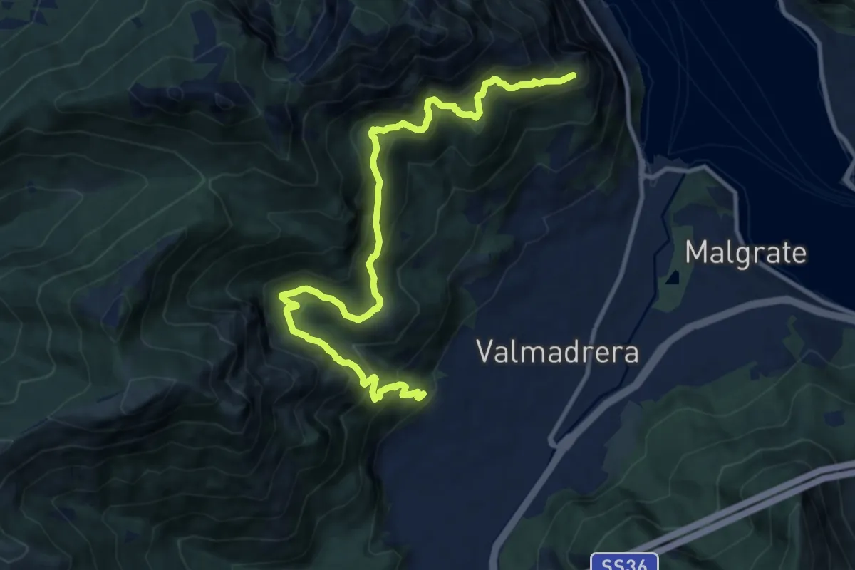
Demanding · Trail
Santuario della Madonna di San Martino – Sasso di Preguda
11.9 km · ↑ 1039 m · 5 h 3 min · 13 km away
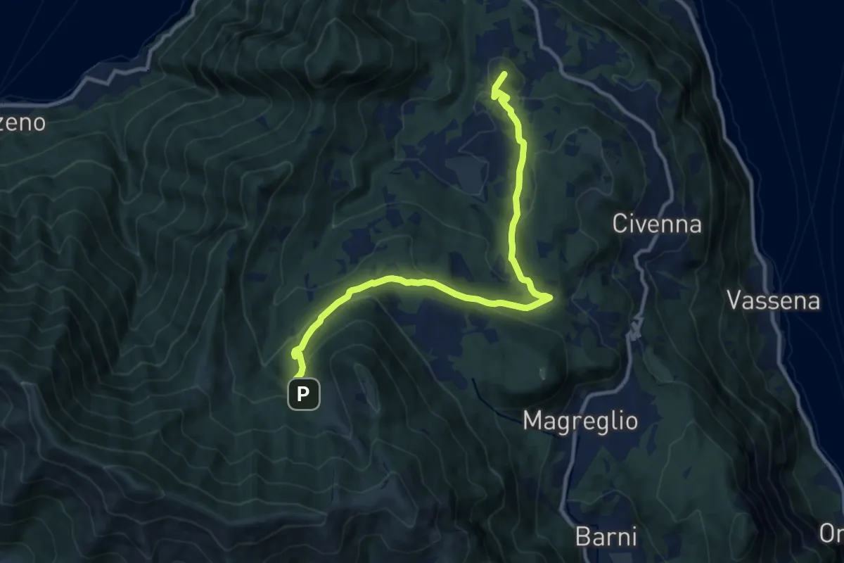
Medium · Summit
Innesto Sentiero del Tivano Monte Gamasca – Parco Monte San Primo
11.4 km · ↑ 444 m · 3 h 39 min · 13 km away
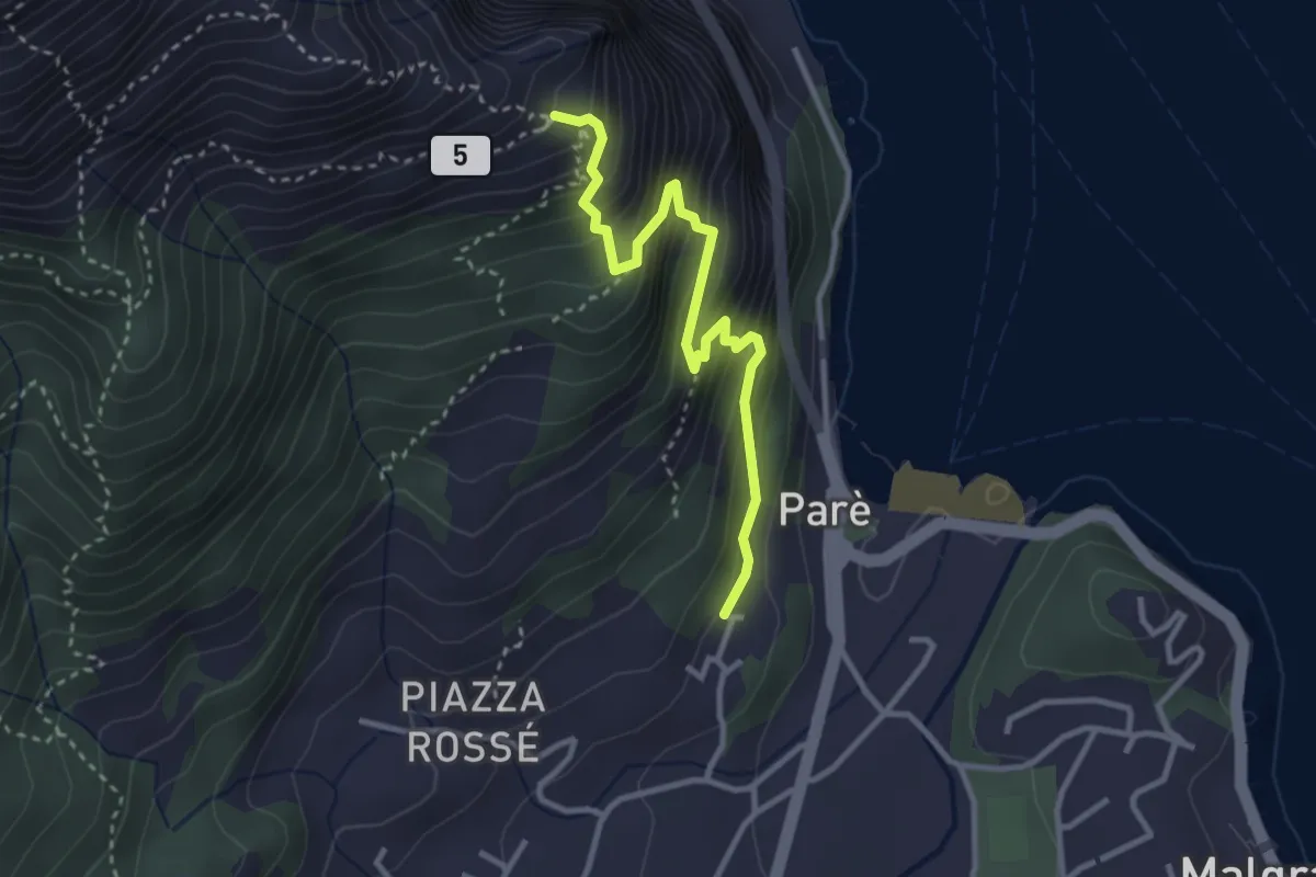
Demanding · Trail
Ul Sentee del Lach
3.2 km · ↑ 418 m · 1 h 40 min · 13 km away
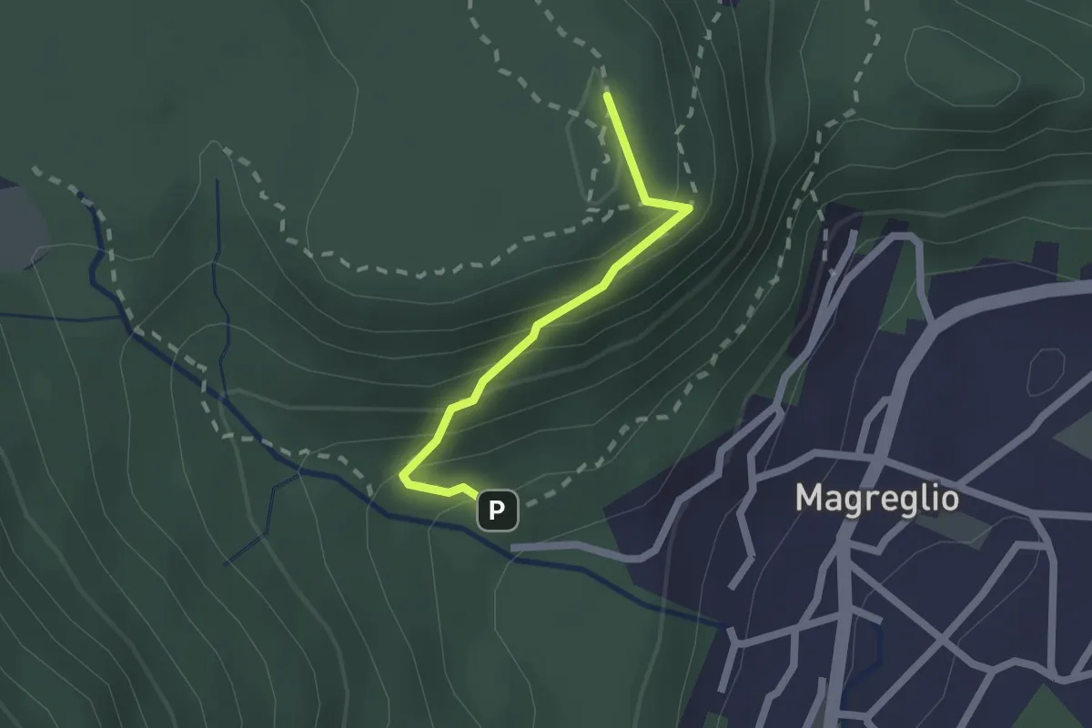
Medium · Summit
Piano Rancio – Castagneti
1.6 km · ↑ 158 m · 43 min · 13 km away
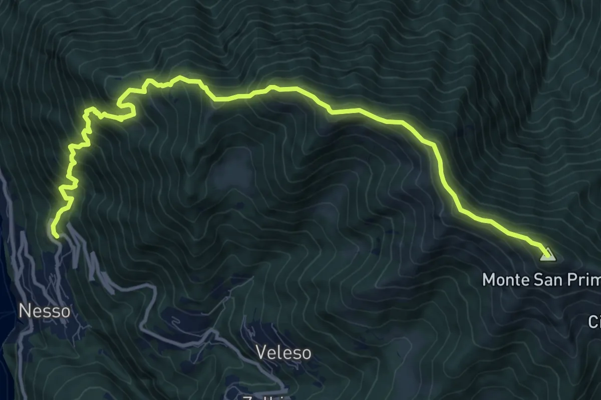
Demanding · Summit
Nesso – Monte San Primo
13.2 km · ↑ 1364 m · 6 h 5 min · 13 km away
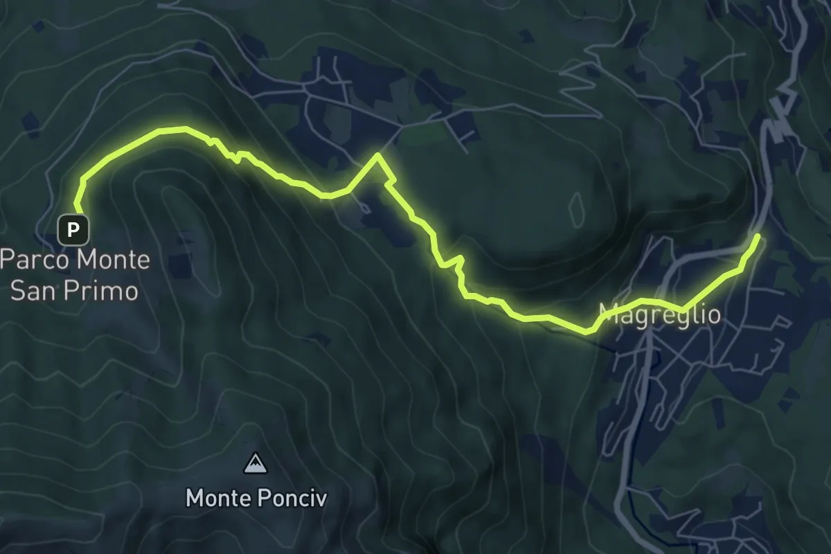
Expert · Trail
Madonna del Ghisallo (Magreglio) – Parco Monte San Primo
7.9 km · ↑ 460 m · 2 h 52 min · 13 km away
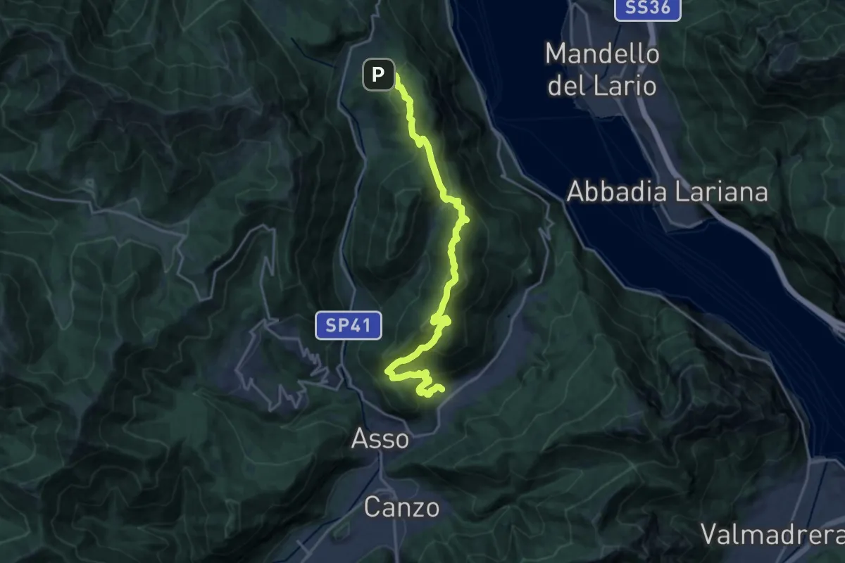
Demanding · Trail
Sentiero del Tivano
18.9 km · ↑ 1104 m · 6 h 52 min · 13 km away
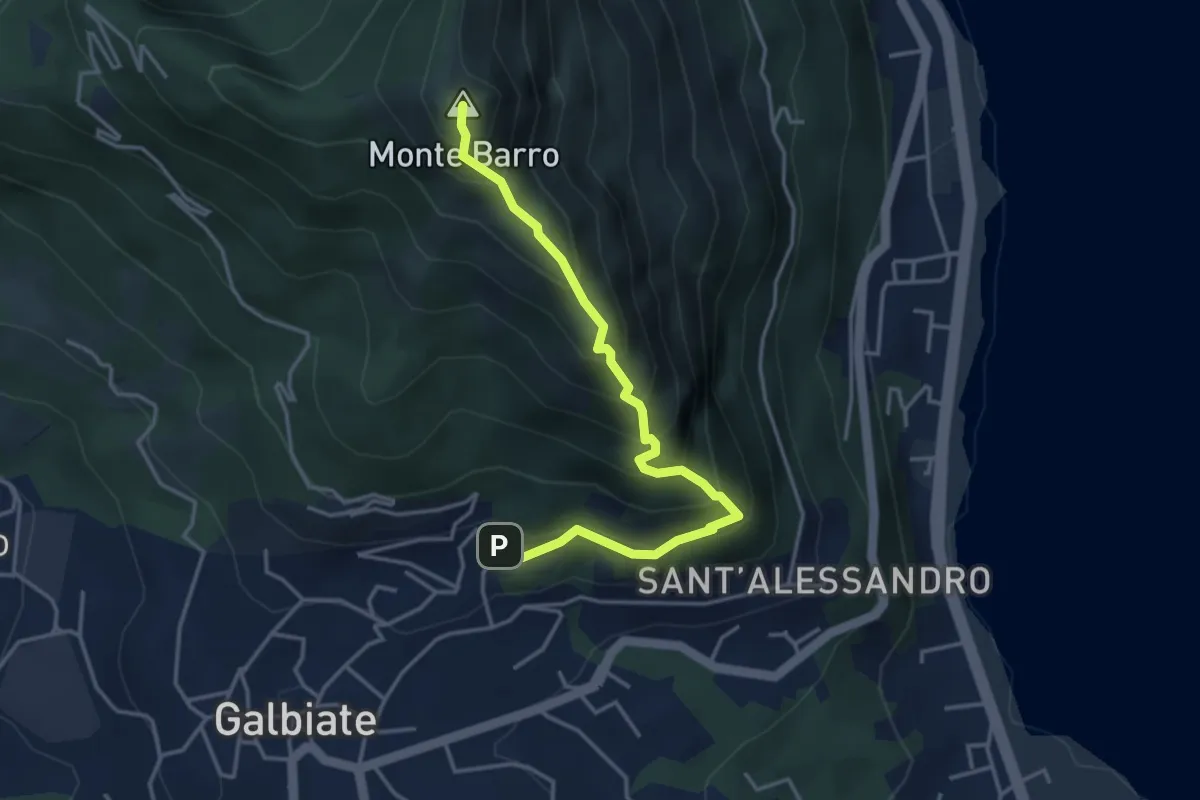
Expert · Summit
Galbiate – Monte Barro
4.1 km · ↑ 475 m · 2 h · 13 km away
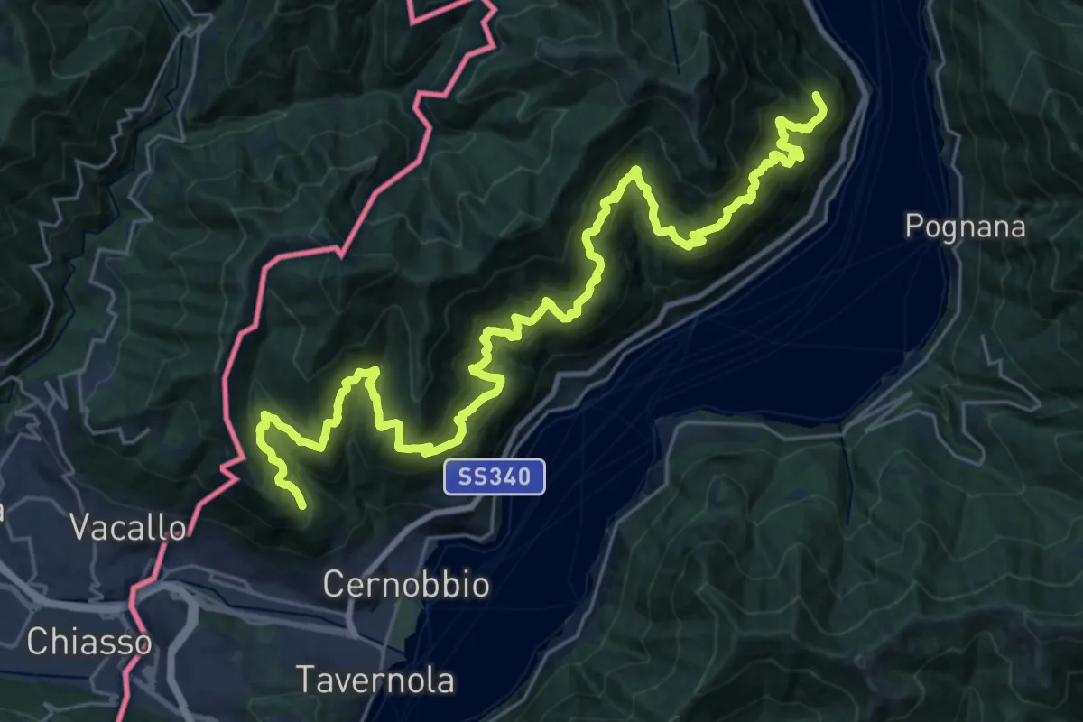
Expert · Trail
Sentiero mezza costa
16.5 km · ↑ 1501 m · 7 h 25 min · 13 km away
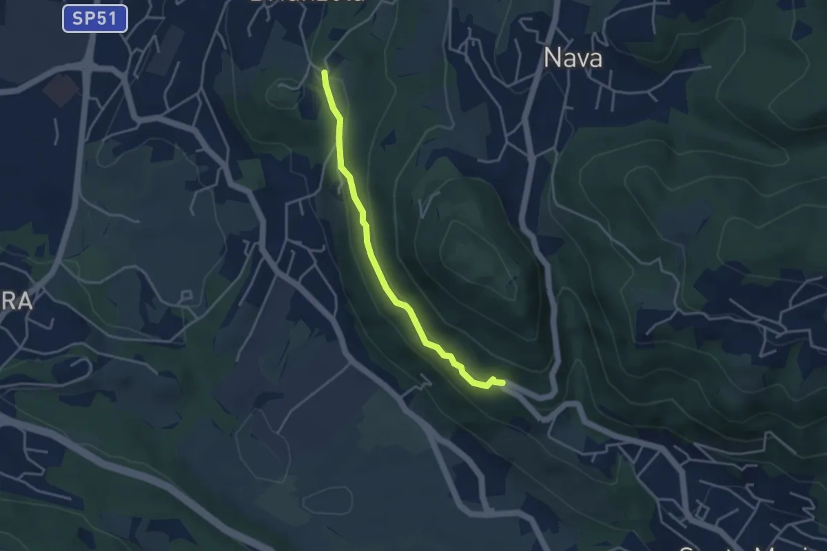
Easy · Trail
Brianzola – Ceppetto
3.3 km · ↑ 108 m · 1 h 1 min · 13 km away
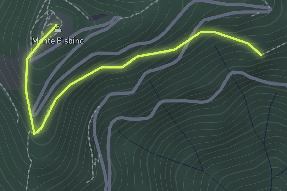
Expert · Summit
Alpe Piella – Ca' Bossi
2.1 km · ↑ 203 m · 56 min · 13 km away
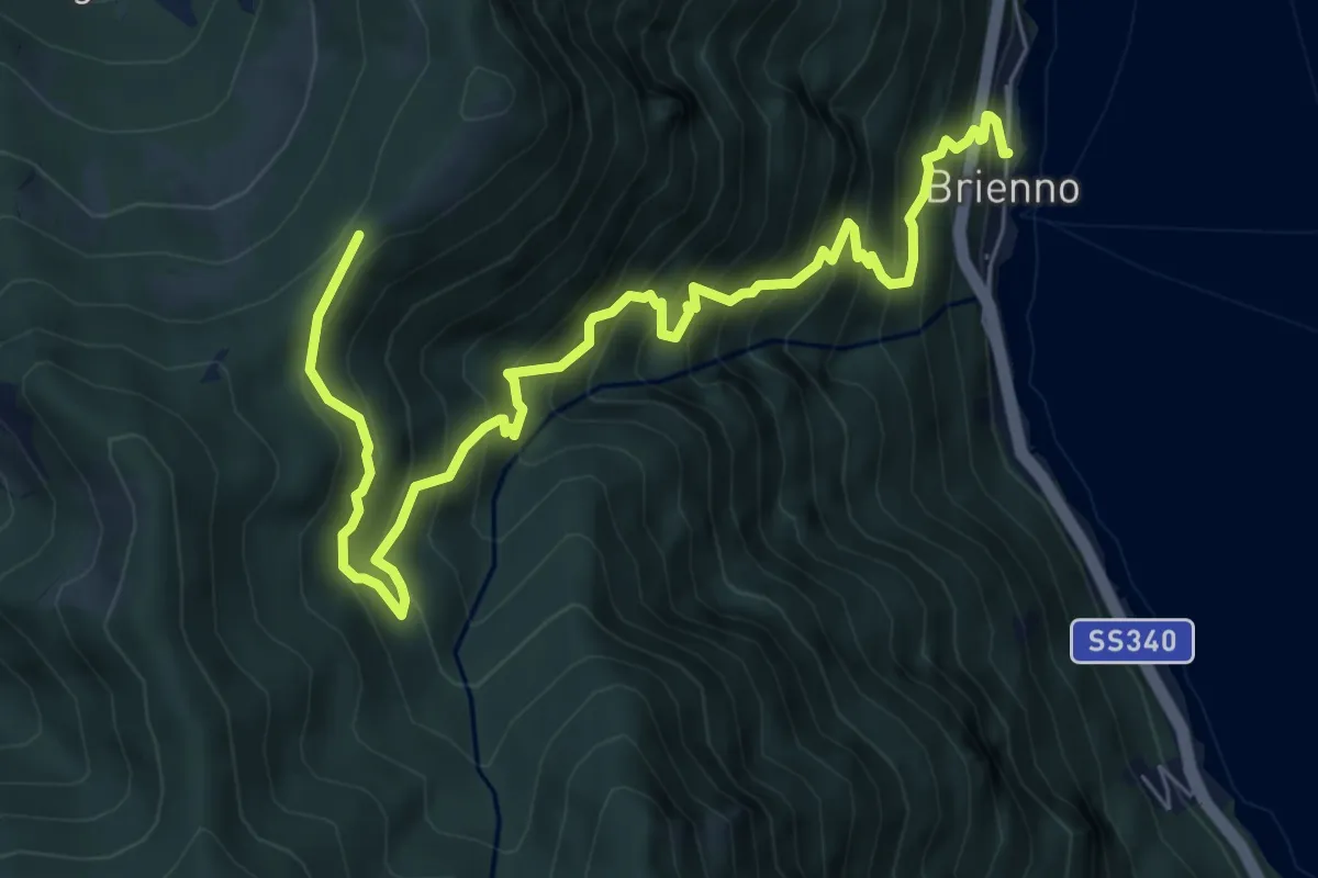
Demanding · Trail
Sentiero botanico di Brienno
8.2 km · ↑ 1026 m · 4 h 10 min · 13 km away
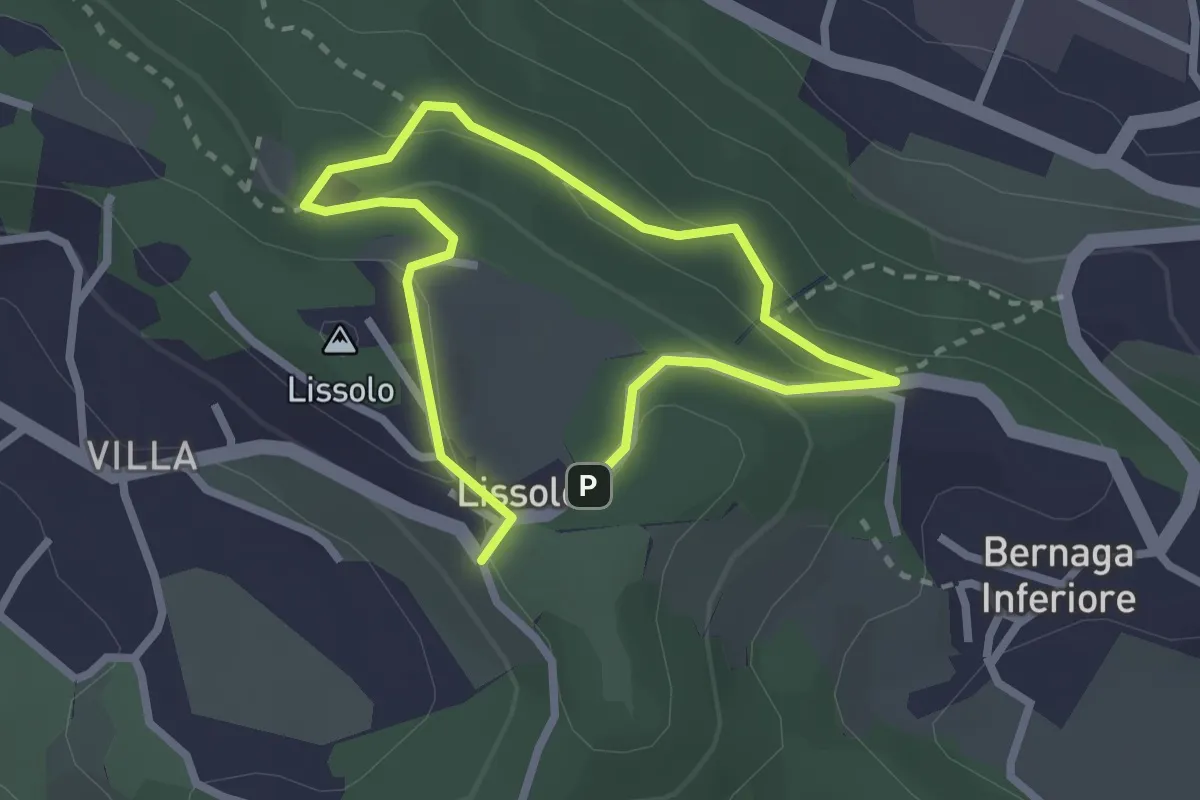
Easy · Summit
Sentiero dei Proverbi
2.0 km · ↑ 74 m · 39 min · 13 km away