Trails near Erba
239 hikes starting within 15 km, nearest first.
Nearest first, page 5 of 5
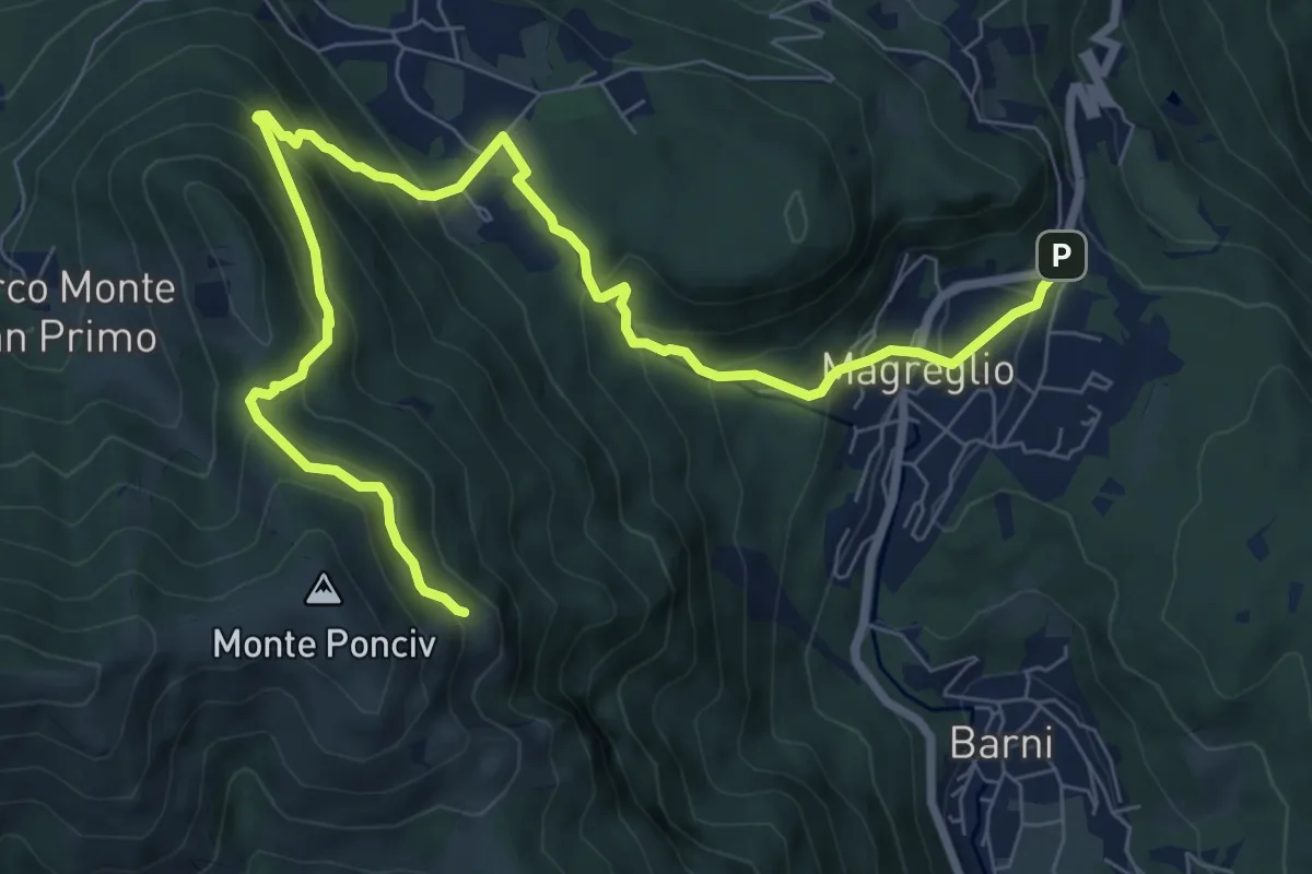
Expert · Trail
Madonna del Ghisallo (Magreglio) – Monte Ponciv
10.1 km · ↑ 657 m · 3 h 49 min · 13 km away
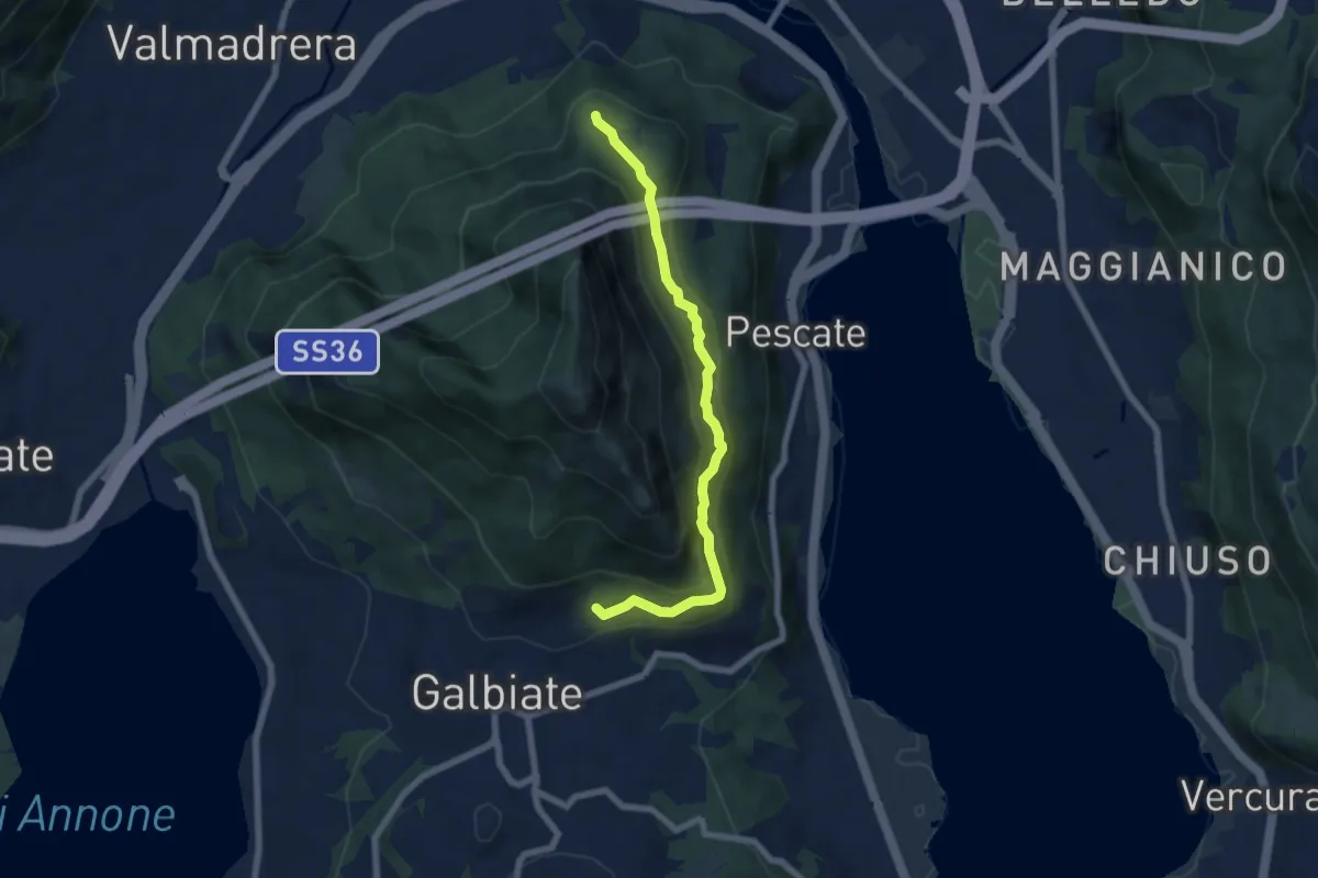
Medium · Trail
Sentiero di mezzo
6.7 km · ↑ 354 m · 2 h 21 min · 13 km away
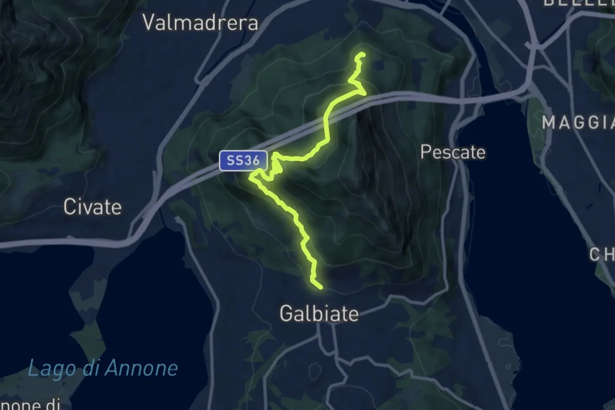
Medium · Trail
Sentiero di mezzo
9.3 km · ↑ 734 m · 3 h 47 min · 13 km away
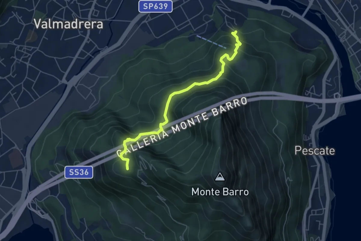
Demanding · Trail
Malgrate – Parco archeologico Monte Barro
5.6 km · ↑ 409 m · 2 h 12 min · 13 km away
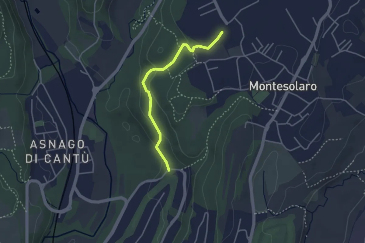
Easy · Trail
Carimate – Cantù
2.9 km · ↑ 102 m · 55 min · 13 km away
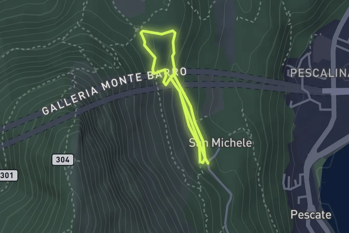
Medium · Trail
San Michele – San Michele
4.2 km · ↑ 208 m · 1 h 26 min · 14 km away
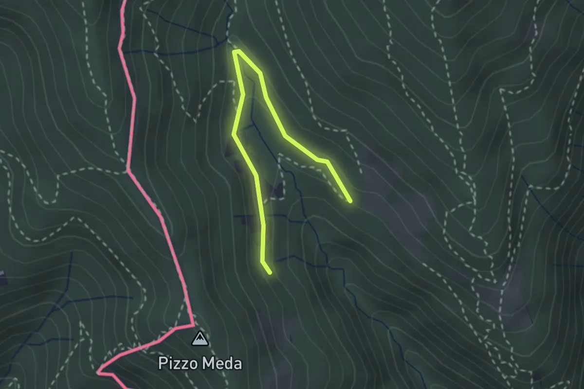
Easy · Trail
Cernobbio-Monte Bisbino
2.5 km · ↑ 103 m · 49 min · 14 km away
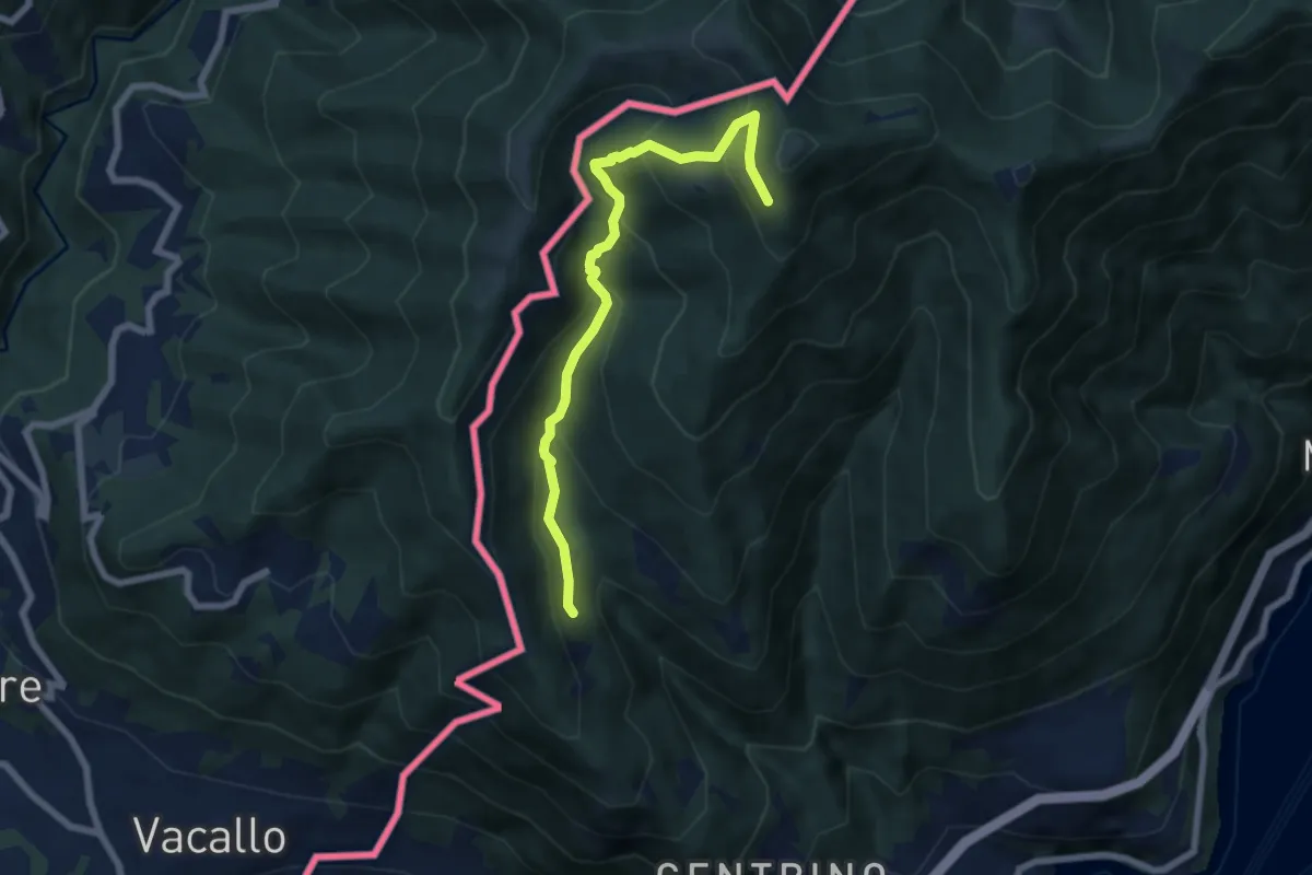
Medium · Trail
Como (Monte Olimpino) – Rifugio Prabello
6.7 km · ↑ 510 m · 2 h 42 min · 14 km away
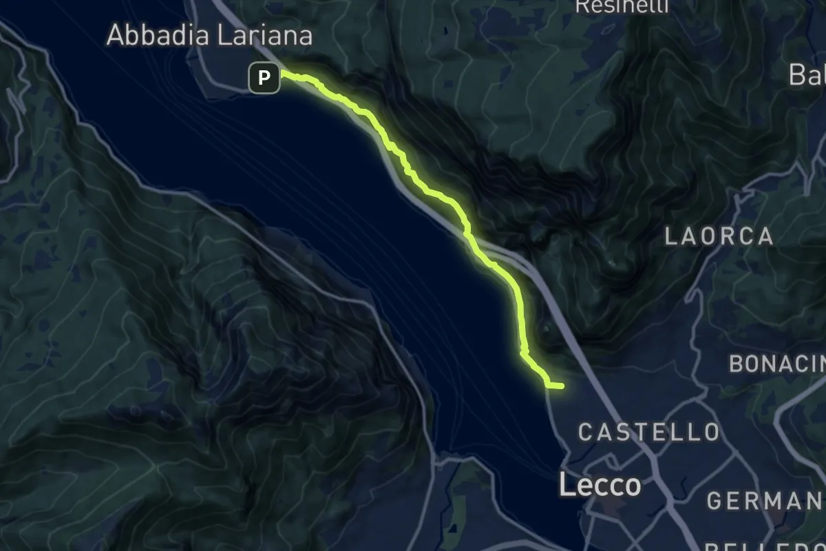
Medium · Summit
Sentiero del Viandante (Lecco - Abbadia Lariana)
11.1 km · ↑ 640 m · 4 h · 14 km away
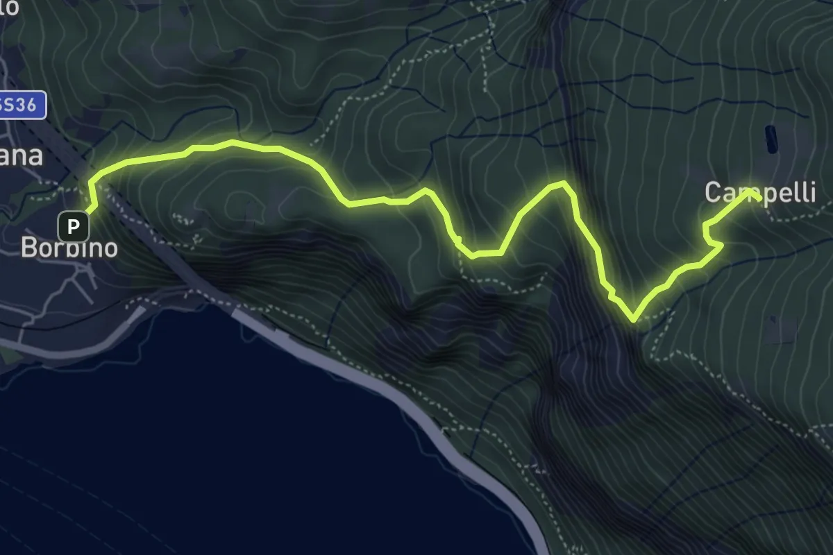
Medium · Trail
Borbino – Campelli, Chiesa di Santa Maria
6.3 km · ↑ 682 m · 2 h 58 min · 14 km away
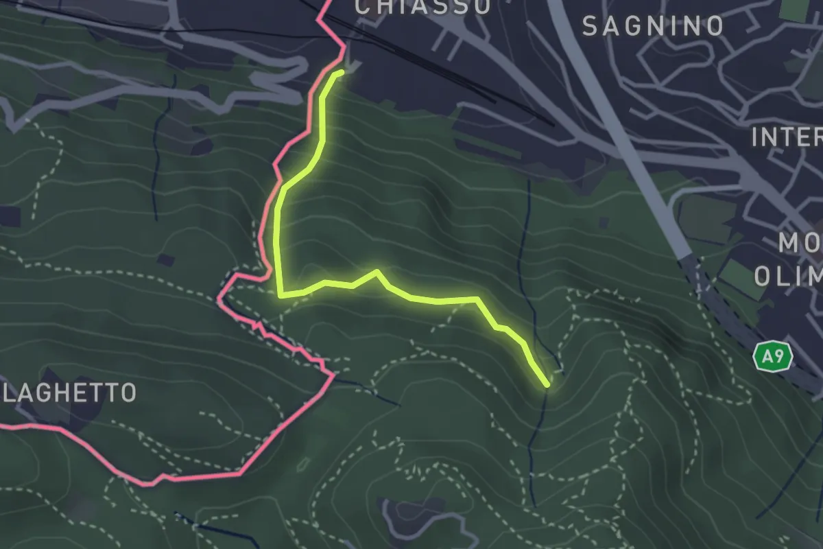
Medium · Trail
Porta Sasso (o del ponte tibetano)
2.8 km · ↑ 294 m · 1 h 17 min · 14 km away
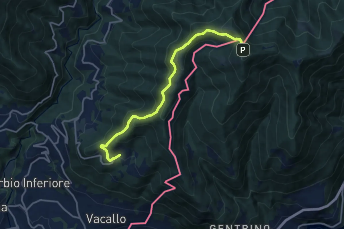
Medium · Trail
Sagno – Monte Bisbino
9.2 km · ↑ 665 m · 3 h 37 min · 14 km away
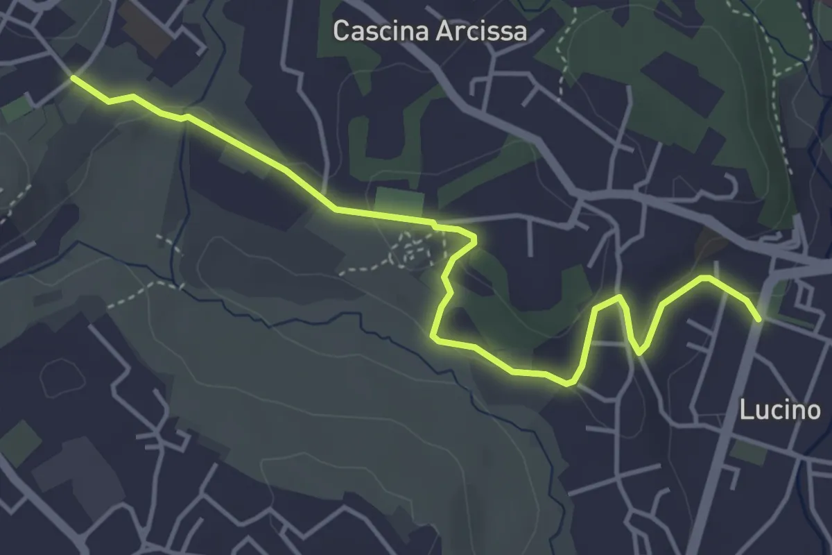
Easy · Trail
Montano Lucino cimitero – Montano Lucino loc. Trivino
4.7 km · ↑ 95 m · 1 h 19 min · 14 km away
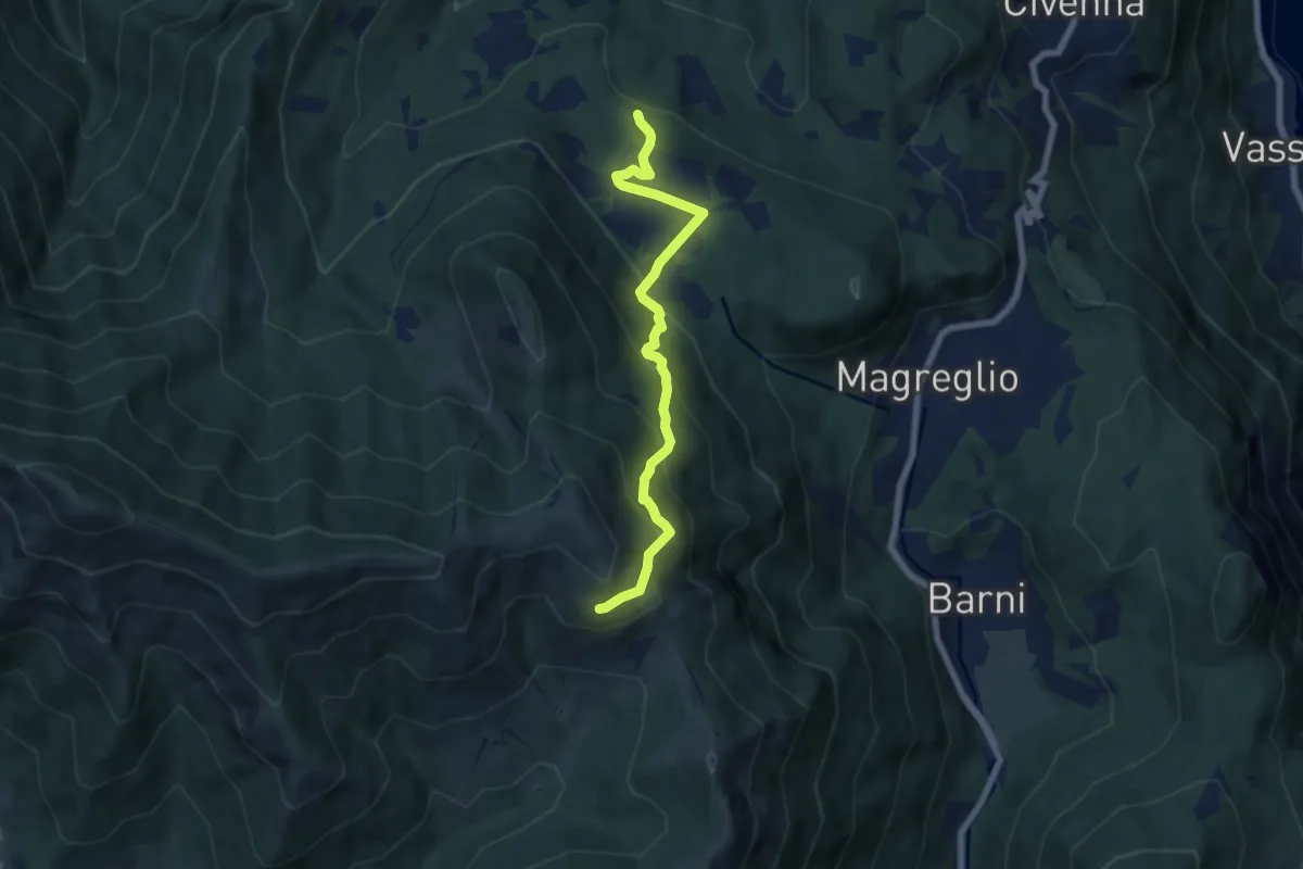
Medium · Trail
Pietra Luna – Innesto Dorsale
6.7 km · ↑ 501 m · 2 h 41 min · 14 km away
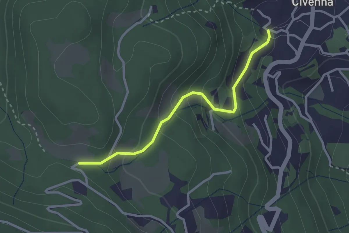
Easy · Trail
Civenna – C.na Barco (Bellagio)
2.4 km · ↑ 185 m · 58 min · 14 km away
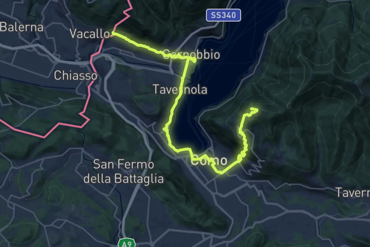
Demanding · Summit
Lake Como Poetry Way
25.8 km · ↑ 1054 m · 8 h 22 min · 14 km away
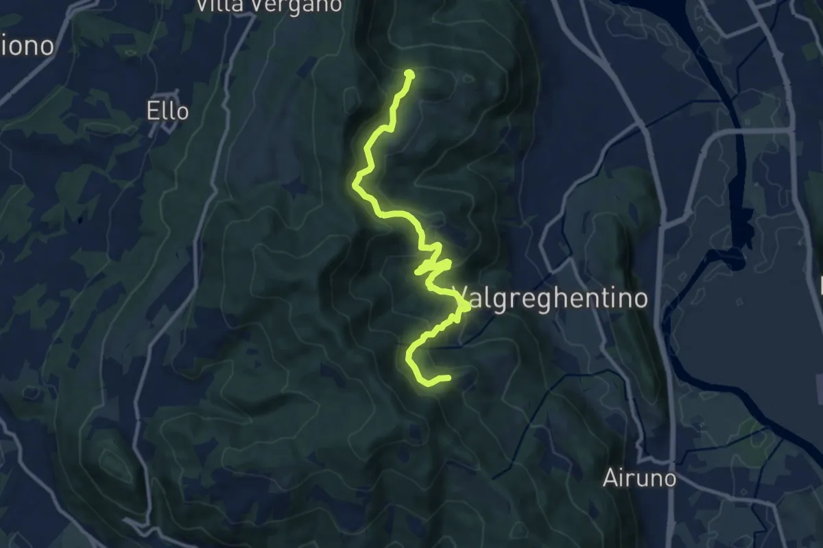
Medium · Trail
Campiano – Consonno
11.0 km · ↑ 534 m · 3 h 45 min · 14 km away
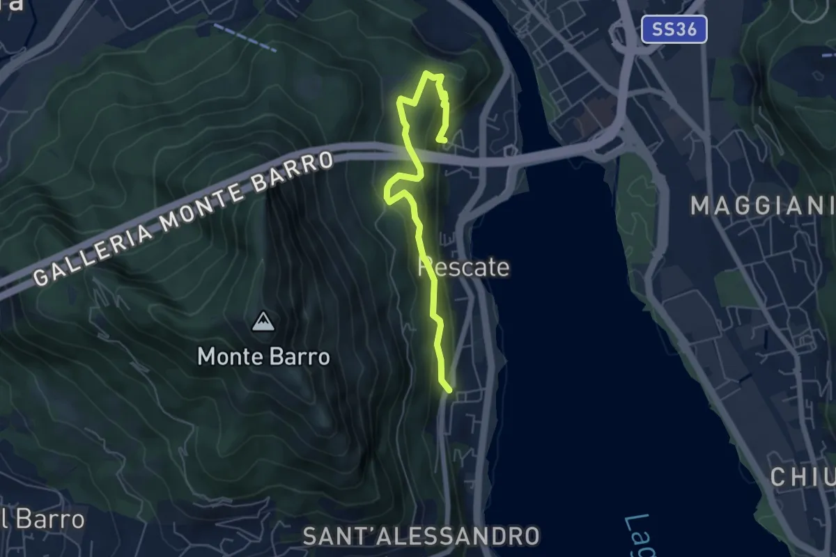
Medium · Trail
Pescalina – Pescate (cimitero)
5.5 km · ↑ 361 m · 2 h 4 min · 14 km away
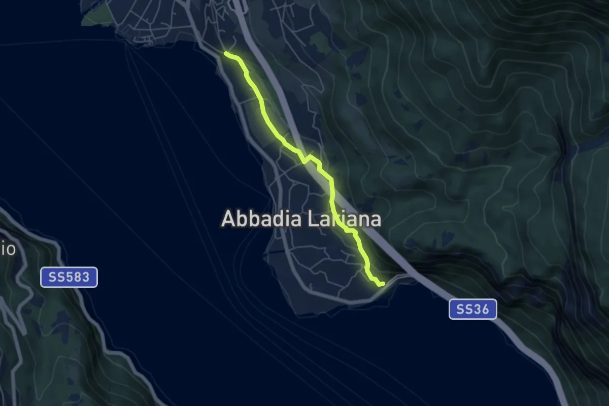
Easy · Trail
Sentiero del Viandante (Abbadia Lariana - Mandello del Lario)
4.6 km · ↑ 124 m · 1 h 22 min · 14 km away
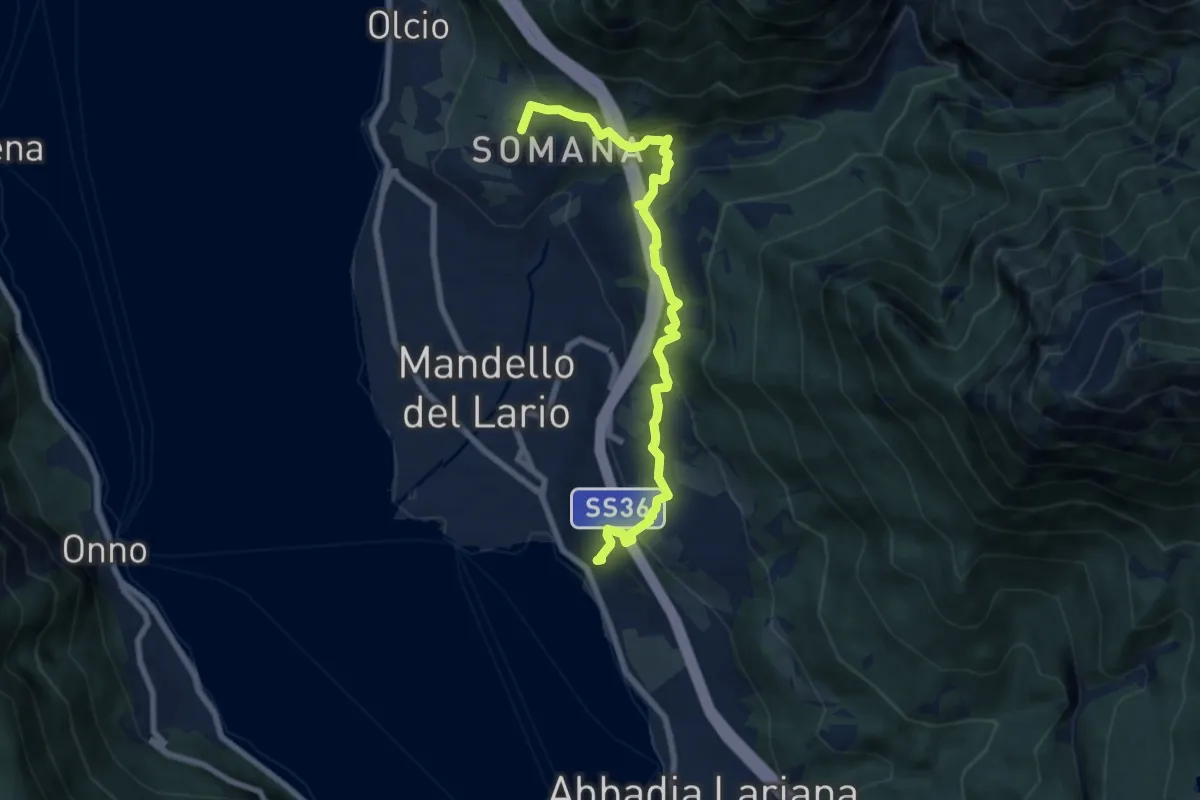
Medium · Summit
Sentiero del Viandante (Mandello del Lario - Lierna)
8.0 km · ↑ 430 m · 2 h 50 min · 14 km away
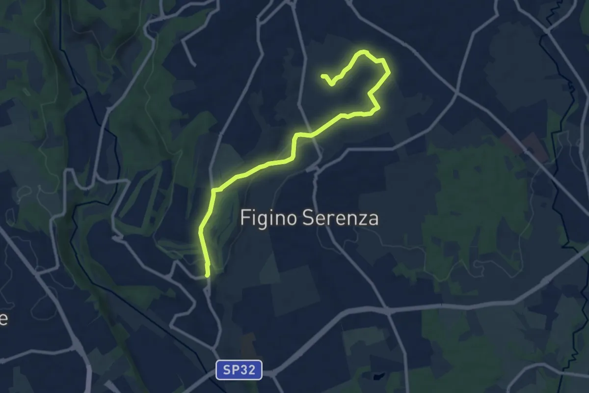
Medium · Trail
Carimate – Cascina Moia
9.3 km · ↑ 103 m · 2 h 25 min · 14 km away
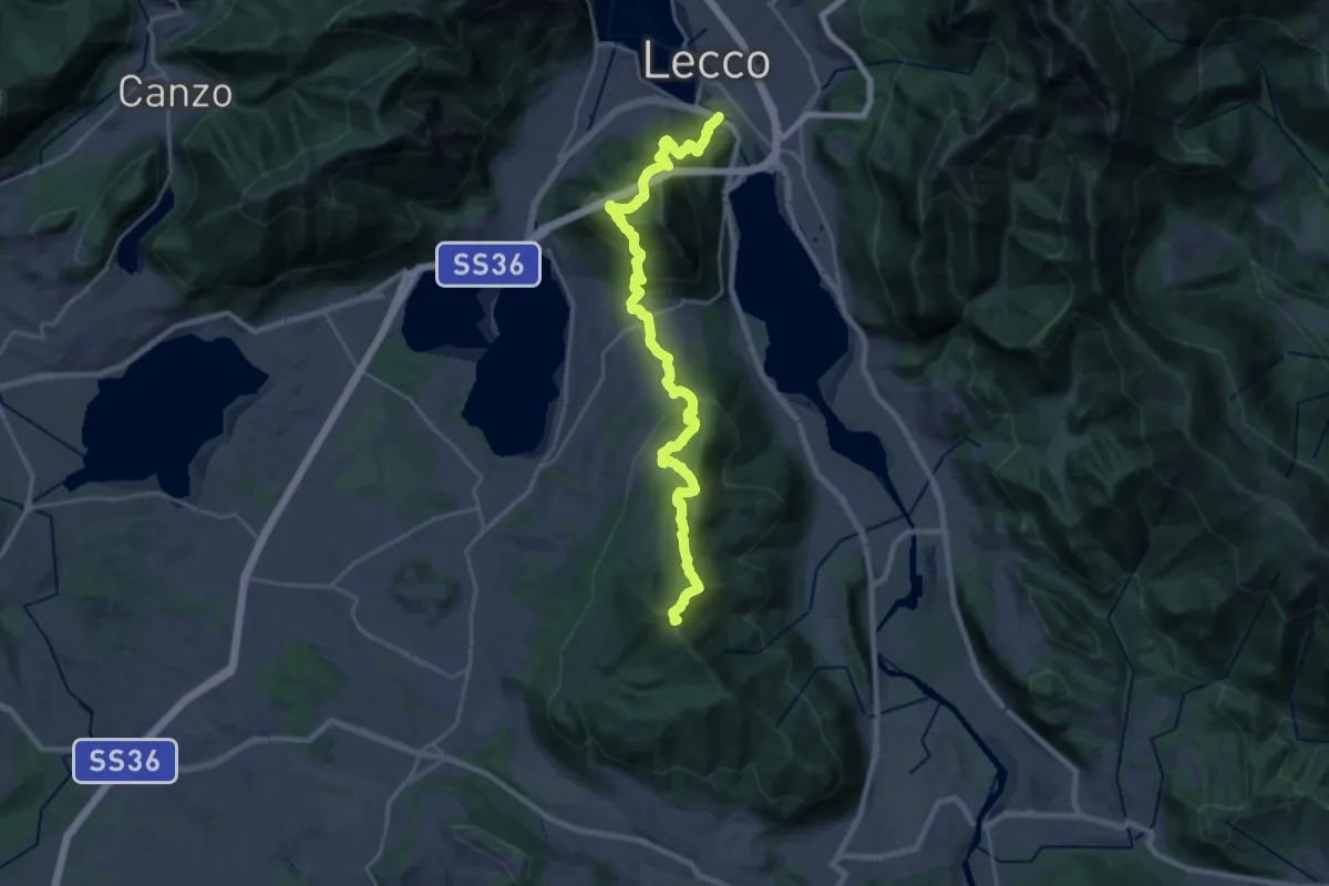
Demanding · Summit
Sentierone
27.4 km · ↑ 1740 m · 10 h 14 min · 14 km away
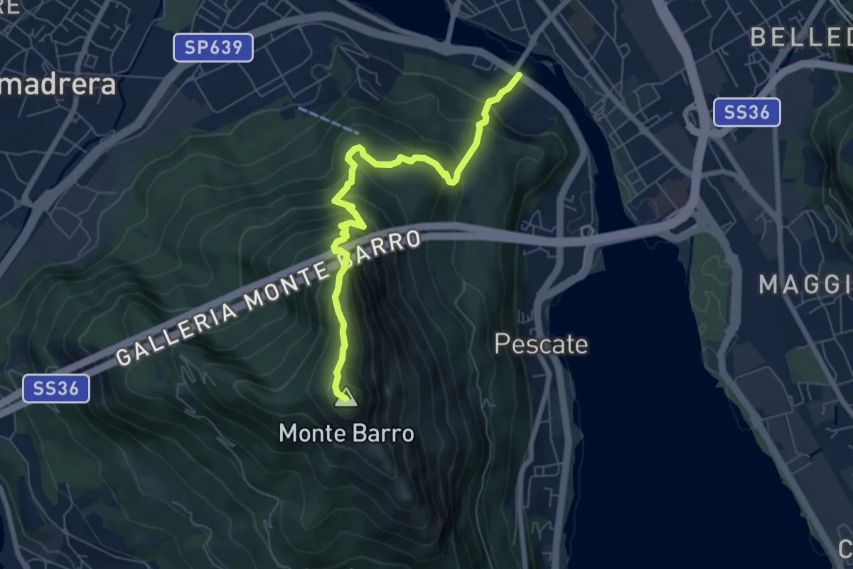
Expert · Summit
Lecco (Ponte Azzone Visconti) – Monte Barro
6.6 km · ↑ 705 m · 3 h 5 min · 14 km away
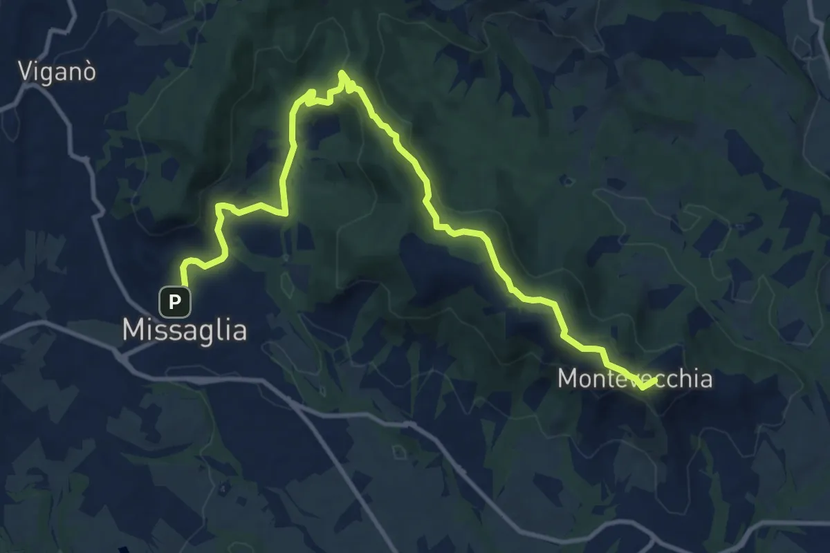
Medium · Summit
Montevecchia – Missaglia
12.8 km · ↑ 341 m · 3 h 45 min · 14 km away
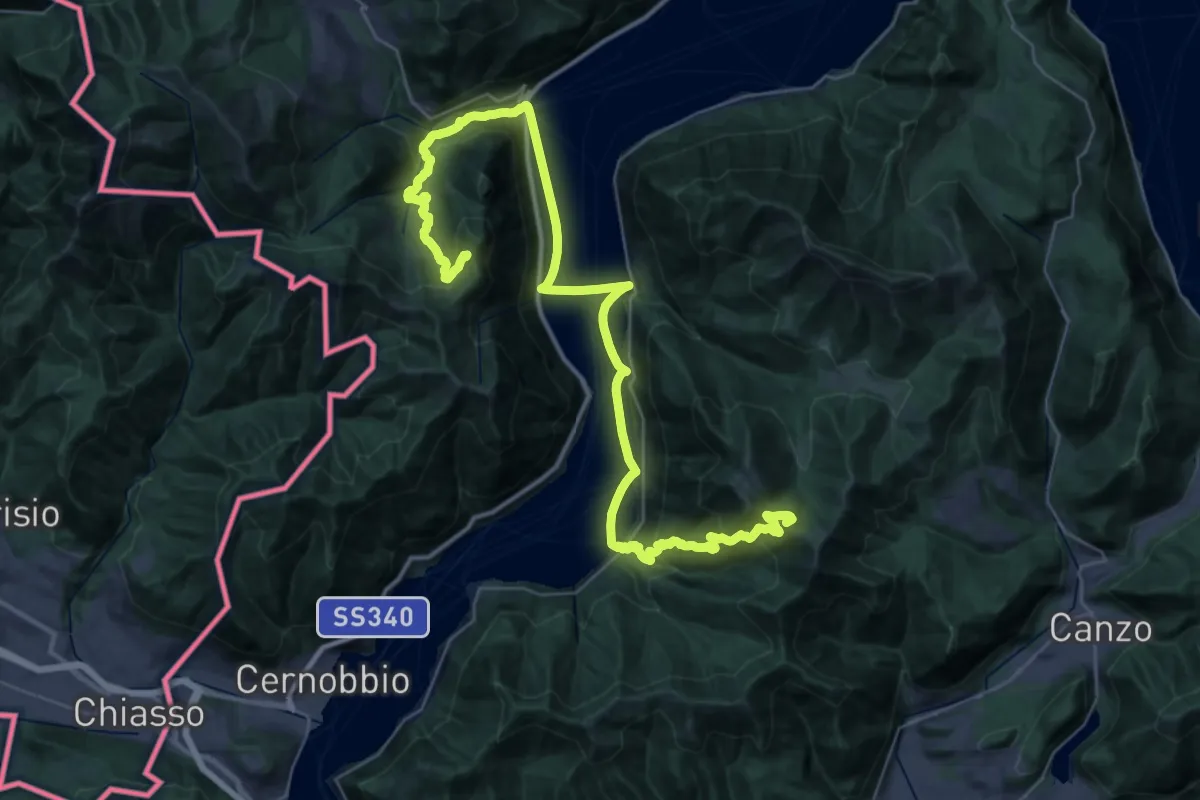
Demanding · Summit
CamminaForeste - Tappa 9A
48.3 km · ↑ 2141 m · 16 h 2 min · 14 km away
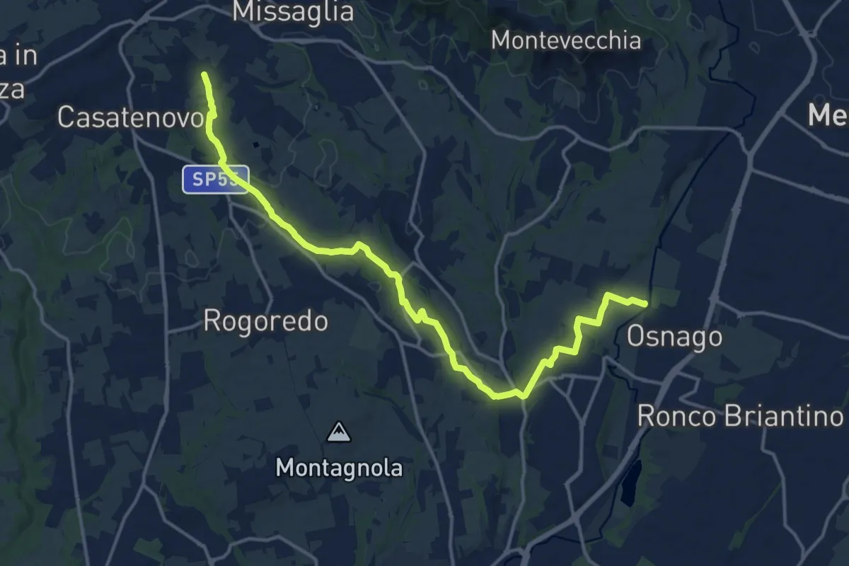
Medium · Trail
Osnago – Misericordia
17.0 km · ↑ 173 m · 4 h 24 min · 15 km away
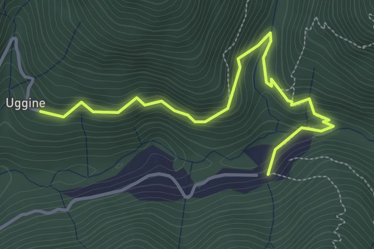
Medium · Trail
Uggine – Crotta
3.4 km · ↑ 187 m · 1 h 13 min · 15 km away
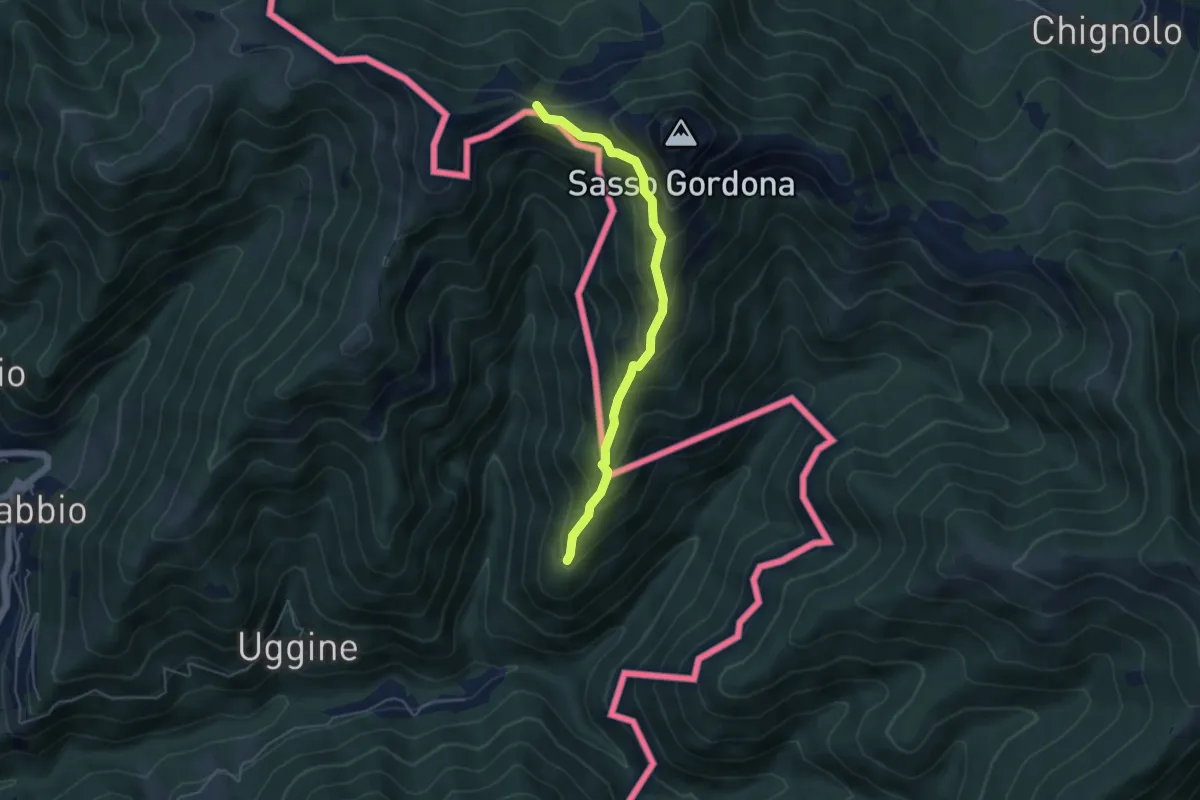
Medium · Cabin
Sentiero Smeraldo
4.6 km · ↑ 415 m · 2 h · 15 km away
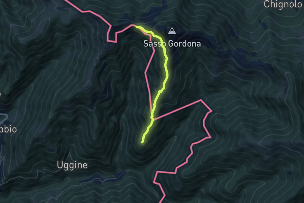
Medium · Cabin
Alpe del Corno – Rifugio Prabello (I)
4.5 km · ↑ 409 m · 1 h 57 min · 15 km away
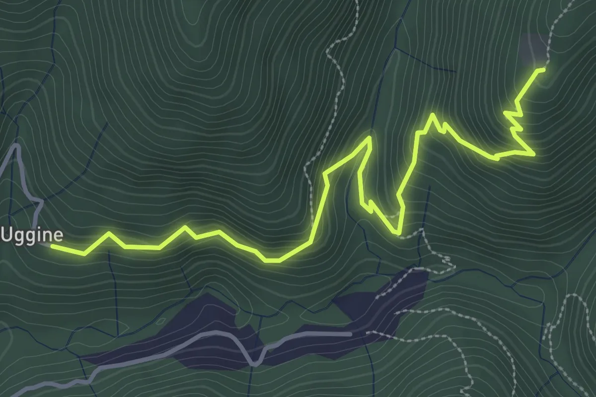
Medium · Trail
Uggine – Alpe del Corno
4.2 km · ↑ 367 m · 1 h 47 min · 15 km away
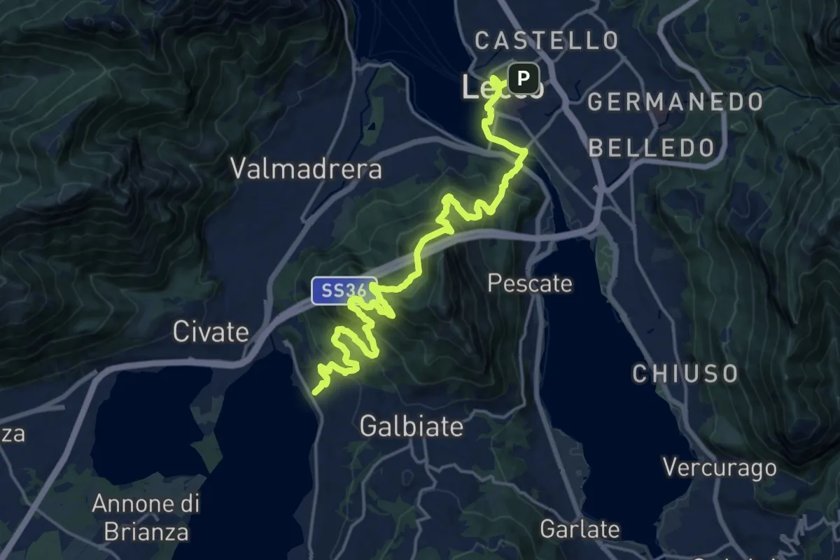
Demanding · Trail
Sentiero Pedemonte - Tappa 4
20.8 km · ↑ 1302 m · 7 h 43 min · 15 km away
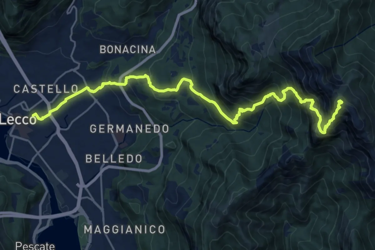
Demanding · Summit
Lecco (Stazione) – Monte Resegone
18.8 km · ↑ 1725 m · 8 h 10 min · 15 km away
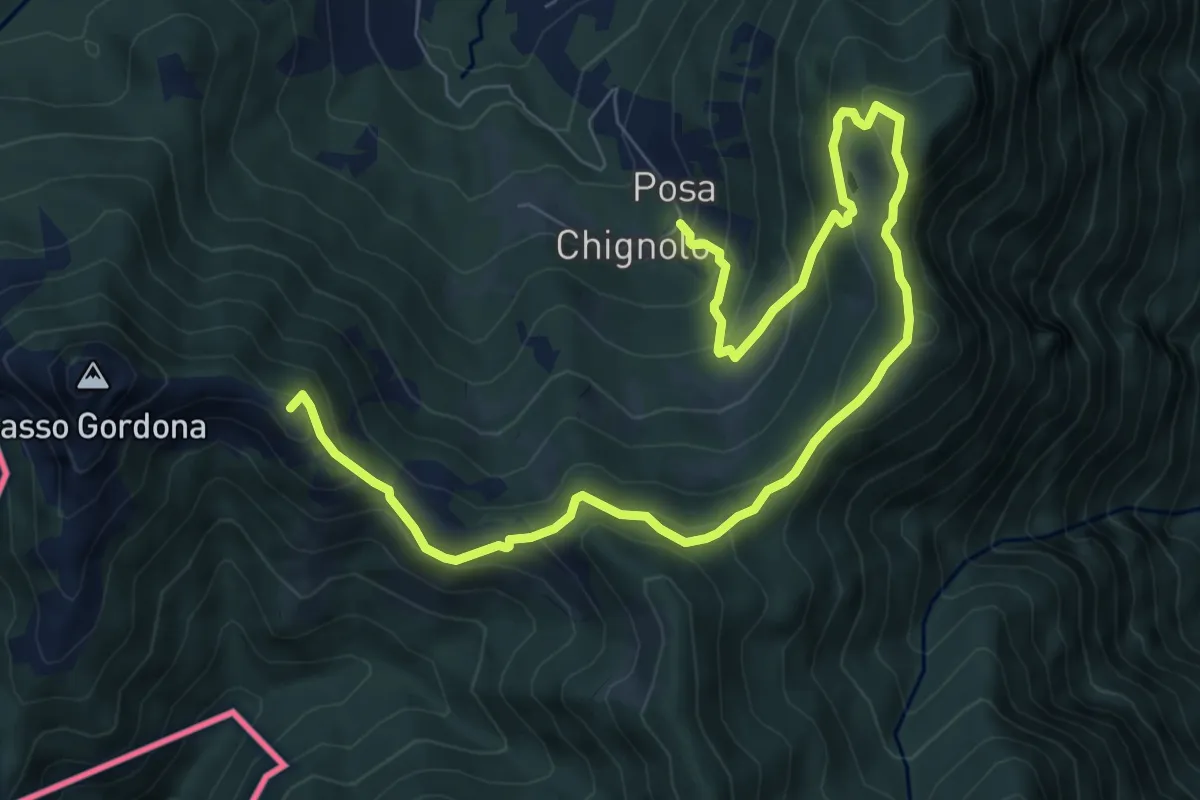
Medium · Summit
Sentiero delle espressioni
10.7 km · ↑ 752 m · 4 h 9 min · 15 km away
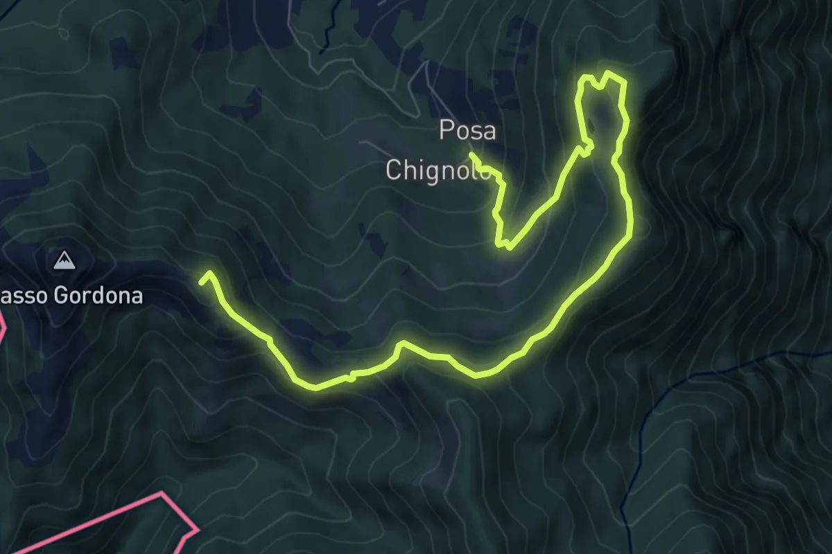
Medium · Summit
Schignalo fraz. Posa – Le Crocette
10.7 km · ↑ 752 m · 4 h 9 min · 15 km away
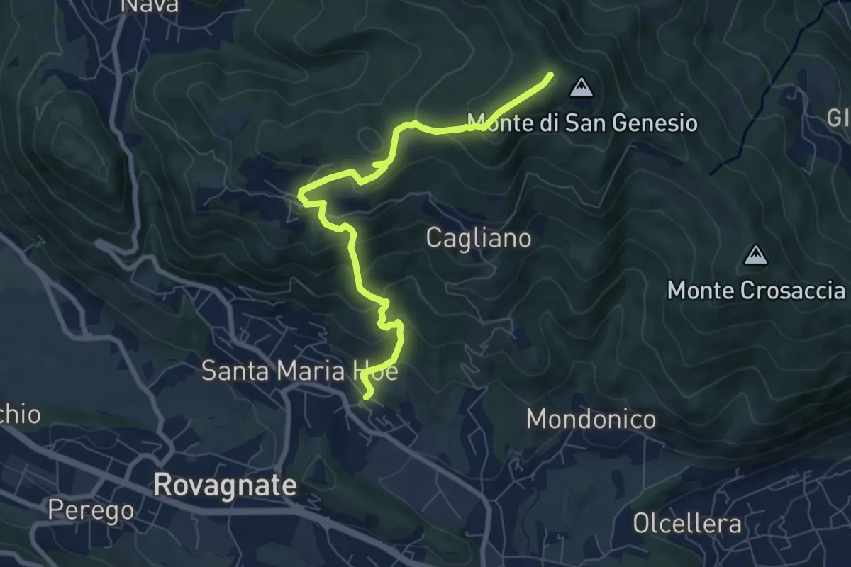
Medium · Summit
Tremonte – Monte di San Genesio
7.4 km · ↑ 475 m · 2 h 47 min · 15 km away
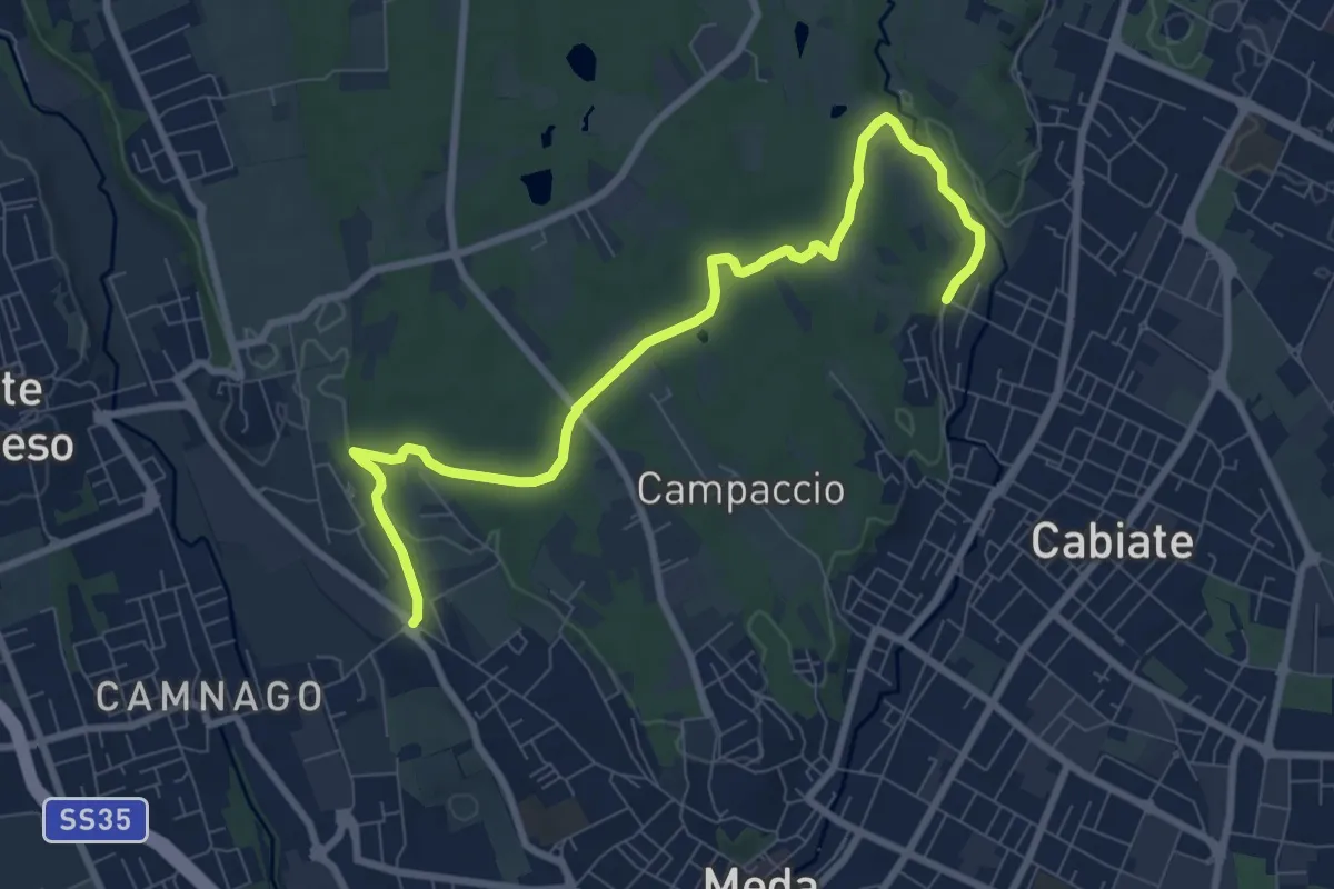
Medium · Trail
Camnago – Cabiate
9.3 km · ↑ 80 m · 2 h 22 min · 15 km away
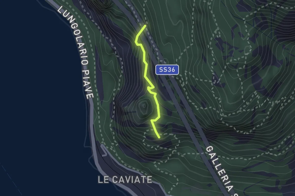
Expert · Summit
Sentiero Piero Pensa
1.6 km · ↑ 311 m · 1 h 2 min · 15 km away
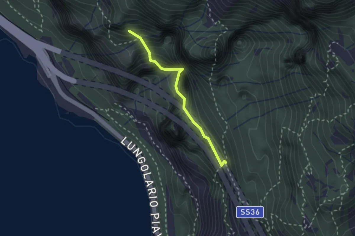
Demanding · Summit
Sentiero Costantino Fiocchi
1.8 km · ↑ 629 m · 1 h 48 min · 15 km away
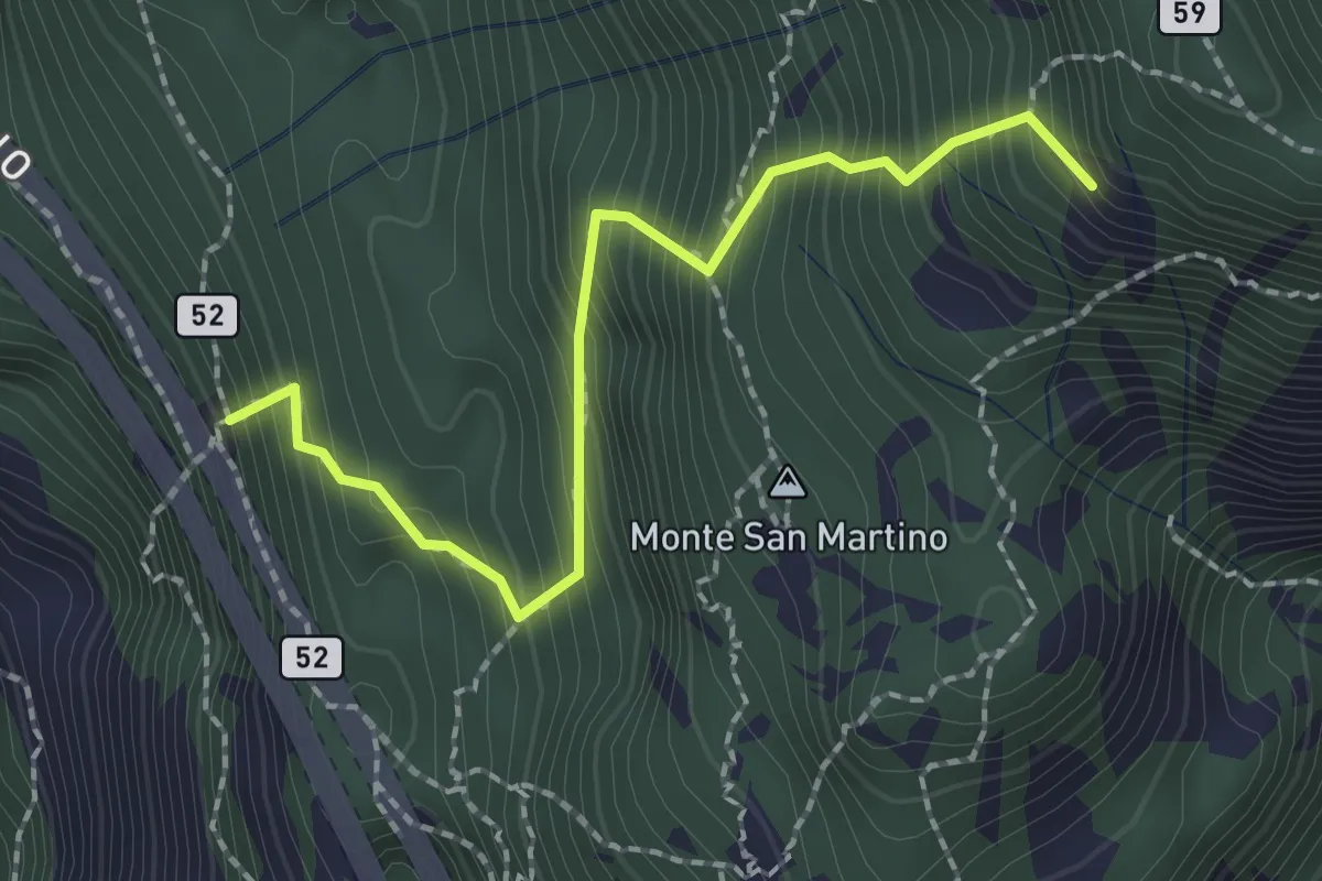
Demanding · Summit
Rifugio Riccardo Piazza – Corno Medale
2.1 km · ↑ 415 m · 1 h 24 min · 15 km away
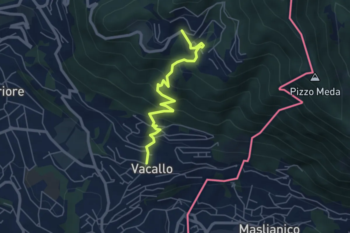
Medium · Trail
Sagno – Vacallo
4.5 km · ↑ 359 m · 1 h 50 min · 15 km away
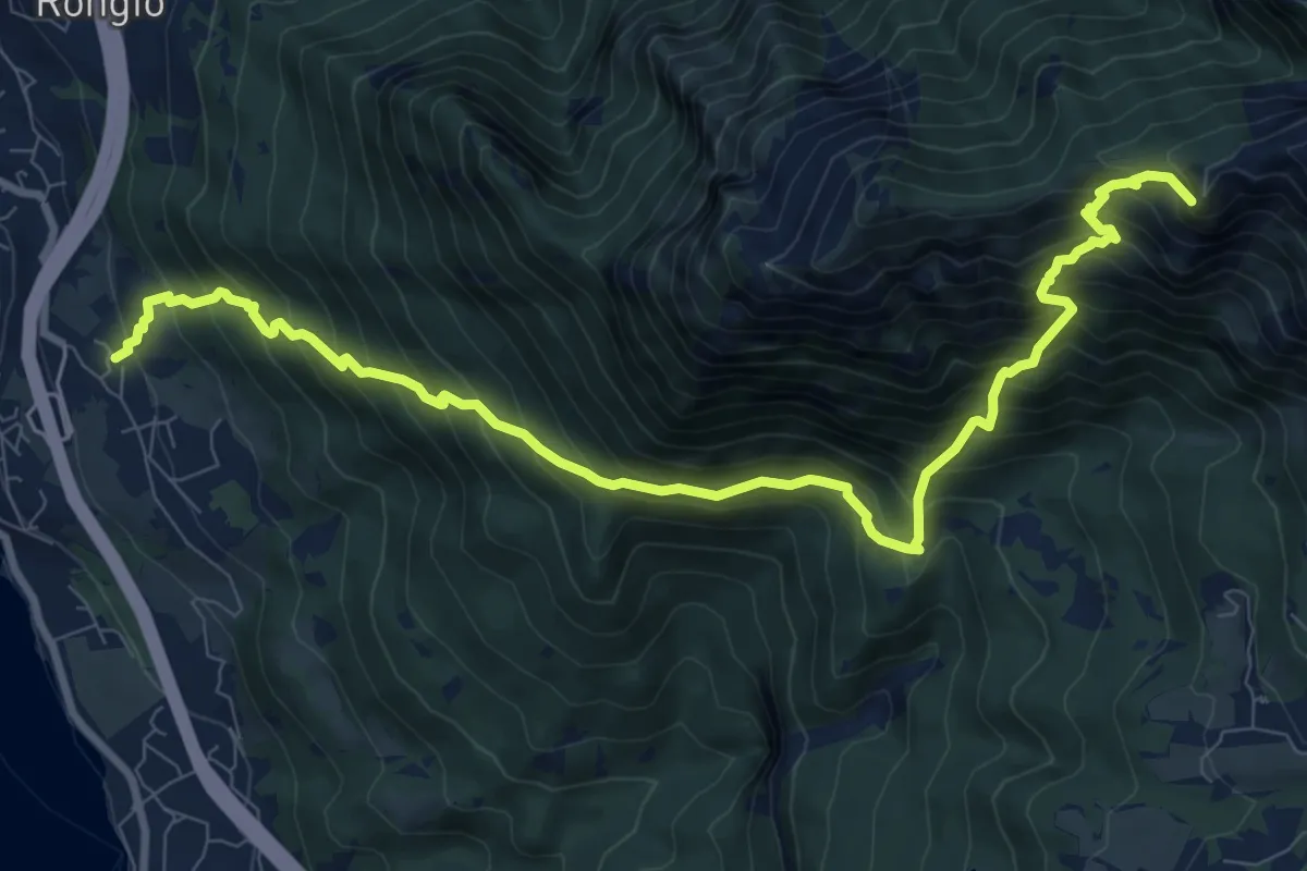
Demanding · Summit
Maggiana or Rongio – Rifugio Rosalba
11.2 km · ↑ 1434 m · 5 h 45 min · 15 km away
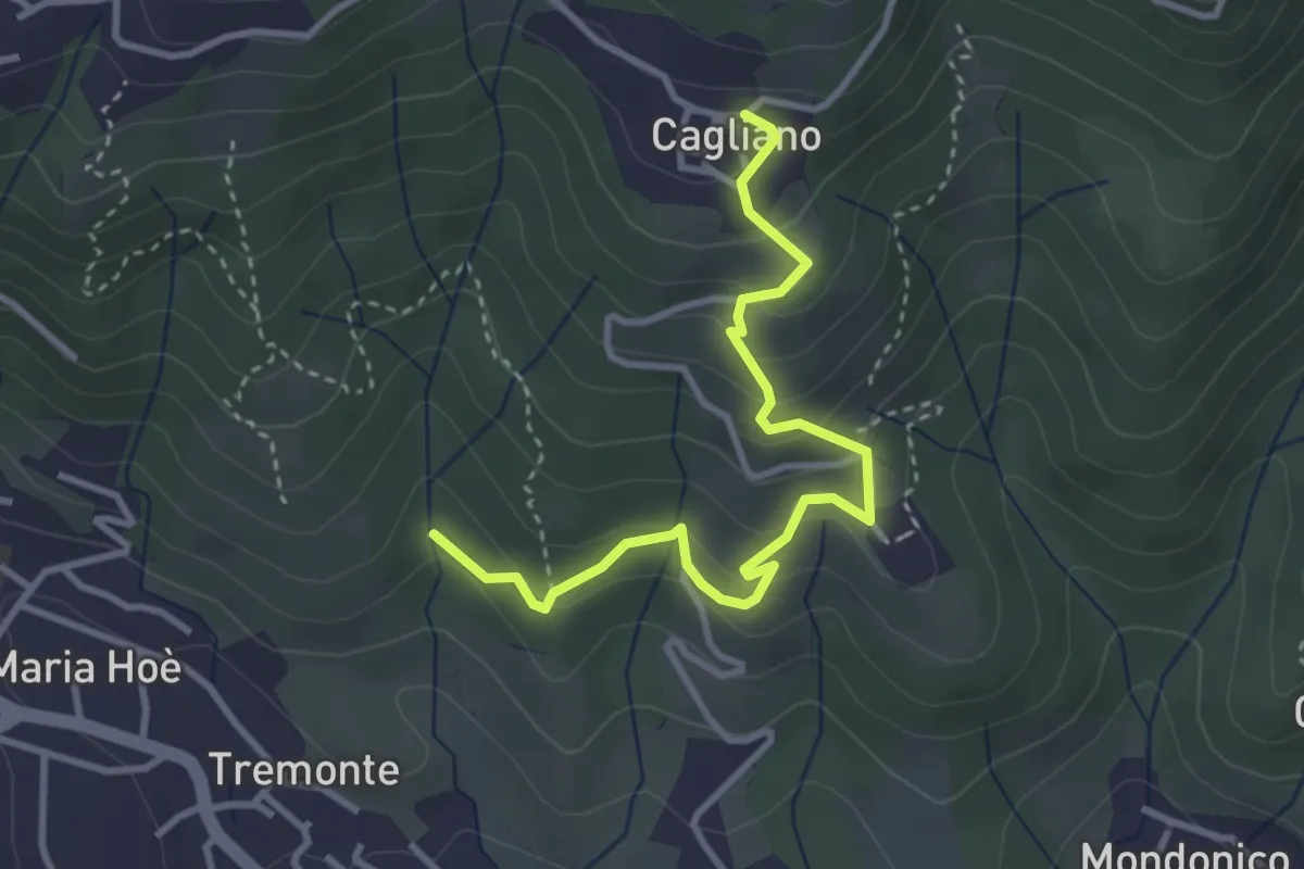
Easy · Trail
Ponte del Bordeà – Cagliano
3.6 km · ↑ 253 m · 1 h 25 min · 15 km away
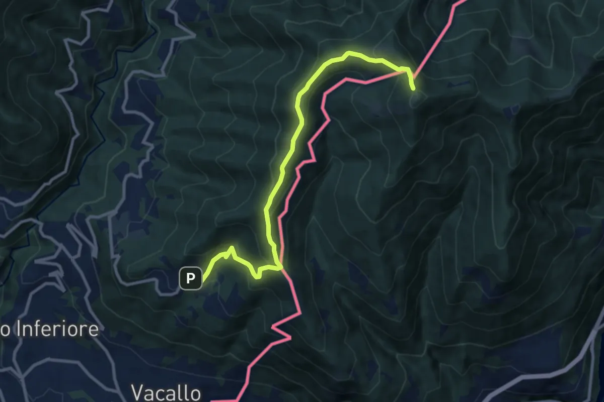
Medium · Trail
Sagno – Monte Bisbino
9.3 km · ↑ 597 m · 3 h 30 min · 15 km away
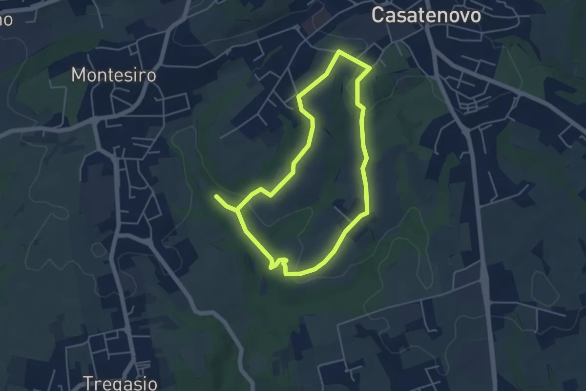
Easy · Trail
A Casatenovo tra ricchi e poveri
3.8 km · ↑ 74 m · 1 h 6 min · 15 km away
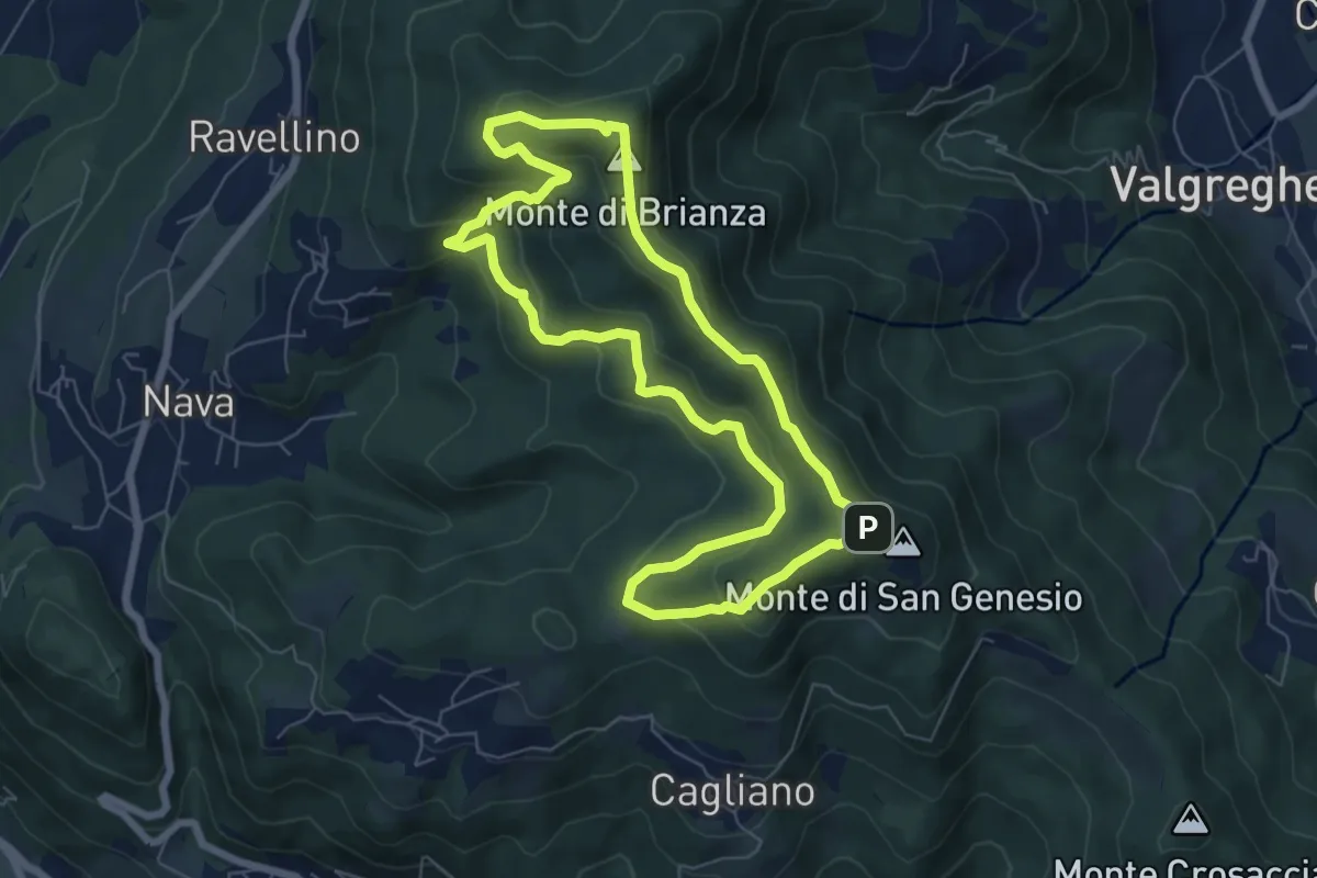
Medium · Summit
Sentiero Clorofillati!
6.5 km · ↑ 317 m · 2 h 19 min · 15 km away
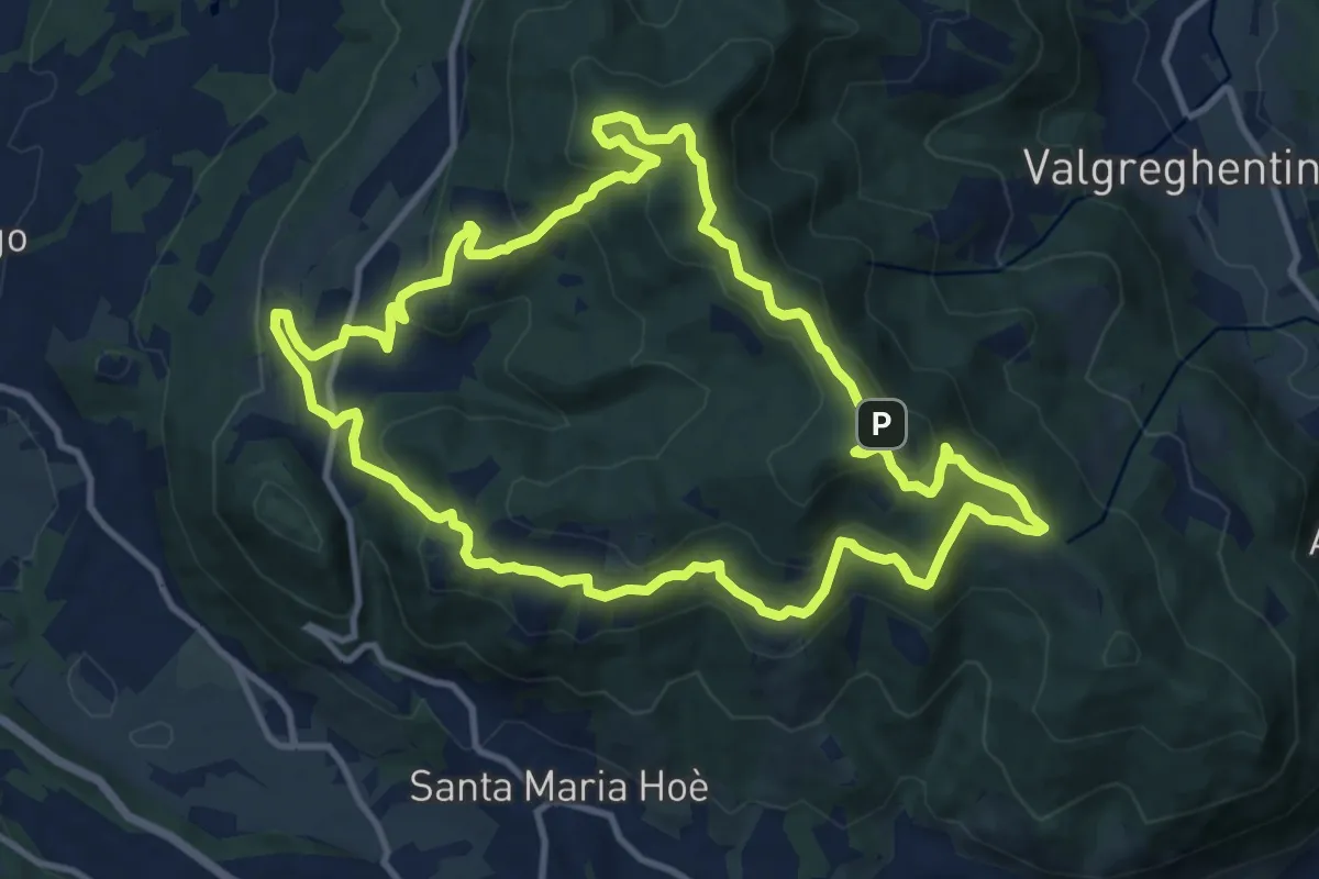
Medium · Summit
Percorso geologico naturalistico
12.1 km · ↑ 534 m · 4 h 12 min · 15 km away
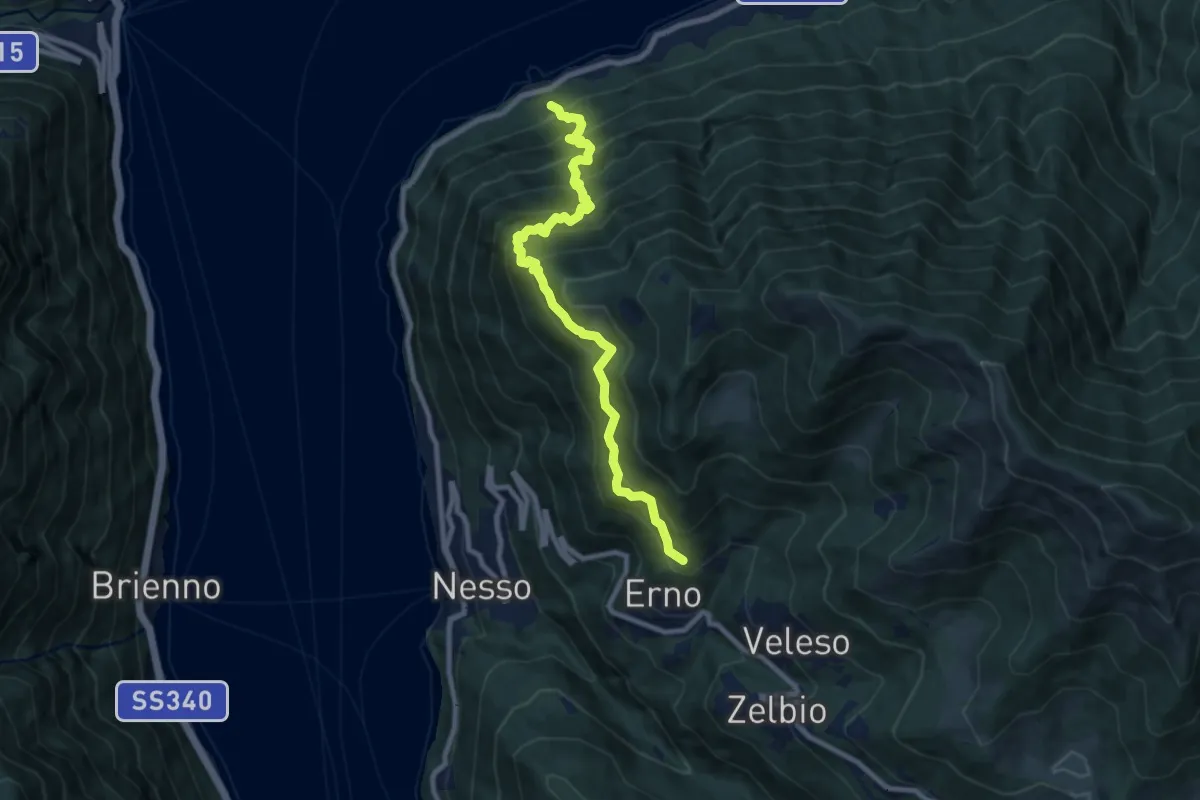
Demanding · Trail
Carvagnana – Erno
8.9 km · ↑ 1168 m · 4 h 38 min · 15 km away