Trails near Fiesole
134 hikes starting within 15 km, nearest first.
Nearest first, page 2 of 3
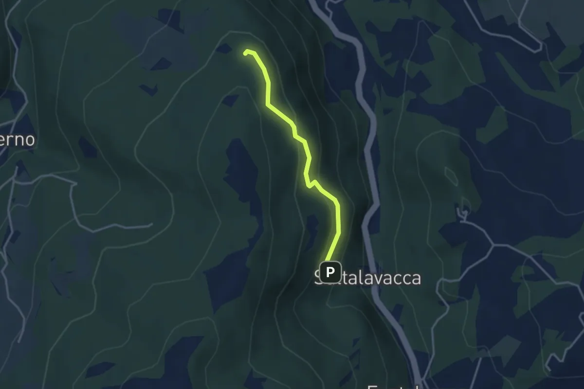
Easy · Trail
Sentiero 61 – Sentiero 68
2.7 km · ↑ 165 m · 1 h · 8 km away
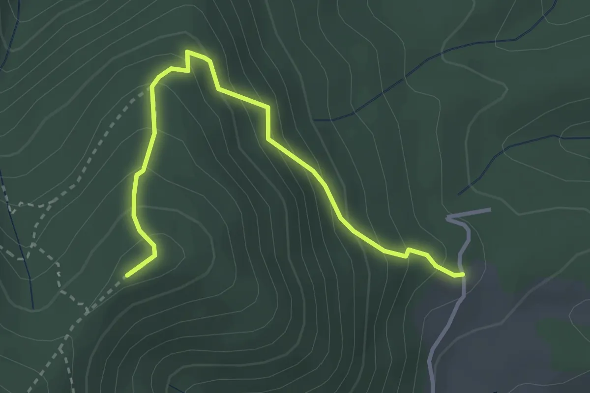
Medium · Summit
Capannaccia – Sella delle Colline
3.4 km · ↑ 303 m · 1 h 27 min · 8 km away
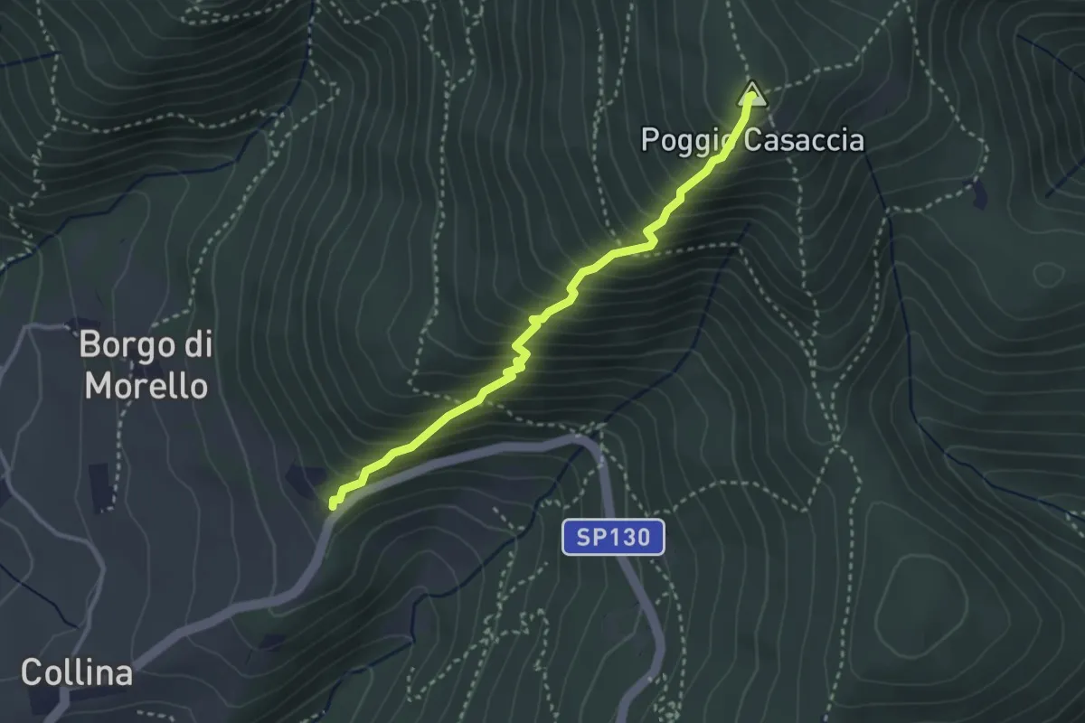
Demanding · Summit
Sentiero del Pensionato
3.2 km · ↑ 469 m · 1 h 46 min · 8 km away
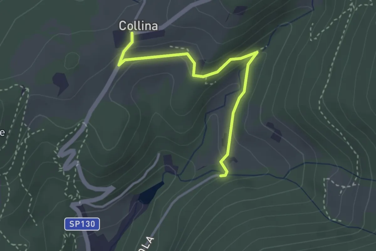
Easy · Trail
Via di Isola – Collina
3.1 km · ↑ 95 m · 56 min · 9 km away
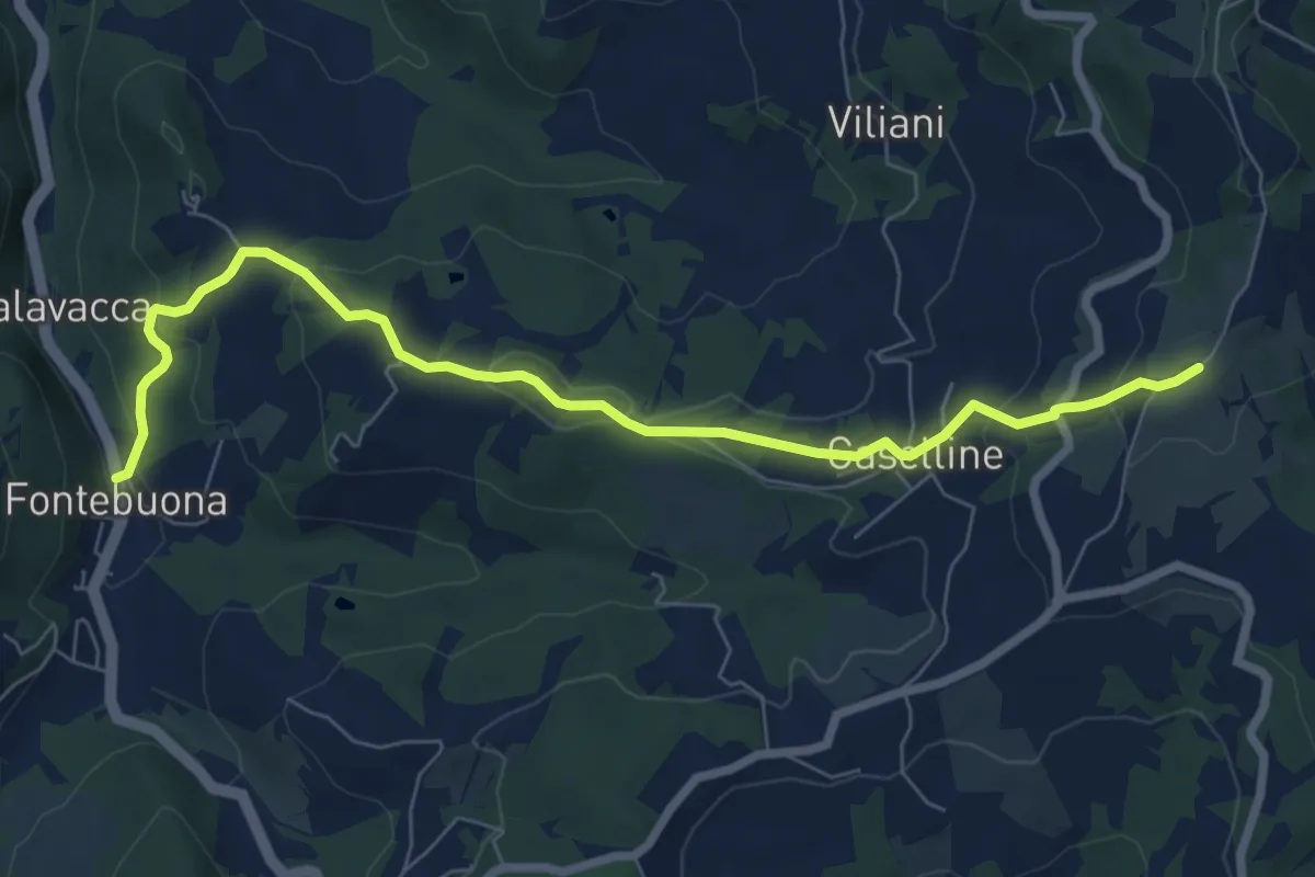
Medium · Trail
Percorso 5 – Caselline
8.2 km · ↑ 290 m · 2 h 34 min · 9 km away
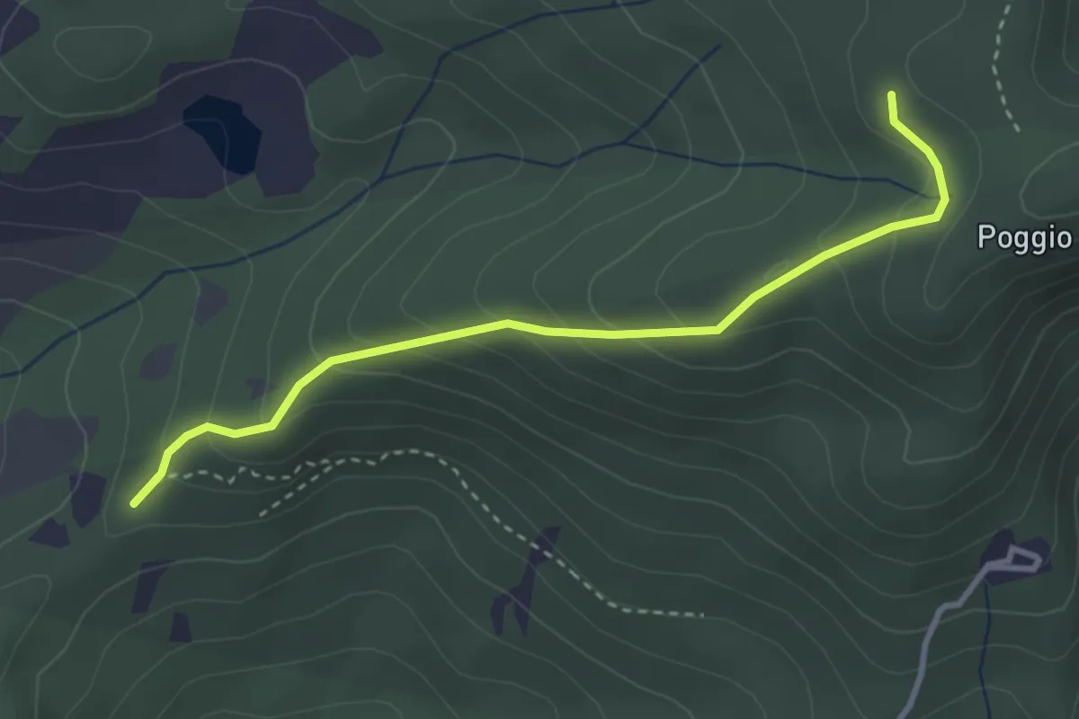
Easy · Trail
sentiero 00 (pressi Pratellino) – Sentiero 00
3.5 km · ↑ 255 m · 1 h 23 min · 9 km away
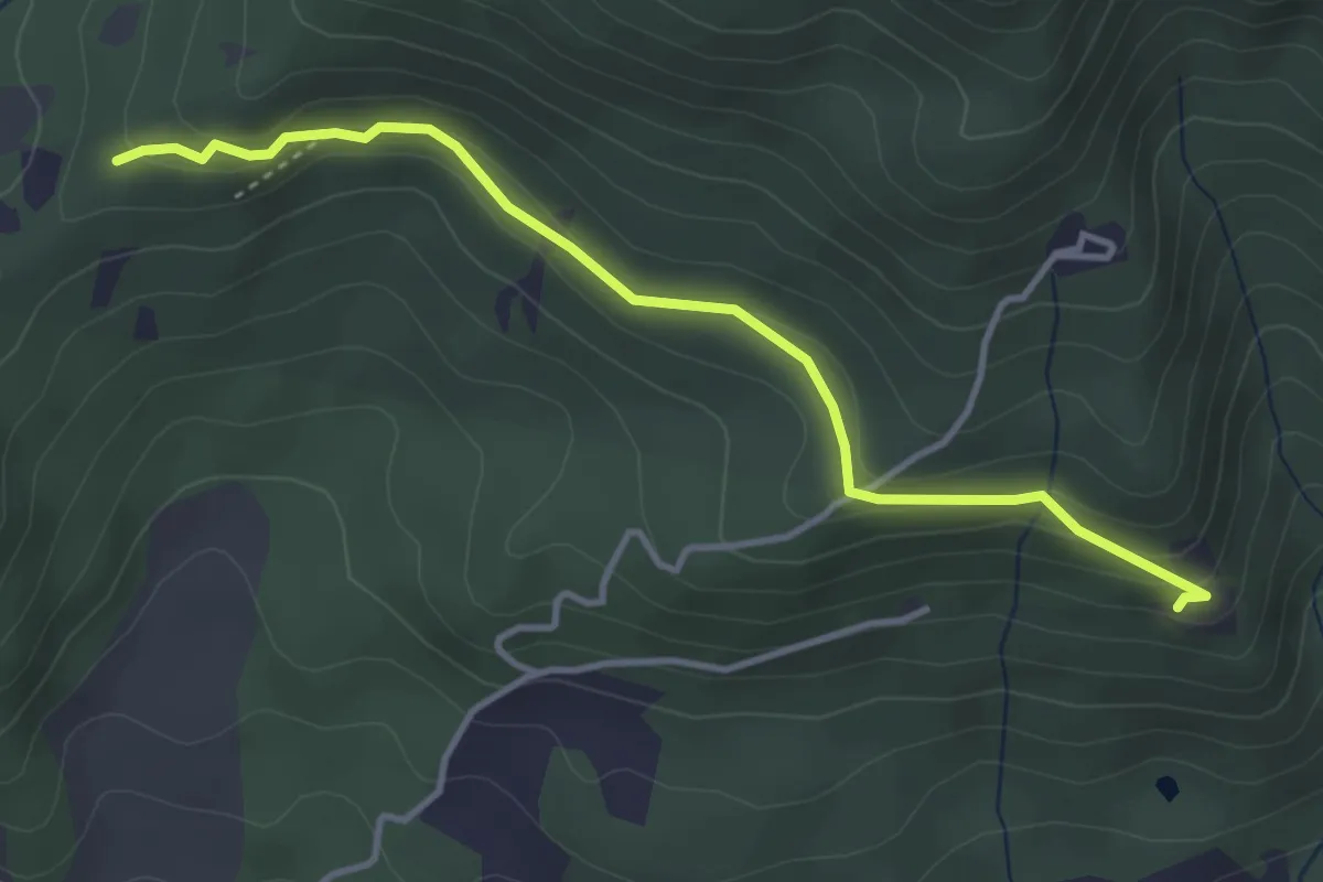
Easy · Trail
Madonna del Sasso – Sentiero 204, nei pressi di Pratellino
4.0 km · ↑ 119 m · 1 h 12 min · 9 km away
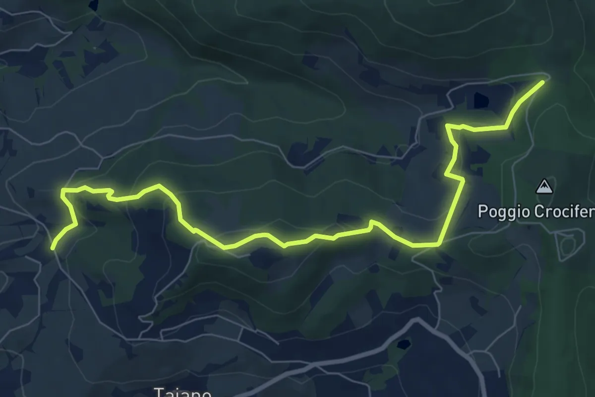
Medium · Trail
Bigallo – Valico Di Terzano
8.7 km · ↑ 343 m · 2 h 48 min · 9 km away
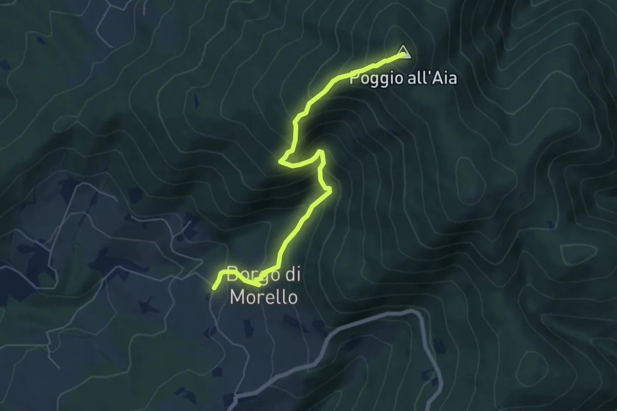
Medium · Summit
Morello – Poggio all'Aia
6.3 km · ↑ 665 m · 2 h 55 min · 9 km away
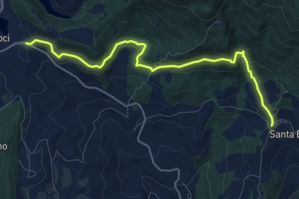
Medium · Trail
Le Lucole – Valico Alberaccio
10.3 km · ↑ 439 m · 3 h 23 min · 9 km away
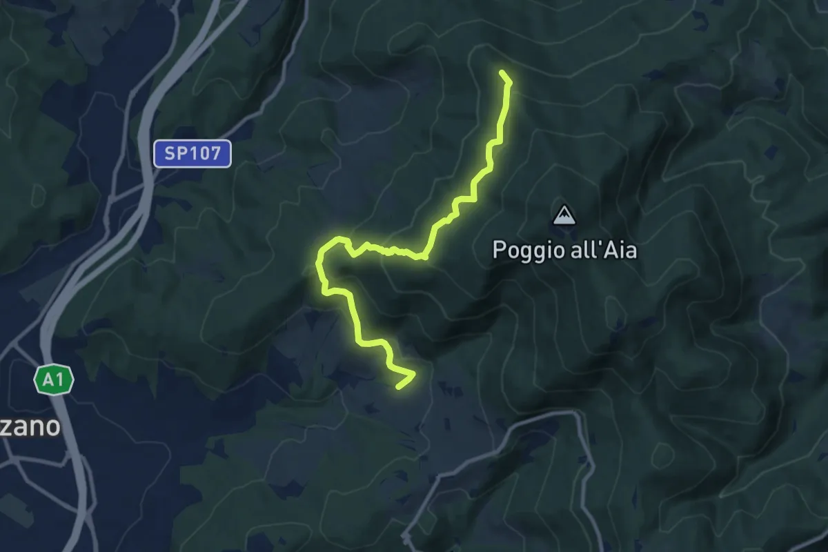
Medium · Summit
Ponte sul Chiosina – Poggio Leccio (m. 590 sent. 8 e 8B)
10.4 km · ↑ 614 m · 3 h 48 min · 9 km away
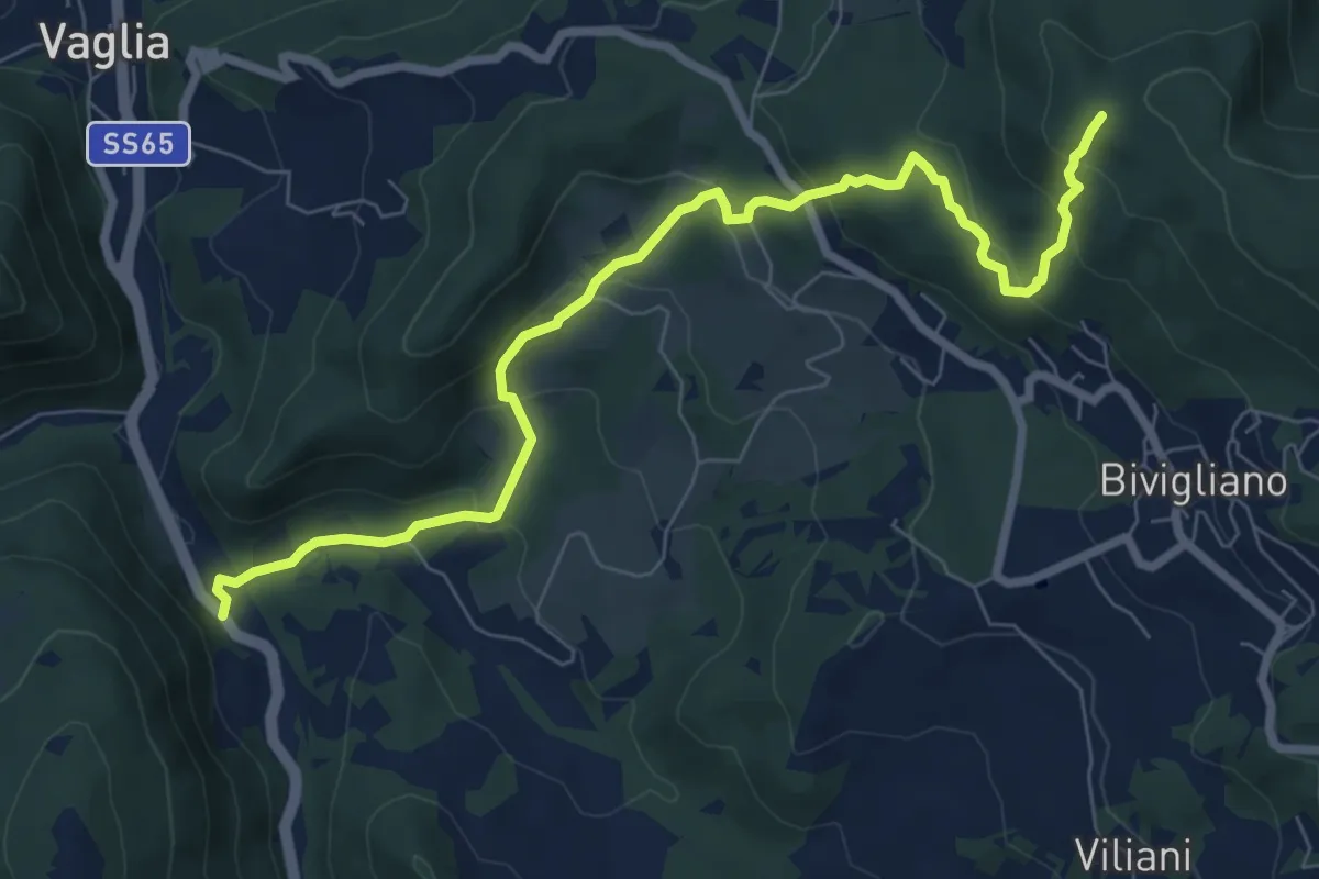
Medium · Trail
Via Faentina – 300M
8.8 km · ↑ 428 m · 3 h · 9 km away
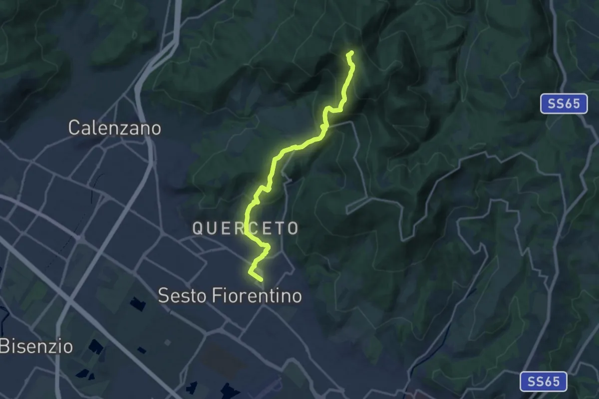
Demanding · Trail
Sesto Fiorentino - Via Veronelli Sezione CAI – Selletta
15.0 km · ↑ 818 m · 5 h 19 min · 9 km away
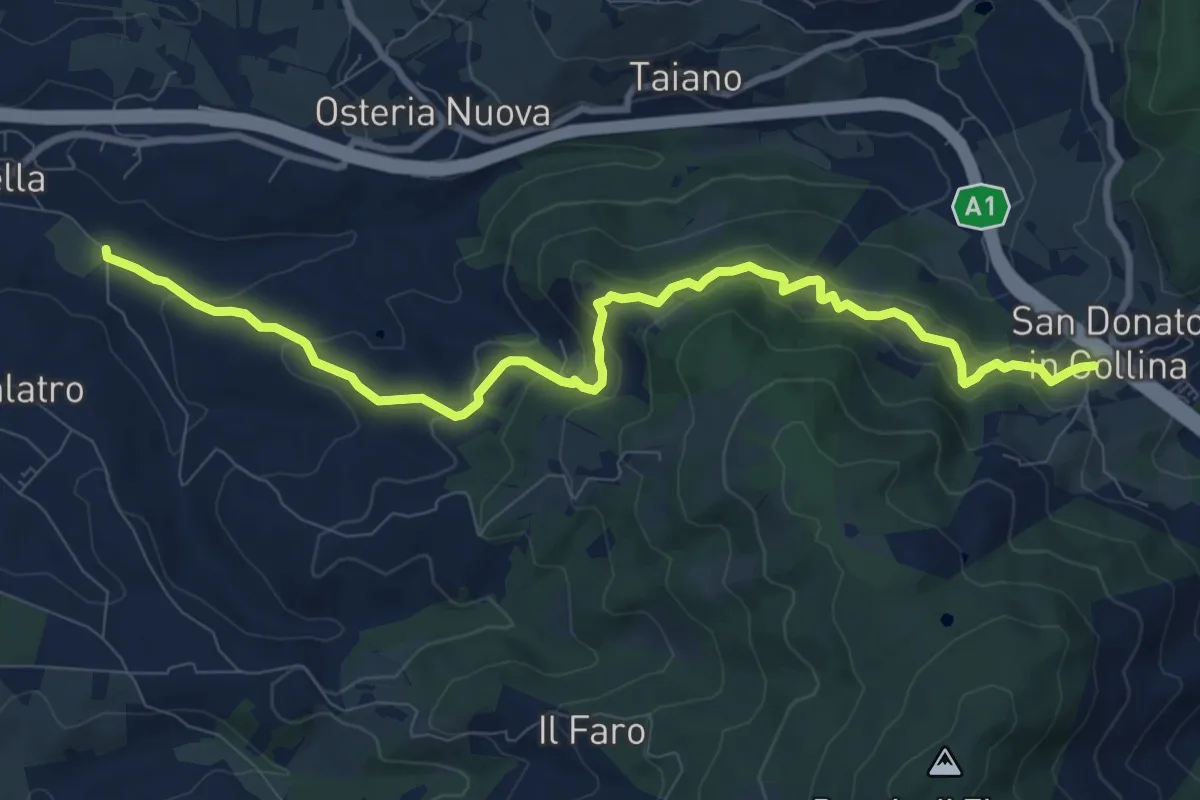
Medium · Trail
Antella – San Donato in Collina
10.9 km · ↑ 473 m · 3 h 35 min · 10 km away
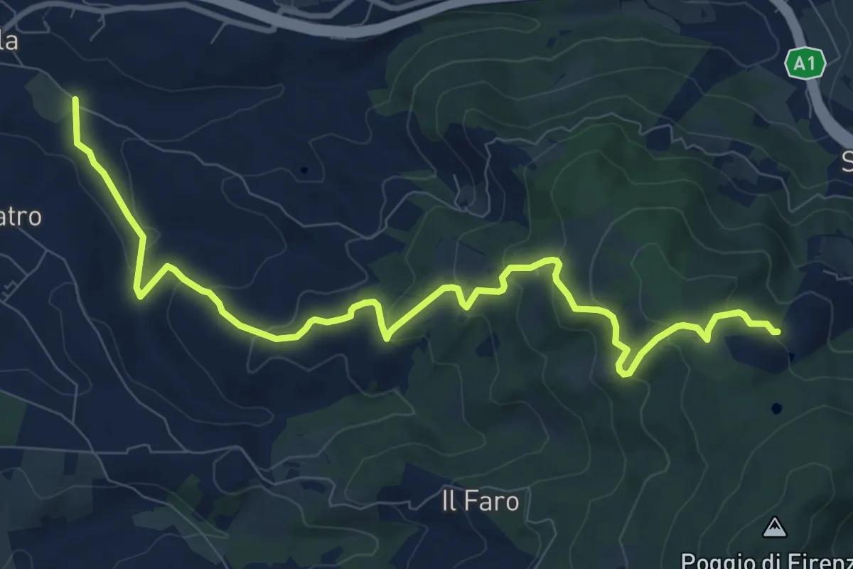
Medium · Trail
Antella – Poggio Piglie
11.5 km · ↑ 524 m · 3 h 51 min · 10 km away
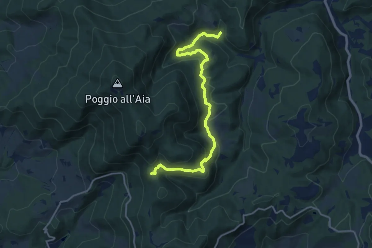
Medium · Trail
Cerreto Maggio – Sella delle Colline
11.7 km · ↑ 447 m · 3 h 43 min · 10 km away
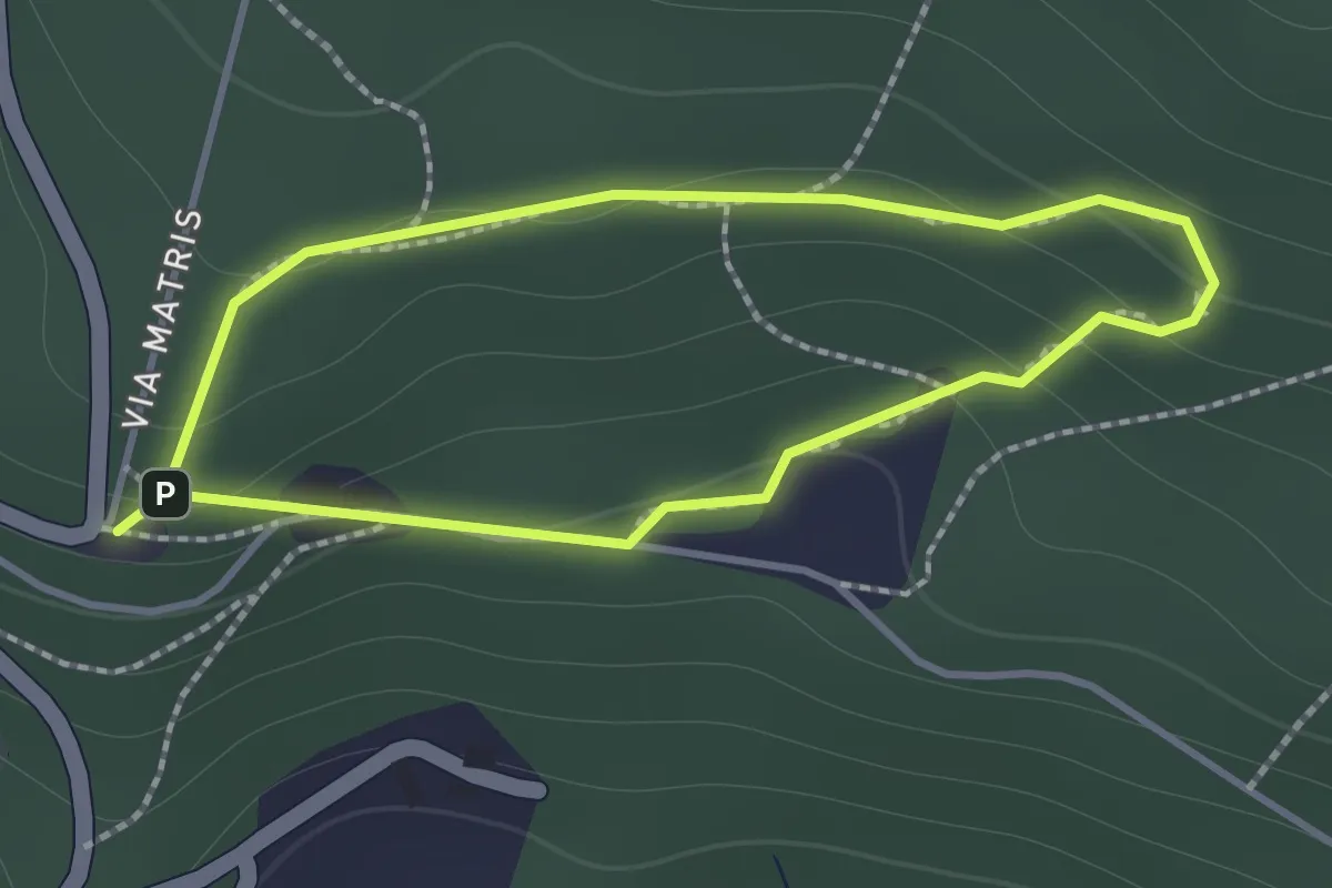
Easy · Trail
Sentiero di Andrea
1.2 km · ↑ 57 m · 26 min · 10 km away
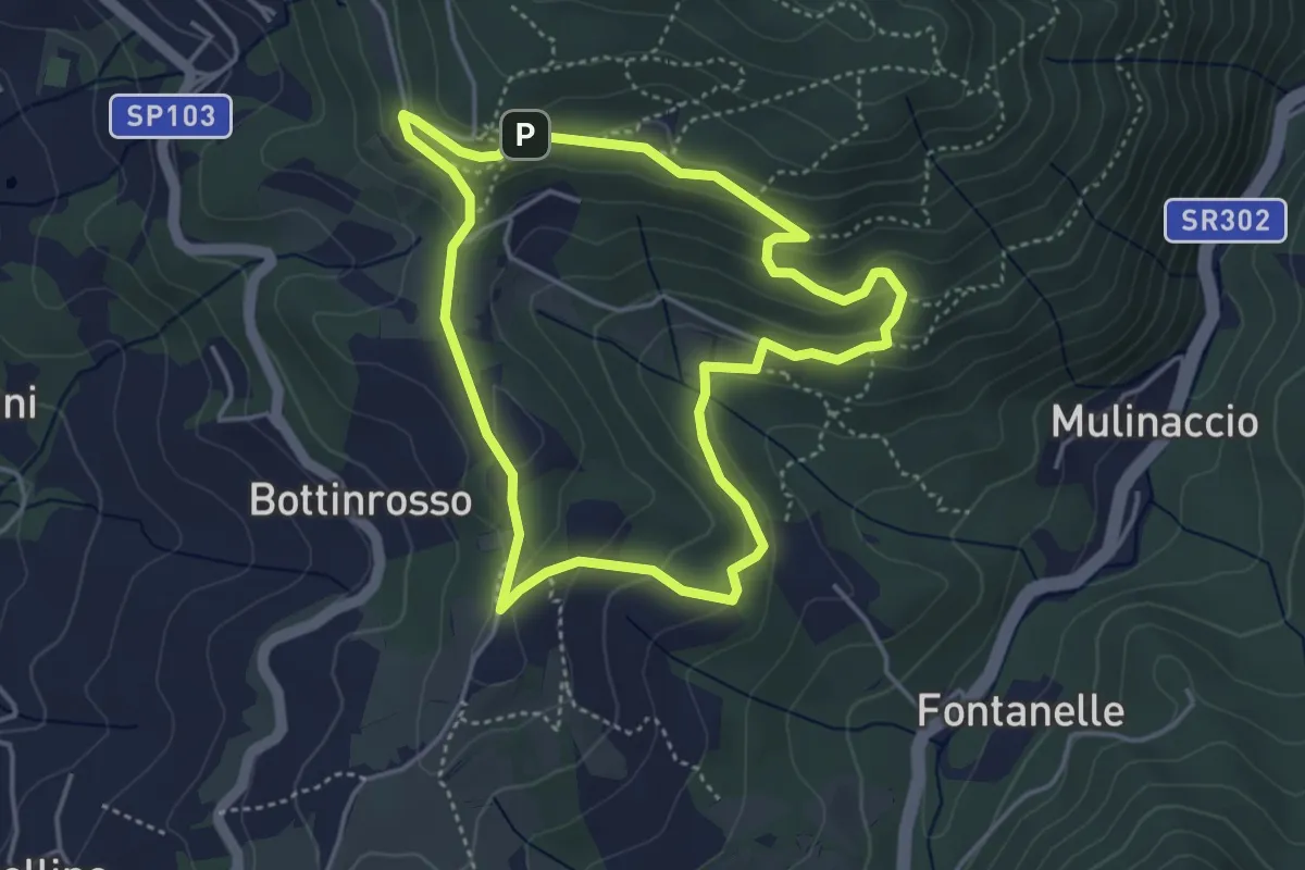
Easy · Trail
Itinerario delle Burraie
4.2 km · ↑ 171 m · 1 h 25 min · 10 km away
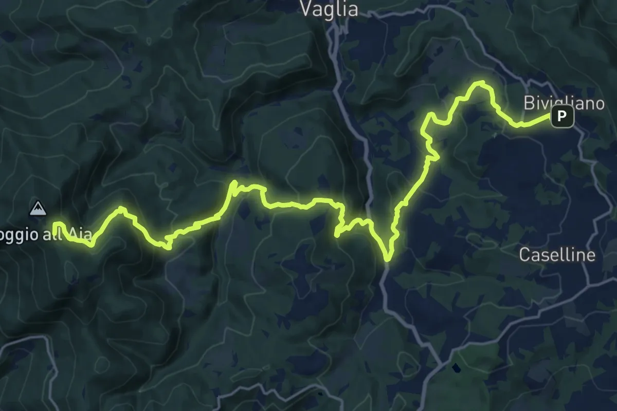
Demanding · Summit
Il Sentiero Delle Cime - 61 - Comune di Vaglia
26.4 km · ↑ 1504 m · 9 h 30 min · 10 km away
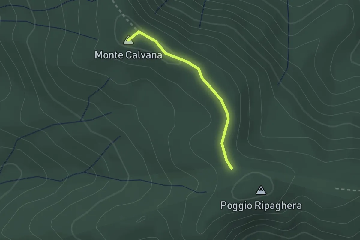
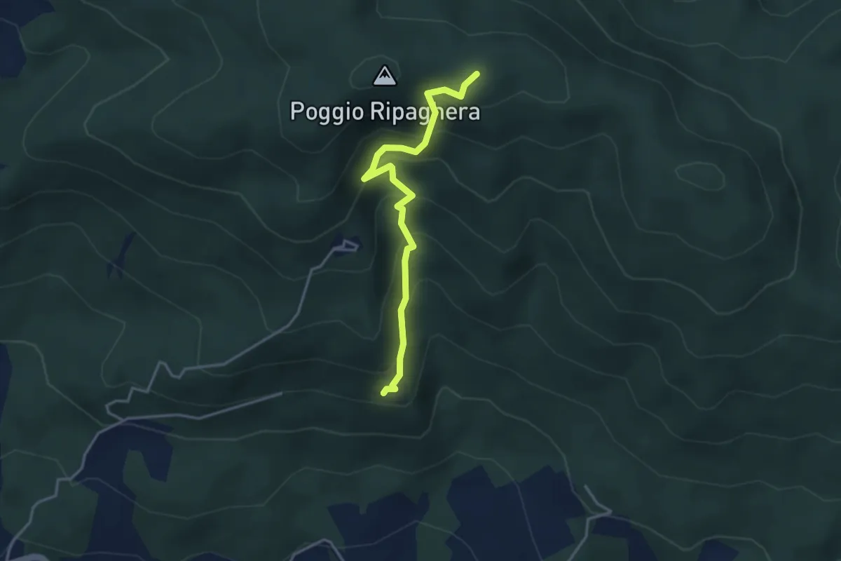
Easy · Summit
Ripaghera – Innesto sentiero 3A
1.8 km · ↑ 19 m · 27 min · 10 km away
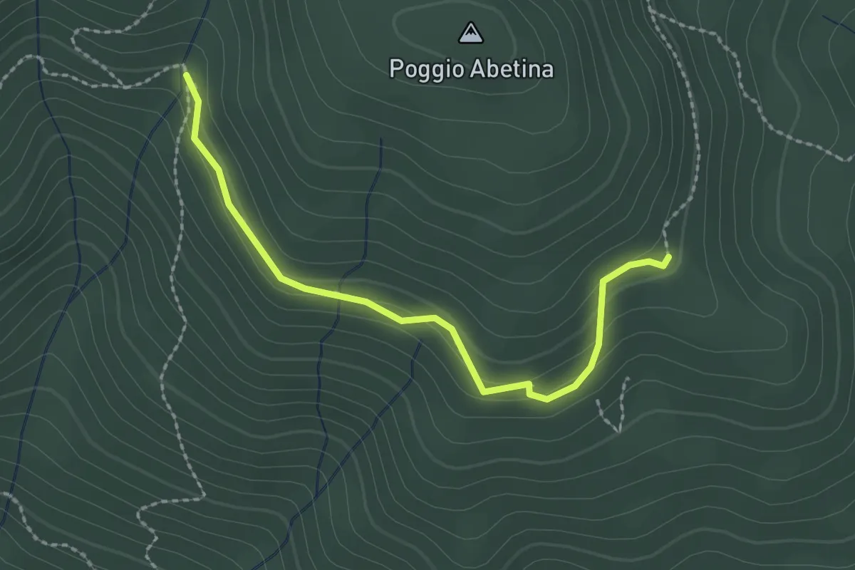
Medium · Trail
Madonna del Sasso – sentiero 00 (il Giogo)
3.6 km · ↑ 325 m · 1 h 33 min · 10 km away
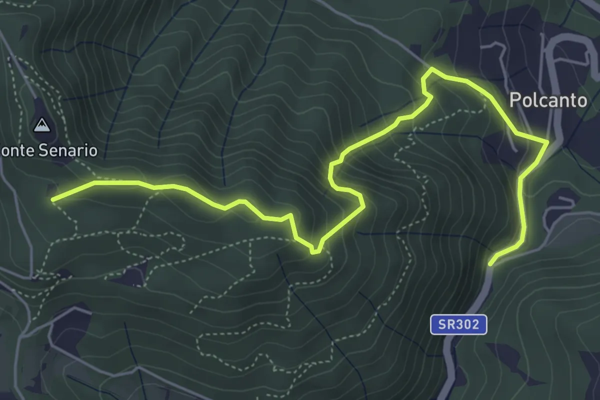
Easy · Trail
sentiero 205 – sentiero 209 (pressi area di sosta Fontassenzio)
2.4 km · ↑ 98 m · 46 min · 10 km away
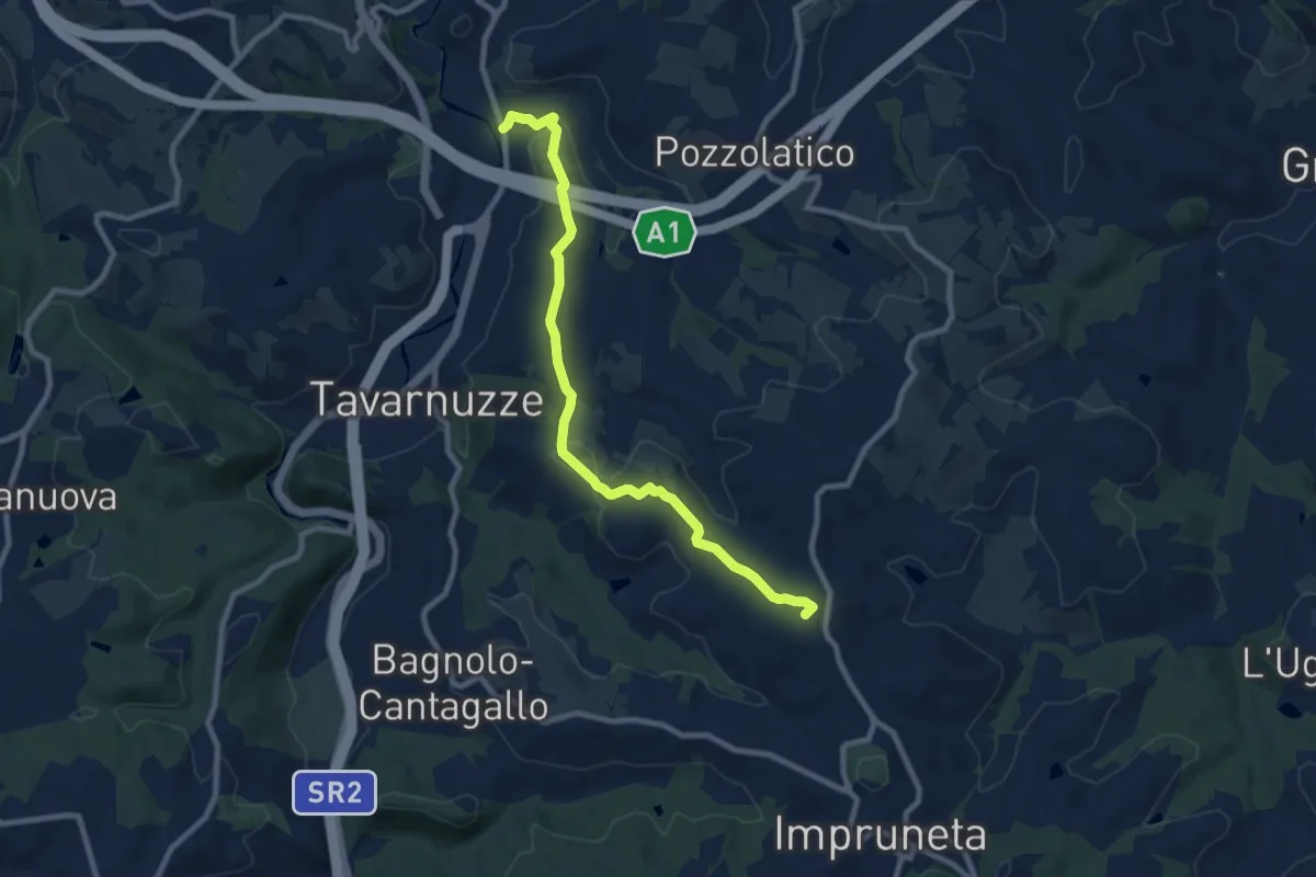
Medium · Trail
Polcanto – Monte Senario
6.5 km · ↑ 534 m · 2 h 41 min · 11 km away
Medium · Summit
Bottai – Impruneta
9.6 km · ↑ 257 m · 2 h 50 min · 11 km away
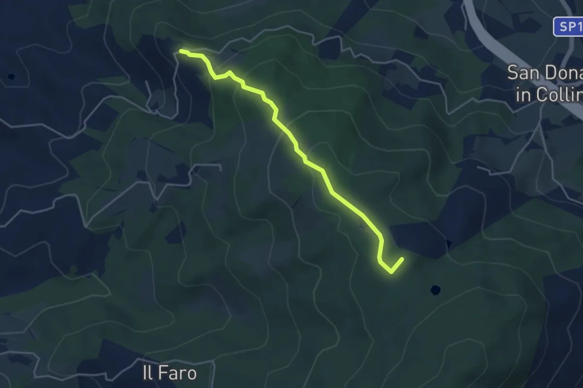
Easy · Summit
Montisoni – Poggio Piglie
4.0 km · ↑ 222 m · 1 h 25 min · 11 km away
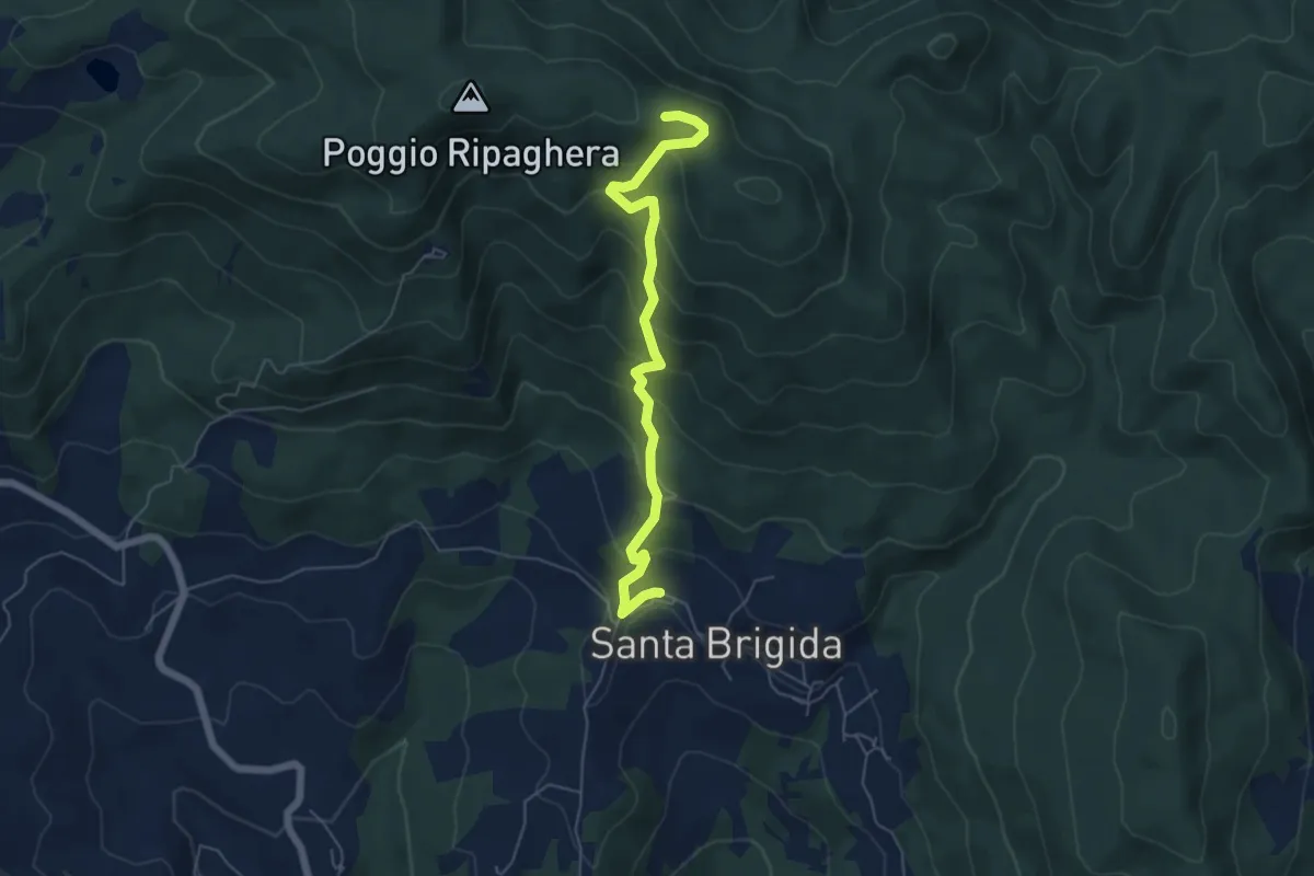
Medium · Trail
Santa Brigida – Il Giogo (Percorso 00)
5.9 km · ↑ 484 m · 2 h 27 min · 11 km away
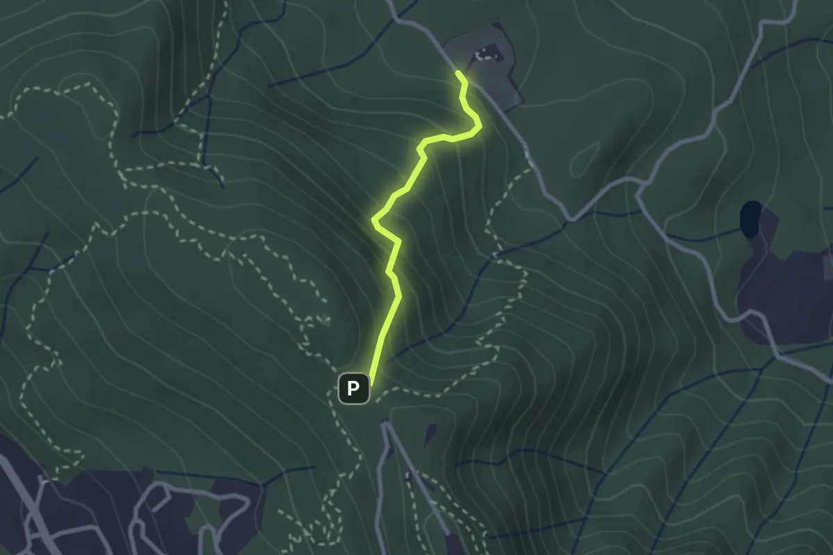
Medium · Trail
Polcanto – Monte Senario
2.1 km · ↑ 224 m · 58 min · 11 km away
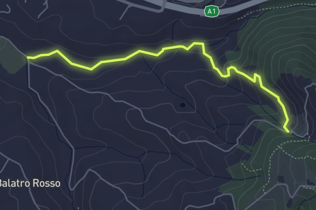
Easy · Trail
Antella – Montisoni
5.3 km · ↑ 184 m · 1 h 39 min · 11 km away
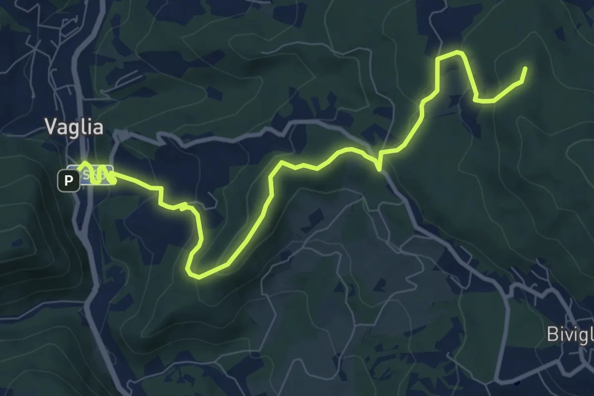
Medium · Summit
Vaglia – Croce di Melago
10.6 km · ↑ 439 m · 3 h 27 min · 11 km away
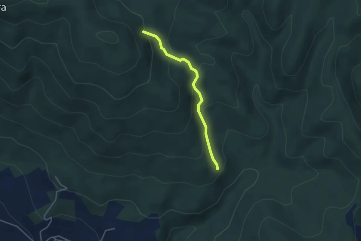
Medium · Trail
sentiero 209 (bivio sentiero 203A) – sentiero 209 (pressi cascina di Monterotondo)
2.9 km · ↑ 199 m · 1 h 6 min · 11 km away
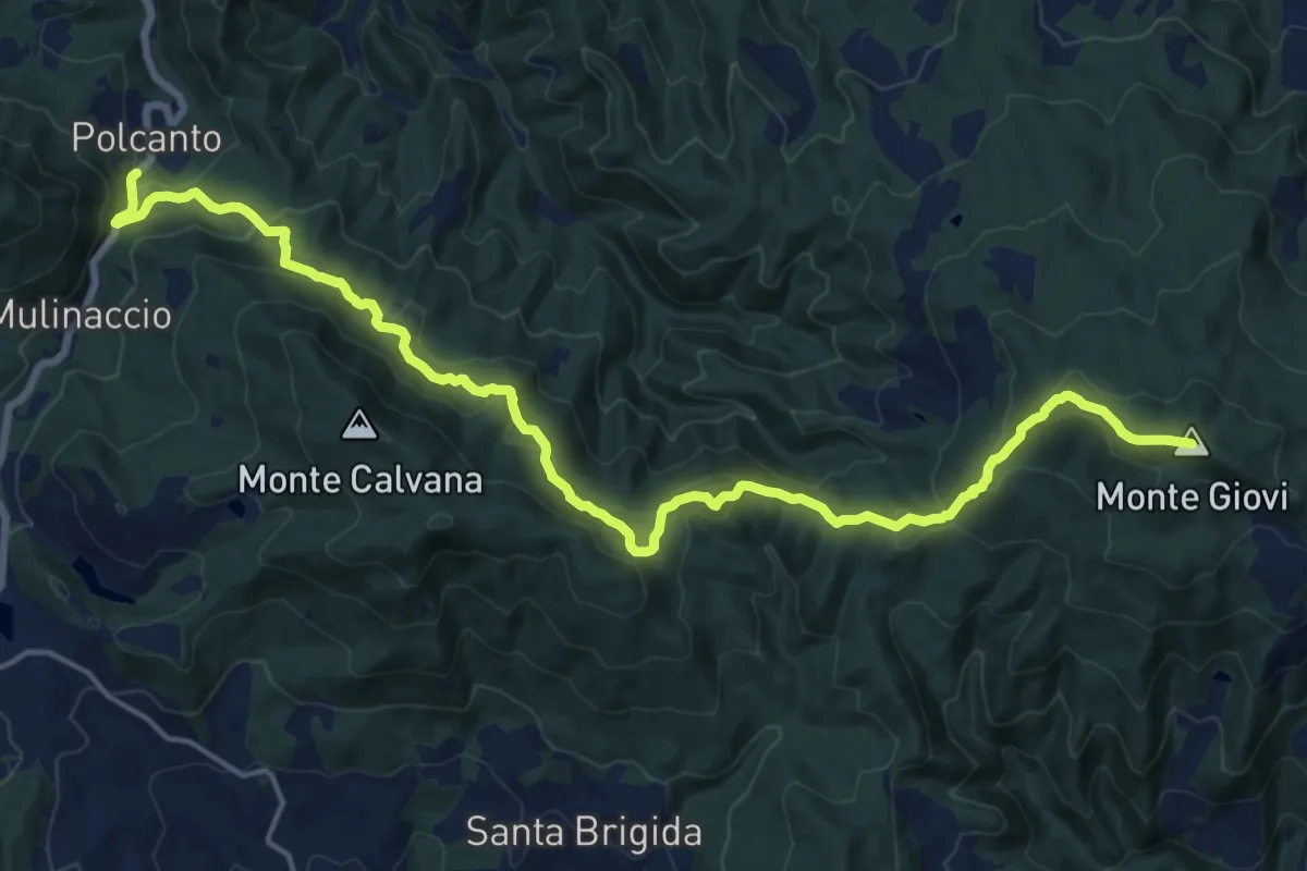
Demanding · Summit
Sorgenti di Firenze Trekking – Anello Principale: Tappa 7
21.2 km · ↑ 1002 m · 7 h 11 min · 11 km away
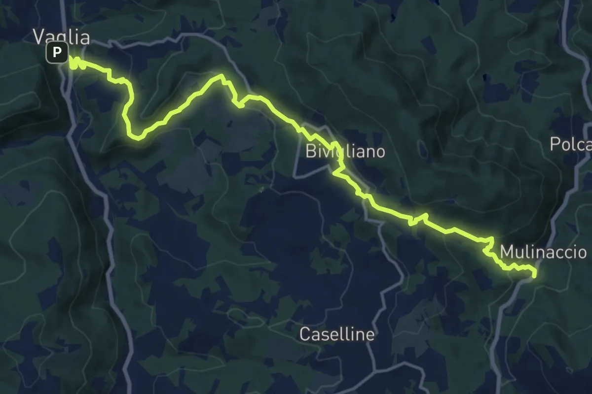
Demanding · Trail
Via di Montesenario
18.1 km · ↑ 724 m · 5 h 50 min · 11 km away
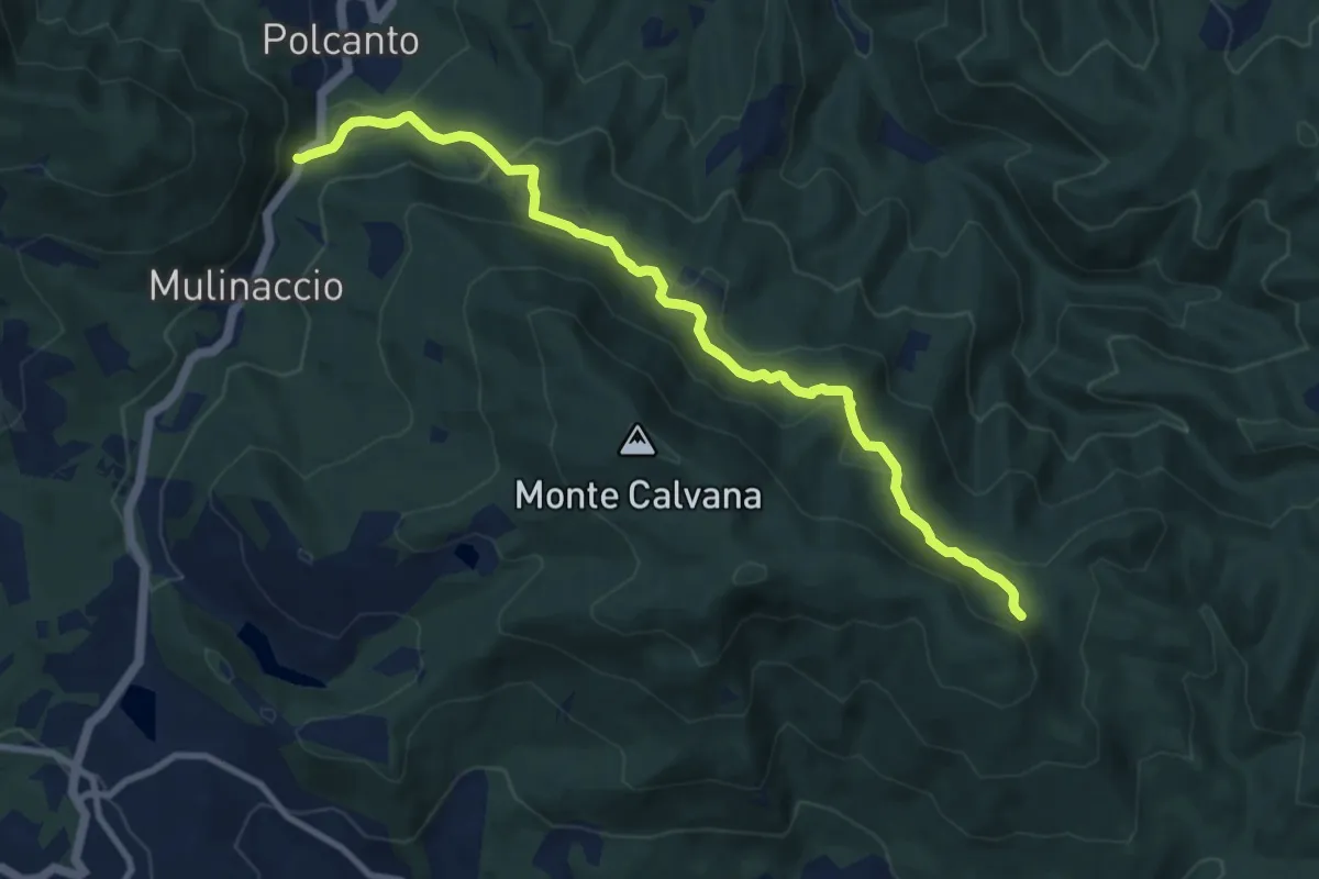
Medium · Trail
Polcanto – Monte Rotondo
10.5 km · ↑ 453 m · 3 h 28 min · 11 km away
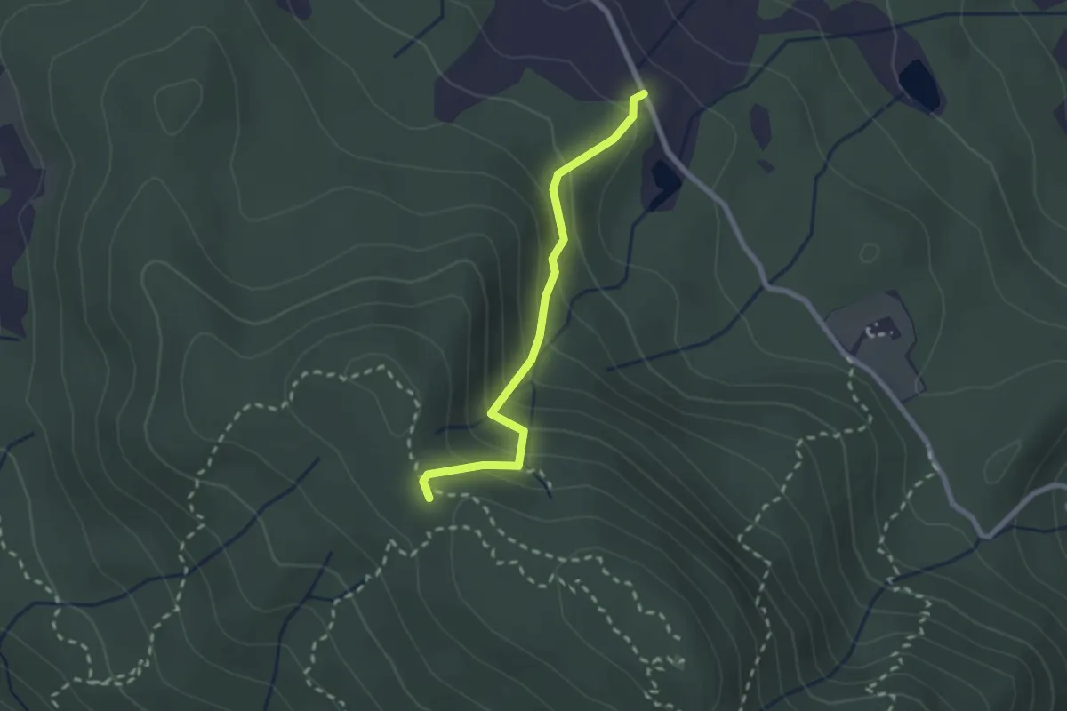
Medium · Trail
Fattoria – Monte Senario
2.2 km · ↑ 181 m · 55 min · 11 km away
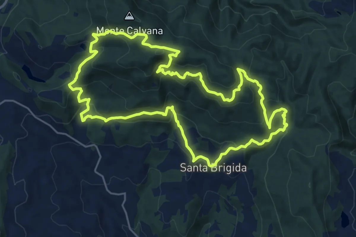
Demanding · Summit
Sentiero delle Burraie
15.7 km · ↑ 815 m · 5 h 41 min · 11 km away
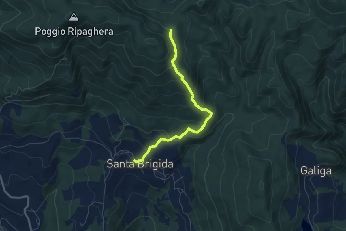
Medium · Trail
Santa Brigida – Cascina di Monterotondo (Percorso 00)
6.2 km · ↑ 366 m · 2 h 15 min · 11 km away
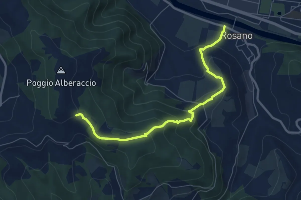
Medium · Trail
Rosano – Poggio Alberaccio
6.9 km · ↑ 369 m · 2 h 26 min · 11 km away
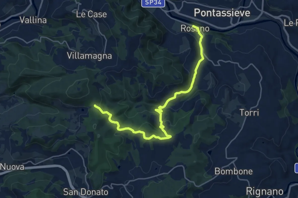
Medium · Trail
Rosano – Valico Di Terzano
16.9 km · ↑ 480 m · 5 h 1 min · 11 km away
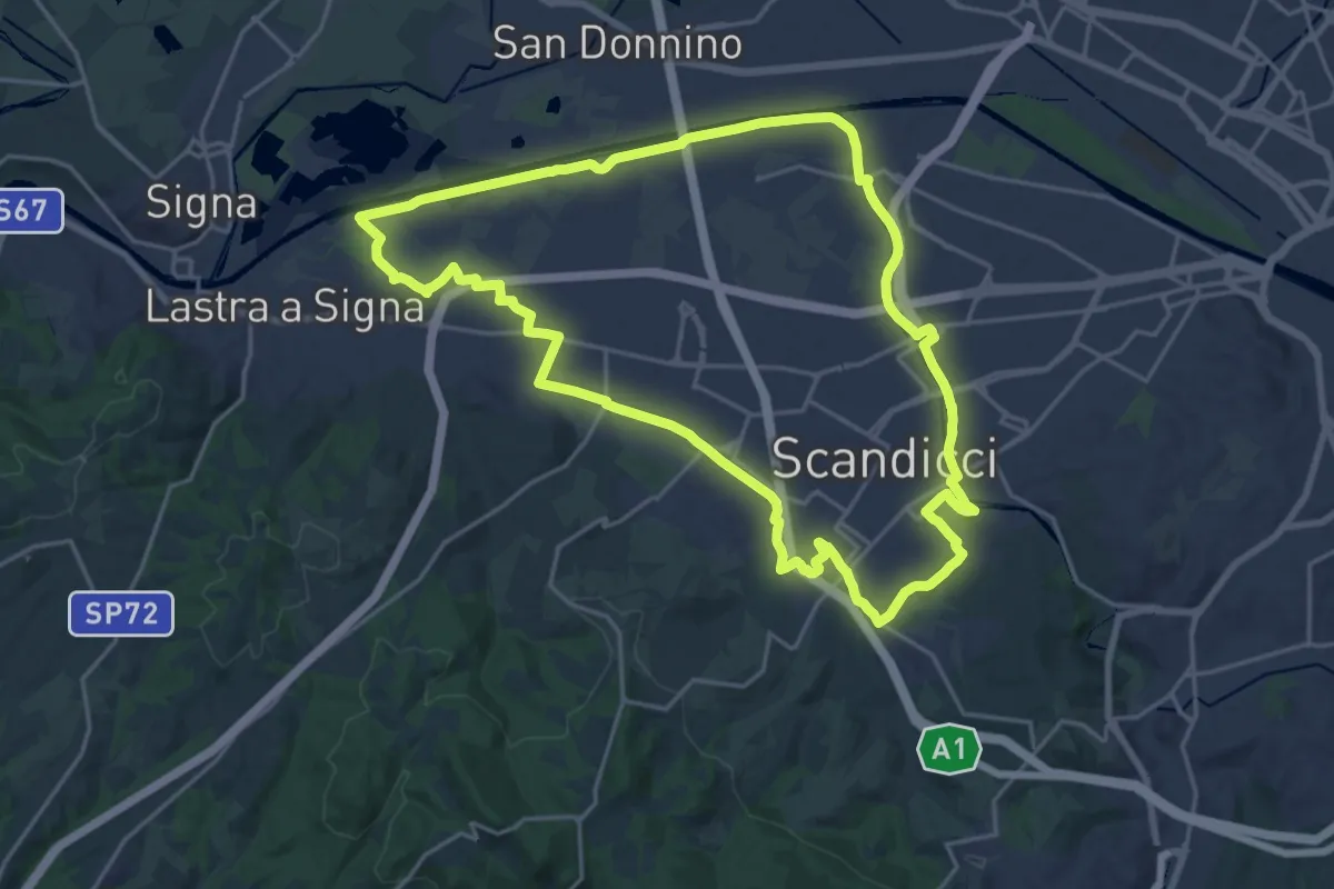
Demanding · Trail
La via dei tre fiumi
22.0 km · ↑ 70 m · 5 h 39 min · 11 km away
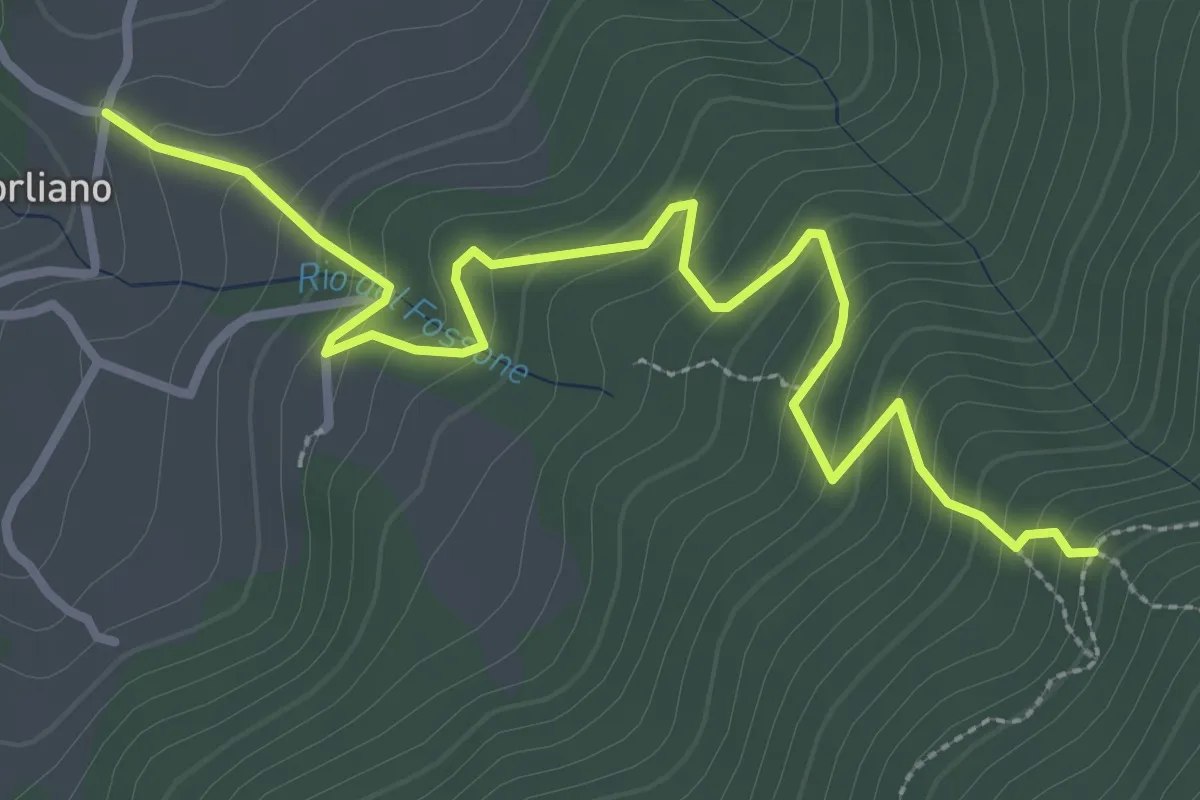
Easy · Trail
Leccio – Quota 590 sentiero 9
3.8 km · ↑ 299 m · 1 h 33 min · 11 km away
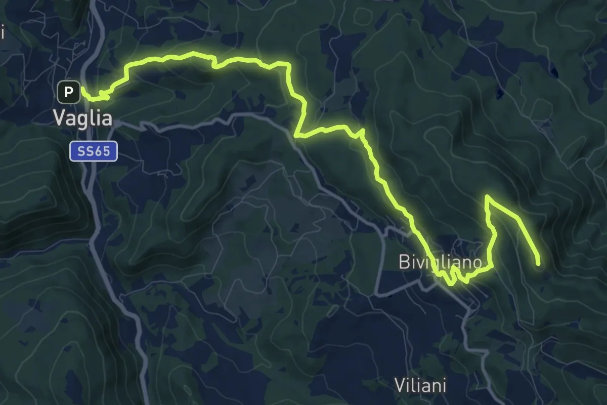
Medium · Summit
Sentiero delle Testimonianze
15.6 km · ↑ 642 m · 5 h 4 min · 11 km away
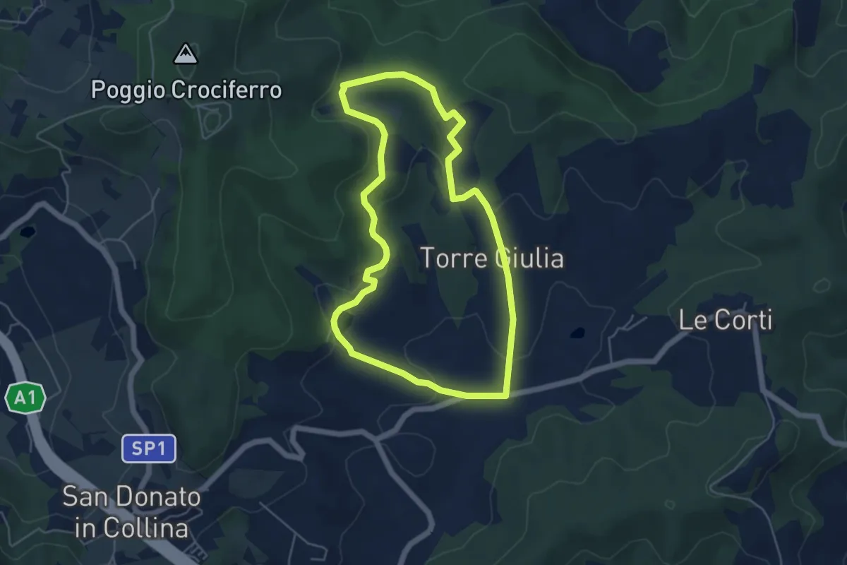
Easy · Trail
Percorso della Memoria
5.0 km · ↑ 143 m · 1 h 33 min · 12 km away
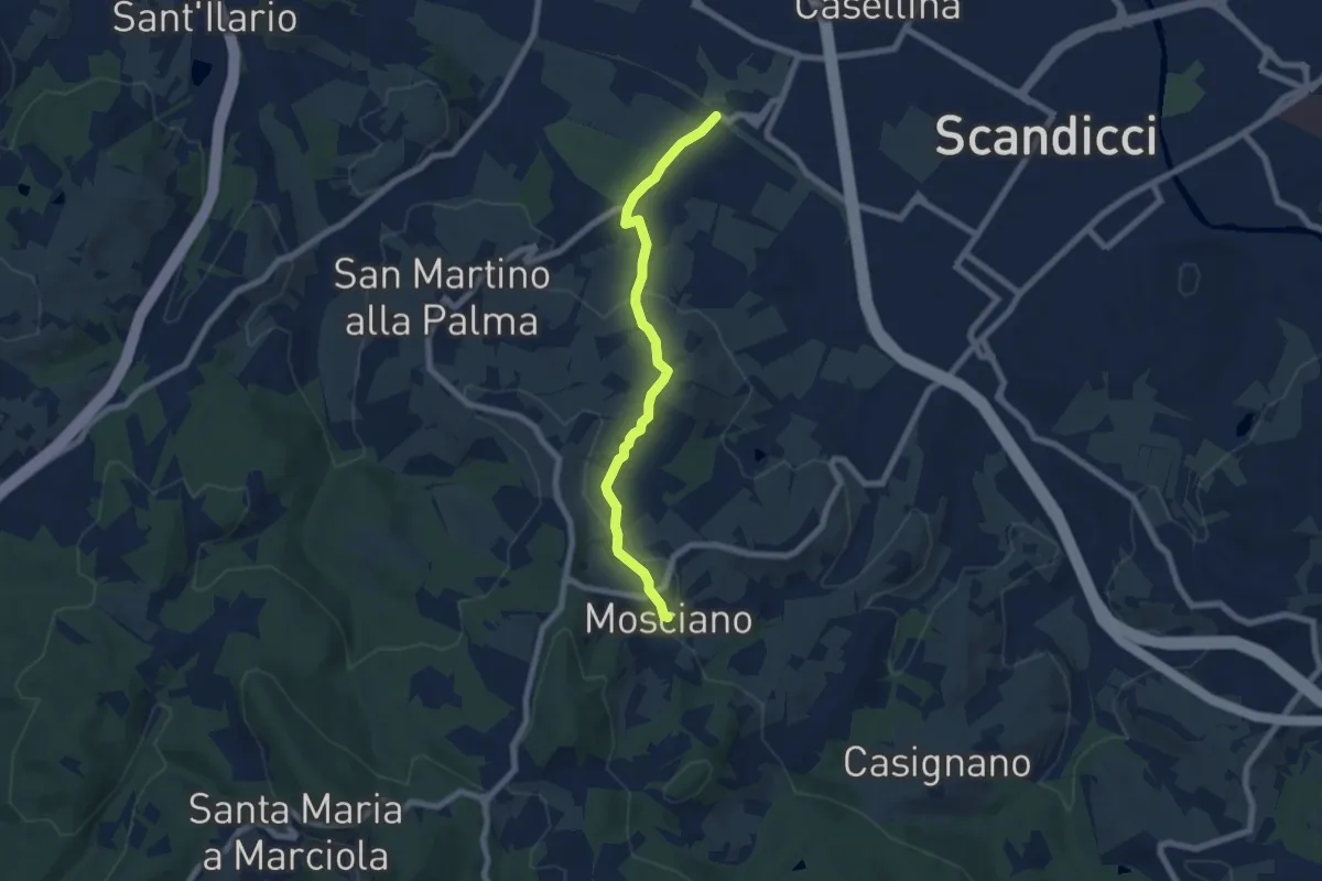
Easy · Trail
ponte del ristoro Scandicci, innesto CAI 746 (3 Fiumi) – Mosciano, innesto sentiero CAI 735
7.0 km · ↑ 188 m · 2 h 3 min · 12 km away
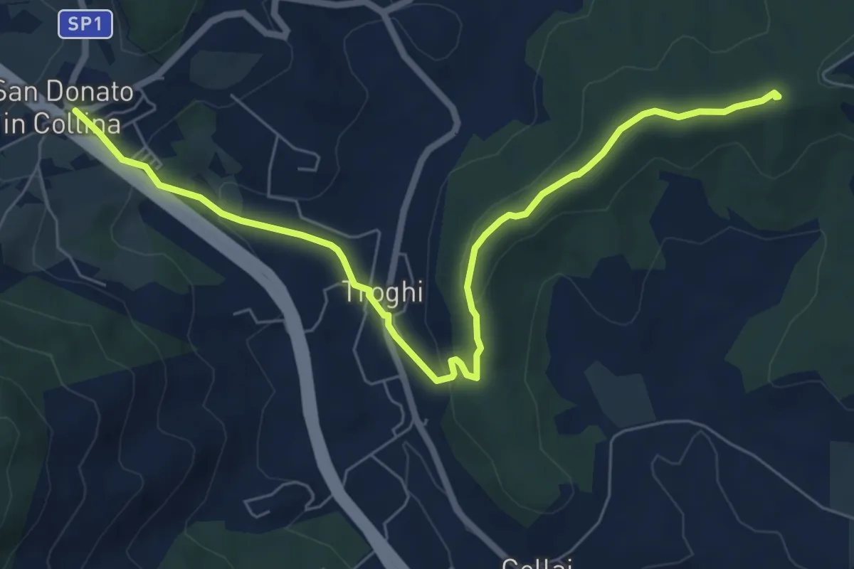
Easy · Summit
Rignano sull'Arno – Troghi
8.0 km · ↑ 250 m · 2 h 25 min · 12 km away
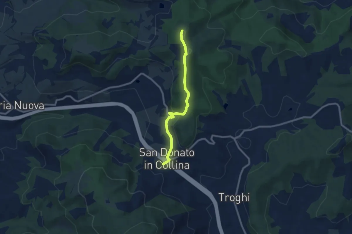
Easy · Summit
Sentiero 0 – da Poggio a Luco a San Donato in Collina
6.1 km · ↑ 172 m · 1 h 48 min · 12 km away
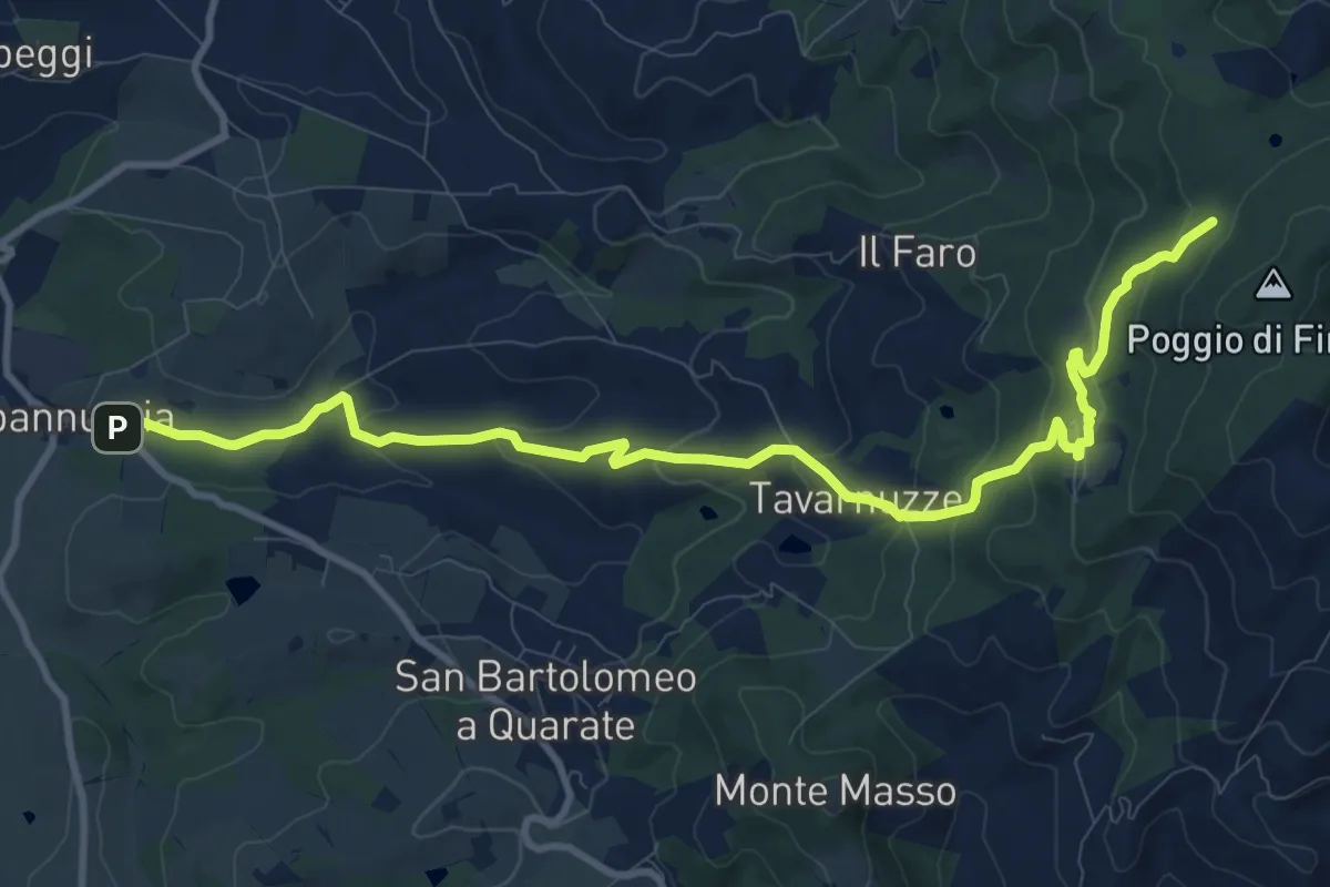
Medium · Cabin
Capannuccia (Grassina) – Sorgente di Fonte Santa
12.7 km · ↑ 509 m · 4 h 5 min · 12 km away
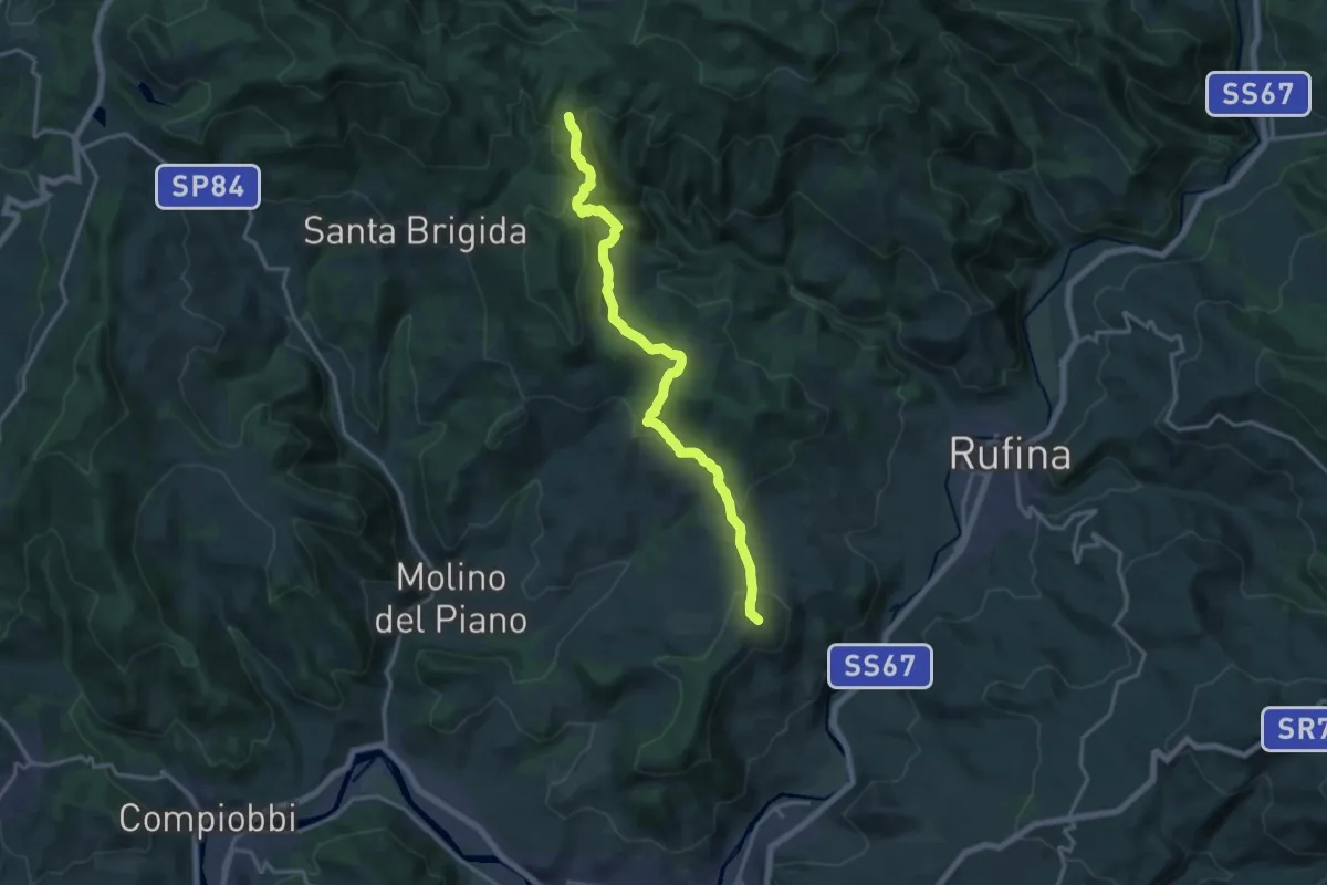
Medium · Summit
Pontassieve – sentiero 206 Croce di Aceraia
17.5 km · ↑ 529 m · 5 h 17 min · 12 km away
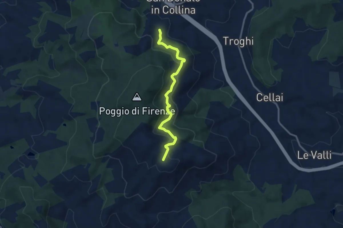
Medium · Trail
S. Donato in Collina – Casa al Monte
7.1 km · ↑ 427 m · 2 h 36 min · 12 km away