Trails near Fiesole
134 hikes starting within 15 km, nearest first.
Nearest first, page 3 of 3
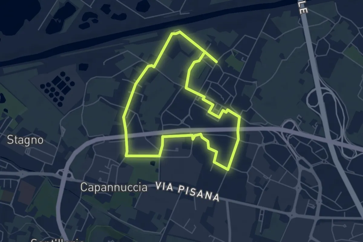
Easy · Trail
Badia a Settimo - Variante sentiero dei 3 Fiumi
5.8 km · ↑ 0 m · 1 h 26 min · 12 km away
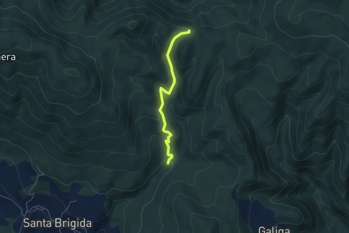
Easy · Trail
La Violana (Percorso 206) – Case Tagliaferro (Percorso 00)
4.3 km · ↑ 186 m · 1 h 25 min · 12 km away
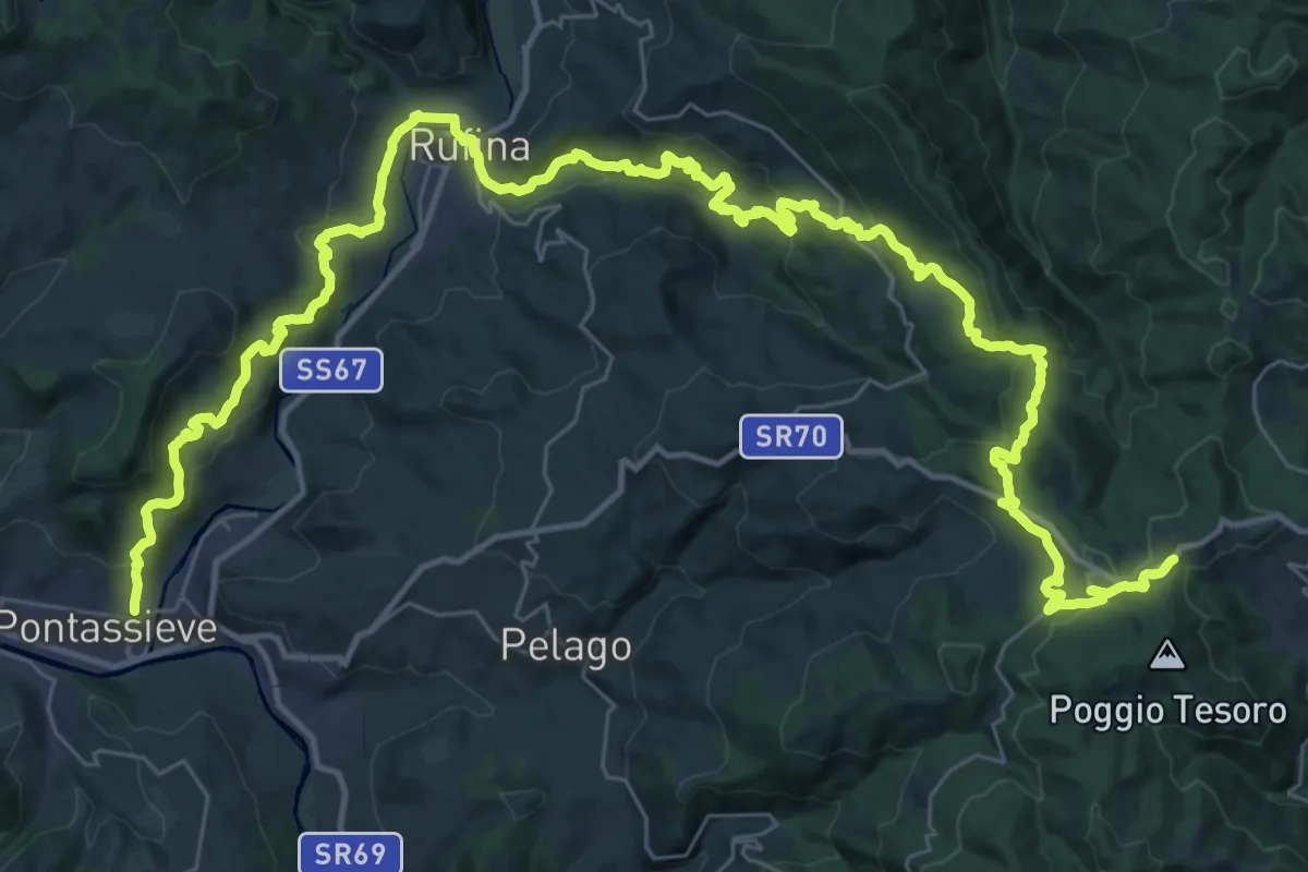
Demanding · Trail
Sentiero della Memoria
28.4 km · ↑ 1490 m · 9 h 53 min · 12 km away
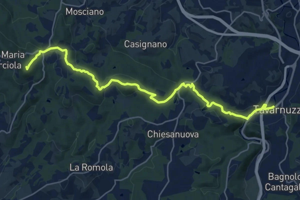
Medium · Summit
Lastra a Signa – Tavarnuzze
17.9 km · ↑ 527 m · 5 h 22 min · 12 km away
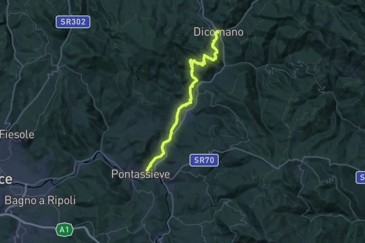
Demanding · Trail
Cammino di Dante - Tappa 9
20.7 km · ↑ 724 m · 6 h 44 min · 12 km away
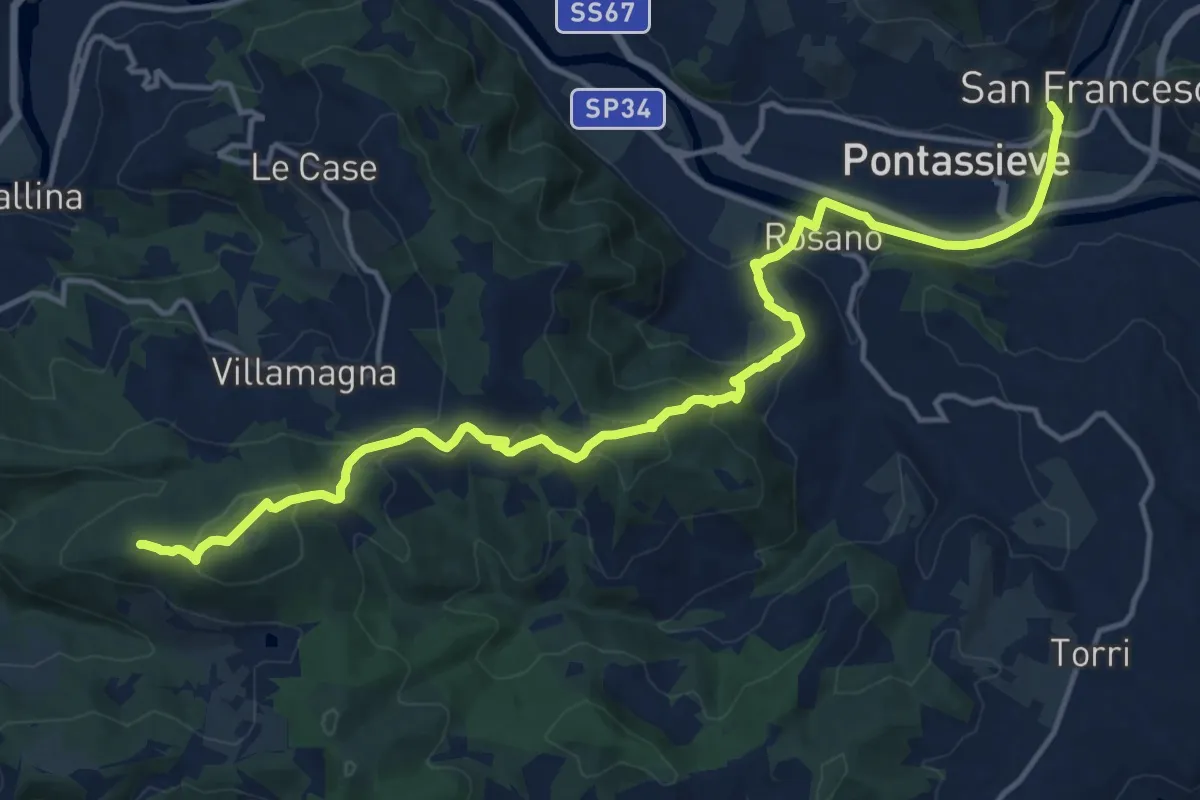
Demanding · Summit
Cammino di Dante - Tappa 10
18.2 km · ↑ 661 m · 5 h 44 min · 12 km away
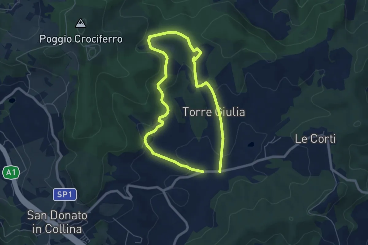
Medium · Trail
Il Fossato – Badiuzza
9.5 km · ↑ 264 m · 2 h 50 min · 12 km away
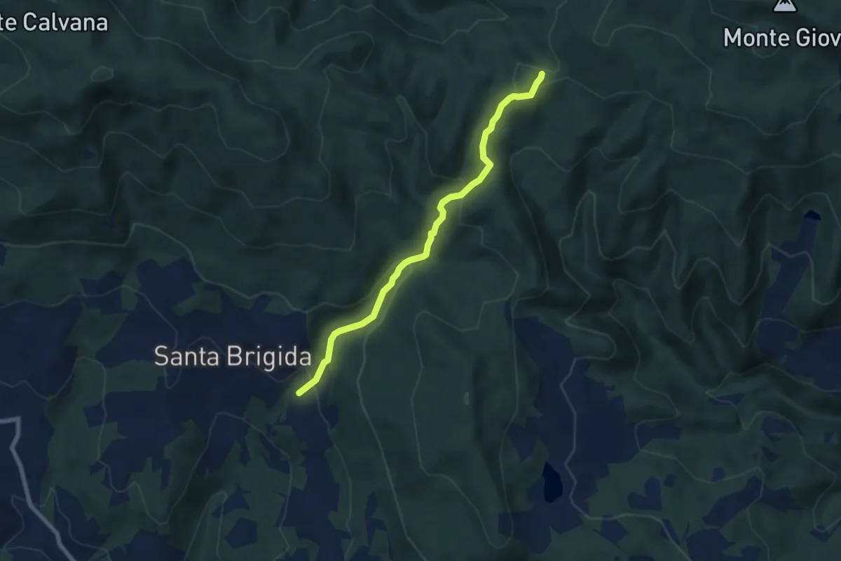
Medium · Trail
Santa Brigida – sentiero 00 (pressi valico di Aceraia)
6.9 km · ↑ 345 m · 2 h 23 min · 13 km away
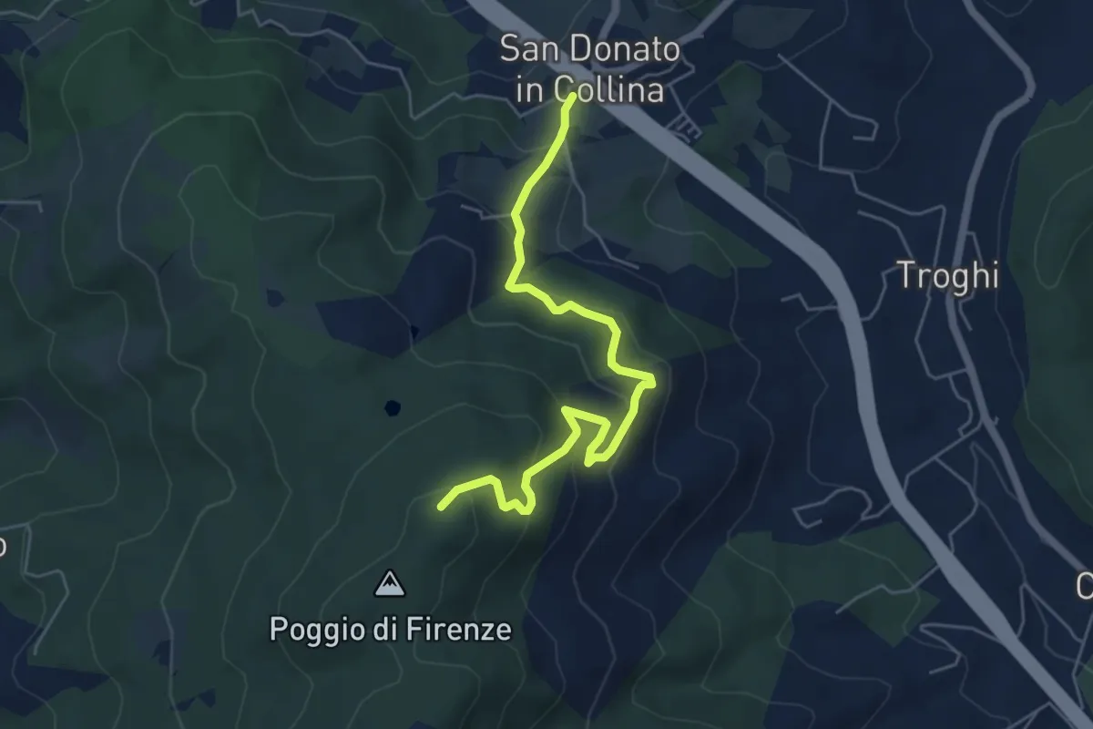
Medium · Trail
San Donato in Collina – Poggio di Firenze
5.9 km · ↑ 378 m · 2 h 13 min · 13 km away
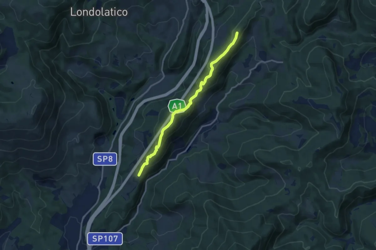
Medium · Summit
Collina – Torricella - Incr. sentiero 600
9.7 km · ↑ 530 m · 3 h 26 min · 13 km away
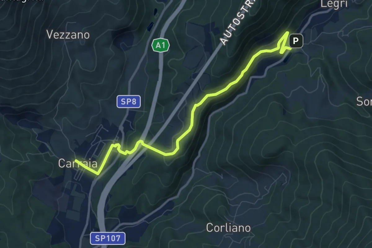
Medium · Trail
Carraia – Lago di Legri - Incrocio sentiero 608
9.8 km · ↑ 331 m · 3 h 2 min · 13 km away
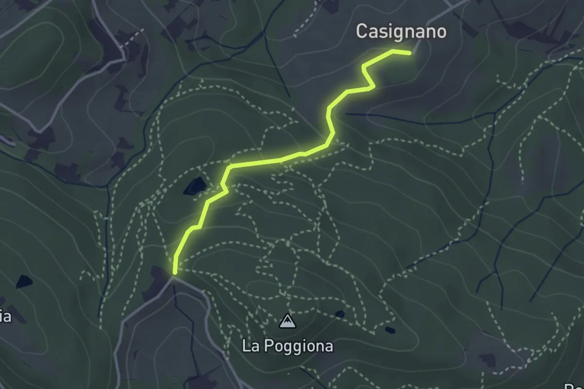
Easy · Trail
Casignano – La Catena
3.0 km · ↑ 126 m · 58 min · 13 km away
Easy · Trail
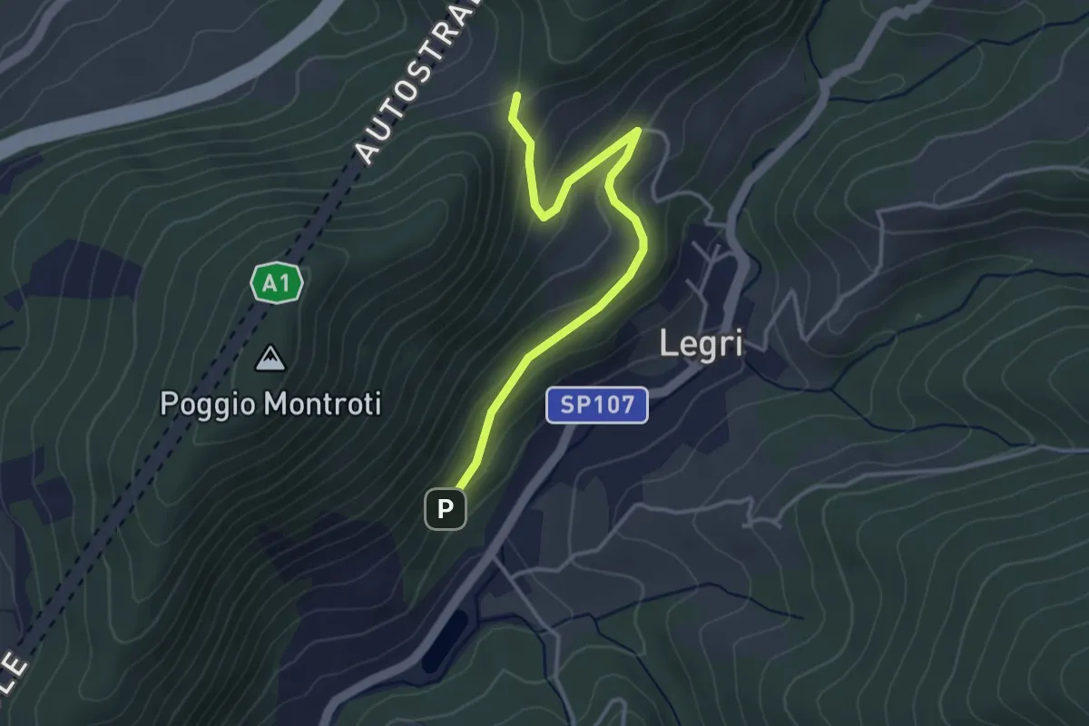
Case Cutriolo - Incr. sent. 608A – Collina di Sopra - Incr. sent. 620
3.6 km · ↑ 152 m · 1 h 11 min · 13 km away
Easy · Trail
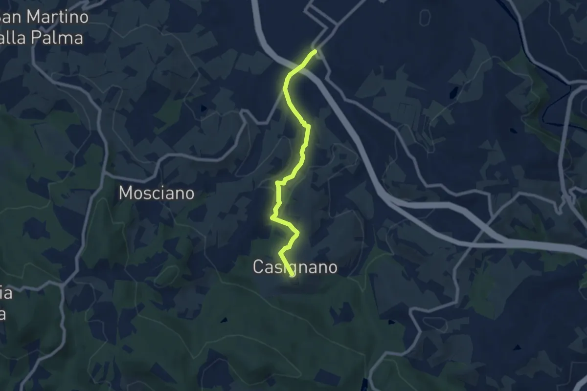
Vingone – Casignano (innesto Percorso 736)
6.3 km · ↑ 161 m · 1 h 51 min · 13 km away
Medium · Trail
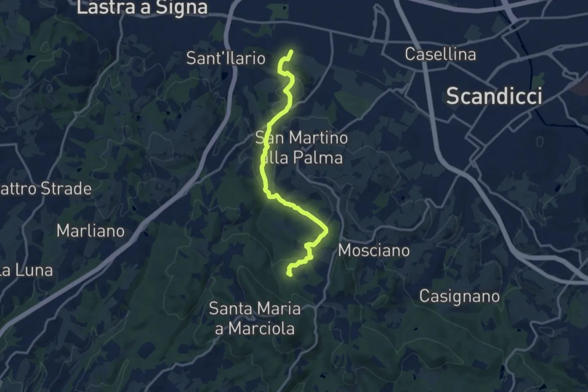
sentiero CAI 746 3 fiumi in località Castelpulci - Torrente Vingone – sentiero CAI 734 in località Sevoli
11.6 km · ↑ 315 m · 3 h 25 min · 13 km away
Demanding · Summit
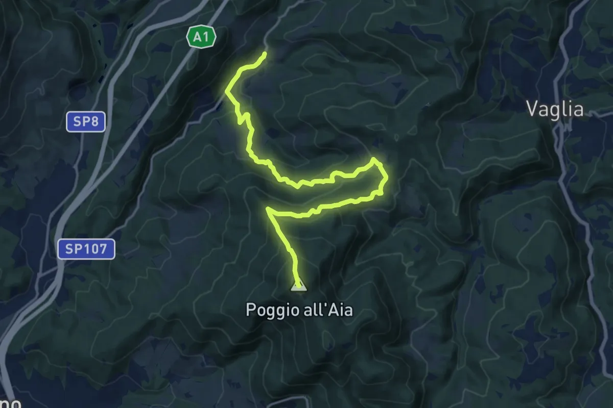
Legri – Poggio all'Aia
17.6 km · ↑ 965 m · 6 h 14 min · 13 km away
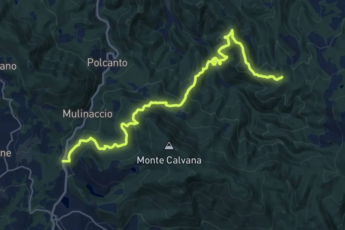
Demanding · Trail
Feriolo – Innesto itinerario 309
20.3 km · ↑ 1138 m · 7 h 15 min · 13 km away
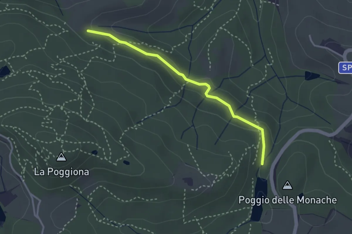
Easy · Trail
Casignano – Lago di Chiesanuova
3.0 km · ↑ 68 m · 51 min · 13 km away
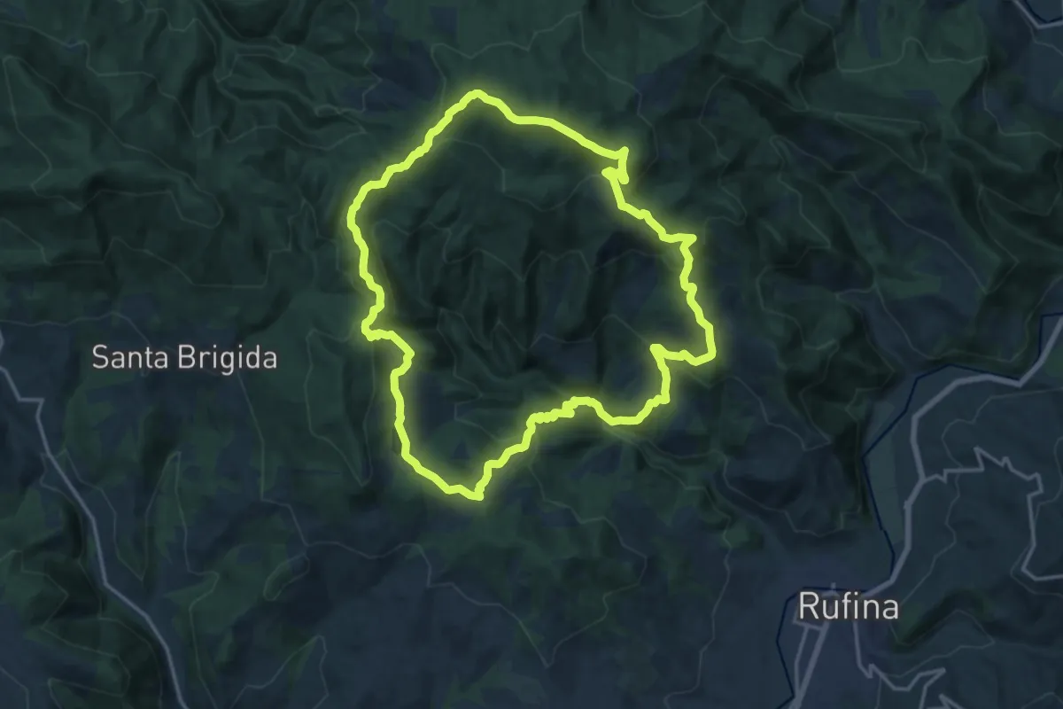
Demanding · Summit
Sorgenti di Firenze Trekking – Anello 3: Nei territori degli antichi castelli
17.4 km · ↑ 879 m · 6 h 14 min · 14 km away
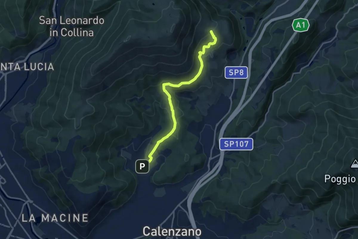
Medium · Summit
Sentiero della Pace
11.4 km · ↑ 392 m · 3 h 32 min · 14 km away
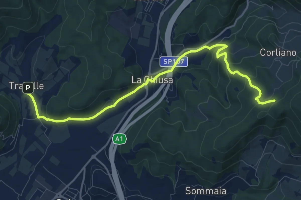
Medium · Trail
La Chiusa – Incrocio sent. 609
11.7 km · ↑ 369 m · 3 h 33 min · 14 km away
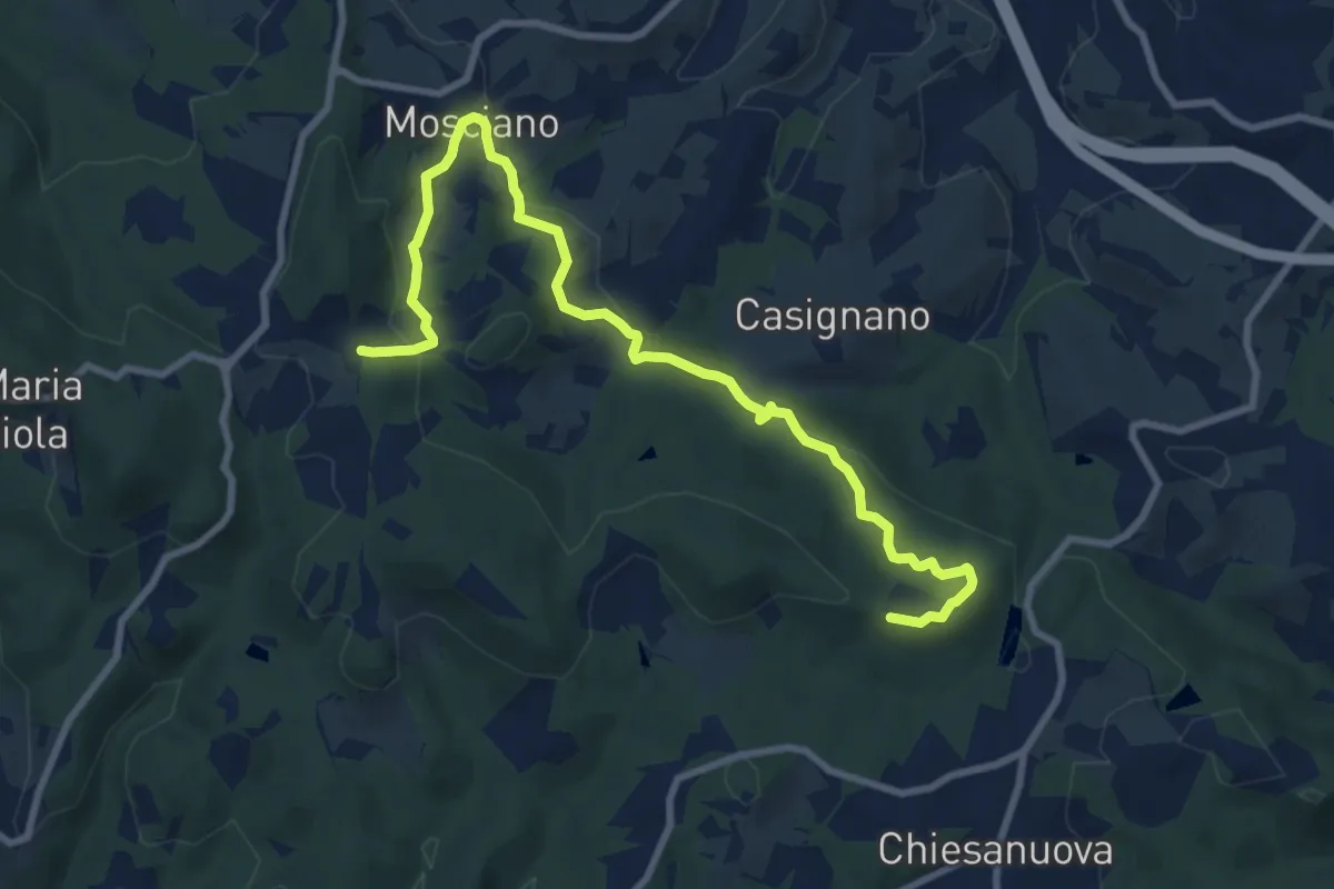
Medium · Trail
Sentiero 730 (Podere Leone) – Il Cerro
10.7 km · ↑ 364 m · 3 h 19 min · 14 km away
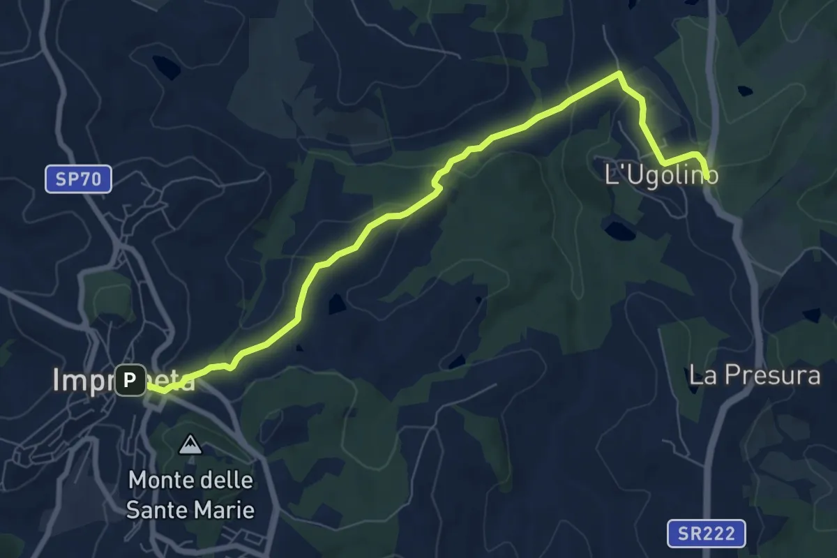
Medium · Trail
L'Ugolino – Impruneta
8.4 km · ↑ 269 m · 2 h 34 min · 14 km away
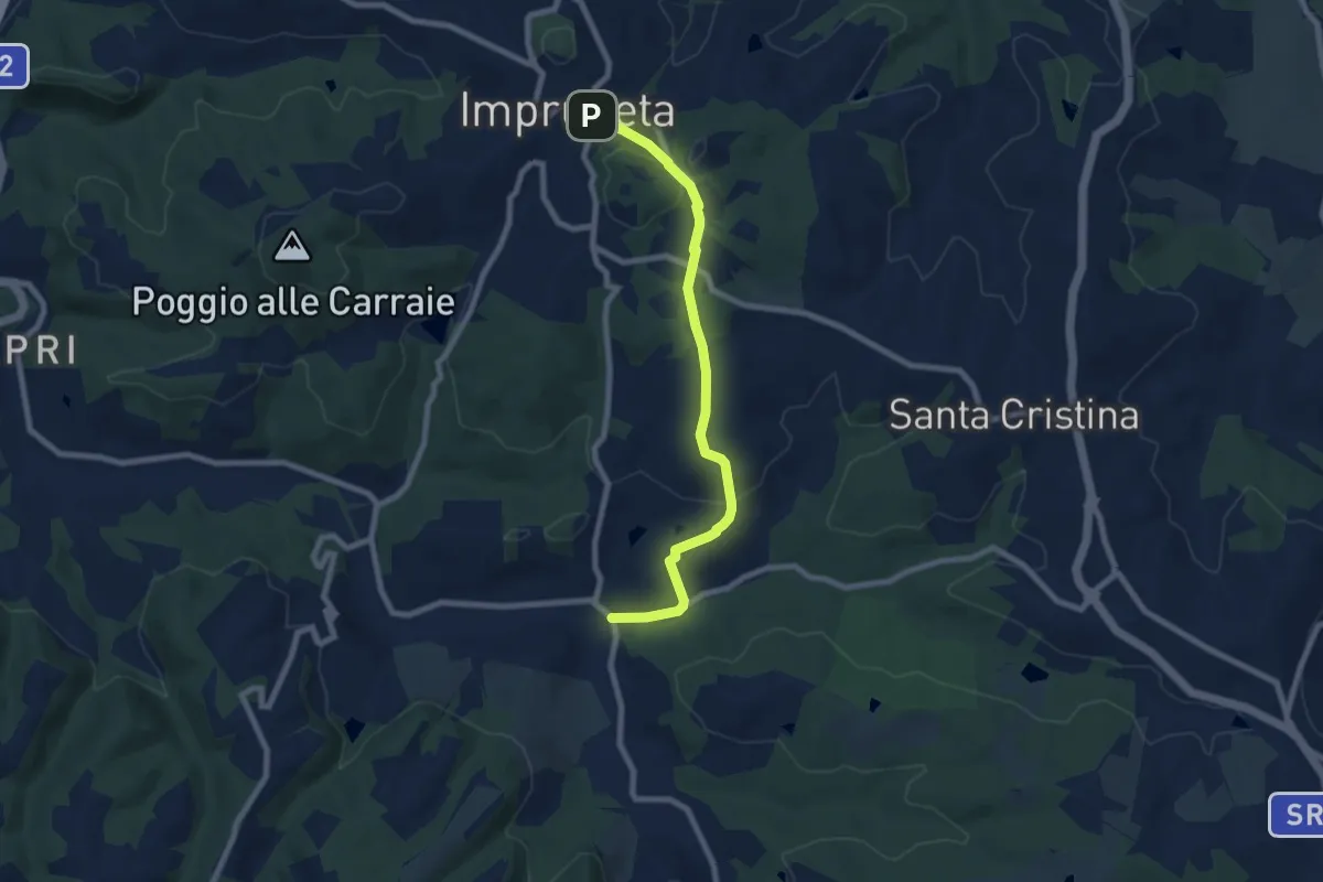
Medium · Trail
Il Ferrone – Impruneta
8.1 km · ↑ 191 m · 2 h 20 min · 14 km away
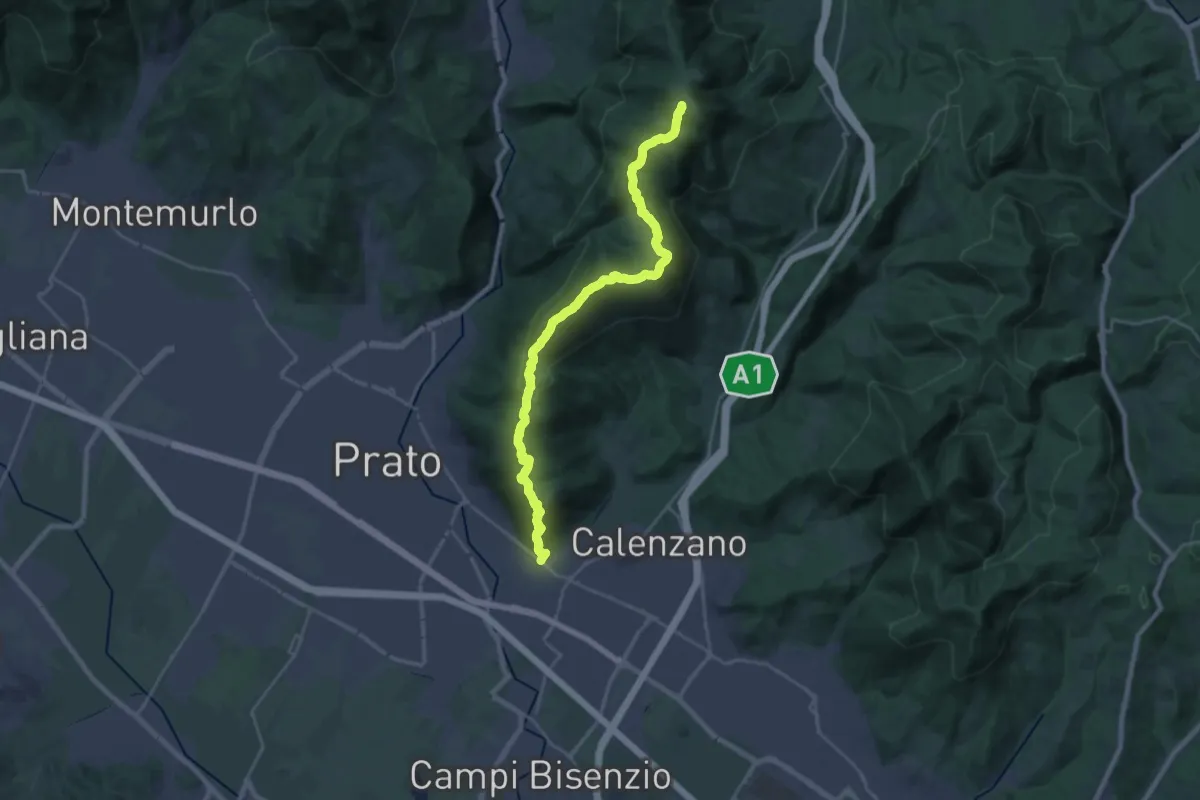
Demanding · Summit
La Querce – Poggio ai Prati (sentiero 00)
26.9 km · ↑ 1335 m · 9 h 15 min · 14 km away
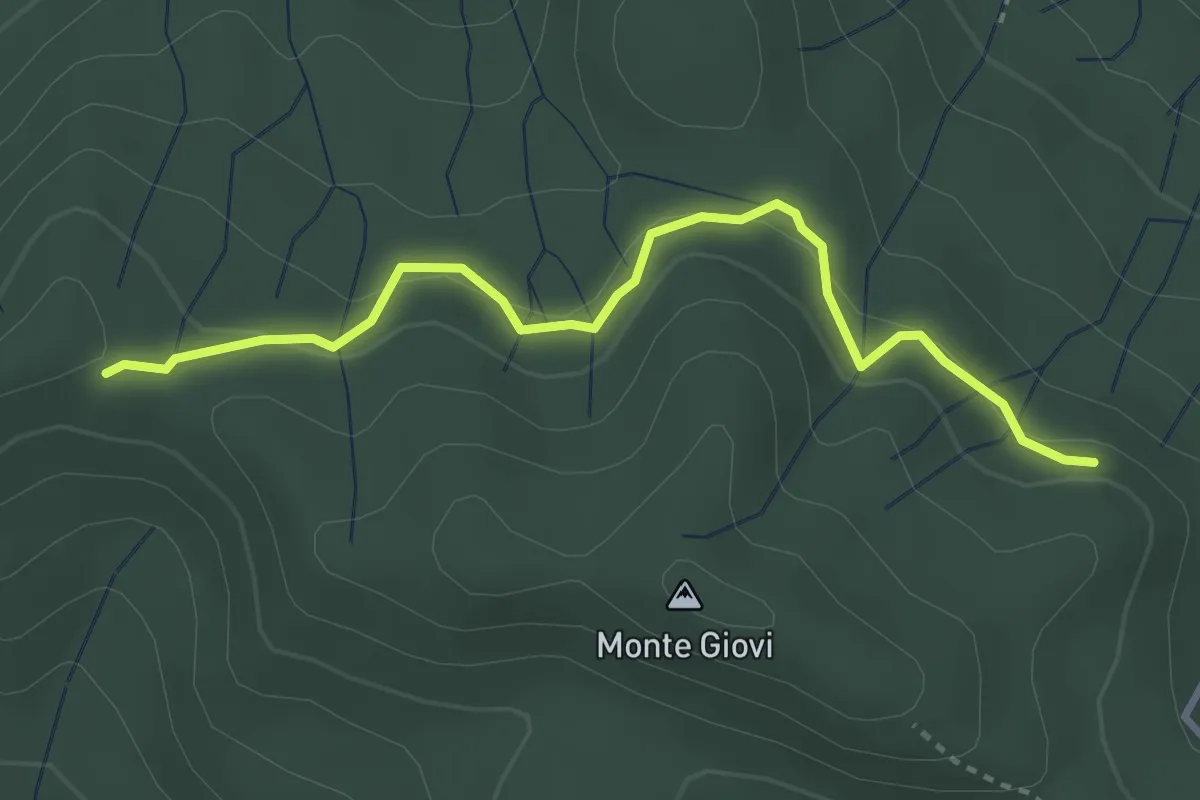
Easy · Trail
varco Casa Cerro – monumento Brigate Partigiane
3.5 km · ↑ 121 m · 1 h 6 min · 14 km away
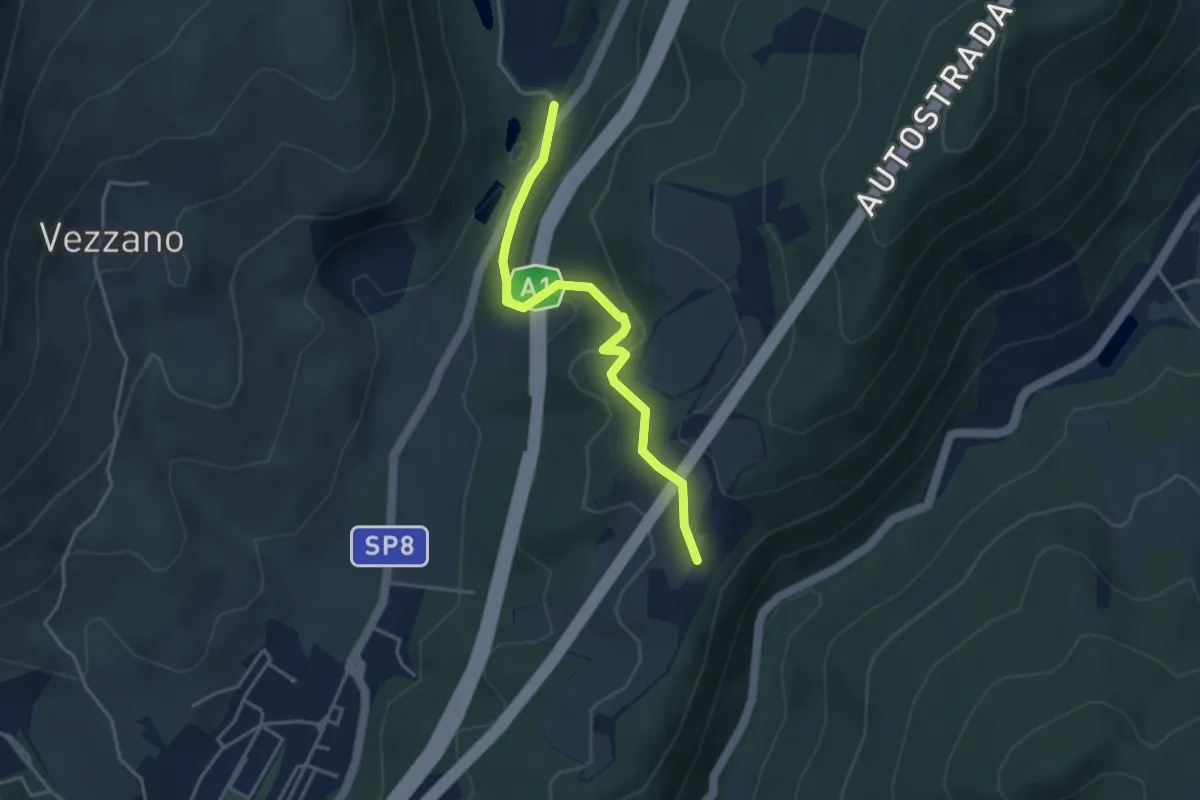
Easy · Trail
La Cassiana – Collina
3.9 km · ↑ 134 m · 1 h 13 min · 14 km away
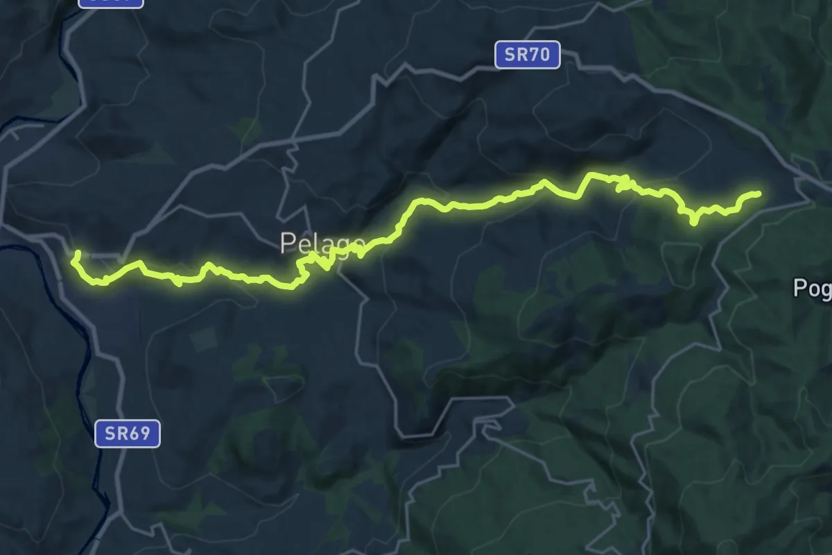
Demanding · Trail
Palaie – Podernovo
13.2 km · ↑ 964 m · 5 h · 14 km away
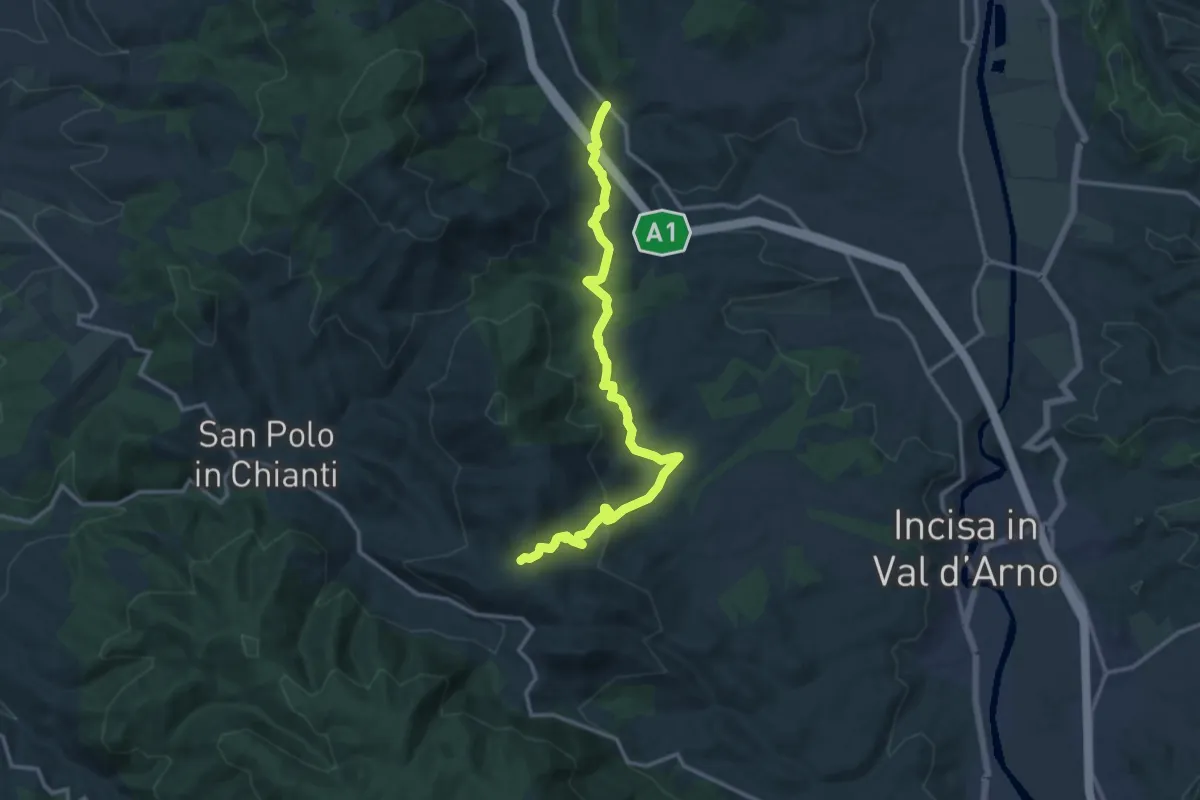
Medium · Trail
Cellai – sent. 00
15.0 km · ↑ 470 m · 4 h 34 min · 14 km away
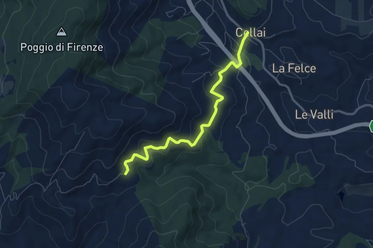
Medium · Trail
Cellai – Fabiano
7.1 km · ↑ 347 m · 2 h 25 min · 14 km away
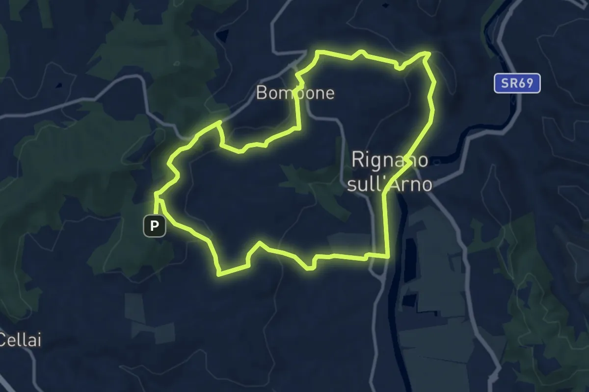
Medium · Trail
Percorso "Pievi, Chiese e Castelli"
10.6 km · ↑ 279 m · 3 h 16 min · 14 km away
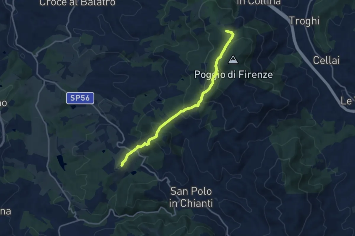
Medium · Summit
San Donato in Collina – SantoStefano a Tizzano
10.7 km · ↑ 474 m · 3 h 33 min · 14 km away
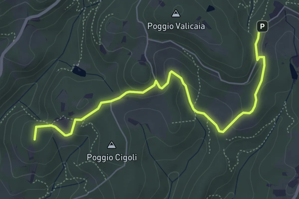
Easy · Summit
Castellare – Poggio Valicaia
6.3 km · ↑ 220 m · 1 h 57 min · 15 km away
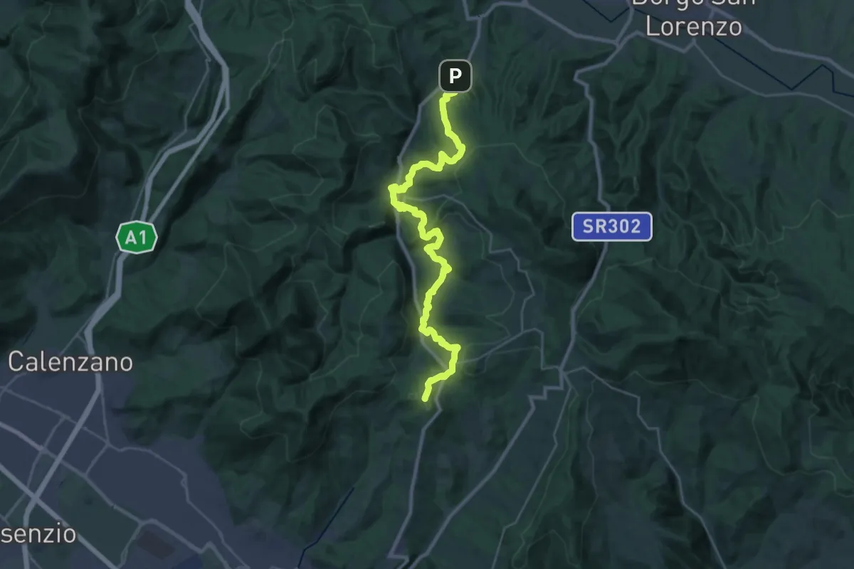
Demanding · Summit
Caldine – Campomigliaio
33.0 km · ↑ 1280 m · 10 h 34 min · 15 km away
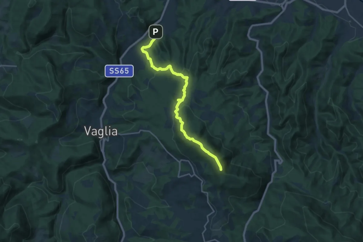
Medium · Summit
Campomigliaio – Vetta le Croci
15.0 km · ↑ 649 m · 4 h 57 min · 15 km away
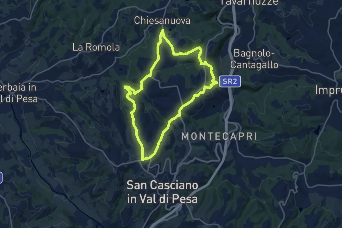
Medium · Trail
Anello del Principe
12.6 km · ↑ 326 m · 3 h 51 min · 15 km away
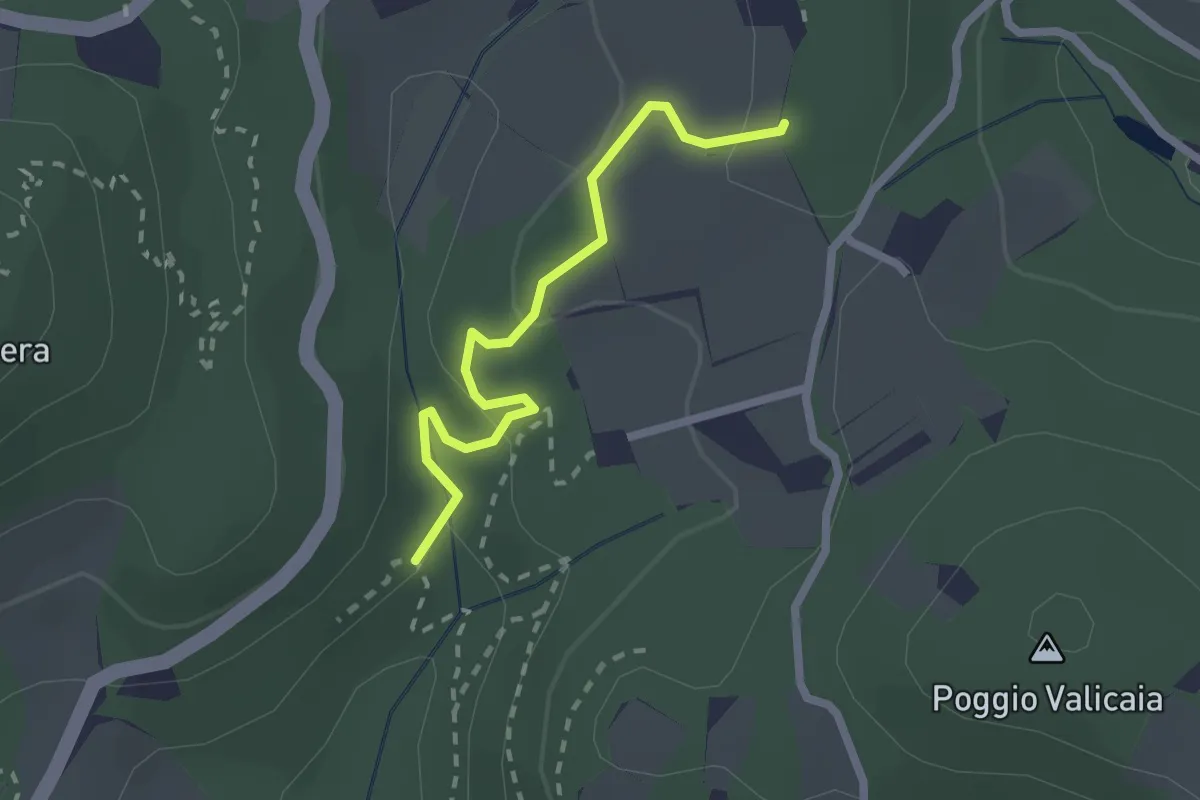
Easy · Trail
Sentiero 730 (Spazzavento) – Sentiero 732 (Lago delle Ninfee)
2.3 km · ↑ 59 m · 40 min · 15 km away
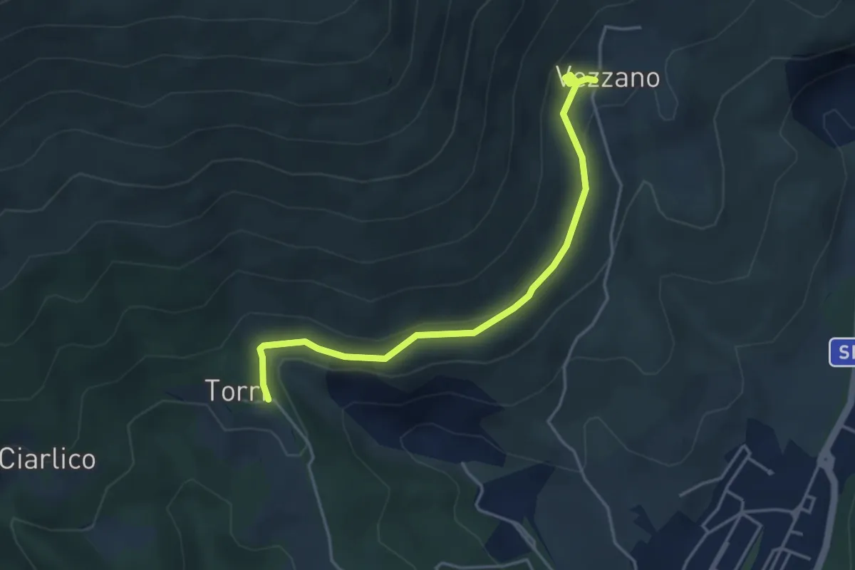
Easy · Trail
Torri di Carraia – Vezzano
4.2 km · ↑ 85 m · 1 h 10 min · 15 km away