Trails near Finale Ligure
89 hikes starting within 15 km, nearest first.
Nearest first, page 1 of 2
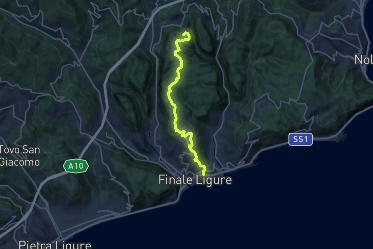
Demanding · Summit
Finalmarina – San Lorenzino
14.6 km · ↑ 496 m · 4 h 31 min · under 1 km away
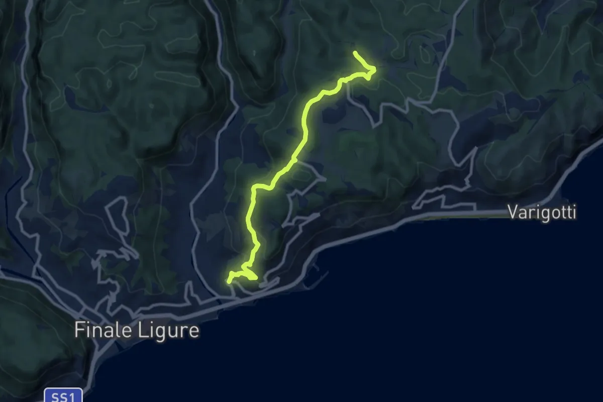
Medium · Trail
Finalpia - Arma delle Manie
8.9 km · ↑ 338 m · 2 h 51 min · 1 km away
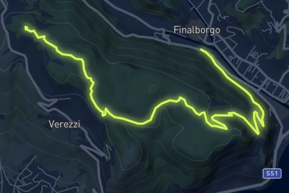
Medium · Summit
Finalborgo - Chiesa di Verezzi - Torre Bastia
10.5 km · ↑ 397 m · 3 h 20 min · 1 km away
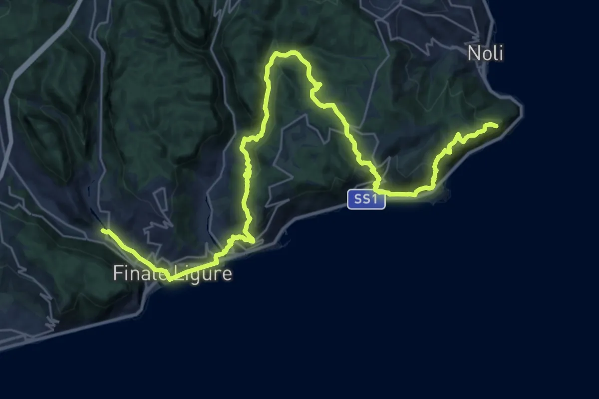
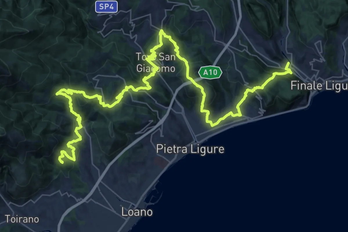
Demanding · Summit
Sentiero Liguria - Tappa 19
31.5 km · ↑ 1274 m · 10 h 12 min · 2 km away
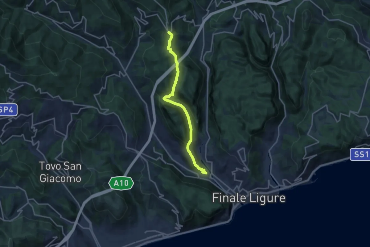
Demanding · Summit
Sentiero Liguria - Tappa 20
48.6 km · ↑ 2501 m · 16 h 53 min · 2 km away
Medium · Trail
Finalborgo – San Rocco
11.8 km · ↑ 429 m · 3 h 43 min · 2 km away
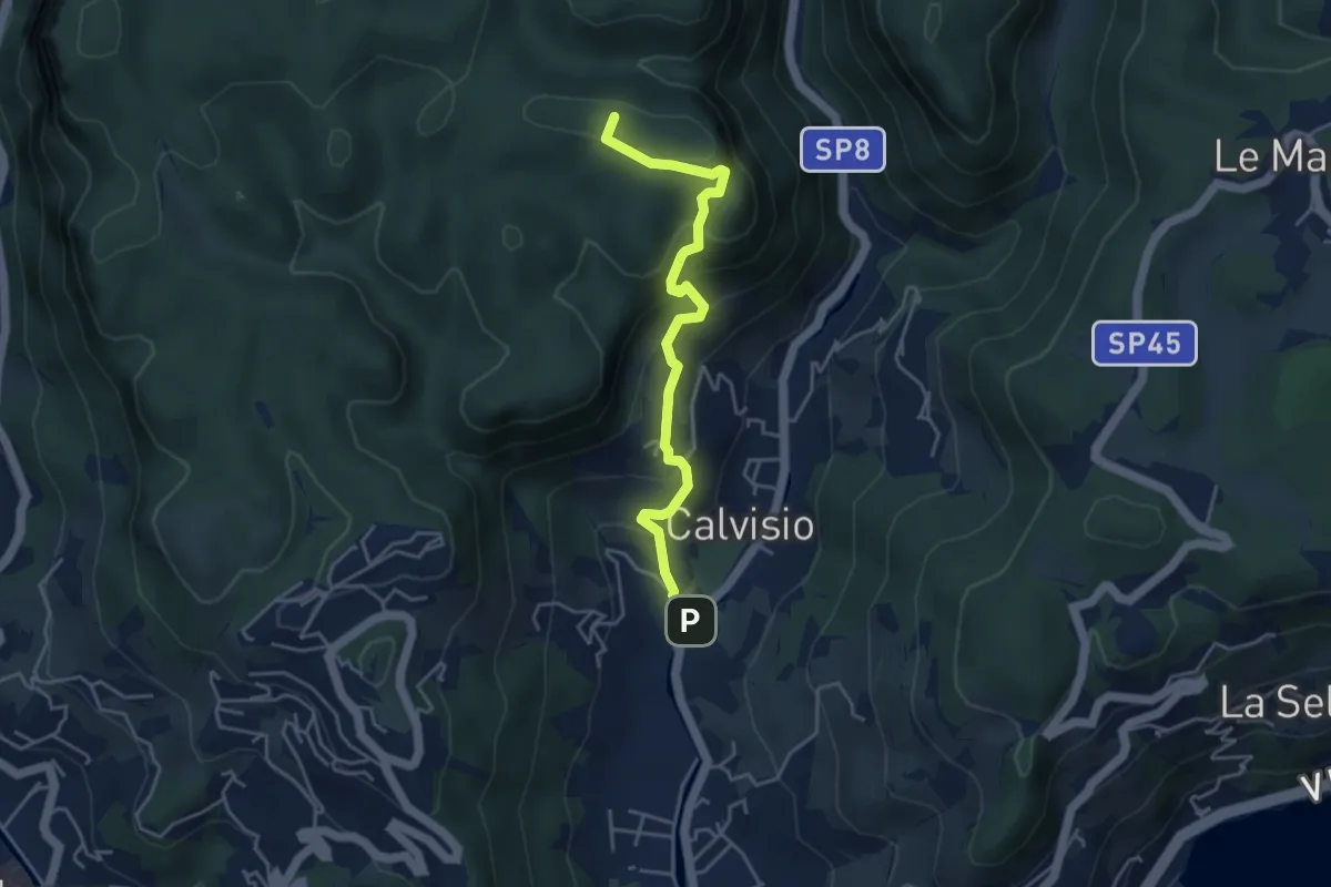
Medium · Summit
Calvisio - Camporotondo
4.4 km · ↑ 339 m · 1 h 46 min · 2 km away
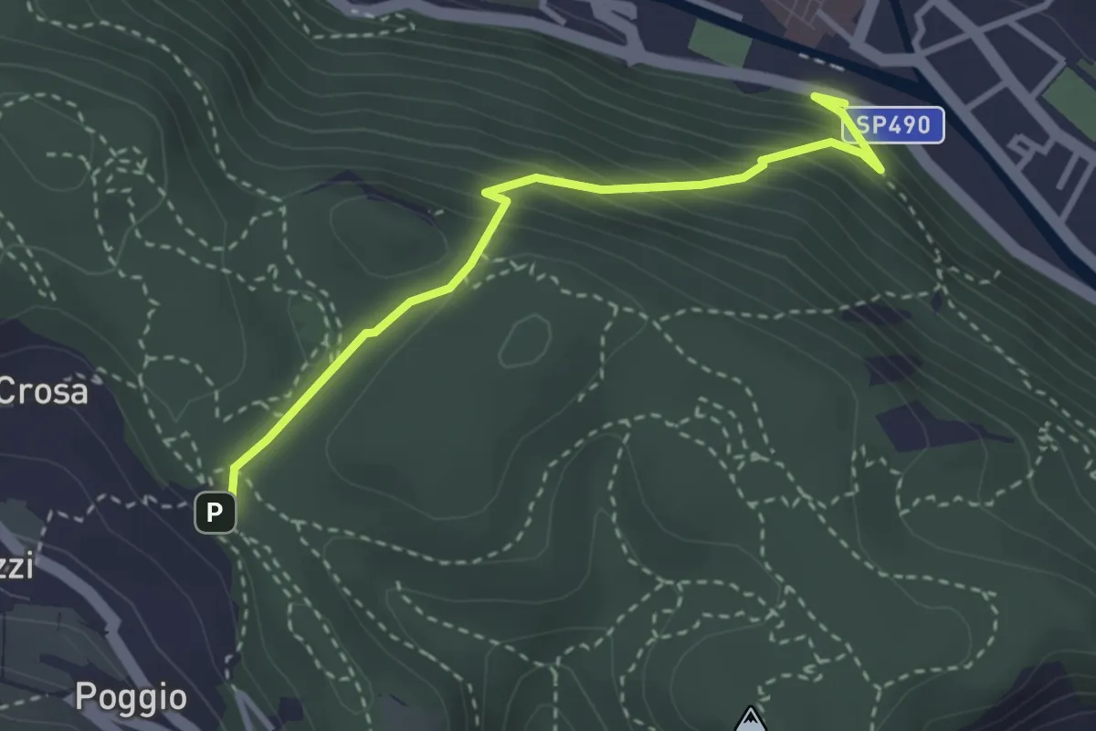
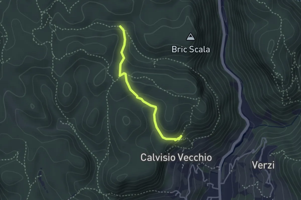
Medium · Trail
Finalborgo-ChiesaVerezzi
3.2 km · ↑ 282 m · 1 h 22 min · 2 km away
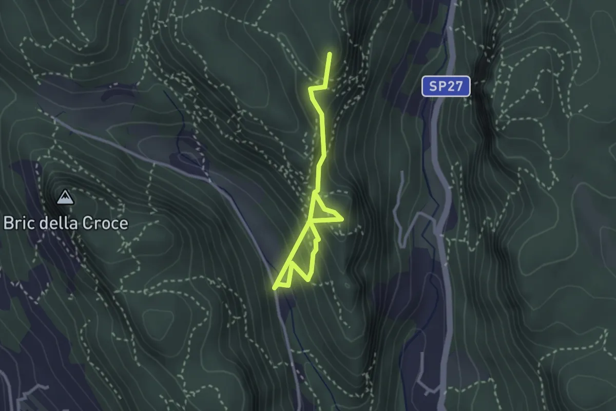
Medium · Trail
Collegamento Calvisio-Camporotondo
2.8 km · ↑ 102 m · 53 min · 3 km away
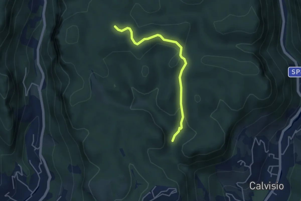
Medium · Summit
Case Valle - Castrum Perticae - Sant'Antonino - Frati
3.2 km · ↑ 252 m · 1 h 19 min · 3 km away
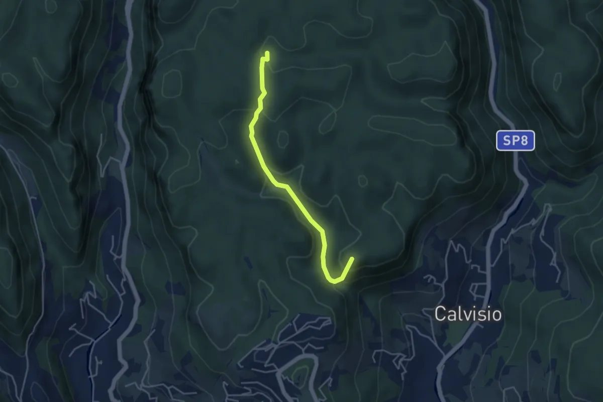
Easy · Trail
Quota 2000 – S. Lorenzino
3.6 km · ↑ 120 m · 1 h 7 min · 3 km away
Easy · Summit
Calvisio – Casa Del Vacchè
3.8 km · ↑ 252 m · 1 h 26 min · 3 km away
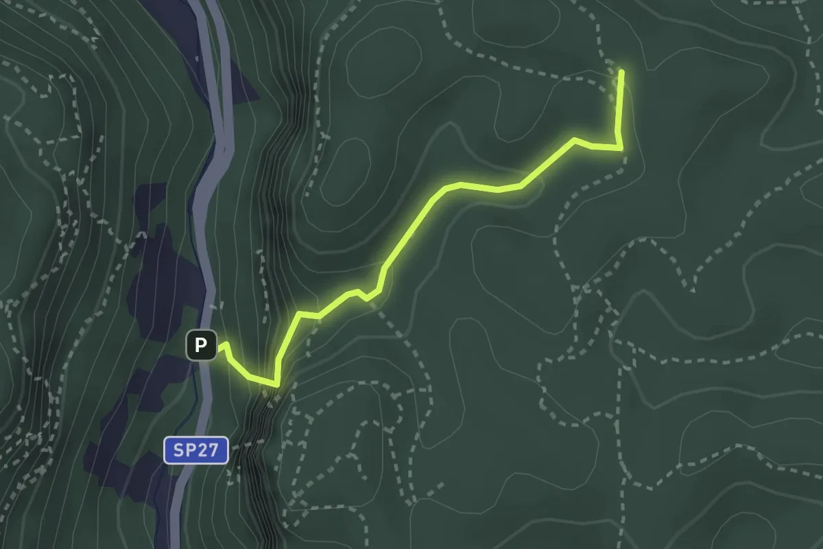
Medium · Trail
Madonna delle Grazie - Ciappo dei Ceci
2.7 km · ↑ 216 m · 1 h 6 min · 4 km away
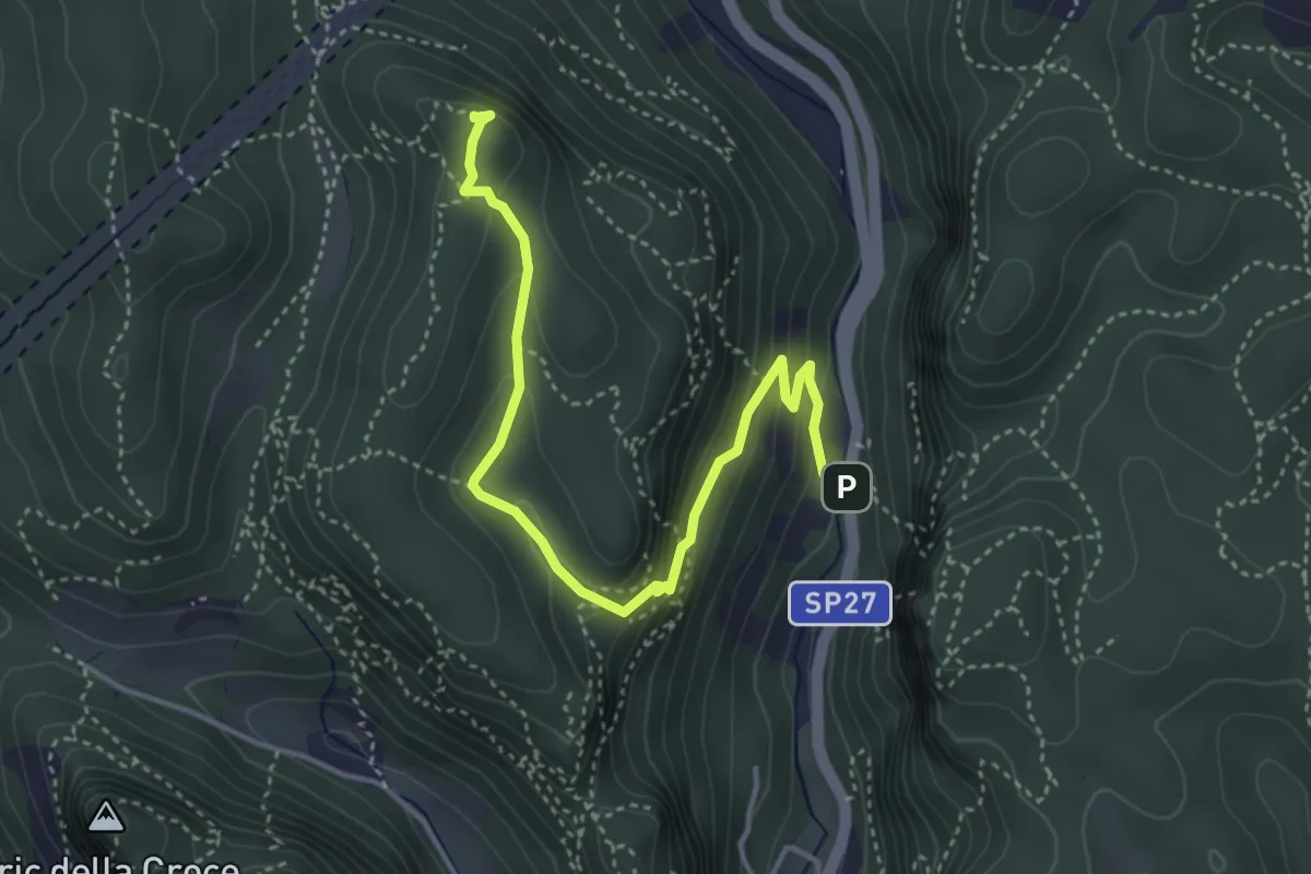
Demanding · Summit
Madonna delle Grazie - Bric del Frate
4.5 km · ↑ 266 m · 1 h 38 min · 4 km away
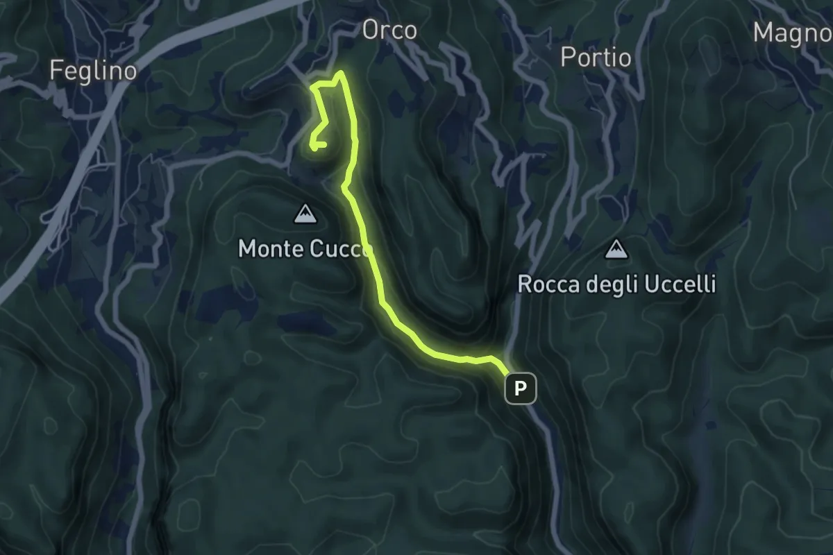
Demanding · Trail
Ponte Cornei – San Lorenzino
5.9 km · ↑ 278 m · 1 h 59 min · 4 km away
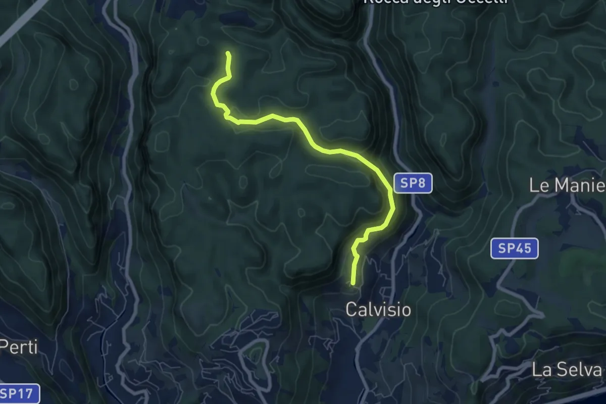
Medium · Trail
Calvisio – Ciappo Dei Ceci
6.9 km · ↑ 327 m · 2 h 20 min · 4 km away
Medium · Trail
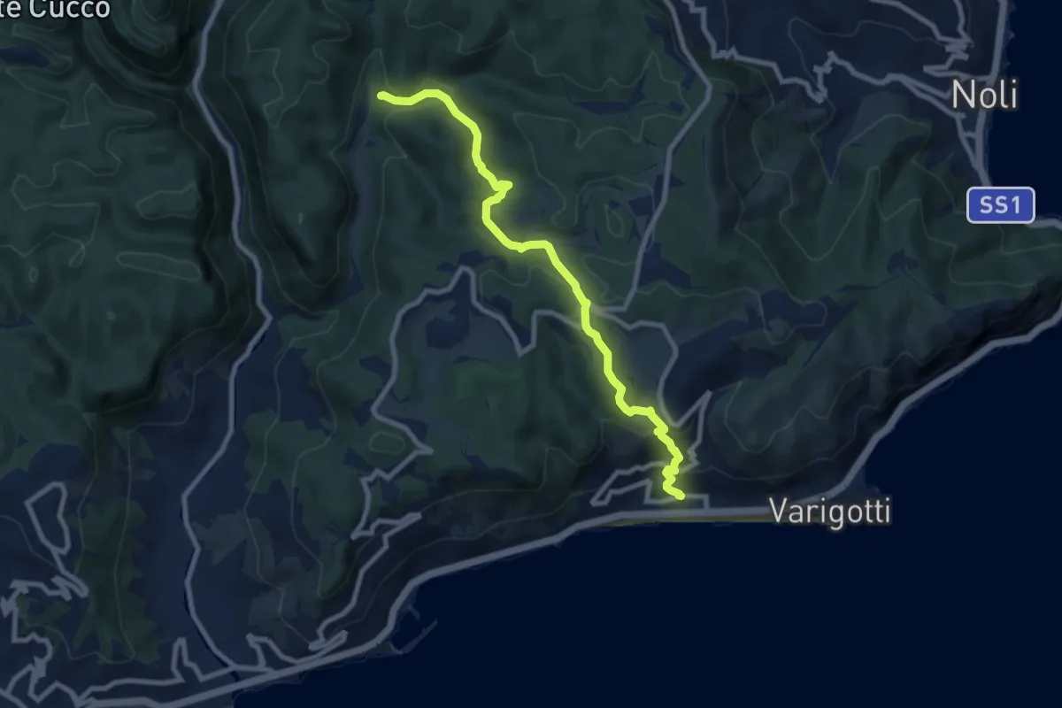
Varigotti - Manie
8.7 km · ↑ 406 m · 2 h 55 min · 4 km away
Demanding · Summit
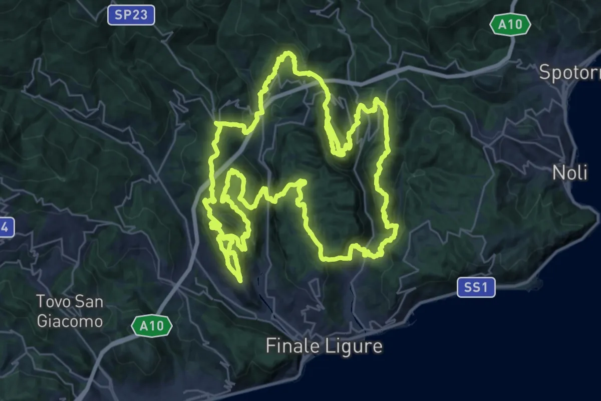
Sentiero Ermano Fossati
33.1 km · ↑ 2005 m · 12 h 35 min · 5 km away
Medium · Summit
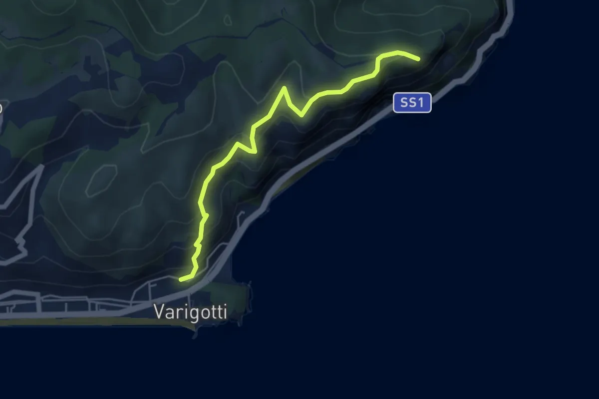
Varigotti – Capo Noli Vetta
4.6 km · ↑ 322 m · 1 h 48 min · 5 km away
Medium · Summit
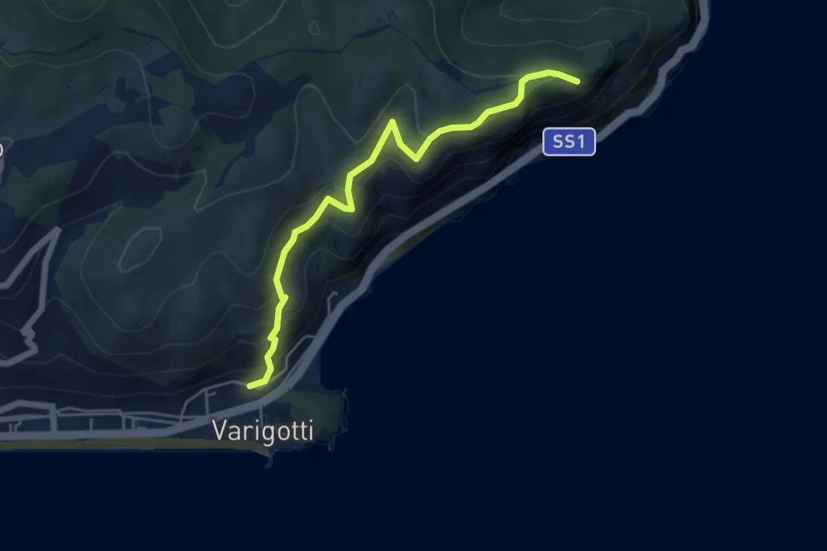
Sentiero del Pellegrino
4.6 km · ↑ 322 m · 1 h 48 min · 5 km away
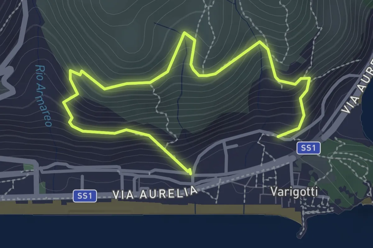
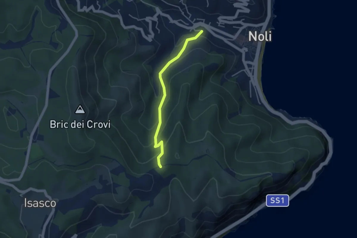
Medium · Trail
Sentiero Balcone sul Mare
3.9 km · ↑ 343 m · 1 h 40 min · 5 km away
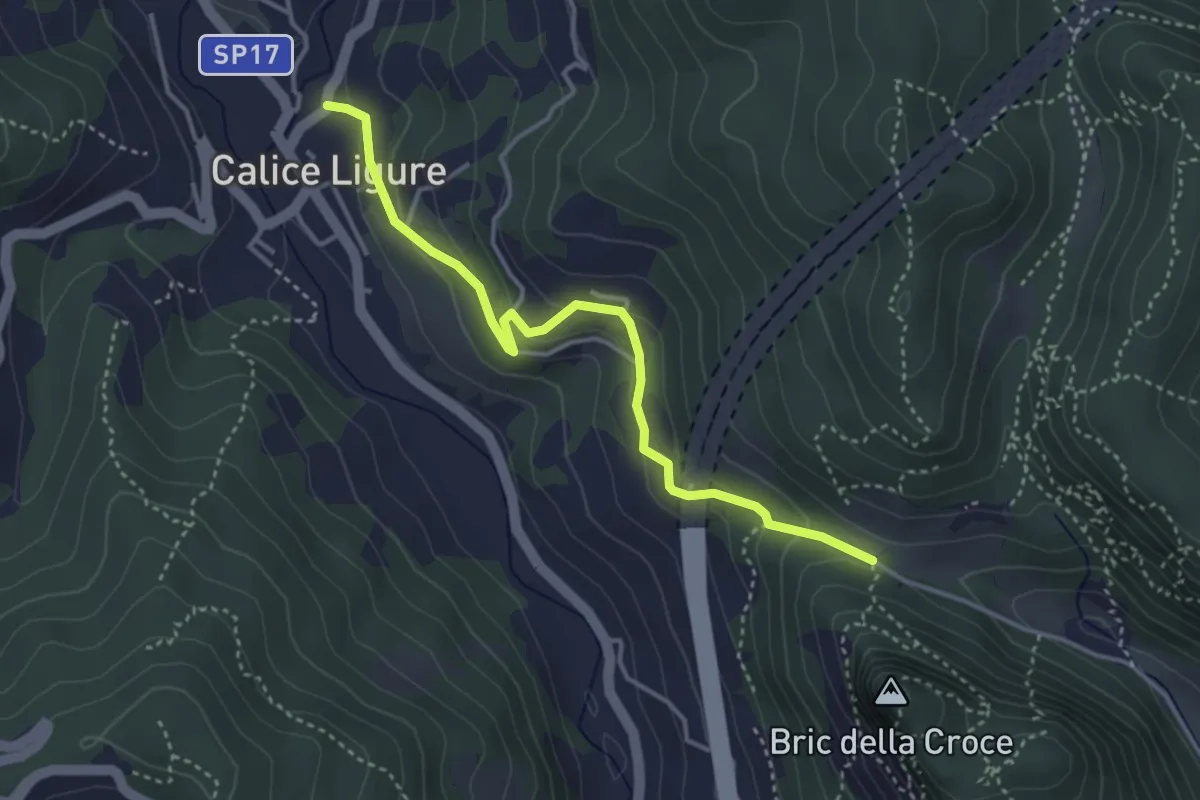
Easy · Trail
Sentiero Acquaviva
3.3 km · ↑ 242 m · 1 h 19 min · 6 km away
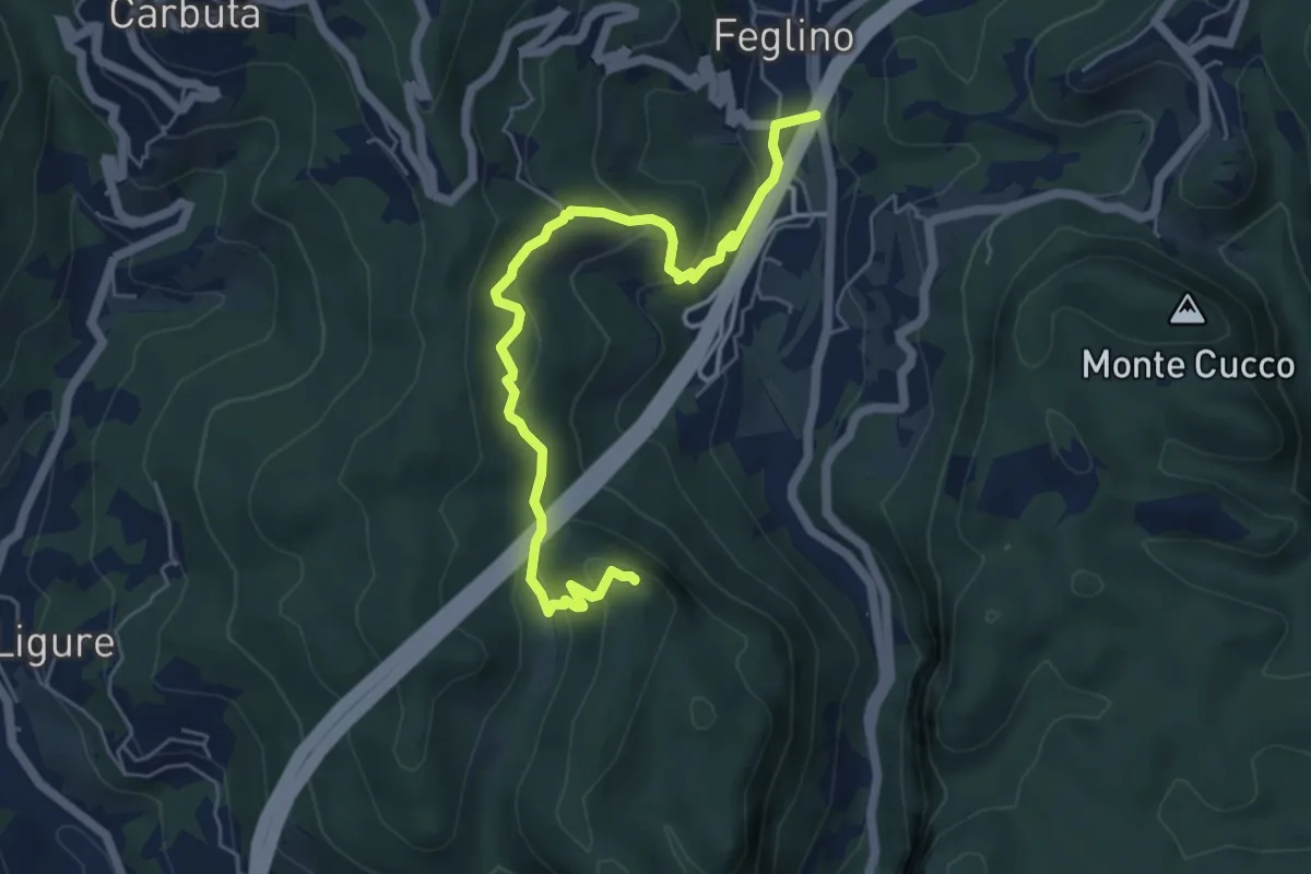
Easy · Trail
Calice Ligure - Cianassi
3.9 km · ↑ 189 m · 1 h 20 min · 6 km away
Medium · Summit
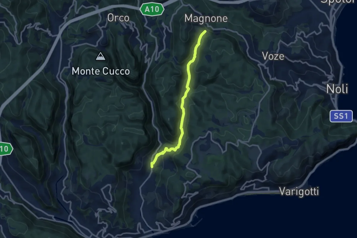
Feglino - Bric del Frate
6.3 km · ↑ 295 m · 2 h 7 min · 6 km away
Medium · Trail
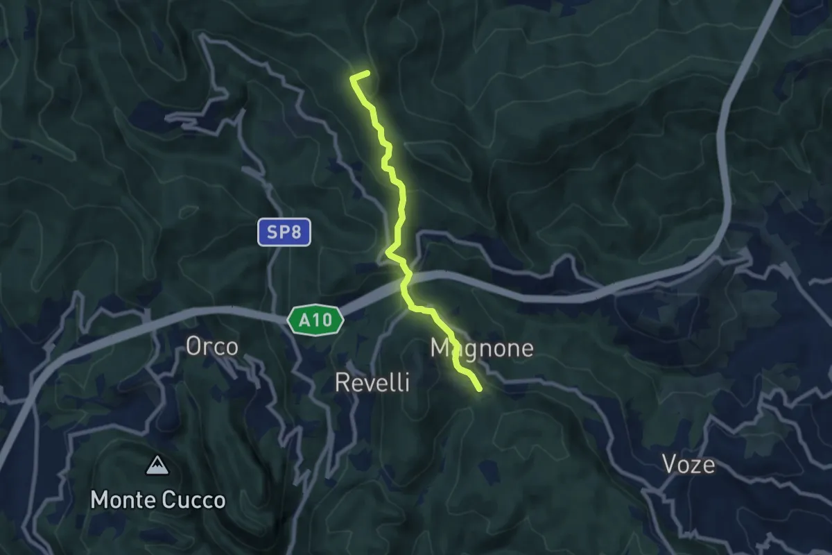
Calvisio – Colla Magnone
9.1 km · ↑ 378 m · 2 h 57 min · 6 km away
Easy · Summit
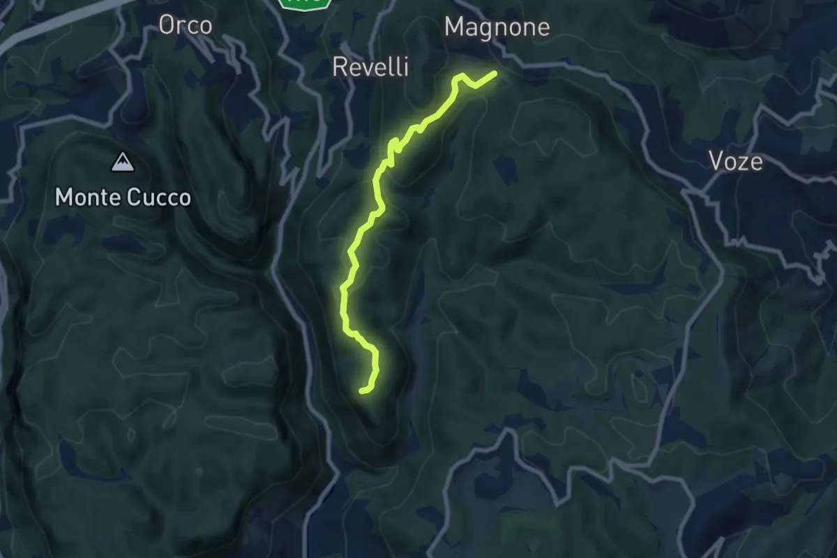
Colla Magnone - Santa Libera - Colla di San Giacomo
6.9 km · ↑ 283 m · 2 h 15 min · 6 km away
Demanding · Summit
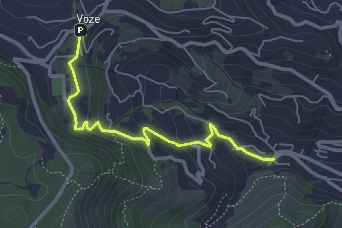
Finalpia - Colla di Magnone
6.9 km · ↑ 266 m · 2 h 13 min · 6 km away
Easy · Trail
Noli - Luminella - Voze
4.5 km · ↑ 227 m · 1 h 33 min · 6 km away
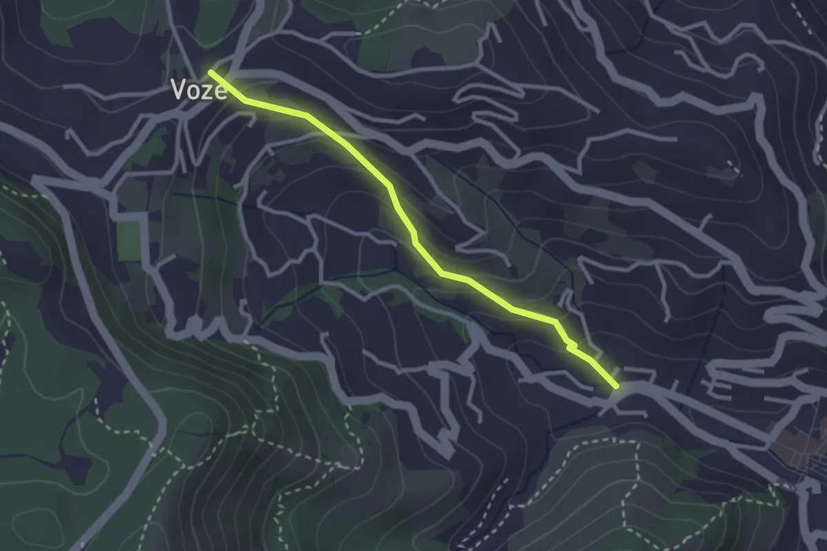
Easy · Trail
Strada Romana Noli - Voze
2.7 km · ↑ 171 m · 1 h 1 min · 7 km away
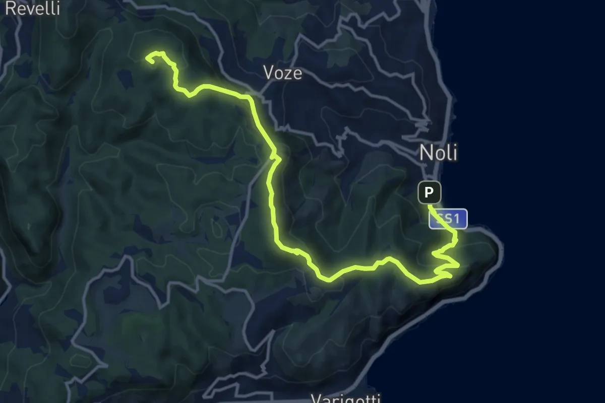
Medium · Summit
Noli – C. La Magnone
14.6 km · ↑ 678 m · 4 h 55 min · 7 km away
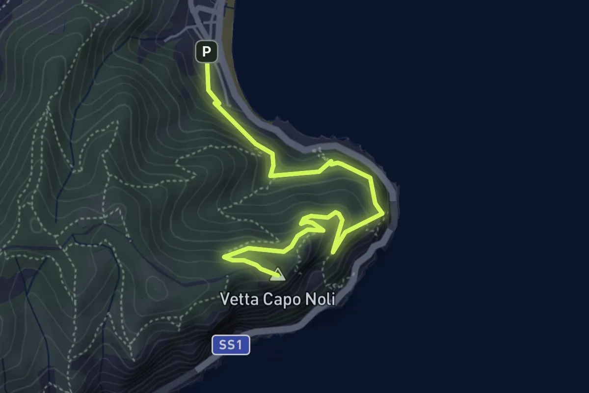
Medium · Summit
Noli – Capo Noli Vetta
5.4 km · ↑ 450 m · 2 h 15 min · 7 km away
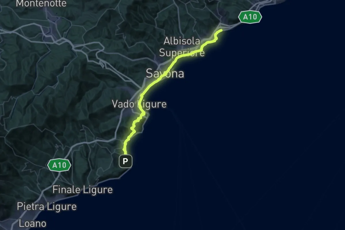
Demanding · Trail
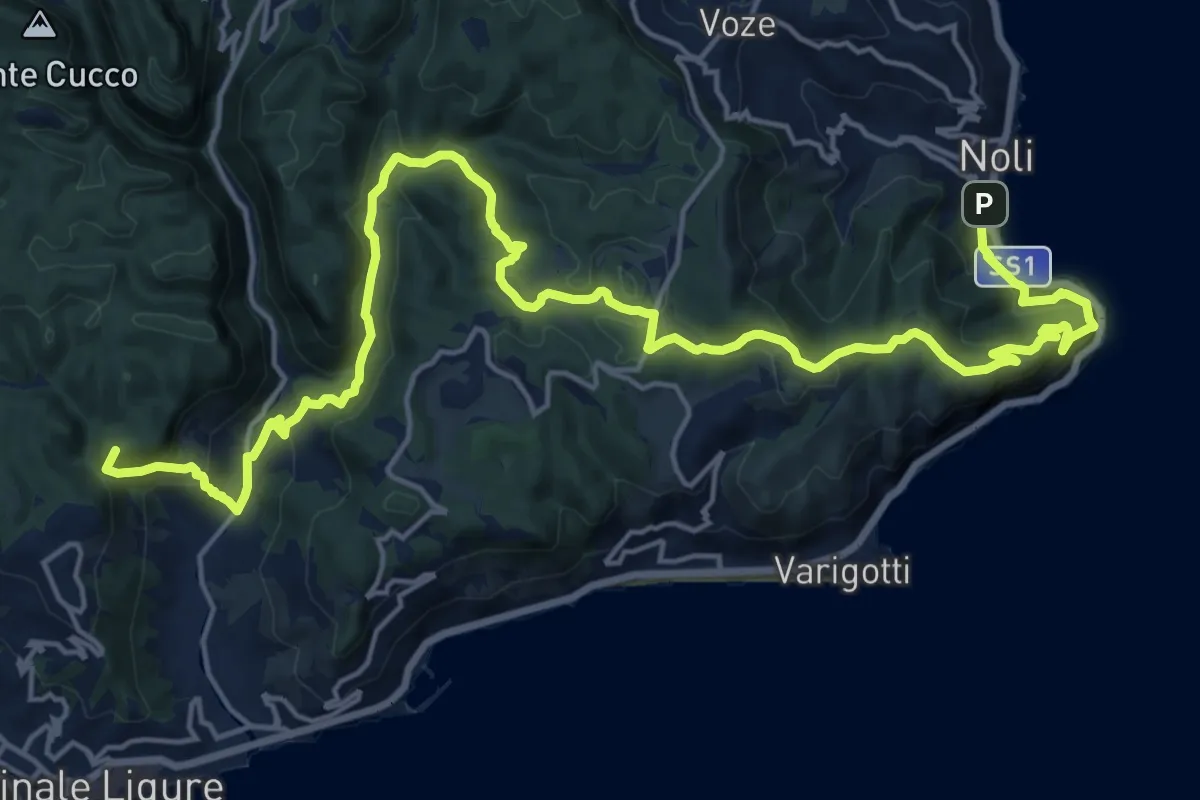
Via della Costa - tappa 6
28.2 km · ↑ 677 m · 8 h 31 min · 7 km away
Demanding · Summit
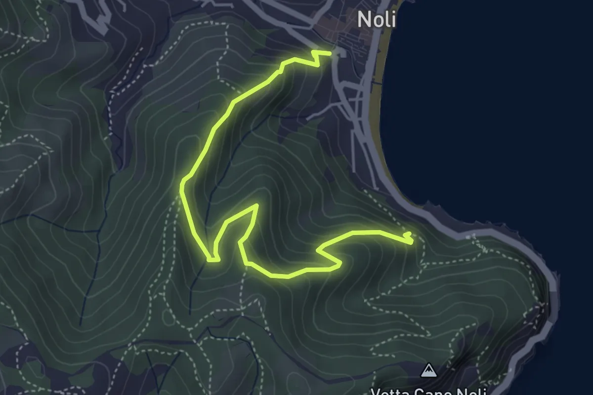
Via della Costa - tappa 5
25.6 km · ↑ 1240 m · 8 h 44 min · 7 km away
Medium · Trail
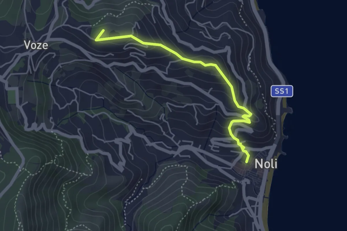
Sentiero Amico
5.4 km · ↑ 450 m · 2 h 15 min · 7 km away
Easy · Summit
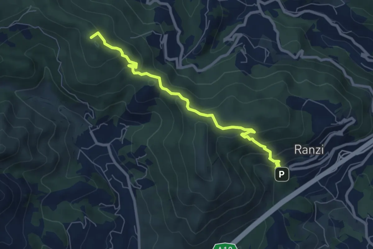
Noli, Castello, Bric Groppino, Voze
4.3 km · ↑ 225 m · 1 h 30 min · 7 km away
Medium · Summit
Ranzi - Rifugio Pian delle Bosse - Giogo di Giustenice
6.6 km · ↑ 402 m · 2 h 25 min · 7 km away
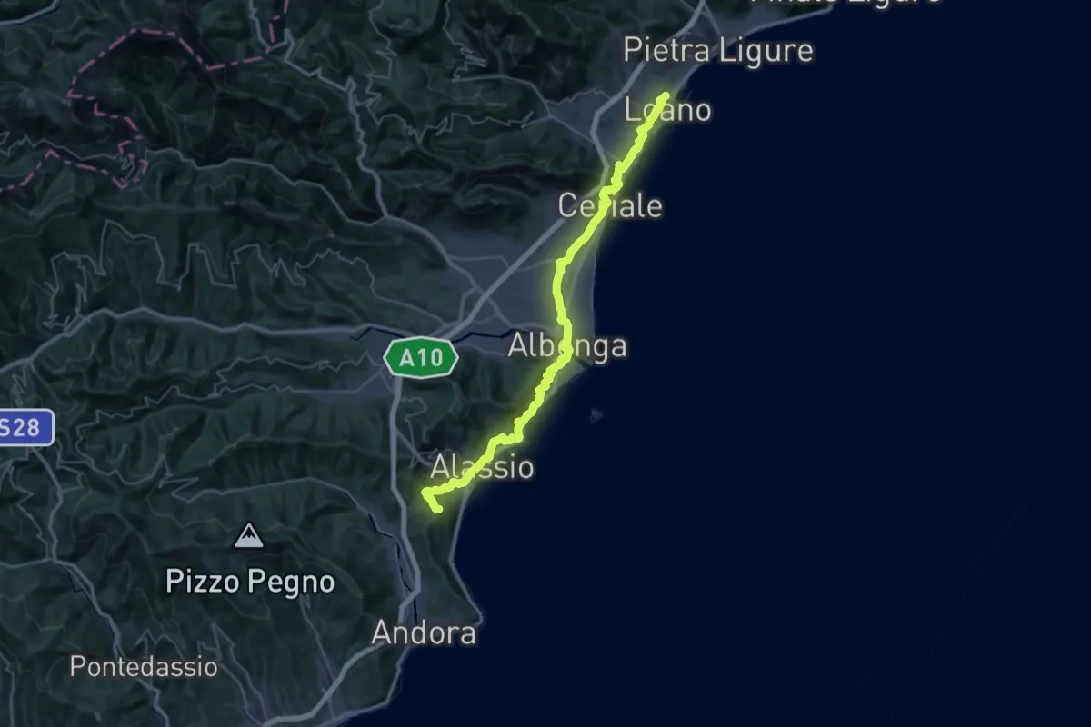
Demanding · Summit
Via della Costa - tappa 4
47.1 km · ↑ 1416 m · 14 h 11 min · 8 km away
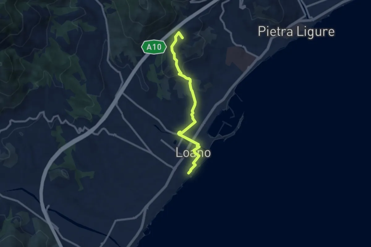
Easy · Summit
Sentiero Liguria – Loano
7.3 km · ↑ 180 m · 2 h 7 min · 8 km away
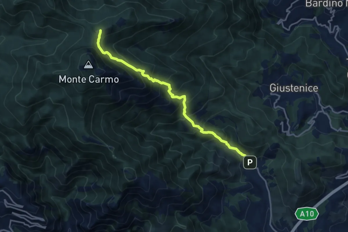
Demanding · Trail
Verzi – Giogo di Giustenice
11.3 km · ↑ 973 m · 4 h 47 min · 9 km away
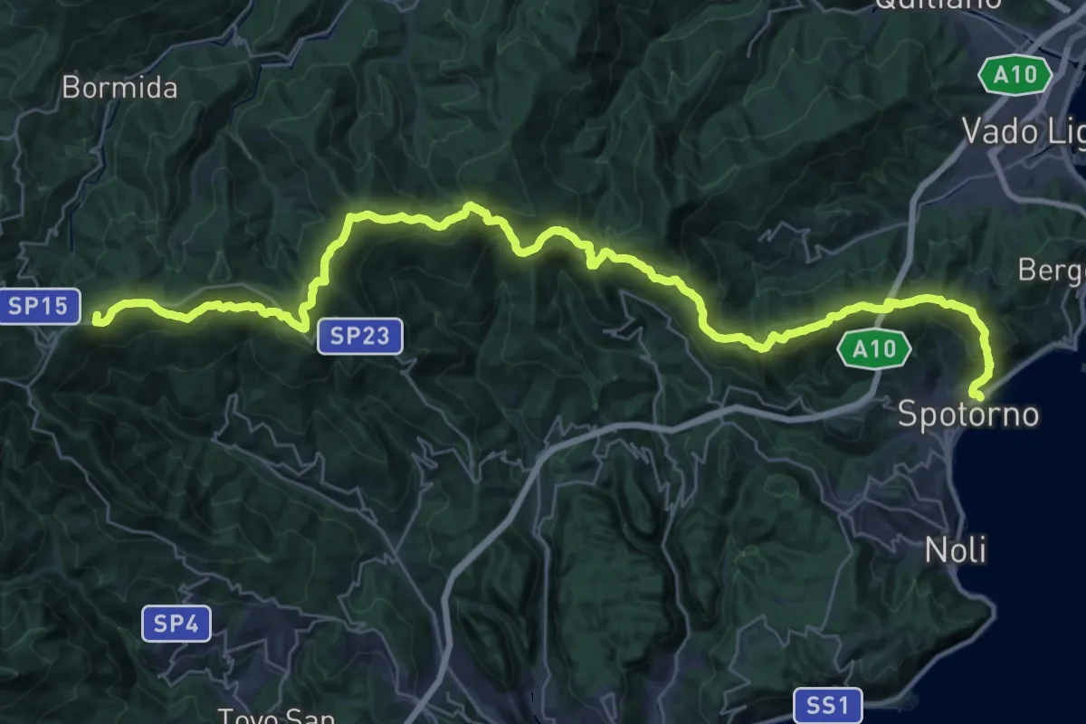
Demanding · Summit
Terre Alte
44.8 km · ↑ 2136 m · 15 h 12 min · 9 km away
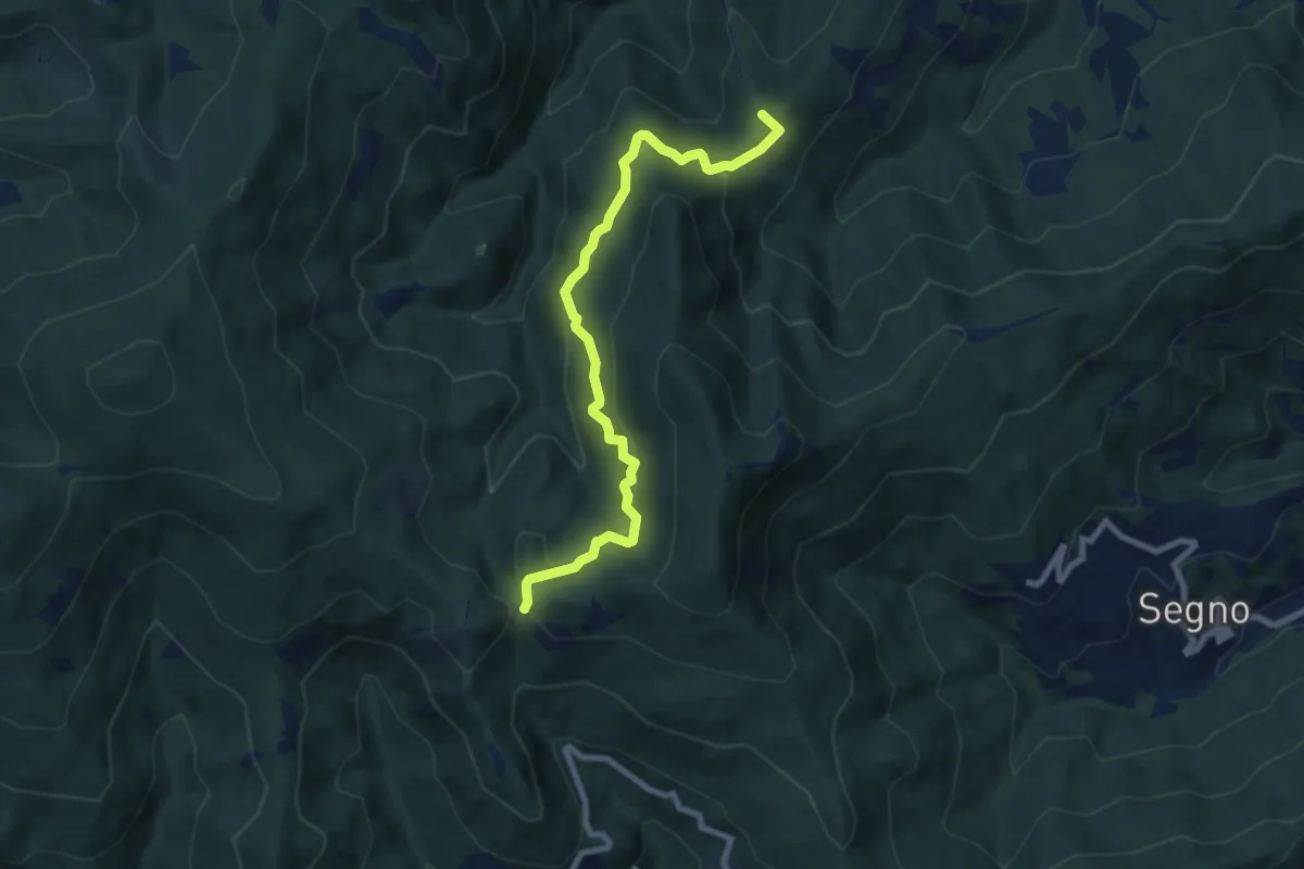
Medium · Summit
Montagna - Rocche Bianche (diretta)
8.7 km · ↑ 419 m · 2 h 58 min · 9 km away
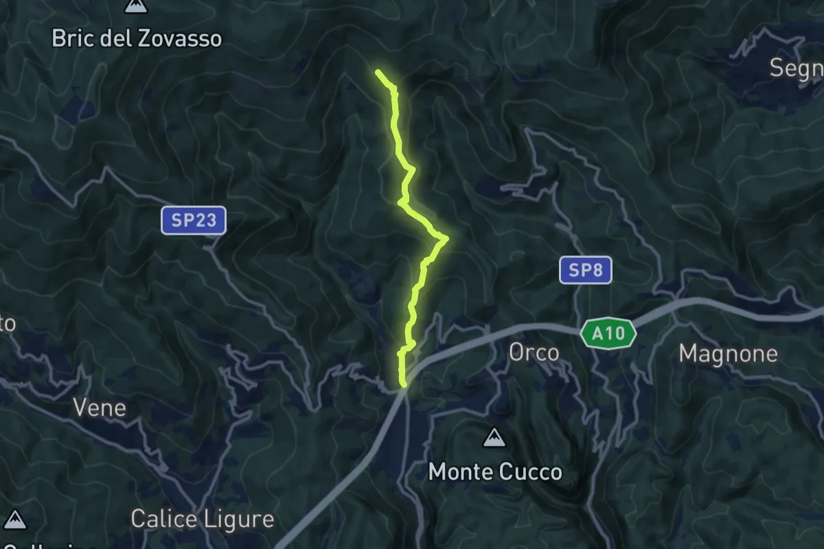
Medium · Trail
Feglino - Croce del Savio
9.3 km · ↑ 512 m · 3 h 19 min · 9 km away
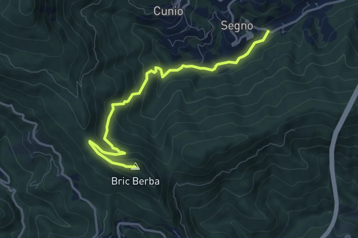
Medium · Summit
Ponte Isola - Bric Berba
8.9 km · ↑ 462 m · 3 h 5 min · 10 km away
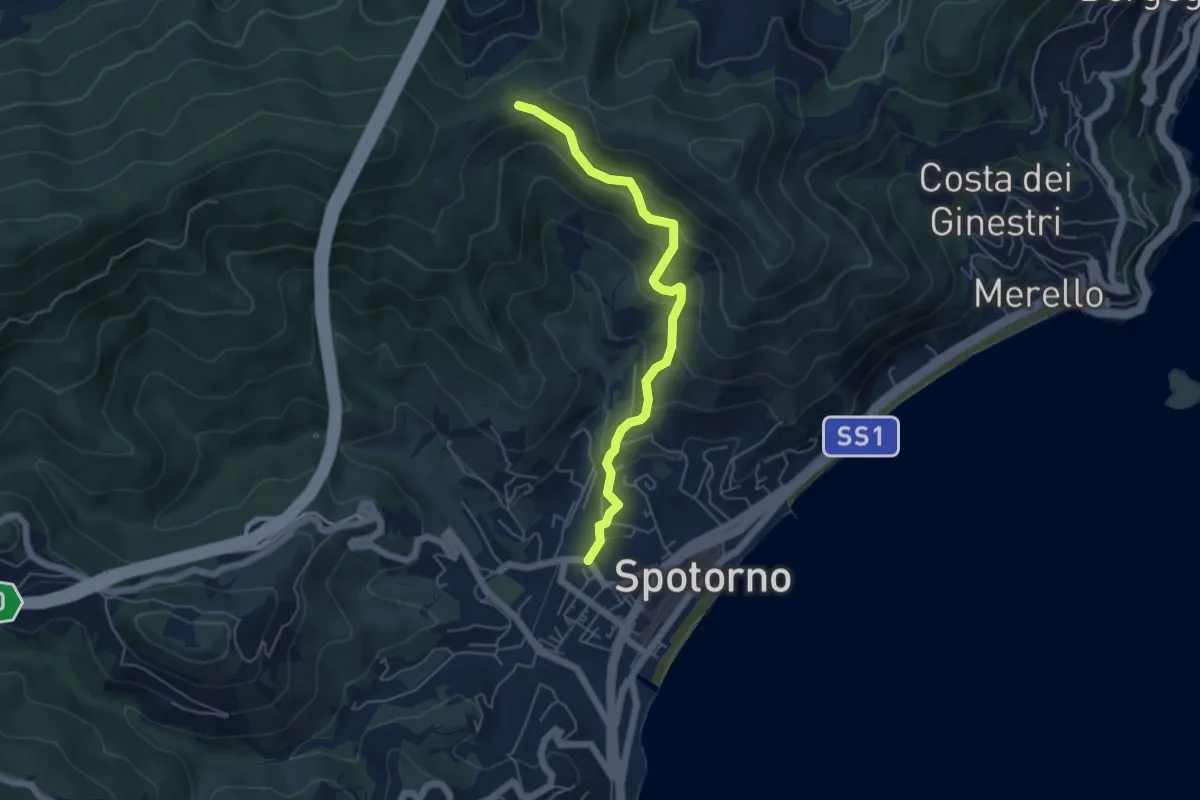
Medium · Trail
Spotorno - Passo Stretto
5.3 km · ↑ 351 m · 2 h 1 min · 10 km away
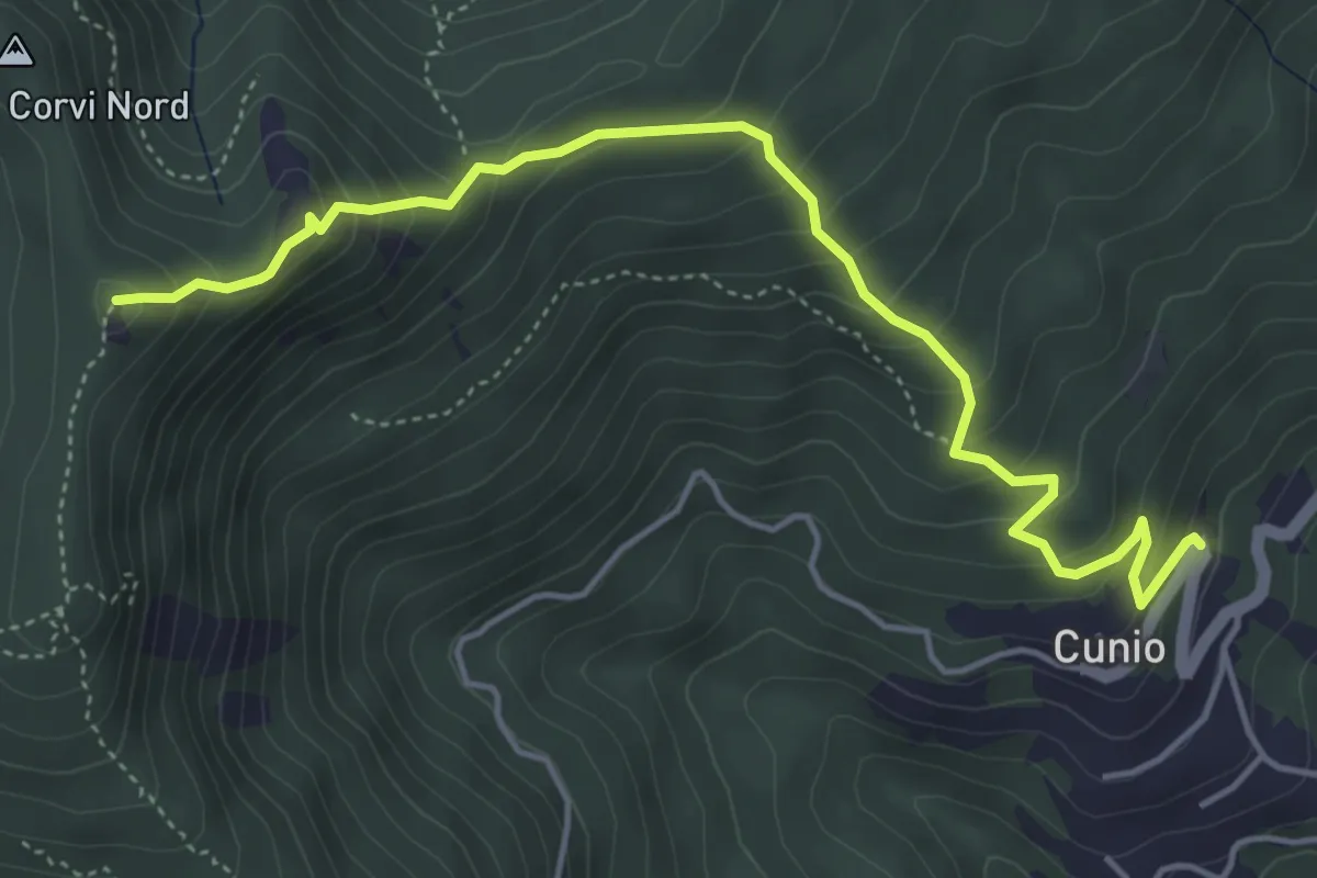
Demanding · Summit
Cunio - Rocca dei Corvi
5.4 km · ↑ 458 m · 2 h 16 min · 10 km away
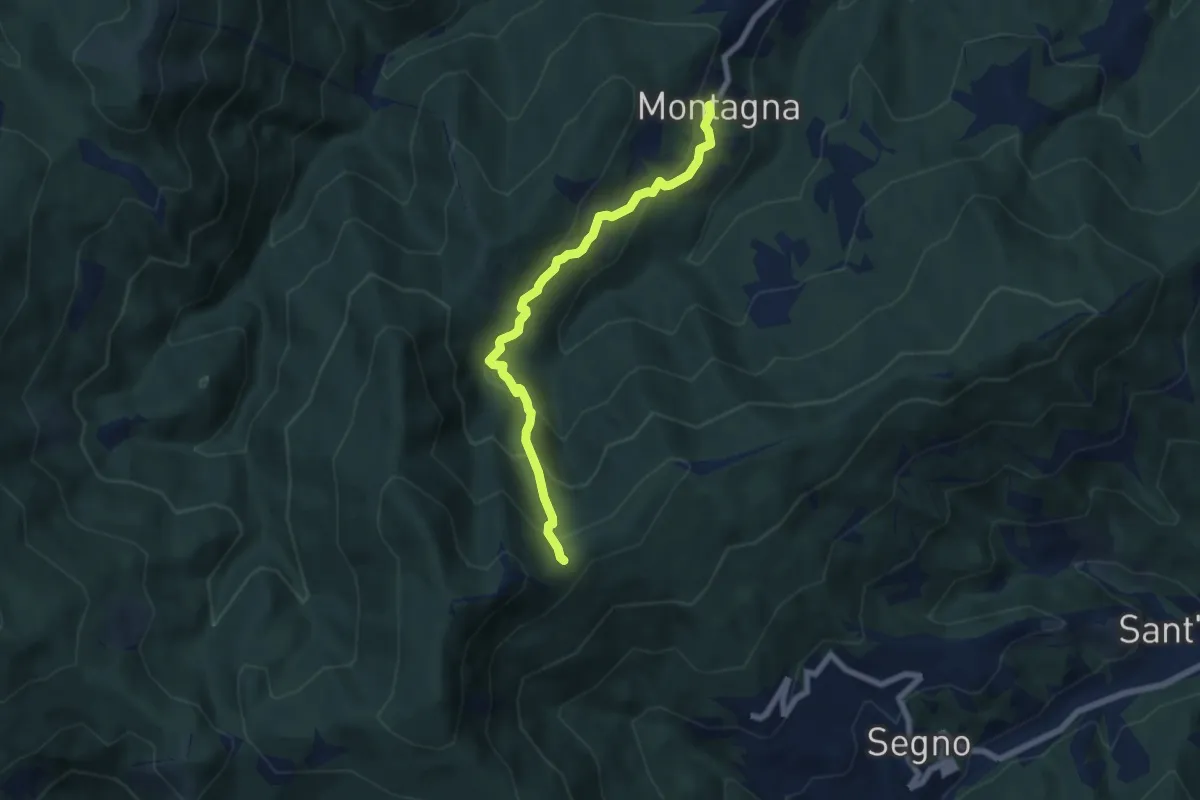
Medium · Trail
Montagna - Rocca dei Corvi
6.6 km · ↑ 498 m · 2 h 39 min · 10 km away
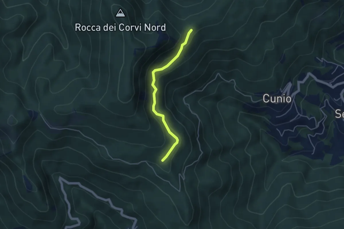
Easy · Trail
Collegamento est Rocca dei Corvi
3.8 km · ↑ 189 m · 1 h 18 min · 10 km away
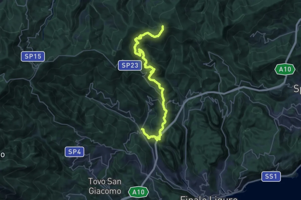
Medium · Trail
Calice Ligure - Colla di San Giacomo
13.5 km · ↑ 275 m · 4 h 20 min · 10 km away