Trails near Finale Ligure
89 hikes starting within 15 km, nearest first.
Nearest first, page 2 of 2
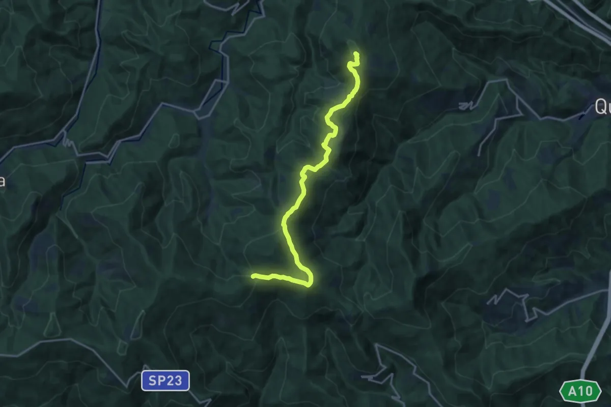
Medium · Summit
Colla di San Giacomo - Colle di Cadibona
15.9 km · ↑ 587 m · 5 h 2 min · 10 km away
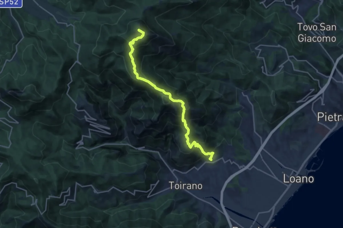
Demanding · Summit
Boissano - Monte Carmo
25.4 km · ↑ 1896 m · 10 h 6 min · 11 km away
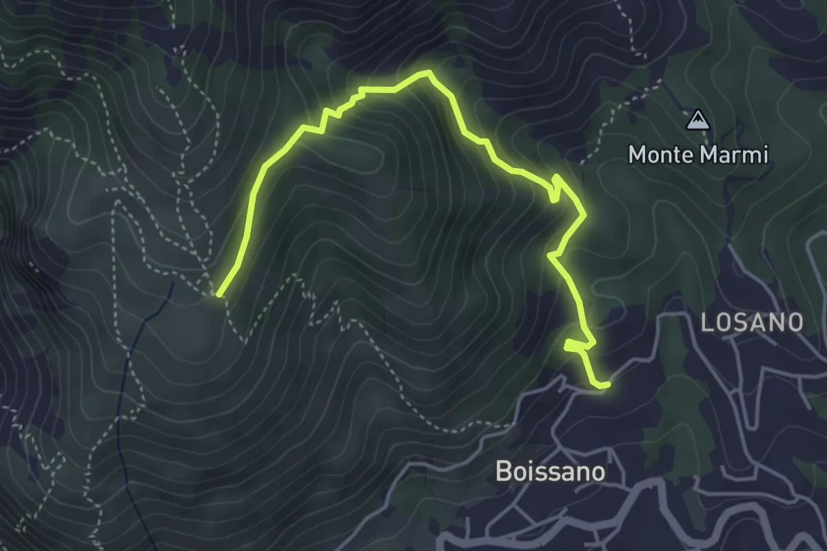
Medium · Trail
Boissano - San Pietrino
4.9 km · ↑ 380 m · 1 h 58 min · 11 km away
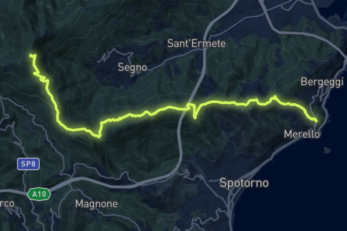
Demanding · Summit
Bergeggi - Monte Mao - Rocca dei Corvi
21.6 km · ↑ 1054 m · 7 h 23 min · 11 km away
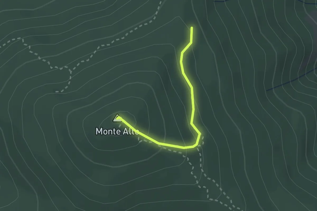
Medium · Summit
Sentiero R
2.0 km · ↑ 135 m · 46 min · 11 km away
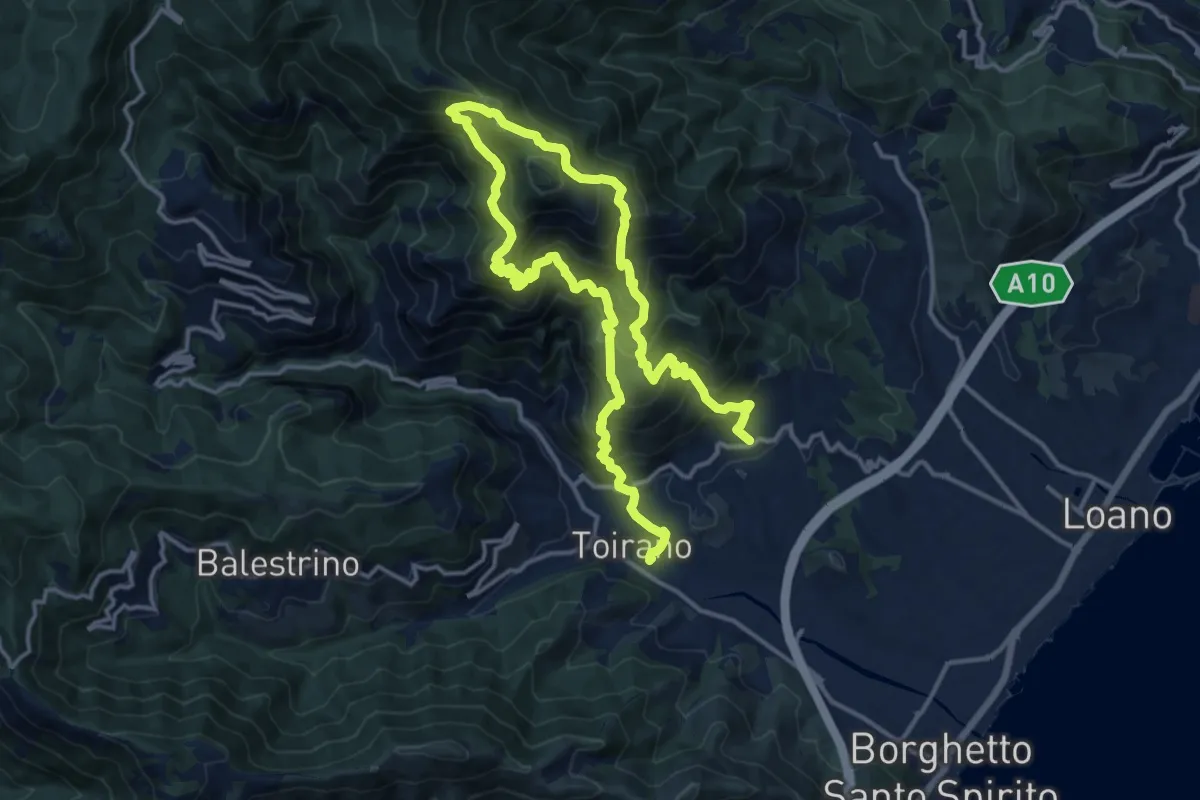
Demanding · Trail
Sentiero Liguria - Tappa 21
12.0 km · ↑ 1081 m · 5 h 19 min · 12 km away
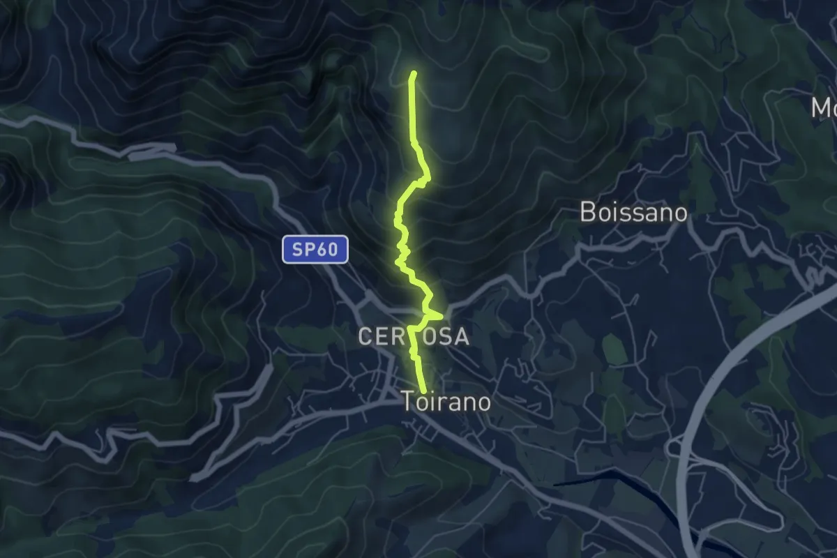
Medium · Trail
Toirano - Ca' dei Prati
4.7 km · ↑ 454 m · 2 h 6 min · 12 km away
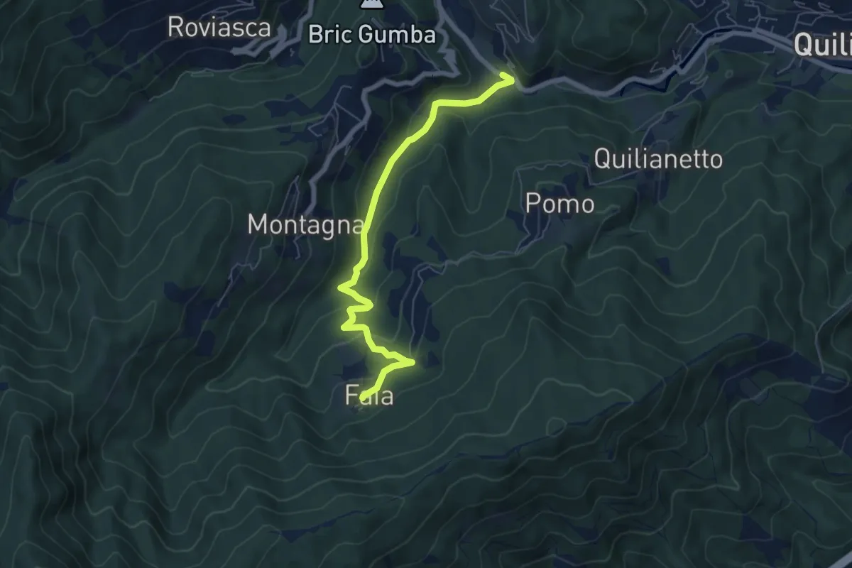
Easy · Trail
Becchi - Cascata Donnaiola - Faia
6.6 km · ↑ 263 m · 2 h 7 min · 12 km away
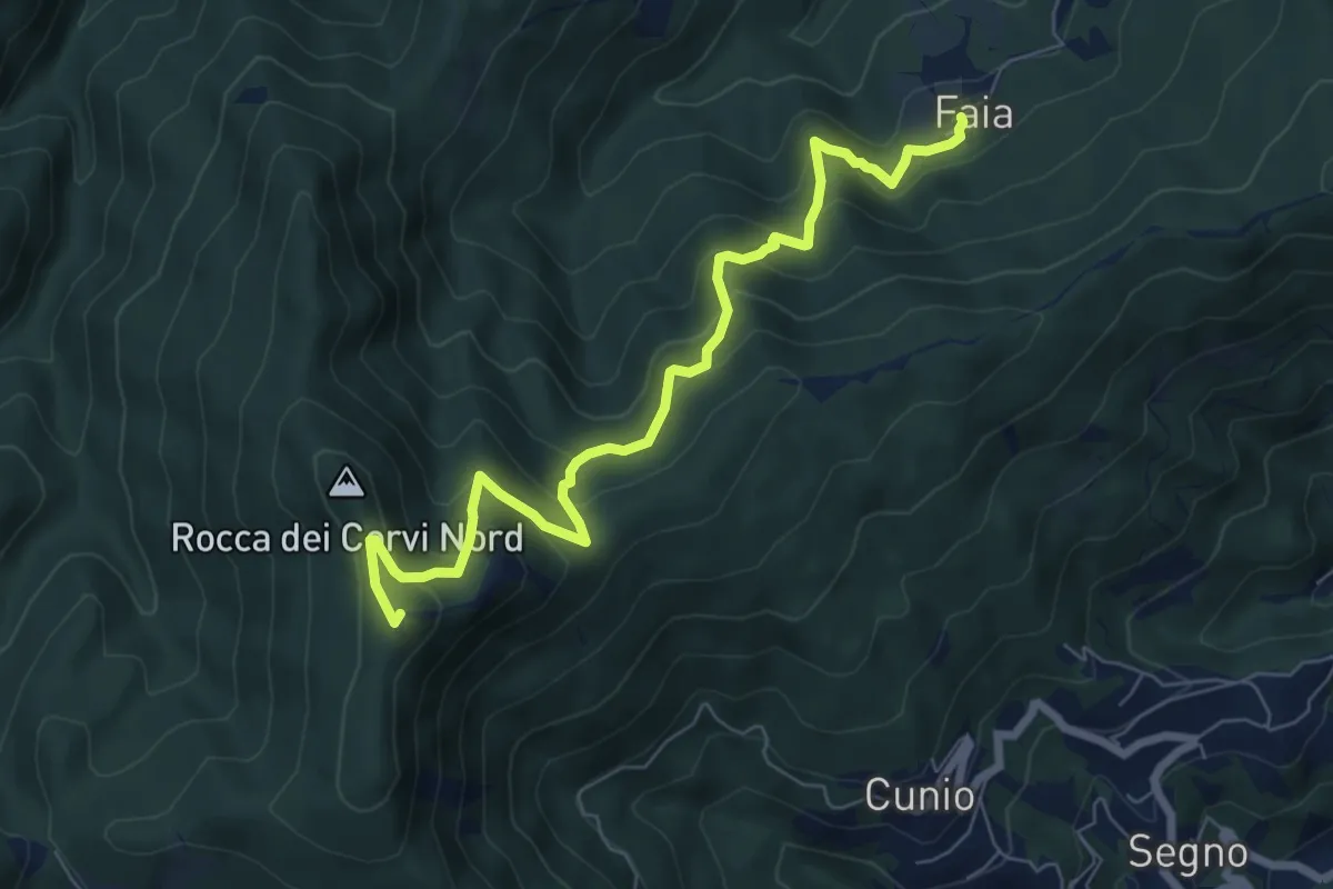
Medium · Summit
Faia - Rocca dei Corvi
7.7 km · ↑ 590 m · 3 h 6 min · 12 km away
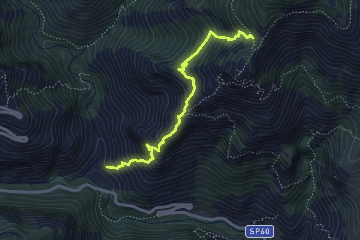
Demanding · Trail
Salto del Lupo - San Pietro dei Monti
4.7 km · ↑ 716 m · 2 h 40 min · 12 km away
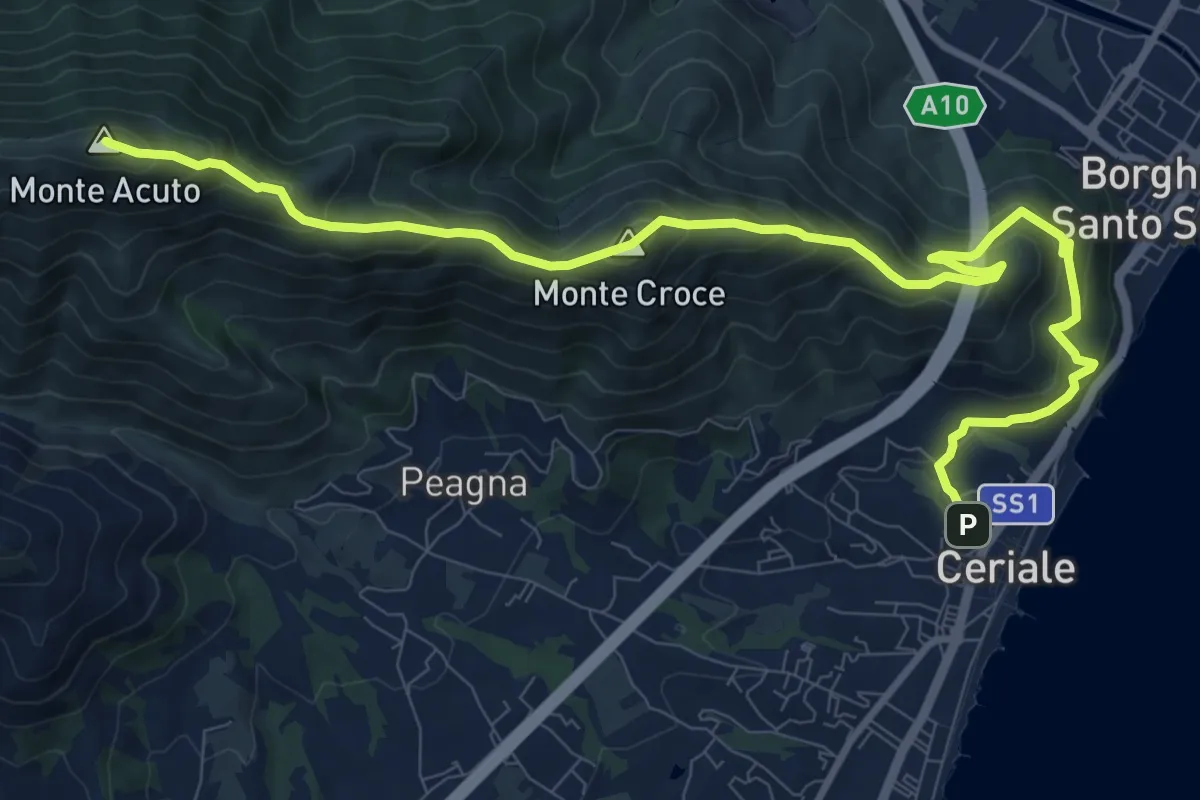
Demanding · Summit
Ceriale - Santuario di Monte Croce - Martinetto
13.0 km · ↑ 970 m · 5 h 10 min · 12 km away
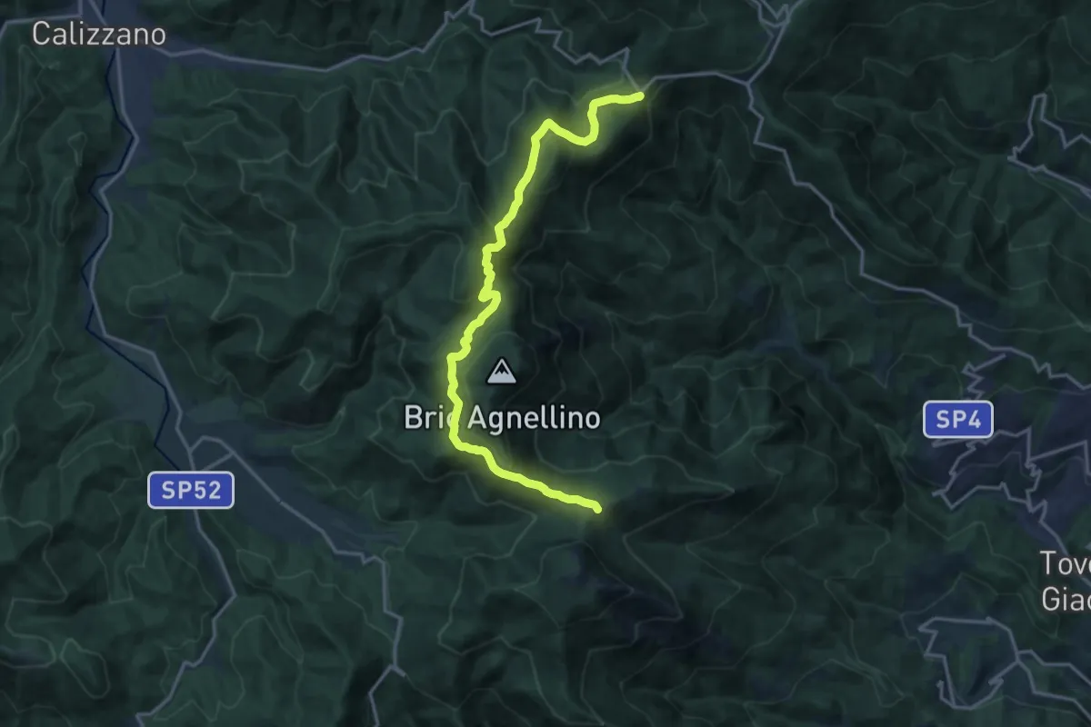
Medium · Trail
Giogo di Giustenice - Colle di Melogno
17.2 km · ↑ 558 m · 5 h 16 min · 12 km away
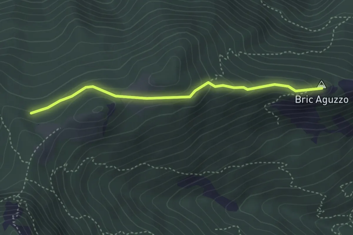
Medium · Summit
Giogo di Giustenice - Bric Aguzzo
3.5 km · ↑ 154 m · 1 h 10 min · 12 km away
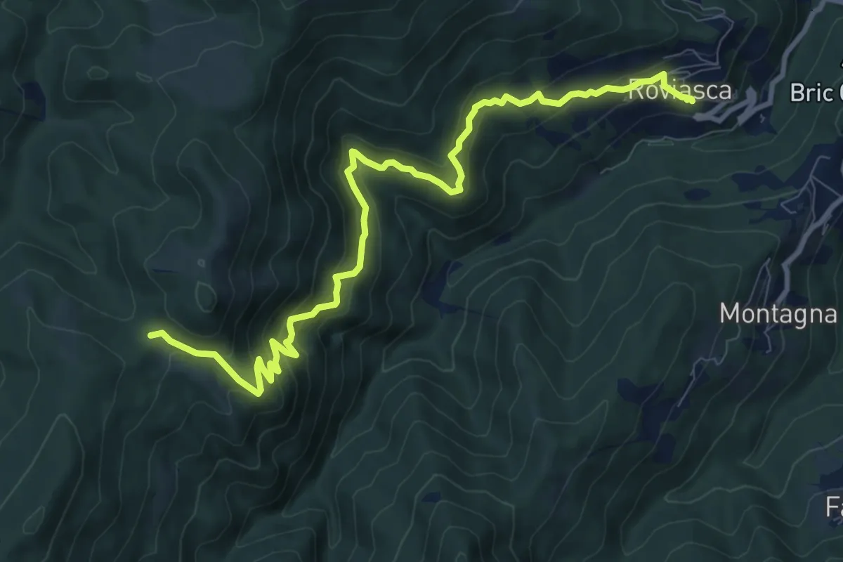
Medium · Trail
Roviasca – Colle del Termine
10.9 km · ↑ 724 m · 4 h 9 min · 13 km away
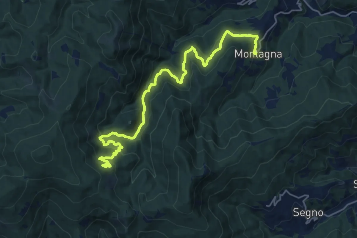
Demanding · Trail
Montagna - Torrente Trexenda - Rocche Bianche
16.7 km · ↑ 879 m · 5 h 51 min · 13 km away
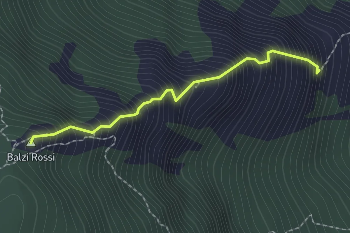
Demanding · Summit
Ferrata degli Artisti
1.7 km · ↑ 434 m · 1 h 21 min · 13 km away
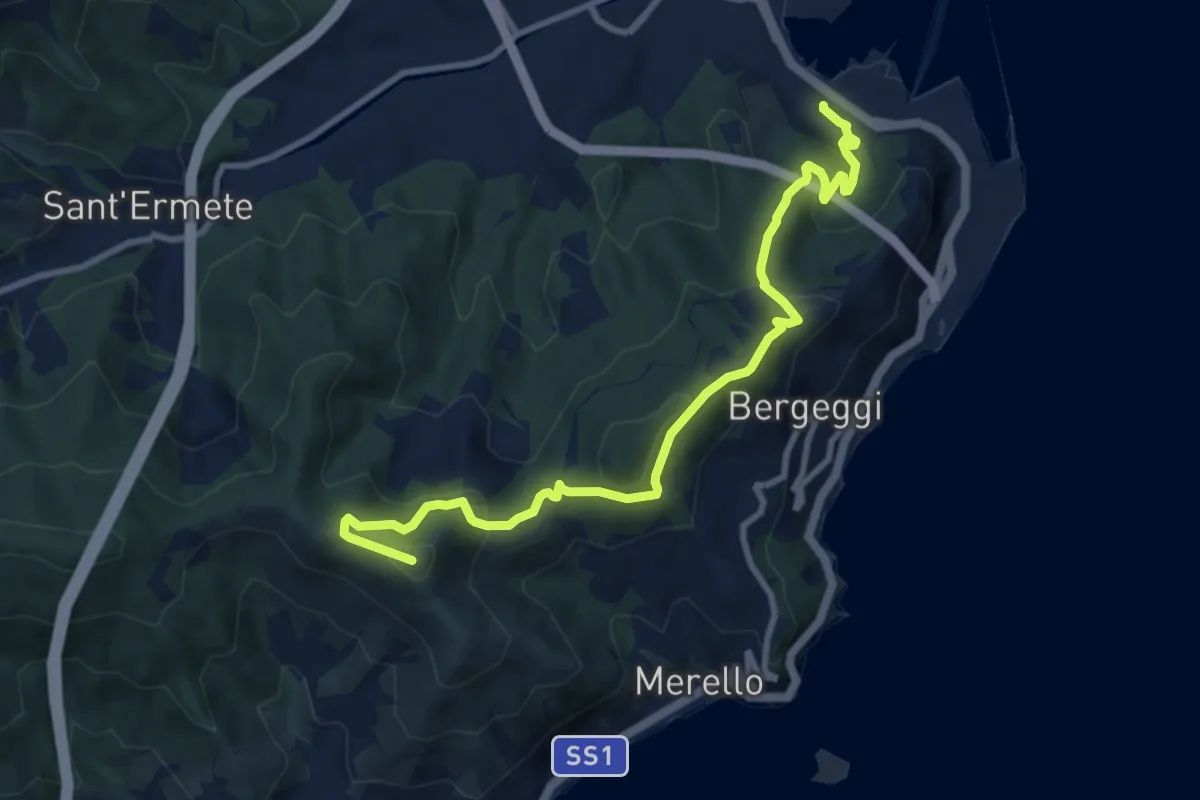
Medium · Summit
Vado Ligure - Monte Mao - Spotorno
10.6 km · ↑ 577 m · 3 h 45 min · 13 km away
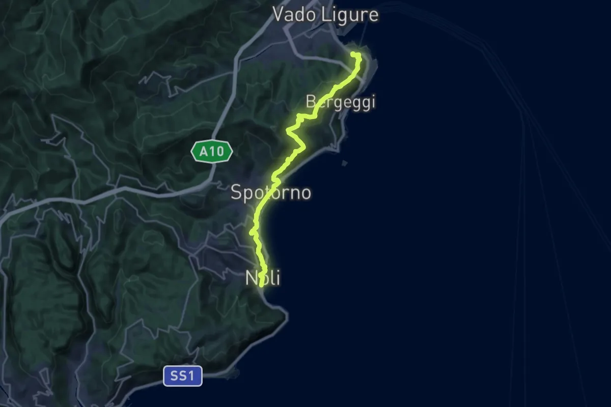
Demanding · Trail
Sentiero Liguria - Tappa 18
19.2 km · ↑ 945 m · 6 h 35 min · 13 km away
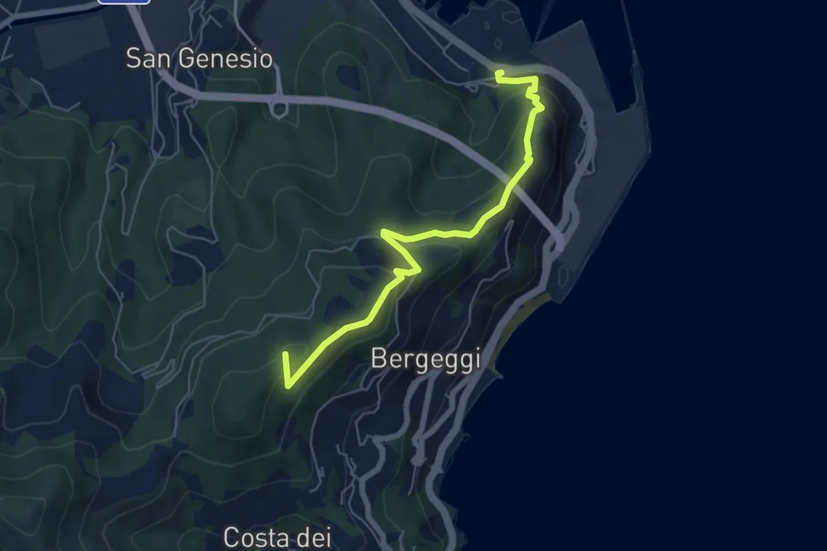
Medium · Summit
Variante Vado Ligure - Spotorno
5.7 km · ↑ 305 m · 2 h · 13 km away
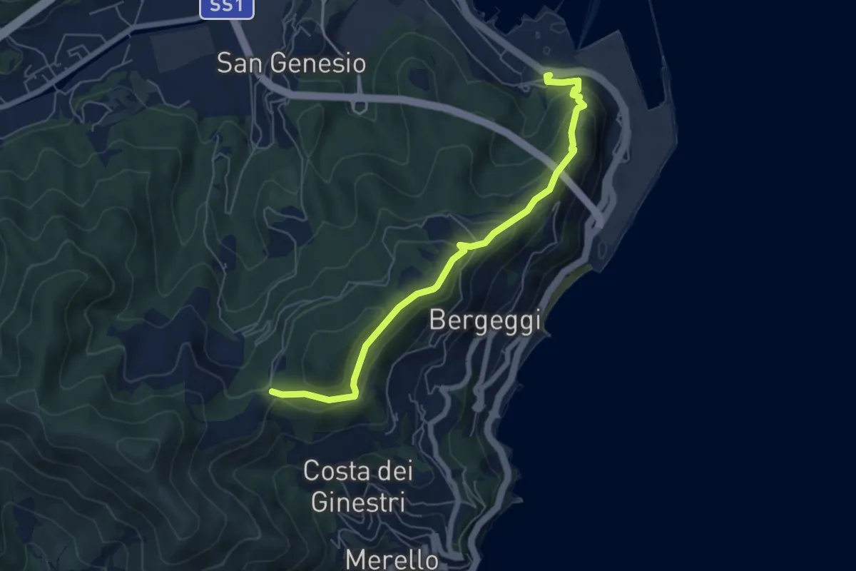
Medium · Trail
Vado Ligure - Gola di Sant'Elena
6.2 km · ↑ 360 m · 2 h 14 min · 13 km away
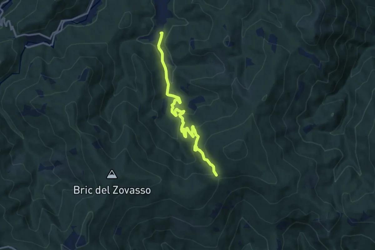
Medium · Trail
Mallare – Colla di San Giacomo
9.7 km · ↑ 374 m · 3 h 6 min · 13 km away
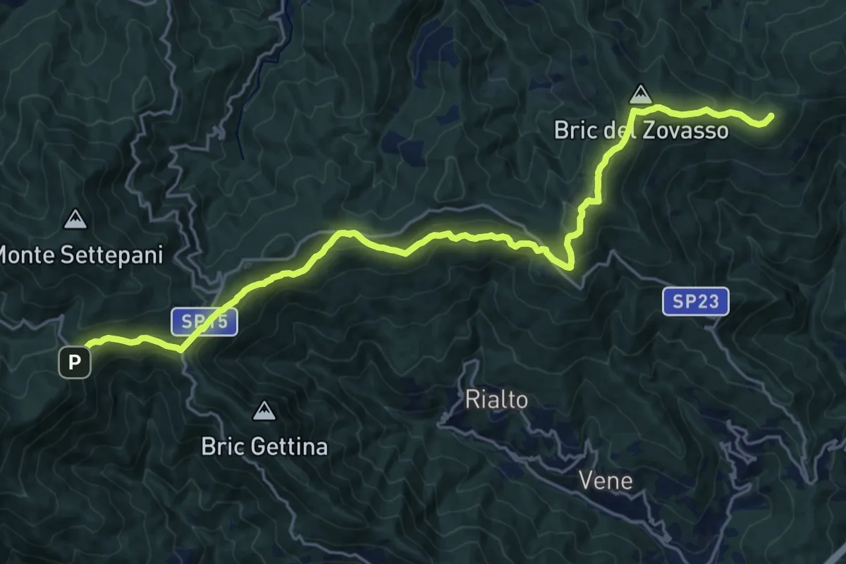
Demanding · Summit
Colle di Melogno - Colla di San Giacomo
23.2 km · ↑ 802 m · 7 h 13 min · 13 km away
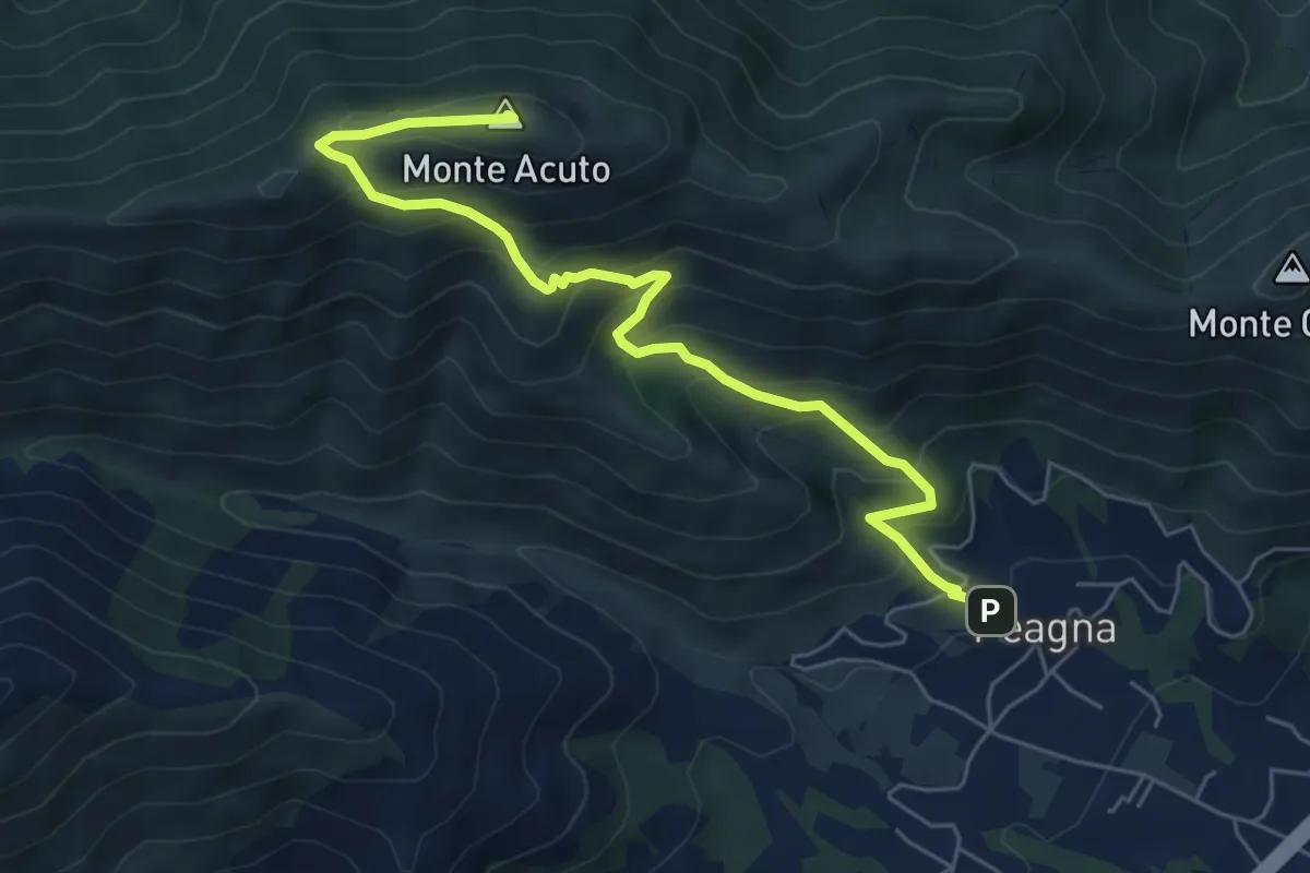
Demanding · Summit
Peagna - Monte Acuto
6.8 km · ↑ 560 m · 2 h 50 min · 13 km away
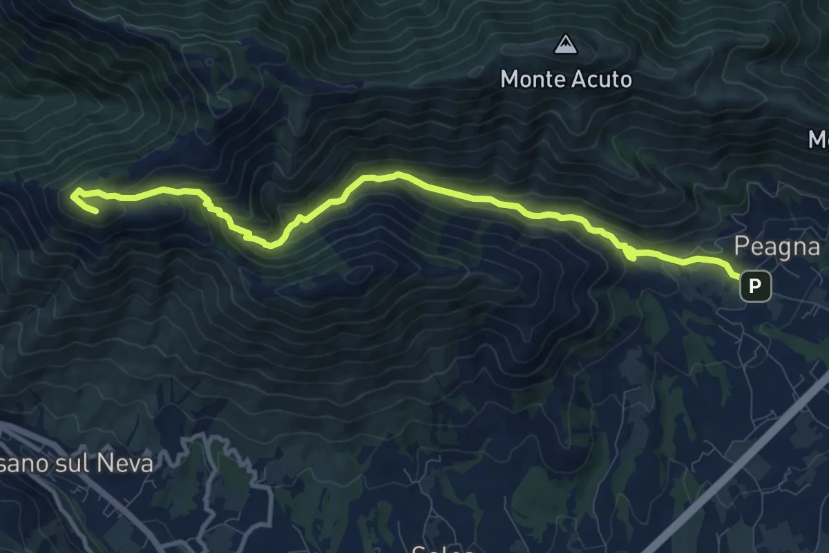
Medium · Summit
Peagna - Rio Ibà - Pizzo Ceresa
11.1 km · ↑ 588 m · 3 h 54 min · 14 km away
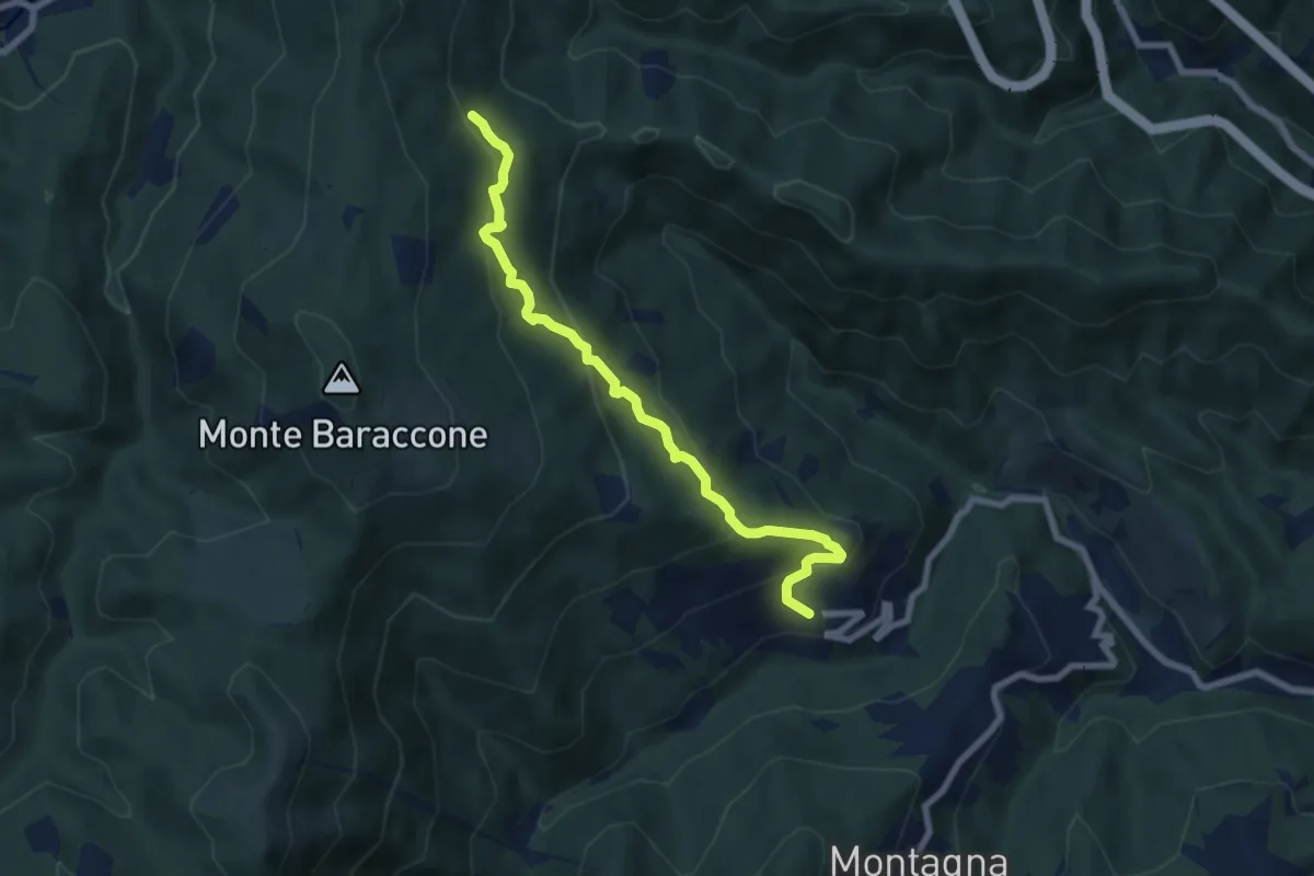
Medium · Trail
Roviasca – Cascina Sarasino
7.6 km · ↑ 476 m · 2 h 50 min · 14 km away
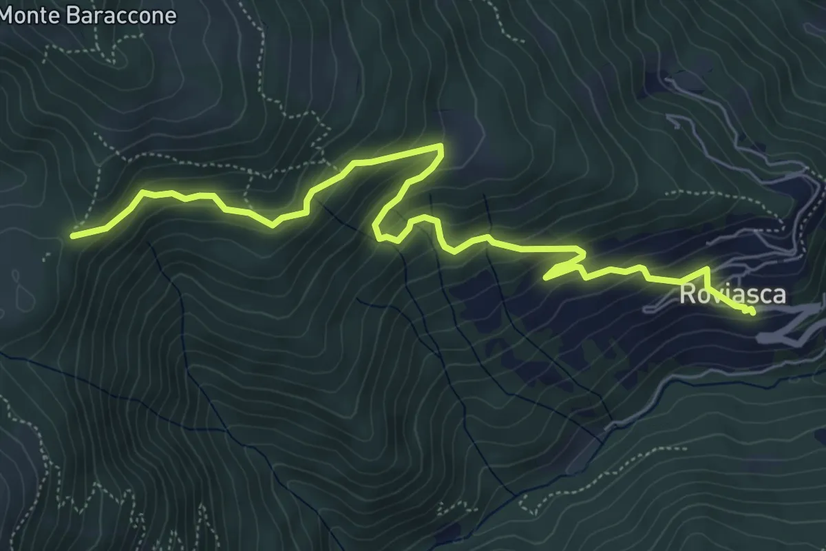
Medium · Trail
Roviasca – Colle del Baraccone
7.2 km · ↑ 459 m · 2 h 42 min · 14 km away
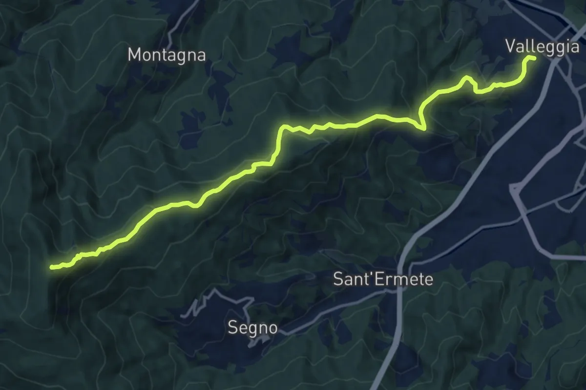
Demanding · Summit
Valleggia - Rocca dei Corvi - Rocche Bianche
15.3 km · ↑ 779 m · 5 h 19 min · 14 km away
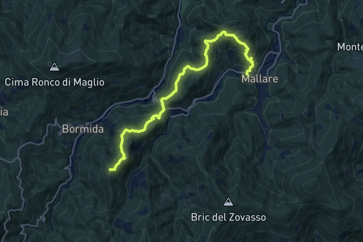
Demanding · Summit
Mallare - Colla del Bresca - Madonna della Neve
17.4 km · ↑ 864 m · 5 h 59 min · 14 km away
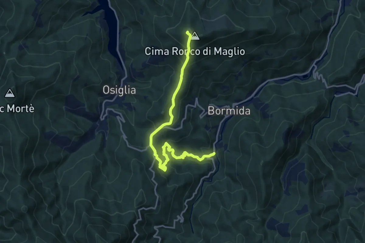
Medium · Summit
Pian Soprano - Colla Baltera - Ronco di Maglio (quadrati gialli)
12.7 km · ↑ 745 m · 4 h 37 min · 14 km away
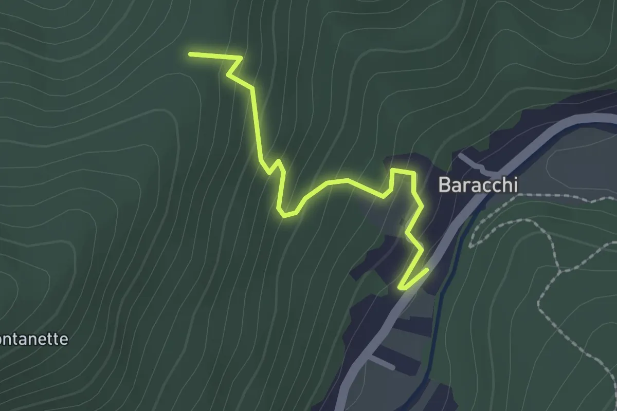
Easy · Trail
Baracchi – Colla La Costa
2.0 km · ↑ 141 m · 47 min · 14 km away
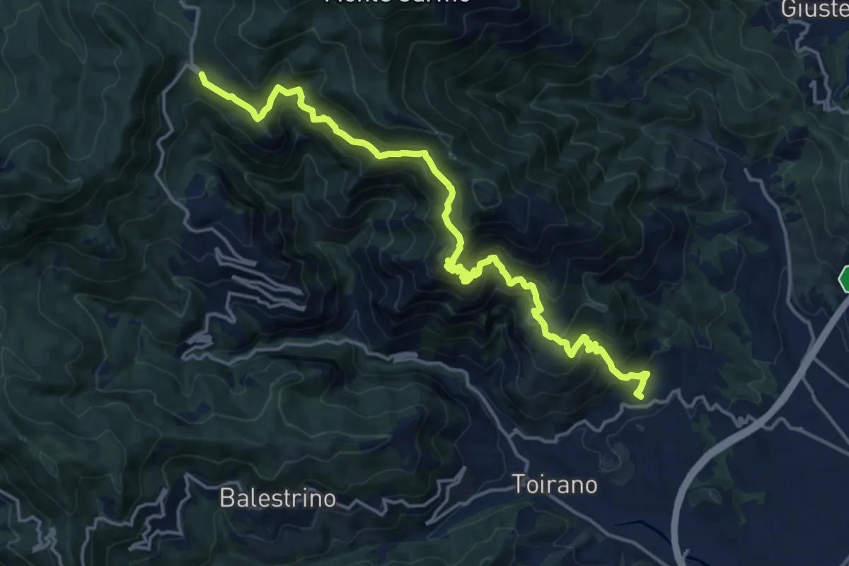
Demanding · Trail
Boissano - San Pietro dei Monti - Giogo di Toirano
18.5 km · ↑ 1321 m · 7 h 14 min · 15 km away
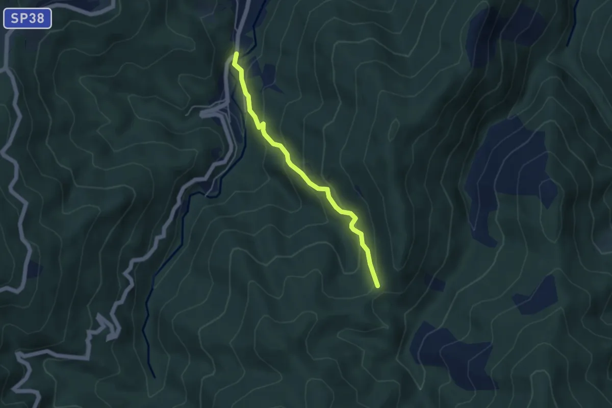
Easy · Trail
Poggio - Colletti
4.1 km · ↑ 292 m · 1 h 36 min · 15 km away
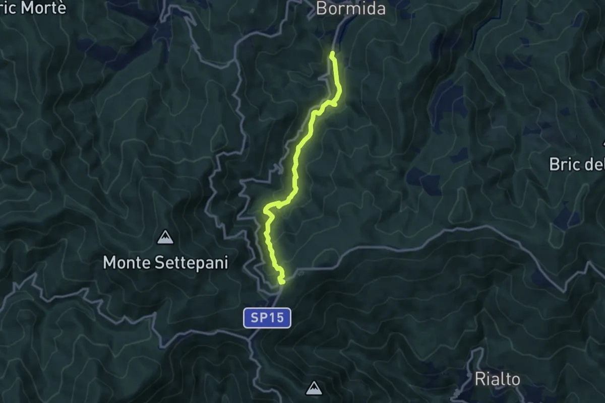
Medium · Trail
Bormida - Quadrivio SP Melogno
9.6 km · ↑ 505 m · 3 h 21 min · 15 km away
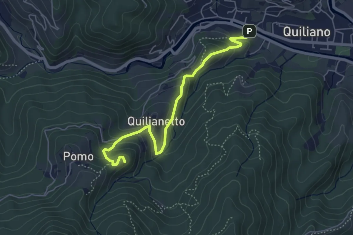
Medium · Summit
Quiliano - Rocche del Castello
4.8 km · ↑ 236 m · 1 h 39 min · 15 km away
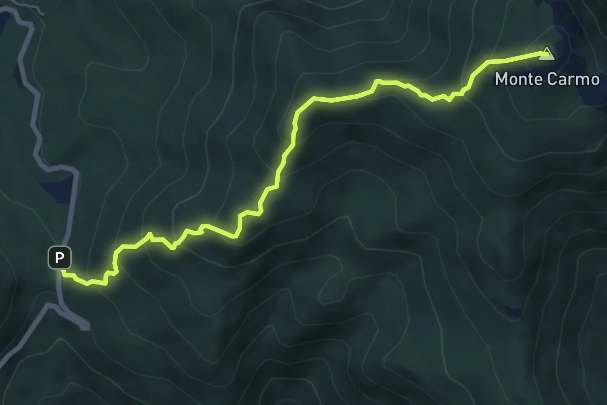
Medium · Summit
Giogo di Toirano - Giogo di Giustenice
6.4 km · ↑ 557 m · 2 h 43 min · 15 km away
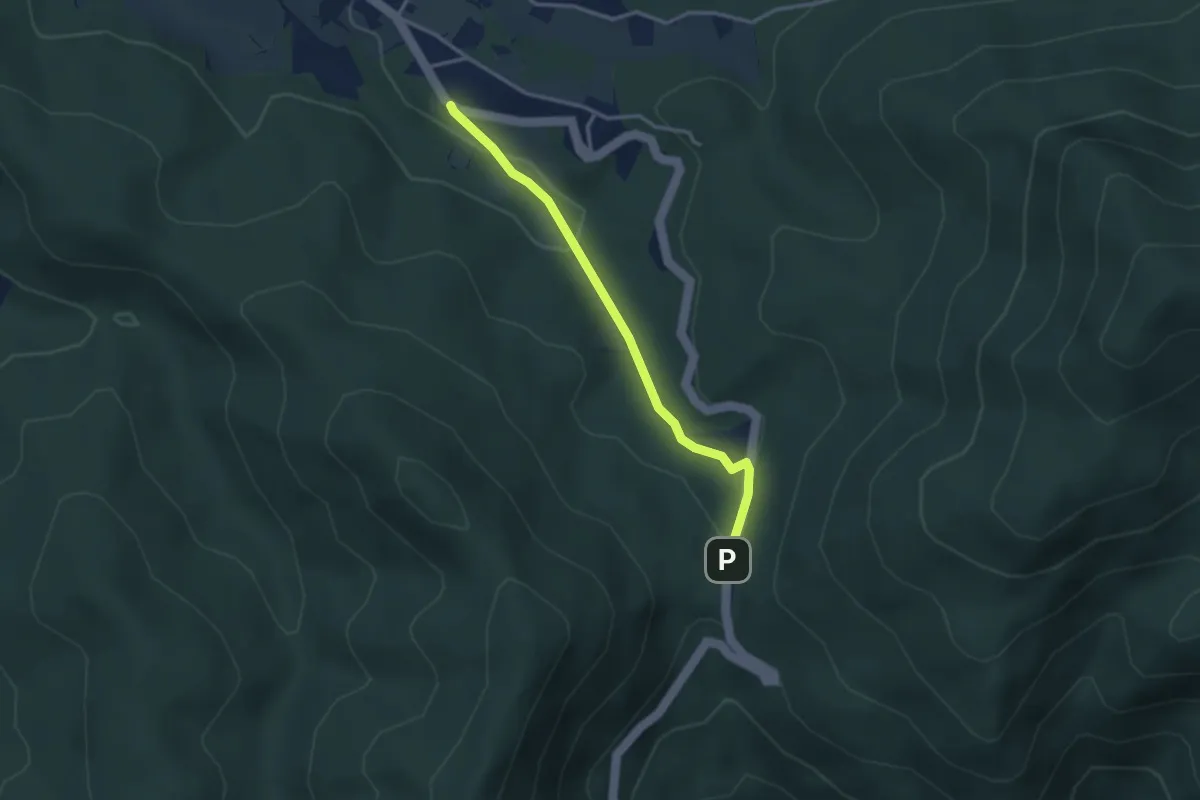
Easy · Trail
Bardineto – Giogo di Toirano
3.1 km · ↑ 78 m · 55 min · 15 km away
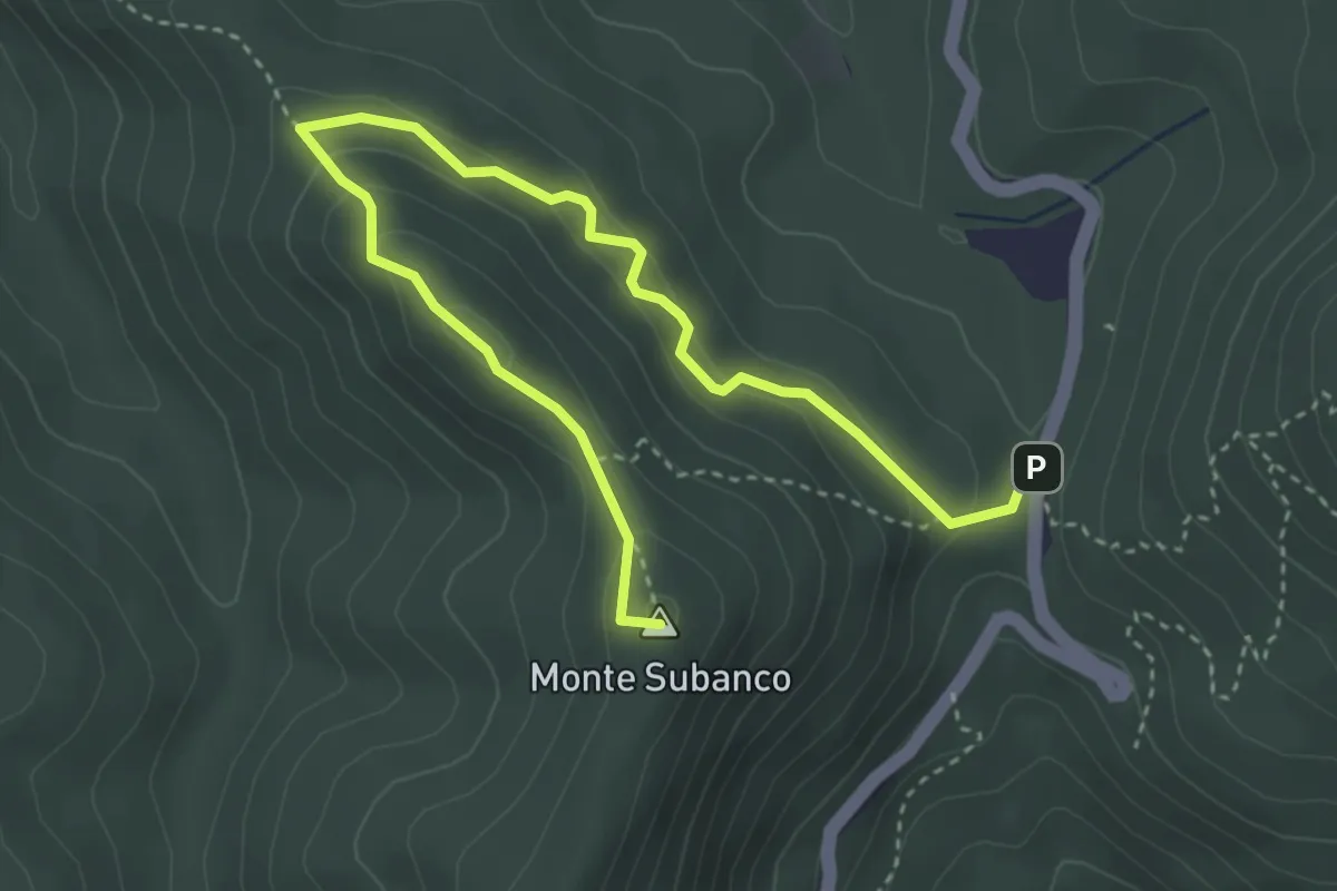
Medium · Summit
Colle Scravaion - Giogo di Toirano
4.8 km · ↑ 241 m · 1 h 39 min · 15 km away
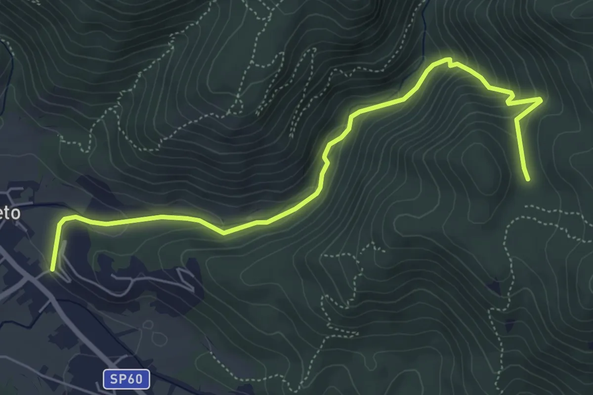
Easy · Trail
Bardineto - Rio Secco - Pianfieno
6.4 km · ↑ 318 m · 2 h 13 min · 15 km away
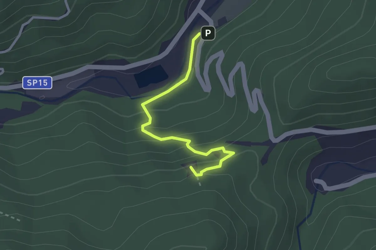
Demanding · Summit
Romana - Rocca Tavana
2.5 km · ↑ 154 m · 56 min · 15 km away
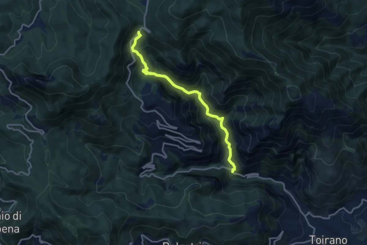
Medium · Trail
Salto del Lupo - Giogo di Toirano
9.5 km · ↑ 673 m · 3 h 43 min · 15 km away
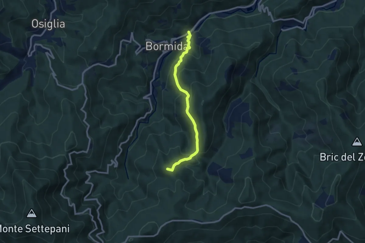
Medium · Summit
Madonna della Neve – Bormida
7.7 km · ↑ 414 m · 2 h 43 min · 15 km away