Trails near Firenze
120 hikes starting within 15 km, nearest first.
Nearest first, page 2 of 3
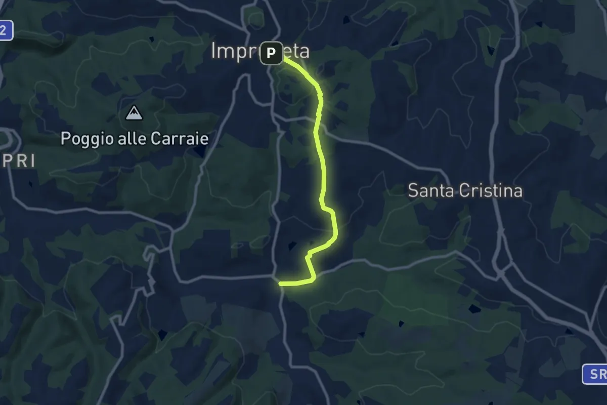
Medium · Trail
Il Ferrone – Impruneta
8.1 km · ↑ 191 m · 2 h 20 min · 9 km away
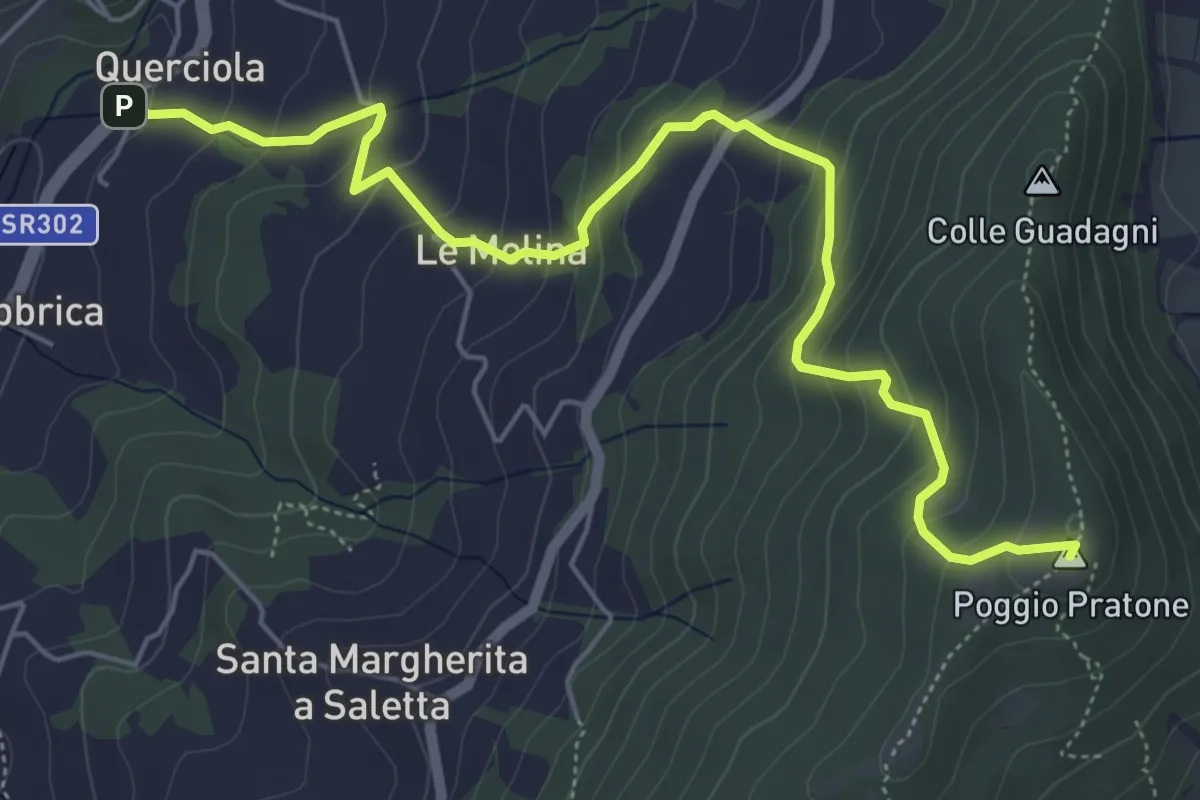
Medium · Summit
Cammino dell'acqua di Montereggi
6.8 km · ↑ 478 m · 2 h 39 min · 9 km away
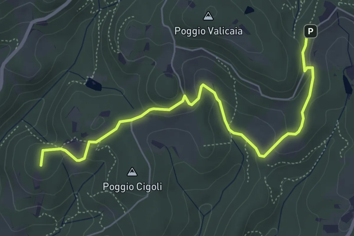
Easy · Summit
Castellare – Poggio Valicaia
6.3 km · ↑ 220 m · 1 h 57 min · 10 km away
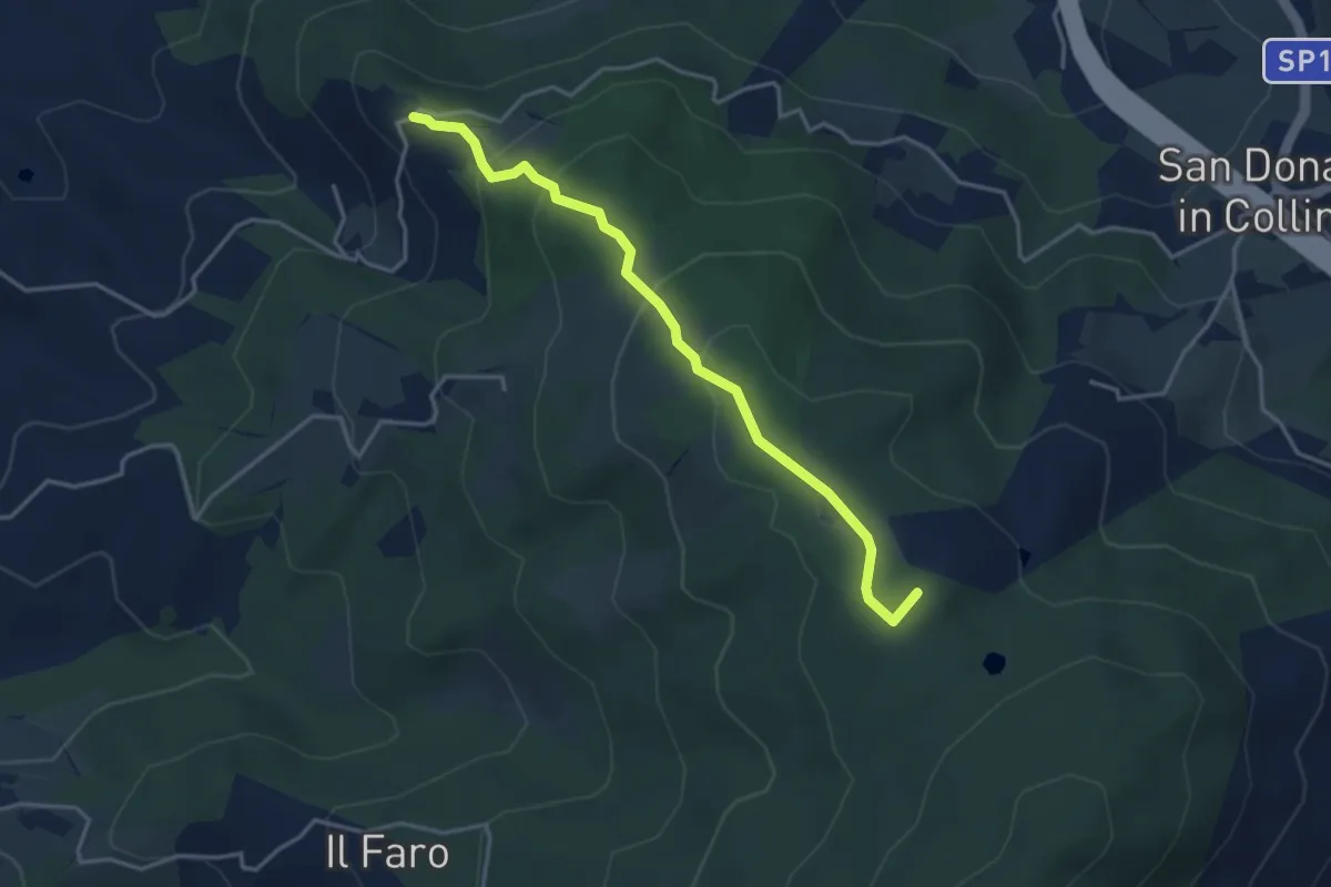
Easy · Summit
Montisoni – Poggio Piglie
4.0 km · ↑ 222 m · 1 h 25 min · 10 km away
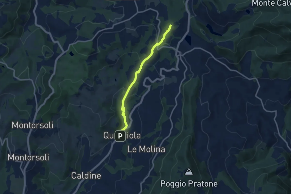
Medium · Summit
La Querciola – Poggio Capanne
7.7 km · ↑ 370 m · 2 h 37 min · 10 km away
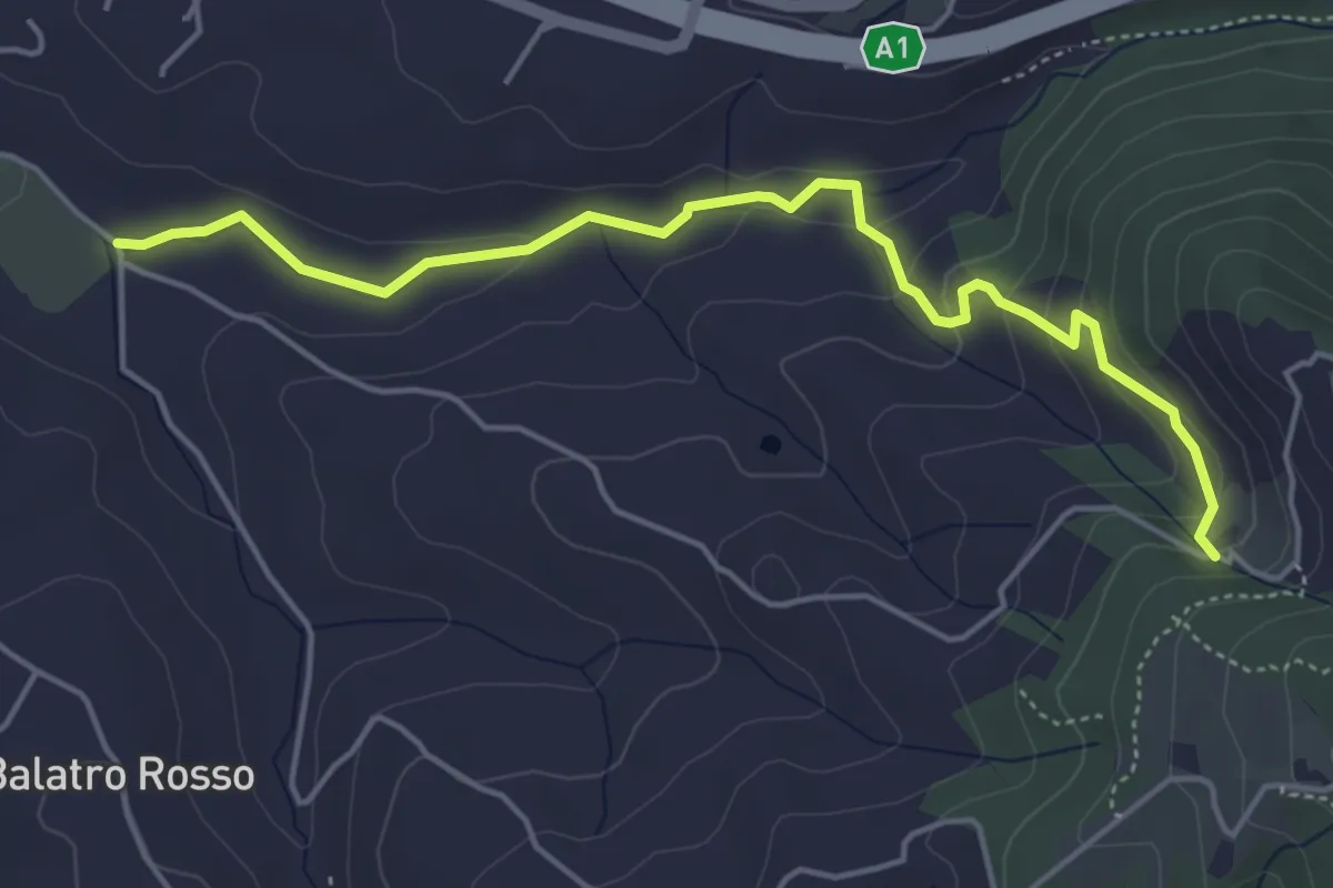
Easy · Trail
Antella – Montisoni
5.3 km · ↑ 184 m · 1 h 39 min · 10 km away
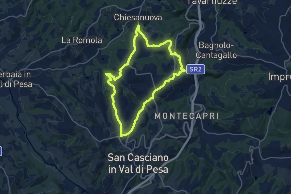
Medium · Trail
Anello del Principe
12.6 km · ↑ 326 m · 3 h 51 min · 10 km away
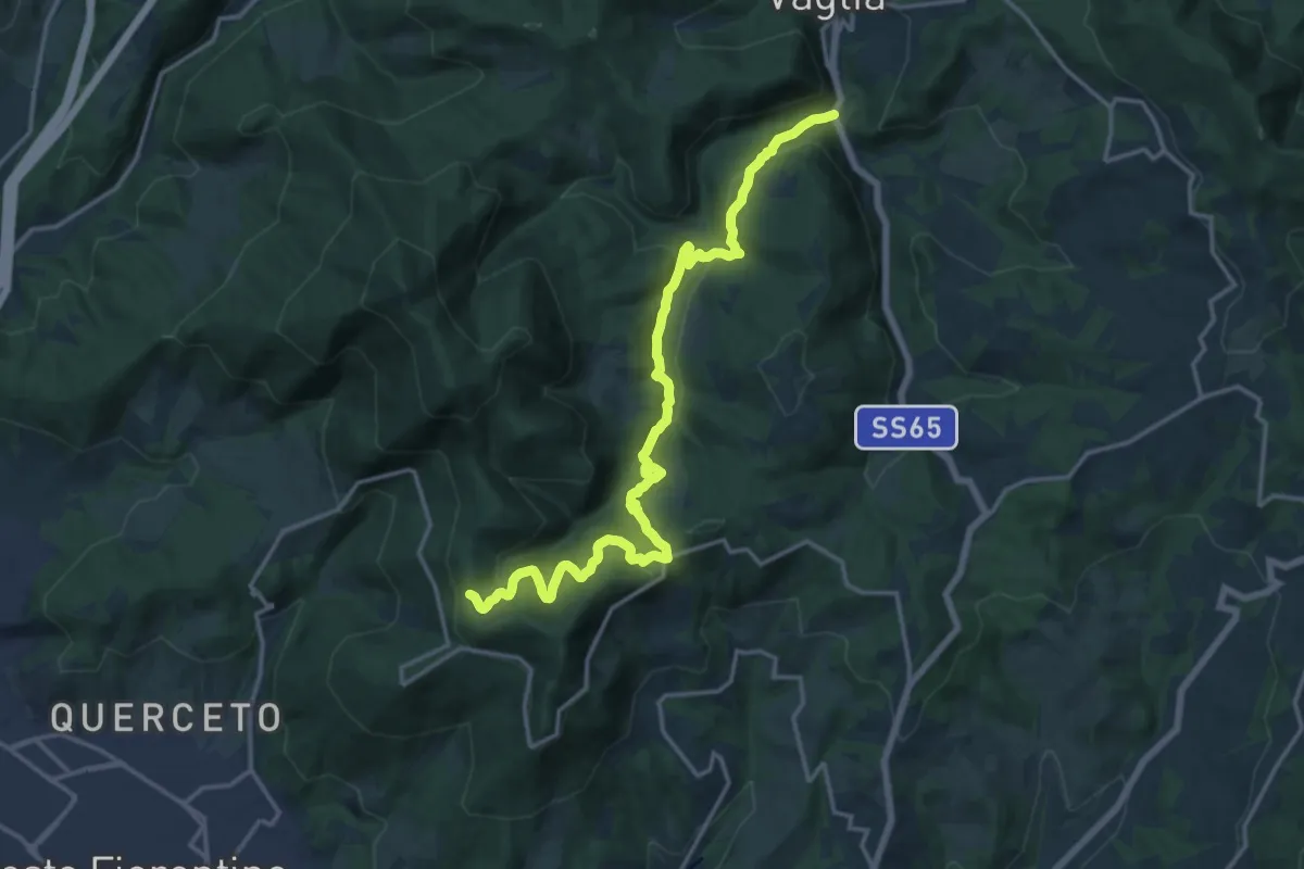
Demanding · Trail
S.S. 65 - Paterno – Sella degli Scollini
19.0 km · ↑ 751 m · 6 h 7 min · 10 km away
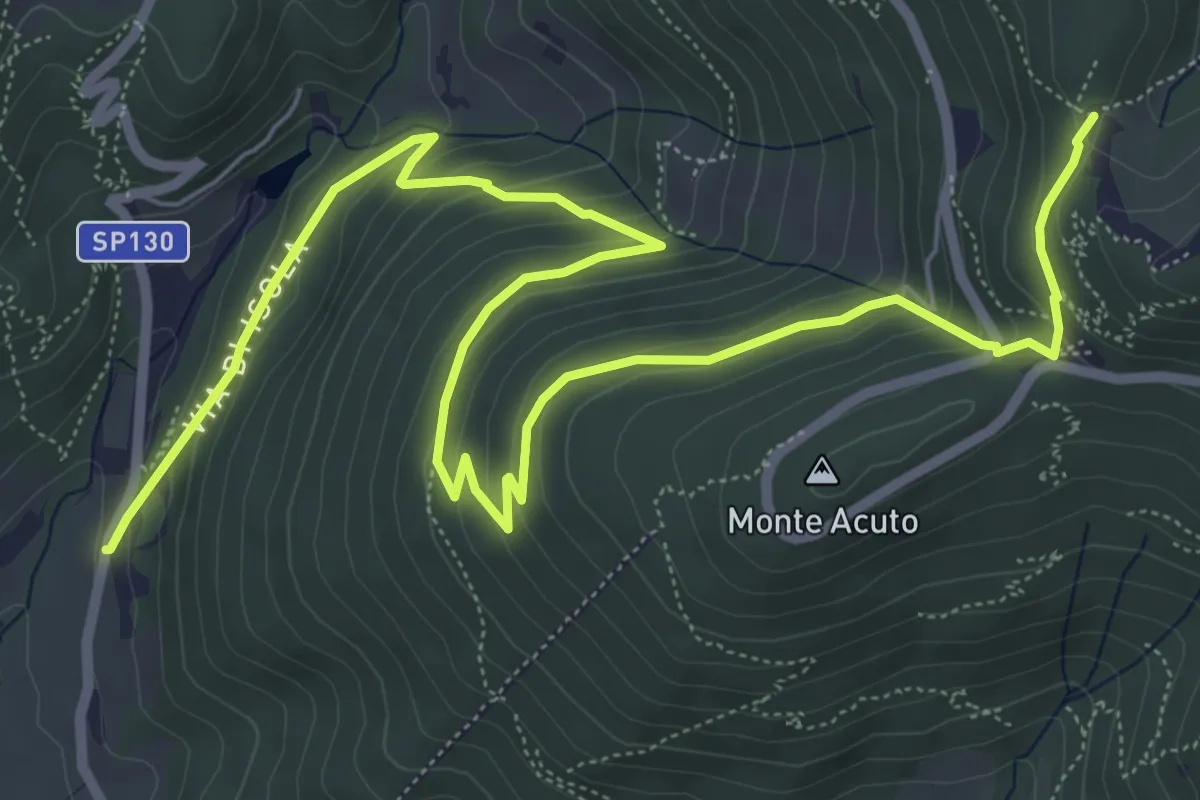
Medium · Trail
Le Mulina – Sella degli Scollini
10.0 km · ↑ 503 m · 3 h 27 min · 10 km away
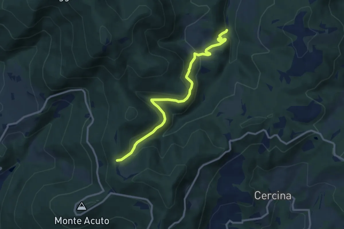
Medium · Trail
Percorso 6 – Sella degli Scollini
8.1 km · ↑ 399 m · 2 h 47 min · 10 km away
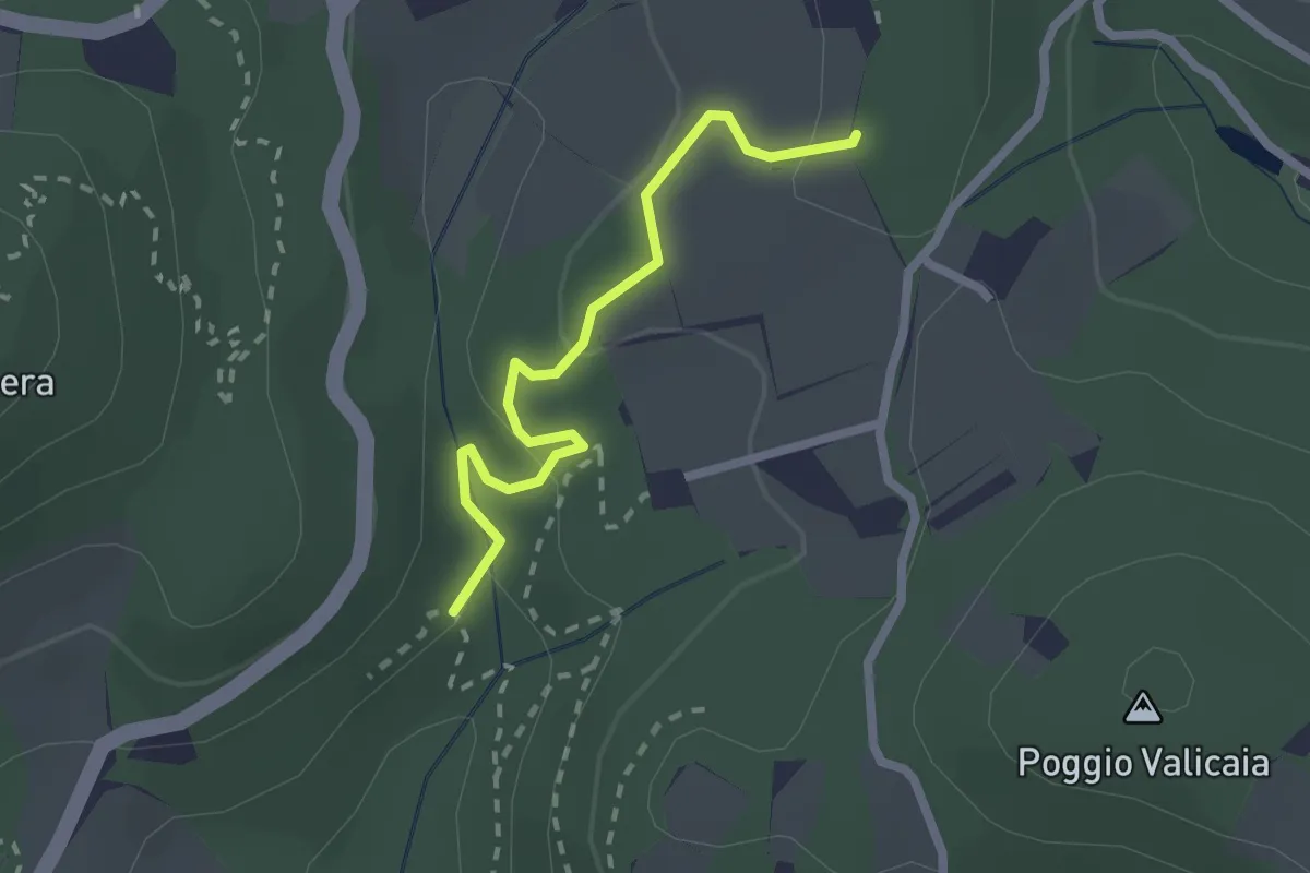
Easy · Trail
Sentiero 730 (Spazzavento) – Sentiero 732 (Lago delle Ninfee)
2.3 km · ↑ 59 m · 40 min · 10 km away
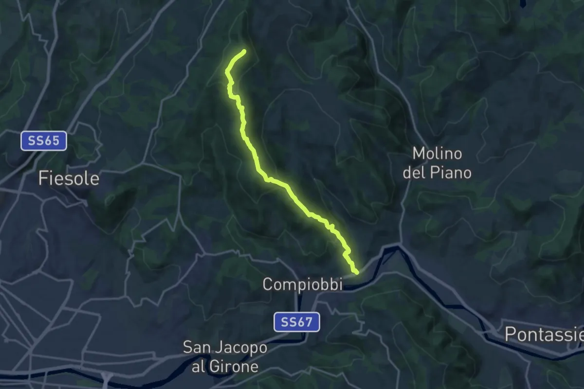
Medium · Summit
Poggio Pratone – Le Falle
14.5 km · ↑ 678 m · 4 h 53 min · 10 km away
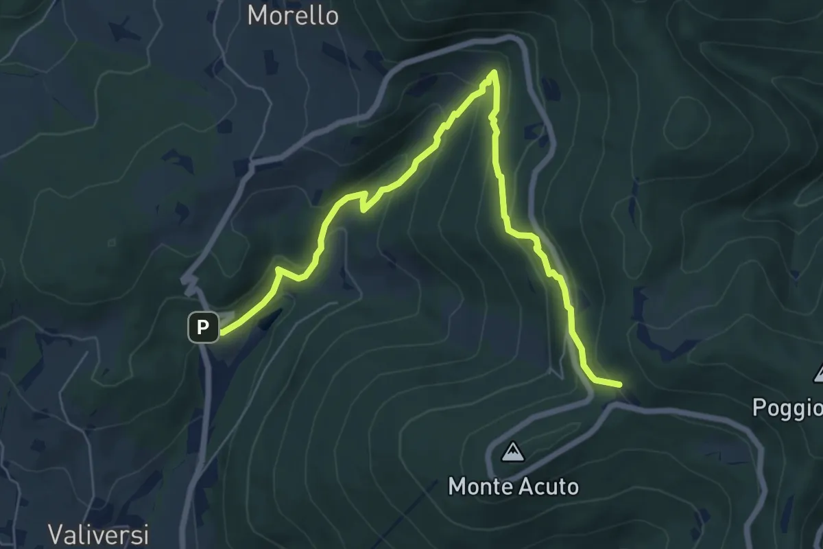
Medium · Trail
Via del Polverificio – Fonte dei Seppi
7.9 km · ↑ 454 m · 2 h 51 min · 10 km away
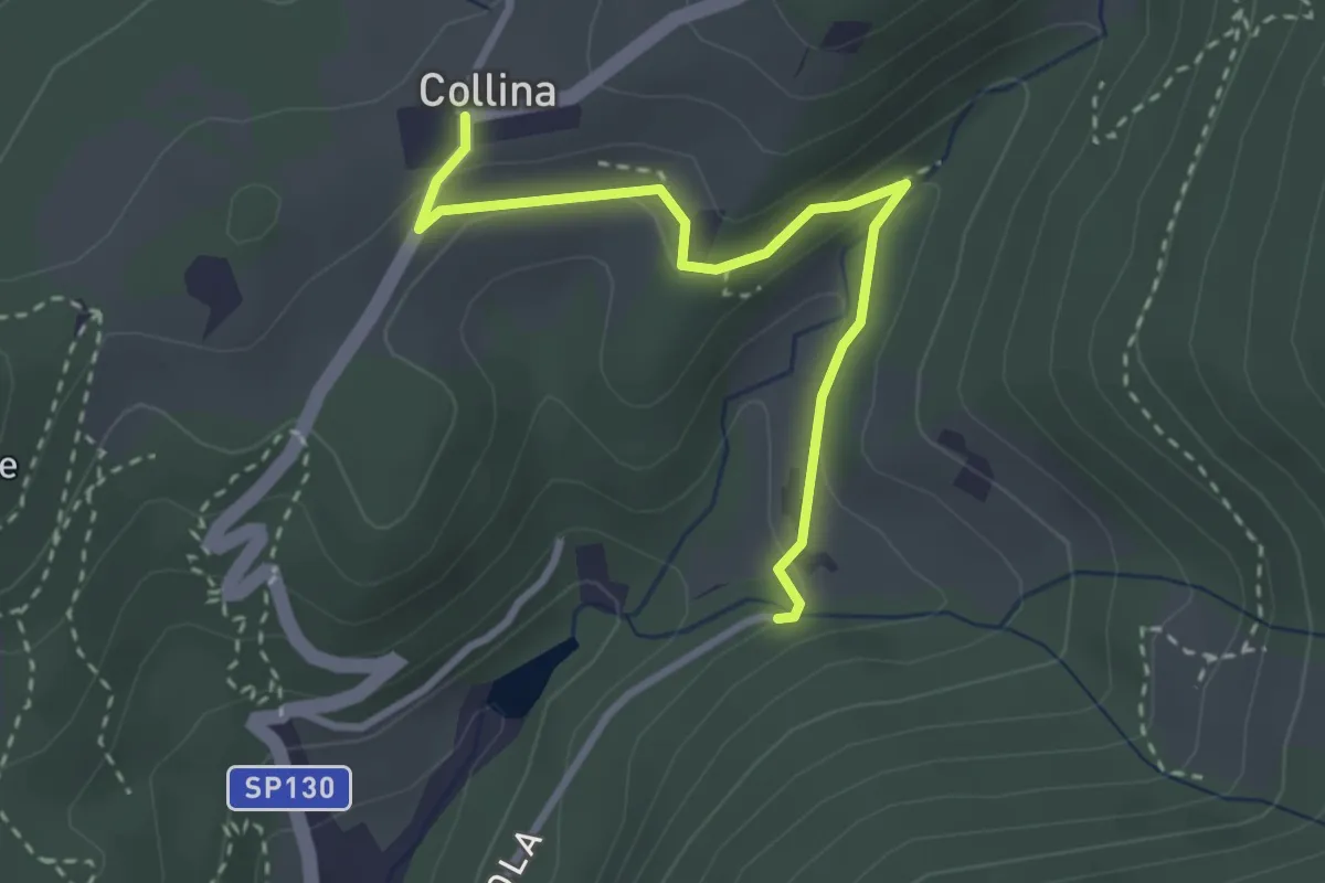
Easy · Trail
Via di Isola – Collina
3.1 km · ↑ 95 m · 56 min · 11 km away
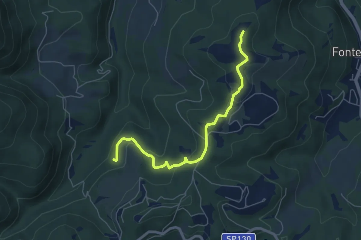
Easy · Summit
Anello della Carzola
5.6 km · ↑ 177 m · 1 h 42 min · 11 km away
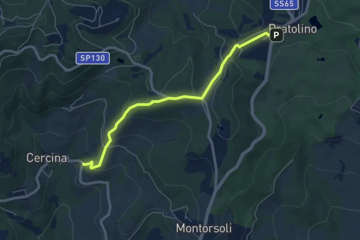
Easy · Trail
Sentiero del Piovano
5.4 km · ↑ 208 m · 1 h 43 min · 11 km away
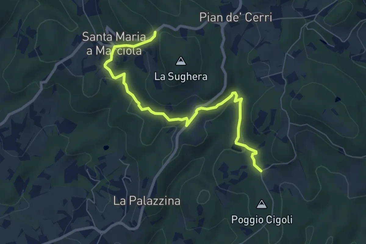
Easy · Trail
Le Calle – Le Croci
7.3 km · ↑ 237 m · 2 h 14 min · 11 km away
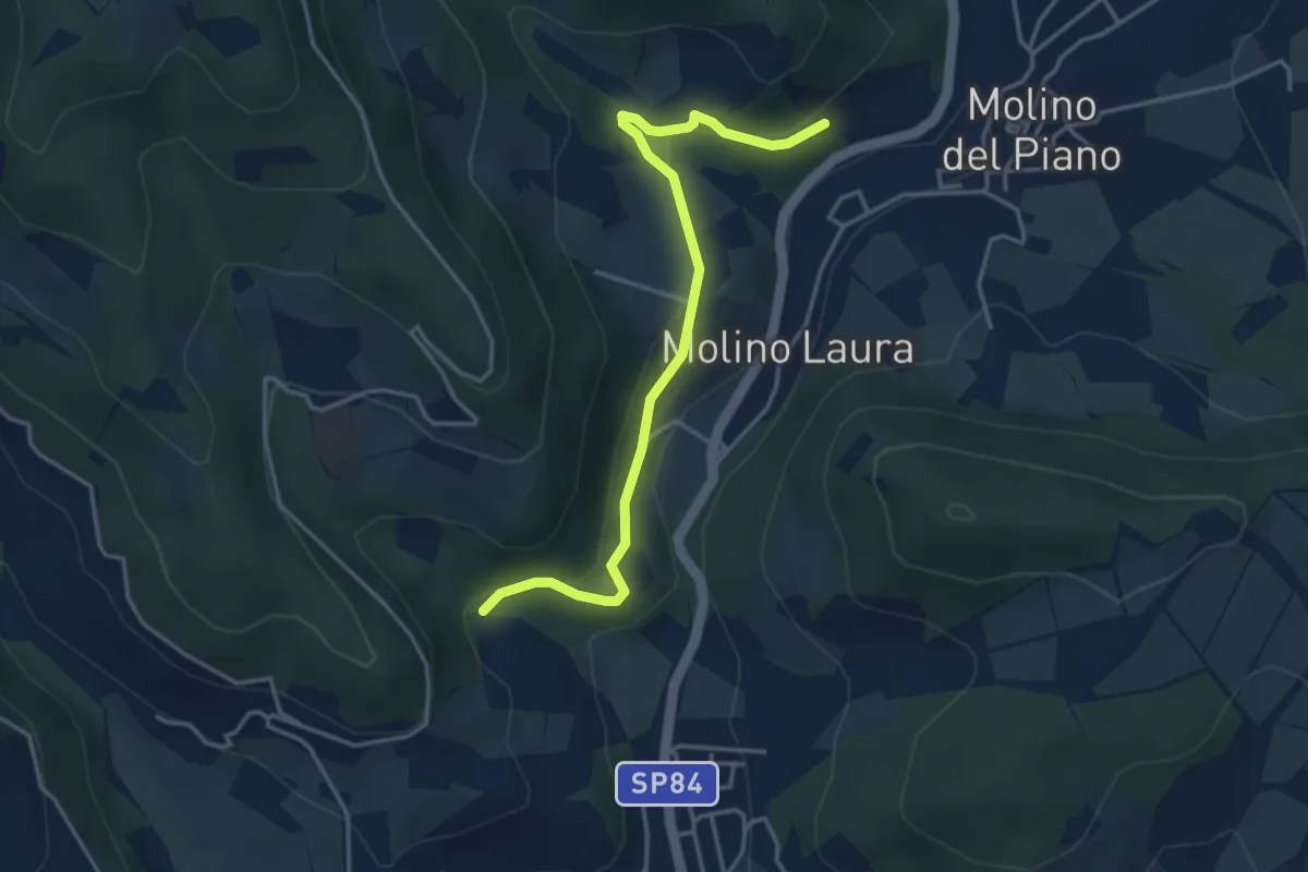
Easy · Trail
Sentiero 4 – Sentiero 4
4.2 km · ↑ 143 m · 1 h 19 min · 11 km away
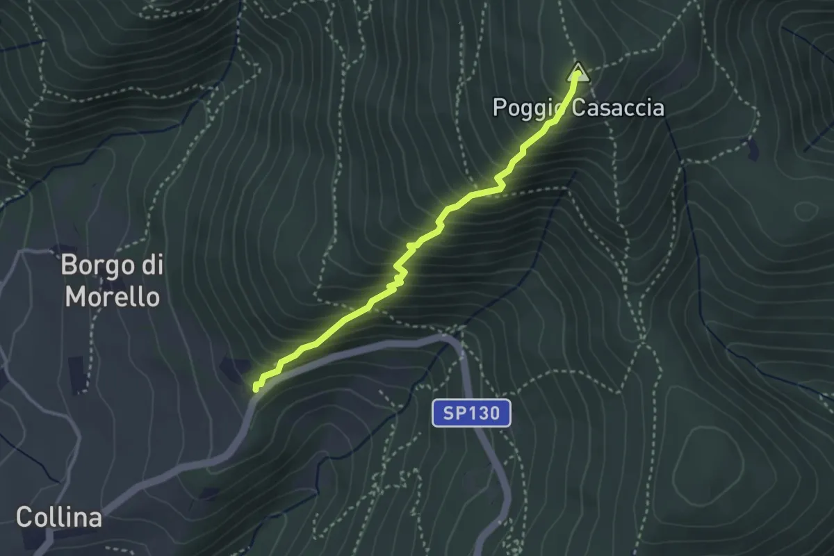
Demanding · Summit
Sentiero del Pensionato
3.2 km · ↑ 469 m · 1 h 46 min · 11 km away
Demanding · Summit
Fonte del Vecciolino – Poggio Casaccia
12.4 km · ↑ 1011 m · 5 h 7 min · 11 km away
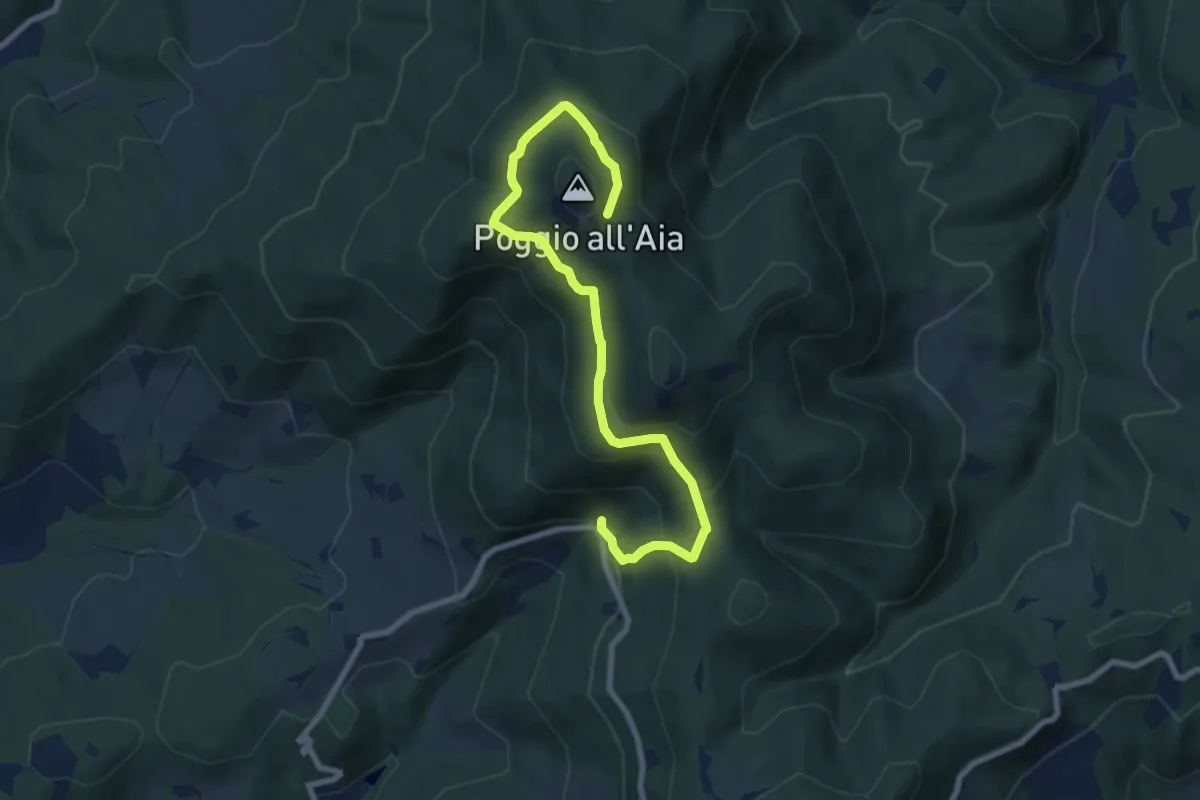
Medium · Trail
Fonte del Vecciolino – Quota 855 sentiero 12
9.2 km · ↑ 537 m · 3 h 20 min · 11 km away
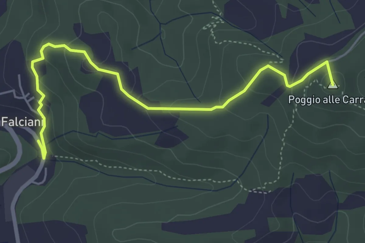
Easy · Summit
Falciani – Impruneta
5.3 km · ↑ 220 m · 1 h 44 min · 11 km away
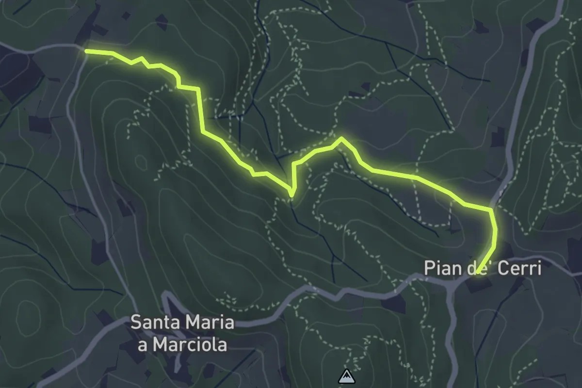
Easy · Trail
Pian de' Cerri – Roncigliano
4.9 km · ↑ 122 m · 1 h 25 min · 11 km away
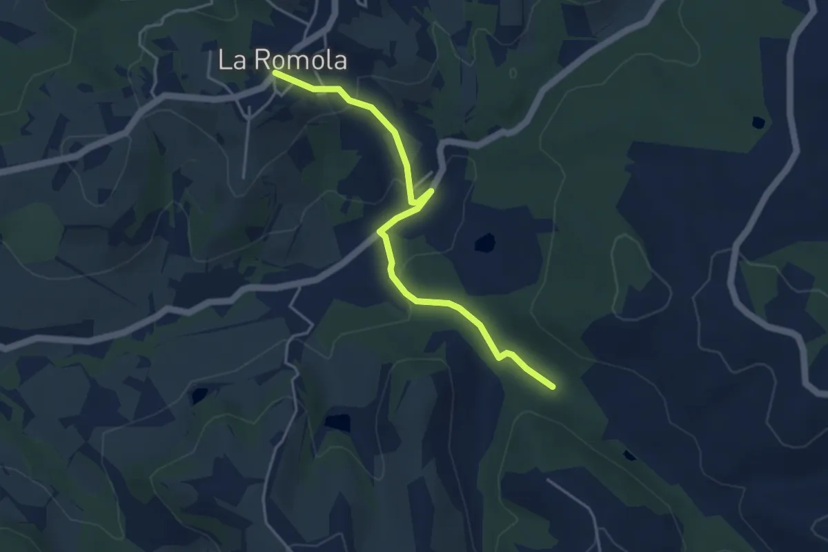
Easy · Trail
Romola Sequoia Sugana
4.2 km · ↑ 141 m · 1 h 18 min · 11 km away
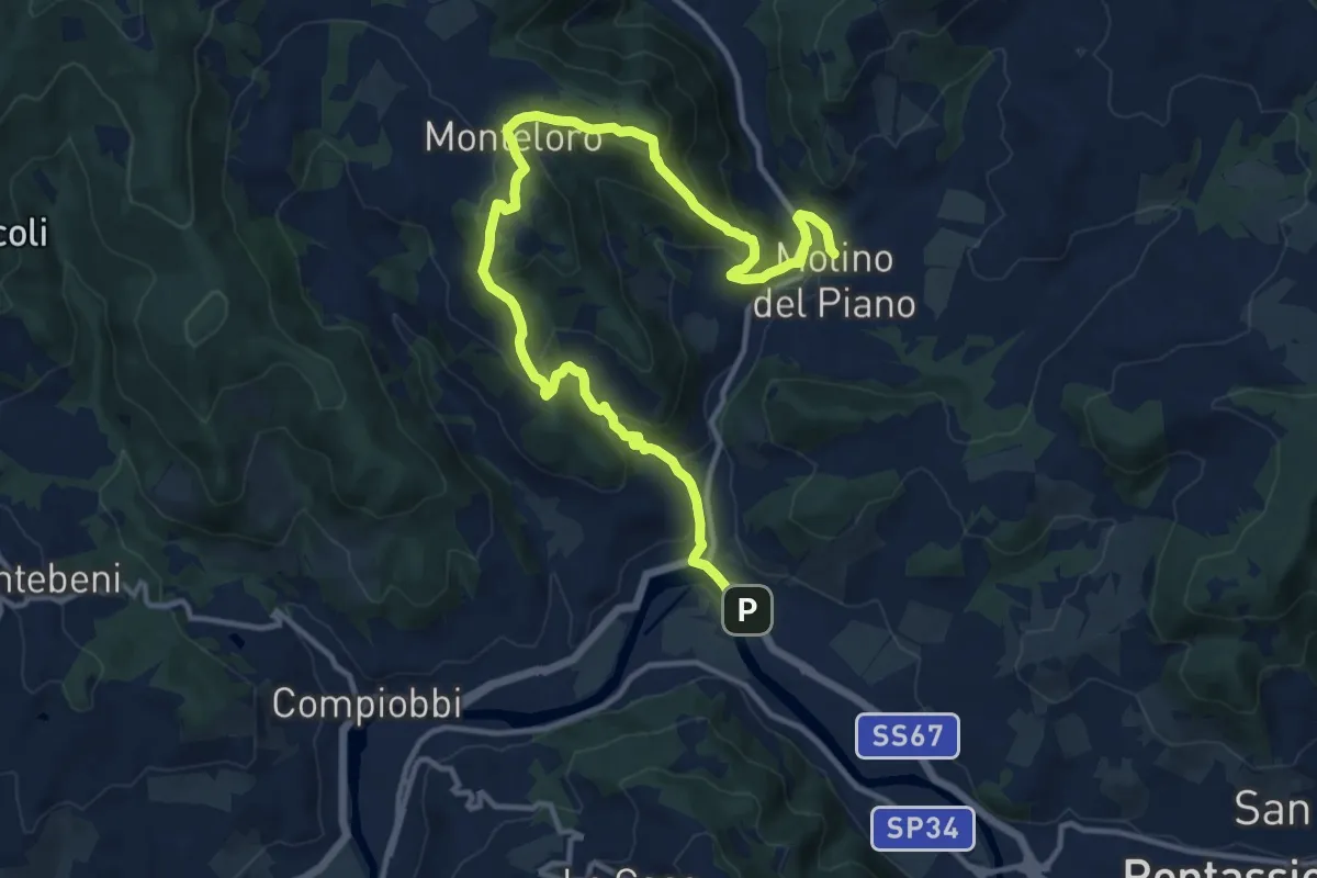
Medium · Trail
Sieci – Molin del Piano
17.1 km · ↑ 762 m · 5 h 41 min · 11 km away
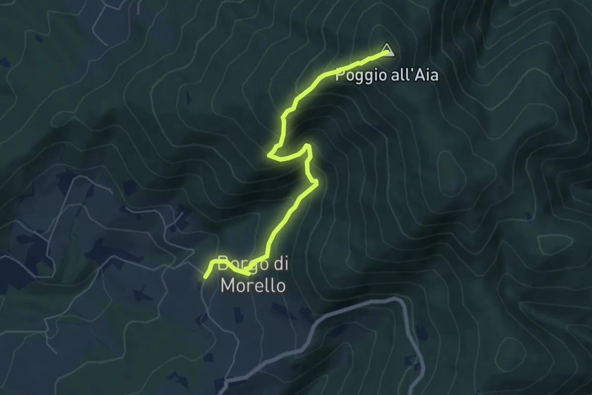
Medium · Summit
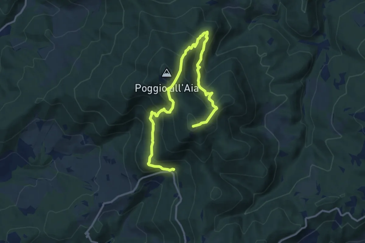
Morello – Poggio all'Aia
6.3 km · ↑ 665 m · 2 h 55 min · 11 km away
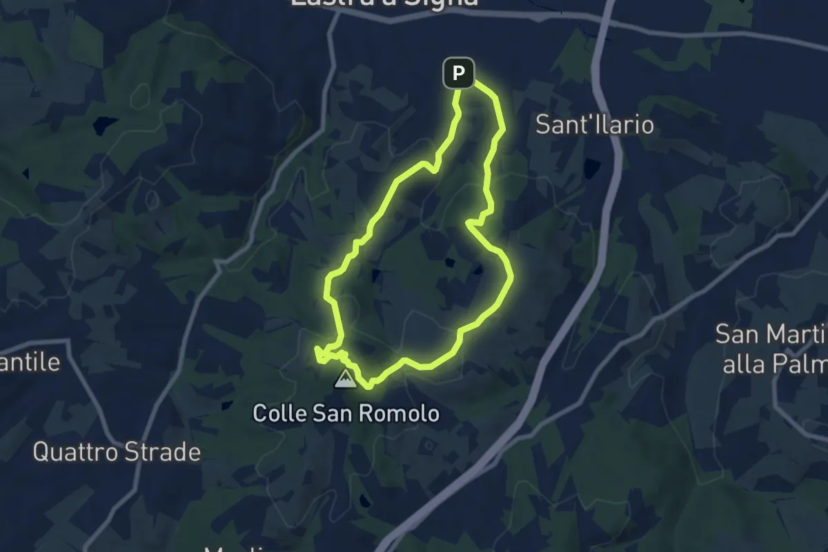
Easy · Summit
Anello di San-Romolo
6.6 km · ↑ 247 m · 2 h 11 min · 11 km away
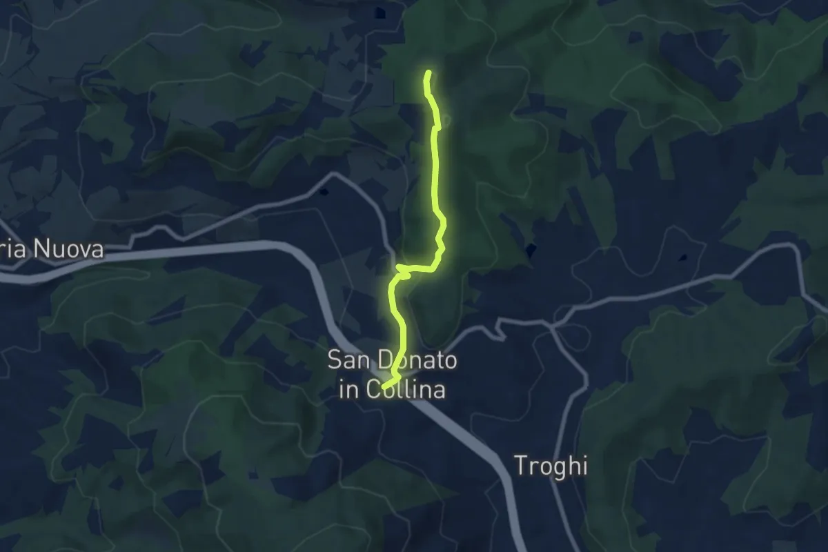
Easy · Summit
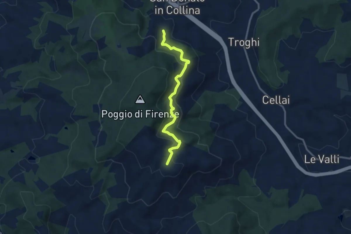
Sentiero 0 – da Poggio a Luco a San Donato in Collina
6.1 km · ↑ 172 m · 1 h 48 min · 11 km away
Medium · Trail
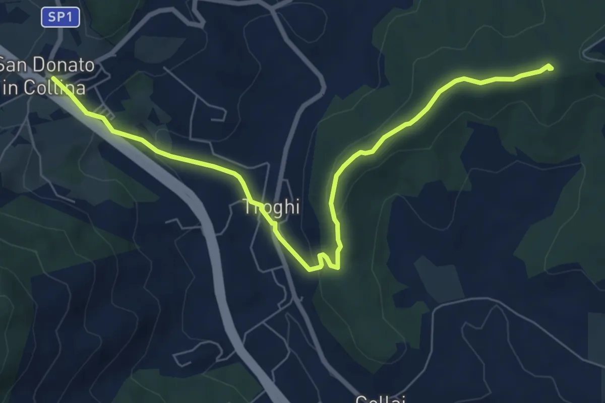
S. Donato in Collina – Casa al Monte
7.1 km · ↑ 427 m · 2 h 36 min · 11 km away
Easy · Summit
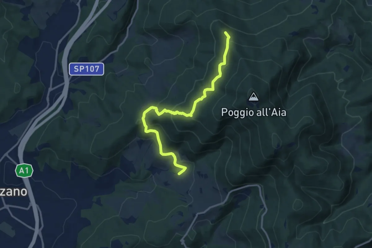
Rignano sull'Arno – Troghi
8.0 km · ↑ 250 m · 2 h 25 min · 11 km away
Medium · Summit
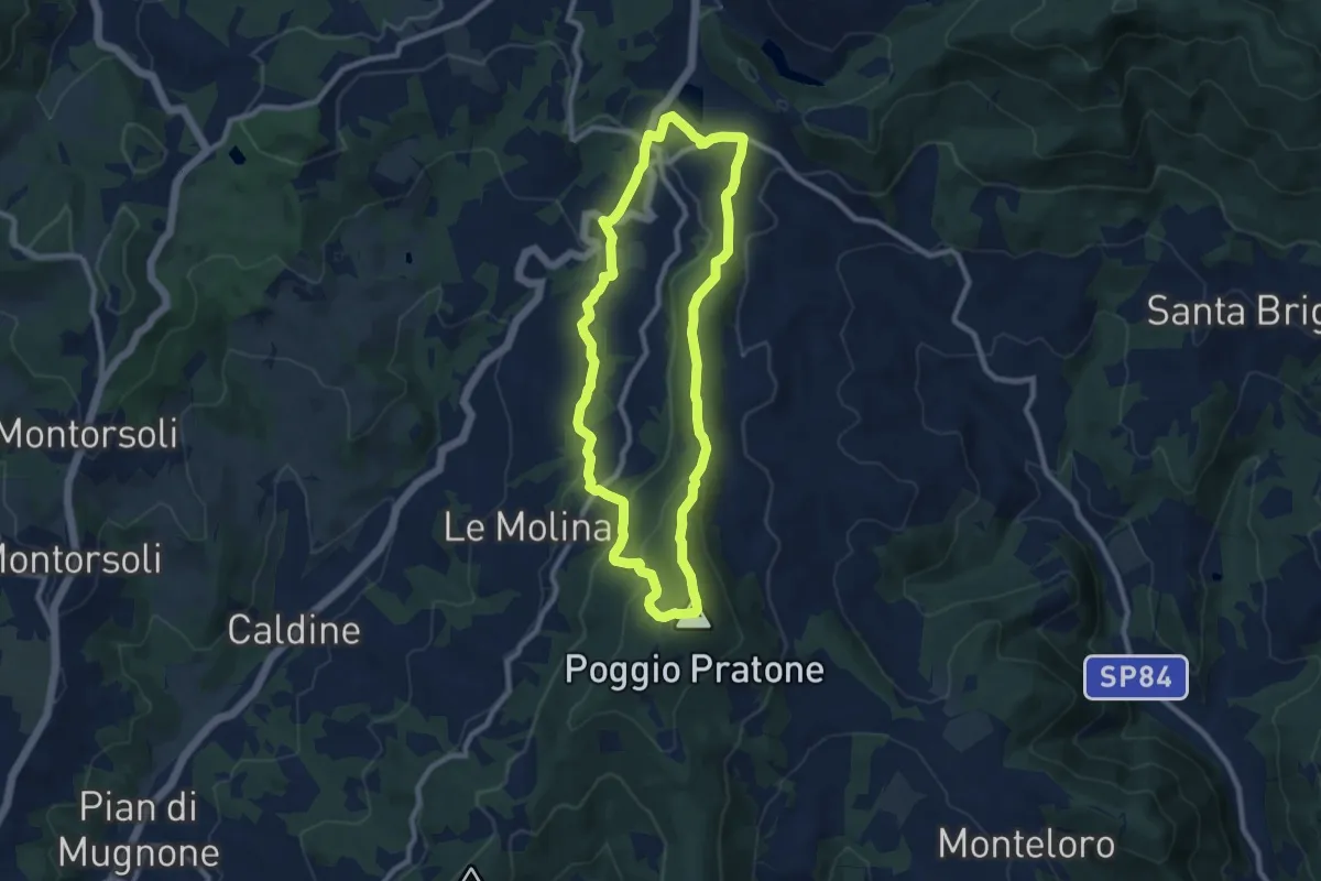
Ponte sul Chiosina – Poggio Leccio (m. 590 sent. 8 e 8B)
10.4 km · ↑ 614 m · 3 h 48 min · 11 km away
Medium · Summit
Olmo – Olmo
9.0 km · ↑ 359 m · 3 h 2 min · 12 km away
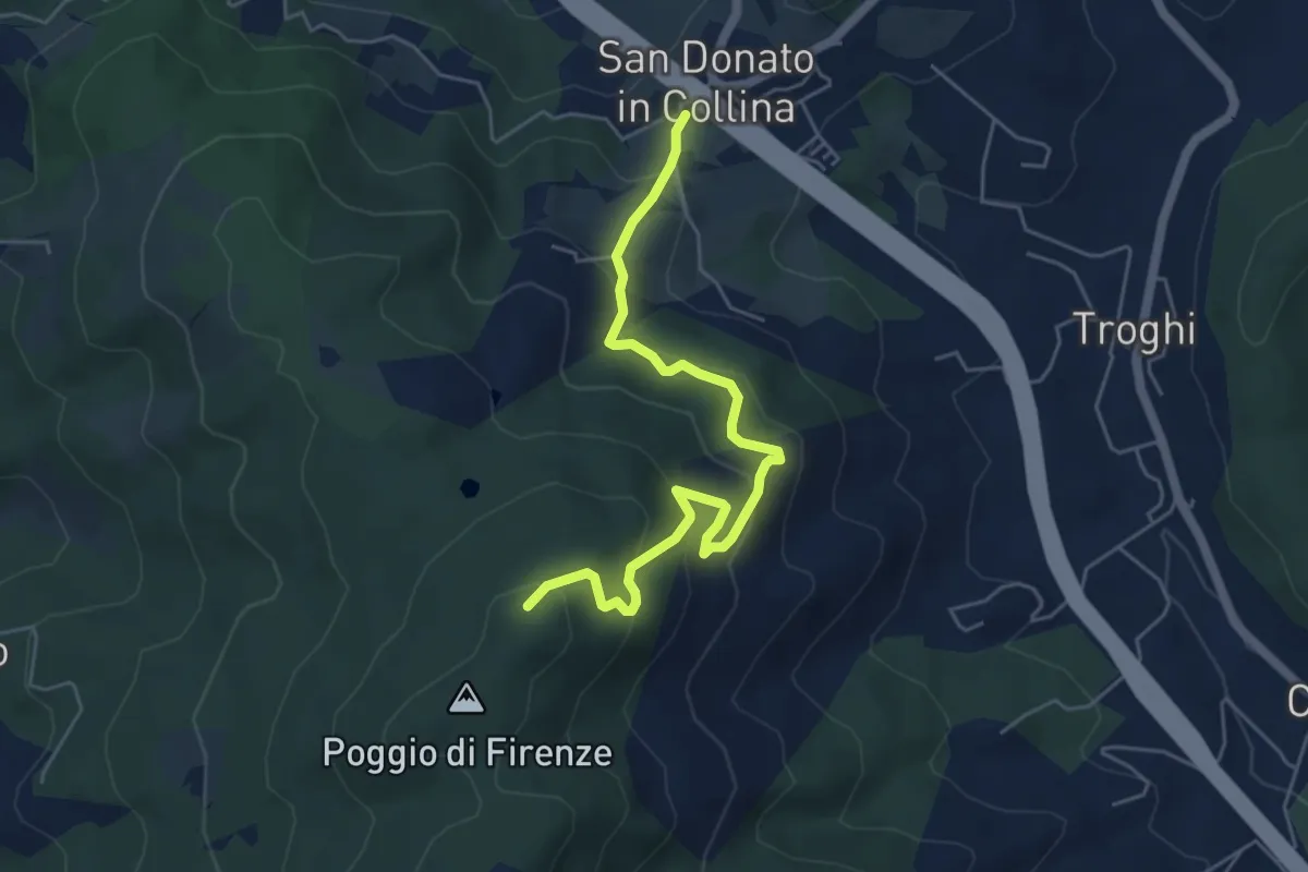
Medium · Trail
San Donato in Collina – Poggio di Firenze
5.9 km · ↑ 378 m · 2 h 13 min · 12 km away
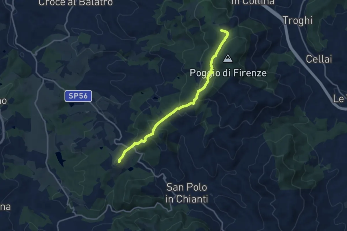
Medium · Summit
San Donato in Collina – SantoStefano a Tizzano
10.7 km · ↑ 474 m · 3 h 33 min · 12 km away
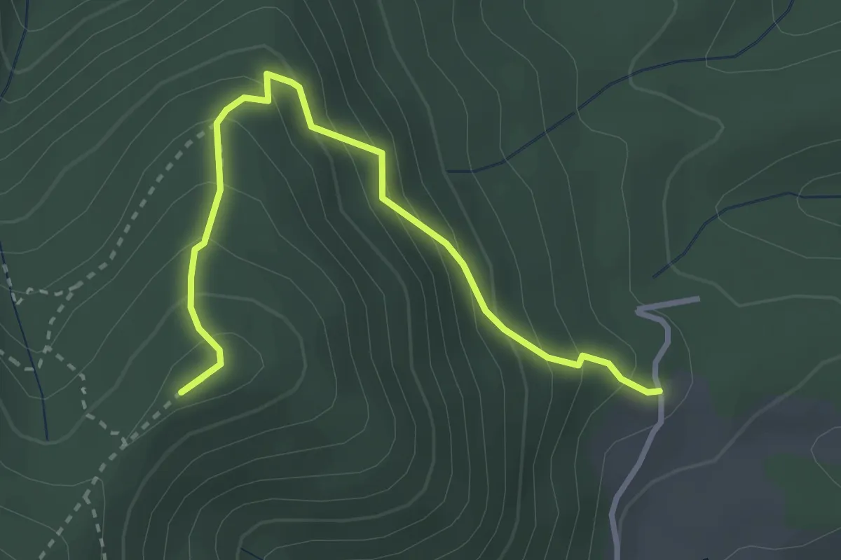
Medium · Summit
Capannaccia – Sella delle Colline
3.4 km · ↑ 303 m · 1 h 27 min · 12 km away
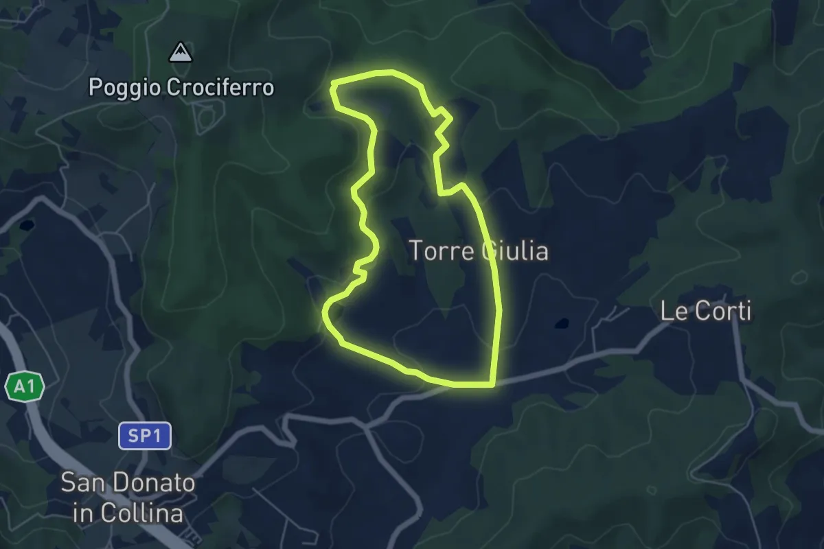
Easy · Trail
Percorso della Memoria
5.0 km · ↑ 143 m · 1 h 33 min · 12 km away
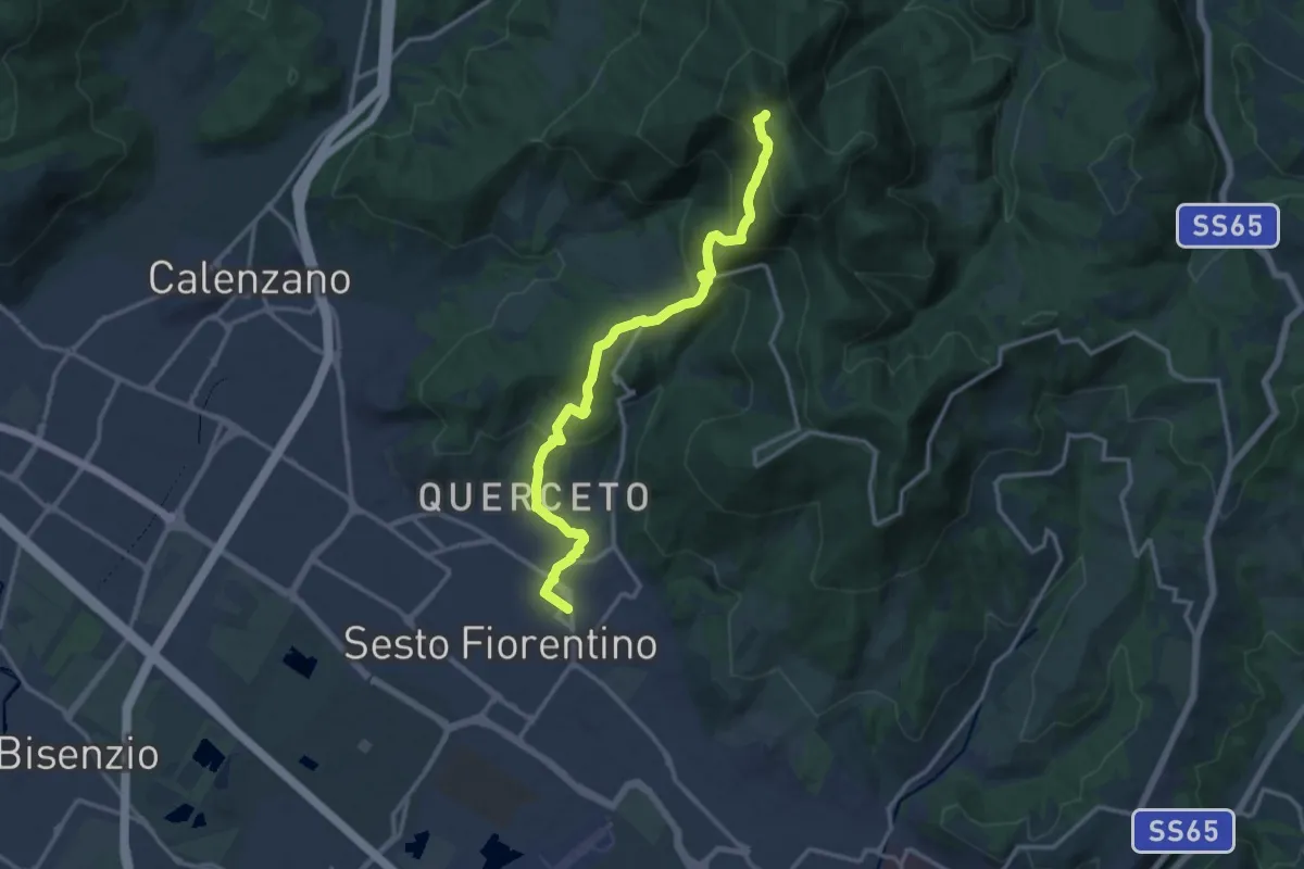
Demanding · Trail
Sesto Fiorentino - Via Veronelli Sezione CAI – Selletta
15.0 km · ↑ 818 m · 5 h 19 min · 12 km away
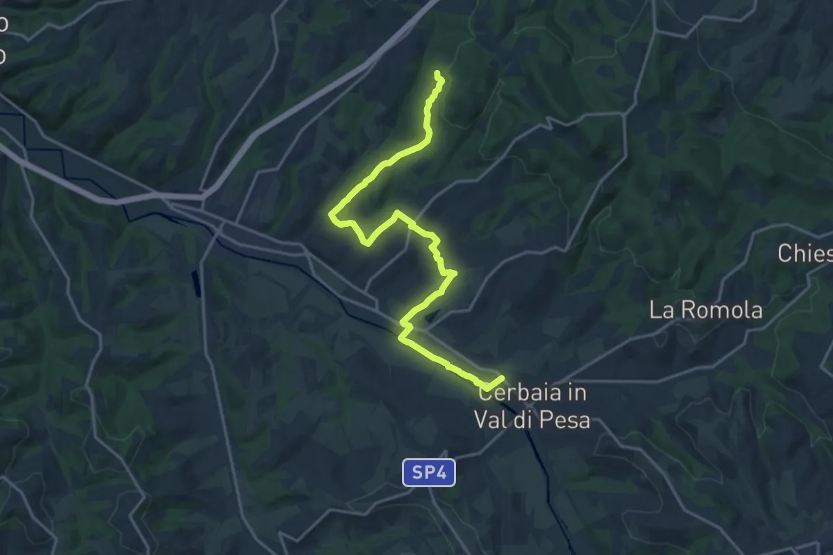
Demanding · Trail
Castellare – Roveta
18.2 km · ↑ 334 m · 5 h 1 min · 12 km away
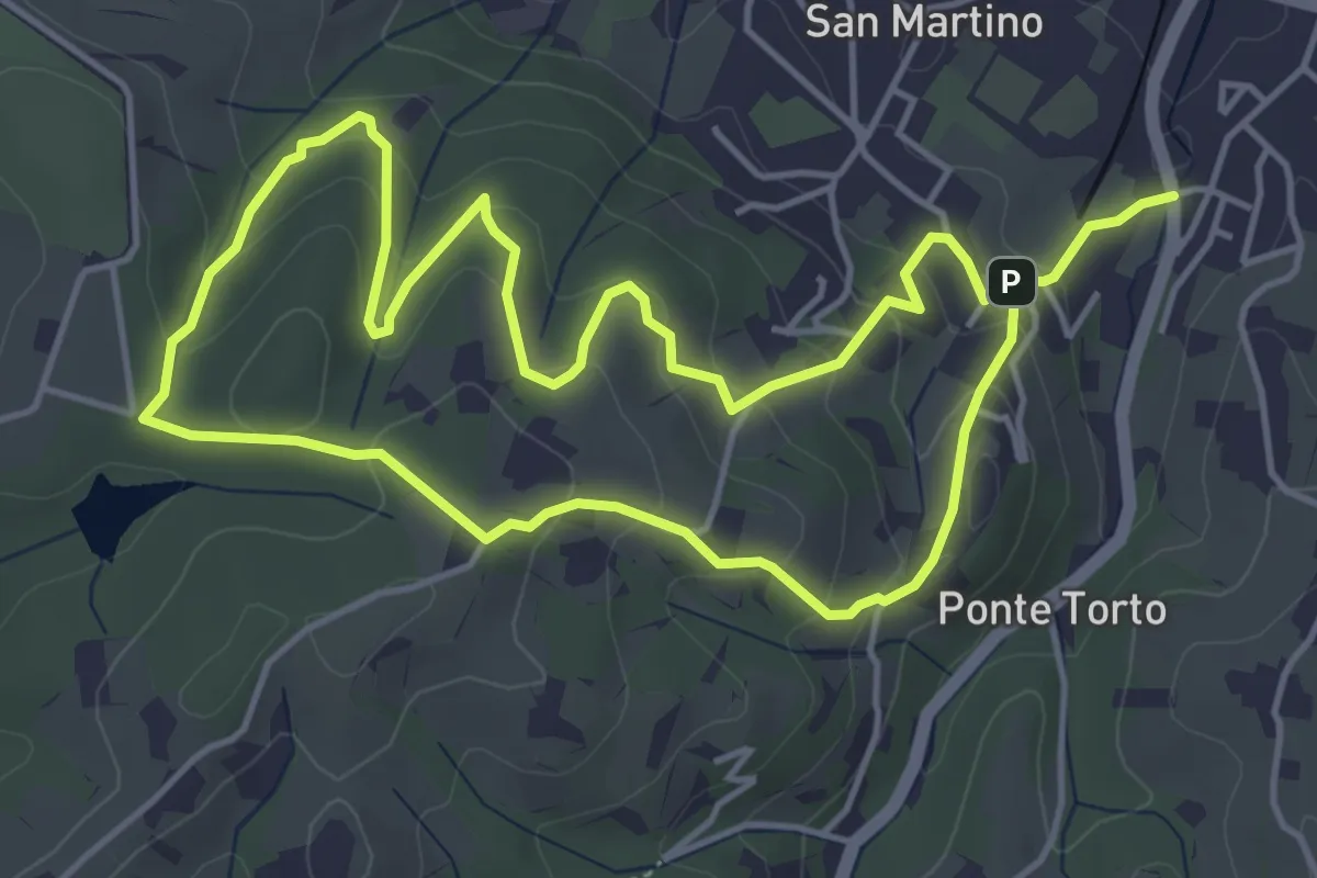
Easy · Trail
Anello Villa Caruso
4.9 km · ↑ 243 m · 1 h 46 min · 13 km away
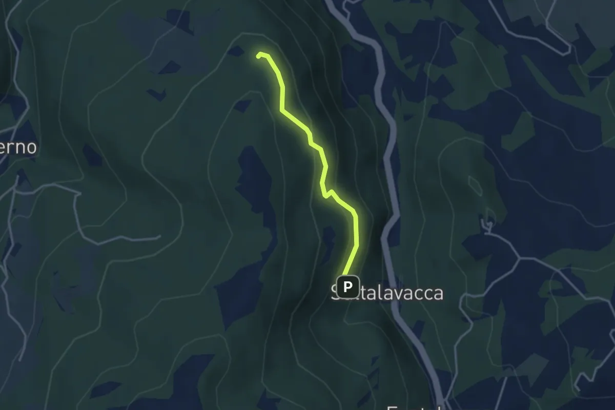
Easy · Trail
Sentiero 61 – Sentiero 68
2.7 km · ↑ 165 m · 1 h · 13 km away
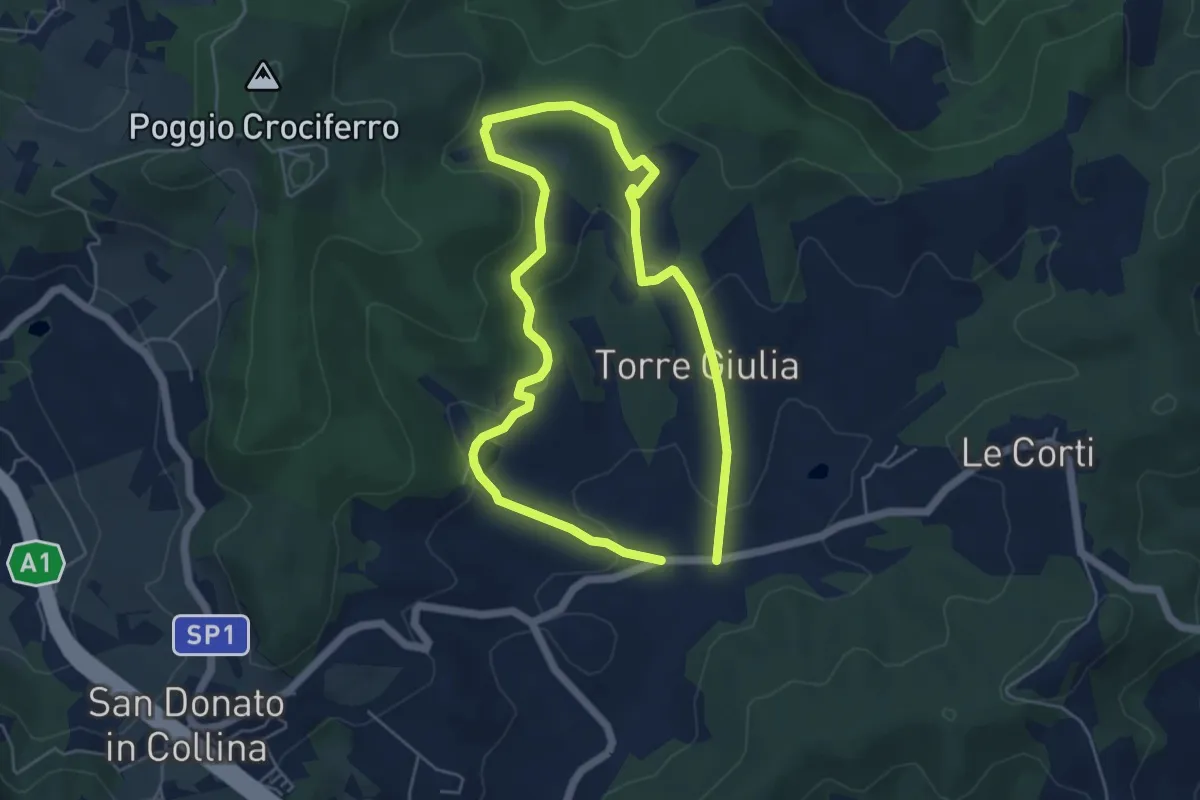
Medium · Trail
Il Fossato – Badiuzza
9.5 km · ↑ 264 m · 2 h 50 min · 13 km away
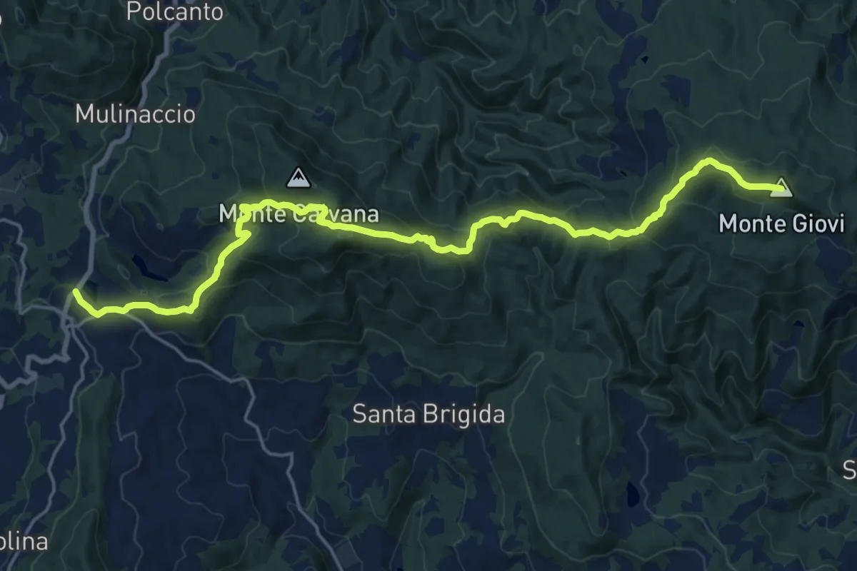
Demanding · Summit
Vetta le Croci – Scopeti
22.8 km · ↑ 1065 m · 7 h 41 min · 13 km away
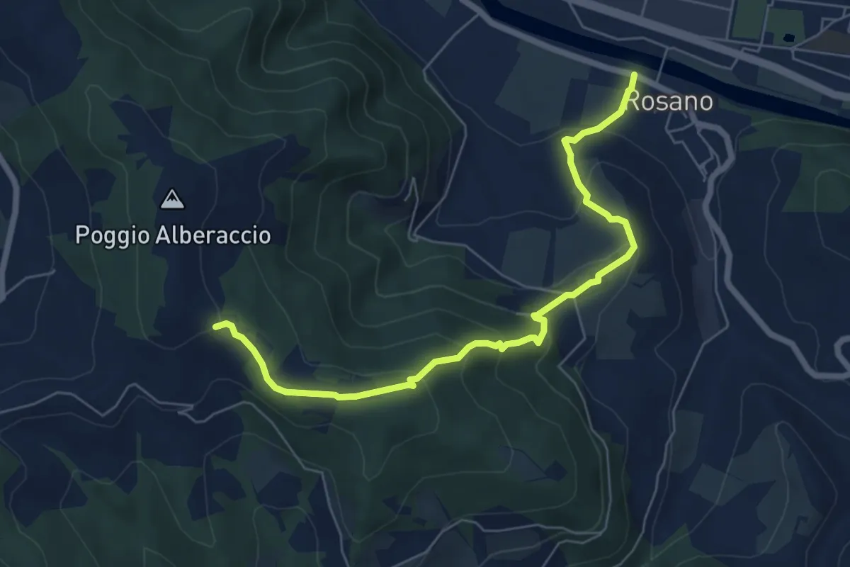
Medium · Trail
Rosano – Poggio Alberaccio
6.9 km · ↑ 369 m · 2 h 26 min · 13 km away
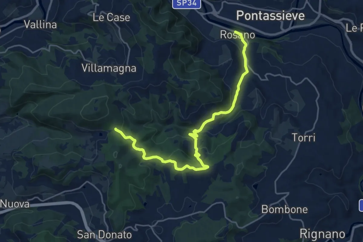
Medium · Trail
Rosano – Valico Di Terzano
16.9 km · ↑ 480 m · 5 h 1 min · 13 km away
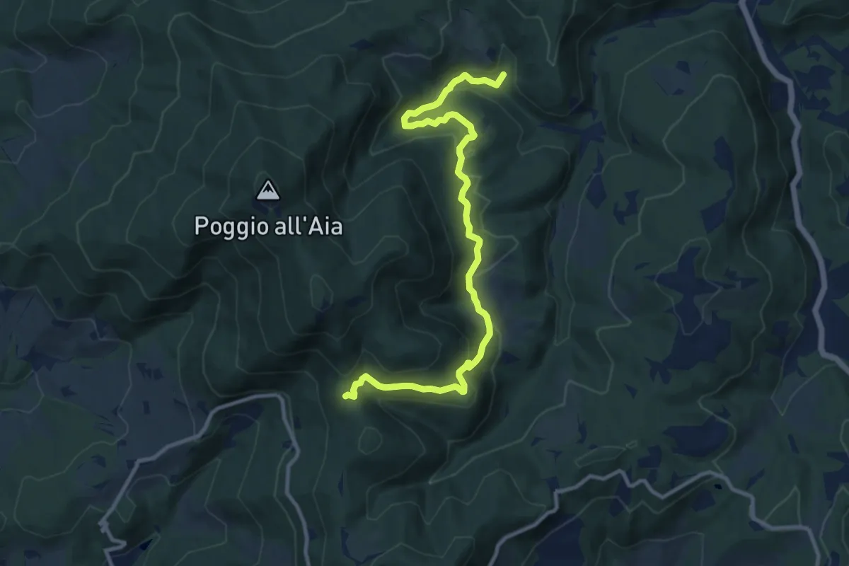
Medium · Trail
Cerreto Maggio – Sella delle Colline
11.7 km · ↑ 447 m · 3 h 43 min · 14 km away
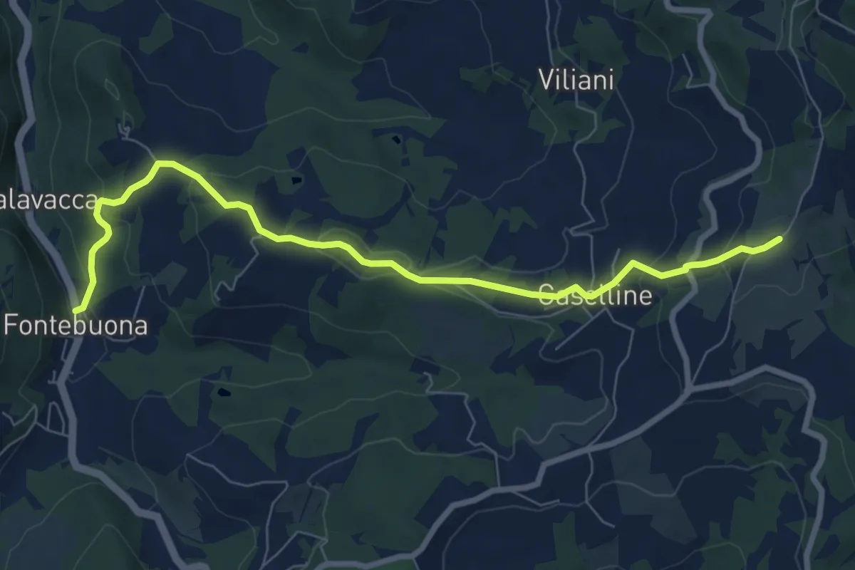
Medium · Trail
Percorso 5 – Caselline
8.2 km · ↑ 290 m · 2 h 34 min · 14 km away
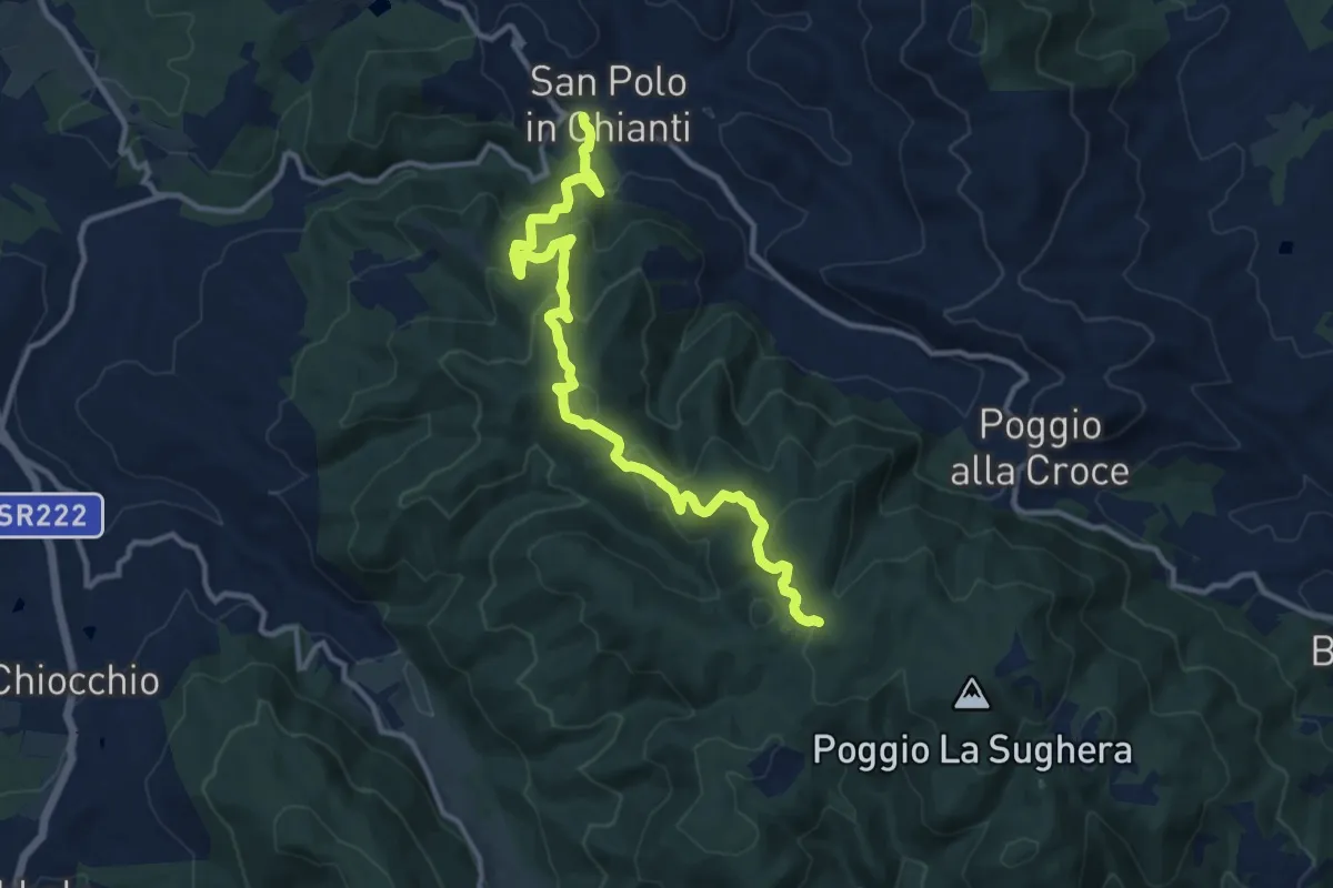
Medium · Trail
San Polo in Chianti – Croce ai Trogoli
13.6 km · ↑ 767 m · 4 h 53 min · 14 km away
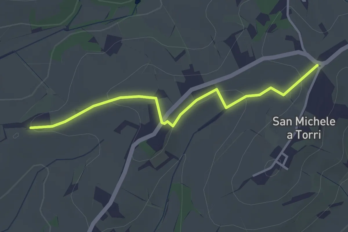
Easy · Trail
San Michele a Torri – innesto 731 - Mulinaccio
3.2 km · ↑ 69 m · 55 min · 14 km away