Trails near Firenze
120 hikes starting within 15 km, nearest first.
Nearest first, page 3 of 3
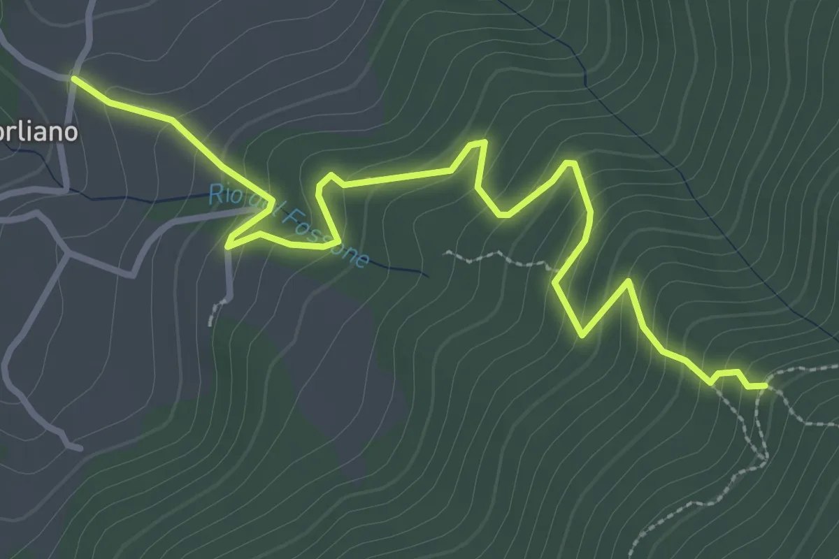
Easy · Trail
Leccio – Quota 590 sentiero 9
3.8 km · ↑ 299 m · 1 h 33 min · 14 km away
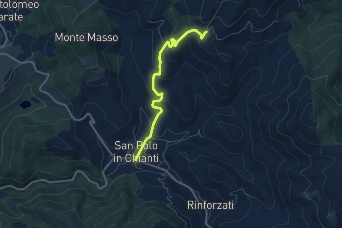
Easy · Trail
San Polo in Chianti – San Clemente in Panzalla
6.1 km · ↑ 234 m · 1 h 57 min · 14 km away
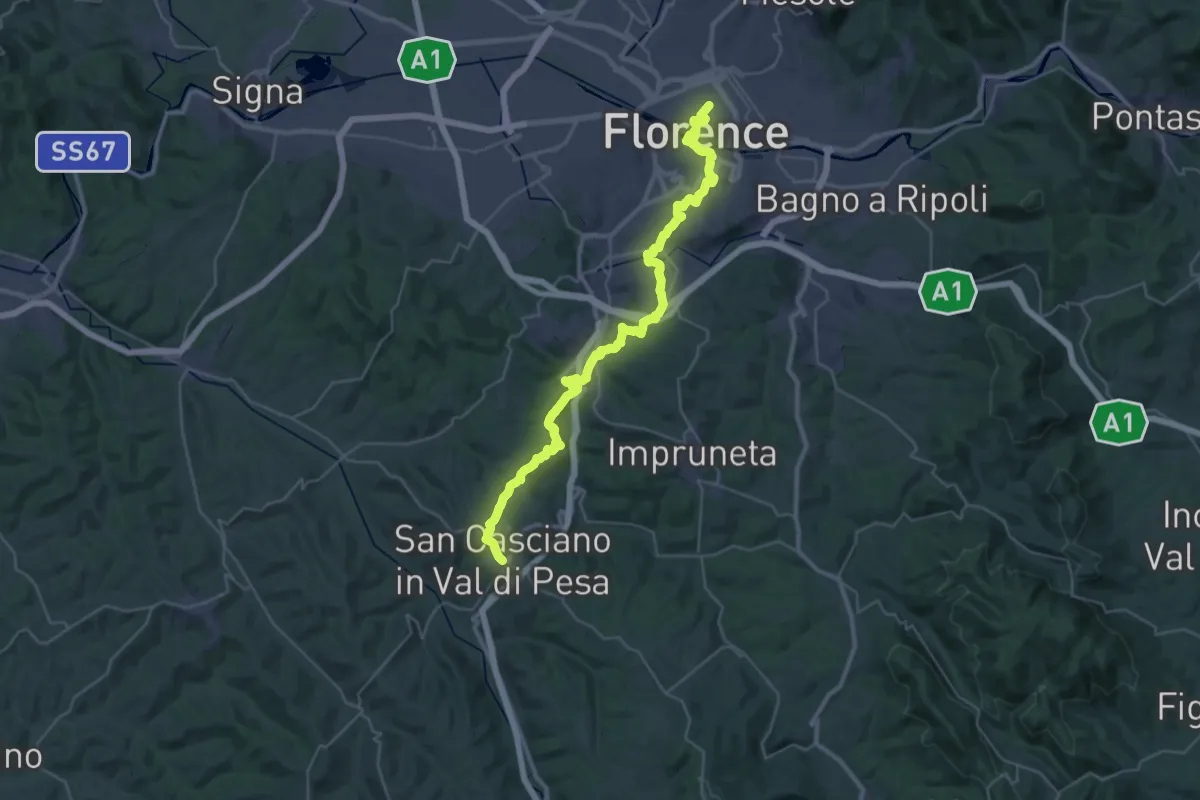
Demanding · Trail
Via Romea Sanese - Tappa 1
22.0 km · ↑ 484 m · 6 h 40 min · 14 km away
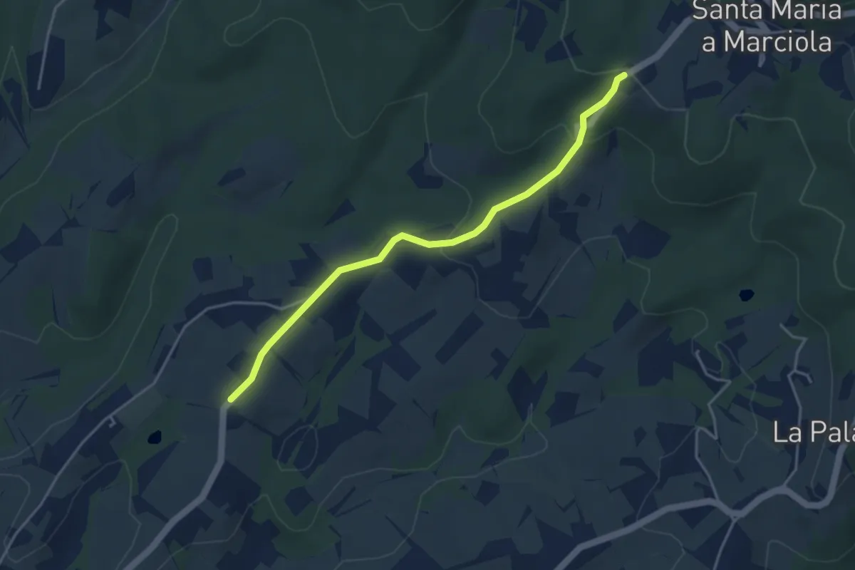
Easy · Trail
Bivio Azienda agricola Brunelli, innesto CAI 740 – Località San Niccolò a Torri, innesto CAI 731
4.2 km · ↑ 129 m · 1 h 16 min · 14 km away
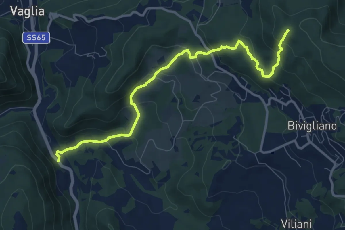
Medium · Trail
Via Faentina – 300M
8.8 km · ↑ 428 m · 3 h · 14 km away
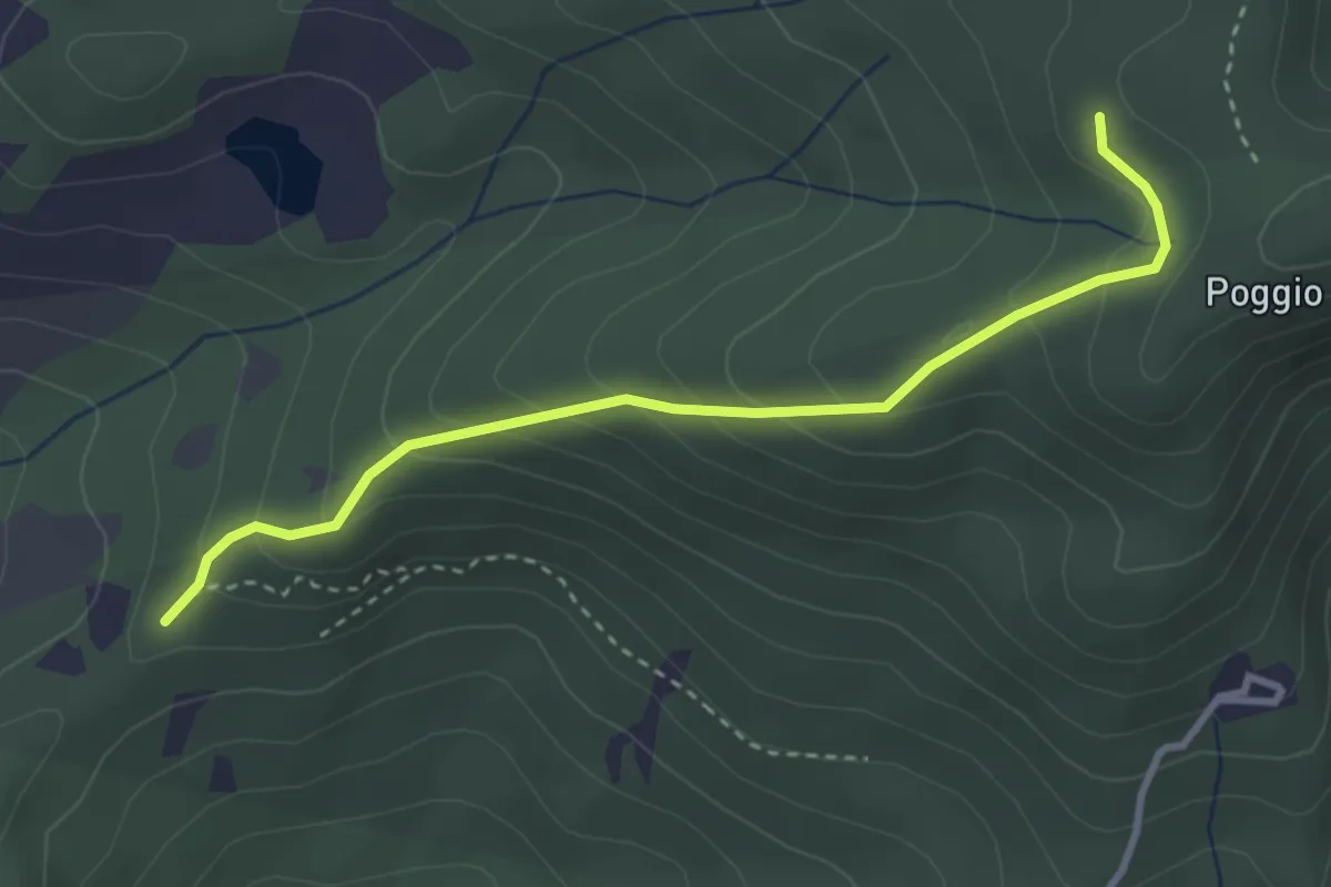
Easy · Trail
sentiero 00 (pressi Pratellino) – Sentiero 00
3.5 km · ↑ 255 m · 1 h 23 min · 14 km away
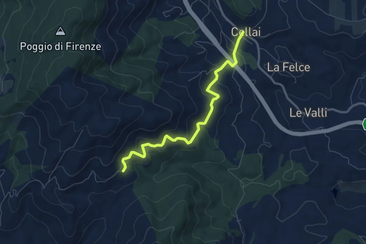
Medium · Trail
Cellai – Fabiano
7.1 km · ↑ 347 m · 2 h 25 min · 14 km away
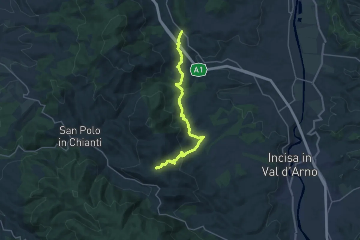
Medium · Trail
Cellai – sent. 00
15.0 km · ↑ 470 m · 4 h 34 min · 14 km away
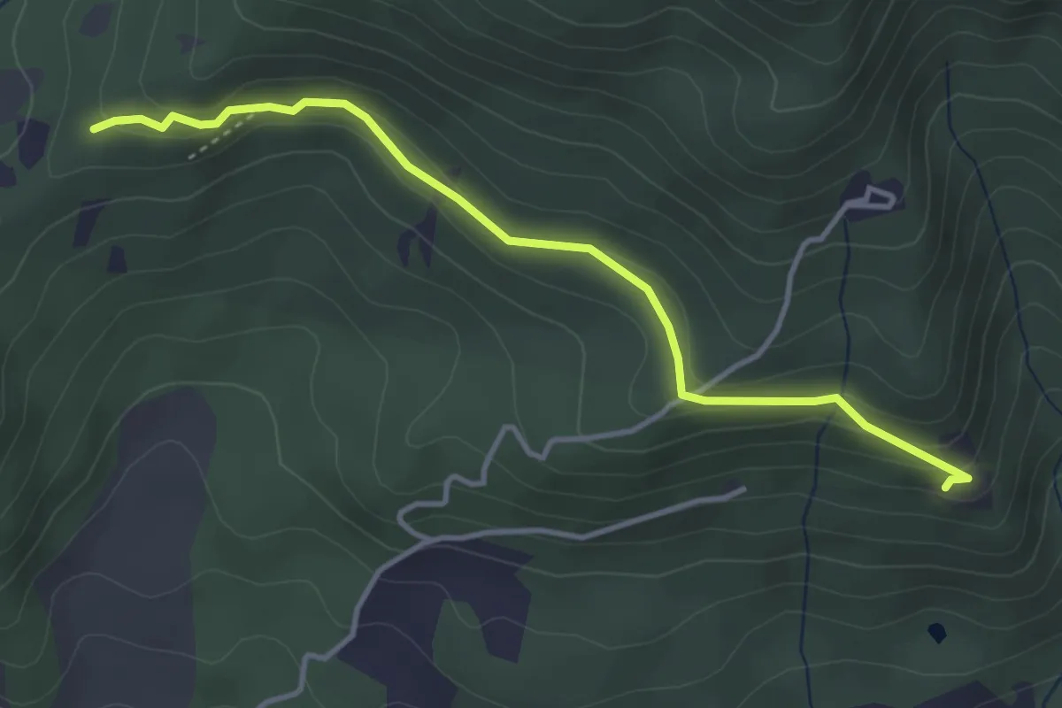
Easy · Trail
Madonna del Sasso – Sentiero 204, nei pressi di Pratellino
4.0 km · ↑ 119 m · 1 h 12 min · 14 km away
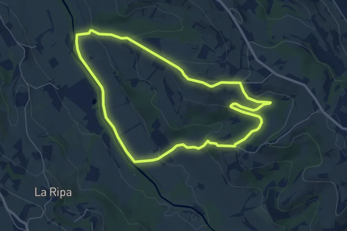
Easy · Trail
Anello di Montepaldi
6.4 km · ↑ 171 m · 1 h 59 min · 14 km away
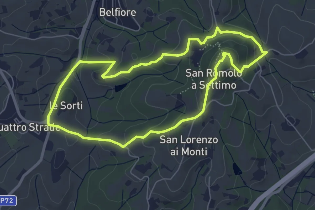
Easy · Summit
Anello della Guerrina
5.2 km · ↑ 181 m · 1 h 42 min · 14 km away
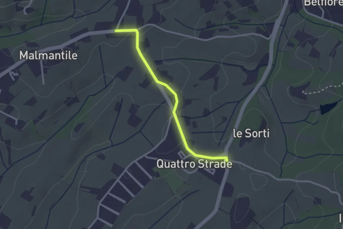
Easy · Trail
Innesto sentiero741, incrocio Via Vecchia Pisana con Via S. Salvadore – Innesto sentiero CAI 745, incrocio Via Maremmana con Via del Pollaiolo
2.4 km · ↑ 36 m · 38 min · 14 km away
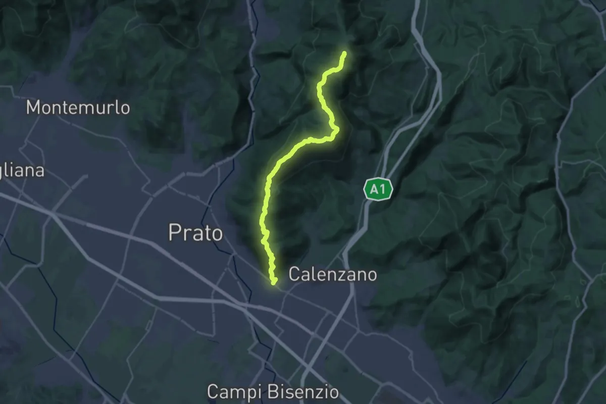
Demanding · Summit
La Querce – Poggio ai Prati (sentiero 00)
26.9 km · ↑ 1335 m · 9 h 15 min · 14 km away
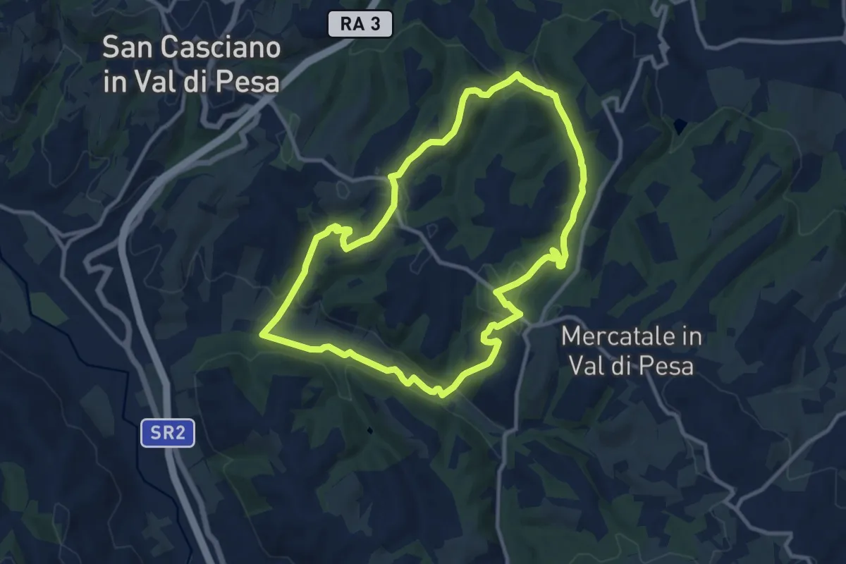
Medium · Trail
Anello di Calcinaia
10.3 km · ↑ 283 m · 3 h 11 min · 14 km away
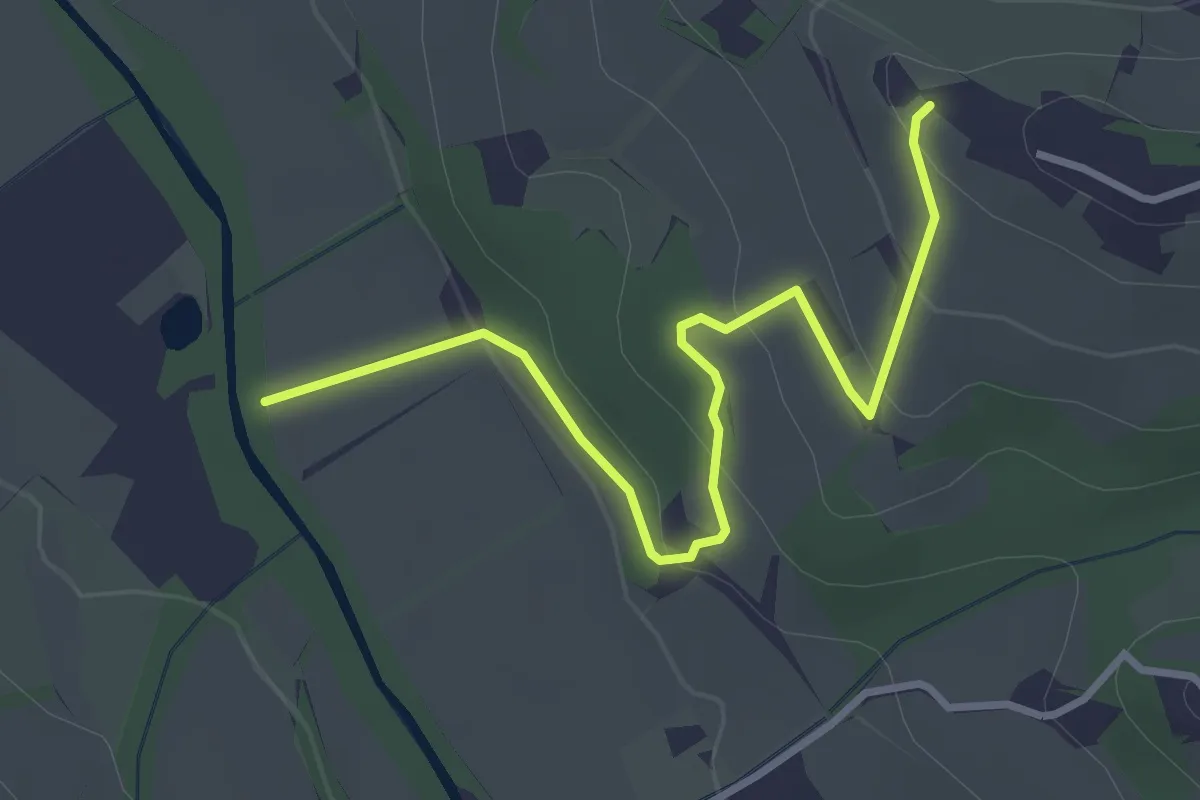
Easy · Trail
Colombaia – Torrente Pesa
3.7 km · ↑ 133 m · 1 h 10 min · 14 km away
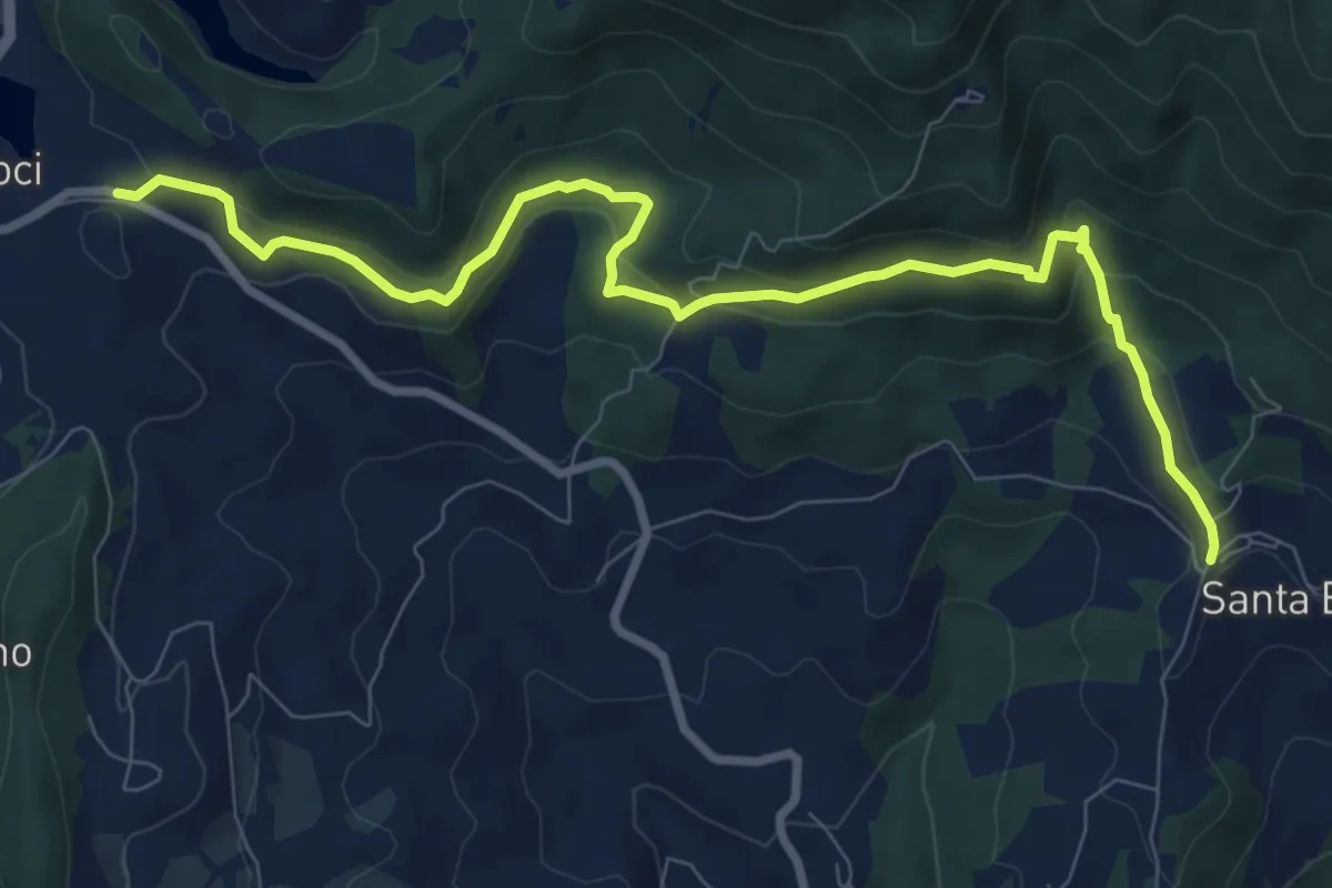
Medium · Trail
Le Lucole – Valico Alberaccio
10.3 km · ↑ 439 m · 3 h 23 min · 14 km away
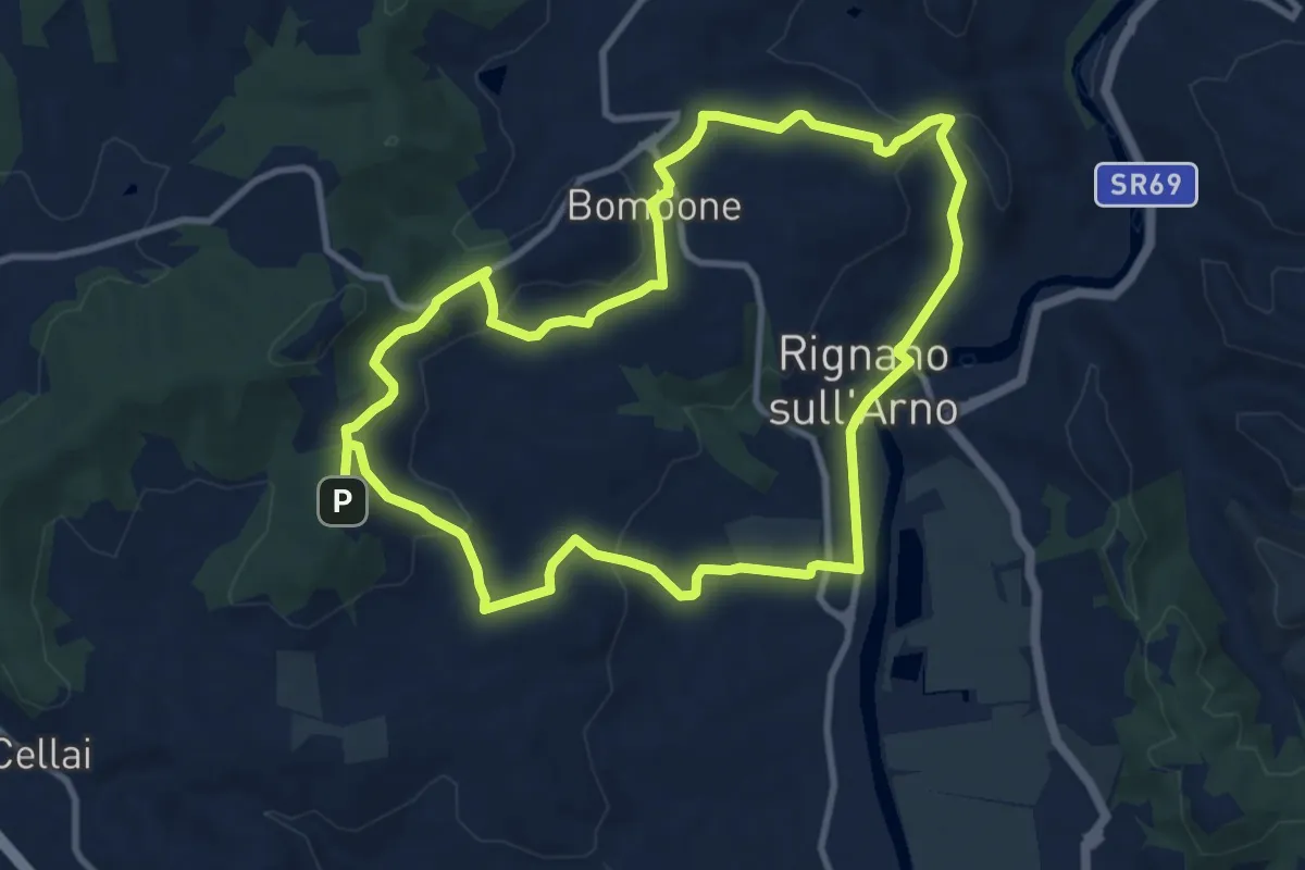
Medium · Trail
Percorso "Pievi, Chiese e Castelli"
10.6 km · ↑ 279 m · 3 h 16 min · 15 km away
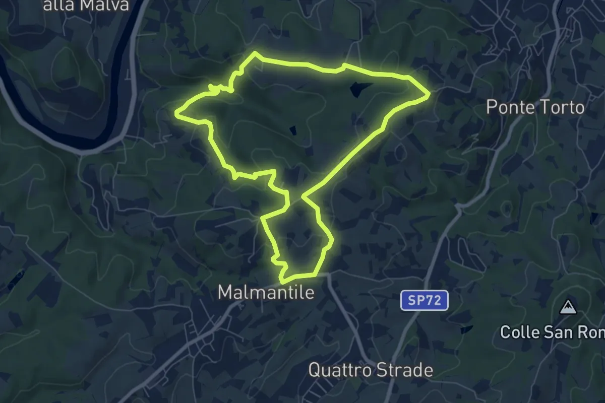
Easy · Summit
Anello di Lecceto
7.5 km · ↑ 199 m · 2 h 18 min · 15 km away
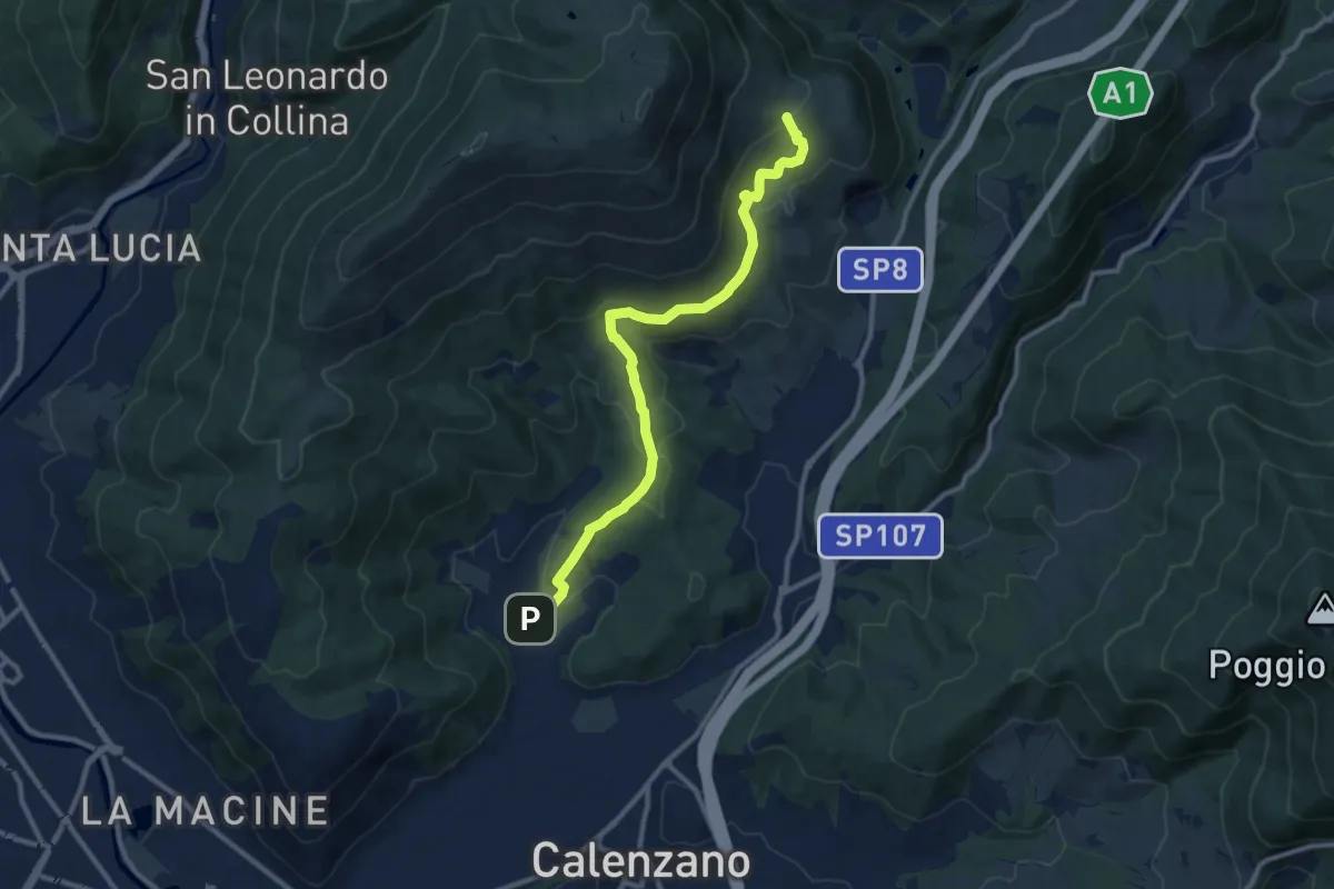
Medium · Summit
Sentiero della Pace
11.4 km · ↑ 392 m · 3 h 32 min · 15 km away
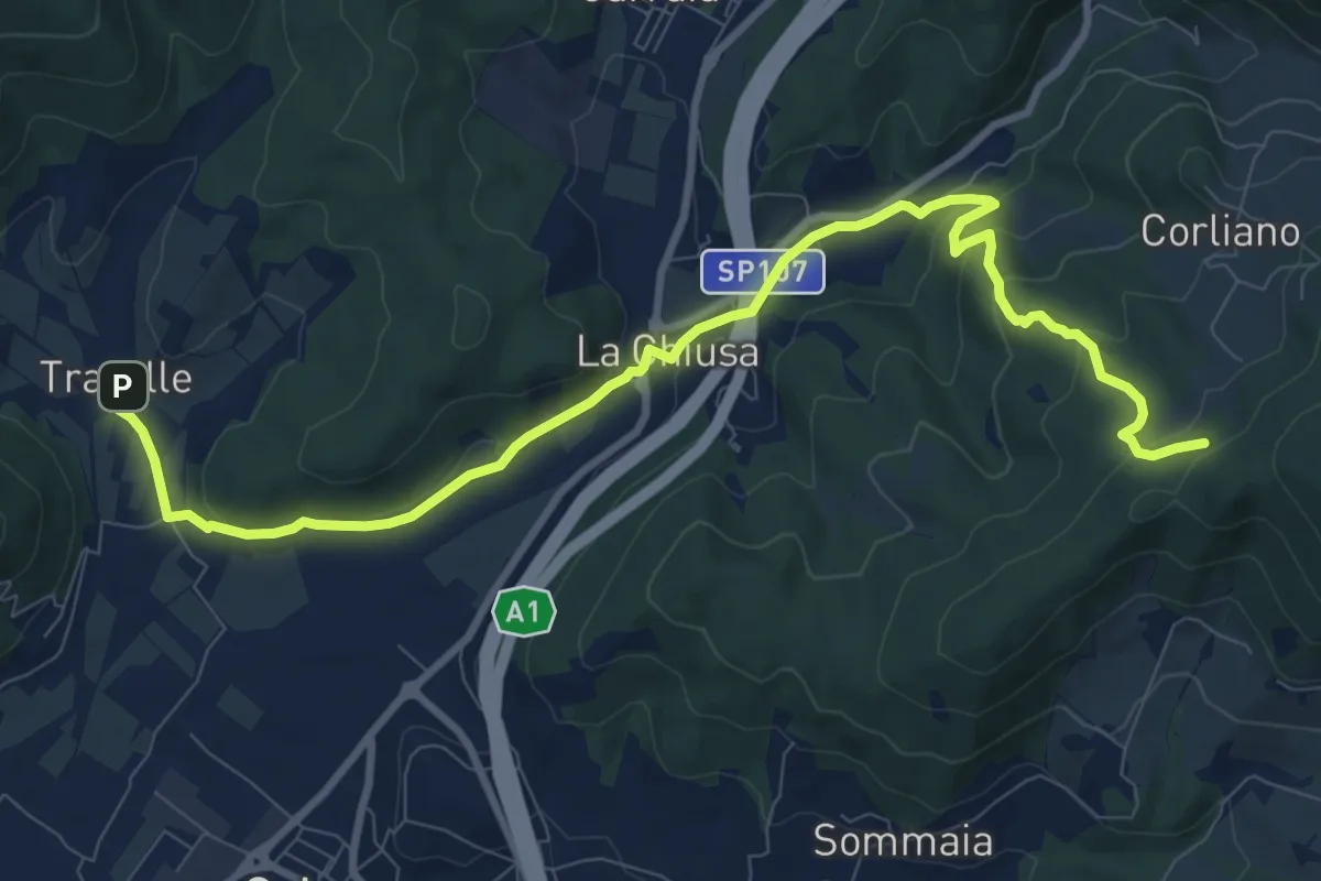
Medium · Trail
La Chiusa – Incrocio sent. 609
11.7 km · ↑ 369 m · 3 h 33 min · 15 km away
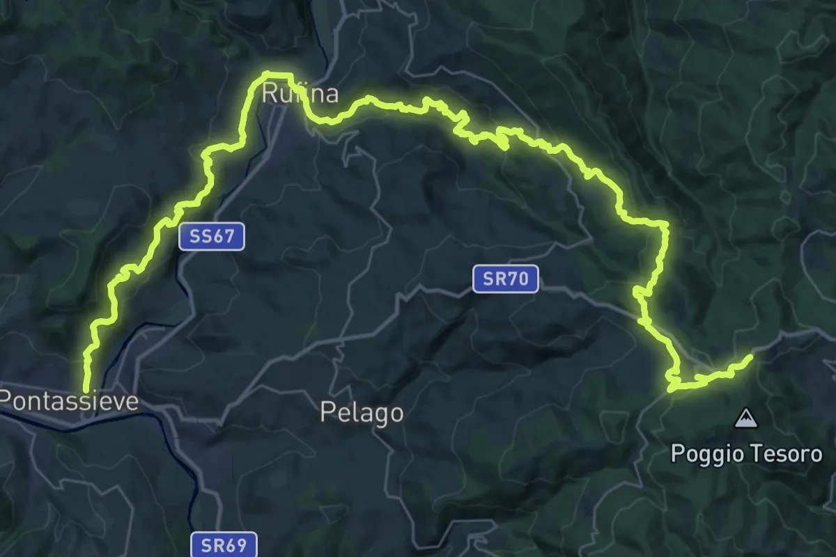
Demanding · Trail
Sentiero della Memoria
28.4 km · ↑ 1490 m · 9 h 53 min · 15 km away
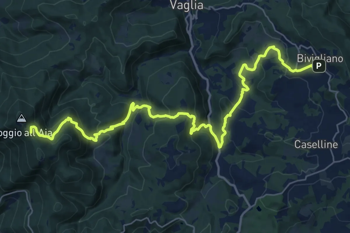
Demanding · Summit
Il Sentiero Delle Cime - 61 - Comune di Vaglia
26.4 km · ↑ 1504 m · 9 h 30 min · 15 km away
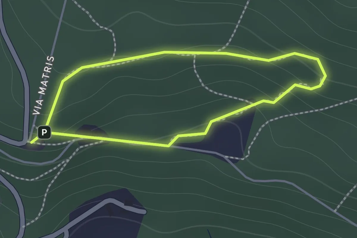
Easy · Trail
Sentiero di Andrea
1.2 km · ↑ 57 m · 26 min · 15 km away
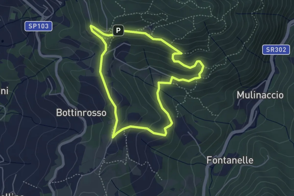
Easy · Trail
Itinerario delle Burraie
4.2 km · ↑ 171 m · 1 h 25 min · 15 km away