Trails near Fivizzano
170 hikes starting within 15 km, nearest first.
Nearest first, page 1 of 4
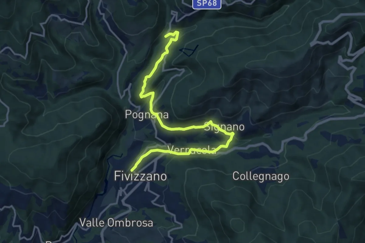
Medium · Trail
Fivizzano – Mulino Arlia
13.0 km · ↑ 454 m · 4 h 2 min · under 1 km away
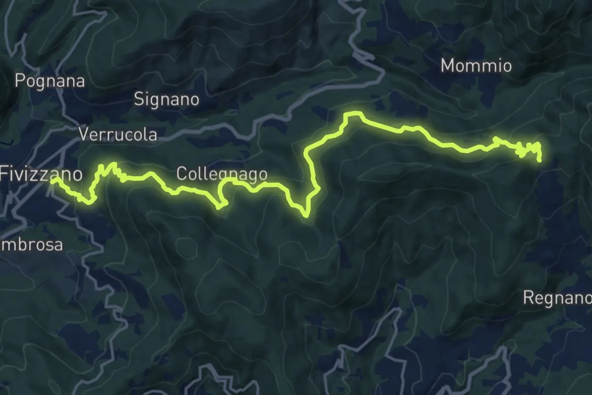
Demanding · Trail
Fivizzano – Passo Cadin
20.3 km · ↑ 1077 m · 7 h 8 min · under 1 km away
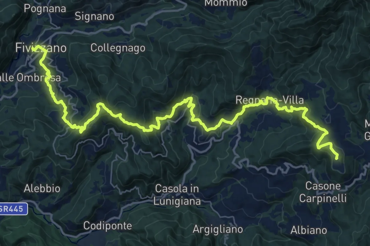
Demanding · Summit
Via del Volto Santo 3
35.2 km · ↑ 1634 m · 11 h 51 min · under 1 km away
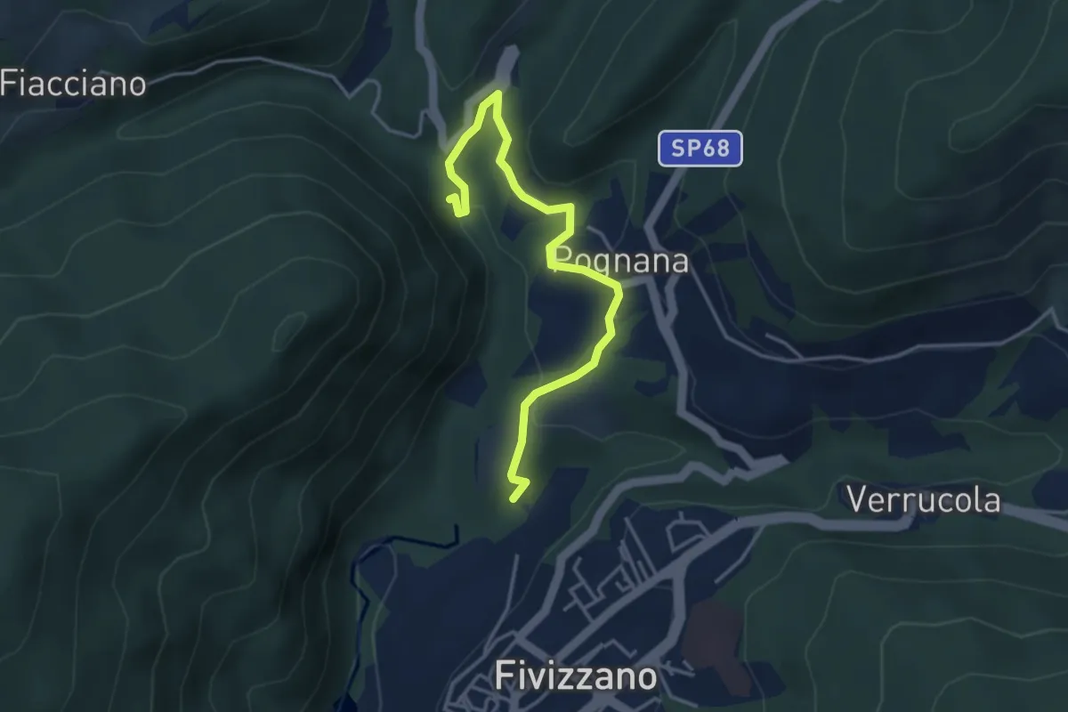
Easy · Trail
Fivizzano – Cascate delle fate
4.1 km · ↑ 131 m · 1 h 16 min · 1 km away
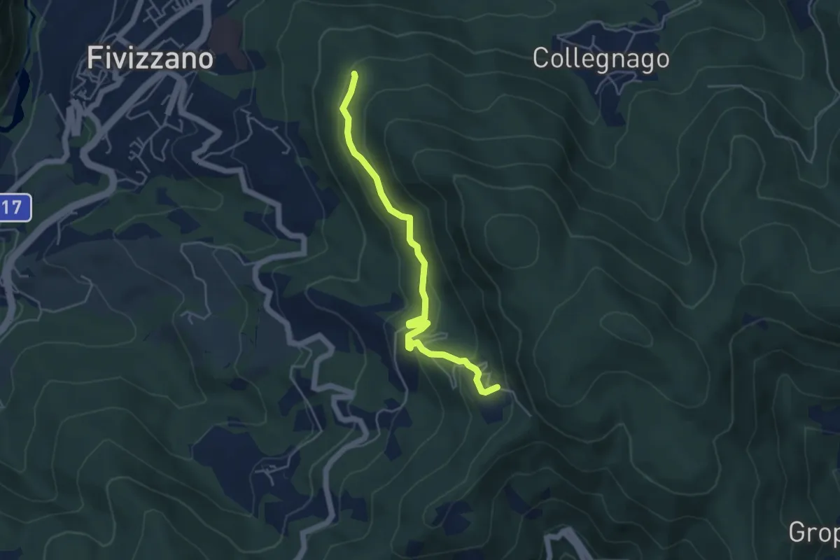
Easy · Trail
Fivizzano – Turlago
4.7 km · ↑ 263 m · 1 h 41 min · 1 km away
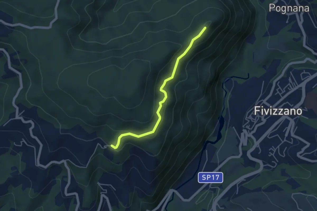
Easy · Trail
Virolo – Chiesina Tergagliana
4.0 km · ↑ 208 m · 1 h 24 min · 1 km away
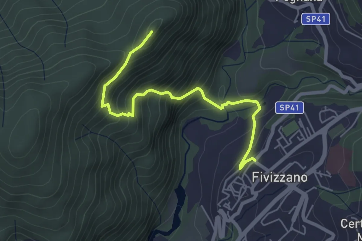
Medium · Trail
Fivizzano – Chiesina Tergagliana
5.0 km · ↑ 402 m · 2 h 3 min · 1 km away
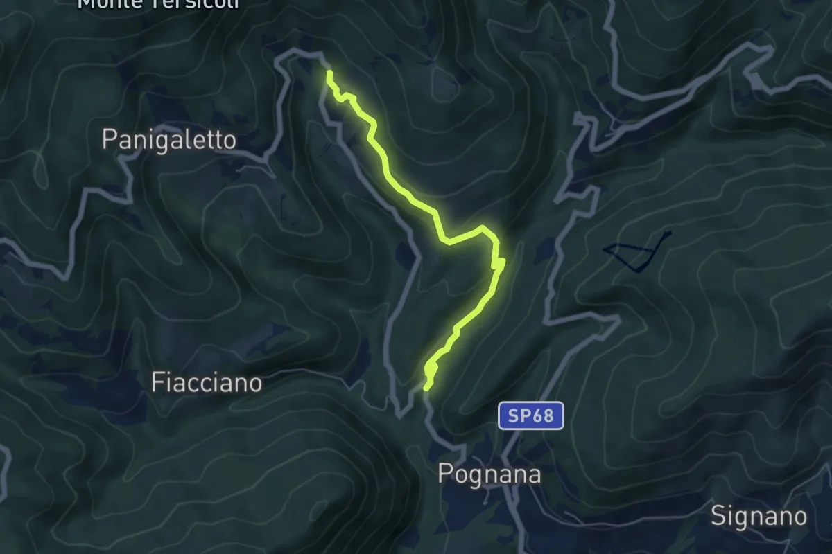
Easy · Trail
Rosara – Cotto
5.4 km · ↑ 222 m · 1 h 45 min · 2 km away
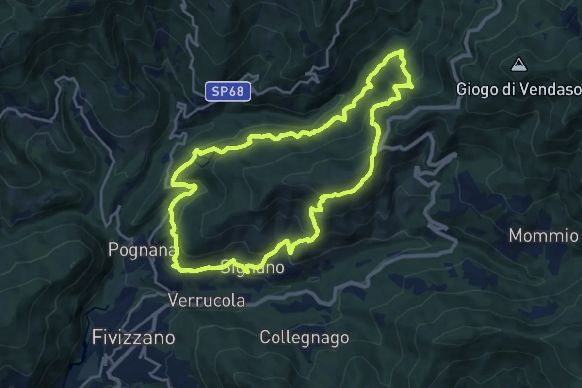
Medium · Trail
Sentiero Coli
12.1 km · ↑ 789 m · 4 h 44 min · 2 km away
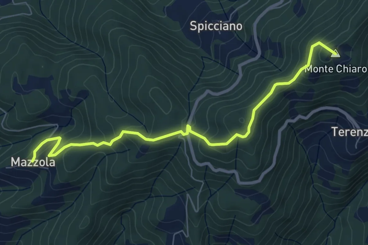
Easy · Summit
Mazzola – Turlago
6.6 km · ↑ 308 m · 2 h 13 min · 3 km away
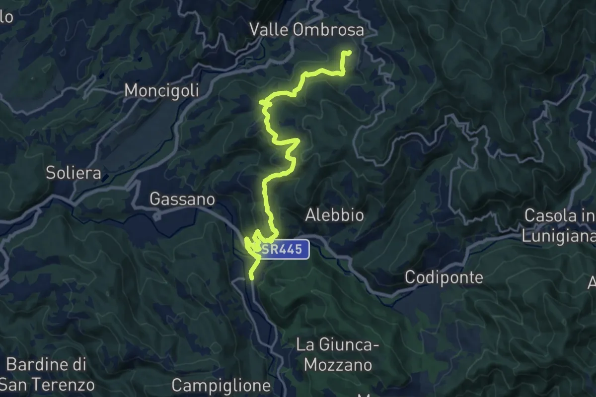
Medium · Trail
Colle Cerignano – Gragnola
15.8 km · ↑ 588 m · 5 h 1 min · 5 km away
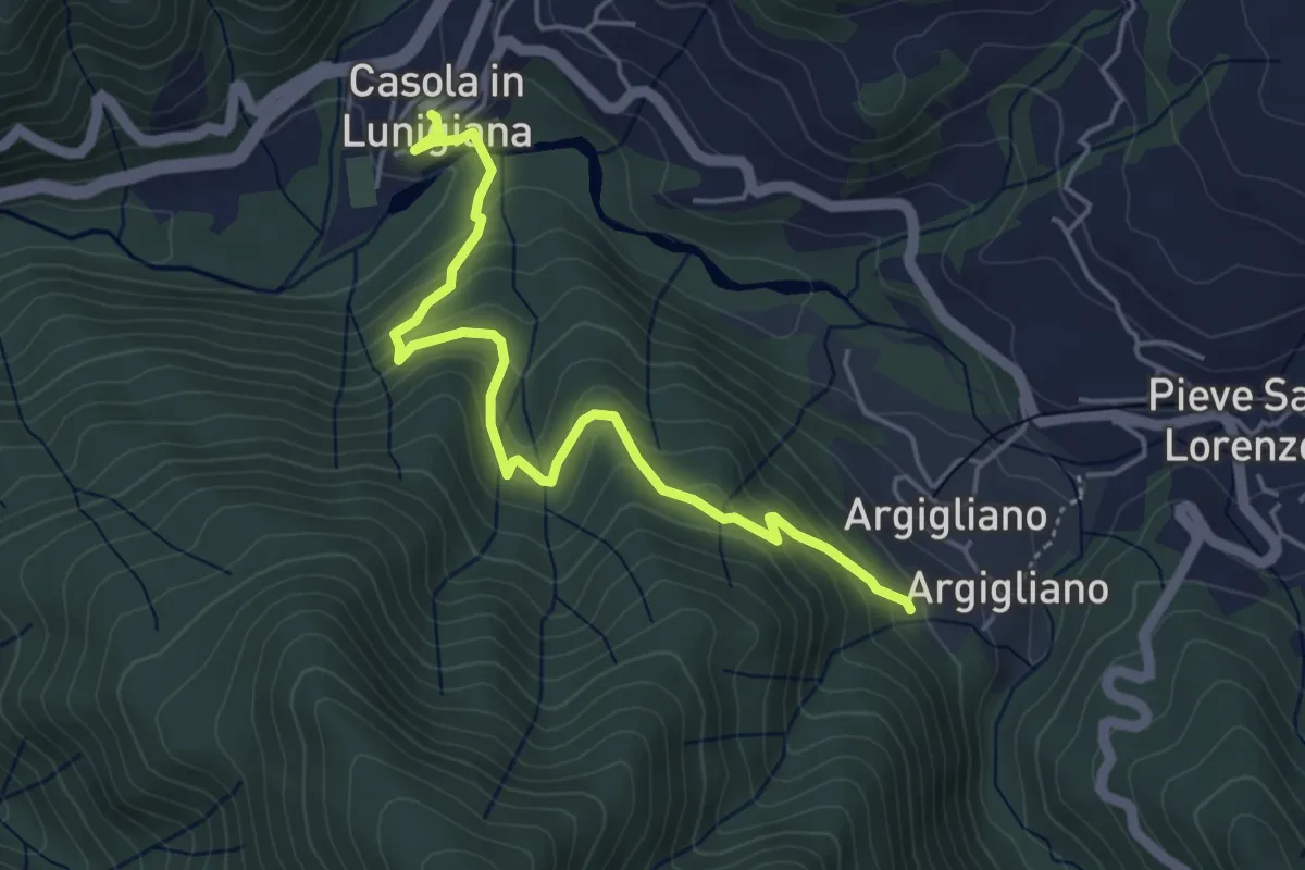
Easy · Trail
Sentiero dei Ducati Variante Convento
5.0 km · ↑ 289 m · 1 h 49 min · 6 km away
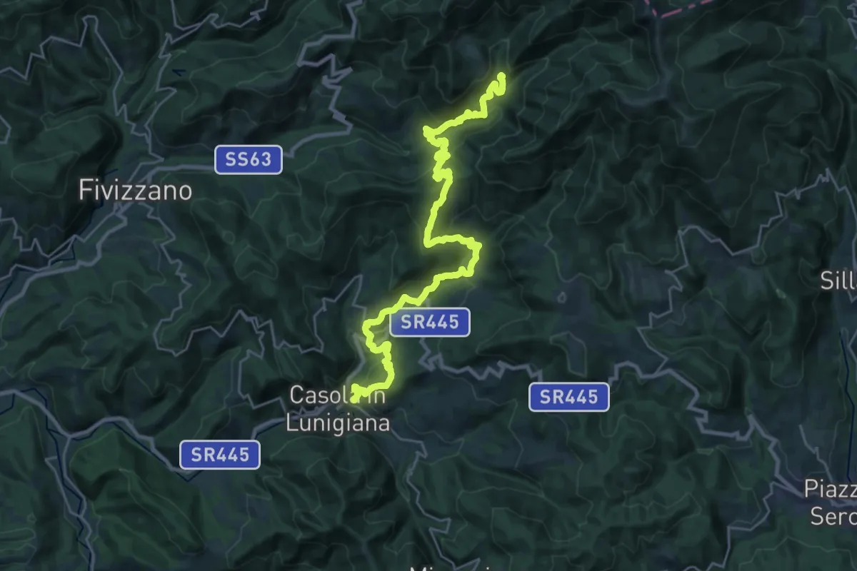
Demanding · Summit
Sentiero dei Ducati Tappa 09
29.6 km · ↑ 1717 m · 10 h 42 min · 6 km away
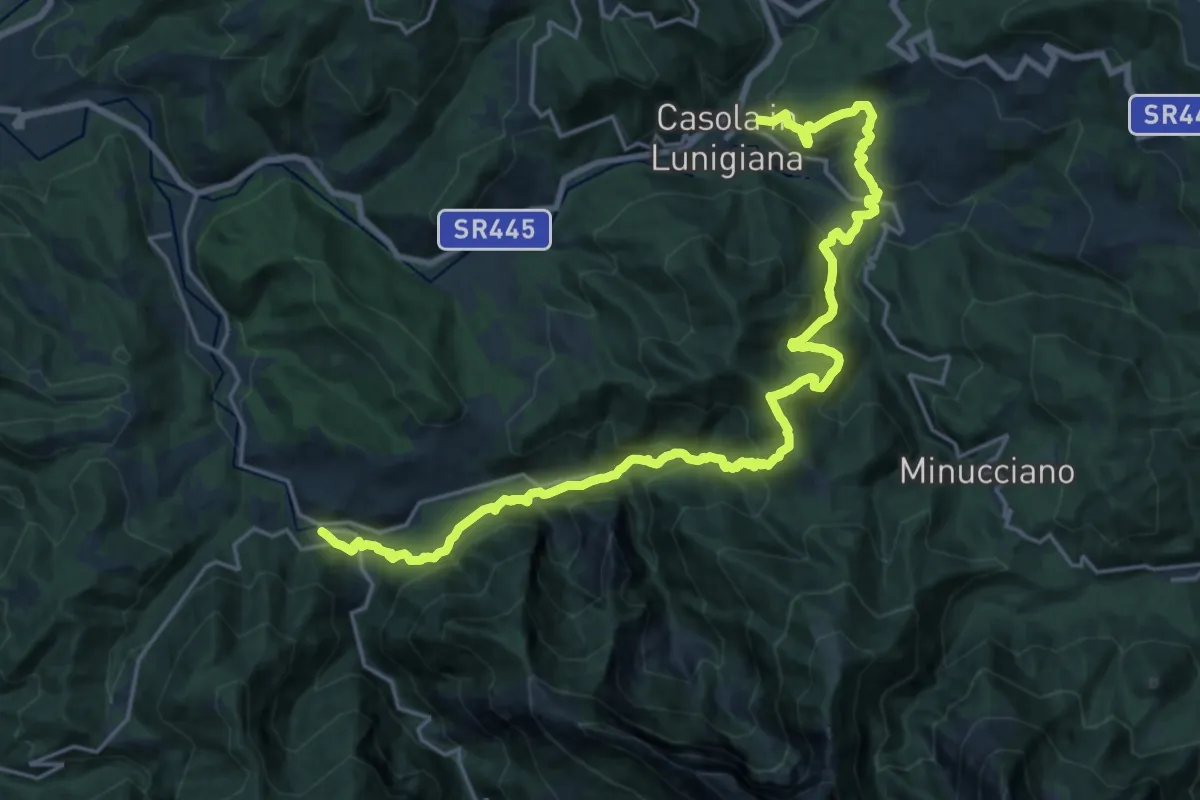
Medium · Trail
Sentiero dei Ducati Tappa 10
12.9 km · ↑ 662 m · 4 h 44 min · 6 km away
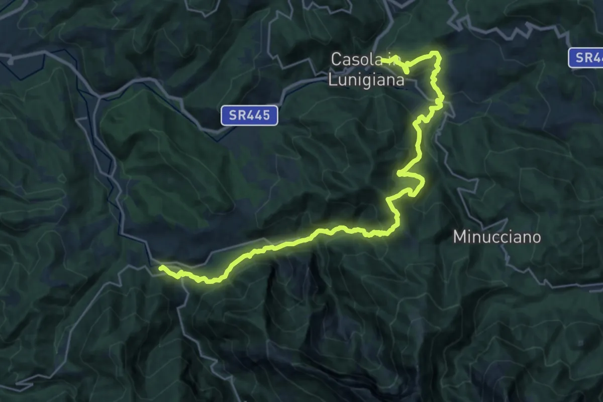
Medium · Trail
Trekking Lunigiana 11
12.9 km · ↑ 650 m · 4 h 43 min · 6 km away
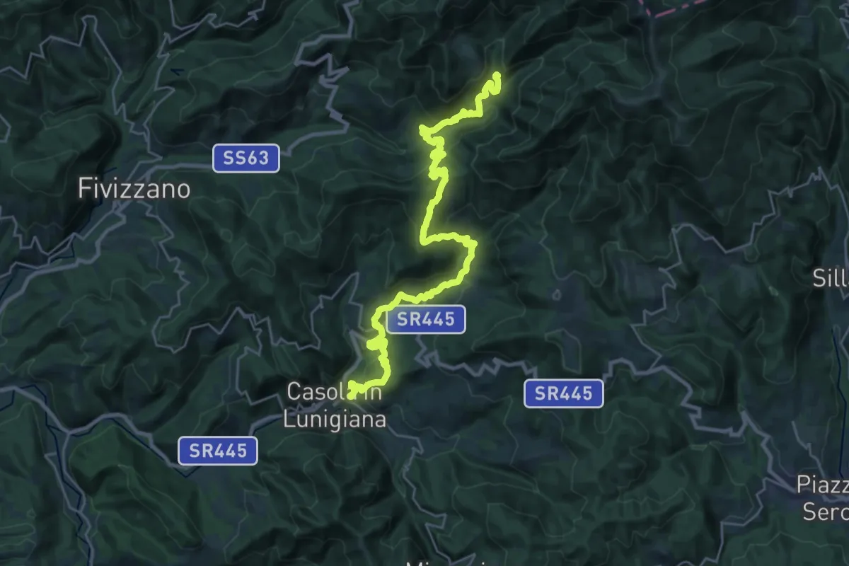
Demanding · Summit
Trekking Lunigiana 10
29.2 km · ↑ 1660 m · 10 h 30 min · 6 km away
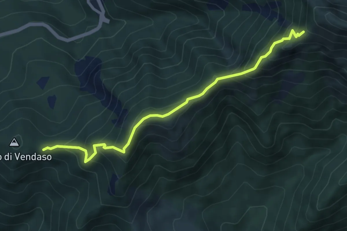
Medium · Trail
Giogo di Vendaso – Percorso 194
6.3 km · ↑ 621 m · 2 h 50 min · 6 km away
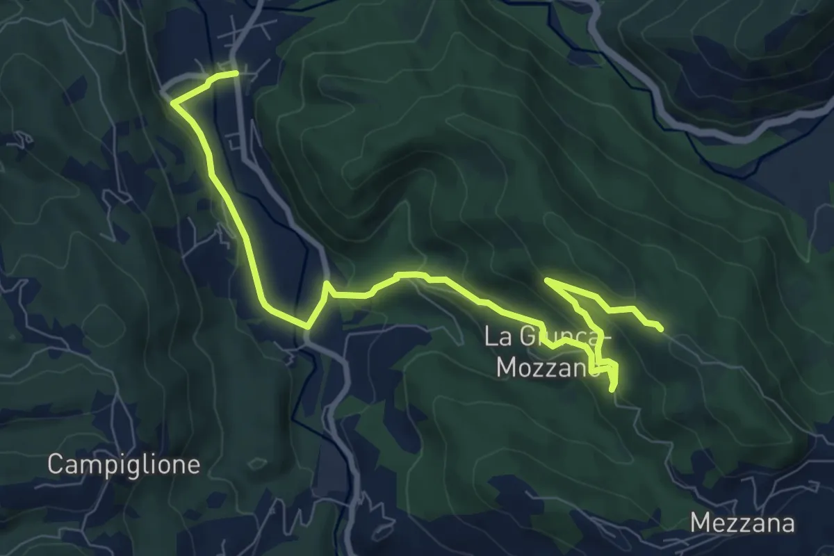
Medium · Trail
Gragnola – Fazzano
10.0 km · ↑ 386 m · 3 h 11 min · 6 km away
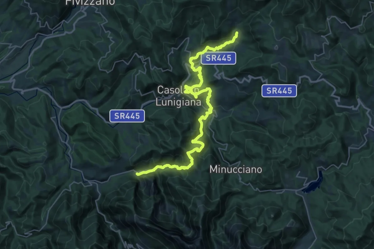
Medium · Trail
Equi terme – Regnano Villa
16.1 km · ↑ 681 m · 5 h 41 min · 7 km away
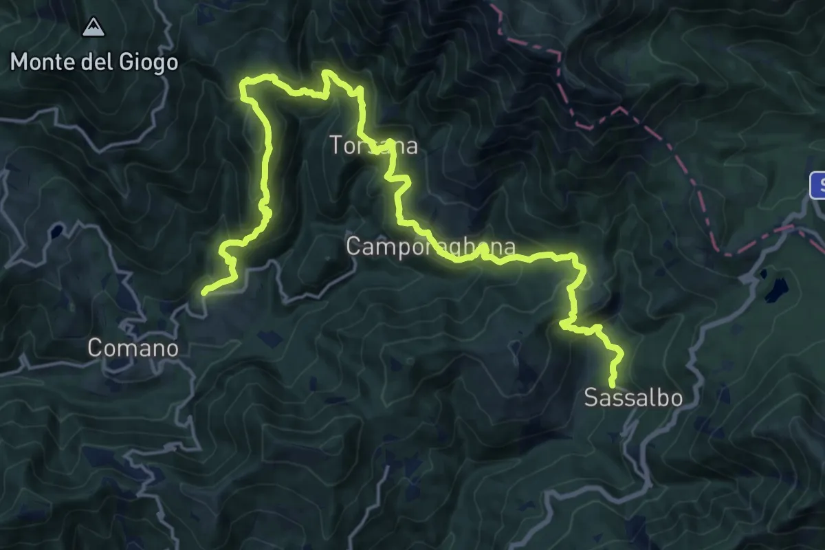
Demanding · Trail
Trekking Lunigiana 9
11.7 km · ↑ 900 m · 4 h 44 min · 7 km away
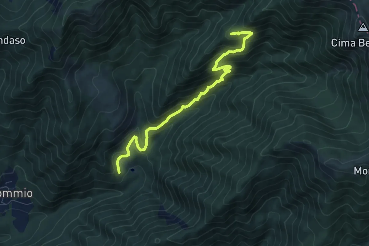
Medium · Summit
Restì – incrocio SI/00 - Borra Grande
8.2 km · ↑ 636 m · 3 h 18 min · 7 km away
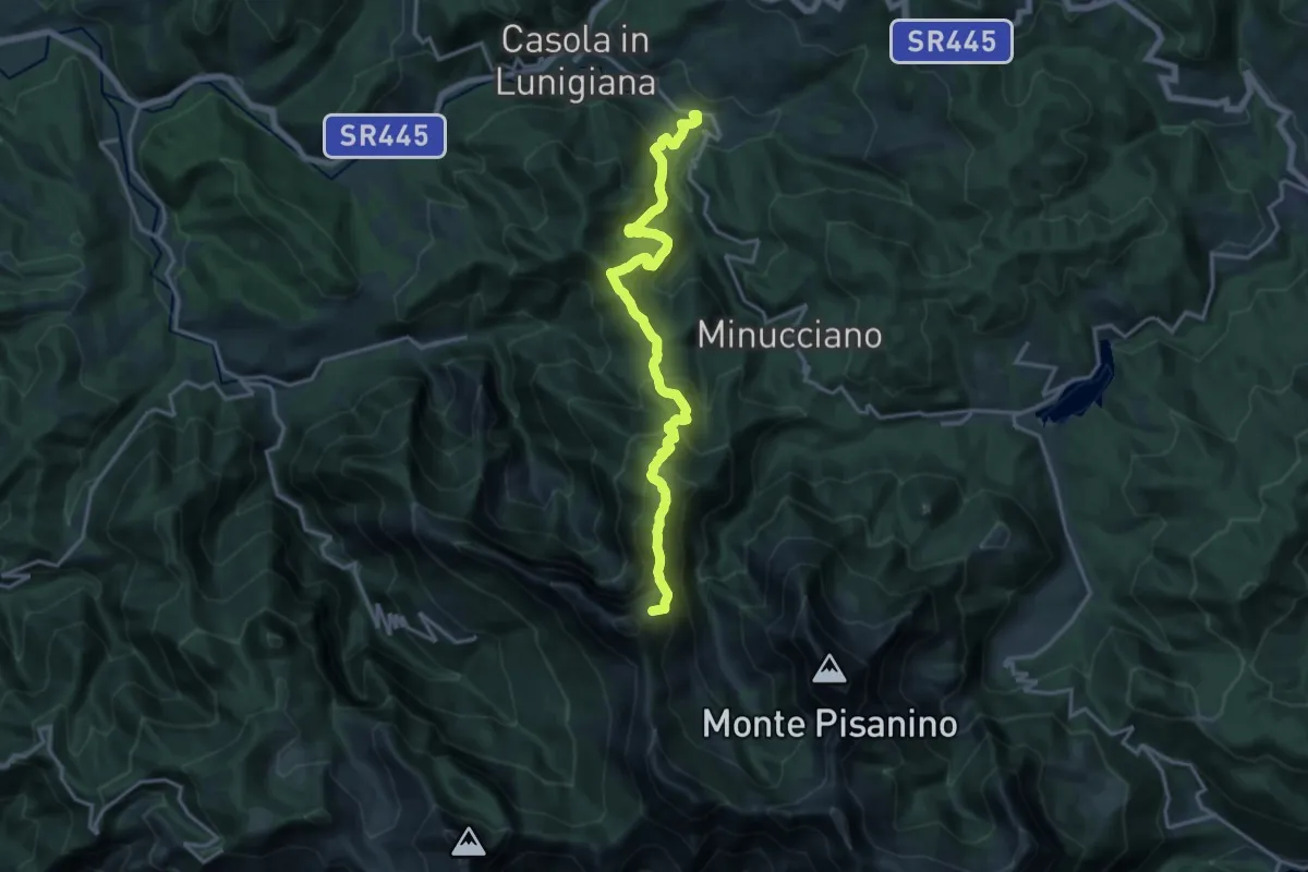
Demanding · Summit
Pieve San Lorenzo – Foce di Giovo
17.8 km · ↑ 1393 m · 7 h 13 min · 7 km away
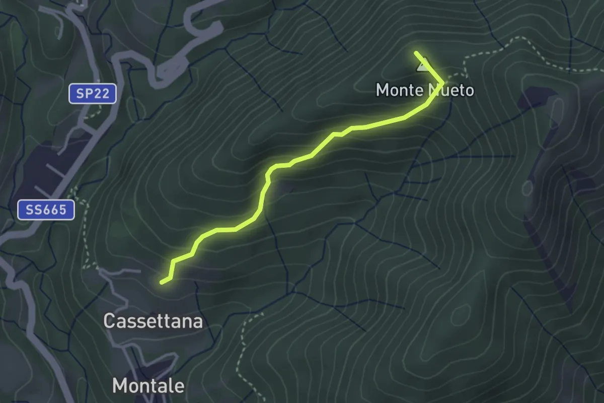
Medium · Summit
Trekking Lunigiana 8 Variante
3.1 km · ↑ 274 m · 1 h 19 min · 8 km away
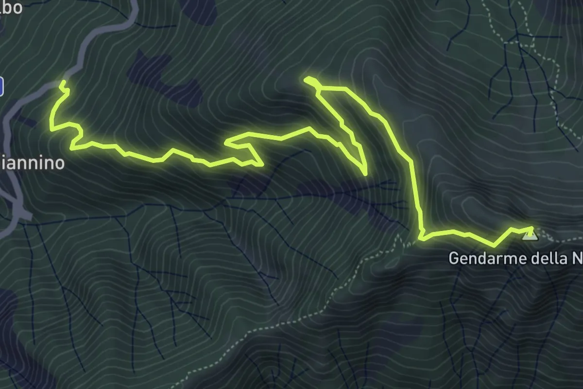
Expert · Summit
Sassalbo - Località Casa Giannino – Incrocio 00 GEA c/o Sella del Gendarme
8.9 km · ↑ 856 m · 3 h 58 min · 8 km away
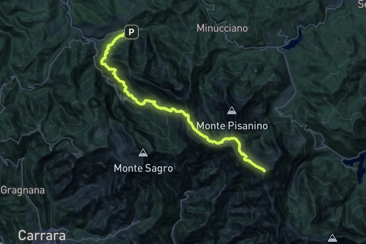
Demanding · Summit
Rifugio CAI Nello Conti – Equi Terme
30.4 km · ↑ 2755 m · 13 h 9 min · 8 km away
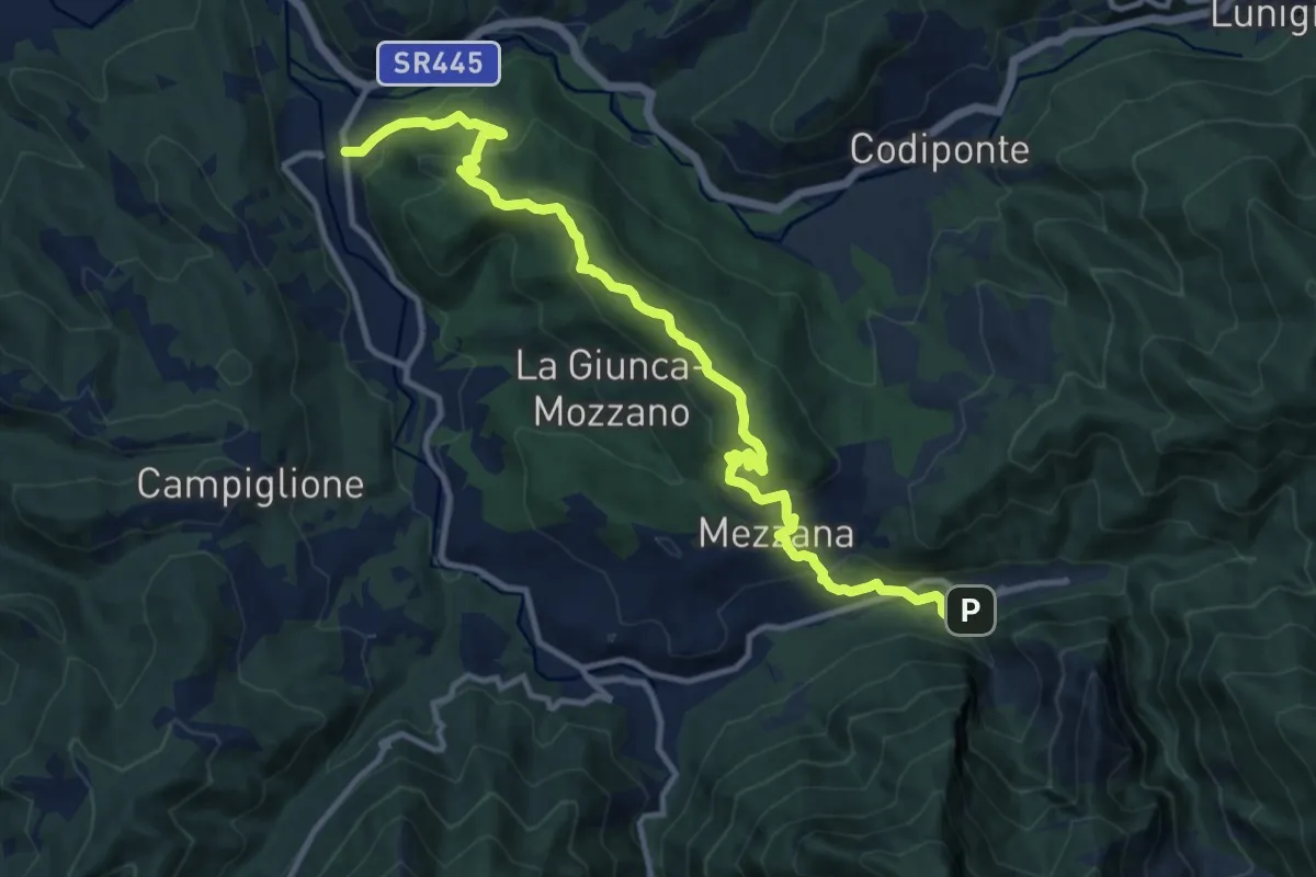
Medium · Trail
Gragnola – Equi Terme
13.7 km · ↑ 597 m · 4 h 31 min · 8 km away
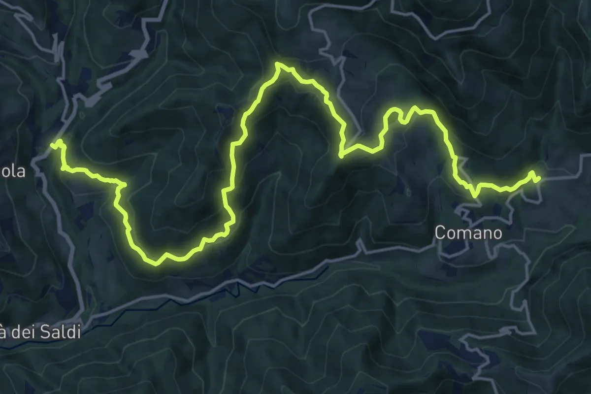
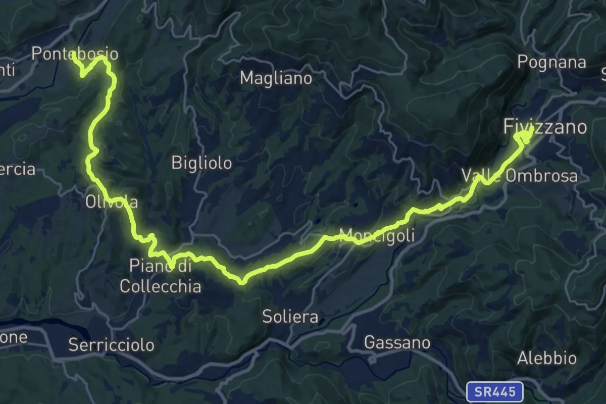
Demanding · Trail
Trekking Lunigiana 8
21.1 km · ↑ 1044 m · 7 h 15 min · 8 km away
Medium · Trail
Via del Volto Santo 2b
15.3 km · ↑ 561 m · 4 h 57 min · 8 km away
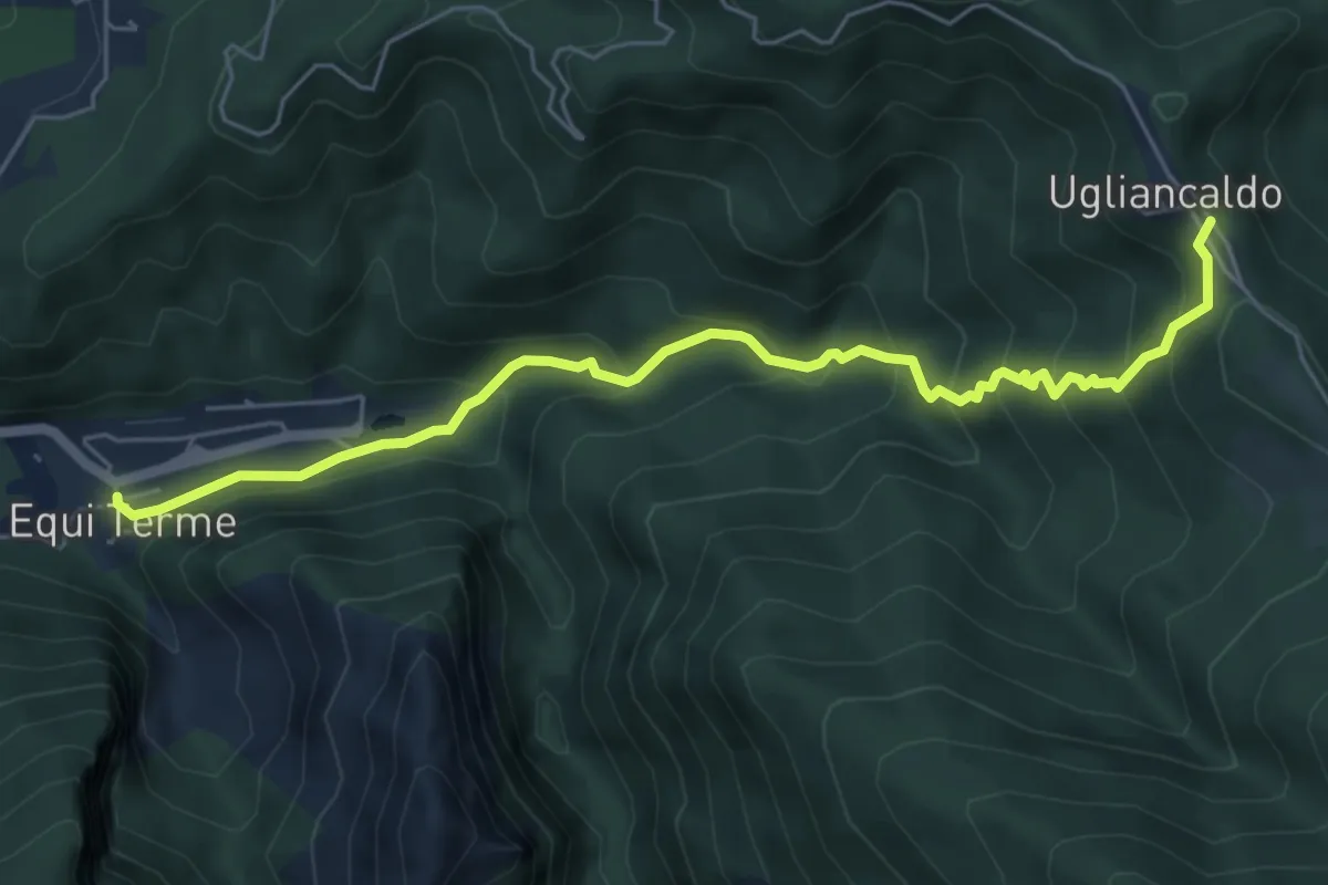
Medium · Trail
Equi Terme – Ugliancaldo
6.4 km · ↑ 497 m · 2 h 35 min · 8 km away
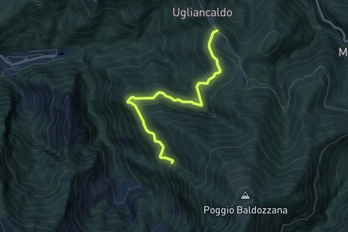
Medium · Trail
Ugliancaldo – Percorso 192
6.7 km · ↑ 419 m · 2 h 29 min · 9 km away
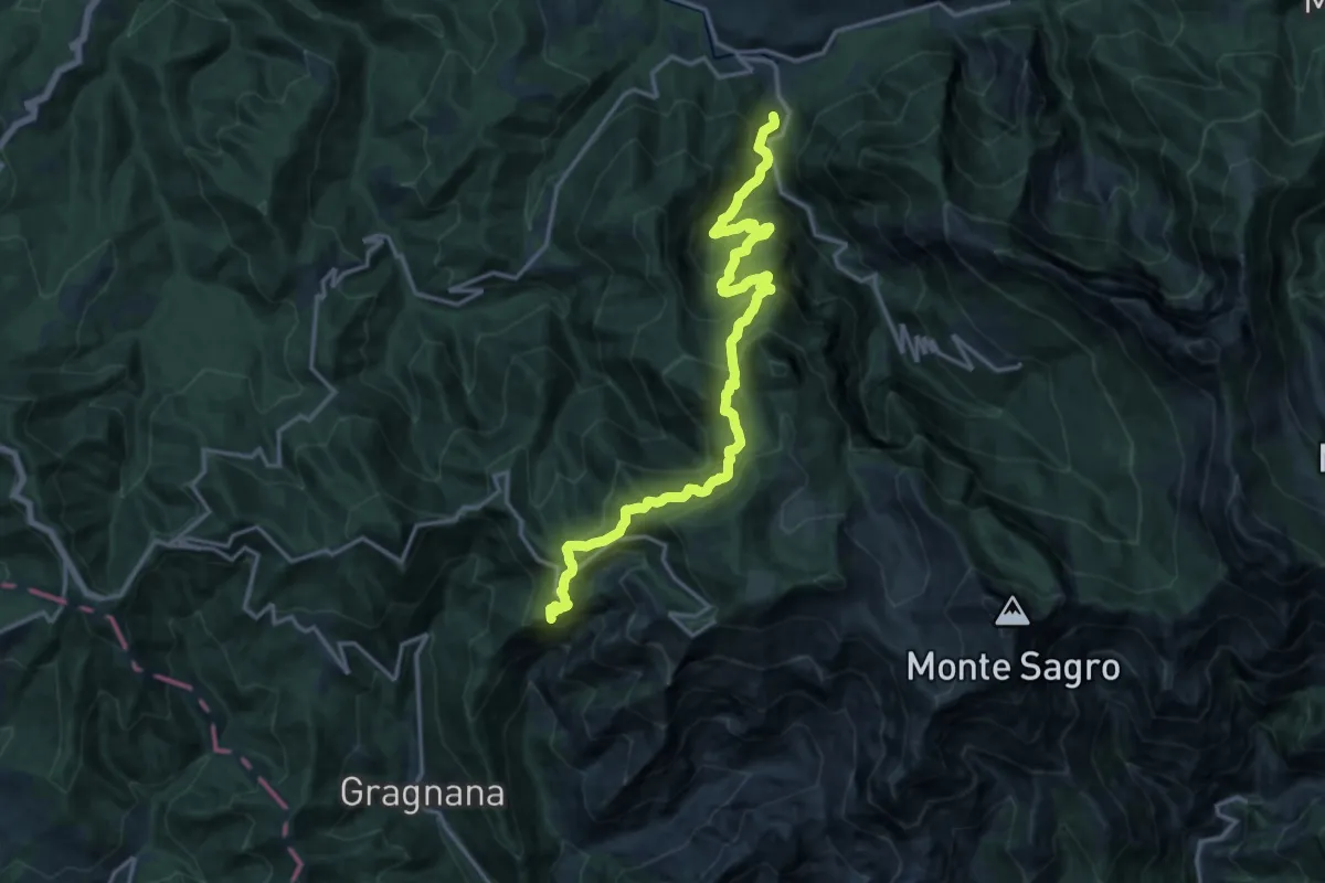
Demanding · Summit
Torano – Monzone
18.3 km · ↑ 1504 m · 7 h 34 min · 9 km away
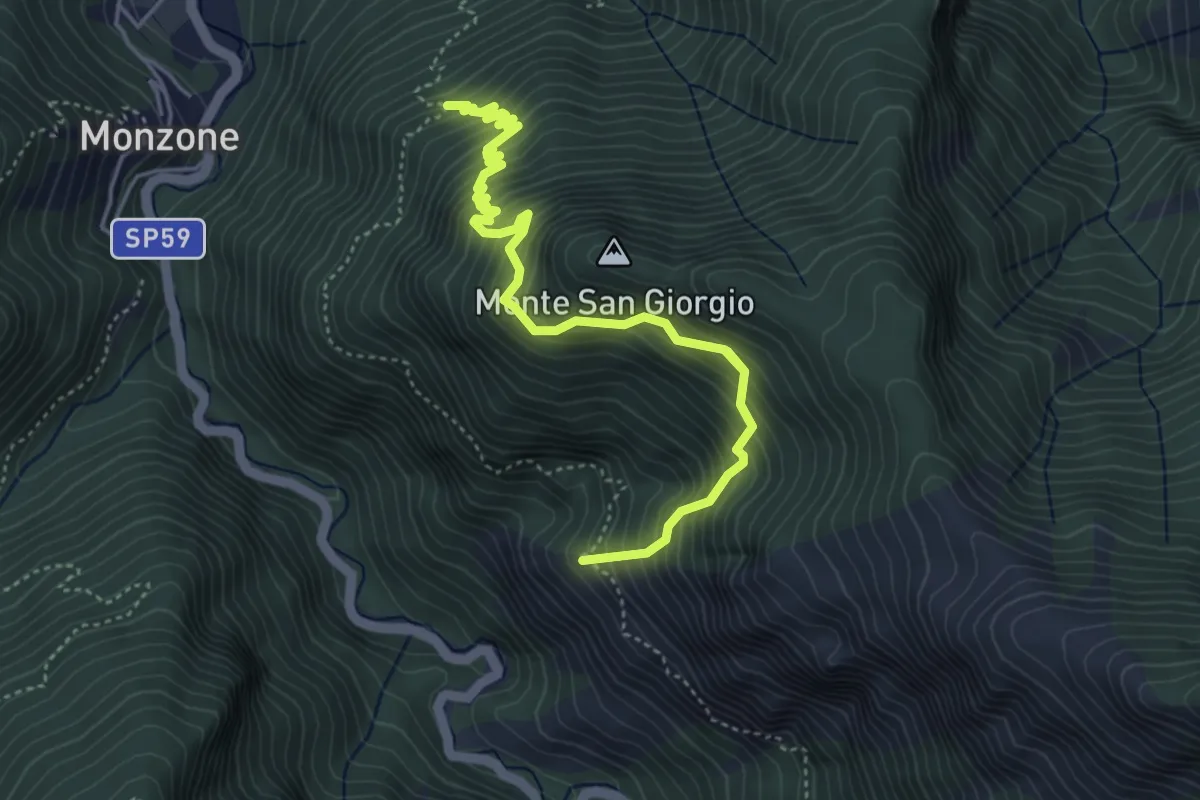
Demanding · Trail
Percorso 139 (Castellaccio) – Percorso 139
6.5 km · ↑ 1009 m · 3 h 44 min · 9 km away
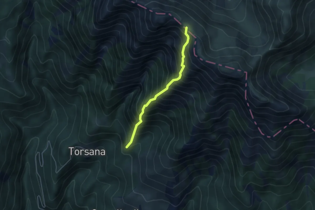
Demanding · Trail
Torsana – Raccordo 00 (Punta Buffanaro)
3.7 km · ↑ 770 m · 2 h 32 min · 9 km away
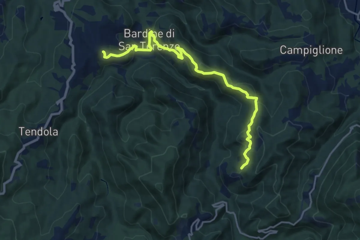
Medium · Trail
San Terenzo – Cecina
12.4 km · ↑ 595 m · 4 h 13 min · 9 km away
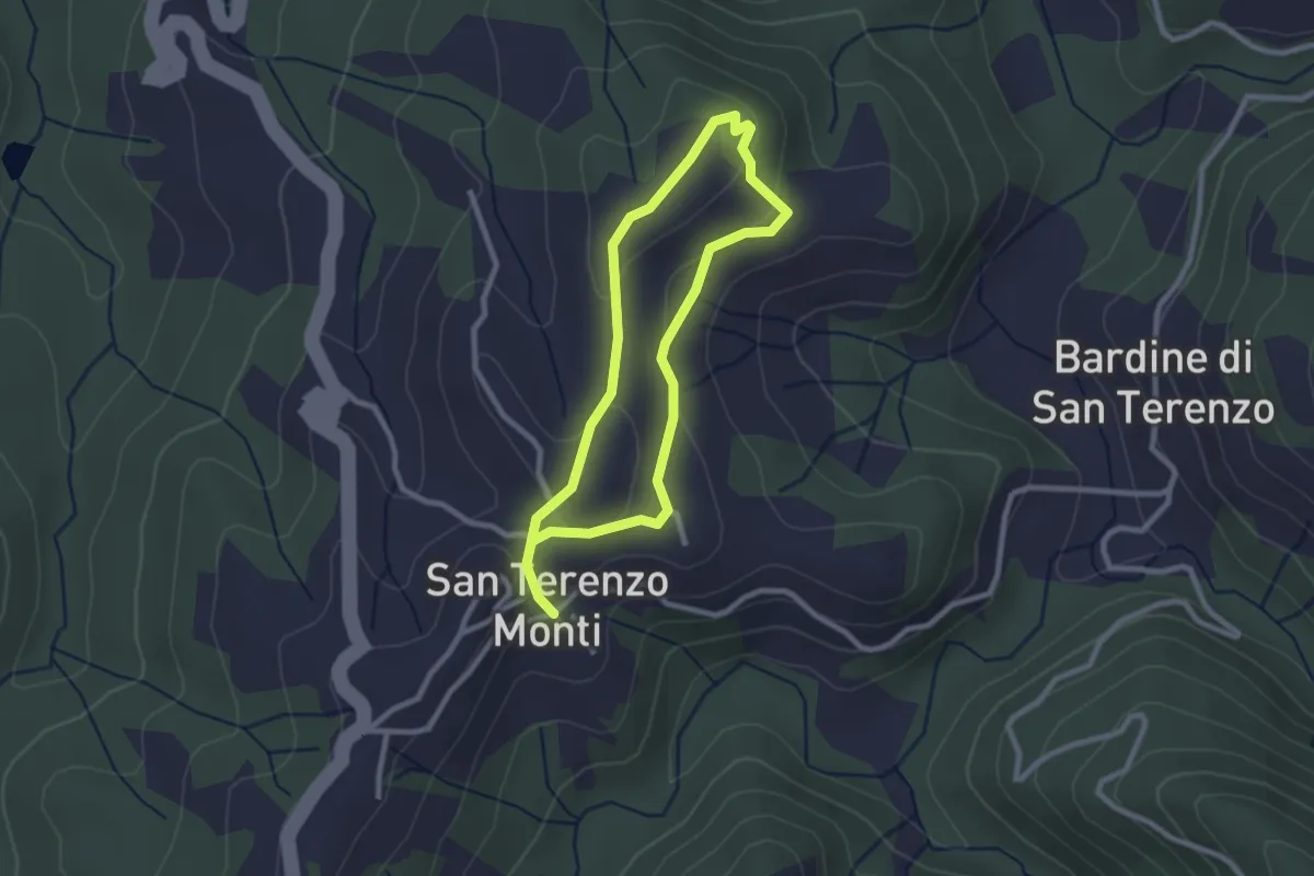
Easy · Trail
Sentiero della Memoria San Terenzo - Valla
2.2 km · ↑ 45 m · 39 min · 9 km away
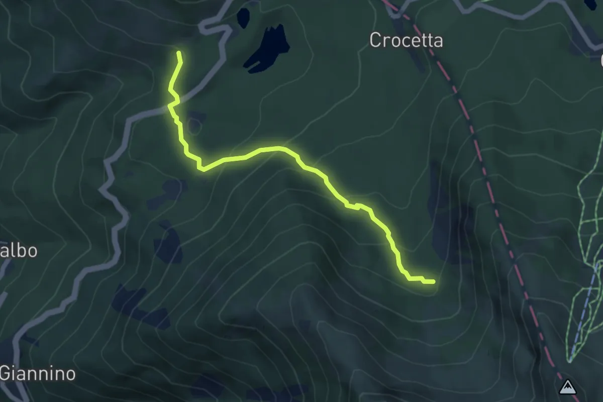
Medium · Trail
Sassalbo- Località Casa Cantoniera – Incrocio 00 GEA c/o Vallone dell'Inferno
5.1 km · ↑ 304 m · 1 h 51 min · 9 km away
Easy · Trail
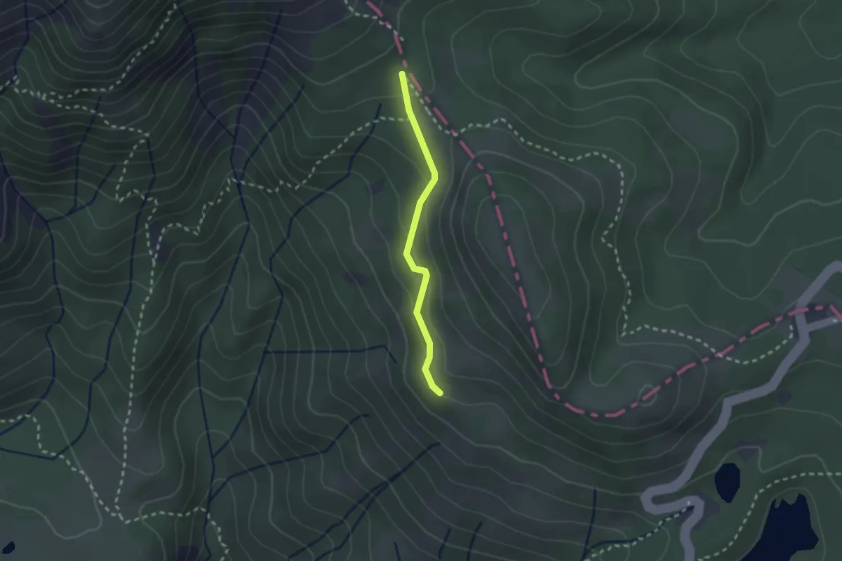
Via dei Lombardi - Passo dell'Ospedalaccio
2.0 km · ↑ 94 m · 41 min · 9 km away
Demanding · Summit
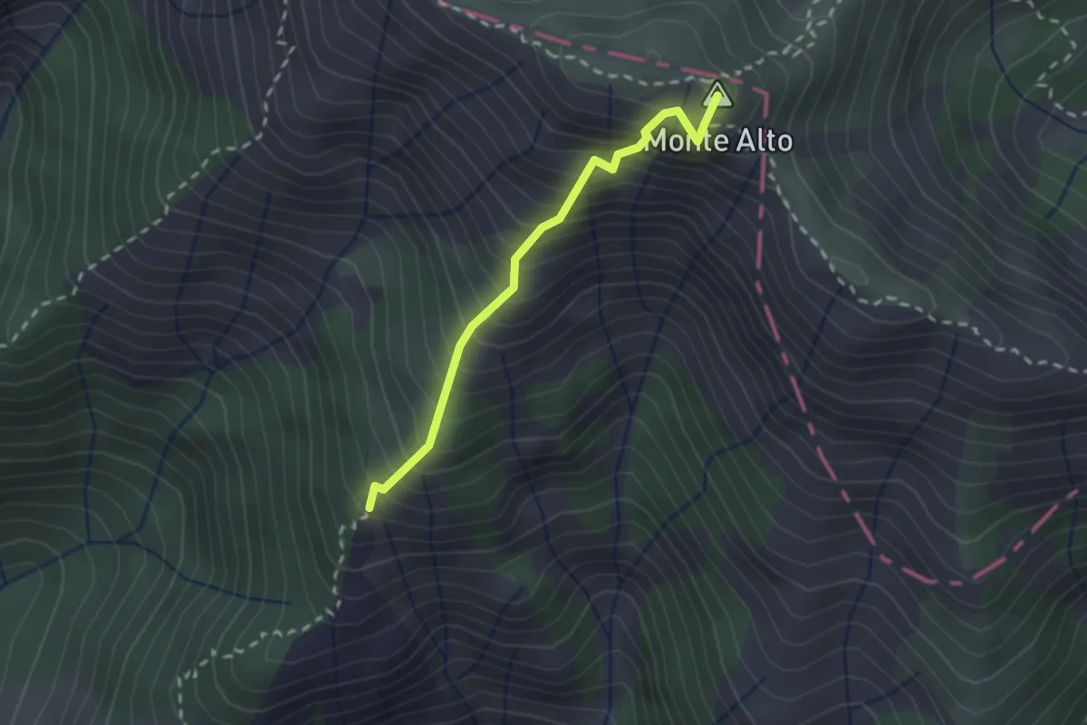
Camporaghena – Monte Alto
2.1 km · ↑ 471 m · 1 h 31 min · 10 km away
Easy · Trail
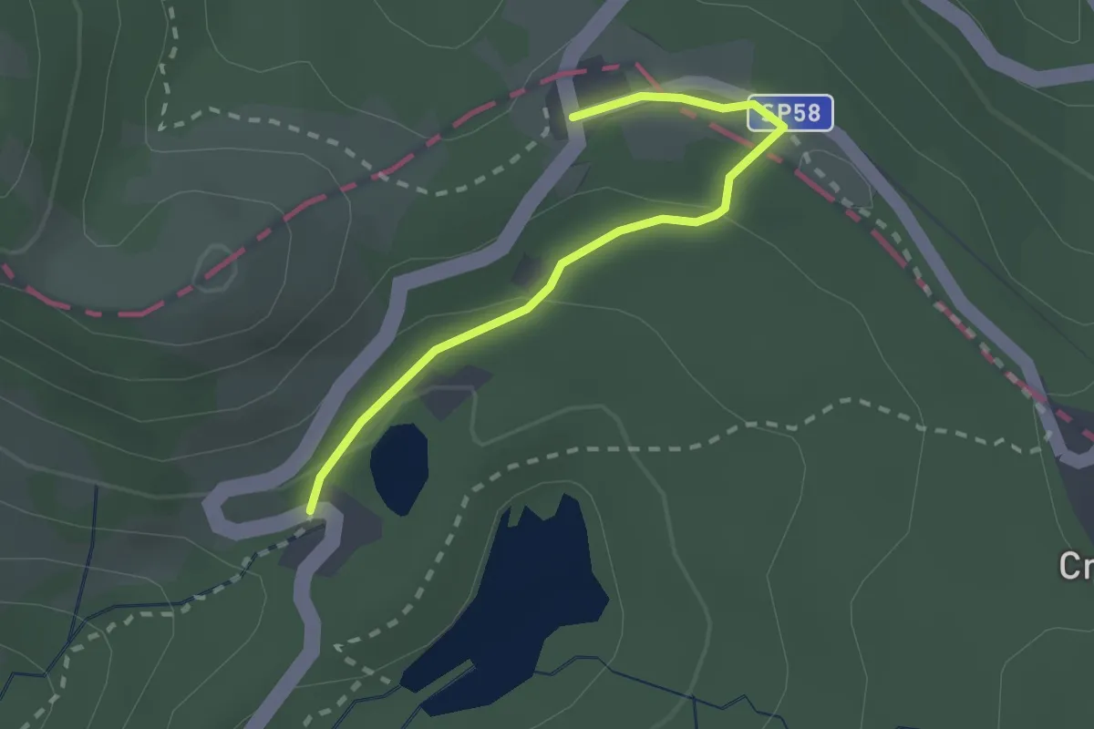
Regnano Villa – Passo del Cerreto
2.2 km · ↑ 64 m · 39 min · 10 km away
Easy · Trail
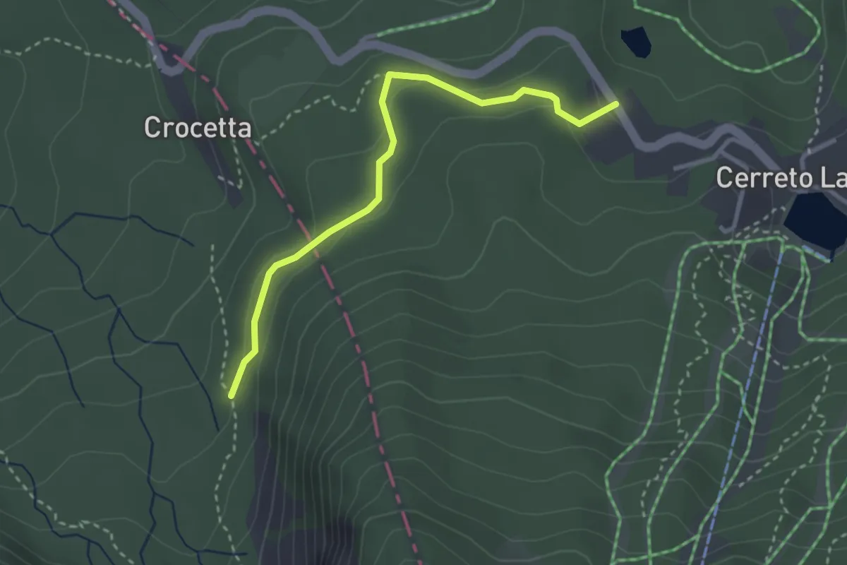
Cerreto Laghi – Sentiero 0-0
3.1 km · ↑ 105 m · 57 min · 10 km away
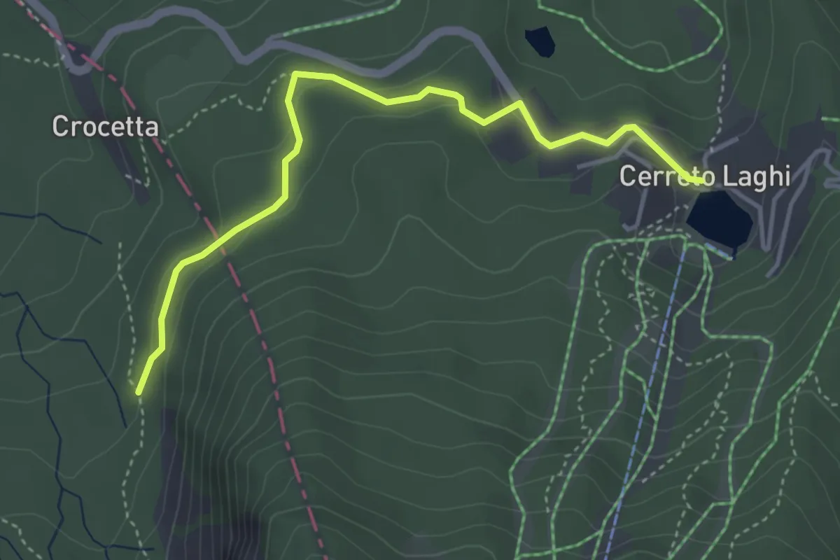
Easy · Trail
Percorso Viola
4.2 km · ↑ 128 m · 1 h 16 min · 10 km away
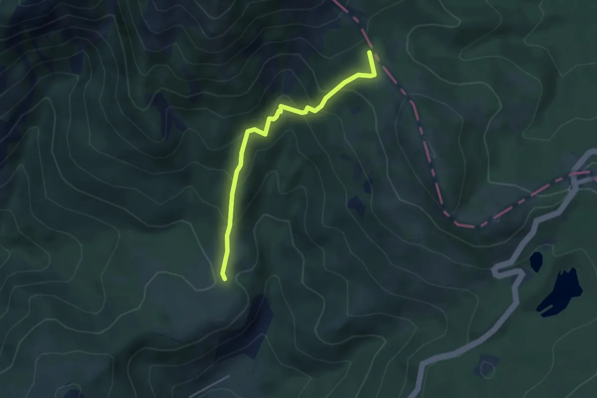
Medium · Trail
Sassalbo – Passo dell'Ospedalaccio
3.9 km · ↑ 330 m · 1 h 38 min · 10 km away
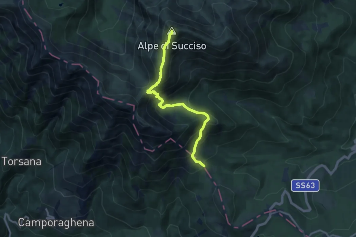
Demanding · Summit
Passo dell'Ospedalaccio – Alpe di Succiso
7.6 km · ↑ 743 m · 3 h 24 min · 10 km away
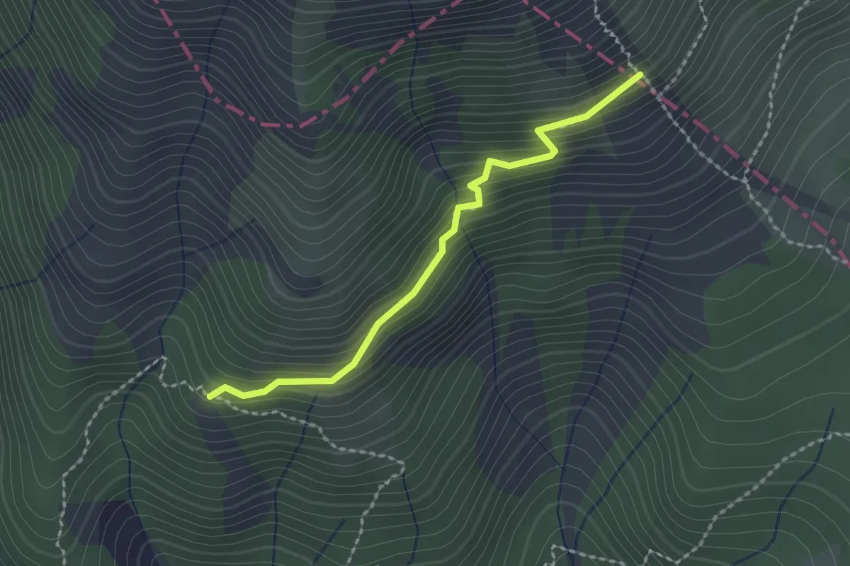
Medium · Trail
Camporaghena – Raccordo 00
2.0 km · ↑ 163 m · 50 min · 10 km away
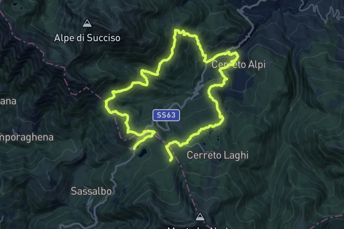
Medium · Trail
Sentieri Partigiani SP10 - sentiero del passo
16.2 km · ↑ 659 m · 5 h 32 min · 10 km away
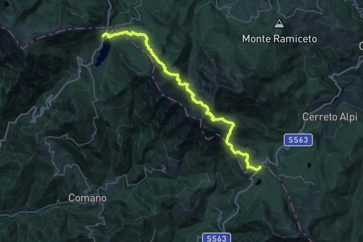
Demanding · Trail
E1 Toscana 04 Passo del Lagastrello - Passo del Cerreto
11.7 km · ↑ 820 m · 4 h 44 min · 10 km away
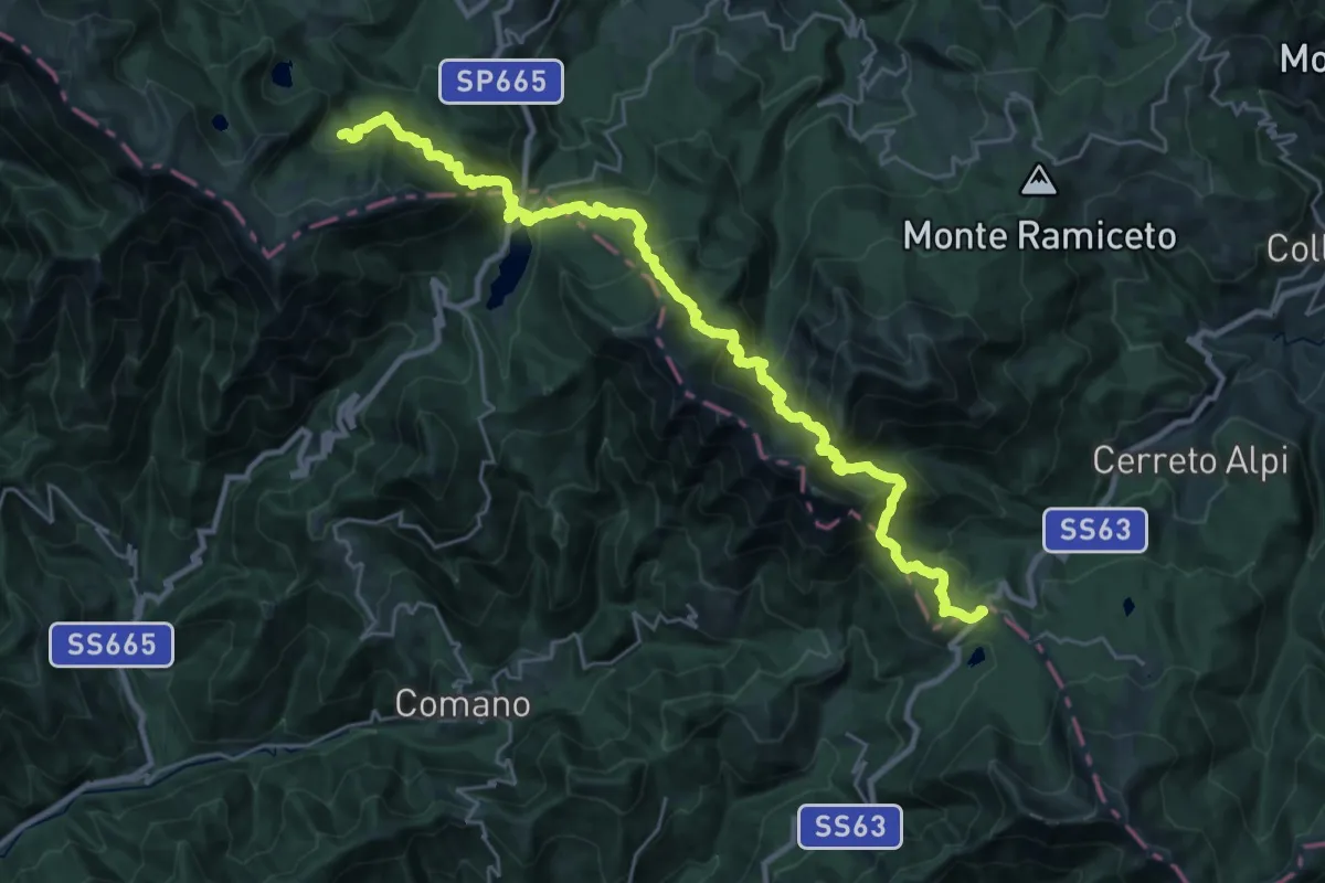
Demanding · Cabin
Alta via dei Parchi: Tappa 03
15.4 km · ↑ 1172 m · 6 h 21 min · 10 km away
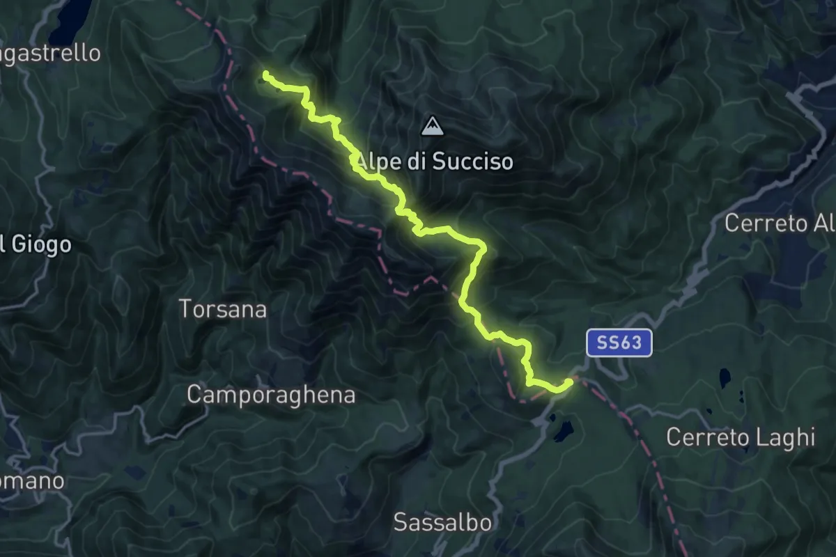
Demanding · Cabin
Passo del Cerreto – Rifugio Sarzana al Monte Acuto
15.8 km · ↑ 1170 m · 6 h 16 min · 10 km away