Trails near Fivizzano
170 hikes starting within 15 km, nearest first.
Nearest first, page 2 of 4
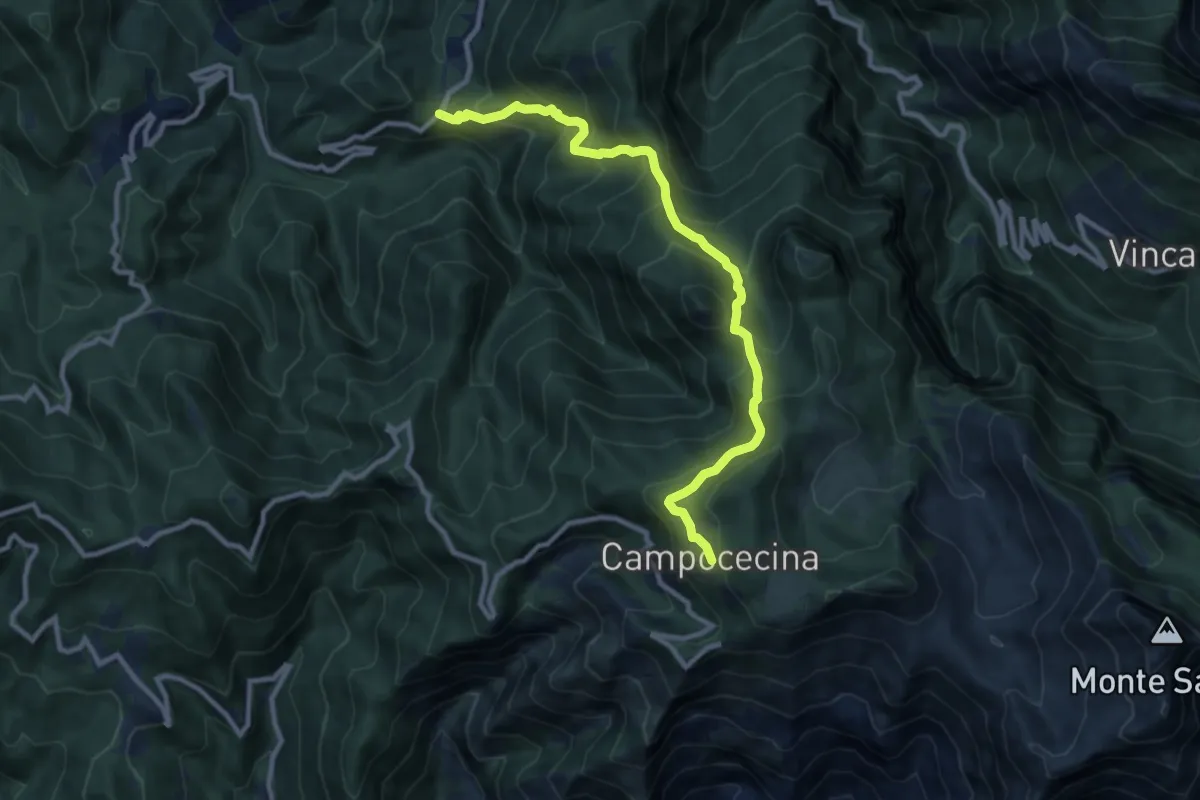
Demanding · Trail
Tenerano – Rifugio Carrara
10.7 km · ↑ 936 m · 4 h 33 min · 10 km away
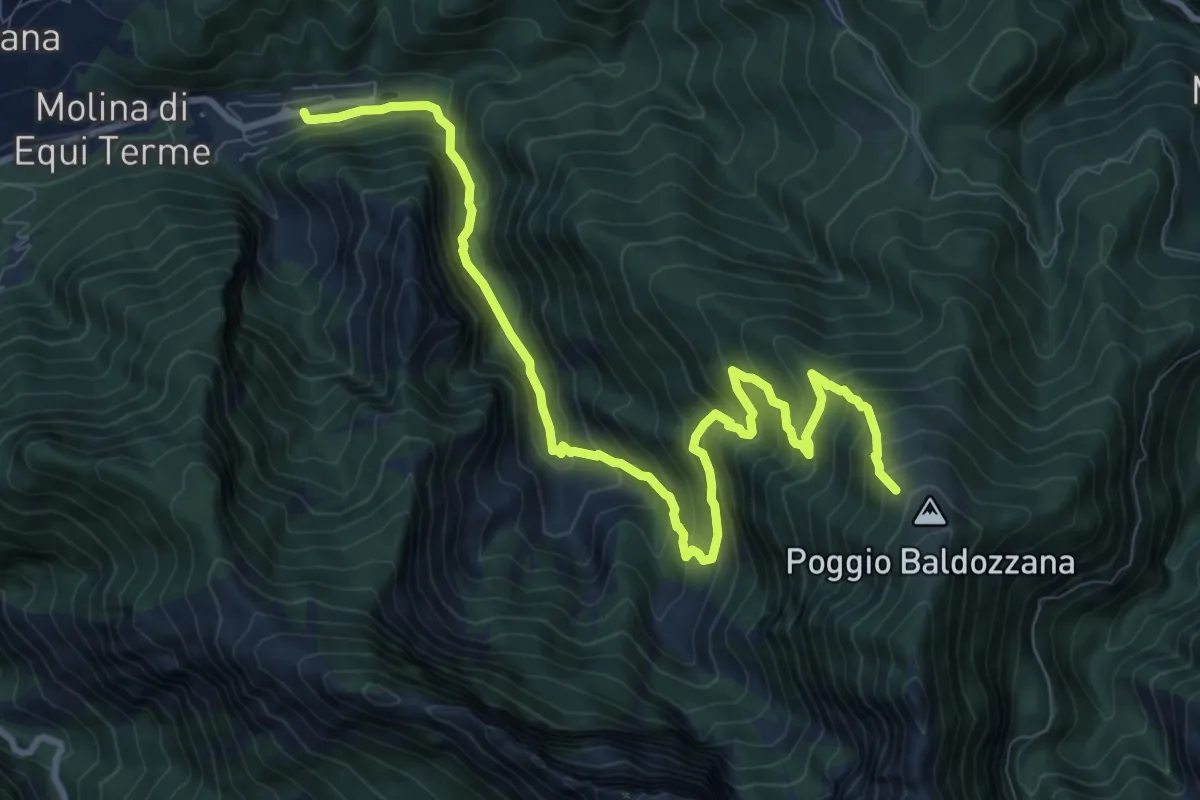
Demanding · Trail
Equi Terme – Innesto Percorso 181
12.0 km · ↑ 1133 m · 5 h 17 min · 10 km away
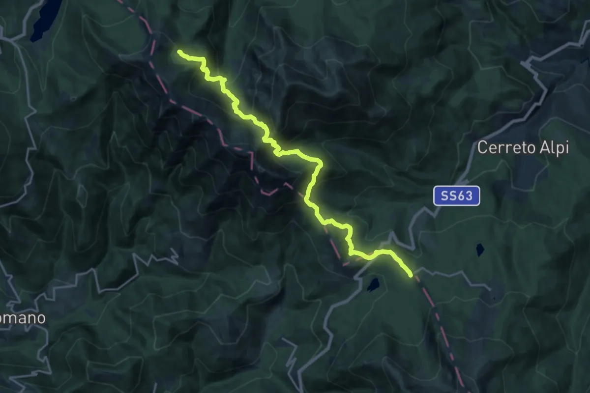
Demanding · Cabin
Grande Escursione Appenninica - Tappa 20
17.3 km · ↑ 1191 m · 6 h 40 min · 10 km away
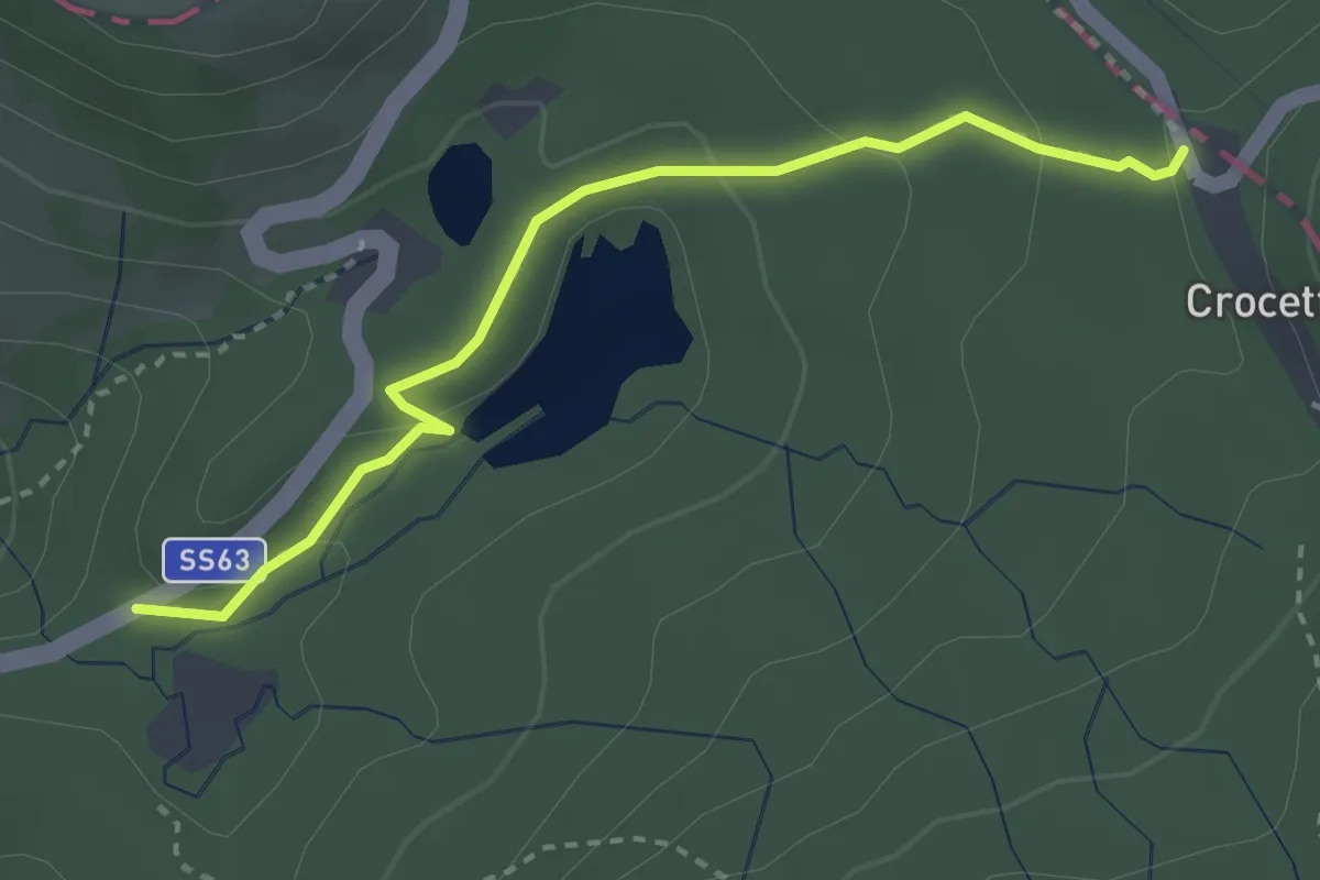
Easy · Trail
Casa Cantoniera – Crocetta
3.2 km · ↑ 106 m · 59 min · 10 km away
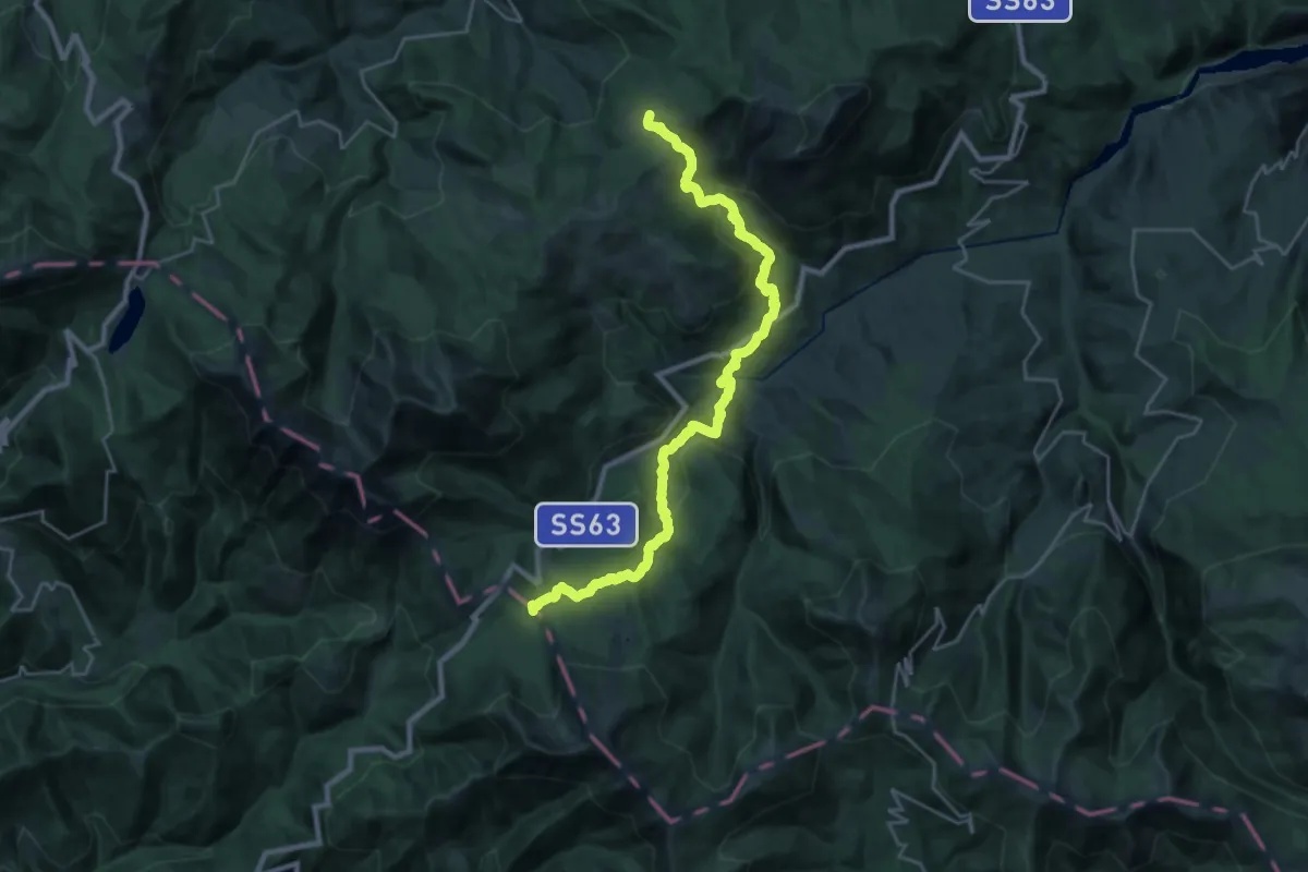
Medium · Cabin
Pratizzano – Passo Crocetta
14.3 km · ↑ 763 m · 5 h 15 min · 10 km away
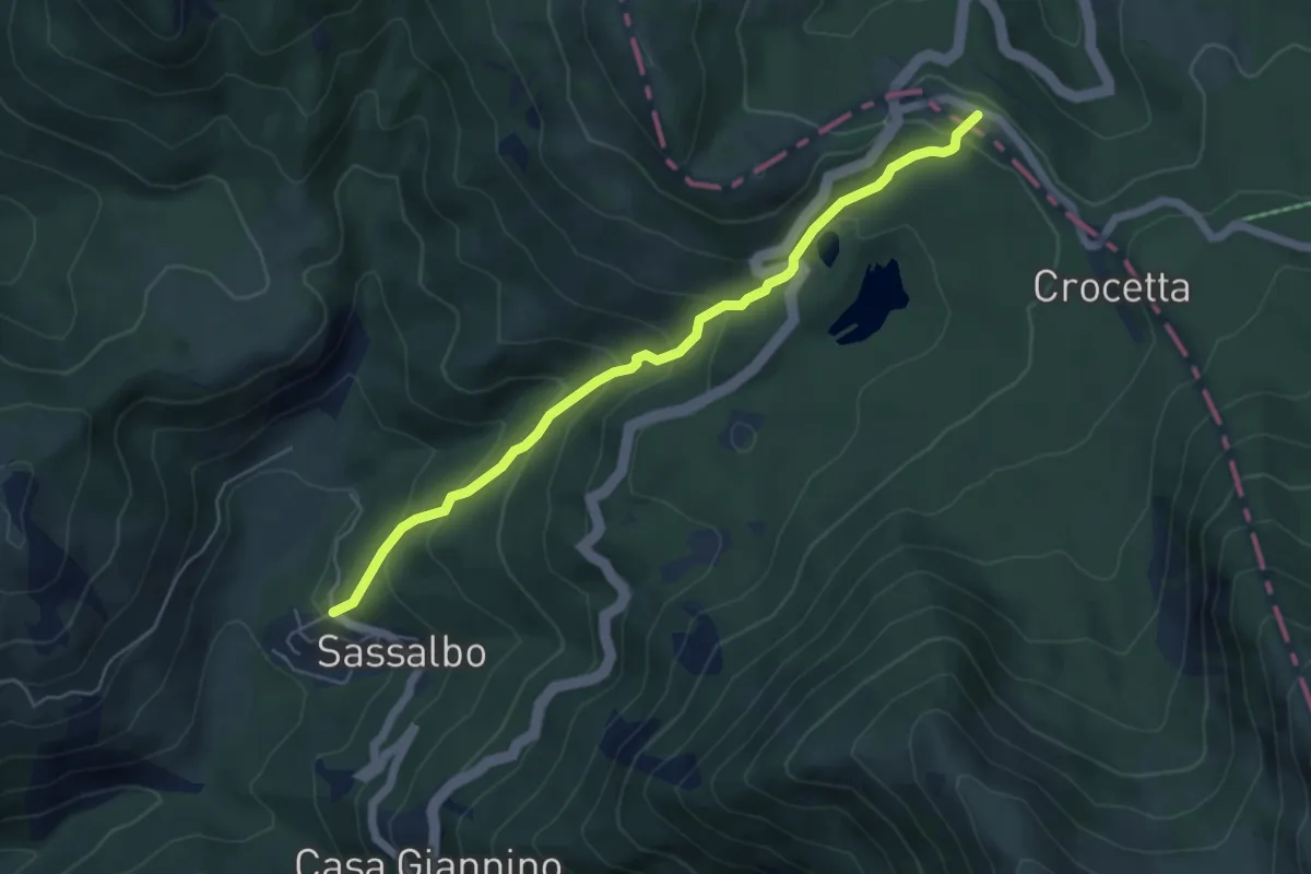
Medium · Trail
Sassalbo – Passo del Gatto
5.6 km · ↑ 398 m · 2 h 11 min · 10 km away
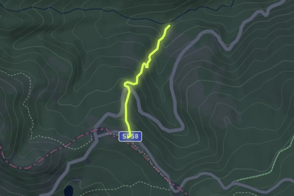
Easy · Trail
Percorso 675 - Fosso Forapane – Passo del Gatto
2.4 km · ↑ 167 m · 55 min · 10 km away
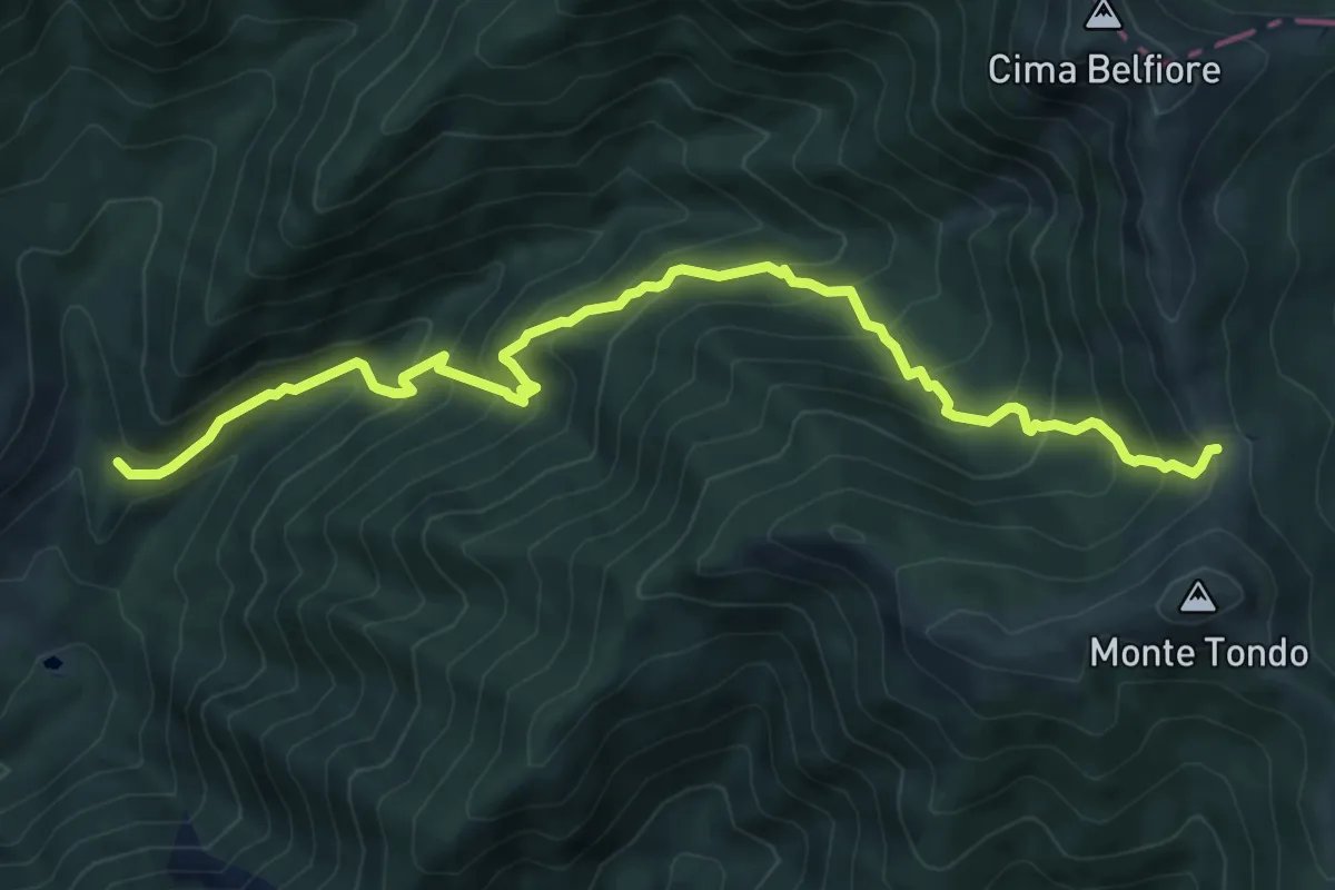
Medium · Summit
Restì – Monte sella Monte Tondo
8.7 km · ↑ 800 m · 3 h 47 min · 11 km away
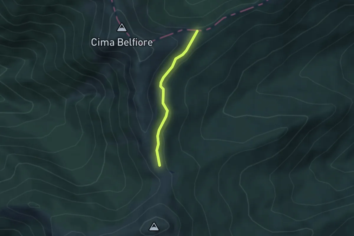
Easy · Trail
Rifugio Monte Tondo - Passo Belfiore - innesto sentiero 00 GEA – Percorso 00 - GEA
2.6 km · ↑ 90 m · 48 min · 11 km away
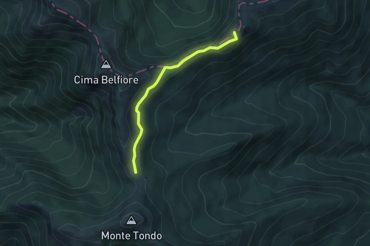
Medium · Summit
Garfagnana Trekking - Tappa 6
4.4 km · ↑ 129 m · 1 h 20 min · 11 km away
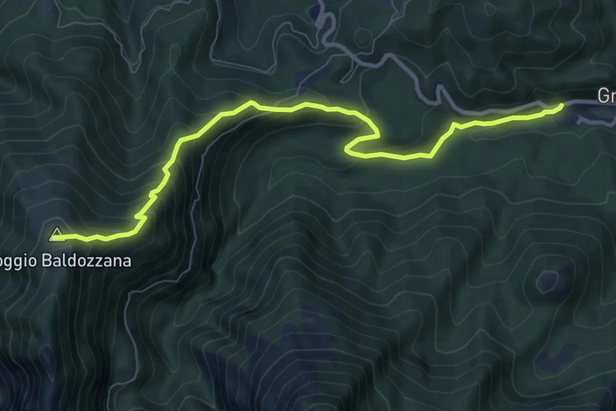
Medium · Trail
Gramolazzo – Poggio Baldozzana
9.0 km · ↑ 623 m · 3 h 29 min · 11 km away
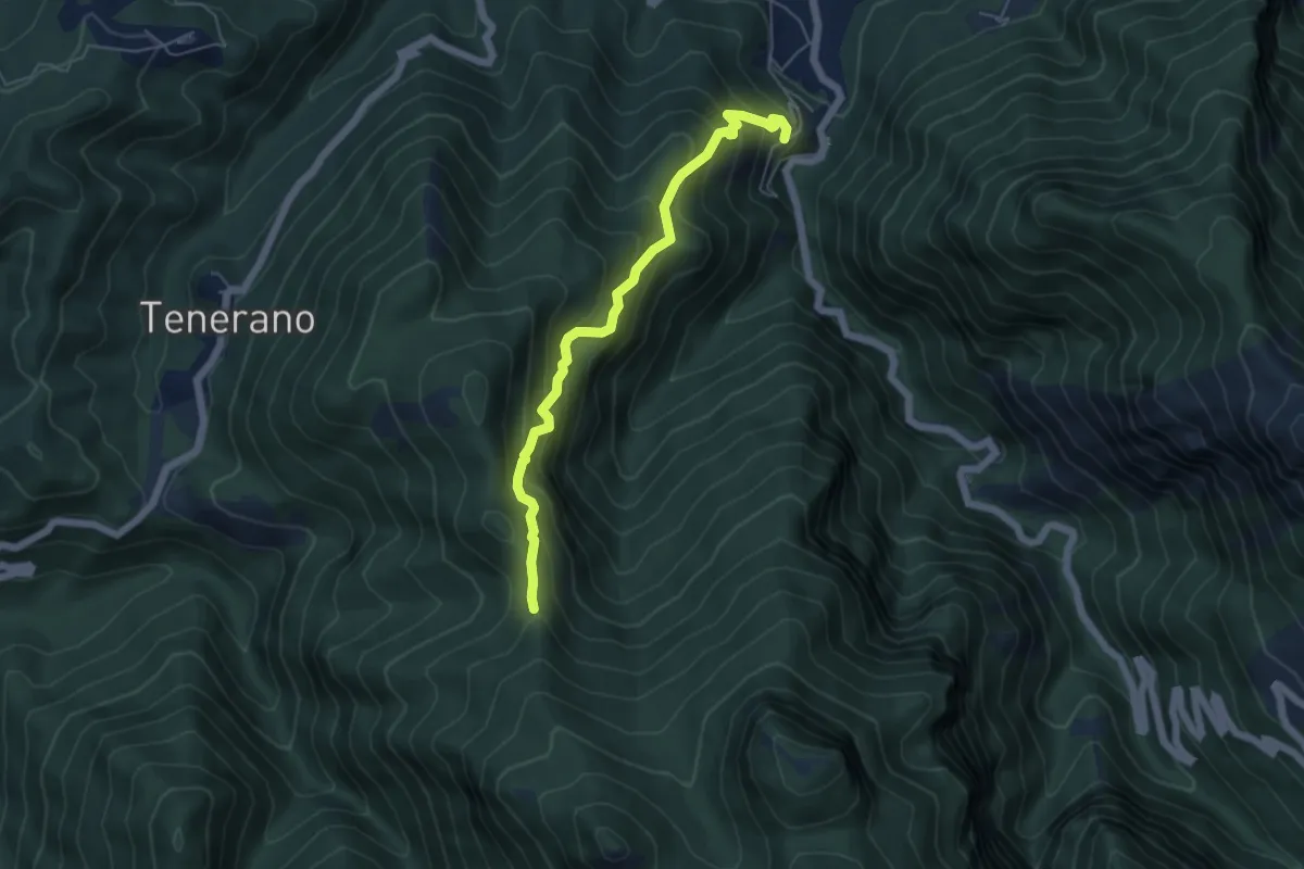
Medium · Trail
Monzone Alto – Foce Sant'Antonio
5.5 km · ↑ 635 m · 2 h 40 min · 11 km away
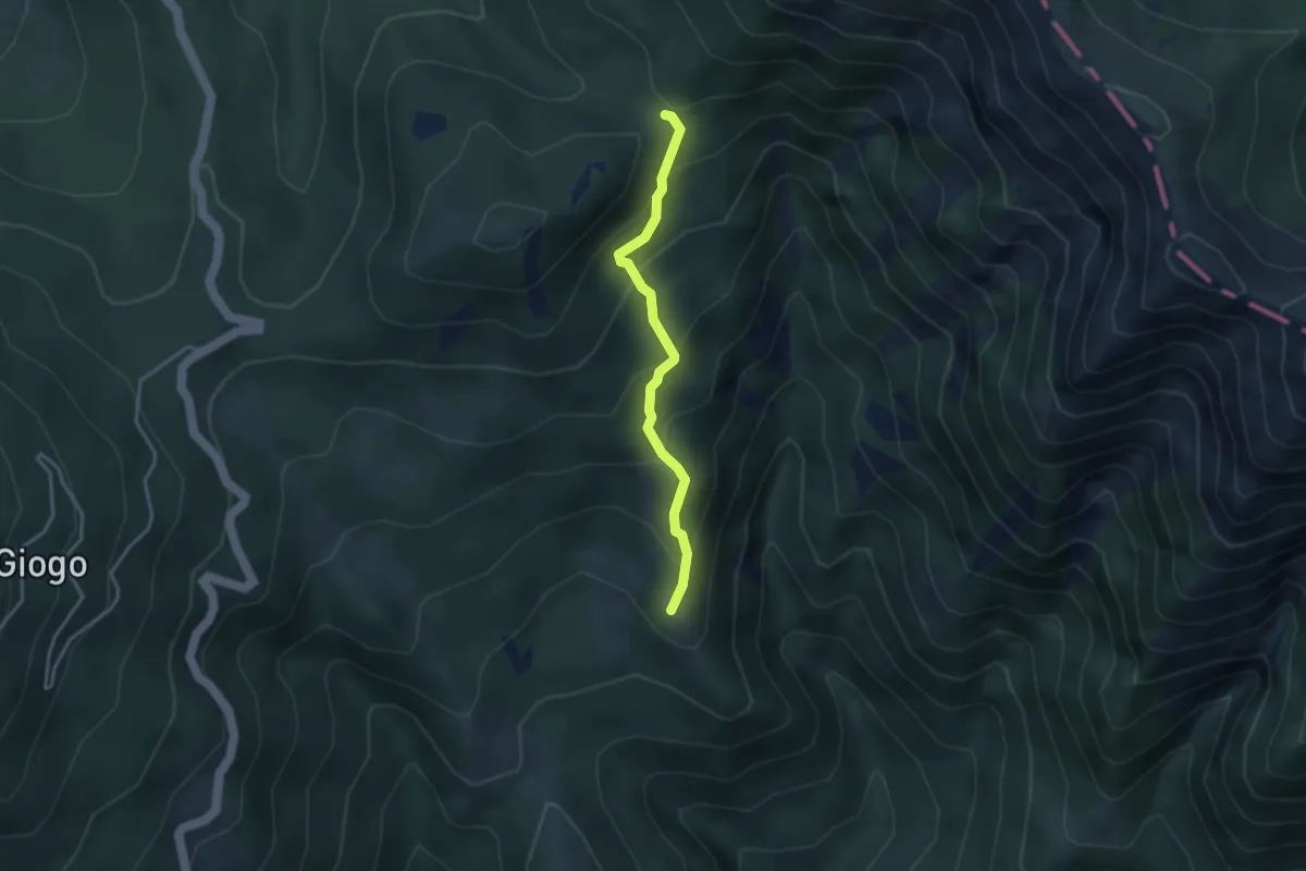
Medium · Summit
Torsana – Foce di Torsana
3.2 km · ↑ 282 m · 1 h 22 min · 11 km away
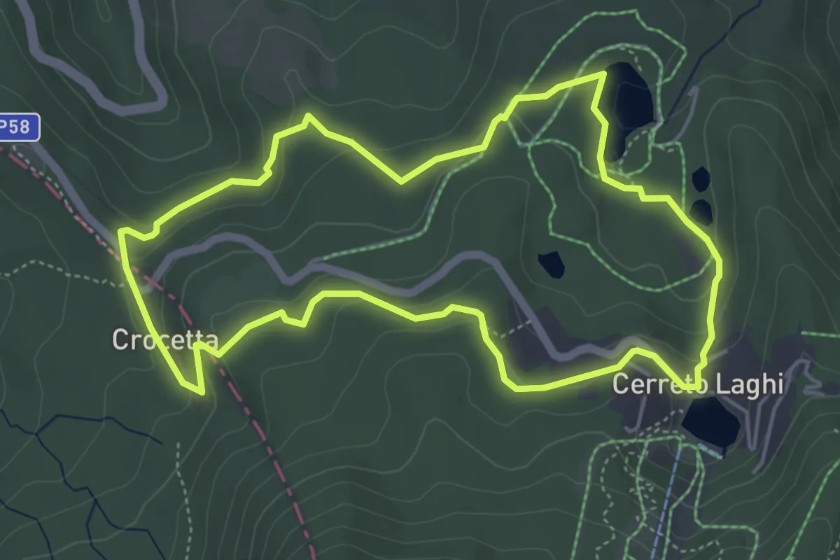
Medium · Trail
Percorso Verde
5.1 km · ↑ 153 m · 1 h 36 min · 11 km away
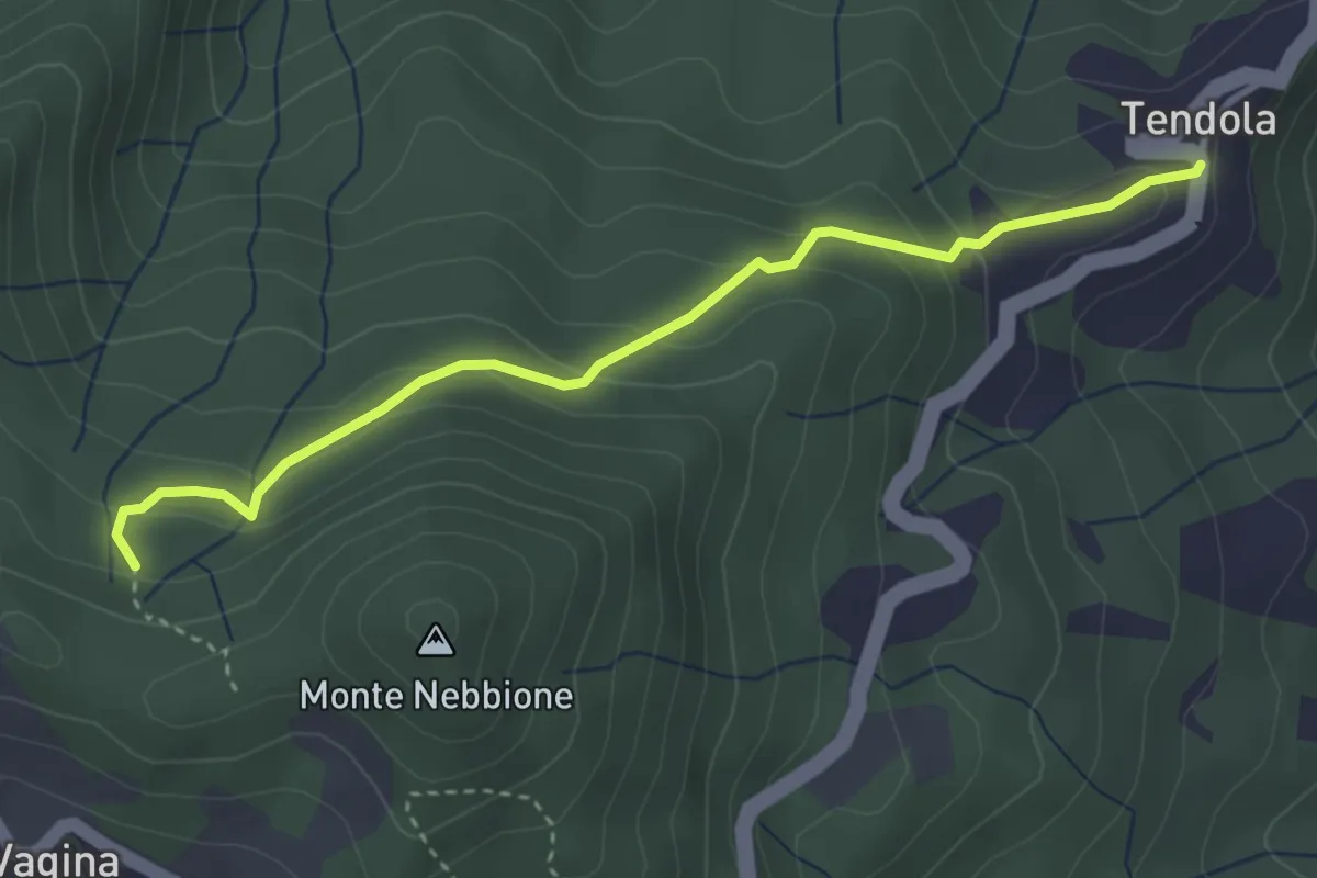
Easy · Trail
paese Tendola – Sentiero CAI 290
3.7 km · ↑ 221 m · 1 h 21 min · 11 km away
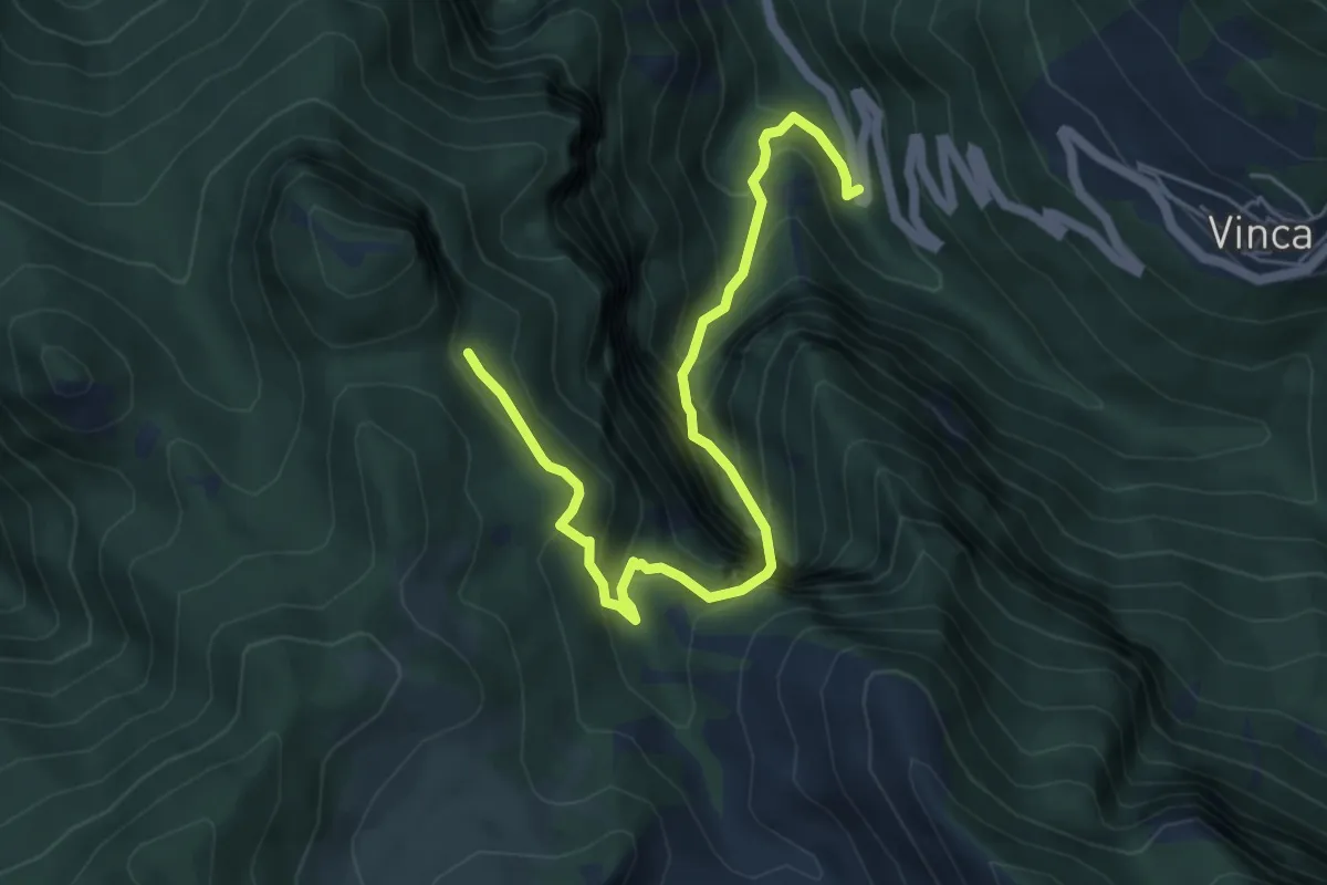
Demanding · Trail
Vinca – Innesto percorso 183
6.1 km · ↑ 880 m · 3 h 21 min · 11 km away
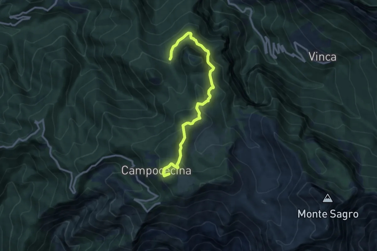
Medium · Summit
Rifugio Carrara – Bivio Monzonara - Innesto Sentiero 40
8.5 km · ↑ 565 m · 3 h 15 min · 11 km away
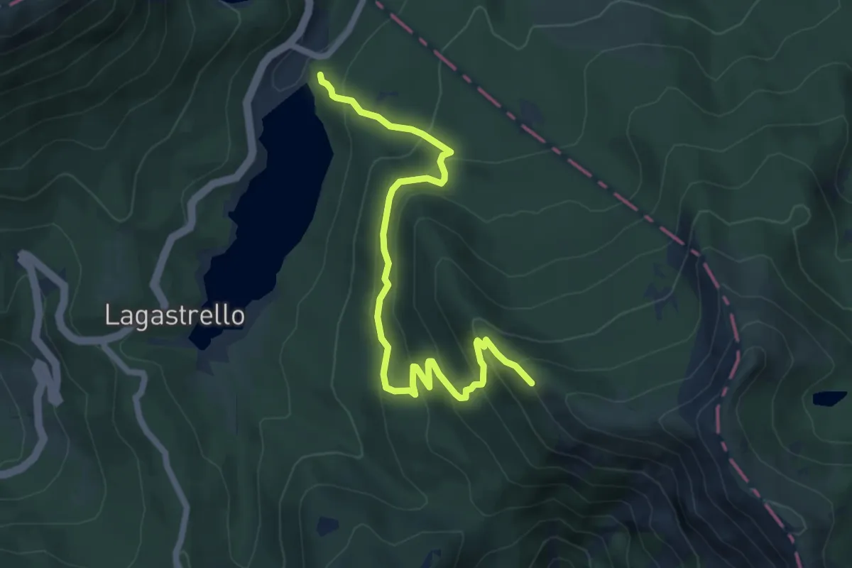
Medium · Trail
Diga di Lagastrello – sentiero 00
6.7 km · ↑ 529 m · 2 h 43 min · 11 km away
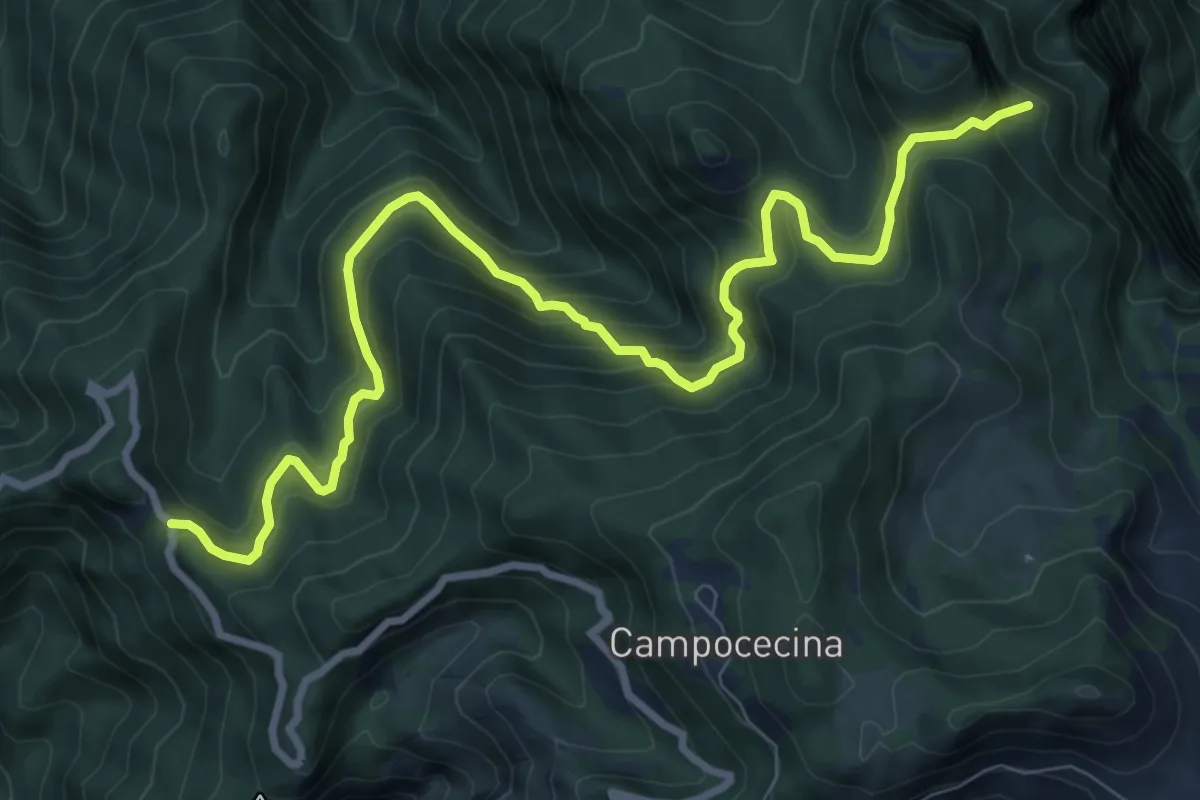
Demanding · Trail
Gabellaccia – Case Respettolo
11.0 km · ↑ 839 m · 4 h 24 min · 11 km away
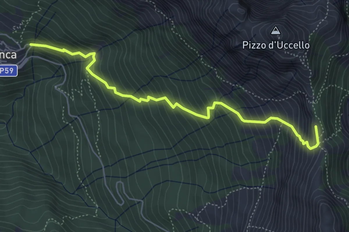
Medium · Summit
Vinca – Foce di Giovo
5.7 km · ↑ 712 m · 2 h 54 min · 11 km away
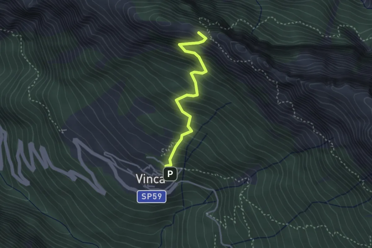
Demanding · Summit
Vinca – Cave del Cantonaccio
3.1 km · ↑ 451 m · 1 h 43 min · 11 km away
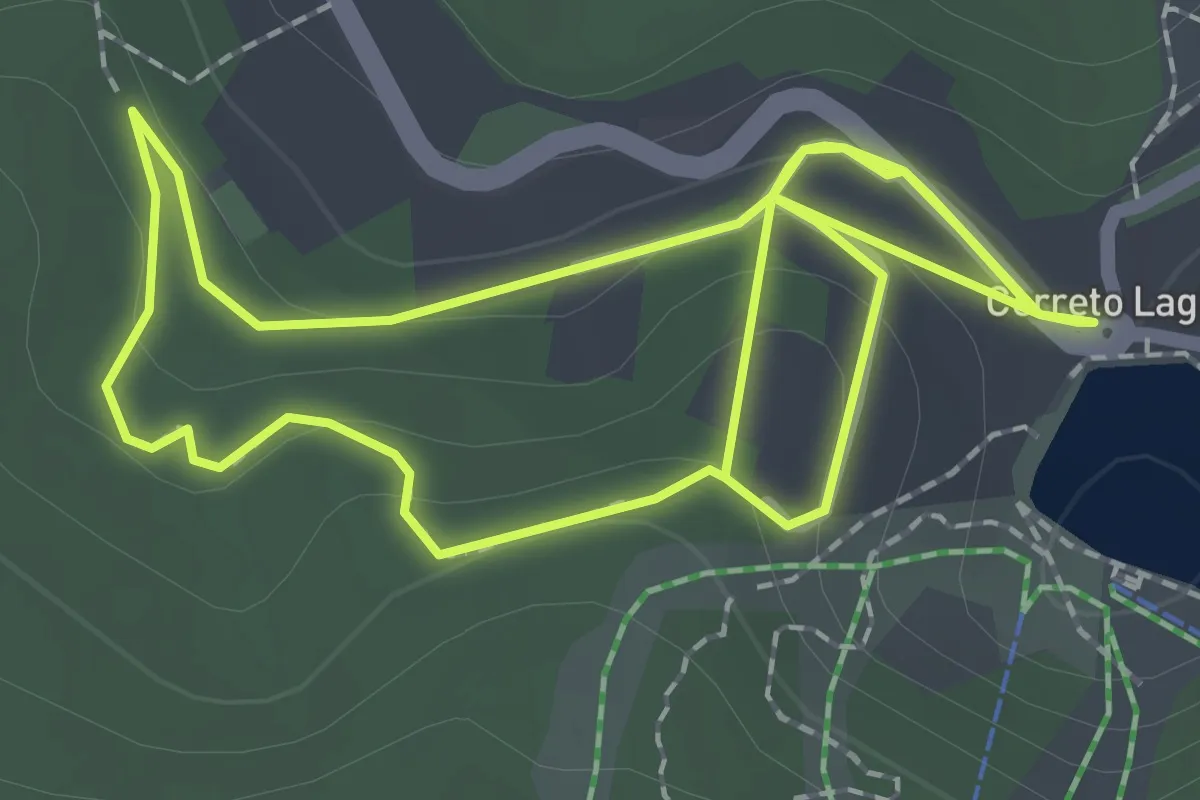
Easy · Trail
Percorso Rosa
4.4 km · ↑ 140 m · 1 h 20 min · 11 km away
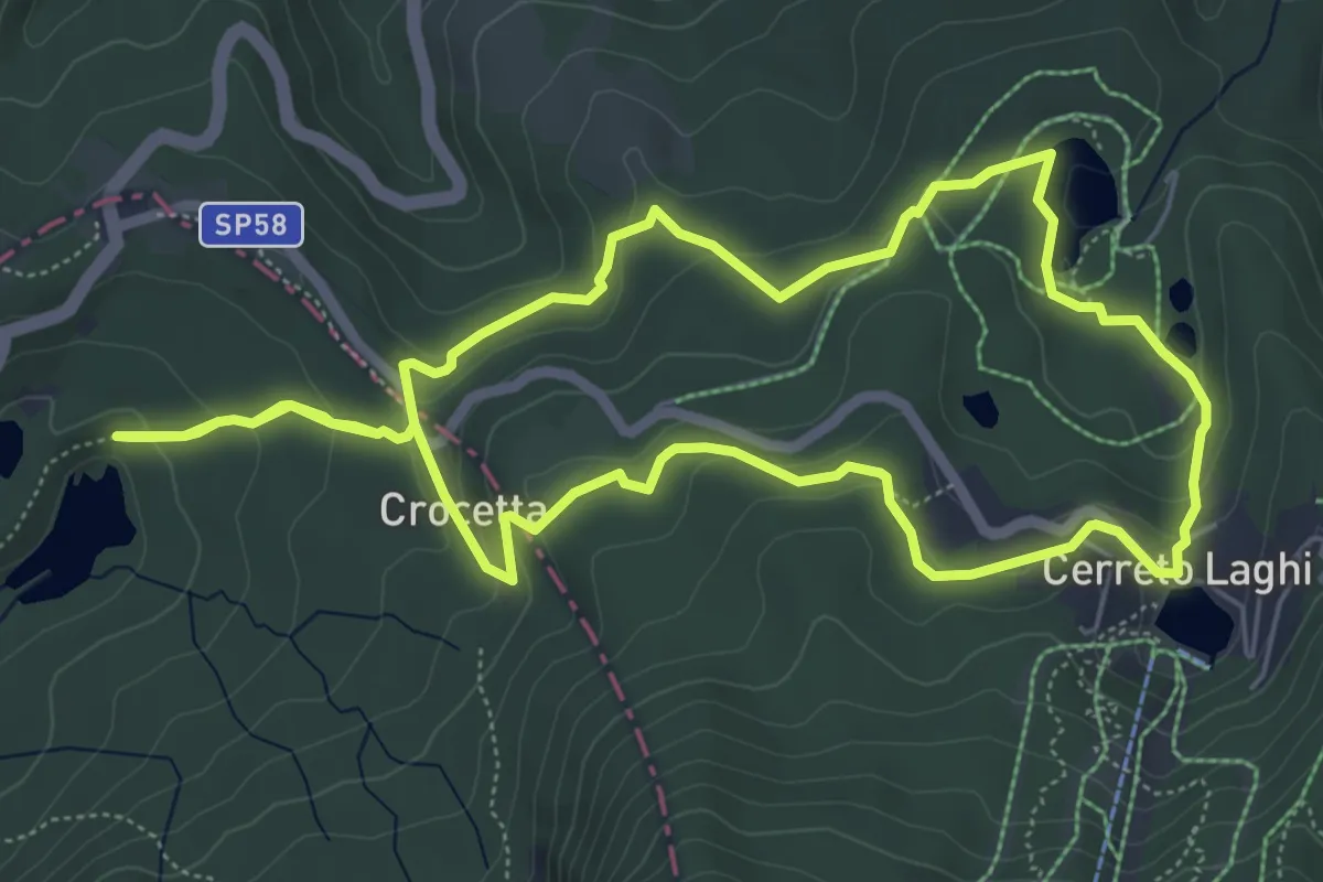
Medium · Trail
Percorso Verde Chiaro
6.3 km · ↑ 219 m · 2 h 3 min · 11 km away
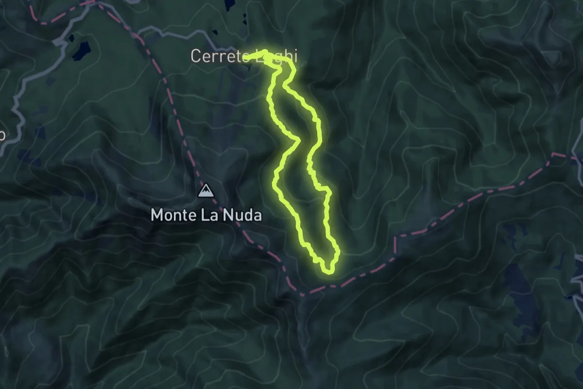
Demanding · Trail
Percorso Marrone
18.7 km · ↑ 940 m · 6 h 27 min · 12 km away
Medium · Trail
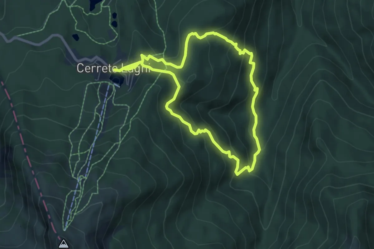
Percorso Rosso
12.6 km · ↑ 689 m · 4 h 28 min · 12 km away
Demanding · Cabin
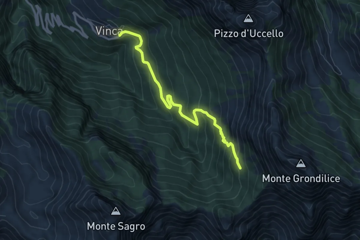
Vinca – Capanna Garnerone
7.6 km · ↑ 582 m · 3 h 3 min · 12 km away
Medium · Cabin
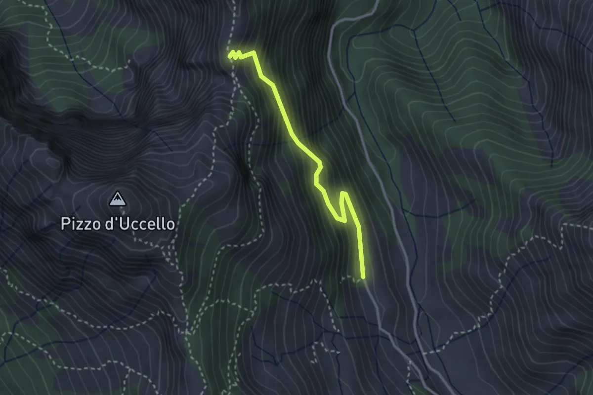
Val Serenaia (Rifugio Donegani) – Foce Siggioli
2.7 km · ↑ 279 m · 1 h 15 min · 12 km away
Demanding · Summit
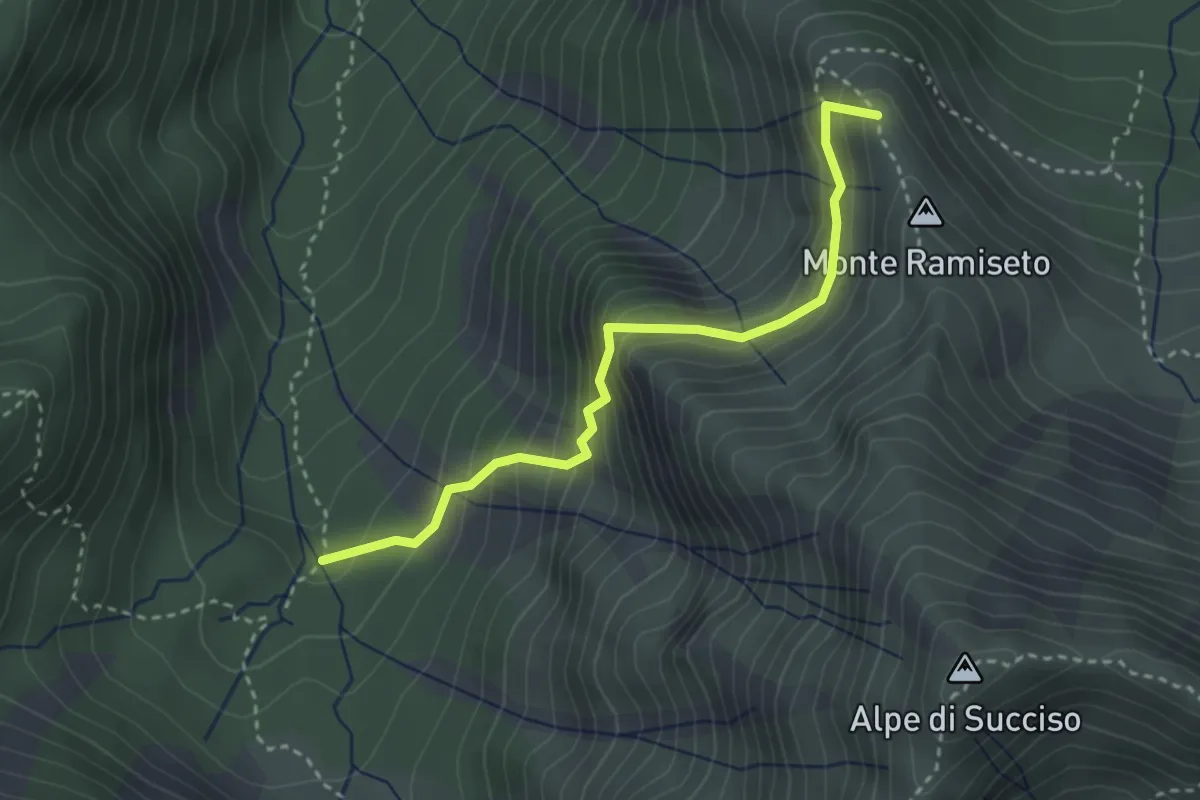
Sentiero Barbarossa
3.2 km · ↑ 352 m · 1 h 31 min · 12 km away
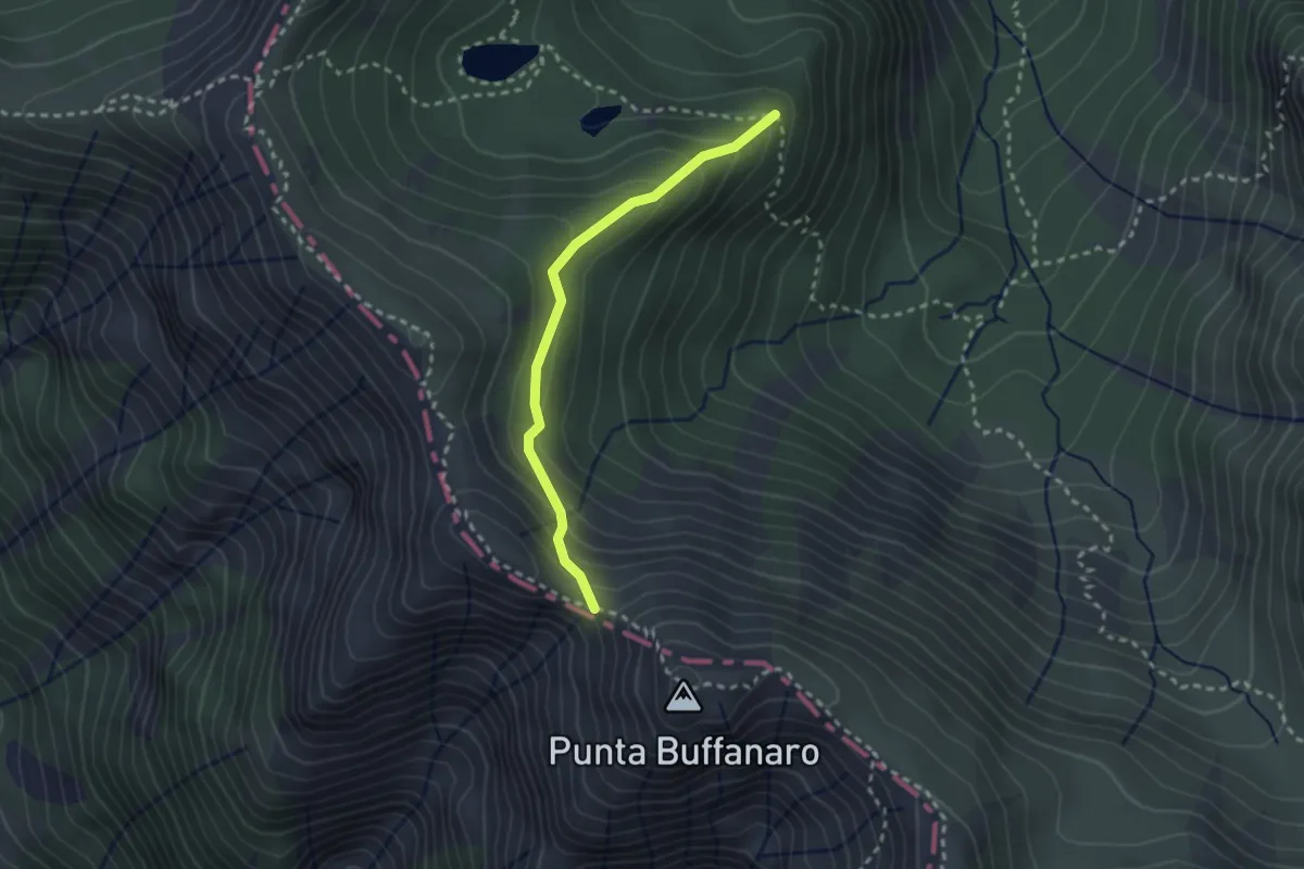
Demanding · Trail
Percorso 659 – Sella di Punta Buffanaro
2.5 km · ↑ 183 m · 59 min · 12 km away
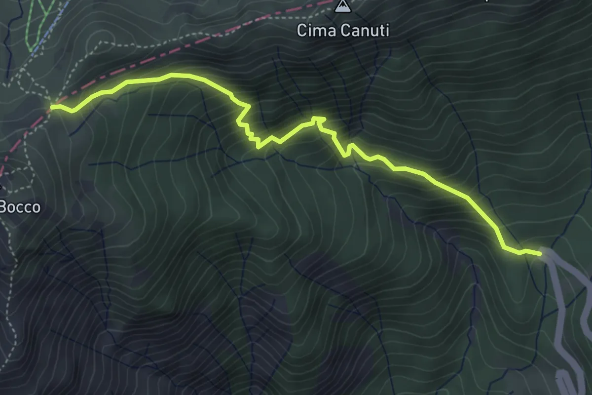
Medium · Trail
Lagastrello – Foce Banciola
5.0 km · ↑ 595 m · 2 h 28 min · 12 km away
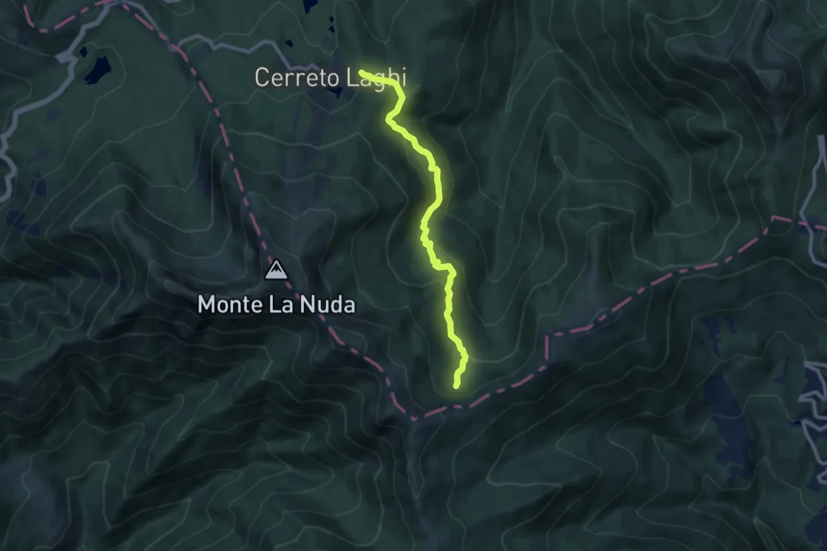
Medium · Trail
Cerreto Laghi – Percorso 649 Passo Belfiore
8.0 km · ↑ 374 m · 2 h 42 min · 12 km away
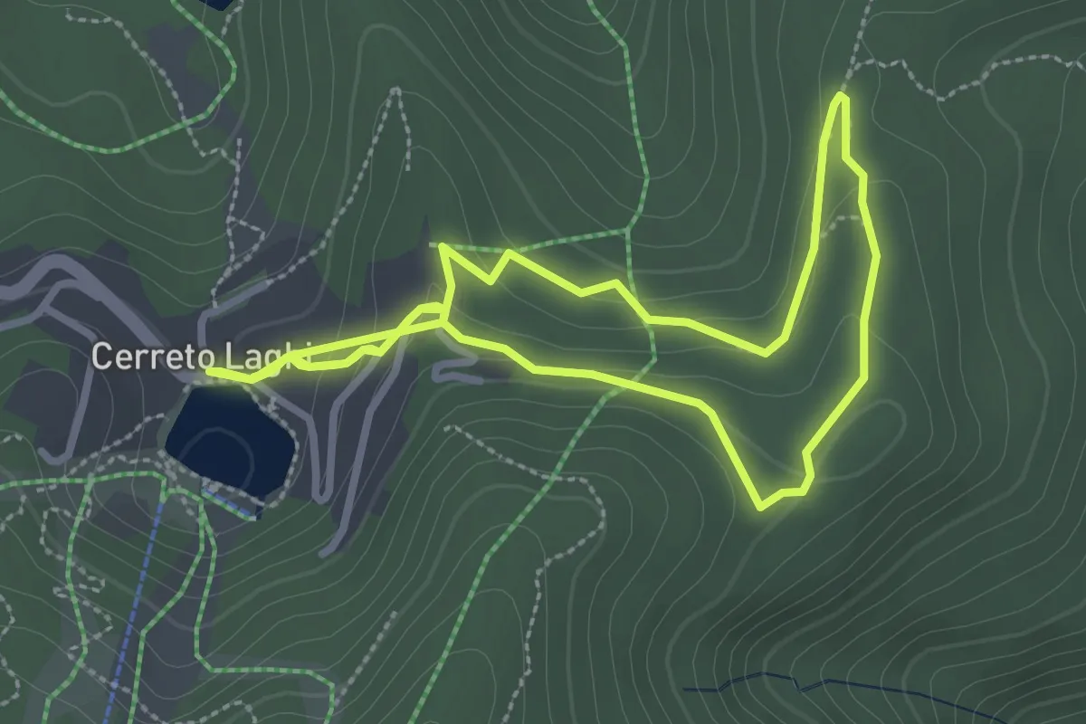
Easy · Trail
Percorso Giallo
5.8 km · ↑ 203 m · 1 h 48 min · 12 km away
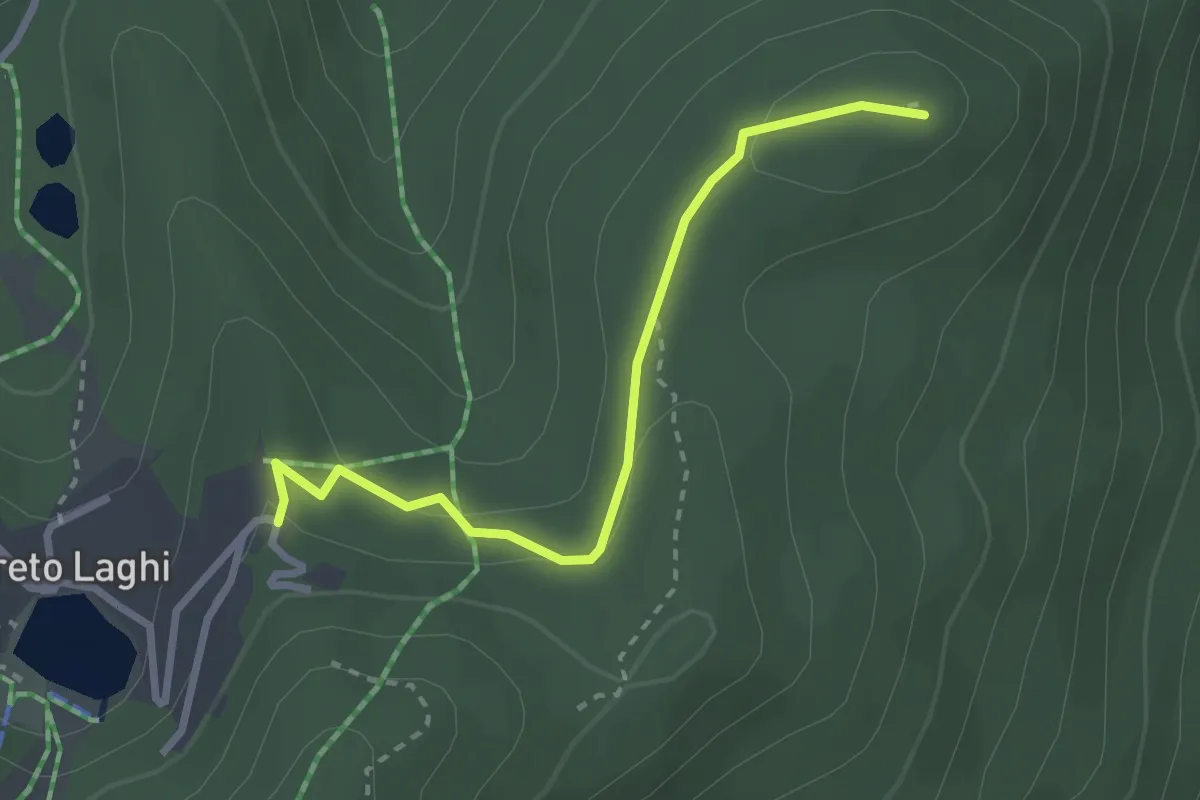
Easy · Summit
Cerreto Laghi – Monte Maccagnino
2.8 km · ↑ 65 m · 48 min · 12 km away
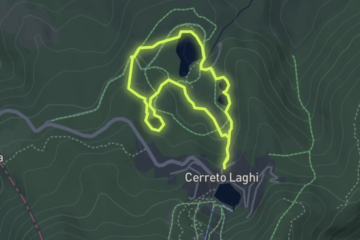
Easy · Trail
Percorso Arancio
3.1 km · ↑ 97 m · 59 min · 12 km away
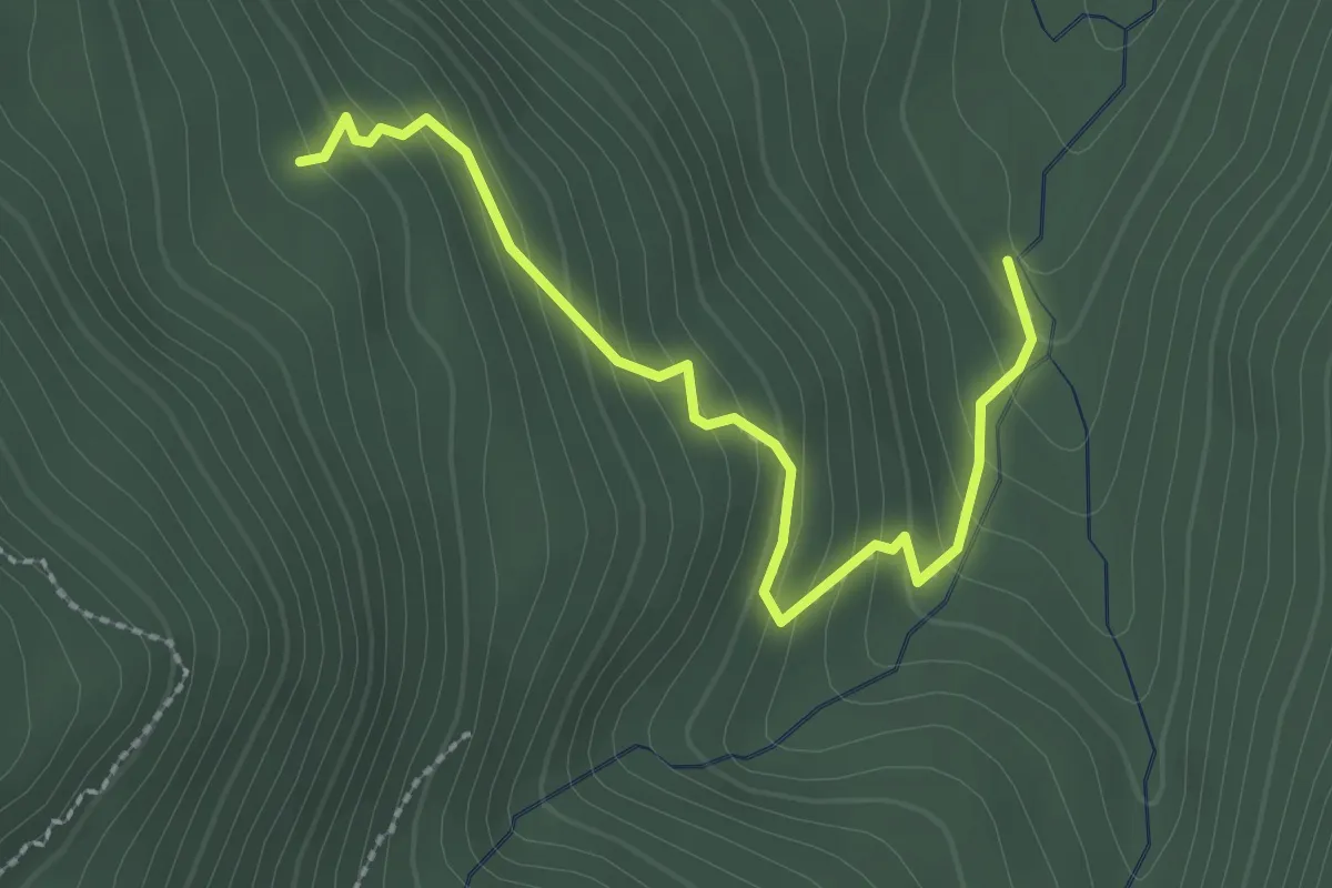
Easy · Trail
Percorso 647 – Percorso 649C
2.7 km · ↑ 245 m · 1 h 10 min · 12 km away
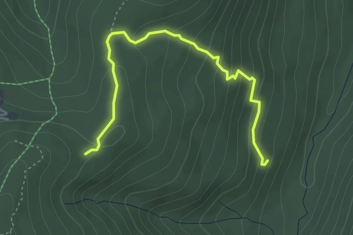
Easy · Trail
Percorso 647 – Percorso 649C
3.9 km · ↑ 235 m · 1 h 25 min · 12 km away
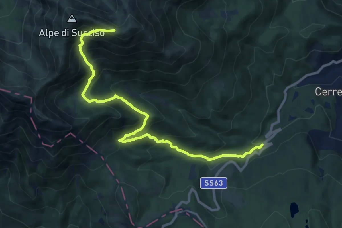
Demanding · Trail
La Gabellina – Sella Monte Casarola
12.7 km · ↑ 975 m · 5 h 7 min · 12 km away
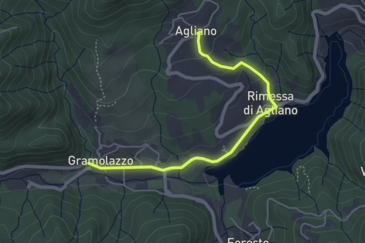
Easy · Trail
Garfagnana Trekking - Tappa 5 Variante Lungo Lago
4.5 km · ↑ 139 m · 1 h 21 min · 12 km away
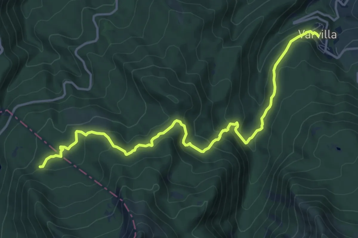
Medium · Trail
Succiso Nuovo – percorso 109
12.3 km · ↑ 585 m · 4 h 11 min · 12 km away
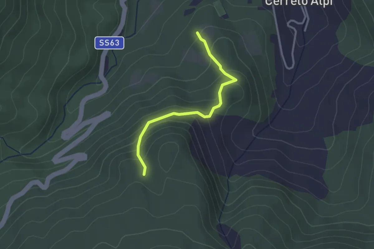
Easy · Trail
Cerreto Alpi – Percorso 649
2.6 km · ↑ 178 m · 1 h · 12 km away
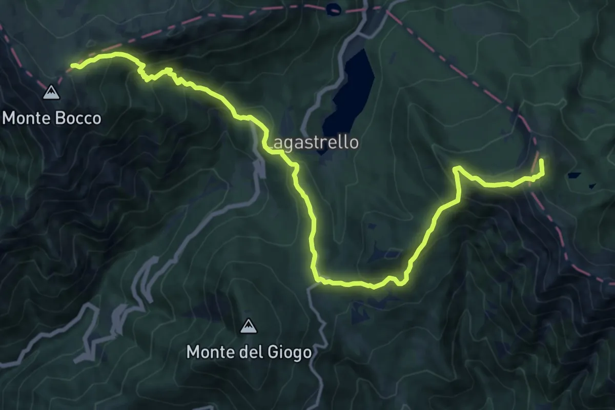
Demanding · Summit
Grande Escursione Appenninica - Tappa 21
16.7 km · ↑ 1305 m · 6 h 46 min · 12 km away
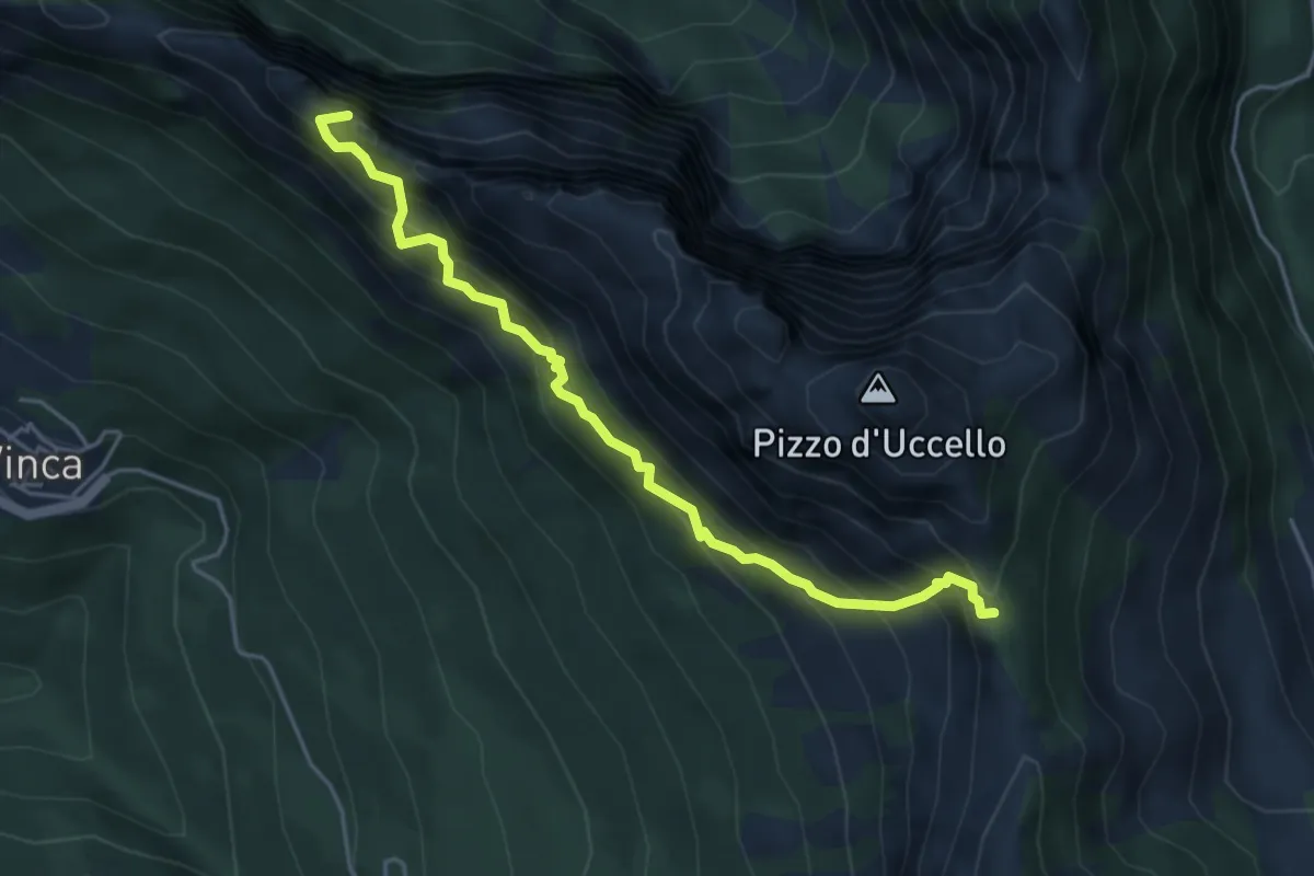
Expert · Summit
Sentiero attrezzato Mario Piotti
4.8 km · ↑ 705 m · 2 h 40 min · 12 km away
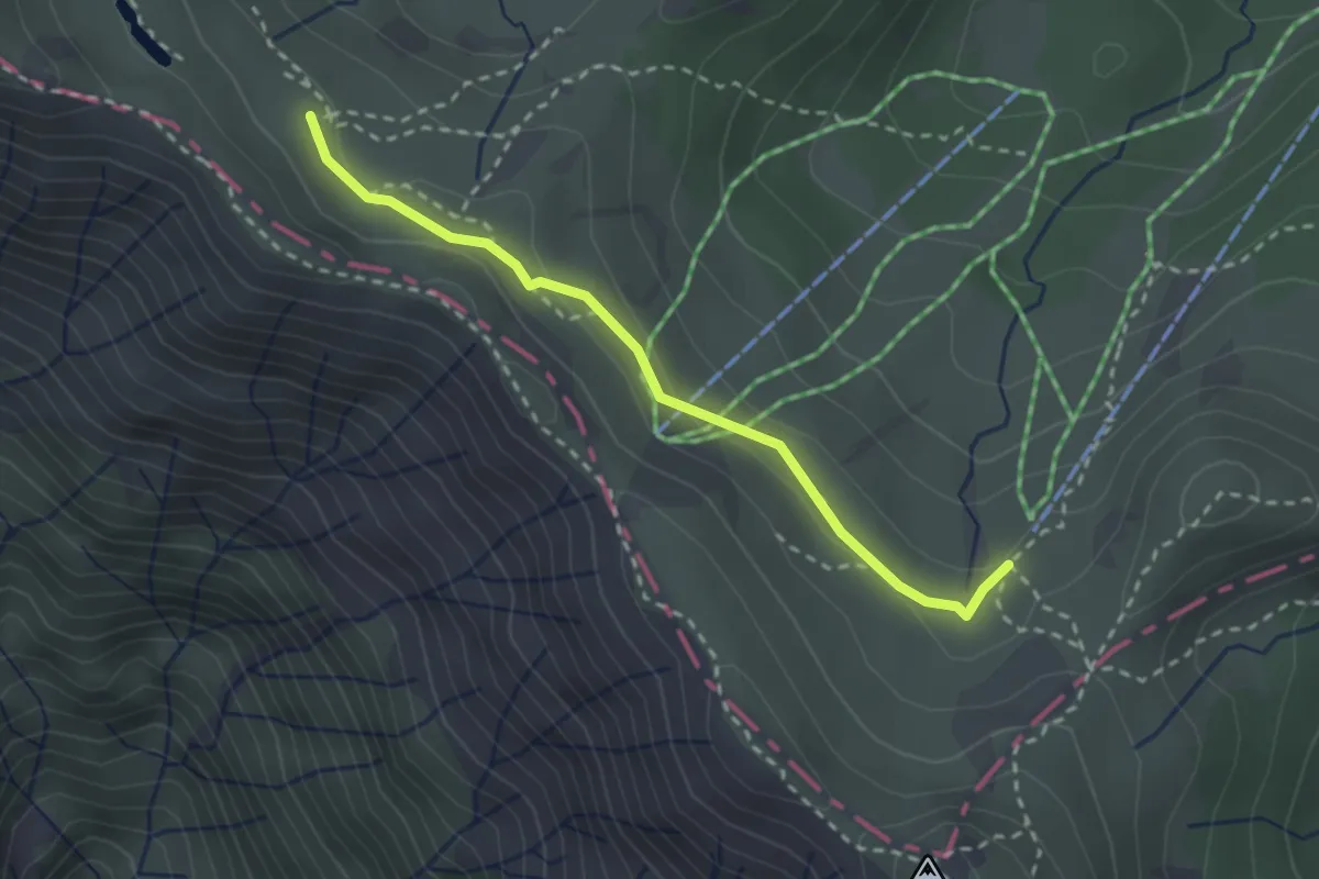
Medium · Trail
Arrivo seggiovia Prato Spilla - percorso 705
2.7 km · ↑ 83 m · 48 min · 13 km away
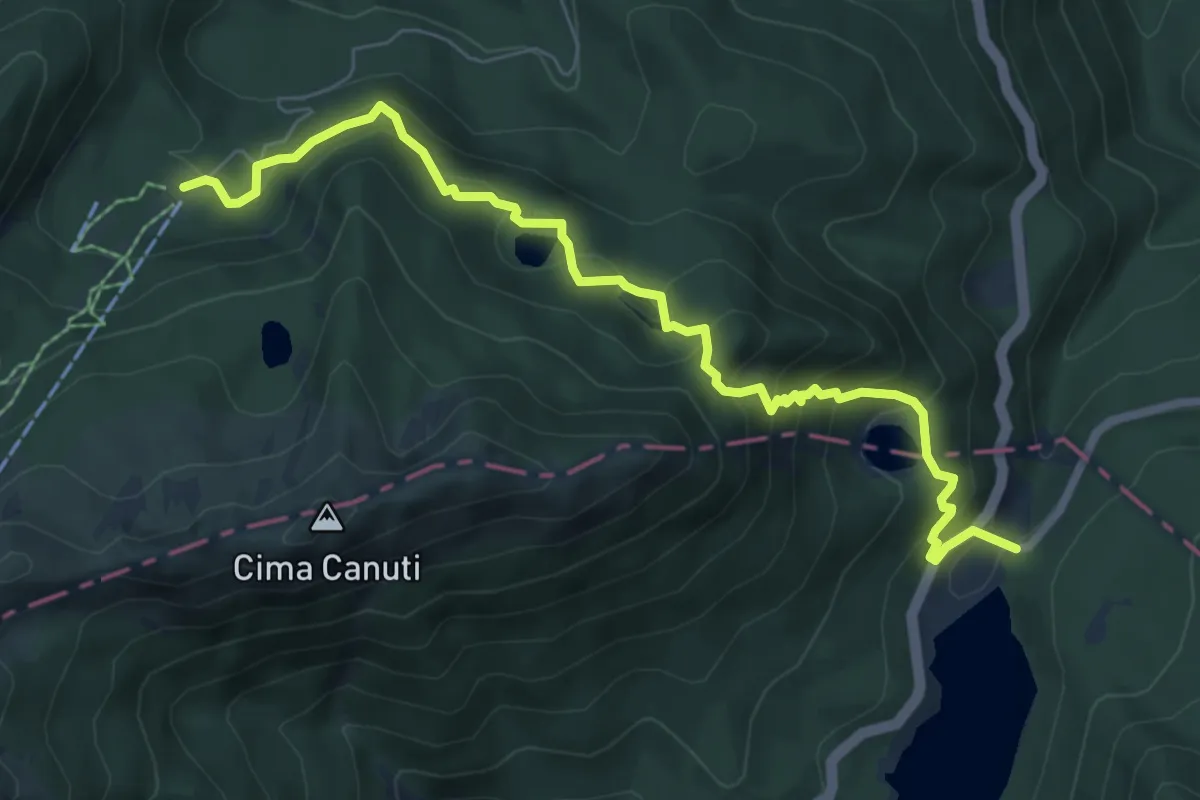
Medium · Cabin
E1 Toscana 03 Variante 3.4
7.9 km · ↑ 582 m · 3 h 8 min · 13 km away
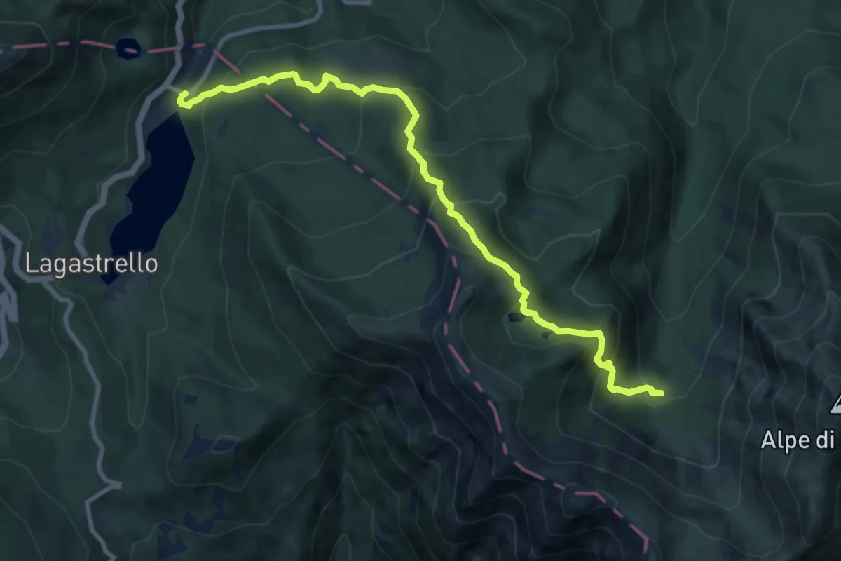
Medium · Cabin
Diga del Lagastrello – I Ghiaccioni
10.0 km · ↑ 690 m · 3 h 52 min · 13 km away
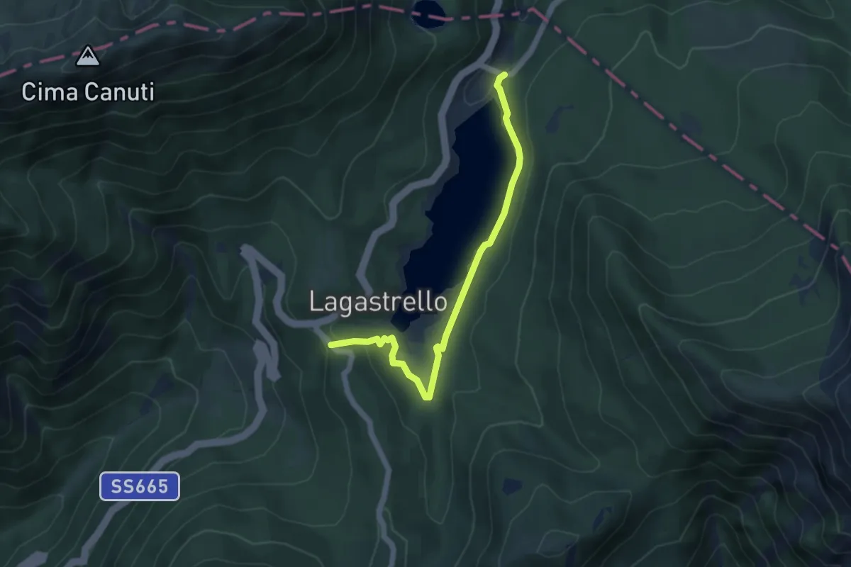
Easy · Trail
Diga del Lagastrello – Percorso 00
5.0 km · ↑ 91 m · 1 h 22 min · 13 km away
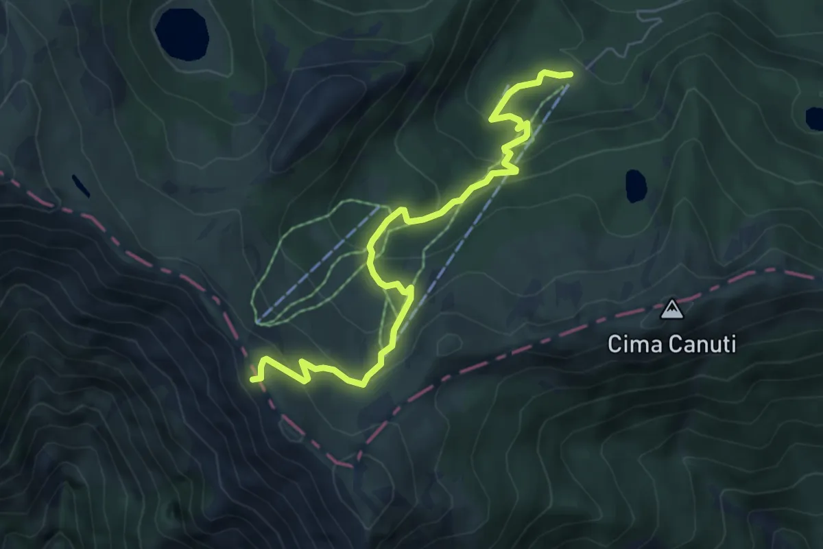
Medium · Cabin
E1 Toscana 03 Variante 3.3
6.4 km · ↑ 371 m · 2 h 19 min · 13 km away
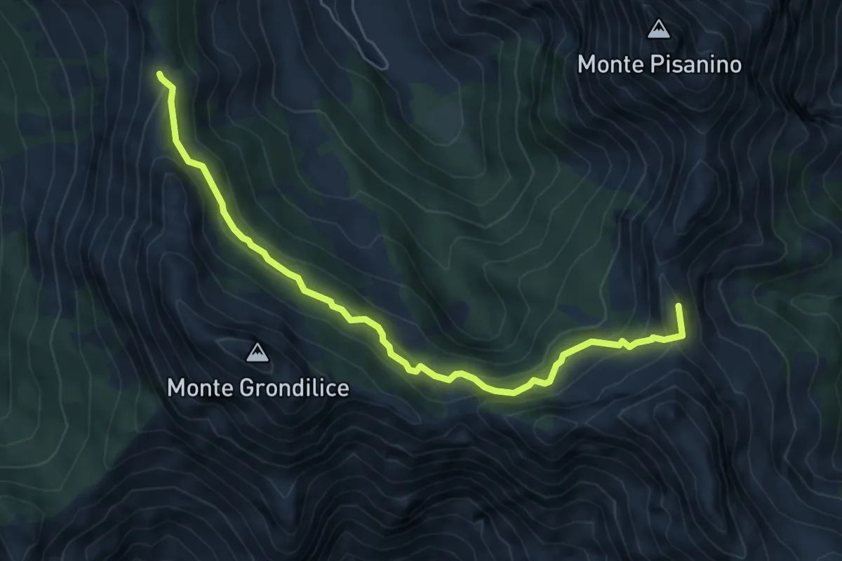
Medium · Summit
Foce di Giovo – Passo della Focolaccia
6.7 km · ↑ 494 m · 2 h 39 min · 13 km away